
Dave Jurasevich and his wife En Lee planned a trip to Arizona to do some climbing and invited me to accompany them. It was a 600-mile drive for them from Los Angeles to our meeting spot in Morenci, Arizona, but for me a mere 175. It was late afternoon by the time we met on Lower Eagle Creek Road to the west of town. It was beautiful country with wide, expansive views.
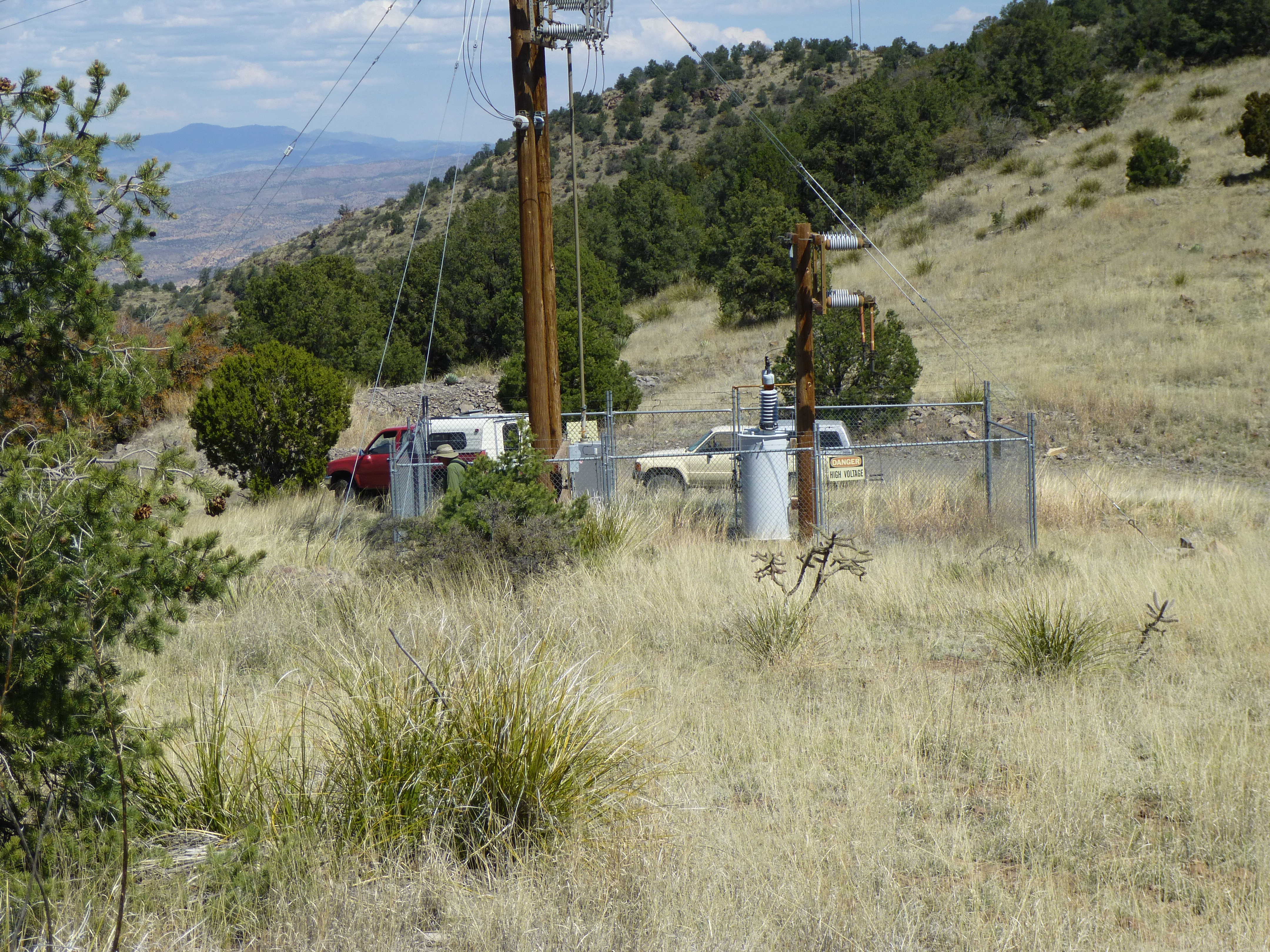
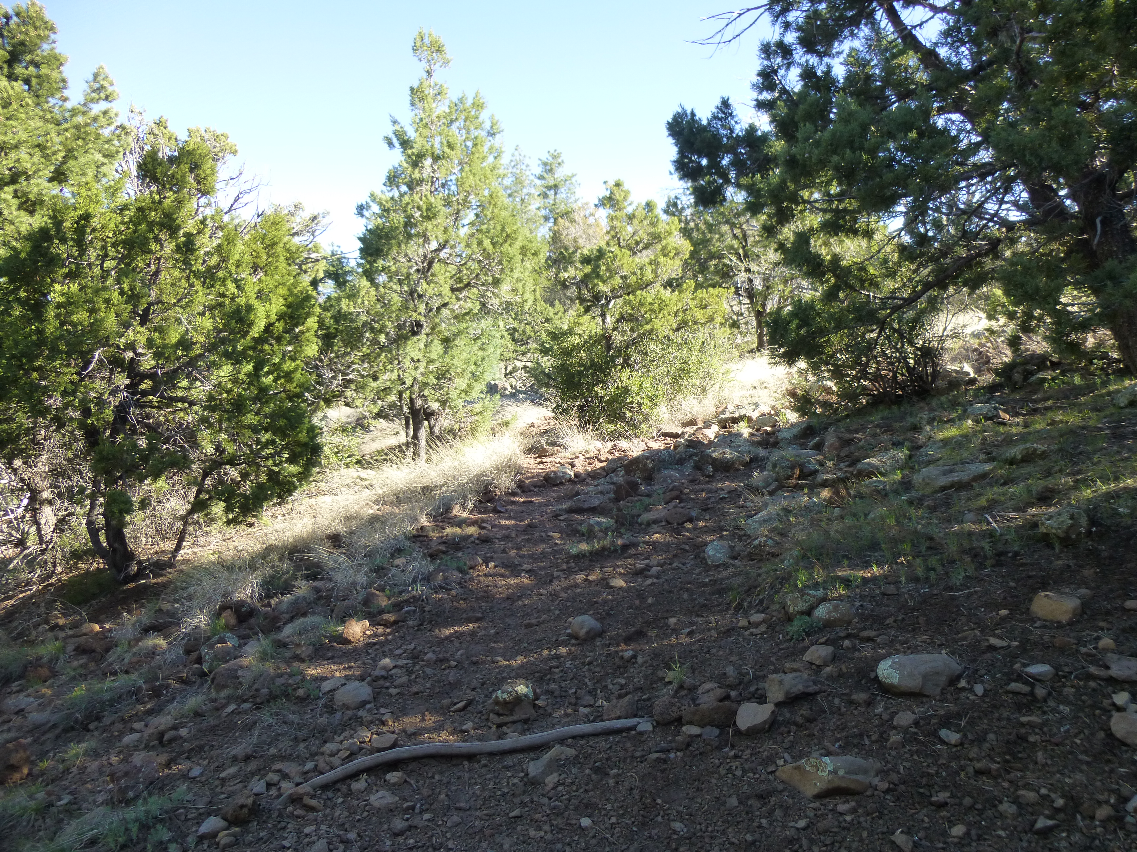
As we drove, in just a few miles we dropped from 5,000 feet elevation down to 3,800 where we reached Eagle Creek. There was quite the waterworks there, a huge pumping station which ran 24/7, supplying water for the mine and town. In advance of our trip, we had heard that we’d have to drive across the creek, and that could be problematic if the water level were high. Our Toyota trucks have high clearance – it is a full 24 inches to the bottom of our doors. No worries, we had room to spare.
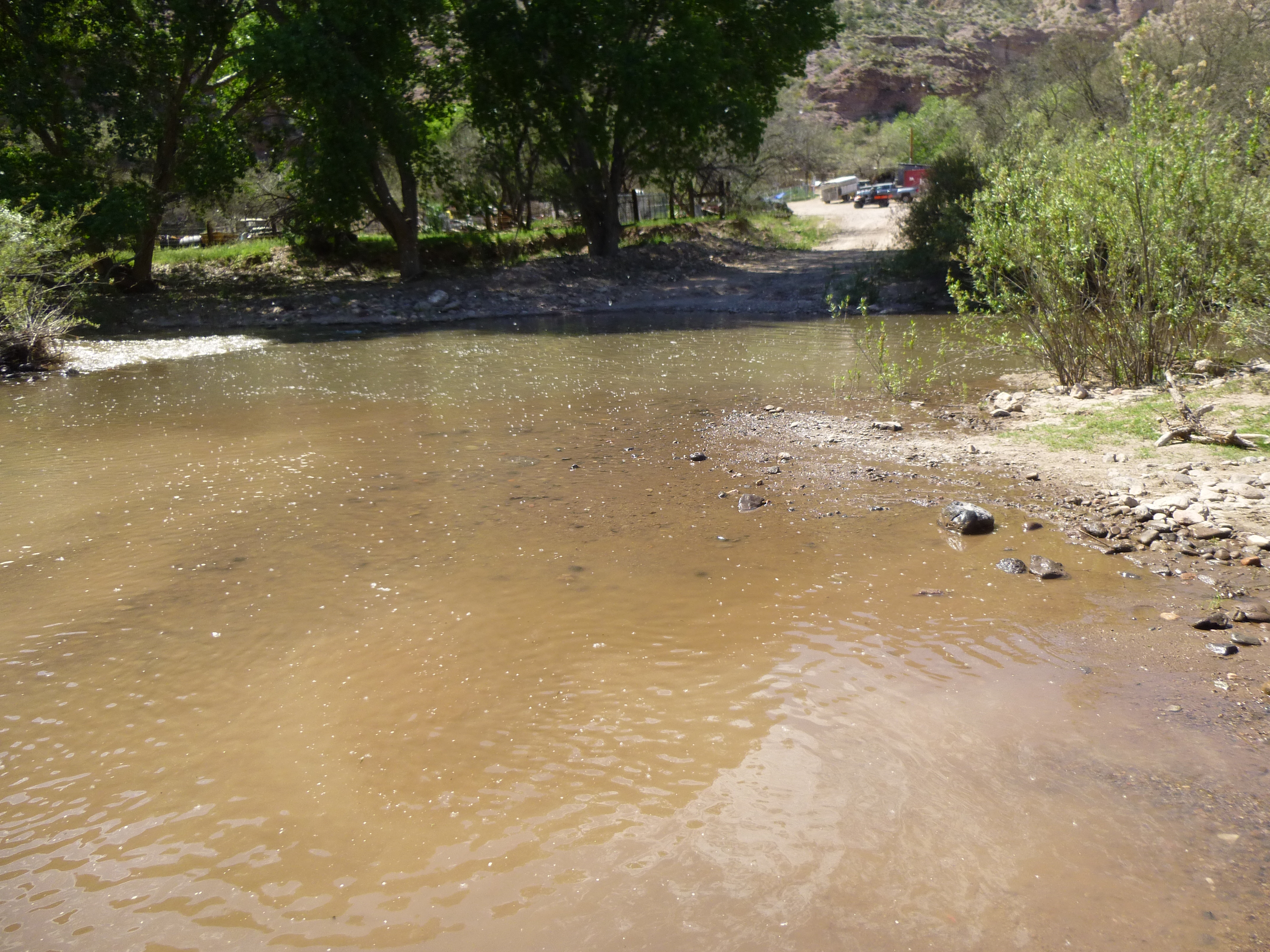
Lower Eagle Creek
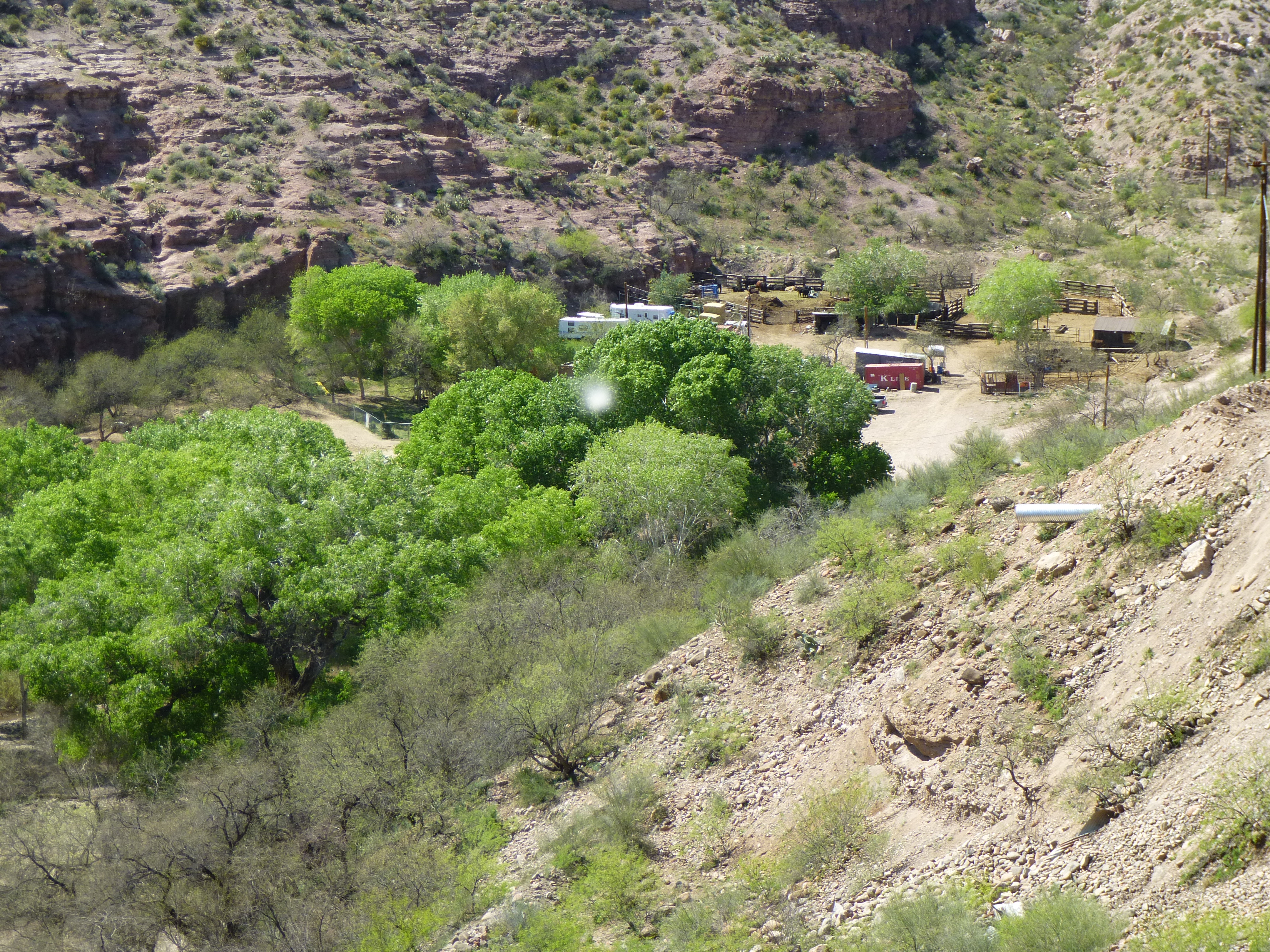
Once across the creek, we passed by a ranch tucked in below huge cliffs, the last signs of humanity we’d see for a while.
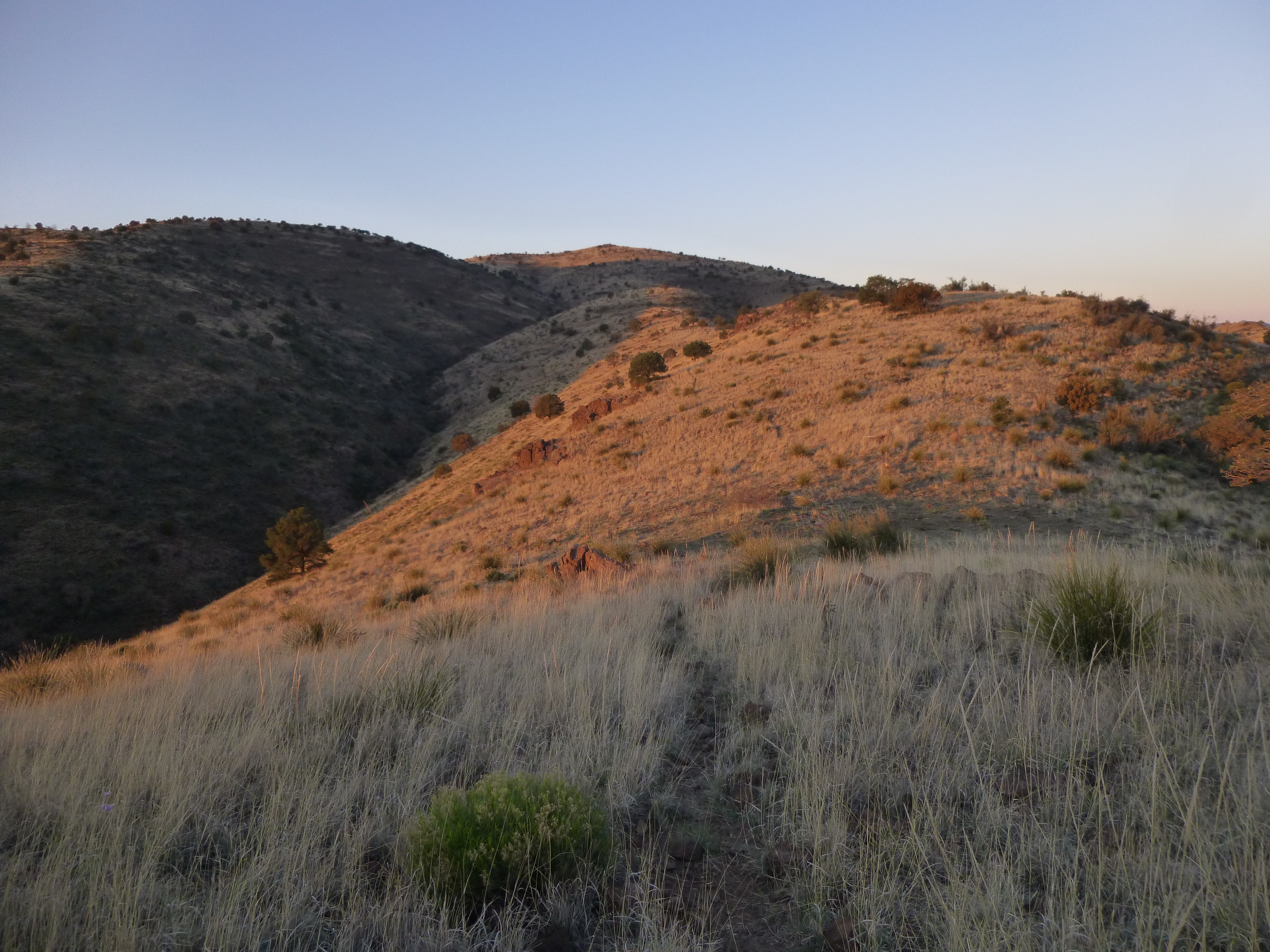
Then began a long, winding drive on a fair dirt road up something called Stove Canyon. After several miles, we arrived at a saddle at 5,892 feet elevation where we would camp for the night.
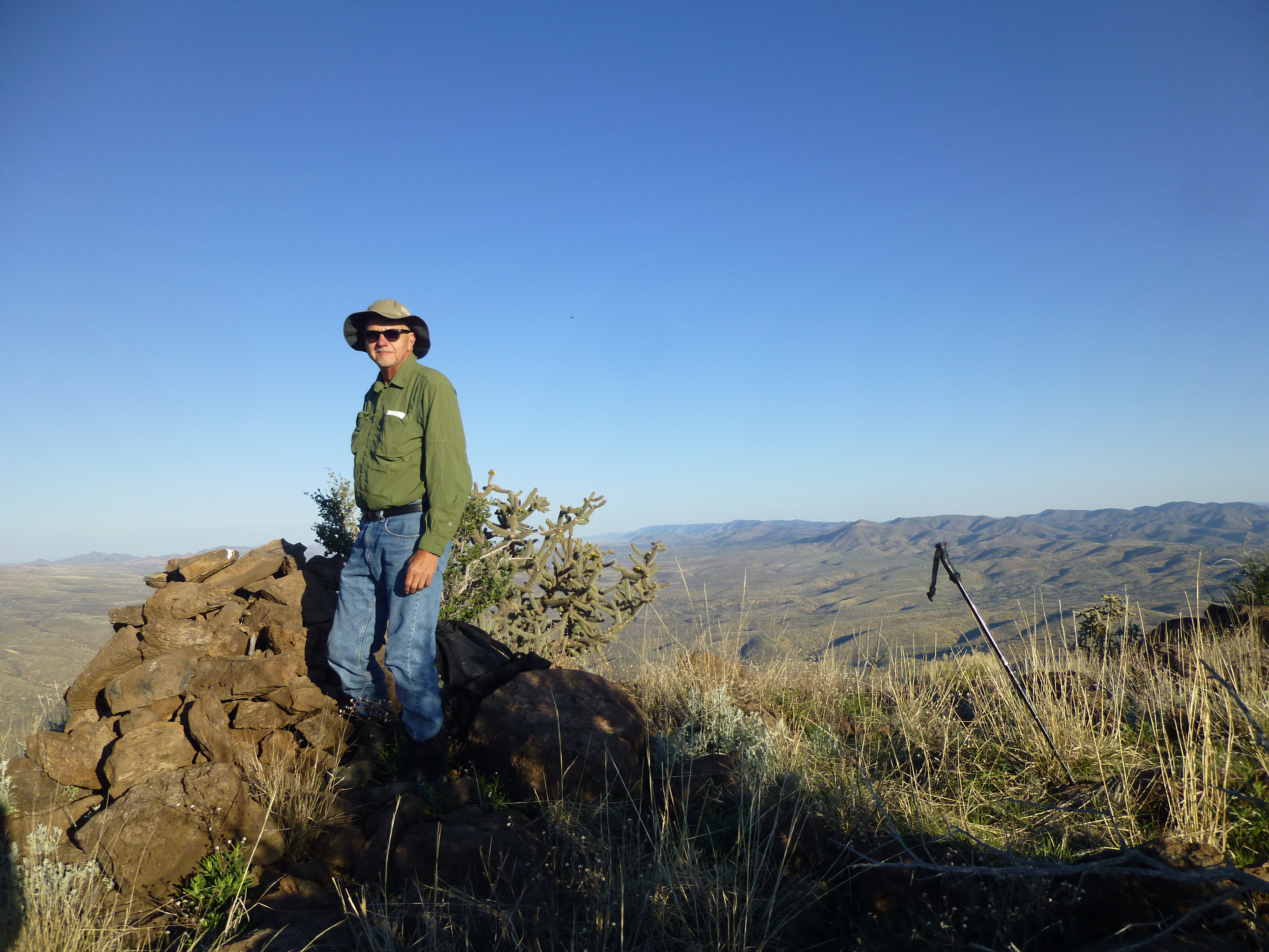
We still had some daylight left, so Dave and I took a short walk up the hill to Pass Benchmark.
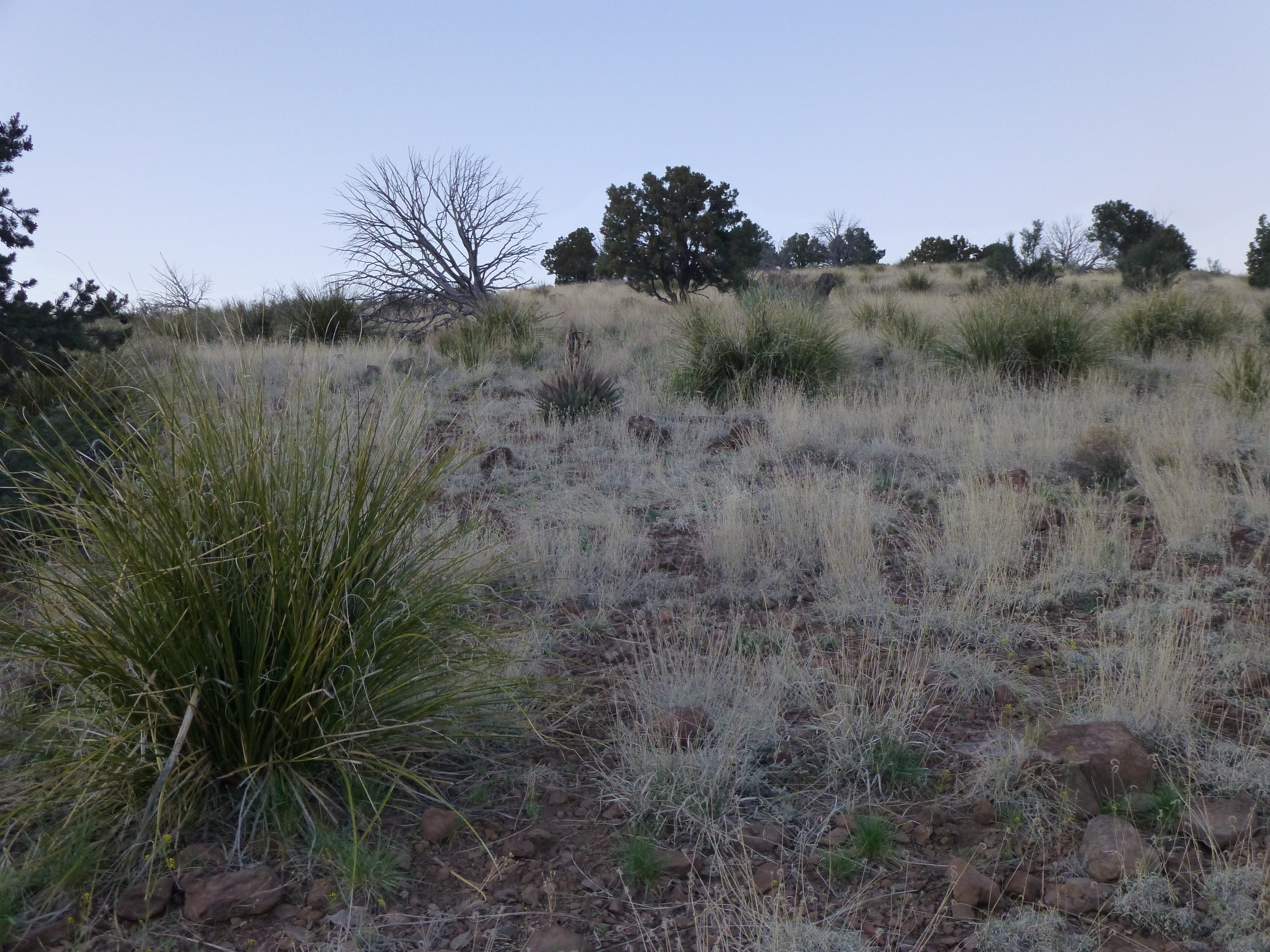
Looking from camp up to Pass Benchmark
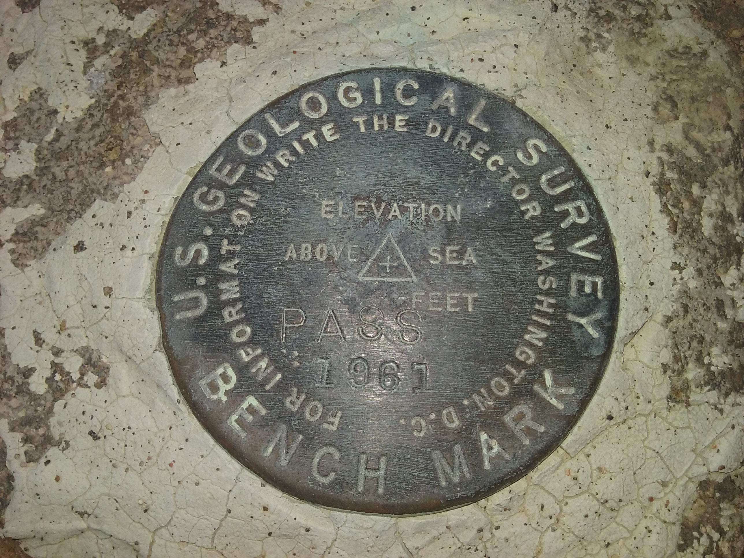
Pass Benchmark
We found a register where 2 of our friends had signed in, and we did too. An easy walk back down to camp gave us this splendid high-desert sunset.
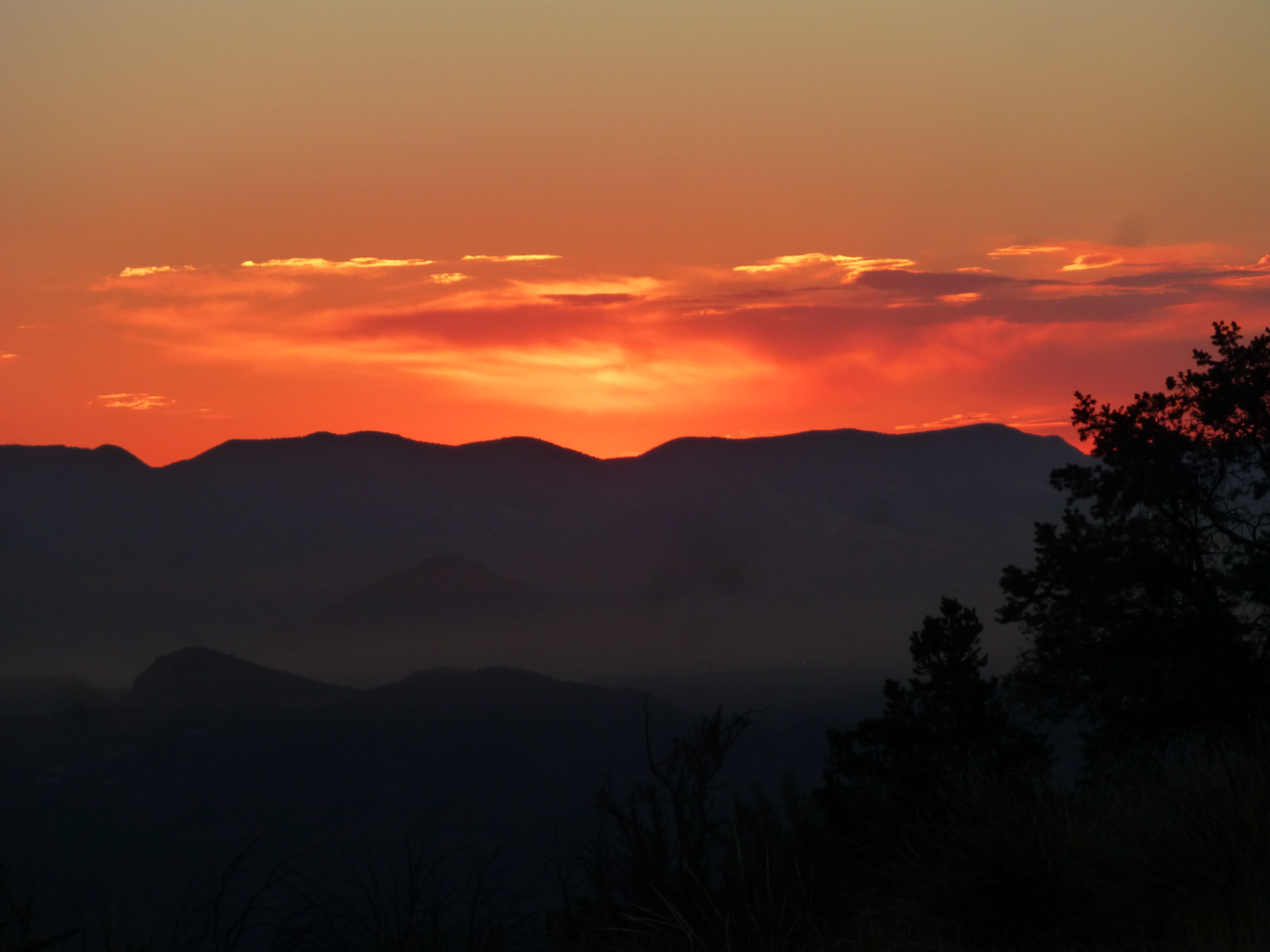
Arizona sunset
After a restful night, Dave and I set out on foot at first light while En Lee stayed at camp to fight off a bad cold. Our goal today was Turtle Mountain, a large area of uplift – actually, we sought the highest part of it, a benchmark aptly named “Highest Peak”. The terrain was fairly open grassland, with just enough rocks on the ground to make you pay constant attention so you wouldn’t trip and break your neck.
Sunrise – Peak 6655 is the gentle bump, dead-center, way in the back on the skyline
A couple of miles in, we climbed a small peak simply known as 6655.
Dave, on top of Peak 6655
We now had a good view of our final peak, only 1.5 air miles distant.
A look south to Turtle Mountain
There was only one small hitch – we had to drop down several hundred feet to a saddle, then climb another thousand to reach our summit. Ouch, that saddle was going to hurt on the way back out. Oh well, we finally got there and signed in to the register to join a dozen other friends.
The day was fair and we enjoyed a while on top before starting back down. By the time we got back to the trucks, 6 hours had passed.
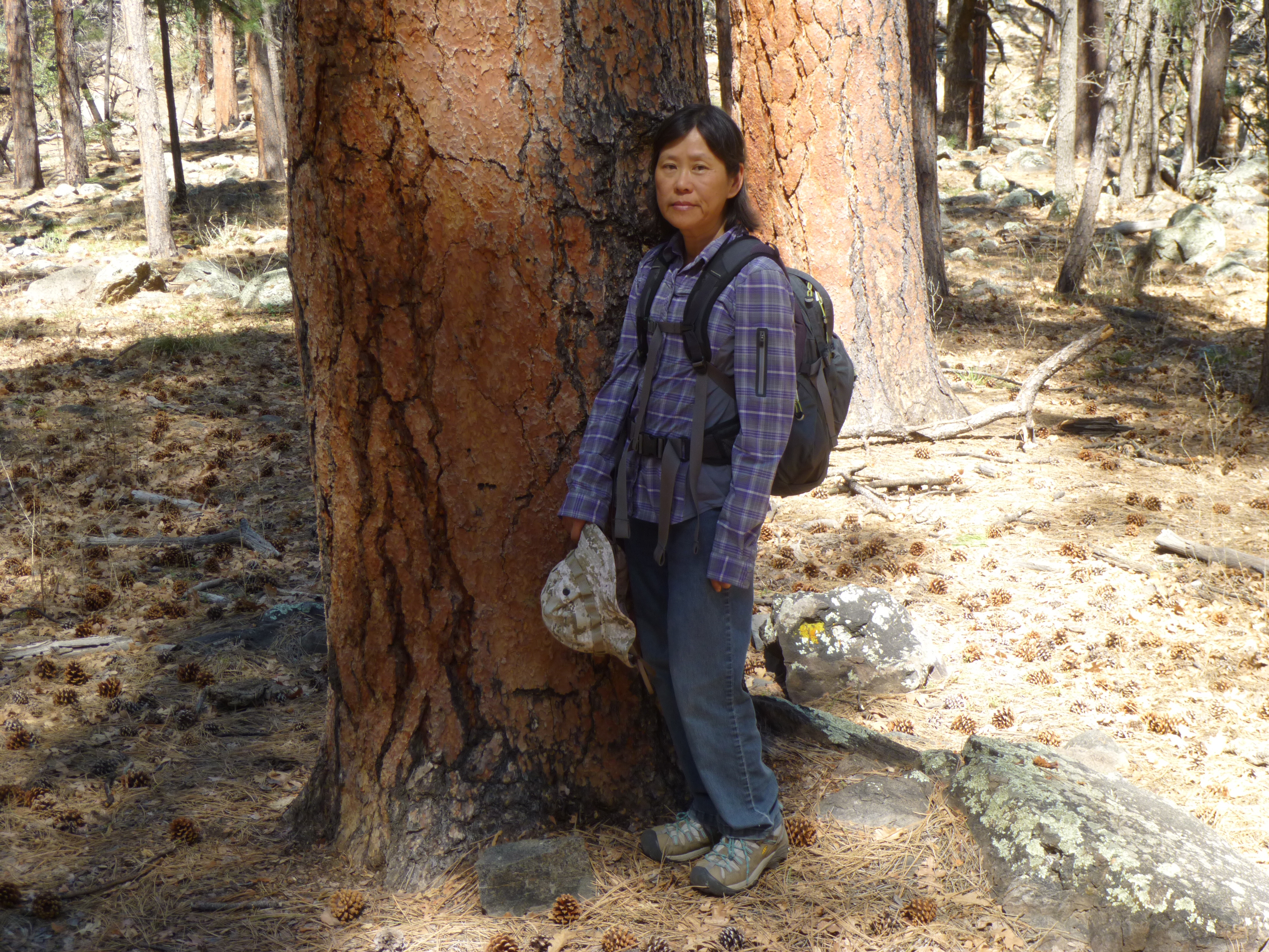
While we’d been to Turtle, En Lee had climbed Pass Benchmark and was waiting for us when we returned. It only took a few minutes to pack up and start back to town.
The saddle where we camped
Back at the pumping station, a couple of things caught our eye. One was this sign – who knew that Rocky Mountain bighorn sheep were this far south?
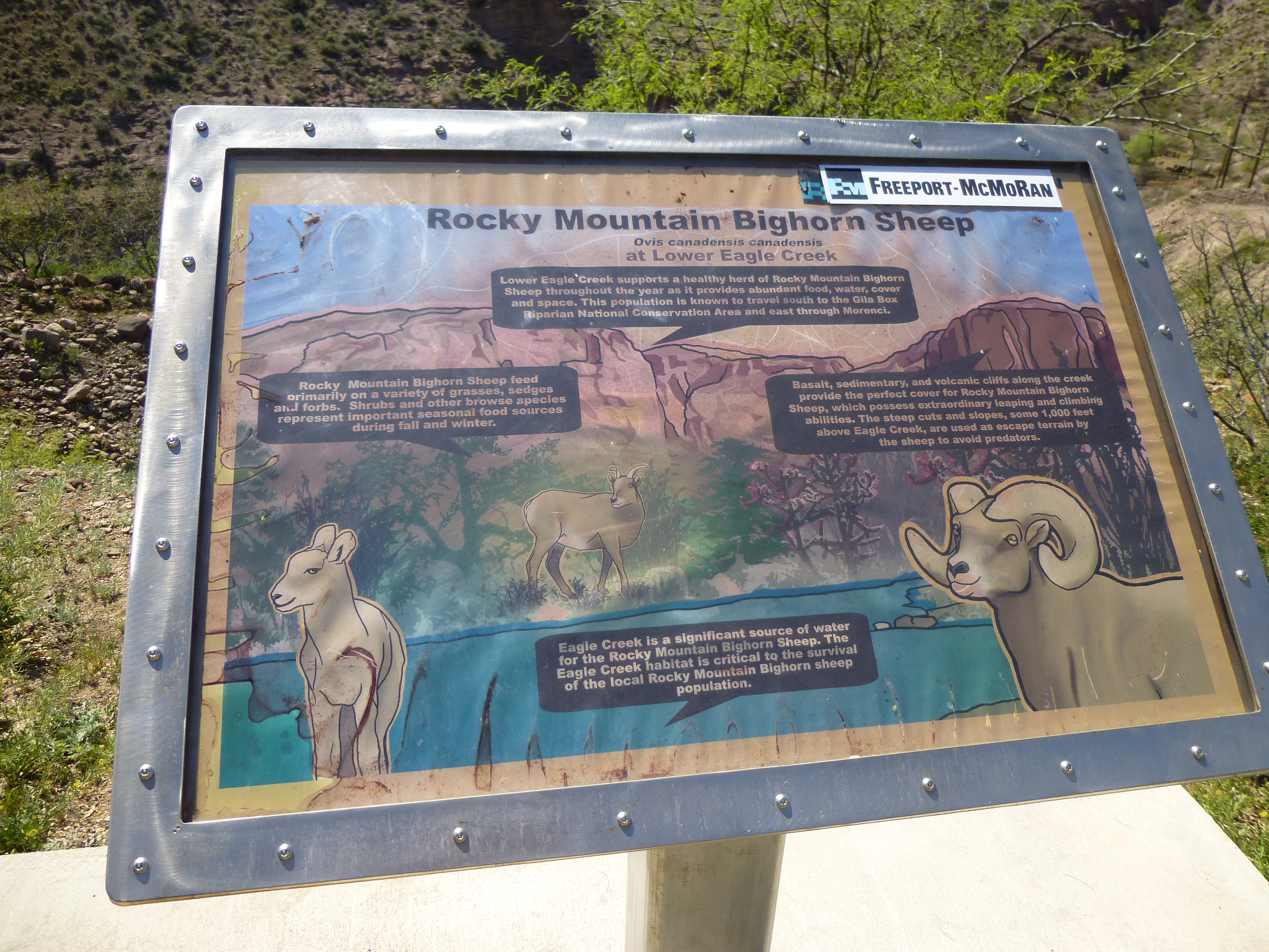
The sign
The other was what was left of this old church.
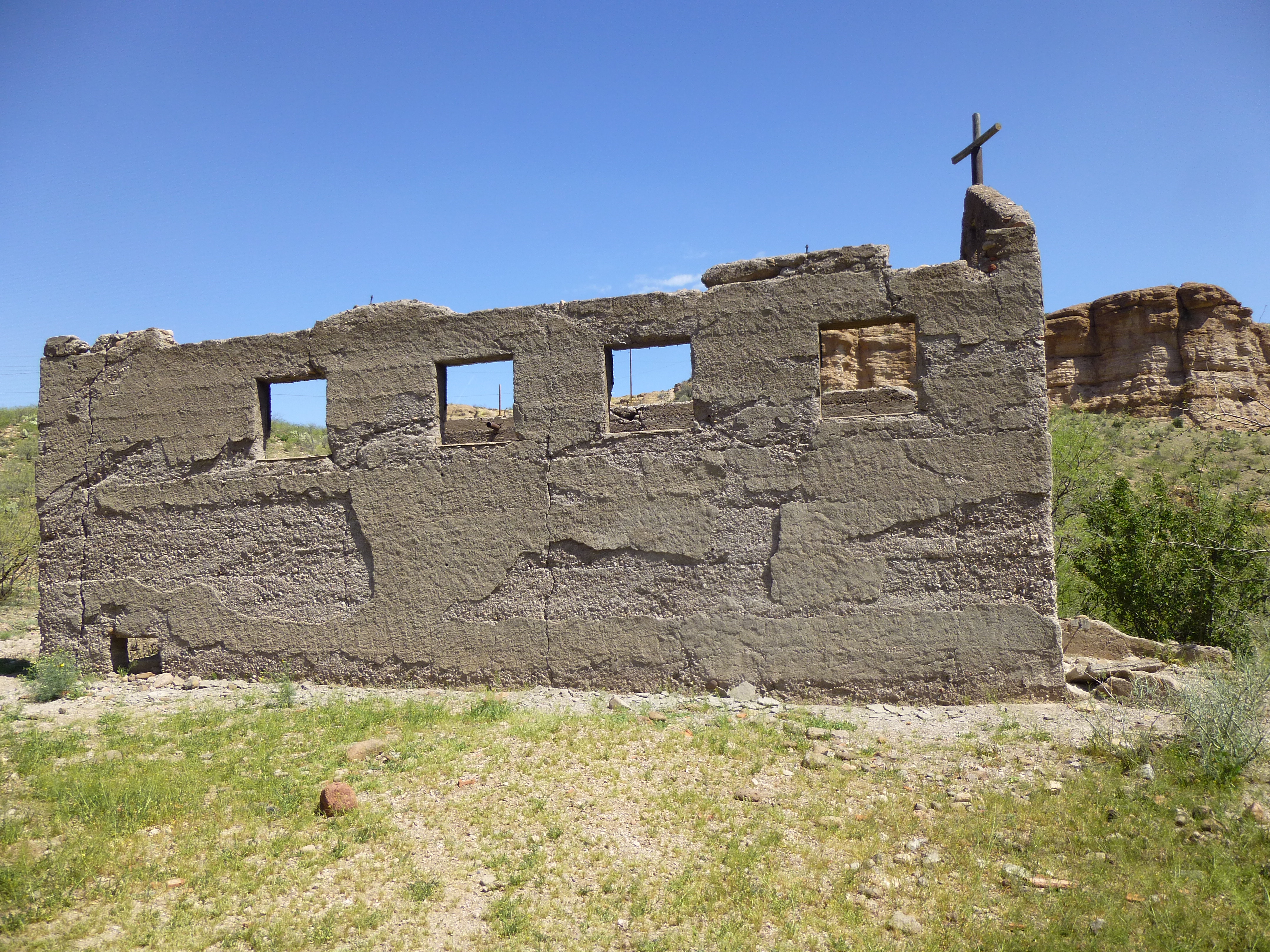
The old church
By the time we got back to Morenci, it was 1:30 PM. Our goal now was to get to the trailhead for our next peak – we knew it was a long way to drive and hoped it was doable in one day. We stopped for gas and food in Safford, then drove on. Passing though Globe, Miami, Superior and Apache Junction, we finally reached the Superstition Freeway and entered the vast sprawl known as Phoenix. As luck would have it, a crash had blocked all inbound traffic, and there we sat in a vast parking lot. It seemed to take forever, but we finally moved on. We took the 101 Freeway north and then west to Interstate 17, and that 34 miles seemed to take forever. By then it was dark. We gassed up again, ready for more back-country. More miles of freeway north into the night, finally taking an exit. I was just following, as Dave had all the road junctions programmed into his GPS. Have you ever driven a long, unfamiliar road at night, unable to see any of your surroundings? That’s how it was – the farther we went, the worse the road became. Dave described it as “one of those roads that can loosen your fillings” and he was right on. Those were some of the worst 18 miles I’d ever driven, and by the time we stopped at a small Forest Service campground for the night, we were exhausted. We’d been driving for 9 hours.
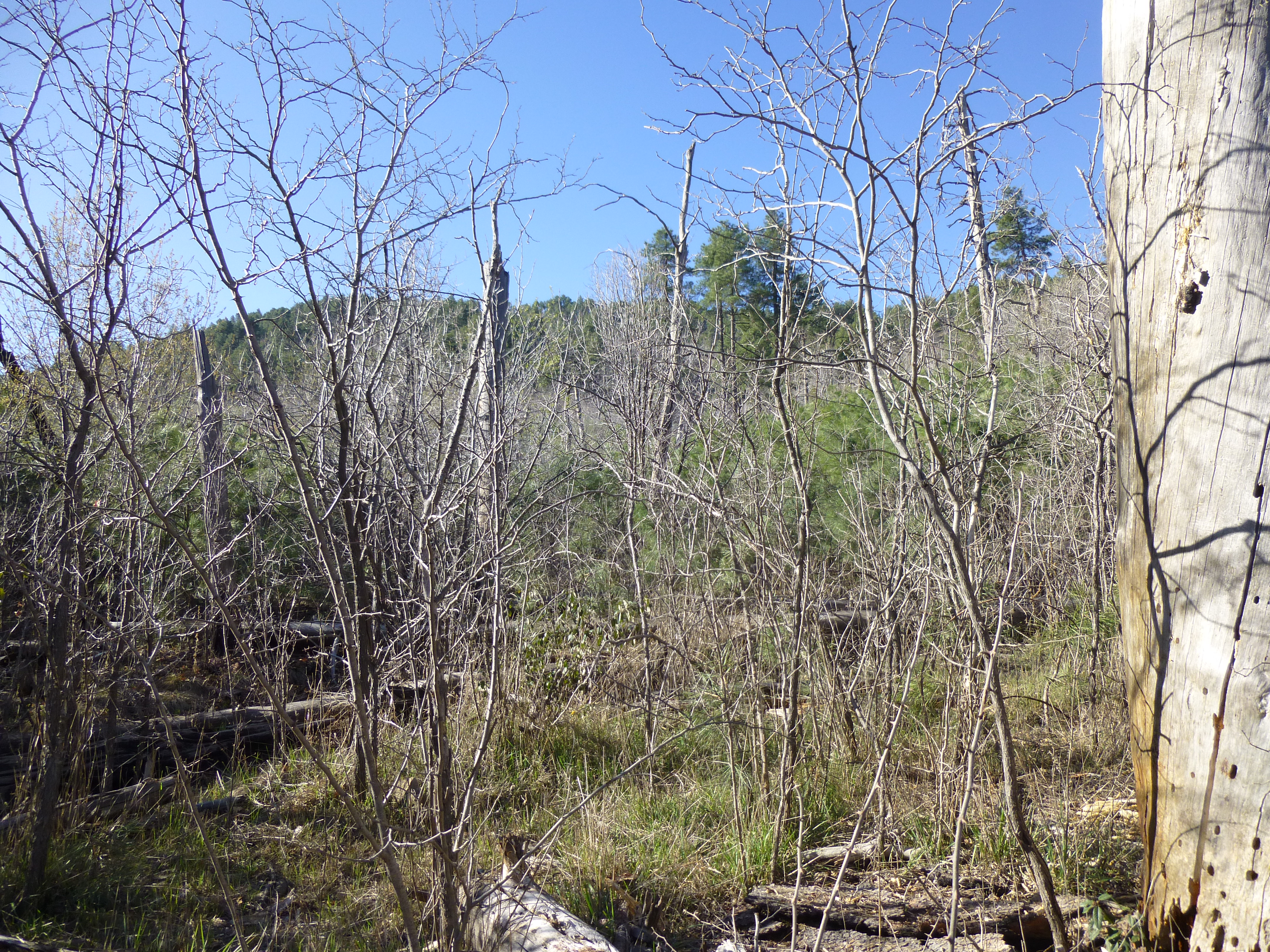
A good night’s sleep, but way too short. As usual, we were up and moving by first light, the 3 of us starting up the trail in the pine forest.

Entering the wilderness area
The trail was easy to follow, and led us along Sycamore Creek, flowing quite vigorously in places. We wondered about the source of its water, and realized that the map showed at least 5 named springs feeding it.
A few spots along the trail involved pushing through thorny bushes, but aside from that minor annoyance, all went well.
Minor bushwhacking
It was just a matter of putting in the miles. As we continued east, our trail climbed to the 6,400-foot level, to the edge of the Verde Rim.
The trail along the Verde Rim
From there, a series of switchbacks took us up the final stretch to the top of Pine Mountain, which was a clearing surrounded by brush.
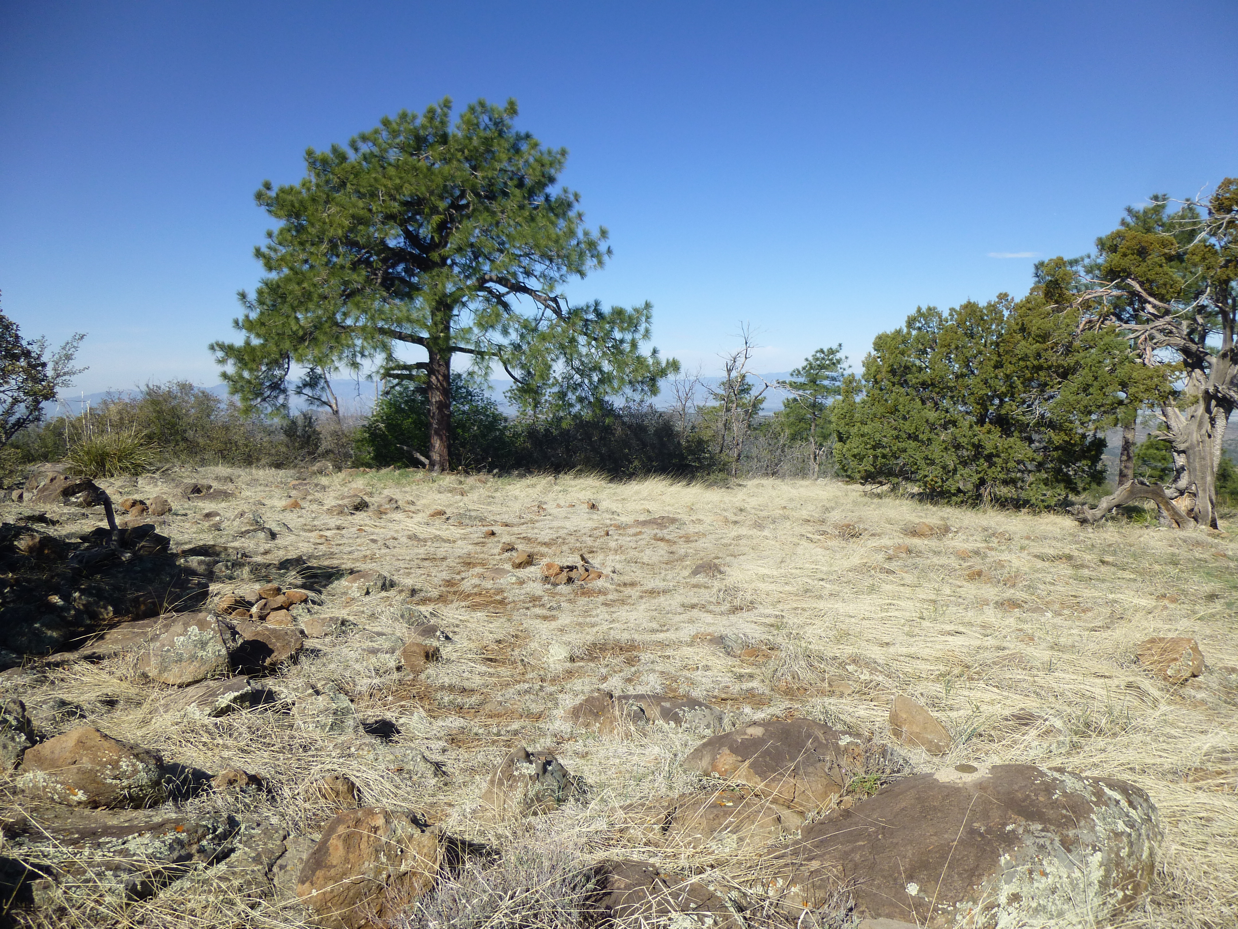
The clearing at the top of Pine Mountain
It didn’t take us long to find the benchmark named “Wild”.
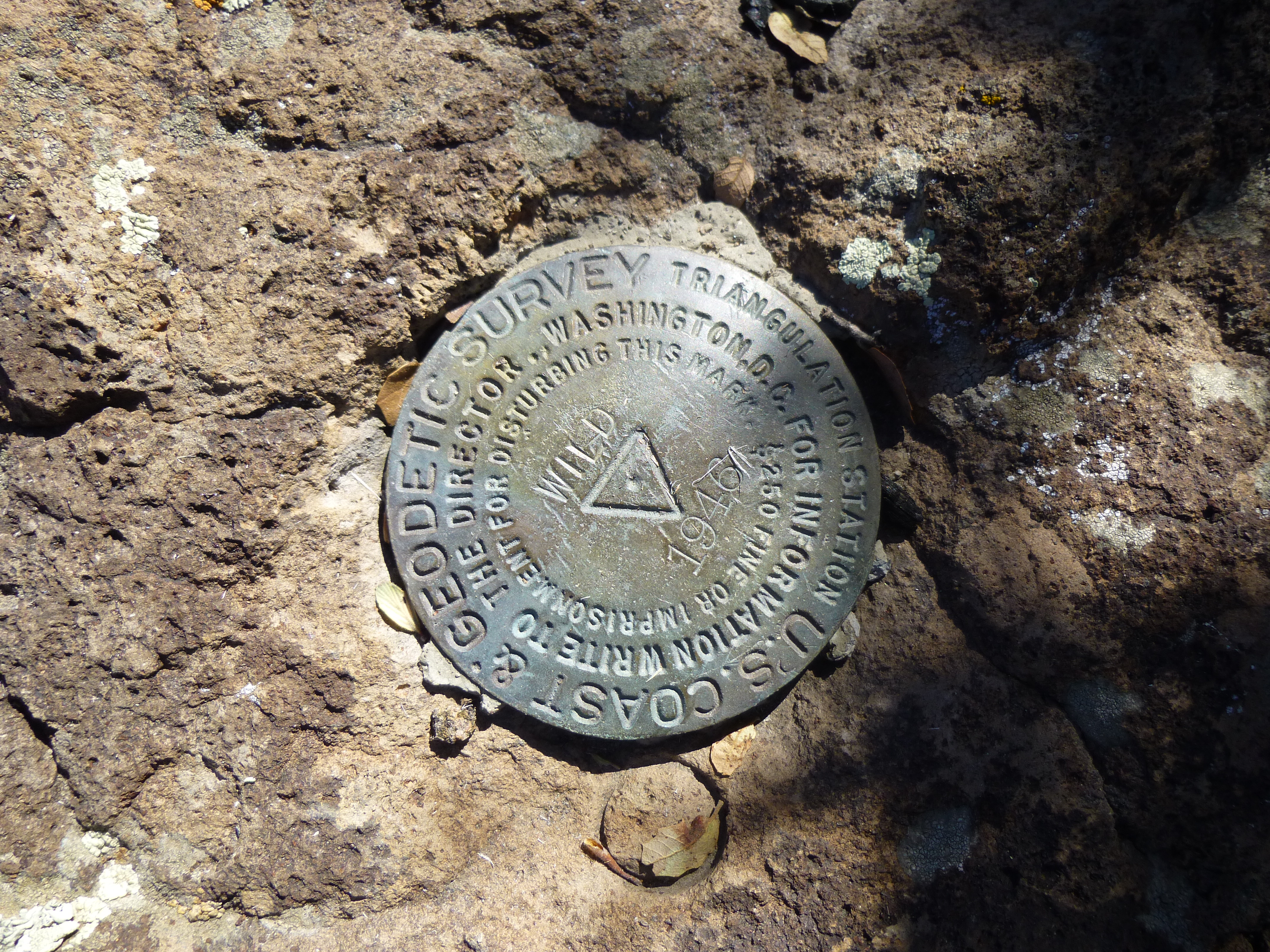
Wild Benchmark, at 6,814 feet elevation
Congratulations were in order, because Dave had now climbed to the top of all 73 of Arizona’s peaks with 2,000 feet or more of prominence. Or had he? We couldn’t help but notice that as we looked farther south along the ridge, there were other bumps which seemed as high as ours. So, were they? A quick call to Andy Martin back in Tucson helped us to conclude that there was no choice but to visit all of the other contenders to be sure we had reached the highest point on the mountain.
So then began another hour of traipsing along the summit ridge. The benchmark had a known elevation of 6,814 feet. The next bump south had a 6,800′ contour, like the benchmark, but visually it was clearly lower. The surveyors had measured the third bump at 6,810 feet, so we knew that wasn’t a contender, but the fourth bump – well, that was another matter. Its north end was the highest part, but it was heavily-wooded, making it impossible to visually compare its height with that of Wild. In cases like this, all a climber can do is to visit all possible points that could be the highest – that way, you’ve covered your bases and know you’ve stood on the summit.
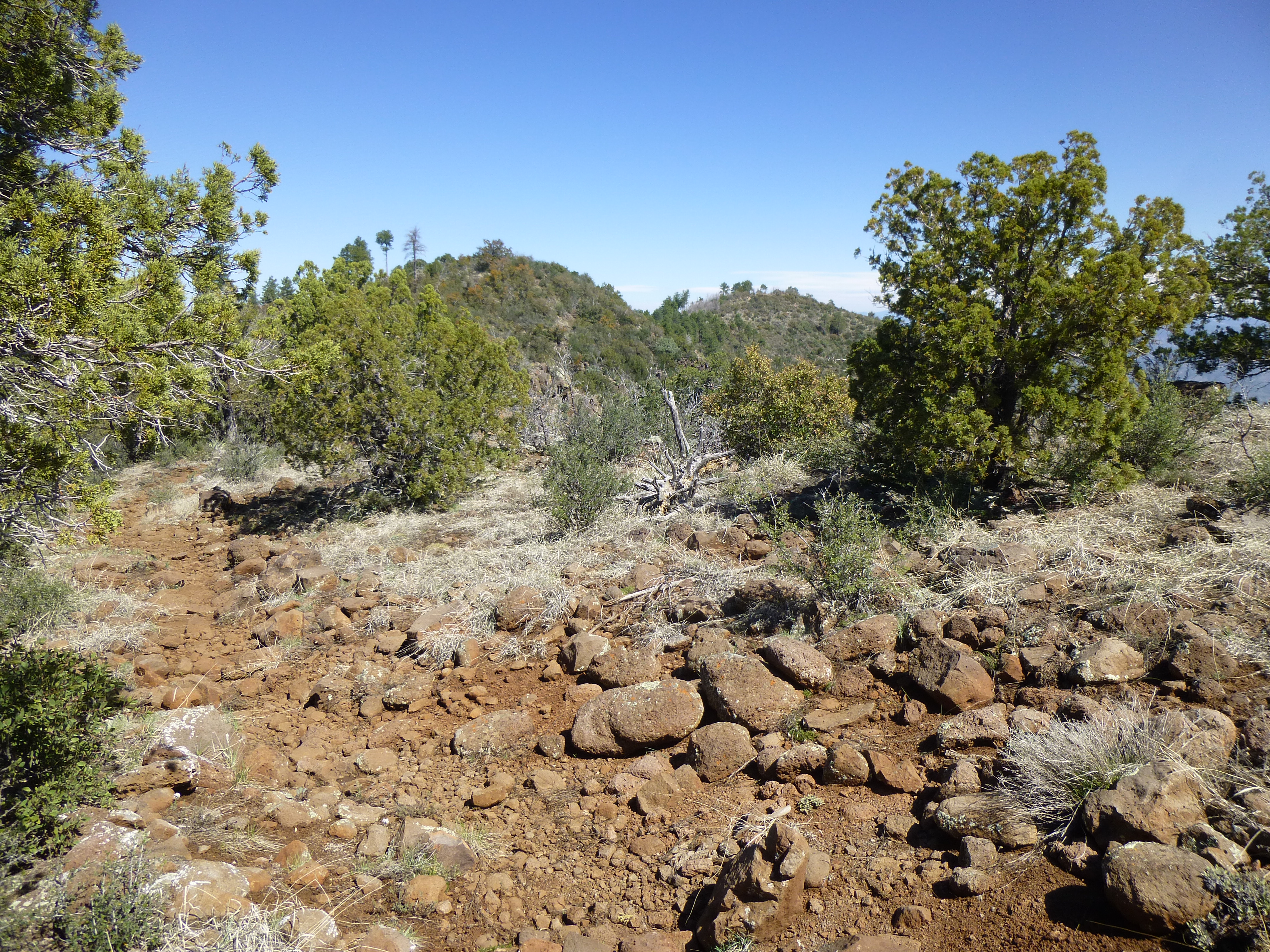
Looking back north from one of the other bumps to Wild Benchmark
Due diligence completed, we made our way north past all of the bumps and headed back down the trail. It was a blue-sky day as we walked through the forest. Some of the pine trees were huge.
En Lee by one of the old Ponderosa pines
We noticed fish swimming in many of the pools in Sycamore Creek, and concluded they were probably Apache trout, which happens to be the state fish of Arizona. They weren’t large, probably none of them over a foot in length, but it was exciting to see them. Here in Arizona, we desert-dwellers don’t often get to see riparian areas with real live fish swimming around!
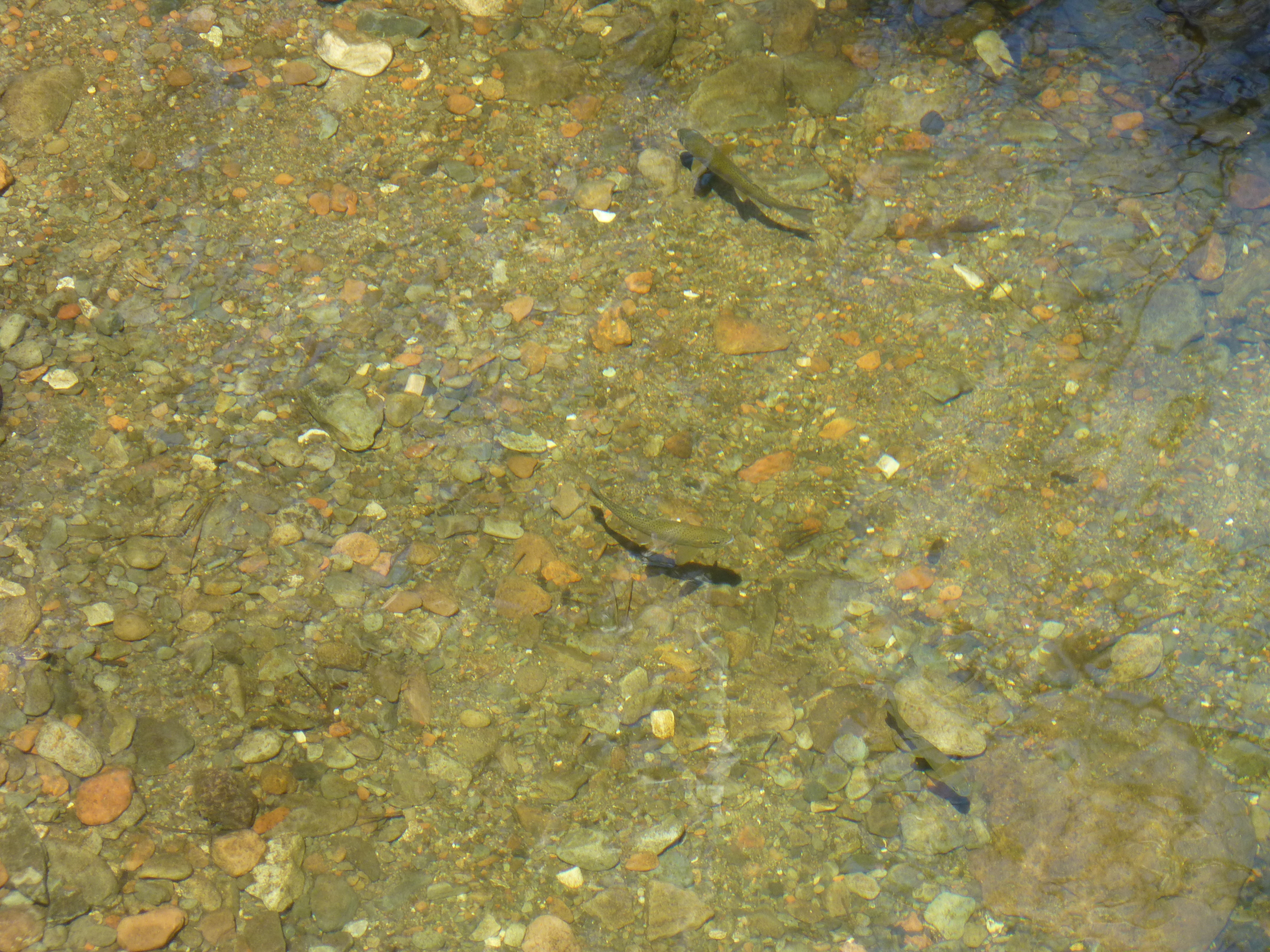
Arizona’s own Apache trout
Within a mile of our parking place, we came upon this old stone wall in the forest, extending for hundreds of feet, no doubt a remnant of previous settlement.
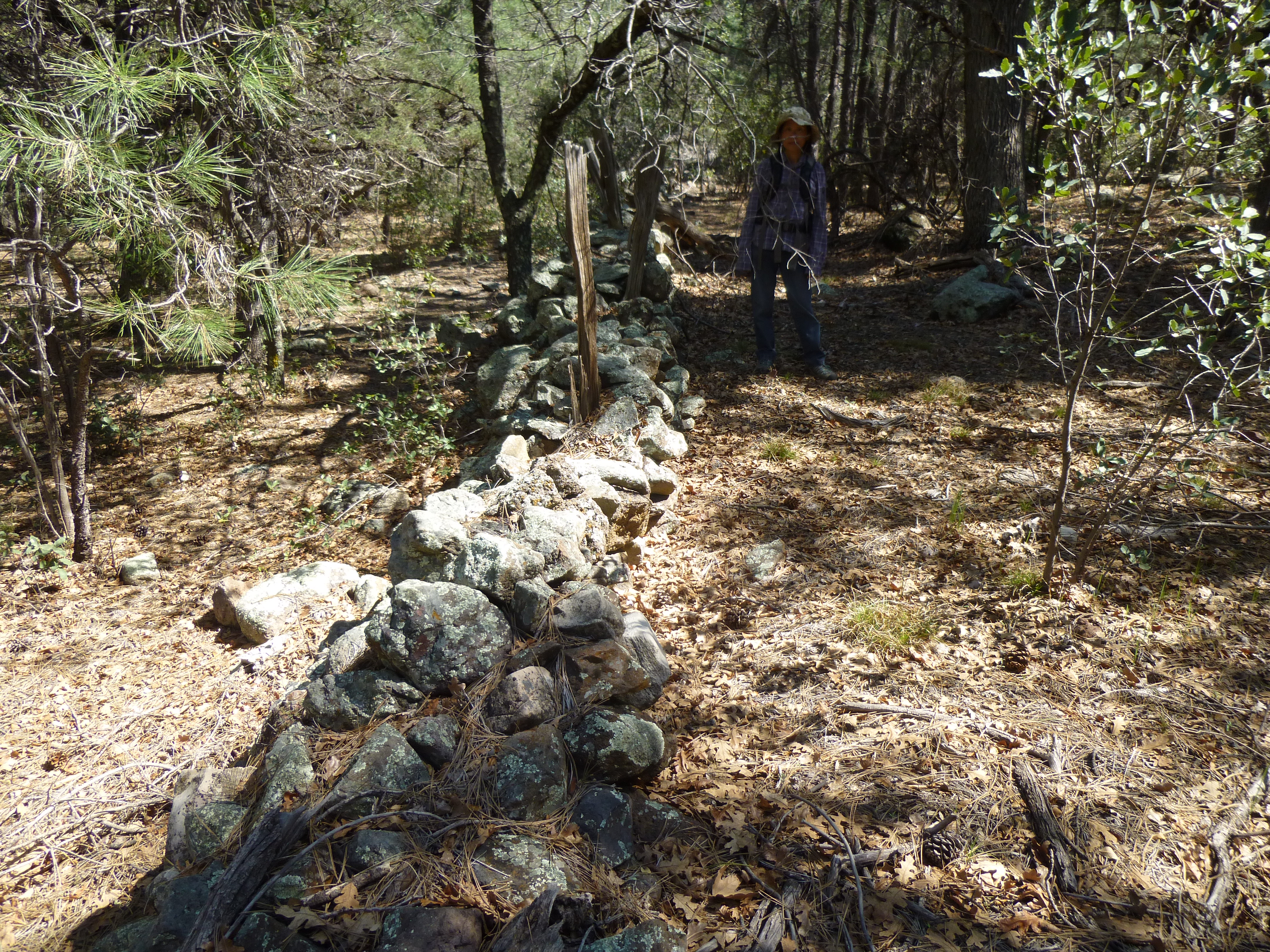
En Lee by the old wall
By the time we finished our 11.4 miles of walking, 7 1/2 hours had passed. The drive back out on the bad road seemed more endurable in the light of day. I said goodbye to Dave and En Lee, as they were heading to the Navajo Nation in far northeastern Arizona while I had peaks to climb all the way across the state near Las Vegas. My route went north to Flagstaff, then west along Interstate 40. I realized I wasn’t going to make it all the way to my next peak in the daylight, so pulled off and camped for the night in the forest an hour shy of Kingman. It had clouded over. A weather report I’d picked up on the radio said a cold winter storm was on its way, so I battened down the hatches and prepared for a blow – luckily none came. I was on the road by 5:00 AM.
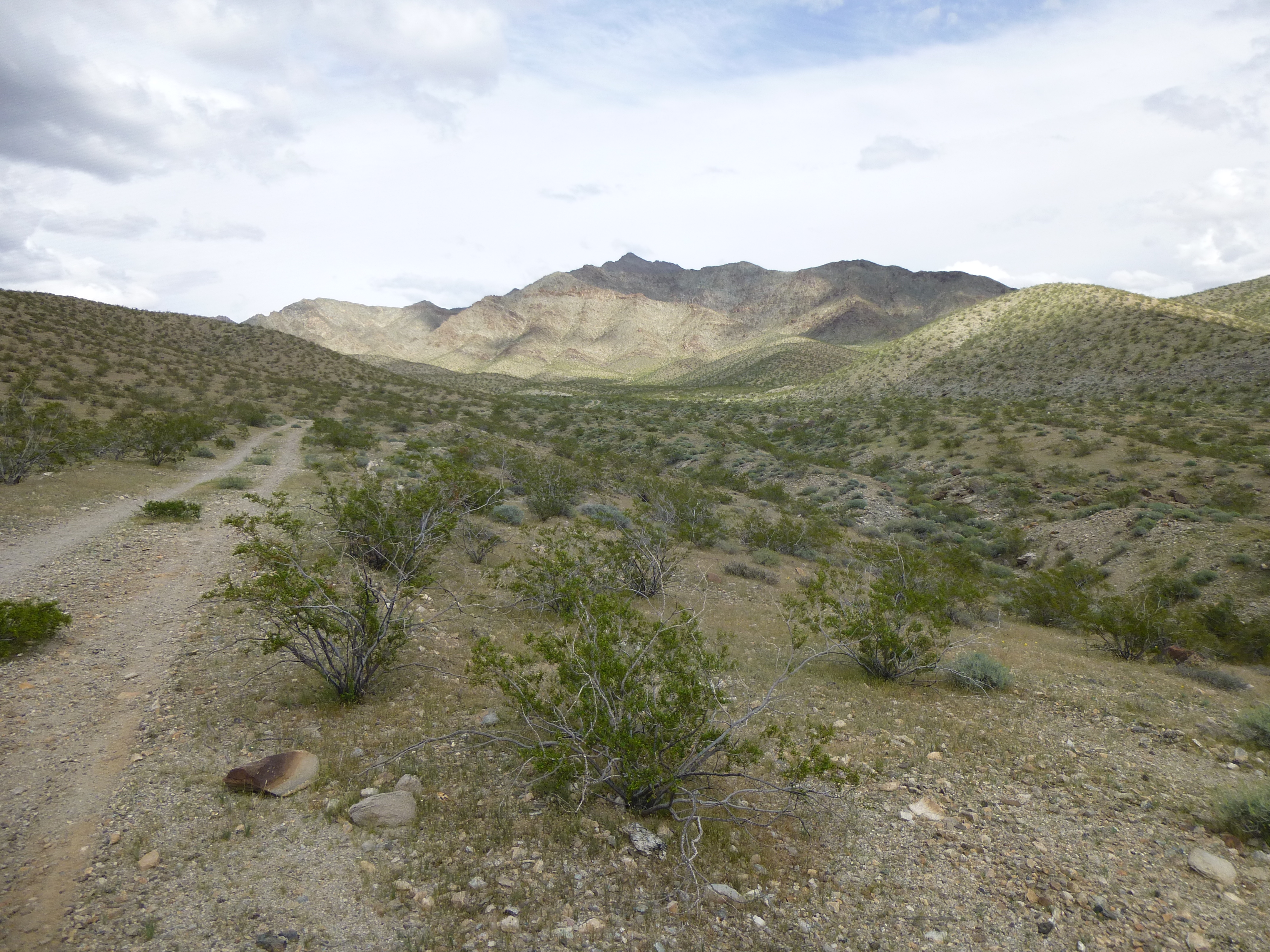
After a brief stop in Kingman for gas and ice, I continued north on US Highway 93, known to countless Arizonans as their driving route to Las Vegas, Nevada. I made it almost all the way to Hoover Dam, but just 6 miles shy I turned northeast on to a rough dirt road which climbed a thousand feet in just 3 short miles. I was here to climb an impressive-looking peak known as Mount Wilson, the highest point of a miles-long feature known as Wilson Ridge, all of which sits at the far northern end of the Black Mountains.
The sun was still shining as I started out at 8:25 AM, but I had an uneasy feeling about the weather. Far to the west, there were high clouds – they didn’t look too threatening, but I didn’t want to get caught high on the mountain in a storm, that’s for sure. Directions shared with me said to stay on the ridges at all costs, to avoid valley bottoms and not try any shortcuts. A high ridge sat right in front of me and I made a beeline for it straight away. Things proceeded smoothly, and by the time my first hour had passed I had climbed a thousand feet, gained the ridge top and followed it up for a ways.
Looking southwest down to where my truck was parked
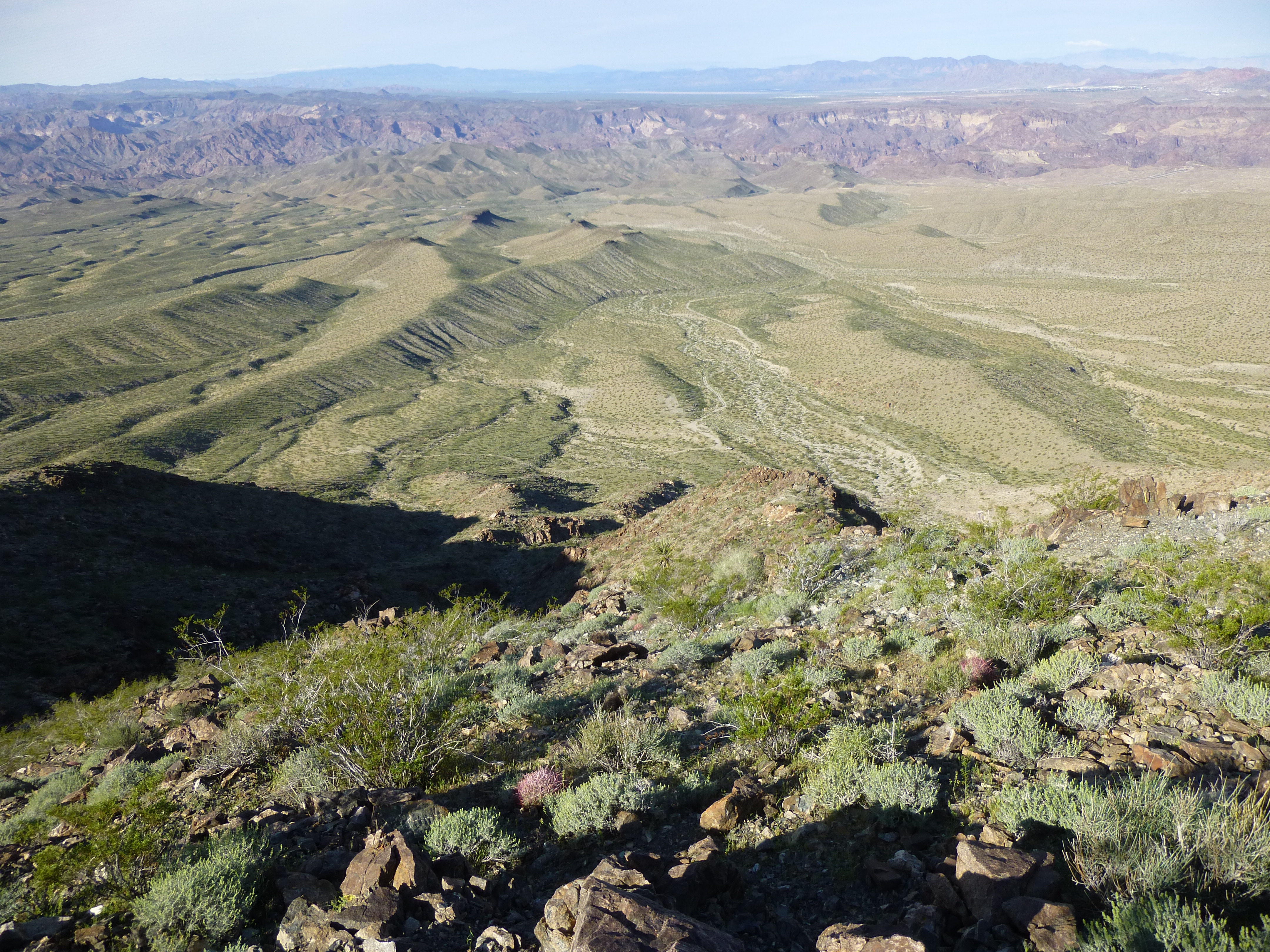
It was along this ridge that I had my first view of Lake Mead, only 6 air miles away.
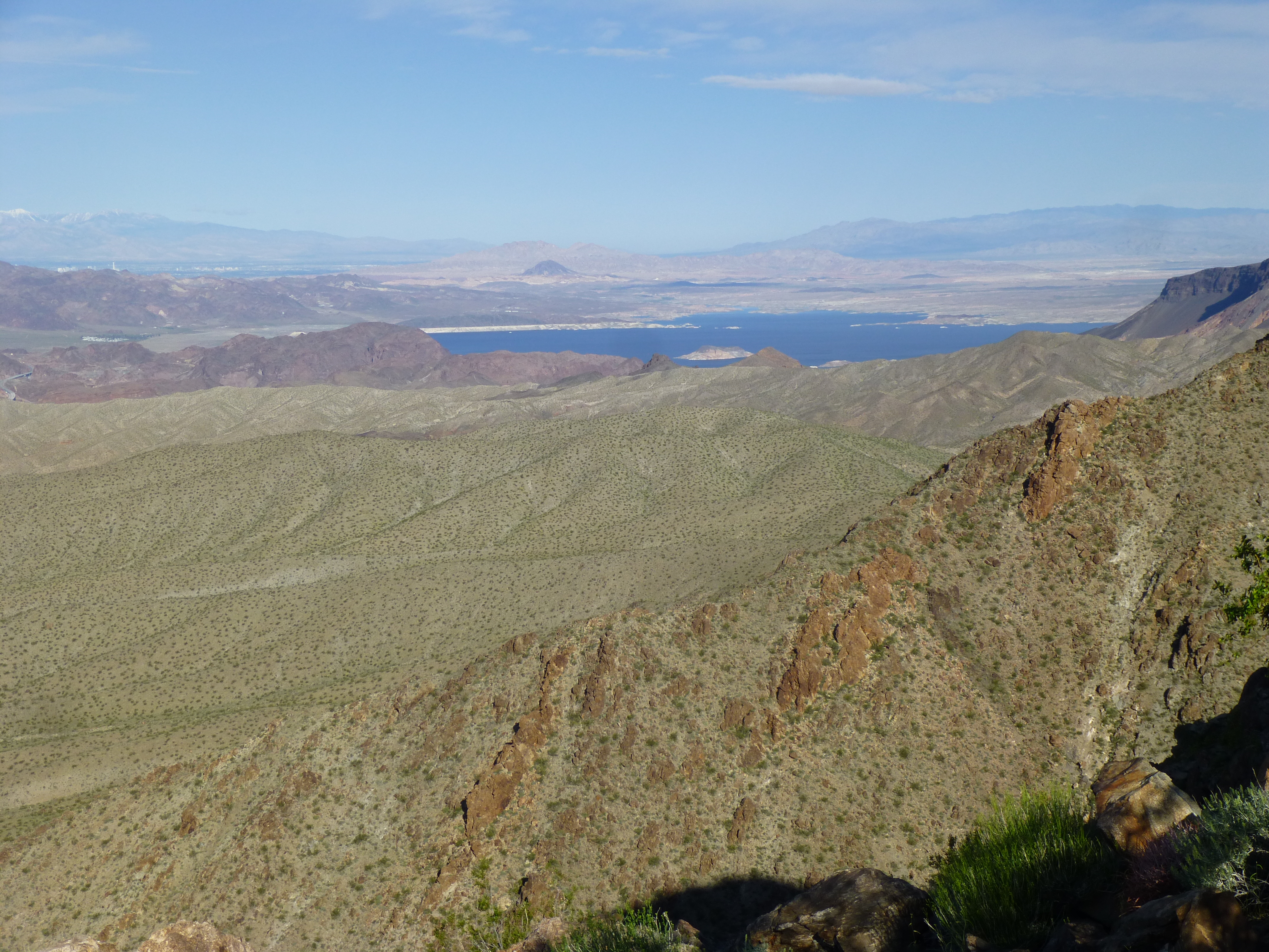
Looking northwest to Lake Mead
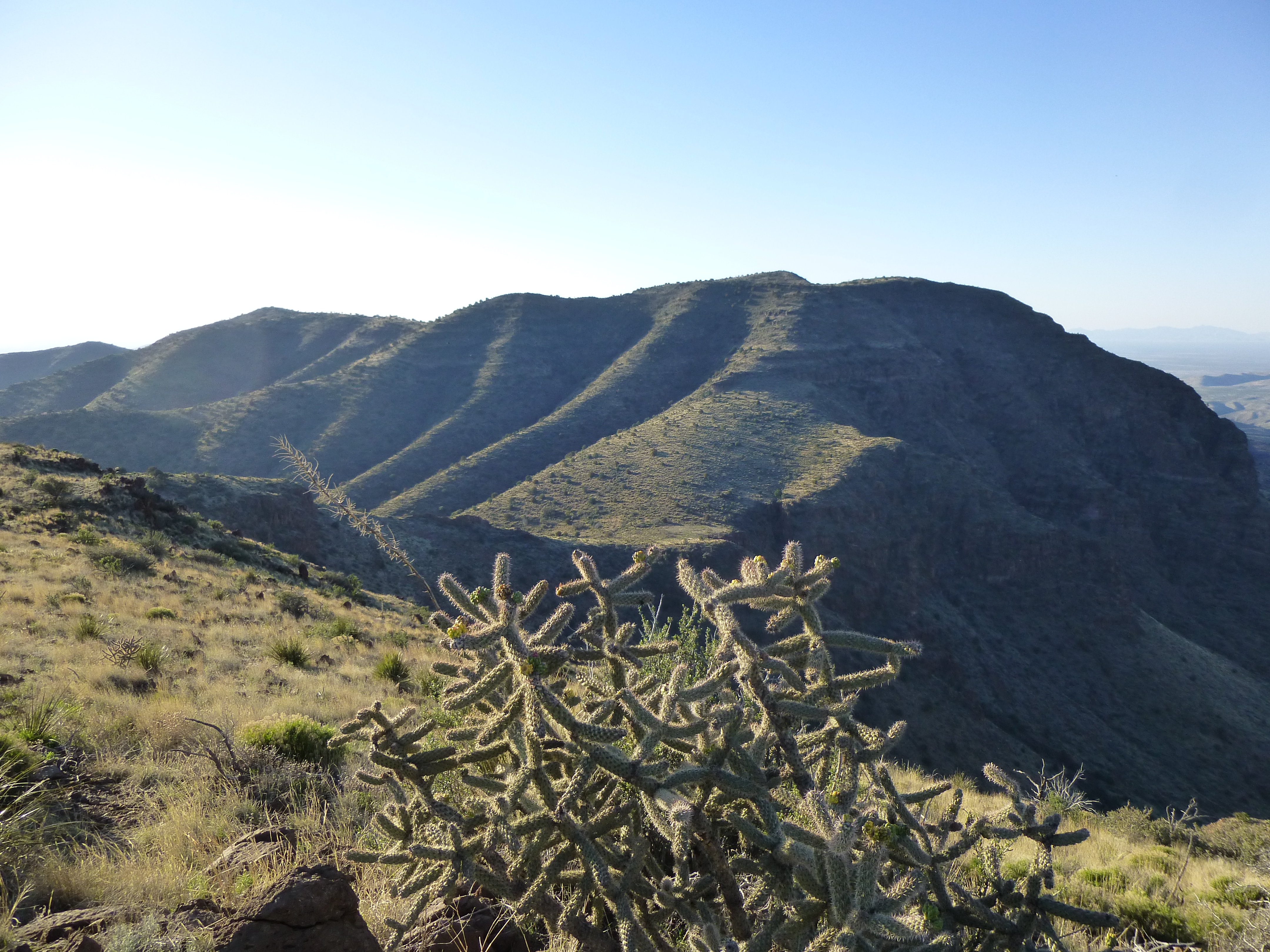
I crossed over a few small bumps, then came to a larger one shown on my map as Point 4154. If I climbed up and over it, I’d drop down 150 feet before continuing up once again. Oh well, nothing for it, so away I went. Soon I stood in the 4,000-foot saddle beyond it, then continued on up the ridge to Point 4510. So far, so good, but clouds were definitely moving in, the high, thin type.
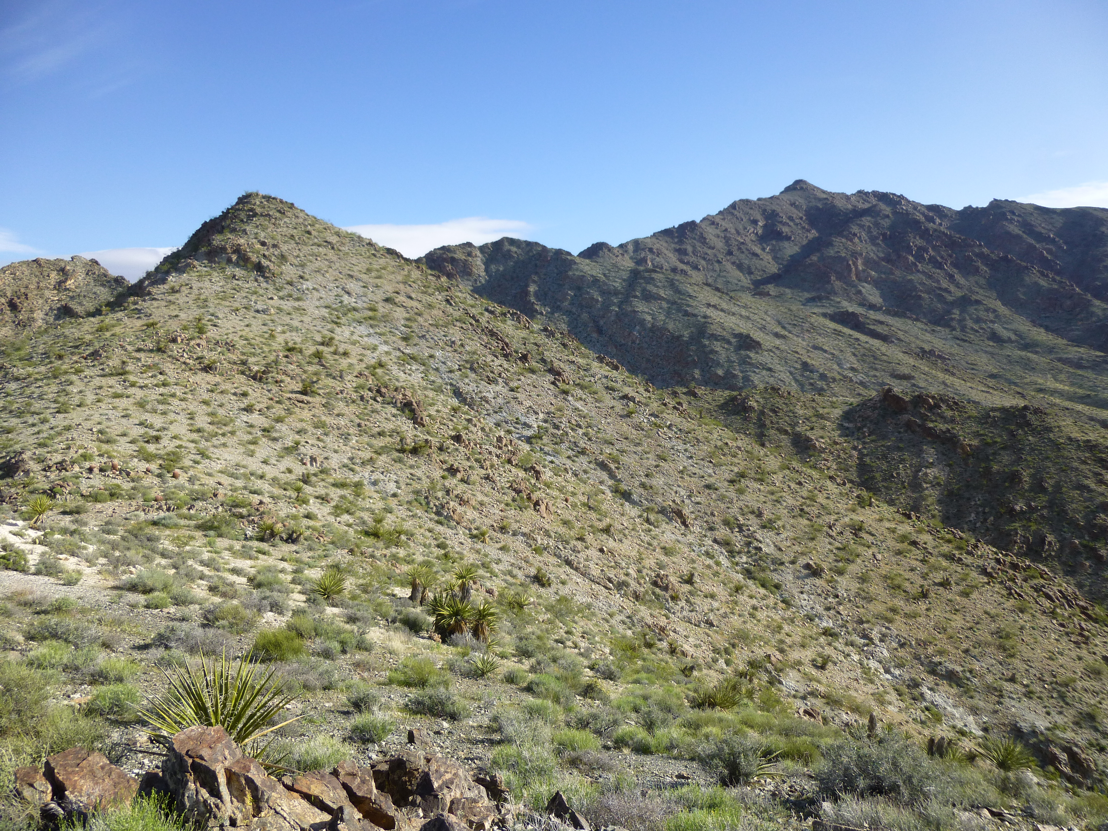
Looking up the ridge I was climbing. The summit is the bump on the right, in the distance.
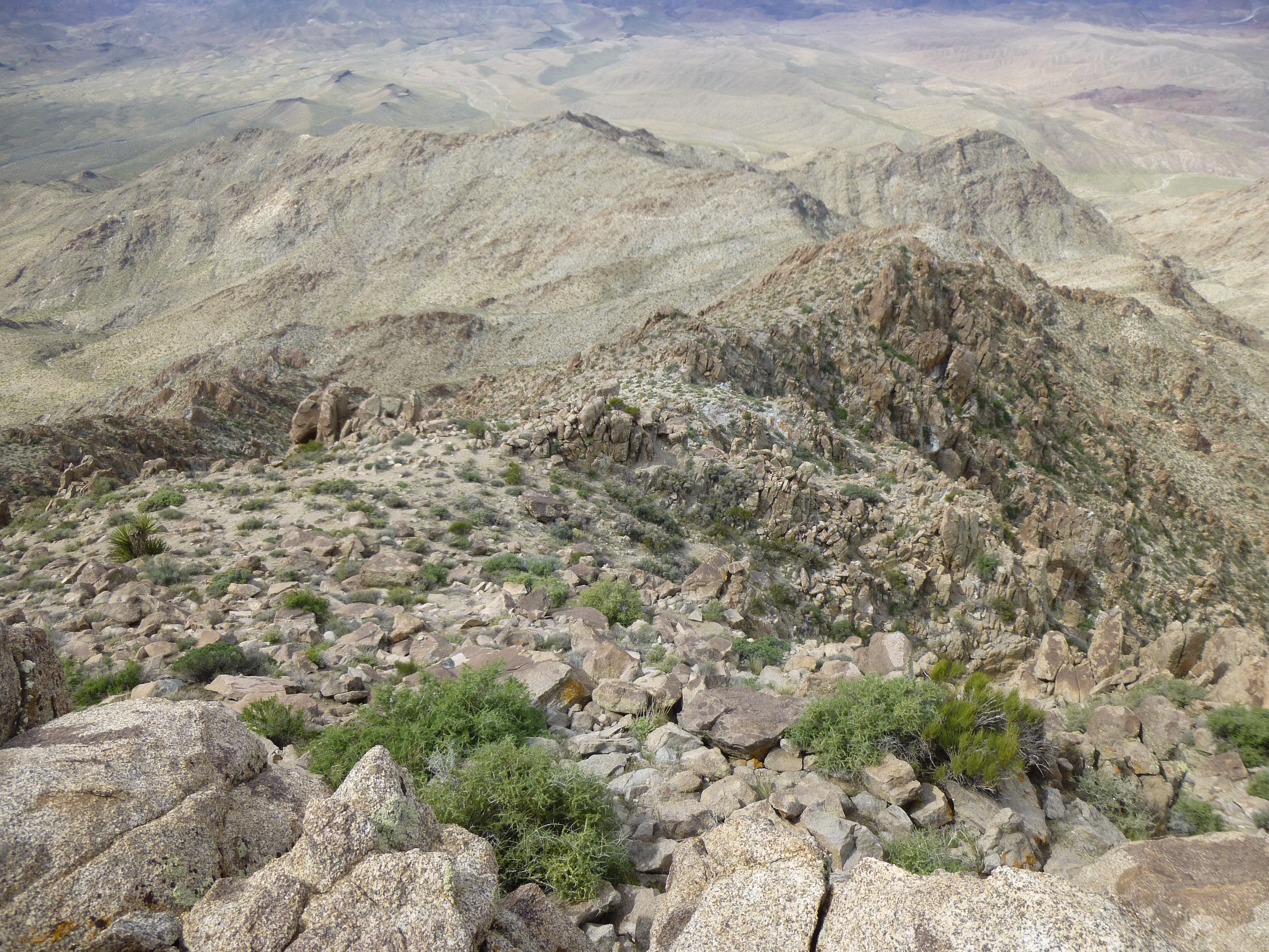
I picked up the pace and climbed the last thousand feet to the summit. The route was a bit circuitous in places to avoid cliffs, but otherwise not complicated or difficult. By 11:18 AM, I arrived at the summit – the views were impressive and worth the effort it had taken to get there. I signed in to the extensive register, had a snack and took the requisite photos. The wind had picked up and the clouds had thickened. Here are several shots taken from the summit.
Looking back down the route, which forms a big arc over to the left.
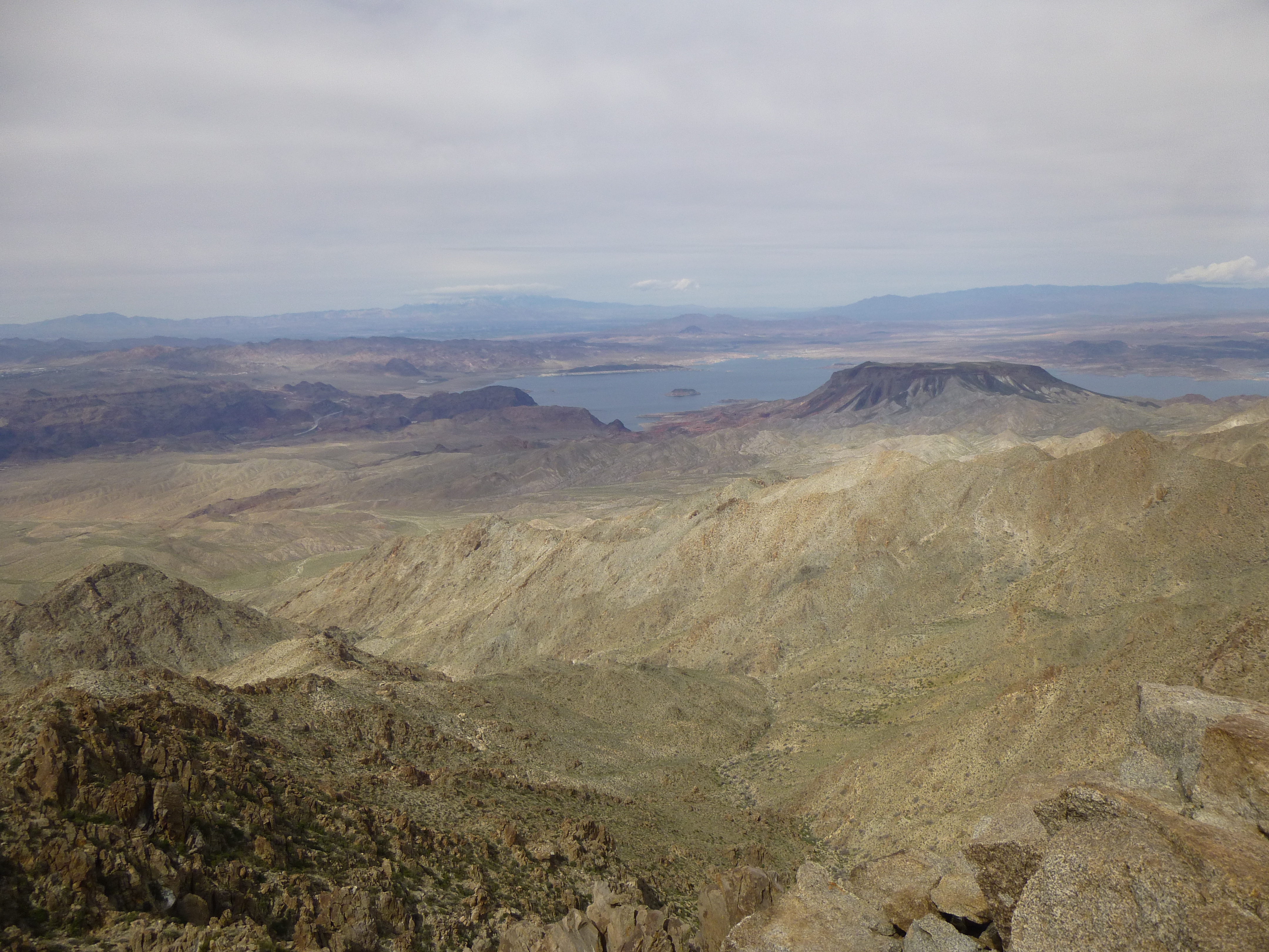
Lake Mead
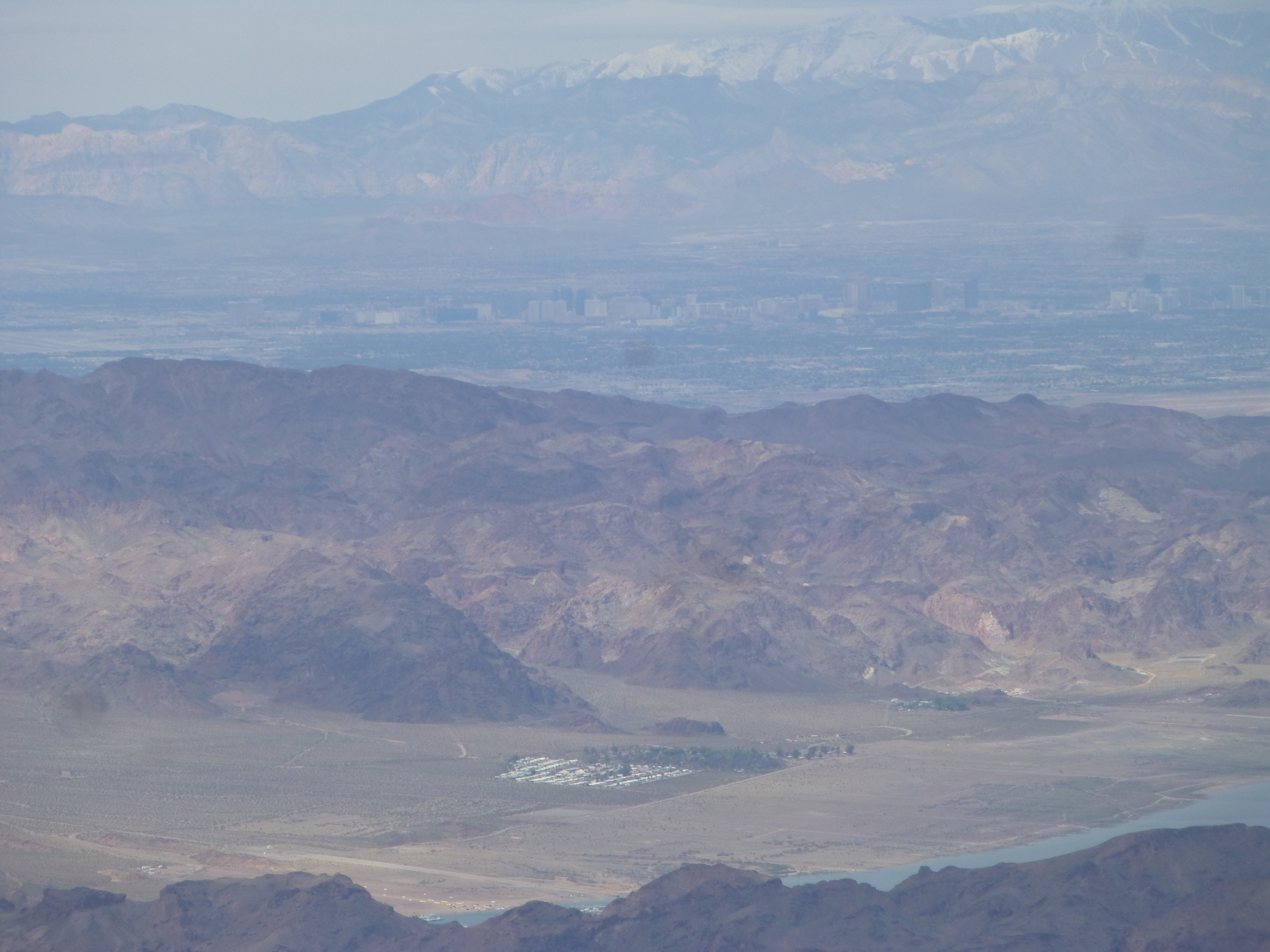
A long telephoto shot of the Strip in downtown Las Vegas, about 30 air miles distant. The snow-covered peaks in the far distance are about 60 miles away.
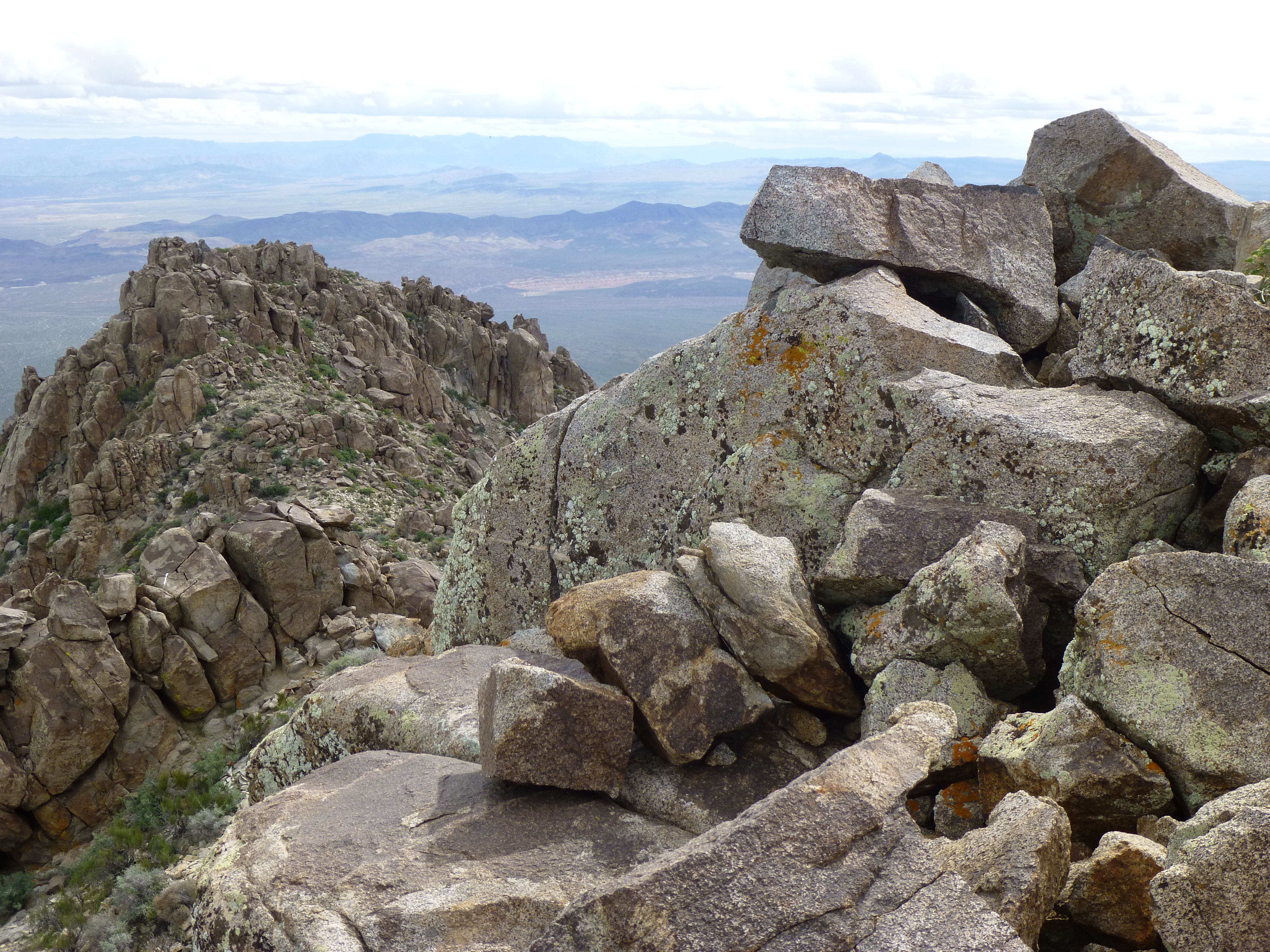
The summit rocks
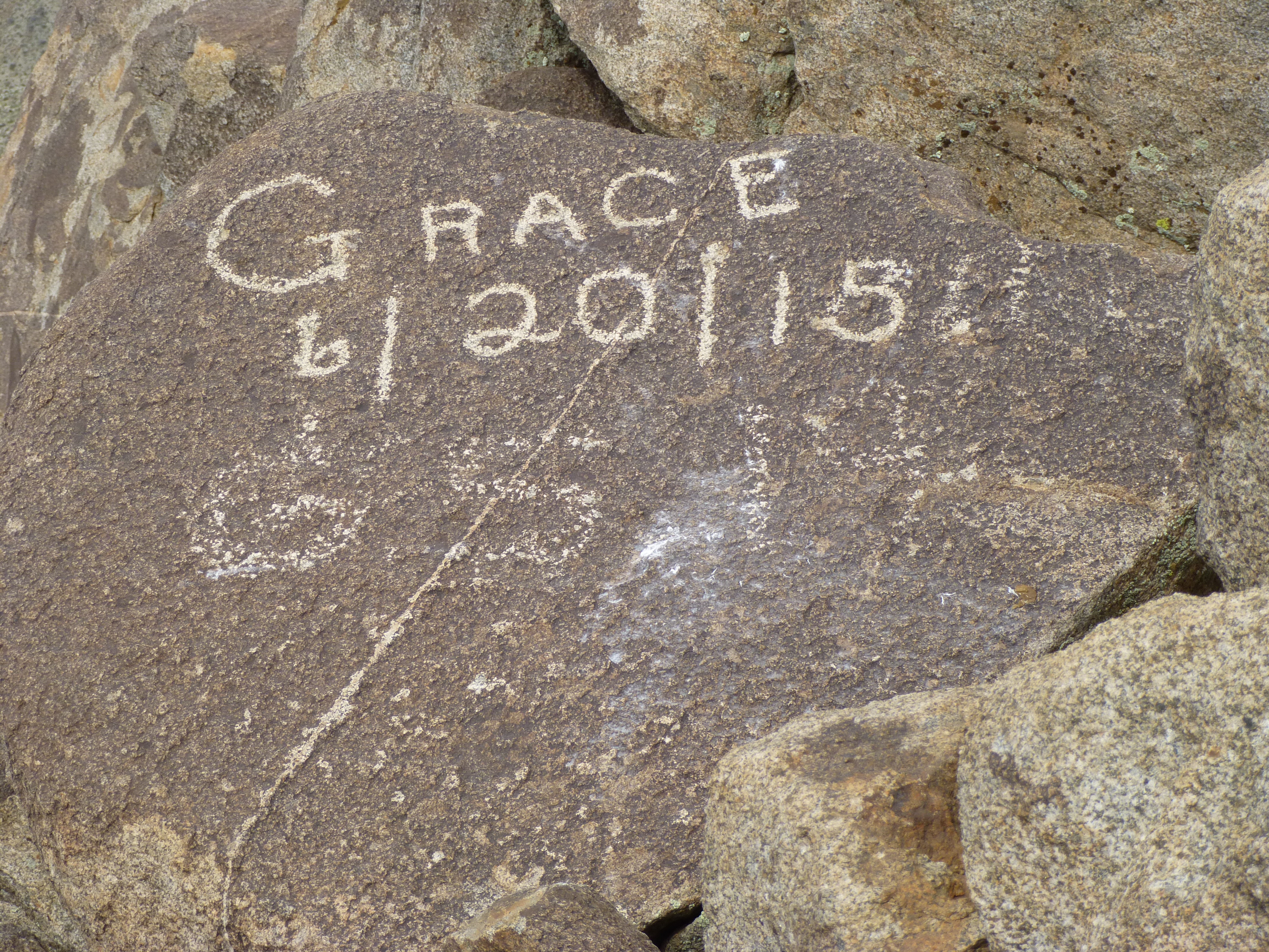
One of the summit rocks
It was time to go, as it was now obvious the weather was changing. It was quick work to drop down to the 4,000-foot saddle, but then I did something stupid. Did I follow the advice of others who said to stay on the ridge at all costs? – noooooo, I was smarter than they were, so I decided to not climb back over Point 4154 (a short gain of 150 feet) – instead, I’d sidehill across the slope below it to re-gain the ridge a bit farther on. Well, you can probably see what’s coming next – I found myself climbing into and out of a bunch of gullies and ending up on a lesser ridge (not the one I needed). Bottom line, I exchanged a simple 150-foot climb for 350 feet of messy business in order to reach the ridge I really wanted to be on, costing time and effort. In any case, I eventually found myself staring steeply down at my truck a thousand feet below. Before I knew it, I was done.
A look back at Mt. Wilson
It’s amazing what a change of clothes and some lunch will do to lift your spirits. The climb had taken 5 1/2 hours from start to finish, and I still hadn’t been rained on. However, puffy white clouds were forming below the high solid overcast and it looked like I was in for something.
Please stay tuned for the conclusion of this story, entitled “Road Trip – Part 2”.