
Please read the first chapter of this story, called “Road Trip – Part 1” before you read this one.
It was time to move on to my next peak, only 37 air miles distant but a full 176 miles to drive around to it. I figured there was still enough time left to get there and be parked at the trail-head before nightfall. It didn’t take long to drive back out to the highway, then south one hour to Kingman. I was looking for Route 66, the fabled highway that runs through northern Arizona. It cuts right through the city, and I picked it up on the east end of town. In no time at all, I was motoring along at 65 mph, passing the Peacock Mountains and then the Cottonwood Mountains, to enter the Hualapai Indian Reservation. An hour after leaving Kingman, I pulled into the town of Peach Springs, the capital of their nation.
Peach trees in Peach Springs
The weather was still holding by mid-afternoon as I headed out of town on their Highway #1, also known as Buck and Doe Road. It starts out as a wide, smooth road with a 45 mph speed limit, but some miles later it devolved to something narrower and rougher. Clouds were building, the day was becoming darker and then it started to rain. Lightly at first, then more and more. By the time I was 25 or so miles out of town, the road had some terrible stretches. Have you ever driven in an area where the soil is composed primarily of ultra-fine clay-sized particles? If you have, you know that when such soil becomes wet, it can become almost impossible to drive on. I use rugged tires with deep tread, but that tread quickly became filled with this clay soil – it’s like having no tread at all, like driving on bald racing slicks, and when you try to drive on such a clay road, it’s like trying to drive on a skating rink. Even on a flat stretch and in four-wheel-drive, you have no traction at all and skid uncontrollably. That was the situation I now found myself in, and it scared me. It was all I could do to stay on the road, even on the flat, straight stretches. Meanwhile, all hell had started to break loose. Brilliant bolts of lightning, followed by deafening thunderclaps, shattered the evening. Large wet flakes of snow alternated with hail and pounding rain. My poor windshield wipers were working overtime and fighting a losing battle with the elements. And forget about my defroster! In the middle of this intensity, I found the vague side road I needed. Although there were still two more hours until nightfall, the storm had so darkened the sky that I needed my headlights to see properly. I had now driven 40 miles from Peach Springs, but it felt like much more. This side road was much worse than the main one I’d been on up until now. It was already deeply rutted by earlier drivers, and those ruts sucked my wheels in and held me fast – it was like being on a set of rails, with no control whatsoever. By the time I’d done those last 3 miles, I felt emotionally drained. To make matters worse, a sturdy locked gate blocked my path, leaving me no choice but to park there for the night. That done, I couldn’t even get out of the cab of my truck as the storm raged on. As I waited for it to break, I managed a cell-phone call home, much to my surprise. The plan was to cook some noodles for supper, but that was not going to happen in that weather. In awe of the force of Nature, I sat in the cab and munched potato chips and sucked on a warm beer – okay, maybe two. After what seemed an eternity, a brief lull in the rainfall let me quickly arrange my gear for the night. Brief indeed, only a few minutes respite before it started up again. Once I was holed up in the back with my pee bottle, I was set for the night.
My alarm woke me early, as I wanted to be moving at first light. When I opened the rear hatch, I was greeted by clear skies and a hard frost. The doors were encased in a sheet of ice, and it took some doing to break my way in to the cab. Once I was ready, I shouldered my pack and set out just as the dawn was breaking. I climbed over the gate and left the reservation.
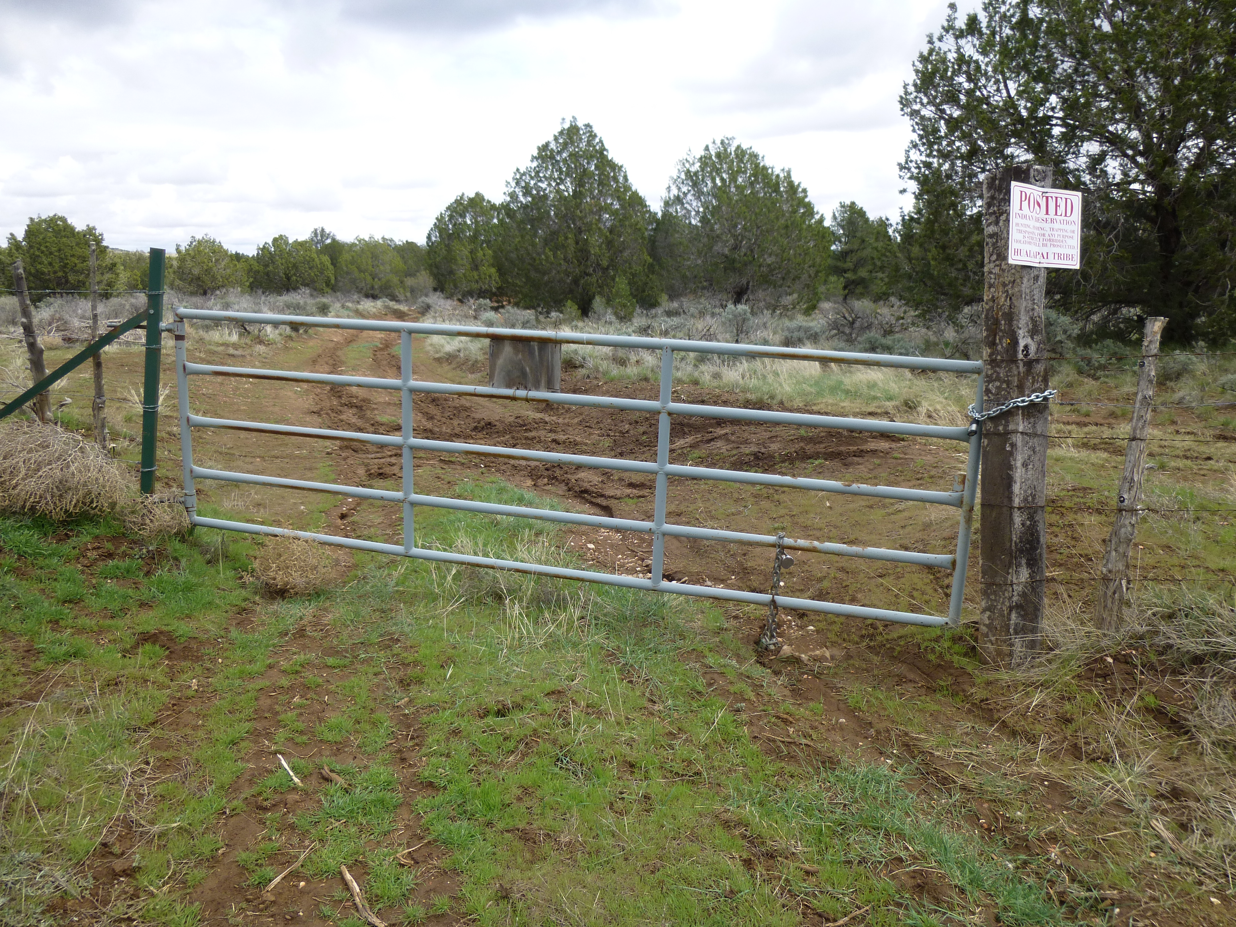
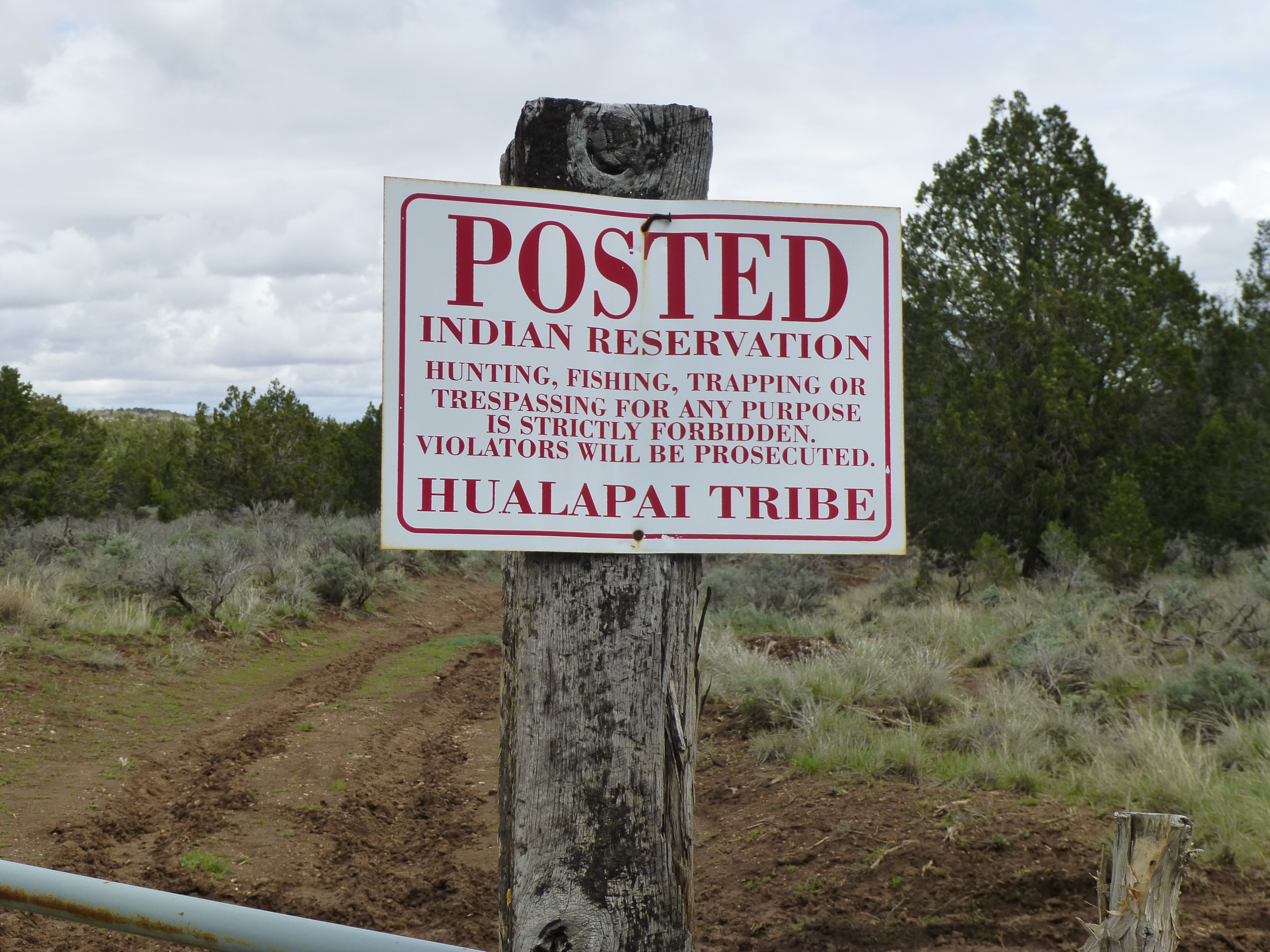
The gate separating the Indian reservation from the Forest Service land
The next thing I saw was this sign-in box.
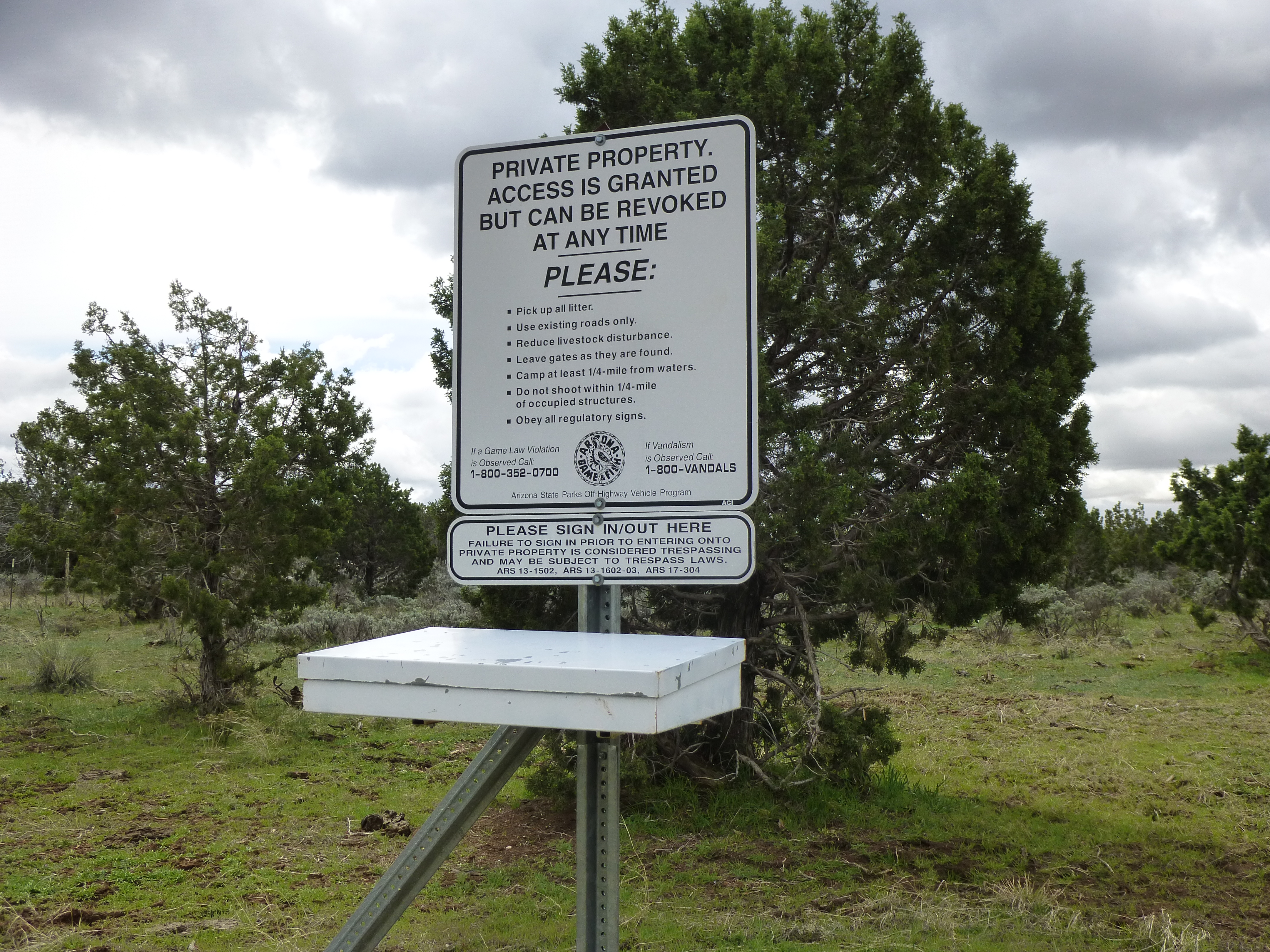
Signing in
Remember how I described my tire treads becoming filled with mud and having no traction? Well, now I had a repeat performance, but this time with my boots. You had to be there to appreciate it, but as I walked the dirt road, mud stuck to the soles of my boots and filled in the tread. It would build up with every step, forming a thick, heavy layer which made my boots noticeably heavier than usual. As I would try to walk in my frankenboots, I was slipping and sliding all over the place. I could stamp my feet to knock it off, but that was only partly effective. It pissed me off, but there was little I could do to change things.
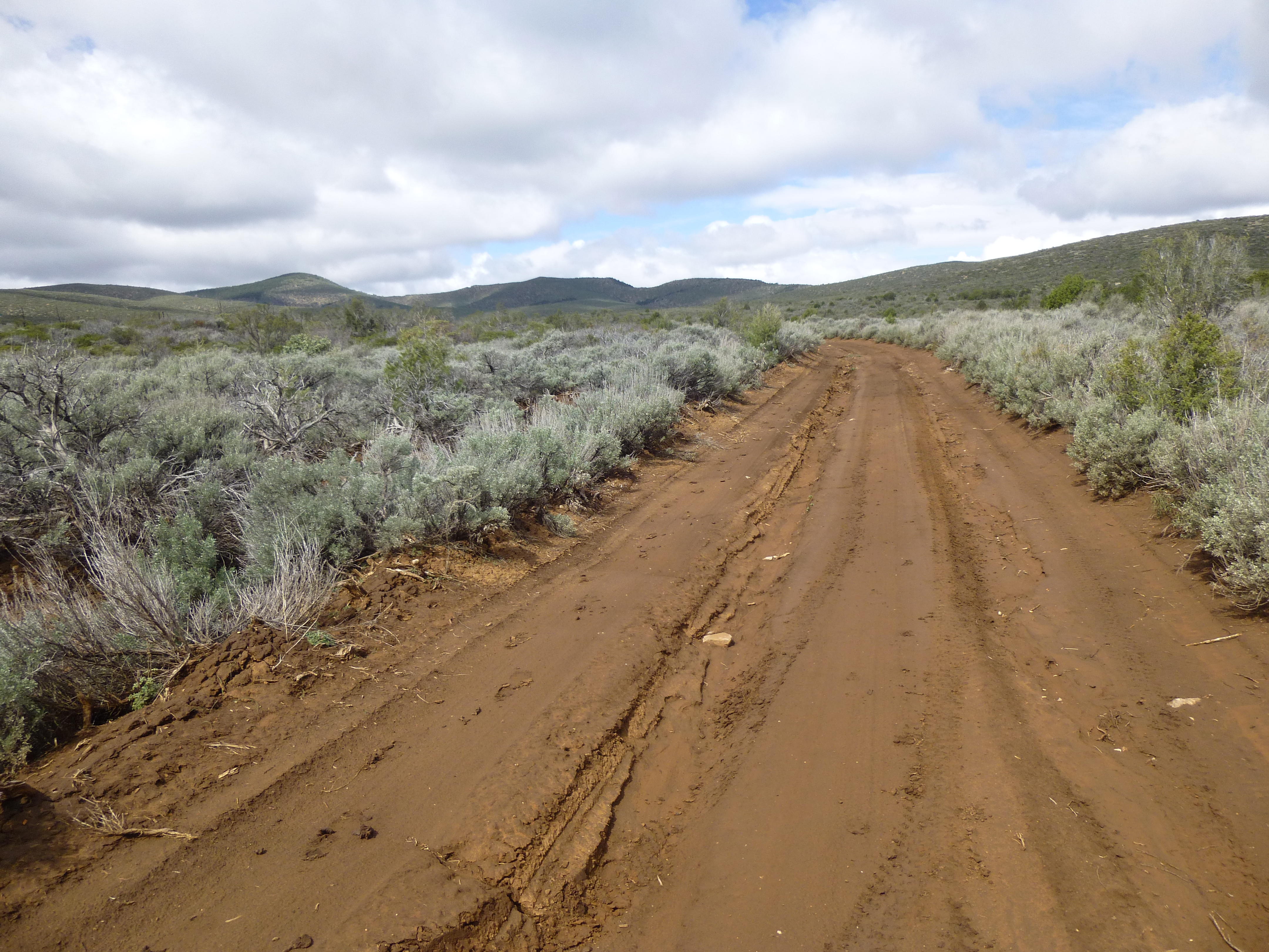
The muddy road, with my peak in the distance on the left
Something else – if that locked gate hadn’t been there, I could have driven to the end of the road and started in to my mountain from there. I truly hate walking along a road to get to the start of a climb – such a waste of time and effort. I’ll do the vertical all day long, but don’t much care for the empty horizontal miles. In this case, it meant an extra 8 miles of walking on the round trip. An old well stood at the end of the road, and from there I started uphill towards my peak.
From the end of the road, looking to my peak on the left
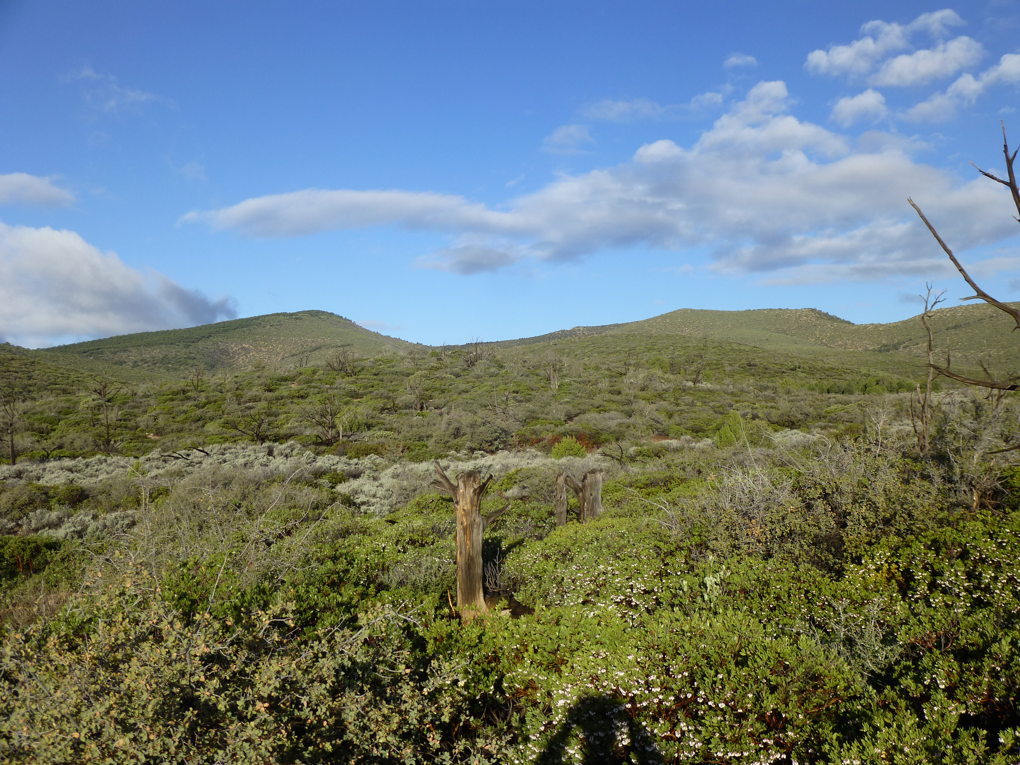
The slope was gentle, and I could have made good time were it not for the bushwhacking. Manzanita, the bane of climbers, was everywhere. You can’t argue with it. Well, you could try, but it’s an argument you won’t win. In places, there were lanes through it, but not nearly enough for my liking. To make things even more fun, all the vegetation was soaking wet from last night’s storm, and soon so was I.
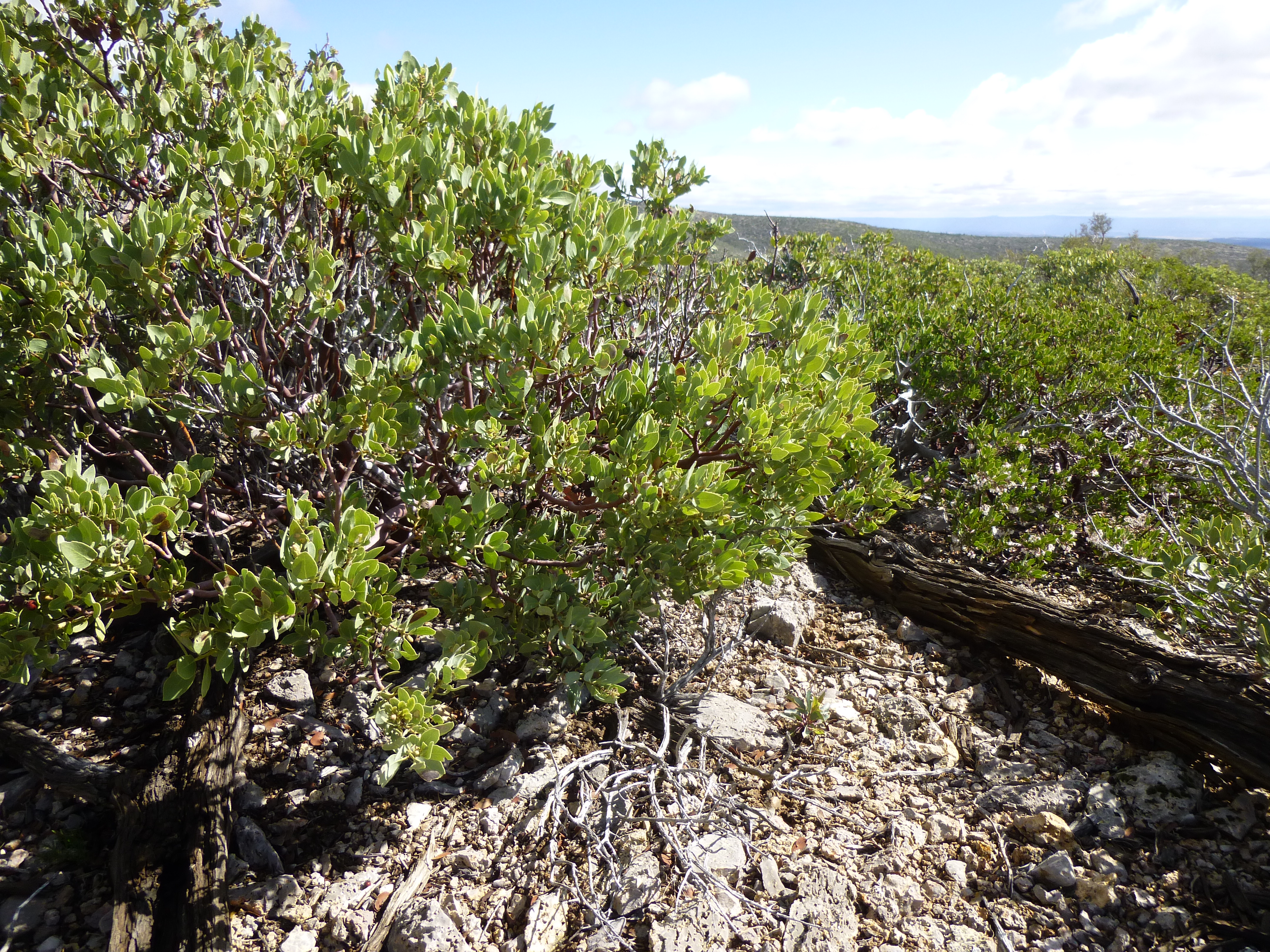
Manzanita, bloody manzanita!
All the way up, I swore like a pirate – it almost made me feel guilty. The air was blue with oaths. There’s not a lot more to tell – the thousand vertical feet to the summit was not much fun, and I was glad when it was over. The summit was wooded with piñon pine, a refreshing change from the uphill mess I’d come through.
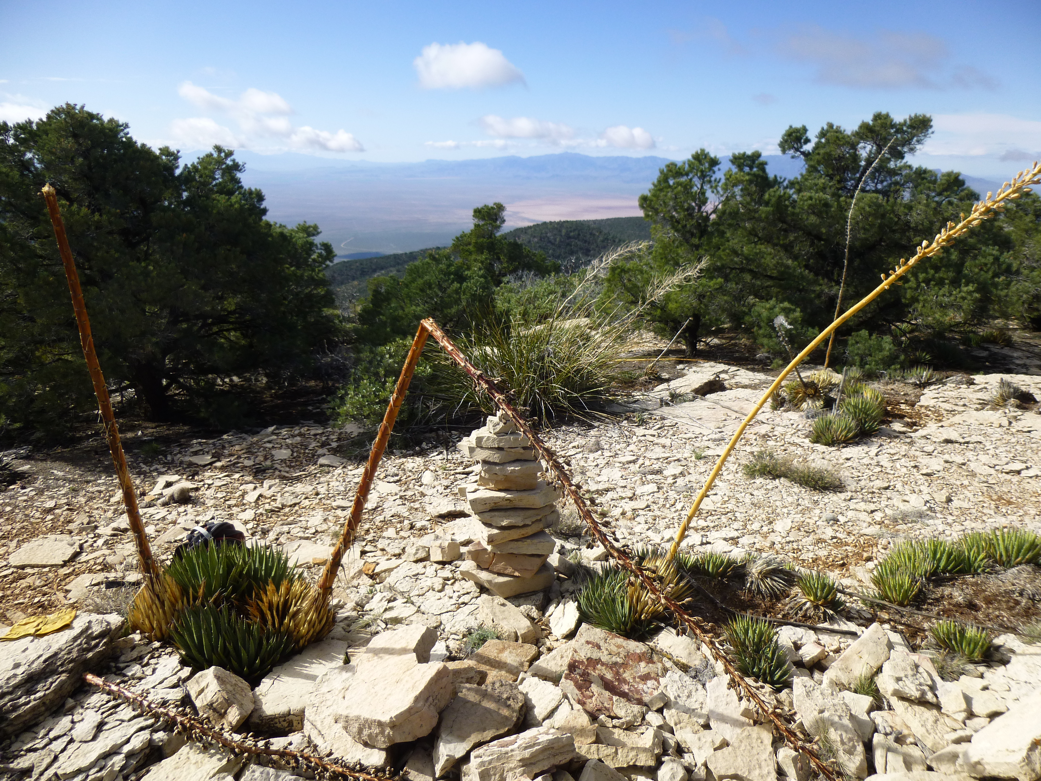
The summit
There were still bits of snow left from last night’s storm here on the summit of Duncan Benchmark, elevation 6,769 feet. The position of the summit was quite something, right on the edge of the Grand Wash Cliffs.
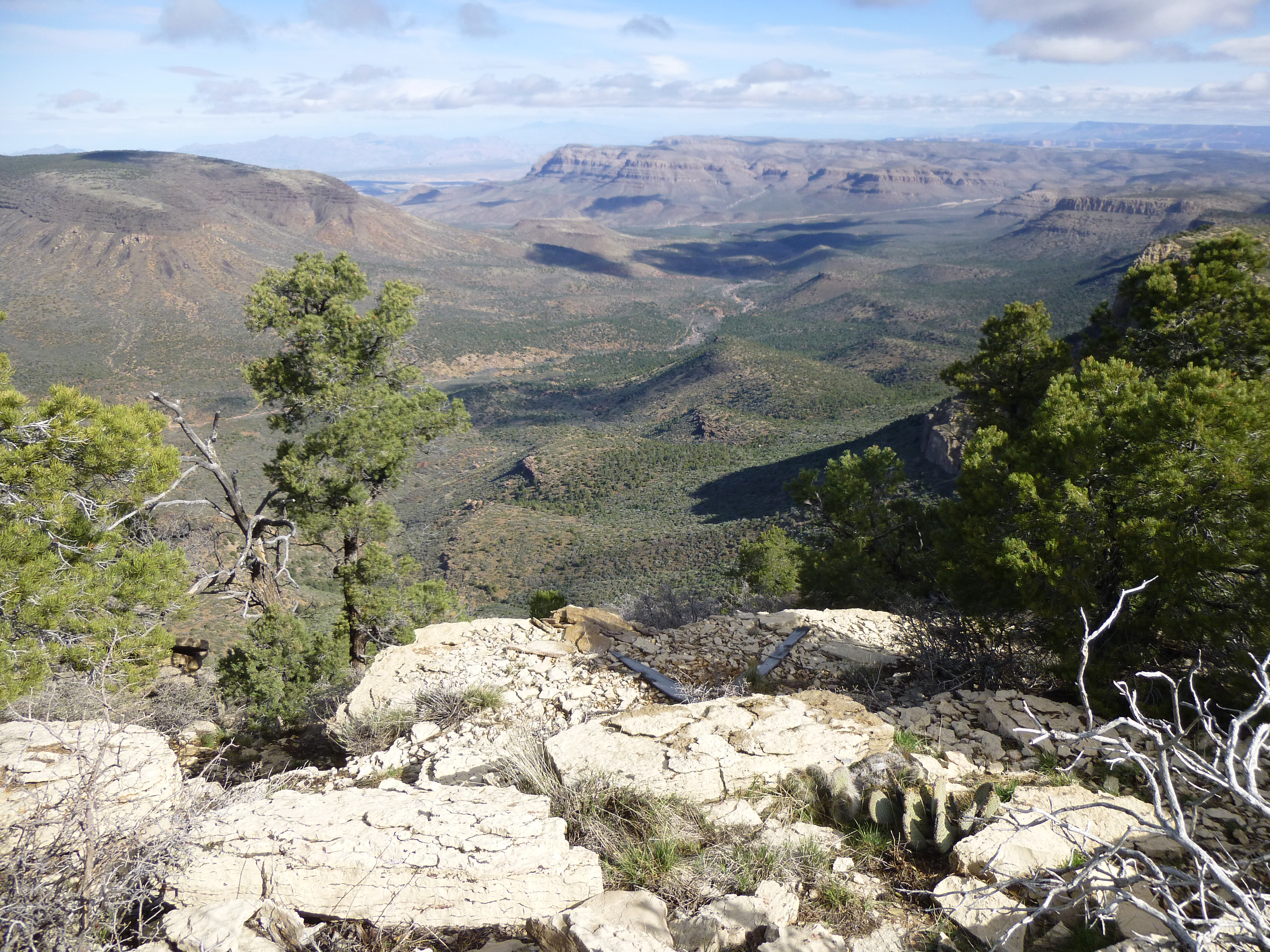
Looking north, along the edge of the Cliffs
I signed in and quickly left. The downhill stretch was easier, and I was soon back at the end of the road. Round-trip time from the end of the road to the top and back was a bit more than 3 hours. Then began the muddy walk back out. Four miles later, that truck looked awfully good – I’d been gone a total of just over 6 hours. Minutes after reaching it, light rain started again. This sign greeted me at the gate.
Crossing back into the Hualapai reservation
Near where I had parked, this old truck sat idle on the State Land side of the fence.
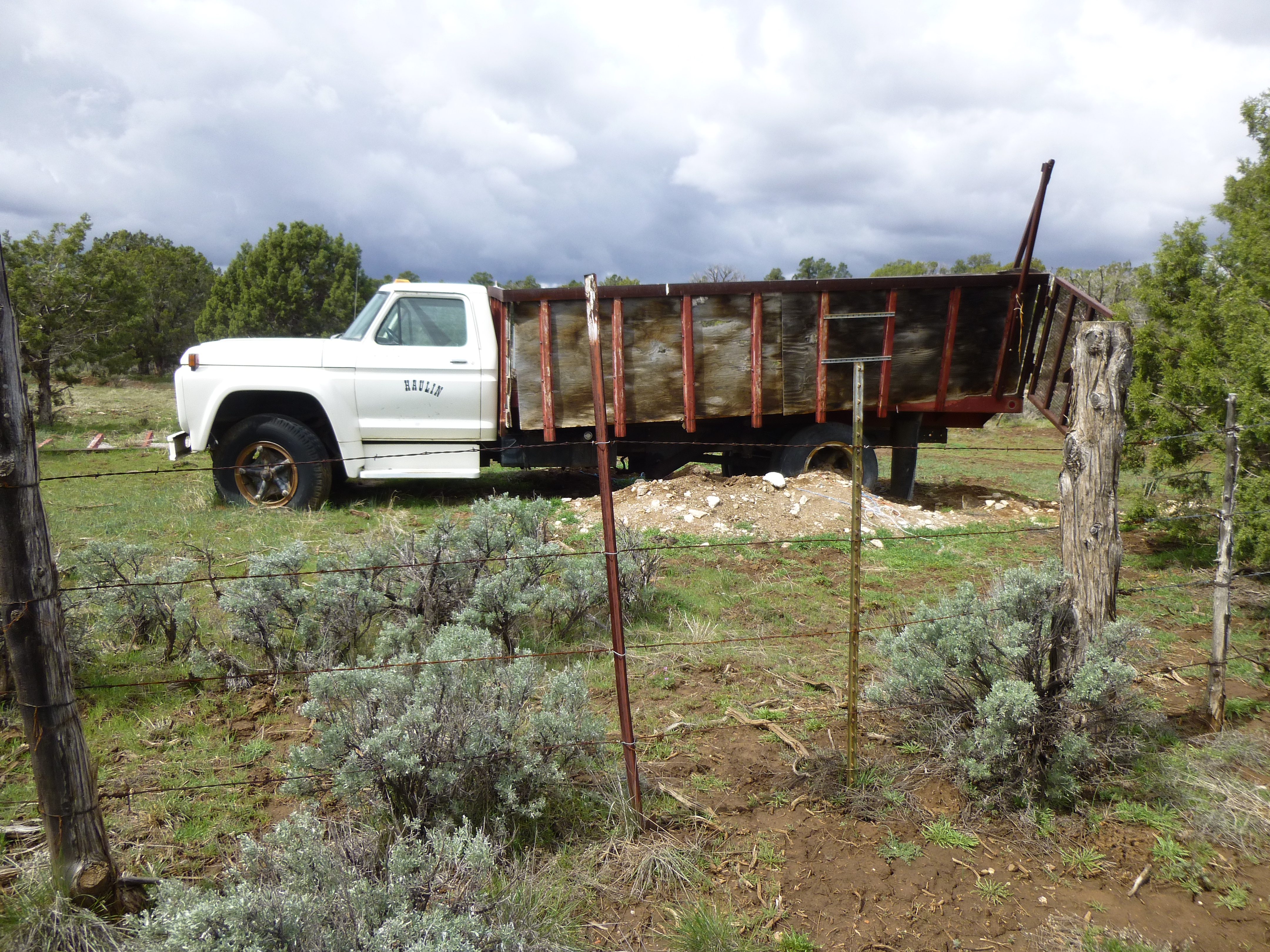
Haulin’ – not!
The drive back out those 3 miles to the main dirt road went better than last night, as things had dried out a bit. However, I soon learned that I still had to be careful. At one point, on a flat, straight stretch while doing only 15 mph in 4WD, I went into a skid and ended up with my right front wheel in a deep hole at the side of the road. Luckily, I was able to back out of it and motor on, cautiously. It seemed to take forever to get back to Peach Springs. There was fresh snow on the ground in the northern part of the state, proving that last night’s winter storm had been a cold one. The rest of the day was spent driving on state highways in an attempt to get south to the low desert. Many hours later, I arrived at my destination, ranch land west of Congress, Arizona where I spent a restful night.
Knowing I had a big day ahead of me, my last of the trip, I was packed up and driving by 5:00 AM the next morning, soon arriving at the town of Wenden along US Highway 60. All was quiet as I headed north from there on Alamo Road. A couple of months earlier, Dave Jurasevich had been here to climb a big mountain known as Harcuvar Peak, and that was my goal today as well. Dave had spent hours finding a way to drive close to the peak from the south side – access had changed in recent times; roads that had once been drivable were now blocked by fences in the agricultural areas north of town. Yes, he’d found a way in the end, but it was, as my old man used to say, a piss-poor one. I’d decided I wanted to try for something better.
An idea had occurred to me – why not call a friend and have him research this for me? There was only one person who was up to the task – Andy Martin is a master of all things to do with topographic map and satellite. A day earlier, I’d phoned him from the road and asked him to see what he could see. He studied the matter carefully and emailed me a full set of driving instructions, which I was now following. Sure enough, not far beyond a pass through the Harcuvar Mountains on Alamo Road, something called Powerline Road headed cross-country through the low desert on the north side of the range.
Looking southwest to Harcuvar Peak
A couple of turns off of that on to lesser roads delivered me to a perfect parking spot a couple of miles from my peak.
Harcuvar Peak straight ahead
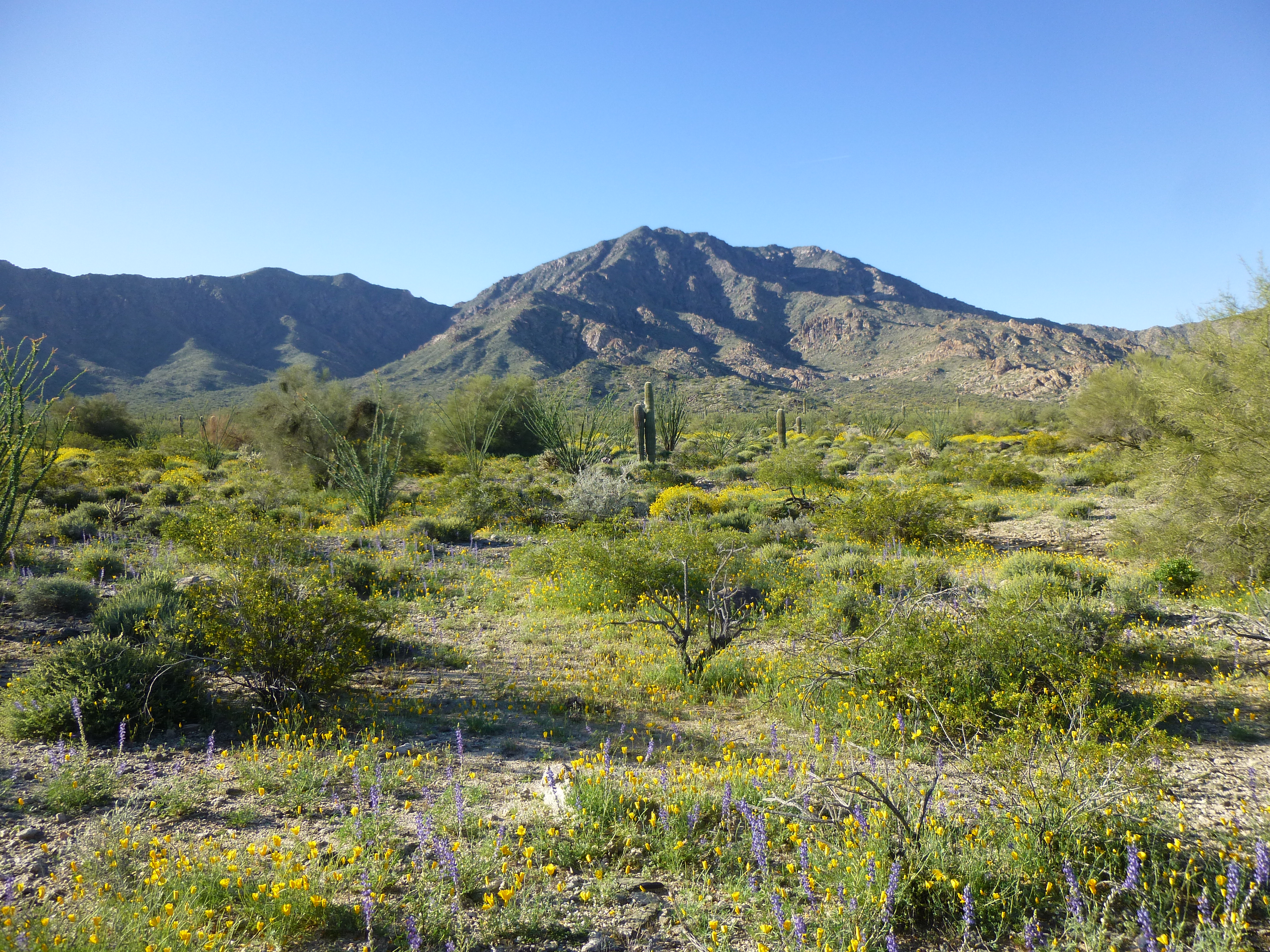
I had made good time – by the time I shouldered my pack it was still early, 8:00 AM to be exact. It was a glorious morning – pleasantly cool, bright sunshine, blue sky – the kind of day on which you’re glad to be alive. After rounding a low shoulder, I crossed a deep, steep-sided wash and headed south up a gentle incline. For a mile or more, fields of wild flowers surrounded me, an indicator that the winter rains had come at the right time and in the right amount to prompt them to bloom.
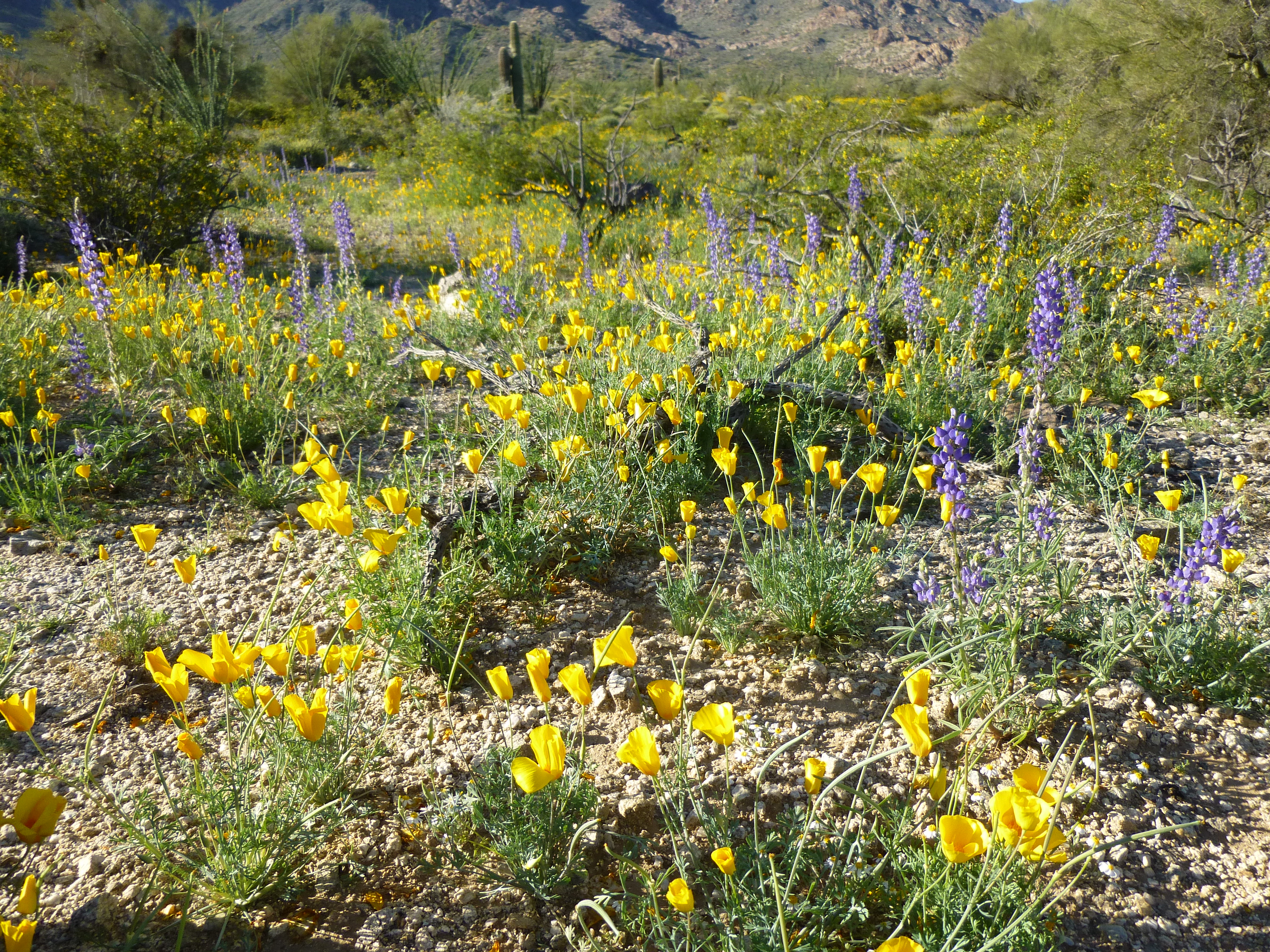
Spring flowers
The valley narrowed and formed into a canyon, heading towards a 3,800-foot saddle at its head. A couple of choices presented themselves – I could climb to the saddle itself, then double back and follow a fairly gentle ridge to the summit; or, I could leave the canyon and climb steeply up to the ridge at a point much nearer the summit, thus cutting off a bunch of distance. I chose the latter. This photo shows my route up the steep ridge.
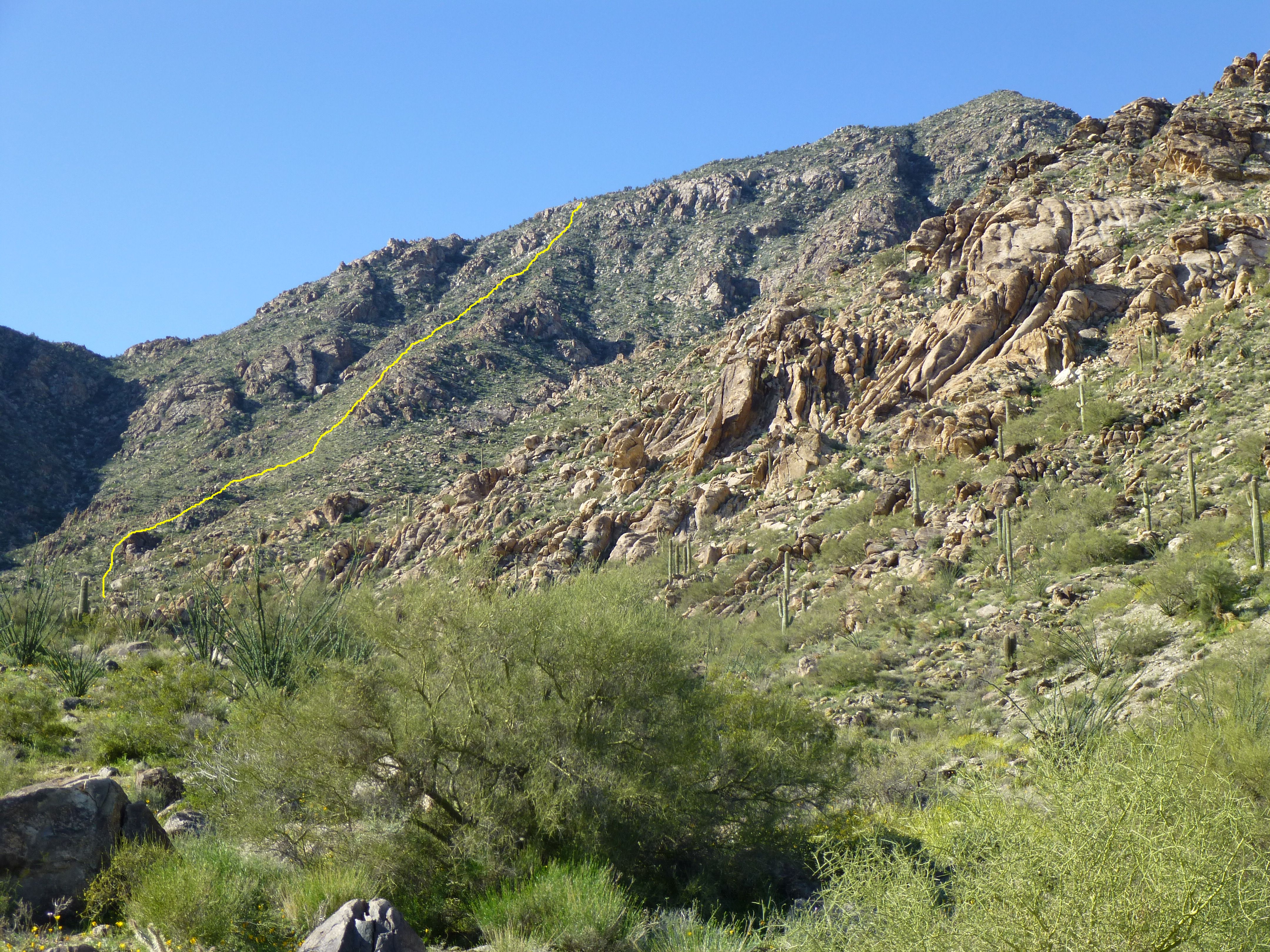
My route up the steep ridge
I left a trail of ducks (little piles of rocks) to mark my route up the steep slope, kind of like a trail of breadcrumbs. Once on the ridge, I had to cross a few bumps to reach the summit, but reach it I did. Or did I?
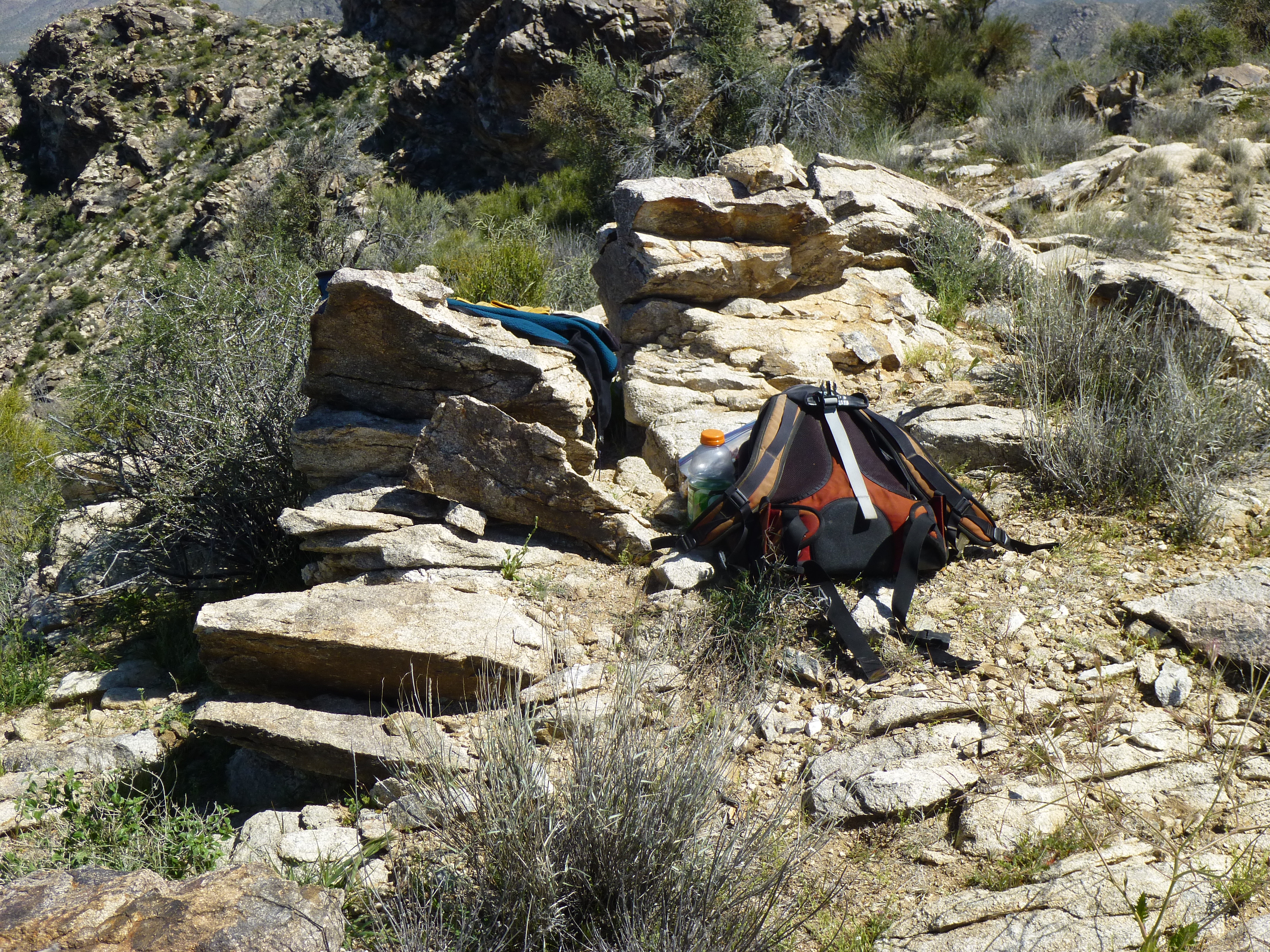
This is where I found the register
I found a cairn and a register on the eastern end of the summit ridge, and read the various entries, but there was a lot of chatter about which was the highest point. Some climbers had said that they felt the eastern bump was it, and others argued it was the surveyor’s benchmark at the west end. Here is a telephoto shot I took looking from the east bump to the west. To me, the west looks higher.
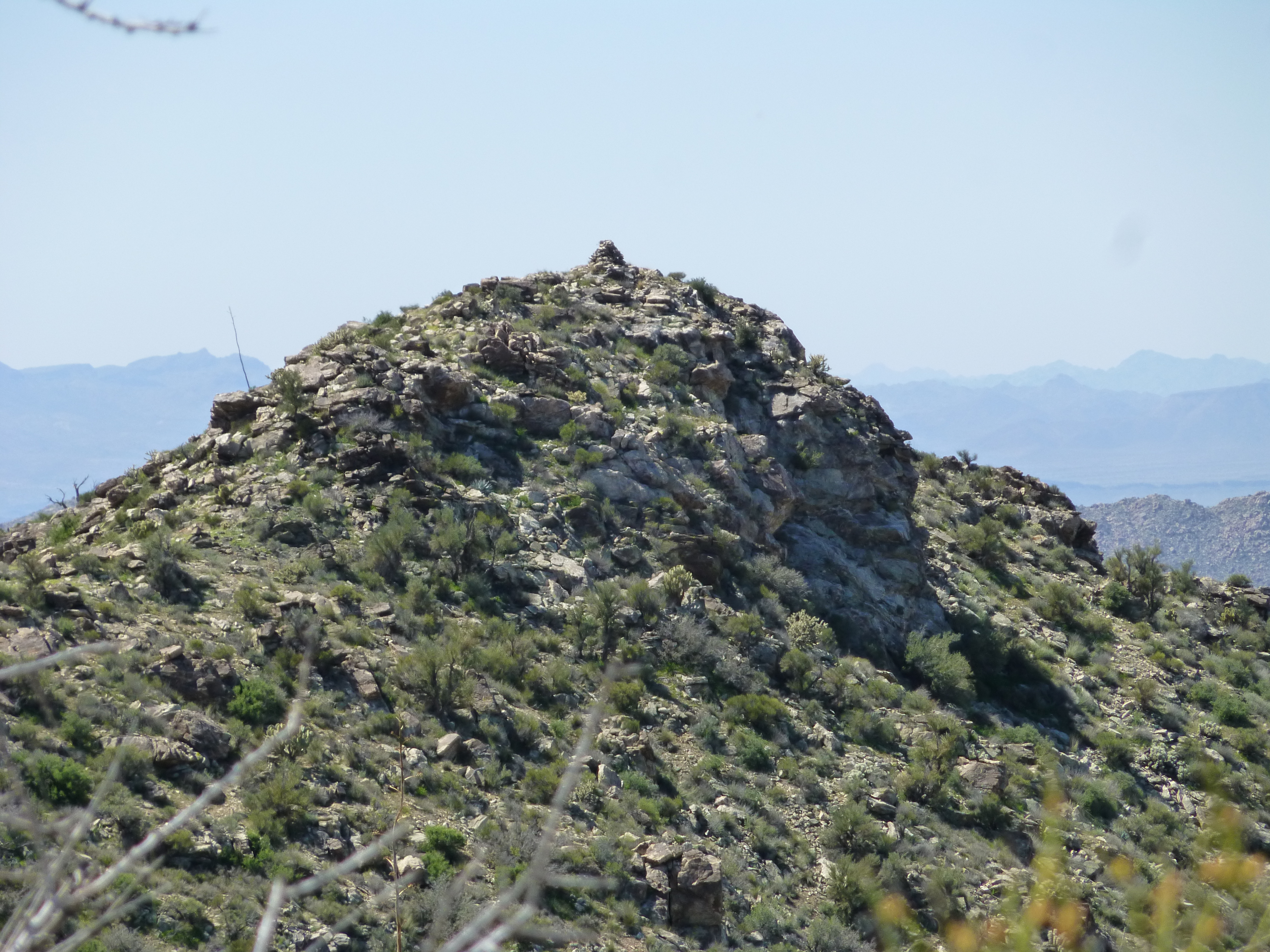
Looking southwest along the summit ridge to the benchmark
It was a walk of 1,500 feet to traverse the entire length of the summit ridge, including a few intermediate bumps. In my opinion, the west bump is higher, but I can’t prove it. Two sets of surveyor’s notes also say it is. For now, we should all climb all of the bumps along the ridge to be sure we’ve stood on the highest point. As crazy as that sounds to some of you, it’s what peakbaggers do. I took this long telephoto shot back to where my white truck was parked. Zoom way in – can you see it, at the end of the road?
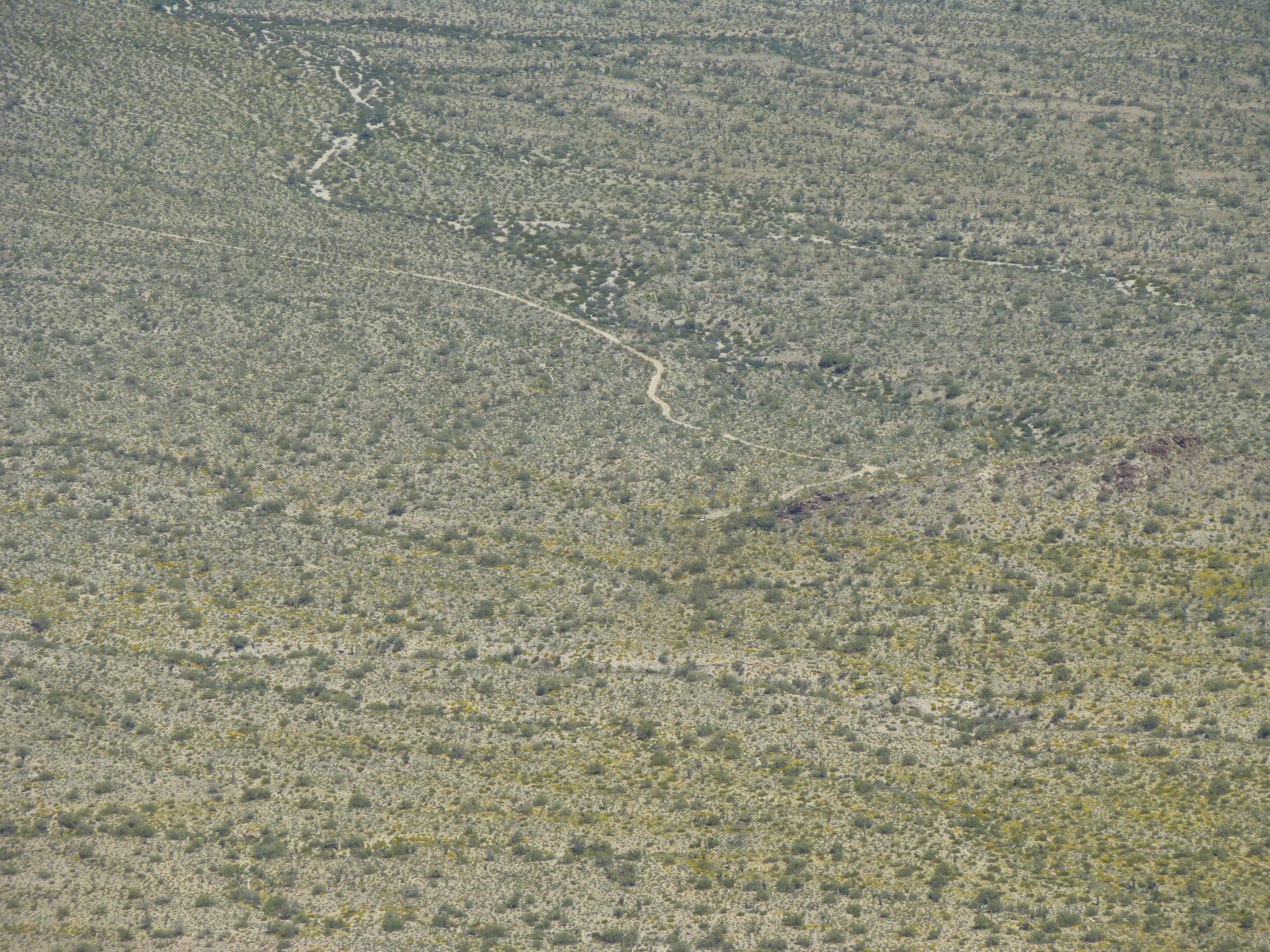
Looking across the desert to my truck
I signed in and headed back down. That steep ridge held my attention, but once at its base, down at 3,000 feet elevation in the canyon bottom, I could relax and enjoy the flowery walk back to my truck. The round-trip for the climb was 6 1/2 hours. This one was a long time coming, and it was good to be done. It was a good climb.
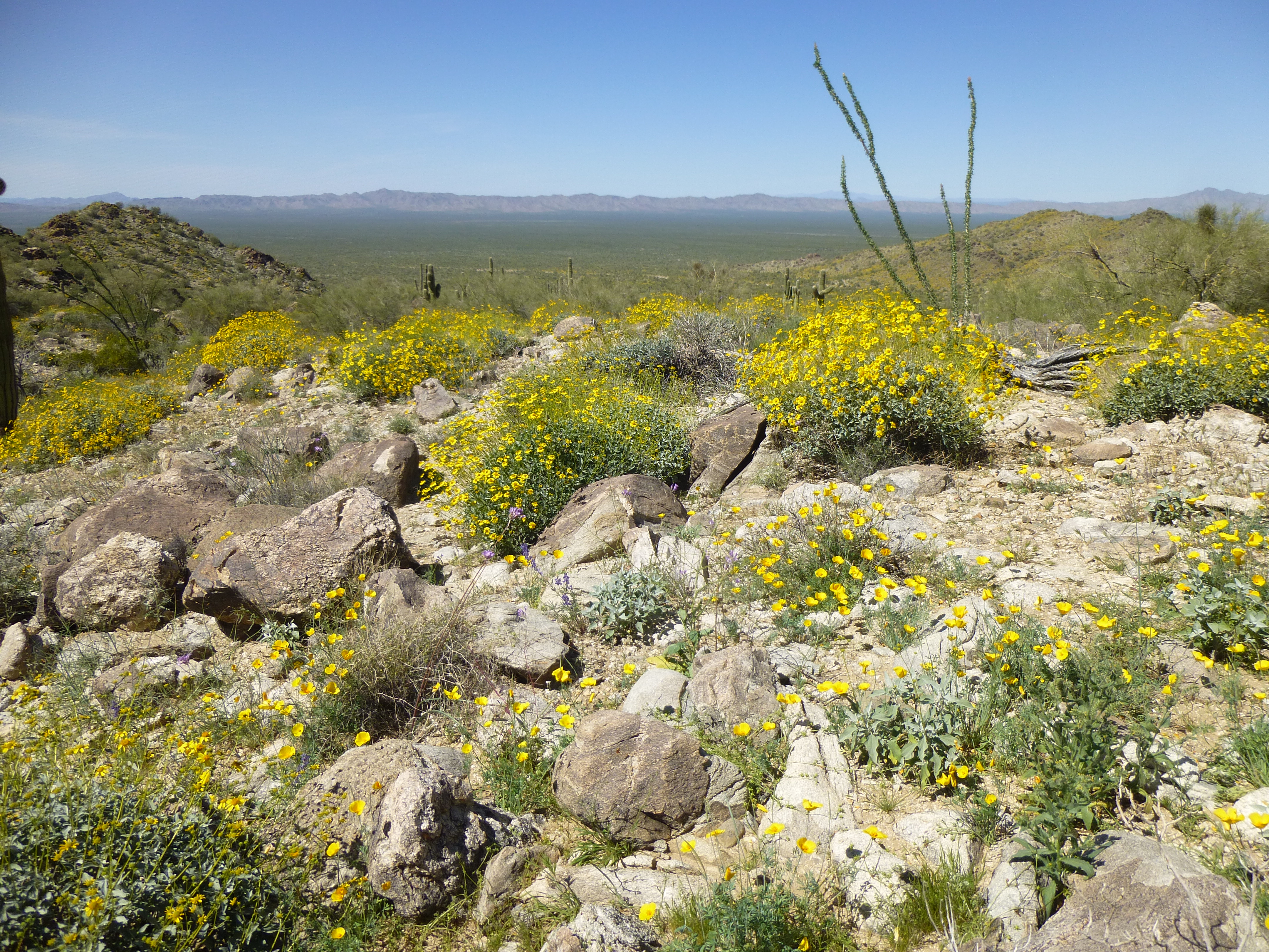
Flowers
The drive back out to pavement was quick, but the 225-mile drive to Tucson wasn’t. It well after dark by the time I made it home. It had been a great road trip. Six days, seven peaks, 1,400 miles – all good fun. Thanks for keeping me company on the journey.