
I had been there once before – with Dennis, one hot day at the end of May. We had high hopes of climbing it, but reached an impasse high on the peak, a spot we didn’t want to try because of the exposure. Prudently, we acknowledged that the peak would still be there another day, and so it was a year later when I returned with Andy Bates. Andy is the go-to guy that several of us call on when we need to get to the top of a technical peak – his services are in demand, and in this case we had planned the climb months in advance.
We met in the town of Gila Bend, about 20 miles north of the peak. It was 4:00 AM – even that seemed late, after having arisen at 1:30 in order to make the long drive to our meeting place. I parked my car, then we rode together in Andy’s truck down to the bombing range. I called Range Ops to let them know we’d be going in to climb a peak, giving them our permit numbers, vehicle description and destination. By 5:00 AM, we parked as close as we could get to the peak. Andy brought a good-sized rack and his 70-meter rope; we each had 4 quarts to drink. The crescent moon and Jupiter were bright in the pre-dawn sky as we set out at 5:30. There was just enough light to see.
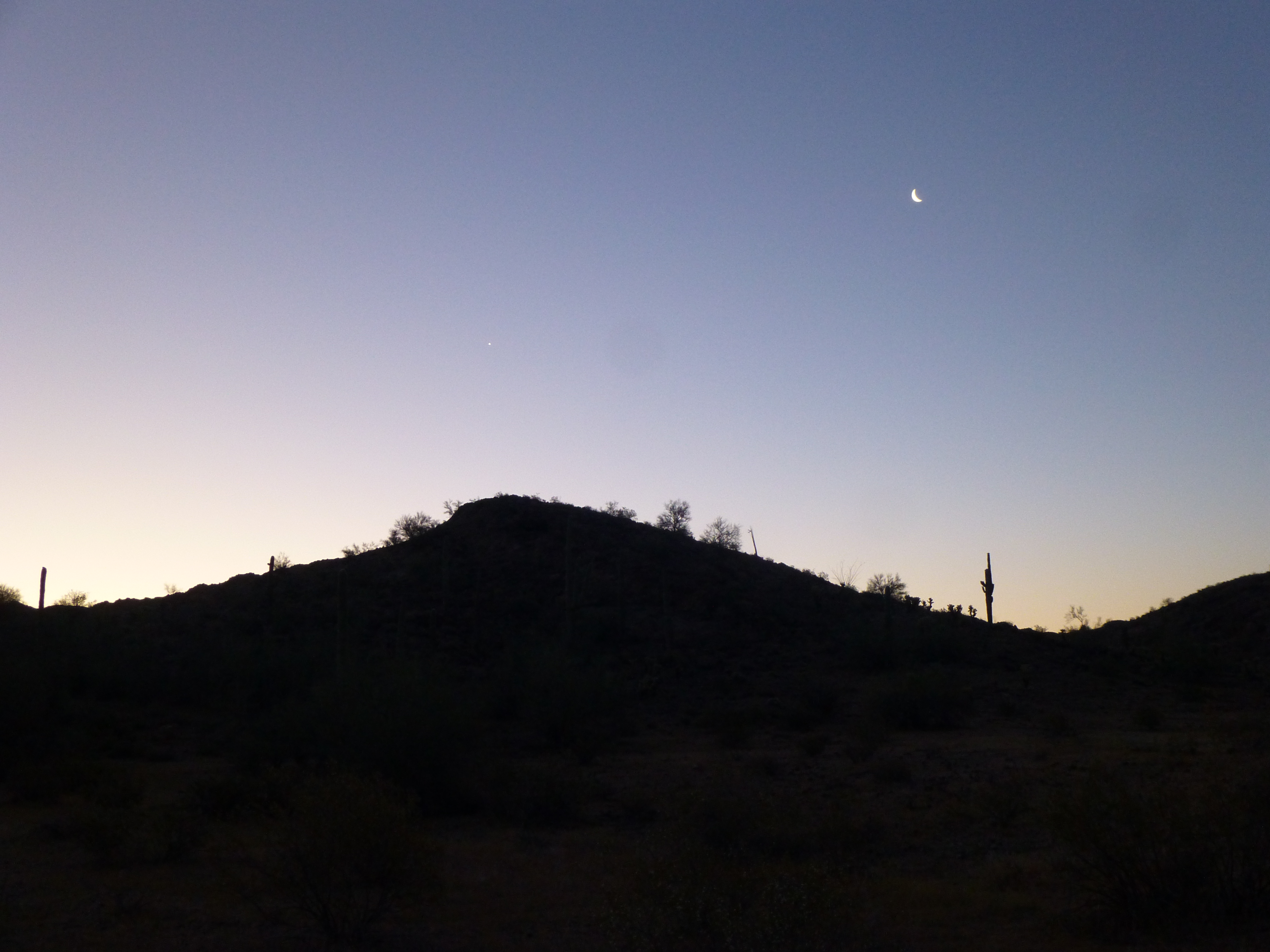
Early morning light
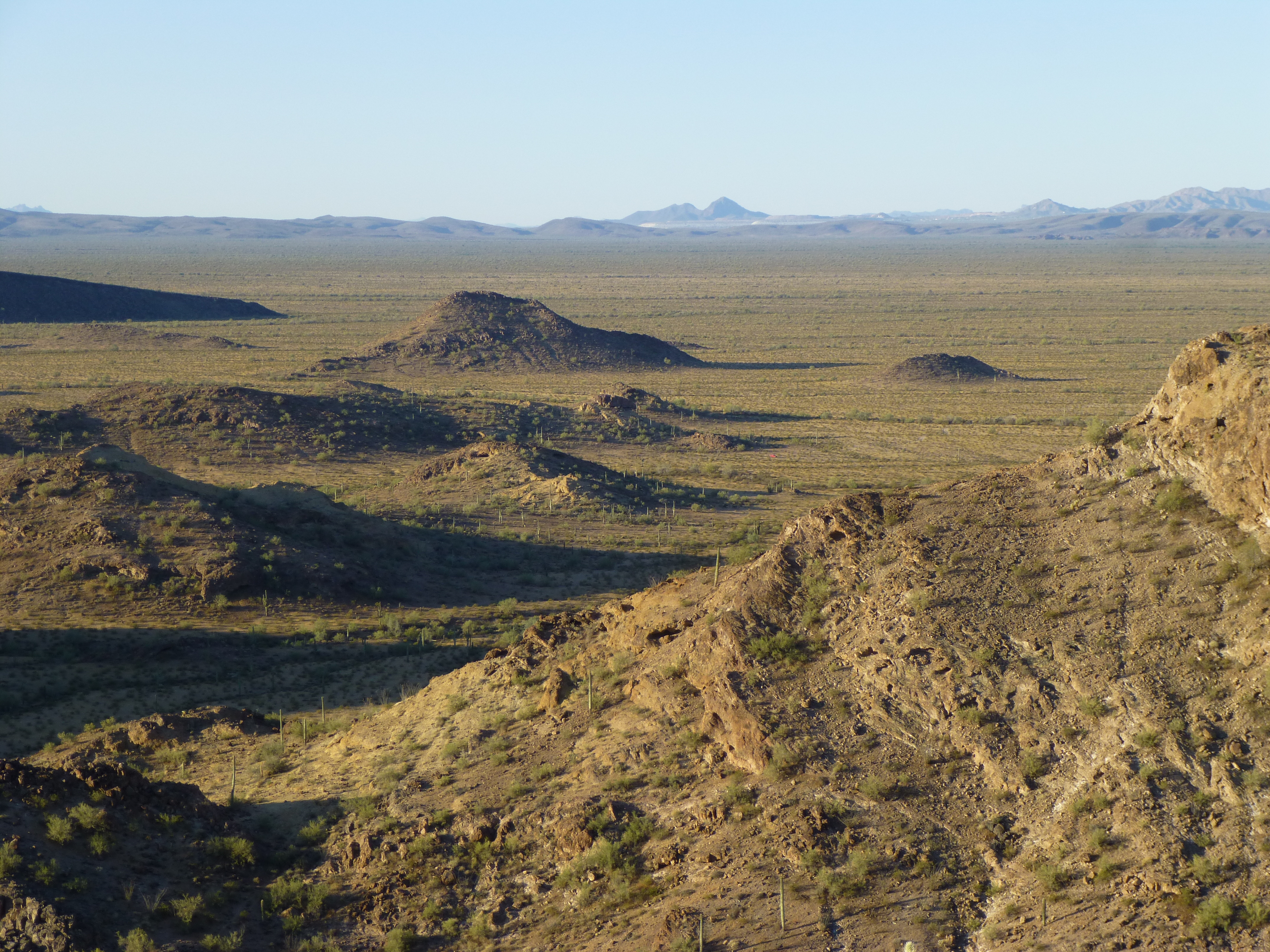
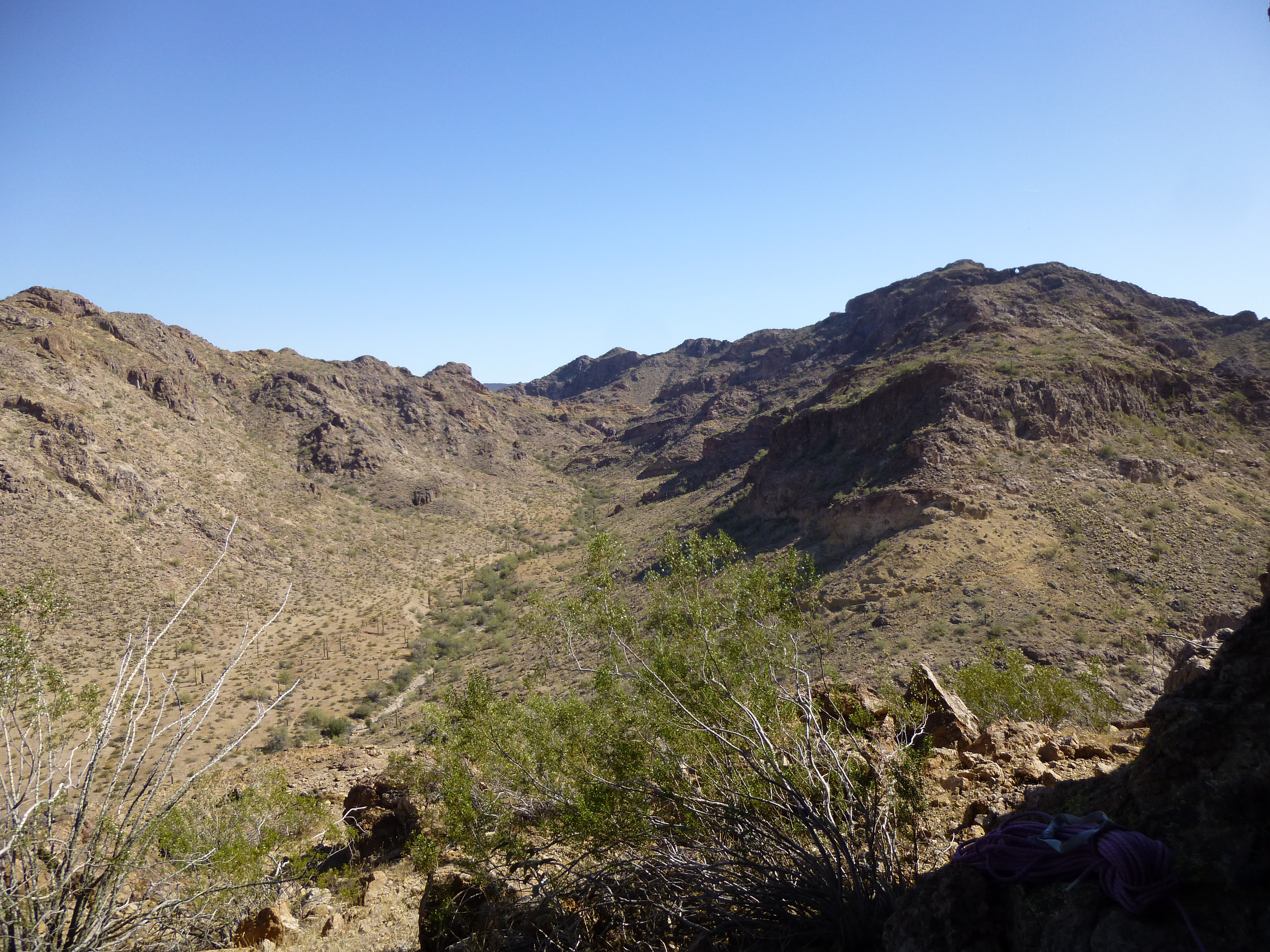
With the exception of one ridge we had to cross, it was a flat walk of 1.8 miles to the peak. Here’s what we saw as we approached it – the sun still hadn’t risen.
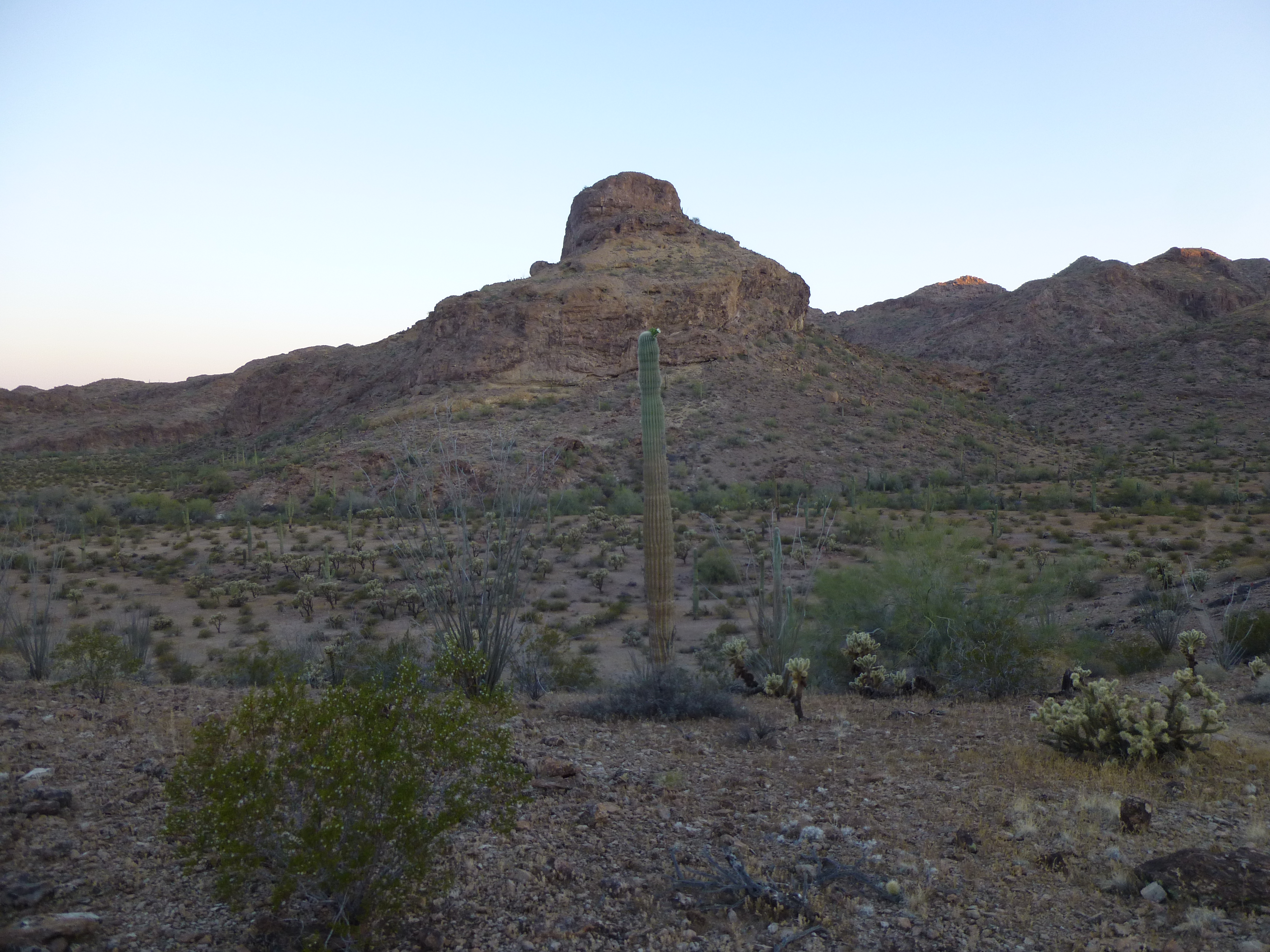
The east side of the peak.
Something I’d seen when here a year ago was a huge pile of trash left by Bad Guys – it was still here.
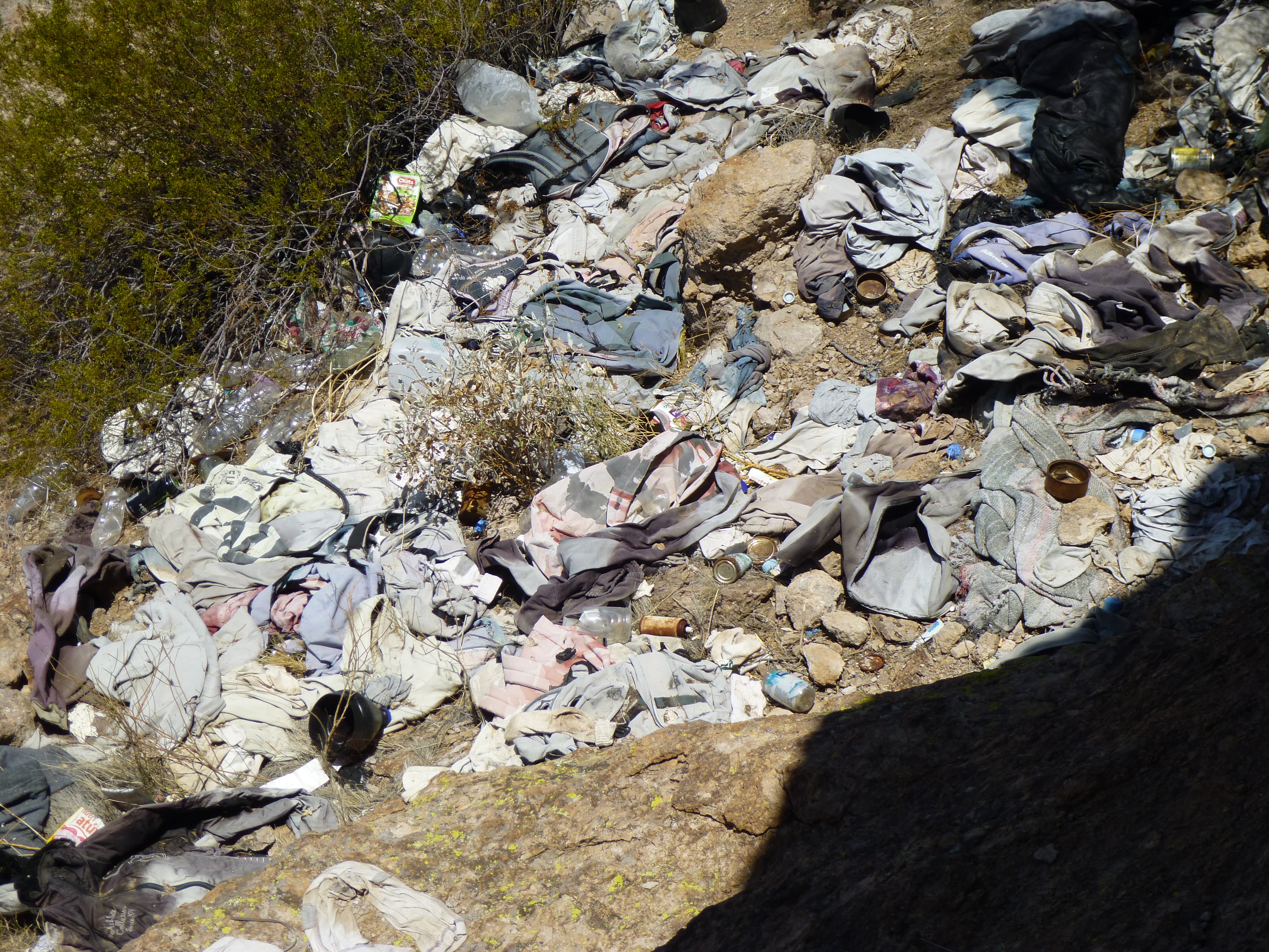
Leavings of the Bad Guys
From the trash pile, we climbed steeply up the northeast side of the peak. Here’s a view of that with Dennis the year before.
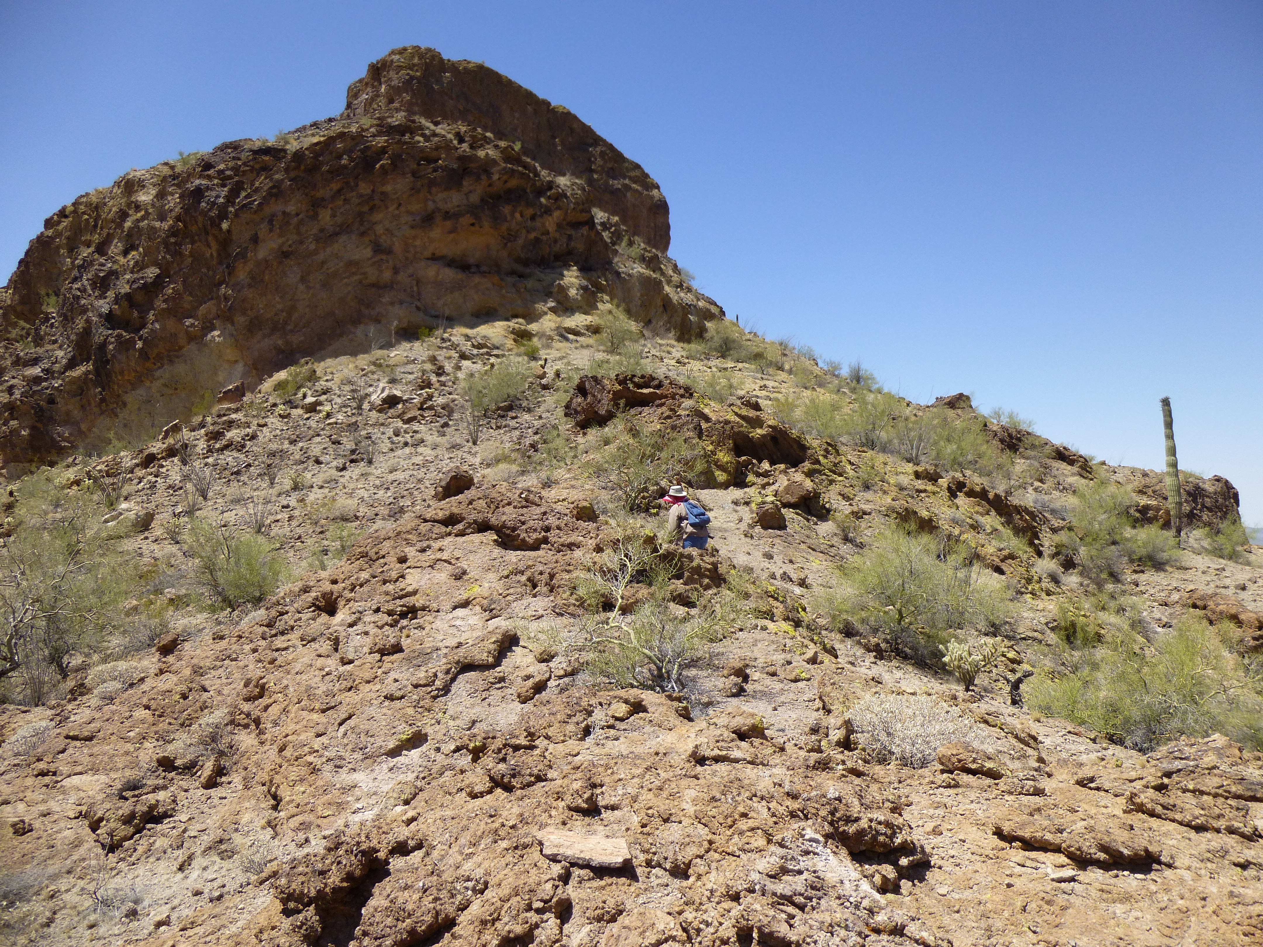
The northeast side
The route takes you up on to a ramp sheltered by a huge overhang.
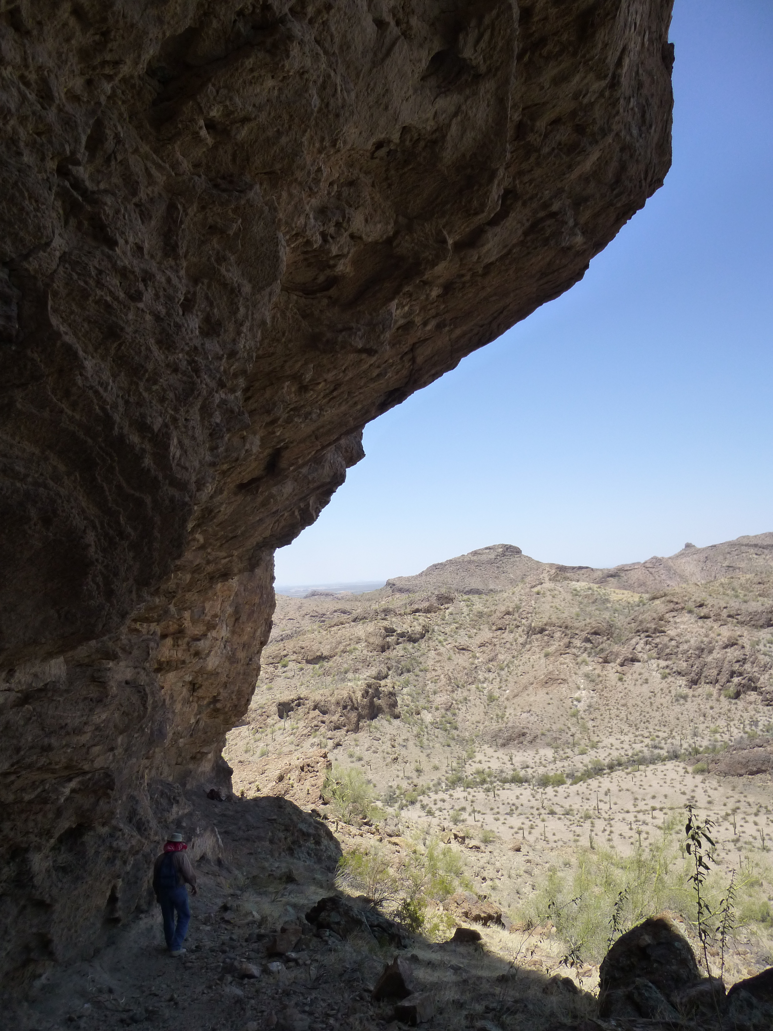
The overhang
The circuitous route finally deposits you at the base of a steep cliff, the spot where Dennis and I stopped the year before.

This is what had to be climbed to get to the summit
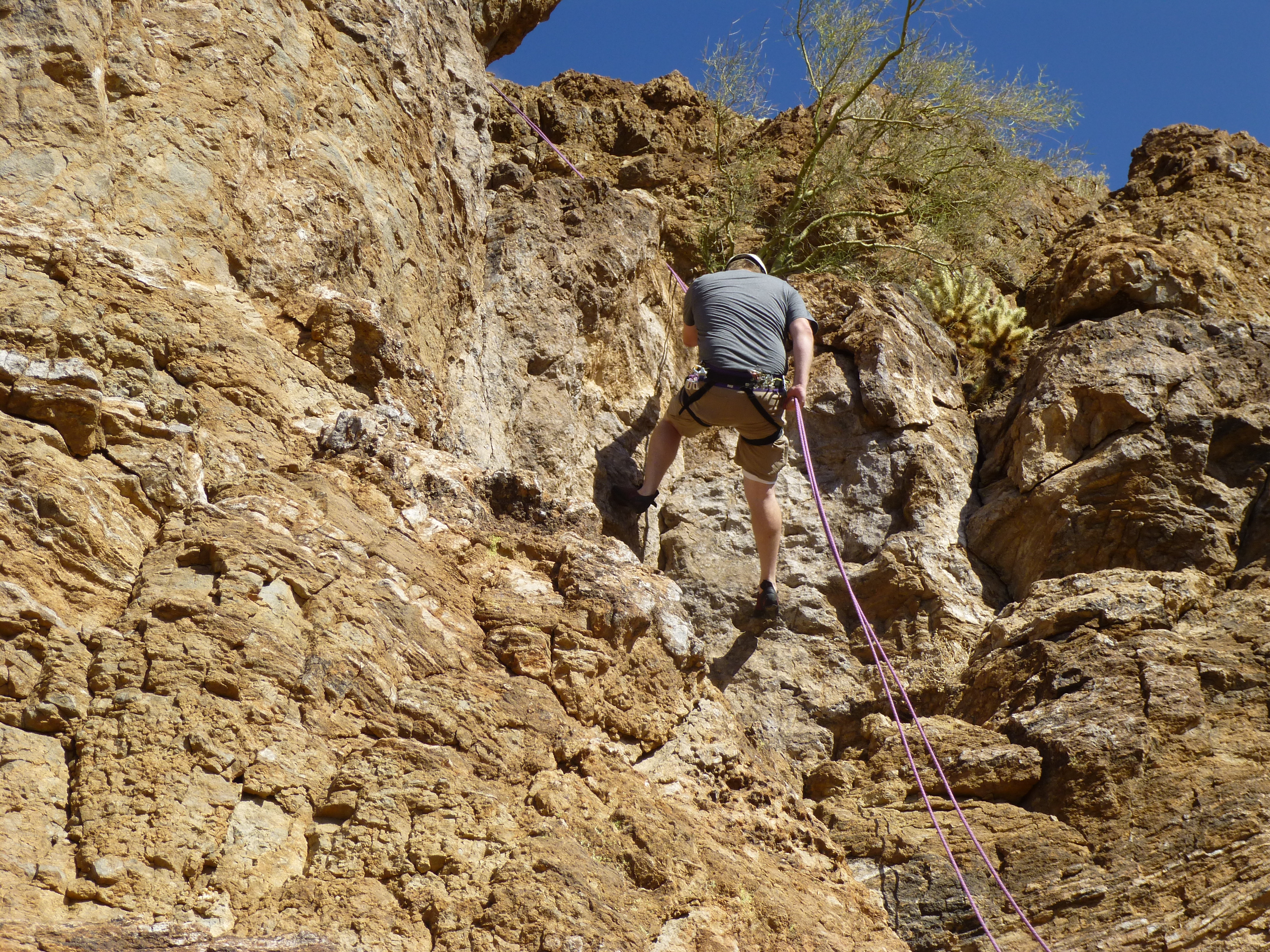
It had taken us one hour ten minutes from the truck to the base of the climb, so it was now 6:40 AM. The sun had risen, hitting us full-force on the east side of the peak. We didn’t dawdle getting set up, as we knew that with each passing hour it’d get more uncomfortable. In only 45 minutes, a quick time for us, we were both roped up and Andy led out as I belayed.
Andy went straight up through an area with too few holds for my liking – in his rock shoes, he made it look easy. I wasn’t buying it, though, and chose a route off to the right with more holds. This next picture shows the lower part of our route – Andy is yellow, I am red.
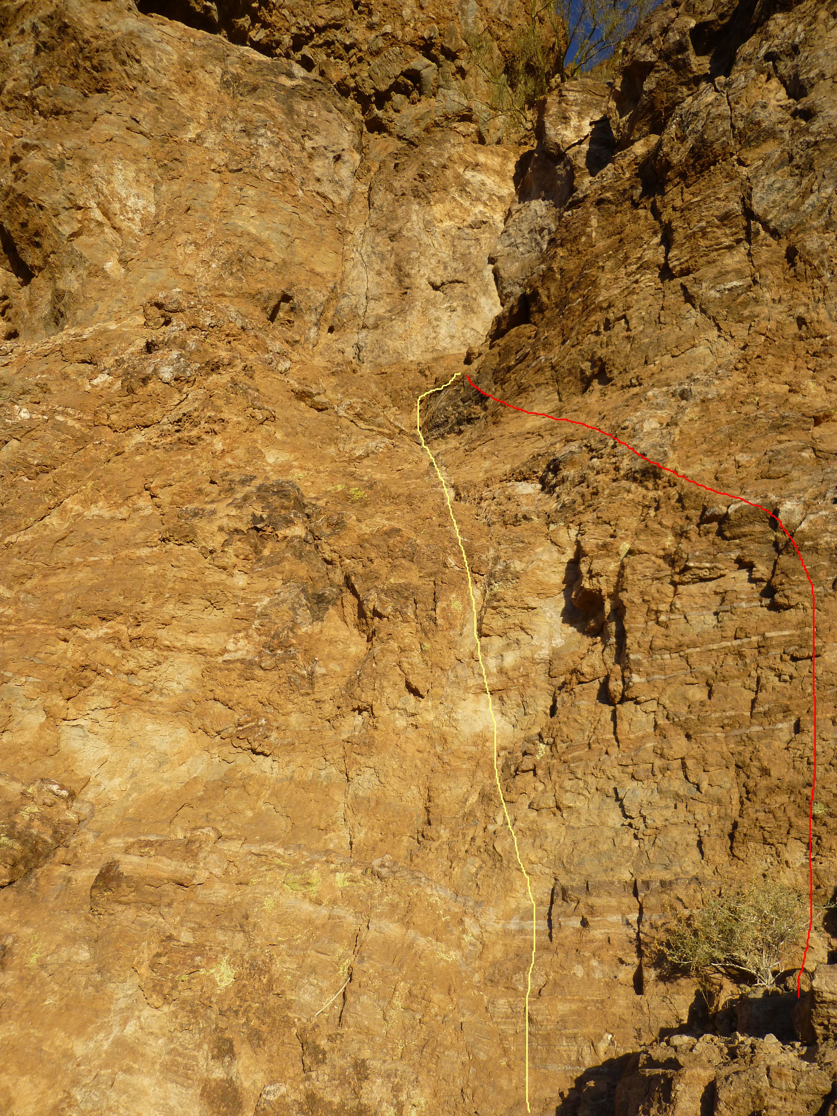
Andy’s route in yellow; mine in red
From where our routes met, each of us continued the same way to the top. The rock was pretty solid, there was no shortage of good holds, and the whole thing went quickly at nothing worse than Class 5.1. There was plenty of exposure in spots, so the rope felt good. The total climb was around 60 vertical feet. From the time I put Andy on belay to the time he brought me up and we both stood on the summit was only 17 minutes! Here’s the upper part of the route, the yellow line. Andy didn’t place any protection on the whole route, short of setting up a belay station on the summit. The view in the picture is somewhat foreshortened – the line covers about 35 vertical feet. We each had a small radio that we used to keep in touch when shouting didn’t work.
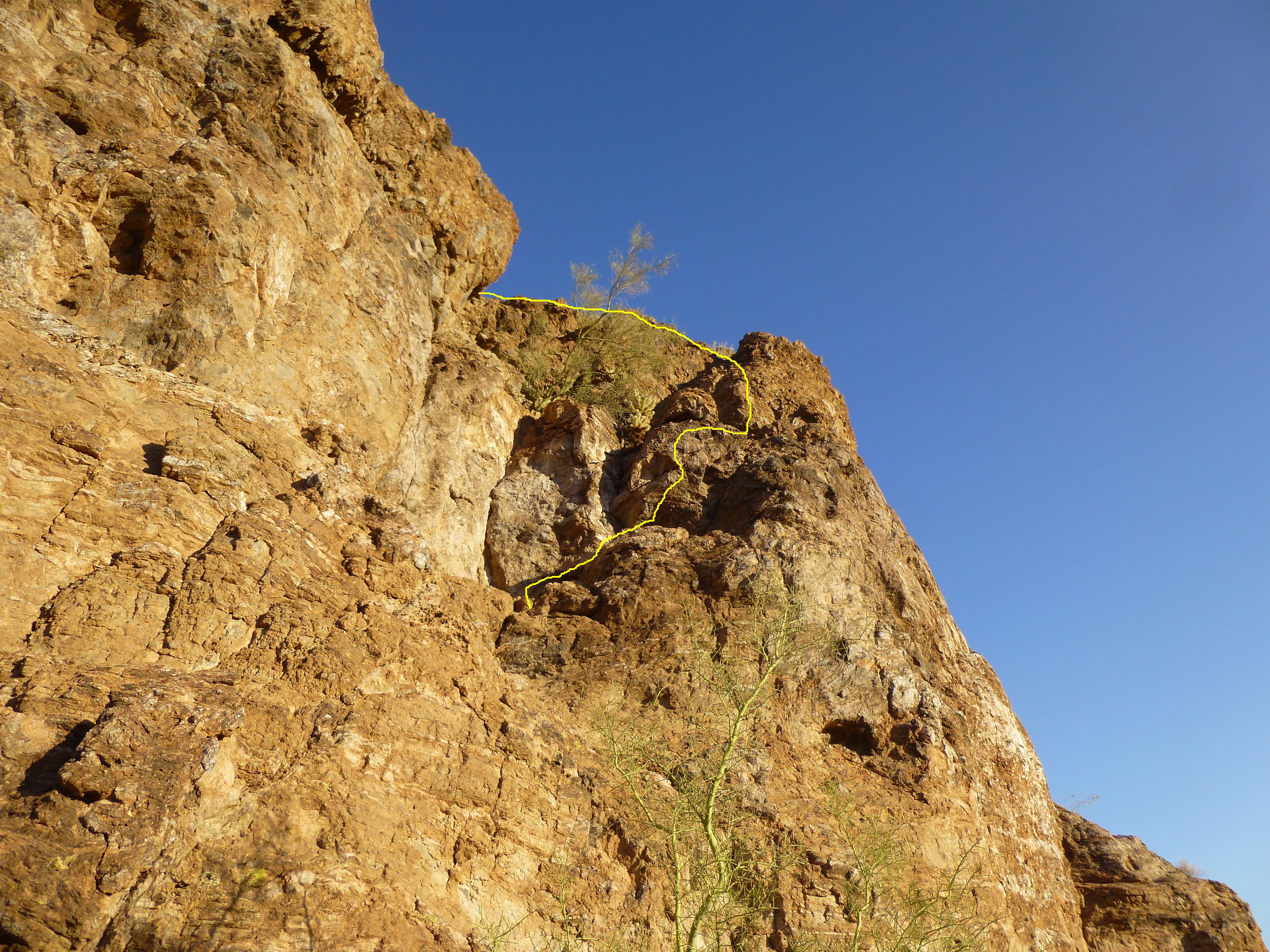
The upper part of the route
It felt good to be done so quickly. As we expected, nobody had stood on the summit of Peak 1900 before us. Even though a route well-used by bad guys passed right by the base of the peak, none of them were going to be free-climbing this one. Here’s what the top looked like when we arrived.
The summit
We left the customary cairn and register, then relaxed for a bit. Here’s a view looking south back to the truck. Can you spot it? It’s red in color, and quite visible. Zoom way in, and you’ll see it – out on the flats, just to the right of a tiny hill in the center of the photo.
A view back south to the truck
We needed to leave, as things were heating up. Andy found a large boulder at the top of our route and set a sling around it – even though it appeared to be just sitting on the slope, it probably weighed a thousand pounds and seemed stable.
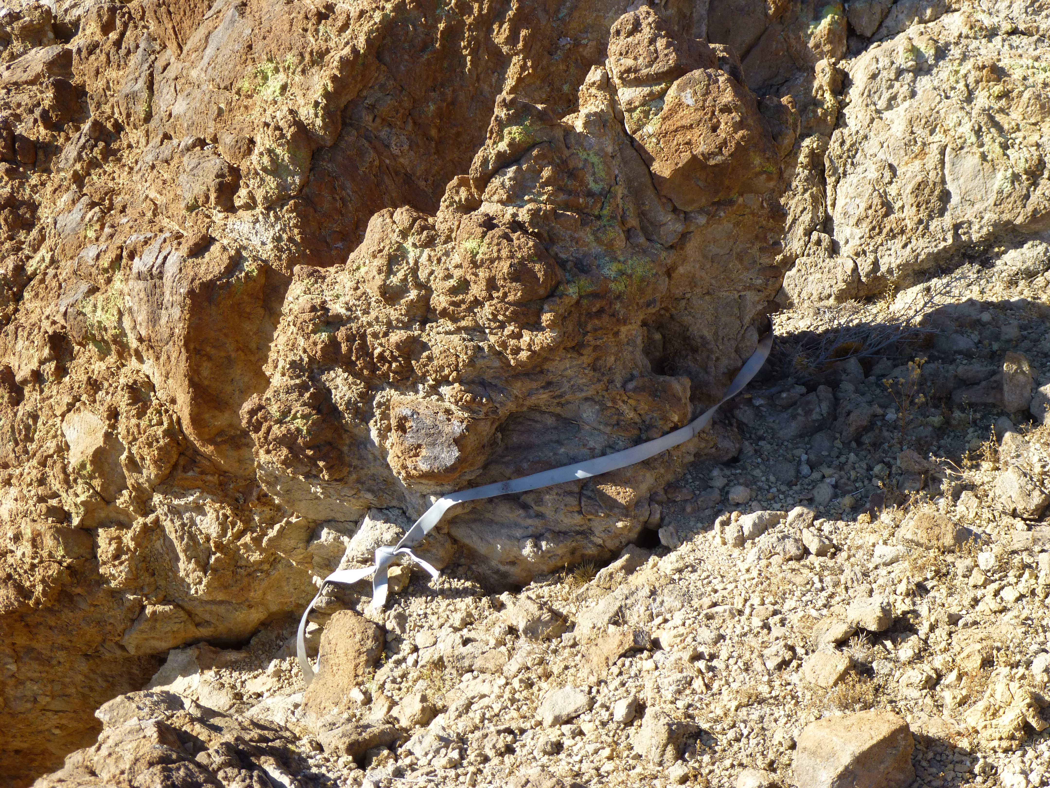
The boulder
Andy had threaded the webbing through a rappel ring, and the rope through that, so we were all set to go.
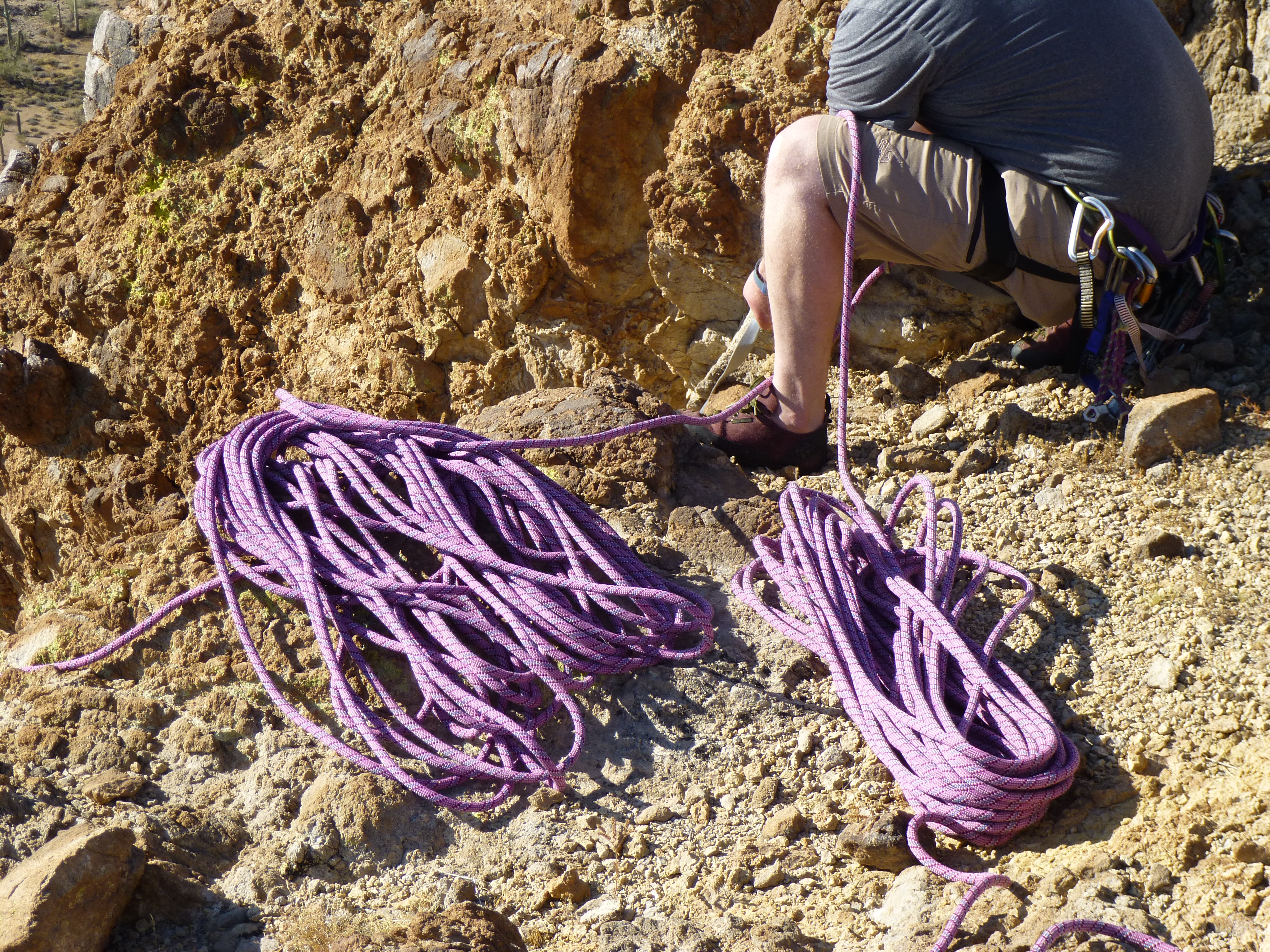
The rope, all set to go.
As I was the weaker climber, I went first. There’s always that moment of exhilaration as you step backwards off the edge when doing a rappel. Since this would be a different way down than what we’d climbed up, there would be new things to see. As I lowered myself down through an overhang and set foot on a ledge, Andy shouted “rock” from above and one the size of a grapefruit came hurtling past – the overhang protected me. The two coils of rope were tangled in a small Palo Verde tree, so I spent some time pruning the tree and tossing each coil down so they reached the base of the face. Another longer overhang came next as I continued the rappel, and two more rocks came my way, both smaller than the first but still unnerving. In short order I was down and untied from the rope. Here, you can see the two strands of rope just right of center.
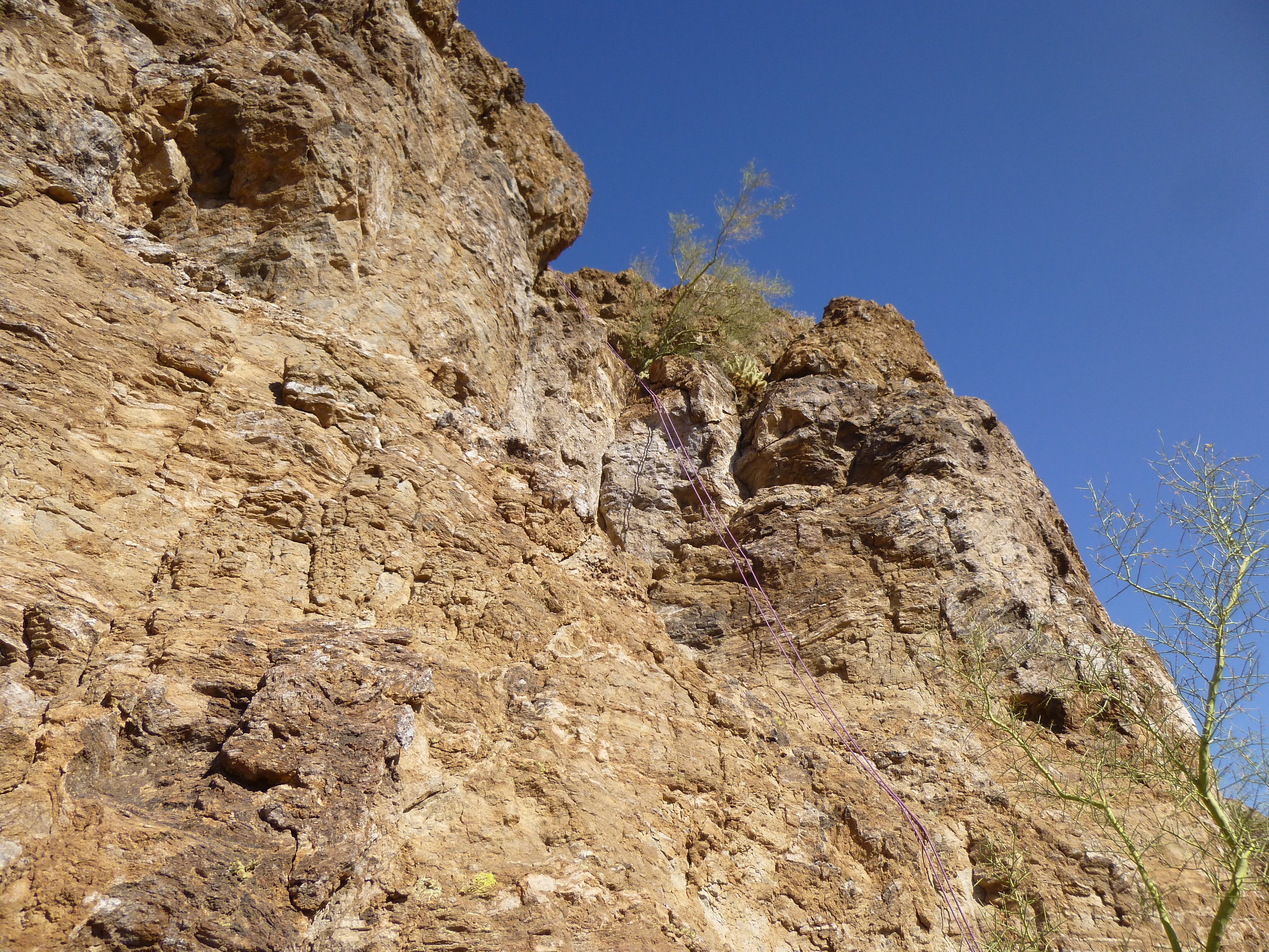
The rappel route
Andy came next, and we were both down.
Andy
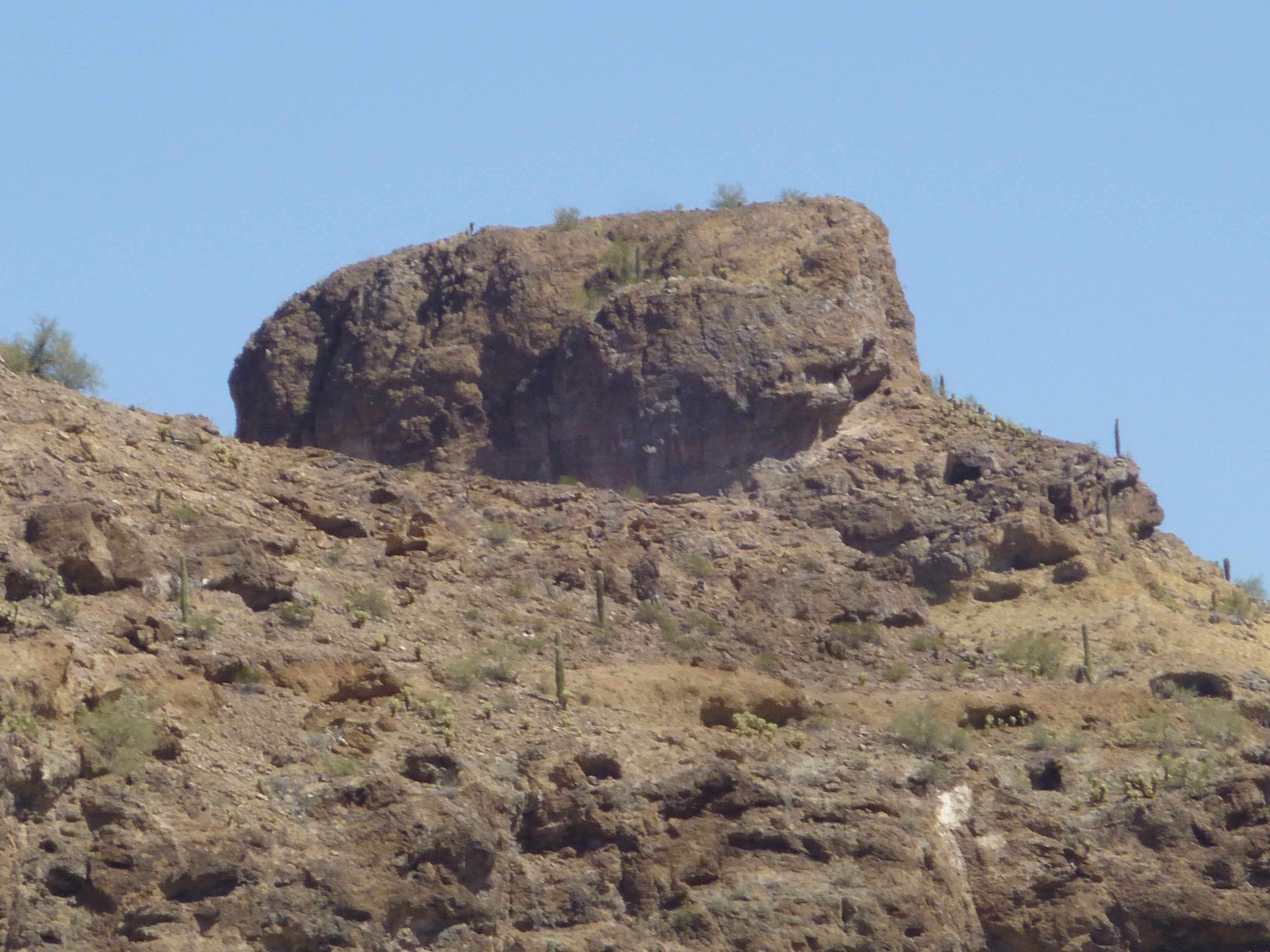
We packed up our gear, dropped down and around the corner into the shade of the huge overhang, and ate lunch. From there, we had this great view of Peak 2451 and the large natural arch to its right.
Peak 2451
Once done, we headed down the mountain to the desert floor and quickly covered the distance back to the truck, where we arrived at 10:25 AM. That was none too early, as things were heating up – it was already 90 degrees F. in the shade.
Here’s one more picture looking back to our peak, a telephoto shot. Our route was up the right-hand side.
Our route went up the right side
With this peak under my belt, I had now climbed all of the ranked summits and all of the interpolated summits in the Sauceda Mountains. Of the 15 technical climbs Andy and I have done together, 3 of them were in this beautiful range, so this project could not have been done without him.
We made one final stop. Near where we had parked was an “enhanced” water catchment for wildlife.
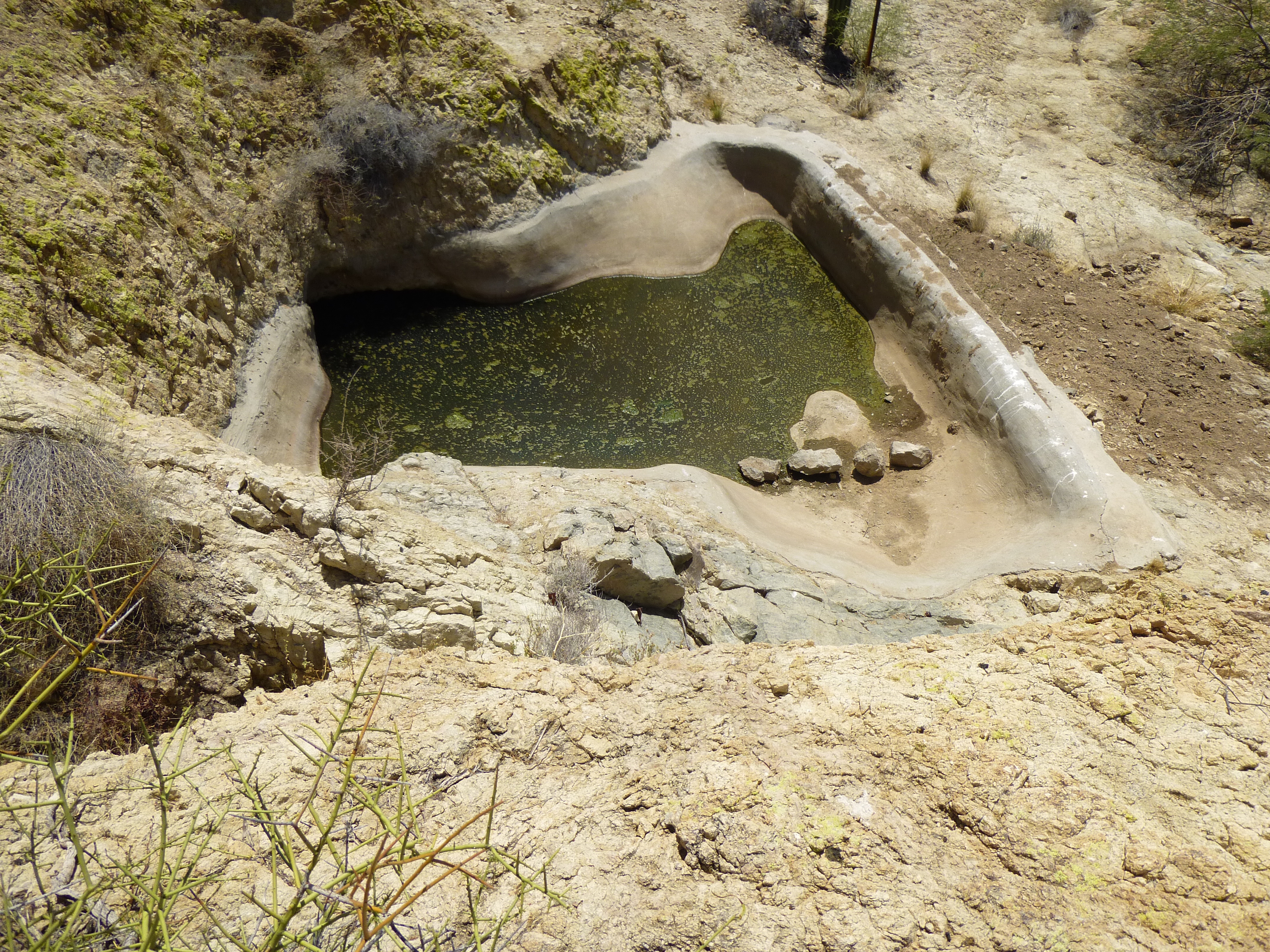
Thanksgiving Day Tank
It is shown on the map as Thanksgiving Day Tank. However, a botanist friend from the University of Arizona informed me that the map name is in the wrong place. The true tank of that name sits 1.4 miles away to the northeast in a deep enclave visited by few. I was lucky enough to visit it early one February morning, and it sure is different from the one pictured above.
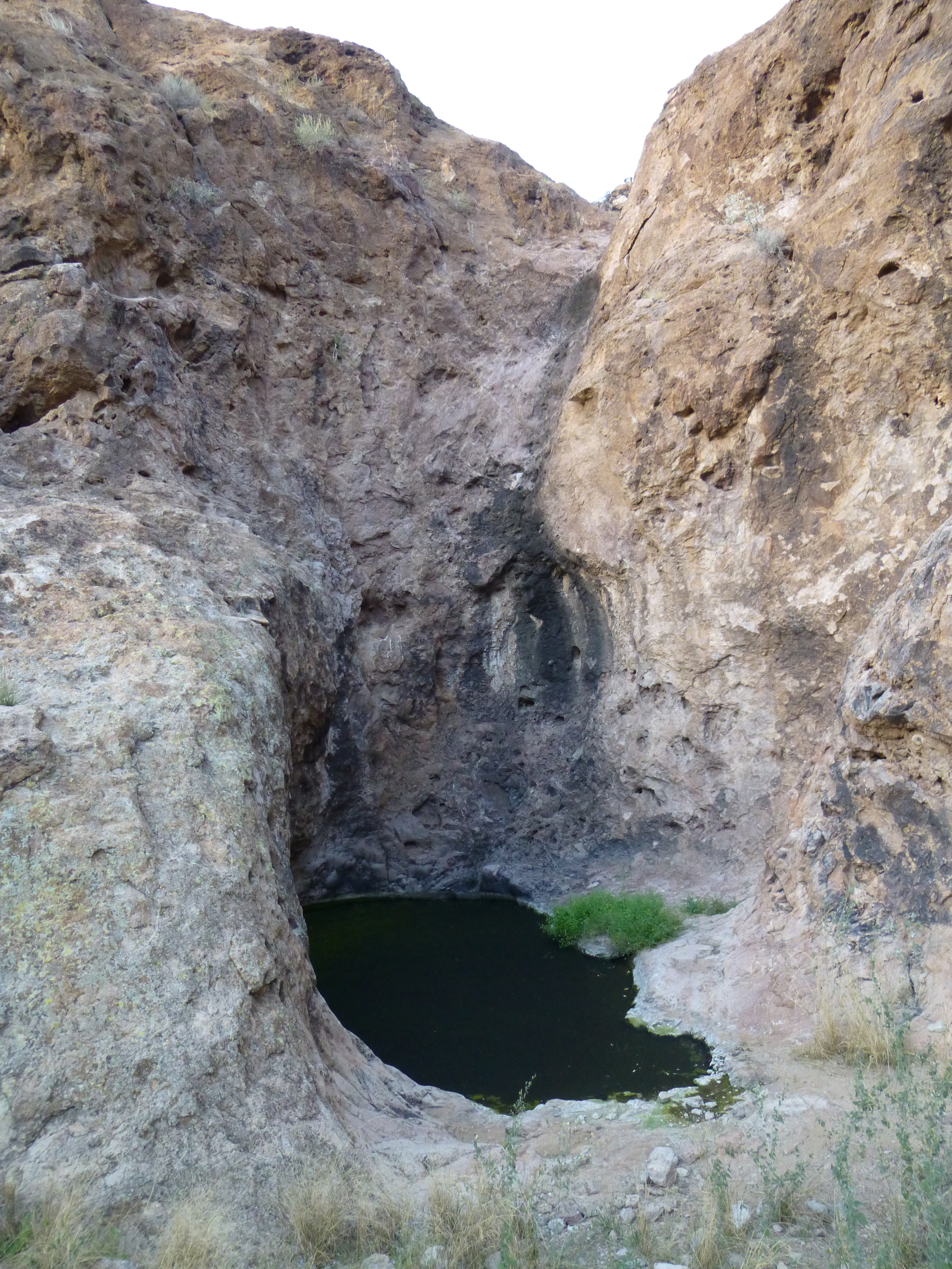
The “real” Thanksgiving Day Tank
This is a natural water-hole guarded by vertical 50-foot cliffs. I climbed around to the top to have a look. There, I found this substantial rock wall enclosed in strong wire mesh. It holds the wall together – the reason the wall is there in the first place is to prevent debris from coming downstream, especially after a rain, falling over the edge into the pool. The more crap in the pool, the less water in the pool.
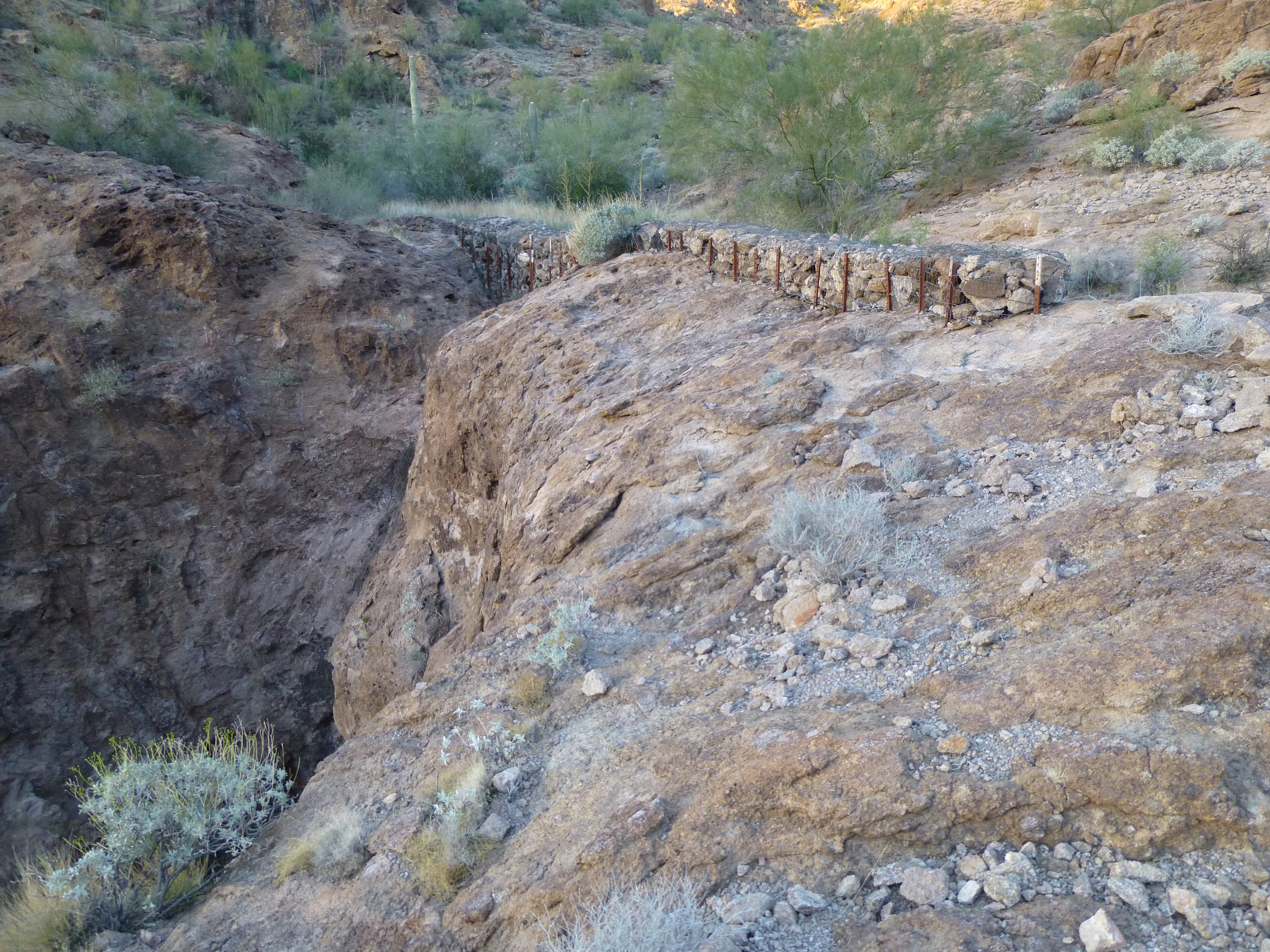
The rock wall.
The authorities spend money to improve these tanks so that more wildlife can survive in these harsh places. There was no trash near this tank, so Bad Guys weren’t aware of it. That’s a good thing – it’s for the animals anyway.