
Funny name, huh? What the heck is a Cochise Head? The name conjures up all kinds of odd possibilities, don’t you think? Well, it turns out that Cochise was a famous Apache Indian chief who lived in Arizona in the 1800s. Much has been written on his life and exploits, and so none of that will fall within the scope of this piece. Suffice it to say that one of our state’s 15 counties is named after him. His final resting place was known to only a few, and they took it to the grave themselves without ever having revealed it. All that is known about it today is that it is probably hidden deep within an enclave known as Cochise Stronghold in the Dragoon Mountains in southeastern Arizona.
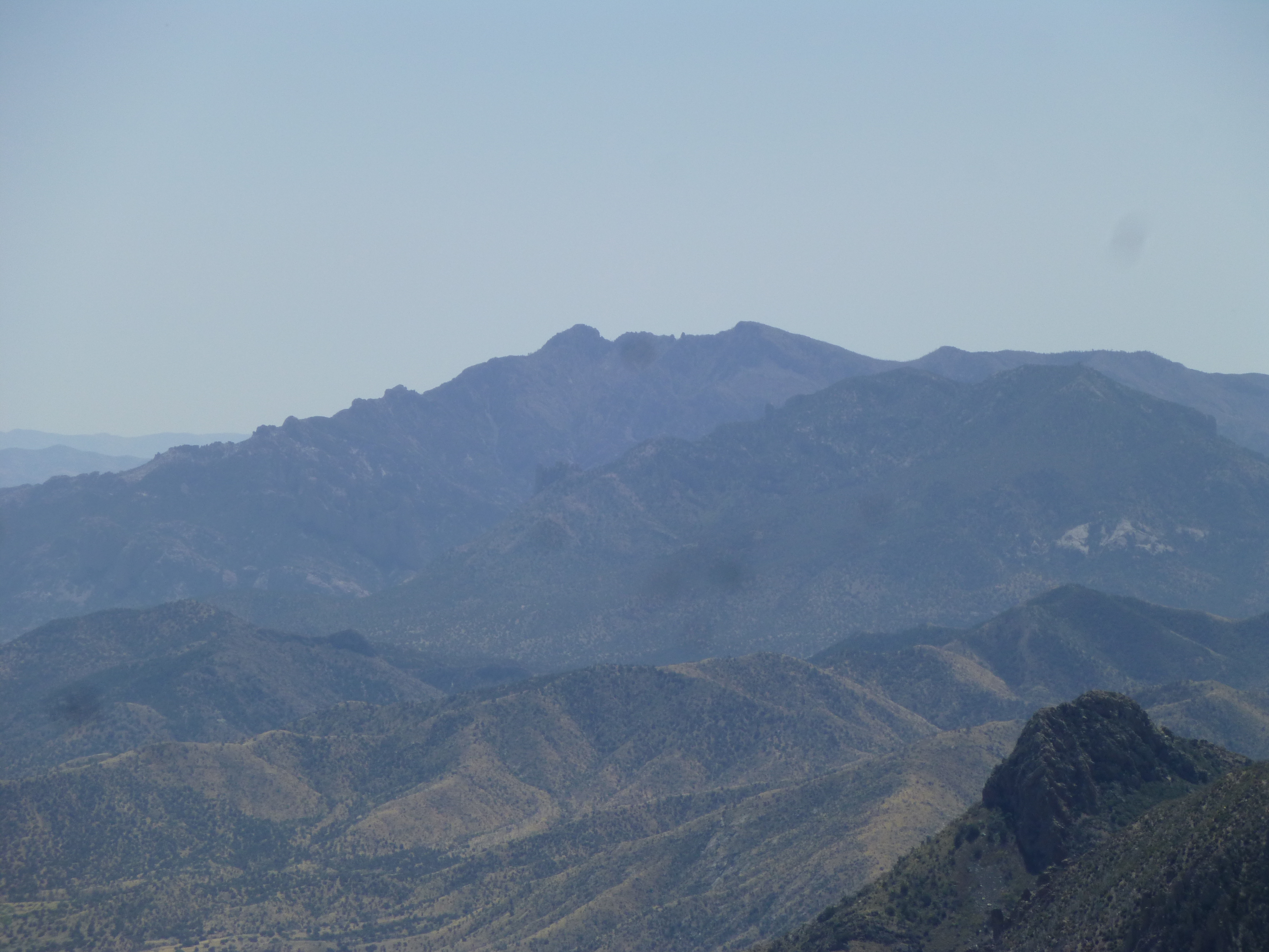
Forty miles to the east, in the northern end of the Chiricahua Mountains, sits a striking peak known as Cochise Head. It is so named because, especially from the south, its profile looks like the head of the man himself. See how he’s lying on his back, and we’re looking at the left side of his head? – his forehead is just right of center, his nose is almost dead center. Thanks to my climber friend azpeakboy for sharing this photo.
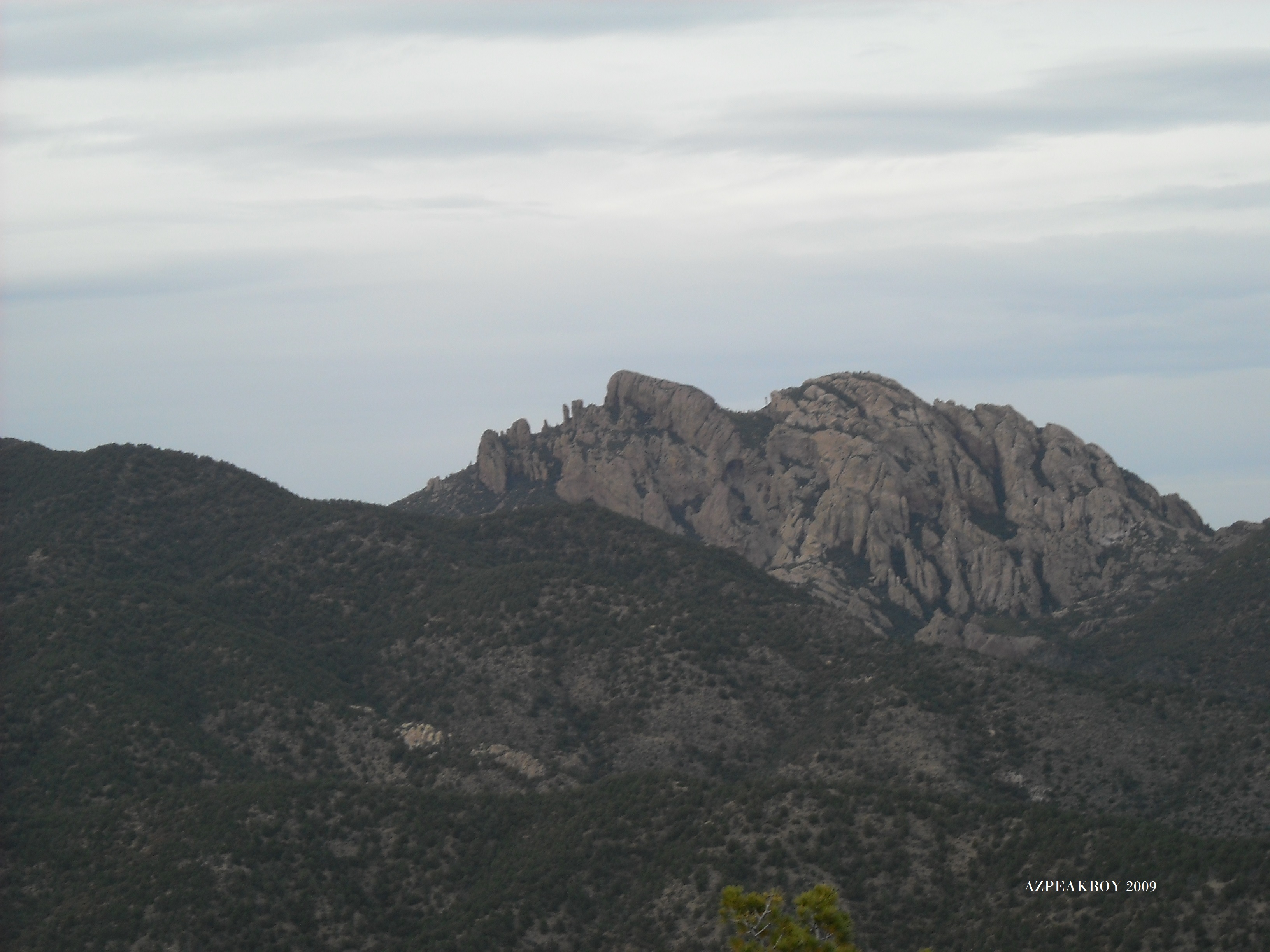
Cochise Head from the south
It seems odd that, with thousands of peaks under our belts, both Dave Jurasevich and I had ignored it – probably a matter of “so many peaks, so little time”. Even with 30+ years of climbing in the state, we just hadn’t gotten around to it. Dave suggested that the time was nigh, so we met near the peak at first light in early April. It can be plenty hot by then, but luck was with us – the forecast was for a reasonably cool day, and we’d be up higher for the climb itself. We both parked at a small pullout just off the pavement at 6,200′ elevation in the Chiricahua National Monument. As I approached the meeting spot, my car’s external temperature sensor had registered temperatures as low as 39 degrees F., so I borrowed a jacket from Dave before we set out.
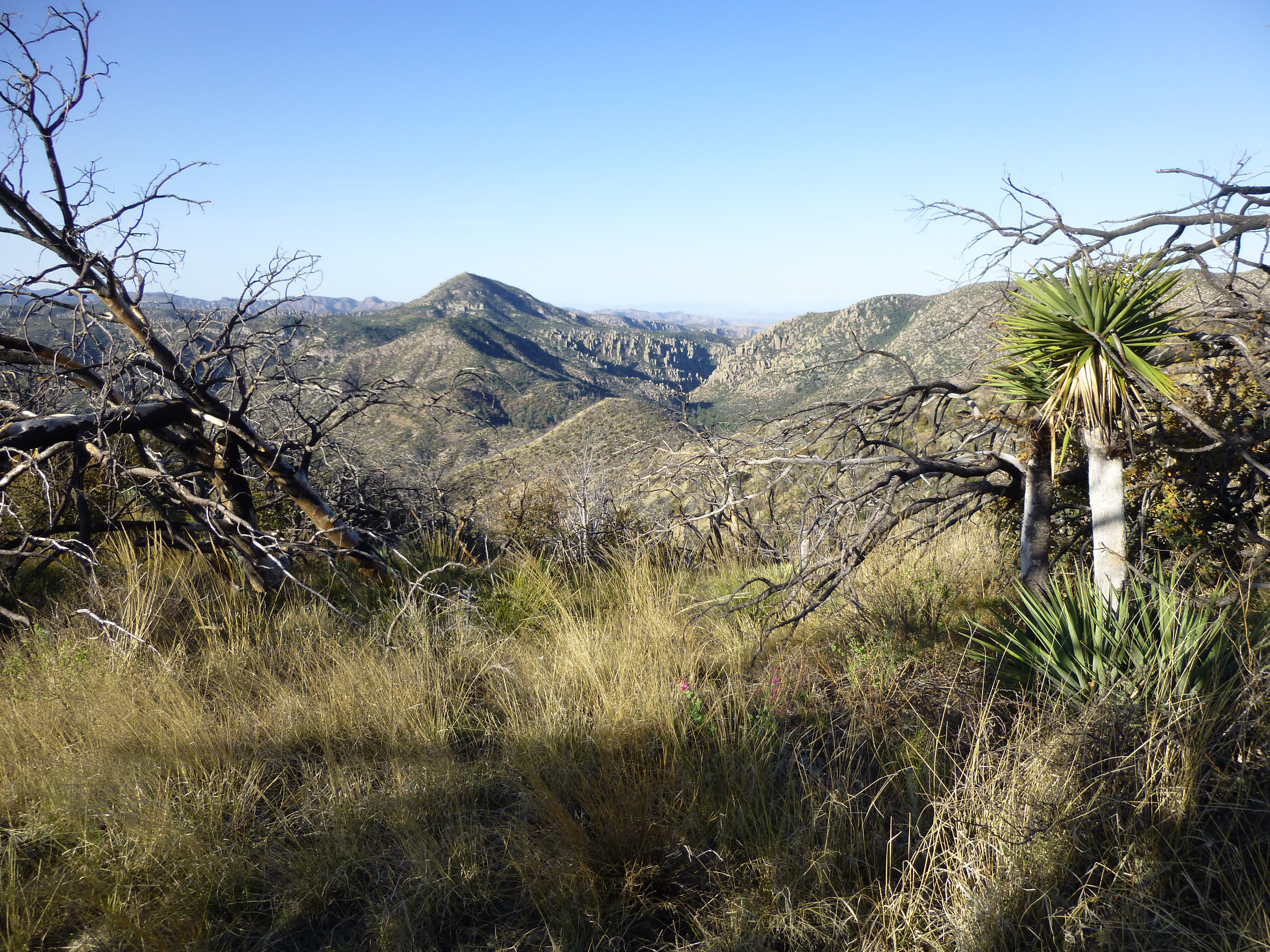
The first 1.6 miles would be along an old mining road, up which we walked briskly in the cool morning air. We could see up into the high country soon after starting.
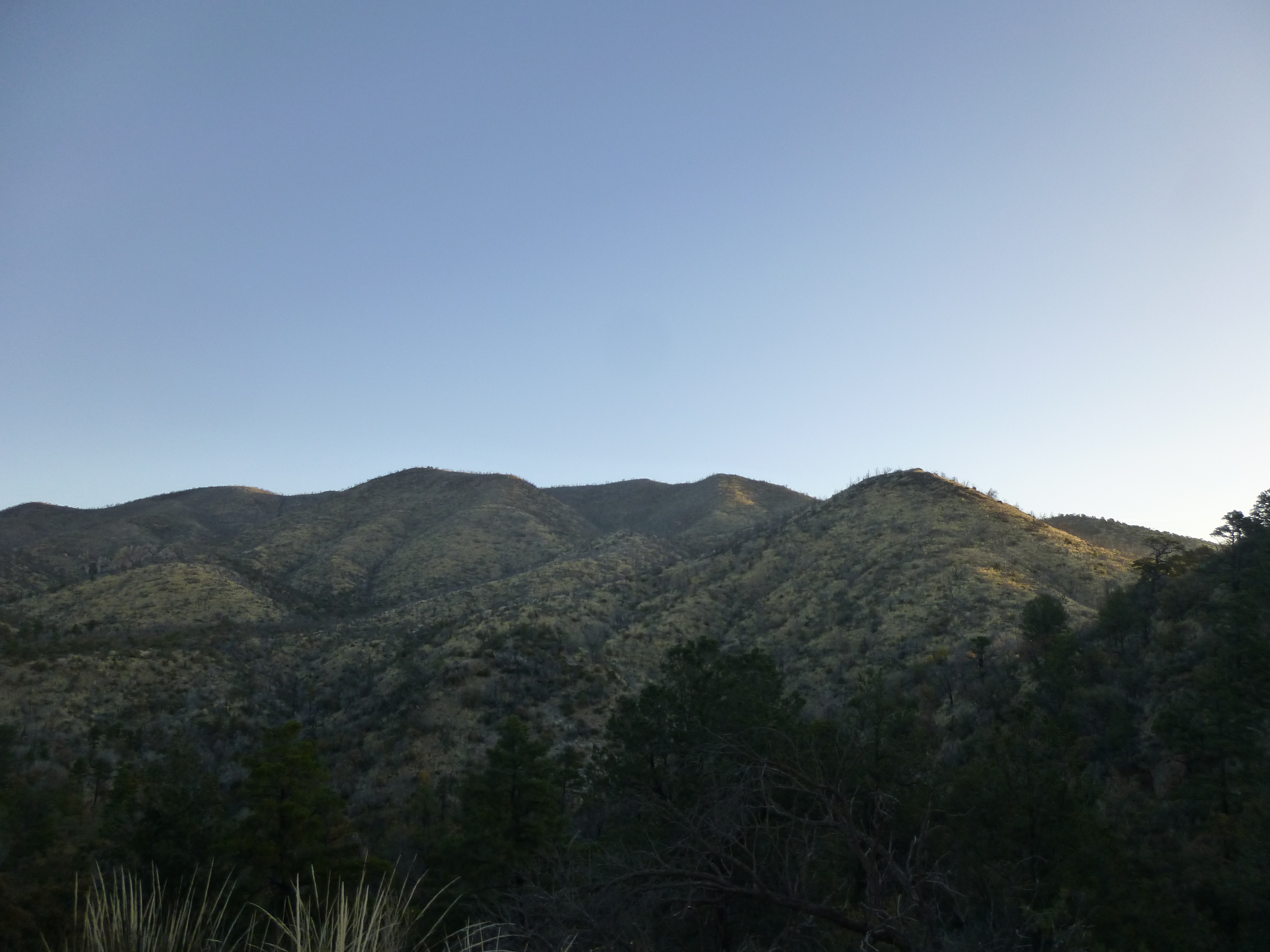
The high country at sunrise.
Before long, we passed the old King of Lead Mine. This metal tank and a strong chemical smell (like diesel fuel) were all that we noticed as we passed.
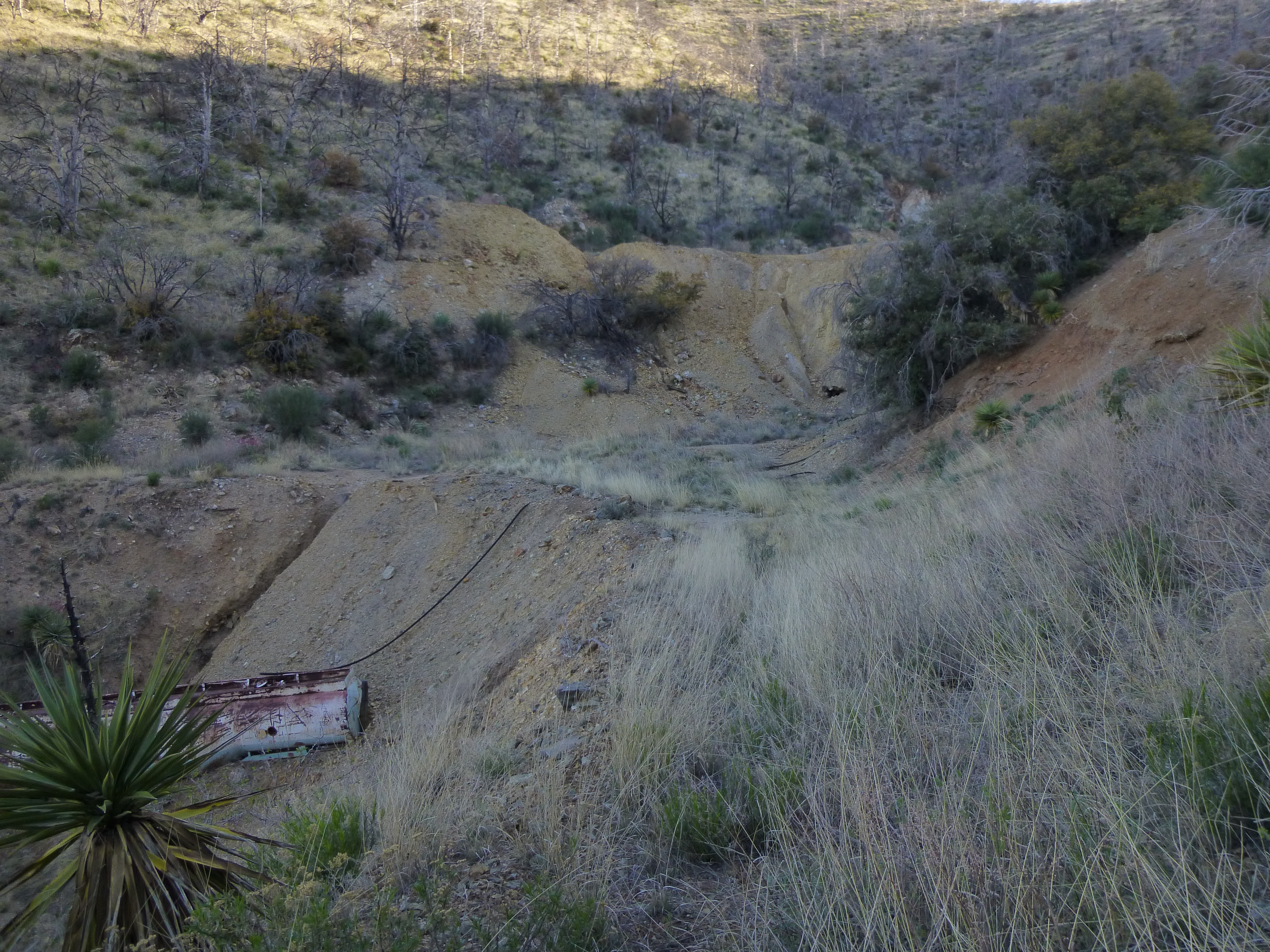
Old metal tank at the mine
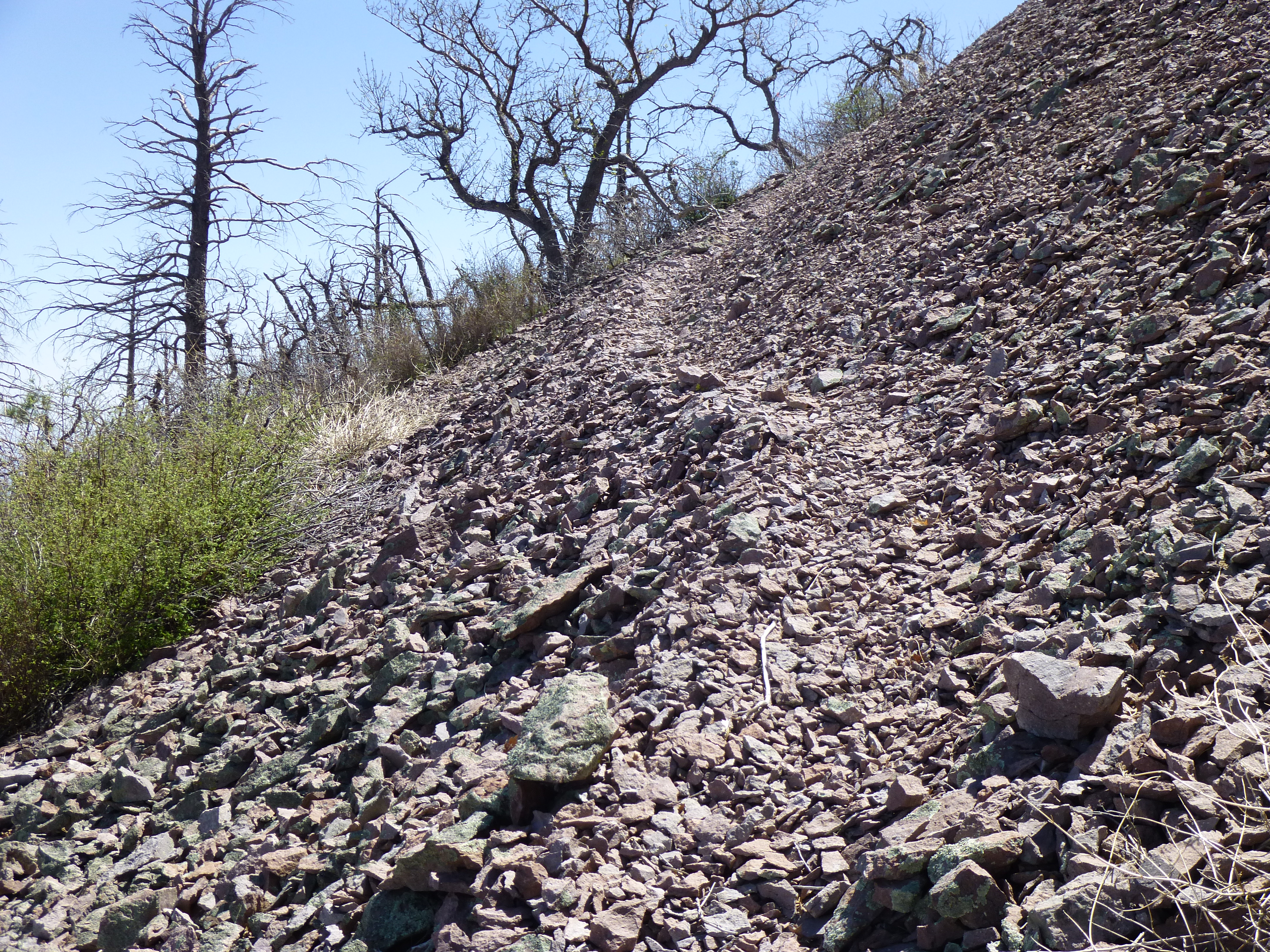
Just past the mine, the road immediately degenerated to an overgrown track.
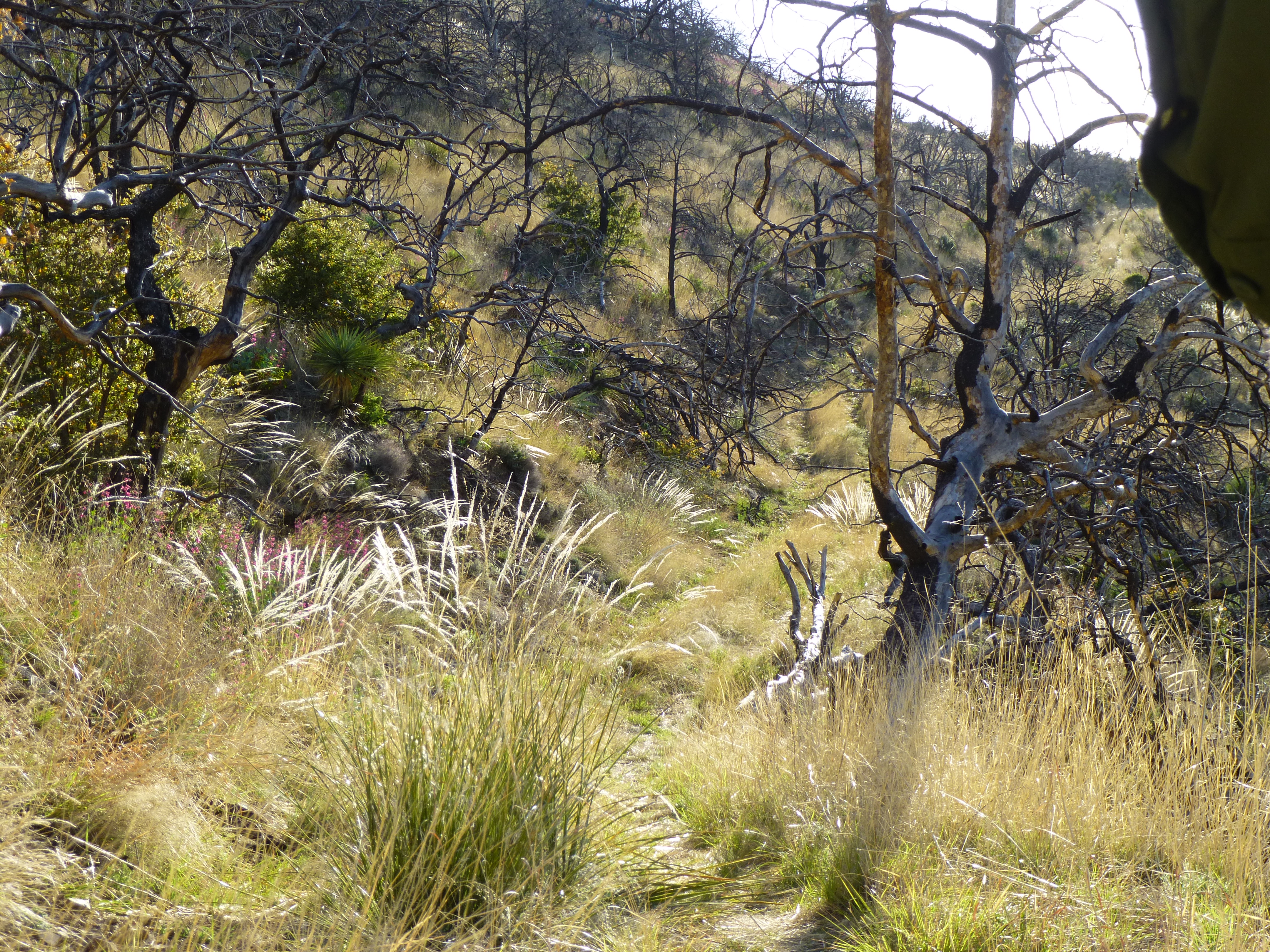
The overgrown road
This ended a mere quarter-mile later, depositing us on a saddle. We each hid a quart of water here, knowing we’d need it later, and continued on with 3 quarts each. From this saddle, we could look to the southwest to Sugarloaf Mountain with its Forest Service lookout.
Sugarloaf Mountain
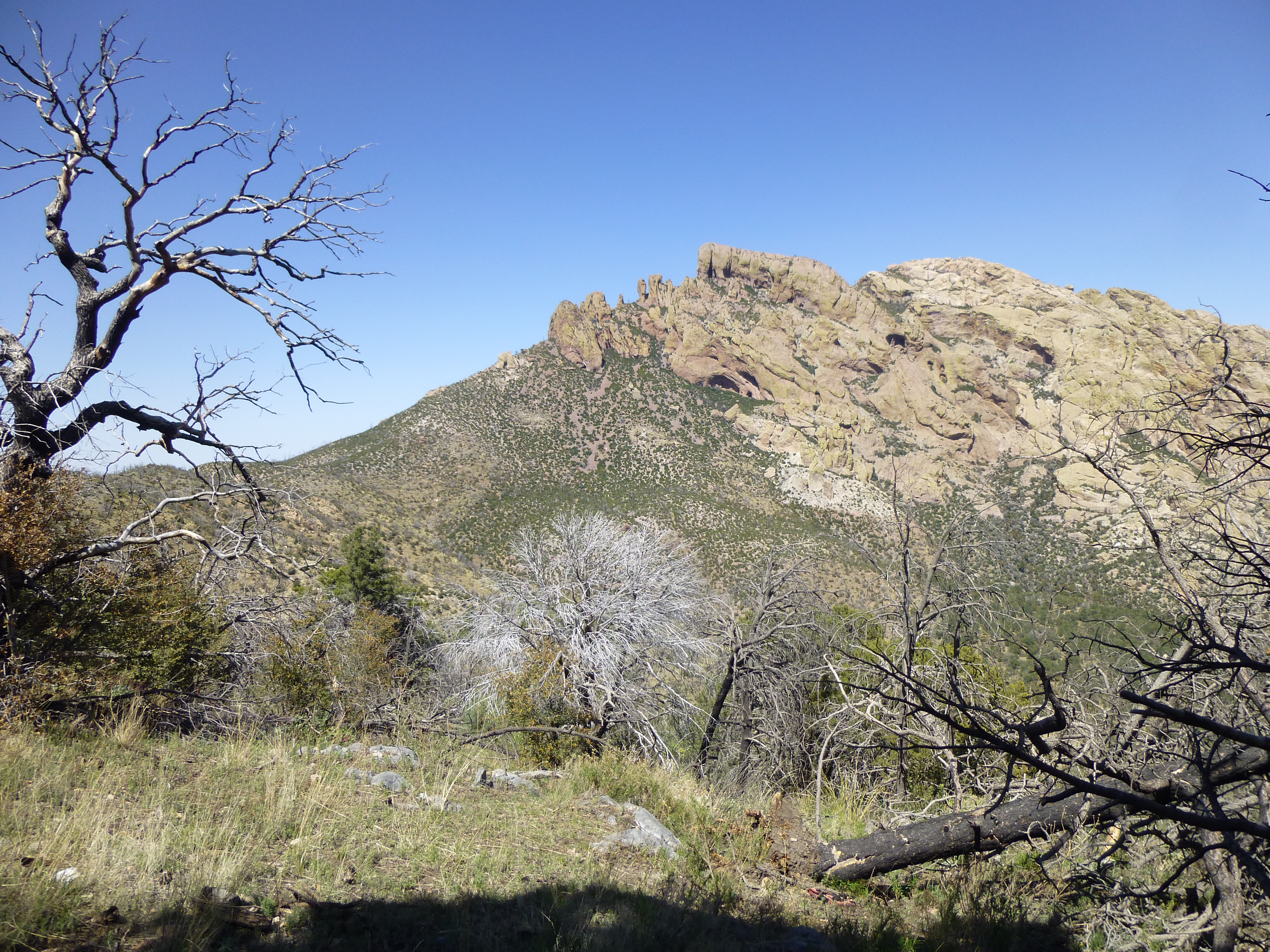
We could also see some of the famous rock formations for which the monument is known. Zoom in on these.
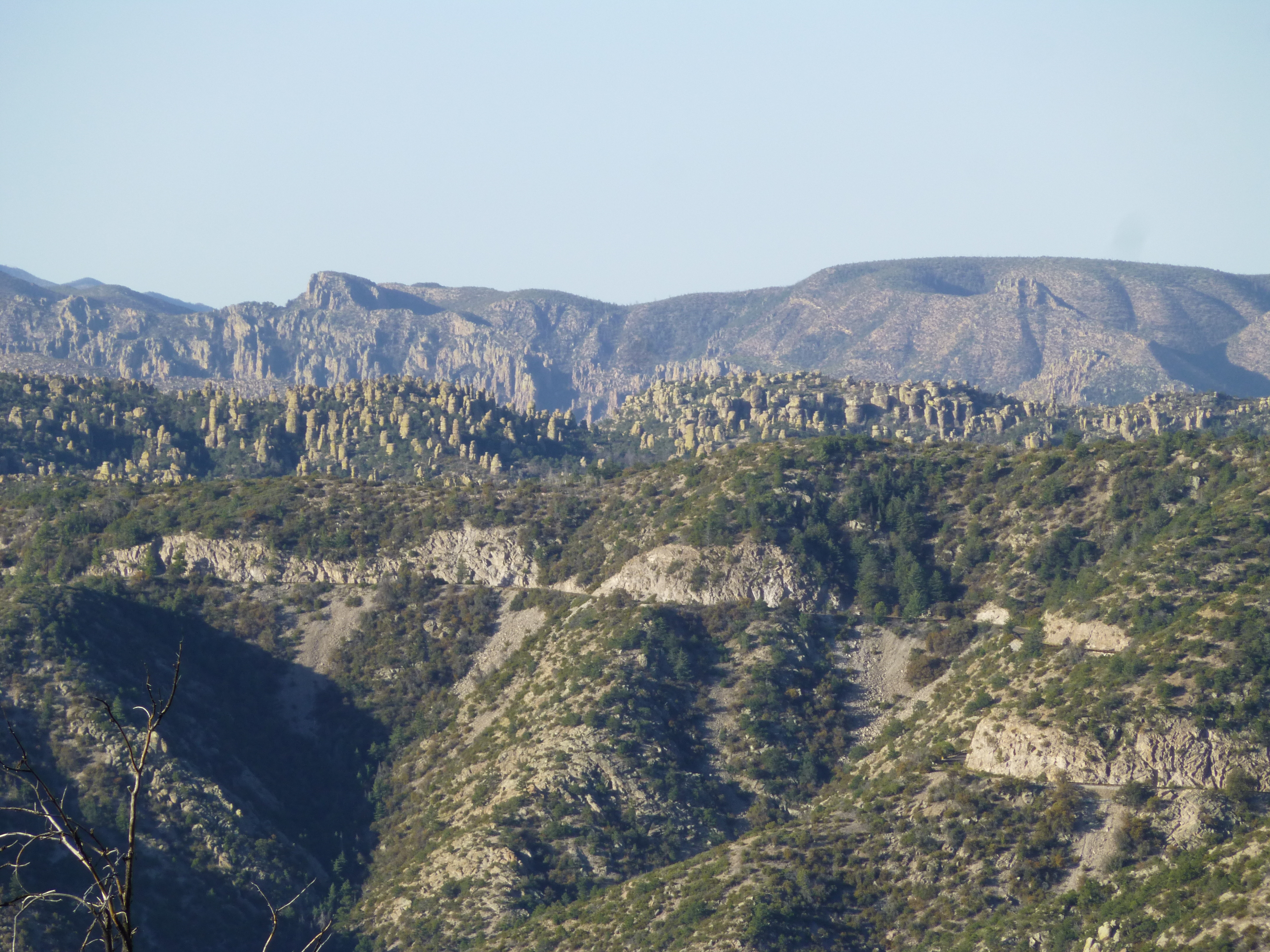
Rock formations
We now climbed up to 7,200 feet, where the next segment of the climb would start. A forest fire had swept through the area in 2011 and had laid waste to what once was a beautiful, mature forest. There had been a trail across the mountainside, but it was now hard to follow. Others had flagged the route, but even so it was very sketchy – we lost it many times, and ended up doing some bushwhacking in places. Our route dropped 300 feet in the next mile, but with all the up and down we were forced to do, it seemed a lot more. We found ourselves clambering over many fallen trees. Reaching the saddle at the head of Wood Canyon was a milestone of sorts, as things opened up from there.
Dave at Wood Canyon saddle
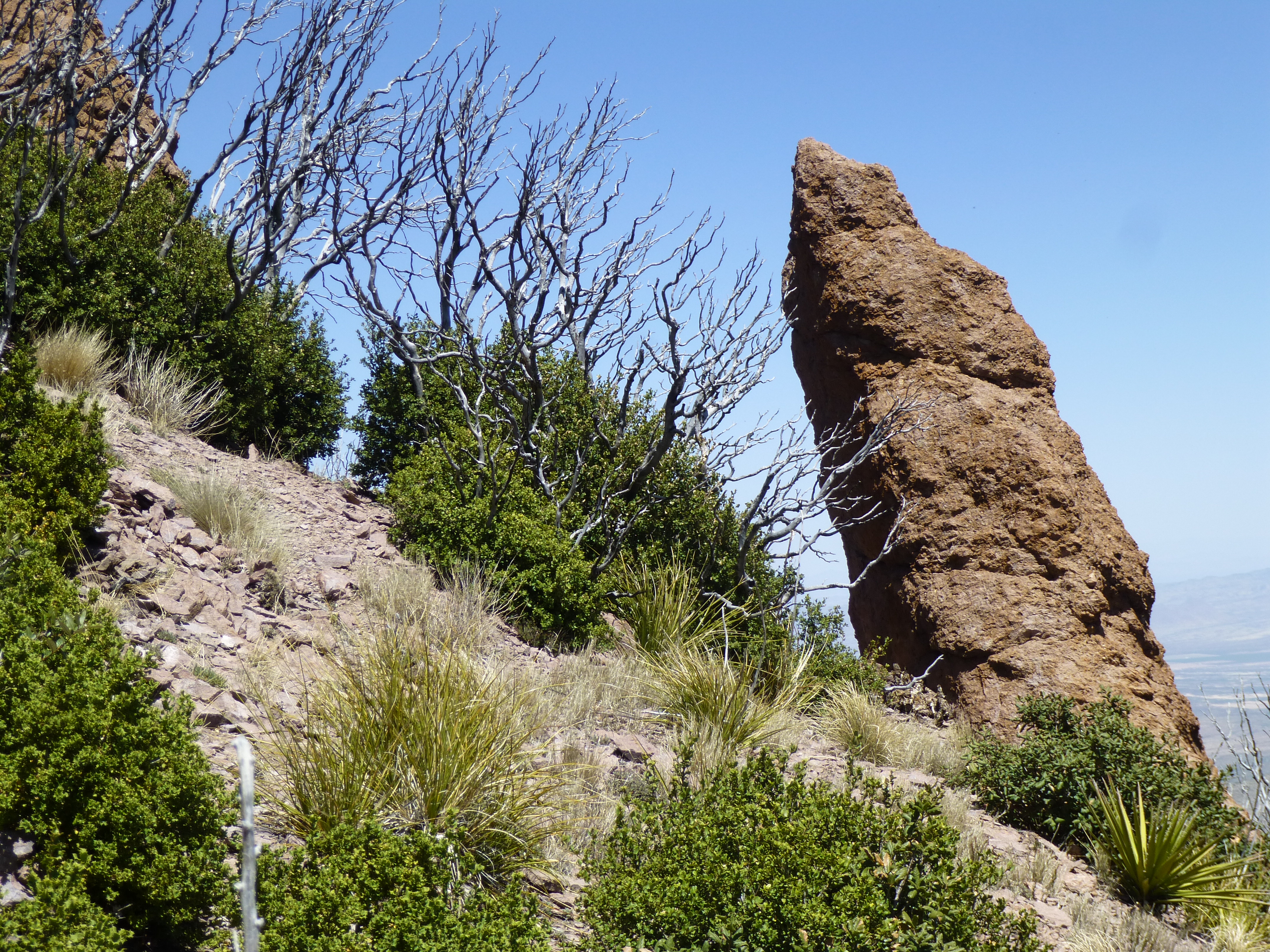
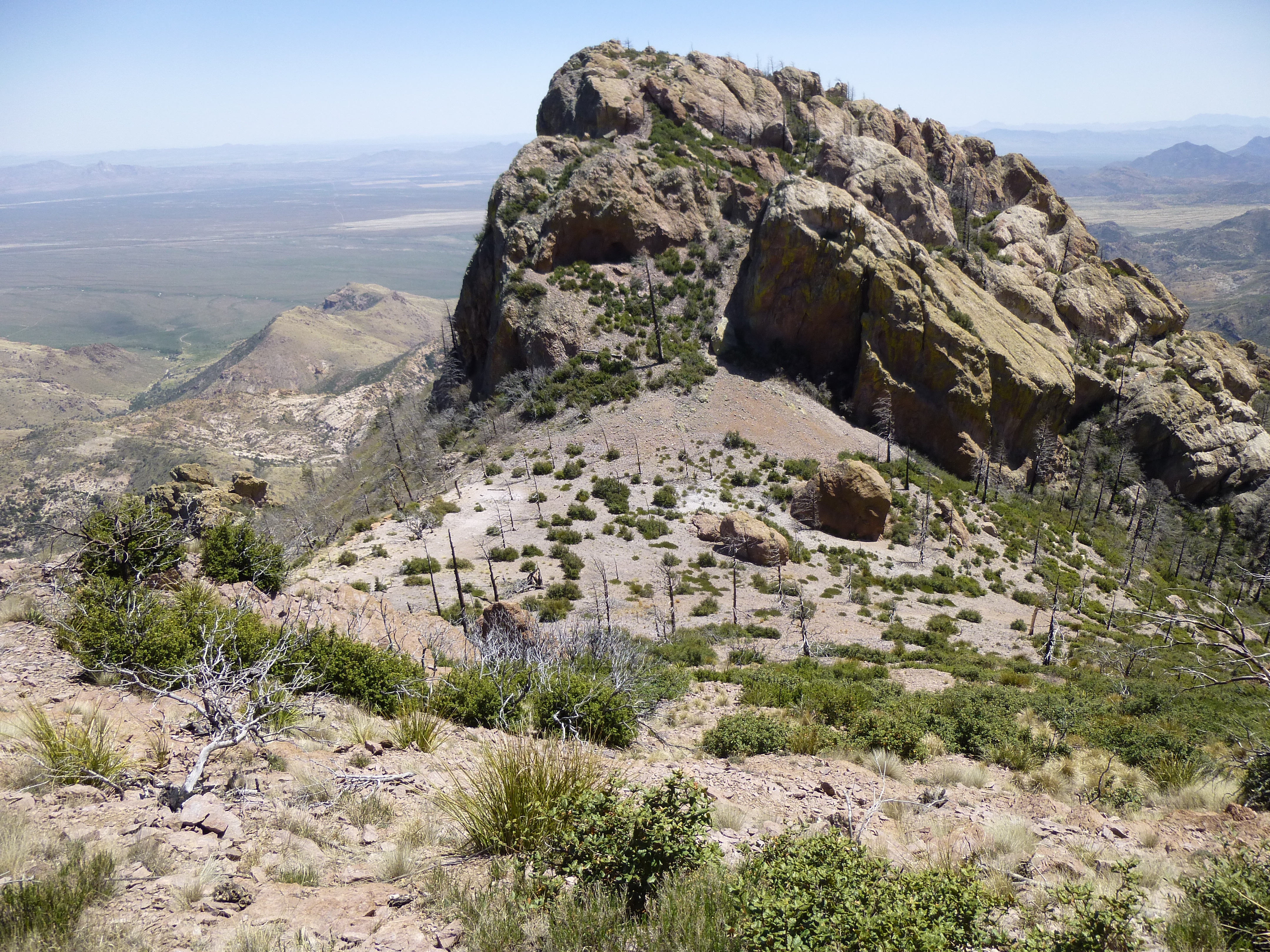
We had to climb up 700 vertical feet of hillside, crossing 3 significant bumps along the way. There was plenty of dreaded manzanita, but with lanes through it it wasn’t too bad. Even here, though, most of the mature trees had been burned to a crisp. At the top of the hillside, we’d reached 7,600 feet and came to the first of a series of pillars.
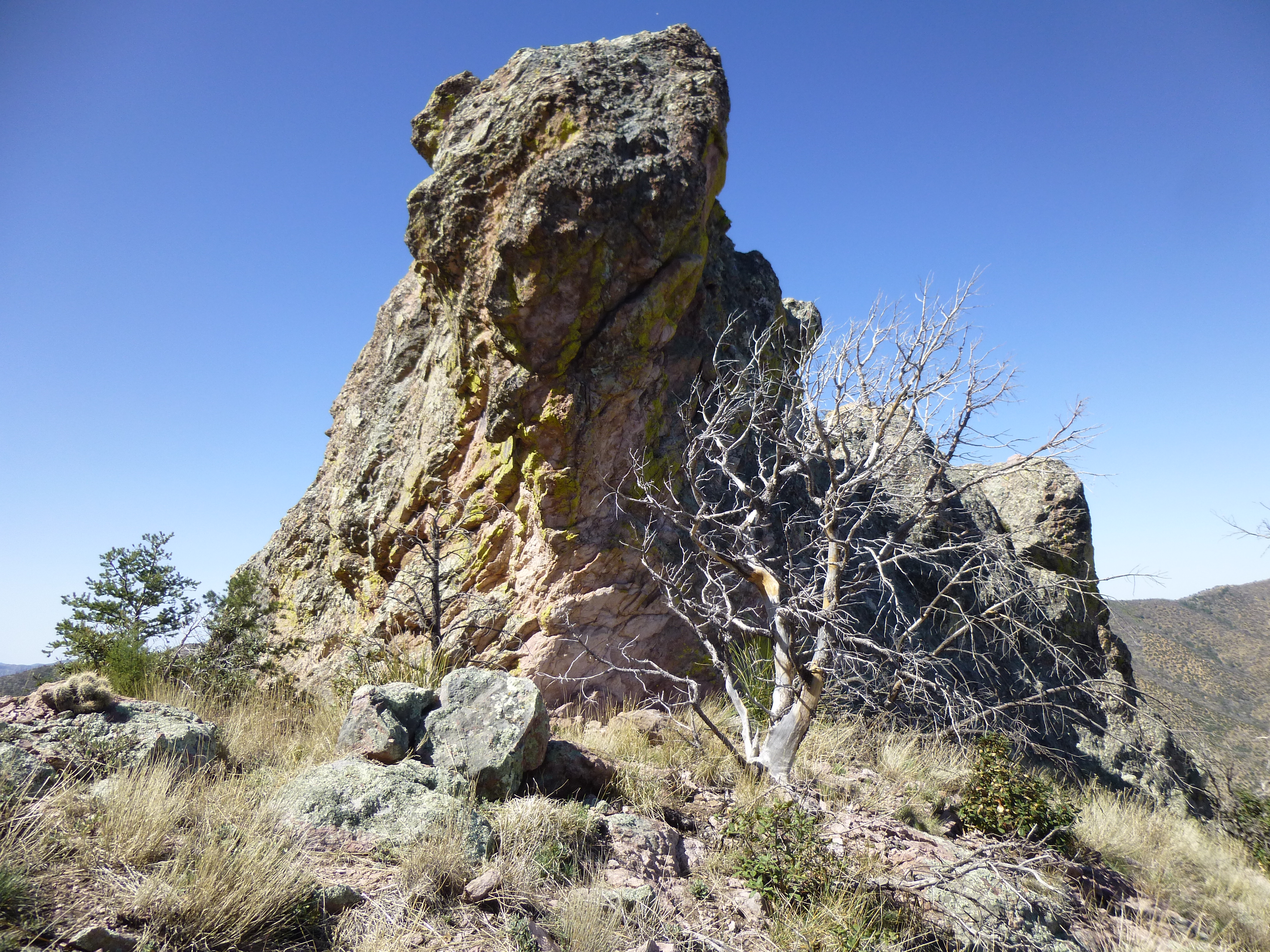
Pillar
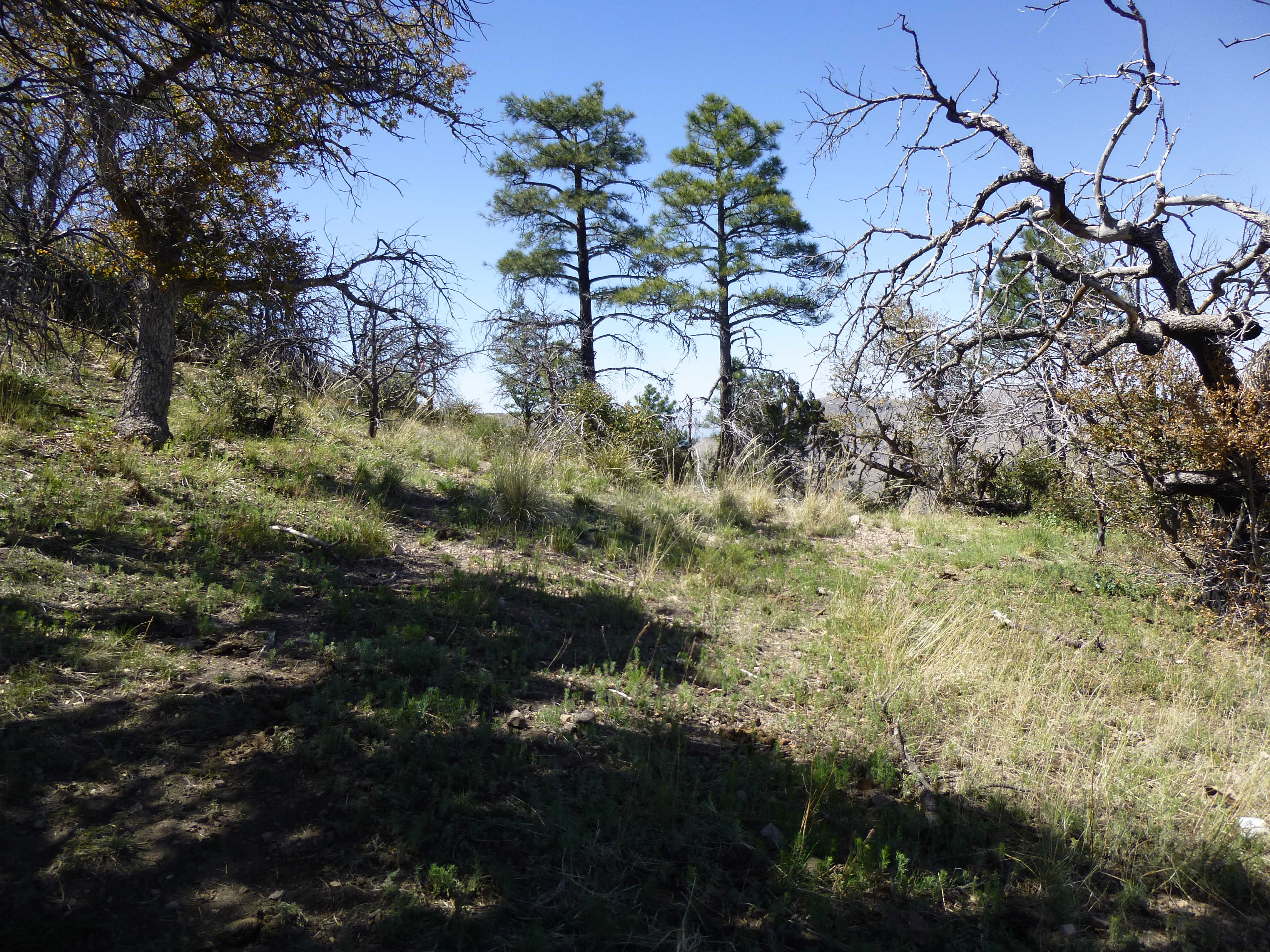
There actually was a path of sorts that continued up, and in places it was quite distinct, as you can see in this next photo – even this high, however, most of the trees had been burned.
The path
There were a few confusing bits to negotiate, but before too long we arrived at a saddle. This was all unfamiliar territory to us, so out came the GPS and verified our exact location.
The leaning pillar by the saddle
From the saddle, it was just under 300′ back west to the summit of Cochise Head, elevation 8,113′. By the time we set foot on it, 5 hours had passed since we’d left our vehicles. Yikes, the hours had flown by! No worries, though. We’re old and we know it – getting slower every year – slow, but still steady. These days, it’s not a race – all we care about is getting to the summit, whatever it takes. We walked over to the edge and peered over. 300 feet, dead vertical. Here’s the view down to the pinnacles we’d passed on the way up.
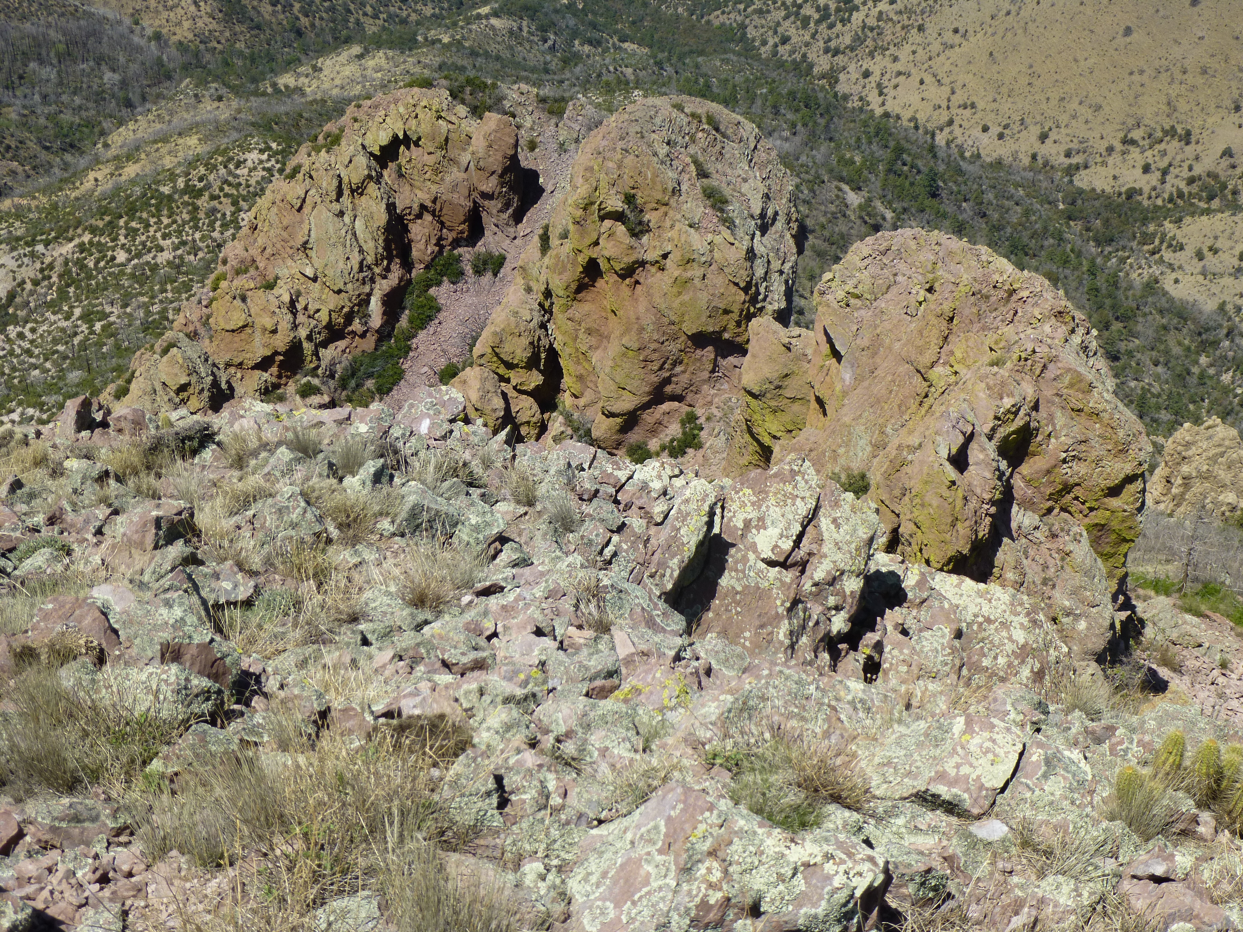
The pinnacles
We could see Dos Cabezas Peaks, 21 miles to the northwest and about 250 feet higher.
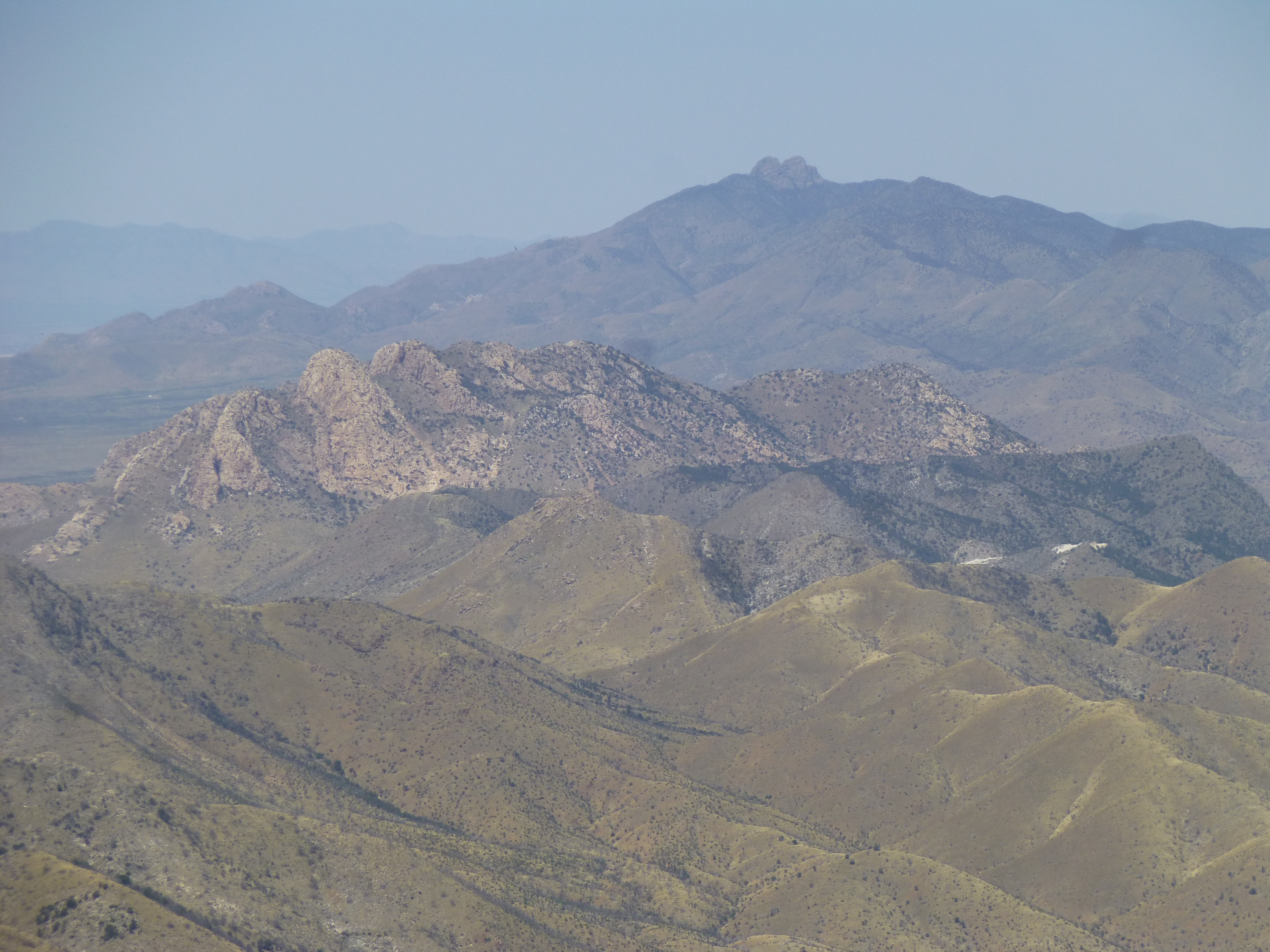
Dos Cabezas Peaks
Another great landmark was Silver Peak, 12 miles away to the southeast and a hundred feet lower
Silver Peak
There was a slightly lower peak to the east, and here is it, along with the saddle in between – this photo was taken a bit downslope.
The east peak
After some lunch on the summit, we headed back down. Not far below, we saw this huge hole through the mountain.
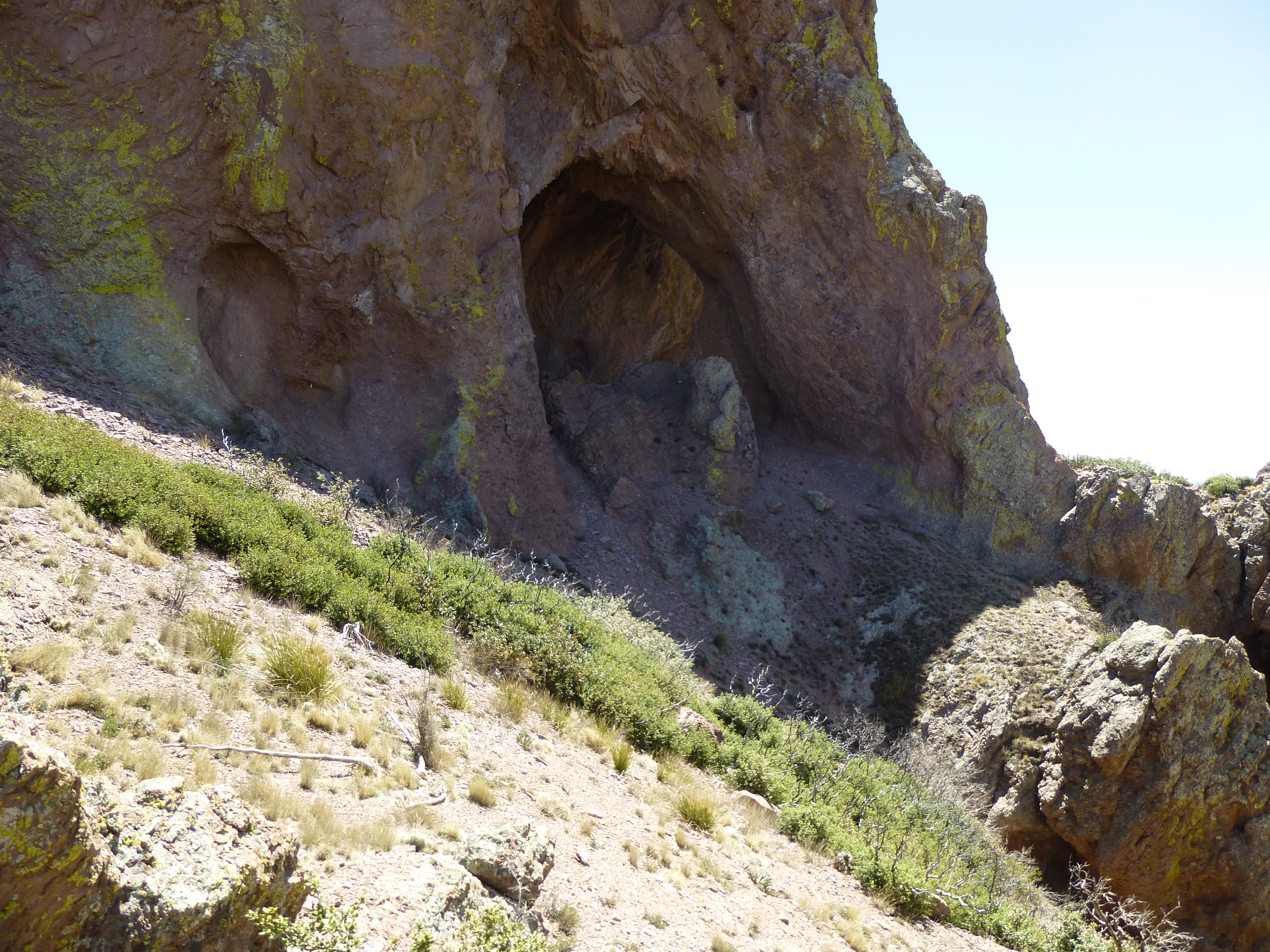
The tunnel
Back down at the Wood Canyon saddle, it was becoming more apparent to us that there had once been a beautiful forest here, but sadly, it was all burnt off. Once again, satellite imagery allows us a glimpse into the past glory days of the forest. If you click on the link below, it will open up a map of the mountainside. When it opens, go to the little drop-down menu on the upper right that says “CalTopo”, click on it, and choose “Satellite”. There, you will see how the forest looks today, what Dave and I saw when we were there – a barren wasteland. Now here’s the shocker – go back to the menu on the top right and click on “MS Sat”. Amazing and sad, what used to be and what we have now.
https://listsofjohn.com/mapf?lat=32.0527&lon=-109.3158&z=18&t=h&d=r
A small oasis in the burn.
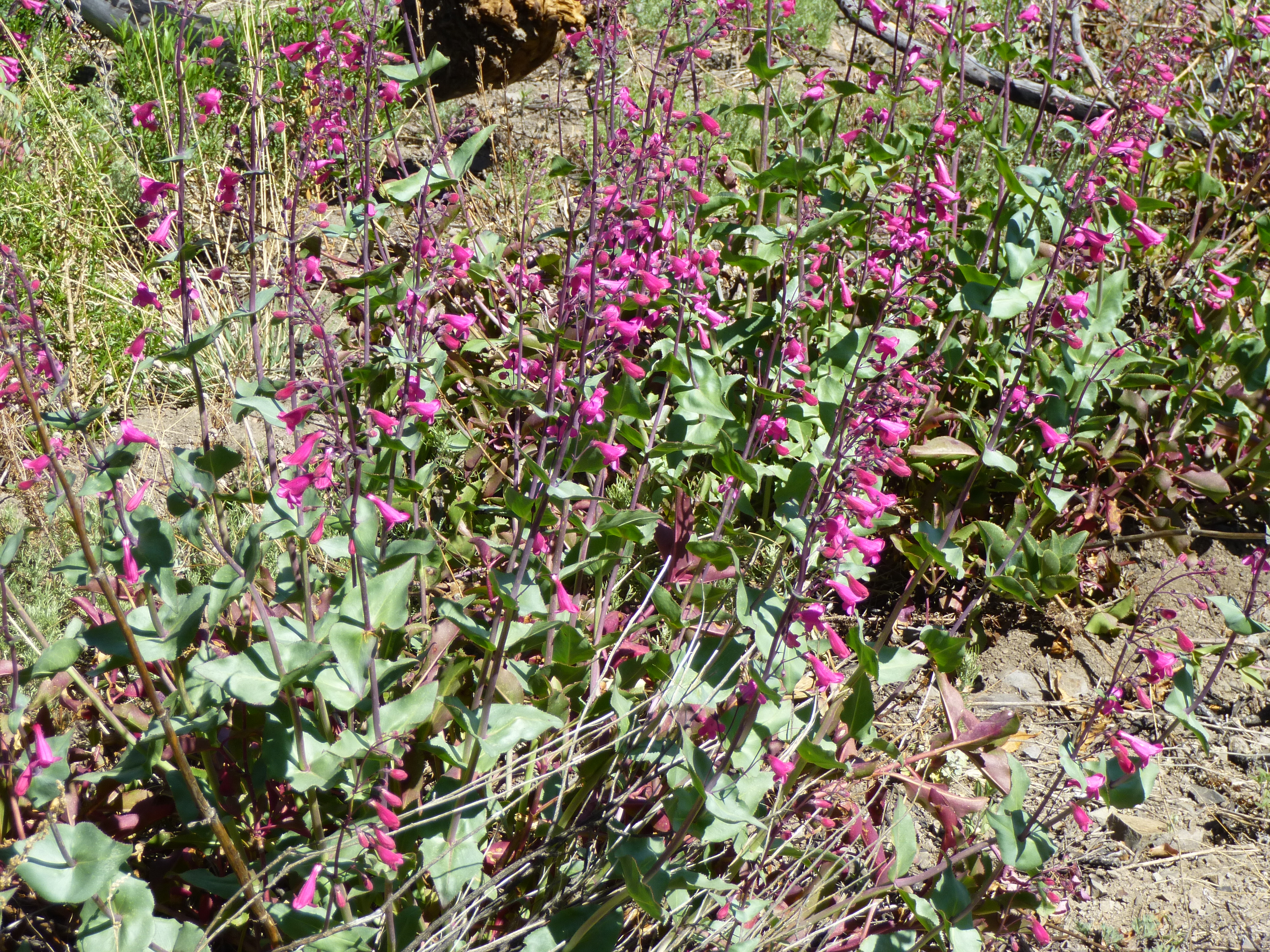
Penstemon
That stretch from the saddle back to the 7,200-foot ridge had grown tougher in our absence. We lost the faint track constantly and did a lot of swearing. Deadfall littered the slopes, causing us no end of wasted effort. The only good thing about this area was the view.
The view back to our peak
Near this spot, we heard a familiar sound – the buzzing of bees. We stood still and listened carefully, then spotted them – a hive inside a dead tree trunk – a steady stream moving in and out. We gave them a wide berth. All wild bees in Arizona are now “africanized”, or to use the vernacular, are now all “killer bees”. It doesn’t take much to piss them off.
A bit of the forest that survived.
Here’s Dave taking another reading to plot our position. This large alligator juniper survived the fire, mostly.
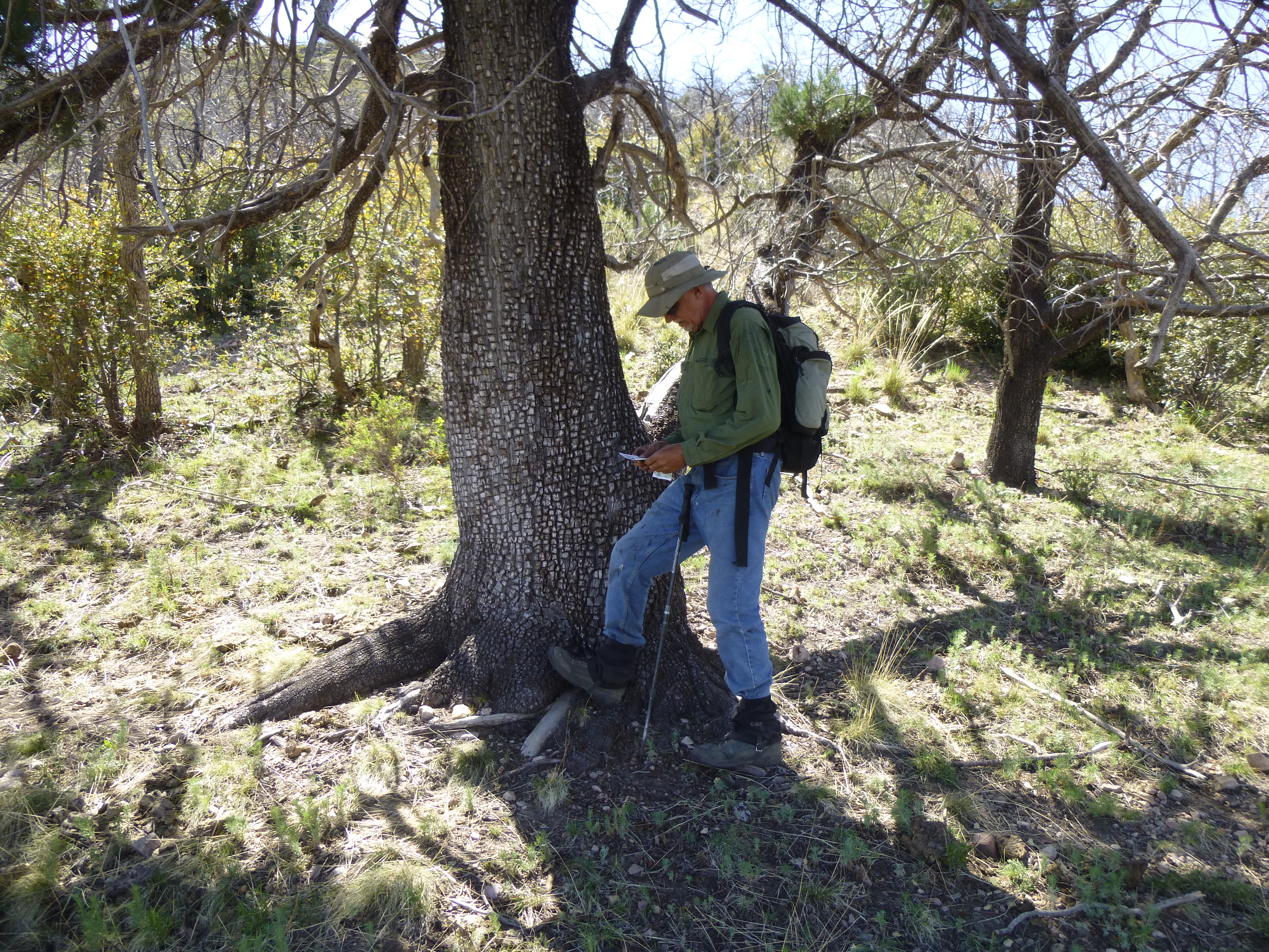
Dave and the alligator
Minutes later, we heard a much larger buzzing sound – a large swarm passing nearby, moving with their queen to greener pastures. By this time, we had finished all of our water, and were really looking forward to the bottles we had cached early in the day. Trouble was, when we reached the spot, we couldn’t find them. We looked high and low, in every nook and cranny, but to no avail. What the hell! Had somebody found them in our absence? Not bloody likely. It was a real puzzle, one we couldn’t solve. Finally, we figured it out – we were in the wrong spot! The hiding place was a quarter-mile back – we’d walked right by it, forgetting it was at a different saddle than the one we were at now.
What a couple of doofuses! Well, it was a good thing we weren’t dying of thirst. It only took half an hour to walk the rest the way to the vehicles, where we had plenty to drink. Beautiful mountain, sad burned forest, tricky trail.