
Please be sure to read the previous 3 chapters of this story before starting this one.
This had been a very full day so far – two stealth climbs (one where I was almost caught), a mechanical problem with my truck and an unusual run-in with the Border Patrol – all by mid-afternoon. There was still plenty of time left to have more fun before the sun set.
Fifteen miles on pavement took me to the start of a dirt road leading out into the Sand Tank Mountains. It went through completely flat country, and the first few miles were nice and straight. You’d expect that a straight, flat road should be easy to drive, but this was anything but. It was crosscut with endless washes, keeping me in first gear and often in 4WD. It was 12 miles to where I’d need to park for my climb, but progress was slow and aggravating – I despaired of having enough time to finish in daylight. After 4 miles, the road improved somewhat and I could make better time. Six miles in, my dirt road approached a well-engineered military road, coming to within 50 feet of it before veering away again. More miles passed, and the road held good. Finally, I was as close as I could drive to my target peak.
I had been driving with my air conditioning running full blast, and when I turned off the engine and stepped outside, the heat hit me like Maxwell’s silver hammer. It was late afternoon and a hundred degrees in the shade. During this entire week, I had been hoping against hope that temperatures would drop to their seasonal normals, but to no avail. Day after day, I’d climbed in heat that felt out of control, and each new day brought no relief. And right now, it felt worse than ever. I know that you know that, as the Desert Mountaineer, I am used to heat – it’s a part of everyday life for me. However, as I stood by my truck preparing my pack, I had serious doubts about even starting.
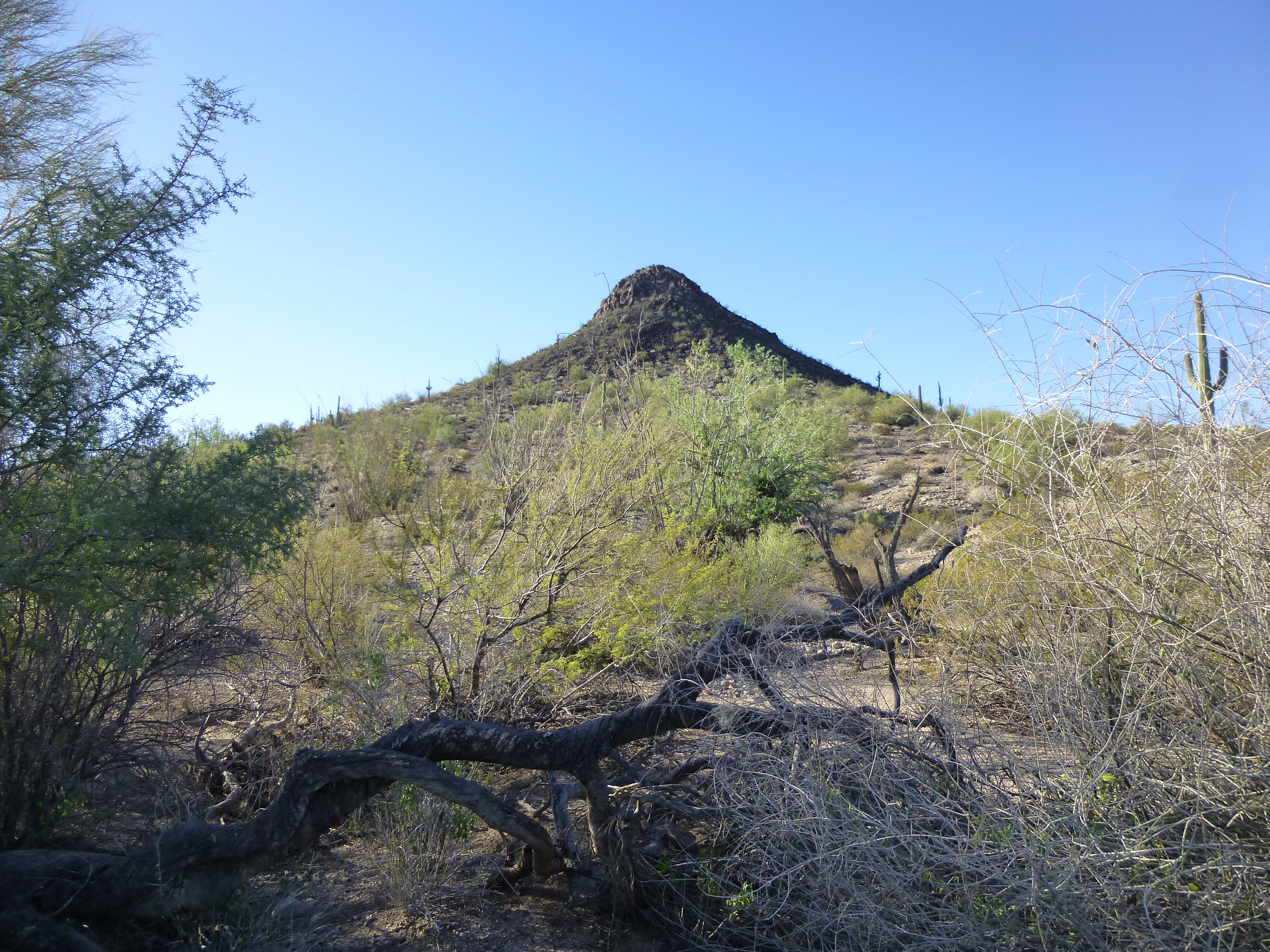
The fact that I had 2 more peaks to climb, hopefully the next morning in the cooler part of the day, made up my mind. I needed to do this one now in spite of the heat, so I loaded up with 3 quarts of electrolyte and set out. It was a quarter of four, the hottest time of the day, and it was a mile and a half to my peak. Luckily for me, it was flat ground all the way. I always mark the location of my truck with the GPS, as the Sonoran Desert, the most vegetated desert in the world, can easily hide your vehicle from view. There was only one major wash to cross en route, and I quickly dispatched it.
Quite near the base of the peak, I encountered that good military road I mentioned back at the 6-mile mark on the drive in, except that it was no longer good. Two miles back from where I now stood, the good road branched off and passed along the west side of my peak. The road upon which I now stood had been abandoned and fallen into disrepair. I didn’t need it, so I cut across it and headed straight up the steep northeast slope, through a couple of small cliff bands and directly to the summit.
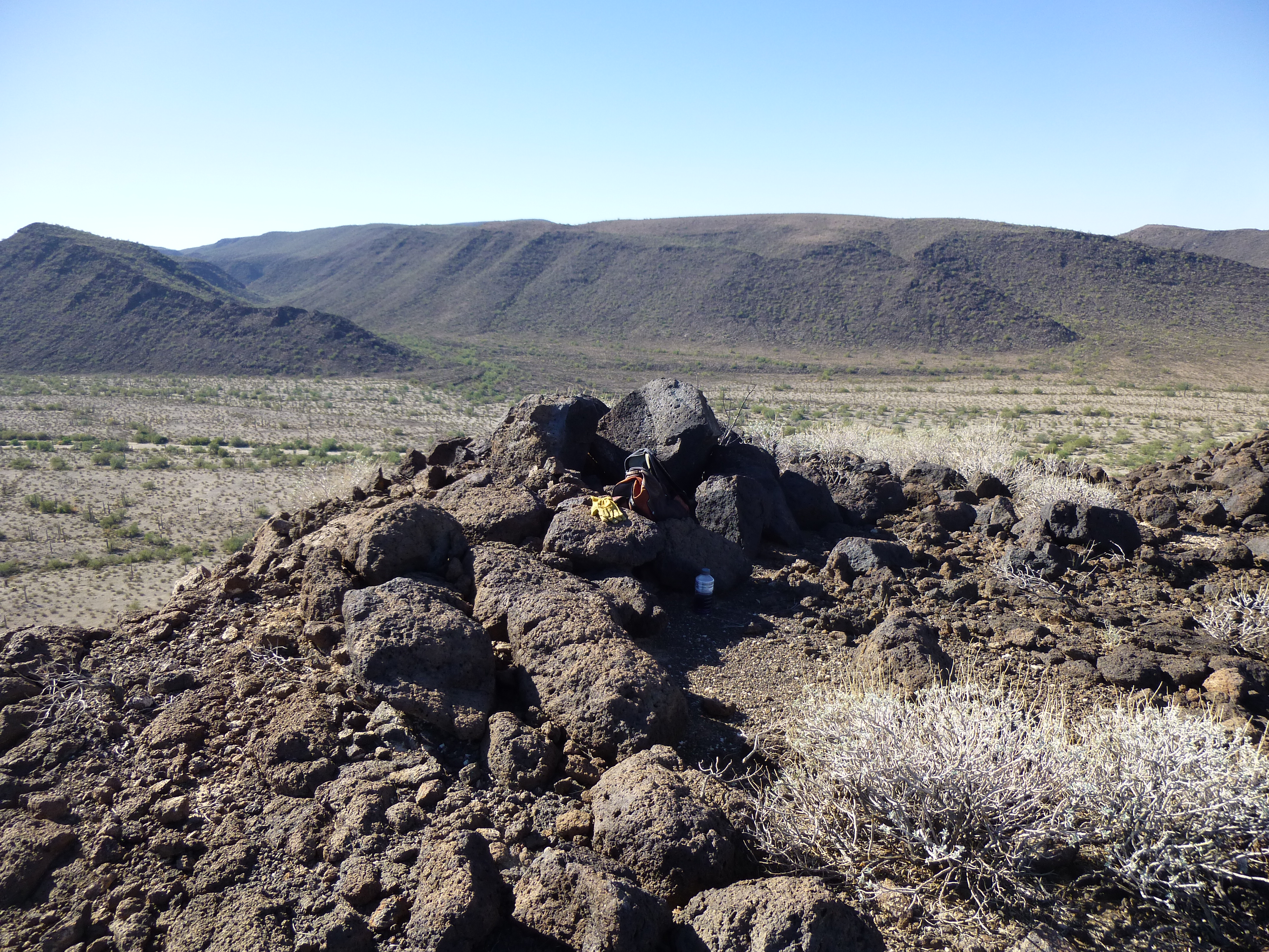
It was 4:35 in the afternoon, and the first thing I saw on the top was trash left by indocumentados. Those crazy bastards had crossed over 20 miles of very active bombing range on foot to get this far. When I say active, I mean fighter planes dropping bombs and shooting at things. There was no water en route, and the desert floor was littered with unexploded ordnance. They were some pretty tough hombres to endure that, but they didn’t all make it – there was quite a body count each year. I did leave a register, anonymous of course, and took a few pictures. This one shows the view south – all of the mountains in the distance are the Saucedas. See the white dot in front of the dark hill – that’s a radio shack and antenna.
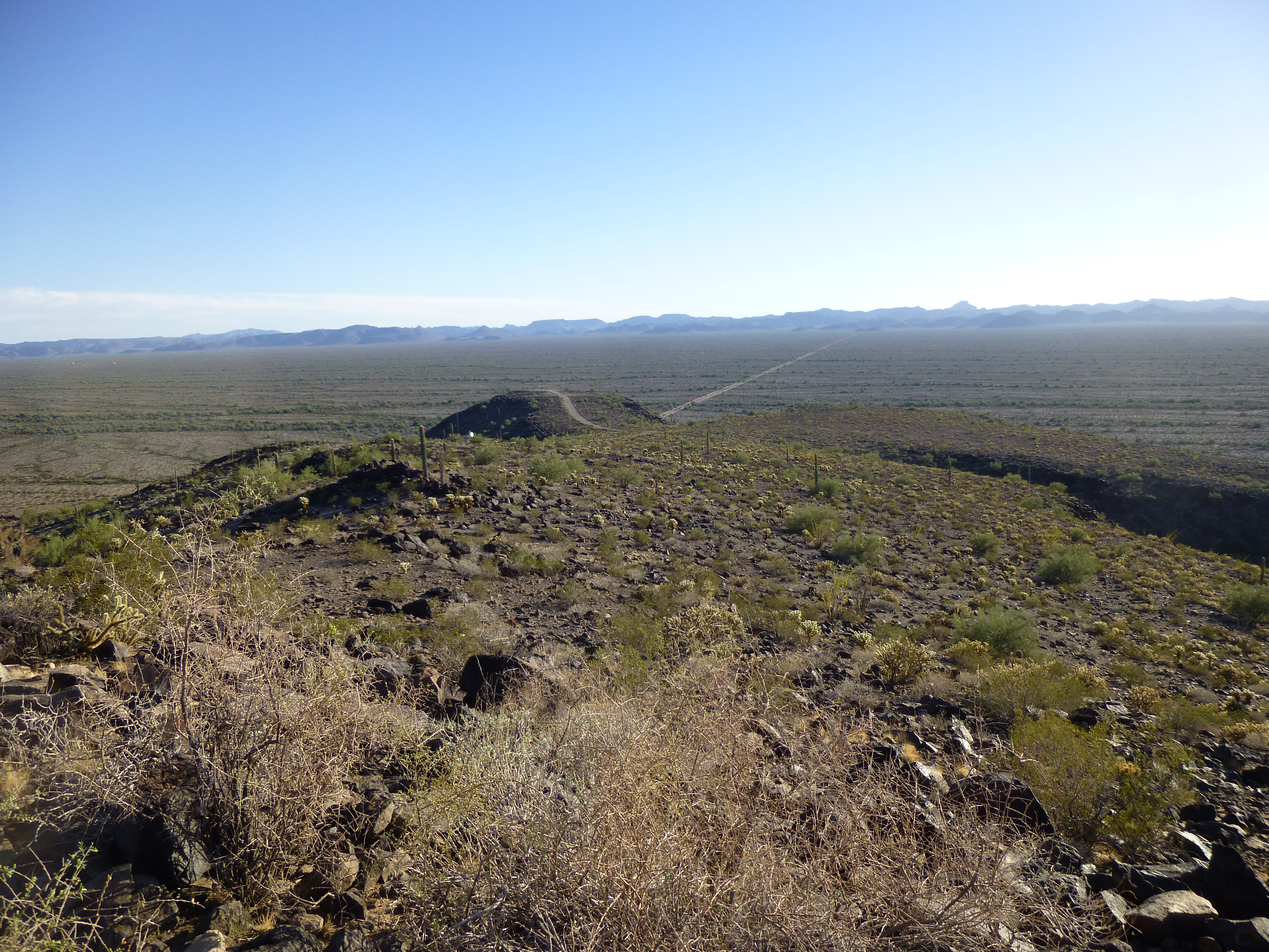
Looking south from my peak
And this was the best view of all. In this telephoto, we are looking southeast. There are 2 peaks of note in the middle distance. The one with the prominent horn on its left side, on the left side of the photo, is Jack in the Pulpit. It has only been climbed twice. The large bulky one on the right side of the photo is Slag Benchmark. If you look through the long saddle between the 2 peaks, closer to Jack, you can see some peaks on the far horizon. Those are the high peaks west of Squaw Tit – 3940 and 3780, about 15 miles away.
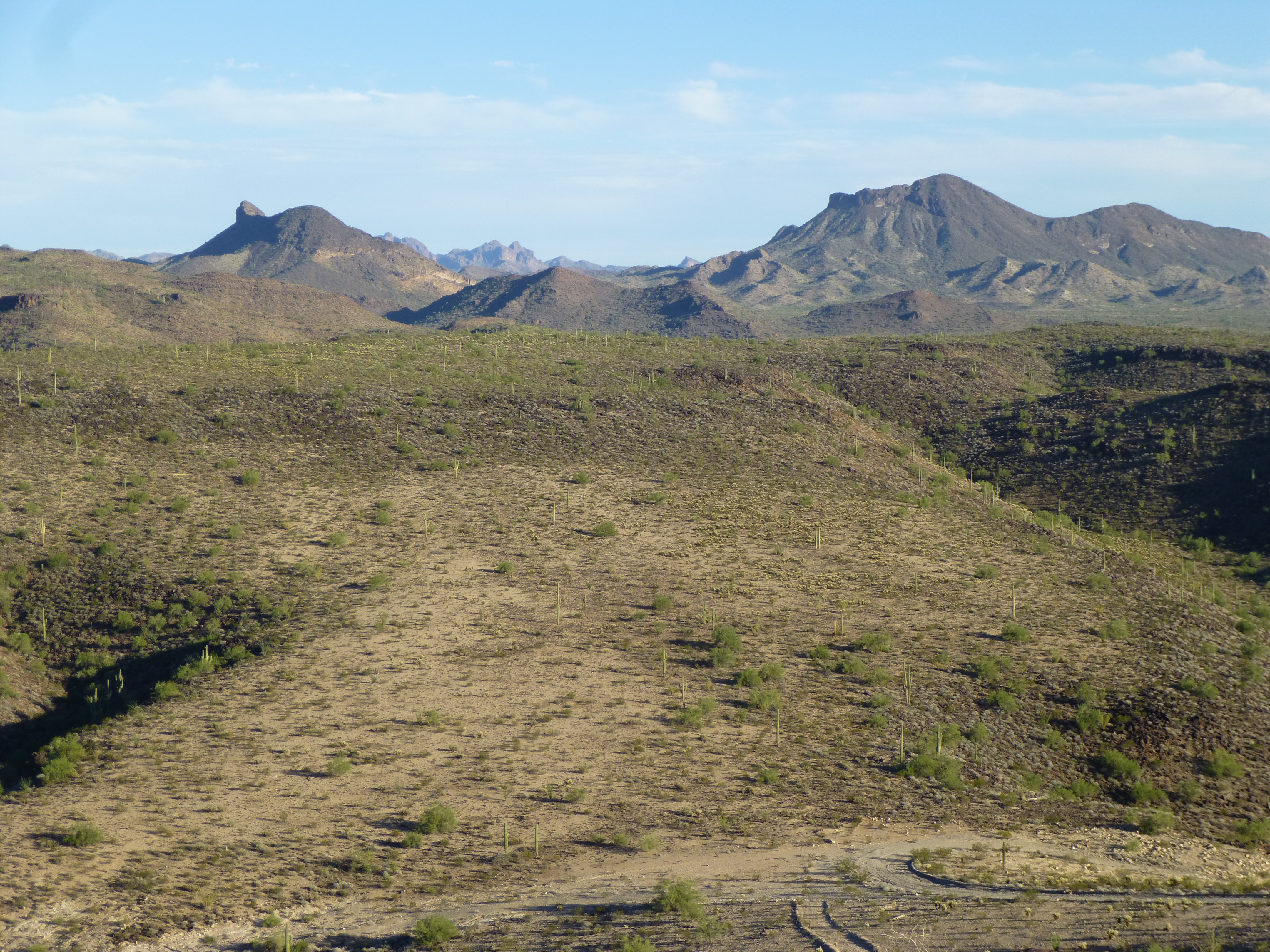
Jack in the Pulpit on the left, and Slag Benchmark on the right
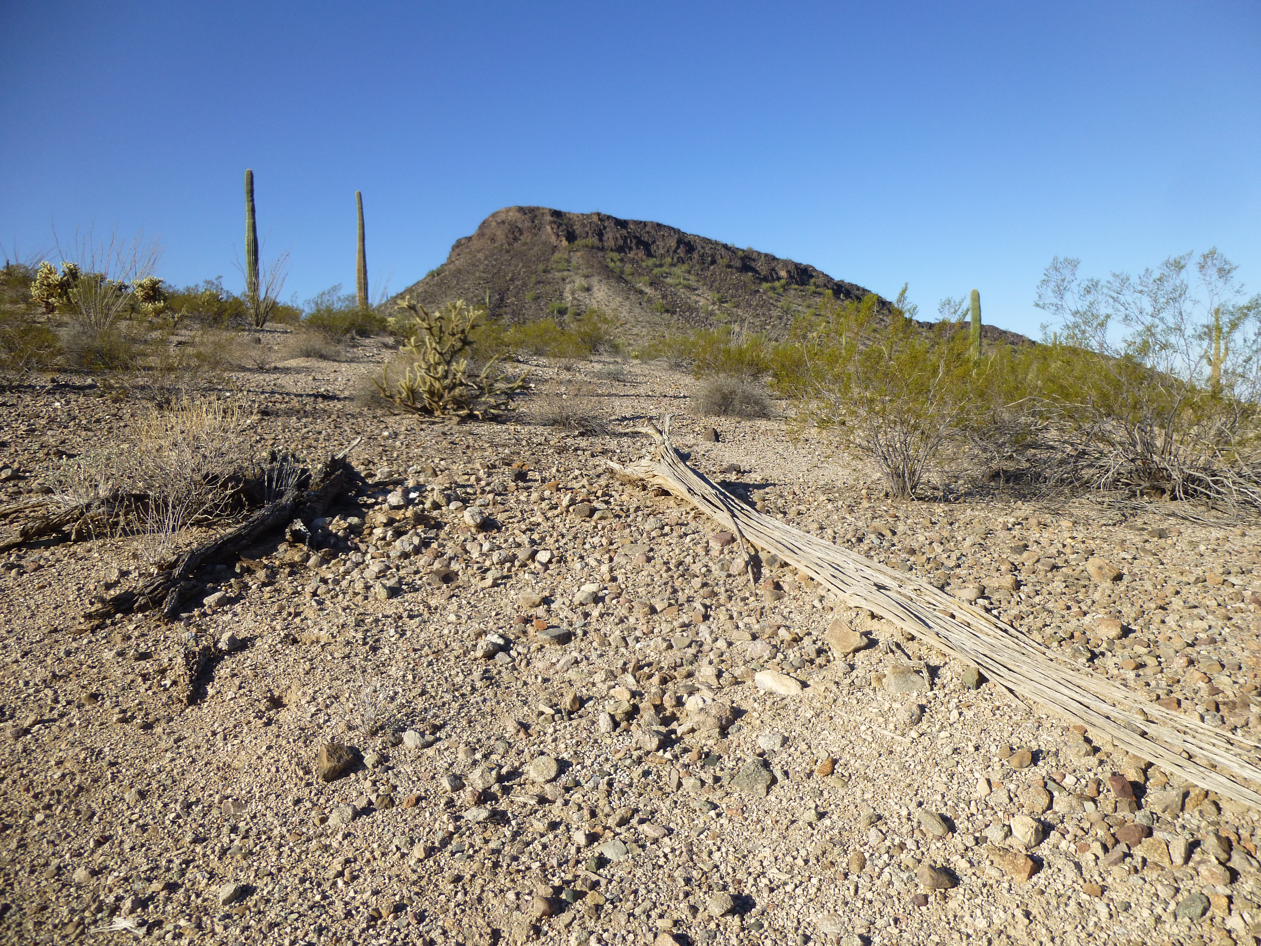
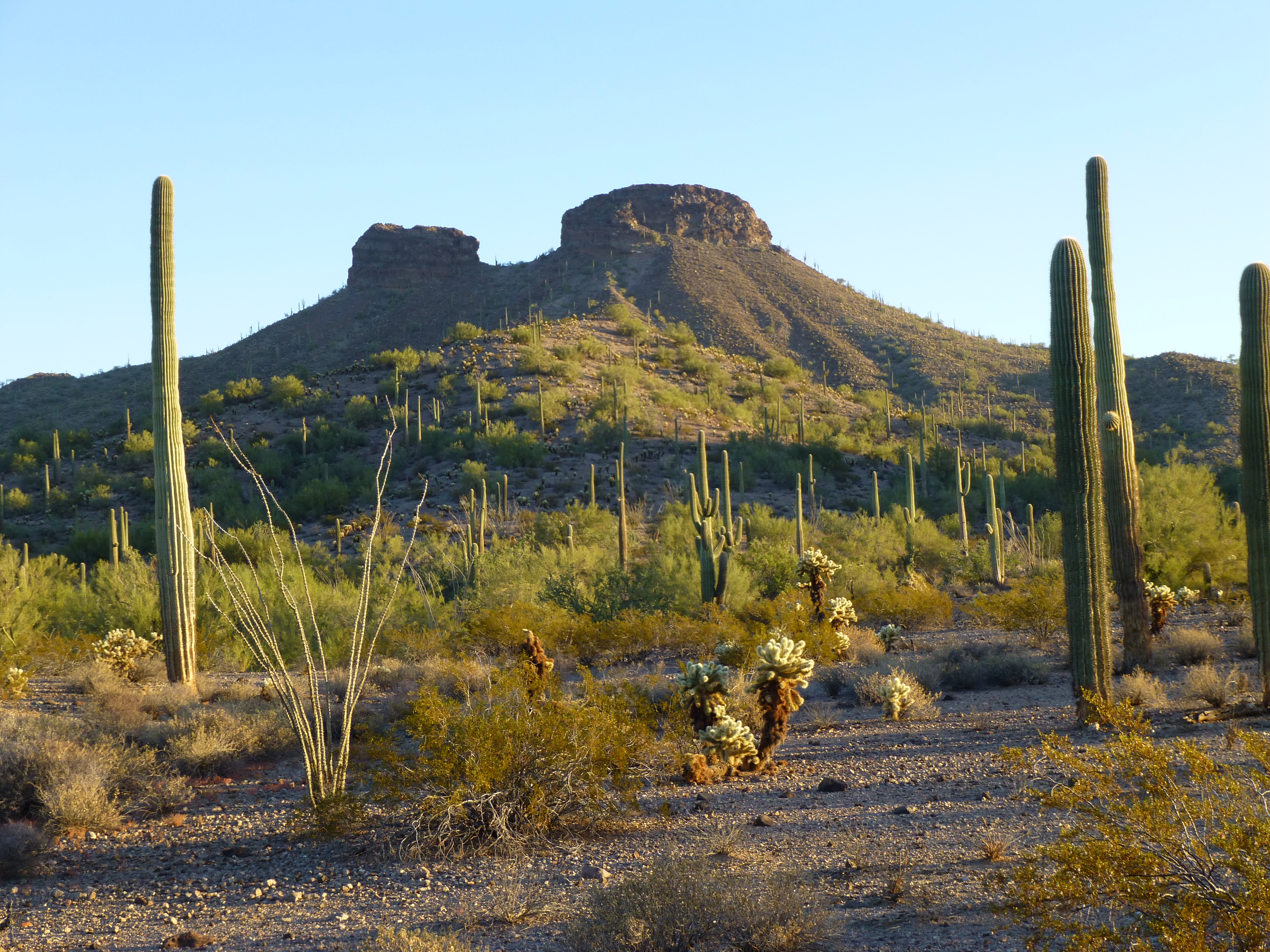
After only 15 minutes on the top, I dropped down the east side of the peak, which was now all in shadow, and retraced my steps across the desert floor. Here’s a look back at my mountain.
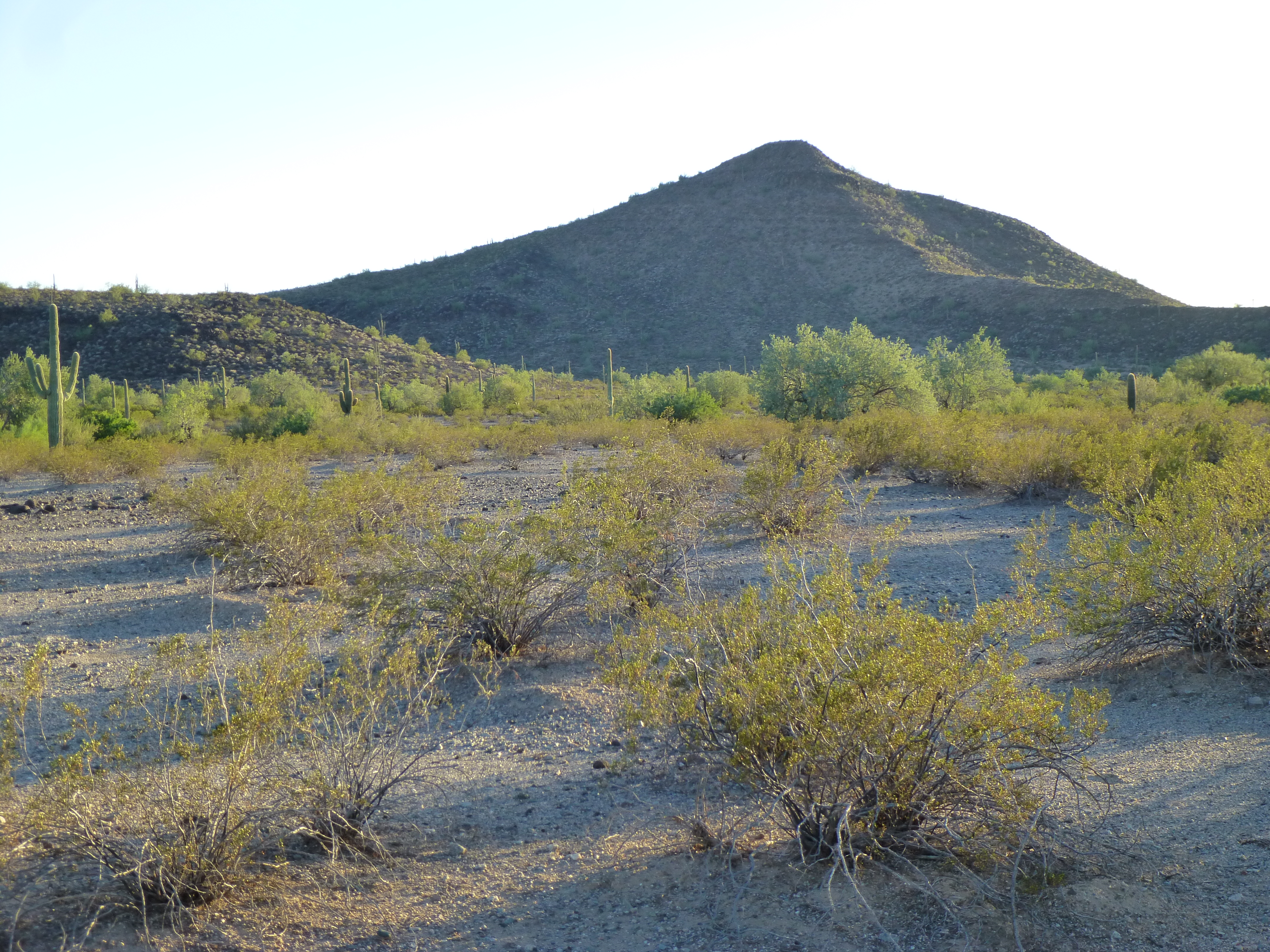
My mystery peak.
It was just after 5:30 when I reached my truck. Obviously, I haven’t told you which peak I’d just climbed – it too was a stealth. I am surprised that no other climbers had gone to it, though, as it was only 2 miles from a road which the public was allowed to drive. By now, I was losing the light, so I turned the truck around and drove quickly back towards Gila Bend. Just as the last light faded, I found a nice flat camping spot where I spent a quiet night.
Day 6
This was to be my last day of climbing – just 2 more peaks to do and then home. At first light, I headed north. Those rough, cross-cut miles before the freeway really ate up some time, but I made it out. I was only able to enjoy 5 quick miles on I-8 before I had to leave it again and head south on another dirt road. This one was better than the last, and I made good time. Only once before had I driven this one, 2 years earlier, when I’d come in one blistering day in mid-June to climb 4 peaks. That was a challenging day, written up on this website in a piece called “One Ten”, referring to the temperature.
Four and a half miles from pavement, I crossed the huge Sand Tank Wash (it runs 35 miles through the Sand Tanks, from Peak 3689 near Johnson Well all the way to the town of Gila Bend), then went one more mile. There, the road ended at a spot simply marked on the topo map as “corral” and “well”.
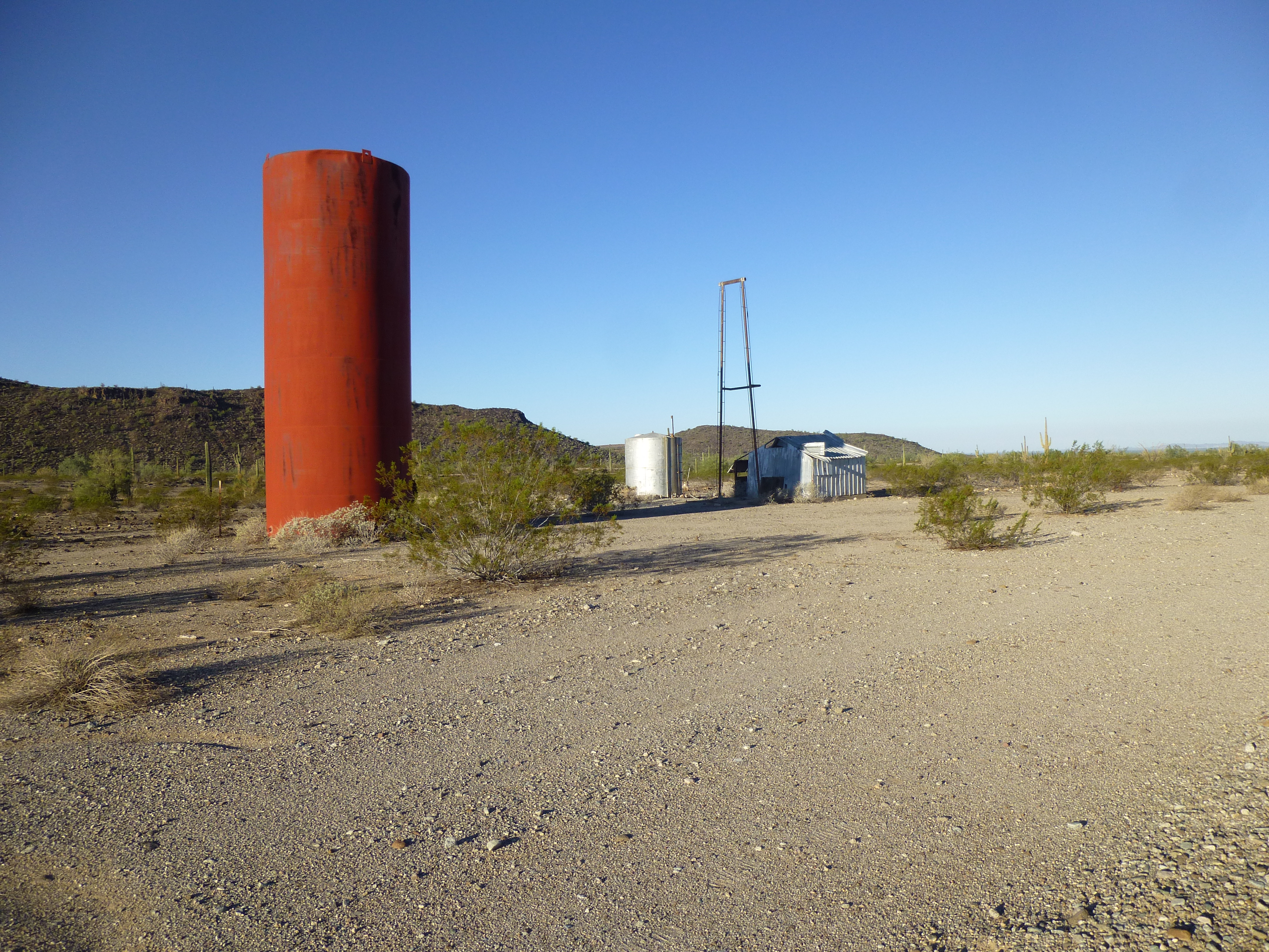
Corral and well
The map hadn’t lied, but I needed to go farther than that. On a hunch, I drove back to the wash and saw that there were plenty of tire tracks heading up it, so in I went. For the most part, these desert washes are filled with sand. I always drive them in 4WD, as it’s easy to get bogged down if you’re not careful. My BLM map shows Road 8017 as being in the wash, so it was a legitimate place to drive. Just over a mile east upstream, another wash joined this one and I took it. Finally, 2.8 miles from where I’d left the actual road, I parked in a shady spot on the side of the wash.
There were 2 small peaks here that needed climbing, and they were about as close together as you could wish. These, I can mention by name, as they were on BLM land and were not stealths. By the time I started, it was 8:35 AM and warming up quite nicely. The first was Peak 1710. A quick 17 minutes put me on the summit.
The north slope of Peak 1710
After a few minutes on top, I dropped down to the intervening saddle and found myself on top of Peak 1715 about 35 minutes after leaving the first one. Here’s a view of it from my truck.
The southeast slope of Peak 1715
From atop Peak 1715, there was this excellent view south to Blue Plateau.
Blue Plateau
Feeling the need for some air conditioning, I made ready to head back down. Oh yes, I left registers on both of these peaks. When I was almost all the way back to my truck, I came upon this strange thing laying out in the open. Upon closer inspection, I realized it was a leg-hold trap to catch animals – fortunately, there was no leg in it! I’m thinking that the hooks made of rebar were to act as an anchor so a captured animal couldn’t drag it very far, as it’d probably catch on some vegetation. I took it home as a souvenir, but my wife was so disgusted by it that I threw it away.
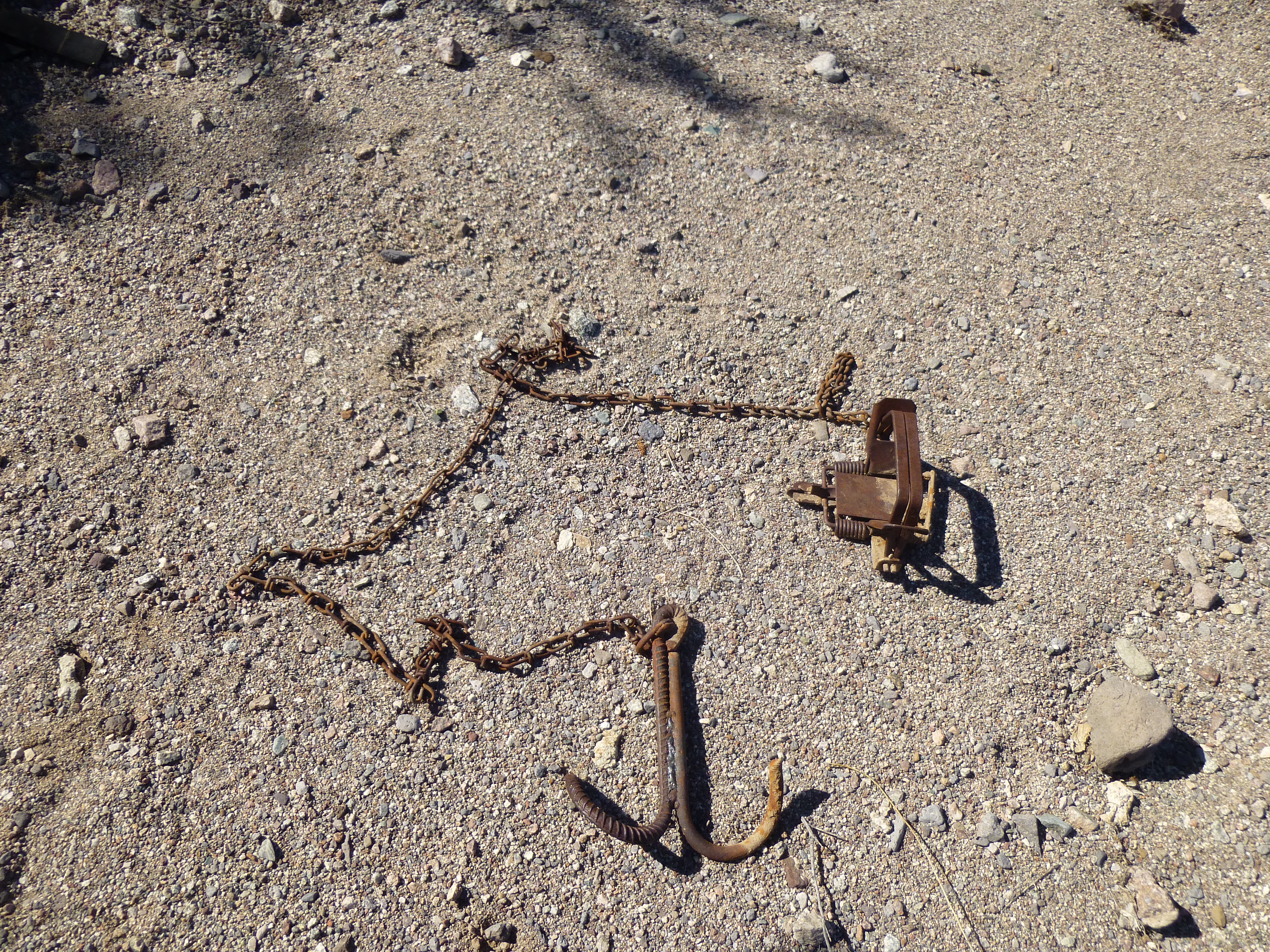
It’s a trap!
The entire loop to climb both of these peaks only took 1 1/2 hours. Easy peasy. I changed into dry clothes and made ready to leave. I had never driven this stretch of road before, so I headed east up the wash, hoping it’d go without incident. For miles, I drove in the un-named wash, following one channel or another – it all went well. A major landmark along the way was a peak called Squaw Tits. You can read a detailed account of climbing it on this website in a piece called “Squaw Tits”.
The south side of Squaw Tits
It was 7 1/2 miles of driving to get me from the 2 peaks all the way back out to the freeway, with only one bad hill to climb on the way. As I went through the last gate to get on to pavement, I was greeted by Teddy – someone had put him there, where he sat for years.

Teddy
Later that day, I made it back home without incident. It had been a great trip – lots of peaks, plenty of excitement, some great adventures. Mostly, though, it was all about the climbing. The week had yielded 16 peaks – 7 of them were allowable climbs, while 9 of them were stealths. Those 9 were the ones that made the week of living dangerously so exciting and enjoyable. Thanks for coming along for the ride.