
It has been one hot summer, reaching a high of 116 degrees F. in my home town of Tucson, just one degree shy of our all-time record high temperature ever recorded. June is always our hottest month, and we’re glad to see it done with. However, as summer progresses, it’s easy to get a little stir-crazy. The urge to go out and climb something builds up. You can always drive a few hours and head up into higher elevations where the temps are lower and the climbs are cooler. Once in a while, though, I get lazy and entertain the idea of trying a low-desert climb, something that could be done in one day. It can be a risky business, tempting fate by going out in the summer heat – if it’s not planned right, it could cost you your life.
You can probably guess where I’m heading with this. One day in late July, I called my friend Dennis, an accomplice in several desert adventures. He said he was on board for a day climb of an obscure peak. We discussed a time that he would meet me and we’d head out – 3:00 AM was the agreed-upon hour, although secretly I’d hoped for 2:00 but didn’t want to push my luck. We threw everything into the back of my truck and headed out. By the time we’d driven on two freeways and then turned south into the Vekol Valley, the faintest light showed in the east. Some easy miles brought us to the South Vekol well, then rougher ones to the southwest took us to the ragged edge of the Sand Tank Mountains. Our summer monsoon had been active, clearly shown by how badly familiar roads had deteriorated – the farther we went, the worse they became. We were in 4-wheel-drive, low range, 1st gear way too much of the time. The last mile was truly the road that God forsook. At least we were treated to a fine desert sunrise along the way.
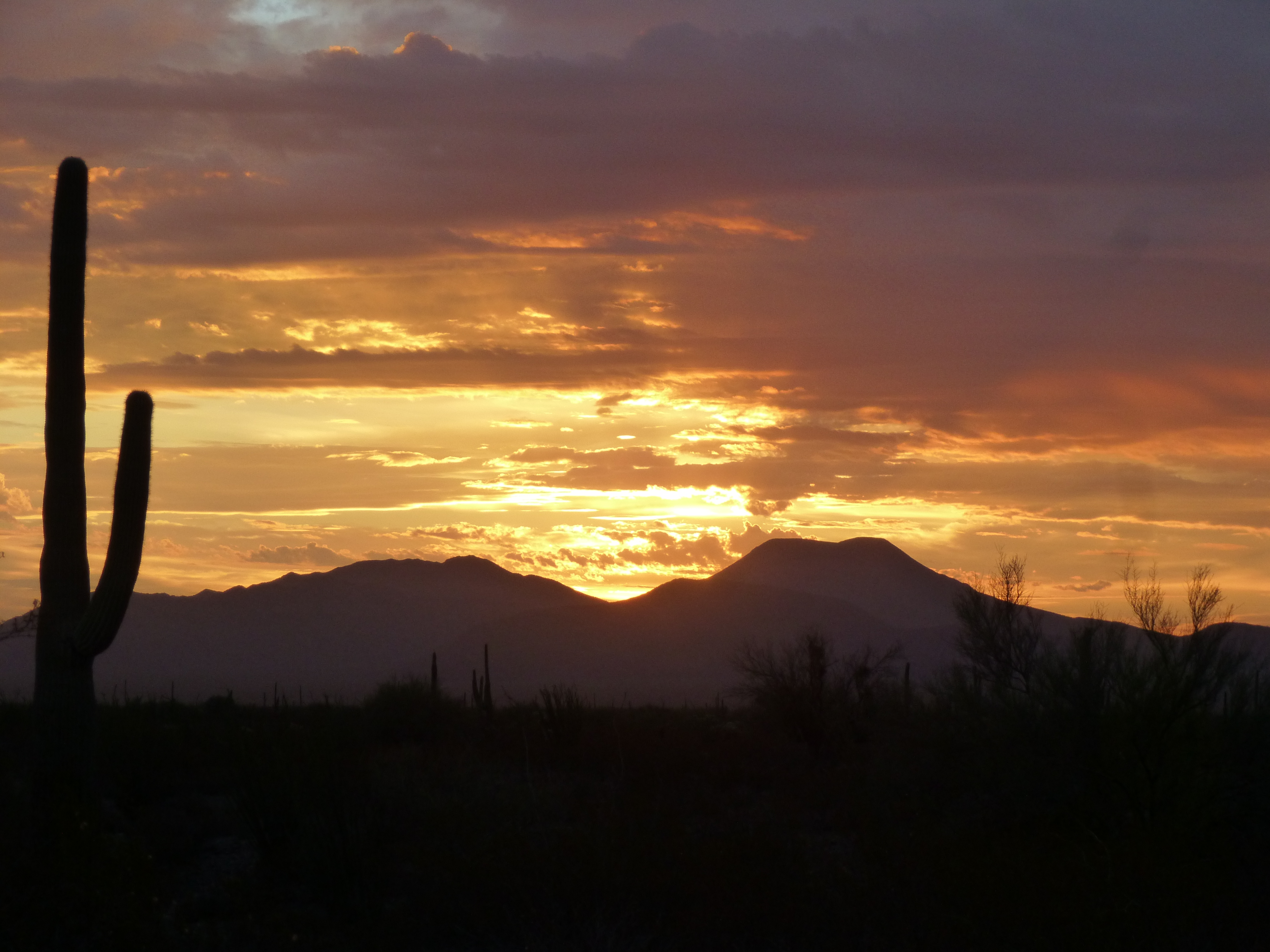
Desert sunrise
We also had this look towards the Sand Tanks, lit with the sun’s first rays.
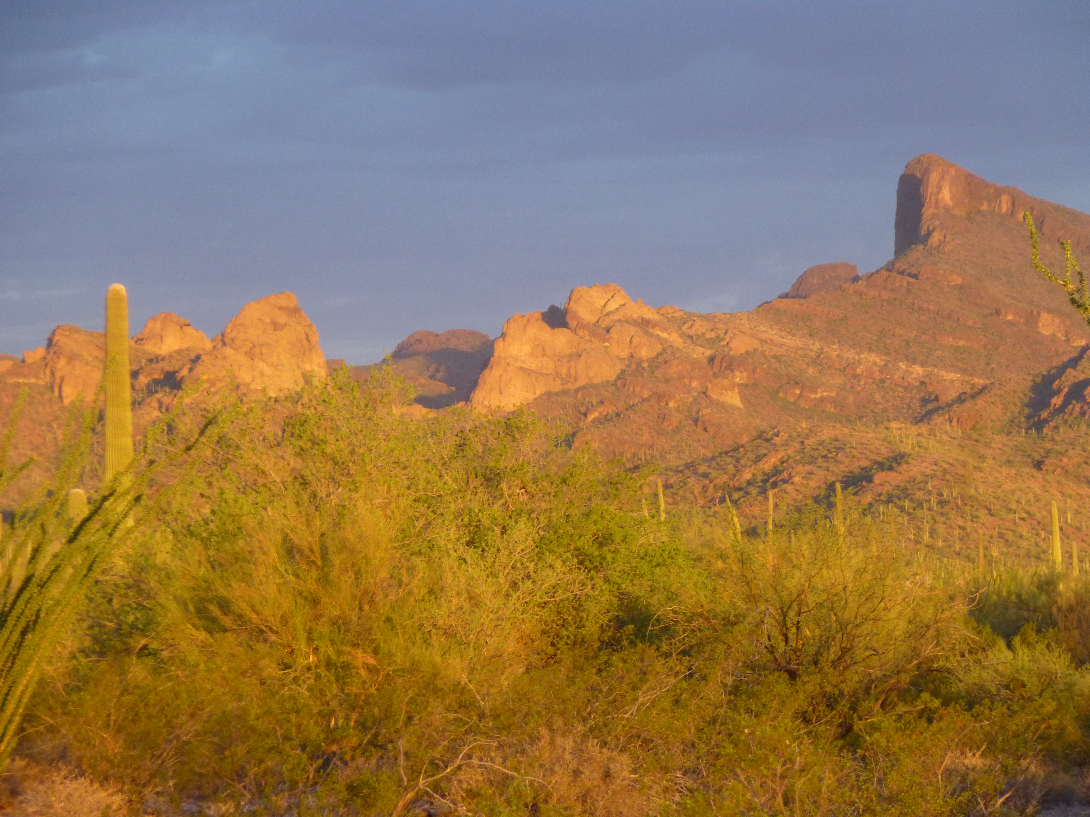
Dawn in the Sand Tank Mountains
Finally, 4 hours after leaving home, we had parked and were ready to head out on foot. A tired road headed west up into the mountains, and that would be the path we’d follow. We were parked beside a guzzler, a structure that collects rainwater for wildlife to drink.
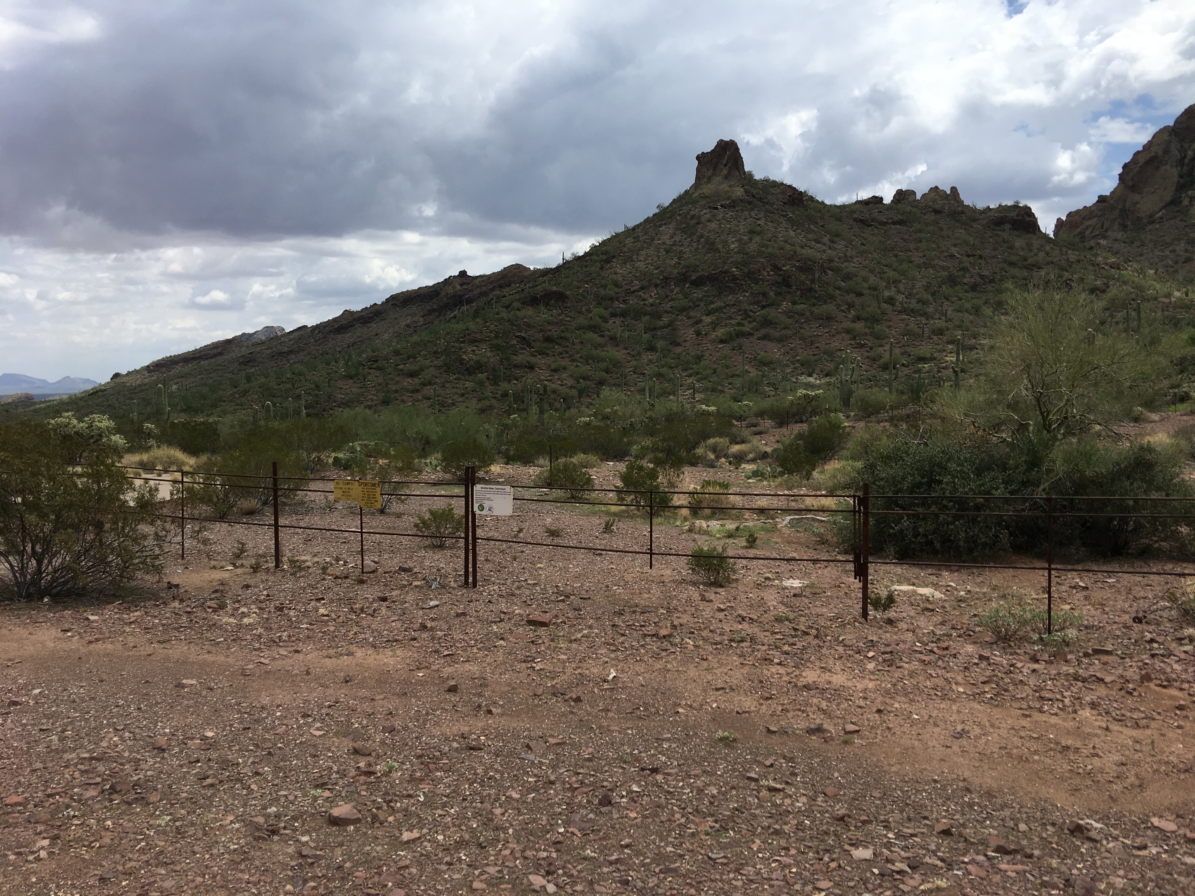
The wildlife guzzler
It was overcast, and recent monsoon rains had created a muggy day with high humidity – it felt like we were in the Everglades. Arizonans take pride in the fact that our weather is comfortably dry, but we do have the odd exception, and today was one of them.
The road began by going up a short steep hill, then down a long gentle one and across a wash. Here’s what we saw from the top of the first hill.
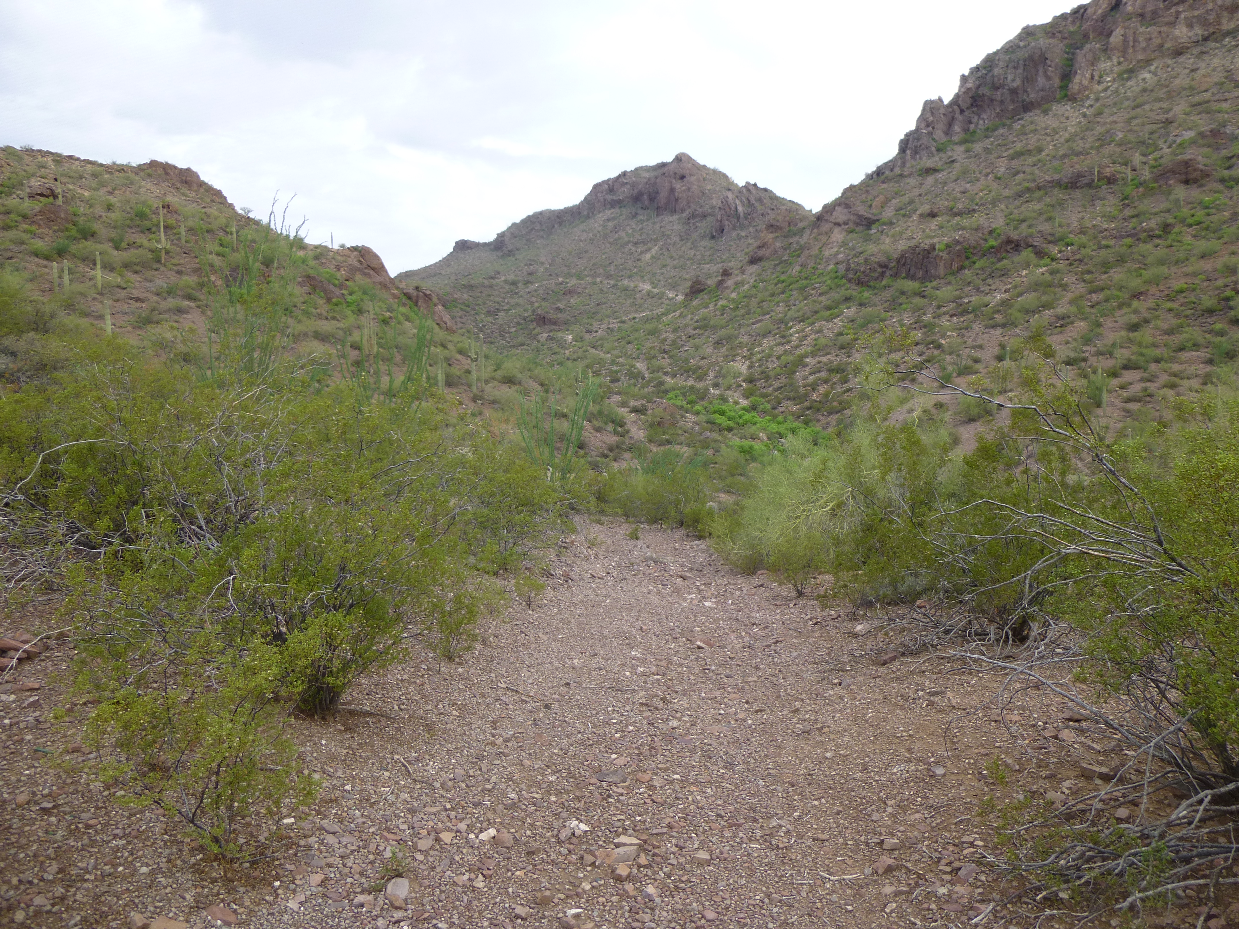
Looking up the road
On the other side, a long, steady climb began, staying close to the north side of the wash for a quarter mile. Past that, the real work begins – the road makes 2 sharp switchbacks, then continues steeply up a hill to complete the next quarter mile. In this stretch, all surface material covering the road has long been eroded away and swept downhill, leaving only deeply-incised bedrock. I couldn’t imagine how anyone could drive a truck up this section, and even if you wanted to try, you’d first have to figure out how to drive around a huge boulder sitting squarely in the middle of the road.
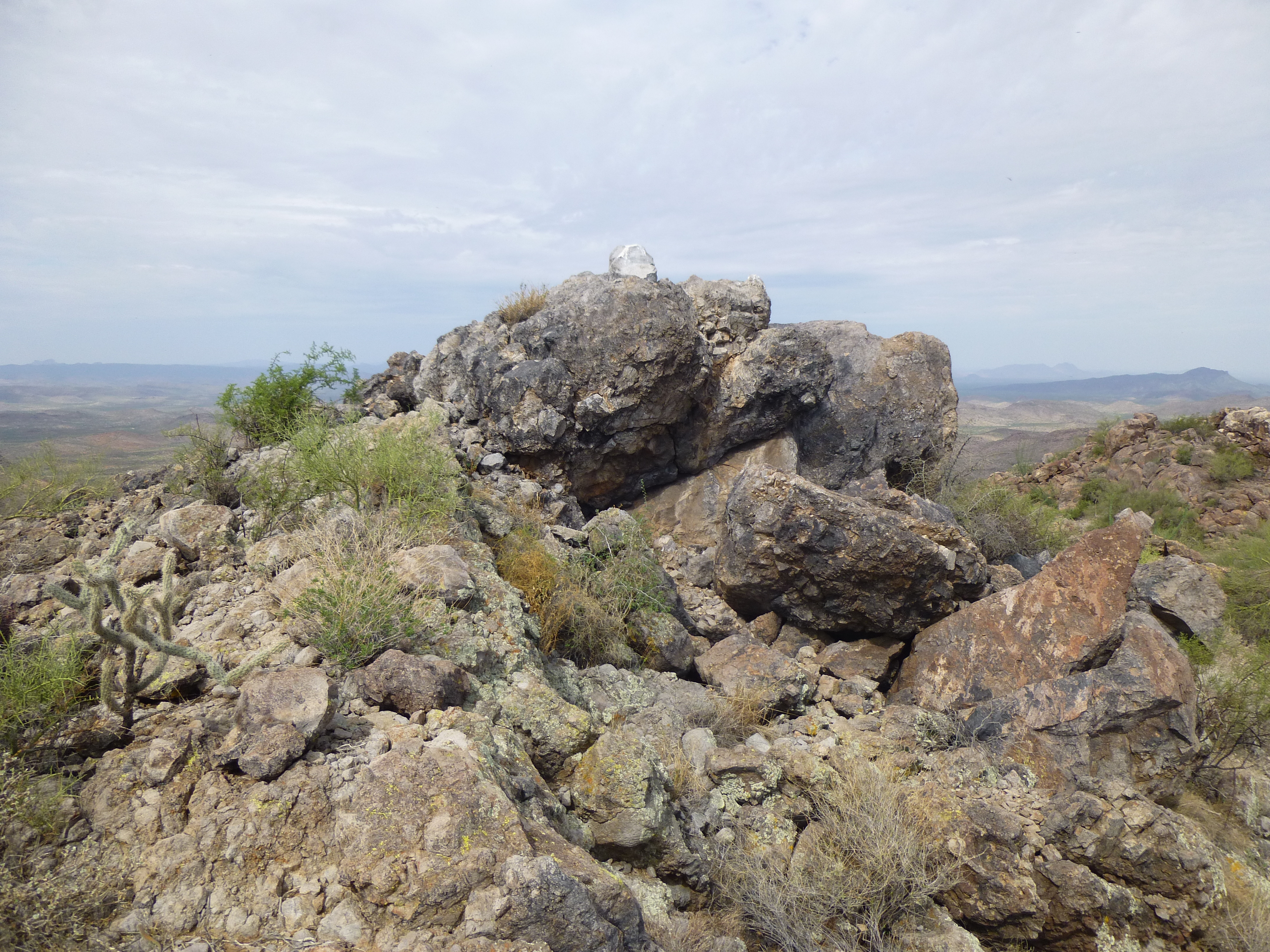
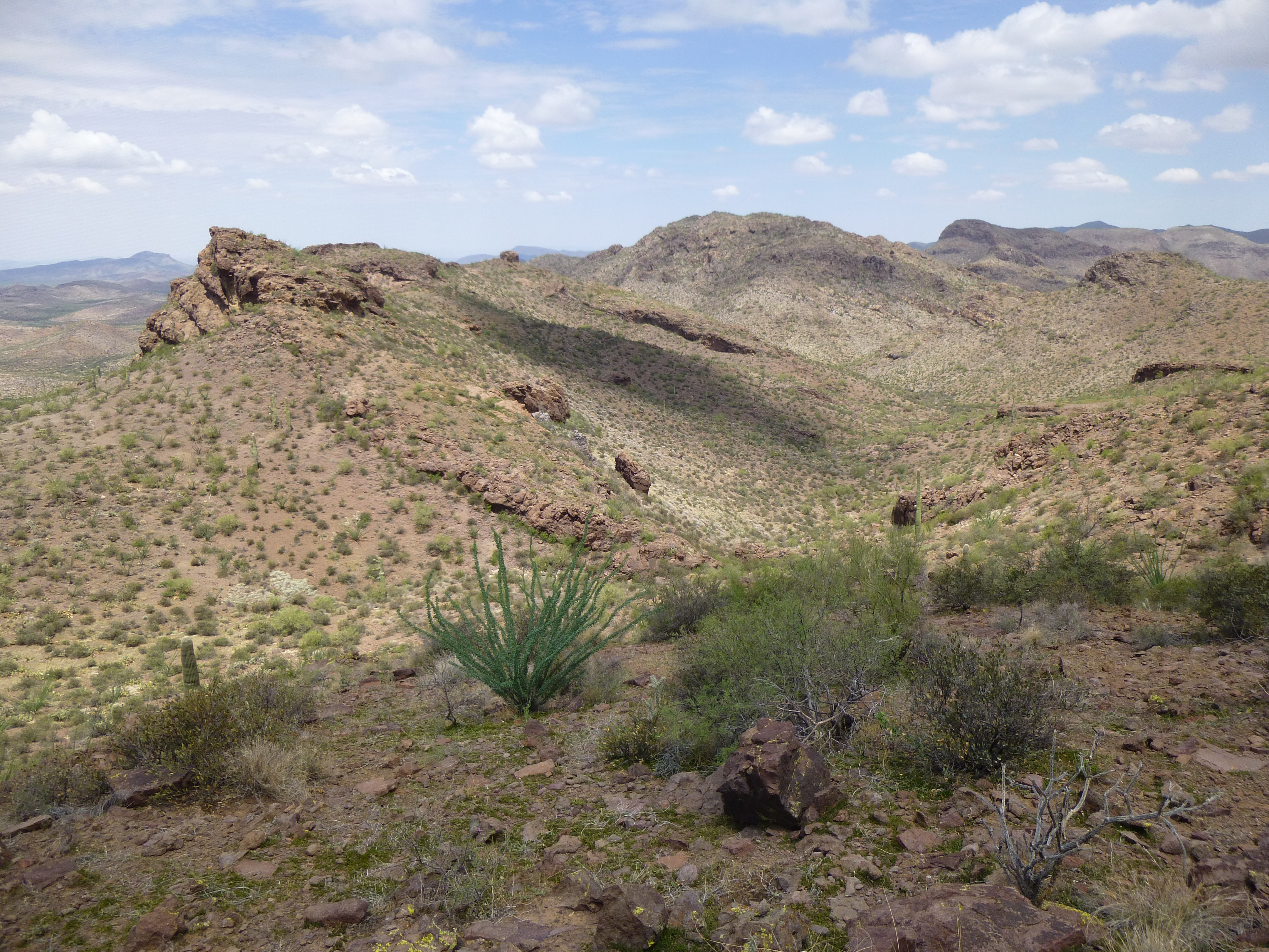
By the time we reached the top of this stretch, we were sweating like Elvis at a breakfast buffet. It was a relief to be able to walk along a level stretch for a while. There are impressive rock formations in this part of the range, like this one.
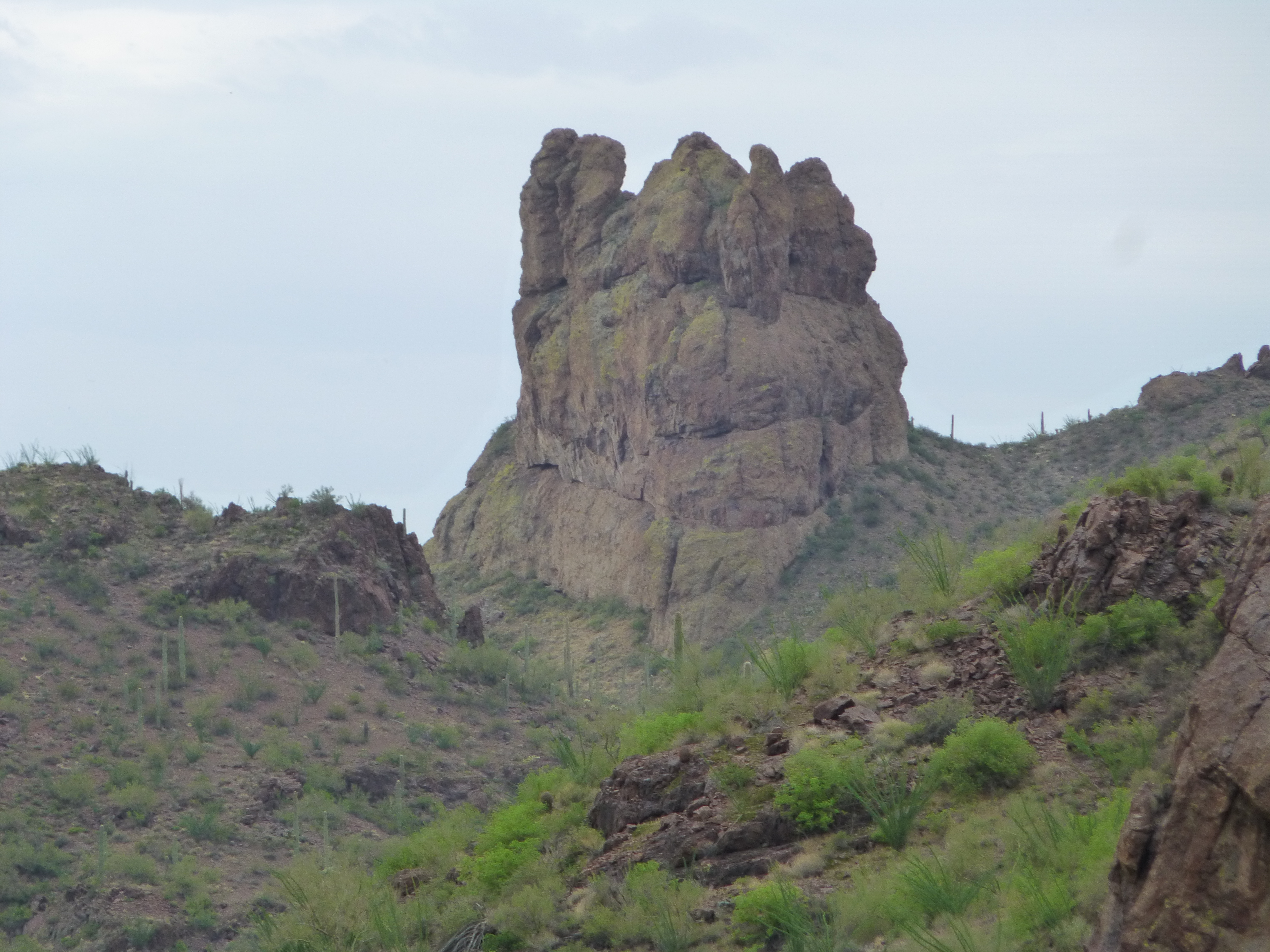
Un-named tower
The topo map shows that a mile up the wash from where we parked is a natural water source called Bender Spring. We didn’t go have a look at it, but from above, it was obvious from the riot of growth in the canyon bottom that it was a reliable water supply.
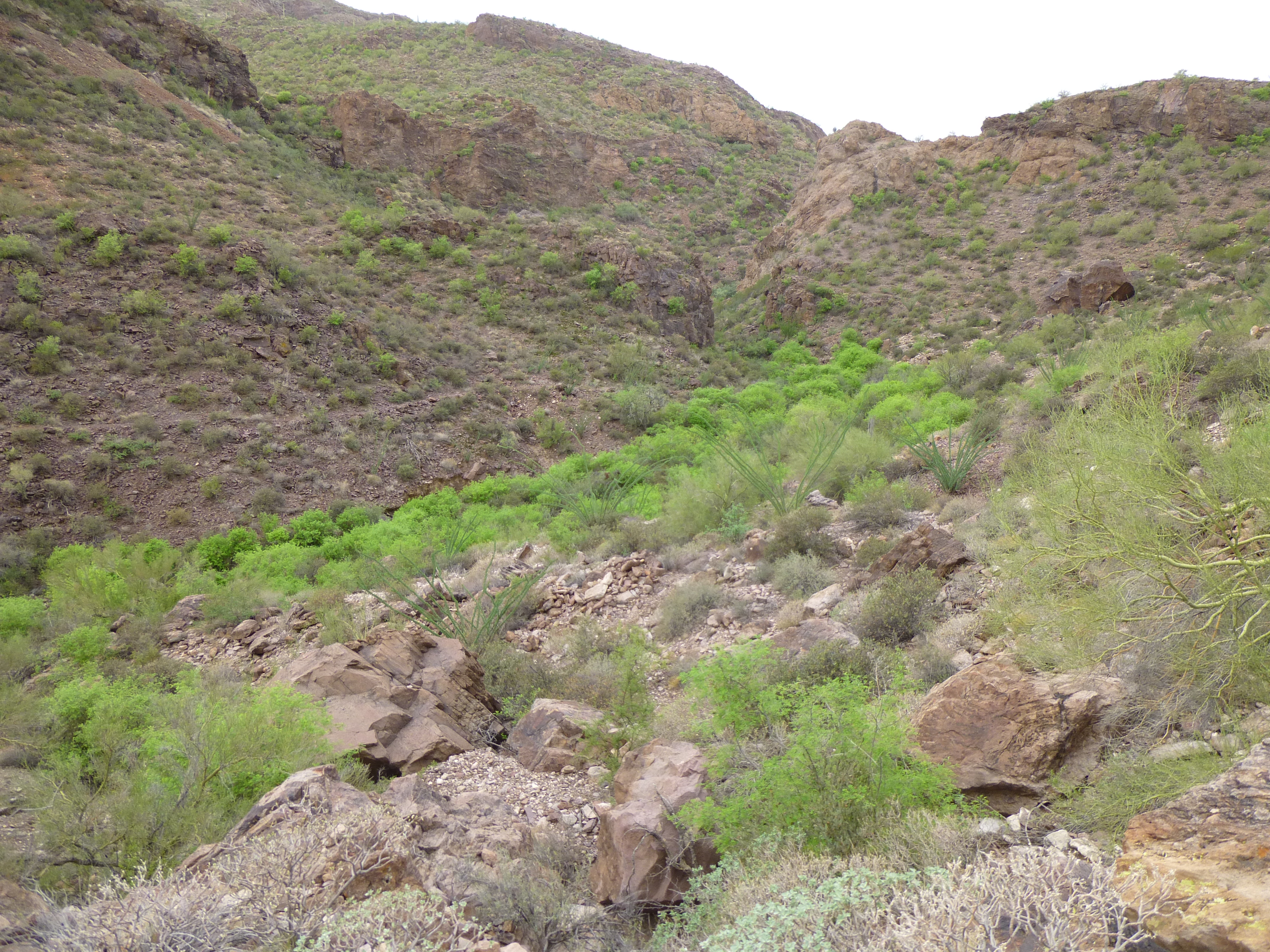
Mini-forest below Bender Spring
The road now leveled out for a while. There was a sizable pool of water next to it.
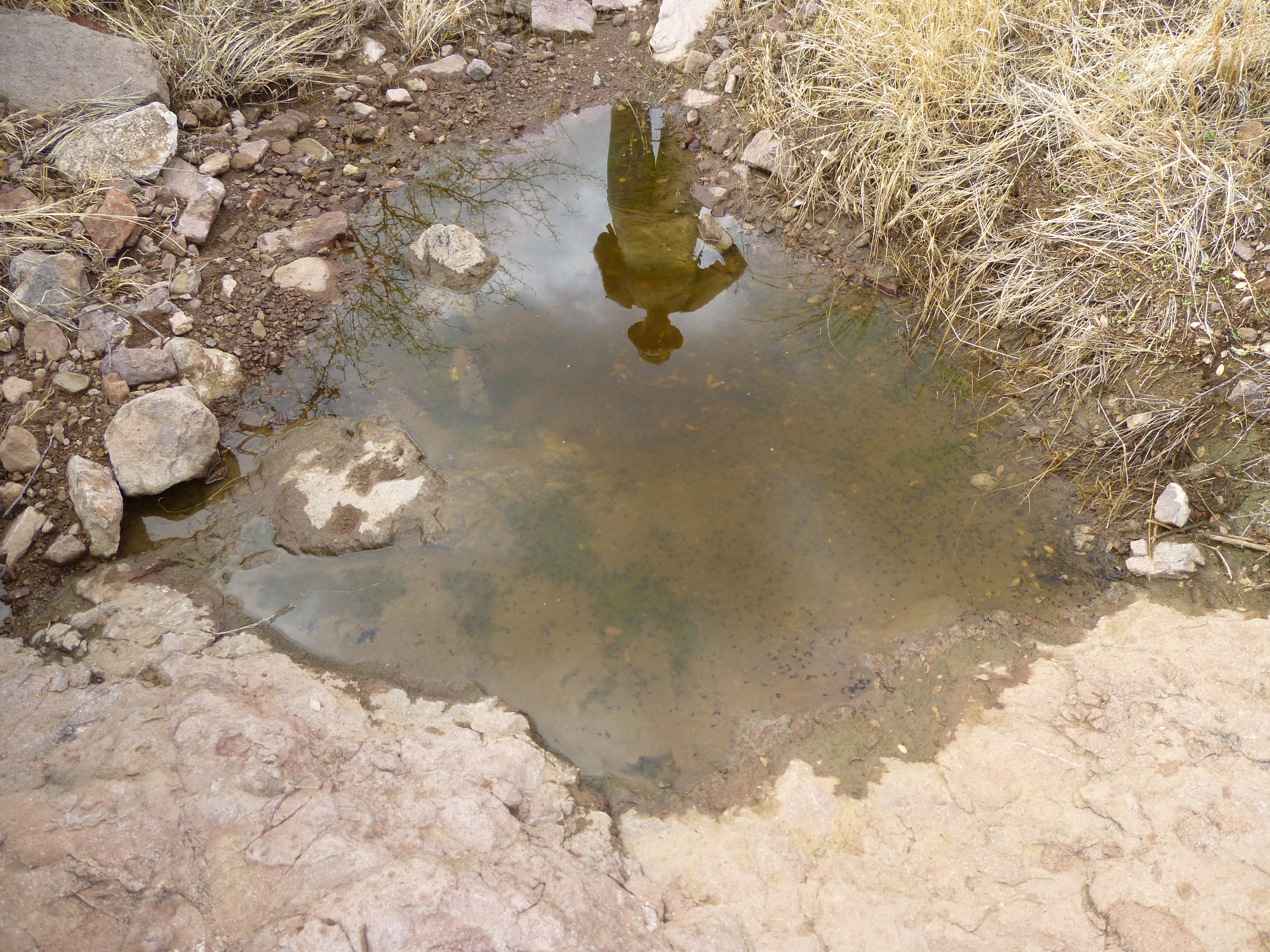
The reflecting pool
And living in this pool, high up in the mountains, were many hundreds of little tadpoles, which would develop into Couch’s spadefoot toads.
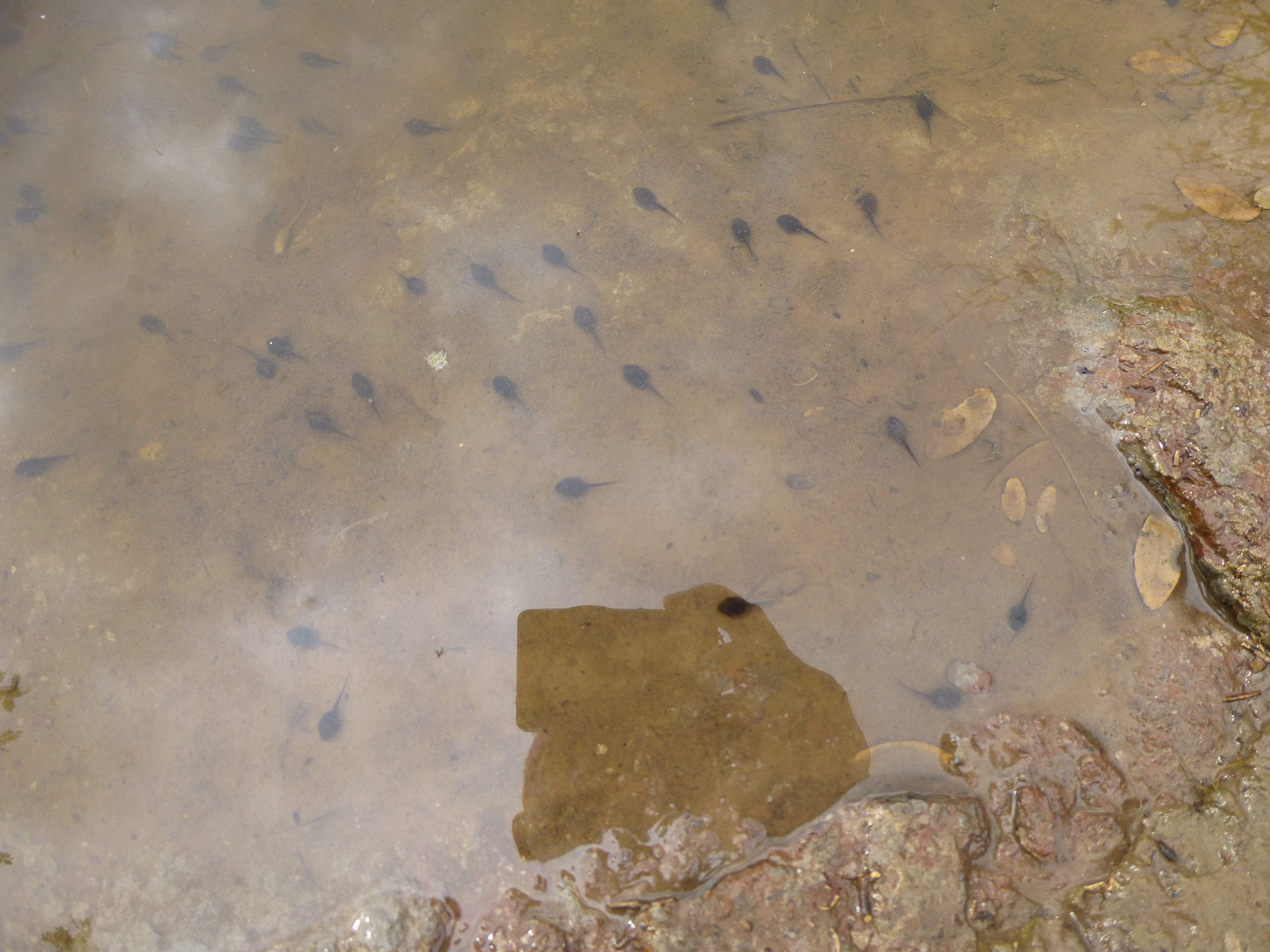
Couch’s spadefoot tadpoles
A short way beyond the pool, an even bigger surprise awaited. Two sets of rock walls stood by the road – obviously man-made, they wouldn’t have been made by indocumentados. I suspect that miners of long ago were their creators.
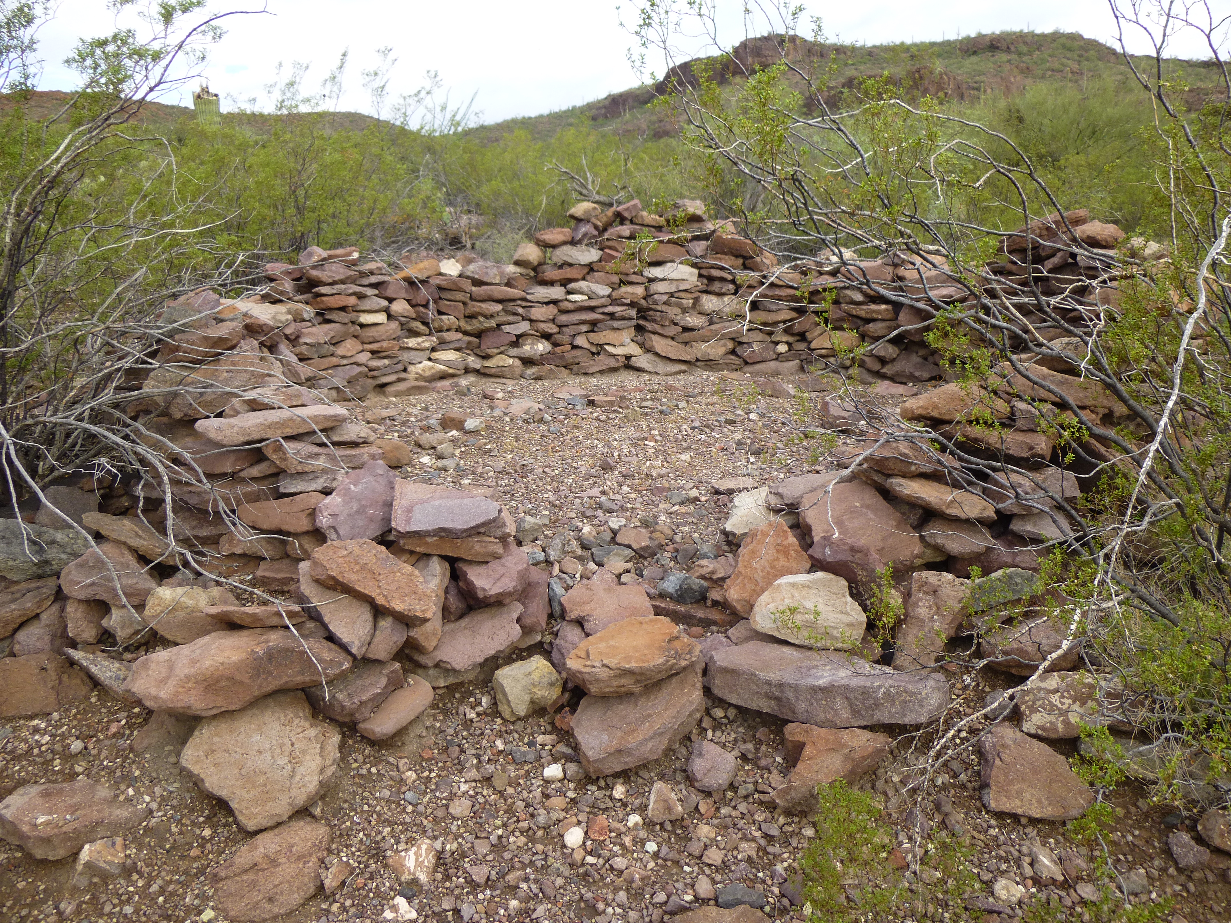
Rock wall
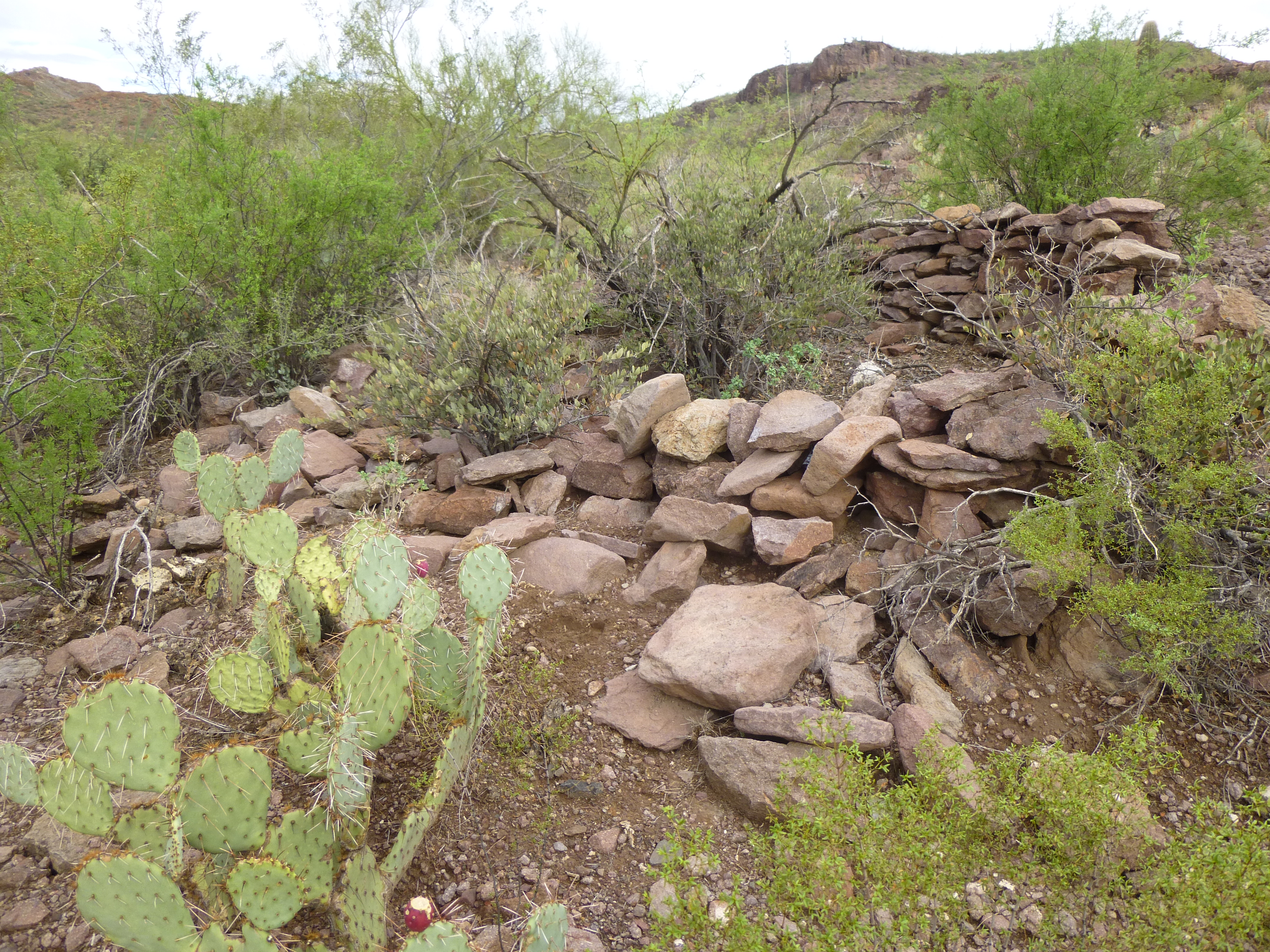
The other rock structure
Once past the rock walls, the road continues to climb, steeply in places, and becomes more sketchy. See it on the left in the next photo?
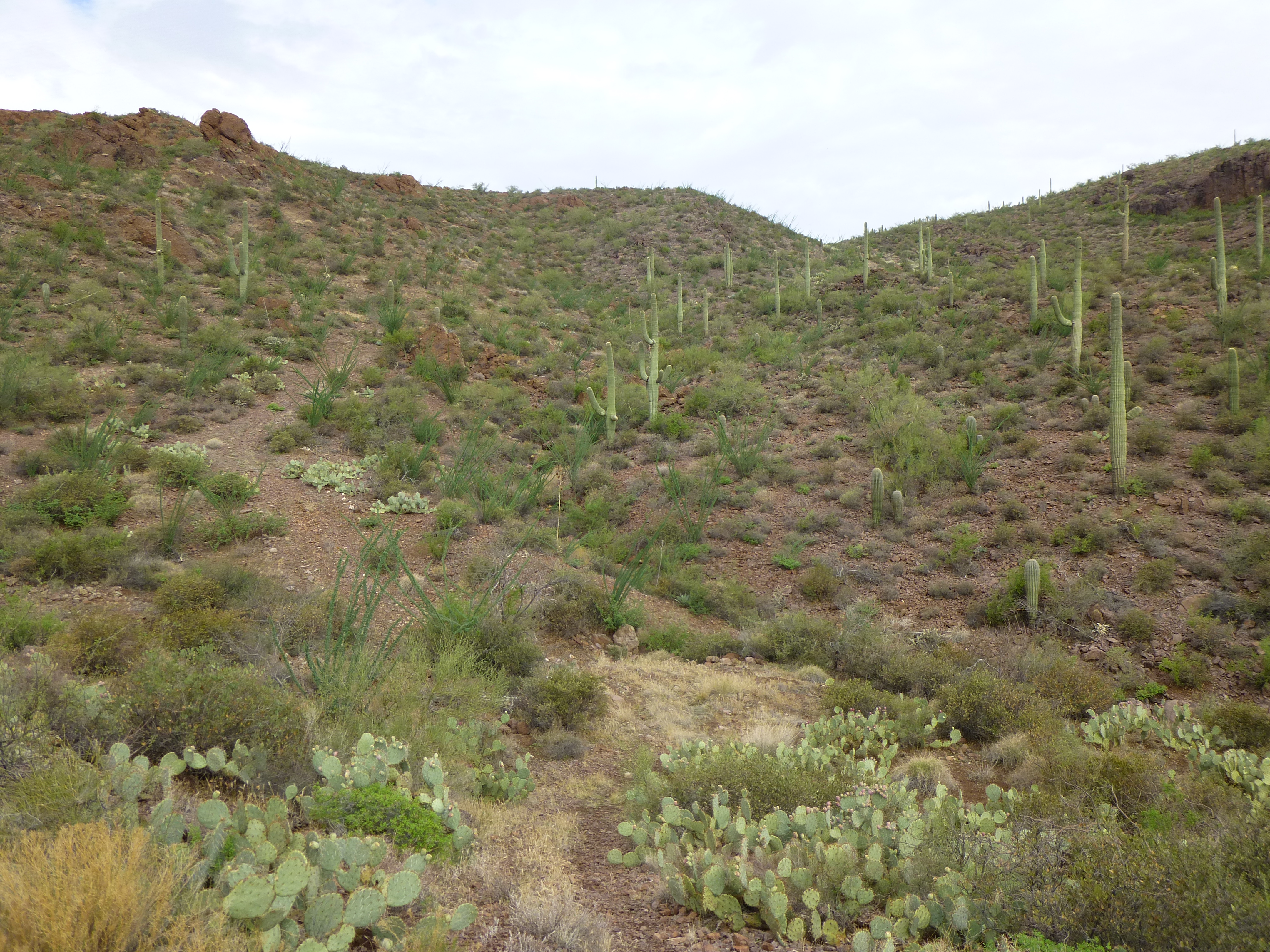
The deteriorating road
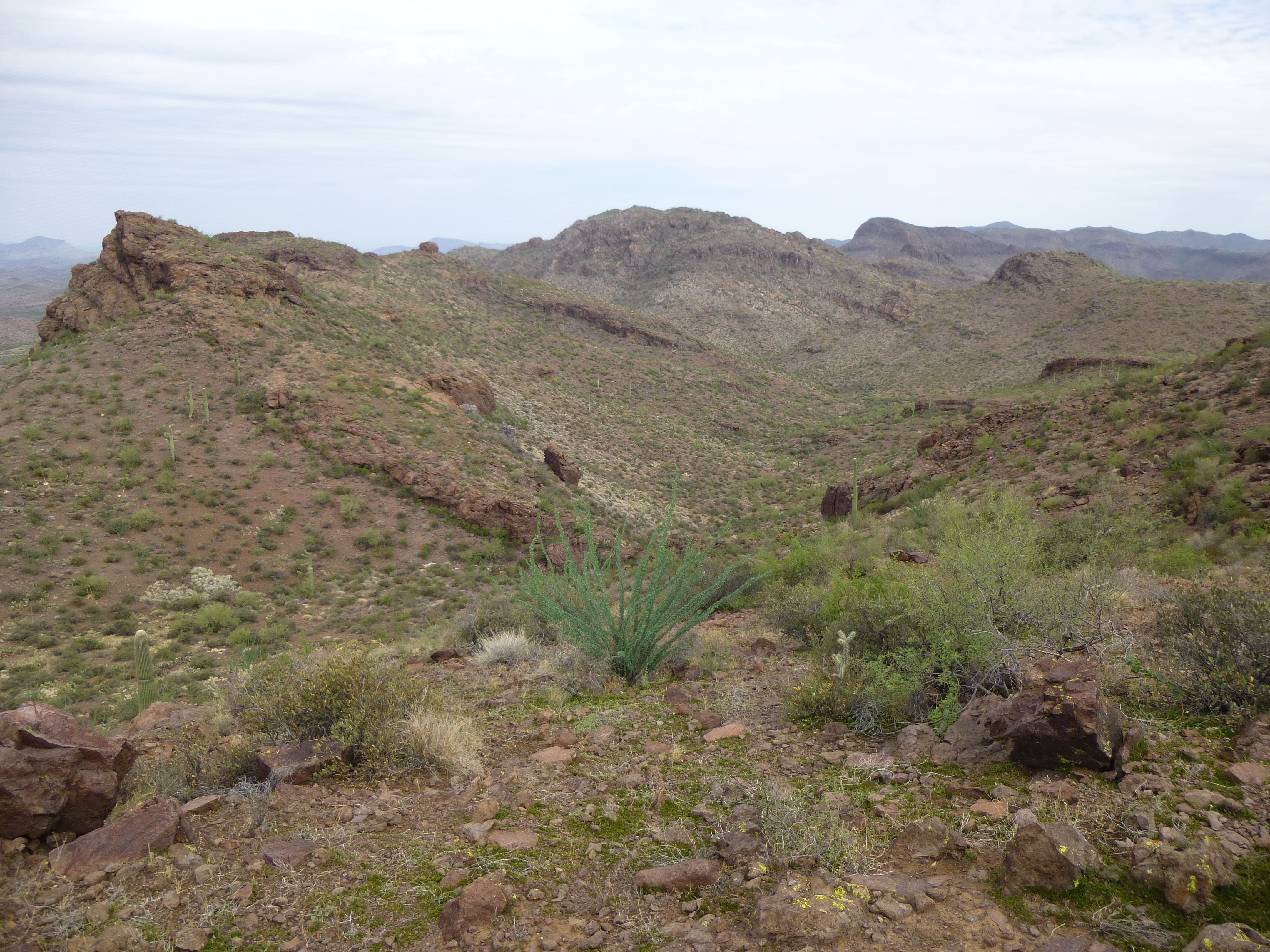
About 2 miles from where we’d parked, the road reached the height-of-land, a high ridge along the spine of the Sand Tank Mountains, separating west from east. This was the spot about which we’d been so curious. For years, I’d studied this place on both map and satellite photo, the end of the road. Now that curiosity was about to be satisfied. The faint road actually climbed up the ridge another hundred yards, then contoured around the west side of it perhaps another hundred. It ended on an unassuming hillside. We looked around, thinking that there’d be some sign of an old mining prospect, but nothing – no pile of rock, no excavation, nothing. Our road remained a mystery – who had made it, and why?
It wouldn’t have been difficult for the makers of the road to have continued it beyond this point. A couple of easy switchbacks would have dropped it down the hillside to the west, then down a short valley and over a gentle saddle to take it to the upper reaches of Quilotosa Wash and into the heart of the bombing range. Because that had never happened, I think the road was not built by the military. There was no sign of there ever having been any type of communications tower nearby, or any power lines having been run to one. The secret of the road was still safe. We did find one human artifact nearby, though. A rock outcrop bore some inscriptions – not ancient Indian petroglyphs, but something much more recent.
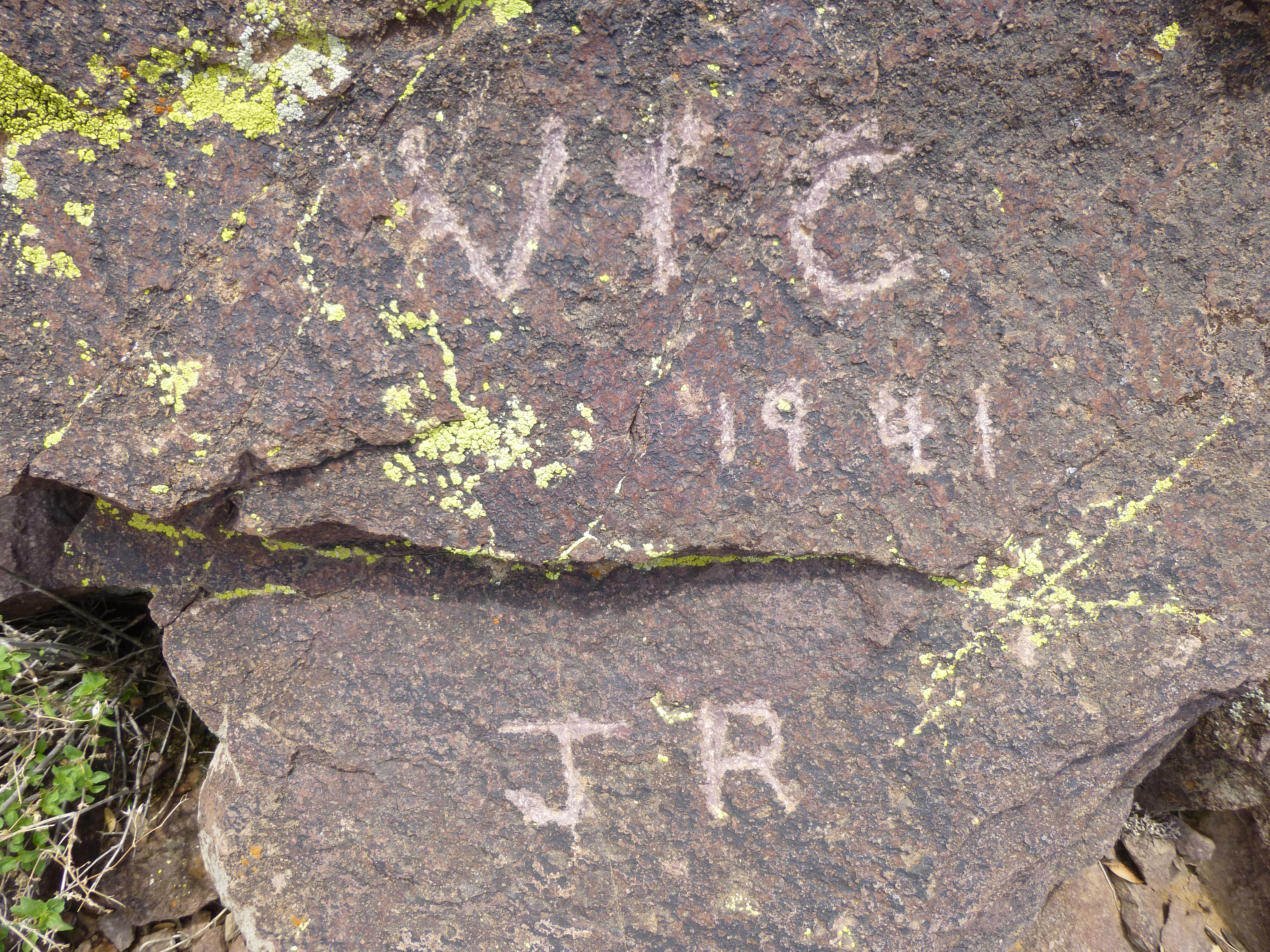
Writing on the rock
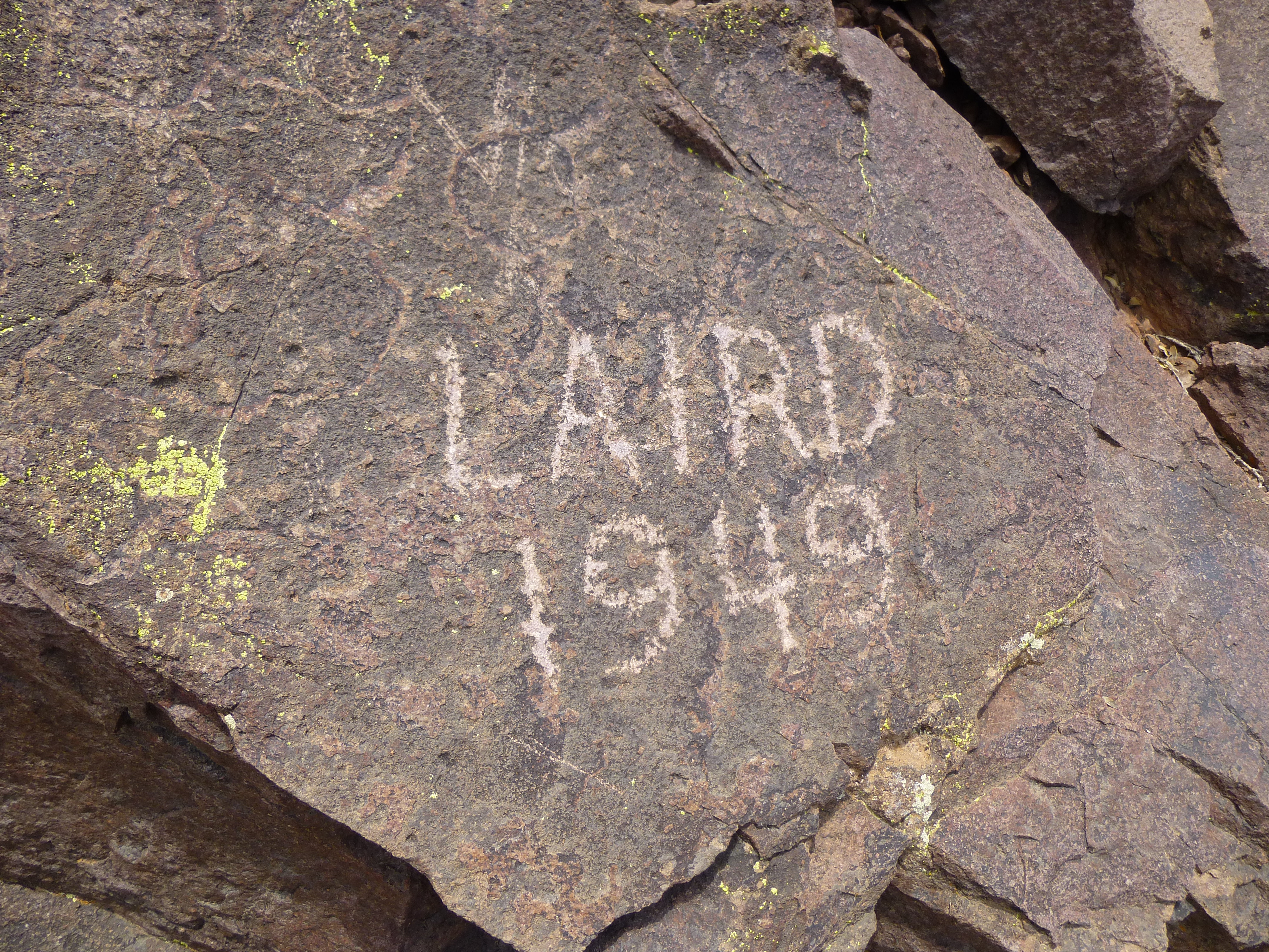
More rock art
We didn’t know who Vic, JR and Laird were, but obviously they’d spent time here, as long ago as 1941, a full 76 years earlier. Had they been associated in some way with the road? If only these rocks could speak and tell us their story.
While we stood on this spot at the end of the road, we couldn’t help but notice some other nearby features.
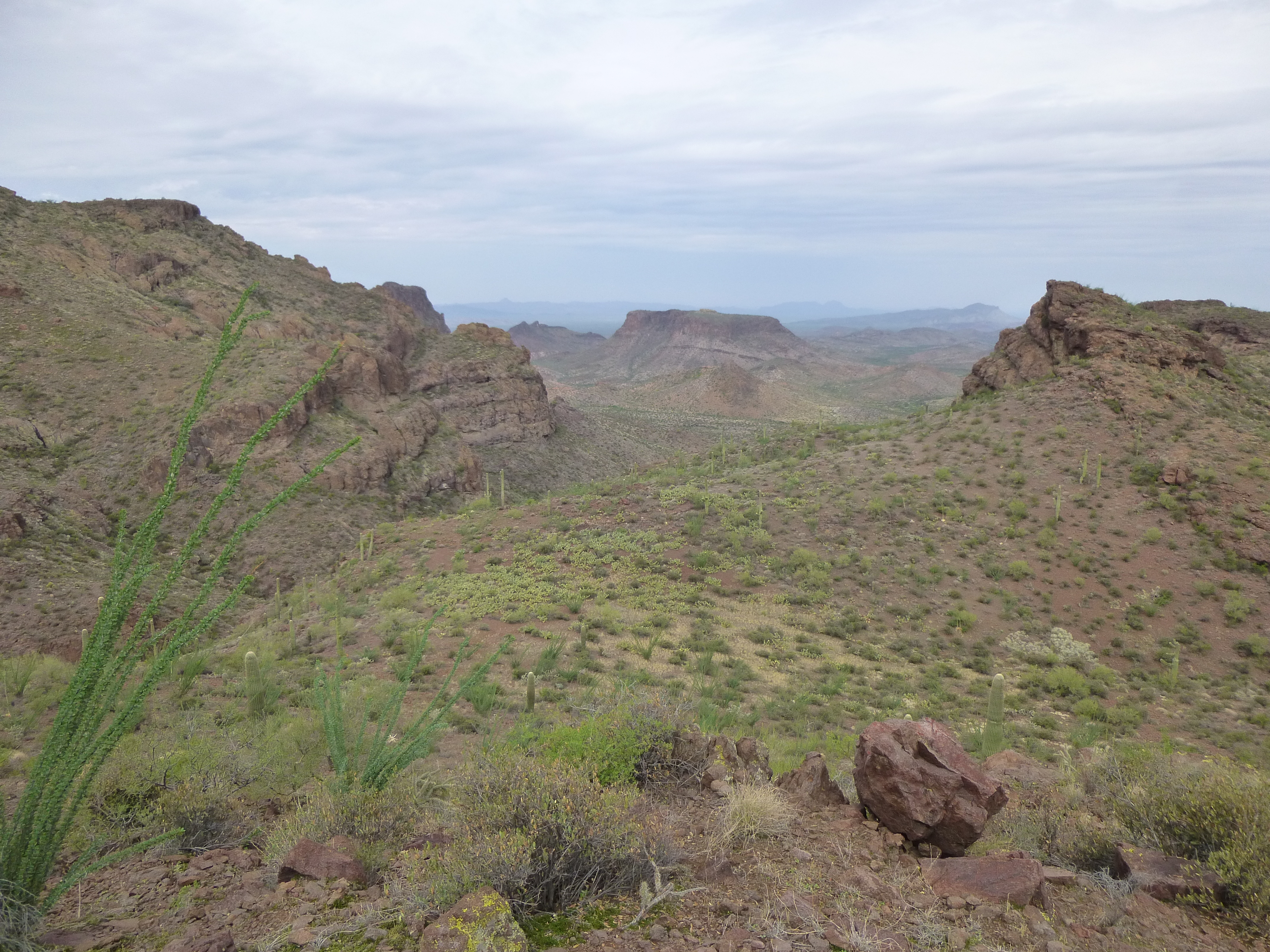
The view to the west
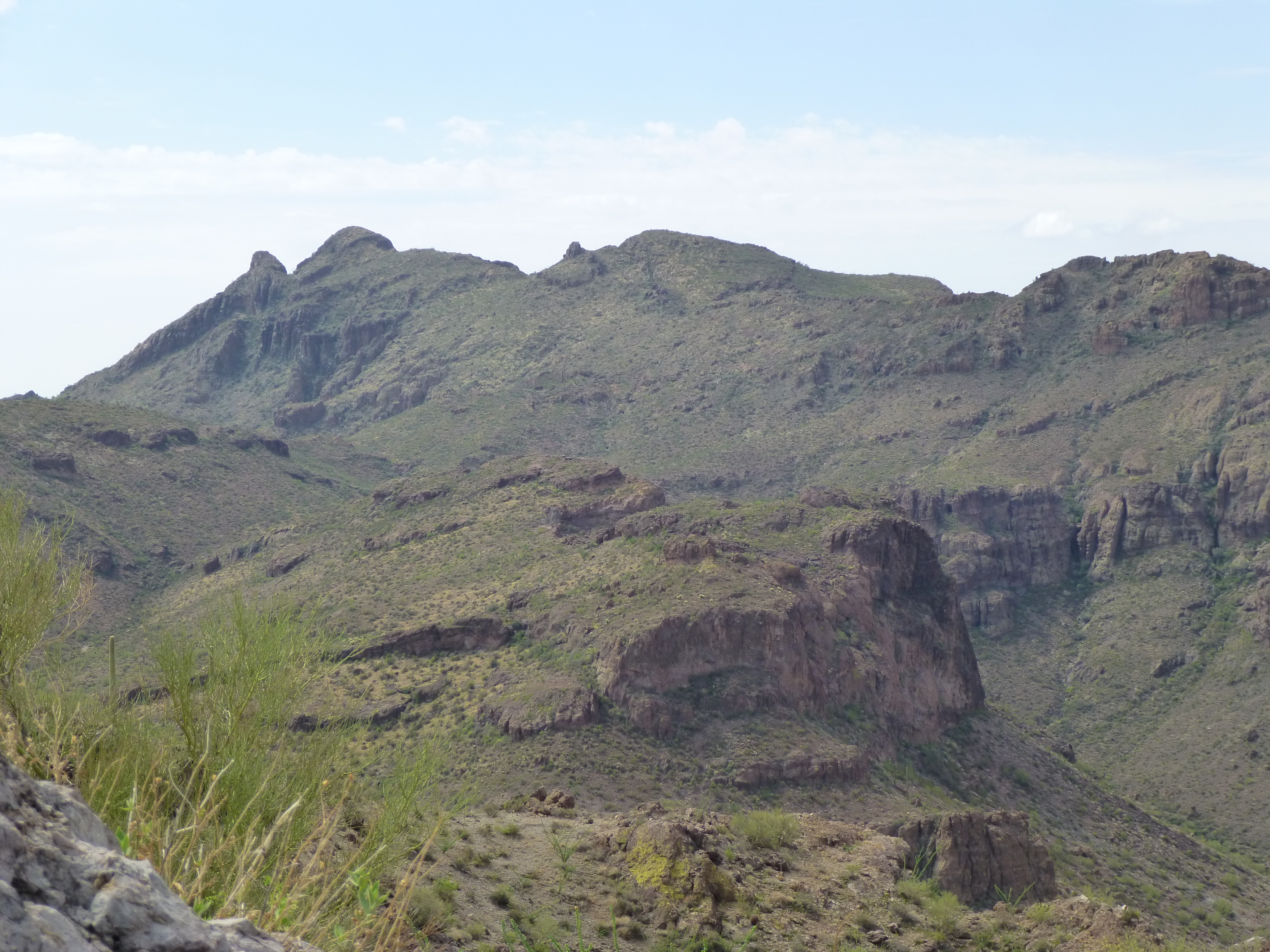
Let me zoom way in for you on a section of the above photo, right in the middle. First of all, there’s this great view of Peak 3220, its east side. The only ascent of this peak was done just a few years ago – the summit is the small tan outcrop in the center.
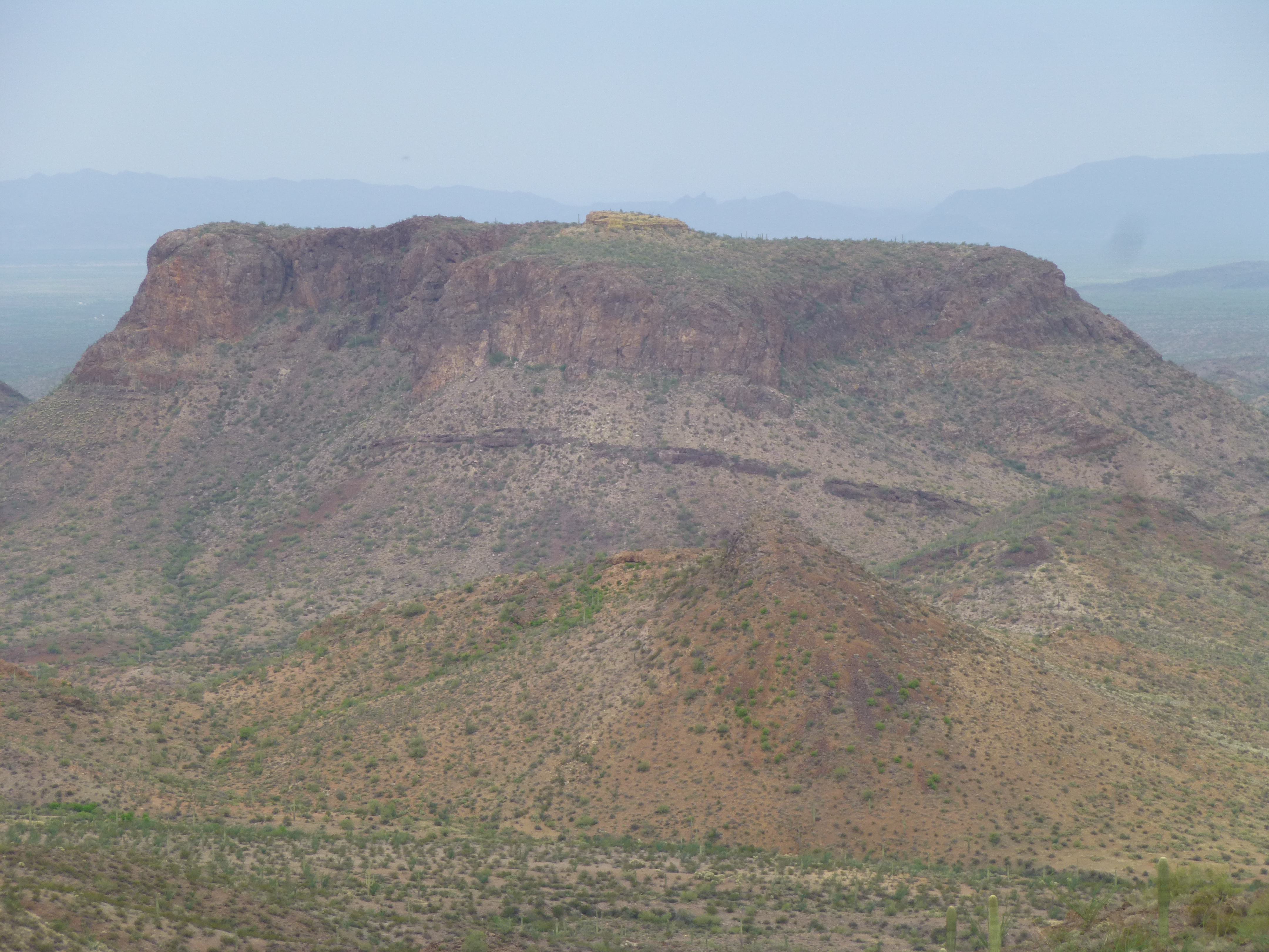
The east side of Peak 3220
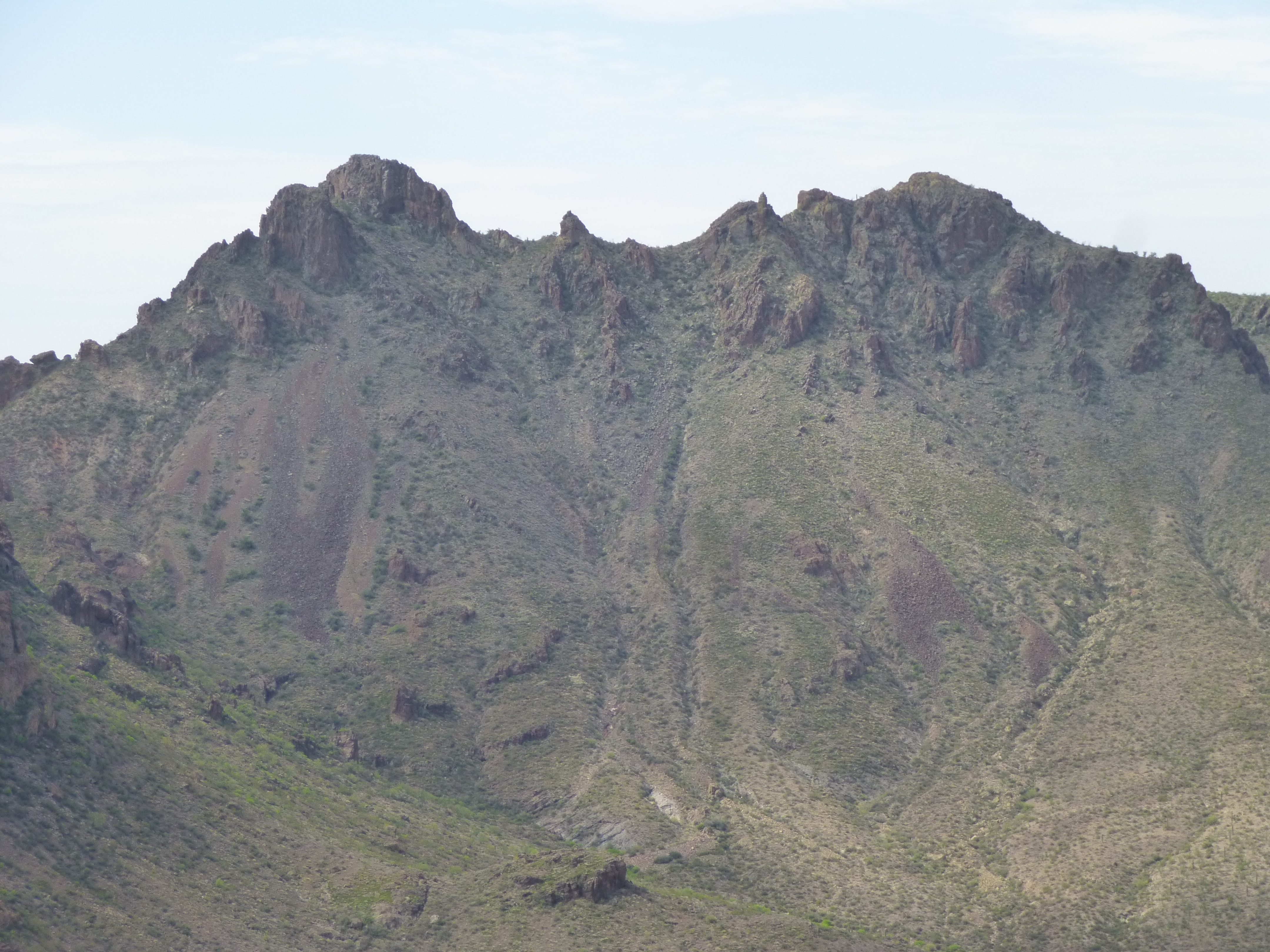
And here’s a view of the double summit of Peak 2975, which saw its first ascent the same day. Distant Hat Mountain can be seen on the horizon on the left.
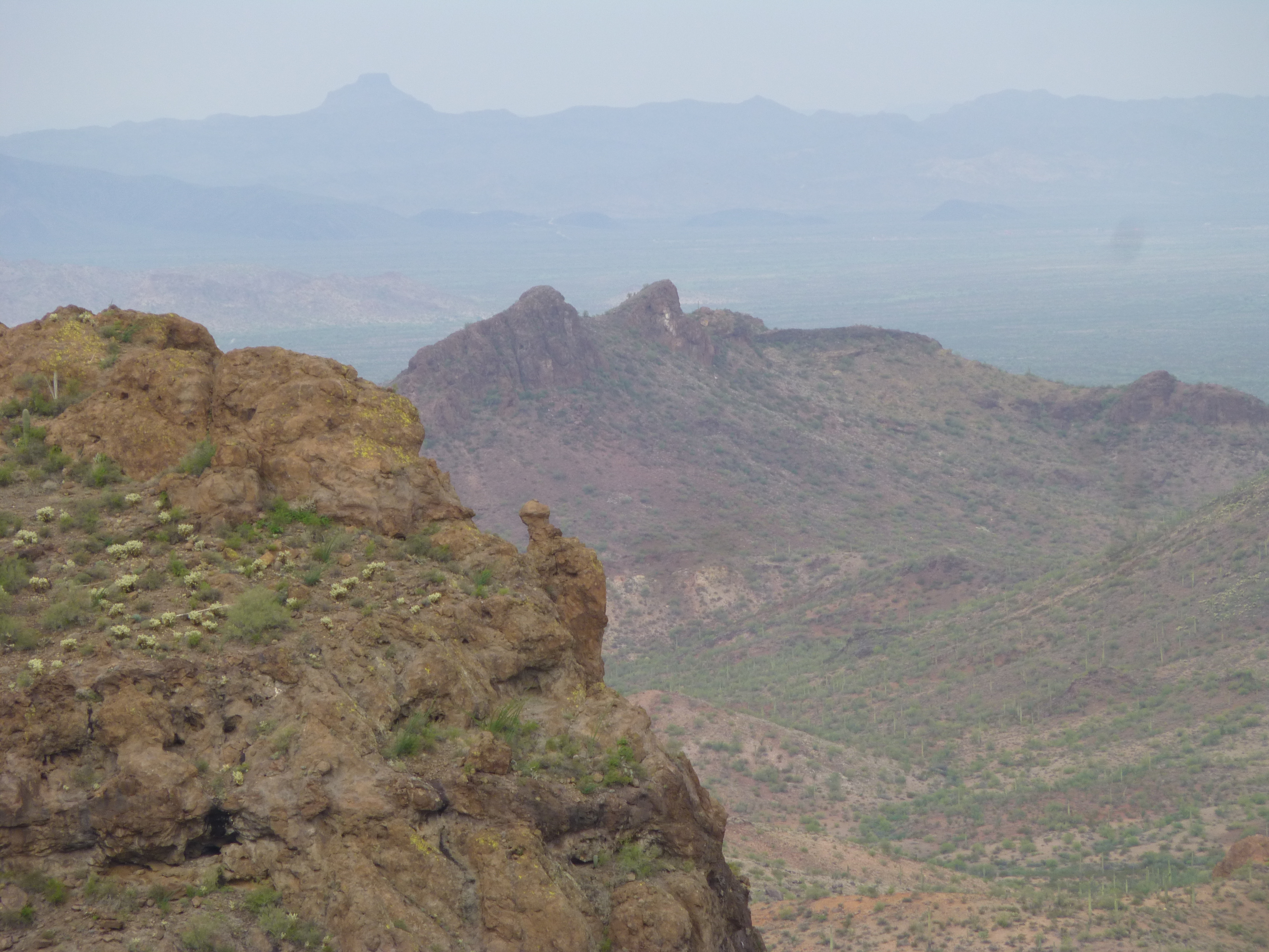
Peak 2975
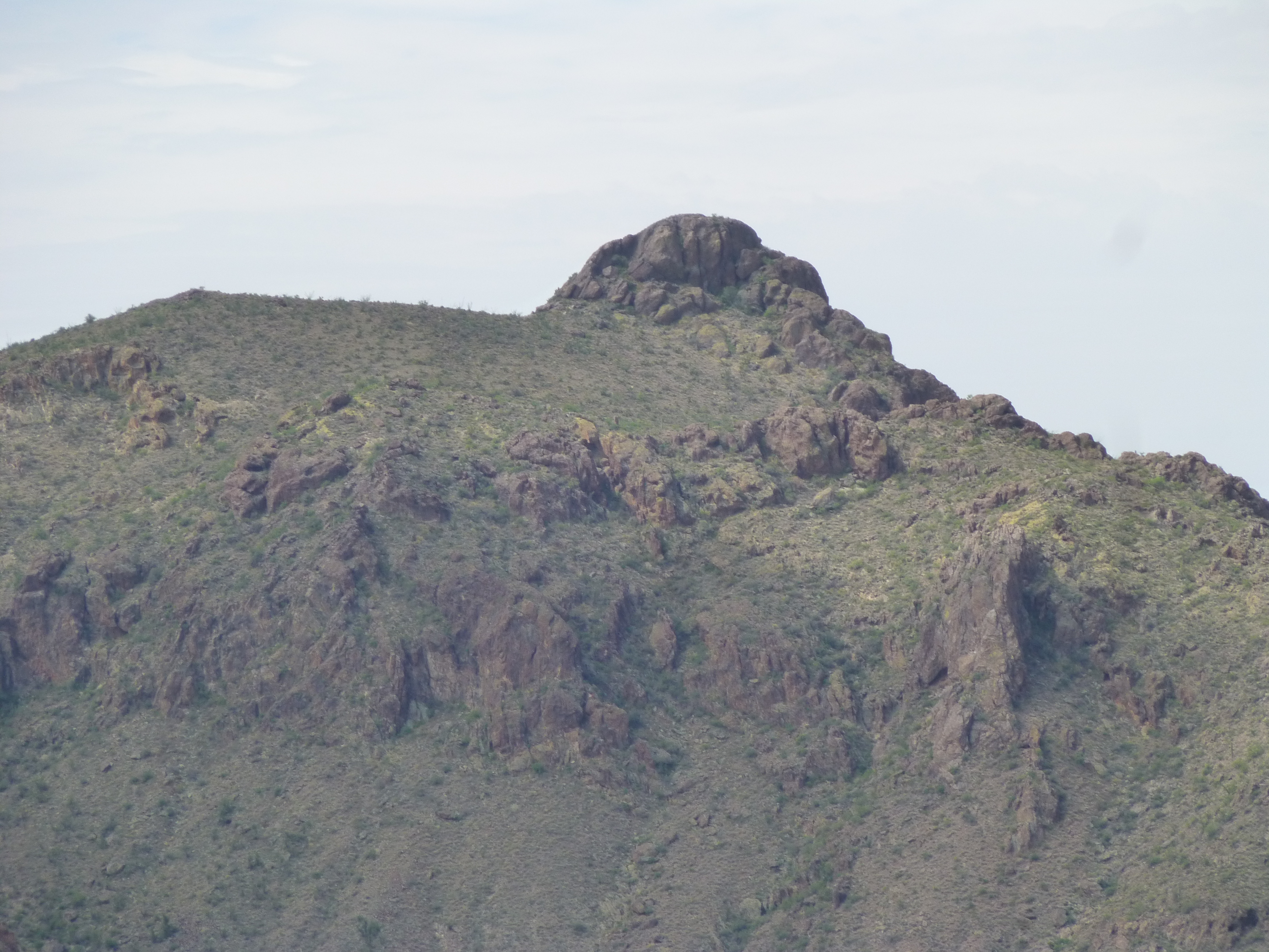
I must now confess that we hadn’t come here today just to visit the end of the road. You’d be right to guess that there was a climb involved, and now we could see it for the first time. It was the one in the center on the horizon, the broad, gentle summit.
Looking northwest to peak 3540
We flagged the end of the road, then dropped down to the valley below. With some minor bushwhacking, we followed a drainage which took us to the base of the peak.
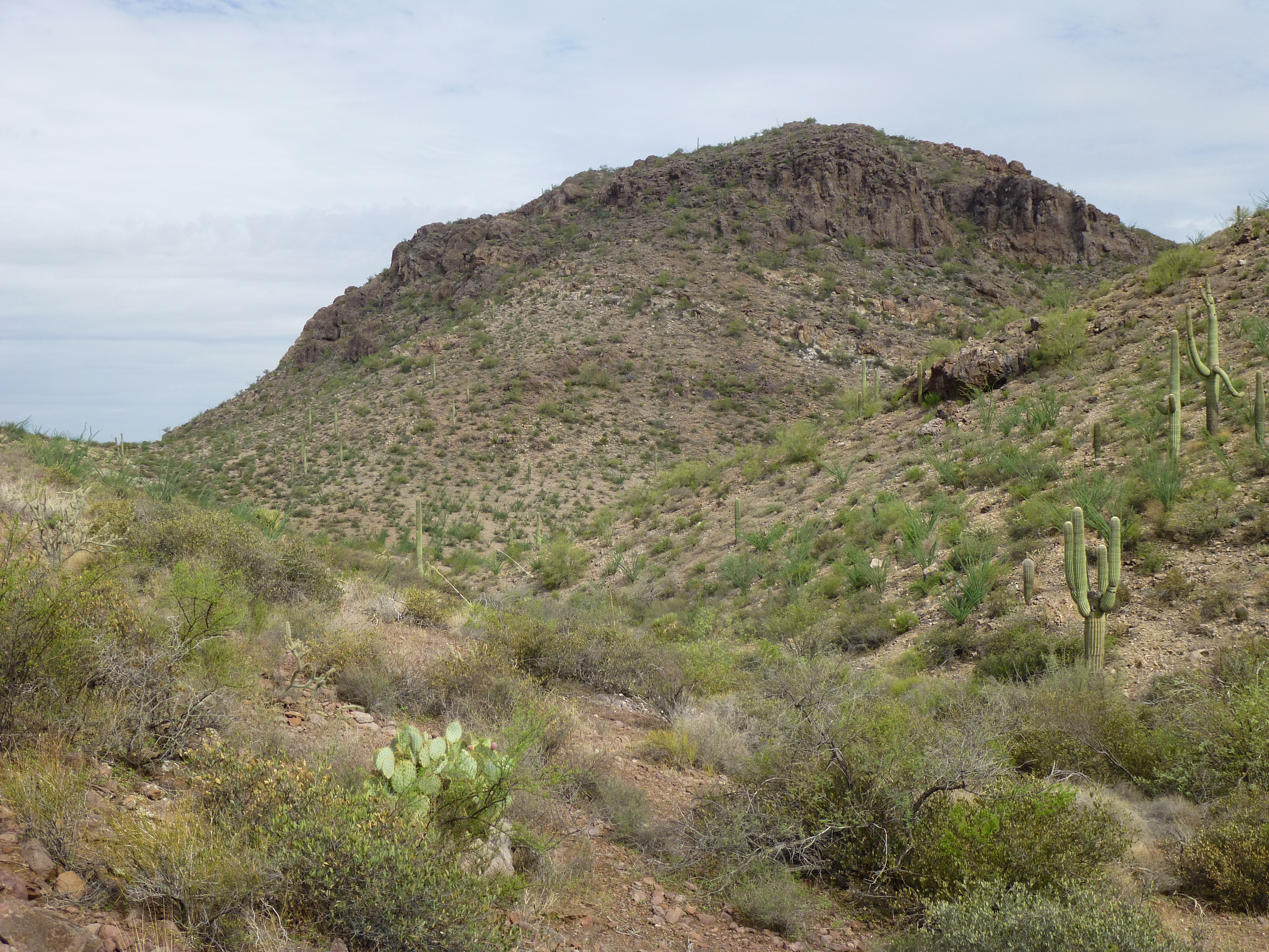
Peak 3540, near the base on its southeast side
A bit of color on the way was this pincushion cactus in bloom. It’s only about 2 inches across.
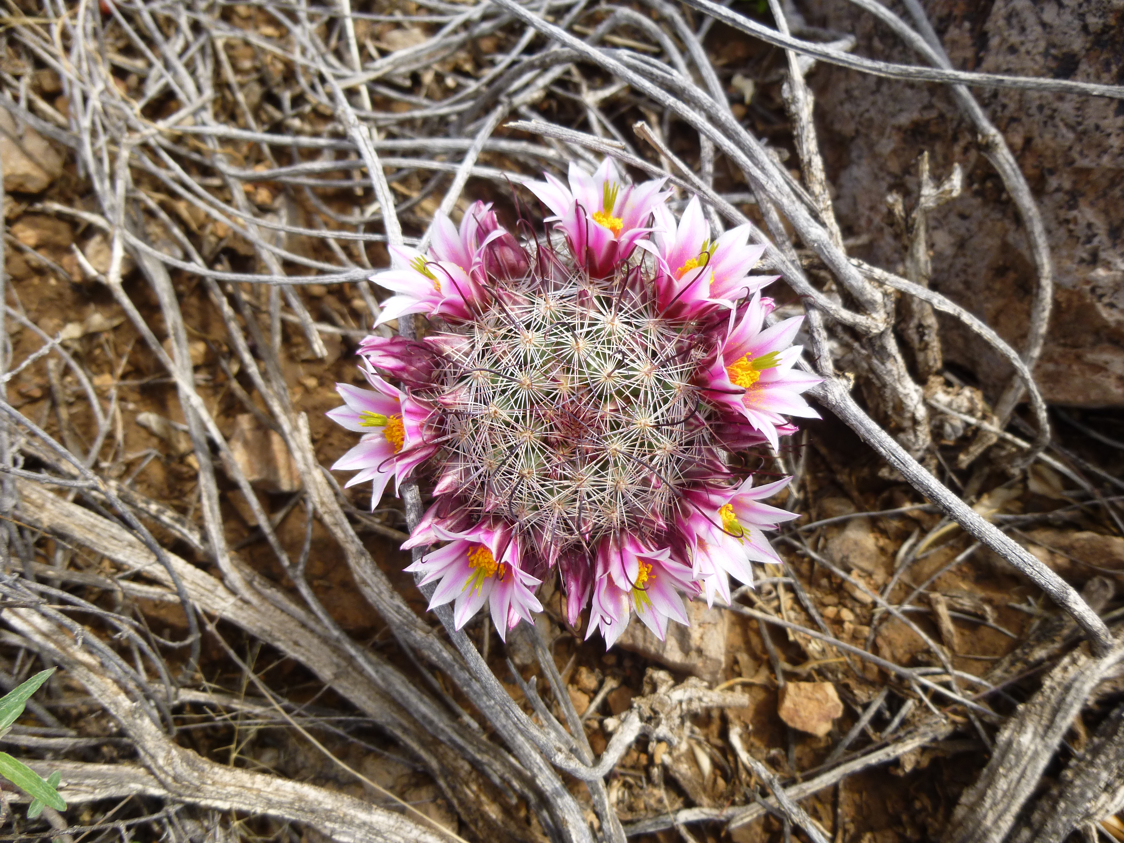
Pincushion cactus
It was an easy 500-foot scramble up to the top of Peak 3540, whose highest point was at its westernmost end.
The summit of peak 3540
The summit was untouched, with no sign of any previous visit, but that was to be expected out here. We enjoyed our lunch, took pictures and prepared a register. Check out these views which have never been seen before by climbers. First is this shot of Squaw Tit – at 4,020 feet elevation, it is 1.5 miles to the southeast. This picture shows its long west ridge.
Squaw Tit and its west ridge, seen from the northwest
Then, and this was my favorite, was this exceptional view of Peak 3940. Here, we are looking at the north side of it in a telephoto view. It was first climbed on August 9, 2014 by Jake Cramer, Andy Bates and myself. You can read a full write-up of that adventure on this website in the piece entitled “Peakbagger’s Picnic” if you go to the tab “Stories”. We worked hard that day in the heat, measuring the peak and proving that it had enough relief to qualify as a peak in its own right. In this telephoto view, it is only 1.3 miles distant. The high point is the crag on the left, and it soars 1,100 vertical feet above the desert floor you can see at its base.
The north side of Peak 3940
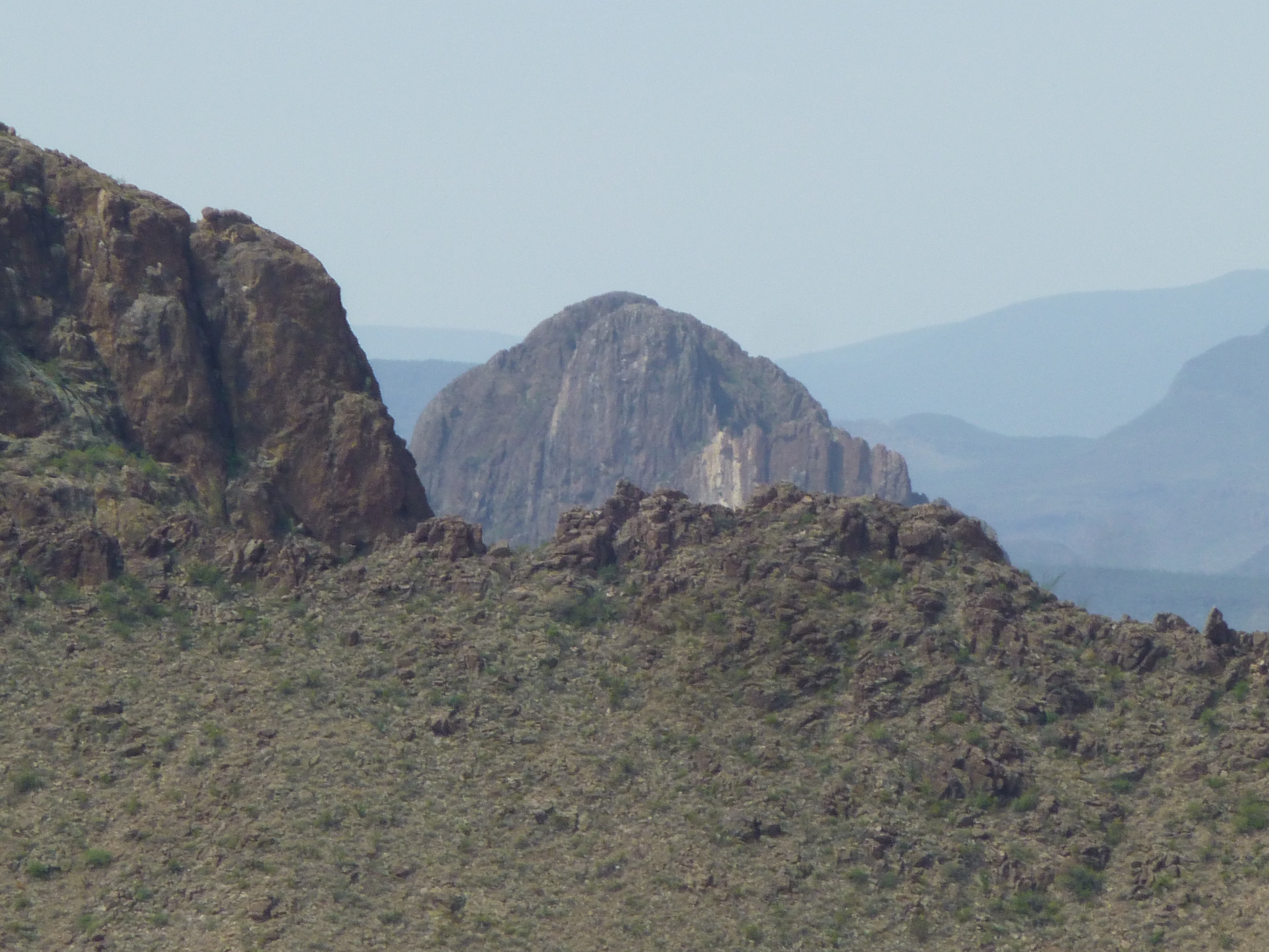
Then there was this view of a different Peak 3940 – in this telephoto, we are looking just slightly west of south at a bearing of 194 degrees; the peak is 1.5 miles distant. This one was first climbed by Jake Cramer and myself on June 27, 2014 – we really tempted fate in the heat that day
The north side of the other Peak 3940
Okay, I have one more to show you. Here, you can see the upper part of a mysterious peak known as Dragon’s Tooth, and this is its west peak. Another telephoto shot, we are looking at a bearing of 207 degrees, and the summit is 4 miles away. It is peeking out from behind the intervening northwest ridge of the second Peak 3940 I showed you in the previous photo.
Dragon’s Tooth, west peak
I just had to show you these 4 pictures because they are from a perspective you won’t see anywhere else, and it was really exciting for us to be there. During the 40 minutes spent on our summit, the high overcast was melting away; as it became sunnier, it also became hotter. We headed back along the summit ridge, then dropped down to the saddle and then the wash we’d traveled earlier. As we made our way up the drainage, it felt just plain hot, and we stopped for a break in the shade of an overhanging cliff. One last push up a hillside brought us once again to the end of the mysterious road.
Things were changing quickly. Yes, it had cleared somewhat, but now storm clouds were building. Here’s a look back at the peak we’d just climbed – it’s the one in the middle, on the skyline. The sharp crag on the left is just an uphill extension of Point 3379.
A look back to our Peak 3540
We had barely started down the road when I noticed a twinge in my right quadriceps. Not a cramp, but a telltale sign I sometimes get when I’m on the verge. It had been months since I’d had a good workout in the mountains; that, coupled with being somewhat dehydrated, is what was bringing it on. I limped down the road with Dennis, who was very patient. When we reached those old rock walls, we retrieved another quart we’d each hidden for the walk back. I drank mine down, all of it – that’s the best move if you’re in trouble in the heat – get the electrolytes into your system now, rather than waiting. As we continued slowly on, Dennis spotted this on the roadside – a horned lizard, commonly called a “horny toad” by folks here in the desert (although it is not a toad). These little guys are certainly well-camouflaged.
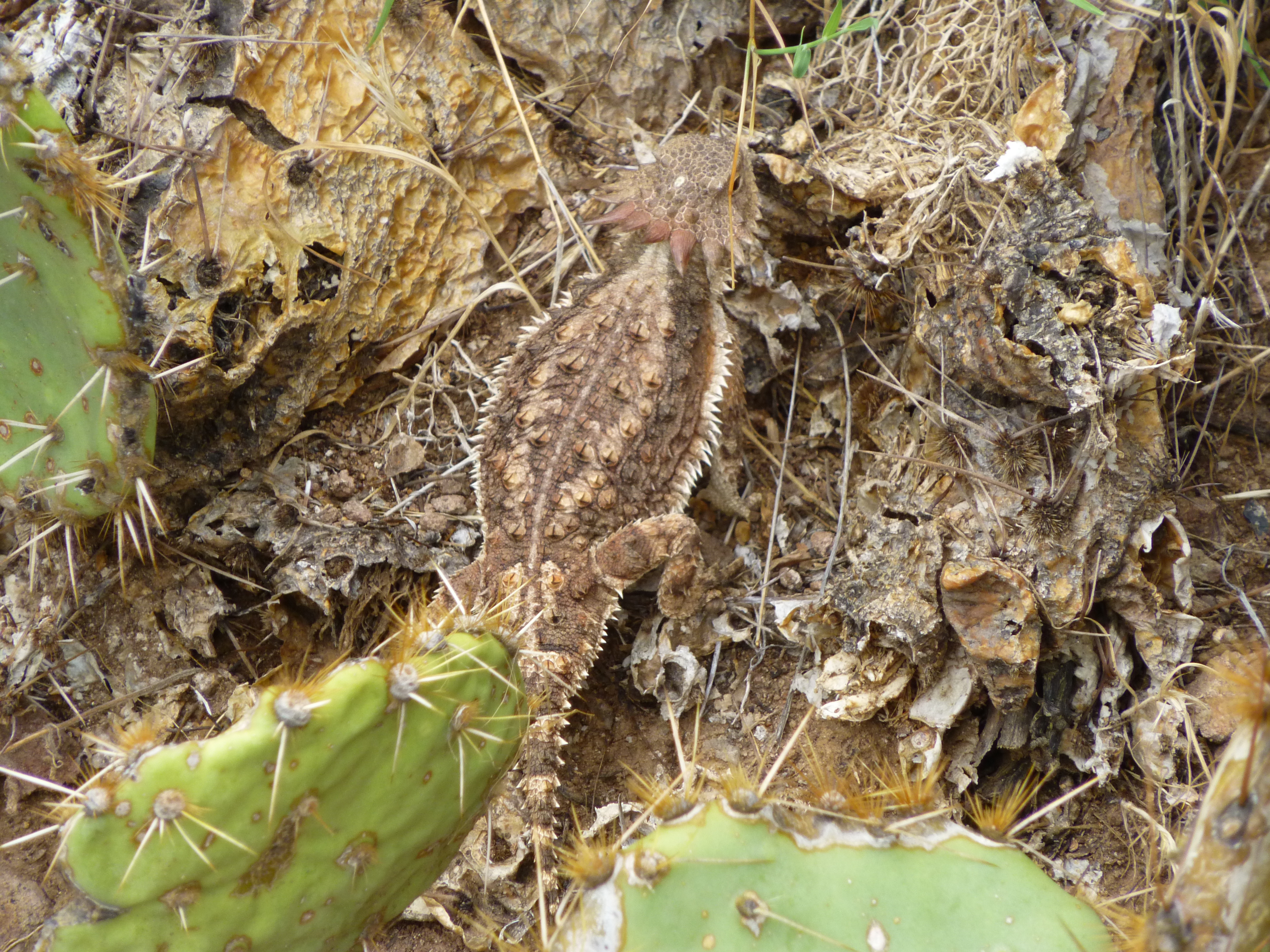
Horned lizard
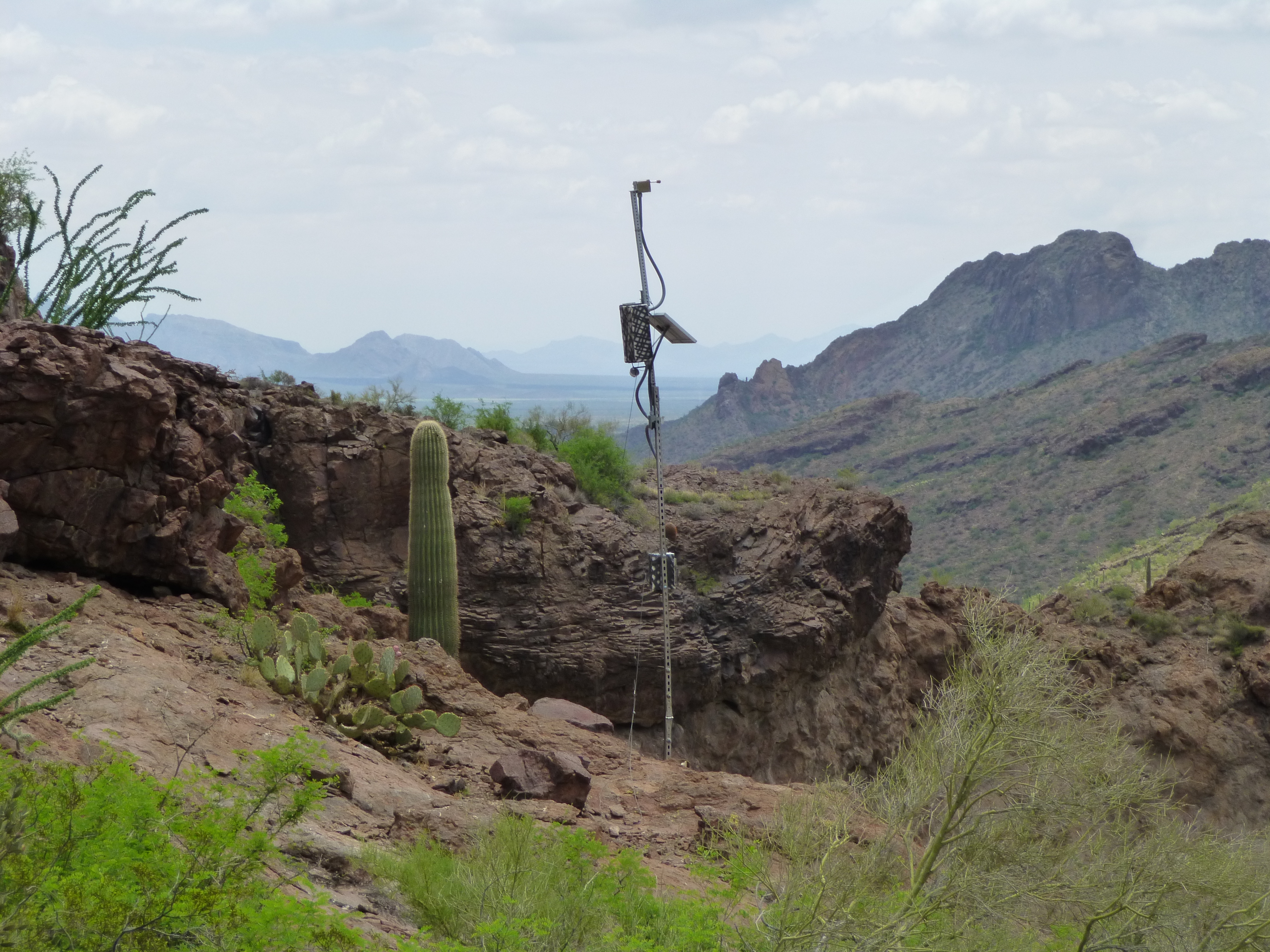
One more thing that caught our eye on the way out was this antenna. We suspect it was to monitor wildlife near a water-hole, as there was a motion-sensor camera mounted low down on the mast.
Clouds continued to build all the way down to the truck. By the time we’d changed out of our sweat-soaked clothes and had more to drink (a cooler with icy drinks awaited at the truck), it started to rain. And boy, did it rain! During the first several miles (the worst of the roads), the heavens opened and it poured. Water was running down the road in places. It all ended well, though, and we made it home by 5:00 PM.
An interesting day – 8 hours of driving, but only 6 hours out on foot. I drank 5 quarts that day, but should have carried 6 or 7. I never did actually get a cramp, but came awfully close – it showed me that I need to get out more often! And we still don’t understand anything about the mysterious road and why it was built.