
Please read the previous installment of this story called “The Roskruge Mountains – Part 1” before you begin this one.
Well, I now had 5 days of climbing in the Roskruge Mountains under my belt, and those days had yielded a total of 13 peaks. Two weeks passed before I was able to return to the range and by then I was rarin’ to go. It made a lot of sense to attack the remaining peaks by approaching them from the south, so I drove out to the town of Three Points (also known as Robles Junction). Even with my topo maps, it was confusing to try to navigate the dirt roads heading north out of town (many topo maps are decades old, and although the topography doesn’t change, roads can and do). Eventually I discovered something called Fuller Road, and with the help of an old-timer I met who knew the area well, I eventually headed north into the desert on the proper roads to end up parking near Batamote Tank.
Once I set out on foot, it was an easy walk over to and up my first goal of the day, Peak 3117. It looked untouched. After a few minutes, I headed back to my truck and drove east a mile or so, where I met up with a power-line access road. I drove it a while, then parked and continued uphill farther north. The road went up and down a few small ridges, and I eventually gained a final ridge near the summit. Finishing up by heading cross-country a short distance to reach the top of Peak 2937, I left my second register of the day. Each climb had only required a little over an hour.
On the way back out, I passed a feature called Corner Windmill and continued on to the most northerly settled area of Three Points. Parking on its west side, I quickly climbed up to the top of a hill upon which sat Toad Benchmark, tagged the top and was back down to my truck in 10 short minutes.
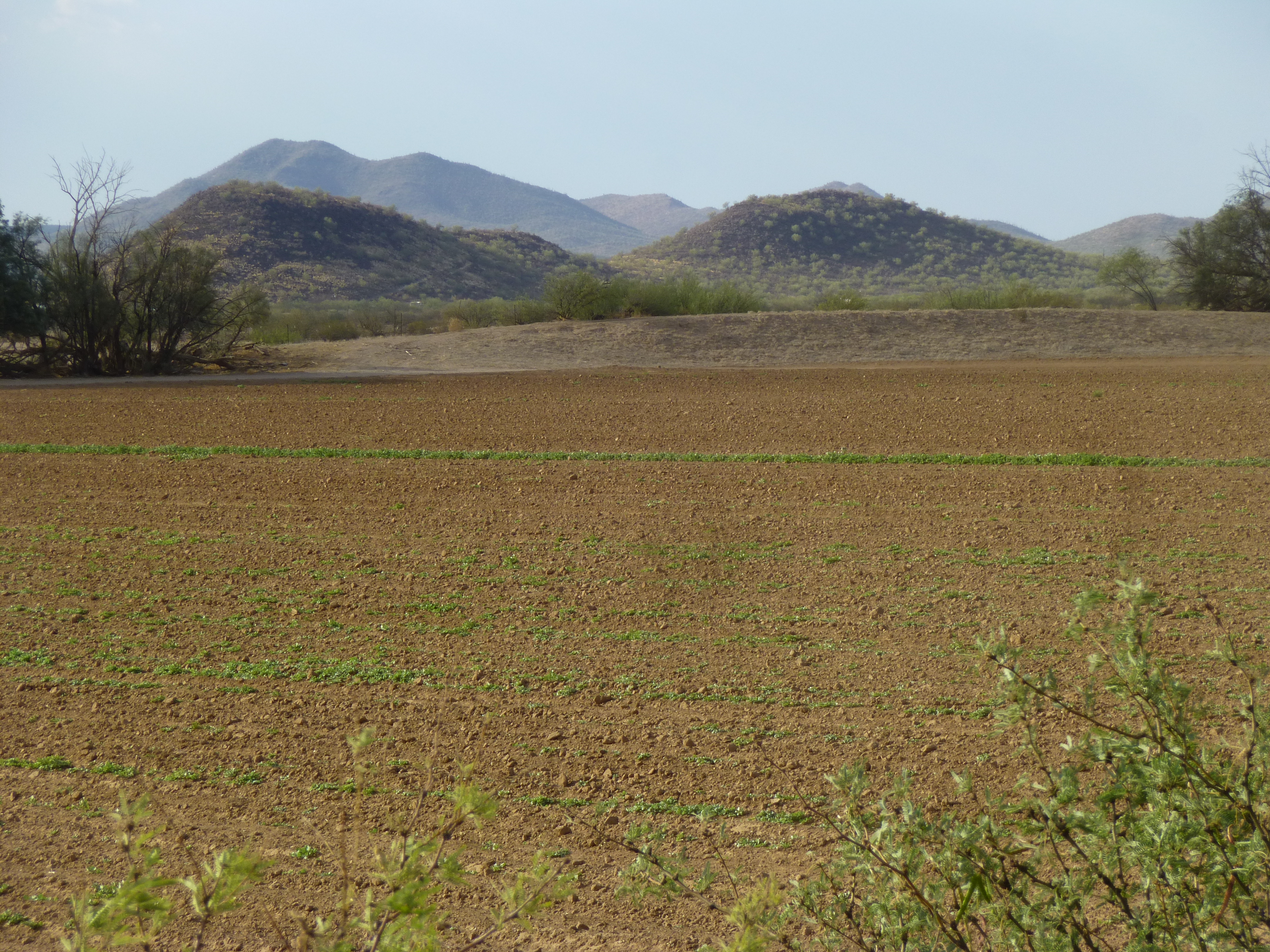
Looking north to Toad Benchmark – it is the right-hand bump of the two across the field
All the people living around it made me nervous – I could just see some guy coming out and telling me I was trespassing on his property. This had been a short day, and I was back in Tucson pretty early.
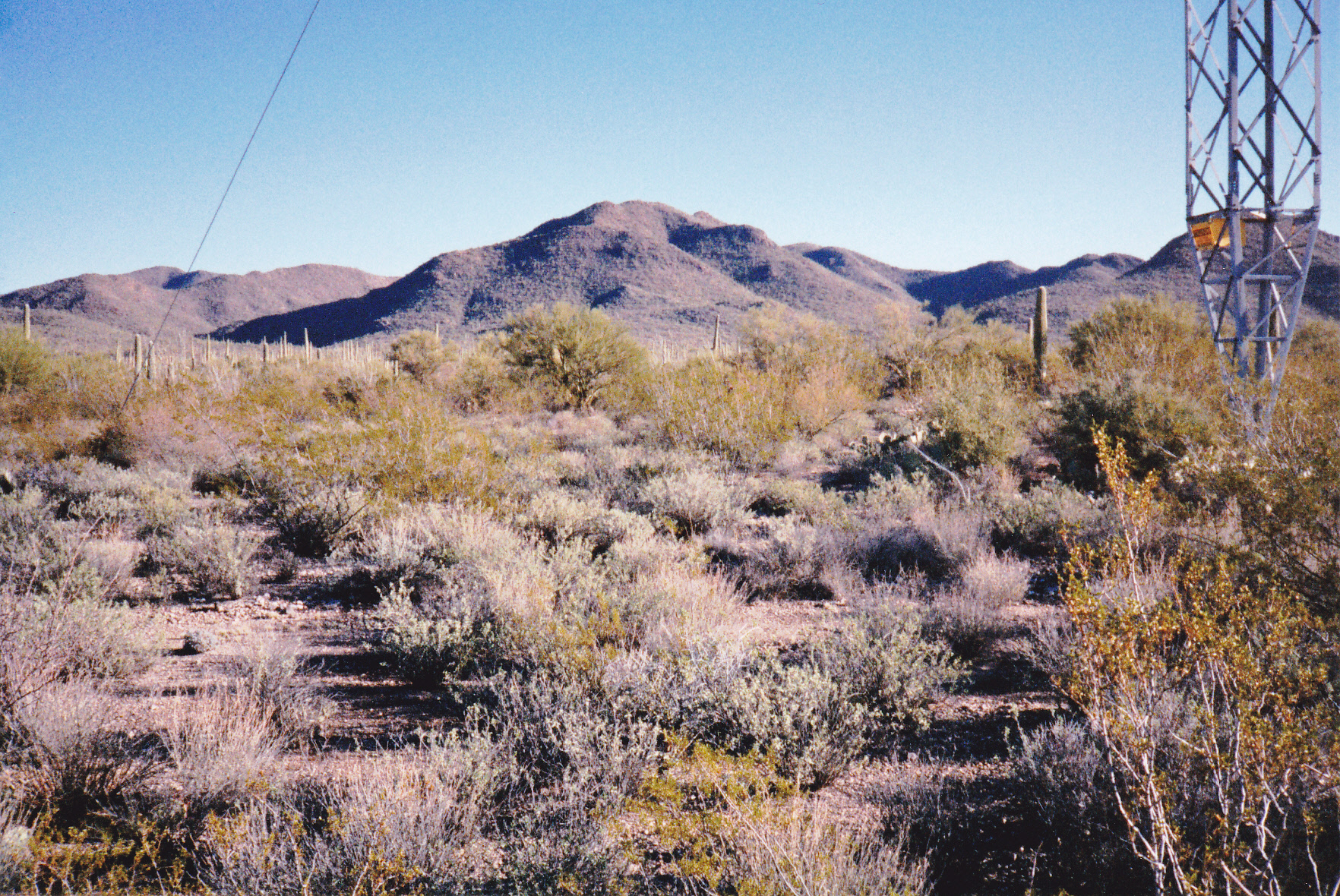
The very next day, Saturday December 6th, I headed out again. The driving seemed easier now that I knew the major access roads, and I soon found myself heading west along a high-voltage power line supported by huge towers. This made a convenient place to park, then walk southeast to the summit of Peak 3314. I didn’t expect to find a register there, and there was none, so I left my usual glass jar with tight-fitting lid, pencil and paper. This one involved almost 2 hours, just over 4 miles and about 750 feet of climbing, but who was keeping track? – the day was fine and it felt great to be out there.
Once back at my truck, I traveled a bit farther west and parked really close to Peak 3021. It was a pleasant walk north to reach it, and yes, I left a register there too. En route, I saw a big black-tailed jackrabbit. It’s been surprising how little wildlife I’ve seen in the range – too many cattle, but precious few other animals. And not a single person anywhere. As of today, 7 days spent in the Roskruge with 18 peaks to my credit. So far, so good – nothing untoward to report.
Another week passed, and the 12th saw me out in the range once again. It was a very cold morning – I saw ice on a puddle as late as 11:30 AM. Heading in via Fuller Road, I then drove west as far as Middle Windmill. Two roads go north from there – I chose the more westerly of the two, which was brushy in spots for the first mile, then pretty decent to Filtro Tank. Beyond that, it was tricky going to cross 2 washes, and after that it became really brushy. I finally gave up and stopped less than half a mile from Rocky Point.
Looking north to Rocky Point
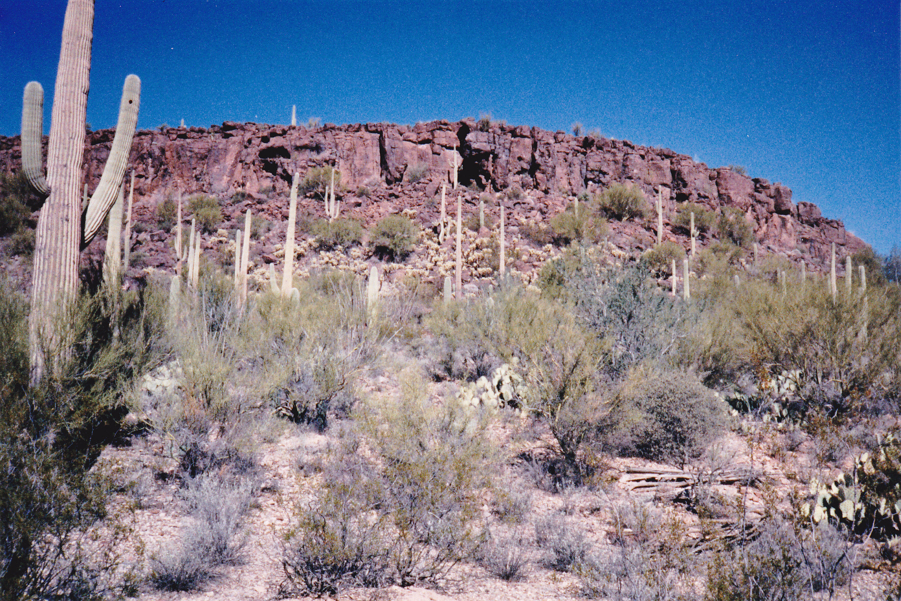
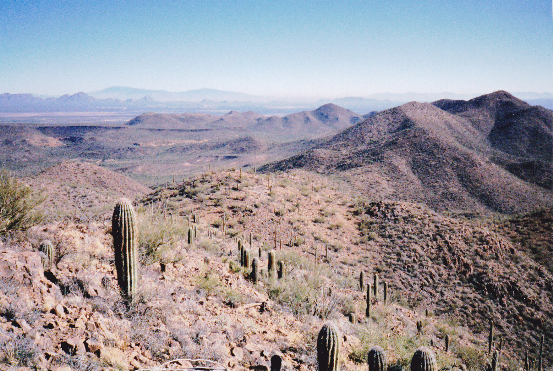
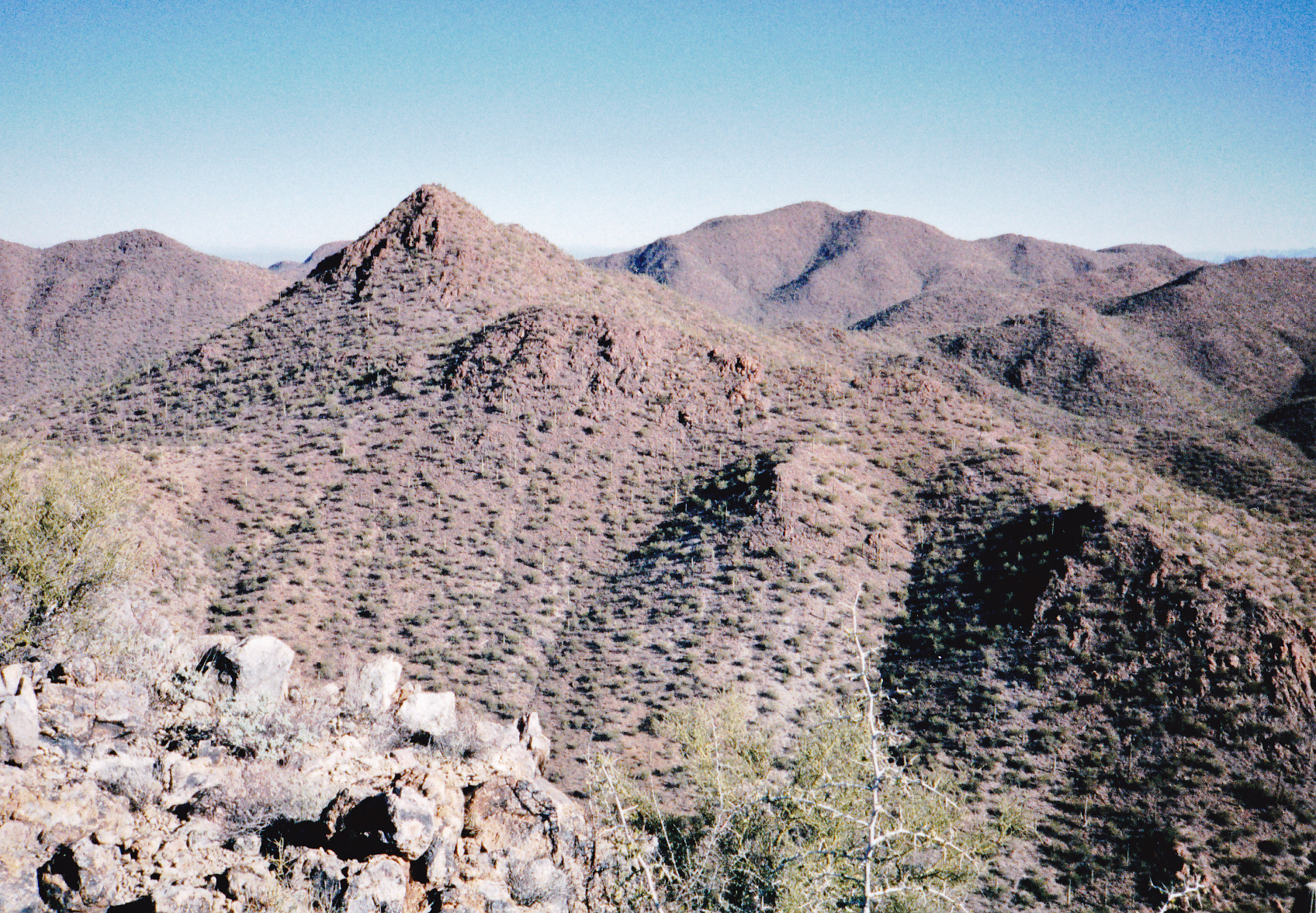
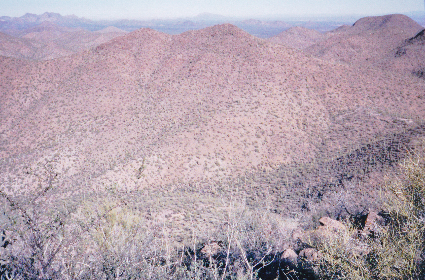
From there, I walked the road – just below Rocky Point, it turns east along the reservation boundary fence. At both that turn and the one where it turns north once again, the wire gates were open. “Leave ’em as you find ’em”, I’ve always said. Soon, I passed Rocky Point Tank. On the map, something shown as a “pack trail” continues north, but it’s nothing more than an overgrown cow-path. It didn’t take long to arrive at a saddle, and from there I meandered northwest up the long, flattish ridge to the top of Recortado Mountain. The views were terrific in every direction. Here’s a photo I took on the summit – the view is to the north.
On top of Recortado Mountain
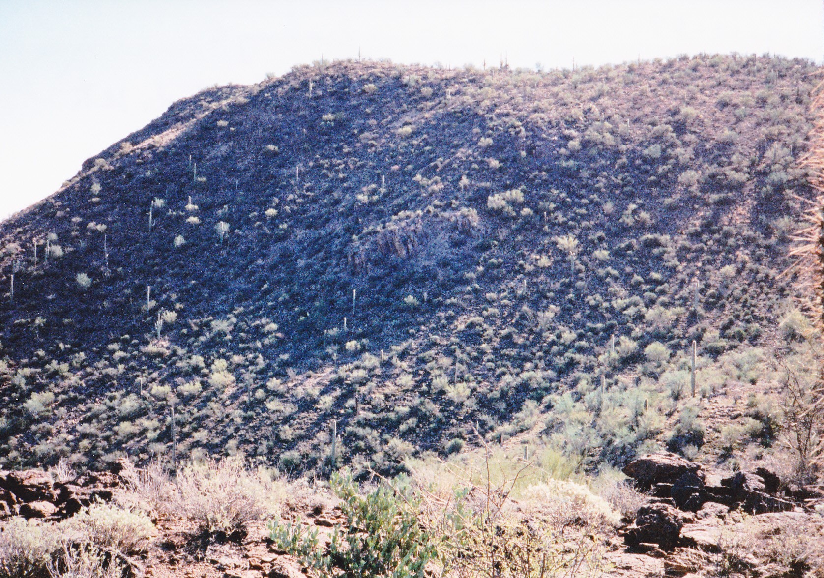
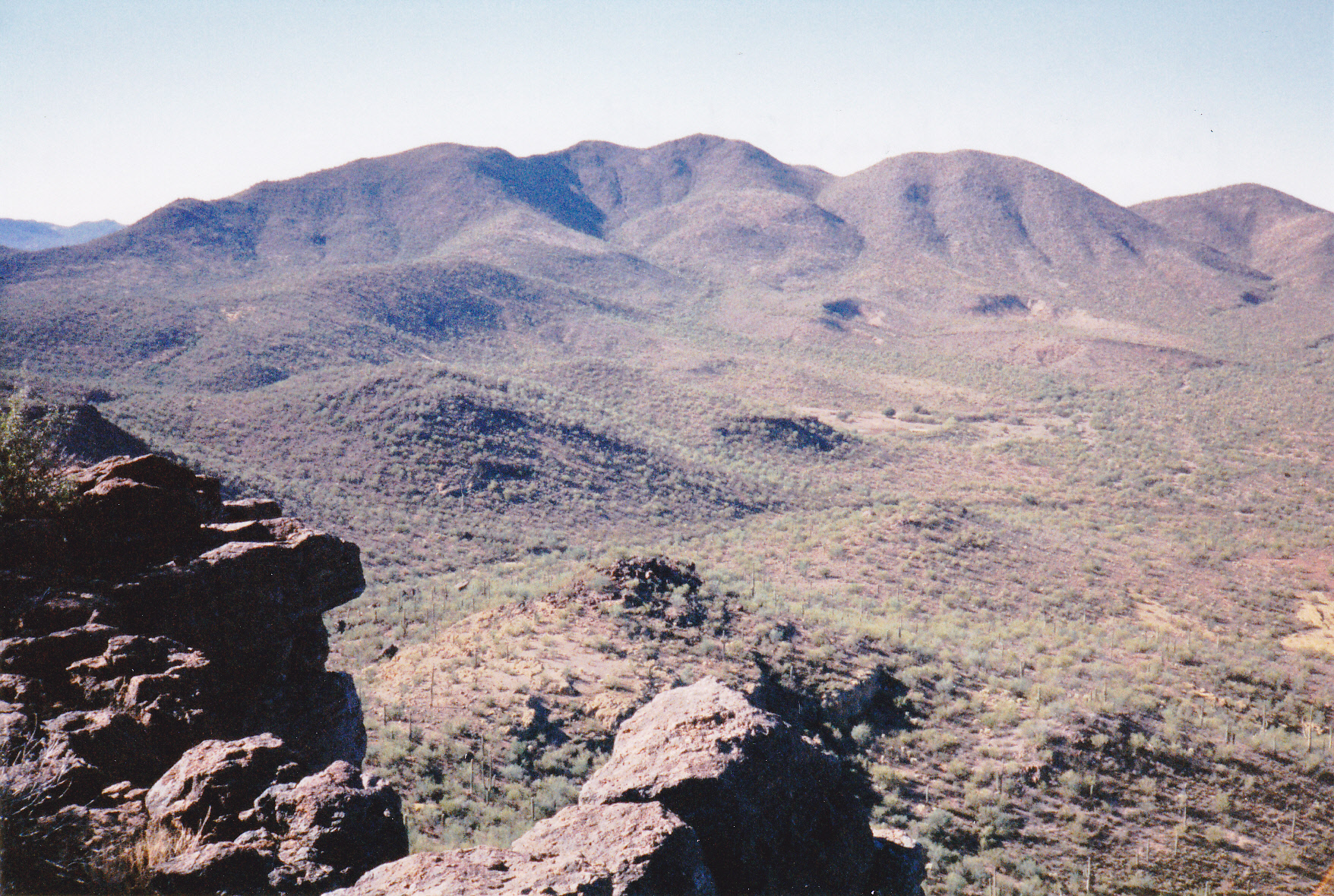
And here’s a view from another peak, looking east – Recortado is the flat one, the dark line on the left, down about a third of the way from the top. The Spanish word recortado can have various meanings, but in this case it’s more like “cut” or “trimmed”, I think alluding to the flatness of its top, as if it’s been sliced clean off.

A view of Recortado
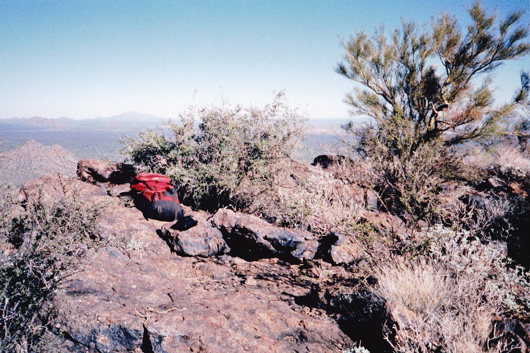
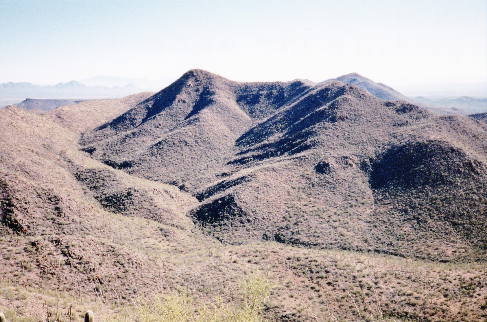
Making my way back to the saddle by a more direct, easier route, I then climbed up-slope to skirt Point 3196 on its north side, then over to Peak 3210, whose highest point was the most easterly bump. Then something very cool happened. As I walked along the summit ridge, some movement caught my eye off to the left – it was a huge golden eagle, gliding silently past. It was within 50 feet of me and at my level – and gone in a moment. That’s a perk of getting out into wild areas, seeing magnificent creatures like this one. Yep, I left a register on this one too – this range was turning out to be quite productive, and I was feeling like something of a pioneer – at least in a mountaineering sense. And my luck continued – as I descended from the summit via a wash to the southwest on my way back to Rocky Point Tank, I flushed a reddish-brown fox with a big bushy tail. I wish I’d had a better look at him. Once back at the tank, it was an easy walk back to my truck.
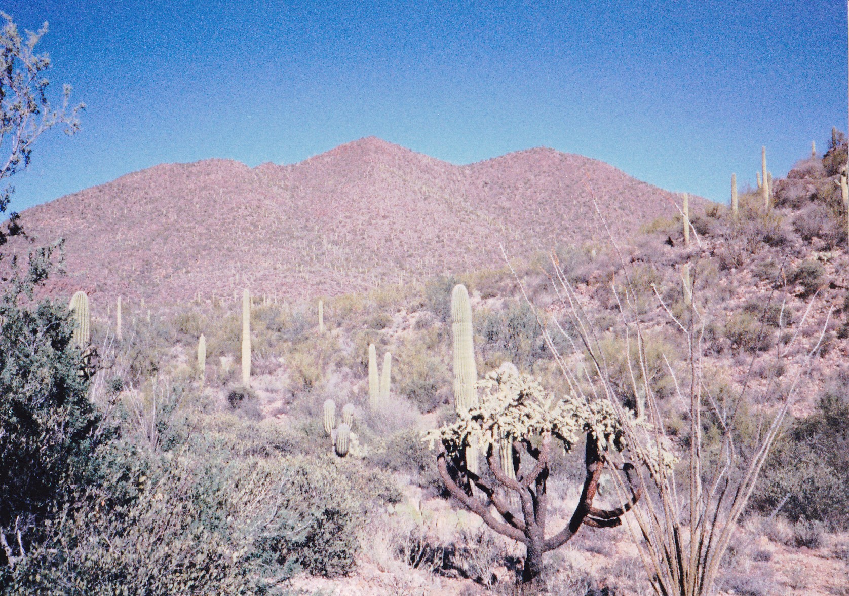
Here’s a look I had of Peak 3210 from Recortado. Sorry about the quality of these 20-year-old photos – these are scans of hard-copy prints.
Looking east to Peak 3210
After a 15-minute lunch break, I set out again from the truck, this time east, climbing over a low hill and then up the west slope of Peak 3465. I don’t mean to sound like a broken record, but I left a register there too – mentioning them helps give historical context to what was going on in the range at the time.
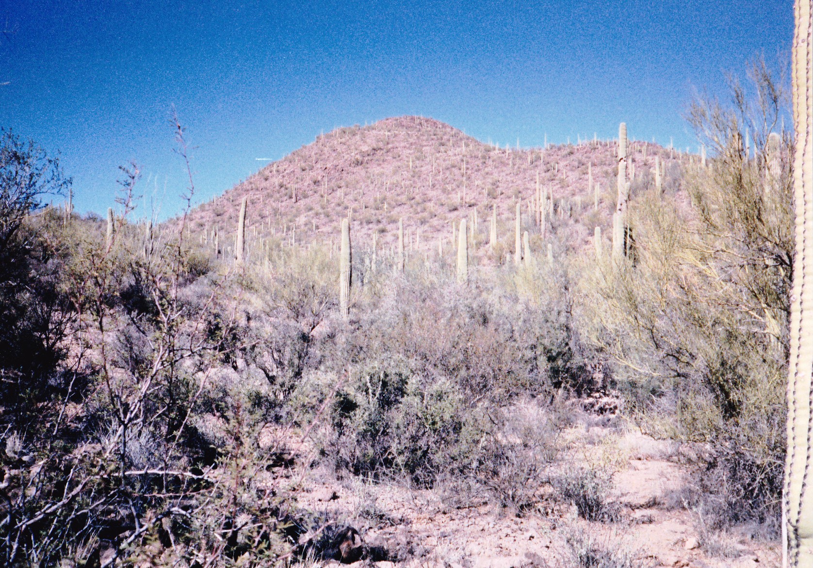
It seemed like there was enough time to do one more, so I drove all the way back out to Filtro Tank, to Point 2709, then along a lesser road to the northwest. Once I parked, I set out to the northeast. It was still quite cold, 53 degrees F (cold for southern Arizona on a winter’s day). The slope of Roskruge Benchmark was steep and rocky, the weather sunny and windy. On top, I found the benchmark itself as well as a lot of old surveyor trash (flares, wooden poles, wire), and – a register! It had been left by the Southern Arizona Hiking Club in Tucson, and I gladly signed in. I have three views of the peak to show you.
Looking east, Roskruge BM is on the far right.
North to Roskruge BM
Looking southwest to Roskruge BM – it’s the highest one, right in the middle
As I dropped steeply back down to the truck, I couldn’t help but think how the mountain’s south side would make a terrific spot from which to parapente. As I drove home, I counted 22 of my objectives now climbed – almost half-done.
Day 9 – Tuesday, December 16, 1997 – four days had passed since my last visit. The weather was perfect as I drove in in the usual way via Fuller Road. Out to Middle Windmill, then several miles more along the very good power-line road put me at the parking spot I’d planned from the maps. This was back in the days before climbers had extra tools like satellite photos to help us research and plan things, but my starting point was as I’d expected. My goal today was to do a loop in a remote part of the range and climb 4 peaks in one push.
By the time I left my truck, it was already 9:30 AM, and the day was getting on. My first goal was a peak just a short distance away, Peak 3449. It took less than 45 minutes to reach its summit, and once there, I had a great view to my next one, Peak 3557
Looking northwest to Peak 3449 – it’s the one on the left.
Here’s my view north to the next peak, 3557.
Looking north to Peak 3557, the pointed one on the left
Once done with 3449, I dropped down its north side to a saddle, from which I climbed a meandering route up Peak 3557. So far, so good. From its summit, I took plenty of time to study the land below – there were 2 more mountains to climb, but I wanted to do them as efficiently as possible. That’s one advantage of being on a mountain-top – you get a bird’s-eye view of the land below and it’s usually better than what you can see once you’re down in the middle of things. I dropped down the northeast ridge of 3557 to a kind of hollow surrounded by 4 peaks. I still remember it vividly 20 years later, a flat area enclosed by ridges and summits – it felt totally isolated, far removed from everything else, as I couldn’t see out of it.
When I had dropped down to that spot, I spotted the remnants of a weather balloon, something I don’t find very often. I decided to leave my pack there, out in the open where I could easily spot it upon my return – I had no concern about anyone stealing it. Here’s a look at the next mountain I wanted to climb.
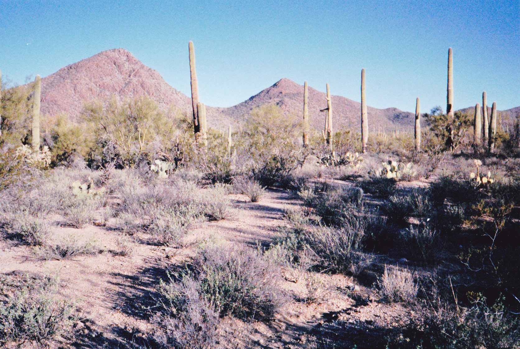
A view to the northwest, to Peak 3492
Oh yes, I also took this picture from the top of my previous peak, and in this view I’m looking north.
Looking north to Peak 3492
That climb was a straightforward 500 feet, and I didn’t stick around long once I reached the top of it, Peak 3492. Once I was back down at my pack, it occurred to me that I was only a mile away from Pescadero Mountain – remember that one from over 3 weeks ago? – I had come full circle and was now on its south side.
I grabbed my pack and started up the 4th peak of this group, heading southeast. Up a couple of hundred feet to cross a ridge that was in my way, then down as much again into a wash, then finally a 700-foot climb up to the highest one of this group of 4, straight up its steep northwest ridge directly to the summit. Ta da! Peak 3670. I ate lunch and phoned home, telling my wife to please make a note of where I was. Oh yes, I left a register on top of all 4 of these peaks, because I found none on any of them.
Looking east to Peak 3670, taken earlier in the day.
When it was time to leave, I headed down the southwest ridge, which was steep and rocky in places, and a thousand vertical feet later I found myself back at my truck. This circuit of 4 peaks had taken almost 5 hours, covered 8.4 miles and cost me almost 3,000 vertical feet. In retrospect, it would turn out to be one of my most enjoyable days of the project. By the way, here’s a photo I took from the truck, looking back at the last peak.
Looking from the truck, northeast to Peak 3670
Maybe I could do one more climb to end my day. After drinking a lot (I was pretty dehydrated), I hopped in my truck and continued northwest along the power-line road. Before long, I passed through a wire gate and crossed into the Tohono O’odham Indian Reservation – there were no markings or signs of any kind denoting that fact. A few more miles and a few other roads later, I found myself parked near something called La Tortuga Butte. Right away, I headed out on foot, crossed the very large Aguirre Wash and scrambled up to the top, which afforded great views of the range from the west side as well as long views up the Aguirre Valley. While on the summit, I saw an ultralight aircraft flying overhead. On the way down, I almost walked straight into a nest of wild bees – I discretely changed my route to give them a wild berth.
A few poor choices of alternate roads on my way out cost me some time getting back to pavement, and it was well after dark by the time I reached home. Nevertheless, it had been a great day – with today’s 5 peaks, it was my best day yet in the range. And with a total of 27 now done, I felt I was deeply into the project. What adventures lay ahead?
Please stay tuned for the next part of this story, entitled “The Roskruge Mountains – Part 3”.