
In February of 2013, a wonderful thing happened – 3 of us spent some very fine days in an obscure Arizona range called the Tank Mountains. We were impressed with the beauty of the peaks, their remoteness and the solitude we experienced. Almost 5 years passed, and it felt like we needed to go back. On that first trip, we climbed a total of 5 peaks that had never seen a climber before us. It wasn’t just the fact that these peaks were “virgins” (meaning “unclimbed”), but also the fact that the whole area was just so damn beautiful. Luke and I couldn’t interest anyone else in returning there with us, so it would just be we two for a Christmas trip.
On Boxing Day, which everyone of course knows is the day after Christmas, Luke and I met at Dateland, Arizona. All that’s there is a gas station and a restaurant. If you’ve ever been there, you know it as the home of “the world-famous date shake” (they have their own grove of date palms, and the shakes are awfully good). We took the opportunity to fill our gas tanks, as our plans included many miles of remote driving far from any fuel or help. One last phone call home to let my wife know we were heading off the grid, and away we went.
The first bit was easy, about 11 miles of pavement heading north. After that, it was nothing but dirt roads. Luke had been there within the last year, so knew the route well. He had a GPS track through a difficult stretch past the eastern tip of the Palomas Mountains, and that helped a lot. Here’s what we saw as we started through.
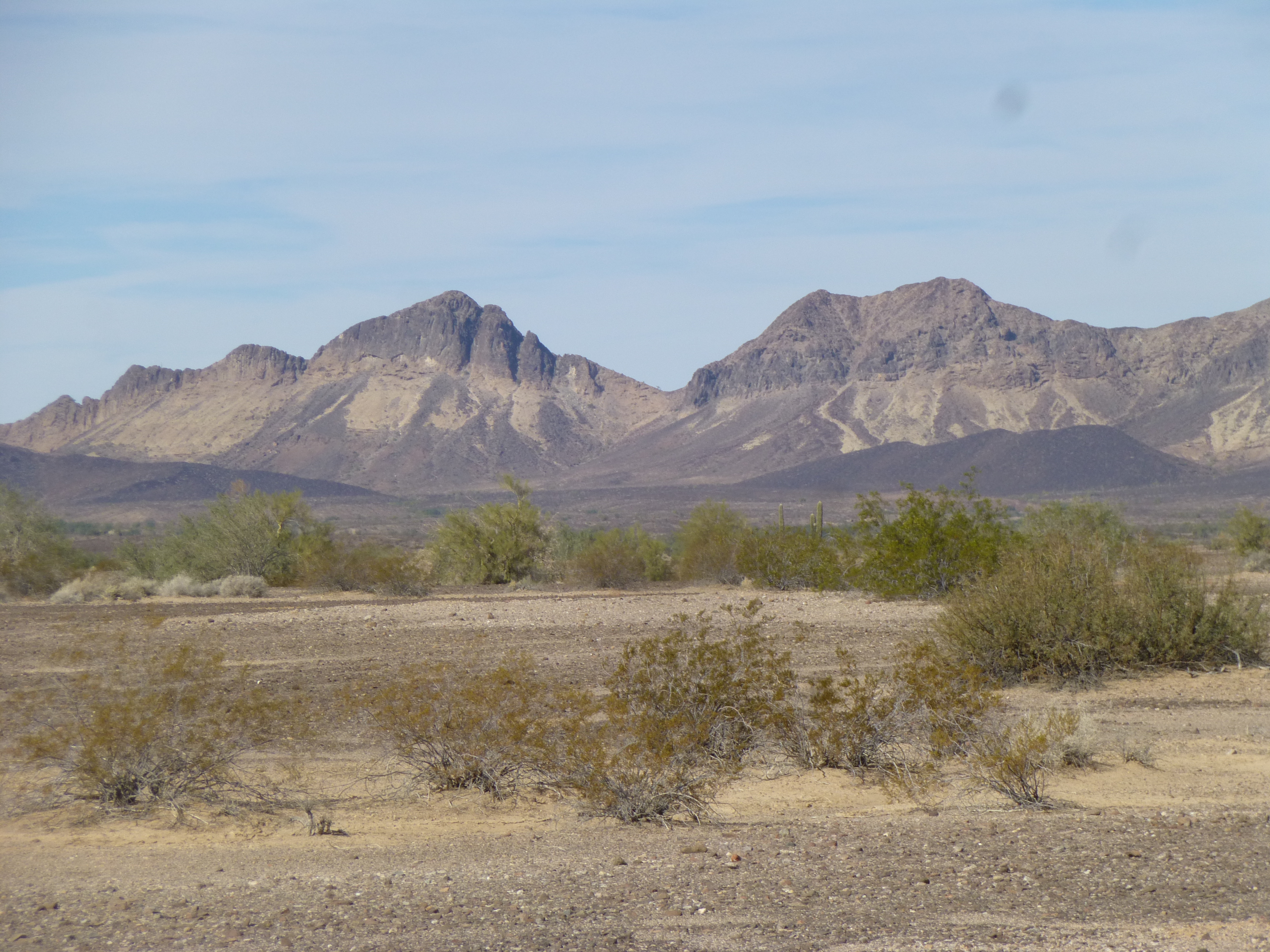
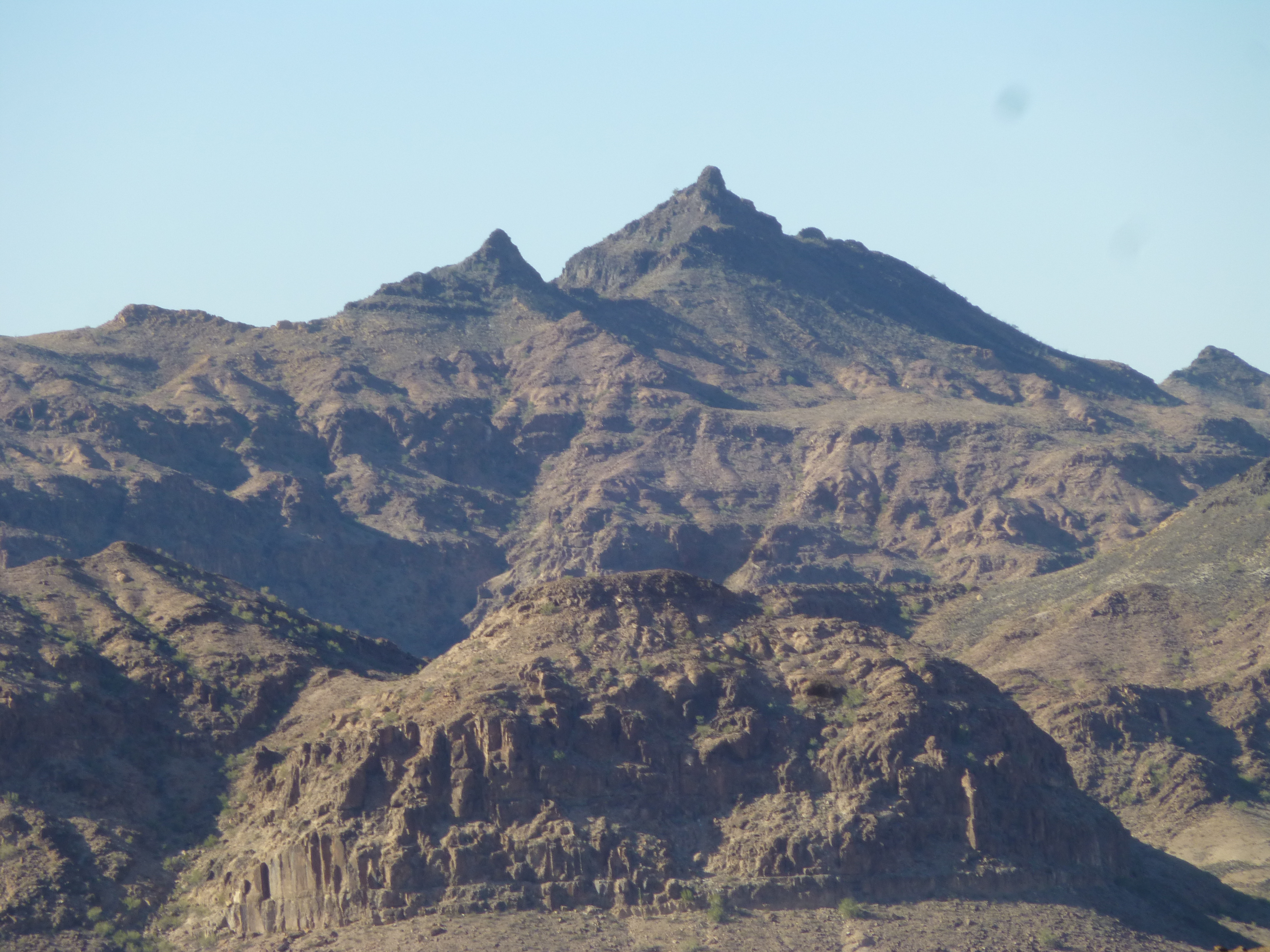
The Palomas Mountains
Convoying in 2 vehicles meant that staying in touch was very important. We are both licensed ham-radio operators, and although we tried our 2-meter radios for that purpose, they were unsatisfactory – we switched to FRS radios with great success. There is a large area of irrigated agricultural fields by which we needed to pass, through a quarter-mile-wide gap separating it from the tip of the mountains. The roads there, if you can call them that, were just deep, dusty ruts – frustrating, confusing, 2 miles of aggravation. Get through it, we eventually did, and found ourselves on a flat, easy road heading northwest. Now we could make some progress. A few quick miles later, we passed Snyders Well, or what was left of it.
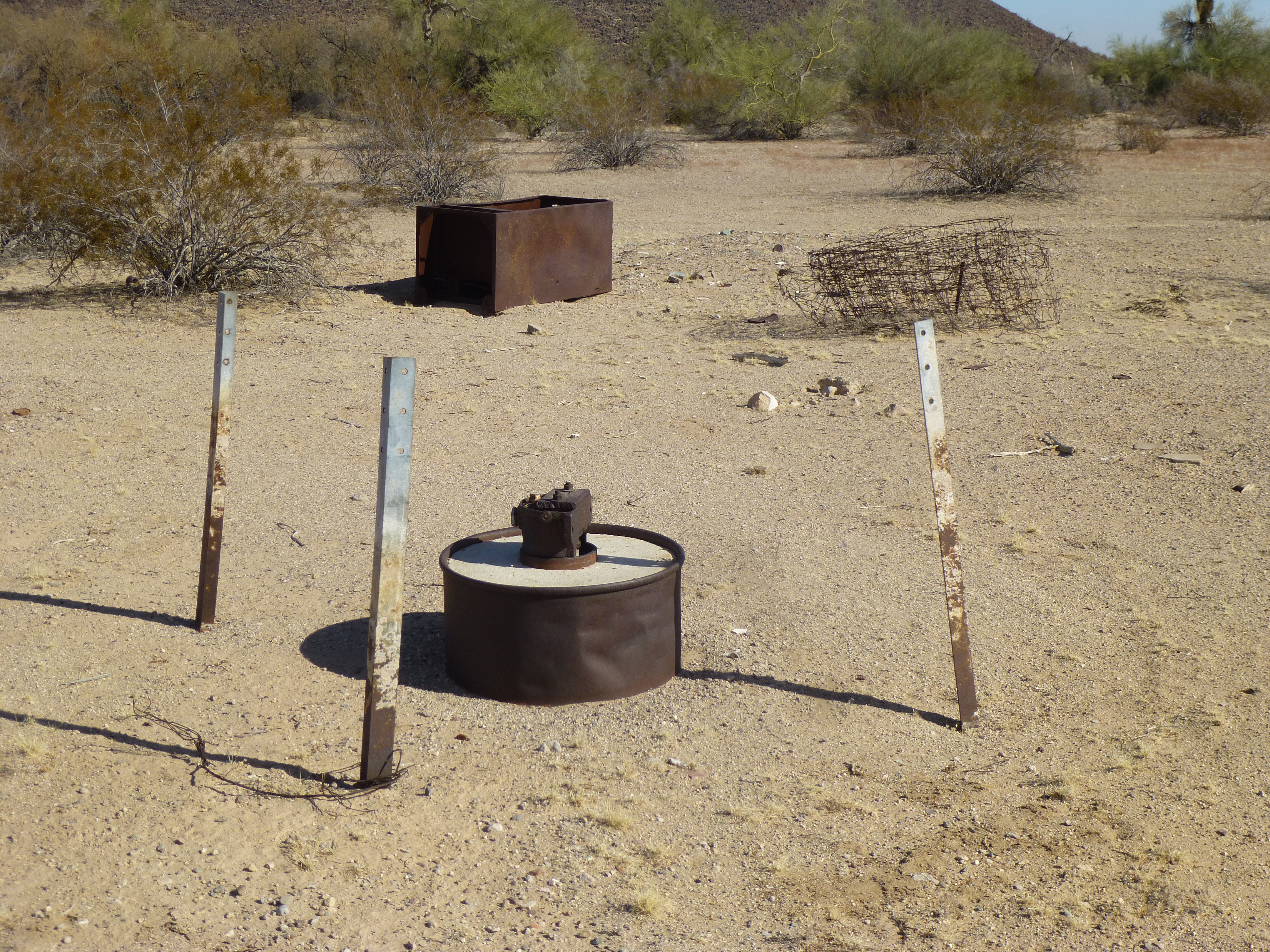
Snyders Well, capped some time ago
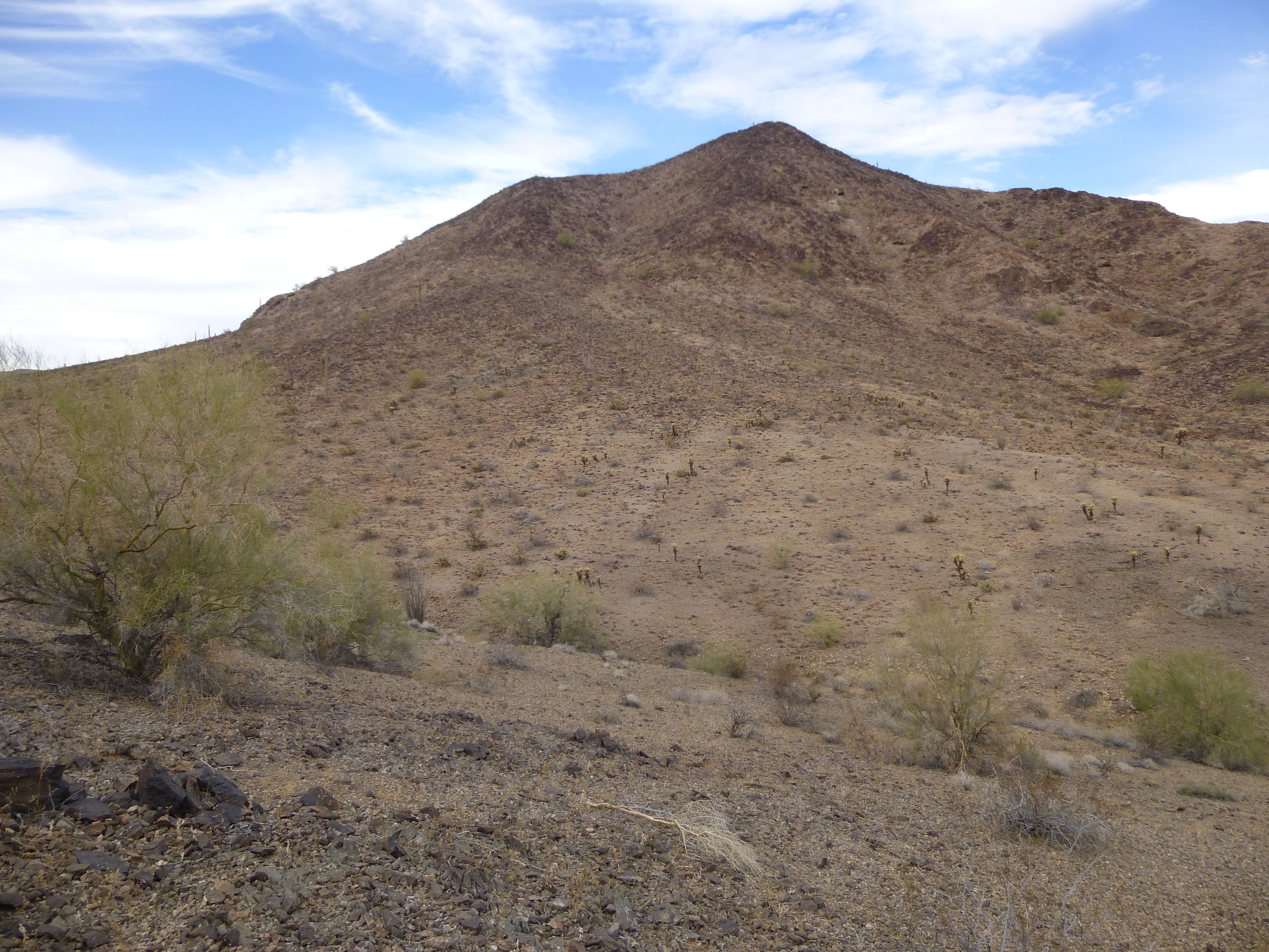
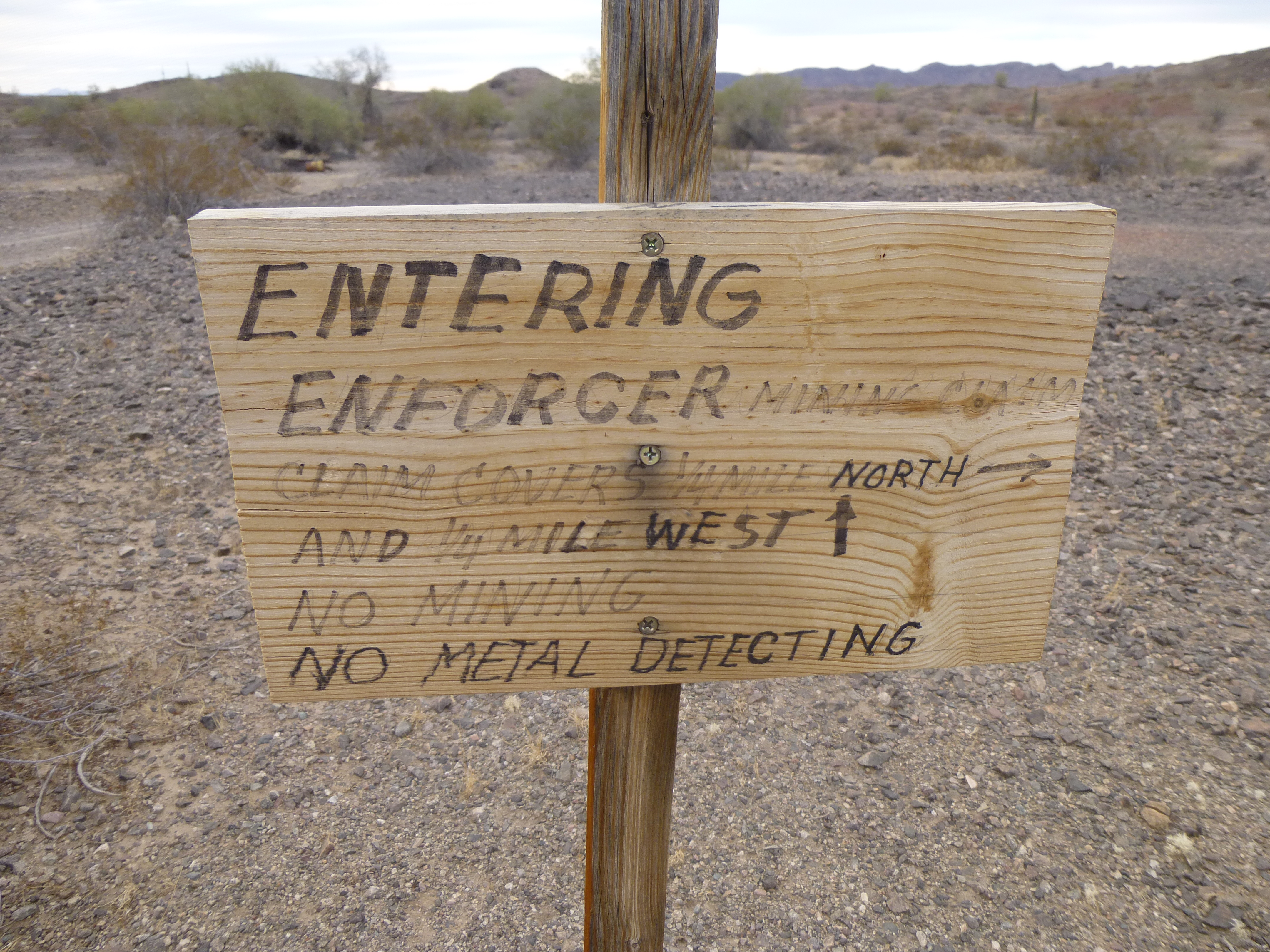
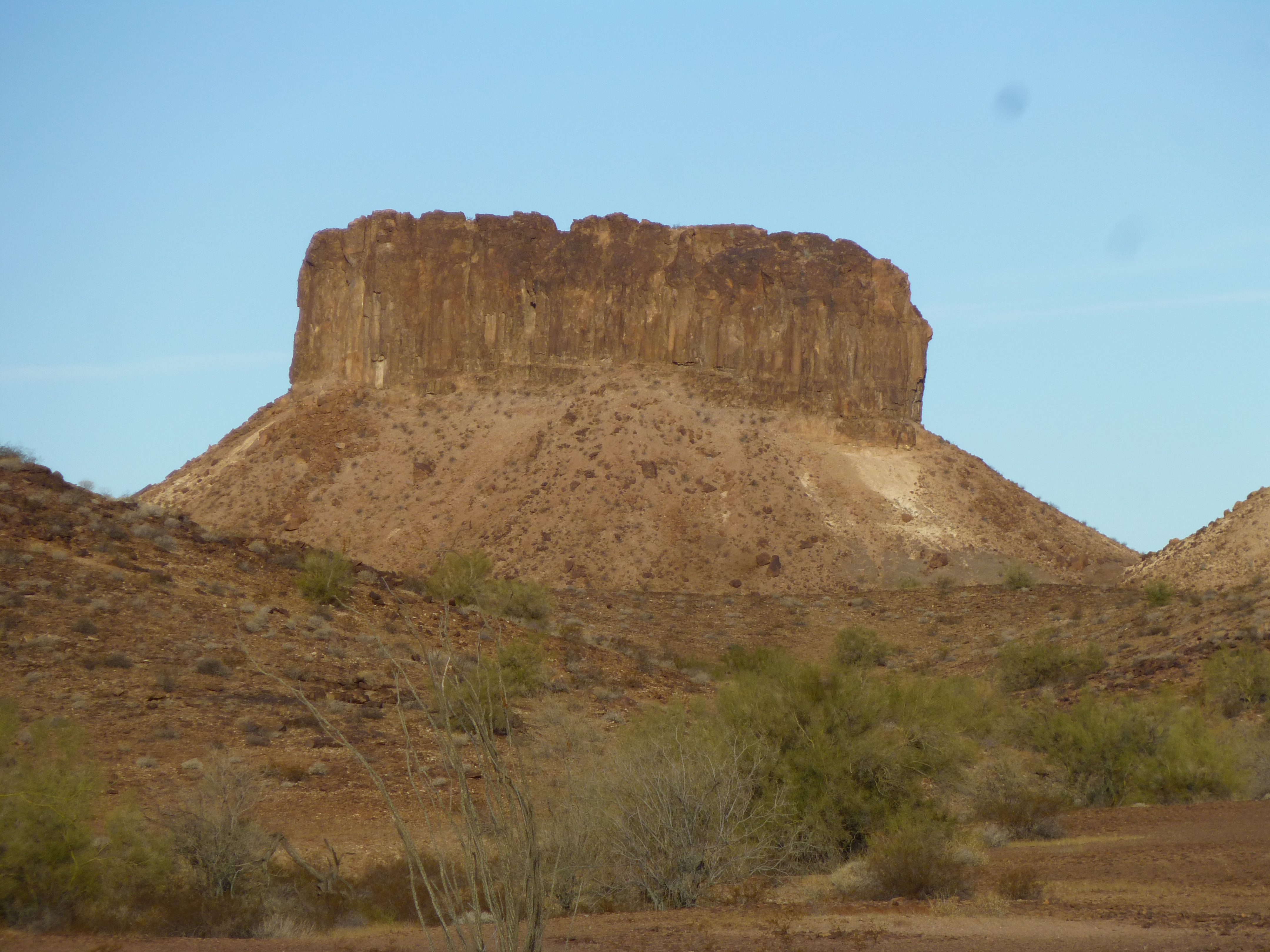
The first area we wanted to visit was one we had labeled “The Mining District”, simply because it was festooned with adits, shafts and all sorts of old mining activity. Two peaks were there which had caught our eye, and it was mid-afternoon when we parked and set out to bag them both. Starting south of the Golden Harp Mine, we followed a wash and then climbed a couple of hundred feet to cross over an intervening bump. Before we knew it, we were on top of Peak 1430. Strangely, there was no sign of a previous ascent – we left our mark.
The south side of Peak 1430
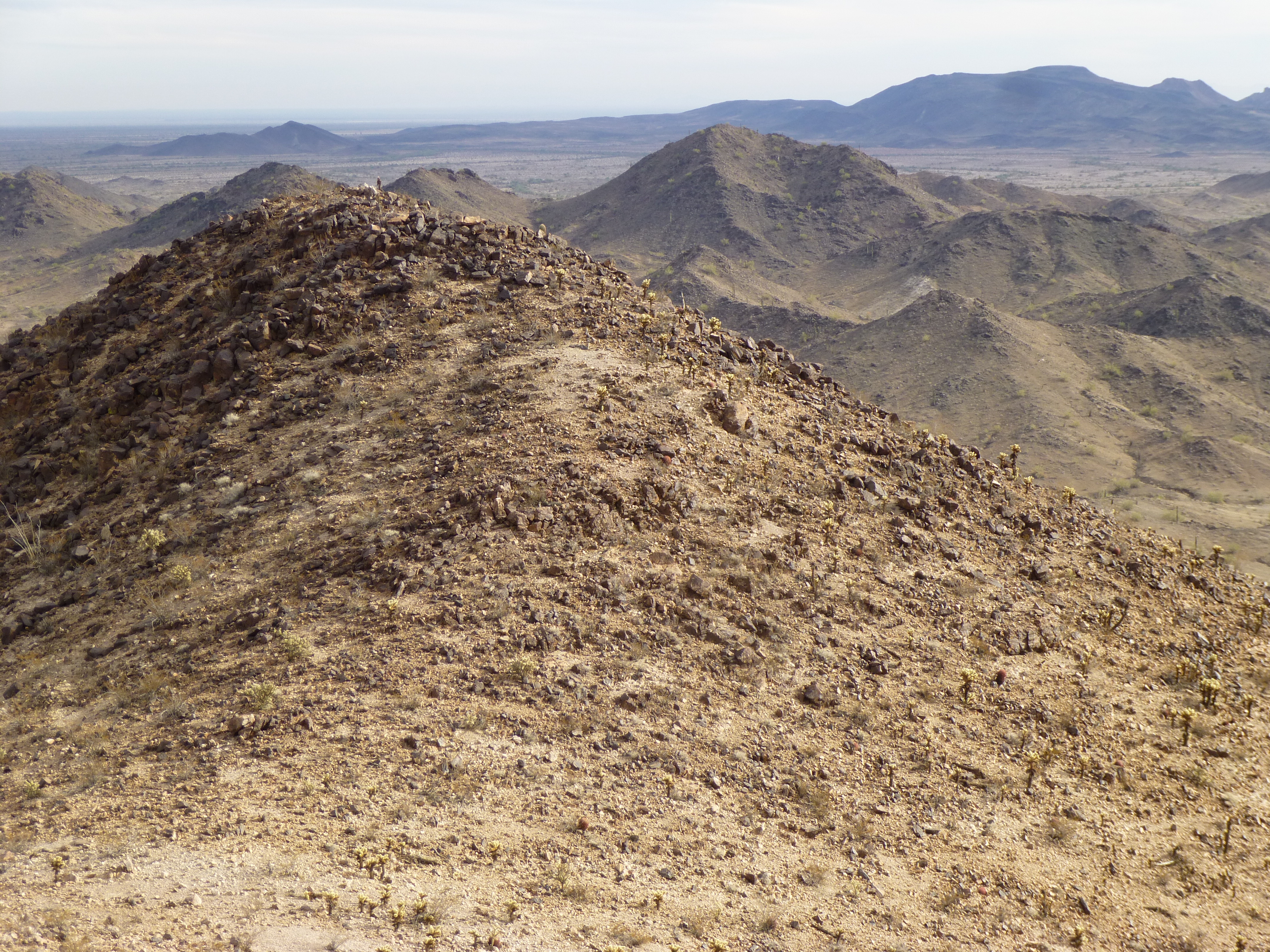
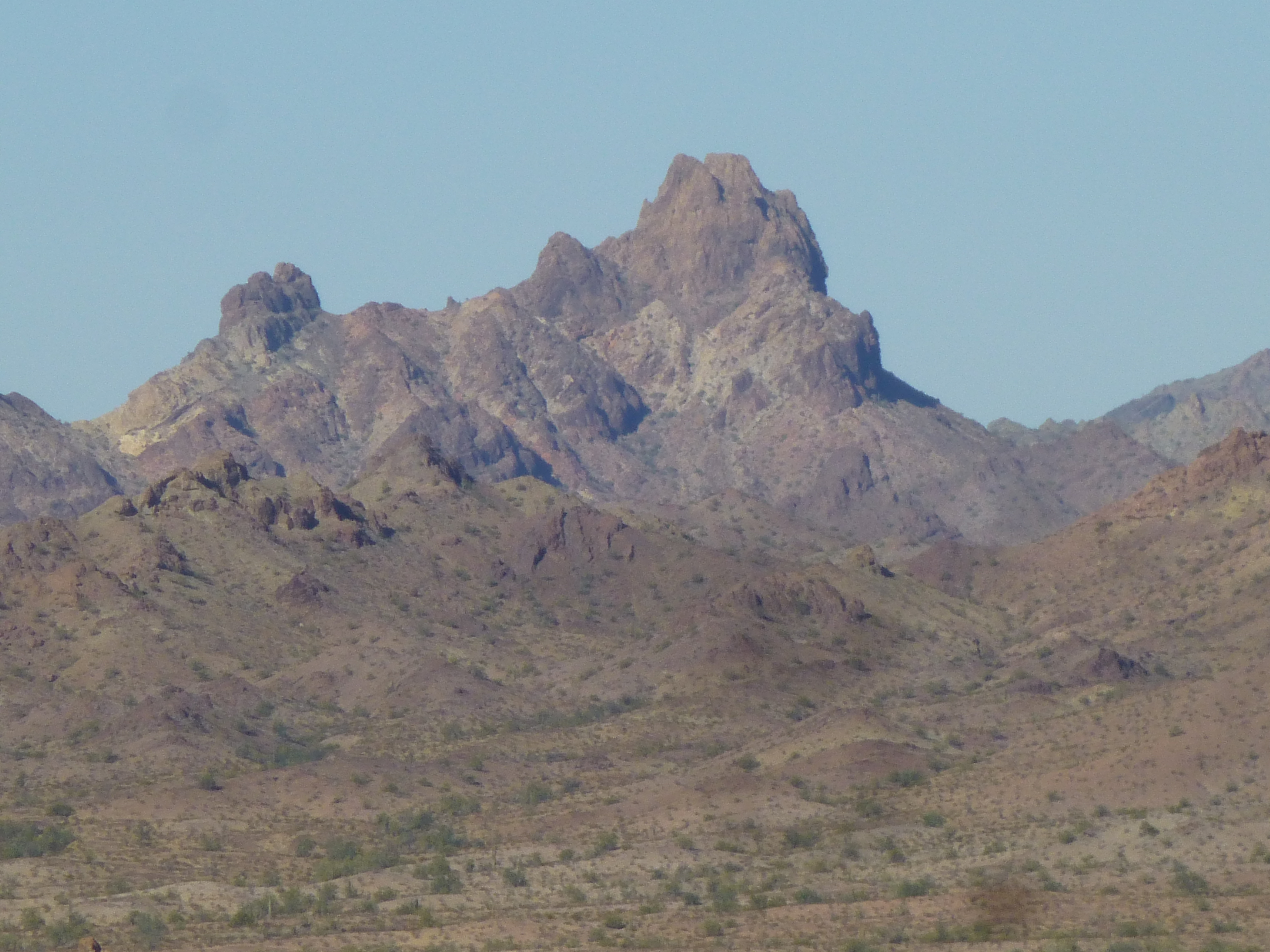
Here’s Luke on the summit. Behind him lie the Tank Mountains, our home for the next week.
Looking northwest to the Tank Mountains
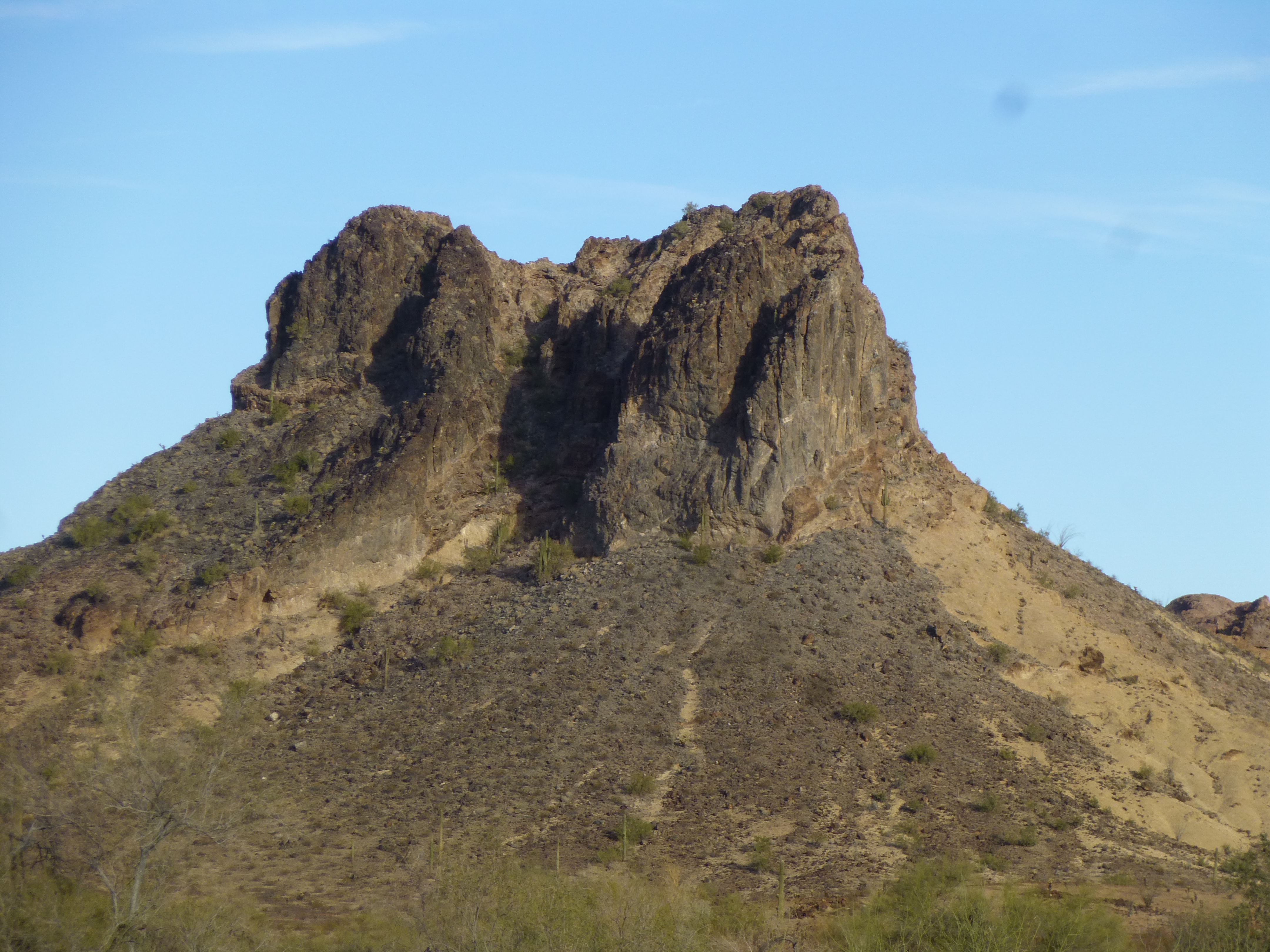
This was a good start to our trip. We soon left by the southeast ridge, and continued in the same direction overland towards our next peak, crossing over a series of bumps. Have a look at this next photo – our second summit can be seen to the right of center, the dark one in the middle distance. It was an easy stroll over to it, Peak 1330. Once again, we were the first climbers to visit its summit. By the time we’d descended a fun ridge and made it back to our trucks, 3 hours had passed and almost 5 miles covered.
Peak 1330
This whole area was littered with the remains of mining activity, both past and present. Our label of “The Mining District” seemed appropriate.
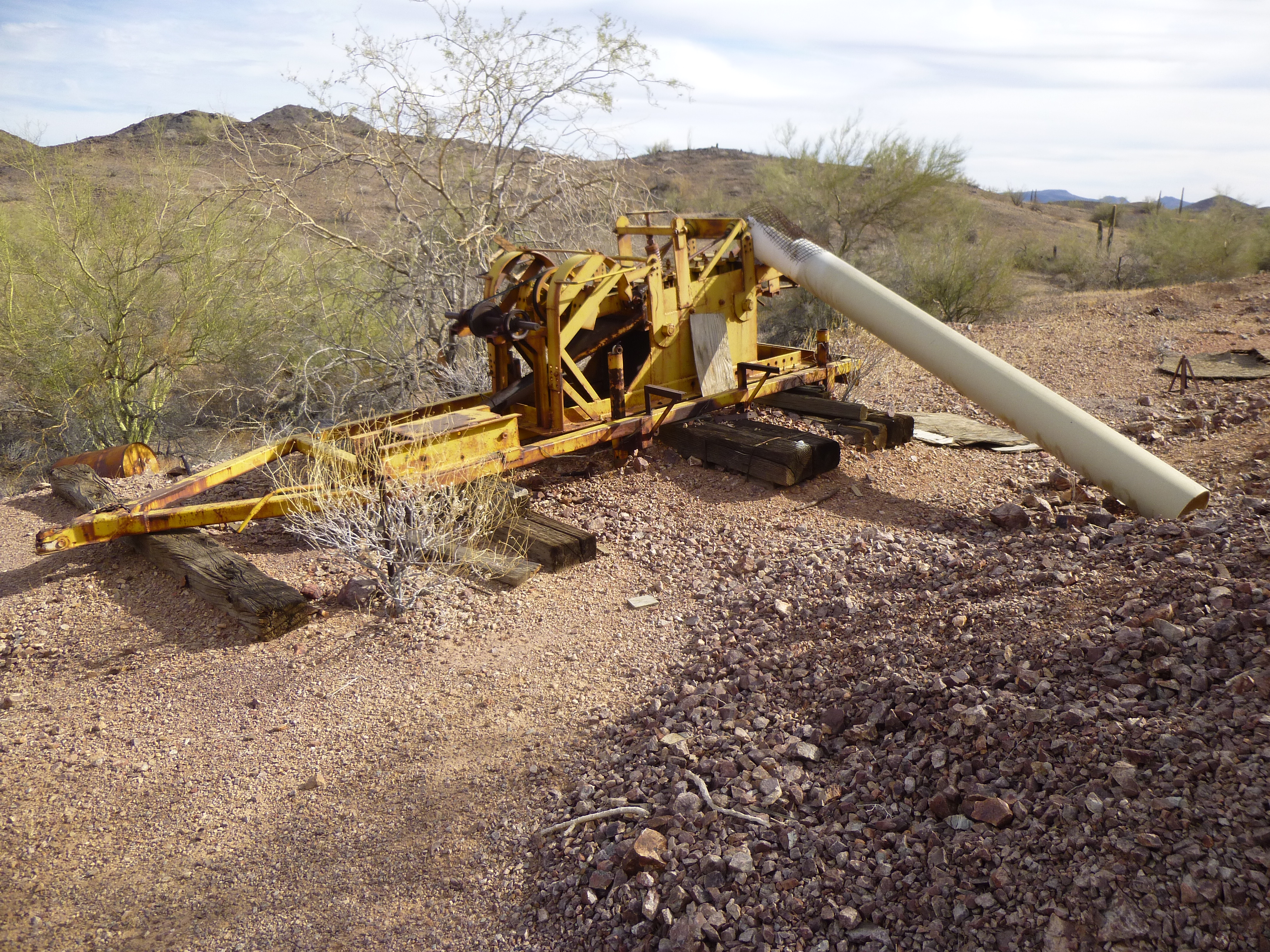
Cast-off mining crap littering the landscape.
Better watch out!
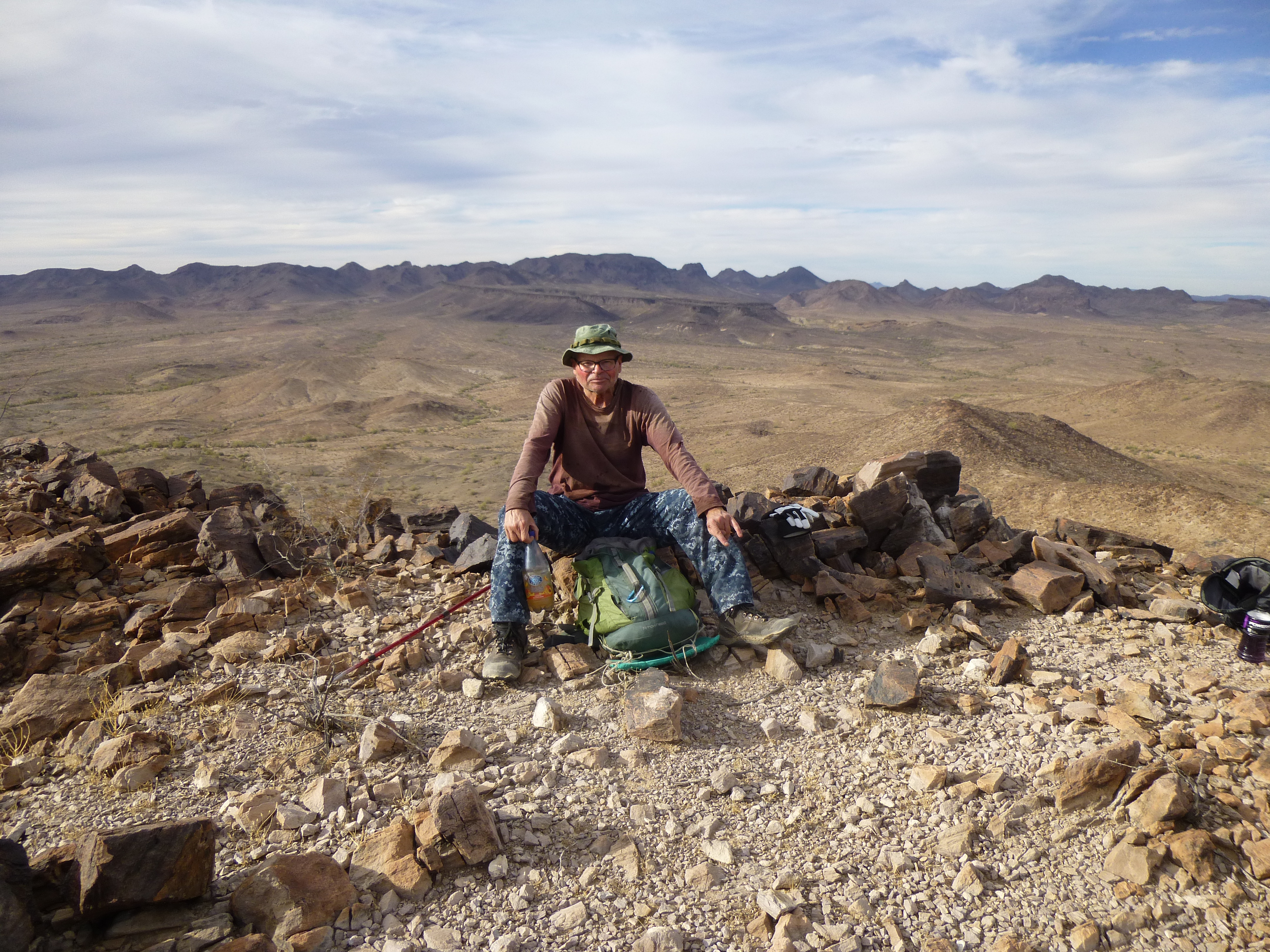
A campfire at night is always a pleasure. Many are surprised to learn that the Sonoran Desert is the most vegetated in the world, so there is no shortage of dead wood all about to be used as firewood. This first night was no exception, and it was something we planned to enjoy every night. So ended Day 1. Total so far – 2 peaks.
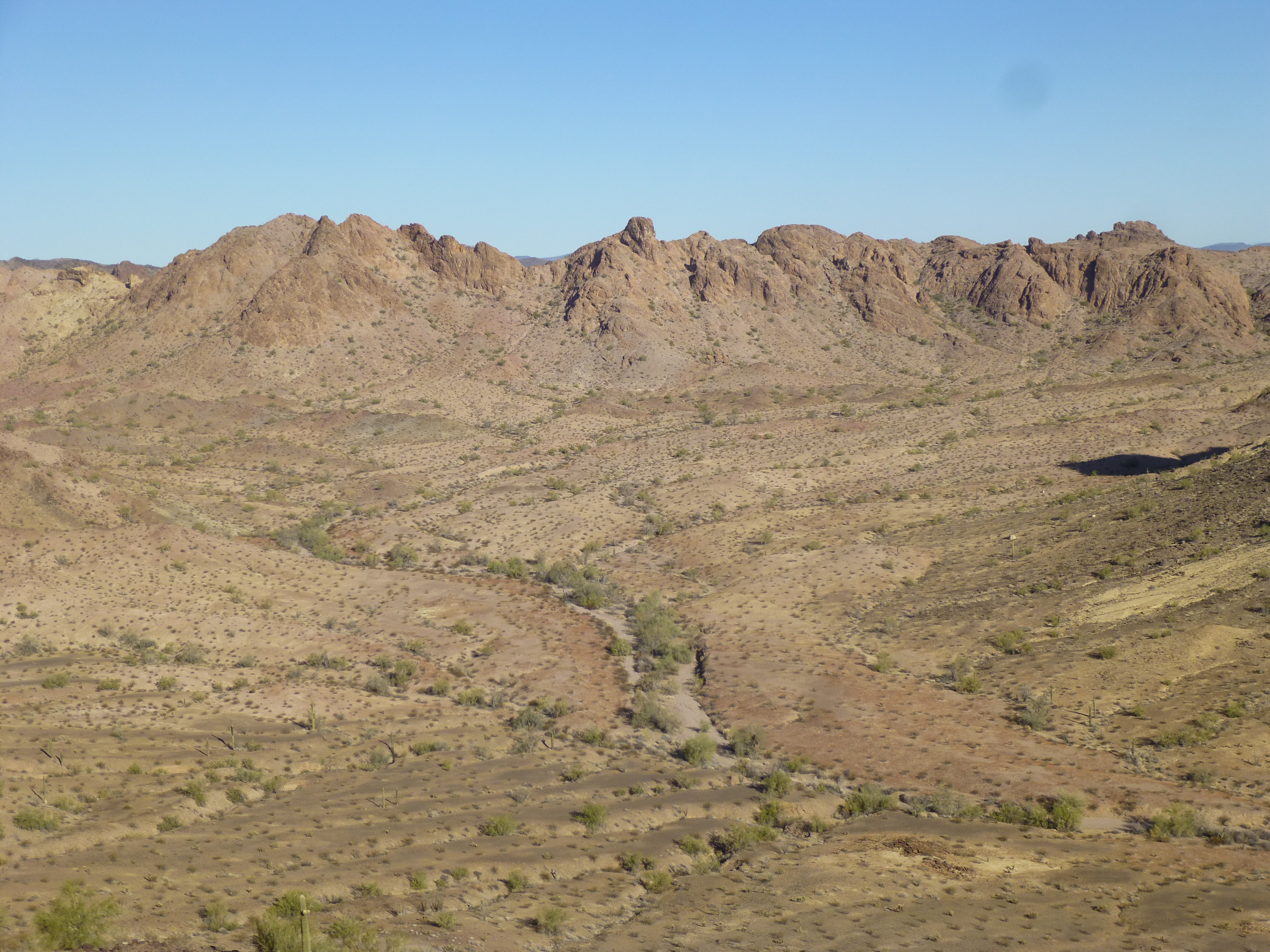
The next day dawned, greeting us with a high overcast. We packed up camp and set out at first light. An exciting drive lay ahead, all of it over new ground. Many miles west over level terrain, interrupted occasionally by washes, brought us to a whole new region of desert. We reached a major road junction, then headed north to an entirely new horizon.
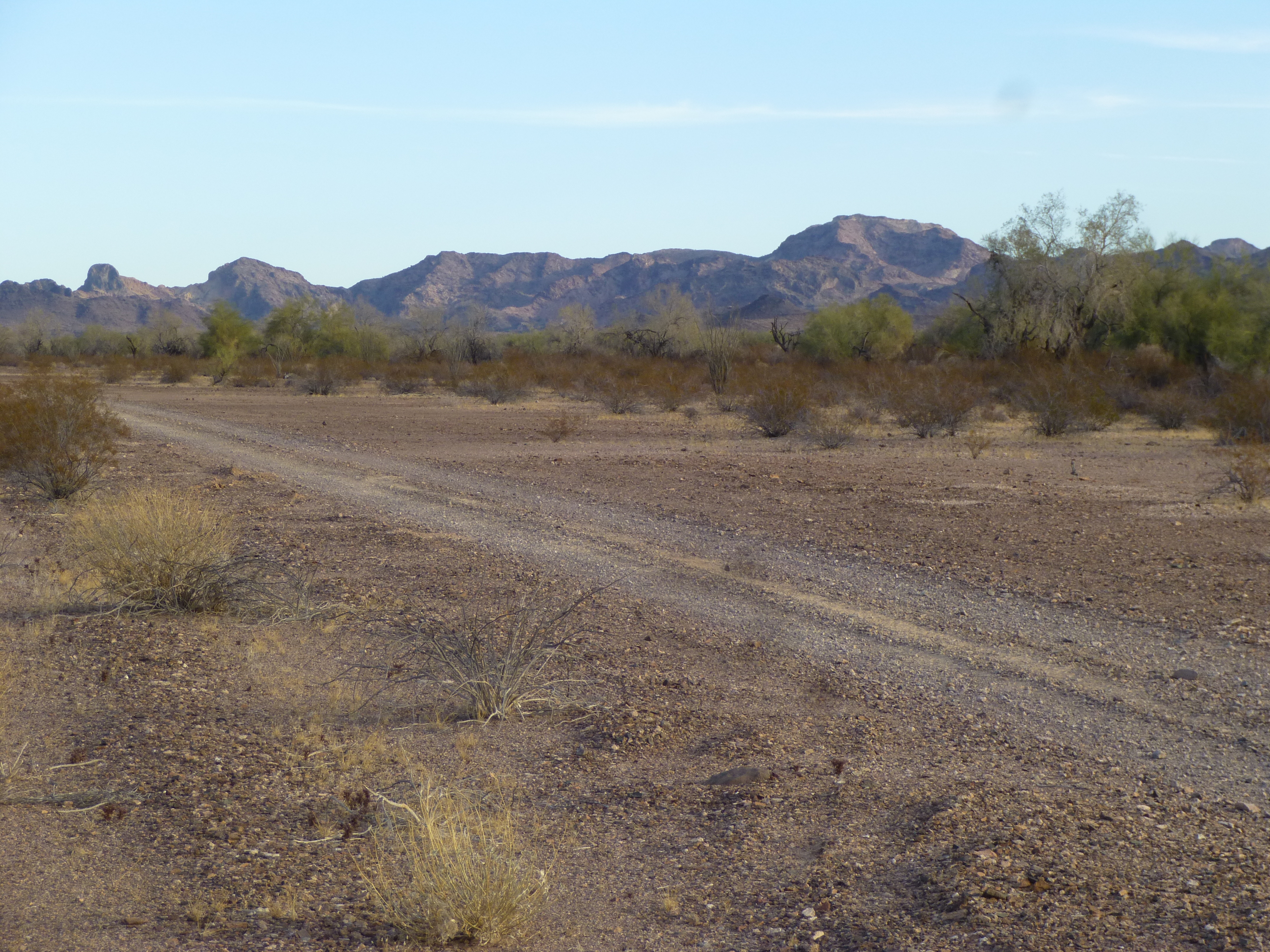
New ground to cover
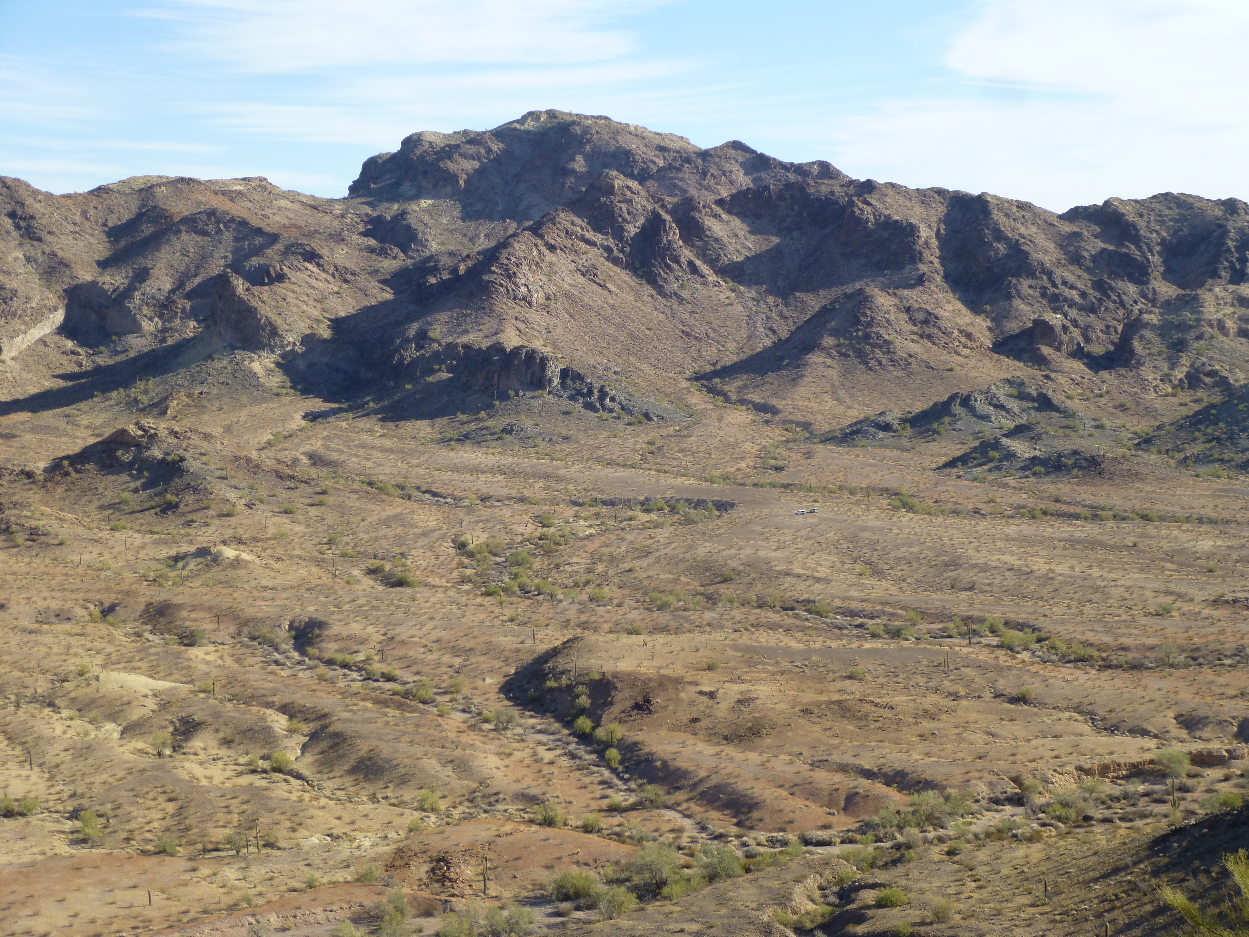
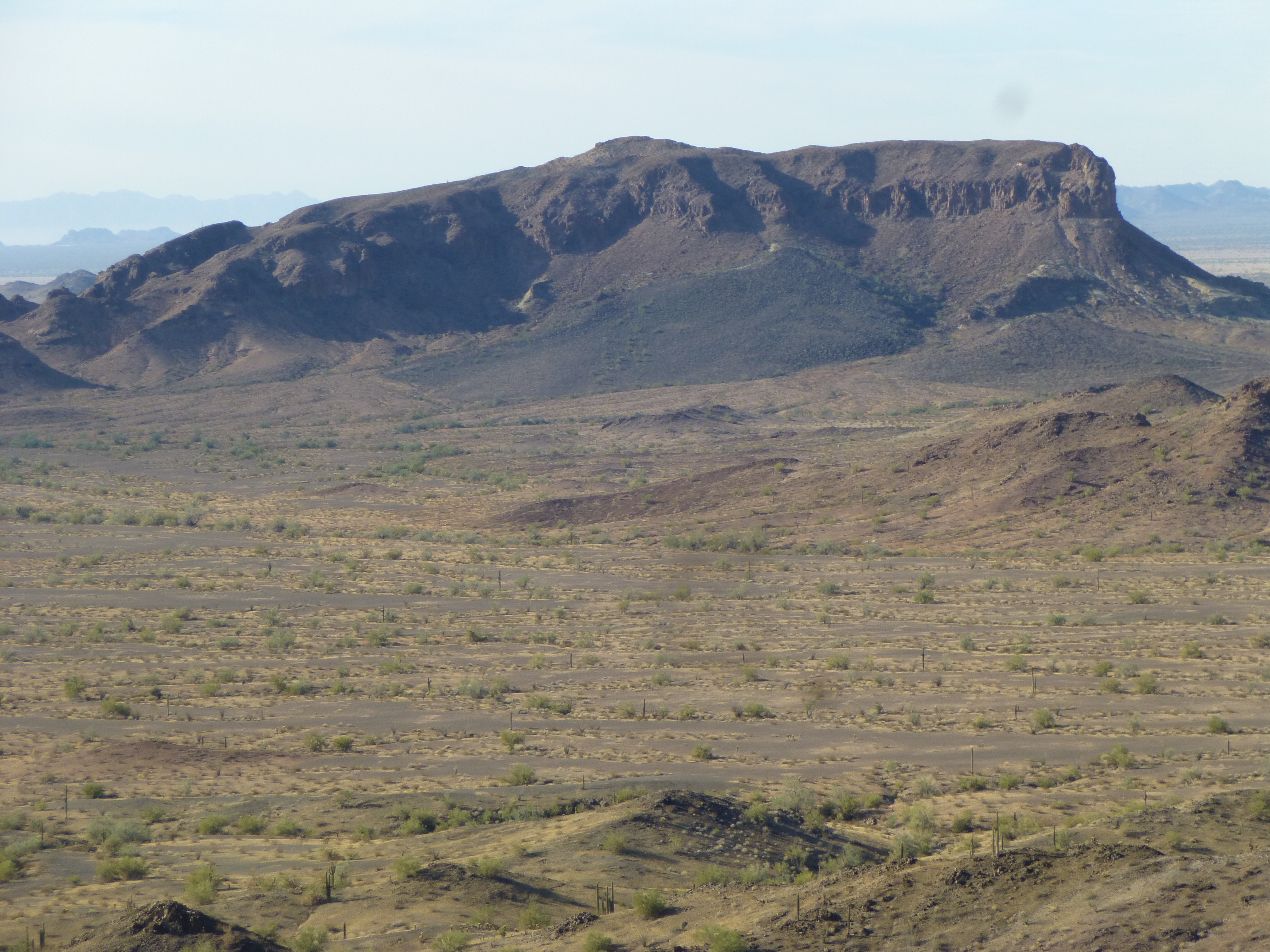
We were about to enter a part of the range which was new to us. In fact, one of the main reasons we were there was that it had not been previously visited by other climbers. As we approached our goal, some impressive mountains came into view.
Un-named beauty
Desert splendor
Unclimbed beauty
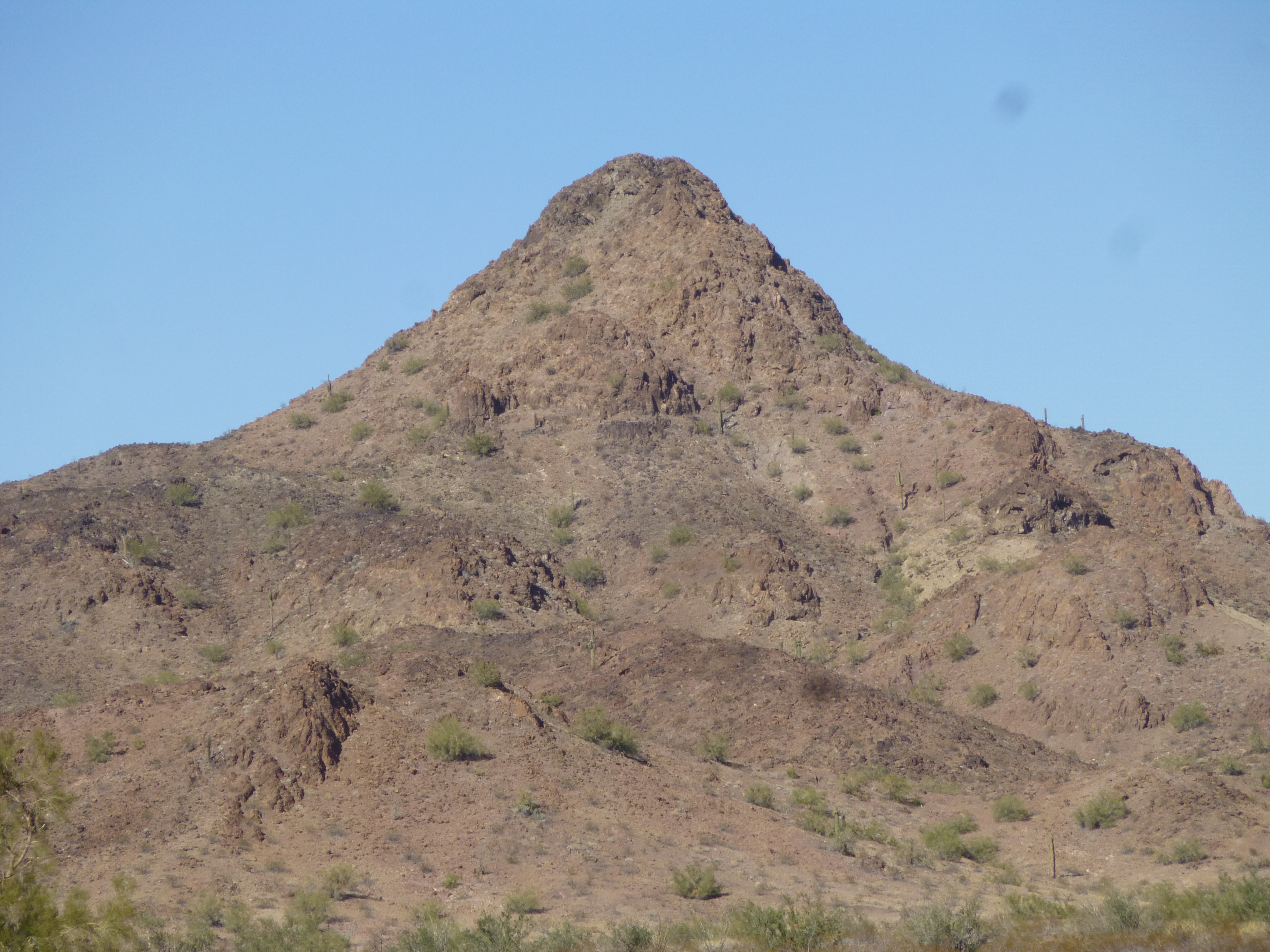
After 2 1/2 hours of driving, we pulled to a stop on a bench surrounded by magnificent peaks. We felt like pioneers here, the first climbers to set foot in this valley. A bit of work with map and compass proved to us which was our mountain, and we set out on foot. The one we were here to climb was quite insignificant compared to many of the crags around it, but that was just fine by us. We’re peakbaggers, we climb whatever is on our list, by whatever means. Some of them are simple, like this one, and others may turn out to be serious technical challenges. The climb of a simple hill like this one doesn’t embarrass me in the least, because the joy of placing a register there outweighs all. It was 10:15 AM by the time we stood atop Peak 1582.
The north side of Peak 1582
The views of unspoiled Sonoran Desert beauty visible from the summit made it all worthwhile.
Spectacular
Miles of untouched desert floor
This next photo shows a big peak that saw its first ascent by us on our previous trip 5 years earlier. It is approached by an entirely different valley many miles distant.
Looking northeast to Peak 2172, the big one in the back.
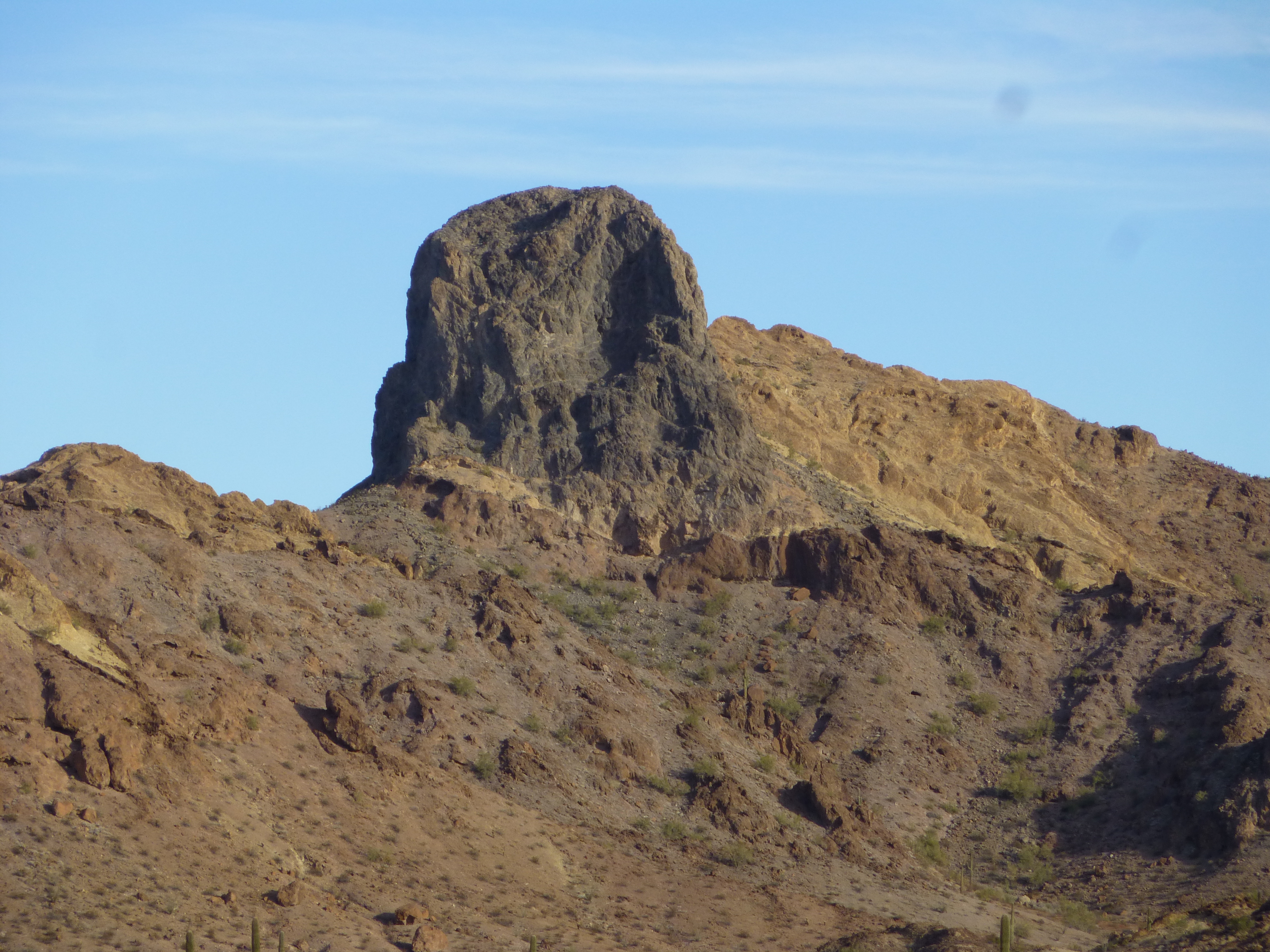
We still had 2 more peaks on our agenda for the day, but these were different – both had been previously climbed by others. The reasons for re-climbing them were simple: they were along our driving route, and they were nice peaks. The first was Peak 1633, a steep, loose pyramid that we summitted at noon. An old register had entries from 1991 and 1994 – we signed in too.
The southeast side of Peak 1633
The views from the top were terrific, such as this one.
A view to the west
After a slippery descent, we drove a few miles and parked in a remote wash, hidden from view from any prying eyes. Our next peak had intrigued us all day – bigger, unusually-shaped and oddly-colored. Here’s a view of its northeast side, one we had earlier in the day.
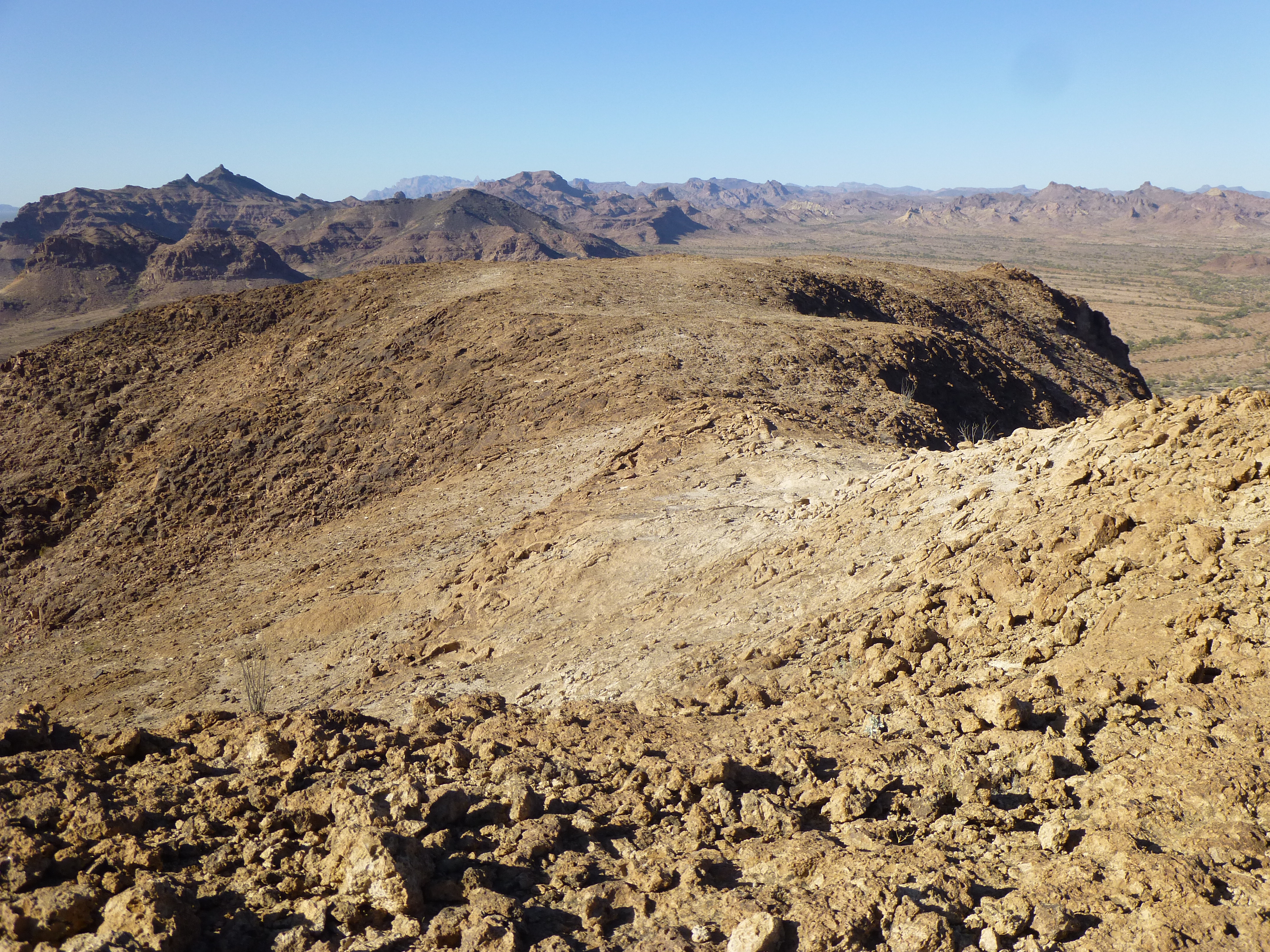
As you can see in the previous photo, the mountain is well-guarded by cliffs. We found one chink in its armor, a steep 200-foot slope which led us up to easier ground. That gave us this view of the gentler slope over the next half-mile to the summit.
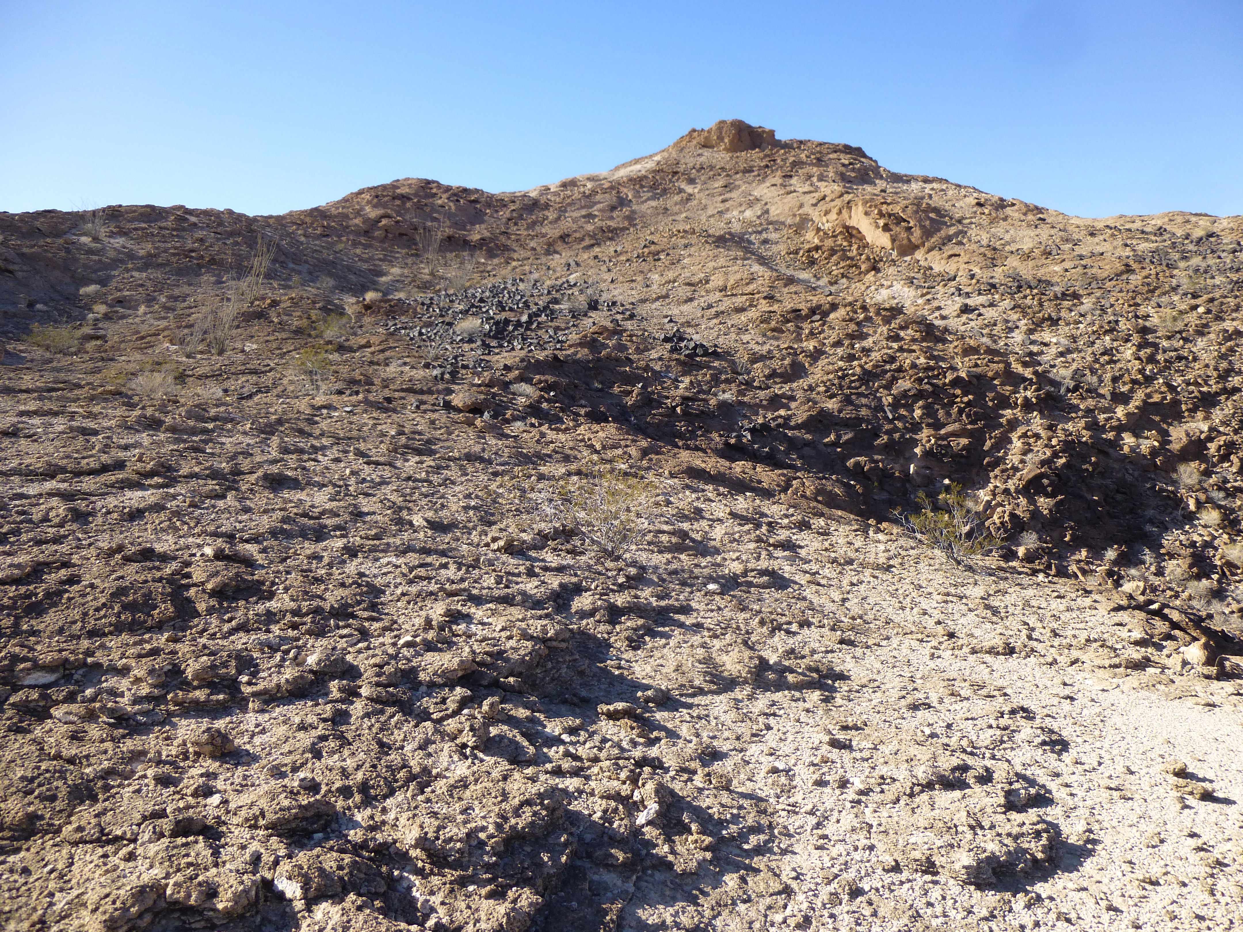
The long east ridge
As we approached the summit, we came upon an interesting spot. The white surface of the mountain was covered with acres of black volcanic rocks, ranging in size from a baseball to a breadbox.
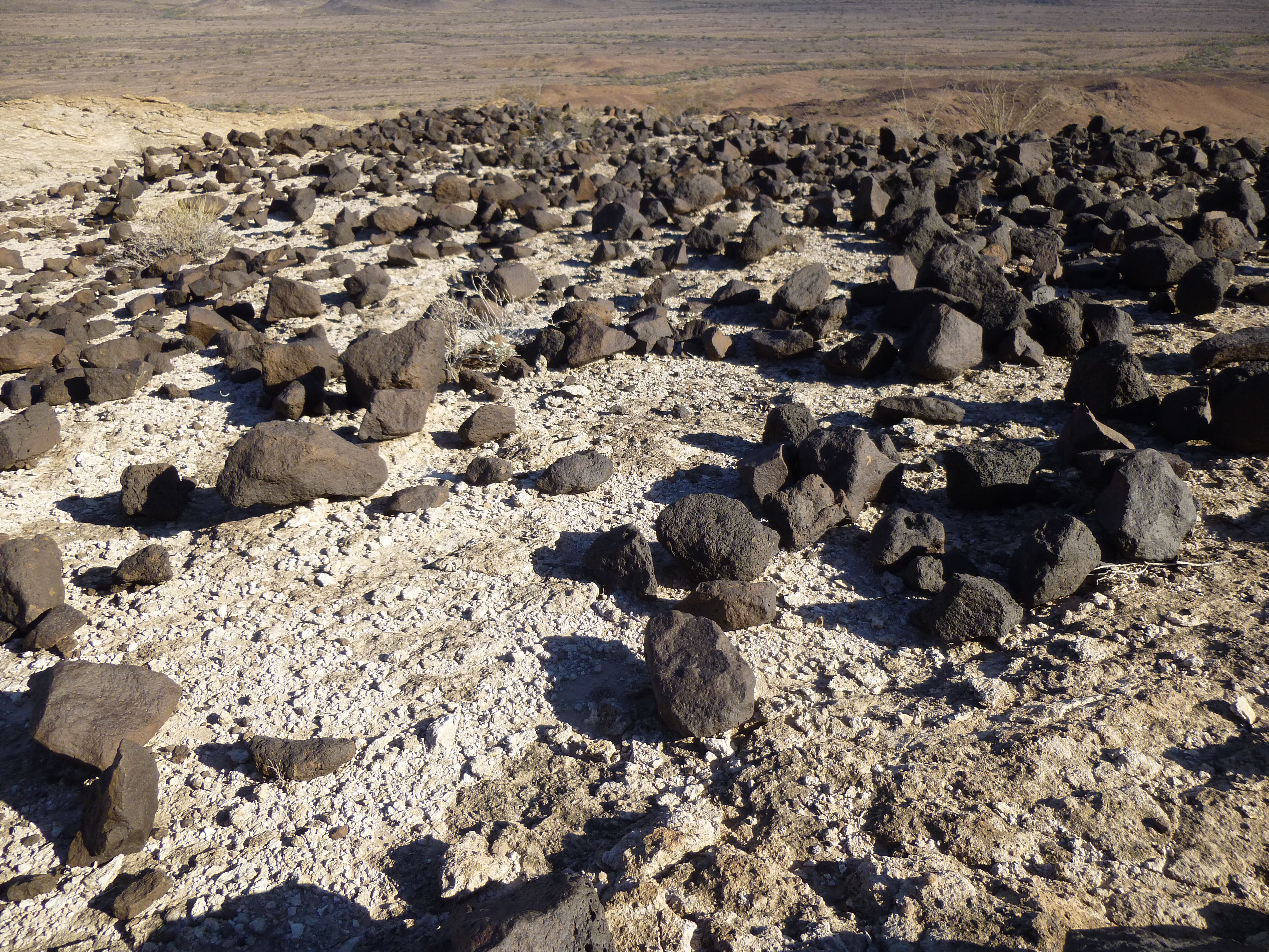
Odd rocks
On the summit a little after 2:00, we found the register left back in 1991.
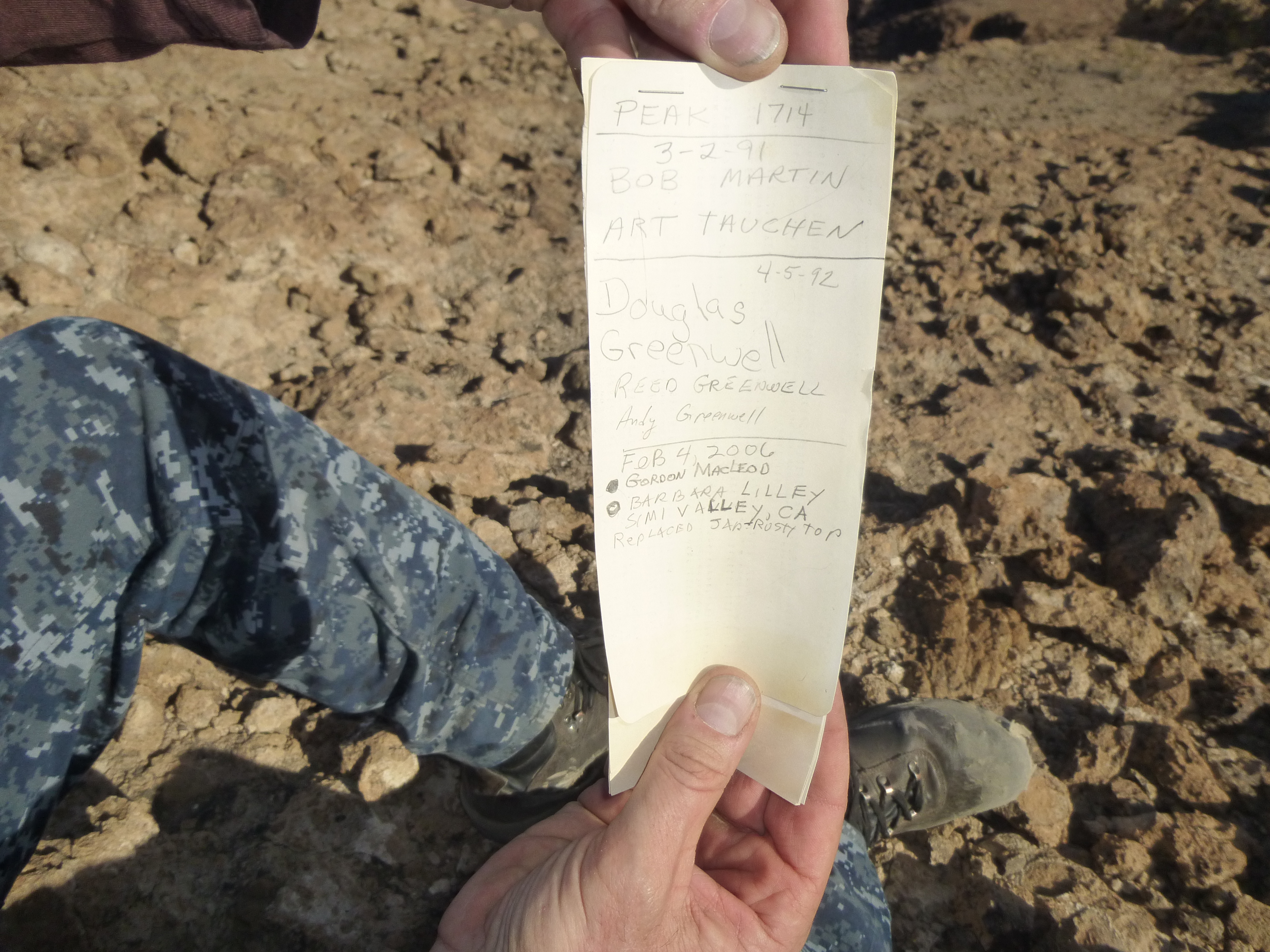
The old register
The northwest ridge of the peak was quite bizarre – it stretched away from the summit, quite barren of any plant life whatsoever. Very odd – here in the desert, there’s always something growing, no matter how small, but not here.
Totally devoid of life
We sat and enjoyed this unusual place, surrounded by spectacular scenery on all sides. The day was perfect – a clear blue sky with shirt-sleeve weather. Meanwhile, the rest of the country were freezing their asses off, buried in snow and ice. We finally packed up and moved back down the mountain, arriving at the hidden trucks by 3:20 PM.
Now, for the next part of our adventure, the part I’d been looking forward to for months. It involved driving up an old road into a remote valley in the heart of the range, giving us access to new peaks and exciting new vistas. We started driving – 3 miles south, 1 mile east. The map showed the next turn we wanted, a road going north up a wash. It was there all right, obvious tire tracks heading through the deep sand. They were easy to follow, and we made good time. We hadn’t gone far, though, before our instruments showed we had missed a turn. The tracks we were following continued north, but none turned east in the direction we needed to go. Once we verified our position, we started on an easterly track.
Our instruments showed that we were on the road, but it wasn’t visible – there were no old tire tracks to be seen. The map showed that the road should follow along a wash, but there was nothing to be seen. The wash itself was almost flat, and fairly wide – usually 30 to 50 feet, and sometimes 100 feet or more. Often it was a single channel, but sometimes 2, 3 or 4. From time to time, we’d stop and check our position with the GPS – it said the same thing every time, that we were right on the road. That was reassuring to a degree, but there was never any road to see, nothing at all. At times, we would get out of our trucks and walk along out of the wash, out on the surrounding desert, looking for any trace of the road. As many times as we tried that, we never found a single trace. The only thing that kept us going was the fact that the GPS said we were on the road. In many places, we were driving over all kinds of rocks, or crashing our way through brush and small trees. Finally, as the sun was setting, we pulled over on a slight rise a few feet above the wash and called it quits. It had taken us almost 2 hours to drive a distance of 1.7 miles. This was one of those situations where you had to question the logic of even driving at all – it would definitely have been quicker to walk.
We were disappointed. Our plan had been to continue along this “road” and drive it many miles to the north, climbing a few peaks on the way, seeing a lot of remote country in the process, and coming out on the north side of the range far away from where this sunset found us. If we’d been able to drive the imaginary road northwards all the way through, it would have been 8 miles to come out on the other side. Now, we had no choice but to drive the long way around (at least that route was a sure thing), and that was 26 miles.
It was happy hour, and after a few beers and a hot meal, we sat around a warm campfire until late, discussing our next move. There were 2 remote peaks we’d wanted to do tomorrow, and we’d still do them – it would just be a much longer day on foot.
So ended Day 2 – total so far, 5 peaks.
Please stay tuned for the continuation of this story, to be called:
“13 Christmas Virgins – Part 2”