
Please be sure to read Part 1 and Part 2 of this piece before starting this one.
Day 4 – Continued
It was just after 12:30 PM by the time we finished those 3 peaks. The first 2 were untouched virgins, but the 3rd one, at least on the surface, appeared to also have been previously un-climbed, in spite of what the internet reported about it. Further research into the matter of Peak 1908 at a later date did in fact prove that it had never been climbed before our visit, so all 3 of those peaks (1814, 1810, 1908) were virgin summits.
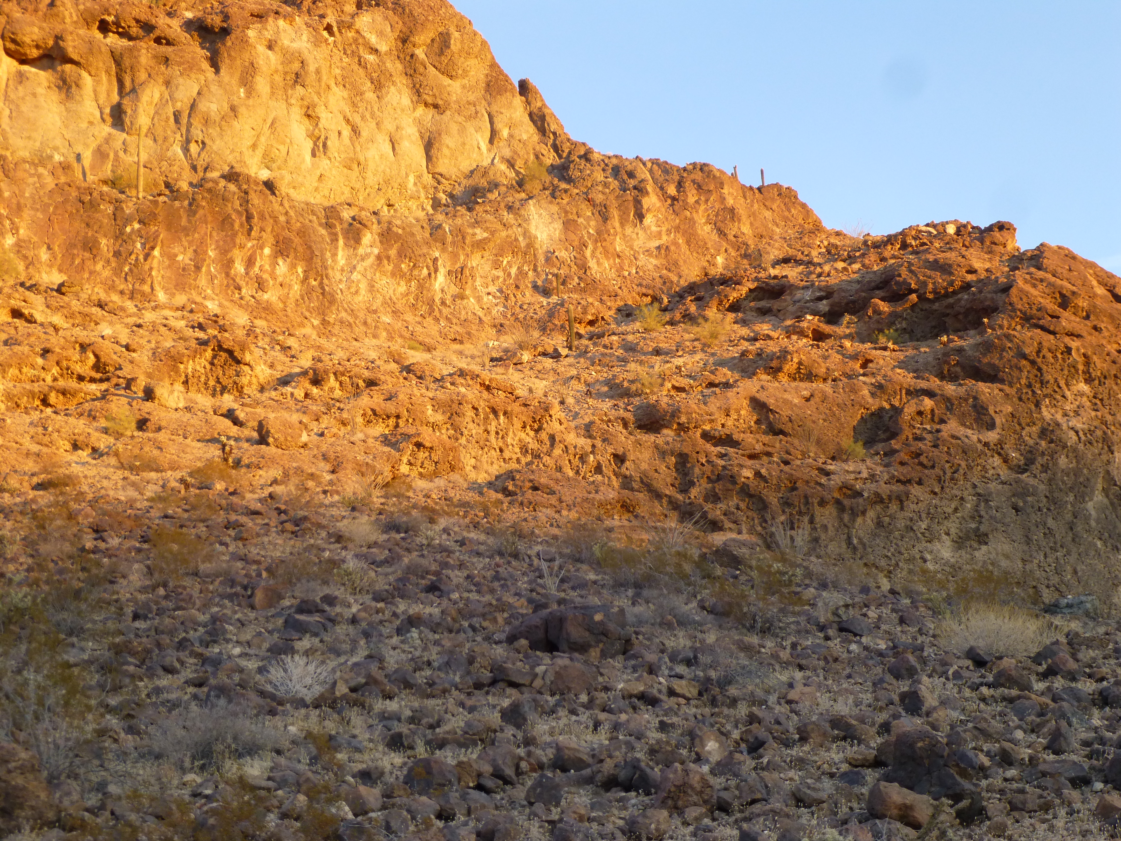
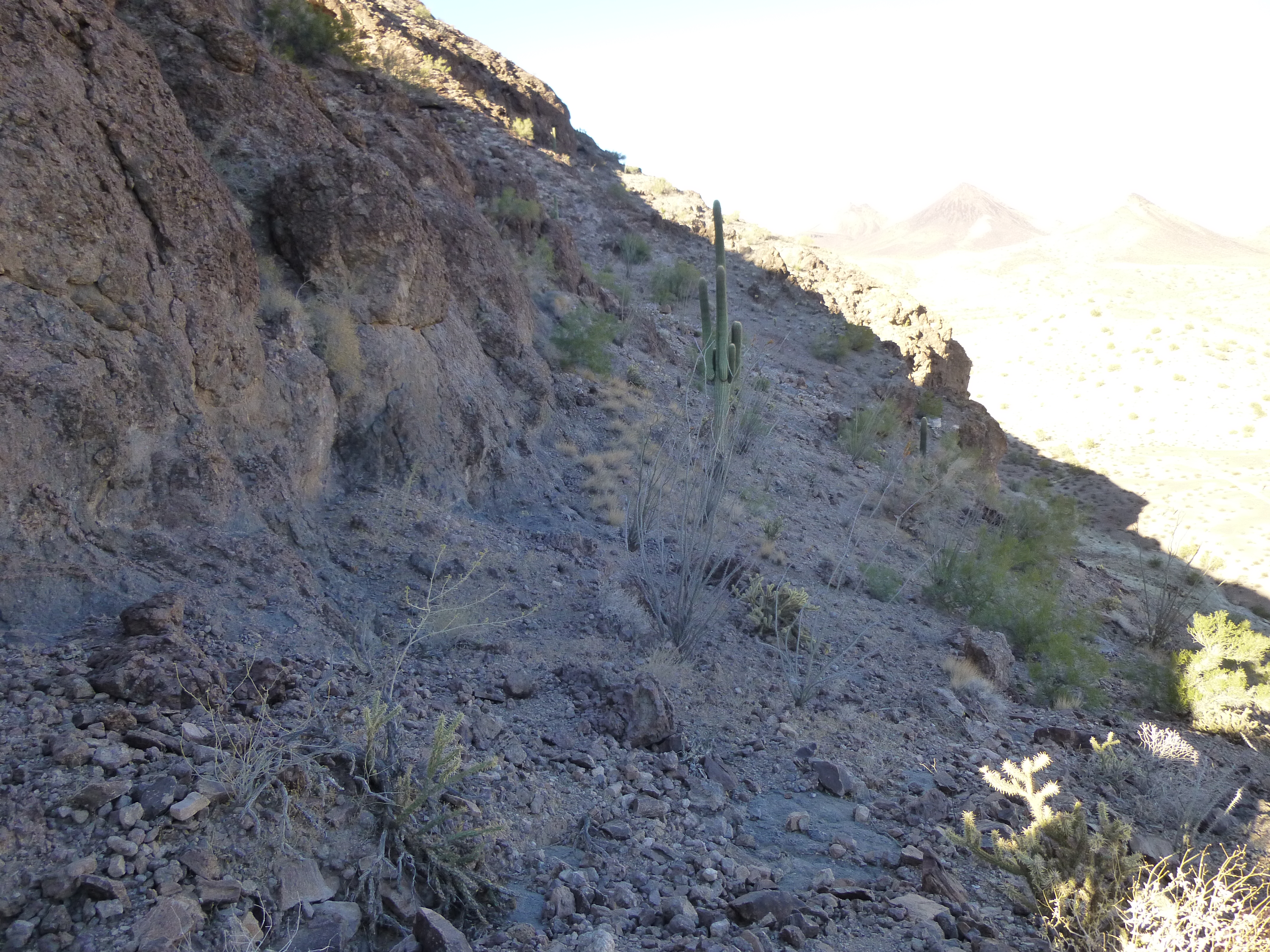
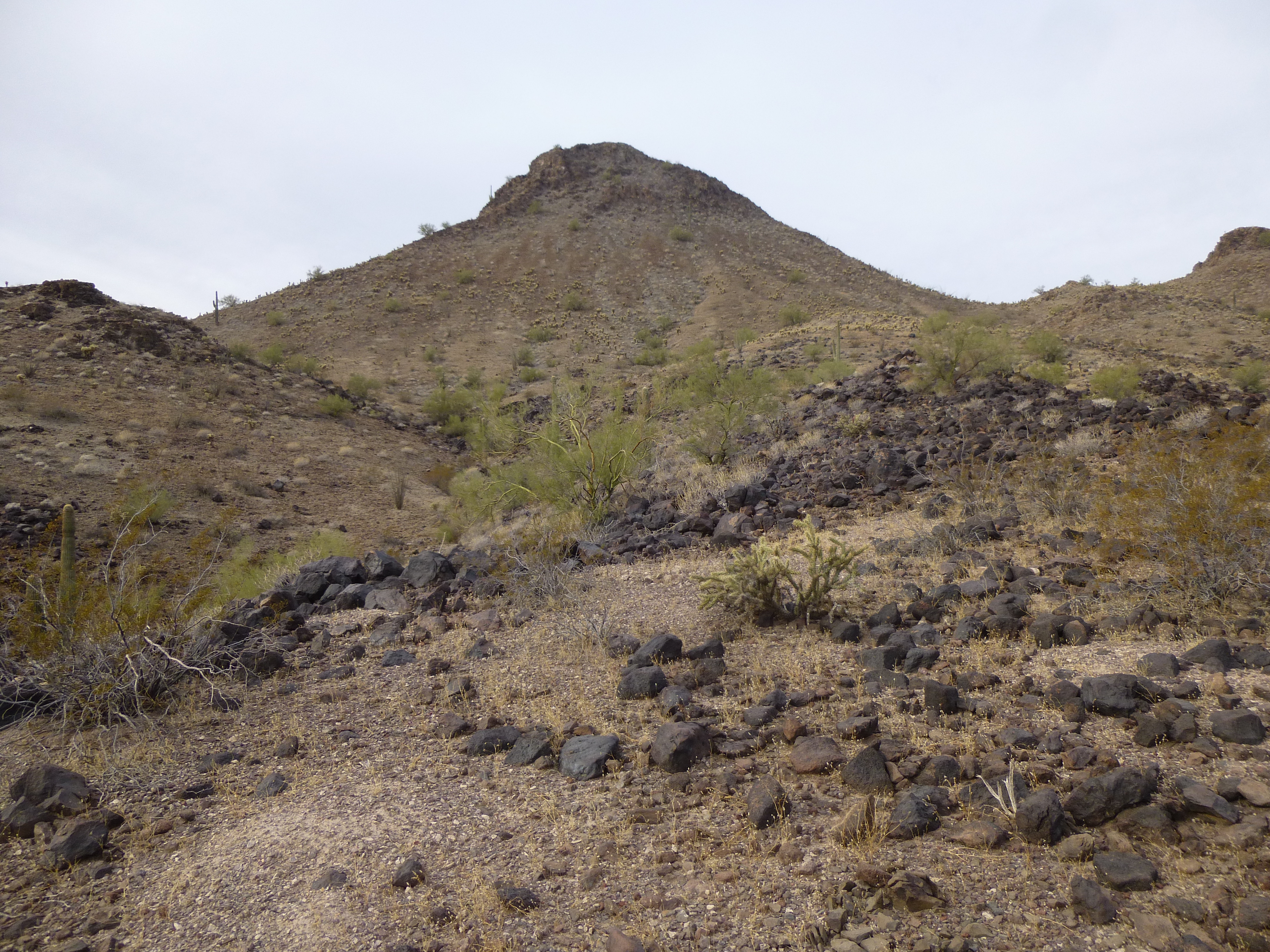
The day was yet young, and there was another peak in the vicinity we wanted to climb, so after moving our vehicles a few short miles, we parked and readied our packs. It was just after two o’clock on this perfect afternoon when we set out. Our next peak lay only a mile away to the west.
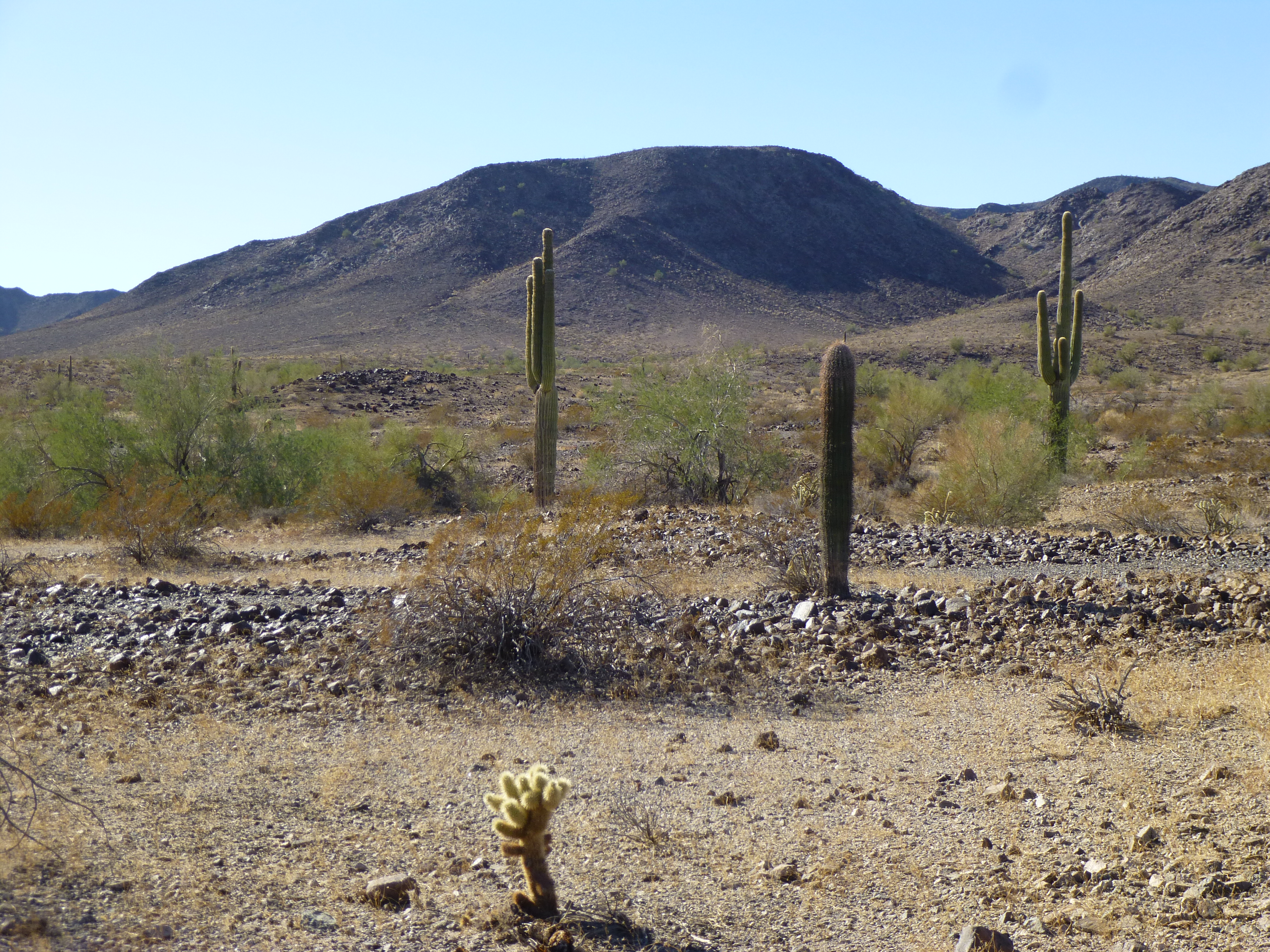
There it is, just a mile away.
Just over an hour later, we walked on to the summit of Peak 1656. As before, it was untouched. Naturally, we left a register, then had a good look around. Here’s the summit.
On top of Peak 1656
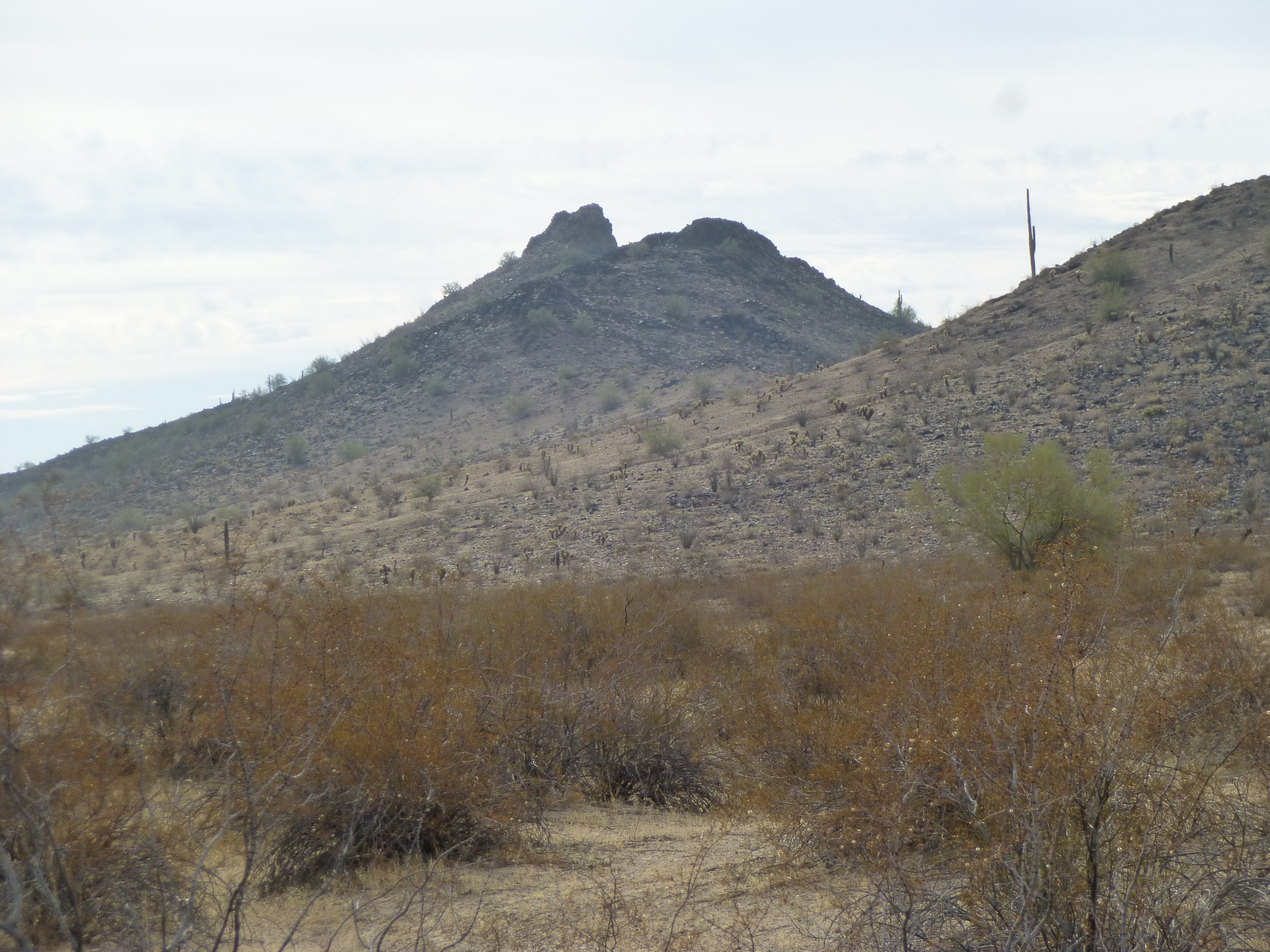
A curious feature we’d been seeing for days was a large flat area we’d labelled “The Tooth”. Here’s a good look at it.
The Tooth
The shape reminded us of a tooth from above. Luke suggested it could also be a perfect landing pad for alien UFOs. Here’s a link to what it looks like on the map. When you open it, you can also click on “satellite” in the upper right corner to see another view of it.
https://listsofjohn.com/qmap?lat=33.1280&lon=-113.6590&z=12&t=u&P=300&M=Desert+Mountaineer
When it came time to leave, we decided to drop down the north side into a canyon. Deep in shadow in the canyon bottom, I found a lot of bones – after looking around, it became obvious to whom they belonged.
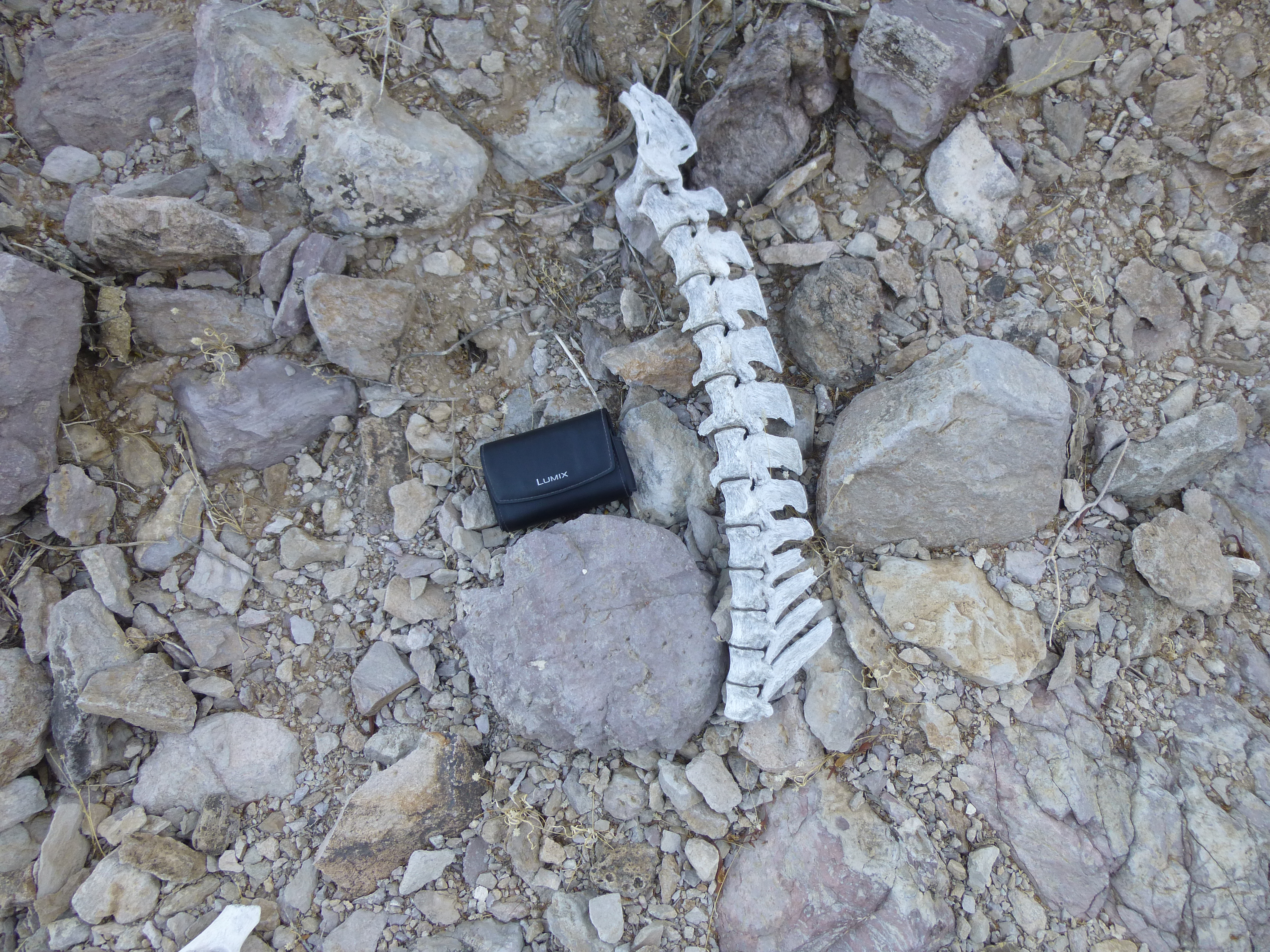
Part of the spine
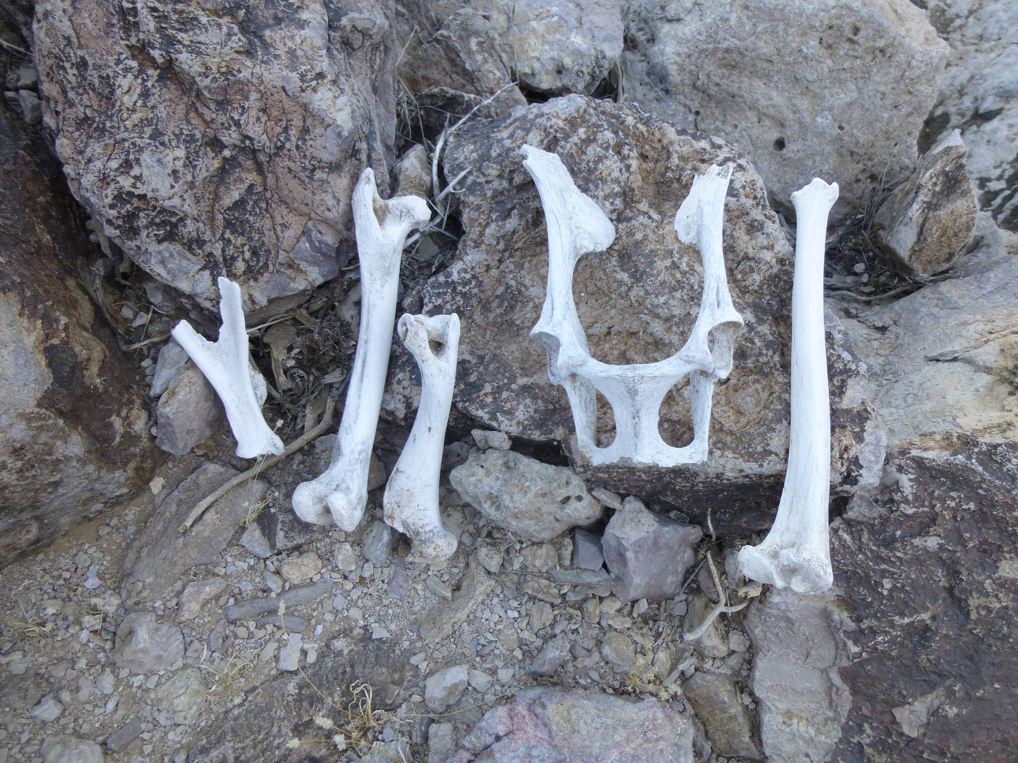
A collection of bones that I laid out.
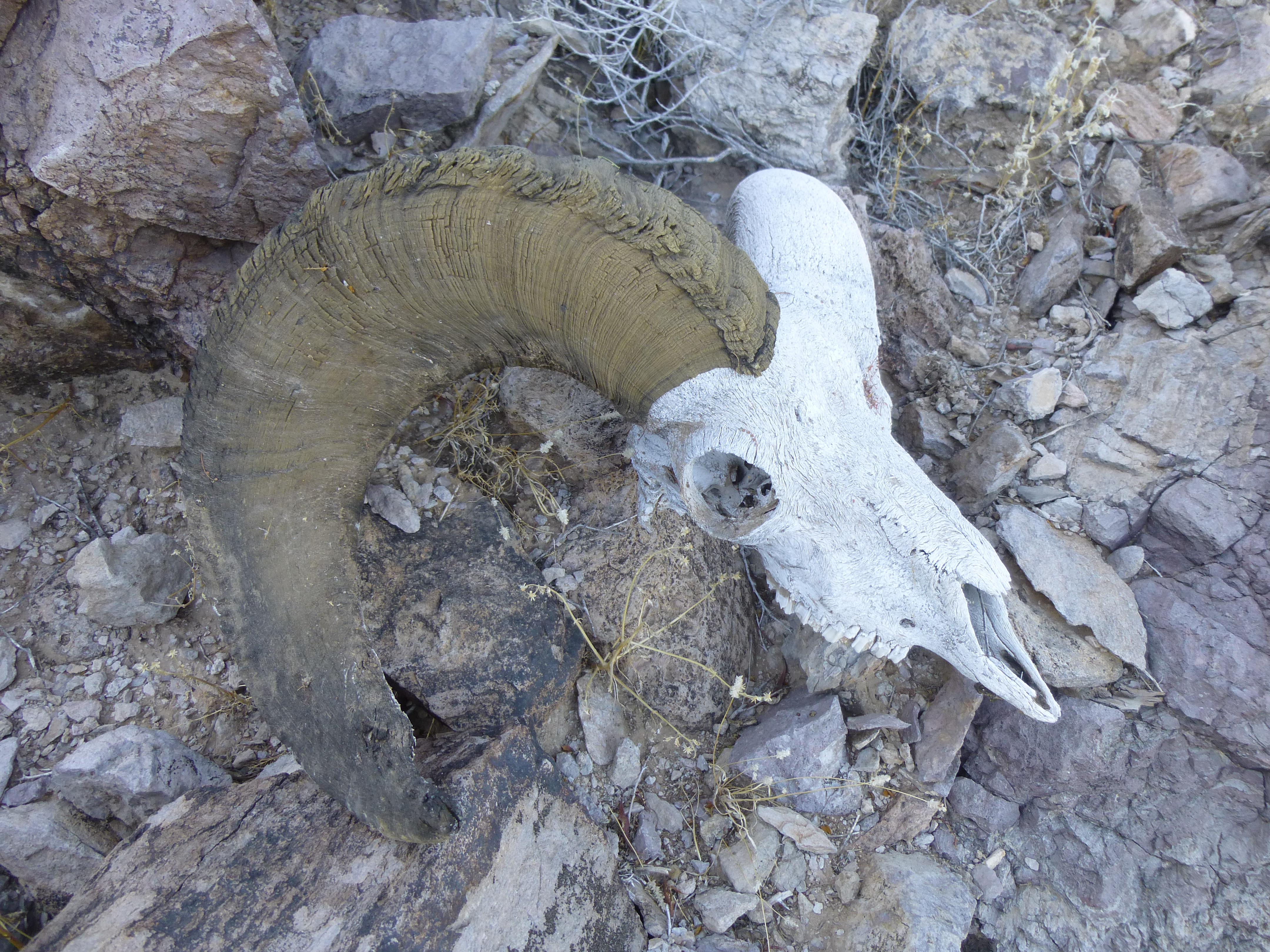
The owner of the bones
Luke and I had been wondering if there were any desert bighorn sheep in the range. We had seen poop, but no sheep. Finally, here was proof. While I was examining these remains, Luke had continued down the canyon, thinking I was not far behind him. Soon, he was way ahead of me, out ahead in the sunshine somewhere. I should have used my radio to contact him, letting him know what I was doing. He became concerned, and it was my fault for not keeping in touch. I finally caught up with him.
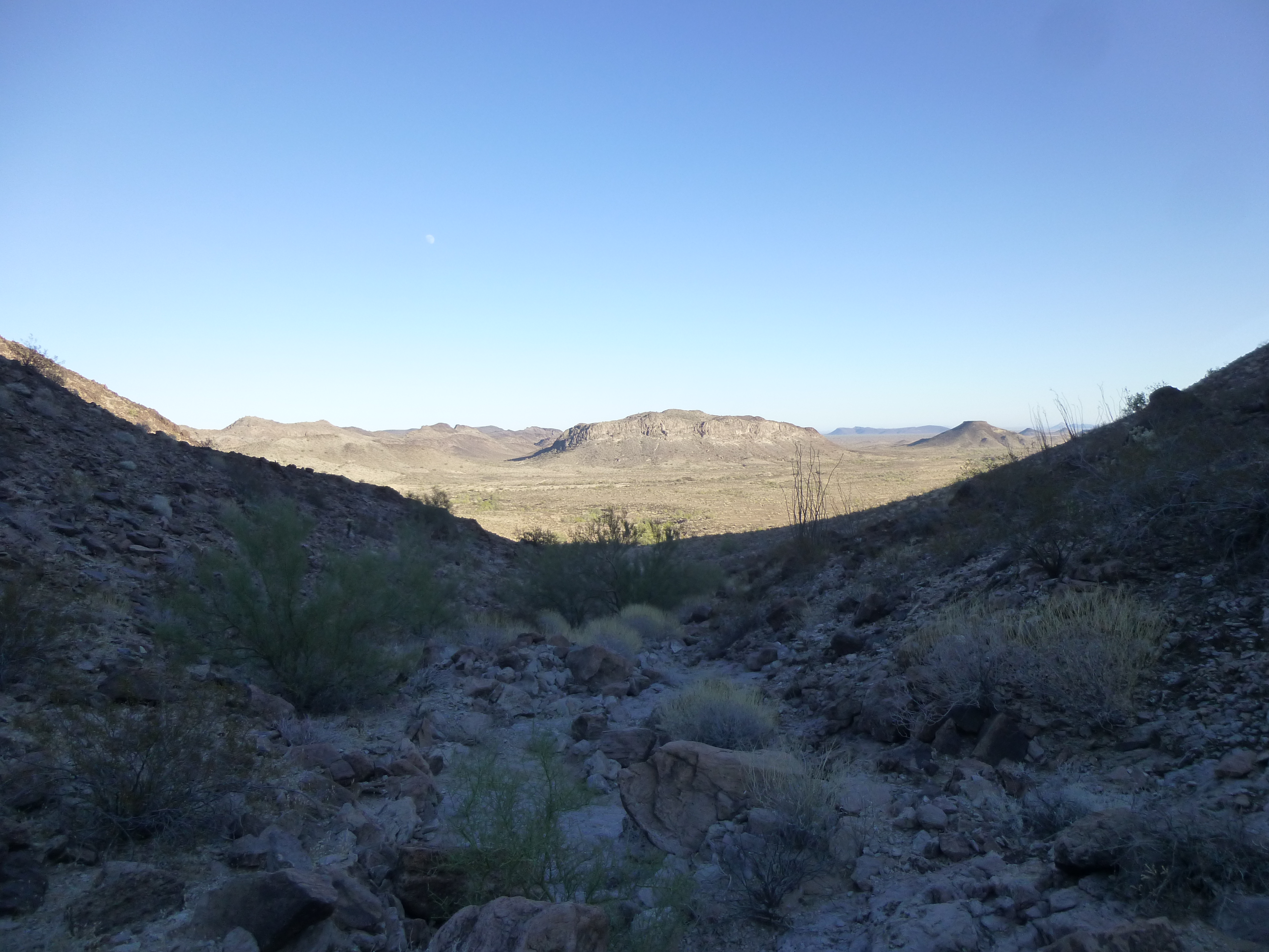
Looking back to the trucks
We had just enough time to find a campsite and cook a meal before we lost the light completely. A campfire finished the day off perfectly. So ended Day 4 of the trip, with a total of 11 peaks climbed so far.
Day 5
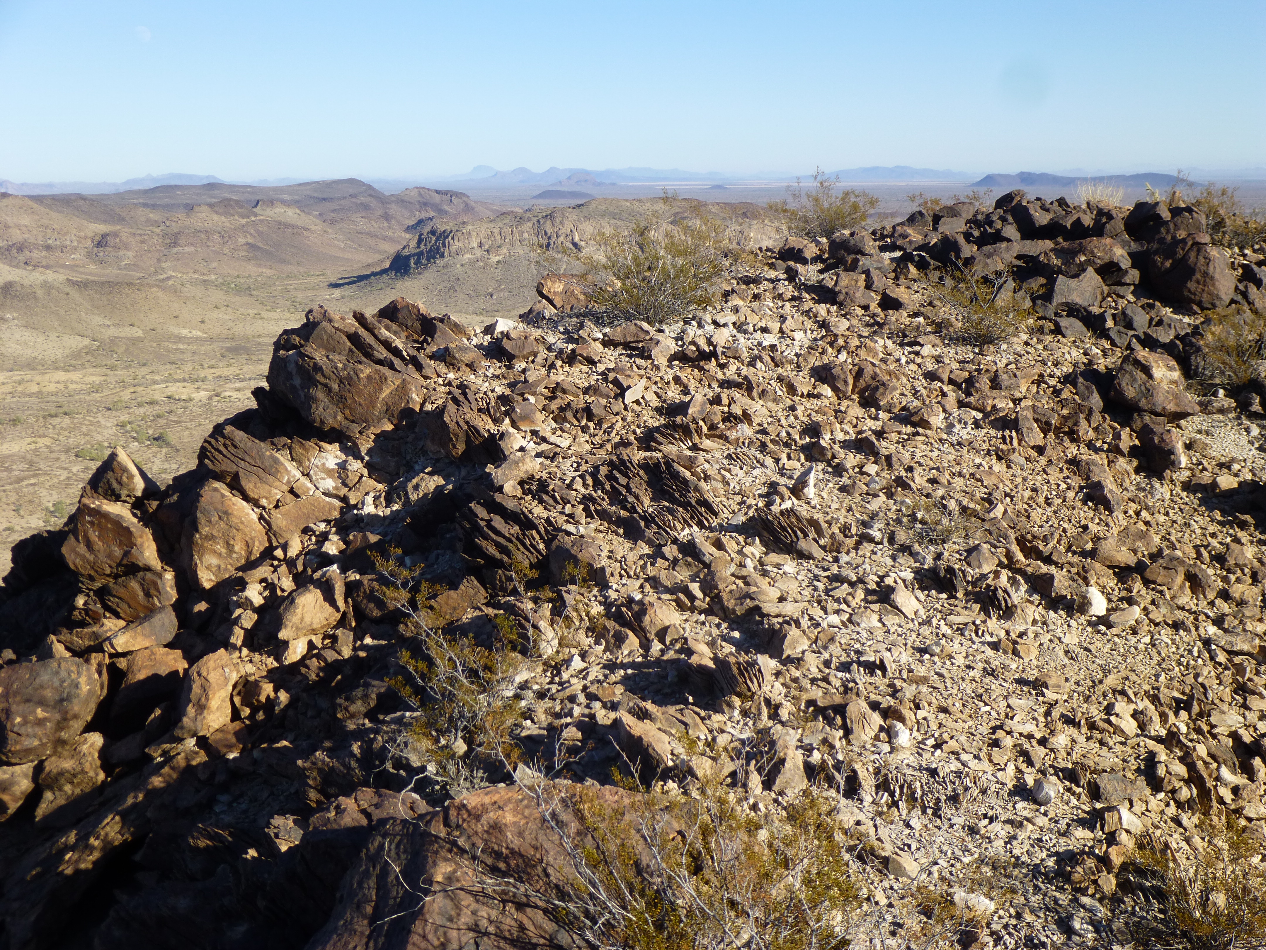
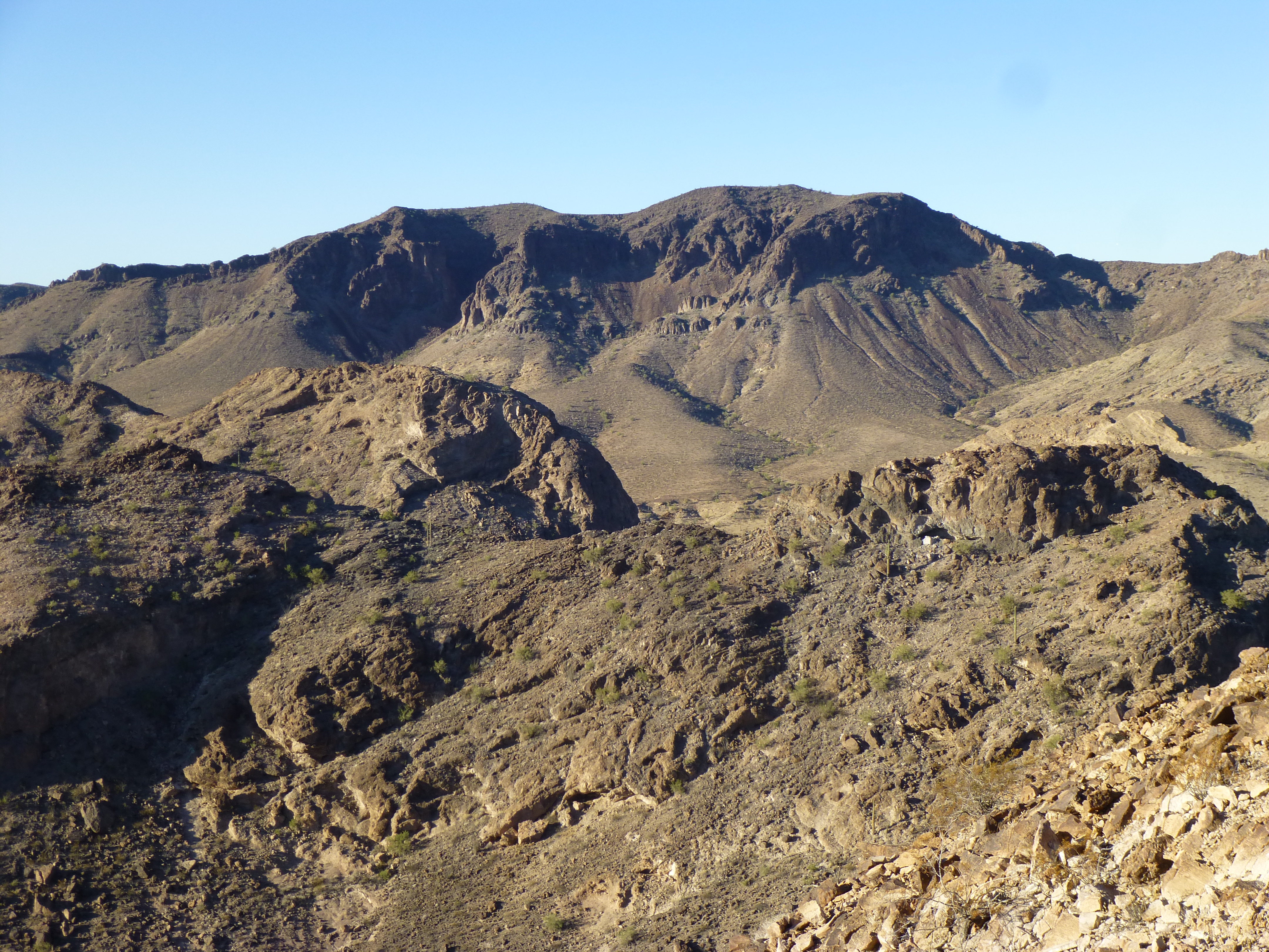
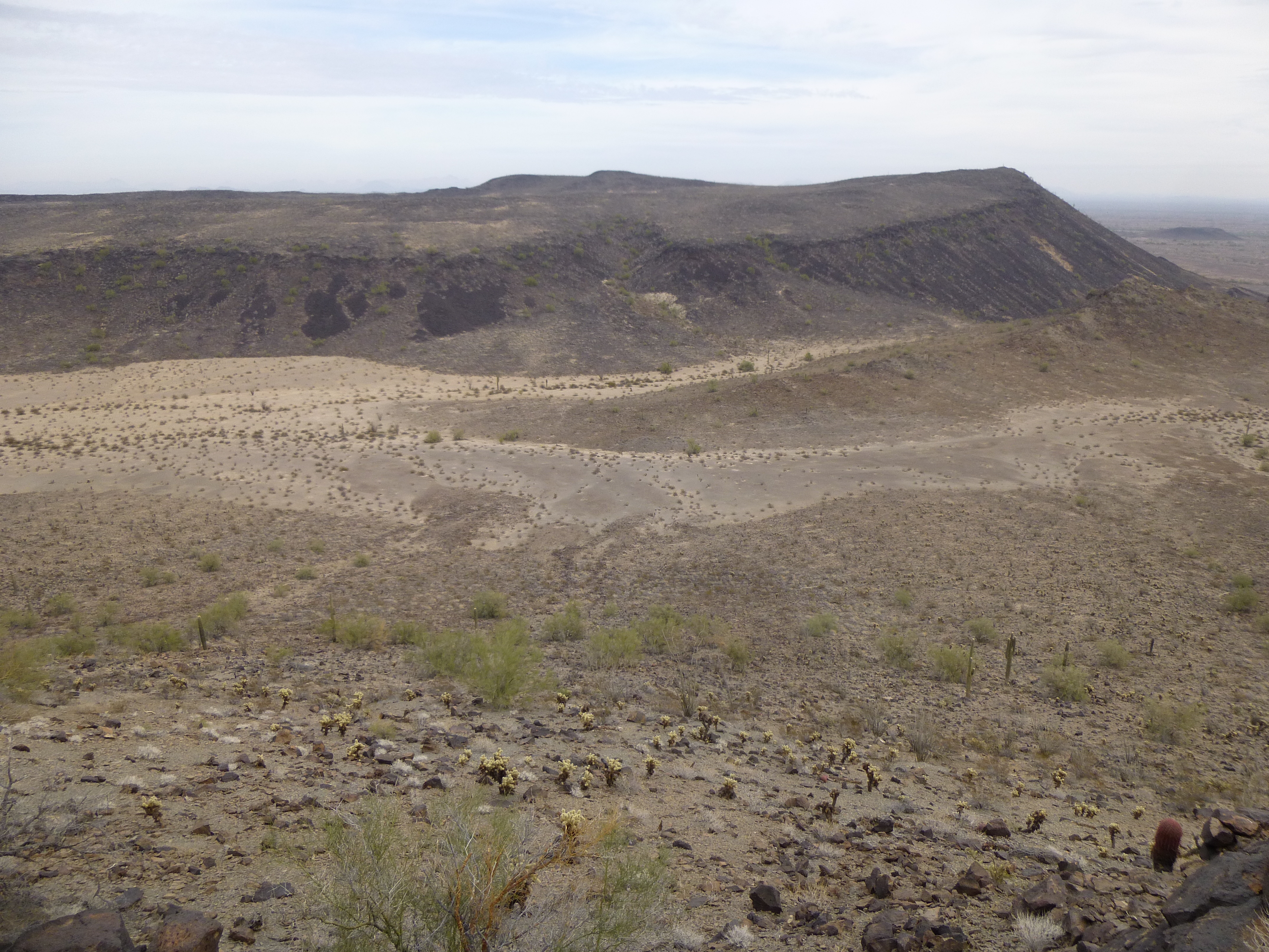
There was an elephant in the room, and its name was Peak 1631. For the past 2 days, we had been looking at it from all angles and it had us worried. We had studied it with binoculars, taken telephoto pictures of it, all with the purpose of finding some weakness in its defenses. It rose barely 500 feet above its surroundings, but was girdled with cliffs. As we climbed neighboring peaks, we looked for any possible way up the thing. Yesterday’s Peak 1656 had afforded us good views of the entire south side, and nothing looked promising. Gullies ended in blank cliffs; faces were too steep, making them technical; other places were overhanging. By the time we turned in on Day 4, we were still concerned – this might turn out to be the one peak of the entire trip that we couldn’t climb.
We were camped right near its base, so on the morning of Day 5 all we had was a short walk over to it. Satellite photos hadn’t helped much in our deliberations – we’d just have to get in close and see what awaited..
The east end of Peak 1631
Before sunrise, we headed across a flat bit of desert and approached the east end of the peak. We were hoping that perhaps on that end, some way would present itself, at least a start of sorts. As we neared the base, the sun rose and showed us this:
The wide ramp
It looked like a wide ramp heading up to a shoulder – this was good news – we hadn’t been able to see it from other angles. It was an easy climb of about 300 feet to reach the spot where you can see the 2 saguaros against the blue sky. What would we see after that – would it go? At the shoulder, we made our way around a Class 3 bulge, and saw this:
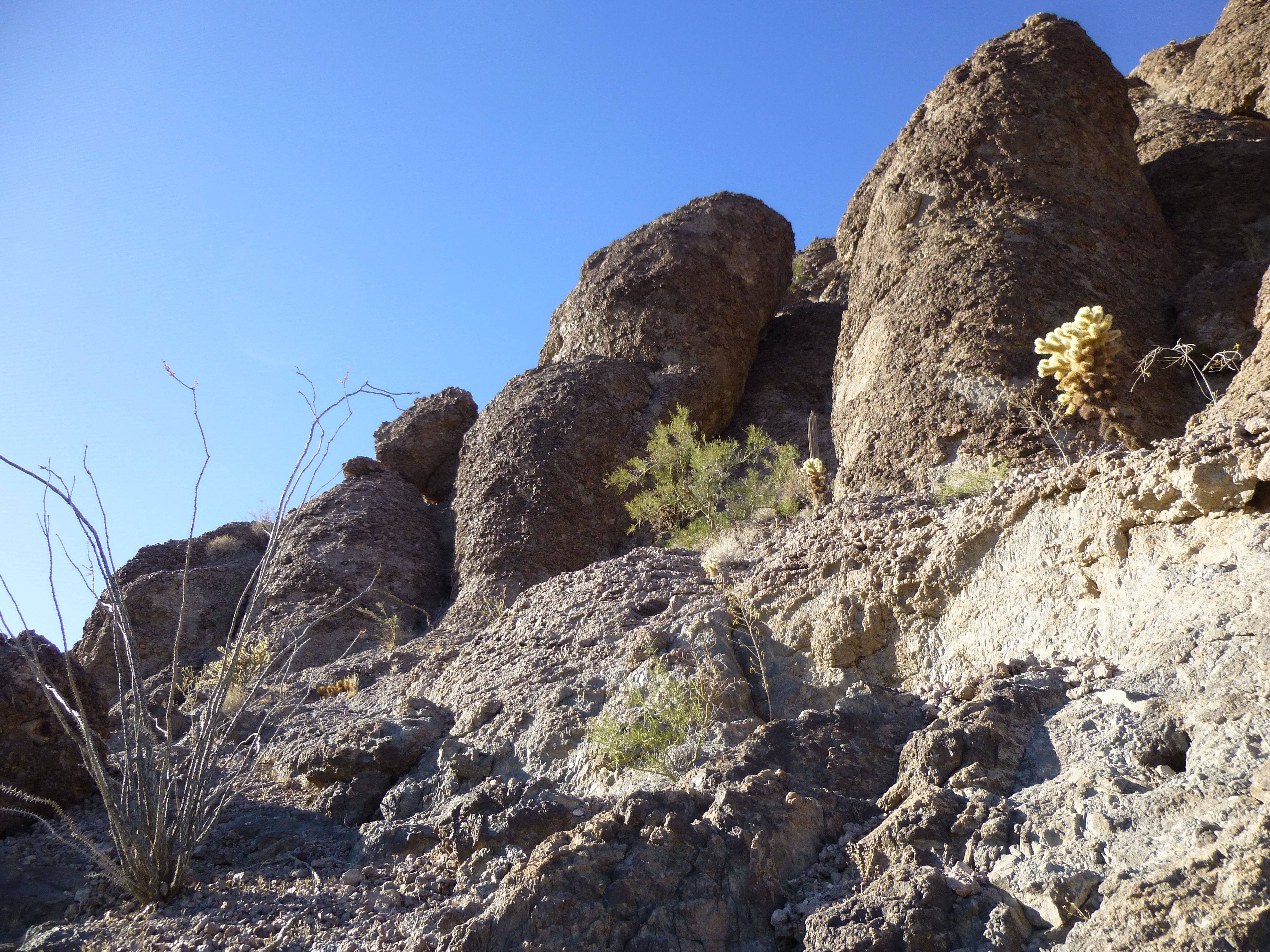
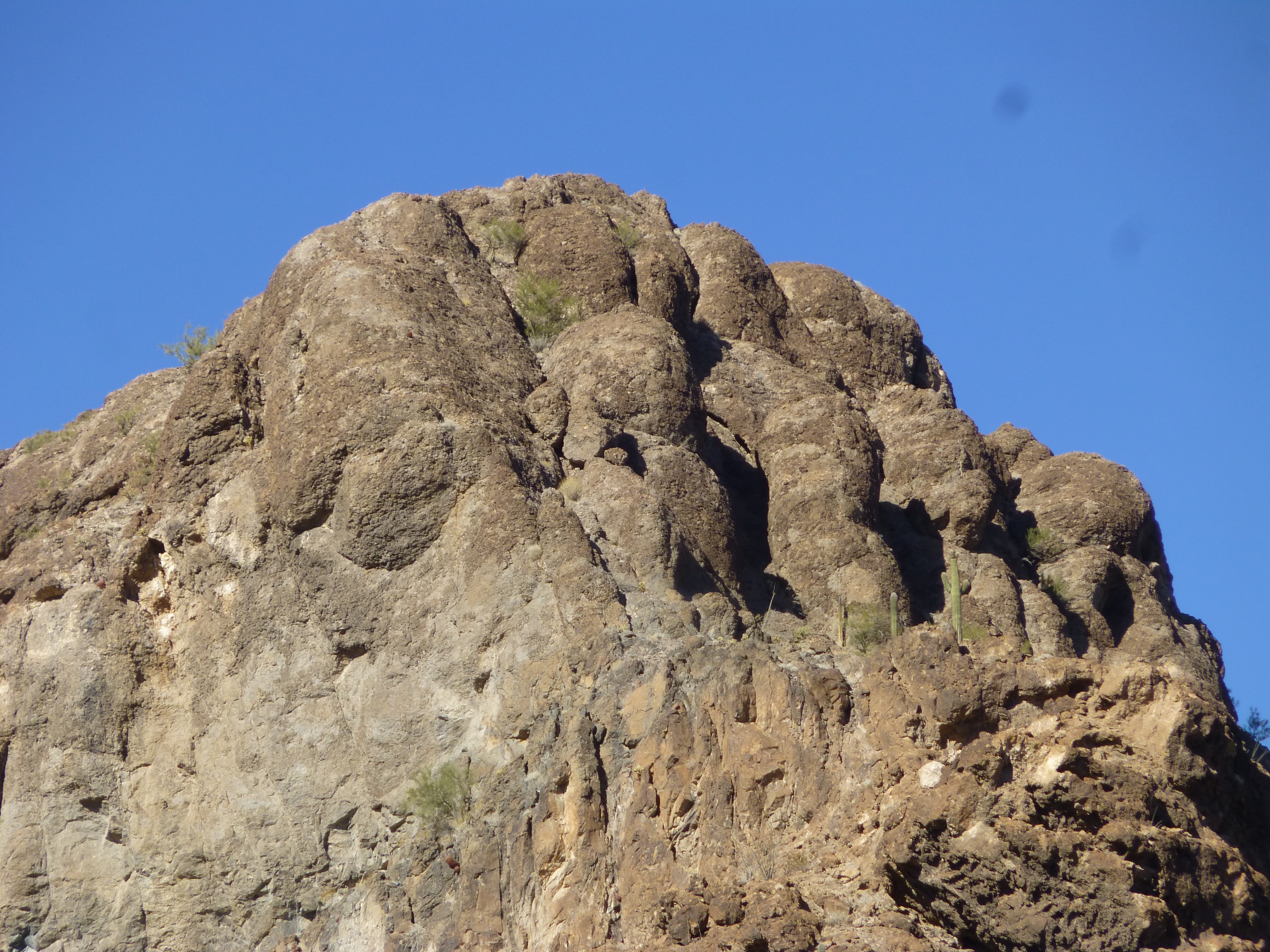
The huge rock pillars
Unusual rounded rock pillars towered above us, a whole series of them. But more importantly, it looked like there was a way ahead, a path on which we could continue.
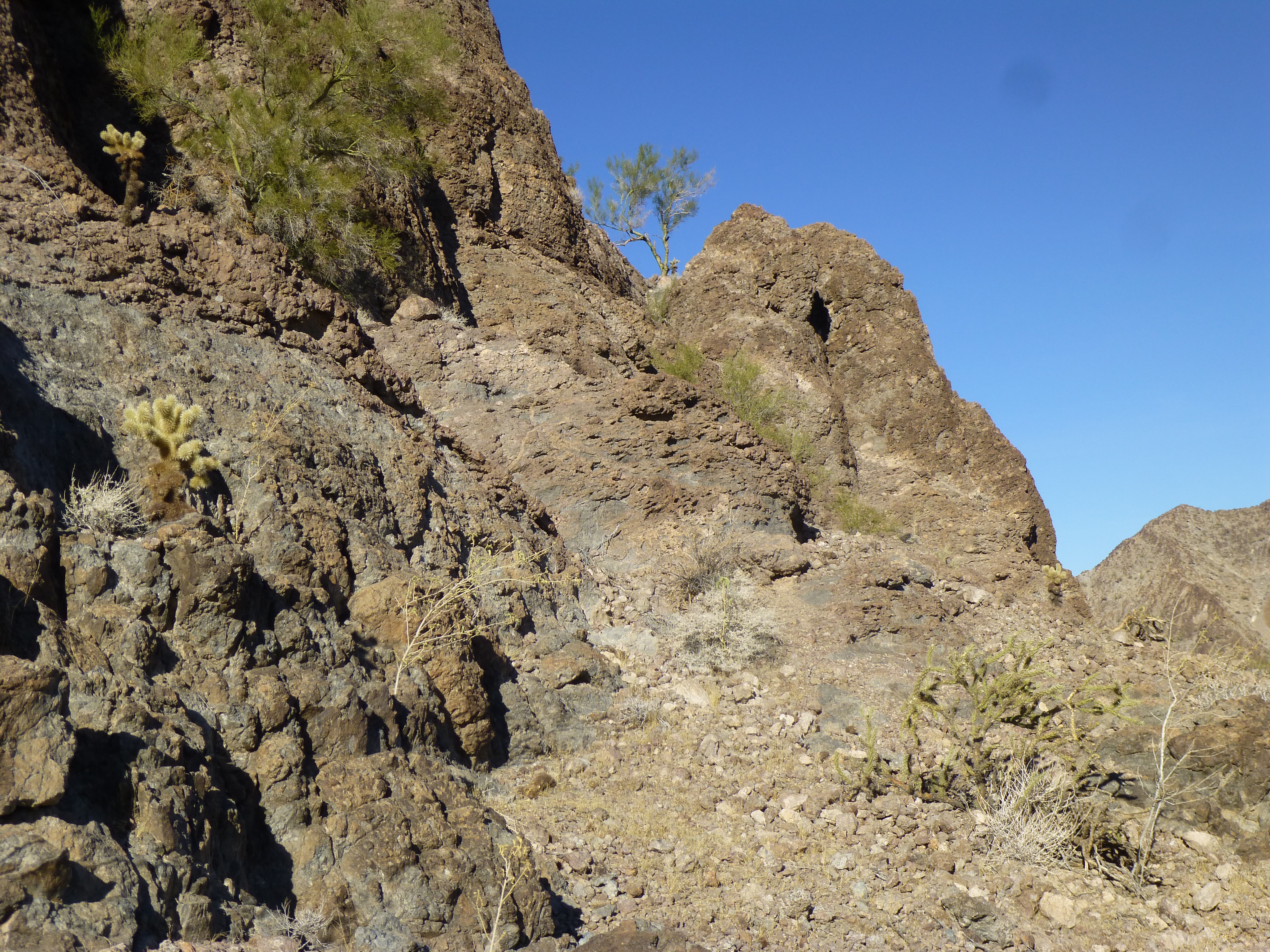
The sloping shelf ahead
Anything that wasn’t vertical was good, it was a way to continue. As we rounded the next corner, we could see farther ahead, and it still looked good.
It continues!
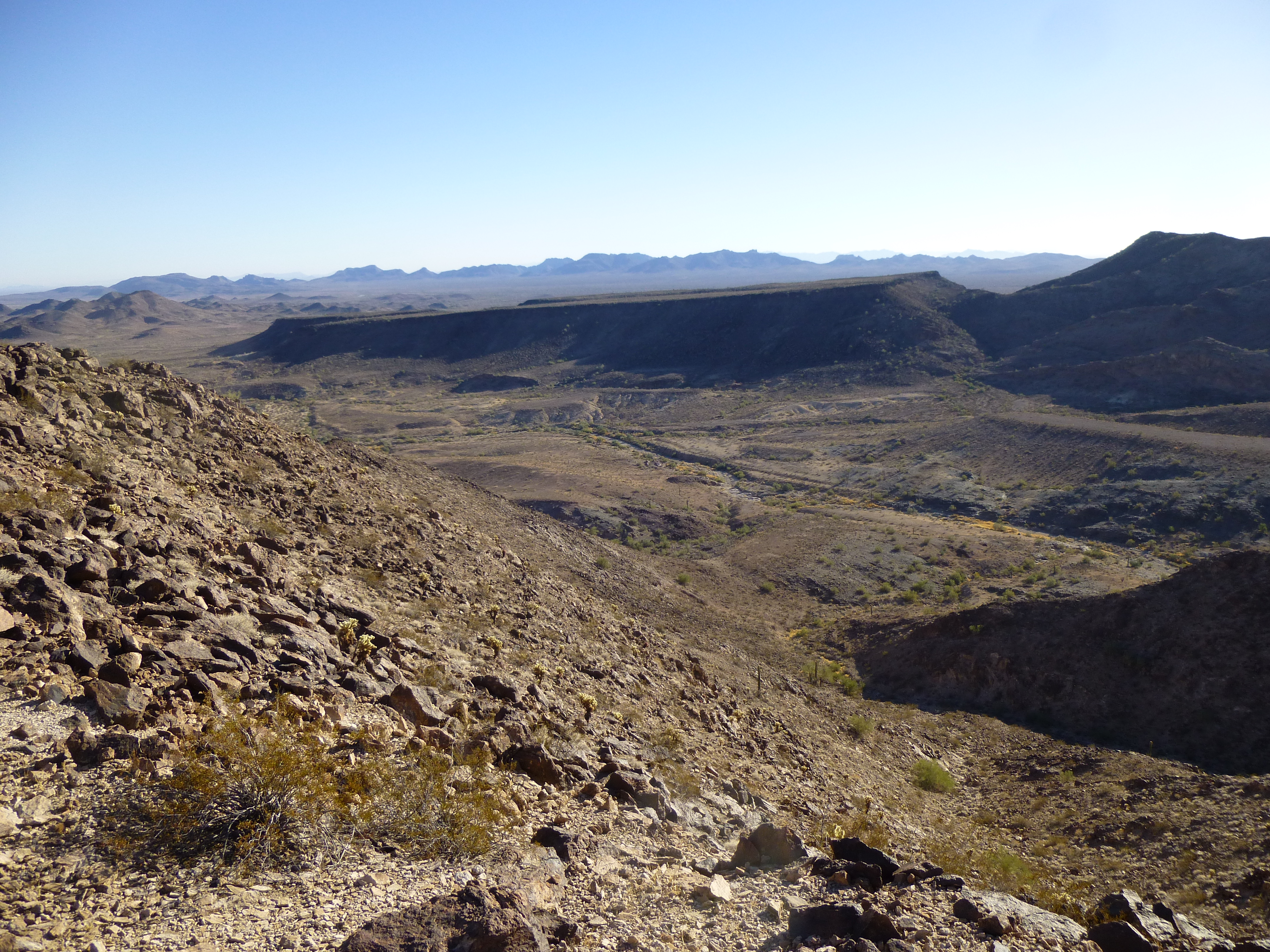
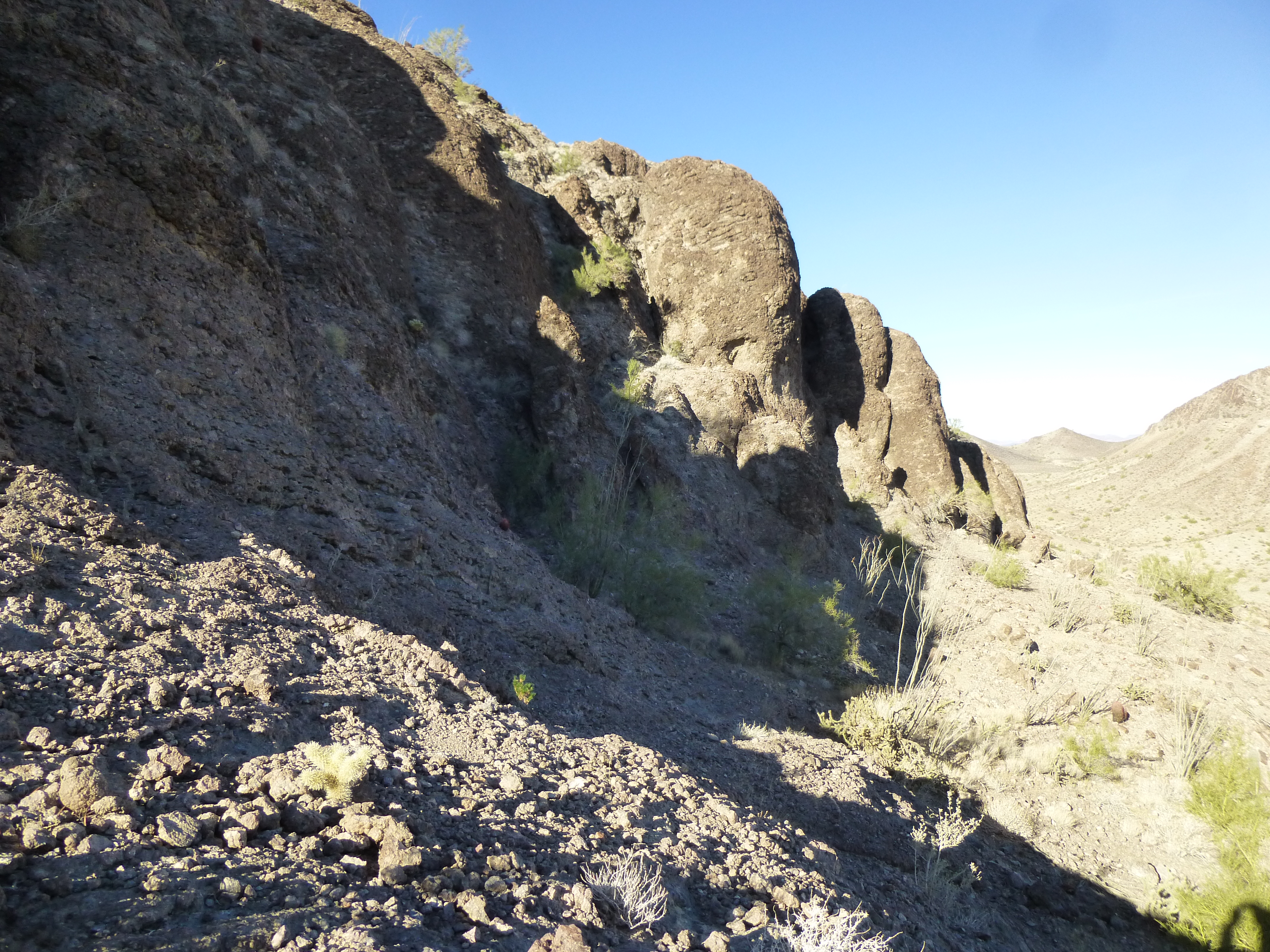
Luke moved on ahead and rounded yet another corner. He saw things opening up. In this next photo, just to the right of the shadowed area and out of the picture, there are 200 vertical feet of cliffs – we were walking along above them. Our route swings to the left and up, out of sight, into a bowl. A final 200 vertical feet of climbing took us to the summit ridge.
Looking even better.
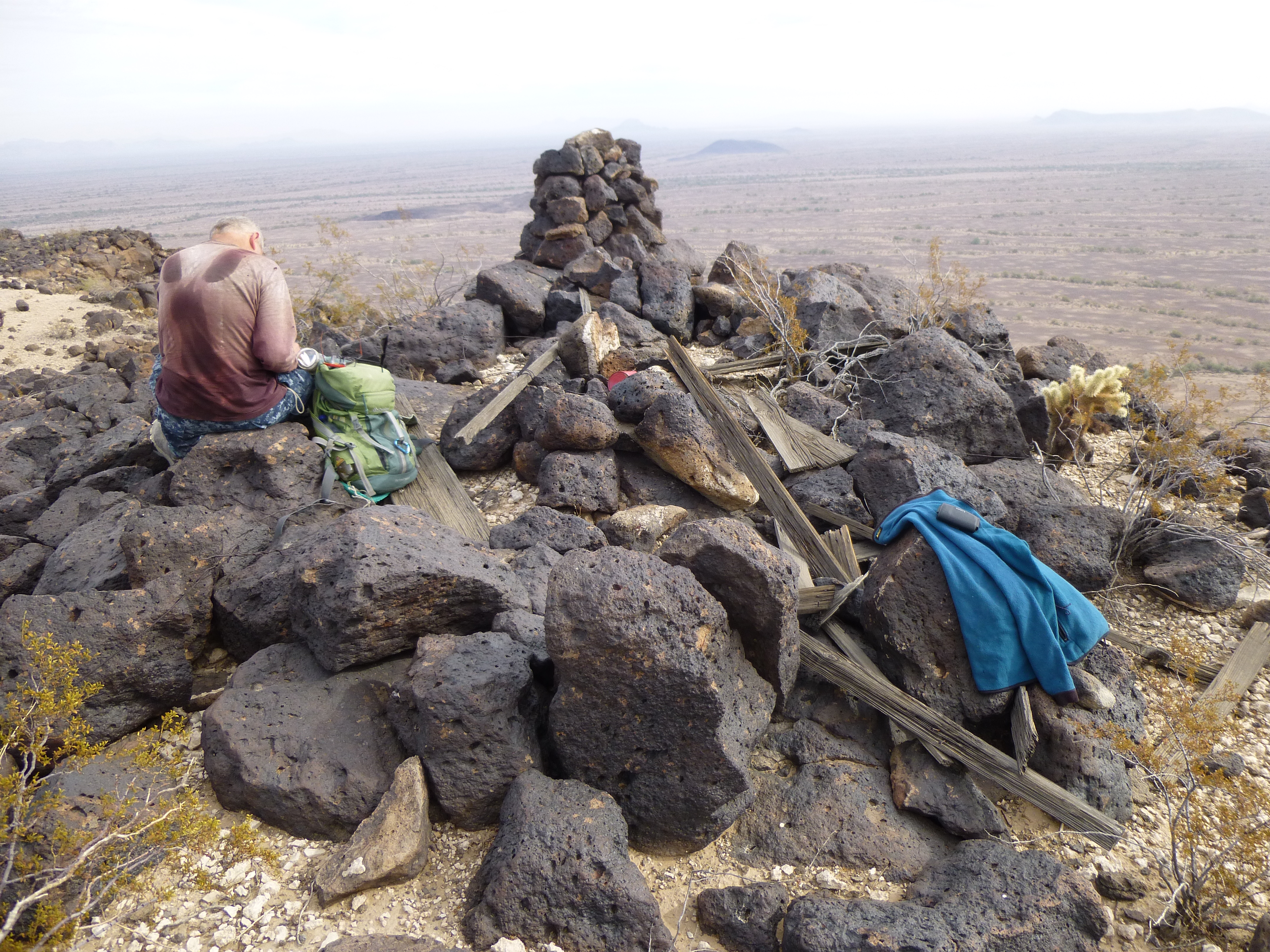
Just before nine o’clock, we stepped on to the summit – it had been only an hour and 20 minutes since we’d walked away from the trucks. It was a real stroke of luck how this hidden route had worked out for us. We sat and enjoyed the view, and savored our good fortune as we left a cairn and register.
A look southwest to Tanker Benchmark
This was our view to the north across the valley, to Peak 1908 and the long ridge to the east of it.
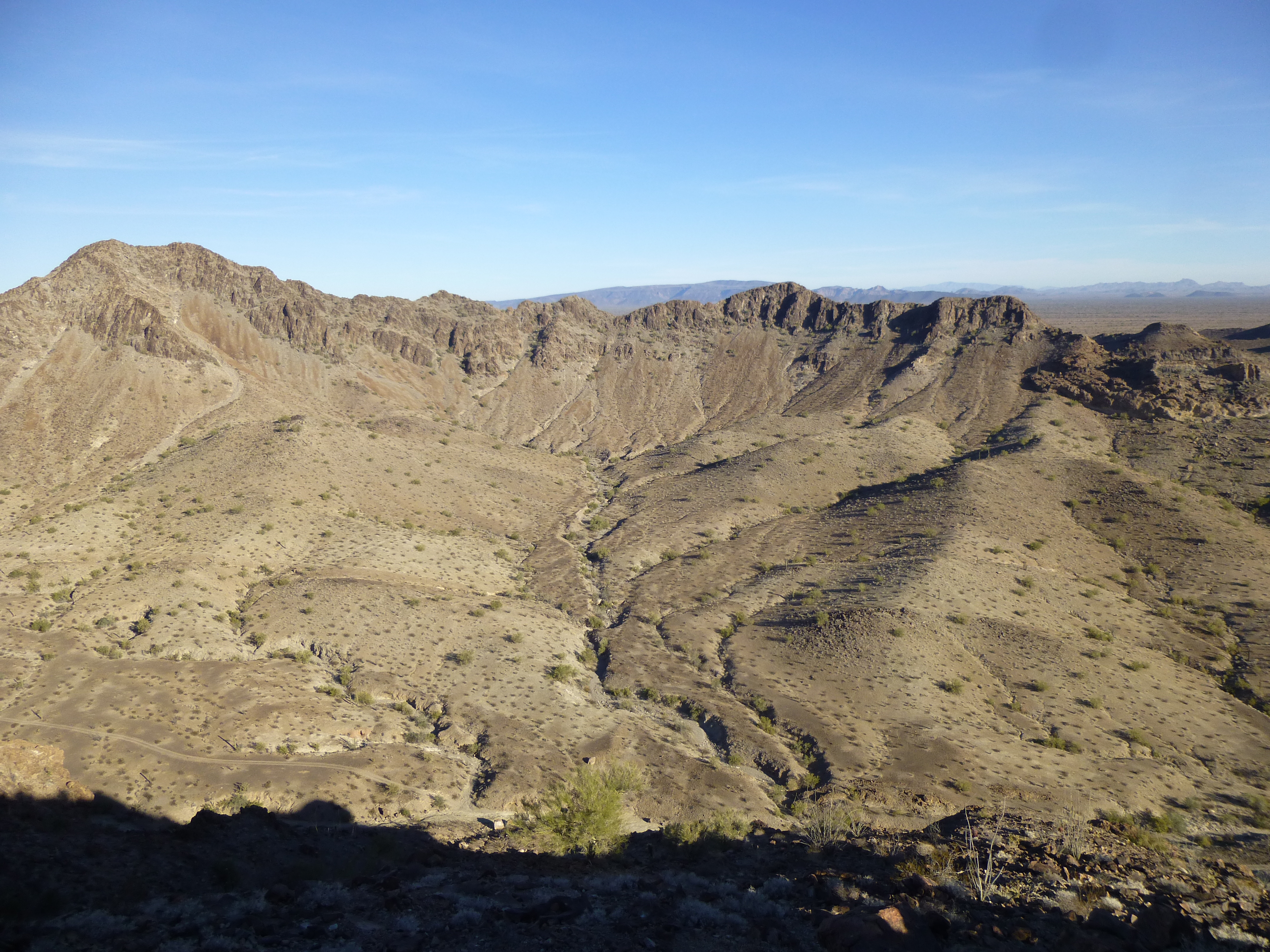
Peak 1908
Yep, this one felt really good – we lounged around on the summit, snacking and taking in the view, for a whopping 45 minutes, all the while with big shit-eating grins on our faces. It was as if a huge weight had been lifted from our shoulders – nothing could faze us now. Our descent down to the broad shelf and along it was quick and easy. From the broad ramp we had climbed at the start, we had this view back to the trucks – see them right in the middle of the photo?
Looking back to our starting point.
This would turn out to be our favorite climb of the trip. Because of the unusual rock formations, we called this one “Pillar Peak” – here’s another view of that feature from the bottom. Those pillars are the height of a 10-storey building.
Pillar Peak
Even though it was only 10:15 AM, it was time to celebrate with a cold beer, and it sure tasted good. It was our plan to climb another peak, then finish off the day with a long drive to another part of the range for more climbing tomorrow, so away we went. Then our luck changed for the worse.
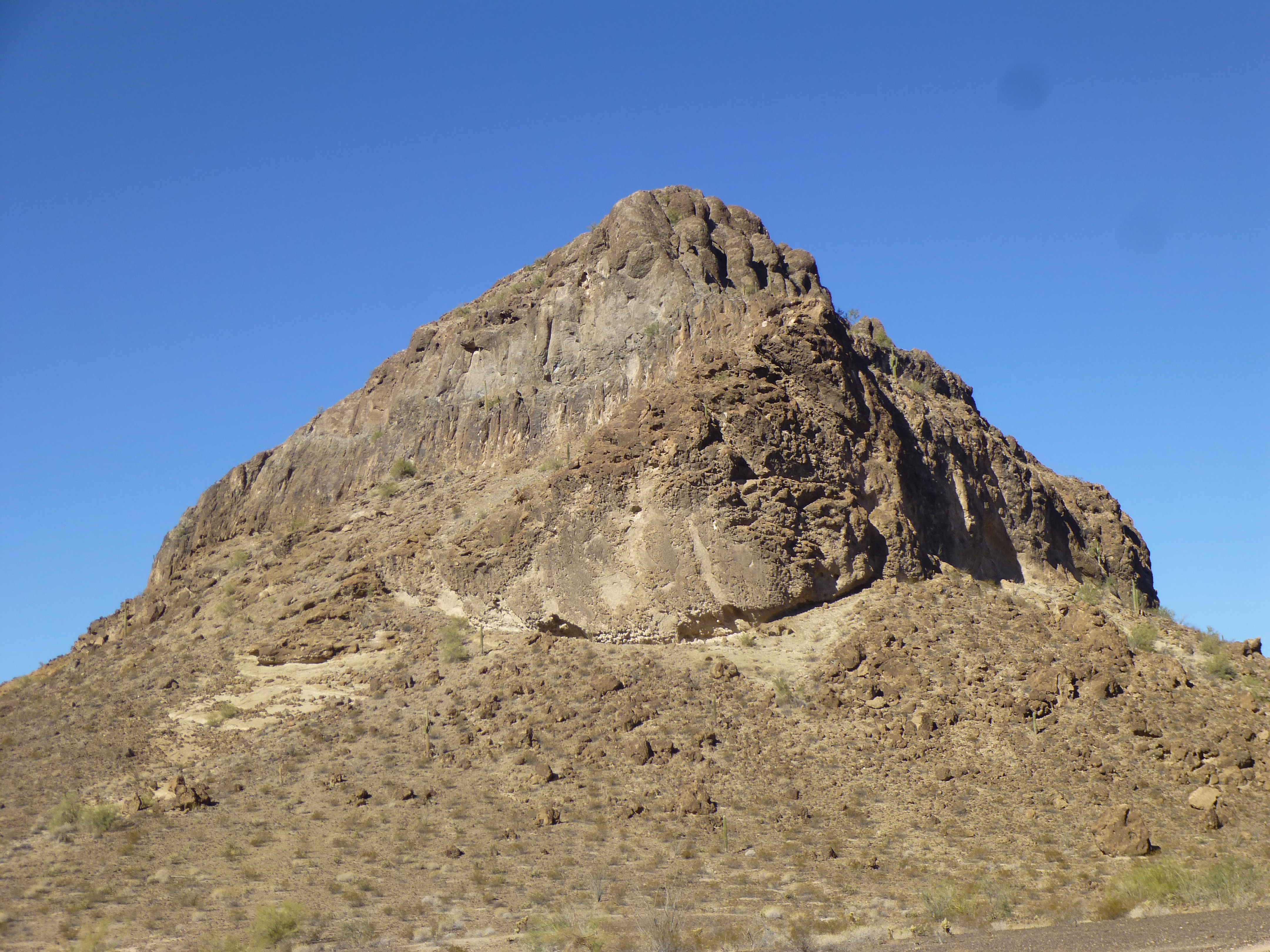
My truck’s dashboard has a full set of gauges, and I check them often. As we drove away I noticed that the voltage was well below where it should be. This same thing had happened to me once before on a climbing trip with Dave Jurasevich. Although I’m a mechanical numbskull, even I knew that my alternator was failing. It was a short distance to our next peak. We parked, then quickly climbed to the top of Flat Top Butte. Surveyors had been there, but no climbers, so we left a register amidst the surveyor’s cairn. I also took the opportunity to call my mechanic (it was a stroke of luck I was able to make a cell-phone call at all) and he verified my suspicion. This would definitely change our plans.
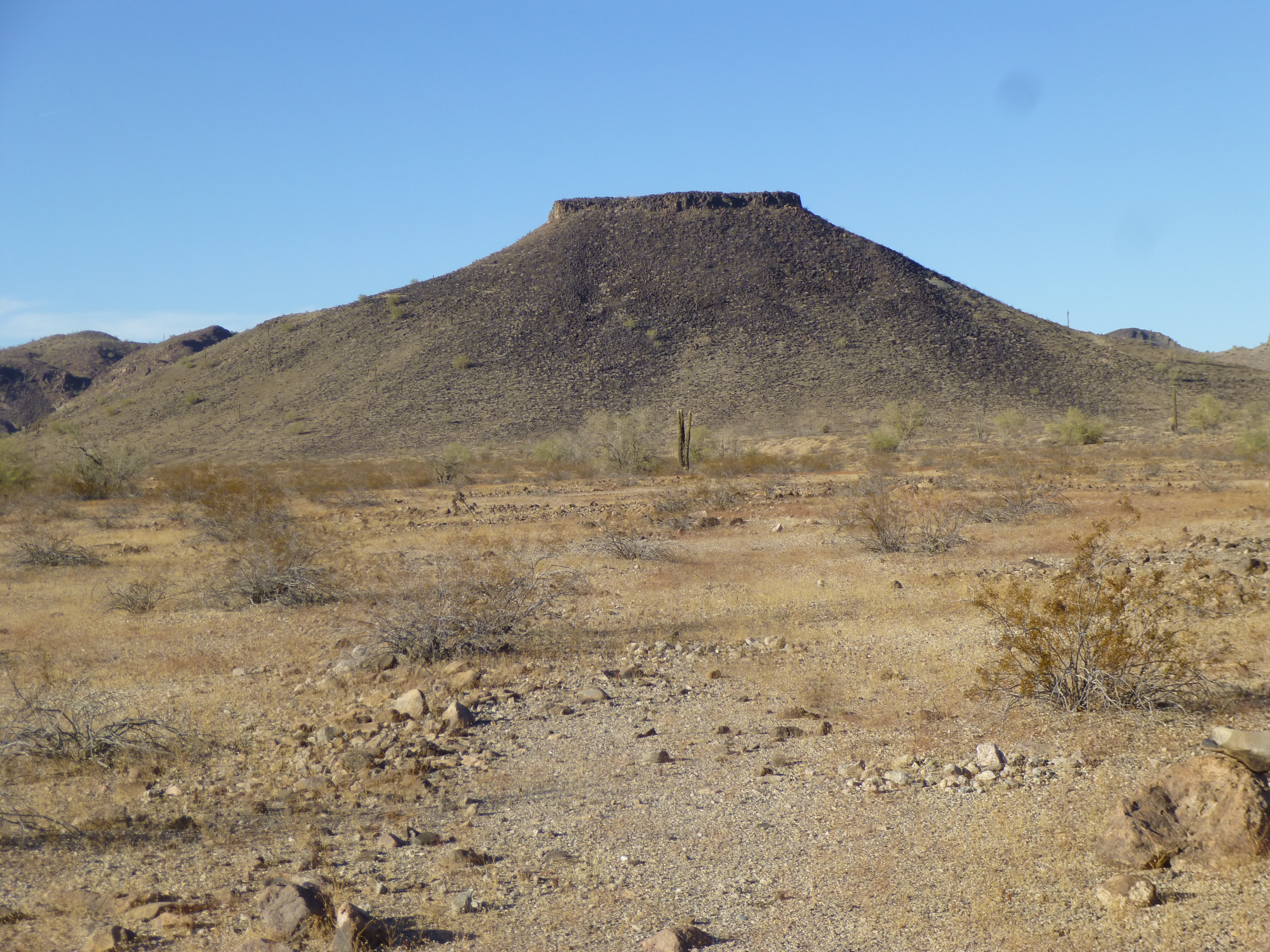
Flat Top Butte
Down off the butte, we drove several miles more and parked in a beautiful sandy wash.
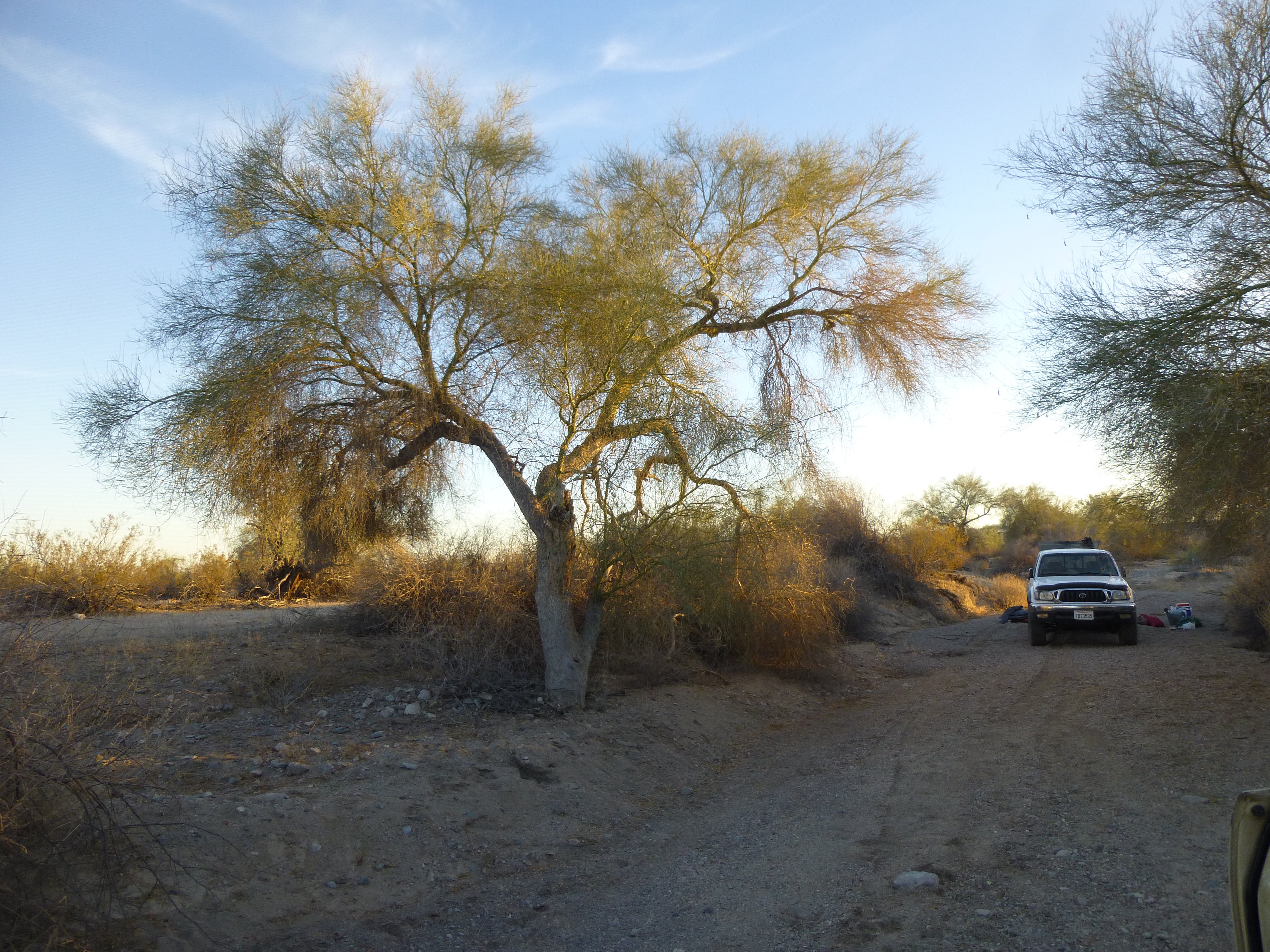
Our home for 2 nights
If we were to do any more climbing on this trip, it would have to be with Luke’s truck. Happy hour, a hot meal and hours by a cheery campfire finished our day. So ended Day 5. Our peak total for the trip now stood at 13.
Day 6
Early the next morning, we were greeted with an amazing sunrise.
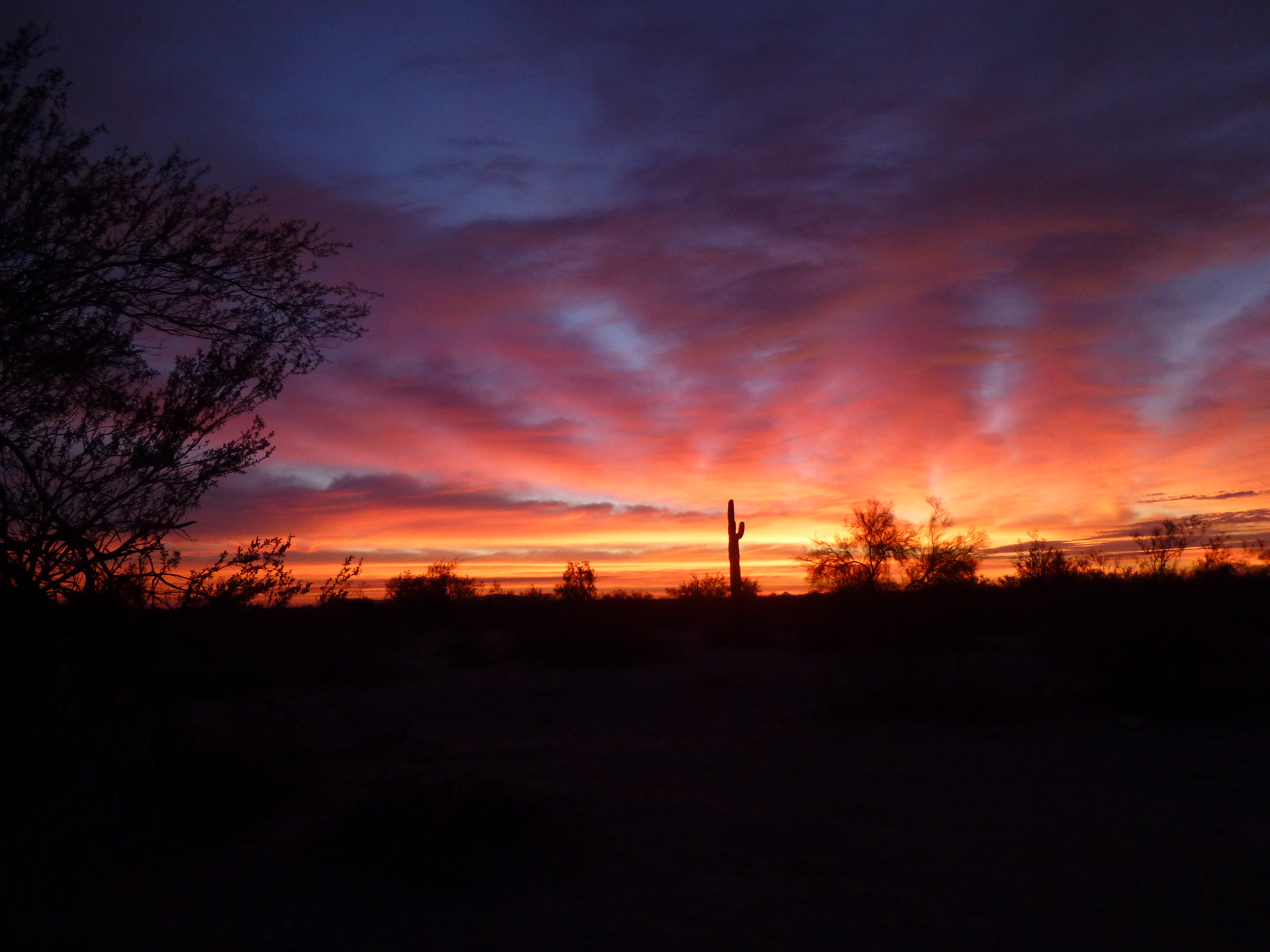
Desert sunrise
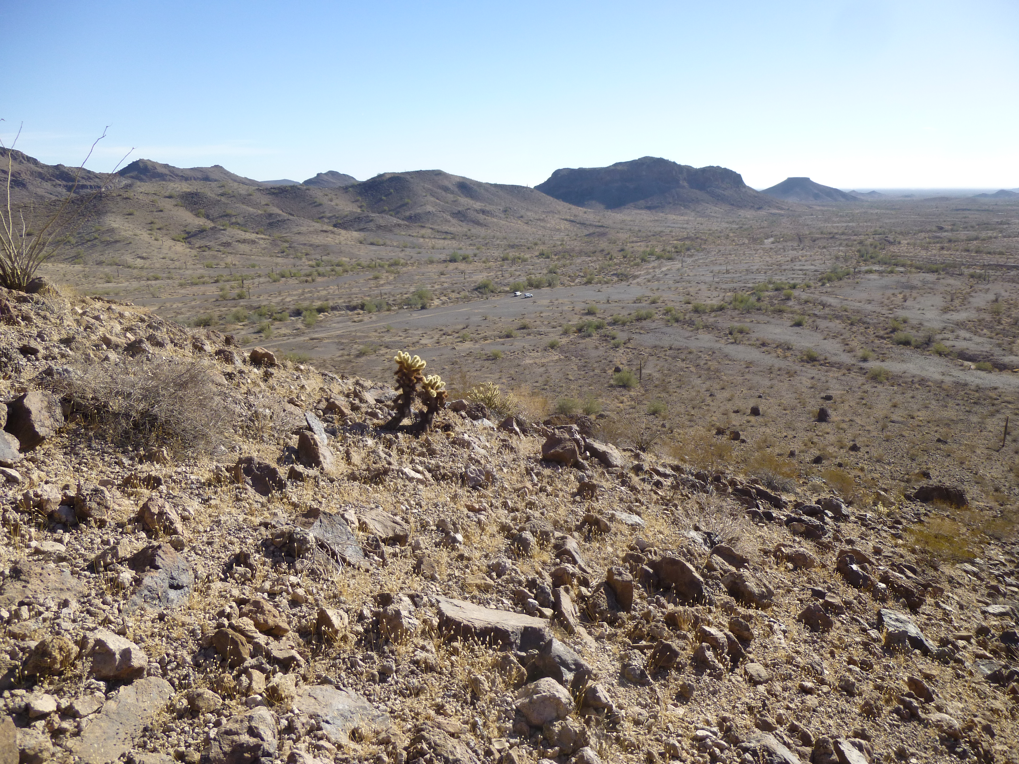
We headed north in the one vehicle along new roads, traveling along the eastern edge of the range. This area was not as remote as the rest of the Tank Mountains, and we saw pickups, quads and even trailers as we moved into place for our final group of peaks. In a valley that had seen a lot of former mining activity, we parked less than a mile away from Peak 1730 and were soon on the summit.
The east side of Peak 1730
Guess what – no register, so we left one. It was puzzling to us why climbers hadn’t visited this area – after all, it was more easily accessed than the rest of the range. Once back down at Luke’s truck, we drove back to the east for 2 miles and parked. The day was overcast, feeling quite different than any other on the trip so far. There were only 2 peaks left on our agenda – we’d do them as a loop from this spot.
It was noon by the time we set out – the valley was dead flat and it was quick work to cover the 1 1/2 miles to our destination. We dropped our packs and did a quick climb up Peak 1470, which like so many others on this trip we found untouched.
Peak 1470
After leaving a quick register, we dropped back down to the packs, put them on, and then climbed a slope to the east. On top of it, we walked across a large flat area and soon arrived at the summit of Malley Benchmark. This was only the third peak of the entire trip which had seen previous ascents.
Looking east to Malley Benchmark
A huge cairn sat on the summit, and in it we found an old register that had been placed in 2002 by Luke and Richard Carey. In addition, we found a second register nearby, left by Barbara Lilley and Gordon MacLeod in 2004.
Luke and the cairn
There was the usual surveyor trash – boards, wire, flares – littering the area, as well as the benchmark itself.
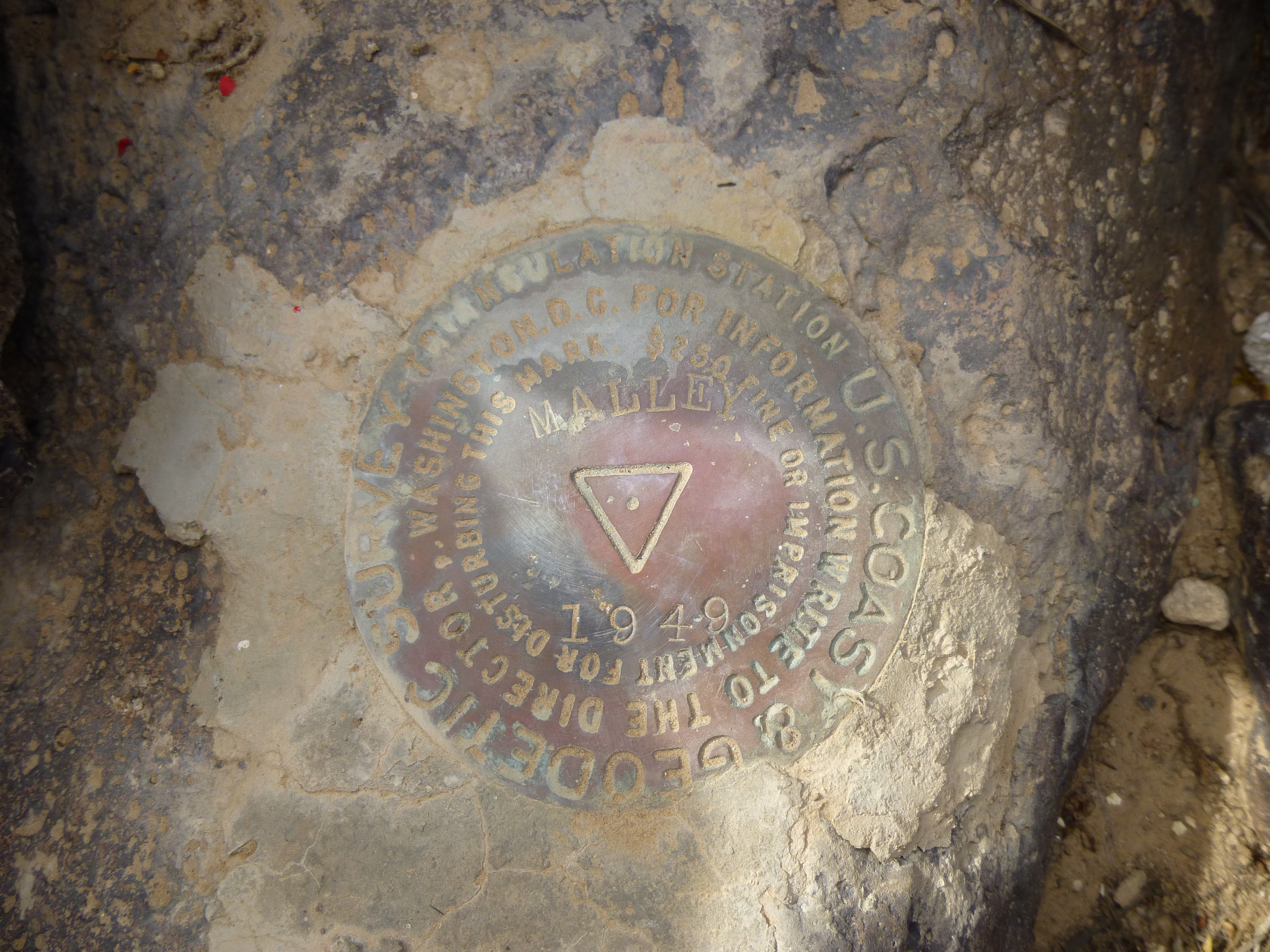
Malley Benchmark
Malley sits on the edge of a large uplift, protruding like the bow of a ship, overlooking a wide swath of land to the south and east. A few miles away, the north-south road in the Palomas Plain was well-used by hunters, campers and rockhounds looking for an escape from city life. As we sat there eating lunch, we could see rooster-tails of dust rising into the air from vehicles driving quickly along it. Of all of the 42 peaks in the entire Tank Mountains, this was the only one from which you could see other people moving around in the distance, the only one that didn’t seem remote.
After 30 minutes on the summit, we packed up and headed back down, arriving at the truck 2 1/2 hours after we’d started. On the drive out, we passed a spot where a group of hunters were camped with their trailers. Nobody was there when we arrived, but we were struck by the fact that one of them was buried to its axles in the soft dirt – it looked like he’d have a devil of a time getting un-stuck.
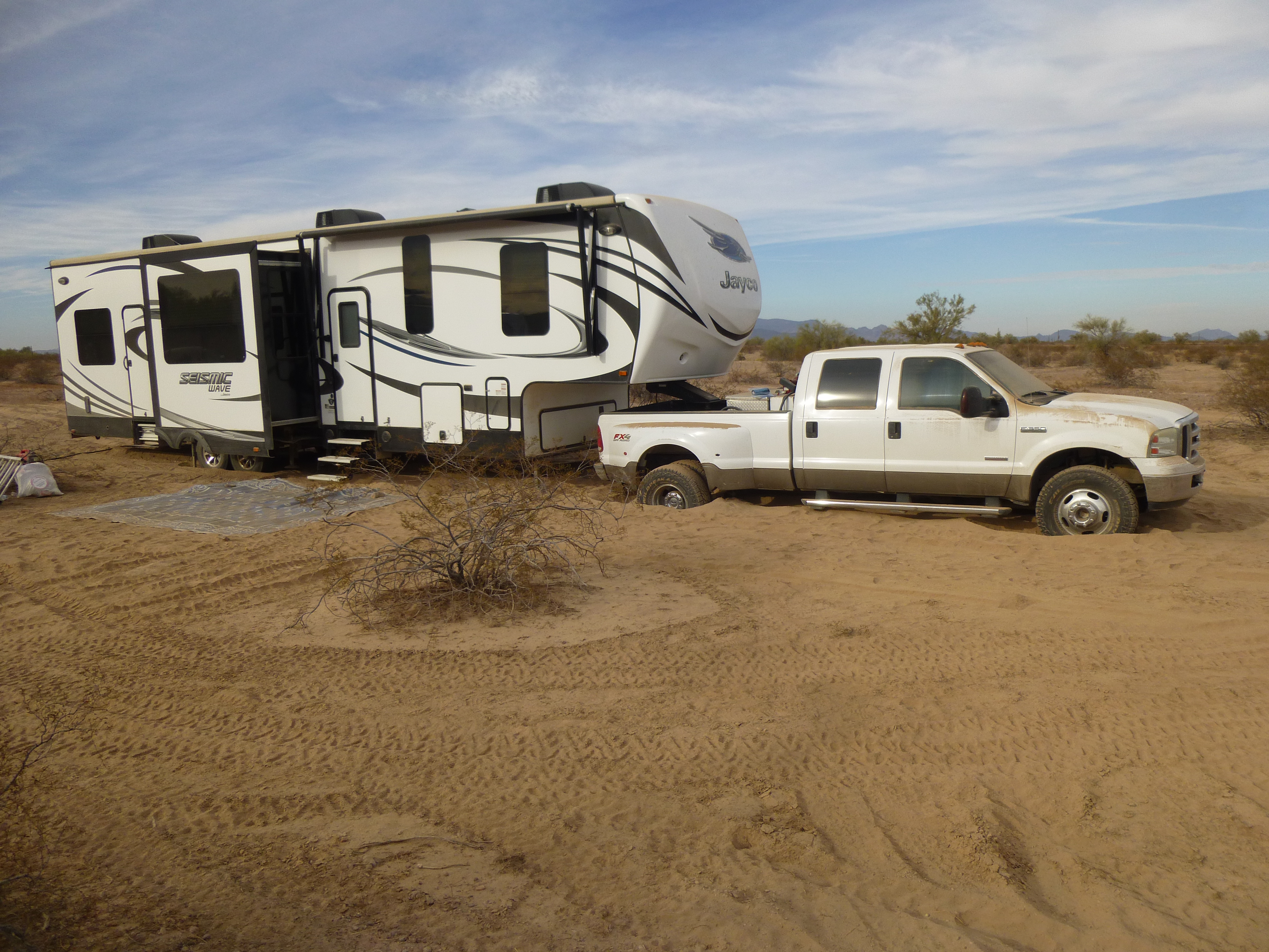
Stuck
By 4:00 PM, we were back at camp and settling in for one more night. Once dinner was cooked, we settled in for an evening of adult beverages around a roaring campfire to welcome in the New Year. It was a chilly night, with the overnight temperature dropping to 34 degrees F.
Day 7
I was worried about my truck. Since the alternator was dying, if not already dead, it was only a matter of time until my battery had so little charge left that it could no longer power the spark plugs. When that happened, my truck would stop and I wouldn’t go any farther – I’d be stranded. My mechanic had said that if we had a set of jumper cables (we did), we could keep re-charging my battery from Luke’s truck as often as needed, and I could limp home. Luke kindly agreed to go 200 miles out of his way to help me get back to Tucson (his home was in San Diego). He had some concerns about a possible problem he had noticed in his own truck, so my mechanic would be able to work on both vehicles once we reached Tucson.
We set out, taking a different road than we’d used to enter the Tanks to start our trip, one that would take us through a more-traveled area. One hour and 20 miles later, we reached pavement – my truck was still running. This put us right by a gigantic solar energy plant – check out this link – it says that it is the world’s largest solar photovoltaic plant, producing an amazing 290 megawatts of electricity.
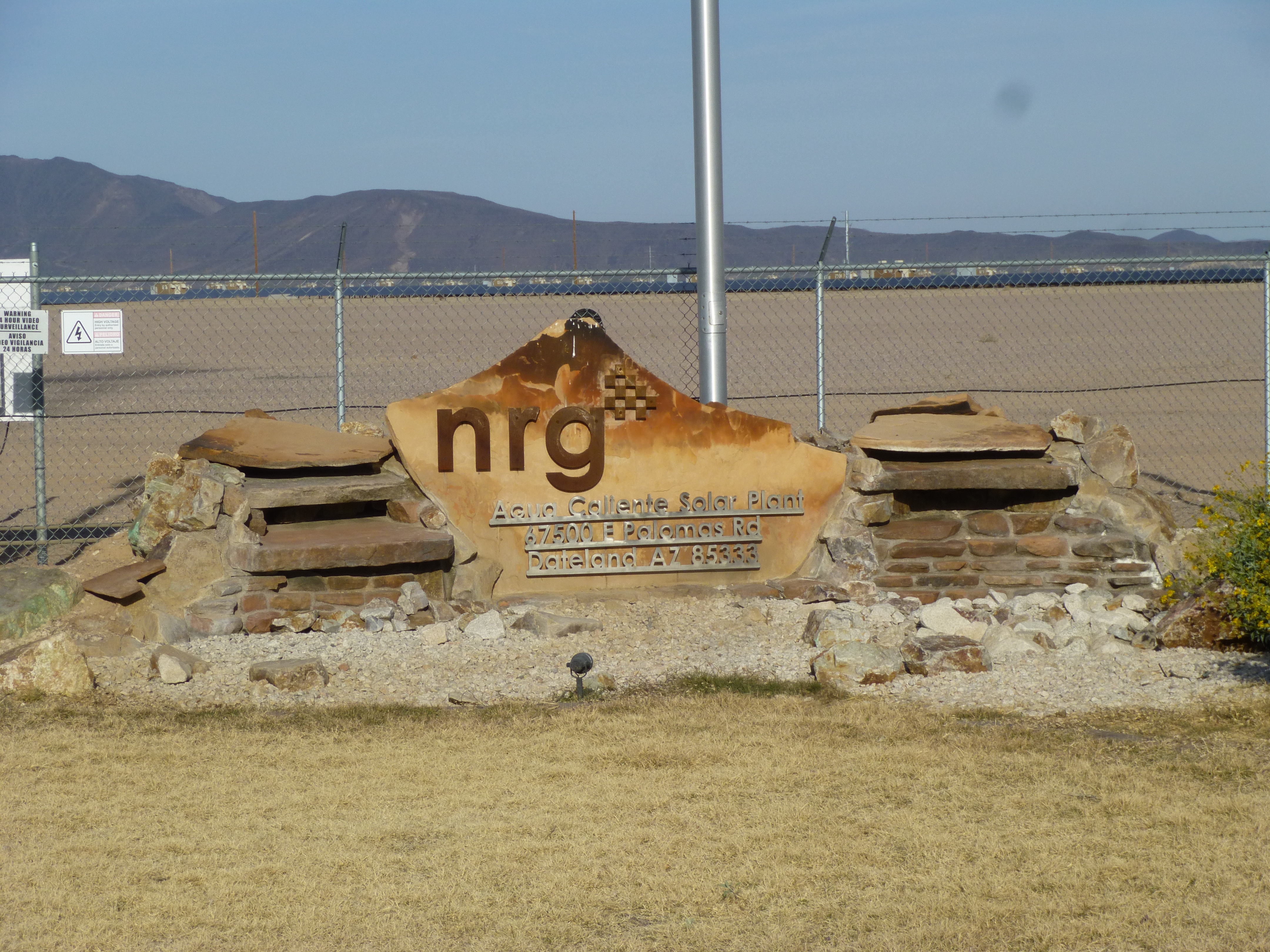
Solar farm
Another 30 miles took us to Interstate 8, and 28 miles after that we limped into the town of Gila Bend where we stopped for a quick lunch. We managed to make it another 35 miles east before we finally reached a roadside pullout and re-charged my battery. That did the trick, and we went another 40 miles before stopping for gas and another battery charge. By 3:00 PM, we finally arrived in Tucson and dropped off both vehicles at my mechanic’s shop.
If I had been alone, with no other vehicle present, getting out of the back-country and home would have been much more difficult. Thankfully, Luke was present to help create a happy ending. Our trip took a full week, and we covered 400 miles. From a climbing standpoint, the trip was a complete success. We climbed a total of 16 peaks. We knew that 3 of them had been previously climbed, so that was no surprise – we found registers on each of them. The other 13 – we had strong reasons to believe that none of them had been climbed before, and that turned out to be the case. On every one of them, there was no trace whatsoever of any previous visit – no cairn, no register, no rock set atop another, no speck of trash. We called them virgin summits, an apt term.
We’ve all heard the Christmas song “The 12 Days of Christmas”. Well, I think it’s time to add one more line to it, and it would go something like this:
On the thirteenth day of Christmas, my true love sent to me: Thirteen virgins singing Twelve drummers drumming Eleven pipers piping Ten lords a leaping Nine ladies dancing Eight maids a milking Seven swans a swimming Six geese a laying Five golden rings Four calling birds Three French hens Two turtle doves And a partridge in a pear tree.