
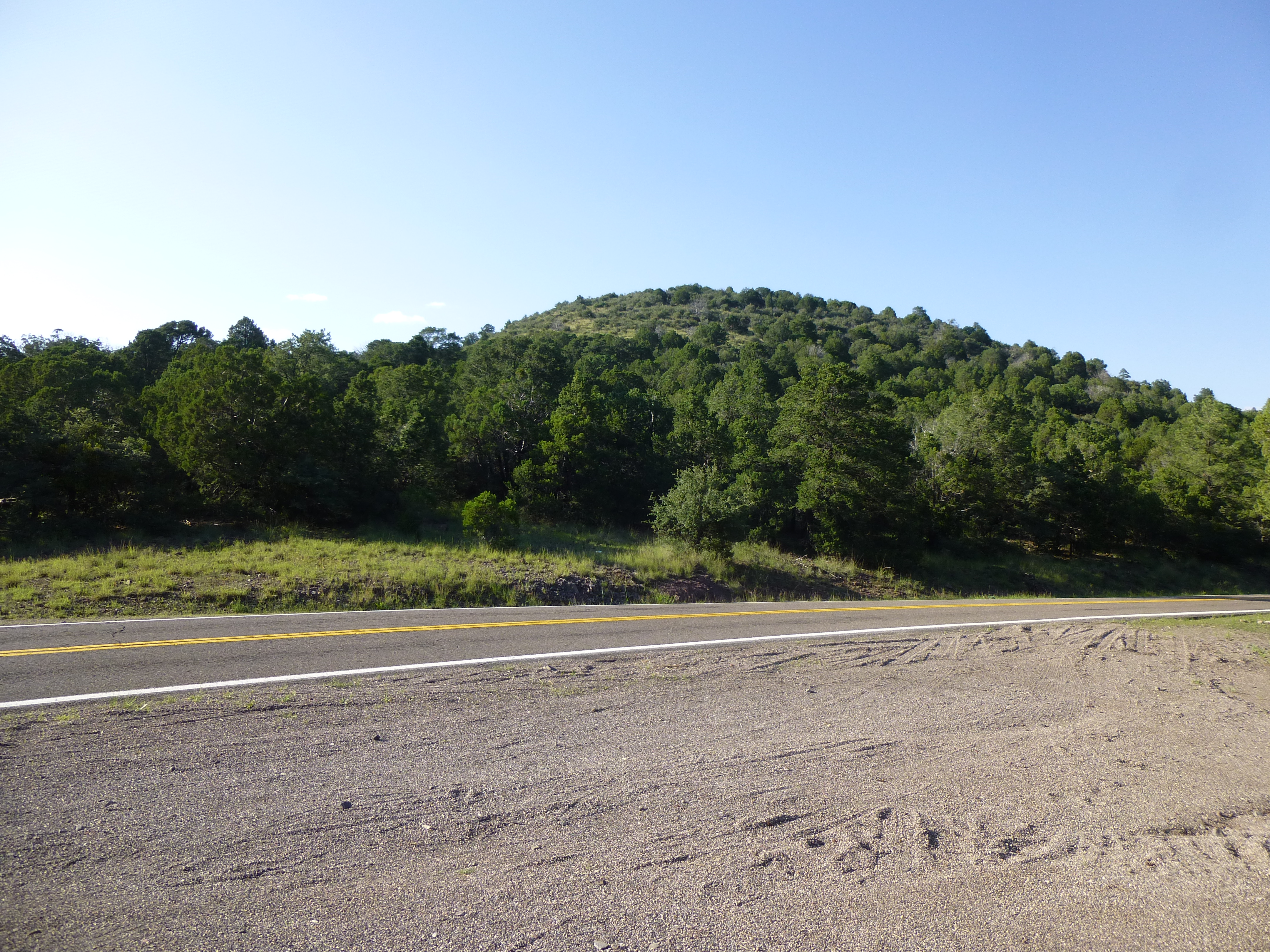
Running up the east side of Arizona is a highway loaded with some terrific scenery – I’m referring to U.S. Highway 191. It wasn’t always called that, though. For a great many years, it was called Highway 666. This road starts in the south at the Mexican border at Douglas, Arizona in the high desert. It makes its way north for 80-odd miles, then follows Interstate 10 east for 22 more, passing through the town of Willcox en route. It then turns north again, and 34 miles later reaches the bustling town of Safford. More miles to the east, then north again – about 50 miles from Safford we reach the mining town of Morenci. So far we’ve been at elevations ranging from 2,600 feet to 4,800 feet. Here, continuing north from Morenci, the highway climbs steeply up into higher, wooded country, quickly reaching 6,000 feet and stays high for many miles. Near Hannagan Meadow, it attains almost 9,200 feet, its highest point, about 70 miles north of Morenci. It then loses elevation as it passes through Alpine to reach Springerville, 50 miles later. North it goes, reaching Interstate 40 about 80 miles later, then makes its final run north through the Navajo nation to reach the New Mexico border after a final 150 miles in Arizona.
Over the years, U.S. 666 has sometimes been the object of controversy because “666” is the “number of the beast” (or Antichrist) in the Bible. Revelation 13:18 states: “Let him who has understanding calculate the number of the beast, for it is the number of a man: His number is 666”.
The highway has been labelled with several unflattering names, such as “The Devil’s Highway”, “The Highway to Hell”, “The Haunted Highway” and “Beast of a Highway”. I’ll wager that there were some who wouldn’t even drive it while it was called 666. Fortunately for them, in 2003 the Powers That Be approved a change in its designation, and since then it has been called U.S. Highway 191.
So let’s get down to business. On September 21, 2013 I spent a day with Andy Martin from Tucson – we drove along the highway with maps in hand, climbing as many peaks as we could. Our first stop was Peak 7631 right by the east side of the road. It was quick work to reach the top by its west ridge.
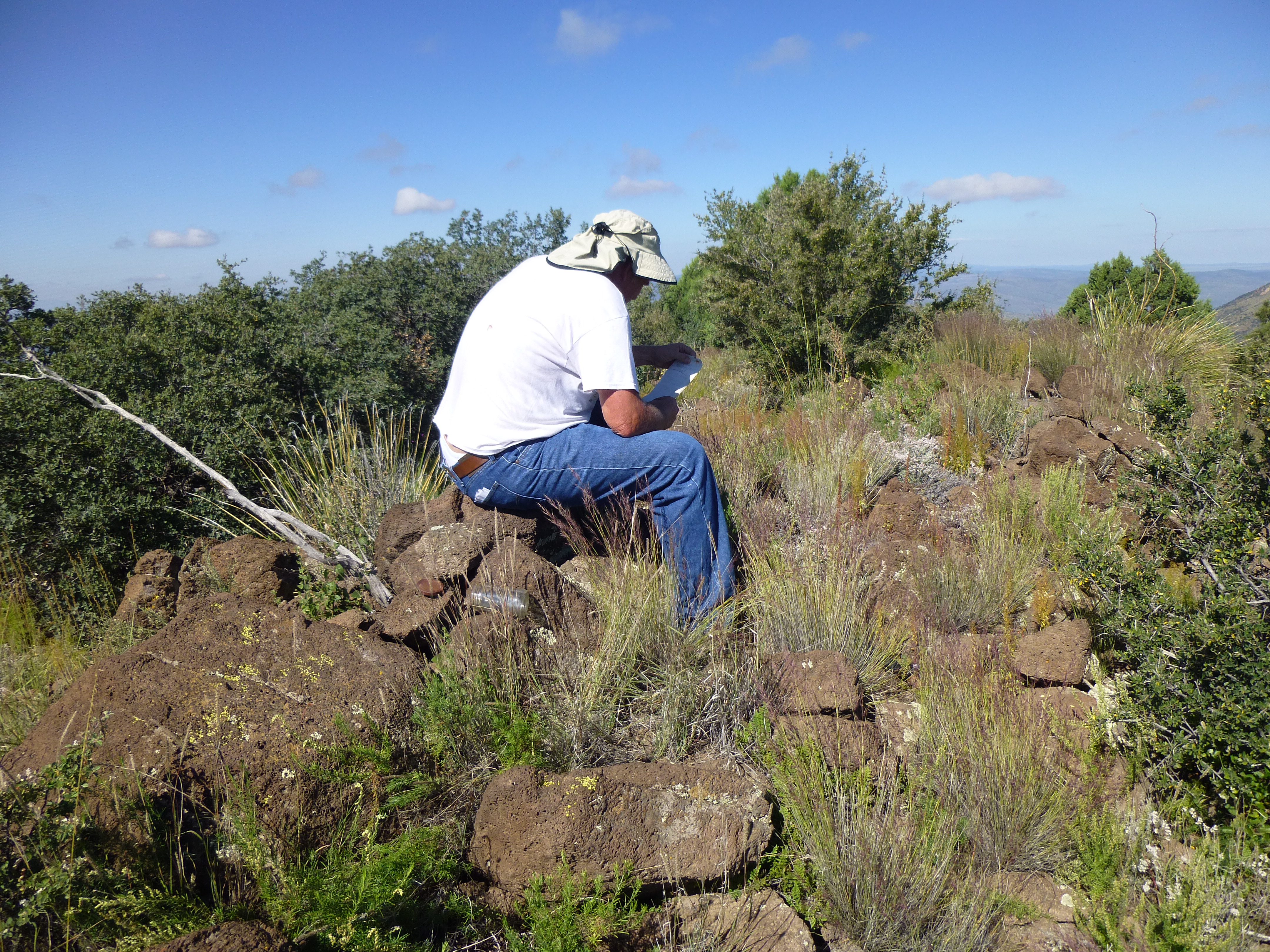
Andy on the summit
Back down to the road, we stopped again a few miles north and climbed Sardine Benchmark, elevation 7,762′, by its south side. By now it was a quarter of eleven in the morning.
Sardine Benchmark
Moving another several miles north, we parked once again and did a quick climb up Peak 6660 via its west side. It was now noon.
Peak 6660
Climb back down, then repeat – the next one up the road was Peak 6781, the high point of Four Bar Mesa via its southeast ridge. By now, it was just after one o’clock.

Peak 6781
On each peak, we signed into a register, took a few pictures and then headed back down. For the next one, we drove north a few more miles and parked on the west side of the highway. It didn’t take too long to reach the summit of Peak 7379 by its southeast side. Here’s Andy on top.
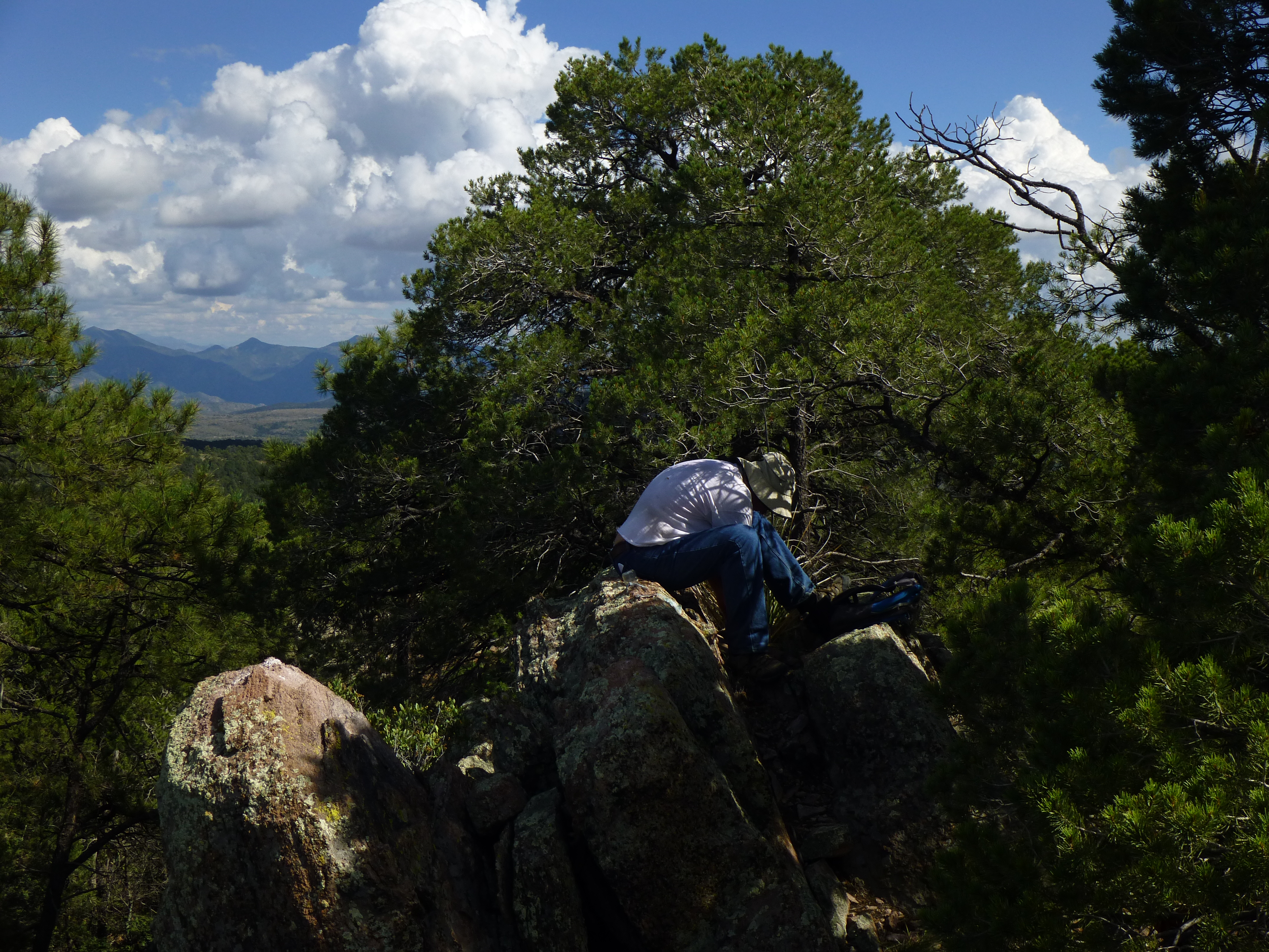
On top of Peak 7379
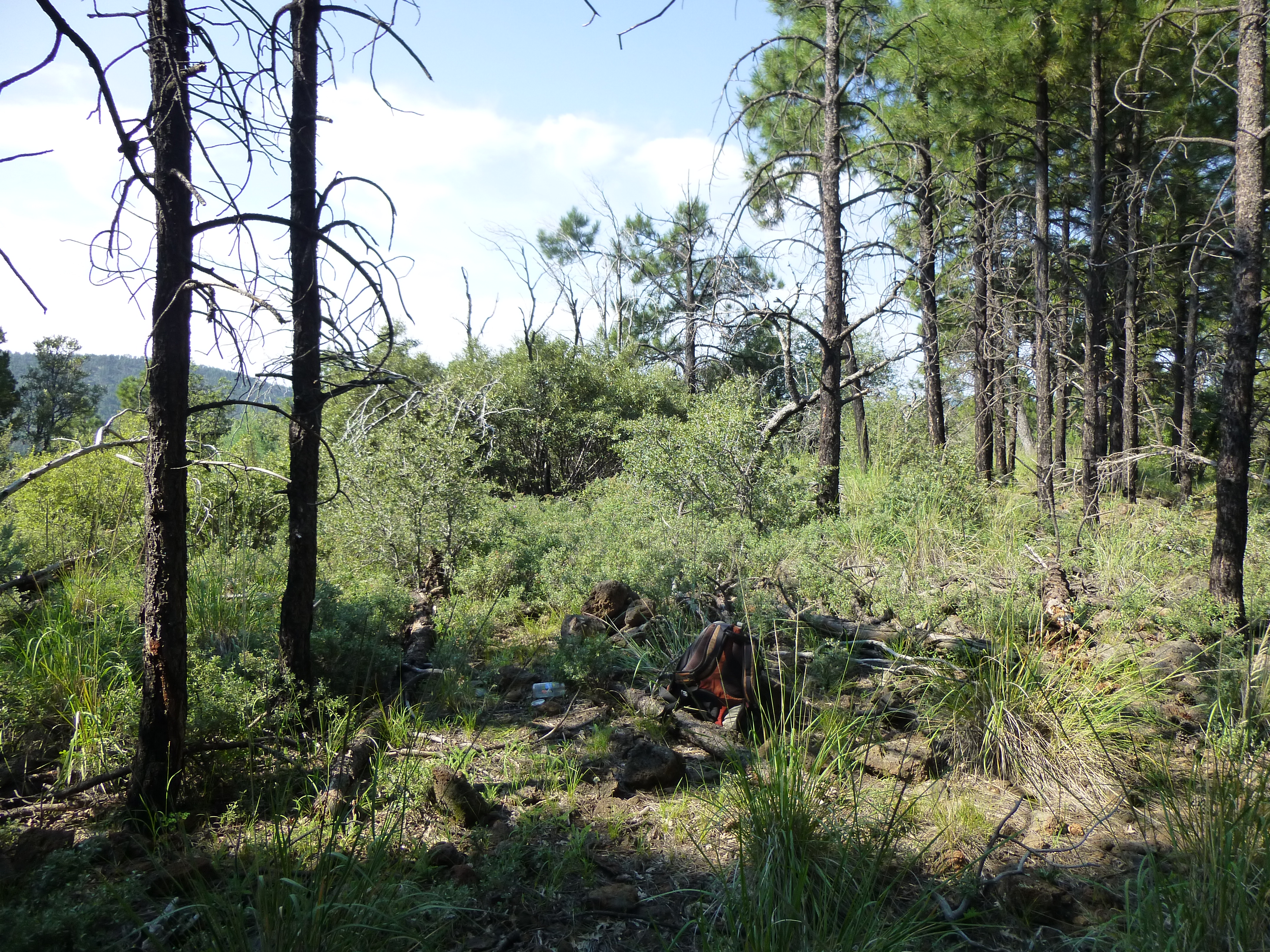
It was an easy walk back to the car, then another short drive north to park for our next one. In the forest up higher, we came upon this affair – Andy recognized it as a place where a hunter would quietly sit to wait for game to come by.
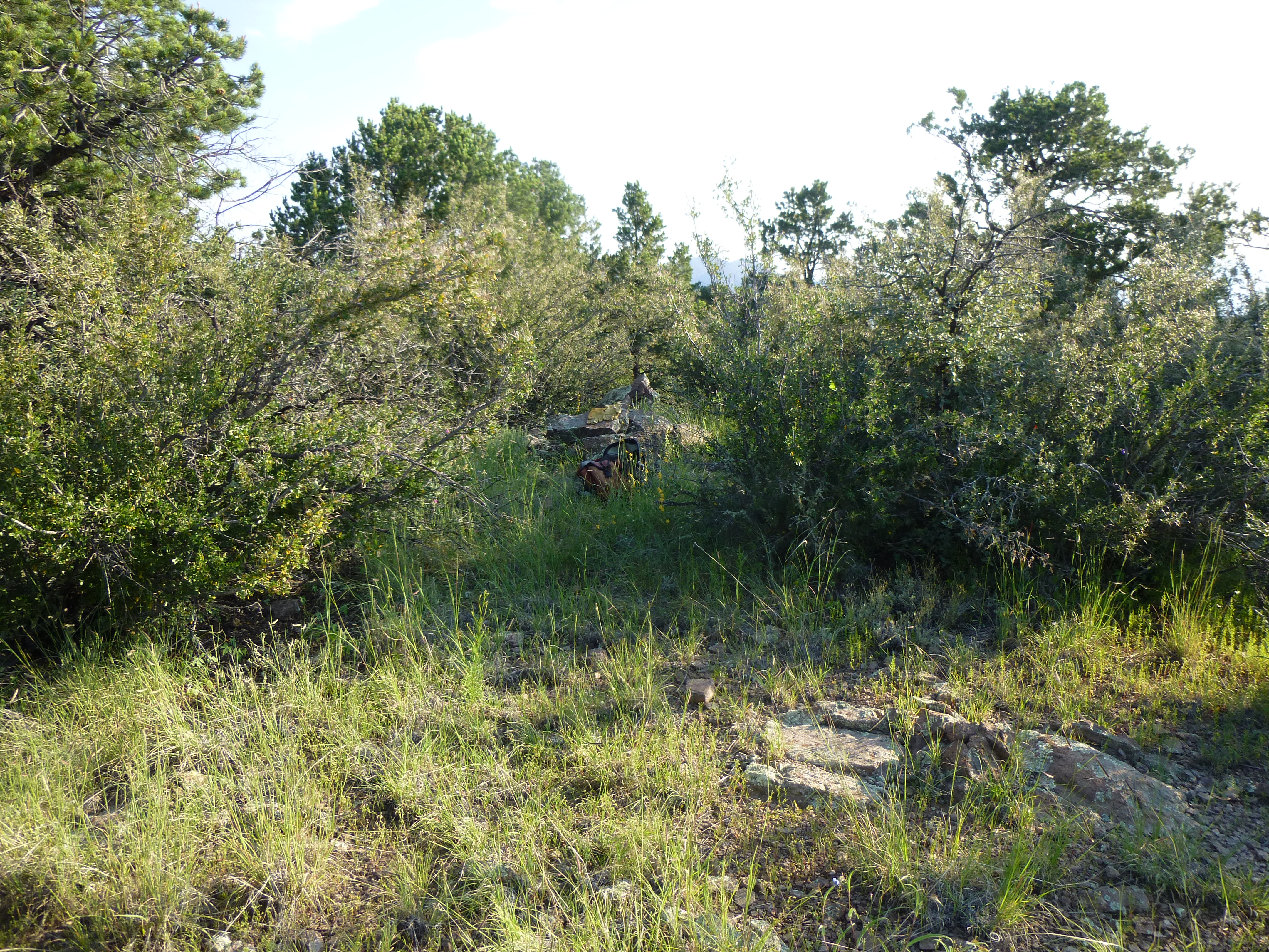
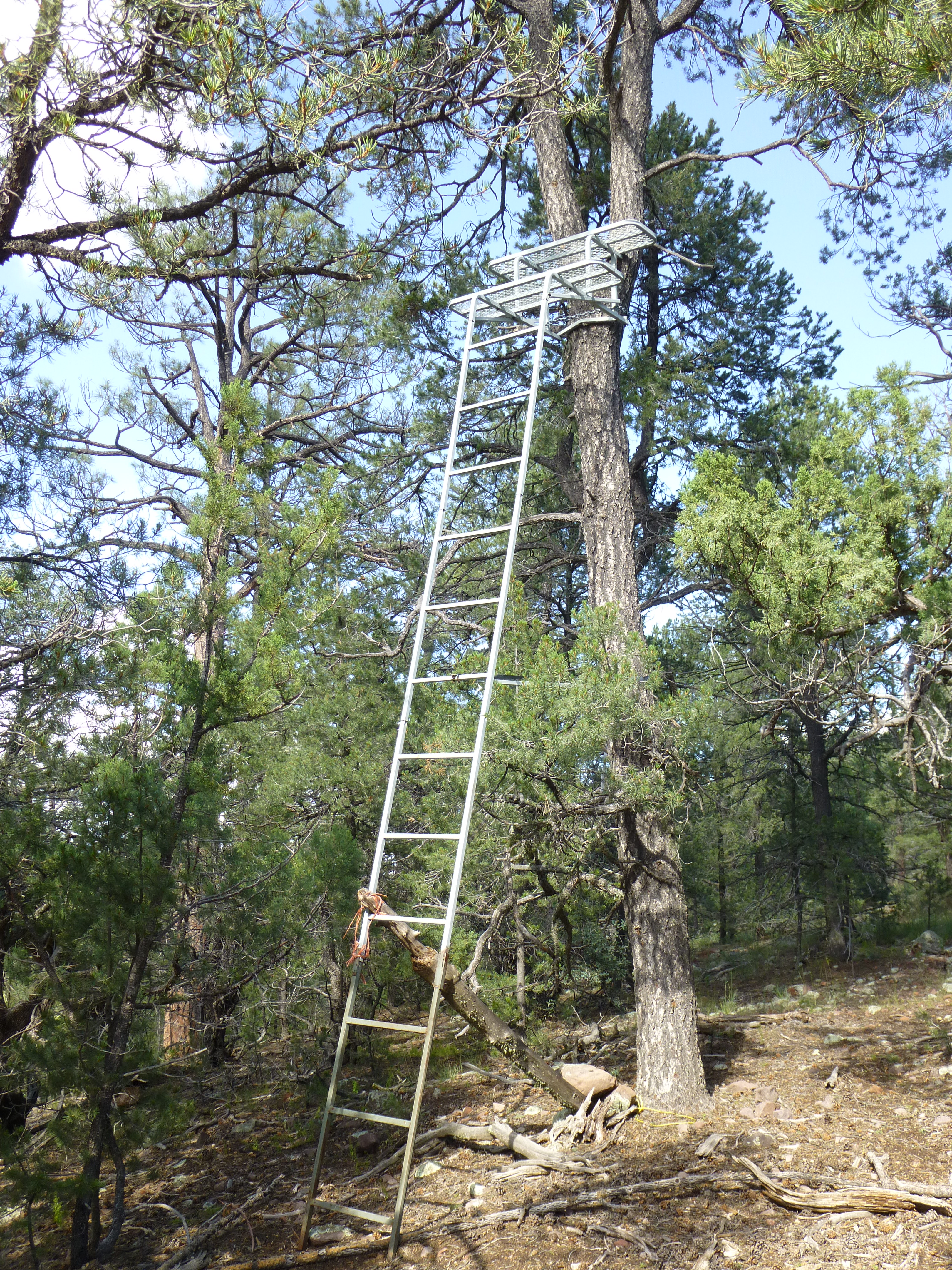 This summit was very brushy, Peak 7450.
The summit of Peak 7450
We decided to drop steeply down through the bush to the highway to the north, then walk it uphill back to the car. It was 3:45 PM when we were back. Andy drove us a few miles north and dropped me off for my 7th peak of the day while he went farther on to do his, a different one. I walked up a nice trail, the only one I’d seen all day.
Up the trail.
On the summit of Rose Peak, elevation 8,786′, sat an active forestry lookout.
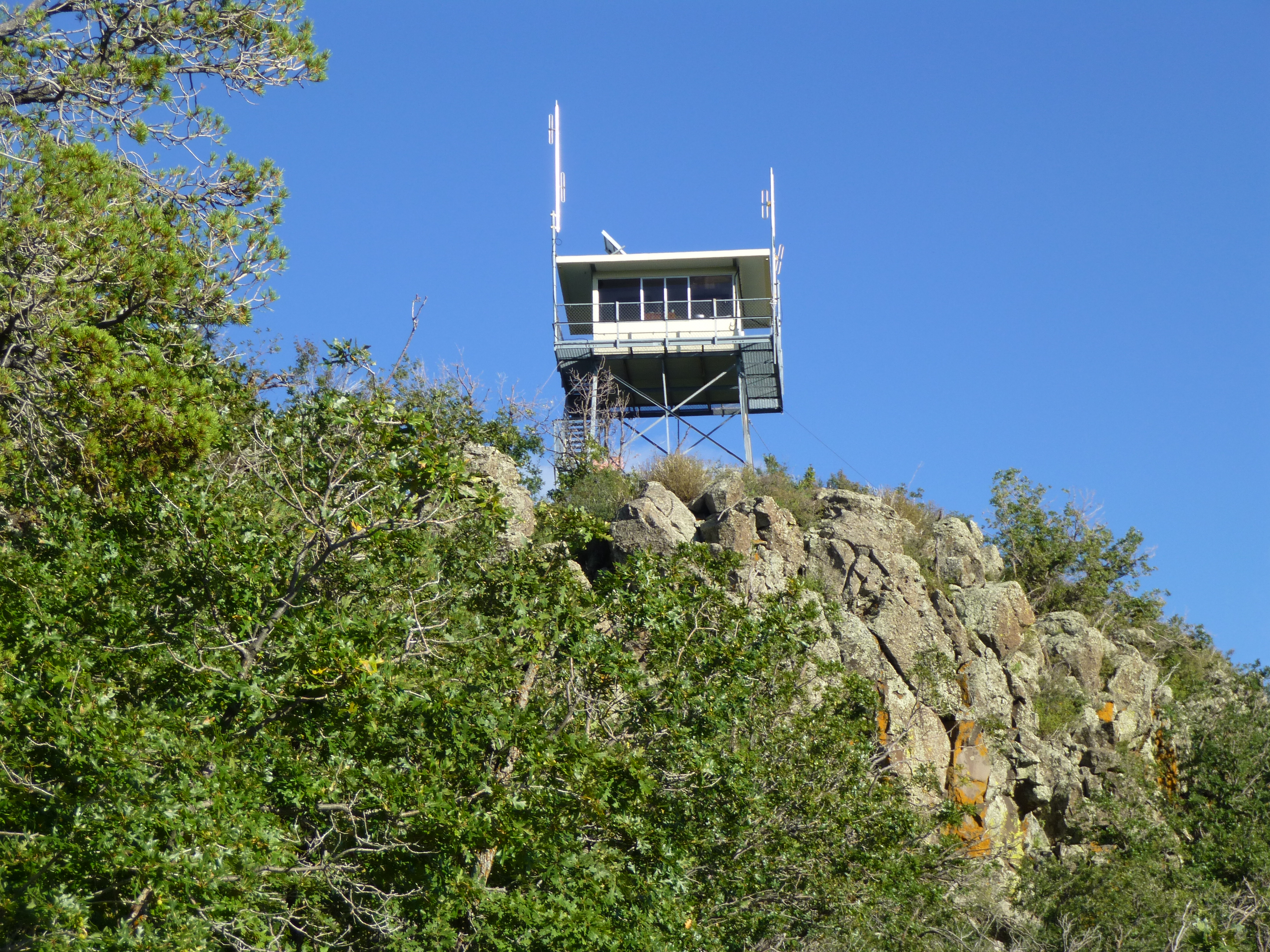
The Rose Peak lookout
By the time I’d signed in, then headed down the 3/4-mile trail, it was 5:30 and the shadows were long. Andy picked me up before long, and we spent the next 5 hours driving back home. It had been a very productive day, each of us with 7 peaks under our belts.
Fast-forward almost 4 years. I had a 4-day weekend coming up, and wanting to get out of the heat for a bit, I decided to head back up to the the Devil’s Highway for some more peakbagging. It was 8:30 AM by the time I headed out of town, and around noon by the time I’d reached the mining town of Morenci. In my haste to get into the mountains, I neglected to gas up while there. There is a breathtaking viewpoint overlooking the gigantic open-pit mine, one of the world’s largest. In the very center of the photo, on a road, is a tiny dot which is actually an ore truck the size of a 2-storey house.
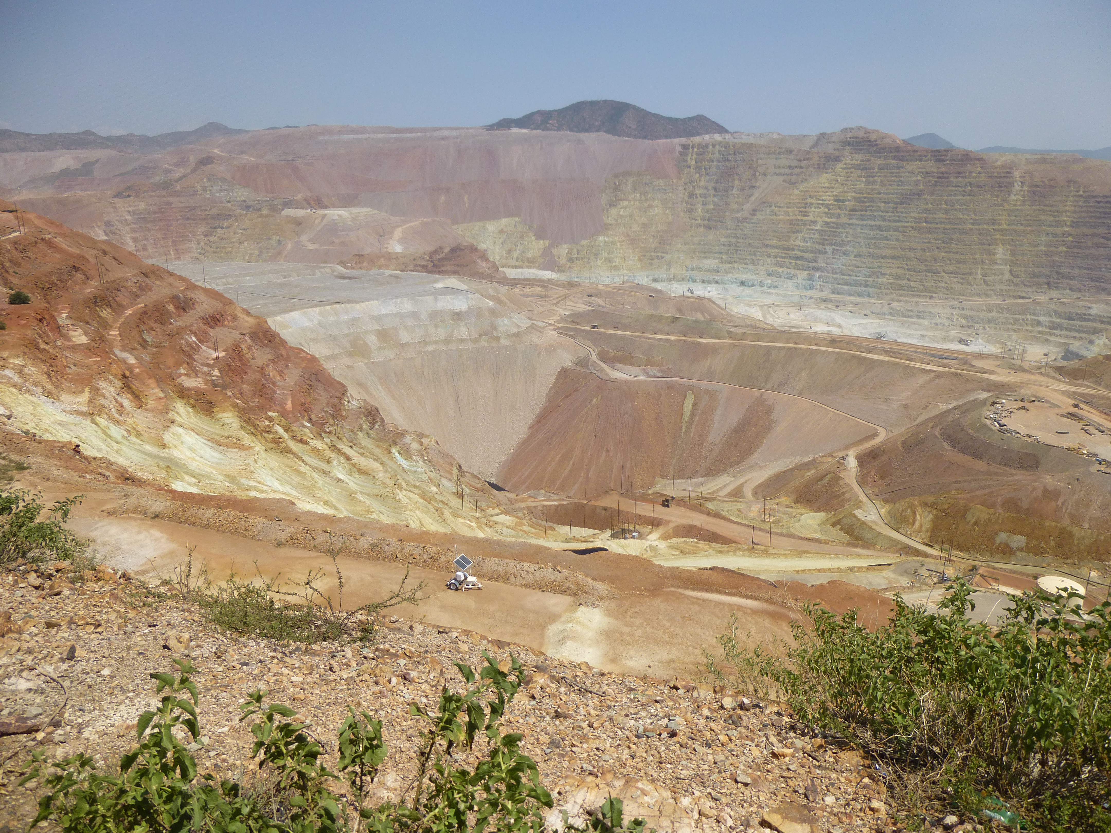
The Morenci mine
Everything at this mine is on a huge scale, such as this tire on display – it fits on one of those trucks, and is as tall as 2 men, about 12 feet.
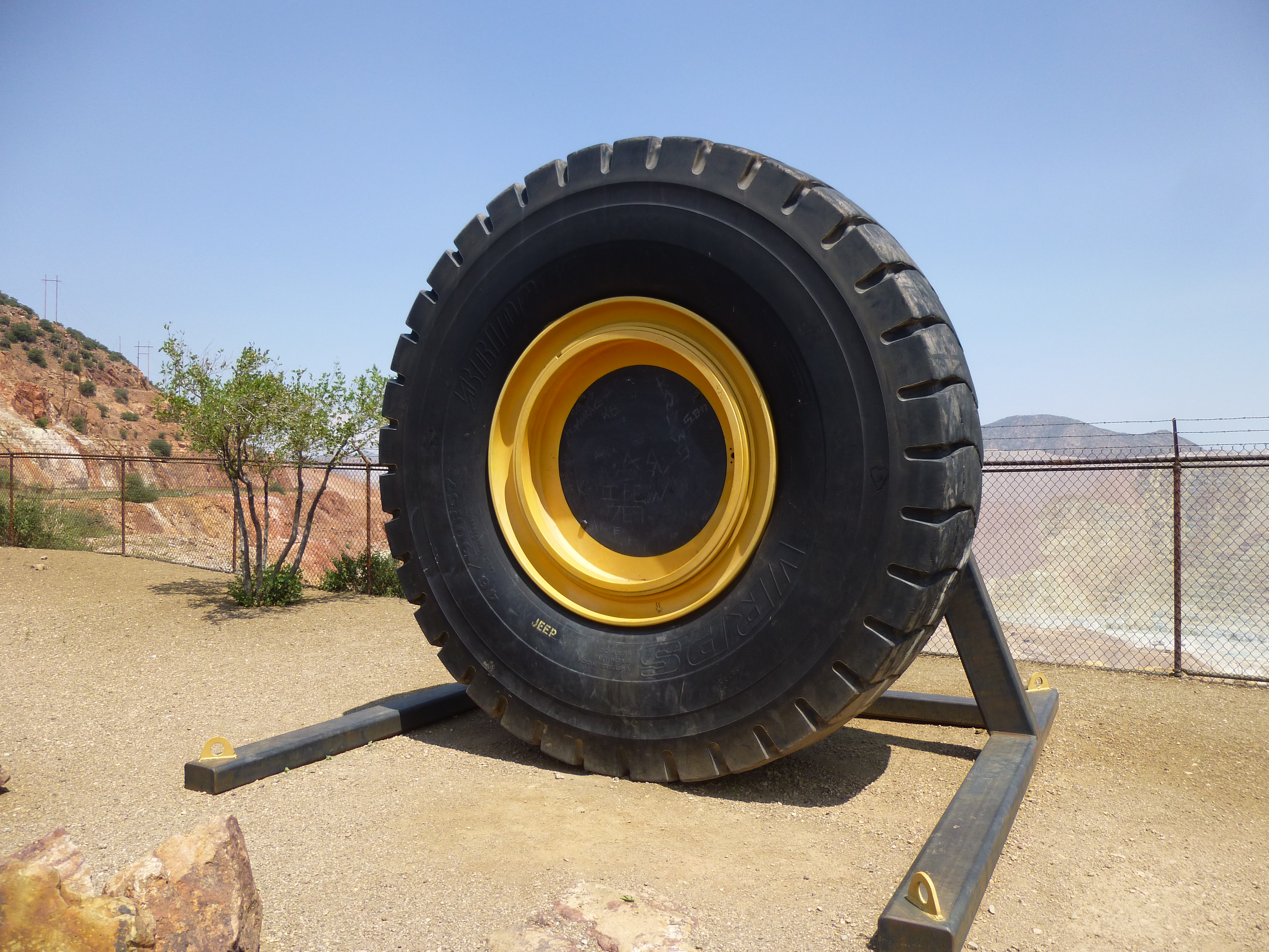
One very big tire
I drove north from the mine along the Devil’s Highway for about 9 miles, then parked at Sardine Saddle at 7,200′ elevation. While readying my pack, I saw a man across the road with some horses – I think companies offer trail rides to tourists passing through the area. This was a picnic area and even had bathrooms for the public.
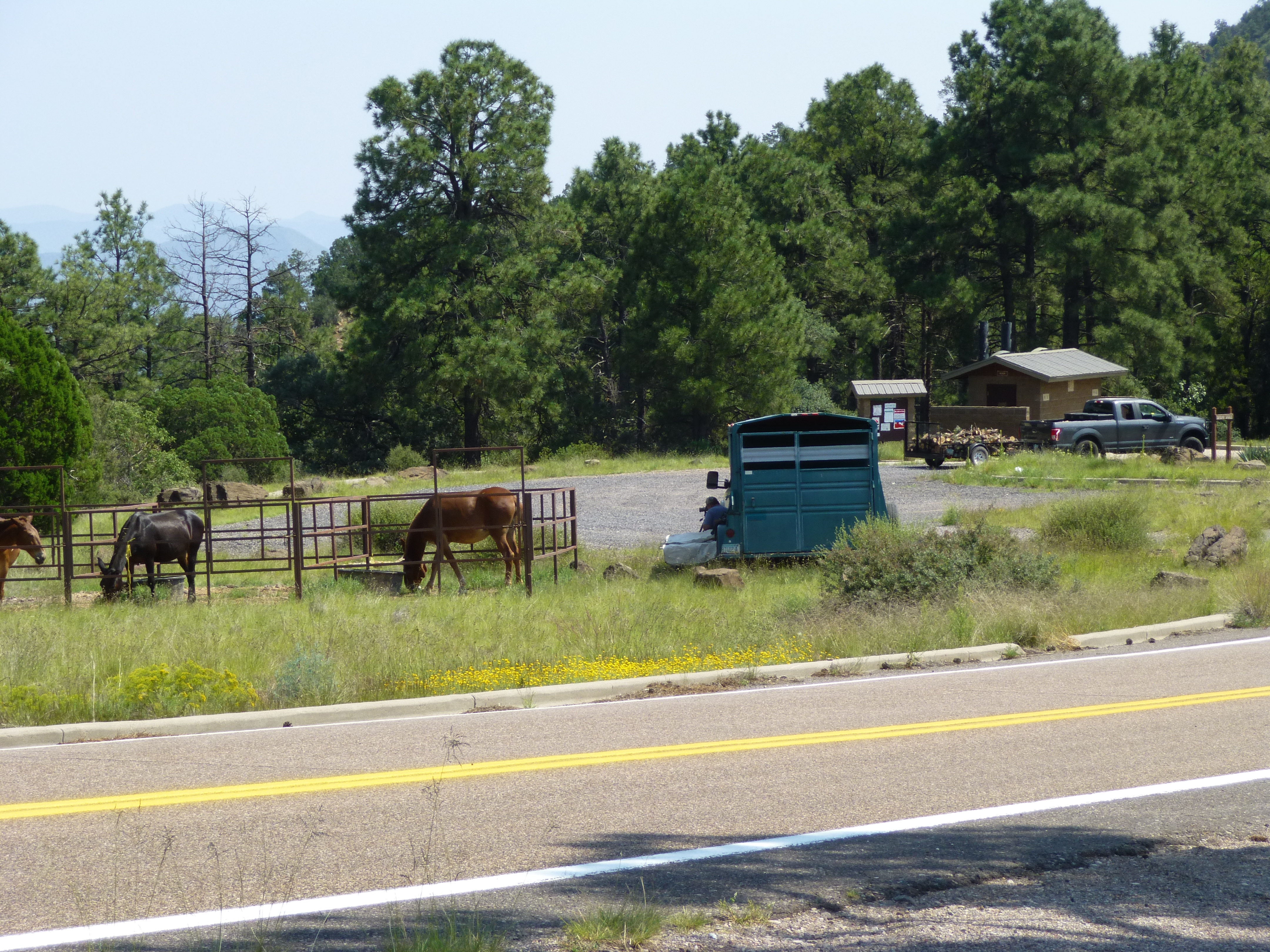
Sardine Saddle
I crossed the road and headed up a steep, brushy hillside. There were 4 distinct bumps along the ridge I traveled on the way to Mitchell Peak (7,951′), and it was necessary to climb up and over them all. Here’s the summit itself, seen from an earlier bump.
The southwest side of Mitchell Peak.
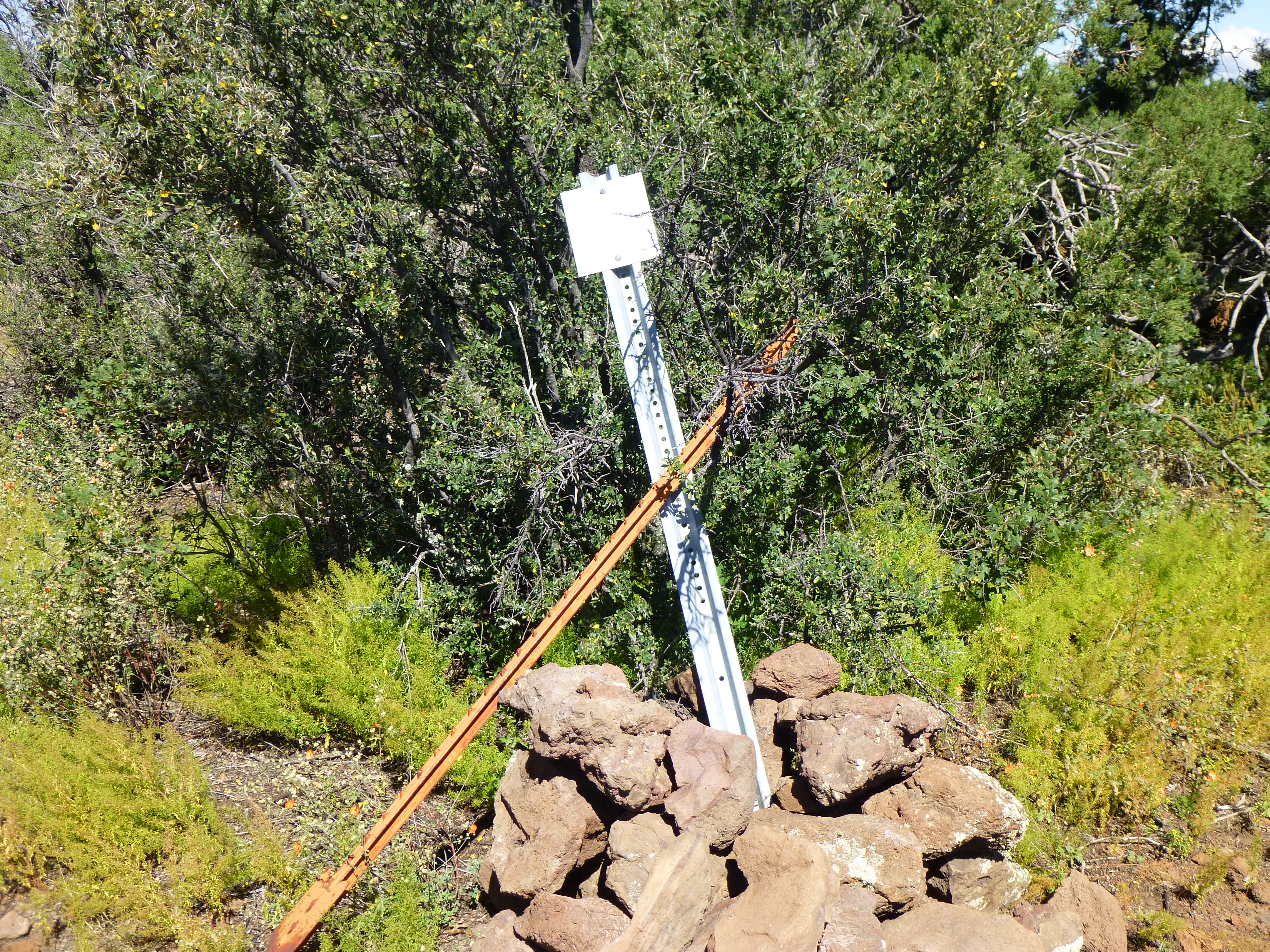
On top, I found the benchmark and a register – a dozen climbers had visited over the past 30 years. I signed in and made the trek back through the bush to arrive at my truck just after 4 o’clock, almost 3 hours after I’d left. I had a hunch that there’d be time to do one more, so after driving 3 miles farther north, I parked near the Pigeon Loop Trailhead. It was a quick, brushy climb up to the top of Peak 7346. I built a cairn and left my register, then started back down among lengthening shadows. The entire round trip was about 45 minutes.
The south side of Peak 7346.
Another 4 miles north brought me to Upper Eagle Creek Road, which I followed for a mile to a great camping spot.
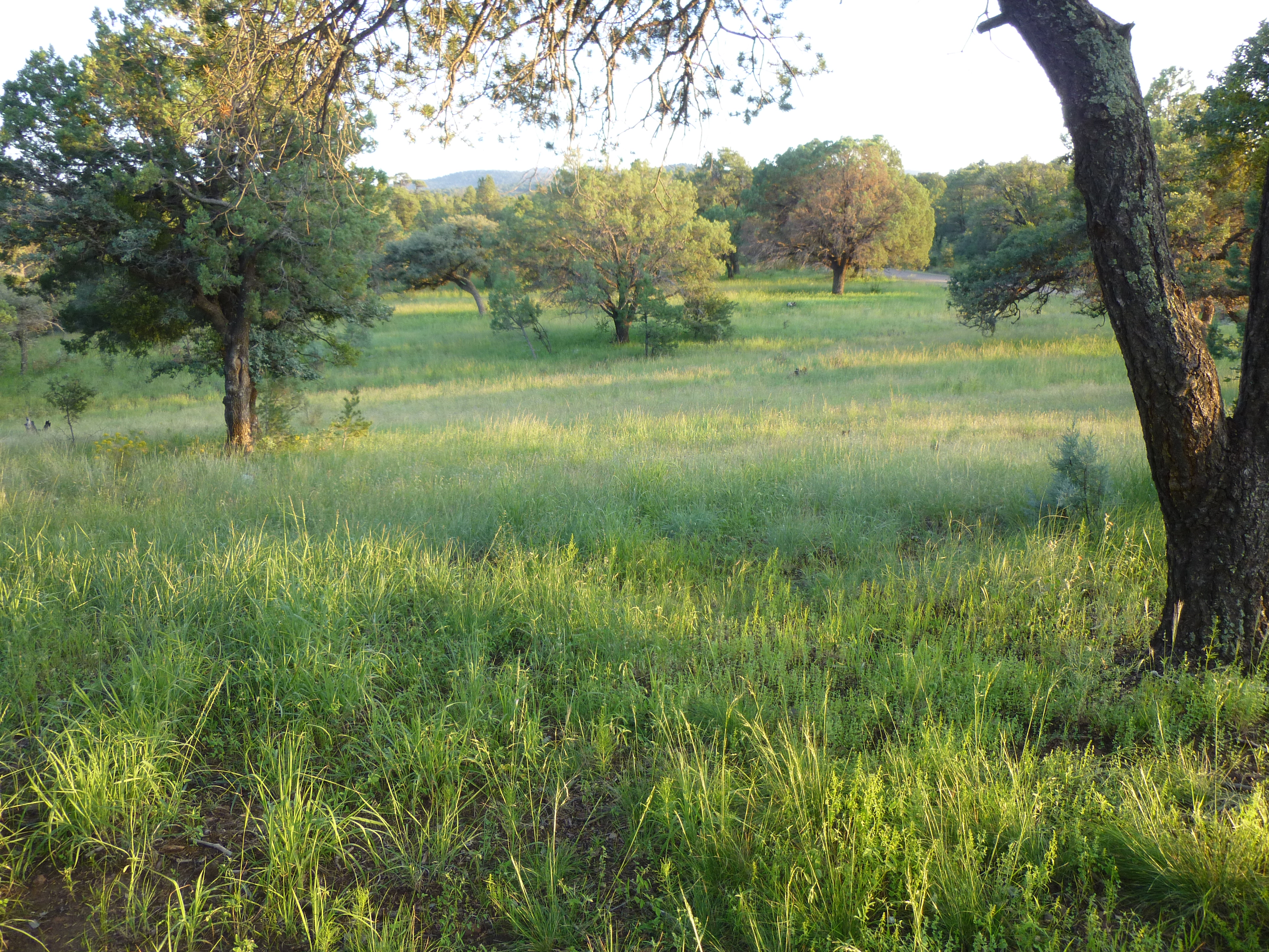
Campsite in the evening.
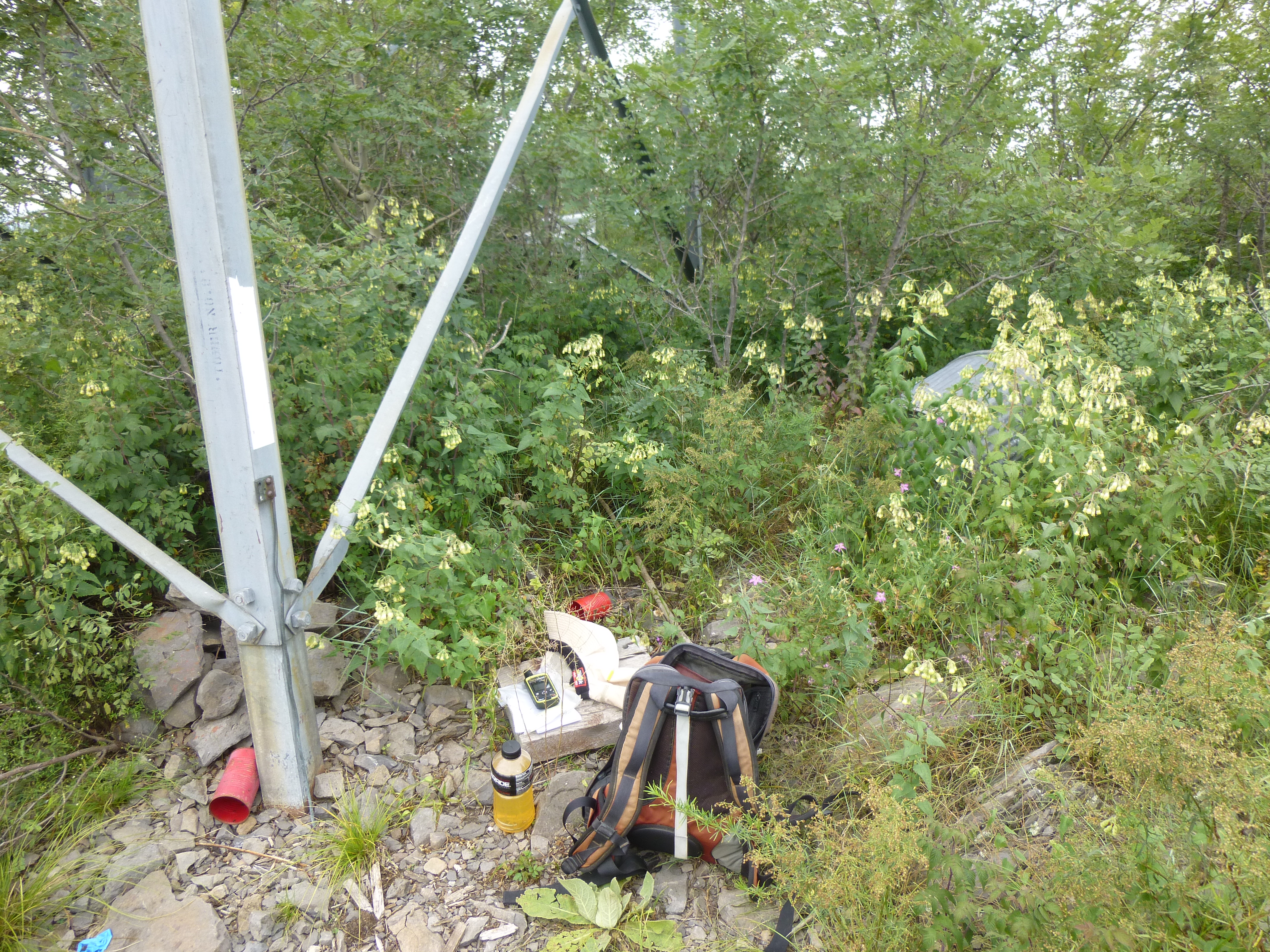
You’ve heard me mention climbing registers countless times. They are always glass jars with metal lids, and if I don’t have to carry one very far, I may use on of my bigger ones. Here’s the one I’d use for my quick climb in the morning.
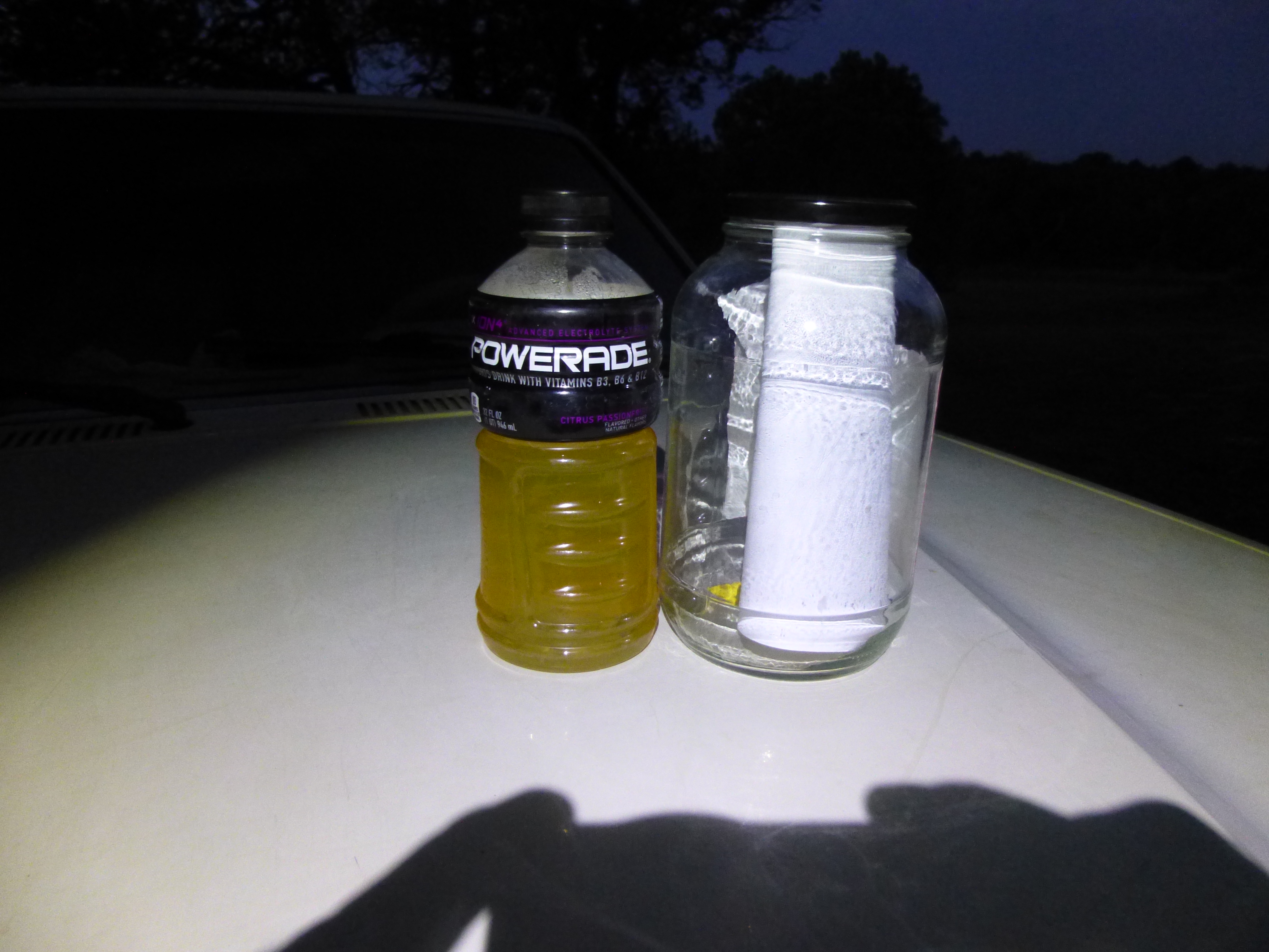
The half-gallon register
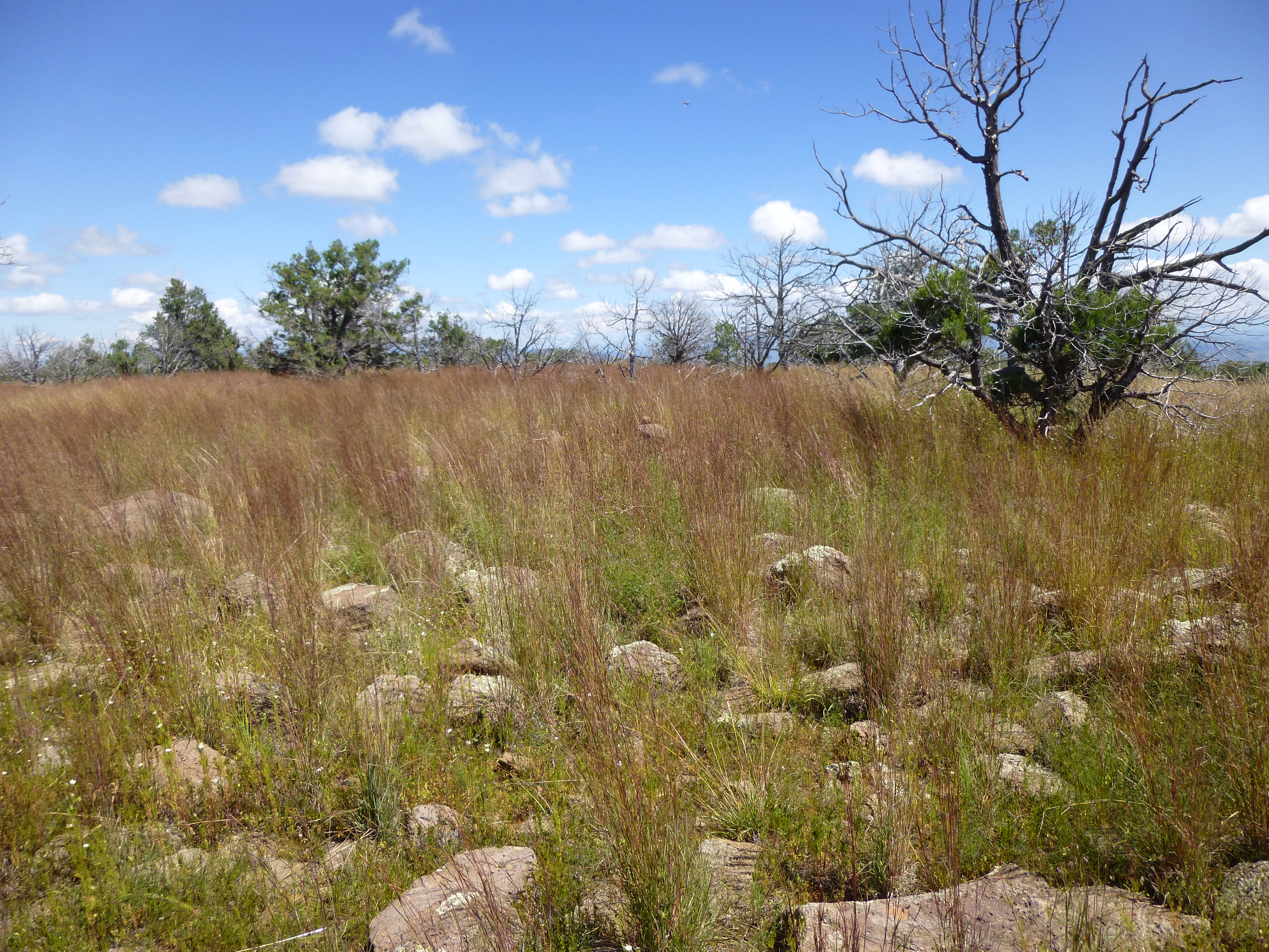
After a good night’s sleep, I set out at first light and quickly reached the top of N O Bar Mesa, a very flat spot. I had to walk around a lot to settle on what seemed the highest area, where I left a register.
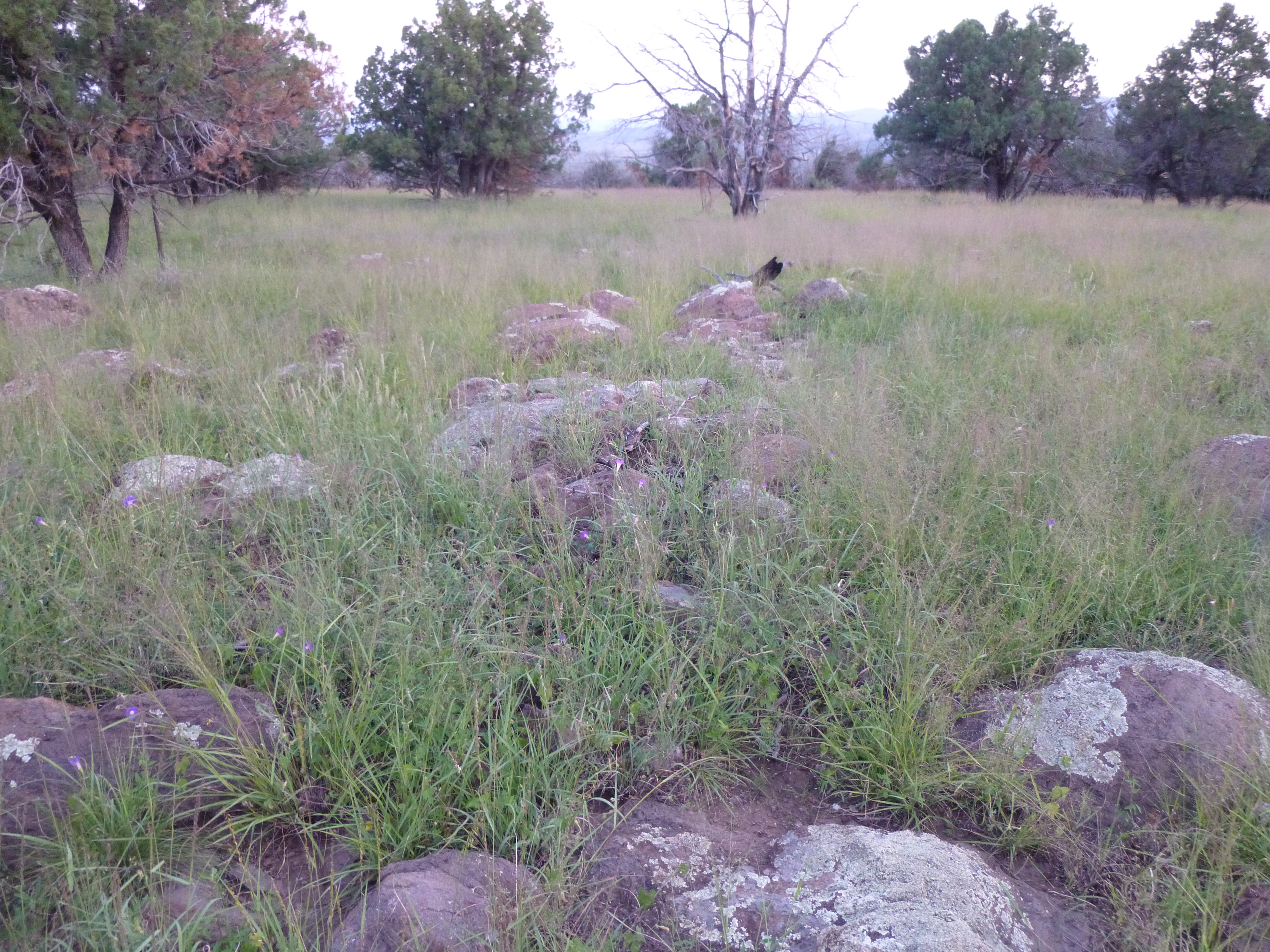
N O Bar Mesa
After an easy walk back down to the truck, I drove the mile back to the highway and headed north once again. Ten miles later, I parked along a tight turn on the side of the highway and locked up the truck. A steep climb up through mostly open country brought me to the summit of Pipestem Mountain, elevation 7,300 feet. Five other climbers had preceded me here.
On top of Pipestem
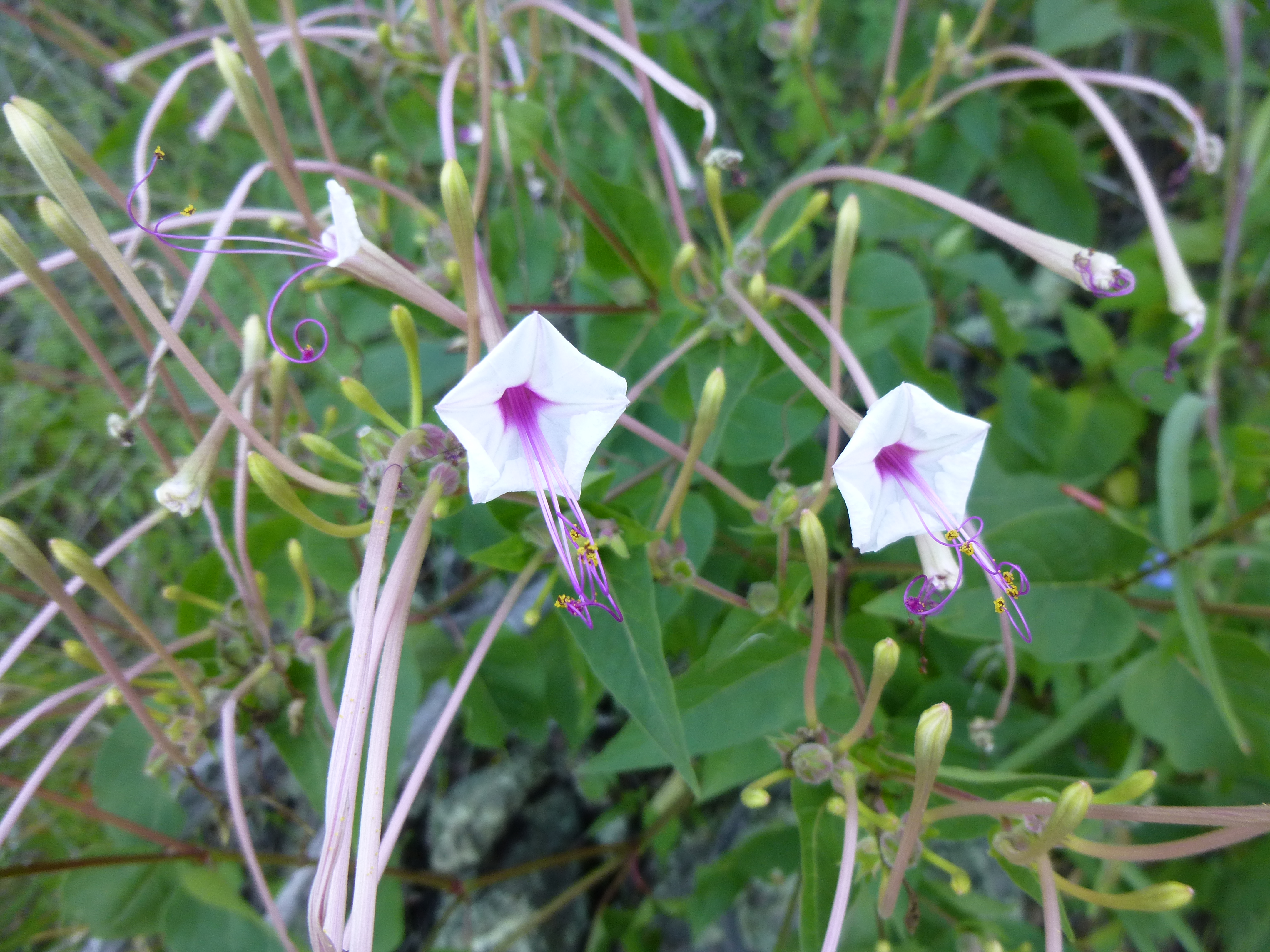
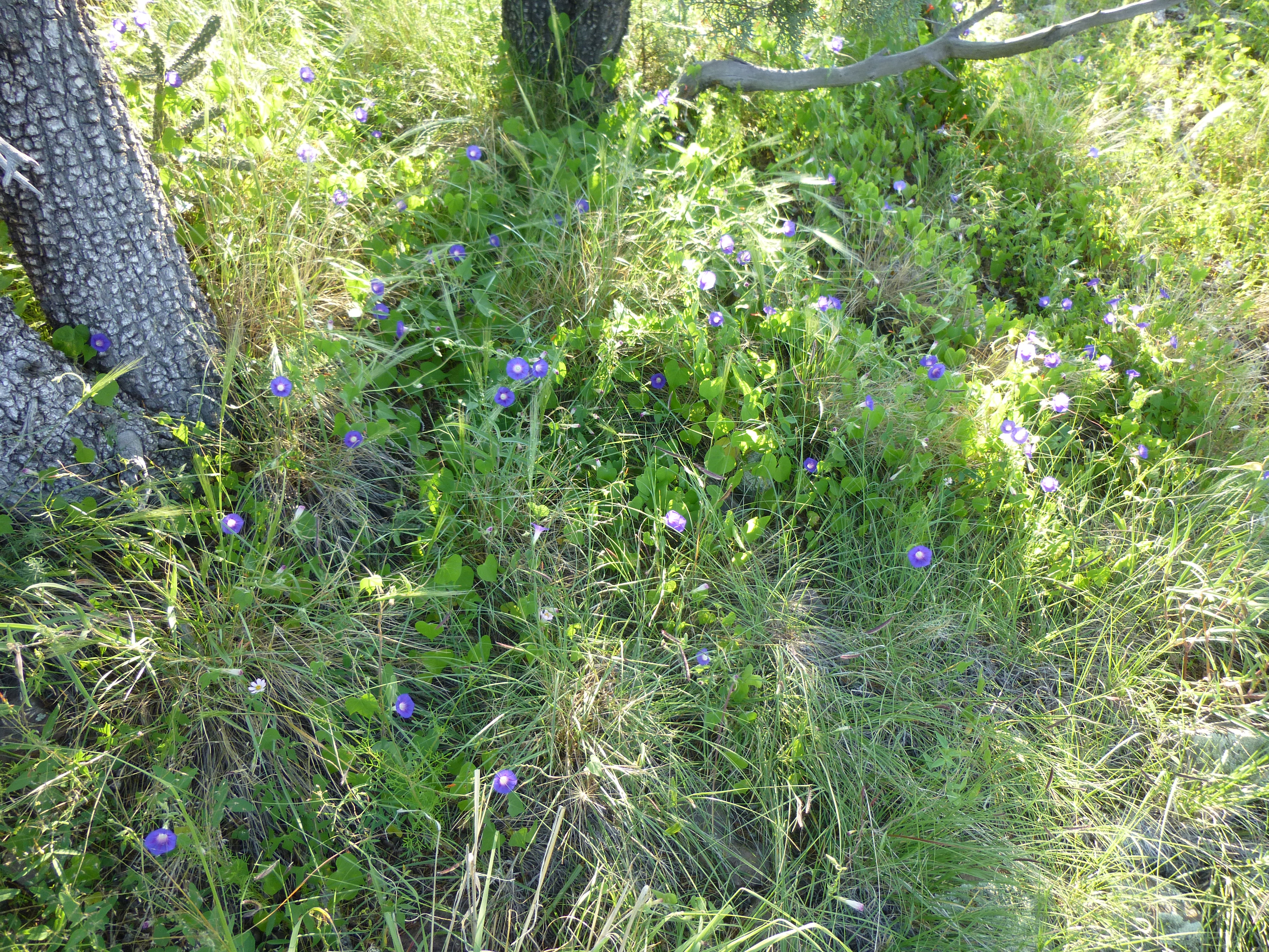
I took a different way down, and took some flower pictures on the way.
The whole climb took just over an hour, and I motored on. Along the way I spotted these deer, among the seven I was to see this day.
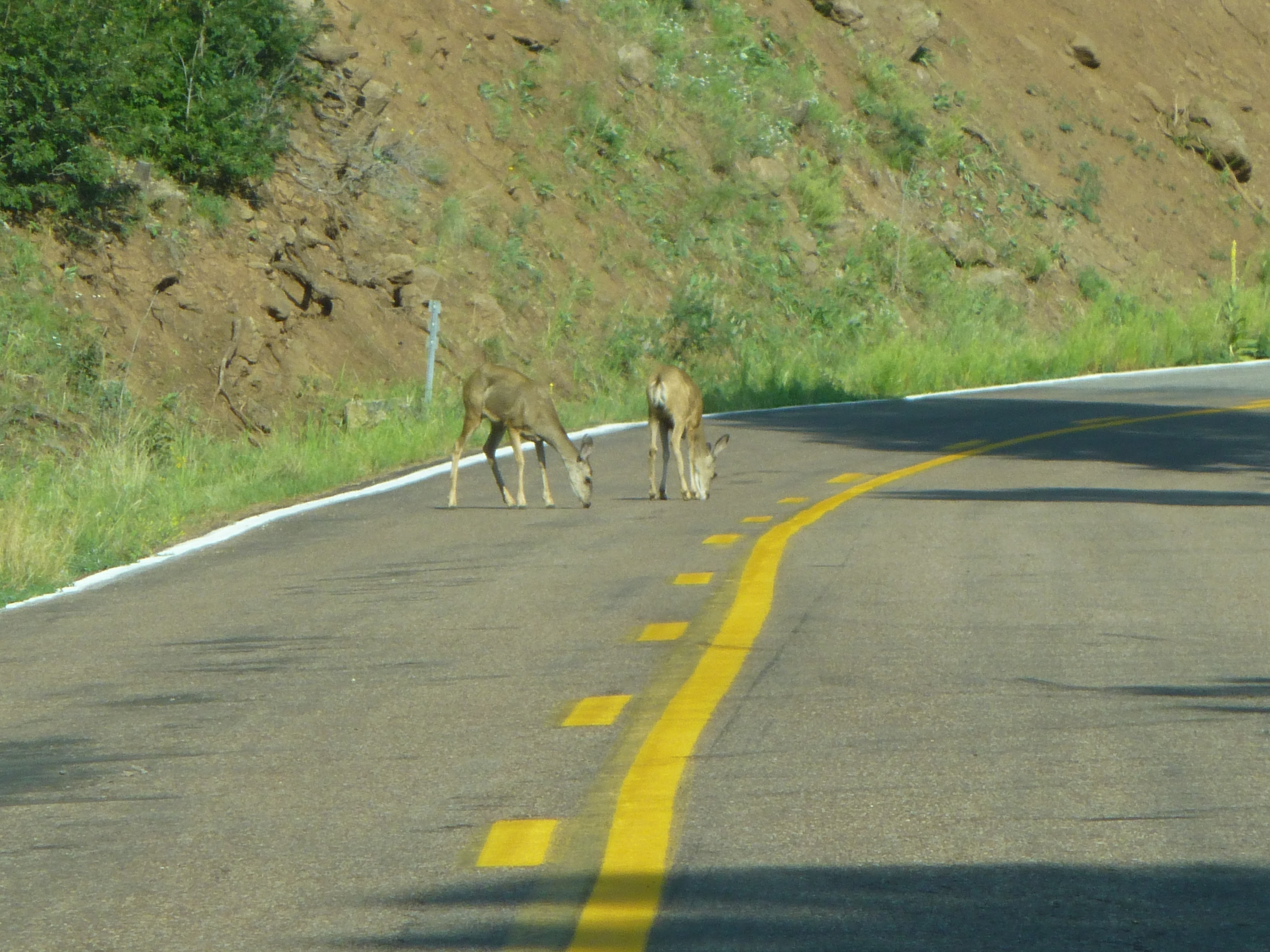
Deer nibbling shoots growing up through cracks in the pavement.
These peaks were all stretched out along the highway, and a mere 14 miles later I pulled in to a nice picnic area at the Sheep Saddle Trailhead. Andy had climbed this next one on our trip together 4 years earlier and had warned me that it was pretty brushy. One thing it had going for it was its proximity to the highway. I set out through the forest and soon found myself cursing the brush – in places, it was a real bushwhack. Once I reached the ridge, things opened up a bit and I made better time heading east up to the highest point of Strayhorse Divide, elevation 7,582 feet. As with most of the peaks on this trip, it was forested. I signed in to the register, then headed back west along the ridge to tag one more spot, Eagle Benchmark, around 50 feet lower.
The top of Strayhorse Divide
Next, I thrashed and cursed my way back to the truck – thankfully it was all downhill, as a gravity assist is a real help when bushwhacking. The entire outing had taken 1 1/4 hours. So far, so good – no real hitches yet, but for one thing – as I had driven from Tucson, my plan had been to stop and fill my gas tank in Morenci, but I had spaced out and driven right on through. As today progressed, it was more and more on my mind. Once I left Sheep Saddle, the next 14 miles was a winding, uphill grind in 2nd gear much of the time (the speed limit was only 15 miles per hour in places). Those miles lifted me from 7,300′ all the way up to 9,200′ where the highway leveled out and became more “normal”. I made a beeline for Hannagan Meadow, a spot that sold gas (I hoped!). I knew there was a lodge and restaurant for sure, but was there gas?
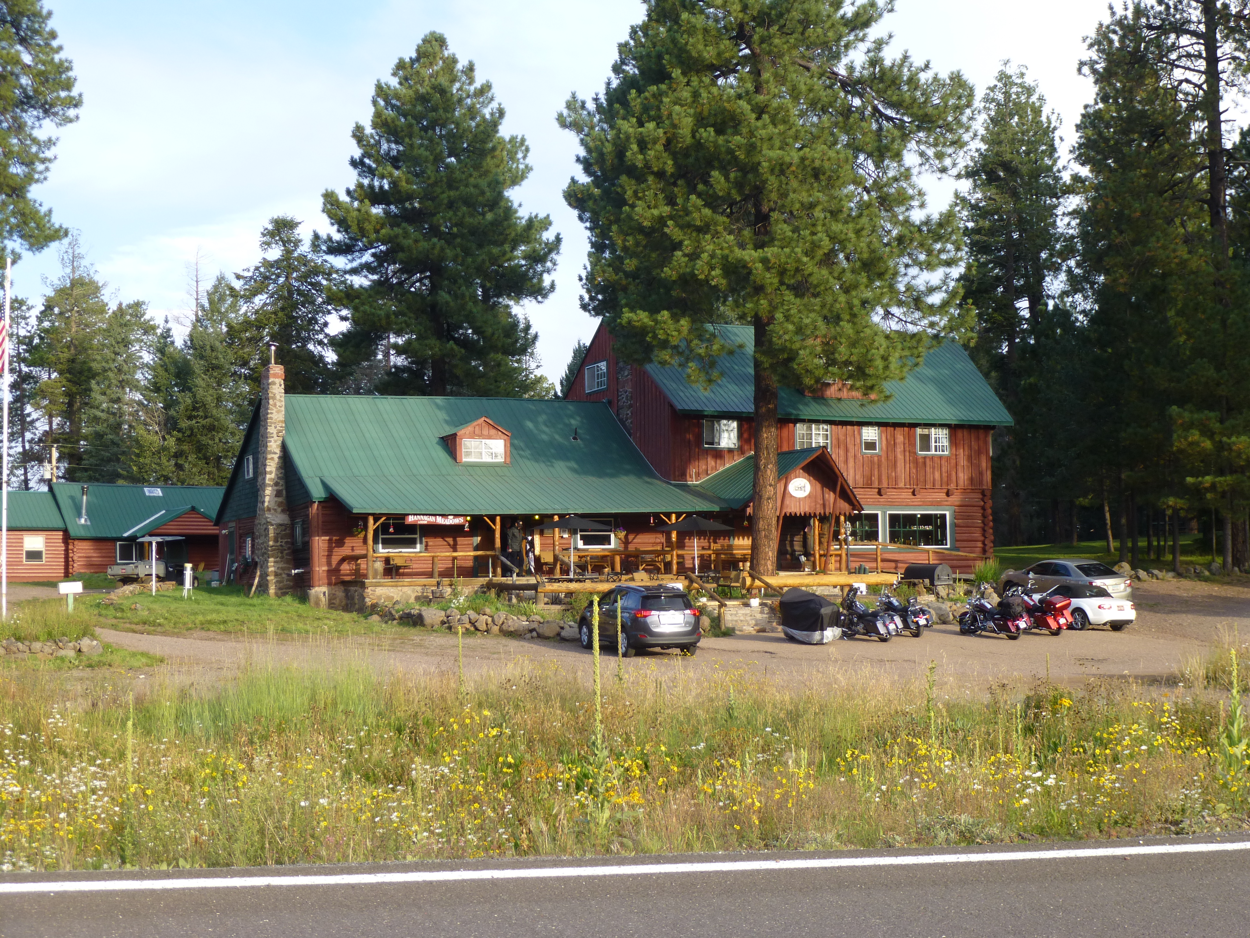
Hannagan Meadow Lodge
I went into the restaurant and asked a woman there if they sold gas – she said she’d have to check. I was on pins and needles until she came back and told me that I should head outside and a man would meet me. A fellow greeted me and walked me over to a large above-ground tank with a single gas pump. He had to turn on the power to activate it, and then I pumped a few gallons, just enough to get me to a town later on. Pie – I’d been thinking about pie for some time, and I asked if they had any in the restaurant. The answer was “yes”, so I went in and had a piece (it wasn’t worth it), then moved on to my next peak.
Peakbaggers are notorious for chasing down some odd objectives. For instance, one could make a list of all of the highest points in the wilderness areas in the state of Arizona (don’t laugh, it’s been done!). Since one of these was close to my next peak, it was easy to stop. There, literally at the edge of the road, was the highest point in the Bear Wallow Wilderness. Nothing could have been easier than stepping out of my truck and tagging the flat area.
Bear Wallow Wilderness
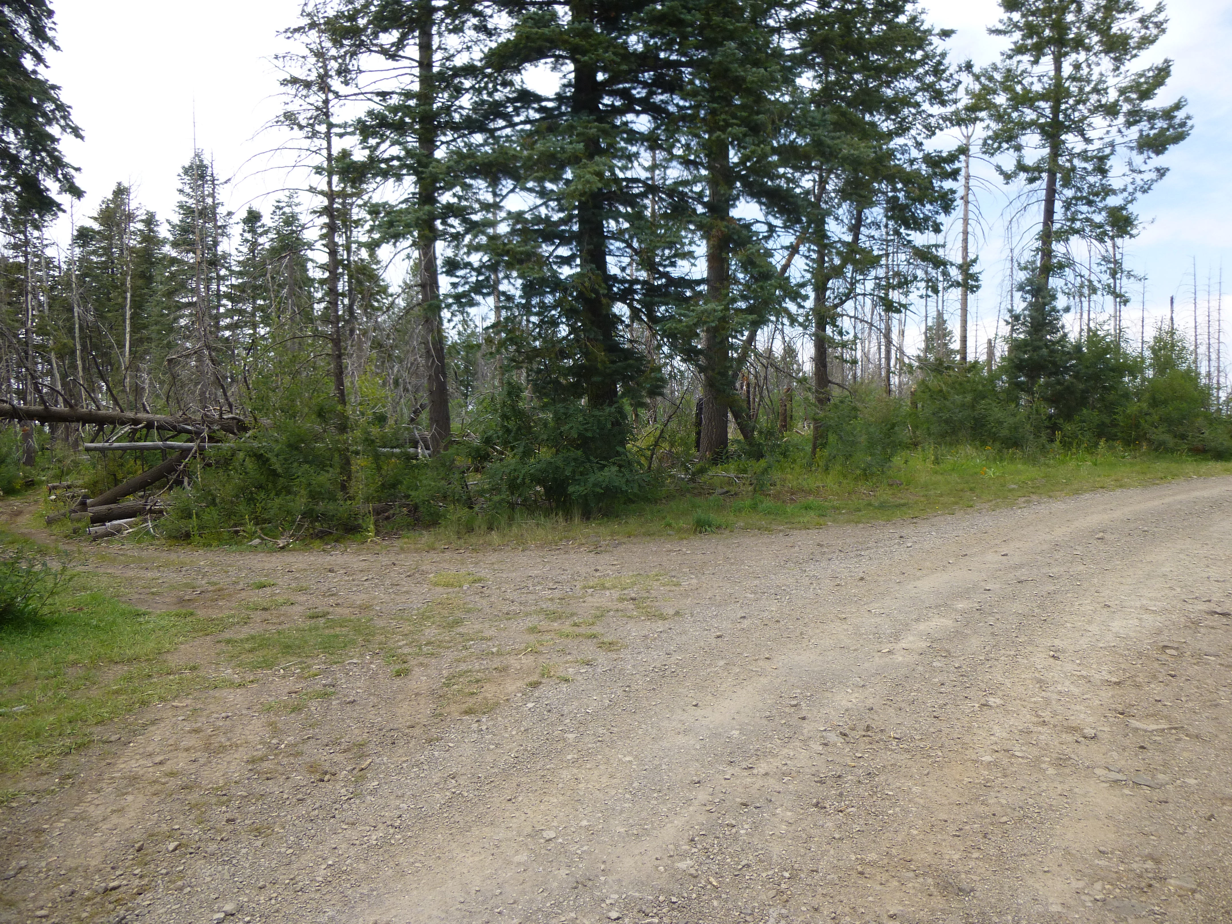
A quarter of a mile farther on, I parked in an area that had no redeeming value whatsoever – a scruffy spot which was a mess of brush and dead trees burned in a fire. A short thrash up a hillside brought me to the very vague summit of Peak 9140.
Big whoop!
If there was a register here, it was well-hidden and un-found by me. A quick thrash through the brush brought me back to my truck, and in the few minutes it took me to change into dry clothes, several hunters drove by. In speaking to one of them, I learned that it was bow-hunting season for bucks – hopefully I wouldn’t be mistaken for one.
Once back out at the highway, I went a mile south, then turned east on another Forest Service road, #184, this one taking me 4.3 miles to end at a saddle at 8,900′ elevation. I had the parking lot to myself as I readied my pack. The day had become overcast and it felt muggy and uncomfortable.
Blue Peak trailhead
An excellent trail guided my steps to the summit of Blue Peak, the site of a now-defunct fire lookout. At its base, I found a pair of red nesting cans – this is the trademark register of Richard Carey – but the jar was missing, destroyed by others who had been there.
The base of the old fire lookout tower.
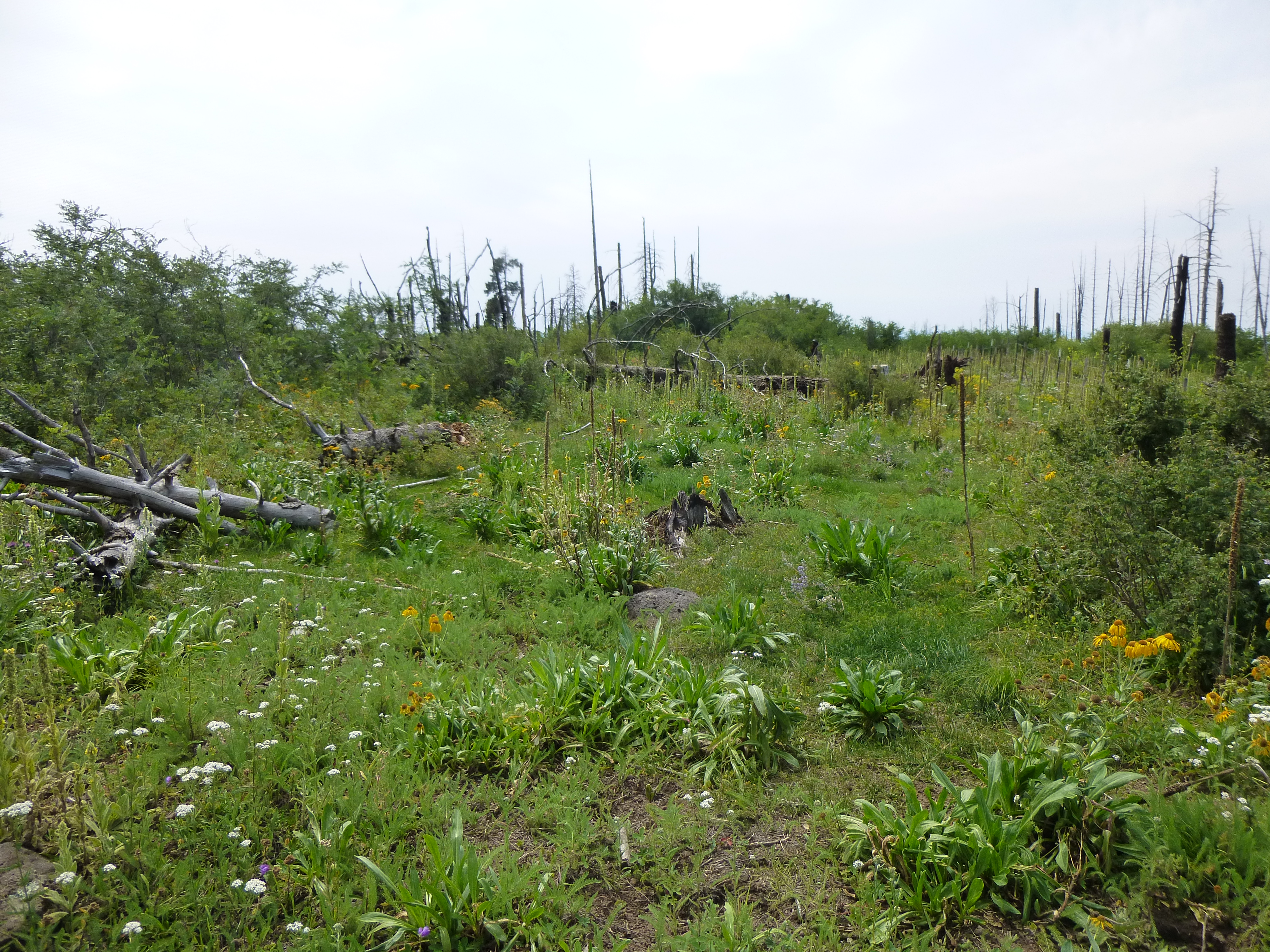
It was a quick walk back to the truck, a round-trip of 3.1 miles. There was still one more task to perform, but I wasn’t looking forward to it. Half a mile back along the road I’d driven, I pulled over and parked. Taking a register, I started up a hillside, my goal a small interpolated peak close by. A hundred yards into the weeds, my world was turned on its head. I moved from an open area into a second-growth bit of forest. Almost immediately, forward progress ground to a halt. The windfall was outrageous. Don’t get me wrong, I spent my first 20 years of climbing in the coastal rain forest of British Columbia where bushwhacking is second-to-none, so I’m plenty used to a good thrash. However, here today I found myself in a mess the likes of which I hadn’t seen for a very long time. Old tree trunks lay across each other like a gigantic game of pick-up-sticks, in places 5 deep. All other spaces were choked with tall weeds, and the vegetation overhead was thick enough that I found myself in a world of gloom in the middle of the day. It was frustrating – no matter which way I tried, I could hardly move. I’ve always felt that swearing relieves stress, and I was swearing like a trooper – I’ll bet you could have heard me a quarter-mile away. I won’t belabor the point, but suffice it to say that much-too-much time later, I emerged into a more open area and was able to make it to the summit. Even there, the brush was so thick that I had to leave the register about 30 feet away from the highest point – I could force my way on to it, but there was no place to build a cairn. Peak 9100 was a totally unsatisfying experience, and I wouldn’t wish it on anybody. I tried a different way down, but it was little better. The whole experience had pissed me off so much that once I was back at my truck, I realized I hadn’t taken a single picture during the ordeal.
Remember the hunters? They were everywhere – someone was camped in every little spot you could pull off the dirt road. I finally found one of my own, a grassy nook at 9,000 feet, and spent a quiet night. I’d like to give a shout out to a radio station I’d discovered – KFMM, at 99.1 on the FM dial – they play classic rock with few commercials, and I’m sure you can find them online. They were a good companion on this trip
The next morning, early, I drove the rest of the way out to the highway, then headed north 13 miles to turn off on to Red Hill Road. Four more miles on an excellent gravel road found me parking at a saddle, and a short walk through open forest brought me to the summit of Carlton Vista.
Carlton vista
I couldn’t find a register, so quickly left and headed back to my truck. Once at the highway again, it was a quick 11 miles farther north to my turn on to forestry road #403. It was a bit of a surprise to see a sign warning of “log trucks”. All those years of climbing in BC had me driving and walking on logging roads to get in to peaks, so seeing that sign kind of took me back. Four miles of good dirt road later, I stopped in a clearing by some very tall radio towers. The entire mountaintop appeared to have been burned in a fire, and logging equipment was cleaning up what they could.
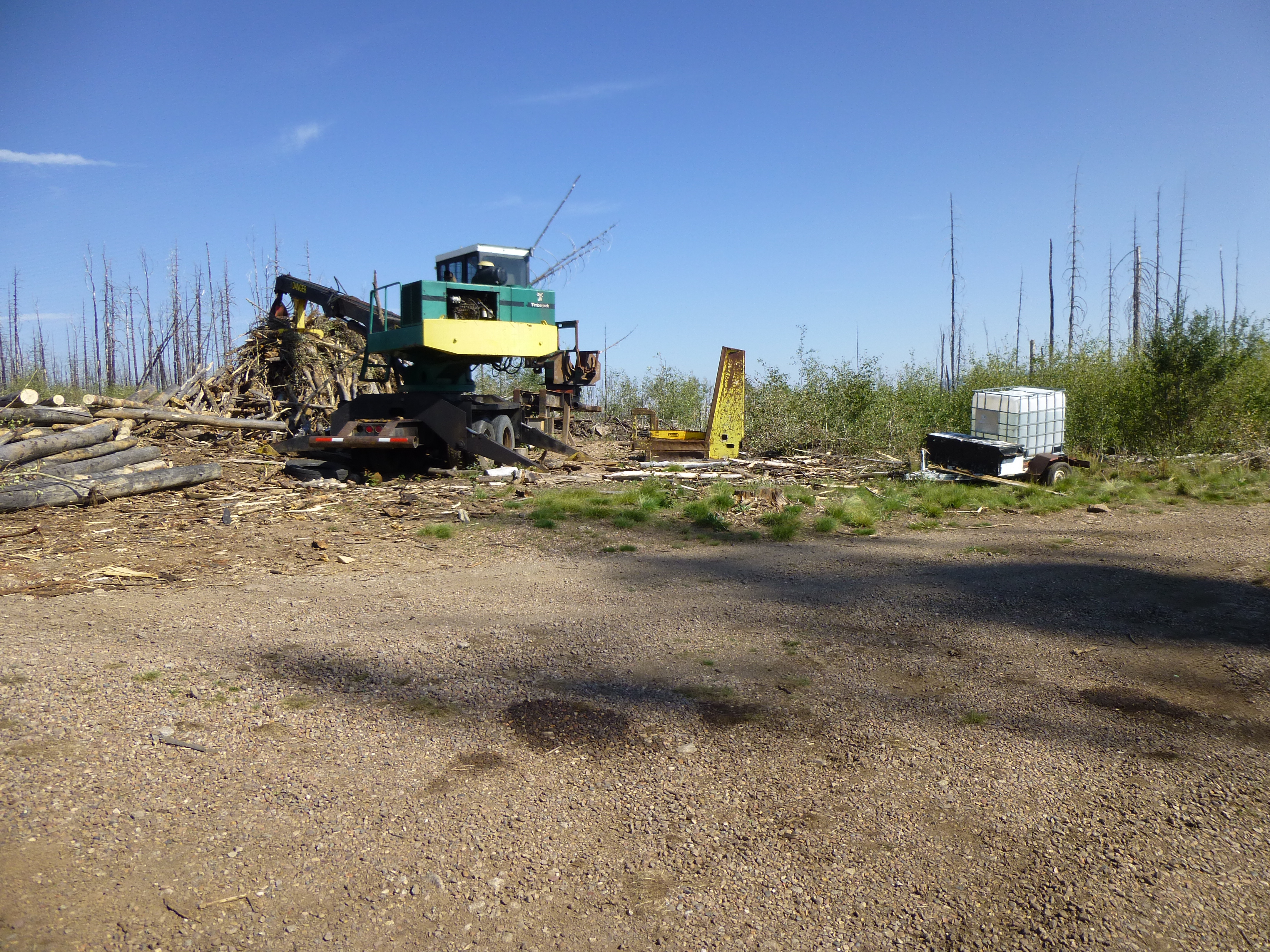
Cleaning up the mess
It was a short walk to the top of Peak 9510, where I found a cairn with no register. This was my last peak of the trip, so I headed back down to the highway and started home. Here’s a sign that I’d been seeing at intervals for the last 50 miles – elk were common here.
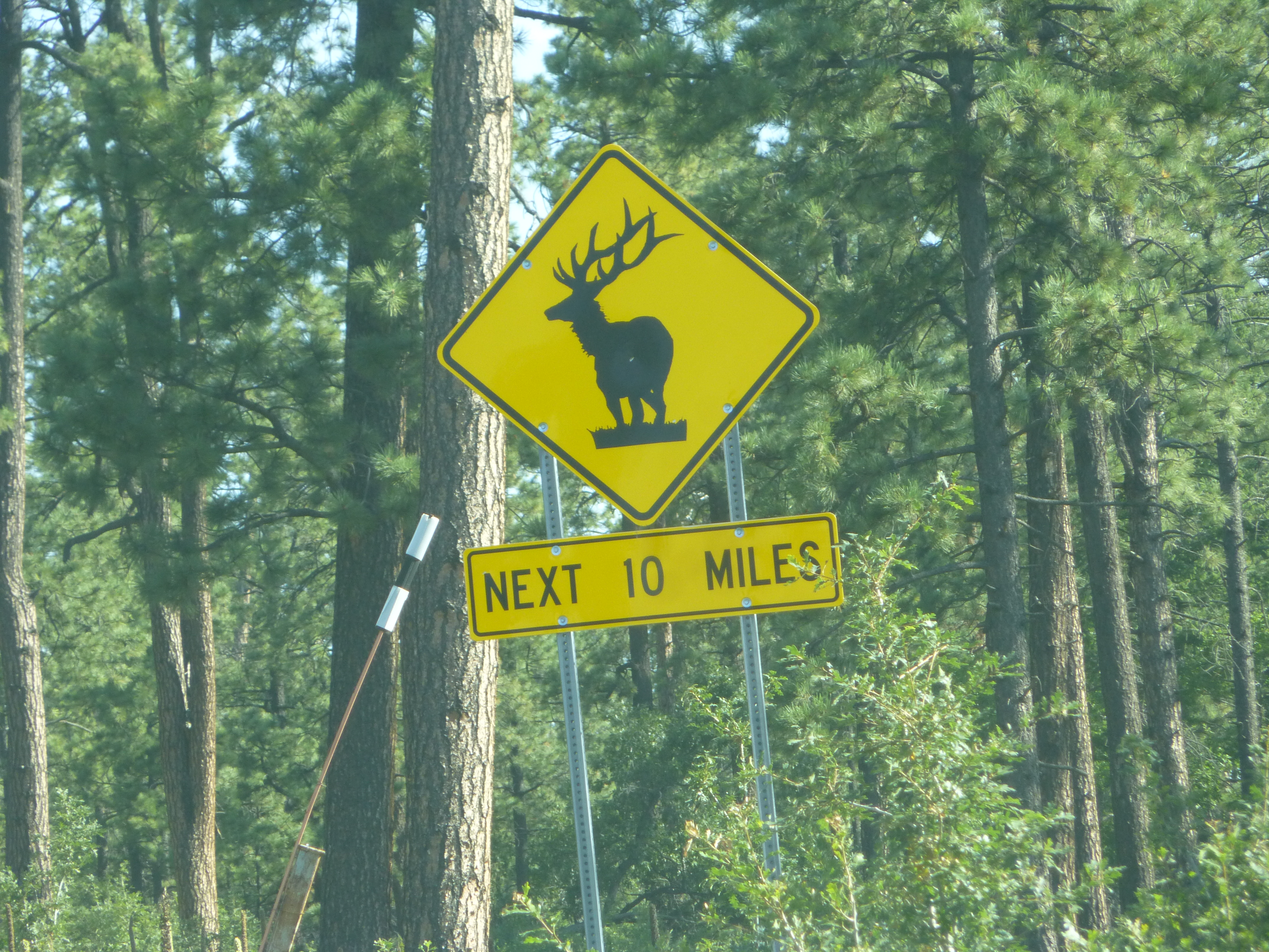
There be elk!
The rest is history. My drive home took me through Alpine, Springerville, Show Low, Globe, Mammoth and finally to Tucson. It was around 2:00 PM by the time it was over. My 550-mile trip had taken me through 8 of Arizona’s 15 counties: Pima, Cochise, Graham, Greenlee, Apache, Navajo, Gila, Pinal. It was a productive trip and it got me out of the heat for a few days, but I think I’m done with Highway 666.
Postscript: on the way back, as I was passing through Mammoth, I saw a fun sign. Highway 77 runs through town, and beside it was a little restaurant which had this sign: “Sunny and 77 Grill”.