
At the beginning of 2017 I published a piece on Sauceda Wash – I really enjoyed writing it, and received some nice comments from readers, so was encouraged to write another story in the same vein. Here, I’ll deal with another obscure desert wash, and I hope you’ll find this journey an interesting one as well.
Before I start talking about Tenmile Wash, I should probably begin by telling you about its longest tributary, Sikort Chuapo Wash. That name may sound unusual, and that’s because it is a name from the Tohono O’odham language. Sikort Chuapo is the anglicized version – the proper spelling is actually Sikol Chehpo, which means “round mashing pit” in the language of that southern Arizona Indian tribe.
Sikort Chuapo Wash has its “headwaters” (if we can use that term for a watercourse that is bone-dry 99.9% of the time) in the extreme southern edge of the Hickiwan District (one of the 11 that comprise the T.O. Nation). The term “Hickiwan” is the anglicized version of the O’odham word Hikiwoni, which means “jagged cut” in their language.
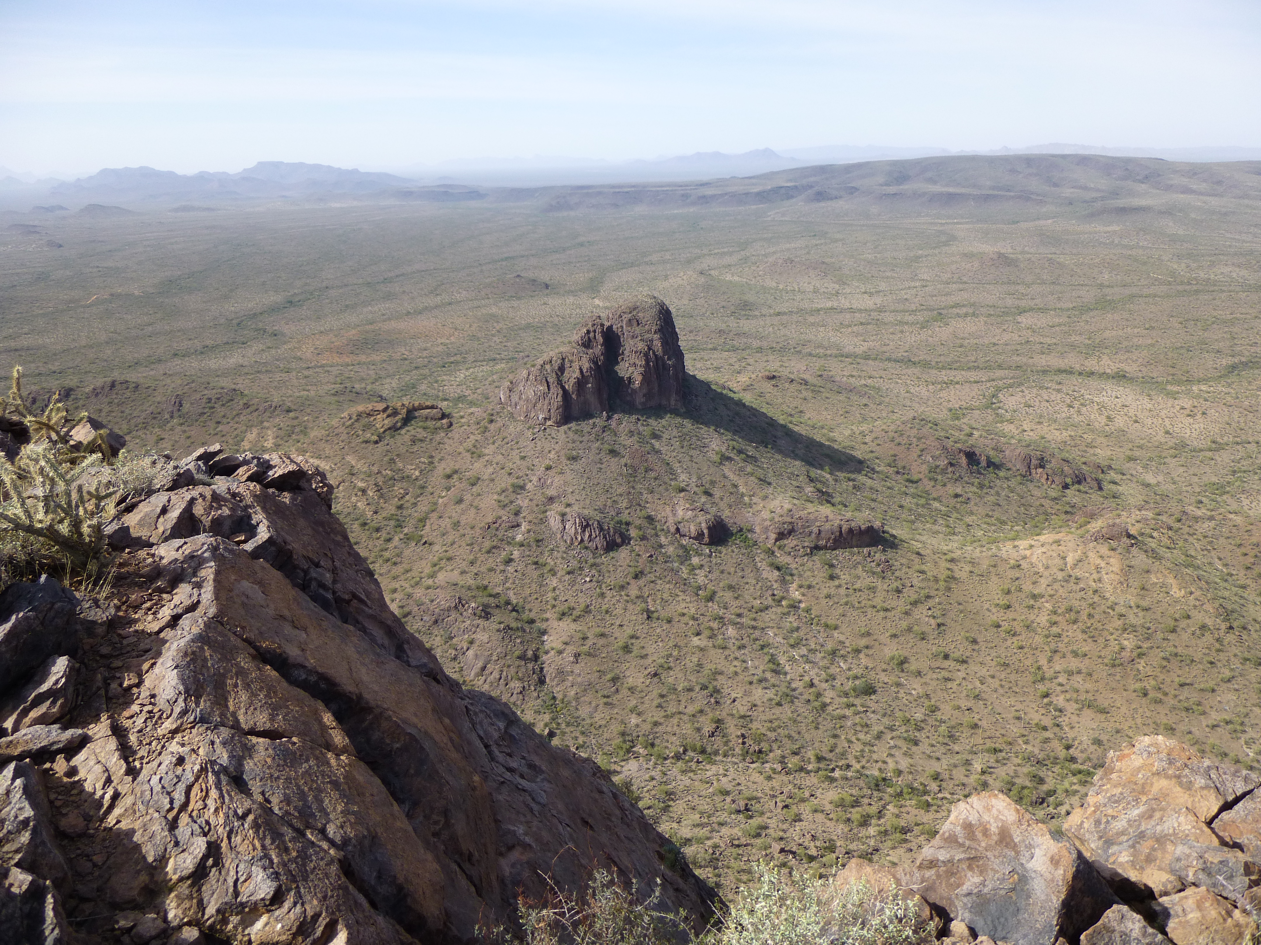
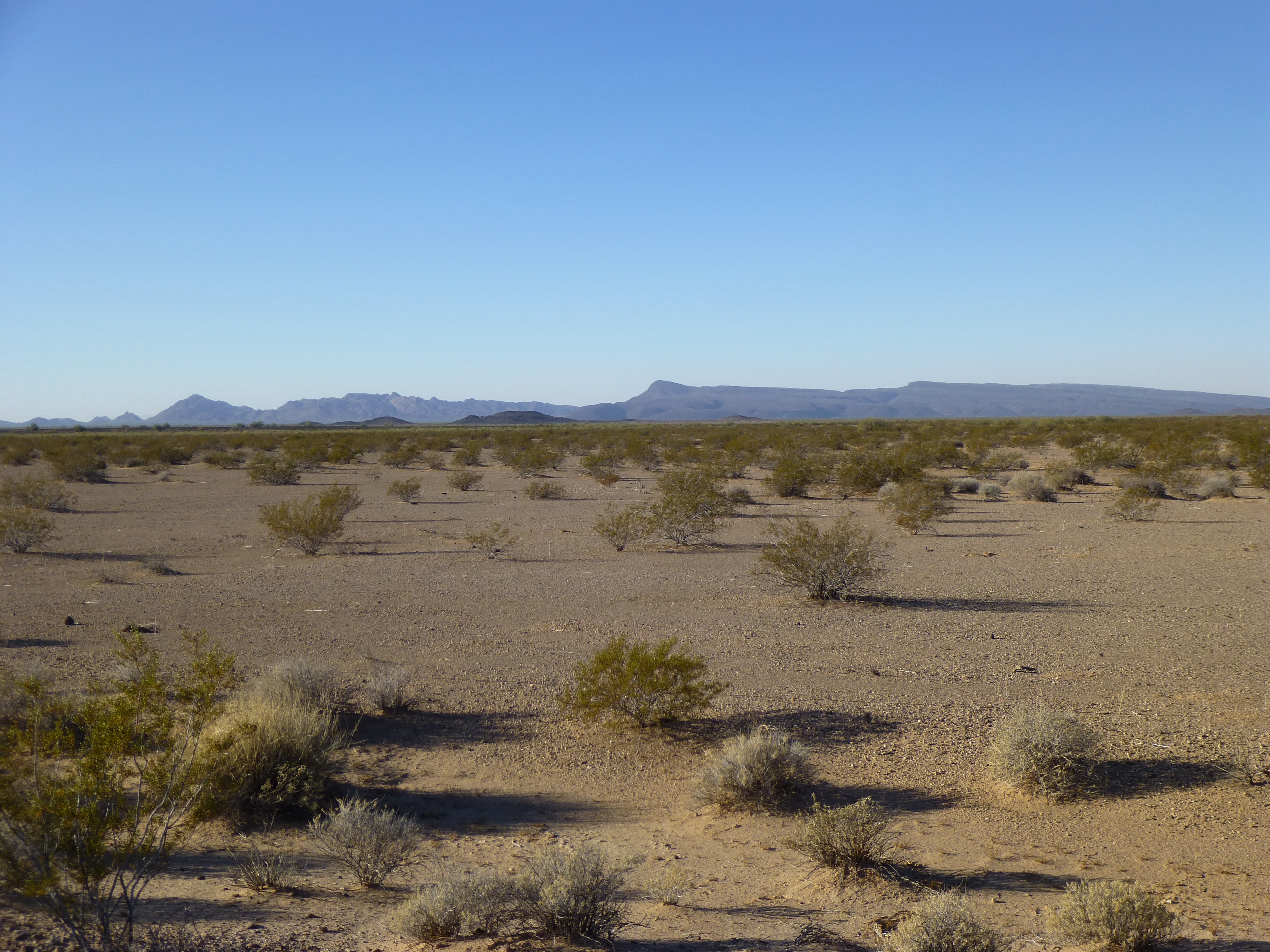
The farthest beginnings of the wash lie about 4 miles south of Arizona State Highway 86 on the east side of an obscure bump I’ll call Peak 2701. Coincidentally, this peak is a known haunt of scouts working for Mexican drug cartels – it offers a commanding view of the surrounding desert. Packers will carry loads of drugs through the desert north to here, then others will drive in on a faint dirt road, take the loads, and try to drive out with them and deliver them to destinations like Phoenix and Tucson. Here is a look at the peak itself and the source of the wash.
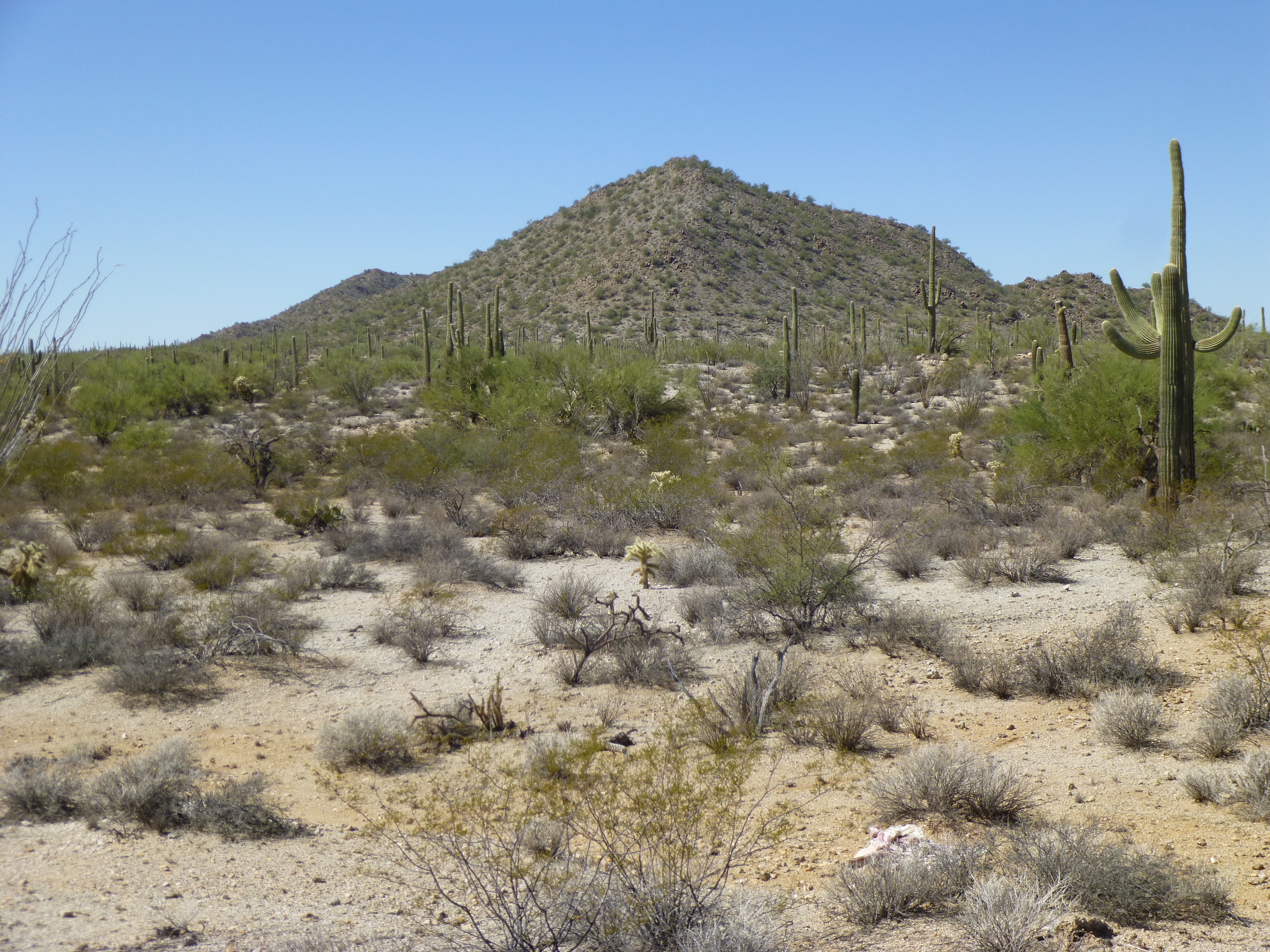
The east side of Peak 2701, the source of Sikort Chuapo Wash.
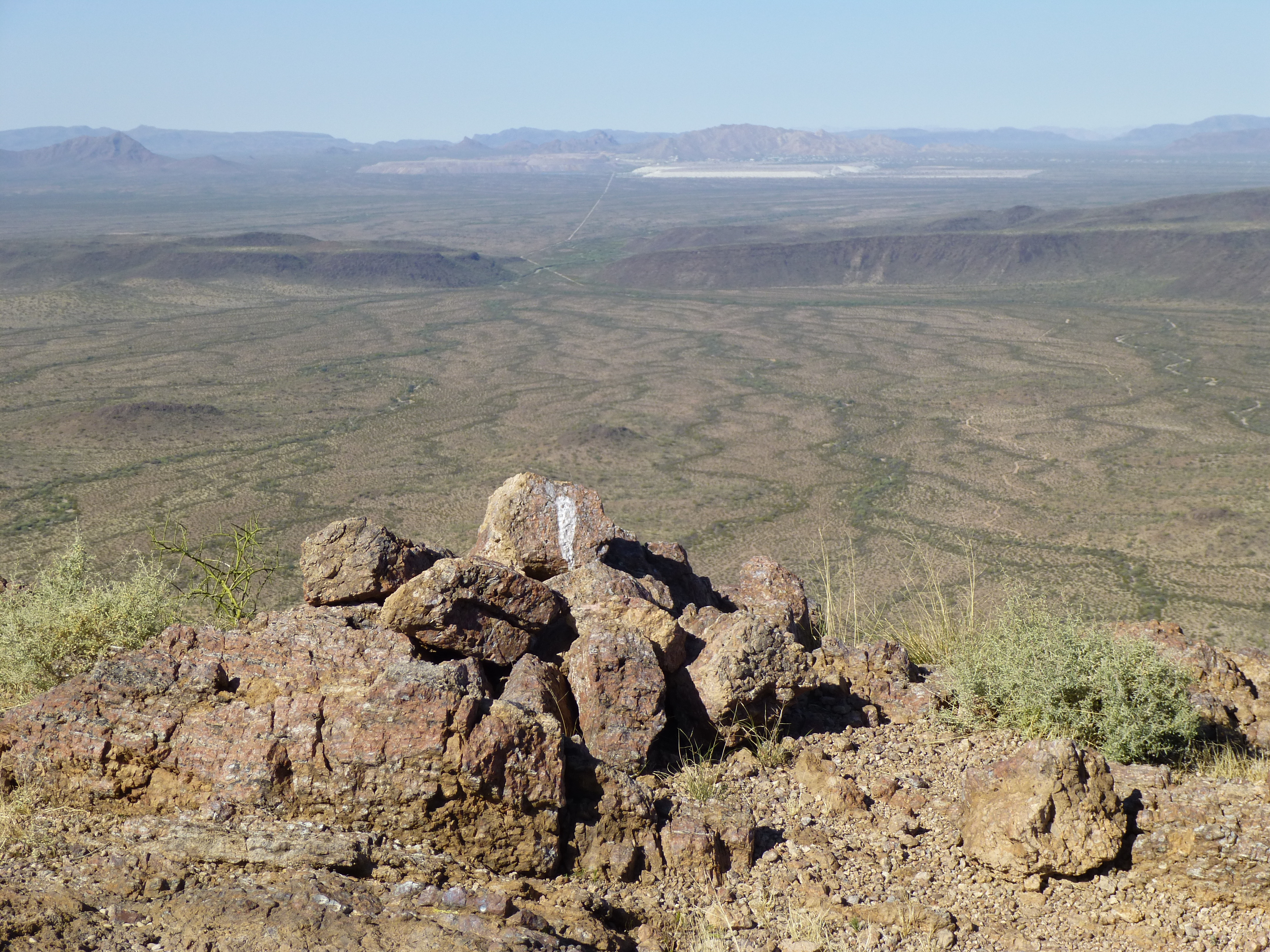
I went to the top of Peak 2701, amidst the piles of trash left by the cartel lookouts, and took this picture. Yes, it looks pretty bland, but there’s one thing I wanted to point out to you. The differences in the drainage are clear: on the left side of the desert floor, see how the green stripes head over to the left? – that is the very start of the drainage into the Sikort Chuapo Wash. The green stripes on the right side are heading south into an entirely different drainage.
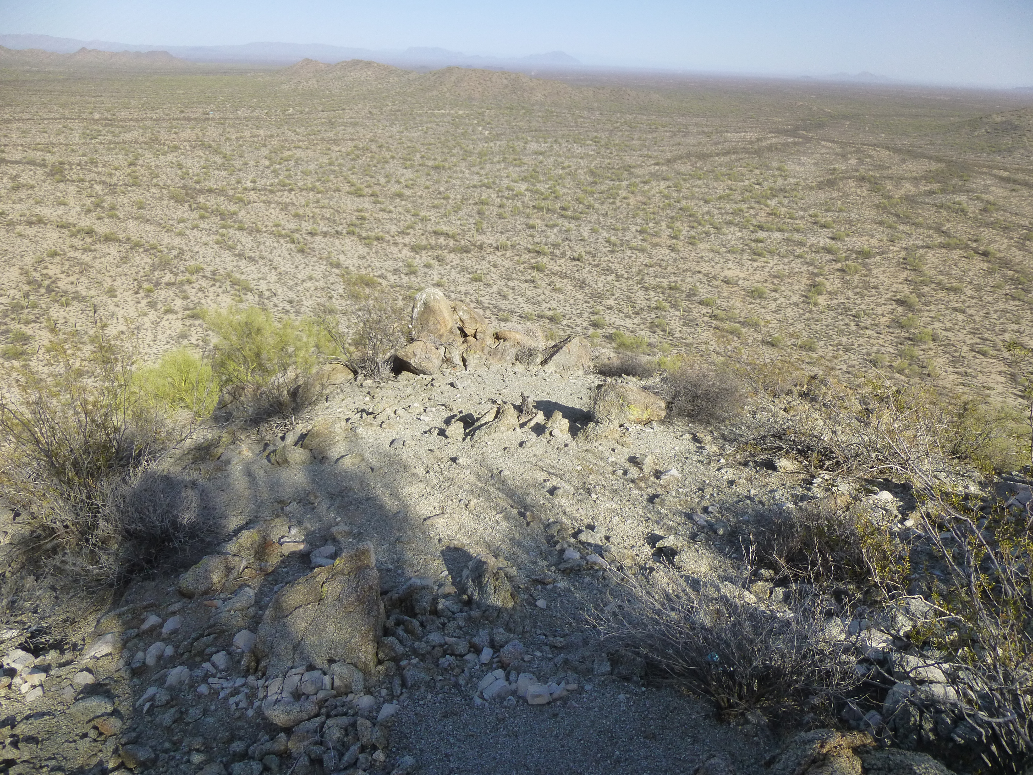
See the drainage?
Our wash meanders north as a faint trace. At 5.2 miles along its course, it crosses Highway 86. There is plenty of greenery here, so we know that water must be flowing at least once in a while.
The wash as it is about to cross Highway 86
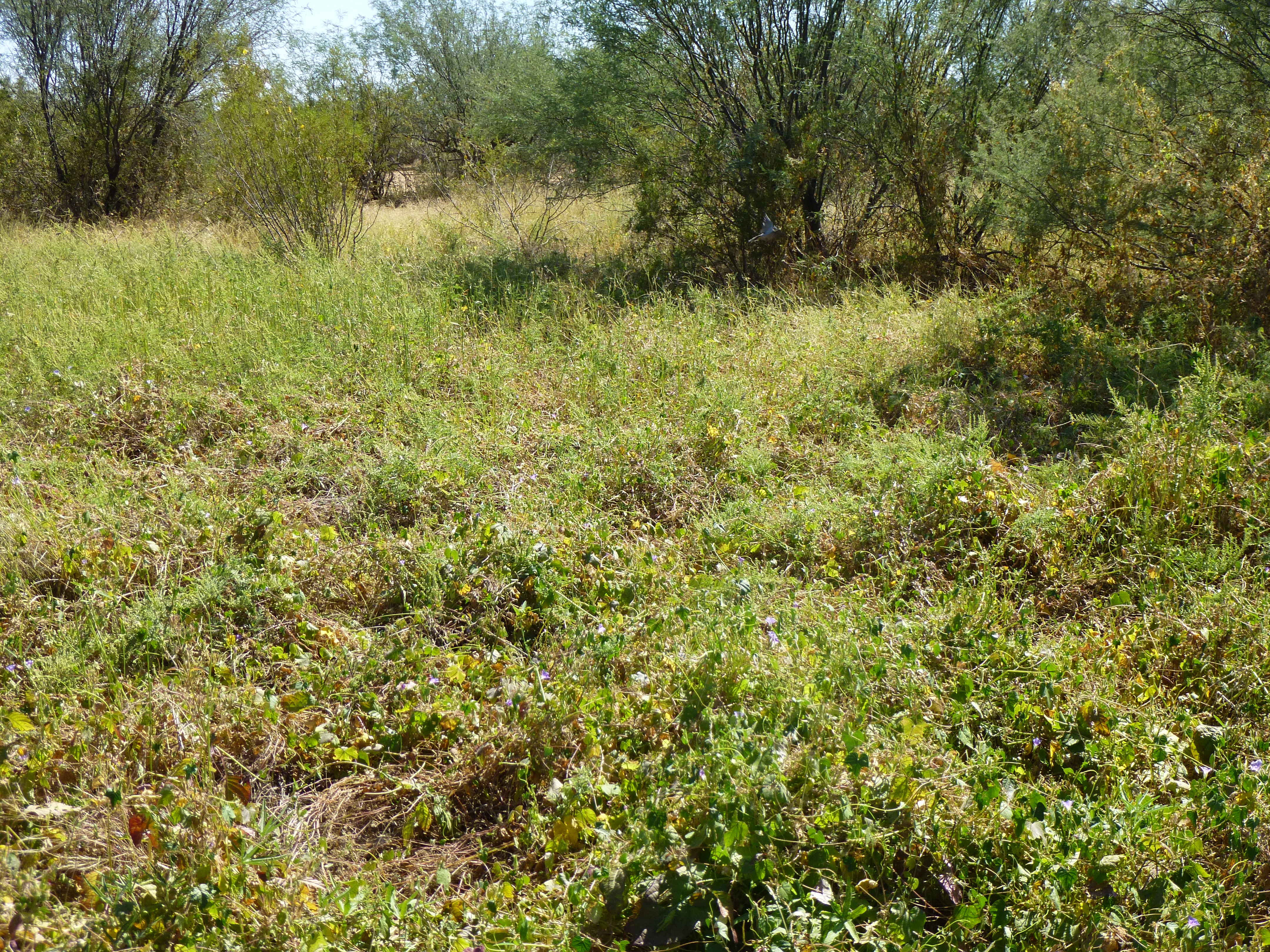
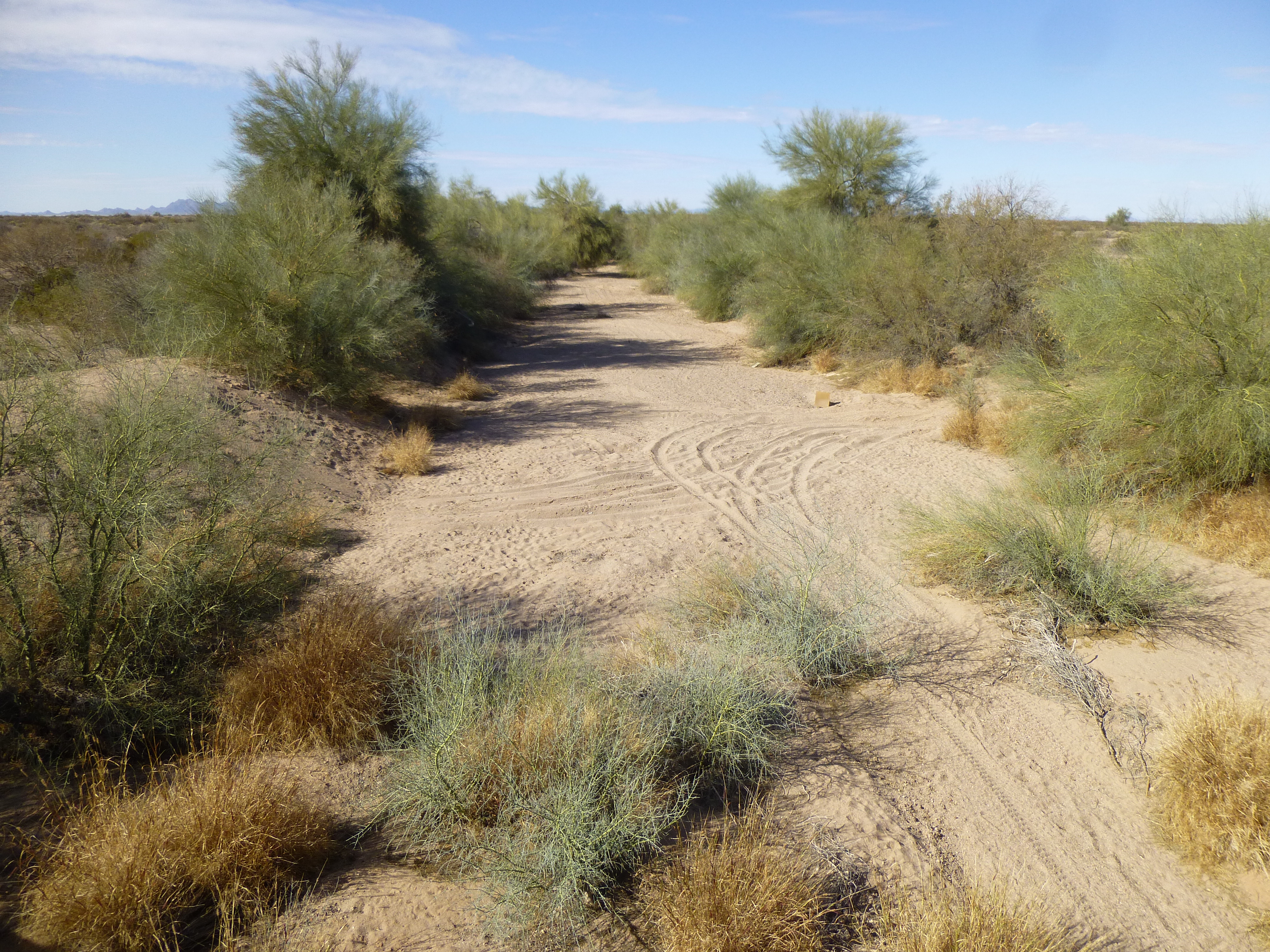
Crossing some very flat desert, the wash now changes direction, from north to northwest. At 8.3 miles, it crosses paved Indian Highway 7 – at this point, we find a broad channel. Here, we can see how a pond forms from time to time, and a belt of vegetation flanks the channel on both sides.
On the east side of Highway 7
Highway 7 serves the small community of Hotason Vo, also known as Hodia Shan Wo’o. In English it is called Charco #27. “Charco” is a Spanish term for a pond. In the O’odham language, Vo (or more correctly wo’o) means “pond”, but I am unable to translate the rest of the name. The community has about 90 people, and Highway 7 runs from Arizona Highway 86 to Indian Highway 34, a total distance of less than 6 miles. A few check dams (here, these are earthen dams formed by using a bulldozer for the purpose of impounding water for cattle and also to help check erosion) sit near Highway 7.
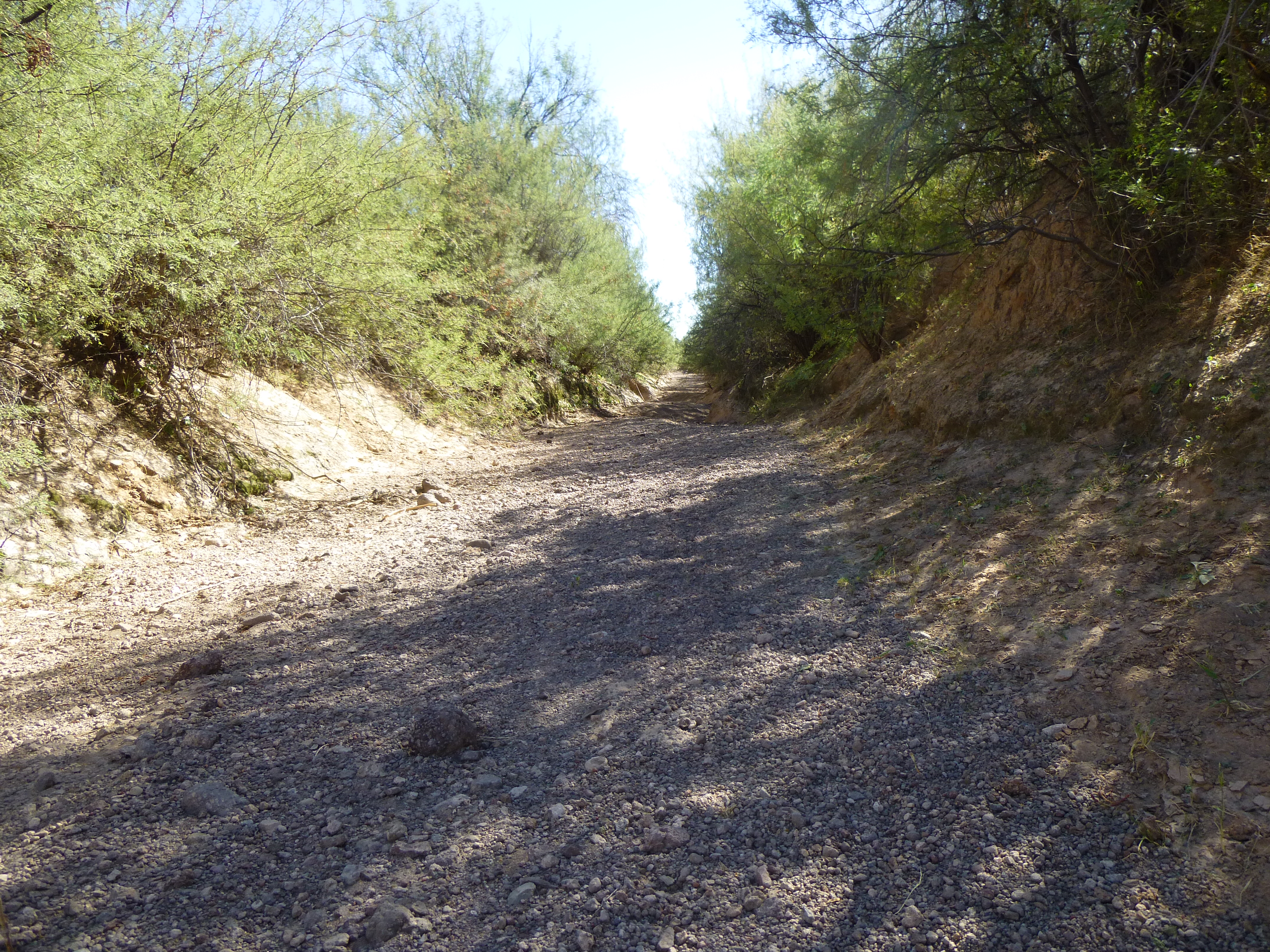
Our wash continues northwest across the Pozo Redondo Valley, until the 13.8-mile mark where its channel is impounded by 3 more check dams. There was once a settlement here, long-abandoned, by the name of Hoa Murk. In the native language, this place is Hoa Mek (in English, this would be “Burnt Basket”). Only a few traces now exist, such as the wall of a house, a well, a corral and a metal water tank..
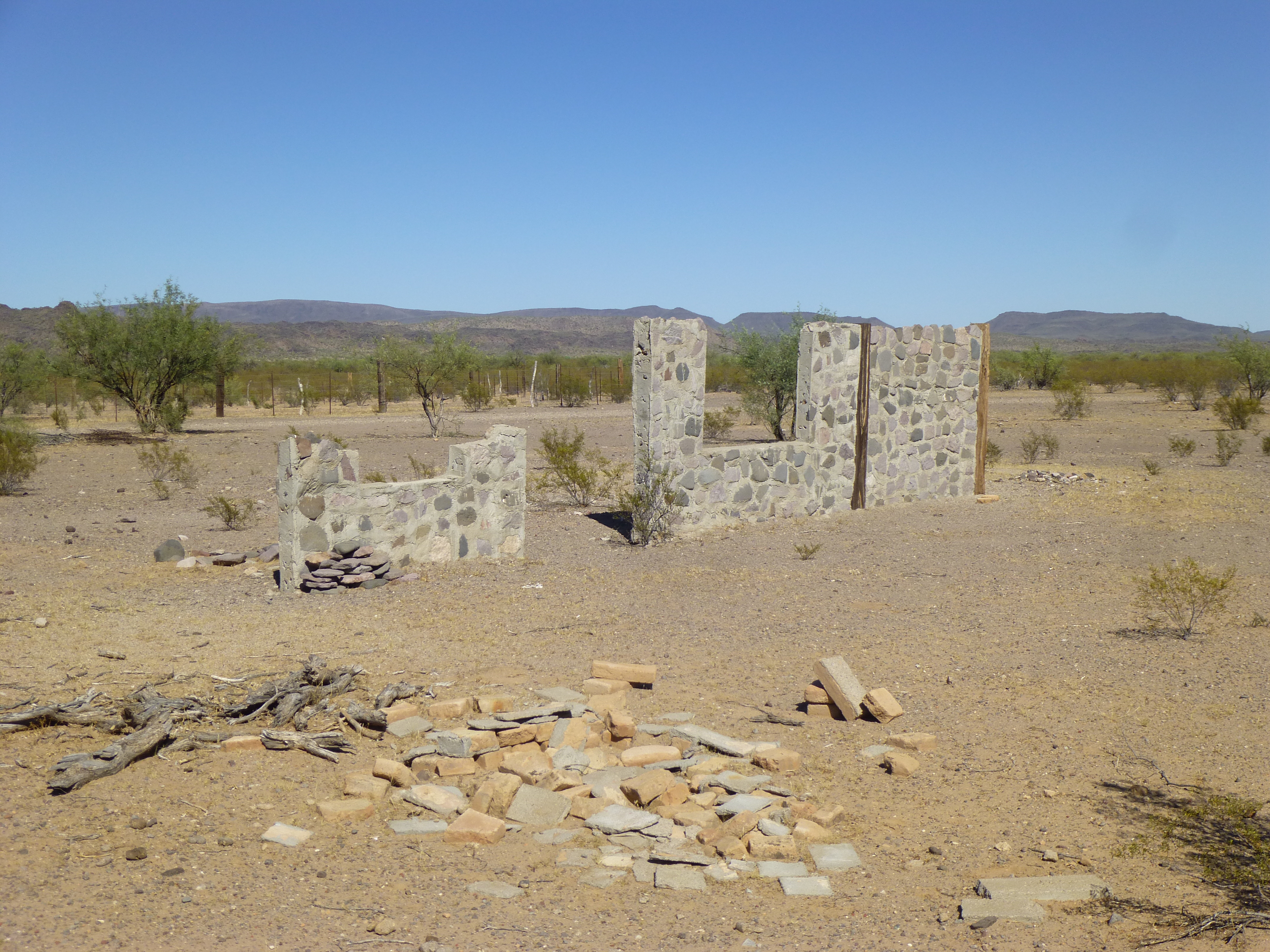
Hoa Murk
By Hoa Murk, the wash has eroded a deep channel, as you can see here by the steep banks on each side.
Now, our wash heads due north, picking up many lesser drainages from the Pozo Redondo Mountains on the west and the Sikort Chuapo Mountains on the east. At 16.9 miles, the wash runs right past a house – the map names this spot “Sikort Chuapo”. The few times I’ve been there in the past 30 years, someone has been living there – their dogs have chased my vehicle each time. They are way off the grid out here: no electricity, running water or flush toilet. Less than a mile away from the house sits an old cemetery, which must have served as a final resting place for those who called this place home. I counted 81 graves there, most with white crosses but several that looked very old, like this one.
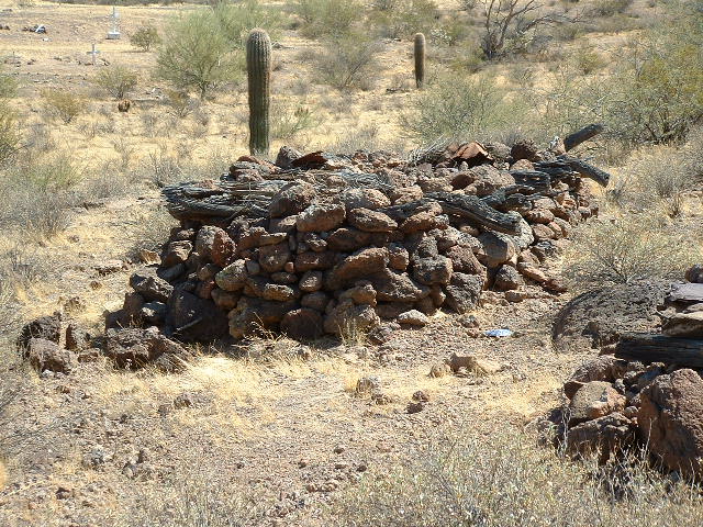
An old grave at Sikort Chuapo
You can read about the cemetery in detail in this story published a while back on this website.
Moving on, we continue north through the narrow Pozo Redondo Valley (translate as “round well” from the Spanish), and at 21.4 miles we come to an abandoned well and a place shown as a ford. In times of monsoon flooding, this must have been a good spot to cross the wash. Ever since Hoa Murk, there has been a dirt road next to the wash, but now it breaks free, roadless, and crosses miles of very flat desert. Along this stretch are many sandy stretches, and then finally, at the 28-mile mark, we come across a sign of civilization once again – the El Paso Natural Gas pipeline. A road follows this pipeline for almost 65 miles, from the town of Ajo in the west to the village of Cocklebur in the east. Where our wash meets the pipeline is only 5 miles from its western end.
Ever since that ford, we’ve been crossing the Valley of the Ajo. A mile north of the pipeline, a tributary joins our wash – it’s called Darby Arroyo, and it is in turn fed by the 16-mile-long Río Cornez which originates near the village of Why.
At 30 miles, we’re passing just east of the huge tailings ponds of the copper mine at Ajo. At 33.5 miles, we reach another ford used to cross this Sikort Chuapo Wash. More signs of civilization appear – at 33.8 miles, Dennison Road ends at the Dennison Picnic Area. Then something major happens – near an electrical substation and a rifle range, Tenmile Wash joins our Sikort Chuapo Wash.
Remember Tenmile Wash? – it was, after all, the title of this piece. Up until now, we’ve been following its tributary, the Sikort Chuapo, for 35.2 miles. It’s been a great ride, but now it ends its life and takes on a new one.
Chapter Two
So let’s now talk about Tenmile Wash. It has its own beginning in a different spot, namely just east of Peak 3310 at the extreme northern end of the Sikort Chuapo Mountains. It rises on a high slope, at about 3,100 feet elevation, then drops into a deep canyon and tumbles out to the north to cross the gas pipeline at 1.2 miles (we’ll start a new set of mileages for this stage of our journey).
Looking south up the canyon. Tenmile Wash has its beginnings up there.
No sooner has it done that than it swings quickly around to the southwest and passes below Peak 2750.
Looking way down on to Peak 2750 a mile away. The small dark line out on the desert floor to its left is the infant Tenmile Wash
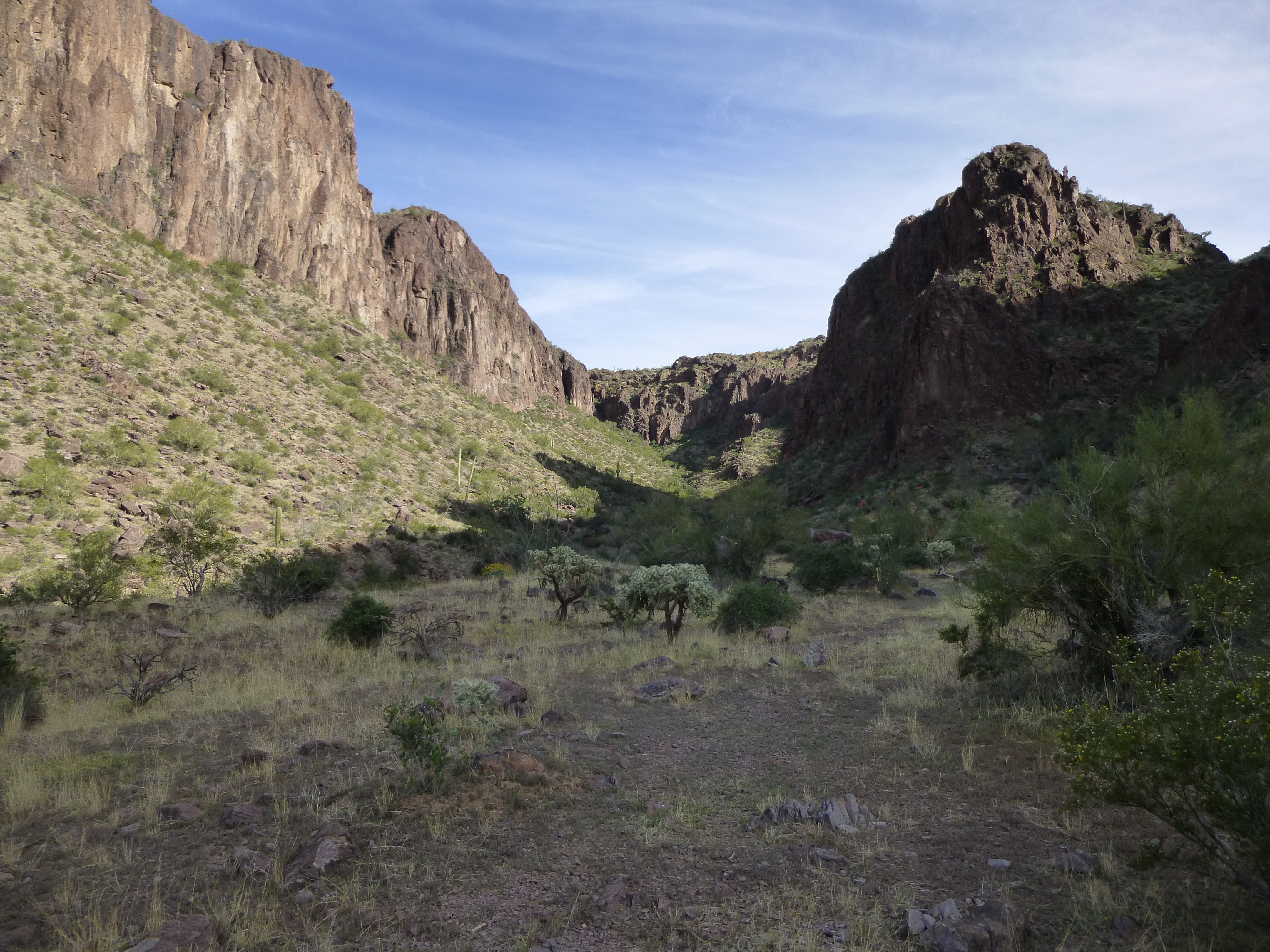
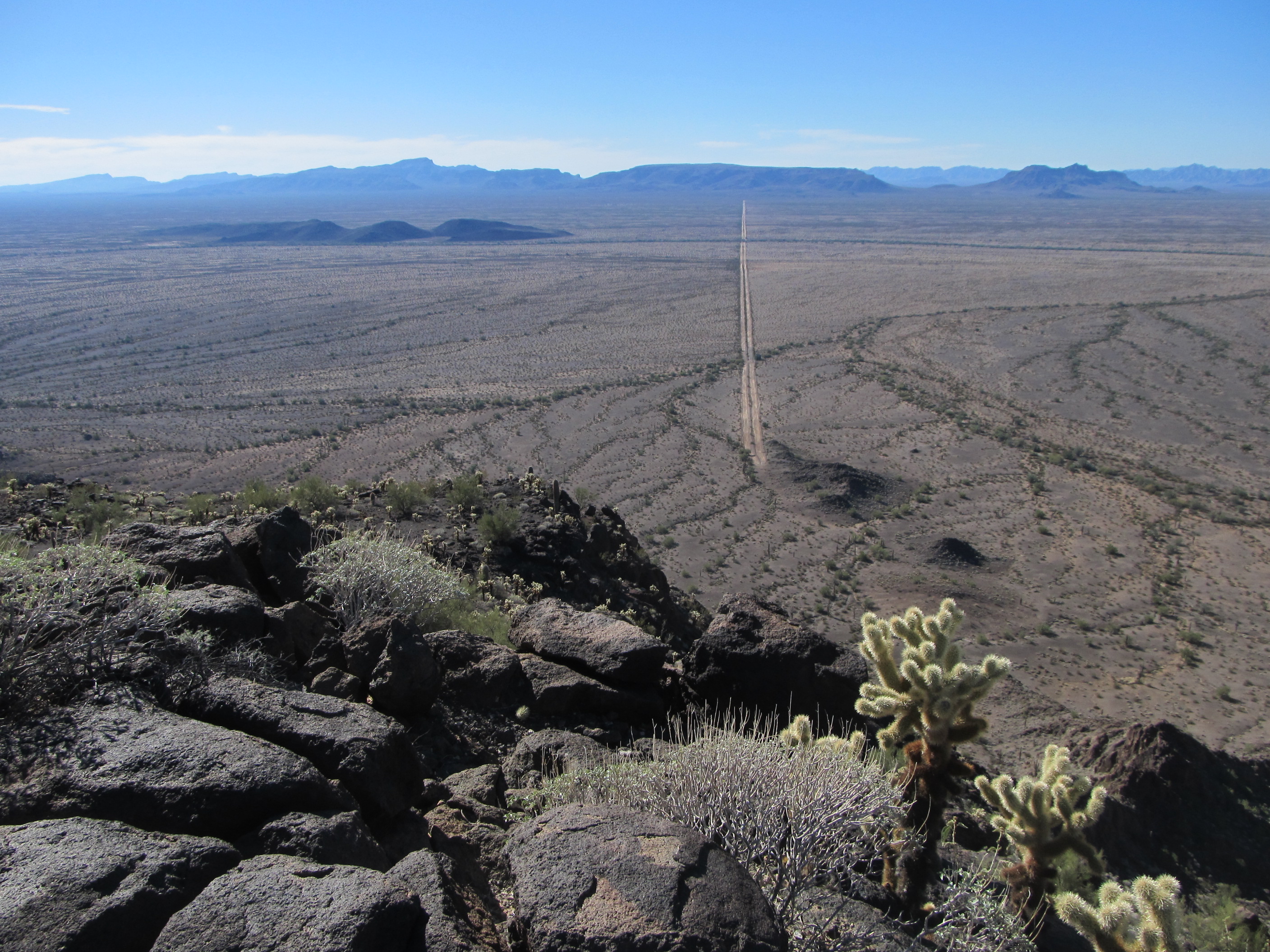
It continues to lose elevation quickly, so that by the time it passes a small road at the 4.7-mile mark, it is all the way down to 2,000 feet. At 7.3 miles, it crosses the gas pipeline once again – it’s still heading southwest as it passes an old well, then enters Burro Gap at 8.6 miles. This is a narrow opening, barely 500 feet wide, through the southern part of the Batamote Mountains, near Peak 2224. Once the wash spills through the gap, it crosses the pipeline one last time, then heads west and northwest across the Valley of the Ajo. This next picture shows some of that detail. Here’s what we see: the huge flat area near us is the Pozo Redondo Valley; just above that, the dark mountains that come towards each other are the Batamote Mountains; the dark part on the left is Peak 2224; Burro Gap is the opening between the 2 dark mountains; beyond the gap can be seen a white line heading away into the distance, and that is the pipeline; the large white area in the distance is the tailings from the Cornelia Mine in Ajo.
More miles pass, uneventfully, until our wash passes along the east side of the long, narrow ridge we’ll call Point 1662. We’ve now traveled 17.4 miles. Soon after, it actually splits to pass around a low hill, but soon re-forms, at 19.7 miles. Then, magically, it merges with our old friend Sikort Chuapo Wash.
So at this point here’s what we have: Tenmile Wash has traveled 20.8 miles, and its longest tributary, Sikort Chuapo Wash, has traveled 35.2 miles. Our journey is far from over, and we need to push on, so let’s continue counting with the larger of the 2 distances.
Chapter Three
The place where these two washes merge into one is just north of the small Ajo airport. As we continue our northwest track, we pass the old Childs Ranch and well at 39.4 miles – here, we hug the edge of the Batamote Mountains once again. In the last few miles, we’ve been picking up small drainages from the east side of a major feature known as Childs Mountain, as well as a few from the Batamote.
Childs Mountain
Something very important now occurs. At 39.7 miles, we enter the Barry M. Goldwater Air Force Range, known to us climbers as simply “the bombing range”. Soon afterwards, we cross a set of old railroad tracks. This was the Tucson, Cornelia and Gila Bend Railroad. It was owned by the mine folks down at Ajo, Arizona and was used to ship concentrate to the smelter (it connected with the main line of the Southern Pacific Railway at Gila Bend to the north).
Now we come to the question of how Tenmile Wash got its name. The only thing I can figure is this – as you travel north, it is 10 miles from the mine in Ajo to where the wash crosses under the tracks. In any case, our wash meets the tracks at the 40.2-mile mark, going by the way we’ve been counting so far. At 40.3 miles, it crosses under Arizona Highway 85. The bridge that spans the wash is 250 feet long. Beside it, down in the wash, is a gaging station, used to measure the amount of water flowing. This station must be awfully bored, as water probably doesn’t flow past it but once every few years.
This is a very significant spot in the journey of our wash, as here it enters the “hot zone”, a huge area closed to the public because of bombing activity. Something else worth mentioning is the fact that up until now, Tenmile and all of its tributaries have existed in Pima County. Half a mile beyond the station, it enters Maricopa County. We are now entering the broad Childs Valley.
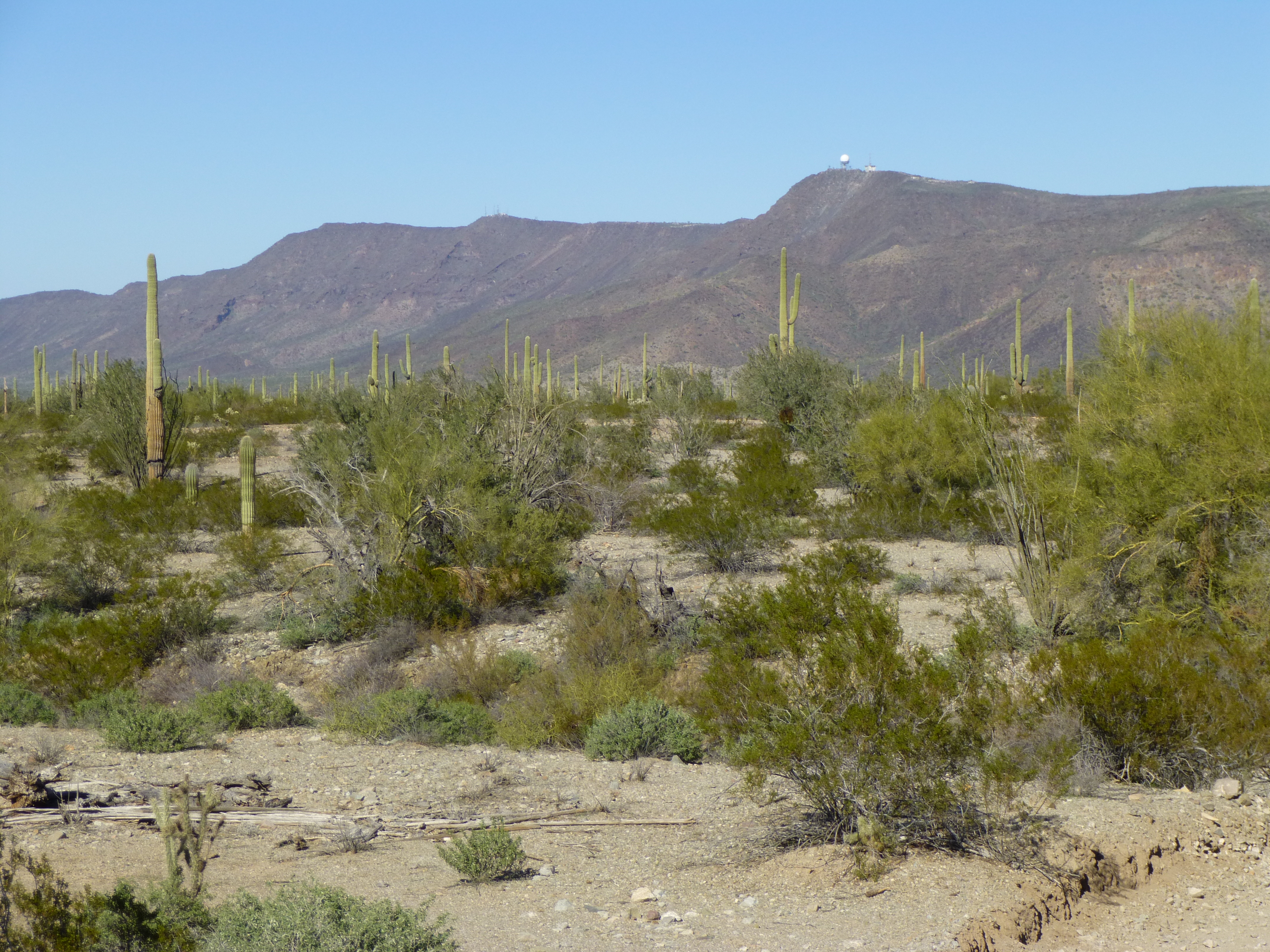
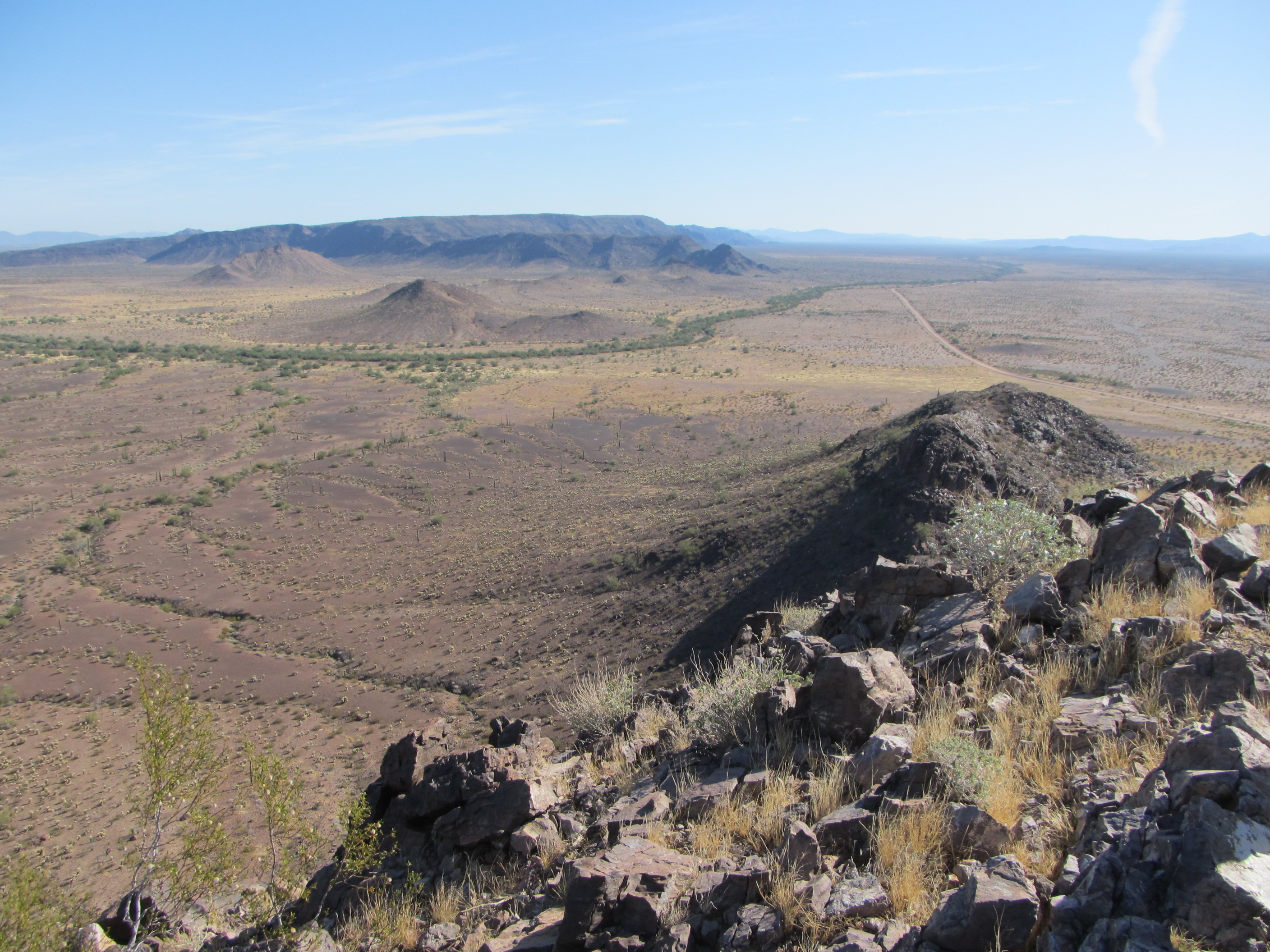
At 41.3 miles, we pass a faded military road as we continue in a northerly direction. Our route is still paralleling the highway, but starts a gradual turn to the northwest. At 43.6 miles, we start to hug the southern edge of the Crater Range. Here’s a picture taken from Crater Benchmark, 500 feet above the desert floor – we are looking southeast, and can clearly see the braided channels of Tenmile Wash over on the right.
Looking down on Tenmile Wash
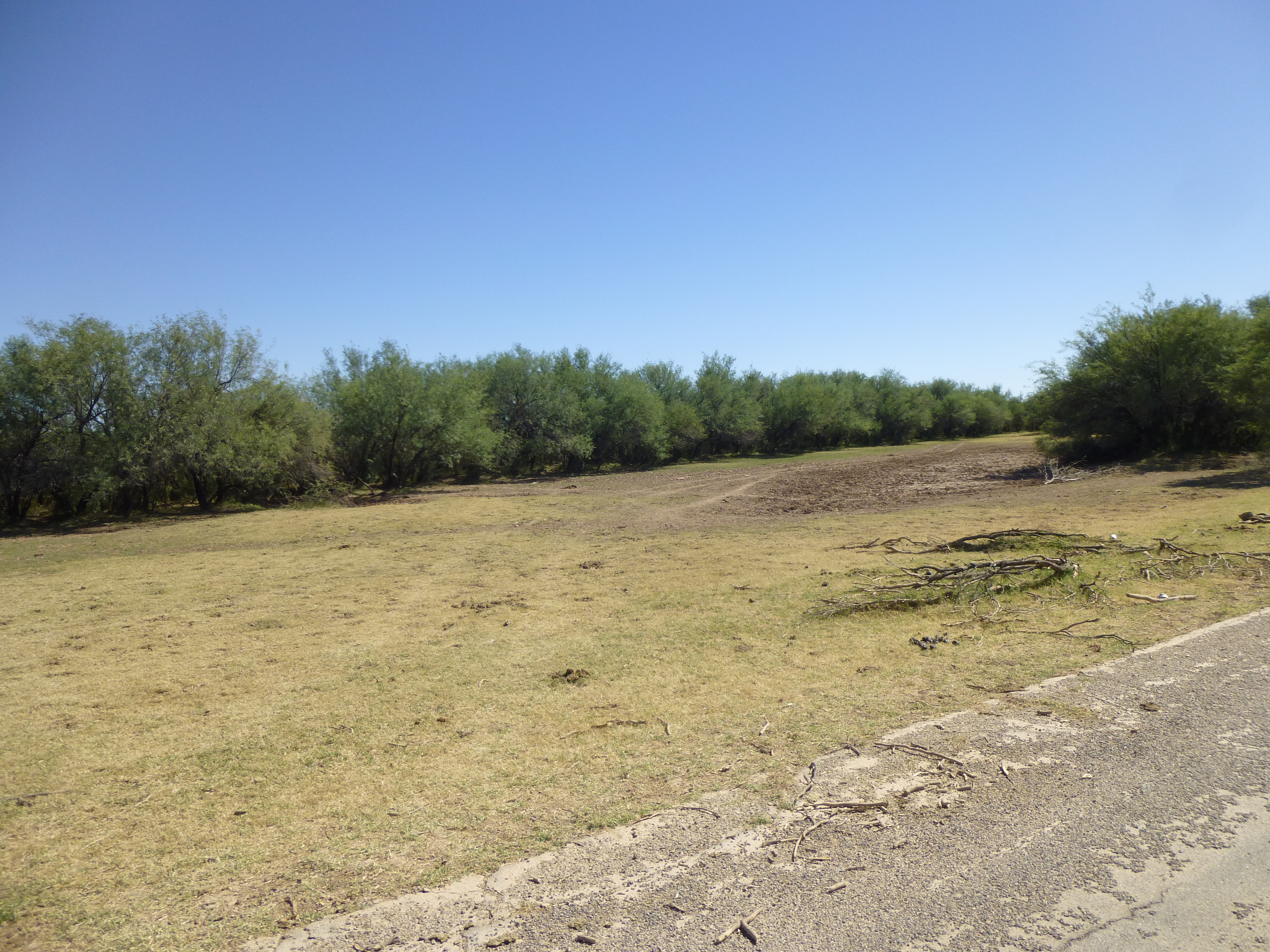
We continue to move downstream, and at 46.3 miles we come across another old military road. The wash can be as much as 500 feet wide at this point. Here is a glimpse of just a part of it.
In Tenmile Wash
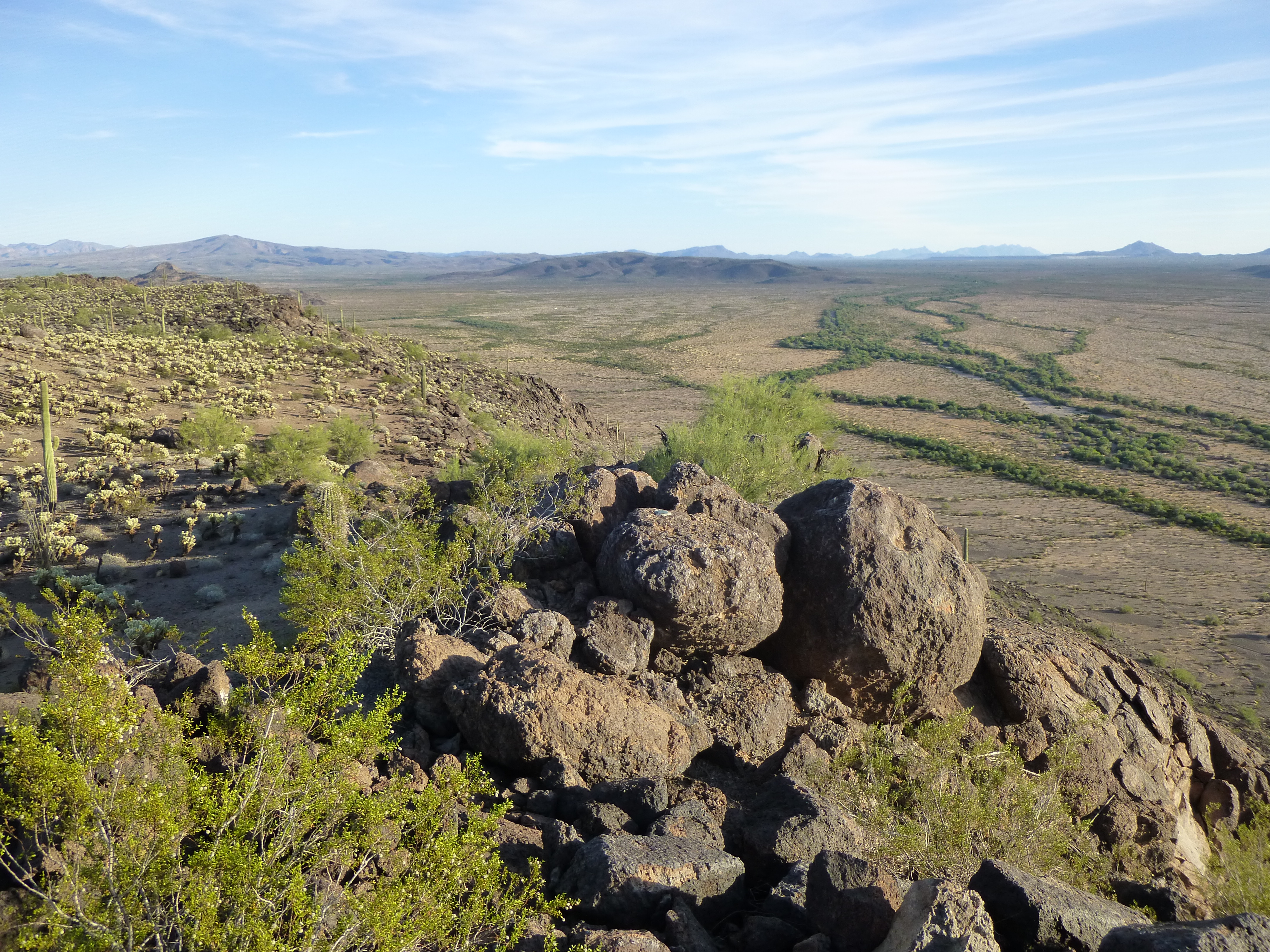
Now heading west, the miles roll on by. At 54.8 we hug the slopes of a small mountain, Point 1241, and then almost a mile later pass the double-blade road. In this next photo, the road is clearly seen, as is the dark ribbon of Tenmile near this end of the road. Other lesser washes can be seen merging with it – Tenmile is the farther dark stripe in the middle of the picture. Downstream is to the right. In the distance, the road takes us to the flat-topped Peak 2147 in the northern end of the Growler Mountains.
Looking southwest
Continuing northwest through the Childs Valley, the next major feature we reach is a major north-south military road – this well-engineered feature is found at mile 62.5.
We parallel a different military road for a couple of miles, then make a 90-degree turn to the north by Point 1036, cutting right through the western end of the Crater Range. In this next photo, we are looking east. The obvious green stripe of Tenmile is coming towards us, then swings left (north) across the view. Point 1036 is the small brown bump just beyond Tenmile in the middle distance.
A few miles later, our wash exits the Crater Range and continues in a northwesterly direction. At the 67.8-mile point in its journey, we pass the long-dry Paddit Well, a leftover from ranching days in the area. The bombing range was created in 1941 by an executive order of President Franklin D. Roosevelt, and I’m guessing that all cattle were then kicked off the range and ranching came to an end.
Next, we cross a swath of desert which is about as flat and barren as things can be in this part of the world. With only 4 inches of rainfall in an entire year, not much grows here.
Wide-open spaces
73.4 miles into our journey, we cross another military road. Our wash rolls on, and between 75.4 and 76.4 miles passes a group of small un-named hills. Another major change is about to occur – at around 81.5 miles, we leave the bombing range and cross from Maricopa County into Yuma County. Here too we are flung back into civilization all at once – a block of several square miles of desert is irrigated by farmers and the land is green and lush. Our wash runs smack into this agriculture, and is diverted around it, to emerge at the 84.9-mile mark.
It runs almost 5 miles more, crosses beneath the main line of the Southern Pacific Railroad, beneath several lanes of Interstate 8 freeway, and emerges at 89.5 miles.
On the north side of the freeway
Looking south across the freeway
It then passes some borrow pits, which no doubt provided sand and gravel for local road construction. Next comes a named feature on the map called Canyon Diablo – our wash travels through it for about 3 miles, but it has to be the oddest canyon ever. It’s nothing more than a long, shallow depression, maybe 5 feet below the level of the surrounding desert. Enough water passes through it from time to time to allow a belt of vegetation to grow there. Several old roads cut across it, and at around 95.1 miles can be seen the remnants of old agricultural fields. Maps show something called “South Gila Ditch” around here, perhaps an agricultural canal of sorts, but it no longer exists. At 95.8 miles, the wash turns west and parallels the nearby Gila River, and the last remnants of Tenmile Wash merge into and become one with the river at 100.3 miles on our odometer. The river rarely runs, but farmers have many deep wells from which they pump water to irrigate crops.
So that’s it, Folks – a hundred miles of dry watercourse (except for rare moments) in the Sonoran Desert. I hope you’ve enjoyed the journey.