
This piece is about canyons – two of them, at least, with a few peaks thrown in for good measure. For the first climbs of the new year, Brian and I left Tucson early on a Saturday – it was still dark. A couple of hours later, we were a mere 8 miles from the Mexican border. We turned off to the west on a dirt road and 6 miles later arrived at Presumido Pass. Here, at 4,000 feet elevation, we entered the Tohono O’odham Indian Reservation – this is its forgotten corner. Continuing south, we dropped 300 feet in a mile, twisting and turning between the narrow rock walls of the uppermost part of Presumido Canyon. Just over a mile later, we left the reservation behind – we had just passed through a narrow finger of it, and soon found ourselves by the old Presumido Well on Arizona state land.
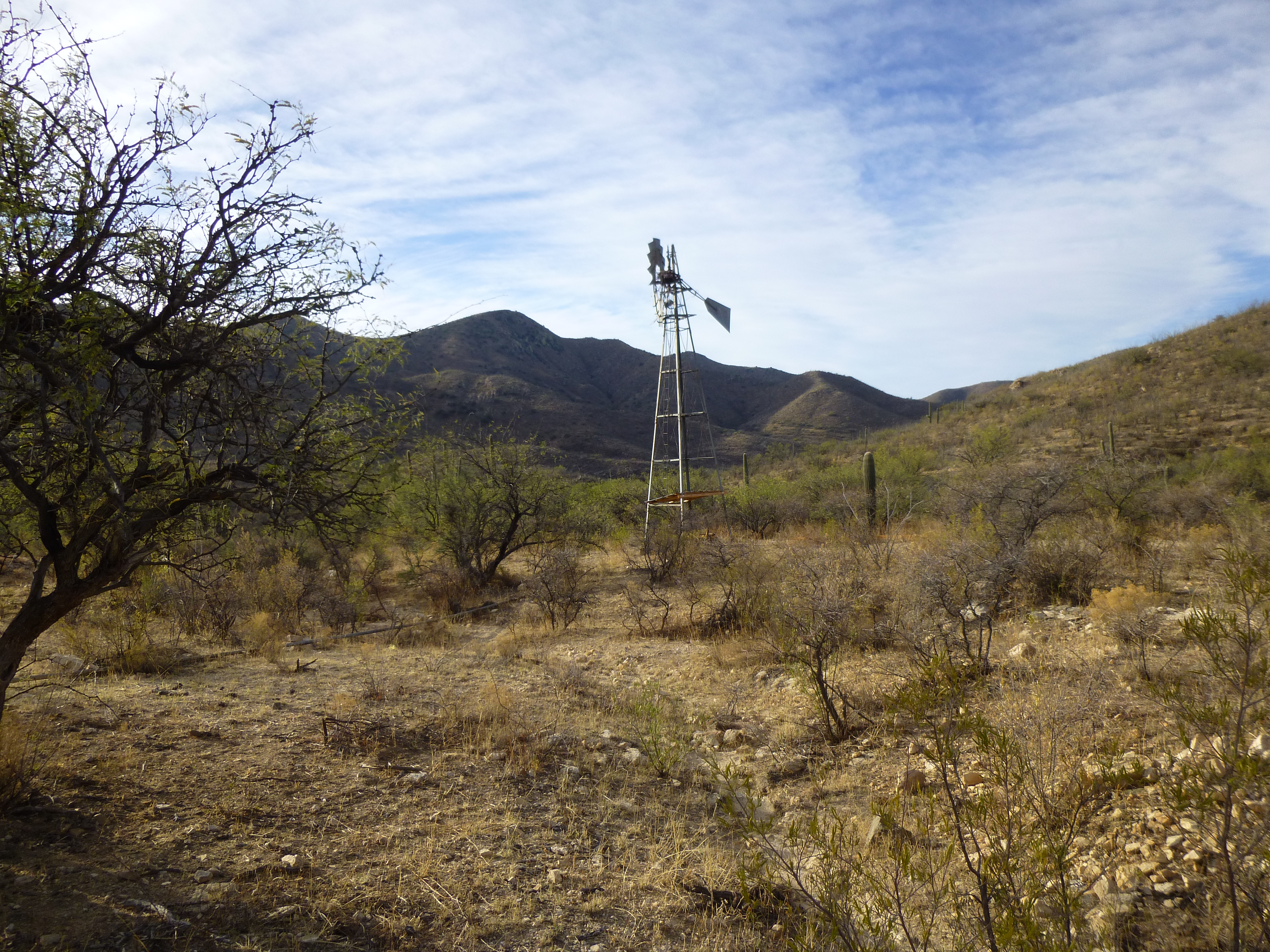
Presumido Well
We parked nearby, and set out on foot on this windy morning. Almost 900 vertical feet later, we found ourselves on the summit ridge. Near the summit of Buena Vista Benchmark, I ducked under a tree to follow Brian – carelessly, I walked head-first into a sharp tree branch. I started bleeding like a stuck pig, and Brian came over and patched me up. I wasn’t exactly like Massive Head-Wound Harry, but it was still embarrassing.
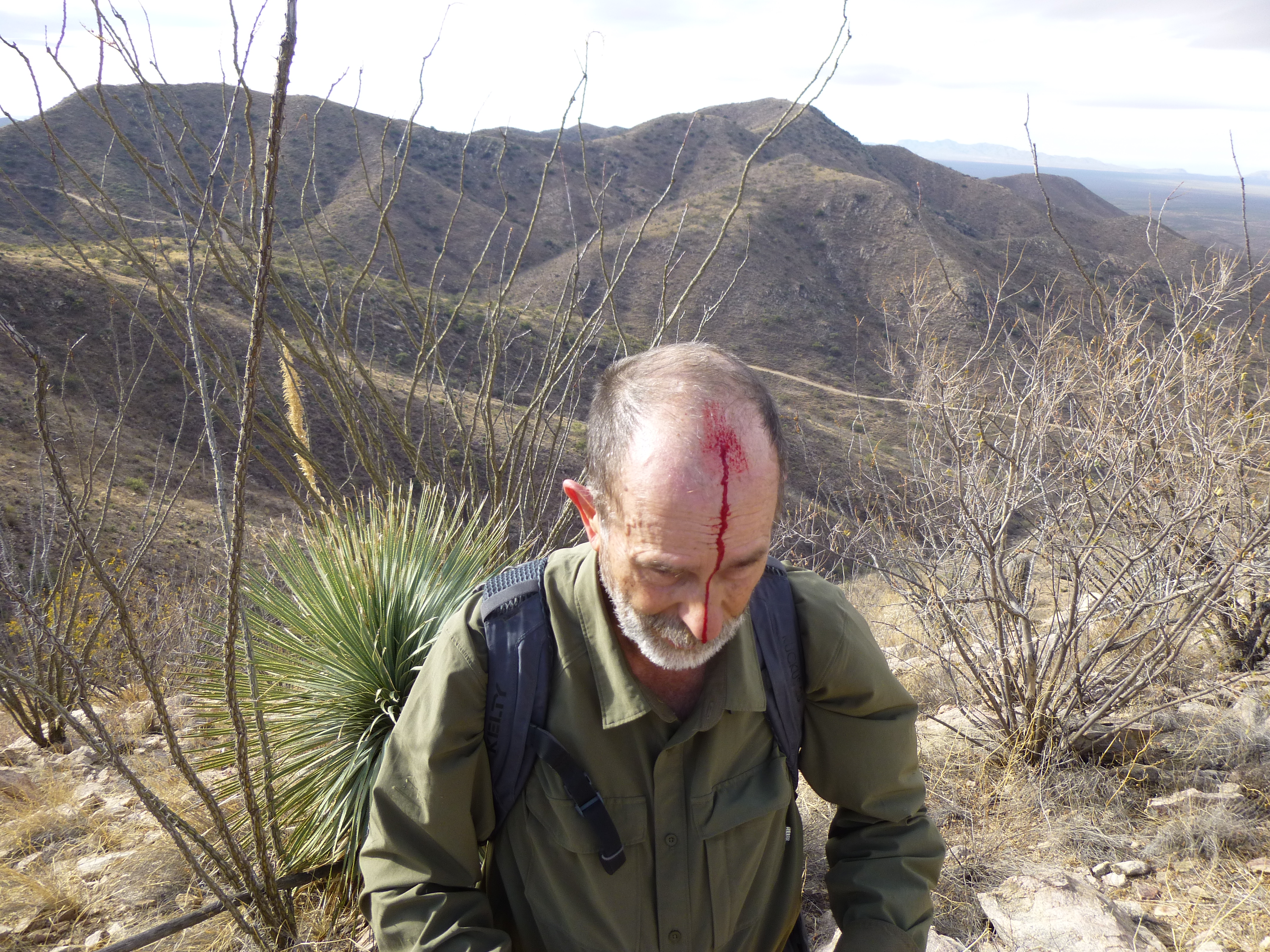
Oops!
After signing in to the register, I snapped this photo of Brian on the summit – that’s Baboquiviri Peak in the background, 16 miles to the north.
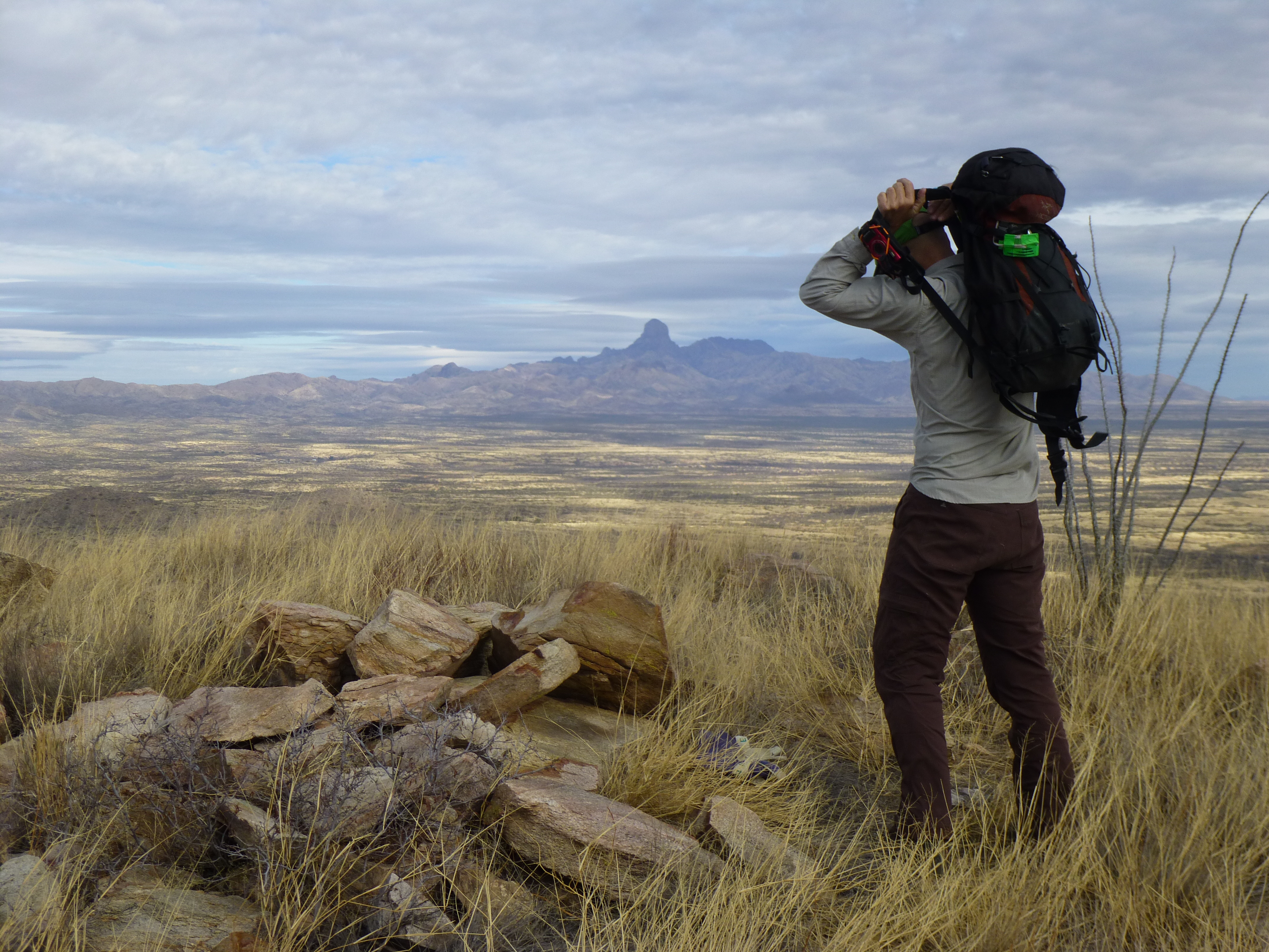
The view
Once back to the truck, we continued down Presumido Canyon for a few more miles. When we least expected it, along a straight stretch of road in the lower canyon, what to our wondering eyes should appear but this.
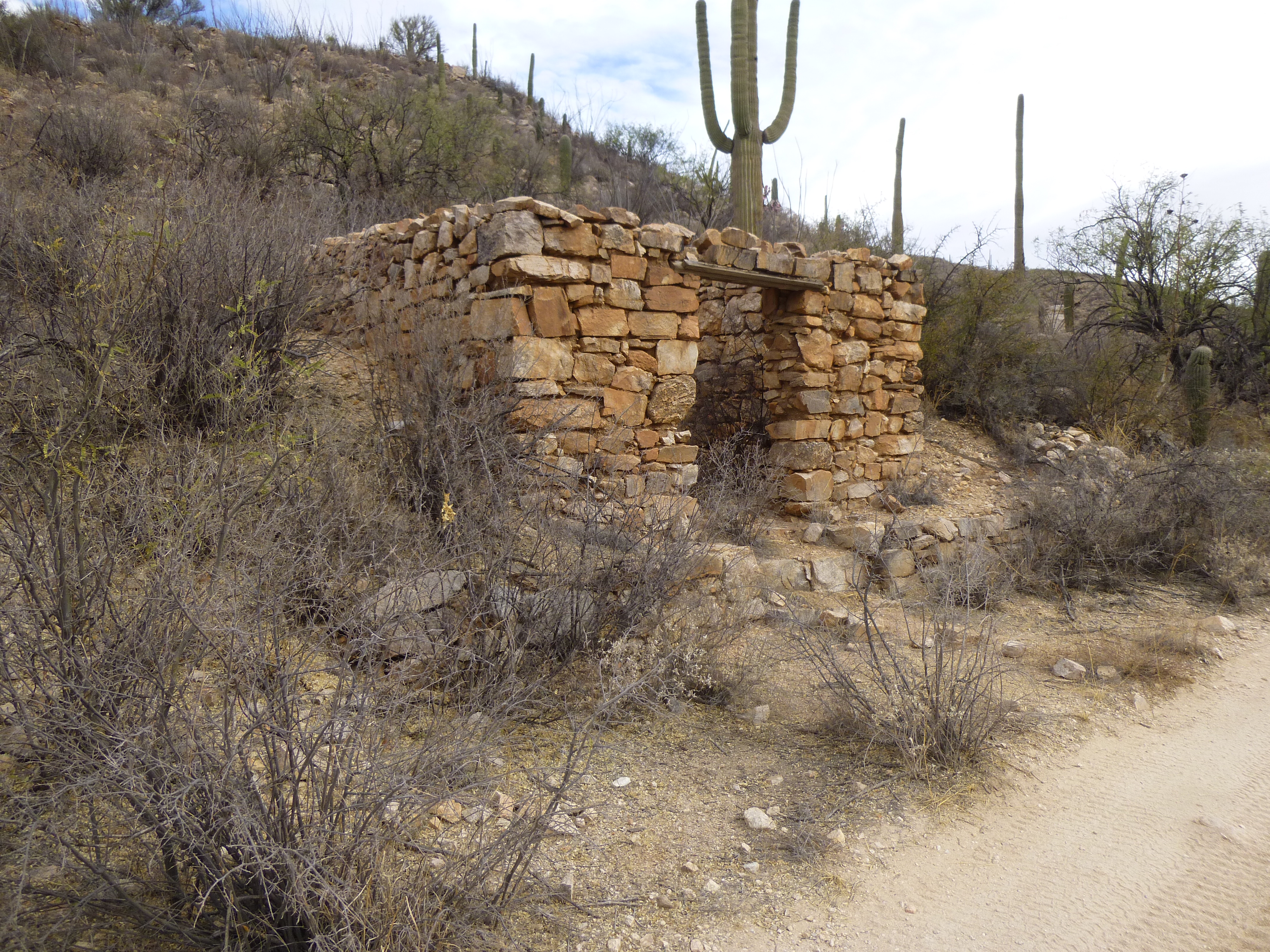
Old stone house
We had reached an old ghost town called, appropriately, “Presumido”. Try as I might, I haven’t been able to learn anything about the history of the place. There were at least 6 old structures that we saw, and they were of 2 types: stacked stones mortared together, as in the above photo, and adobe bricks, as seen in this next photo.
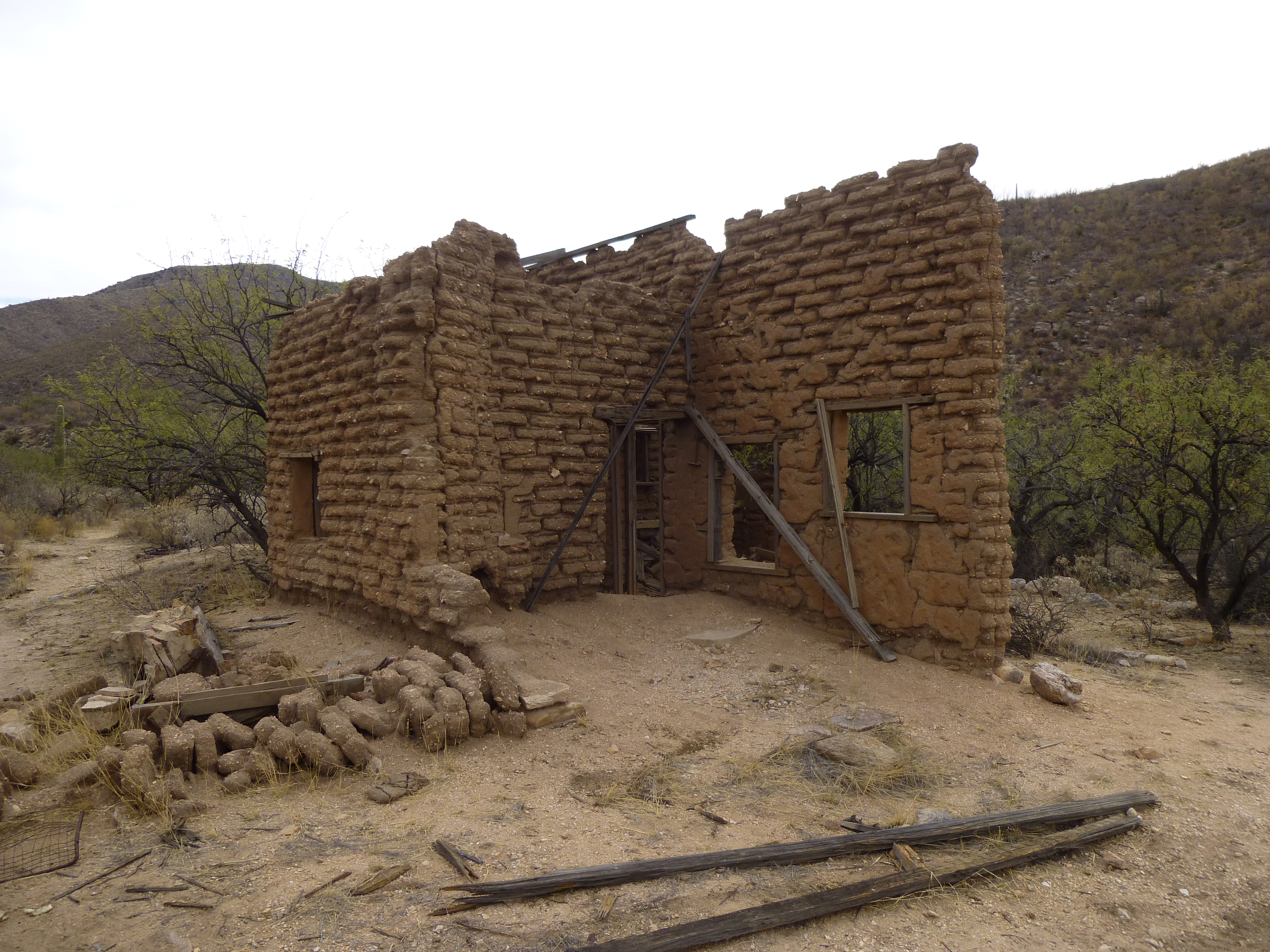
Adobe
Adobe will literally dissolve in the rain as the years go by, returning to the stuff from which it is made. Someone had propped up the old walls above, trying to keep them standing a little longer. The next photo shows some that didn’t fare so well – the elements, and the passage of time are taking their toll.
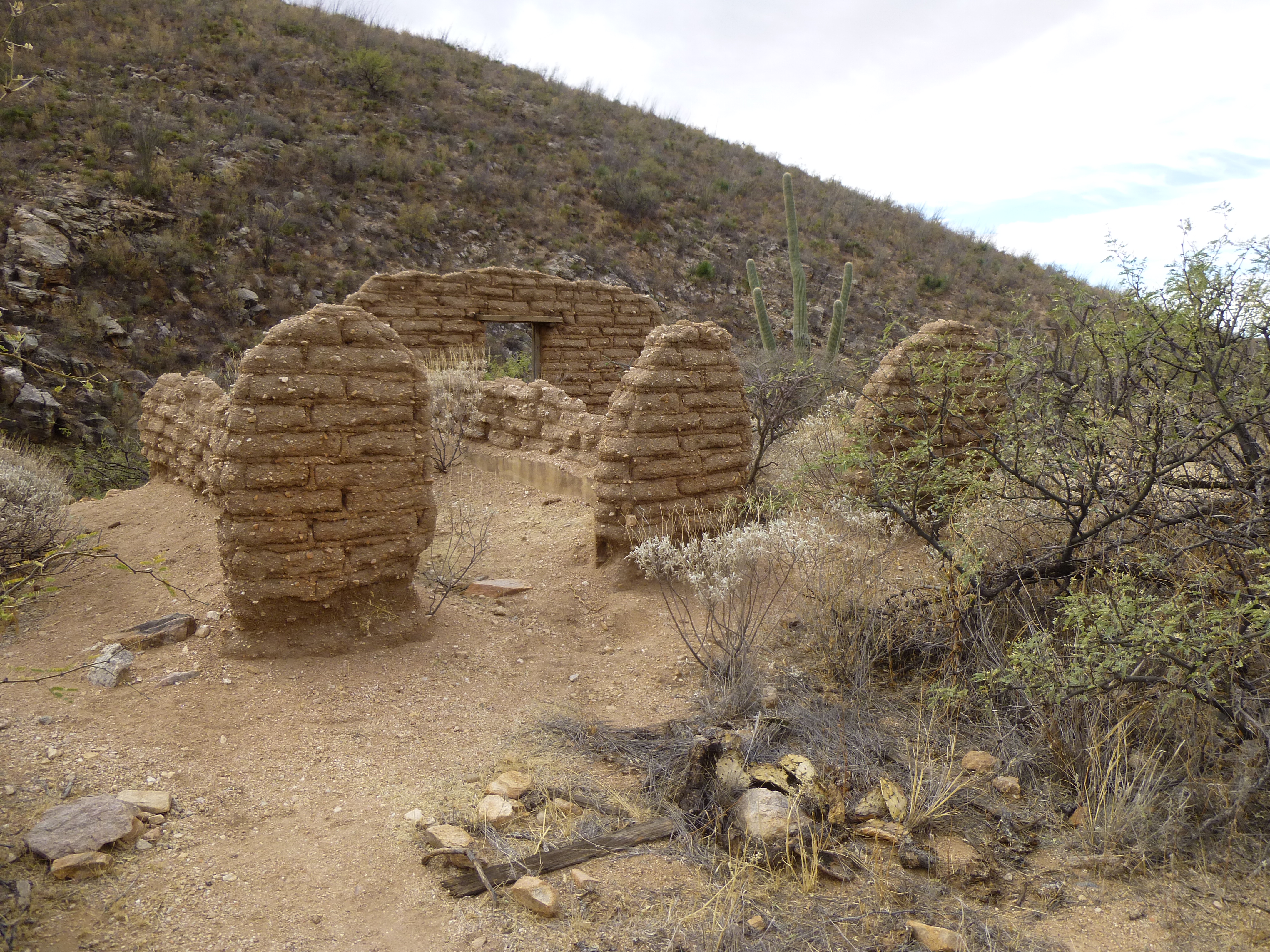
Vanishing adobe walls
I didn’t see any sign of a well, but an old dam sat a quarter of a mile upstream – perhaps back in the day, it served as a water supply for the little community. A hundred yards downstream, the road re-entered the reservation – I had read somewhere that this place had served as a trading post, so that could be the reason for its existence.
As the miles passed, the canyon widened. Our map showed a spot where we needed to climb a steep hill, but as we stood there considering it, we realized that only a quad would be able to make it – we quickly backed off. Soon afterwards, as we continued driving, 2 vehicles approached us – Border Patrol. We stopped and had a nice visit. Fortunately for us, another branch of the road headed south, and in short order we found ourselves staring across a vehicle barrier into Mexico.
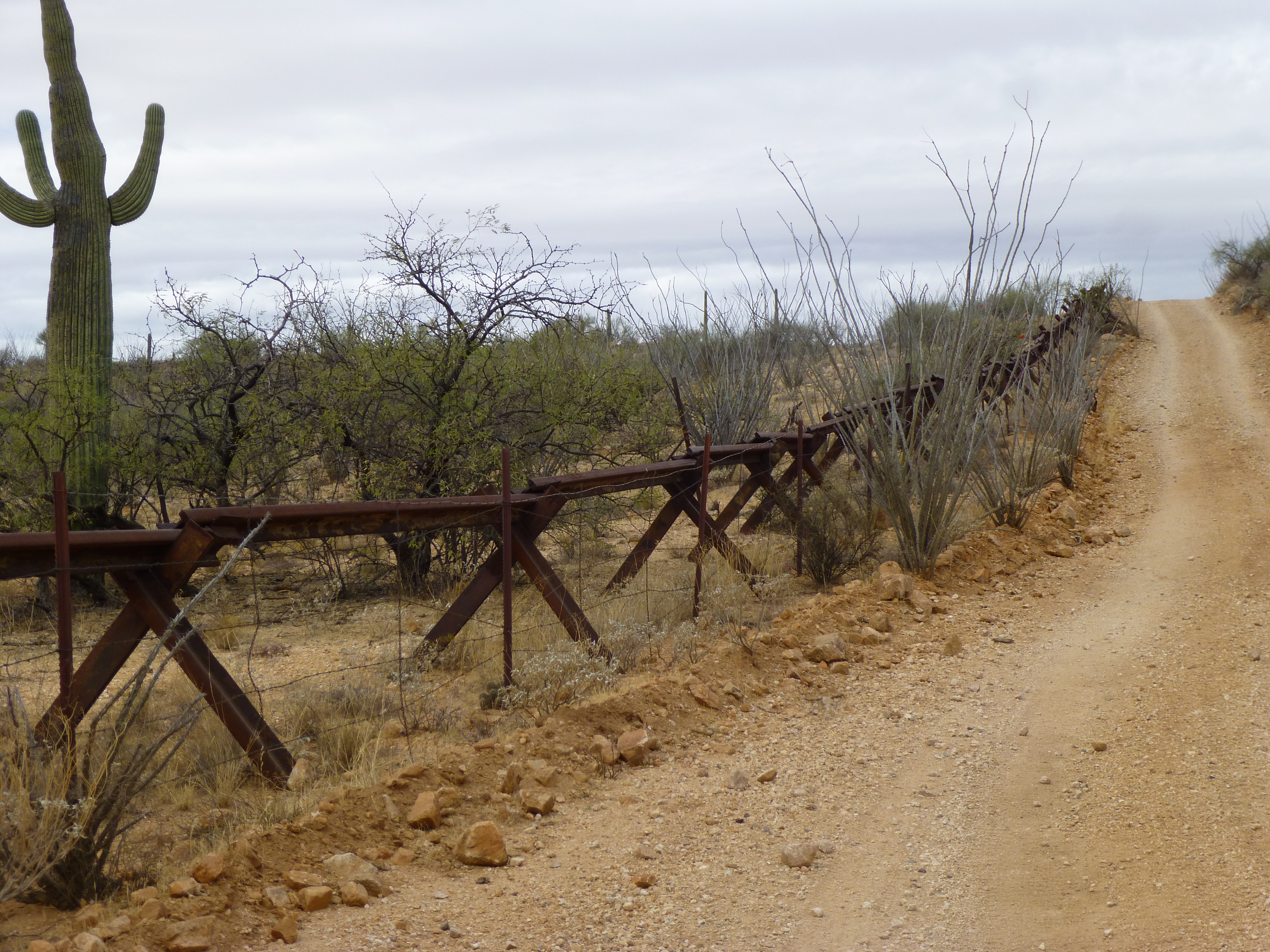
The border barrier
Here’s a long view along the border – we are looking west, and that is Morena Mountain 15 miles in the distance.
West along the border
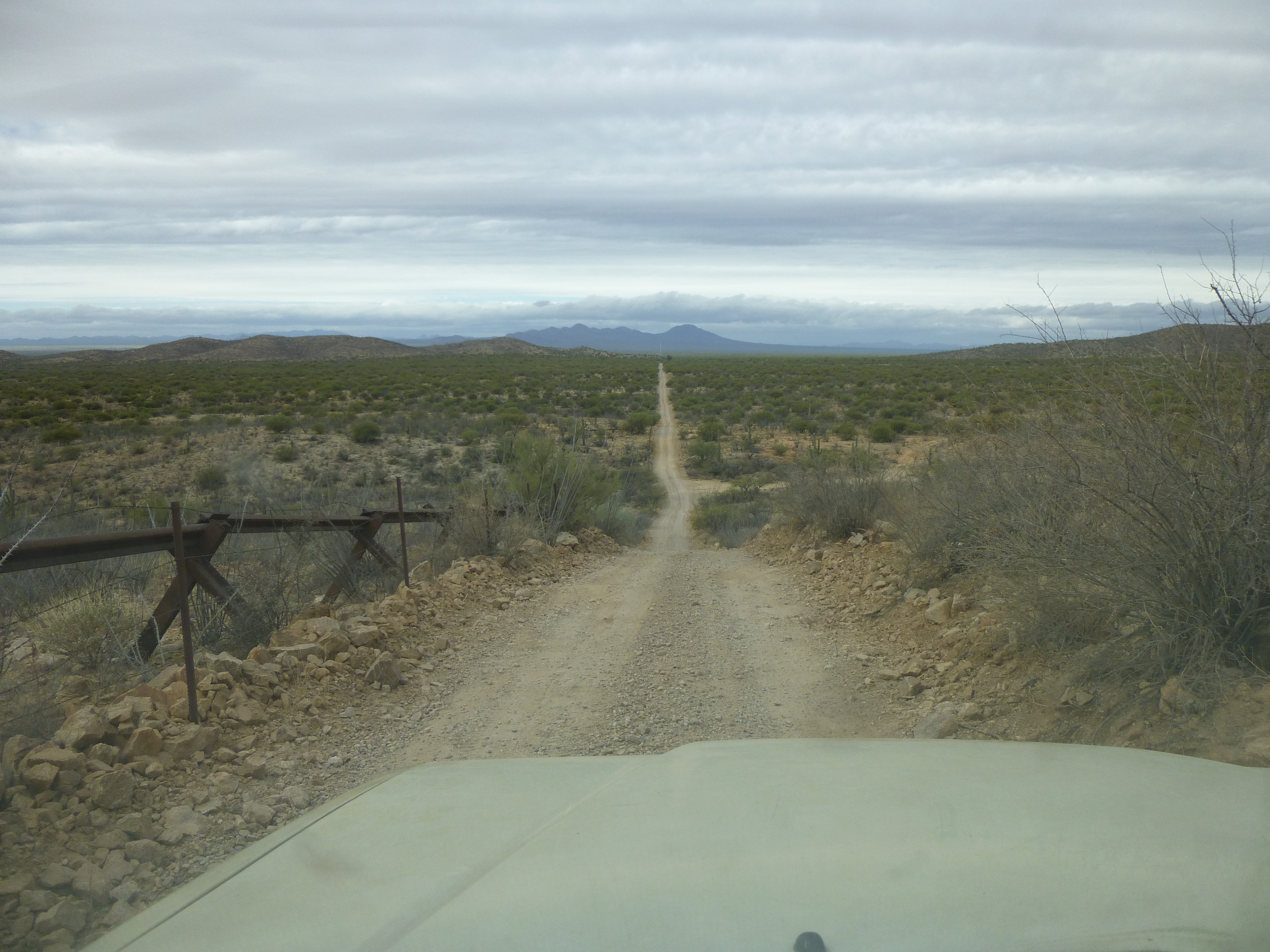
The next part of our trip ate up a lot of time. After paralleling the border for 3 miles or so, we headed off to the north along a dirt road. Brian was navigating, checking off the landmarks as we passed them and using the GPS to advantage. We couldn’t help but notice some threatening-looking weather moving in from the west. Finally, at 2:00 PM, we parked at the very end of the road at 3,520 feet elevation.
It was now completely clouded over, and it looked likely we were gonna get rained on – should we go for it? It was 1,300 feet to the summit. If it rained on us up high, we’d be soaked to the arse and risk a bit of hypothermia. Oh, what the hell – we came here to climb, right? It had been a lot of hard driving to get this far, so let’s go for it!
It was pretty good going, not too brushy, and we eventually reached the summit ridge. Brian was moving more strongly than I, and was out ahead of me the whole way. Even up here along the ridge, we found trash left by Bad Guys – pigs to the end.
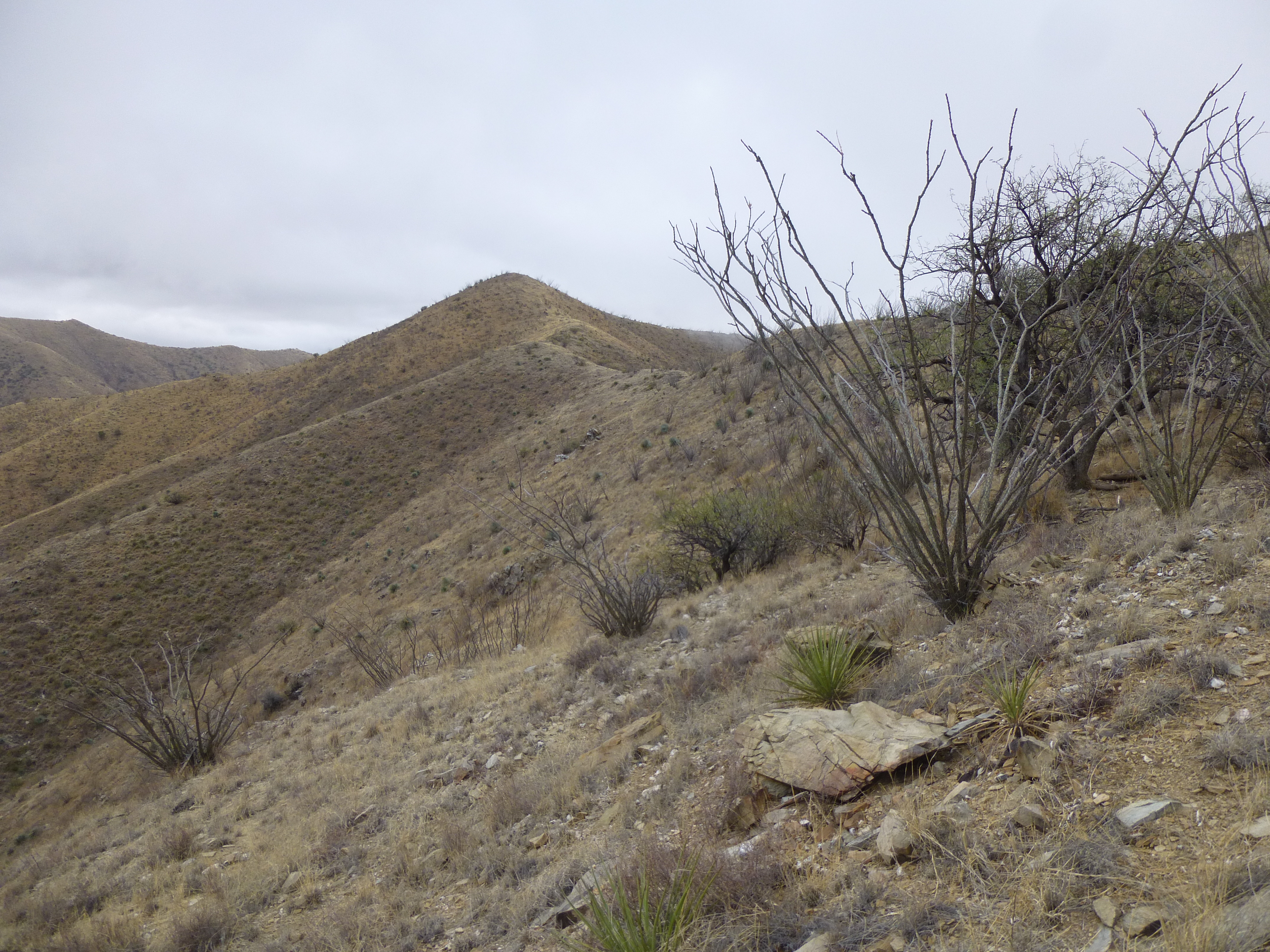
The summit ridge of Peak 4820
While on the ridge, clouds filled the valley below and rose up to engulf us. At one point, we were completely socked in.
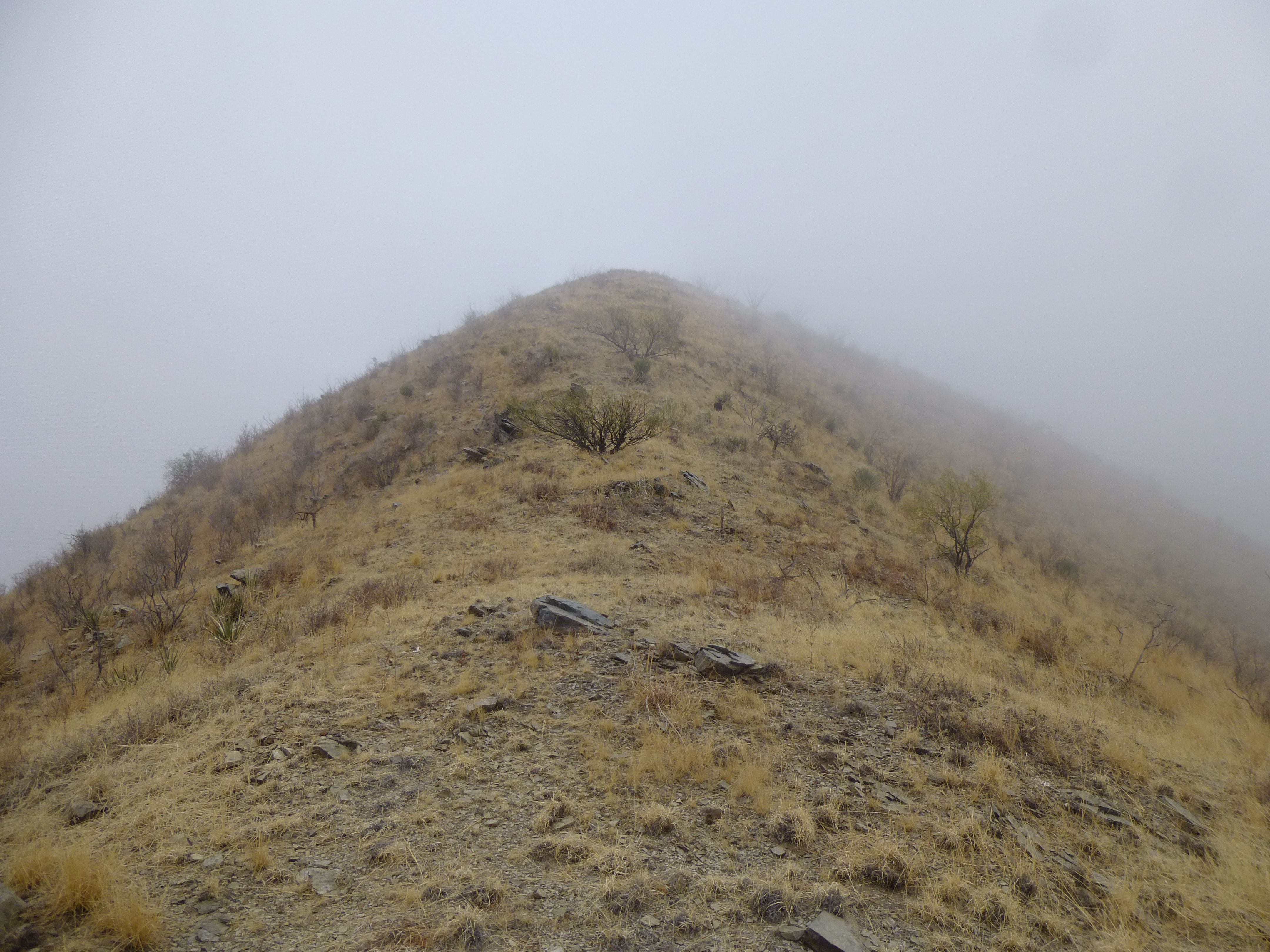
A few more feet to the summit
We left a register on top of Peak 4820, then retreated. But guess what? – no rain! – we’d dodged a bullet. As we descended, the clouds broke up and moved on.
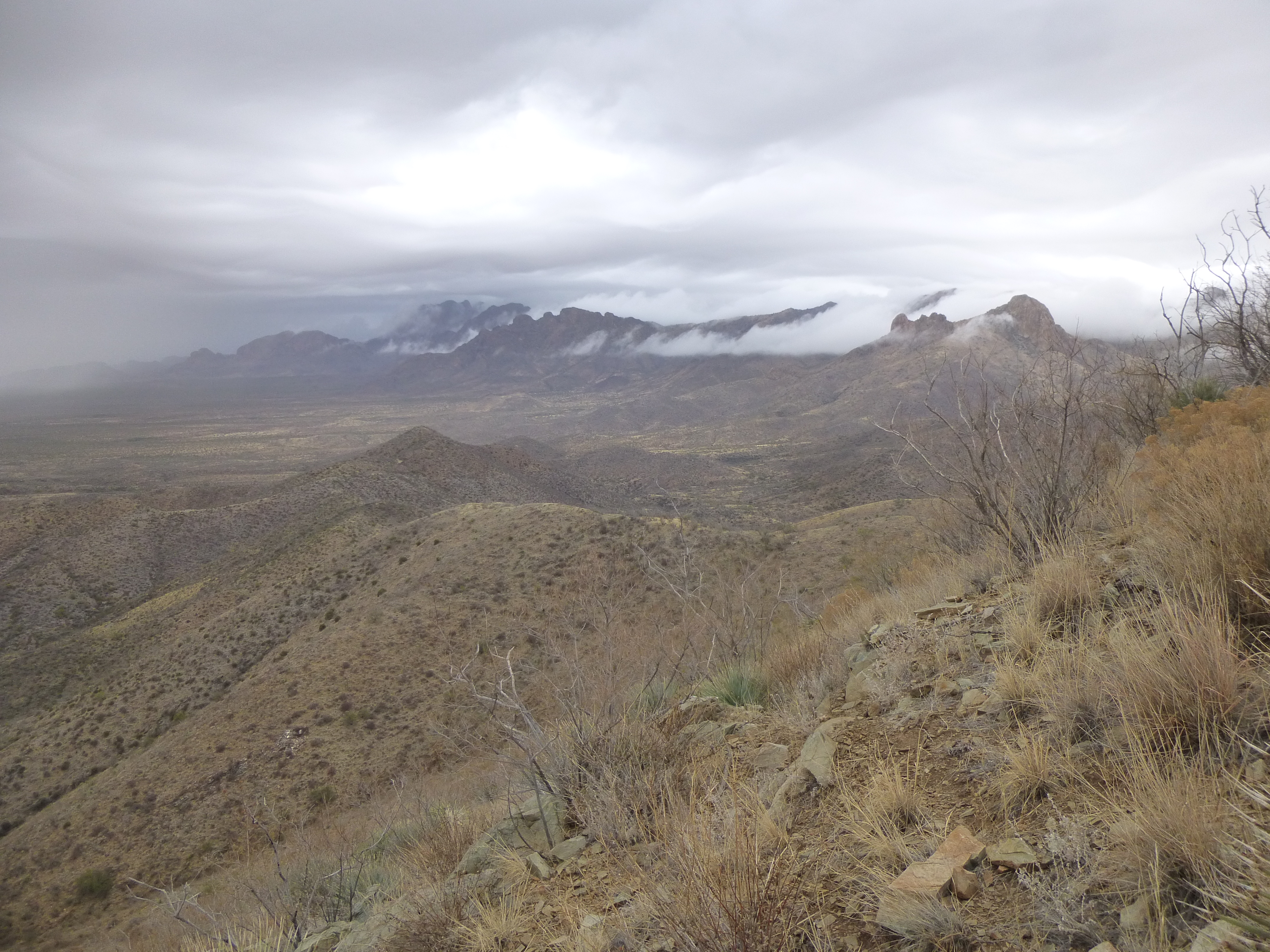
Clouds lifting
Two hours after leaving, we were back at the truck. We made a beeline for the highway, a mere 7 miles to the west. On the way out, we had this view back to Baboquiviri, brooding beneath the cloud cover.
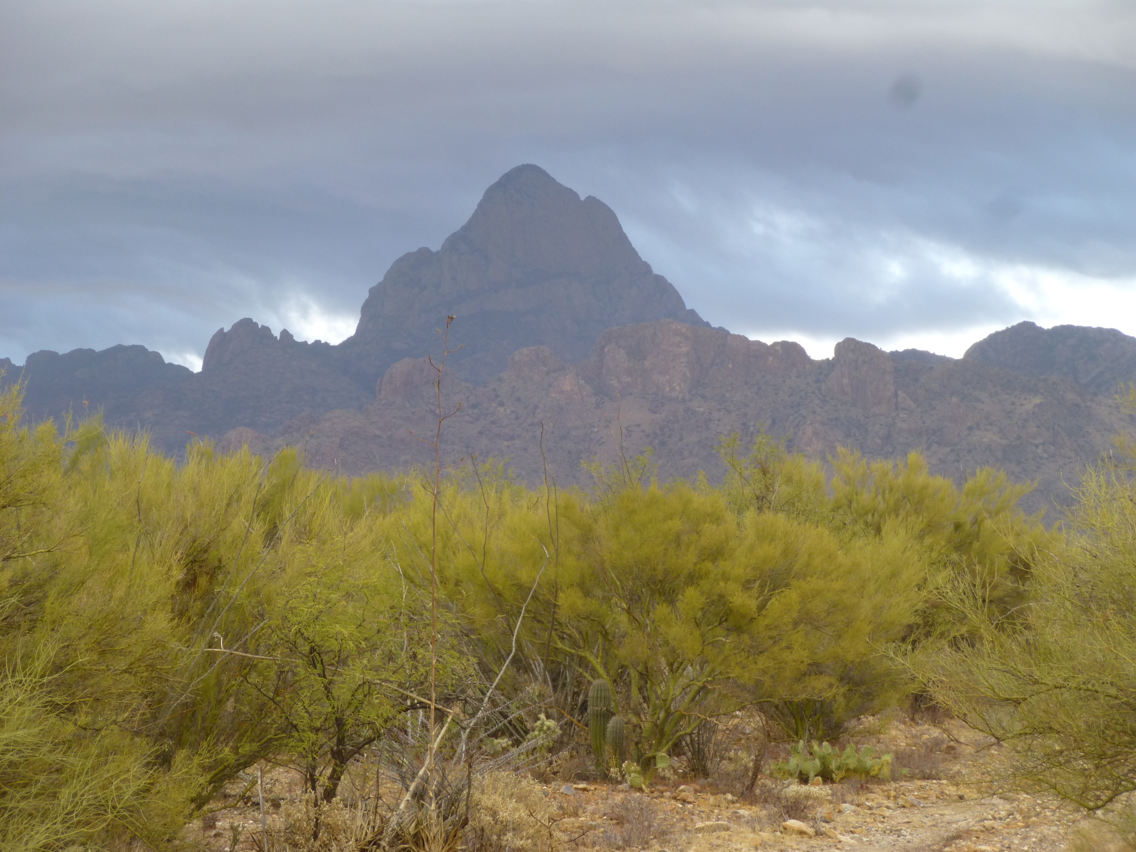
The southwest side of Baboquiviri
We headed back to Tucson, arriving well after dark. 200 miles and 2 peaks under our belts – a good day.
One week later, I headed out again, this time on my own. It was a chilly January morning, and by the time I had reached my turnoff into the Artesa Mountains, it was daybreak. I didn’t want any hassles today, given my proximity to a nearby town – I didn’t want to have to talk to the Border Patrol, or have run-ins with Bad Guys. I parked in a discrete spot, put on my fleece and moved out at a brisk pace to keep warm – it was just above freezing and the wind was blowing.
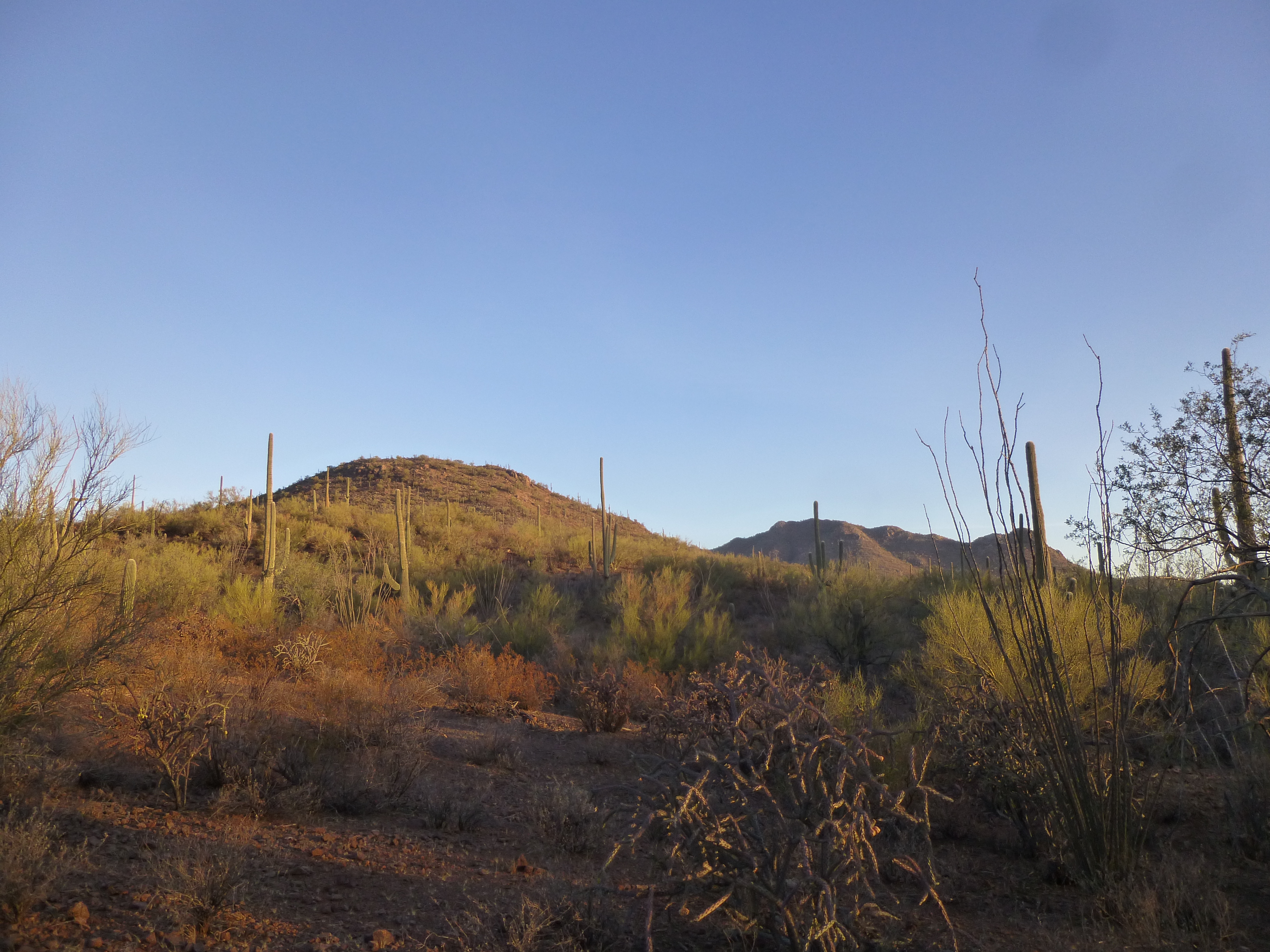
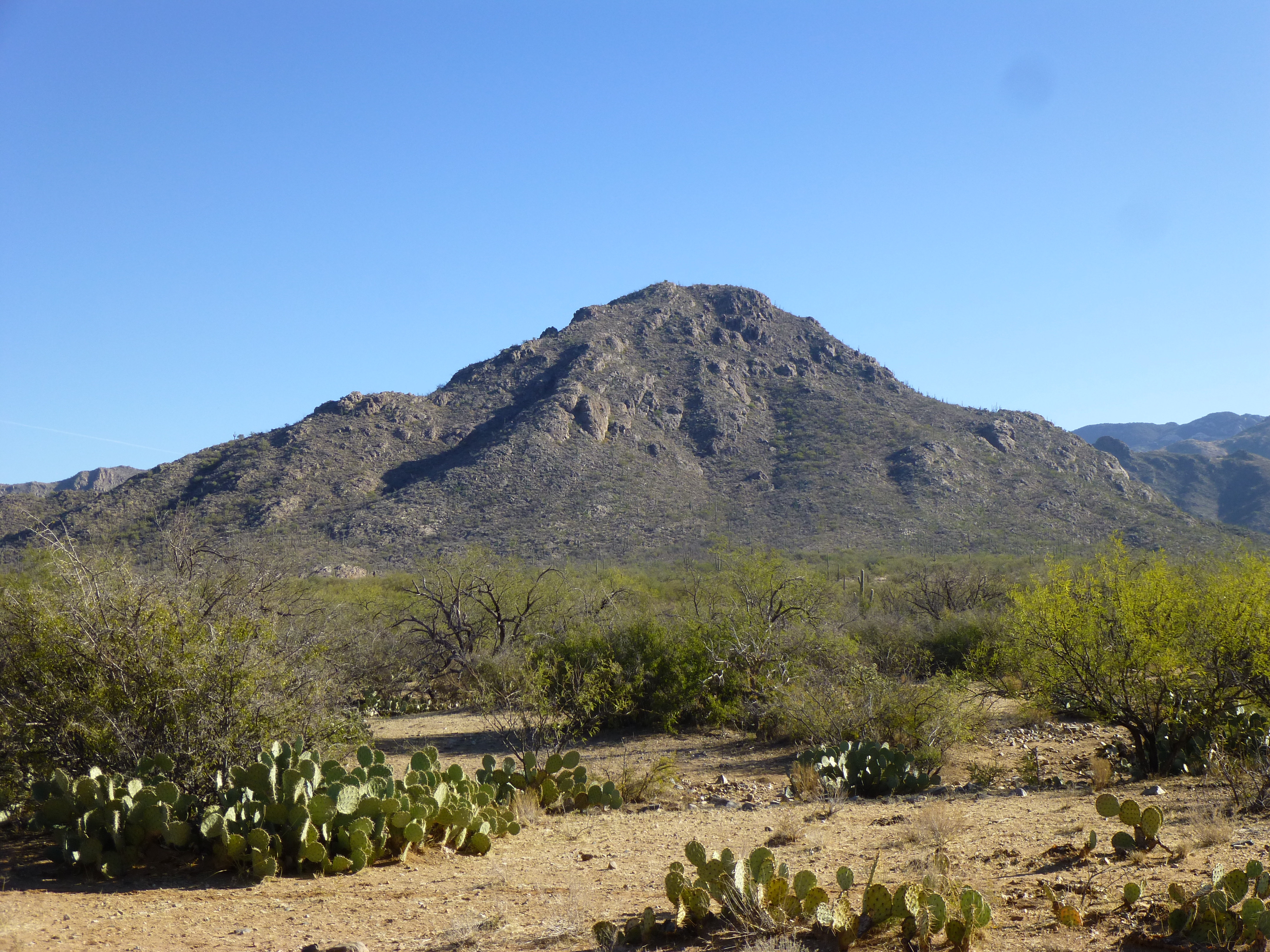
My peak is on the left
As I walked along, I saw trash everywhere, castoffs left by indocumentados. It irks the hell out of me, how those pigs trash up our desert. I’d love it if they could be made to go back out there, on the hottest of days, and pick up all of their mess. On the shoulder of my peak, I found an old tunnel left by early miners, not shown on any map – it was obvious that it had served as shelter for border-crossers.
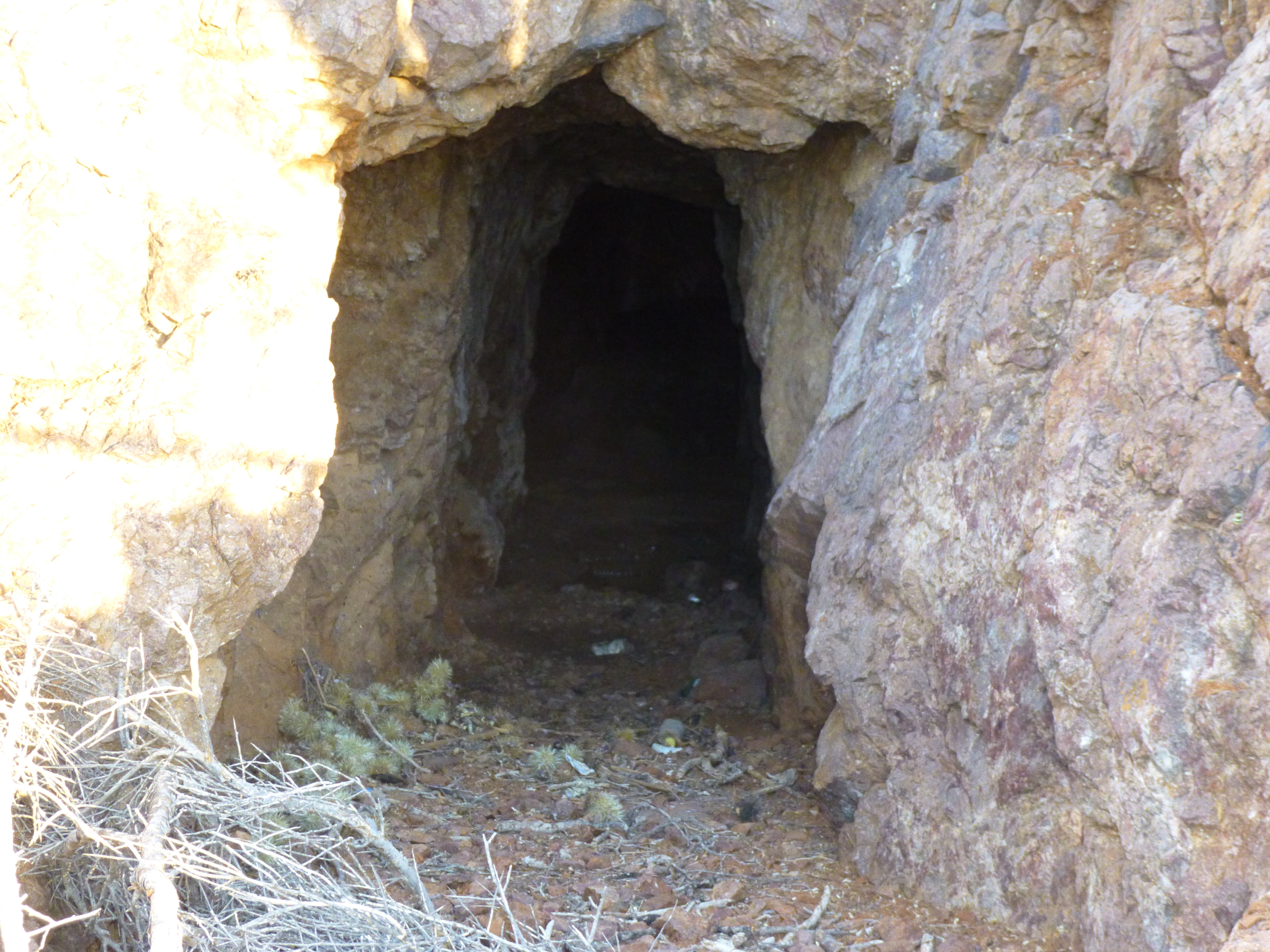
Shelter
Before long, I stood on top of Peak 3022. There was no sign of any previous visit, so I left my register. Nearby, the range high point stood well above me.
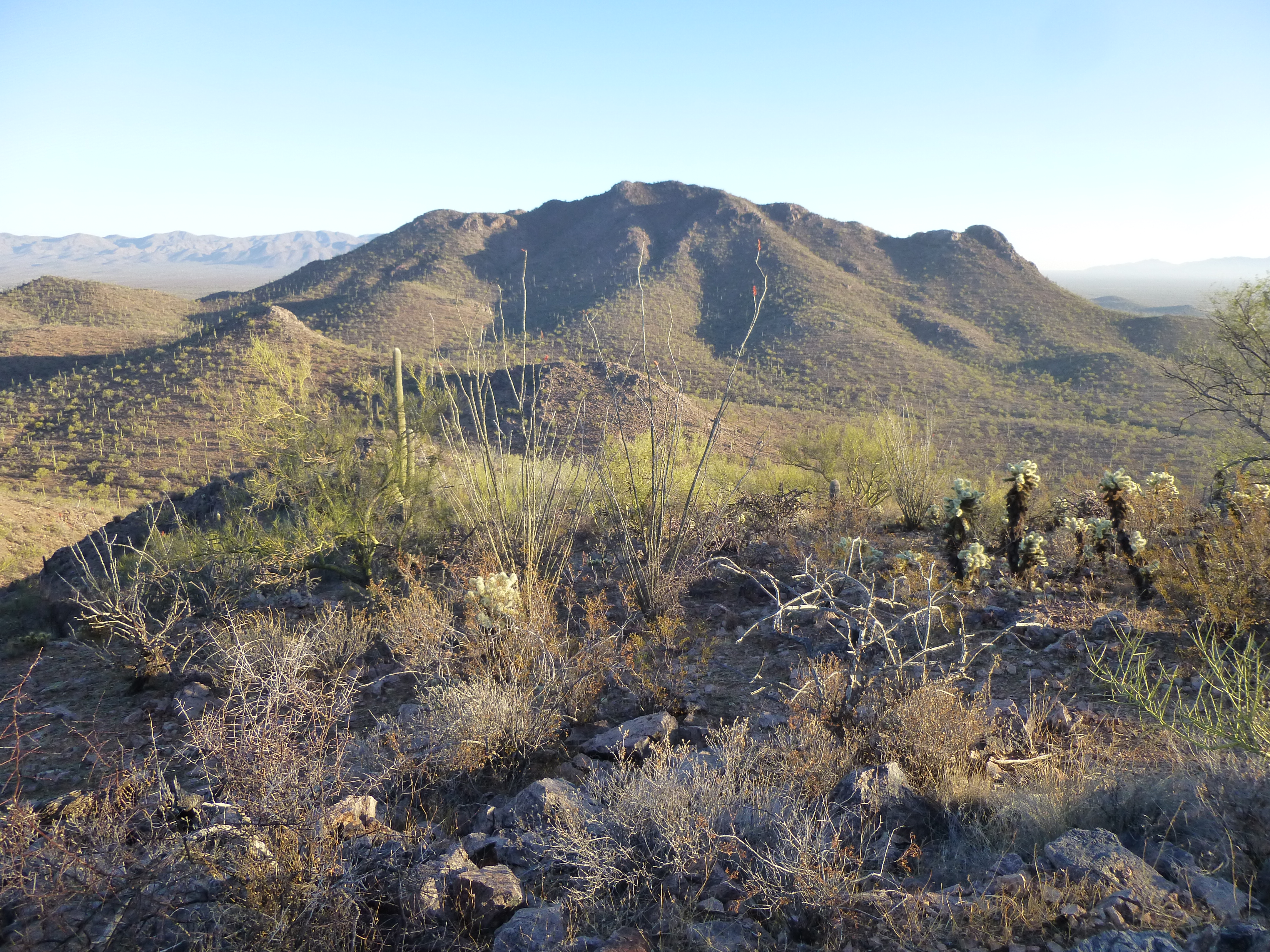
Peak 3381
I also had this good look at Suwuk Tontk, 2 miles to the northwest – it has a fun east ridge.
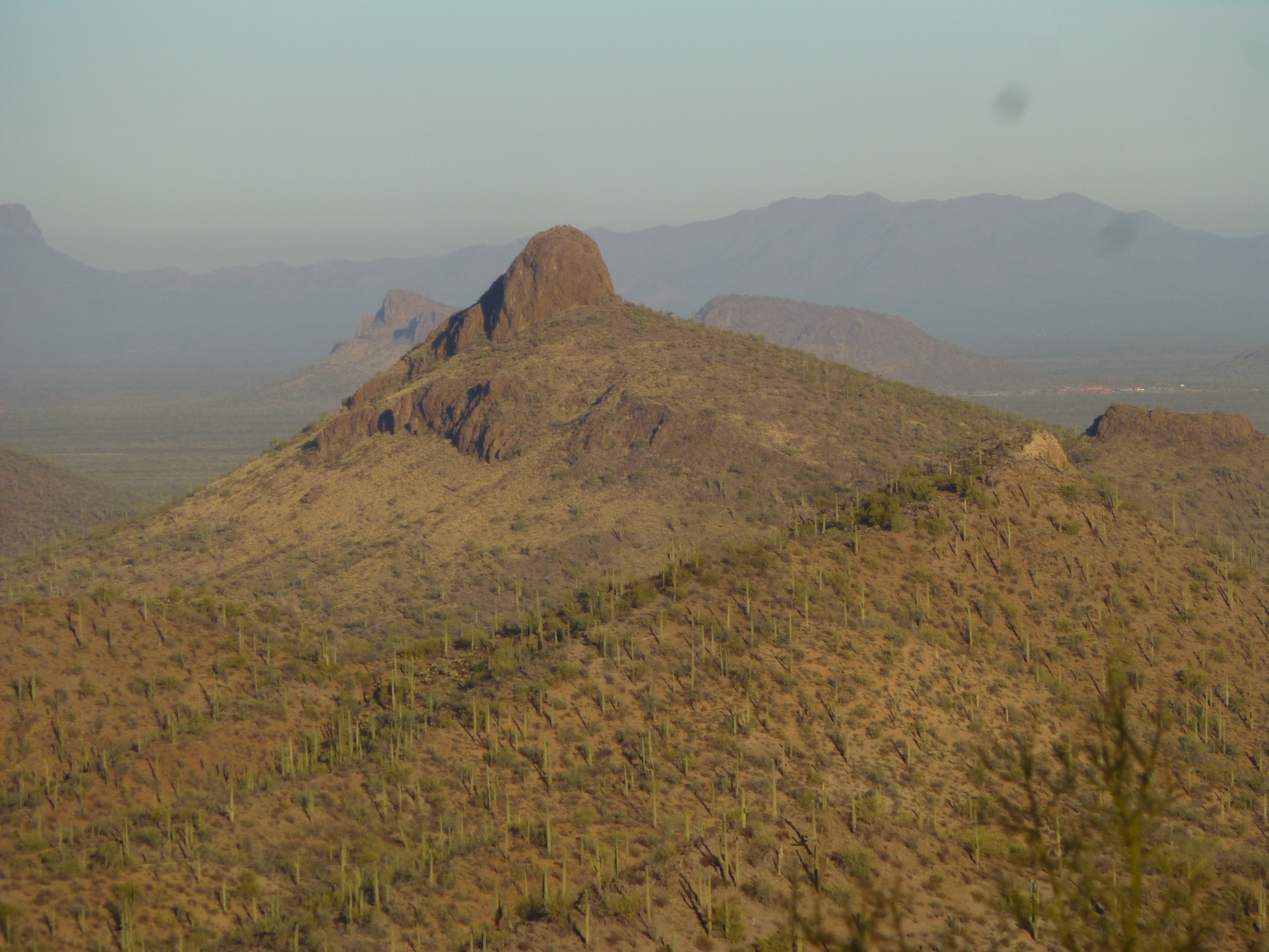
Looking northwest
Once I left, it only took 30 minutes to get back to my truck and out to the highway. Even though it was only 6 miles back to the town of Sells, there was a steady stream of Border Patrol traffic heading back and forth along the road – this area is a real hotbed of activity for Bad Guys.
Ten miles east of Sells, I turned south on a dirt road and headed along the west side of the Baboquiviri Mountains. It was about 8 miles of pretty decent driving, at times reaching 15 miles per hour, but usually 5 or less. It was not a boring drive in the morning light.
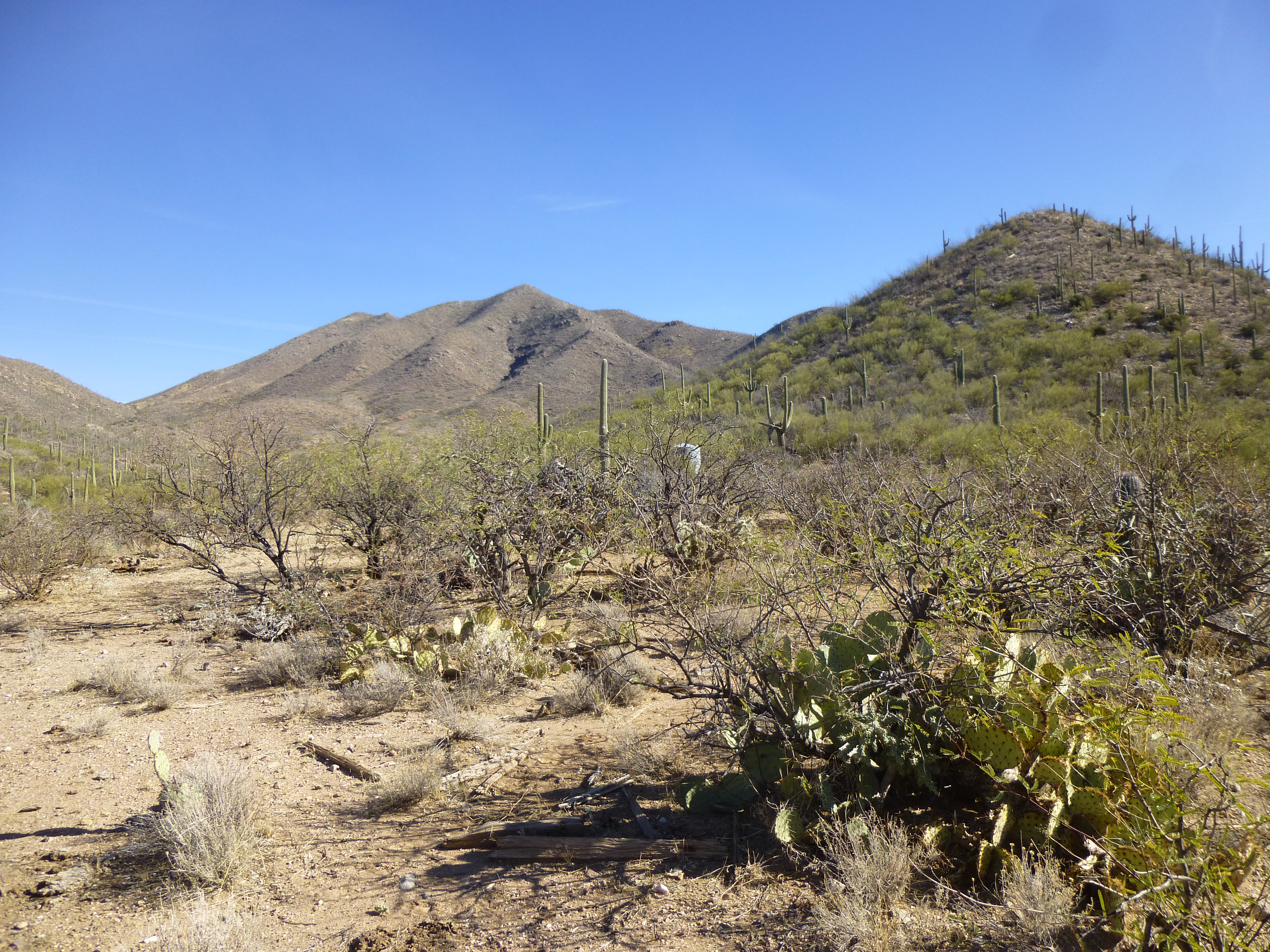
The west side of Peak 3902
Finally, a 1-mile jog to the east brought me to the starting point for my next climb of the day. It was about eleven o’clock.
I found myself at the abandoned site of San Juan Spring. Someone had lived there once upon a time. There was a water tank, an old corral, a crumbling adobe structure and even some old vehicles. I left notes on my vehicle, disabled it and left water for any passers-by. By the time I shouldered by day-pack, it was 11:30. Here is a photo of my next peak – the one just left of center, way in the back.
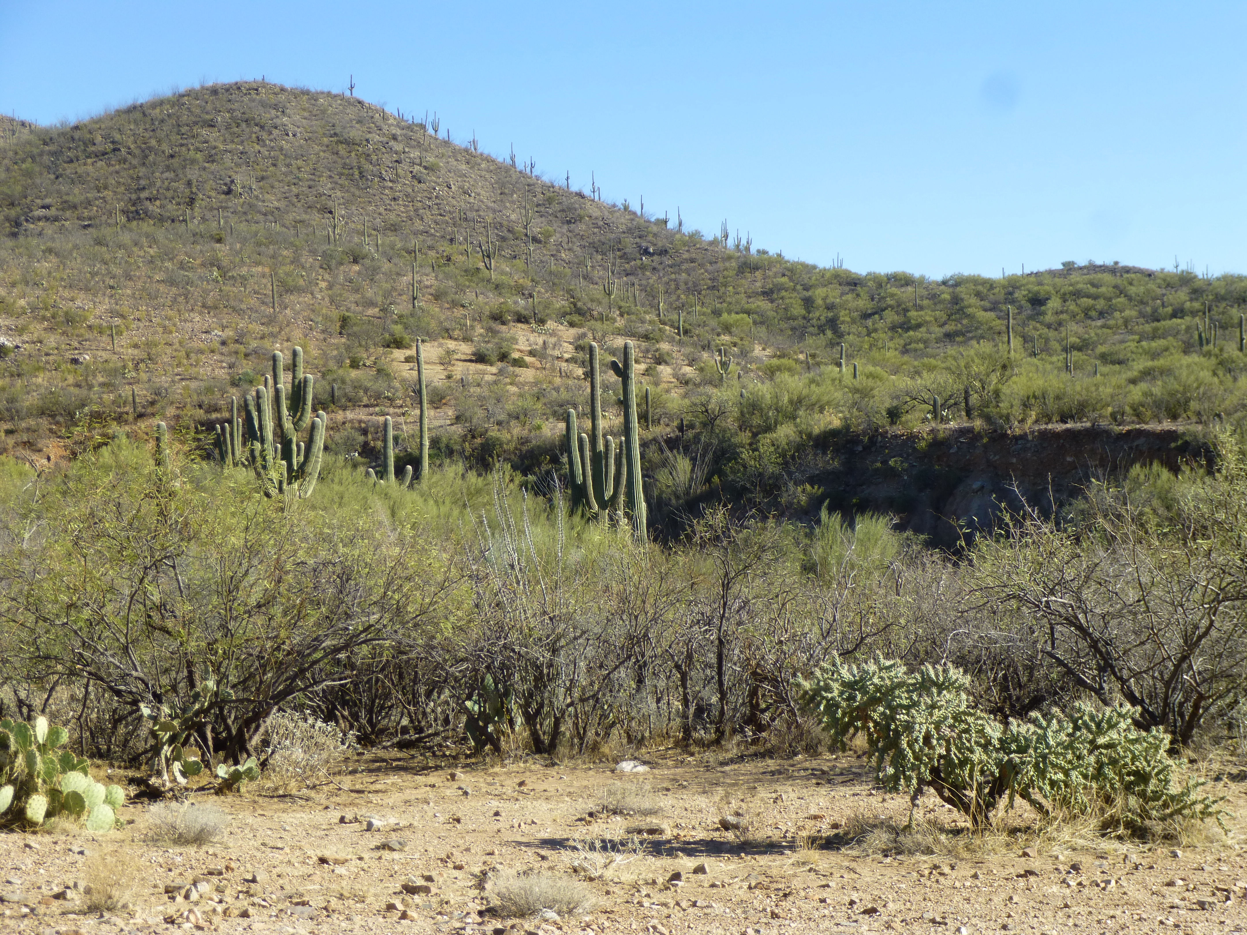
The peak
The first thing I did was to walk over to nearby San Juan Canyon, whose mouth was only a hundred yards away.
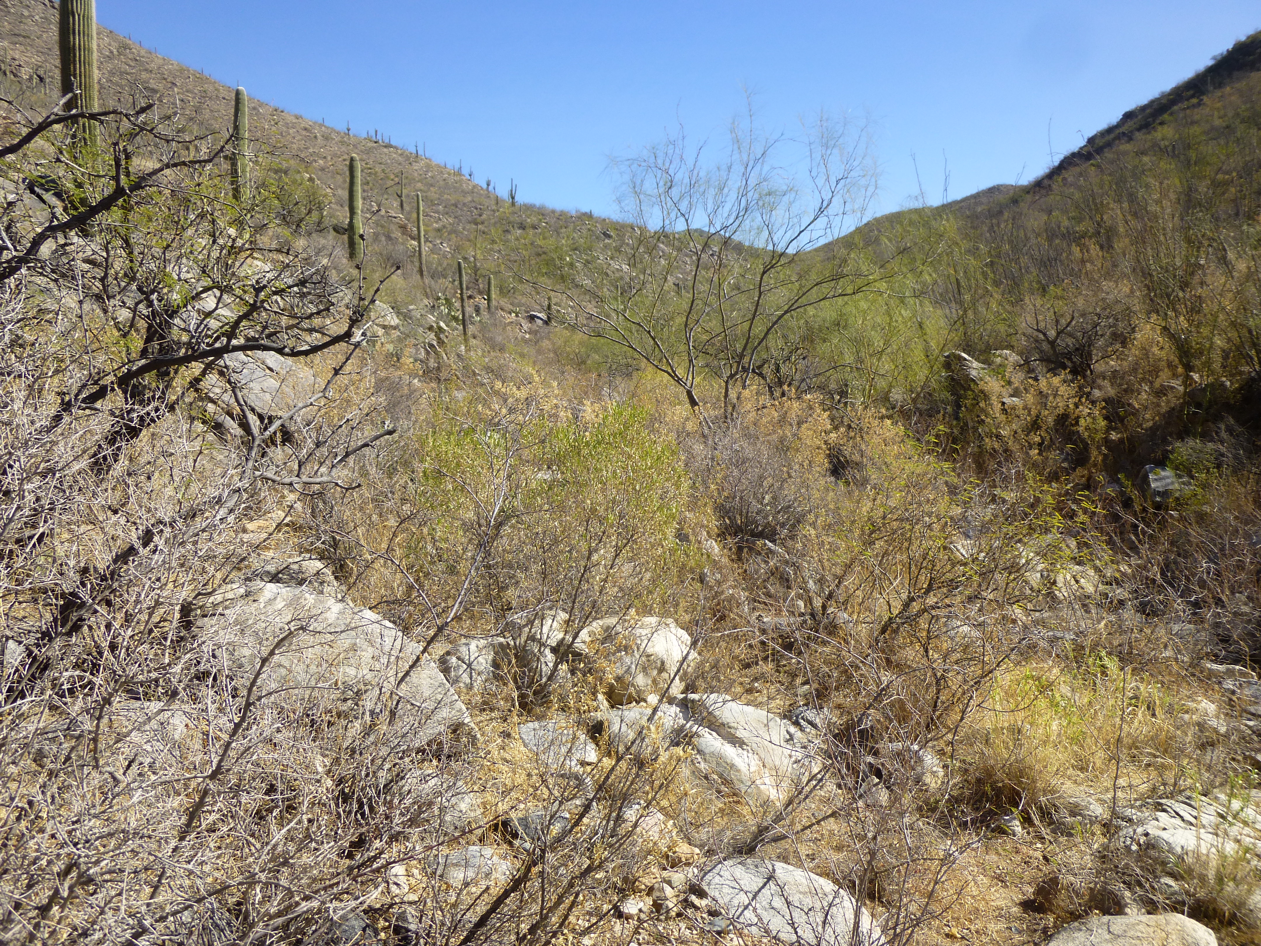
The lower end of the canyon
I dropped down into it, then started upstream – there was plenty of brush, especially catclaw, to push through as the canyon twisted and turned.
Brush
At times the walls were very close together, and sometimes you couldn’t see 50 feet ahead. There were a few very cool waterfalls along the way.
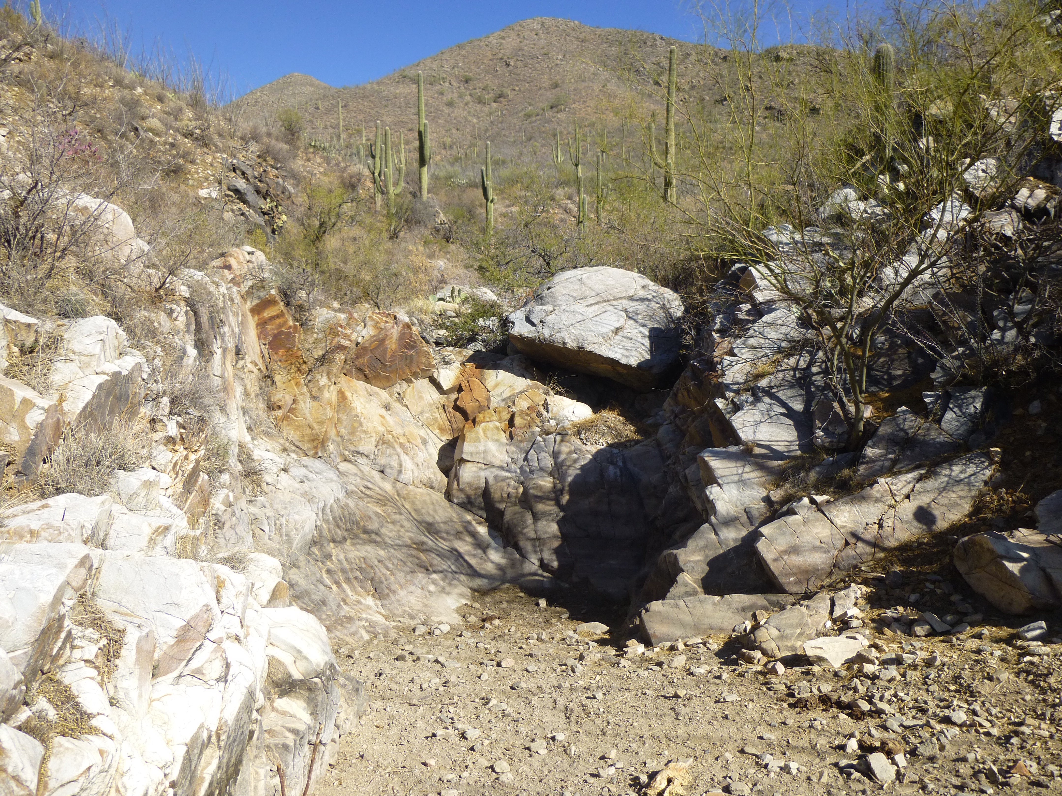
Waterfall
After a third of a mile, I left the canyon and started up a broad ridge. Up ahead, I heard a noise – 9 cows crashing through the brush on the hillside – they had seen me and were moving on, as they don’t much like humans. Built on to the side of an ocotillo, this bird’s nest caught my eye.
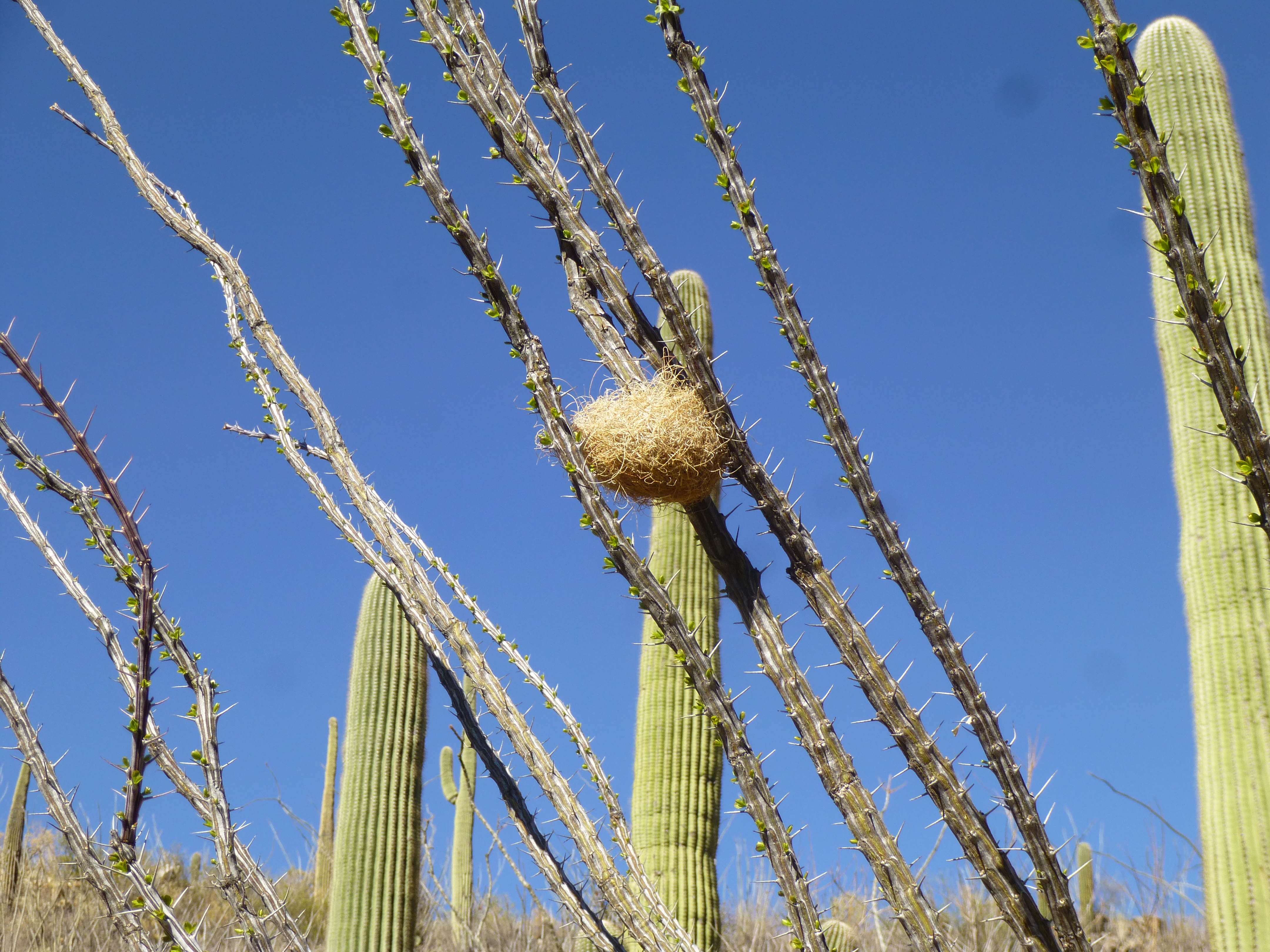
Bird’s nest
Another unusual thing I passed was this cactus – about 5 inches across, only the top of it sits above the ground. It is a type of mammilaria.
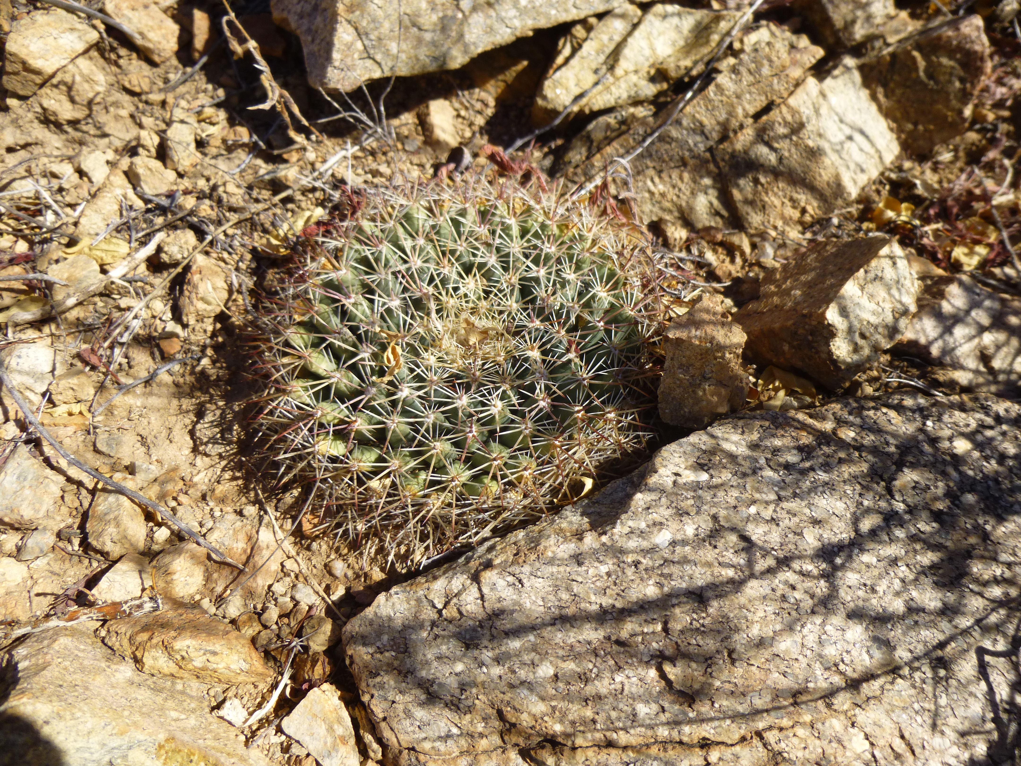
The odd cactus
Here’s a look back down the first 500 feet of scruffy hillside I climbed.
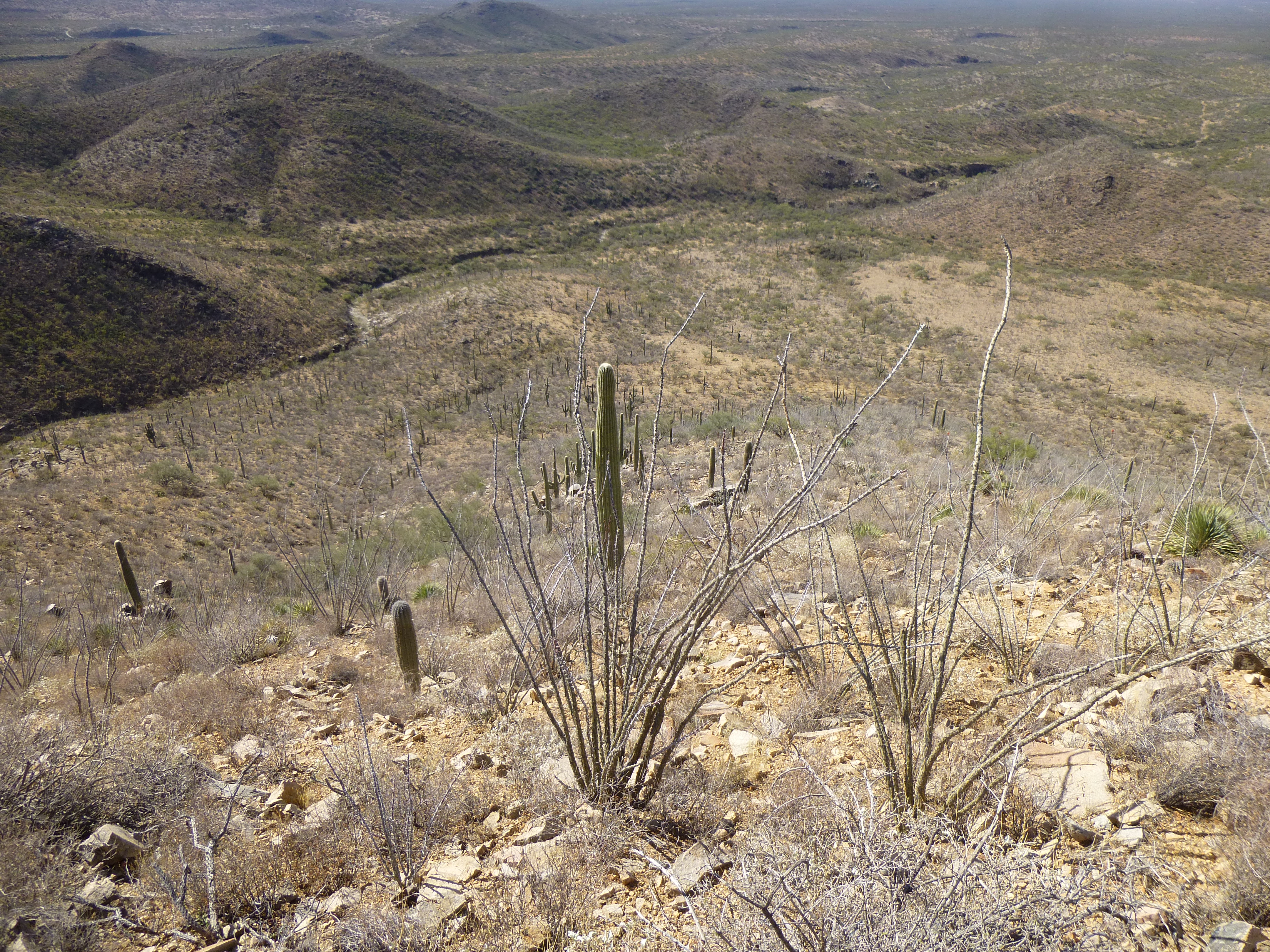
Looking back down the hillside
Time wore on – I climbed over a few small bumps, and passed through a saddle at about 4,600 feet. By now, I had invested 1,200 vertical feet into the climb. Something white caught my eye at the saddle – it was a deer antler – not only one, but 4 in all. It was curious that they were all in this one spot. I wasn’t quite done yet. Another steep hill, several small bumps along a rocky summit ridge, and finally, 2 hours after setting out, I walked on to the summit of Peak 4740. Here’s what I saw – no sign of any prior visit.
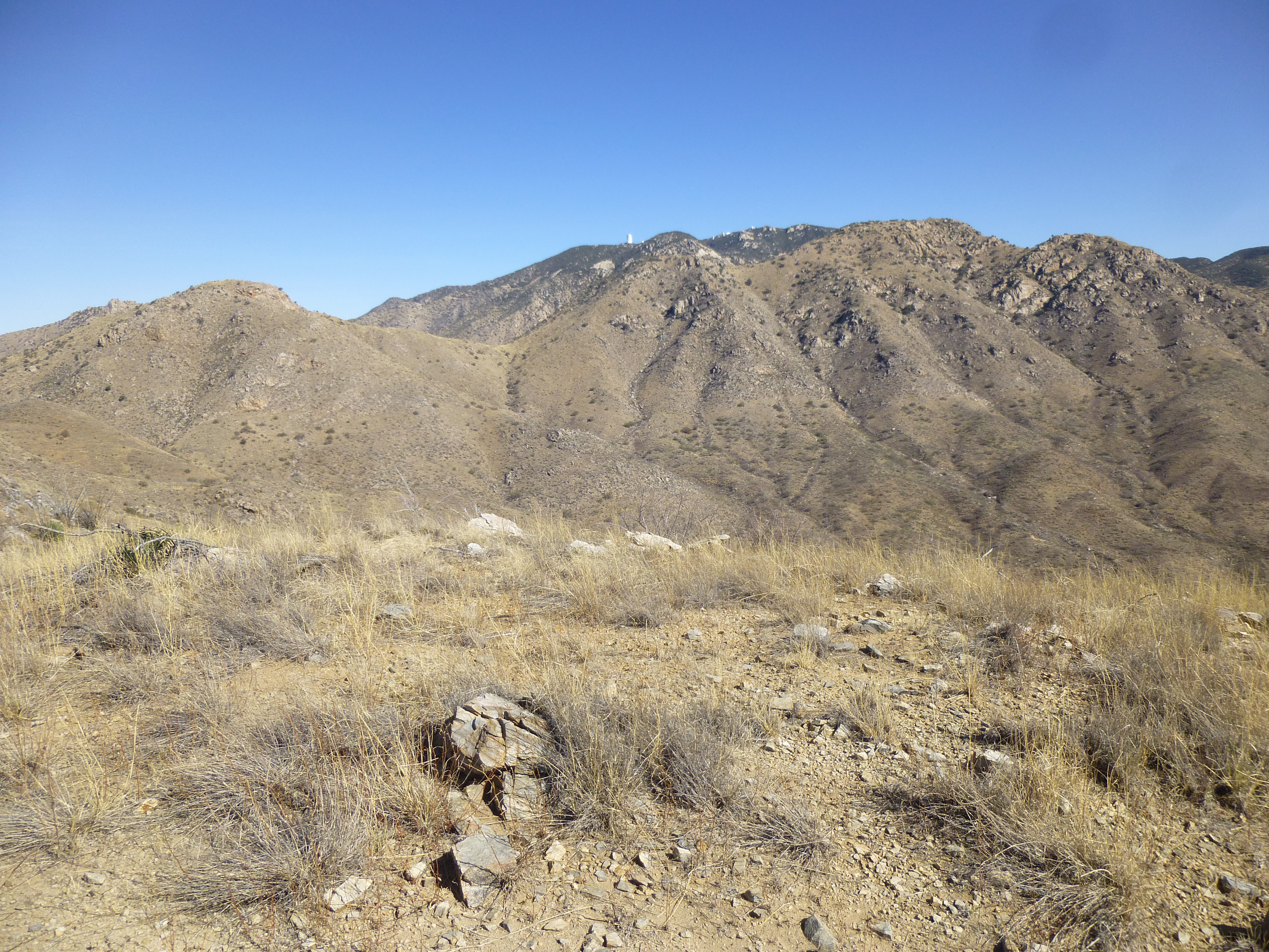
The summit of Peak 4740
But wait – what’s that up on the top of the distant mountain? Here’s a telephoto shot of the same thing.
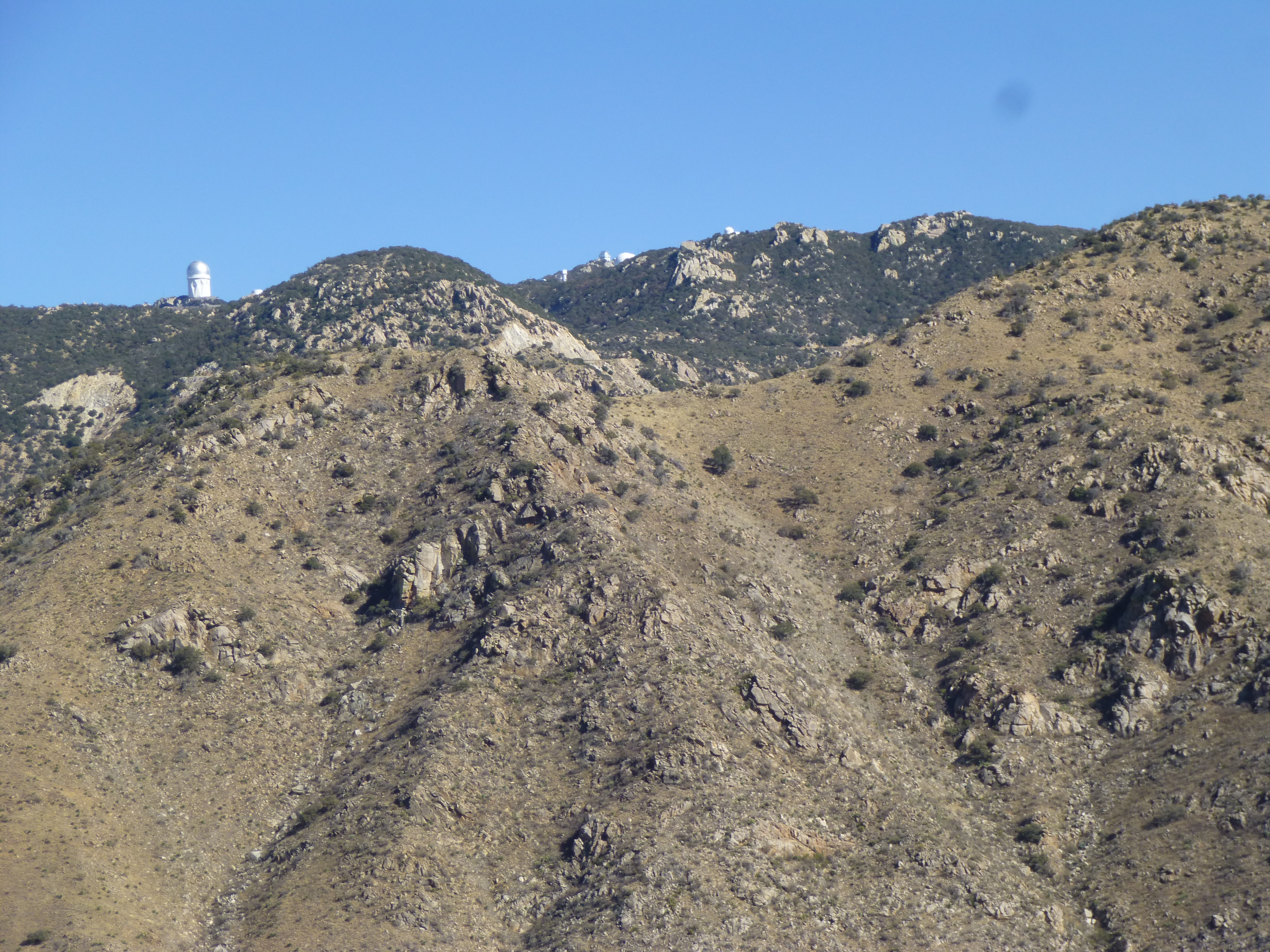
Kitt Peak
What you’re seeing is the summit area of Kitt Peak, one of the world’s larger collections of telescopes. In this photo, we can see 6 of them, including the huge Mayall Telescope (the big white one on the left – at one time, it was the second-largest optical telescope in the world). I took the requisite photos, ate a snack and left a register before starting back down. Here’s one last view from on high.
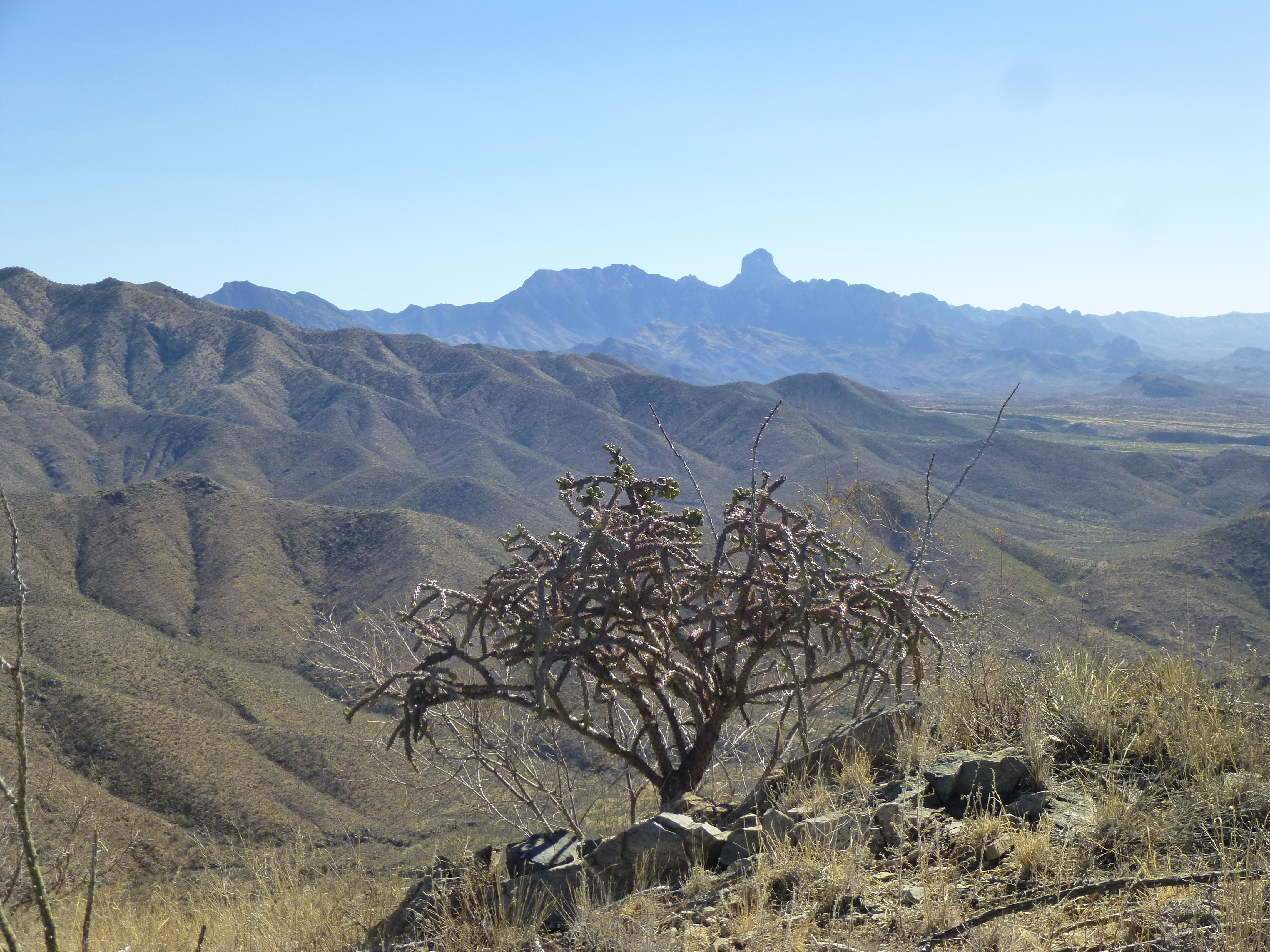
South to Baboquiviri Peak, 12 miles away
On the trip back down, the only thing of interest I found was this – it was from a US Air Force infrared flare. No real surprise there.
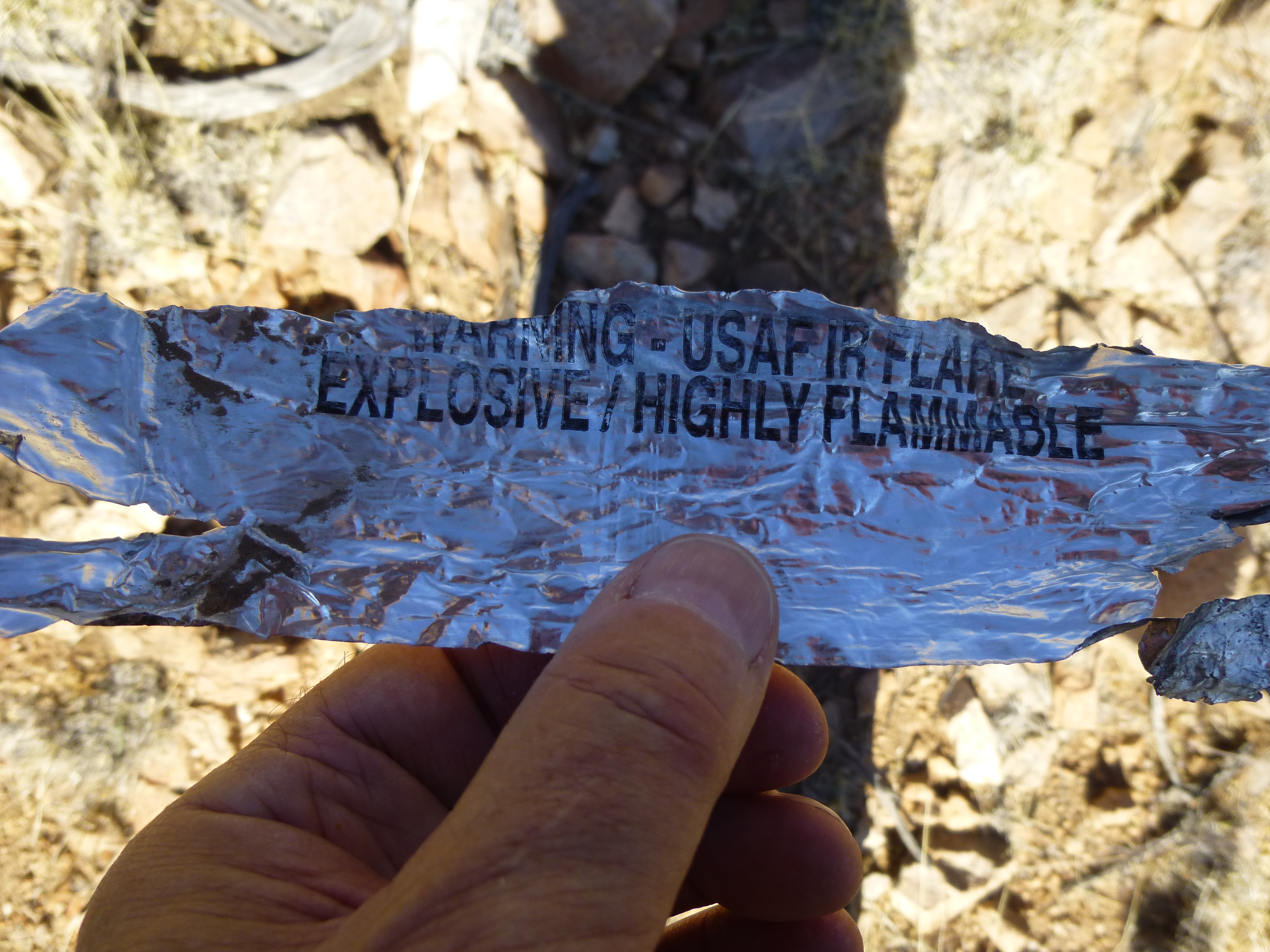
A piece of a flare
By the time I made it back to the end of the road where I’d parked, I decided to have a good look around. This had once been someone’s home. The walls were adobe bricks with a veneer of some sort on the outside surface. Simple wooden rafters had once supported sheets of corrugated metal as roofing.
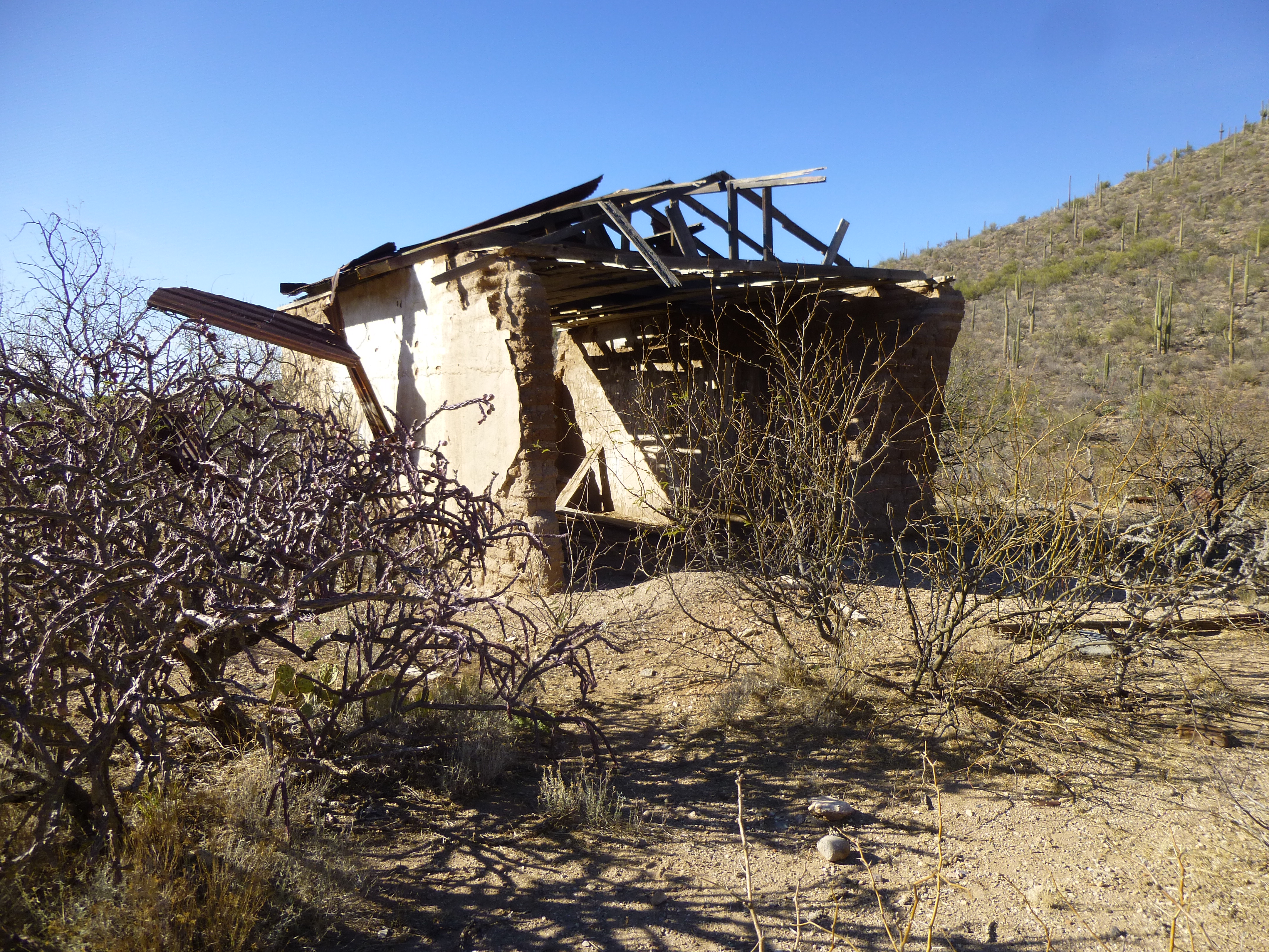
The old home
In addition to an old corral and metal water tank, there were a few more reminders of days-gone-by.
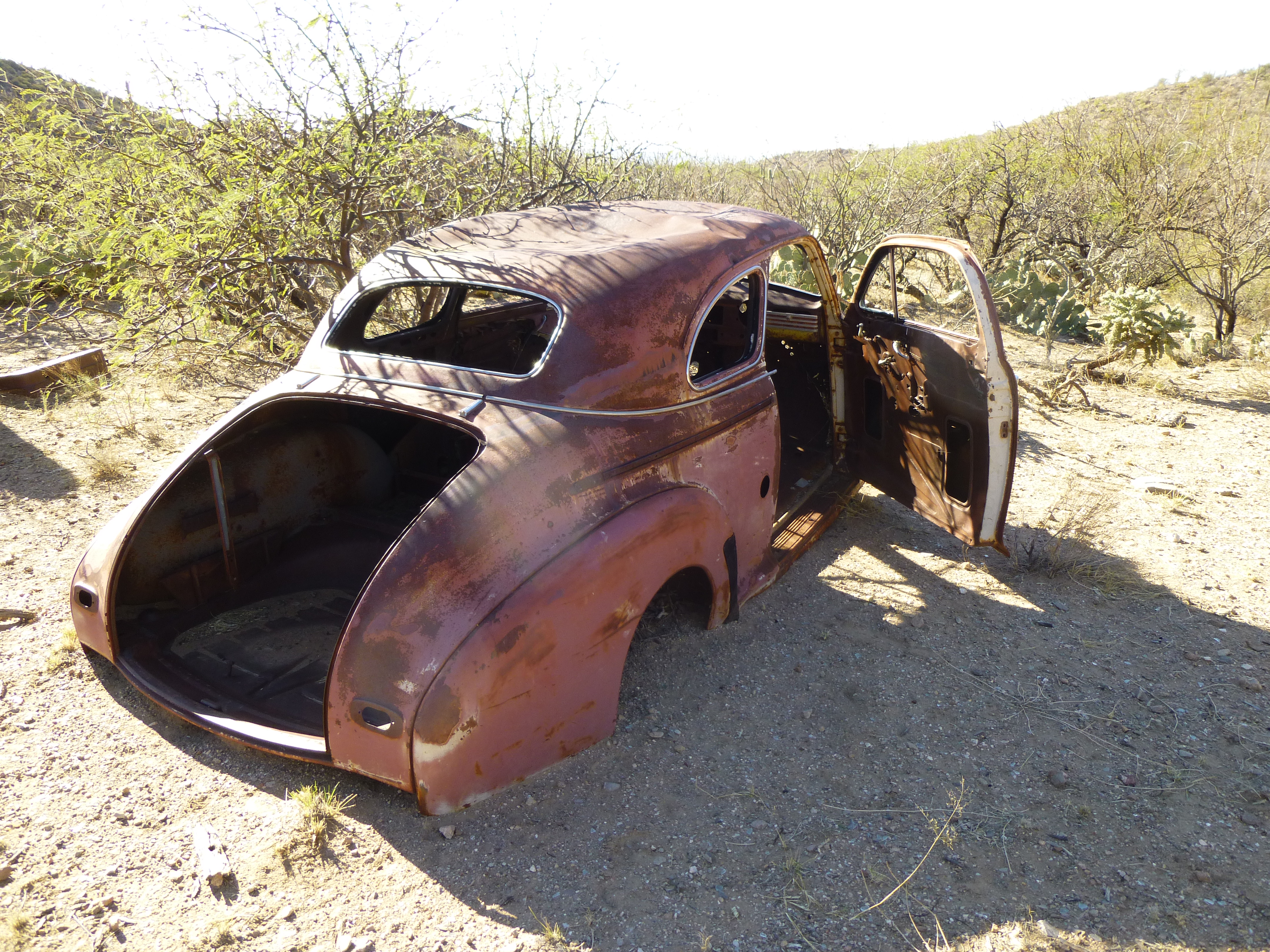
A Chevrolet from the 1940s
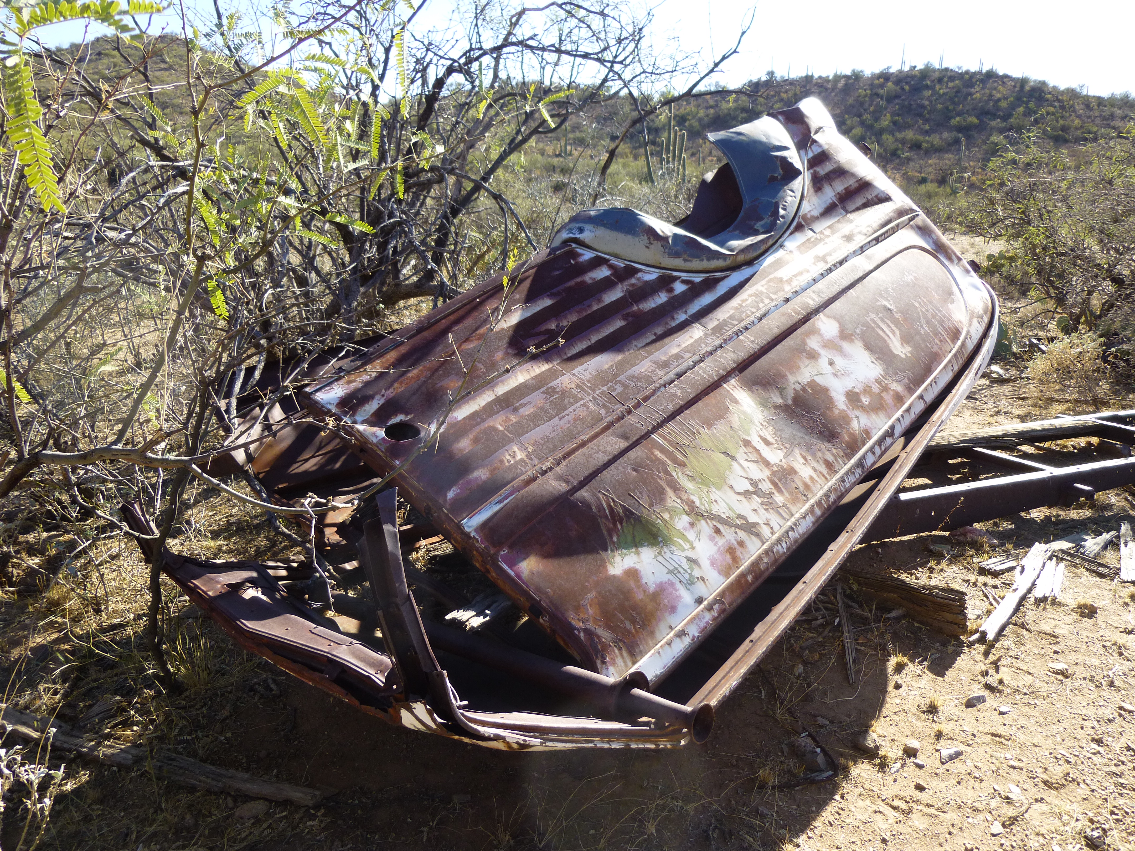
An old panel van from the 1940s
As I stood there in the warm sunshine with the breeze on my face, I felt there was certainly a lot of nostalgia here in this lonely desert spot. I have no idea who used to live here – perhaps they had moved to a place where they had neighbors, or had simply lived out their lives here and faded from memory. In any case, as always happens out here, I felt grateful to have enjoyed some Sonoran desert solitude.