
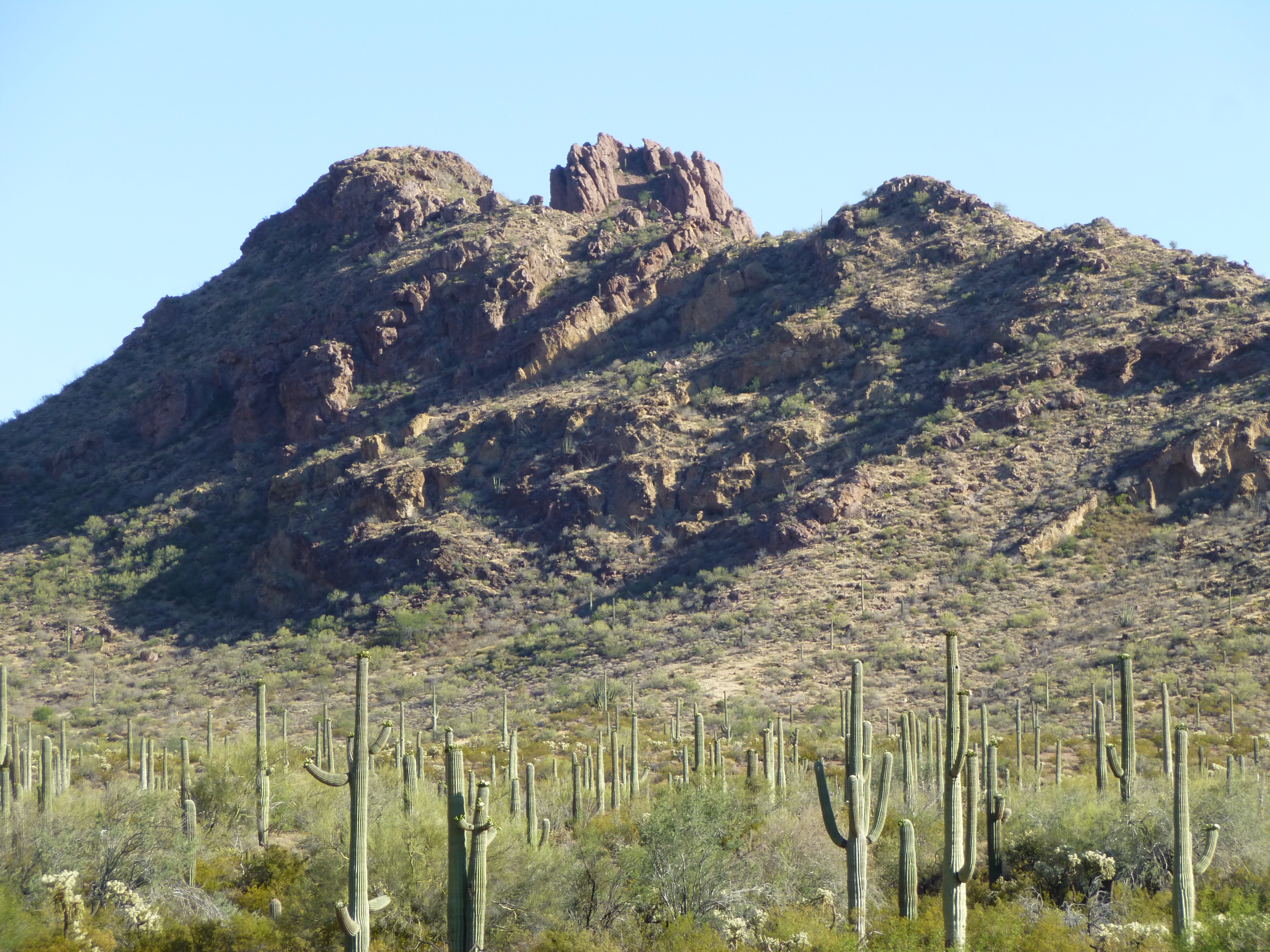
One hot October day, I headed out to one of my favorite mountain areas in our beautiful state of Arizona – the Ajo Range. After I had explored a few fun spots along the way, it was 3:30 PM when I arrived at the Alamo Canyon campground. I sat in the shade and waited for things to cool down a bit. Shortly thereafter, a family from Georgia arrived, a couple with their 5-year-old son. The boy ran around having fun, and while he was at it he decided to kick a teddy-bear cholla cactus. As we desert rats well know, this is the worst of our many cacti with which you can tangle. His screams continued as his father used a pair of tweezers to remove the spines from his foot. His mother and I chatted about the beauty of the area and some of the nearby peaks, such as this one which she described as “a bad molar”.
Peak 2900
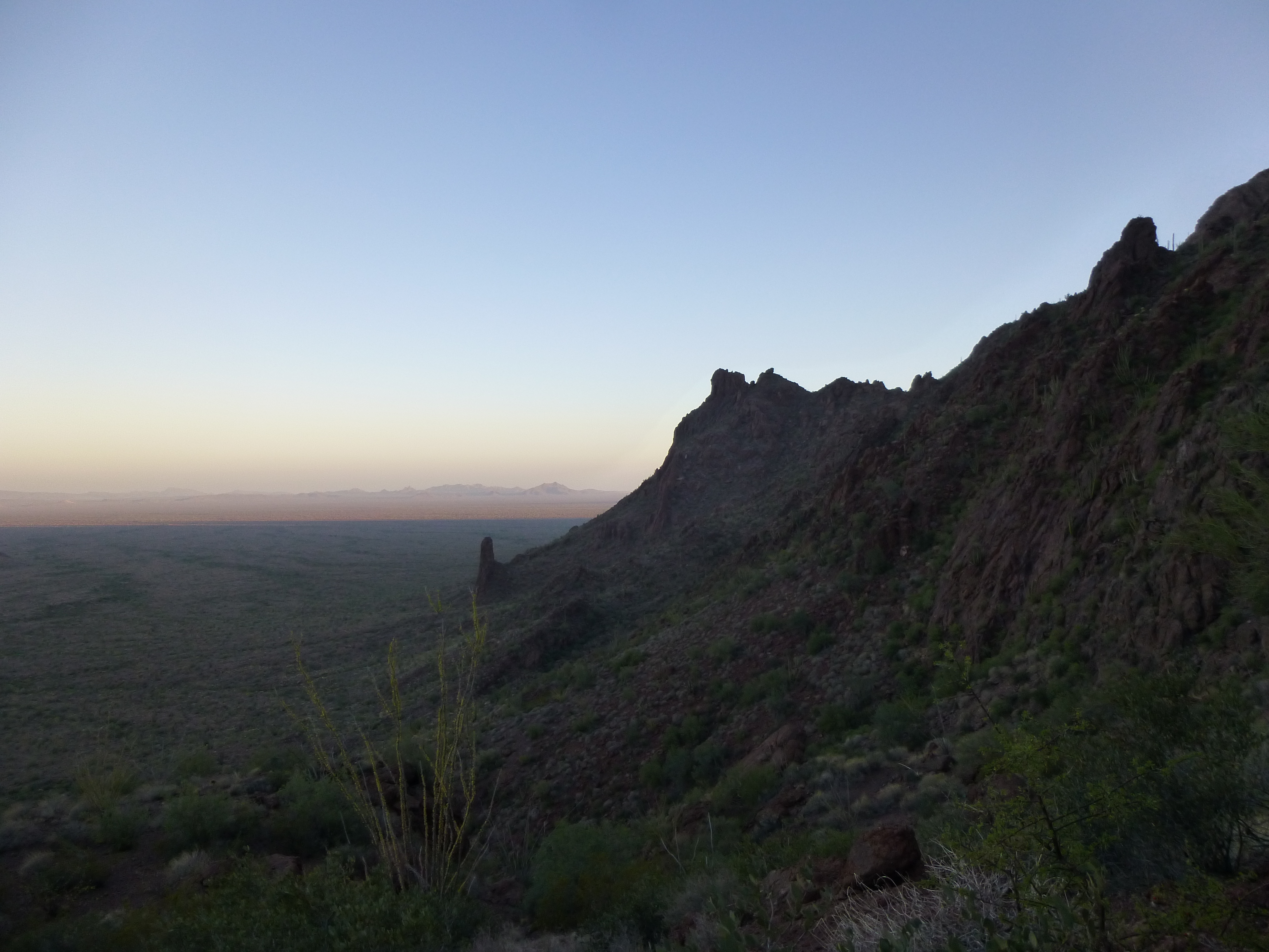
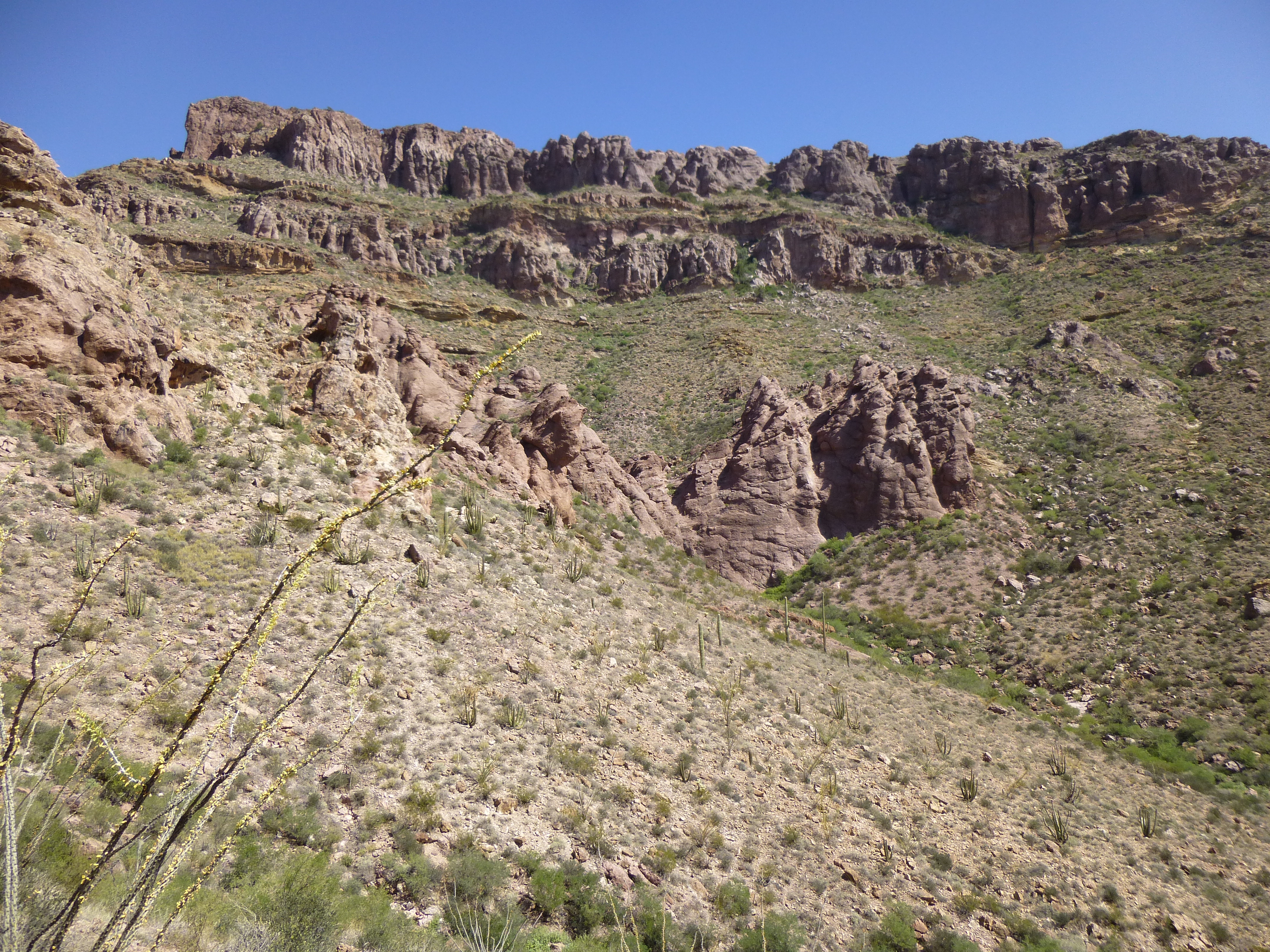
The next morning, I was up at 5:00 and on the move by headlamp just before 6:00. A short walk across the desert, then a 900-foot climb up a moderate slope, weaving through the cliff bands along the way. Part-way up, I took this photo looking north before the sun rose.
The west side of the range.
As I crested the ridge, the sun was already up and I had this splendid view in the direction I was next heading.
looking north
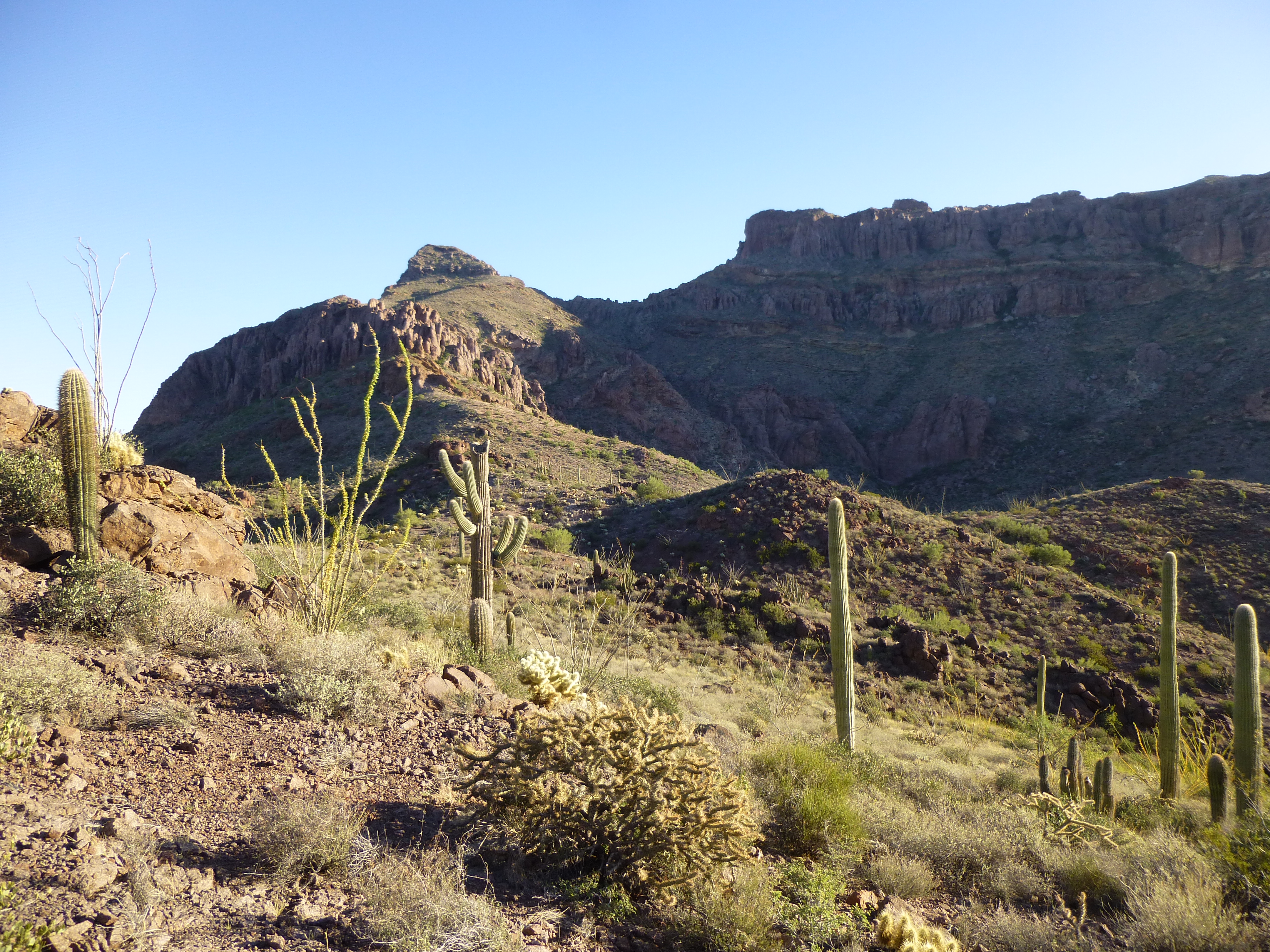
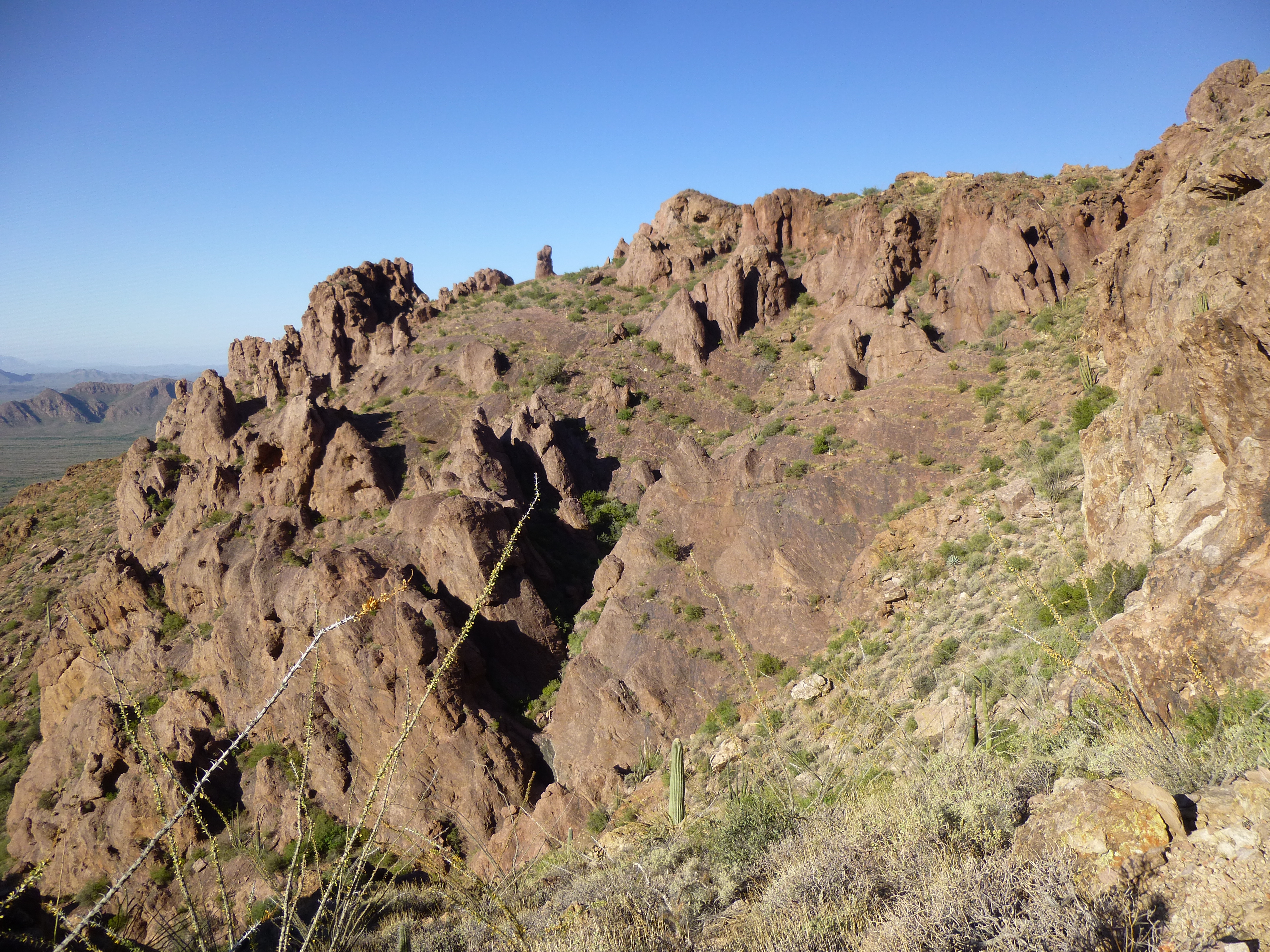
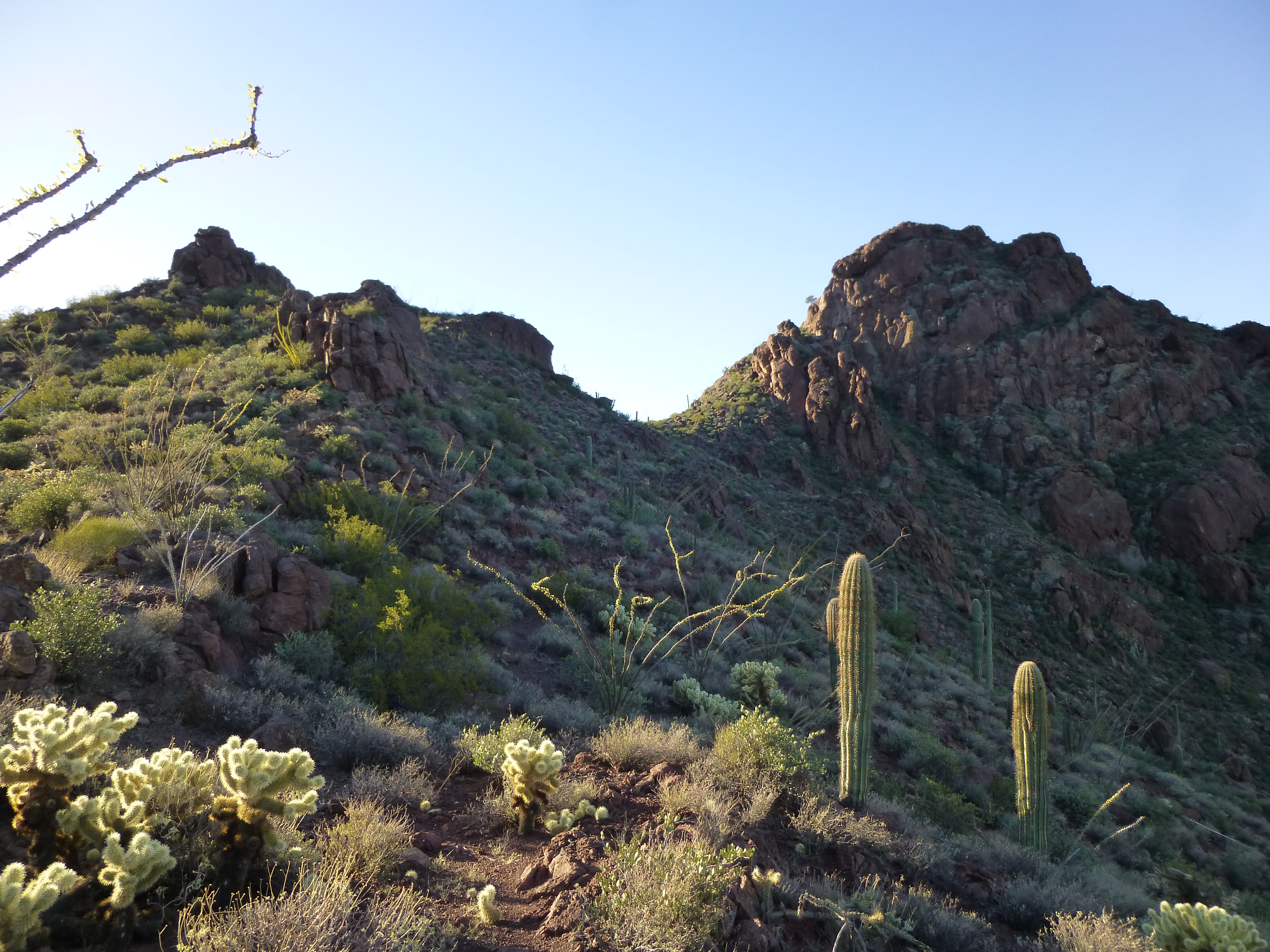
All I had to do now was head a mile north to a saddle only 600 feet higher – I should then be in a position to get a good look at my peak. Most of that mile would turn out to be contouring along hillsides, but the scenery wasn’t bad.
Along the way
In a couple of places, I had to thrash my way up through some brushy canyons.
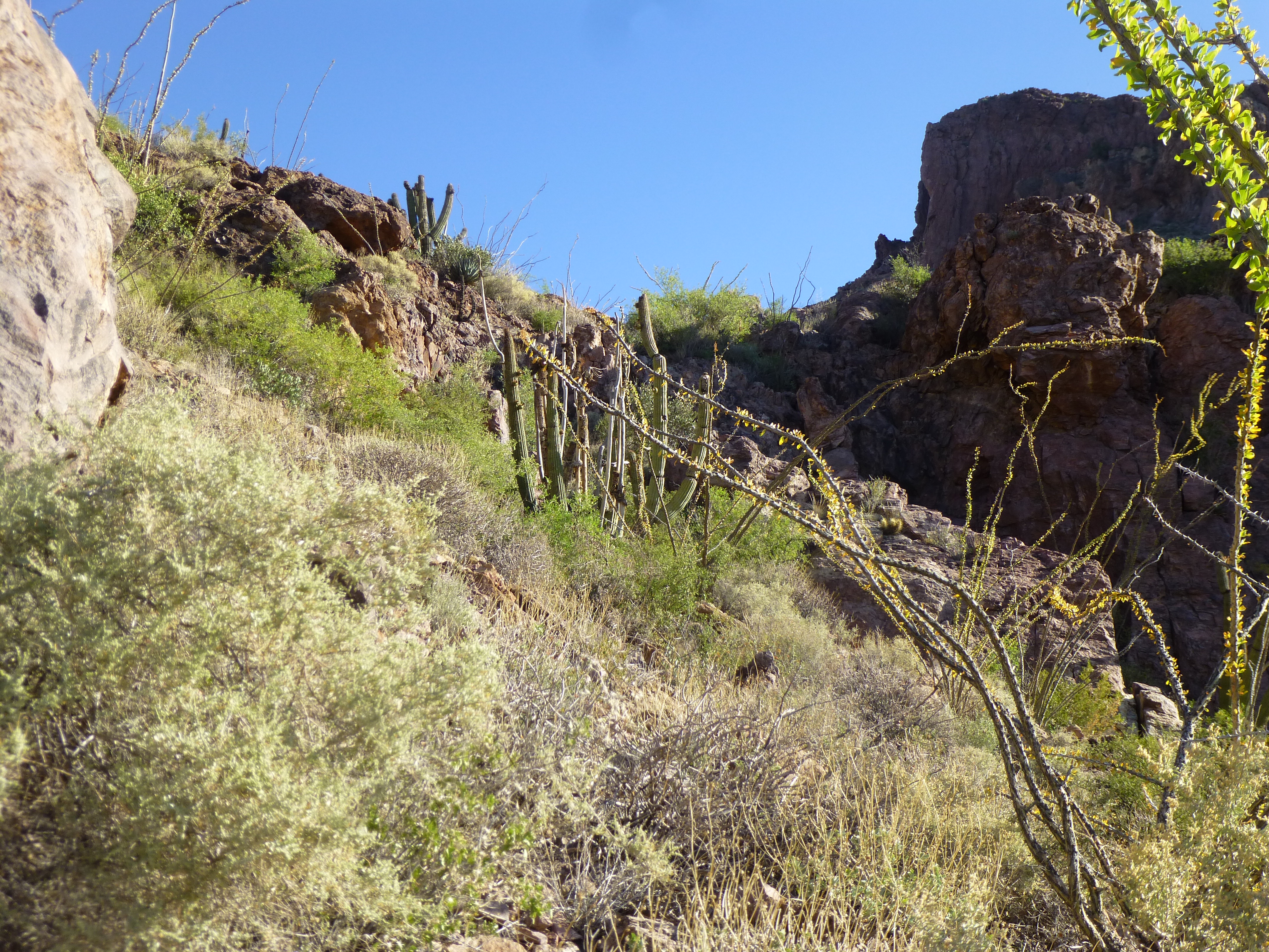
But mostly I kept on contouring and admiring what the Ajo Range had to offer.
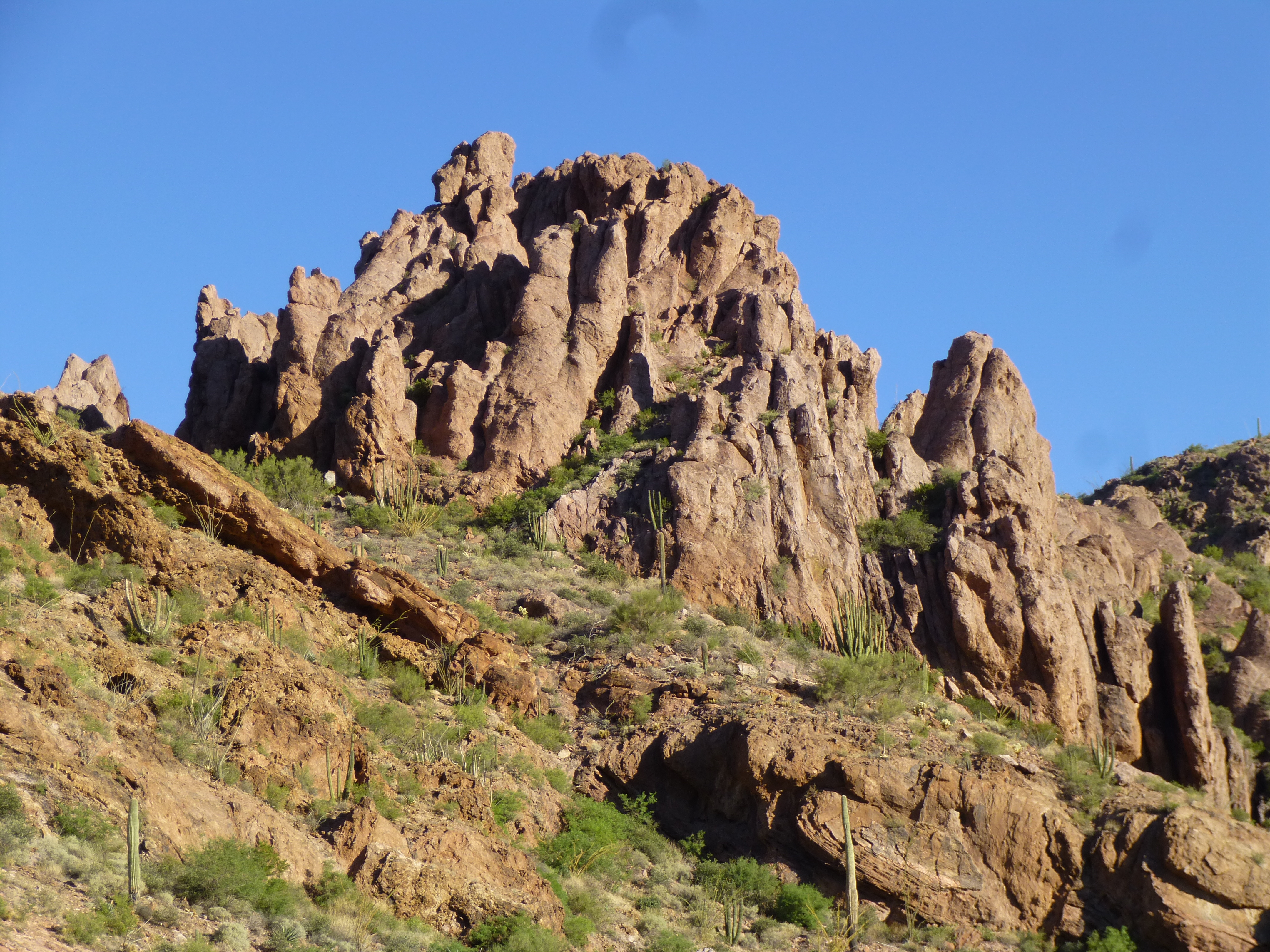
After about 3 hours, the big moment had arrived. I scrambled up the last steep hillside to an airy saddle and this is the view that greeted me – I almost crapped my pants!
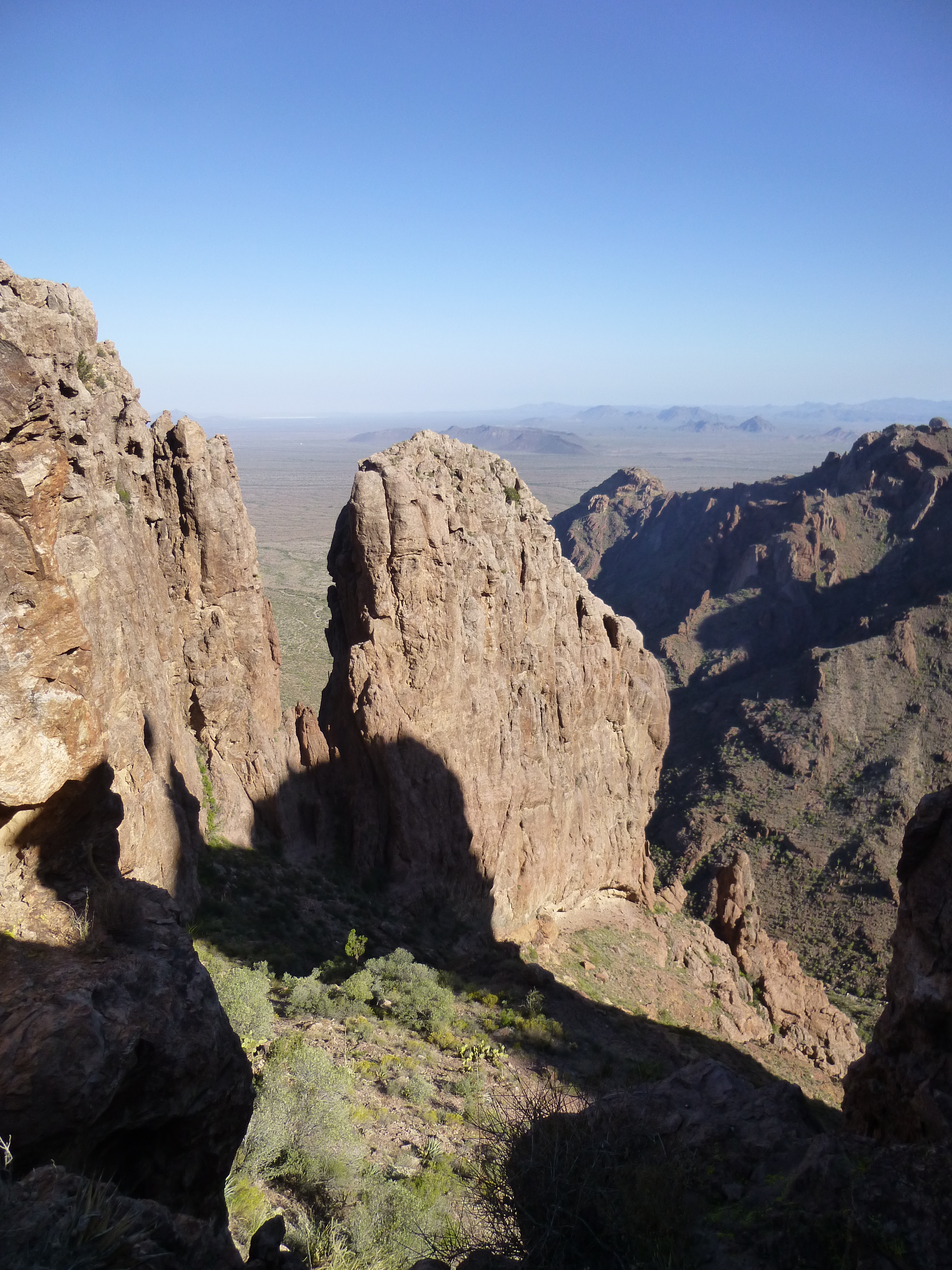
Holy crap!
There I was, looking at what was supposed to be the peak I had come to climb, Peak 3820. You don’t see something as impressive as that very often. The topographic contours are seriously messed-up over there, and not to be relied upon. I do not believe it has anywhere near enough prominence to even qualify as a “soft” summit, but it sure did catch my attention. I decided to give it a name, “The Colossus”, which seemed appropriate.
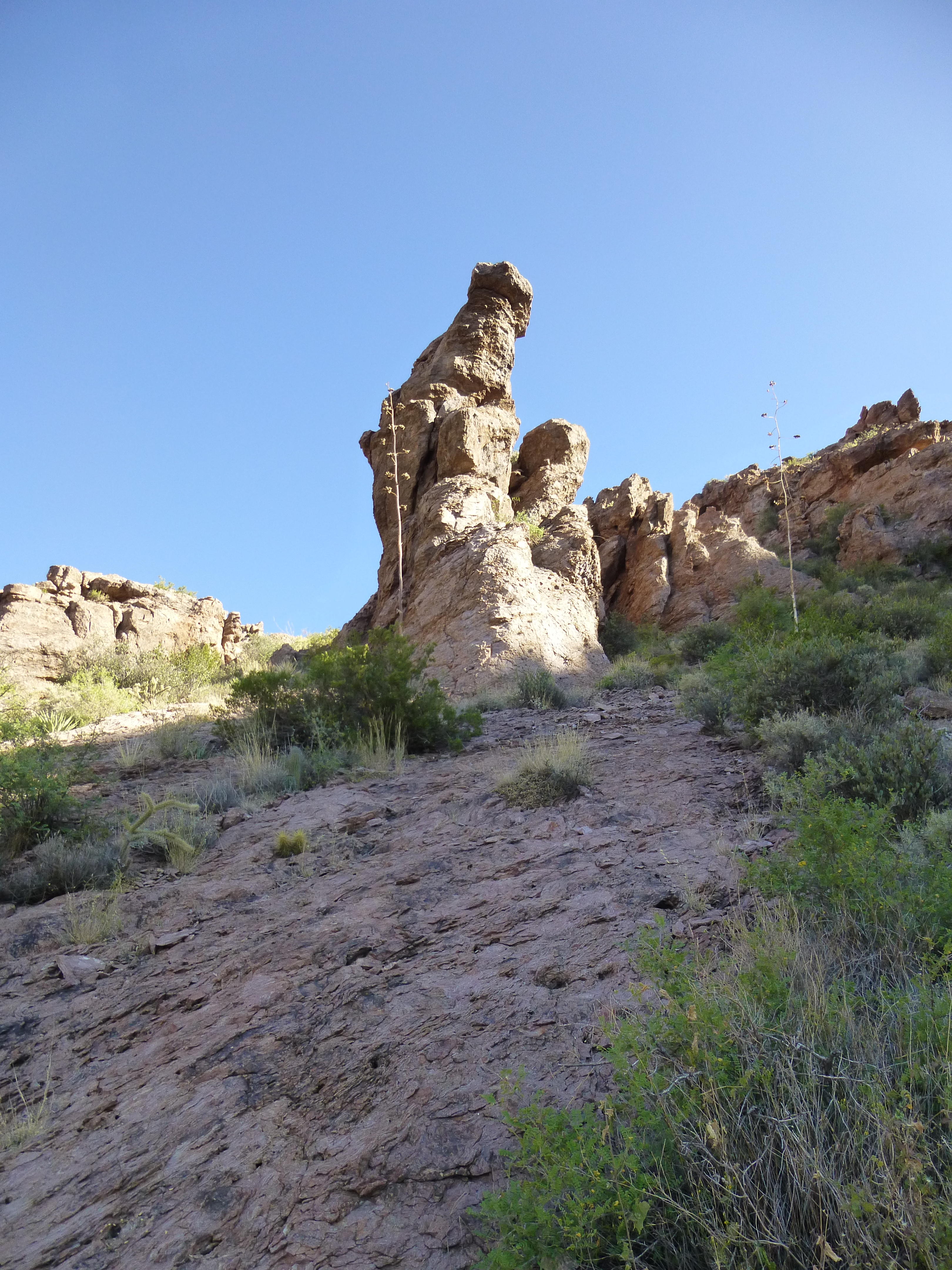
Since there was no way I’d ever be climbing The Colossus in this lifetime, I looked for something else nearby to occupy my time. Right next door was this one, a likely candidate.
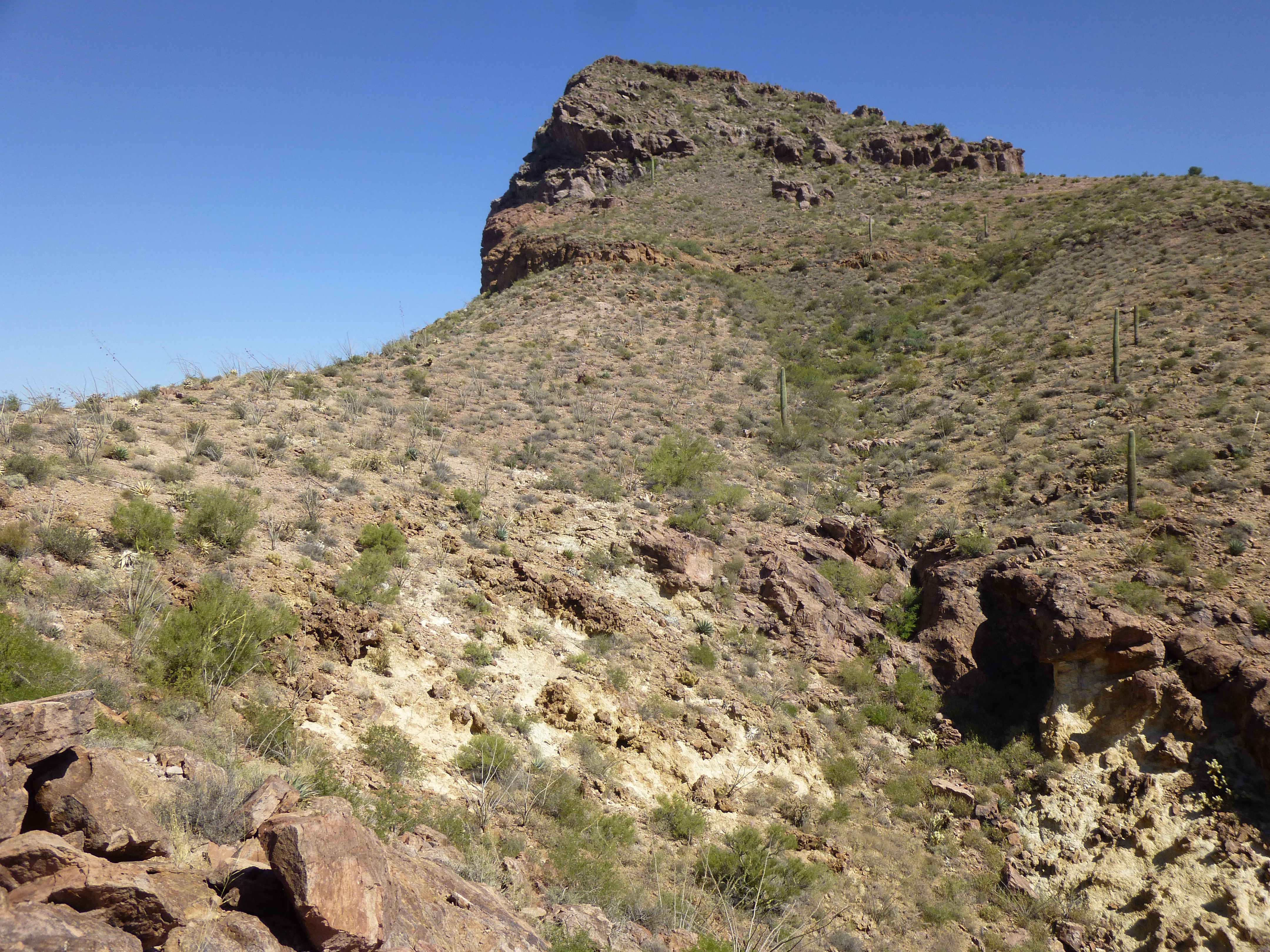
Peak 4020
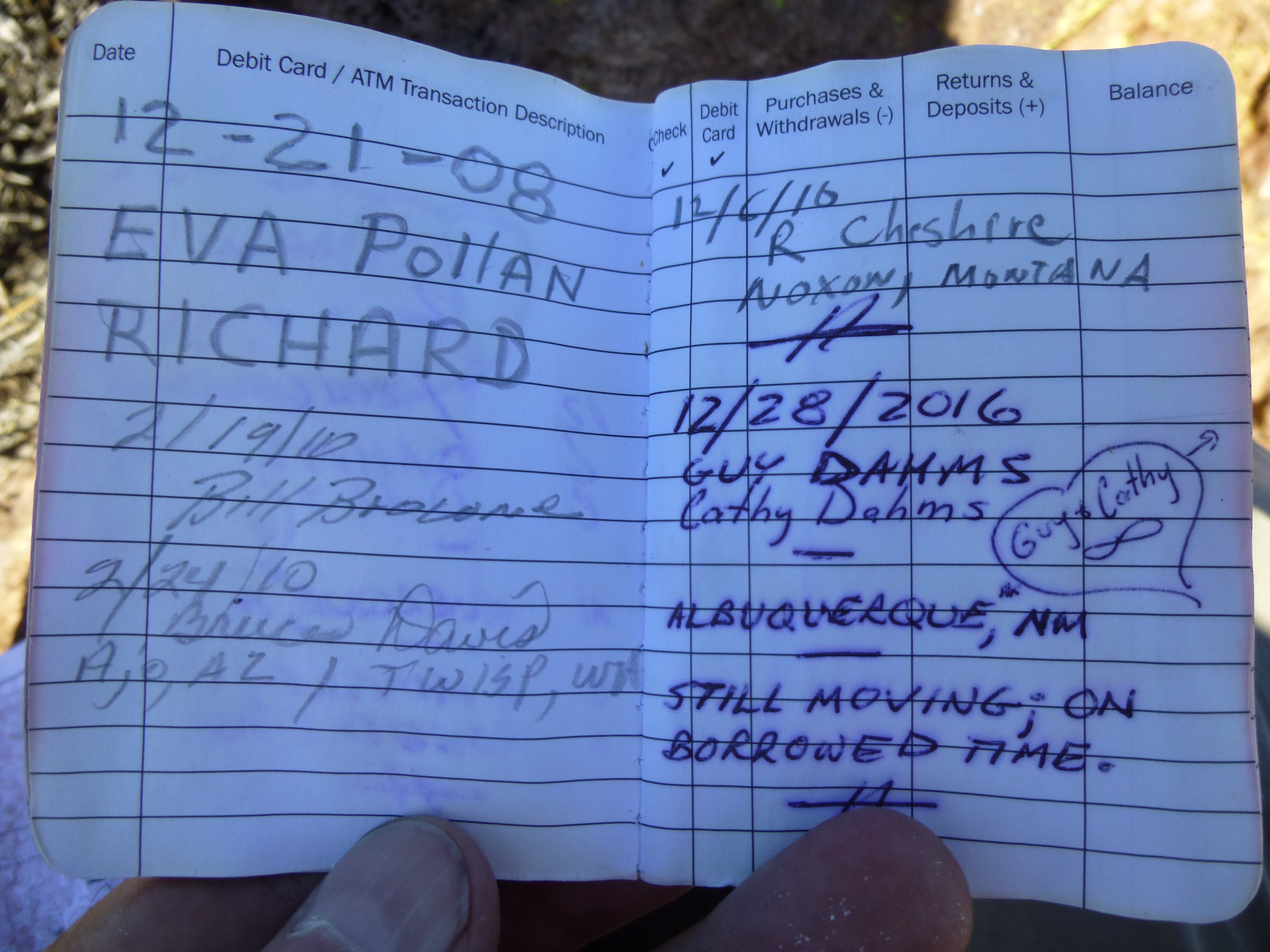
On the top, I found a register which stated an elevation of 4,103 feet. Map contours put it between 4,000′ and 4,040′, and my GPS said 4,030′ – I don’t know where they got the 4103 from, but there’s no way. Here were the prior entries.
From that vantage point, I had this scary view down – the top of The Colossus is there somewhere in that tangle of crags.
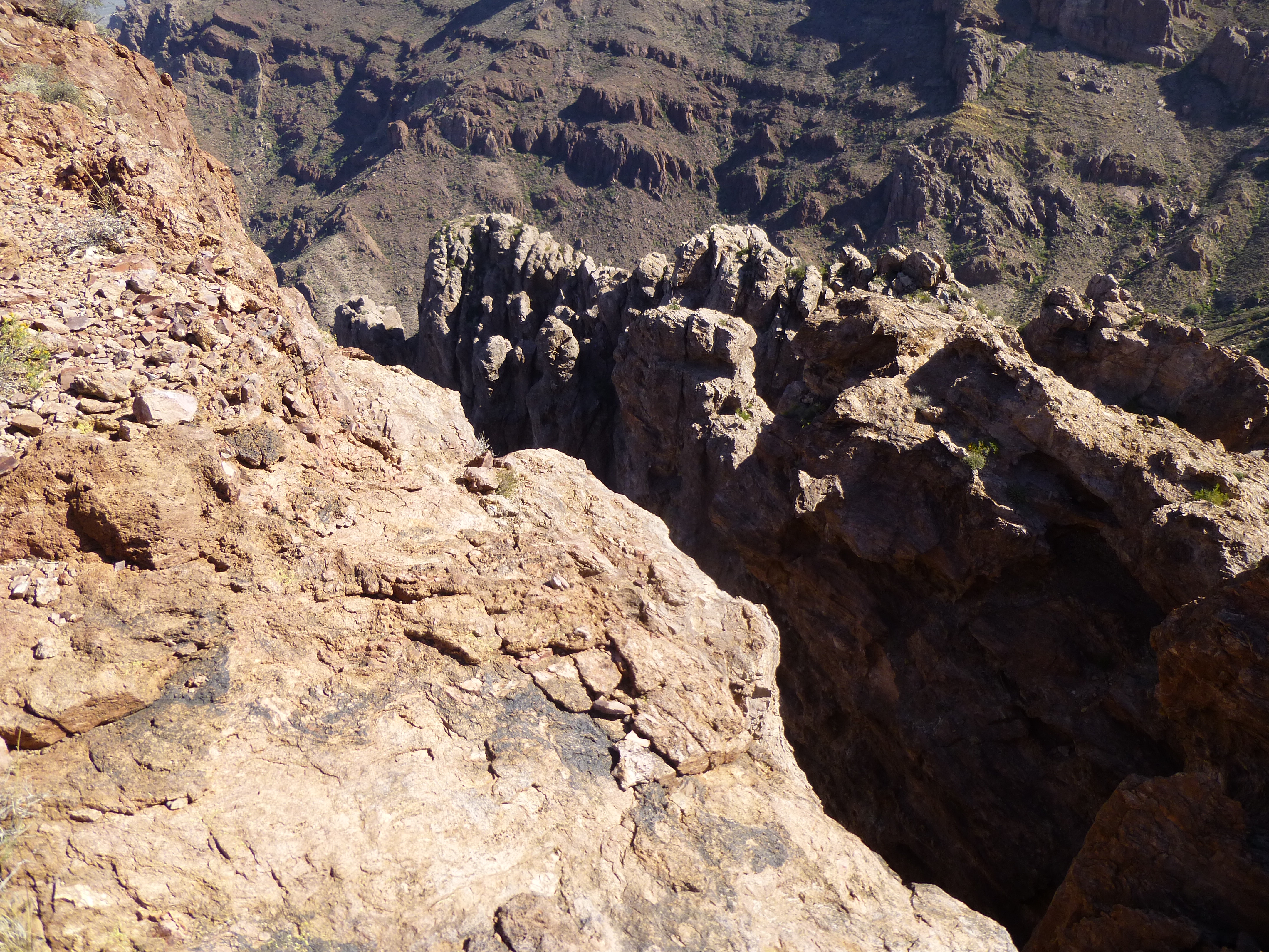
Where’s Colossus?
I’ve been calling this place “Peak 4030” but it doesn’t qualify as a real peak, as it has just over 200 feet of prominence. Okay, so I was done here – time to leave.
Its south ridge was an appealing descent route. From my vantage point on high, it looked like a straight shot all the way back to my water cache below. It was 10:30 AM when I started down. Things started well enough, but by the time I’d dropped 400 feet or so, I found myself standing on the edge of a 50-foot cliff which blocked my way. Rats! I climbed back up, looking for a Plan B, and soon found it – a steep, brushy gully. I couldn’t see all the way down, but thought I’d give it a go. I’d descended quite a way, definitely lower than the cliff that had recently stopped me, when I rounded a corner in the gully and came to an even-bigger cliff. No way I was going any farther. It took me 250 feet of climbing to extricate myself from that mess.
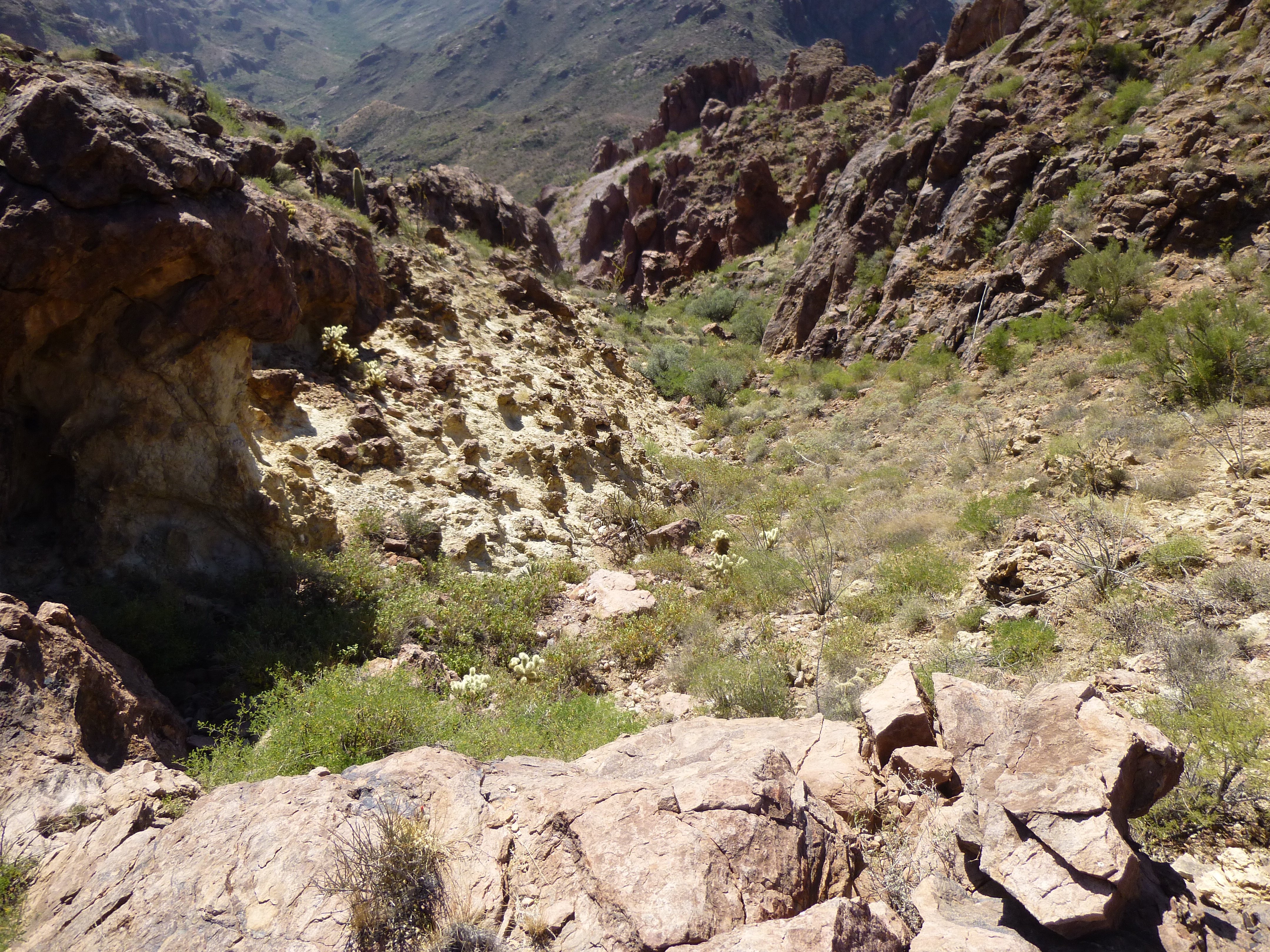
Looking down the gully, but you can’t see around the corner to the cliff below.
I finally re-gained my original route I’d used to climb up earlier. Now I could get back to the business of reaching the 3,200-foot saddle where I’d left my extra water earlier that morning. On the way down, I could see back up to Peak 4180, an amazing peak I’d visited just 2 years earlier – that whole ridge is part of the peak.
Peak 4180 – the highest point is on the far left, along a narrow, exposed ridge.
At noon, I was back at my water cache. One more mountain to try. Peak 3460 was only a thousand feet away, as the crow flies – all I had to do was contour around an intervening bump, Point 3338. It took a whole hour to do it, though, with a healthy dose of bushwhacking thrown in for good measure. Here’s a view south to it from the cache.
A view south to Peak 3460
The summit itself was like so many others, but with one exceptional detail.
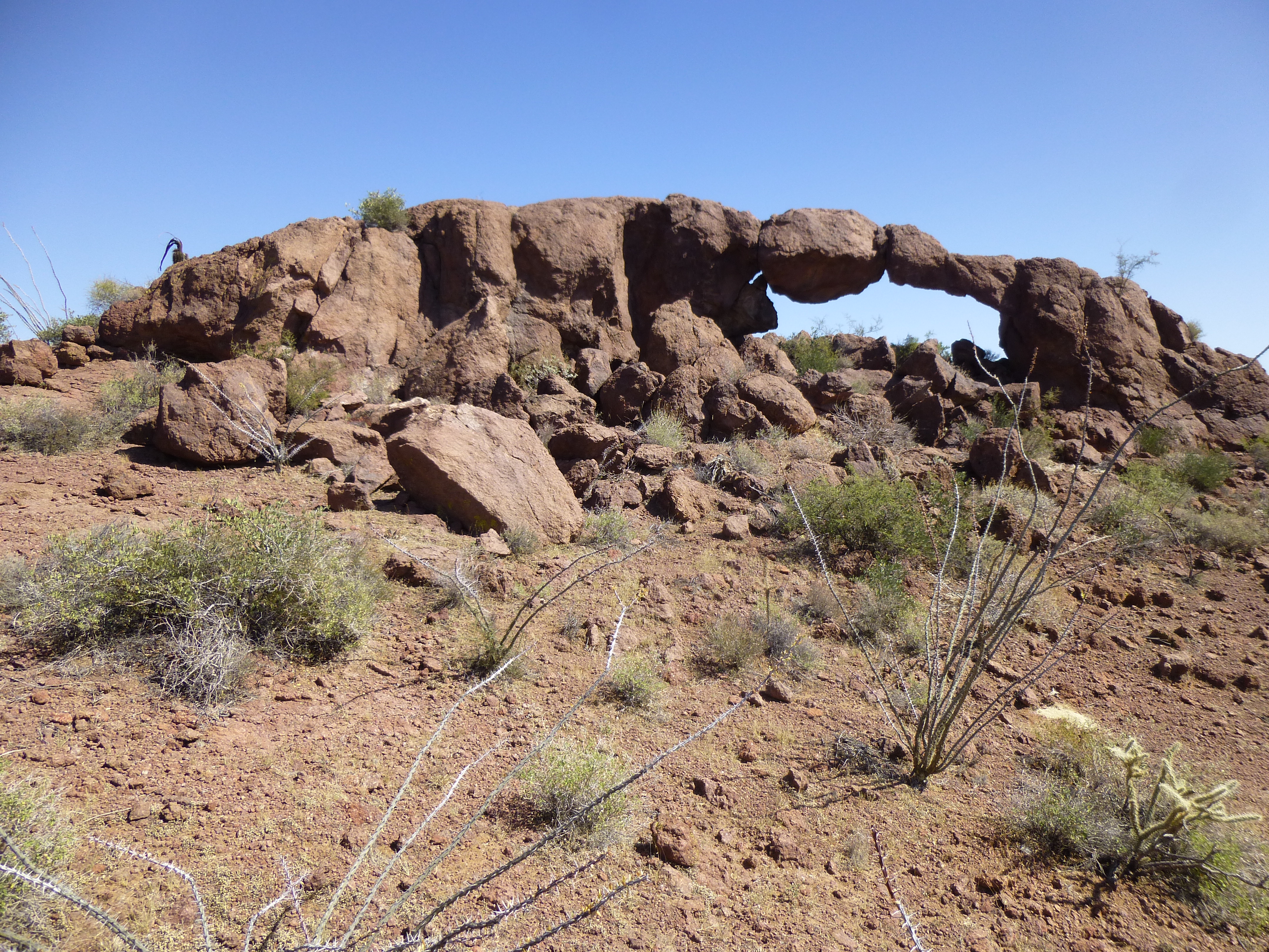
The summit arch
This precarious arch was the highest point on the mountain. It was an easy scamper to its top, where I left a register. Somehow, I think it won’t be standing for long. The rest is history: back down the same way to the saddle, then down the steep slope to the desert floor. 3:30 PM saw me back at the campground, where a 95-degree temperature awaited. It had been a good day, with over 4,200 vertical feet climbed. Only one peak climbed, but still a good day.