
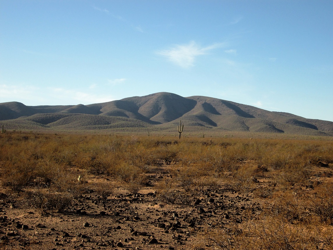
Way out in the middle of the Tohono O’odham Indian Reservation, which is the size of the US state of Connecticut, sits what is easily their biggest mountain. Cimarron Peak, elevation 4,124 feet, towers above everything else around it. It is a huge shield volcano 8 miles across, rising almost 2,000 vertical feet above the surrounding desert. And that’s what I mean by “biggest” – the shear volume in cubic miles of the mountain. Many years ago, the Hickiwan District, one of the 11 semi-autonomous districts that make up the TO Nation, used to freely issue permits to outsiders to enjoy their amazing land. Not any more.
On one website, 15 individuals have stated that they have climbed the peak, and that, in my humble opinion, is the tip of the iceberg. El Paso Natural Gas has a pipeline which runs all the way across the northern part of the reservation, and a rough road parallels it. This road runs right past the peak on its north side, providing excellent access. Technically, outsiders are not allowed to climb the peak, as neither the District nor the TO Nation will give permission to do so. Yet, driving the 51 miles of the road which crosses their land is something done almost daily by residents of the town of Ajo, many of them winter visitors, and none of them have permission. Entries in the summit register by O’odham have bemoaned the fact that outsiders are trespassing. I am writing this piece about Cimarron Peak and its outliers with the understanding that they were climbed in a time back when the District still issued permits allowing outsiders to more freely enjoy its 600 square miles of spectacular land.
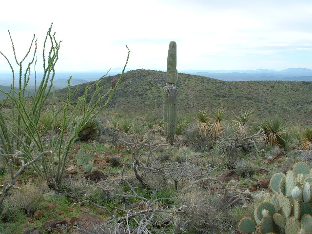
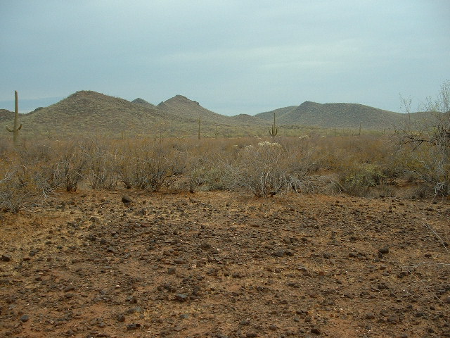
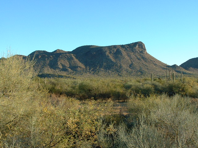
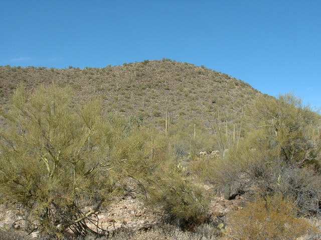
What I’d like to do in this piece is discuss both Cimarron Peak and the sizeable number of satellite peaks which surround it and could be reasonably considered to be related to it based on the geomorphology of the area. My ramblings in the area began back in April of 2001. It was a warm day when I went in on Friday the 13th, a lucky day indeed. In the western leg of the Kaka Valley, I parked on the shoulder of the pipeline road next to a pumping station at 2,500 feet elevation, then headed up the long, gentle NNW ridge. Here’s a photo of what I saw near where I parked, courtesy of Scott Surgent.
Looking south to Cimarron Peak
I don’t recall if I found a register on top – it had certainly been climbed by others before me, though. After a short stay on top, I headed back down to my truck and then home. A great day on a great peak.
A couple of years passed. Two friends contacted me and asked if I wanted to climb the peak once again, this time in their company. It sounded like a good idea. I drove out to a man-made pond one Saturday a few miles north of the village of Hickiwan, and John arrived around 4:00 PM – Andy joined us later. The pond was pretty large, and a group of horses were frolicking there, running into and out of the water – it was a beautiful spot.
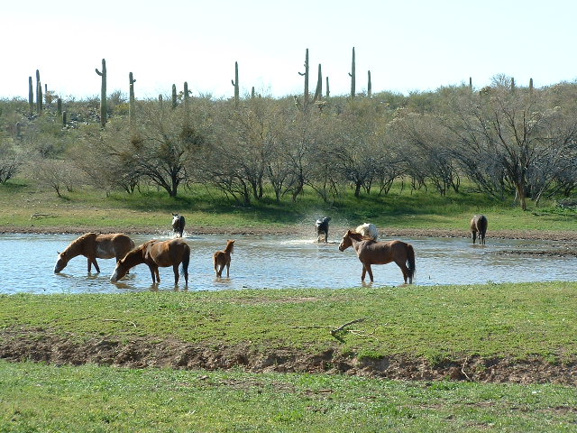
Horses in the pond
The 3 of us partied until midnight around a roaring campfire, just what was needed to prepare us for a good climb the next day.
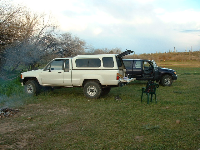
Ready to party
Way too early the next morning, we drove the 10 miles to our starting point on the pipeline road. I hitched a ride with John in his truck, and Andy drove his car on the rough road – I left my truck by the pond. It was a fine day as we climbed the peak by the same route as I’d done before, and by 12:30 PM, we were enjoying lunch on the summit.
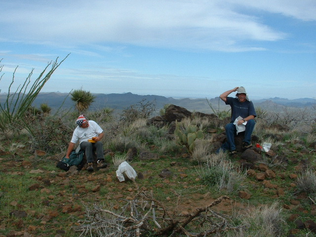
Lunch on Cimarron
The 3 of us had lunch on the high point together. I wanted to tag the slightly lower Cimarron Benchmark on another bump to the south, as did Andy, and we headed off to do that. John wasn’t interested, so he headed back down to his truck. It was a mile’s walk around to the benchmark, seen here to the south from our lunch spot.
Looking south to Cimarron Benchmark
This was the plan: Andy would now return to his vehicle, then head home. From my side, I’d return to camp by a different route, an exciting one I’d been contemplating for some time. We said our goodbyes and moved off: they to the north, and I to the south.
My chosen route was the SSW ridge. I left the benchmark, elevation 4,108 feet, and made my way over to the head of the ridge, then started down. As I continued, the ridge narrowed – at 3,830 feet, I passed over a small bump, but otherwise the ridge steadily lost elevation and narrowed even more. At one point, I had this view back up to the benchmark.
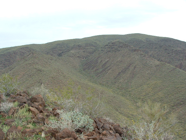
A look back
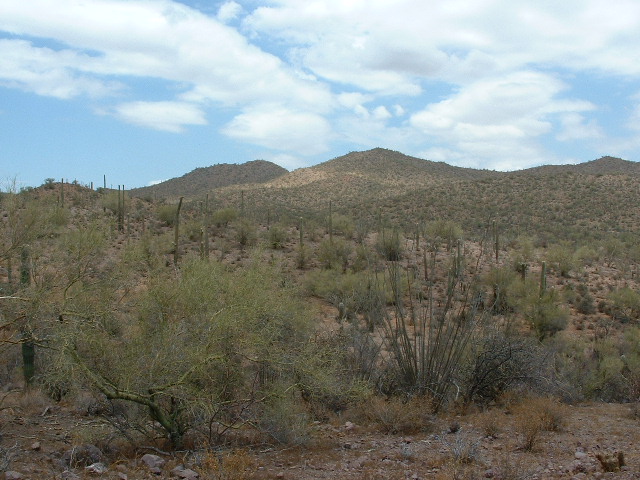
At 3,400 feet I found myself on a sharp, rocky arête which climbed back up to a knoll at 3,470 feet. From there, down I went once again, continuing south. I had this view looking south to the ridges I would travel as the day wore on.
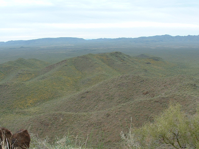
Things to come.
Another bump at 3,330 feet, then down to a saddle at 3,100 feet. Then began a climb up to Peak 3488, my second of the day. Man, this one was way out there, and I loved it! I left a register, then made an abrupt change of direction – now I’d head west, after my 2 miles of southward travel.
The day was fair, if a bit warm, as I continued to lose elevation. Crossing 4 more bumps, including Point 3169, I dropped all the way down to a saddle at 2,800 feet, then climbed back up again to Peak 3128. The home stretch lay ahead of me now. Another mile of winding ridges took me down to the desert floor, and from there it was just a matter of putting one foot in front of the other. Along my path lay plenty of wildflowers like these,
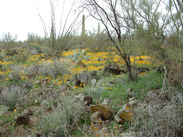
The garden path
Covering the last miles was easy and pleasant – I finally arrived at my truck, sitting right where I’d left it. This had been a fun day – covering the 13+ miles had taken 8 hours and produced 2 new peaks.
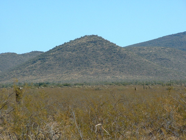
The Cimarron area had now piqued my interest. A few months later, mid-July to be exact, I drove some dirt roads south of the village of Kaka and parked near a couple of peaks. It was crazy-hot as I traced a loop to cover them both, Peak 2851 and Peak 2912. In spite of the heat, this was a really pretty area east of Cimarron and I really enjoyed myself. Here’s the only shot I have of those 2.
Looking west to Peak 2801, the pointy one just to the left of center, and Peak 2912 on the right
I climbed 2 other peaks that same day: one was miles distant in the Brownell Mountains; the other was nearby, Peak 2670, a few miles east of Kaka. This one caused me some excitement, because when I reached the top I found a large cache of stuff belonging to Bad Guys. I tore through it, checking everything carefully – it had always been my dream to find a bundle of cash hidden by these guys, and today was my lucky day – I found money alright, one whole US dollar!! Oh well, I was a bit richer than when I’d started.
Peak 2670
For some reason that eludes me now, I didn’t make it back to the area for more than 2 years. Finally, in mid-December of 2005, I returned with my friend Mike and we went in to an area north of the Hickiwan District office. On this same website, I’ve already posted a story called Vaya Chin, which you can find here. In it are described the ascents of 3 more of the summits, this time to the southeast of Cimarron. On that outing, we climbed, in order, Peak 3275, Peak 3161 and finally Peak 2745. It was a cool winter’s day and perfect for such climbing.
I was on a roll, so 2 weeks later on the 29th I was back for more. This time, I parked to the north of Highway 34 on another perfect, blue-sky day. The plan was to do another loop and pick up 3 more all in one go. After an easy mile north and a quick climb, I stood on the summit of Peri Benchmark.
North to Peri BM
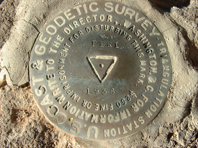
The benchmark
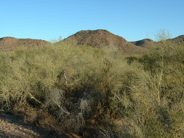
Down its east side and then a long, steady climb to the top of Peak 3211. Here is my best photo of this striking peak, seen from the west on the desert floor.
Peak 3211
A bonus view from atop 3211 was this view of Tom Thumb, 15 miles to the northwest. This fearsome spire has only been climbed twice.
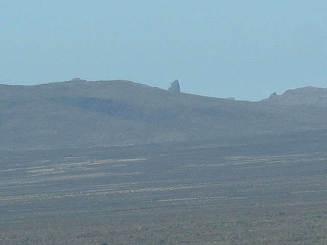
Tom Thumb
Continuing eastwards down to a saddle and then steeply up to Peak 2957 finished off this trio of fine peaks. Here’s what it looked like from the top of 3211.
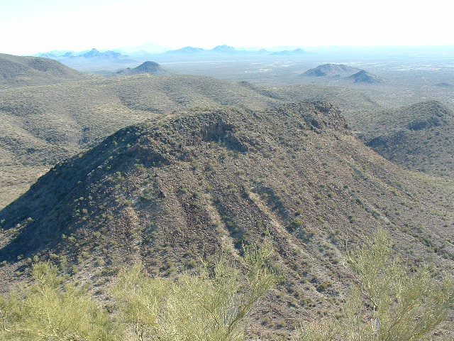
Looking east and down 200 feet to Peak 2957
It turned out that I left a register on all 3 of them, and by the time I’d returned to my truck, my boots had racked up almost 6 miles and nearly 2,000 vertical feet of climbing. Since this had taken only 5 hours, there was time for one more. An easy 8 miles of driving put me right beside Peak 2590, which took less than an hour round-trip on foot. This had been my best day yet, 4 peaks, all of them previously un-visited by climbers.
By my reckoning, there were only 3 more to do to make a clean sweep of the galaxy of peaks surrounding Cimarron. So, in mid-January of the new year, 2006, Mike and I headed back there to spend a day. Pavement can take you to the village of Hickiwan, the largest in the district with 293 souls. The entire district only has a population of 817. Five miles north of the village on a dirt road brings you to the abandoned community of Emika, where we found a faint track heading east across the desert. Where we lost it, we parked and continued east on foot for an easy climb of Peak 2991 on the west side of Cimarron.
Peak 2991
After leaving the usual register, we headed straight back to the Toyota. As we neared the truck, something seemed odd – it sat at an odd angle. Yep, it was a flat tire.
So no big deal, right? Into every life comes a flat tire from time to time – it’s not an earth-shattering event, or at least it shouldn’t be. As we changed the tire, we saw that it was a sidewall puncture. A sharp bit of wood from some ground-hugging plant had poked right through the tire, probably as we were manoeuvering to turn around. We wrestled with the tire for a while and installed the spare. That done, we continued driving slowly west to the main road with the windows rolled down. Not 5 minutes later, we heard the tell-tale hiss of escaping air – it had happened again! Man oh man, this area was a minefield for tires. Sure enough, a second flat, another sidewall puncture. Normally, this would be a really bad situation. Maybe there are ways to fix a sidewall puncture in the field, but it was definitely above my pay grade. Each of the 2 punctures were pretty large, about an inch long. But guess what? – I carried with me 2 spare tires on rims. Hallelujah! Before long, we had put on the second spare and, ever-so-carefully, drove the last bit out to the main road. I carry with me a tire inflator, one that plugs into the cigarette lighter, but it wouldn’t have helped that day.
With 2 more peaks yet to climb back on the south side of Cimarron, we were more cautious than ever as we drove, as we were fresh out of spare tires. Peak 2700 was a mere 2 miles east of the village of Hickiwan. We drove right up next to it and climbed it by its south side, returning to the truck in under an hour.
Peak 2700
On the way in, my rear bumper got into an argument with a rocky bank in a wash, and the bank won.
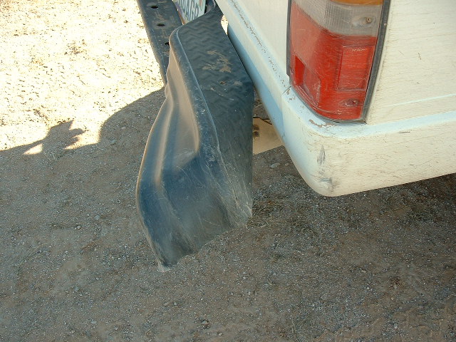
Oops!
Only one left. Five miles east of Hickiwan, we parked just north of Highway 34 behind a small hill, then set out on foot. Peak 2907 was easy enough via its south ridge, and we were back at the truck in an hour and a half.
Peak 2907
That was it, the Cimarron adventure was over. In a space of less than 3 years, I had climbed the main peak and 14 of its outliers. Every one of them was enjoyable and produced fond memories. I only wish they were open to the public so others could go in and enjoy them as I did.