
There’s a mountain range close to my home (in fact I can drive there in an easy 75 miles) which has merited my attention on several occasions. The Mustang Mountains – it’s a curious name, and I wondered how it came about. Will C. Barnes’ excellent book, “Arizona Place Names” has this to say: John G. Bourke, aide-de-camp to General Crook, was quoted as follows “So called from the fact that a herd of wild ponies were to be found there or not far off. They did not number more than sixty when I last saw them in 1870, and were probably the last wild horses within limits of the United States.”
It was back in 1988, January 12th to be precise, when I first visited the range. My goal was to visit its highest point, a no-name peak simply shown on the map as spot elevation 6469. It was a straightforward climb, and once done I quickly forgot about the Mustang Mountains. However, only 4 years later I was back.
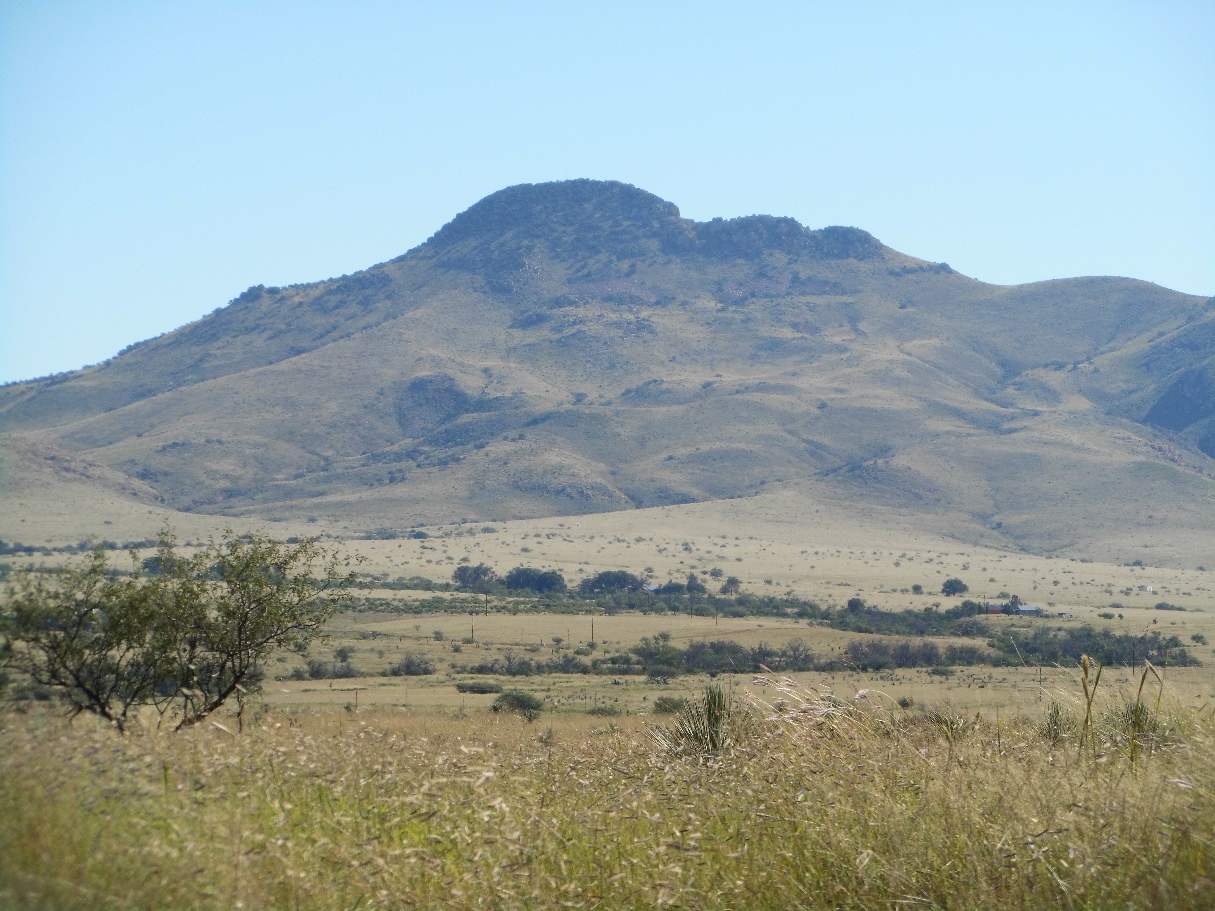
The range high point
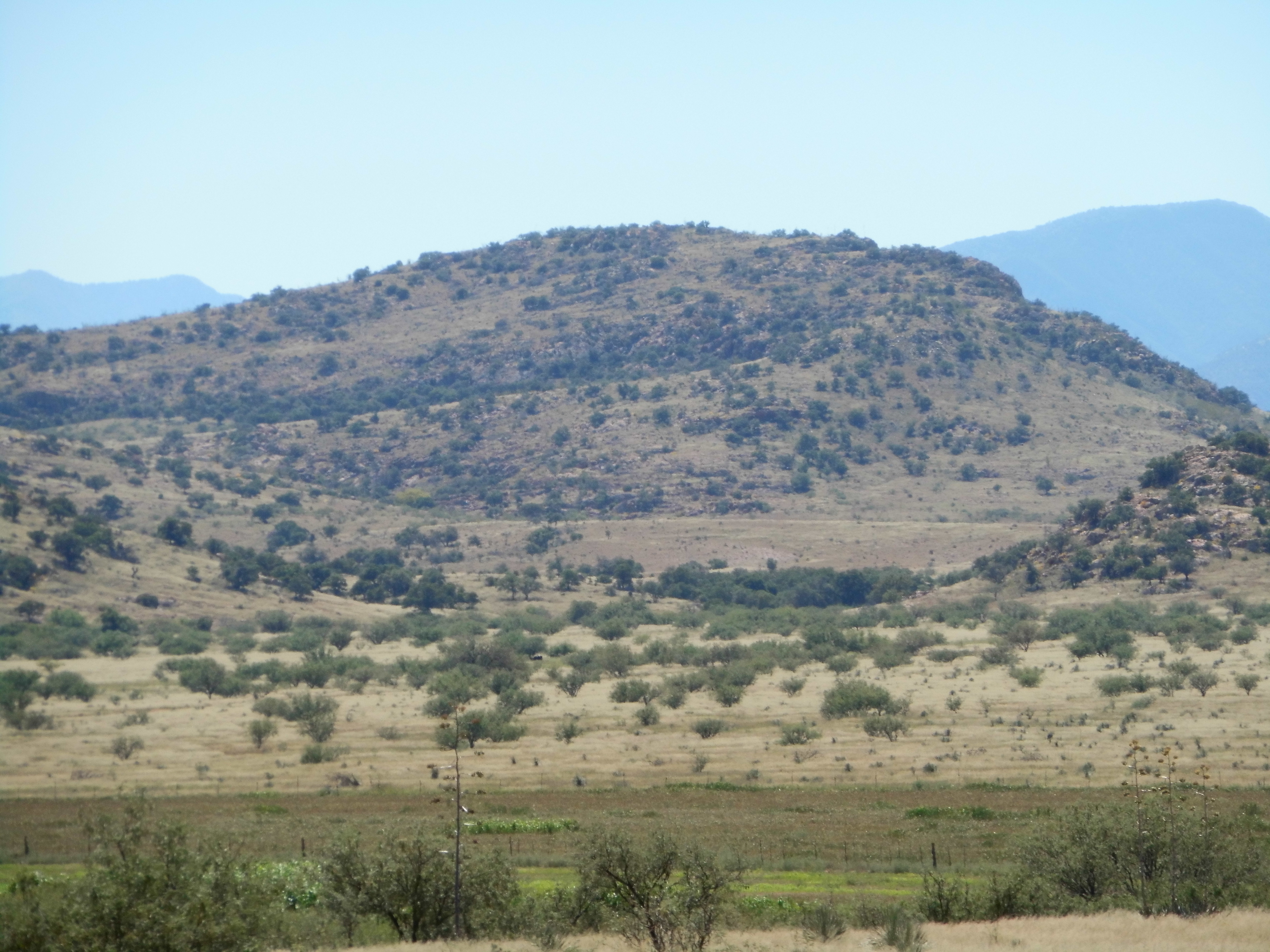
The range is very pleasing to the eye, its peaks arranged in the shape of a horseshoe opening to the north. I had been thinking about them a lot and wanted to return, so on a fine March afternoon I did just that. Here was my idea – I’d start at one end of the range and come out at the other, making a clean sweep of it. There was a ranch house near where I wanted to finish, so I stopped in and introduced myself, telling them of my plan and asking their permission to leave a bicycle with them. They said that’d be fine, so I left my trusty steed and promised I’d pick it up late the following day.
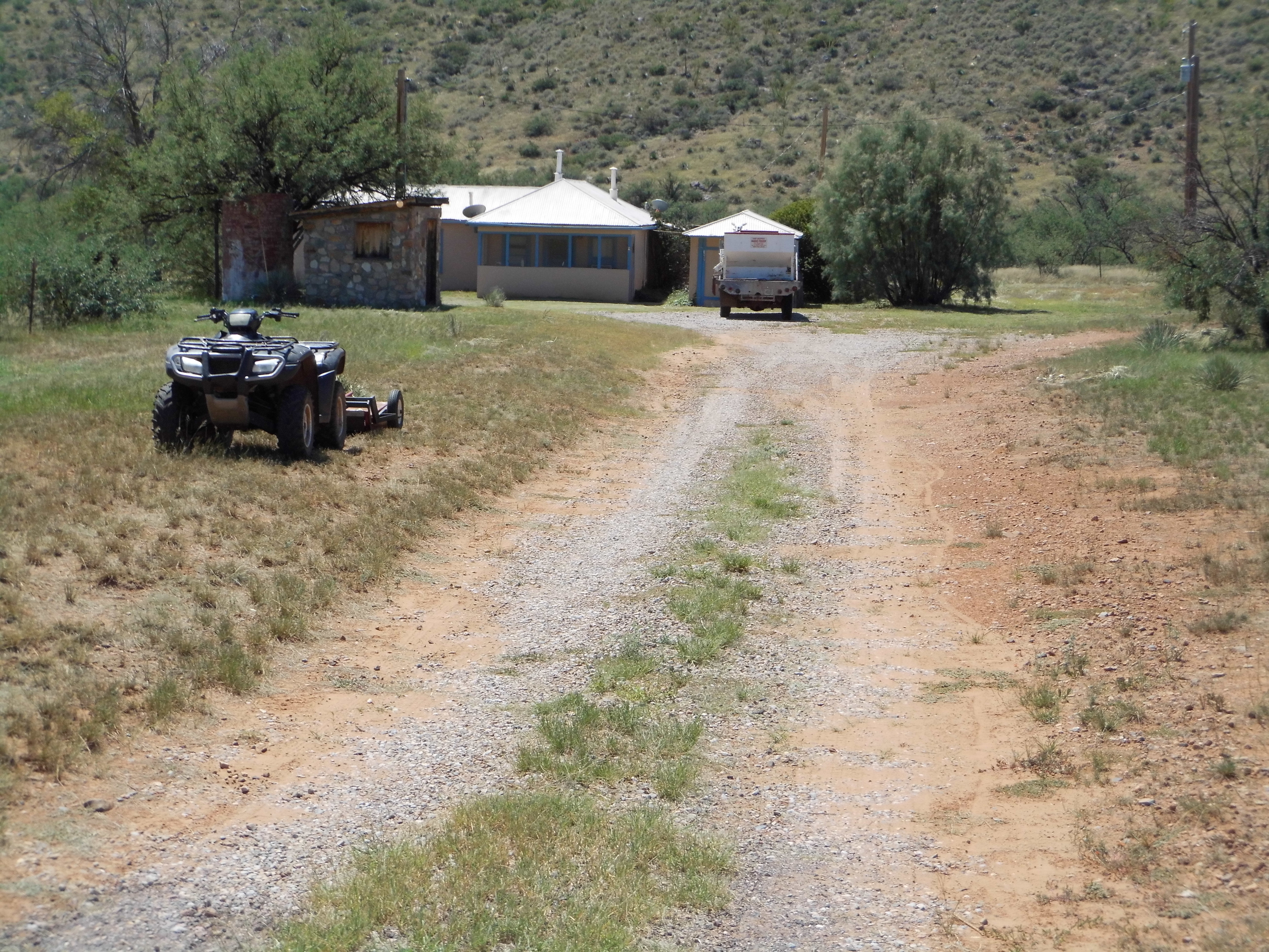
The ranch house
I then drove to the other end of the range, a few miles west along Highway 82, and parked in a quiet spot for the night. There was something interesting going on nearby. A group of people were climbing up a hillside and talking excitedly – it turns out that they were being instructed in the art of parapente by a company from Tucson. It was fascinating to watch them run down the slope, their wings taking shape and lifting them into the air for a short flight. This lasted until dark, when they packed up and went home, leaving me camped near my starting point for the morning.
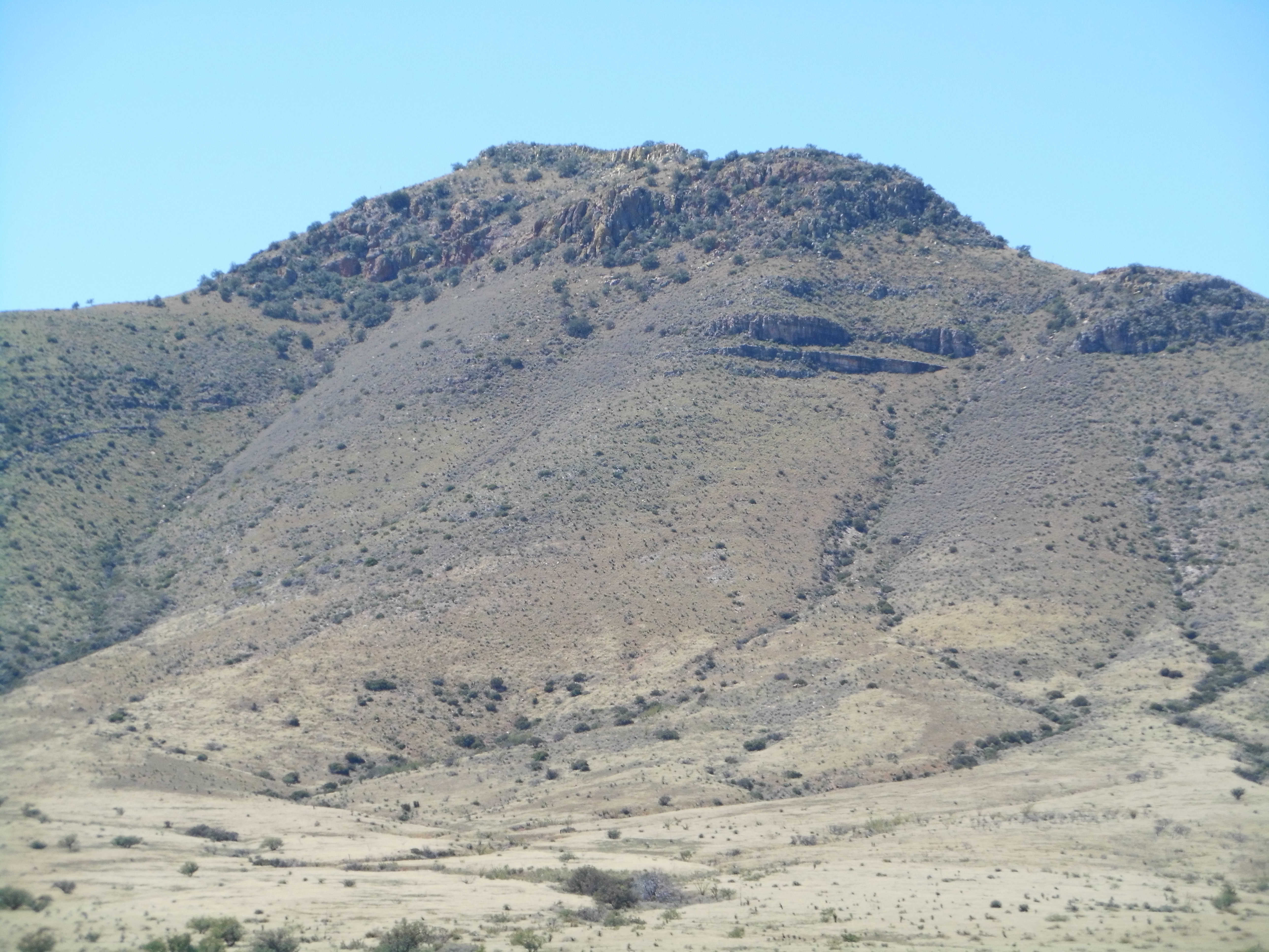
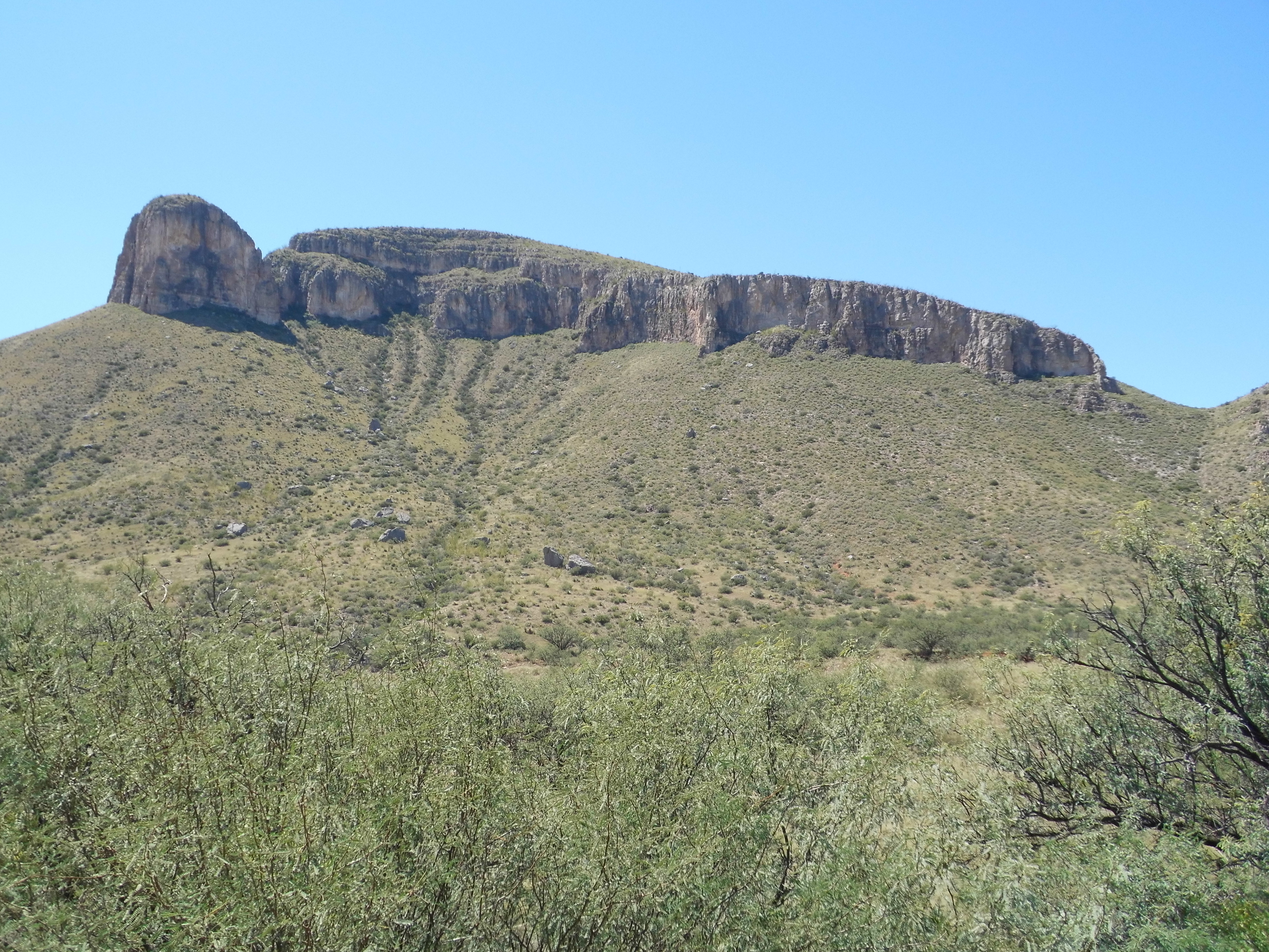
The morning of March 11th was crystal-clear, perfect climbing weather. I started near the road at around 4,900 feet. Soon, I had crossed over a bump at 5,330 feet and then dropped down a hundred. Now the climbing would start in earnest – Mt. Bruce was the first to fall. At 6,087 feet, this steep, striking peak reared 1,200 feet above nearby Rain Valley. Its huge south face forced me to make a major detour – I had to drop down the way I’d come up, then swing all the way around to its gentler west side. From there, I contoured around, slowly losing ground to arrive at a saddle at 5,630 feet. I was now past my first peak of the day and ready for the second. Here are a couple of photos that illustrate the problems with this peak. This first one shows the west side. As you can plainly see, the only way up it is via the slope on the left (north) side.
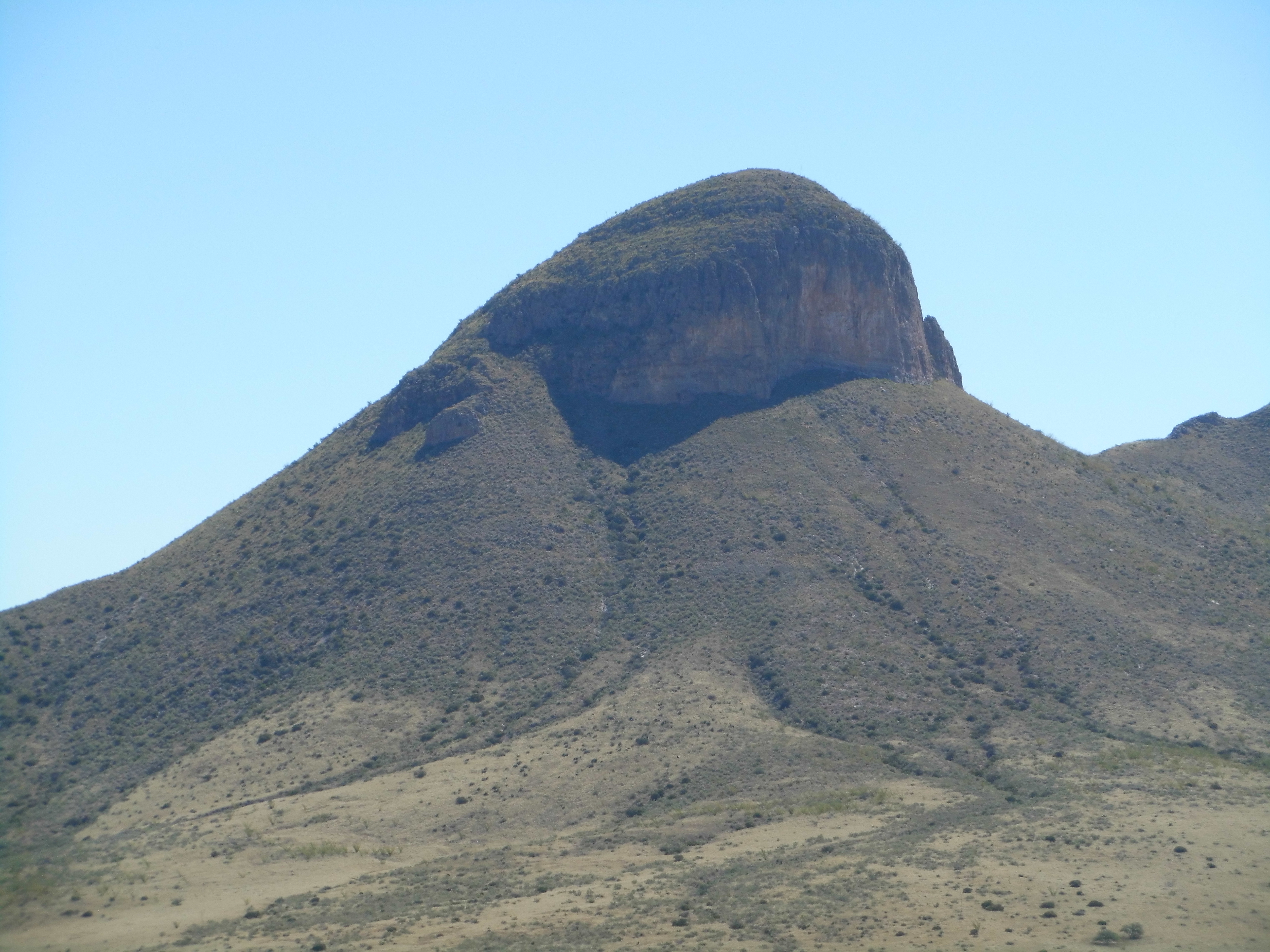
The west side of Mt. Bruce
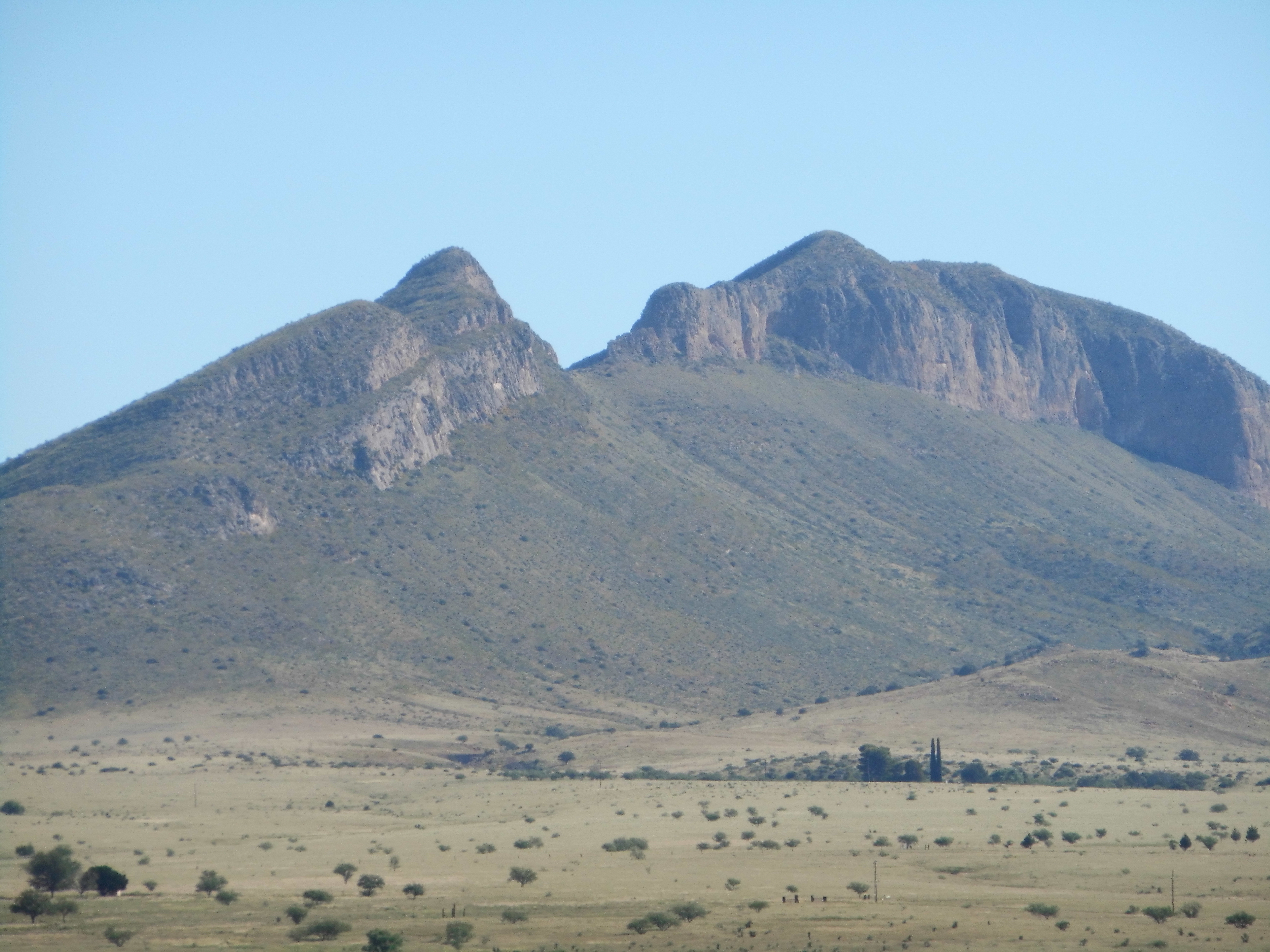
Here’s another view, this one looking southwest. Once again, the only way up or down Bruce is via its north side, the right-hand side in this next photo.
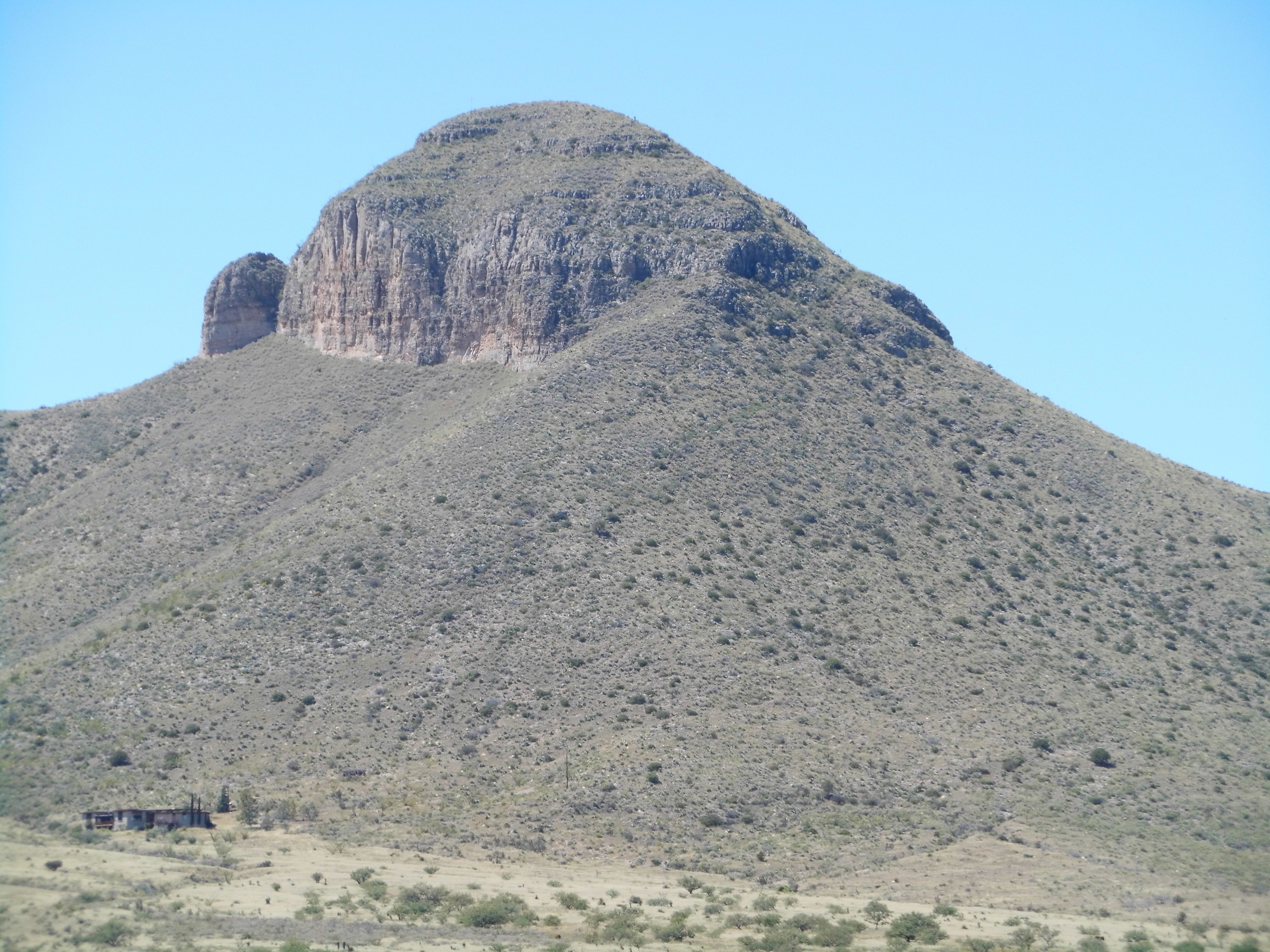
The northeast side of Mt. Bruce
I continued in a southeasterly direction up a straightforward ridge and soon stood on the summit of Peak 6162. At this point, I had covered 2.4 miles.
Peak 6162
Now came a drop of 900 feet, and while I was on my way down I saw 5 javelina – they quickly ran away down the slope ahead of me. Before long I arrived at the saddle below, and this one was lower, only 5,230 feet. Staring up at my next peak had me thinking hard – this looked more involved, some cliffs I’d have to avoid. What I did was climb 600 feet up the ridge, then contour across a basin with only a modest gain, landing me on the north ridge of the peak, then straight up the last 400 feet to the summit of Mustang Peak. This was the highest one so far on the day, at 6,317 feet, and I’d covered 4 1/4 miles to this point. There was no way you just dropped off the south side of this one – steep cliffs blocked the way. I was forced to descend the west ridge to a saddle before Point 6198, then drop south and east over easier ground and down to yet another saddle. This put me at 5,430 feet. Look at this next photo – the highest part of Mustang Peak is the bump on the right. Point 6198 is the sharp bump on the left. I dropped down to the notch between, then down the easier slope towards the lower right of the photo.
Mustang Peak, the south side
What was next? Only the biggest peak in the entire range – my old friend Peak 6469. Using the northwest slope, I made my way up to the top – it steepened a lot in the last 200 feet. I was now 6.4 miles into my adventure, and so far it was all going well – I was probably half-way done with my circuit. Remember how I said the range was shaped like a horseshoe? I had now completed the western leg and it was time to head across the valley to the eastern. There were a few miles to cover but it all looked straightforward.
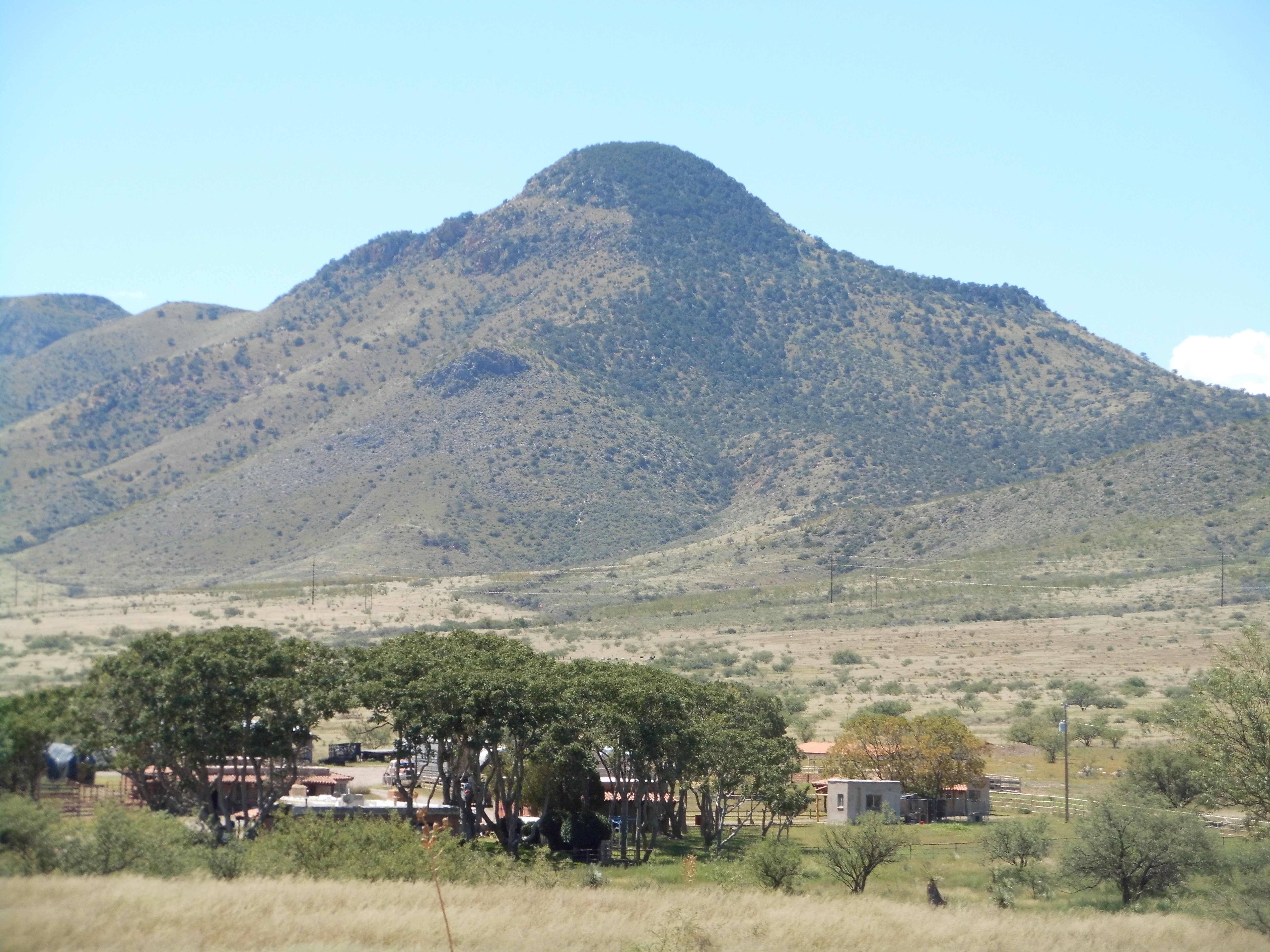
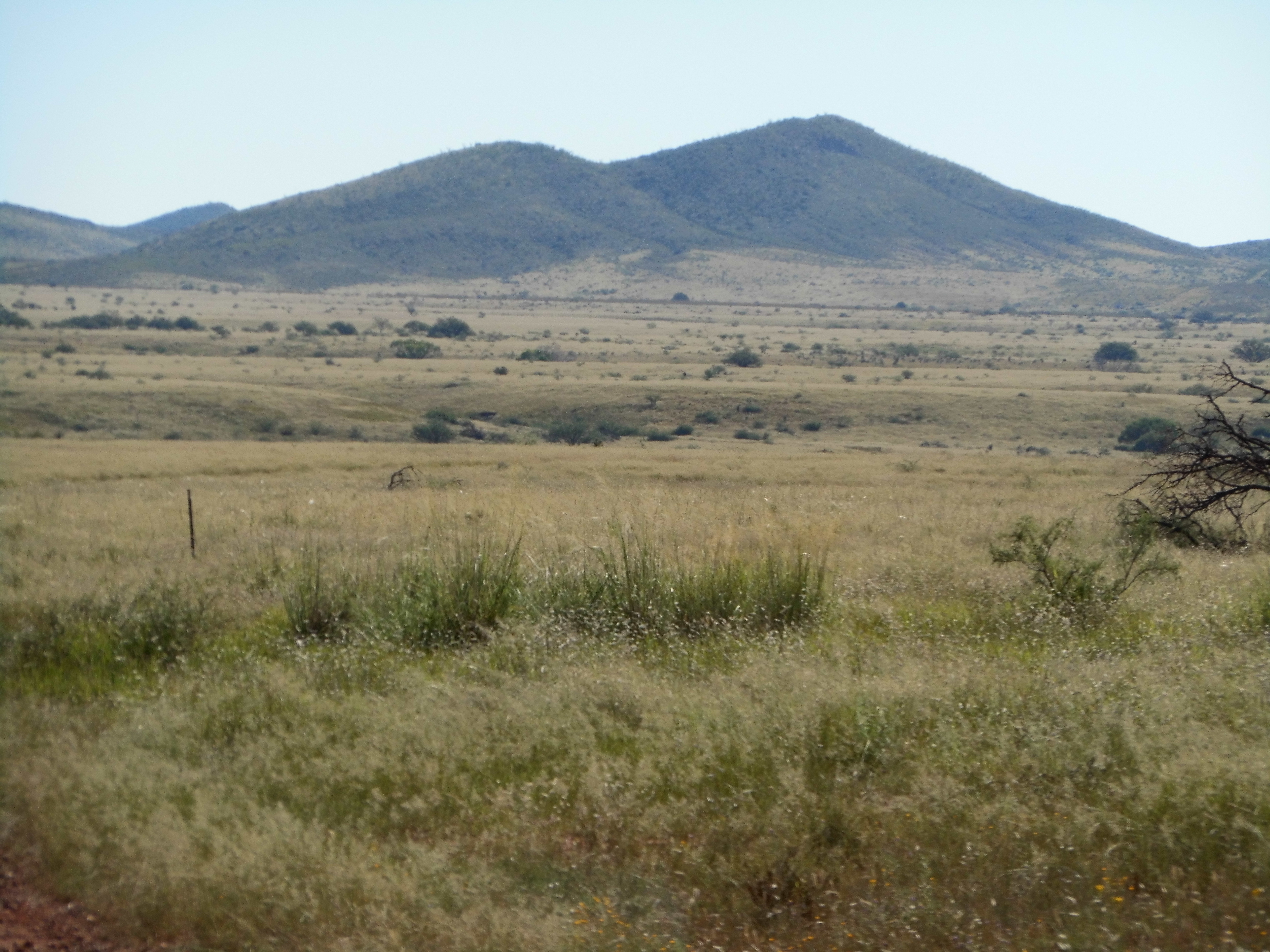
Peak 6469, the range high point, seen from the north at the Rain Valley Ranch
A few hundred feet down the ridge, and I then bailed, heading east and down into a valley, losing a thousand feet in the process. Here’s a shot showing the terrain that had to be covered to reach the valley bottom – we are looking northeast. The range high point is on the left, and from it my route continued down to the right.
The ridge
I crossed two roads and under a power line, putting me on the east side of the valley for the next stage of the journey. I gained a ridge and followed it southeast to the top of Peak 5412, my fifth of the day – I was 9.9 miles in. For the first time, it felt like the end was in sight.
Looking south to Peak 5412
I dropped down into a valley, quite flat, crossed it heading north, then started up a long, gentle slope. It steepened in a few spots, easily passed, and continued on to the top of Peak 5812. I was now looking steeply down on the finish line, but how to get to it? The entire north and east sides of this last peak are guarded by towering cliffs, so the only option left to me was to drop down the west ridge to gain the low country. That I did, and 1,100 feet lower, I walked across easy grasslands to the ranch house – remember the ranch house, the one where I’d left my bicycle?
The north side of Peak 5812, its cliffs blocking my way.
I climbed over the barbed-wire fence behind the house and got my bike. Before I left, I knocked on the door to thank them for their kindness, but found nobody at home – I left a note instead. This terrific day had lasted 10 hours and covered a total of 13.7 miles. I finished it off with a four-mile ride along the highway back to my truck, all of it uphill.
I had no cause to return to the Mustang Mountains for another 19 years, when one day in mid-February I showed up with Paul McMichael. We climbed Mount Bruce and Peak 6162 in an easy day. Another year passed, and I realized there was one more peak in the range I’d missed. I returned one very hot June day and drove to the south side of the range to pick off Peak 5251. The climb was only 400 feet via the northeast side, but it was like a day in hell in the blistering heat.
Looking east to Peak 5251
Finally, one day in 2018, I went back for one more. On the northwest side of the range sat little Peak 5308, a lonely bump surrounded by grasslands.
The south side of Peak 5308
After a quick stroll uphill, I signed in to the ailing summit register sitting atop the large cairn, while cows grazed nearby.
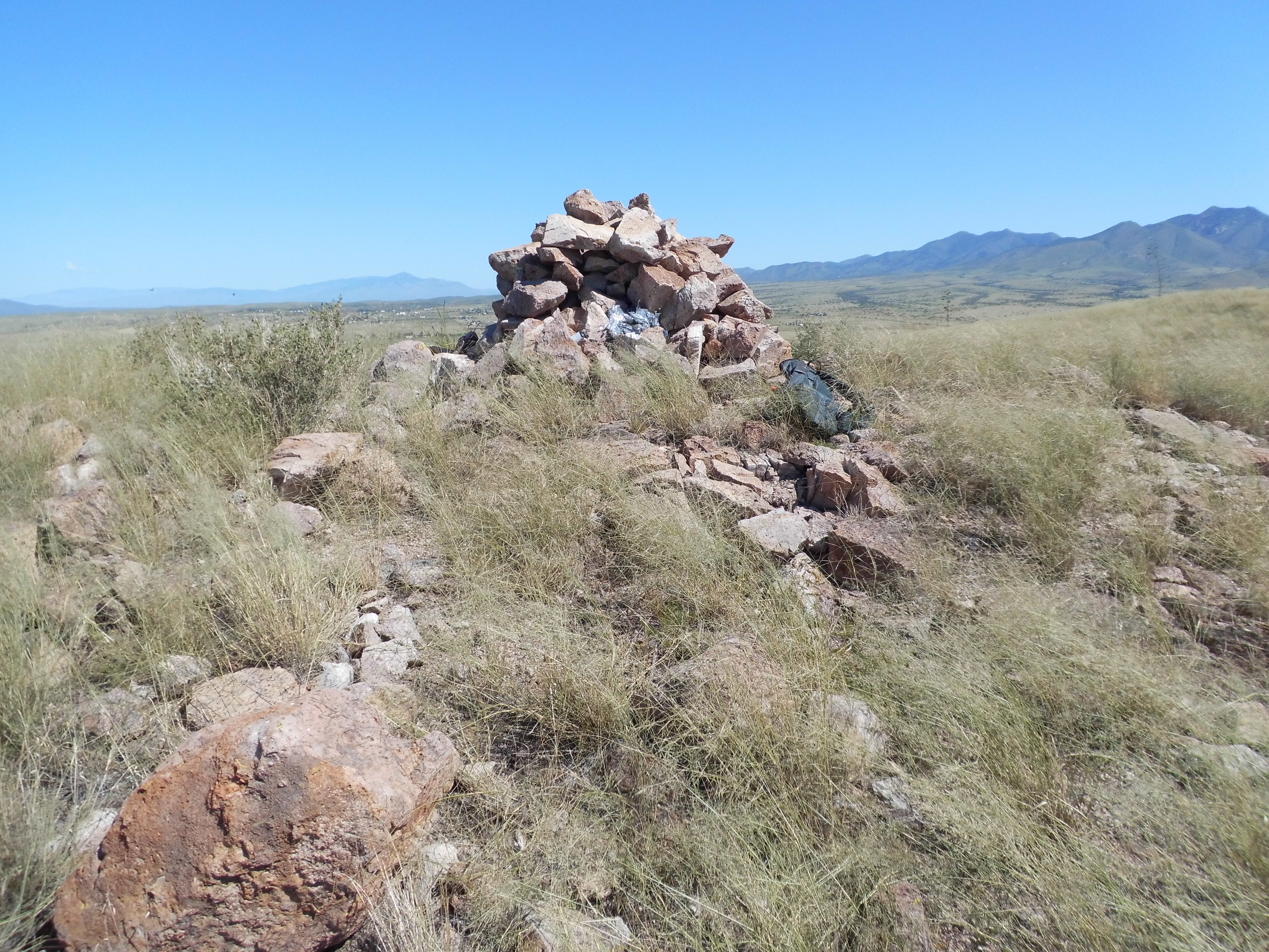
On top of 5308
Now, I was truly done with the Mustang Mountains, the climbing at least. But something was lingering in the back of my mind, something on which I needed closure. I drove to the ranch house which I had visited 26 years earlier, the one where I’d stashed my bike. As I pulled up, I saw a man outside mowing the weeds around the mailbox. When I got out of my car, he noticed me, removed his ear protectors and turned off the machine. I walked up to him and introduced myself, then launched into my story. He listened patiently as I told him how I had stopped in those many years ago, asking to park my bike there for a day while I climbed. The farther I got into my story, the more attentive he became. “That sounds like you had a really challenging day”, he said. “Almost 5,800 vertical feet and close to 14 miles on foot filled up my 10-hour day” was my response. I’m not sure he could relate to those numbers, but after listening quietly to my story he told me that he would have been 8 years old when I had stopped in, and had no recollection of my visit. When I pointed up to the band of cliffs above the house and told him how I’d had to skirt them on the west to get down, he then told me how he’d once been “up there on top and killed a lion” – a mountain lion, of course – interesting. I had a bit of a look around, thanked him and moved on. It now felt like I had come full circle with the Mustangs.