
All of a sudden there was a mighty lurch and my truck tipped dangerously to one side. God help us, this was no place to have a problem! I was a long way off the beaten path, far from help. But I’m getting ahead of myself – let me go back to the beginning.
It was my fall break, and I was in the middle of a glorious week of school vacation. For as many years as I could remember, mid-October’s weather had been hotter than usual. I always went climbing at this time, and in previous years I had toiled in temperatures close to 100, a good 10 degrees and more above normal. This year was different. The remnants of Hurricane Rosa had pummeled the state, bringing record rainfall and blissfully-lower temperatures. It was a welcome relief in this parched land, so I seized the opportunity.
I had started by climbing Oatman Mountain and Face Mountain, then had moved all the way around to the eastern end of the range. The Gila Bend Mountains boasted 120 peaks, more than any range in the state. I’d done some climbing there 20 years earlier with friends from California, and the range high point way back in the 80s, but other than that I’d left the range untrodden. It was high time I explored more of it. From the town of Gila Bend, Arizona I headed north on old US Highway 80 for 25 miles, where I crossed the old Gillespie Dam Bridge.

The old Gillespie Dam Bridge
Four miles beyond it, I turned west on the Agua Caliente Road. This is a well-graded dirt road which winds for 40 miles through the back-country of the Gila Bend Mountains. After only one mile, though, I turned off on an obscure road which headed into the hinterlands. Poison Well was the first landmark along the way – the name was pretty intimidating, but there was still water being pumped into a trough, so I assume cattle still find it palatable.
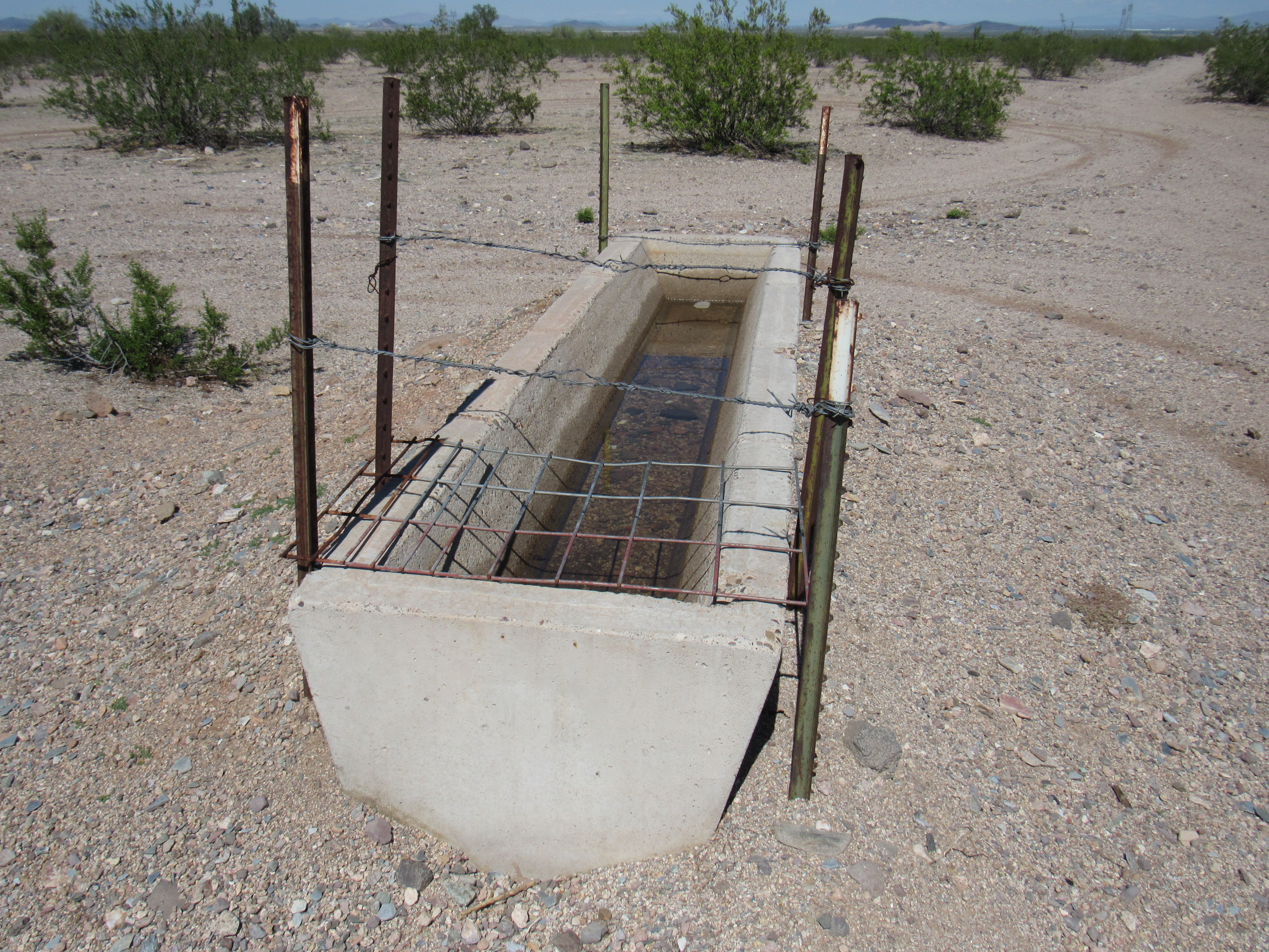
Poison Well
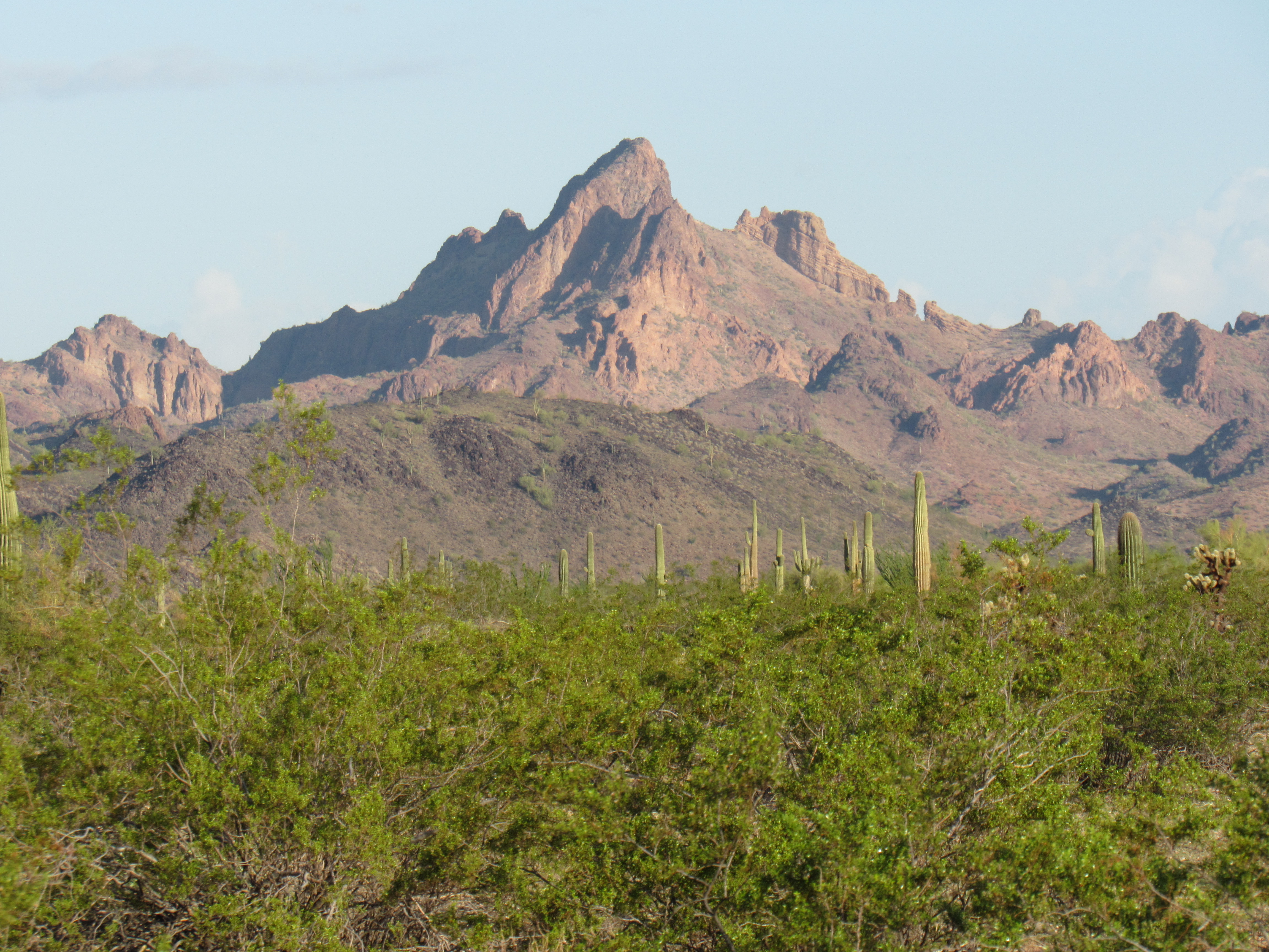
Another 6 miles of driving took me to the end of a jeep road, where I parked – this was as quiet a spot as one could imagine and I’d camp here for the night. Since it was still so early in the day, it seemed like a good idea to climb a couple of nearby peaks. The first was Peak 1641. It was quick and simple, but the mountain was comprised of decomposing granite, making for a loose, slippery climb.
Peak 1641
Right next door was Peak 1555, and it too was quick work.
Peak 1555
As I sat snacking on the summit, I looked to the north and saw this. It was the Palo Verde nuclear power plant. It is only 14 miles from Peak 1555 (this is a super-long telephoto shot).
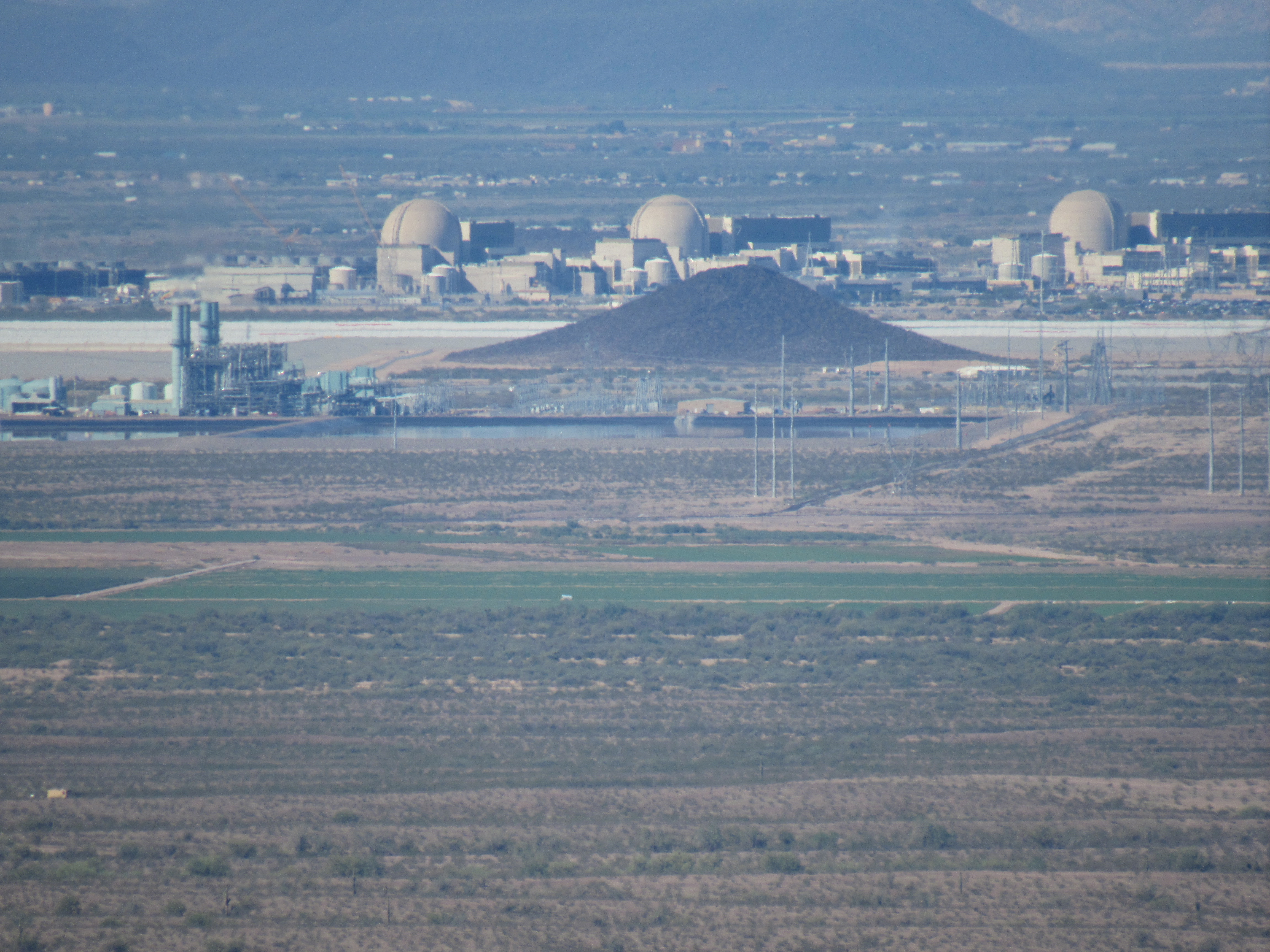
Palo Verde
The plant has a combined 4.26 GW possible output from its 3 reactors, making it the largest in the USA. Unlike most others, it is not built near a large body of water. If there were a meltdown here, the 4 million inhabitants of metro Phoenix would be S O L. With that reassuring thought in mind, I headed back down to my truck.
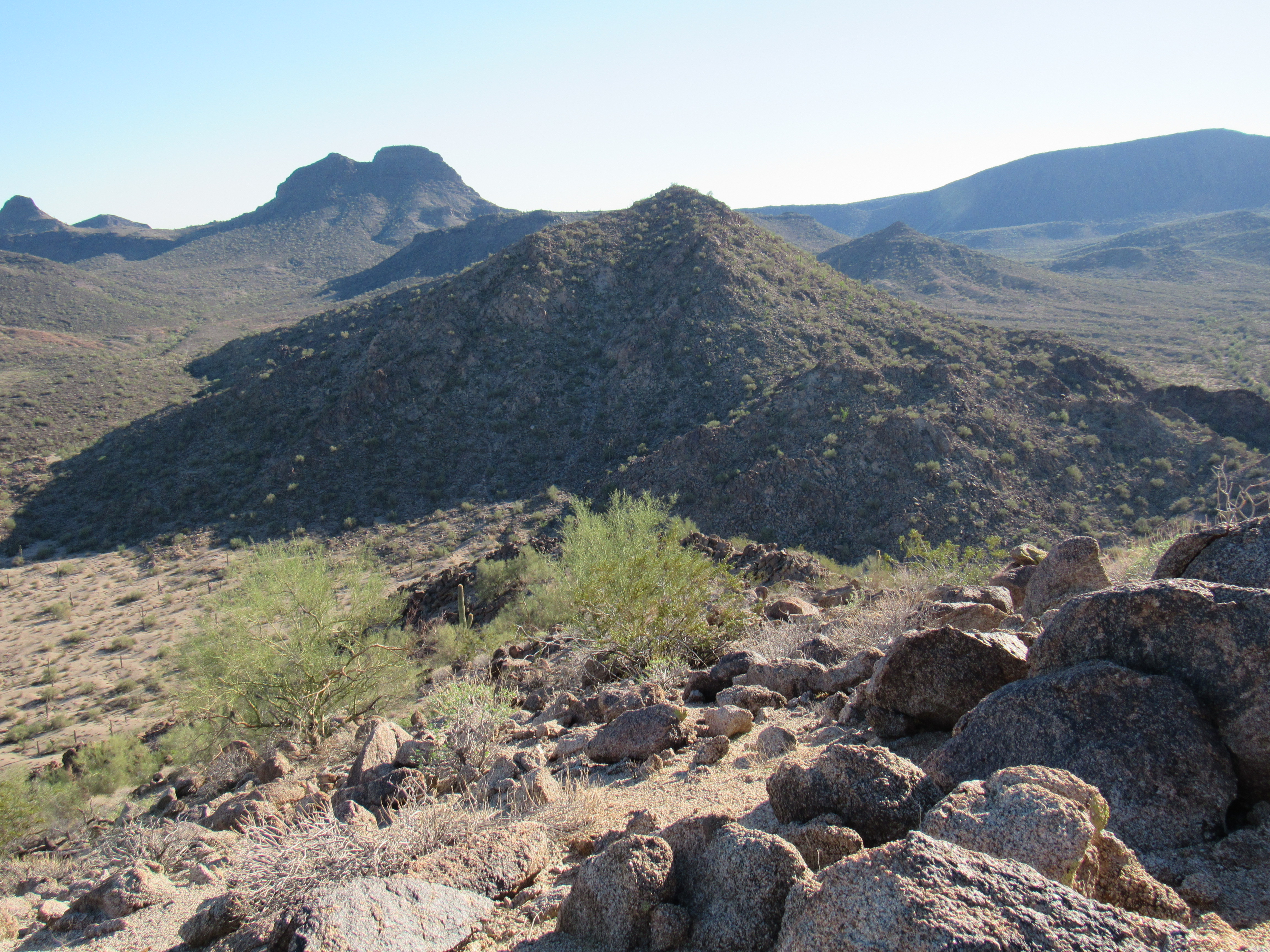
At first light the next morning, I set out for a day of climbing. An old road headed in my direction, but I chose instead to walk up the wash, to experience the valley more on its own terms. A couple of miles later, I crossed a divide into another drainage. Although not on my agenda, I was passing by some striking peaks. This one was Peak 2216.
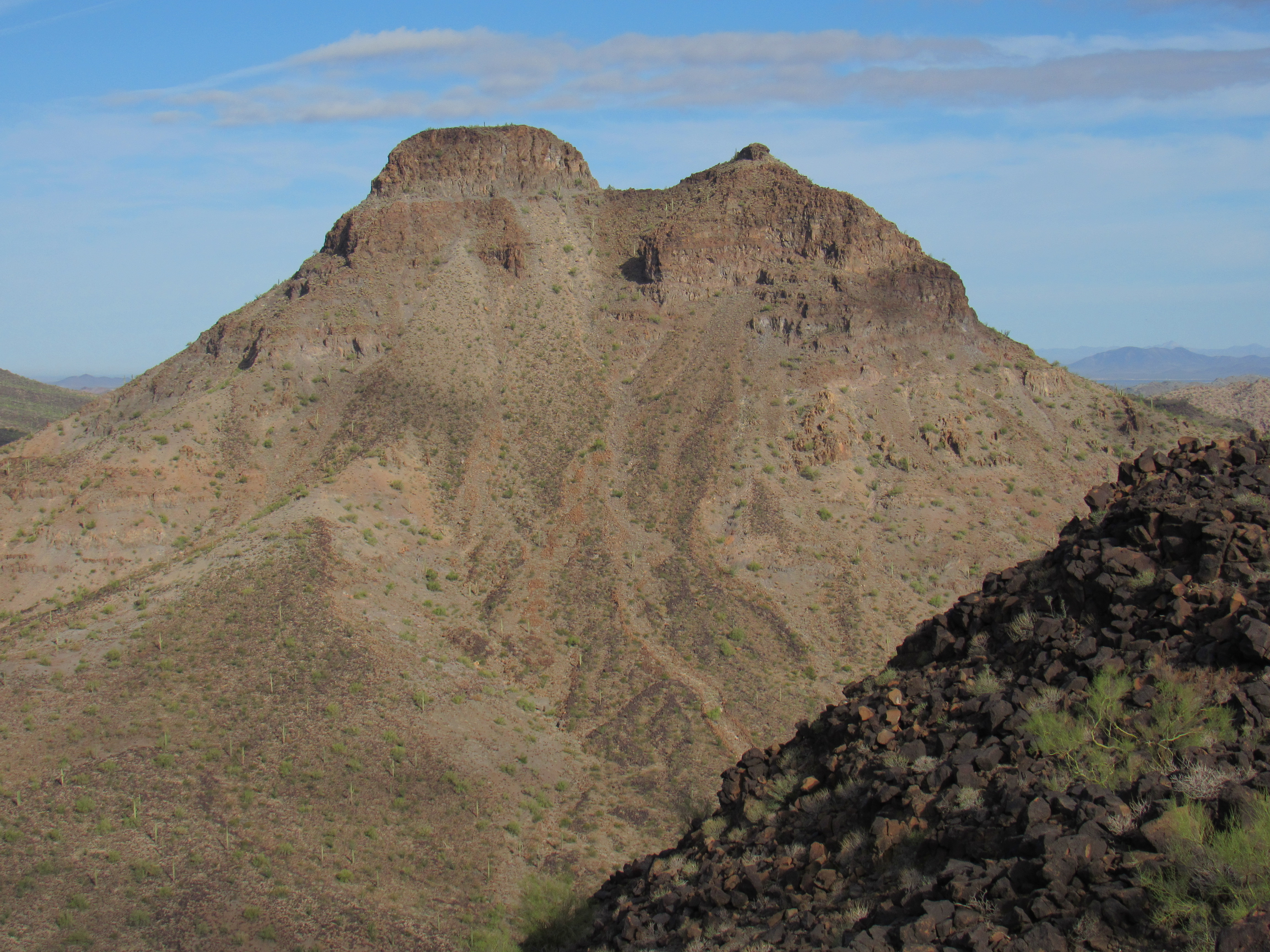
The south side of Peak 2216
Here’s another one along my way, Peak 1921.
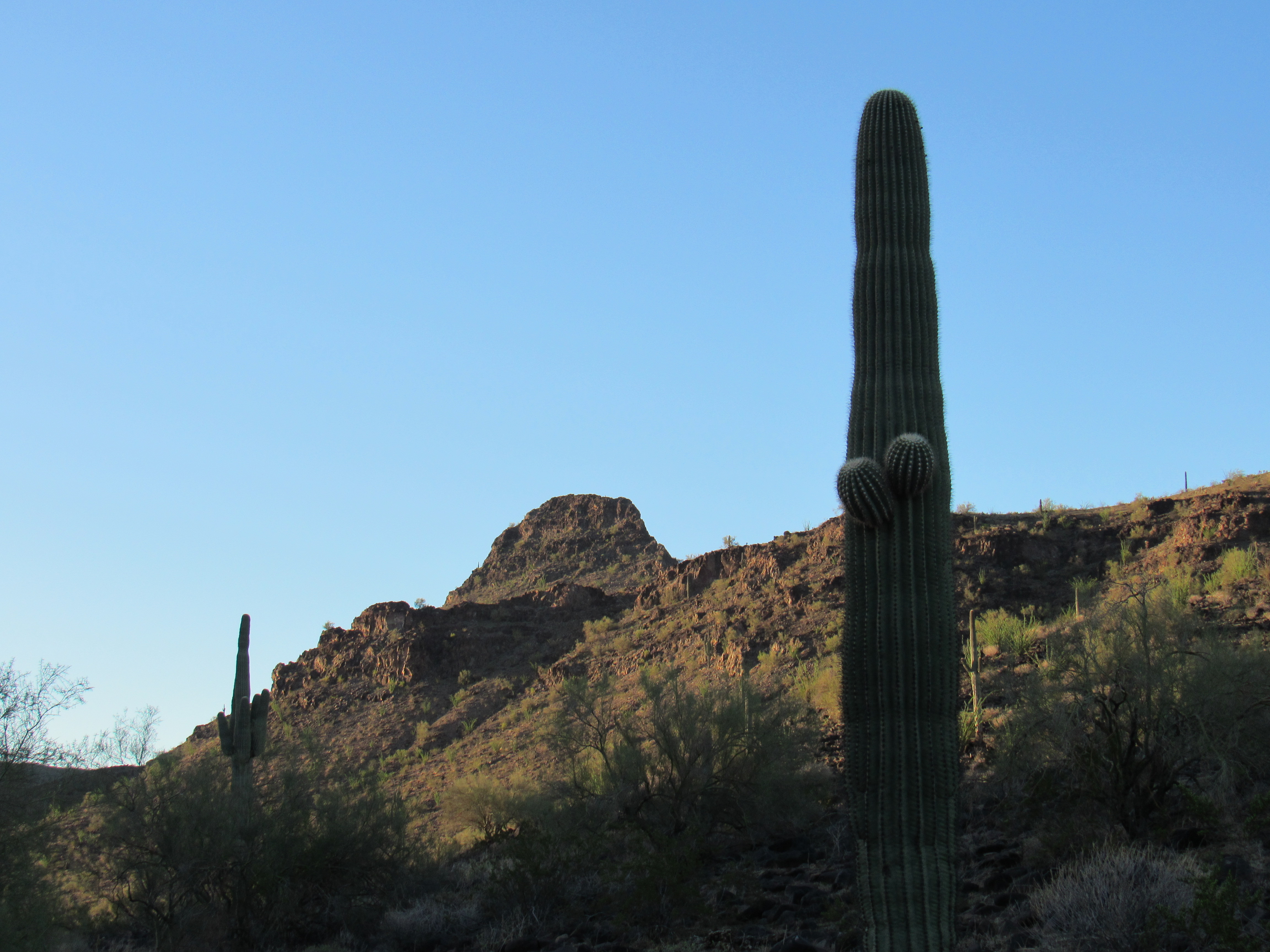
The north side of Peak 1921
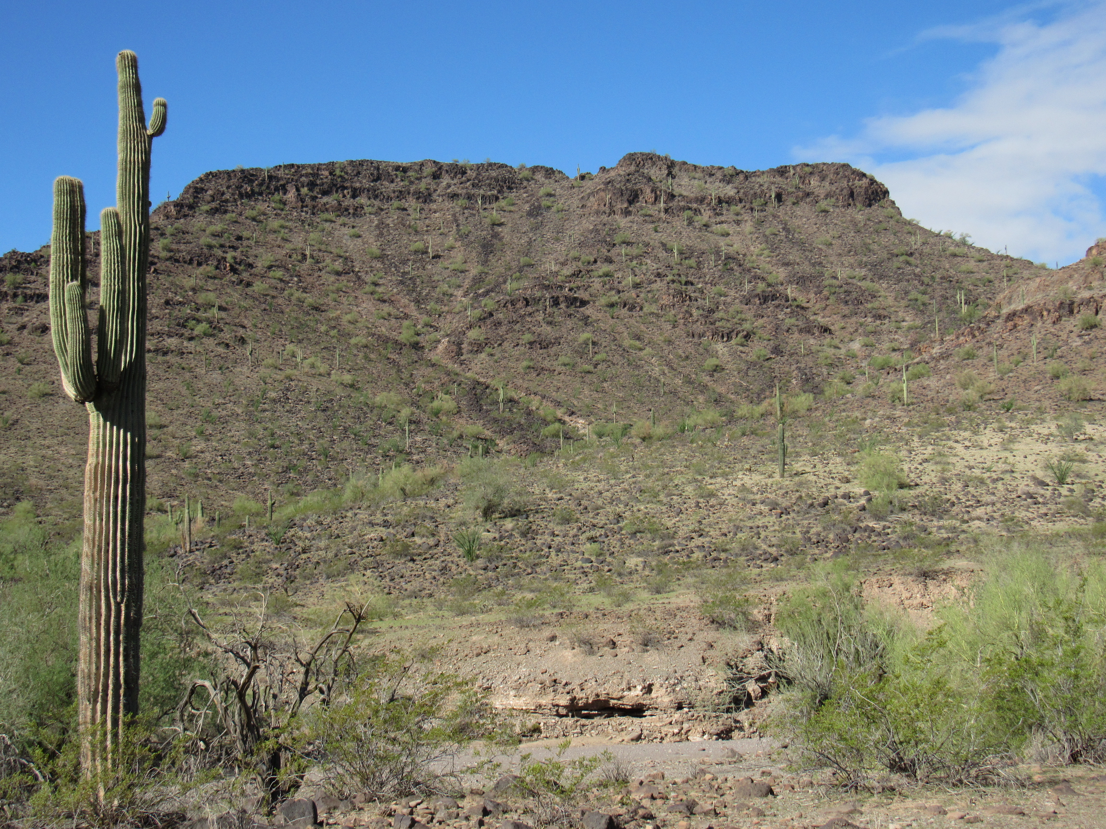
And perhaps my favorite, Spring Mountain as seen from the south.
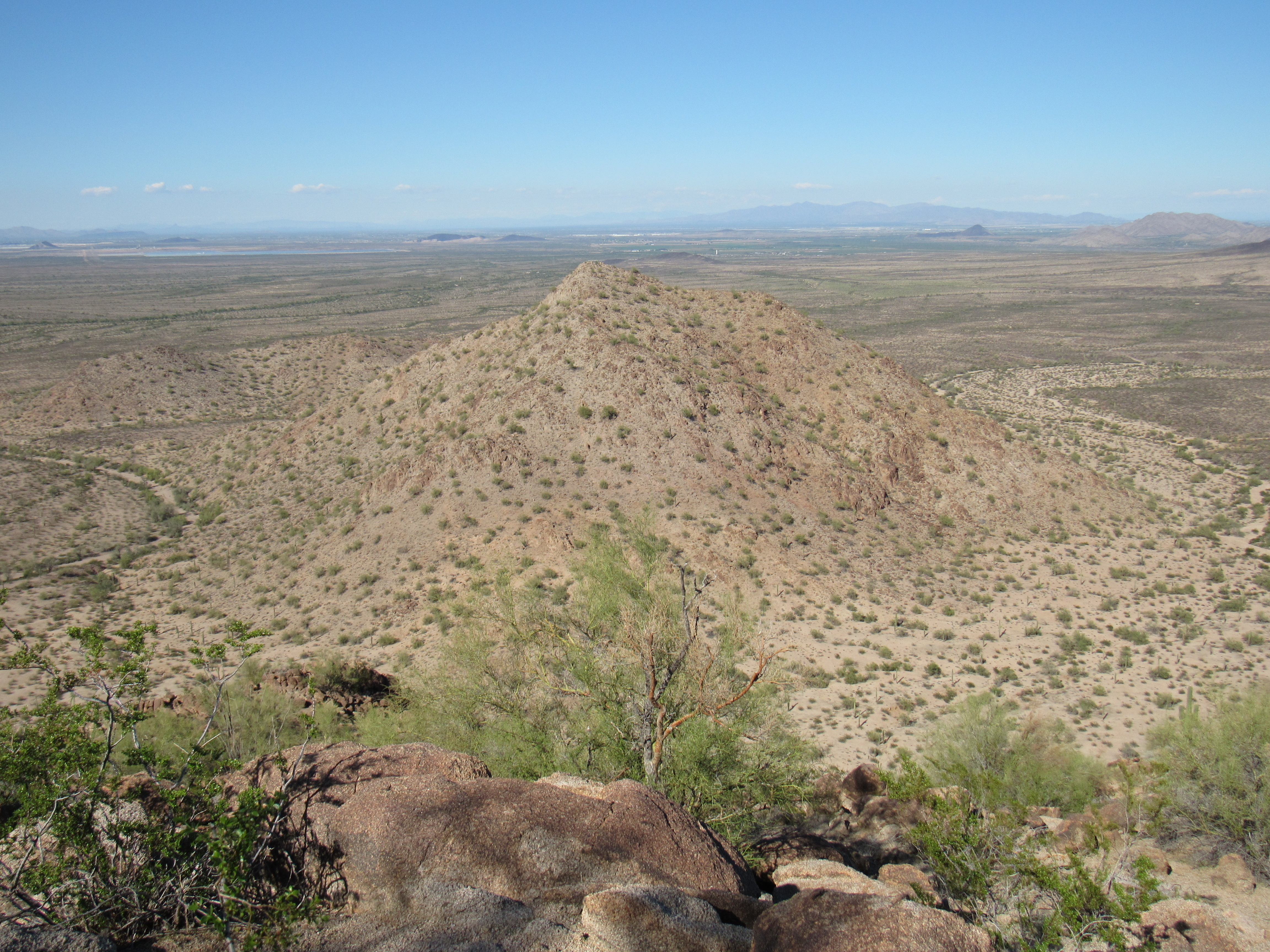
So here’s what I spent almost 3 hours in reaching, the rather unimpressive Peak 1820.
The east side of Peak 1820
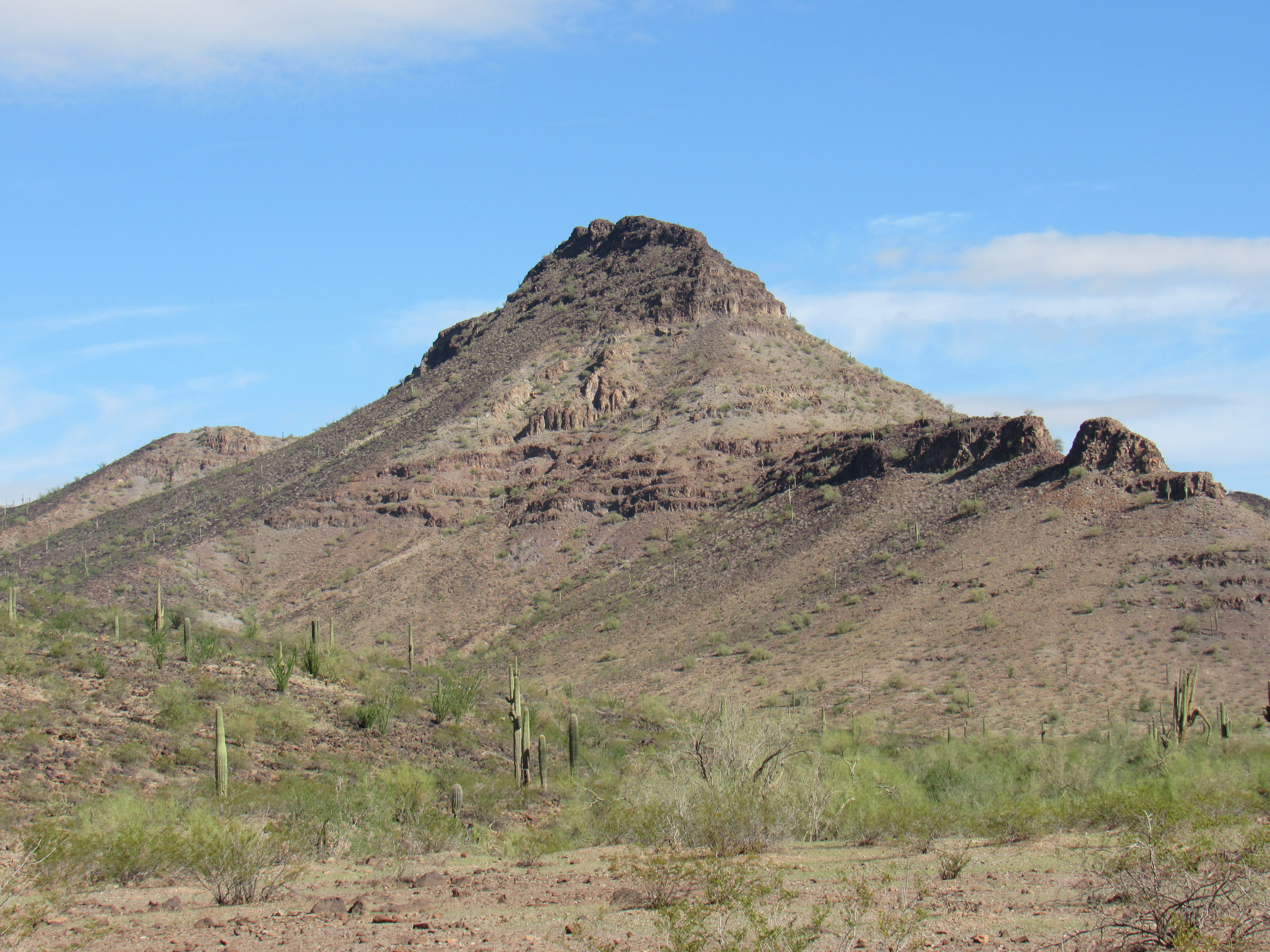
I couldn’t see any sign of a previous visit, so I left a register on its summit. Back down in the valley bottom, I made better time than my trip in, having espied easier terrain from on high. Back at the divide, I had a good look at the other peak I wanted for the day, another unimpressive bump known as Peak 1664.
Peak 1664, seen from the southeast.
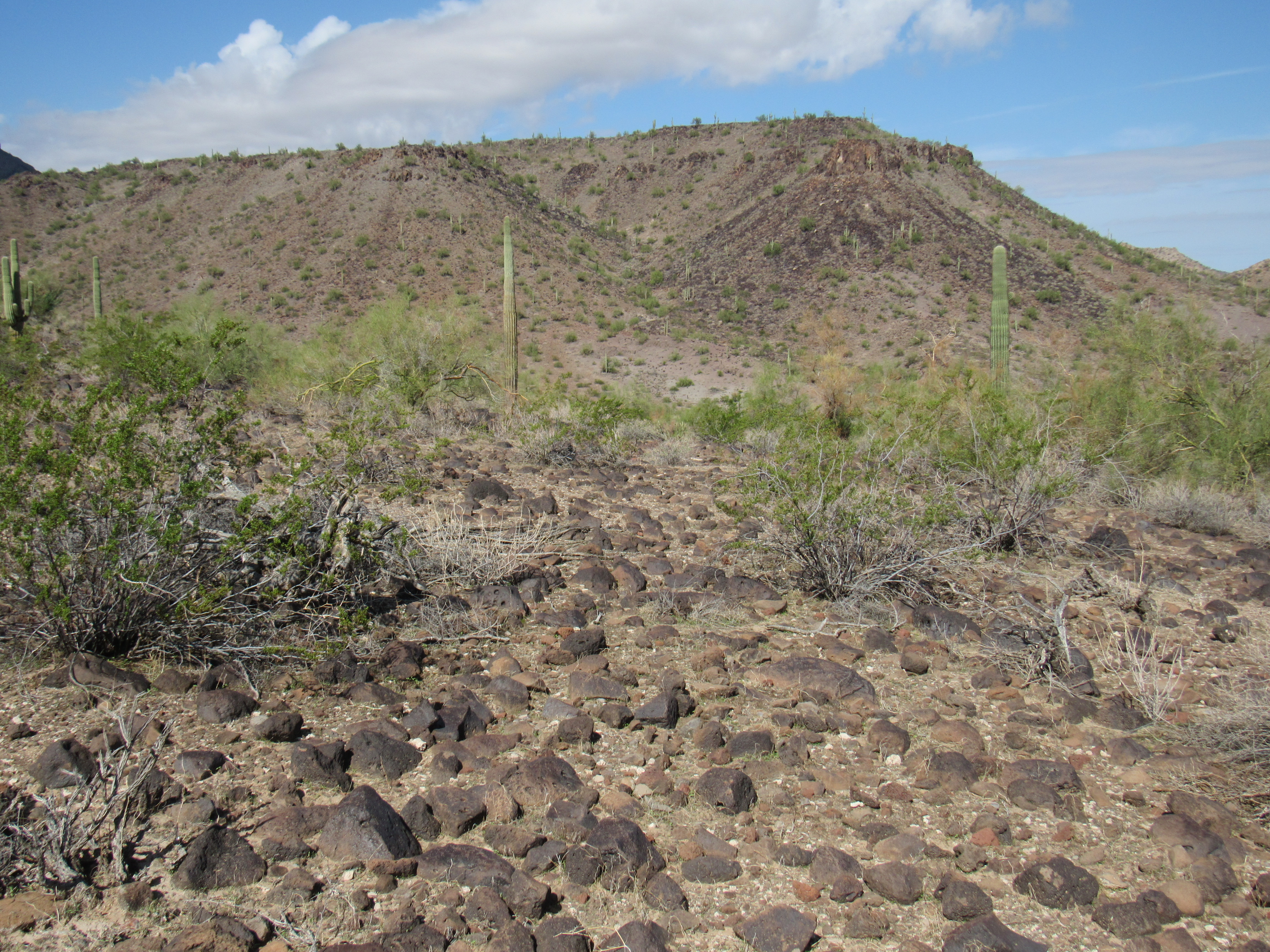
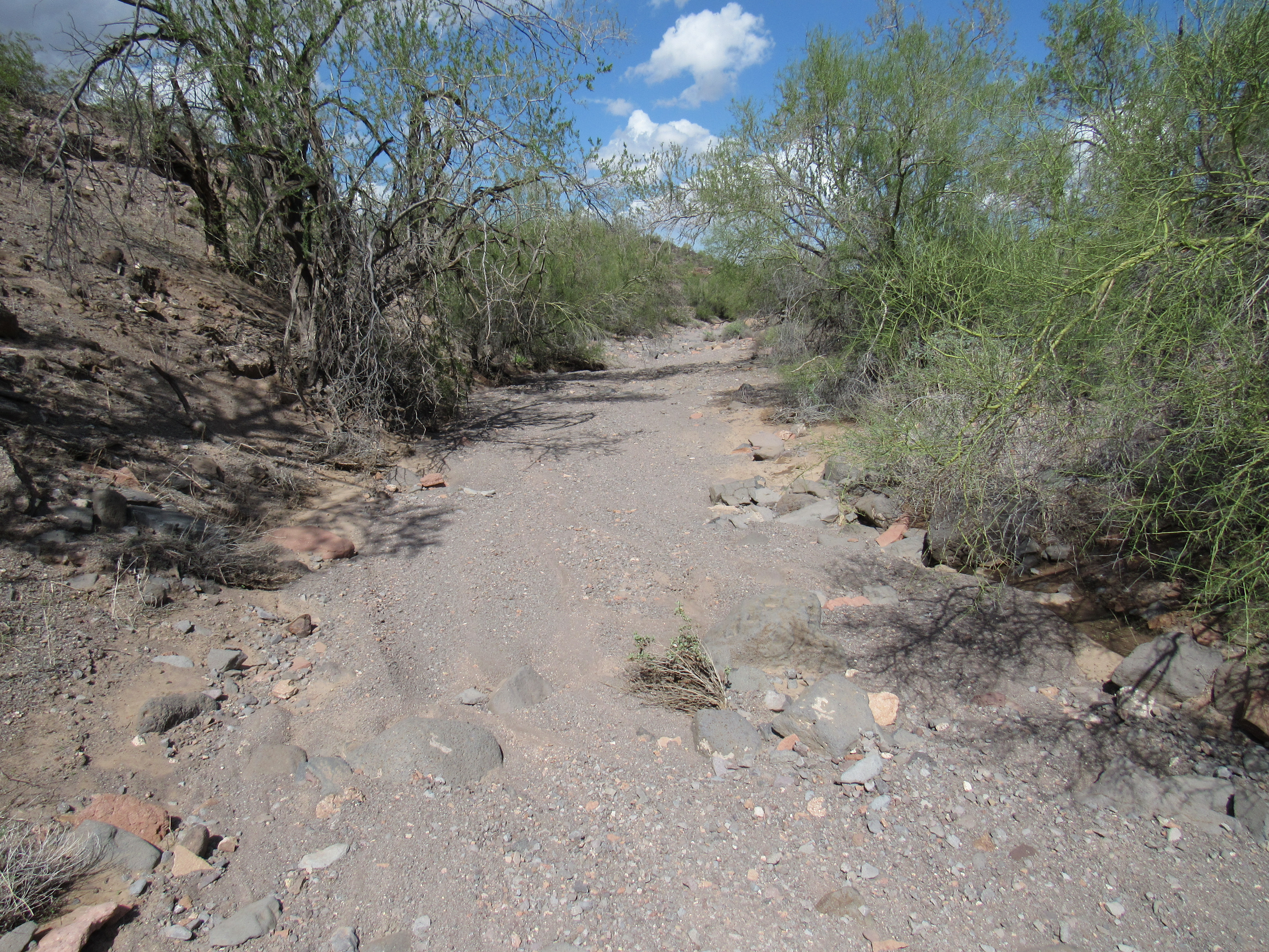
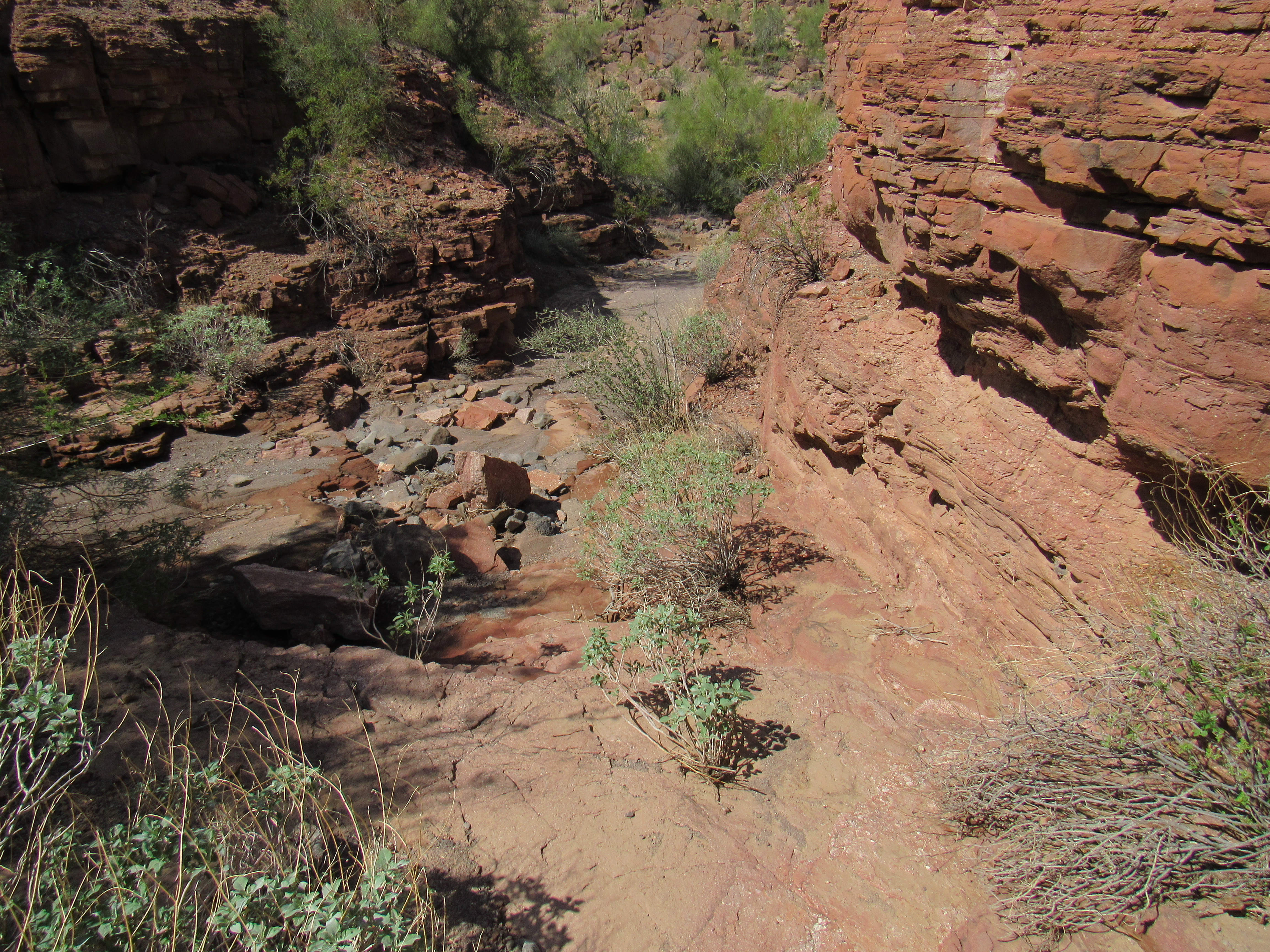
Once again, there was no sign of a previous visit so I left my mark. It was almost 2:00 PM when I reached the divide where I’d left a quart. At this point, I could have followed an old road back to camp, cutting my return time in half. However, the day was fair and I wasn’t in a hurry, so I decided to descend the wash and see what I could see. Many of these are a mix of sandy bottom and rocky walls.
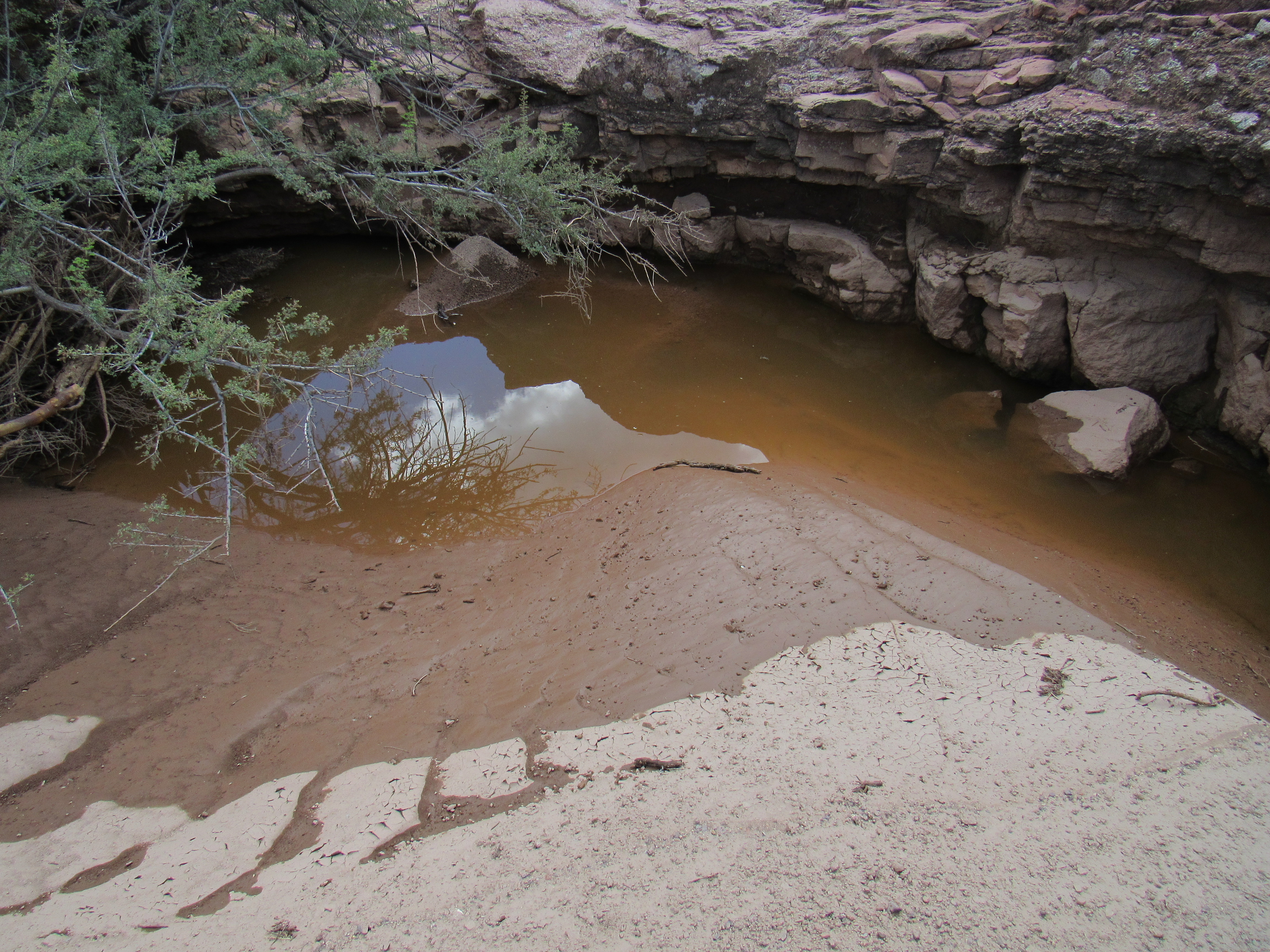
Due to recent rains, this normally-dry wash still held pools, a boon to wildlife and also human travelers.
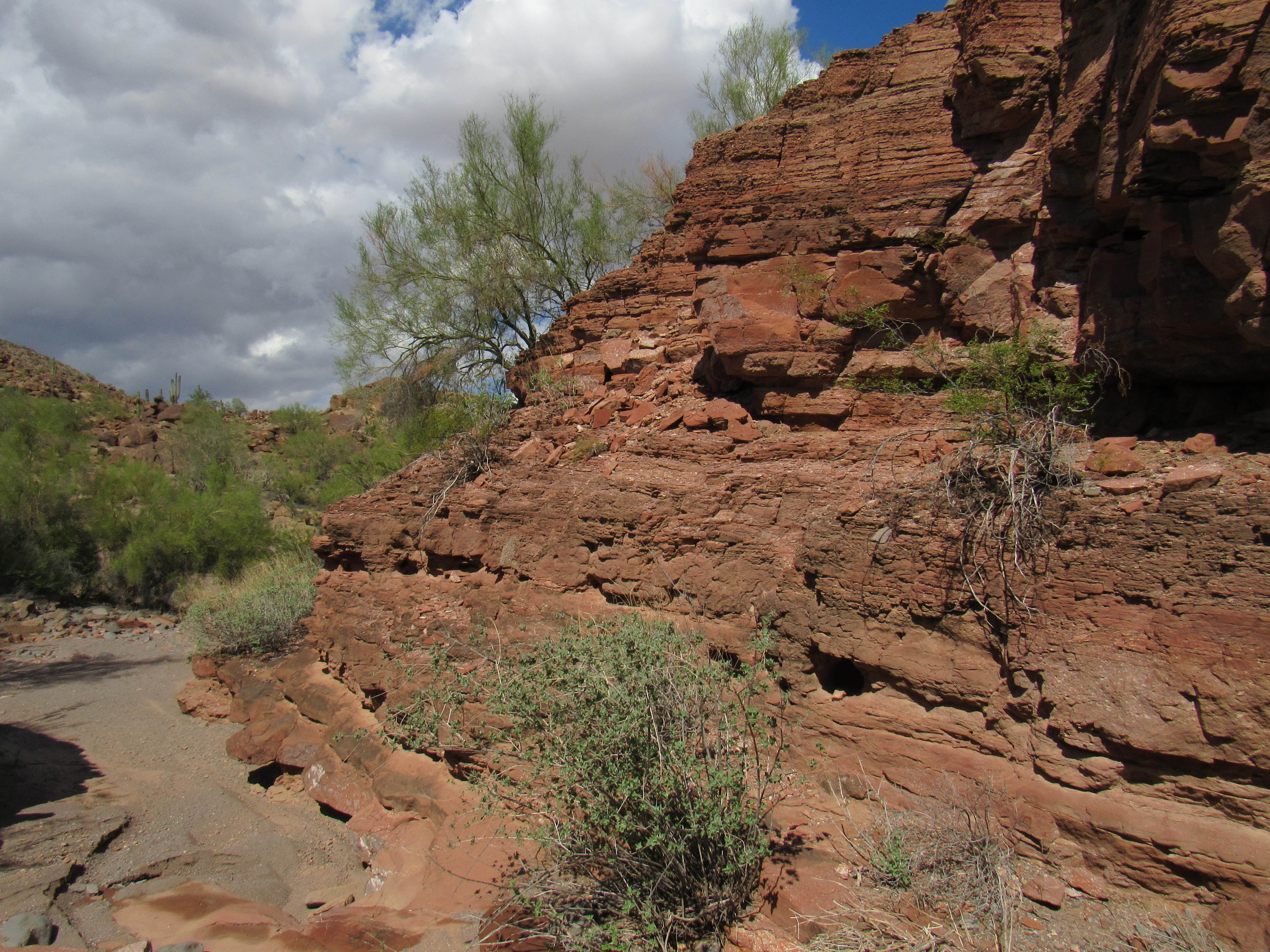
There were several drop-offs to negotiate.
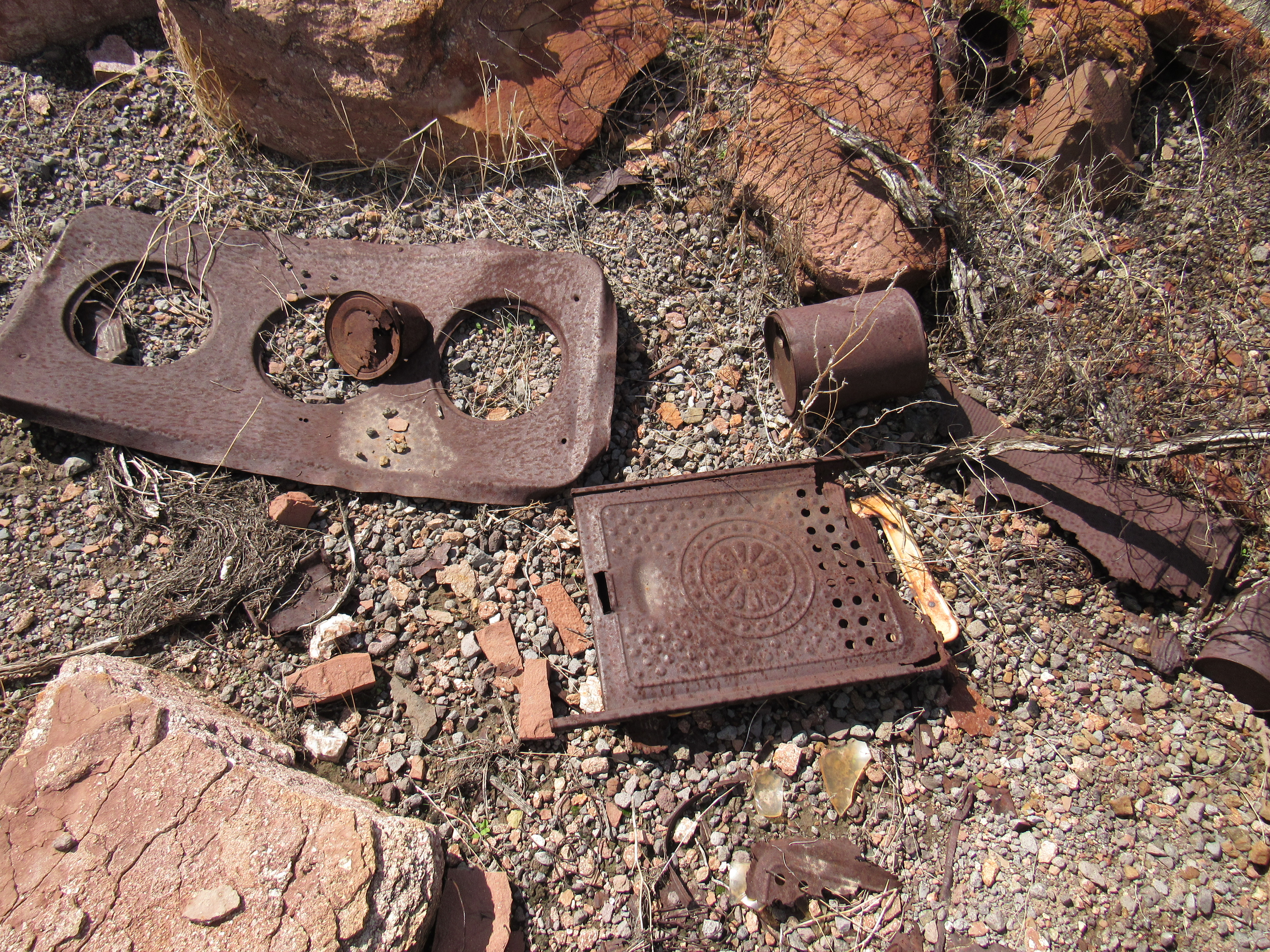
Prospectors had worked this area many years ago, and I found traces of an old camp.
Eight hours had passed by the time I regained my truck, My feet were sore, and I was glad to be done. It was only 2 o’clock, still plenty of time to head deeper into the wilderness, so I started driving. It was a fine, sunny afternoon and I was in high spirits – I love driving into new areas and this would fill the bill. By the time I had driven a few miles, it was becoming apparent that the road had badly deteriorated since I was last here. Granted, that was 31 years ago. You might not need 4WD for it, but certainly high-clearance. So there I was, motoring along and minding my own business, when my day was abruptly turned on its head – I didn’t even see it coming.
Picture this: the road was straight and level. It was rough, yes, filled with all manner of rocks and pits, but all I had to do was steer carefully and not hit anything too big. My old Toyota truck has high clearance, so that’s in my favor. Well, for some reason I cannot clearly recall now, I zigged when I should have zagged. I was over on the left side of the road, and my left front wheel dropped down suddenly. I was in four-wheel drive, low range, which gives me my best traction. Hmmm. I tried to move forward, but couldn’t. I tried to back up, but could only go a foot or two and then was stopped. I tried going back and forth several times, but it only got worse. I was truly stuck.
I needed to get out and see what was going on. Just one problem – the truck had lurched so far over to the driver’s side that I couldn’t open the door far enough to get out! It was a struggle to work my way out of the passenger door, but I did it. I could then have a good look around and assess my situation. Here’s where things stood.
My left front wheel was in a deep hole. The ground in front of it was too steep to drive up, and behind it was a large rock. My left rear wheel had several rocks behind it, preventing that wheel from backing up. My right rear wheel was up in the air, not touching the ground at all. The right front wheel was stuck in sand.
I had work to do. Given how far I was from help (it was a walk of 8 miles back to a road where I could flag someone down), I was surprisingly calm. This mess was created by me, and I was going to have get myself out of it. As I examined the state of affairs for each wheel, I figured I’d go after the worst one first – that would be the left front wheel. I had to get that big rock out from behind the wheel and out of the deep hole. Thankfully, my truck has a lot of clearance, so it was easy to crawl underneath the back end and make my way forward to the rock. Jeez, it was as big as a breadbox and must have weighed as much as I did. It was slow, painful work to drag it up from the hole and then work it to the rear and out from under the truck. That done, I rolled it safely out of the way. The deep hole was still going to be a problem, though. Thankfully, I always travel with a short-handled shovel. I walked to the top of the embankment, the one preventing me from opening the driver’s door. Digging away the edge, I pushed the mixture of dirt and rock down into the hole – it took a while, as it was deep. Finally, I felt I couldn’t do anything more to help that wheel.
The left rear wheel had a lot of grapefruit-sized rocks behind it, and it didn’t take long to move all of them out of the way. The right front wheel only needed some shovel work to move the sand out from around it. The right rear wheel, the one that was up in the air and getting no traction at all – I had a fix for that too. I found a bunch of flat rocks, built them up under the wheel, and then came the pièce de résistance. Back at home, my wife had thrown out a 6-foot strip of carpet – I thought it might come in handy while camping, so threw it in the truck. I now arranged it under the wheel, jamming it between the rocks and the rubber. I knew that carpet could help gain traction. In fact, there’s a notorious stretch of road in the Galiuro Mountains with an outrageously-steep bit known as Carpet Hill. Over the years, many have brought pieces of carpet and laid them in the worst spots to help vehicles make the climb. I hoped this idea would help me now.
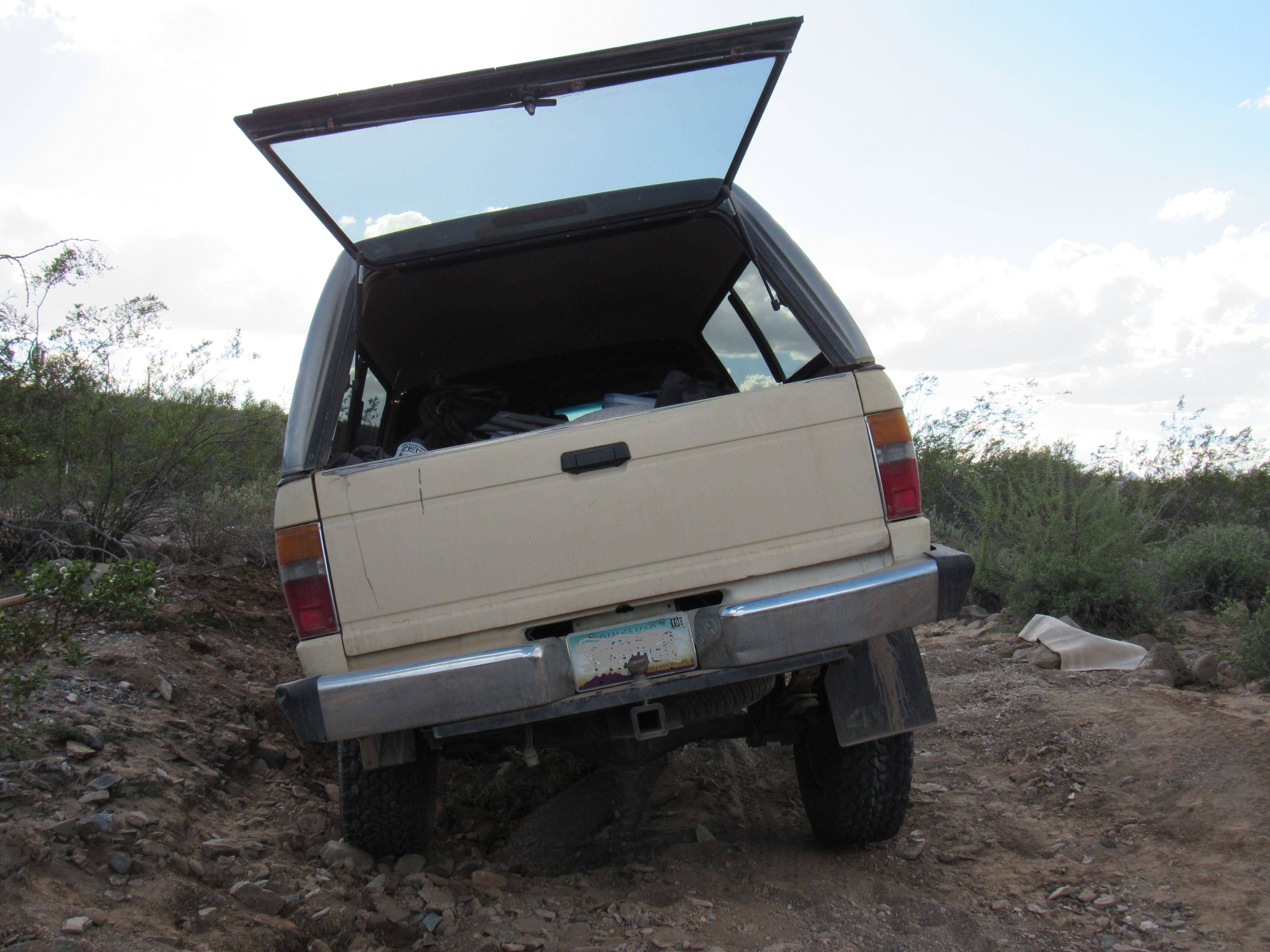
As I stood back to survey my hour’s worth of effort, I couldn’t think of anything else to help me out of this predicament. I made my way back behind the steering wheel and started the engine. Man, this had better work, ’cause I was all out of ideas. I put it in reverse and gave it gas and, hallelujah! – I backed out in one smooth motion and out of my predicament. What a relief! Here’s a picture I took earlier, before I had resolved all of the issues.
You have to know that I felt like I’d just been given a reprieve by the Governor. Not wanting to tempt fate, I drove a 200-foot stretch through the desert around the bad spot to avoid it altogether, then continued west on the rough road. My world seemed much brighter at this point. As I calmed down, I could start to enjoy the scenery once again.
From many places in this huge range, it’s hard to miss the paterfamilias, the elephant in the room – I’m talking about Woolsey Peak, the highest summit in the Gila Bend Mountains. At 3,171 feet elevation, it towers 2,000 feet above its surroundings and is so prominent that it can be seen from 100 miles away. As I drove along, I was taken back to April 7, 1987, the day I climbed it. Today I saw this road, a narrow finger of access on the north side – if it was there in ’87, I didn’t know about it.
The north side
What still sticks in my mind from that 1987 day is ……. well, several things, actually. I was alone, it was hot, I didn’t bring enough to drink and got leg cramps on the way out and I had no information on the best way to climb the peak. I parked miles away, un-necessarily far away. I headed in a southwesterly direction, over hill and dale, clueless. I finally made my way up the steep east side of the peak. By the time I stumbled back to my truck, the day was shot and so was I. Back then, I still hadn’t learned the hard ways of desert climbing. My records show that I’ve climbed over 1,400 Arizona peaks, but Woolsey was only #75, so I was still a novice and making silly mistakes.
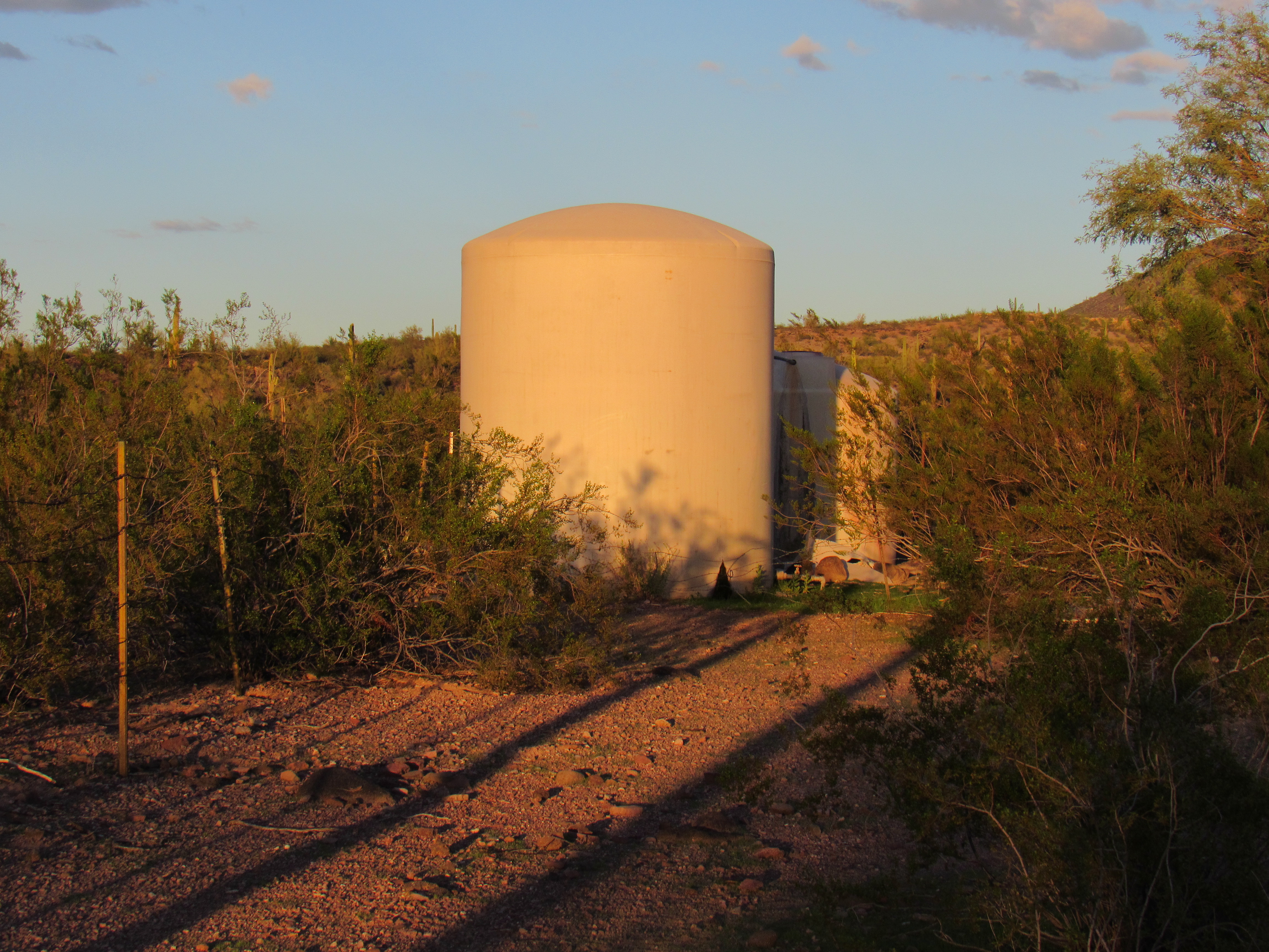
As the afternoon wore on, I drove roads that were new to me and finally arrived at my destination. Woolsey Spring was way out there in the Woolsey Peak Wilderness. The old windmill was still spinning away, still pumping water into above-ground tanks.
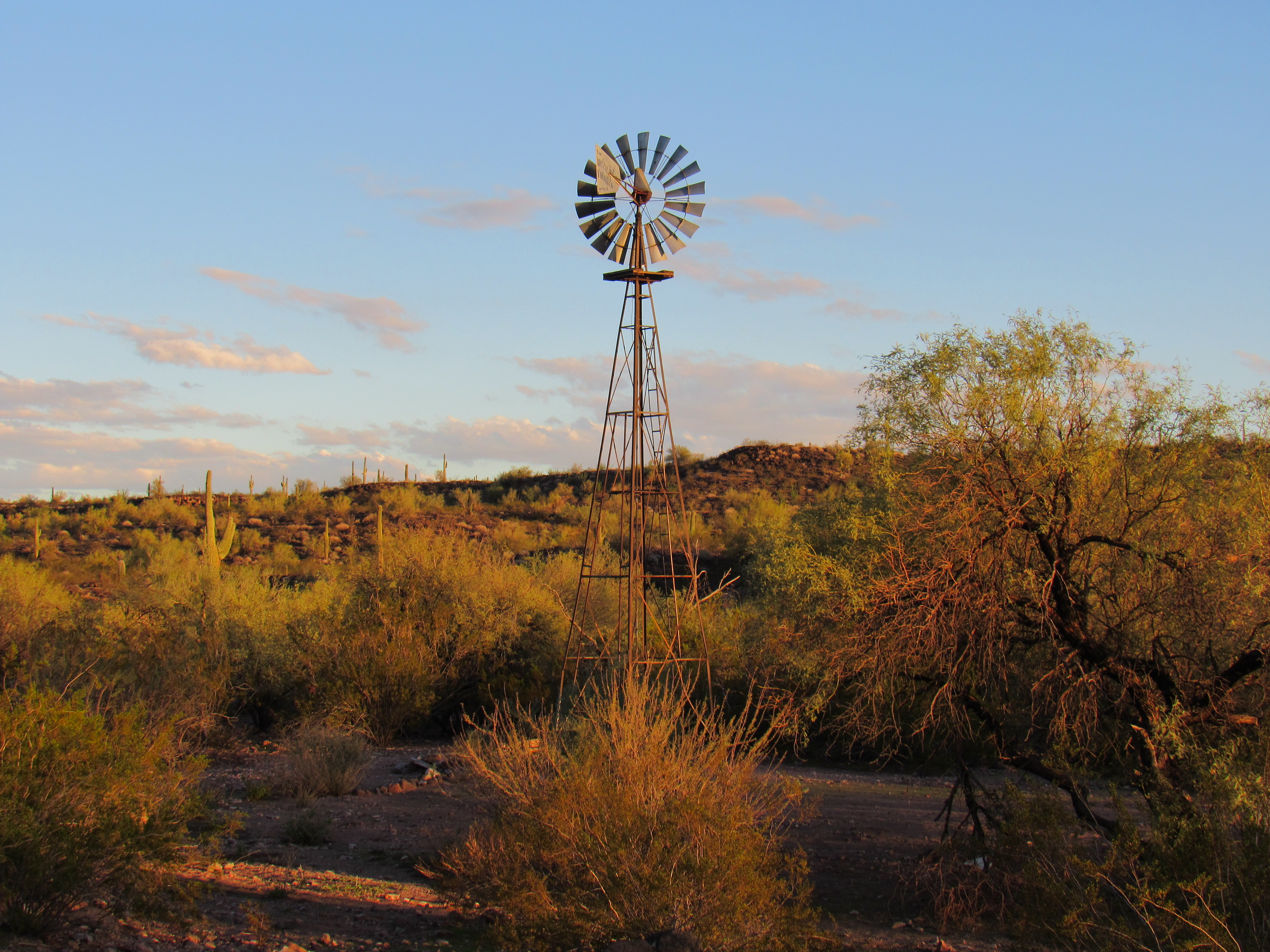
Woolsey Spring
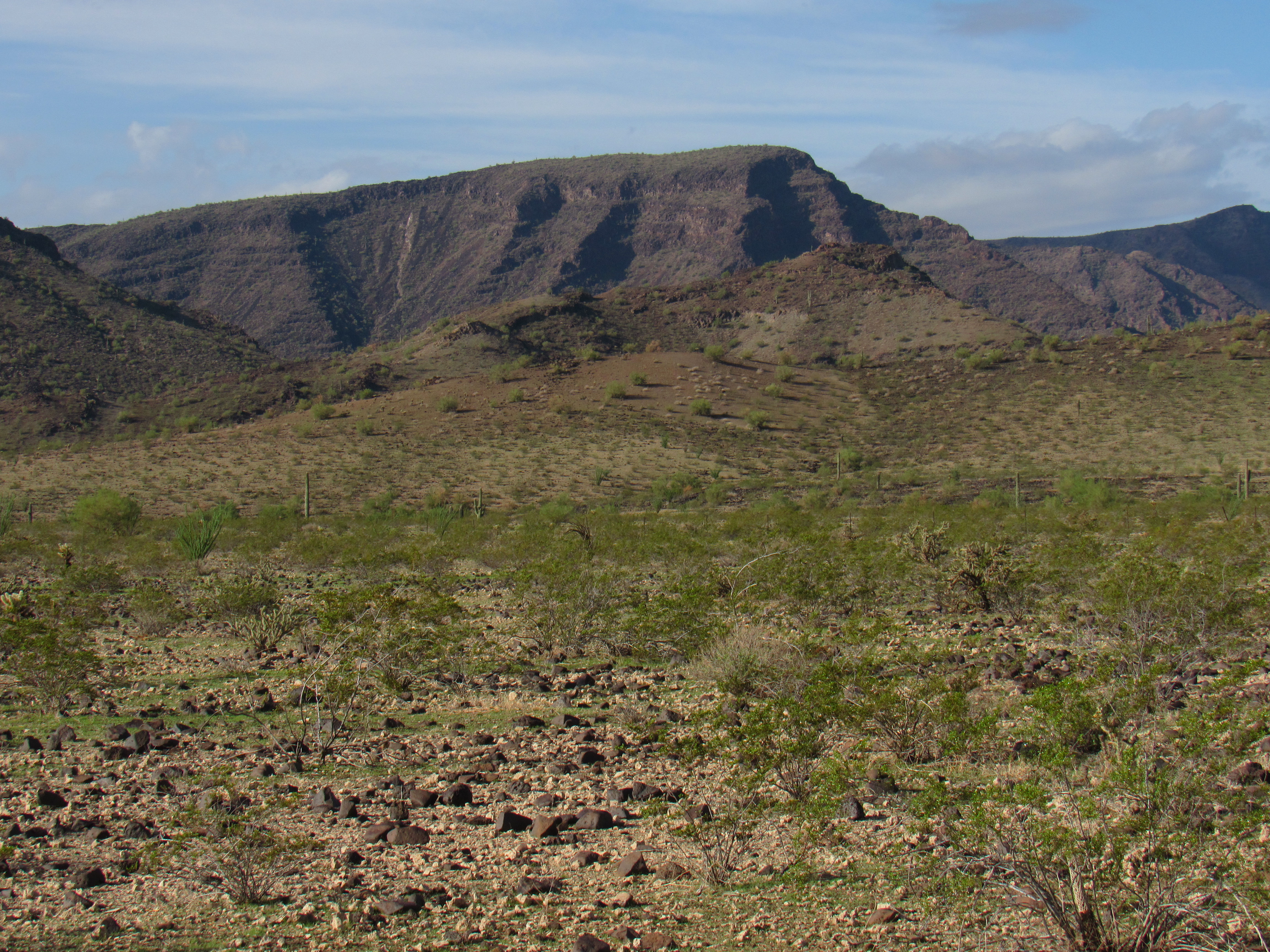
After a quiet night, I was moving at first light. I walked an old road south into the wilderness, then headed miles cross-country to the very remote Peak 1500. When I had my first glimpse, it was tricky to even identify it, sitting as it was in front of bigger peaks.
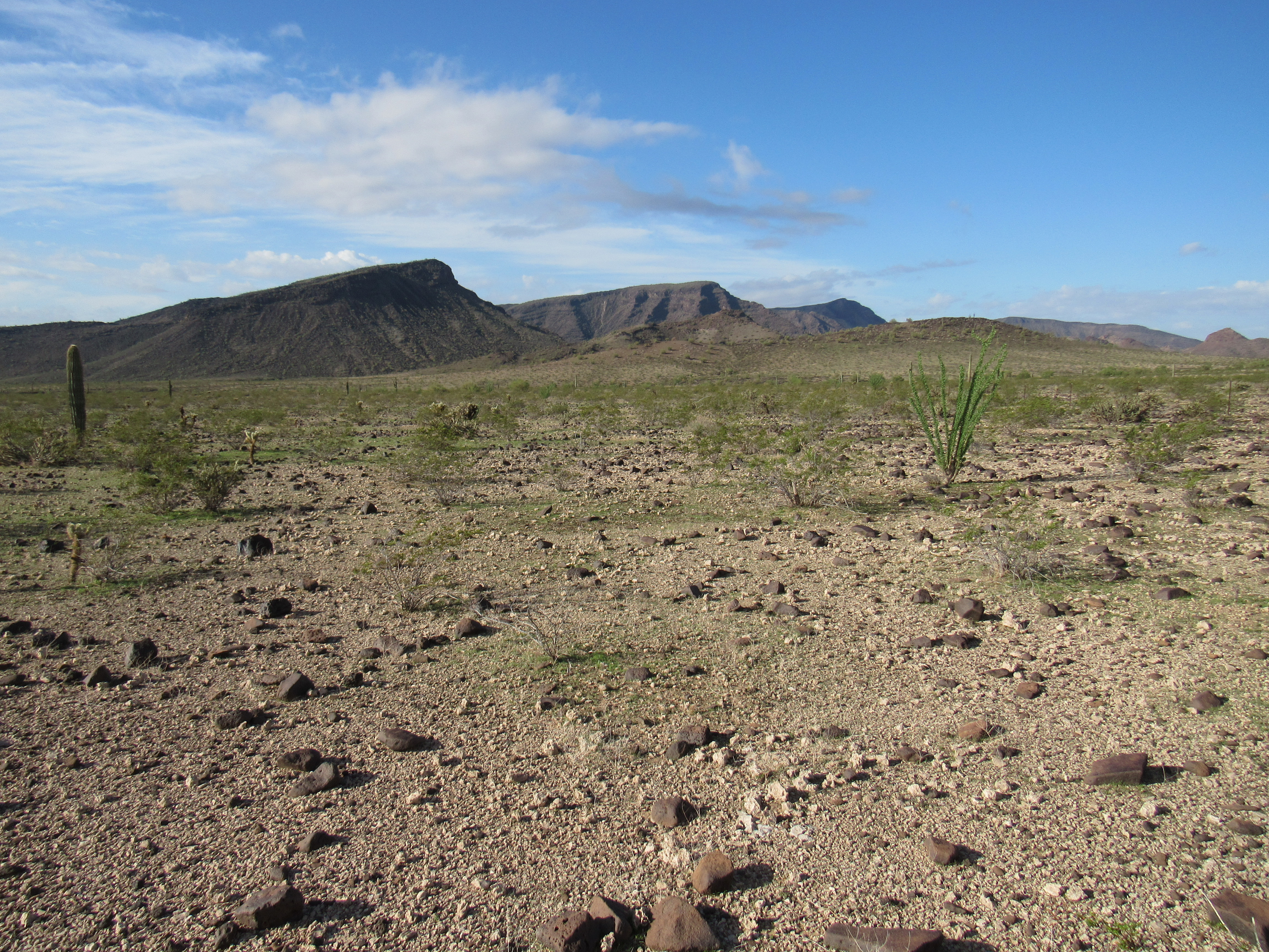
Where’s 1500?
Here’s a closer look. See the big dark peak on the skyline in the middle of the photo? Look below it – my peak is the lighter-colored one just a bit to the right of center.
When I reached the summit, there was no sign that anyone else had ever been there. I stayed a while and left my usual register. During the long walk back out, I had great views of another major peak in the area. This was Signal Mountain, the namesake of the Signal Mountain Wilderness Area. I climbed this Class 4 beauty with friends back in 2001.
Signal Mountain
Once I made it back to my truck, it was a 10-mile drive back out to pavement, and you can be sure that I gave the piece of road that had swallowed me up a wide berth. It had been an interesting few days in the Gila Bend Mountains, for sure. Thanks for keeping me company.