
Please be sure to read the previous installment called “The Clanton Hills – Part 1” before embarking on this next part of the journey.
Here I was, parked at the southeast corner of the Clanton Hills on the second day of my trip of discovery to the area. When I say “discovery”, I mean that I was here to ramble through this small group of hills, to explore its history, to appreciate its beauty and to have a good time while I was at it.
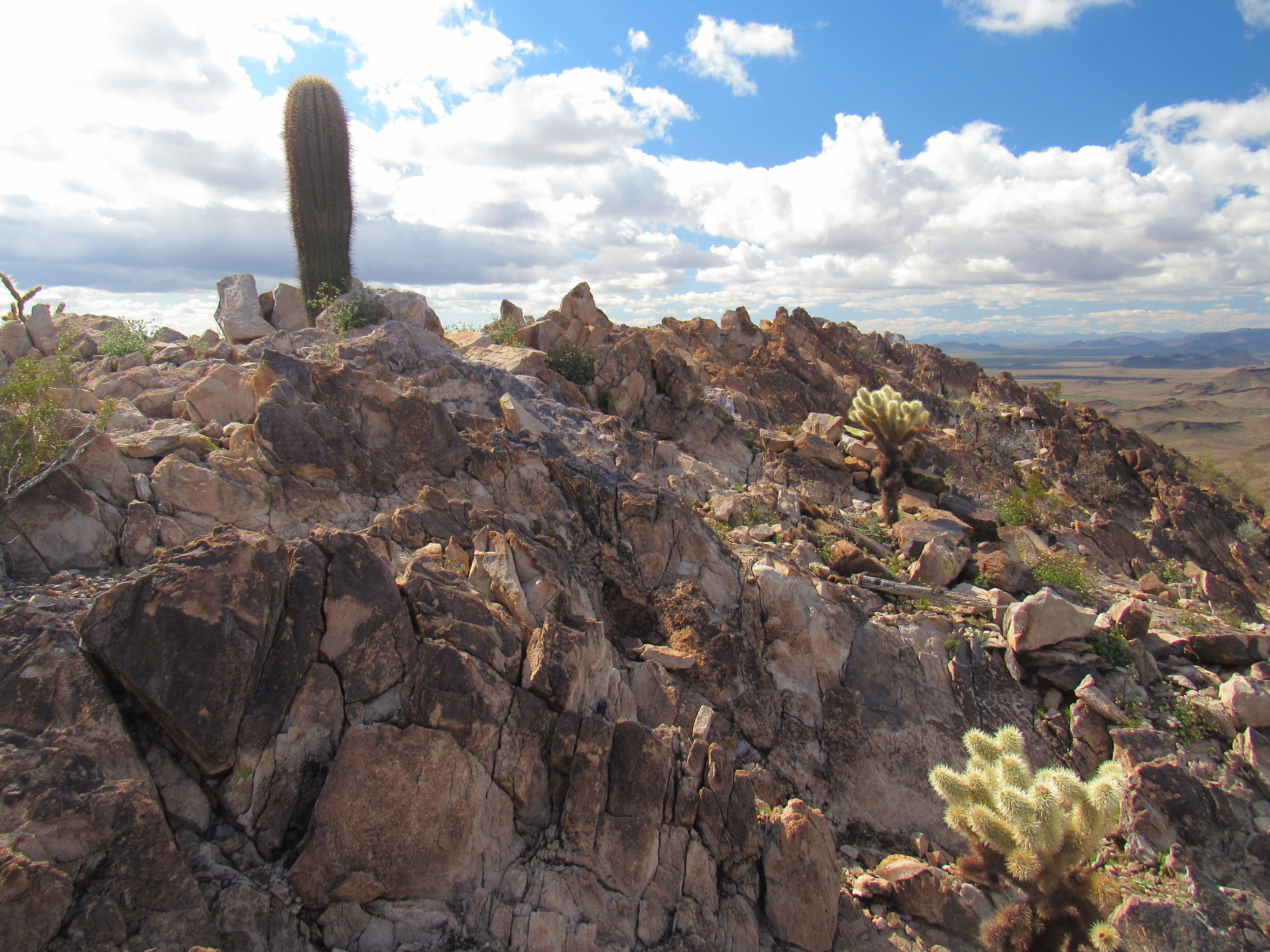
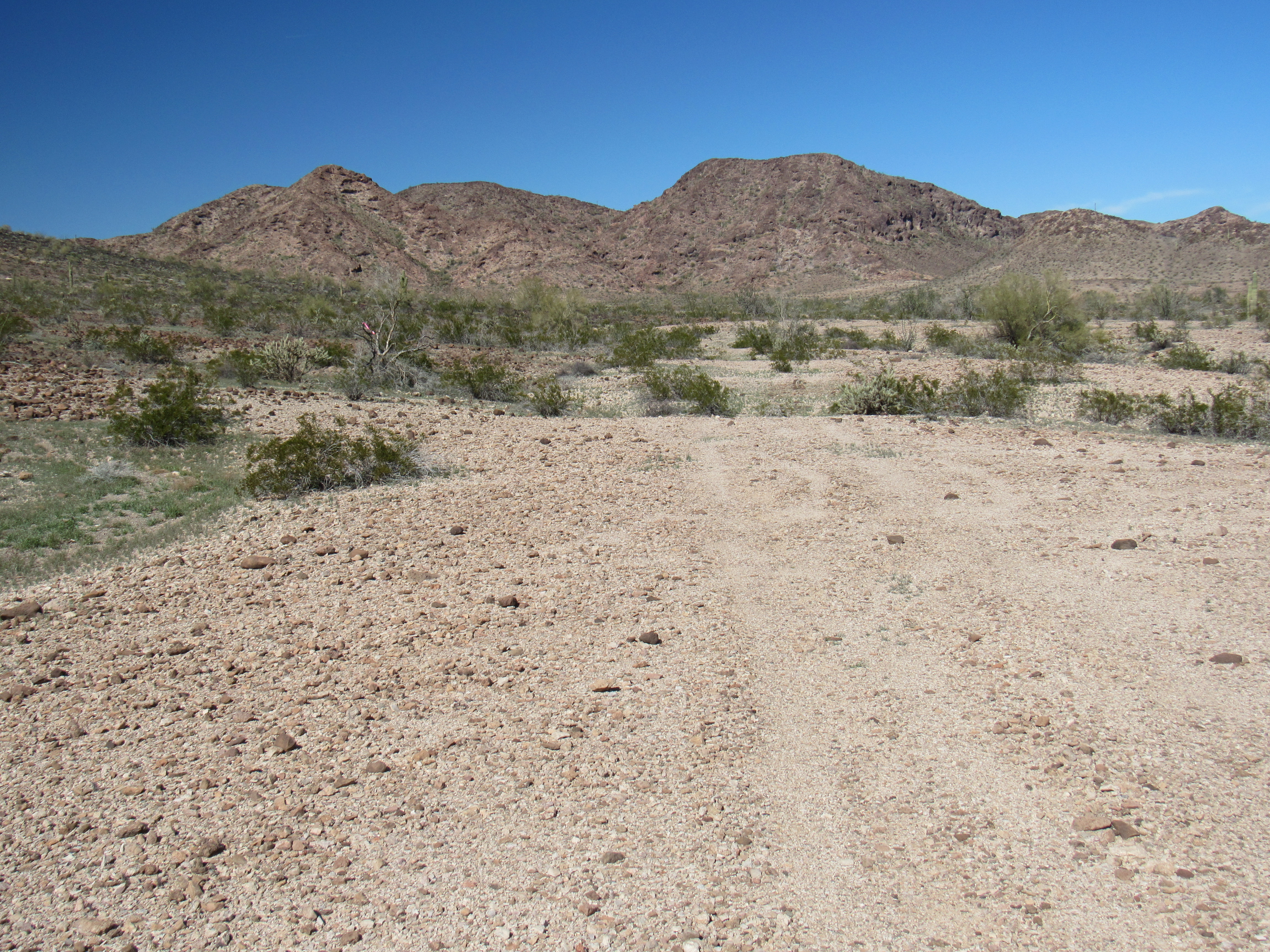
The main feature, IMHO, that was named after Old Man Clanton was the Clanton Hills themselves. A small group, no more than 4 miles in extent, they sit between the Little Horn Mountains to the northwest and the Gila Bend Mountains to the southeast. On their south side sits the vast Palomas Plain; Nottbusch Valley, another wide swath of desert, bounds them on the east and north. Hills indeed, they only boast 2 actual summits – well, maybe 3, but I’ll get to that later – in addition to a large number of smaller bumps. I wanted to roam these hills, to get a feeling for what Old Man Clanton knew and loved back in the 1800s. After some consideration, it seemed like the best way I could do that would be to make 3 loops, on foot, through different parts of the hills.
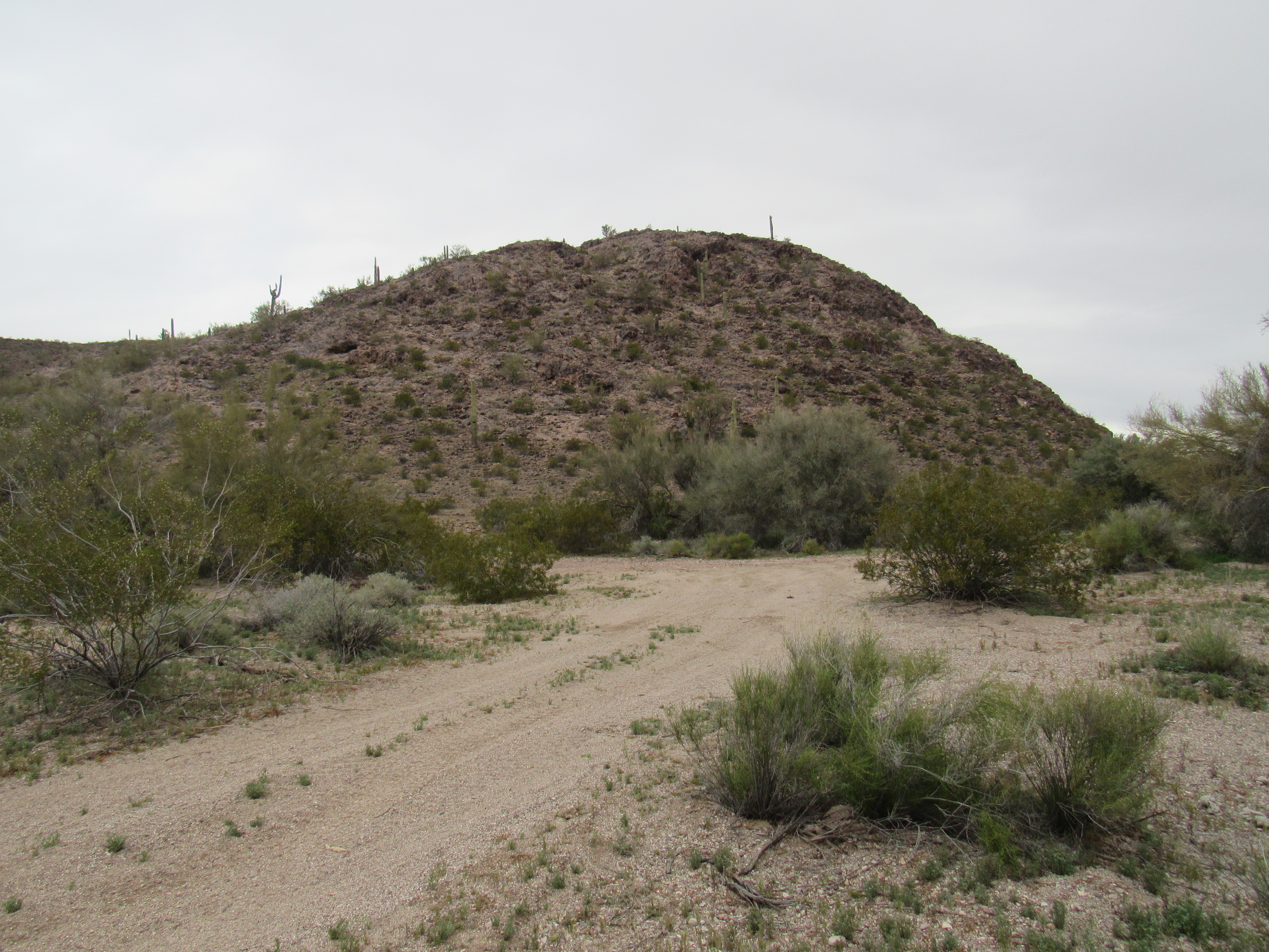
Today would be the first of those loops – I parked at the southeast edge of the hills just after one o’clock in the afternoon and made ready to start. Although it wasn’t raining, it was still threatening – the morning had been very wet, and I hoped to stay dry for the remainder of the day. It was very windy, and a cool 55 degrees. I started off by climbing up the steep, rocky shoulder of Point 1287, wearing several layers against the chill, then on to Point 1344. From there, I climbed up to a 1470-foot contour, the highest I’d reach today.
Point 1287
1470, on the skyline
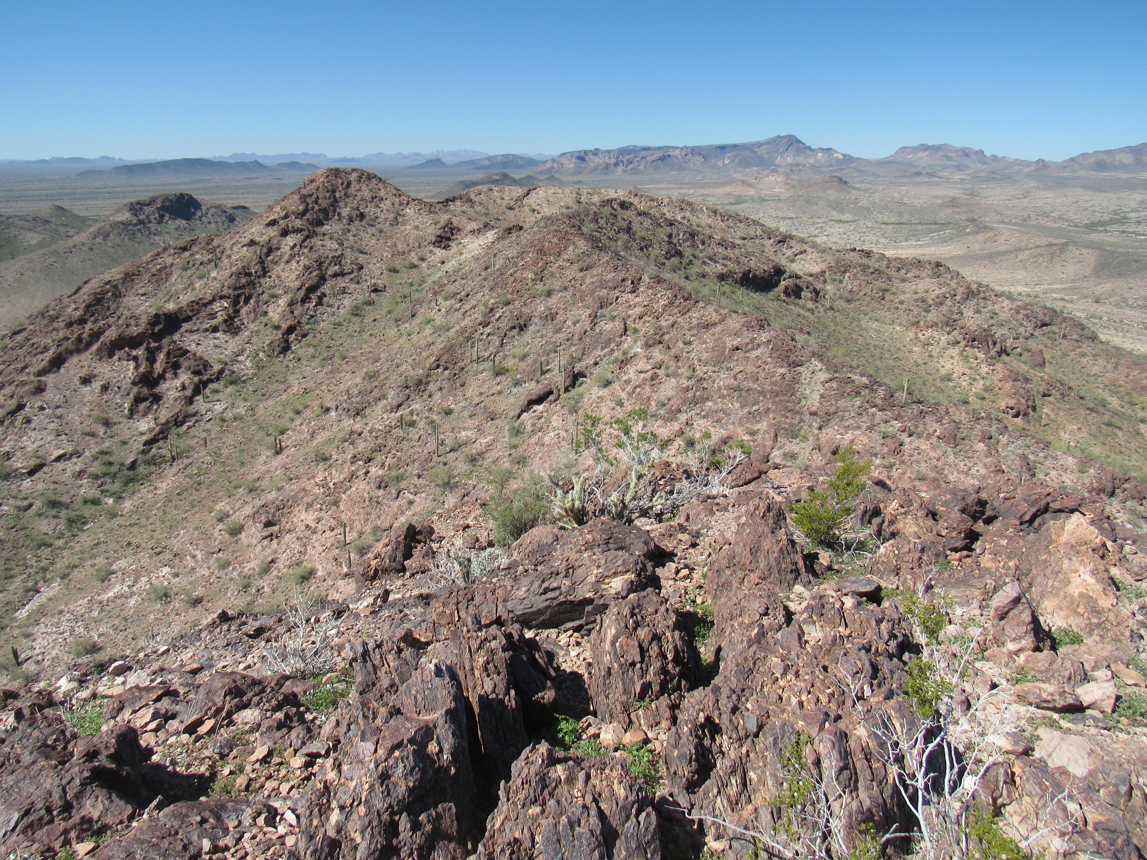
This had me on an open, gentle ridge with expansive views.
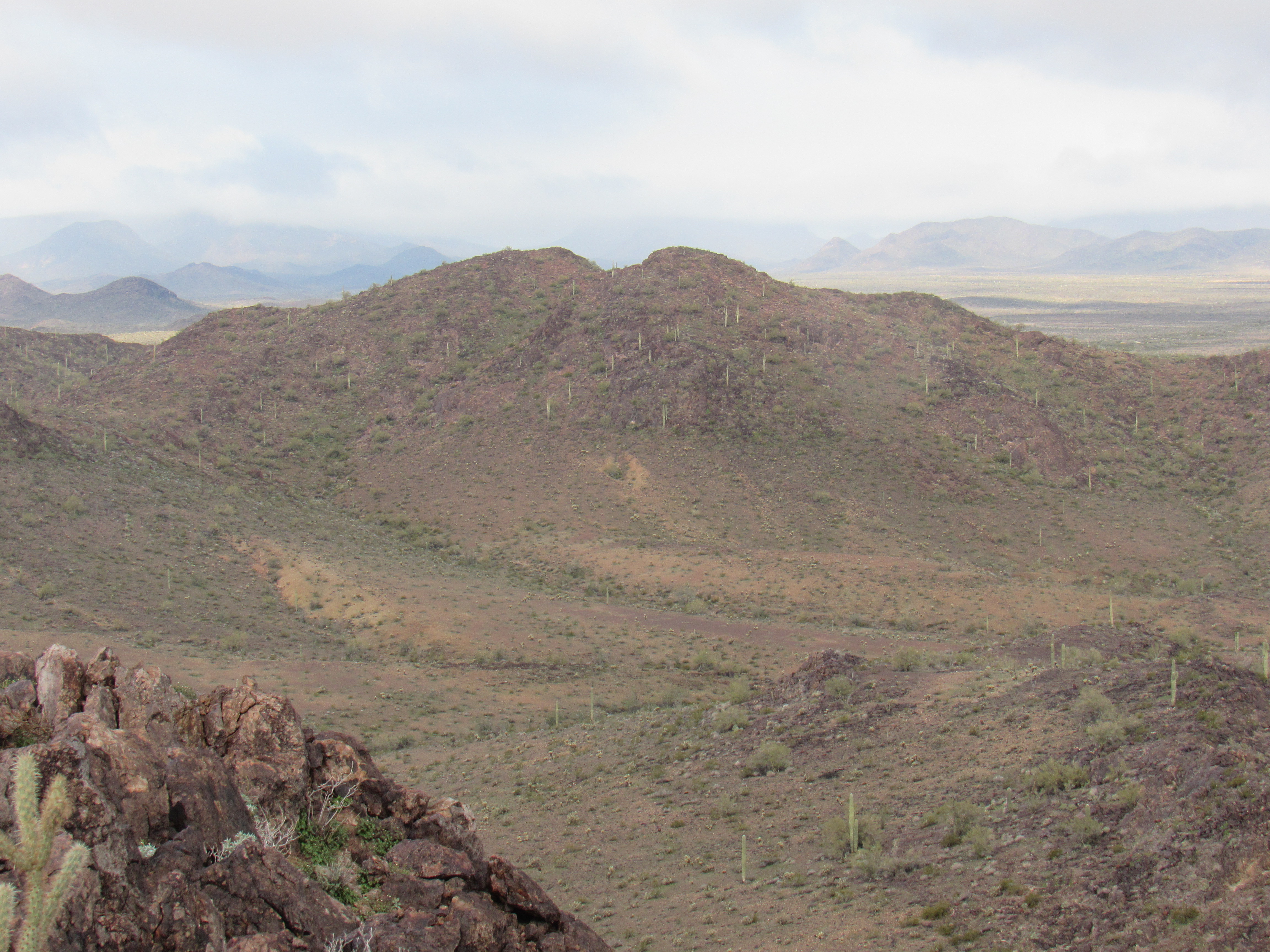
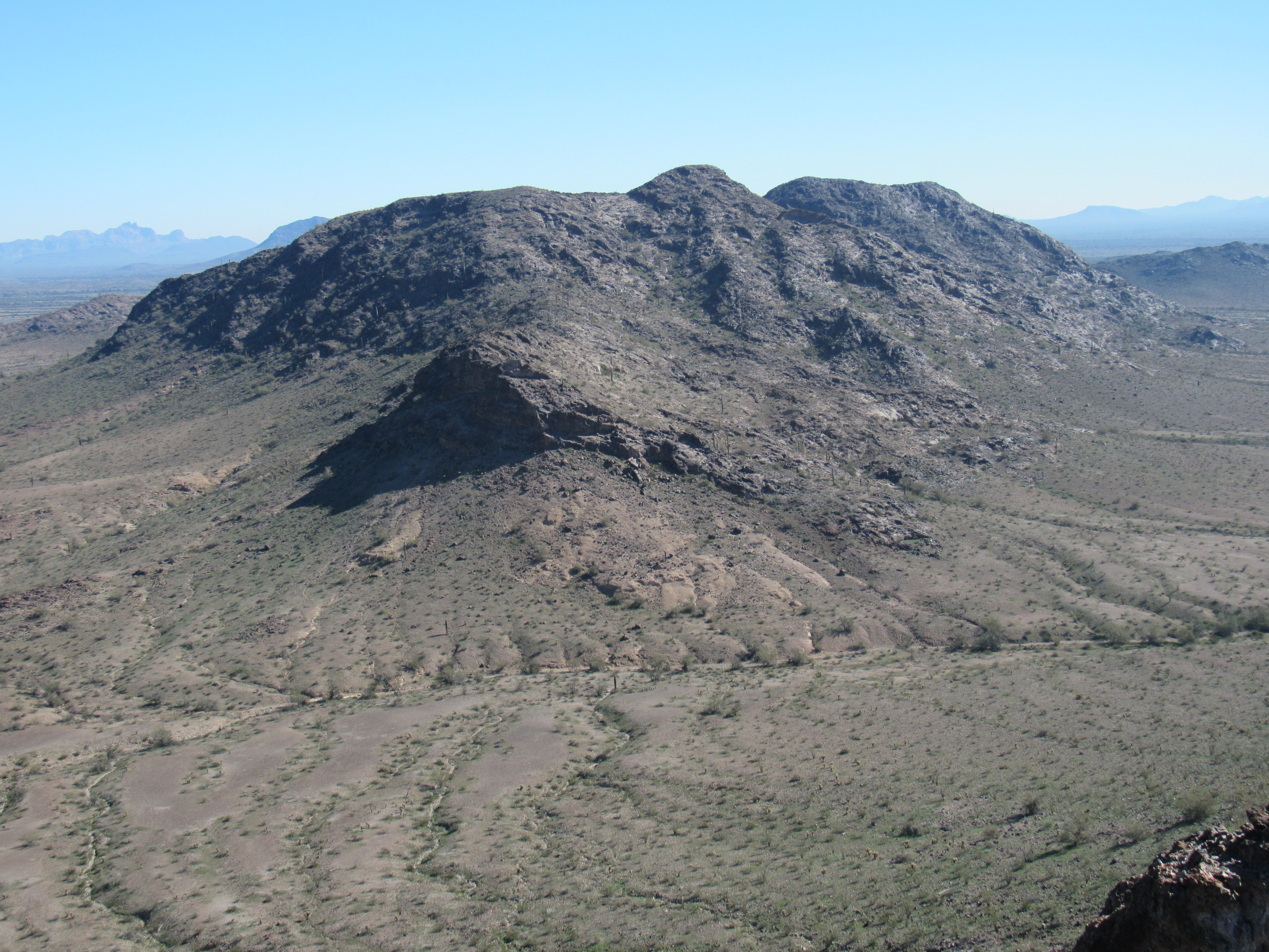
I crossed another bump at 1410 feet before heading generally to the west across level ground, and finished by an easy walk up to Point 1346.
Point 1346, the dark bump just above and to the tight of center
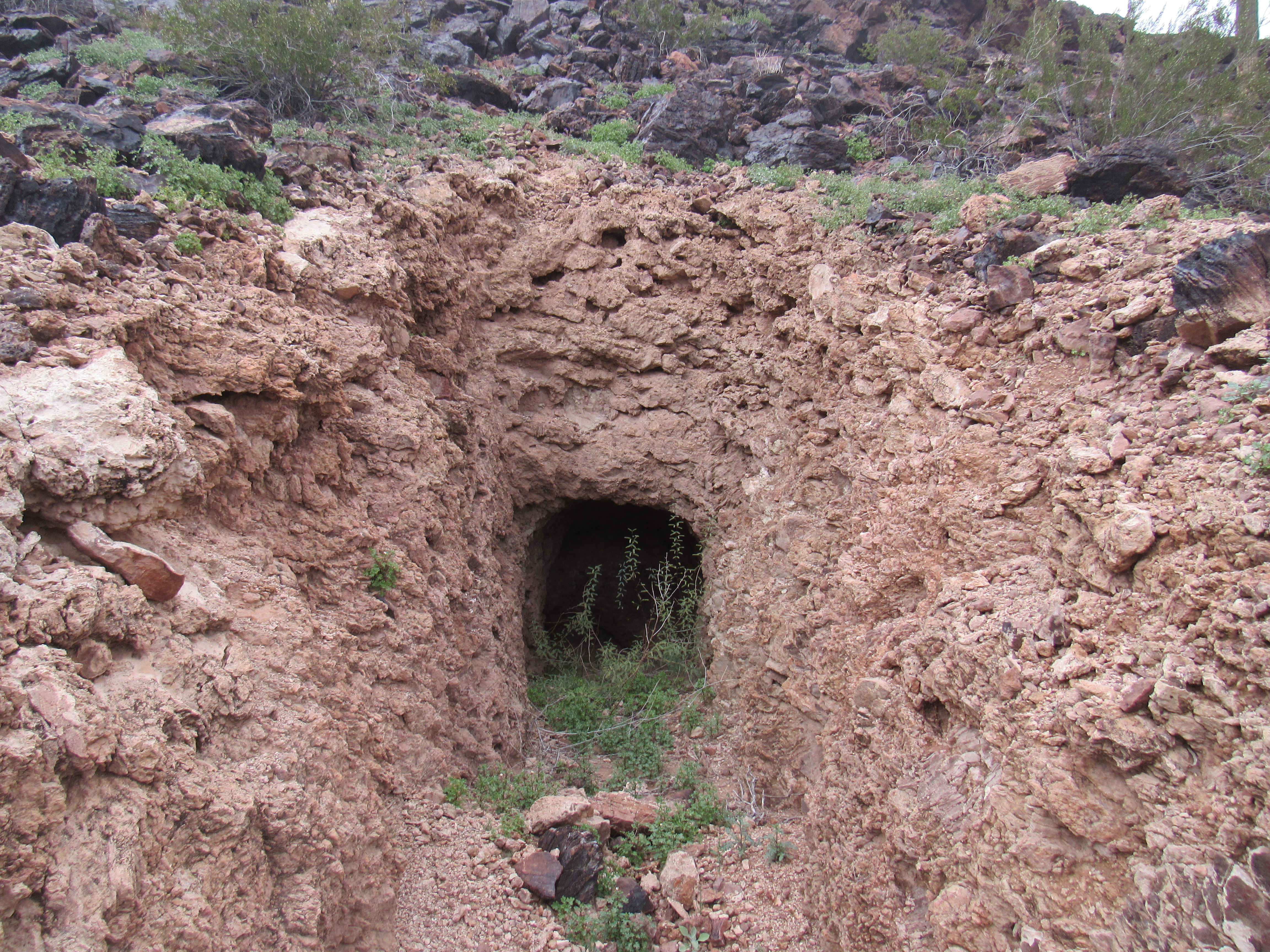
This had given me a good look at this corner of the range, and now it was time to return to my truck. Dropping down to the east and over a ridge, I paid a quick visit to an old adit. It didn’t go but a few feet into the hillside – whoever dug it had given up as it showed no promise.
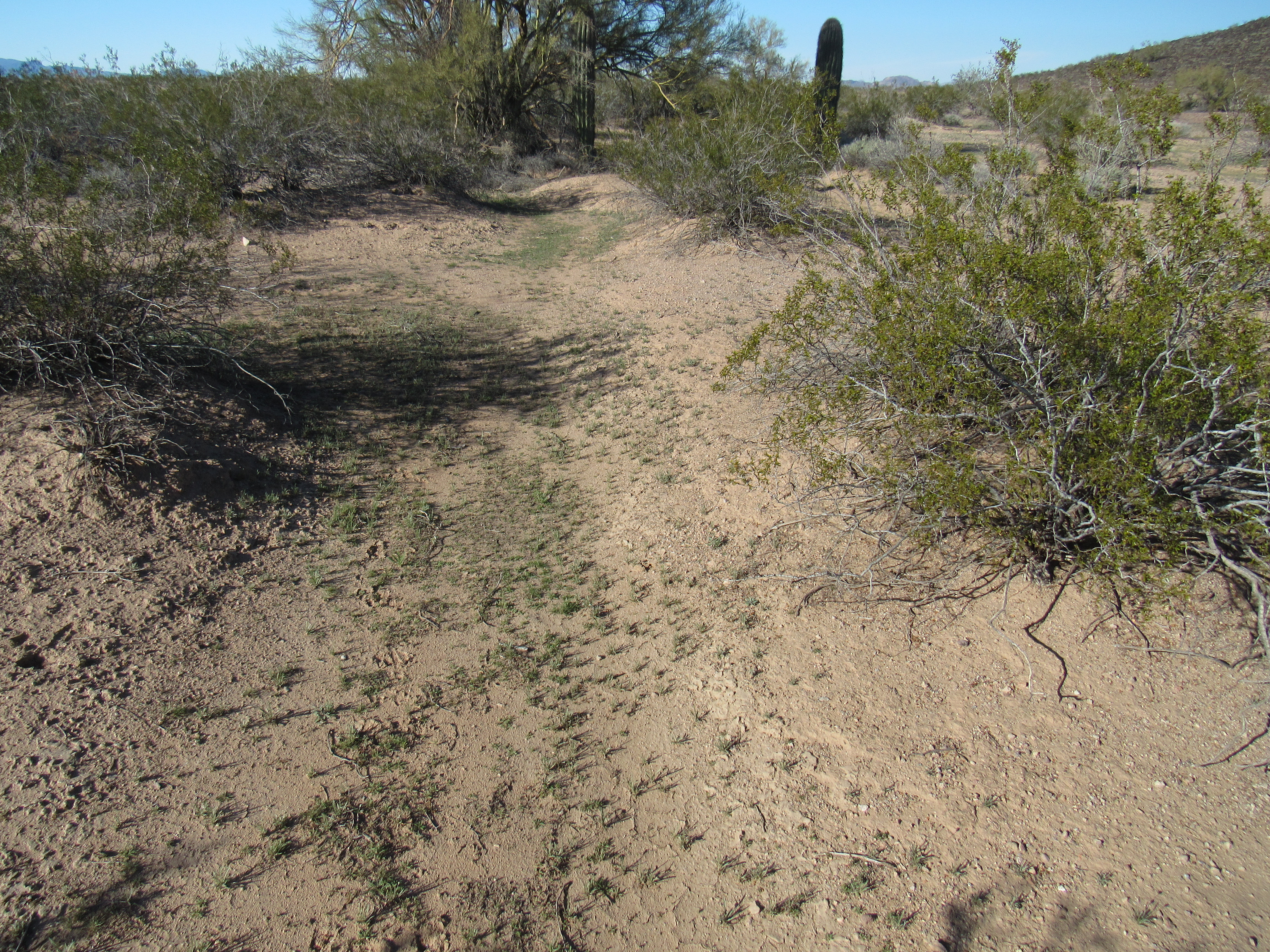
Down to the valley bottom, where I found myself in Deadman Wash. An easy walk of a mile in the sand, just me and my thoughts.
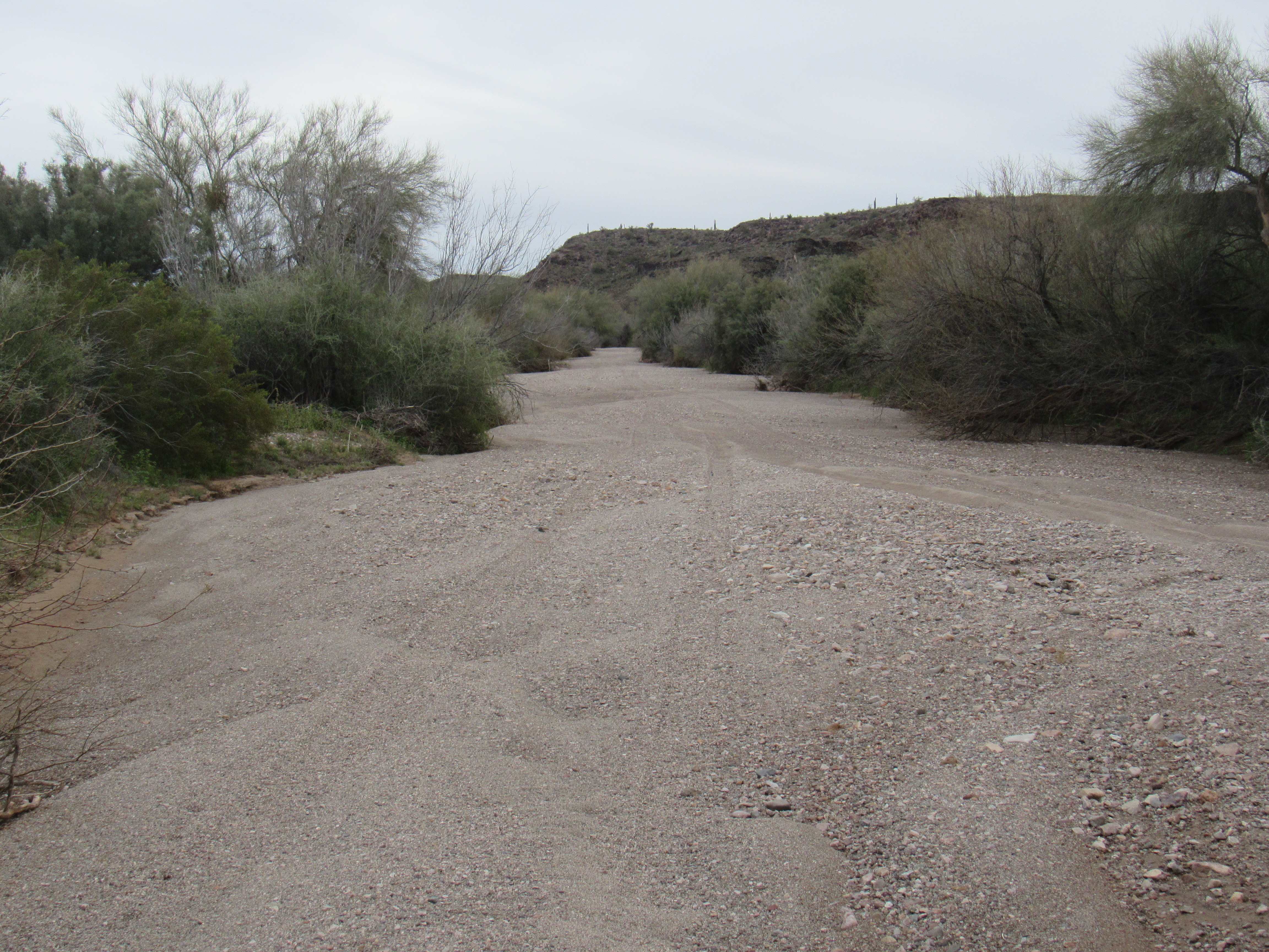
Deadman Wash
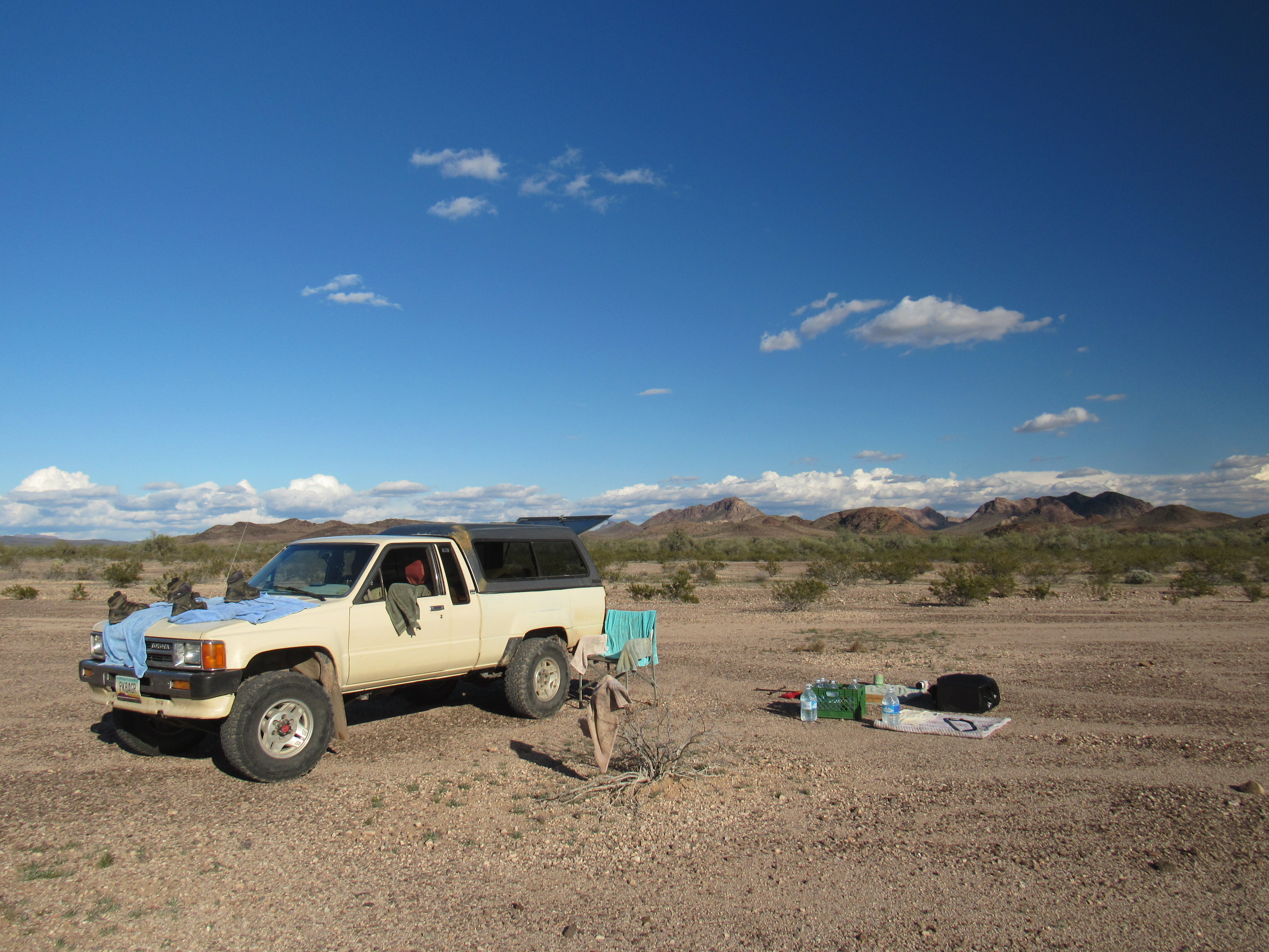
It was four in the afternoon when I reached the truck. The loop had taken only 2 hours over easy ground, almost 4 miles, with under 800 feet of climbing. I returned to the same bit of desert where I’d camped last night and cooked a meal while I still had the light. Things were closing in again, so I battened down the hatches, covered all my gear and hunkered down in the cab of the truck. By 6:20 PM, it was a chilly 48 degrees.
During the night it rained a lot – the piece-of-crap shell on the back of my truck leaked, so I got a bit wet by the time morning arrived. Nothing for it but to carry on, though, so I loaded all my gear into the back of the truck and set out for my next goal. I made my way up Nottbusch Valley and parked near the old mine shaft I’d visited the day before. Keeping a wary eye on the weather (it was still overcast and spitting), I set out to do another loop through the hills, this time at the north end.
It didn’t take long to get myself over to a quiet, hidden valley which led me to Point 1508 – it was still trying to rain, so I kept my fingers crossed. I’d been eyeballing this one for the last few days – it looked steep. Luckily for me, the northeast side went without a hitch and I stood on top by ten o’clock. There, a surprise awaited me – a weathered wooden cross with figures carved upon it.
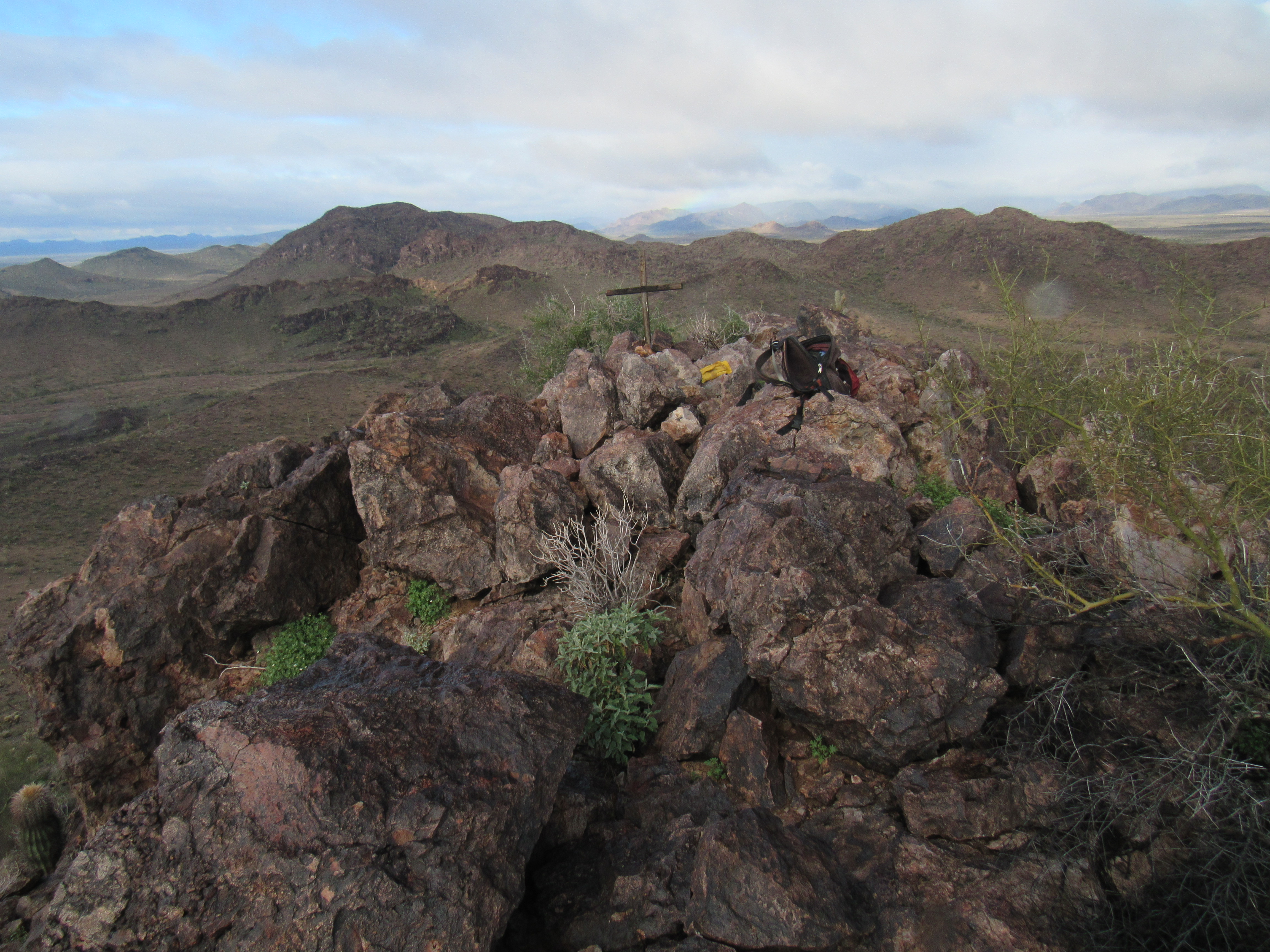
On top of Point 1508
I have no idea who set it there, or what the letters represent – possibly the initials of people. And were the numbers dates? It seems highly unlikely that it could be from Old Man Clanton’s time, more than 140 years ago – it looked fresher. Was it there to honor someone who had died in these hills? I’d love to know what it signified, so if you have any suggestions………?
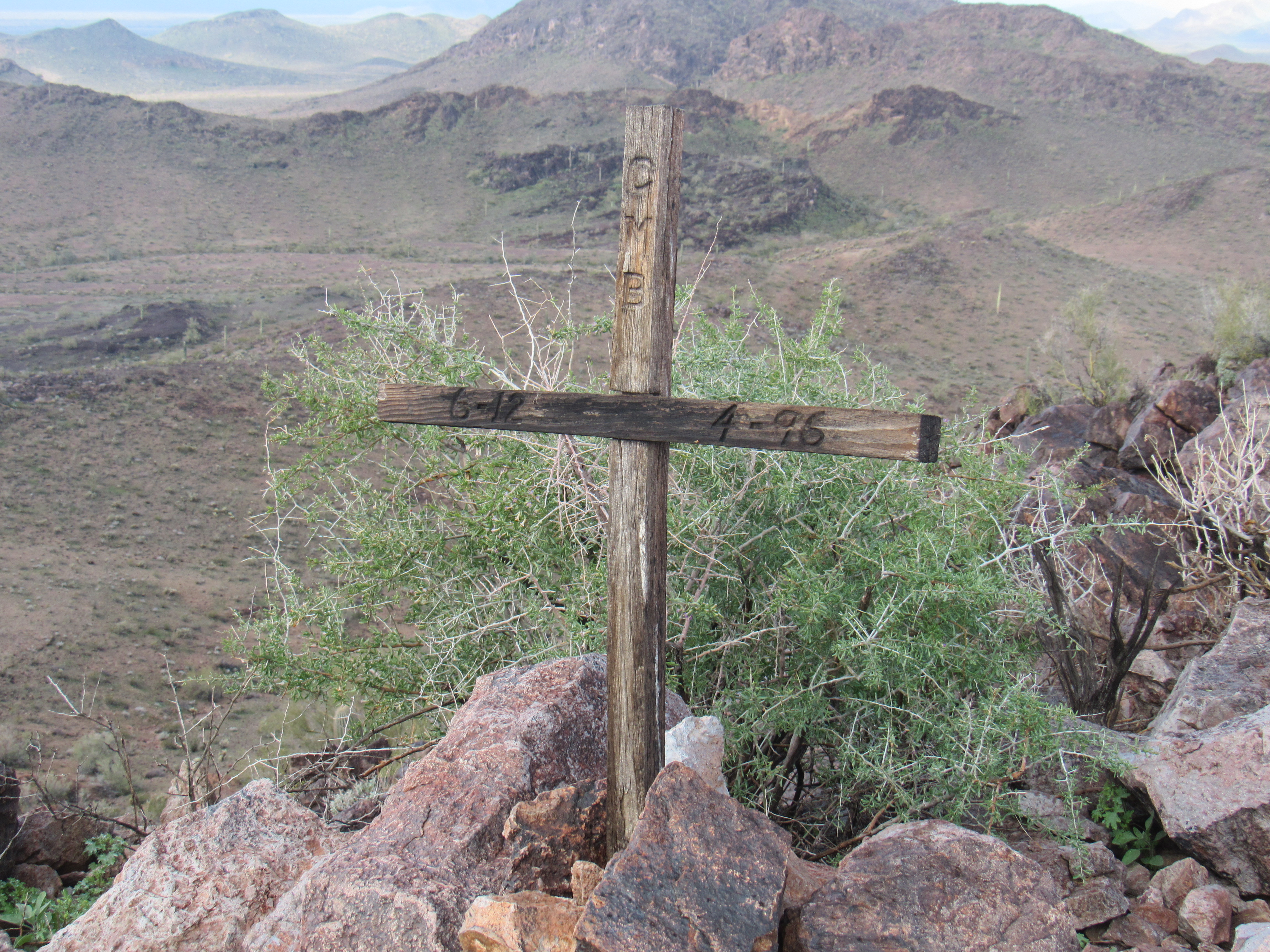
A close-up of the cross – the numbers say 6-12 and 4-96, and the vertical letters say CMB
I dropped down to easier ground and headed northwest to finally reach and climb Point 1539 just before 11:00 AM.
Point 1539
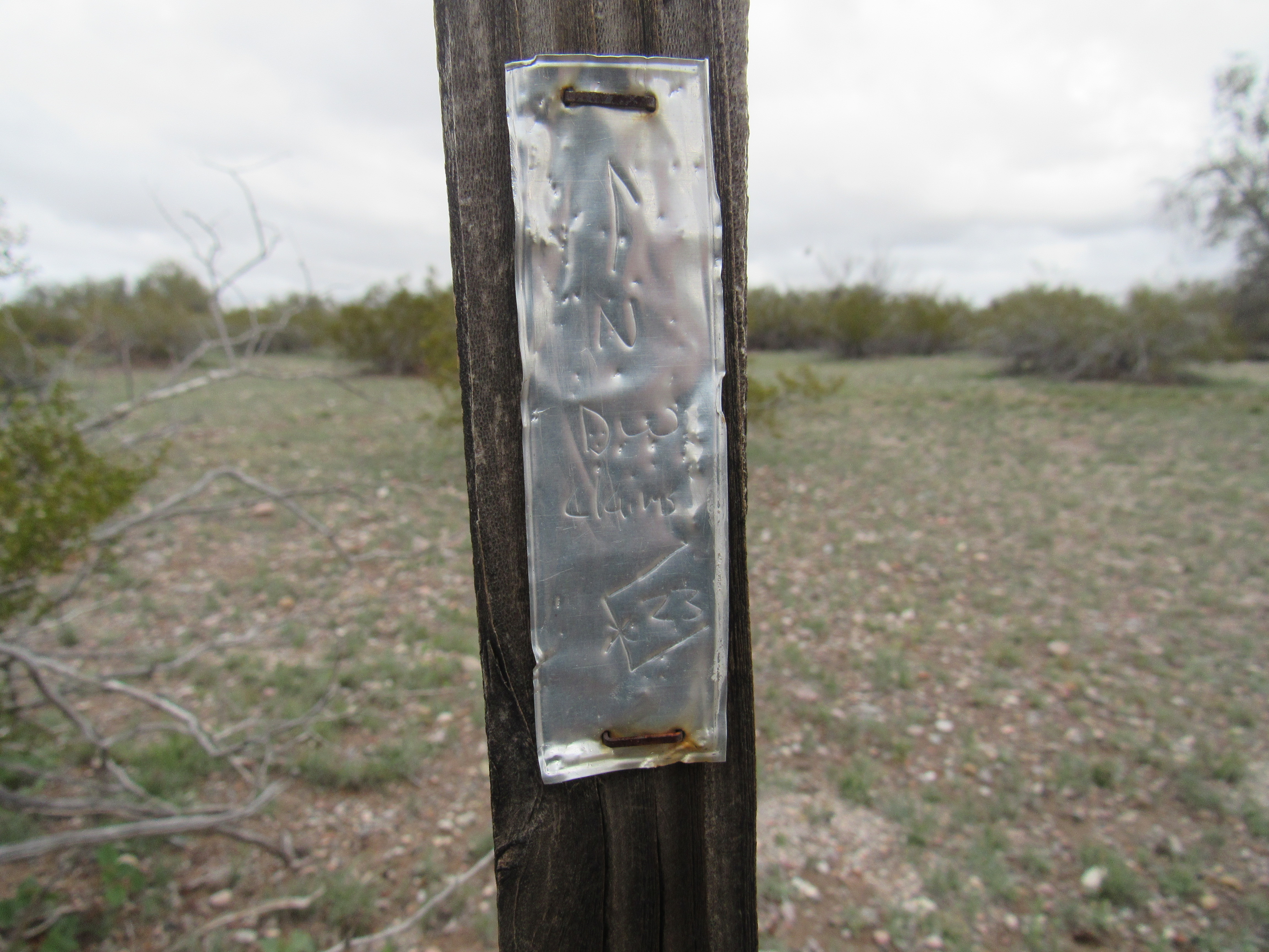
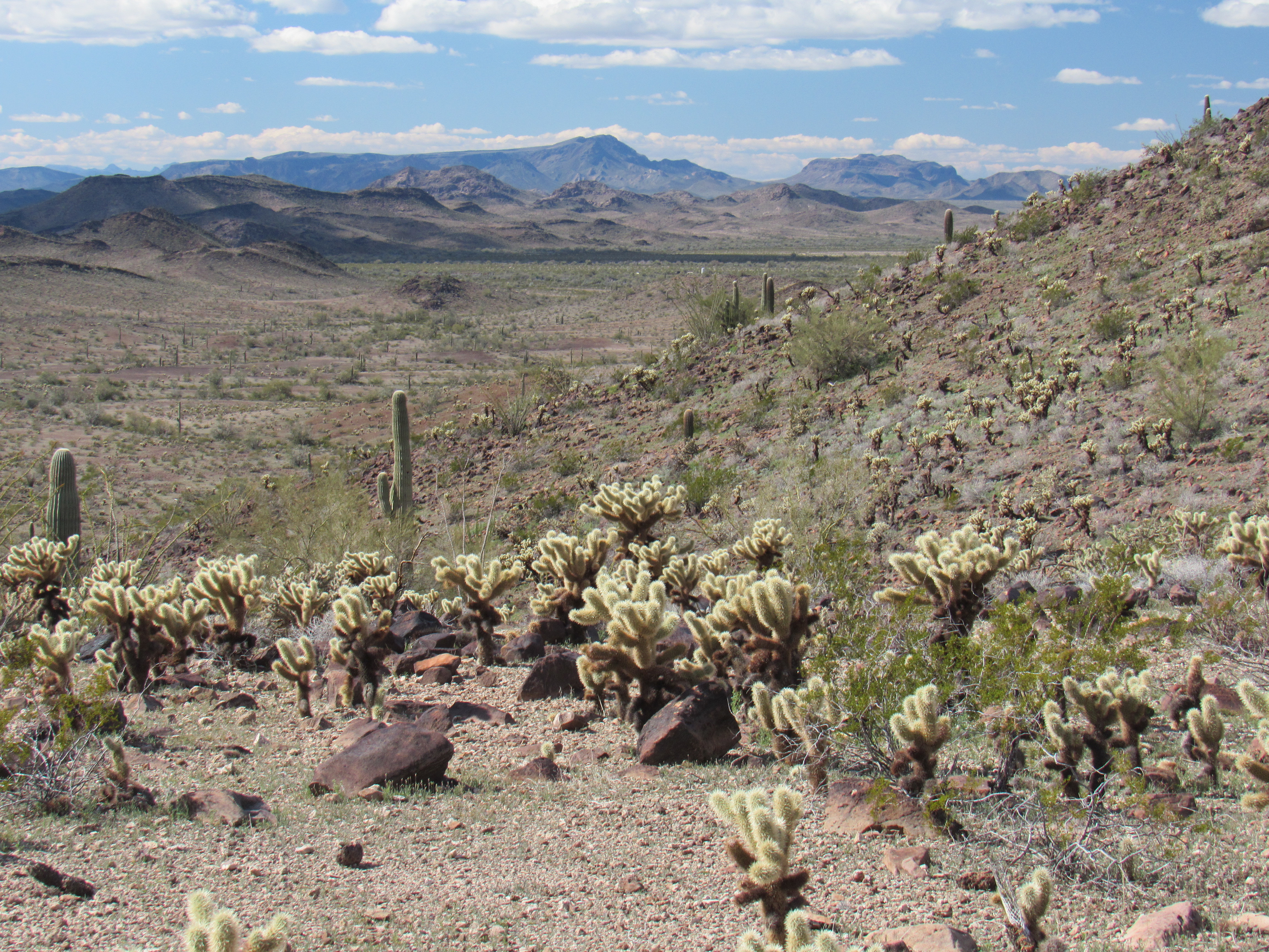
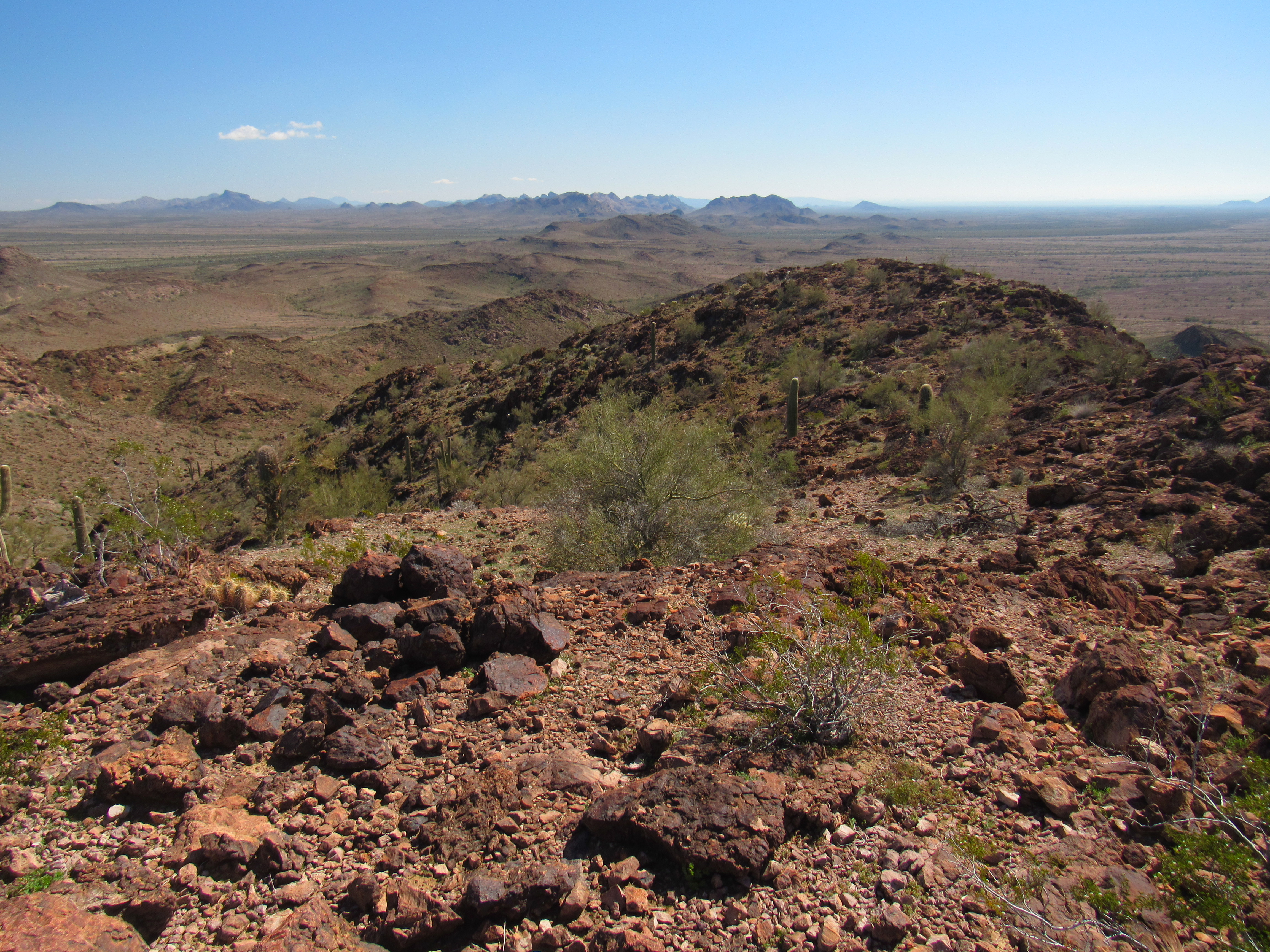
Things were looking up – sunny breaks were appearing, and I was hopeful of a good afternoon. Down easy ground to the east, putting me once again in Deadman Wash which I walked back to my truck. A couple of things I wanted to show you from that walk: the first was this aluminum mining claim tag on a post.
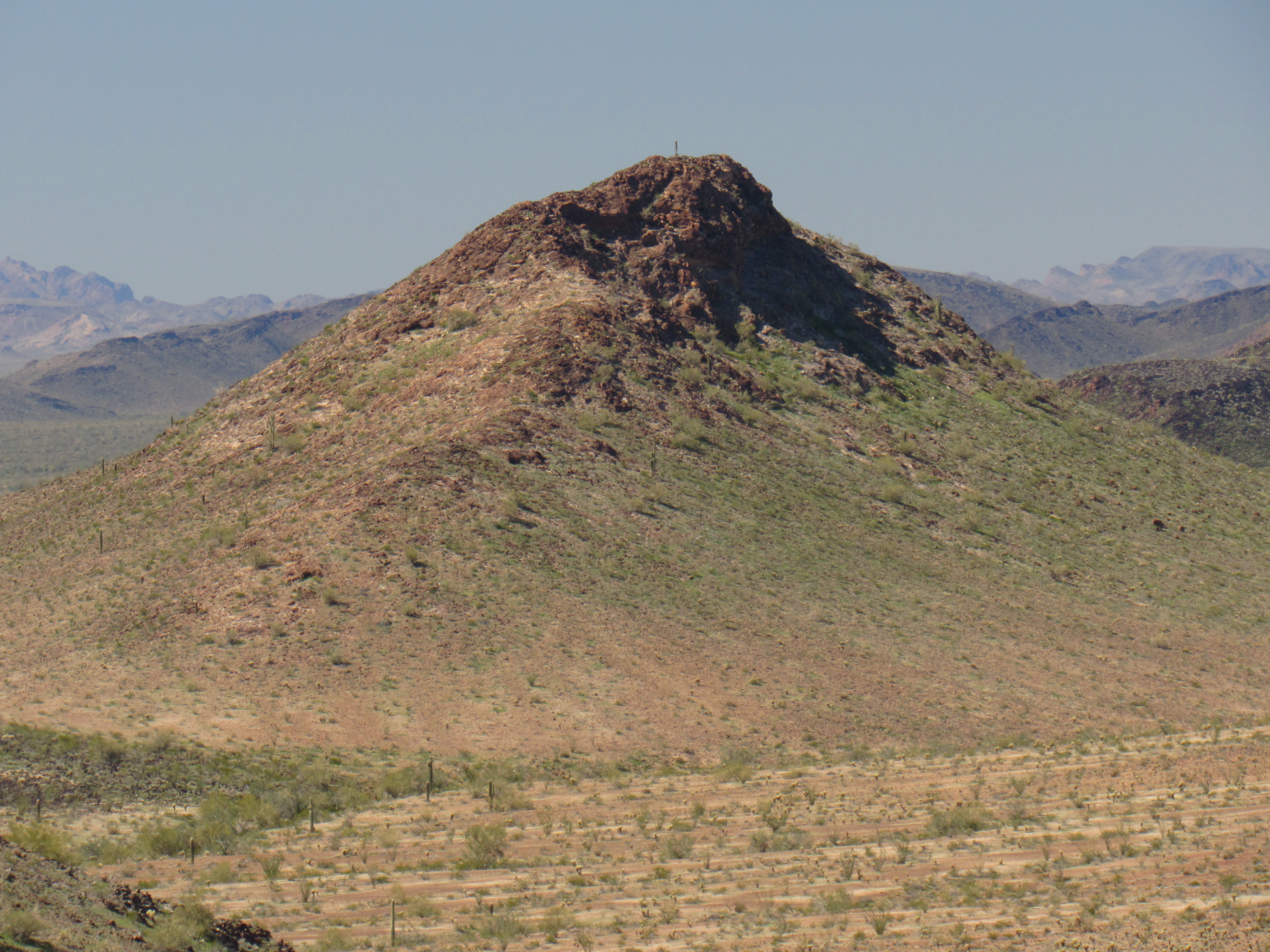
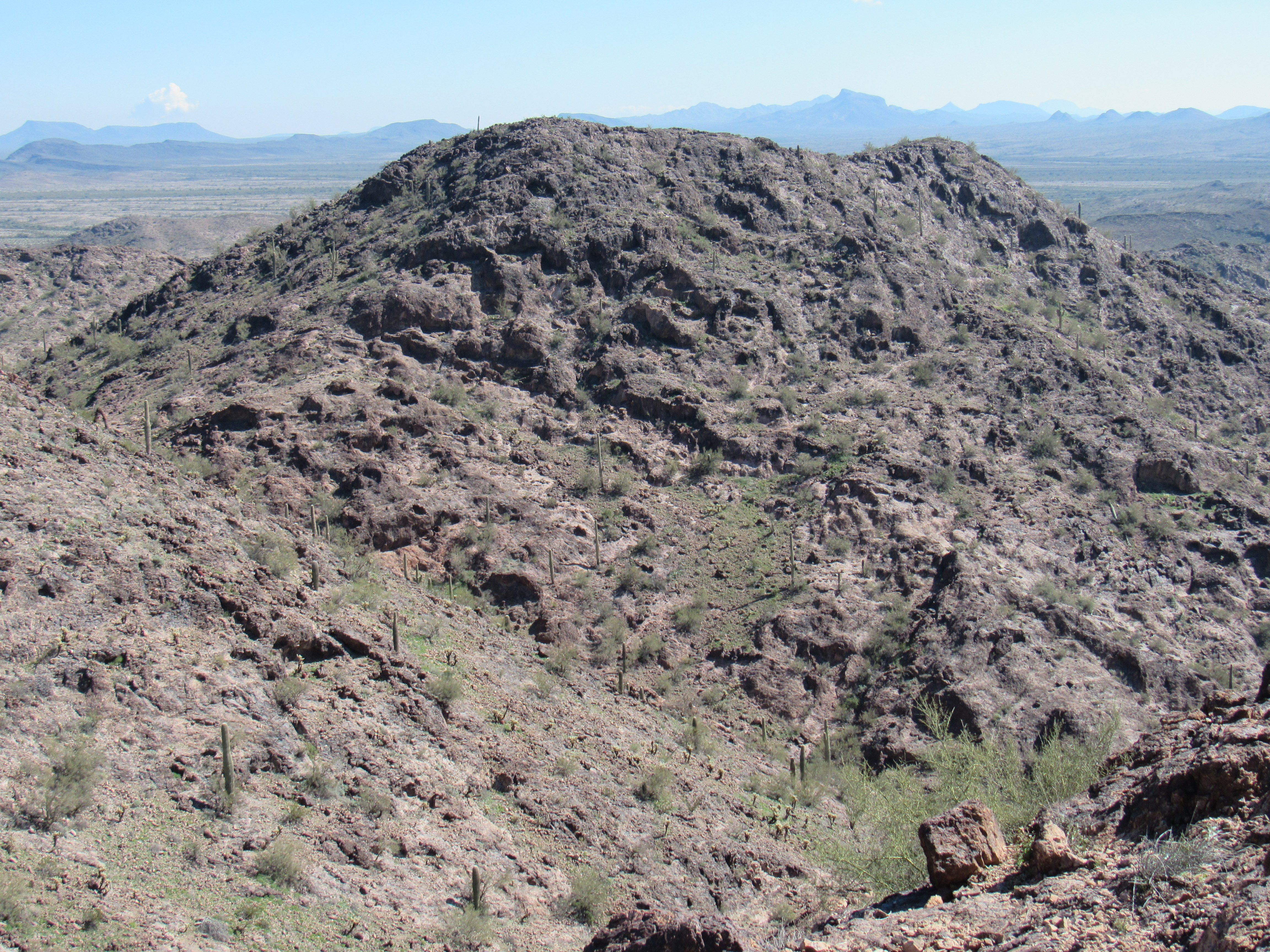
The second was this, a decent photo of Point 1508 where I found the cross.
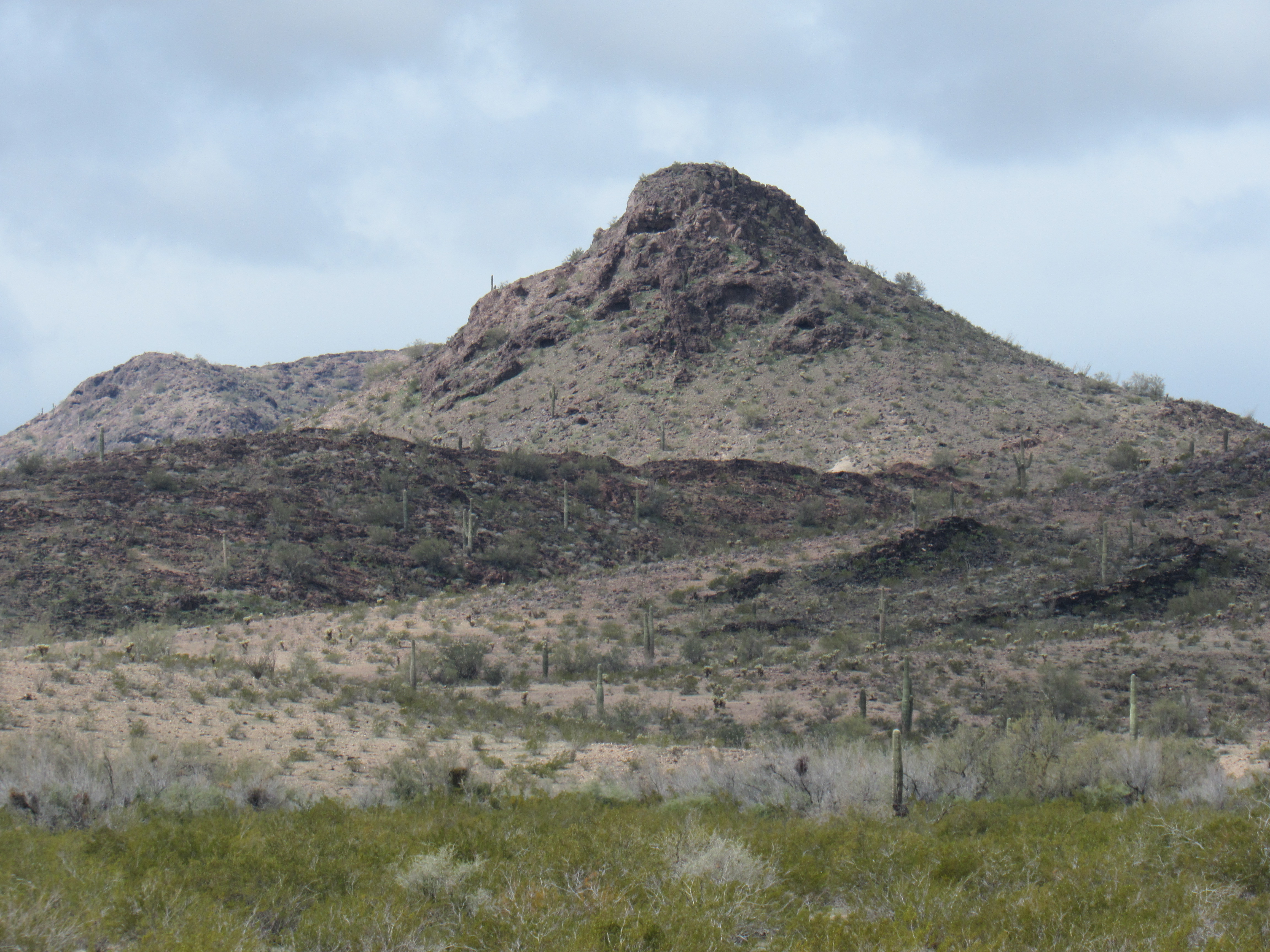
The east side of Point 1508
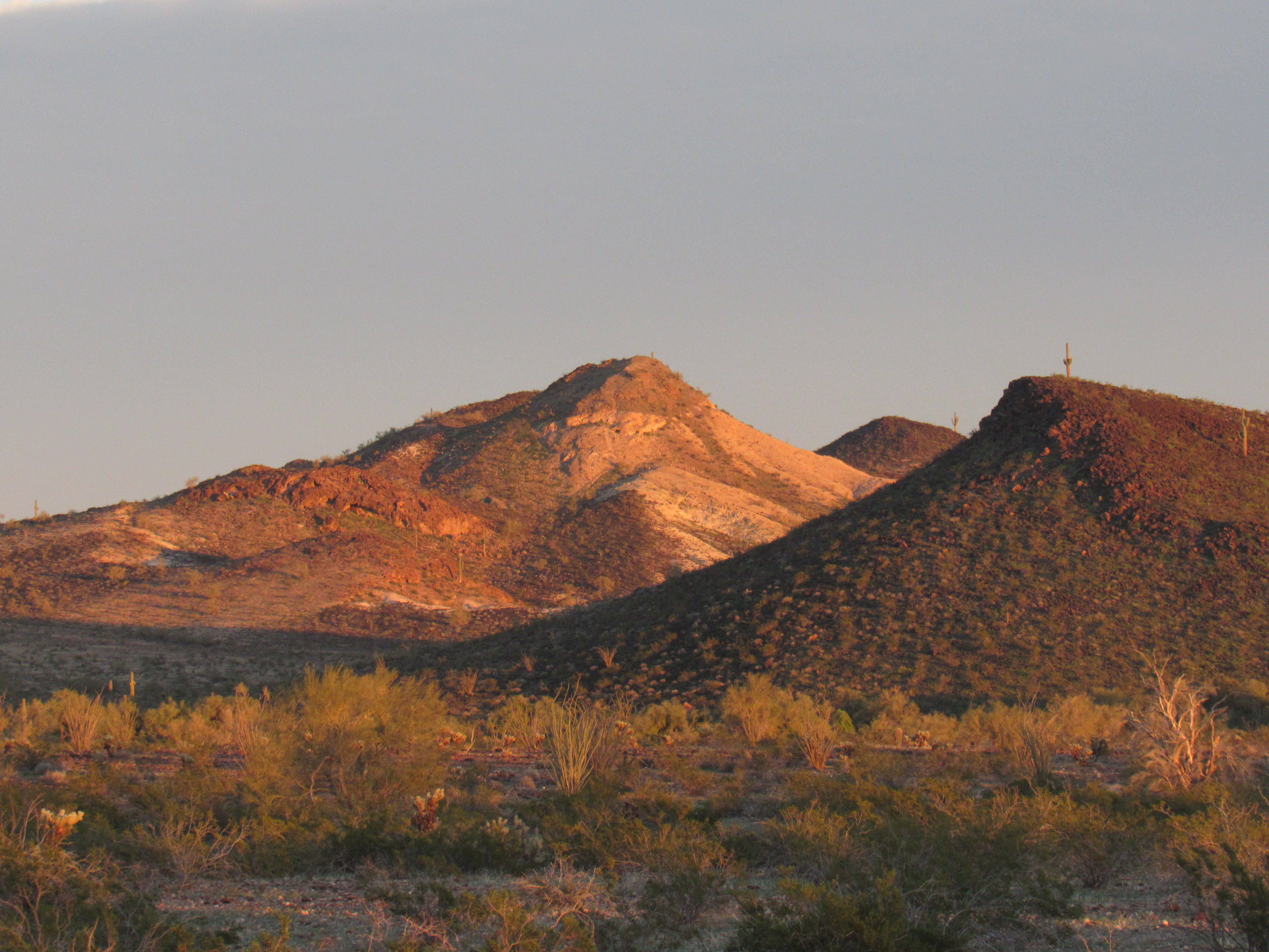
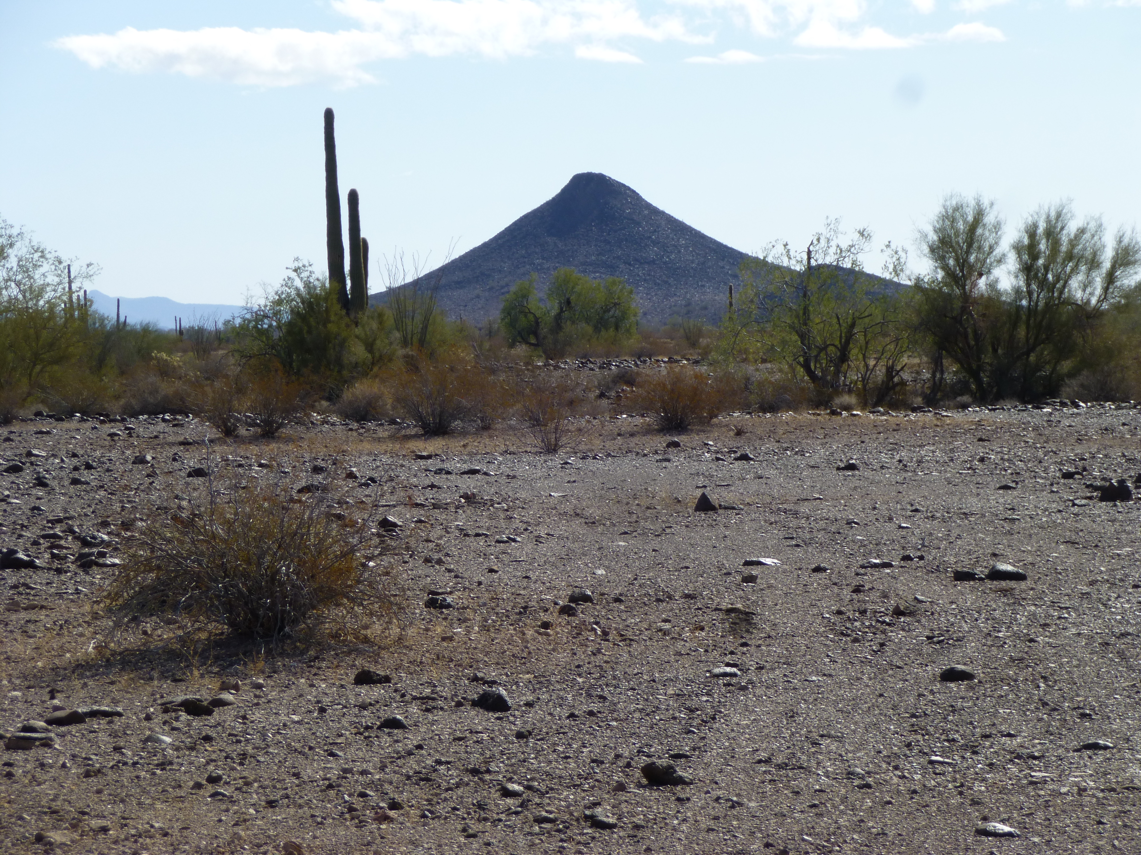
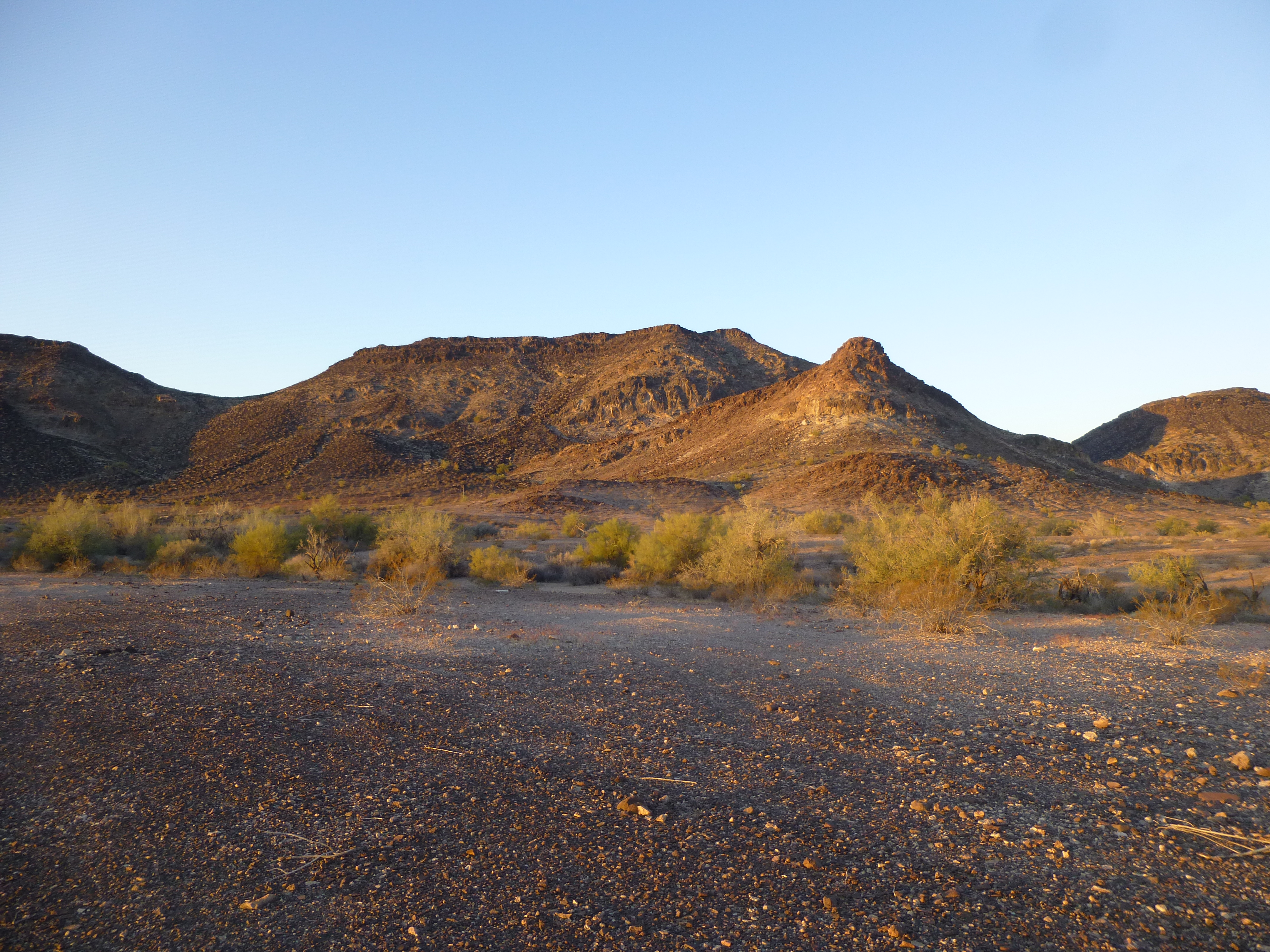
This loop through the northeast part of the range had only required about 4 miles worth of shoe leather and 900 feet of climbing, and I’ll bet I’d been walking in the Old Man’s footsteps the whole way. After a quick snack at Clanton Well, I set out for Clanton Hill not long after noon. More sun, fewer clouds – it was gonna be a fine afternoon, the rains of recent days becoming merely a soggy memory. It looked a fair piece over to the peak, but I had all afternoon. A fine-looking mountain it was, and quite an honor for the Old Man to have such a nice feature named after him – it shows to advantage from the well.
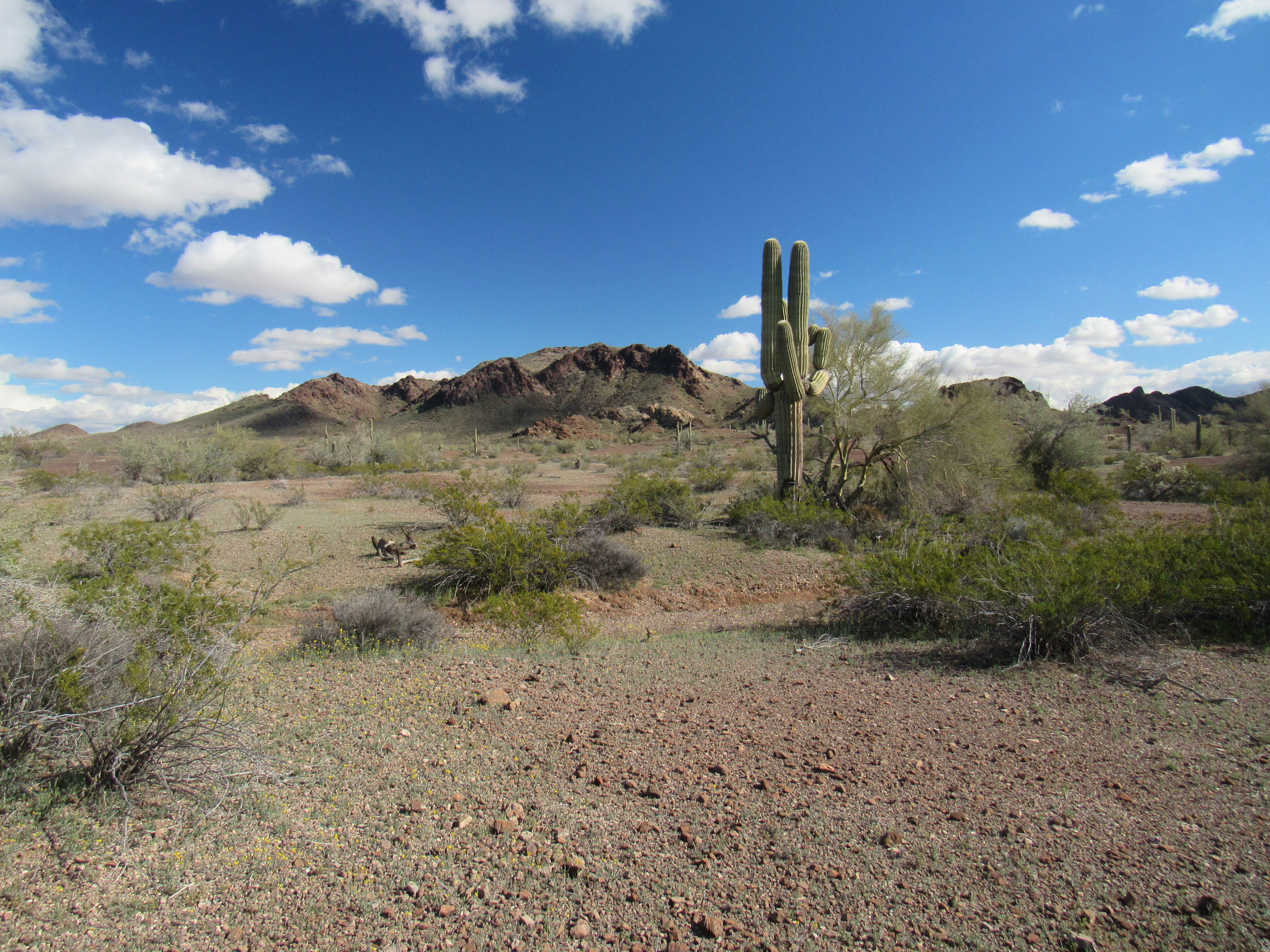
The northwest side of Clanton Hill
I knew it’d been climbed by several others, but I knew nothing of their routes. My guess was that most approached it from the well, from the northwest as I was doing. Some sandy washes served as a good start before veering off on to open desert terrain. In time, I made my way up to a notch in the northeast ridge, then up to the broken summit of Clanton Hill, elevation 1,848 feet.
The summit
It was 2:00 PM when I found the register and the names of 14 others who had preceded me. The views were positively distracting, such as this one looking southeast to the Picacho Hills.
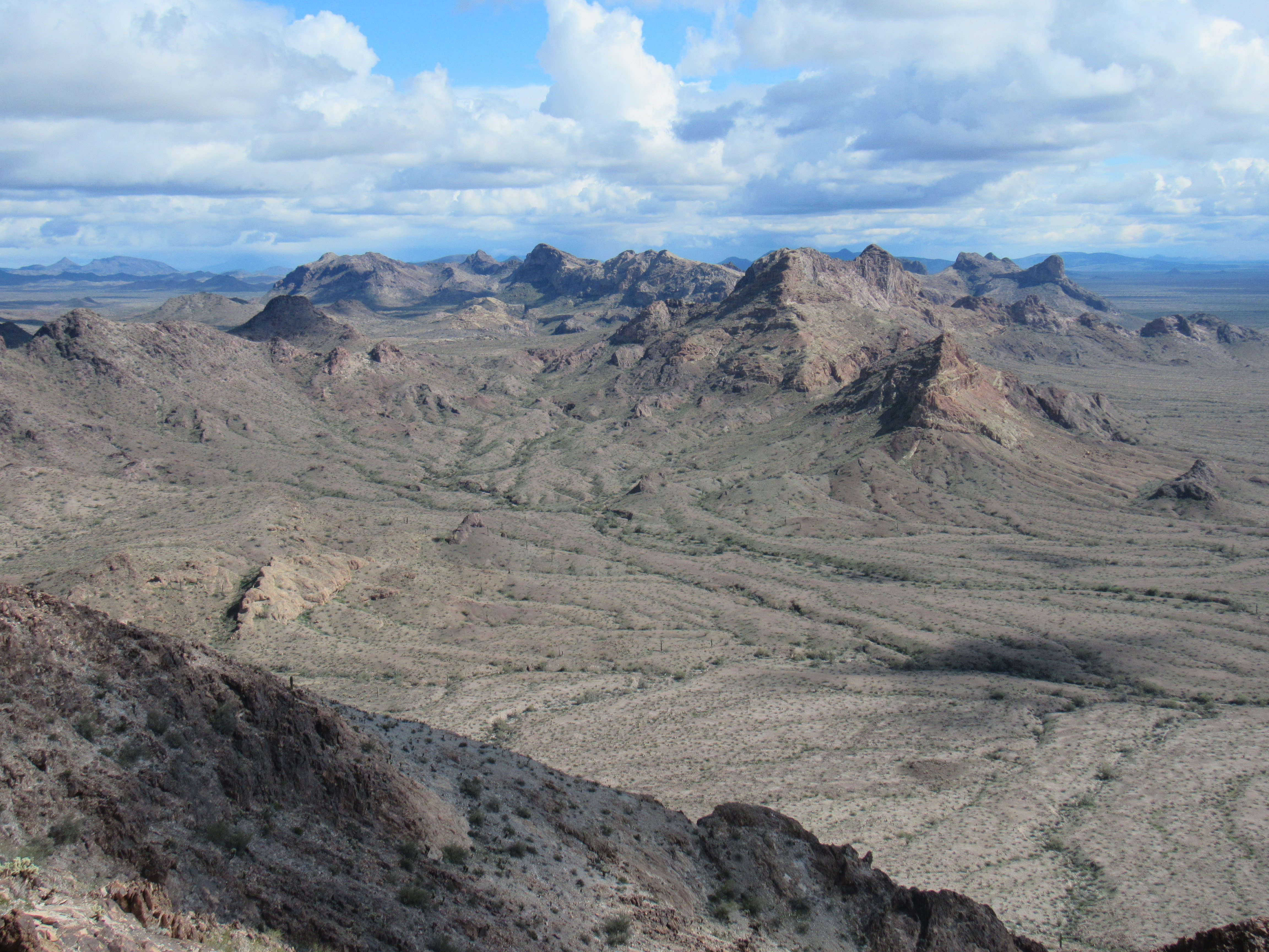
The weather had, as you can see, improved dramatically. Nice peak, a heck of a compliment to Old Man Clanton’s legacy. After a while spent enjoying the view, I headed back down and on to easier ground for the last miles back to my truck.
I made it all the way back to my camping spot (my 3rd night there) at a decently-early hour. It was time to lay out all of my wet gear and give it a chance to dry out, finally, after several days of rain.
Drying out.
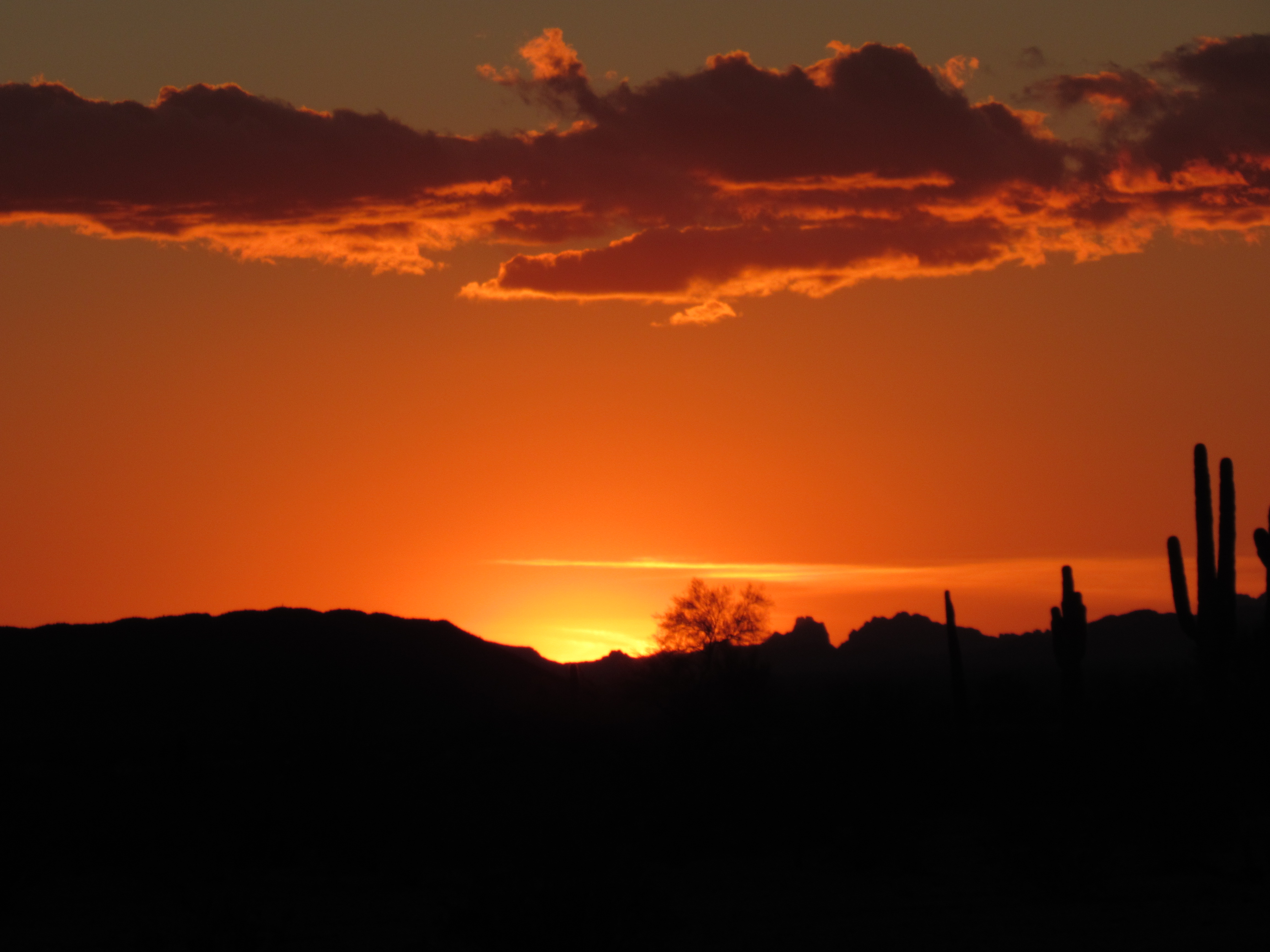
It had been a wait of several days for the rainy weather to go away, and now my patience was about to be rewarded. After a hot meal, I watched an amazing desert sunset and planned my tomorrow.
With no overnight cloud cover, the temperature dropped to a chilly 28 degrees, My alarm woke me early. I grabbed a quick bite, packed up and drove about 4 miles to the start of my day of climbing. I had saved the best of the Clanton Hills for last, or, perhaps more accurately, the vagaries of the weather had made me wait. Today I would create a final loop through the range, climbing the 2 highest peaks in the process.
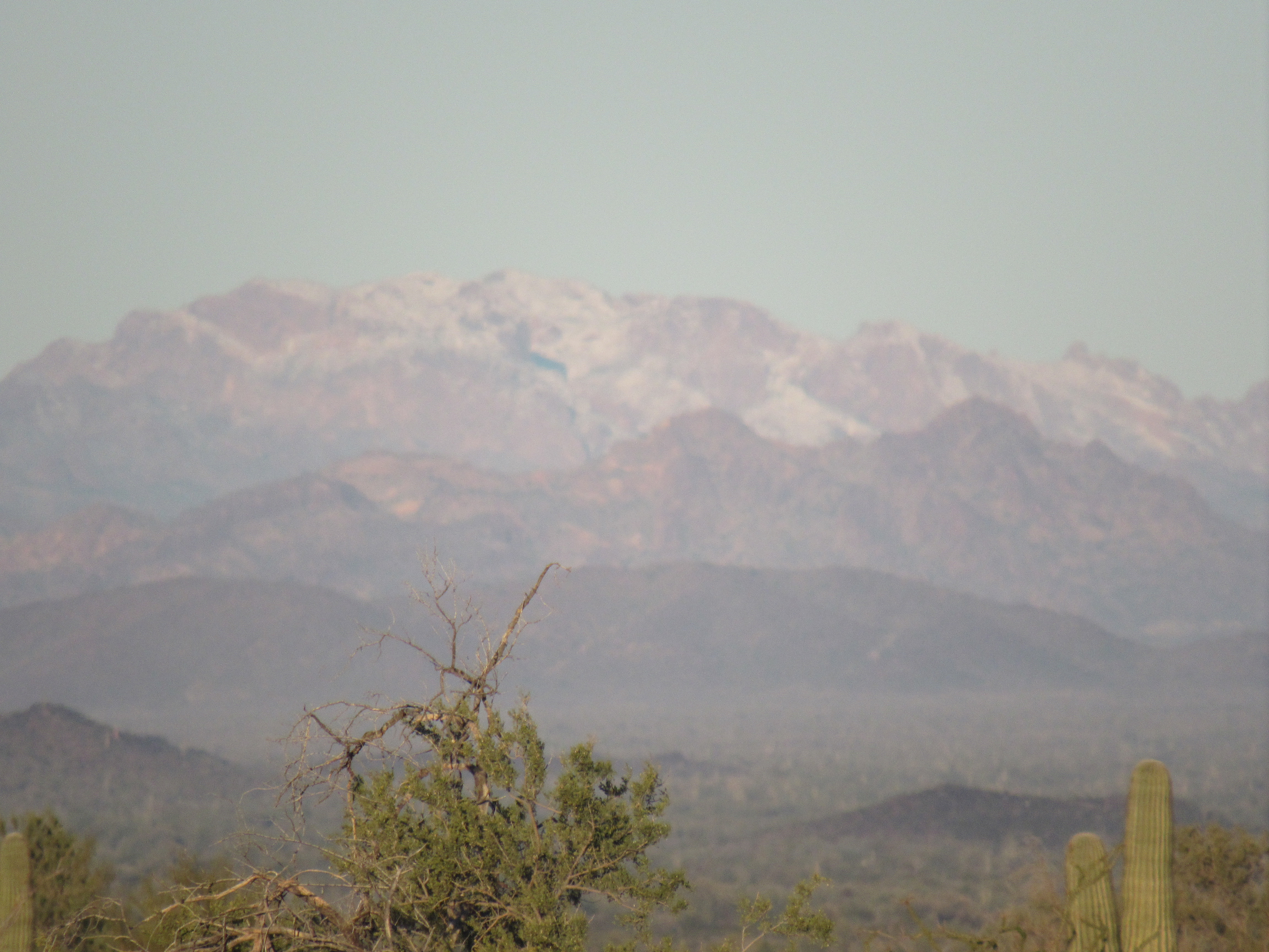
As I drove to my starting point, something far to the west caught my eye. Was that snow on the high peaks? I took a very long telephoto shot, and yes, the proof was there. Snow on the highest peaks of the Kofa Mountains, 35 miles distant and well down from the 4,800-foot summits. Now that was something I hadn’t seen before!
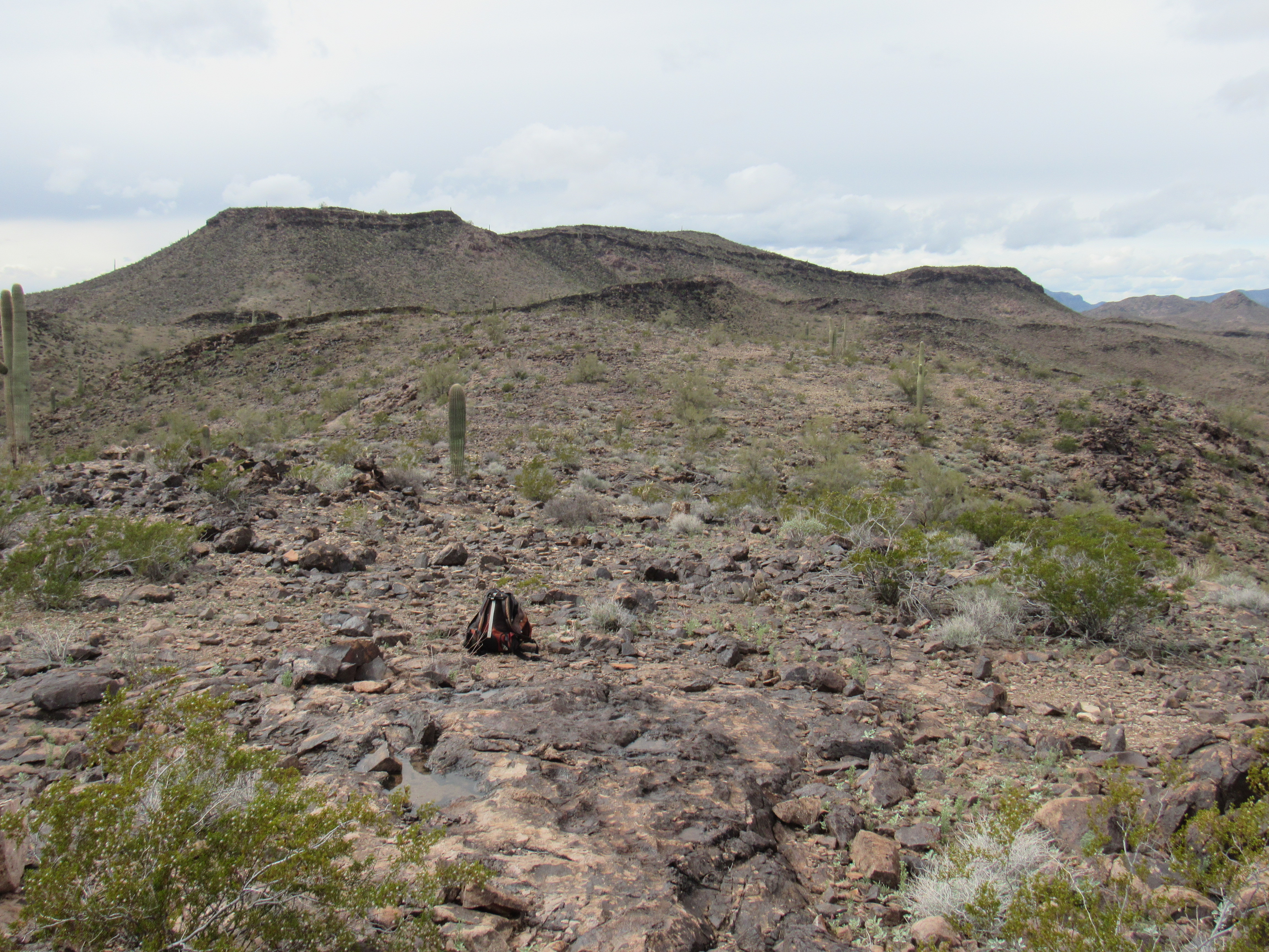
By 8:15 I was parked and ready to go. The weather was perfect, just what I’d been waiting for these several days. Here’s what I wanted to do today – describe a long traverse along a series of ridges, tagging all of the bumps on the way, including the 2 summits in the main body of the range. My first move was up to the top of nearby Point 1413, where I left a cairn – in fact, I’d leave a series of these as I reached each bump. 1413 was at the south end of a ridge, and from there I headed north over a bump at 1410 feet, then 2 bumps at 1390.
Looking south from 1390. That’s 1413 on the left, and 1410 on the right.
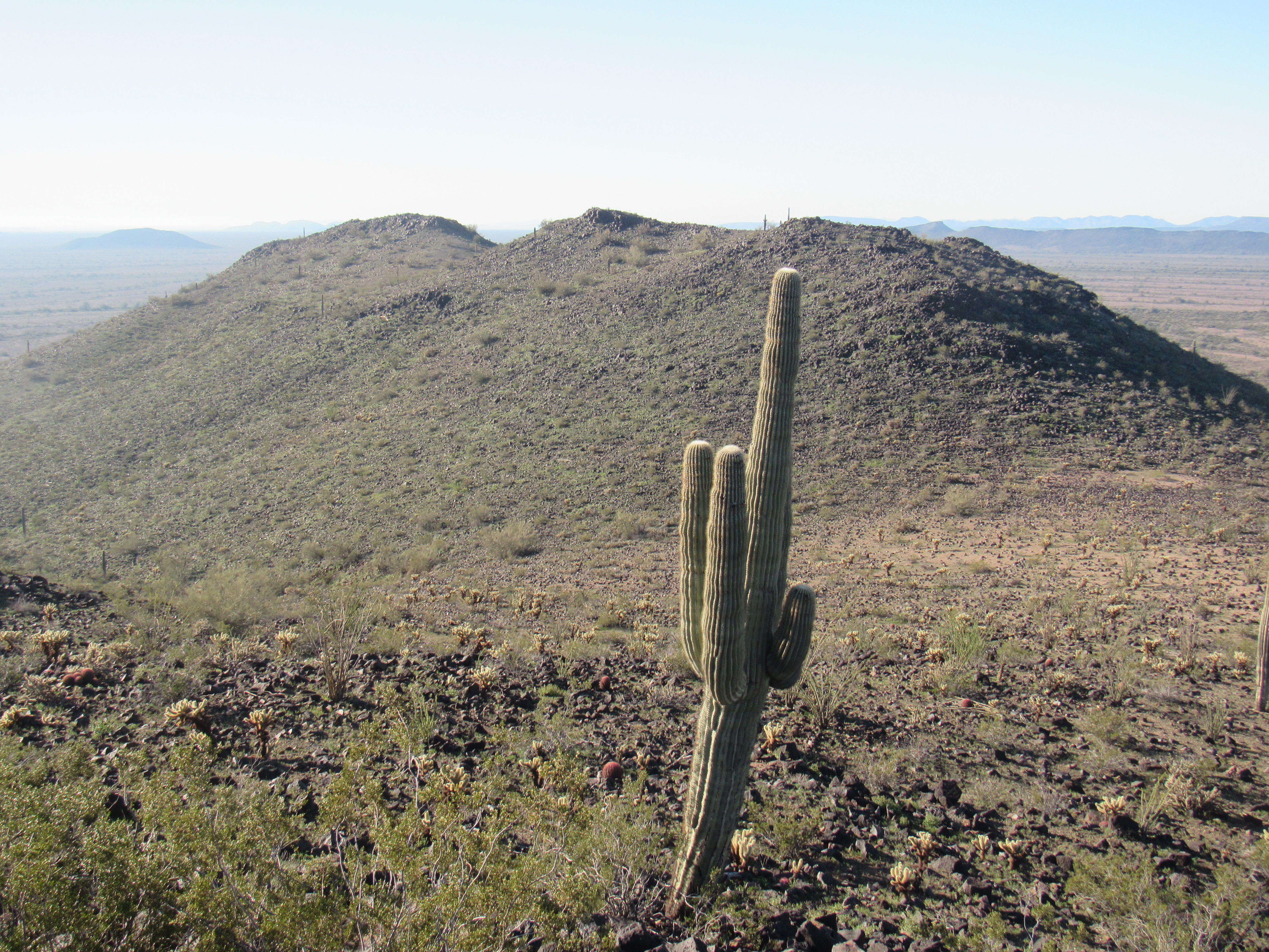
My path now headed west, first dropping to a wash at 1160′ and then up on to another ridge, this one trending west. There were 2 bumps at 1450′ which I crossed, and then one more at 1430′. This next photo shows those bumps.
Bumps 1450
The bump at 1430′ was a curious white color, seen well here in a photo I took from farther west a few weeks earlier on a quiet evening.
Bump 1430
Now it was time for another change of direction – I dropped southeast to a saddle at 1310′, then straight up the southwest slope of Peak 1544.
A look west to Peak 1544
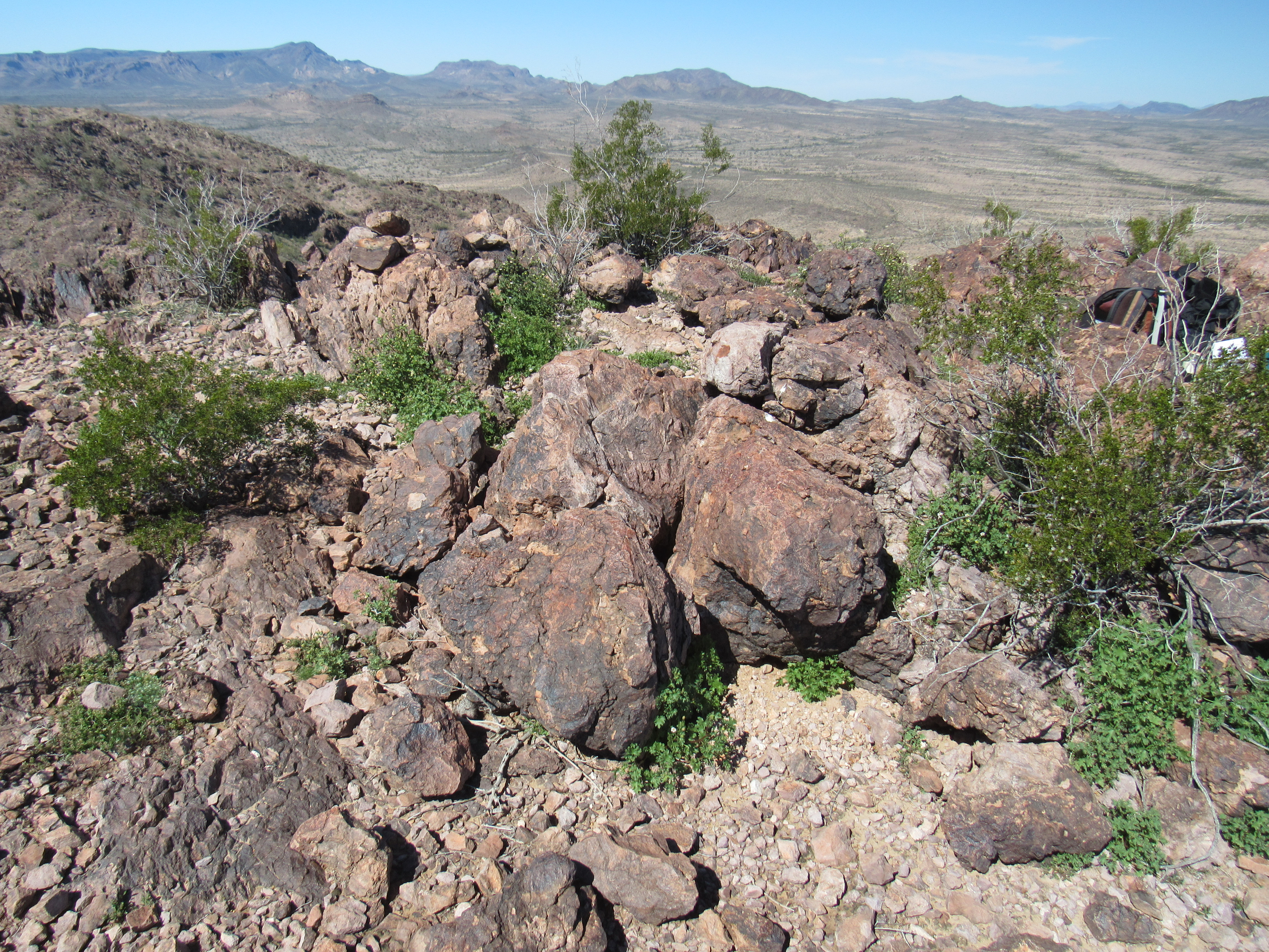
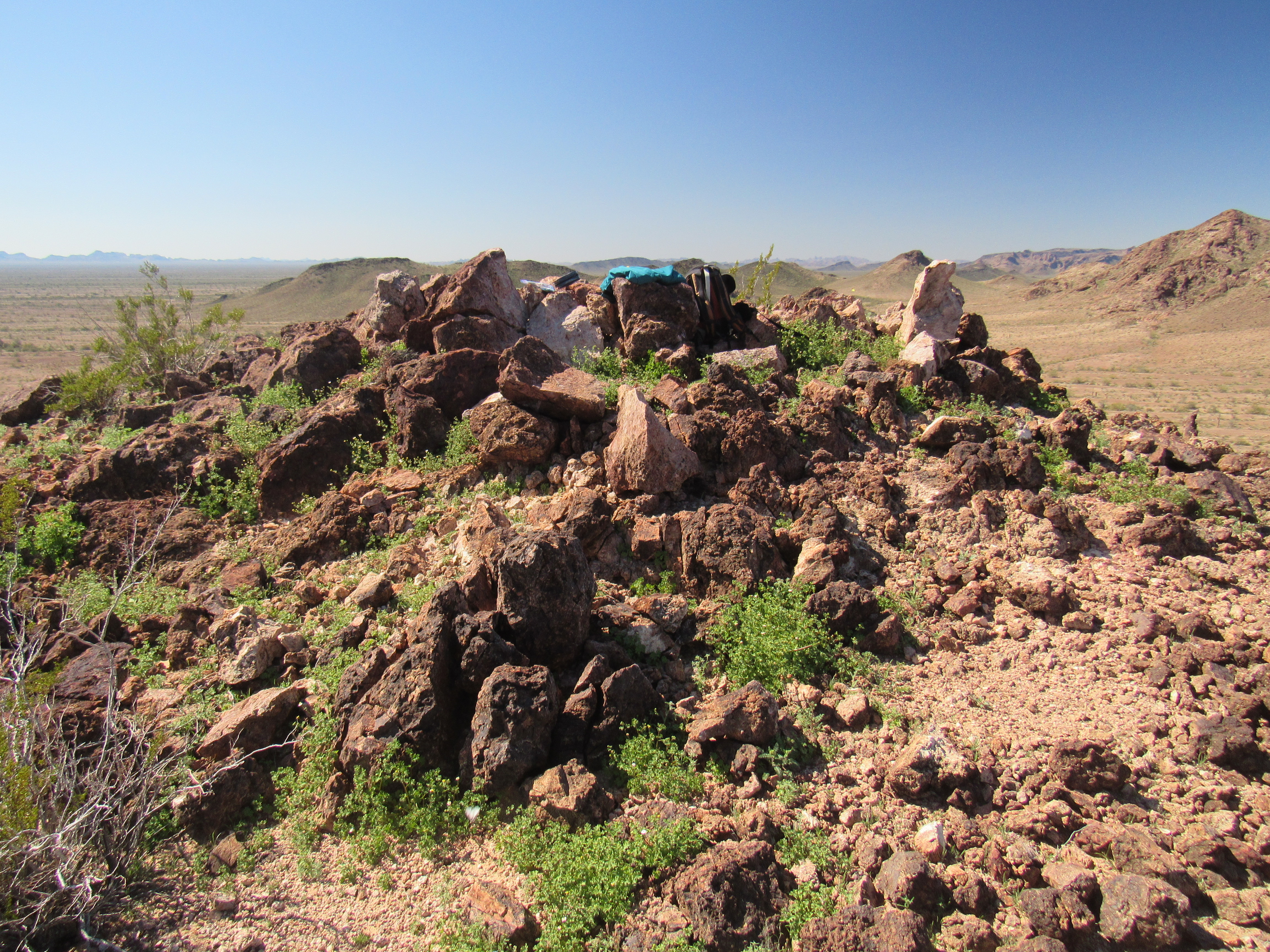
There, I found a register where 8 prior visitors had signed in. I had been on the move just over 2 hours by now, right on schedule.
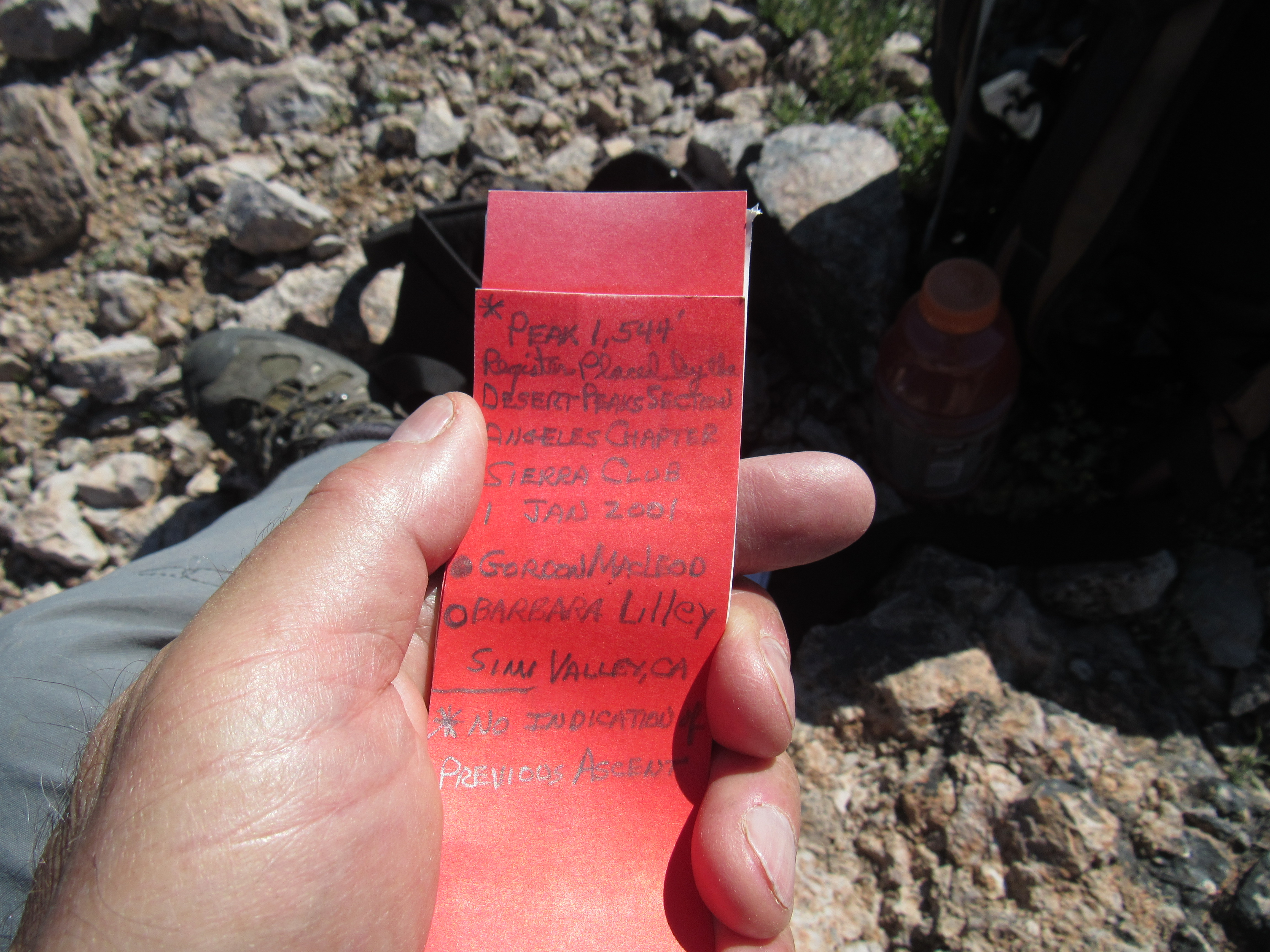
The register
The most impressive thing I saw up there, though, was this view to the north. While I had been rained on for the past 3 days, higher areas had received snow. What you see here is Harquahalla Mountain – at 5,681 feet, much higher and colder than the Clanton Hills. It sits 37 miles distant at a bearing of 014 degrees and is the highest mountain in all of southwestern Arizona.
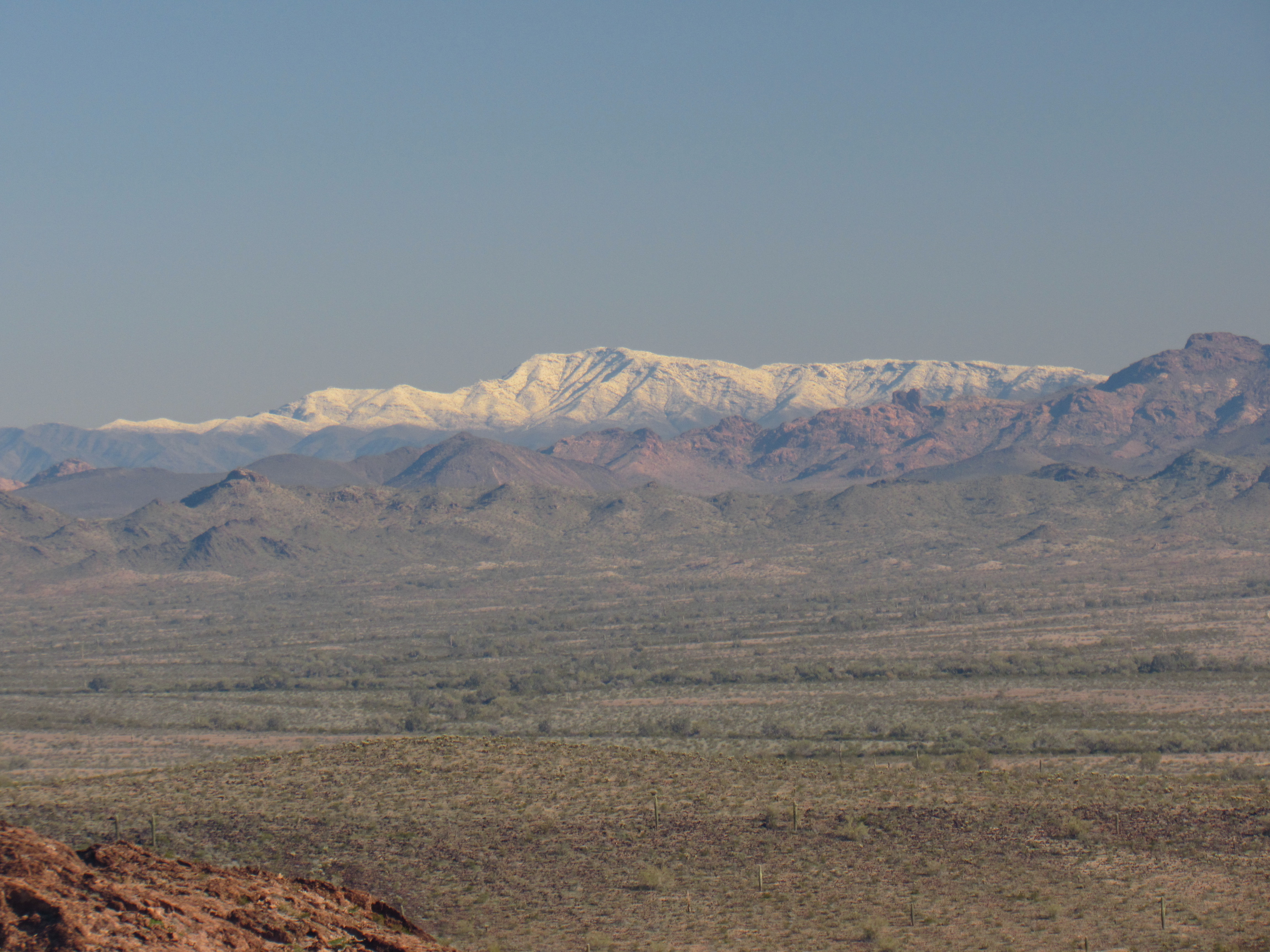
Harquahalla Mountain
Okay, time to move on. The east ridge proved to be an easy path down to a 1,200-foot saddle, where I started up the next peak.
Looking down to the saddle
After about 450 feet of climbing, I found myself on what looked to be the top, but there was no register, just a bit of old surveyor’s wire. Hmmm, strange. Upon closer inspection, I realized that there was a contender a quarter-mile to the east – that must be the true summit.
The highest point
Following the ridge-line, I crossed an intervening bump and then climbed the last 150 feet of rocky ridge to the top of Peak 1686. This was it, the highest point of the Clanton Hills.
The top of Peak 1686
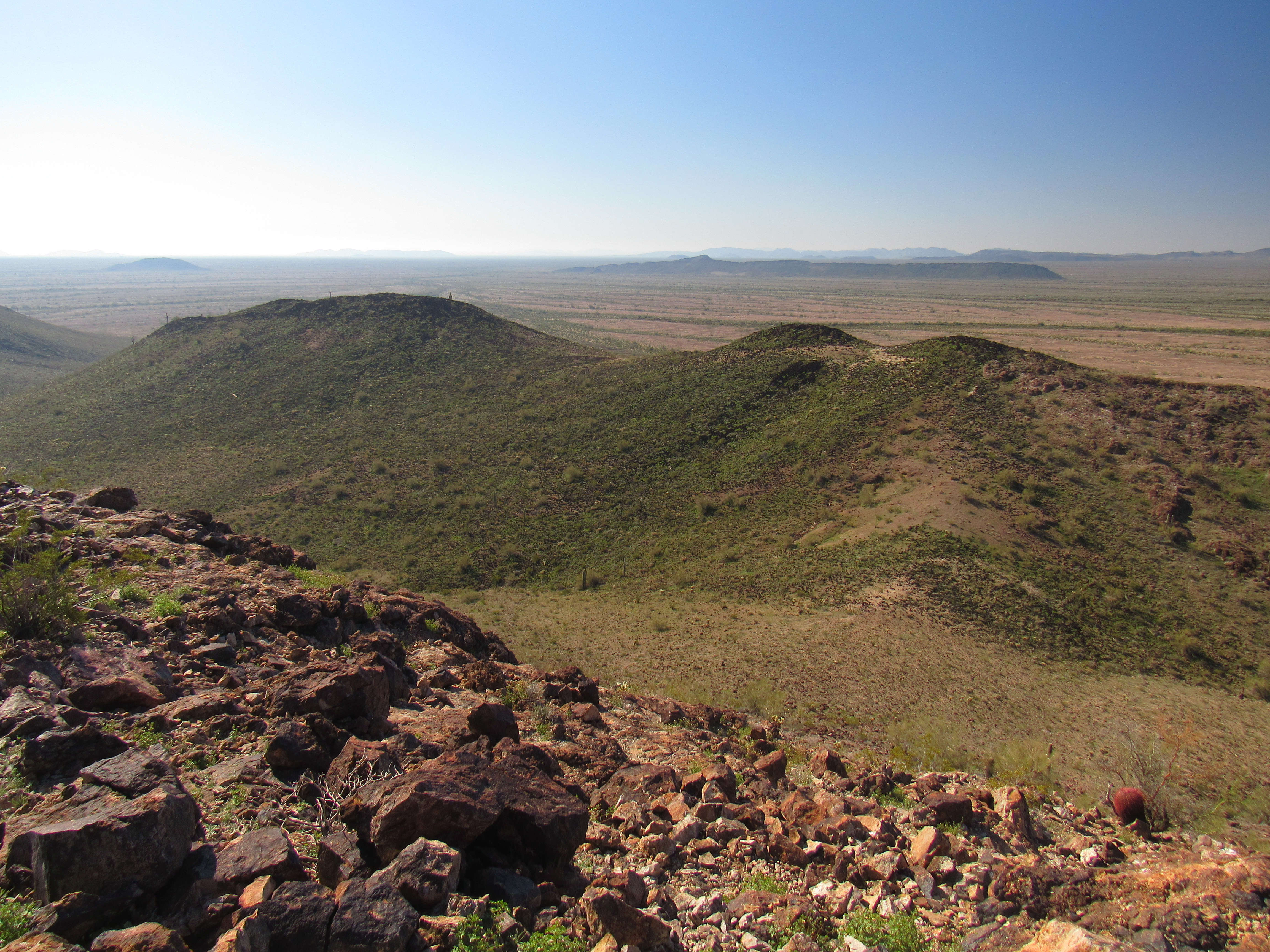
I found the register with 9 prior entries and added my John Henry. This was quite the spot, with terrific views over all the surrounding area. Here’s a good one looking back at the first part of my day, showing everything from Point 1413 all the way over to Bump 1430 on the right.
The southwest part of the Clanton Hills
And here’s one looking back west along the summit ridge of the high point.
The summit ridge
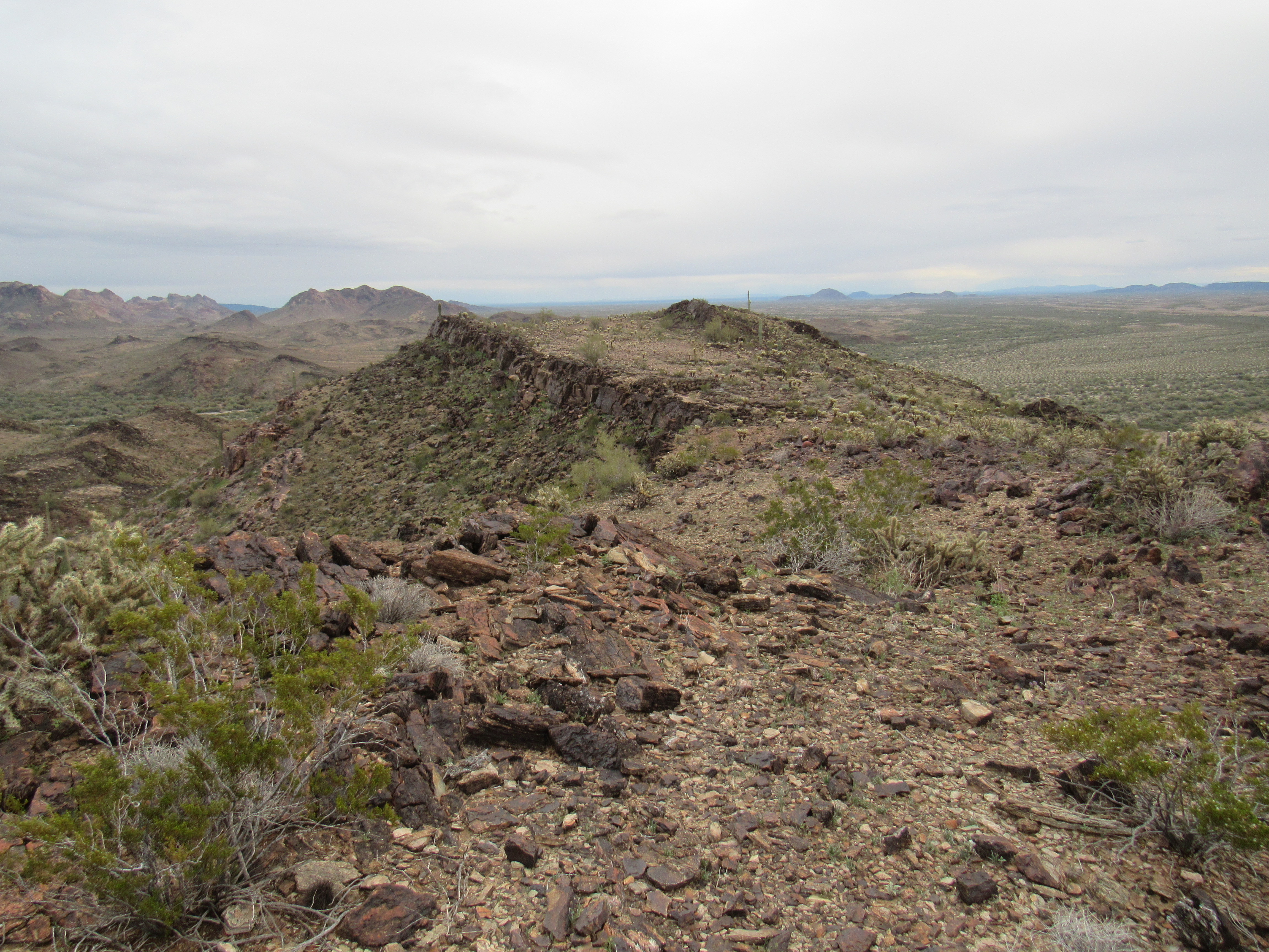
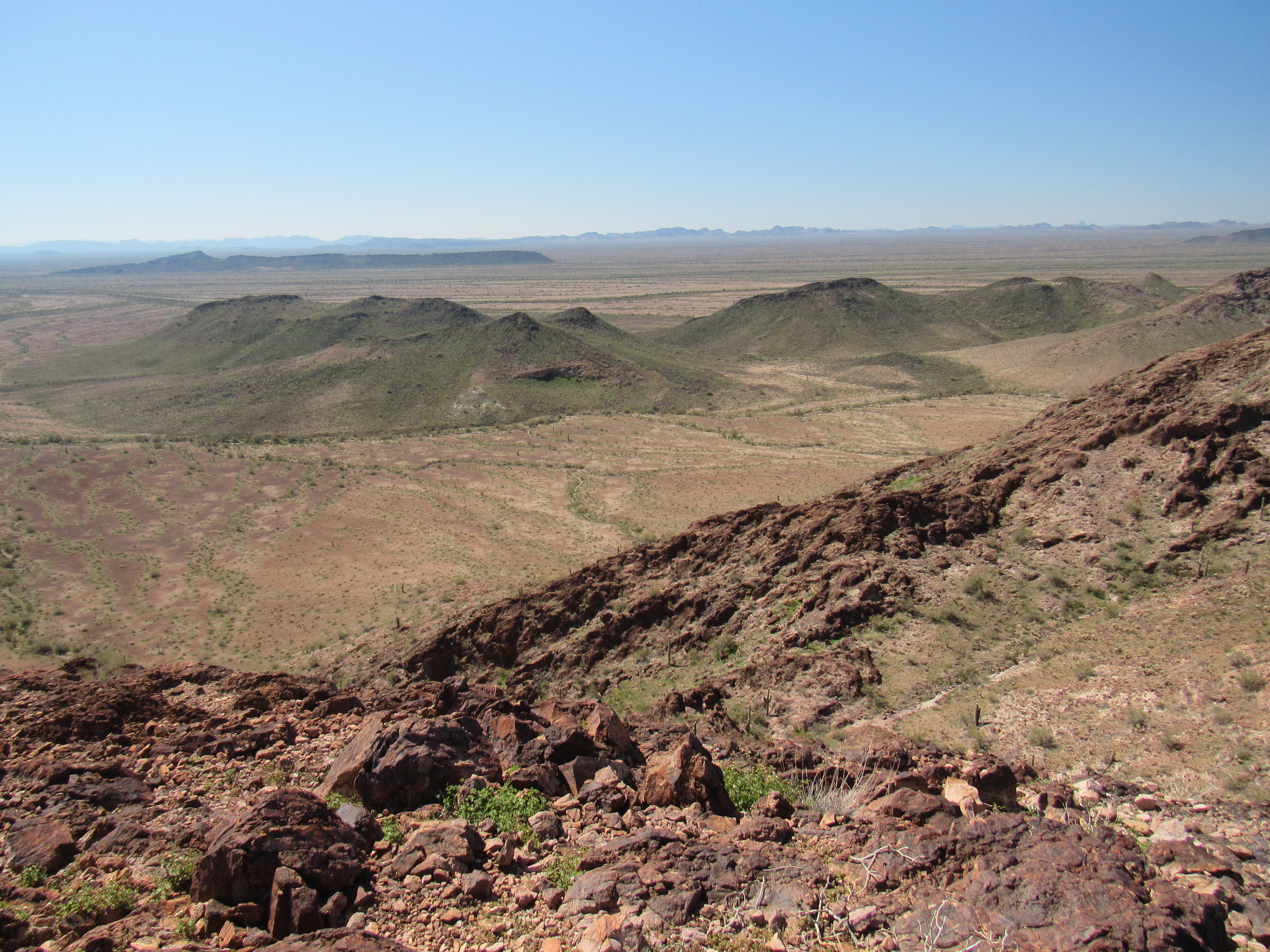
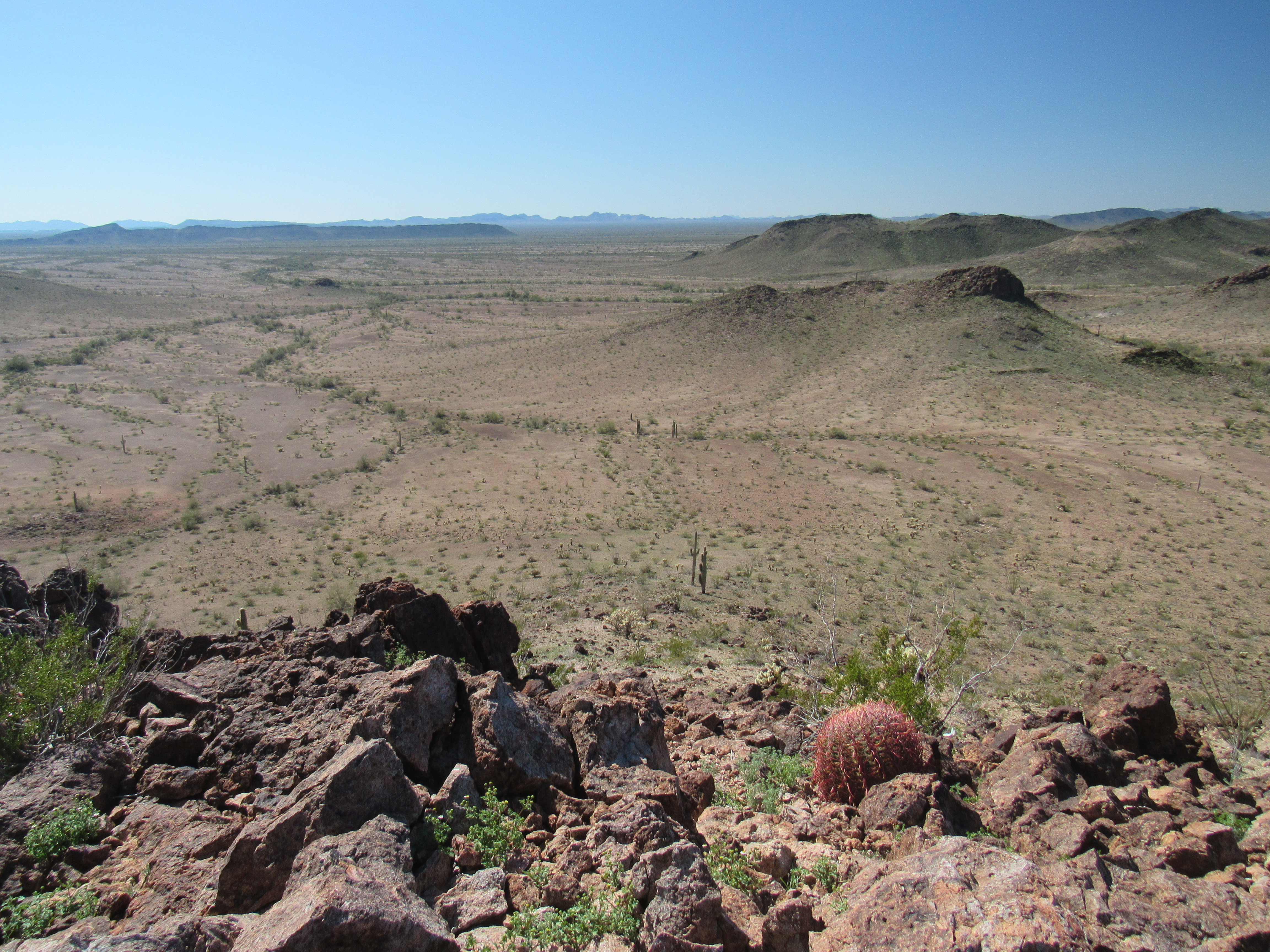
It was 12:30 by the time I left. If I could just descend the steep east ridge, I’d be well on my way to finishing my loop. There were a lot of cliffs, but I found that if I could zig-zag my way down through them, I’d be okay. I reached a saddle at 1,350′, and from there it was an easy stroll across open desert to the southeast. One last task, a quick climb of Point 1379, where I would leave my last cairn of the day – here’s a view south looking towards it – it’s out there, a few bumps away.
A look south from the high point
Point 1319 also appeared untouched.
Point 1379
A final mile across open desert delivered me to my truck. In this next photo, it is parked just this side of the long dark bump touching the horizon just to the right of center.
The home stretch
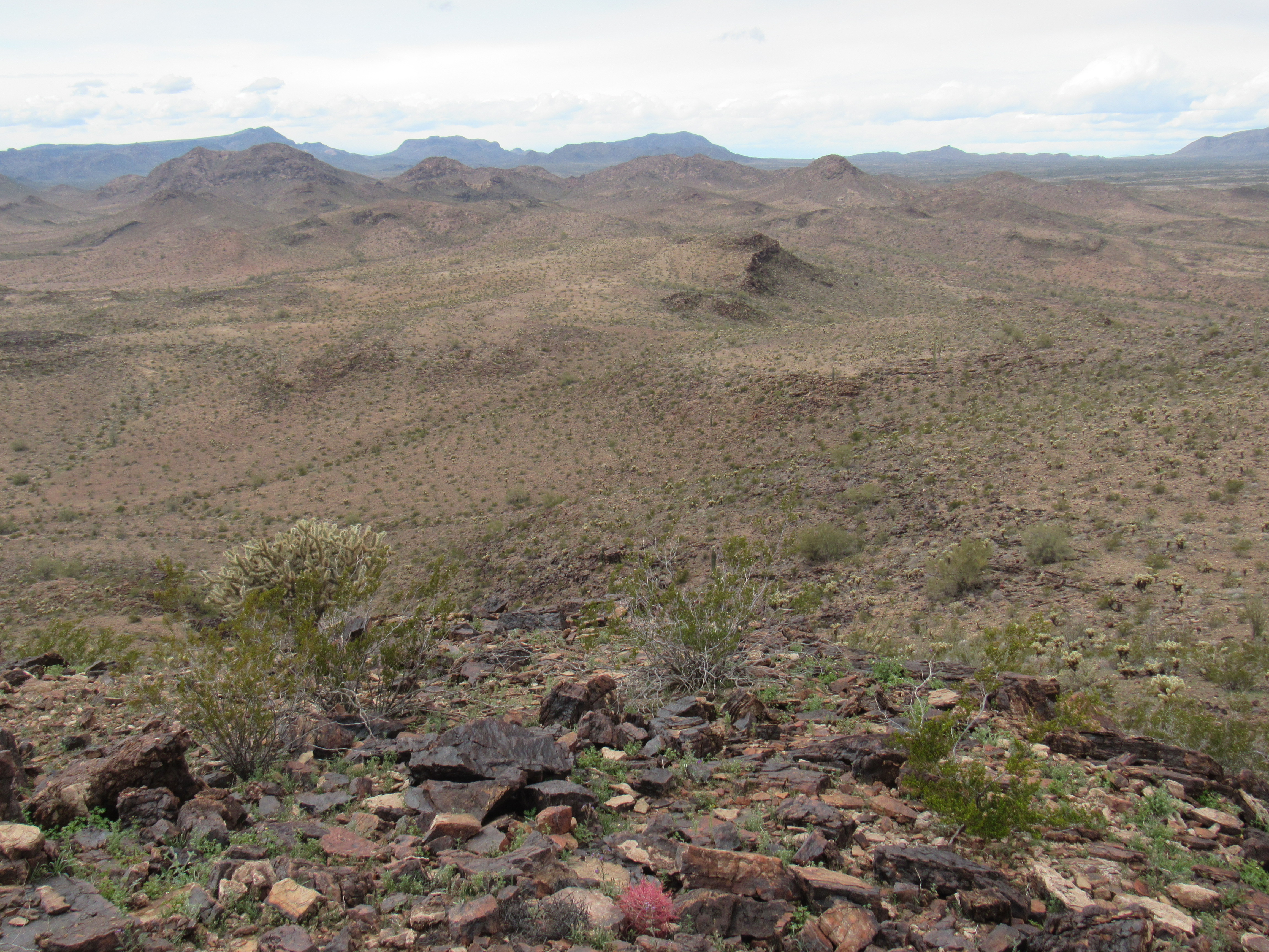
I finished in under 6 hours for the entire loop, and that had been my goal. Six miles on foot and 2,260 feet of climbing was what it took to complete this terrific day. Here’s one last look at the high point, as seen from the south. This shows the entire summit ridge.
Peak 1686, the south side
My goal had been to examine all geographic features named Clanton. There were 5 in total: the Clanton Hills; Clanton Well; Clanton Hill – these 3 were now completed, leaving 2 more. Less than 5 miles SSW of the Clanton Hills high point was a summit which proudly bore Clanton Benchmark, elevation 1,366 feet. One fine day I paid a visit, climbing it by its steep NW side.
Clanton Benchmark
I found the benchmark alright,
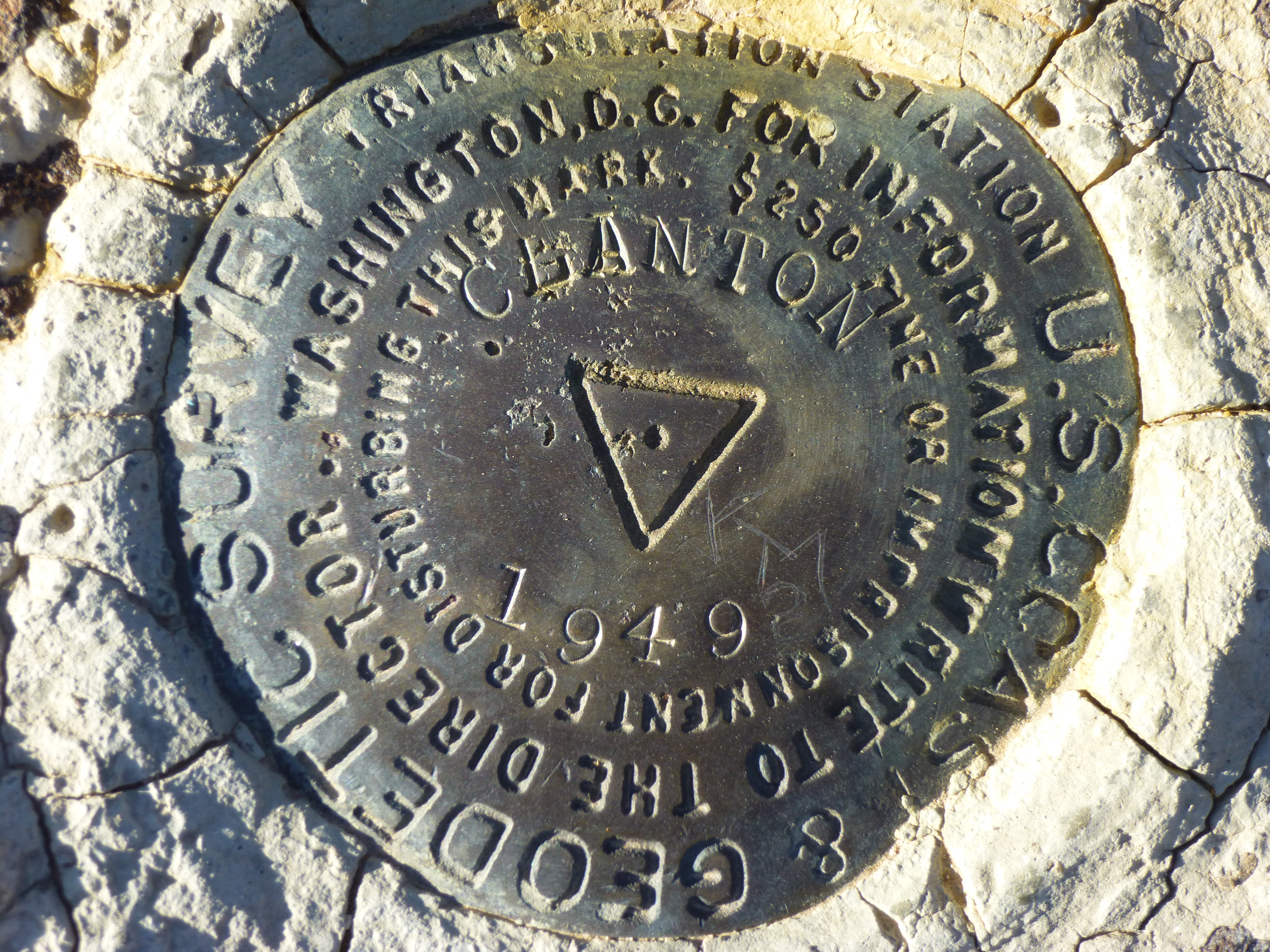
Clanton Benchmark
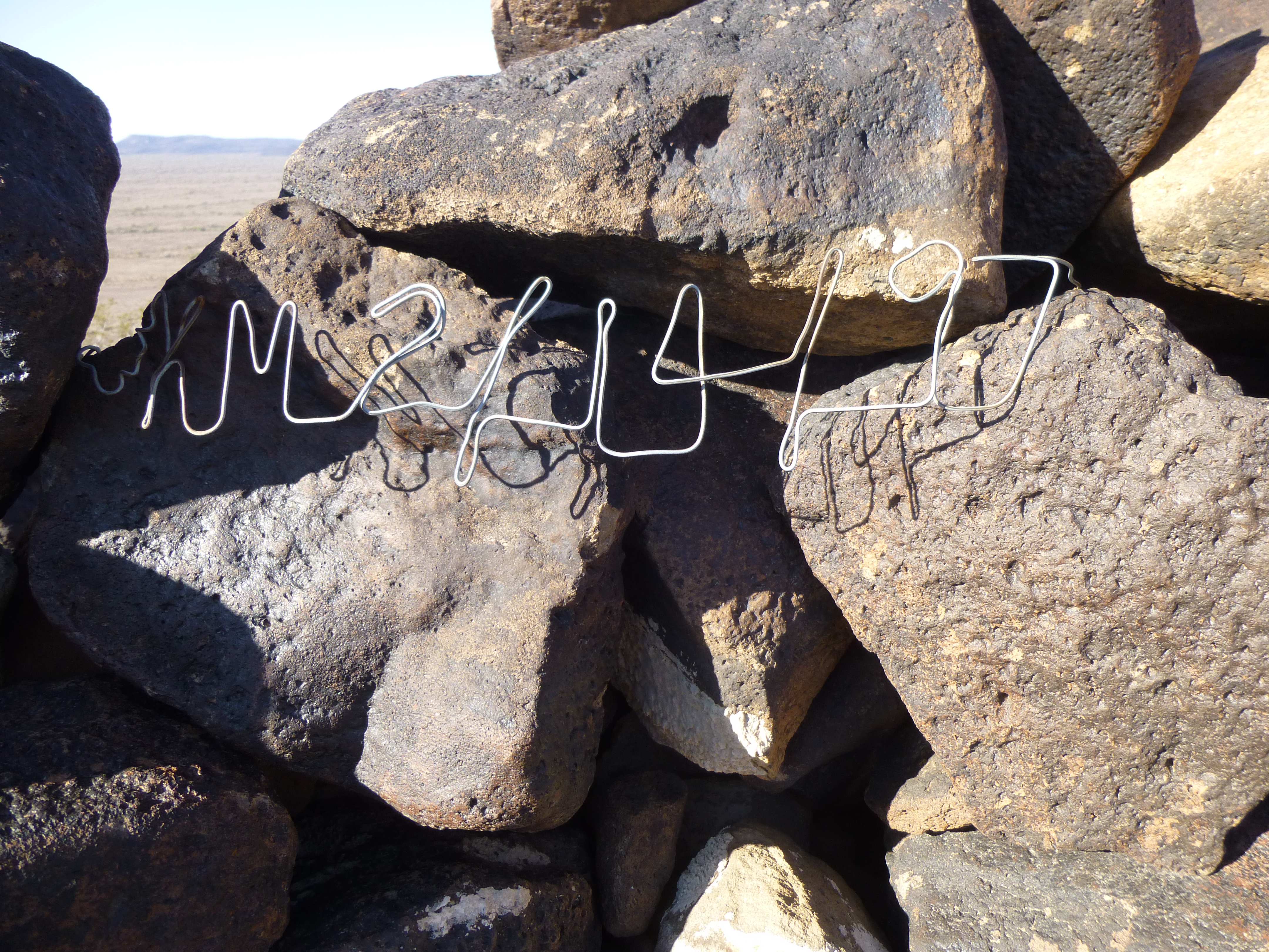
but also found this unusual thing. Some previous visitor had bent a piece of wire to form a message, perhaps a date and initials. Curious. .
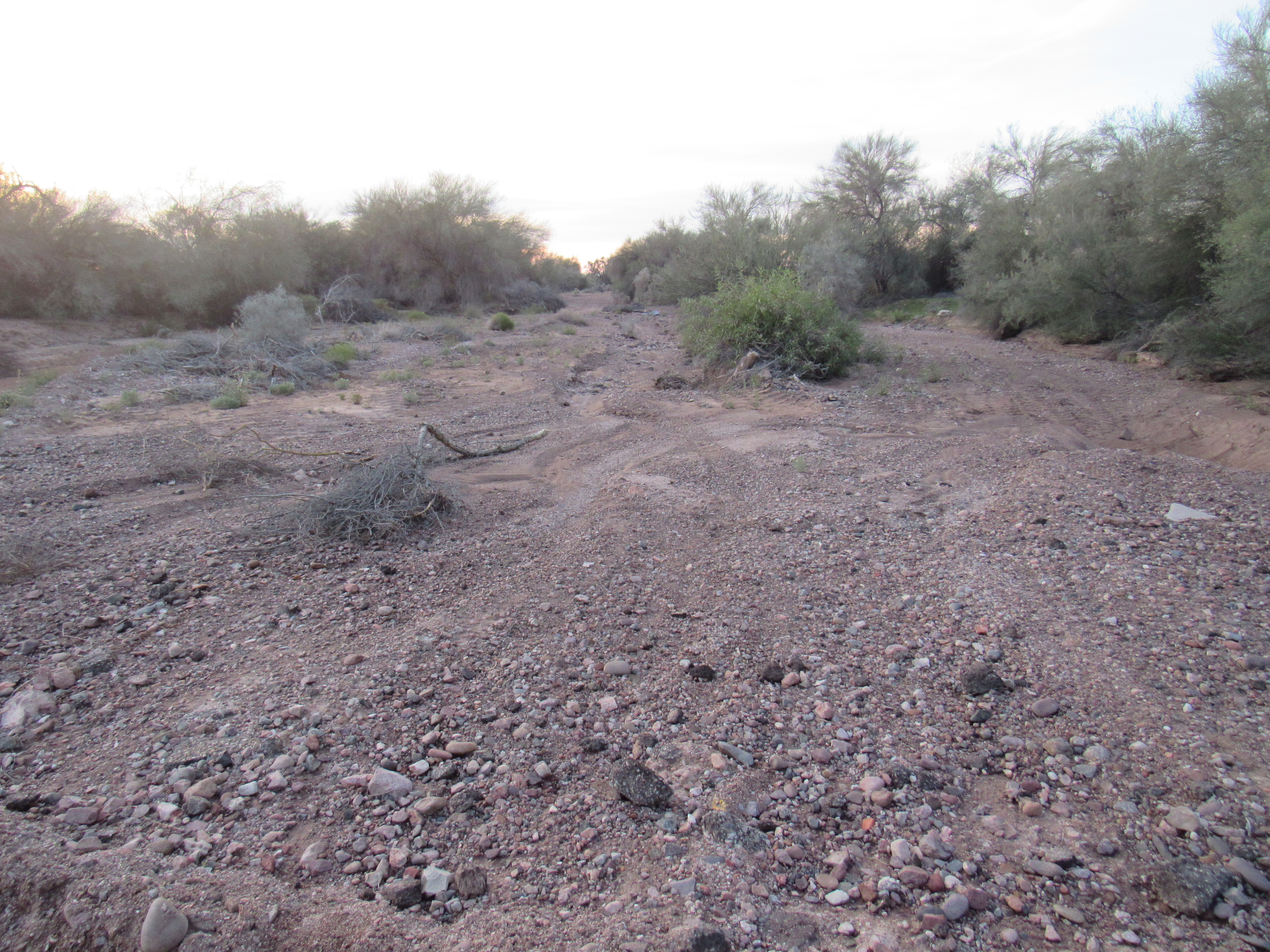
There was one more thing Clanton to visit, and that was Clanton Wash. As most of you, my readers, know by now, here in our desert a wash is a stream that is almost always dry. Only rarely is there enough rainfall to cause it to flow. About 12 miles south of the Clanton Hills high point, I visited the “headwaters” of Mr. Clanton’s wash. Here, it was a tiny channel in an otherwise flat bit of desert.
The beginning of Clanton Wash
A mere 3 miles downstream from its source, the wash has broadened into a sizable channel about 10 feet deep. Here it sits along the vegetated strip in the foreground, with Baragan Mountain behind.
Clanton Wash
Ten miles farther downstream, our wash passes beneath the old Southern Pacific Railway tracks.
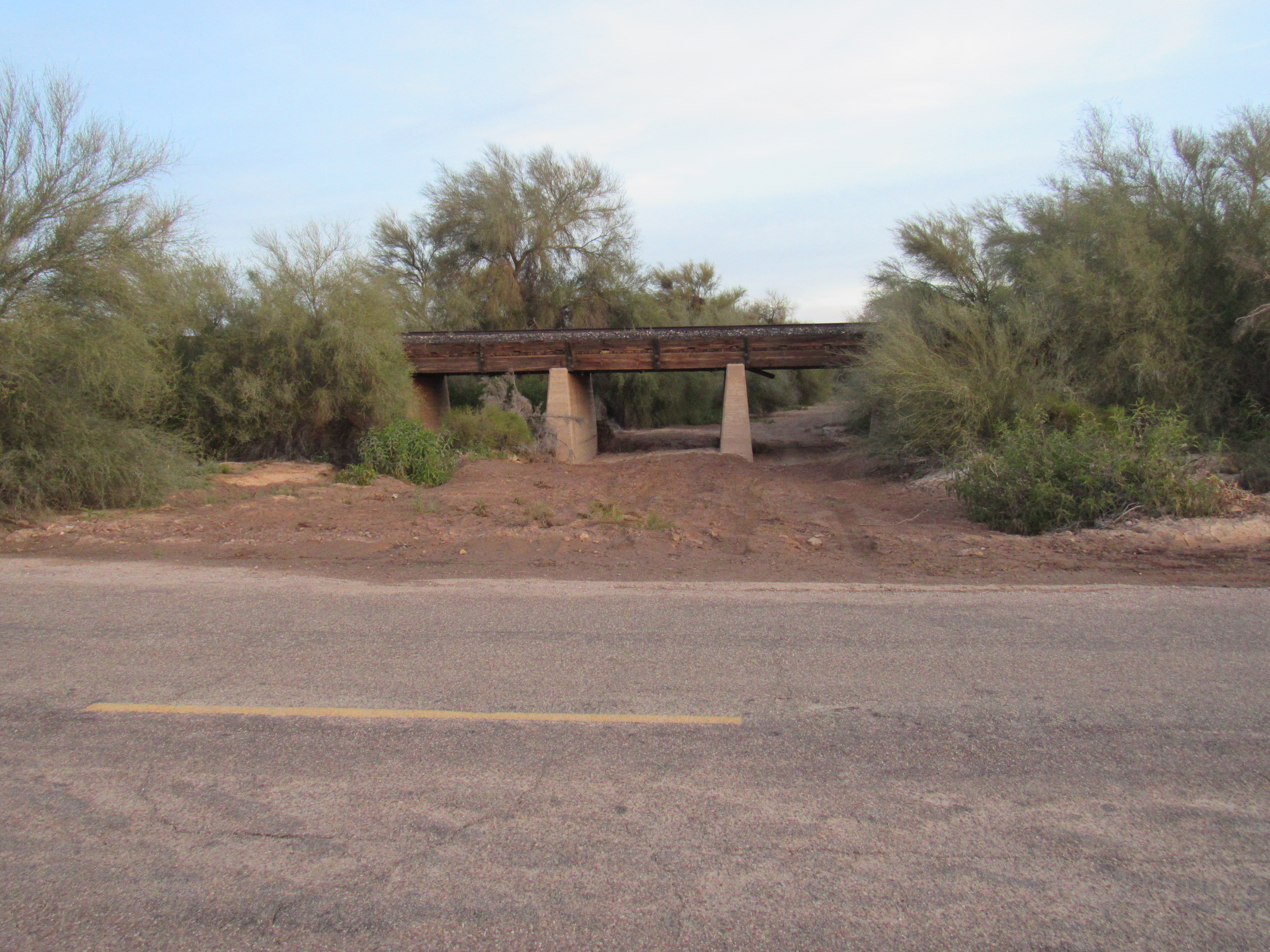
It then flows across the paved road and continues south.
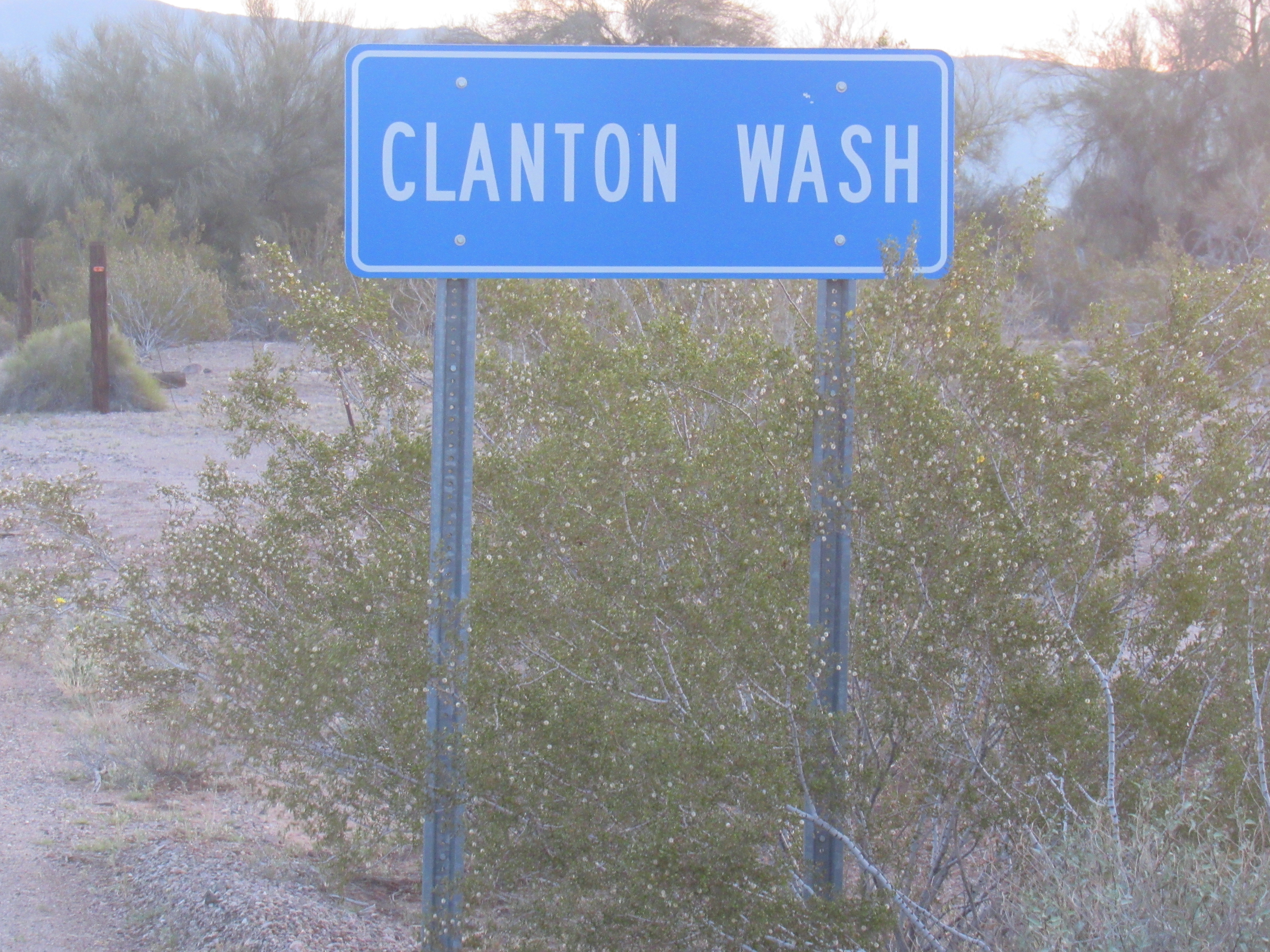
And in case you don’t believe me, here’s proof.
This is almost its last hurrah, because 4 miles later it dies a natural death by merging with the wide channel of the Gila River.
In retrospect, Old Man Clanton, in spite of his notoriety, had left his mark on this part of Arizona, even though he didn’t spend much time there. There are few things that create a more indelible legacy than having geographical features named after you, and in that respect Newman Haynes Clanton had been a resounding success.