
Please be sure to read the previous installment of this story, The Little Horn Mountains: Part 1- Returning to the Scene before continuing with this one.
I had just spent a great day walking for many miles through quiet valleys in the eastern part of the Little Horn Mountains. It was so quiet, not another soul, as I walked through that big piece of desert. Once back at my truck, though, I knew it was time to move on. It didn’t take me long to drive back out to Hovatter Road, the name that had been dropped on this major dirt track that entered the range from the north. The road goes through a low pass, then continues on into the valley drained by Cementosa Wash. I hadn’t driven very far when I came to a junction – I was looking for it, as I thought I’d pay a visit to the old Oakland Mine. This is the sign that greeted me there.
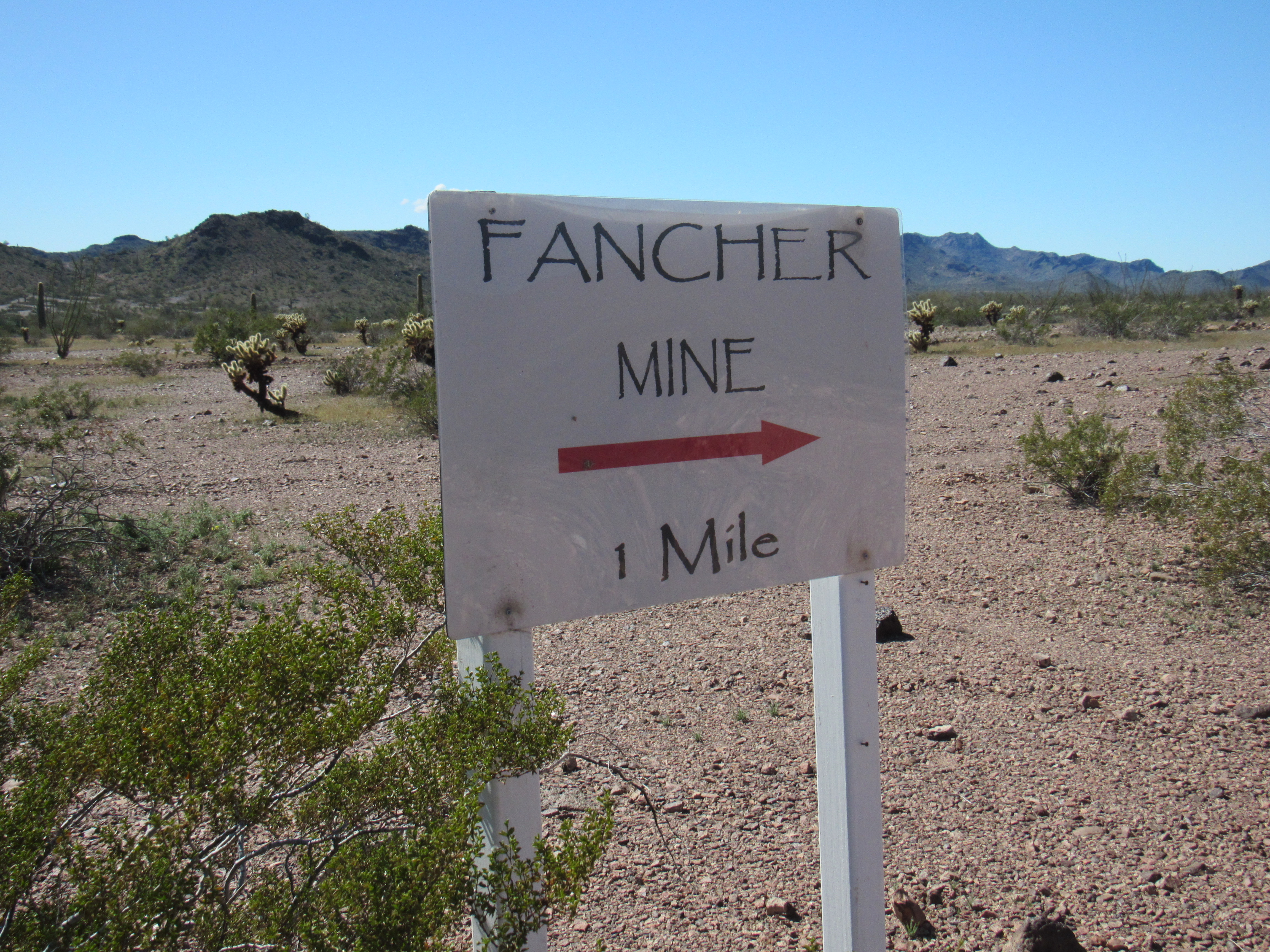
Hmmm, what was the Fancher Mine? Never heard of it. Satellite photos had shown a bunch of buildings and excavation not seen on the topographic map, all recent, so maybe that was it. The road was wide and well-graded as I headed north. If there was anything left of the Oakland Mine, I didn’t see it as I drove the mile north to where I found the road blocked by a massive gate and plenty of warning signs.
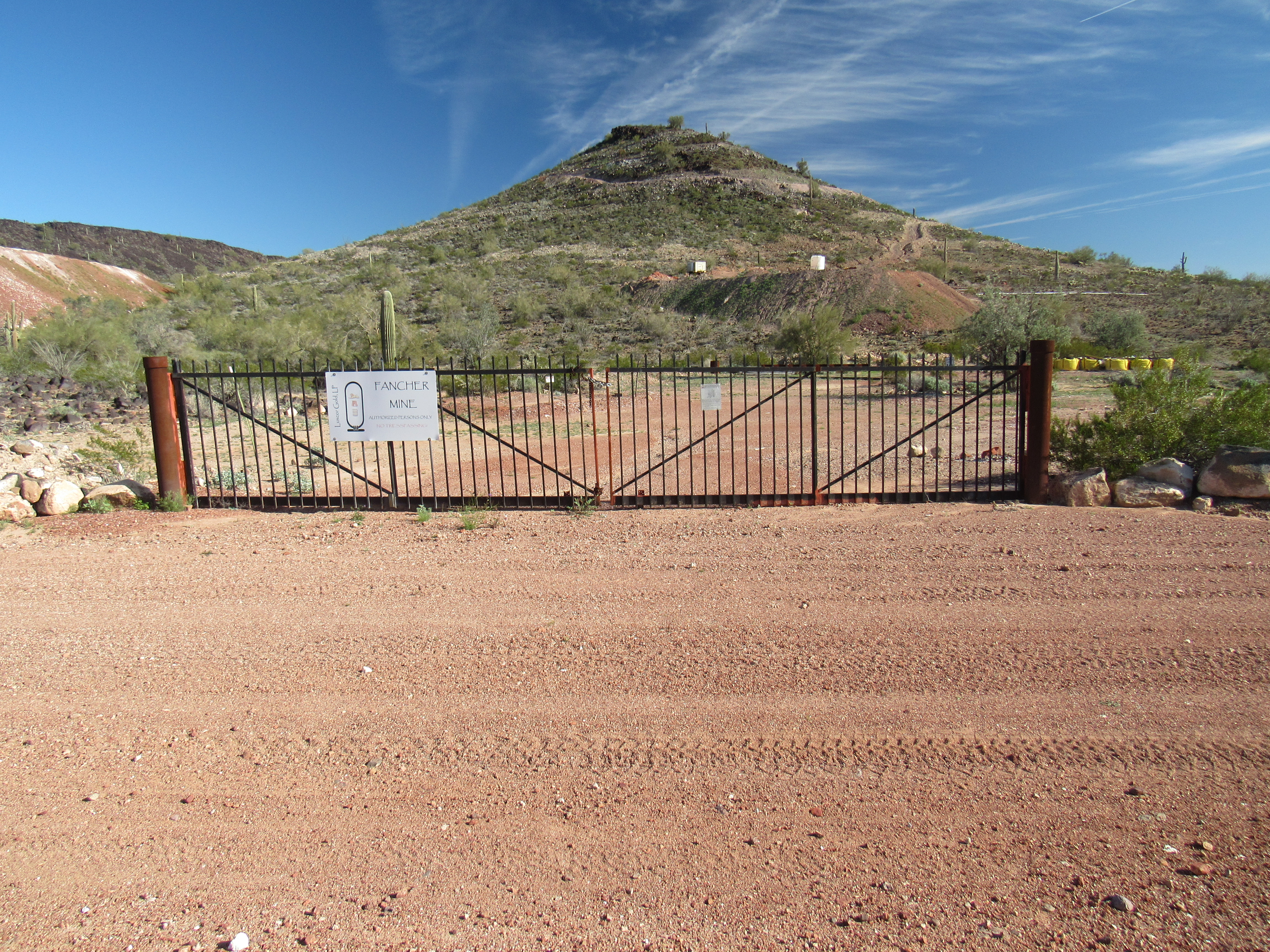
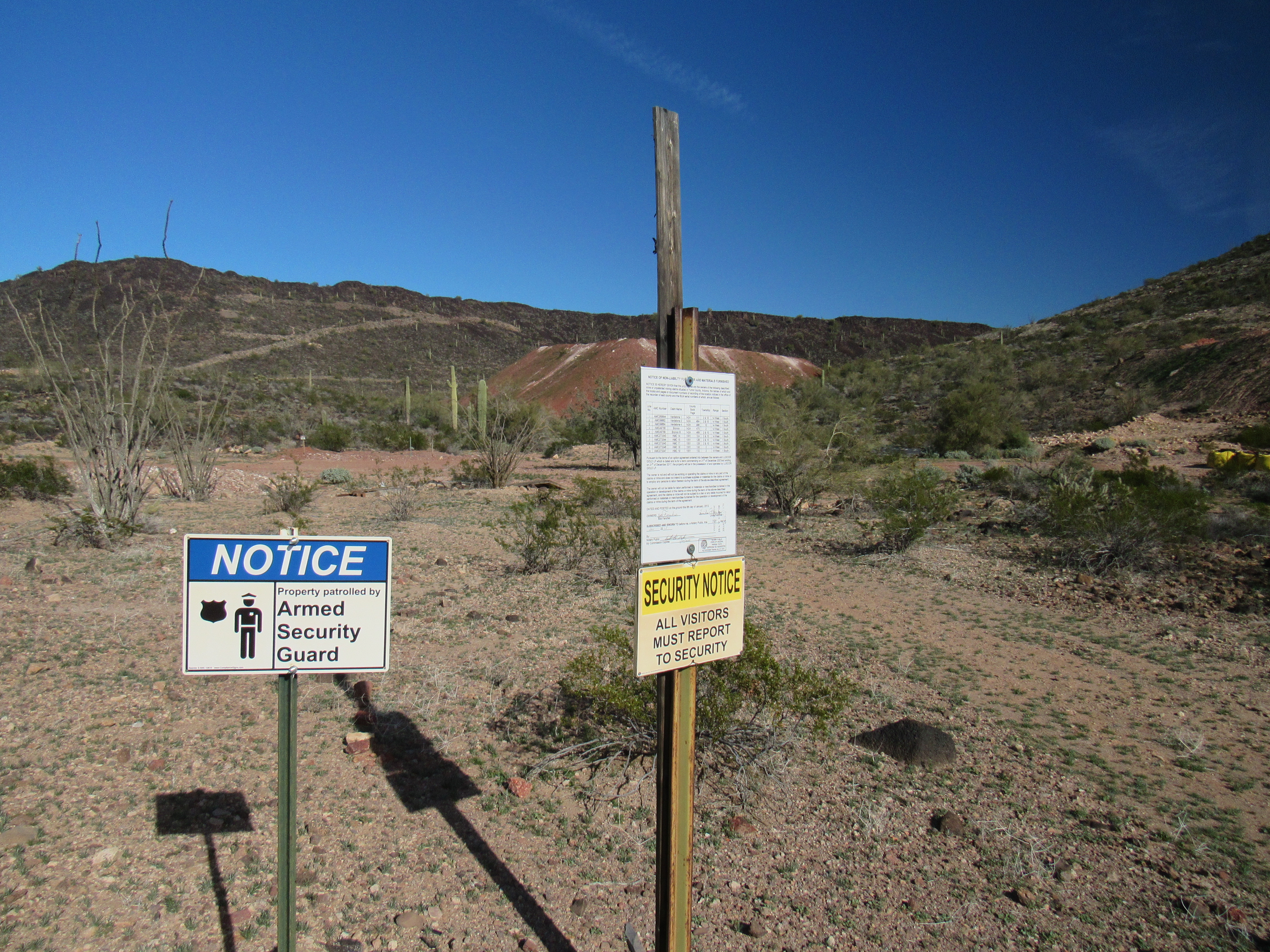
When I got out of my truck, all I heard was complete silence, no indication of any current mining activity. It was a Friday afternoon, making me think that if the mine were still active I might have heard something. I was tempted to walk up the road to see if I might find someone to talk to, even a watchman, but decided against it. The best information I was able to find on the Internet was this, but I don’t know if they are still working here or not. I wasn’t too concerned, as the mine didn’t affect my access to any peaks, but this could be the only mining activity still going on in the Little Horn Mountains today.
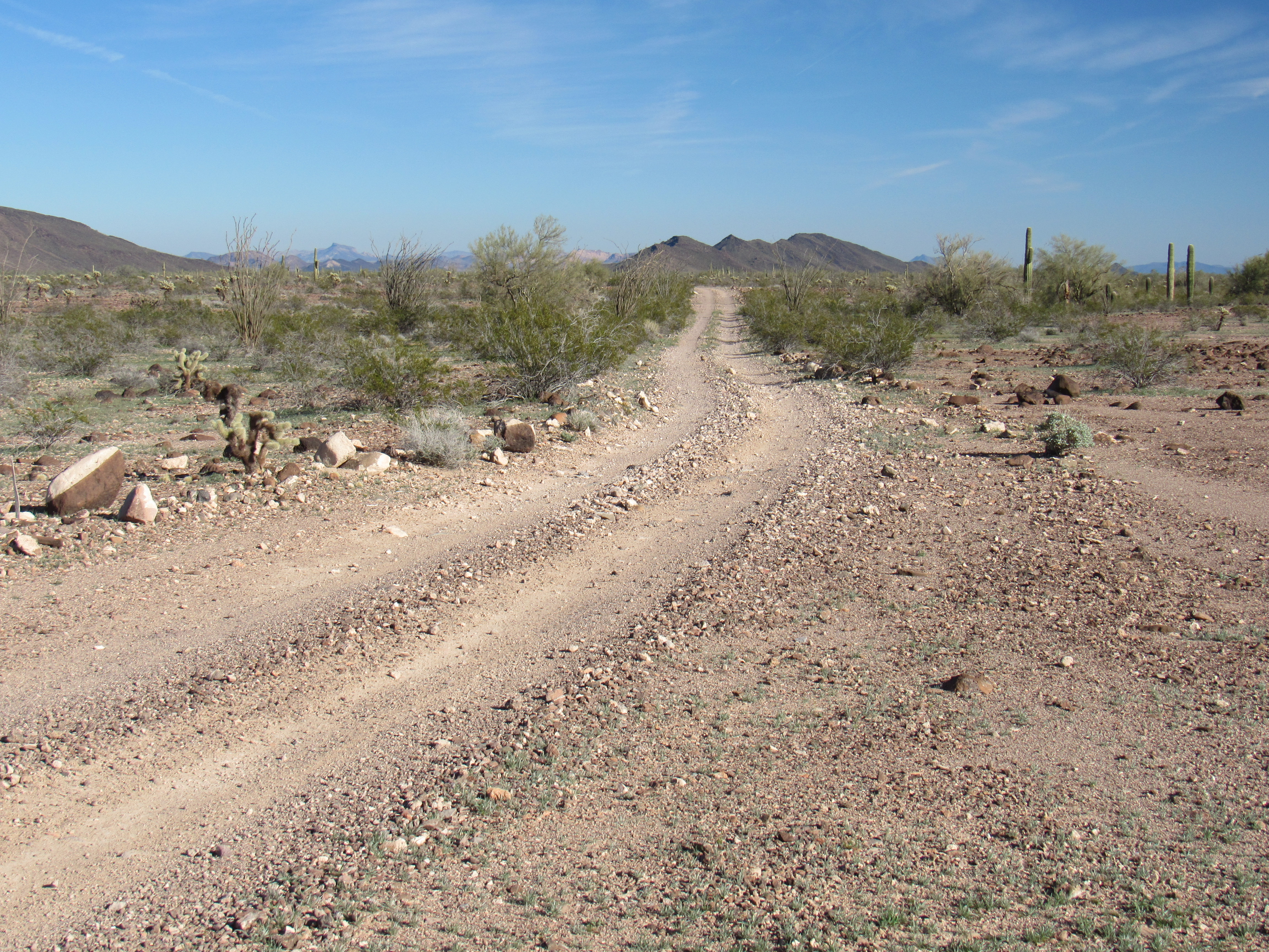
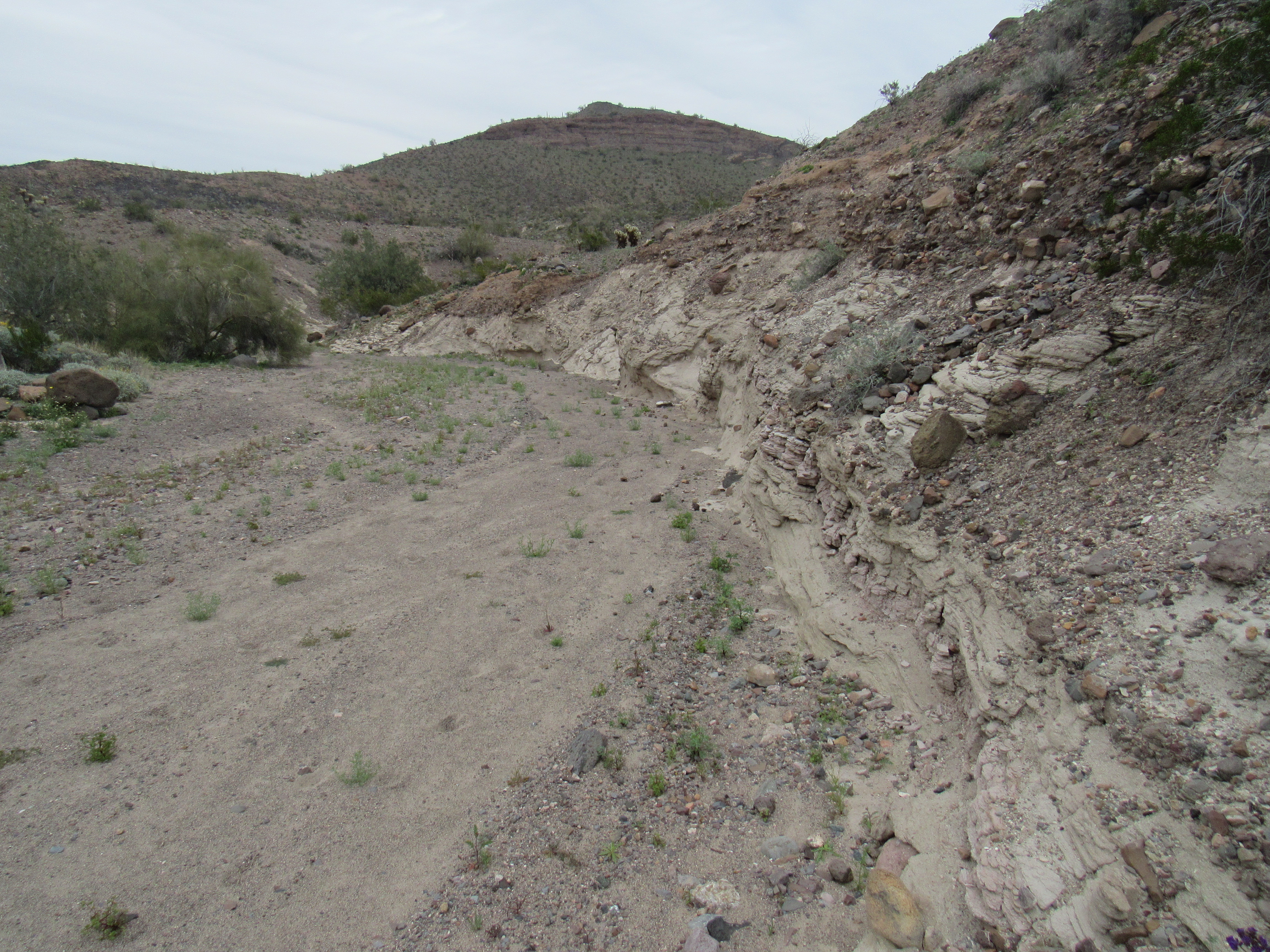
I drove south back to the main road, then a bit farther west. There, I found the road I was looking for, one that headed south through the Cementosa Wash drainage. What a change! Immediately the road became much rougher, strewn with rocks and cut across with smaller side drainages. It was slow going. Before long, I came to a spot that gave me pause.
The road went downhill, deeply-eroded, gritty and slippery. There was a spot where the wheels of my truck (which is narrow enough in the first place) could just barely pass between some large rocks – I had my head out the window for the best possible view. I made it, but there was a much bigger concern. Up on an embankment on my left side sat a large boulder, barely teetering on the edge on some dirt. I knew that the slightest touch would send it rolling down into the side of my truck, causing serious damage. I made it past, but I knew that it wouldn’t take anything at all to loosen it, and when that happened the road would be blocked. Roads like this are never maintained, and if a huge rock like that blocks the road, that’s forever. I breathed a sigh of relief to be past this bad spot, and promptly planned to never pass this way again. Shortly afterwards, this road made a T-intersection with a named road.
Looking east along Red Raven Road
Few roads in the desert actually earn a name of their own, and this was one of them – “Red Raven Road”. I love the name. I’ve never seen a red raven, nor do I know if such a thing even exists, but the name was certainly unique. This is a major east-west road, running a total distance of 30 miles. Not many washes cut across it, but some of those that do are deeply-incised and offer a 4WD challenge getting into and out of them.
This was all new ground for me, and I loved every mile of it as I headed east. I was getting glimpses of some great-looking mountains, ones that I knew would come into play later on.
7 1/2 miles later, I came to a side road heading north – I hoped it would be driveable the last few miles I needed. It was my lucky day, and before I knew it I was parked by a small hill which sheltered an old mining prospect. To my amazement, I was able to make a cell-phone call home. The nearest tower would be 35 air miles away, and for my old POS phone that was quite an accomplishment. So ended my third day back in the Little Horn Mountains.
A warming trend seemed afoot, because when I awoke it was a balmy 41 degrees. My goal was to only climb 2 peaks today – I expected to be gone all day, and would carry 3 quarts of electrolyte with me. The peaks I had in mind appeared unclimbed, as far as I knew, so I was curious to see what I’d find atop each of them. The day dawned overcast, and looked like this.
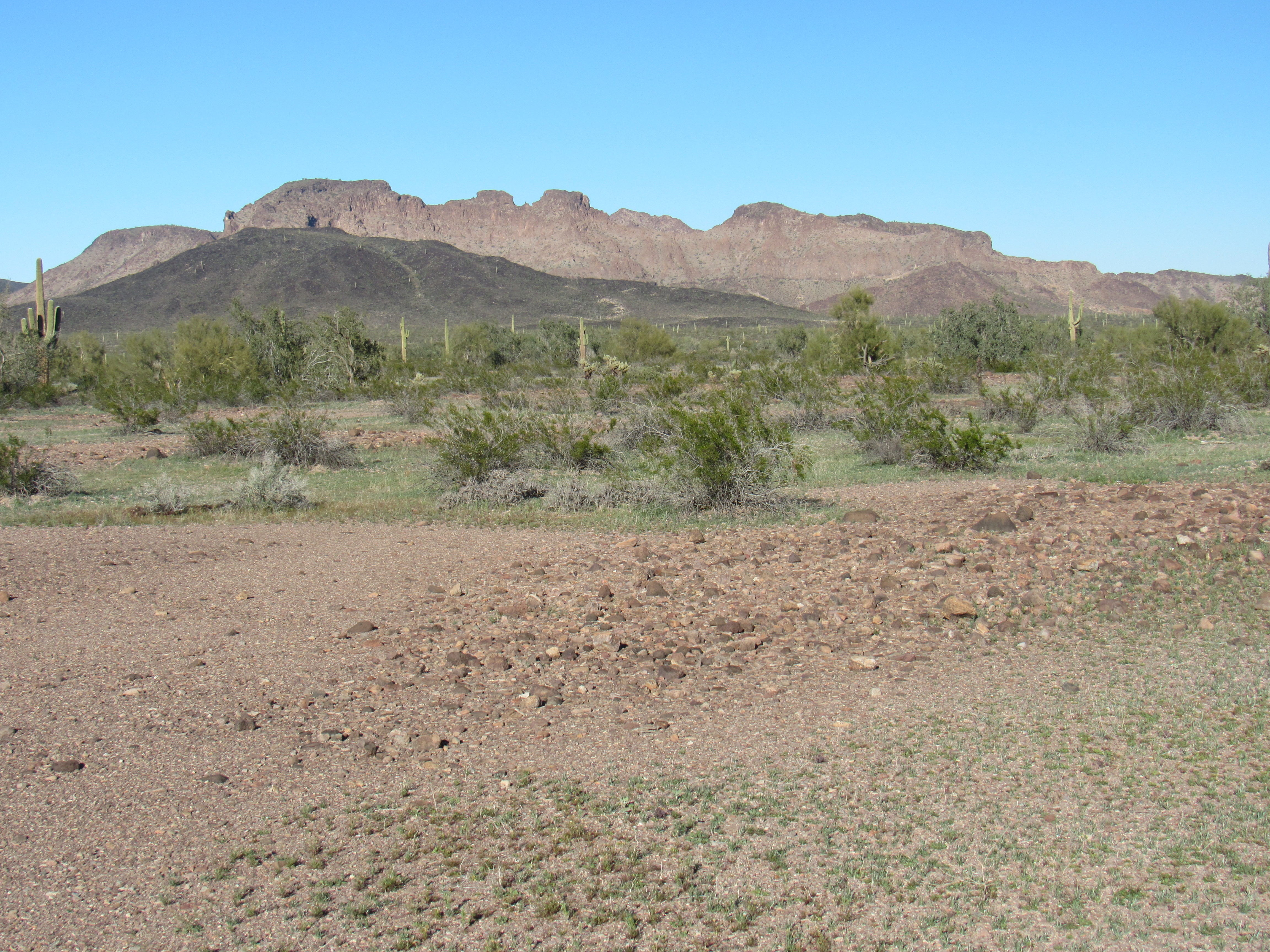
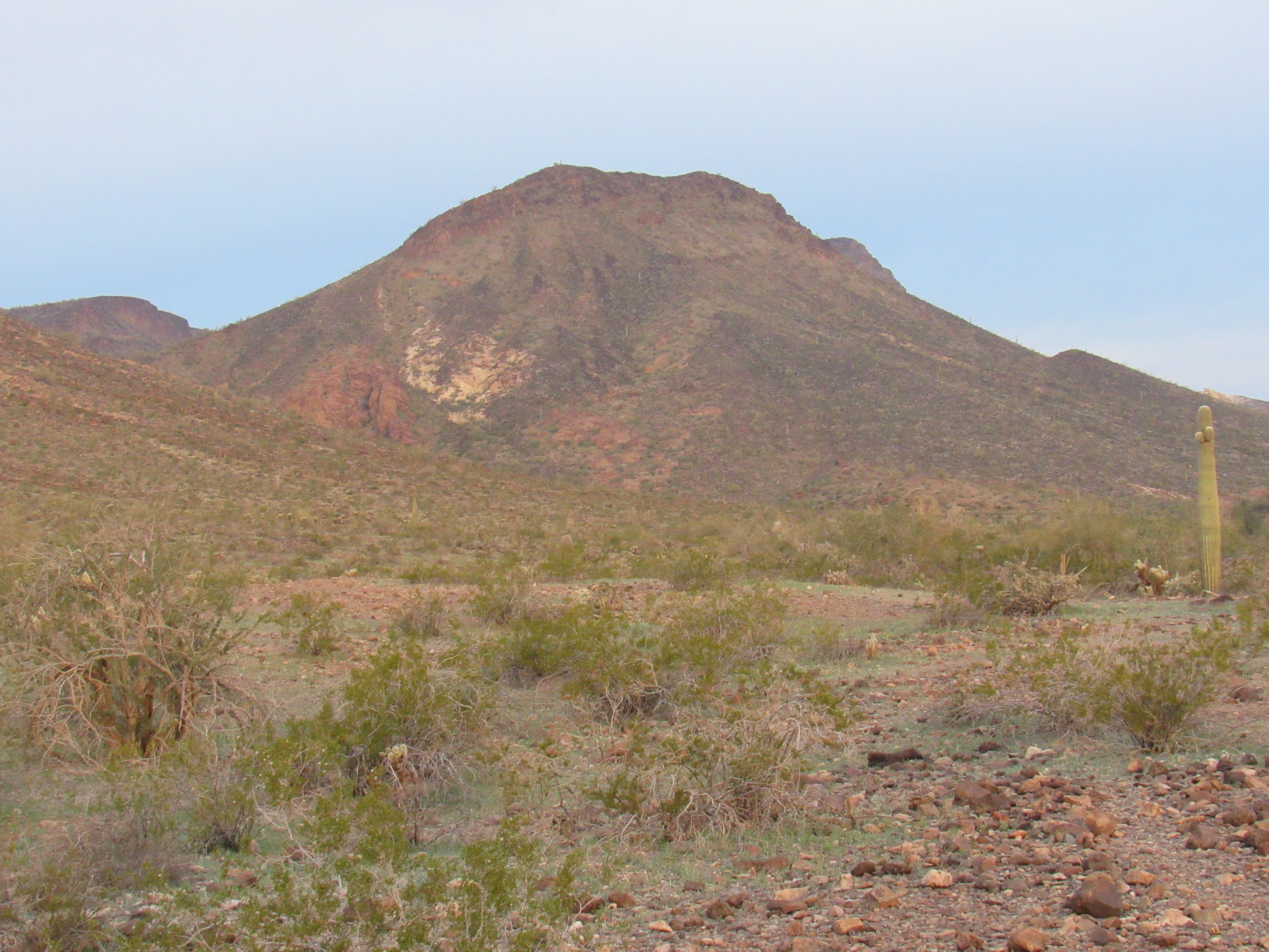
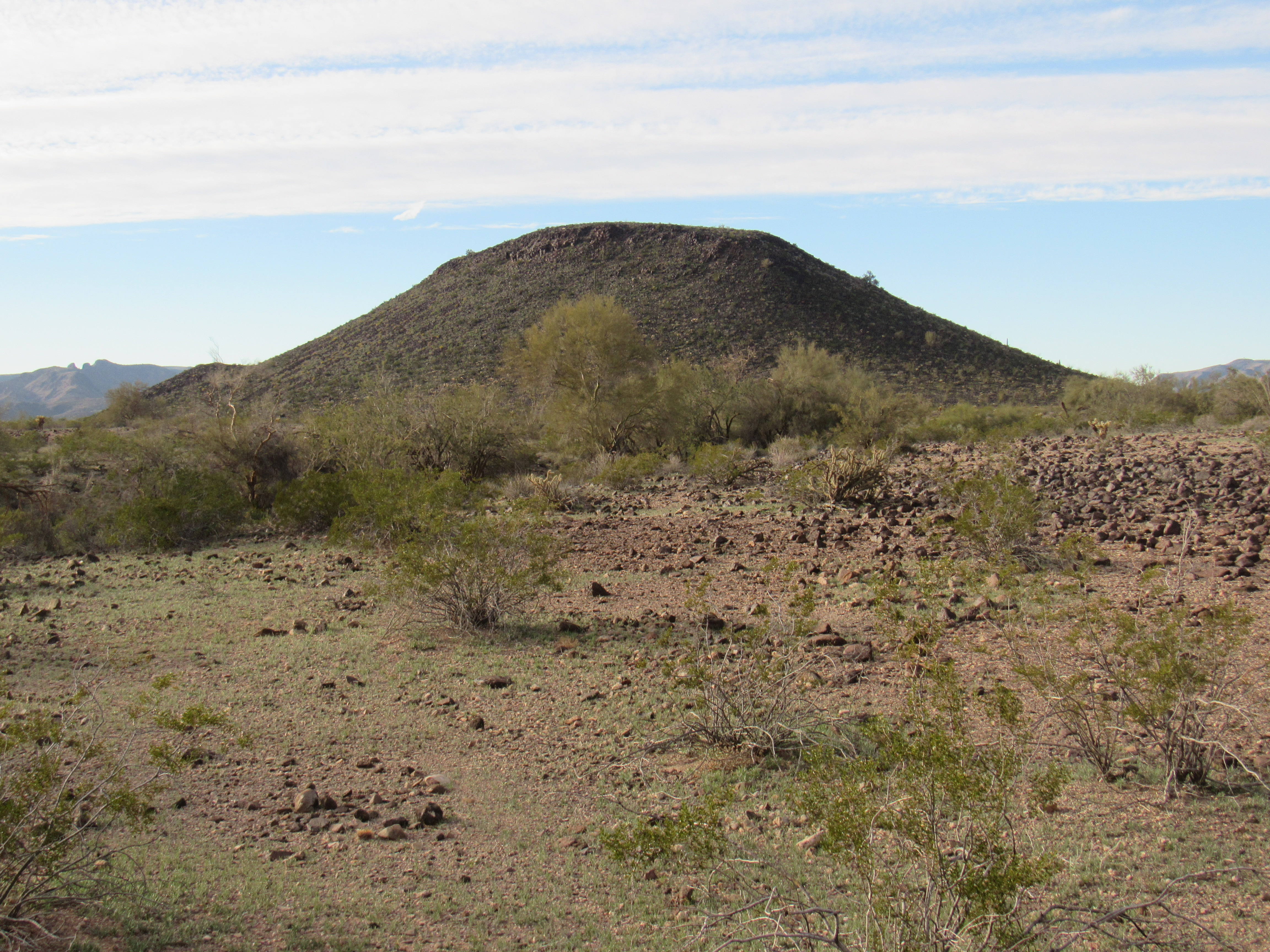
After gagging down a double portion of oatmeal, I set out walking briskly at 7:00 AM. Skirting the noses of a few ridges, I swung into a wide valley and headed northwest up it, slowly gaining elevation. I made good time following some fairly open benches, then dropped into a wash to avoid increasing amounts of vegetation. After a while, a large mountain came into view on my left – Peak 2323, showing its steep east slope in the glow of early morning.
Peak 2323
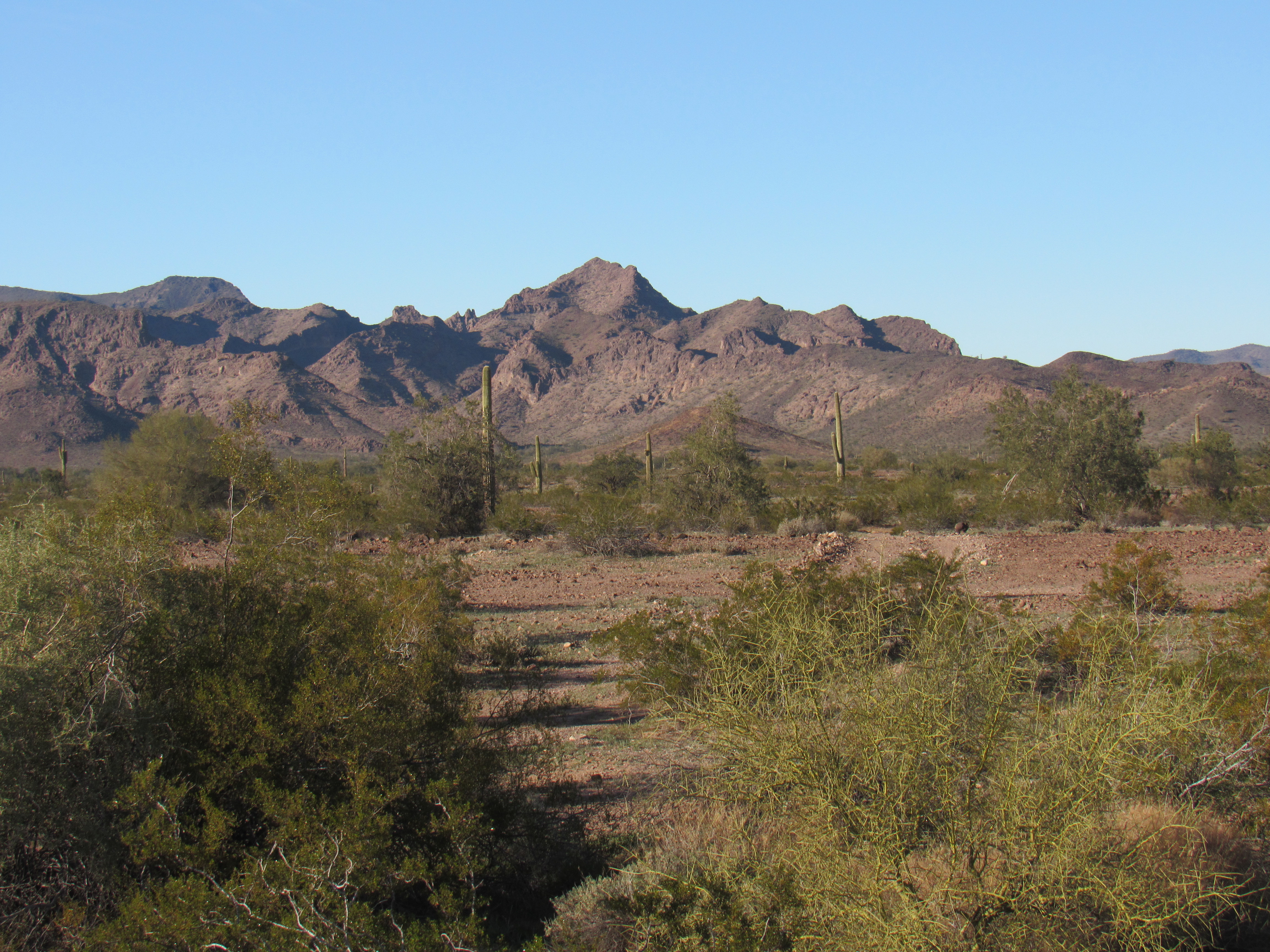
My goal, however, was not yet in sight. It took another mile of travel to allow me my first glimpse.
Peak 2277
I made my way up a rocky wash to the base of the peak.
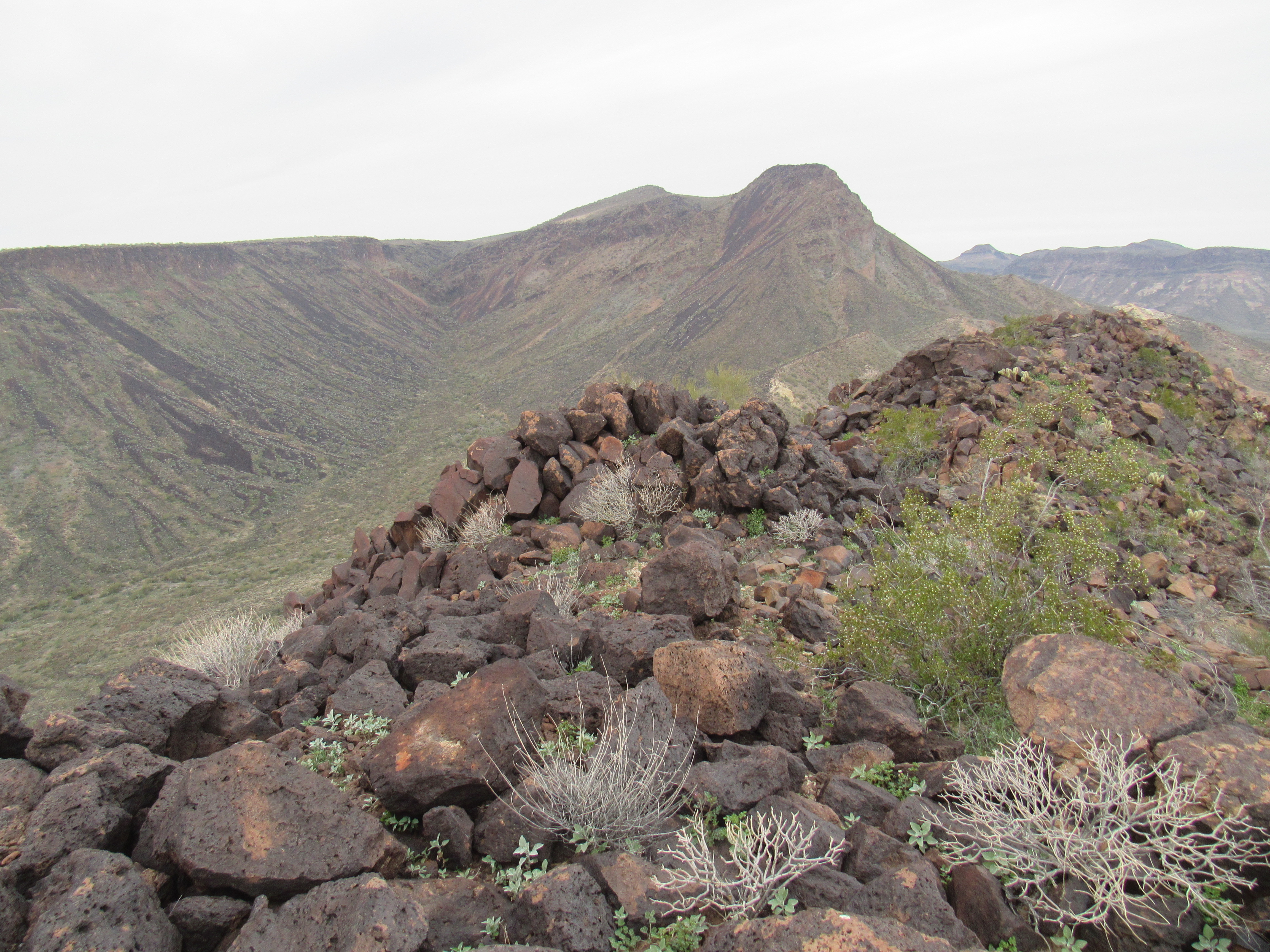
My going was slow up to the top of Peak 2277 but I finally arrived after a thousand feet of climbing. Unexpectedly, I found a register there, with only one entry – it had been left by my friend Barbara Lilley, but with no date. She had climbed a neighboring peak sometime in February of 2001, so I suspect her ascent was the same date. This was certainly an impressive spot. Here’s the view I had back south to nearby Peak 2323.
Peak 2323, at least the top of it
The northern neighbor was Little Horn Benchmark, seen from the other side just yesterday.
Little Horn Benchmark
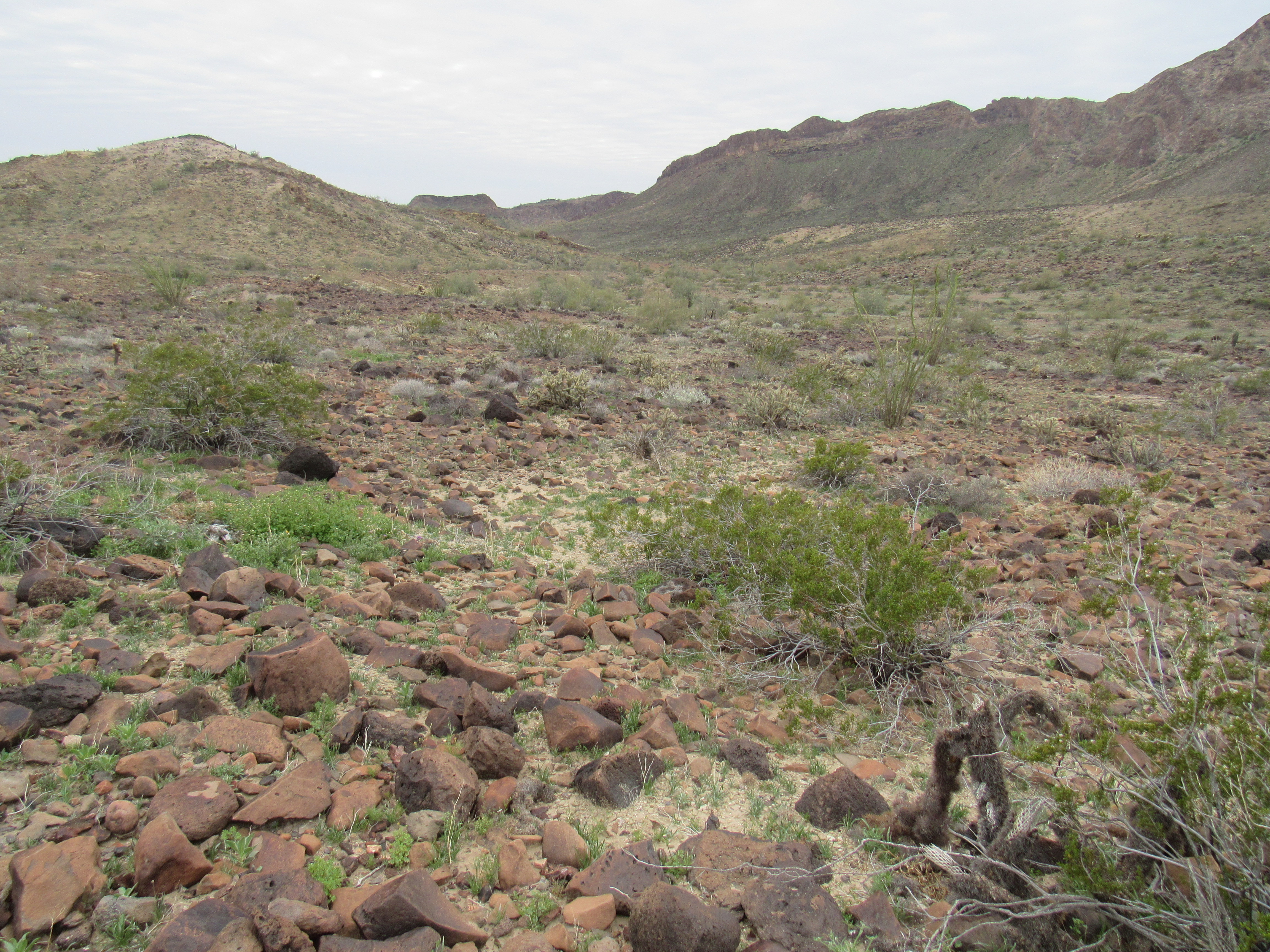
An entire large valley, untouched, swept its way out to the west and south – unspoiled by road, mine or the hand of man.
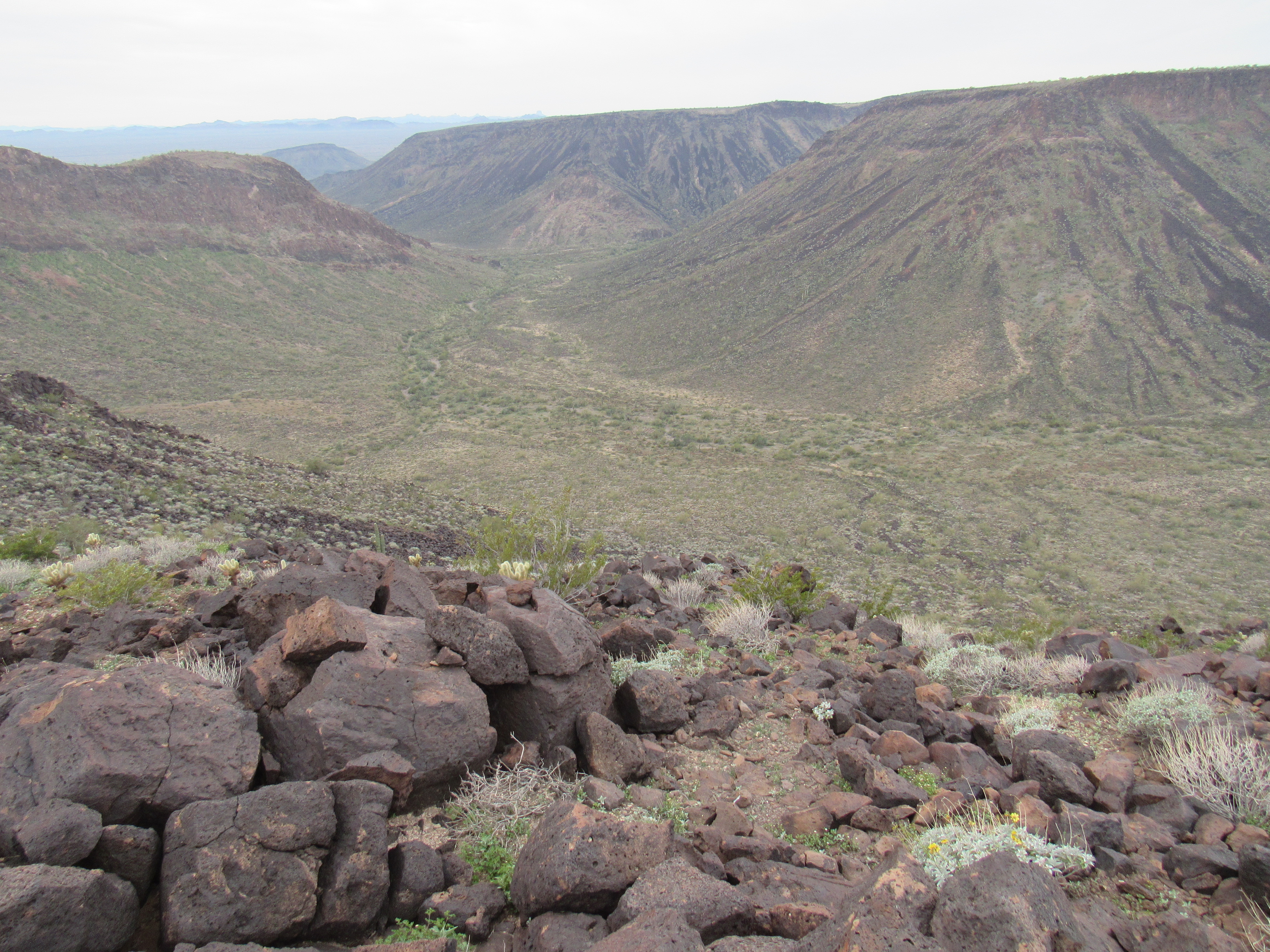
The untouched valley
When it came time to leave, I stood on the edge and considered my options. It was a steep drop-off, and I found a Class 3 route down through the summit cliffs. Something was different, though. I found myself going so slowly, so carefully. Mistrusting every rock, suspiciously thinking that each one was ready to roll the moment I touched it or even came near it as if some strange gravitational effect would take place and set it rolling, I lost elevation ever-so-carefully. I think this was because I was a mere 5 weeks out from a traumatic climbing accident in which I’d been involved. Paranoid? – maybe you could say that. The sound of rocks rolling made my heart beat faster, that’s for sure.
Seven hundred feet lower, I found myself in a sandy wash, a good place to stop for a bite. This was at the base of a steep hillside.
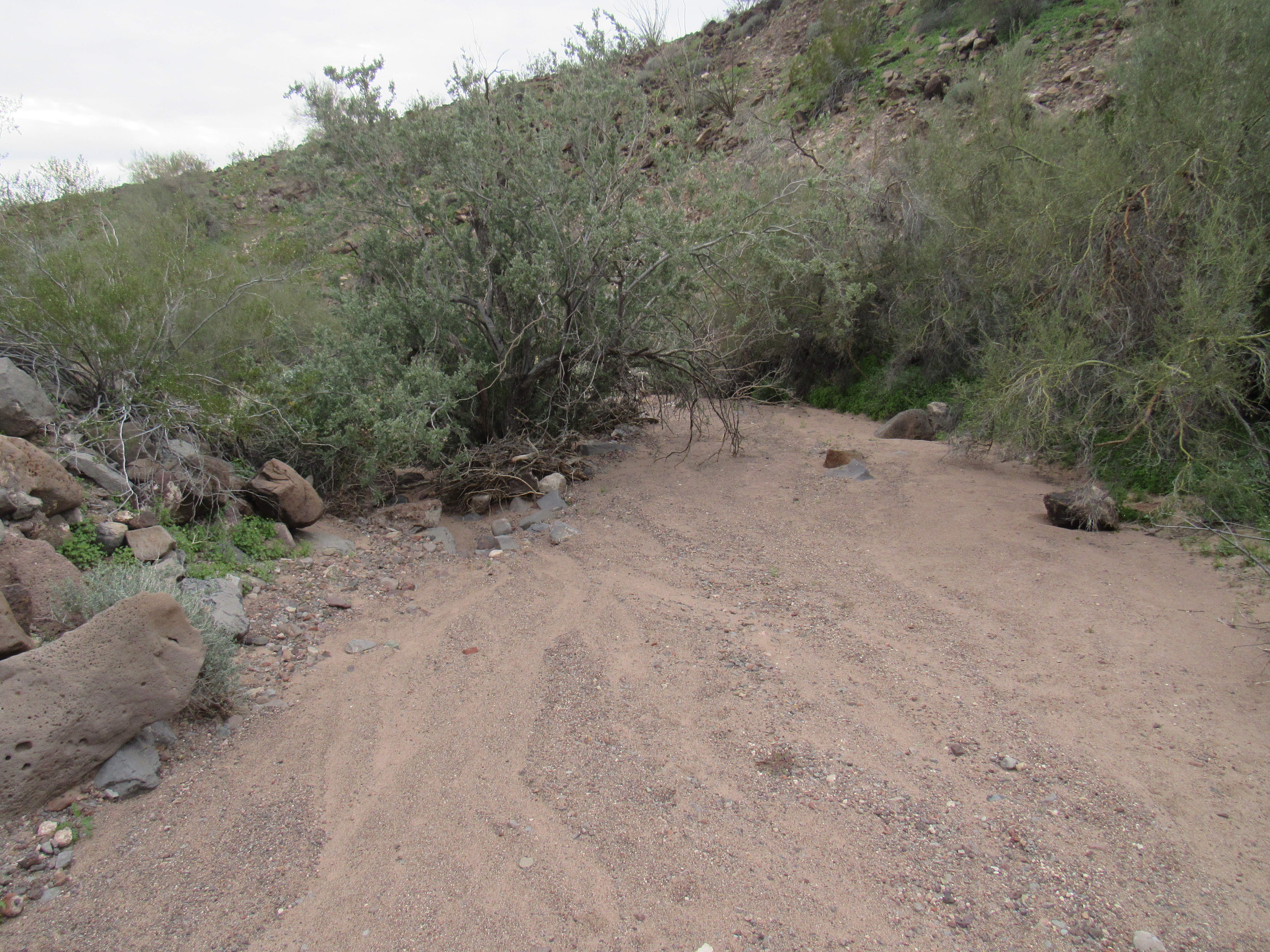
Lunch done, a crossed over a plateau and dropped down into yet another major, no-name wash. On this grey day, I was cheered by the colorful wildflowers along my path.
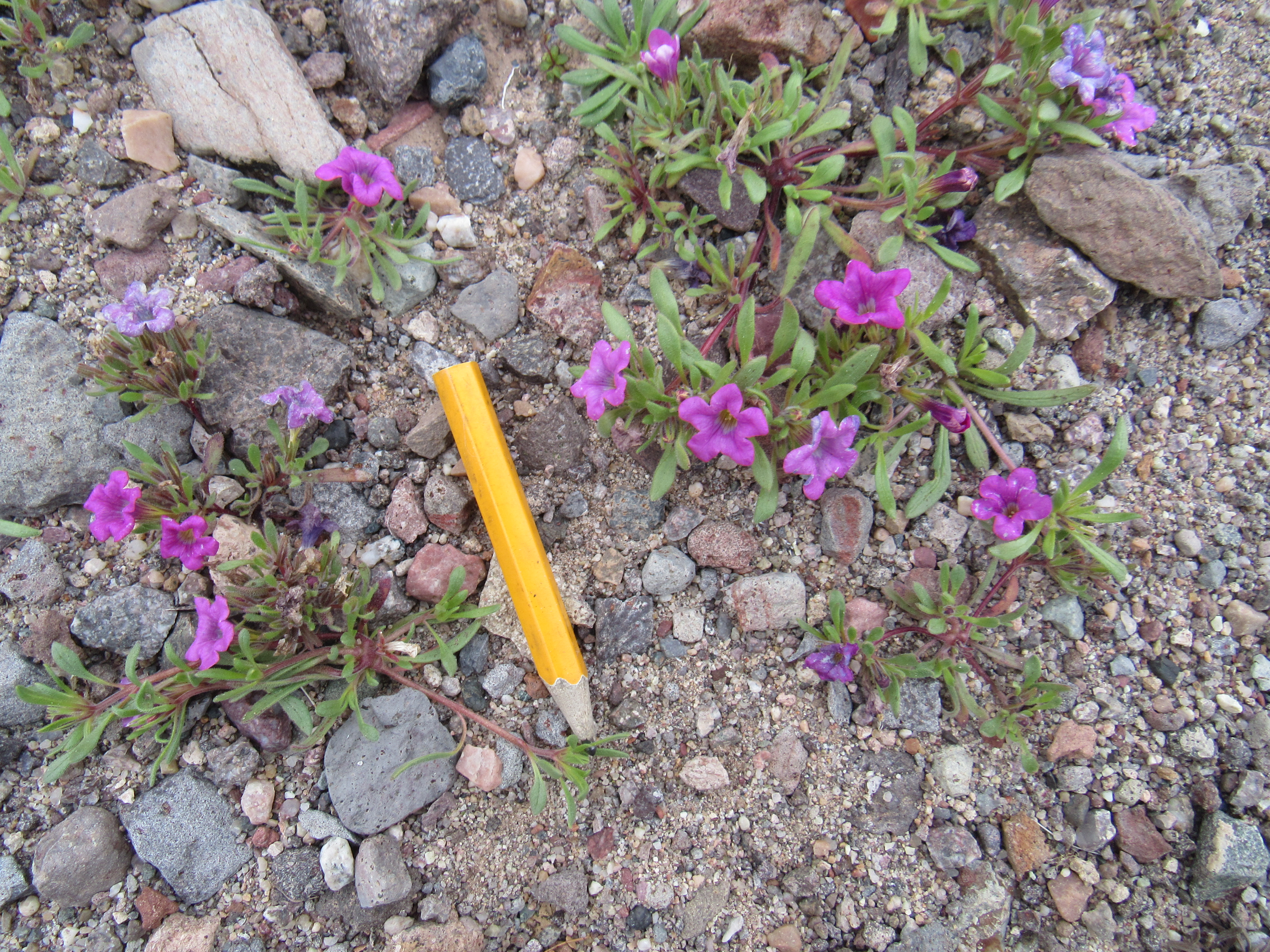
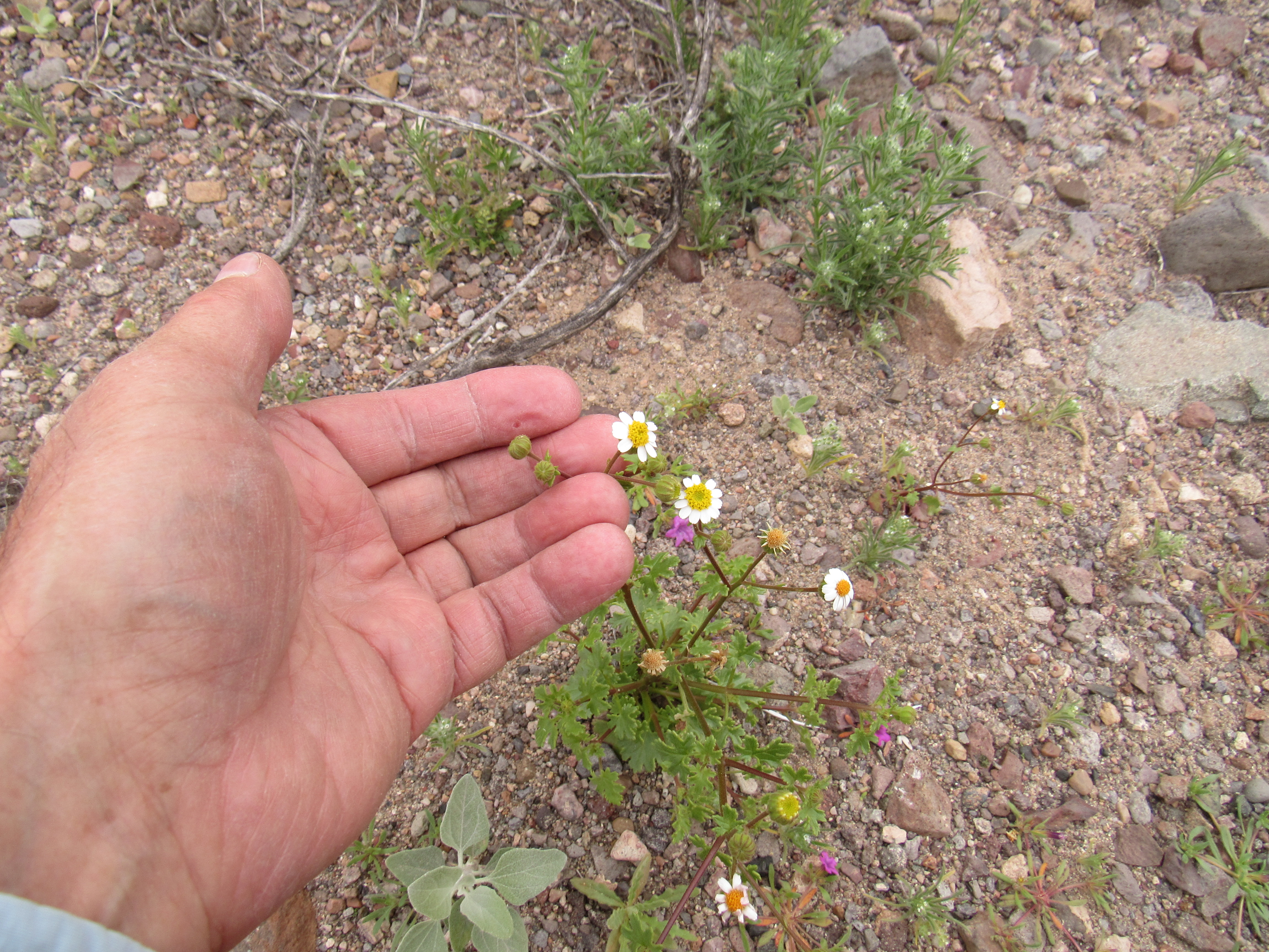
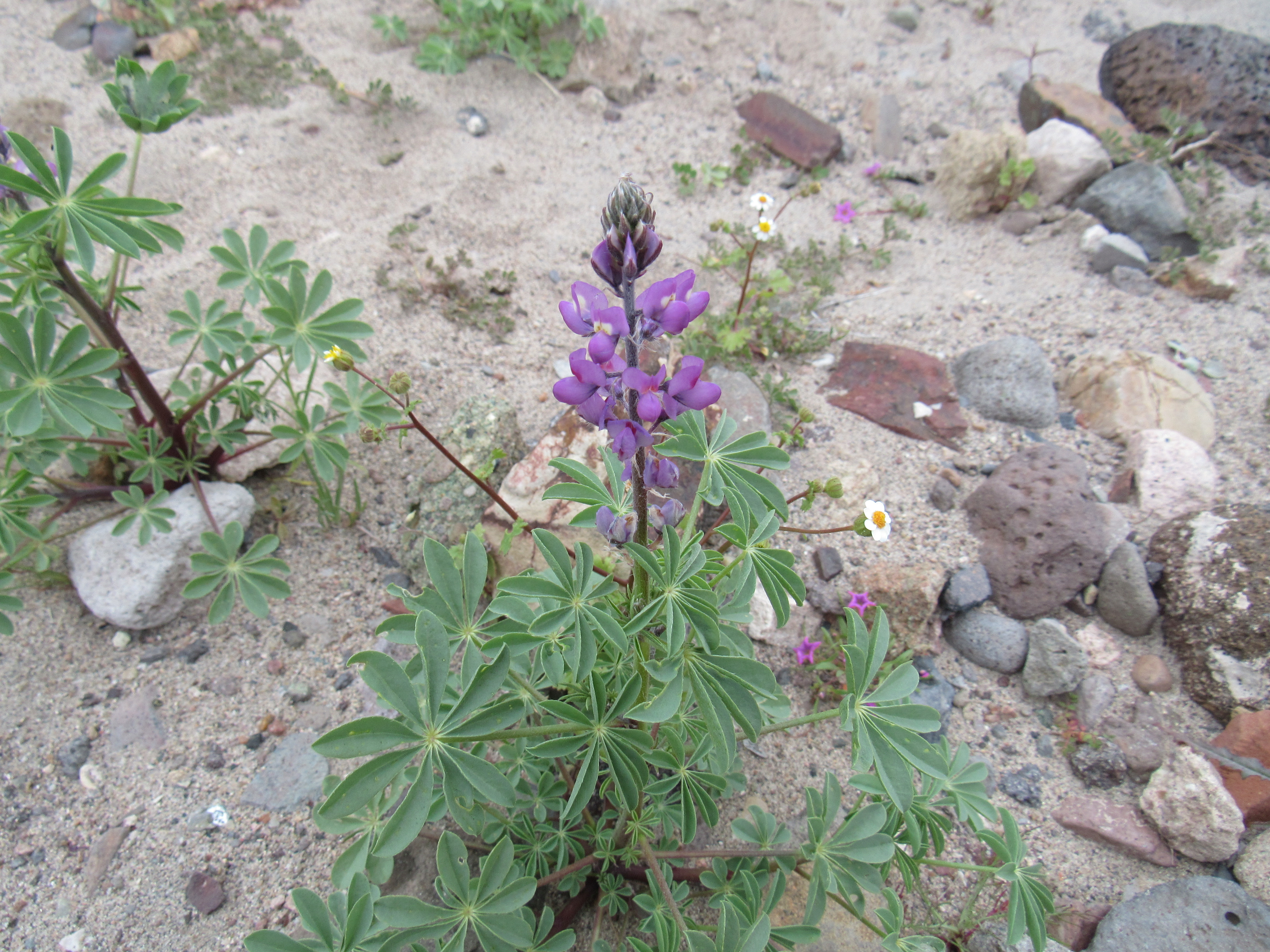
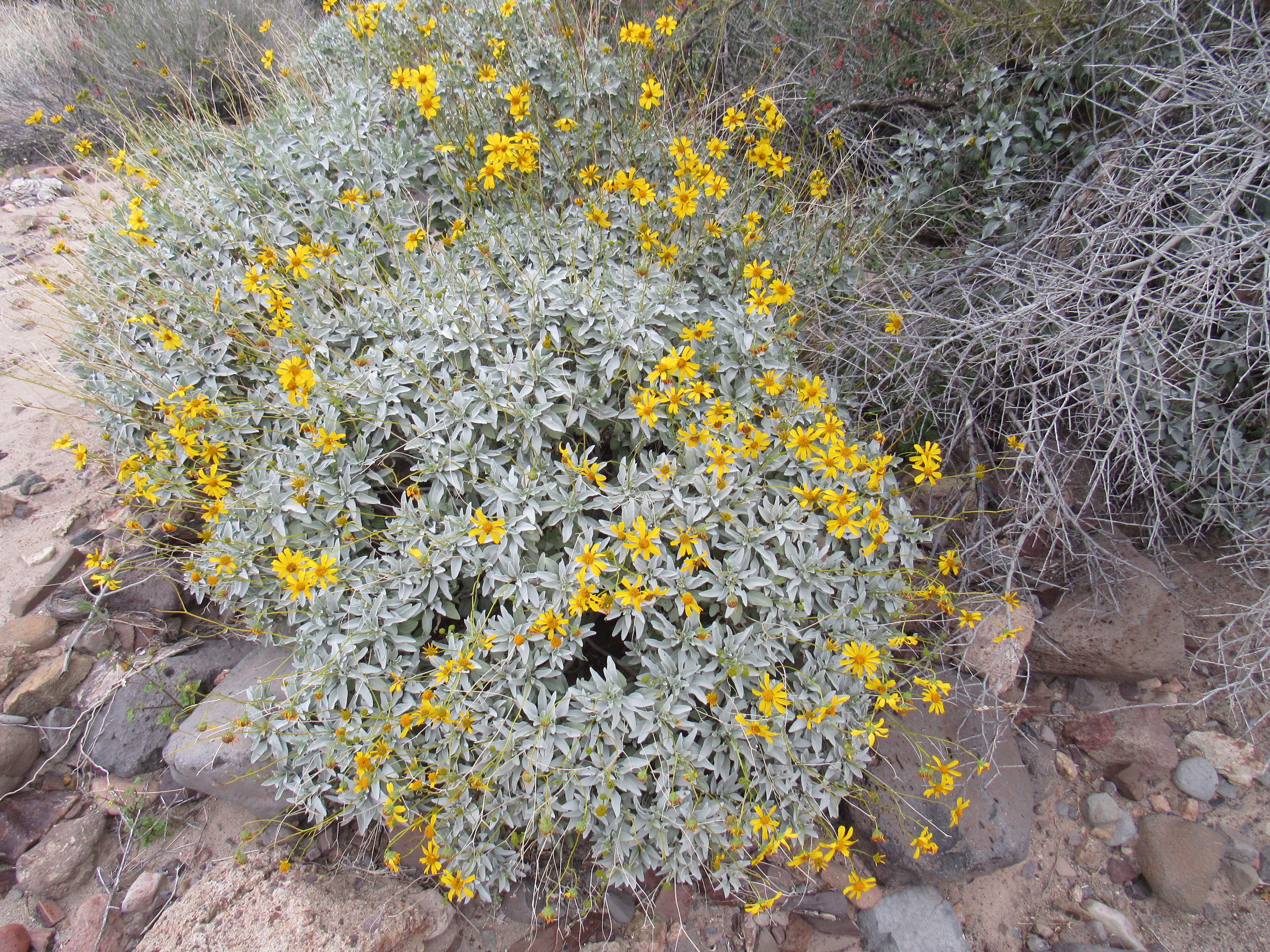
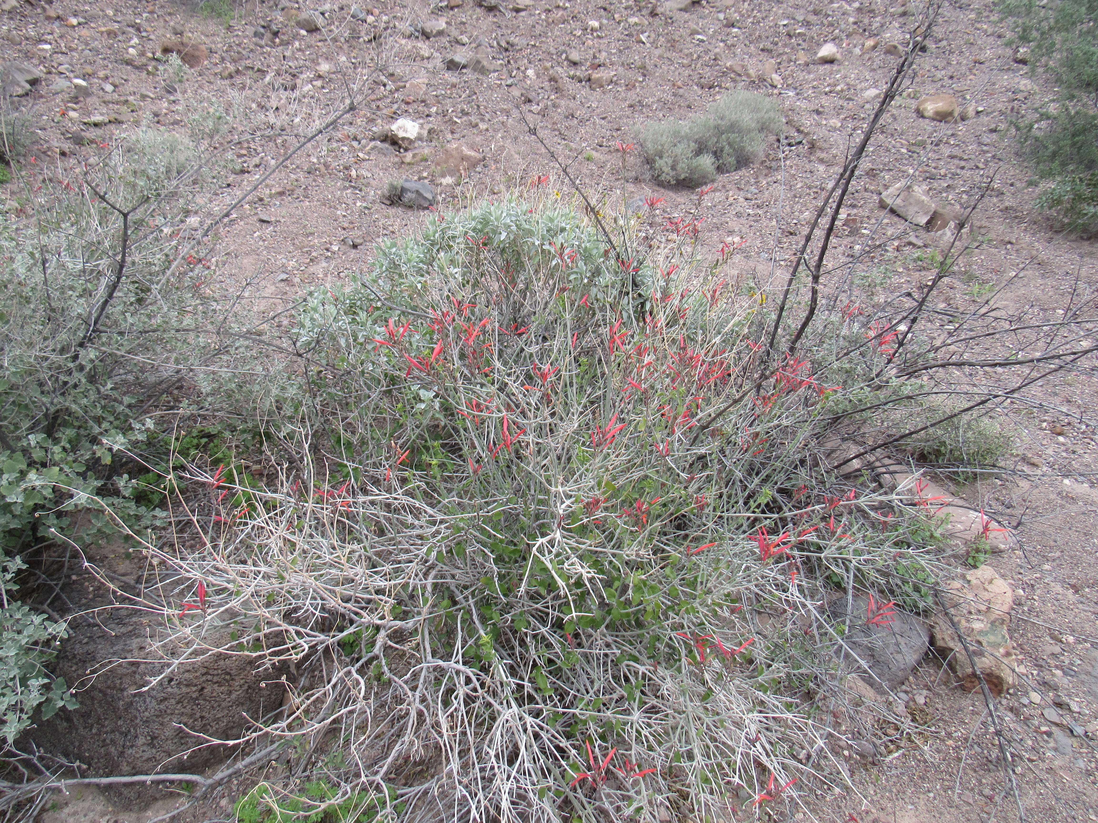
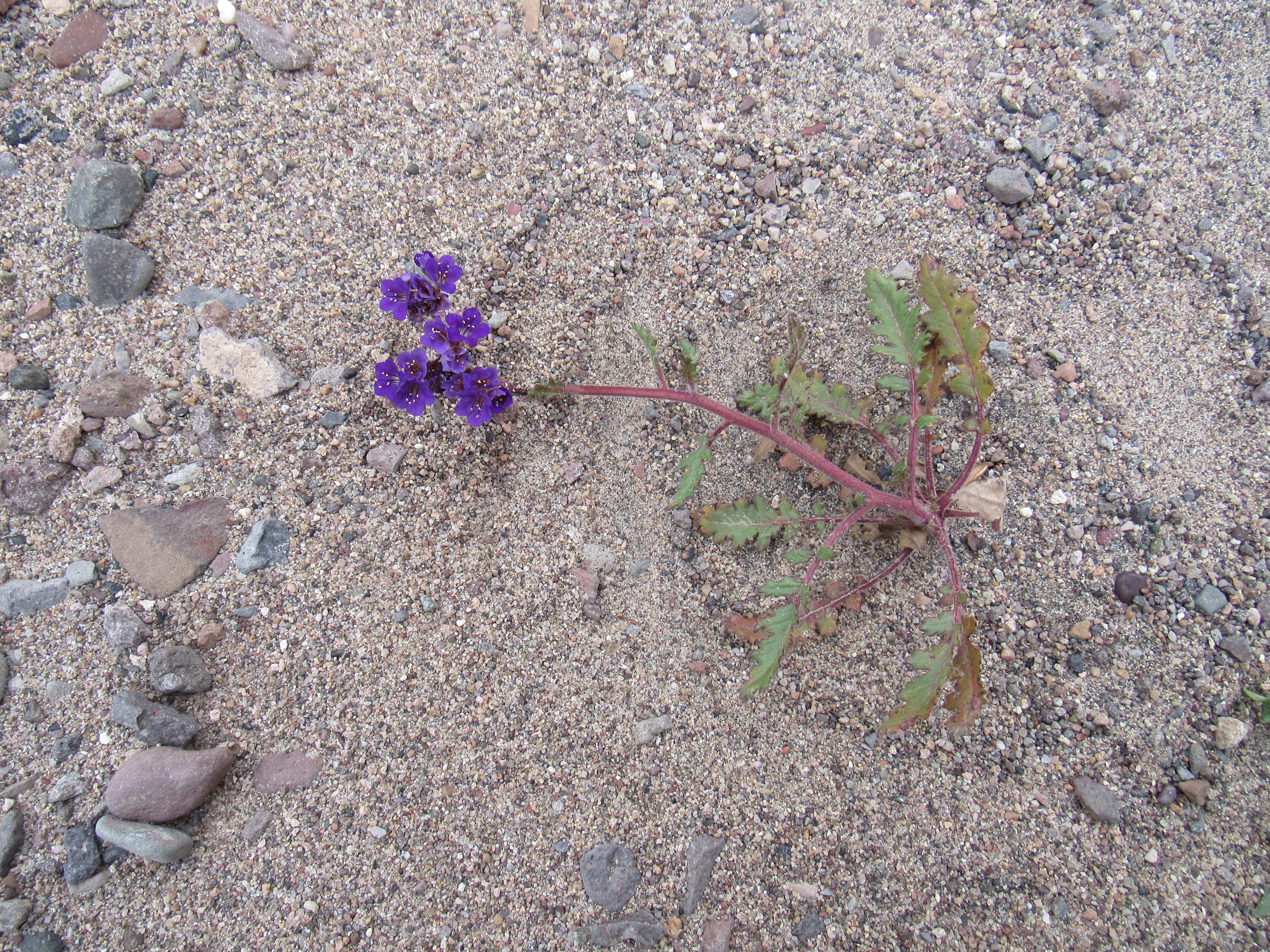
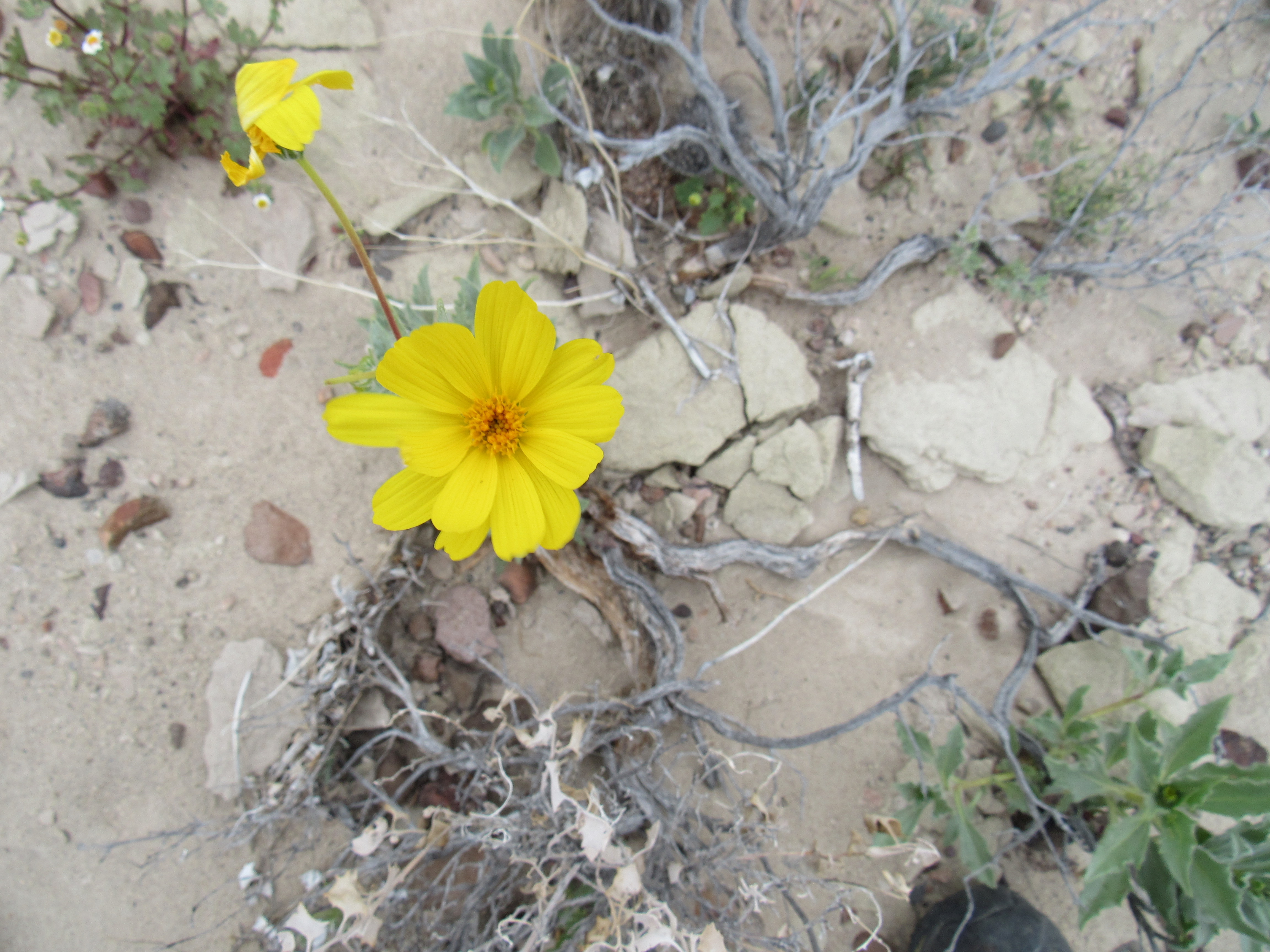
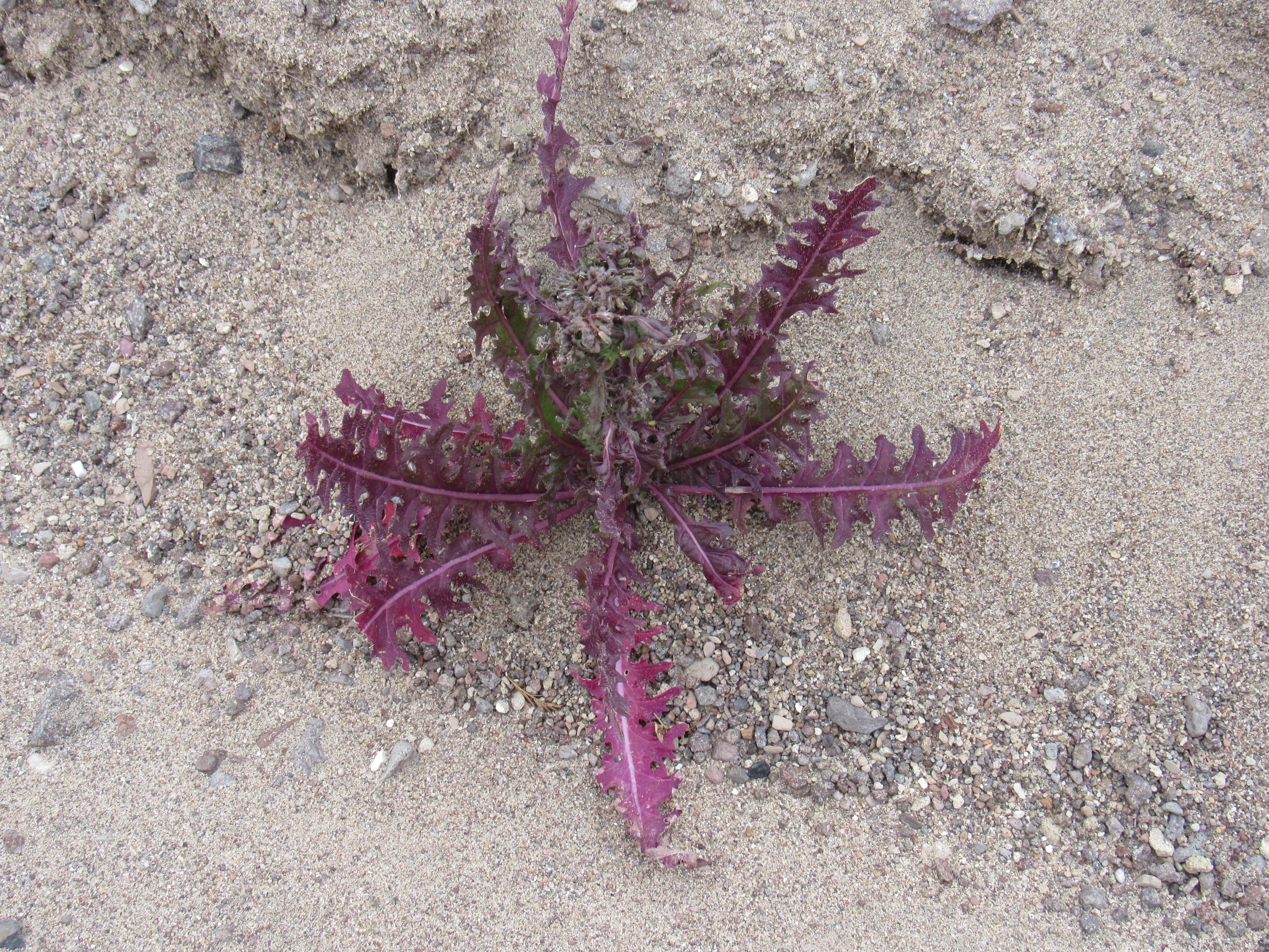
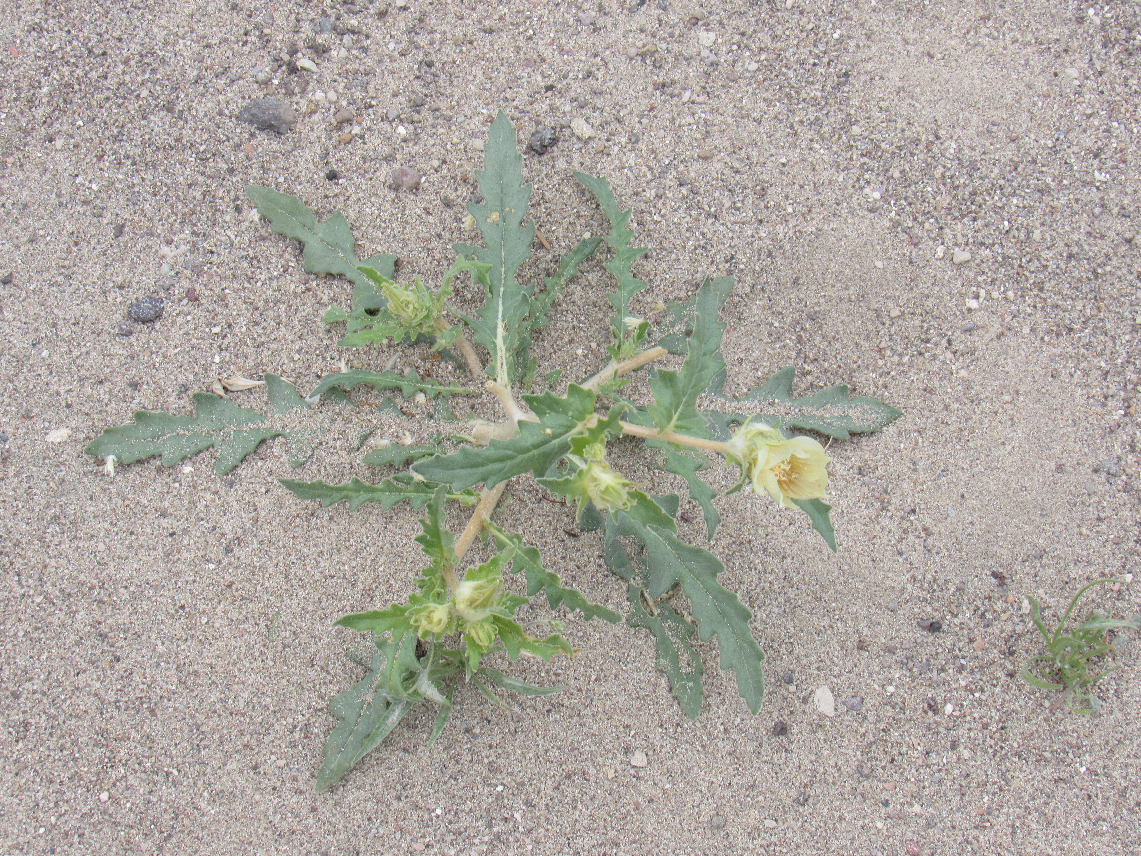
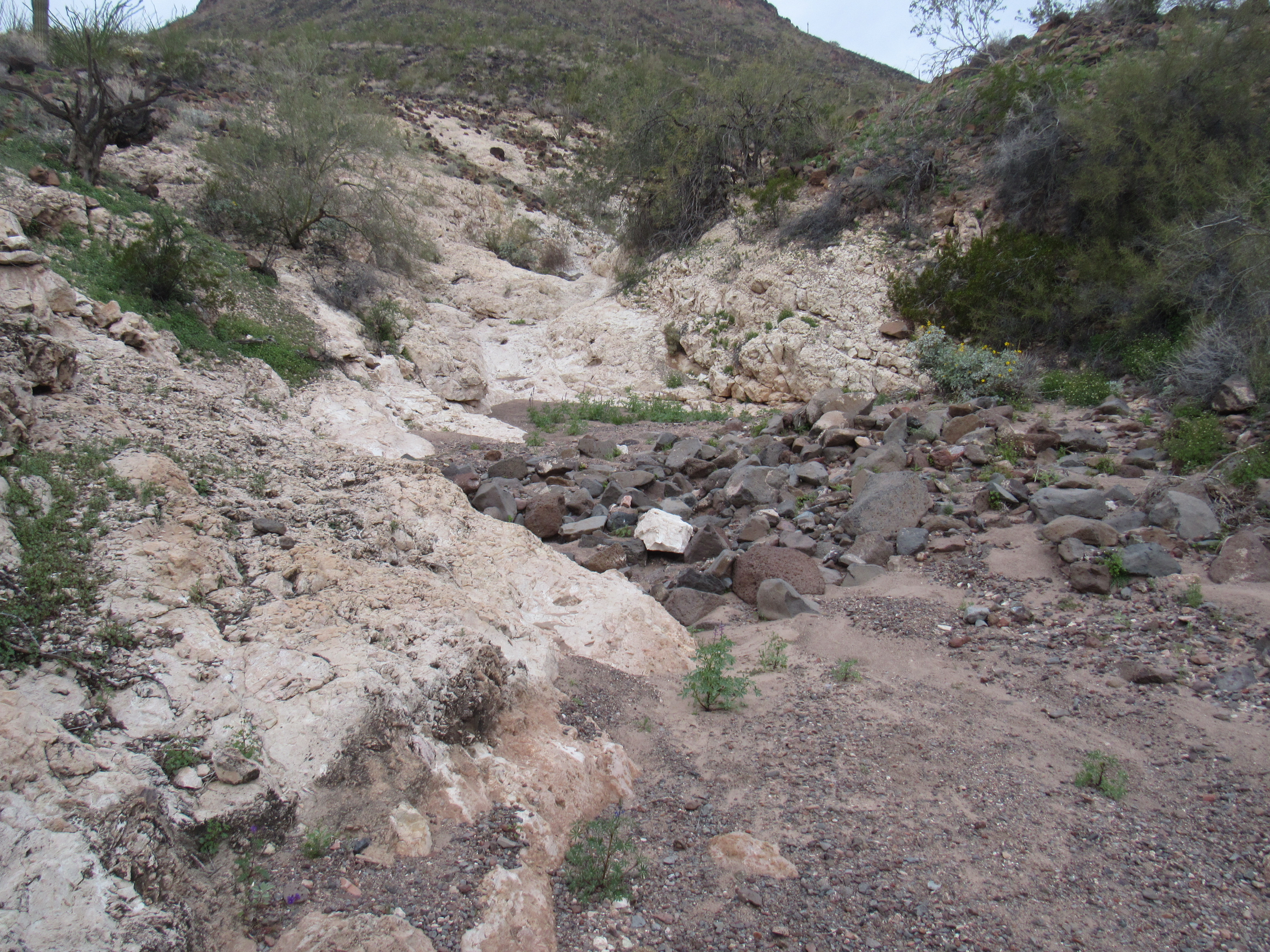
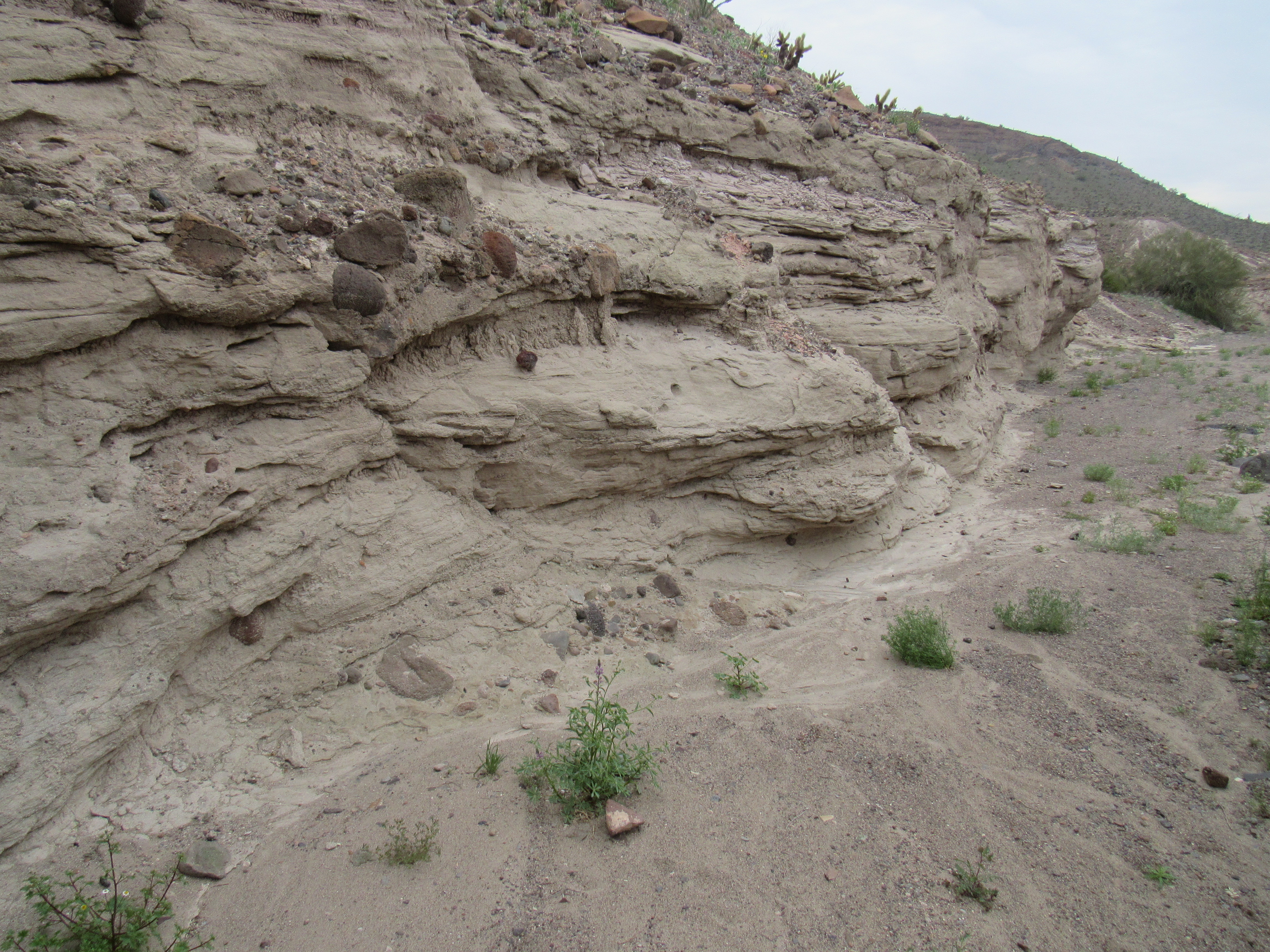
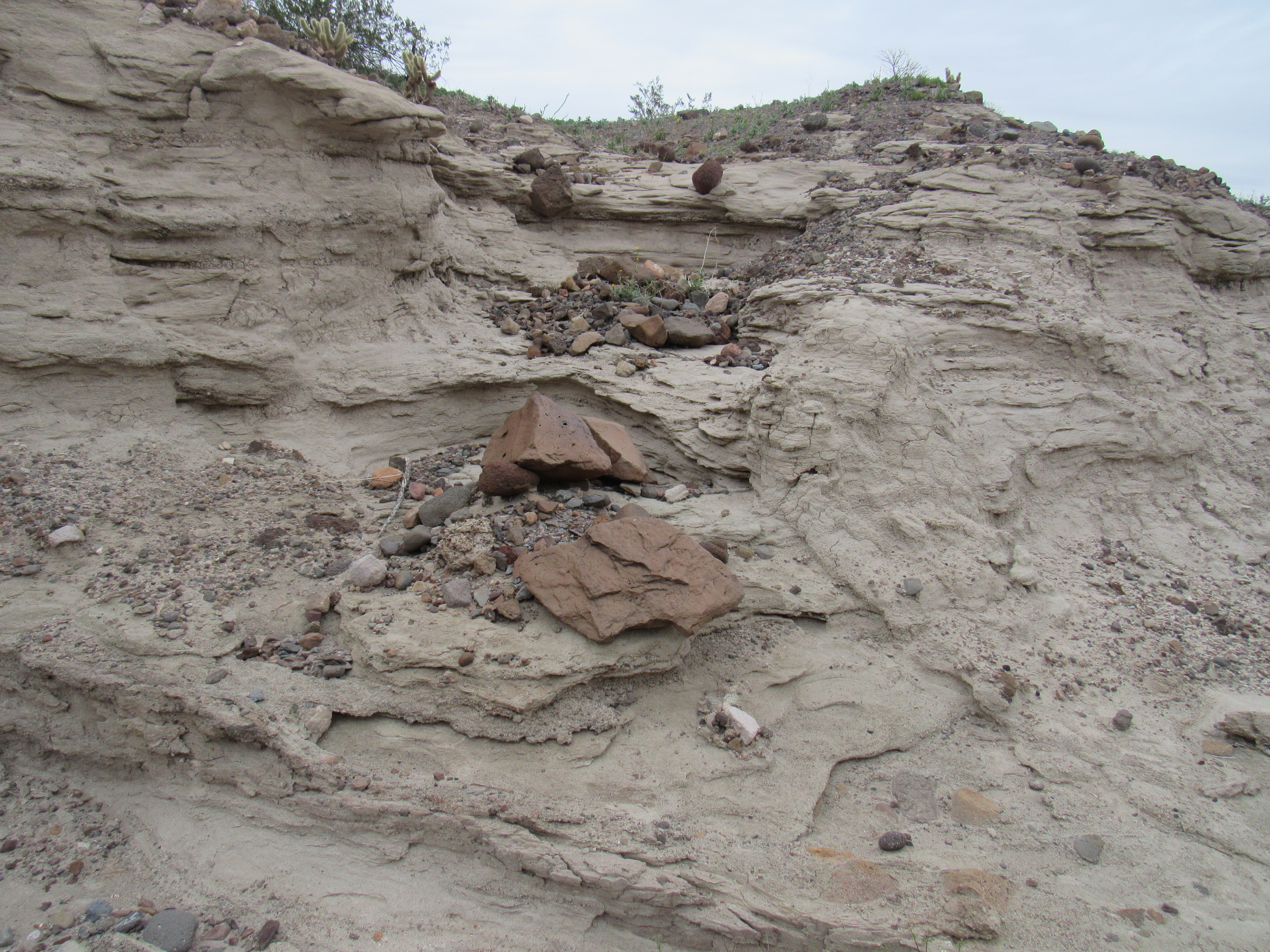
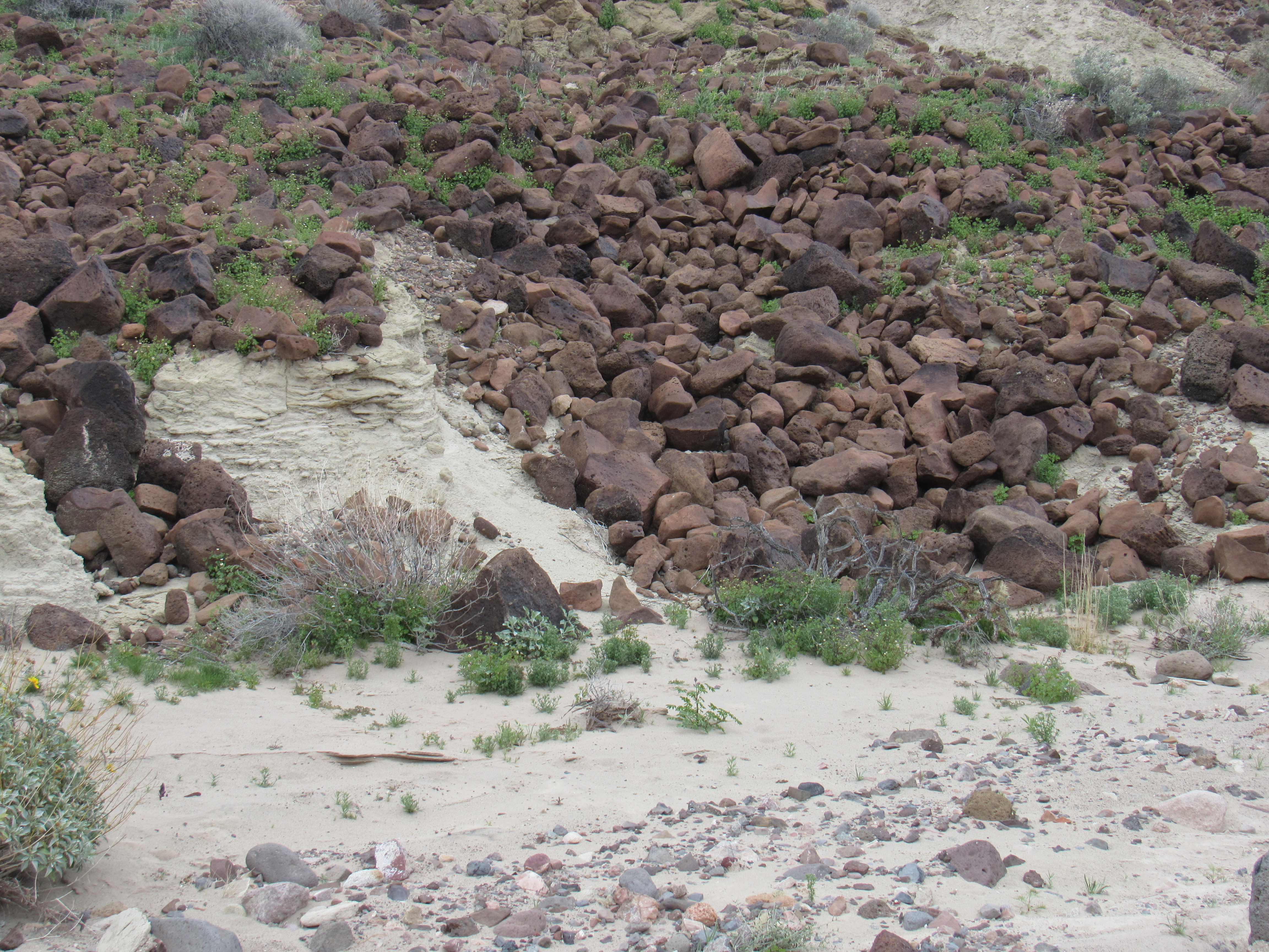
Not only was there a large variety of flowers growing in the wash, but also some interesting geology caught my eye as I continued downstream.
As I rounded a bend, I caught the first good glimpse of my next peak.
The next one
Truth be told, it was a quick and easy climb up the northwest ridge of Peak 1853. As I walked the last few feet, a good look around showed me that there was no sign of a previous visit. Four days of climbing in the Little Horns had yielded only 2 virgin summits, but I was still having a great time.
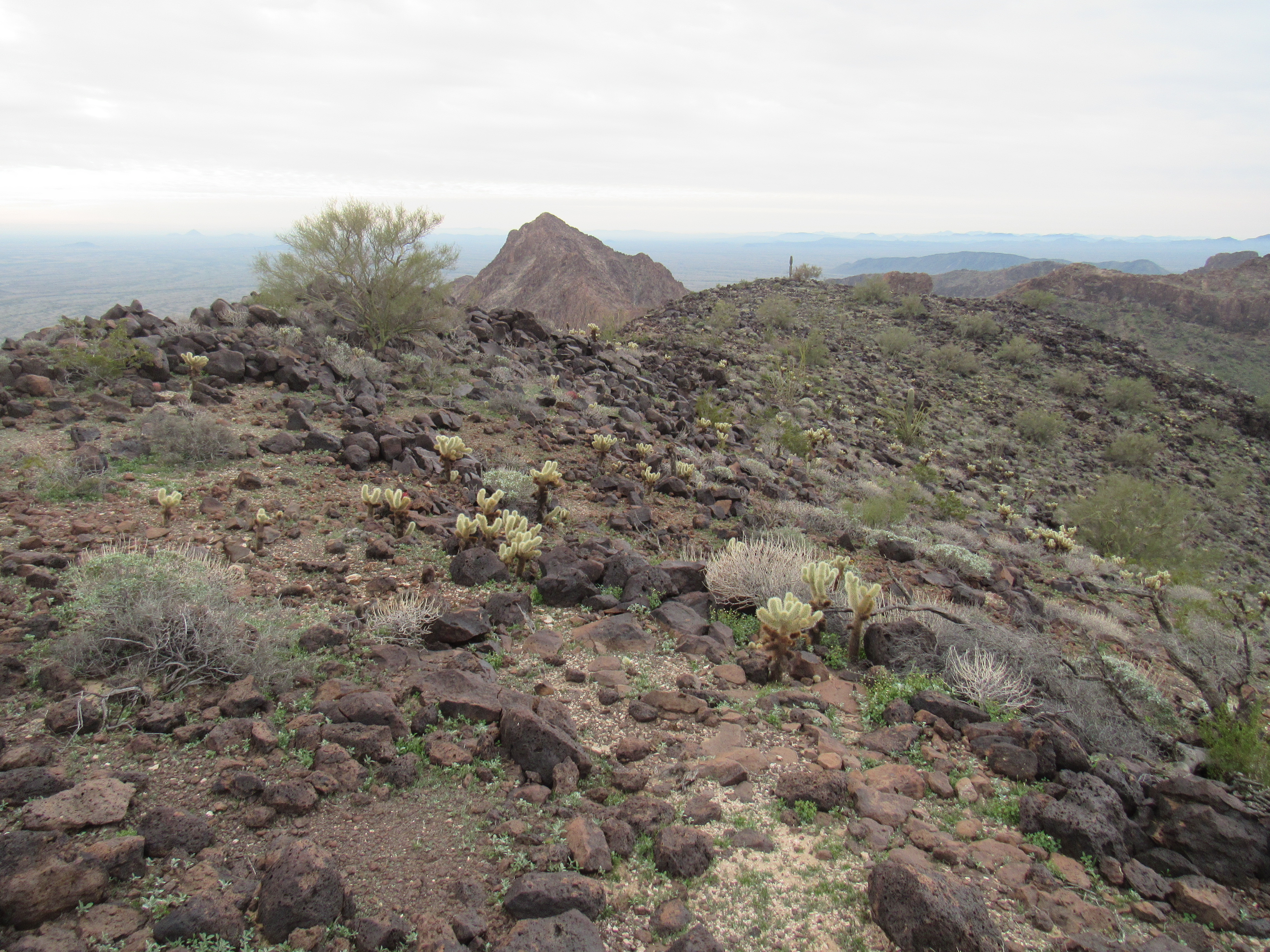
A major mountain range lies to the east of the Little Horns, Here are some photos of 2 of the peaks in that range, the Eagletail Mountains. The first is Courthouse Rock, a technical climb 15 air miles to the northeast. Here, it is seen peeking from behind the north shoulder of nearby Peak 2086.
Courthouse Rock
The second is Eagletail Peak, the highest in the range and another technical climb. It is just over 16 air miles away to the ENE. All 3 of the “feathers” on the tail are technical climbs. Both of those peaks have been described in detail in write-ups on this website.
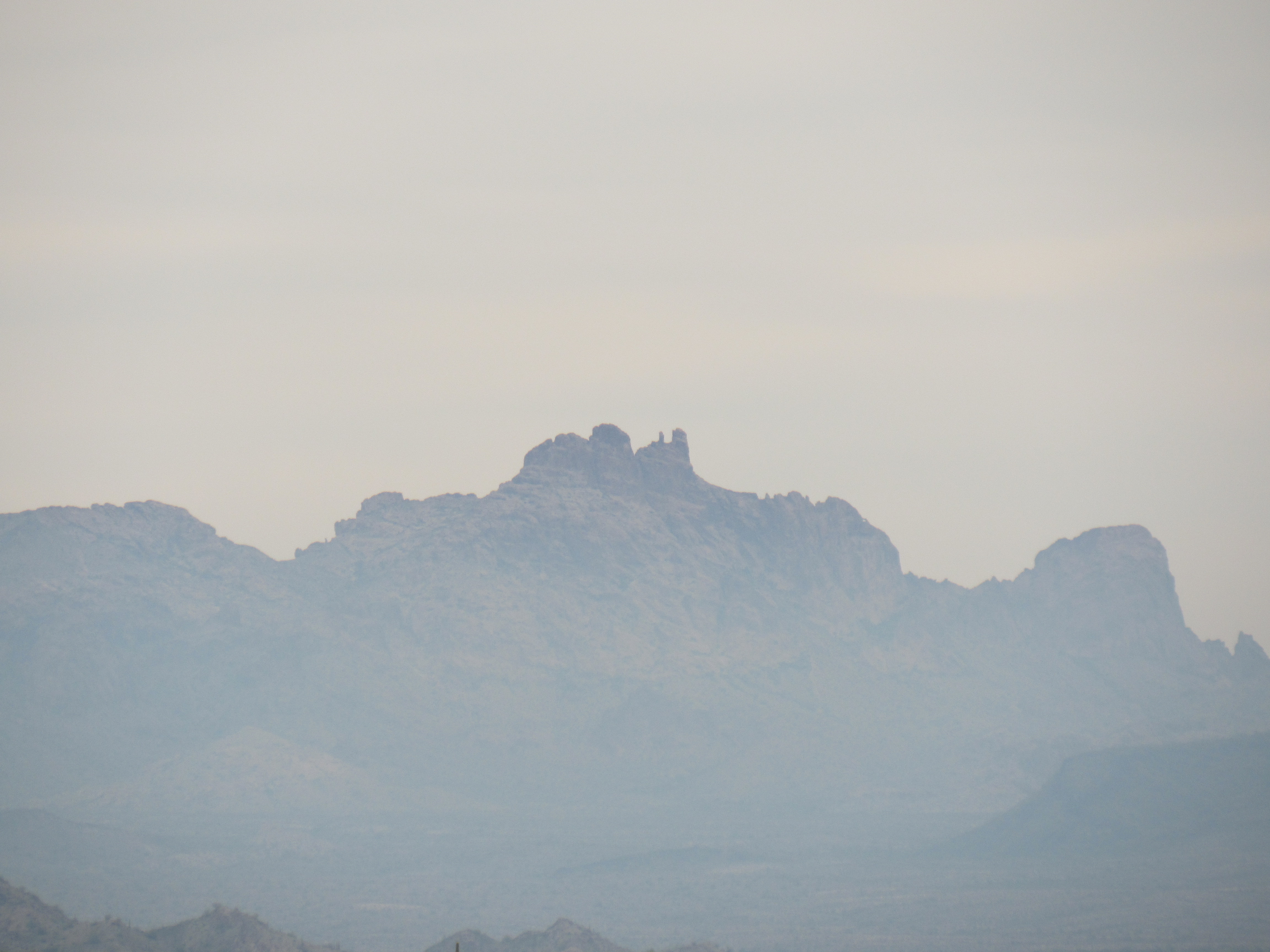
Eagletail Peak
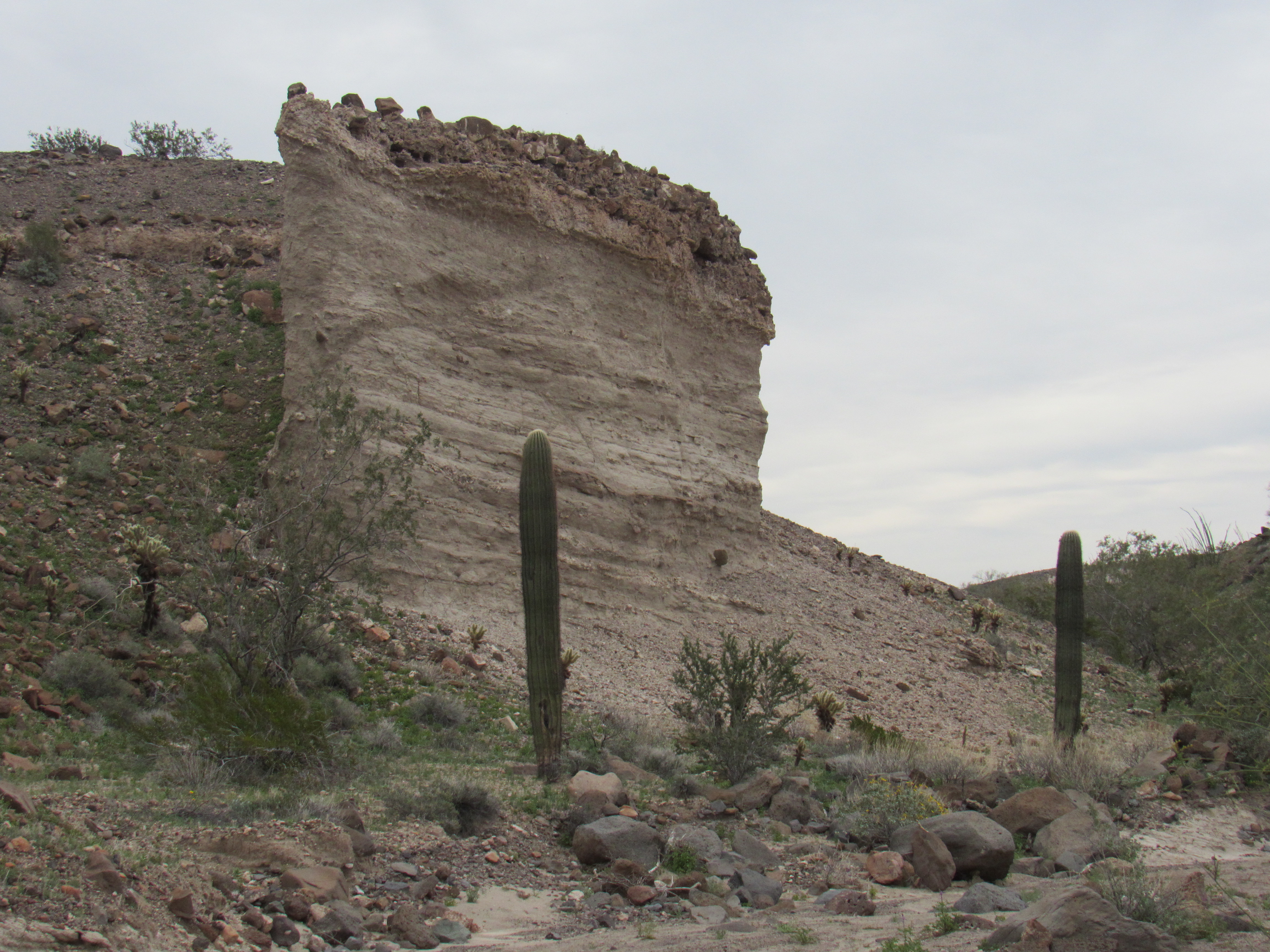
After filling out a register, I buried it in a rock cairn and continued on my way just before noon. With both of today’s peaks climbed, I was now on the home stretch – with a light heart, I decided to play tourist and enjoy the miles back to my truck. The first thing of interest I passed was this feature I called the “white cliff”. Not many things are truly vertical, but this one filled the bill.
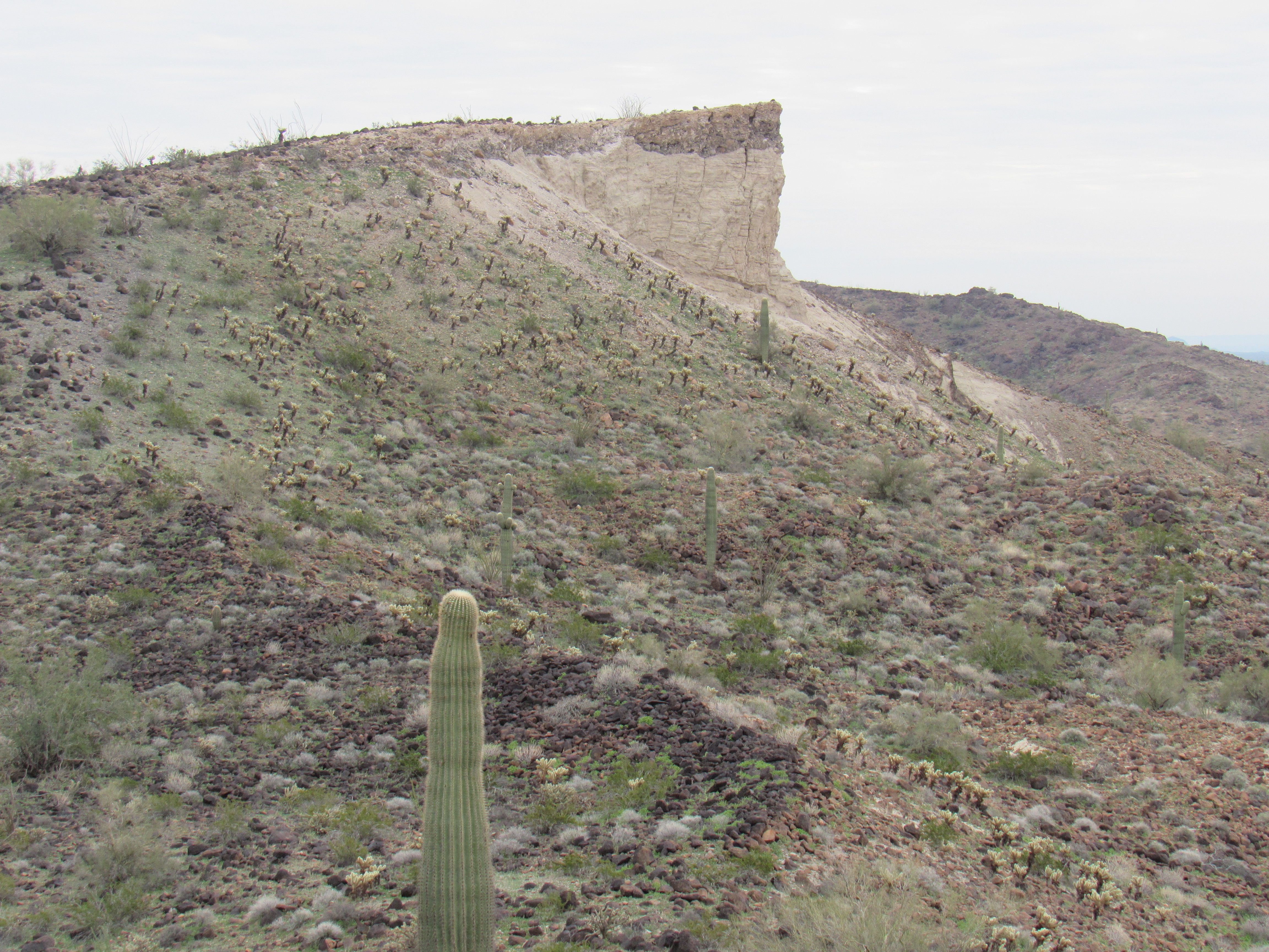
I made it down to a broad, sandy wash below the white cliff.
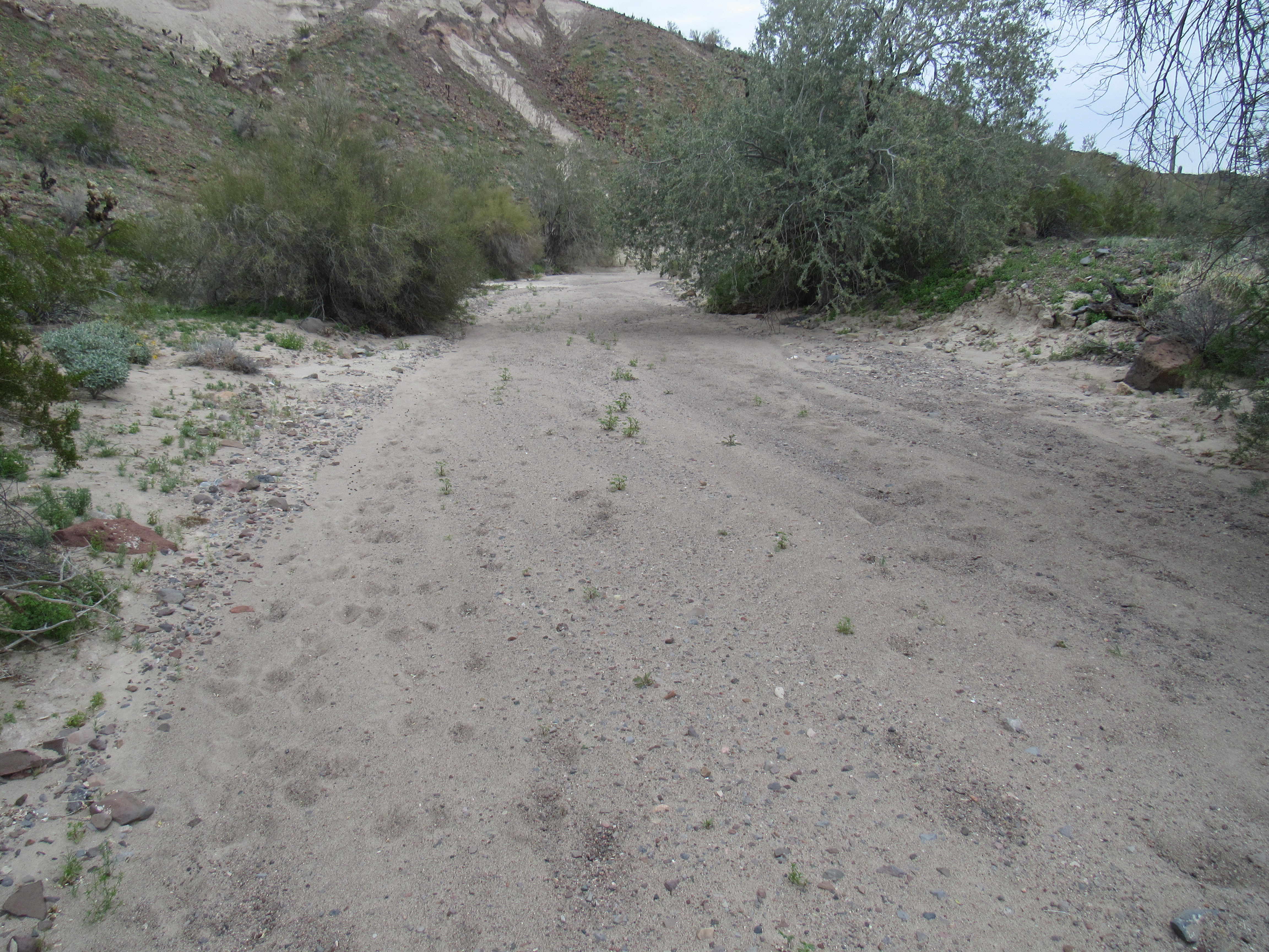
There was something interesting around every corner, way out here off the grid.
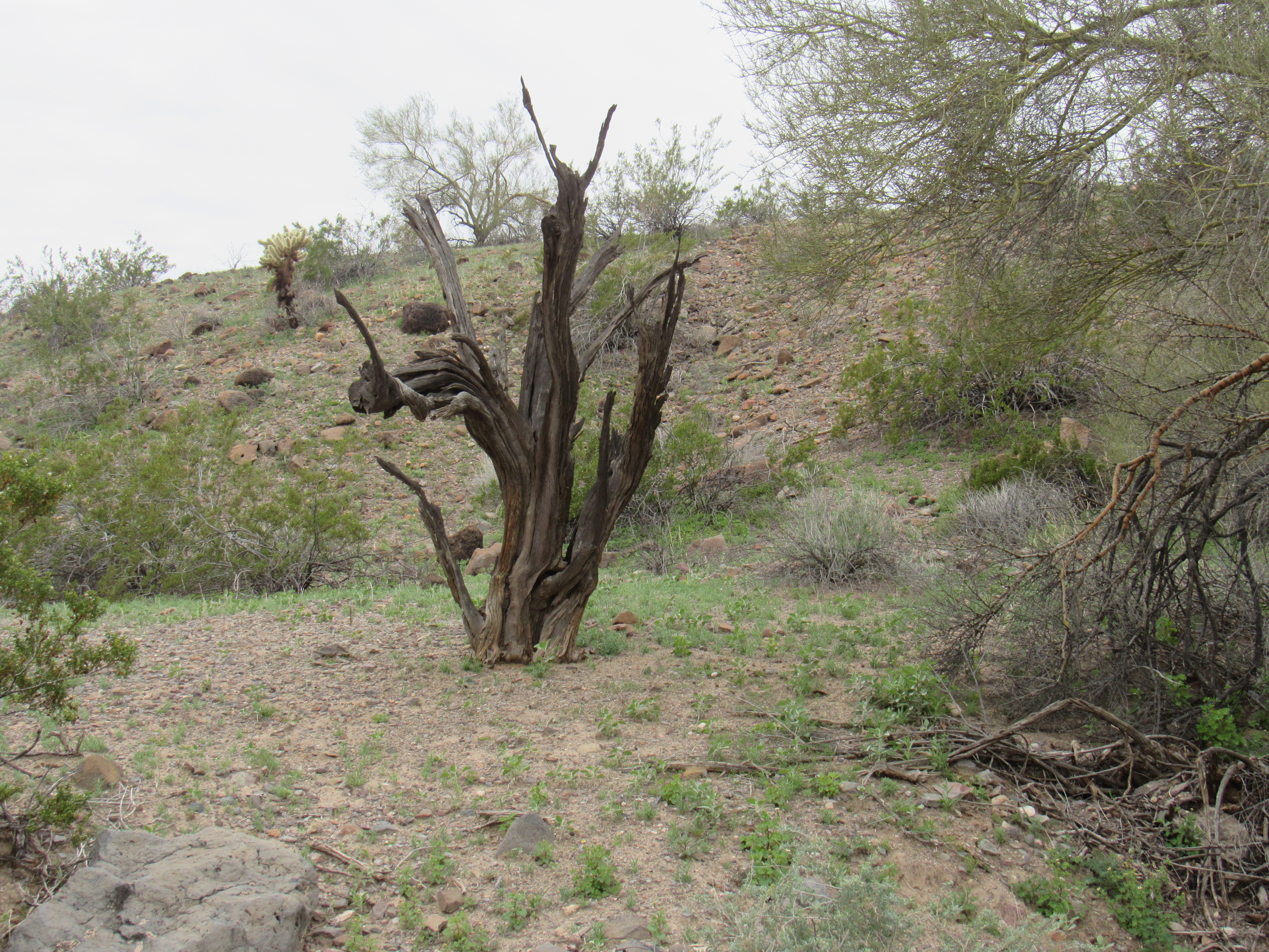
Here was another example, the skeleton of a long-dead desert ironwood tree, Olneya tesota. These trees can live to be 1,500 years old. Chemicals in their wood make them resistant to attack by insects like termites, so they can stand almost forever like this one, a lonely sentinel keeping watch over the site where it lived for perhaps centuries.
The next part of my journey involved crossing from one drainage to another, across open country like this.
Heading cross-country
Having done that, I was now reunited with my path from early in the day. All I had to do was walk through the desert for the last miles to my truck. It took me 7 hours for the day’s climbing, and it was all good.
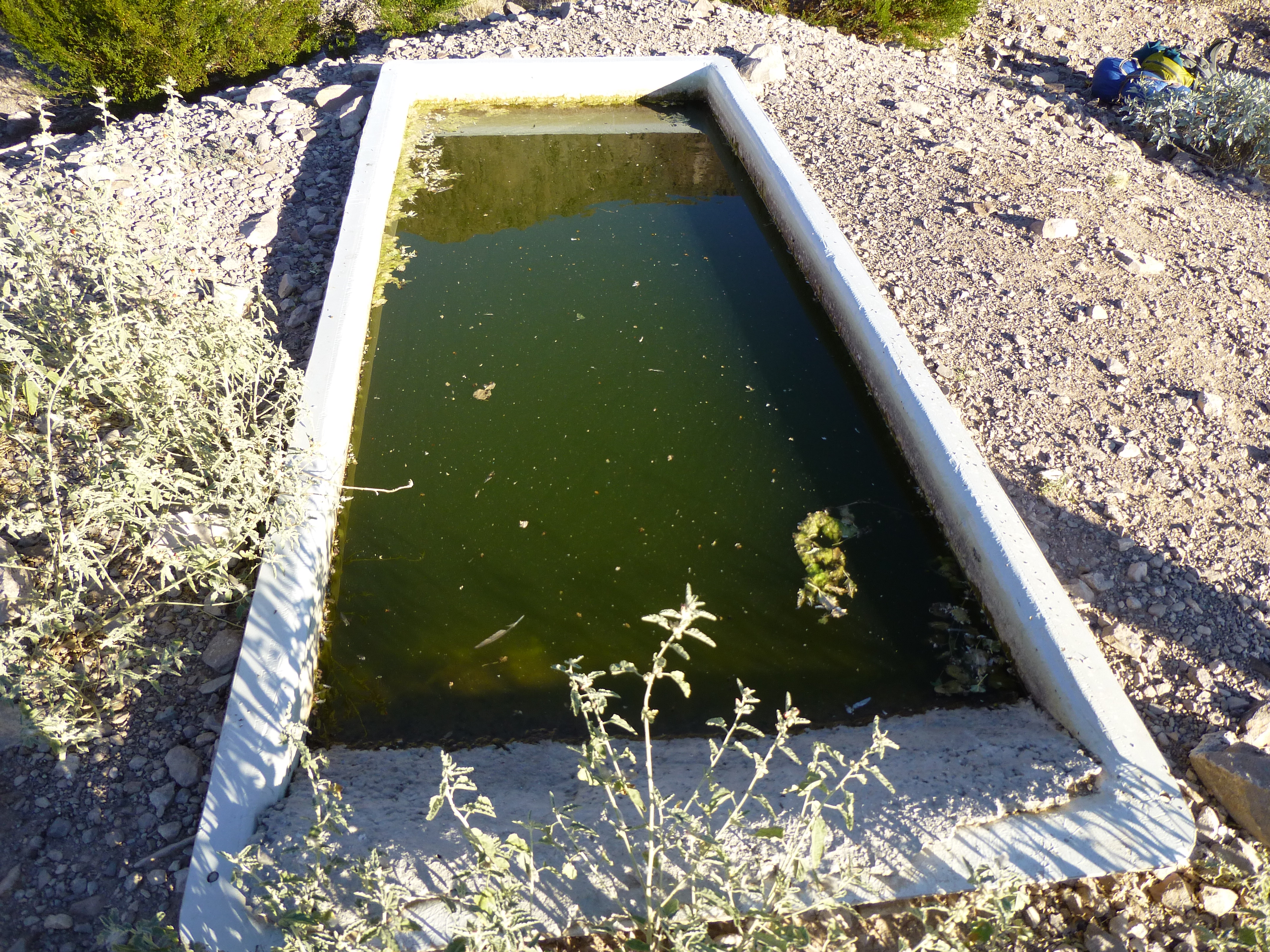
Near where I had camped, a water catchment had been built to sustain wildlife. No cattle live here, so this water is for deer, bighorn sheep and antelope; mountain lions, coyotes, foxes, badgers, as well as a wide variety of small mammals and birds also depend on it. In an area where the total annual rainfall is perhaps 5 inches, every drop is precious. Here’s how it works.
There are 2 basic types of catchments:
a) a sloping apron of metal, concrete or dirt funnels all of the rain that falls upon it into an underground storage tank, which in turn gravity-feeds the water into an open-air trough where animals drink it.
b) rainwater runs down a rocky gully into a pipe which channels it into an underground storage tank, which in turn gravity-feeds it into an open-air trough where animals drink.
The set-up that I visited that day was of the second type. Here are pictures of how it works. Water from rainfall runs downhill from the left and pools behind (to the left of) the little concrete dam which runs from top to bottom in the middle of the photo. See the 2 whitish rectangles on the left side of the photo? They are lower than the dam, and so water pooling up behind the dam fills the rectangles. The rectangles are covered with a rugged mesh to prevent them from filling with debris. Then, water runs into the brown pipes and downhill to the right.
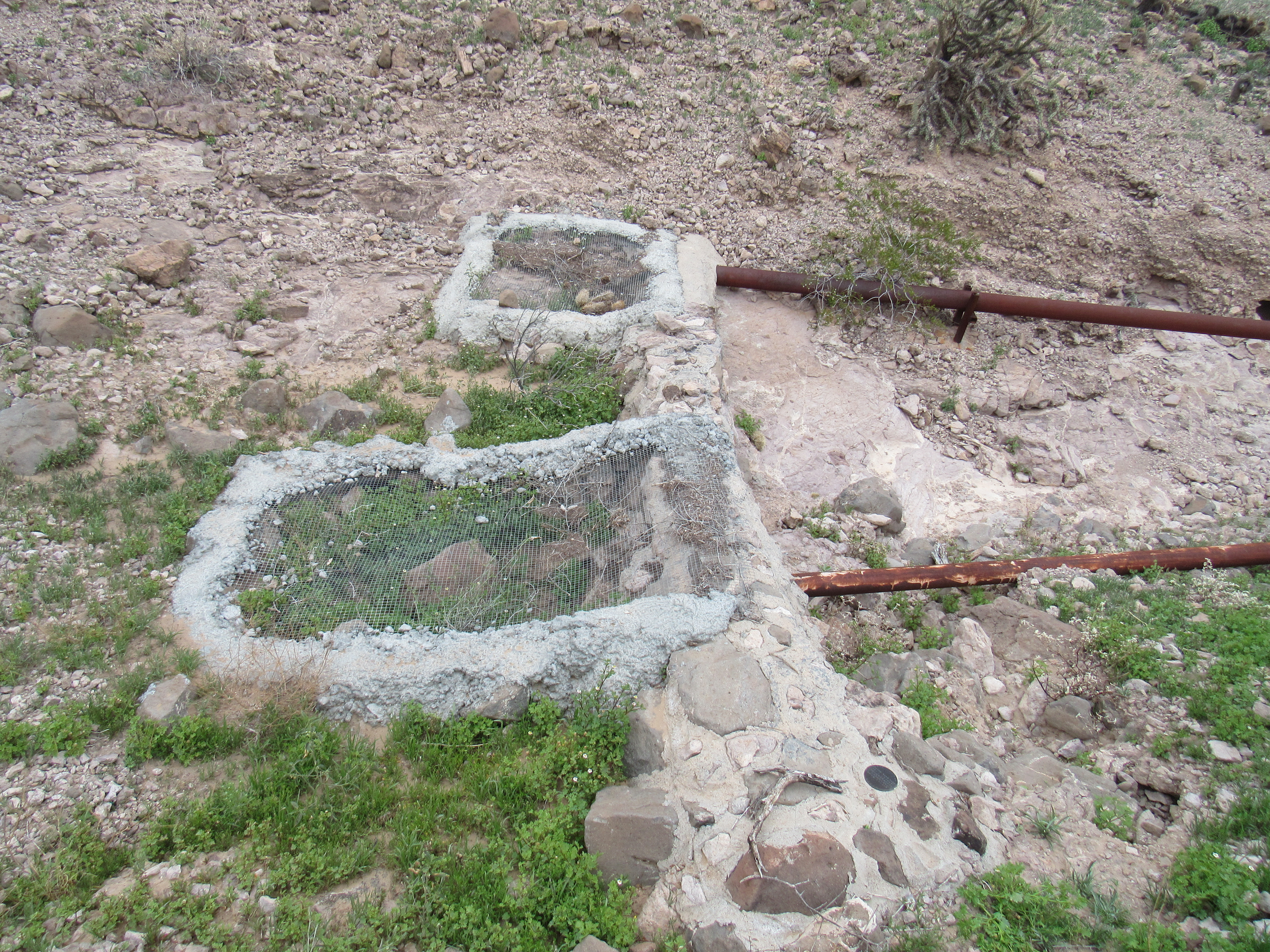
Where the water is captured
Here you can see how the pipes lead away from the dam.
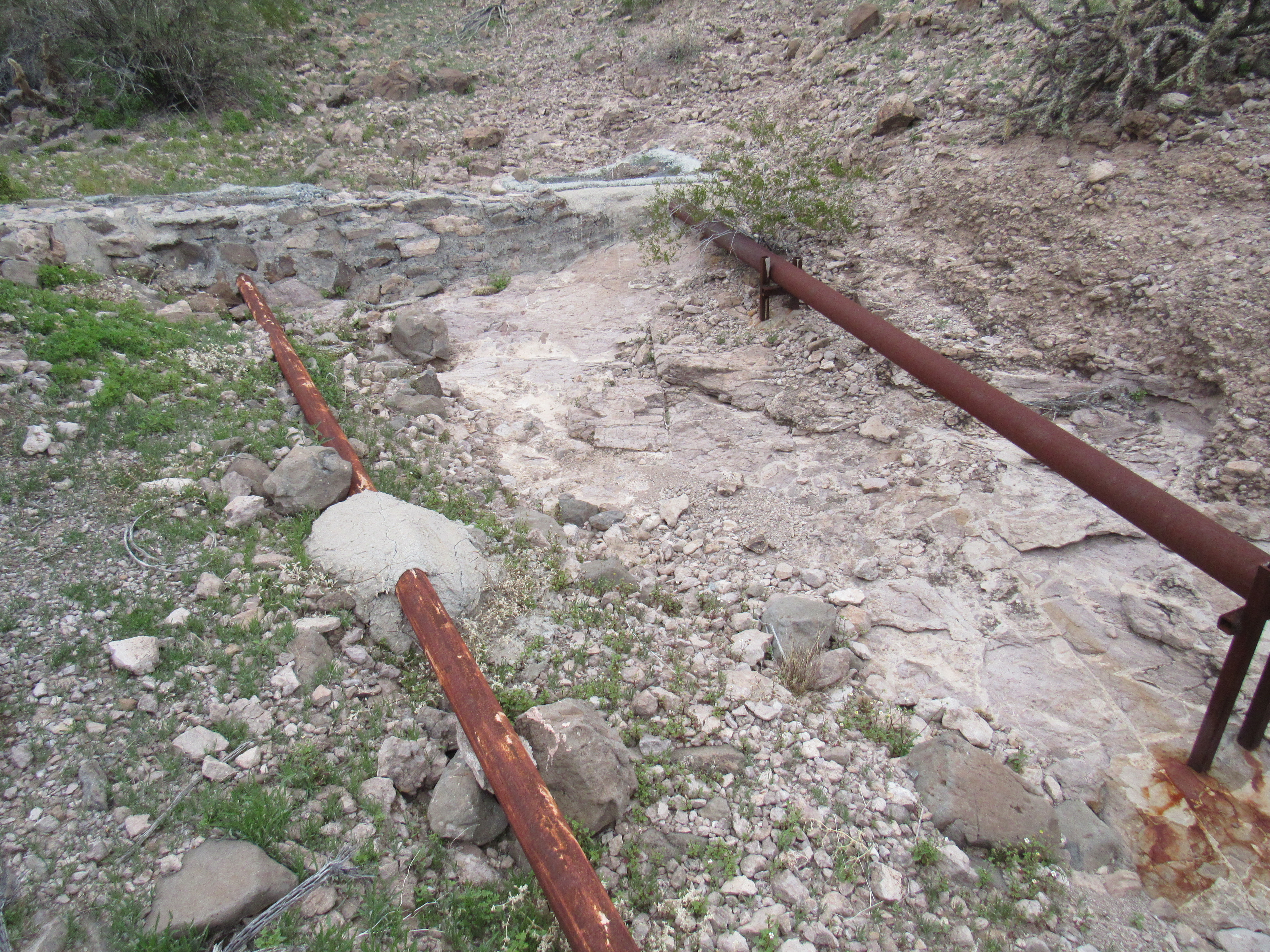
The pipes lead into an underground tank. It may not look like much, but it holds 10,000 gallons and there’s no evaporation.

Finally, here’s the last step. The big tank keeps the drinker full. There’s a float mechanism which regulates the level of water in the drinker (that’s the place where the animals drink the water) and keeps it full all the time. Here’s an example of what a drinker looks like.
A drinker
Every one of these installations has a tag left by those who installed it. Here’s the one at this place.
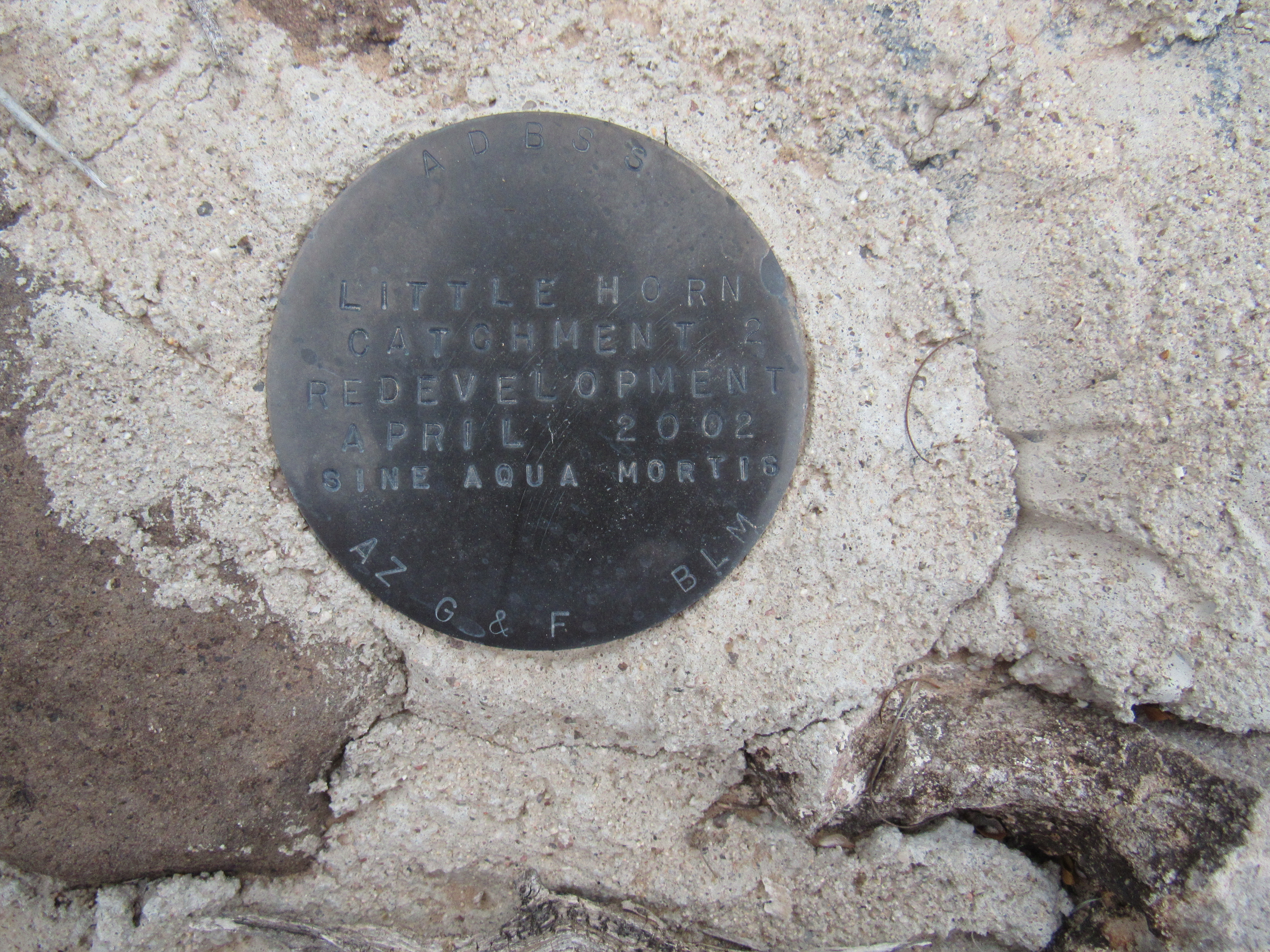
I’ll read it to you – it says: “Little Horn Catchment and Redevelopment April 2002.” Then the last line says “Sine Aqua Mortis”, which is my favorite part and is so applicable to the desert. The very last part says “AZ G&F” which is Arizona Game and Fish, and “BLM” which is Bureau of Land Management.
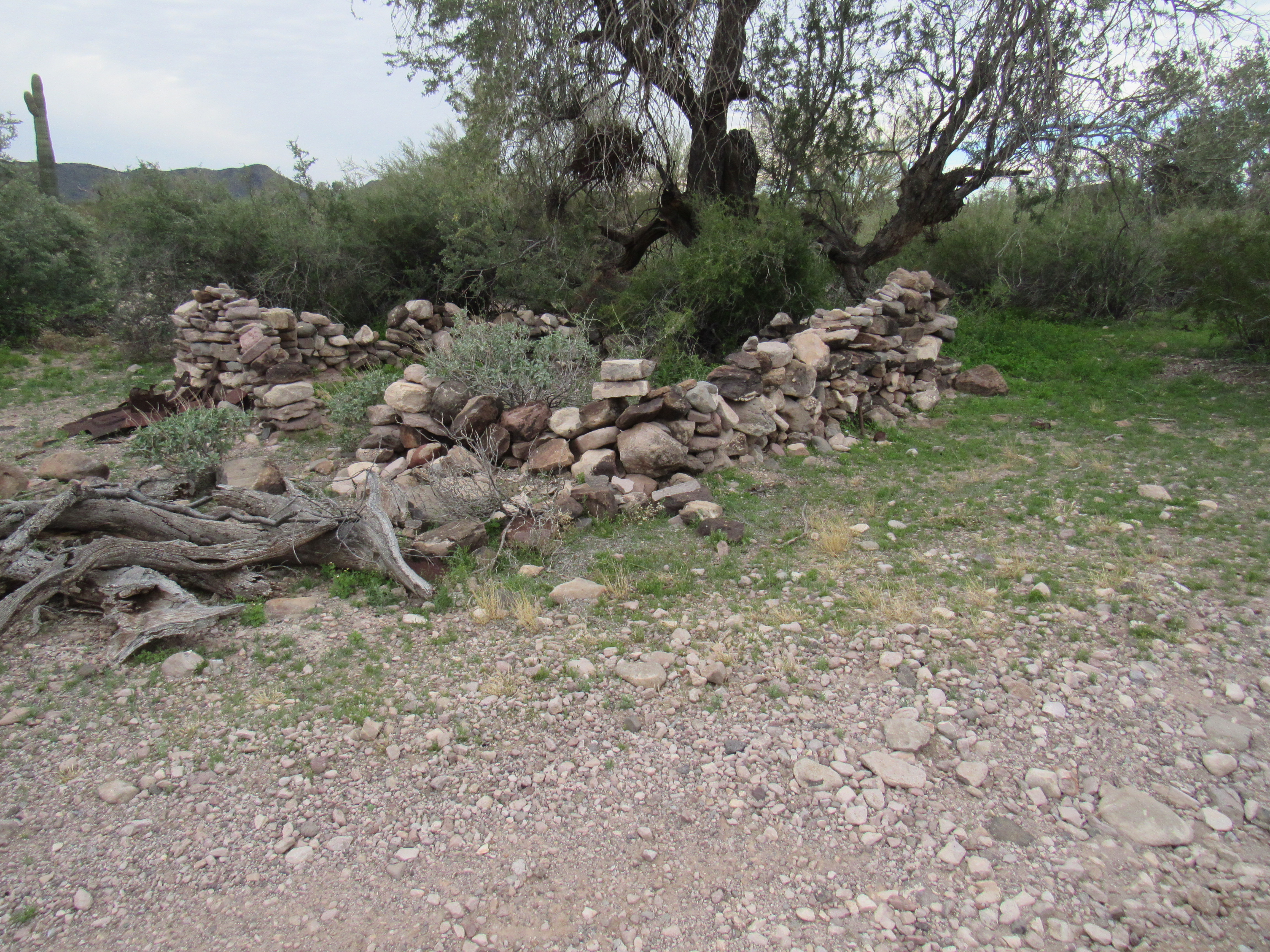
Nearby sat the ruins of a rude structure probably used by miners long ago.
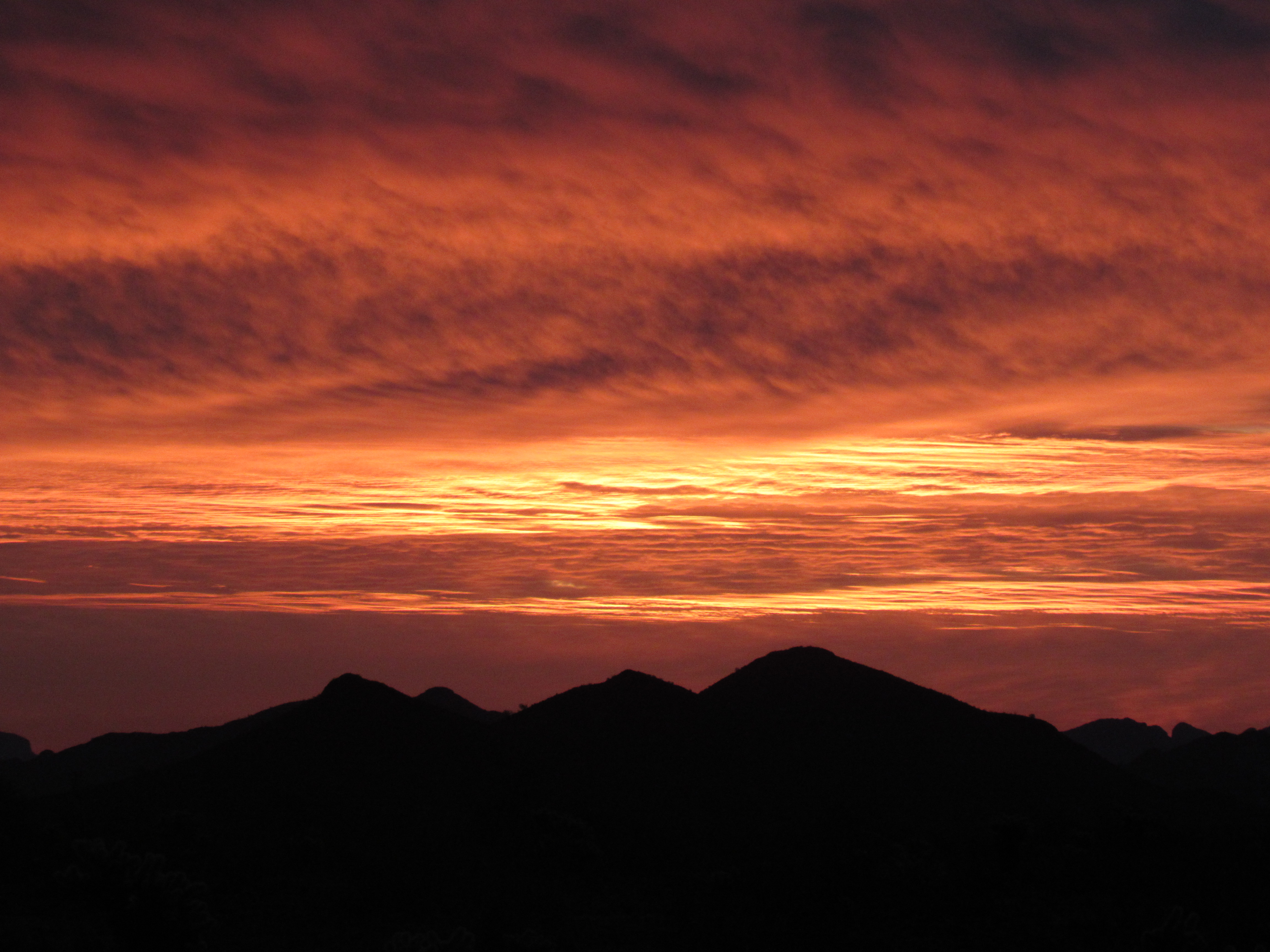
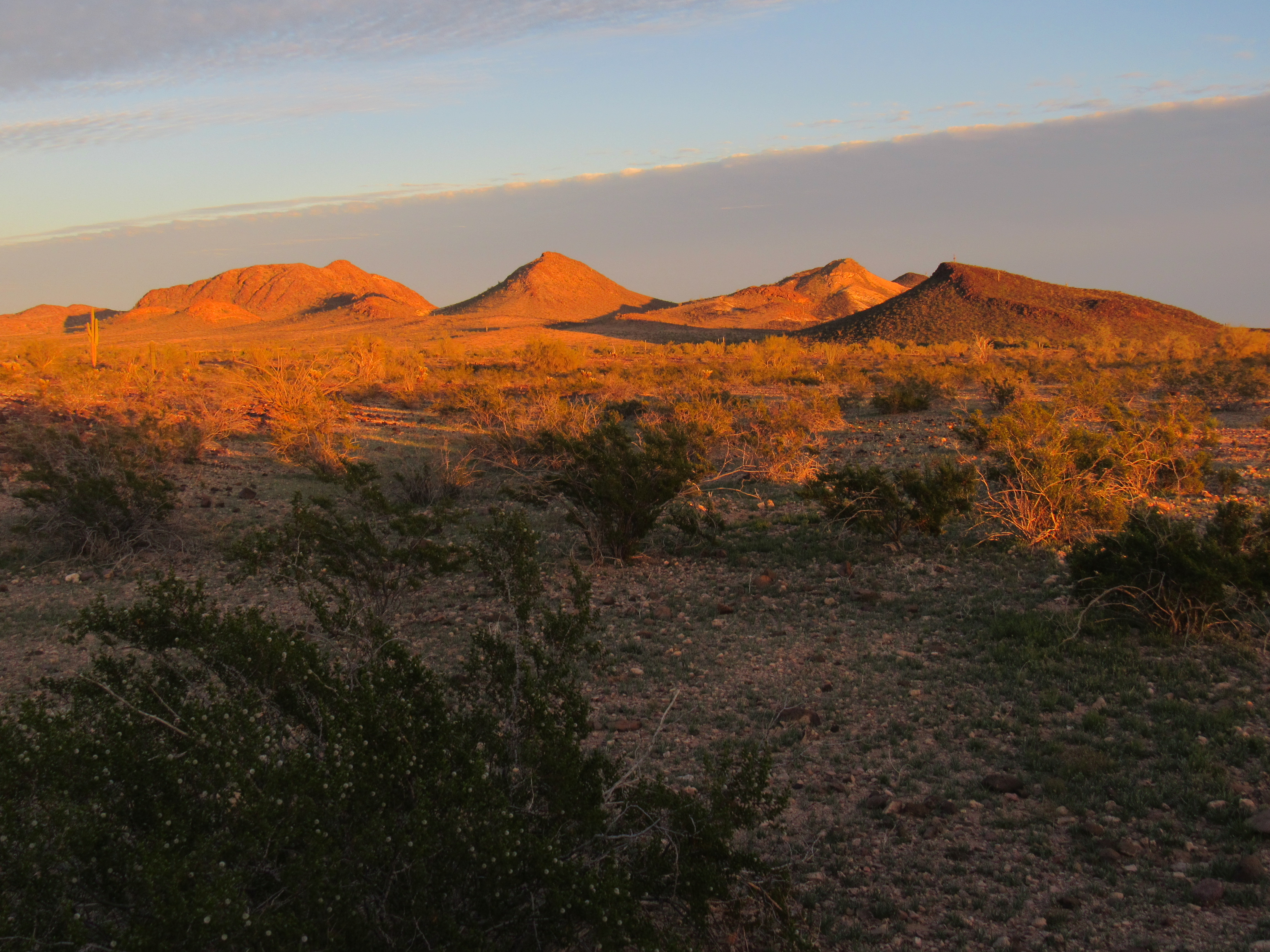
As there was still plenty of daylight, I drove back down to Red Raven Road and then east for a few miles. A bit farther, this time north on a lesser road, to park in a quiet spot. I watched the last light of day on the nearby Clanton Hills.
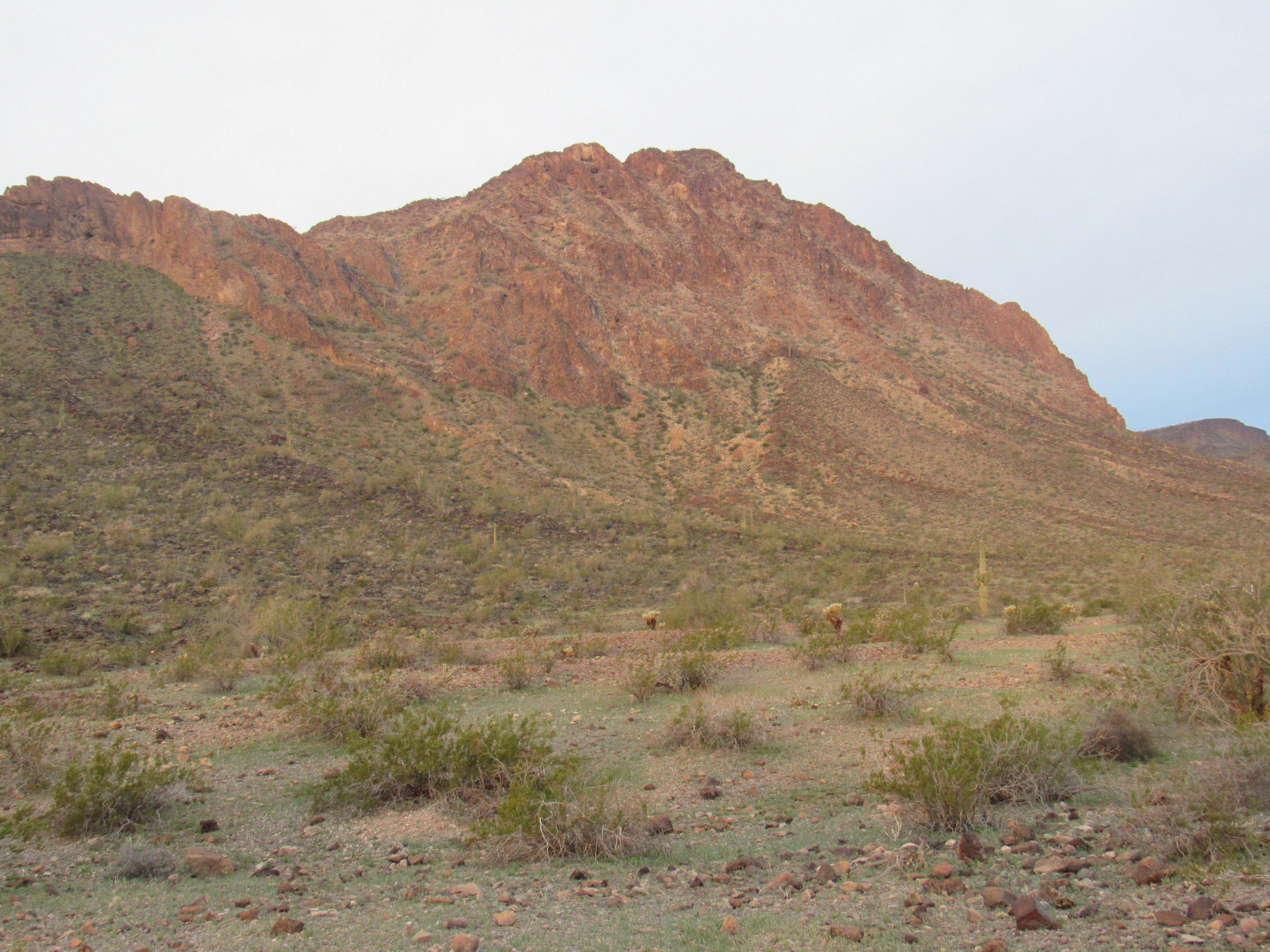
Early the next morning, I did a quick climb of nearby Peak 1535.
Peak 1535
And that was it, my time was up, time to go home. Although I had entered the range from the north, I now found myself all the way over on its south side. After studying the maps, I wondered if I could shorten the distance back out to pavement by heading south through the Palomas Plain. I tried it and it worked – 35 miles later I was done, out of 4WD and rolling home on the Interstate. It had been a great reintroduction to the Little Horns, and I couldn’t wait to get back for more.
Please stay tuned for the next installment of the story