
Please be sure to read the previous 2 installments of this series on the Little Horn Mountains before you read this one – it will all make more sense.
The last time I’d driven to this mountain range weeks earlier, I had come in from the north, from Interstate 10. This time, I thought I’d try to approach from the south, as I had the route figured out. Desert roads can be tricky because they’re not maintained – as the years go by, they can become really rough, progressively worse, until they’re a real challenge even in 4WD. Fortunately, by using what is known as the Palomas-Harquahalla Road, a good dirt track, I was able to get all the way from Interstate 8 to the south side of the Little Horn Mountains in an hour. As I neared the range, I saw 3 of the endangered Sonoran Pronghorn Antelope near the road, in the same place I’d seen them 3 weeks earlier. I apologize for the poor quality of this photo, the only one I got in the waning light.
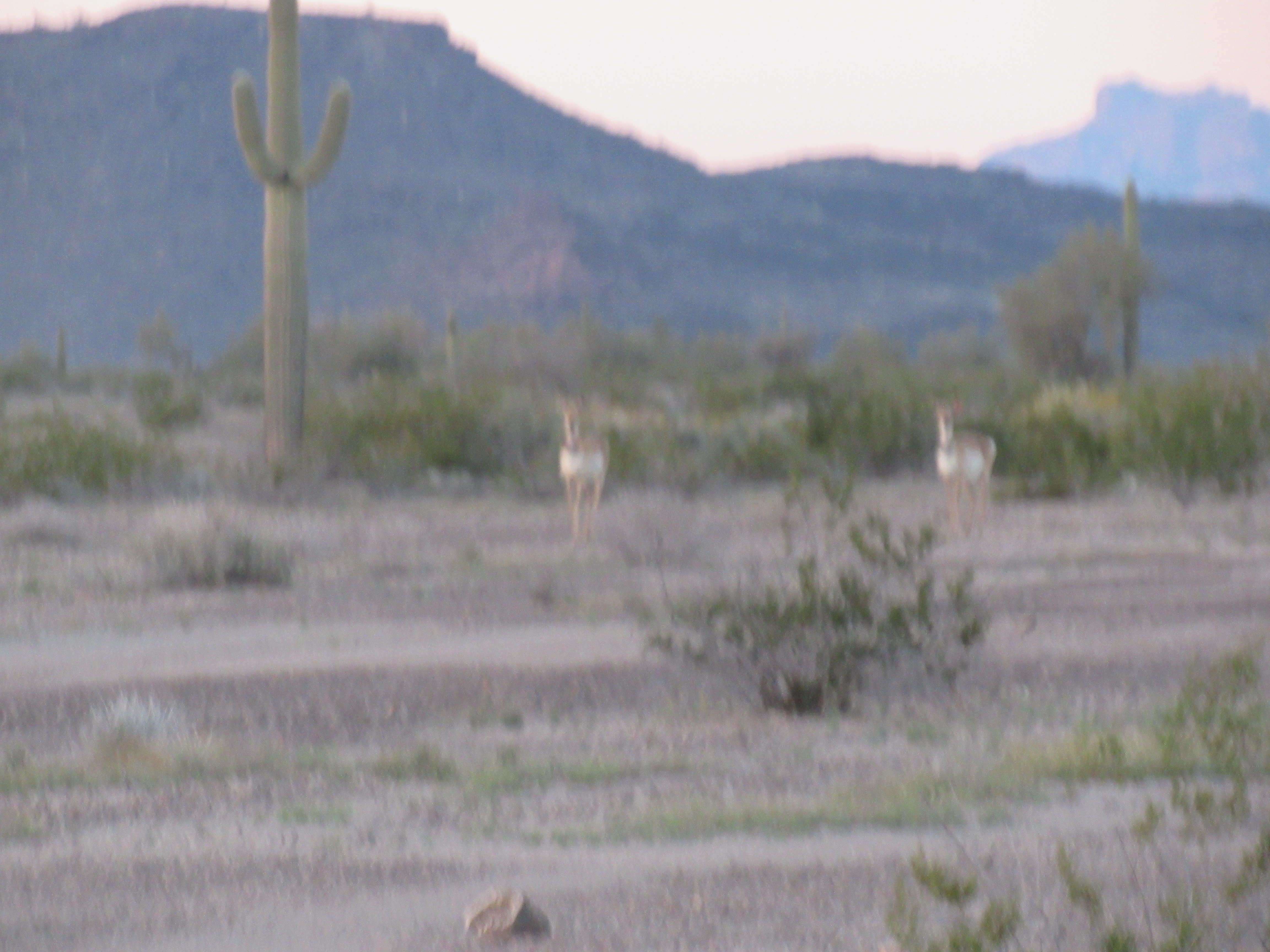
Two of the three
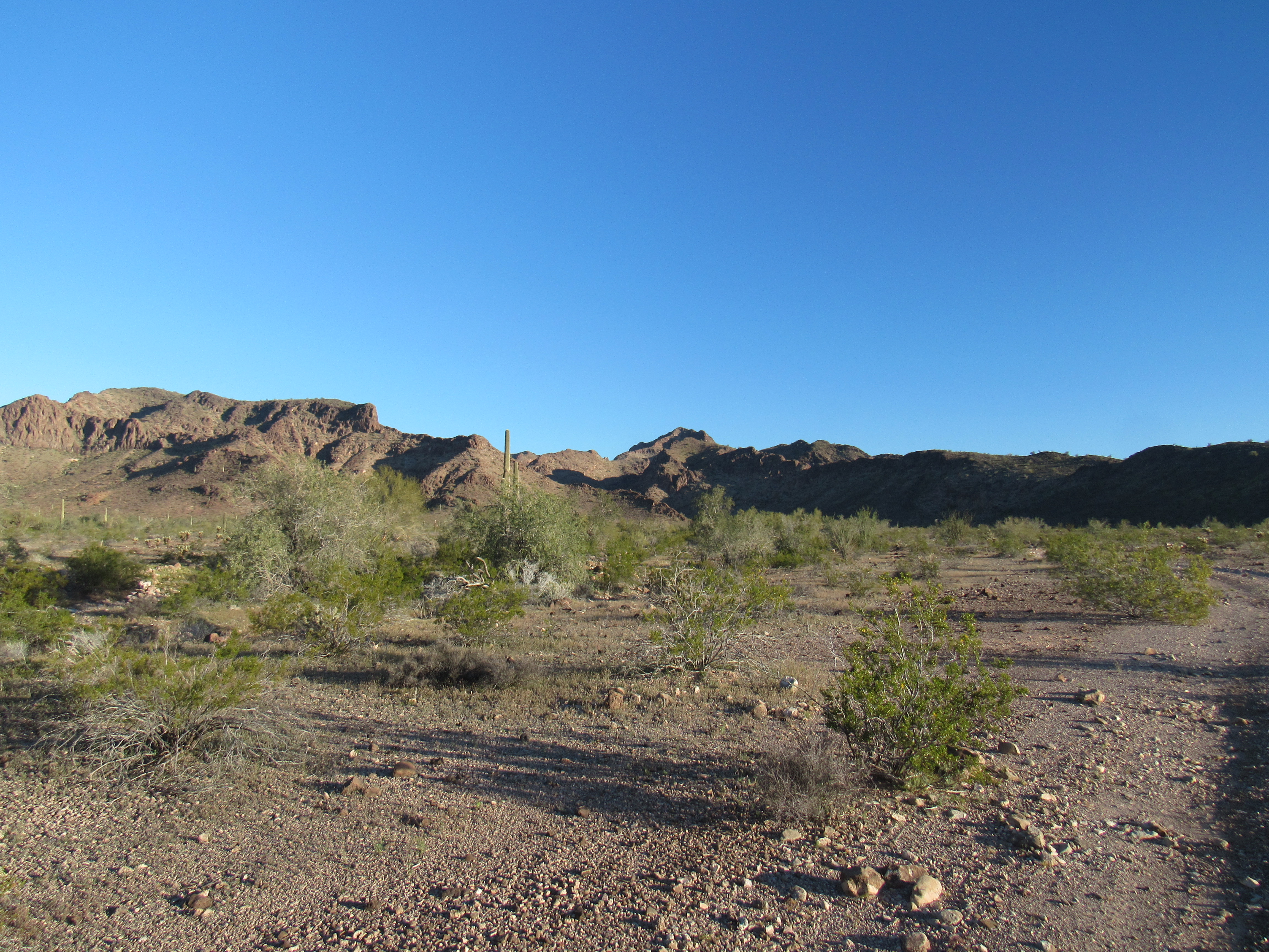
A couple of miles later, I set up camp in the fading light – it was going to be a week of perfect weather out here, I had a lot of peaks to climb, and I was really psyched.
Day 2
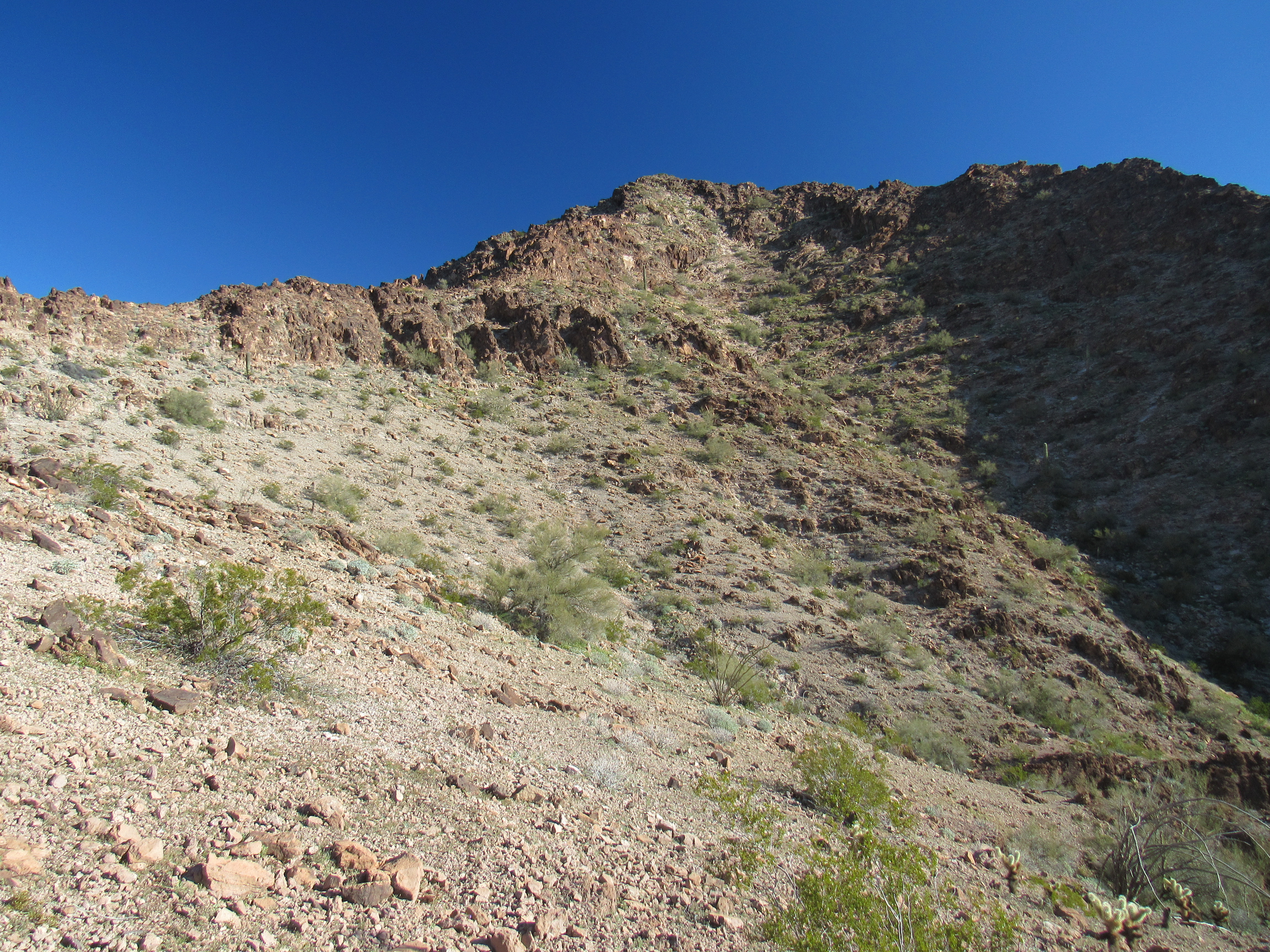
Dang, it was colder than I’d planned overnight, getting down to 38 degrees. The long-range forecast showed a slight increase in temperature every day, so I knew it’d become more comfortable for sleeping every night as the days passed. By the time I ate something and packed up, it was 6:30 AM and first light when I started driving. West I traveled on what was known as Red Raven Road, for 8 miles, then north for 3 more. Those were 11 rough miles, including some really dicey washes I needed to cross, because by the time I was parked at the end of the road and ready to start walking, it was already eight in the morning. I’d hoped to start off the trip with a bang, to climb 4 peaks today – we’d see how that went. You know, the best-laid plans …….
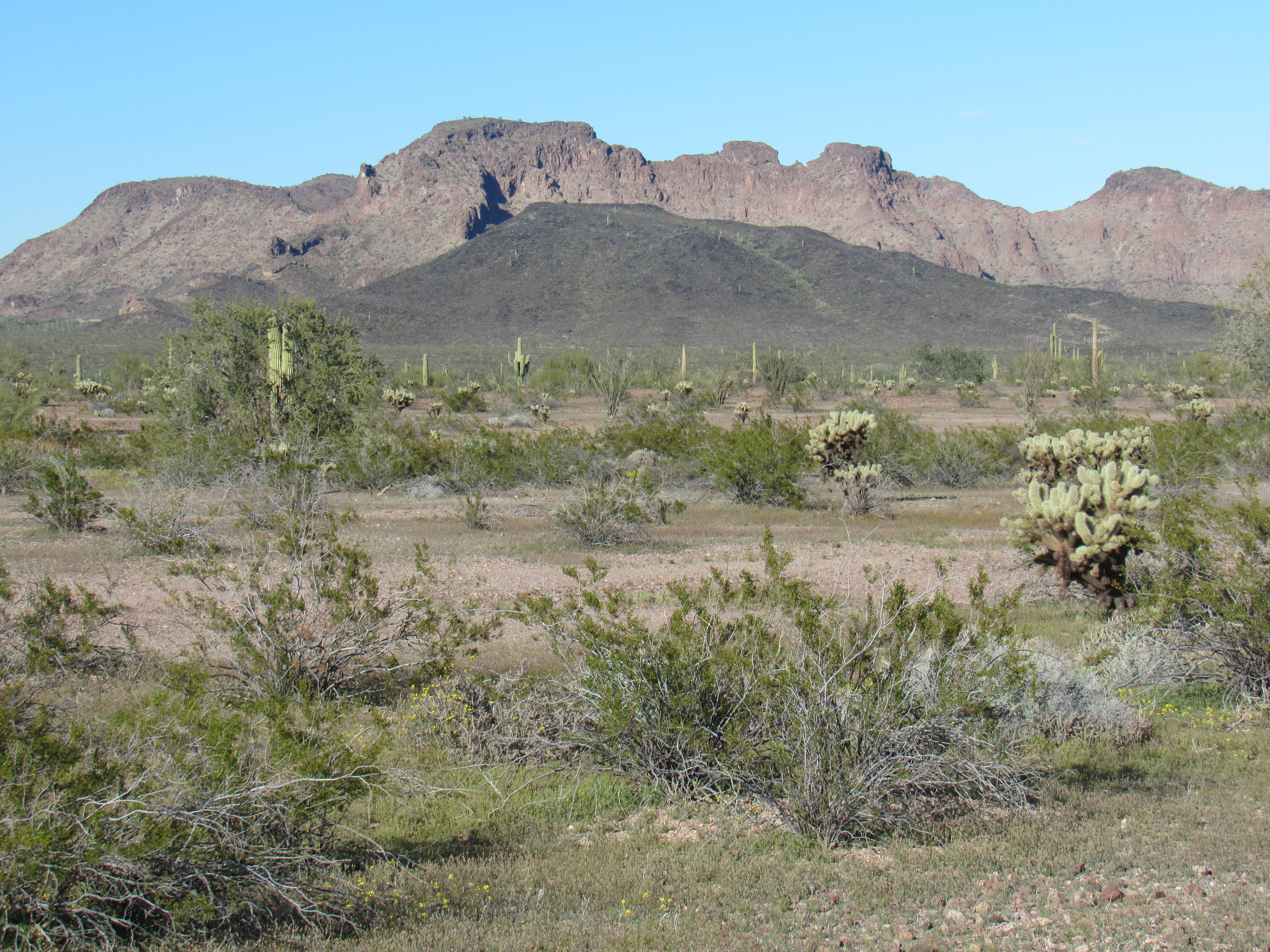
Here’s a shot of the first one on my agenda, a big peak that had seen a previous ascent by Barbara Lilley 18 years earlier. It’s the one in the distance on the skyline right in the middle of the photo.
A distant Peak 2323
Once I started walking from my truck, I looked for a side valley that headed north up to the summit. A deep, nasty canyon filled the bottom of the valley – I avoided it by staying on an open shoulder off to the left side and gained elevation quickly. Here’s the view I had as I neared the summit.
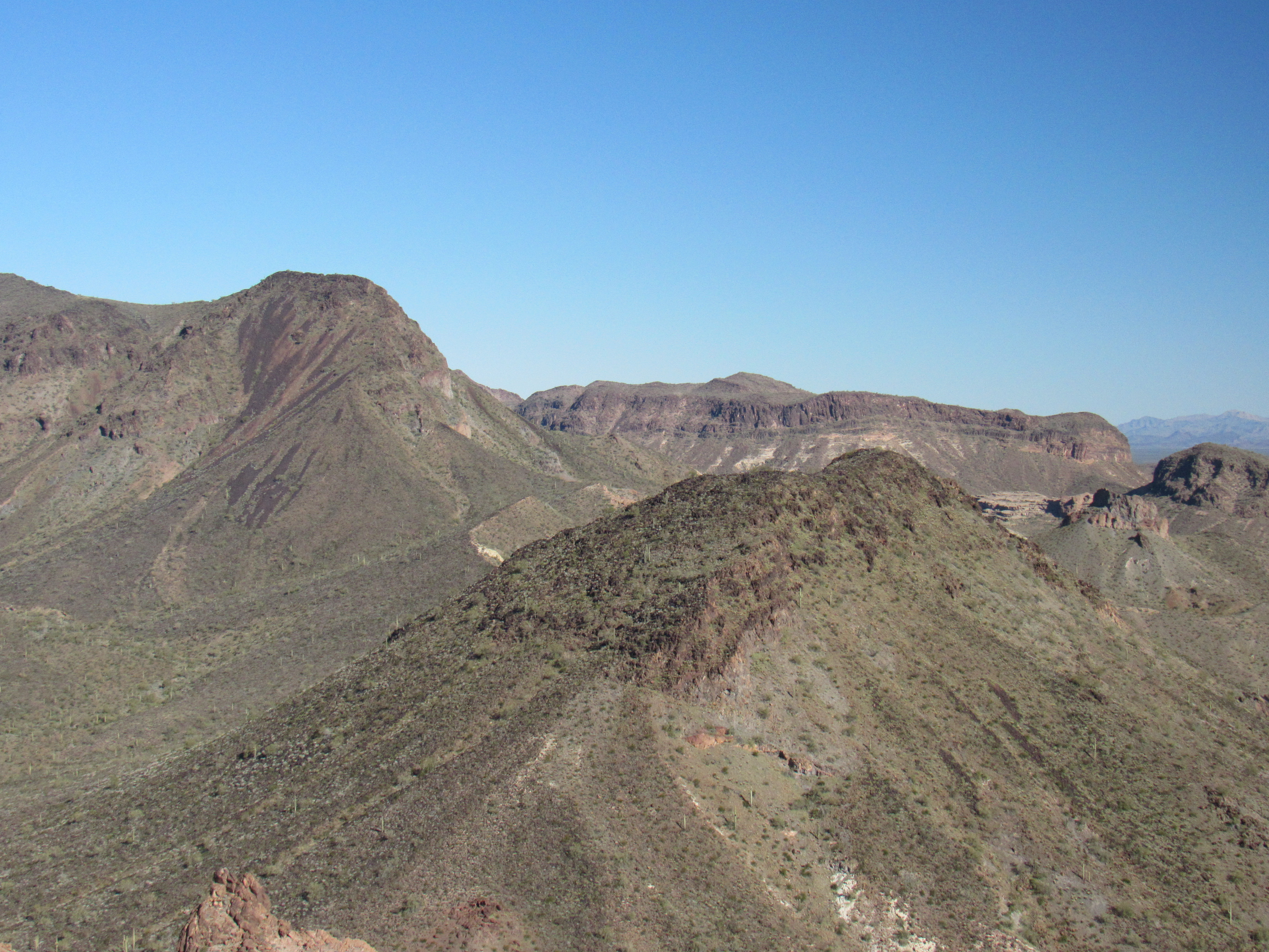
When I reached the top of Peak 2323, I couldn’t find Barbara’s register (there was a lot of new spring vegetation) so I left a new one. There were some nice views up there, like this one looking over the top of nearby Peak 2277 (the big brown one in the lower right) to Point 2575 behind it (the long flat ridge). The big thing on the left skyline is the lower part of Little Horn Benchmark.
And this one, which I really like – we’re looking down the steep south ridge of the peak to the desert floor waaay below.
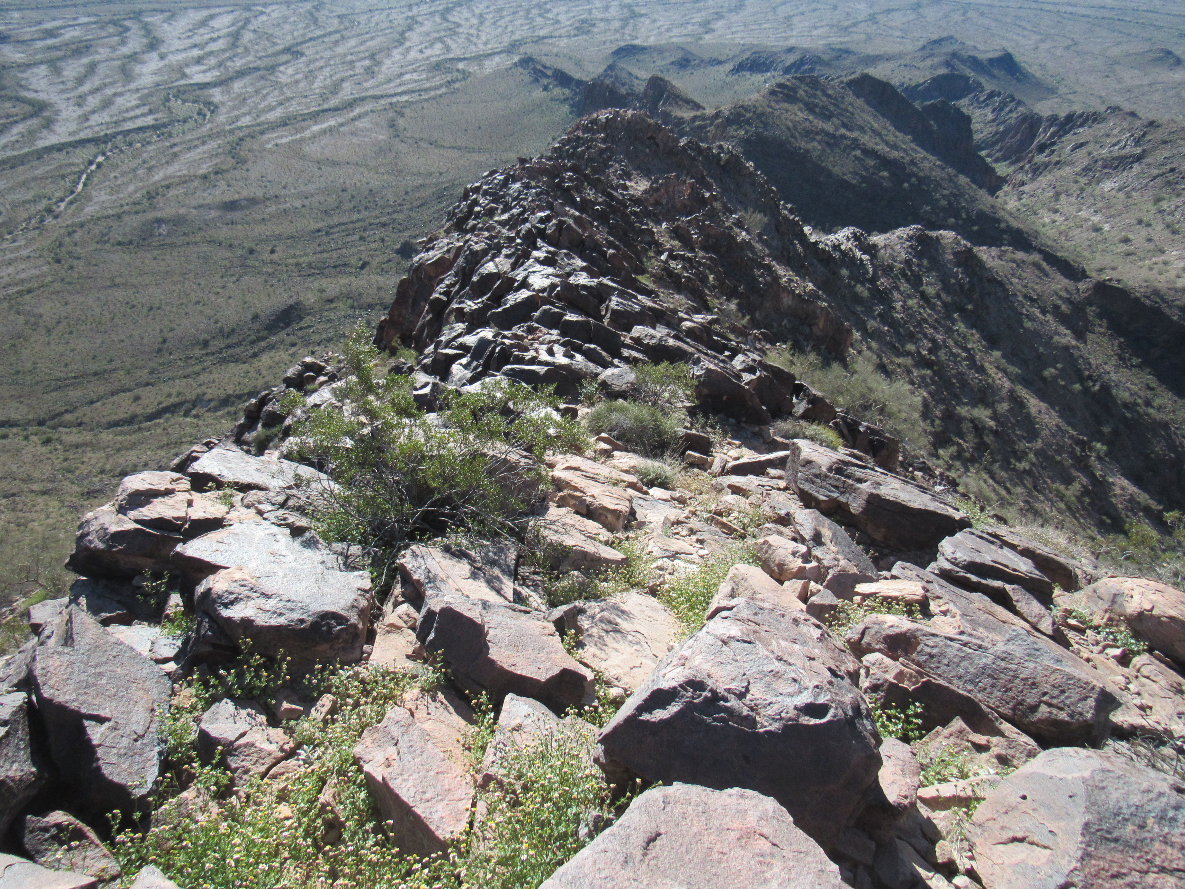
The south ridge
Here’s another view, over to an un-named peak to the southwest. If you look really closely, you can see three natural windows in the rocky summit areas. Hint – you may need to zoom way in.
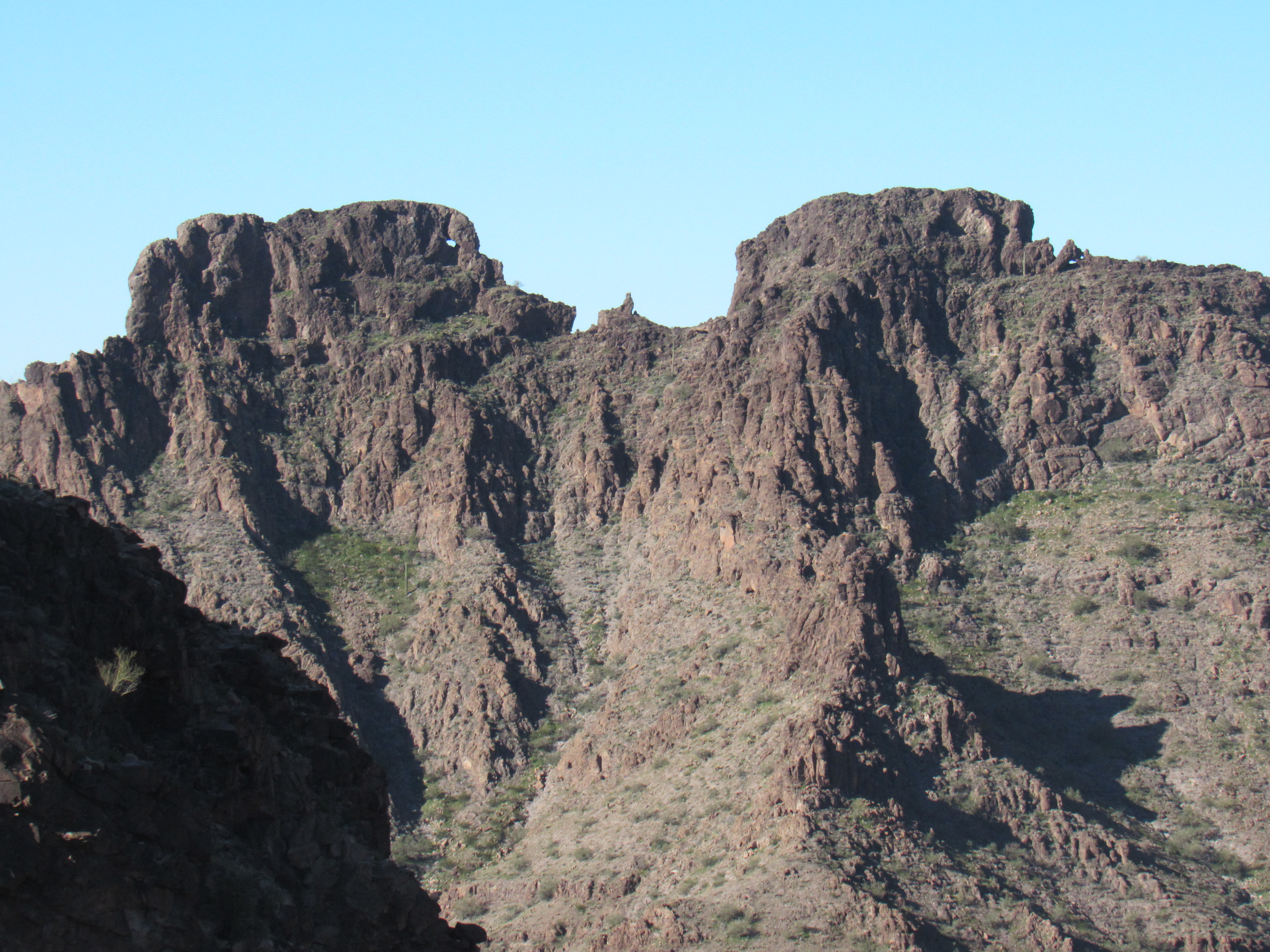
Nearby stuff
This was one fine peak, and I was glad to finally be on top of it after seeing it from afar. A real benefit of climbing mountains is the view from the summit. As much as you’d like to sit up there and enjoy it for a long while, usually you can’t – it takes time to get back down safely and move on to the next peak. By the time I was back to my truck, 2 1/2 hours had passed. At just over 1,100 feet of climbing, this would turn out to be one of the bigger climbs in the range. Near my truck, I found something curious on the ground. I figured it must be something that had been part of a weather balloon – I’d found bits and pieces similar to this at other times.
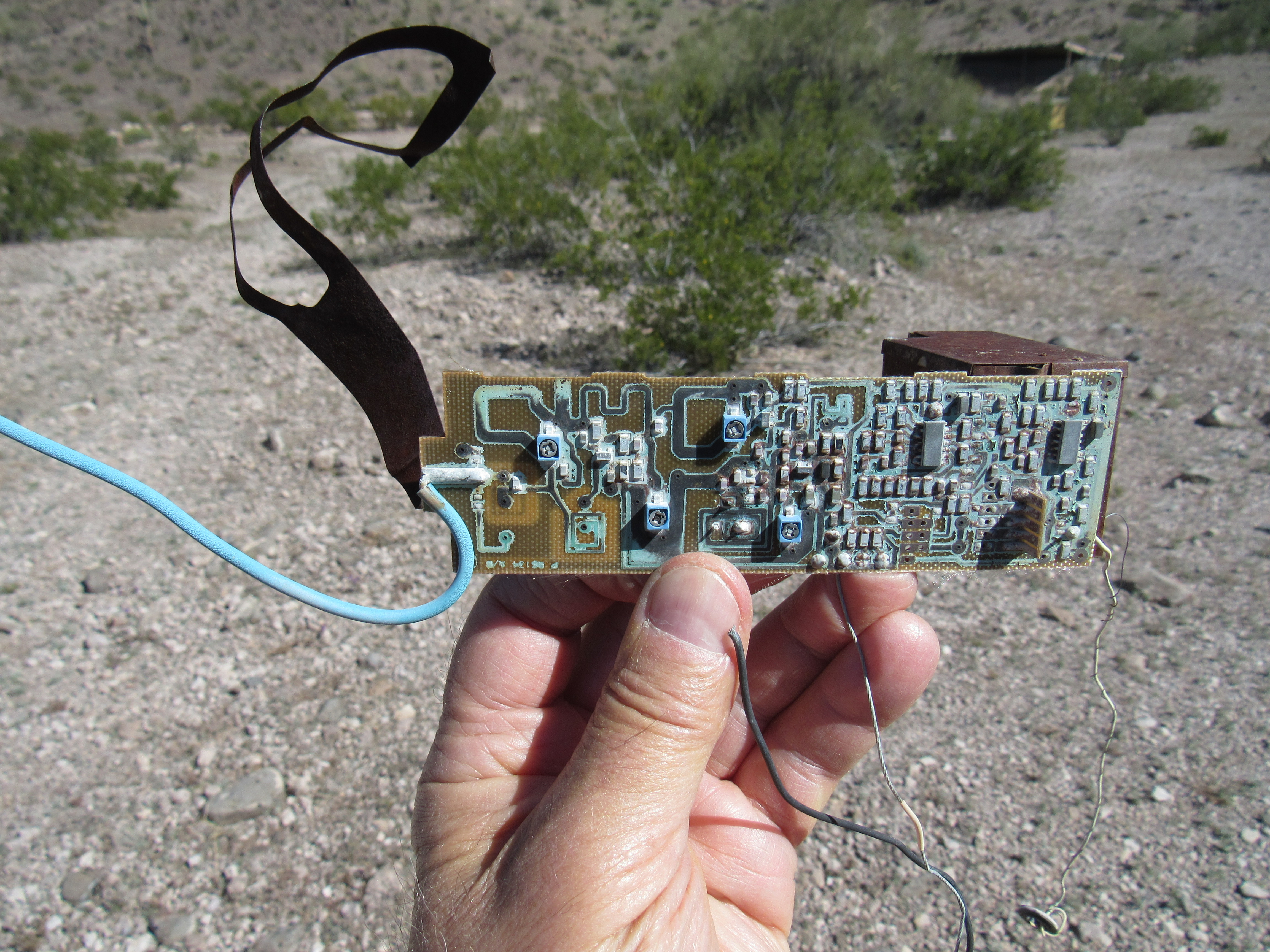
Thing One
It was only a few miles to my next peak, so I was soon parked and ready for it. Peak 1801 was just a long, thin ridge more than 2 miles in length – it rose 500 feet above the surrounding desert. Here’s what I saw before I started up.
The north side of Peak 1801
When I reached the top around noon, I easily found a register left by Barbara Lilley from 2005; the following year, a group of 4 had followed in her footsteps. I signed in and then headed down, the round-trip taking only an hour. My next peak was close, so all I had to do was drive another 2 miles west on Red Raven Road to reach a good starting point. En route, I heard an odd noise and saw approaching me a quad – in fact, there were 3 of them. Two people were on each one, and they wore scarves over their mouths and noses against the cloud of dust they were raising. They stopped and we chatted a bit. They had left the village of Salome, Arizona 4 hours earlier, having traveled 50 miles to this point. They moved on, and I soon pulled off the road and parked for my third peak of the day. It’s the dark one in the foreground.
Peak 1785
I headed cross-country for a mile, then climbed the south side of Peak 1785 to its summit. Once again, I found a register left by Barbara Lilley and Gordon MacLeod. I took advantage of the elevation to make a call home (being up high on a mountaintop can usually give you a better line-of-sight connection to a cell tower).
By the time I’d returned to my truck, it was almost 3:00 PM. I guess I had overdone it a bit on this, my first day of climbing in weeks, because I started to get cramps in my legs. I had recently seen a product advertised on TV, one which promised relief from cramps. I’d bought it in the hope it might help. It’s called Theraworx, and all you need do is spray it on your skin and rub it in. You can use it proactively, applying it before you ever get a cramp, but if you do get a cramp you can apply it and magically it makes the cramp go away. The older I’ve gotten, the more prone I have become to leg cramps, so this stuff has been a huge help. The main active ingredient is magnesium sulfate – the liquid seems to penetrate the skin and then the muscle to relieve the spasm, and it works quickly. I’m not trying to be a pitch-man for the product, but it really does work, and usually (for me, anyway) within seconds. That was the case today – I got rid of the cramps, but decided to not push my luck and called it quits after 3 peaks.
Usually we peakbaggers will go as late as possible in the day to climb as many peaks as we can, so this was quite a departure for me, stopping at three in the afternoon. I used the time to find a good campsite, then cook a nice meal. My evenings are usually spent sitting in the cab of the truck, writing my diary and studying maps for the next day’s climbs while listening to classical music on a good station out of Phoenix, KBAQ at 89.5 on the FM dial. I knew the cool weather hadn’t left yet, as it was all the way down to 48 degrees by 8:15 when I turned in. For the trip so far, I had climbed 3 peaks, covering a total distance of 7.3 miles and climbing 2,305 vertical feet – not a bad start.
The next morning, I had a much earlier start, a full hour and a half earlier than the previous day, because I’d camped practically at my starting point instead of many miles away. It didn’t even take an hour to reach my first summit, Peak 1874, via its long southeast ridge where I once again found a register left by Barbara and Gordon. Here’s a photo of its east side taken the day before from atop Peak 1785.
The east side of Peak 1874
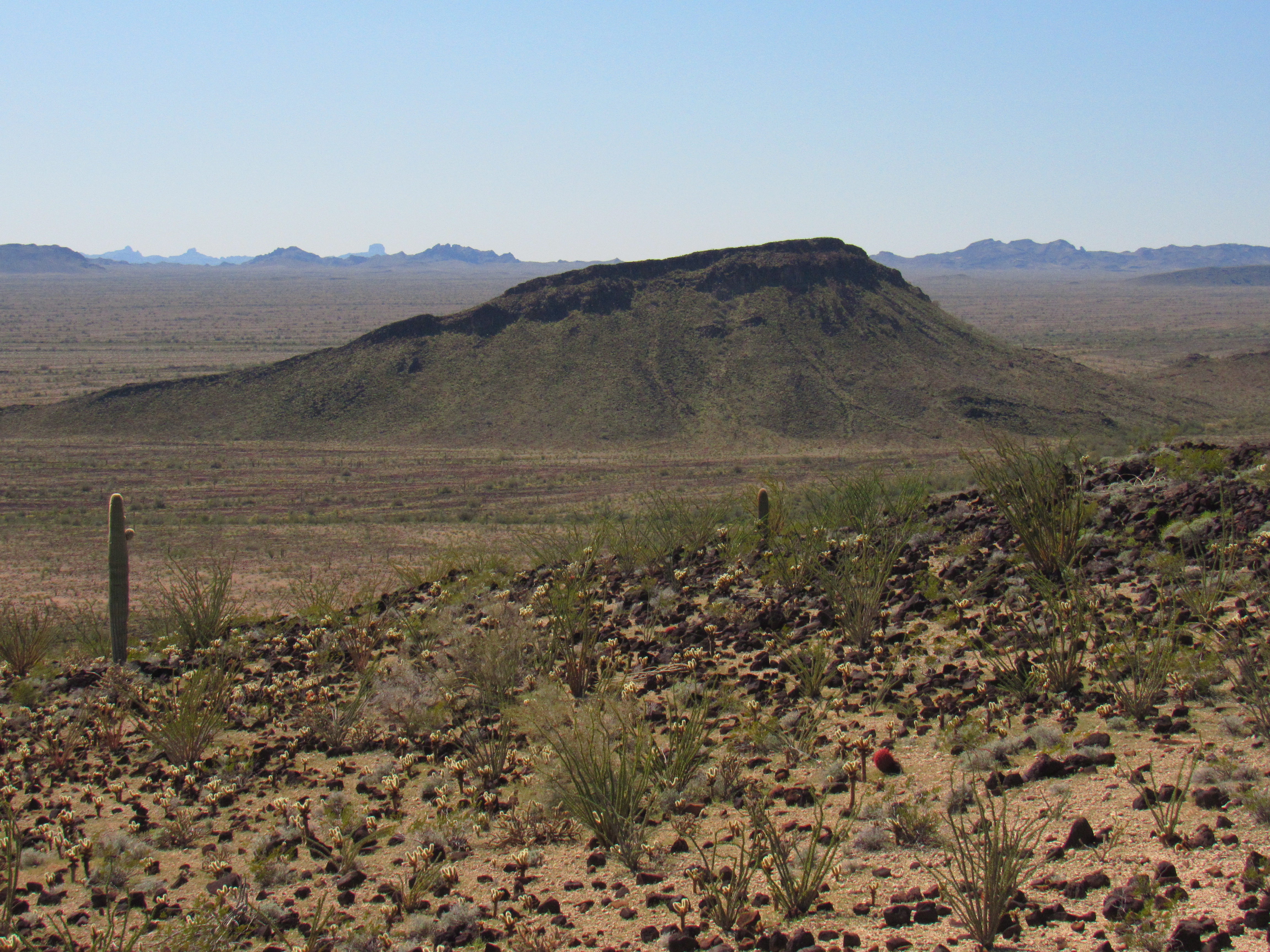
After signing in, I hoofed it back to my truck, then continued farther west along Red Raven Road. My next goal was a big peak situated east of Cementosa Wash – it was a straightforward climb up to the top of Peak 2174. Since I had such an early start, I was on the summit of my second peak by 10:15 and even made a leisurely call home. Since I was doing all of this solo, I figured it didn’t hurt to stay in touch as much as possible, for safety’s sake. This was a sizeable peak with a large footprint. In this next photo, the mountain fills the entire photo. Here’s how I climbed it. I walked across the desert to the base of the peak over on its far left side, then climbed up to the skyline you see, then walked along the lengthy summit ridge to the right all the way to the highest point, which is not quite visible as it is farther back.
Looking north to Peak 2174
This peak had also been previously climbed, but I knew that. I signed in to the register I found and started down a steep slope, being really careful. This one took almost 3 hours from start to finish.
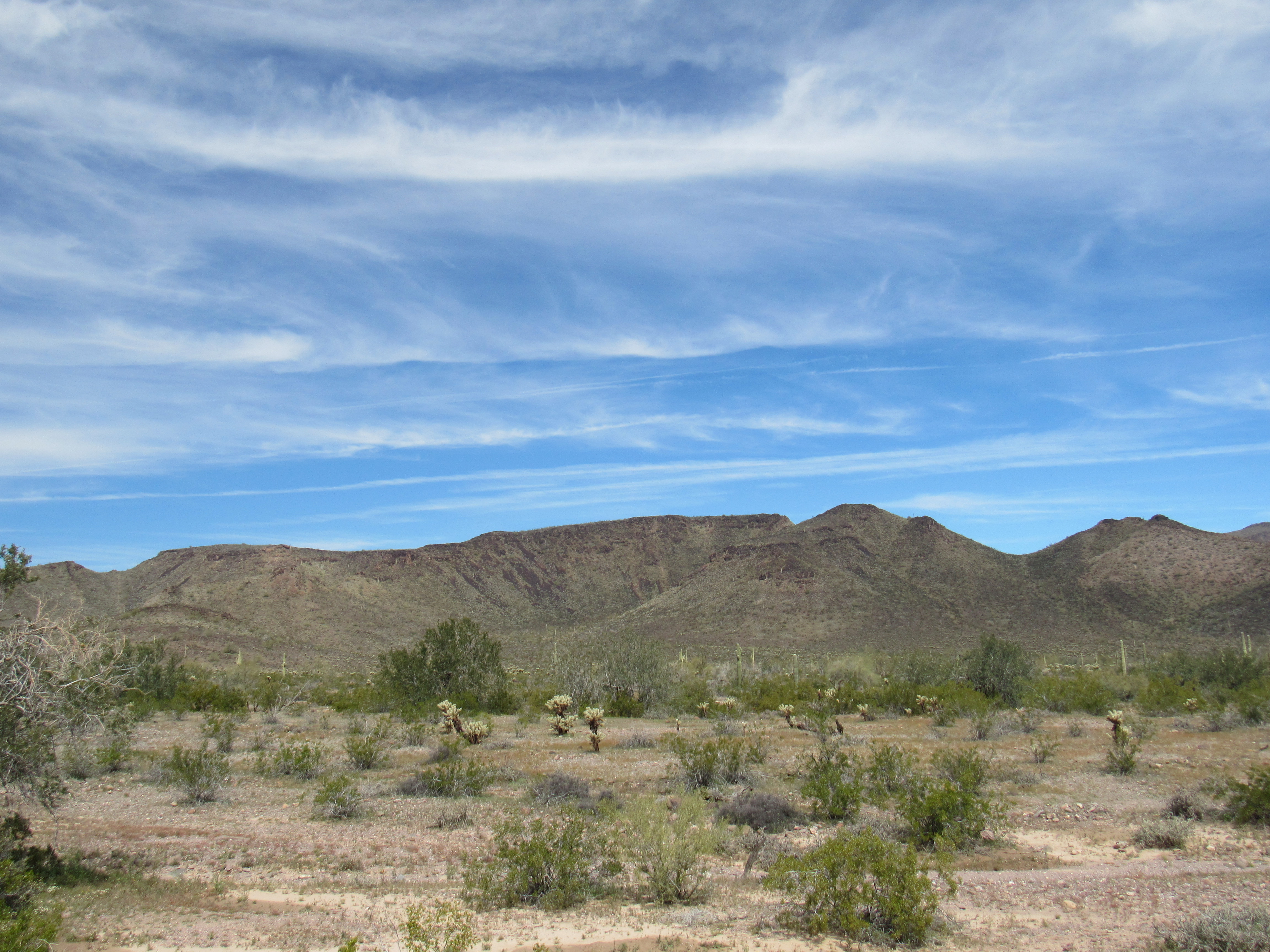
Back at my truck before noon, I made a casual lunch of sardines, crackers and beer before moving on. I was still driving west along Red Raven Road, but when I passed the road which headed north along Cementosa Wash, RRR changed dramatically. All of a sudden, it turned into a road that seemed quite unused – a narrow 2-track, overgrown in places, and obviously little-traveled. After a few miles on that, I parked on its north side and set out on foot just before 2:00 PM. It didn’t take long to reach the summit of Peak 2016.
Looking north to Peak 2016
I had no information on any prior ascent of 2016, so imagine my surprise when I reached the top – it was like Grand Central Station. The most obvious thing that stood out was this big cairn someone had built, about 100 yards away from the summit. I’m thinking it was left by prospectors years ago.
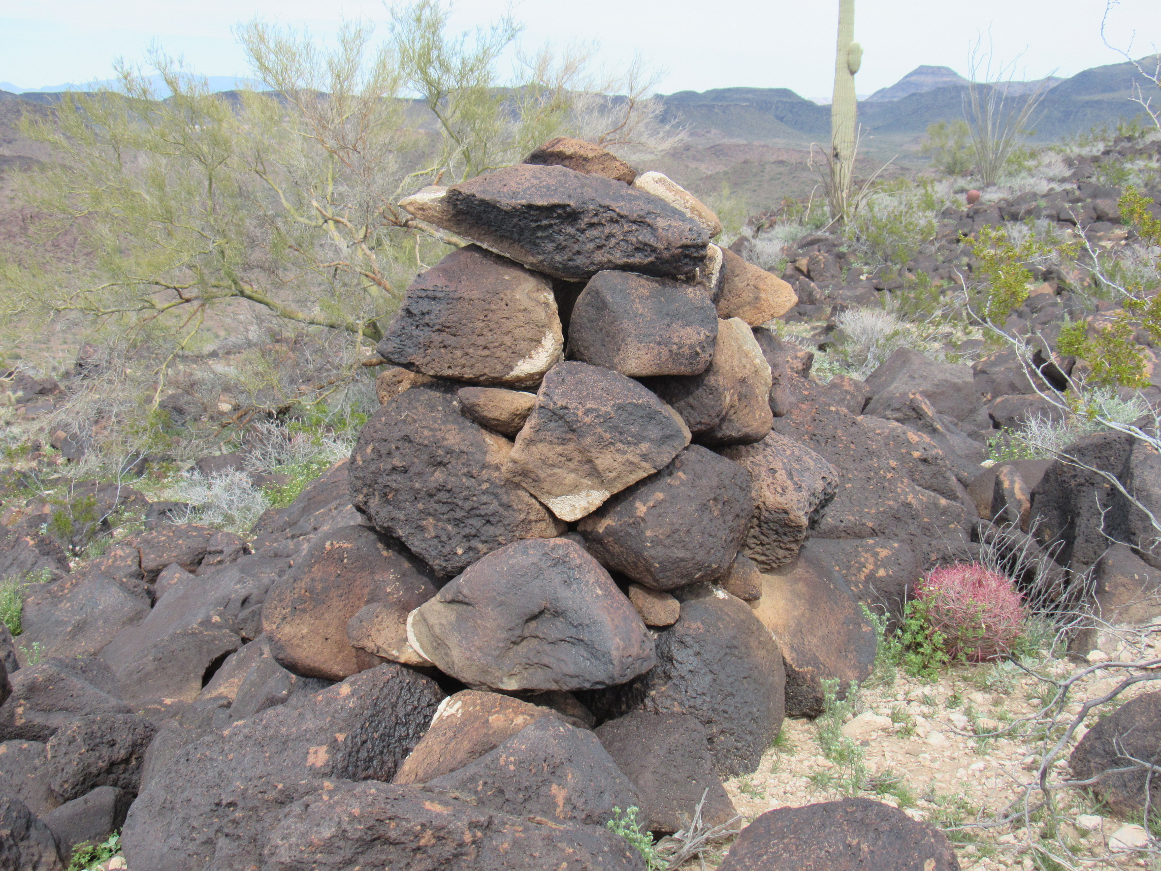
I also found this survey marker – on the round disc on the top was stamped TP-2. Perhaps the edge of Township 2?
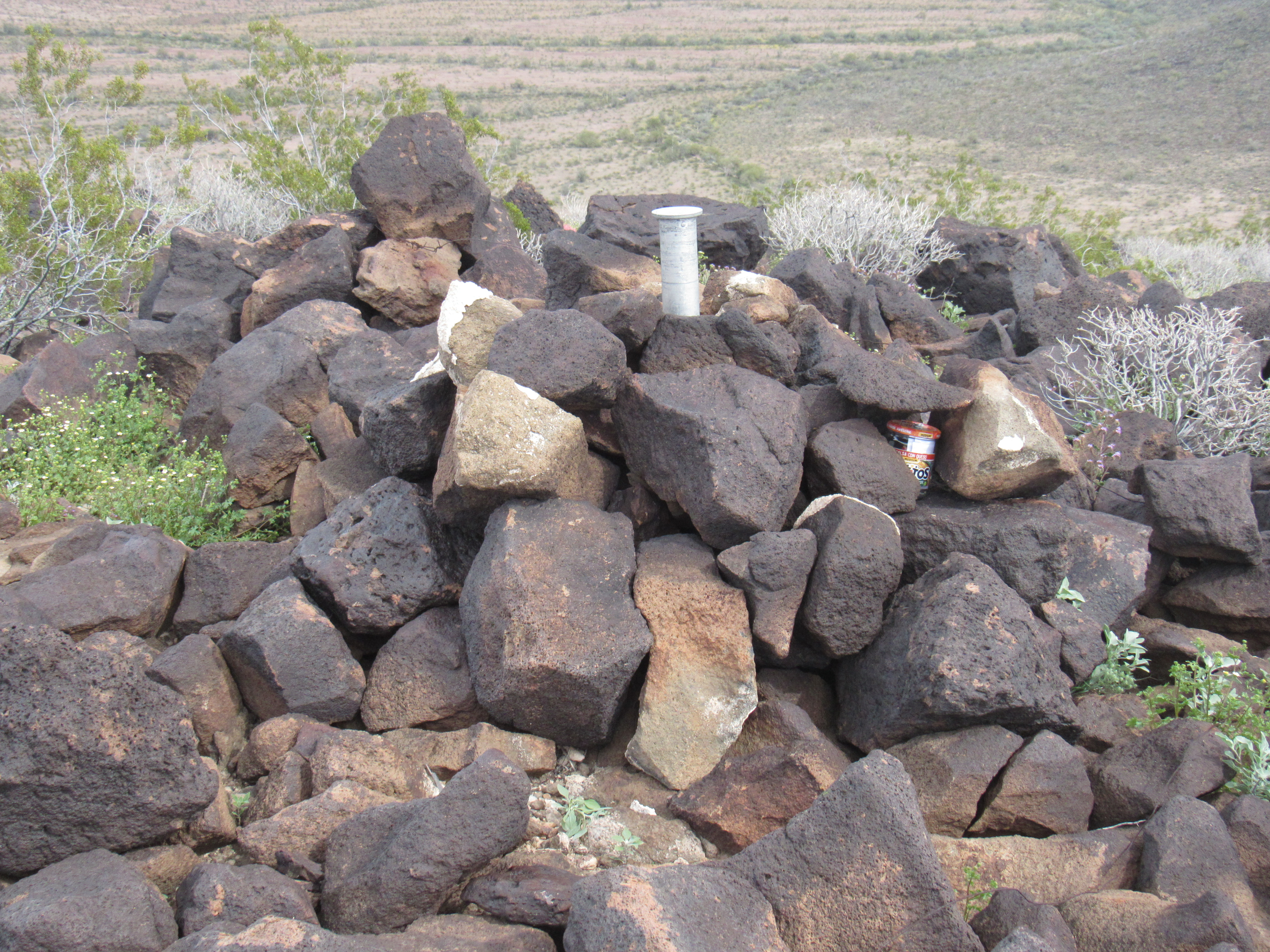
Near the survey marker, inside the pile of rocks, I found a glass jar register, It had leaked and the paper inside was soggy. I replaced the jar and included fresh paper, and also transferred the information. Barbara Lilley had left the register in 1995, and 3 others had signed in in later years. You can see the jar in the rocks on the right side of the cairn. Interesting summit.
I went back down and walked the short distance back to my truck. En route, there were several things of note. The most obvious was Red Raven Wash. In this area, it was a braided stream with no less than 6 separate channels, like this one (the others were smaller).
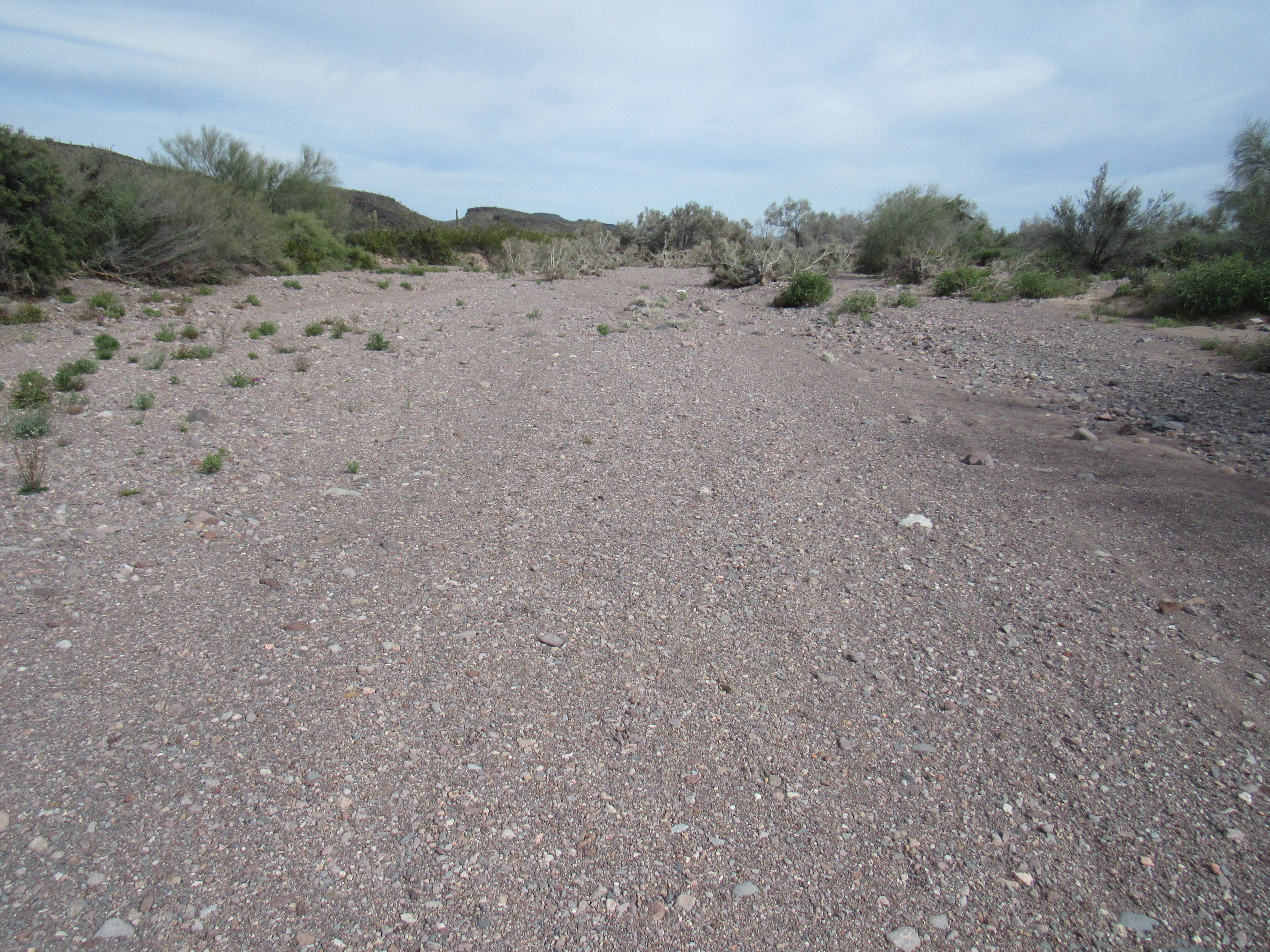
Red Raven Wash
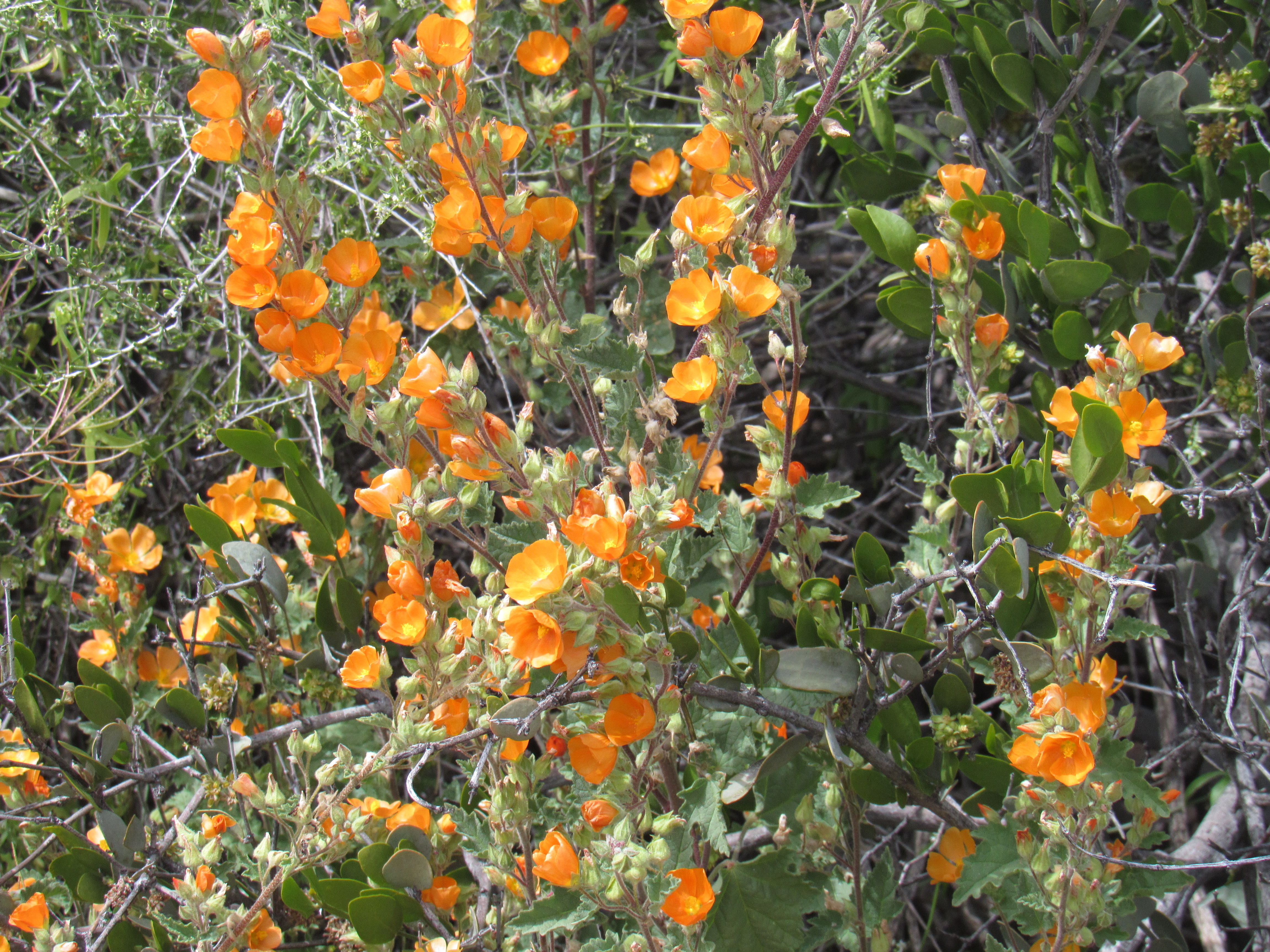
Spring wildflowers were starting to appear, like these.
I like this one, a hedgehog cactus on the left and a pencil cholla to its right. Those long spines of the cholla really hurt when they stab you.
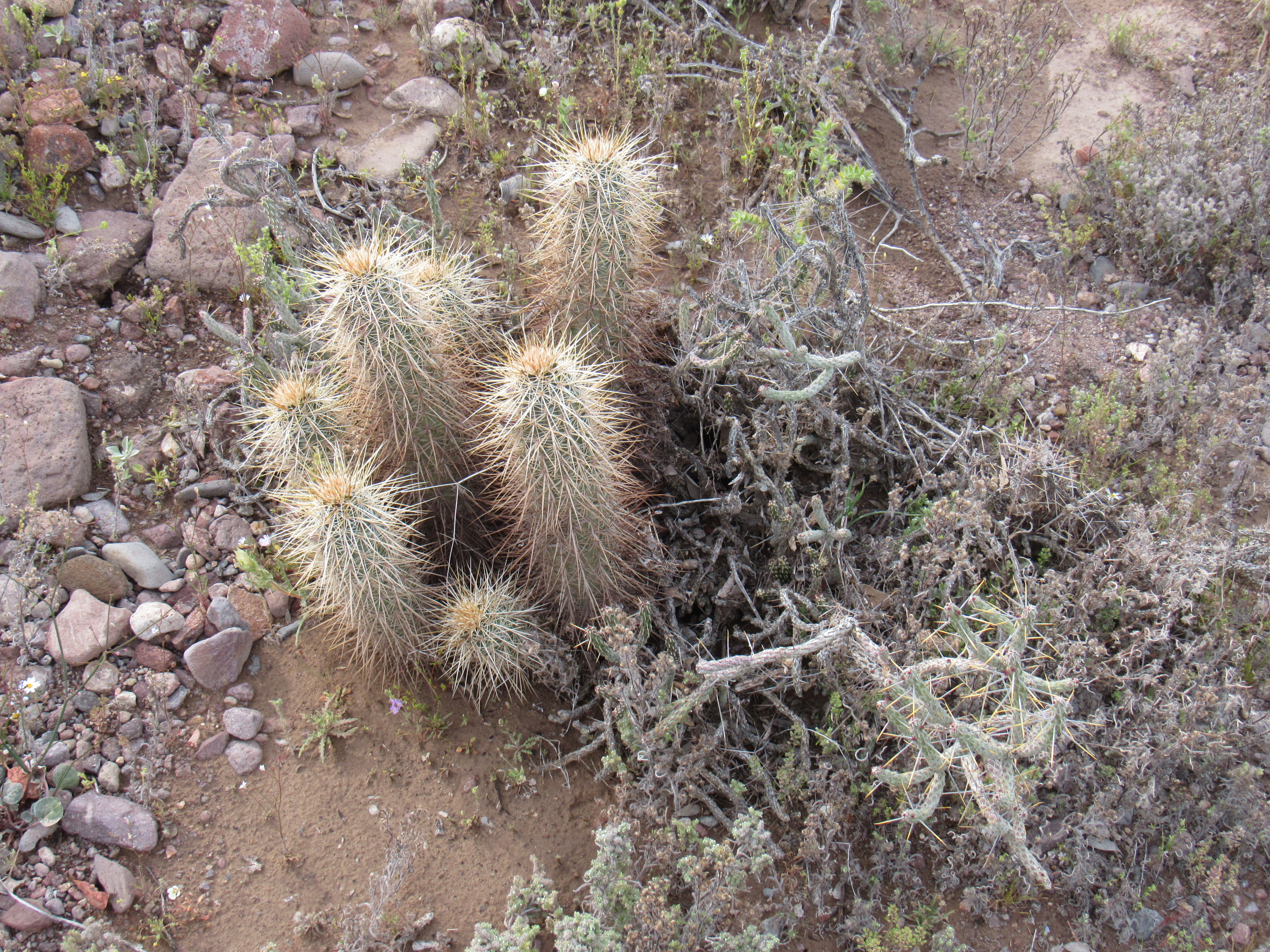
Hedgehog cactus (left) and pencil cholla (right).
It was almost four o’clock when I returned to the truck. I didn’t linger, as I still had some distance to cover before nightfall, so I soon found myself motoring further west along Red Raven Road. A short 2 miles later, I crossed into the Kofa National Wildlife Refuge, and a mile after that I connected with Hovatter Road. One mile north on this historic road brought me to an idyllic spot, the site of the homestead of the Hovatter family. I knew nothing about this place, so was very curious as to what I’d see. I’ll share with you a few photos I took, but please click on this link which tells much about the history of the family’s life here in this remote place.
The map showed the location of “graves” which I easily found on a small hill overlooking the site where their home had been. It wasn’t just curiosity which guided me to the spot – I wanted to pay my respects to those who had chosen to live way out here off the grid in pursuit of their dreams.
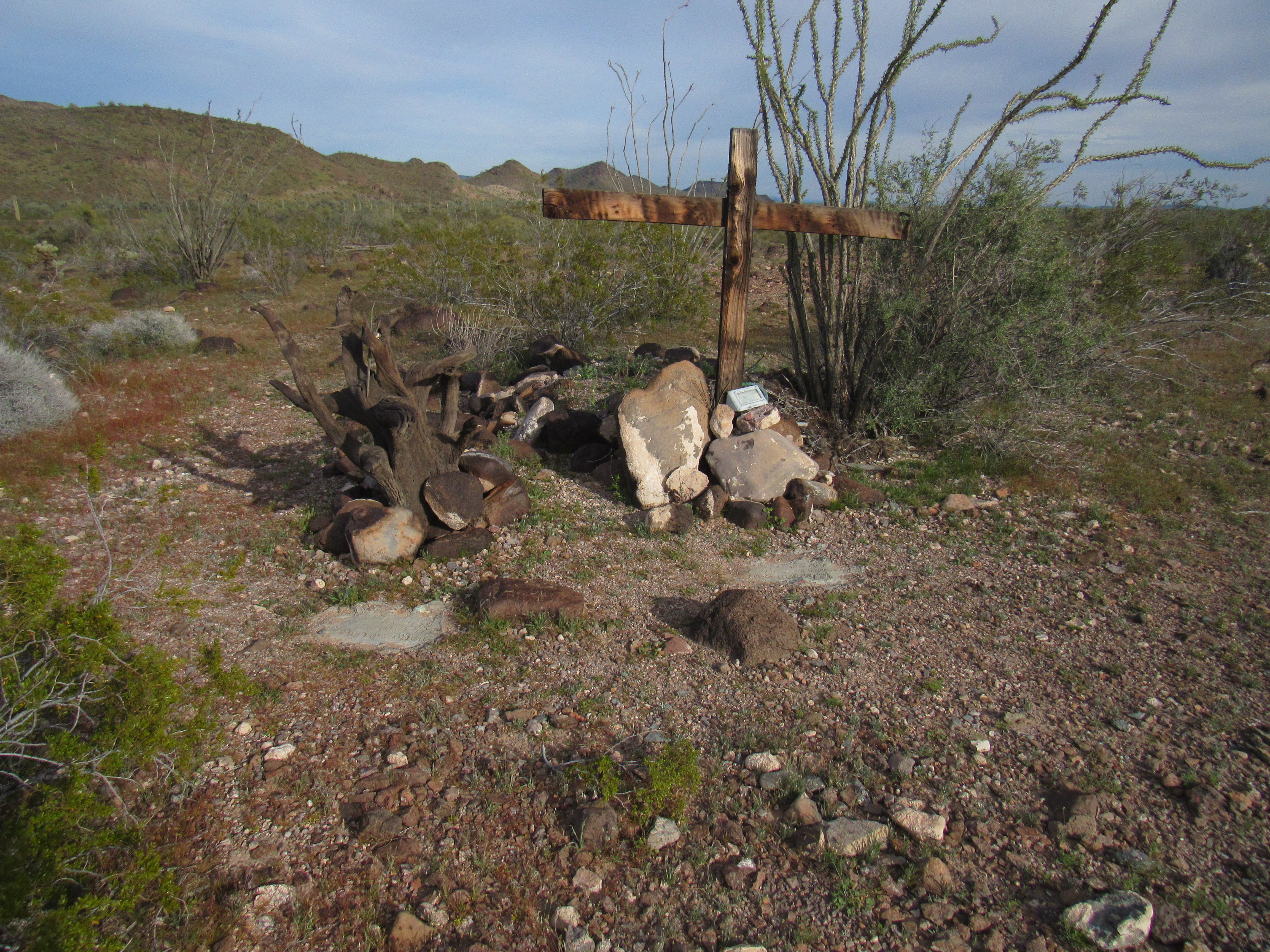
The site of the 2 graves
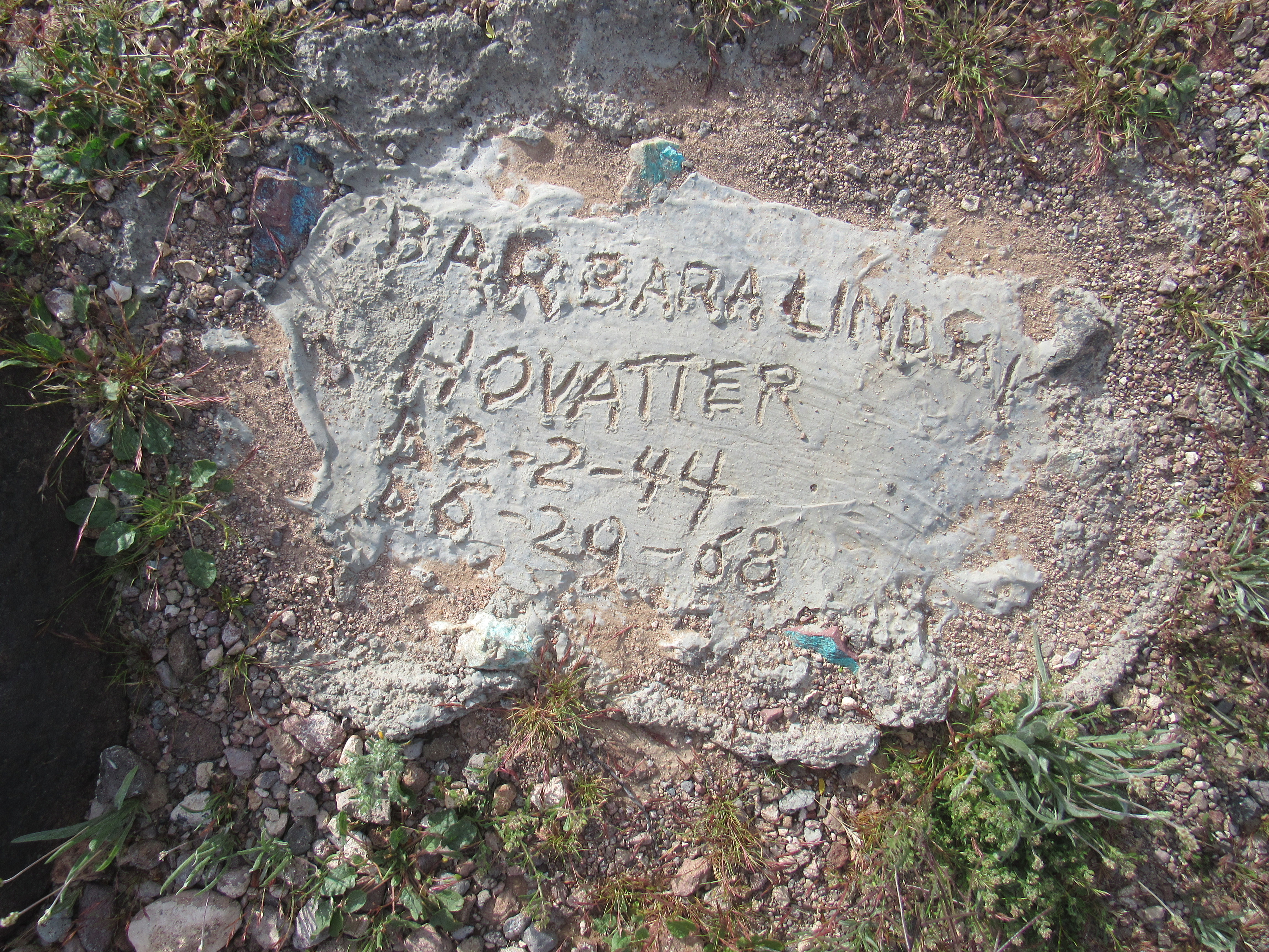
Barbara Lindsay Hovatter
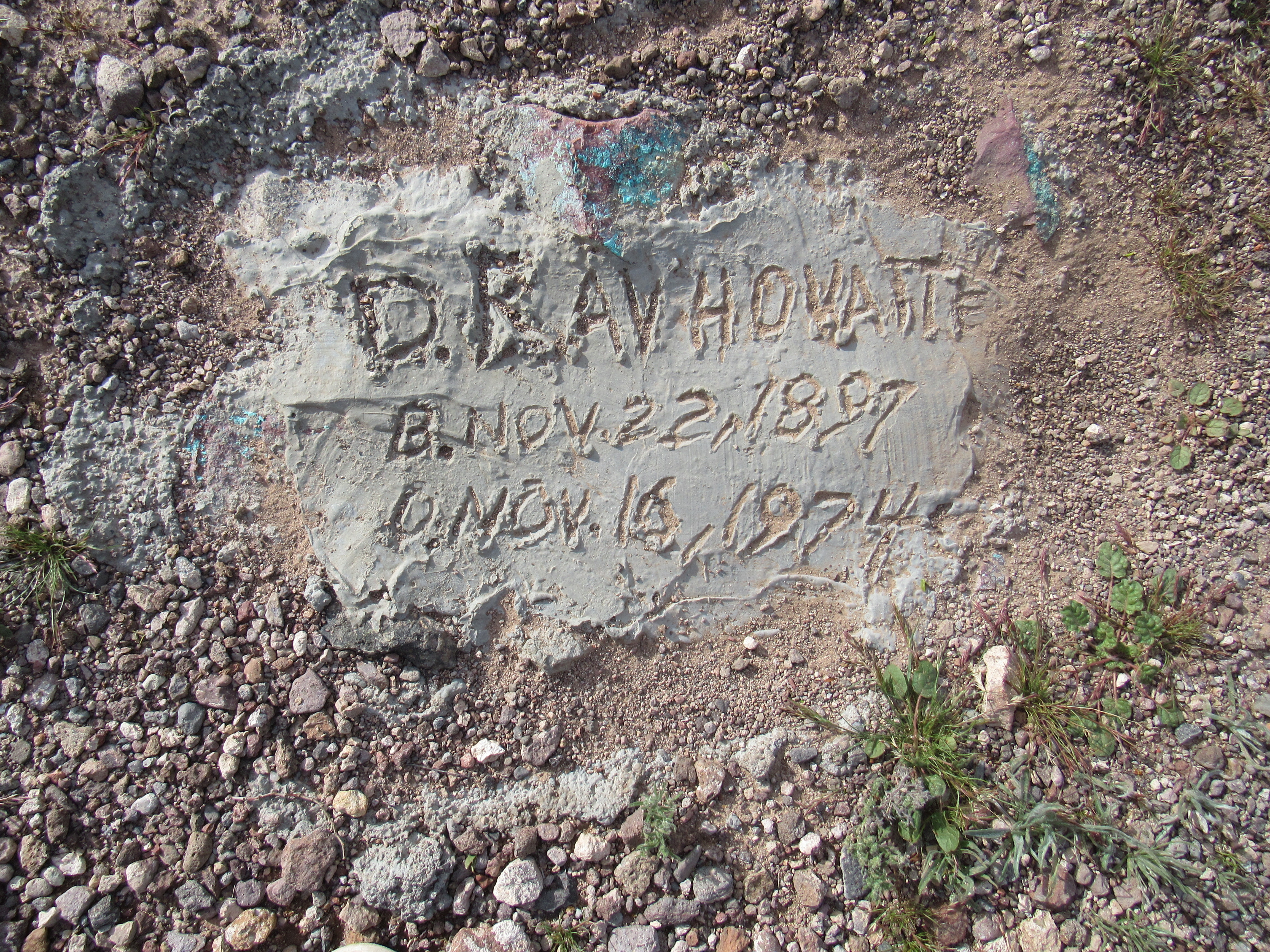
D. Ray Hovatter
The site of the graves was on the top of a small hill from which you could look south over the vast, open stretch of desert known as the Palomas Plain; at the foot of the hill was the meadow where the home used to sit. It was a tranquil spot, and it was easy to understand why the family wanted to bury their loved ones here. I spent a while trying to imagine what their lives must have been like in this remote place. Be sure, if you haven’t already done so, to click on the link above the last 3 pictures to get a really good idea of how life was lived here.
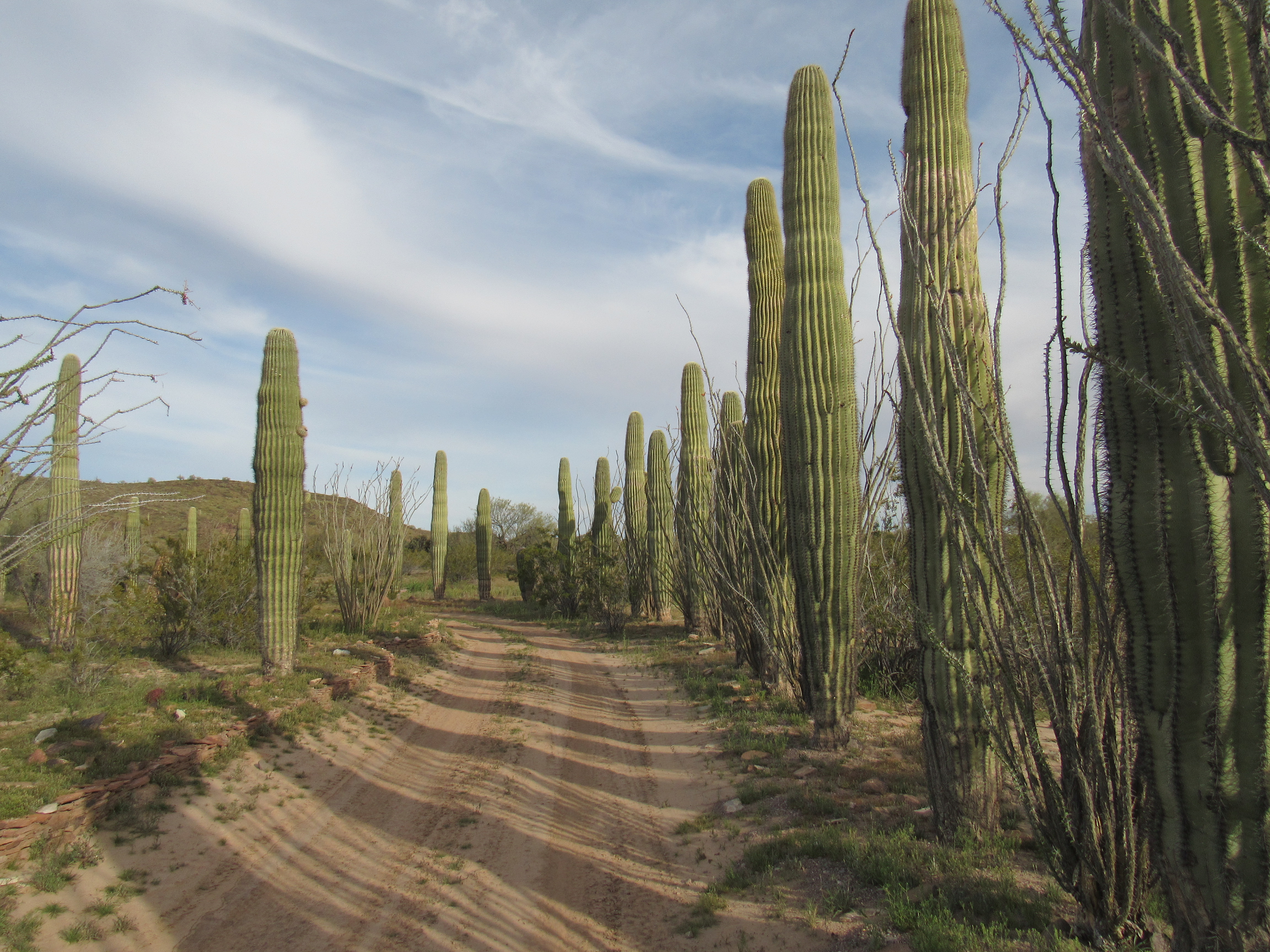
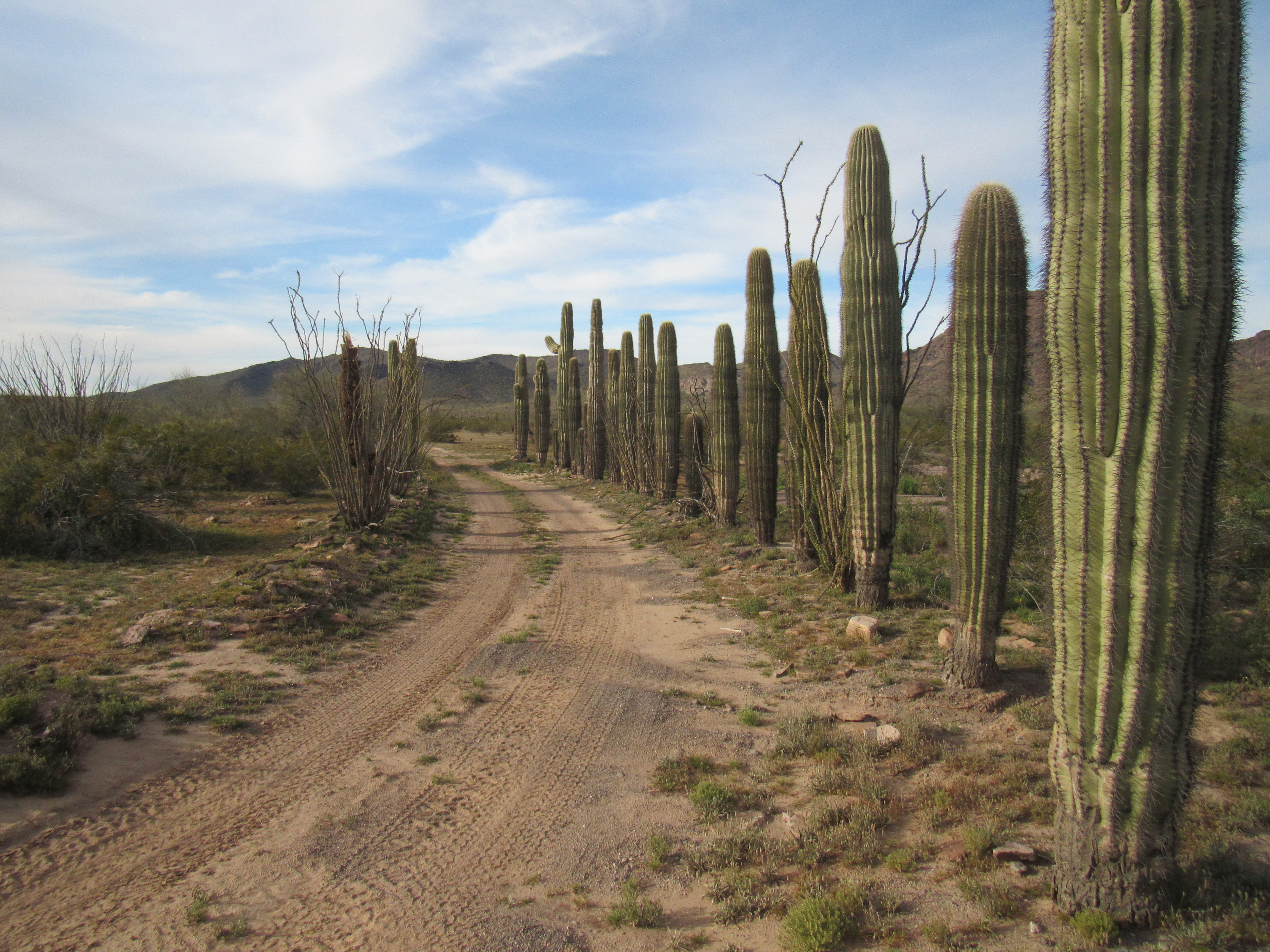
I walked back down the hill to where their home had sat. The dirt road which led to it was lined with majestic saguaros, planted by the family decades ago, which had grown tall over the years.
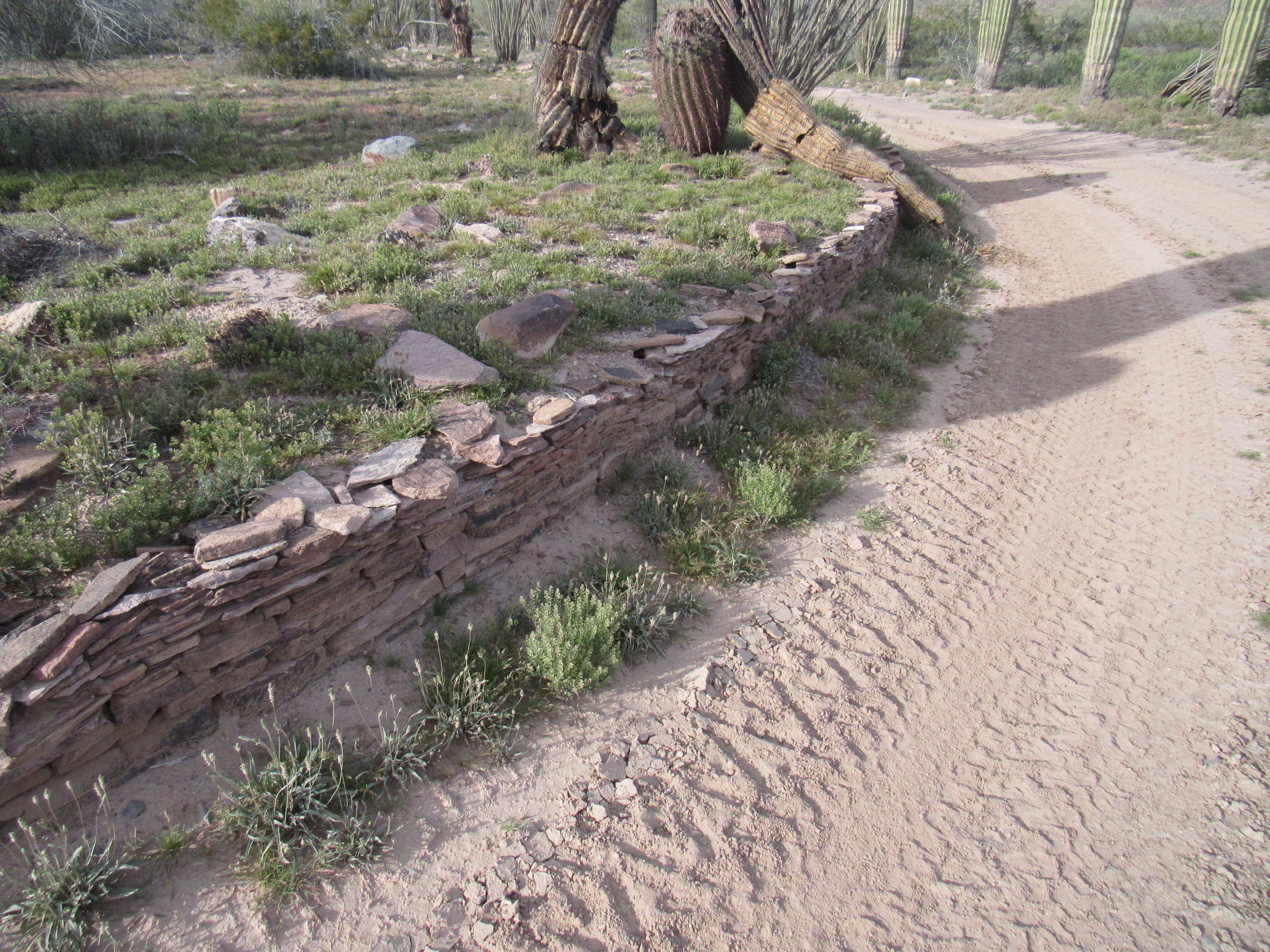
The refuge officials had burned the buildings to the ground after the last of the Hovatter family had departed. All I could see was stacked stones showing the edge of the road and a path to where the home had been.
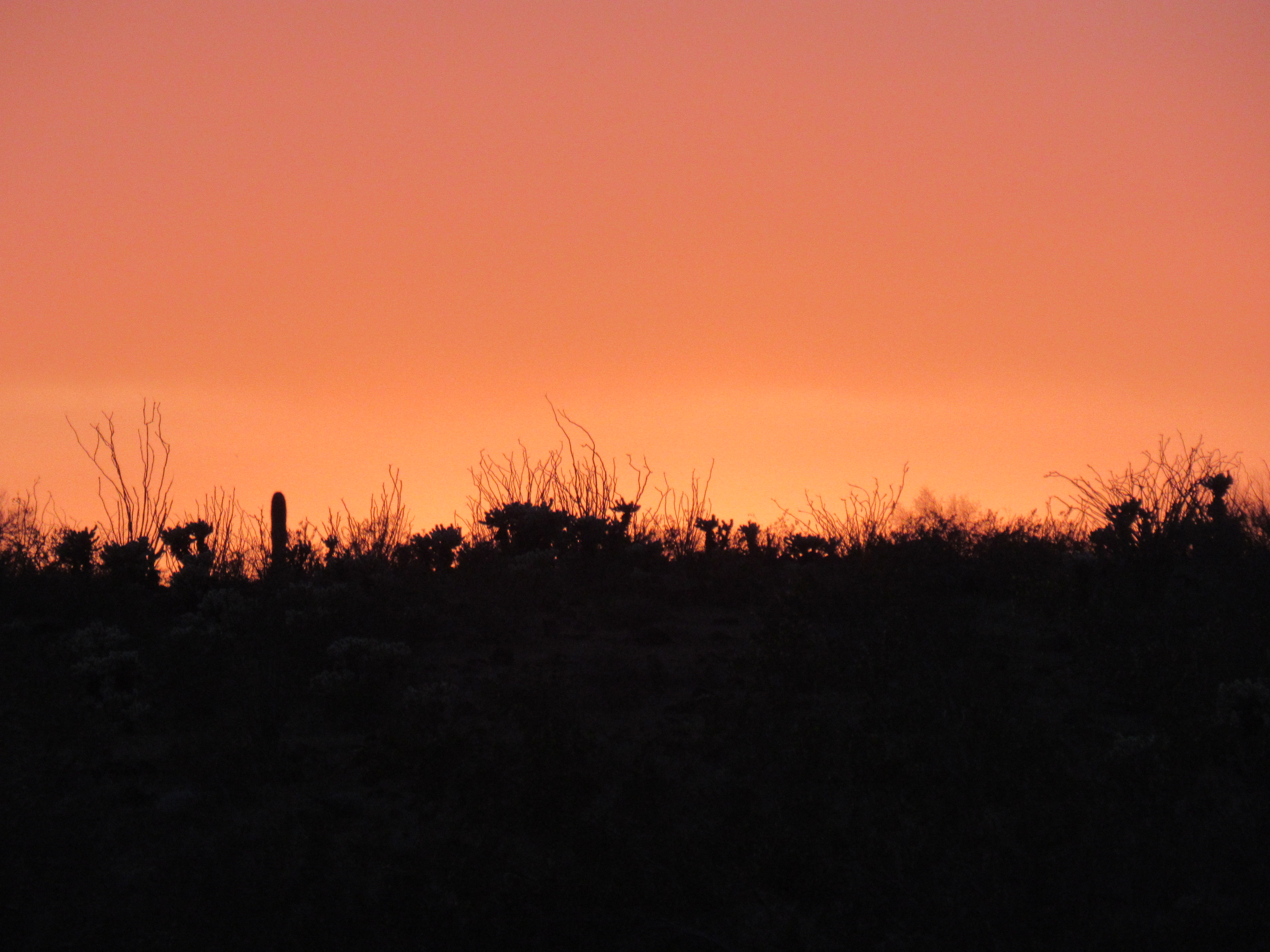
I chose to spend the night in the open meadow nearby, a tranquil spot from which to contemplate the lives of those who had spent their best years here.
With this, the third day of my trip completed, I had now climbed 6 peaks, done 4,445 feet of climbing and 14.6 miles on foot. So far, so good
Be sure to stay tuned for Part 4 of this series.