
Please read the previous 3 installments of this story before starting in on this one – it will all make a lot more sense.
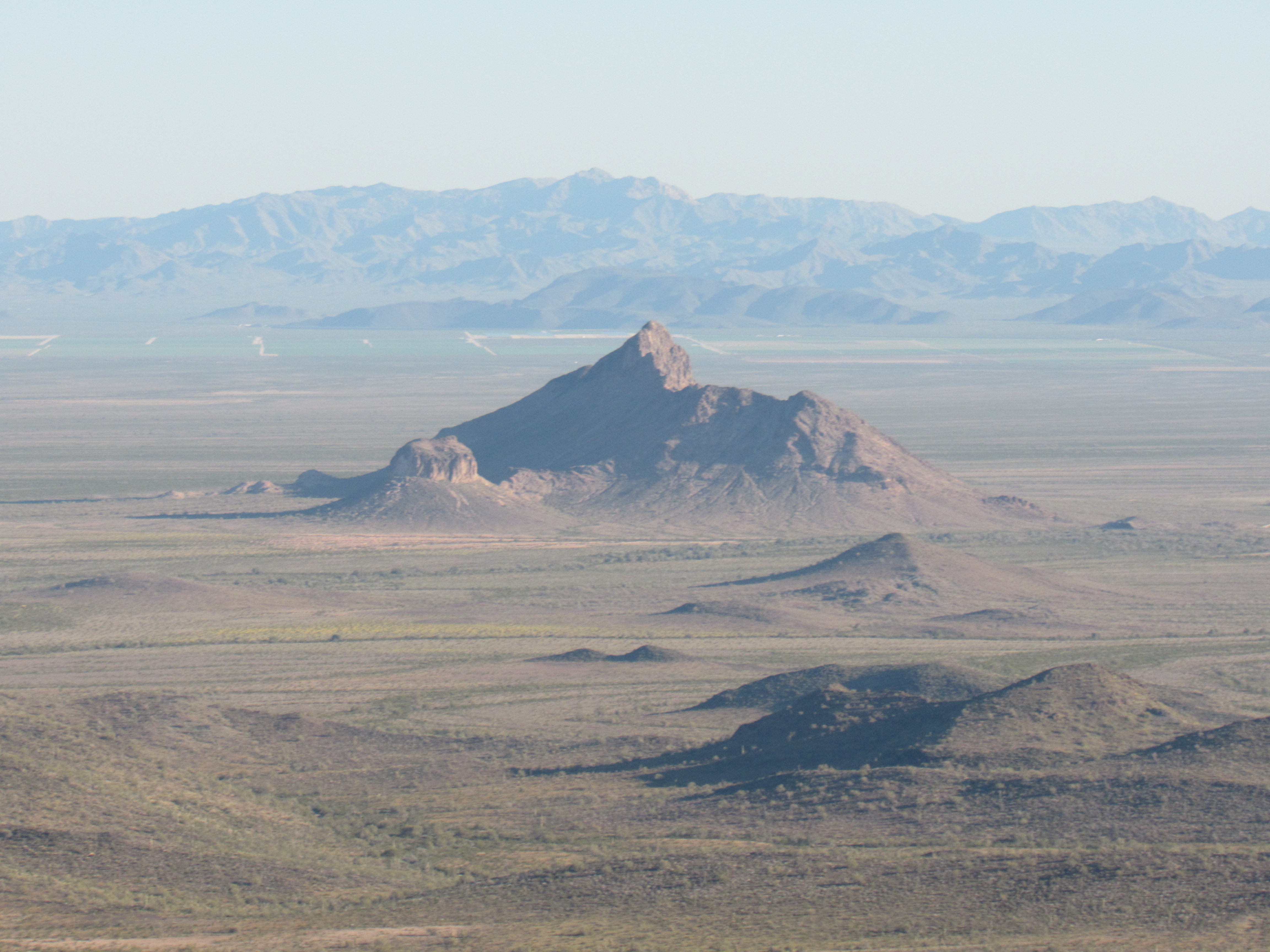
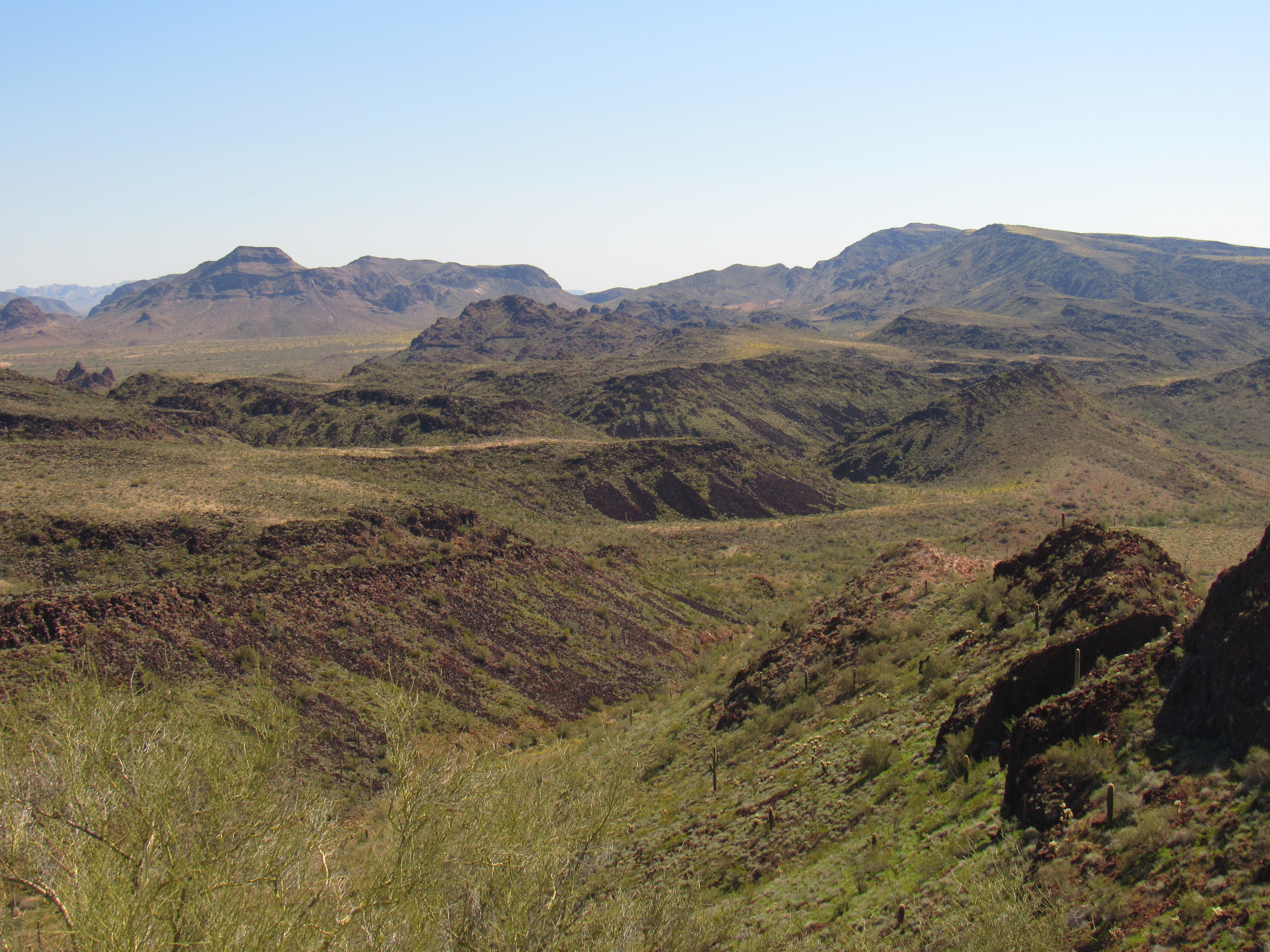
I awoke to clear, blue skies and noticed that each day was a bit warmer than the one before. This was a Saturday in mid-March, with a 48-degree start. At first usable light, I started walking up a broad, open valley – it was easy going and I made good time. I could see my mountain in the distance. The summit is on the skyline in the middle of the photo.
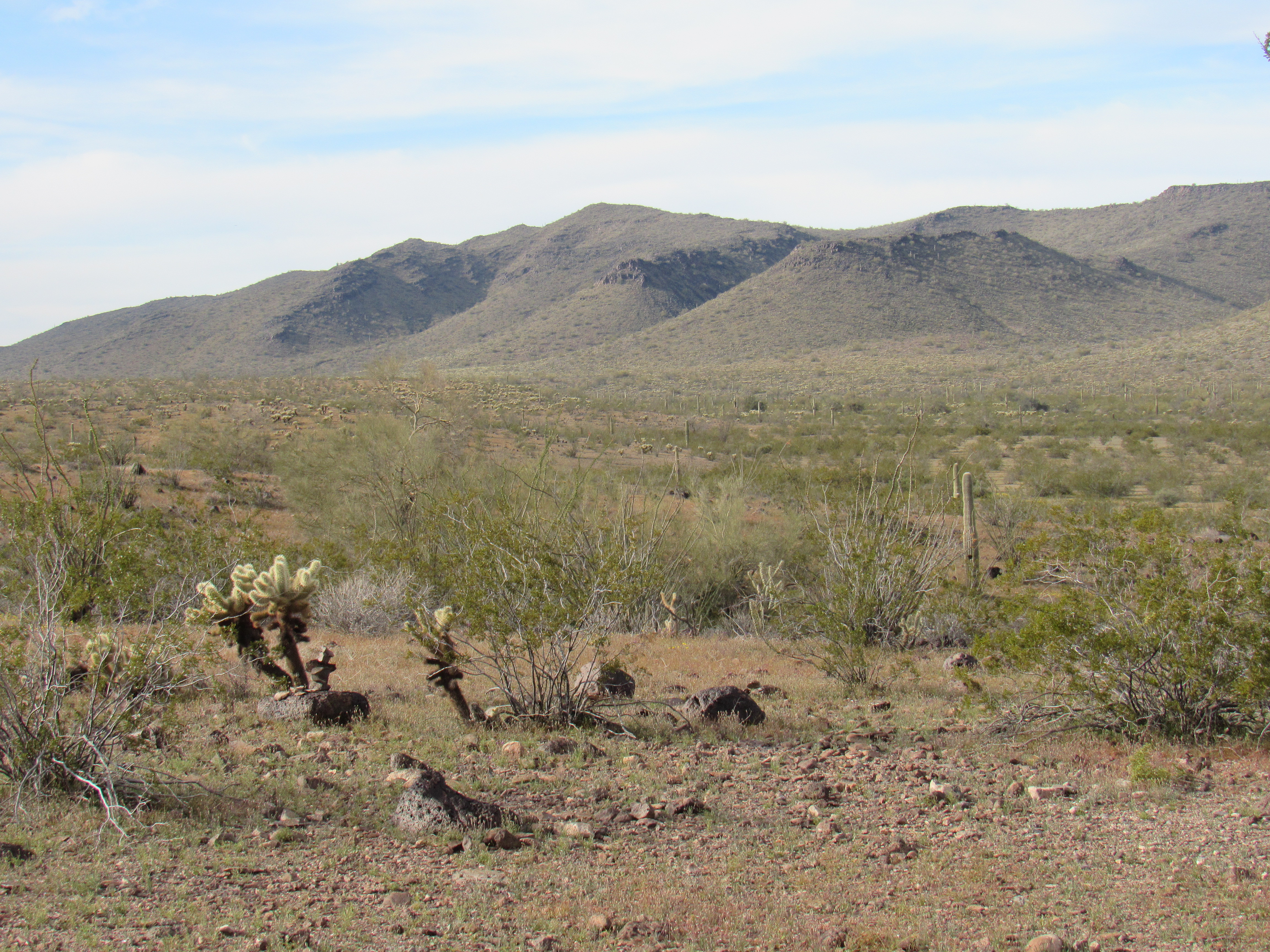
Peak 2689
My plan was to climb it via the long southeast ridge, but as I approached it I could see there was a cliff band on its prow.
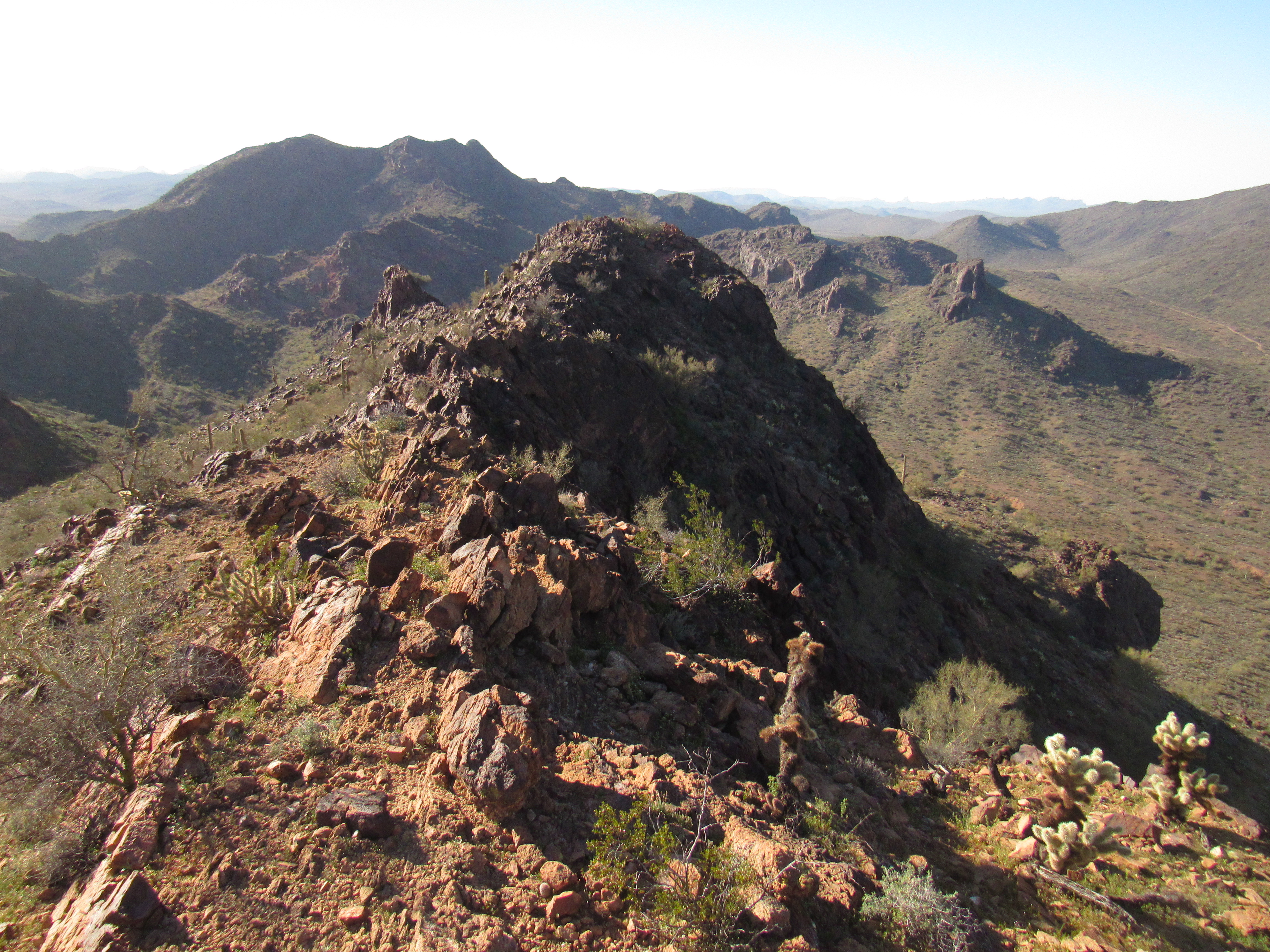
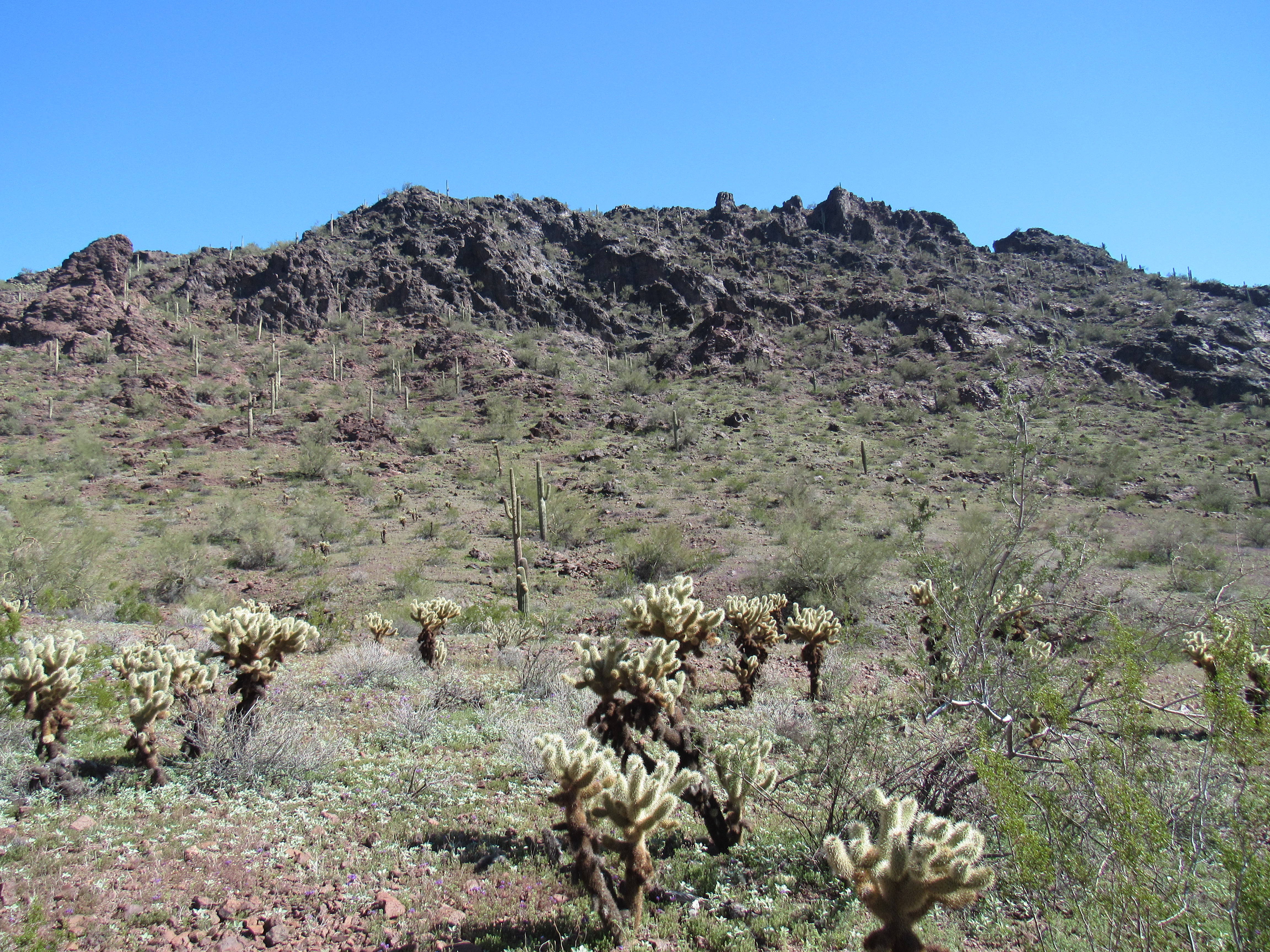
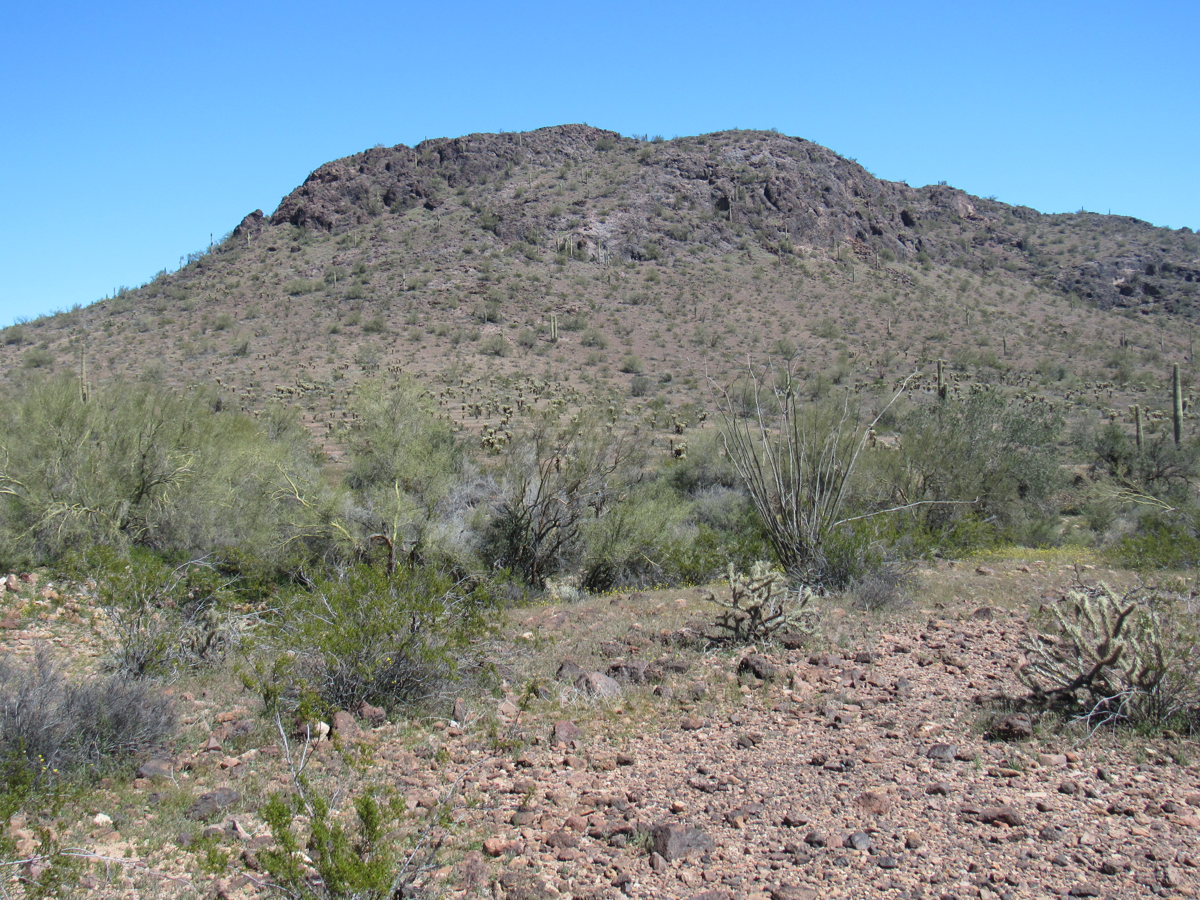
I outflanked this and made my way up on to the ridge proper – the going was straightforward enough with no real obstacles. Just before 8:00 AM, I walked on to the summit of Peak 2689, where I found the register. Two prior parties had visited this lofty spot, my highest peak so far on the trip. Curiously, although I could see Interstate 10 many miles to the north, I was unable to make a cell phone call from the top. That long SE ridge proved an enjoyable descent, and I was all the way back to my truck by half-past nine. The only obstacle I encountered was this teddy-bear cholla forest – I had to tiptoe through it. They look soft and cuddly, but they are deadly.
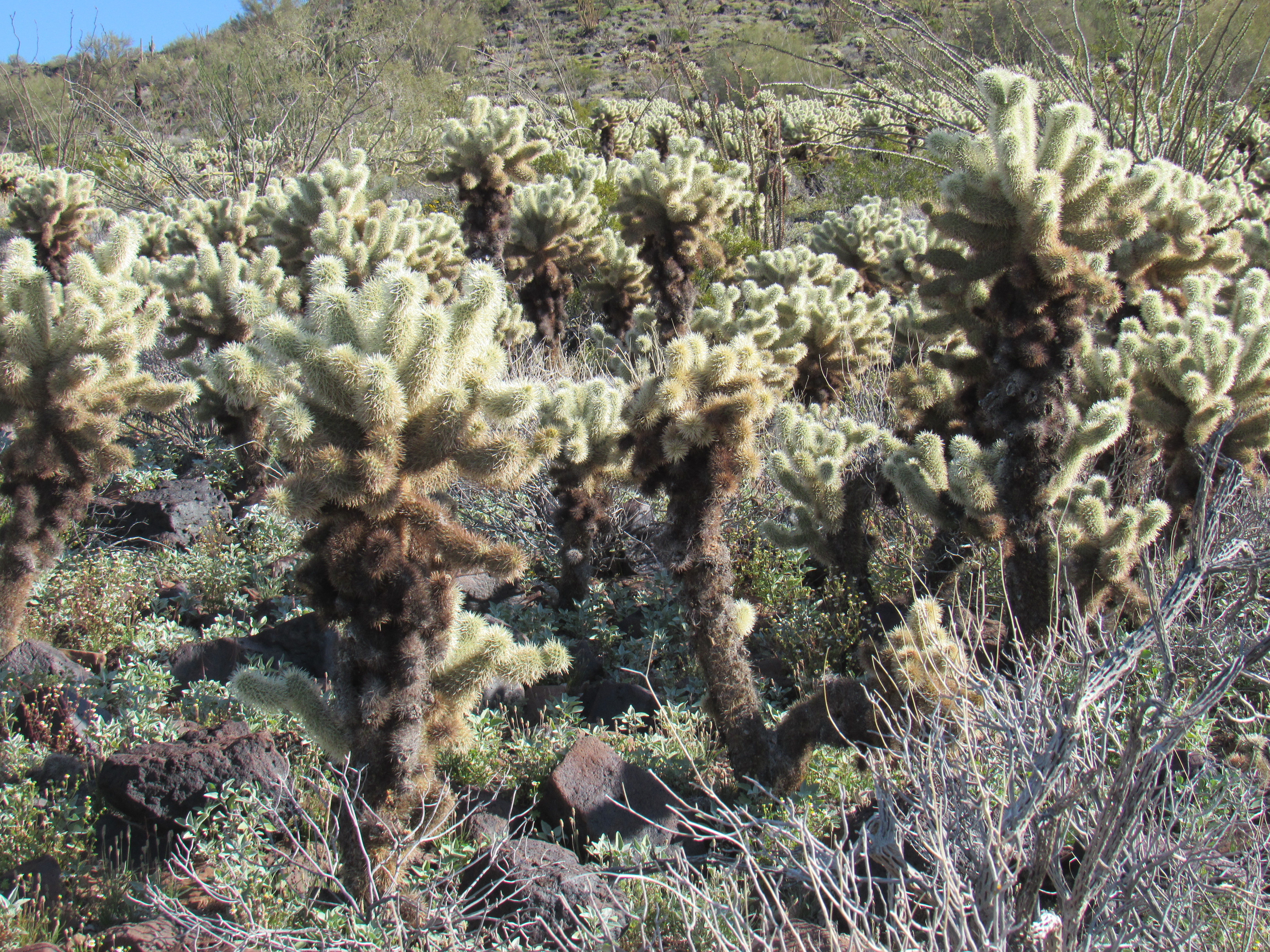
The teddy-bear cholla forest
The old Hovatter homestead was such an idyllic spot, I hated to leave. There was so much new ground yet to cover today, though, that I was forced to move on. Hovatter Road, appropriately, ended near the homestead. Today, I would follow it east through the heart of the range, and it would all be new ground for me. I was excited.
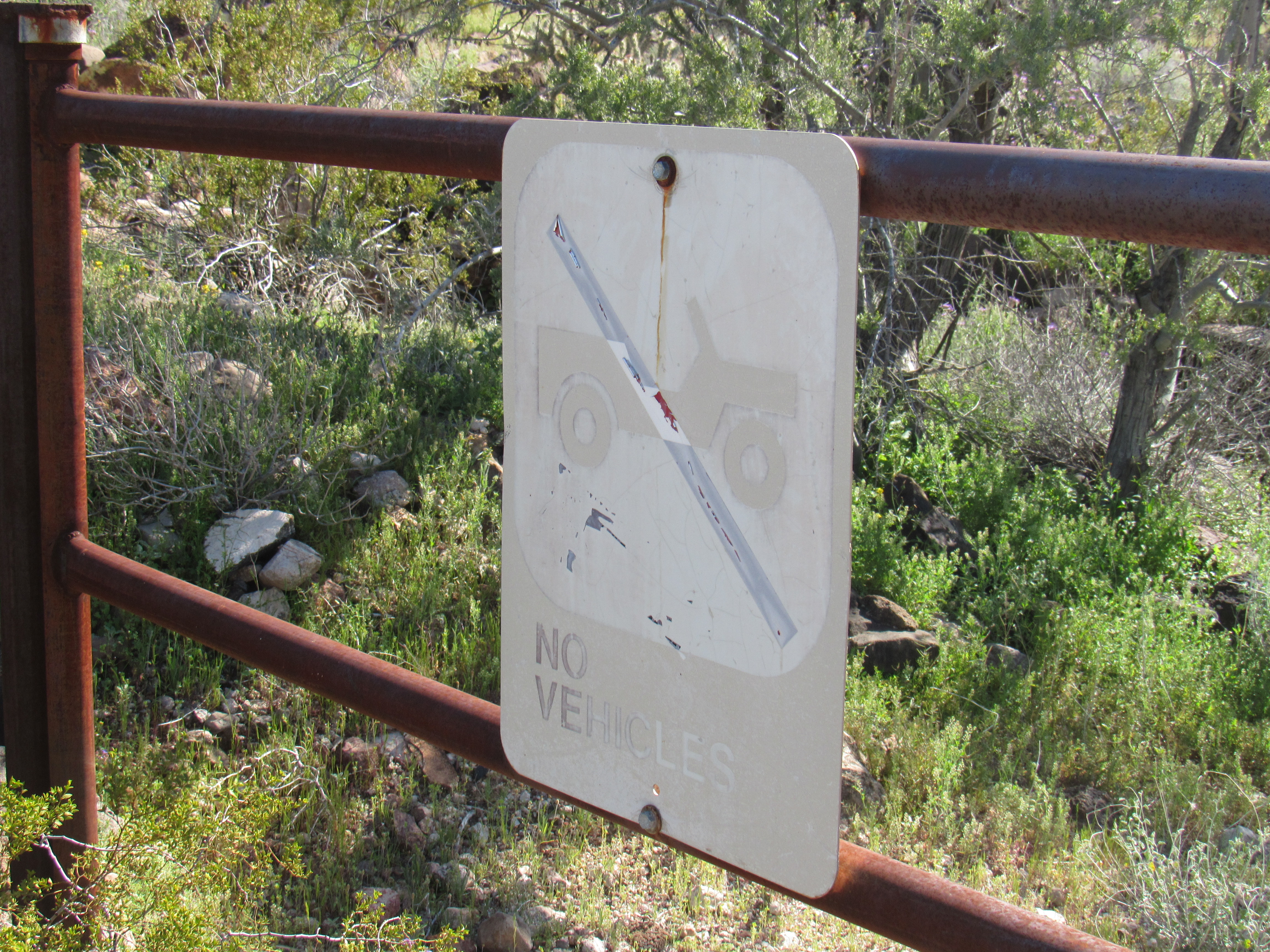
The road became surprisingly rough as it climbed up and over a pass. There, a sign informed that I’d left the wildlife refuge once again. Here’s a look back.
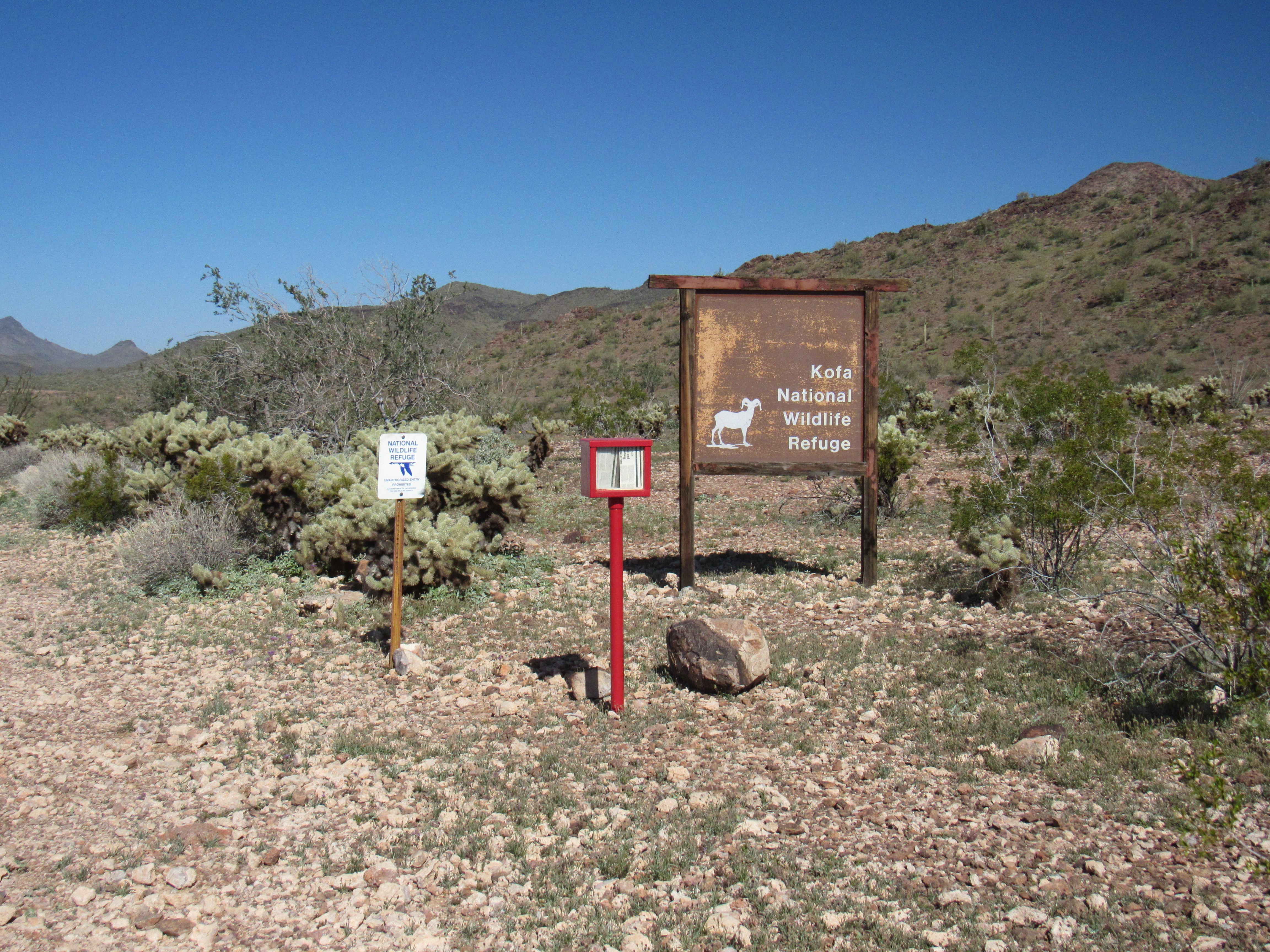
The welcome signs
And here’s a new sign at the boundary.
I had driven about 4 miles and was grinding my way up a long, rough hill when I saw people ahead. I stopped to talk to them – nice folks, Dan and Irene from Whidbey Island, Washington, out for a walk. They said they were car-camping in the vicinity and loved to walk the roads.
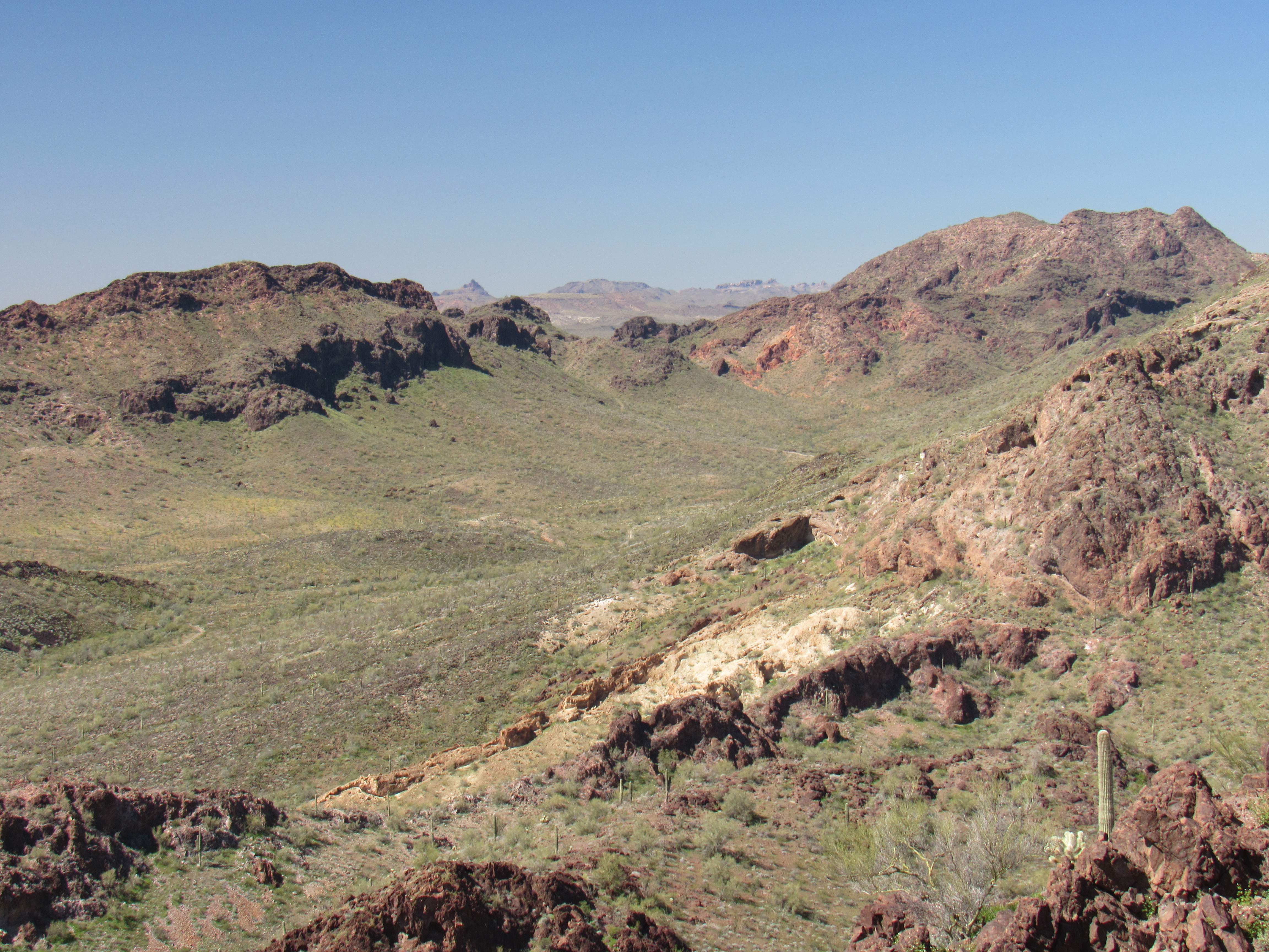
Soon after I left them, I turned off Hovatter Road and headed north on a lesser 4WD track through some really pretty country.
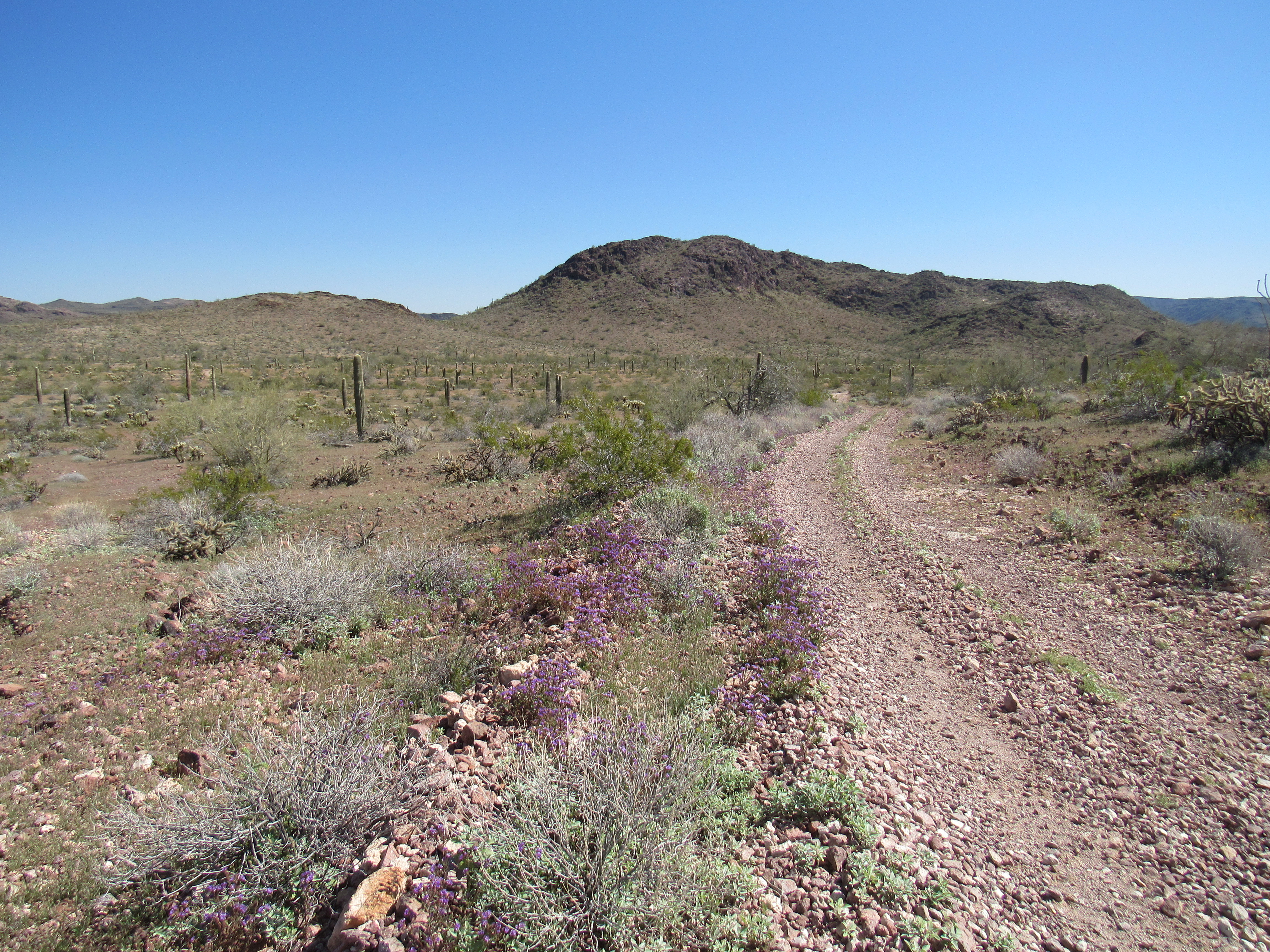
The time came to turn off on to an even lesser road, one that wound its way up the long canyon occupied by Cementosa Wash. Driving this was a rude awakening. For long stretches, all of the soil had been eroded away, leaving a surface of rough rocks of all sizes. A time or two, I questioned the sense of even trying to continue, of subjecting my truck to the pounding it was receiving. Miles passed and I made progress up the wash. It was a gentle gradient, thankfully – by the time I reached Cementosa Tanks, I had climbed a mere 150 vertical feet since leaving Hovatter Road. What would I find at the tanks? This was my answer.
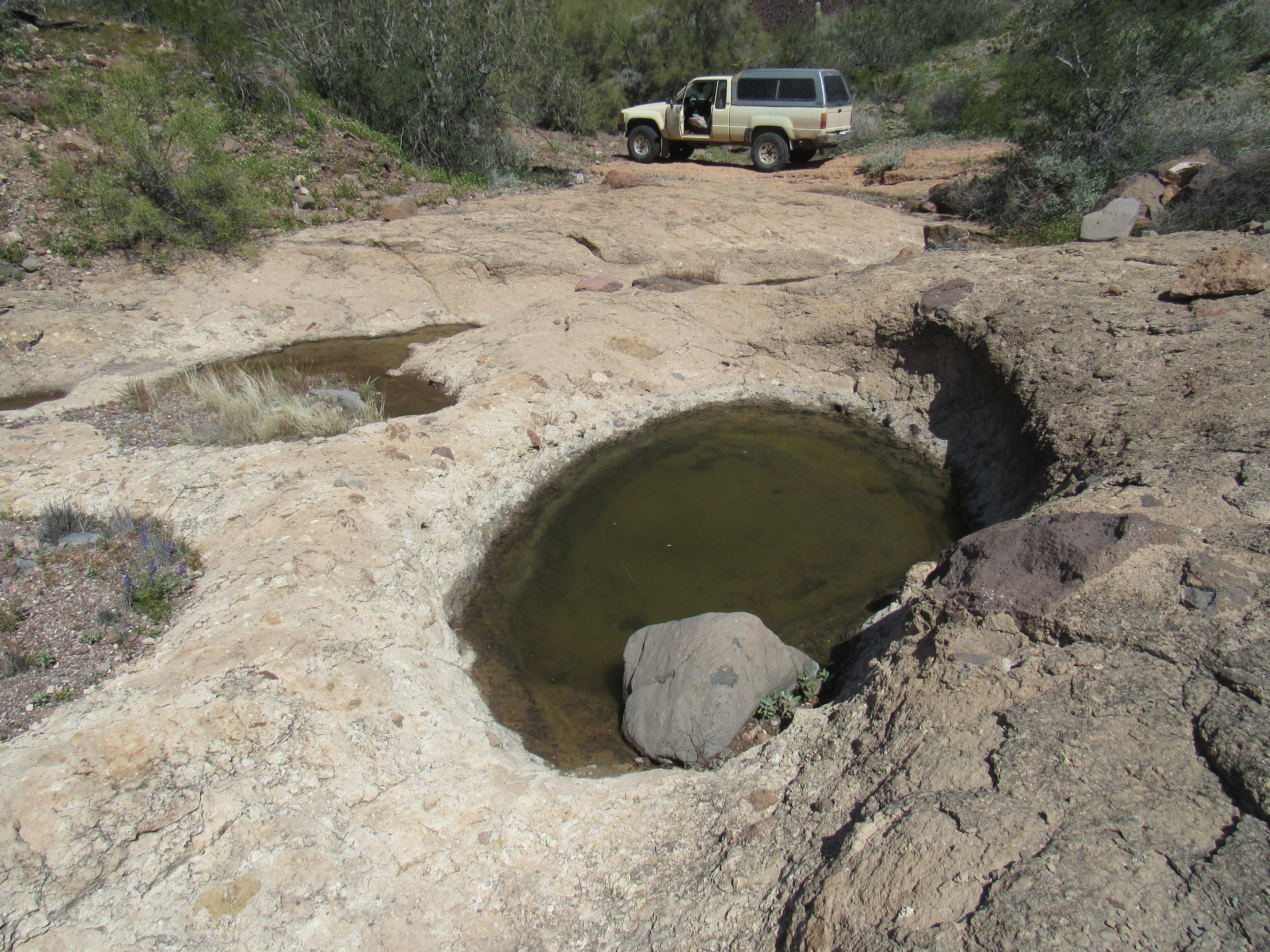
Cementosa Tanks
As you can see, the tanks turned out to be natural depressions in the rock which can hold rain water for some time. We call these tinajas, and it had been almost a month since rain had last fallen here. These pools can save your life, and are important enough that their location is shown on the official government maps. The best translation of the word cementosa is “cement-like”, perhaps referring to the nature of the rock here, a sort of conglomerate.
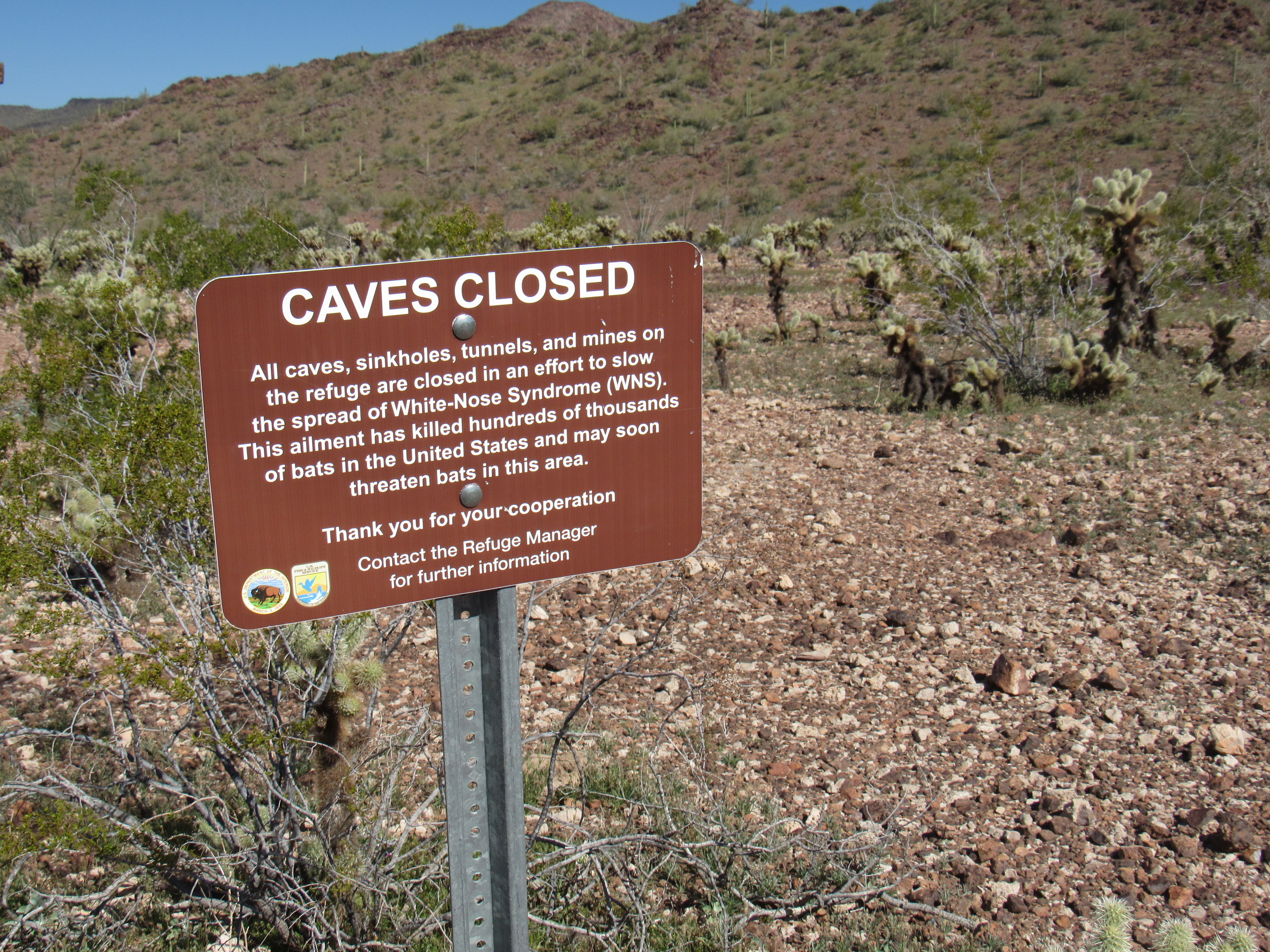
I kept going, another mile taking me to a saddle at 2,057 feet. There, I was greeted with a massive steel gate set in concrete which marked the boundary, once again, of the Kofa National Wildlife Refuge. At 665,000 acres, this is a major protected area – most of it is designated wilderness and is therefore closed to vehicular traffic.
The gate
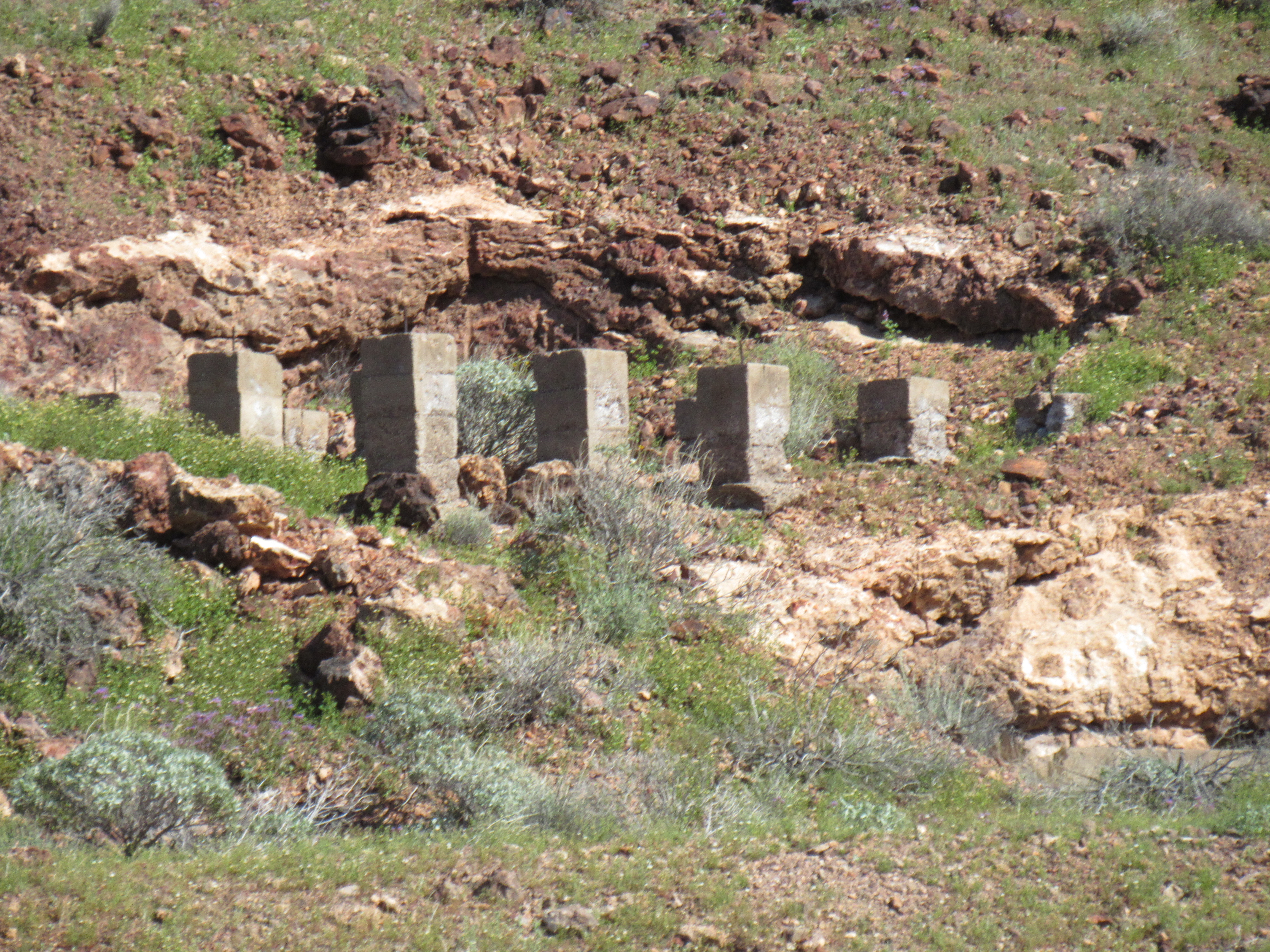
Even if you wanted to, you couldn’t drive around the gate – it is cleverly-placed on a slope, making an end-run impossible. That’s okay, my next peak was nearby. I shouldered my day-pack and set out along the road. Walking through the remains of an old mining camp, I climbed up to the end of the road and then considered my options. I’m afraid I did not choose wisely. Instead of climbing around to the southeast ridge, I picked the east slopes above the mine. It was steep going, such that I left a series of ducks as I wove my way up those 500 feet to a ridge. I found myself on a series of 3 bumps to the northeast of the high point – you can see them nearby in this next photo.
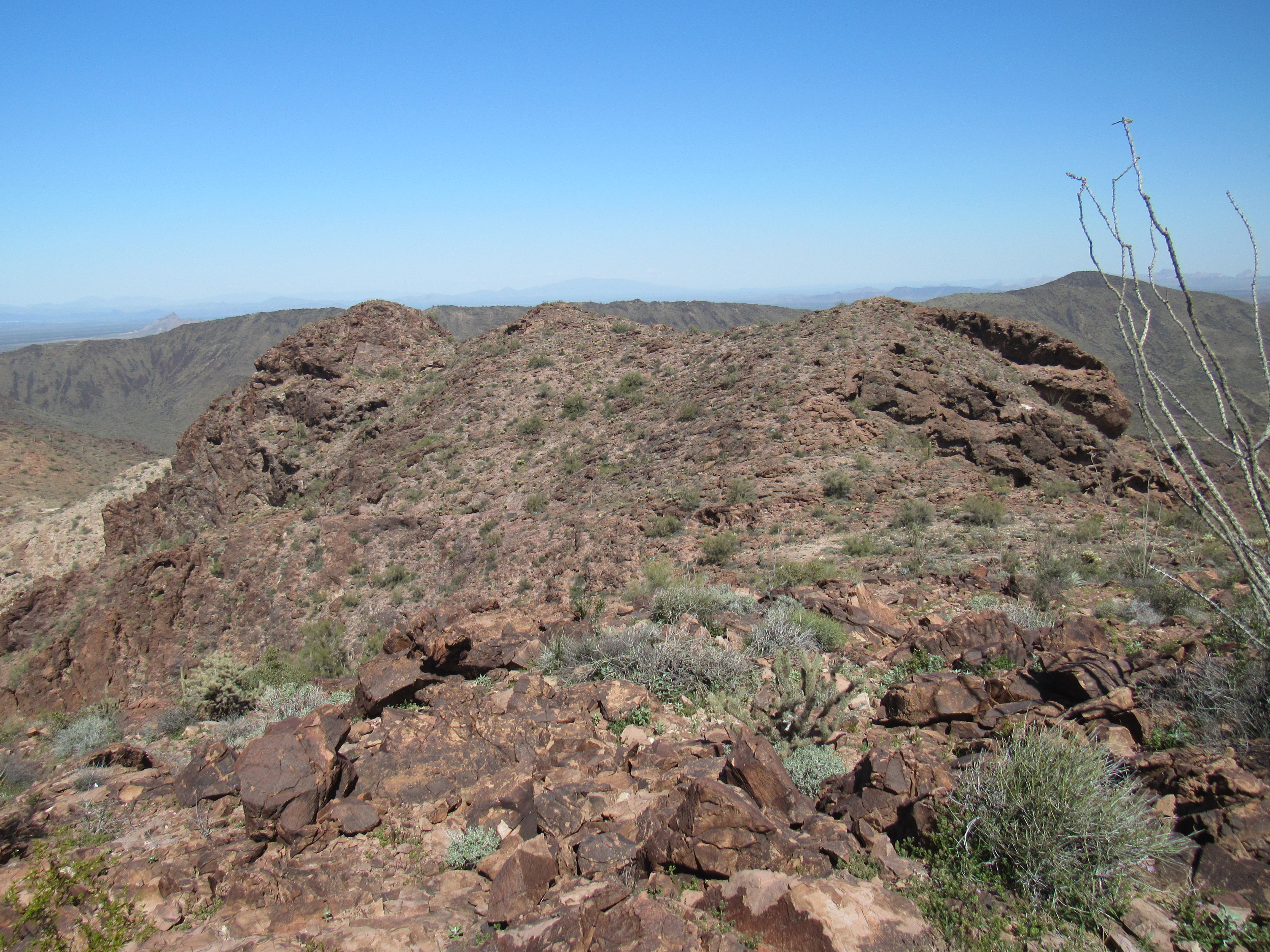
The 3 contenders
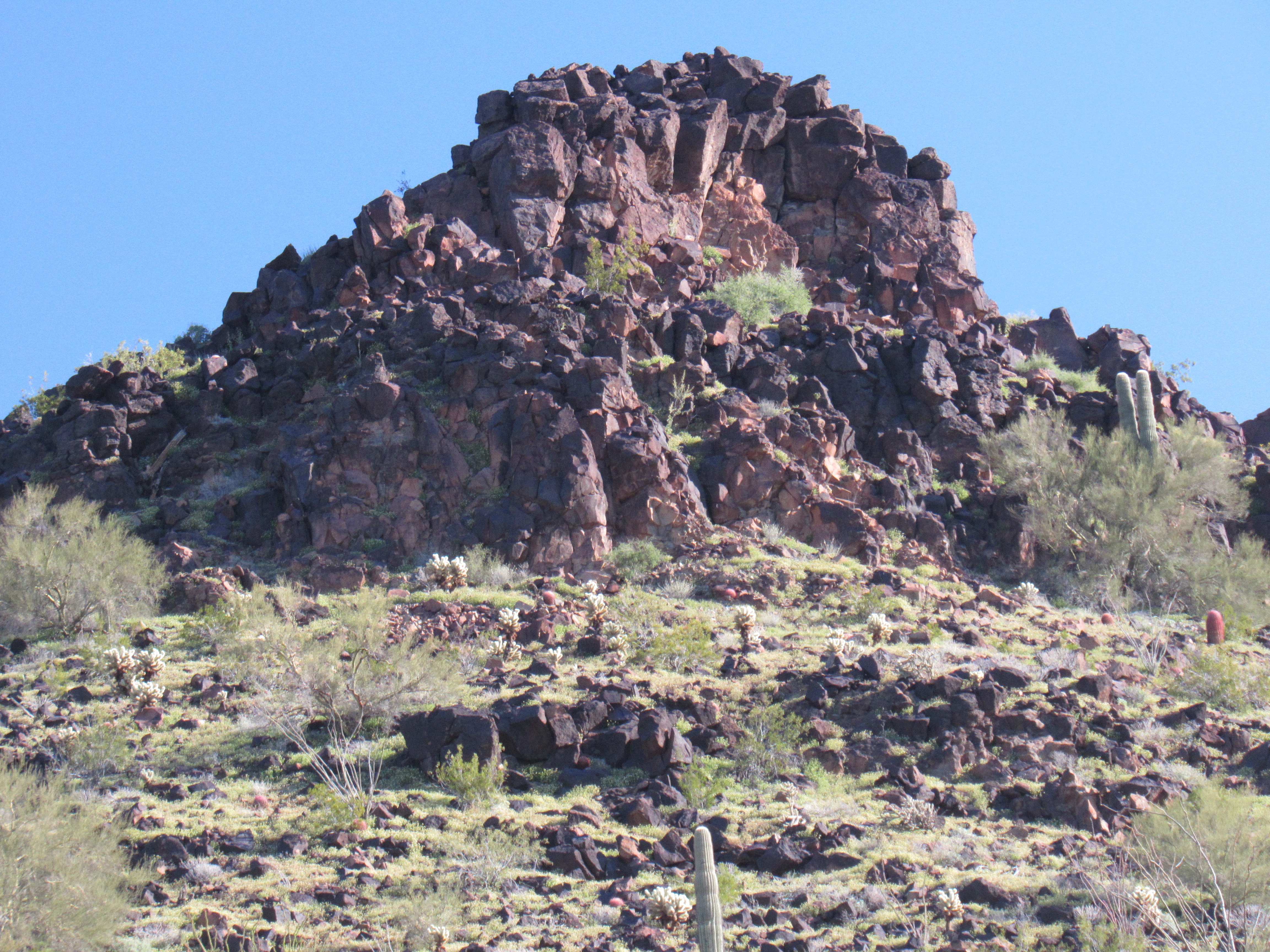
It was easy to drop down from the bumps into a saddle and then up to the summit of Peak 2810. I was greeted by a tall rock cairn, no doubt left by early miners.
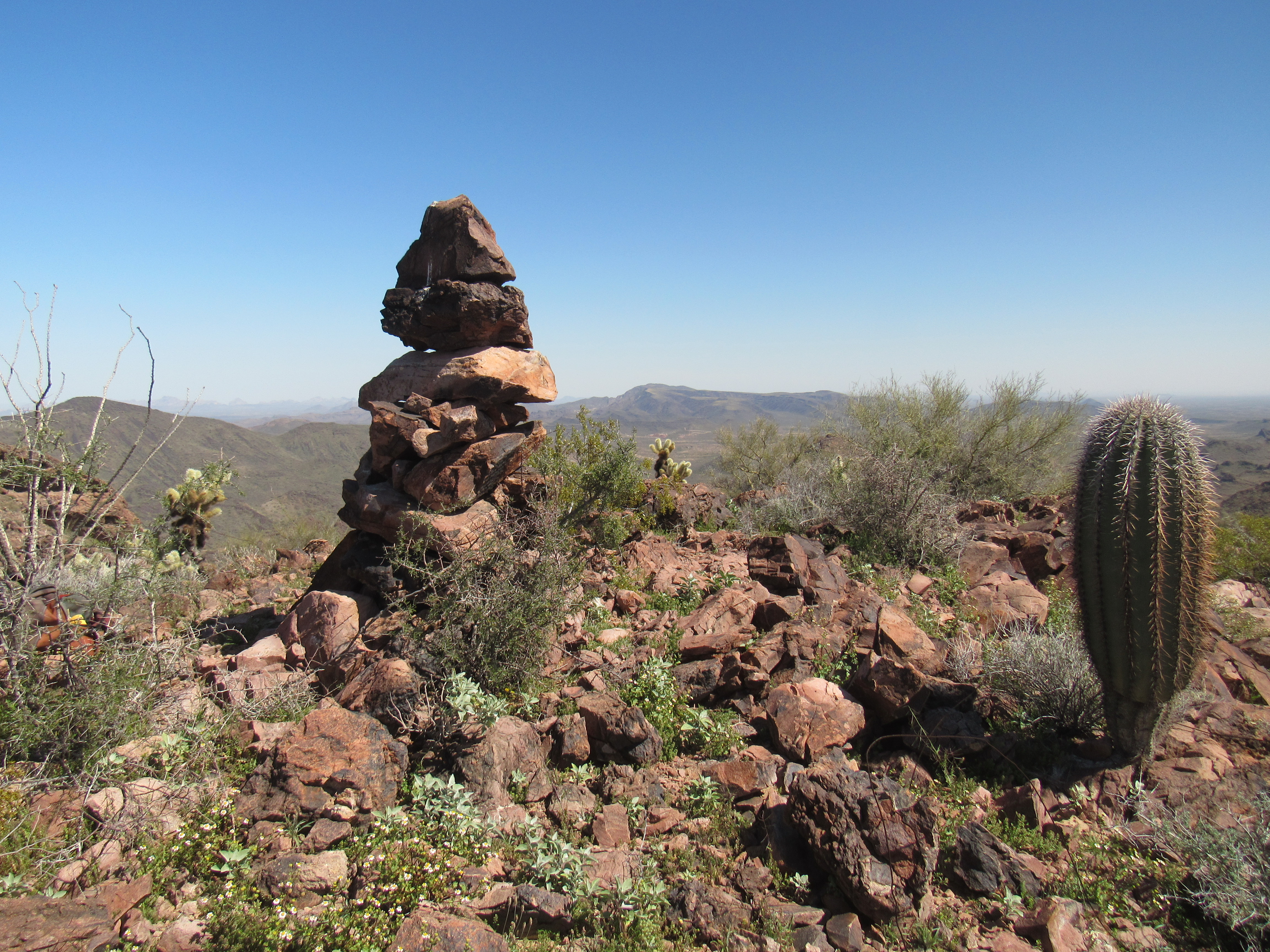
The summit
Tucked into the rocks was a glass jar with a faded paper register. It had been left by a group of 3 back in 1994; a Canadian couple signed in in 1997, followed by 2 sheep hunters from Phoenix in 2001. I was the first visitor in 18 years.
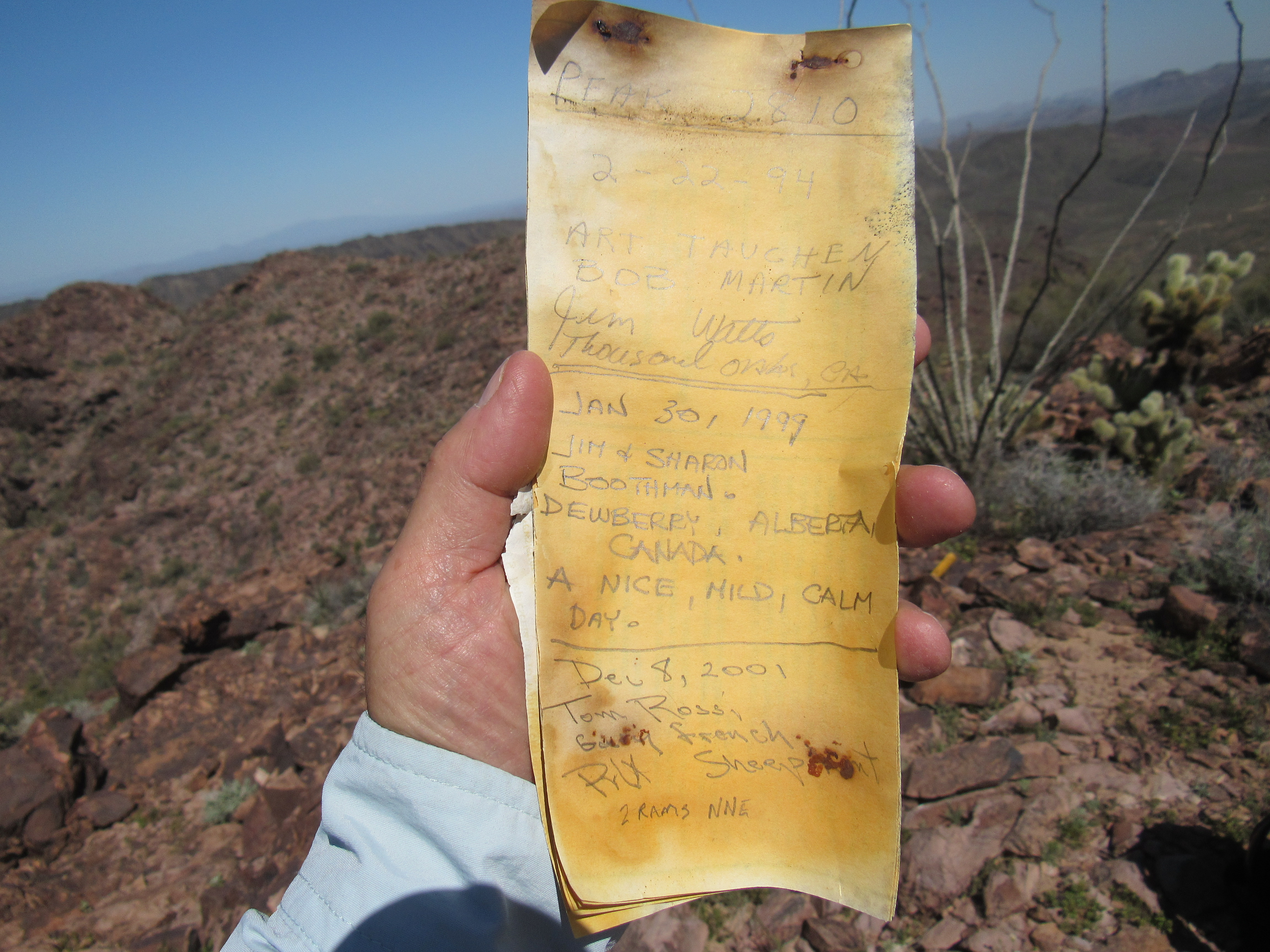
The register
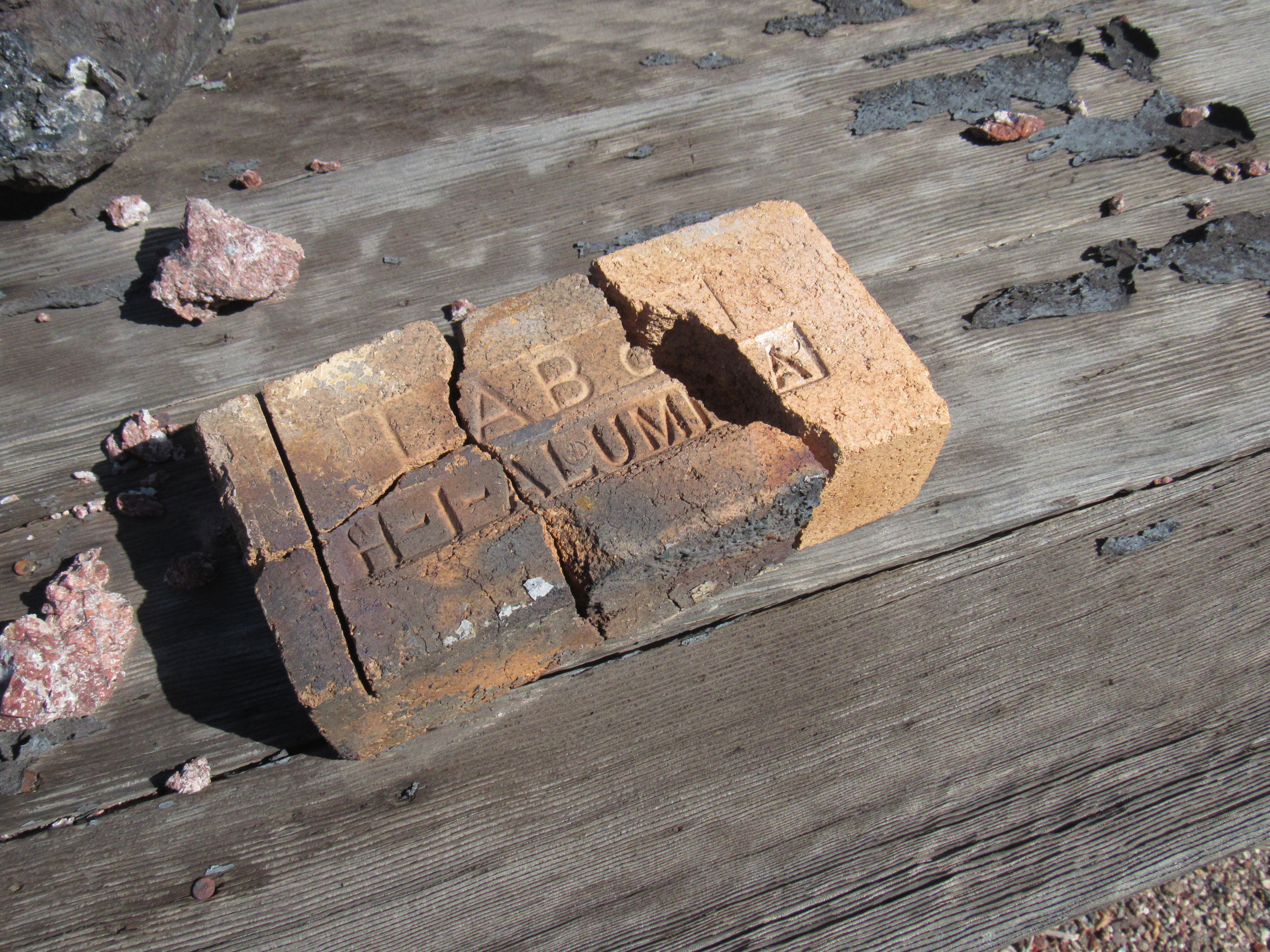
Once I’d followed my ducks back down to the old mining camp, I had a good look around. This was the Sheep Tank Mine I was perusing, and here are a few facts I was able to learn about it. Around 1926, the Sheep Tanks Mines Company from Nevada developed this mine. The ores mined here were gold, silver, copper, iron, barium-barite, beryllium and manganese. They were located mostly in veins deposited by hydrothermal solutions which rose along brecciated fault zones. An aside – the Hovatter family lived in the Little Horn Mountains from 1951 to 1973, and their main living was from manganese.
Here is a series of pictures I took as I walked down through the camp.
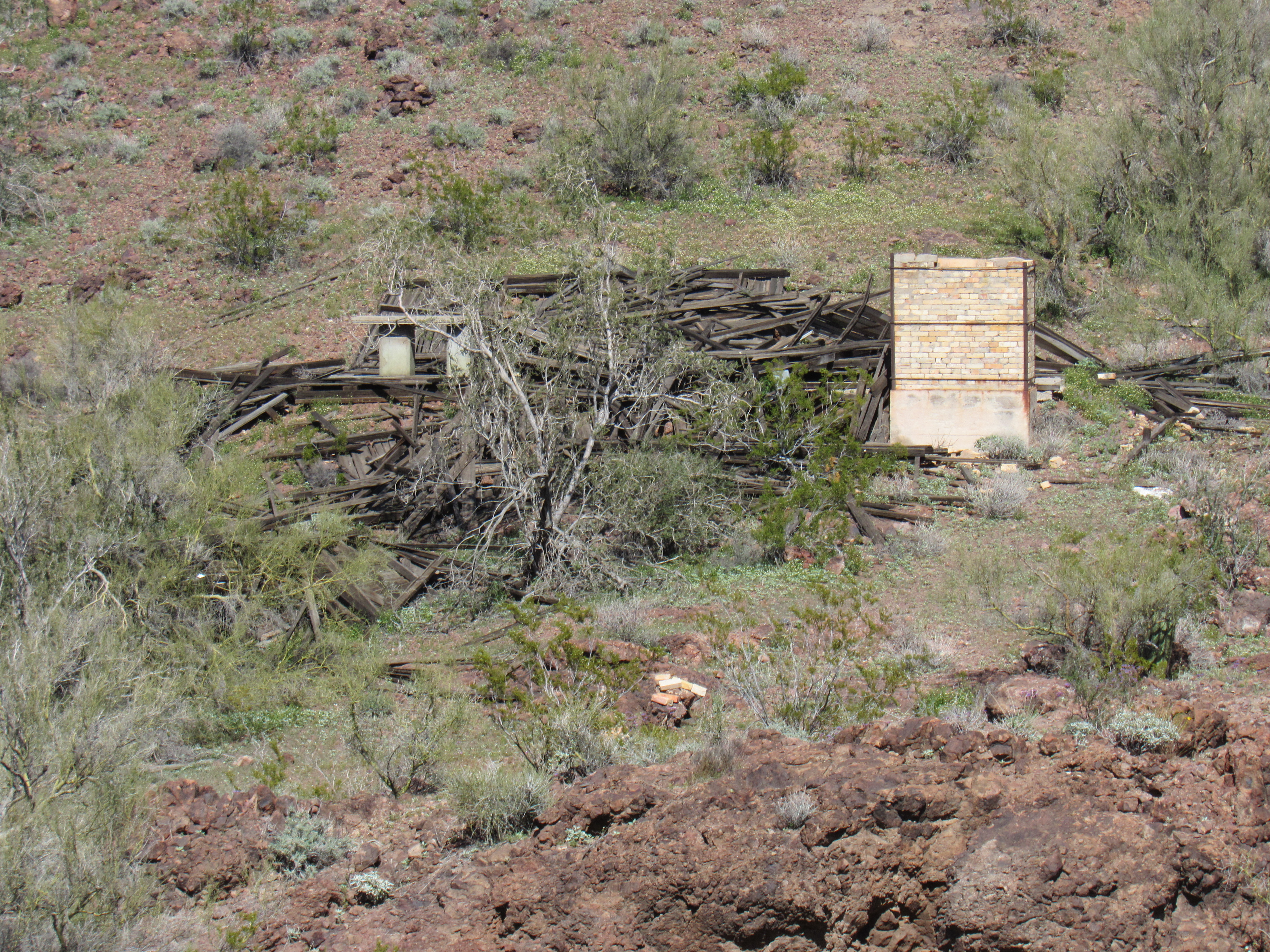
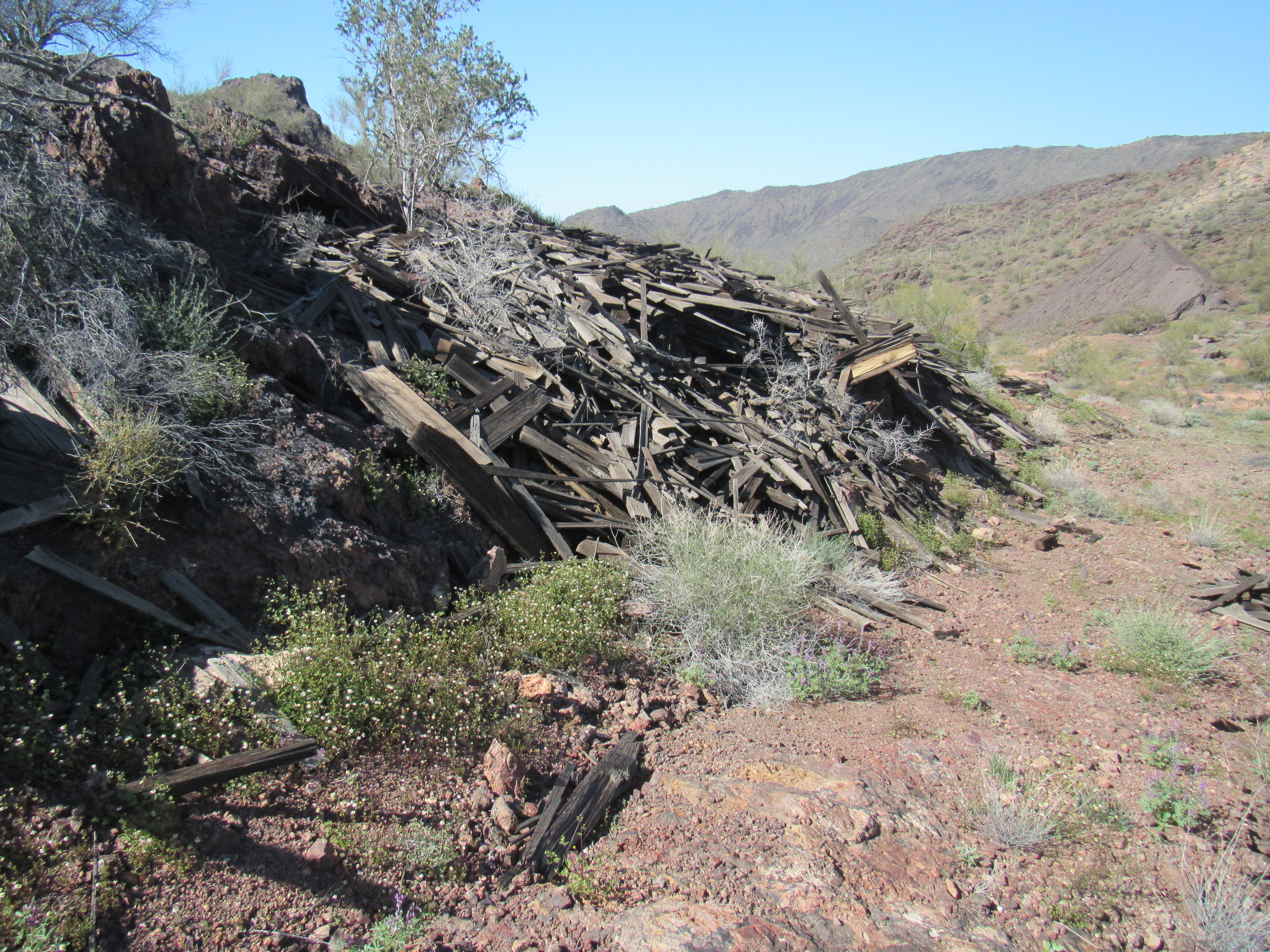
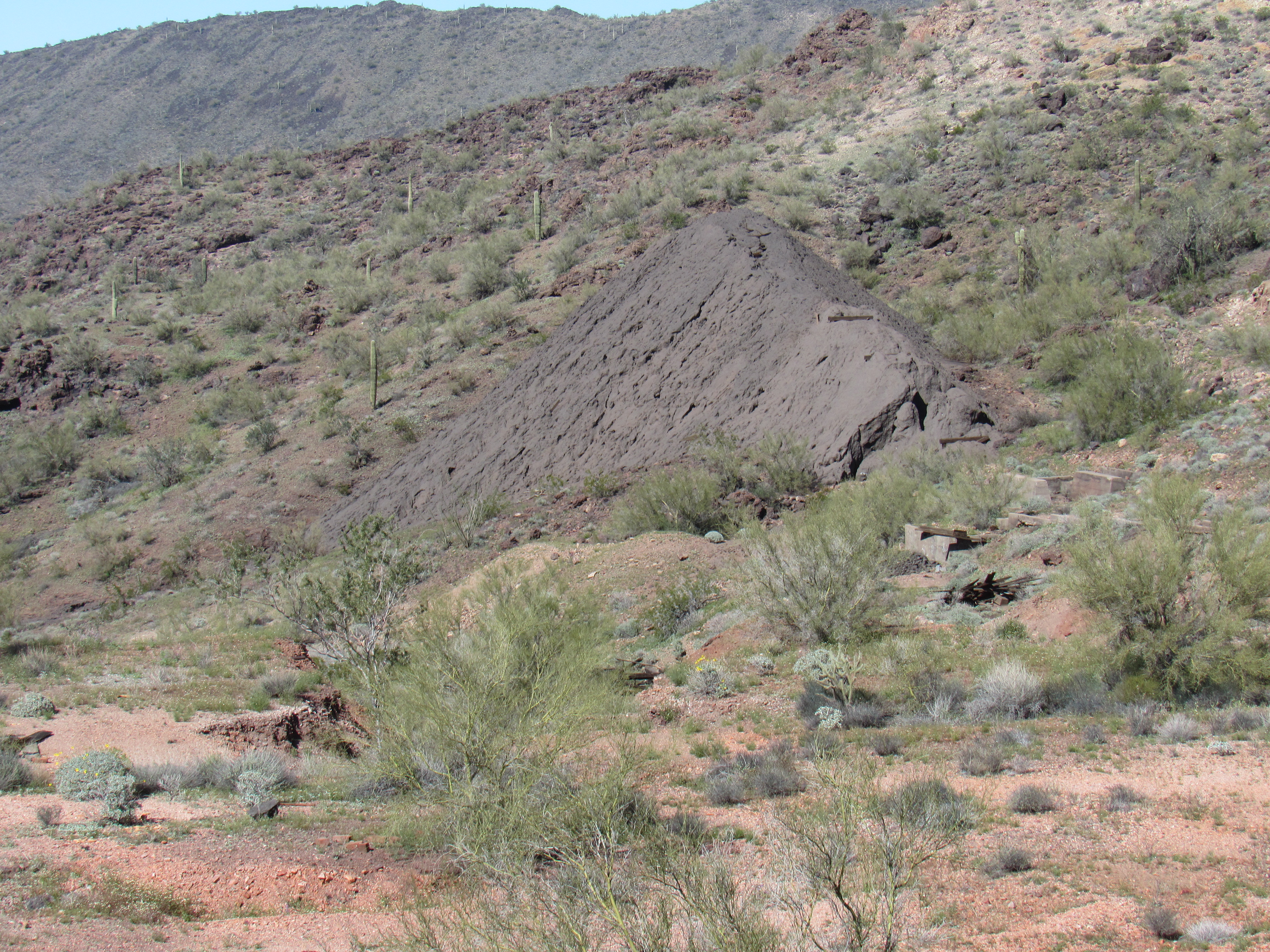
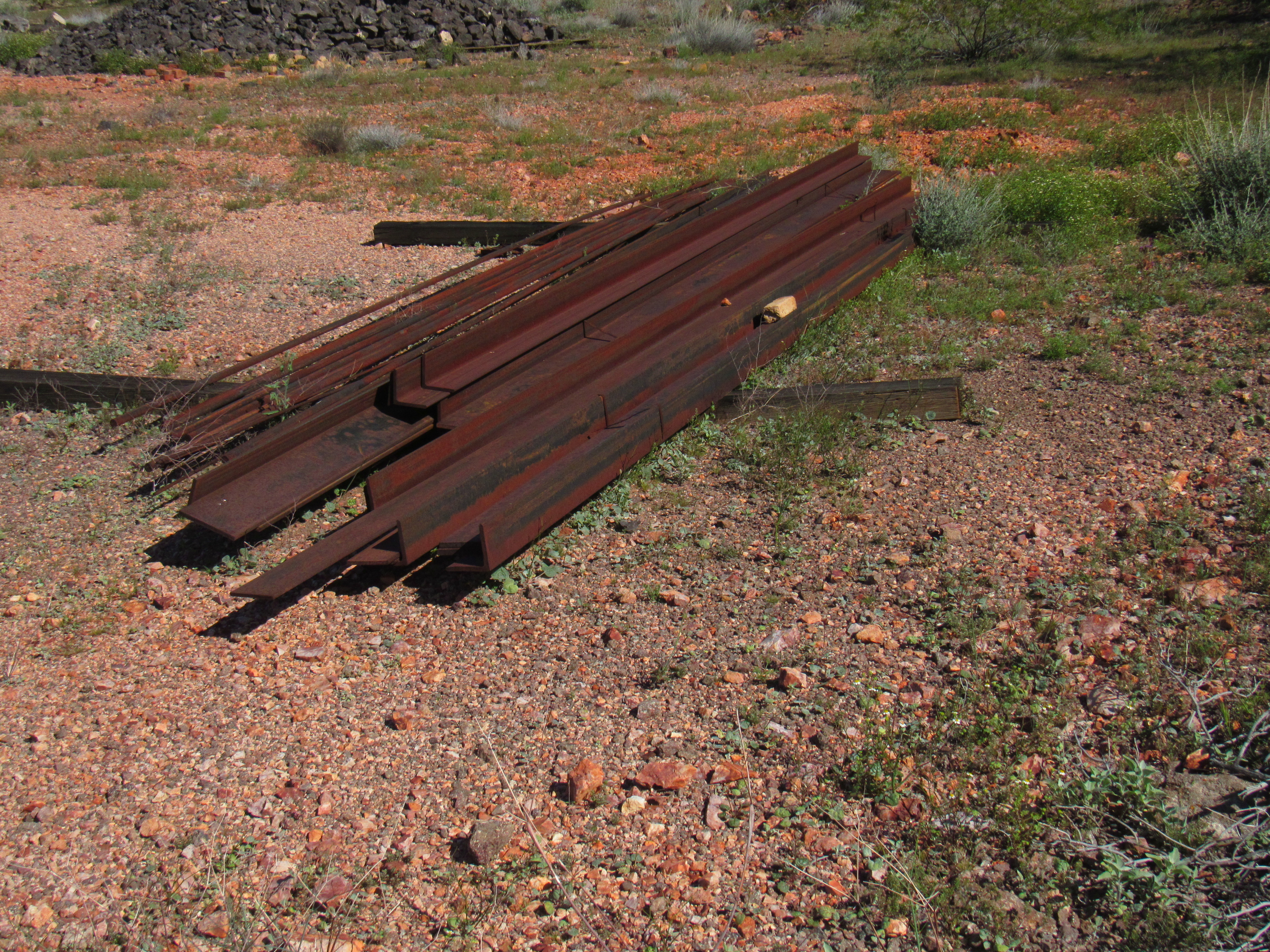
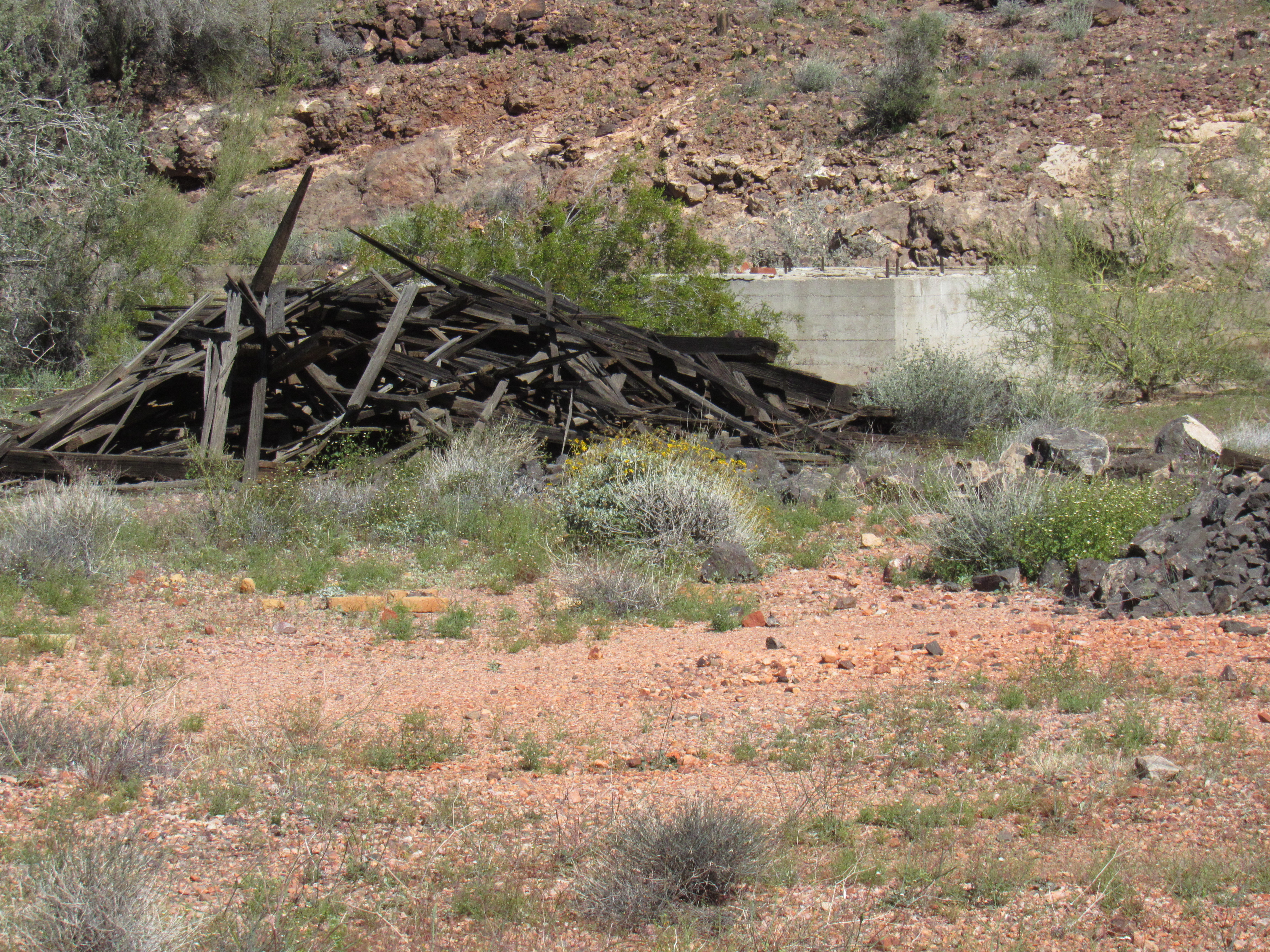
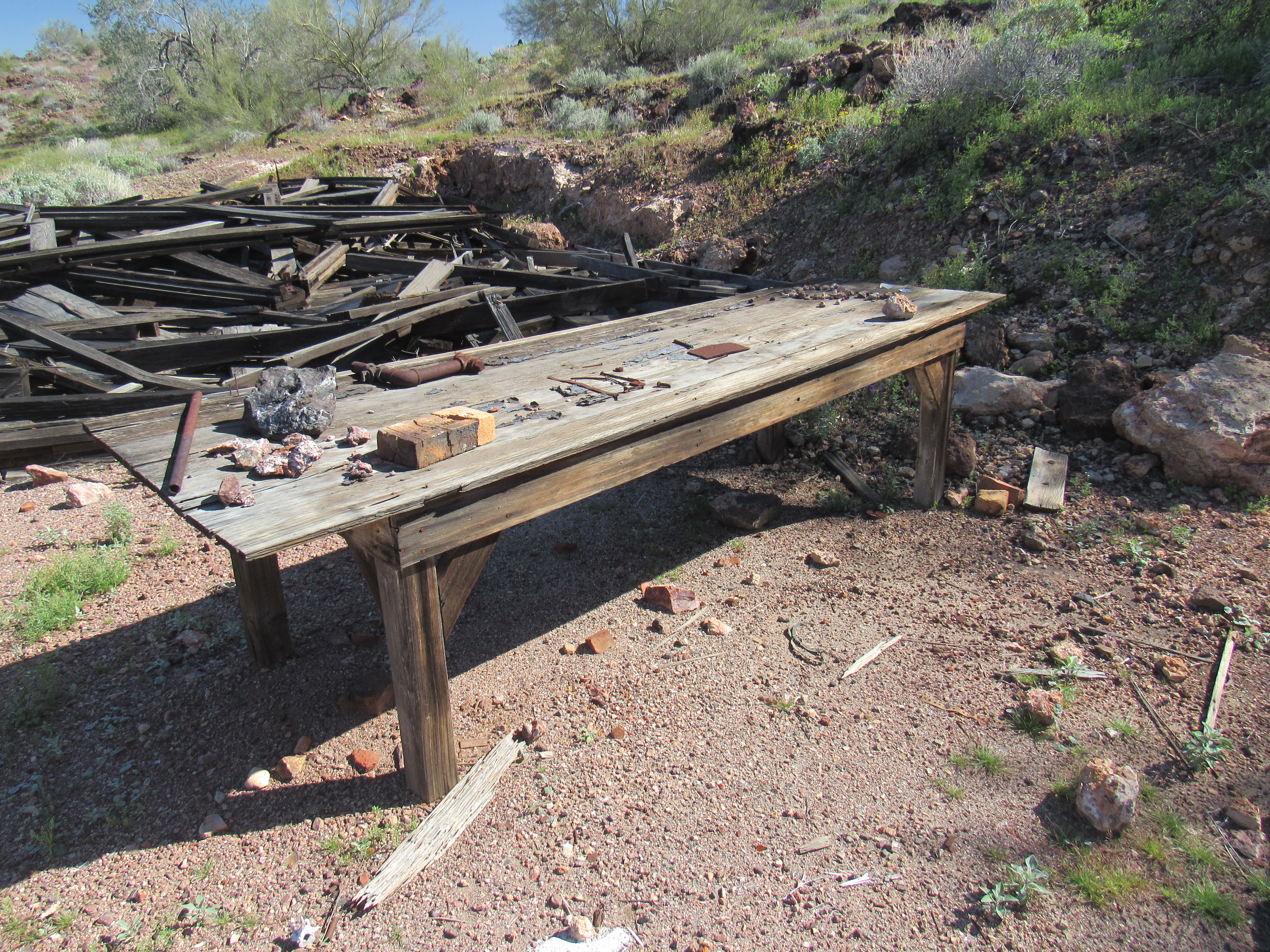
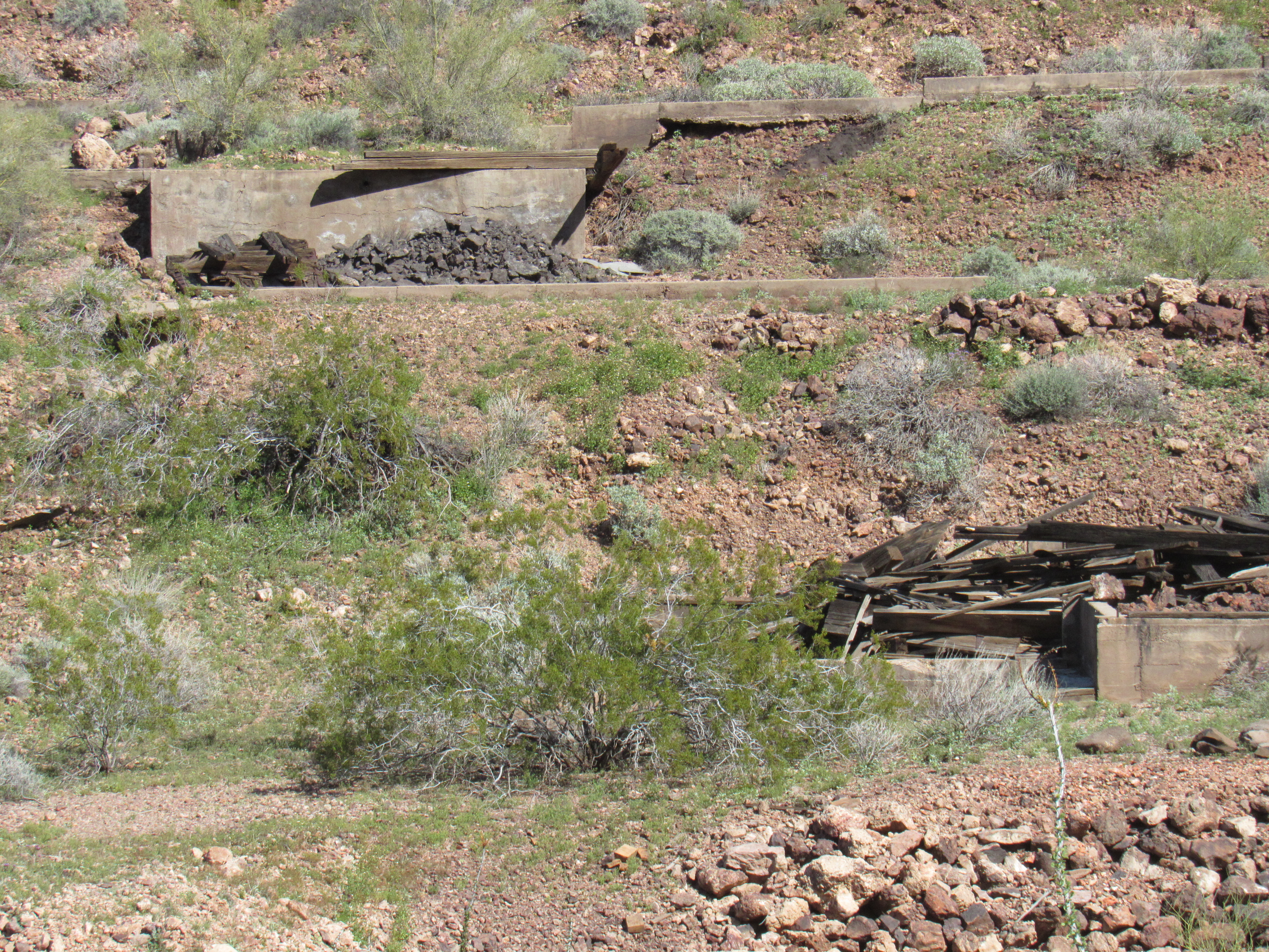
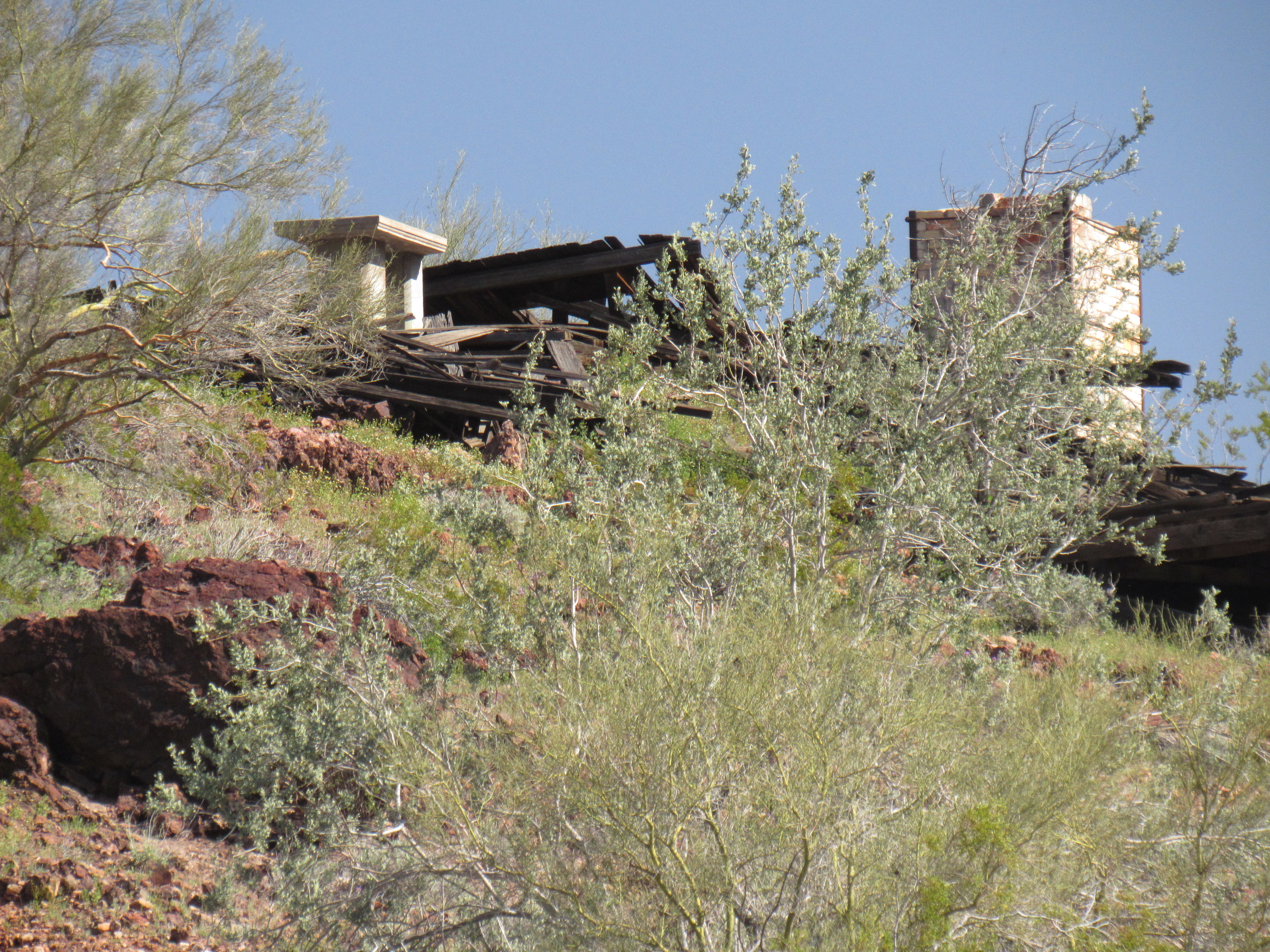
As some of the pictures show, piles of lumber mark the spots where many buildings had stood. The people who run the wildlife refuge decided to burn down the Hovatter home, but for some reason merely demolished the buildings in the mining camp – go figure!
This mine was discovered in the early 1900’s but was not developed until 1926. Sporadic production, from 1929 through 1942, amounted to some 17,400 tons of ore averaging about 1.2 oz. Au/T, 2.3 oz. Ag/T and some copper; yield was 1,303.27 oz. Au, 12,525 oz. Ag and a little copper (to 1929). In 1933, 3 carloads of ore were shipped.
I’ll bet that this place was a going concern back in its heyday. Down at the bottom of the hill where the road up to the mine begins, there stands an old gated area and remnants of what once was a sturdy fence.
The entrance
A short walk took me back to my truck, and then another mile downhill returned me to Cementosa Tanks. A spur road left the tanks and climbed south uphill towards my next and final peak of the day. Here’s a great view of it I had from the mine earlier in the afternoon. You can see the road in front of the peak. It wasn’t driveable, so I walked up it, about to the middle of the photo. From there I went up the valley between the 2 parts of the peak to the skyline, then left up to the high point.
Looking southeast to Peak 2514
I scoured the rocky summit and found no sign of any previous visit, so with much pleasure I left a register on top of Peak 2514.
The summit
Hmmm, maybe I should drop straight down from the summit to the truck – I could plainly see it parked 600 vertical feet below. If I went directly down, I could save a lot of time and distance rather than going the way I had ascended. Here’s the truck below – see it?
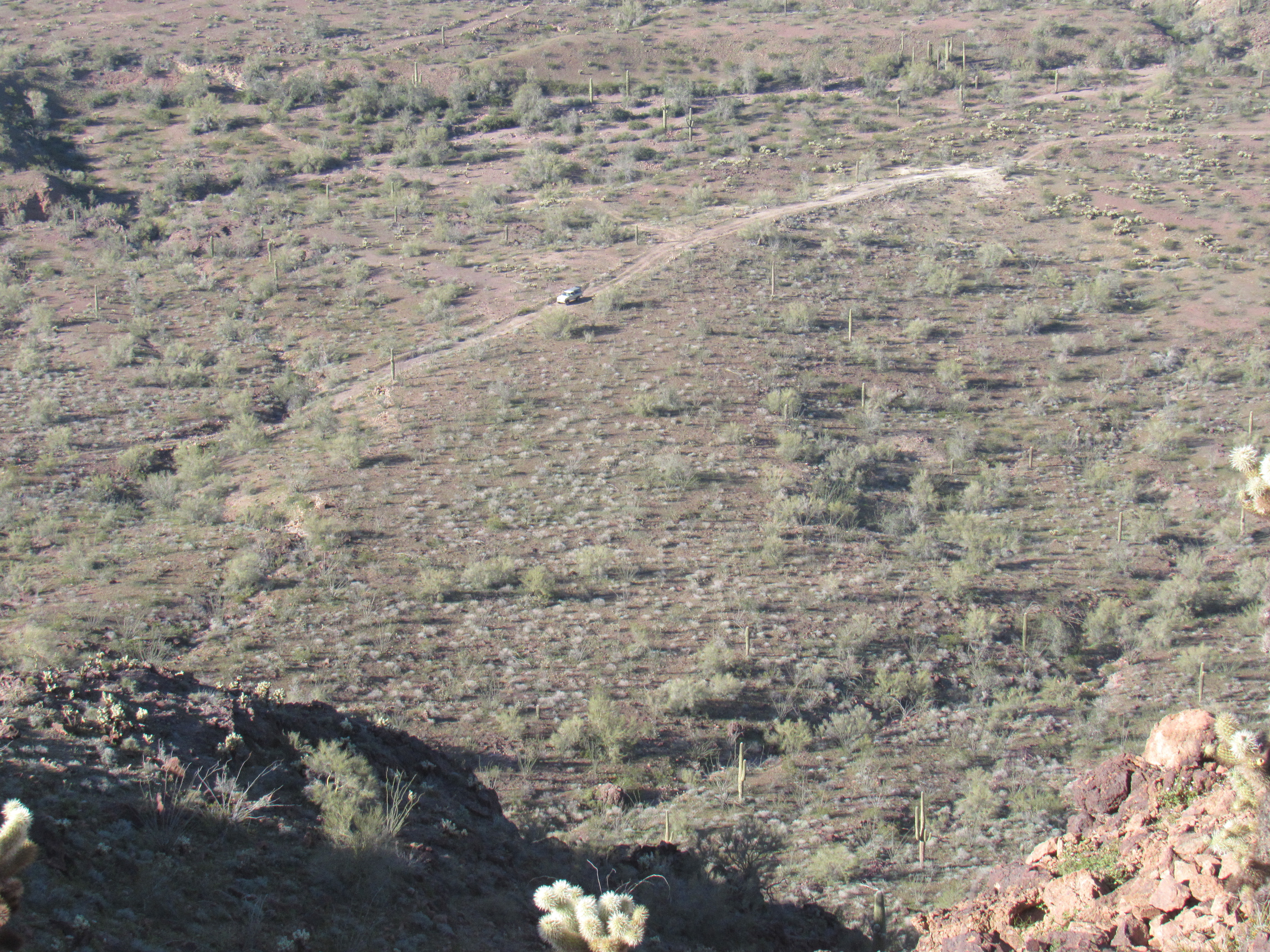
The truck below
I pondered the 2 choices. It looked like a straightforward descent from the summit ridge to the truck, but if that were the case, why hadn’t I climbed the mountain that way in the first place? Hmmm, maybe I should just go back the way I’d come, go for the sure thing. That’s what I did, and was soon back at the truck. Man, that was the best choice. Look at this picture I took the next morning of the north side of the peak. That’s the side I would have descended if I’d made a beeline for the truck, and it would have been a bad decision indeed. A full 200 vertical feet of cliffs would have ruined my entire day.
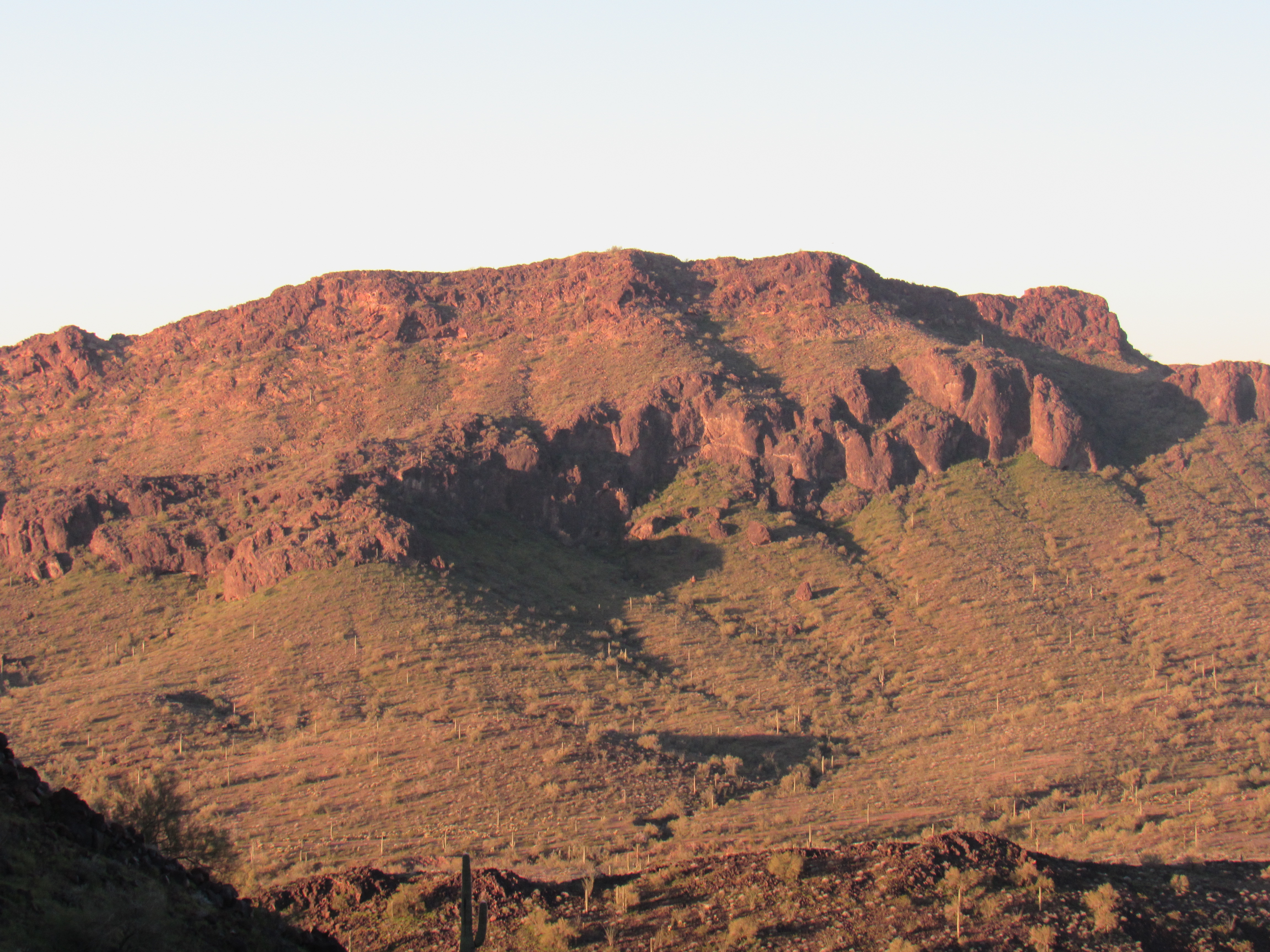
The north side of Peak 2514
A short time later, I found myself camped just above Cementosa Tanks for the night. No cell phone calls from here, deep in the heart of the Little Horn Mountains, as I settled in. My 4th day of the trip ended with a tally of 9 peaks under my belt.
Day 5
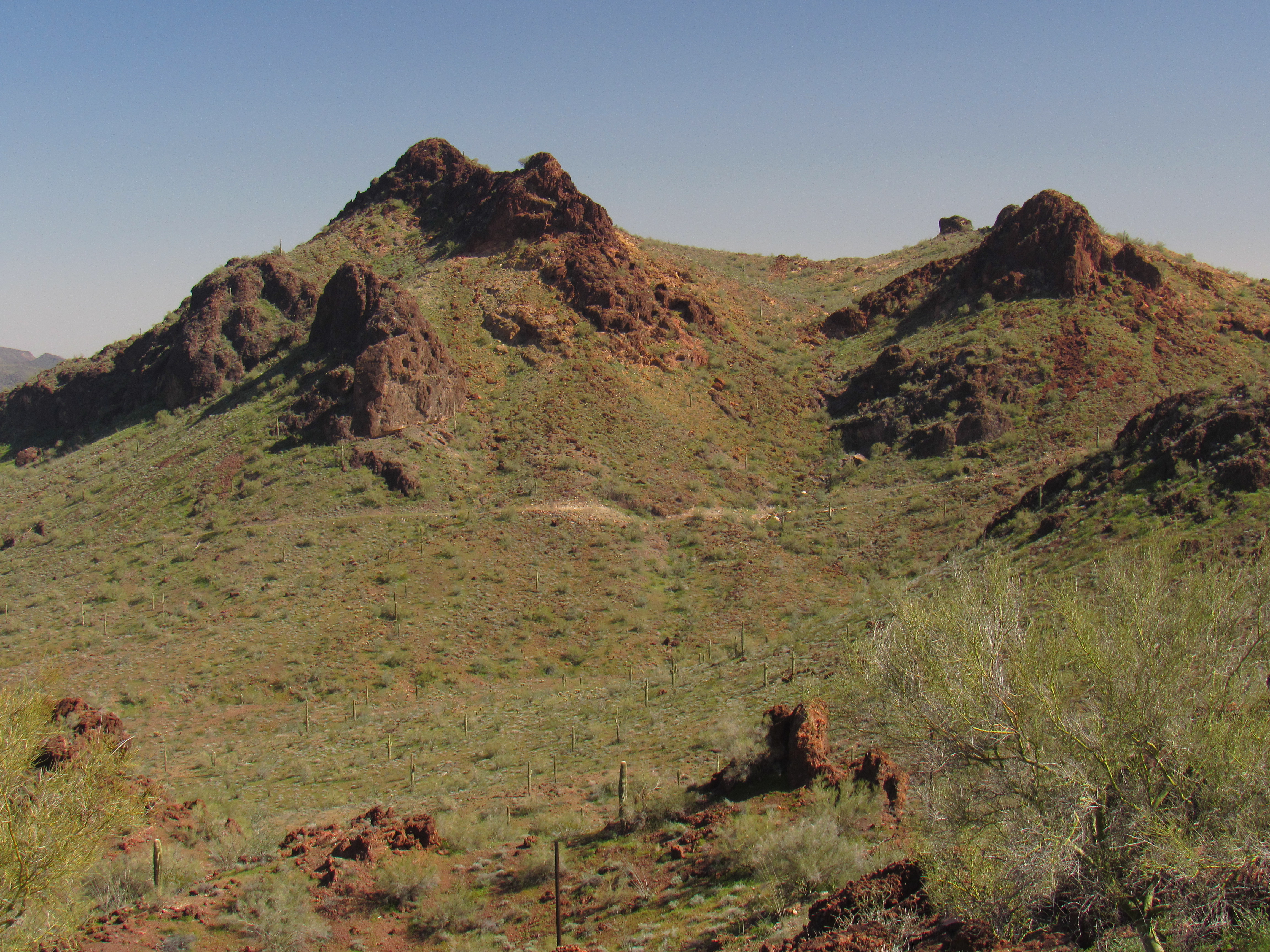
The next day dawned with a balmy 57-degree temperature, making me feel that it was going to be a warm day of climbing. A short drive took me to the base of my first peak – I parked and soon set out. It was a straightforward climb up an easy ridge to the top of Peak 2817, the highest of the trip. A lonely cairn greeted me, but I couldn’t find the register. No matter, I knew for sure that 3 others had been there before me.
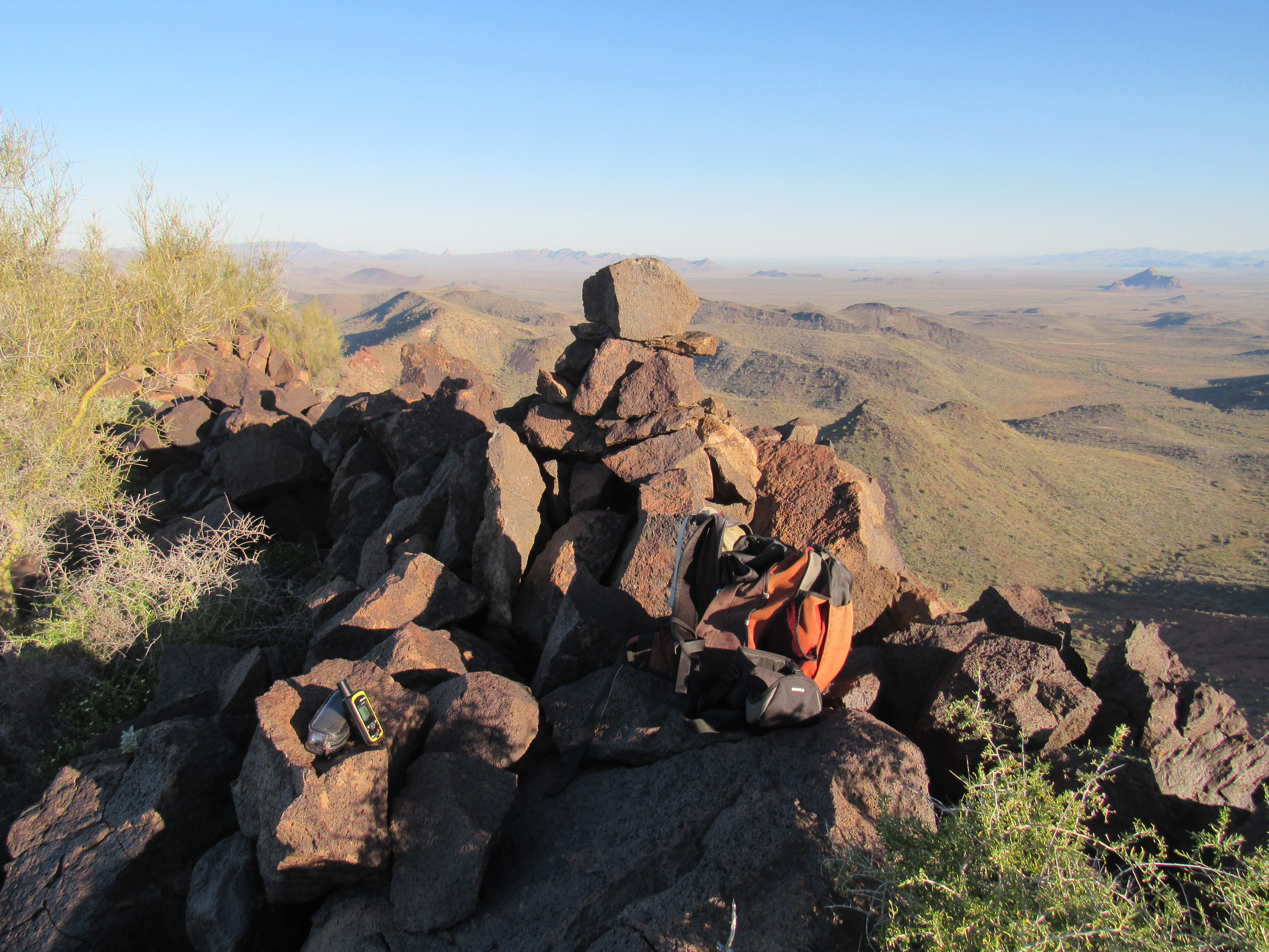
The summit of Peak 2810
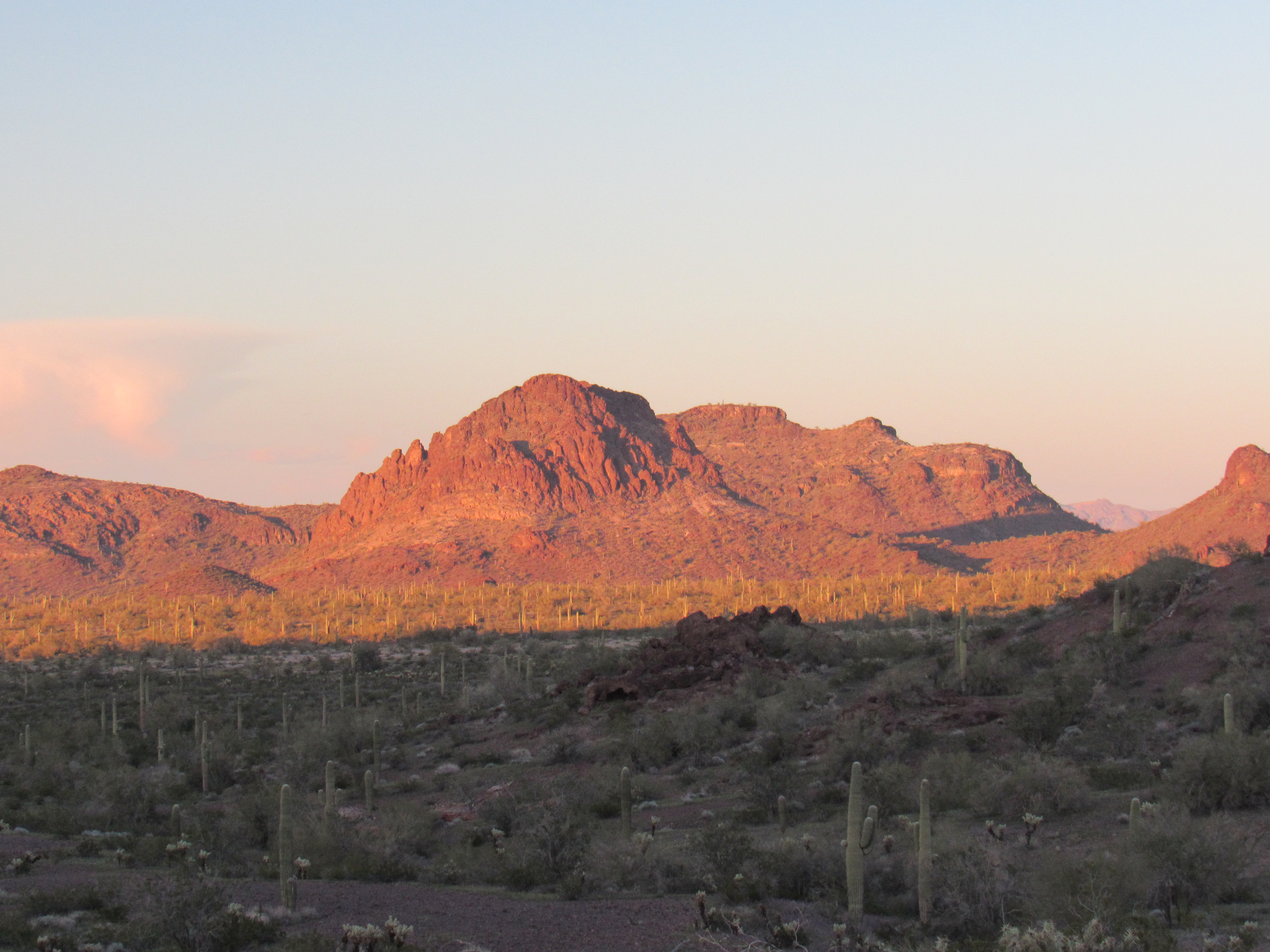
Six air miles to the north sat Coyote Peak, all alone out on the Ranegras Plain. In this telephoto shot, the Granite Wash Mountains lie beyond.
Coyote Peak
Descending by an easier ridge, I was finished this 1,200-foot climb by nine o’clock. A good start to my day, but I was hoping for quite a bit more. Down the horrible road along the valley of Cementosa Wash, then out into more open country. I drove a couple of other roads, the last of them obscure and untraveled for years, to park near an old mining prospect. From there, an enjoyable walk up a valley, over a ridge and down into another, then up an easy ridge to the summit of Peak 2250.
Peak 2250
This was another peak I thought was virgin, but I found my friend Andy Bates’ register on the summit.
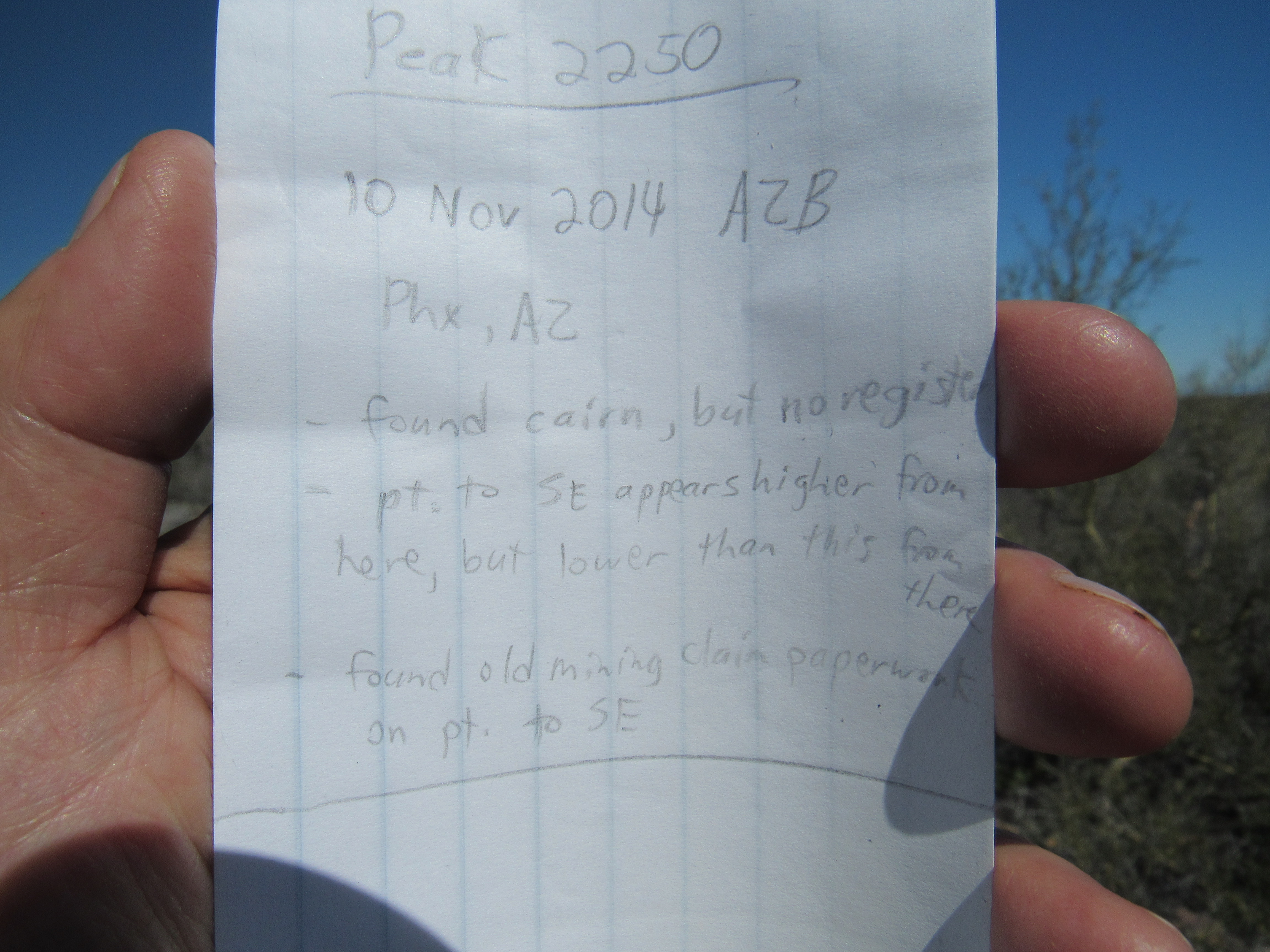
The register
From the top, I had this excellent view west all the way up the valley of Cementosa Wash. Peak 2514 can be seen on the left, while Peak 2810 is seen on the right. .
Peak 2514 on the left; Peak 2810 on the right
Here’s one more from the summit, a yummy view to the east. Two things of note are: the flat-topped peak 2810 way over on the left; the huge plateau of Little Horn Benchmark on the right, both on the distant skyline.
Looking east
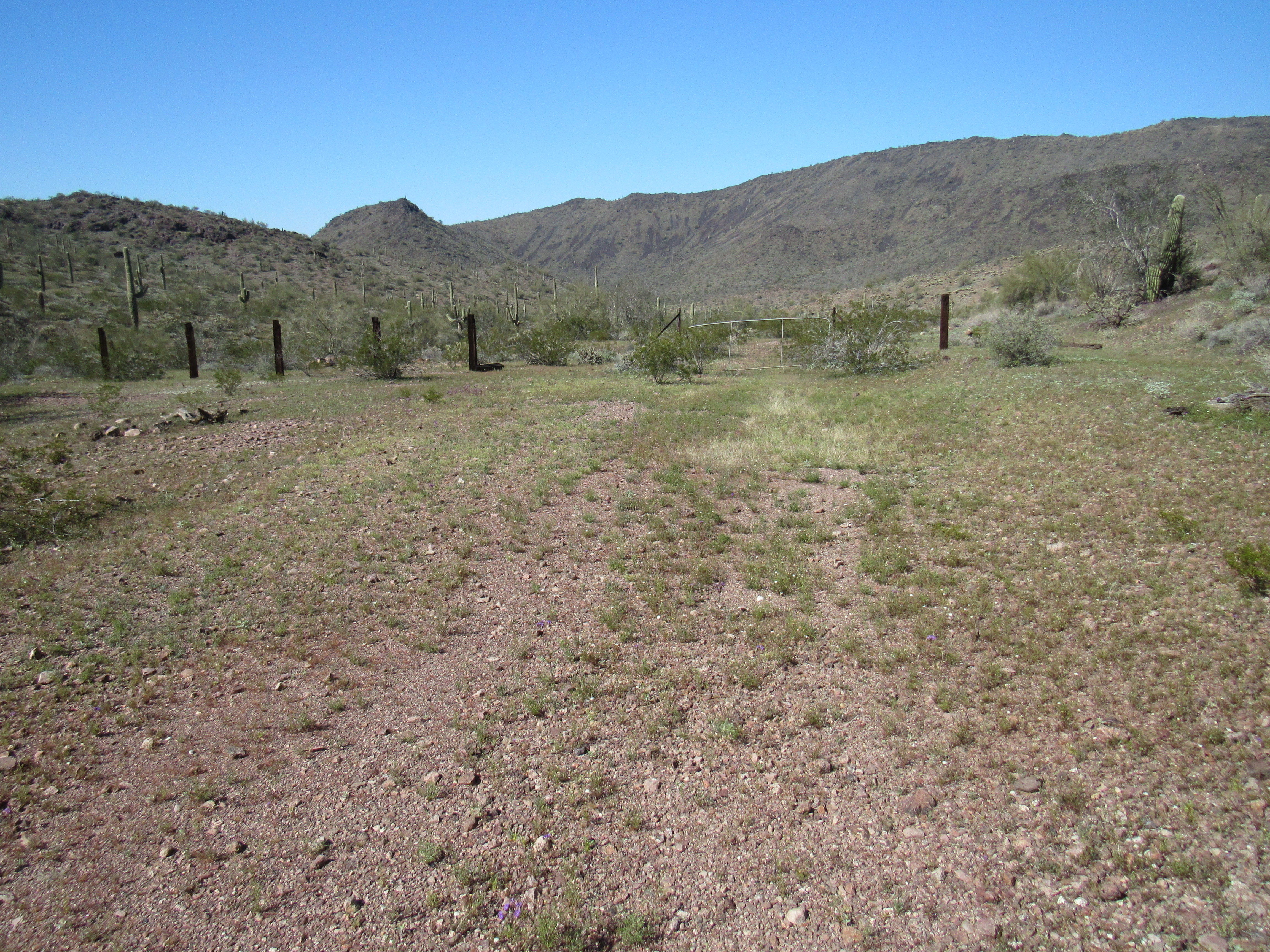
An easy stroll took me back through flower-filled meadows to my truck. From there, a short, easy drive south through an open valley brought me to the base of Peak 2077. This would certainly be the easiest one of the trip so far – merely a mile round-trip and just over 400 feet of gain.
The southwest corner of Peak 2077
This day was going great, with 3 peaks finished by two o’clock. I had originally only scheduled 2 for today, so I was gaining a bit of ground. I was parked by Hovatter Road for this third peak, so once done I continued driving east along it for another few miles. Past the turnoff to Fancher Mine, I soon rejoined a more familiar part of the road – smoother, wider, the part I had driven when first I had come back to the Little Horn Mountains. I parked just off the road, then headed out into the desert towards my fourth and last of the day. There was a tight cluster here of 3 peaks, and I’d decided to do the farthest one this afternoon. Even then, it wasn’t far. The summit of Peak 2124 appeared untouched, and I savored that greatest of peakbagger feelings, leaving a register where none had been before. Here’s a photo of it, taken from the northeast – it’s the long, flat one, dark brown, a mile away.
Peak 2124’s northeast side
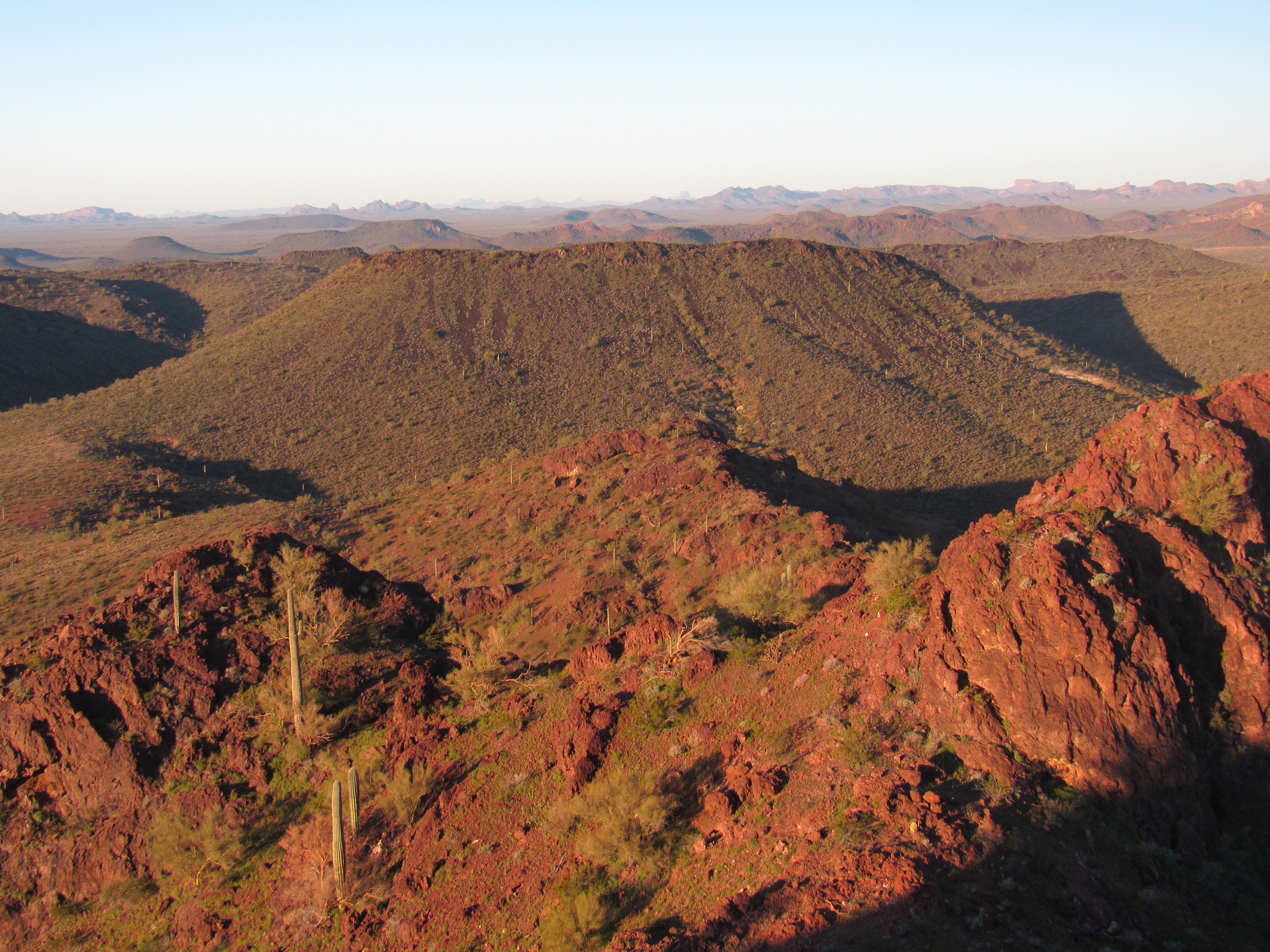
My day was done, almost. After an easy walk back to the truck, I drove a mile to park for the night in a hilly area, a scenic spot.
My supper-time view
My tally was growing day by day – I was now up to 13 for the trip. There were still plenty left to do, though, in the time I had left in this beautiful range. The last few days had been spent in the heart of the Cementosa mining district, and fine days they were.
Stay tuned for the next chapter in the story, #5.