
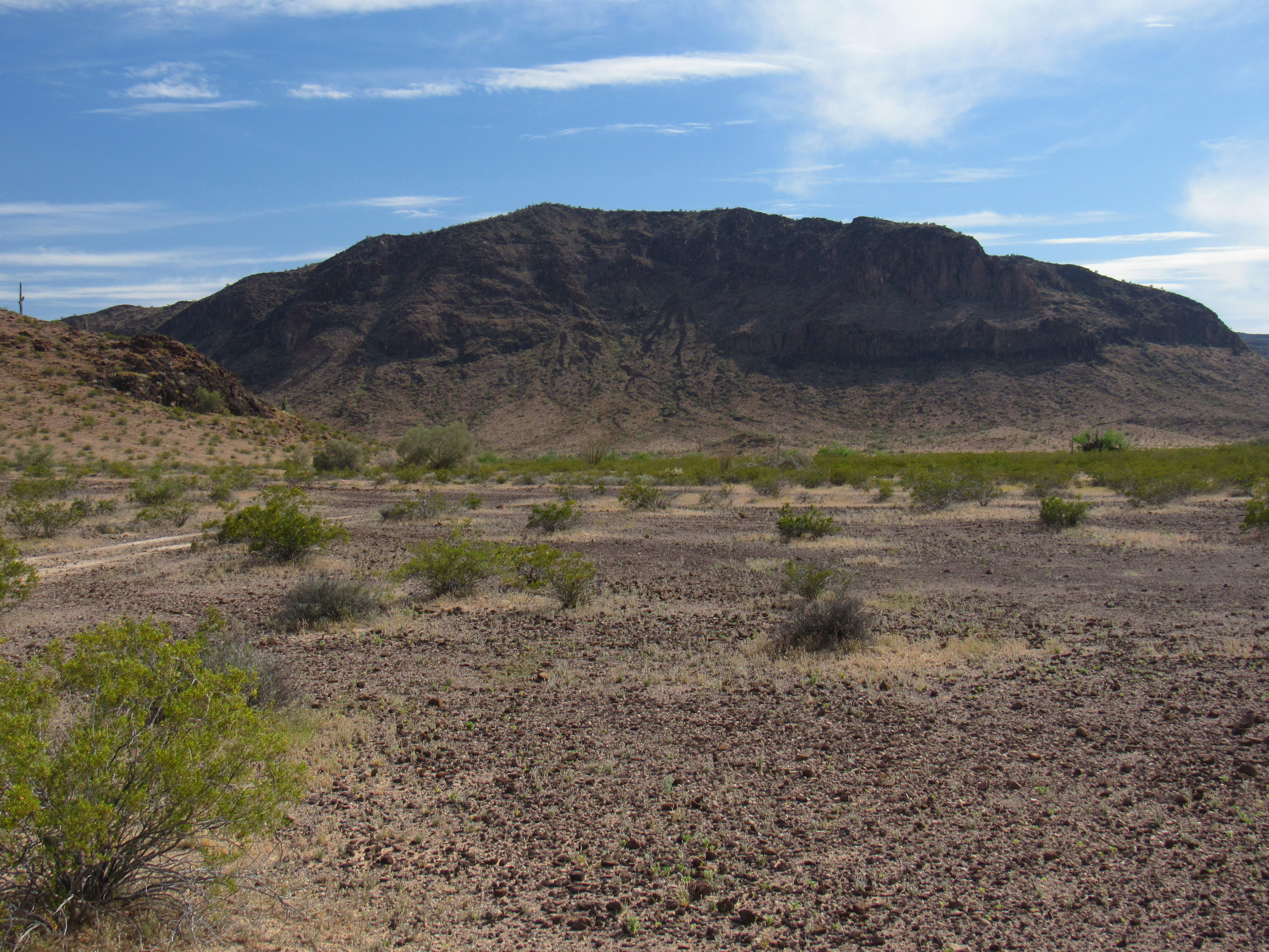
I had spent quite a few days already, 14 to be exact, climbing in a wonderful mountain range known as the Little Horn Mountains in southwest Arizona. My goal had been to climb all of the peaks in the entire range, and I still had 8 to go. Now I was back – one final trip to complete the task, or so I hoped. After work one afternoon, I left Tucson and drove my usual 160 miles to Dateland, Arizona. It was already 5:10 in the afternoon by the time I got there and topped off my gas tank. Now, it was a race against time, to cover as many miles as possible into the desert before I lost the light.
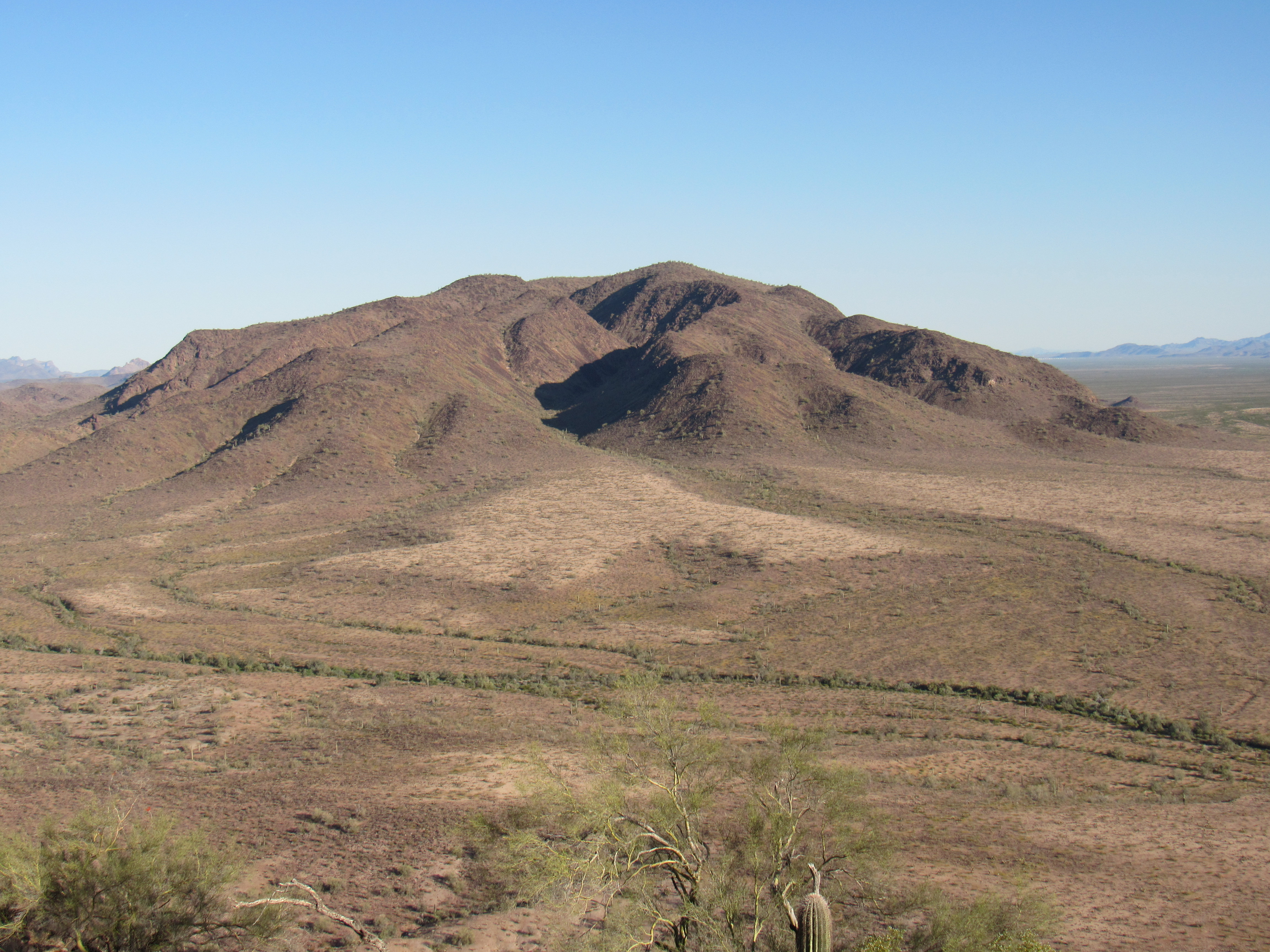
My first 13 miles were on pavement, so they went by quickly. I then headed north on the Palomas-Harquahalla Road, an excellent dirt road where I could maintain a good 30 mph. After 11 miles, on the west side of Baragan Mountain I branched off on to another dirt road, equally good, where I could go at least as fast. Twelve more miles brought me to the old heliport near a small hill known as Point 1266. Things changed there. I started north-northeast on an old road, straight as an arrow, and drove another 7 miles. This road required high clearance and, in a couple of places, 4WD. The going was much slower on this stretch and it took a while to cover those 7 miles, mainly because I had to cross countless washes along the way. En route, I passed Clanton Benchmark, only 2 miles to the east.
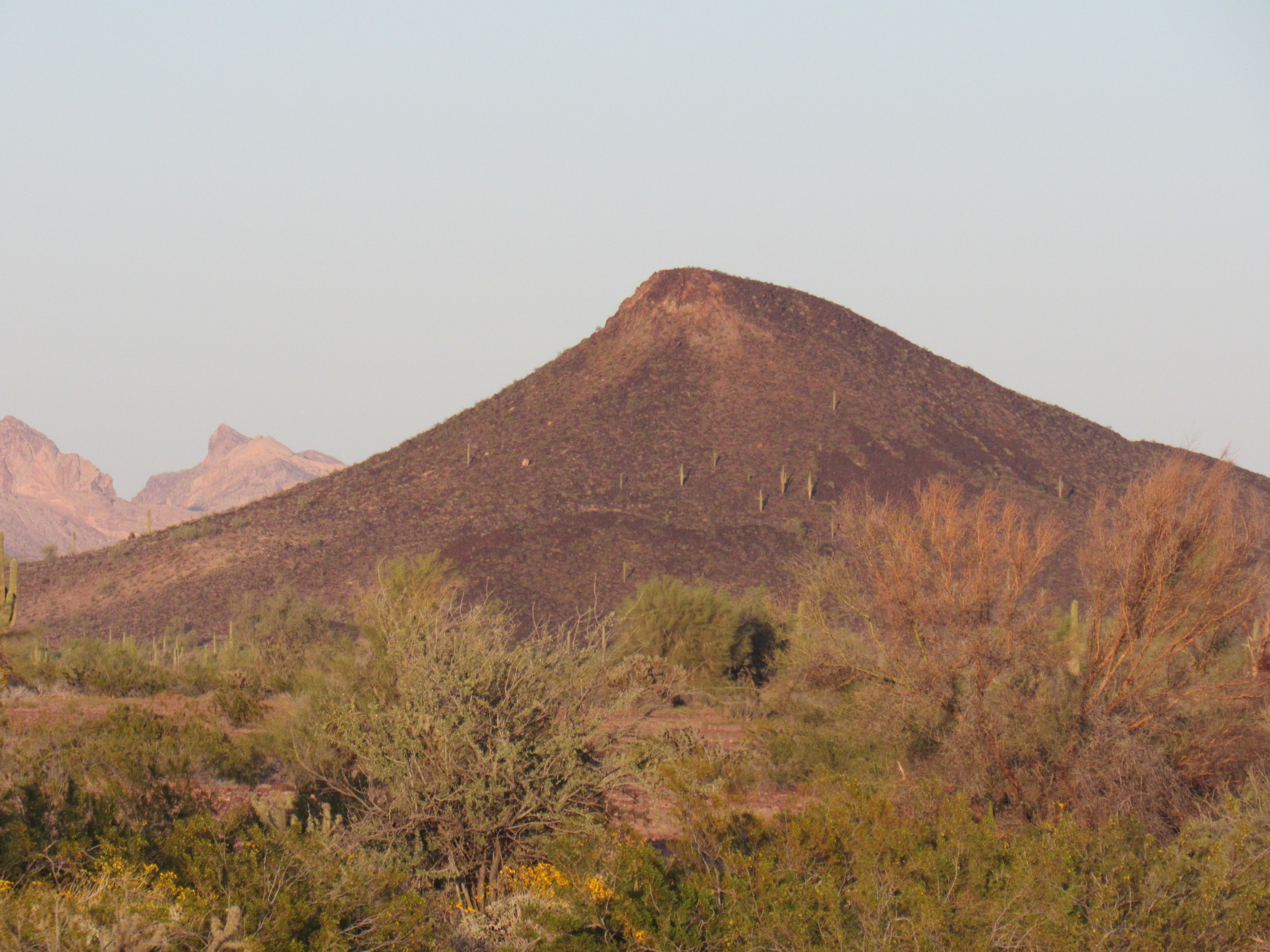
Clanton Benchmark
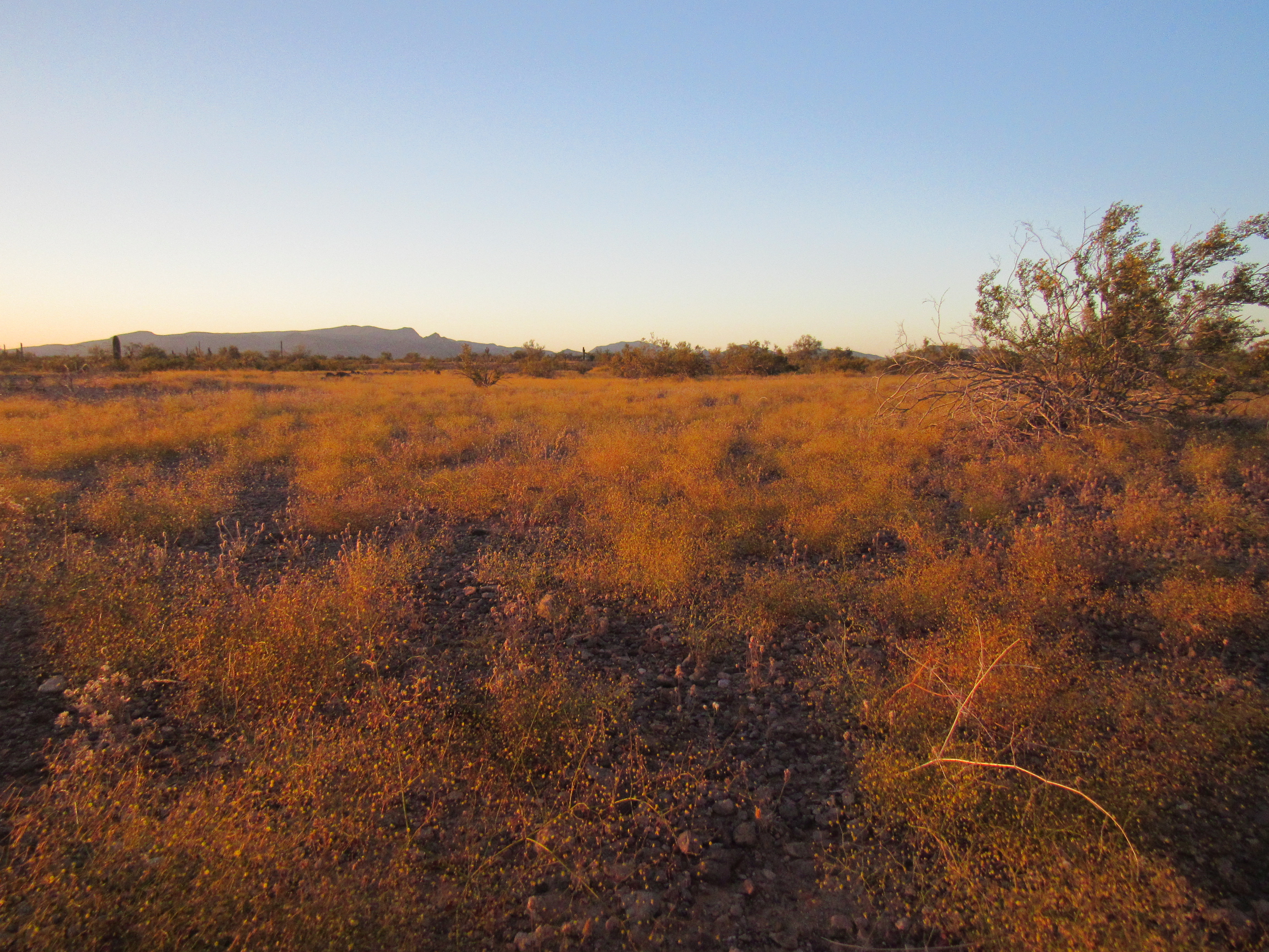
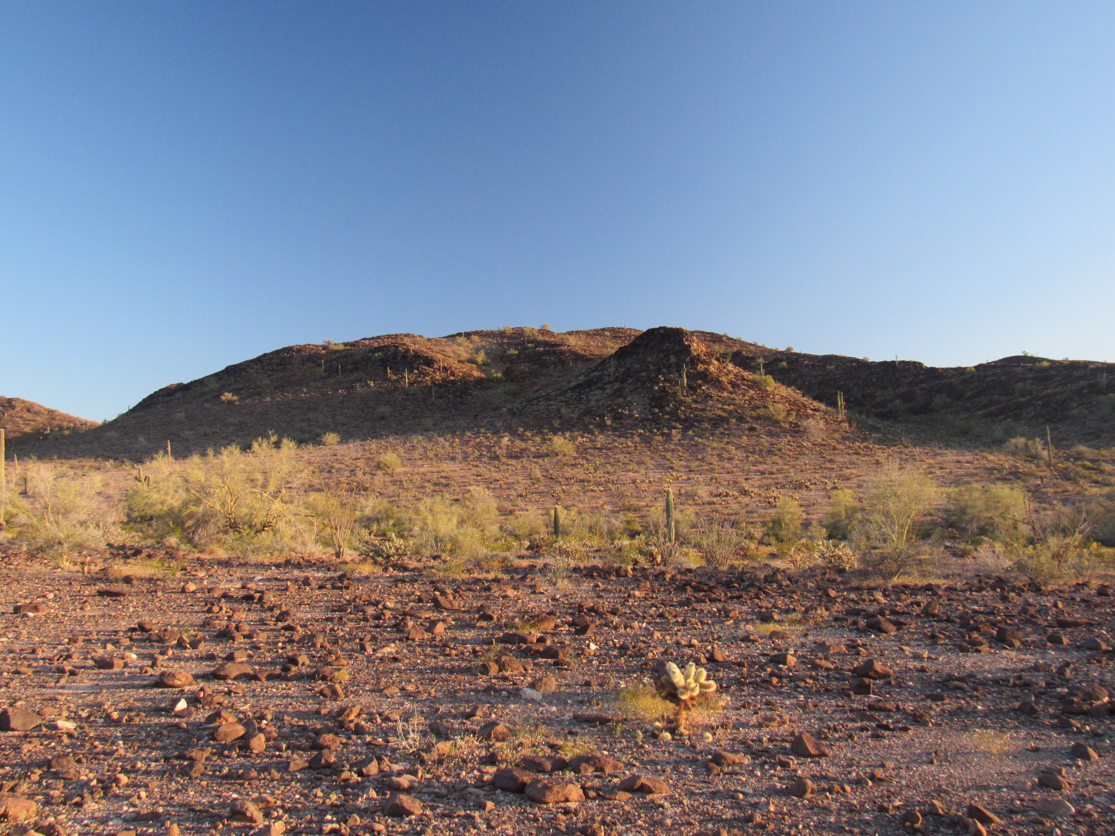
The last rays of the setting sun cast a golden glow on a type of weed that seemed to be growing everywhere.
I had hoped to drive to a certain point this evening, near my first peaks, but I now feared losing the light before I got there. Just after sunset, I reached a dirt track known as Red Raven Road – I had driven it many times during my adventures in the Little Horn Mountains, but now I’d only use it for half a mile. That done, it was time for the real fun to begin.
The road I was now about to drive was a mystery to me – I knew of no one who had ever traveled it; it had no name; I didn’t even know if it could be driven. By that, I don’t mean if I was allowed to drive it, as it was on BLM land and I was sure it was fair game – rather, I didn’t know if it was in any condition to be driven. It gave good access to a few of my remaining peaks, but its appeal was more than that – it served as a conduit to travel from the southern edge of the range to the northern. Since I could make out its track on satellite imagery, I assumed that it was still there in one way, shape or form, although satellite images can be misleading. What can be seen from above is often not obvious when you’re on the ground.
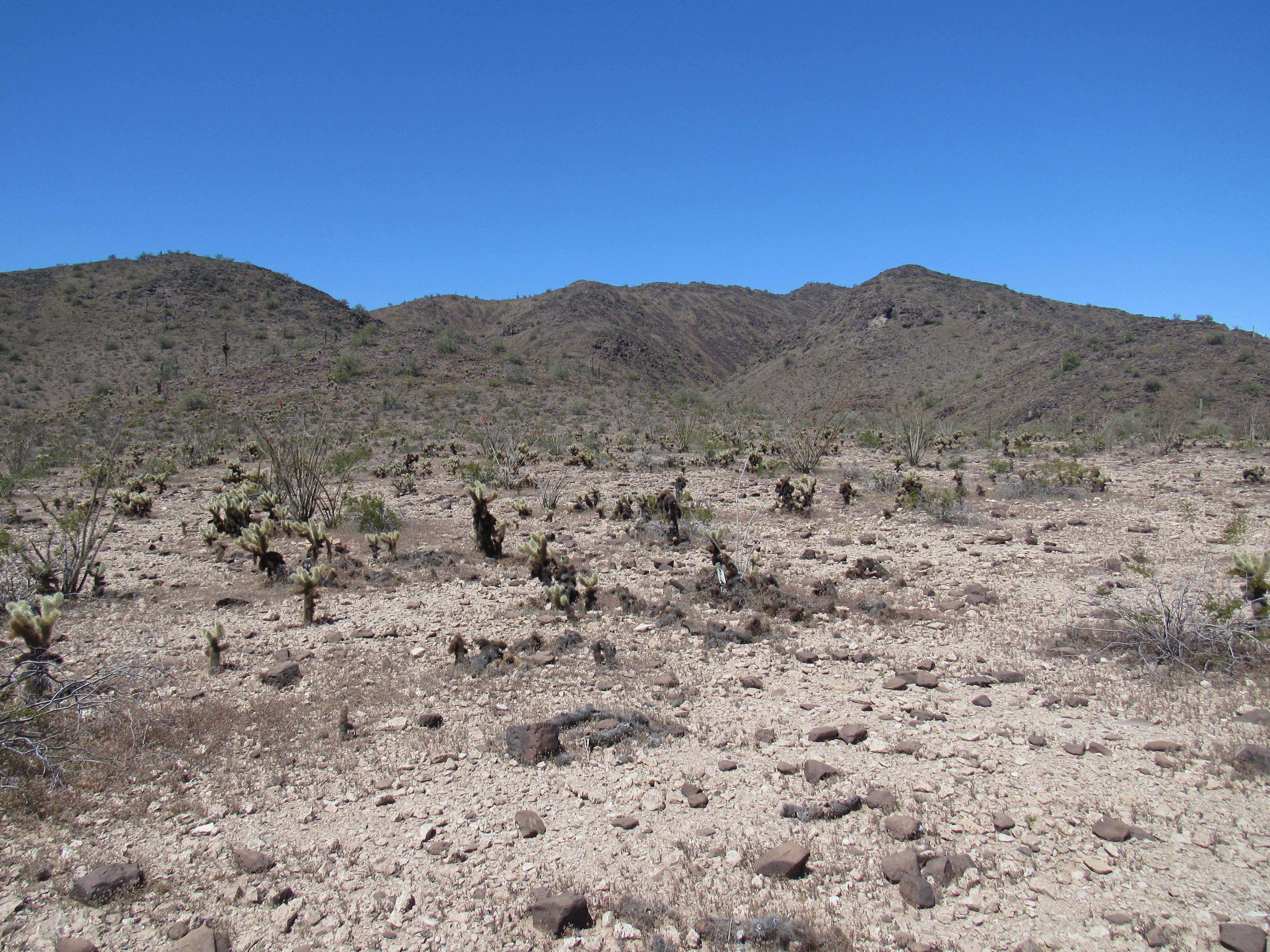
The road started innocently enough, at a spot shown as Benchmark 1104 (meaning its elevation above sea level) along Red Raven Road. The sun had already set when I reached that spot, but there was still plenty enough light to see my surroundings. As I started north on it, I had 2 main concerns: would the road be visible enough to follow, and would the wash crossings be bad? The terrain was very flat, so I wasn’t concerned about having to negotiate hills – in fact, in the 30 miles since leaving pavement, I had only risen 600 feet. That’s a mere 20 feet per mile, and for all intents and purposes is dead flat – you certainly wouldn’t notice any slope as you traveled those miles.
Immediately, I saw that the road was faint – yes, I could follow the track, but I had to pay attention. I’ll use distances along the road to indicate my position. When I had gone 1.2 miles, I came to my first wash crossing. The road dropped down into it, and I wasn’t sure what awaited. Erring on the side of caution, I got out of the truck and walked down into the wash to have a look. It posed no problems, so I walked back up to the truck and drove down into and through the wash and out the other side.
I should mention here that I try to be really cautious about driving through tricky spots, especially if mine is the only vehicle there. I assess each situation carefully. Is it a spot where, if I have to return the same way, I can actually drive back out and retreat? It’s disconcerting to burn your bridges, so to speak, to force yourself into a situation where you cannot go back if the road ahead is not driveable. You could end up in a world of hurt, stuck out in the middle of the desert 50 miles from pavement along some road that nobody travels.
Once through the first wash, I kept driving north. Even in the failing light, I could still see the road pretty well. It was quite flat and without obstacles, and I soon found myself at another place that had given me pause when I was researching this trip. It was another major wash, at the 2.1-mile mark. In fact, it was the same wash I’d crossed almost a mile earlier, but I was now farther upstream. Here too, I got out and walked ahead. The road plunged down into the wash, but after walking it right through to the other side, I knew it’d pose no problem. This was an interesting spot, as I was hemmed in closely by steep mountainsides. To my right was Peak 1535, climbed by me 8 weeks earlier. To my left was Point 1458, whose slope came right down to the road; its twin, Point 1432, sat just behind. Crossing the wash here felt almost claustrophobic, as the gap between slopes was a mere 550 feet.
Hey, so far so good. On I went, covering more flat ground, but the road was definitely becoming fainter. At 2.7 miles, my luck still held as I crossed the same wash for the third time. It was an easier crossing, sussed out from the cab of the truck. I had turned on my headlights some time earlier as the last of the daylight faded, and was now relying on them to see where I was going. I had something else going for me, an app on my cell phone. It allowed my phone to connect to satellites and show me on the screen my exact position on either a topo map or satellite image. This was proving useful. A fourth crossing of the same wash at the 3.4-mile mark also proved gentle and uneventful. Back near the third crossing, I had passed small Point 1321 on my left, and as I approached the fourth crossing, Points 1536 and 1503 on my right, dark shapes more felt than seen in the dim twilight.
I called it at 4.4 miles, stopping to camp for the night in a very flat area just east of Point 1508. More or less where I’d hoped to be at day’s end, I unloaded my gear and prepared my truck for sleeping. I was just east of an area of low hills at the edge of the Little Horn Mountains – to my east, the land ran gently downhill a few miles to Deadman Wash and Nottbusch Valley. It was pleasantly warm with a nice breeze and an inky sky full of bright stars. I was happy with my progress so far – my goal had been to drive as far as I could today, and be in a good spot to start climbing tomorrow. That much, I had done.
The night was uneventful – I slept well, and was fed, packed up and ready to go at first light. Ten minutes after I started driving, the sun rose above distant crags of the Eagletail Mountains.The day was perfect – a clear blue sky greeted me, but the wind had really picked up and was blowing hard. Now, in broad daylight, I should be able to follow the road more easily. As the road continued north, it climbed ever-so-slowly. My campsite was at 1310 feet, but a mile later I had only gained a hundred feet. I parked on a wide, flat area and made ready to climb. Here, at 5.1 miles, I could tell that the road had not been driven in a long time. There was no evidence of recent tire tracks, and vegetation was growing freely in the trace of the road.
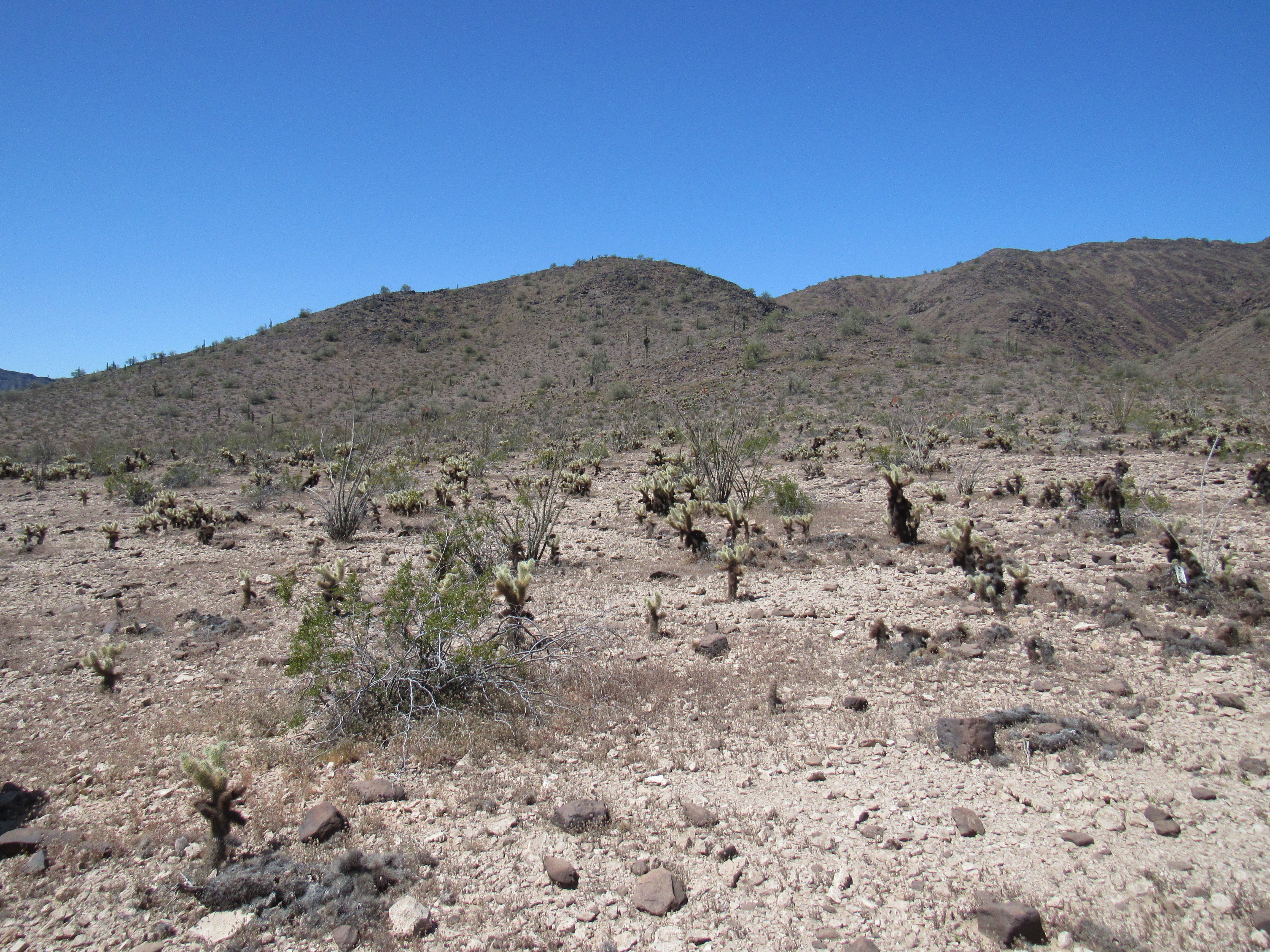
Today’s first order of business was to climb a pair of nearby peaks. They were an easy walk northwest from the road, and I hoped that a few hours’ effort would finish them off. I had a good view of both of them, and the easiest way to do them would be in a loop. It was 6:45 AM when I set out for the first one.
Peak 2086
Across open ground, up a wash, then a fairly steep ridge to the summit of Peak 2086. It was 7:34 AM when I arrived, and it only took a moment to find the register. It had been left by Gordon MacLeod and Barbara Lilley back on January 3, 2001. They were the first, and only, climbers to have been here. That should have been a clue to me that these peaks were way off the beaten path, and also that the road I was driving was rarely driven, no doubt due to its condition – this should have been a sign of things to come! The views up here were outstanding, like this one southwest to Peak 2323 on the left skyline. The sharp peak in the foreground is Point 1879, an outlier of the one I was on.
Peak 2323
Here’s a view of one of the peaks I’d climb later in the day – Peak 2620 is a big one, one of the highest in the entire range.
Looking northwest to Peak 2620
I only spent a few minutes on top, as my plan was to climb 4 peaks today – miles to go before I sleep. I dropped down the way I’d ascended, to a saddle between the two peaks, then up the steep west side of Peak 1895. After a bit of Class 3 scrambling and a walk across a fairly flat area, I stood on top at 8:47 AM. Guess what? – another register left by Barbara and Gordon, with the same date as the other peak. I signed in and had a look around. Nice spot, also with great views. Here’s a view of it from where I’d parked.
Peak 1895
Oh, I almost forgot this one – here’s a view of Deadman Mountain, a telephoto shot looking northeast.
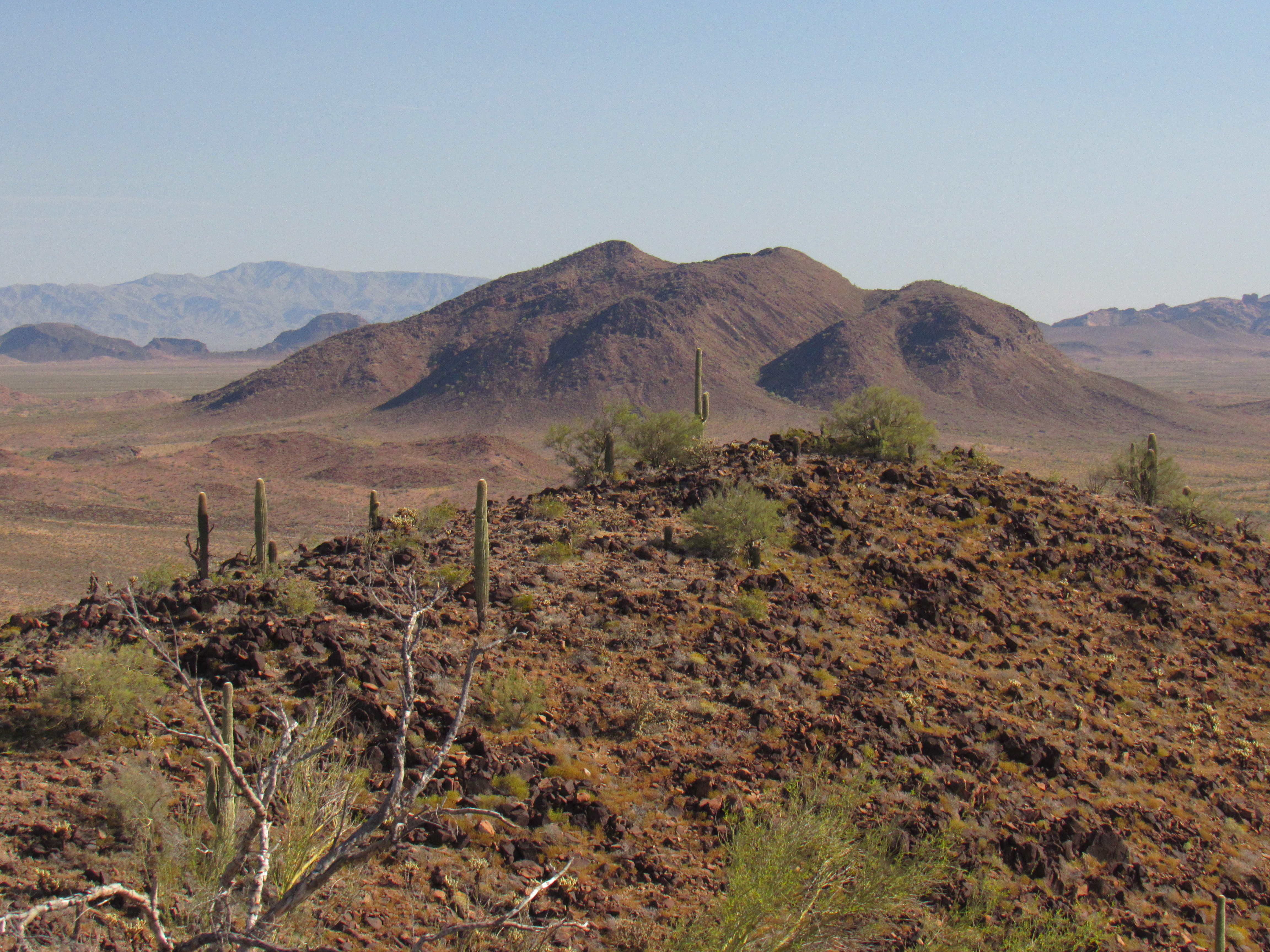
Deadman Mountain
The easiest way to my truck was down a canyon on the south side, and it didn’t take long. I was almost back, walking across an easy slope and minding my own business, when a searing pain shot through my right foot. It stopped me dead in my tracks and dropped me to the ground. I unlaced my boot and took it off, and when I looked at it, I found a long thorn from a barrel cactus had pushed right through the vibram sole. These thorns are extremely strong and sharp, and I’d stepped on it in such a way that it had effortlessly pierced the boot and gone right into the arch of my foot. It didn’t take long to remove it as the tears rolled down my cheek, but I was soon on my way, with no real harm done. Even if a cactus dies and falls apart, thorns can remain sharp and deadly for a long time – that’s what happened here, I’d stepped on a small cluster of thorns hidden by some weeds.
Back at the truck just after 9:30, I realized that I’d barely scratched the surface of today’s driving. I had a sneaking suspicion that issues may still lie ahead. Moving on, the road went northeast across a lot of rocky but otherwise easy terrain. At the 5.7-mile mark, it crossed an easy wash at 1,389 feet, then spent another mile traversing the eastern shoulder of Peak 1895. The road was overgrown with weeds and grasses, and many times just plain invisible – the phone app I described earlier was a big help for keeping me on track. There was another wash to cross at 6.8 miles, which went without a problem. A short drive beyond that, at an elevation marked as 1,382 feet, my data showed that the road made a 90-degree turn to the northwest. Even though I knew it was coming, talk about vague! – that turn in the road was so hard to see. I had to half-imagine where it was in order to keep going. Miles now traveled – 7.2.
The truck was now aimed directly at my next peak, still miles away. If even possible, the road was becoming vaguer. Repeatedly, I’d have to get out and walk ahead, actually looking for the road. One such place was at 7.7 miles. I had approached a major wash, one that drained several square miles of desert, when the road simply vanished. It required a lot of walking and searching, but I finally found a rough track through the wash – it was a real mess, and hadn’t been used for years. I walked all the way back to my truck, then set out to drive across the wash. It was easily the most difficult of all the washes so far on the trip, and ended with a 3-foot rock step up on the far side – it gave me pause, but I managed to crawl up it in my lowest gear.
A short distance later, at 7.9 miles, the road was taking me right toward the edge of a steep cliff which dropped into another wash, when it turned at the last minute and moved a safe distance away. It was then easy going, although sketchy, until I reached another major bend in the road. Things now turned north, near Point 1502, at 8.8 miles. This was a good place to park for my next peak. With all the stops to look for the road, it had taken me an hour and 20 minutes to drive a mere 3.7 miles – I could have walked it faster. That’s okay, I was still making progress northwards and that’s all that mattered. And, I hadn’t yet had to travel over any ground which couldn’t be back-tracked, so it was all good.
It was time to have some lunch. I sat in the shade of the truck on my folding chair, munching on sardines, and considered my options. Peak 2620 was one big peak, miles across, in fact so big that I couldn’t even fit it into a single wide-angle photo. My plan was to climb the long south-southeast ridge, and here’s what it looked like.
The low end of the ridge.
And here’s the upper end of the ridge – start on the left edge and head up and to the right to the obvious summit most of the way over on the right side.
The higher part of the peak
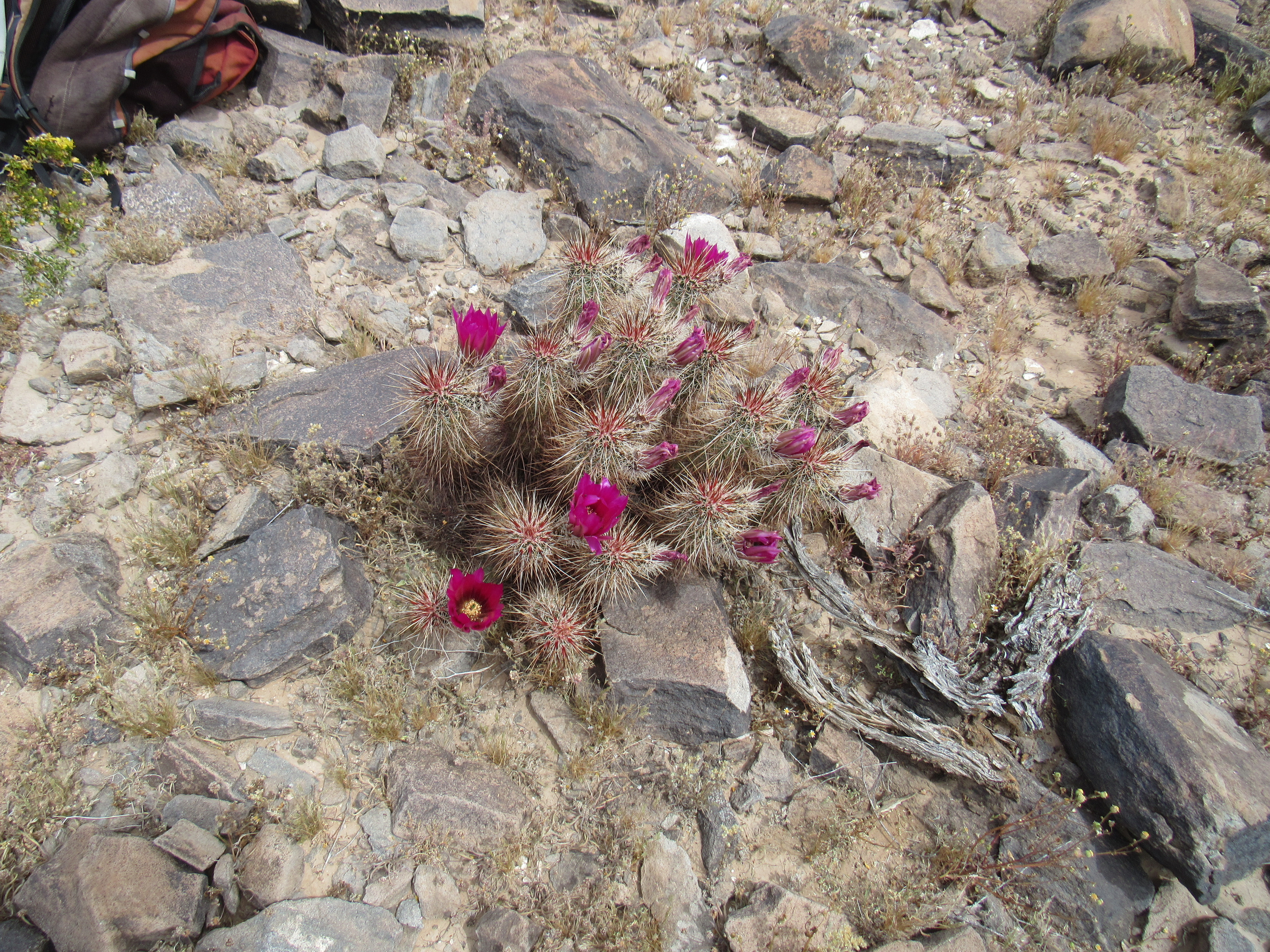
The ridge was rocky and uneven, with several small bumps along the way to cross over. The 1,200 feet of climbing took an hour and a half to complete, but the terrain was tiring and I didn’t want to go back the same way. When I reached the top at 1:15 PM, I had already chosen another descent route. The summit register had been left by Barbara and Gordon (no surprise there) way back on March 8, 1987, and only 2 others had signed in since – one in 2008 and another in 2012. Their register on this big peak had sat undisturbed for more than 2 decades, waiting for the next climber. This was a bit of color sitting on the summit, a hedgehog cactus in bloom.
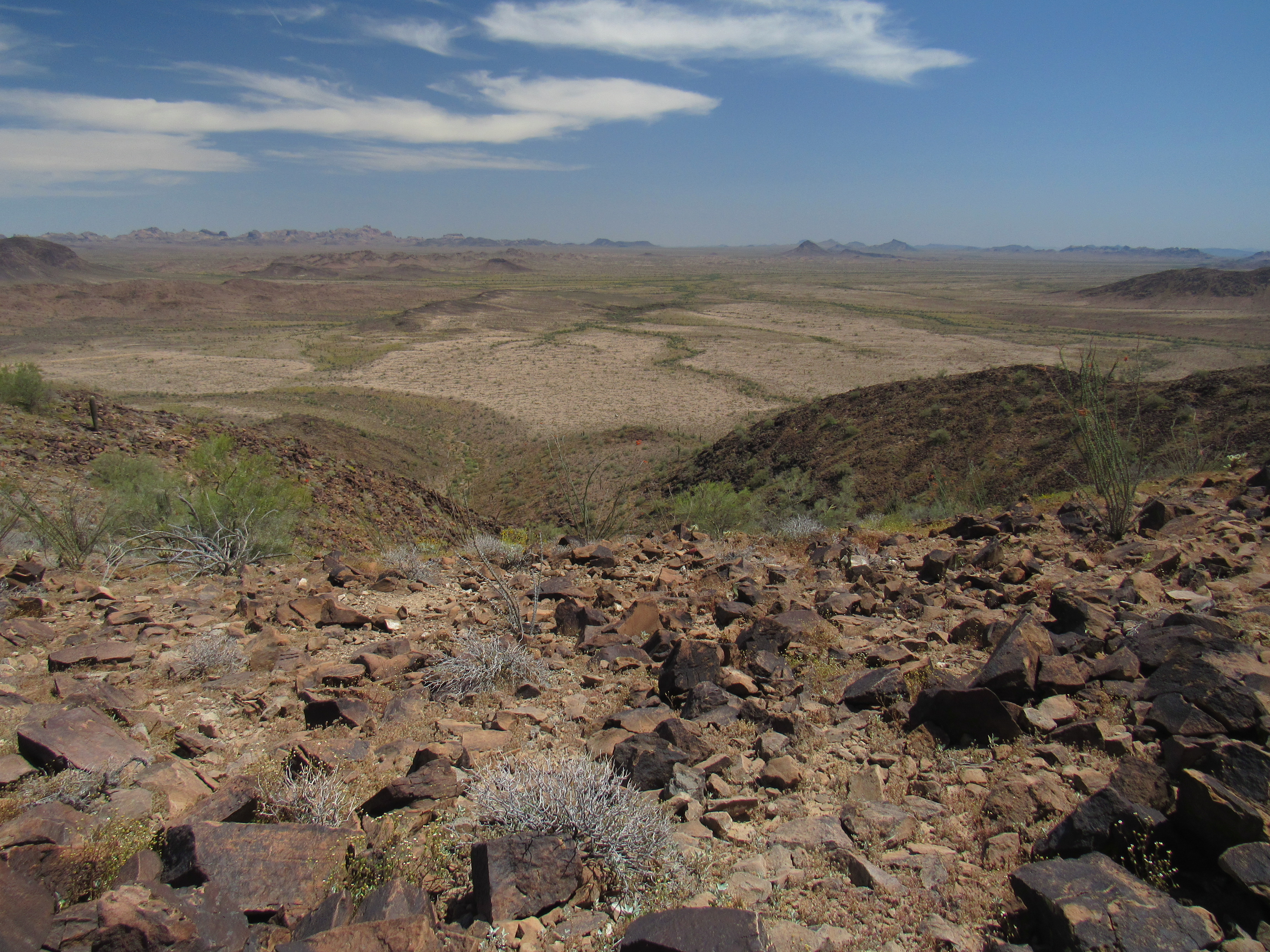
My descent route was going to be a canyon to the east of the ridge I’d climbed. Just for you, here’s a photo looking down that canyon. It’s right in the middle of the photo – my ascent route is the dark ridge on the right side. The Gila Bend Mountains are on the distant horizon.
And down we go.
It took until three o’clock to get back to my truck, but the canyon proved to be the better descent route, no doubt about it. Once done, I started driving north again. Remember the mileages I was keeping? At 9.0, I reached another big wash, but it was an easy crossing. On I went, now heading northwest up a valley, very flat. I figured it was all over but the shouting. No more washes to cross, only flat terrain – I had it made! At 9.9 miles, I came across this survey marker, a curious thing – I stopped to take a picture.
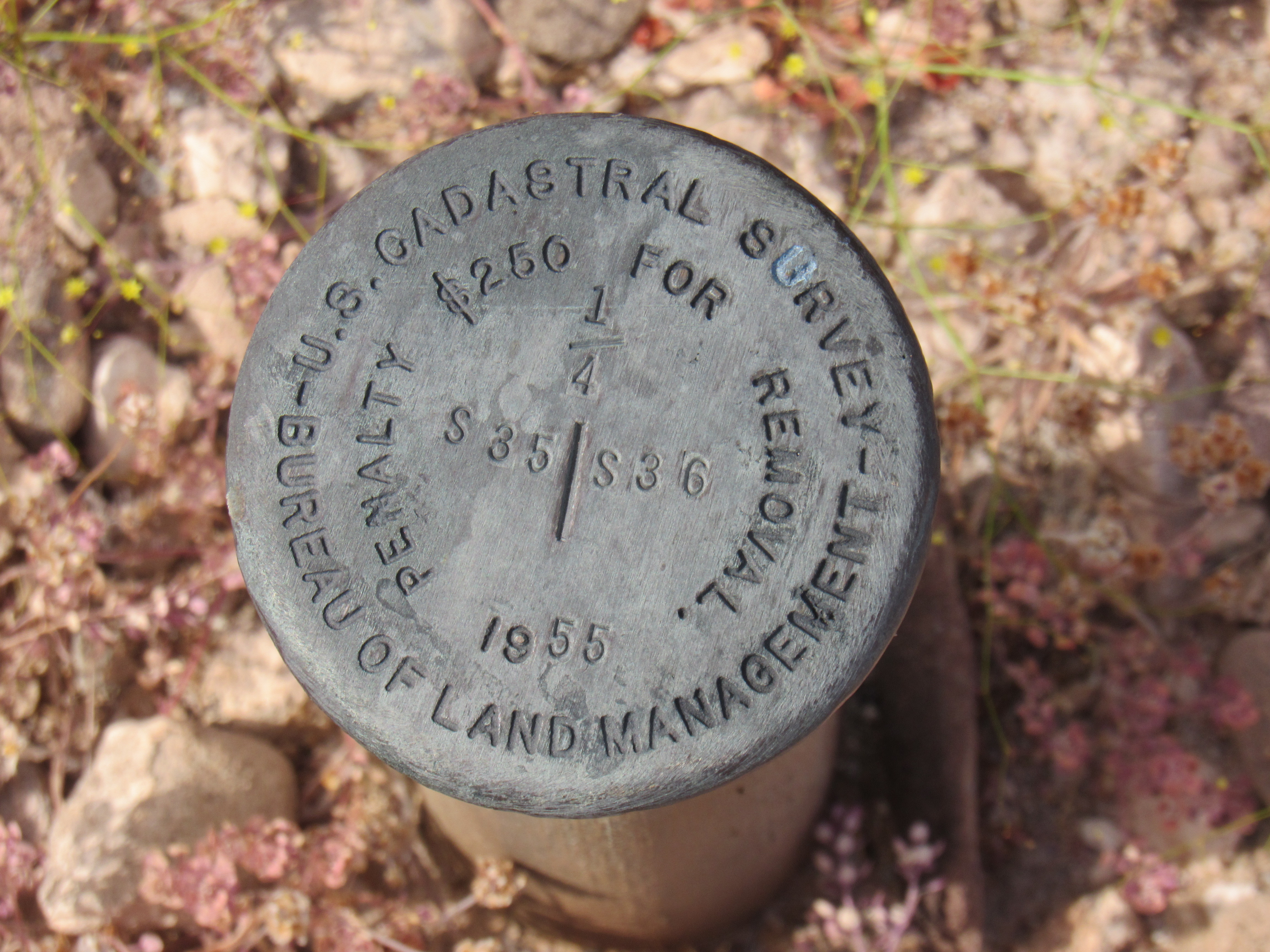
The BLM marker
It was a BLM marker, and was right on the line dividing Sections 35 and 36 along my path – a curiosity, nothing more.
All I now needed to do was drive a few more miles through this flat valley – it should have been the easiest part of my day. Alas, it was to be anything but. Since the terrain was so flat, any runoff from rainfall just sits around or barely flows. In either case, the road was really messed up. I lost it several times in the next few miles. Many channels had been eroded throughout the valley – if there had been more of a slope, it’s likely that one major wash would have handled all of the runoff – one wash to cross instead of many smaller ones. Much time was spent walking around and looking for the road.
At one time, I had contemplated trying the northeast side of Peak 2620, the big one I’d finished earlier. As I made my way through the valley, I had this great view of what was actually the northeast face of the peak. No country for old men, this face was 2 miles long.
The northeast side of Peak 2620
At 11.0 miles, I passed Point 1484; at 11.8 miles, Point 1601, and the worst of it was over. It was 4:00 PM by the time I reached an east-west road that was my goal, a road that ran along the north side of the range. I had traveled 12.4 miles since leaving Red Raven Road yesterday evening, but it seemed like much more than that. It had been quite the journey. At various times, I had been excited, puzzled, concerned, awestruck, relieved, scared and happy. What a ride! It truly was the road that time forgot. Thanks for coming along to keep me company.