
There it sat, right next to the freeway – I’d driven past it a hundred times over the years but never paid it much attention. A mid-May day with temps only in the 70s – well, it was too good to resist. By the time I’d arrived, parked and was ready to go, it was 7:30 AM. A striking feature of this area is the unusual rock formations. Here’s a look at some of them I came across.
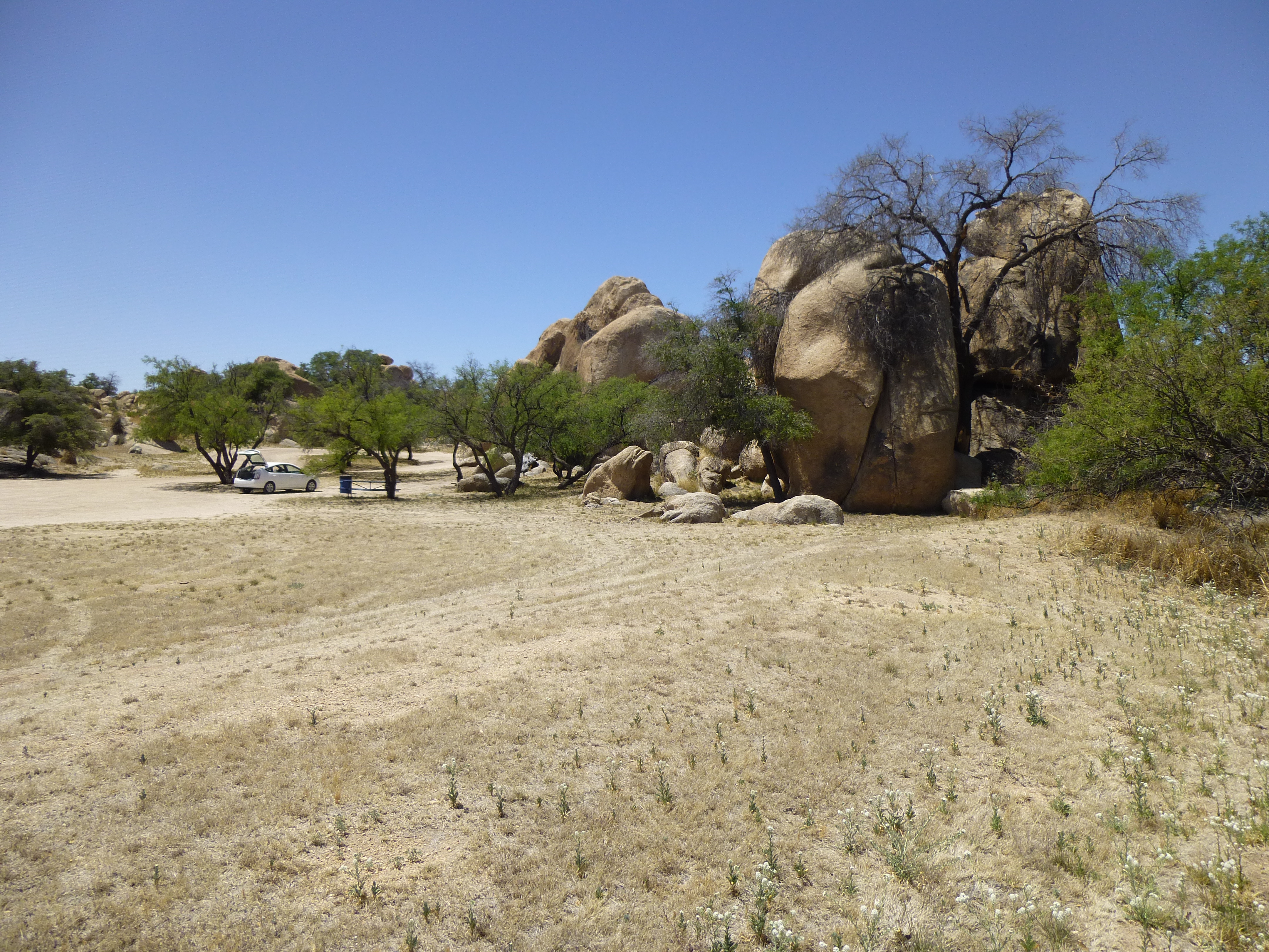
I started walking up a dirt road and within half an hour had reached its end. There was a particular spot on the mountain that I wanted to use for my climb, a steep spot that was a bit more free of outcrop and should allow for an easier ascent. Heading cross-country at the same elevation brought me to it. In this next photo, it’s the swath heading up just to the right of center. It’s hard to get a sense of scale from the picture, but it’s a solid thousand feet of climbing to get to the top.
The way up
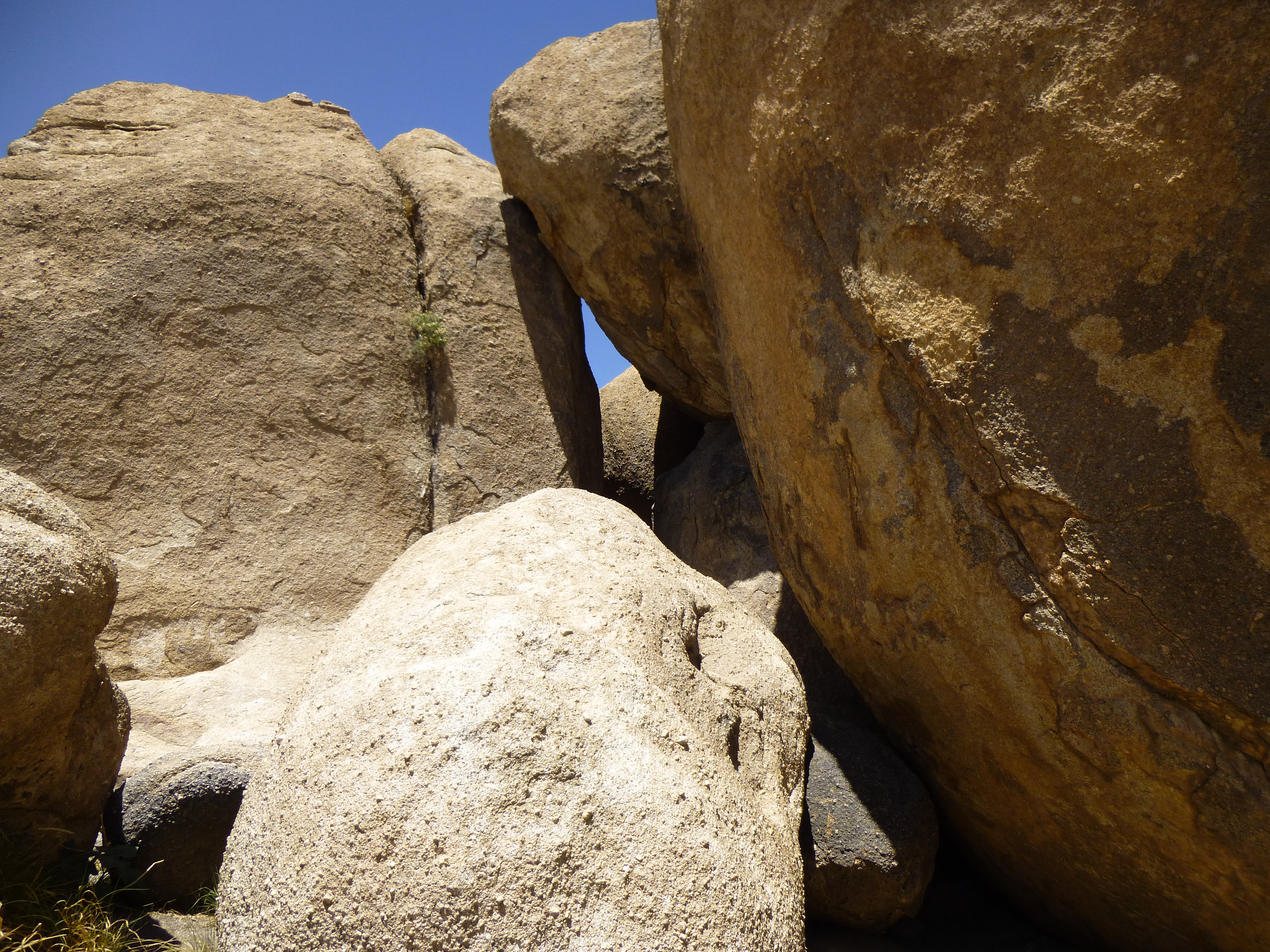
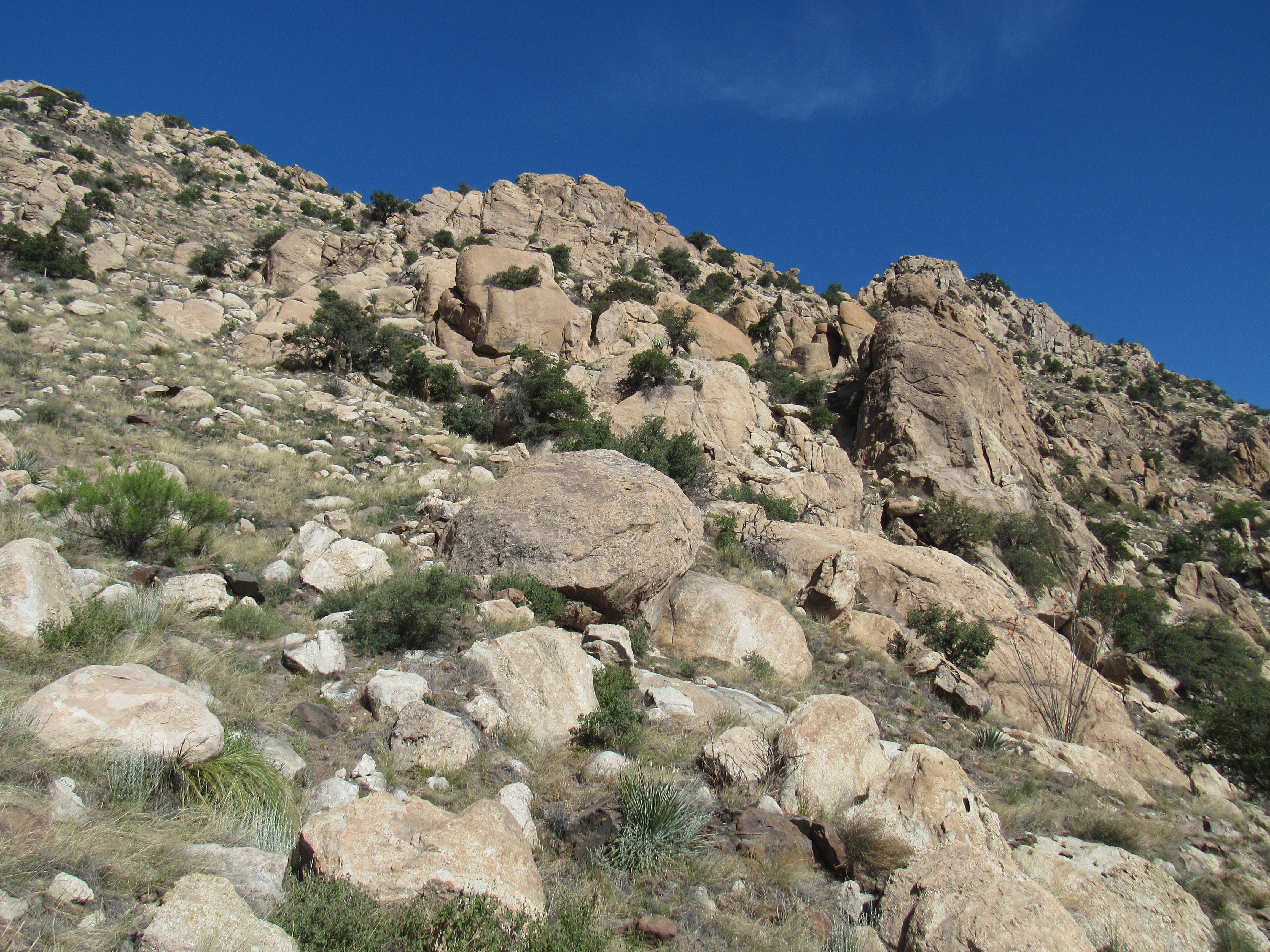
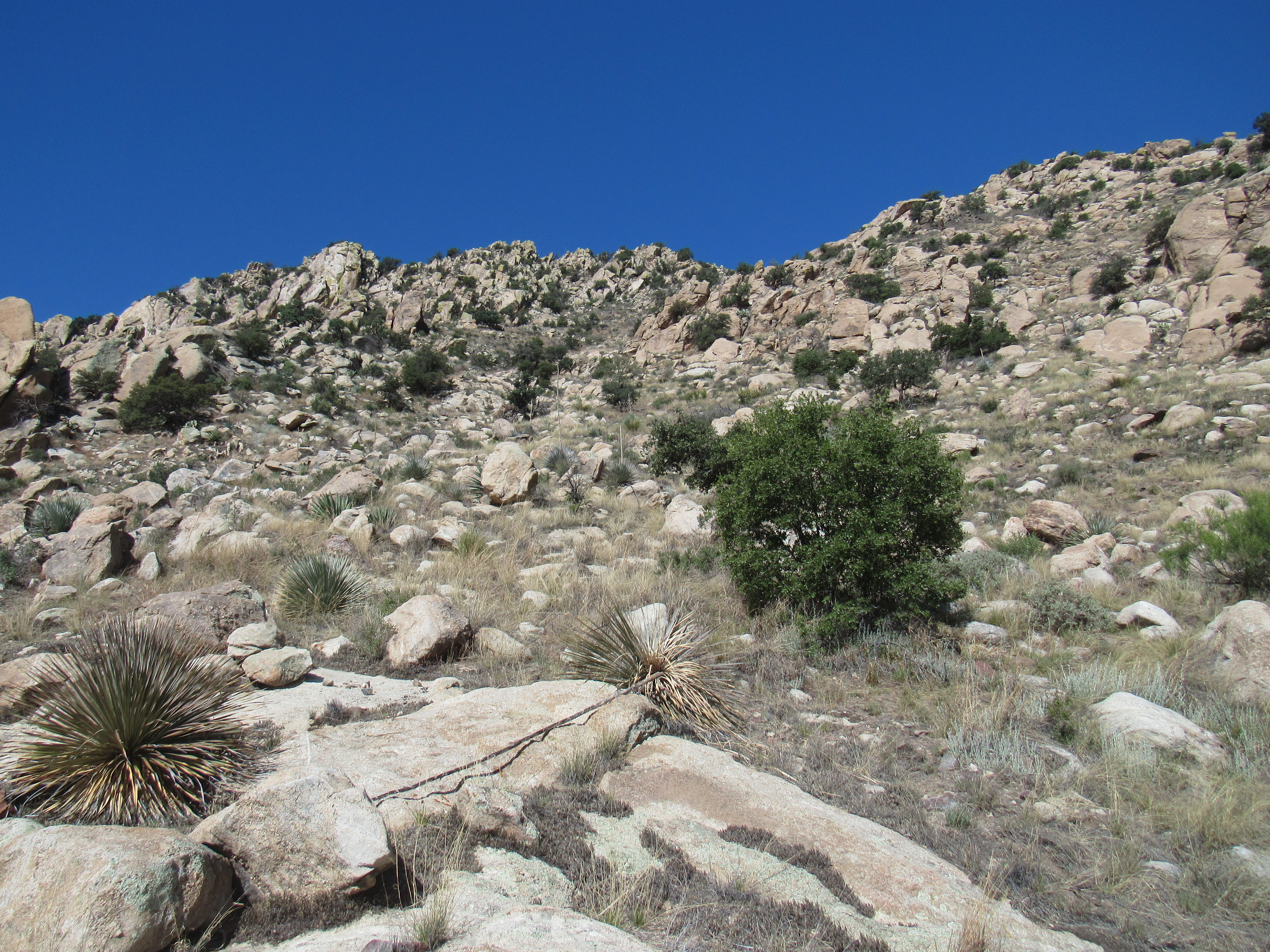
Heading up the slope, I was rewarded with plenty of scenery, none of it half-bad.
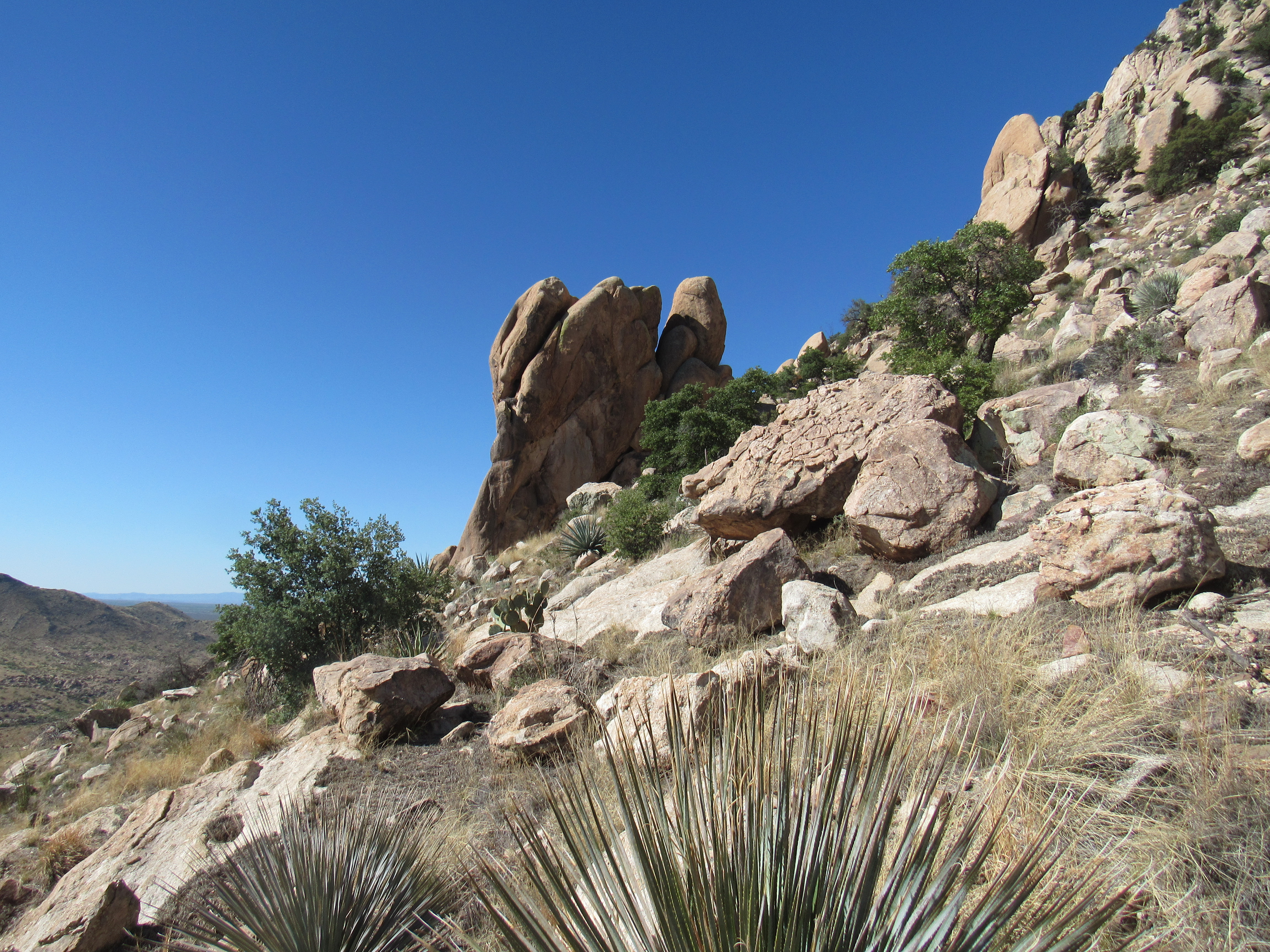
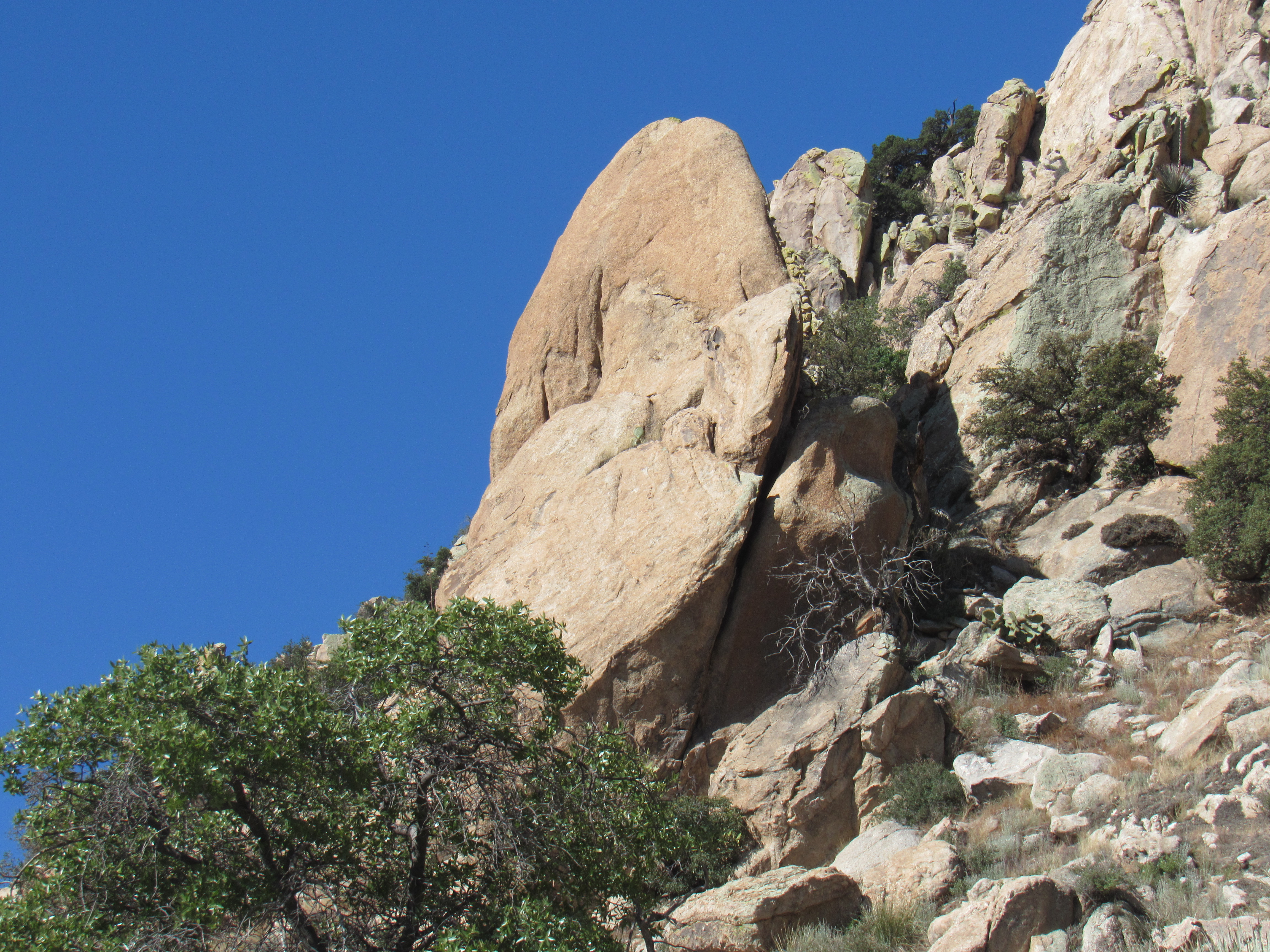
The entire slope was covered with huge boulders and outcrop. It was just a matter of dodging all of that to keep heading up.
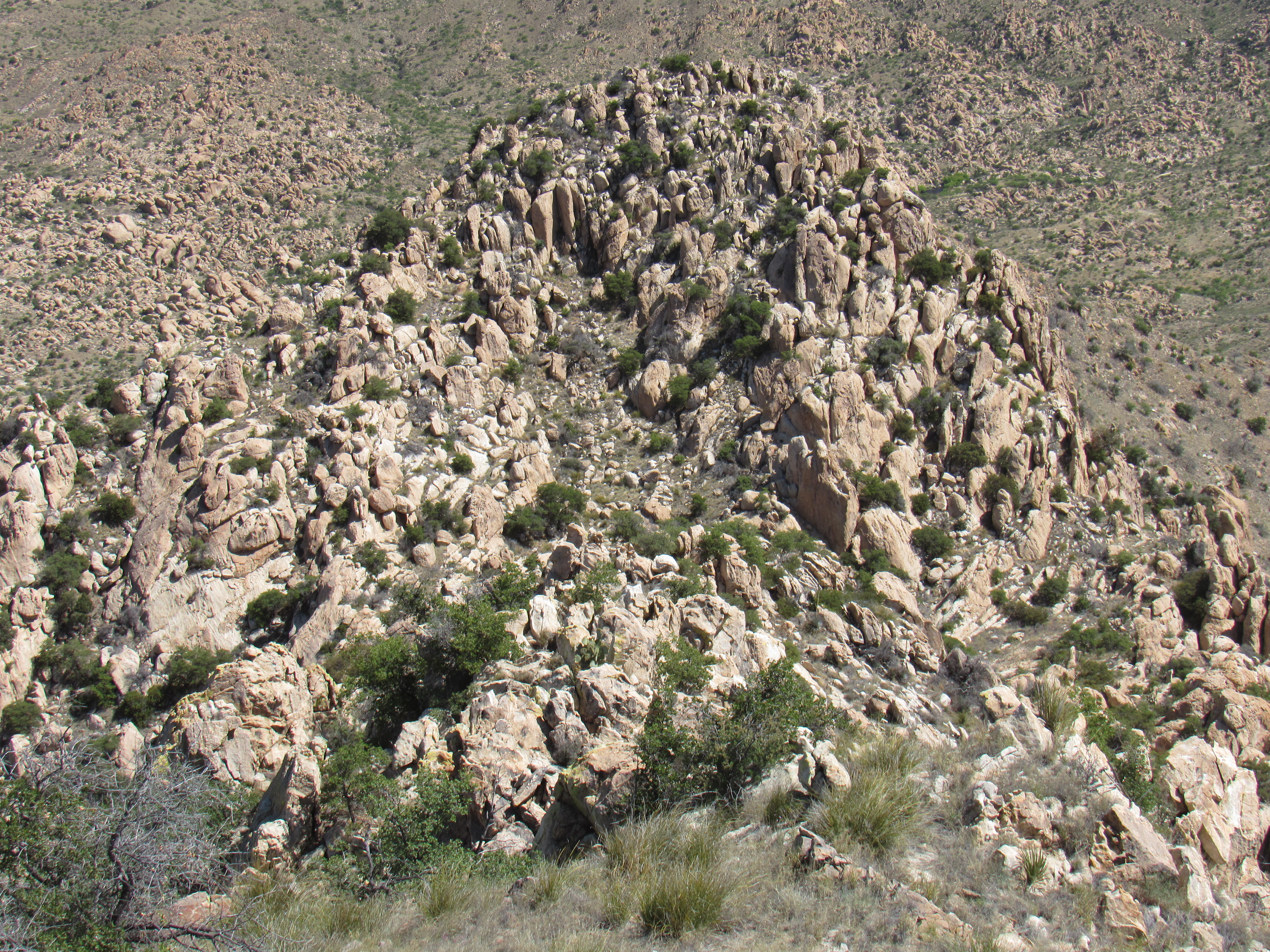
Man, there was a lot of rock on this mountain! How about this view, taken from the summit ridge – we are looking north, down on to a major bump lower down on the ridge. It’s still a thousand feet to the desert floor beyond that.
The last 300 feet of climbing was up an enjoyable, rocky rib with nothing worse than a bit of Class 3. Finally, about 2 hours after leaving my vehicle, I walked on to the gently rounded summit.
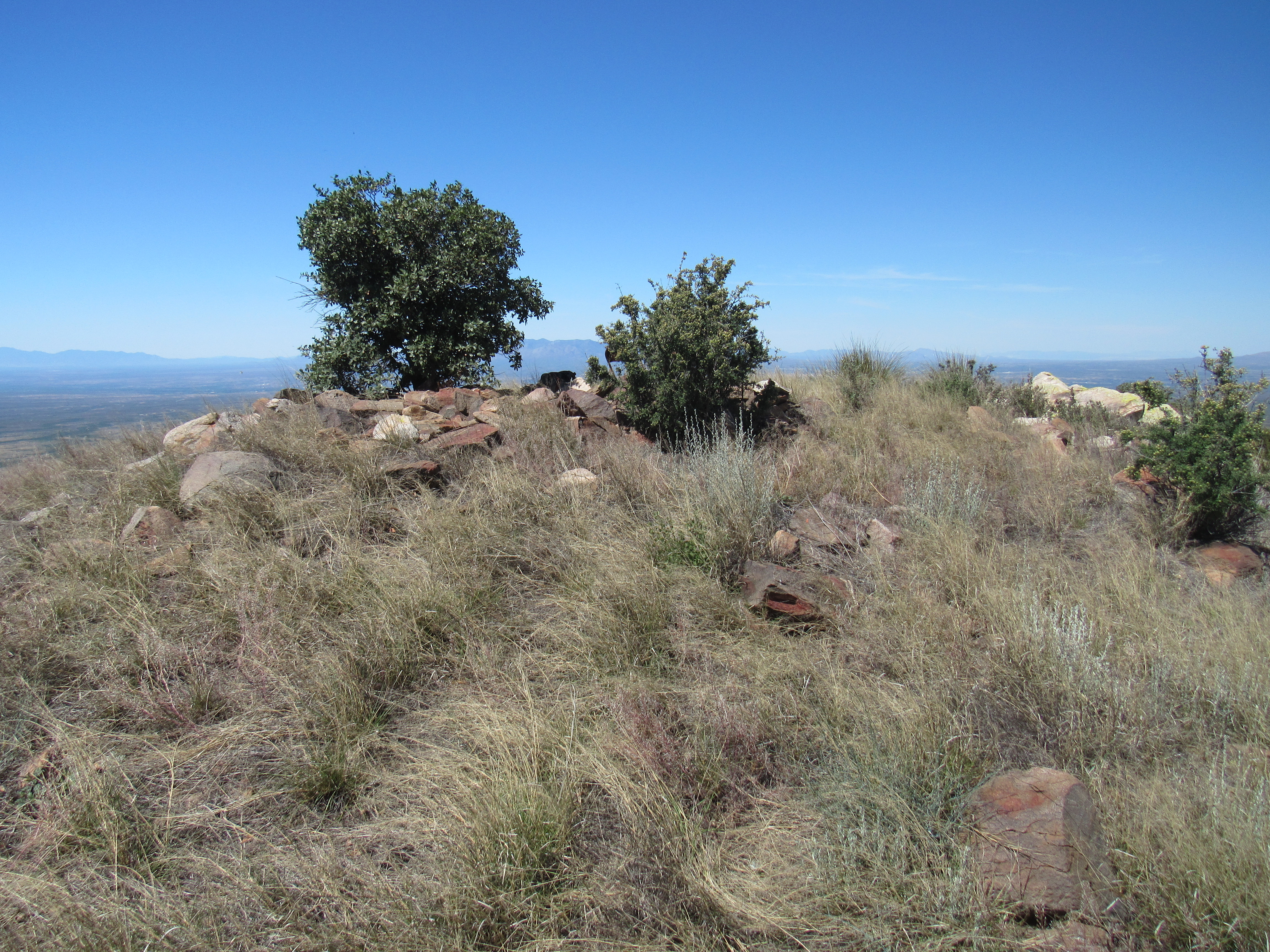
The first thing I saw was the summit register – the jar with its many entries was protected by a plastic bag and sat under a tree.
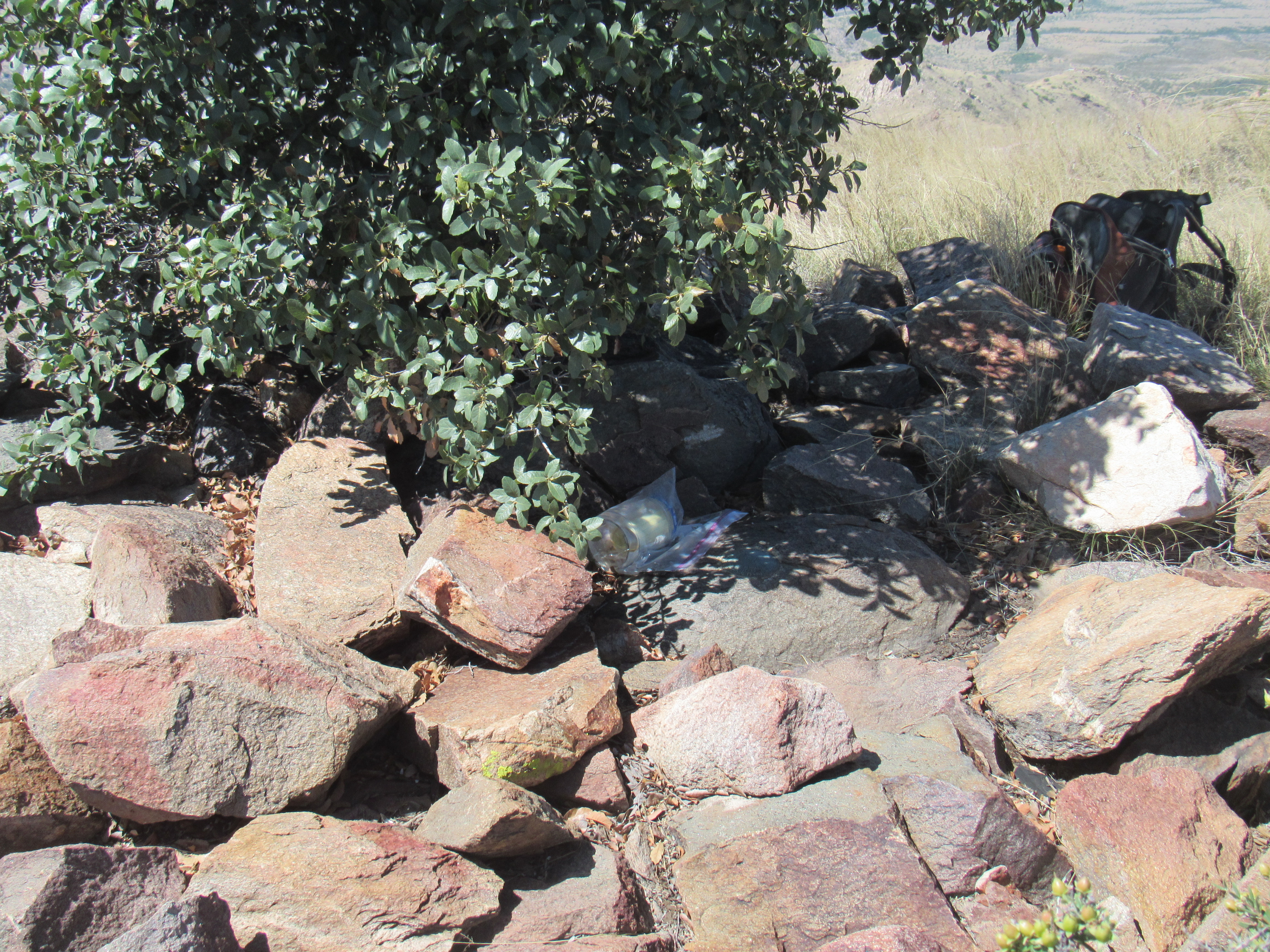
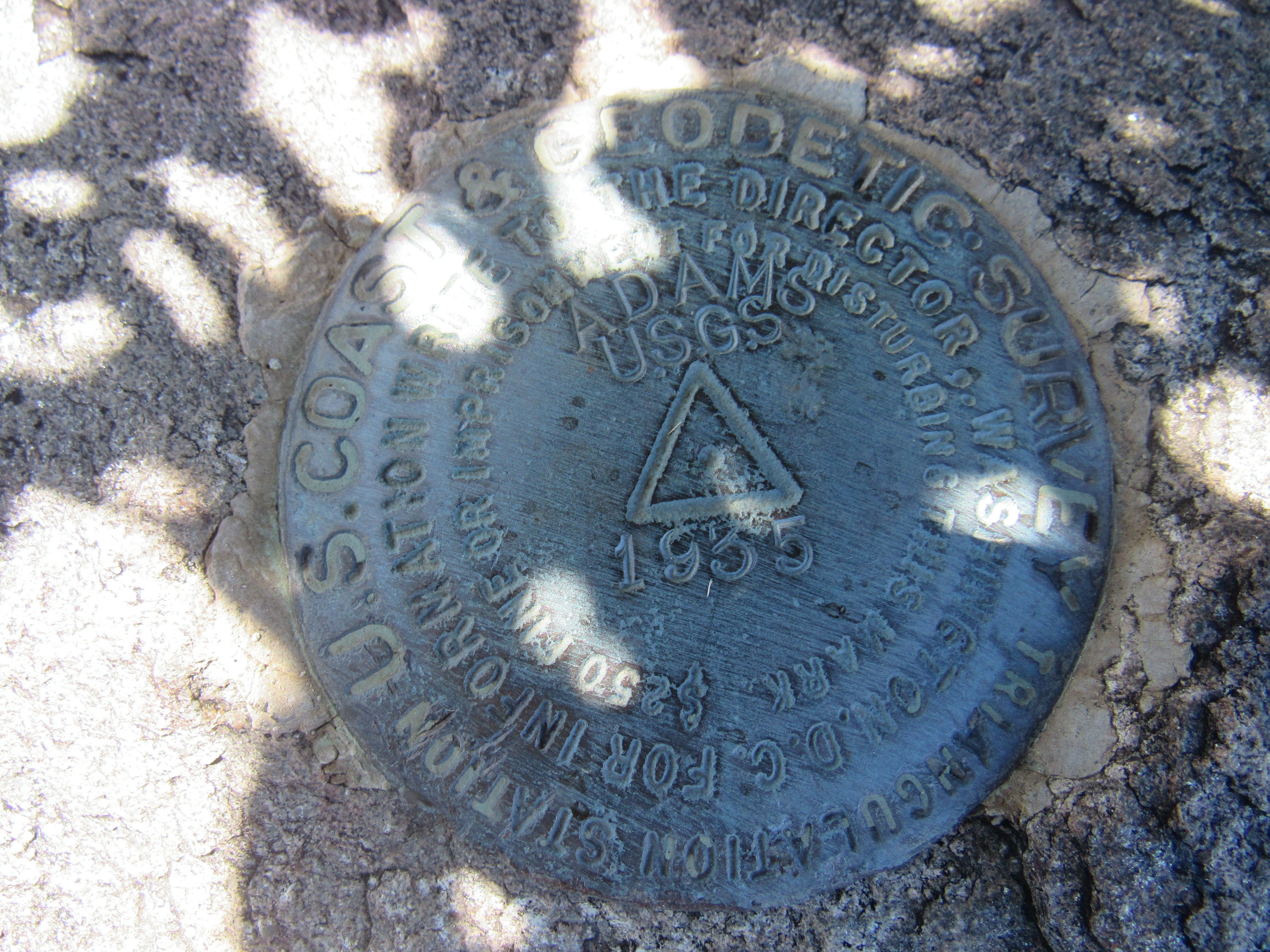
It sat right beside the benchmark.
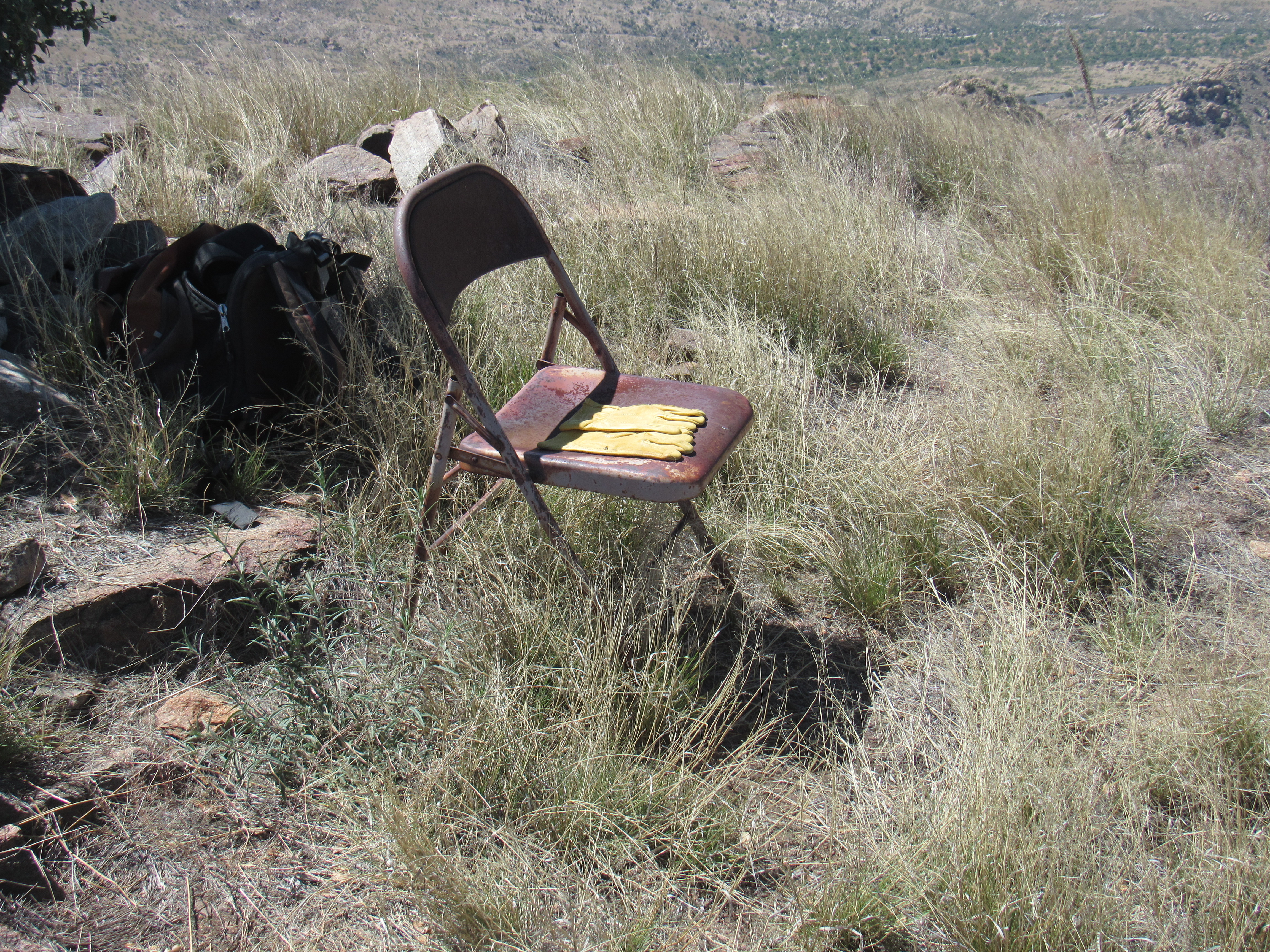
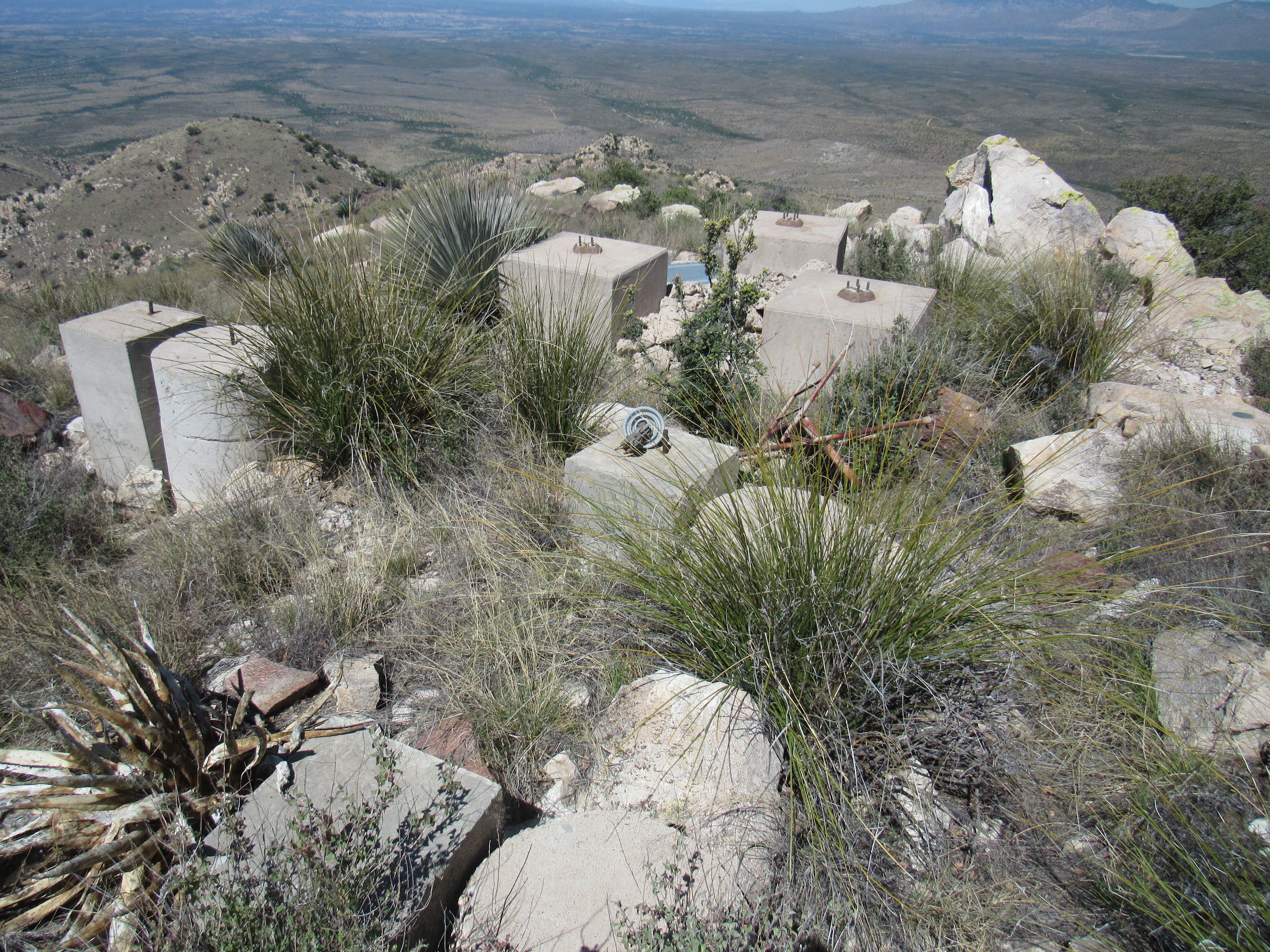
An odd thing about the summit was the presence of 2 rusted, metal folding chairs – a heavy, awkward item to carry to the top.
Some structures used to stand on this mountaintop, attested by these heavy metal pieces marking 4 corners.
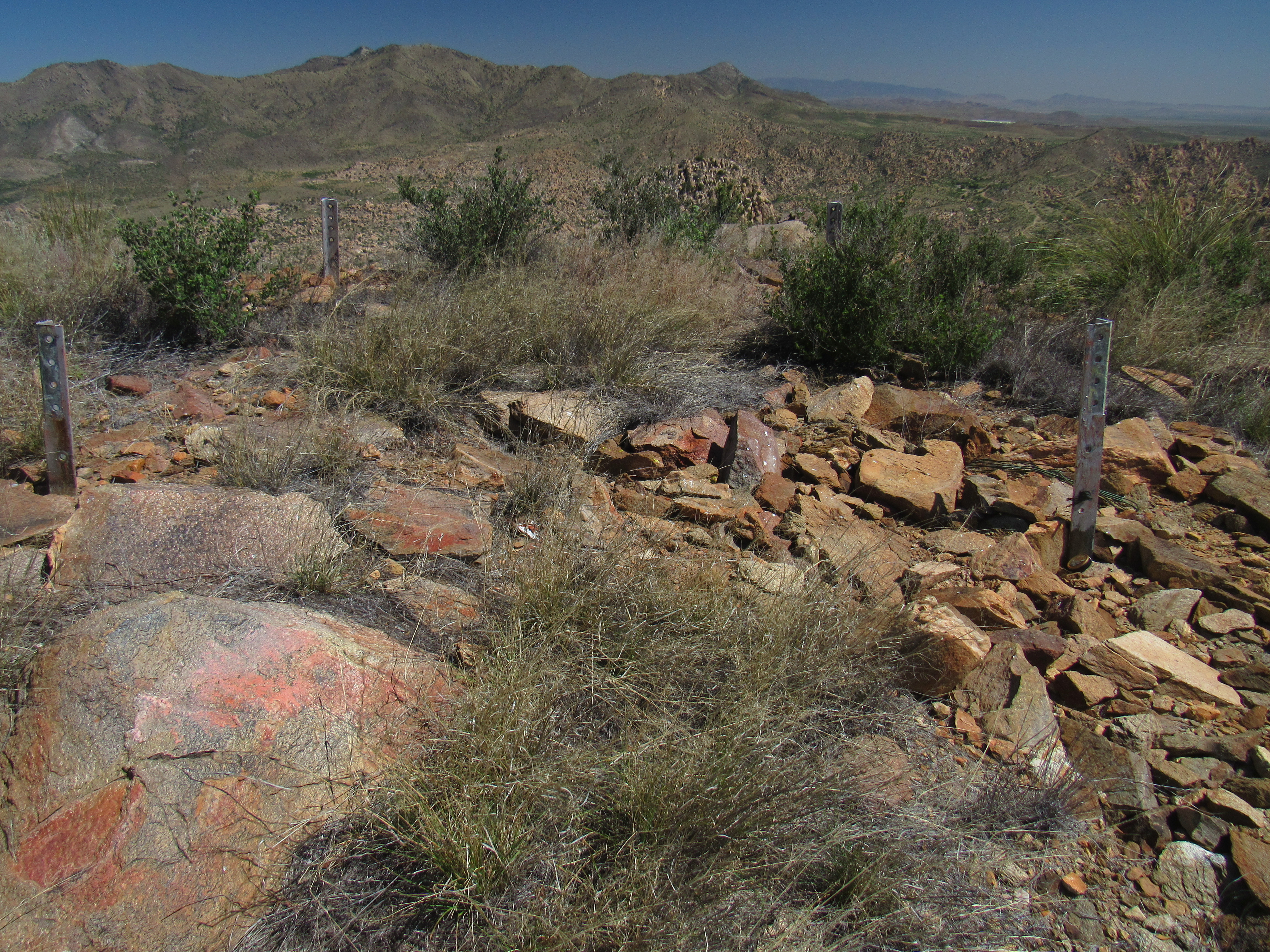
And also these concrete pillars – perhaps there had been a forest service lookout up here at one time.
After I published this story, climber friend Andy Martin did some excellent sleuthing and came up with this information:
The FAA used to have a beacon on top of Adams Peak. It was an intersection station, an airway beacon with a red course light 18 inches in diameter flashing the letter U (in morse code dot dot dash). The main beacon light revolved 12 times per minute and was 24 inches in diameter. The beacon was named Dragoon. In later years, the FAA abandoned it and it was then owned by the Sulpher Springs Valley Electric Coperative, who were using it as a support for a radio antenna. The tower was a four-legged structure painted aluminum in color with the platform around the top painted red in color, and a twenty-foot pole antenna attached to the northwest corner of the platform. The tower was 50 feet in height with the overall height being 70 feet. It was unlighted.
Obviously, that too had been abandoned, leaving the remnants as I found them.
The nearby freeway, Interstate 10, was easily seen from the summit – not just seen, but heard. Because it was heading uphill to nearby Texas Summit at 5,019 feet, vehicles heading east were working hard to grind their way up the slope, and the din made by their engines was non-stop.
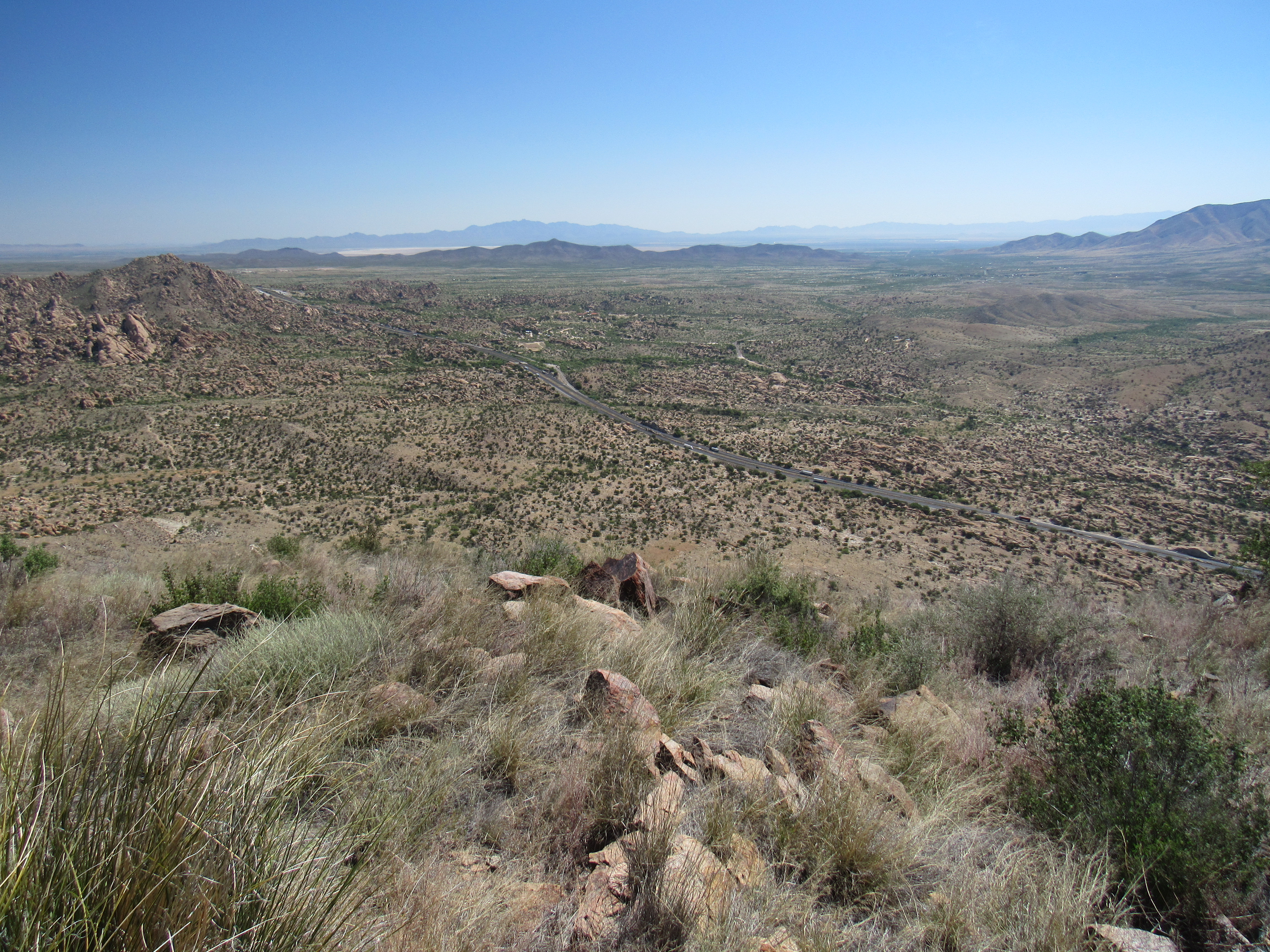
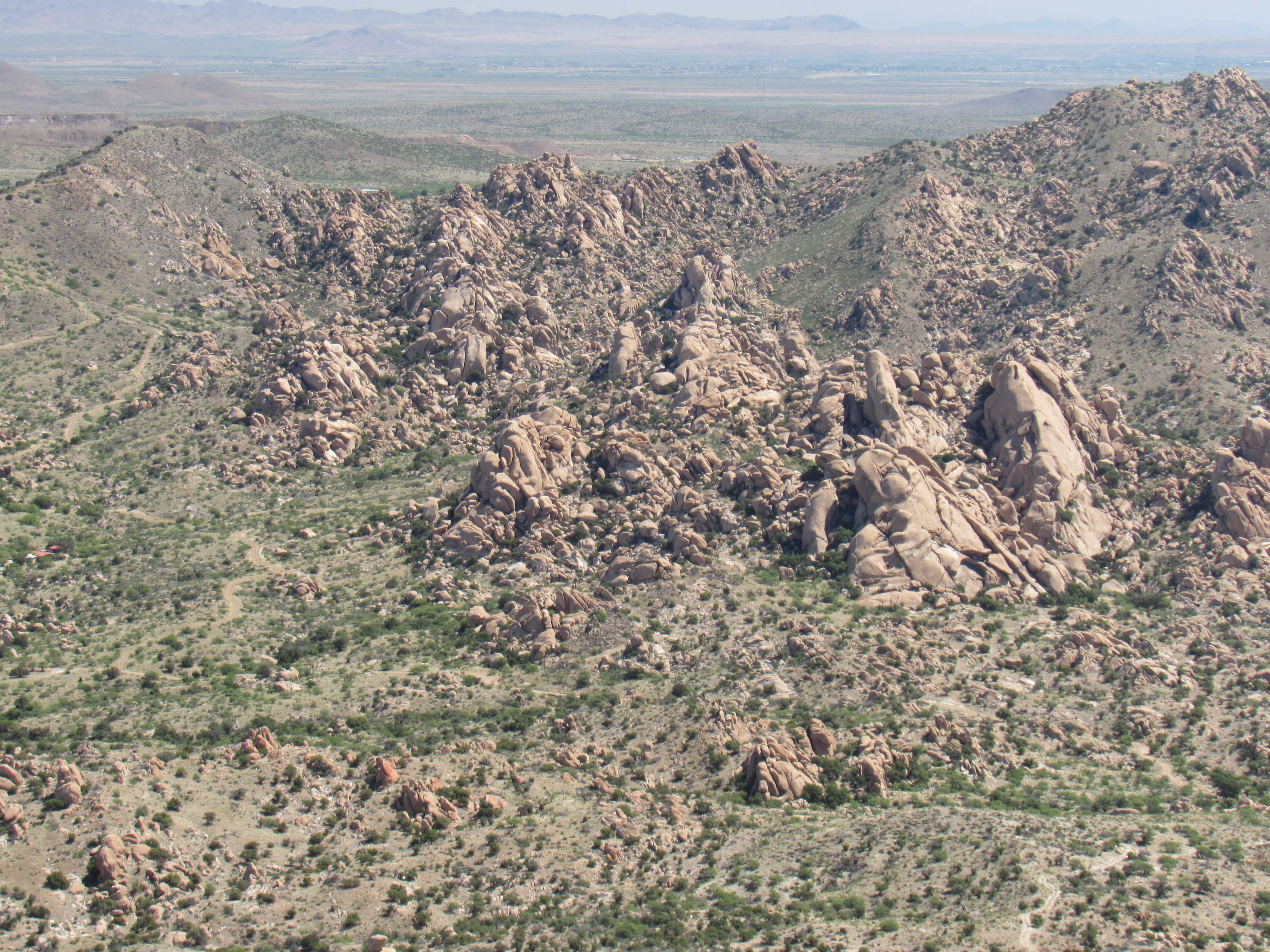
A prominent double summit known as Mae West Peaks stood about 4 miles to the north. Have a look at the sea of rock formations between us and them.
Looking north
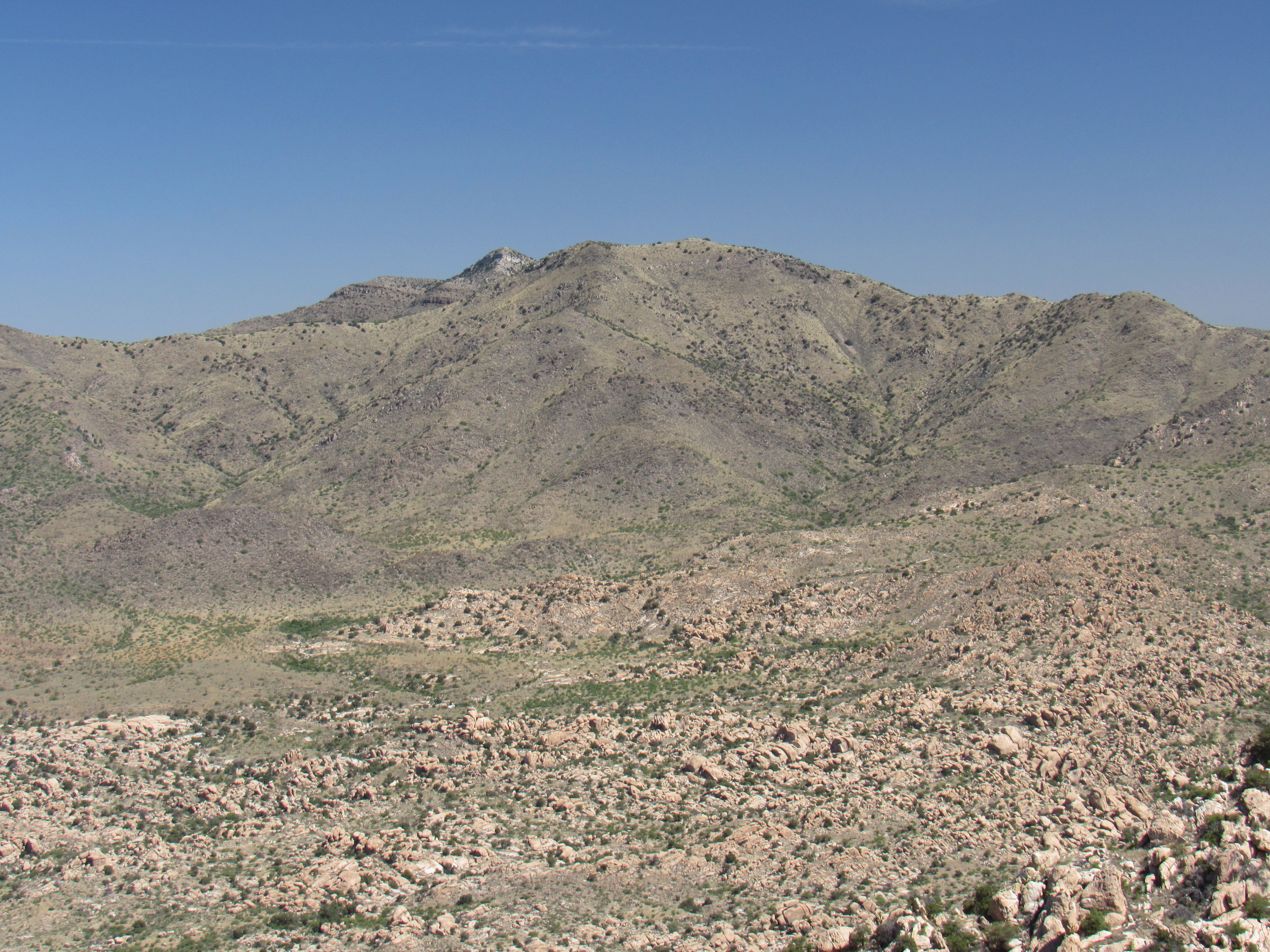
When I looked to the northwest towards the Rincon Mountains, here’s what I saw. The picture shows 3 mountains of note: on the left is Rincon Peak, elevation 8,482 feet; the middle one is Mica Mountain, elevation 8,664 feet; on the right and farther away in the background is Mount Lemmon, elevation 9,157 feet (all of them are on the skyline).
Looking northwest
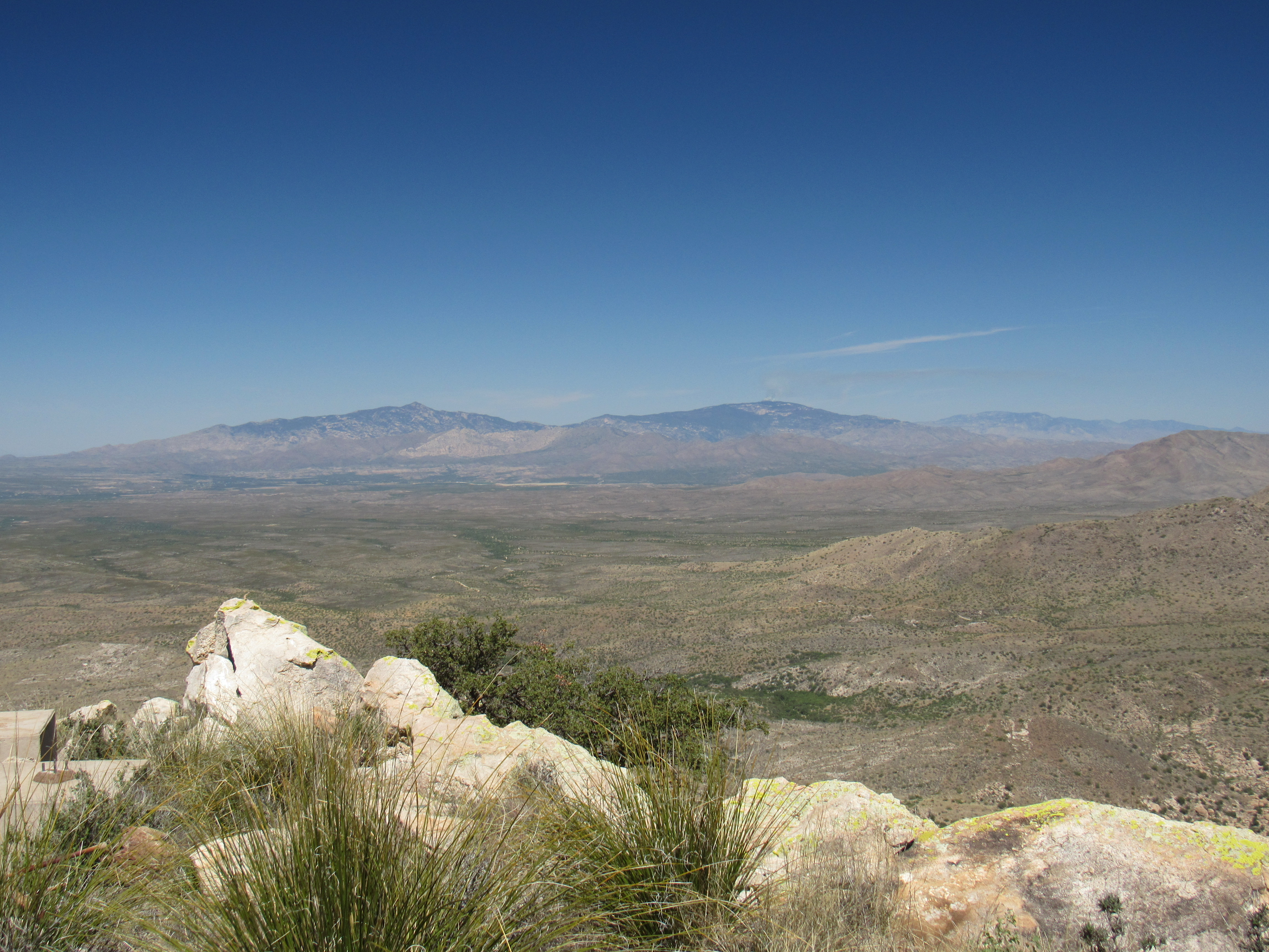
But as I gazed northwest, what to my wondering eyes should appear but this:
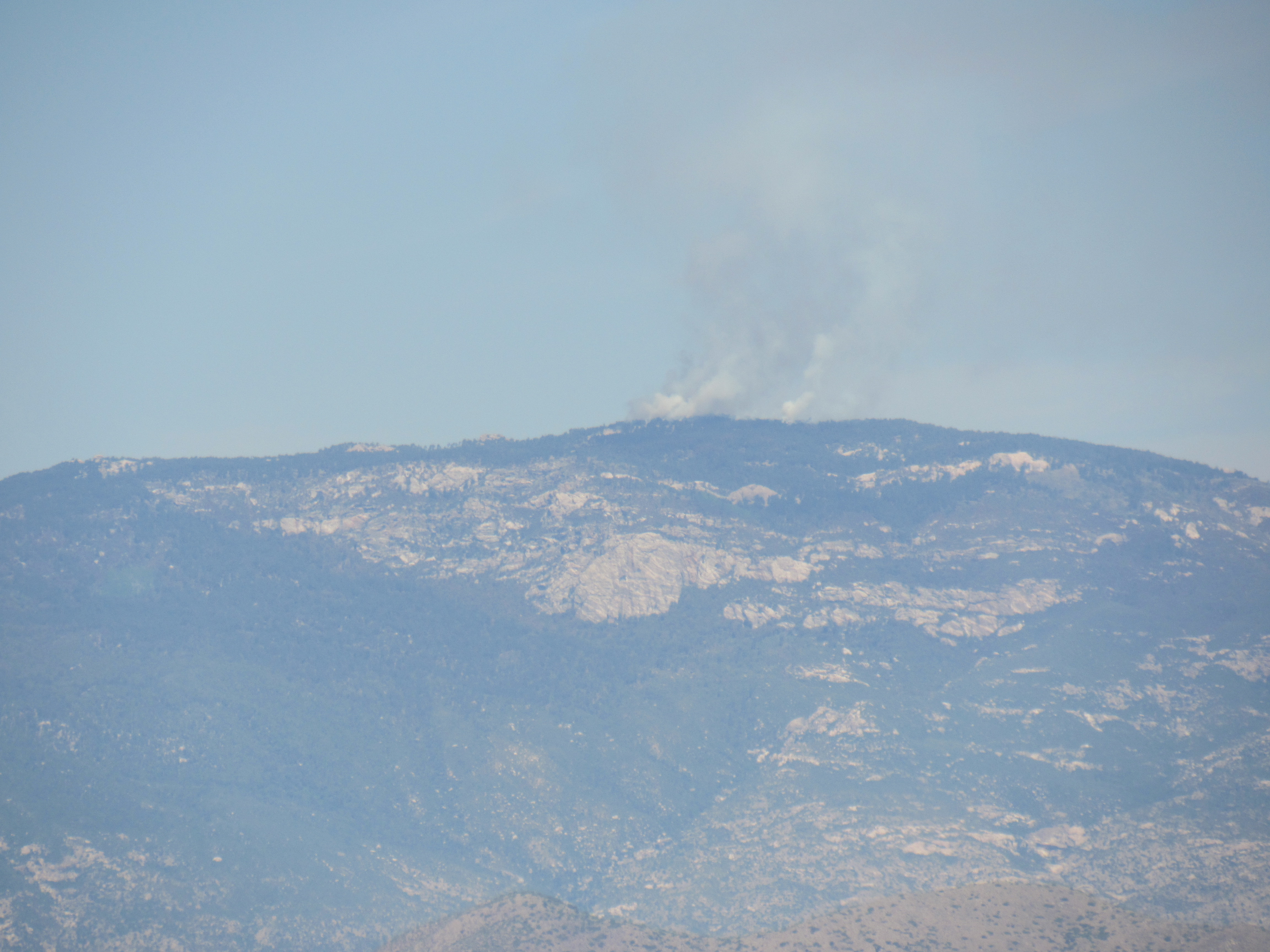
The fire
It was a forest fire burning atop Mica Mountain. I hope they were able to contain it, because when I was driving home hours later, the plume of smoke was much bigger.
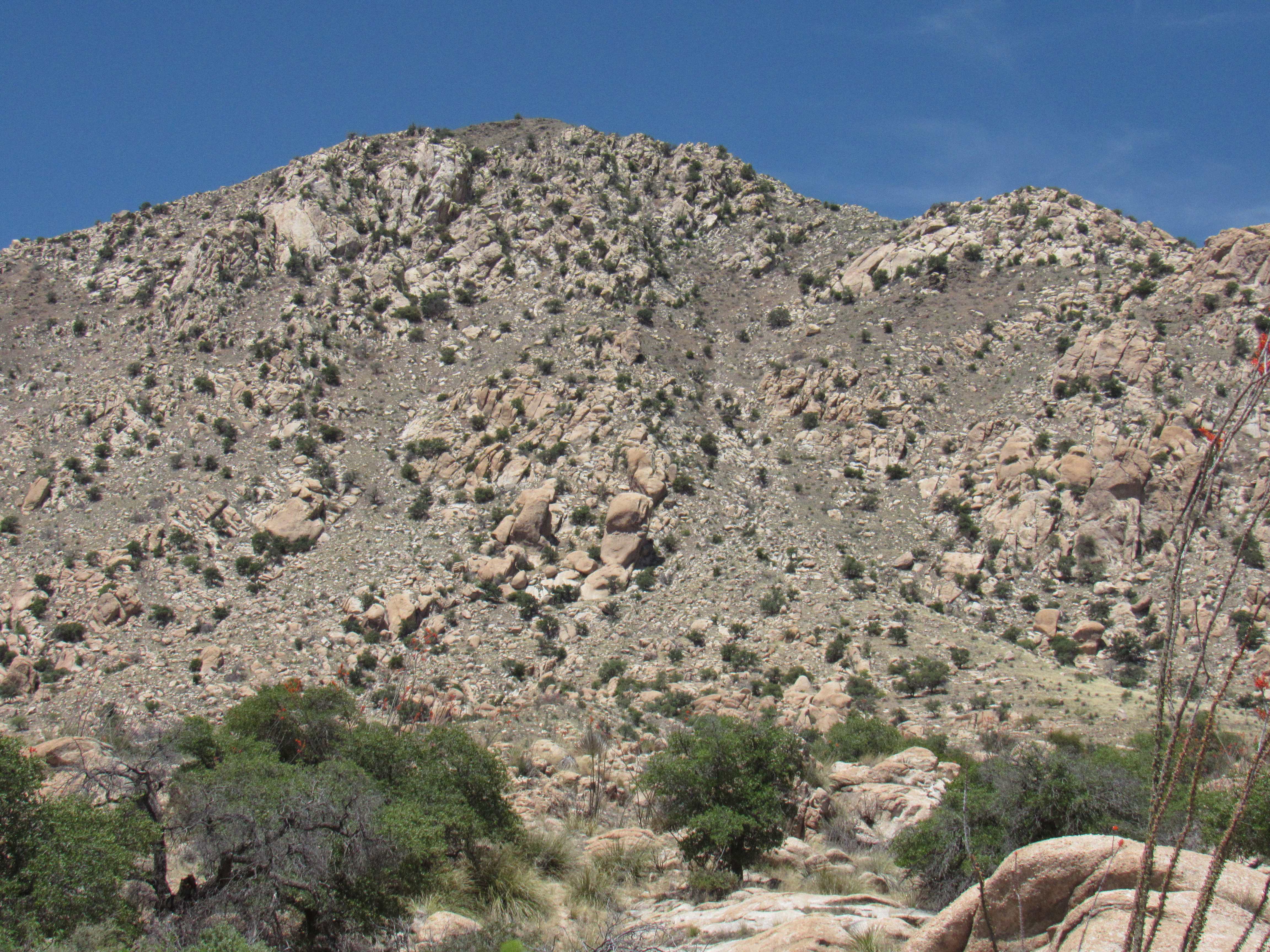
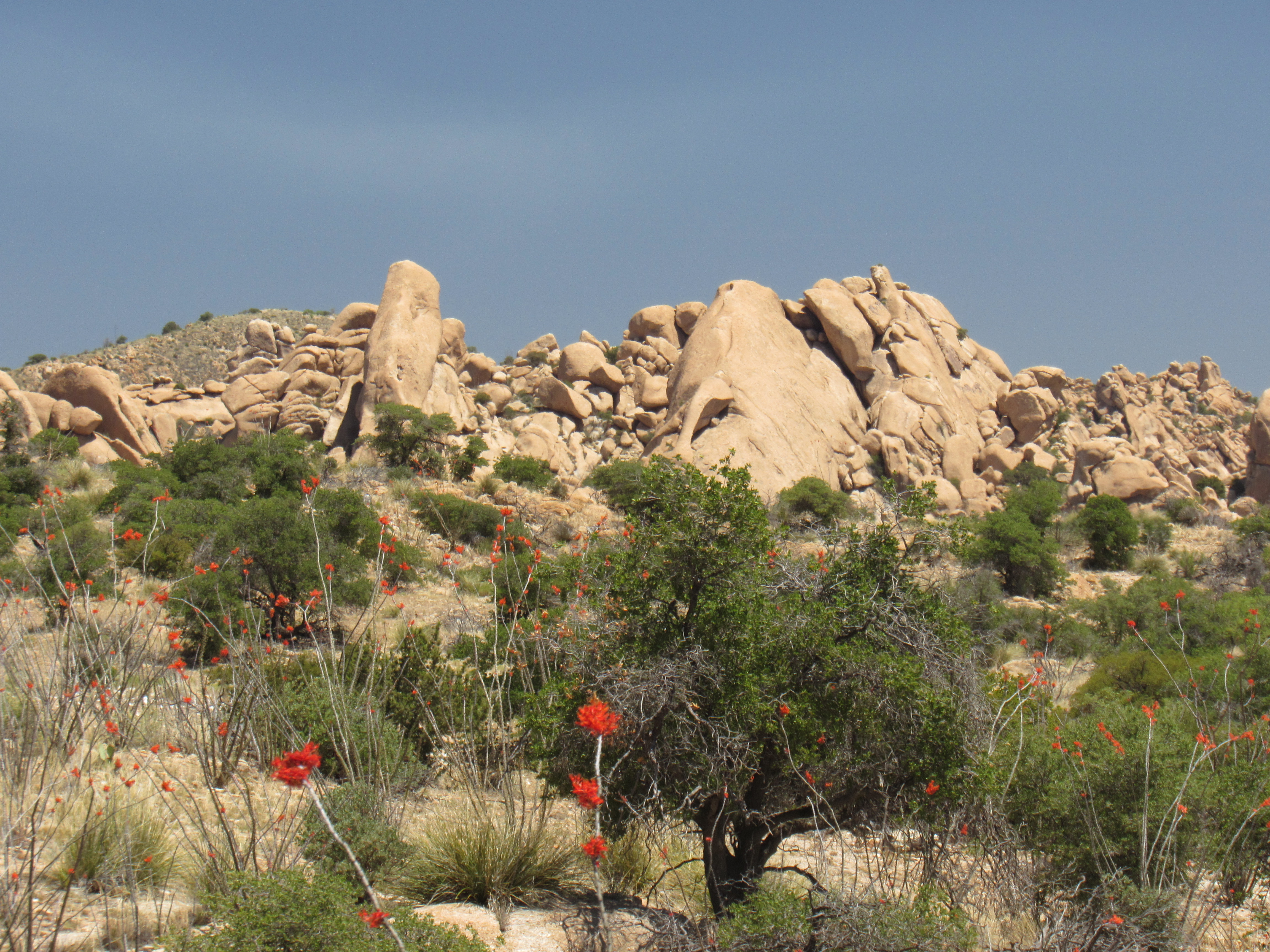
After a nice stay on the summit, I started down. It was hard to not be distracted by the rock formations, like this set about 2 miles to the northeast. Some of these stood a hundred feet high and more.
Rocks everywhere
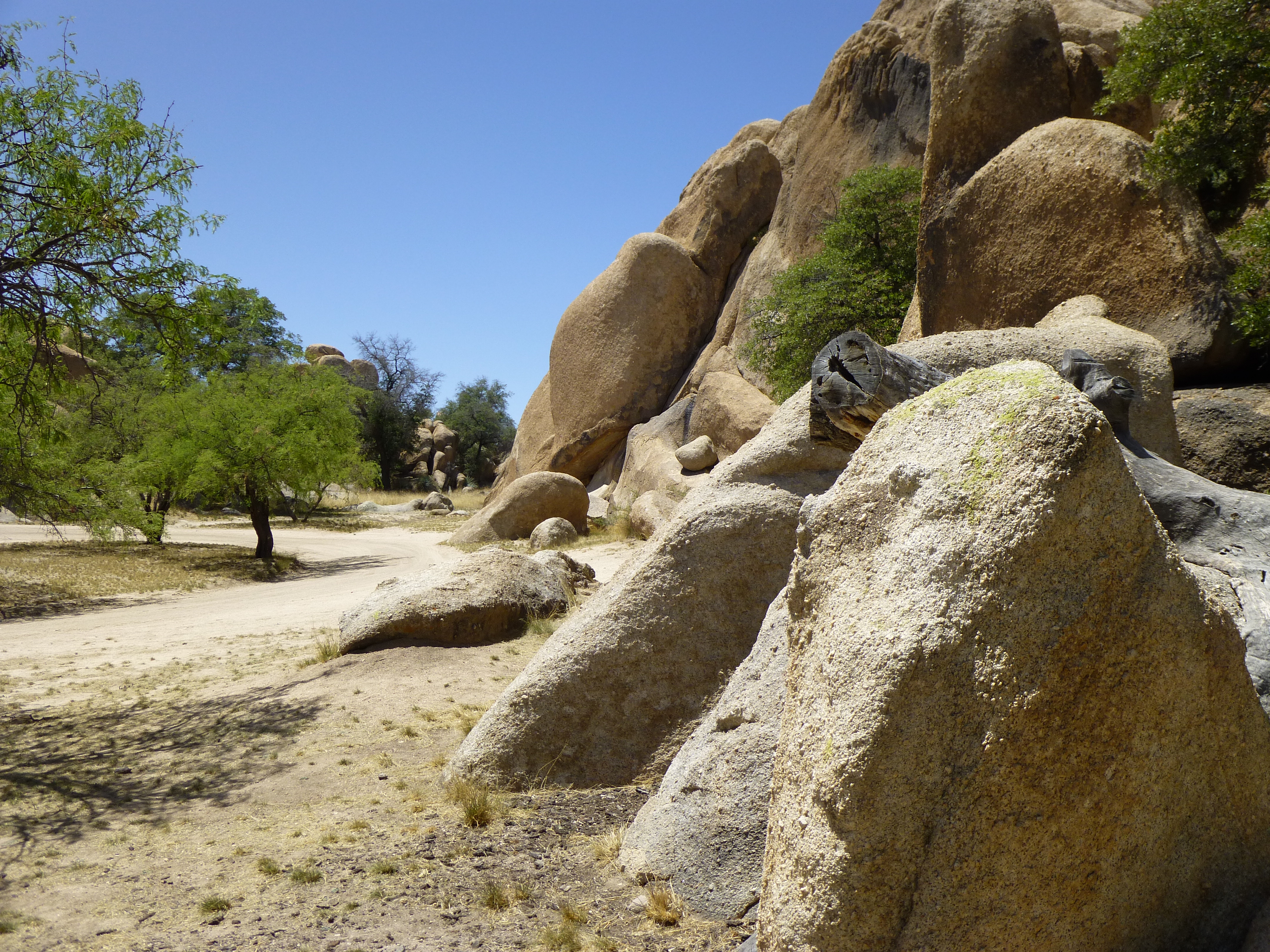
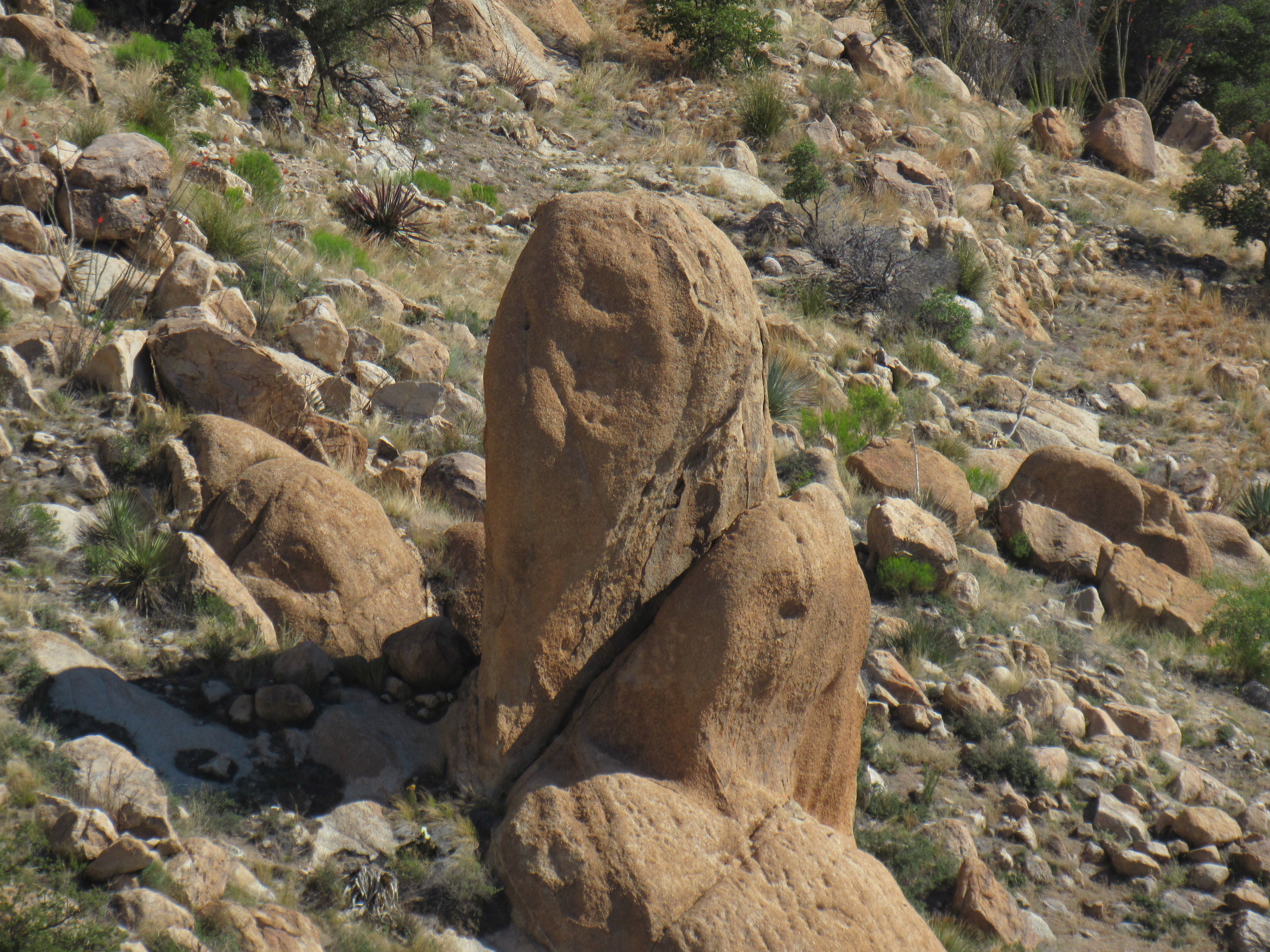
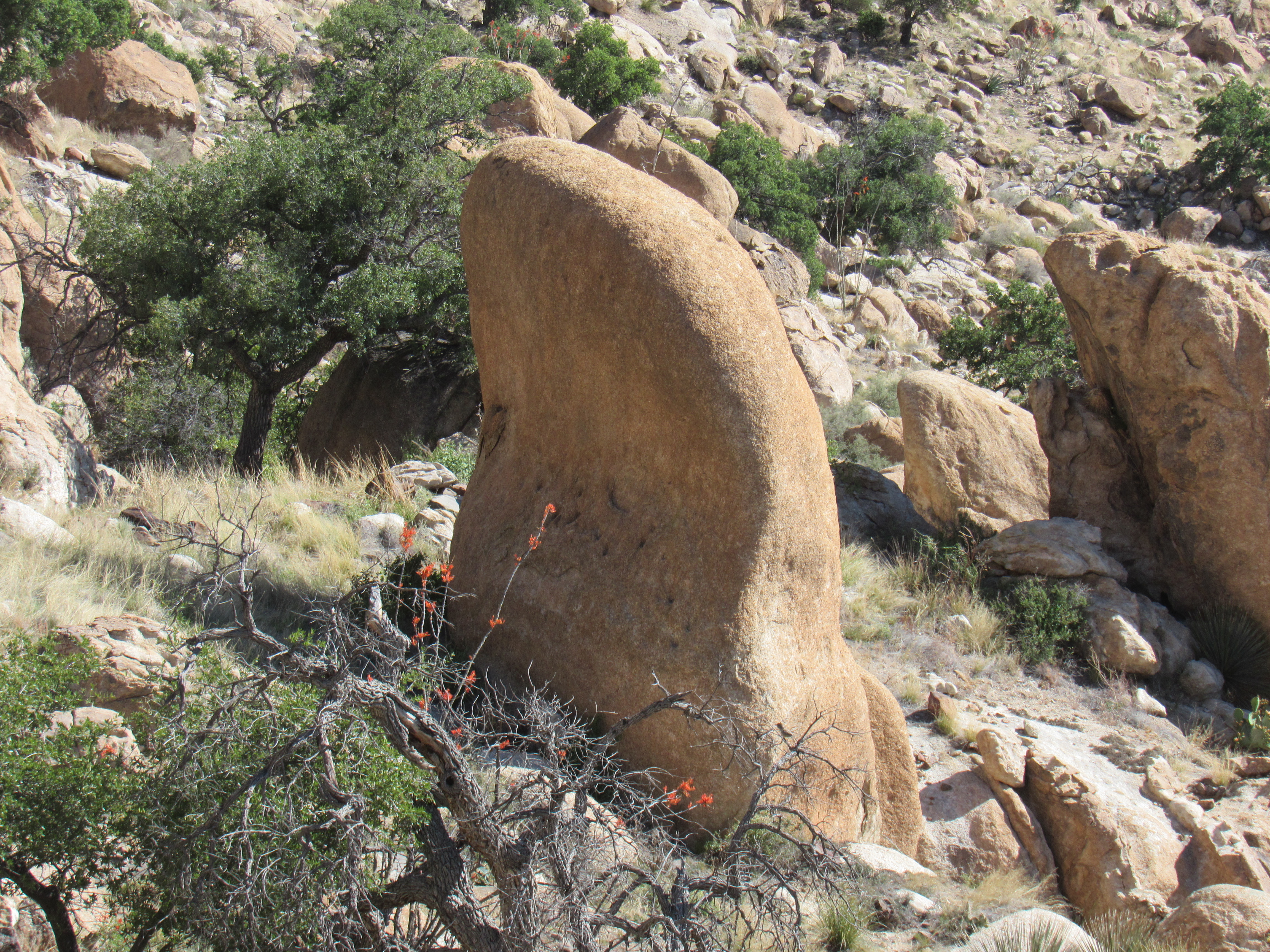
Once down the steepest part of the slope, I took a different way back to my vehicle. Even then, I was surrounded by amazing granite.
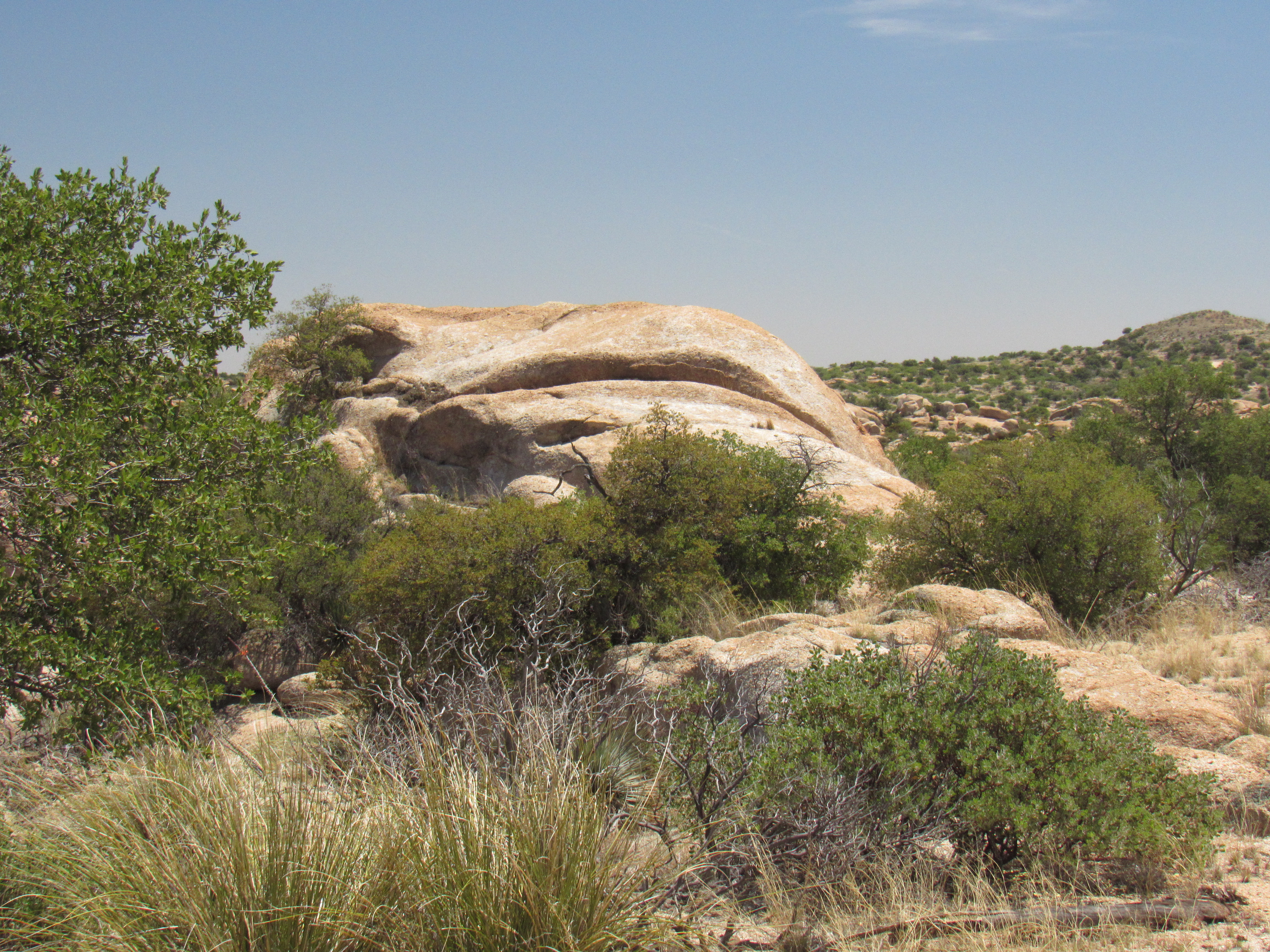
Rocks
More rocks
Thinking I’d save myself some time and effort, I elected to walk back along the shoulder of the freeway for the better part of a mile. That was a mistake, and about as aesthetically unpleasant as could be – vehicles screaming by at 75 miles an hour, and walking through an endless stream of litter. God, people can be such pigs! It would have been way better to have returned the way I came in the morning. Lesson learned – in the future, I’ll take nature over civilization.