
Please be sure to read the first chapter of this story before starting this one.
Day 3 – Sunday, January 21, 2001
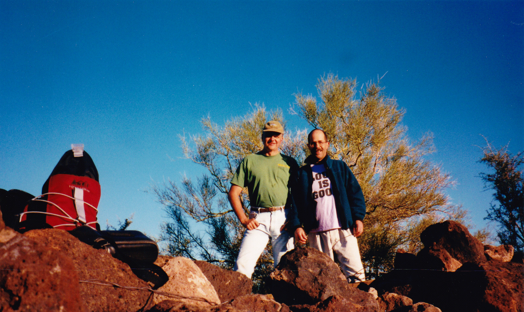
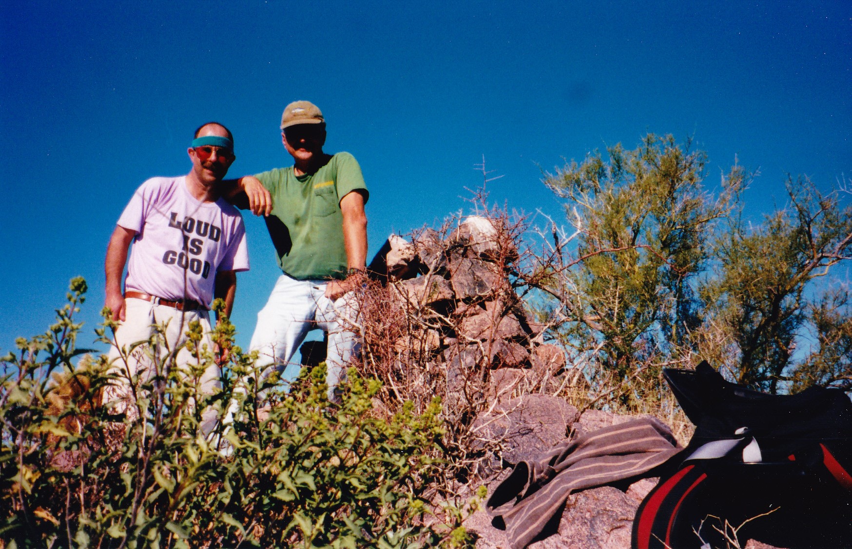
Well, we survived our first night together in the back of Dave’s truck. Dave snored, but so did I – he was lucky enough to fall asleep first! We arose early, to a blue-sky desert morning. First on our agenda today was the Vaca Hills, which were to the north. We set out across flat terrain, reaching the base of our peak after 2 miles, then climbed a cholla-infested slope to gain a saddle to the southwest of the summit. From there, we quickly climbed the last 200 vertical feet to the top. Peak 2921 was the highest point of these hills, and we found no evidence of any previous climbers. Here we are on top.
The highest point is not the only peak of these cow hills – to the north lie 3 more fine summits. Here’s a distant view of them, taken on a later trip.
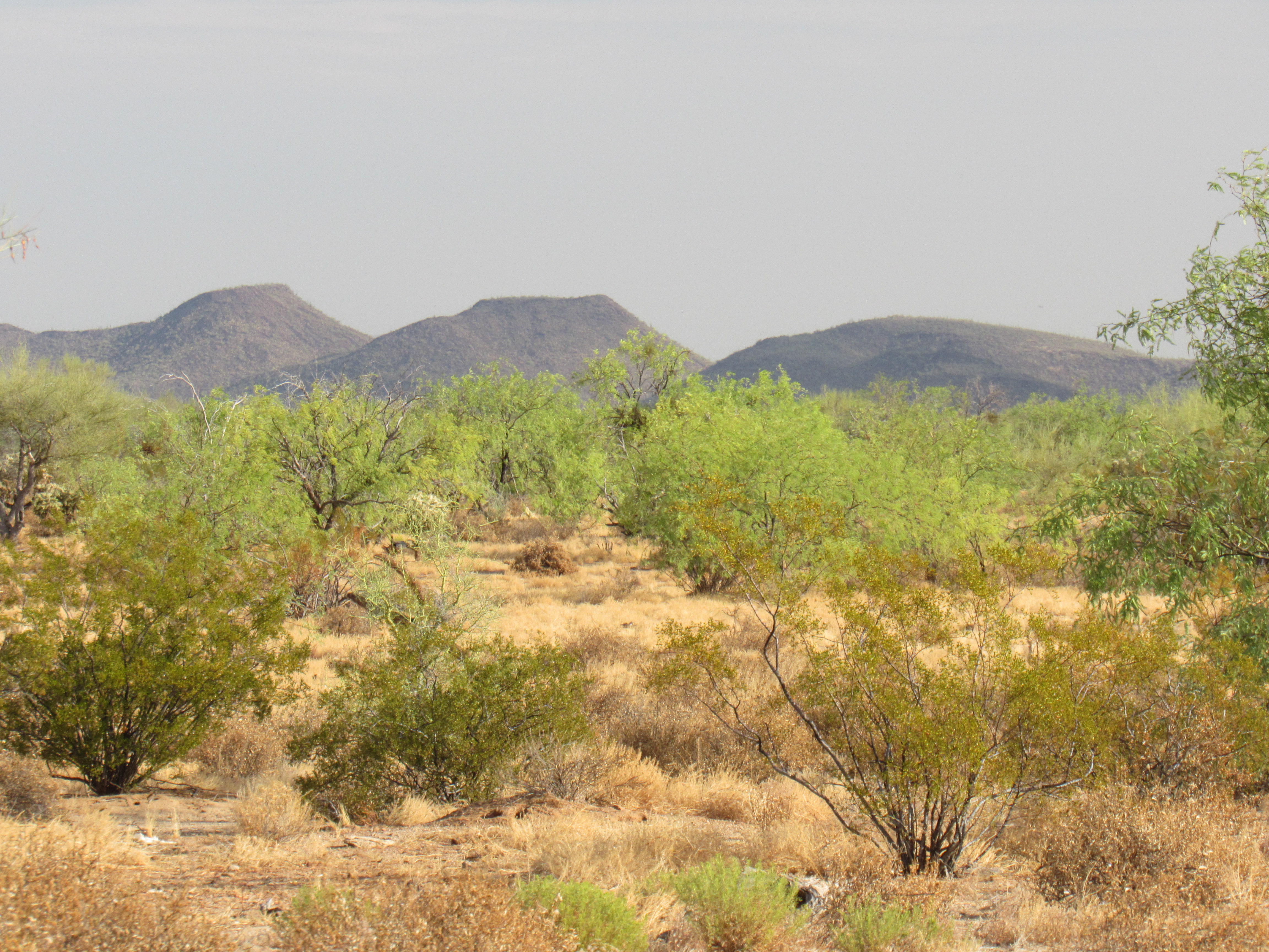
Three more Vaca hills
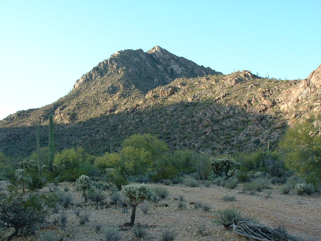
And here’s a view taken from near the truck, looking north to our peak. The saddle is plainly seen down to the left of the summit.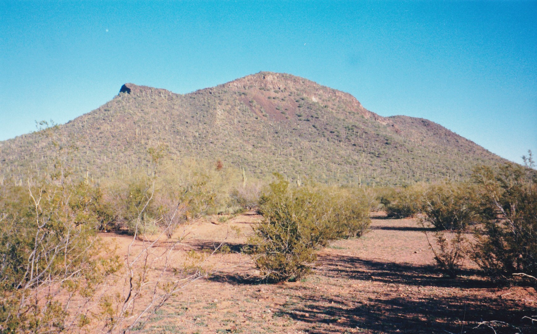 Once back at the truck, Dave was forced to follow his tire tracks south, the road was so non-existent in the thick brush. Where we reached pavement, it was a short drive to the west to park for our next peak.
This next group was called the Sil Nakya Hills, and there is a nearby community of the same name. I don’t know how the name came about, but in the O’odham language it is written Sihl Naggia, and this translates as “Hanging Saddle”. The correct O’odham name for the hills is Sihl Naggia Ka’akwulk, meaning “Hanging Saddle Hills”.
We parked in a discrete spot well off the pavement, prepared our day packs and set out. Crossing the highway, we walked a mile and a half through convoluted country to finally reach the base of our mountain, then ESE up an easy slope to the summit. Here’s what the peak looks like from the highway – this is about the only place you can see it, as the view is blocked by other hills which surround it.
These hills stretch for more than 9 air miles, and although they include only 2 other peaks, the name Sil Nakya seems important in this area. Sil Nakya Wash has its origins high on the slopes of Mt. Devine, and it runs all the way down through Sil Nakya Valley to Sil Nakya village, then through Sil Nakya Pass. At the time we were here, the village had 48 people – it’s probably smaller now, as the entire reservation’s population dropped 5% between the 2000 and the 2010 census.
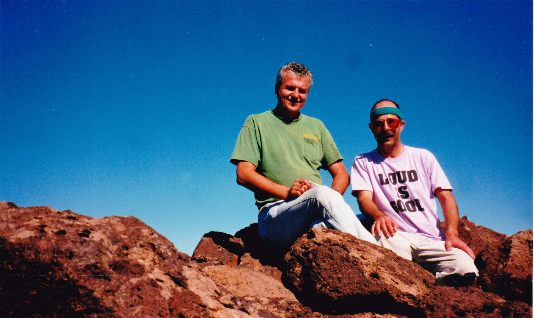
On the summit of Peak 2846, we found a large cairn (no doubt left by locals) and added our register. By the time we made it back to the truck, 2 hours and 4 miles had passed. Here’s our mug shot taken on the summit.
 We were making good time, the day was still young. There was another set of hills nearby, and we drove there in about 15 minutes. Nobody ever had an easier climb than this one. Peak 2655 looked right down on to the paved road heading north to Queen’s Well, and it took us all of 10 minutes to scamper to the top. Here we are strutting our stuff on the summit.
And here’s what it looks like from the road to the north.
Peak 2655 only rises 260 feet from the surrounding land, so it’s not even a proper peak. There is one other bump nearby known as Proctor Hill, and it’s even smaller, standing all of 239 feet high. The 2 of them together are all that make up the Black Hills, and a more unimpressive patch of ground you’d be hard-pressed to find. There was no sign of any previous visit on the top of 2655, so we built a cairn and left our register.
Once down to the truck, we drove south and back out to Highway 86, then west to the town of Sells, the administrative center for the entire reservation. Our next objective was a few miles to the south, near a town called Topowa. I’m not sure about the origin of that name, but the O’odham people have their own traditional name for the place, and it is Gogs Mek which means “Burnt Dog”. We were here to visit the Topowa Hills, and to get there we drove a series of dirt roads west of town. Finally, we parked at a low saddle along the ridge crest. From there, we walked half a mile to the NNW to arrive at the high point, Peak 2778. A cairn sat on the summit, and we added a register. There were good views of the nearby town to the east, and especially of Baboquivari Peak, 15 miles to the east and towering a full 5,000 vertical feet above us.
On the summit
Here’s what things looked like from the east, a view of the entire set of Topowa Hills.
All of the Topowa Hills
The day was warm, we felt tired and grungy, and were ready for a break. Once off the peak and down on the flats to the west, we each took a sponge bath and felt a bit more human. The day was winding down by the time we pulled out of there, heading back to pavement at Topowa, then north through Sells and farther west on Highway 86. Nine miles later, we turned off on to the paved road heading up to Nolic, found a quiet spot and camped for the night.
Day 4 – Monday, January 22, 2001
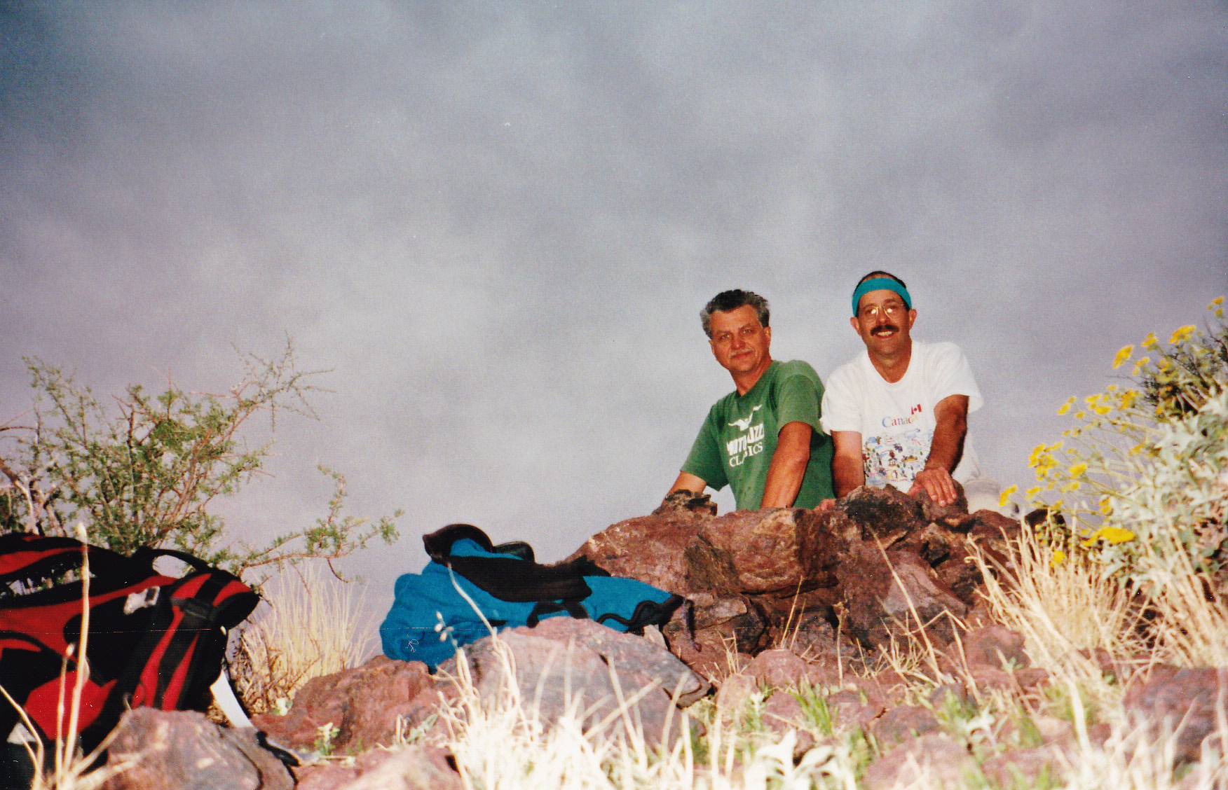
Our camping spot turned out to be too close to the road – there was a surprising amount of traffic early in the morning. The overcast skies were threatening, and it actually did rain a bit. We drove north to a point near Nolic, then headed northwest on a dirt road, passing a few houses, and finally parked after about a mile. Our climb took us NNE, passing the old Cooncan Mine in the process, and then up to a saddle. We continued north, contouring around the hillside, crossing a prominent wash and then continuing NNE towards the summit, negotiating a cliff band just below the top. On the summit ridge, we turned right and walked to the top. This route was infested with cholla cactus.
On the summit of Peak 3005, the high point of the Ko Vaya Hills, we found a pile of rocks, and we left one of our registers. As I recall, it was spitting a bit of rain on top but nothing to get us excited. The name Ko Vaya is an Anglicized version of the proper O’odham name of Kahw Wawhia which means “Badger Well” in English. Here’s a photo I took of the peak from the east many years later.
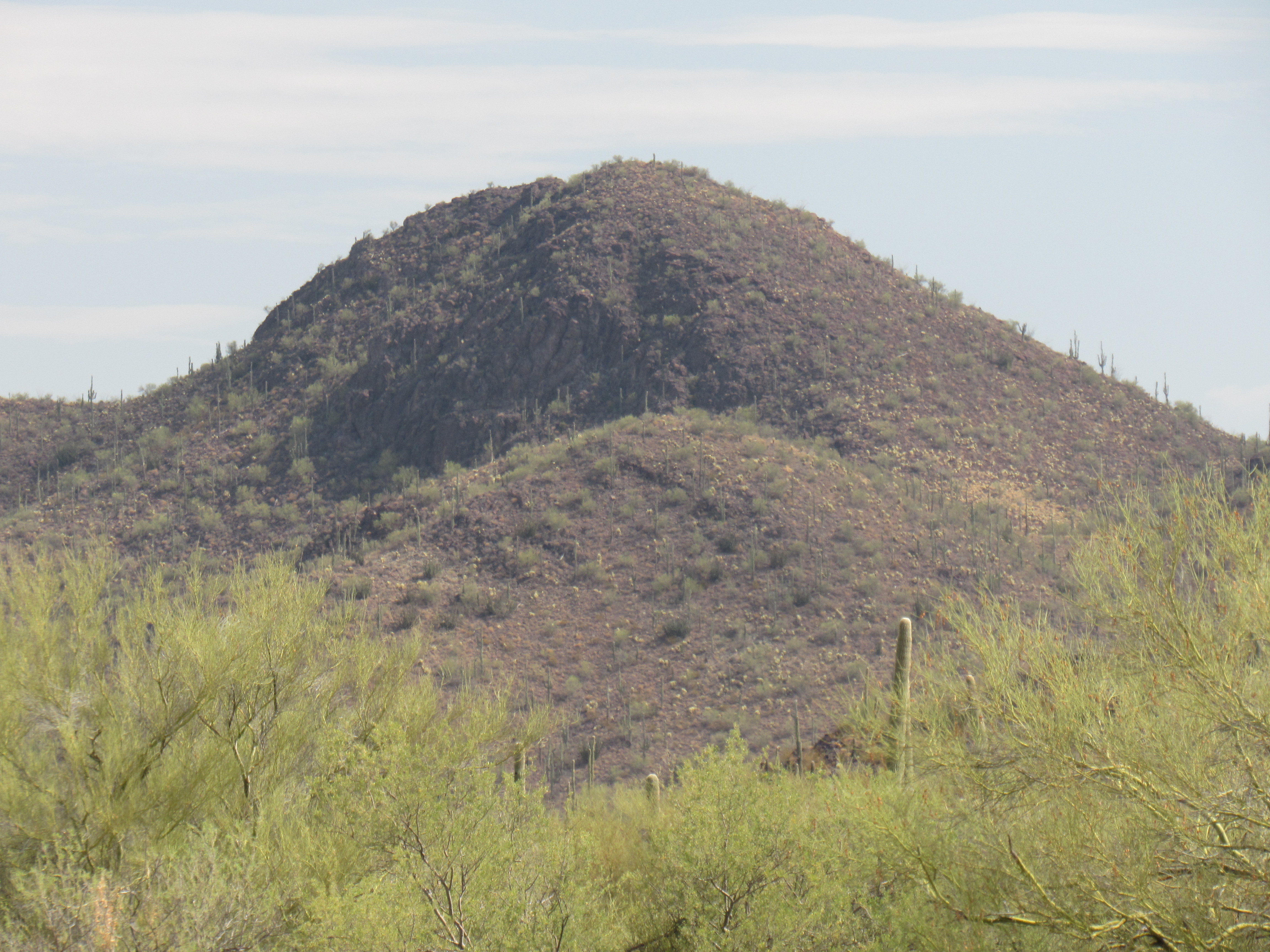
The east side of Peak 3005
The upper part of our route came up the left skyline of the peak in the photo. Here’s another hero-shot of us on the summit – you can see the grey day. It looks like I finally put on a clean shirt.
We returned to the truck the same way, having been out a couple of hours and climbed 800 feet. Our trip was going well so far, 8 peaks climbed. No mishaps, if you don’t count the issue of my alternator. There were 3 more peaks to do, and they were all out on the far west side of the reservation. Climbing them would put us much closer to the town of Ajo, where my truck was sitting and hopefully being fixed.
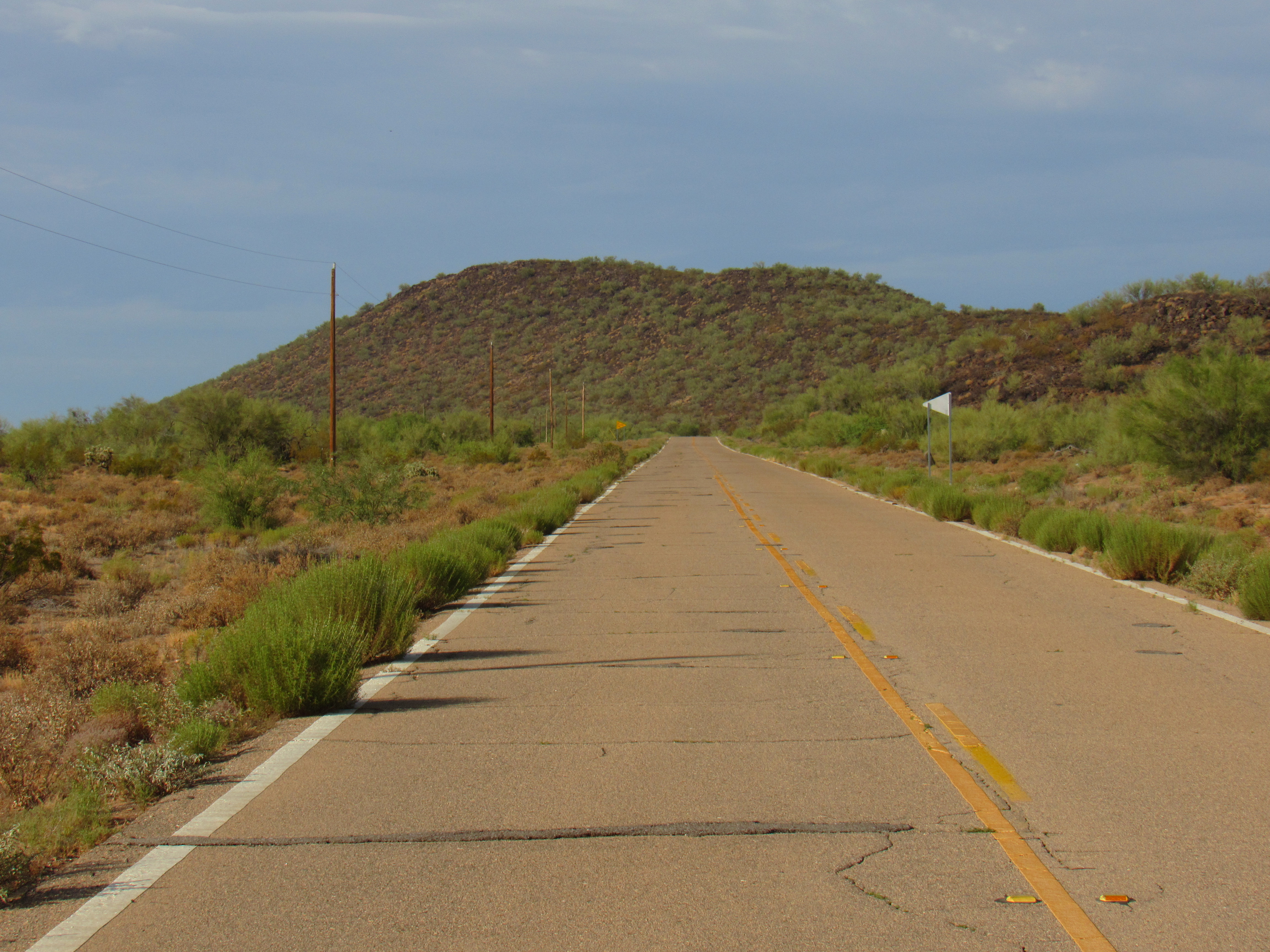
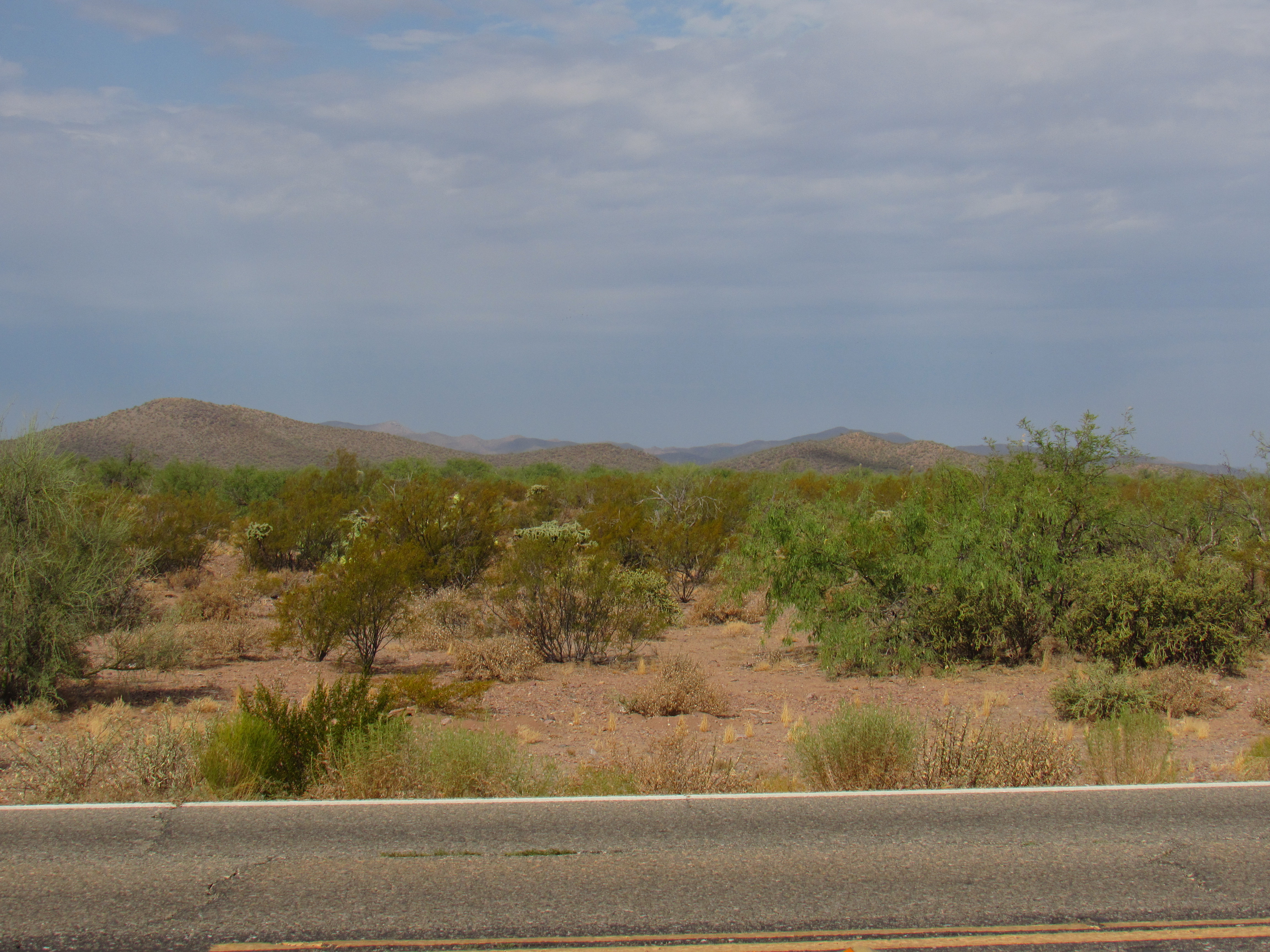
It was short work to make our way back to pavement and then Highway 86, the major east-west artery through the Tohono O’odham Nation. Once on it, Dave pointed us west. If you’ve never driven through the reservation, you’re really missing something. There is beauty in every mile – mountains, desert vegetation, vast horizons – the kind of scenery you’d see in a National Geographic documentary. We drove across the Gu Oidak Valley, through the Quijotoa Mountains and over Quijotoa Pass, then down into the Quijotoa Valley – all of that took us 27 miles farther west. We arrived at the settlement of Wahak Hotrontk (more properly Wohg Hudunik in O’odham, which means “Road Dip” – the perfect name for this low-lying community), and then turned south on Indian Route 21. Eighteen miles along this paved road took us through three communities, which I’ll mention briefly. The first, Pisinimo (the proper O”odham name is Pisin Mo’o, which means “Buffalo Head” – I never could understand why it has this name, as it’s a long way to the nearest buffalo) is the administrative center for the Pisinimo District. The town has about 425 people, making it one of the largest on the TO Nation. The second community passed through was Tatk Kom Vo (in the O’odham language it is Tatkam Wo’o, meaning “Root Pond”). Finally, we drove by Kom Vo (Kohm Wo’o), which means “Hackberry Pond” – it is also known as Santa Cruz, and boasts a population of 55. A mile past Kom Vo, we turned east on a major dirt road and traveled 4 more miles. This put us between 2 mountain ridges, a truly beautiful spot, where we parked.
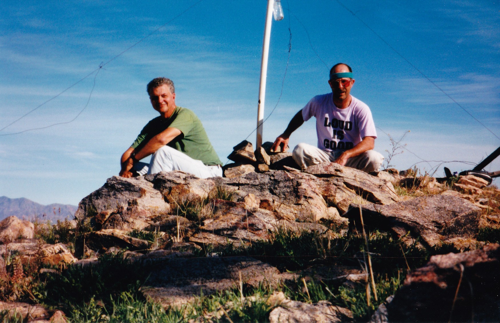
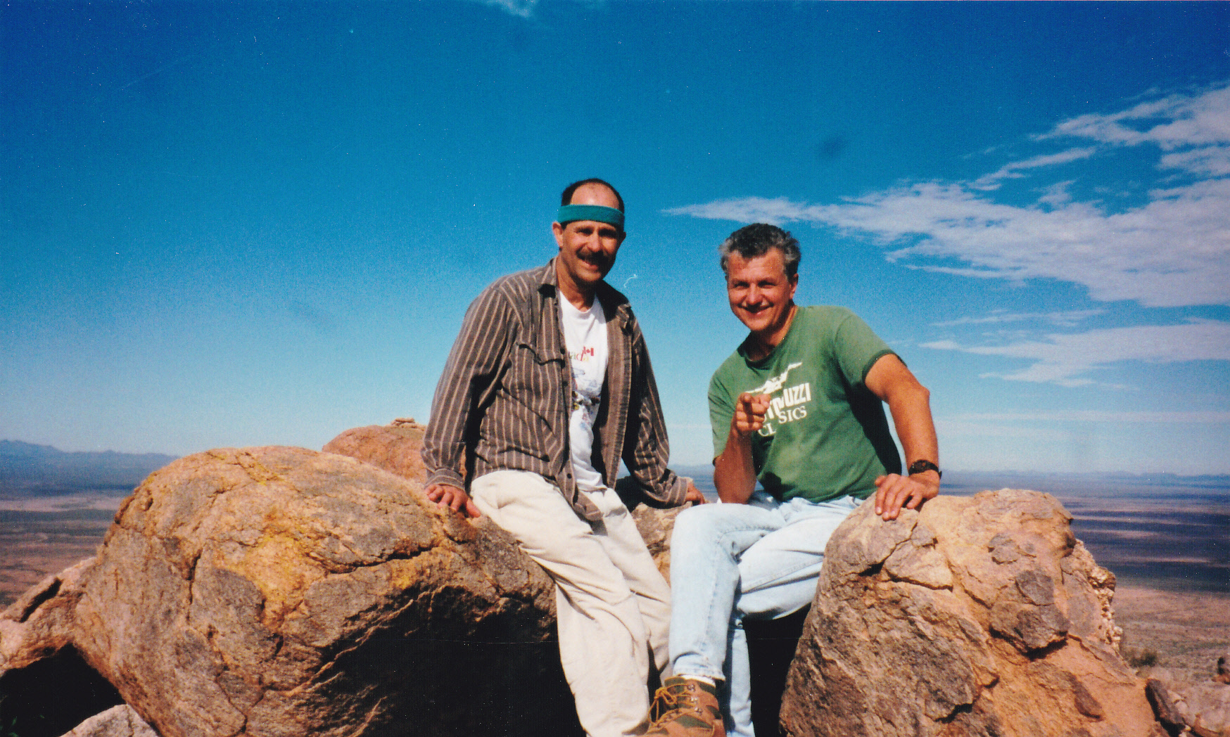
From the truck, we climbed south up a steep slope to gain the north ridge of the mountain, which we followed up to a notch just NE of the high point. Staying left (east) of the actual ridge, it was an easy Class 2 scramble to the summit. There we were, on the top of Peak 2990 (also known as Kopeka Benchmark), where we found a register left less than a year earlier by our friend Andy Bates. It was exciting to be atop this steep, rocky peak, the high point of the Kupk Hills, with dramatic drops and views on all sides. Dave and I both agreed that this was the most aesthetically-pleasing climb of all of the TOIR hills high points. Here we are, partying on the summit, a couple of wild and crazy guys.
On the summit
Here’s a nice look at the peak from the north – that’s 1,100 feet of climbing. We made it up in 43 minutes, down in 32 – no flies on us!
Kopeka Benchmark
While on the summit, I tried my cell phone and was able to get a signal. It was high time to call the mechanic in Ajo and arrange to go get my truck. I dialed their number and got the guy on the line, only to get some bad news. He told me that the wrong alternator had been sent from Phoenix, and they had sent it back and were waiting for the right one. So whose fault was that?! Rat bastards. He told me that the repairs should be done by late tomorrow. It seemed like there was little choice but to keep climbing.
Please stay tuned for the next installment of this story.