
Some mountain ranges feel like old friends, especially if they’re close to home and you see them often. That’s certainly the case for the Picacho Mountains, which approach to within 23 air miles of my home. They sit astride the freeway, and all the peaks are easy to access. If you drive from Tucson to Phoenix, you drive right though them – most of them are out in the desert on the east side of the road, but a few sit right beside it to the west.
Picacho – it’s a Spanish word, of course, like so many names here in the American southwest. It’s derived from the work pico, which means “peak”. To me, the word picacho has always implied something special about a peak, one that’s bigger, more special, more unique – notable in some way. Those terms could certainly be applied to one of the peaks in the range, but we’ll come back to that later. Like most ranges in Arizona, my first experience with this one was a climb of the high point, back in 1988, and once that was done, I didn’t try anything else for many years. I’d like to take you on a tour of the peaks, starting with the much larger group on the east side of the freeway.
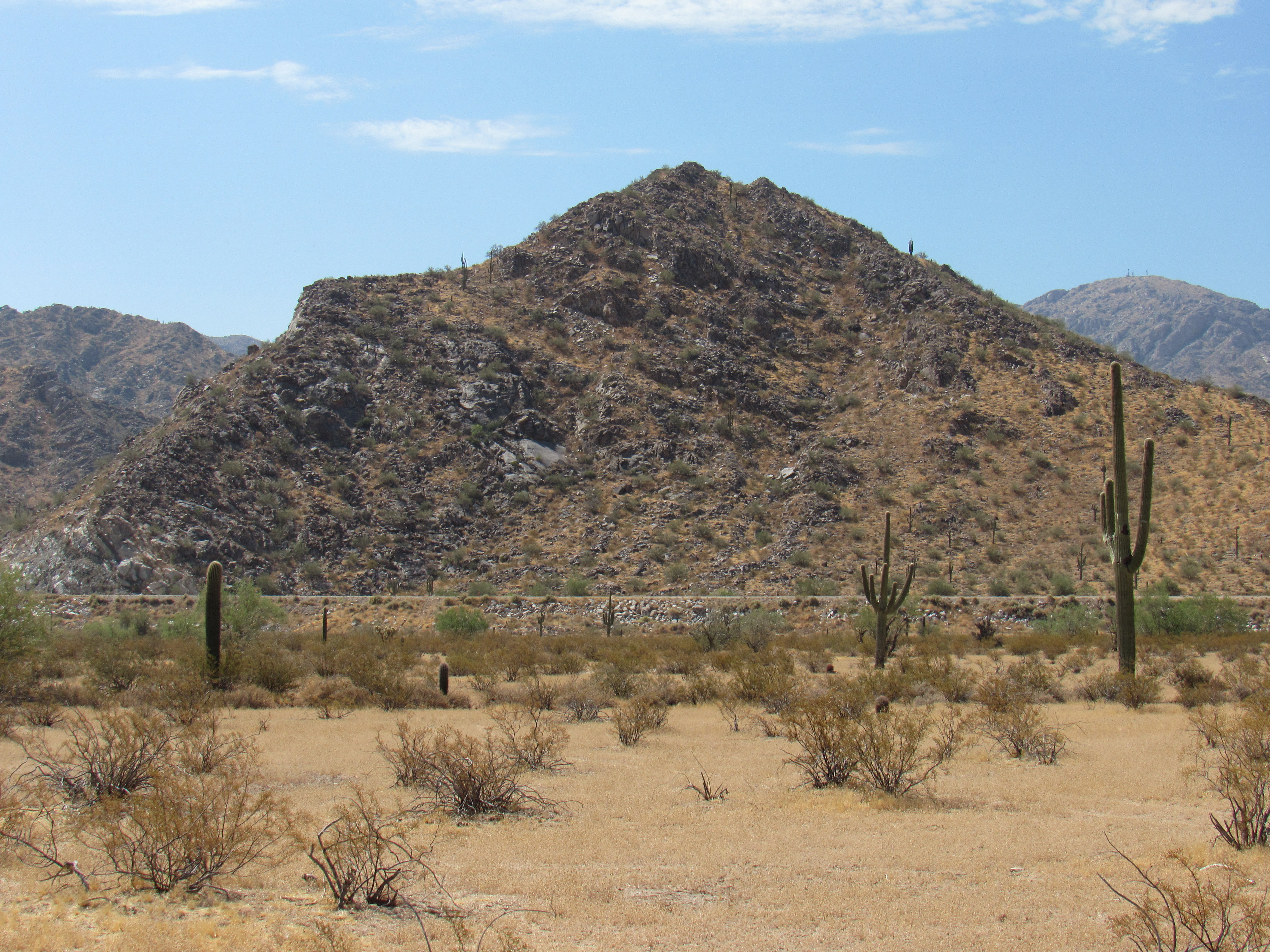
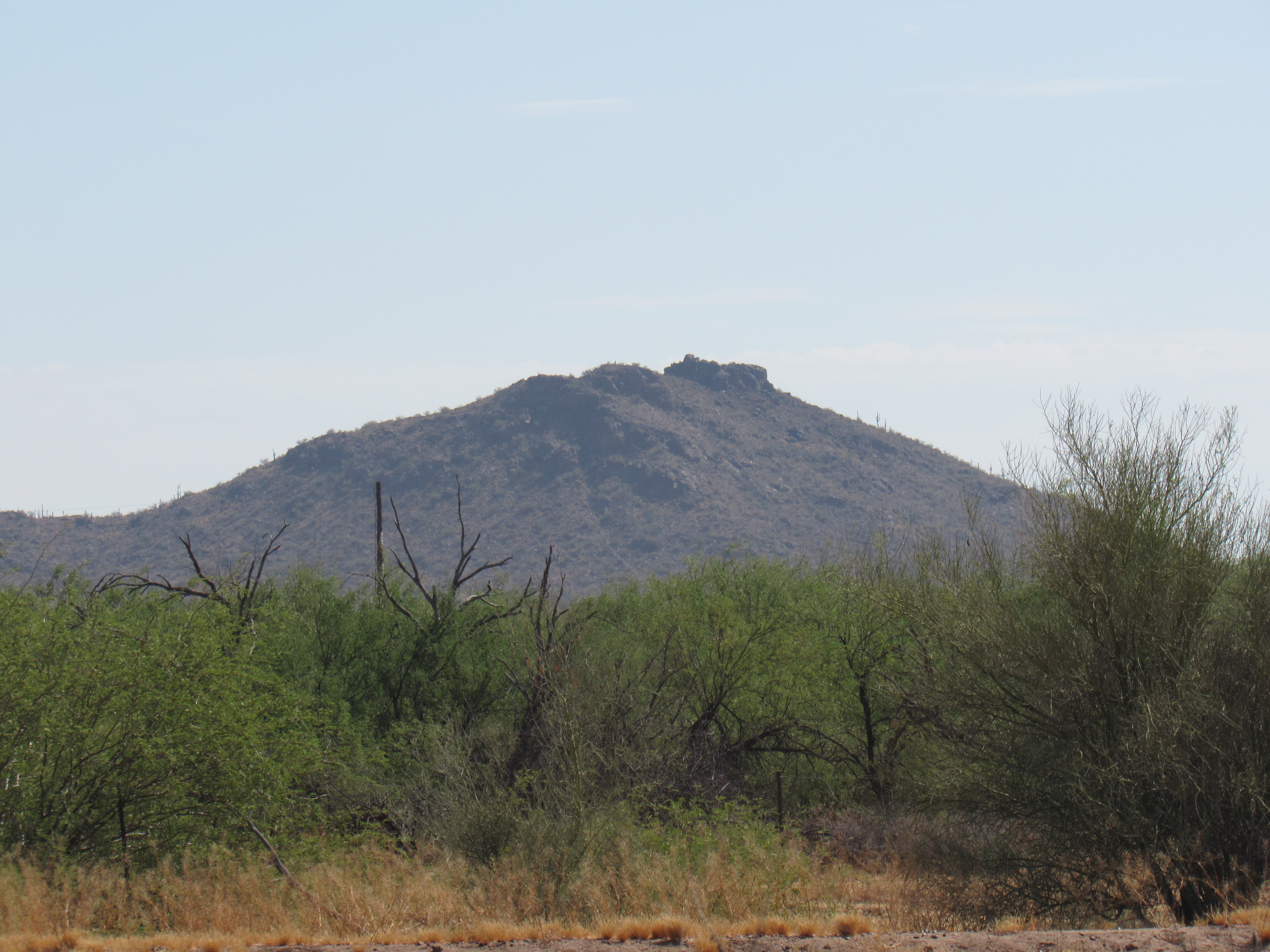
It was back in March of 1988 that I climbed Newman Peak, the highest point in the range. I went there with a friend, and we approached it from the west side. You could drive dirt roads right up to the canal, then cross over it on a bridge built for wildlife. It took us over 7 hours round-trip – we climbed up into the large basin on the southwest side, then headed north up to the west ridge and followed it to the summit. For our descent, we headed south from the summit along the ridge down to the saddle at 4,000 feet, then dropped down steep terrain to the west into the basin and back to the canal crossing. This is a big peak with lots of relief, and that’s what draws a lot of people to climb it – the fact that it’s the range high point doesn’t hurt either. From the freeway, you have a front-row seat as you drive by, putting it in a spotlight for millions of people each year.
Looking north to Newman Peak – the line is the intervening freeway.
It wasn’t until more than 20 years later that I went back in to climb Newman’s neighbor, another big peak called “South Newman” by some. Peak 4209 sits about a mile and a half south along the ridge from Newman Peak, but that’s not how I went in. Rather, I found a road that took me over to the Central Arizona Project canal (more on that later). There was another of those wildlife bridges, like the one I used for Newman Peak, and I used it to cross the canal. From there, I headed northeast and climbed 1,600 vertical feet up a valley before turning back to the northwest and climbing the last 800 feet to the summit. This is an efficient route, relentlessly uphill, wasting no time or effort. My round-trip was about 4 hours. Here’s a dramatic photo of the mountain as seen from the north.
Looking south to the summit of Peak 4209
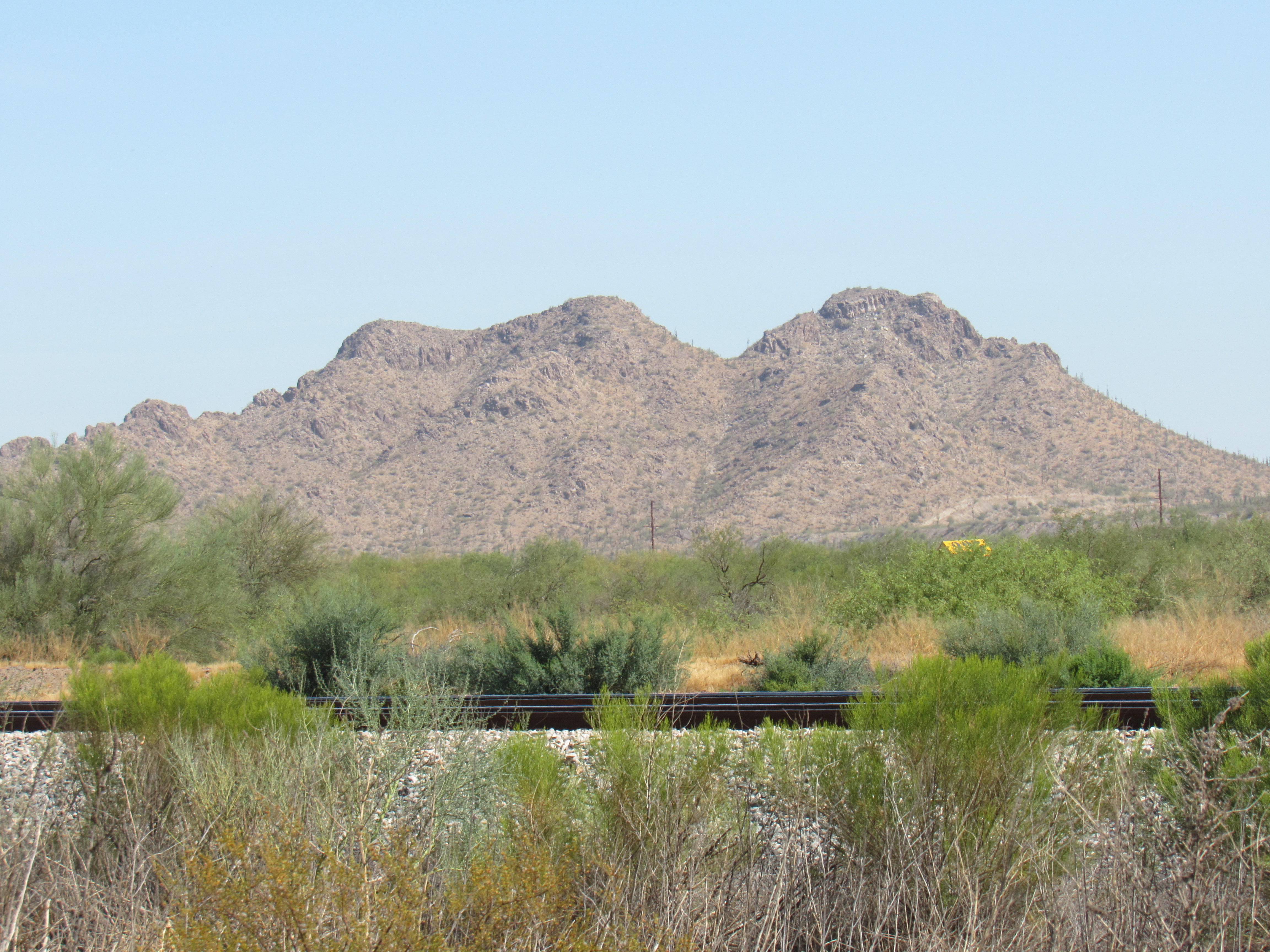
And here’s another, looking at Newman Peak (far left), Point 4162 in the middle, and “South Newman” on the right.
Everything Newman
Thanks to John Kirk for the use of the 2 previous photos.
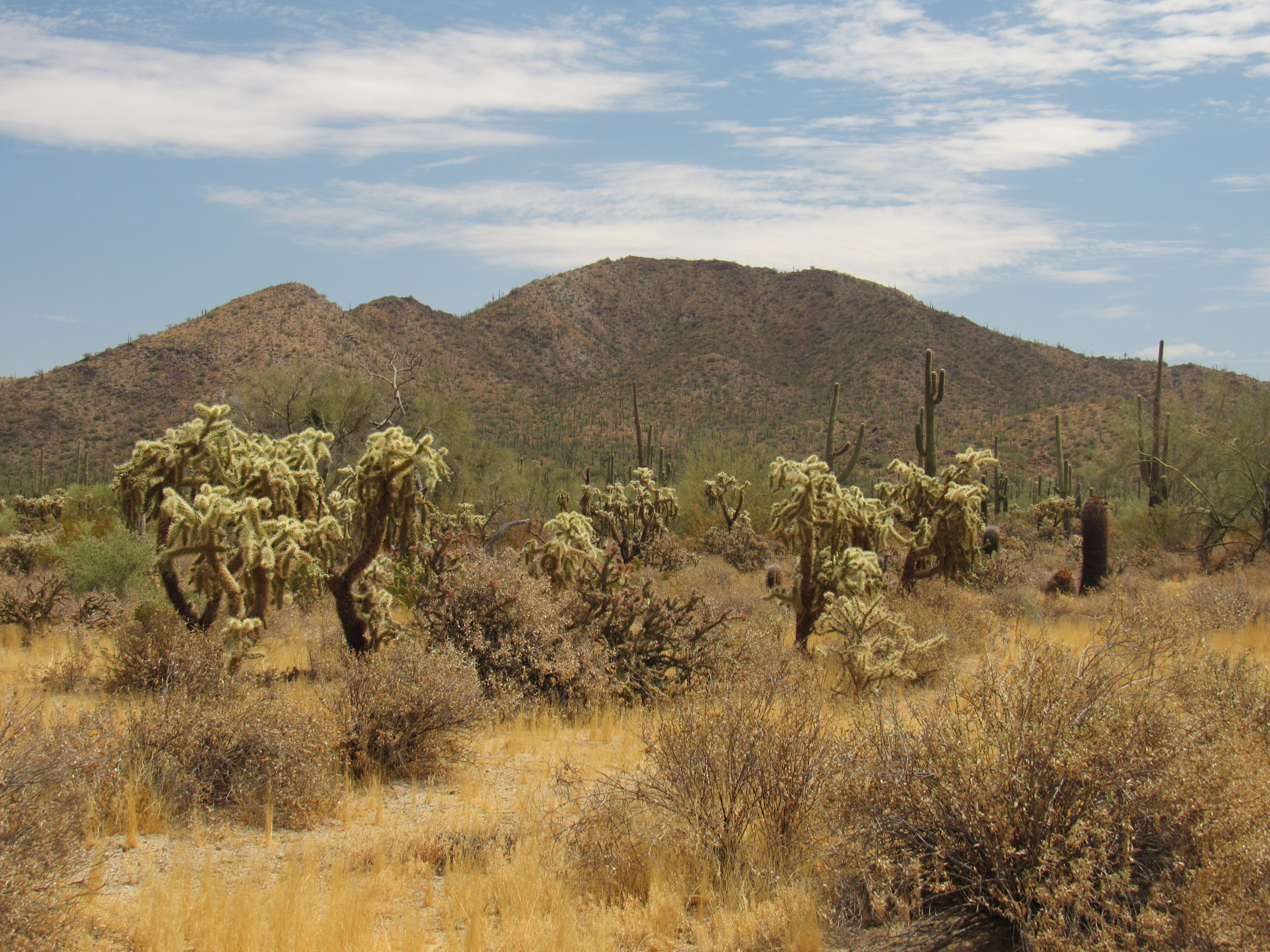
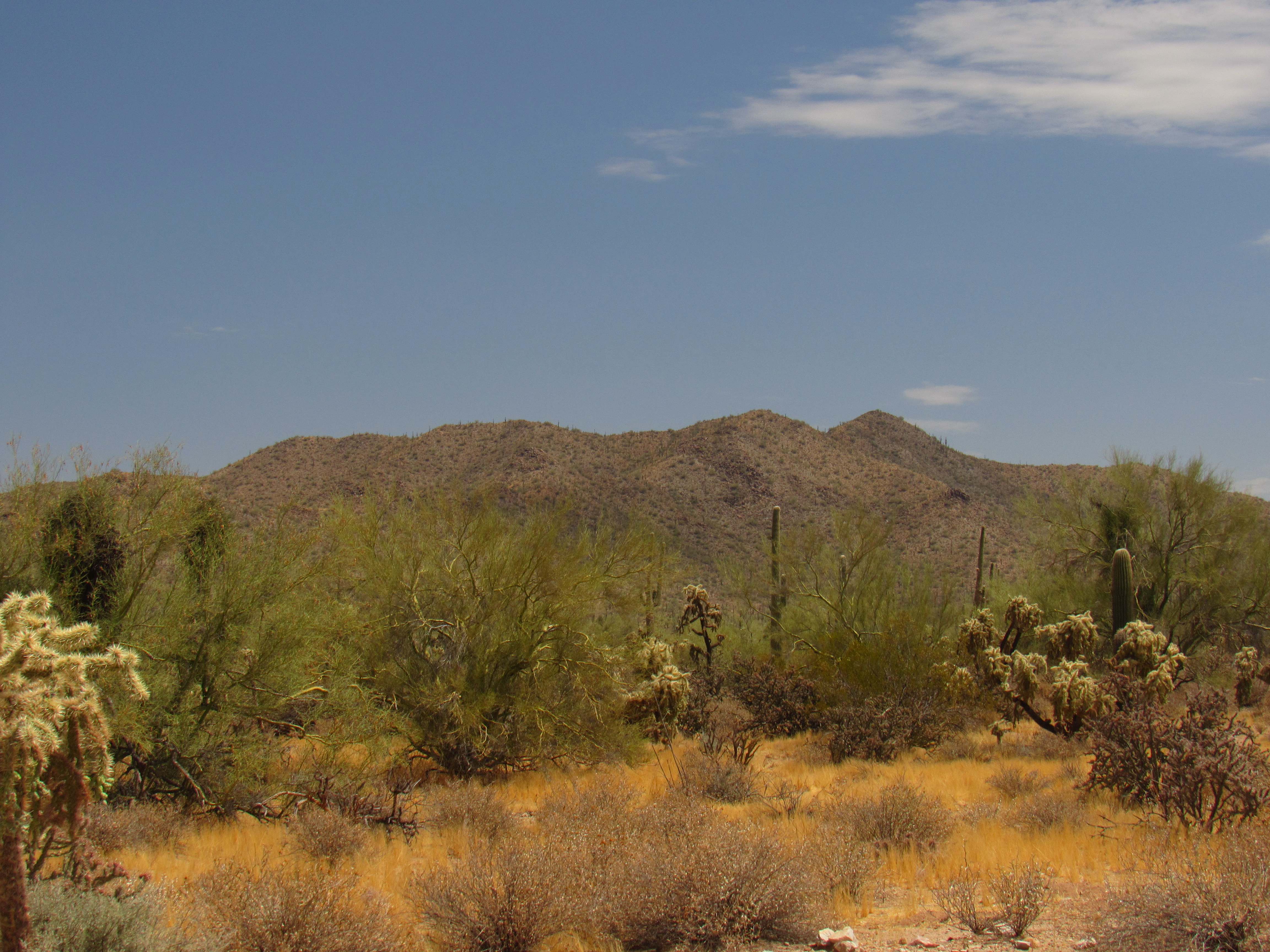
Maybe that 2009 trip to “South Newman” is what re-kindled my interest in the Picacho Mountains. Even so, it was almost 2 more years before I was able to get back in there to visit more of the peaks. It was early December of 2010 when, early one morning, I drove to the north end of the range with friend Paul McMichael Jr. There were 3 objectives on our list that day. The first was a small group of bumps at the northeast corner of the Picacho Mountains which had their own name, the Granite Hills. I suppose it could be argued that they aren’t even a part of the larger range, but they almost touch so I thought I’d consider them together. The high point of the Granites has its own name, Treadway Benchmark, and it barely rises 300 feet above the surrounding desert. The climb was quick work, and we soon moved on.
Looking east to the Granite Hills – Treadway is the higher bump on the right.
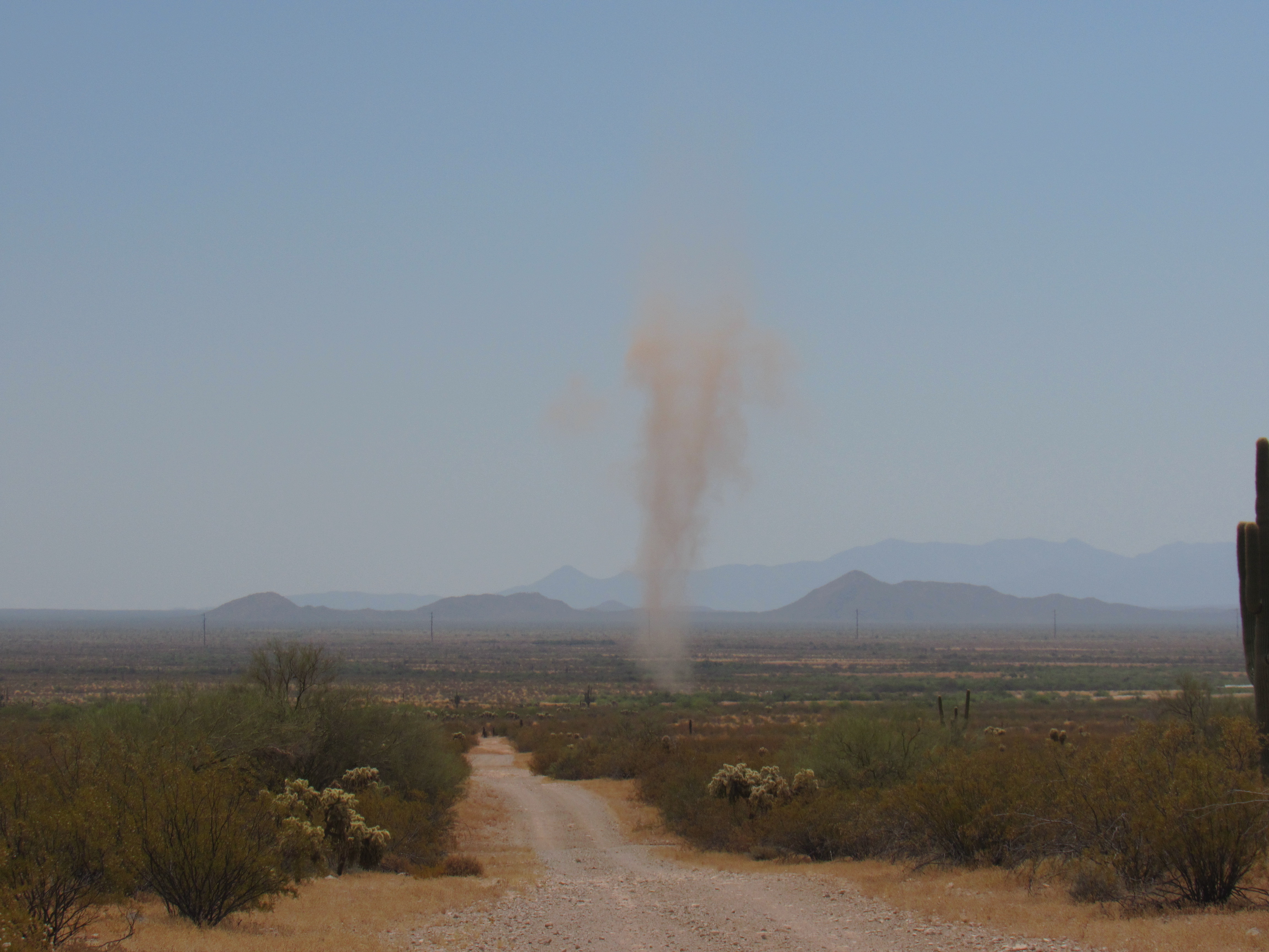
Nearby, we happened to see this dust devil. These are common on the desert floor, and can rise many hundreds of feet into the air.
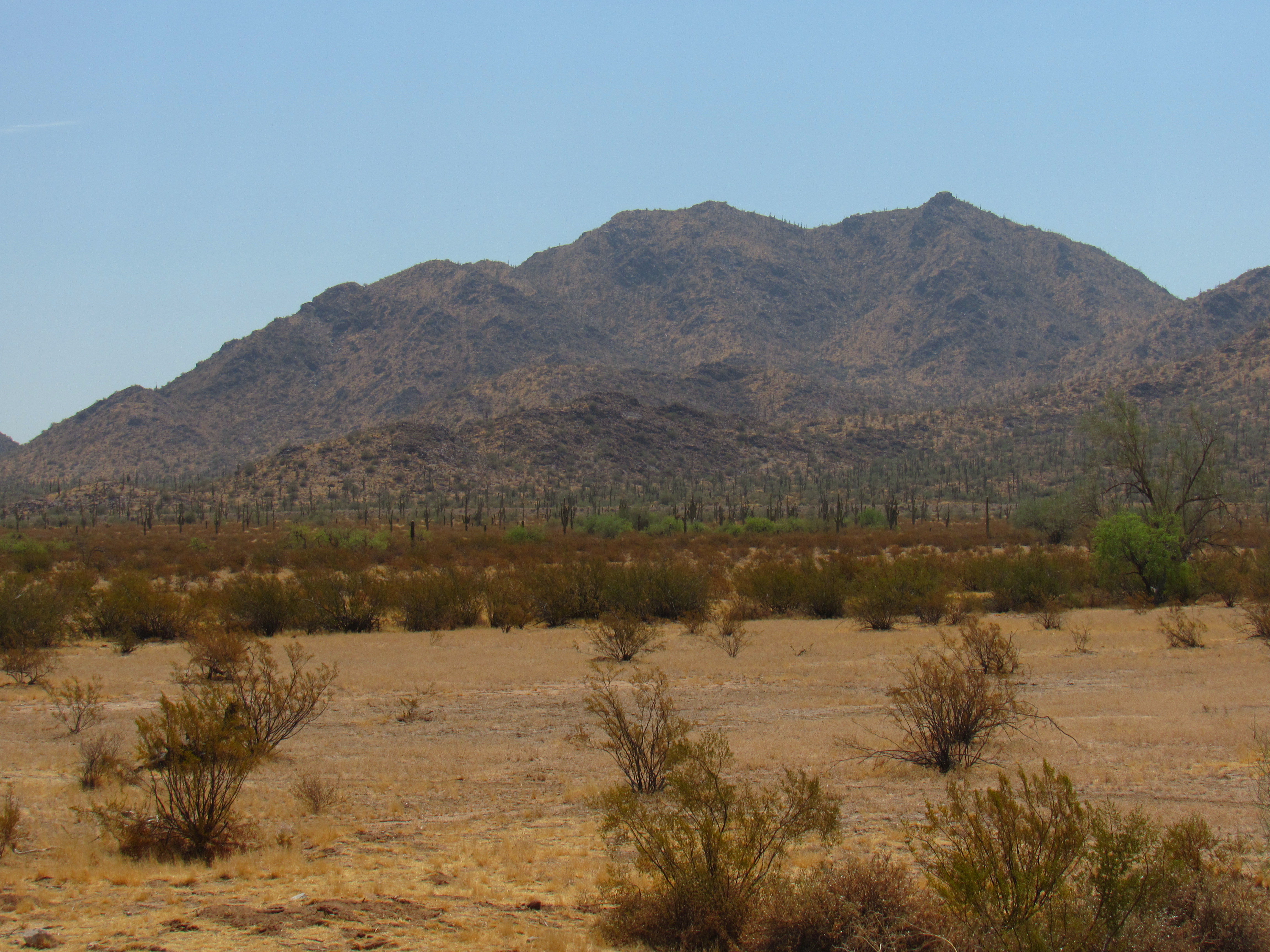
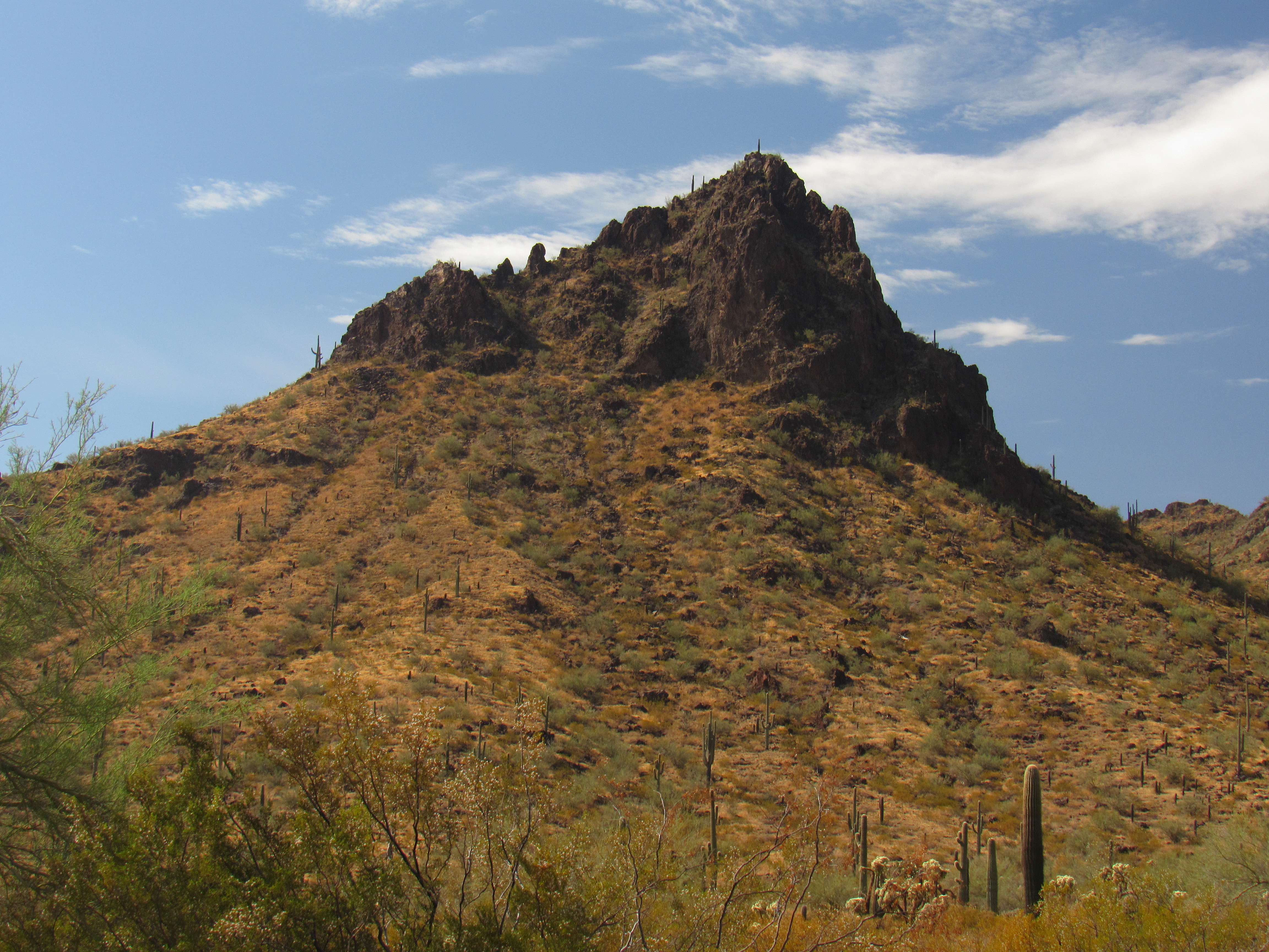
Driving farther west, past the old North Star Mine, we parked at the 2,180-foot contour along the southeast ridge of Peak 2628. It was an easy walk to the summit of this peak which dominates the entire north end of the range. Here’s a good view of it from the south.
Peak 2628
Our third and final one of the day was just across the road to the south. We parked at the site of an old mine, walked up on to a ridge, then followed it all the way to the summit. However, this ridge walk to Peak 2410 involved crossing over no less than 8 bumps along the way. Significantly, this small peak turned out to be my 2,000th mountain climbed. Here’s a view of it from the northwest.
The summit ridge of 2410
The ridge had been so annoying that we opted to drop the 400 feet down the east side to the desert floor, which we walked northeast, then up and over a ridge and down to the truck. Google Earth shows an old road going right to the southern base of the peak, a much wiser option for climbing this one.
There’s a hidden gem in the northern part of the Picacho Mountains just waiting for anyone to go and see. It’s a hillside full of rocks which bear the marks of an ancient culture – petroglyphs. Here are a couple of my favorite photos from that spot.
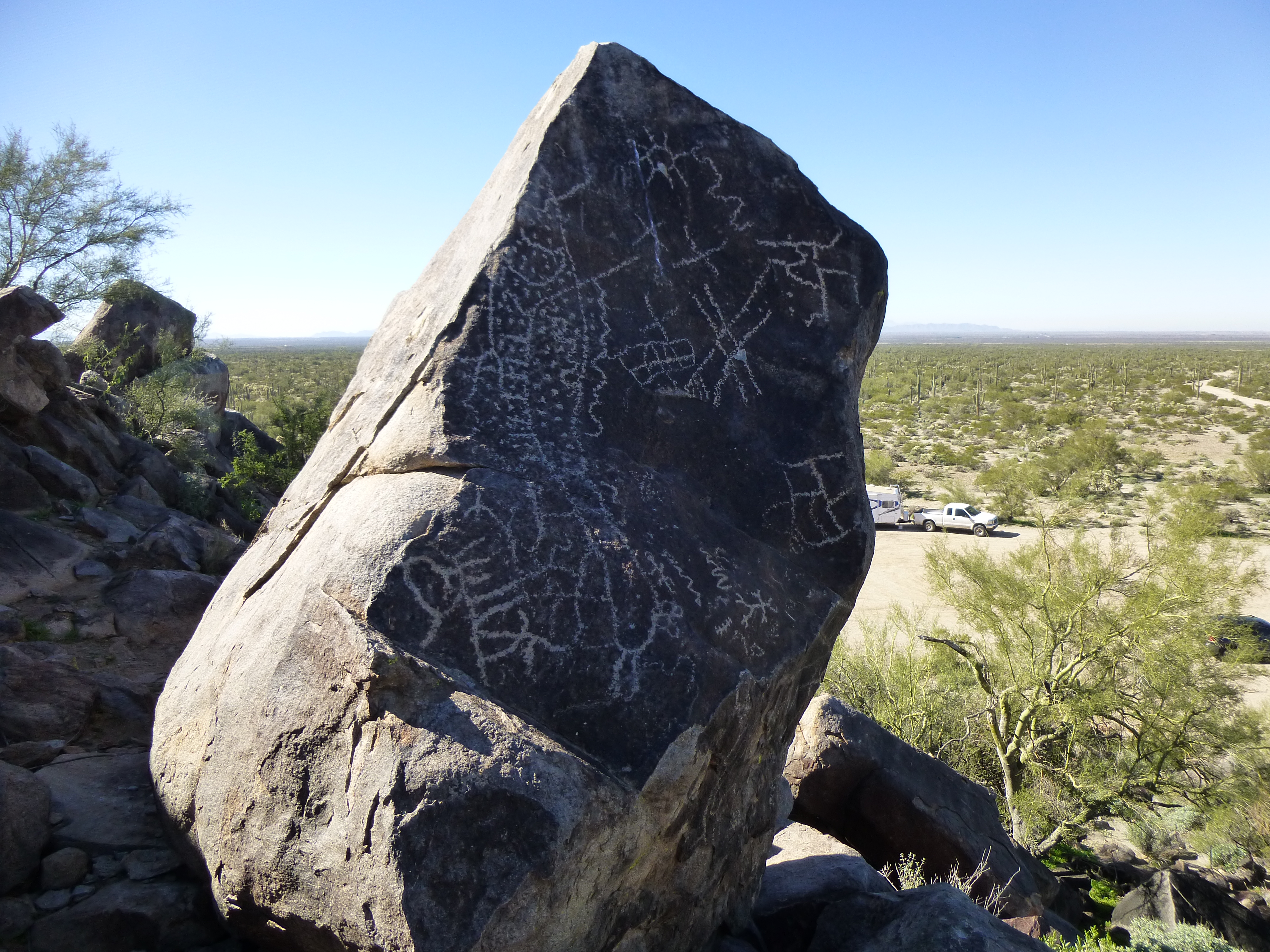
Untouched
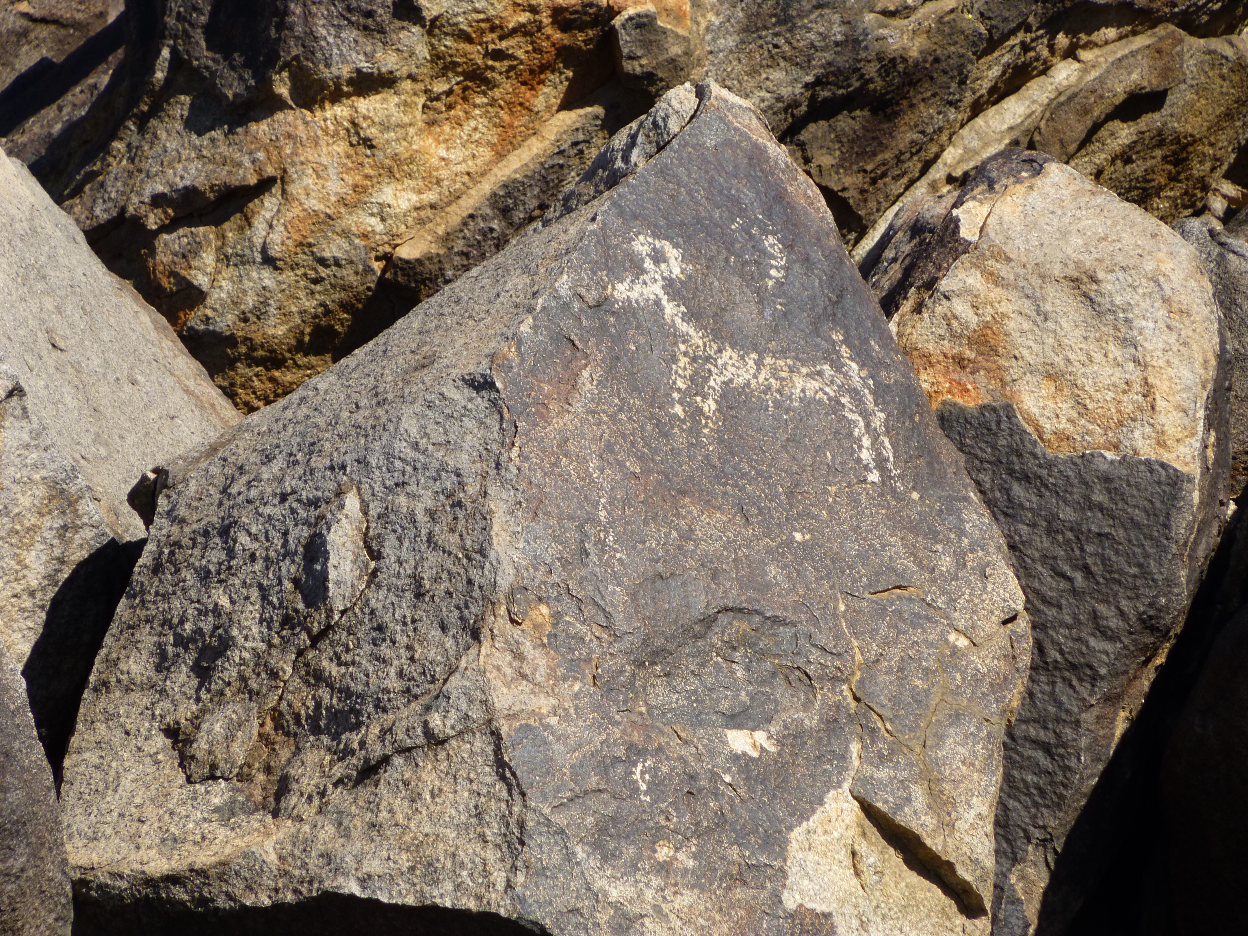
Very old
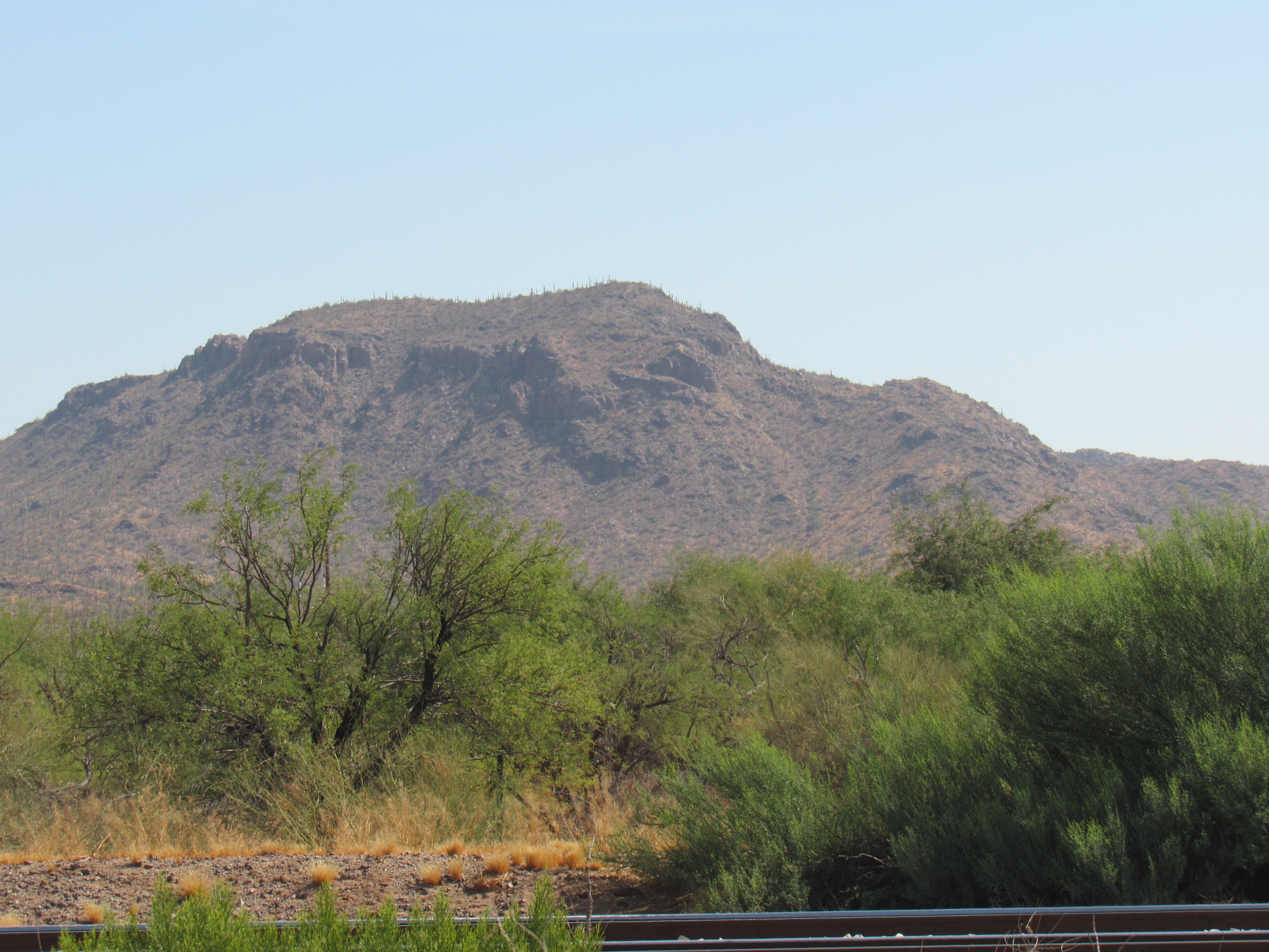
So I’ve shown you something very ancient on the west side of the range, and now I’ll show you something very modern. All along the Picacho Mountains runs a man-made feature created in recent years, something called the Central Arizona Project Canal, or CAP for short. It is basically a wide concrete ditch which carries water from the Colorado River on the western edge of the state and runs it a distance of 336 miles all the way to its terminus in Tucson. The canal cost 4 billion dollars to construct, and it took 20 years to complete. Once it leaves Phoenix, it heads south across the desert towards Tucson, and on its journey it passes along the western edge of the Picacho Mountains. Due to the uneven topography of Arizona, there are places where the water must be pumped uphill, and this is done by means of large pumping stations. Two of these sit to the west of the range. The northern one is called the Brady pumping station, and it sits 3 miles WSW of Peak 2410. It’s quite something to be driving along in the flat, unpopulated desert and to come across this place.
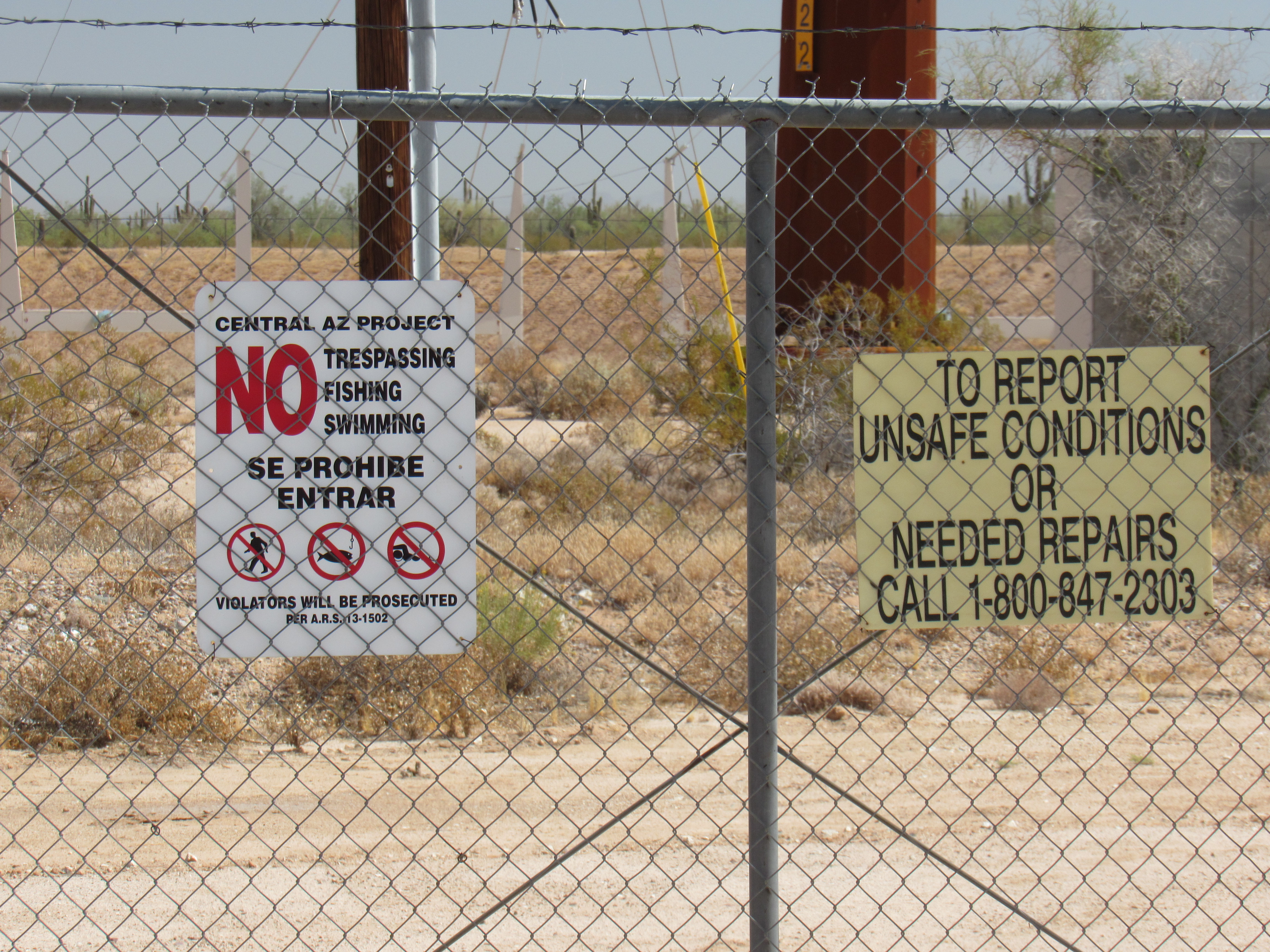
Thou shalt not pass!
Here’s a peek through the fence at the canal itself. The water is flowing towards us, and the building holds the pumping facilities, which pump the water through an underground tunnel. The water goes uphill for 111 feet, and the tunnel is 2,845 feet long. Once it emerges, it flows along by gravity.
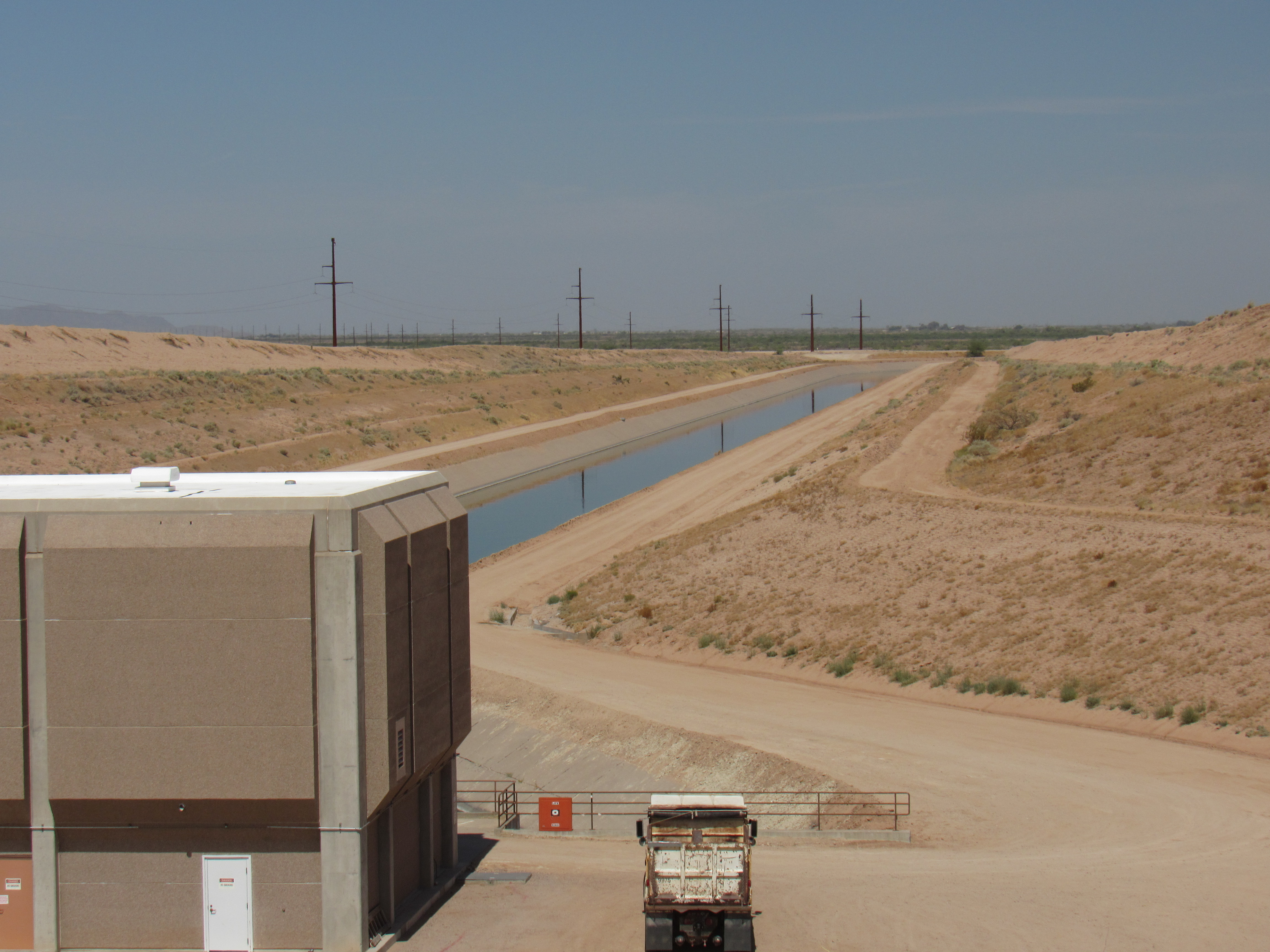
The canal
One mile before this pumping station, another aqueduct branches off of the CAP and heads west. Its purpose is to deliver water for farmers, and it is called the Santa Rosa Canal – it runs for 65 miles, past such places as Eloy, Arizona City and through many more miles of Pinal County to finally end near Maricopa. After the Brady Pumping Station has done its job, the water runs by gravity for 5.5 miles to reach the Picacho Pumping Station. There, it is pumped uphill for about 170 vertical feet through a huge underground tunnel to emerge once again as an open canal, continuing on its way to Tucson. Just before the canal reaches the Picacho station, another aqueduct branches off to the west. This one is called the Central Main Canal, and it runs for 20 miles to reach agricultural lands to the west of the Picacho Mountains on the western side of Interstate 10. The CAP presents a barrier to animals, so at intervals bridges have been built for them to cross (the CAP has a high fence all along its length on both sides, so breaks in the fence are at the wildlife crossings. The fence prevents animals from swimming across).
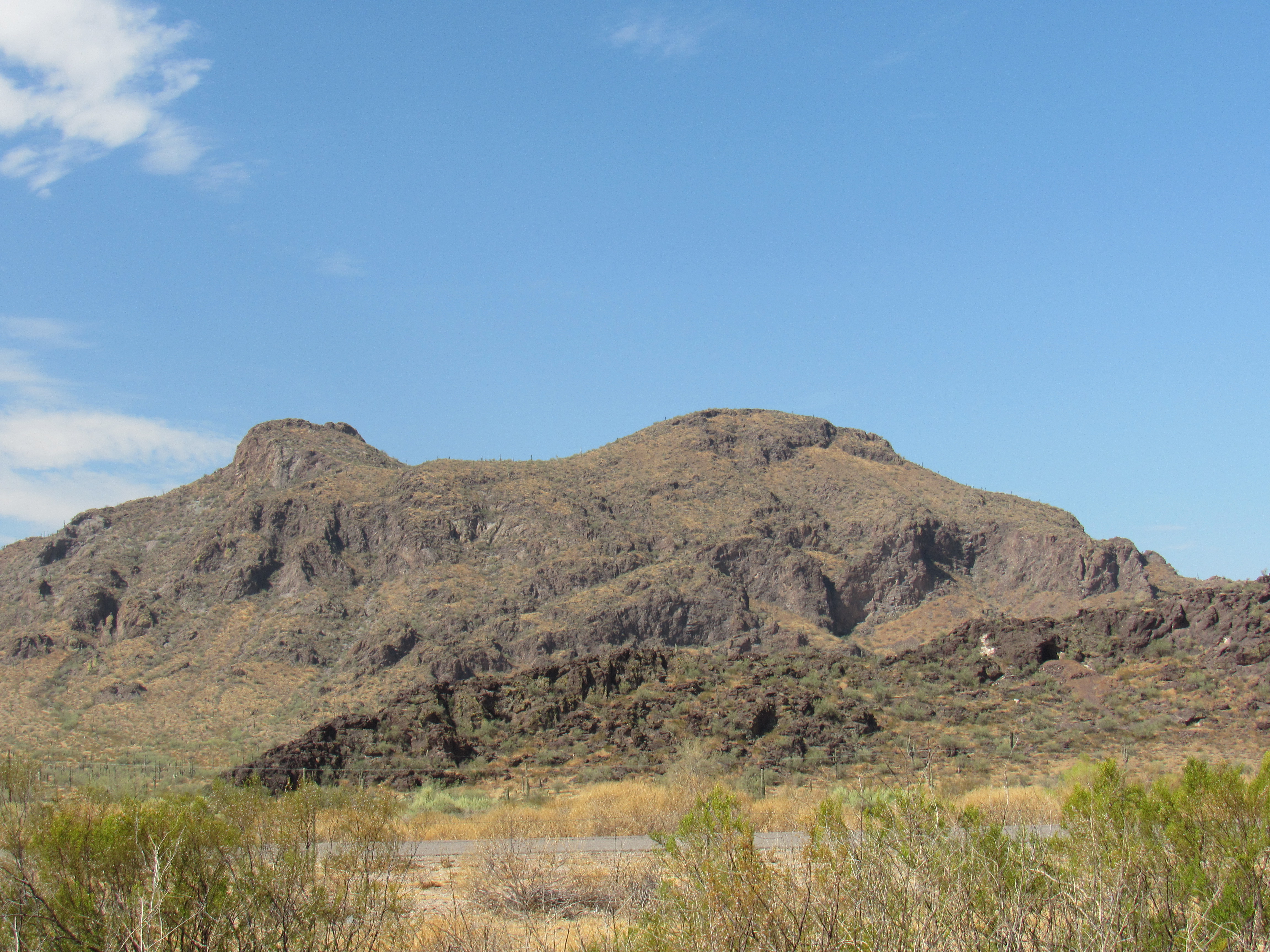
Okay, now back to the climbing. Two weeks before Christmas in 2010, I returned – this time, to climb the biggest one north of Newman Peak. The best approach was from the vicinity of the Picacho Pumping Station. I parked and headed up the WSW ridge, crossing over Points 2762 and 2884, reaching the top of Peak 3313 at 11:00 AM. Here’s what this one looks like from the west.
Peak 3313
I decided to descend a different way, opting for the long valley to the west of the summit. It was a 6-hour day, and an exhilarating climb, enjoyable in every way. One week later, I returned to climb the small mountain beside the Picacho Pumping Station. This one has been called “Pump Station Peak”, but is more correctly Peak 2165. Here it is, seen from the north.
Peak 2165
It seems I couldn’t stay away – I was having such a good time, Christmas Eve saw my return. I had been eyeing something called Peak Benchmark for some time. It was the northernmost thing one could climb in the Picacho Mountains – beyond it, slopes ran down to the desert floor which then stretched many miles north to the towns of Florence and Coolidge. This link will show you where to find Peak.
https://listsofjohn.com/qmap?lat=32.8534&lon=-111.3632&z=12&t=c&P=300&M=Desert+Mountaineer
I set out from a point a couple of miles to the east and followed a series of ridges all the way to the summit, passing over Point 2433 en route. It was still early, nine o’clock, when I arrived. I left a register and enjoyed this solitary place for a while, then returned to my truck. Here’s a look to the north to Peak Benchmark. It’s the bump sticking up in the back on the right side.
North to Peak Benchmark
Staying on the east side of the range, I drove several miles south and parked for number 2. It seemed like a good idea to see how quickly I could polish this one off, so I set off quickly up the northeast side. Unfortunately, I ended up crossing over the bump to the north at 2915 feet, but still made it to the top of Peak 2957 in 41 minutes for a total gain of 950 feet – not too bad for an old guy in his mid-60s. Two others had signed in to the register before me. Back down the same way to the ol’ Toyota. Here’s a view of this one from the west.
Peak 2957
Driving back to the north a short distance, I parked for my last one of the day. Peak 2383 was a quickie, only 43 minutes round-trip. Three others had signed in before I arrived, but I added my John Henry to theirs. Back at my truck before two o’clock – it had been a good day, and I’d get home early enough to celebrate Christmas.
Fast-forward 3 weeks to mid-January of 2011. Paul had freed up some time and agreed to return with me to finish off the southern end of the range. We left the freeway a couple of miles north of Picacho Pass and made our way by seldom-used dirt roads to the east, more-or-less paralleling the path of McClellan Wash.
Allow me to step aside for a moment. This is one of those washes that nobody knows about, yet it leaves its imprint on this area of desert. It starts way back up near the Granite Hills, where Brady Wash drains to the north and McClellan drains to the south. If we follow McClellan southwards, we find 5 check dams in the first 7 miles, as well as 4 man-made tanks to water cattle. Although its channel is well-vegetated, dry wells litter its path. Our wash swings around the southern end of the Picacho Mountains and comes up to the side of the freeway, where it has already run 17 miles. It then parallels the east side of the freeway for another 9 miles, passing by the community of Picacho. Four miles farther north, near the town of Eloy, our wash dies an ignoble death, gobbled up by cotton fields and irrigation ditches. It ran a full 30 miles before being robbed of what surely would have been even more happy miles, had not man intervened.
The good ol’ CAP runs around the south end of the mountains, and a road we drove actually crossed the canal on a bridge. This allowed us to drive up behind Peak 2740, where we parked and climbed it in just over an hour. Three of the usual suspects had been there before us, but we duly signed in to the register. Here’s a view of this one as seen from the freeway to the west.
The west side of Peak 2740
A mile away stood one more, the southernmost in the entire section of the range that sits on the east side of the freeway. Peak 2437 was very quick, less than an hour to complete. As with many of the other peaks in the range, 3 climbers had been there before us: Bob Martin; Bob Packard; Mark Nichols. Here’s how this one looks if you are driving along the freeway.
Peak 2437
We drove back out to the bridge across the CAP, and once on the other side drove several miles to reach our final peak of the day. Peak 2405 is the only one that sits on the west side of the canal, and in fact sits right beside it. It’s a double summit, but the one with the spot elevation of 2405 is the higher point. It looks right down on top of the canal, quite the bird’s-eye view. Here’s a view of it from the south.
Peak 2405
I’ve now spent almost 2,400 words describing the part of the Picacho Mountains that sits to the east of the freeway. However, there are a few more to talk about, a small group of them that lie on the west side of the road, 5 in fact.
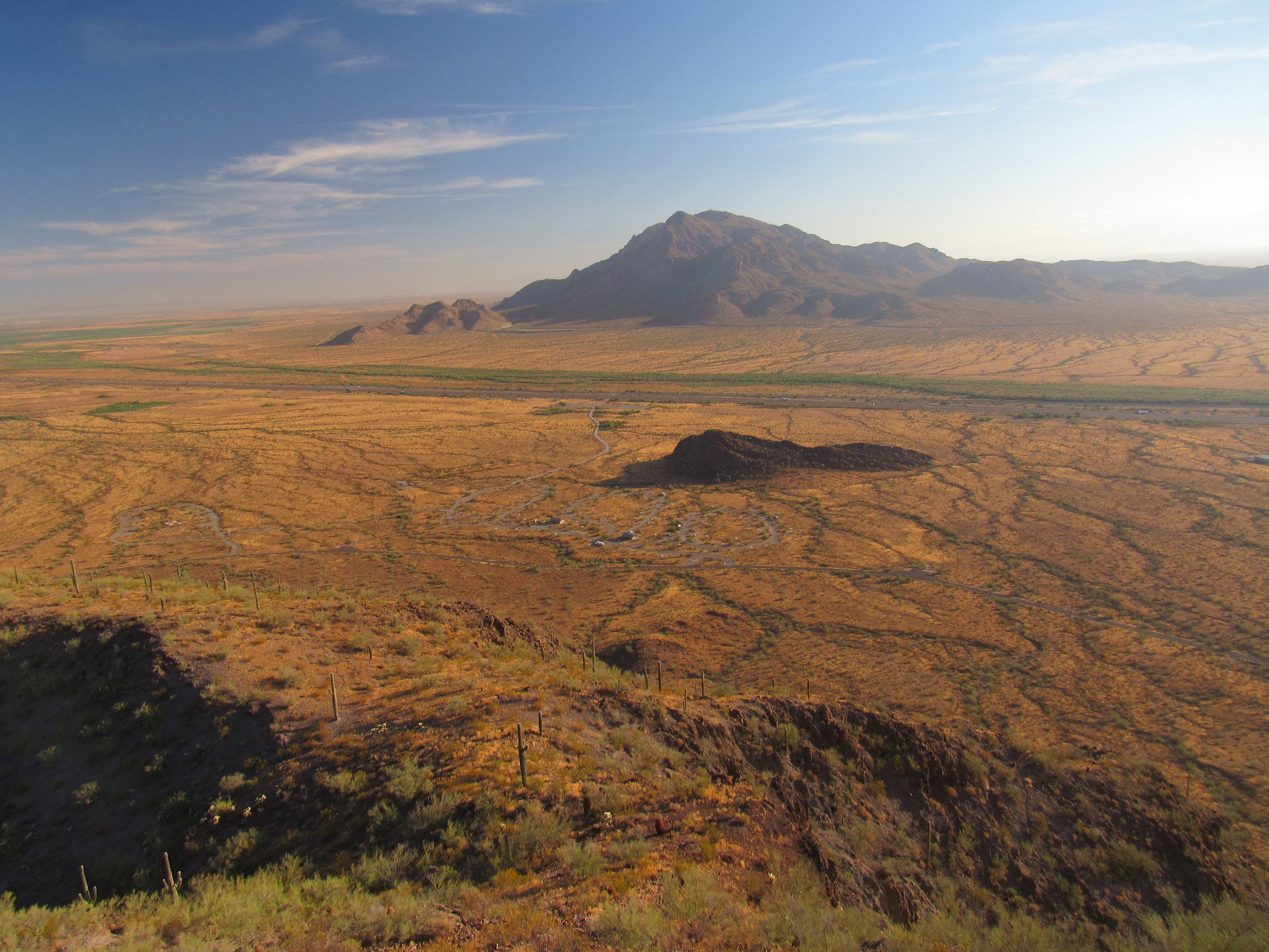
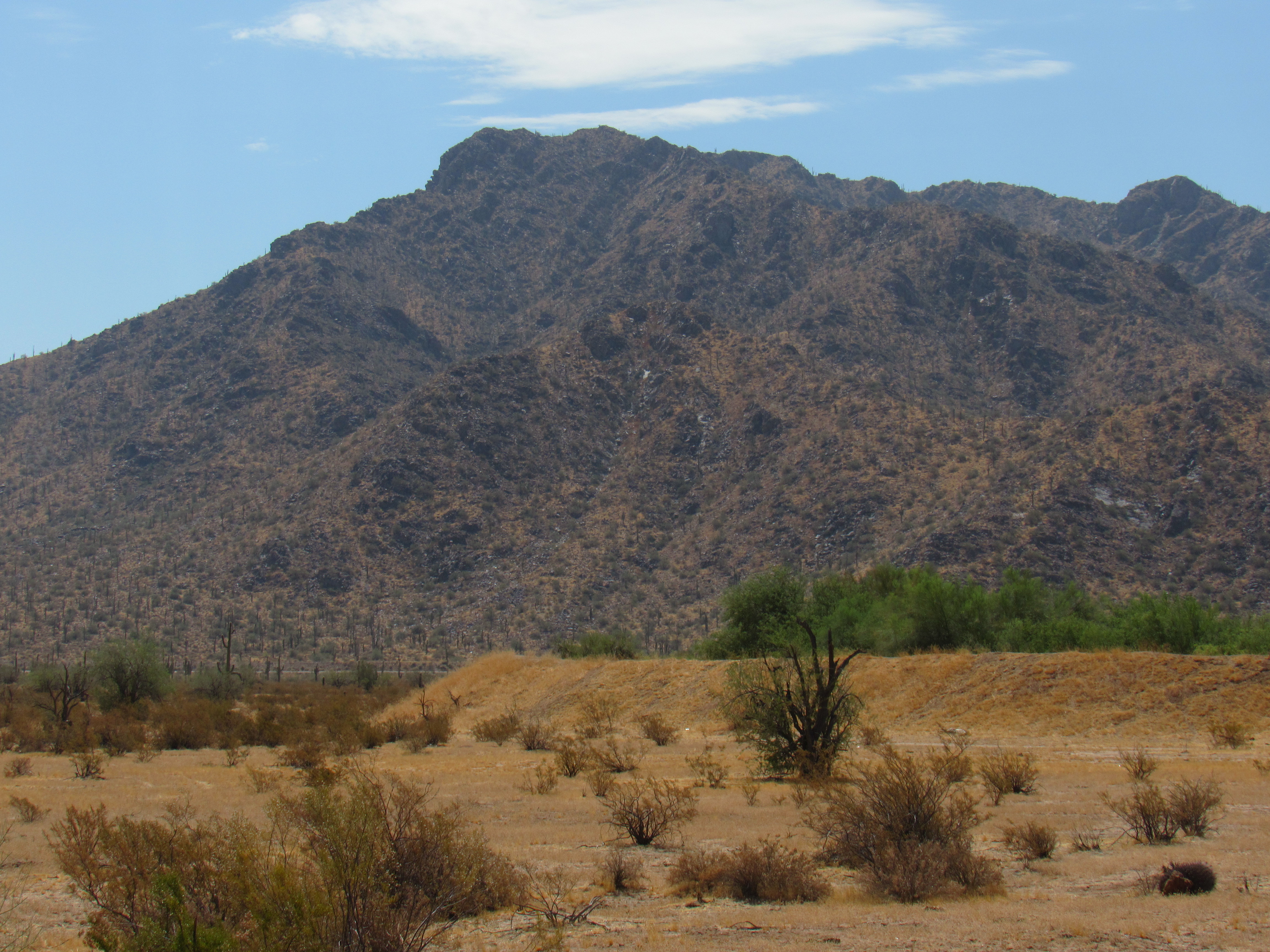
The biggest, meanest and famousest of them is Picacho Peak. The range itself is named after this one, and it is truly spectacular. This landmark can be seen for many miles in every direction, and has been used by travelers as a guidepost for hundreds of years. All of the peaks on this side of the freeway lie within Picacho Peak State Park. Even though Picacho Peak isn’t the highest in the range, it was the one that first attracted me to its slopes, back in March of 1987, a whole year before I ever set foot on Newman.
In the year 1932, there was a 40-foot tower on the summit which held an air-traffic beacon. A trail was built to the top, but it was no ordinary trail – in places, it had to scale near-vertical rock, so they had to drill into the rock to place metal posts and run cables. All of that hardware exists today, helping thousands ascend the peak. Something that looks un-climbable to the masses has been tamed. Even so, it still qualifies as a Class 3 climb and requires over 2,300 vertical feet of ascent. I know of 4 people who have died on this peak, but none of them fell – they all died of dehydration in the heat.
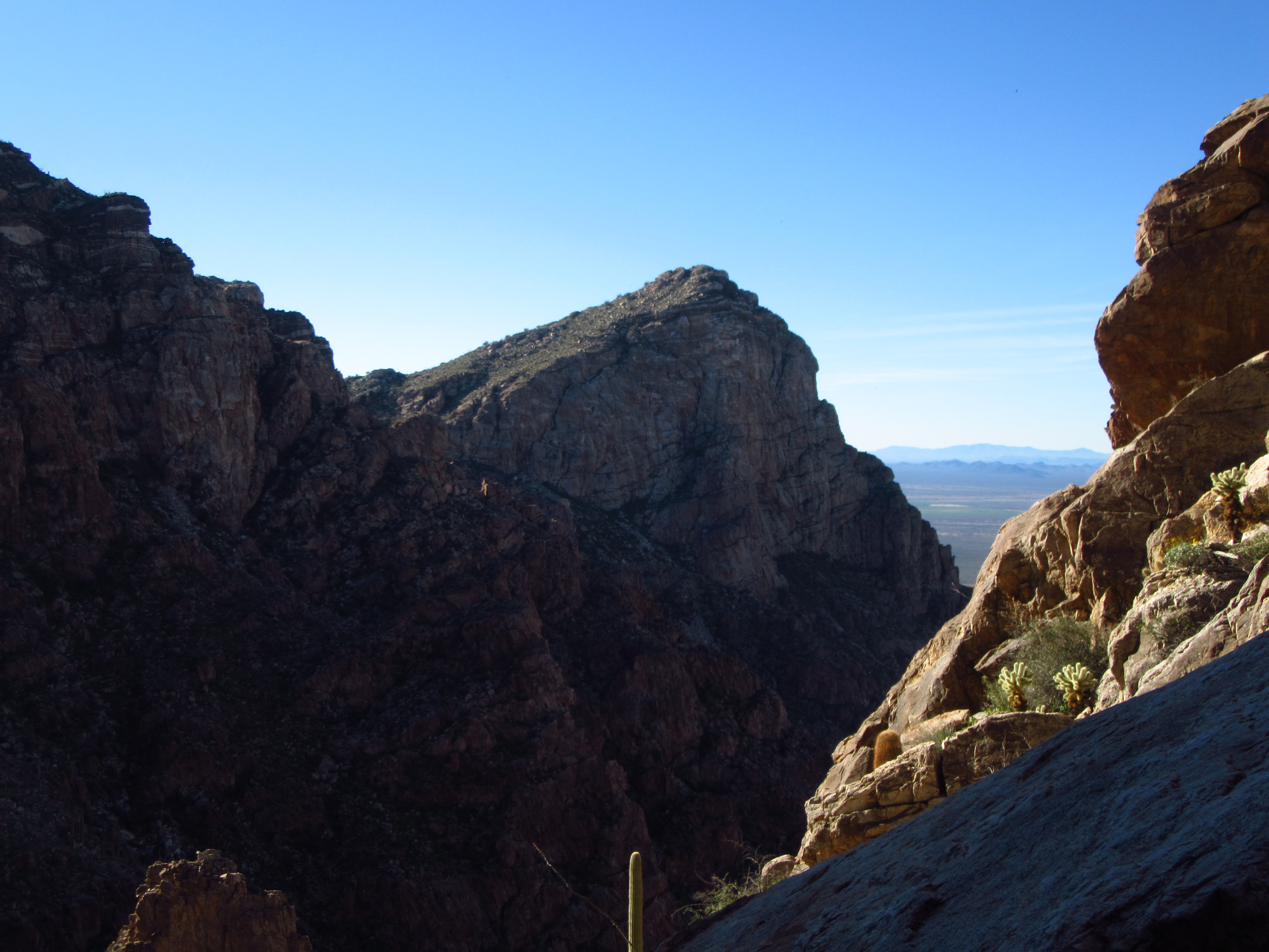
Along the ridge which bears Picacho Peak can also be found another steep one called Peak 3161. It presents an imposing 1,400-foot wall to the park’s visitor center below. From its saddle with Picacho, it is a Class 3 scramble to the top, done by few, and I myself didn’t complete it until 2002.
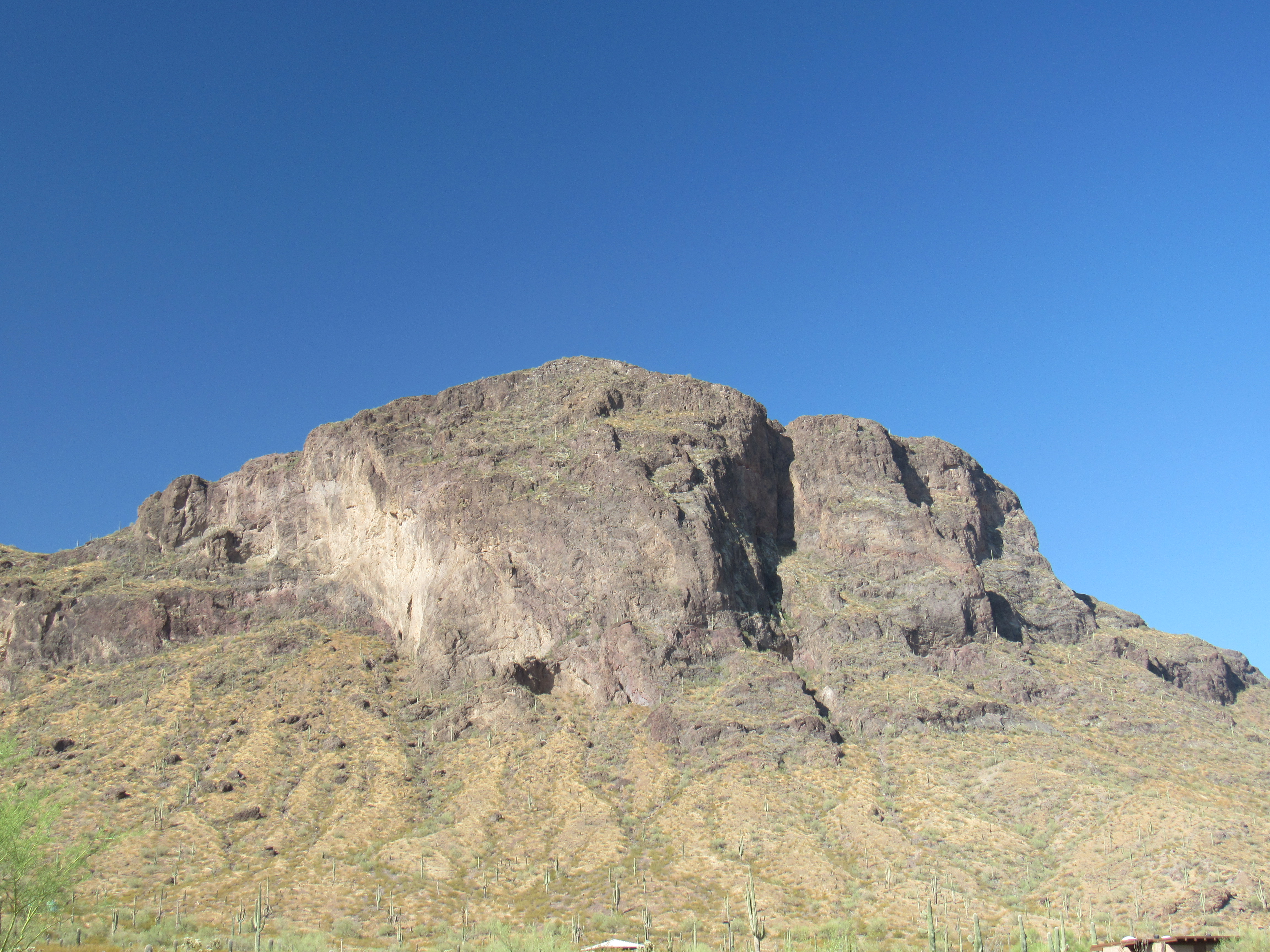
Peak 3161’s east face.
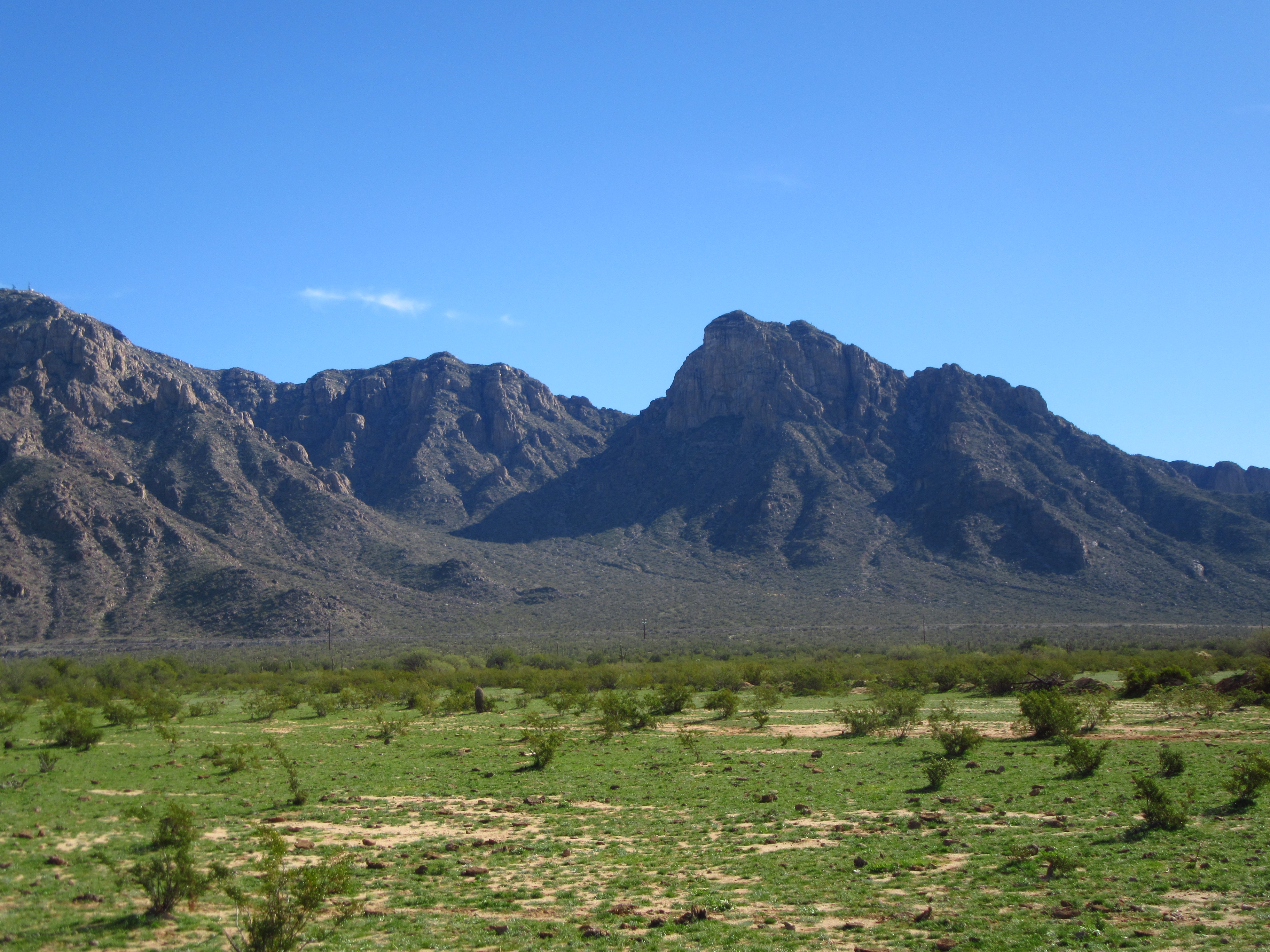
One more sits at the north end of the ridge, a double summit shown on the map as Peak 2702. One sultry summer morning, I drove to the start of Sunset Vista Trail and set out at 5:25 AM. I soon left it and made my way up the western slopes to a saddle. Upon visiting 2702, I saw that the bump to the southeast, which contoured the same, was clearly higher. Back down to the saddle, I climbed the contender and found myself looking easily over 2702 – my best guess is that I stood at least 15 feet higher than 2702. I was surprised to see that neither of the bumps showed any sign whatsoever of a previous visit? I left a register on the true summit. Here’s what they look like from below, a picture I took later.
The east side of Peak 2702. The true summit is on the left.
The best part, though, was the view south along the ridge. Check this out. See the 2 steep peaks in the middle of the photo? The one on the left is 3161; on the right, partly hidden in the background, is Picacho Peak.
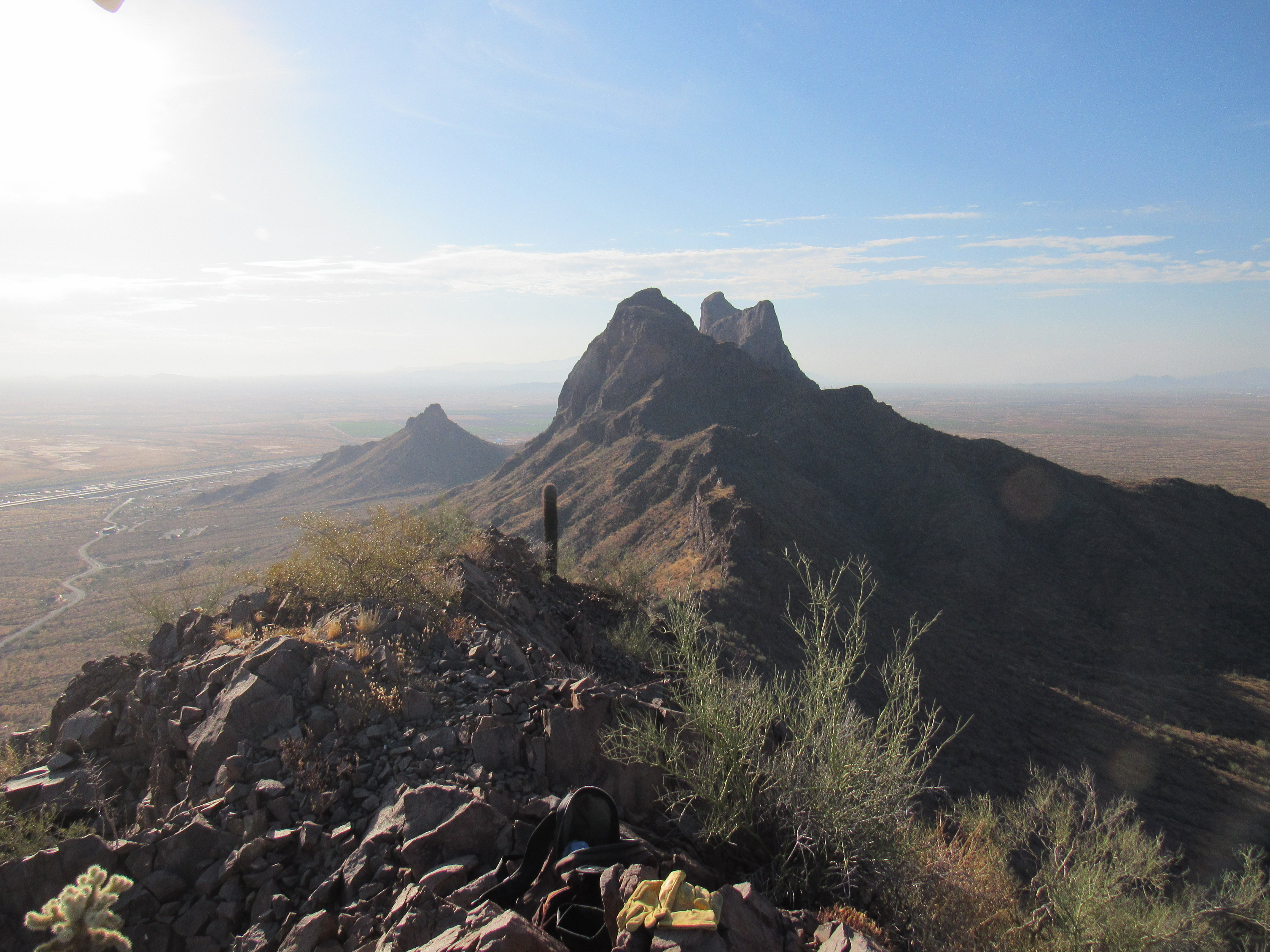
Two big ones.
It was an uneventful climb, if you don’t count the bees. On the way down, I met up with a huge mass of bees plastered to a rock – I think they were swarming, and had stopped there for the night. You can bet I left them alone and beat a hasty retreat.
There are 2 more things of note in this group of peaks. Back near the freeway sits Peak 2540, a steep one whose summit lies only 2,750 feet from the nearby interchange. It is most easily climbed from the frontage road just below it and outside the park.
The north side of Peak 2540
And then there’s the last one of all. Picacho Benchmark sits a mere 425 feet outside the park to the west of the other peaks. It’s all by itself out there, ignored and rarely visited. In the next picture, see the dark cliff in shadow most of the way over to the right? It’s the small bump all in sun to the right of and behind the cliff. Its elevation is only 2,230 feet, making it lower than everything else in the range except for Peak 2165 over by the pumping station. It falls well short of being a peak in its own right, but it’s a pretty thing.
Picacho Benchmark
Folks, that it, you’ve now visited them all. I think it’s a good bunch, 18 in all, with a 1K and a 2K prominence spicing things up. Thanks for keeping me company.