
If I were to leave my house and fly at a compass bearing of 260 degrees, I would cross the Tucson Mountains, pass over the entire width of Avra Valley and arrive at the eastern edge of the Waterman Mountains in a mere 14 miles. It’s one of the closest ranges to home. I’ve been lucky enough to have spent some very enjoyable days wandering its hills. The name of the range sounds like a person’s surname, and I started poking around to see if I could discover its source. I think I got lucky on this one. It turns out that Governor Waterman of California, who was once secretary of a California company which owned and developed several mines in this range, was where the name originated. He was the 17th governor of California, and served in that position from September 12, 1887 to January 8, 1891.
Okay, so we know how the range was named. Let’s dig a little deeper. My first foray into the Watermans was back on September 26, 1987. I was newly arrived to the Tucson area, excited to knock off as many of the local peaks as possible, and the range high point looked like an excellent target. You can drive west on Avra Valley Road, an easy approach, and that gets you to the entire north side of the peak. Waterman Peak, at 3,830 feet, is clearly the high point. It was named after a woman called Abbie Waterman, no relation to the aforementioned Governor. She was the wife of J. C. Waterman who came to Arizona from Missouri and lived at Oracle, Arizona for several years.
Back in the Cold-War era, one of the many ICBM missile silos that surrounded Tucson was sited on the north side of the peak down on the desert floor. It has long-since been dismantled and filled in, but the miners who lived at the nearby Silverbell Mine knew all about it. Anyone who lived in the Tucson area knew that there was a huge bull’s-eye painted on their backs, that if World War III ever broke out, Russian missiles would rain down upon us and none of us would suffer for long. There were 18 of these missile silos scattered around Tucson, so we made quite the target.
Okay, let’s start the climbing. It made sense that the range high point would be my first objective, so after some map-study I decided that the road which climbed a thousand vertical feet almost to the summit would be the easiest path. It left the pavement and headed southwest, but not far along I reached a massive locked gate, festooned with signs of the most dire warning. Crap, I didn’t know anything about that! As I stood there contemplating my next move, I saw a truck coming down the road towards me. It stopped on the other side of the gate, the driver got out, and man oh man, if looks could kill. I told him that all I wanted to do was climb to the top of the peak. “No way” he impolitely said, “It’s all private land, and we don’t make exceptions for anyone. If I let you do it, then before you know it everyone else will be here knocking on our door and asking for permission.”
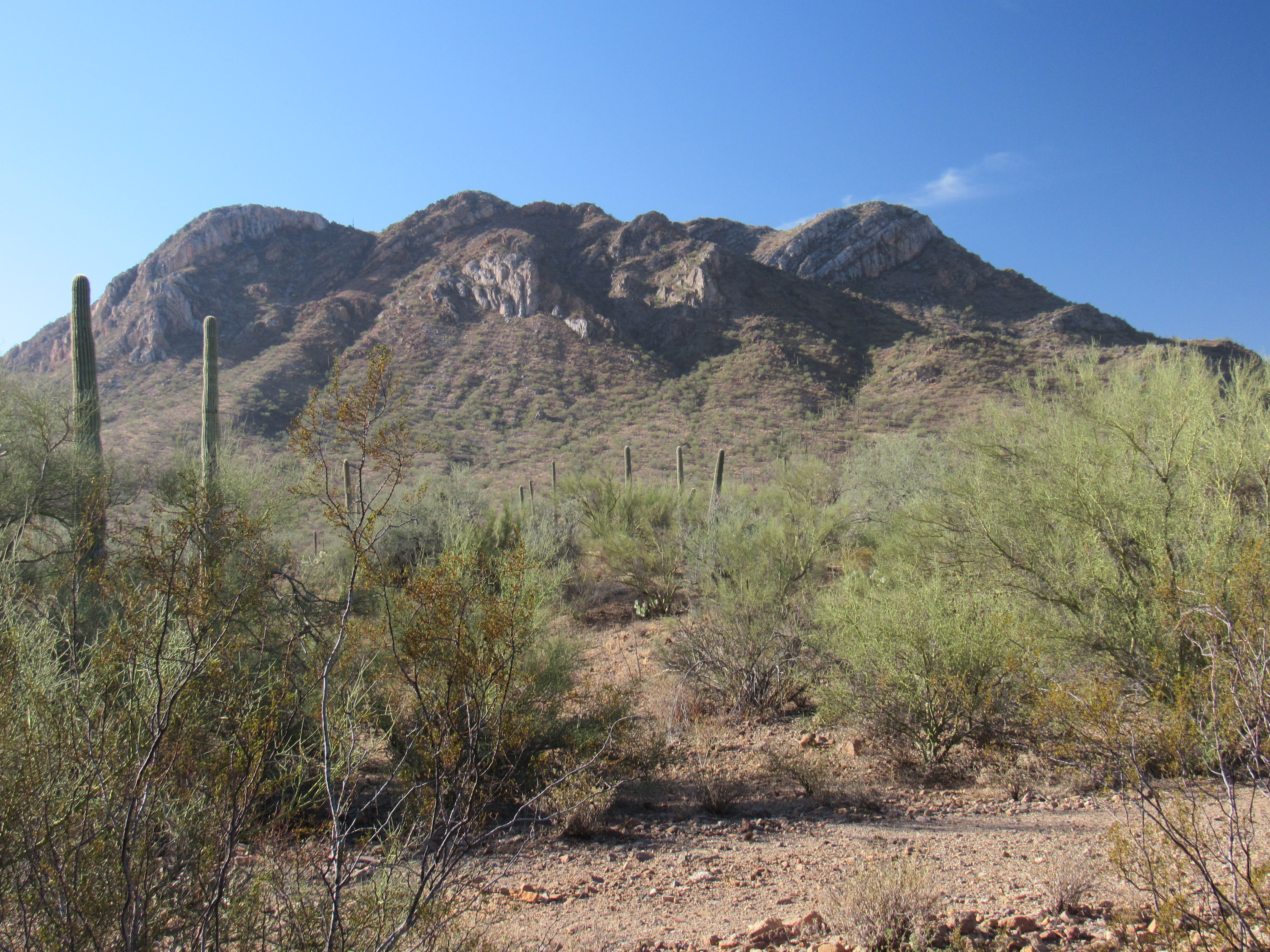
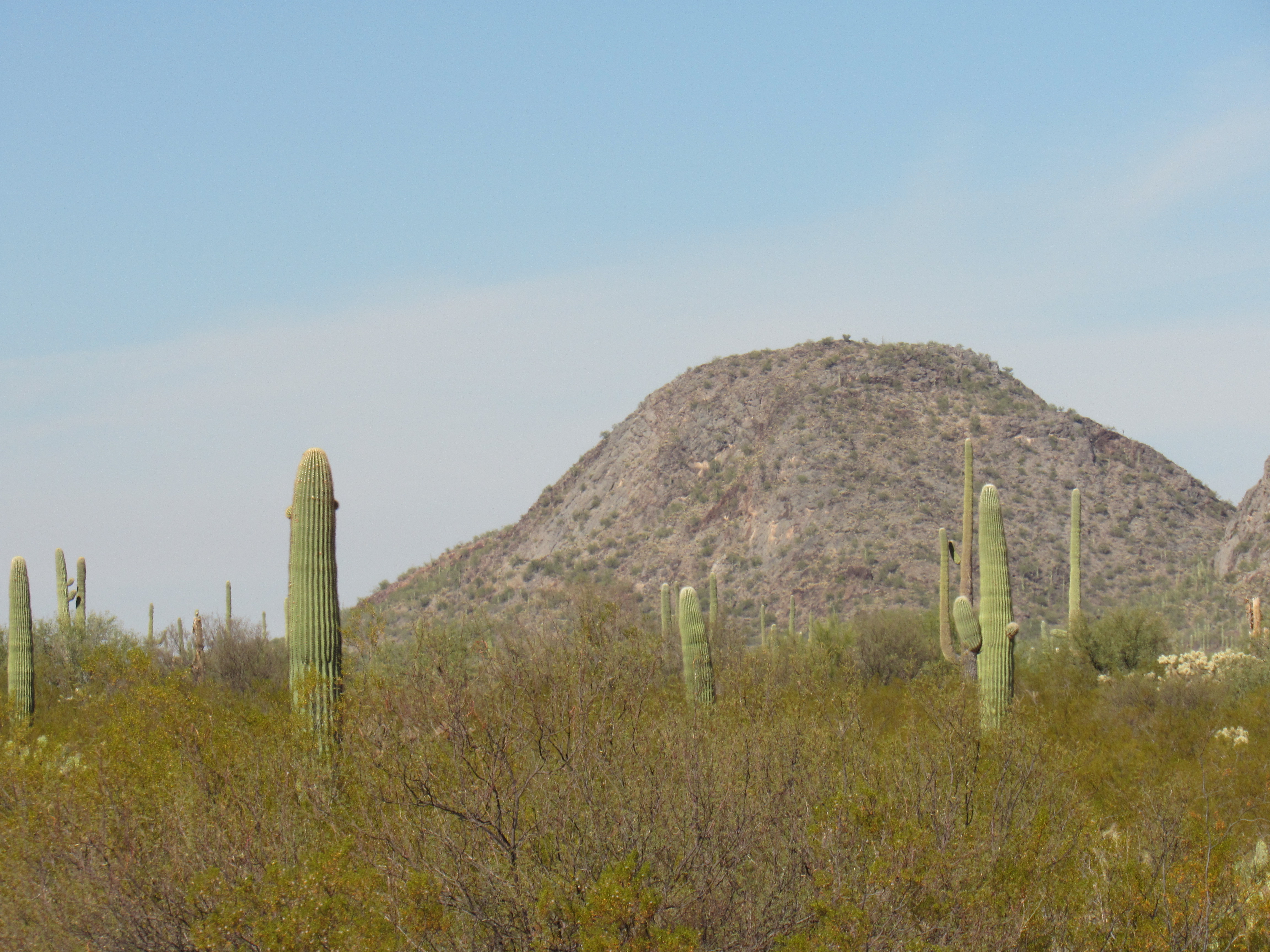
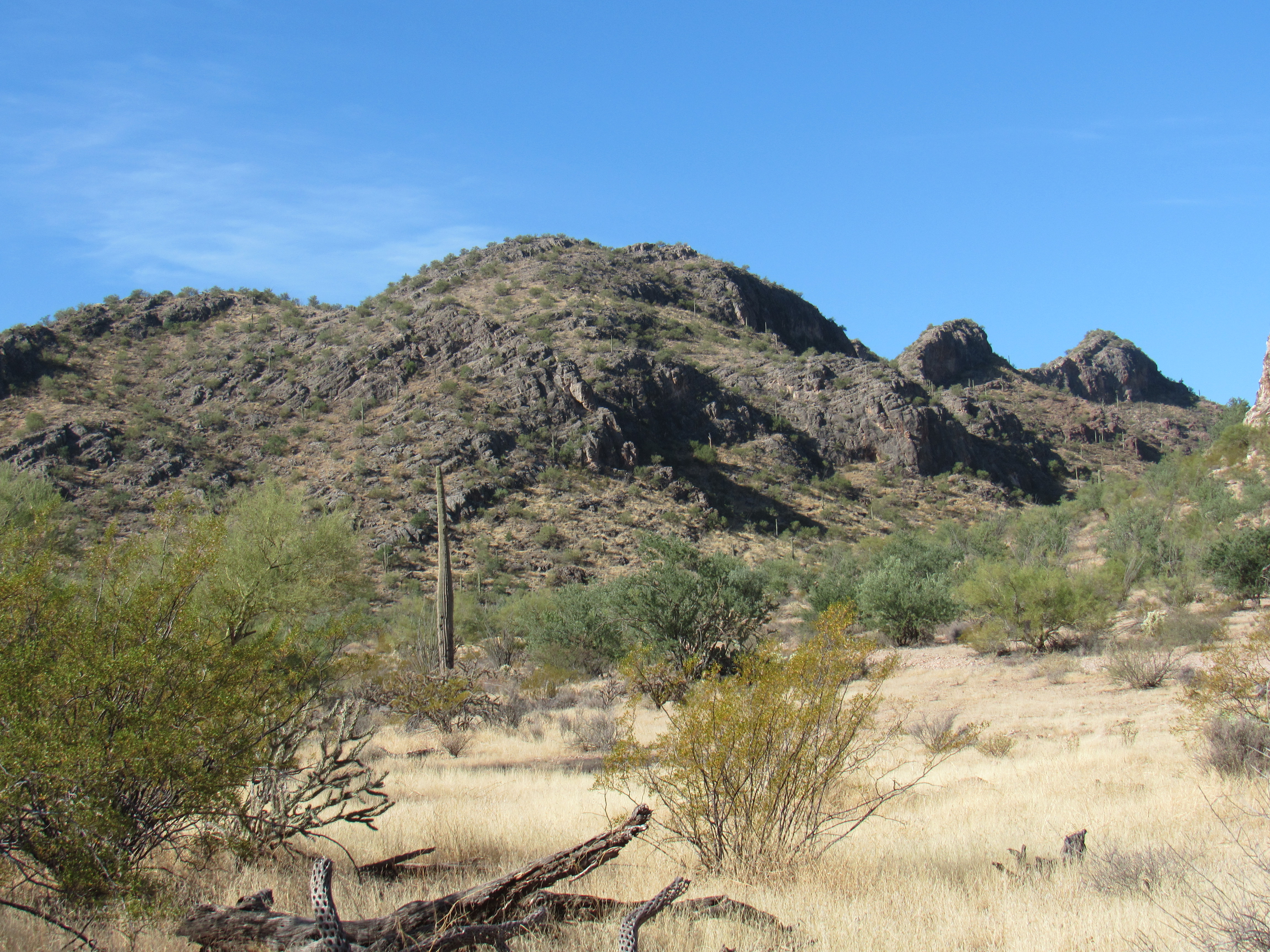
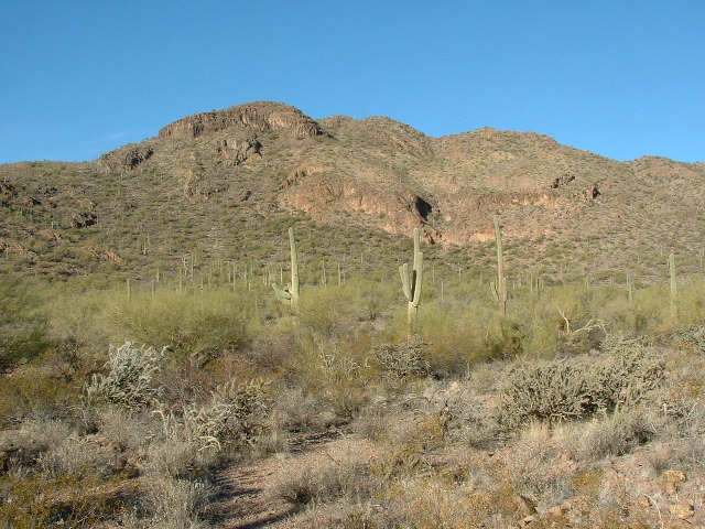
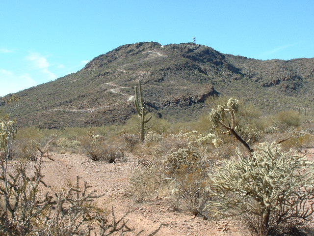
Soundly berated, I turned around and drove back down to pavement. My map showed that the actual summit was on private land, but I had already decided I was not to be deterred. Stretching for miles to the east of the peak was a combination of Arizona State Land and BLM land. My plan B was to cross that on foot and stealth my way to the top. However, if I had better studied the old roads on my map, I would have realized I could have driven in fairly close. Alas, it was not to be. From much farther out, I started on foot, crossing over hill and dale. I was really beat by the time I clambered on to the summit. Just a few hundred feet below me was the road I’d been denied hours earlier. After a short stay on top, I retraced my steps. It was a long, hot afternoon, topping out at 93 degrees, but that was pretty normal for that 26th of September, 1987. The entire climb was a fiasco – I ran out of water and had leg cramps by the time I regained my truck. Returning with a friend 23 years later, we drove in close via some of those old roads and made quick work of the ascent. Here’s a photo of Waterman Peak taken from a nearby mountain.
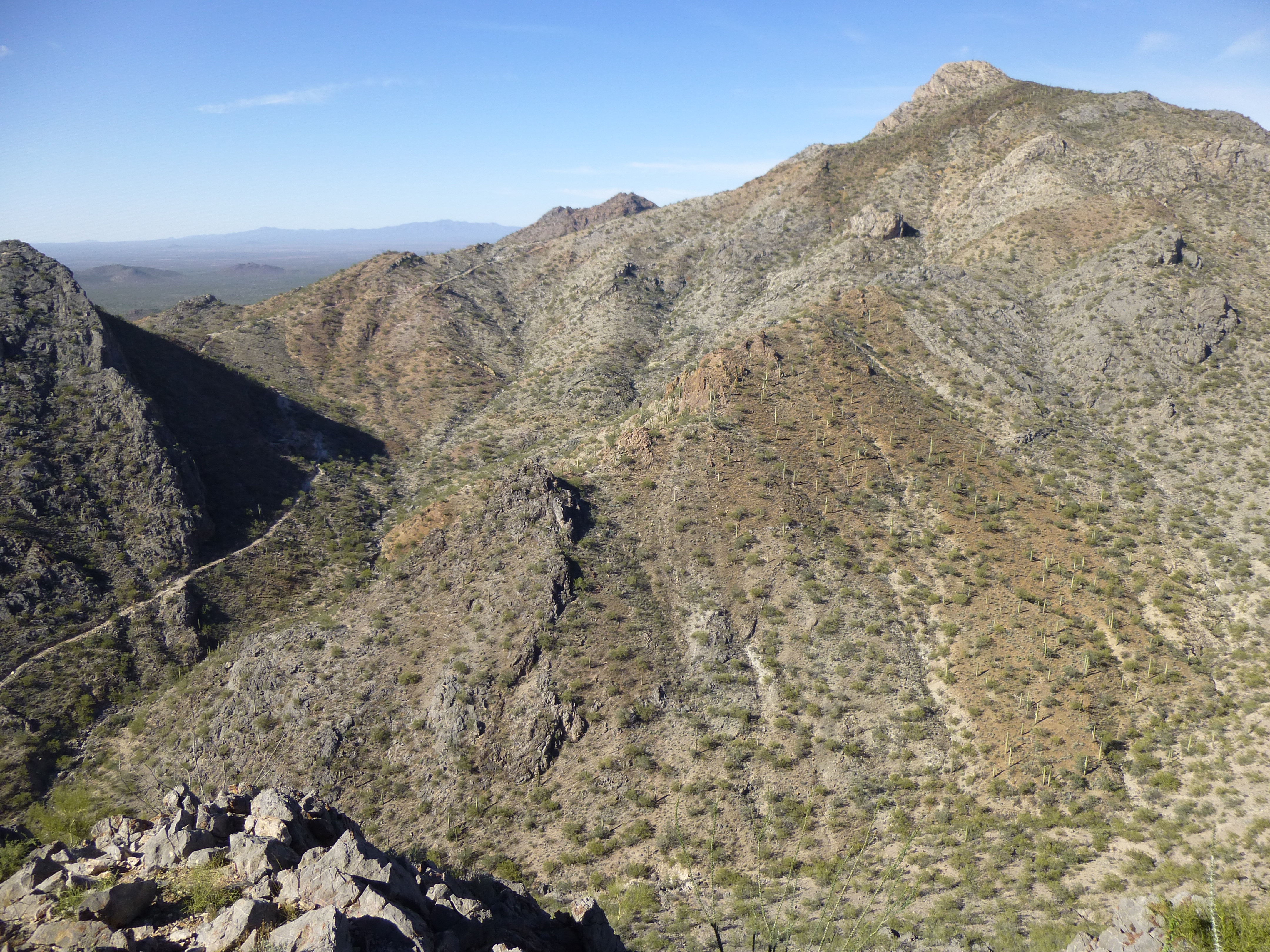
Waterman Mountain, the east side
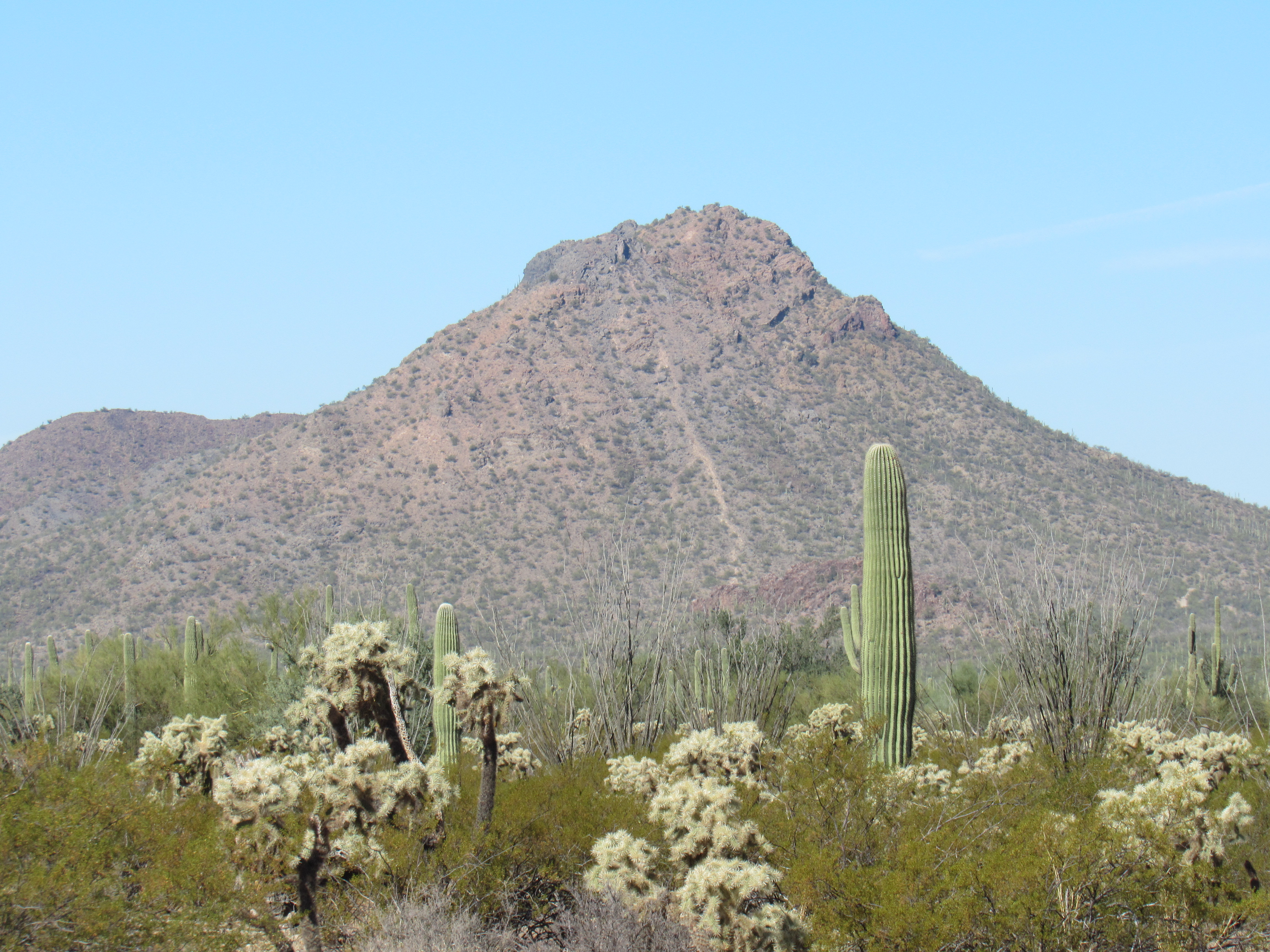
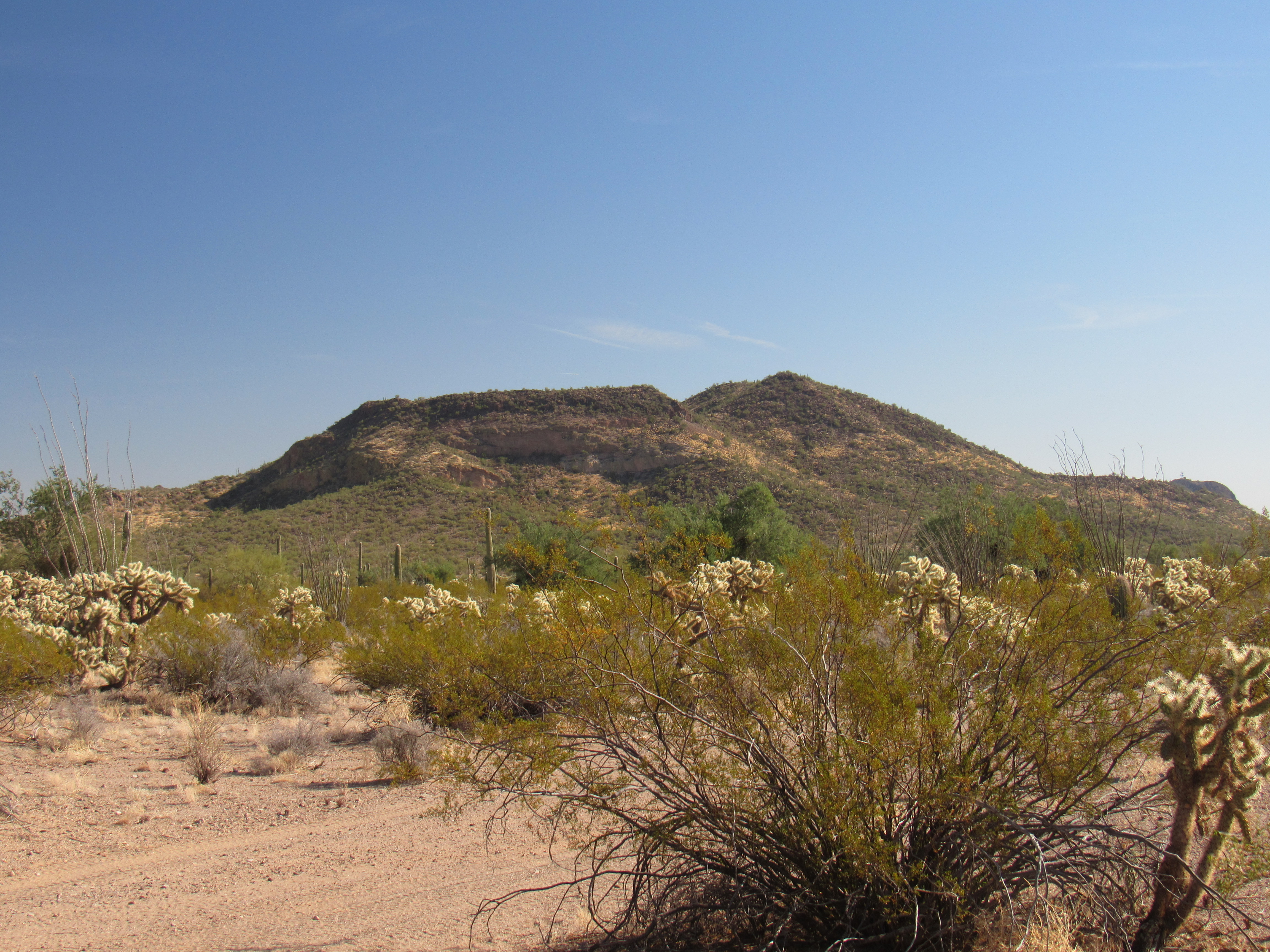
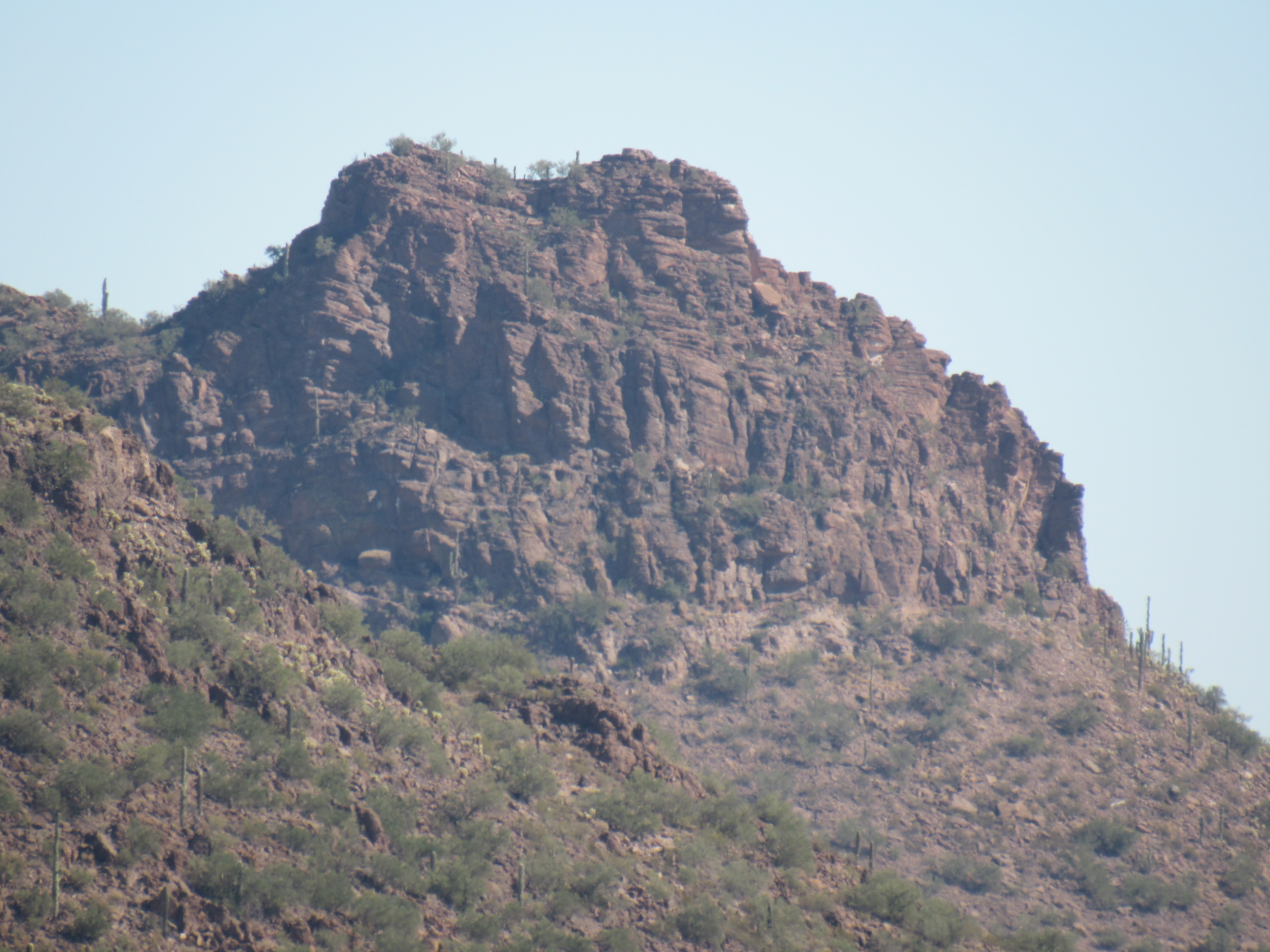
The five westernmost peaks in the Watermans all happen to lie within the Tohono O’odham Indian Reservation. The highest of those, Peak 3433, sits 2 miles to the northwest of Waterman Peak, and also happens to be the northernmost in the range. It’s a nice peak, with a cliffy, complicated summit. When I climbed it back in the winter of 2002, I went up its steep north side. As I approached the summit ridge, I happened to look up and clearly saw a group of 7 desert bighorn sheep. They didn’t stick around, quickly moving off and out of sight, but it was a real treat to see them.
Peak 3433, the north side
The next 4 peaks I’ll discuss are also on the Indian reservation. Less than a mile to the southwest of 3433, we find a small, picturesque mountain known as Peak 2825. I had the place to myself in early 2017 when I left my register on its summit.
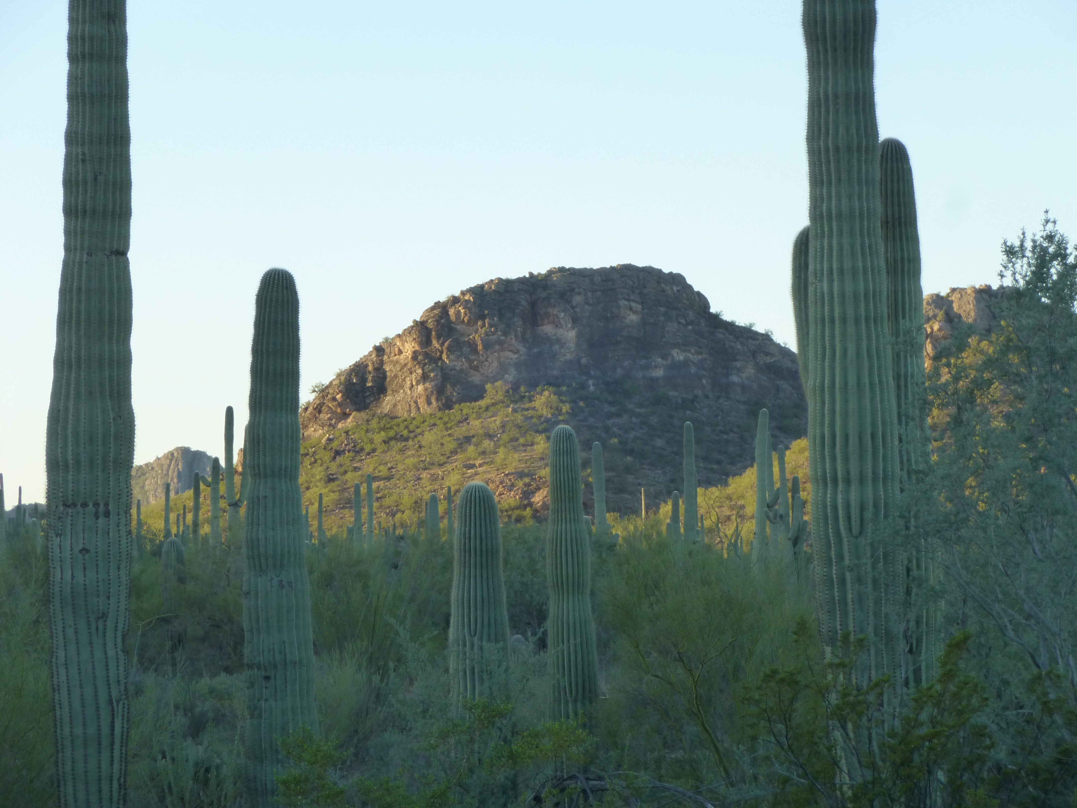
The north side of Peak 2825
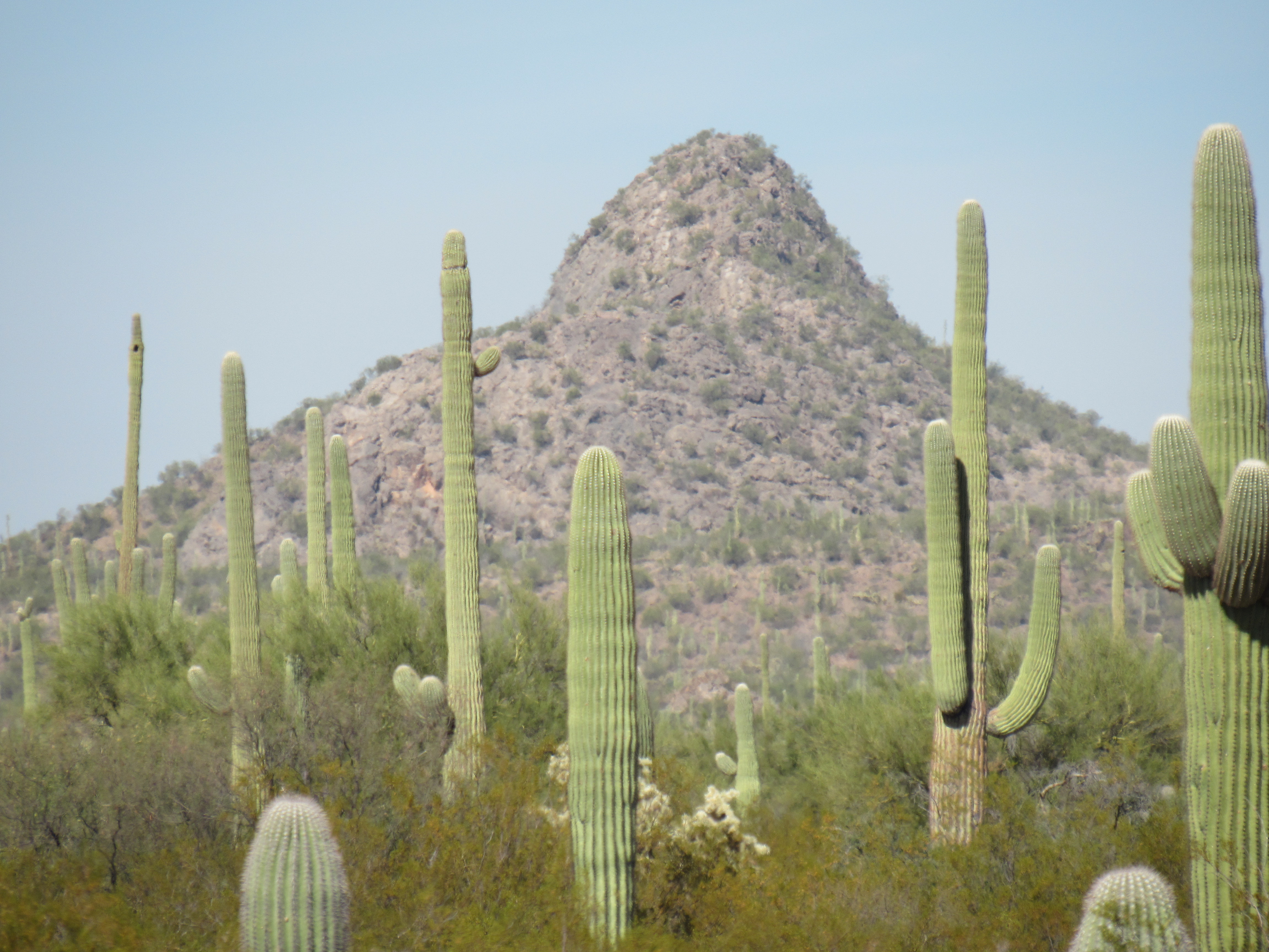
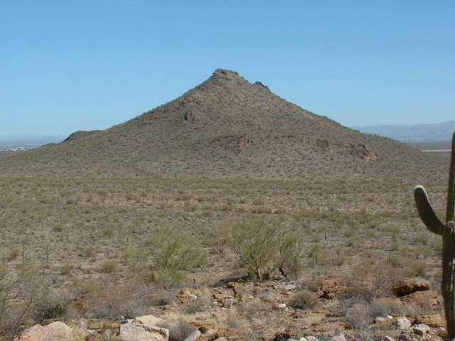
The second-highest peak in the entire range sits less than a mile to the southwest of Waterman Peak. It’s a big one, climbed by only a few. Peak 3475 sits in the shadow of the range high point and only a short distance inside the reservation.
Looking northwest to Peak 3475
There’s an interesting out-of-the-way spot down on the southwest corner of the range. It’s shown on the map as “Waterman Pass”. It doesn’t look like much of a pass, as all of the land around there is as flat as can be. If you drive the rough road leading to it, you’ll find this serious-looking cattleguard marking the boundary of the Indian reservation.
Looking west into the reservation
A few miles to the northwest lie the 2 remaining Waterman peaks that are located on the res. Here are telephoto shots of both of them. This first one is Peak 2849.
Looking northwest to Peak 2849
And here’s the last of the reservation peaks – the photo is also taken from Waterman Pass, just like the photo of 2849. This one is simply known as Peak 2870 and it lies 3 miles from the pass.
We are looking at the southeast side of Peak 2870.
The area around these last peaks is riddled with mine shafts, drill holes and prospects. Most of the mining activity would have taken place before the bulk of the reservation was created in 1916, as is the case with much of the mining activity in Arizona.
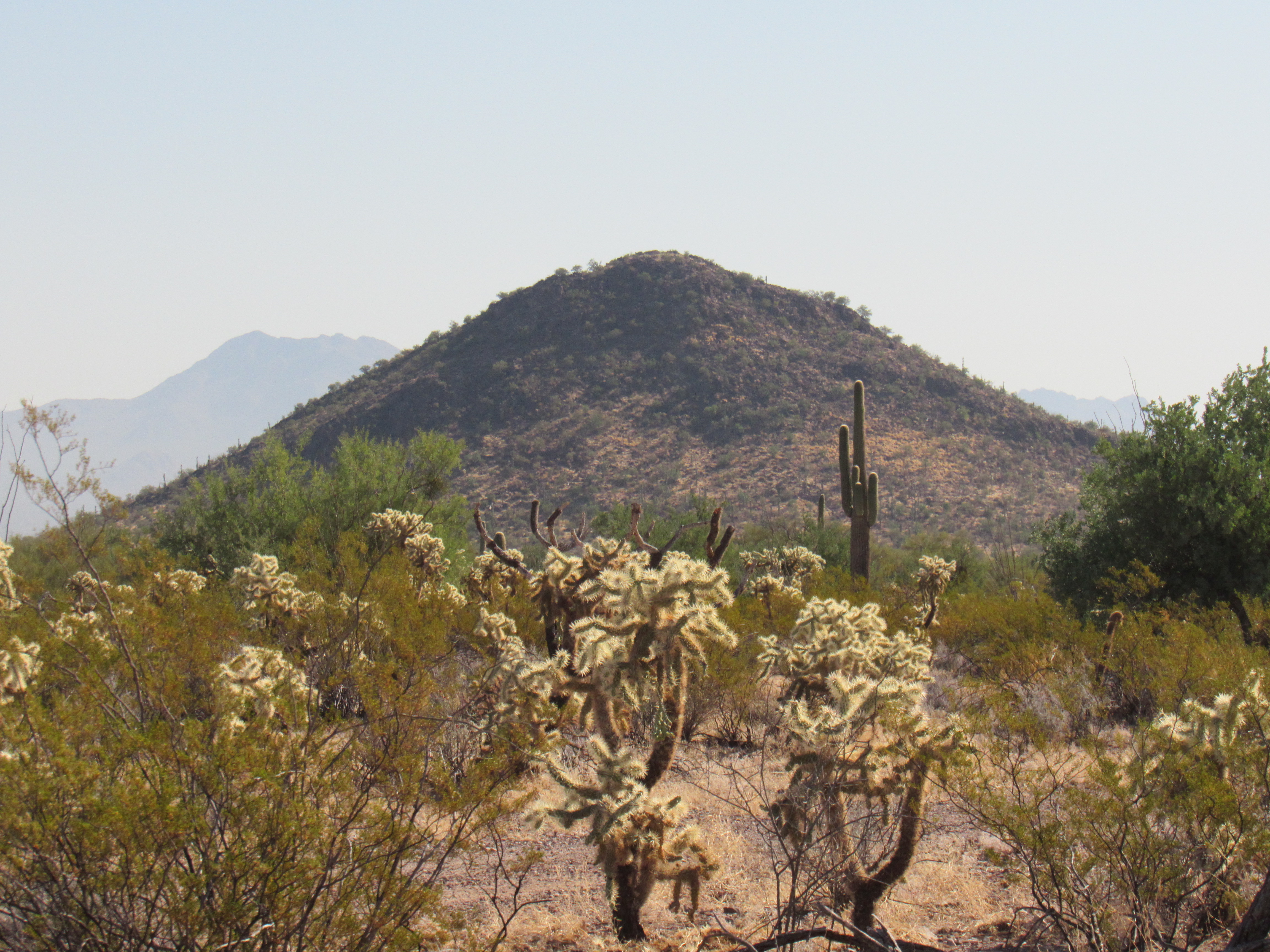
There are 9 more peaks in the range, all of which lie outside reservation lands. In addition, they all are east of the range high point and sit squarely on BLM land (Bureau of Land Management) or on Arizona State Trust Land. There has been much less mining activity around these 9.
Let’s move east from Waterman Peak. If we go just one mile, we come to one of the range’s largest mountains known as Peak 3243. This one rises up a full thousand feet from the desert floor to the north – I climbed it from the southeast via gullies and ended on the main ridge.
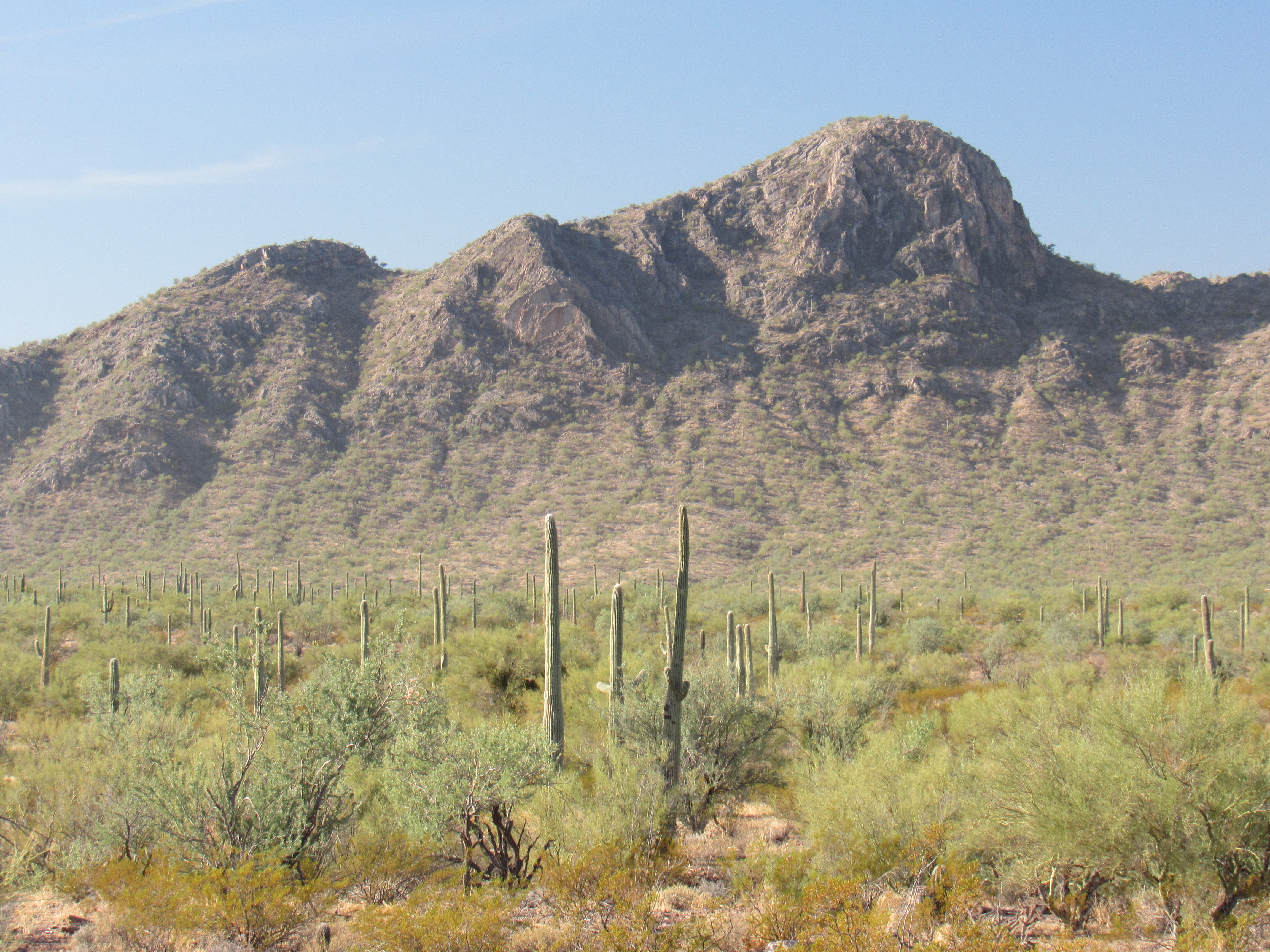
The northeast side of Peak 3243
A mile and a half of further travel to the southeast lands us on Peak 3036. The next photo looks west along the spine of the peak, and the actual summit is the most distant bump on the right. Seven of us have made our way to the top over the years.
Peak 3036 – we are looking west
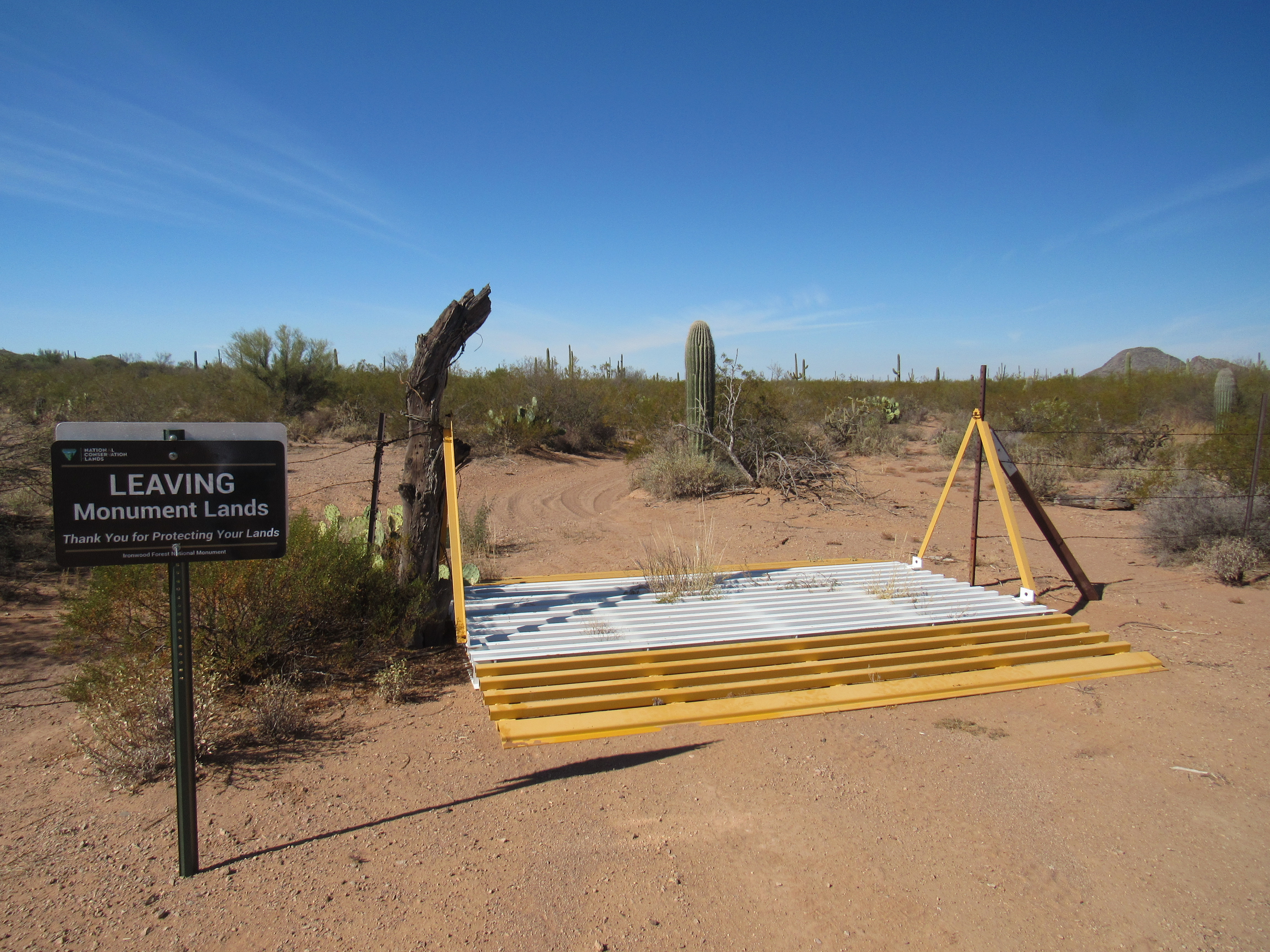
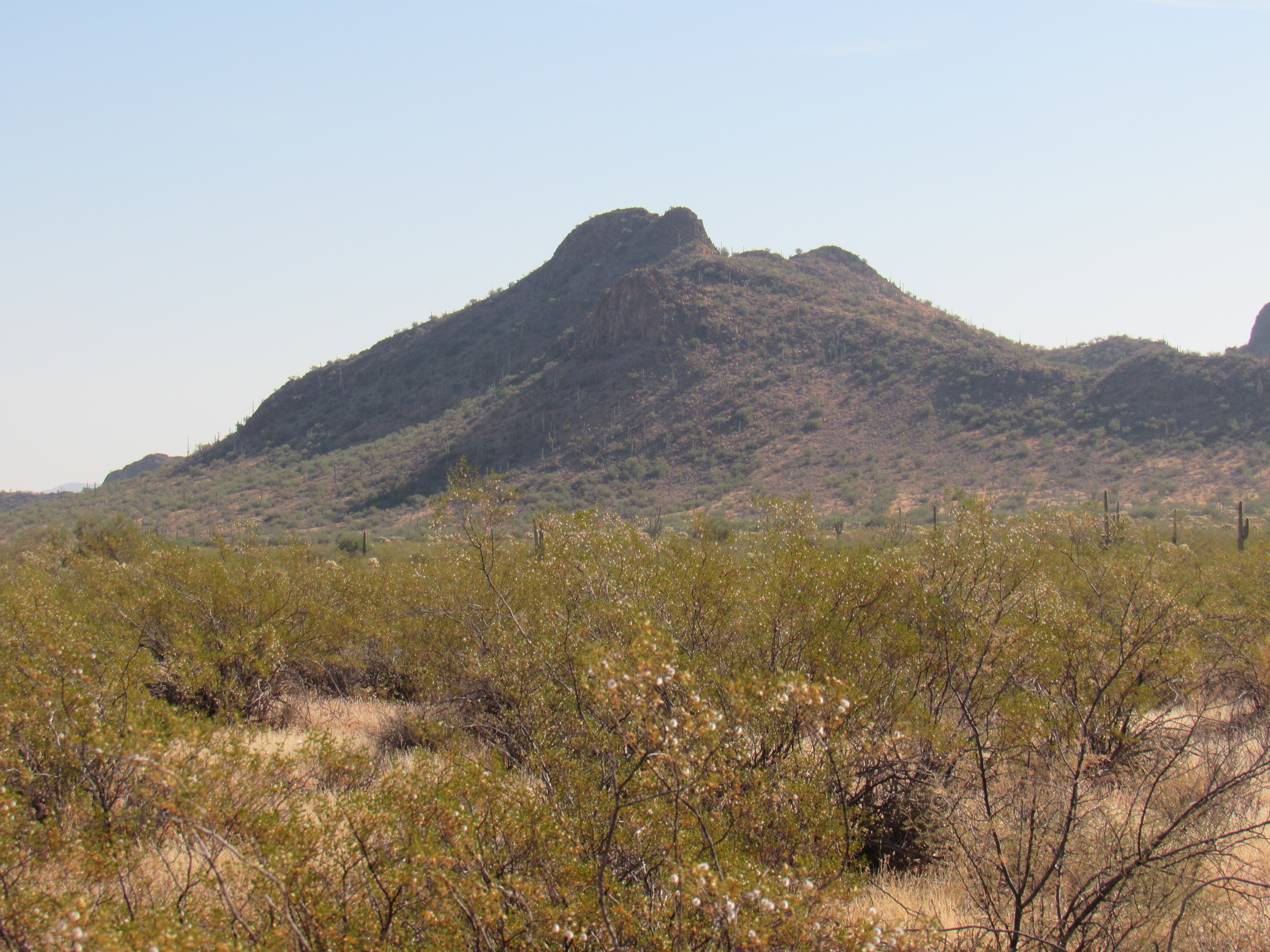
This brings us to our last 7 peaks, all sitting in a group at the farthest east end of the range and out in the Ironwood Forest National Monument. These are different from all the others in the Watermans – for one thing, there’s almost a complete absence of mining activity. Just a few tired old roads, some of them no longer passable, are about the only evidence of man’s prior interest. Here’s one of the bigger ones in the group, simply known as Peak 2870.
East to Peak 2870
Less than a mile to the southeast sits the much lower Peak 2590,
East to Peak 2590
This is another of those incredibly obscure peaks which has only been visited by the half-dozen usual suspects. It’s not likely it will see many more bootprints as it sits out there eroding to dust in our Sonoran Desert.
The northernmost of this group of seven sits a mere 2 miles from pavement, yet Peak 2704 sits alone and forgotten along with its neighbors.
Of the 15 peaks in this small range, only 2 have been blessed with names. One of them, Waterman Peak, you’ve already met. The other is a double-headed summit with the most unusual name of Pan Quemado, which means “Burnt Bread”. Strange, huh? The rock of which the peak is composed doesn’t really look any darker or different than that of the surrounding peaks, so I’m not sure why it got the name. There is one and only one other peak in Arizona with the same name, and curiously it sits only 12 miles to the north in the Samaniego Hills. It makes me wonder if the same person was behind both names.
The northern peak is the higher of the pair, and sits at 2,947 feet. The name on the topographic map sprawls across all of the mountain, as you can see from this link. The lower peak, which is a full 200 feet shorter, sits to the south only 3,000 feet away. All in all, the whole thing is pretty impressive. Here’s the higher northern peak, as seen from the east.
The east side of the highest part of Pan Quemado
And here’s a look at the west side of the lower southern peak.
Peak 2743
Only a few days before I climbed Pan Quemado, I paid a visit to Peak 2678, the easternmost one of the entire range. Here’s how it looked from the west. It was an easy 500-foot climb. Truth be told, none of the peaks in the Watermans were difficult, not in a climbing sense anyway. They were just walk-ups, albeit some of them steep.
Looking more-or-less east
If you think back on all of the summits we’ve discussed in this story, the only one that has felt the hand of man would be Waterman Peak itself. Mining activity has played out on its slopes for more than a century. All of the others are still pretty much as Mother Nature created them. Except one.
From miles away, you can see there’s something different about Peak 2790. Here’s the view from the northwest, a long telephoto shot of the summit – you can definitely see that there’s something going on up there.
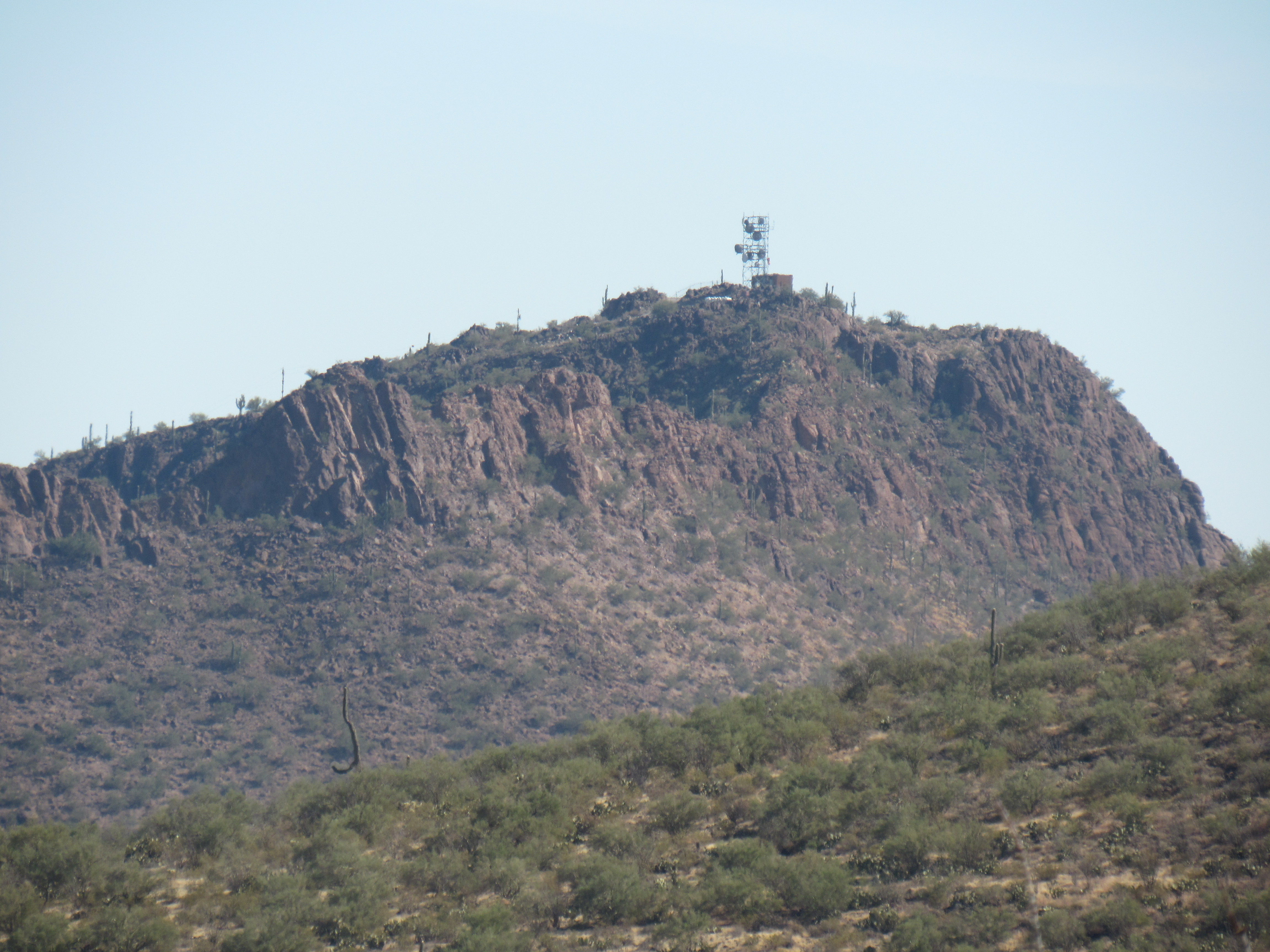
Looking southeast to Peak 2790
If you move around to the desert floor on the other side, here’s what you see.
Looking up the access road
The road is dirt down below, but as it starts to switchback up the slope, it is roughly-paved with concrete. It zigzags up almost 700 vertical feet, making best advantage of the topography. A few spots have been created for a chopper to land along the road, and a power line charges directly upslope to supply what’s on top. As we walk the road and near the summit, here’s what greets us.
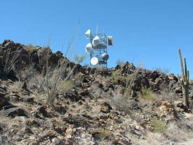
Nearing the top
The thing about installations like this on a mountaintop is that they are often locked up tightly, the real bane of peakbaggers. What would I find up there? Well, here’s part of what I saw. A sturdy chain-link fence with a triple strand of barbed-wire leaning outward along the top.
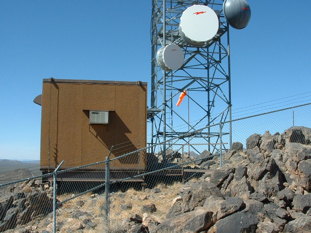
Near the top
Here’s more of what greeted me.
More of the enclosure
So in a case like this, we need to find the weakest link (no pun intended), the chink in the armor. I walked around the entire enclosure, and this was the only spot that offered any chance of getting inside the fence.
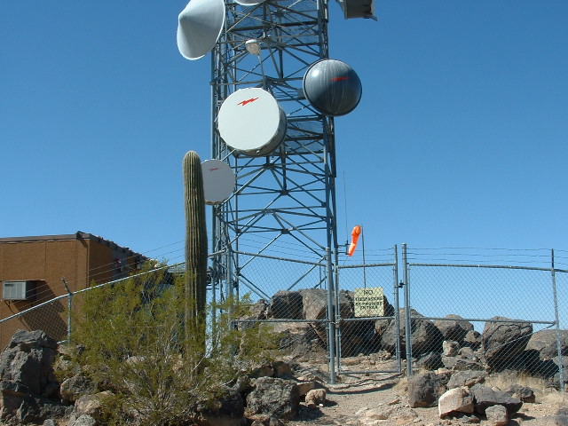
The gate
Why was I even concerned? Well, it turned out that the highest point of the mountain was inside the fence, and unless you can somehow manage to reach that point, you haven’t climbed the mountain. If this sounds like overthinking it, you’re probably right, but the peakbagger’s credo dictates that if you can’t touch the very highest spot, you haven’t climbed the mountain – period! No exceptions.
So there I was, staring at a very-locked man gate. In the above photo, it sits below the orange windsock. The sign it proudly bore said “No Trespassing – Se Prohibe Entrar”. Now all I had to do was pass the gate. I knew for sure I wasn’t getting past the beefy lock and chain, and getting over the barbed wire was beyond my pay grade, so the only option still open to me would be getting under the gate. Here’s how I did it.
As you can see, there’s a bit of space below the gate. Not much. Twelve years ago, when I climbed this peak, I was thinner around the middle. Not much. As I studied the gap under the gate, I realized there was only way I was going to fit. Maybe. I lay down flat on my back with my head pointing at the gate. The space below the gate was kind of dished out, concave, so my head went under and downwards, but soon had to go back uphill on the other side. When I was partway through, I was lying like a letter U but flatter. It was a tight fit. I had to turn my head to the side to squeeze under, and exhale so that my chest could also get past. I recall panicking for a moment, thinking how embarrassing it would be to have to be rescued while trapped under the gate. I managed to wriggle the rest of my body under the gate and into the compound, breathing a huge sigh of relief. I went and tagged the summit. To this day, I can’t recall if I was bold enough to leave a register or not but In any case, I beat a hasty retreat, happy that I solved my problem. The reverse trip under the gate went a bit better as I knew what to expect. An easy walk down to the desert floor ended this climb.
So there you have it, a journey through the Watermans that started way back in 1987 and stretched all the way to 2017. Whew, 30 years to finish off the 15 peaks. Here’s how they break down as far as the type of land on which they sit:
Bureau of Land Management land – 6; Tohono O’odham Indian Reservation – 5; Arizona State Land – 3; private land – 1
It’s a fun and easy group to tackle, especially if you live near Tucson. Go check them out, you’ll have a good time.