
If you live in Arizona, I’ll bet you’re not far from the Black Hills. It’s not that Arizona is a small state – at 113,990 square miles, it’s the 6th-largest – but the fact is that there are so many sets of Black Hills. Not less than 11 distinct groups of them populate the state, and they’re widely scattered. A mere 32 miles to the southwest of Tucson sits one of the groups, tucked away on the east side of the Altar Valley. This is a pretty area, with a welcoming feel to it. I’m guessing that most of the groups named Black Hills earned that moniker because the rock making up their peaks is dark and probably volcanic in nature.
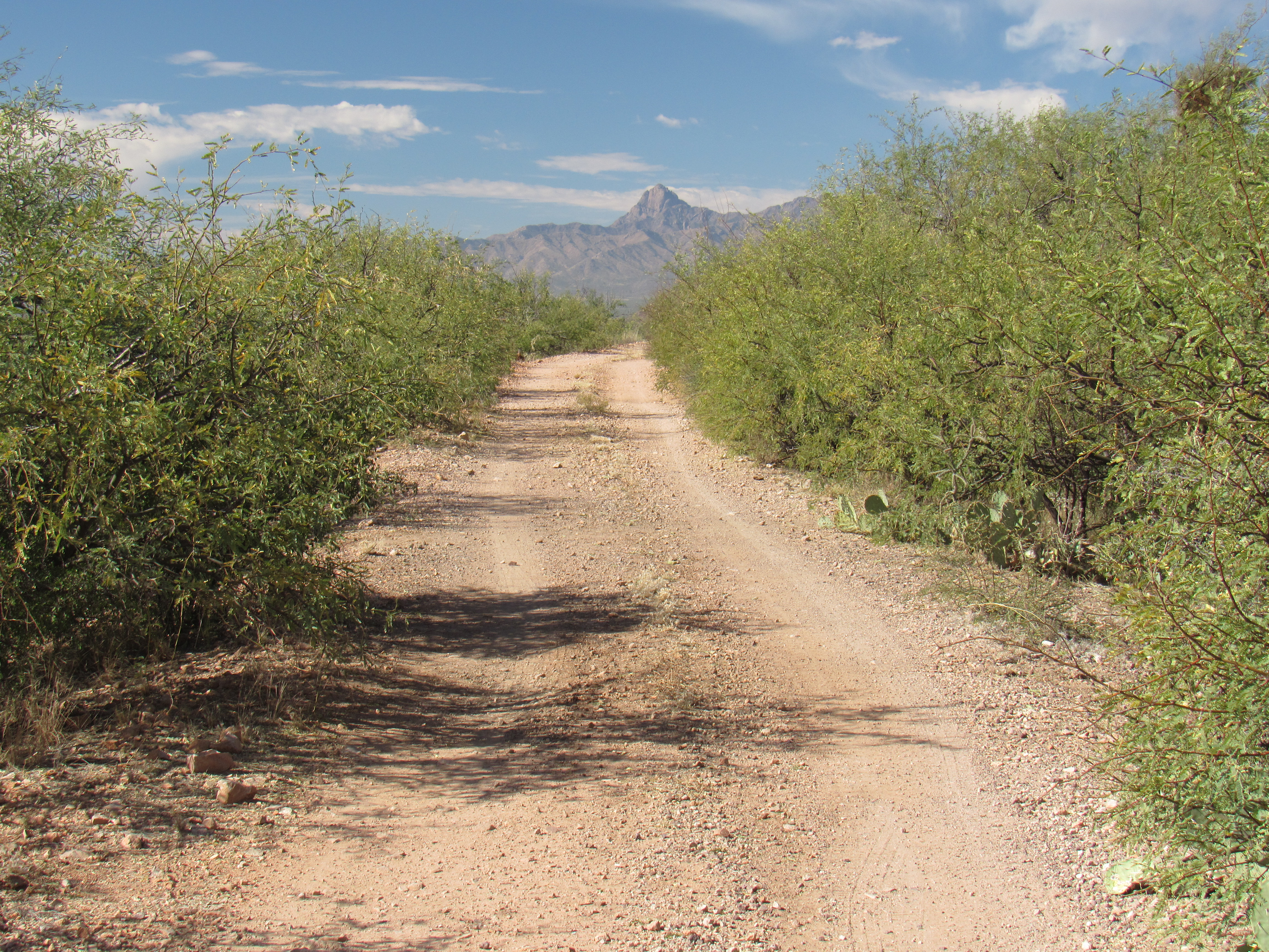
I had first visited the area back in 2001, then returned in 2010 with a friend because it was worth sharing. One thing that was missing from those visits, though, was photos – that was the impetus I needed to go in again. One fine November morning, I drove the 25 miles west to the village of Robles Junction, then south 17 more miles towards the Mexican border. I’d been watching the GPS to alert me when I reached the no-name dirt road that would take me into the Black Hills. Oops, missed it, had to double back, then away I went, eastbound, on the road that I knew would occupy most of my day.
To avoid any hassles later on, I locked the hubs and put in in 4WD so I’d be ready for anything. Not even a mile in, I left this decent dirt road and branched off on to a decidedly-lesser one. Things deteriorated quickly – this road was obviously less-driven. I soon met a group of locals who insisted on standing their ground, in fact barring any forward progress on my part for several minutes.
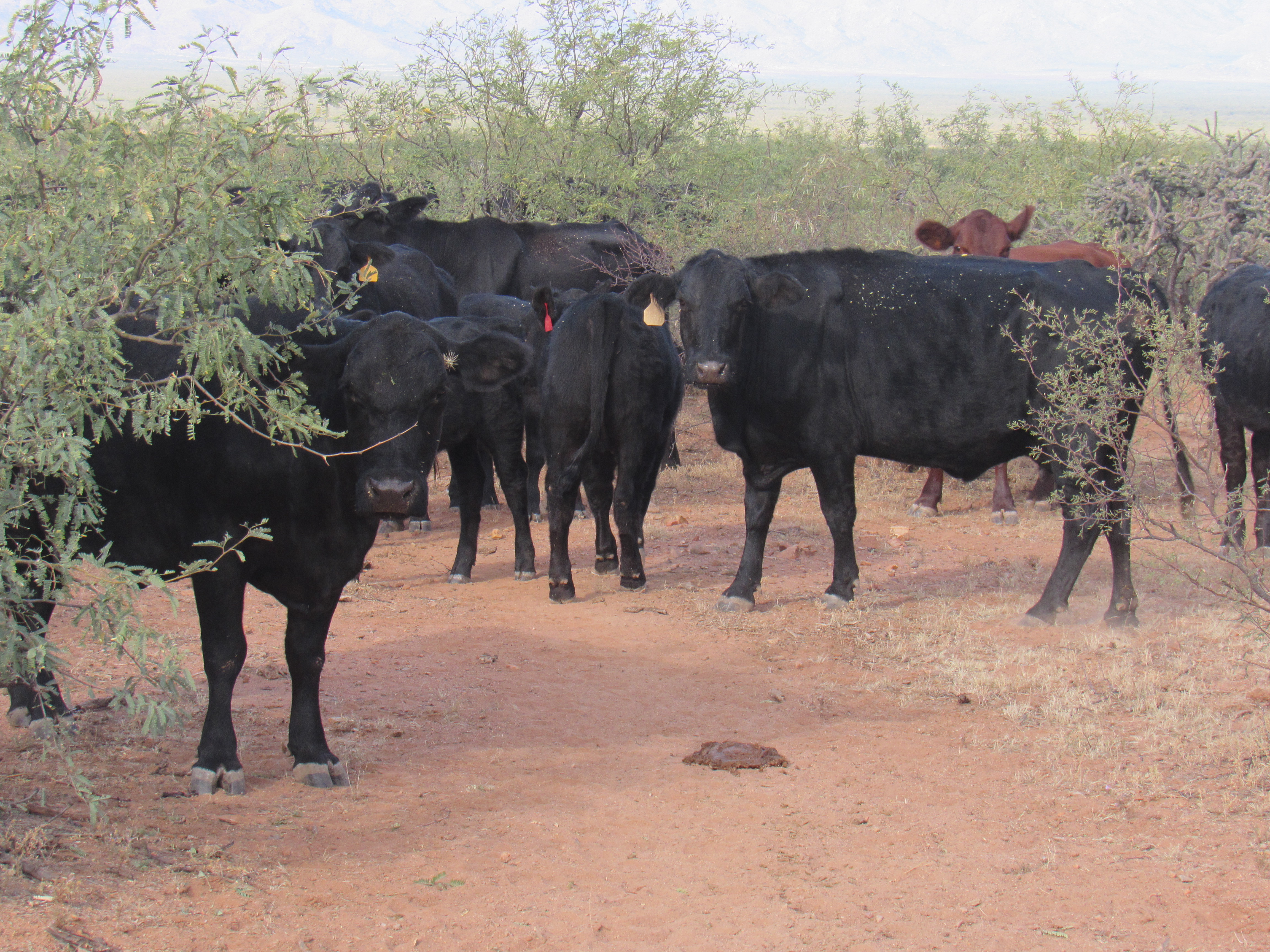
Thou shalt not pass!
I need to stop for a moment to explain a few terms which may be unfamiliar to friends who don’t live in my part of Arizona. A “wash” is a term we use for a watercourse which is nearly always dry (think dry creek bed). A “tank” is a man-made waterhole, usually created with a bulldozer, which catches runoff after a heavy rain, made to hold water for an extended period of time for the purpose of watering cattle.
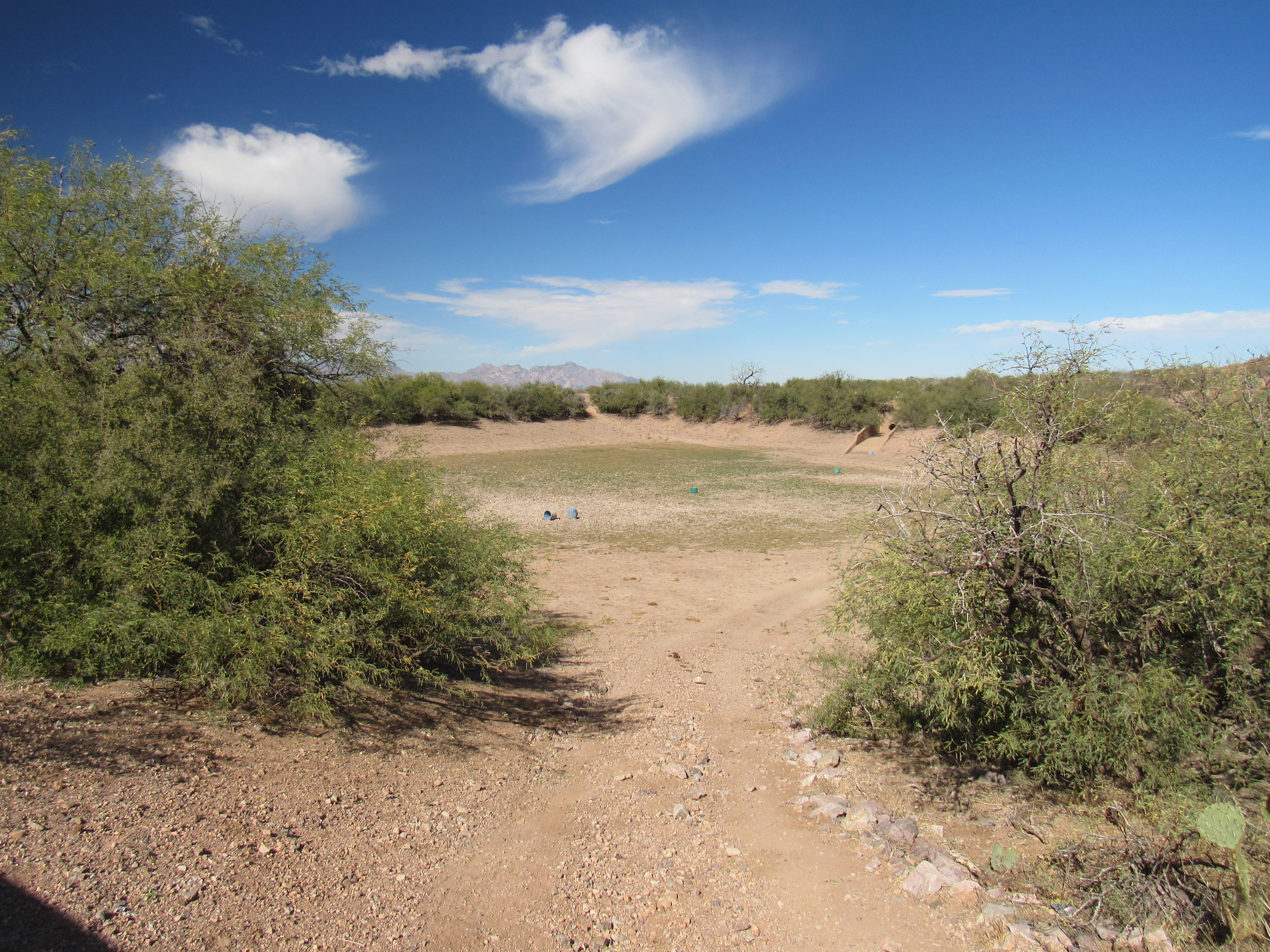
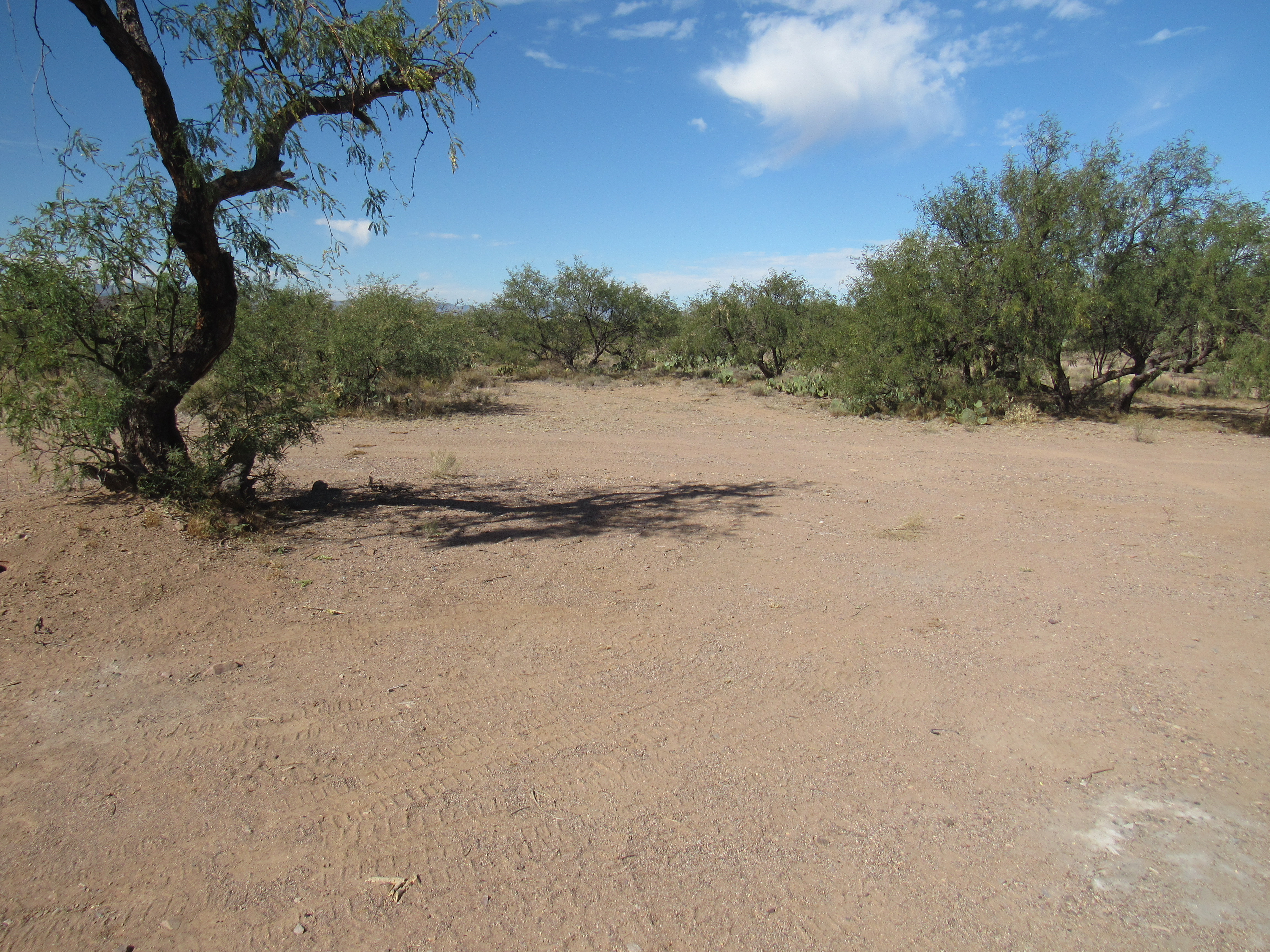
I was traveling through fairly flat country, more or less following a course parallel to something called Cerro Prieto Wash. Before long, I came upon La Cholla Tank. This 400-foot basin was bone-dry.
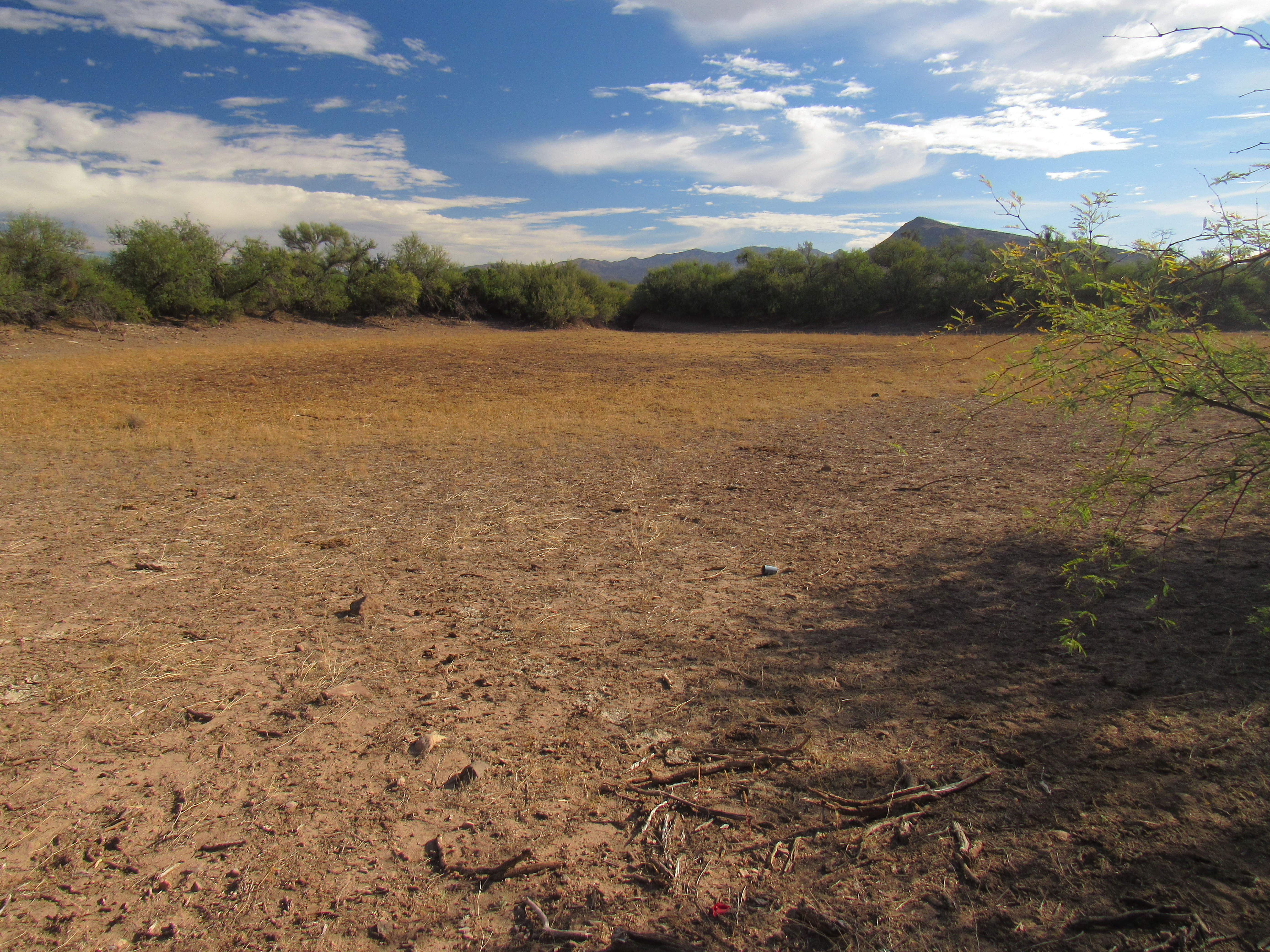
La Cholla Tank
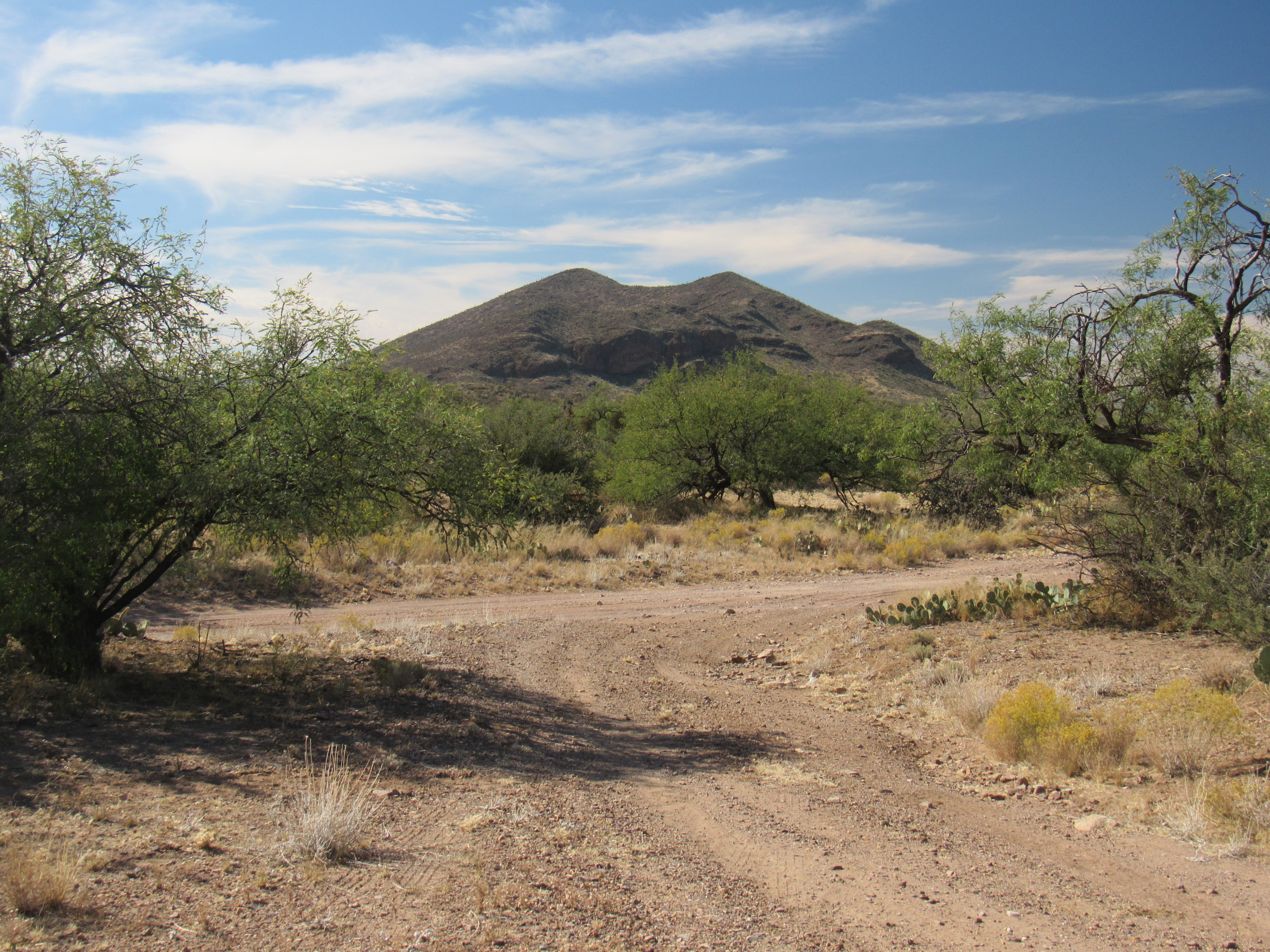
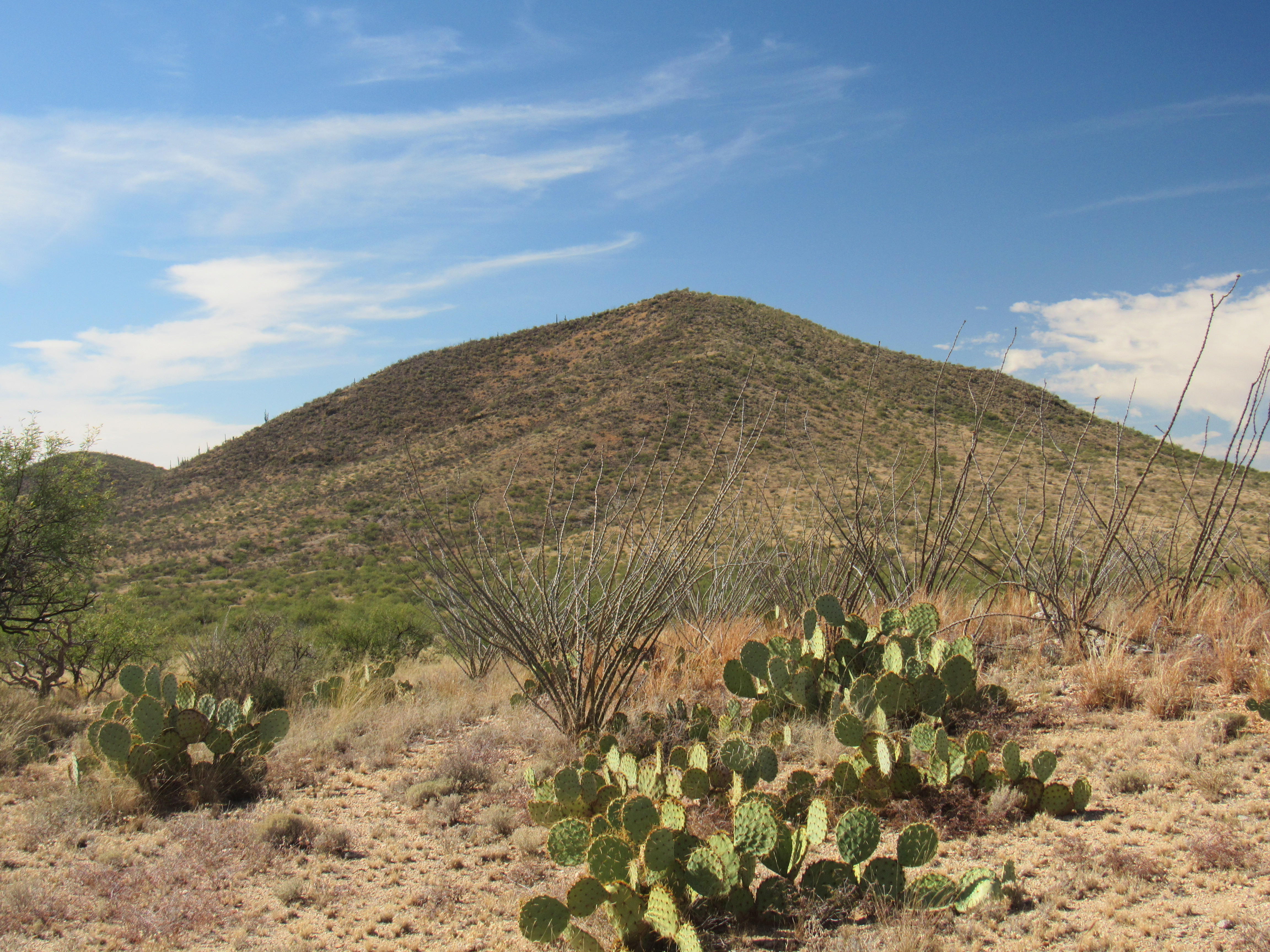
Any cattle hoping for a drink here would be SOL. In the distance, I could see a mountain dominating the skyline. It was Baldy Peak, which I had visited with friend Paul McMichael back in 2010.
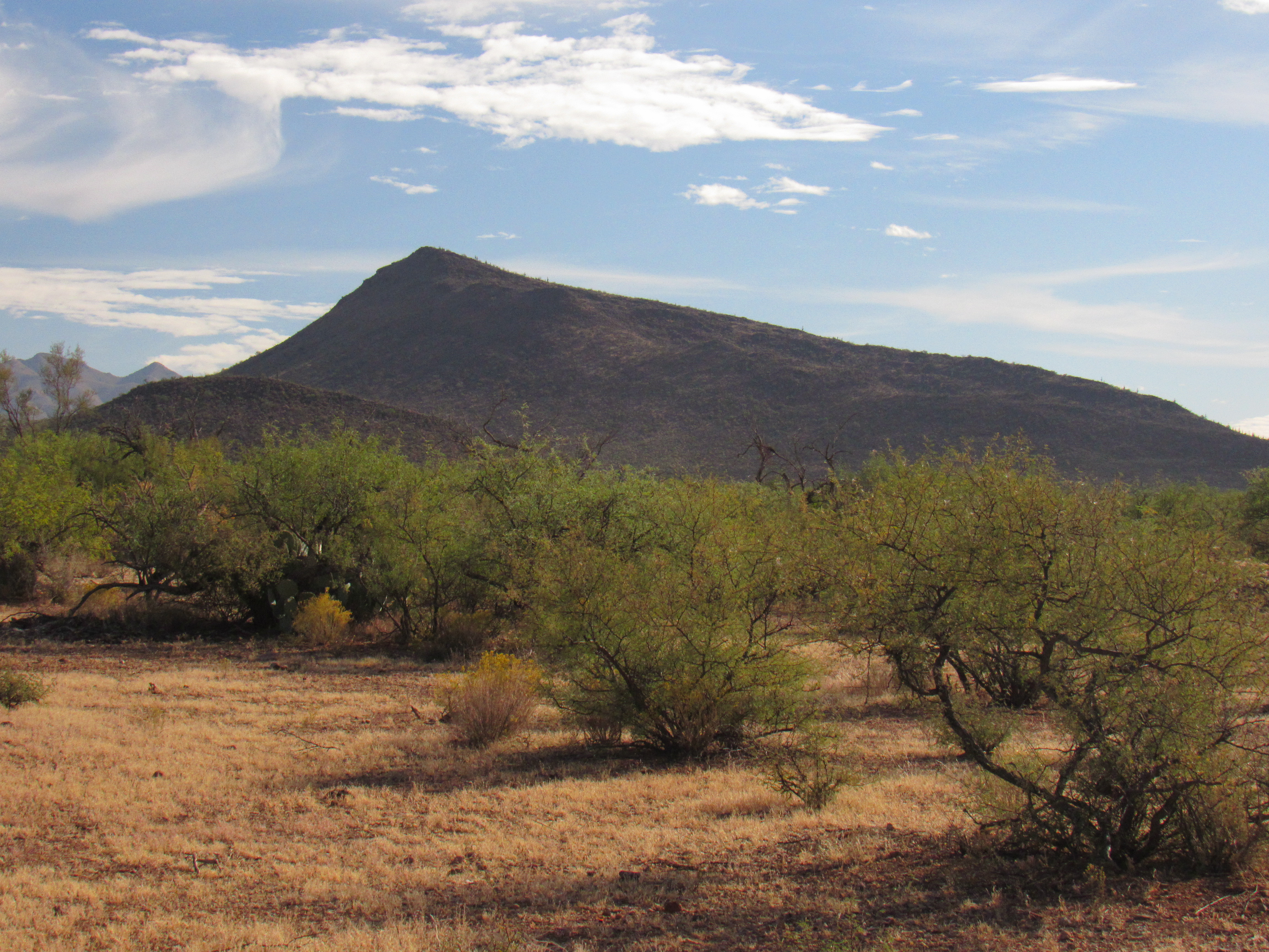
Baldy Peak
Once arrived at the southeastern base of Baldy, I found myself beside another tank. I walked down into it, only to find it also dry. This was Black Hill Tank, actually a series of 3 connected together, about 600 feet in total length. I know it doesn’t look like much, but it had been scooped out with sides 10 to 15 feet higher than its bottom. Some rancher had invested a lot of time, effort and money to create this.
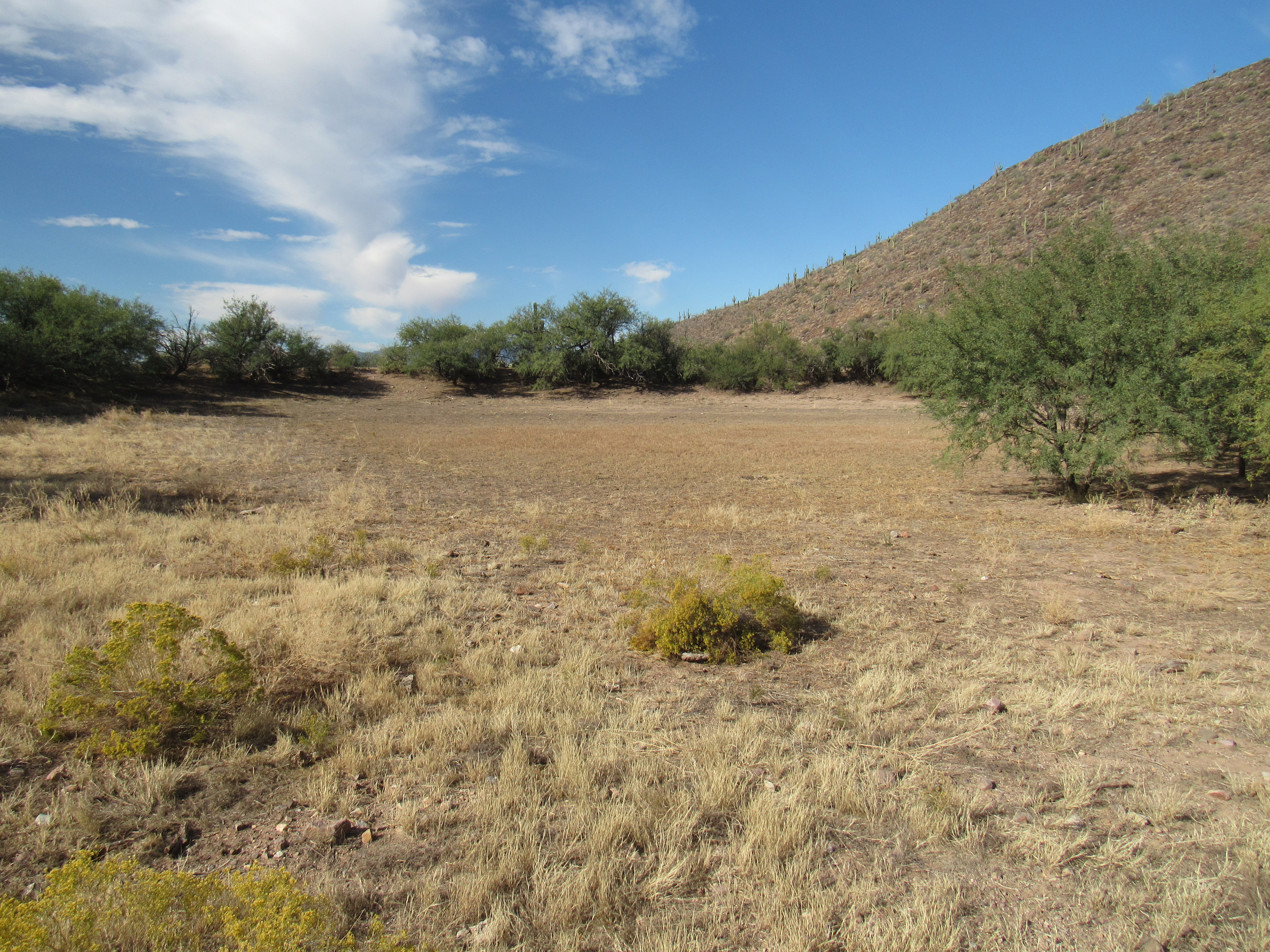
Black Hill Tank
I moved on down the road, now squarely in the middle of the Black Hills, to arrive at a forlorn old windmill. What little was left of it still told of its origin, “Dempster, Beatrice, Nebraska, USA”. This link will tell you much about this historic company.
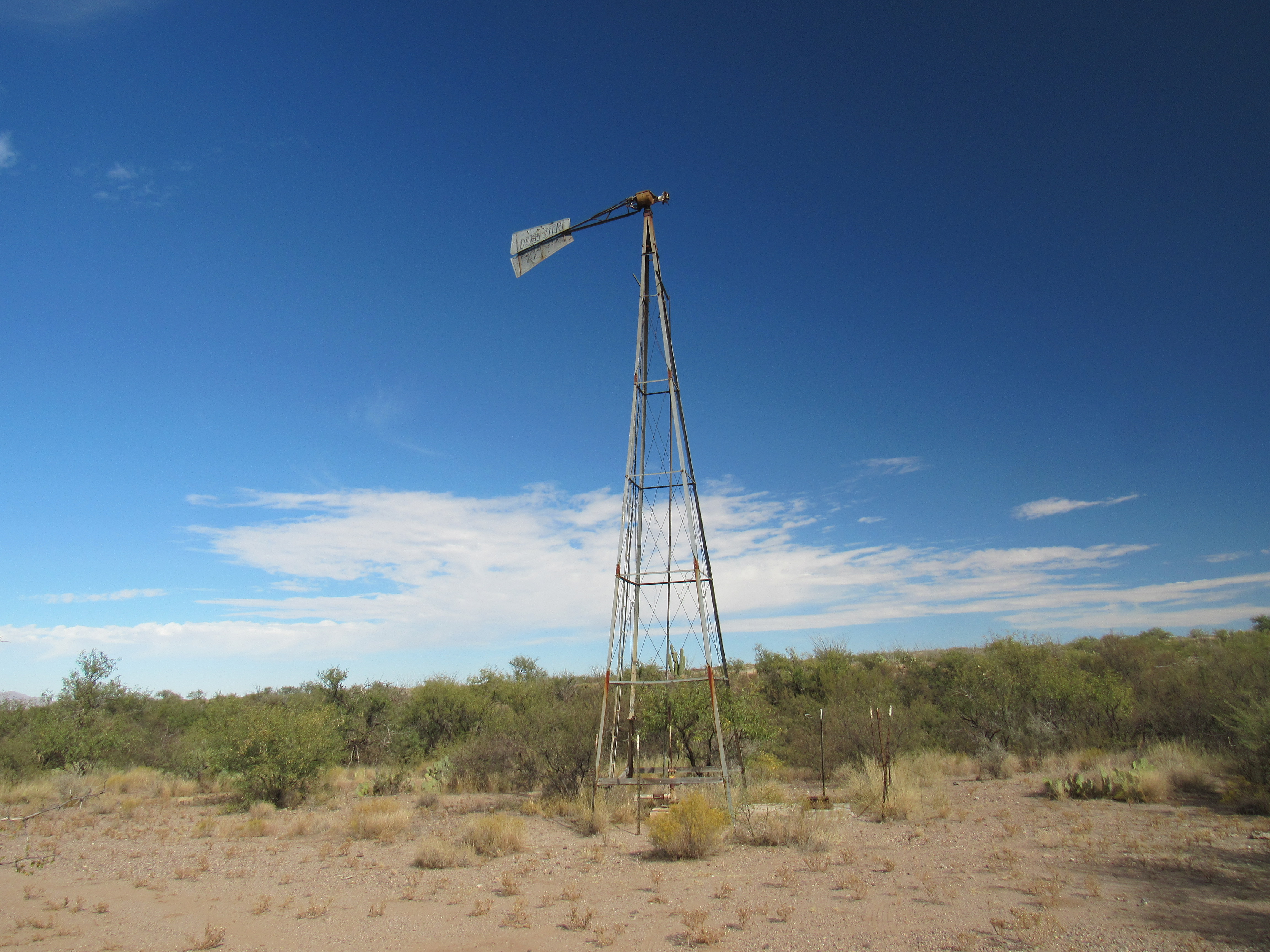
The old windmill
Accompanying the windmill was this large water tank – both are shown on the topographic map, so have been here for some time.
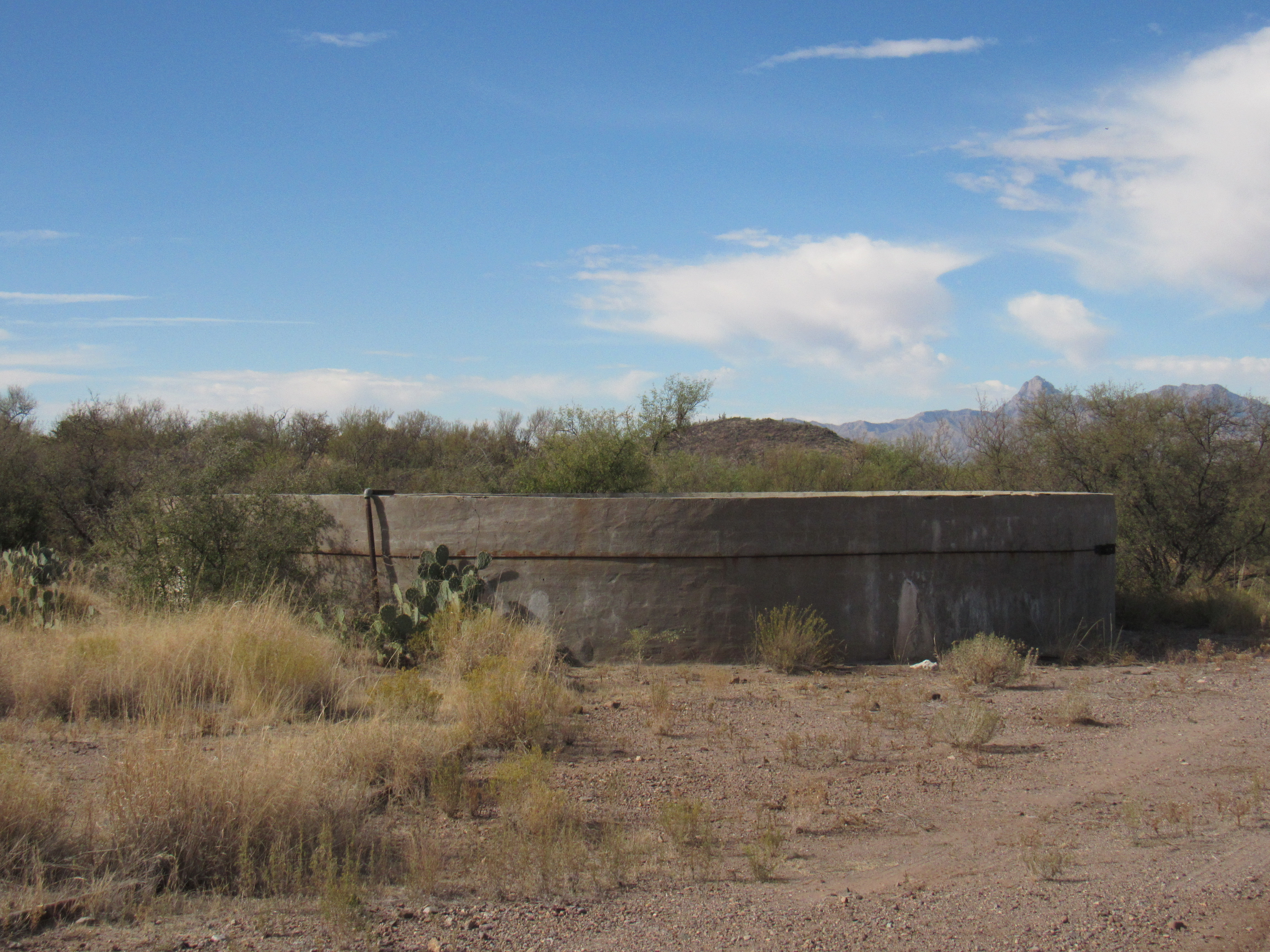
The old water tank
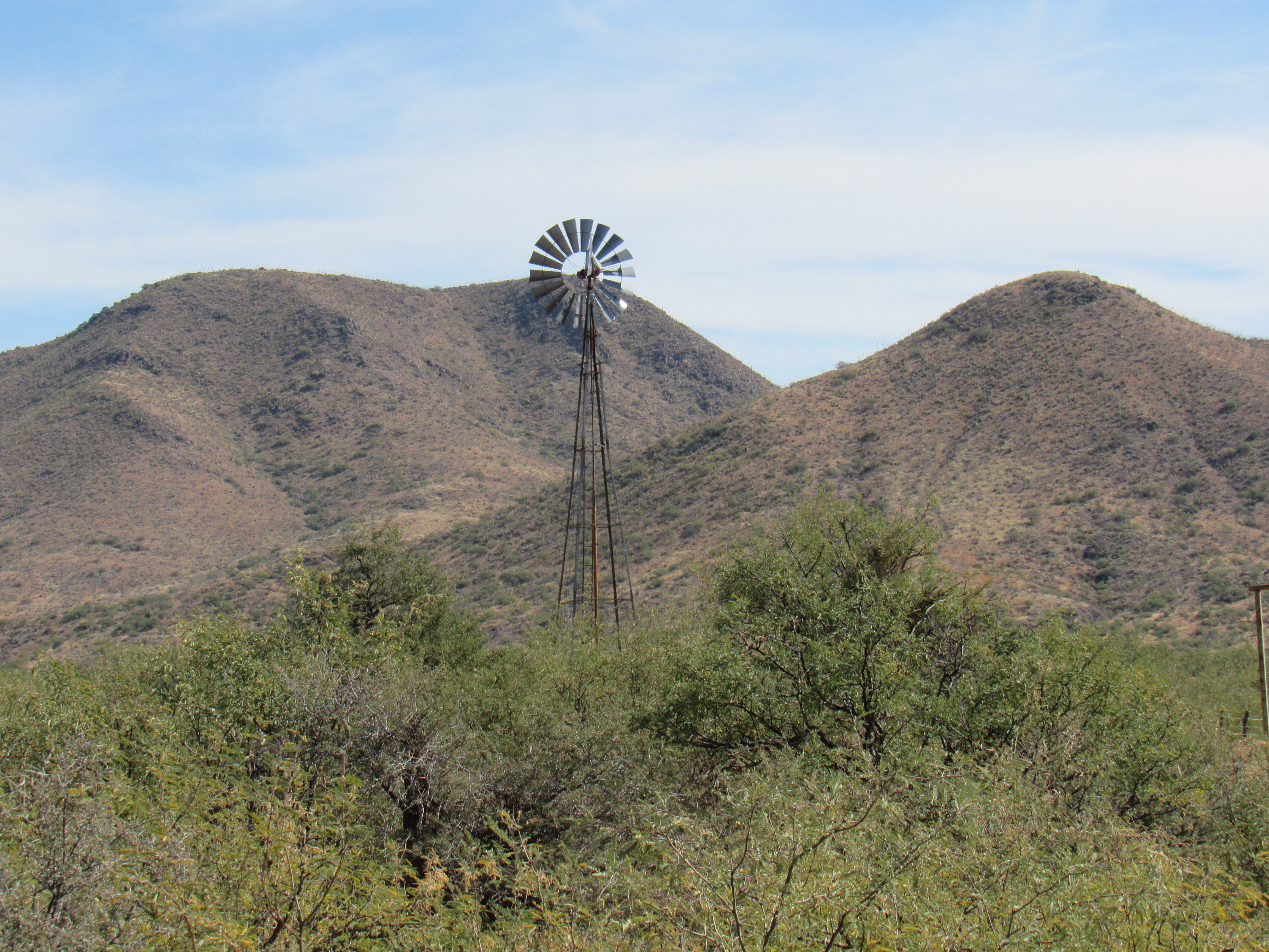
All day, the land had been rising as I’d made my way farther east. Now, 7 miles from pavement, I’d gained 600 feet and was at 3,600 feet above sea level. That set me on a ridge above Cinco de Mayo Well. Here’s my view of it from the road.
Looking east to Cinco de Mayo Well
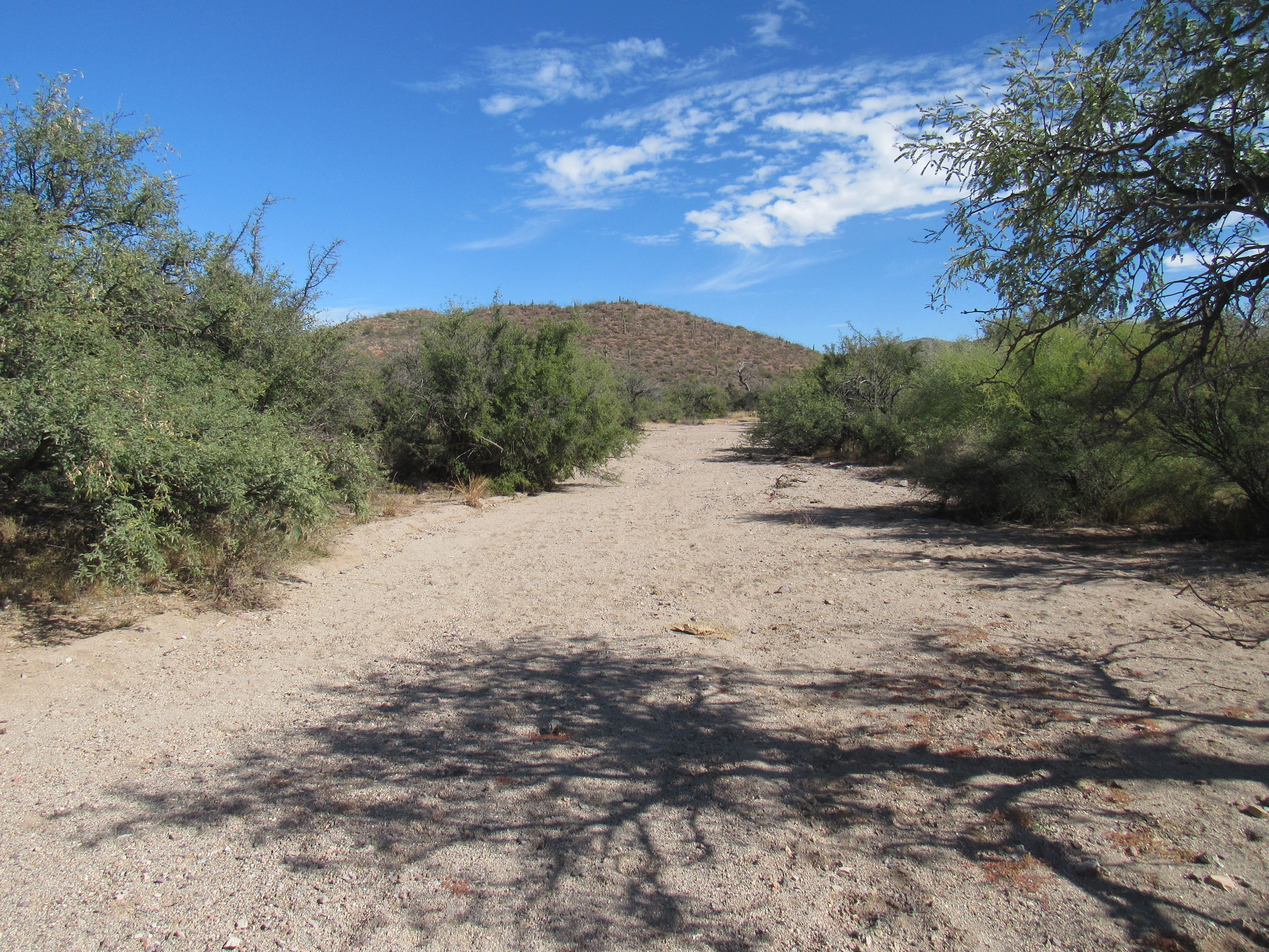
Since I was close, I made a little side trip to a wash with an unusual name. Here it is, Tascuela Wash. I know it isn’t much to look at, but it’s the name that caught my eye. It’s a Spanish name, like much else in this region, but one I hadn’t seen before.
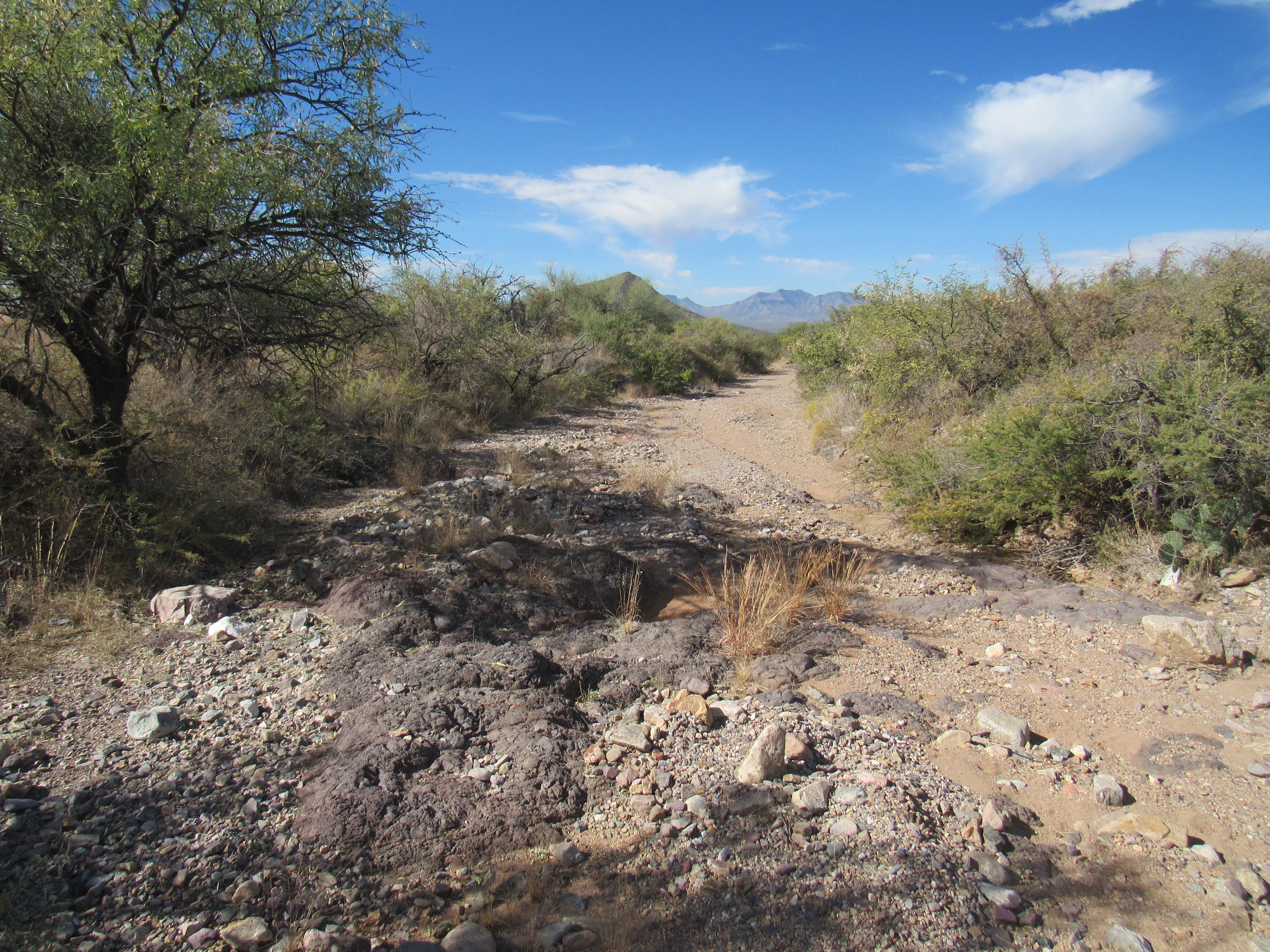
Looking down Tascuela Wash
This took some research, but the only translation I could come up with was “tassel”. A few miles upstream, this wash comes spilling out of Tascuela Canyon. Maybe they call it “tassel” because it at times has a braided channel, but that’s just a guess.
A short distance away, I drove past a large group of people and vehicles, as well as about a dozen tents. Although I didn’t stop to talk, it was obvious that they were hunters – you’ve never seen more camouflage in your life! I gave them a friendly wave and moved on. A short distance later, I arrived at a spot called Moro Tank (Moro means Moor). Wow, this must’ve been one massive project. It’s really deep, and it looks like there’s some kind of an inlet pipe at the other side.
Moro Tank
This tank was so major that it had its own road along the top edge.
Atop the tank.
Soon after leaving Moro Tank, I was continuing along the road when I met with another group of hunters, both men and women. They were driving fancy quads, all wearing camouflage and bristling with guns. We chatted for a bit, and they told me they were hunting deer. Then one of the women proudly held up a large black-tailed jackrabbit, telling me they’d feed it to their dogs. Okay, time to leave.
Earlier, I spoke about the Black Hills. I was now near the second of its peaks – Cerro Prieto was the highest of the group. I had come in to climb it back in 2001.
Cerro Prieto
Earlier, I mentioned Black Hill Tank. The thing is, Cerro Prieto is roughly translated as Black Hill, so it all fits together. Hearkening back to something else mentioned early in this piece, namely Cerro Prieto Wash – I was now over 10 miles from where I had first seen it by the paved highway. Even this far upstream, it was still a major feature.
Cerro Prieto Wash
I don’t think I’ve mentioned it yet, but the Black Hills have only 3 actual peaks – Baldy Peak, Cerro Prieto and finally Peak 4338. One fine day in January of 2010, the same day we climbed Baldy Peak, Paul McMichael and I set our sights on 4338. We were using Paul’s truck for a change, and parked in a nice clearing beside the road.
Parking
It was just after noon when we were ready to set out, and the moment we closed up the truck we realized that we had locked the keys inside. In spite of that shock, the bottom line was that we still had a mountain to climb, so away we went. Here’s a look at 4338 from the road.
Peak 4338
We discussed our situation all the way to the top, so by the time we arrived a plan had hatched. From the summit, Paul had a cell phone signal. He tried calling his father in Tucson, who fortunately answered right away. He explained our situation, and could he please come out to rescue us with the spare set of keys? That was a pretty big ask, but he agreed without hesitation. It took a lot of explaining in order to describe exactly where he could find us – he had to take a lot of detailed notes. Since I had the day’s maps with me, I could tell him distances and give him turn-by-turn instructions. Even so, it was a stretch, because we were way out there and he had no maps or any of the modern apps you can load into your phone. We hung up and sat on the mountaintop to wait.
It would take him 2-3 hours to reach us. From our vantage point, we’d see him coming from miles away, and since we had nothing but time on our hands, we just sat back and relaxed. We’d see him approaching from the west, and from when we first spotted him we’d still have 30 to 40 minutes to descend. That’s how it all played out. We were standing there by the truck as he pulled up, and boy, he sure looked a sight for sore eyes! Our day had a happy ending after all, and we convoyed back to Tucson together. Now back to the present.
At around 12.5 miles from the highway, I was approaching something new. San Juan Ranch was nearby, not visible from the dirt road I’d been traveling, but there were other signs of its presence. This windmill was spinning, still working after who-knows-how-many years.
The good windmill
Also, here was a first for the day – San Juan Tank, brim-full of beautiful, life-giving water.
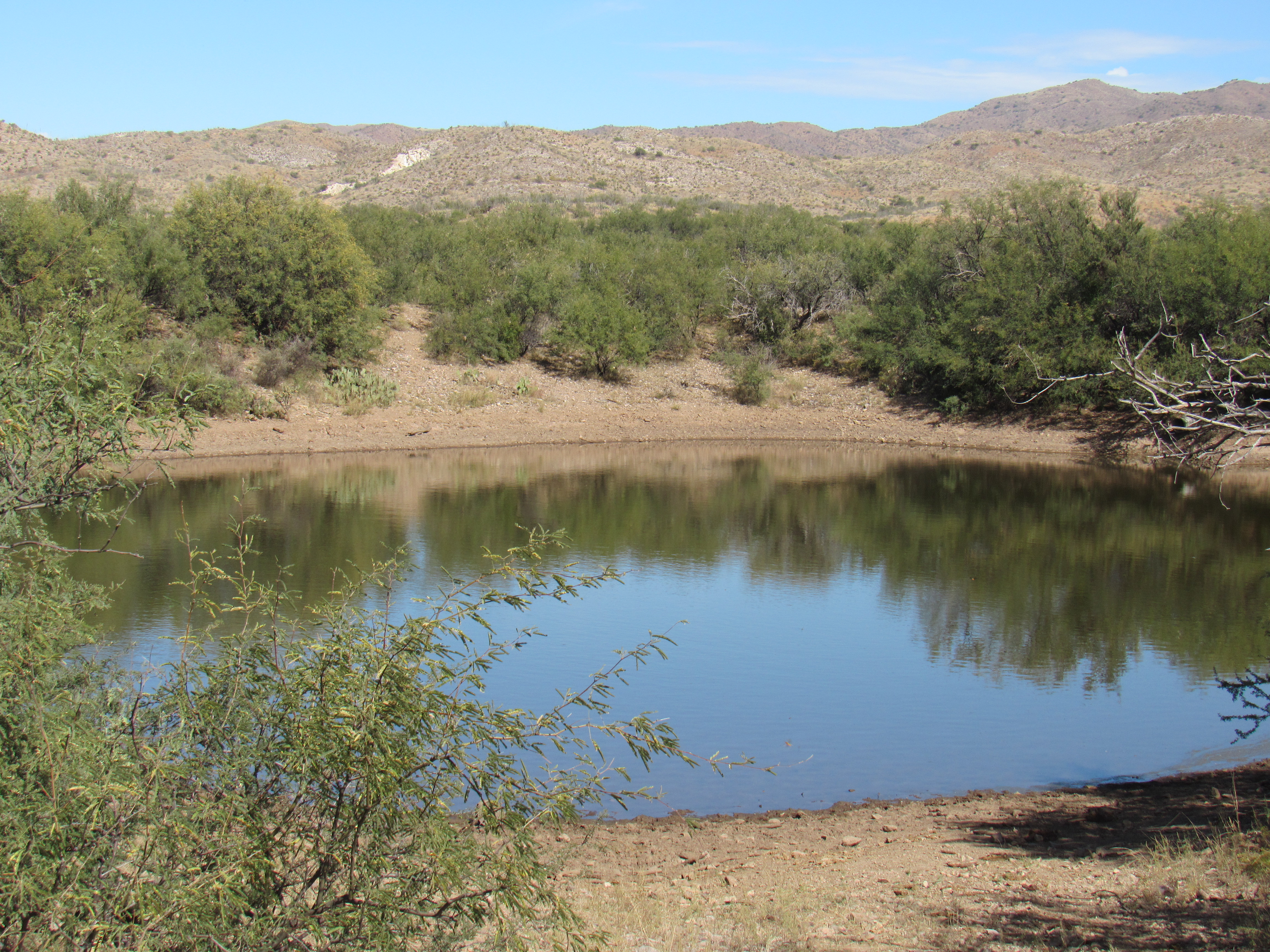
San Juan Tank
Near the tank stood the remnants of an old building – adobe brick which had been plastered over.
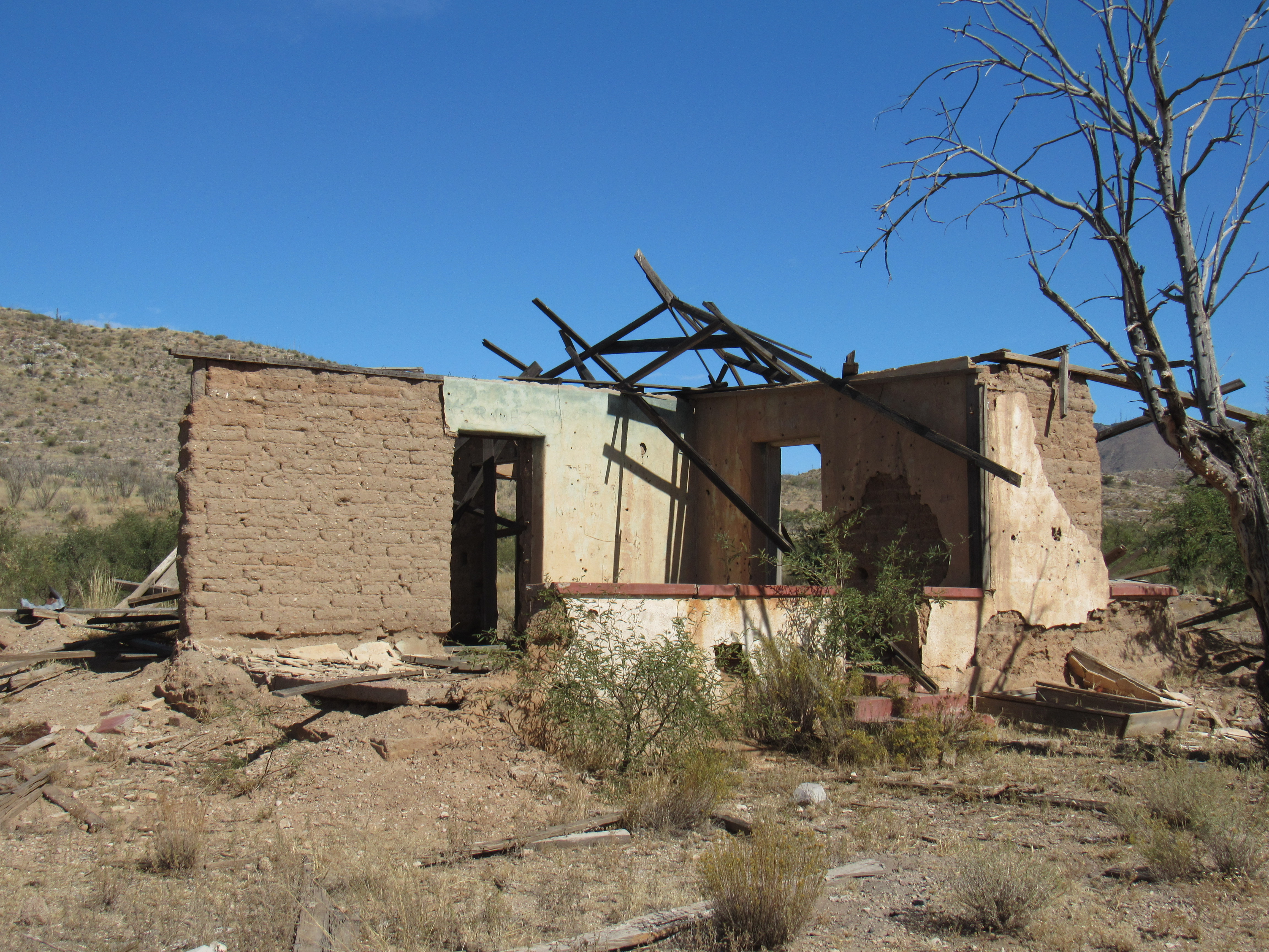
The old house
And my favorite sight of all, this old corral. What a beautiful symbol of the Old West – no cows are gonna bust out of here.
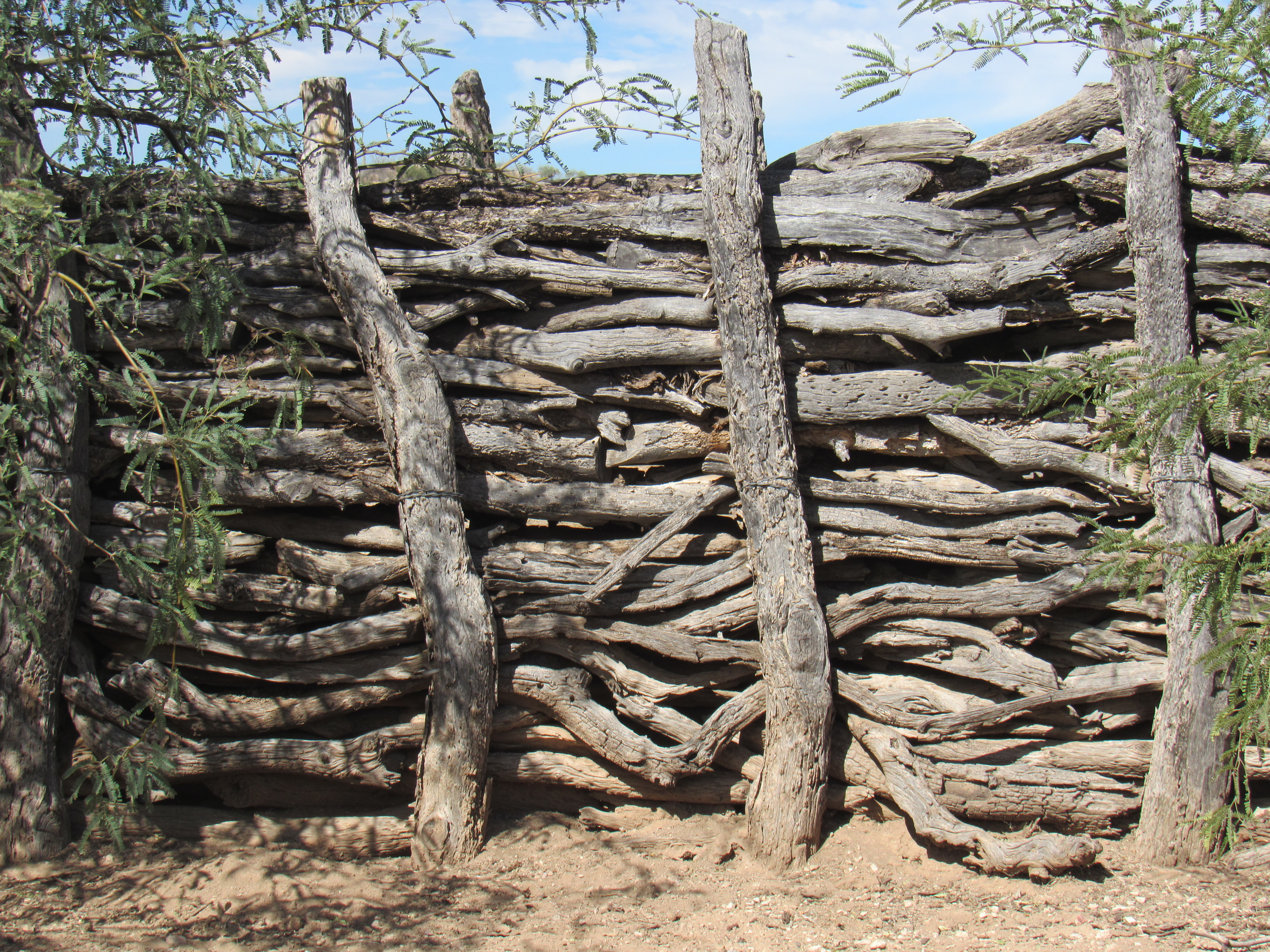
The corral
As I moved on, I was entering more open country, the realm of the Sierrita Mountains.
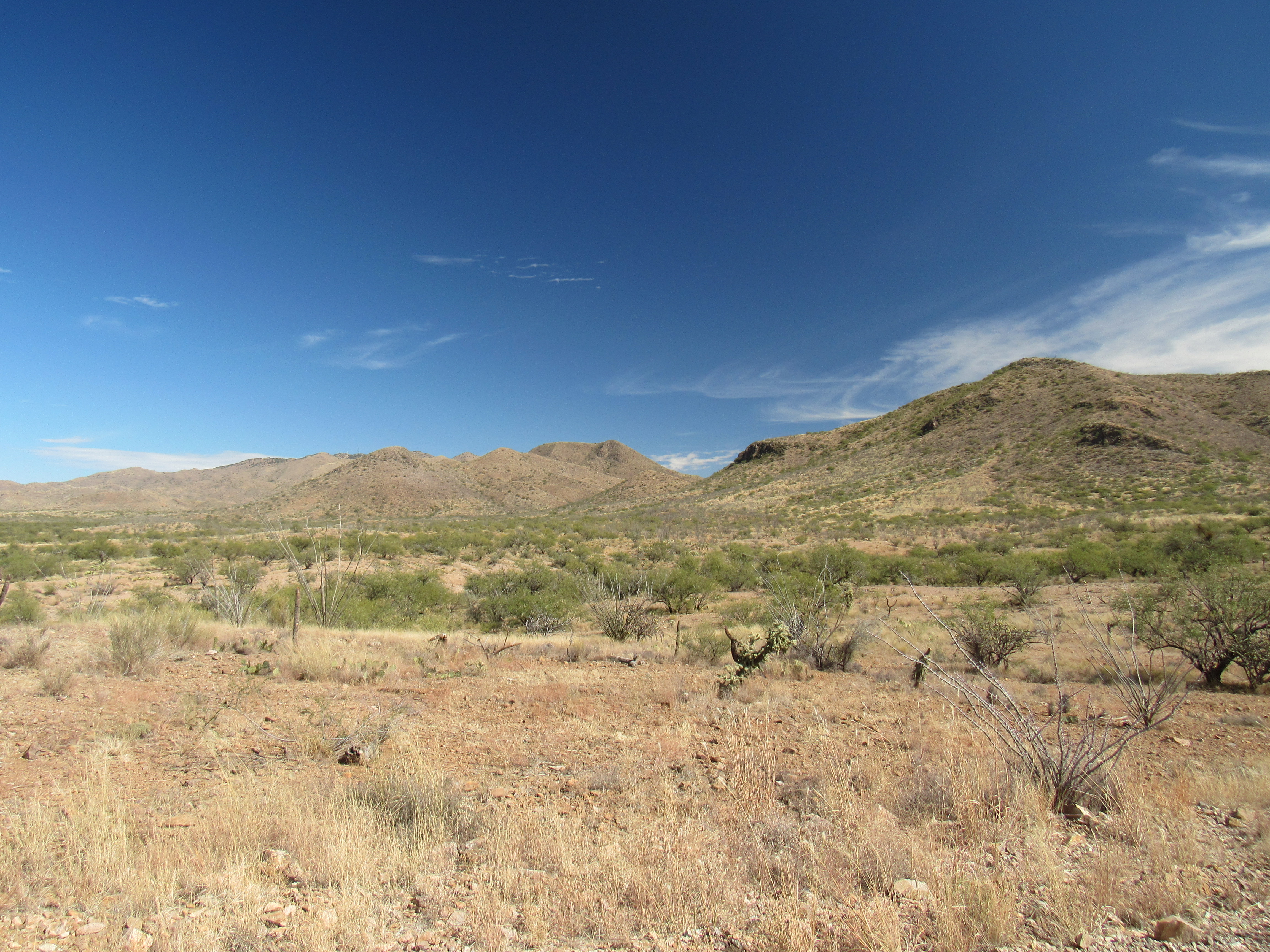
The Sierrita Mountains
Just a couple of miles past the ranch, I entered a new and major drainage, shown on the map as Champurrado Wash. It had taken hours of back-country driving to get here. Remember the name? It’s the title I’ve given to this piece. I couldn’t resist, as it is so unusual. The name caught my eye when I first saw it, as I had no clue what it meant. It took a bit of looking, but I finally came up with this.
Champurrado means a mixture of liquors, like a cocktail; in the Caribbean and Mexico, it can mean a mixed drink of various ingredients; in Mexico, it can mean a thick chocolate drink. In a figurative sense, champurrado can mean a mixture or a mess. I’m not sure why the name was chosen for this wash – I mean, it doesn’t look any different than any of the others draining the area.
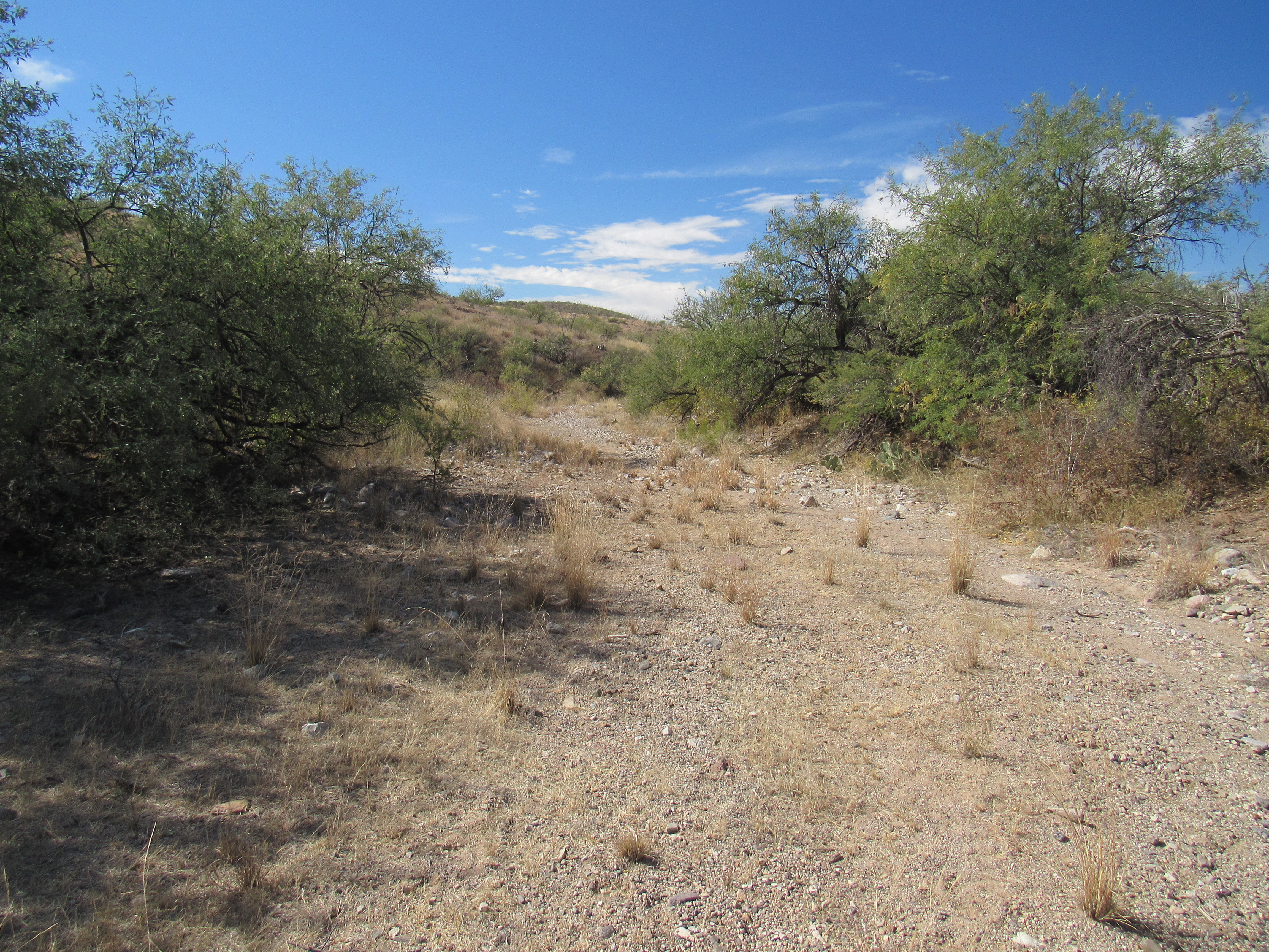
Looking down Champurrado Wash
I visited another man-made feature nearby which goes by the name Twin Ponds. There are actually 2 ponds there. This photo was taken at the lower one. I didn’t realize until after I’d returned home and had processed the pictures I’d taken that day that this one shows a deer drinking from the pond on the other side.
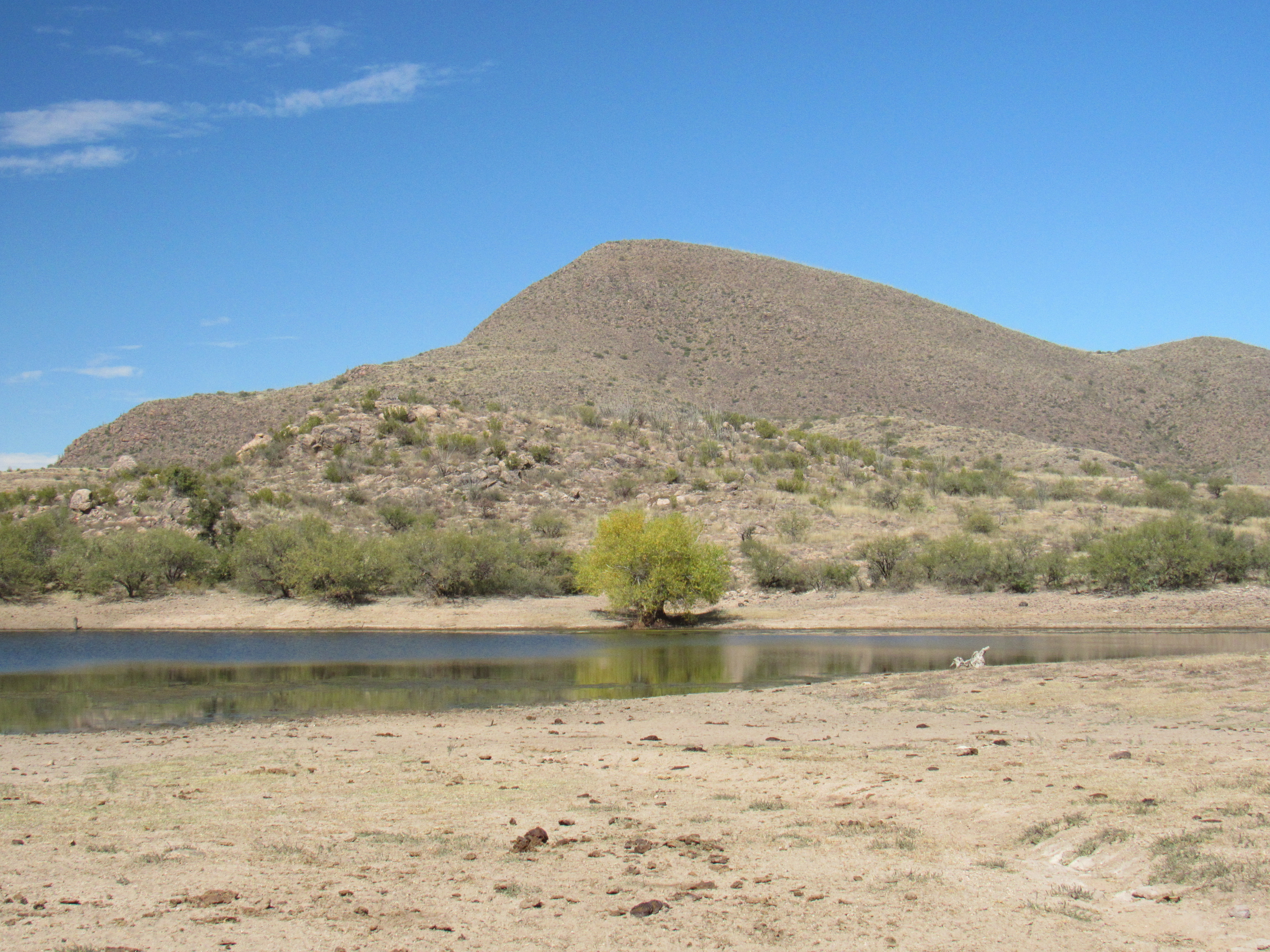
Lower Twin Pond
Here’s a telephoto showing her better.
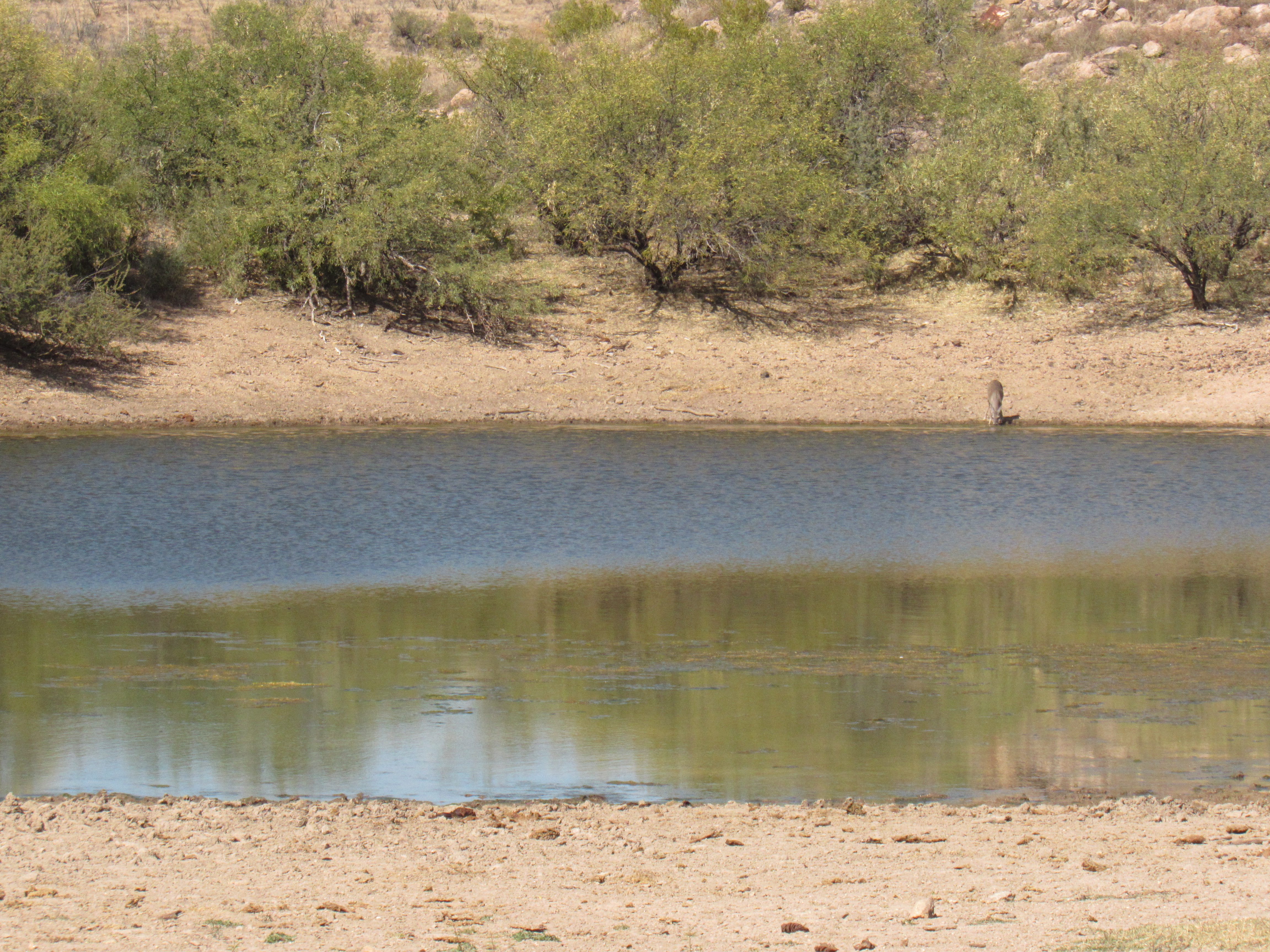
The doe
My map showed a few more features that carried the name Champurrado, so I knew I had to pay them a visit. The first was Champurrado Well.
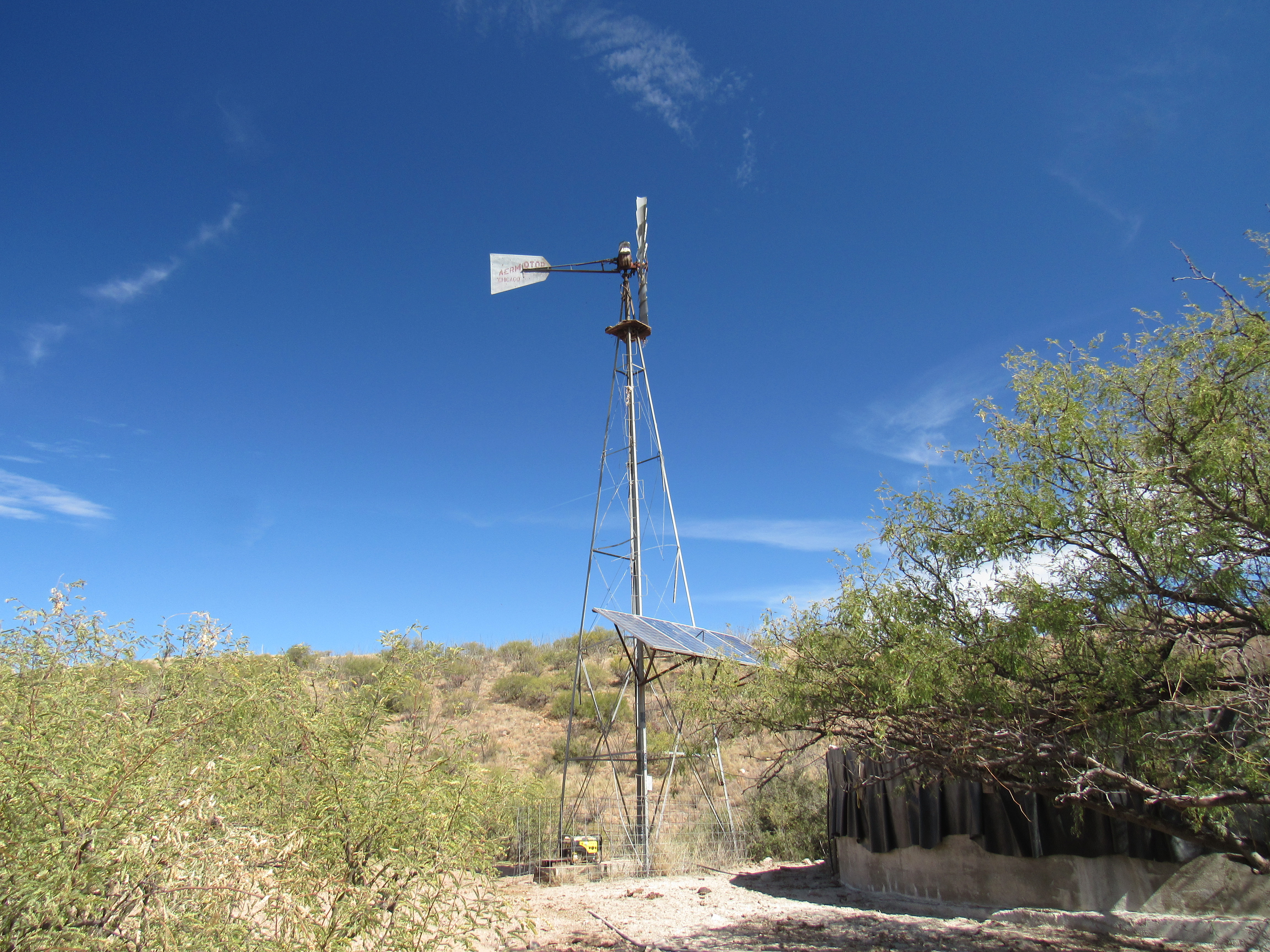
Champurrado Well
Notice the solar panels, the generator, the windmill itself and of course the large tank.
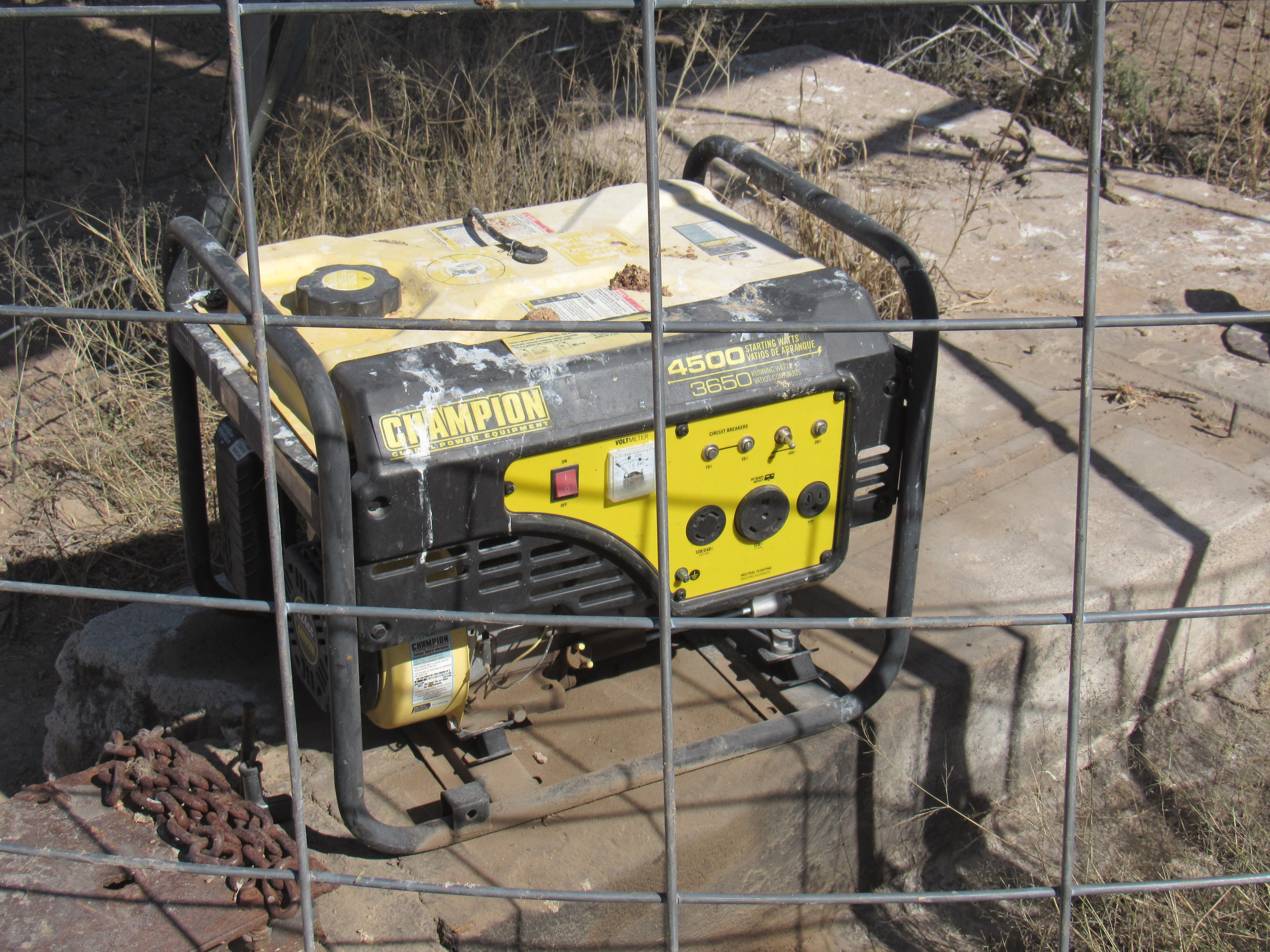
The generator
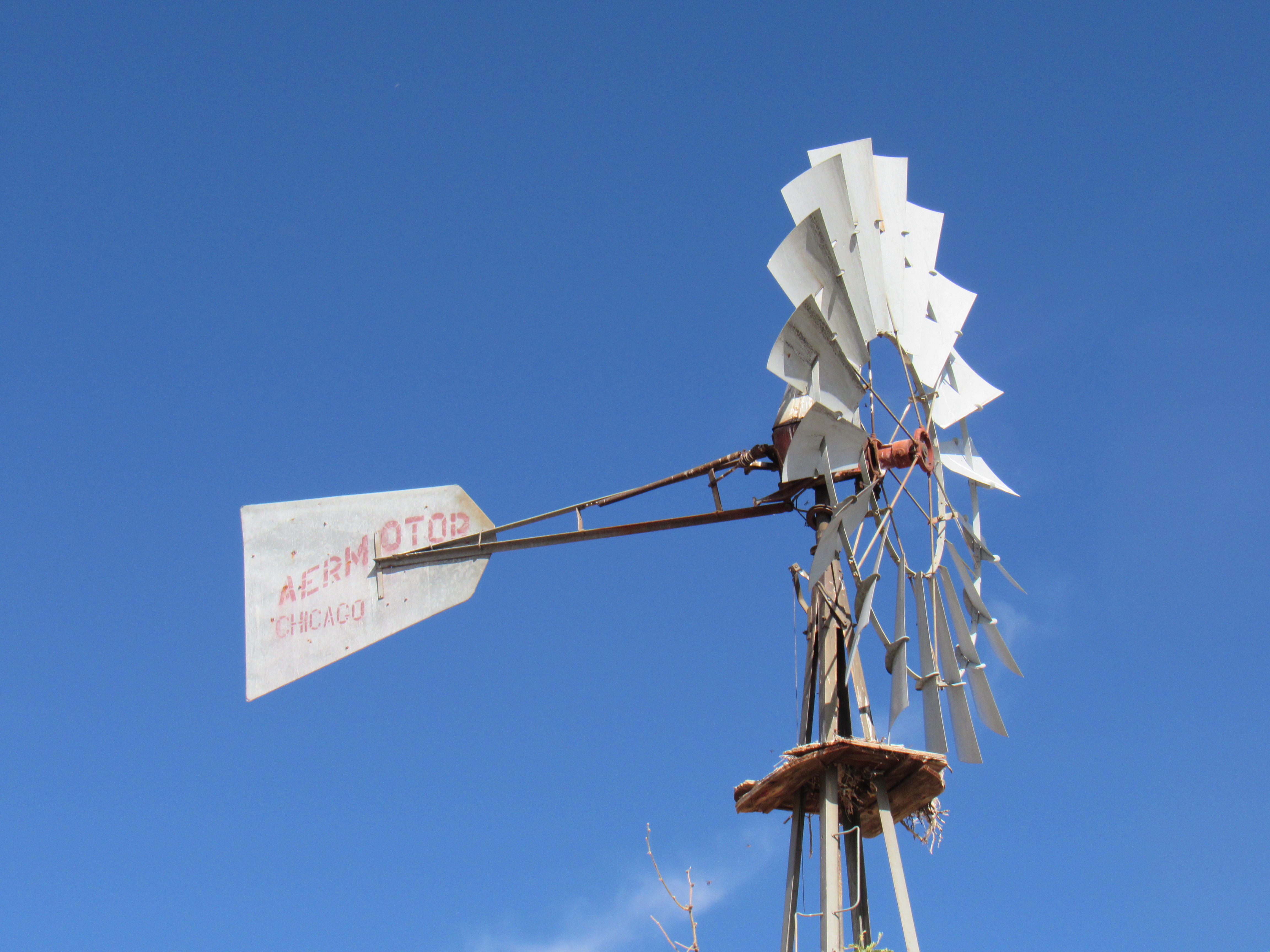
The old Aermotor
The huge tank was brim-full. I set my camera level with the top to prove it.
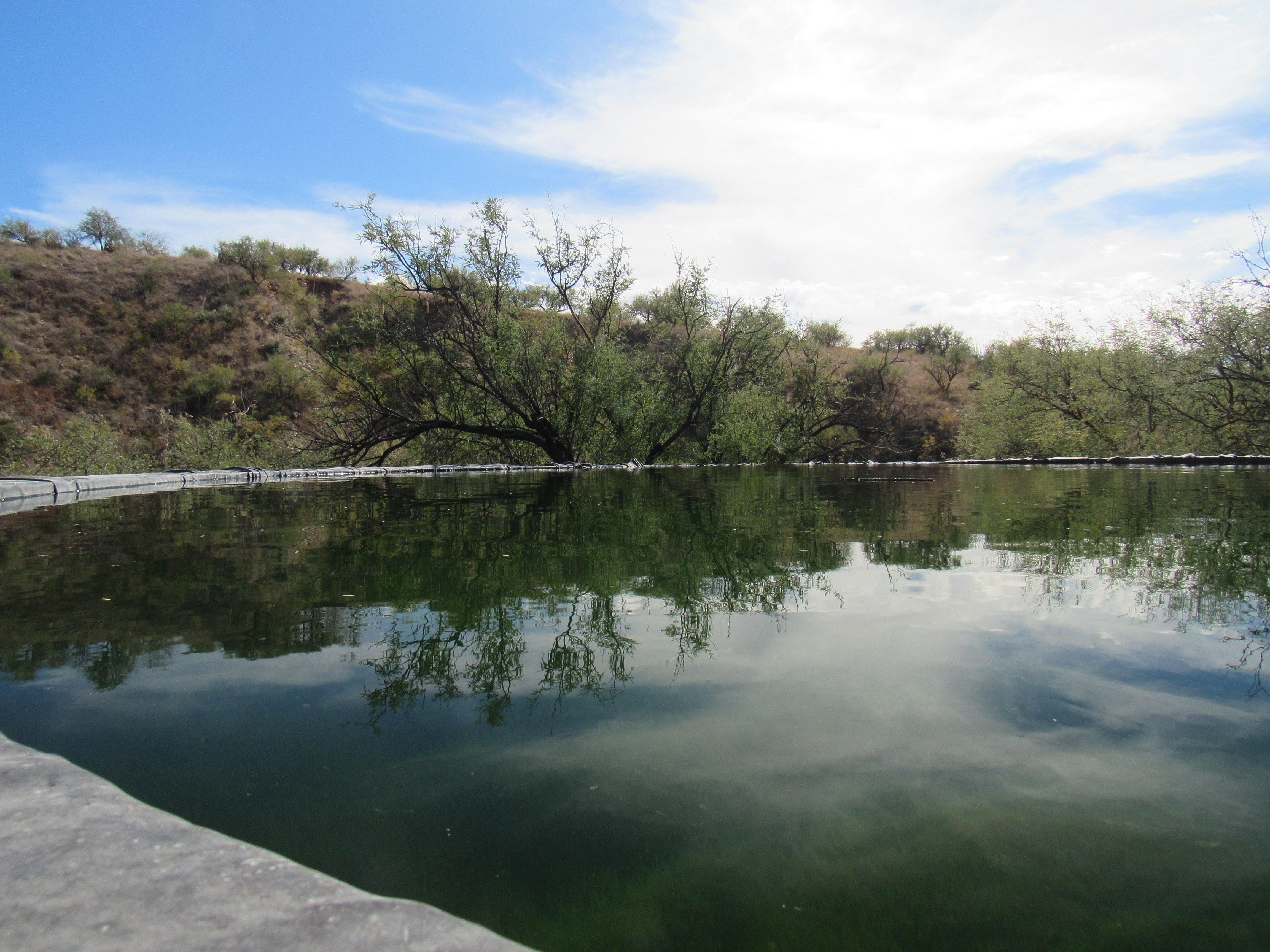
Reflections
About 2 miles downstream sat one more feature carrying the same mysterious name – in this case, Champurrado Wash Tank. Here’s how it looks from atop the ridge to the west.
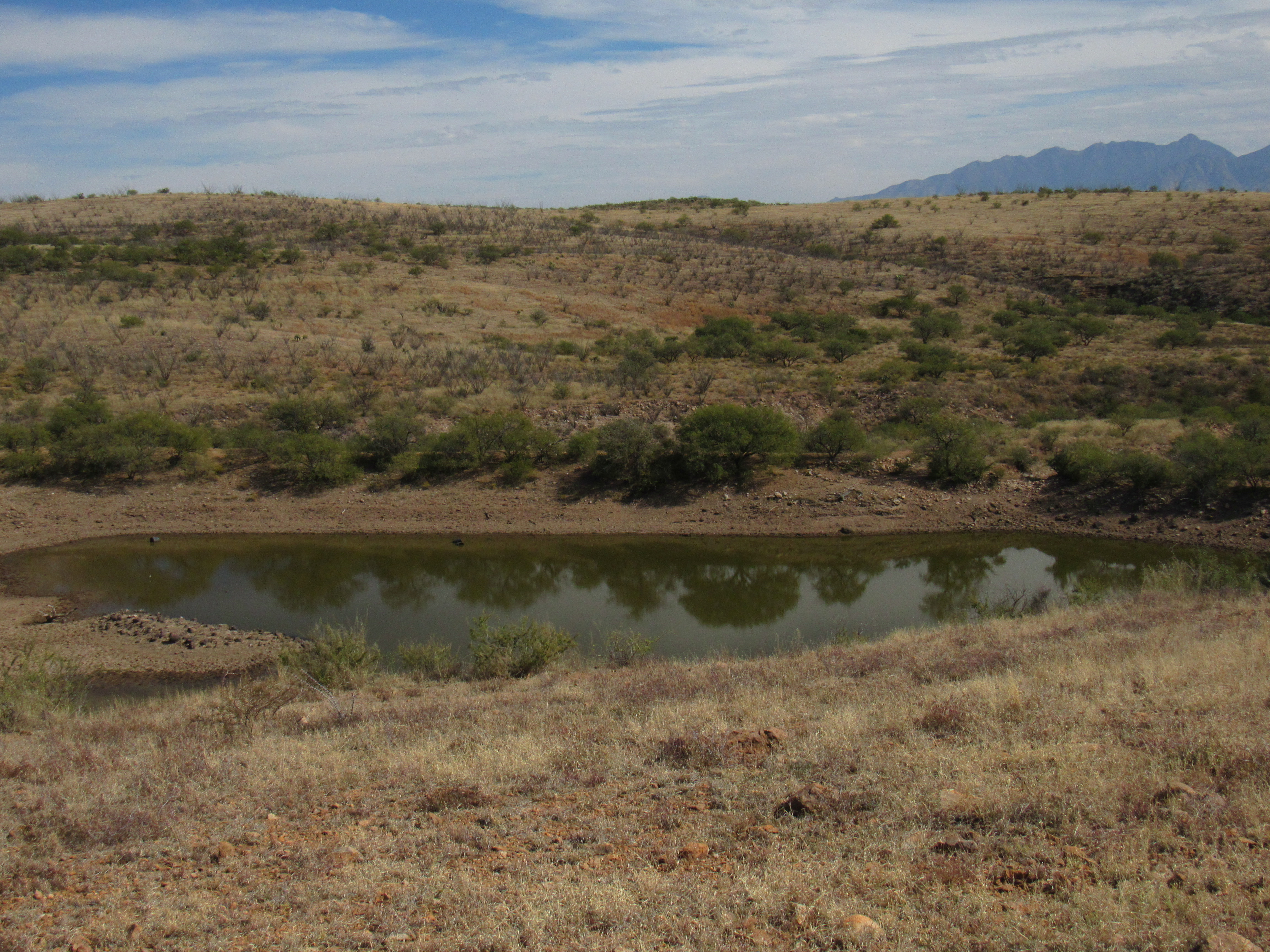
Champurrado Wash Tank
Oddly, this tank isn’t anywhere near Champurrado Wash. In any case, I had now traveled so far east that it was much quicker to return home by covering a few more miles in an easterly direction to join up with the Amado Road and then Interstate 19, finishing with a drive north past Green Valley and reaching Tucson. It had been a great day, re-visiting some old haunts. Thanks for coming along to keep me company.