
Ravens, gotta love em. There are 9 different species of them in the entire world, and I’m lucky enough that 2 of them live where I do. The raven might just be my favorite bird, there’s so much to like about them. Here’s a Wickipedia page that talks about ravens, and here’s a list of the different ones:
white-necked raven; common raven; Australian raven; thick-billed raven; Chihuahuan raven; little raven; fan-tailed raven; brown-necked raven; forest raven.
So maybe I missed it, but I don’t recall seeing any red raven on that list. Even the three extinct species of raven don’t include any red ravens. I know I’ve been going on and on about this detail, but I have a point to make, believe it or not. There’s a wash out in the remote desert called Red Raven Wash, but quite frankly I don’t know why. I can’t find any information on the origin of the name, so I don’t know who came up with the name, or when.
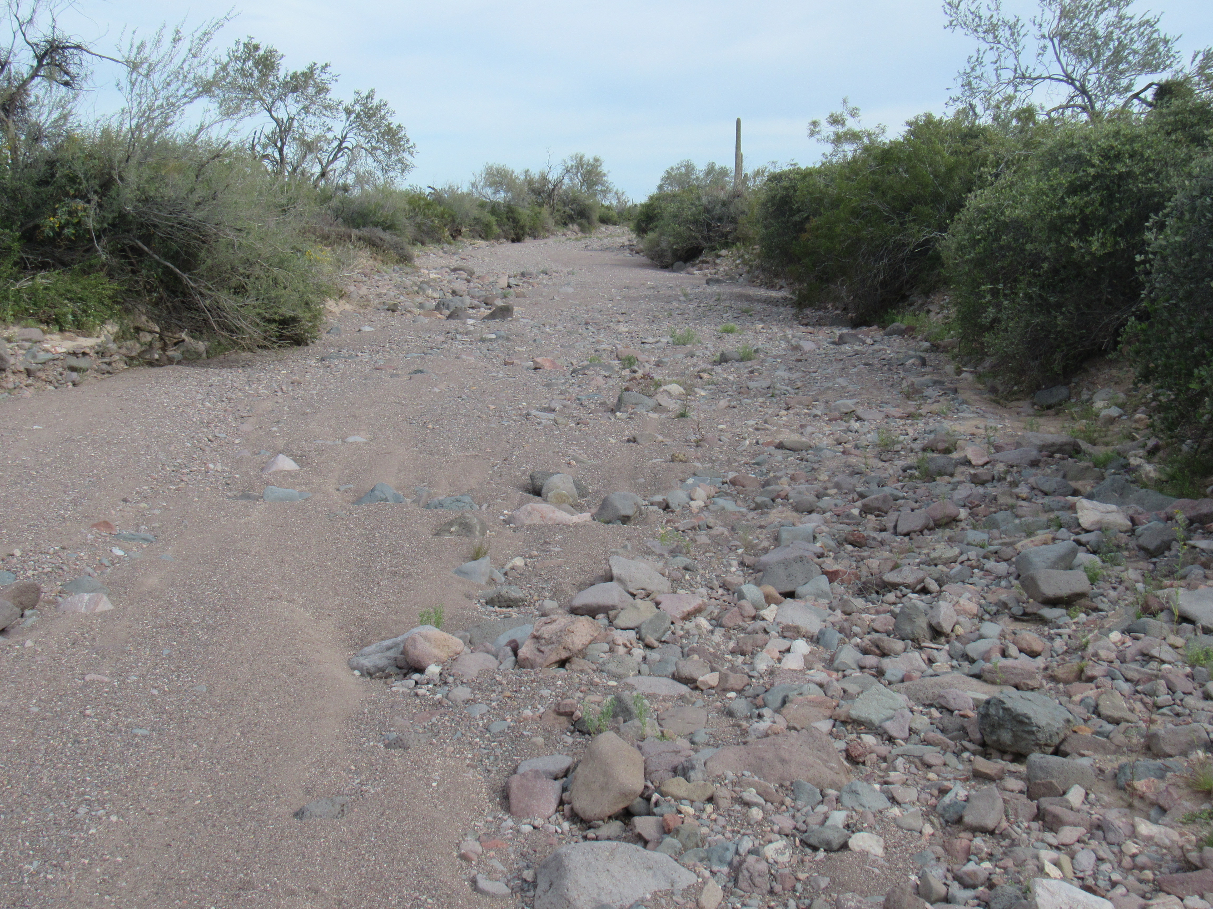
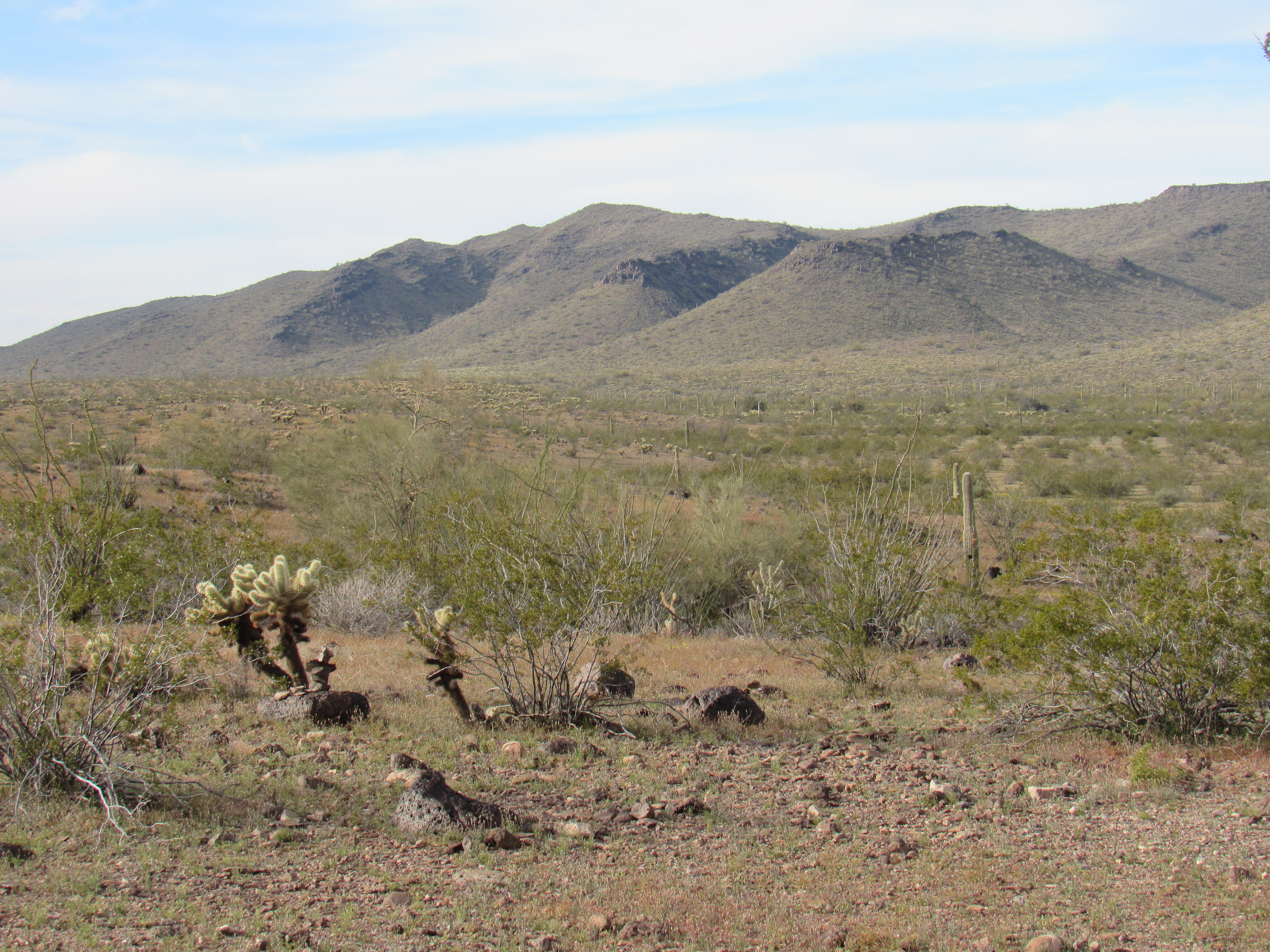
On this website, I’ve taken you on a few journeys down obscure watercourses out in the desert. This story is one of those, but in an area even more remote. One winter’s day, I made a pilgrimage up something called Burro Canyon in the northern part of the Kofa Mountains. Parking at the side of the road, I set out up a brushy canyon, twisting and turning my way uphill about 325 feet in under half a mile. As I set out, here’s the view I had – I was heading for the low point on the skyline.
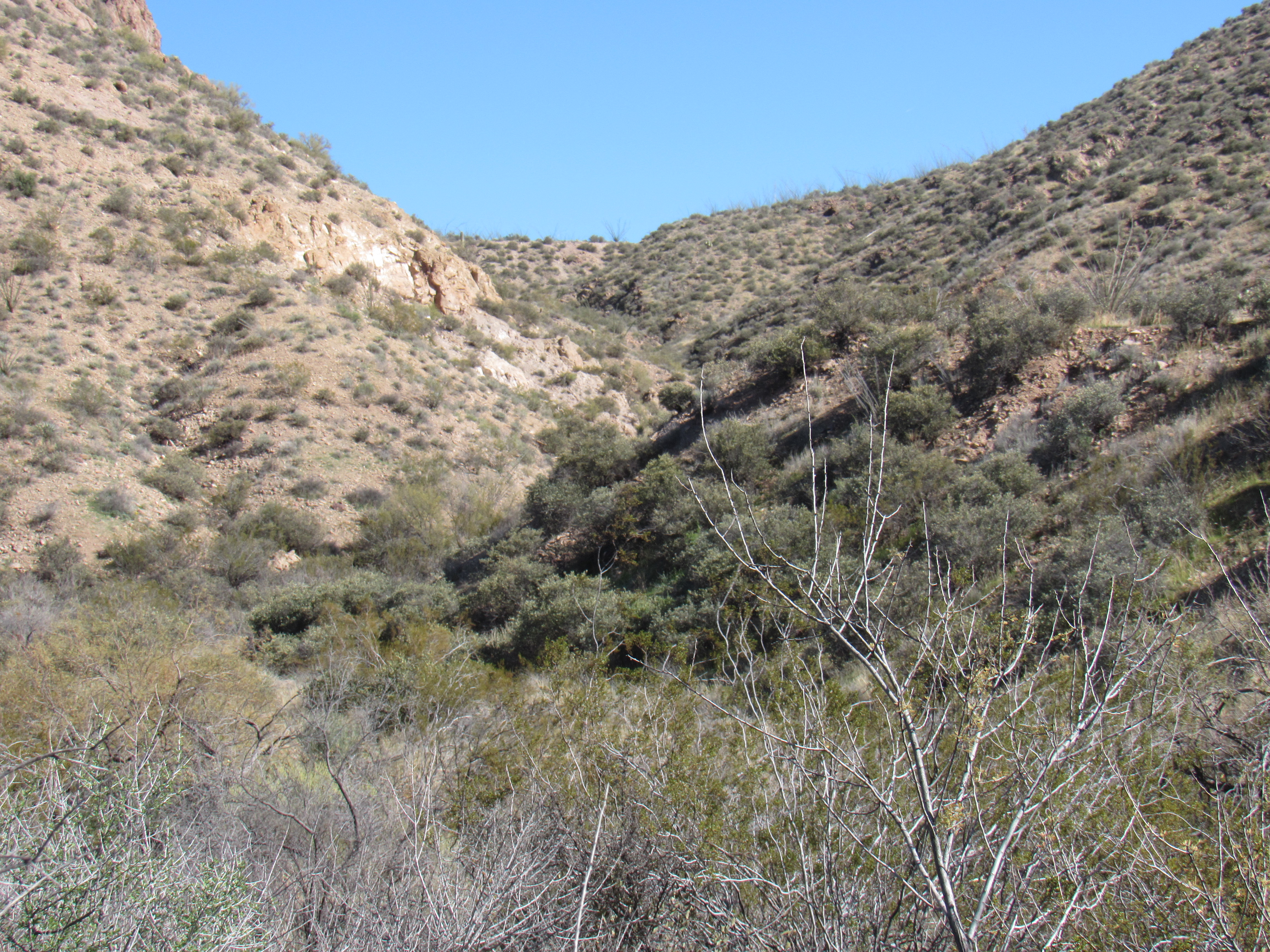
Heading up to the start of things
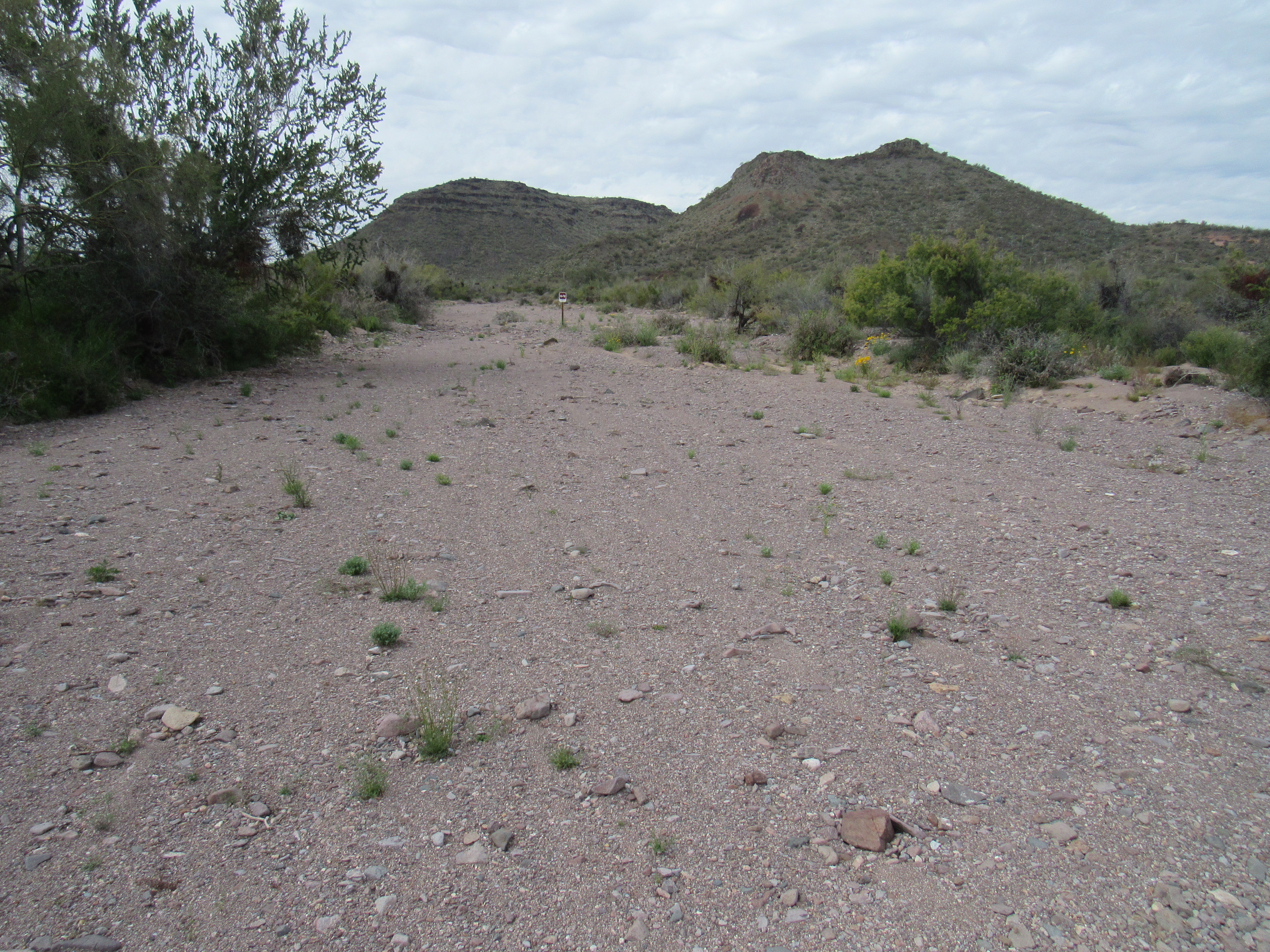
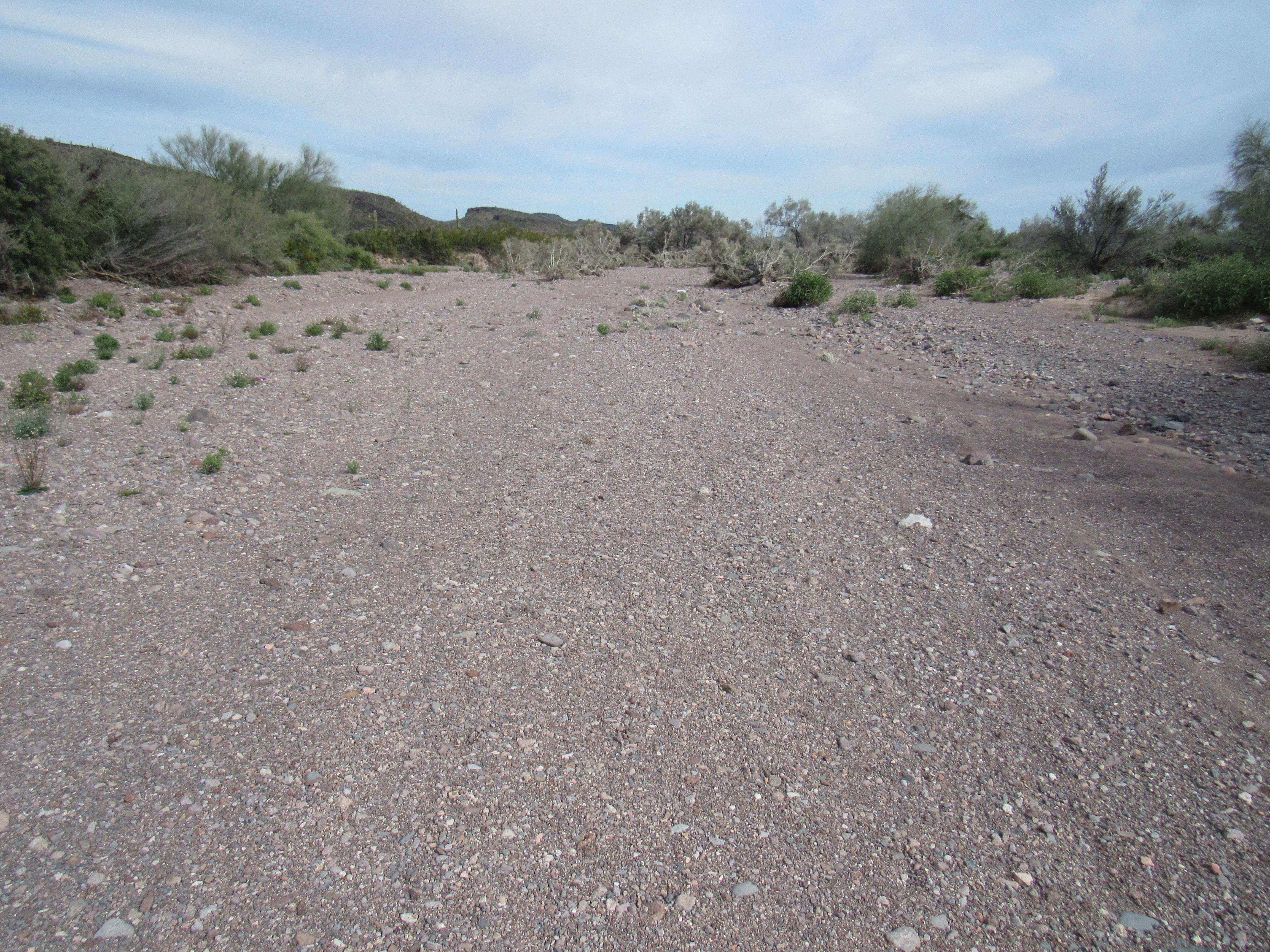
Once I scrambled up that hill, I found myself at the head of a different valley. This was the source of Red Raven Wash at an elevation of 3,180 feet above sea level. If you go to this link, it will open up a map. Once open, click on the + sign in the upper left, zoom in until you can see the map clearly
https://listsofjohn.com/qmap?lat=33.3773&lon=-114.0143&z=12&t=c&P=300&M=Desert+Mountaineer
Here’s what that spot looks like, what I saw as I stood there. Ever-so-gently, the ground slopes downhill ahead of me into the distance.
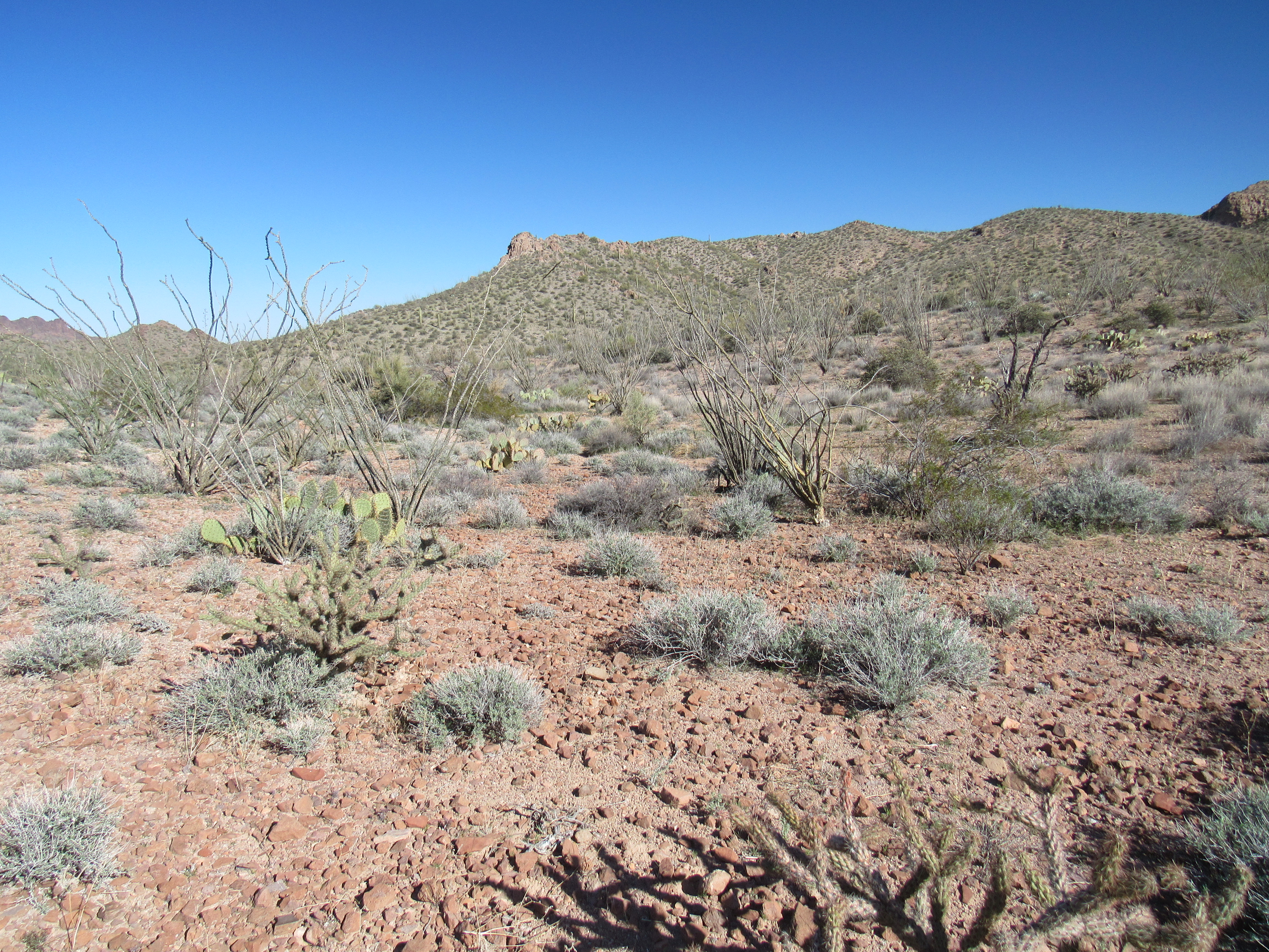
Flat ground at the head of the valley
I suppose that for the sake of accuracy, I should direct your attention to this next photo. It was off to my right (south), and up a nearby mountainside. The upper slope you can see is at 3,580 feet elevation. That would be the ultimate source of Red Raven Wash, the subject of our story.
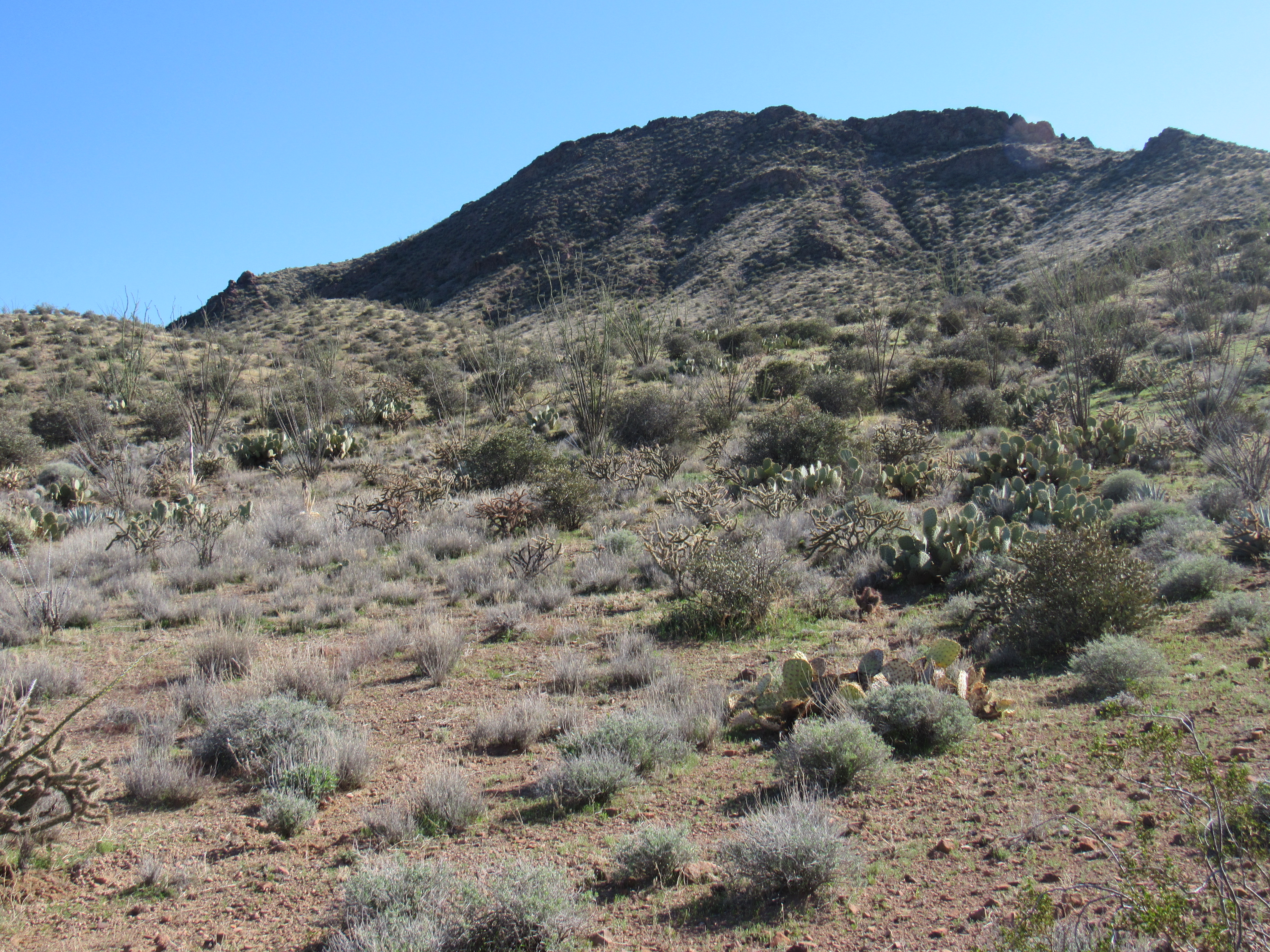
The true source of the wash.
So let’s start our journey. I’ll use mileages to denote distances along the wash. By the time we’ve dropped from the mountaintop seen above to where I stood to take the picture, we’ve already moved half a mile. Point 3398 looks steeply down on us.
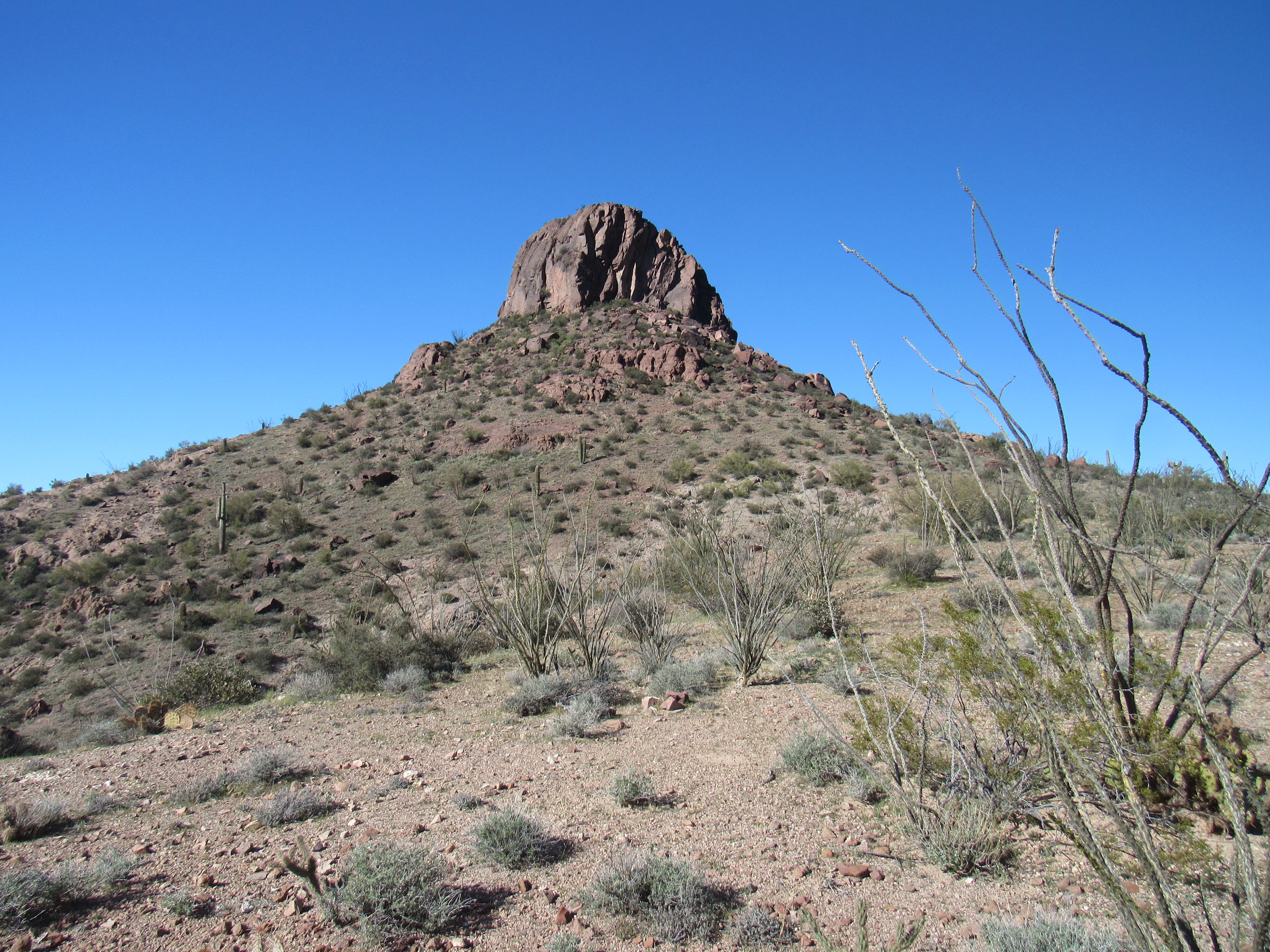
Point 3398
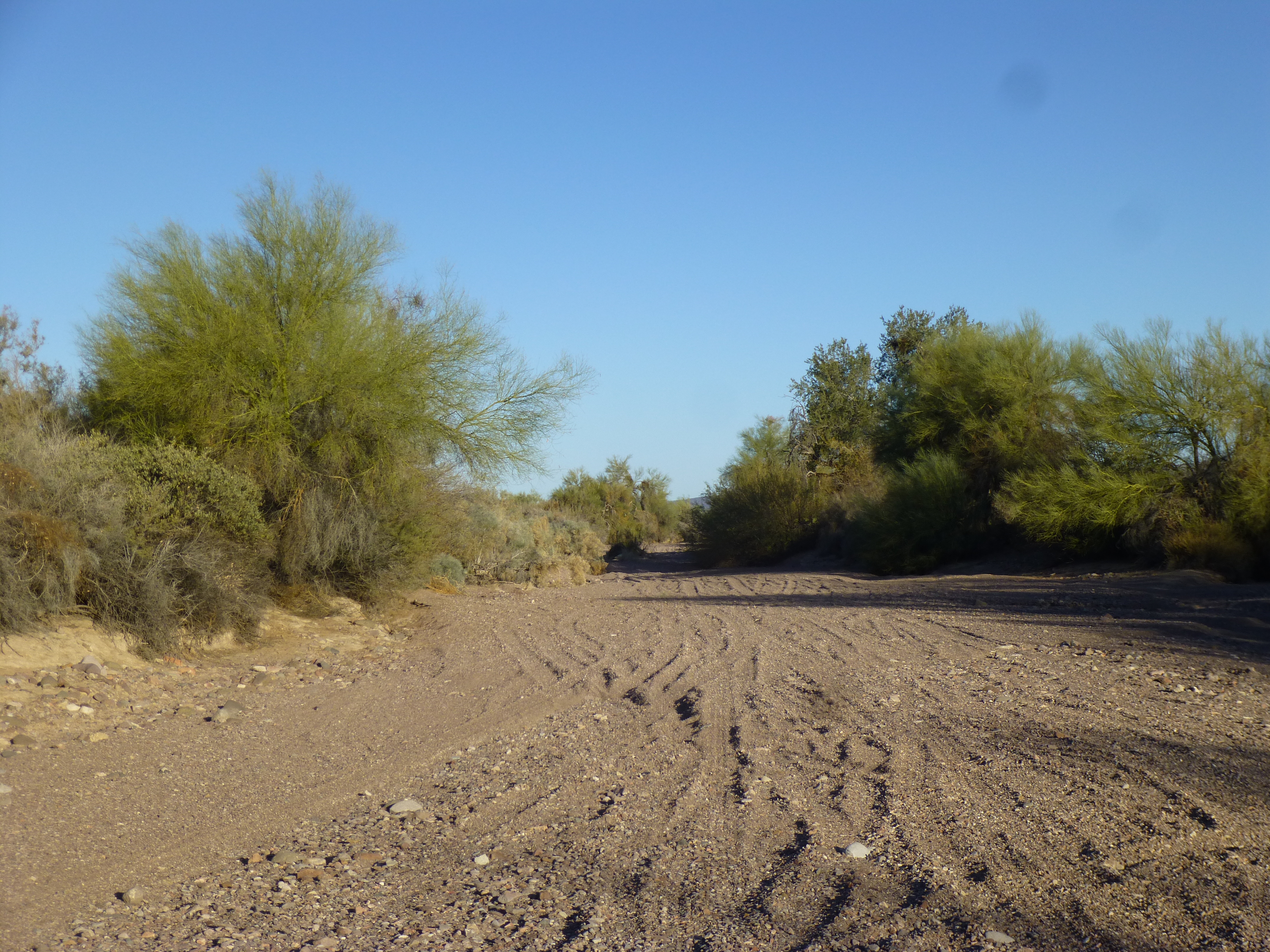
As we walk down the wash, heading east more or less, the slope is gentle. It twists and turns wildly, surrounded by peaks well over 3,000 feet in elevation. By the time we have traveled 4.3 miles, we haven’t dropped all that much. Here, we are at 2,772 feet and a major tributary joins us on the north side. As we carry on downstream, the valley widens even more, and at 5.9 miles we are met by another major tributary coming in on our left (the north side).
Red Raven Wash
This is a significant area, because if we we were to head up that tributary we would find ourselves in the only place so far where we see the handiwork of man – and how! The Ocotillo Mine Group did a lot of work here – there are adits, prospects and mine shafts throughout the valley. At one time, there were buildings and equipment all over the place. Back in the day, a road served the mine area. It’s still there, but since the area all became encompassed by the Kofa Wilderness Area, one can no longer drive the road – the desert is reclaiming it.
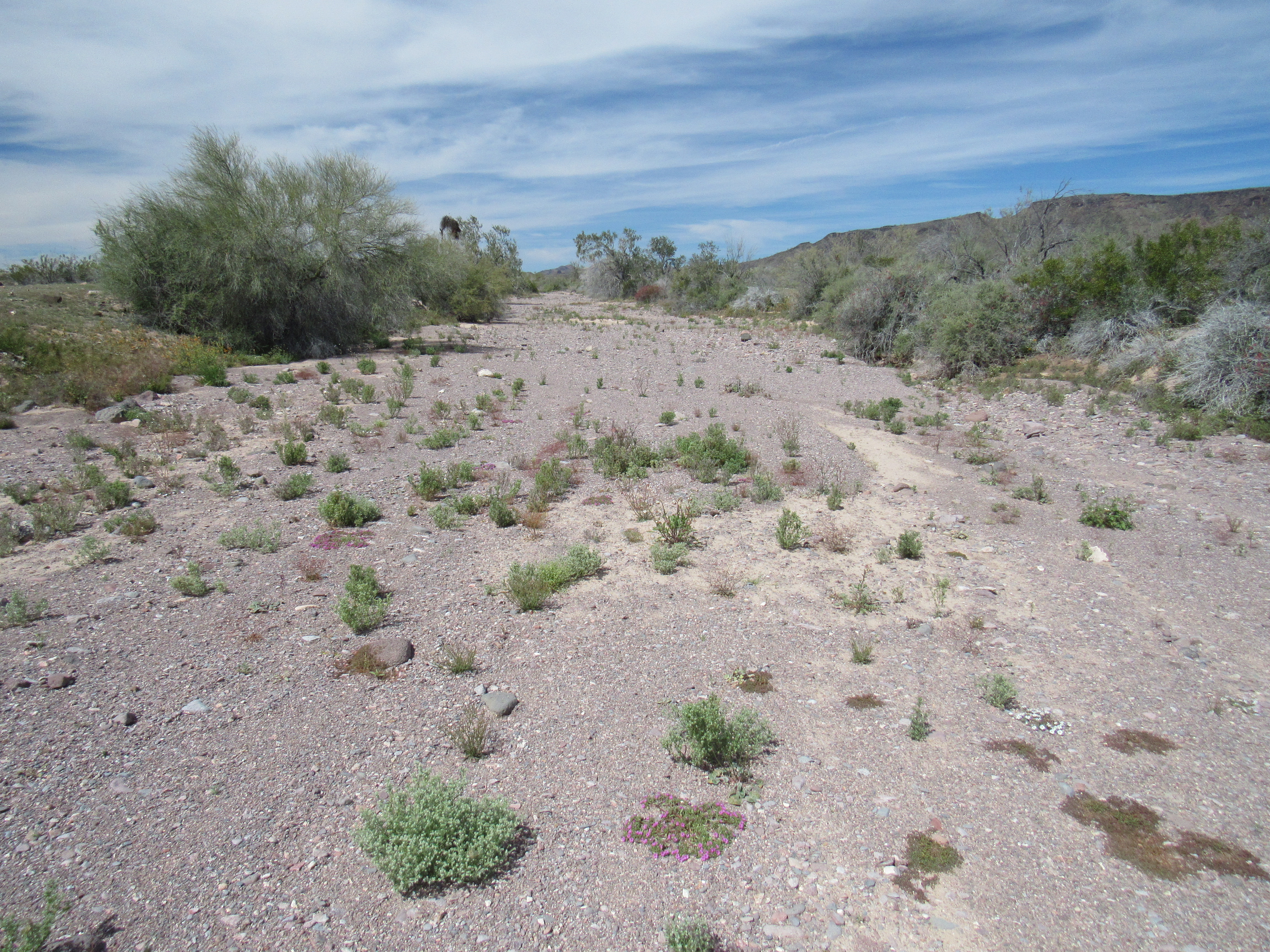
If we continue down the wash to the 7.2-mile mark, two important things occur. Another major tributary joins us, this time from the south side. None of these tributaries have names, by the way. Even more significant is the fact that we meet something called the Wilbanks Road. This dirt road comes in from the north, crosses our path, then continues to the southwest. Our wash crosses the road and continues downstream to the east. There is another old road that used to follow the wash, actually traveling in the wash itself, but it’s now gone. At 9.1 miles, the used-to-be road leaves our wash and heads off on its own into the southeast into the desert.
Red Raven Wash carries on, and at 12.0 miles crosses another road, this one the Kofa Manganese Road, a major (albeit dirt) road which runs north-south. Here is what the wash looks like at that road crossing.
Looking west, upstream, up Red Raven Wash
In this area, something else important happens. We leave the Kofa Mountains behind (we have been in them every mile of our trip so far), as we swing around the north side of Peak 2770 and then continue east. We also cross from La Paz County into Yuma County and stay there forever.
Our wash is famous – it has a road named after it. Leaving the Kofa-Manganese Road I mentioned a while back is a rough dirt track known as (and named on maps) Red Raven Road. The road and the wash will roughly parallel each other for some miles. Also, the wash will run along the south side of the Little Horn Mountains for a long way, staying out on the flat desert of the Palomas Plain. At Mile 15.0 the road is only 300 feet south of the wash, but they don’t quite meet.
The wash carries on to the east. You remember, I’m sure, that watercourses like Red Raven Wash rarely contain any water. They sit, 99.99% of the time bone-dry. Only after an extended period of rain where the sand in the wash becomes saturated will there be any chance of water visibly flowing in the wash itself.
Something else of importance happens at Mile 21.1 in our travels. Our wash crosses another road, this one called Hovatter Road. It is named after the Hovatter family who homesteaded nearby and earned a hardscrabble living by mining manganese for many years. Some of them are buried near their homesite.
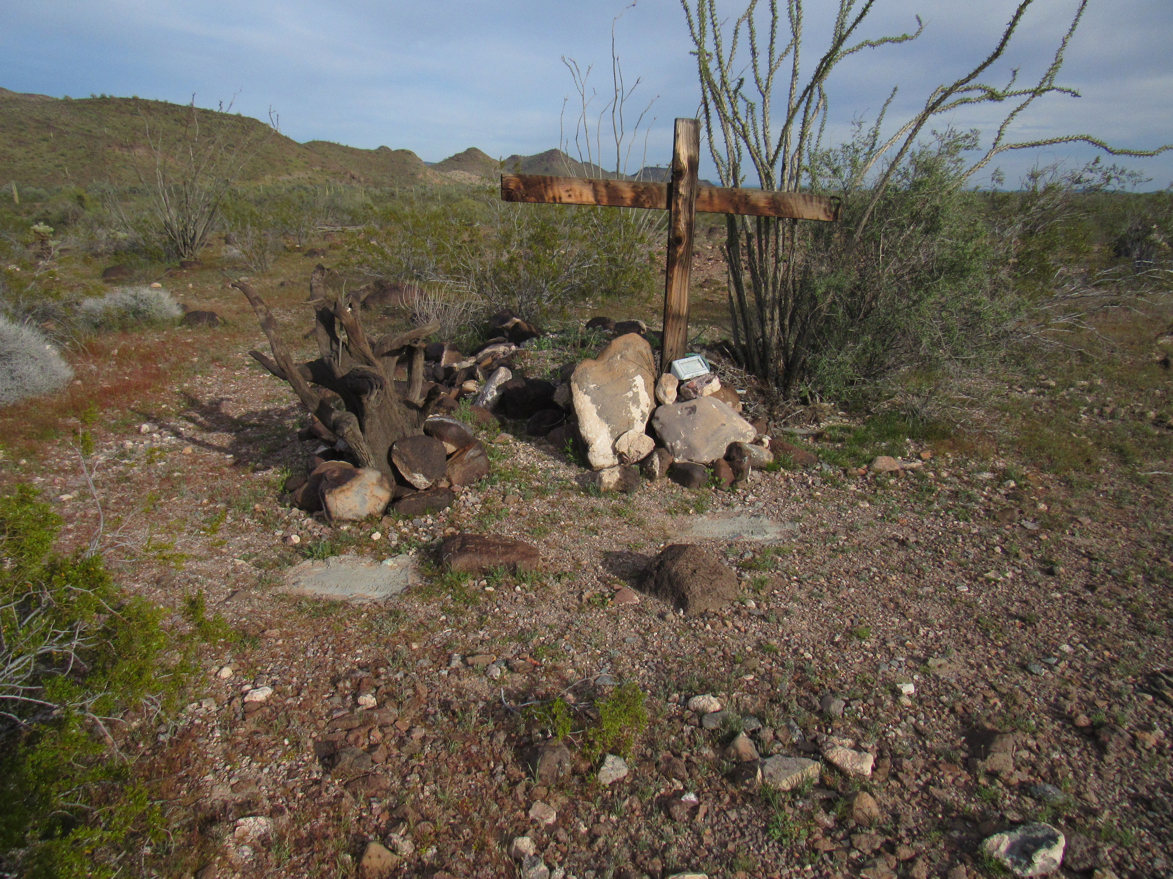
The gravesite

Barbara Hovatter
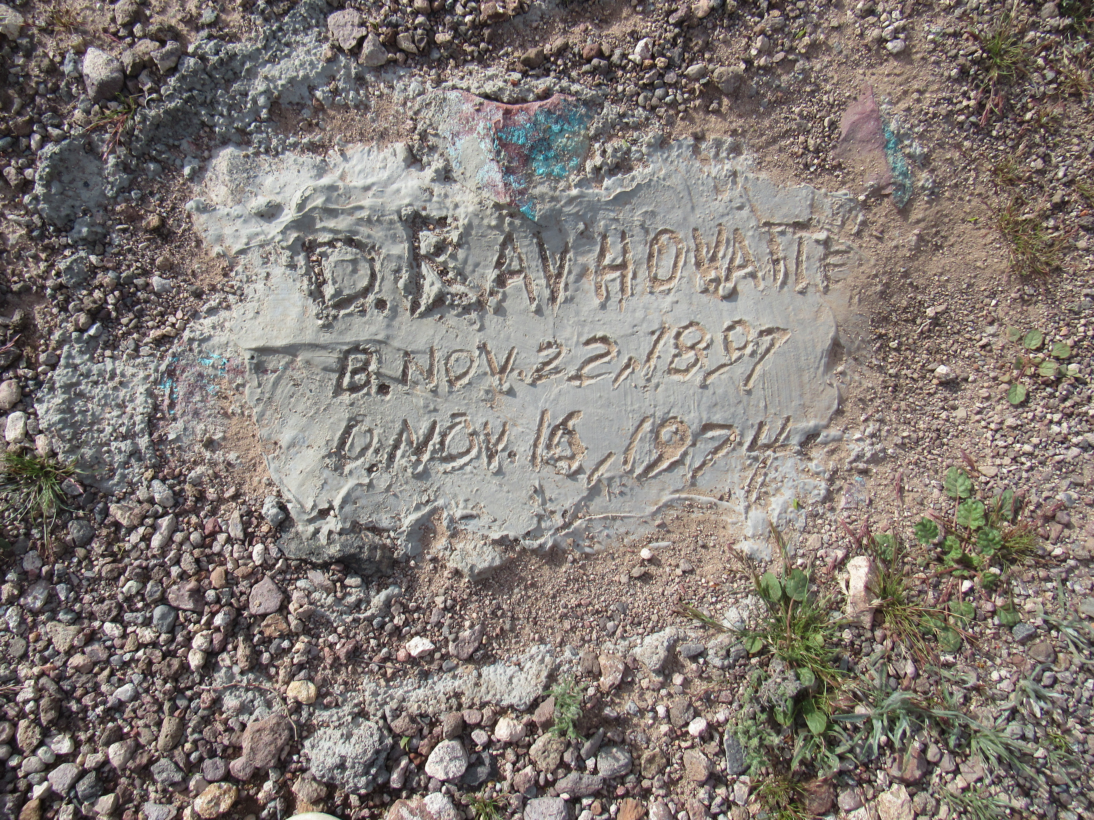
D. Ray Hovatter
Here is a link to the fascinating story of their lives.
If we carry on, at Mile 22.1 we see a major tributary coming in from the north. It runs for many miles, draining much of the southwest part of the Little Horn Mountains. Here is a shot of the valley it occupies. It joins our wash.
A valley coming in from the north.
The desert is so flat here that our wash splits up and sometimes runs in several braided channels. Here is what one of those channels looks like near Peak 2016. There were 7 different channels the wash occupied here.
Near Peak 2016
By the time we reach Mile 27.7, we cross another road, one that comes south from another old mining area. This road is pretty chewed up and is becoming difficult to travel. A little farther on, at Mile 28.8 to be exact, Cementosa Wash comes in from the north. It drains a sizeable area and joins our Red Raven Wash.
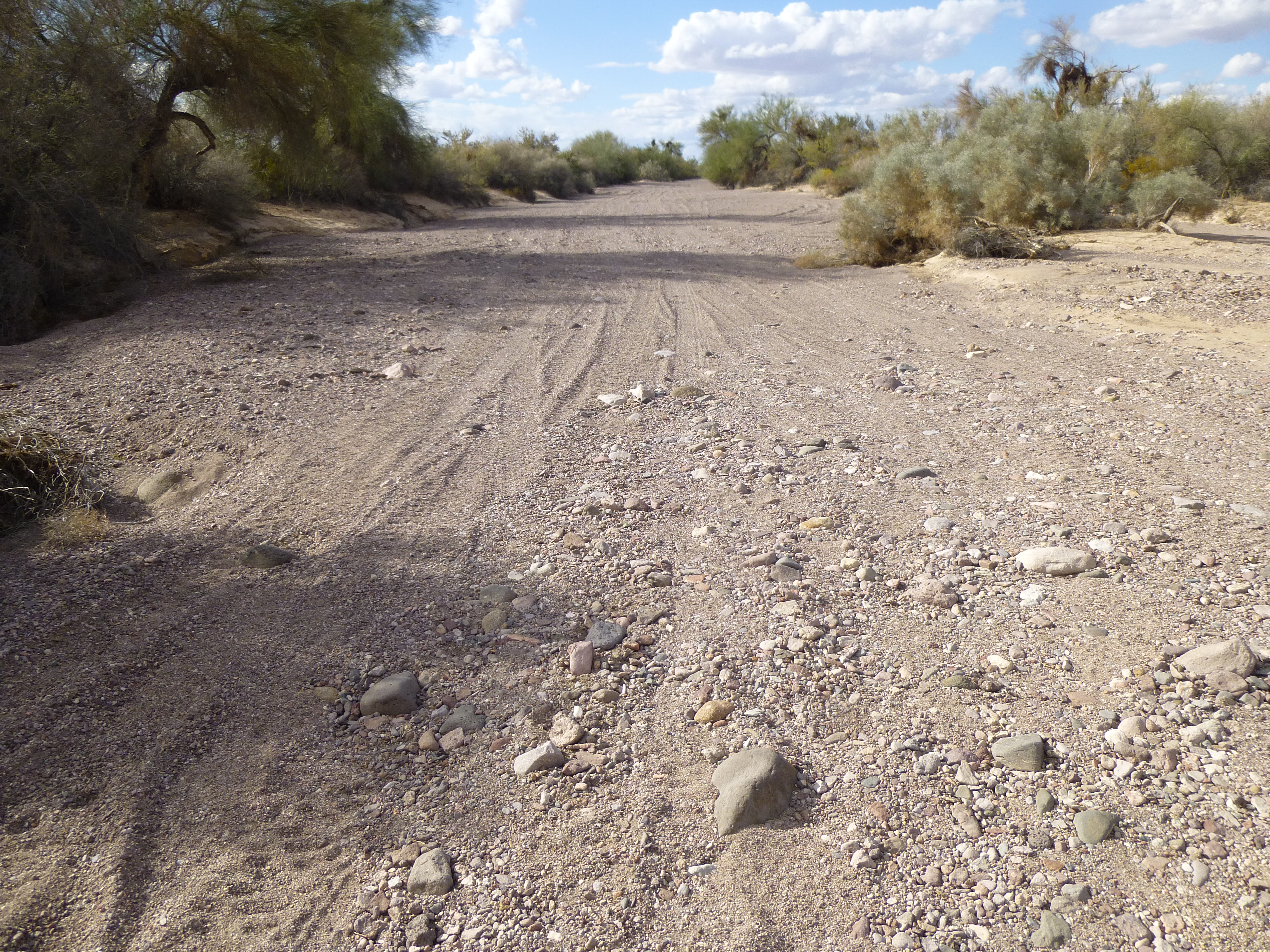
If we travel a bit farther, to Mile 30.4, Red Raven Road cuts north and crosses the wash. This crossing is becoming harder to do, is definitely 4WD, and getting more dicey as time passes. For 15 miles, the road has stayed south of the wash, but now it goes over to the north side and stays there. The wash looks like this where the road crosses it.
Another view of our wash.
Red Raven Wash now takes a noticeable turn to the southeast, passing below Peak 1801. By Mile 35.1, it passes near a guzzler set up to provide water to animal life.
Continuing southeast across the Palomas Plain, our wash goes through a fairly featureless area. It does, however, cross another road at Mile 40.5. This road runs straight as an arrow, heading north-northeast, from the Tank Mountains to the Clanton Hills. It passes near Clanton Benchmark, seen here.
Clanton Benchmark
Our wash crosses this road at an elevation of 1,048 feet above sea level. As you can see in this next photo, the wash is pretty substantial at this point.
The wash
As we continue southeast, at Mile 44.2 something strange happens. We meet an old road which is part of a grid of roads laid out in the remote desert. The grid runs 111 degrees by 201 degrees, and the roads form perfect squares. Each square is 1.375 miles on a side (or 2.21 KM, or 7,260′). There seems to be no purpose to this grid – there’s nothing out there! If you click on this link, then zoom in with the + sign, you can see the grid.
https://listsofjohn.com/qmap?lat=33.1958&lon=-113.4853&z=12&t=c&P=300&M=Desert+Mountaineer
Our wash passes through part of the grid, then heads due south. At mile 50.6, we cross another road, the most major yet. This is the Palomas-Harquahalla Road, which is like a dirt highway – I’ve driven 50 miles per hour on it at times. Farther south we go, and as we approach the northwestern tip of Baragan Mountain, at 750 feet elevation, something odd happens. Red Raven Wash, at Mile 53.2, has a name change on the USGS topographic map. It becomes Baragan Wash, just like that. It was doing so well, and then it’s as if the rug was pulled out from under it. Here’s what it looks like where it “ends”. As you can see, people have driven in it for fun.
The end of Red Raven Wash
It just ain’t right, Folks. If they had just left it alone, Red Raven Wash (now aka “Baragan Wash”) would have enjoyed another 15 miles of desert travel until it died a natural death when it entered the Gila River.
I hope you’ve enjoyed our travel along the curiously-named Red Raven Wash. It’s a true desert wash, remote in the sense that not a soul lives along its entire length.