
Before you read this story, please be sure to read Cemetery Ridge – Parts 1 and 2.
On the morning of the 4th day of my trip to explore Cemetery Ridge, I awoke to a howling wind. The truck was being rocked by strong gusts – this should prove to be an interesting day! After a bite to eat in the cab of my truck, I shoveled everything inside the shell and locked it. My goal today was to climb a mountain simply known as Peak 1830. It was cold enough that I wore a light down parka with the hood up over a balaclava. Wearing a day pack, I set out at around 8:30 AM.
Nearby, an old track headed east from the Paloma-Harquahalla Road. Earlier research had led me to believe that you were allowed to drive this track for a distance, but I soon found out that it was blocked. It was included within the Eagletail Mountains Wilderness Area, and I guess they were allowing the desert to reclaim it. It was an easy walk along level ground with a day pack. It started east, then swung sharply south. A century ago, this had been mining country, and bits of old metal who-knows-what could still be seen littering the landscape. A few old prospects were tucked away in odd corners of the hills.
As I headed south on the old road, I kept an eye out for a particular wash I wanted to use. My GPS helped and I found it about a mile and a half out. It was nice and wide, with a sandy bottom, and made for easy travel. Using it meant another major change of direction, though – namely, a turn to the northeast and then east. It was easy going, rarely brushy, and worked well for me until I reached its head. There, I was forced to climb up out of it and use the hillside to continue, but the price I had to pay was crossing an annoying series of deep gullies coming down across my path. To my north sat Point 1728.
Point 1758
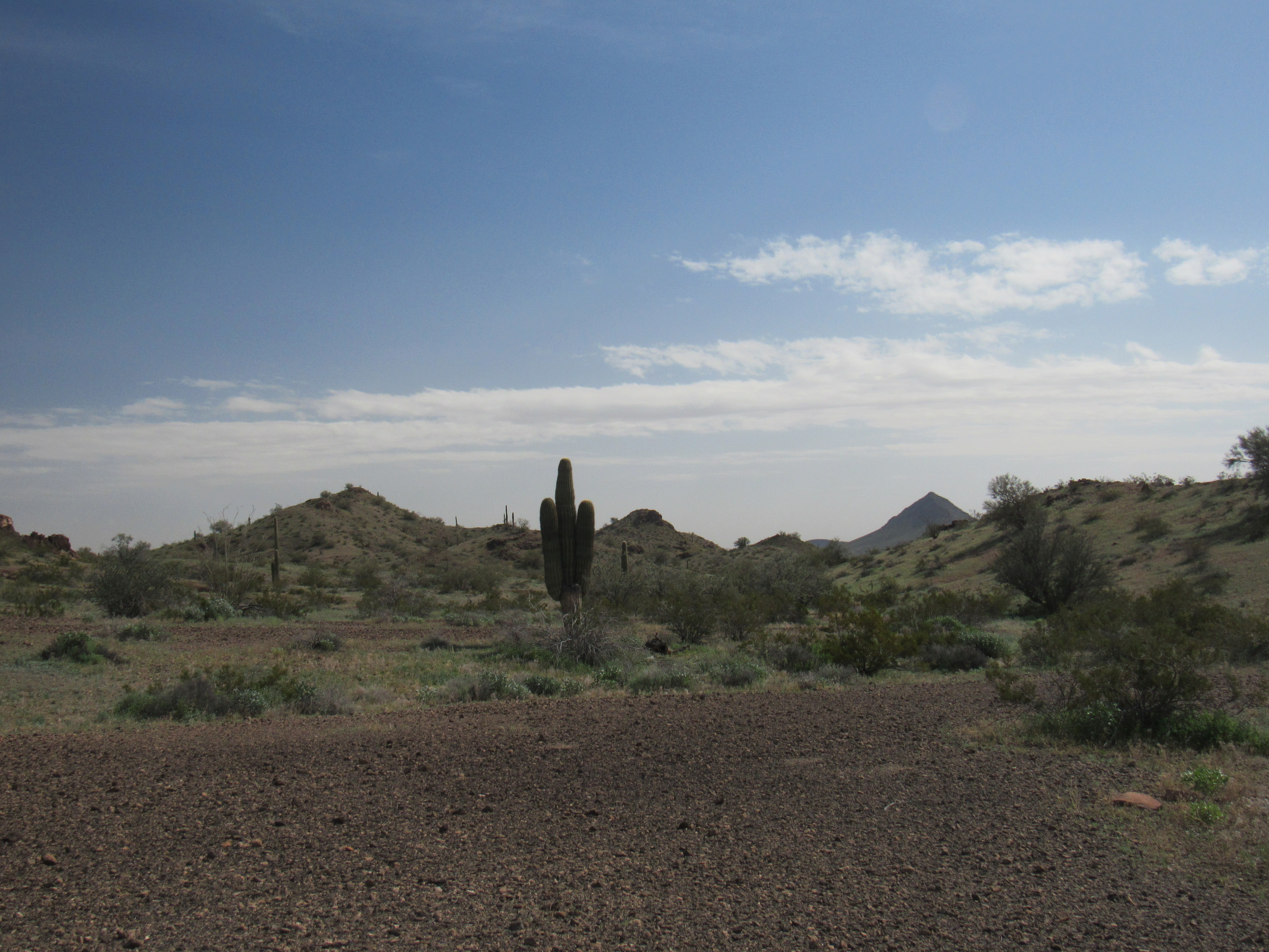
And from the same vantage point, I could look west to the distant Little Horn Mountains.
The Little Horn Mountains in the distance
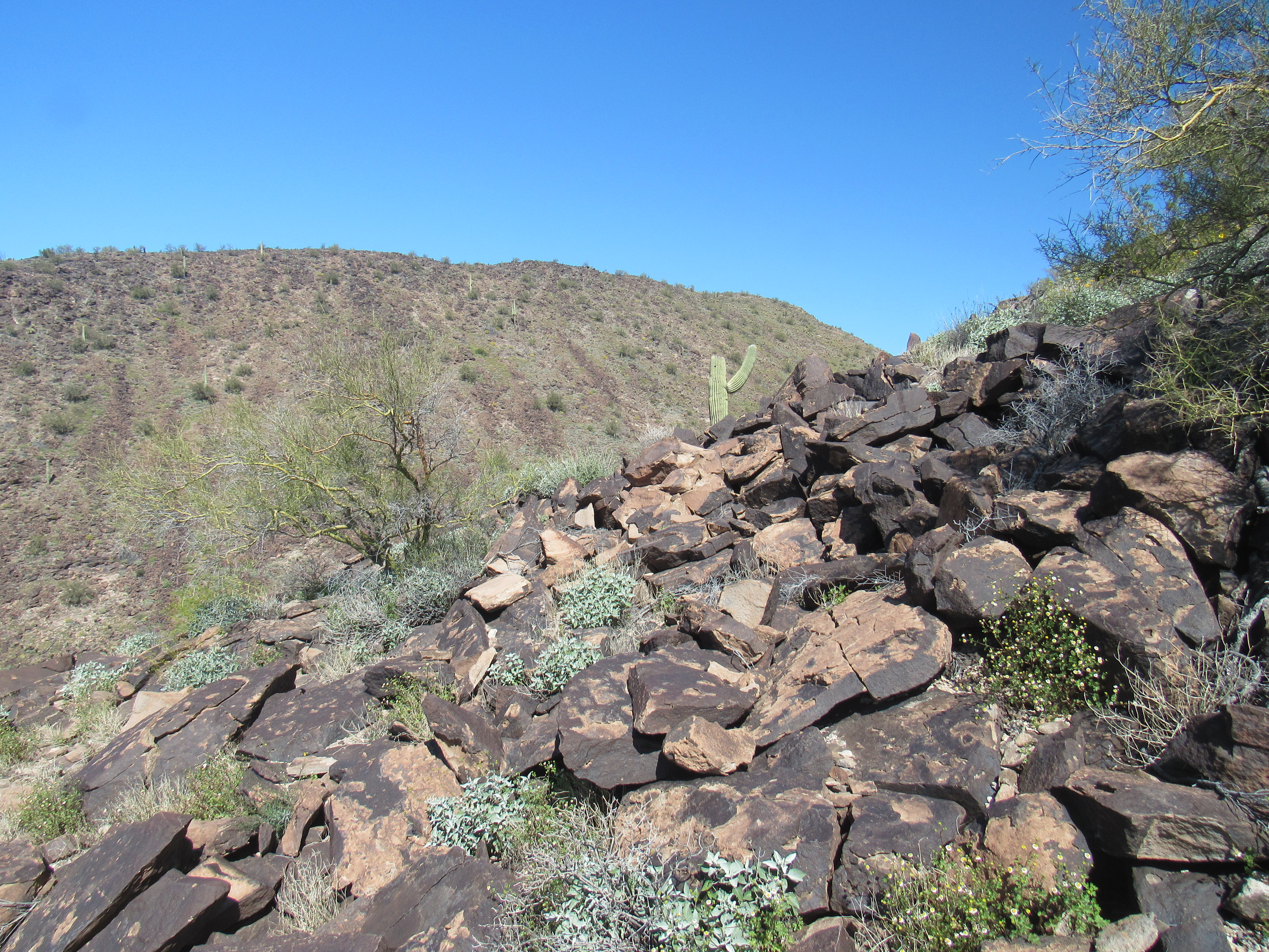
The upper end of the wash brought me to a low saddle at 1,500 feet. Sitting there was another sign of early mining days and the activity that took place there. It was common practice for prospectors to build cairns like this to mark their mining claims.
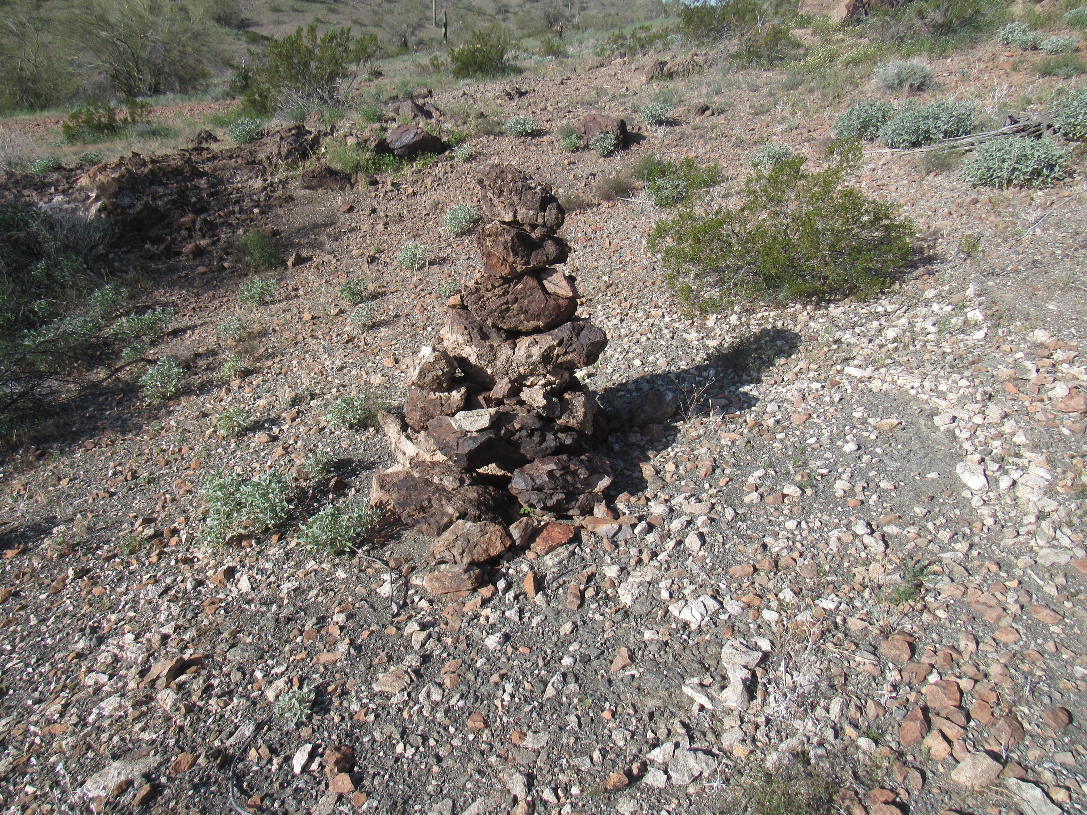
The cairn
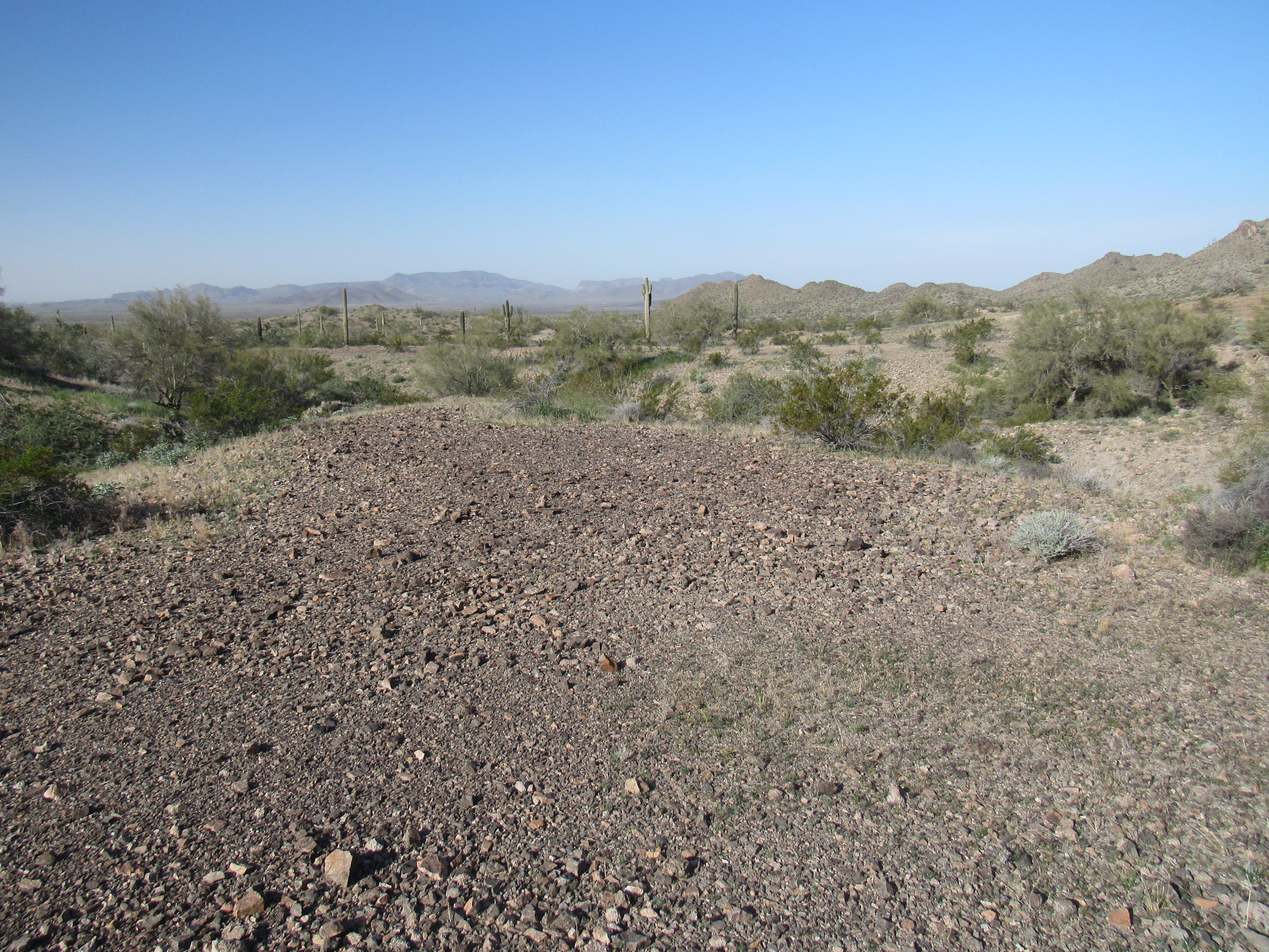
From the saddle, I could see all the way back to Nottbusch Butte, but barely. Today’s strong winds had picked up a lot of dust and lifted it high into the air, really messing up the view.
Looking southeast to Nottbusch Butte
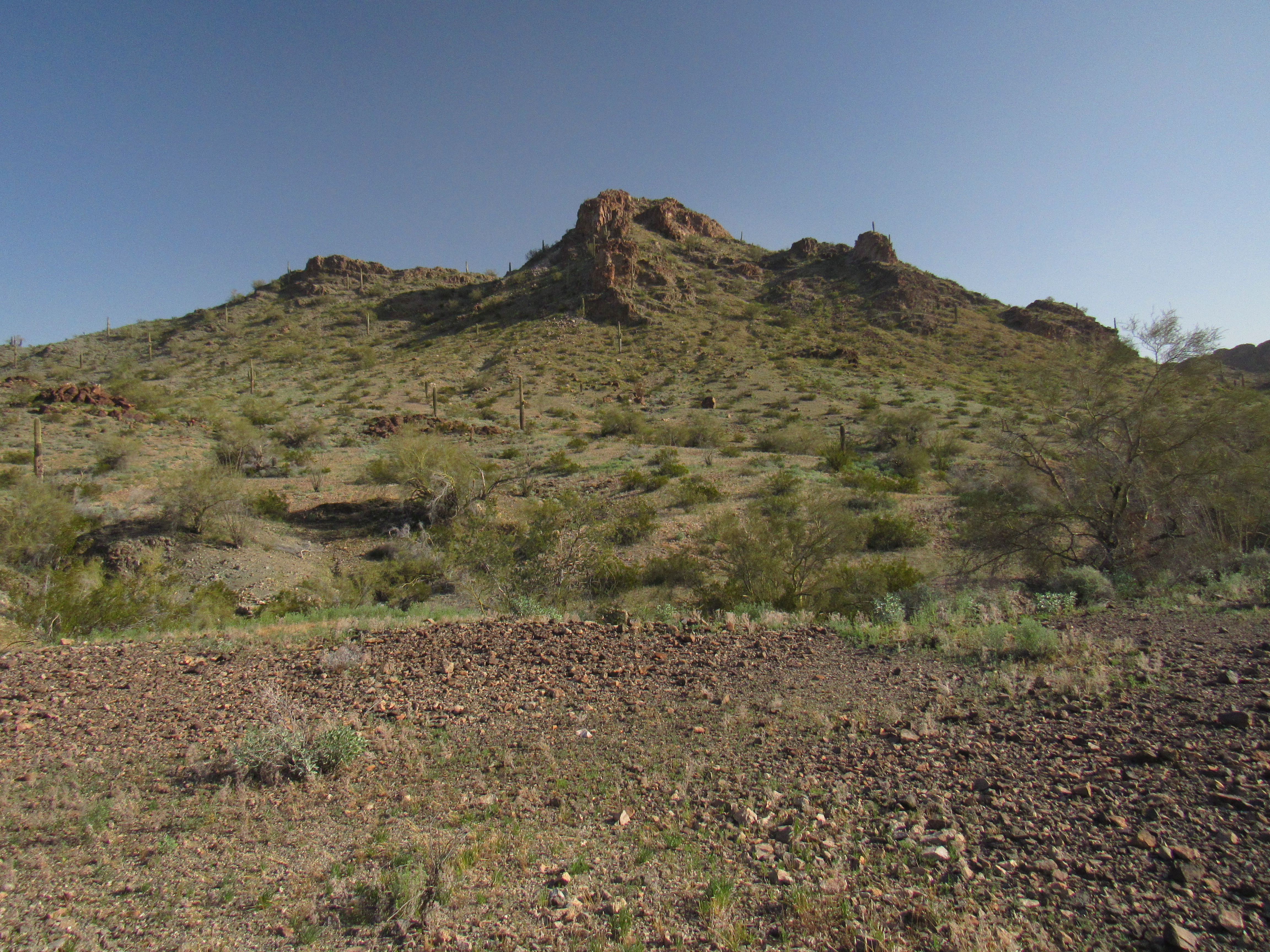
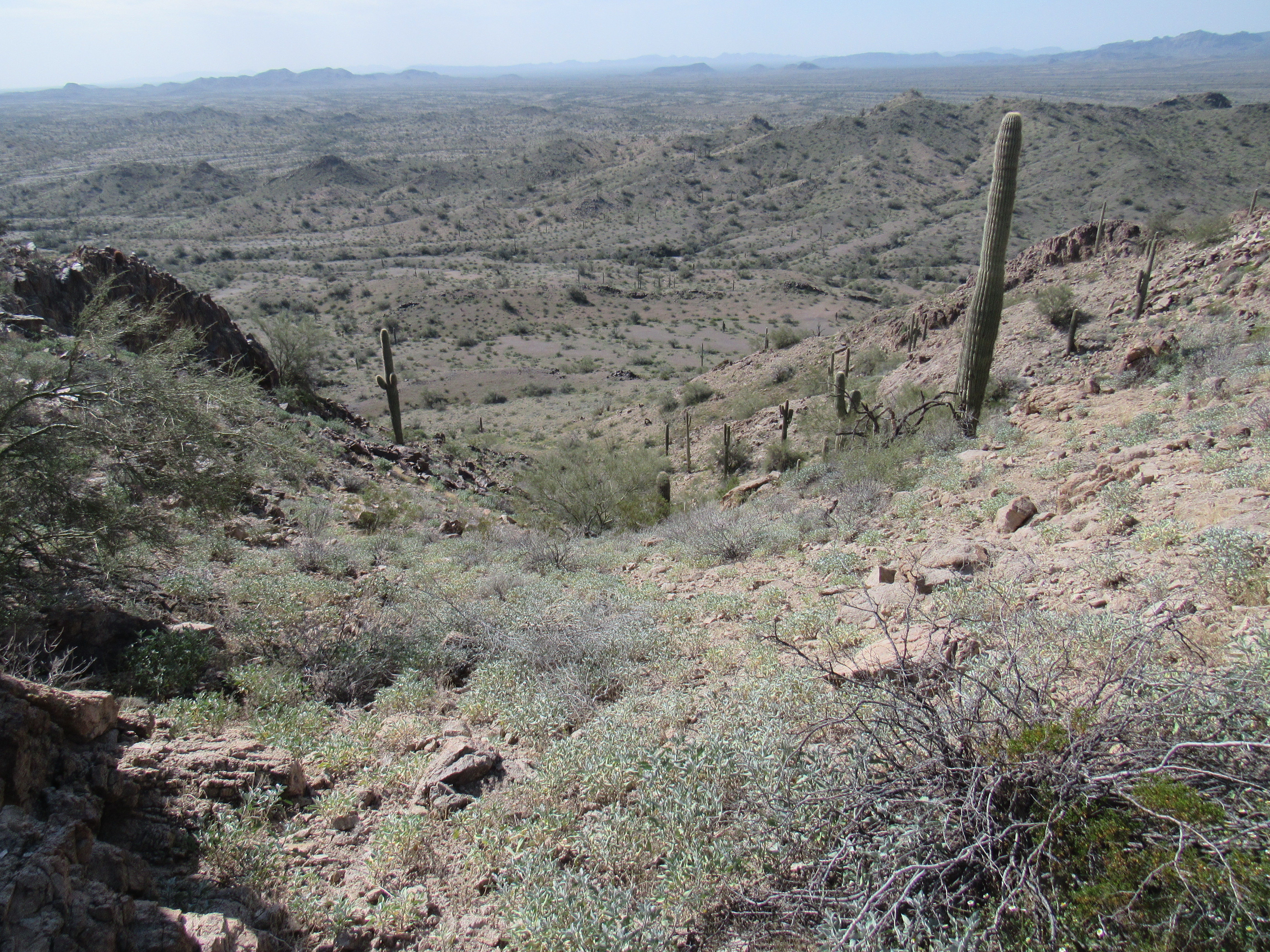
Once beyond the pass and down into the next drainage, I had the first good look at my peak. It looked pretty straightforward, so I started up – should have this one knocked off in no-time flat.
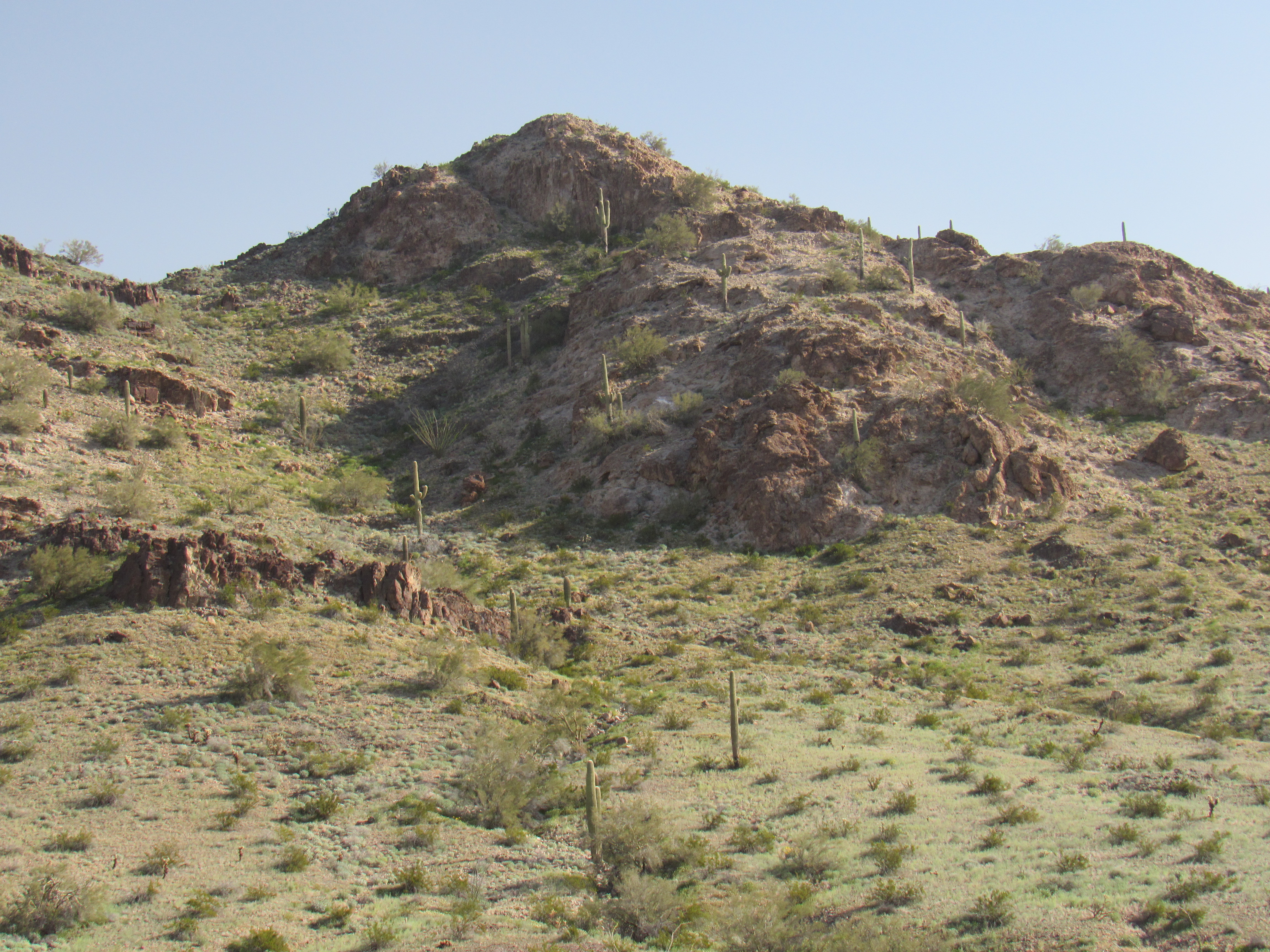
Peak 1830?
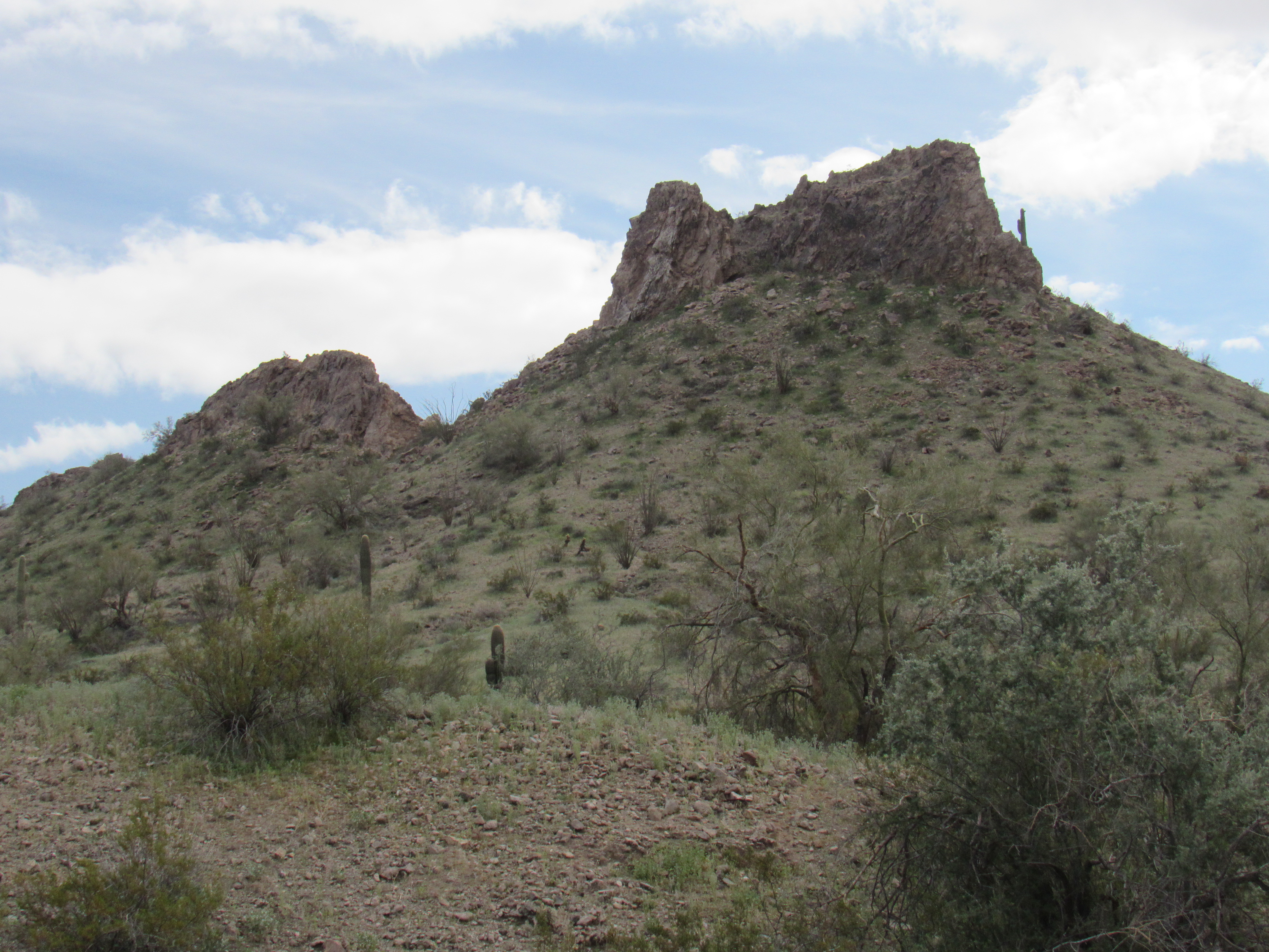
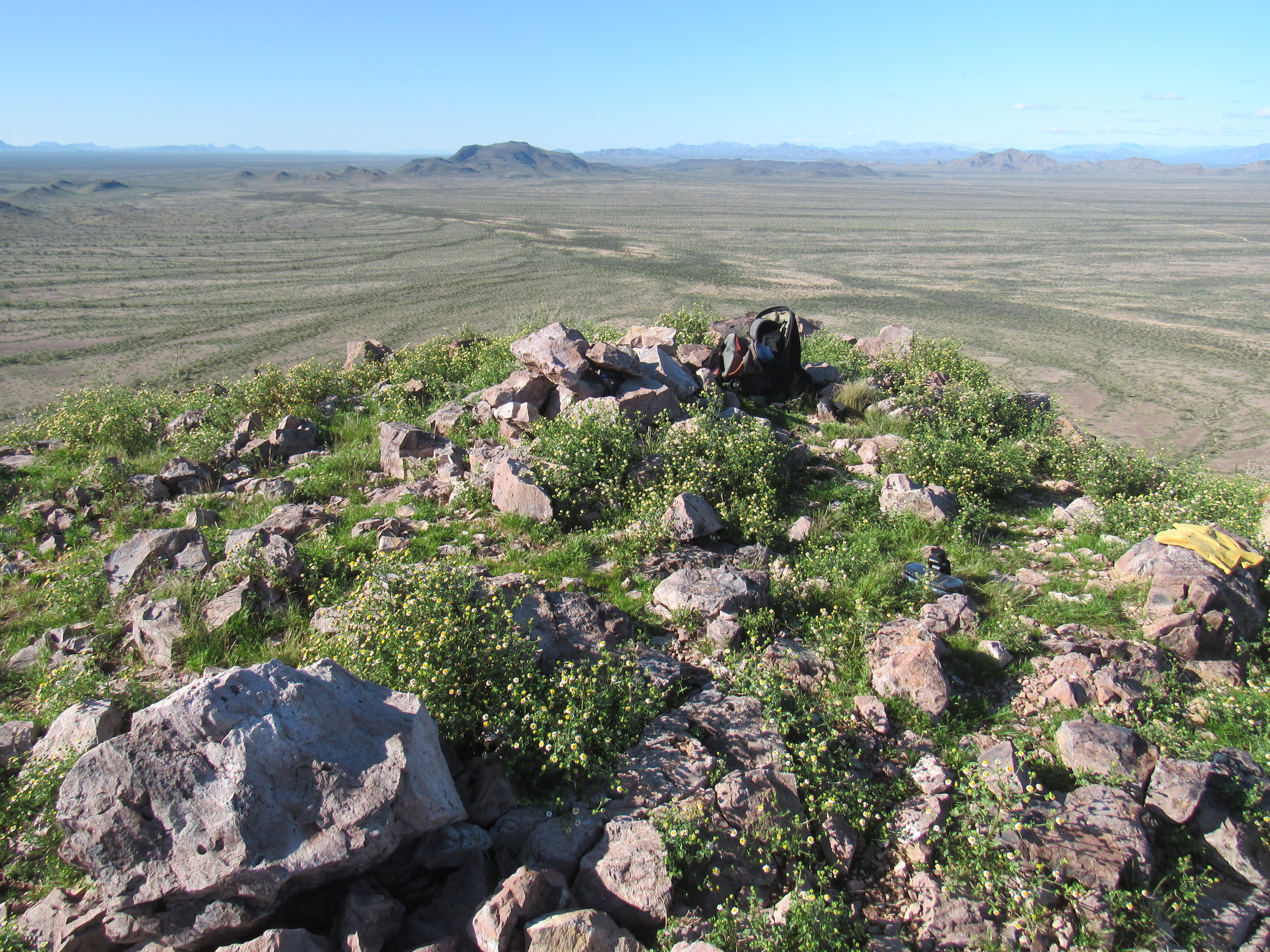
I made for the highest point, easily seen in the above photo, but when I pulled on to the top I was in for a big surprise. This wasn’t the summit at all – in fact, it was hundreds of yards to the east of where I stood. Okay, it’ll take a bit more time but it looked like an easy walk over to the high point. A short while later, there I was, scrambling up a rocky knoll to the summit. In a small cairn, I found a register. Two previous parties had signed in to this obscure spot. The register had been placed in 2005 by my friends Gordon MacLeod and Barbara Lilley, and had only been visited once since then in 2016. Before I go on, I want to show you a picture of a rocky pinnacle right next door to the north, taken from where I found the register.
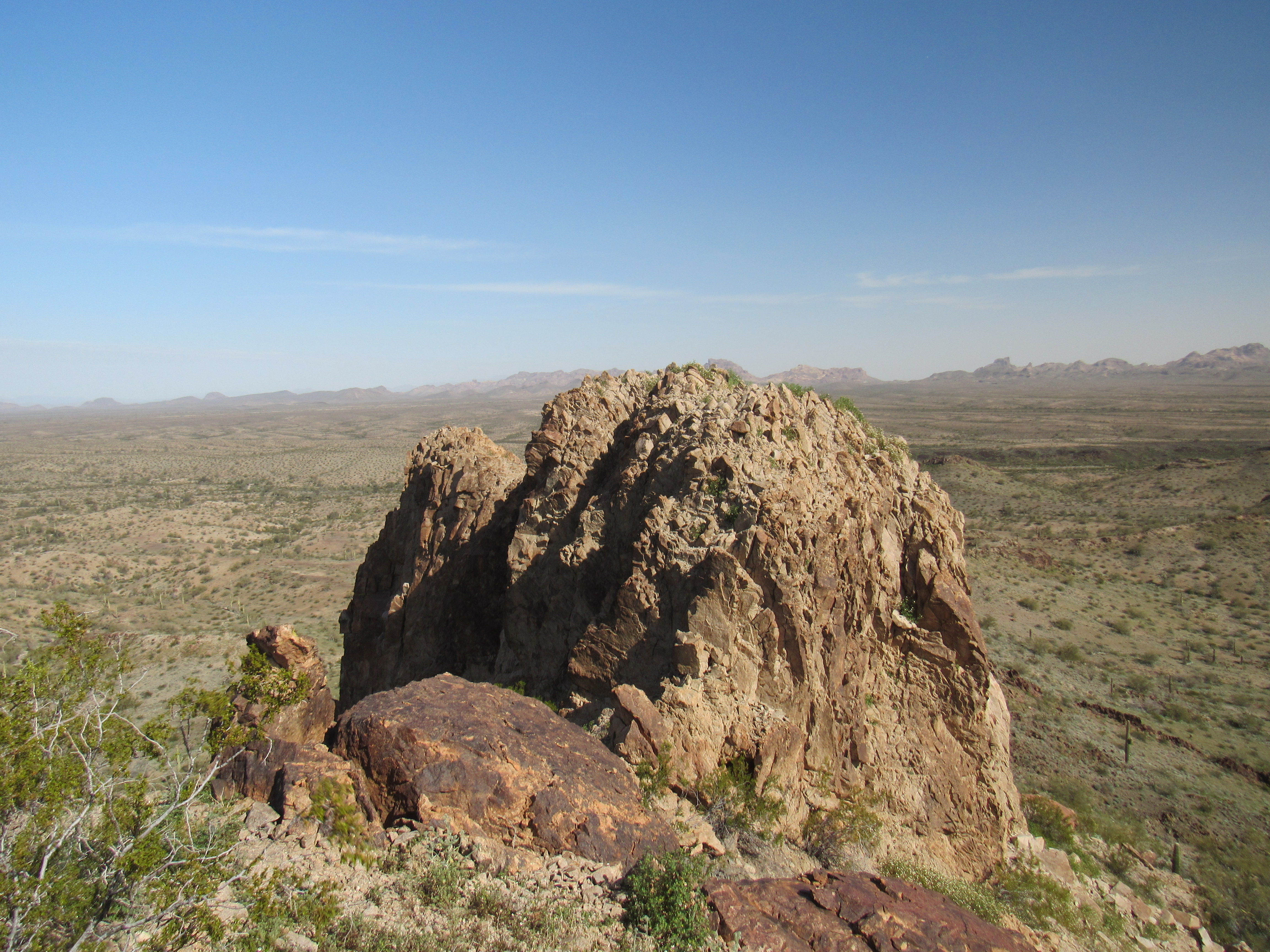
The pinnacle next door
From where I sat, it was hard to tell if it were higher than my position, but an entry in the register helped me decide. There, Barbara indicated that it was in fact about one foot higher. Not only that, she said that there was a Class 3 route up the east face. That was encouraging, because from where I stood there was no obvious way to the top. Nothing ventured, as they say …….. Let’s go give it a try. I had to drop down a fair bit and then climb back up, but I found the route as Barbara had promised and soon stood on the top of Peak 1830. Returning to the register, I signed in along with the others.
This peak has been called the high point of Cemetery Ridge. Yes, maybe, but a study of the map shows that Nottbusch Butte lies squarely in the middle of Cemetery Ridge. It rises a full 354 feet higher than 1830. Also, if you think back to the first 2 peaks that I climbed days earlier and if you agree that they too could be considered as anchoring the far eastern end of Cemetery Ridge, they would also be higher than Peak 1830, because they sit at 1,902 feet and 1,835 feet. Just sayin’. But certainly Peak 1830 is a full-fledged ranked summit in its own right.
Once I had signed in, I started down from the summit, then stopped at a nearby saddle where I had this good look back. You can see three bumps in the photo. The dark one on the left is where the register was found. The middle one, next over to the right, is the true summit; the one on the far right is farther away and a bit lower.
The summit area.
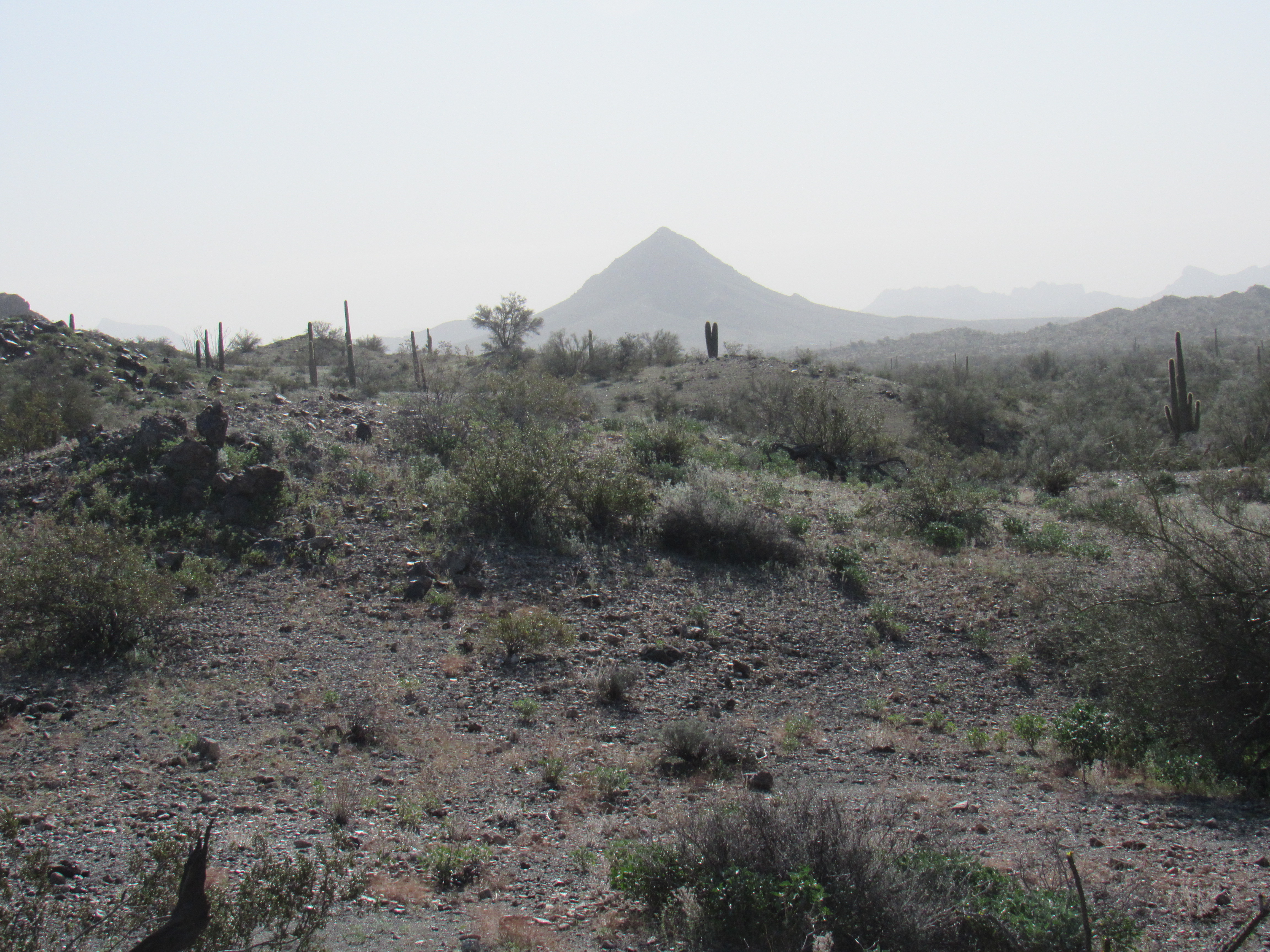
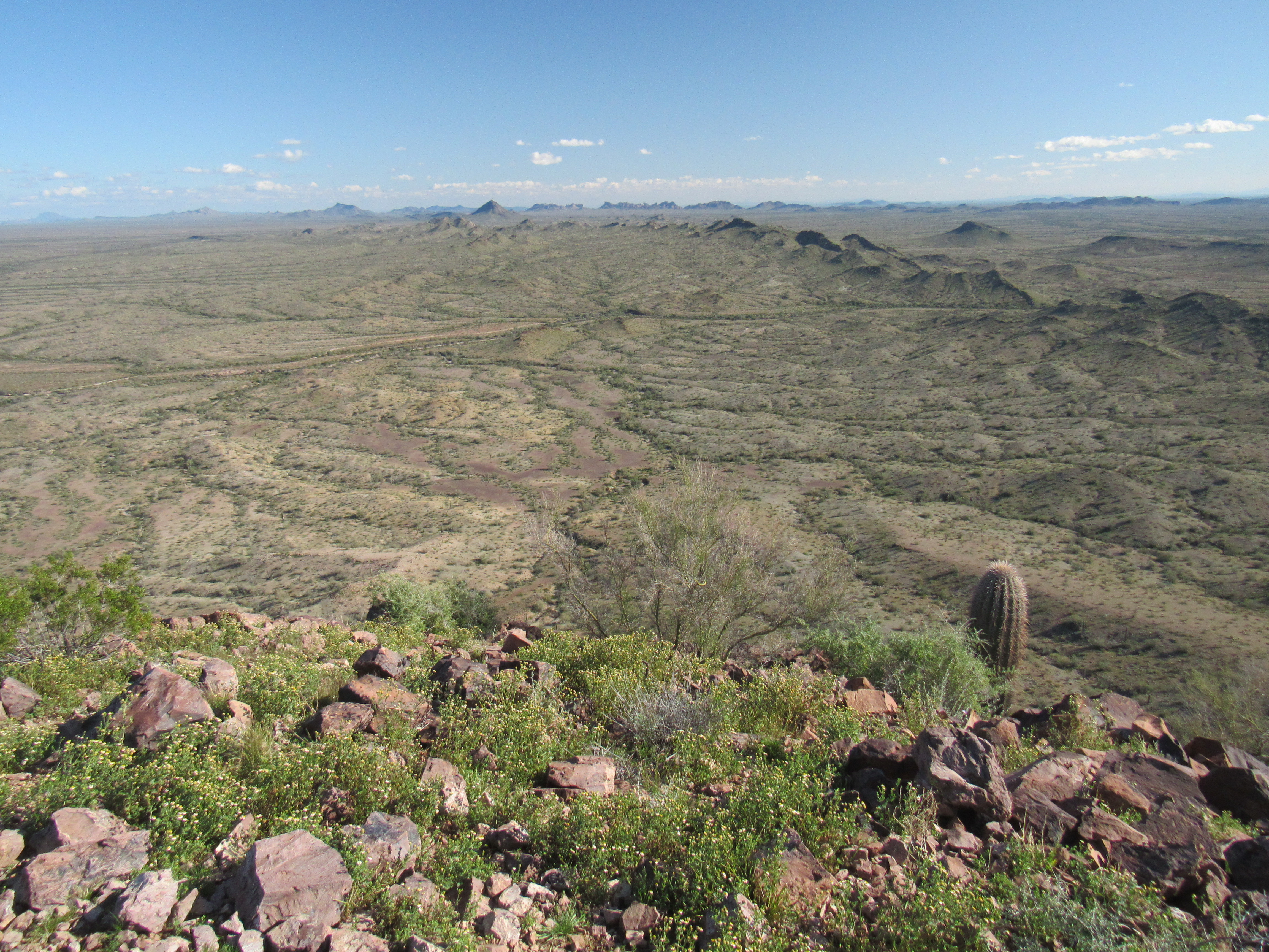
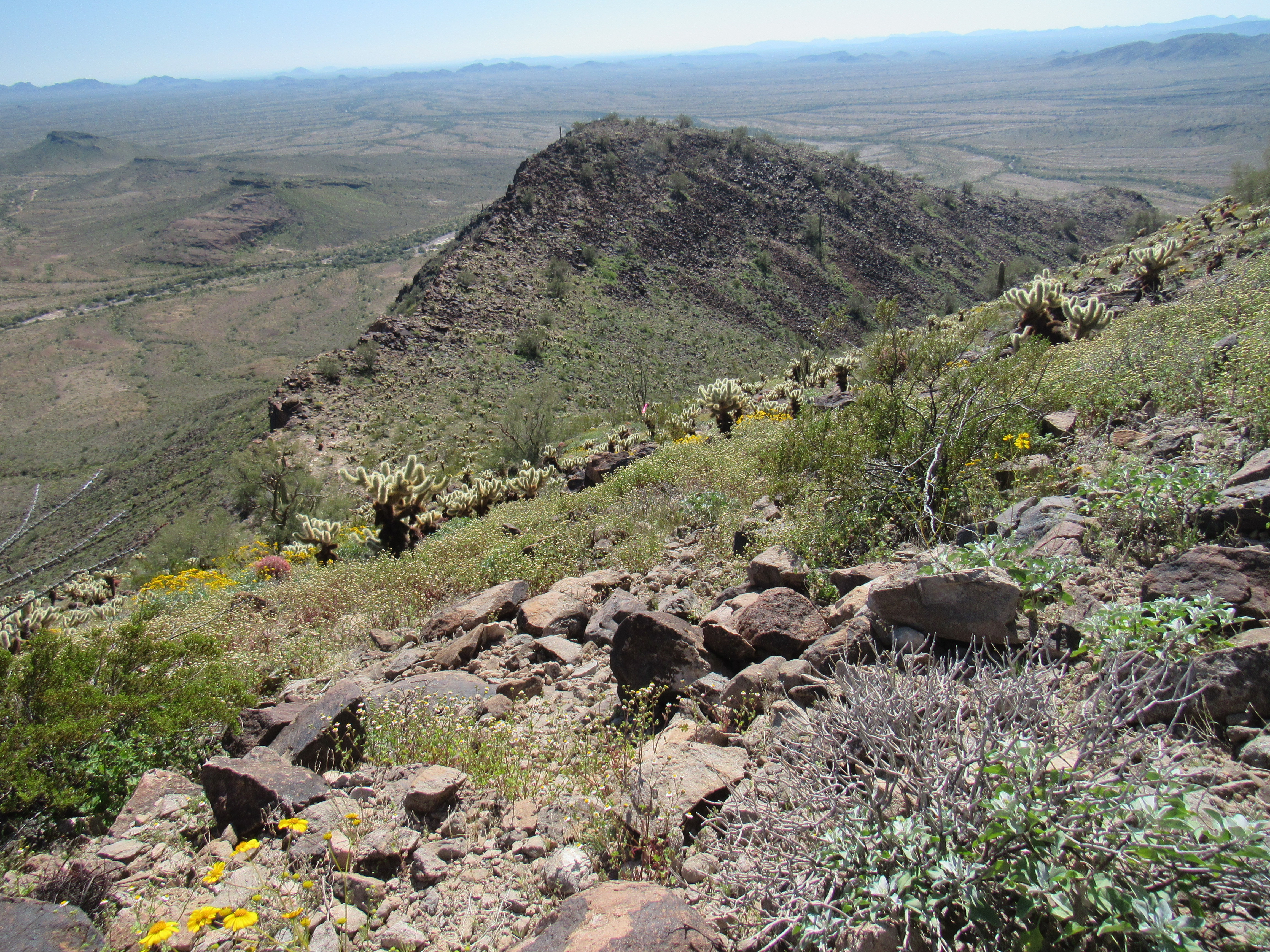
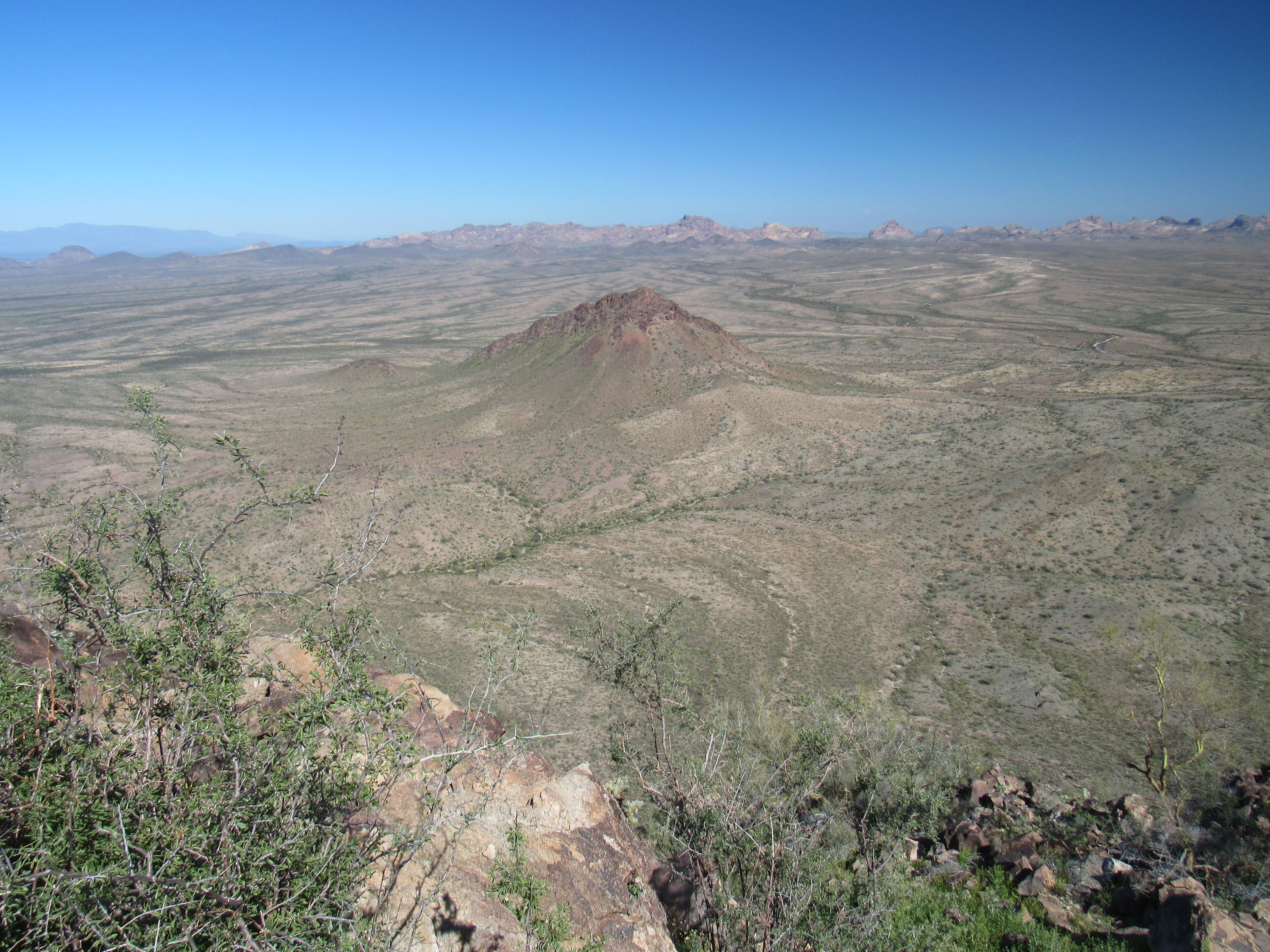
From the same saddle, I had this view to the east. All the bumps you can see in the foreground are part of Cemetery Ridge, extending out for about a mile. Beyond that is a wide stretch of desert, and in the distance sit the Eagletail Mountains.
Looking east
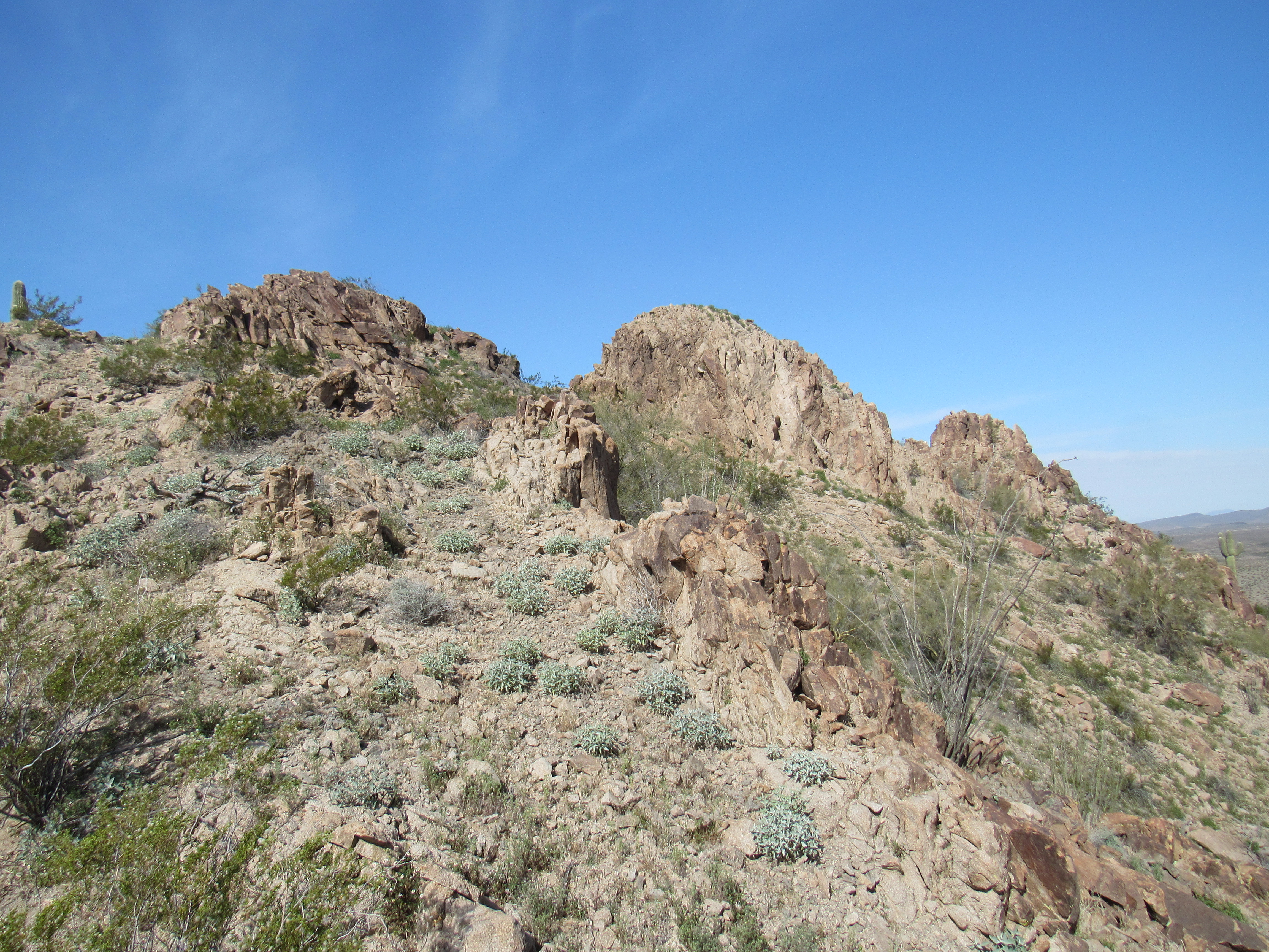
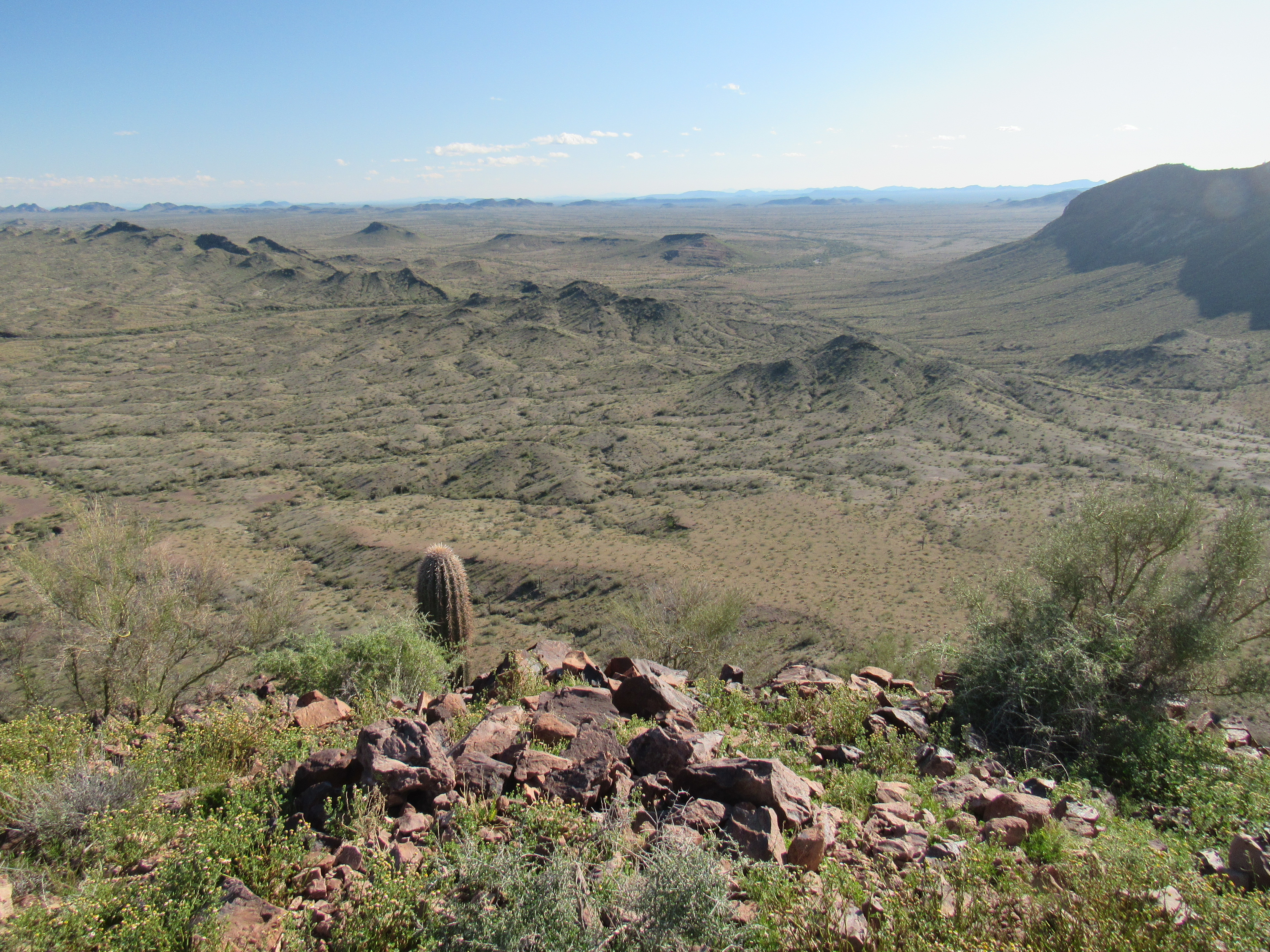
Here’s a look down the slope I’d decided to use for my descent, a little more straightforward than the one I’d used for the climb up.
A look down.
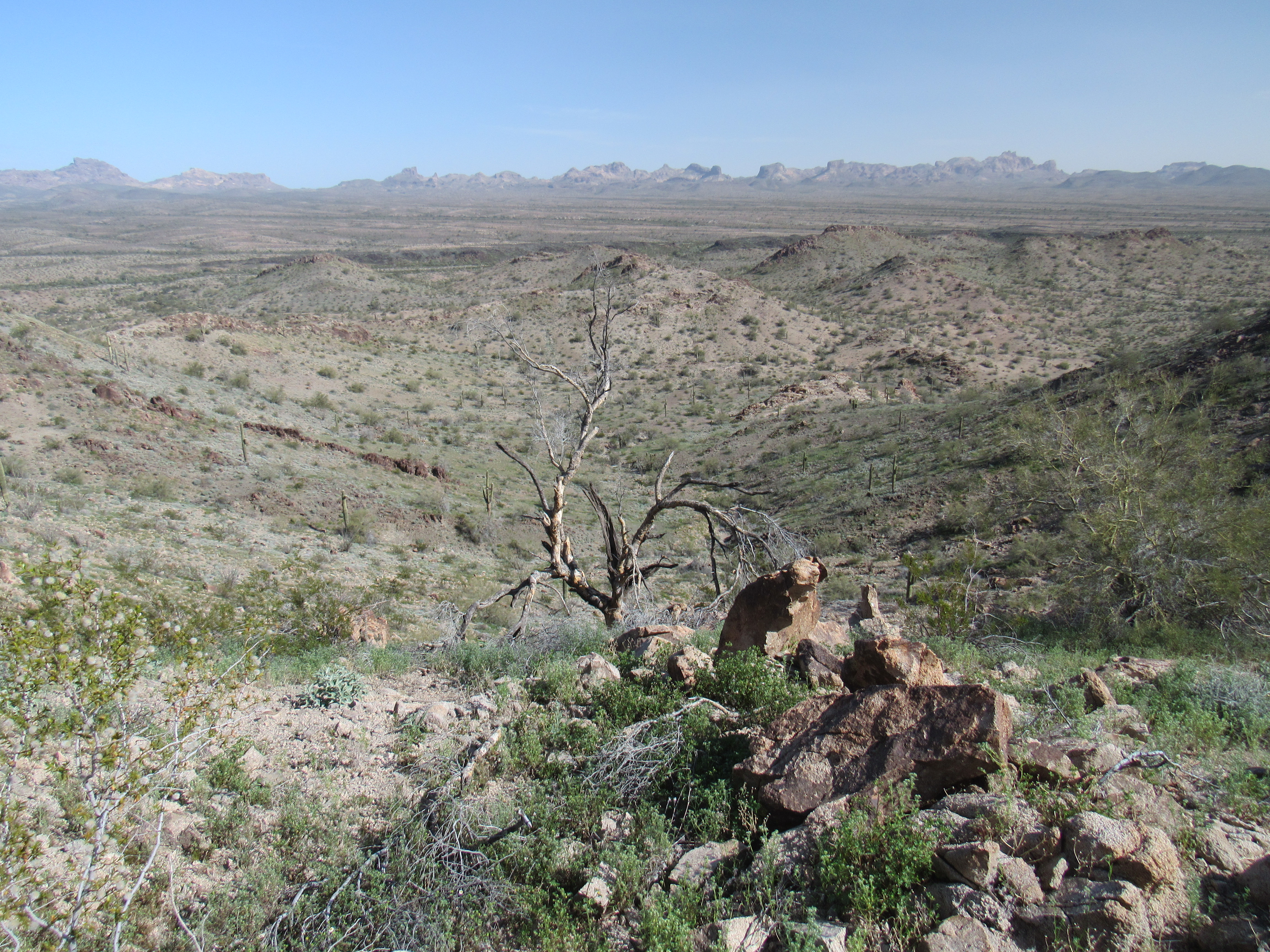
Once off the peak, all I needed to do was put in the miles retracing my steps and enjoy the scenery.
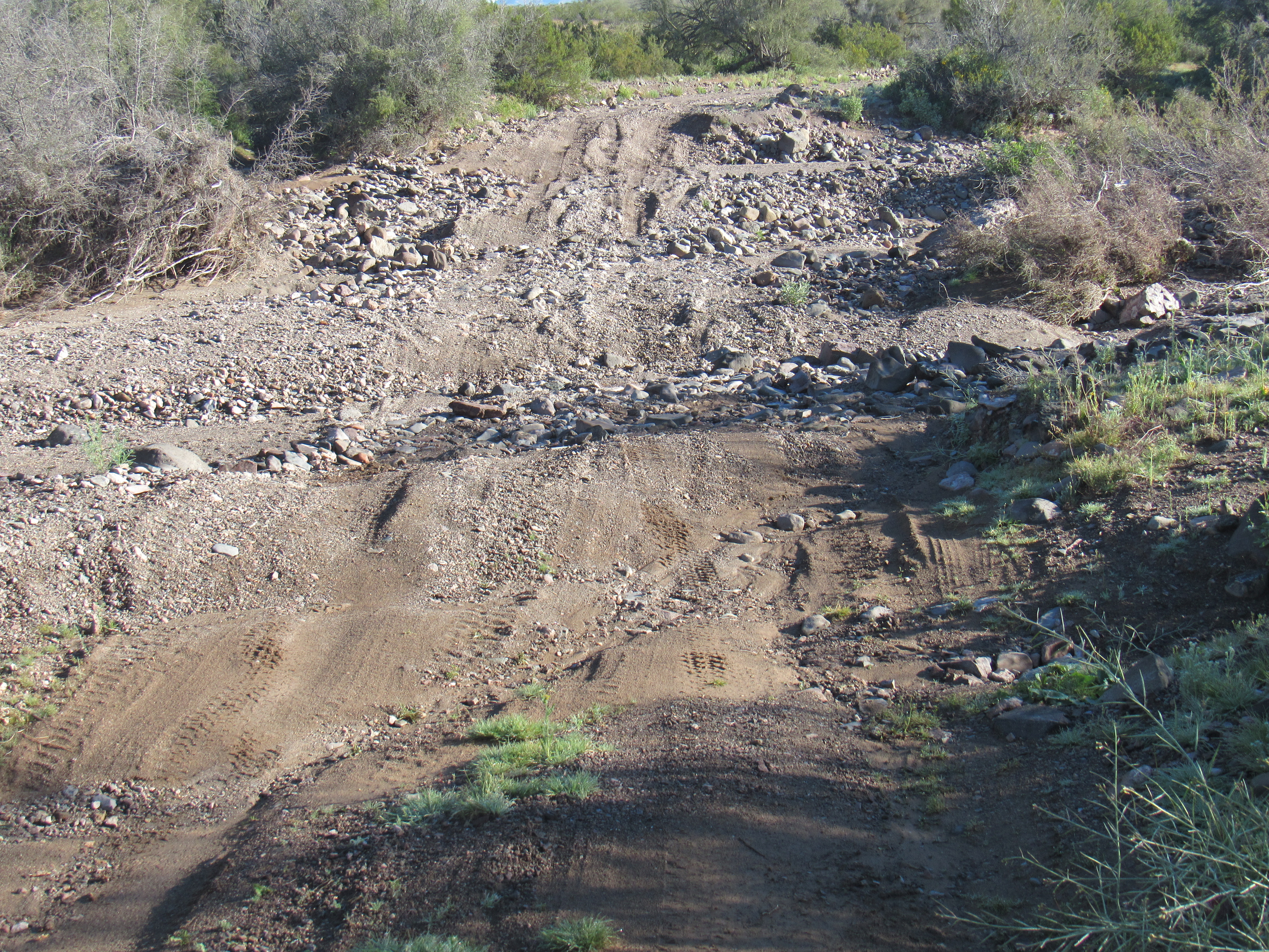
Almost 7 hours had passed by the time I was back at the truck. If anything, the wind was even stronger than before and the temperature had dropped as the day progressed. I needed a better place to camp, so I continued north on the Palomas-Harquahalla Road. Almost immediately, the road crossed the bedrock in Deadman Wash.
Deadman Wash
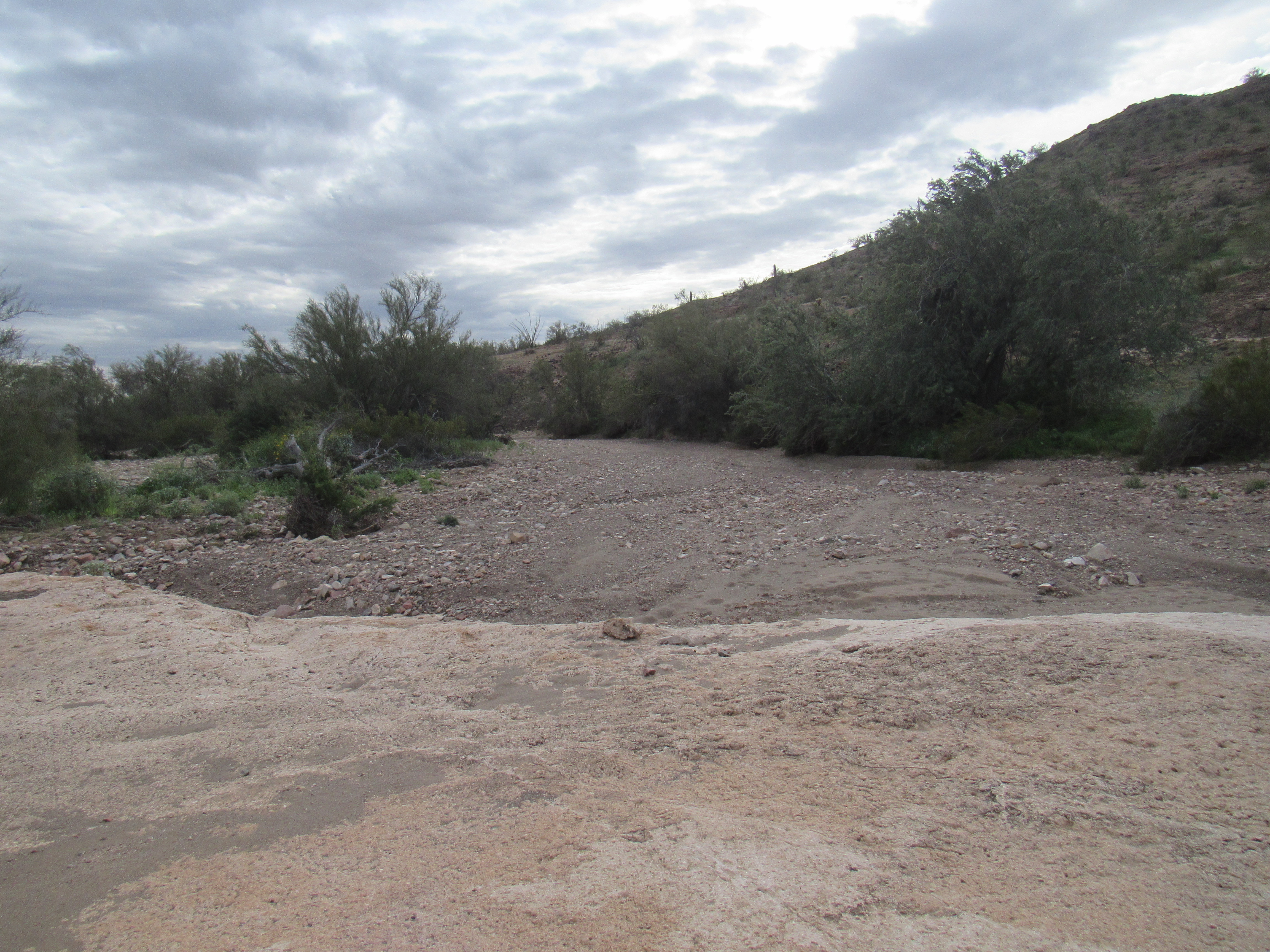
Two miles beyond that, the otherwise-excellent road went to hell in a hand basket as it crossed yet another wash – this was as it passed through a northern section of Cemetery Ridge.
No sedan is getting through here.
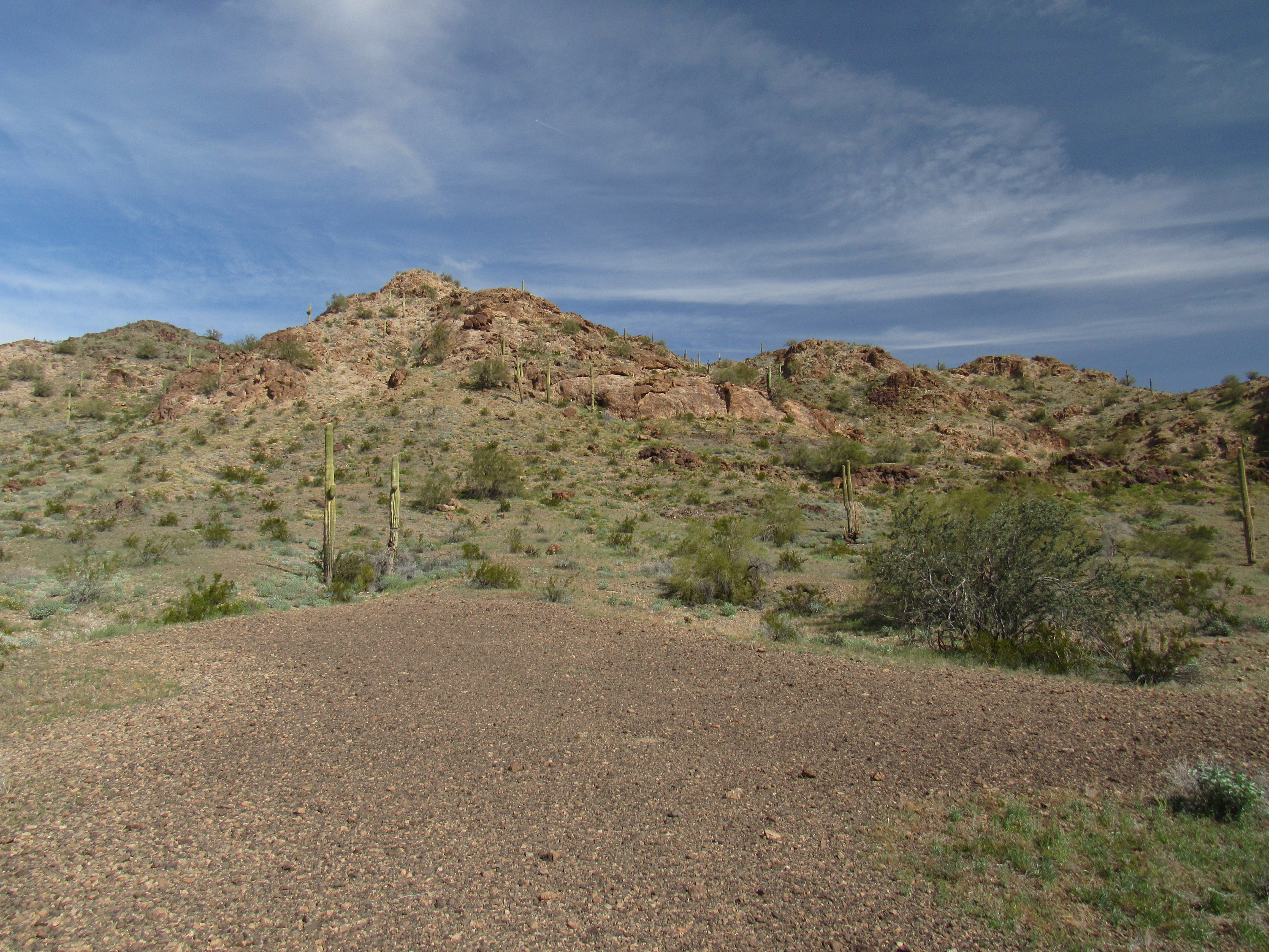
Okay, it’s about time we had ourselves a little discussion about something that’s been on my mind. Specifically, where does our friend Cemetery Ridge end? This could be a little confusing, so I thought if we climbed another peak together we could shed more light on the subject. As I headed farther north, this nice-looking mountain came into view.
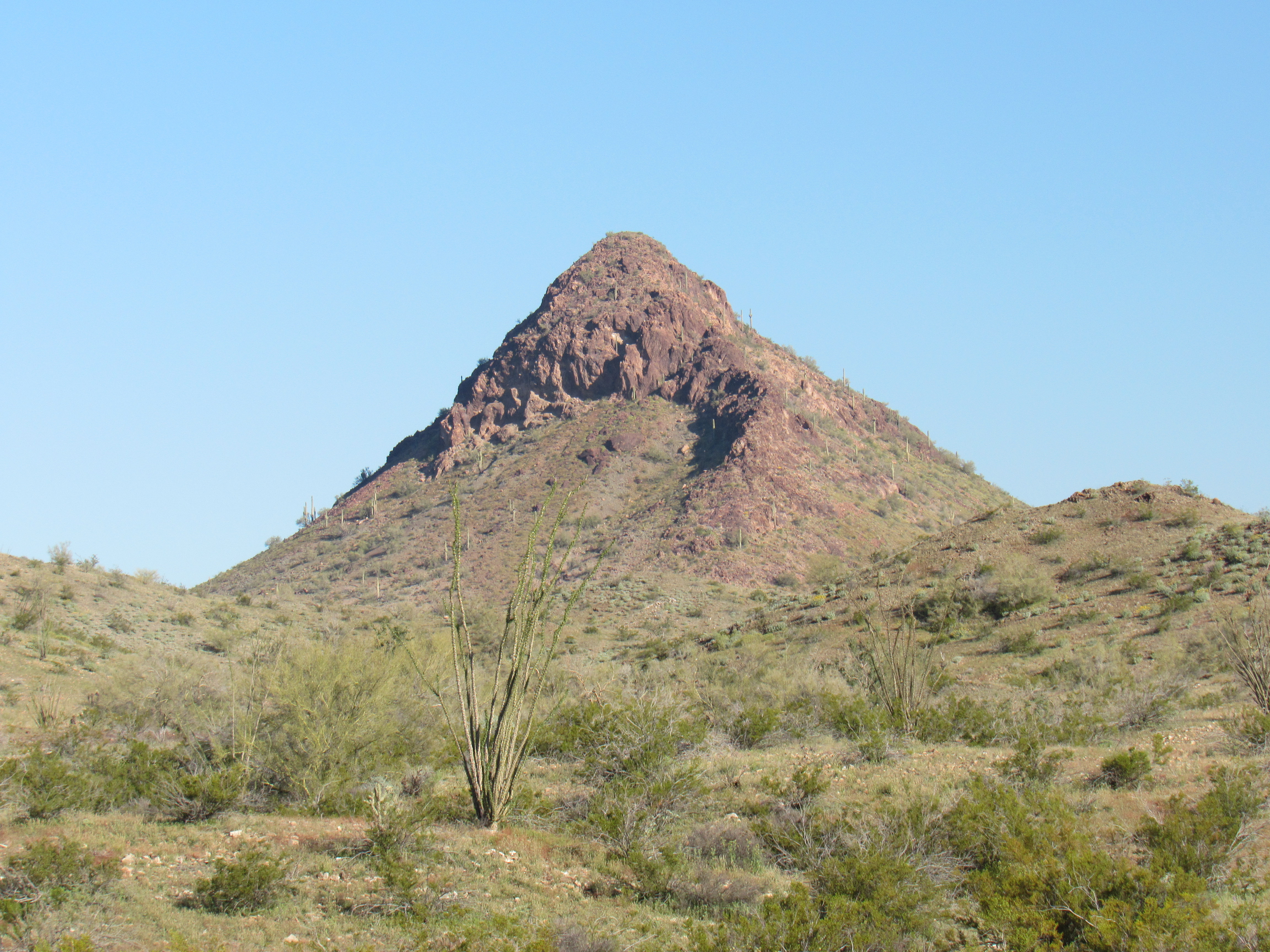
The south side of Peak 2089
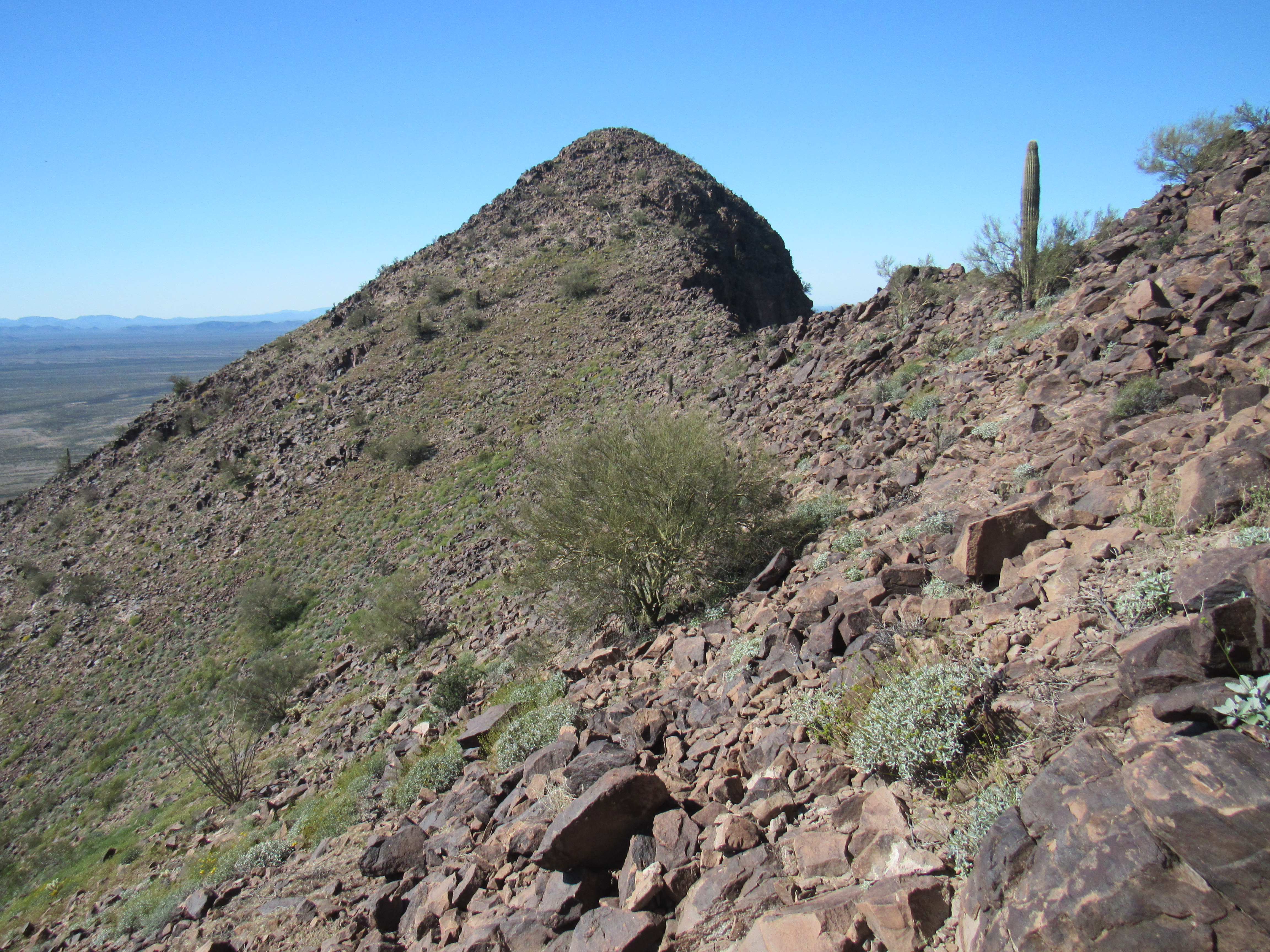
My goal had been to reach this one, climb it and look out over the landscape. As I approached the north end of the peak, here’s what I saw.
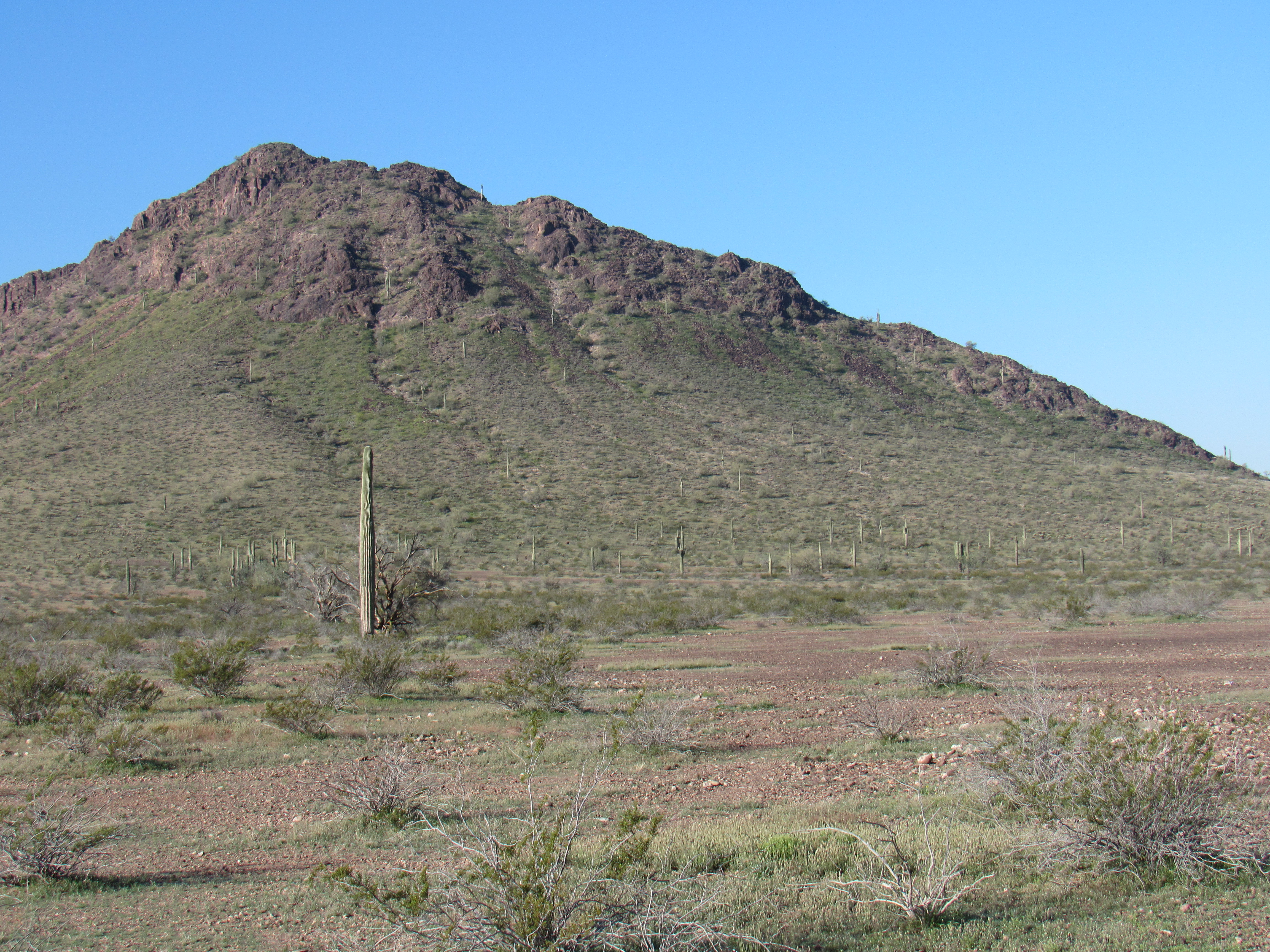
This shows the whole east side of Peak 2089
In the above photo, I went over and gained the ridge low down on the right side, then followed it up along the skyline to the left. There were a few steps to surmount, and by the time I’d climbed the 600 vertical feet to the summit of Peak 2089, I was already looking for an easier way down. The summit register was there waiting, with 18 prior entries – wow, popular spot! Here’s the top, looking north – the big dark peak in the distance is Fish Benchmark, almost 6 miles distant.
Out to Fish Benchmark
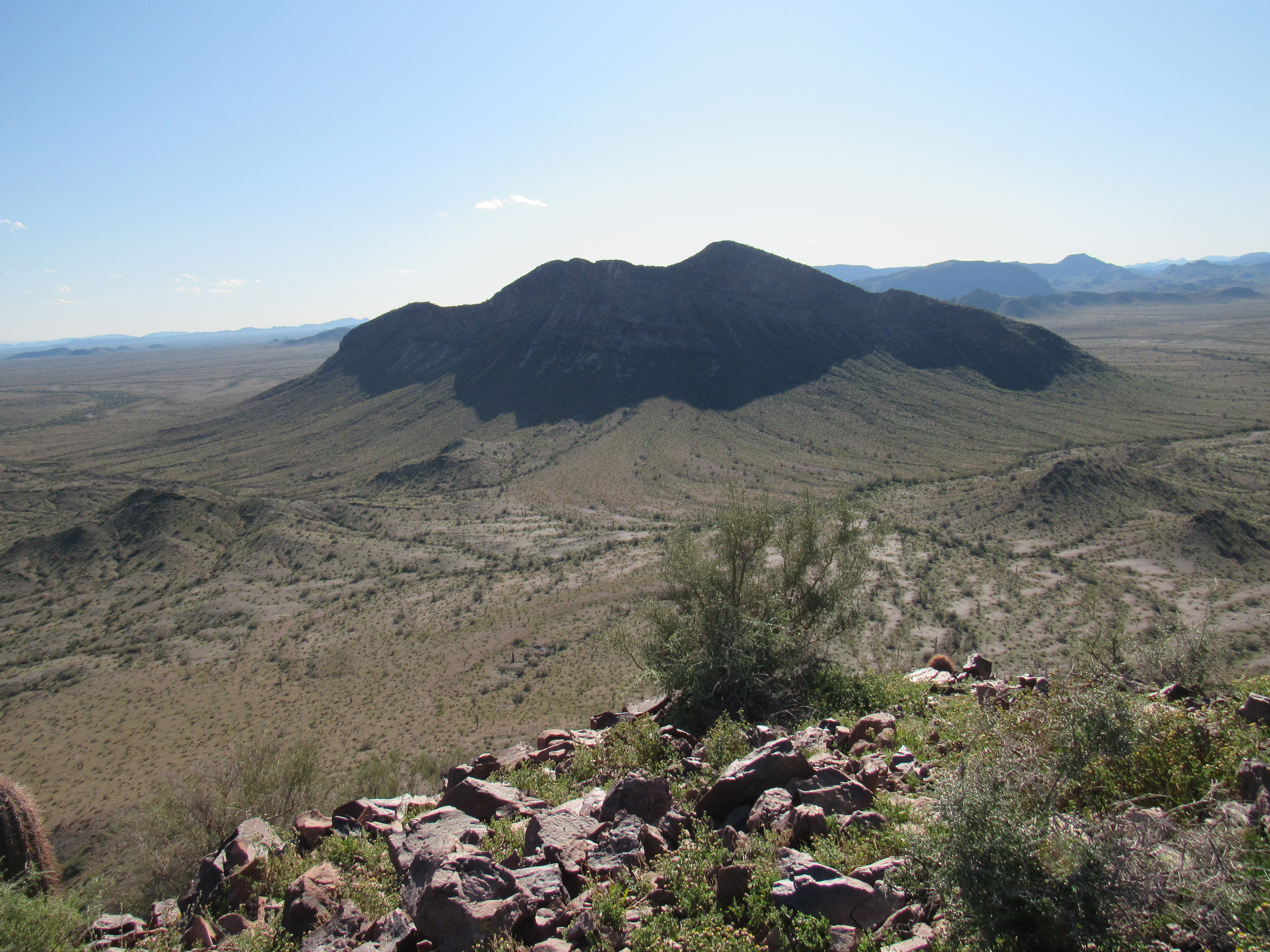
But here’s the view I was waiting for, and it shows what I wanted. In the far distance in the upper left, you can see Columbus Peak and Nottbusch Butte. Columbus is at the far end of Cemetery Ridge, while the Butte is about halfway along.
A look southwest
But look at this next photo – see all of the little hills down below, marching their way across the center of the photo? They are an obvious continuation of Cemetery Ridge.
Still part of the Cemetery Ridge
Now have a look at this final photo. The big peak out there is Deadman Mountain. See the small hills between it and us? The one on the left center edge of the picture is Point 1670. At 2 o’clock from it and close to the big peak is Point 1642. I maintain that they are a last gasp of Cemetery Ridge, along with the peak I’m standing on and also Deadman Mountain.
The end of the Ridge
Getting this overview of the surrounding area helped me put Cemetery Ridge into context. I went down an easier way and camped nearby for the night. There was only one thing that remained to be done.
The next morning, I drove back south along the Palomas-Harquahalla Road a few miles to a spot that’s not shown on any map. I had heard that the Old-Timers referred to something in the area called Deadman Tank. Well, I found it alright, in the channel of Deadman Wash. Not man-made or enhanced, the tank was nothing more than natural depressions in the bedrock which we call tinajas here in the desert. Some of these can be quite fickle, undependable at best, as rainwater runoff must flow downstream far enough to collect in these spots. Because they are only replenished by additional runoff, they may sit empty for long periods. However, this spot was well-enough known to those who ran cattle or sought minerals in these parts long ago that they even gave it a name.
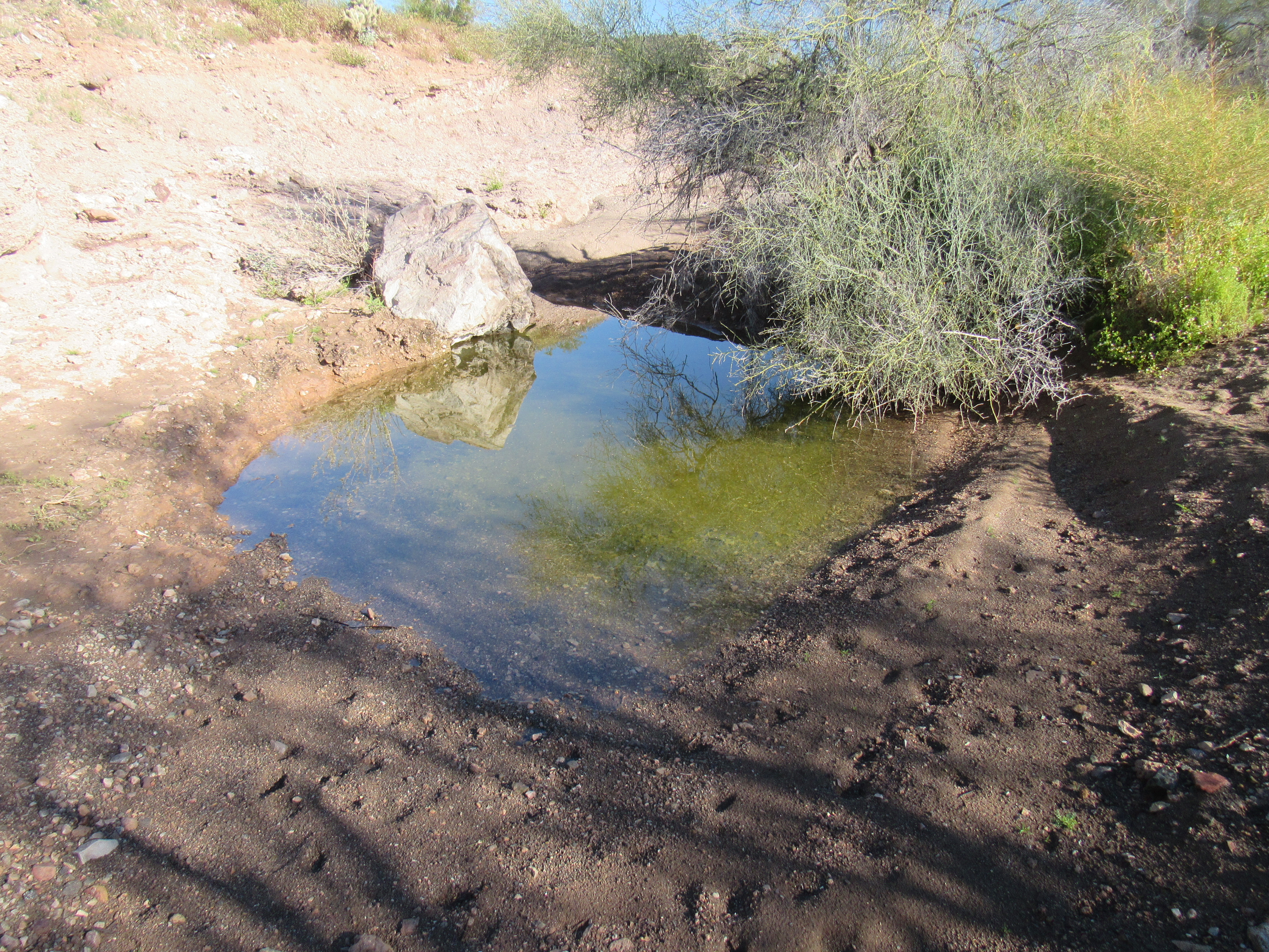
Deadman Tank
Driving another mile west brought me to the only truly reliable water supply in the area, a guzzler built by the Game and Fish Department. It collects rainfall and stores it in an underground tank for wildlife to drink.
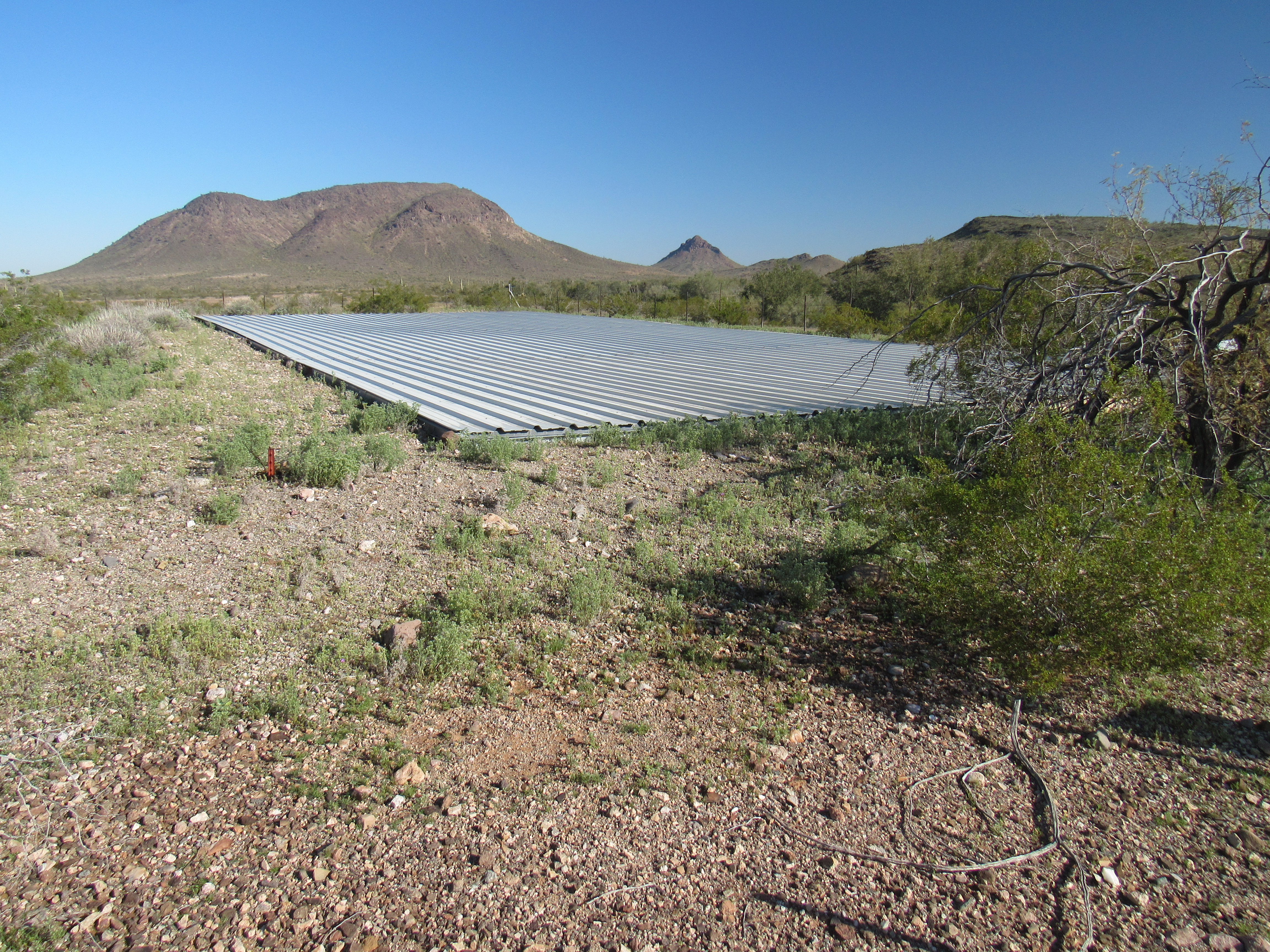
The sheet-metal which collects the rainfall.
Here’s a view of the holding tank (full to the brim, and at least 10,000 gallons) which is the uphill structure under the roof. Animals drink from the closer concrete structure.
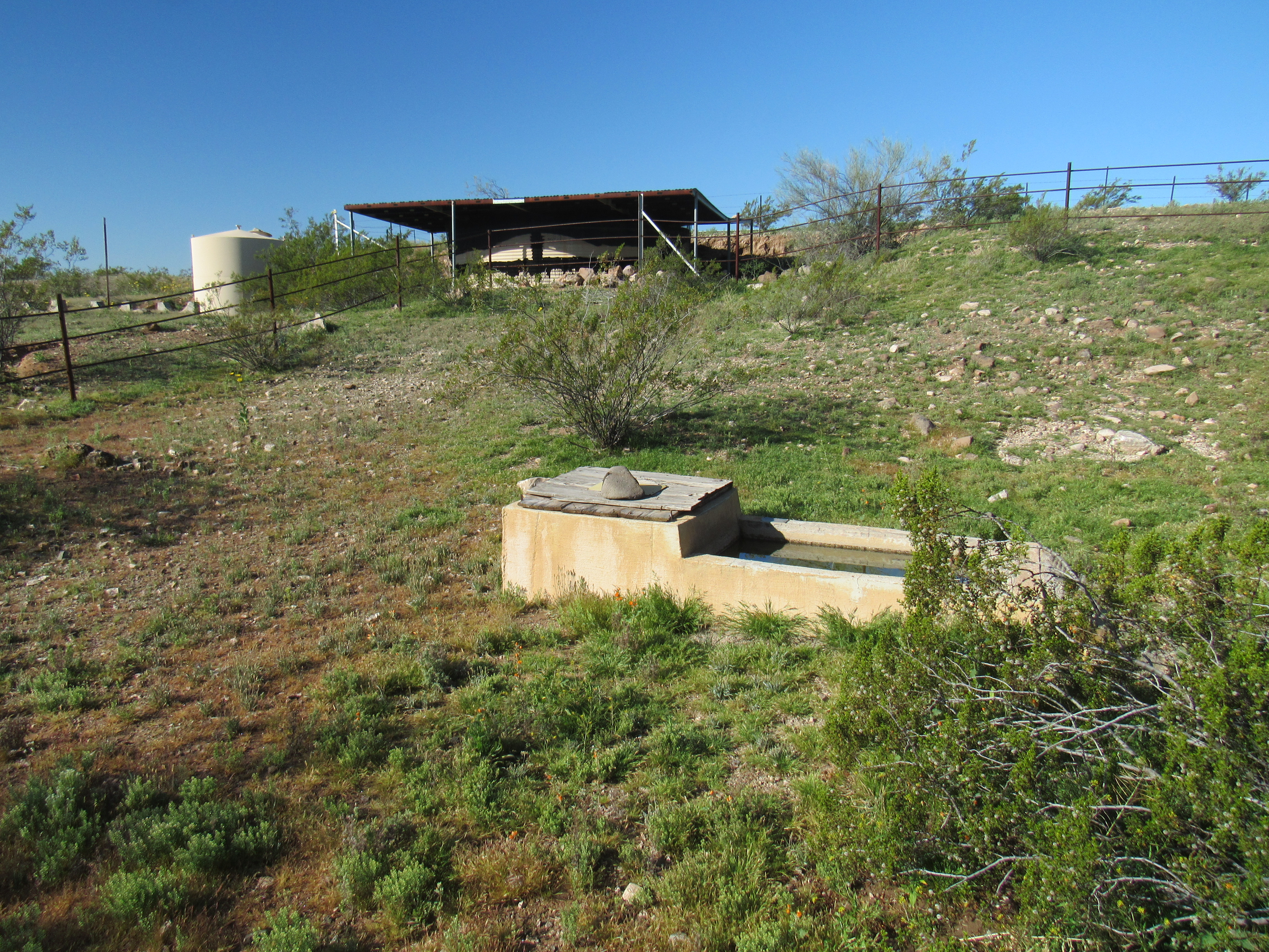
The covered tank above and the drinker nearby.
One more mile was all I needed to reach the uppermost end of the Nottbusch Valley and park for my final climb. Little did I know I’d spend the next 24 hours there. For more than a year, I’d been pondering how I’d climb this one – I’d even reached out to a few peakbaggers who had climbed it in years gone by. However, that fine winter’s day when I drove along its south side, I decided to stop and try it from there. It was already 10:30 in the morning by the time I set out on foot. Here’s a picture that shows the side I climbed – granted, it was taken at the end of the day, but I’m using it here as it shows the texture of the mountain so well. My route went up the valley deep in shadow to the right of center.
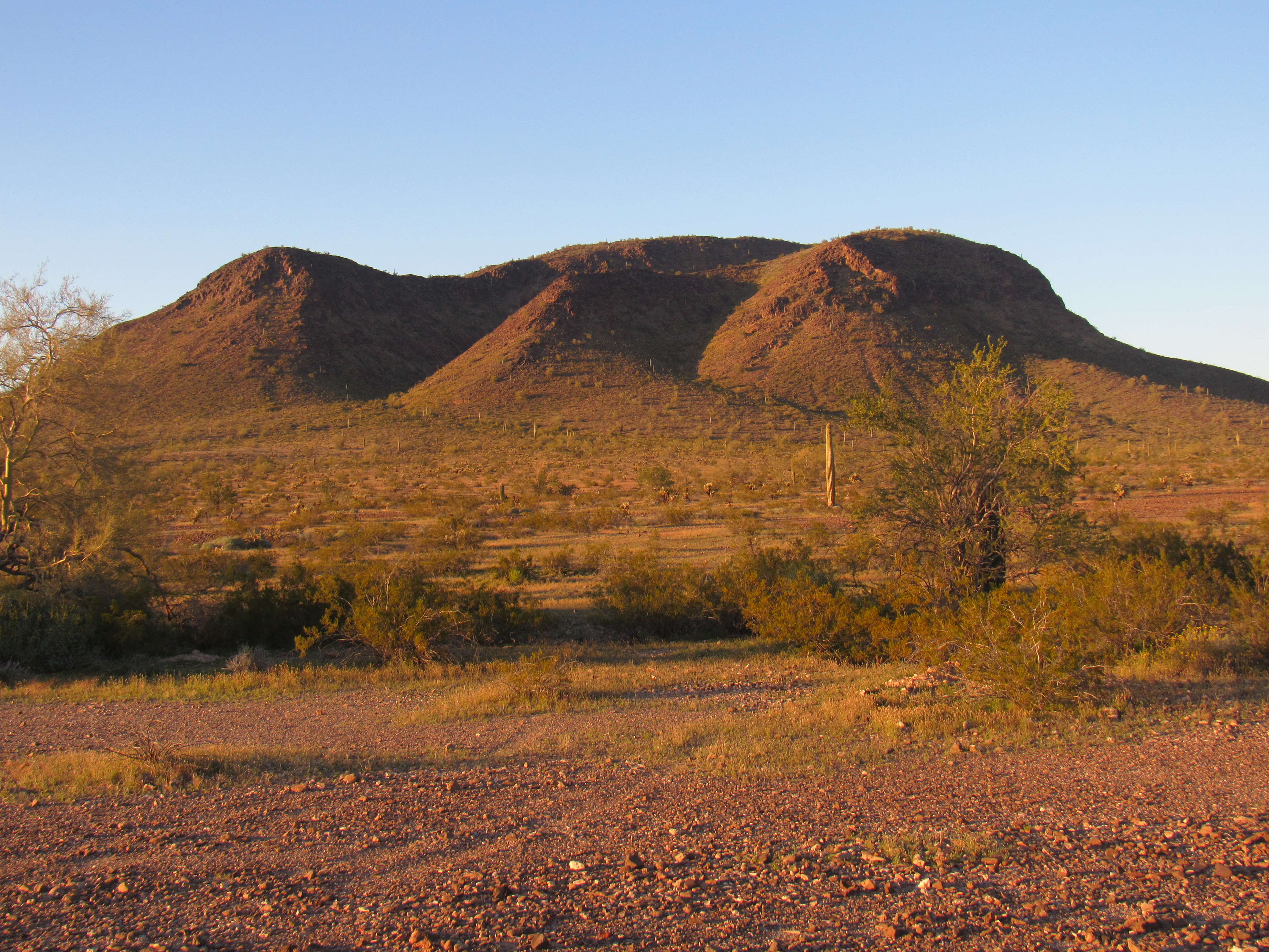
Deadman Mountain, the south side
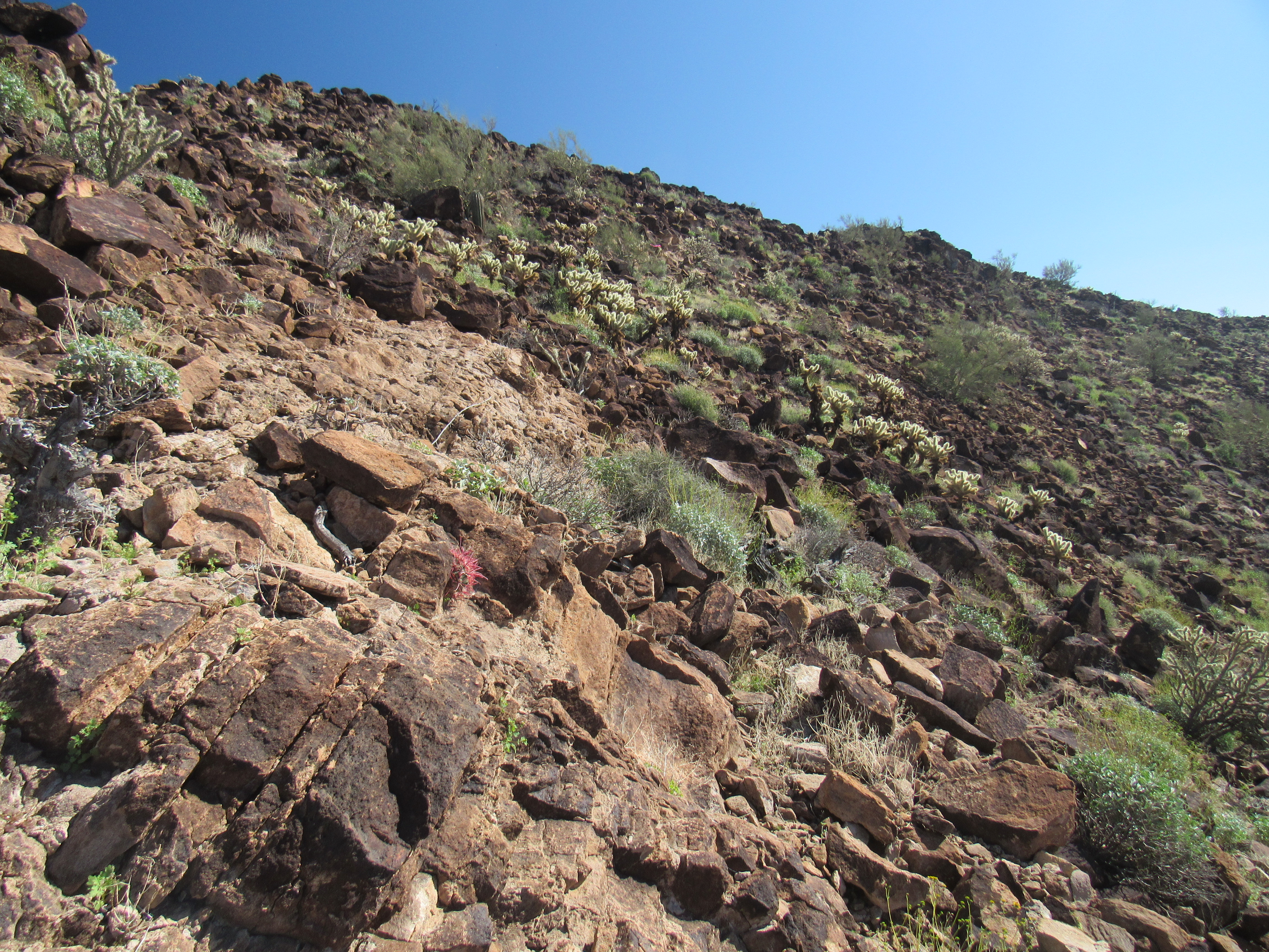
At the upper end of the valley, I followed a series of ridges – rock covered everything, like you see here. It was slow going, at least for me.
One ridge led to another
As I climbed ever higher, I had this look back down one of the slopes.
Part of the route
There was a series of bumps high up that I had to cross. More endless rock.
More rocky slopes
Finally, the summit came into view – a full 3 1/2 hours after starting out, I walked on to the top.
Deadman Mountain
There was no trouble finding the register – a whopping 24 others had signed in before me. It had been placed by my friends Barbara Lilley and Gordon MacLeod back in 1987. This was a big, prominent mountain, rising a thousand feet above the desert floor, and it can be seen from a long distance away on all sides. Deadman Mountain is quite striking, and is obviously a real draw for peakbaggers. From the summit, I had this view of Peak 2089, yesterday’s climb – looks pretty puny from up here, doesn’t it?
Peak 2089, the southwest side
After duly signing in, I made the long stomp back down the way I’d come and was back at my truck a full 6 1/2 hours after I’d left. As far as I was concerned, I was finally done with Cemetery Ridge. What a long, strange trip it had been. You’ll never convince me that something called Deadman Mountain can’t be included in a feature named Cemetery Ridge!