
Please read the first part of this story, entitled “Playing It Safe”, before you proceed with this one.
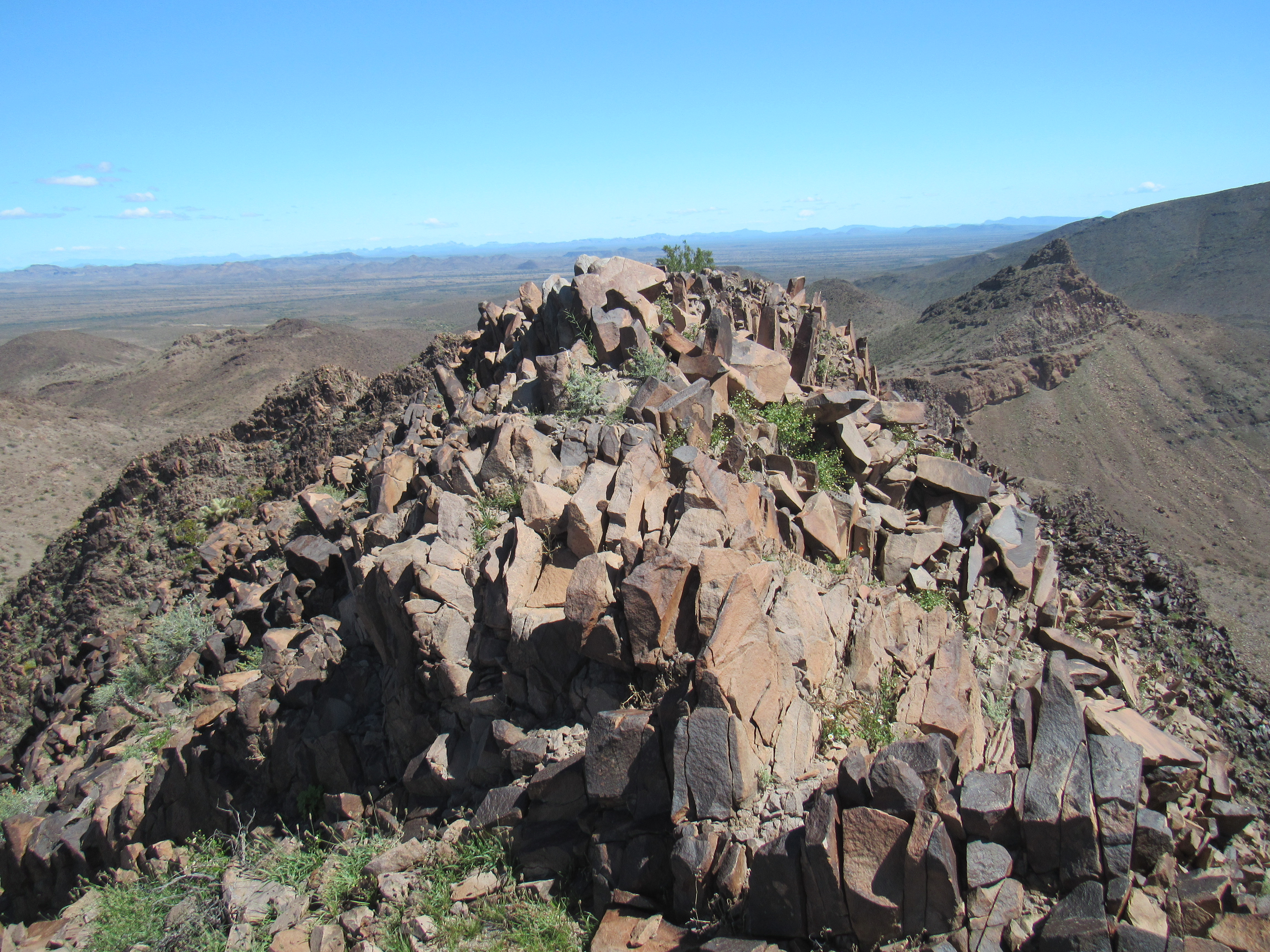
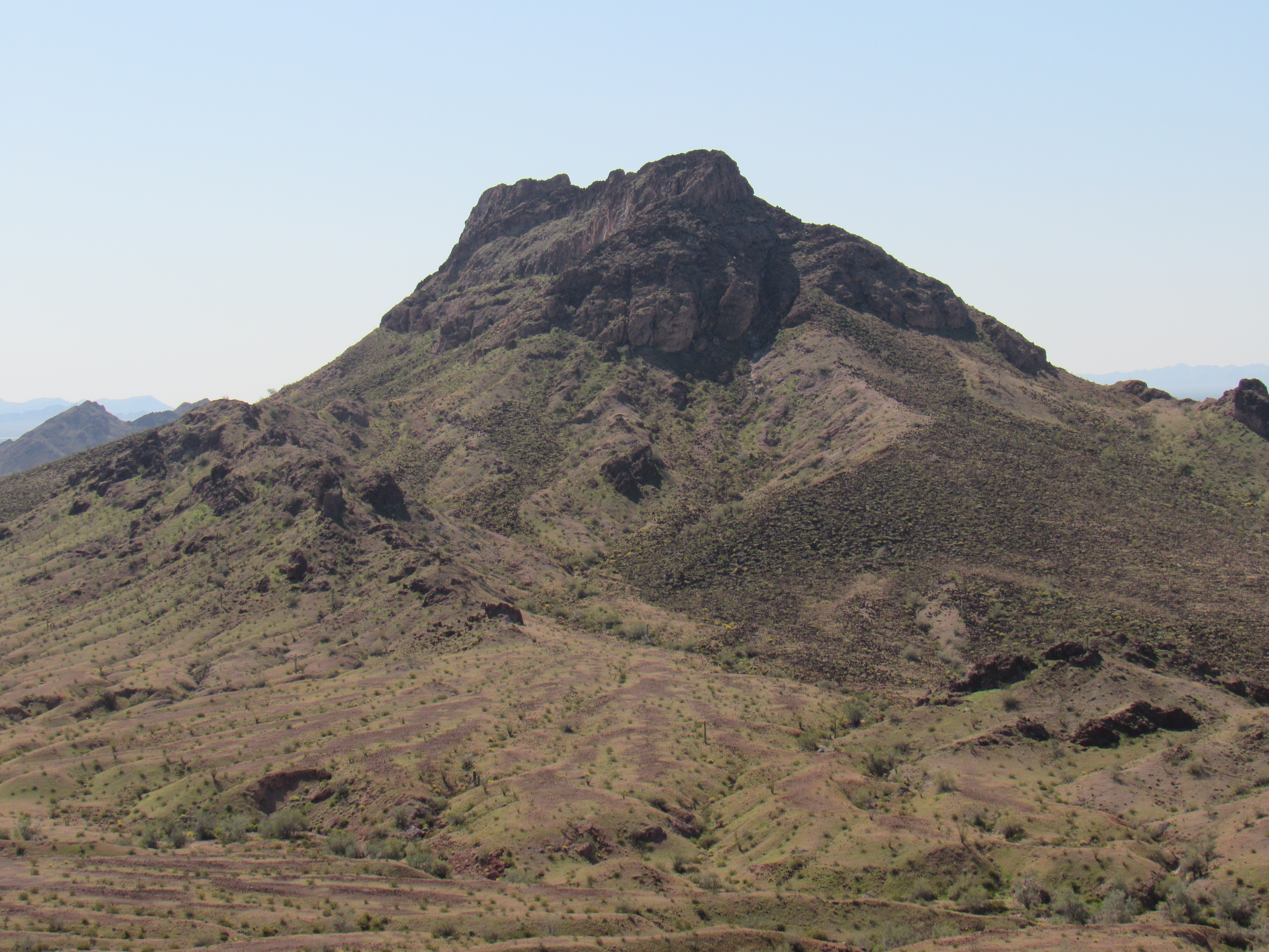
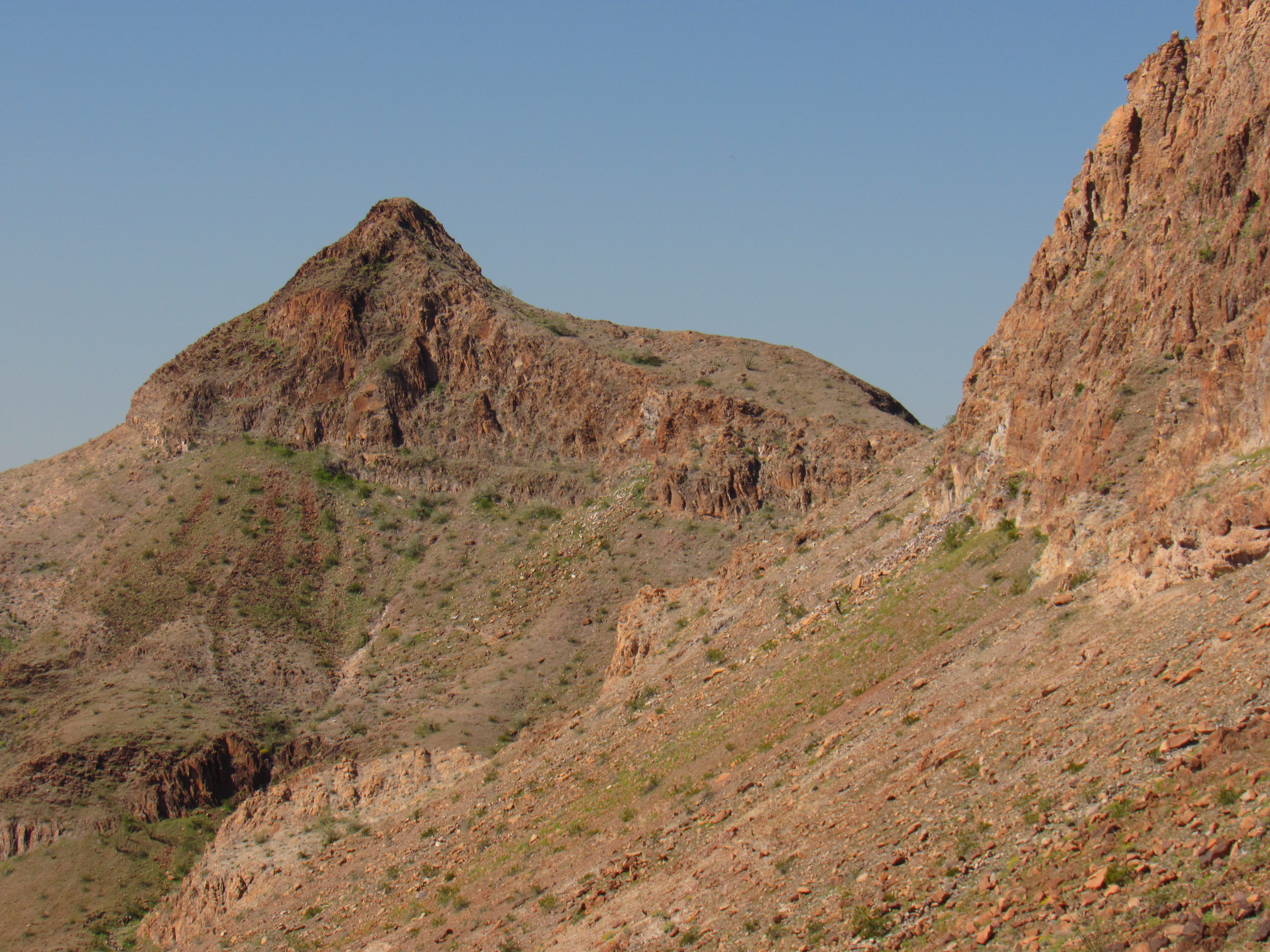
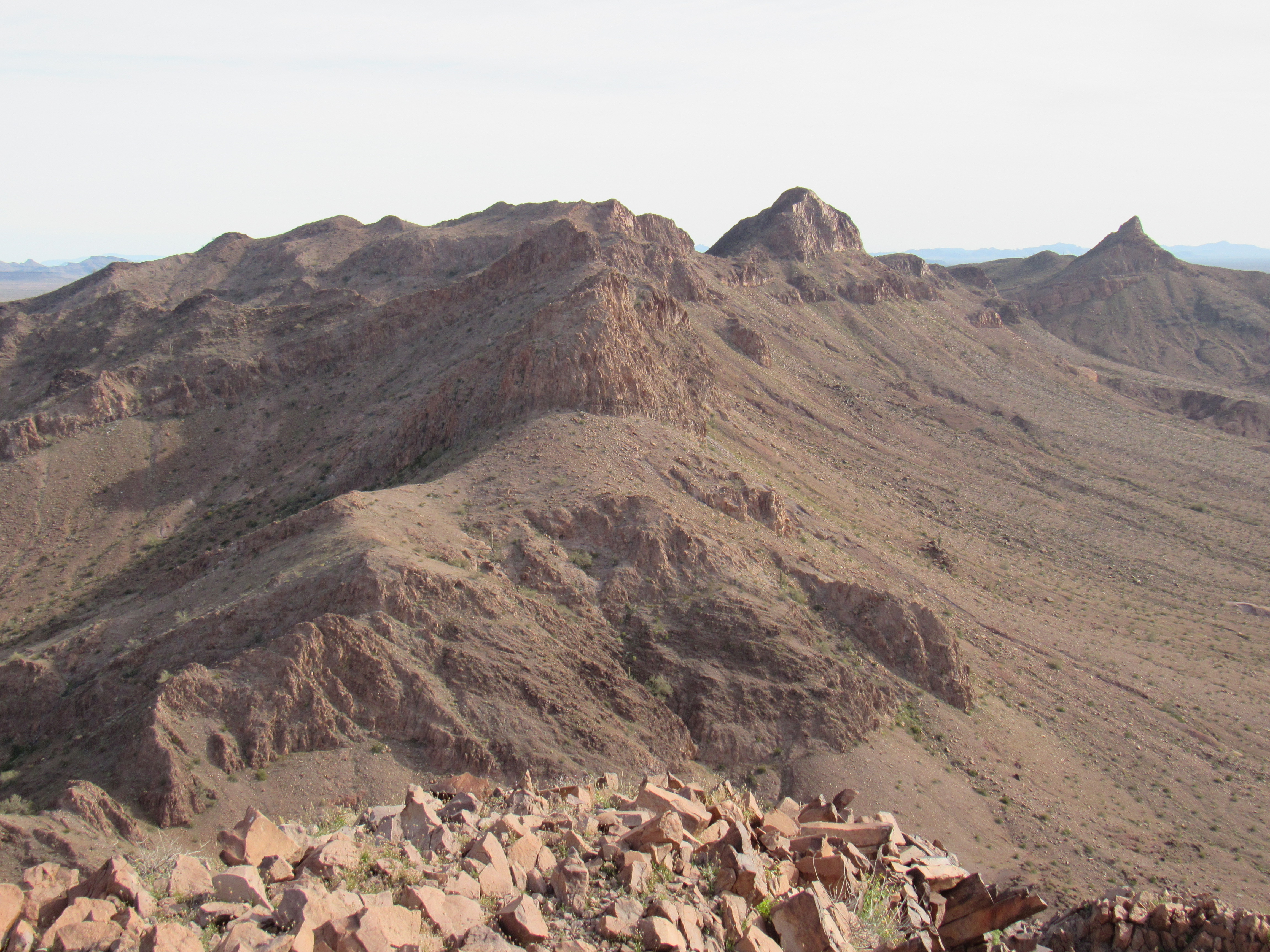
I awoke to a cloudless sky on this, my third day in the Palomas Mountains. My goal today was the highest of the 4 peaks I would climb on this trip. Of the several photos I took of the peak on this trip, this one is my favorite. It’s a complicated mountain, and all of the bumps you see are part of it. The actual high point is the one on the far right.
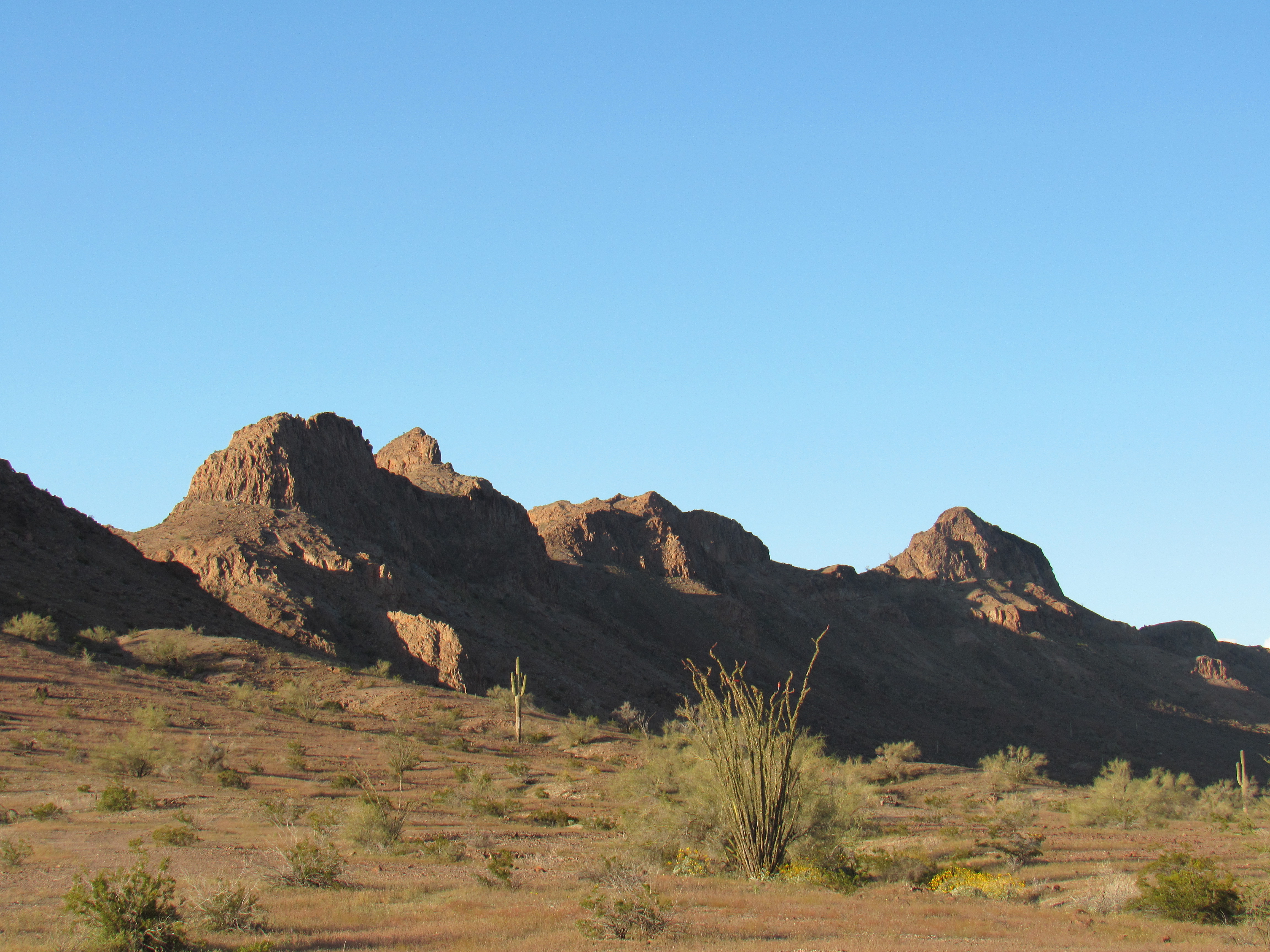
Peak 1511
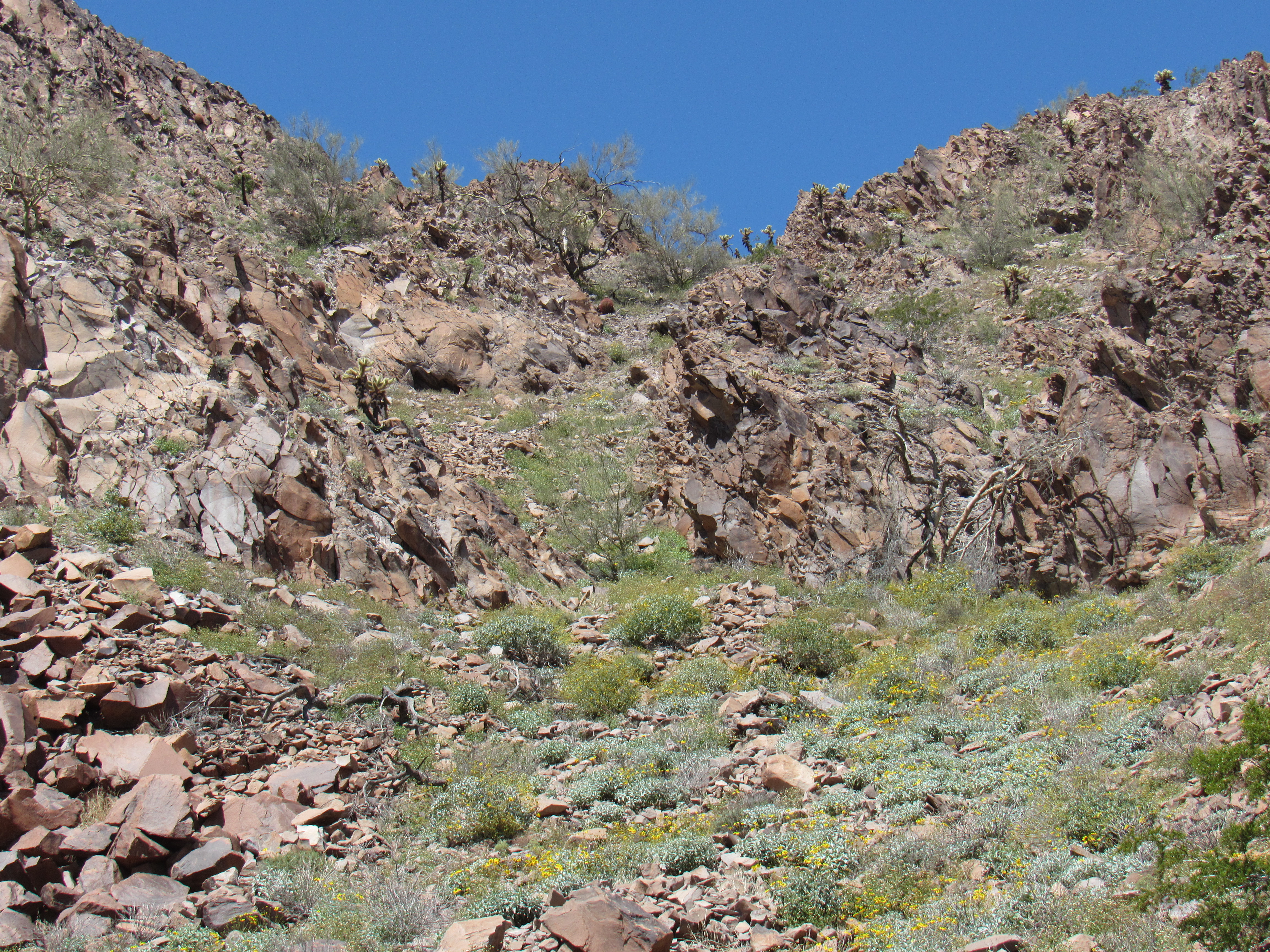
For some reason, I thought I might need a bit more time for this one so I got up earlier and made ready for the day. By 8:30 AM, I was moving with day pack up a lovely valley to the northeast. It wasn’t far to go – the first part of the way was over open ground, then up a nice wide wash. I reached a point which was about 850 feet in elevation, where I decided to make straight for the peak itself. Here is what I saw as I left the wash.
Things were looking up.
From where this picture was taken, it was only about 650 vertical feet to the summit, give or take. I headed straight upslope towards the summit ridge, which was pretty straightforward. There was nothing worse than this – a steepening, some brush.
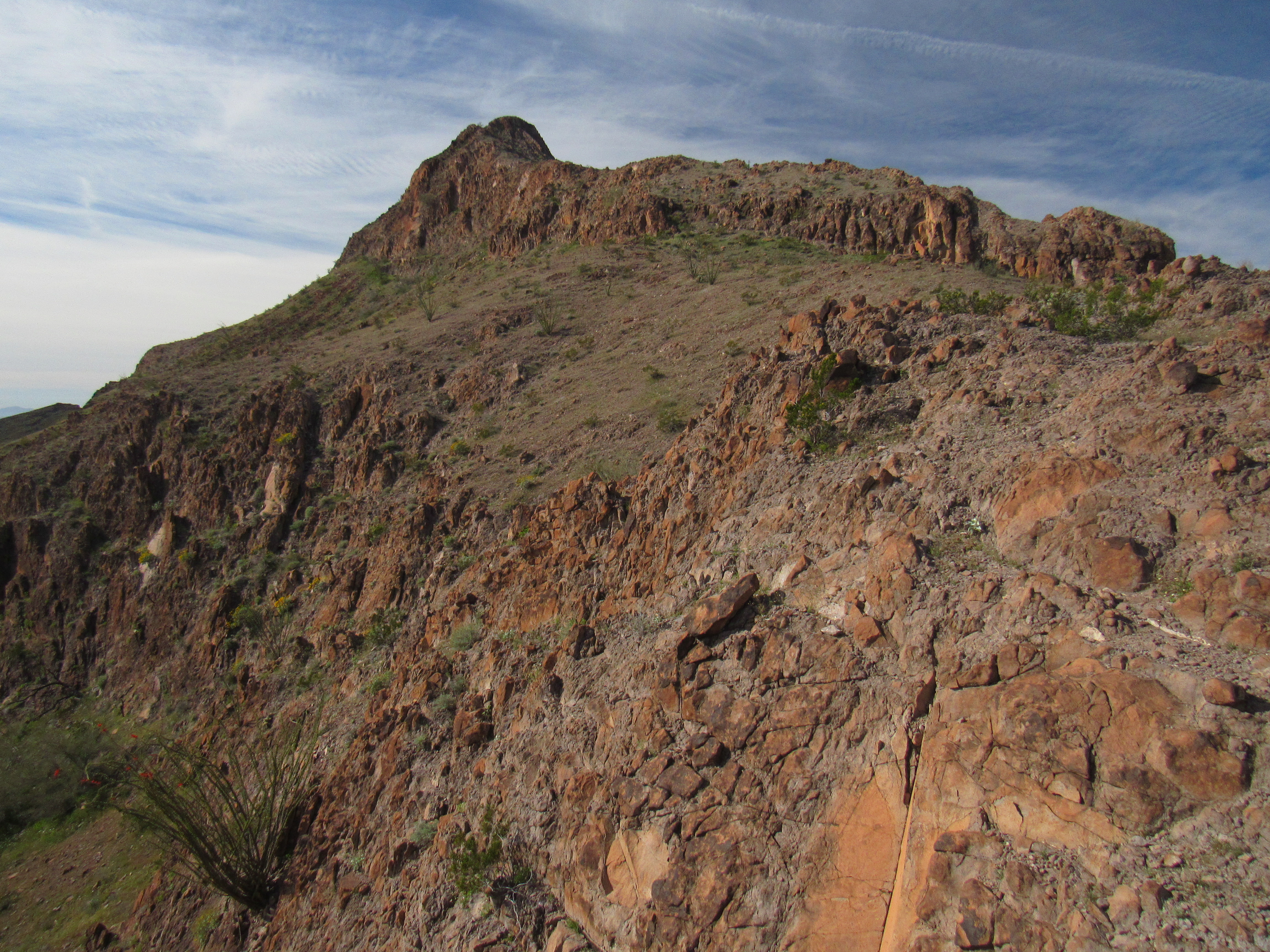
Approaching the ridge.
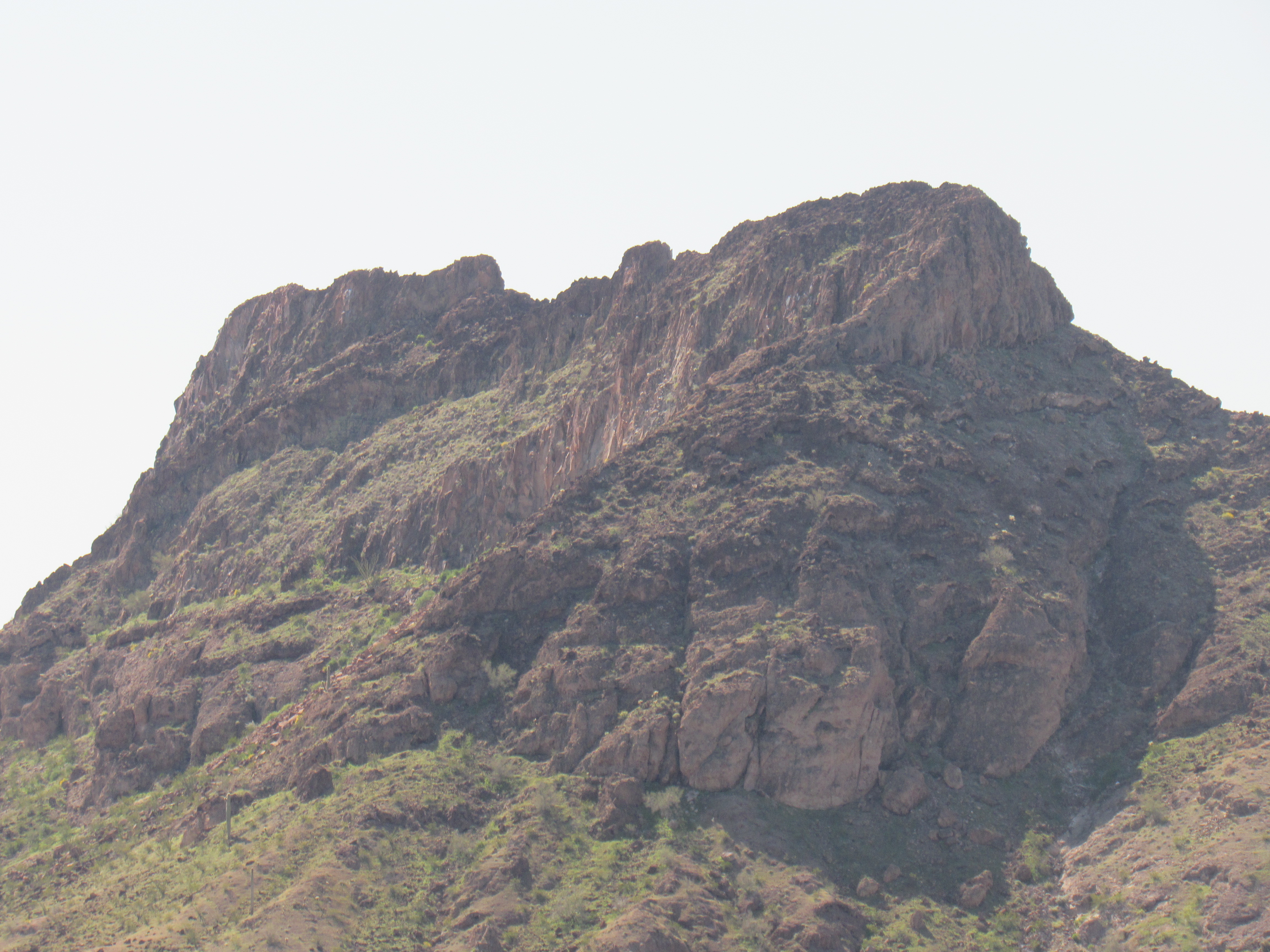
Unsure of what to expect, I hoped for the best as I stepped on to the ridge. This put me only 150-odd vertical feet below the summit, almost there. This interesting bit of real estate stood between me and the top.
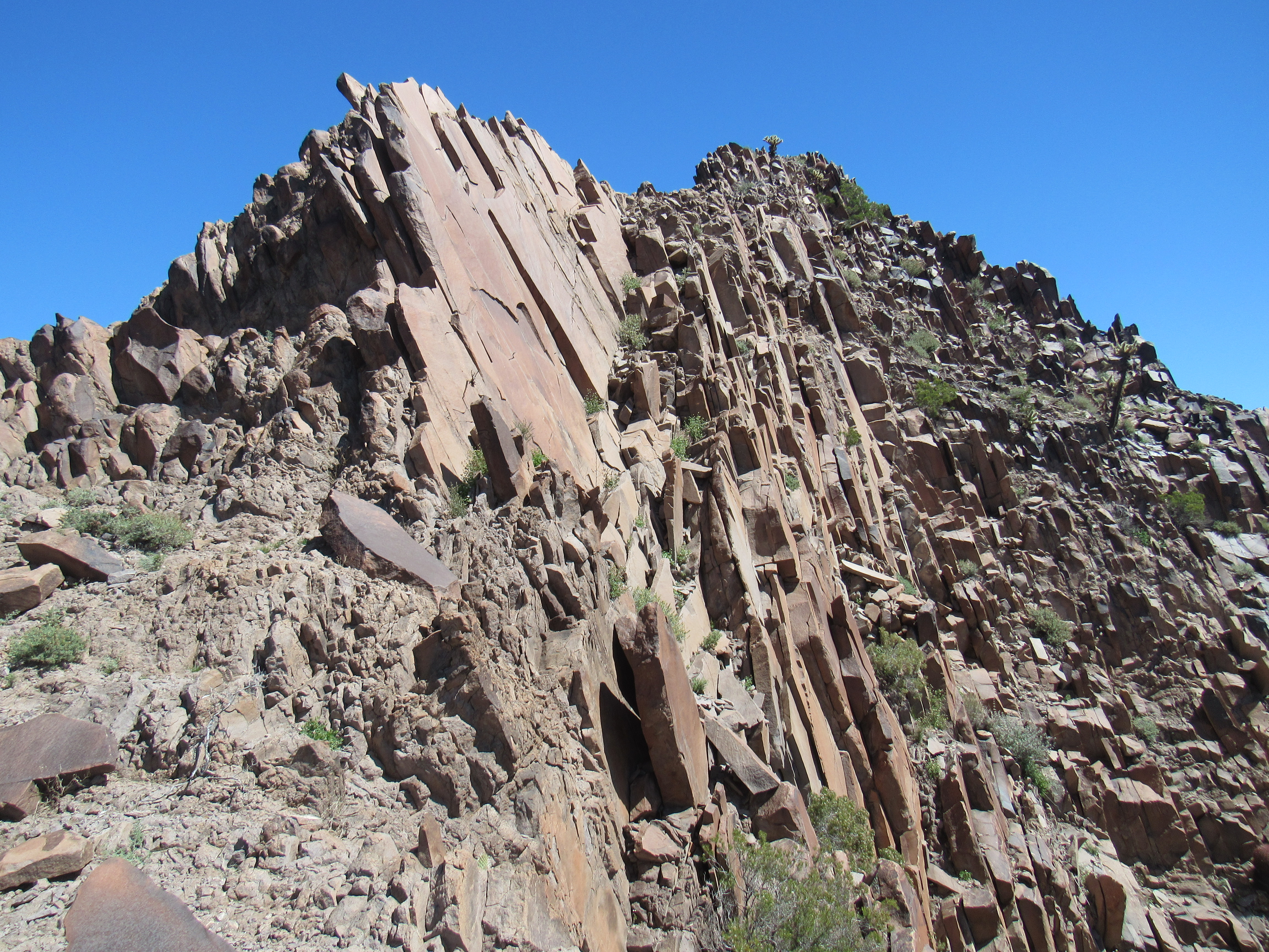
Nice!
I thought I’d look for something a little easier, so I headed around to the north side of the ridge with high hopes. One spot looked promising – I was able to climb up 60 or 70 feet, but reached a spot where cliffs blocked my way. Back down I went, and then even lower to get around a difficult spot. As I scanned the mountainside ahead, there didn’t appear to be many viable options. Hmmm, maybe one spot that would go. If it didn’t work, I couldn’t see anything else – that would mean going farther around the mountainside, hoping that something would show up. Okay, let’s at least give it a try.
It was maybe 150 feet away, a sort of steep ramp angling up and to the right towards the skyline. I couldn’t see all the way up the ramp, but the start of it looked like I could get on to it. In the short time it took to walk over to the ramp, I became more discouraged – getting up on to the ramp itself looked trickier than I had thought from a distance. The moves weren’t too bad, a stiff Class 3 at best, but with enough exposure that it had my full attention. No further difficulties up the ramp blocked me from gaining the summit ridge. Once there, I could see what had to be the highest point not far away. There was one minor obstacle still to overcome – the ridge narrowed, with plenty of exposure on both sides. It was one of those spots where you don’t feel comfortable standing up straight – rather, you crouch down, keeping your center of gravity low, down near the rock itself. Once I had scampered across the airy stretch, I walked the last feet to the actual summit.
At last, the top.
A glance at my watch showed that I had spent just over 3 hours getting to the top of Peak 1511. A pretty outrageously long time for a mountain that was less than one air mile from camp, with a vertical gain of just under 700 feet. Oh well, I really didn’t have anyplace else to go, so I guess I wasn’t in any hurry. After signing in to the register, I contemplated my options for getting down off the thing. A day earlier, from the safety of the valley floor, I had contemplated climbing this one by going straight up its southeast side. Fortunately, common sense had prevailed, so as I peered over the edge down that side, I ruled that out completely as a descent route. I then looked down the way I had come up, but the cliffs dropped away so abruptly on that side that I couldn’t see the ramp at all. Here’s a picture I took down that way, holding the camera out towards the edge (you can see the shadow of my arms). You can’t see any of my route up, as things steepen up abruptly just a few feet below.
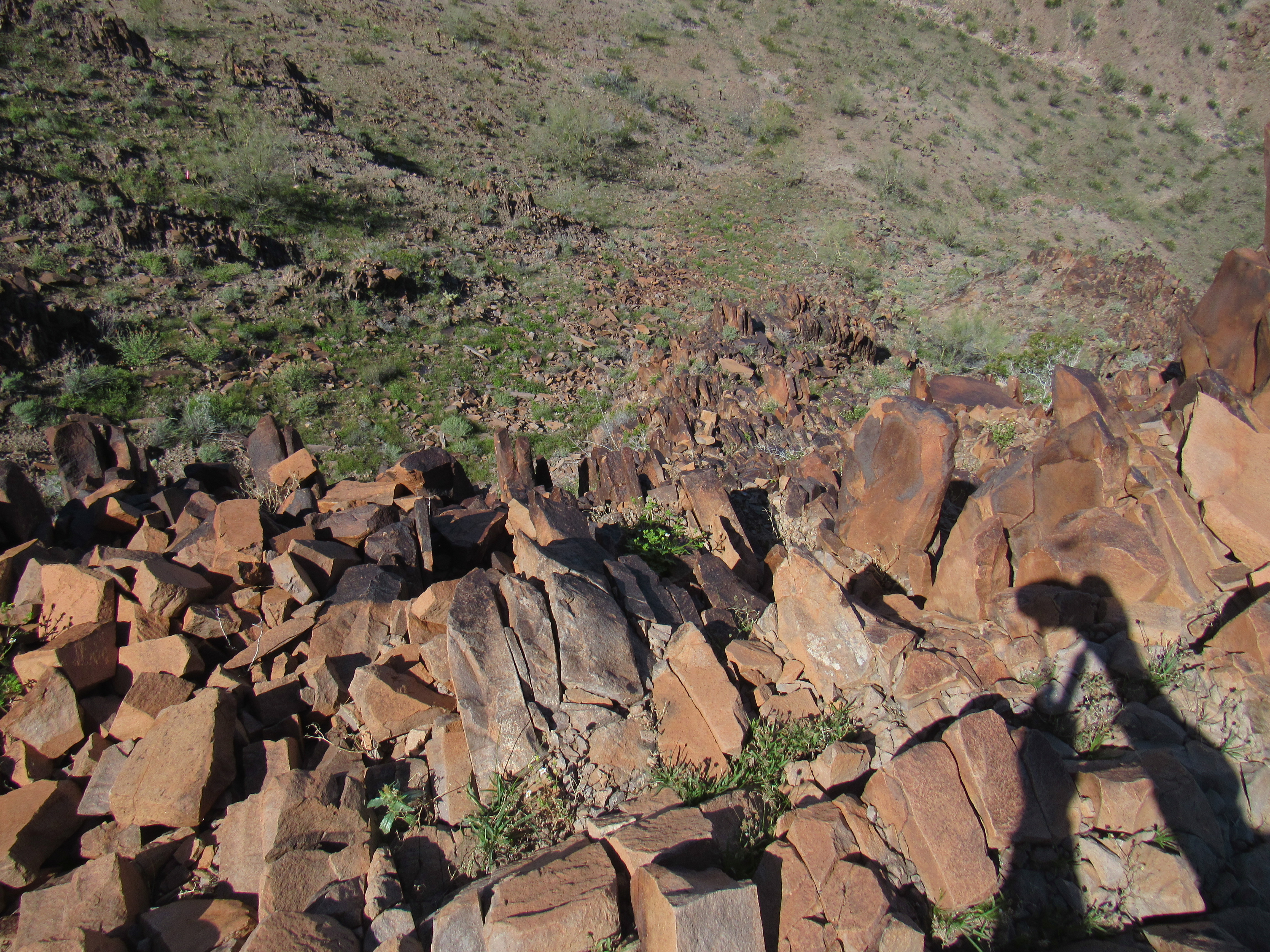
Trying to look over the edge.
I spent a mere 15 minutes on top before starting back down. Once off the ridge and on to the ramp, I went down cautiously. All too soon, I reached the bottom of the ramp with its dodgy bits. Hmm, this looked trickier than I remembered. The only way I was going to try it was facing in to the rock. Part-way down the dozen or so feet, a rock I had weighted with my foot broke loose and rolled out from under my boot. Shit, that really unnerved me!! More cautiously than ever, I continued down, and was soon on firmer ground. I always feel a huge sense of relief when completing a bit like that. I retrieved my ski pole and carried on. In short order, I reached the main ridge. My route would go through this gap and steeply down the mountainside.
The gap
Part-way down the slope as I was heading to the valley bottom, there were a few good photo opportunities, such as this one.
Point 1470
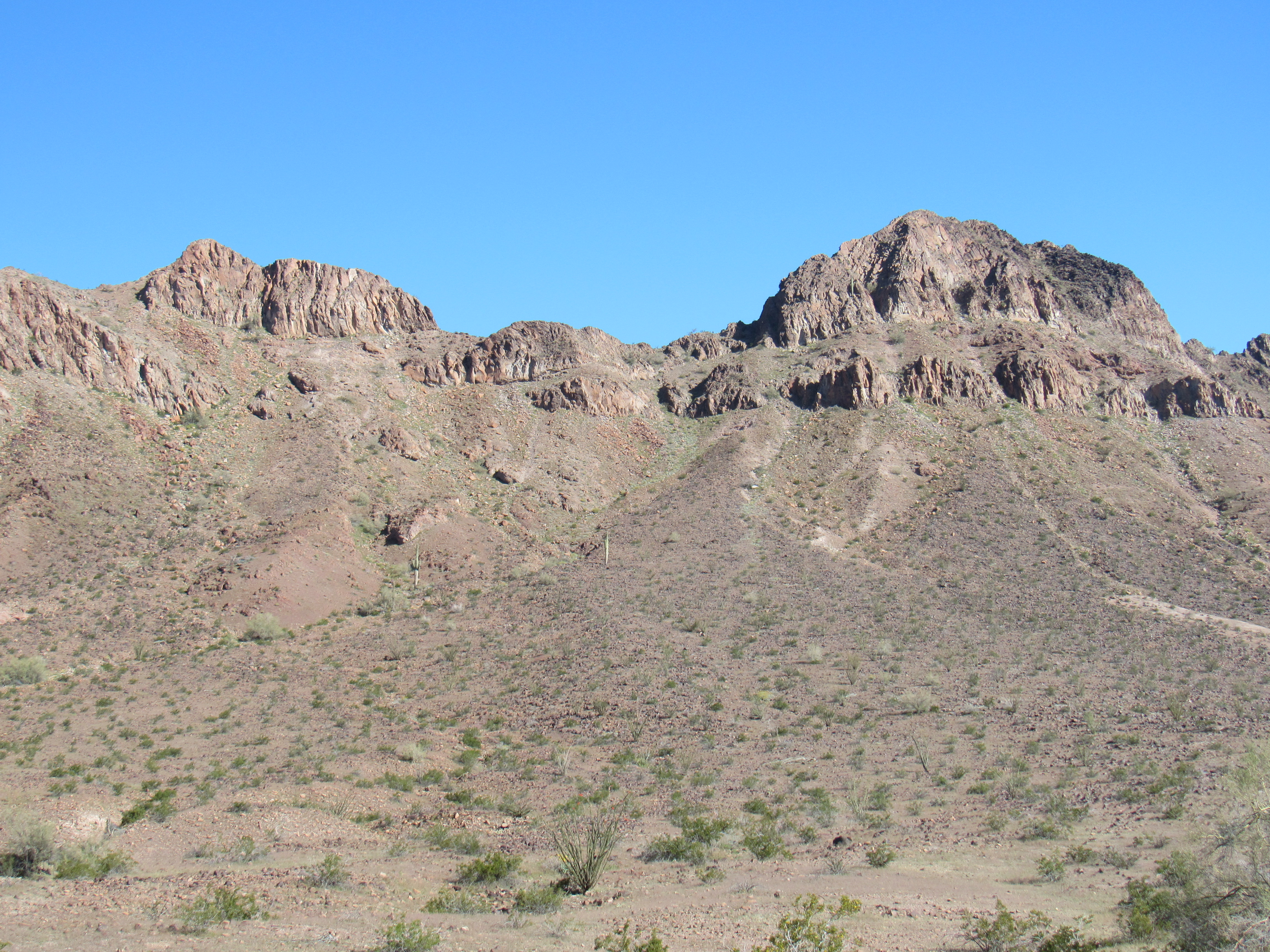
And how about this one, Peak 1505 which had taken up my yesterday. This offers a different view of it – I climbed it from the other side.
The north side of Peak 1505
Here’s a close-up of the summit area. As you can see, there’s nothing trivial about it. My Class 2 route offered the only reasonably easy route up, and that was on the other side. The highest point is a third of the way along the summit ridge from the left end.
The top of 1505
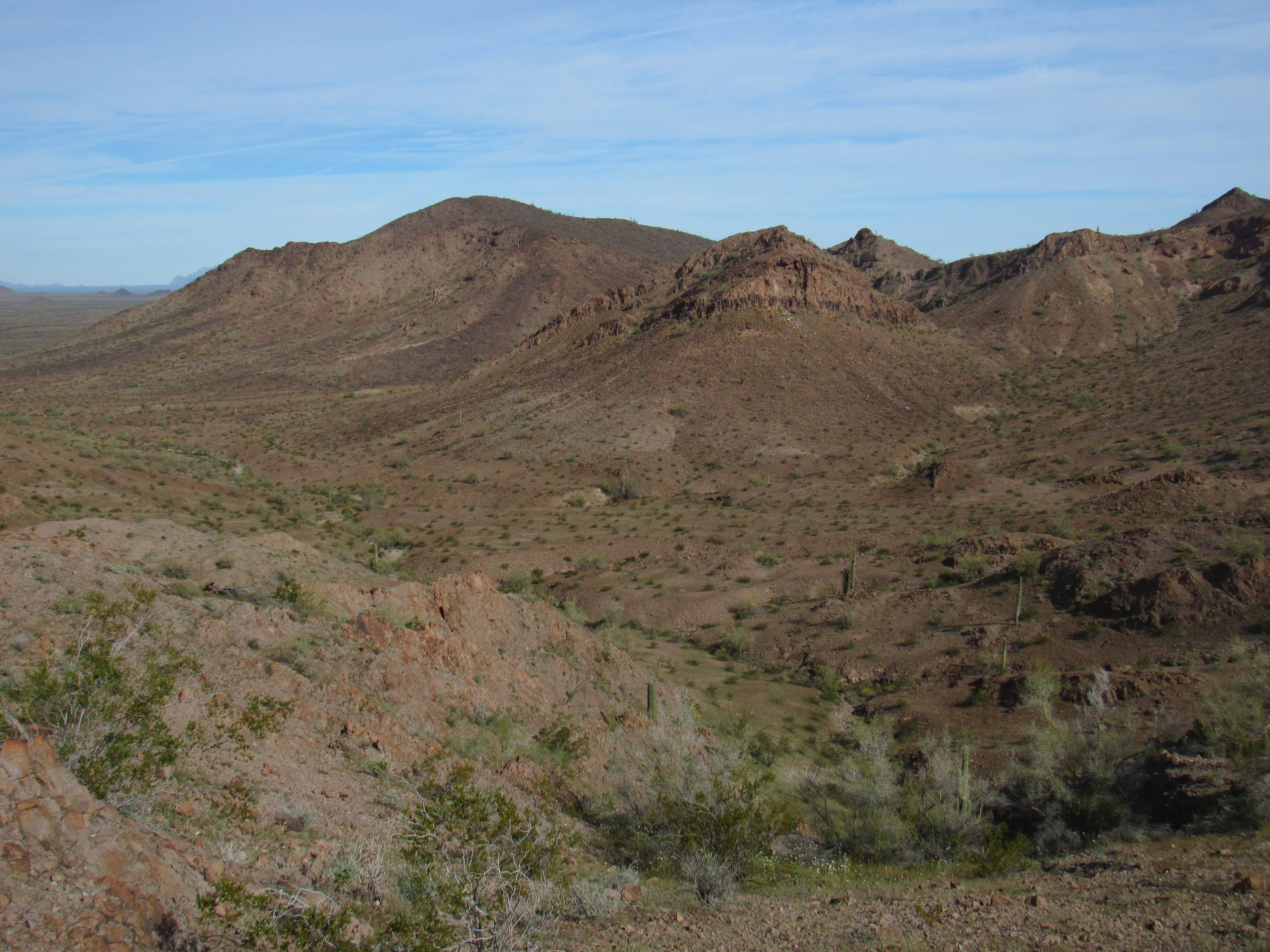
Once securely in the valley bottom, I followed the pleasant wash back to my camp.
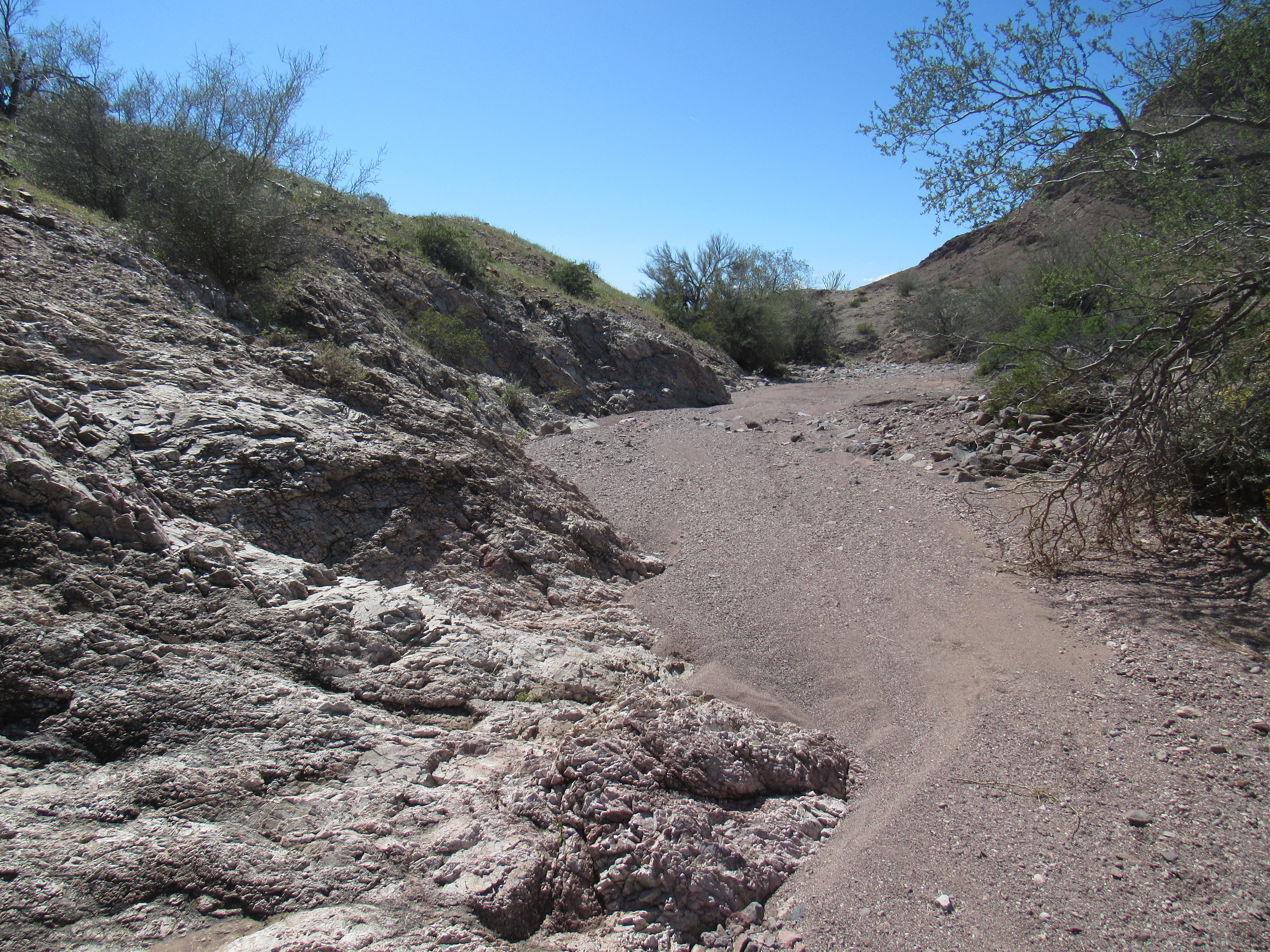
The wash with no name.
It’s always a pleasant surprise to find pools of water in such places. They can be life-saving for both man and beast. Rain had fallen here about a week earlier.
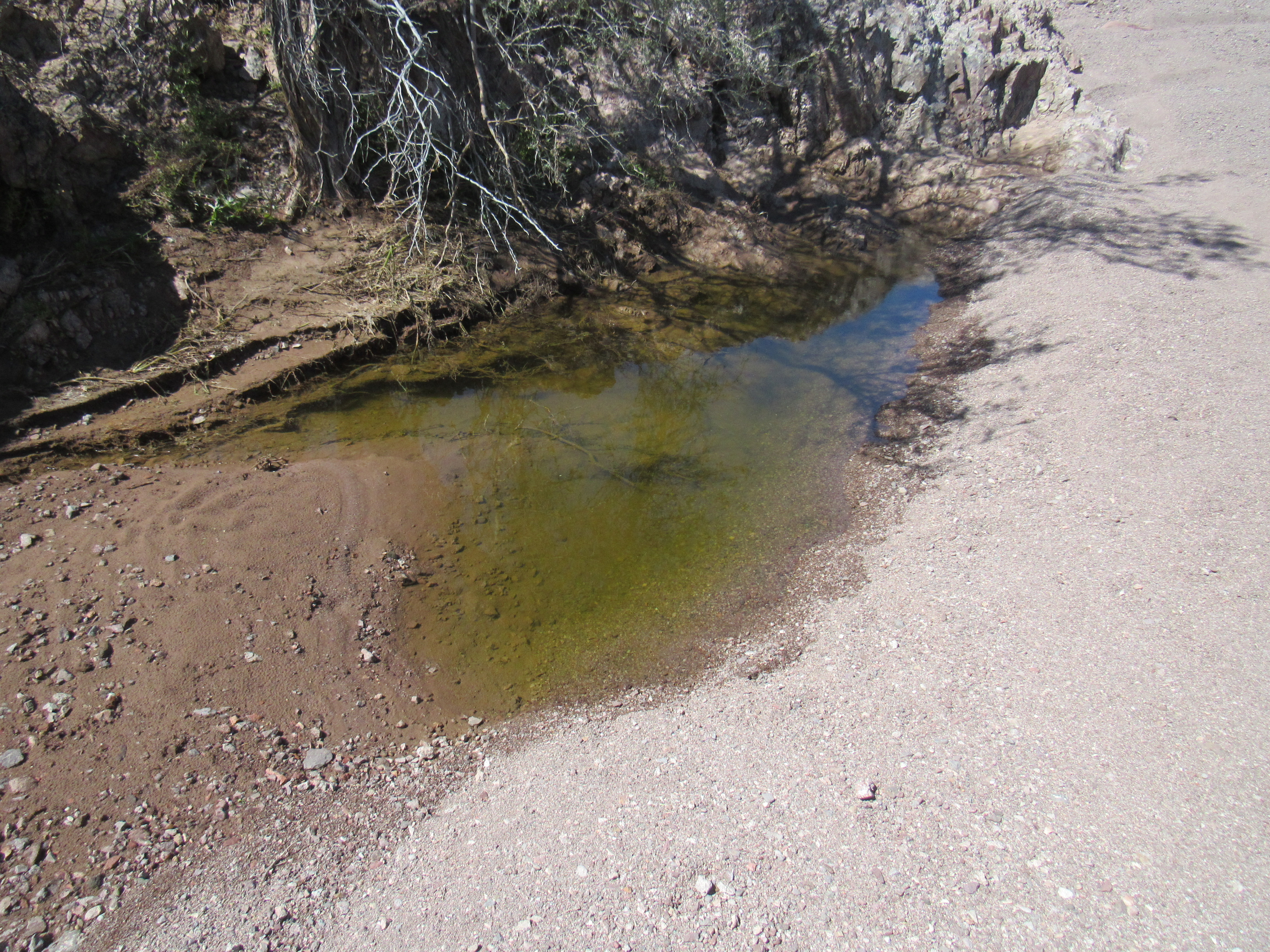
A pool
A quarter-mile later, I found another. There was plenty of green scum growing in it, but I’ve drunk a lot worse.
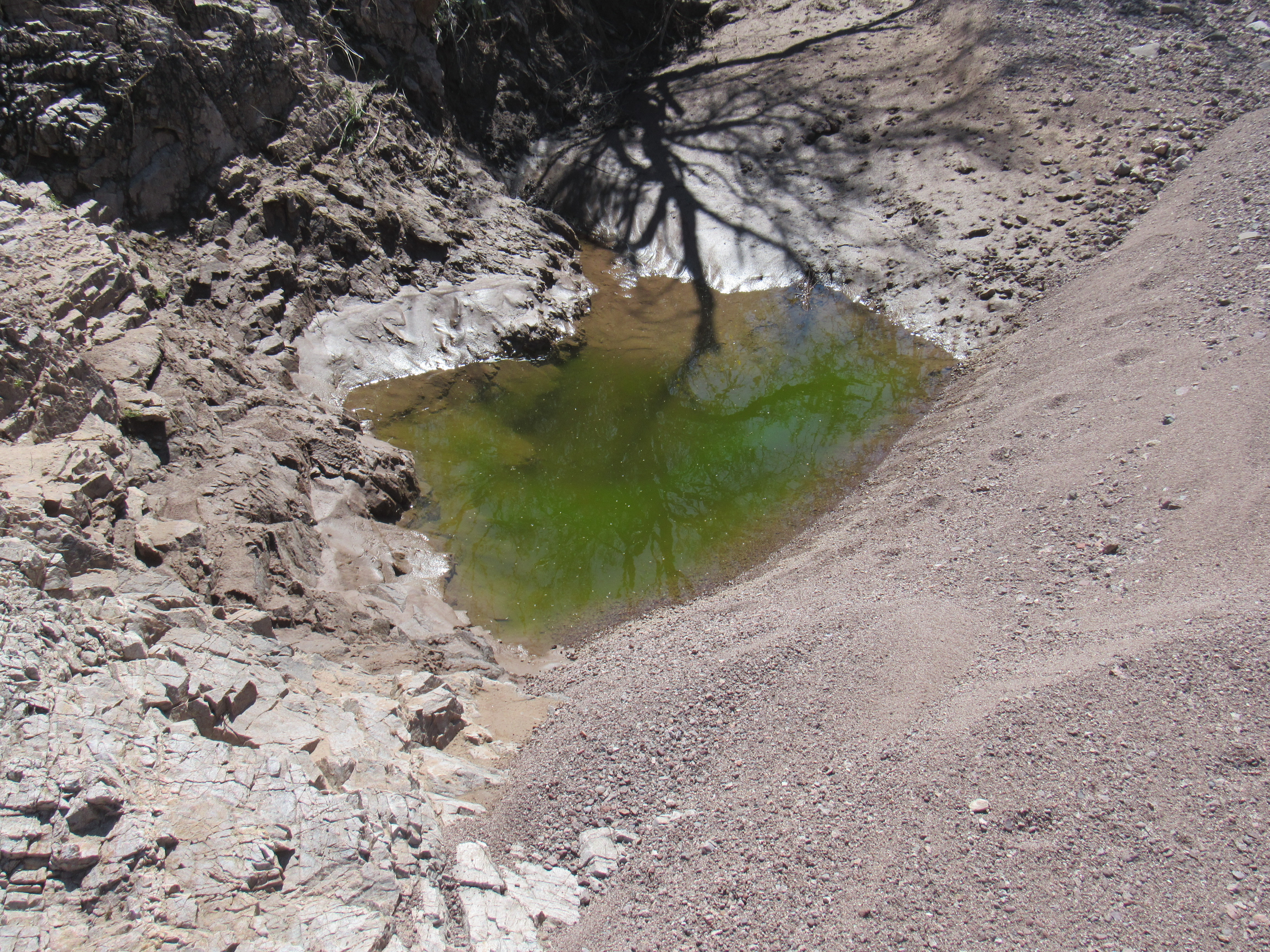
The other pool
Washes can be interesting places in which to travel, as you could come across just about anything, like this natural rock bench in the shade.
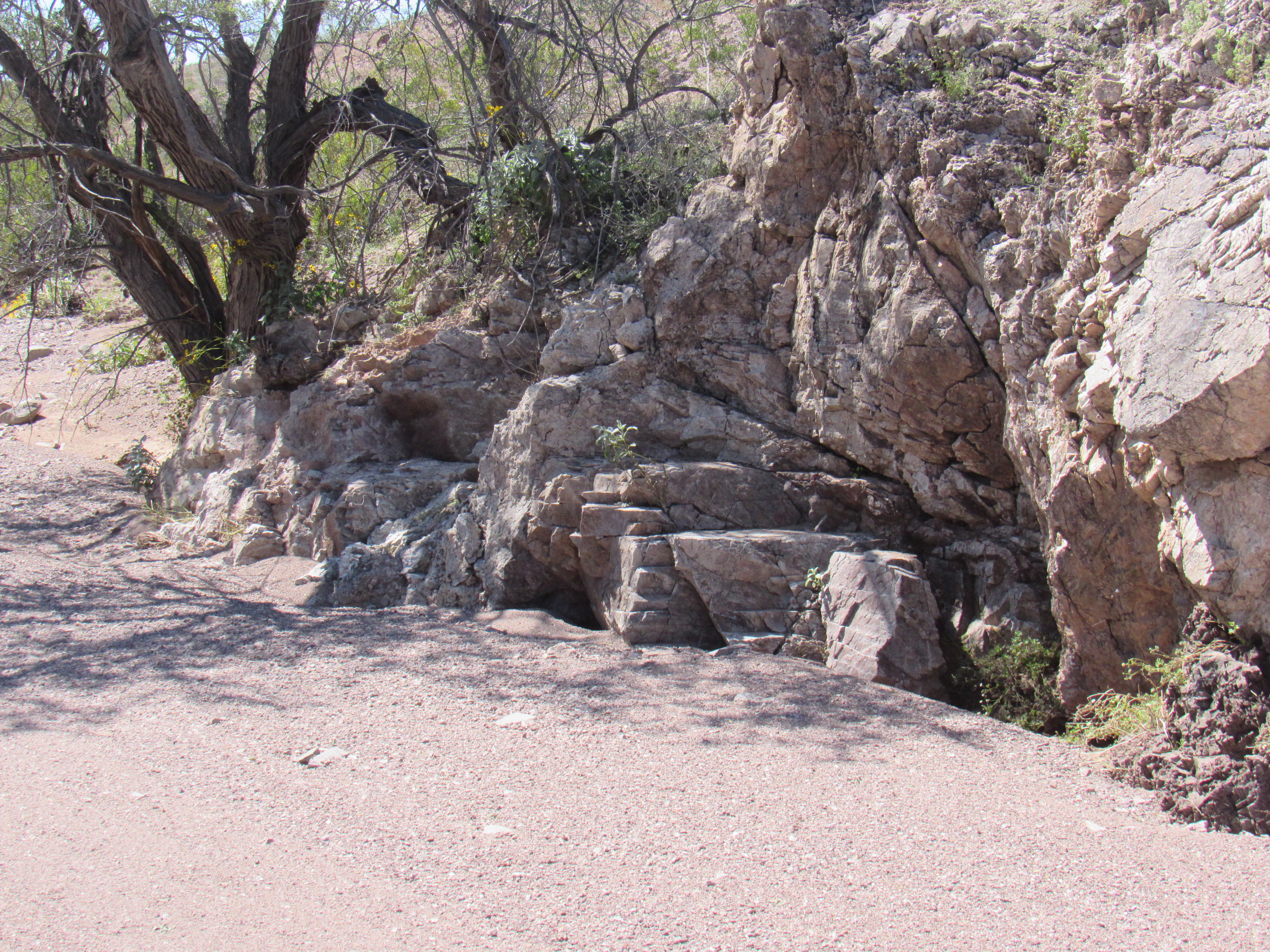
A place to rest a while.
Even though this wasn’t a difficult day except the bit of fooling around I had to do near the summit, by the time I walked back in to camp, almost 6 hours had passed since leaving. It was just after 2:00 PM, and I sat and enjoyed happy hour while contemplating this view of the peak I’d do tomorrow.
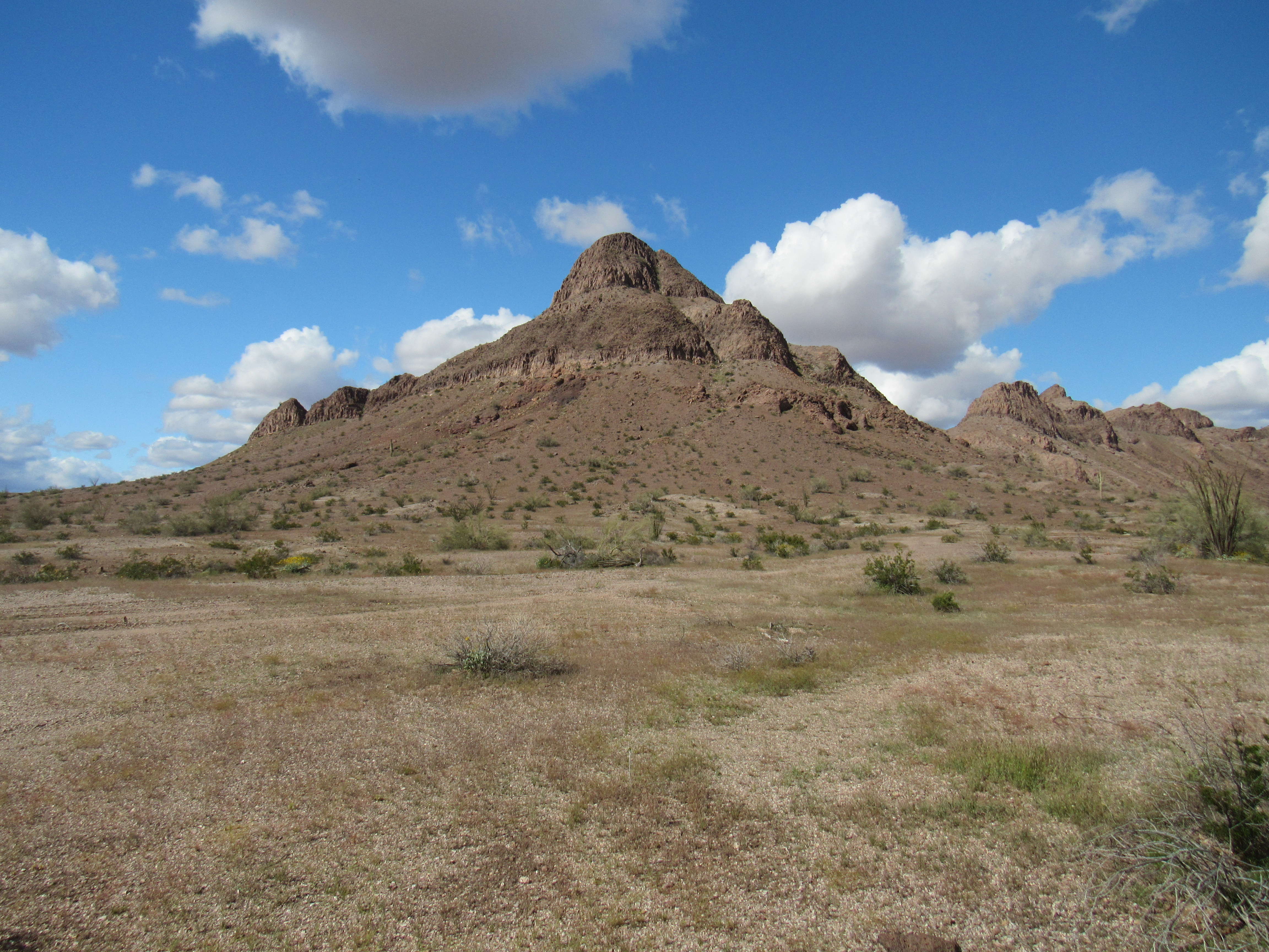
Peak 1361, the south side.
Another perfect dawn greeted me on this, my 4th and final day in the Palomas Mountains. Did I already mention that the word “palomas” means “doves” in Spanish. I made my earliest start yet today, walking out of camp just after 7:00 AM. It didn’t take long to walk around the southern and eastern base of my peak, where I had this look up to a saddle for which I was heading.
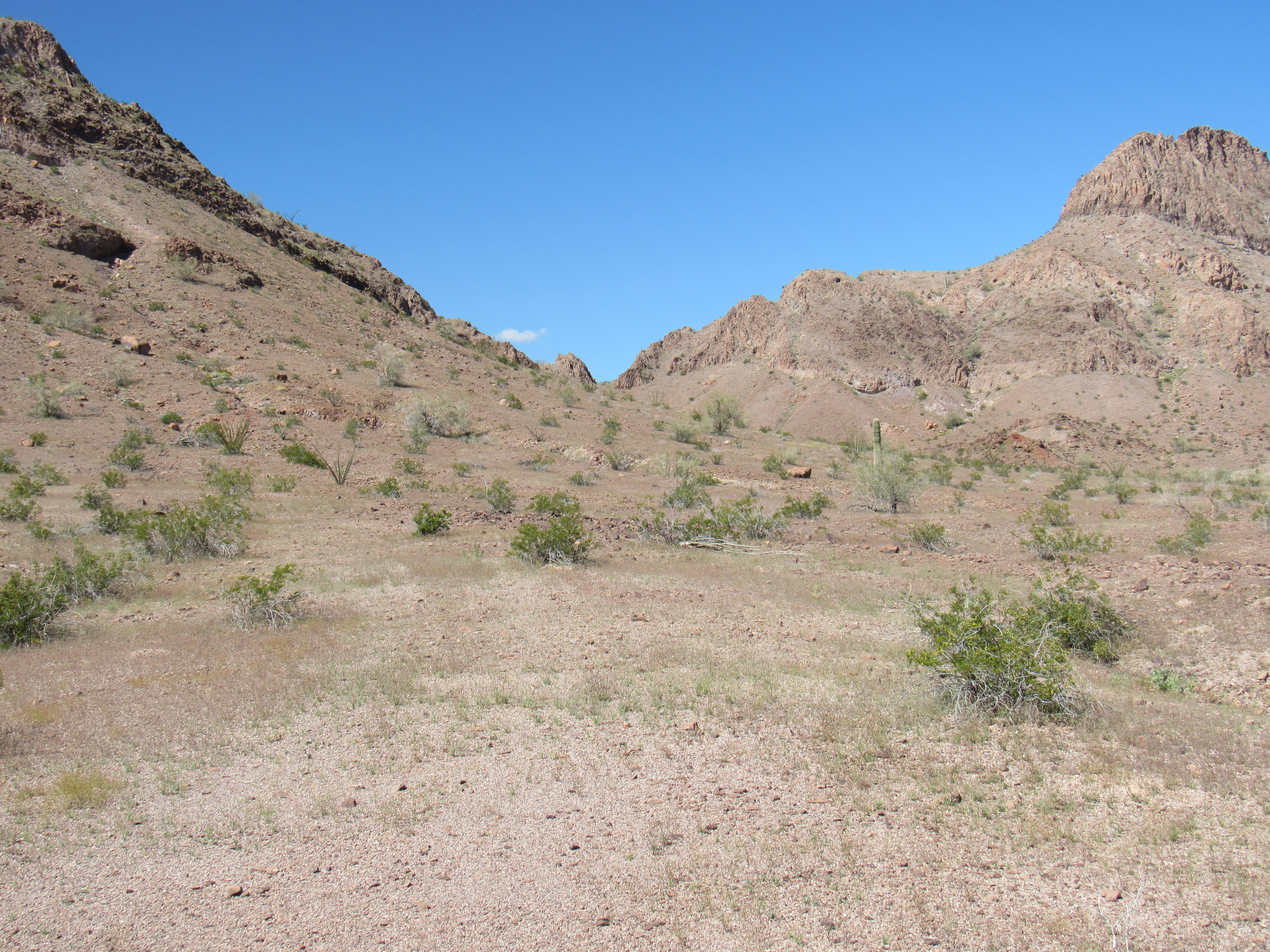
The saddle at 1,050 feet
Here’s a really good view of the peak which I took the day before. My plan was to go up the right skyline. It looked pretty straightforward, with more fun towards the top.
The east side of Peak 1361
Once I reached the saddle, I took this photo looking up the ridge I would follow.
Looking up the NNE ridge
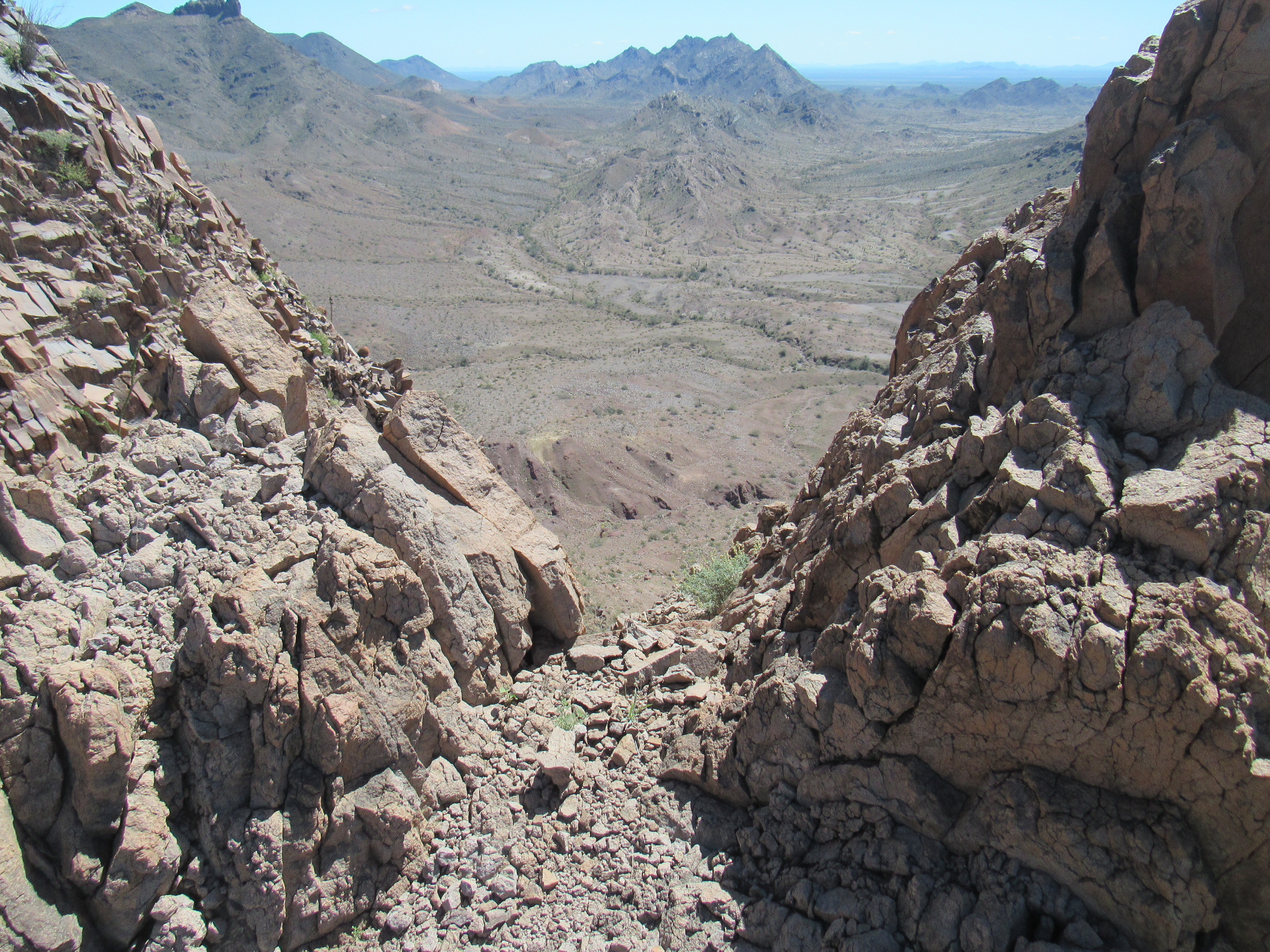
It was a fun and easy climb up the ridge. Things steepened in the last bit, but once that was done I stood on the summit only an hour and a half after leaving camp. This was the easiest and most enjoyable of the 4 peaks I’d come here to climb – hey, it doesn’t have to be difficult to be fun! On the small summit, I had this look down to my truck – do you see it, right in the middle of the photo and in front of the other peak?
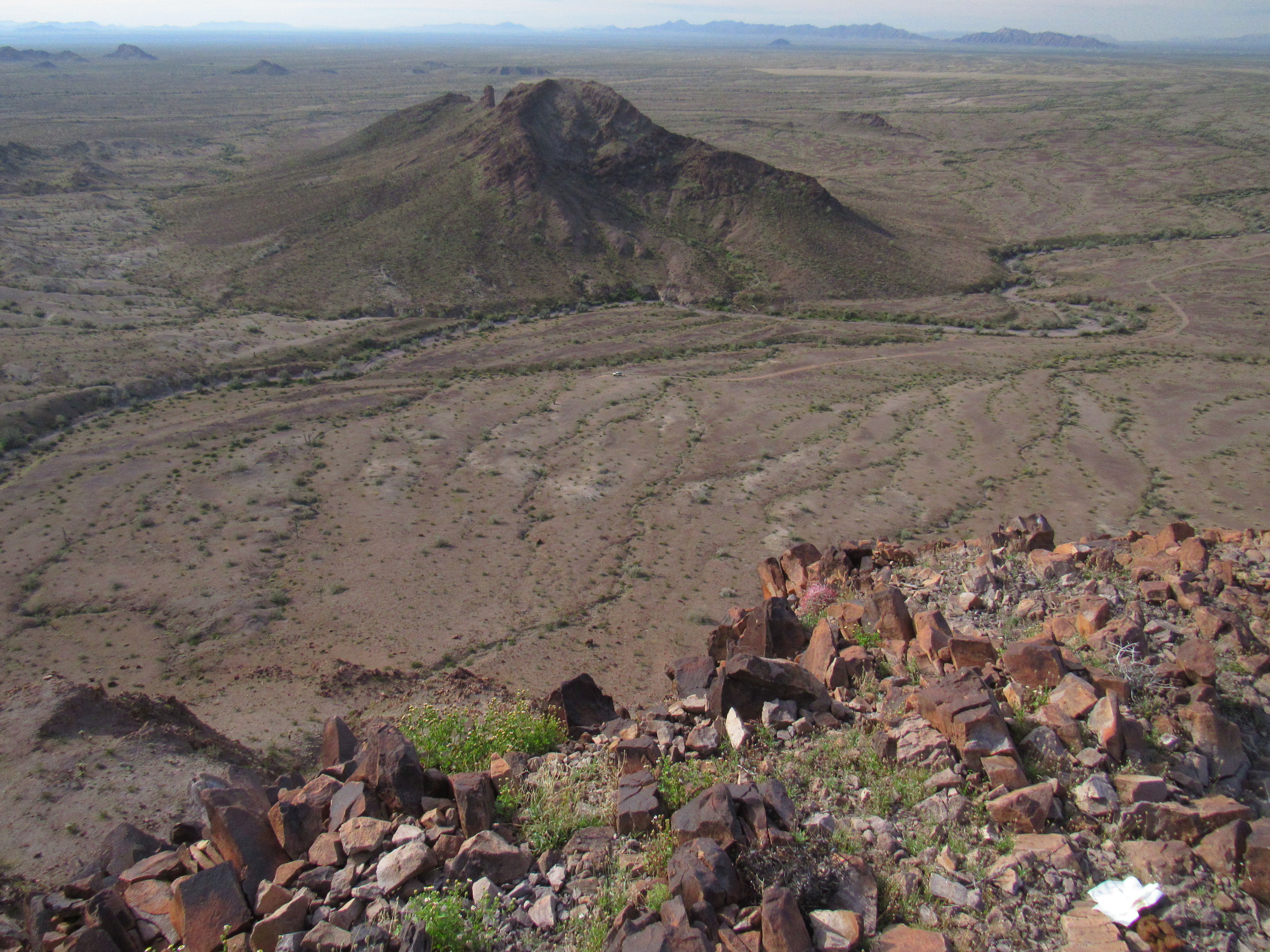
A look down to camp
To help you out, here’s a telephoto shot taken from the same spot. You can see my gear all laying about, truck hatch wide open. I wasn’t worried about anyone driving up and messing with my stuff, because there’s nobody out here.
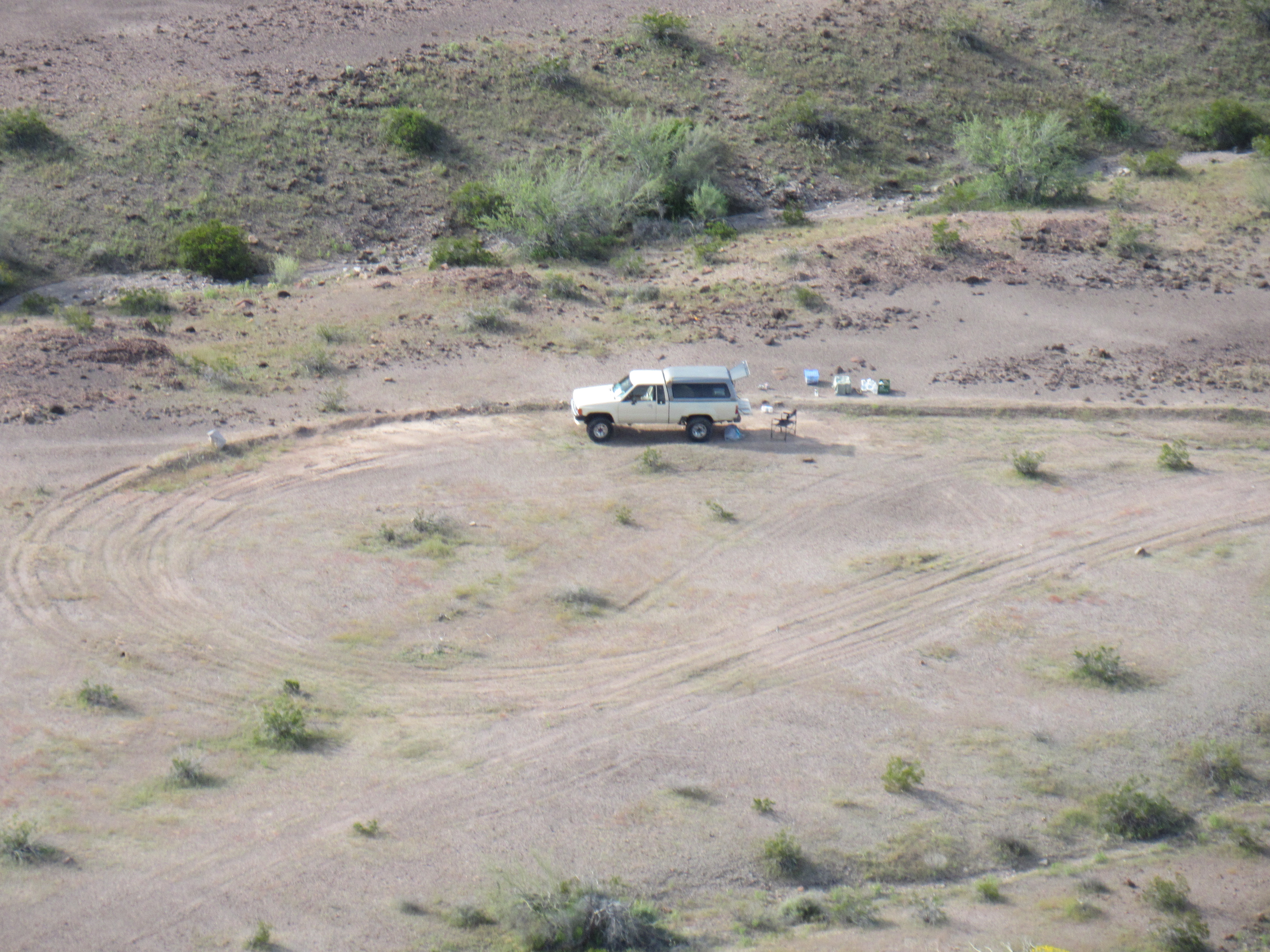
Messy spot
I love this view, looking back east to the peak I climbed yesterday. Except for the sharp summit over on the right (Point 1470), all of the lumps and bumps you can see are part of Peak 1511, the summit of which is the dark bump to the left of 1470.
looking east
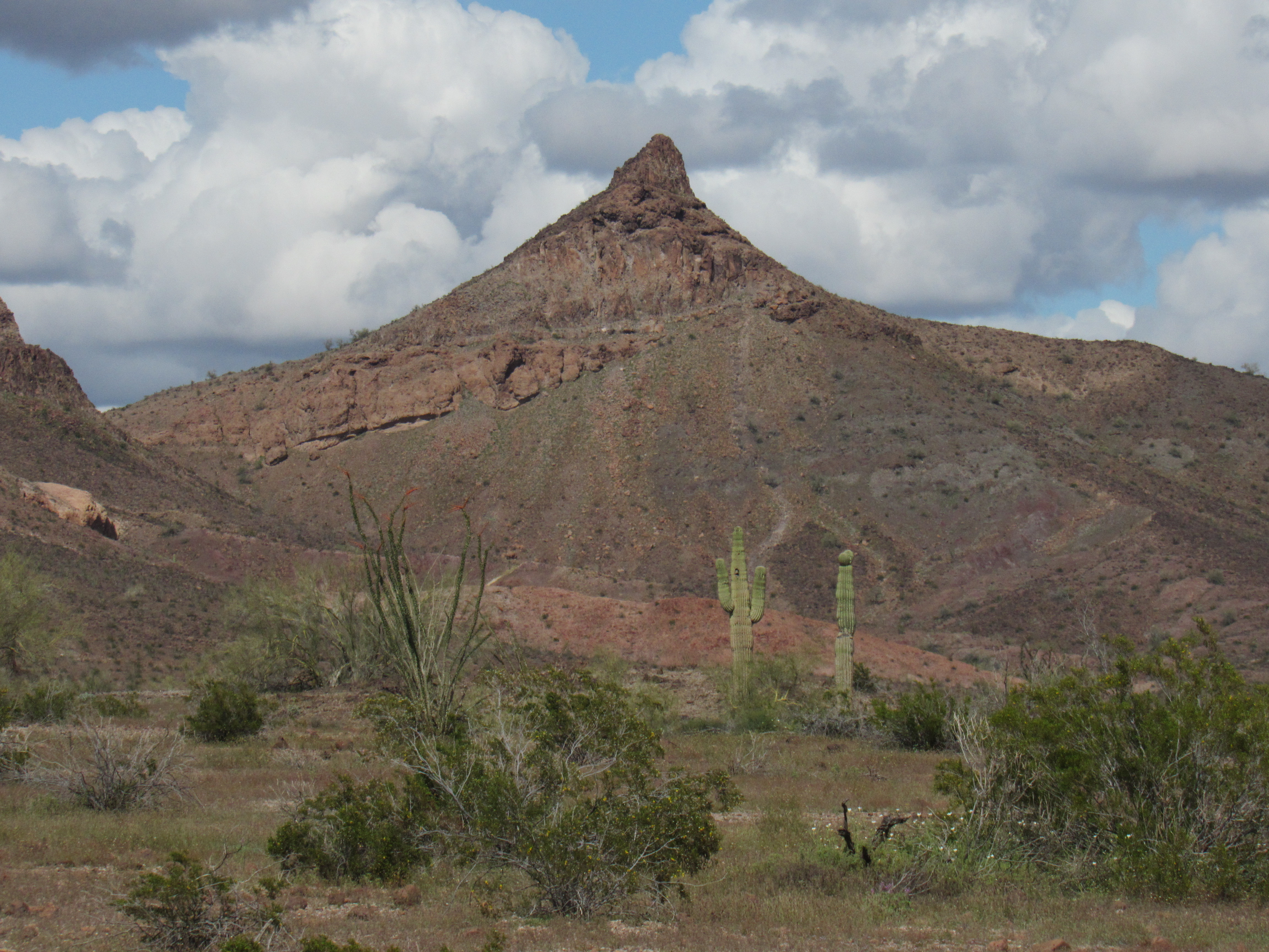
Here’s another view I like, northwest towards Peak 1450 in the far northwest corner of the Palomas Mountains – I have not visited there yet.
Looking towards Peak 1450
Well, there was nothing left for me to do up there so I headed back down. I was back at camp by ten o’clock. Since I had climbed out this part of the range, it felt like the right time to head back home. It was quick work to change into clean clothes, get out my driving whiskey and finish packing everything into the truck. As I drove back down to the main military road, I passed Tower 71.
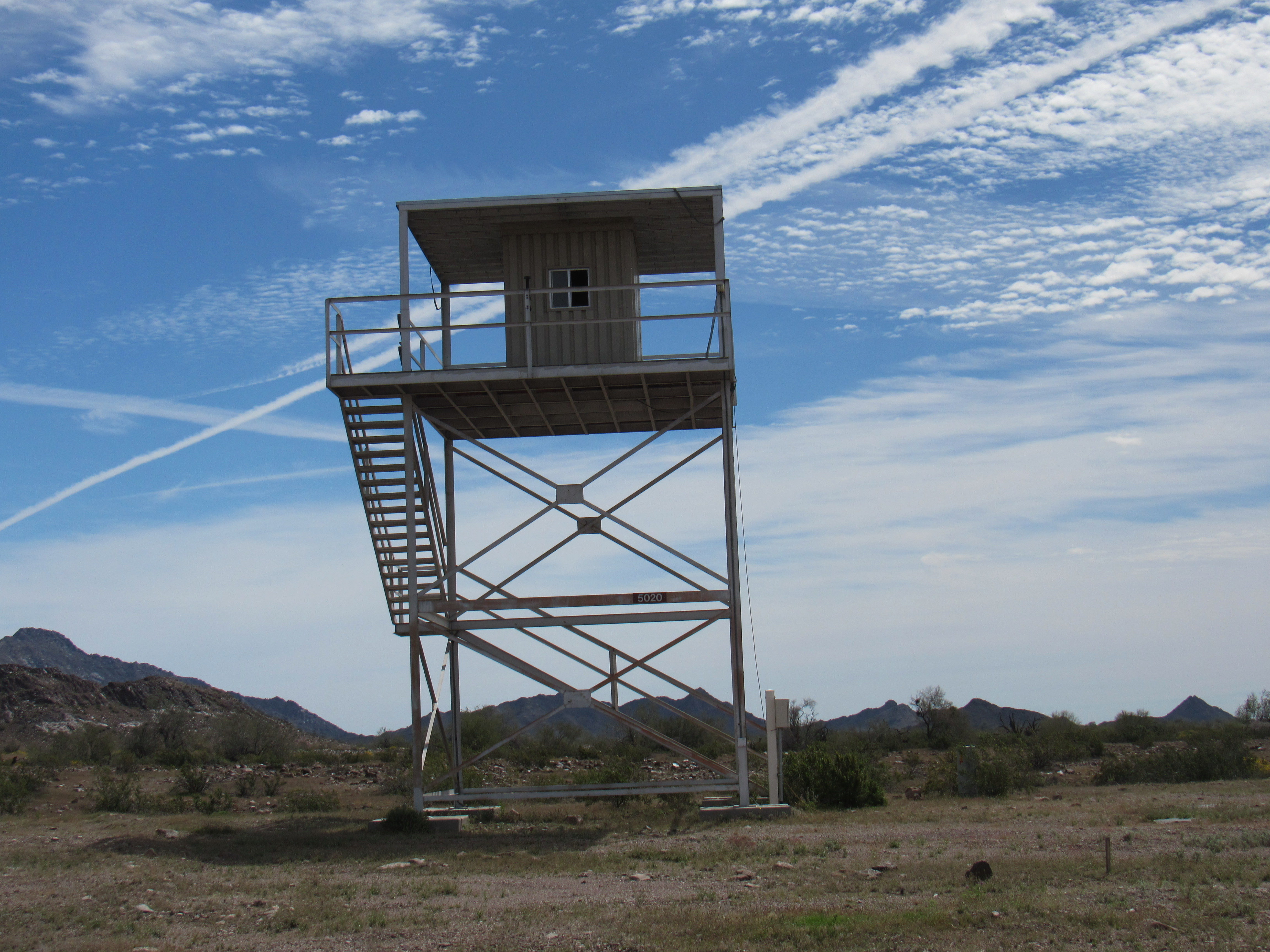
Tower 71
Things like this tower are all connected by buried fiber optic cable.
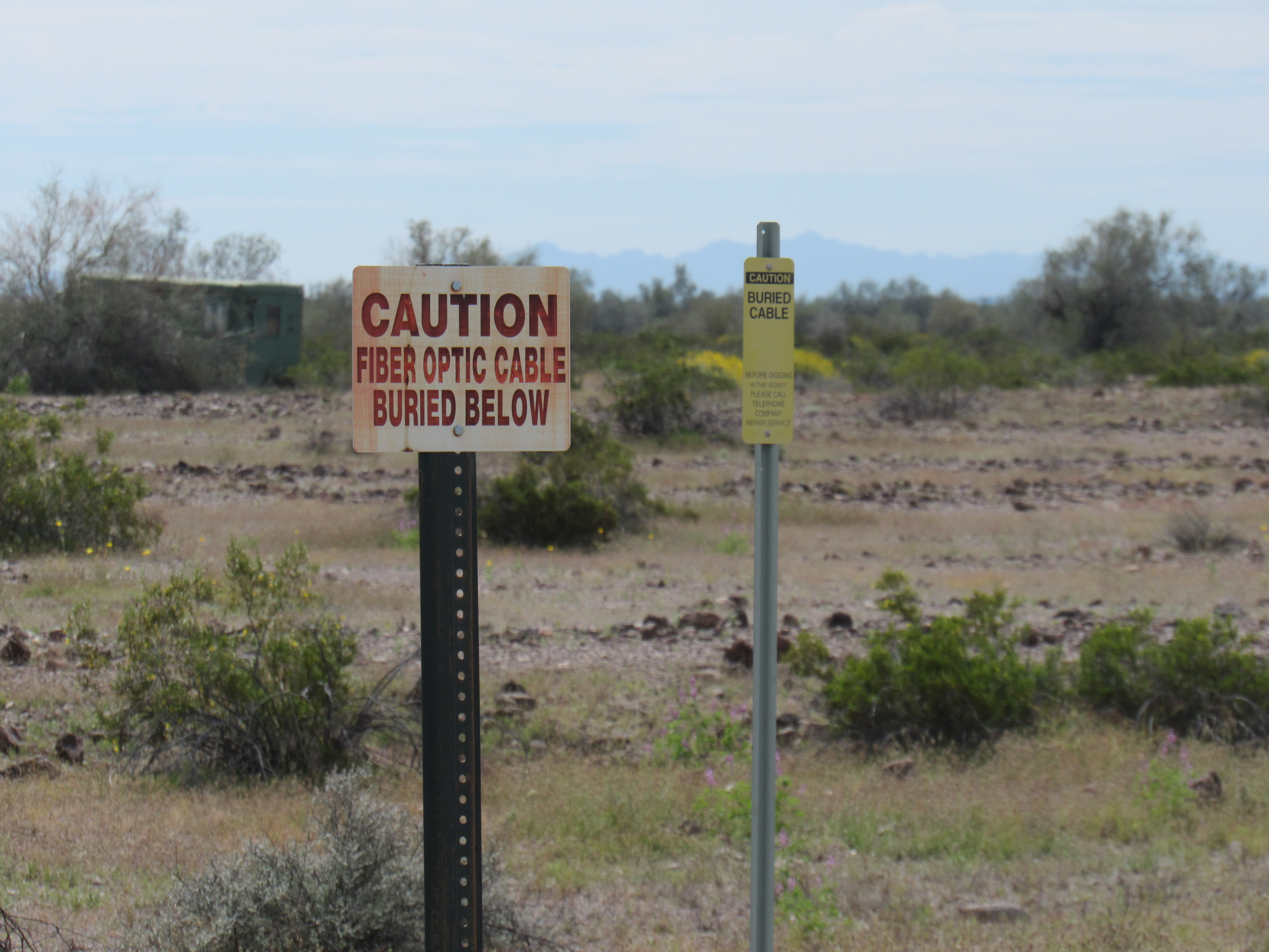
Lots of cable
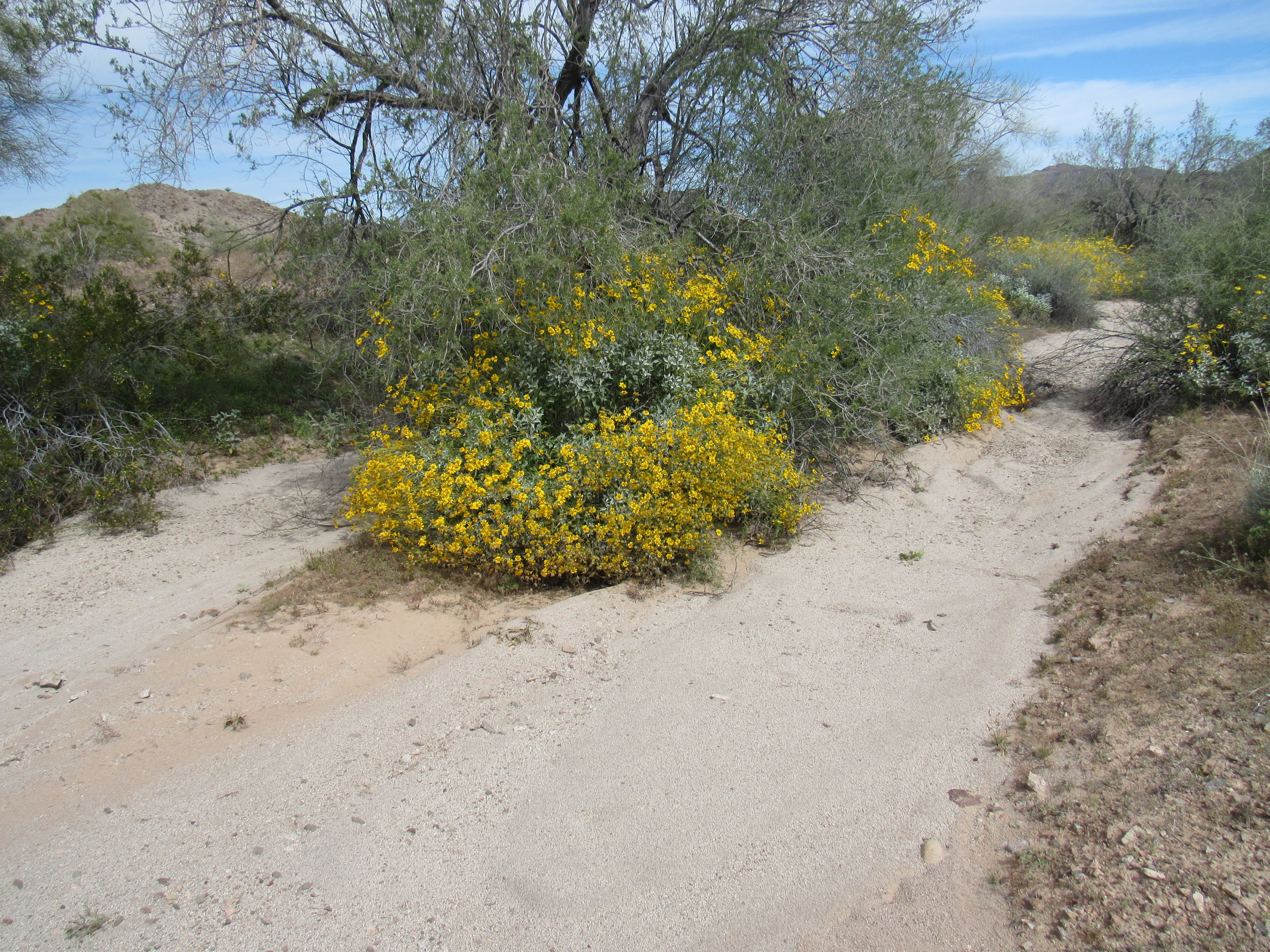
There didn’t seem to be many flowers this spring. Now late March, this was the only kind that I saw in abundance – this is brittlebush.
Flowers
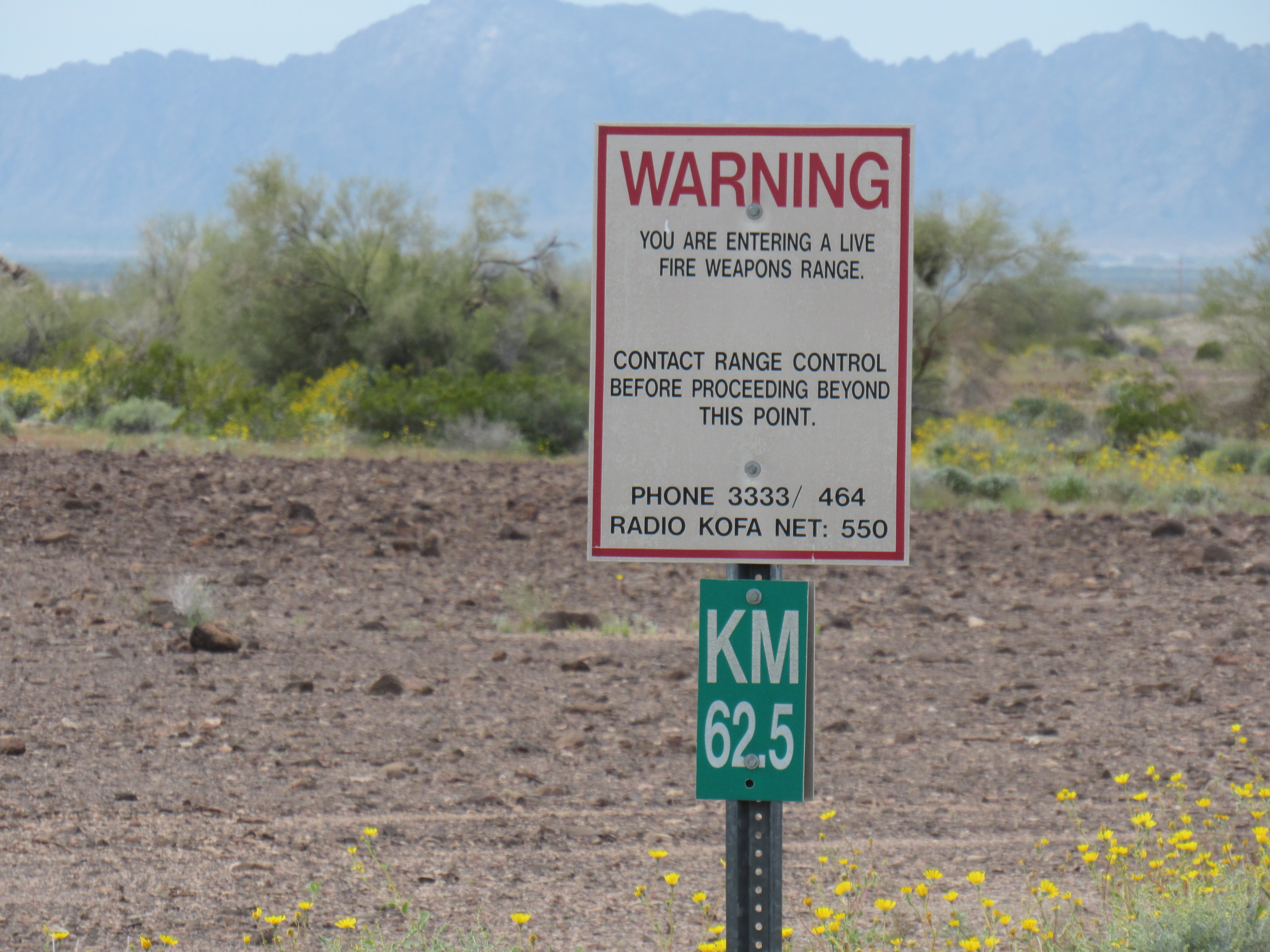
As I was motoring along on the main Army road, I passed this sign. I’m not sure for whom it was meant. Soldiers would know all about the area and what was going on, so the sign wouldn’t do them much good. Civilians like me would already be several miles inside the proving grounds by the time they were face to face with this sign. Sneaking on to the range by vehicle, you would already have passed plenty of earlier warning signs, so this one was too little too late, IMHO.
Warning!!
Remember when I was on my way in several days earlier, I saw a white vehicle in the distance? Now, on my way back out, I had plenty of time to go take a closer look. There it was, a Toyota Land Cruiser sitting on a little knoll, visible for some distance in every direction.
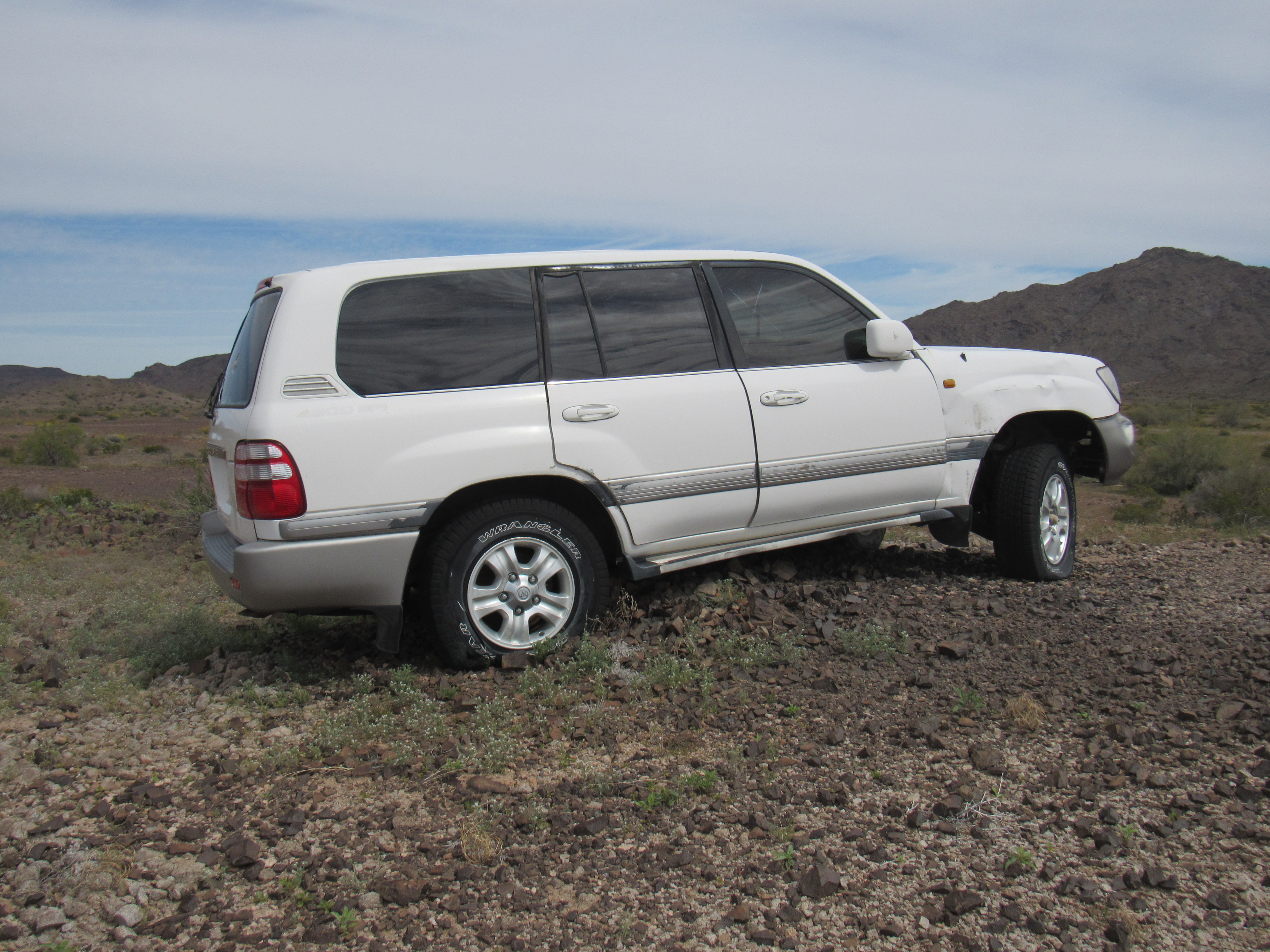
The cruiser
It looked ordinary enough, but there were some interesting markings on it that I didn’t understand.
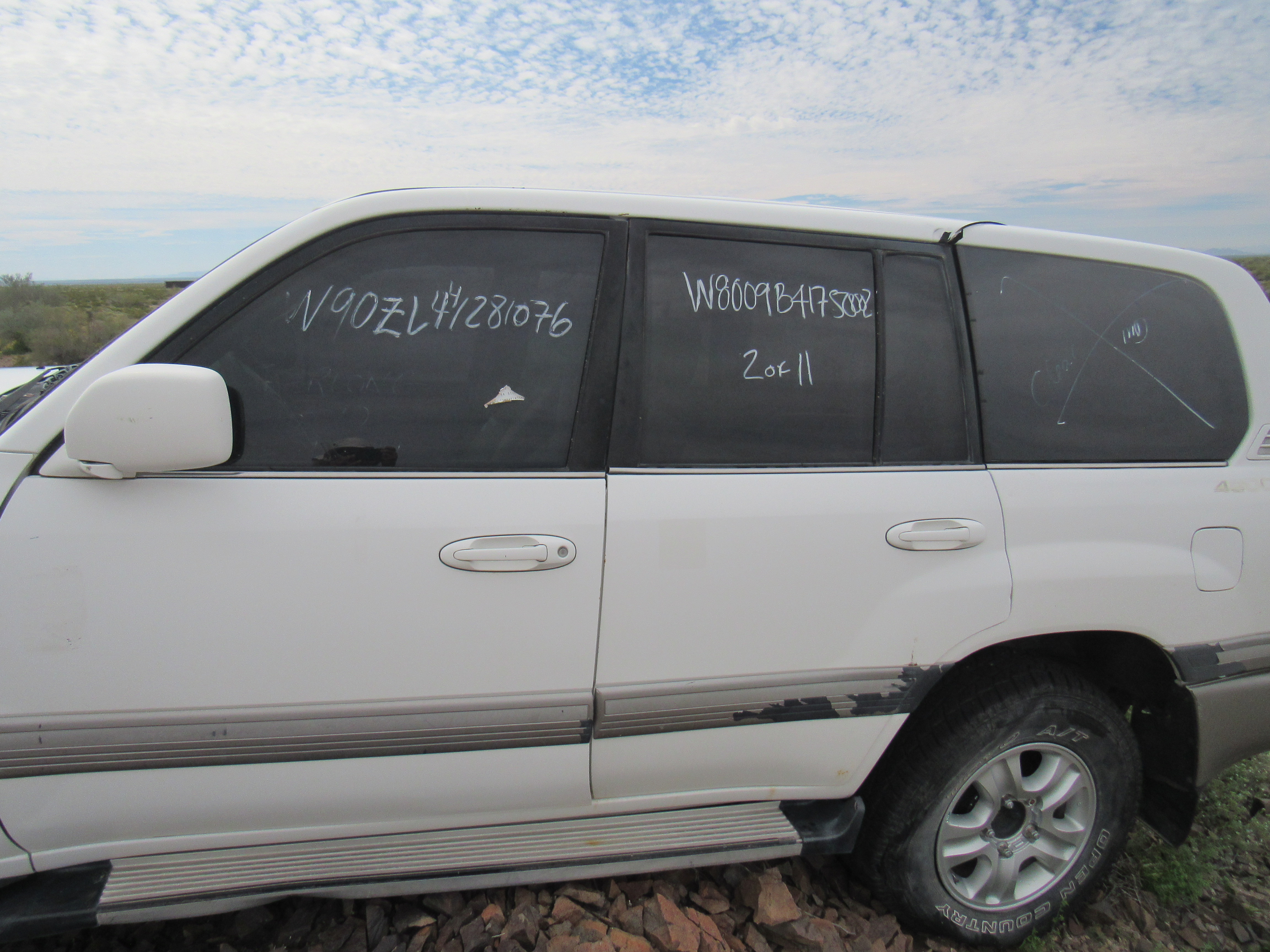
??
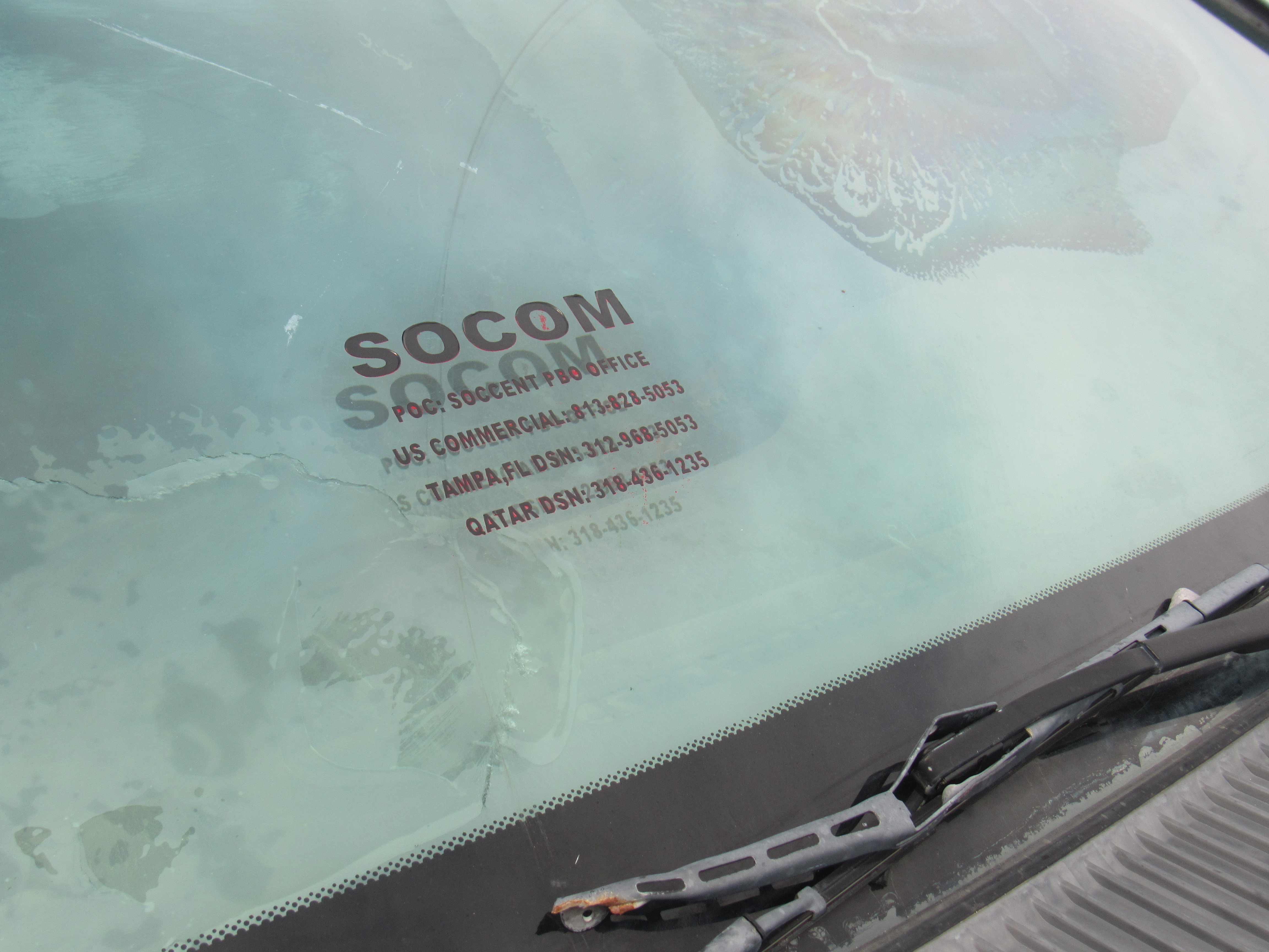
??
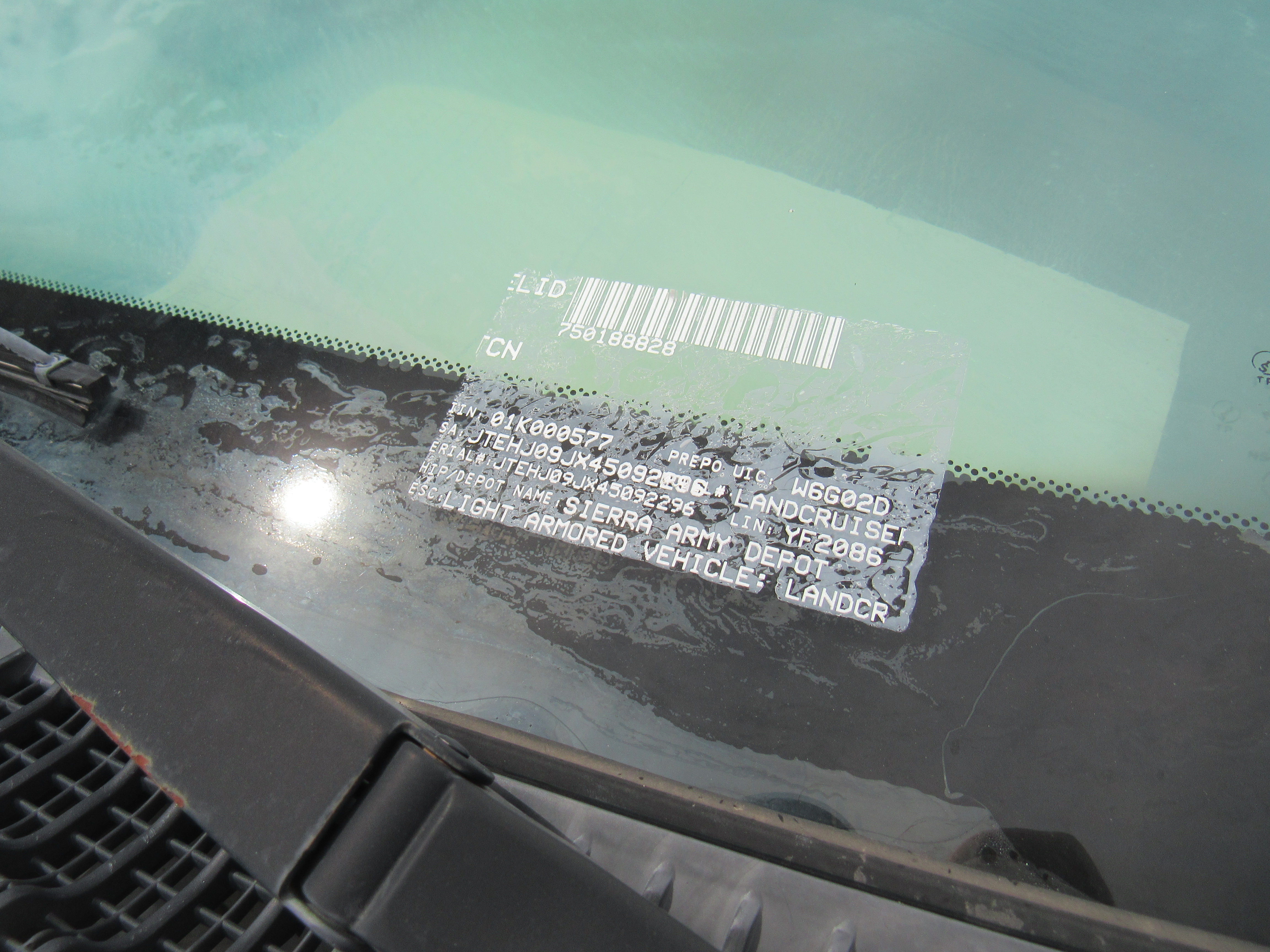
I wonder if this was one of those things the military buys at inflated prices, say half a million bucks for a Toyota. Not sure why it was parked where it was – I suppose the Army could have any number of reasons – who am I to question such clever fellows?
On a nearby hill sat this thing, once again a mystery to me.
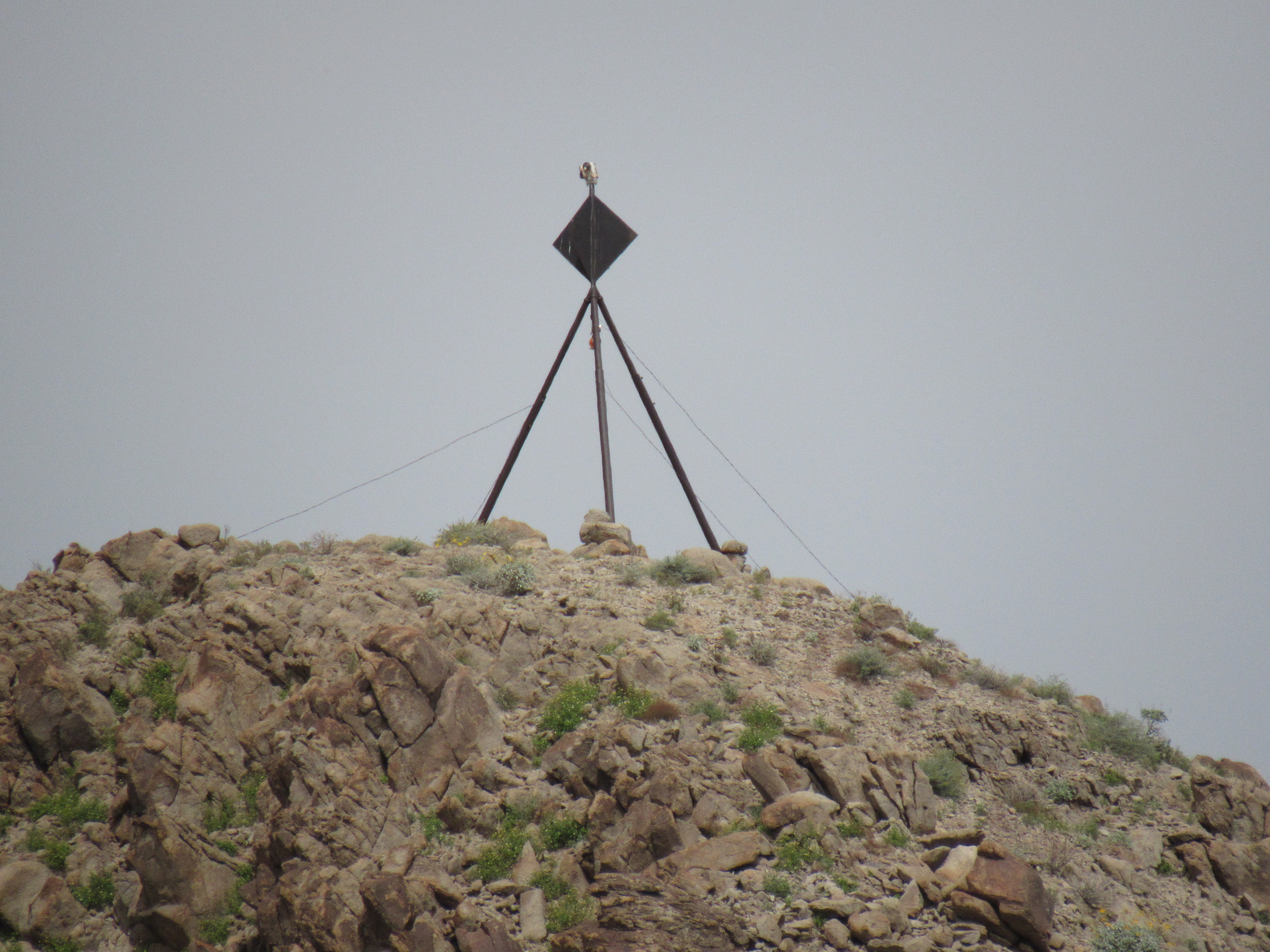
Eye in the sky?
I was only half an hour from the edge of Army land, and soon found myself motoring home on civilian roads. It had been a great 4 days, climbing nice peaks in an amazing area. The added bonus was that I avoided the Covid pandemic for a short while, but now was heading back into the madness. God help us all!
Postscript: remember this photo from the previous story:
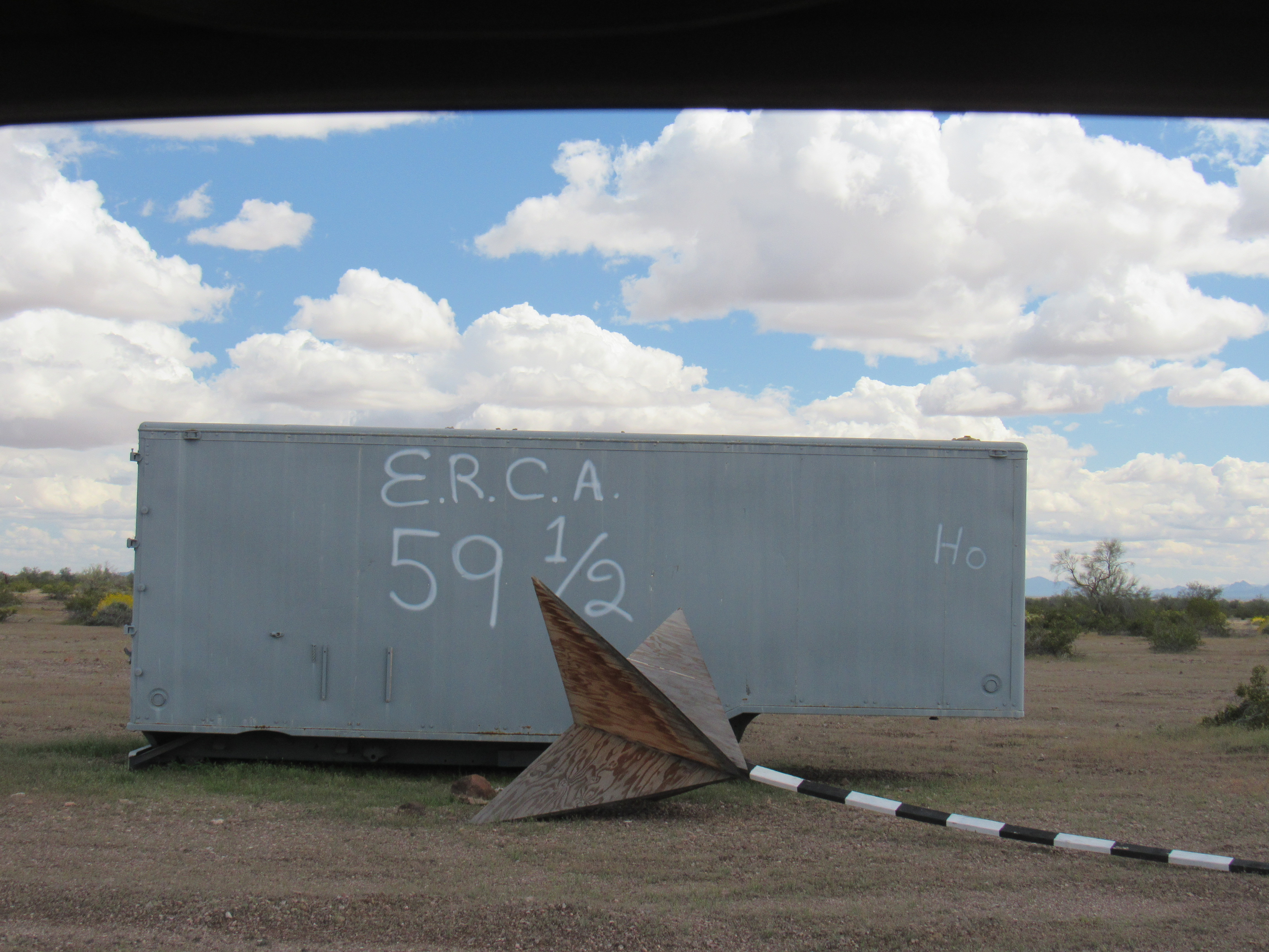
ERCA target?
ERCA would appear to stand for Extended Range Cannon Artillery system. The 59 1/2 could well mean a distance of 59 1/2 KM from the cannon being used. Apparently, the US Army is experimenting with this new type of cannon on the Yuma Proving Ground, which fires a guided 155 mm projectile a distance of up to 65 KM. They may even have the capability to shoot it up to 100 KM. In tests they have done, they used a vehicle like the white Toyota seen above as a target, and at a range of 65KM in their tests were able to hit within one meter of a vehicle. Holy crap!! I’m glad I wasn’t anywhere near the SUV when they were using it as a target. Have a look at this article with a really great video.
https://www.armytimes.com/news/your-army/2020/03/11/the-army-is-making-artillery-great-again/