
The worldwide Covid-19 pandemic was still raging. The safest place I could be was out in the desert, where people and germs don’t live. About 3 hours from my home, in southwestern Arizona, sits a lovely, unspoiled range called the Palomas Mountains. Paloma is the Spanish word for “dove”, and the name gives me a peaceful, easy feeling. Away I went on a fine April day, and my only exposure to others would be when I gassed up at a small community close to the mountain range. I wore disposable gloves and an N95 mask while I pumped, even though nobody got close to me.
Before long, I had left civilization behind and had driven out to a remote area on the northeastern edge of the Palomas Mountains. I had visited this area several times in the past, so knew it fairly well. There is a place called Snyder’s Well, and it was near there that I decided to camp for the night. It appears that there was a working well there at one time, but the pipe that goes down into the ground has been capped. It looks like this.
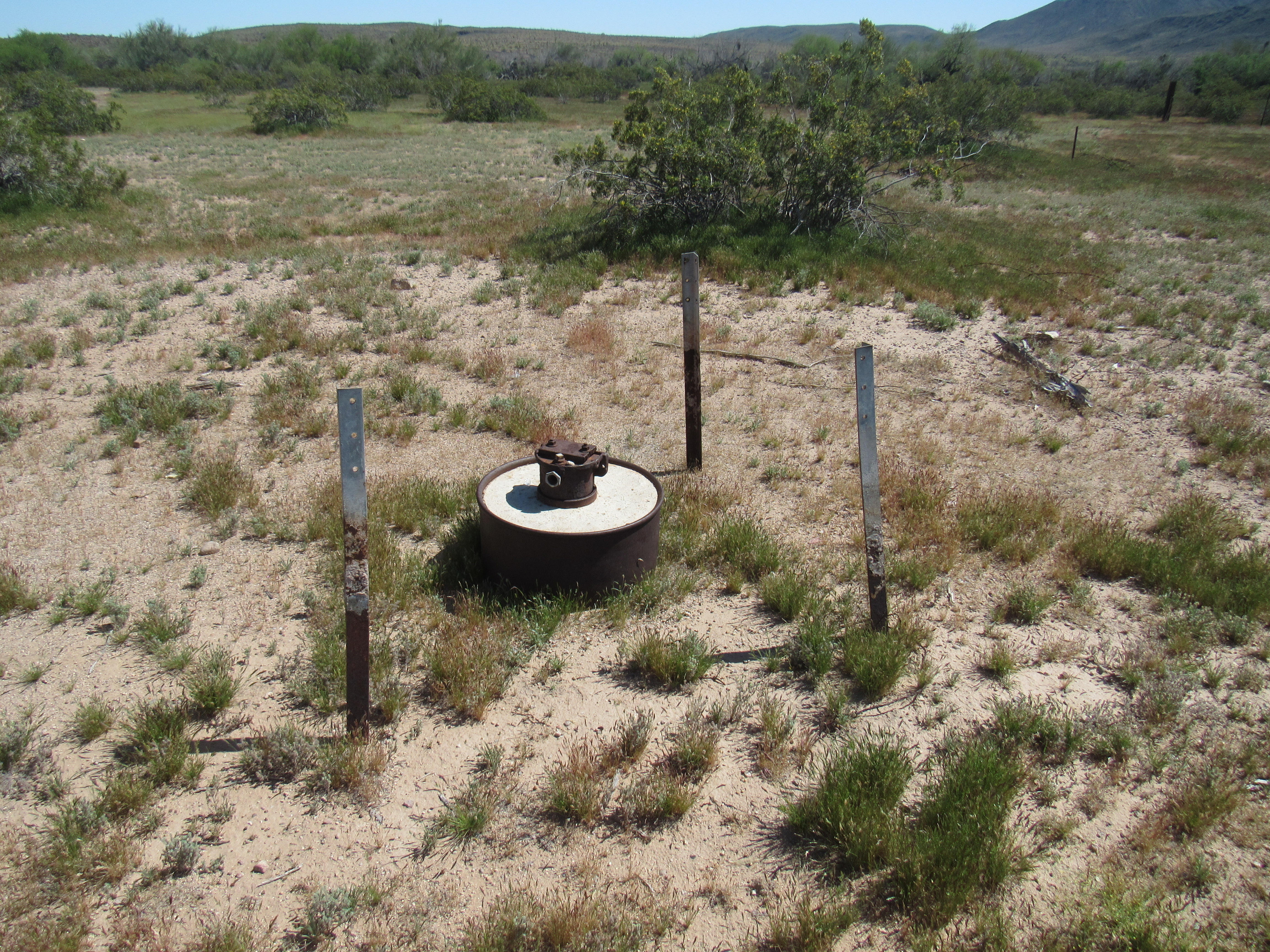
Snyder’s well
There was a small opening near the center into which I dropped a pebble. I heard it tinkle against the sides of the metal pipe, then a faint splash as it reached water far below. I think someone had set up a homestead here many years ago, now long abandoned. I’m guessing he was named Snyder, but was unable to learn anything about him.
Nearby was a rusted old metal cabinet of some sort. I pushed it over with my foot, and was shocked to see this scorpion beneath it. We have many types of scorpion in Arizona, but this one is the largest to be found in all of North America. It is called a giant desert hairy scorpion, and it is truly something to see. I have visited some websites which say that it can grow to be 7 inches in length, and I suspect that may be true – this one was as big as my hand. I do NOT like scorpions, and this one really creeped me out.

Giant hairy scorpion
I chose a nearby spot in which to camp, and settled in to cook a simple supper on the tailgate of my truck. As I sat in the shade enjoying the beauty of the spot, I could have sworn that I heard a faint sound, something out of the ordinary. It seemed to be getting louder. Yep, no doubt about it, it sounded like an engine – a vehicle was approaching. In another minute, I saw a quad on the nearby dirt road – it held 2 people. We waved to each other. Then I saw another quad, and 2 more after that. Following on their heels then came 4 jeeps. Every vehicle held 2 people, we all waved, and their convoy crept slowly by at perhaps 5 miles per hour.
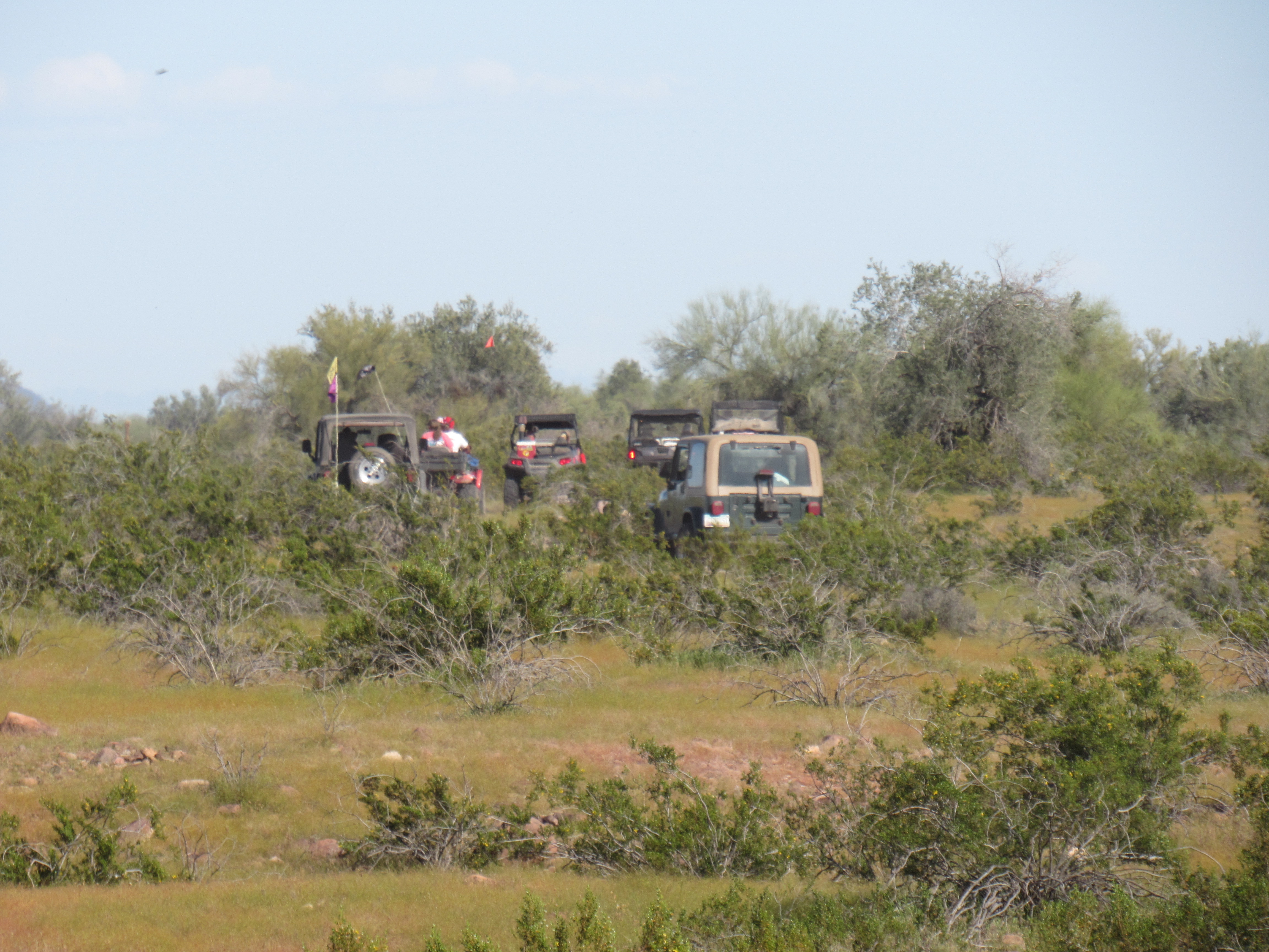
The convoy
Within minutes, their sound had faded away, leaving me alone with my thoughts. In all the times I had been here before, I had never seen another soul, so this was quite a surprise. It was a Friday, so wherever they had come from, and it was from the west, it would have taken all day to get this far. Either they were all retired, or all laid off due to the Covid-19 crisis. I wanted to show you a photo of Peak 1065 – I was camped right at its base.
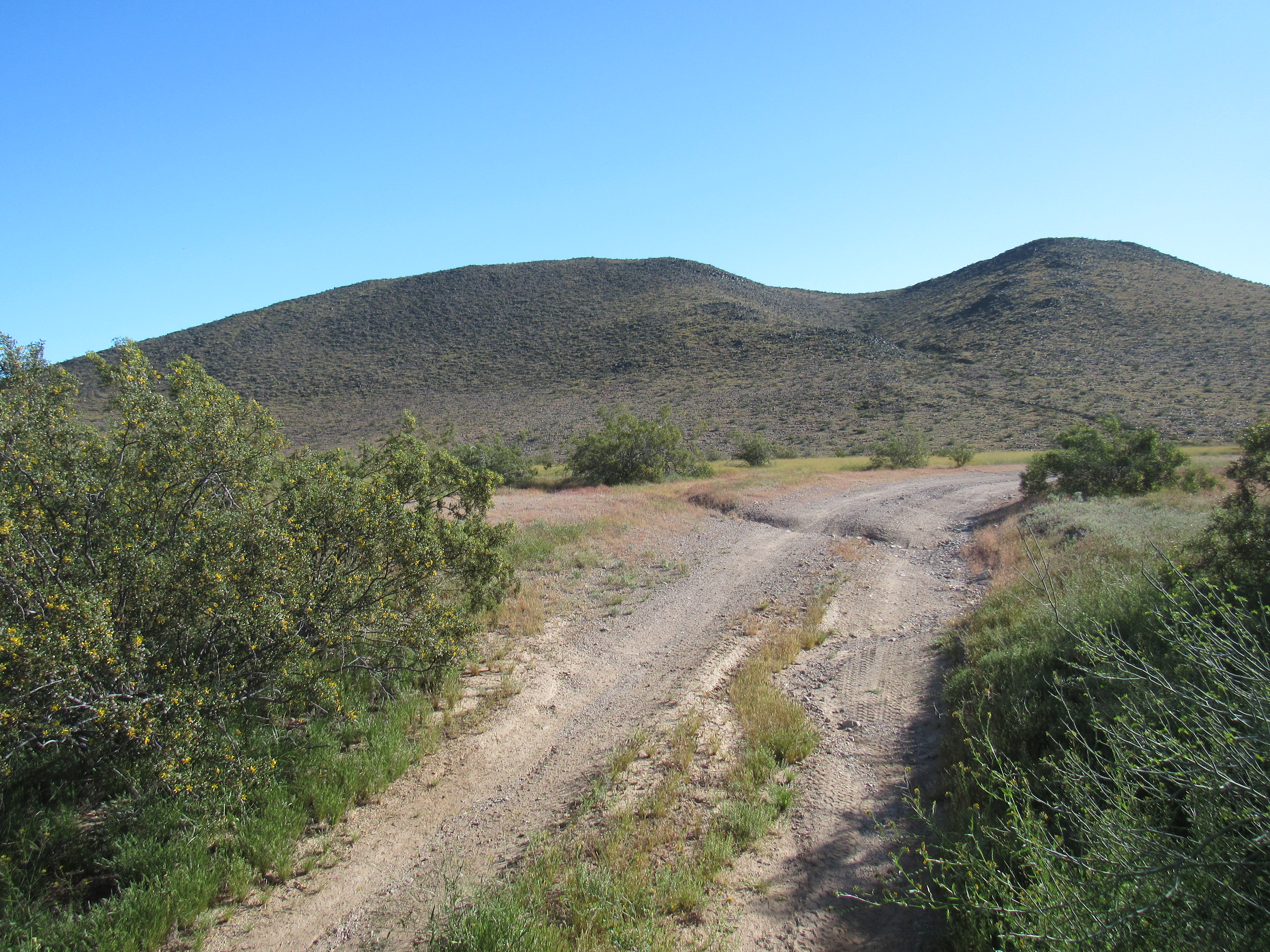
Peak 1065
One more strange thing happened while I was camped here. The night was fair and mild, so I slept with the rear hatch open in my camper shell. I’m a light sleeper, so I’d certainly hear any nearby noise. From time to time during the night, the song of coyotes roused me – I love hearing them sing to each other. It was otherwise quiet, until at 3:00 AM I heard something new. It was the distinct sound of a horse or donkey trotting by, and I heard it make that snuffling sound that they make. It happened several times over the next hour, sometimes father away, sometimes close at hand. The night was inky black with no moon, so I couldn’t see hide nor hair of the beast any of the times he came by.
The new day burst upon the desert. I packed everything into the truck and drove a short distance to where the truck was well-hidden in a wash. My first peak of this trip would challenge me somewhat, as I wasn’t used to having to travel so far lately to even get to the base of the peak. It was late, about eight o’clock, by the time I shouldered my day pack with 3 quarts to drink and set out south across the desert. The truck was parked at 670 feet above sea level, and I knew it would be a full day.
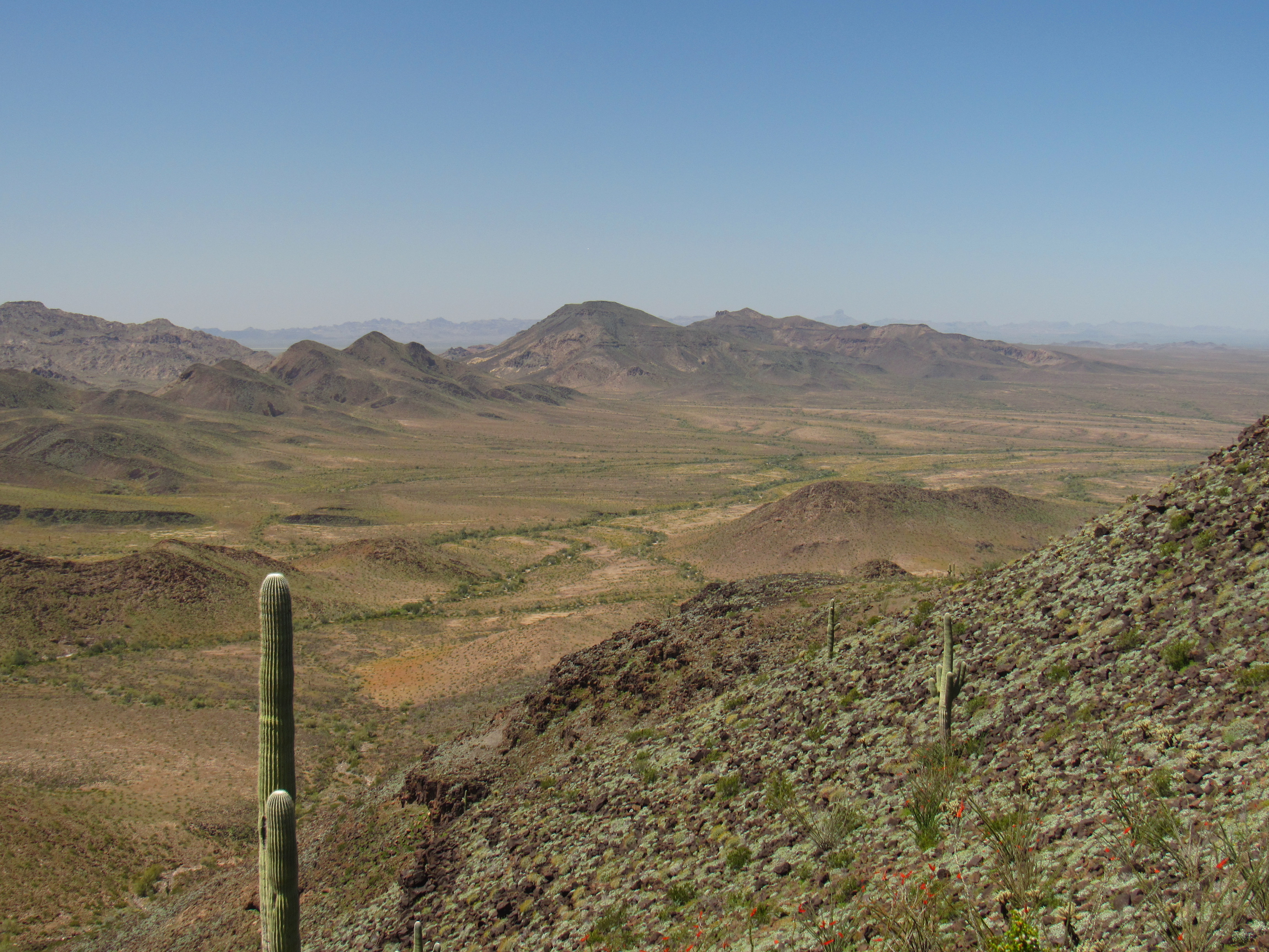
It was easy going, though – no bushwhacking, no obstacles, and flat – the first couple of miles only gained me about a hundred feet of elevation. I was traveling up a valley. To my east, the gentlest of rises, barely a hundred feet, formed an edge which blocked my view out to the Palomas Plain. To the west sat the long north ridge of my peak, running a full 5 miles. Originally I hadn’t thought of using that ridge at all for my climb, but for some unexplained reason I decided otherwise and an hour into my climb left the valley floor and started up a slope with an eye towards gaining the ridge crest. Here’s what I saw soon after starting uphill. I’m parked just in front of that dark peak out there on the left.
Looking north
The higher I went, the more covered everything became with these dark volcanic rocks. It was tiring work always trying to step between them so as not to twist your ankle. In this view, you can see them coming down the mountainside as strings of talus. There must have been about 400 trillion of these rocks along my path as the day progressed.
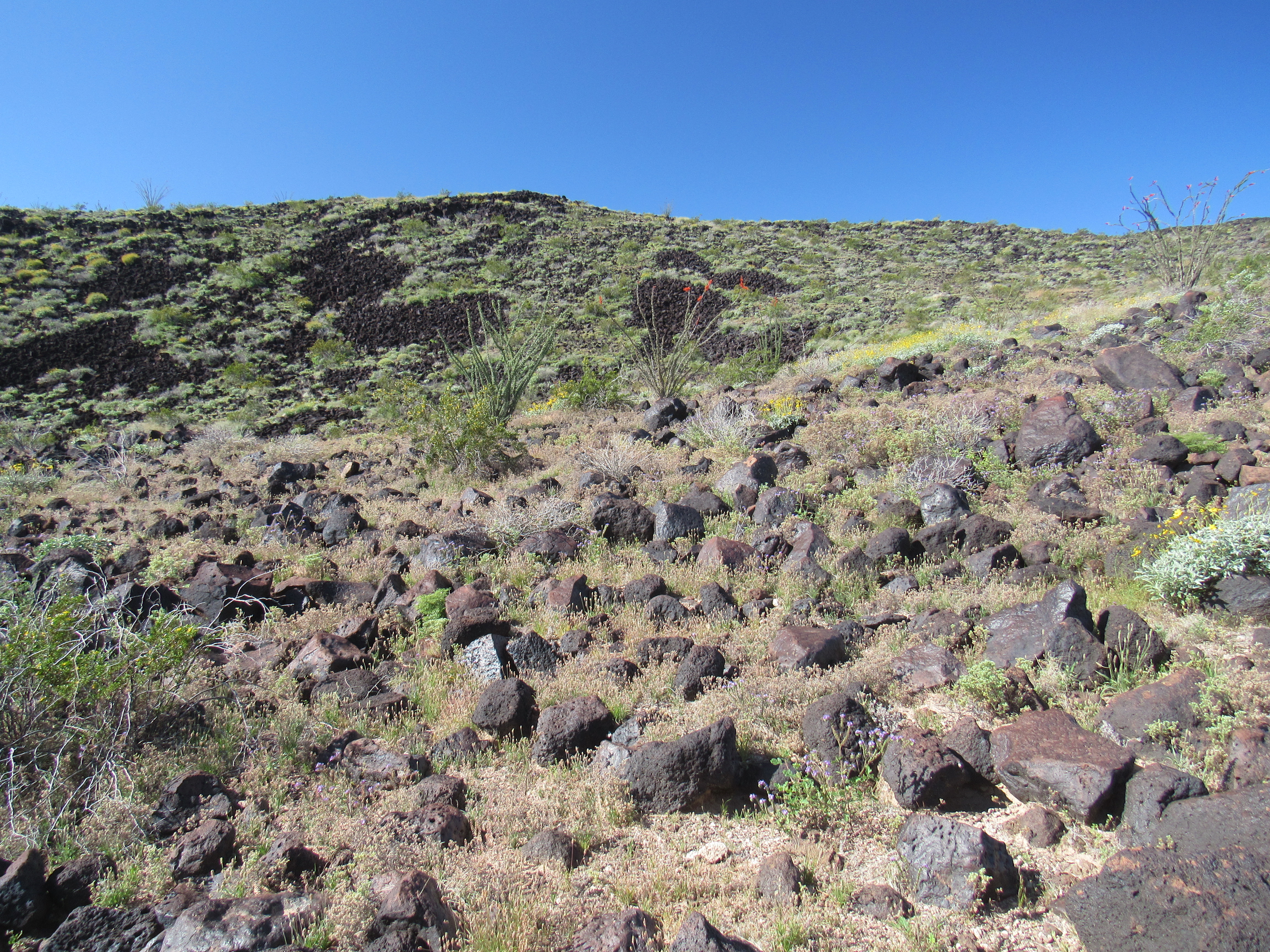
Rocks
The higher I went, the better the view became.
A bit higher
As time passed, I gained more elevation, but still didn’t have a good view of the summit. In this photo, it’s hidden behind the nearby outcrop.
Still no good view
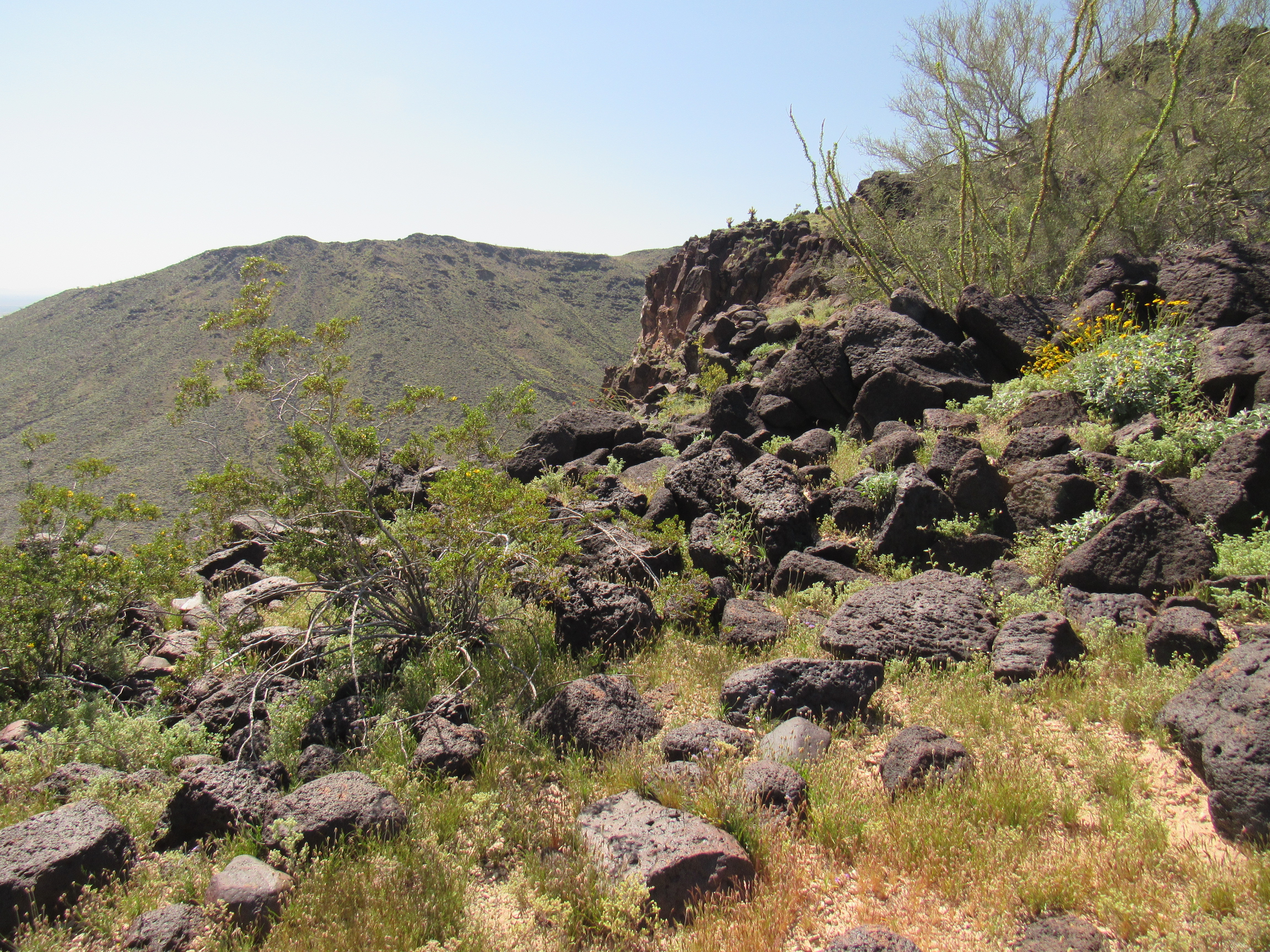
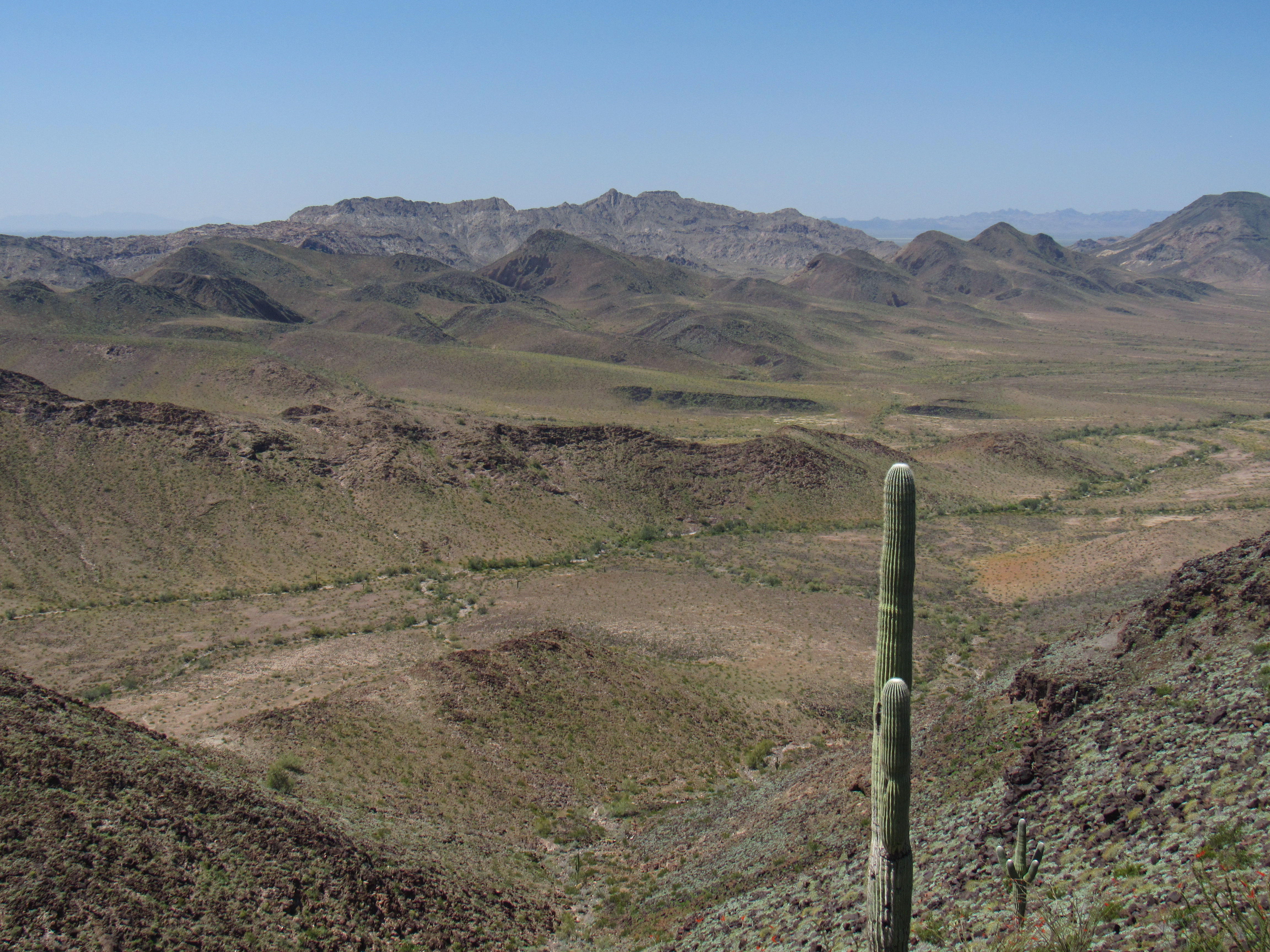
Finally, 3 hours after starting out – phew! – I made my way up on to the spine of the main ridge. Nice breeze, nice views. I could see over to the long east ridge, which I thought I might use to descend rather than retrace my steps along the north ridge. Here is the view I had of that east ridge. I did in fact use it to go down, going as far over to the left as to where it drops off steeply.
The east ridge
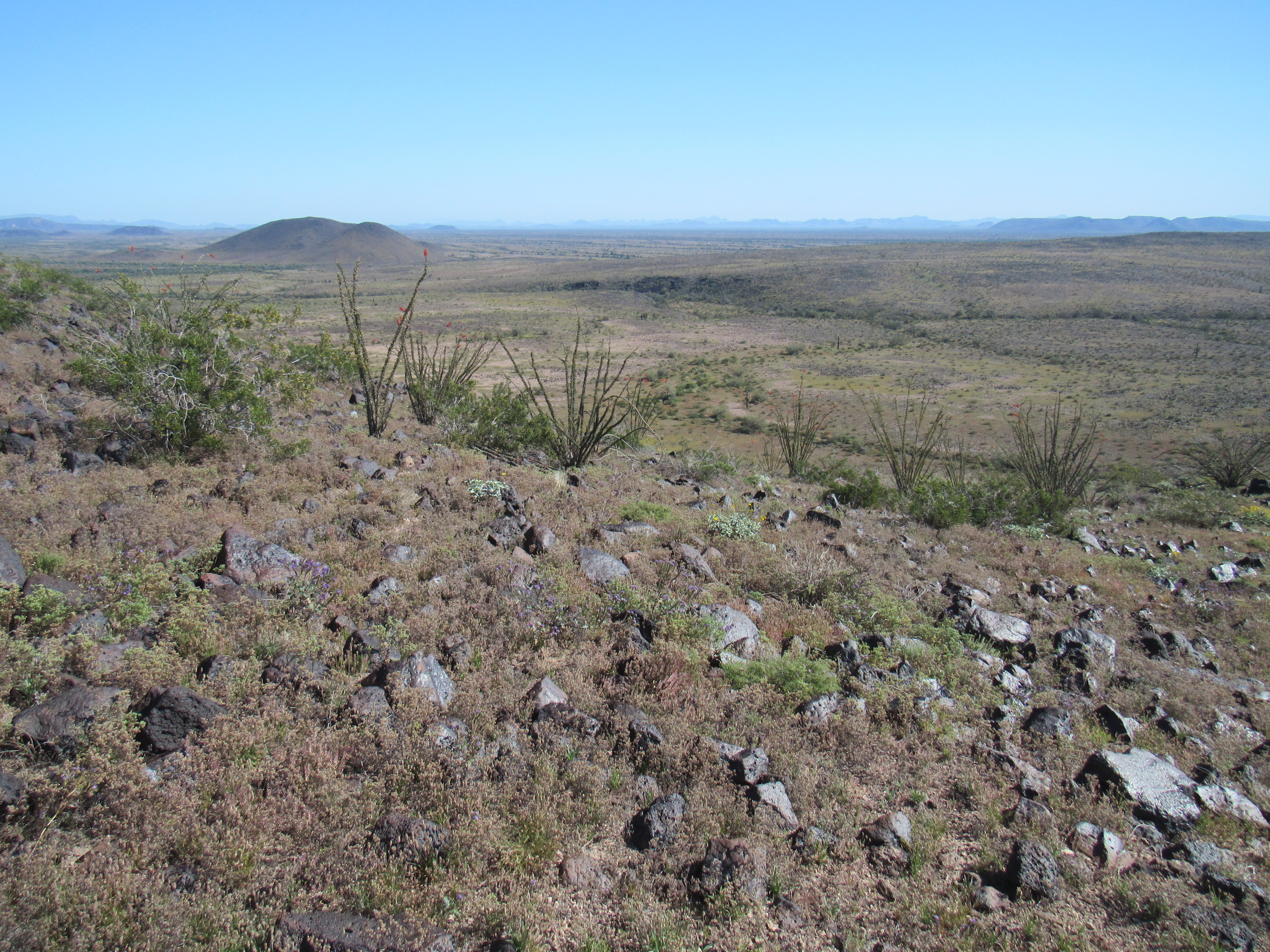
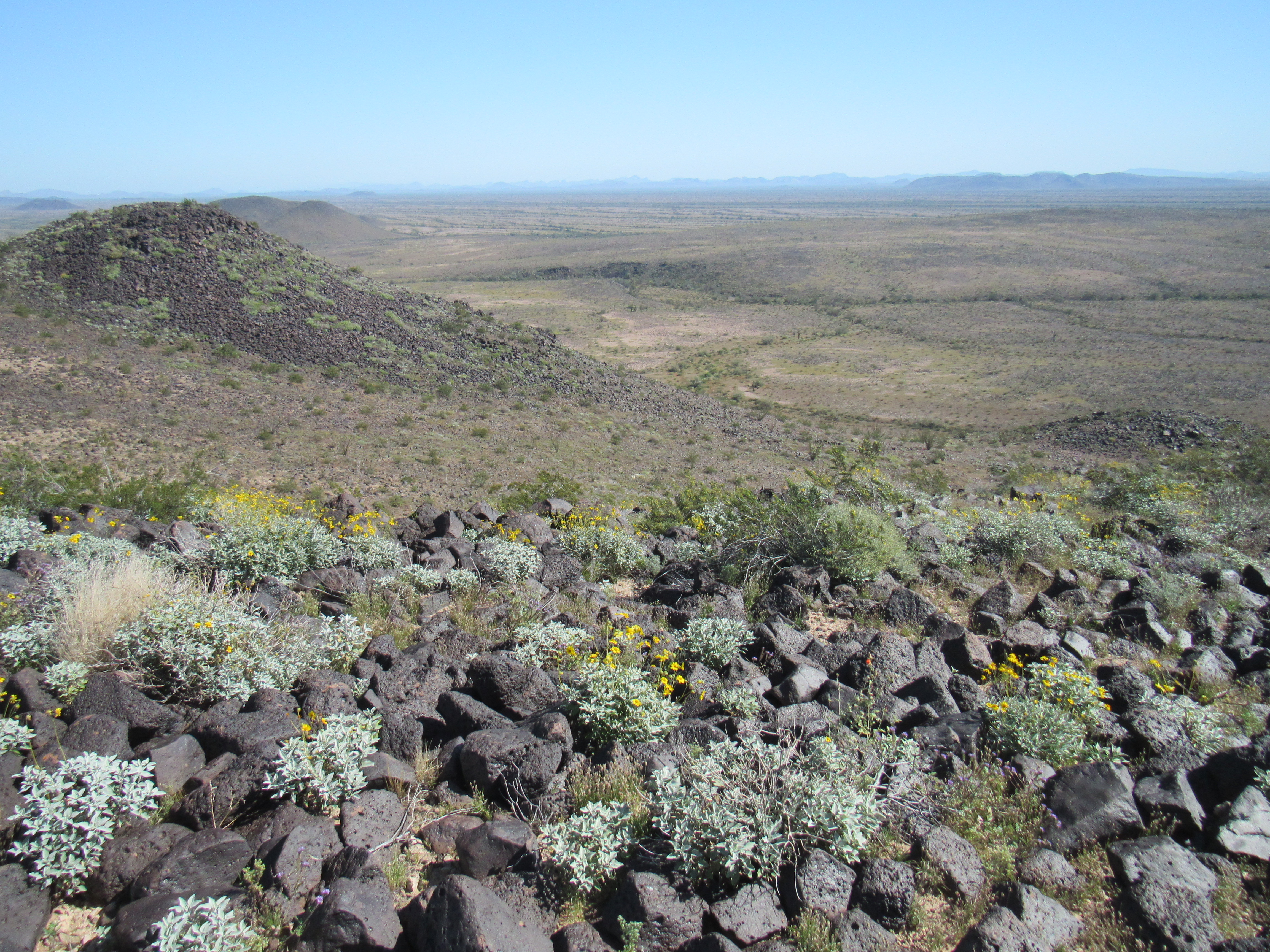
But that was for later. Right now, I kept working my way south to reach Point 1609, a bit of a landmark from which I had these great views. The mountain on which I stood was the easternmost in the Palomas Mountains, so every other was farther west. These next three shots will show you most of what is out there. This first one shows the northern half of the range – sorry, but several peaks out there are hidden by the higher ones in front.
The northern peaks
This shot looks into the heart of the range.
The heart of the range.
Then there’s this one, showing Peak 1723 on the horizon and Peak 1470 in front of it. They sit in the southern part of the range.
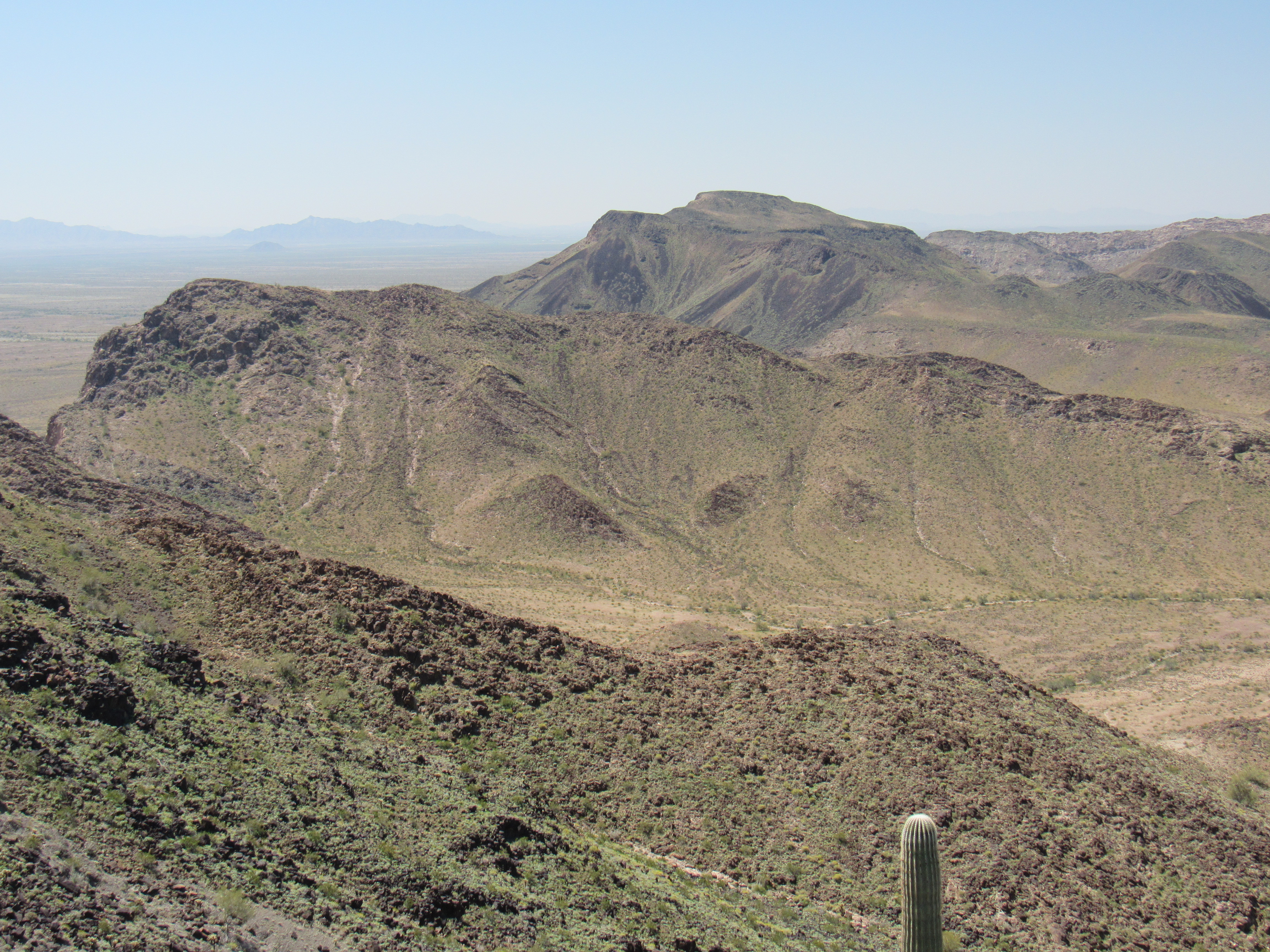
Nearer peaks
All that was now left to do to reach the top was to drop down into a gentle saddle, then climb up to a summit plateau, almost flat, and make my way across it to finally arrive at the summit of Peak 1690. Gadzooks, almost 5 hours had passed since leaving my truck! I knew I was slow, but that was crazy-slow. Here is the large cairn that had been built on the summit.
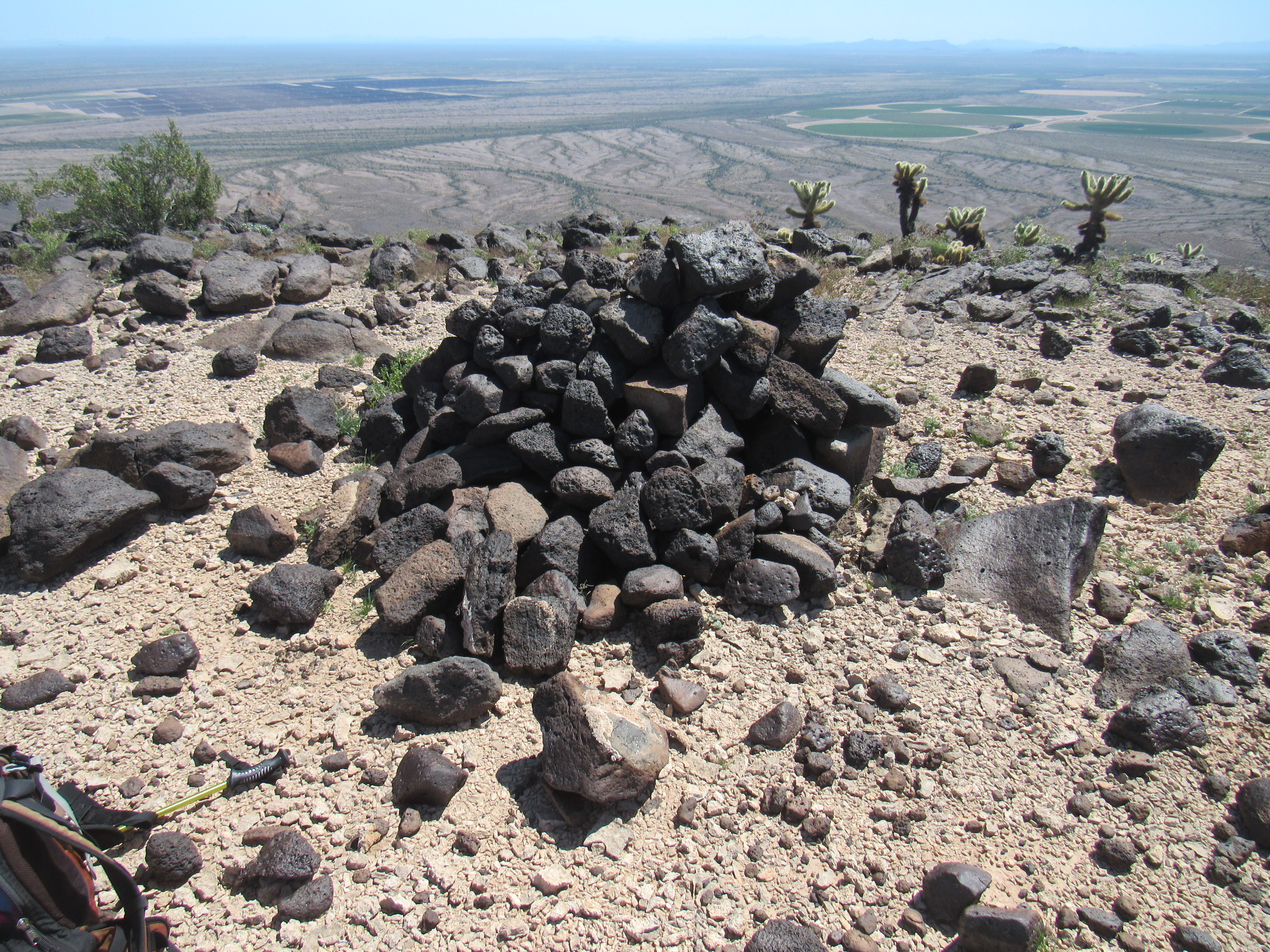
Peak 1690 summit cairn
I took off my boots, phoned home, ate a snack and then had a look around. One of the first things that caught my eye was this.
High voltage
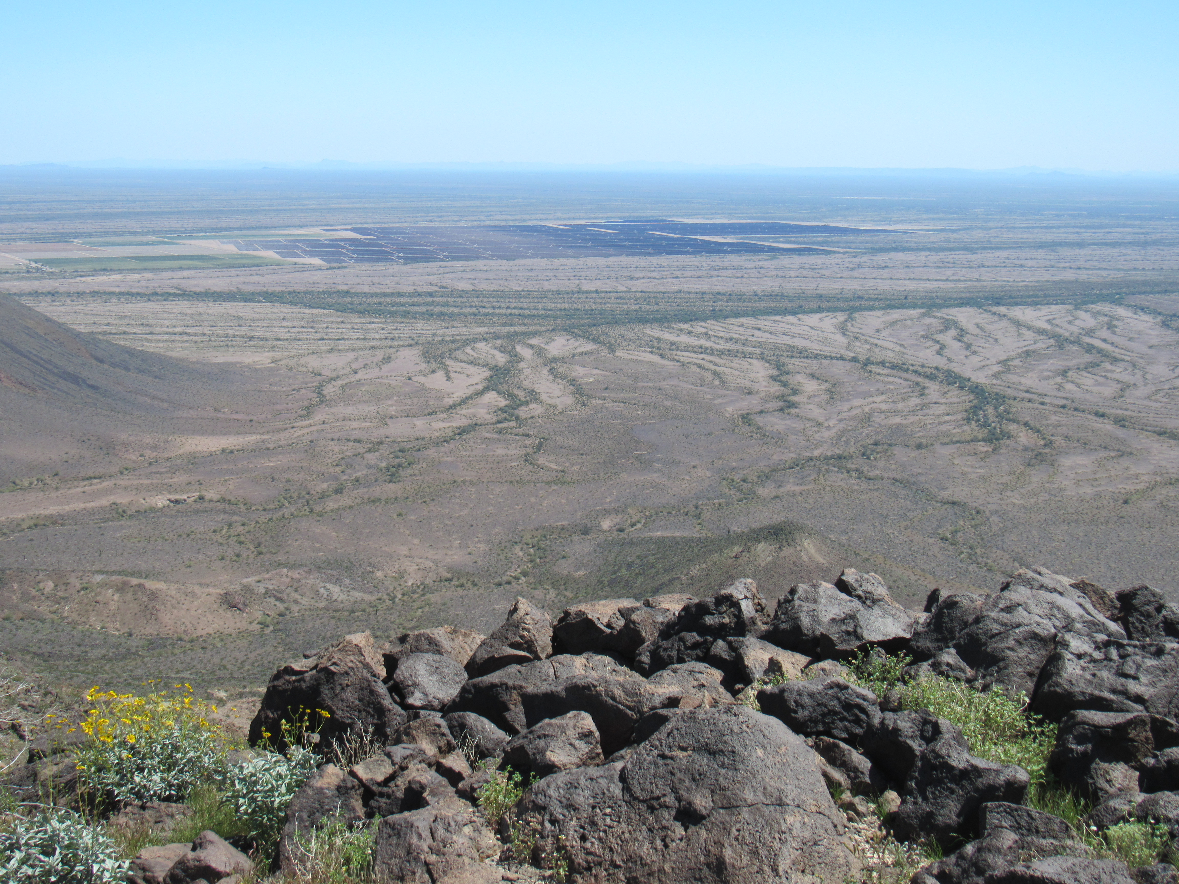
See that big black thing out there on the desert floor? It’s 4 air miles away to the southeast, and it’s the Agua Caliente Solar Project. It covers almost 4 square miles in area, and generates 290 megawatts of electricity. It uses 5.2 million cadmium telluride modules, was completed in 2014 and cost 1.8 billion USD. When completed, it was the world’s largest operational photovoltaic power plant. Arizona has virtually unlimited sunshine available, and there’s almost no limit to how many such plants could be built here. Also plainly visible from the summit were large irrigated circles of cropland to the south – I think alfalfa was the crop.
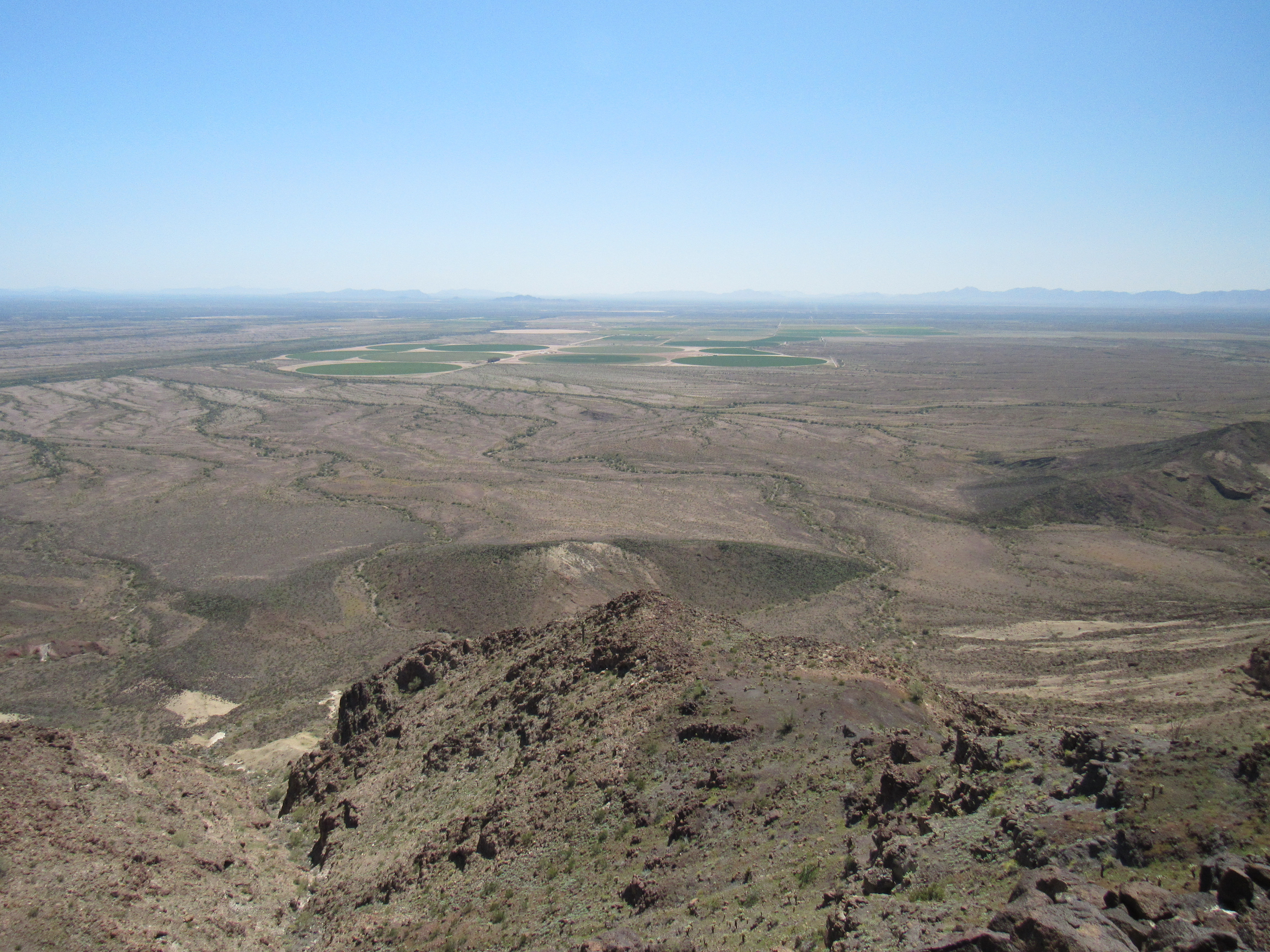
Alfalfa
It was a good thing I hadn’t tried this one from the south – a thousand vertical feet of rotten, horrific-looking mess is what awaits anyone trying that side. Before too long, I’d re-laced my boots and set out on the journey back to my truck. The east ridge was the route I’d chosen, and it worked well for a while. I came to a clearing where someone had stacked rocks and then painted them white with a brush. Perhaps this was to mark a spot where a helicopter could safely land, about the only place along the ridge where that could be done.
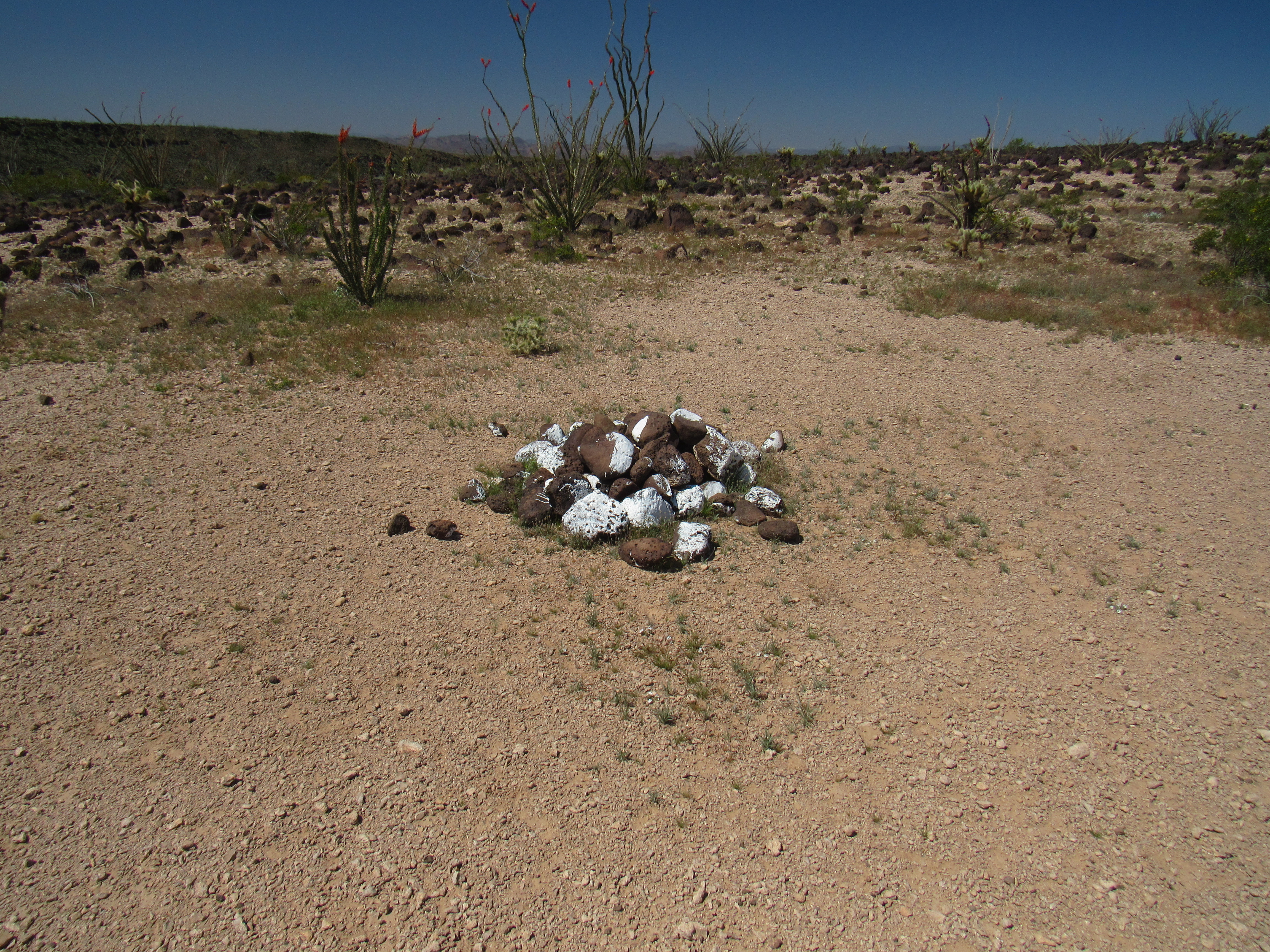
The rock pile
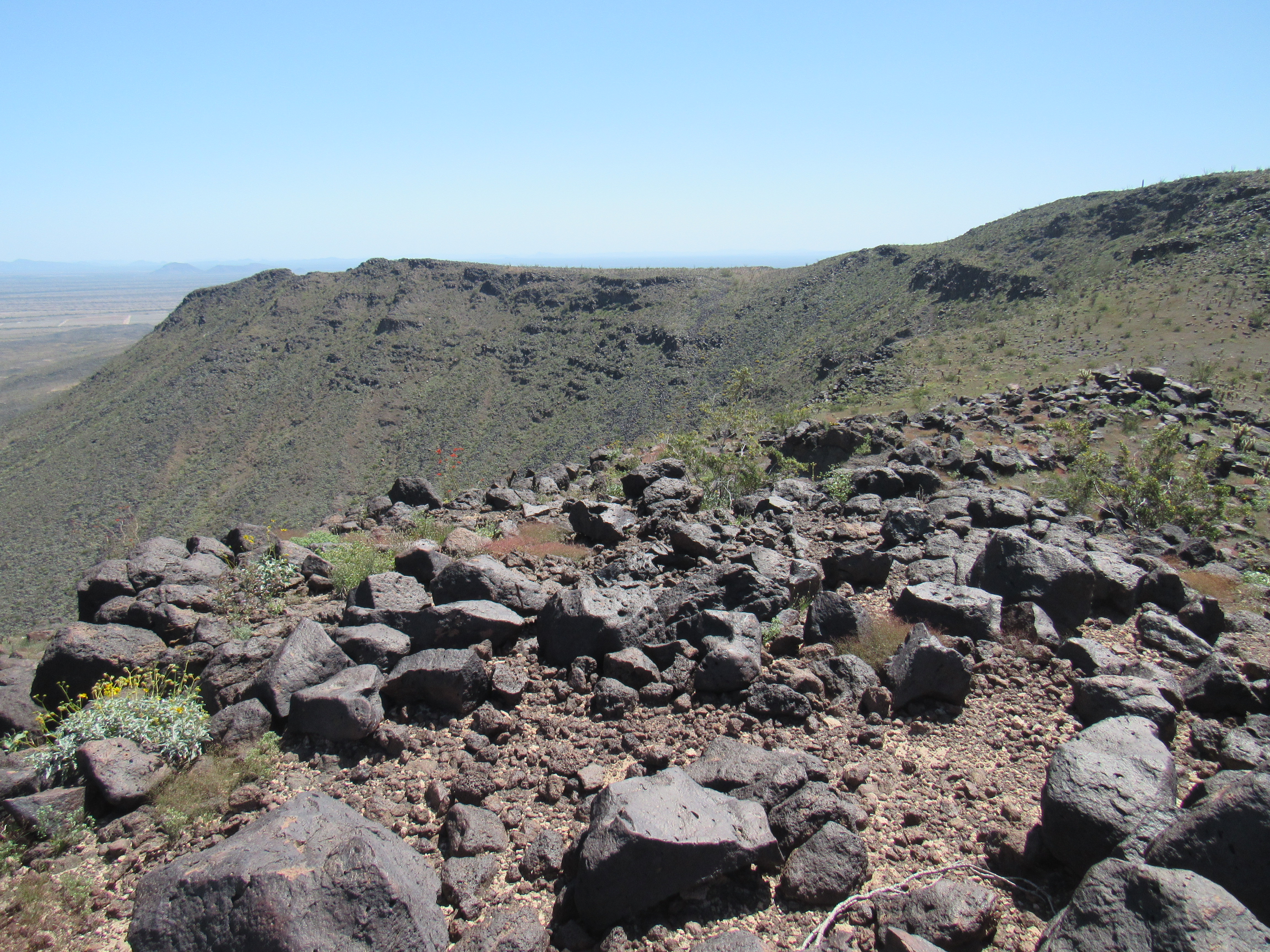
Not far beyond the rock pile, the ridge quickly narrowed and became awkward. I was hoping to stay on it, but was forced off, pushed down into a steep basin to the north. Here’s a good view of the north ridge I’d used to ascend – it’s very gentle for its 5-mile length.
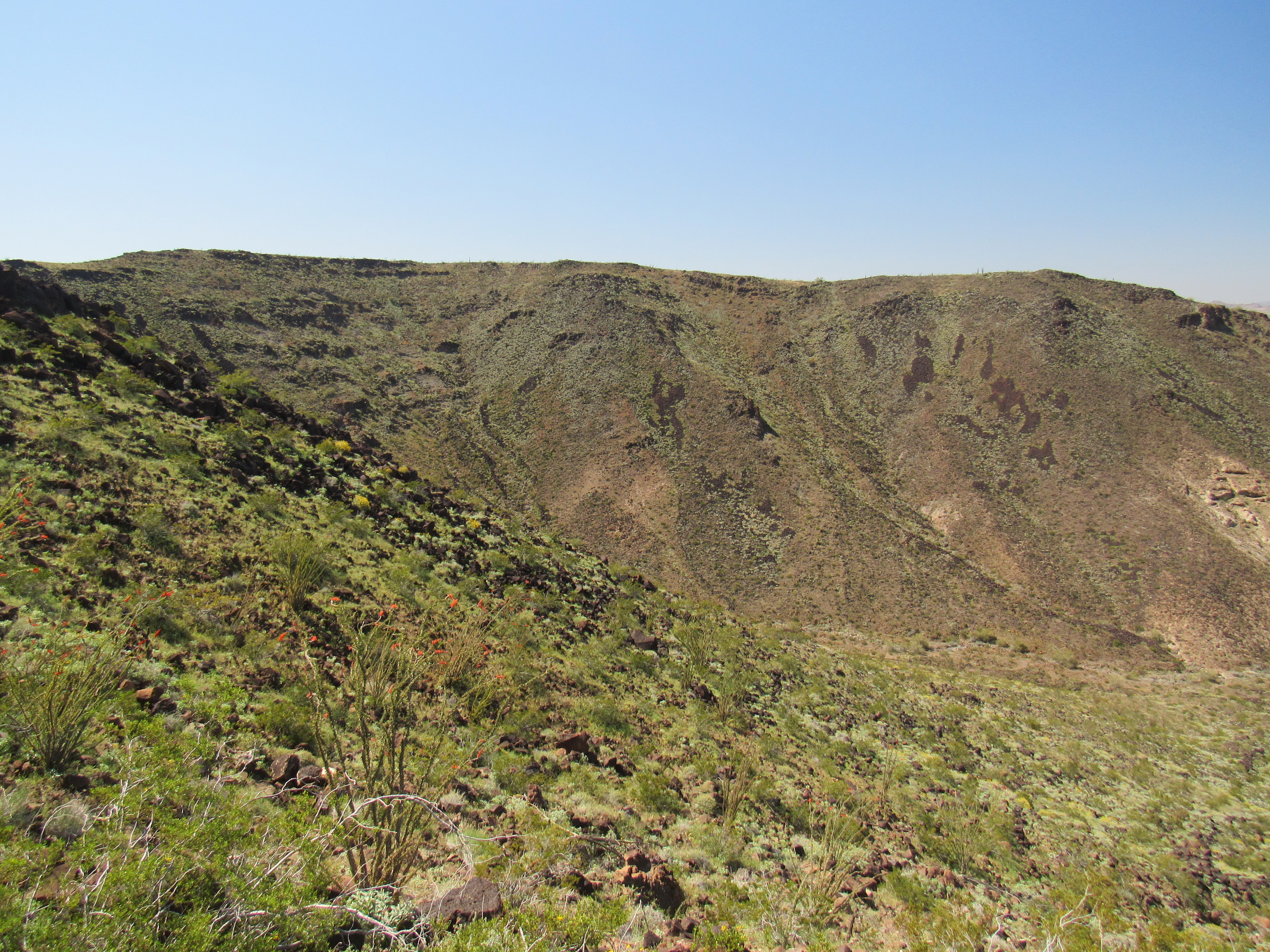
The north ridge
It took a while to switchback my way down the bowl – it was steeper and looser than I had hoped. Eventually, the slope eased and I had this view all the way back to my truck. It’s just in front of the free-standing dark bump near the middle top of the photo, miles out there by itself.
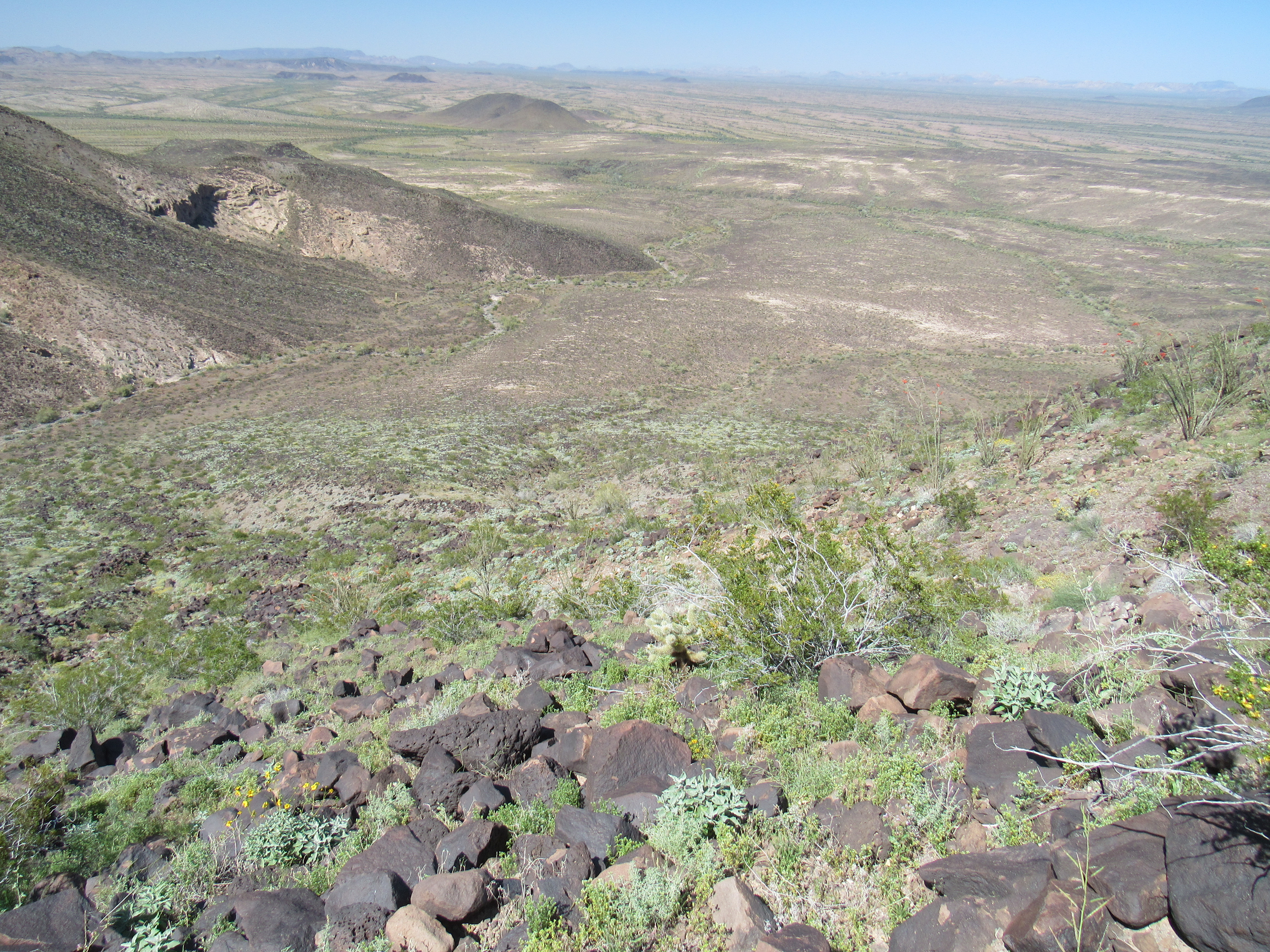
The way home
Once down on the flats, all I had to do was keep walking. The miles and the hours passed – once again, the GPS helped keep me on track, as I couldn’t actually see the truck until I was a hundred feet away from it. Man, it sure felt good to take those boots off my aching feet. It had been a 7-mile day, with just over 1,300 feet of elevation gain, but it felt like more. I spent one more night camped beside Peak 1065, this one without equine interruption.
Stay tuned for the next part of this adventure, to be labeled Climbing With Tyto.