
Please read the story entitled “Climbing With the Doves” before you read this one.
It was my third day in the beautiful Palomas Mountains of southwest Arizona. I awoke to a perfect, cloudless desert morning, another good day to be alive. After packing up camp, I started driving west on a tired old dirt road. I soon reached this nearby wash – those are my tracks from yesterday passing under the bower.
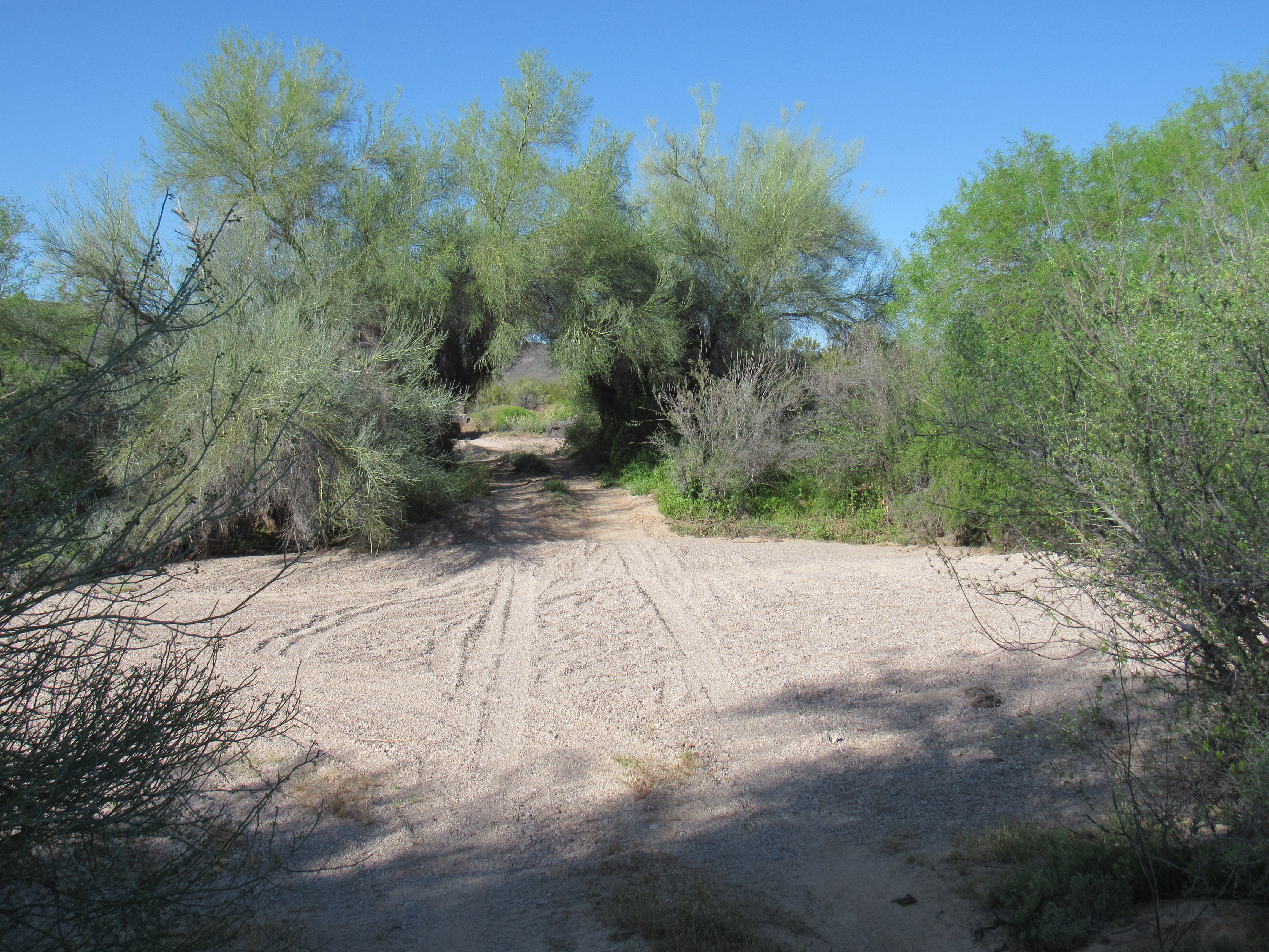
The bower
What would come next would be miles of beautiful desert to the south of the Tank Mountains. I had only driven it once before, two years earlier with climber Mark Adrian, on a Christmas climbing jag where we cleaned out the eastern part of the range. This was a serene drive of 6.3 miles, with a couple of wash crossings that were tricky enough to make it interesting. About a mile before the Yuma Proving Grounds boundary, I reached a faint road that headed south. This was exciting stuff, as few things turn me on more than driving new roads (new for me, that is) out in the remote desert.
I was now driving across what was essentially a flat plain on a tired old road, little-traveled and faint in spots. There were one or two crossings of small washes that gave me pause, but nothing that made me feel that I wouldn’t go back that way if needs be. About 2 miles in, something white caught my eye over to the left of the road. There isn’t much out there that’s pure white, so I stopped the truck to investigate.
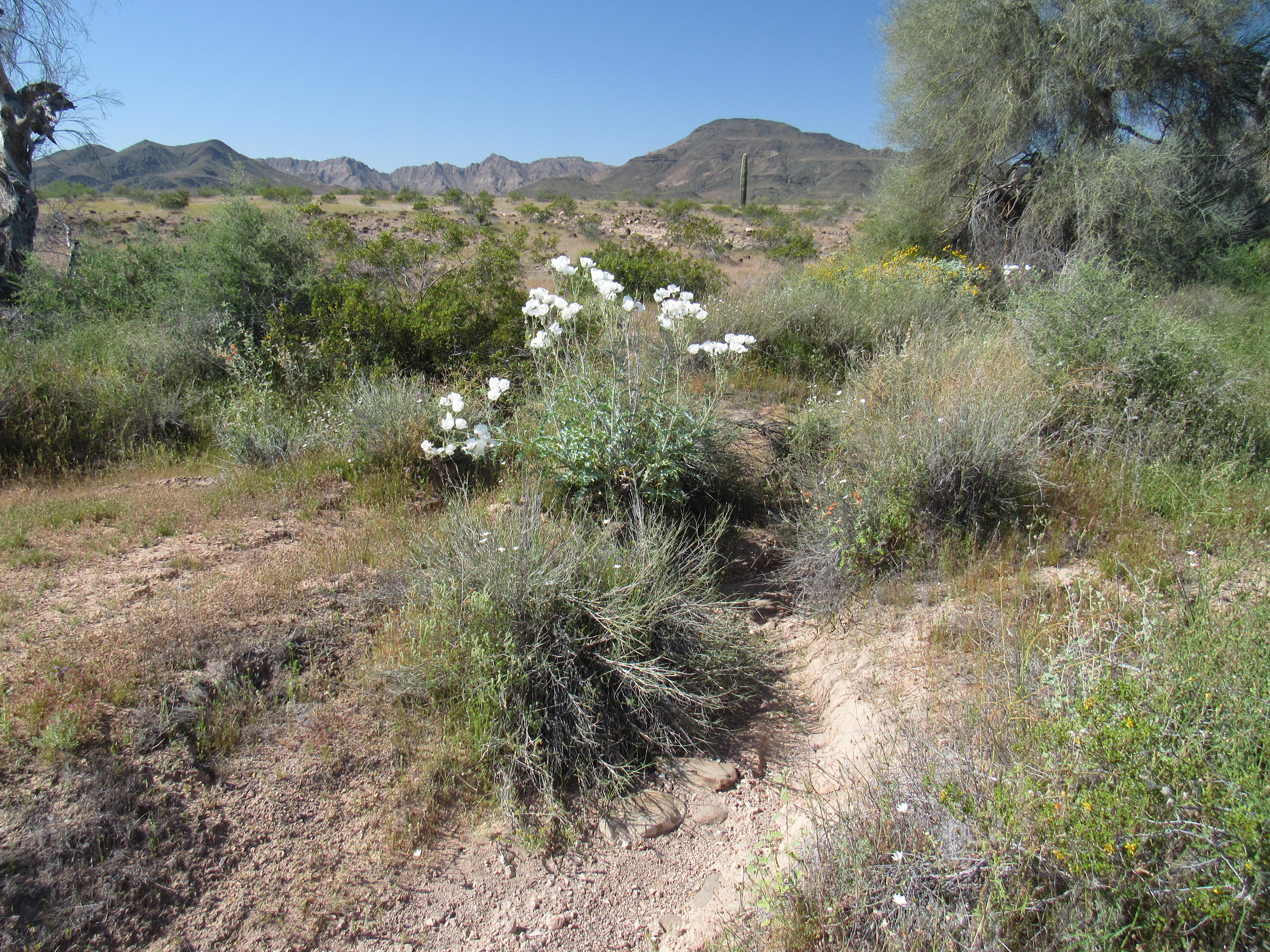
Something white
These were flowers, standing a good 3 feet tall. I went up close and took a photo looking down inside them, and saw many tiny bees. Some of their legs were so thickly covered with orange pollen that I doubted their ability to fly out of the flowers. It turns out that these are white prickly poppies, also known as chicalote. The large petals are very soft and delicate.
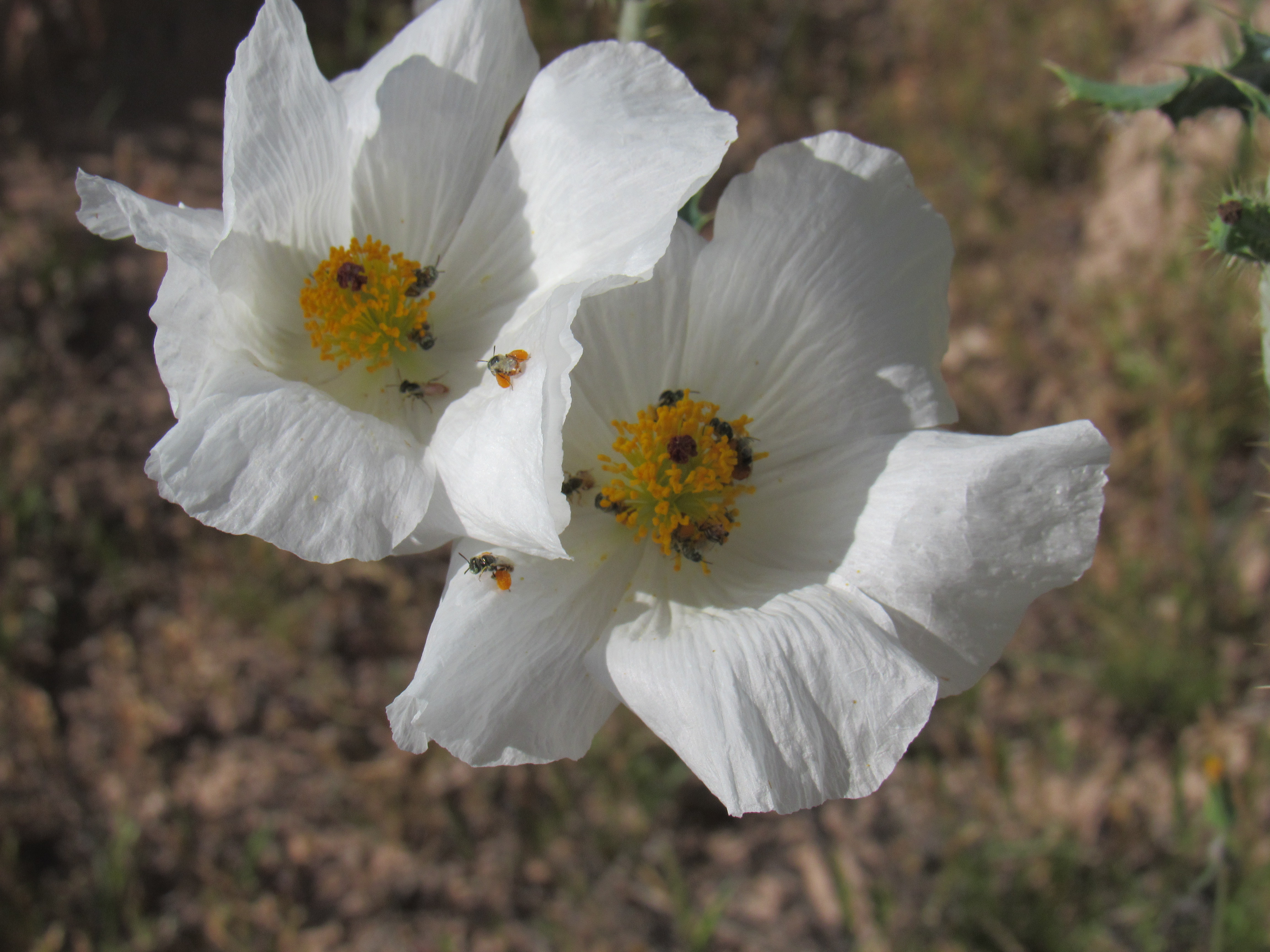
Bees inside
While stopped, I snapped this photo of the old 1988 Toyota, my trusty steed. It has to be trustworthy, because a failure out here could cost you more than money.
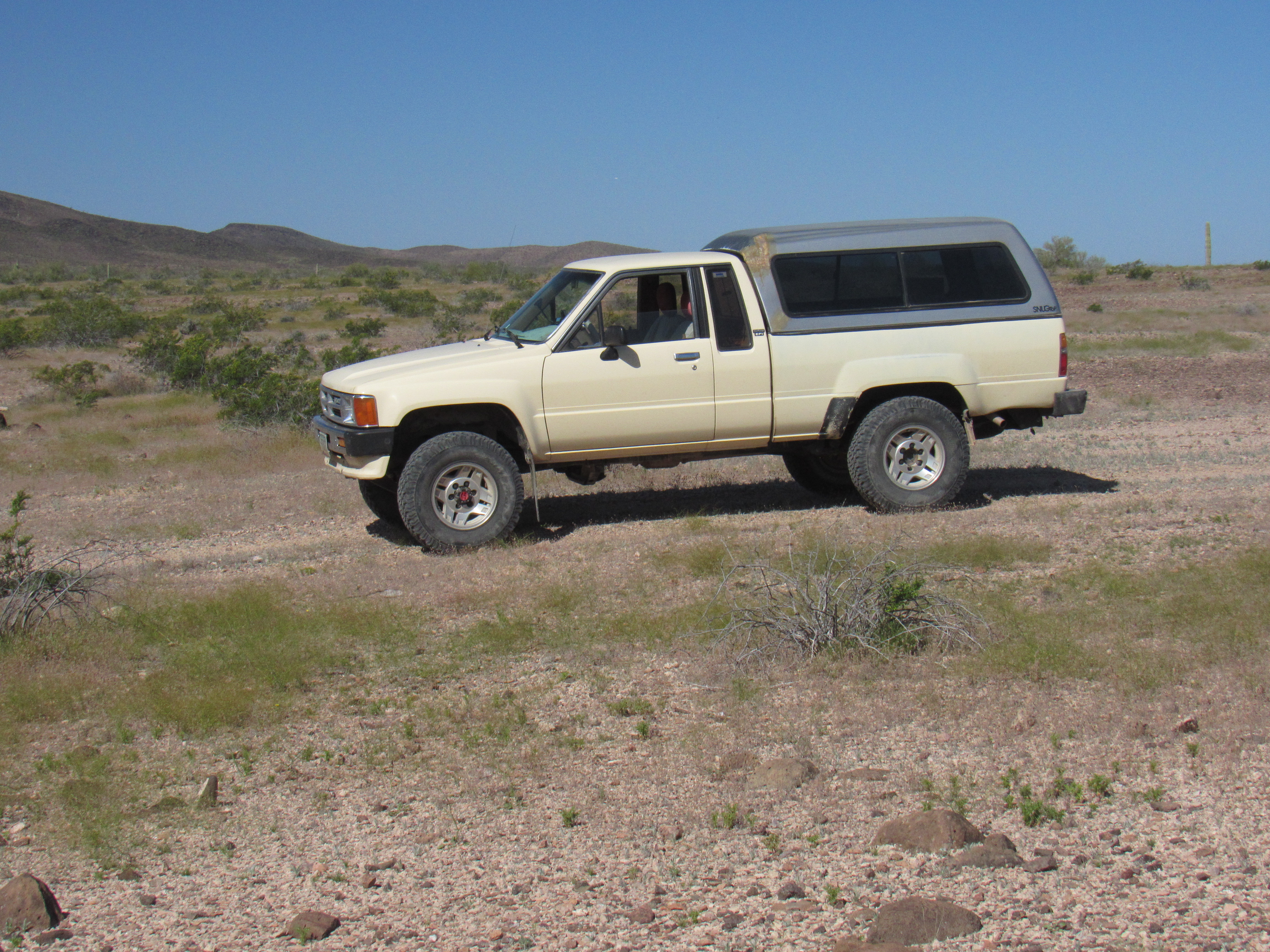
The old ’88
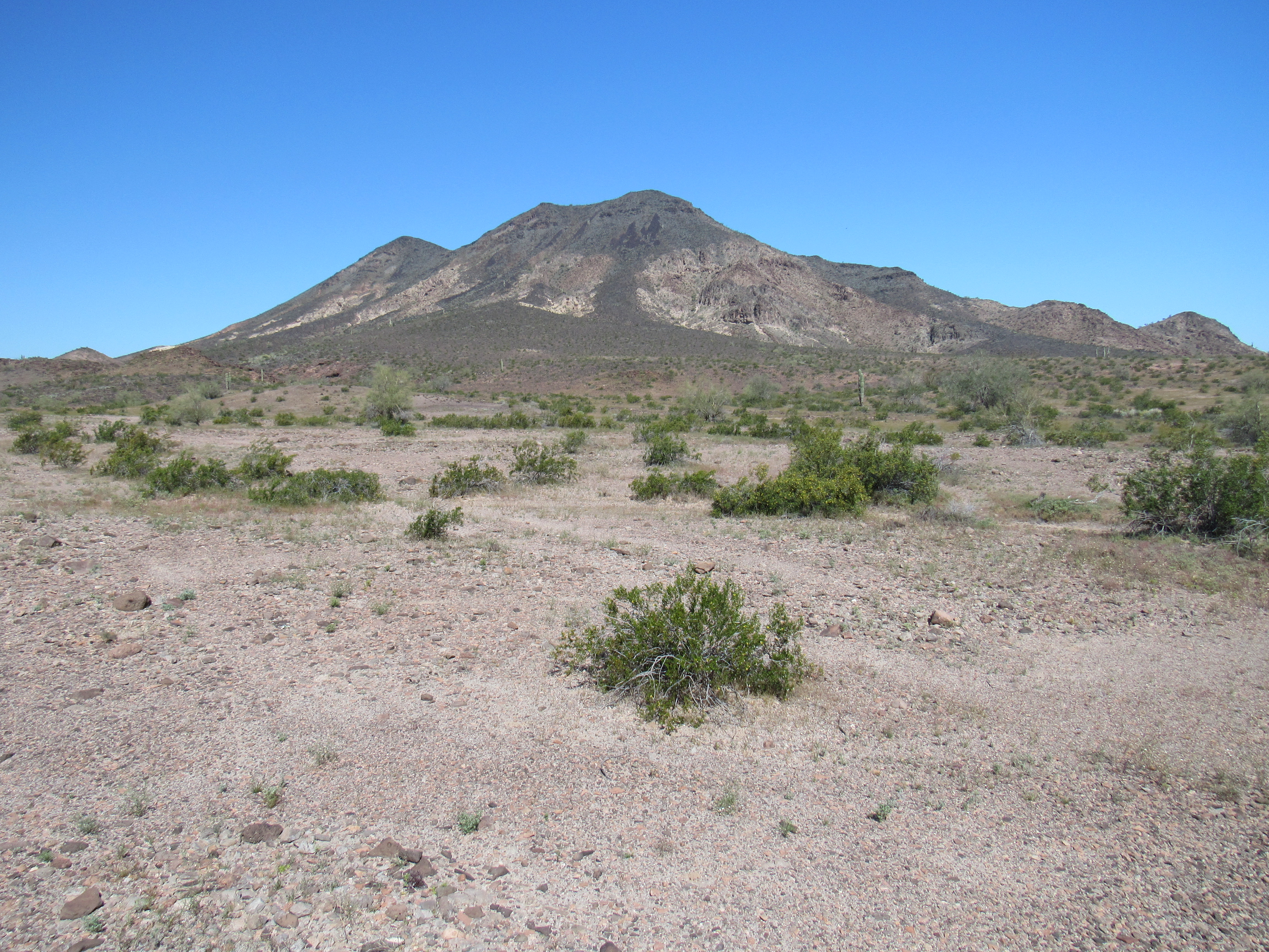
As I continued south across the plain, I was approaching the Palomas Mountains. There were excellent views of some of the highest peaks, like these. This first one is Peak 1889 – it’s a bulky thing, miles across.
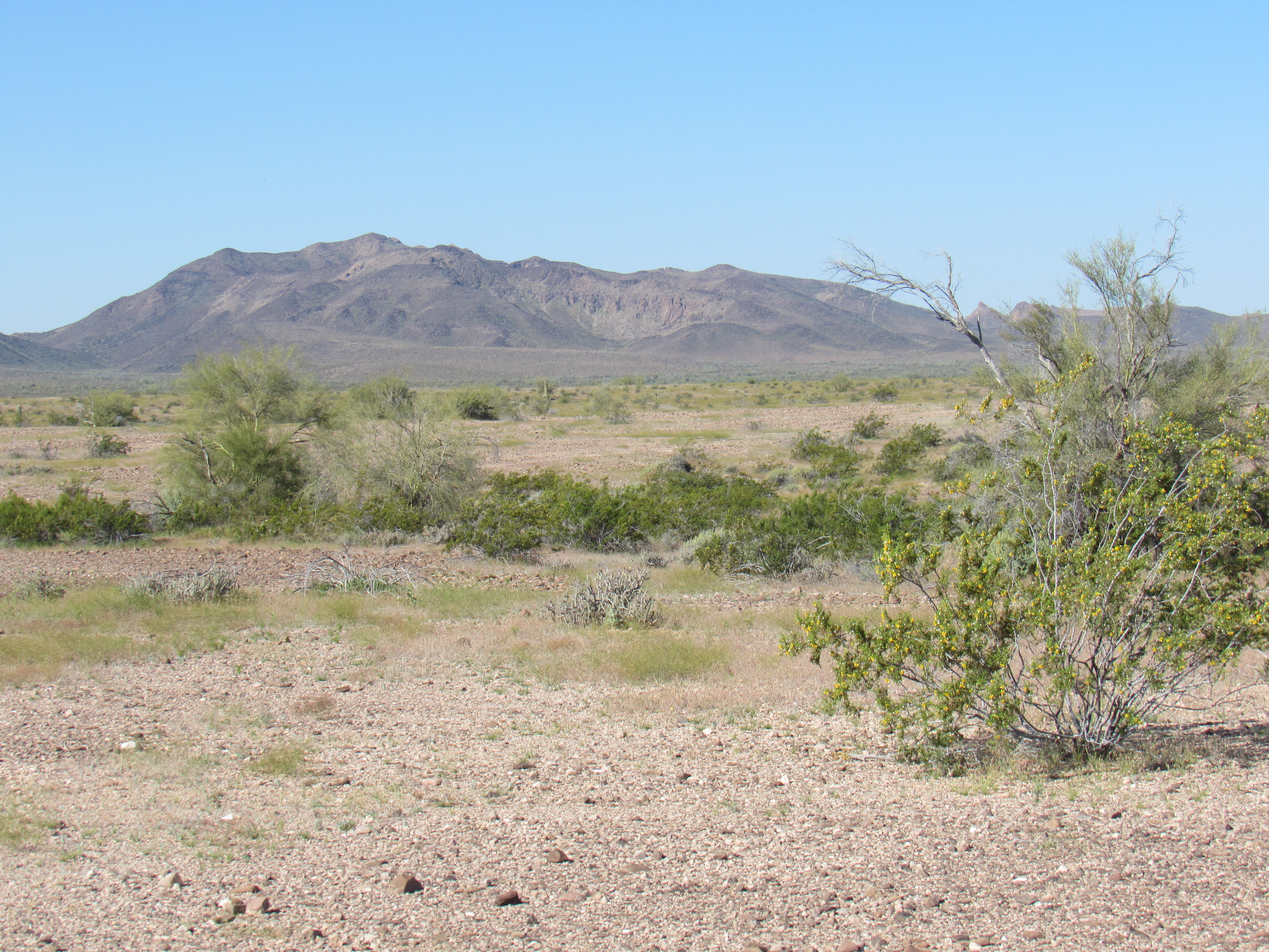
The north side of Peak 1889
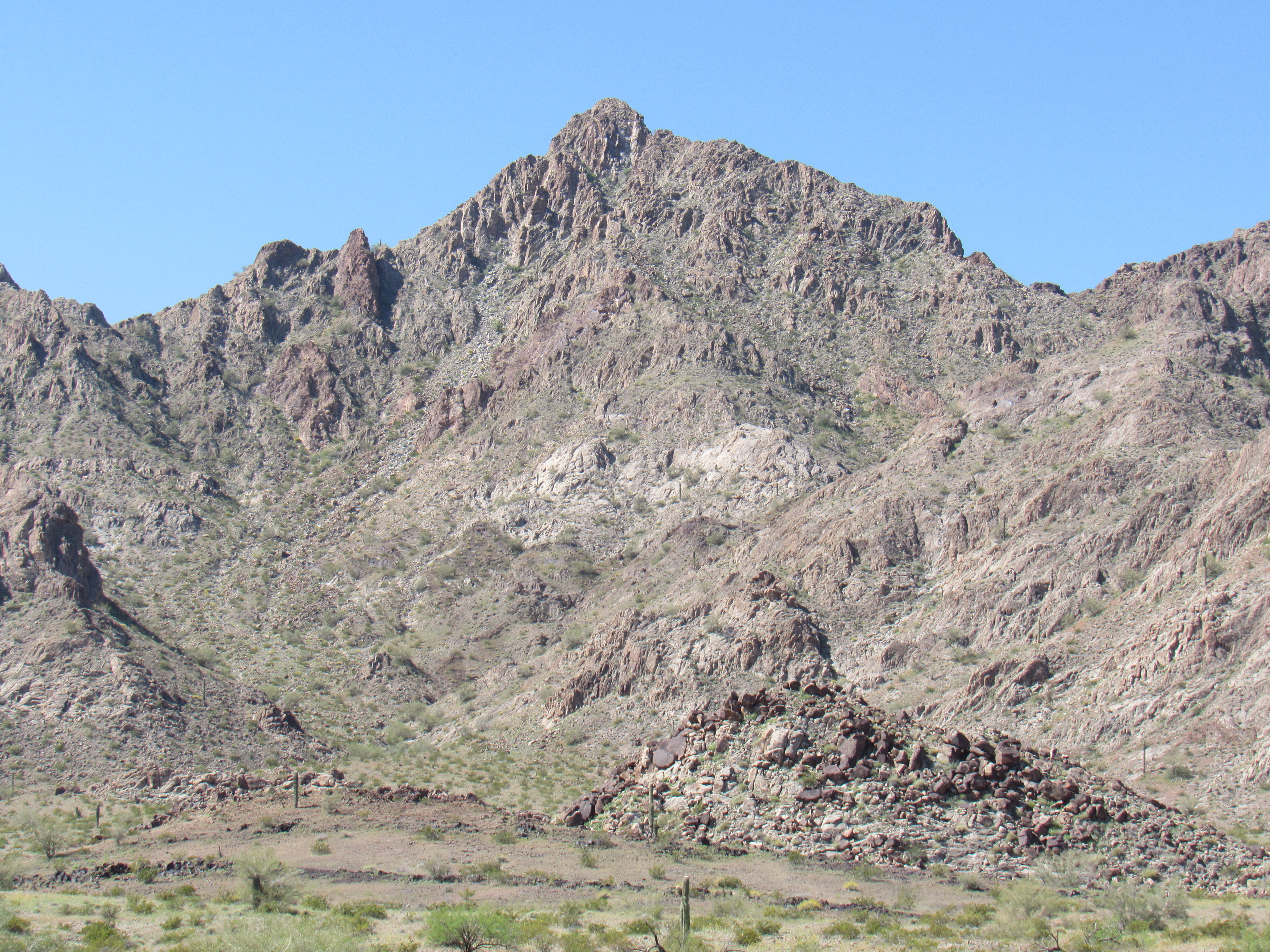
Another good view was this one, of Peak 1895.
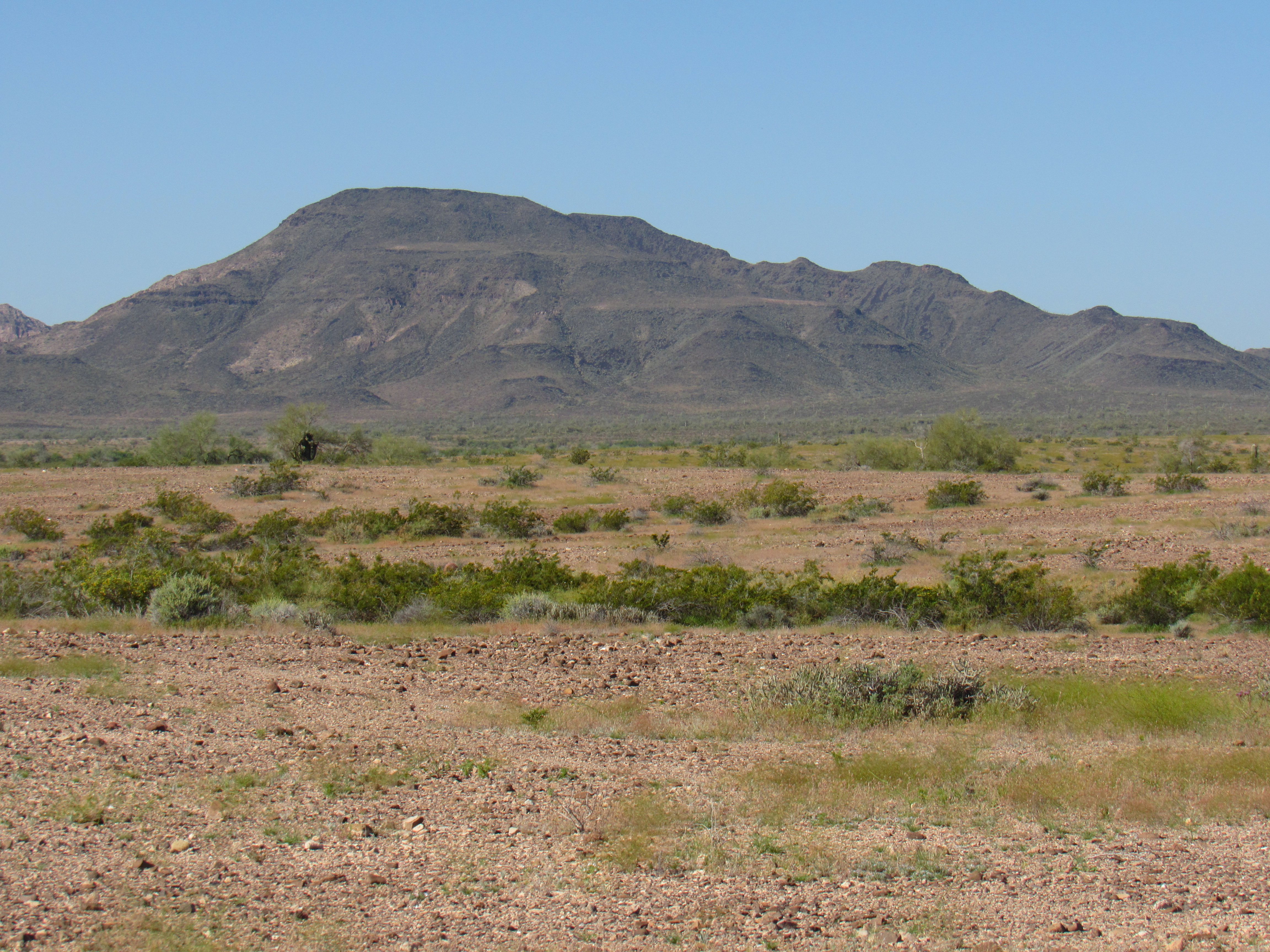
The north side of Peak 1895
Eventually I made it all the way over to the range and crossed a low pass at 900 feet elevation – just beyond that, I found myself in the heart of the Palomas Mountains. I parked and surveyed my surroundings – what a spot, surrounded by beautiful peaks! Since it was only 10:30 AM, I had plenty of time in which to climb something. After unpacking the truck and eating a sardine lunch, I made ready to tackle a nearby peak. This was the nearest and easiest one I could do.
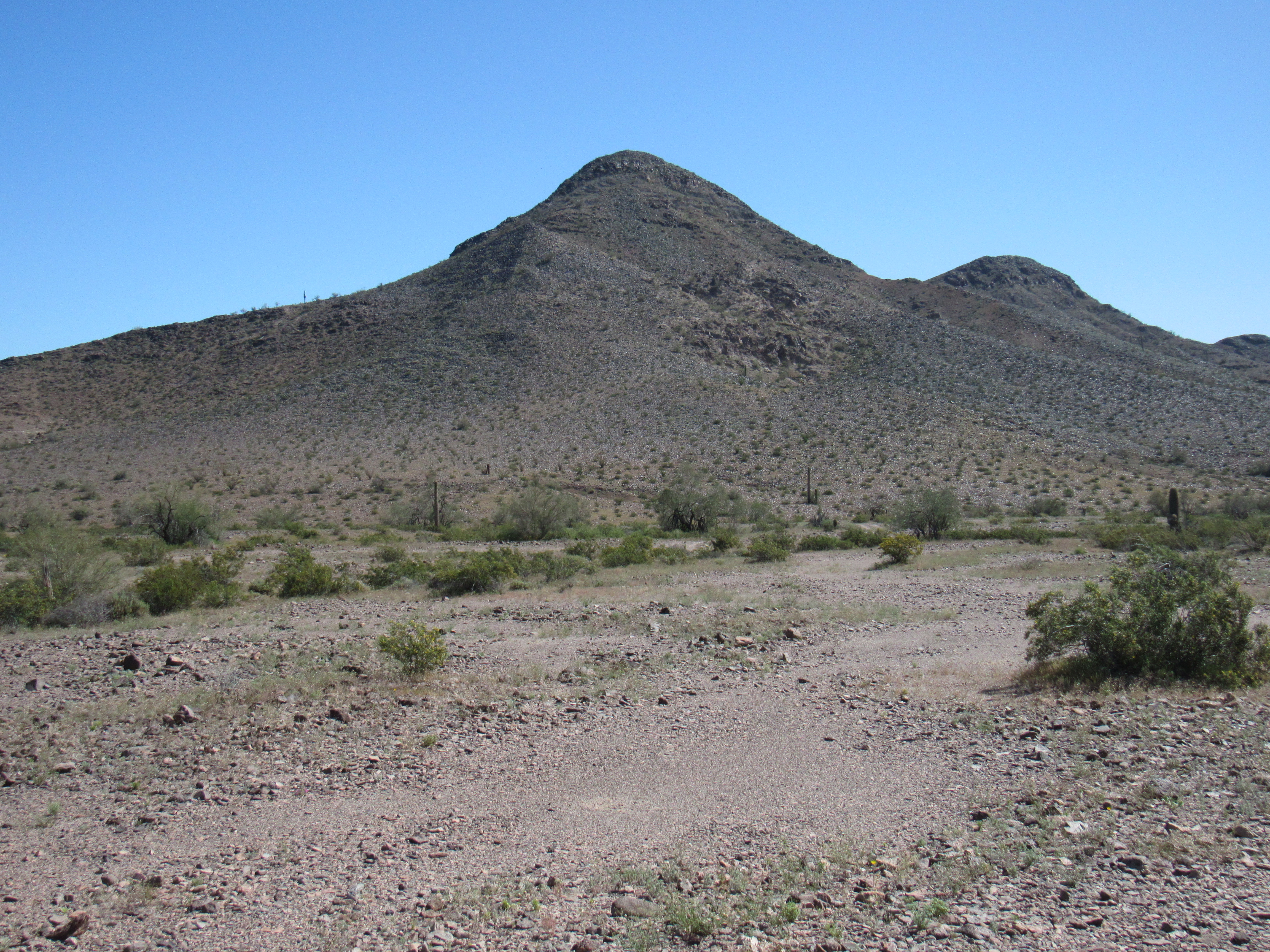
The southwest side of Peak 1539.
I headed out and worked my way up the southwest side, then traversed over to its south slope and up from there. It took me 2 full hours to reach the top, even though it was so close to where I’d parked. The register was easily found in the cairn on the summit, and it contained 3 prior entries. The first ascenders were Barbara Lilley and Gordon MacLeod, back in 2004. Next came Mark Adrian in 2015, and finally someone named Brett Meyer in December 2019. He was a sheep hunter who, as he indicated, had been successful. There had to be an easier and less complicated way to descend, so I had a good look around. The north side looked pretty good – here’s what I saw.
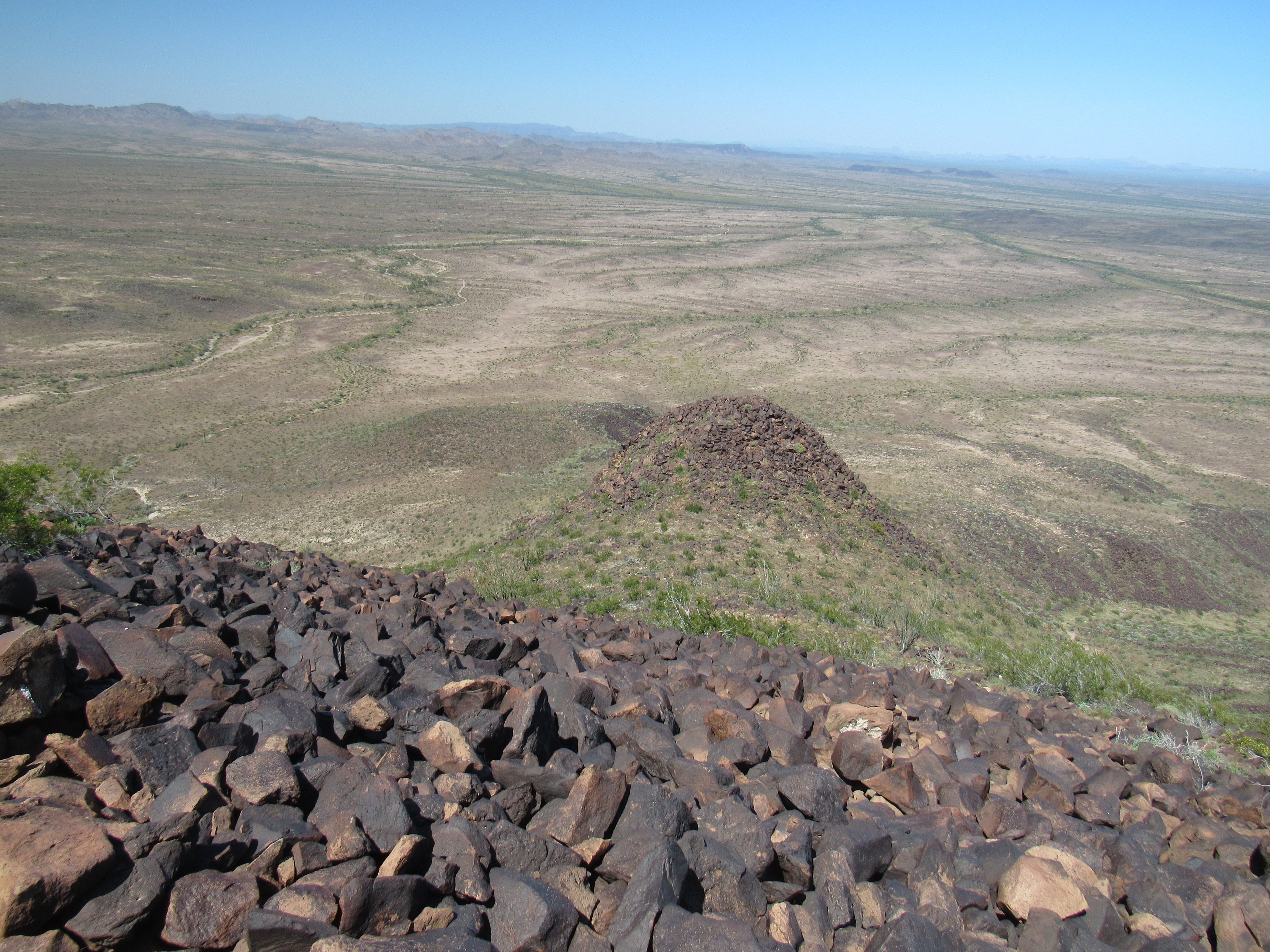
The north side
It was a good route, and worked well. It took me exactly 2 hours to reach the top, where I spent 35 minutes. The trip back down was an hour and 15 minutes. All in all, almost 4 hours – pretty slow, all things considered. It was still early, so I sat in the shade of my truck and sipped a beer while I admired the scenery.
I had a bit of history with this place. Way back on December 2nd of 1989, I came in here from the south, alone, and climbed Peak 1895. The place showed no sign of any previous climbers, so I left a register. Here’s the side of the peak I climbed back then.
Peak 1895 on the north side of the valley.
Ah, those were the good old days. At that time, I felt it was the range high point as it had a spot elevation which was something to be relied upon. Years passed, and I met fellow peakbagger Dave Jurasevich. He brought up the fact that a rival peak across the valley to the south interpolated to the same elevation – 1,895 feet. Since it could rightly be as high as its sister peak across the valley to the north, the one with the spot elevation, it needed to be climbed. On February 3rd, 1997 we made the ascent – several had preceded us to the summit. One thing that stands out in my mind about the climb is the exposed Class 3 near the summit, at least by the route we chose. Here, have a look at the “other” Peak 1895, the one on the south side of the valley that we climbed that day.
This is the north side of the Peak 1895 which sits on the south side of the valley.
Compare the previous 2 pictures. You can see how the peaks on the north side of the valley are gentle and rounded, whereas those on the south side are steep and rugged. It’s almost like they are 2 different mountain ranges. Here’s another view of the south side, a no-name ridge which is nothing short of one long wall of cliffs.
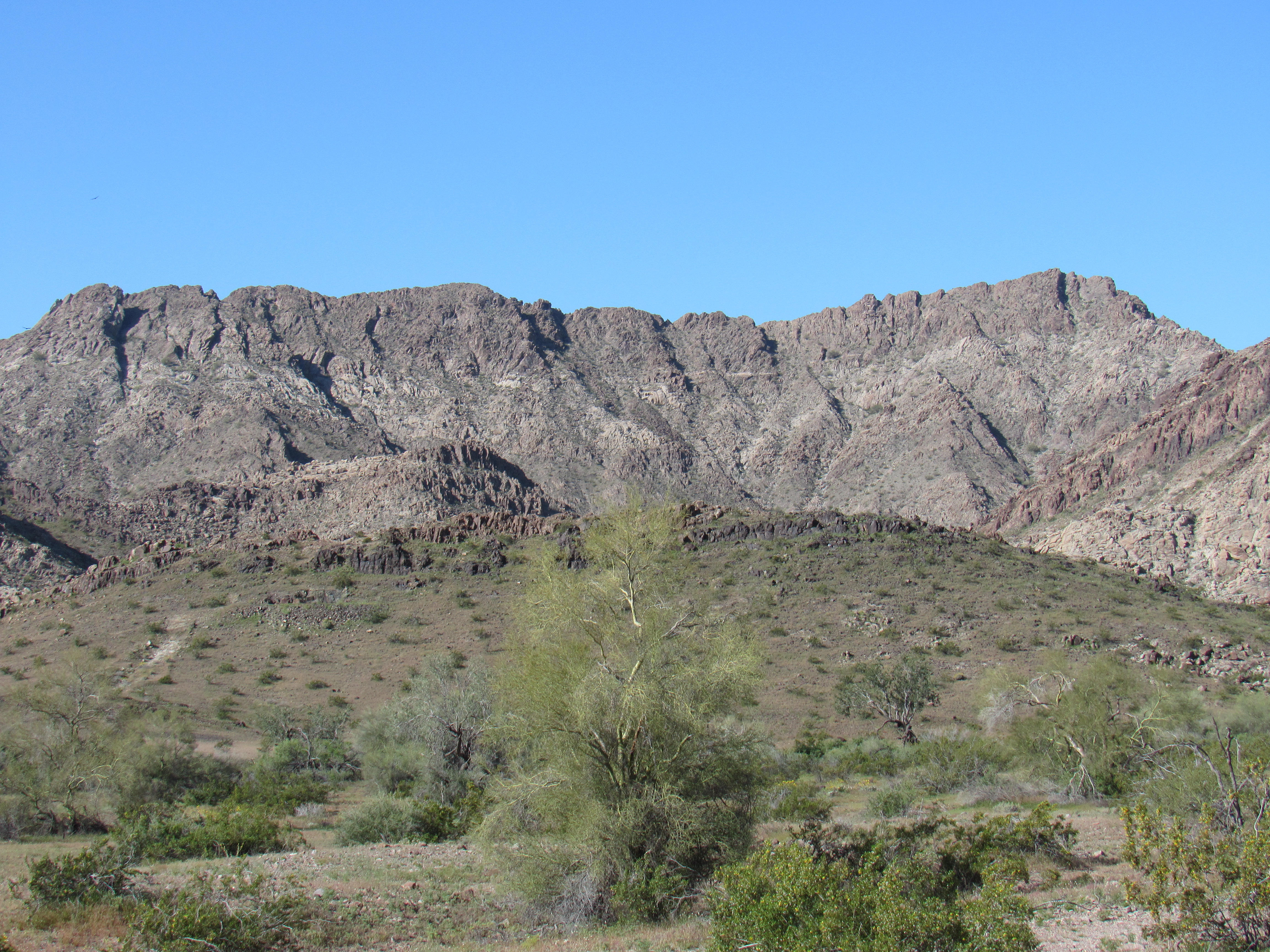
The ridge
Okay, so that’s my history with this place, now back to the present. I spent the rest of the day just taking it easy. Something that surprised (and pleased) me was the fact that I could make a call home on my cell phone. I must have picked up a cell tower to the south along Interstate 8 through a gap in the mountains.
The next morning, I drove a little farther down the valley and parked for my next peak. It was just after nine o’clock when I set out. I walked a short distance to a gentle saddle at just over 900 feet elevation where I found this laying on the ground. It was the instrument package of a weather balloon. I was able to contact an expert in the field, and he shared the following information with me:
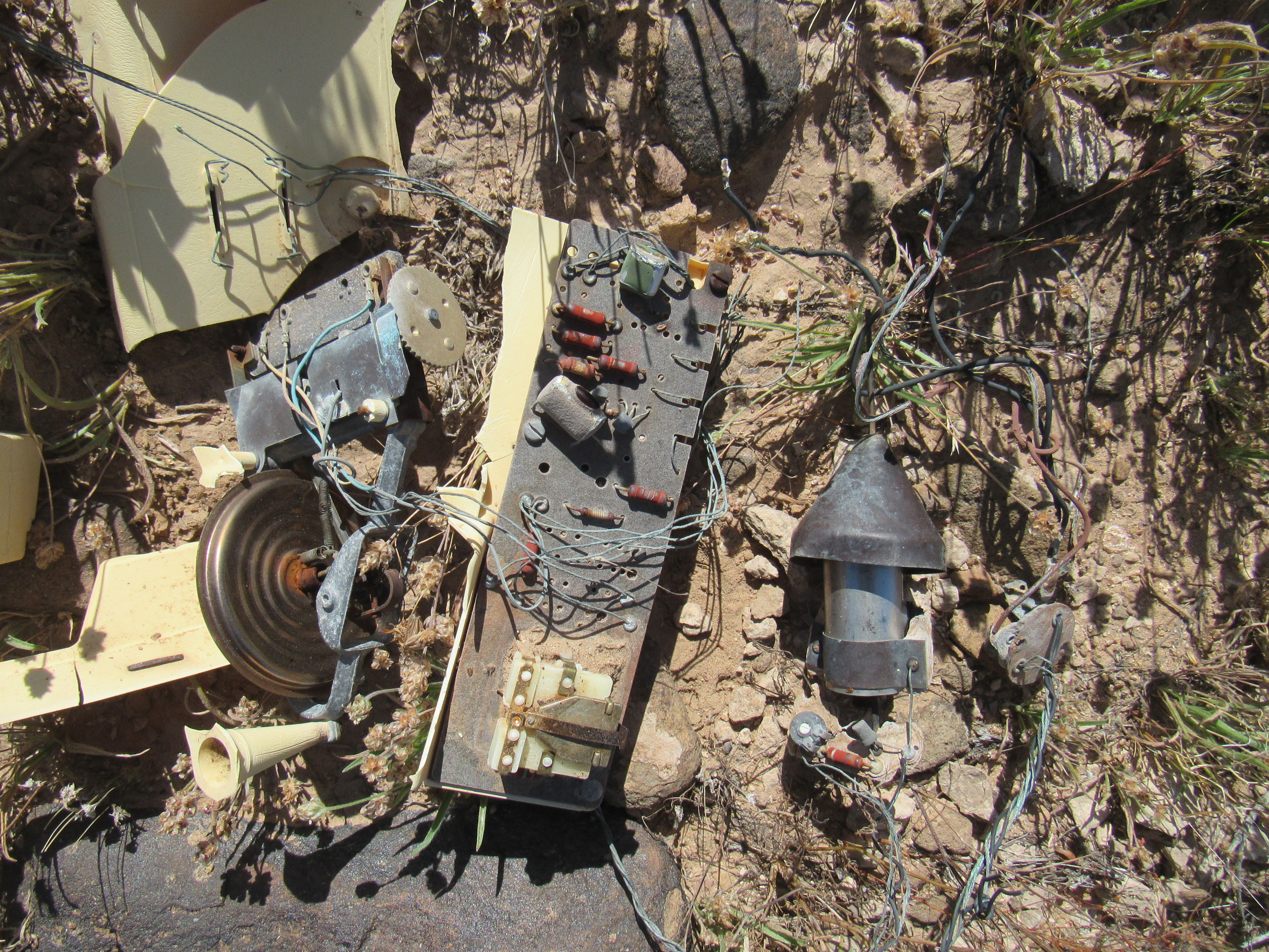
What’s left of the weather balloon.
I slowly plodded my way up the remaining 550 vertical feet to the top of Peak 1485 via the northwest ridge. There, I found the register buried inside the cairn. It too had been left by Barbara Lilley and Gordon MacLeod back in November of 2004. In early 2006, three students had followed in their footsteps, then Mark Adrian in 2015. Not a busy place. I signed in and headed back down. Back at the saddle where I found the weather balloon, something caught my eye – a snake, the first one I’d seen this year. I guess things had warmed up enough that they were coming out of hibernation. This one was a real beauty, a California kingsnake.
These snakes come in a wide range of color variations, but the one I saw was a glossy black with distinct white bands. He wouldn’t sit still long enough for me to get a good picture, instead moving into some brush. The only pictures I could get were poor at best, like this one of his back end. This was the first one of these snakes I’d ever seen.
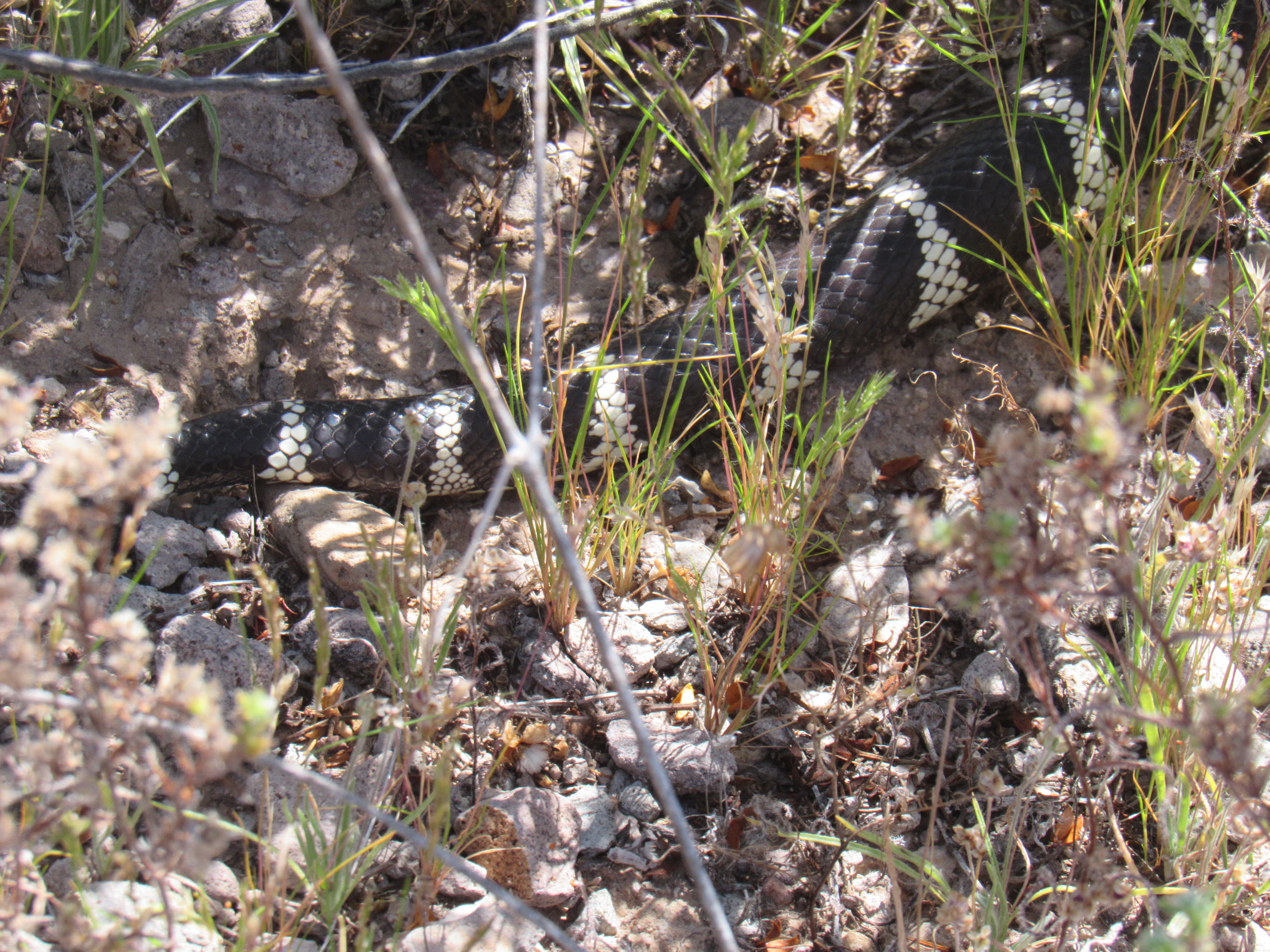
California kingsnake
I finally left it alone and headed back down to my truck. En route, these bones caught my eye. There were bits of hair still attached, and I think I saw a hoof, so I’m guessing it was what was left of a deer.
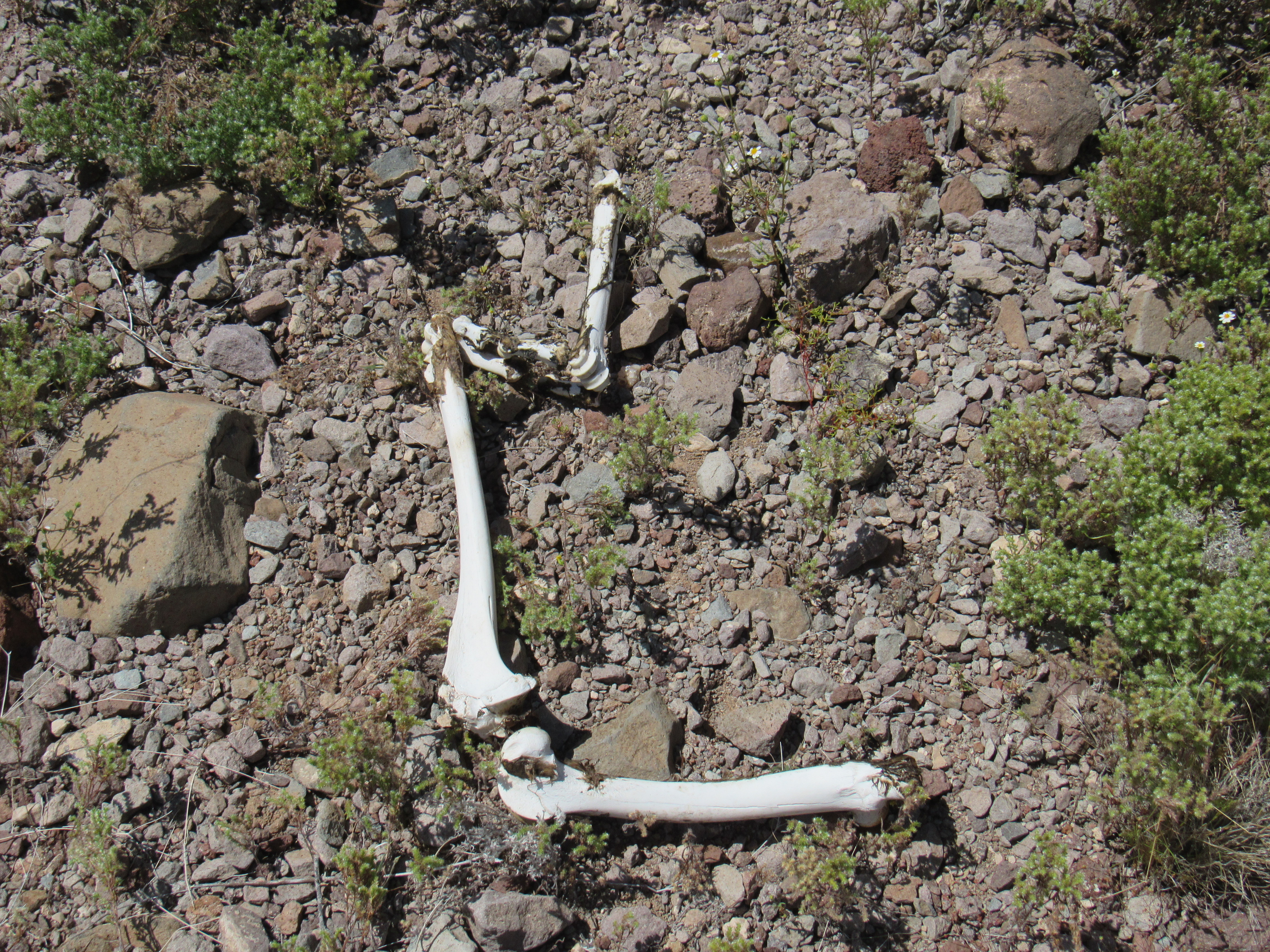
Dem bones
Once back at my truck, I was surprised that I had taken almost 4 hours to make the climb. Stopping to visit the balloon, snake and bones had eaten up a chunk of time, I reassured myself. Here’s a look back at the peak I’d just climbed – I went up the left-hand skyline.
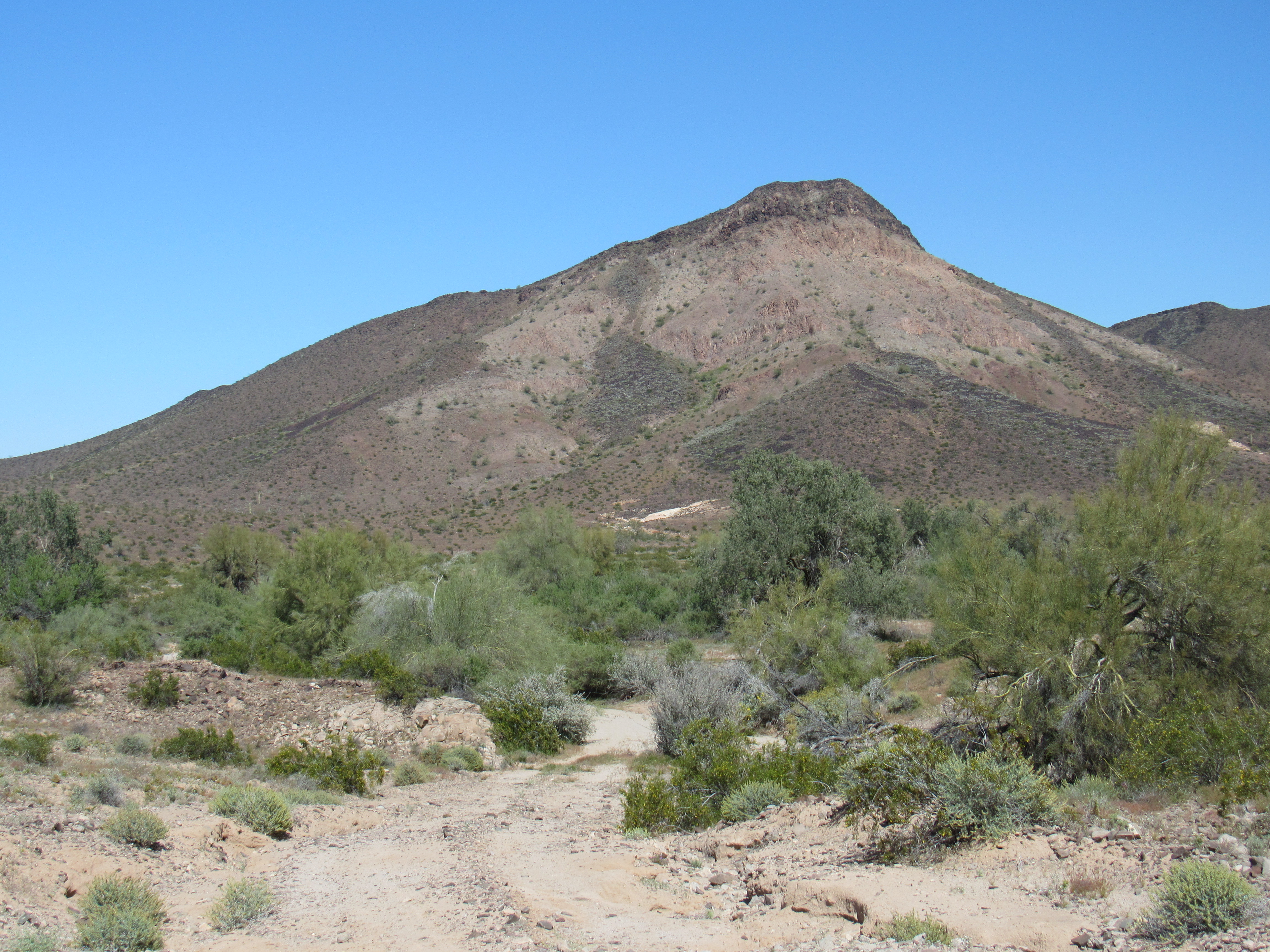
Looking at Peak 1485, its southwest side.
From high up on the mountain, I had spotted a road going up a side canyon. It wasn’t on my map, so I thought I’d explore. Once I’d reached the end of the short road, I discovered what they call a guzzler, a place where rainwater is collected for wildlife. The concrete drinker was filled with water, providing a secure water supply for animals in this parched section of desert.
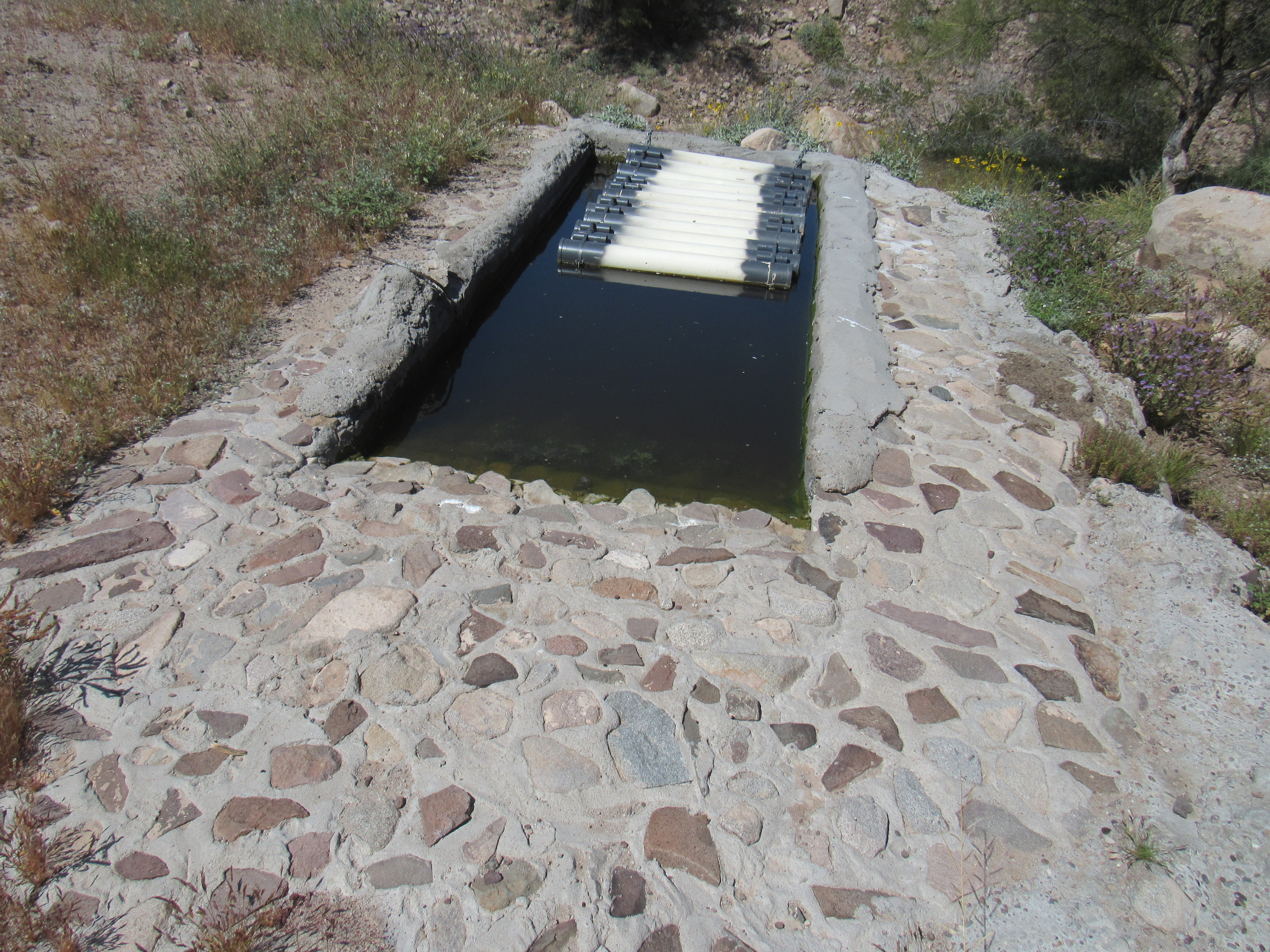
The drinker.
Rainwater runs down the rocky mountainside into a carefully-chosen spot where it is channeled into pipes which in turn take it into two 5,000-gallon underground tanks. Here is a picture of part of that. The big tank you see on the right is no longer a part of the system, but you can see two pipes coming towards us and then going underground. Each of those pipes goes to one of the underground tanks.
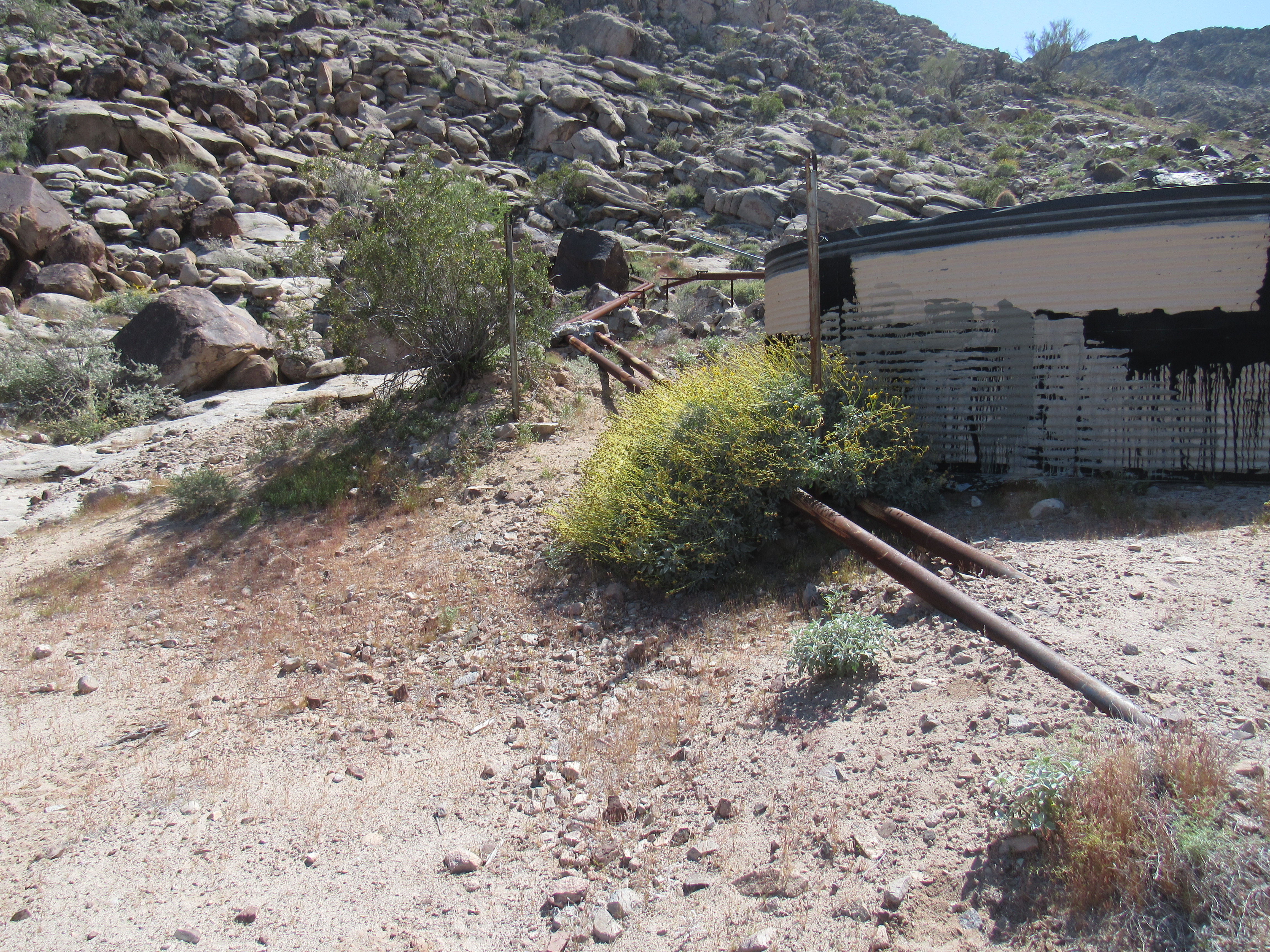
The pipes
These water catchments are strategically placed throughout the desert to provide a reliable source of water for animals. I’ve used these water supplies myself in quite a few places, and they have been real life-savers.
On my way up to this spot, I passed an old mine which was shown on my map and labeled “England Mine”. Records indicate that this was a gold-iron-copper occurrence. Mineralization is a quartz vein deposit. Alteration included weak silicic alteration, weak to moderate clay alteration of feldspars, and chlorite-limonite replacement of mafic minerals. Chrysocolla and hematite were the main minerals found here. Like most mineral showings, this one didn’t amount to much of anything. Certainly, nobody made their fortune here.
I like poking around these old mines, carefully, as you never know what you will find. The first thing I saw was this.
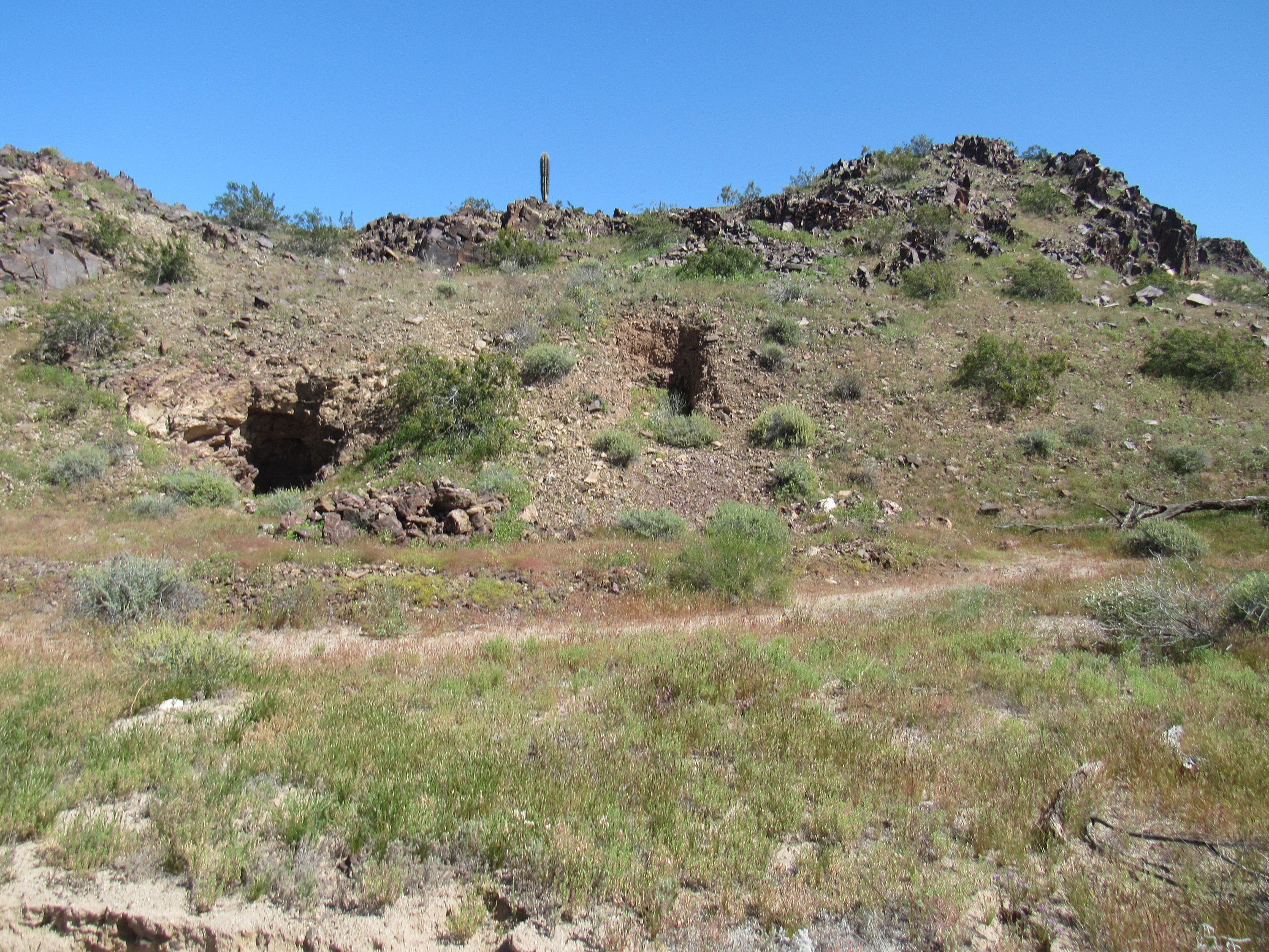
The hillside
I had a feeling that there was more to it than just that, so I climbed up a hillside for a further look. There, I saw a vertical shaft which I approached carefully.
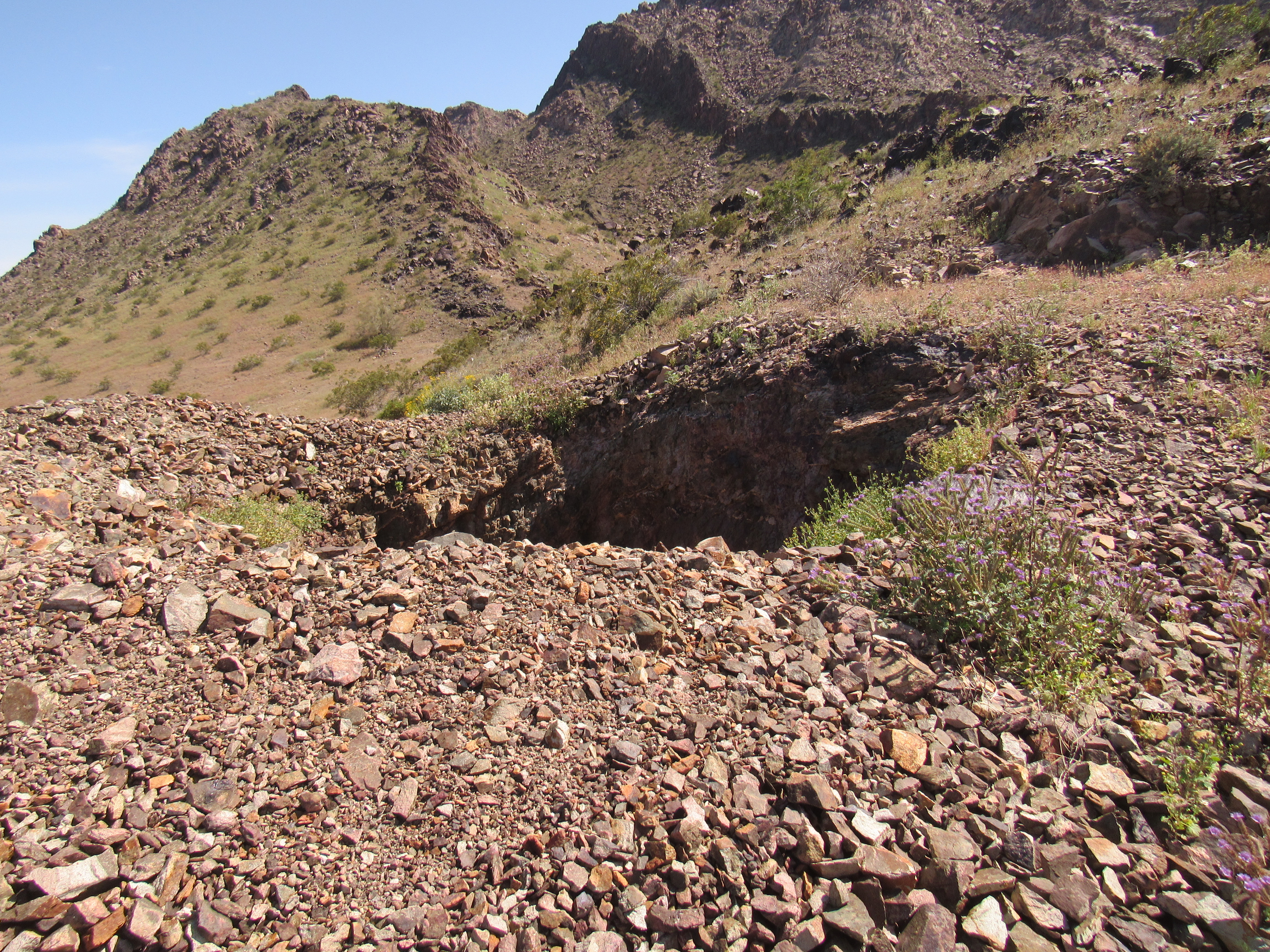
The shaft
After a lot of looking online, I learned that there had been 2 vertical shafts here at the England Mine – one of 50 feet, the other of 100 feet. The one I’d just found was the deeper one, 100 feet – imagine, as deep as a 10-story building. I approached the edge of it carefully. God help you if you slipped on the loose edge and fell in – if the fall itself didn’t kill you, poisonous gases might. One thing is certain, though – nobody would just happen by to rescue you.
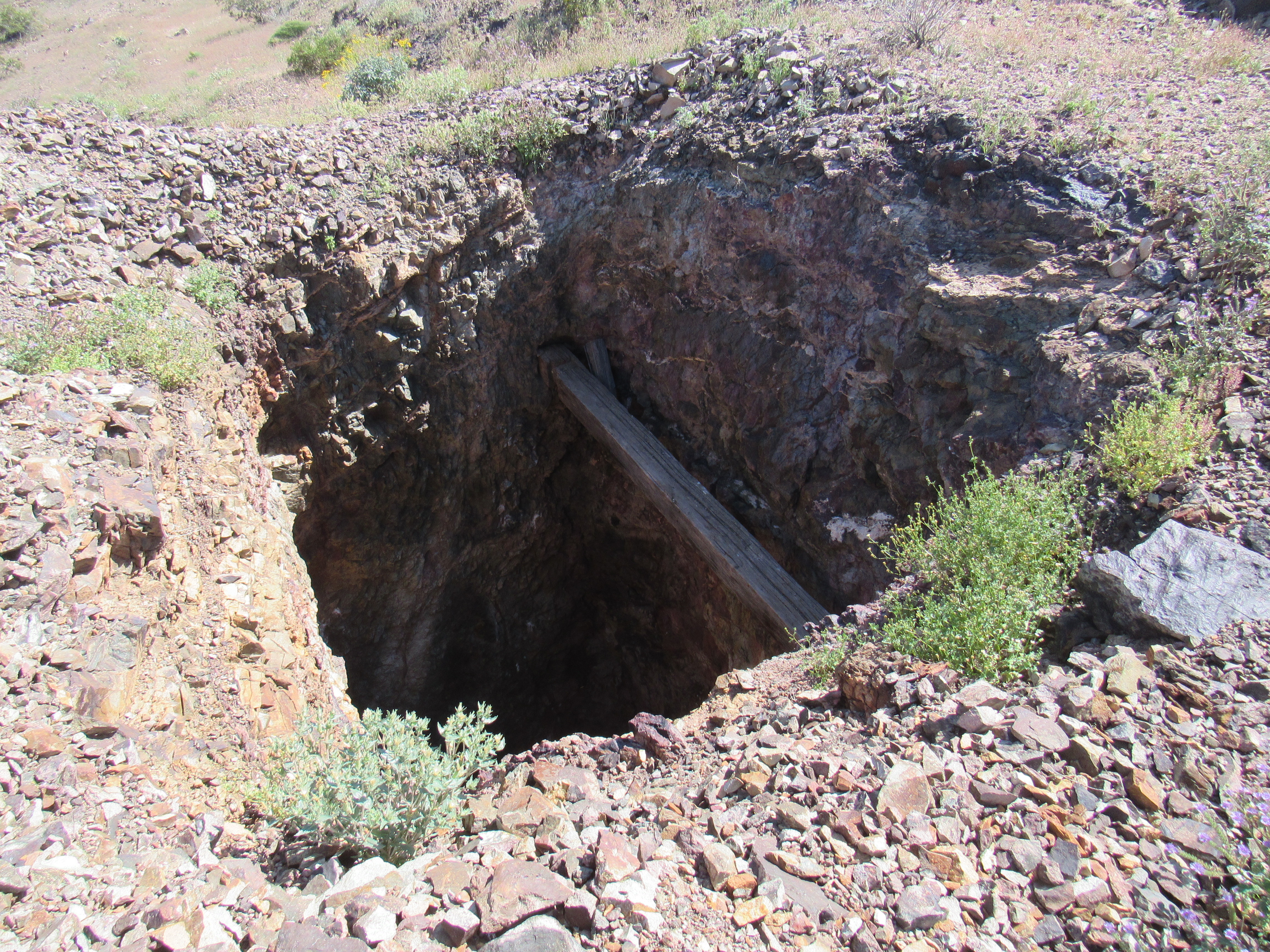
Looking in
When I peered over the edge, my heart was in my throat. I’m curious enough to have a look down into these shafts, but they still scare me to death. I was able to see pretty far down, but not to the bottom – I didn’t want to get that close to the edge. As I was looking down, something caught my eye, something that seemed out of place. Here was the view I had.
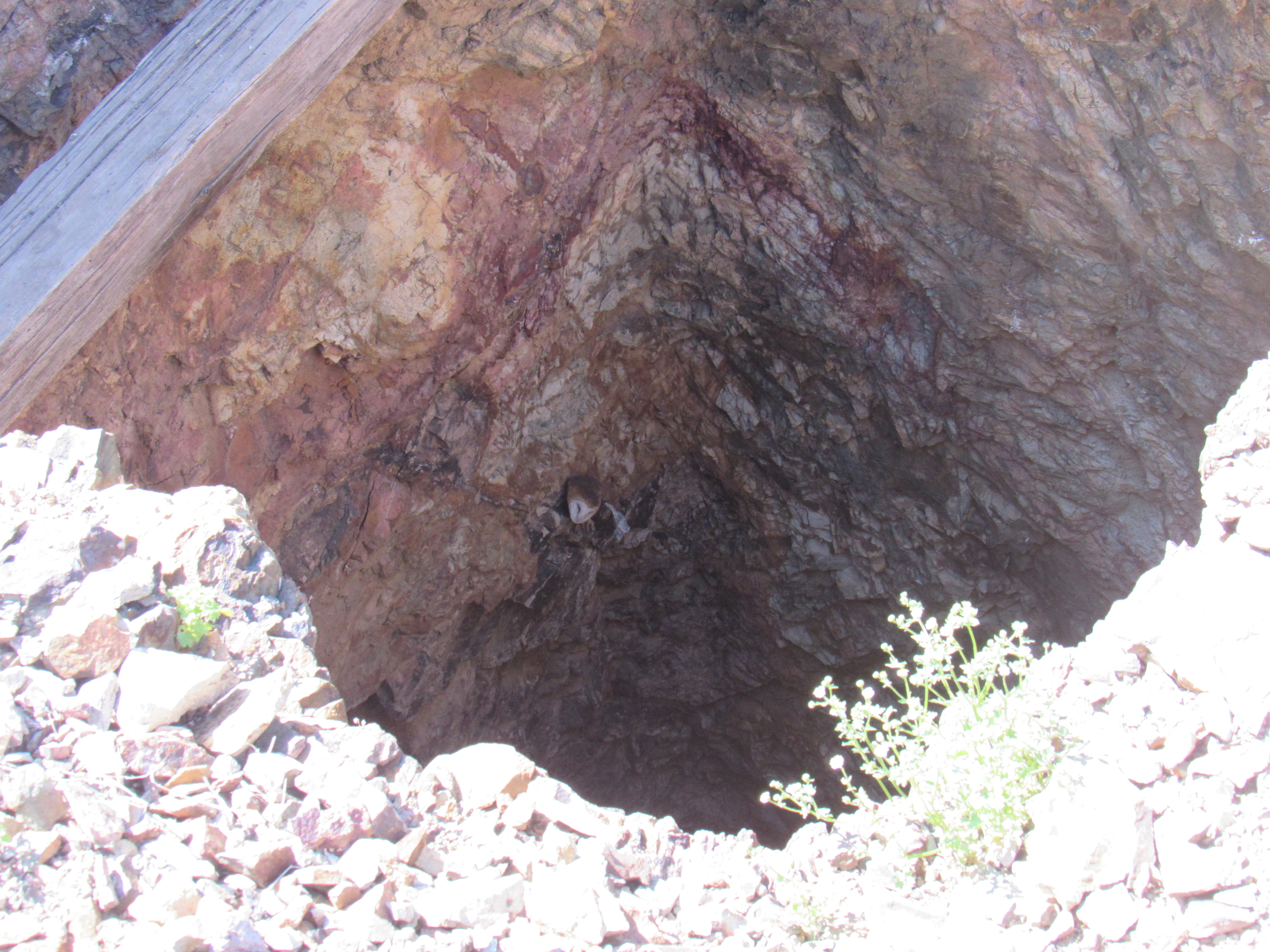
Do you see what I see?
Have a look right in the middle of the photo on the wall of the shaft – do you see the white object? Here’s a zoomed-in shot of the same thing.
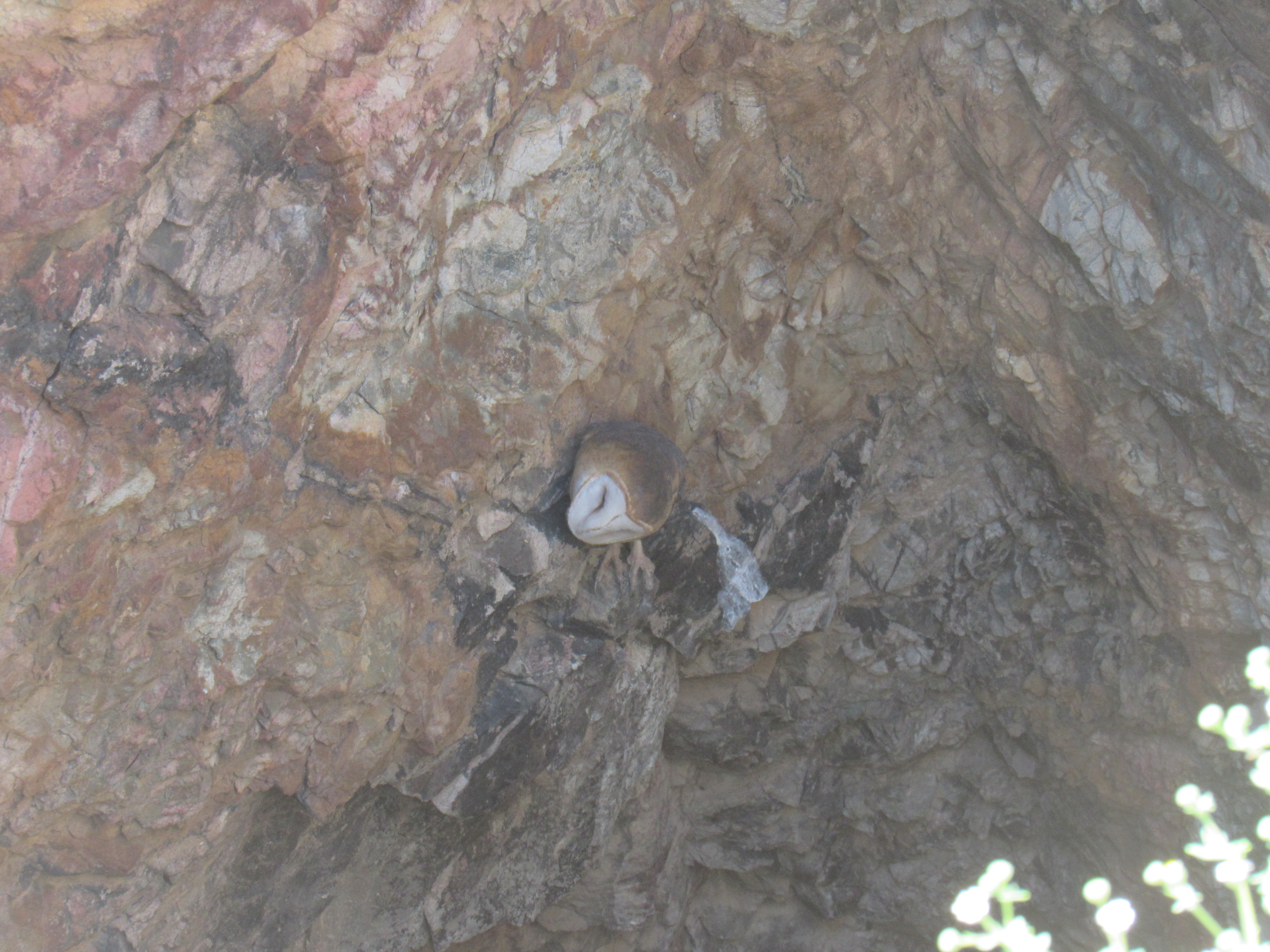
Now do you see me?
In case you haven’t already guessed, this is a barn owl – it’s Latin name is Tyto alba. It is the most widely distributed species of owl, and is also one of the most widely distributed birds on the planet. Here’s an even closer look – see his powerful feet? You can see by the white smear of poop below him that he must frequent that spot.
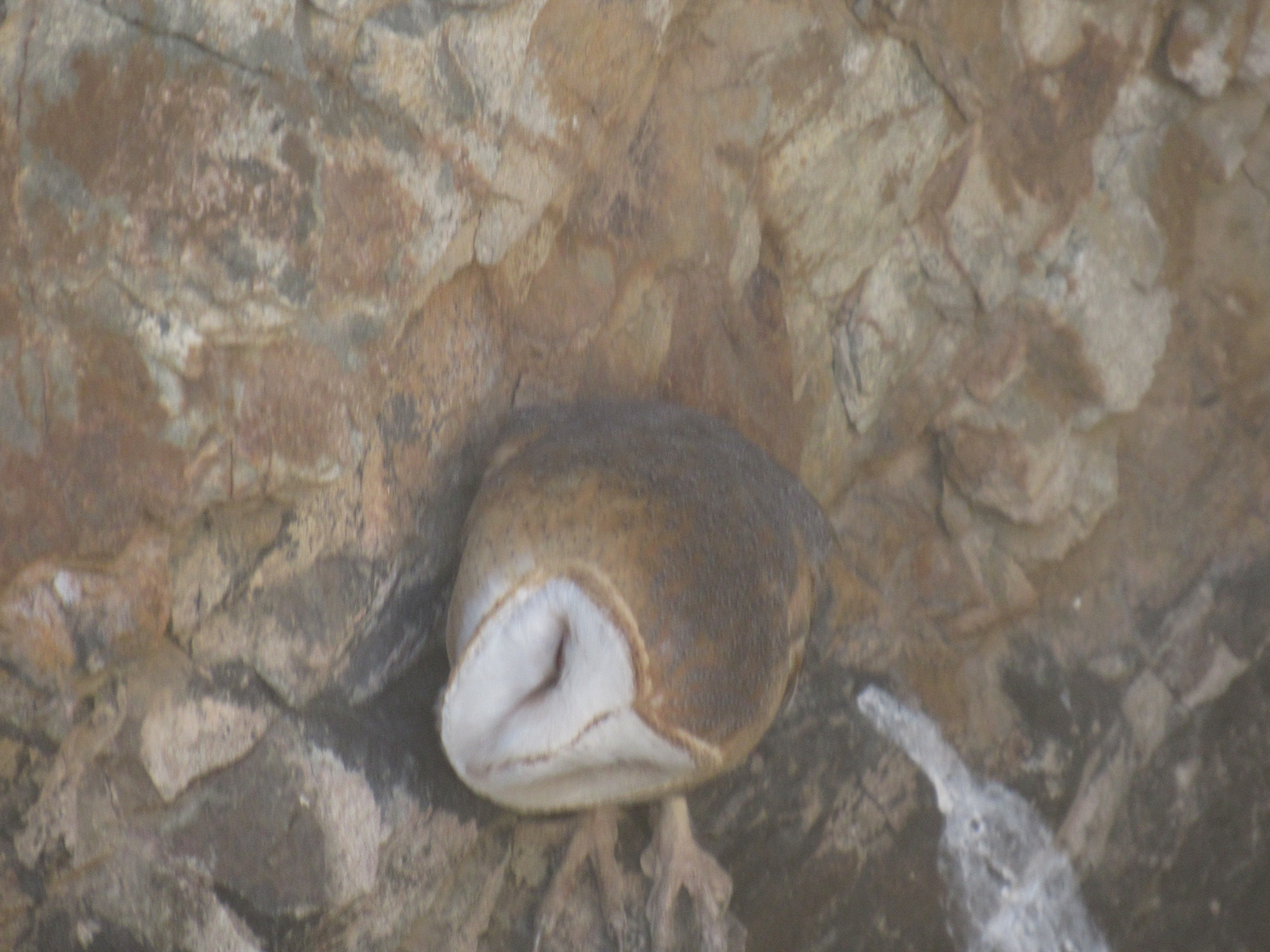
Tyto alba
It must be a powerful flier to be able to fly straight up and out of the mine shaft. And that perch – it seemed precarious at best. Certainly this spot would be a protection from enemies, though. I was so impressed by this event that I named this piece after him.
As stark as the desert can be, there are usually splashes of color to be found, such as this purplemat.
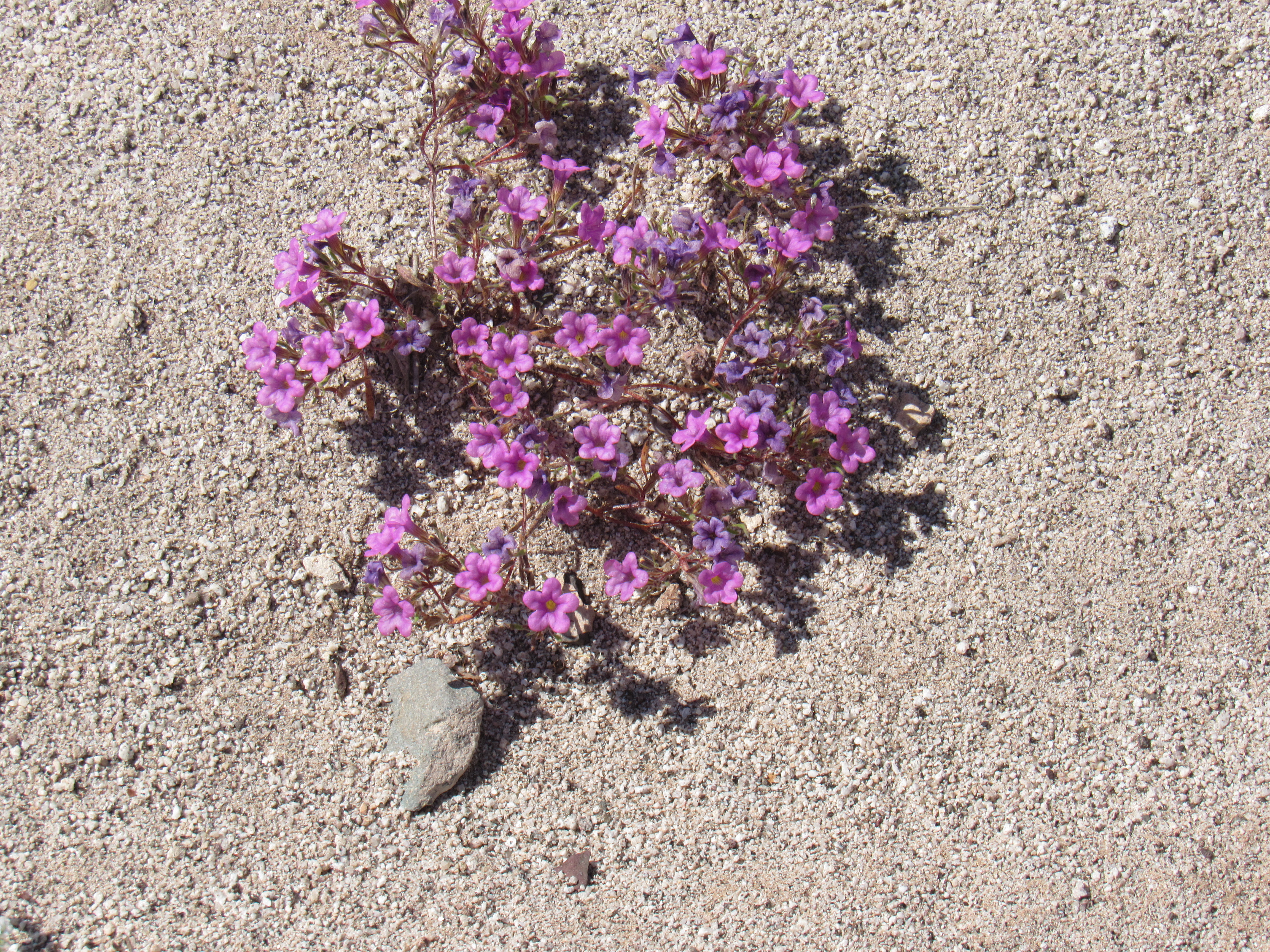
Purplemat
Time was up – I said goodbye to the England Mine and started driving down the valley, south towards civilization. I was leaving the Palomas Mountains behind, and late in the afternoon I came upon this oddity. I couldn’t say it was home on the range, but it was definitely a range on the range.
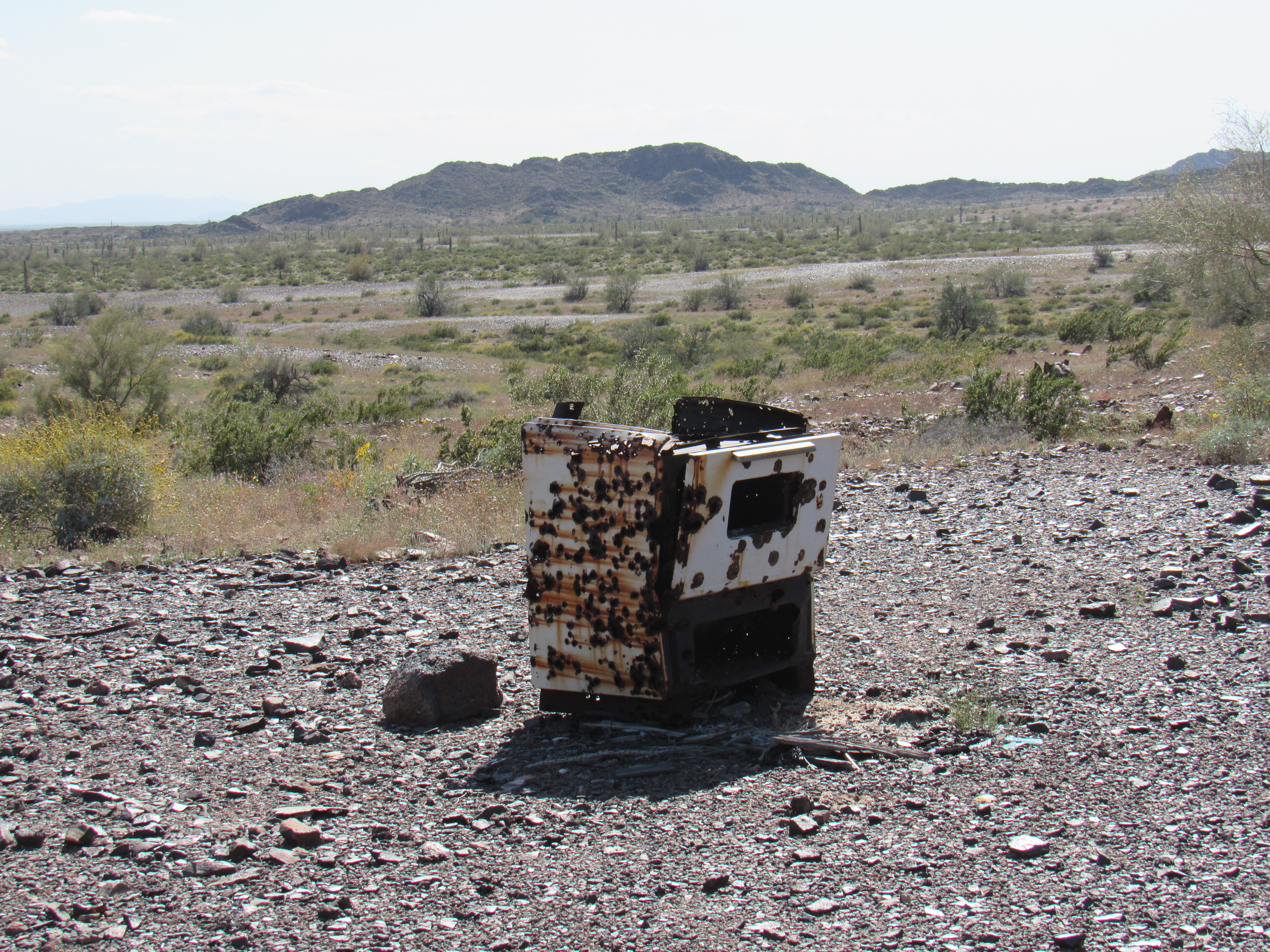
The range
My last night was spent nearby, and I couldn’t complain about the scenery. Here was a look back north into the heart of the range.
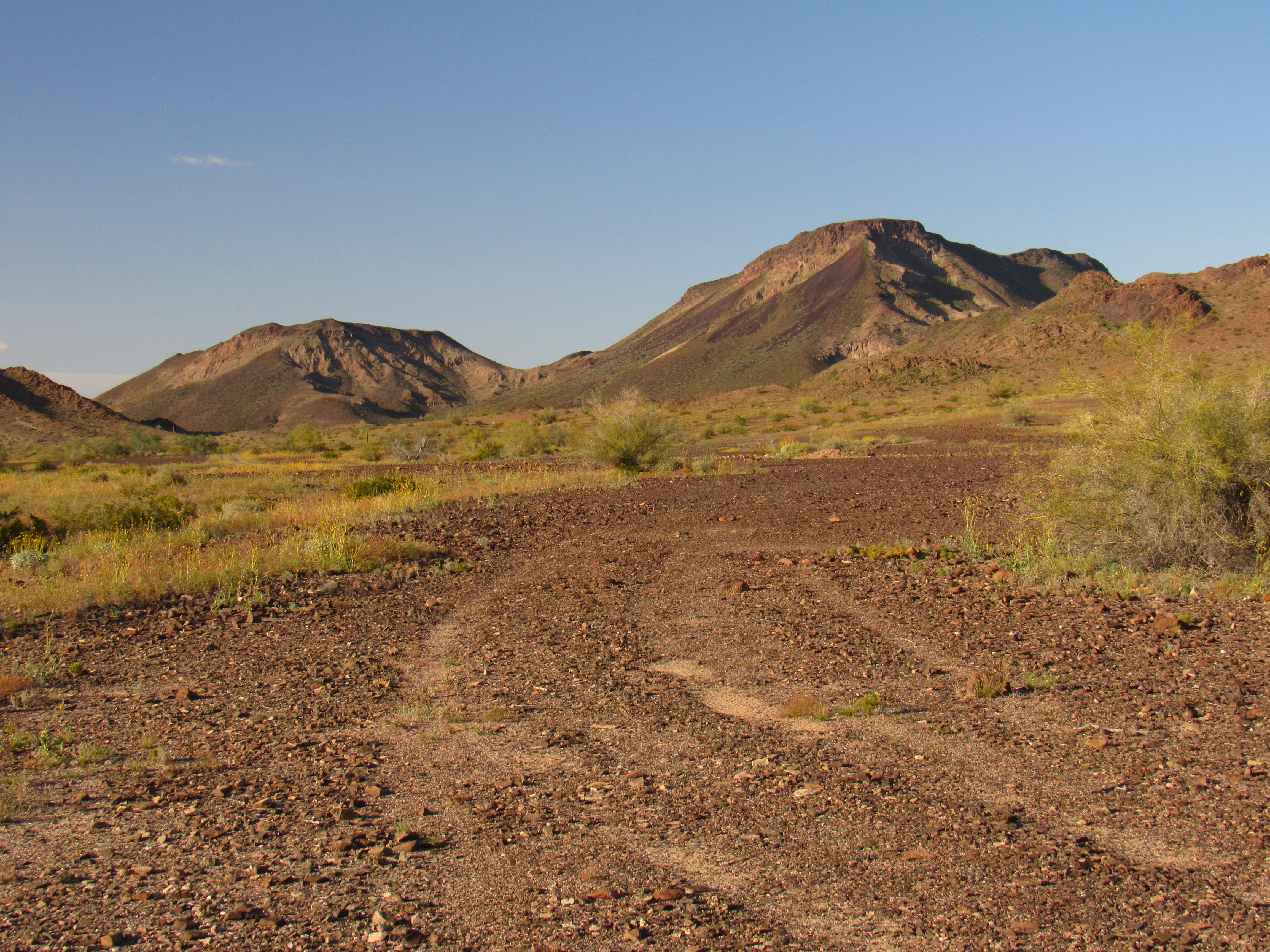
That’s Peak 1732 on the right.
I made it back to Tucson late on my 5th day out. It had been a great trip, and at least I’d been able to spend some time away from the Covid-19 virus in a safe place, my beloved Sonoran Desert. Hey, thanks for listening.