
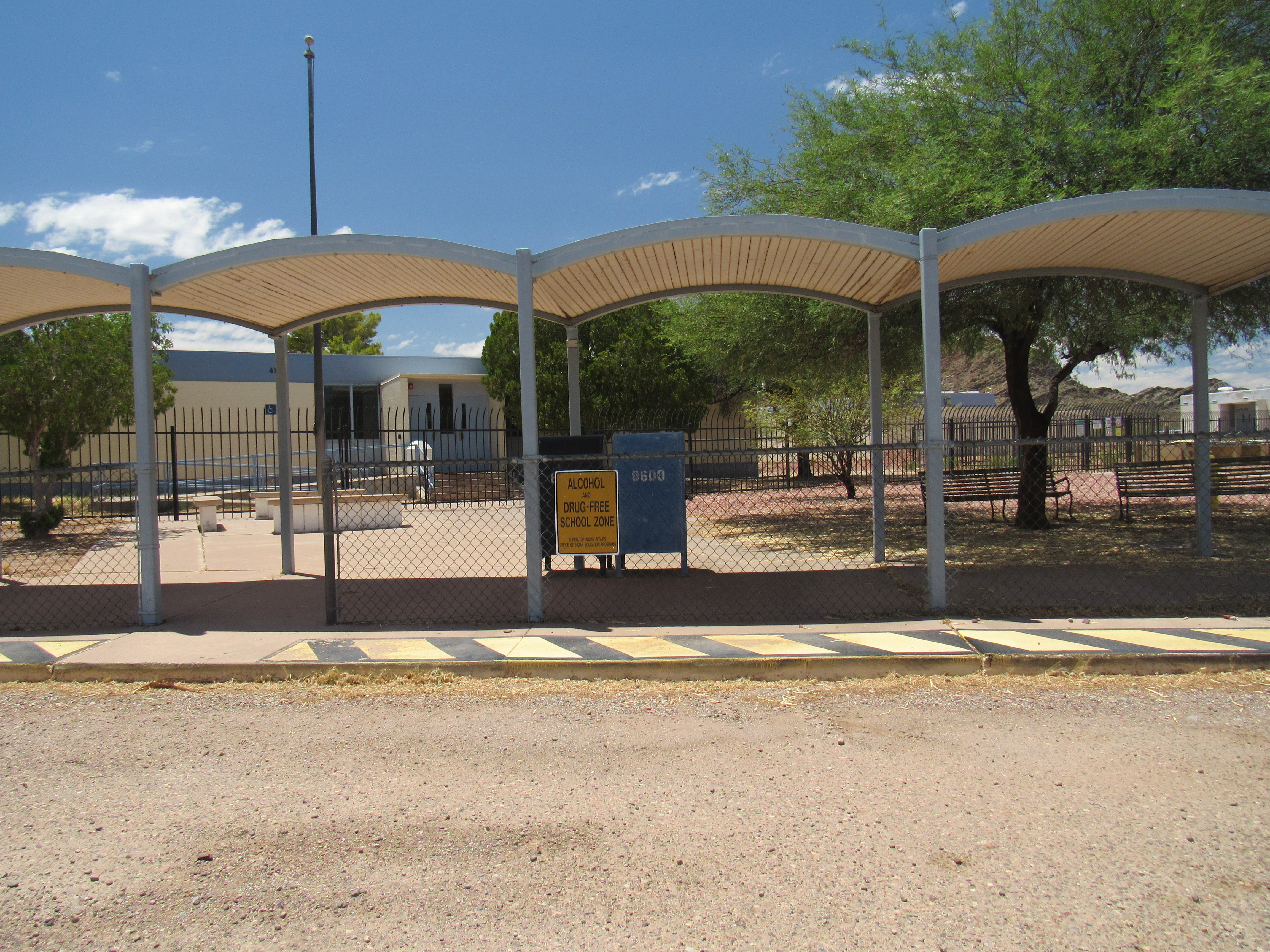
It’s July 25th, 2020, and here in Arizona we are in the midst of a raging Covid-19 epidemic. Because of poor leadership at the national level and right here in my home state, it’s getting worse, not better. Most of us are homebound, and I for one get pretty restless at times. The only safe thing I can do is go climbing, but in our summer heat that means packing up and traveling hundreds of miles to higher, cooler country. Actually, there is one more thing I can do, and that’s go for a drive. It’s just me in the car, AC on and enjoying good music on Sirius XM, so that’s what I did.
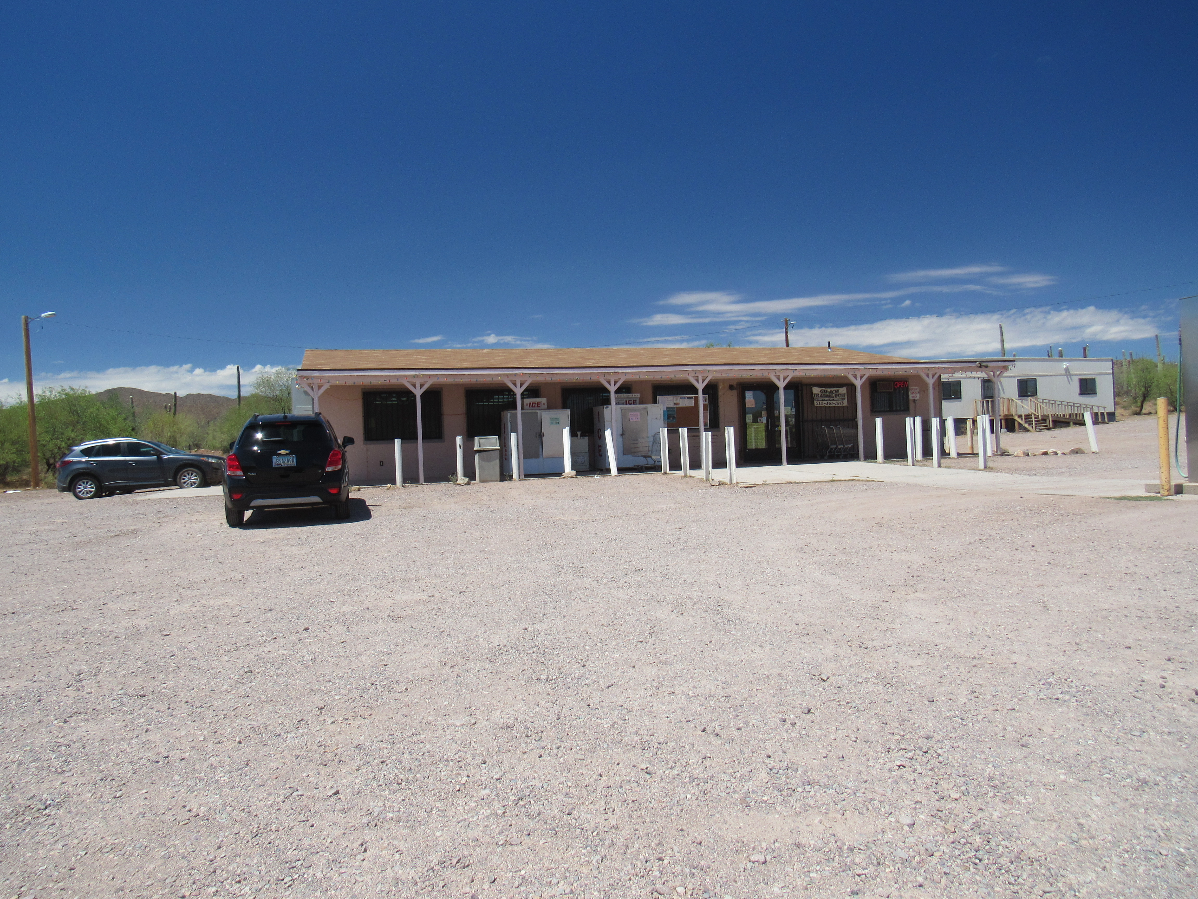
I drove myself about 90 miles west of Tucson on AZ Highway 86 out to the heart of the Tohono O’odham Indian Reservation. This brought me to an important junction where my real journey would begin. Indian Highway 15 starts at the village of Maish Vaya, more properly written Ma’ish Wawhia in the O’odham language. The name means “Covered Well”. It’s a pretty good-sized place for the sparsely-populated reservation, with almost 300 inhabitants. There’s a general store with a gas pump, and even a couple of outhouses for the use of the public. Most people know it as the Quijotoa Trading Post, and it has the only facilities you’ll find in the 62-mile stretch between Sells, their nation’s capital and Why, a village at the western edge of the reservation. Maish Vaya’s inhabitants are scattered along a 4-mile stretch south of Highway 86. One significant thing to be found nearby is the transmitter for the O’odham radio station, KOHN-FM, located 1,500 feet above the village and about 3 miles to the southwest atop the high point of the Quijotoa Mountains. Here’s a picture of the trading post, a familiar sight to those who pass through the area.
Covered Wells
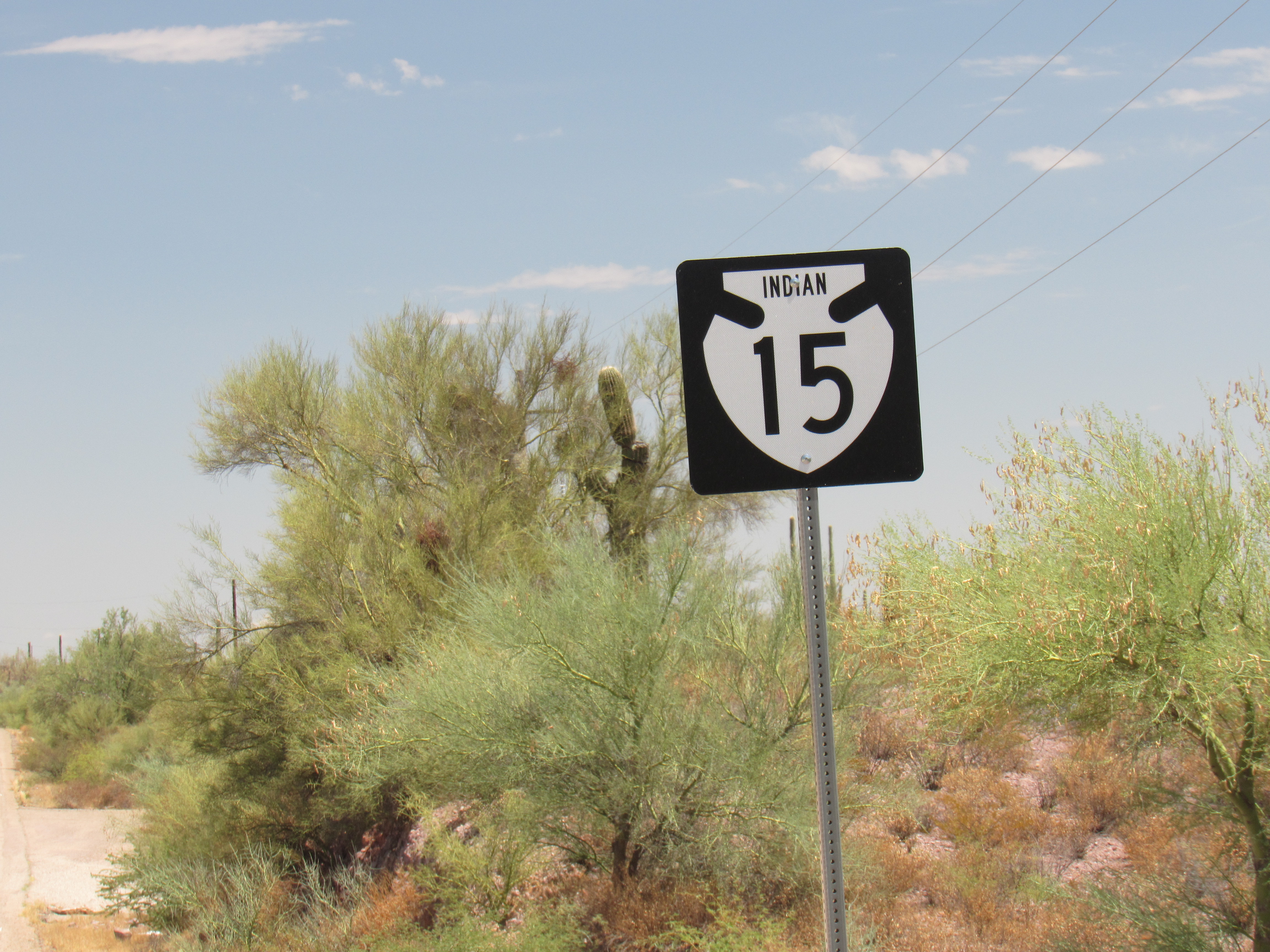
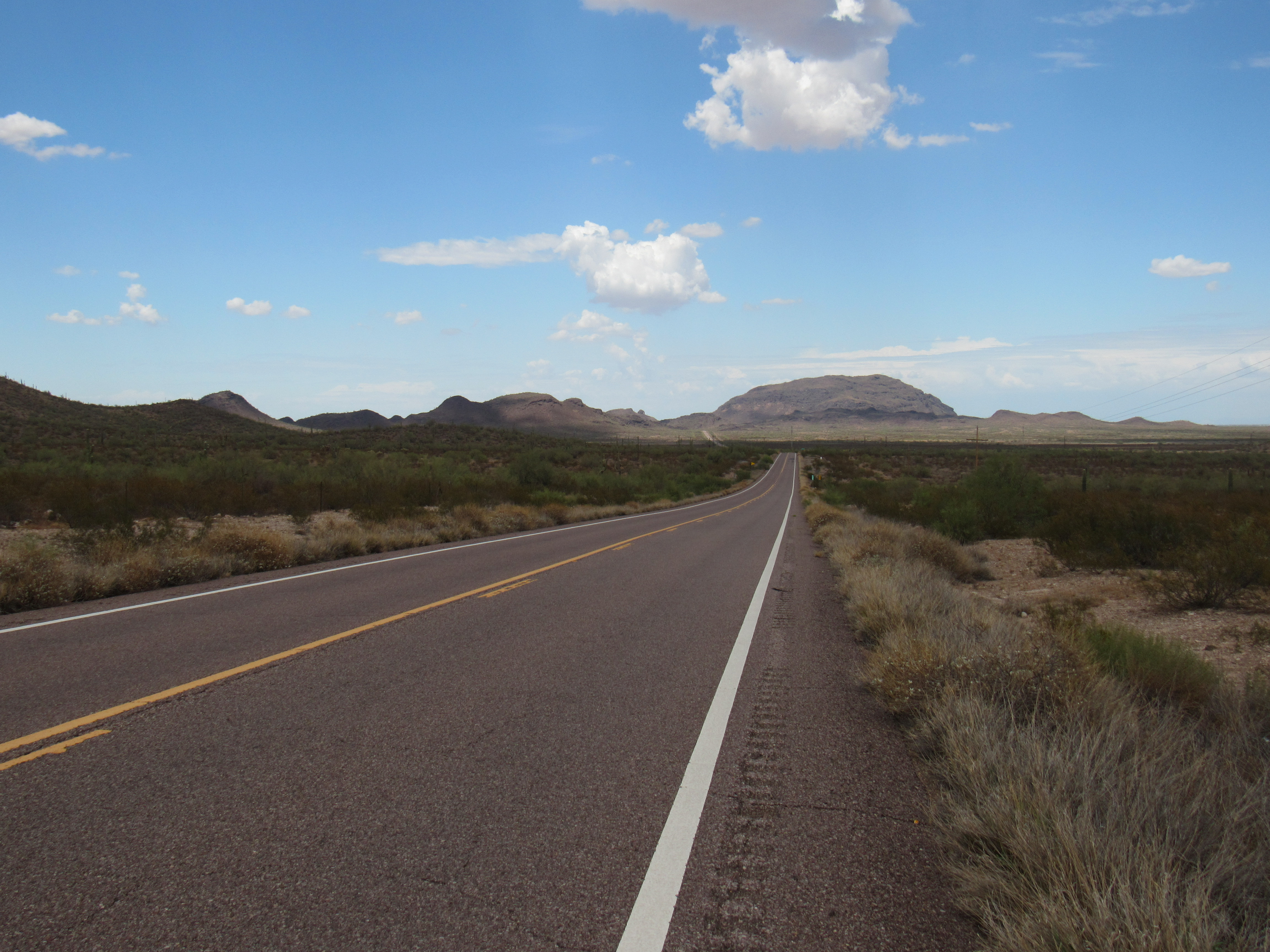
Our journey along Indian Highway 15 starts here at the trading post, and we’re going to head north.
Away we go
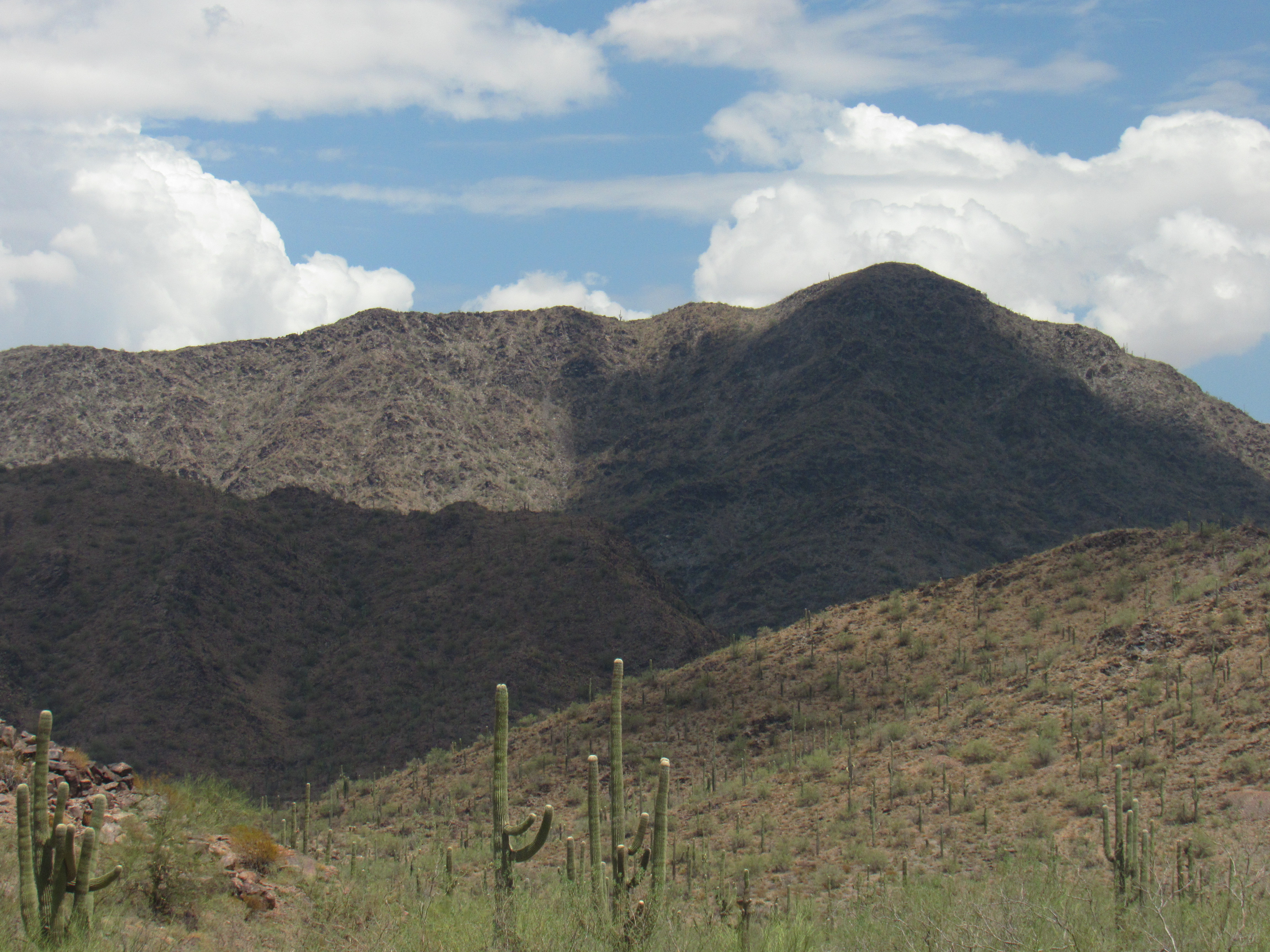
We’ve barely gone a mile before we see the high point of the Brownell Mountains off to our left, known as Brownell Peak.
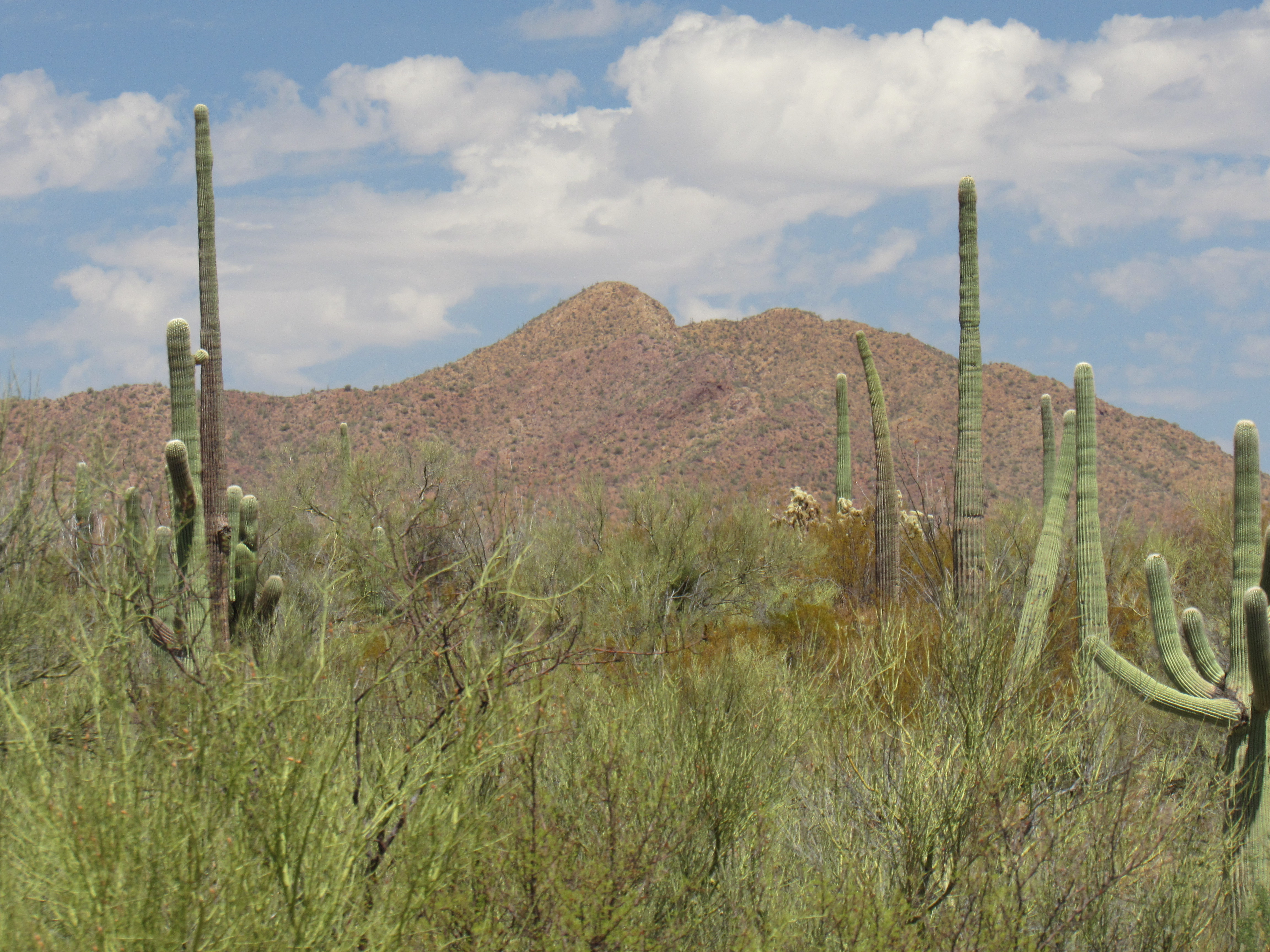
Brownell Peak
In 1903, there was a town called Brownell that grew up in the area, named for one Frank Brownell, a Civil War veteran, who discovered copper nearby. The O’odham who lived nearby apparently called the mountain Ta-vo-num, meaning “a small hat”. Maybe a dozen peakbaggers have visited the mountain.
A few miles farther on, I came to a turnoff leading to a small construction project, where several nice homes and a few apartment buildings were being completed.
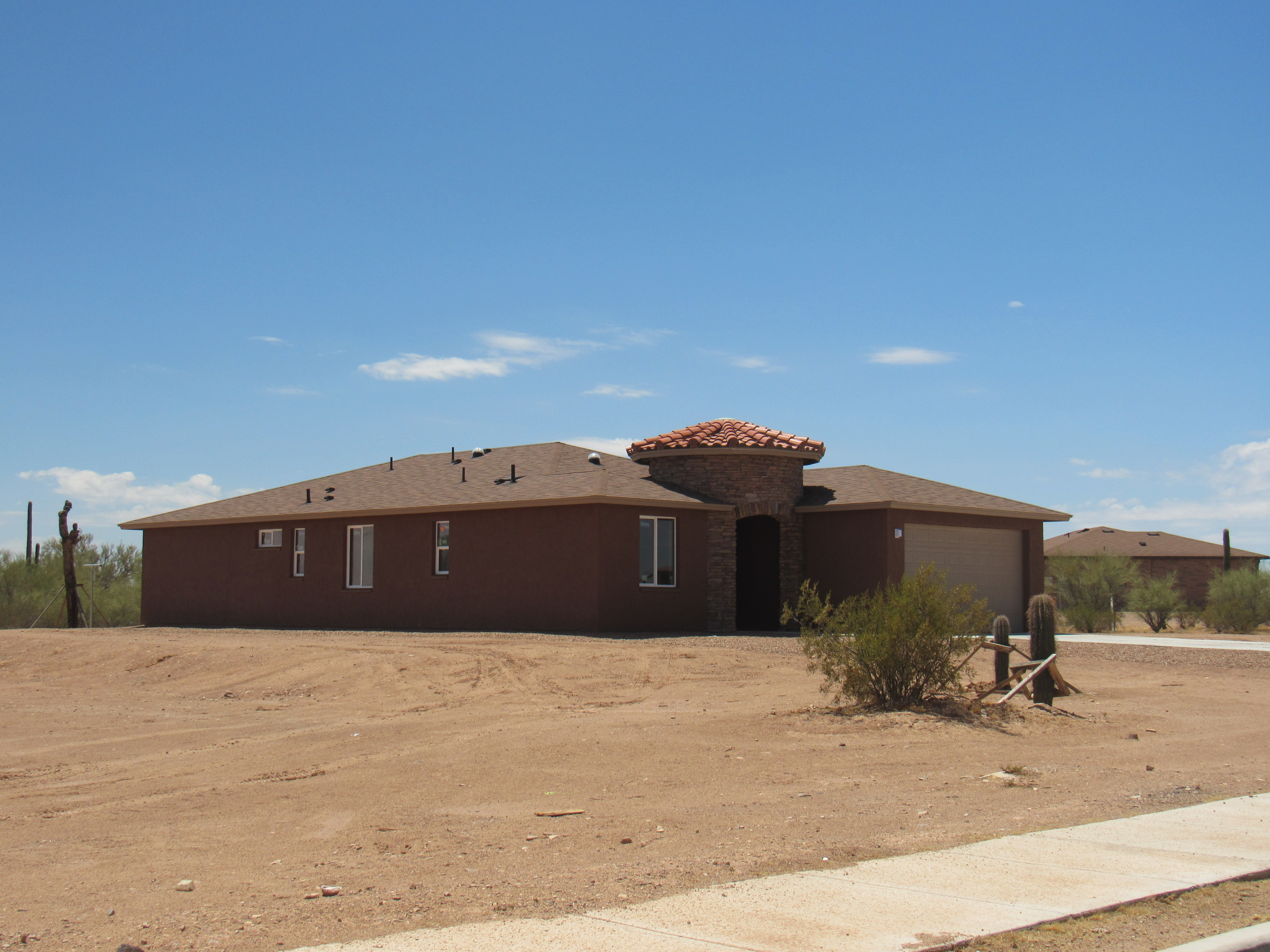
New homes
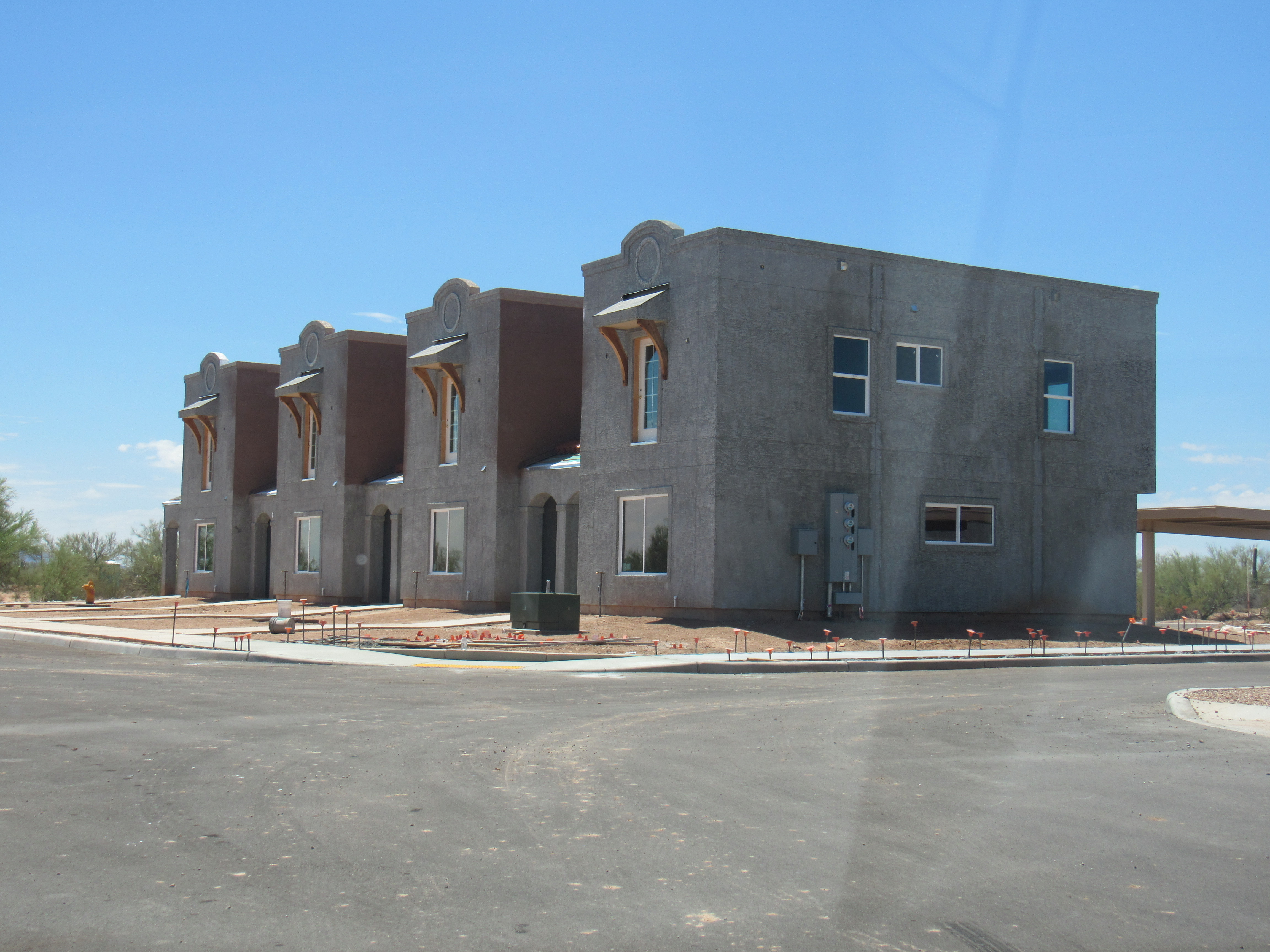
Apartments
A sign at the entrance named the place “Hanam Ke:k” which roughly translates as a place where cholla cactus are standing (growing).
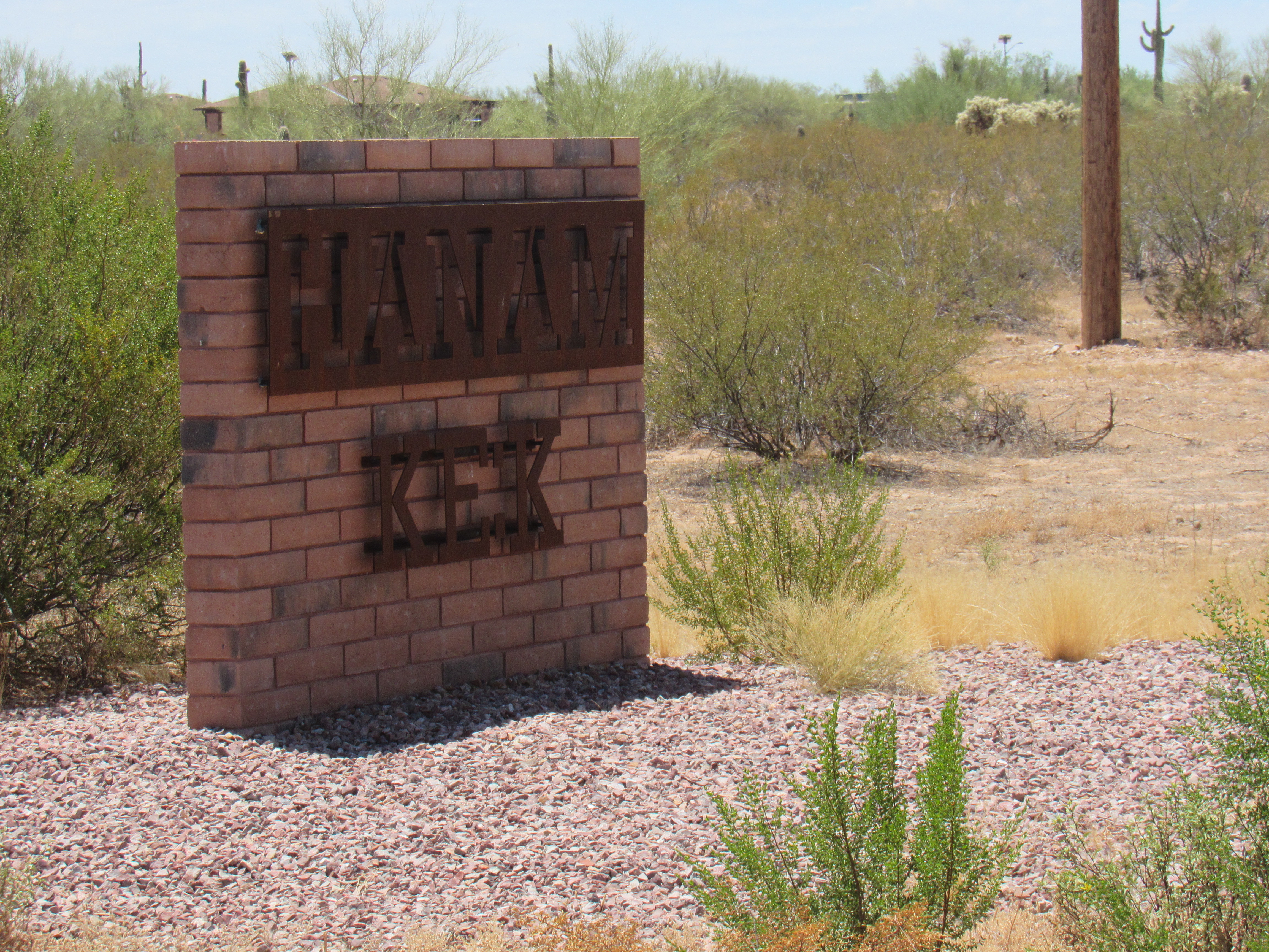
Hanam Ke:k
It was nice to see this new construction, a real step up from most of that seen on the res. Back out on the highway, I continued north until I was 9 miles north of Covered Wells. This sign greeted me.
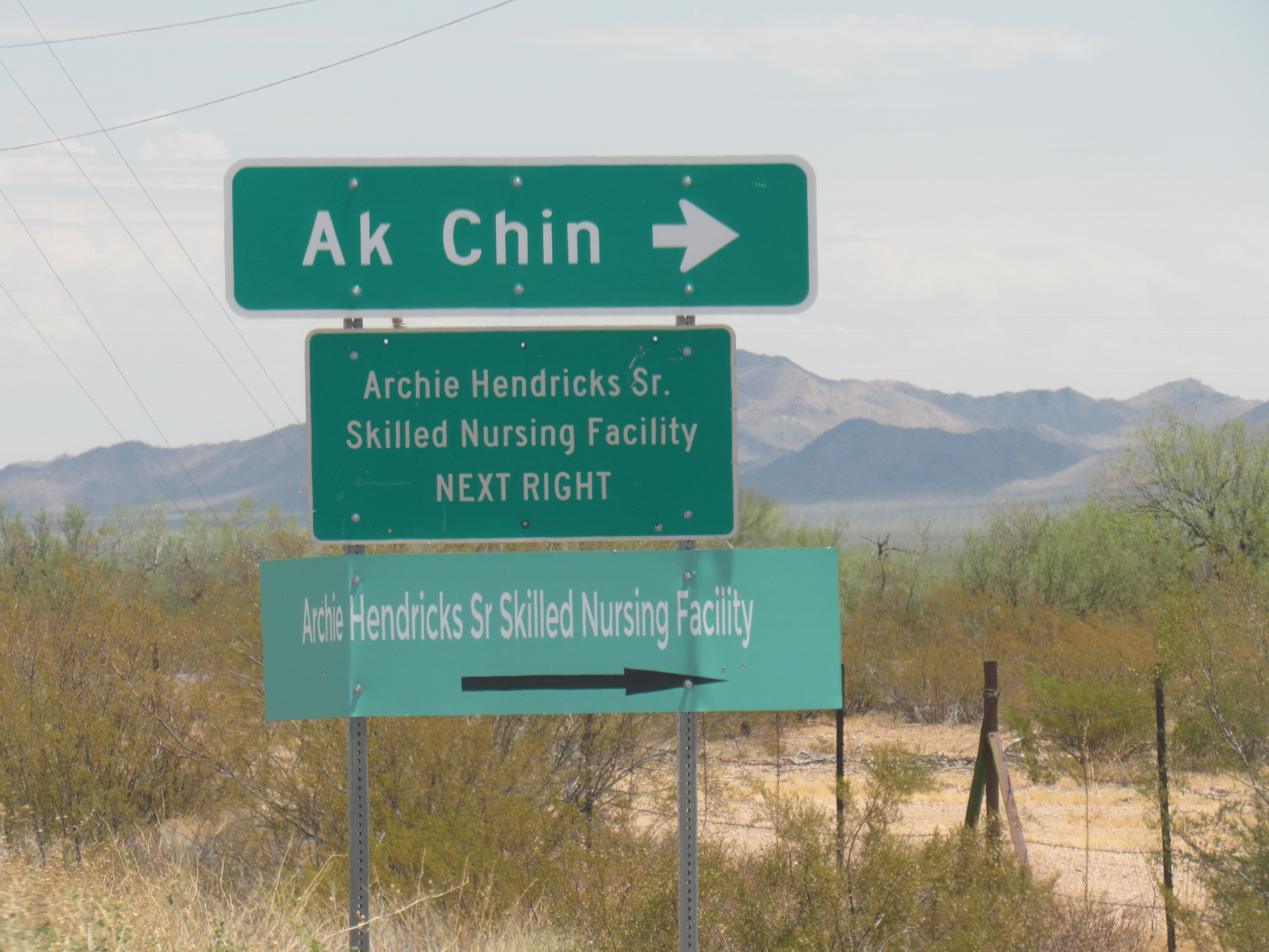
The sign
A short distance from the highway sat this modern facility.
Nursing home
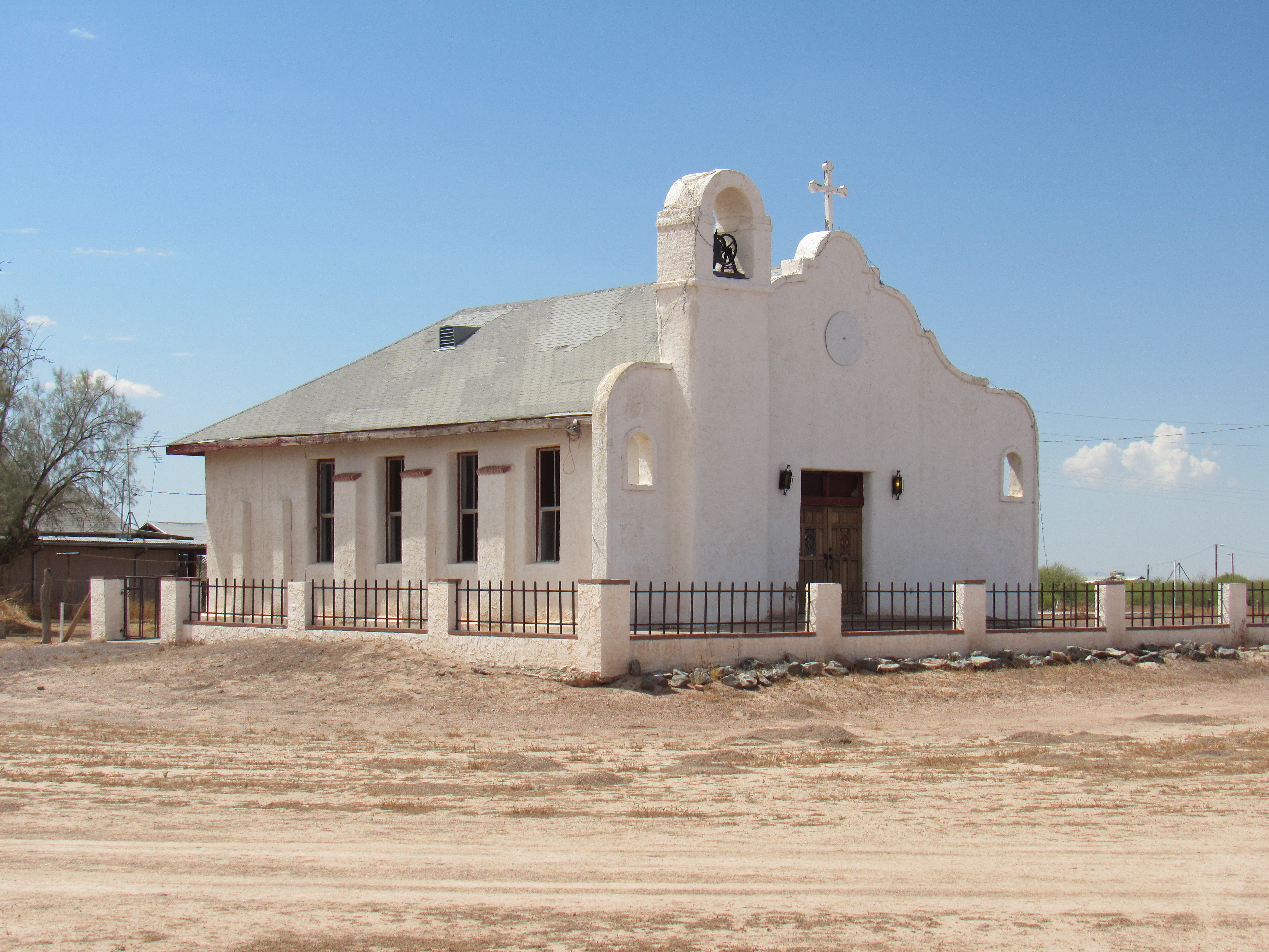
It has a total of 72 beds, as well as nice facilities for the staff that work there. I learned that it has been in operation since 2013, and so far they haven’t lost a single person to Covid. The road that turned off the highway and led there continued on to the village of Ak Chin. The proper O’odham name for this place is Aki Chini, which means “Arroyo Mouth”. Between it and the nearby settlement of Al Aki Chini (Little Arroyo Mouth), there are a total of 100 people. Here is a picture of the little church in the village of Ak Chin.
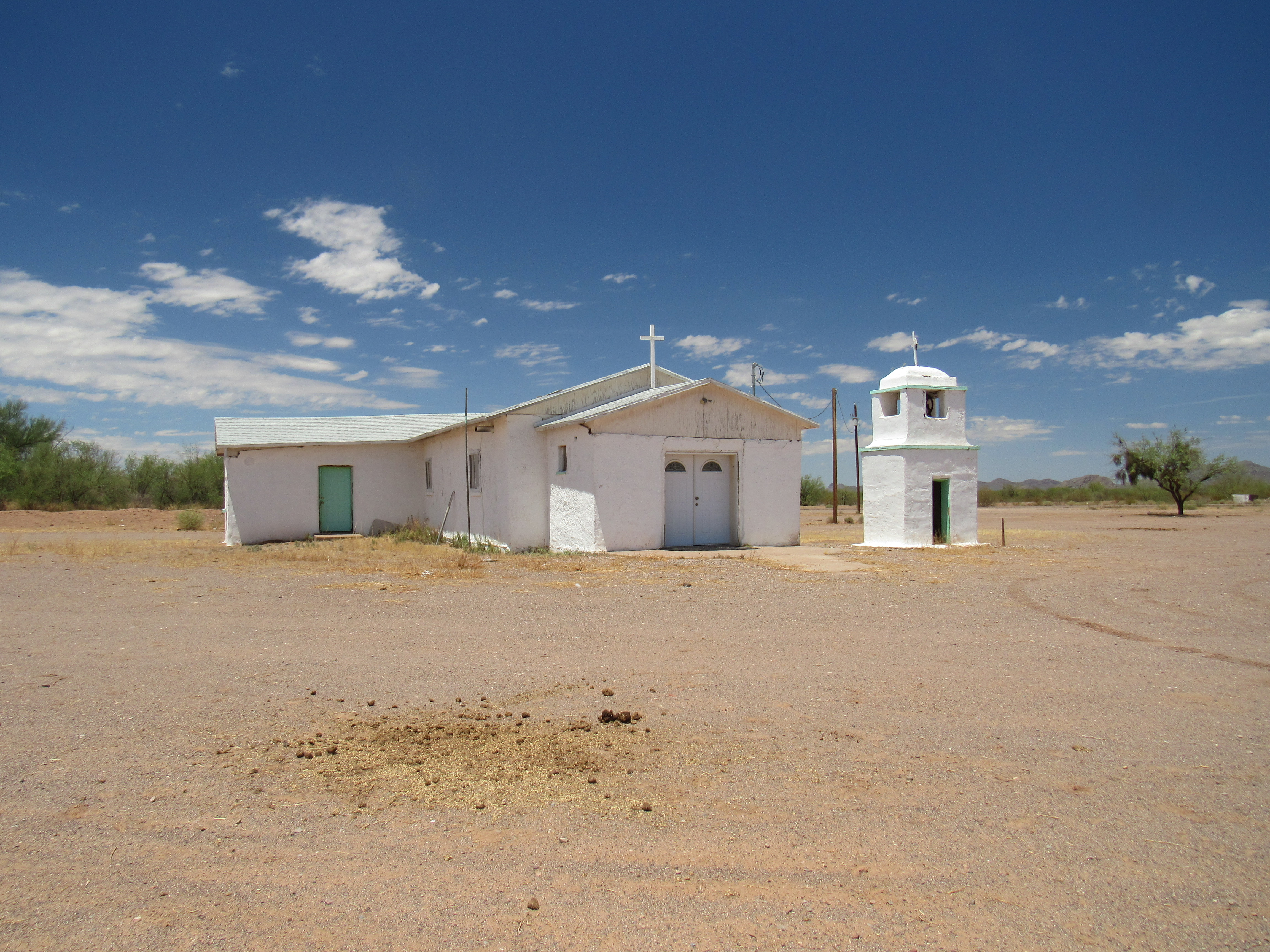
Church at Ak Chin
Nearby sits the village cemetery.
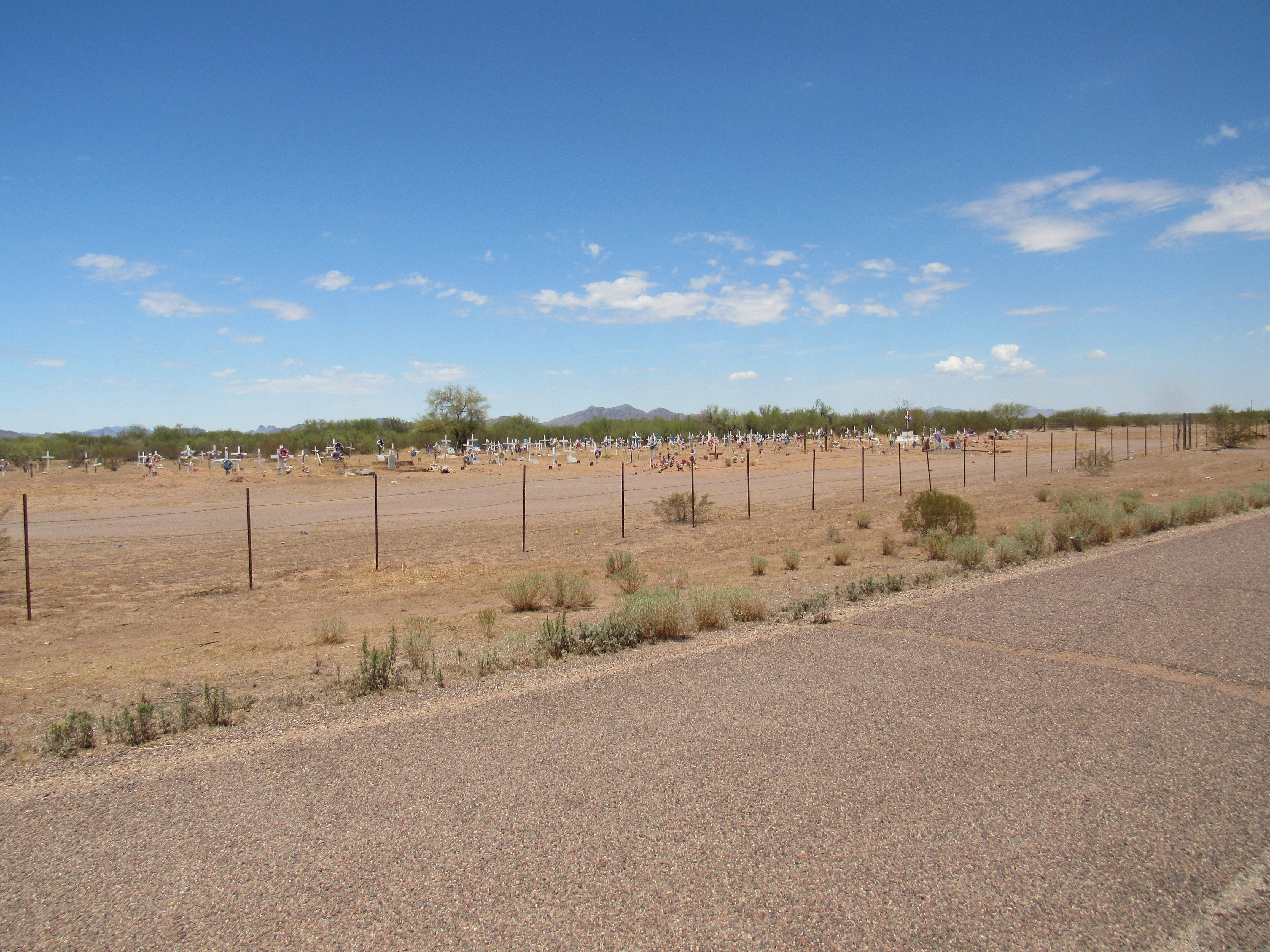
The cemetery
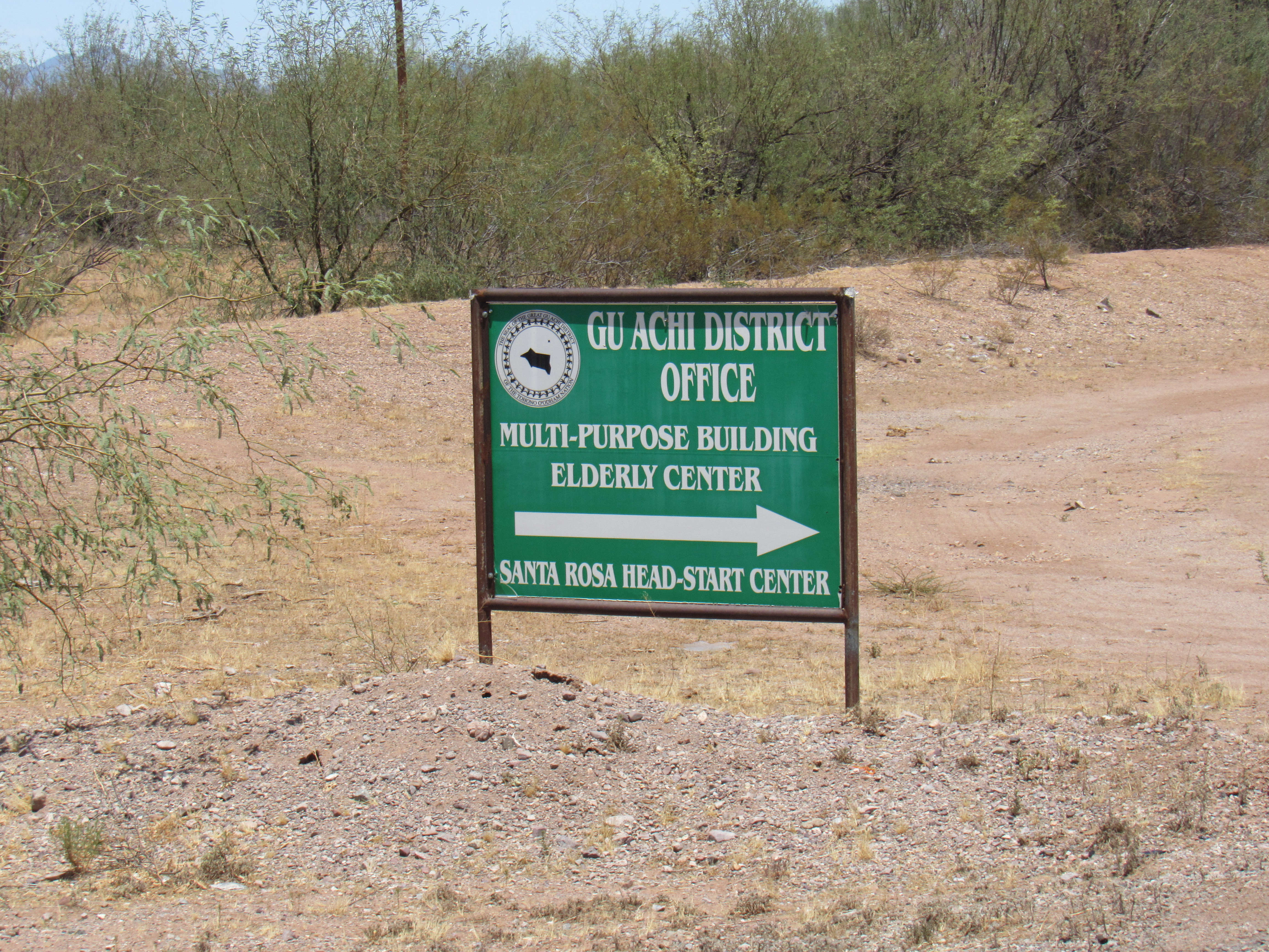
Only 2 miles northwest of Ak Chin sits the much larger village of Santa Rosa, which boasts just over 600 residents. This makes it the third-largest community on the entire reservation, after Sells (about 2,775 people) and San Xavier (about 1,000 people). There are 11 districts that comprise the Tohono O’odham Indian Reservation, and each of them is semi-autonomous with their own governing body. Santa Rosa is the capital of the Gu Achi District (Ge Aji Chekshani in the O’odham language, which means “Big Narrow District”). Here is a picture of their much bigger church.
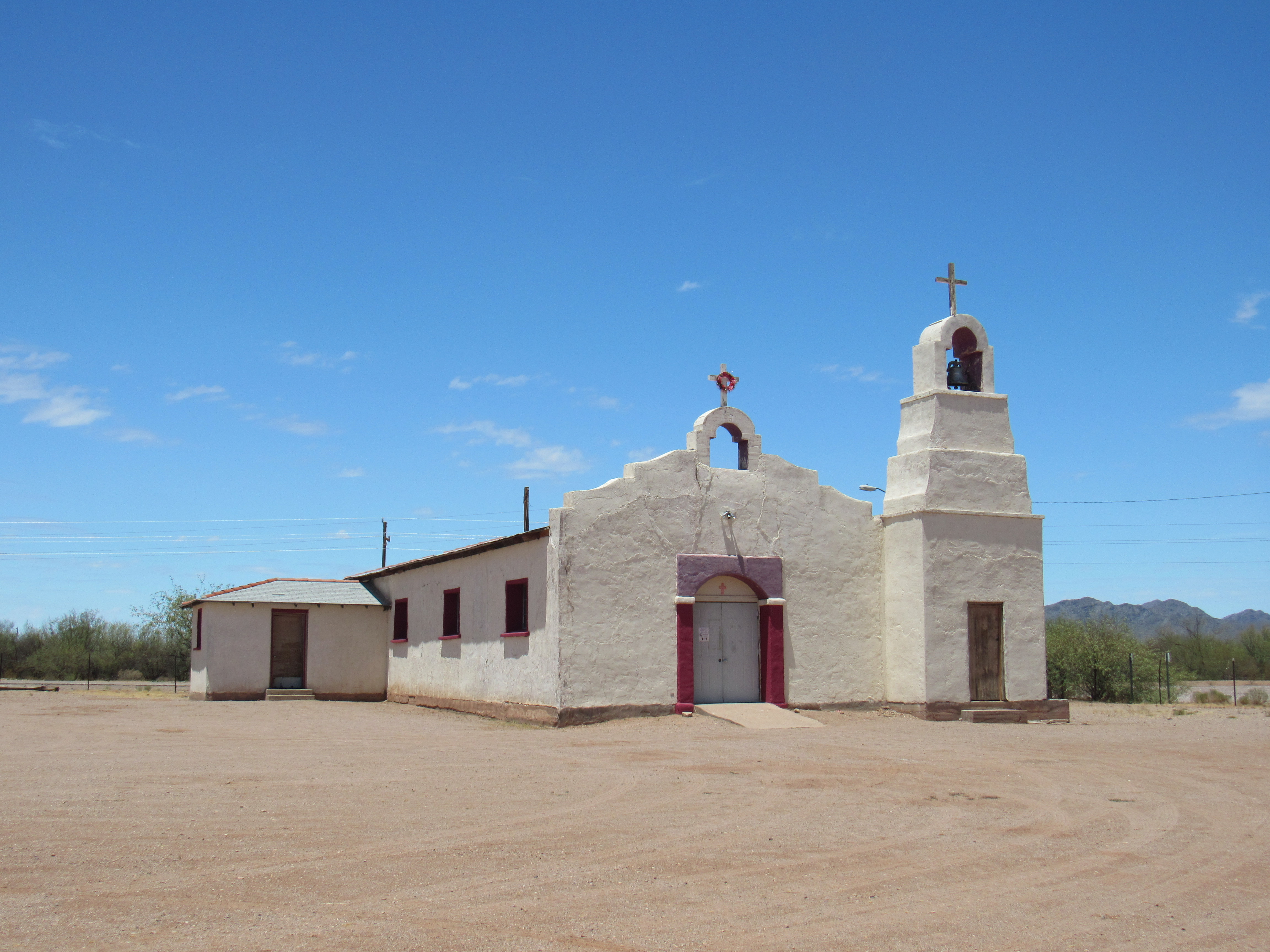
Santa Rosa Church
Santa Rosa’s larger population makes it the logical home for other facilities.
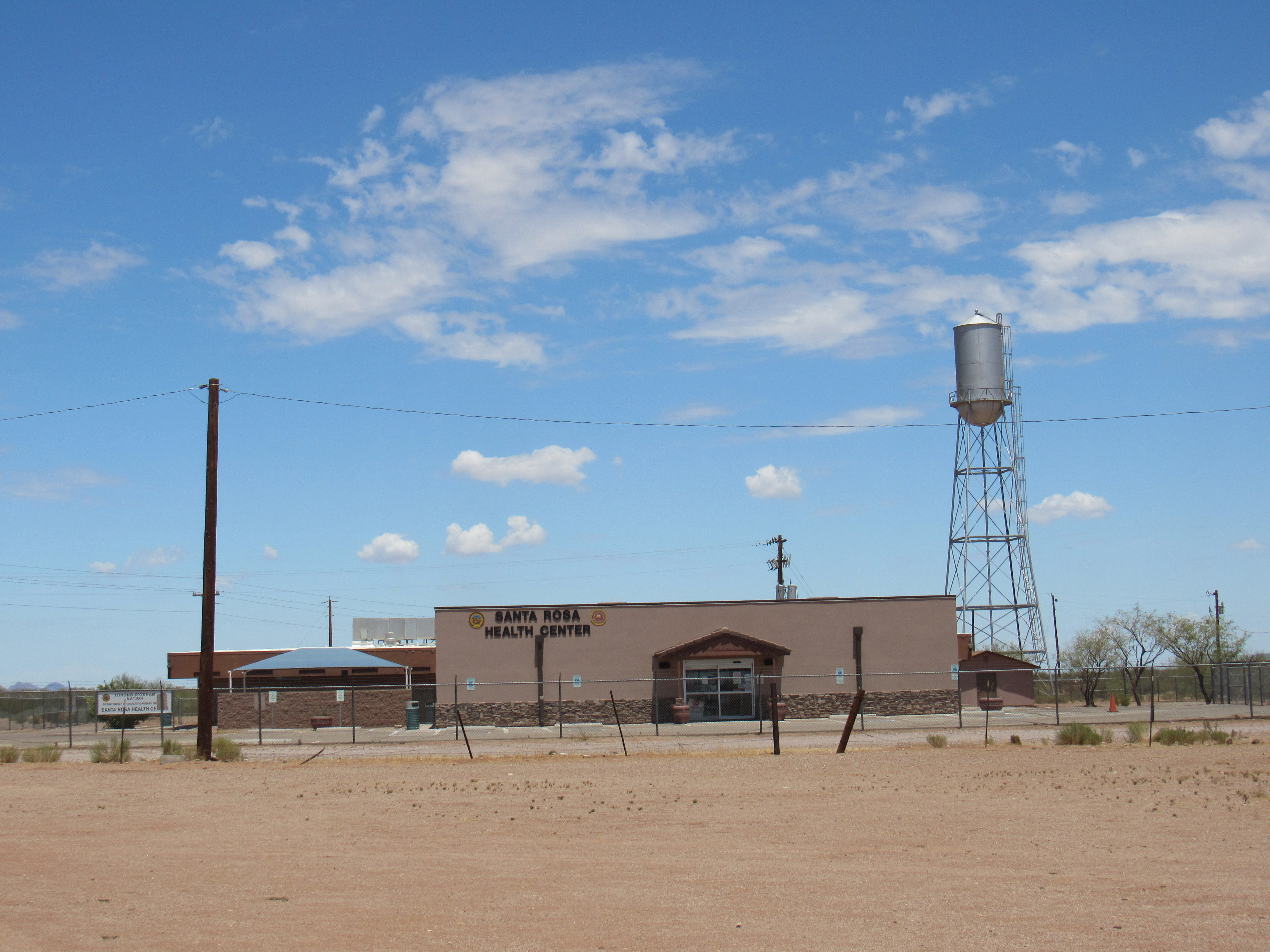
The health center
More stuff
By the time we reach the turnoff east into Santa Rosa, we have traveled 13 miles north along Highway 15. This is near where Indian Highway 34 heads west towards the Hickiwan District. Where 34 begins, we can see to the south a group of small peaks with the unofficial name of the Noipa Kam Hills.
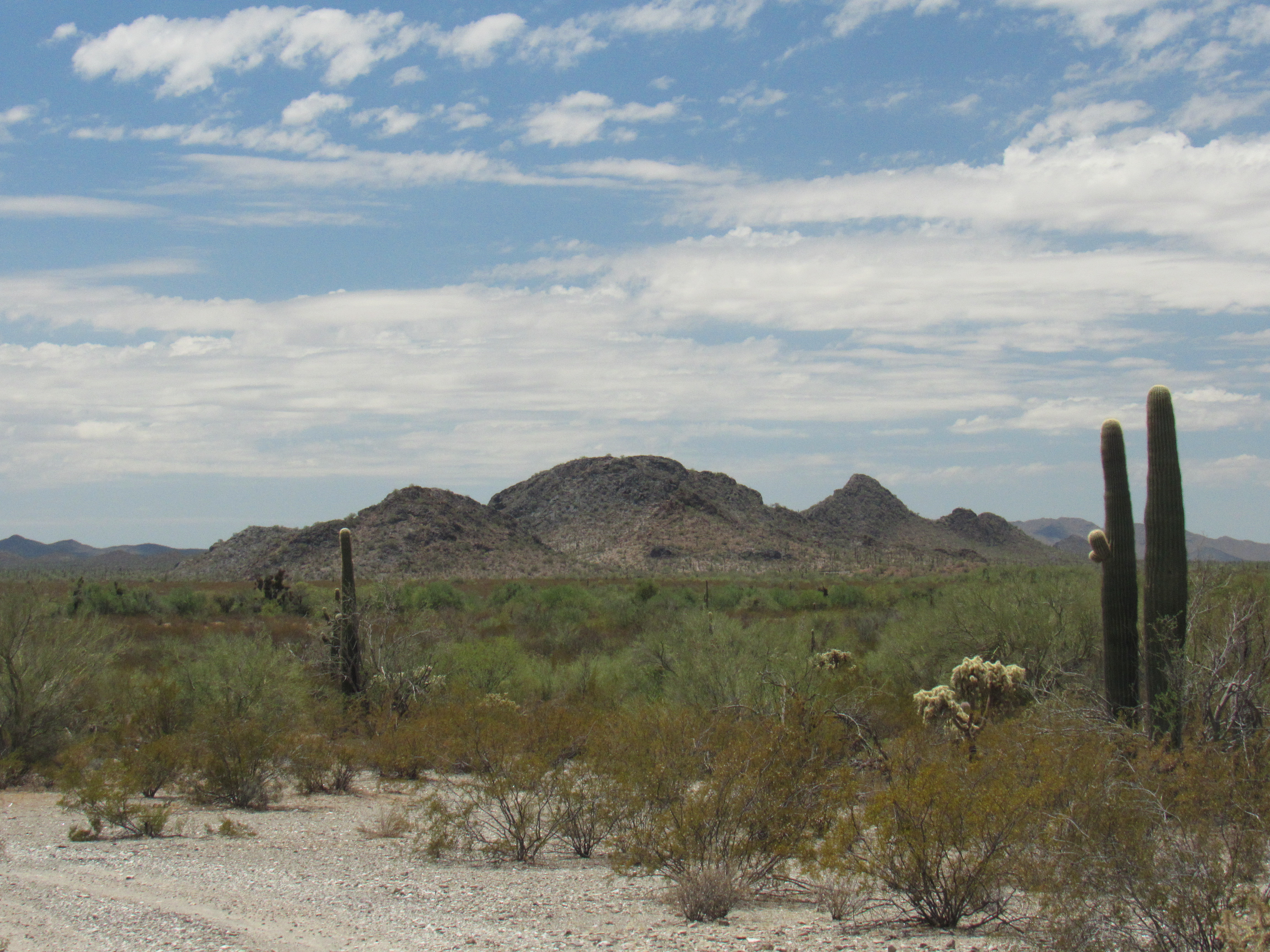
Looking south to the Noipa Kam Hills
Off to the east sits an imposing mountain named Gu Achi, which rises over 2,700 vertical feet above the town. It dominates the landscape for many miles around, and can be seen from Tucson, a full 50 miles away.
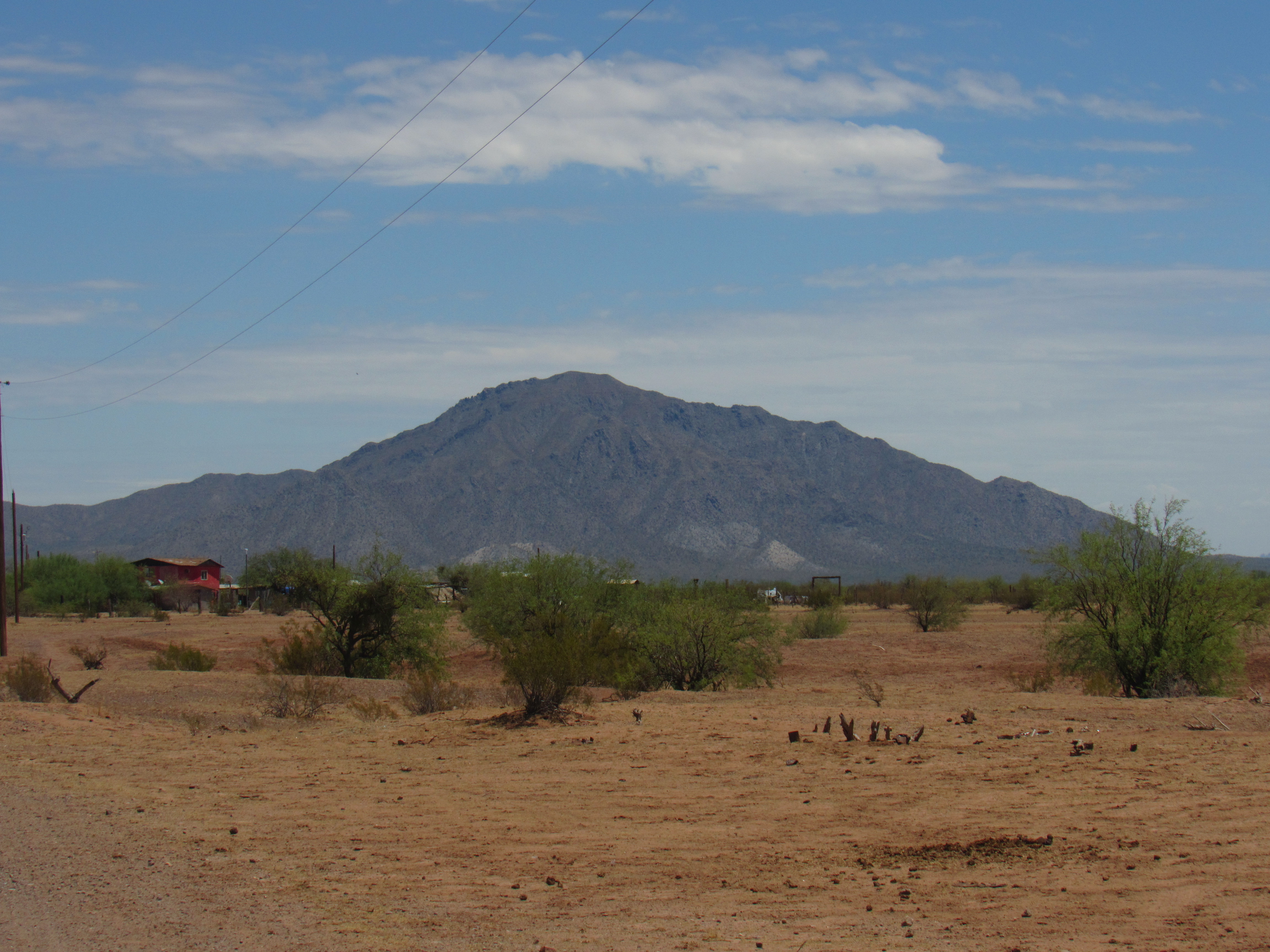
Gu Achi Peak
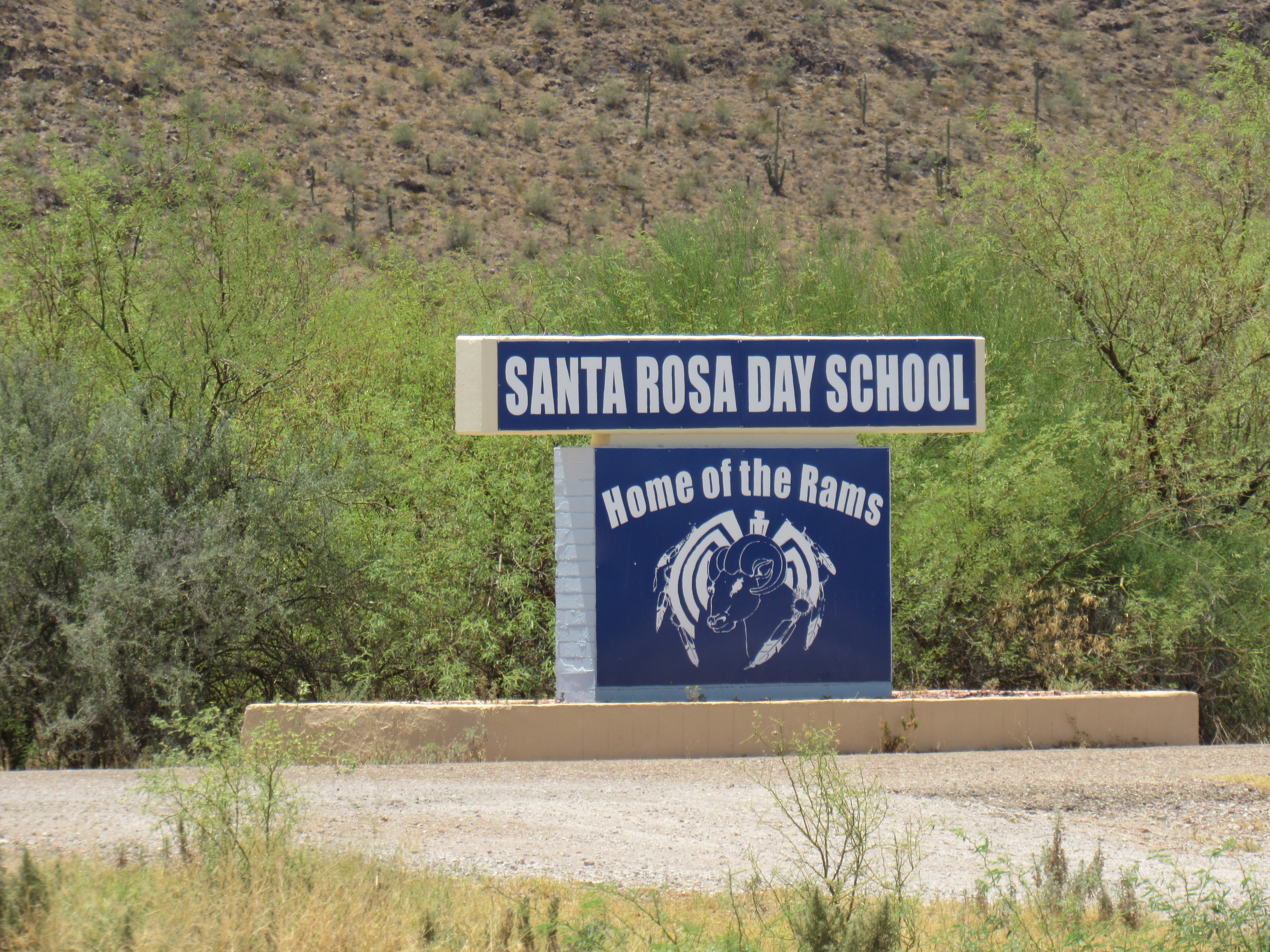
A bit farther north, at the 14-mile mark, we find a turnoff to the west, to a spot that has always intrigued me. It turns out that the Santa Rosa Day School is K through 8 and has 168 students. The day I stopped by, it was closed due to Covid.
At the entrance
The front of the school
If we go back out to the highway and continue north another mile, we come to the turnoff to the village of Anegam.
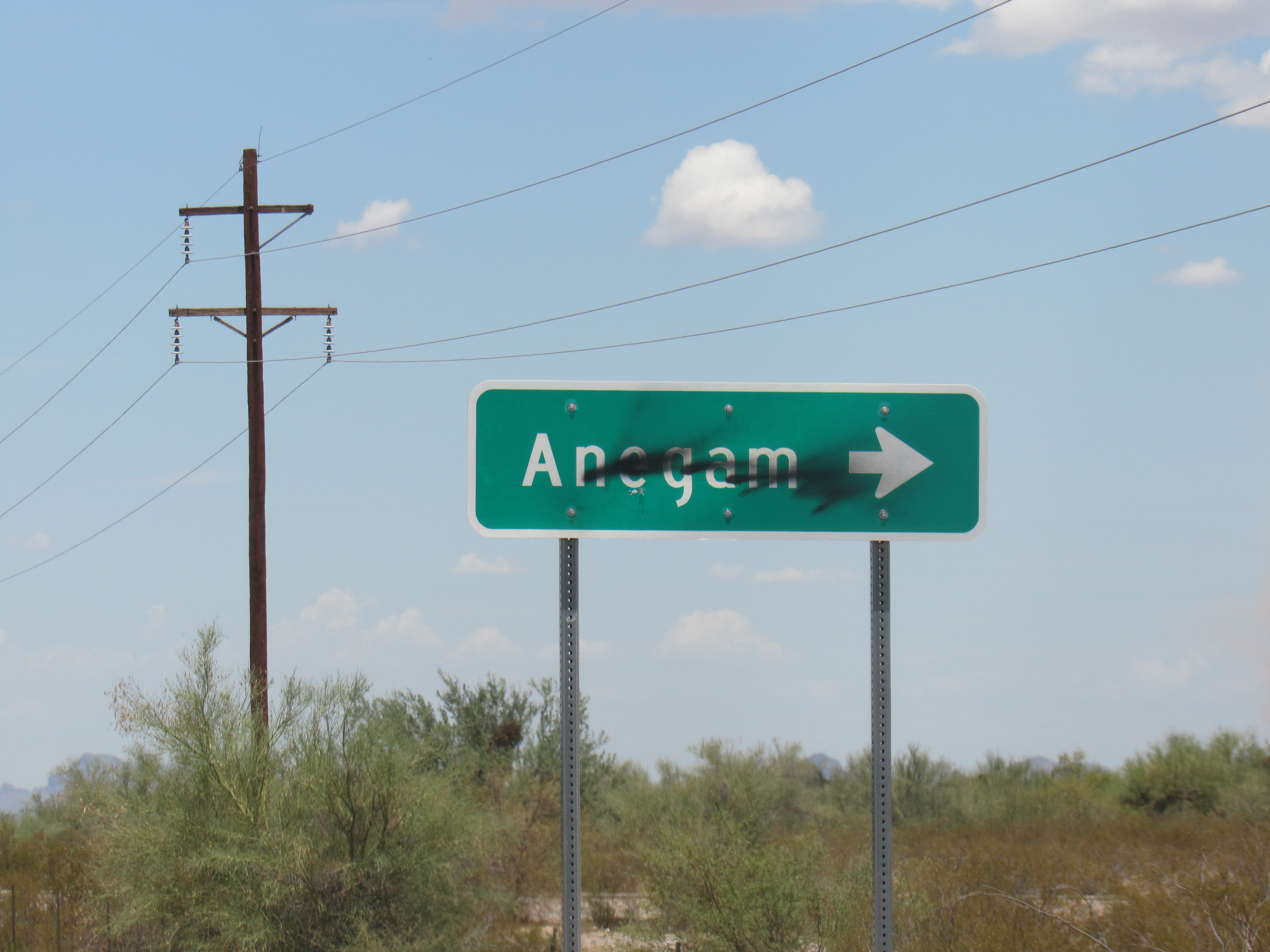
The turn-off
The residents of this village are widely scattered, and total about 240. Their little chapel is called St. Clare Catholic Church
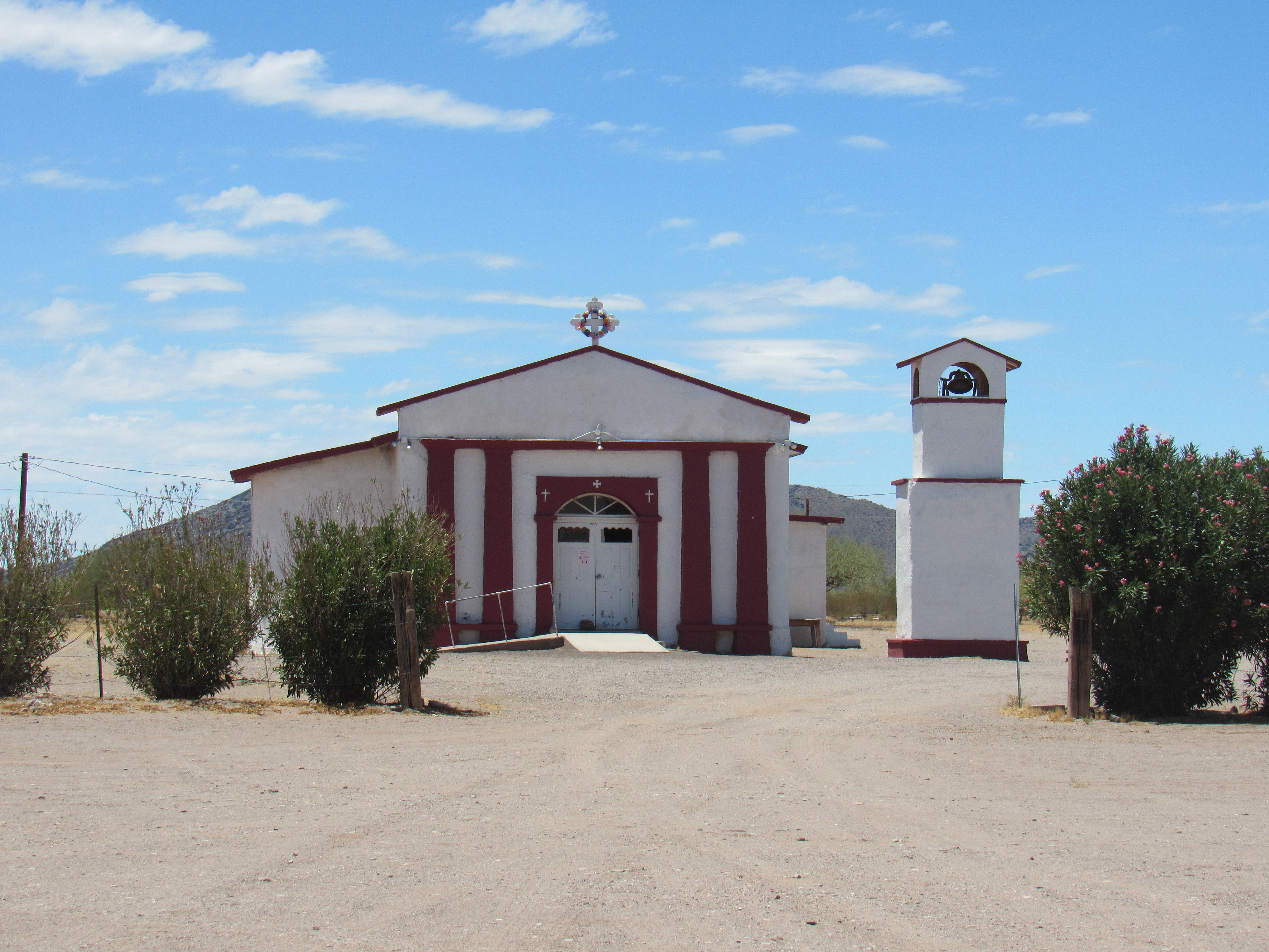
St. Clare
Next to it sits a small building for church use.
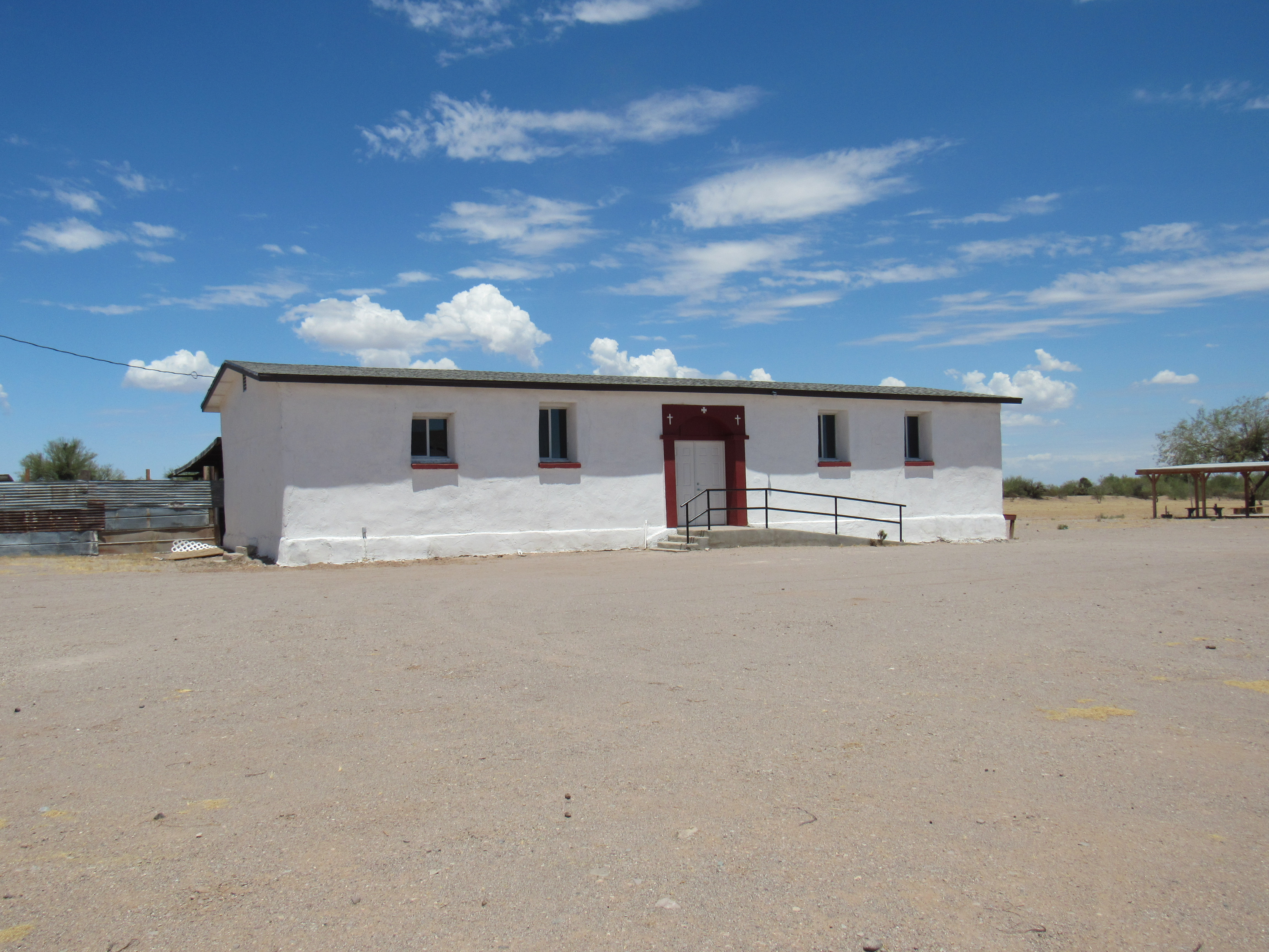
Church building
Near the church I came across these 4 friends, huddled together in the shade of a couple of sparse mesquites. The temperature was 107 degrees.
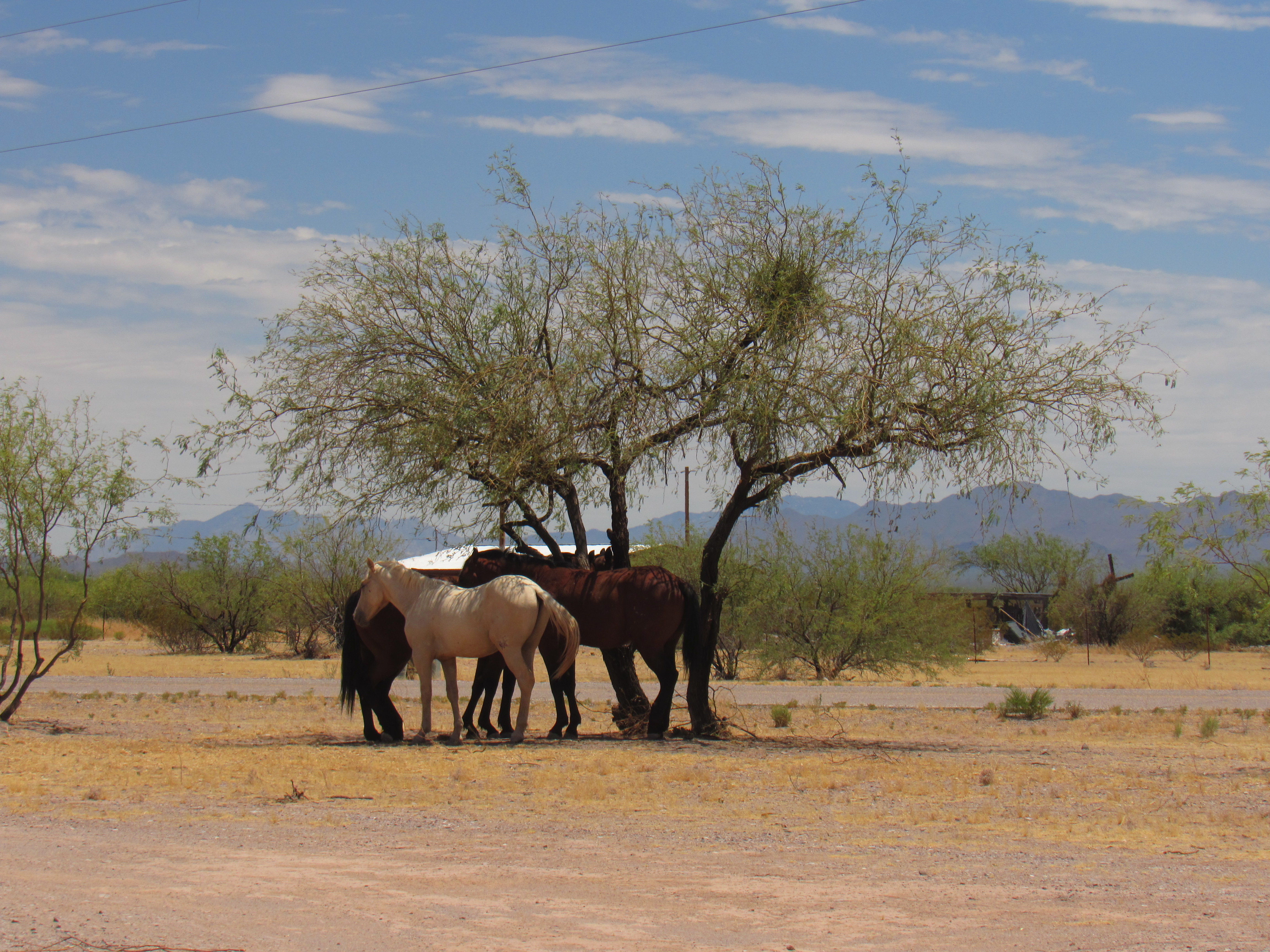
A bit of shade
This tire swing hung from the skeleton of a long-dead tree.
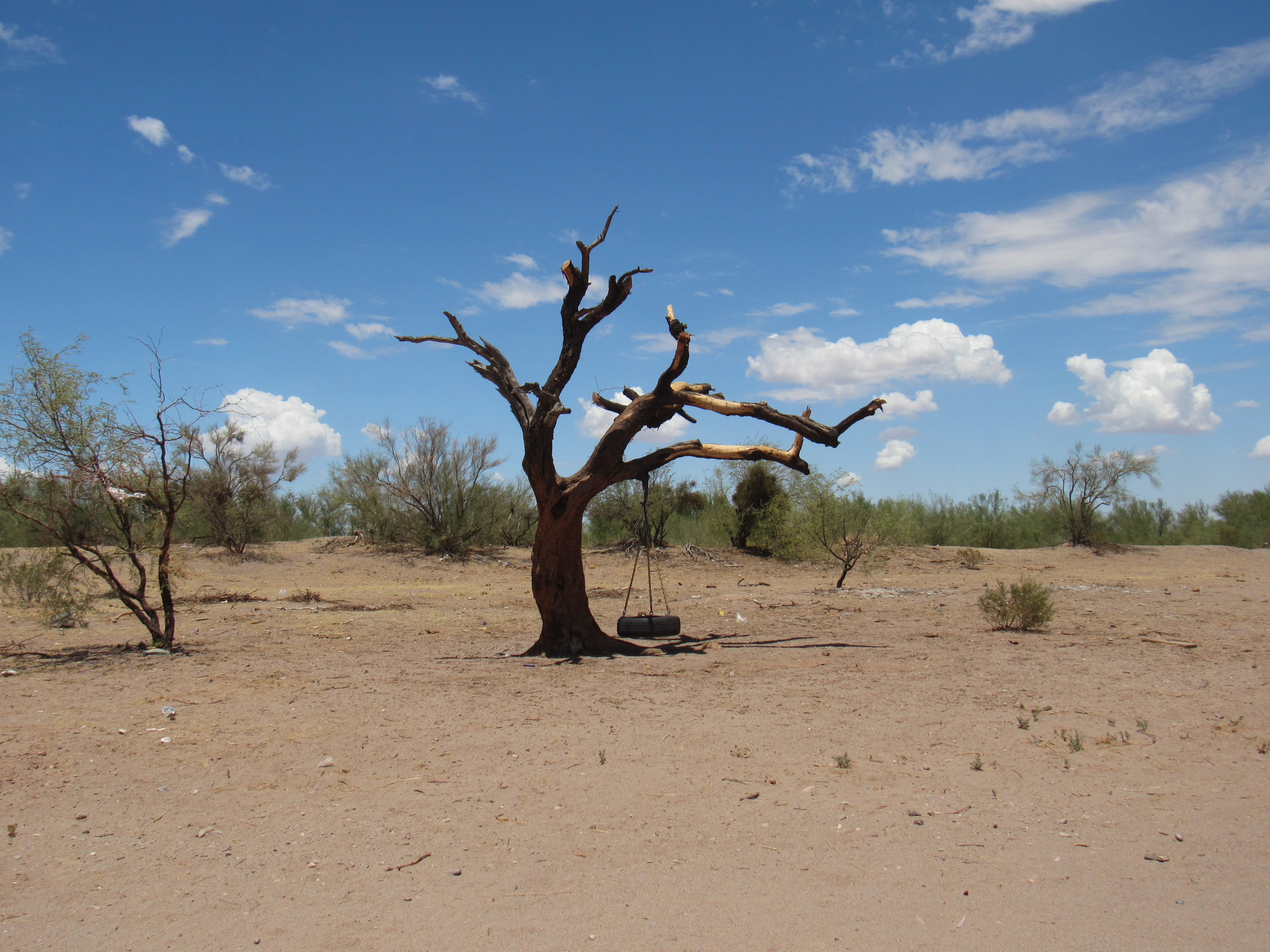
The swing
All told, there are about 1,000 people living in the Santa Rosa “metropolitan” area, as the several communities I’ve described are all quite close together.
If we head back out to Highway 15 and continue north, we see off to the west the Sheridan Mountains, named for General Phillip Sheridan.
Looking west to the Sheridan Mountains
Traveling a few miles farther north, we get this view into the Cimarron Mountains.
Looking west to the Cimarron Mountains
In the wonderful book entitled “Arizona Place Names” by Will C. Barnes, we find this reference to the Cimarron Mountains:
“Mexicans call mountain sheep cimarron. Mountain sheep must have been very plentiful in this region, for Father Kino says ‘Four leagues west of the Casa Grande they (Manje and his party) reached the rancheria of Tusonimo where there was a mound of mountain goat horns like a hill, this goat being their common food. Manje estimated 100,000 horns in the pile.’ ” (From Father Kino’s memoirs.) The goats referred to were of course desert bighorn sheep.
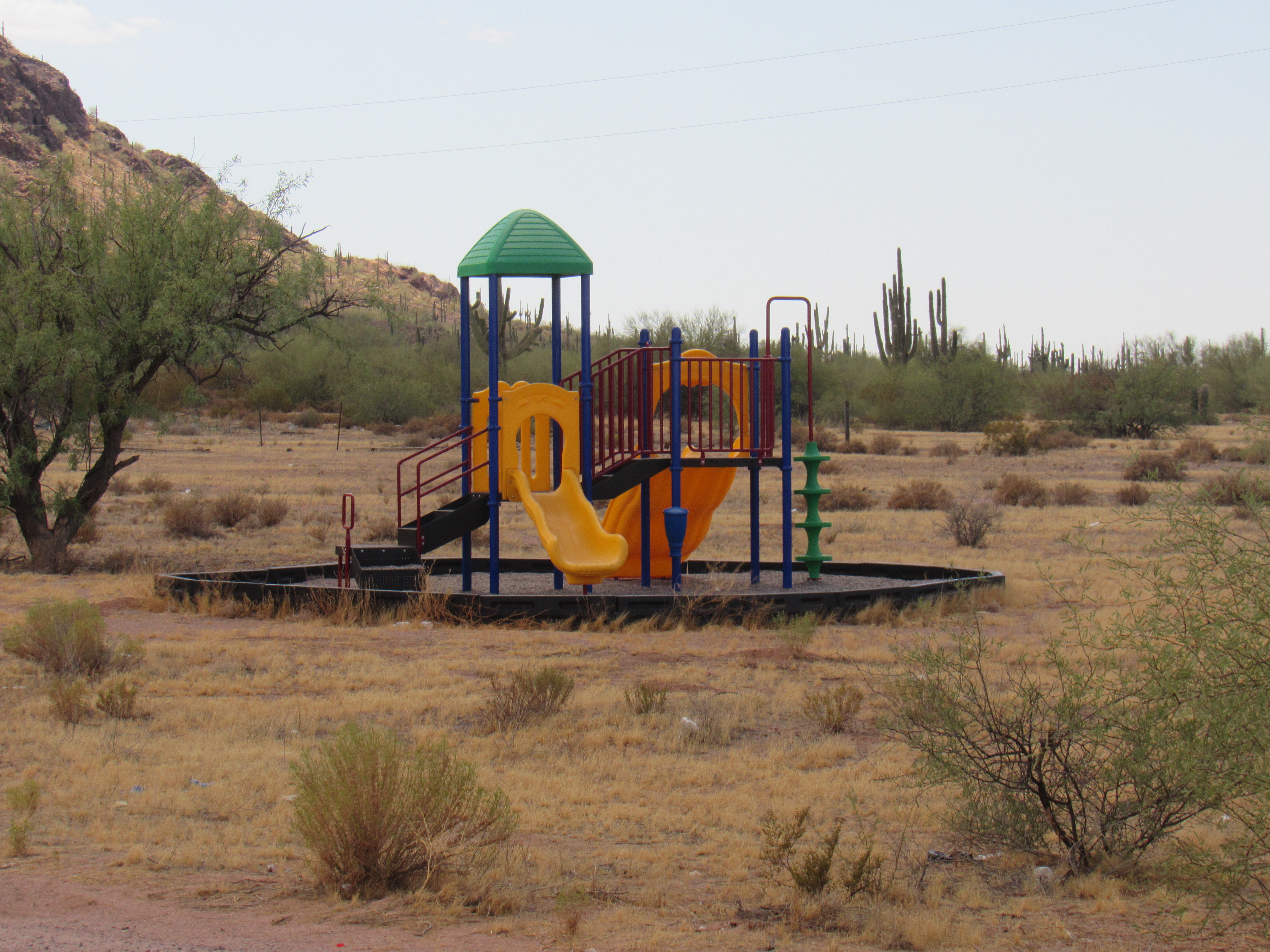
Continuing north along Highway 15, at the 27.5-mile mark, we come to the village of North Komelik. In the O’odham language, this is more properly spelled Komlik, which means “Low Flat Place”. This village boasts about 135 inhabitants, and also happens to be the headquarters for the Sif Oidak District (Siw Oithag Chekshani in their language, which translates as “Bitter Field District”). Here is their district office.
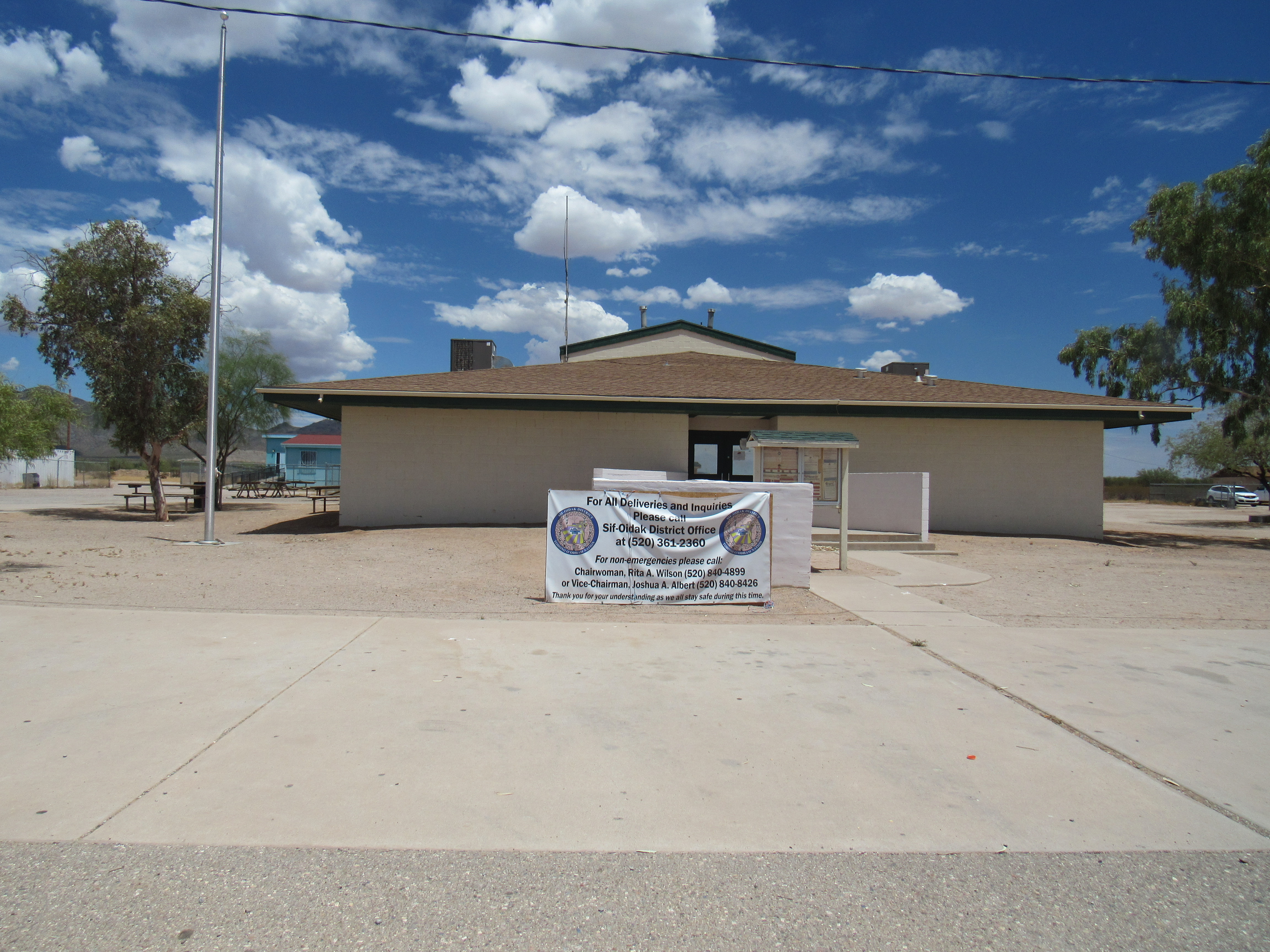
District offices
Behind the district offices sits a playground for the village kids.
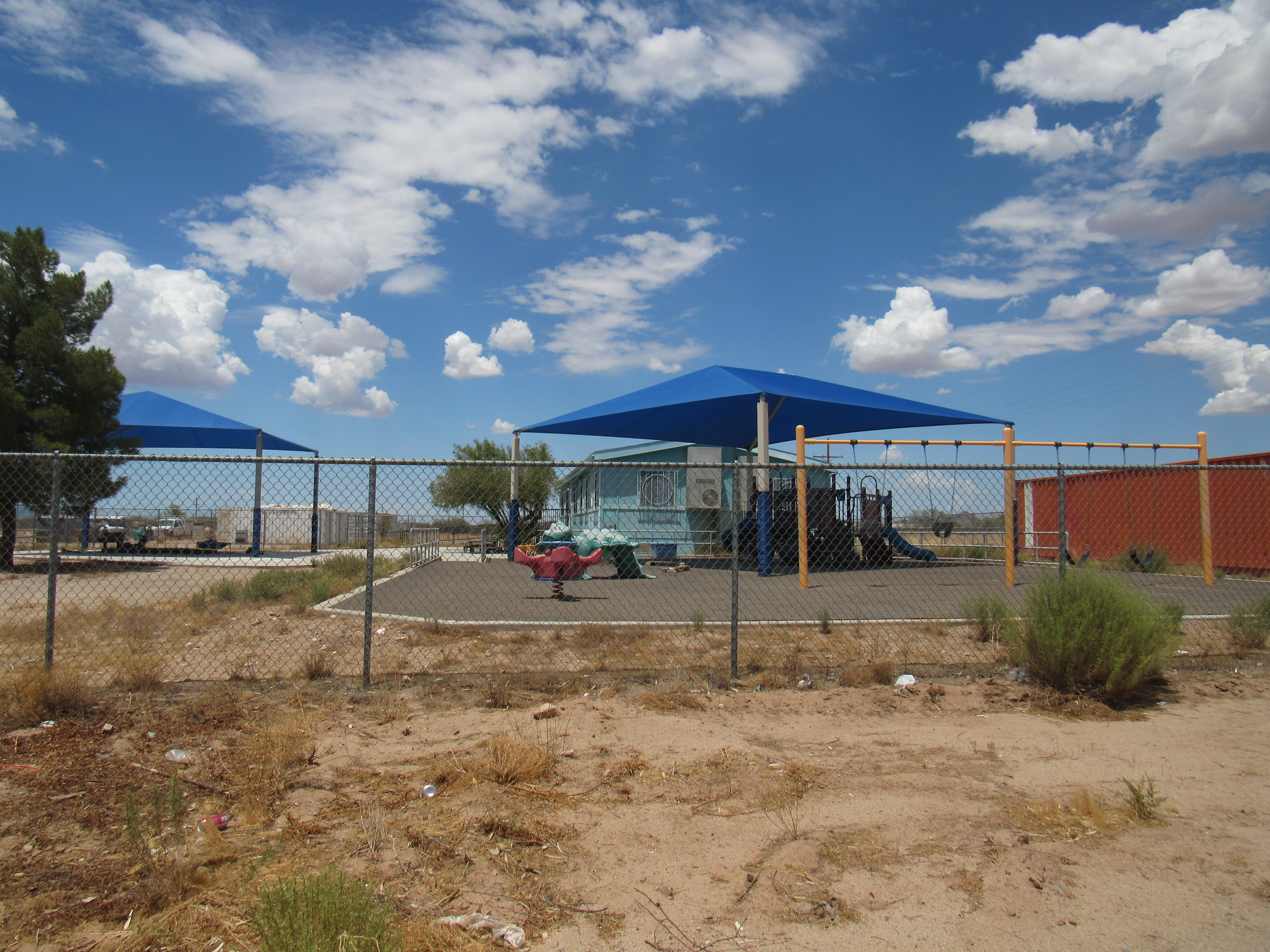
Playground
They even have a couple of vehicles to fight fires, lovingly parked nearby.
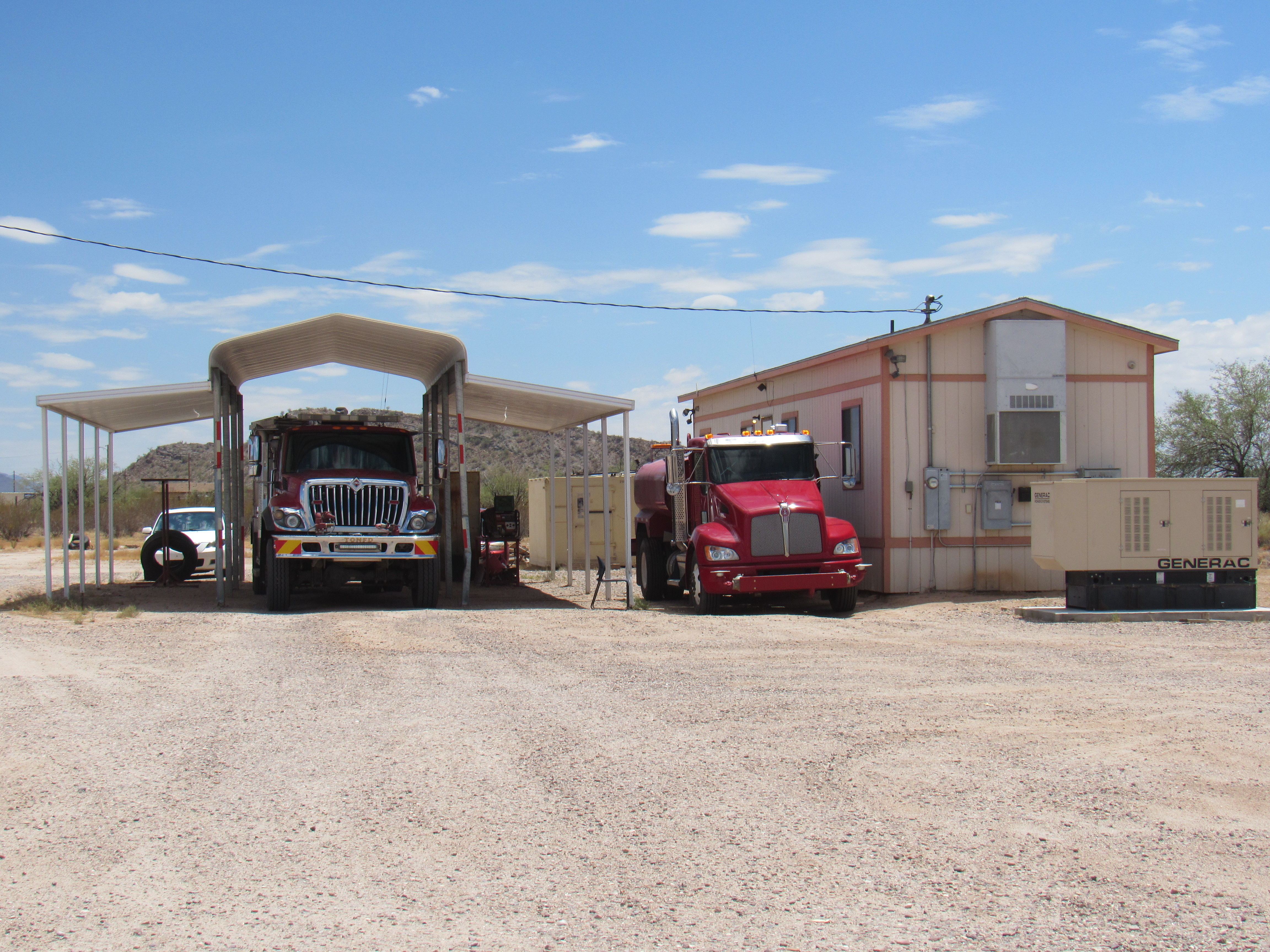
Fire trucks
And since it is the district headquarters, they have a small fleet of vehicles to transport folks as needed.
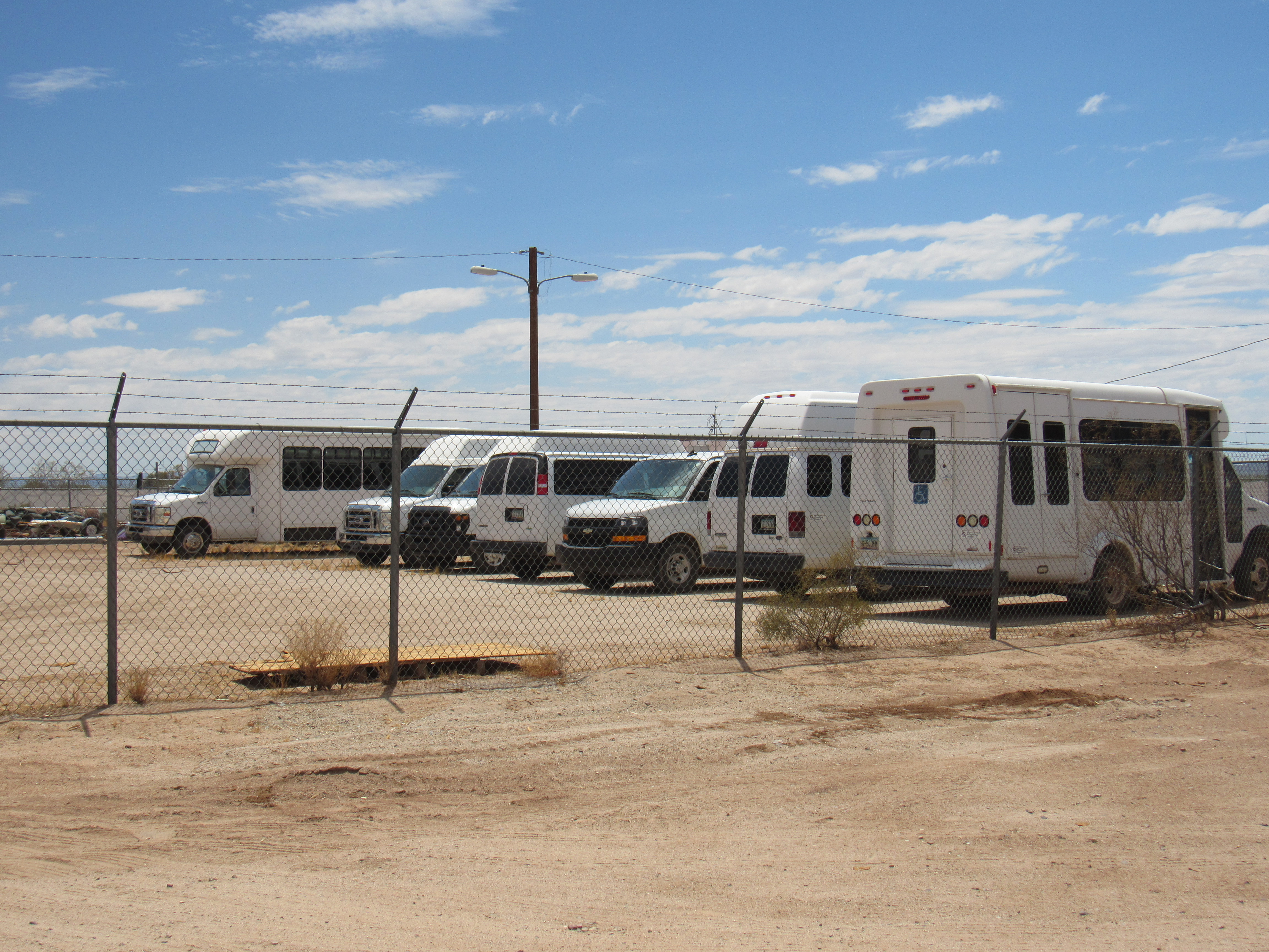
Community transportation
The Slate Mountains sit just to the northeast of the village, and their high point, Prieta Peak, towers 1,700 vertical feet overhead.
Prieta Peak
I have an interesting connection to North Komelik. Way back in 1987, I was trying to figure out a way to climb all of the mountain range high points on the Tohono O’odham Indian Reservation. Several of them, it turned out, lay within the boundaries of the Sif Oidak District. I managed to come up with a phone number for the district office and called them from my home in Tucson. I explained to the person on the other end of the line that I would like to get permission to come out to their district and climb the half-dozen or so peaks that fell within their jurisdiction. I was told that nobody had ever asked them before to do such a thing, and that the best way to get permission would be to come to their once-monthly district council meeting and make a presentation. She told me the date that that would be, and they could put me on the agenda for that meeting. It sounded like a good idea to me.
I showed up for the meeting on the appointed day. I had prepared a map of sorts, and had attached it to a piece of cardboard as a backing. The members of the district council were all there, four of them as I recall, and they went through the few items on their agenda. Finally, my turn came and I was introduced. They sat stoically as I made my presentation, and I couldn’t get a read on them one way or another. I don’t recall even a single question that they may have asked me. It didn’t take me long to present my case, pointing on my map to the various peaks I wanted to climb and where they fell within the district boundaries. I told them I was asking permission just for myself, nobody else, and that it would be a one-time thing. When I finished, I thanked them for their time, and since I was the last item on their agenda I left right after I was done. I guess I’d been hoping for more feedback from them, something that would give me some clue as to how they’d decide. They’d told me that I would get a letter with their decision. About a month later, it arrived – they had declined my request to climb their peaks, with no reason given. End of story.
About a mile north of the village, on the right-hand side of the highway, sits a road with a massive gate. This is the entrance to a now-defunct copper mine. Here is one of many signs posted there.
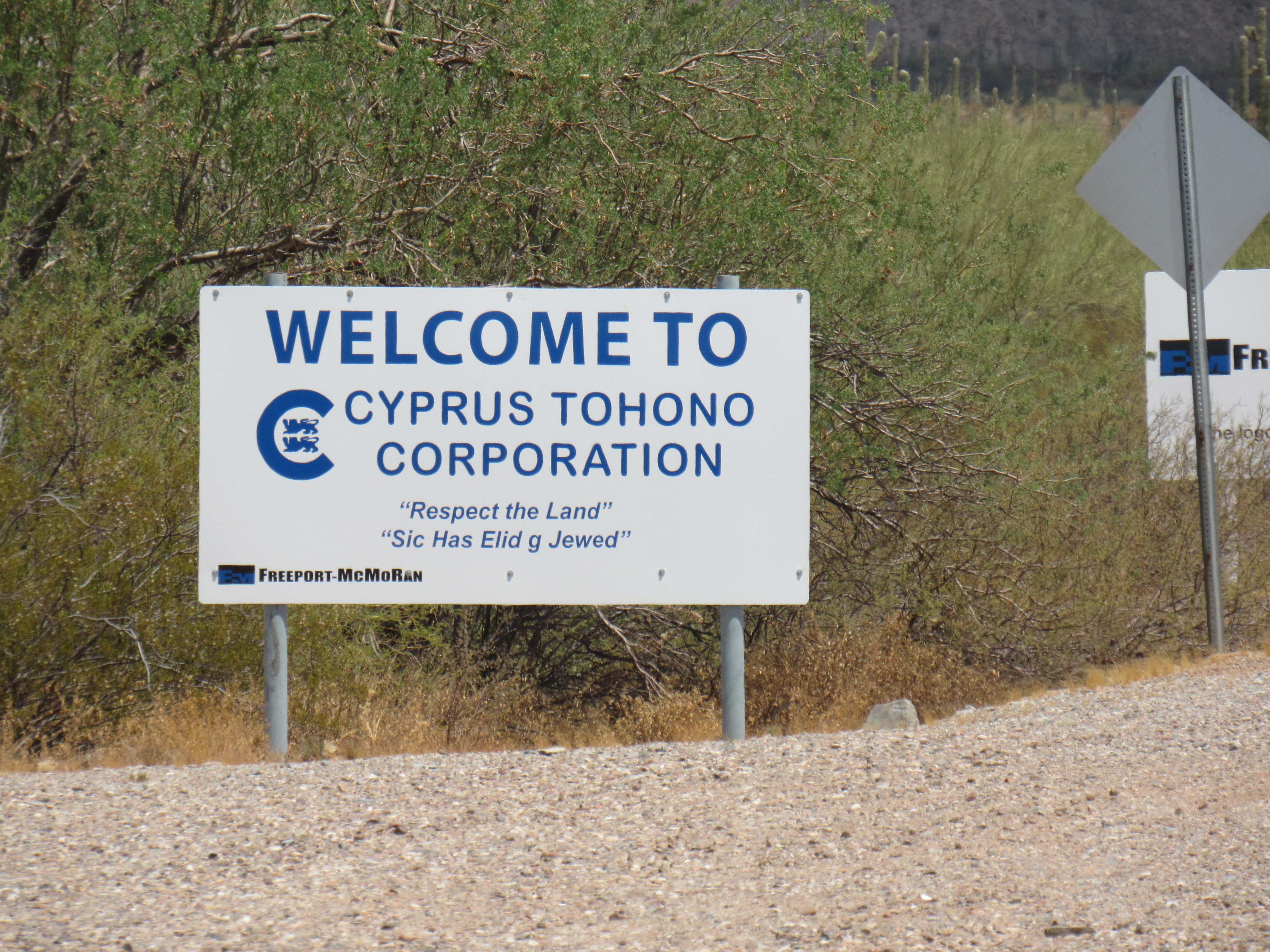
How ironic!
The best way I can sum up the activities of this mine is by showing you an excerpt from the Environmental Protection Agency’s website:
The EPA reached an agreement with Cyprus Tohono Corporation requiring the company to clean up a 450-acre area of its 10,505-acre mine site responsible for contaminating groundwater on the Tohono O’odham Nation, 32 miles southwest of Casa Grande. Two of the evaporation ponds and the mill tailings impoundment are considered to have contributed to groundwater contamination of an aquifer that was previously the sole source of drinking water for the North Komelik community. Area residents have also reported that in certain wind conditions dust from the mine blows up into North Komelik, creating potential inhalation of particulate contamination. Contaminated soil will be excavated, placed on a liner, and covered with a soil cap.
I’ll bet the Tohono O’odham Nation rues the day they ever let Cyprus set foot on their land.
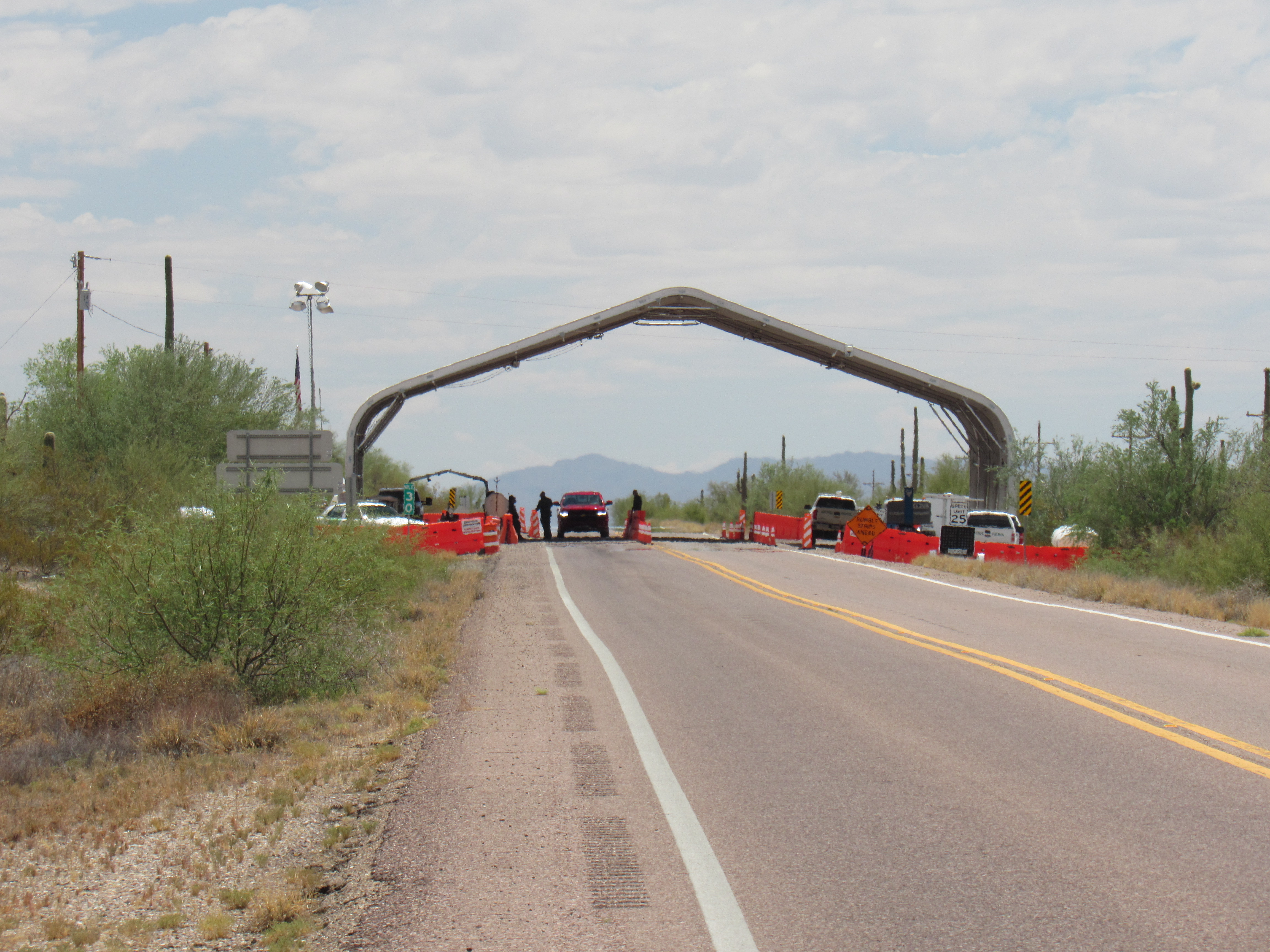
Moving on, just a bit farther north along the highway, at 30.1 miles to be exact, we come to a permanent Border Patrol checkpoint which stops all vehicles heading north.
Border Patrol checkpoint
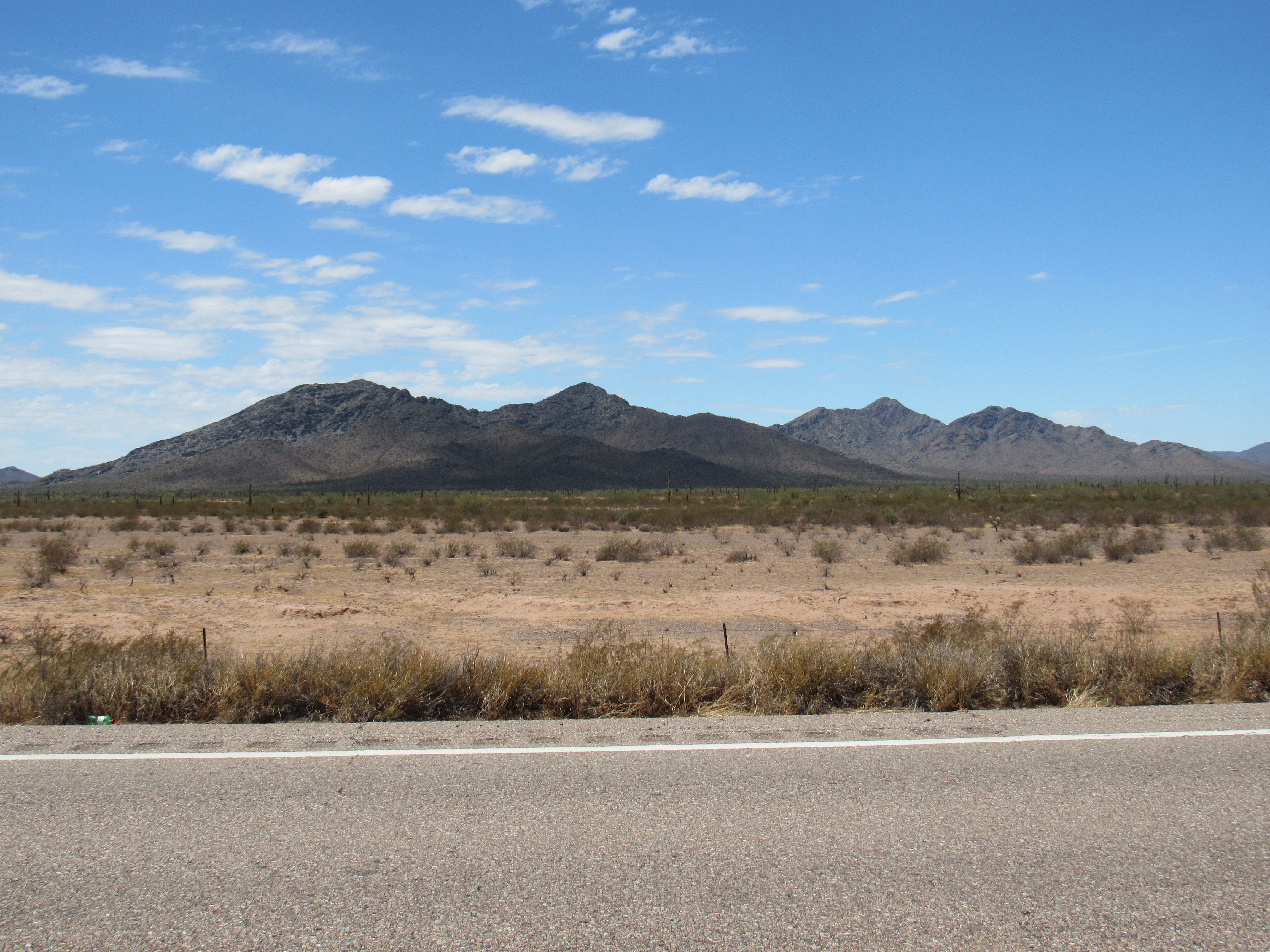
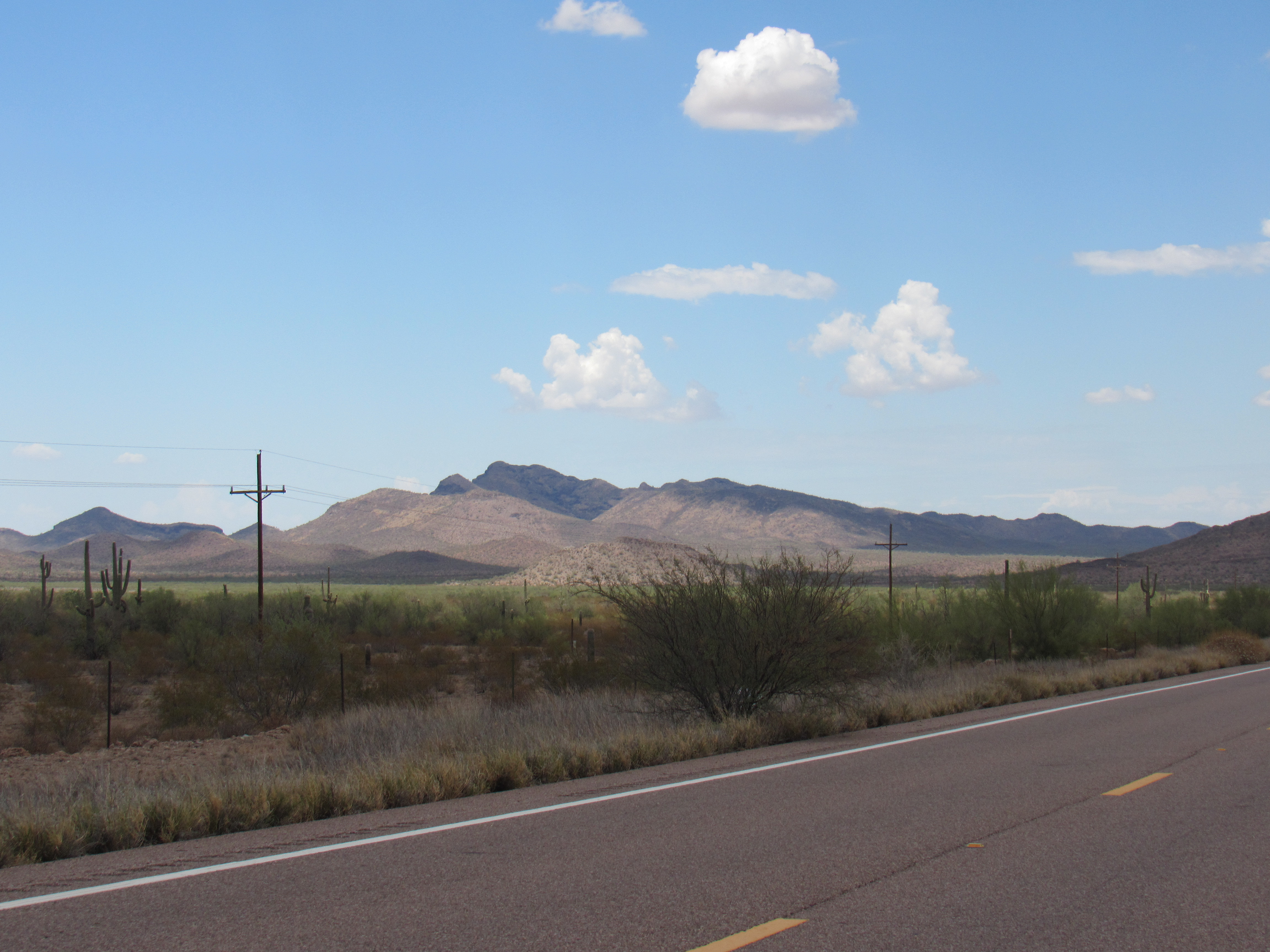
A quarter of a mile past the checkpoint is an important junction, where Indian Highway 42 heads off to the west to the communities of Kohatk and Cockleburr. This photo shows the Table Top Mountains in the distance, dominated by the range high point known simply as Table Top.
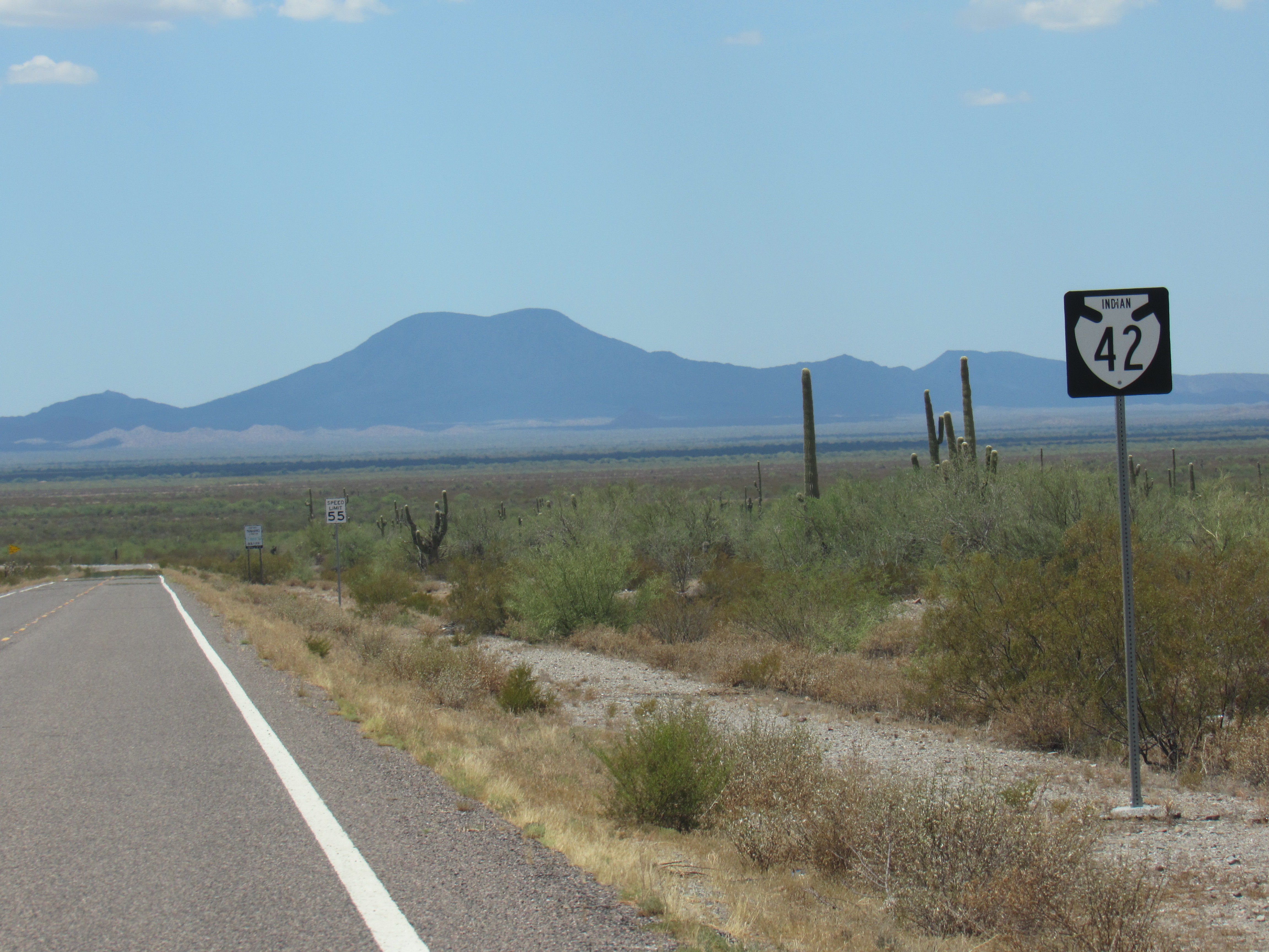
Table Top
Right next to the spot from which I took the above photo was a small roadside shrine. These are common on the reservation along the roads, and this one was to honor the memory of Doreen A. Robles, born on December 24, 1971 and died on May 7, 2016. These shrines are well-kept to honor the memory of the deceased. They are often placed near the spot where the person died in an automobile accident.
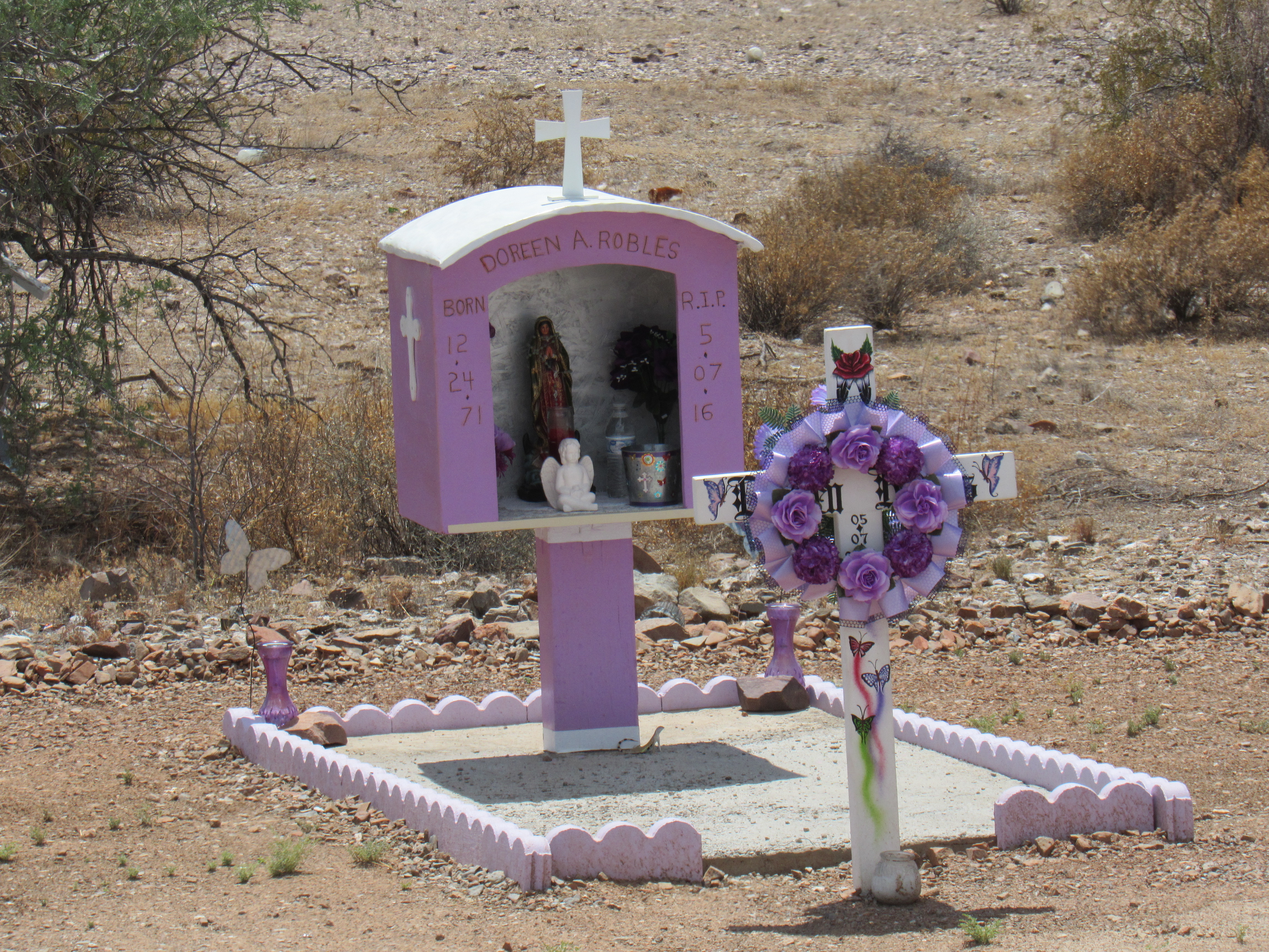
The shrine
A bit farther north and we start to see the Tat Momoli Mountains coming into view. In the O’odham language, the name is Tad Memelkud, which means “Foot Running Place”.
Tat Momoli Mountains
There is also a village of the same name, which has 40 inhabitants. “Jackrabbit” is another name which is used for the village. Here is its chapel.
The chapel at Tat Momoli
One day many years ago, I was in this tiny village and I heard a loud noise approaching. It was a large C-130 military transport plane with 4 propellers coming from the southeast, probably from the air base in Tucson. It was very low, not more than a few hundred feet above the ground – it roared right over the village, then climbed to a higher altitude and flew away. Why it did something so disruptive, buzzing the village like that, I don’t know, but it was certainly disrespectful to the people living there.
Tat Momoli sits only 5 miles from the eastern edge of the reservation. and from the village we get a good look at the Sawtooth Mountains, only 8 miles to the east across the Tat Momoli Valley.
The Sawtooth Mountains
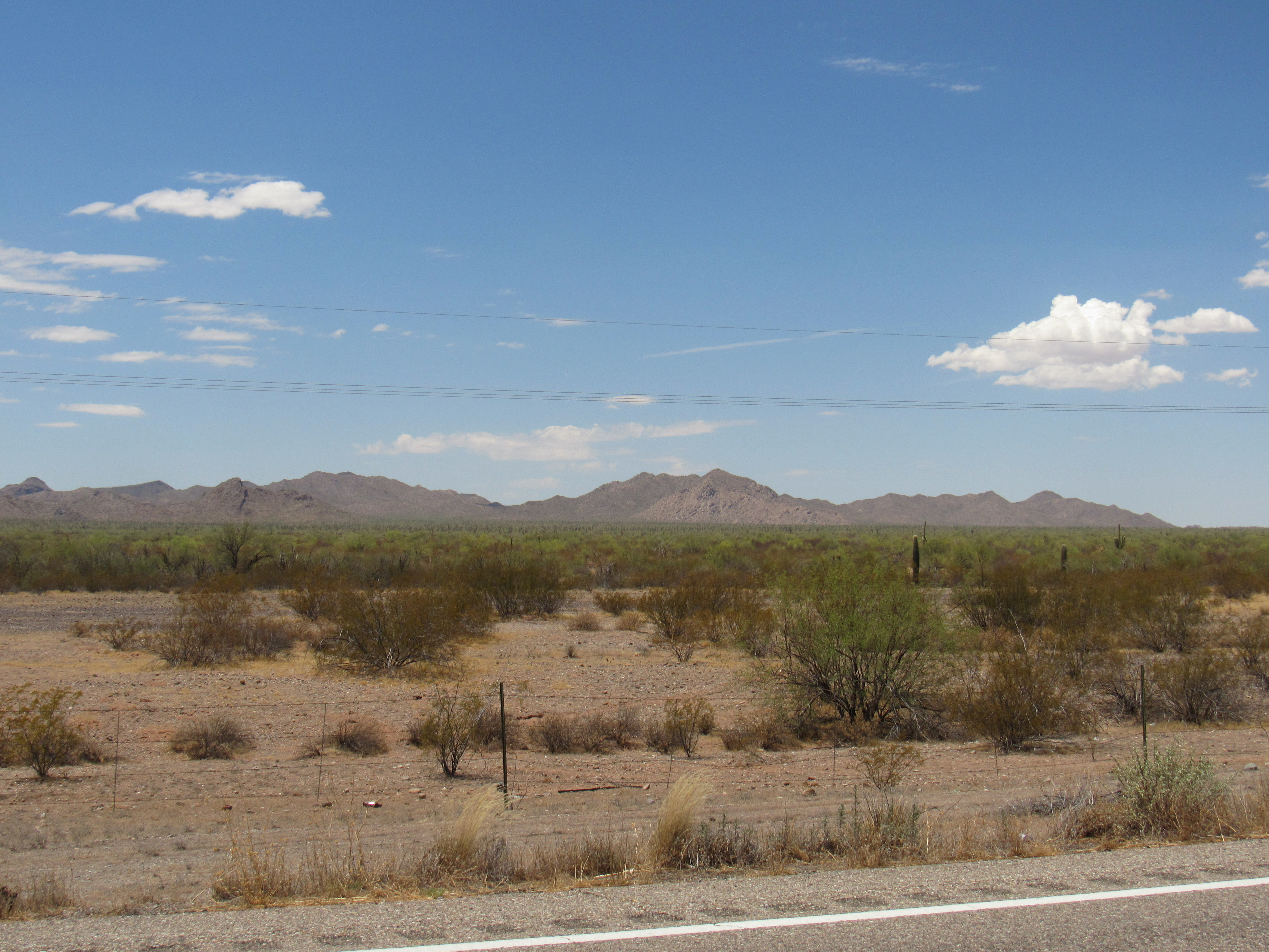
If we head back out to the highway and continue north, we soon come to the Silver Reef Mountains. It seems an odd name, but my reference says “There is a so-called “reef” here which carries some silver.” The range straddles the highway, with 2 peaks to the west and 3 to the east.
The Silver Reef Mountains
If we drive just beyond the Silver Reef Mountains, we find another turnoff to the east, 46 miles from our starting point at Covered Wells. This goes to Shopishk. I believe the name means “Whitehorse Pass” in the O’odham language.
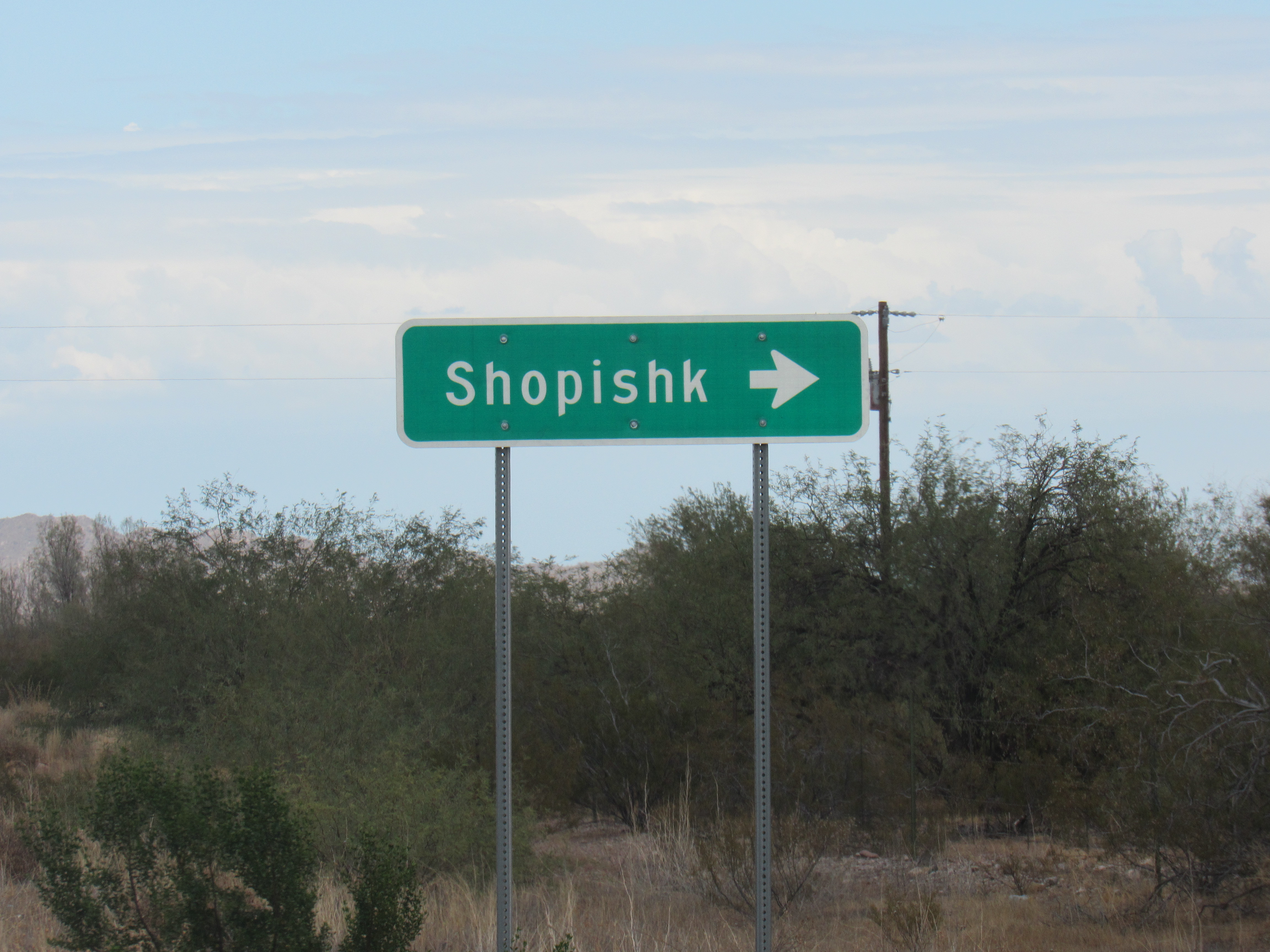
The turn.
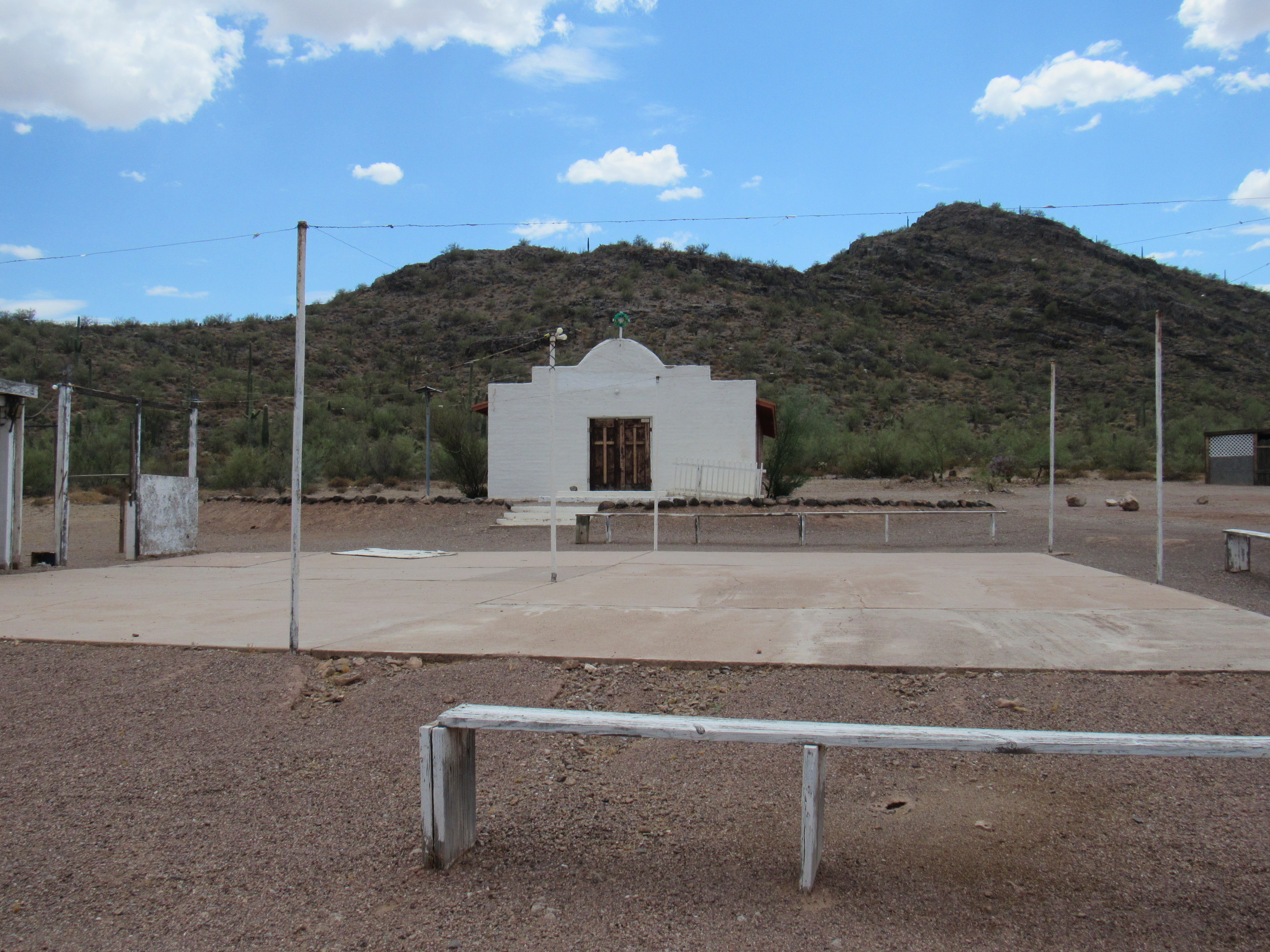
Only about 20 people now live in this tiny village. It too has its chapel, but I’m guessing it is no longer used, as the much bigger church at Chuichu is only a few miles away.
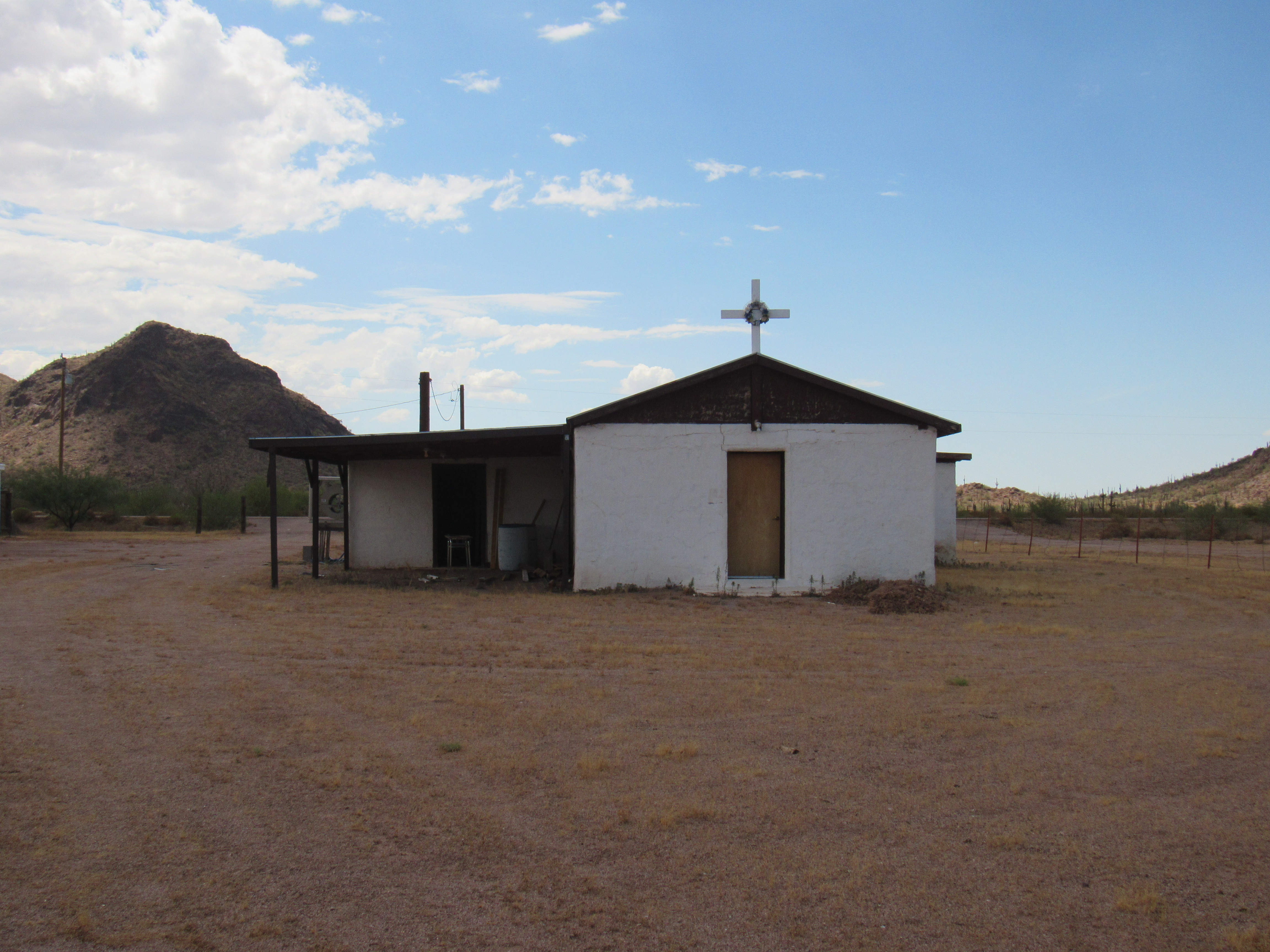
The chapel at Shopishk
This village, like most others, has its own cemetery. There are far more people buried here than are alive in the village today.
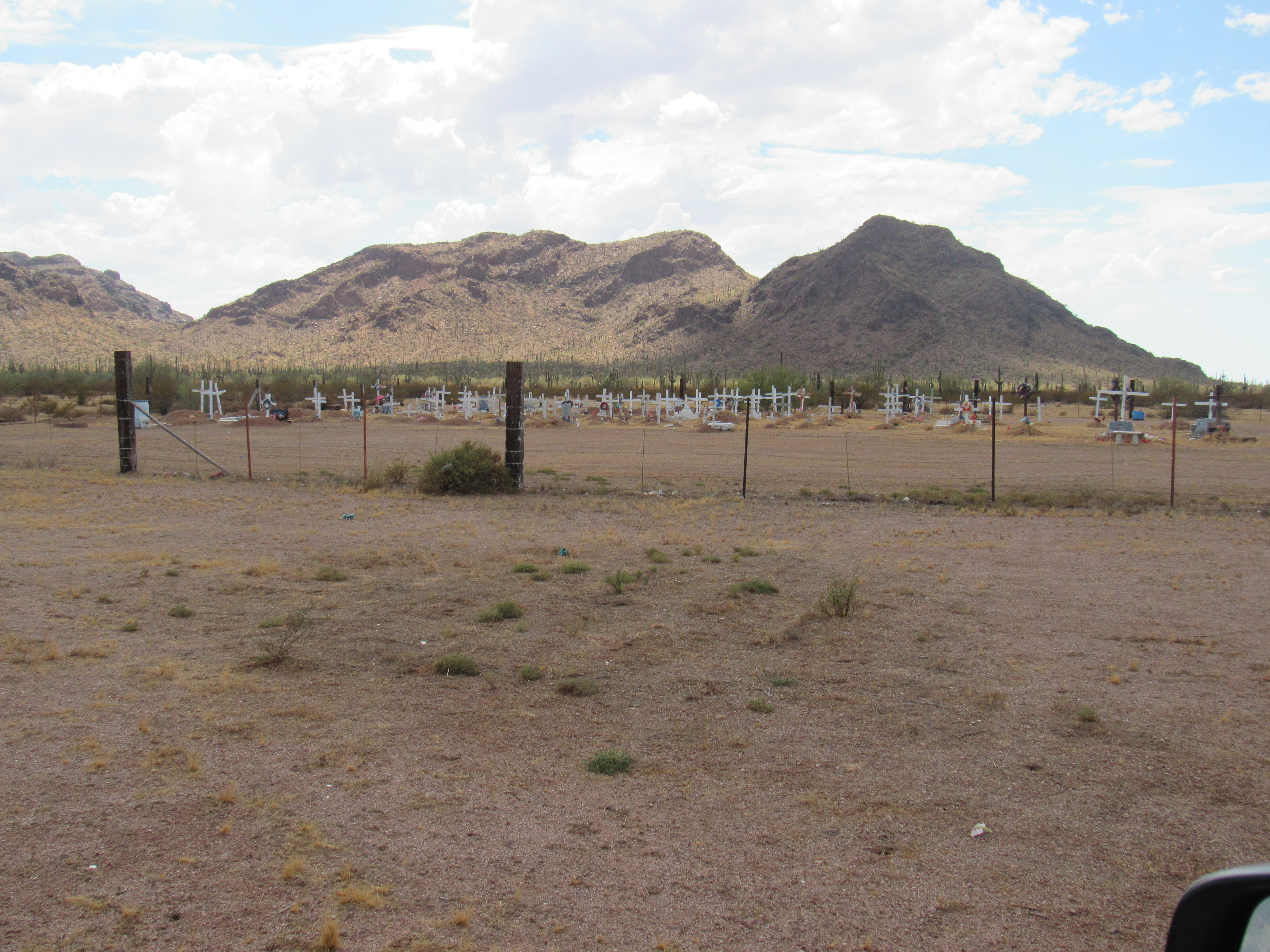
The Shopishk cemetery
A bit of playground equipment stood next to the cemetery, but I don’t know that any children still live in Shopishk.
The playground.
Let’s talk about the churches I’ve been showing you as we travel along Highway 15. The population on the reservation is predominantly Roman Catholic. In the village of Topawa, a few miles south of Sells, can be found the San Solano Mission Pastoral Center. It oversees all of the chapels and churches on the reservation. We need to keep in mind that the res covers an area the size of the state of Connecticut, and there are 45 chapels in total. Mass is said by one of the priests from Topawa at 28 of the chapels once a week; the others, less frequently, once or twice a month. The priest will arrive at the village and ring the bell at the church half an hour before he starts to say mass, giving the faithful time to walk over to the church. Those living in the village are responsible for maintaining the churches.
Back out at the highway, we need only continue less than a mile before we come to the village of Chuichu, known as Chehcho in the native language, which means “Caves”. This name probably comes from the abundance of natural caves found in the nearby Silver Reef Mountains. Chuichu is one of the larger communities on the reservation, with a population of 430. It too has its church, known as Saint Augustine Catholic Church, which, due to the size of the the place, is larger than most.
Saint Augustine church
Indian Highway 15 is coming to its end. Just past Chuichu at the 48.2-mile mark is a turnoff to one last community, known as East Chuichu. It’s not an organized place, just a few scattered homes. There is one thing of interest there, however. Sitting out in the desert is a large concrete marker. It’s a bit hard to see from ground level, but from above it resembles a big Maltese cross. These are scattered throughout the desert, and rumor has it they were used by the Army for aerial surveys.
Concrete marker
Highway 15 exits the reservation at Battaglia Road and ends a few miles later in the city of Casa Grande as Chuichu Road. I’ve always enjoyed the drive from the Quijotoa trading post north to the reservation boundary, and I’m glad you came along with me this time for the ride.