
Before I head out to climb something, I try to do my homework. There are good maps available for free online, as well as several sites with satellite photos, and I try to use them all to research a peak. If it’s one that friends have already climbed, I’ll lean on them for advice as to which was the best way up the thing. If nobody I know has climbed it, that’s when I’ll do my best with topographic maps and air photos. It’s easy to be misled by contours on a map, though, as even with 40-foot contours there could be a 39-foot cliff that doesn’t show up. Satellite photos can be even more misleading – a slope that looks fairly tame can turn out to be anything but.
On a recent week-long climbing trip in the winter, one of the peaks on my agenda fell into that category – I wasn’t able to get any route information from the few who’d been up it in the past, so I studied maps and photos as well as I could. My trip began with a climb that was pretty demanding, followed the next day with another that really took it out of me. An easy peak on the third day was almost like a rest day, and when I finished it in the mid-afternoon I found myself racing the clock to drive to a spot that seemed like it would serve as a good trailhead for the mystery peak. As is the case with a lot of desert peaks, your drive in may start on pavement and then you’ll end up following a series of ever-worsening dirt roads until you’ve driven as close to the peak as possible.
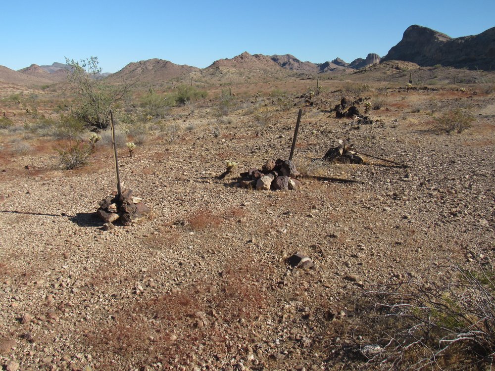
My goal was the high point of a little cluster of peaks known as the Picacho Hills. These are a tiny sub-set of 5 or so peaks which sit at the far western end of a range known as the Gila Bend Mountains, the most populous range (about 125 distinct mountains) in Arizona. I left the freeway, then drove 15 miles of paved roads through a major agricultural area. Next came 10 miles of dirt road along a gas pipeline, followed by 6 more miles of worse dirt roads until I finally came to a stop near the Yellow Breast Well as the last of the daylight faded. I was glad I’d been able to make it all the way in to what would be my trailhead before I lost the light.
Whether I’m sleeping in my truck or on the ground, I try to make sure I’m level – it’s okay if my head is very slightly uphill, but not with my body tilted to the side or with my feet uphill. I arranged the truck so it was nice and level, but to do so I parked across the width of the road. Literally, if anyone else had driven by, I’d be blocking their way, but I wasn’t too worried – no climbers had been in the Picacho Hills since the year 2008, and there wasn’t much else out there to attract anyone. I heated a can of beans for supper and spent a chilly, restless night. The only glimpse I’d ever had of the peak was as I drove in and I didn’t much like what I saw.
Once the sun had risen the next morning and warmed my bones somewhat, I made ready to leave. From camp, I had a kind of oblique view of the north side of the peak and it didn’t look promising, nor did its northwest corner, the one nearest me.
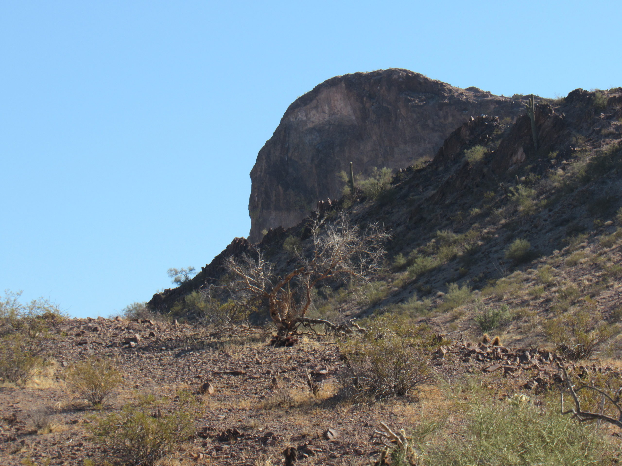
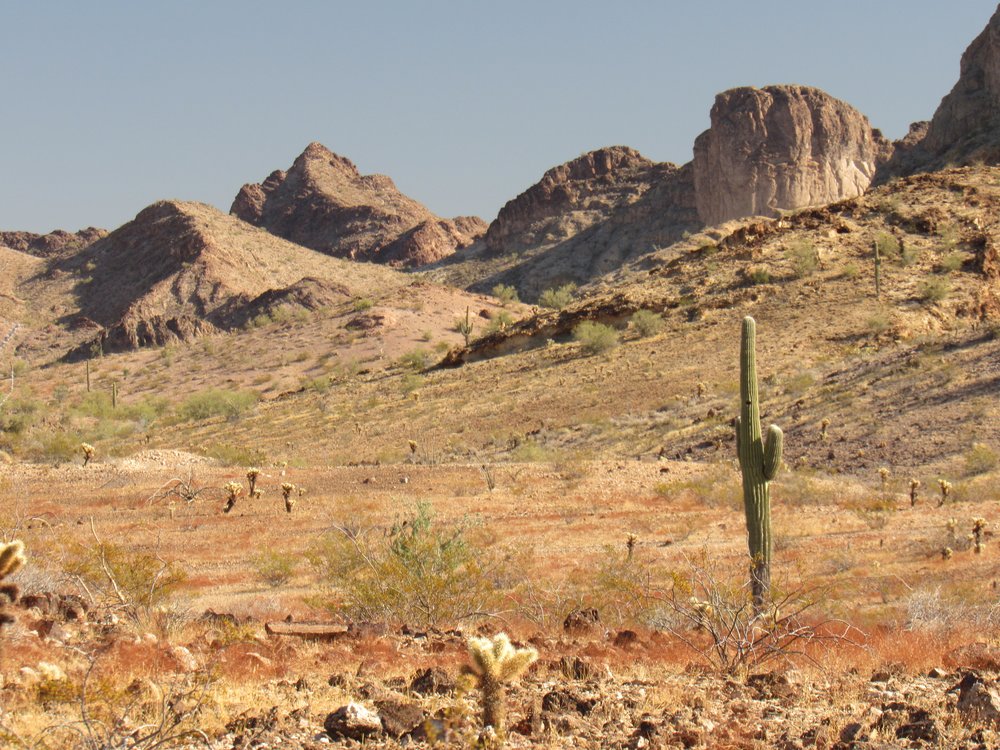
Looking east, across the north side of the peak poking up behind a nearby hill.
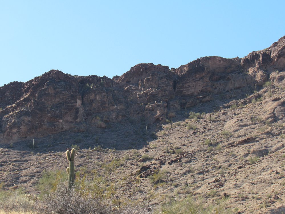
I couldn’t see any of the rest of the peak, so I thought I’d head east and see what I could find. I walked through a low saddle, then down into a gentle wash. This I followed for the better part of a mile, in so doing passing below the wall of cliffs that comprised the entire north side of the peak. It looked positively unhealthy, and I had no desire to even set foot on any of that north side. I finally left that wash and started up a different one that headed south. As I continued, I had a good look at the northeast side of the peak, my first view from that perspective. I did not like what I saw. Higher up, it was a wall of continuous cliffs stretching almost half a mile.
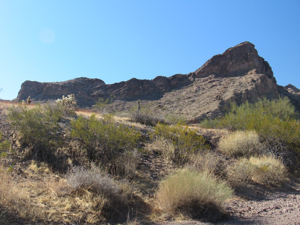
The northeast side.
I picked a good spot and sat down with a pair of little binoculars that I carry in my day pack. From there, I glassed that wall of cliffs and thought I saw one possible way up through them, which would put me on the ridge you can see in the above photo – then I would follow it up and to the right to the highest point of the mountain.
I set out and climbed about 300 vertical feet until I reached the base of the cliffs. Right away I could see that my “one possible way up” was going to prove more difficult than I thought. I wove my way back and forth on a series of loose, steep ledges, using flagging tape to mark the way for my return. Thankfully, I made it up to the ridge and paused to catch my breath. This was the major southeast ridge on which I now found myself, and I was hopeful it would lead me to the top.
My elevation was a tad over 1,700 feet, and the summit I was aiming for, the high point of the Picacho Hills, stood at 1,965 feet – let’s call it 250 feet to go to reach the summit. I was guardedly optimistic – from where I stood, it looked like it might work. I started up the ridge and made good progress, but soon reached a point barely 50 feet higher when I saw what lay ahead of me. The rock along the ridge became highly fractured, huge blocks tilted up vertically, with sheer drops in places. It wasn’t a difficult choice to cut my losses and call it quits. I’d like to think I know my limits, and I have always believed the old Falstaff adage that discretion is the better part of valor. I took this photo looking up the ridge, but sadly it doesn’t show the waiting madness up above. Today the mountain was handing out lollipops and whoop-ass, but it was all out of lollipops.
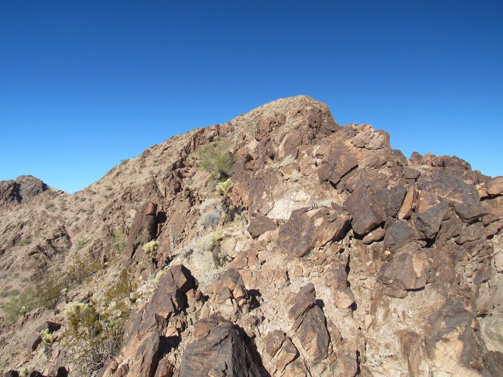
Looking up the ridge
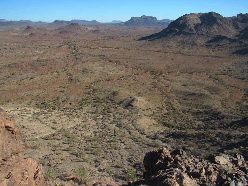
Skunked! I don’t often call it quits on a mountain, but today it was the right thing to do. Here’s another picture I want to show you. I am looking west, down into the basin which lies south of the summit, and most of what you see are the ridges that surround that basin and form a part of Peak 1965. From where I stood, there was some very steep country between me and the basin, nothing I wanted to try.
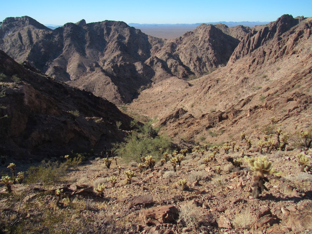
The basin south of the summit.
Climber friend John Vitz had climbed this peak a dozen years earlier. He had made a terrifying and dangerous ascent through the cliffs on the north side of the peak (seen 3 photos earlier in this piece). Determined that he’d find an easier way down off the thing, he descended through the basin and a series of washes, and ended up returning to camp at the Yellow Breast Well the long way around the mountain. His descent route covered more than 3 miles, but the straight-line distance from the summit to camp was only 4,400 feet.
I followed my trail of flagging down through the tricky bits to safer slopes below and was glad that I had made it in one piece. From the desert floor, I took this telephoto shot of the ridge that had stumped me. If you zoom in, you can easily see the gaps and steep parts that blocked my way.
The messy southeast ridge.
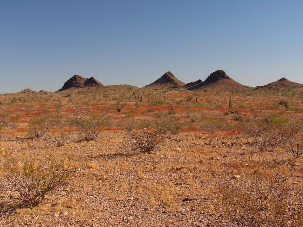
No regrets, really. It was a beautiful, 70-degree sunny day, no harm had come to any climbers in this attempt, and I could always come back another day. I was surrounded by striking peaks which already had me thinking about future visits. Before I started down from that southeast ridge, I had this view of the desert floor below.
Looking down to the northeast.
There were some pretty steep peaks nearby, like this one. Hundreds of feet of topo contours were missing from its southwest face.
Point 1887
And un-named beauties like this one.
This is nearby Peak 1870.
Peak 1870’s northeast side
I followed the washes back to where I’d camped the night before. There was some pipe laying on the ground which had something to do with the Yellow Breast Well.
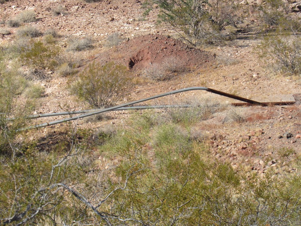
Near the well.
Perhaps the pipe had taken water to a nearby mine. The map showed something called the Big M mine a short distance away, but there wasn’t much to see there.
Near the Big M mine
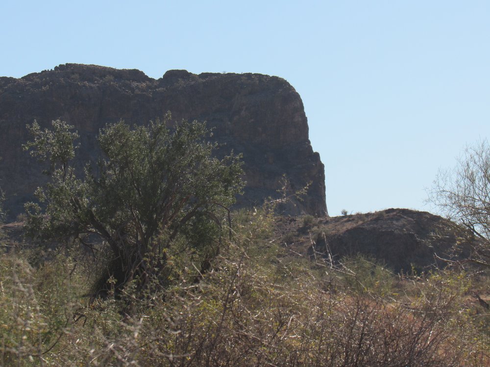
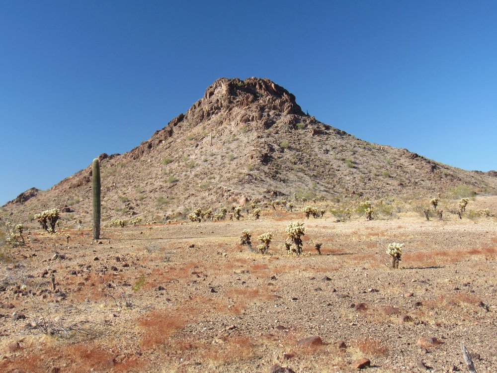
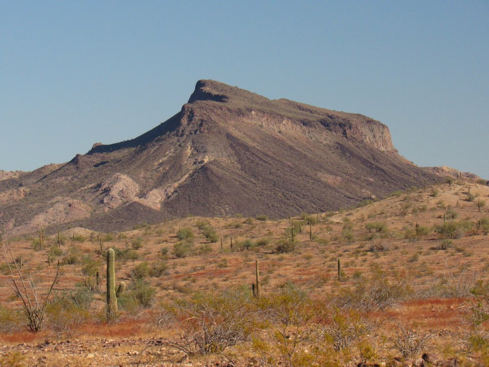
From near the mine, I did get a different look at the peak I’d tried to climb earlier in the day. This photo shows the northwest side.
Peak 1965
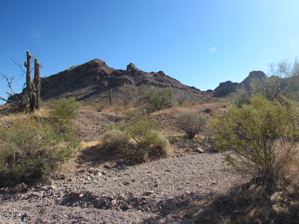
There certainly was no shortage of fine-looking peaks around the area, and somehow I knew I’d be back.
Mighty fine.
Here’s another view.
Nice country.
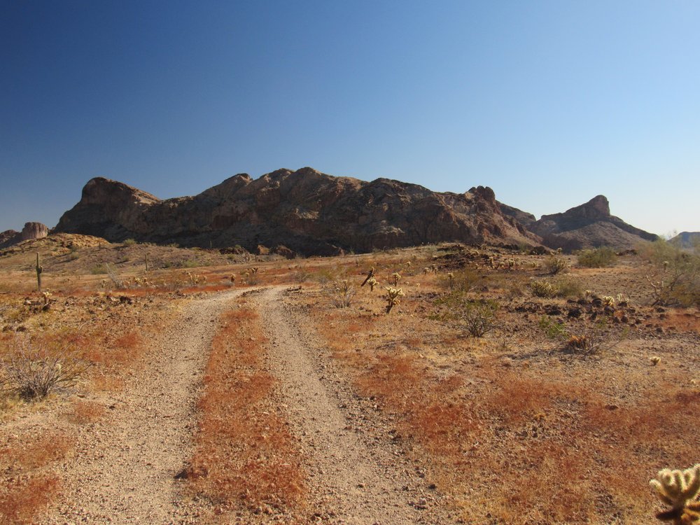
There were a few more peaks to climb while on this trip, and miles to go before I sleep, so I said goodbye to the Picacho Hills, for the time being at least. As I drove out, I passed along the west side of Columbus Peak.
Columbus Peak
Yep, I got skunked this time, but next time will be better.