
Please be sure to read the previous installments of this story, entitled “Statlu – Parts 1 through 4” before starting in on this one.
After the exhilarating climbs done in the Mount Breier area in August, it took me over a month to get back to the Statlu. On Friday, September 16th (it was still 1977), I drove in on the Statlu roads and headed up North Statlu Creek. Instead of continuing on the main line, which crosses to the west side of the creek after a few kilometers, I stayed on the old upper east side road, which was still driveable for some distance. I parked at around 580 meters and set out with just a day pack. I did a soggy bushwhack up a creek, then gained the west shoulder of Mt. Fletcher. From there, I spent another hour negotiating a bunch of Class 3 bluffs and arrived on the rather bushy summit at 1,412 meters (about 4,630 feet) elevation. I don’t recommend this route. Mt. Fletcher rises directly up from the west shore of Chehalis Lake, almost 4,000 vertical feet below.
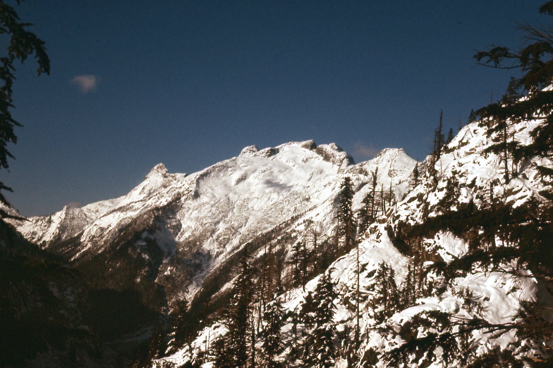
On top, I found an old cairn, inside of which there was an old tin, open and quite exposed to the elements. Inside it was a scrap of paper, and written on it in pencil were the names of 2 men who had climbed it on September 20, 1941. Harrison and McEwen had named the peak “Anticipation Ridge”. It was remarkable to see that their note had survived 36 winters and was still quite legible. It goes to show that registers written in pencil will last, while those written in ink will not. I left a better register and put their note along with mine inside it. From the top, I had this view north to Mt. Orrock across Middle Creek.
North to Mt. Orrock
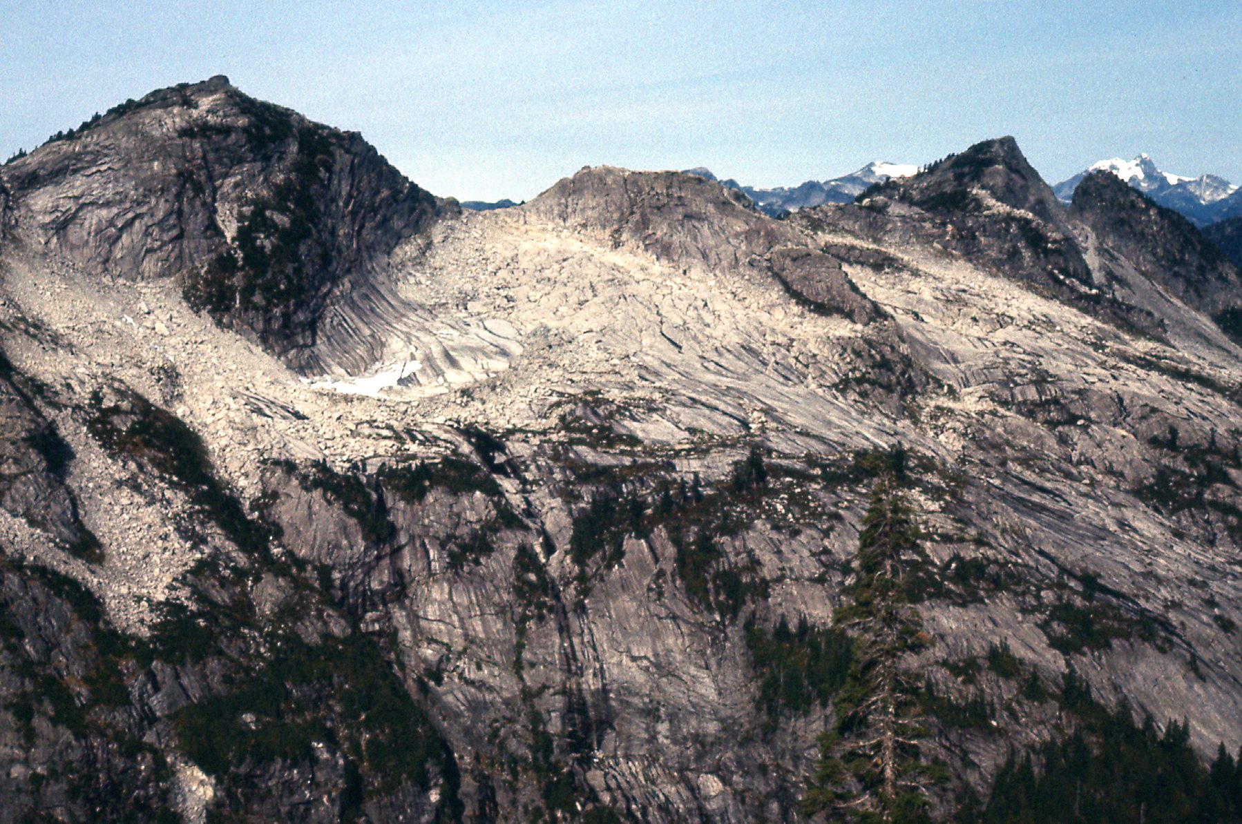
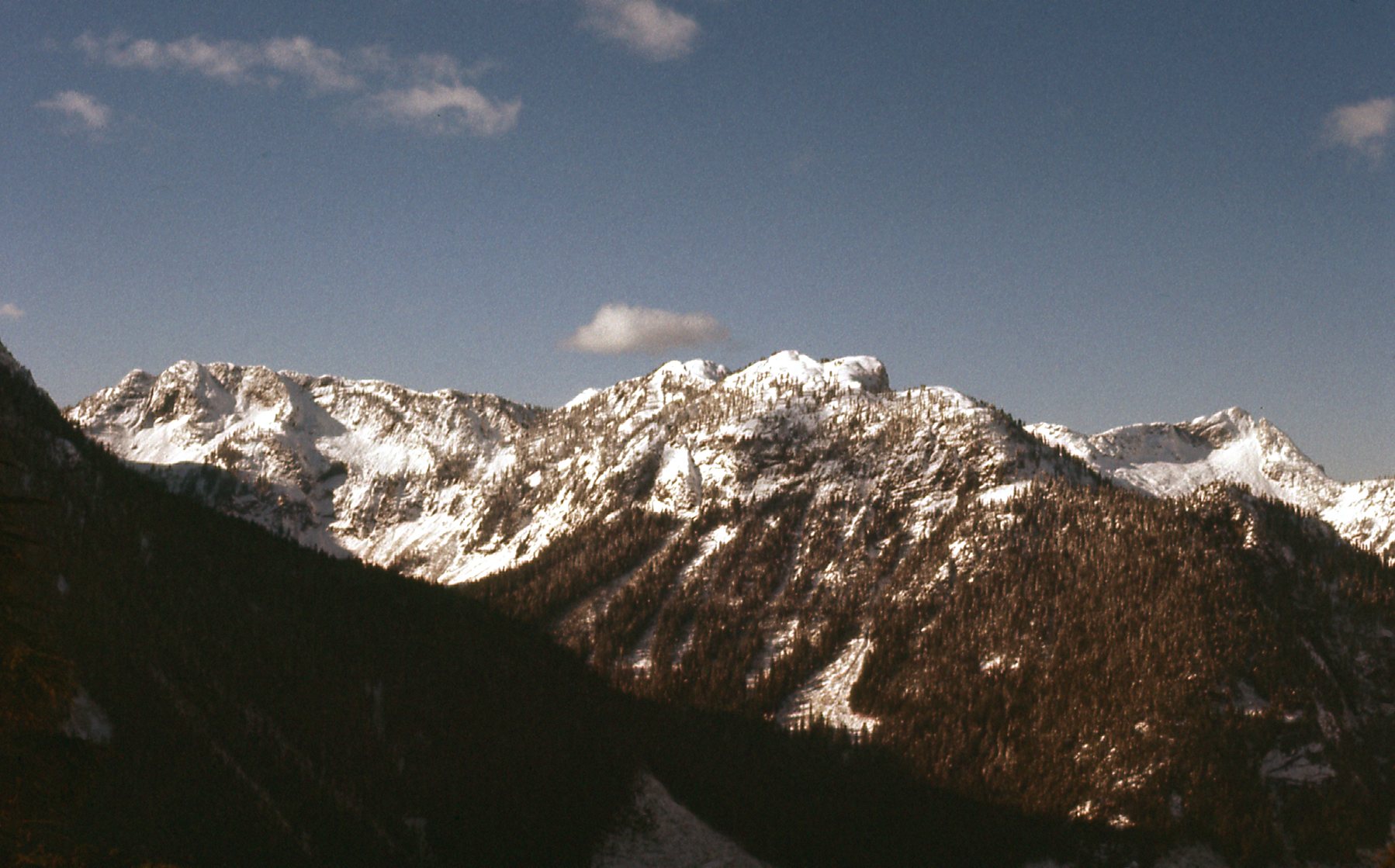
There was one more peak I wanted to climb that day. About 2 km. to the west-northwest of Mt. Fletcher sat Peak 1554 meters (about 5,100 feet). It was a worthwhile objective, almost 500 feet higher than Mt. Fletcher. Here’s what it looked like from Mt. Fletcher.
Looking northwest from Mt. Fletcher.
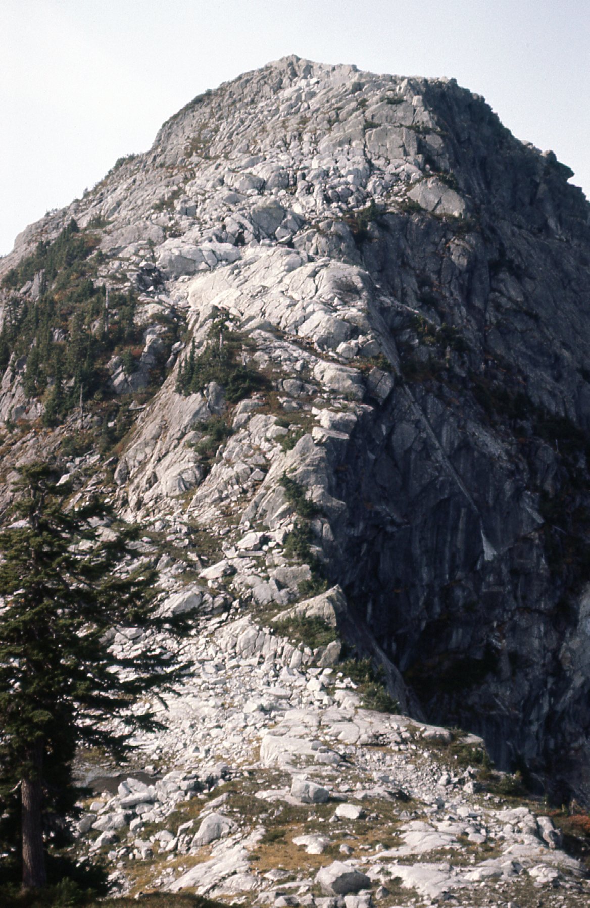
I dropped back down the west shoulder to a saddle at 3,500 feet, then climbed up the southeast ridge of Peak 1554 meters on good granitic rock, a climb of 1,600 feet from the saddle. This summit of this peak looked untouched, like most everything else in the Statlu. It was a double summit and I climbed them both. In order to get back to my car a little quicker, I chose to descend the southwest ridge of 1554 – big mistake, it was an endless series of bluffs. The day was very humid and uncomfortable, and I was out 11 hours on foot.
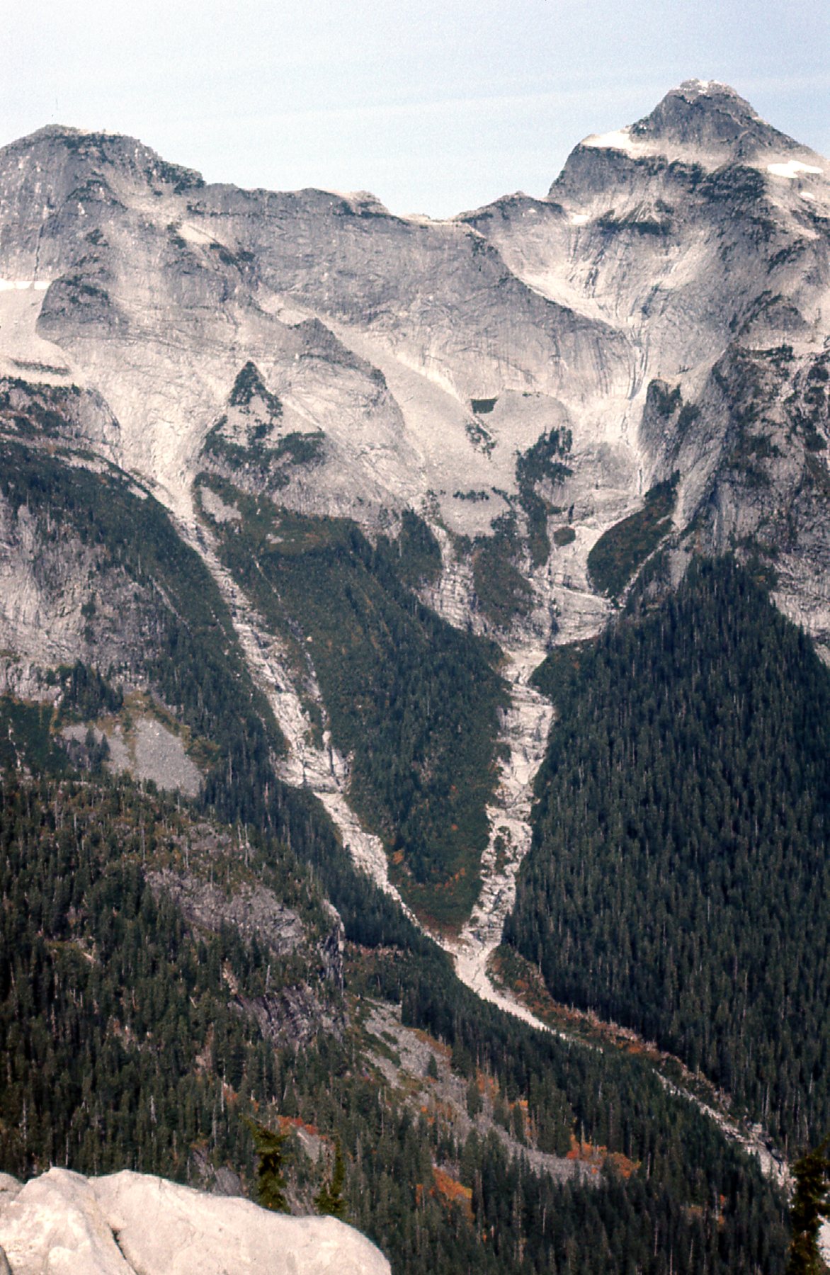
As the days passed, I kept thinking about a bunch of unclimbed peaks farther up the North Statlu. If I didn’t get in there soon, the snow would fly and I’d be out of luck. So, a little more than 2 weeks after Fletcher, I headed back in. The peaks surrounding Olive Lake had been on my mind ever since I first visited in July of 1975. I drove the road up North Statlu Creek, then left it to start up Tessaro Creek. I parked on its west bank at the 640-meter level. Setting out with a day pack, I climbed up the southeast ridge of Peak 1500 meters (4,920 feet), a gain of just over 2,800 vertical feet. Here’s a look at that peak from later in the day.
The northeast side of Peak 1500 meters.
I left a register and carried on. Farther to the north sat Peak 1585 meters (5,200 feet), which I traversed (up the south side, down the east side). It had a nice, open summit. Here’s a view of the east side which I descended.
The east ridge.
As I continued northeast, I came to Peak 1554 meters (5,100 feet) which sits west of Olive Lake. This was the same one I’d climbed in July of 1975. From its summit, I had this outstanding view of peaks at the head of Skwellepil Creek. These lie to the east of Mt. Jasper.
Peaks near Mt. Jasper.
Continuing northeast, I next came to Peak 1463 meters (4,800 feet). As you’ve probably already guessed, I was making a big clockwise loop around Olive Lake. I left a cairn and register on every one of them. Next came Peak 1432 meters (4,700 feet) – it was a double summit and I did them both. The same for Peak 1463 meters (4,800 feet) to the northeast of the lake. It was also a double summit. One peak was a bit out of the way. Sitting by itself farther northeast away from the others was another double, Peak 1432 meters (4,700 feet). There, as I stepped on to the wooded summit, I had an interesting experience.
A mountain goat was there, minding his own business. I saw him first, and I was only 60 or 70 feet away. I ducked down behind a big rock before he noticed me and stayed hidden. The wind was blowing from him towards me, so he couldn’t smell my sweat-soaked body. He must have suspected something, though, because he remained very still, while staring nervously in my direction. Sometimes he would paw the ground. This went on for 45 minutes. I ate and drank while I was hidden, from time to time raising up to eye level so I could peer through a few branches which were on the other side of the rock to get a look at him. He stayed put, as did I, but I realized I was burning daylight and had to leave. I slowly stood up and was in plain view. He turned around and walked away from me, soon disappearing. A rare experience. I took this picture before I left.
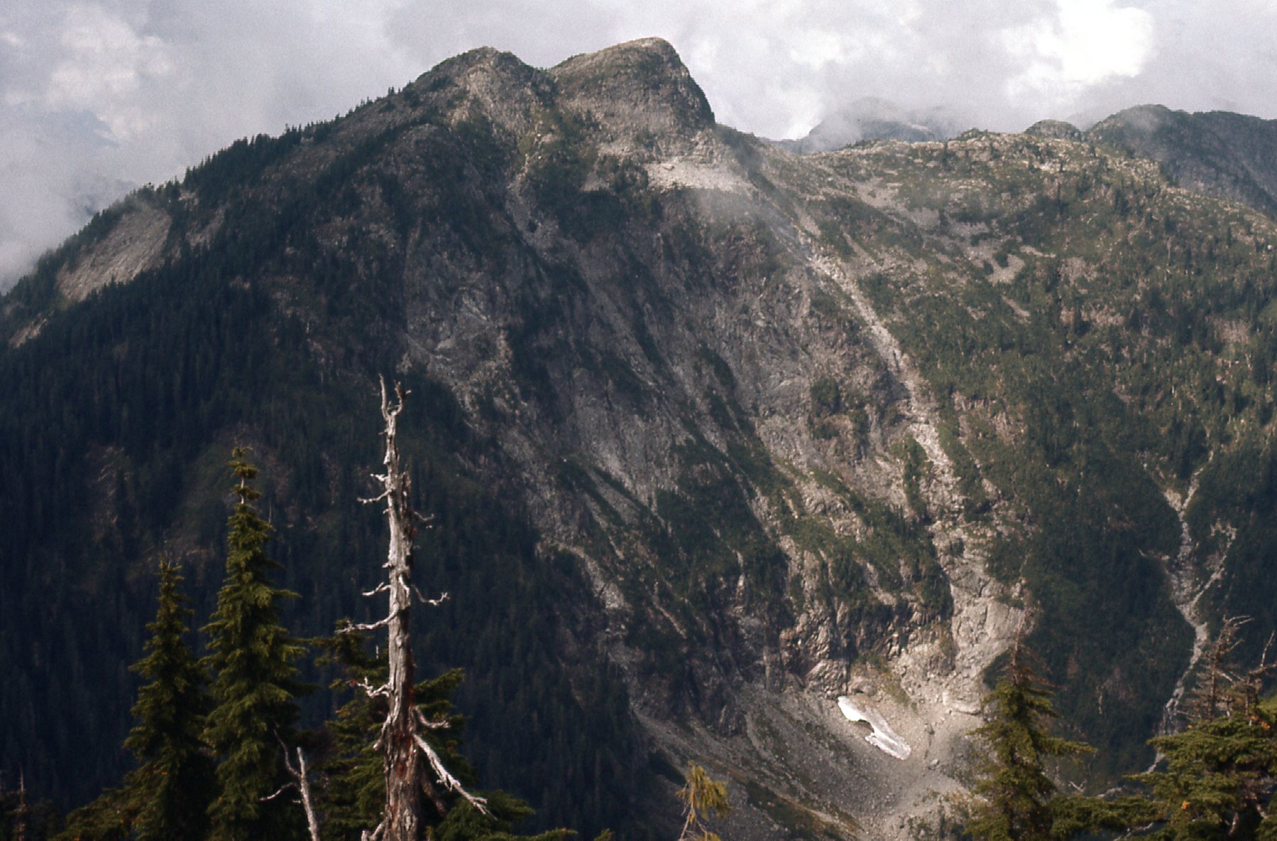
The south side of Stonerabbit Peak, less than 3 miles away.
What I did next was to walk south along the ridge that divides Olive Lake on the west from Wilson Lake on the east. Doing that brought me to my last peak of the day, Peak 1493 meters (4,900 feet), also a double summit and yes, I did them both.
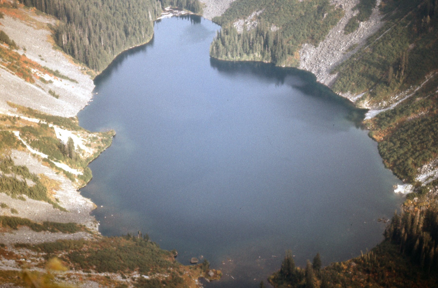
Looking east along Wilson Lake.
There was some steep rock here, as well as some nice meadowy country. I descended the easy south ridge of this 8th peak of the day and, almost 3,000 vertical feet lower down, found myself back at Tessaro Creek and my car. The entire day was spent on good rock. Access to these peaks is much better than to those around Mt. Breier, but I felt that, on the whole, the Breier peaks were more demanding and more aesthetically pleasing.
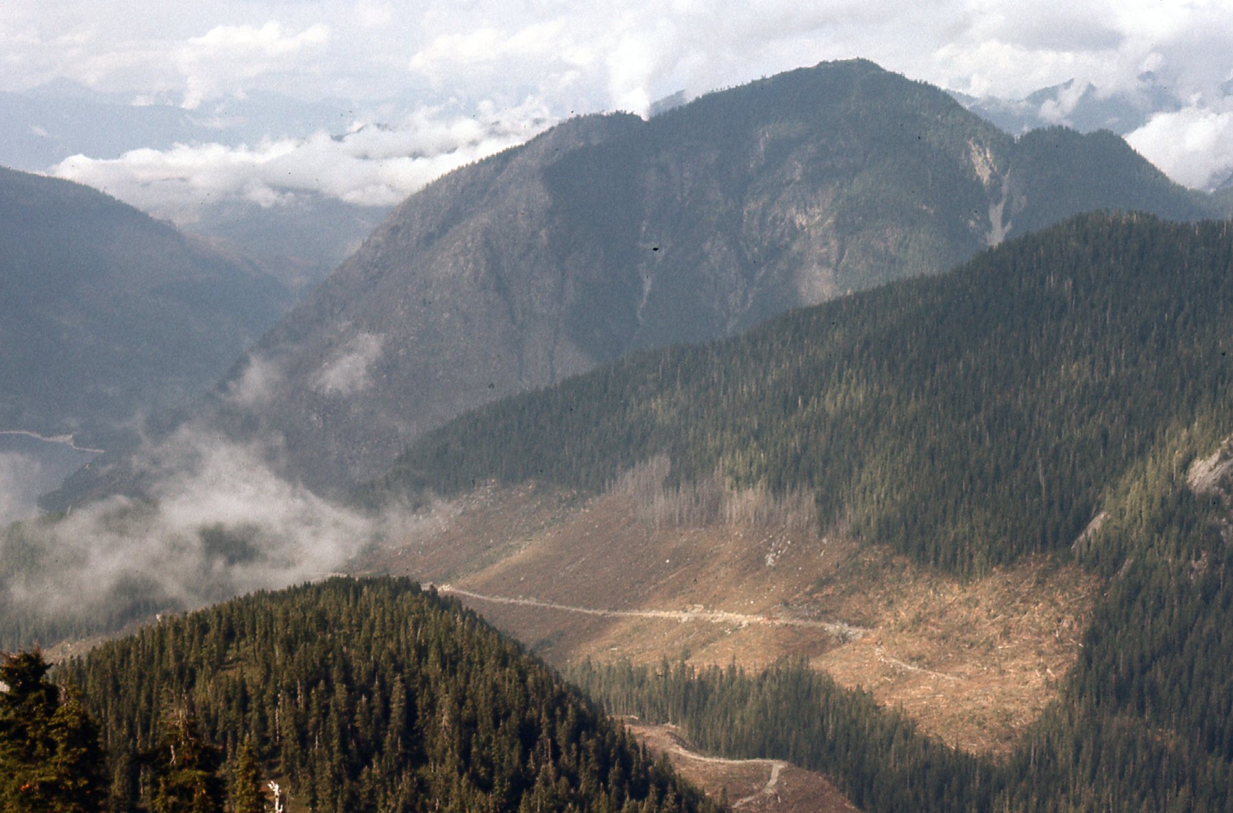
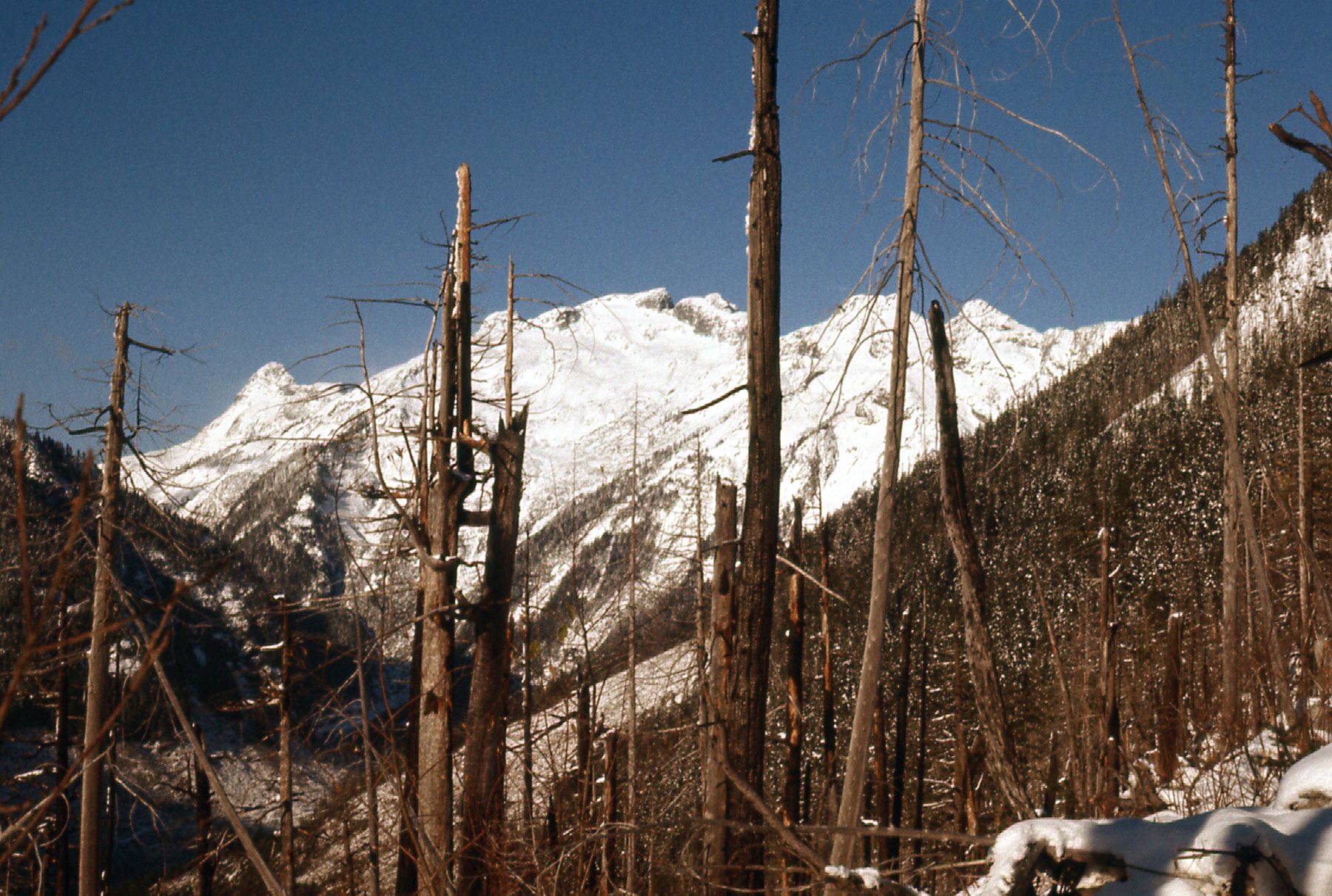
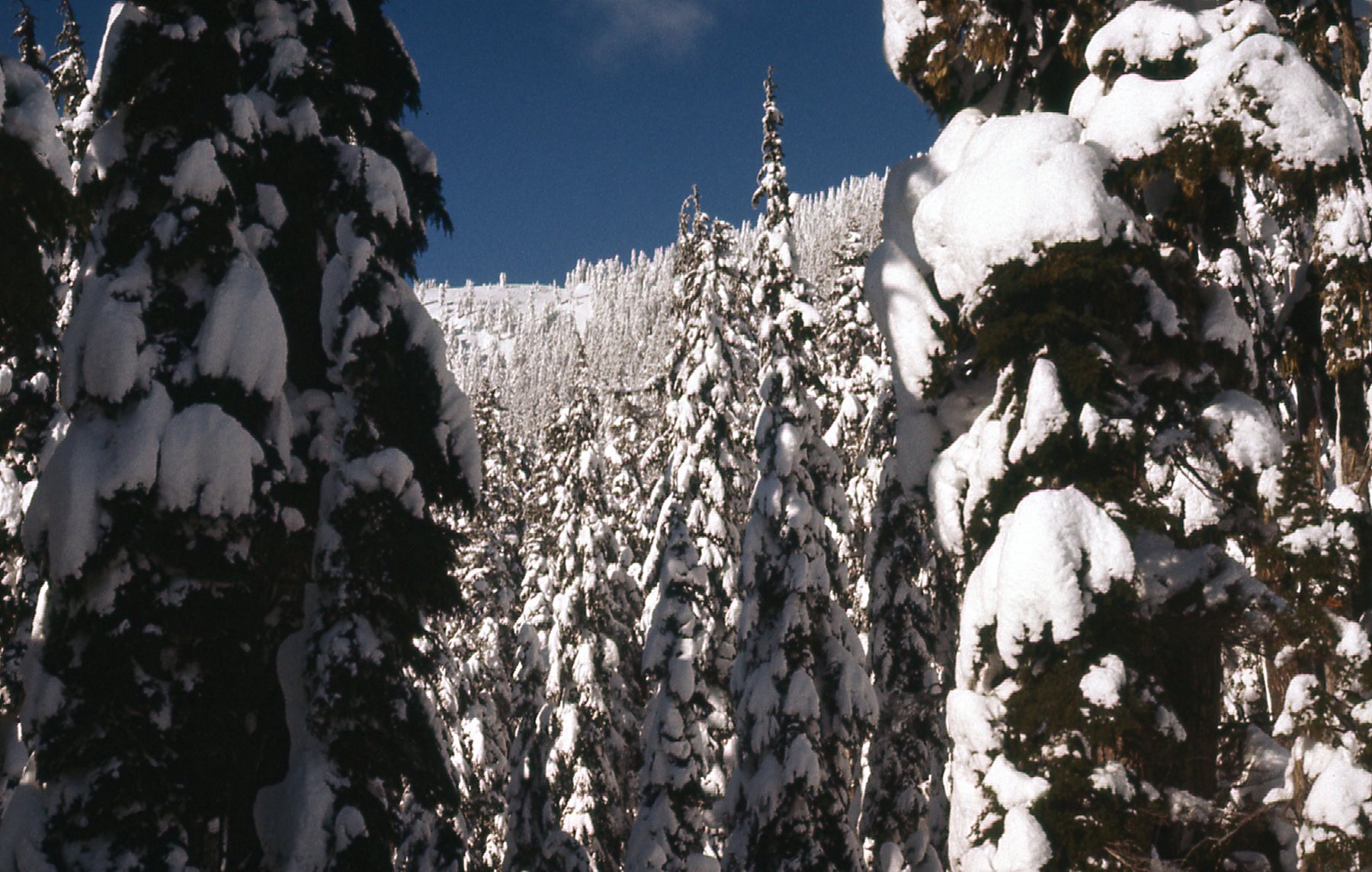
Another month and a half passed. The year was winding down, and winter had definitely arrived in the Statlu. When I headed out on November 19th, the roads were still bare but plenty of snow lay on the peaks above. I drove up the west side of Chehalis Lake and then across Skwellepil Creek. Parking at 300 meters put me near the lake and at the very foot of the long southeast ridge of Mt. Orrock. I’d had my eye on this one for some time, and it was a perfect day for the climb. There was no doubt, even from down low, that I’d need snowshoes for this one. The lower part of the ridge was through an old burn, and was slow and messy.
Looking west up Skwellepil Creek.
There was a good 800 meters of that old burn to negotiate, and it was not pleasant.
A look west to the Ratneys.
Things finally started to open up, and I had better views. Here, we are looking southwest to the peaks by Olive Lake and Wilson Lake.
Peaks I had trod only weeks earlier.
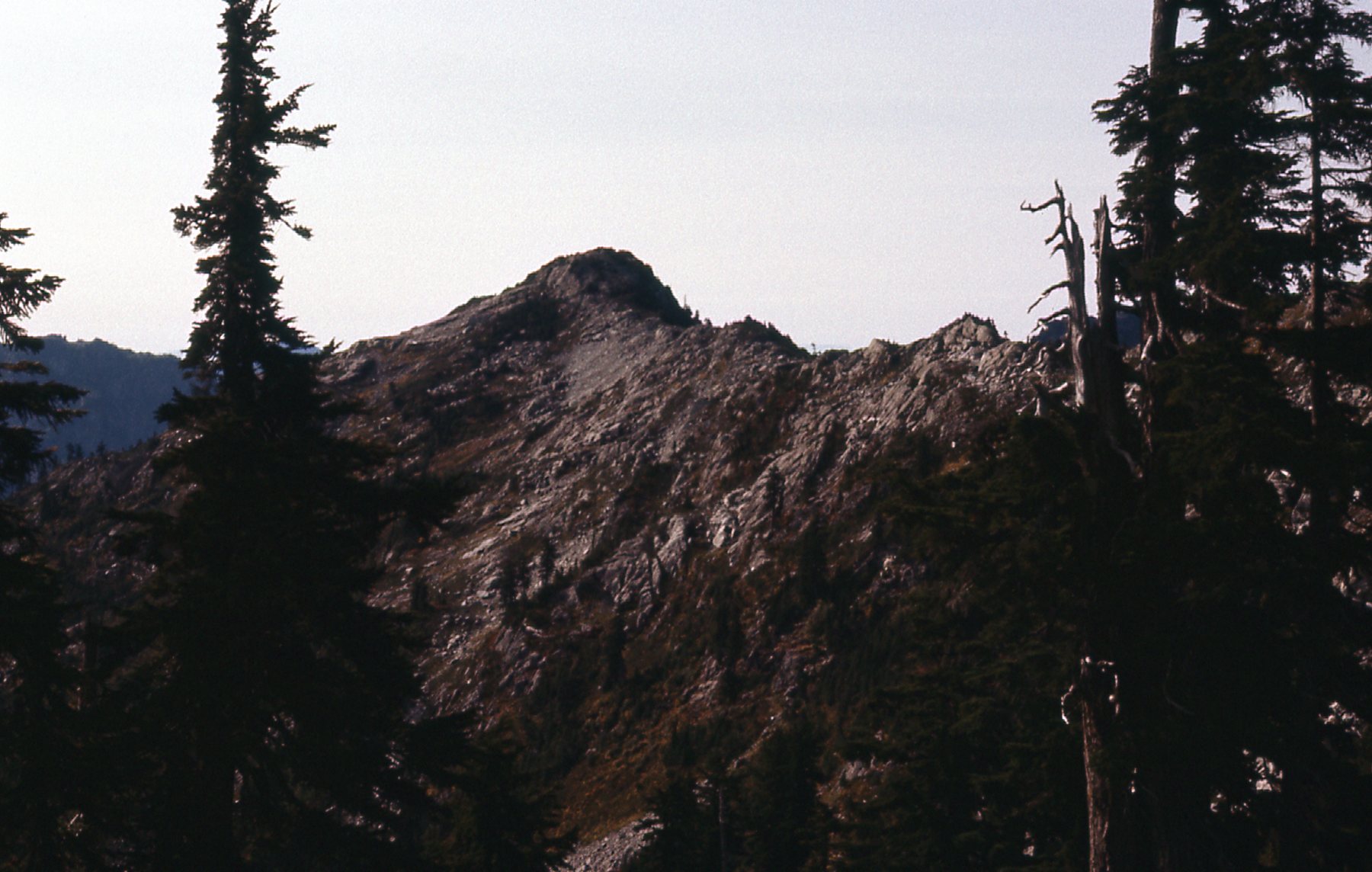
Here’s a telephoto shot I took of the east side of Stonerabbit Peak, the westernmost of the Ratney group.
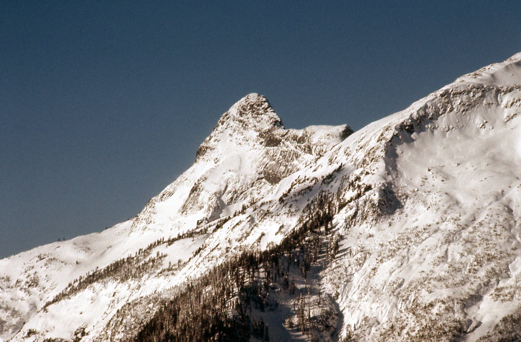
The east side of Stonerabbit Peak
The snowshoes were necessary and were put to good use. Here’s a shot of Peak 1554 meters, on the west side of Olive Lake – I had climbed it twice already.
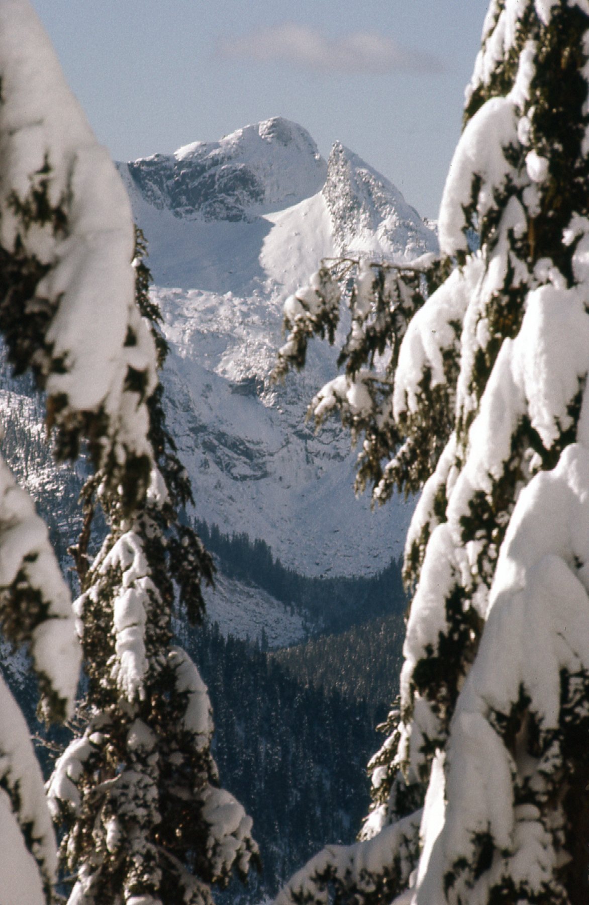
Peak 1554 meters (5,100 feet)
There was still a ways to go. Here’s a look up.
A look up the south slope of Mt. Orrock.
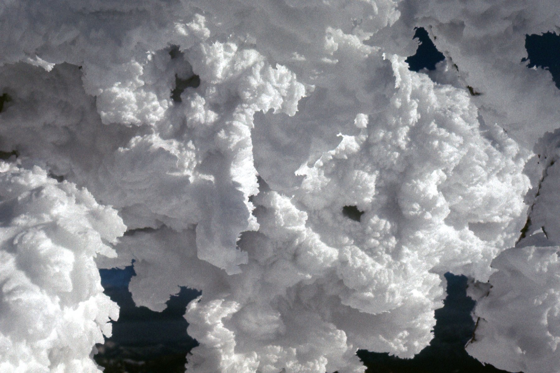
As I neared the summit at 1554 meters, or 5,100 feet, I was in a winter wonderland.
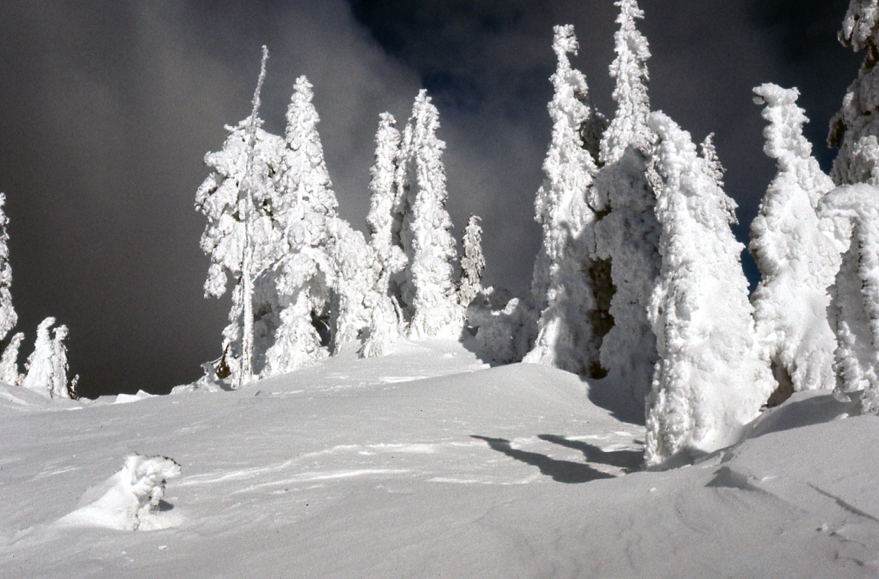
It was definitely winter.
I had unbroken views in every direction. Here’s what I saw to the east.
Looking east over Mystery Creek and out to Harrison Lake.
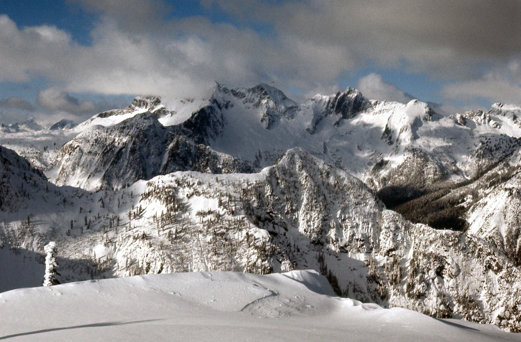
Just to the northwest of Orrock sat these peaks. They sit east of Mt. Bardean (Ratney East) and south of Statlu Lake, and some of it is higher than Orrock.
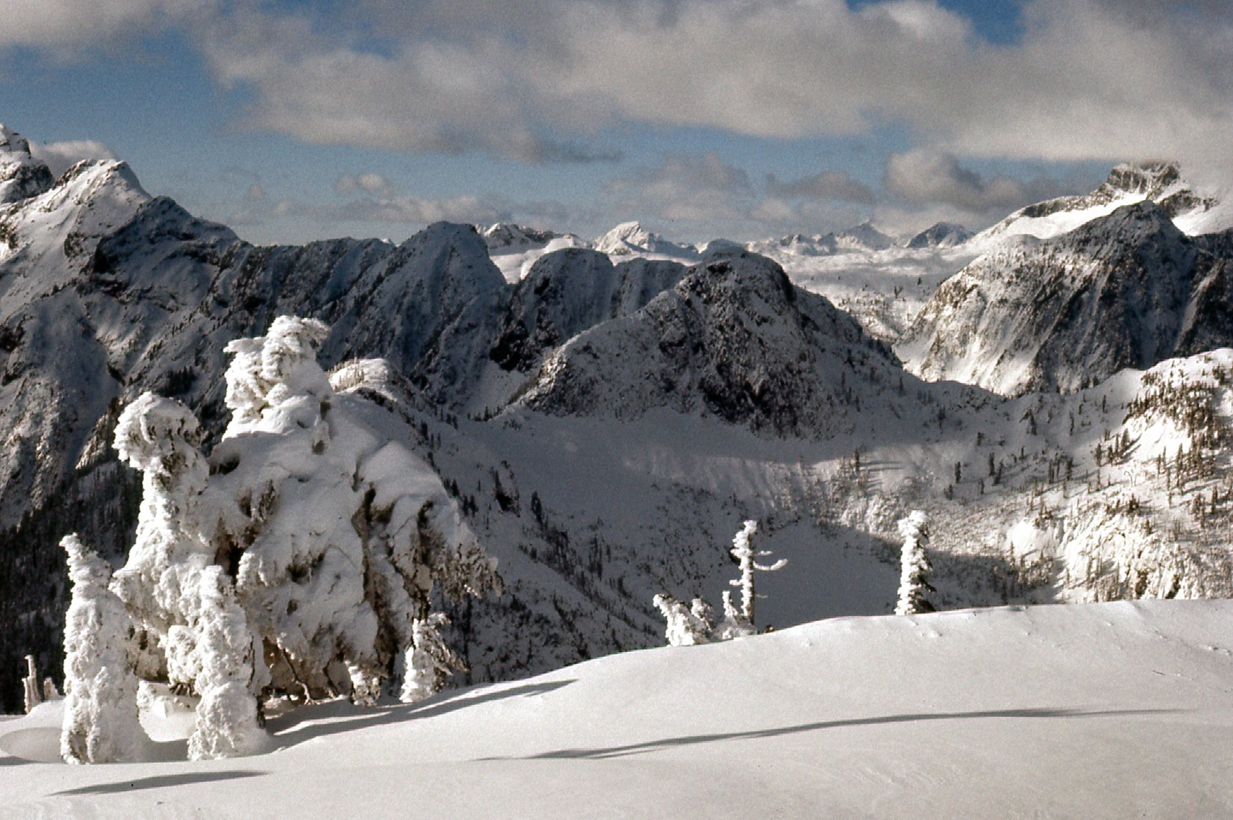
To the northwest.
And of course I had this excellent view of the Clarke group (Mt. Clarke, Recourse Peak and Viennese Peak) – you wouldn’t expect anything less on a day like this, would you?
Looking northwest to the Clarke group
The temperature was -10 degrees C, or +14 degrees F while I was on top in the afternoon. In the bright sun, it was comfortable, and the snow was magical.
I loved it.
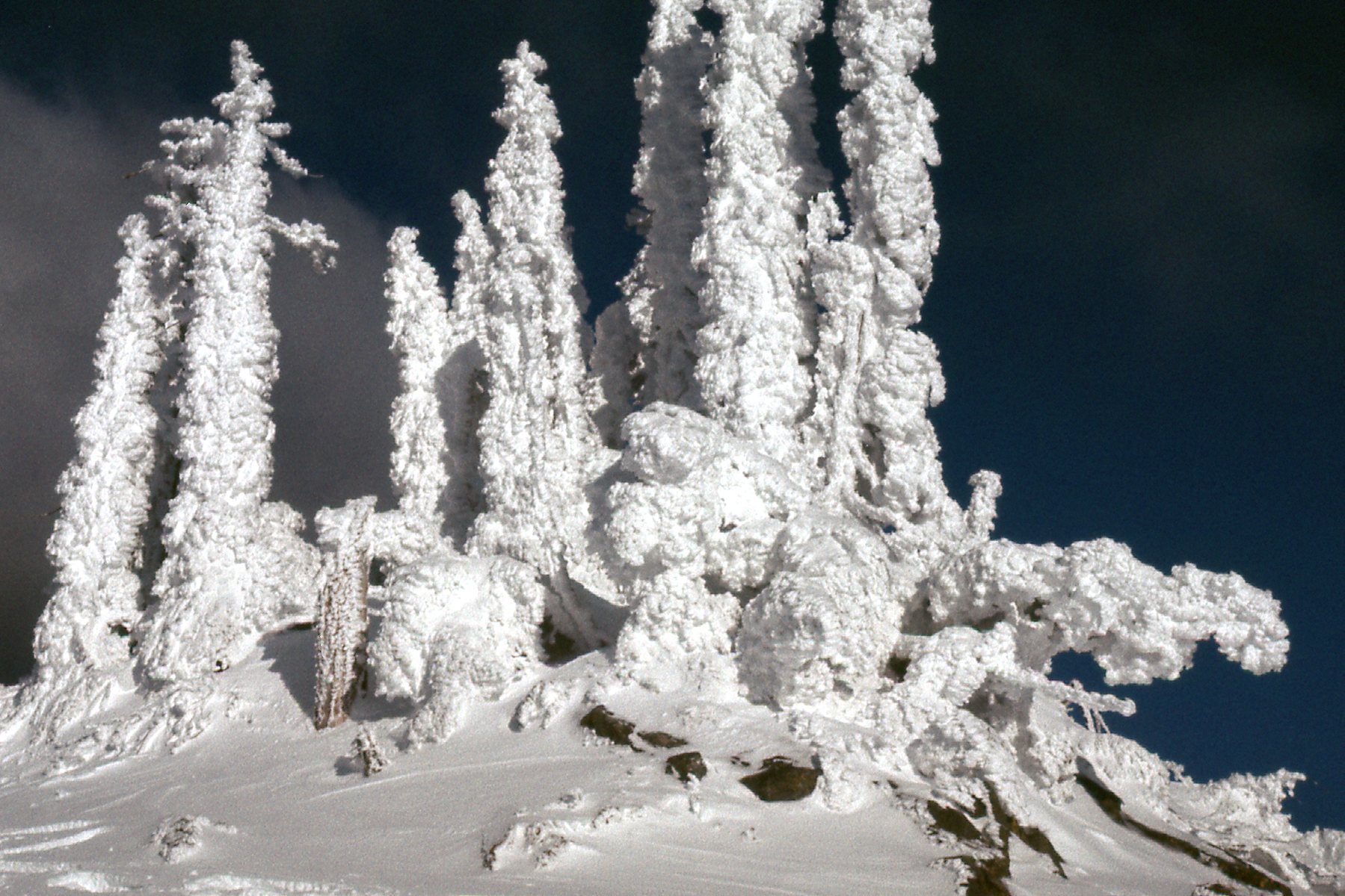
It must have been quite a storm to sugar-coat the trees like this.
Detail.
Okay, I can’t resist, one more. This again shows the Ratney group. See the dark peak under the branch on the far left skyline – that’s one of the Breier group I climbed on August 11th.
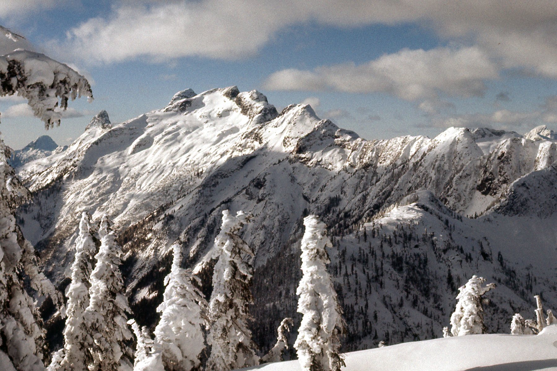
West to the Ratneys.
I was enjoying the summit so much, I hated to leave, but there was a lot of ground to cover before this one could be considered finished. By the time I was back at my car, I had been out 8 hours on foot.
As I look back on 1977, it had certainly been the year of the Statlu. I had climbed dozens of peaks in the heart of the area without a mishap, and had seen and learned so much. There were plenty of other peaks that I had done around the edges as well, that I haven’t written up in these pages. Dewdney Peak, Nicomen Mountain and the peaks to their north along the ridges; Mt. St. Benedict; peaks near Harrison Bay and Hemlock Valley; Nursery Peak; peaks on the east side of Harrison Lake. Everything was so close to my home, within easy reach, that it all just begged to be climbed. There was a lot more that could have been done in the Statlu had time allowed, but life happened and I moved away from the area.
One last thing to mention here is this – I wrote an article for the Canadian Alpine Journal about all of this Statlu climbing, and if you feel so inclined, you can get yourself to Volume 61 1978 Page 34 of that noble publication and read what I said there about my time in the Statlu.
Thanks for keeping me company on those Statlu adventures. I hope you had as much fun as I did.