
Let me help you understand what the title of this piece means. The Sauceda Mountains are a range in south-central Arizona about 50 miles north of the Mexican border. But what is a soft summit? Peakbaggers in the United States use a 300-foot standard for calling something a peak (peakbaggers in other countries use their own standards, which could be 100 meters or 1,000 feet, or whatever they choose). Ours is as lax a standard as anyone uses, as far as I know. When I say 300 feet, I mean the rise from saddle to summit. Saddle means the lowest point of the highest connecting ridge to an elevation greater than the peak’s maximum elevation. Sorry if that sounds like gibberish, bombarding you like that with peakbagger-speak. In any case, sometimes the rise from a saddle to a summit is a bit unclear. Exact elevations may not appear on the map, so we have to interpolate some of them.
To explain what interpolation is, I’ll use this explanation from John Kirk. “Interpolation is a calculation of the mean of the maximum and minimum possible elevations within a contour interval. For example, a summit on a 40-foot contour map with a highest contour of 8,400′ has elevation possibilities between 8,400′ and 8,440′ (8,440′ would be the next contour if one were present.) The mean of these is 8,420′.” A soft summit is one that doesn’t have exact map elevations for either the saddle or summit (or perhaps both), so its rise ends up being interpolated. And that, Friends, is what this story is about – a trip into the desert to climb a group of soft summits. Since they are all interpolated, they may or may not have the 300′ rise we hope for. We can’t prove they have a 300-foot rise, but we can’t disprove it either (only a proper survey done by surveyors with the proper equipment could give us a definite answer.) In my world, they are still worth climbing. Many climbers ignore these soft summits, so they remain untouched in many cases – that’s fine, more for me!
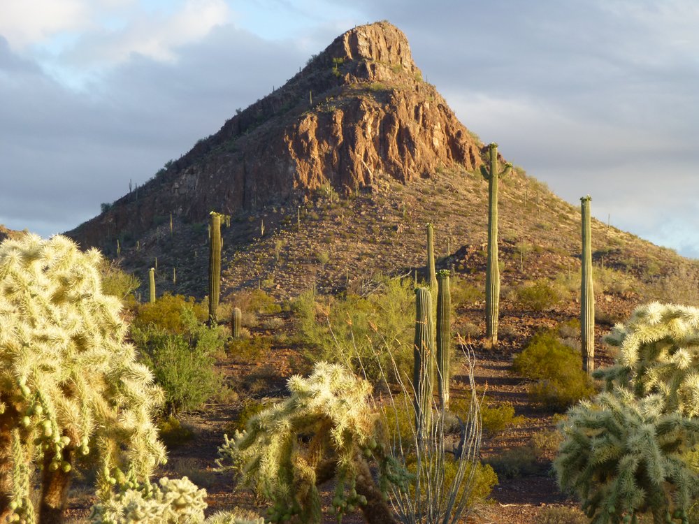
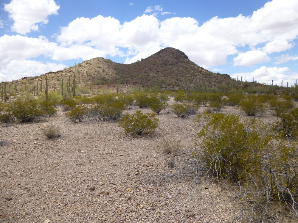
May 6th of 2016 was a Friday. I got out of school early, and a two-hour drive saw me at Gate 9 entering the Barry M. Goldwater Air Force Range. This was a part of the bombing range that you could enter anytime you wished, as long as you had a permit. It was only a quarter of four so I had made good time. Eight miles into the range had me driving past Hat Mountain.
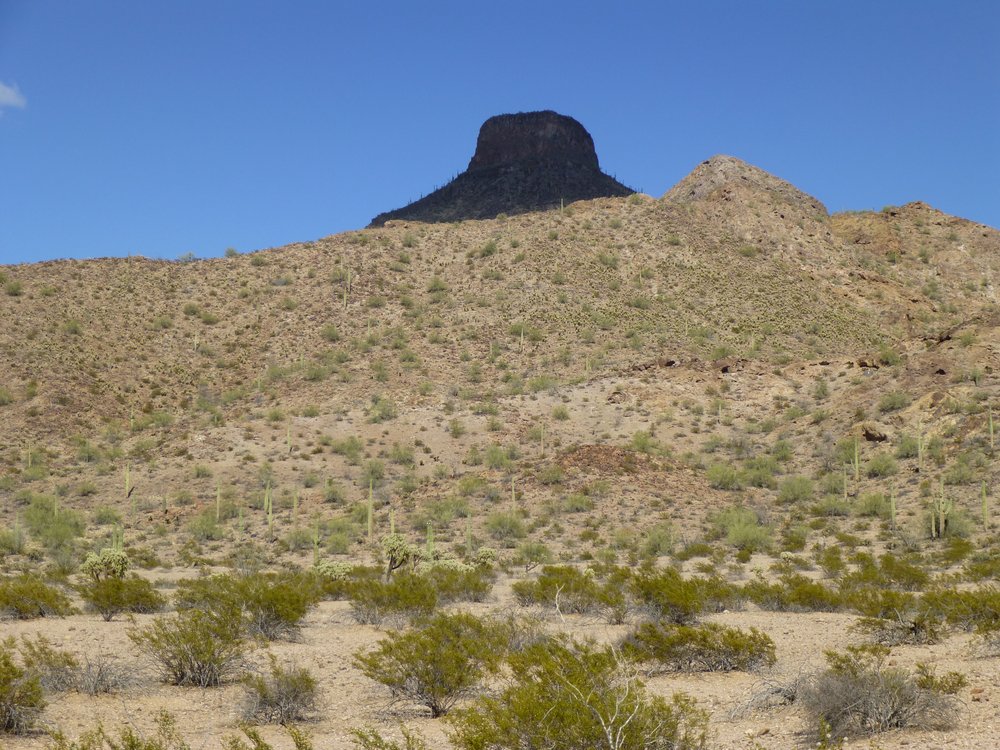
Looking east to Hat Mountain.
As you curve around the south side of Hat Mountain, the road goes up quite an incline. It’s a steep climb, and the road also slants outward, as if it’s trying to roll you over into the valley below. I’ve known some who won’t drive it because they find it too nerve-wracking. However, if you persist, 4 miles past Hat you’ll find yourself in a beautiful area surrounded by really nice peaks. Some of them I’d climbed before, but today I was here to climb a soft summit I’d overlooked in the past. It was right beside the road, so I parked and headed up. It was a quick climb to the top of Peak 2062.
The north side of Peak 2062.
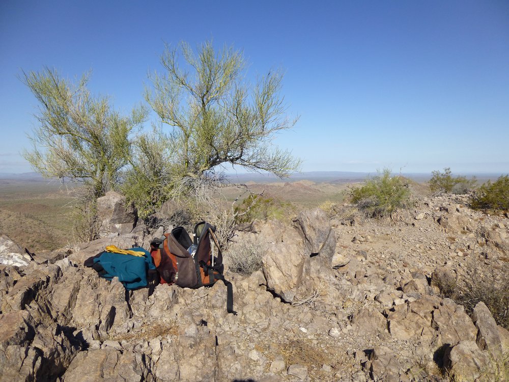
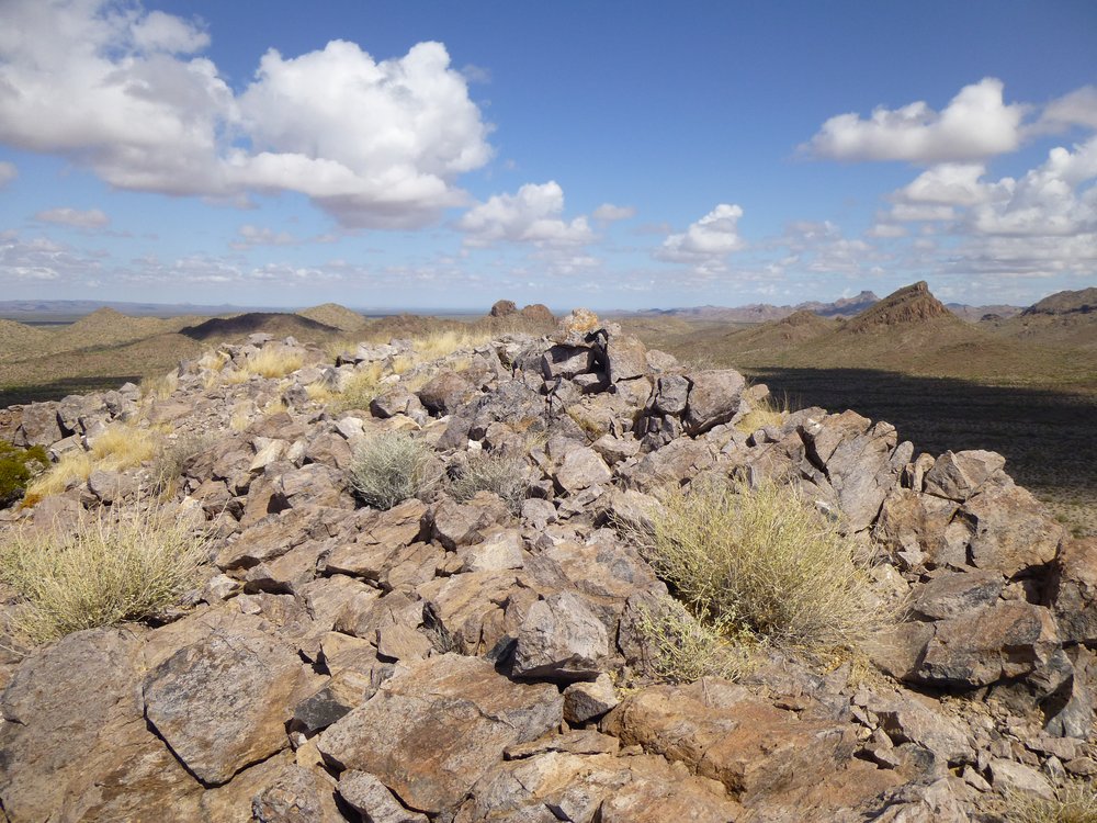
It was barely half an hour to the top, where I arrived at around 5 o’clock. Here’s the summit – I left a register.
Atop Peak 2062.
Less than half a mile away to the northeast sat Peak 2289 which I had climbed 3 months earlier. That day, I saw several bighorn sheep near the summit.
The southwest side of Peak 2289.
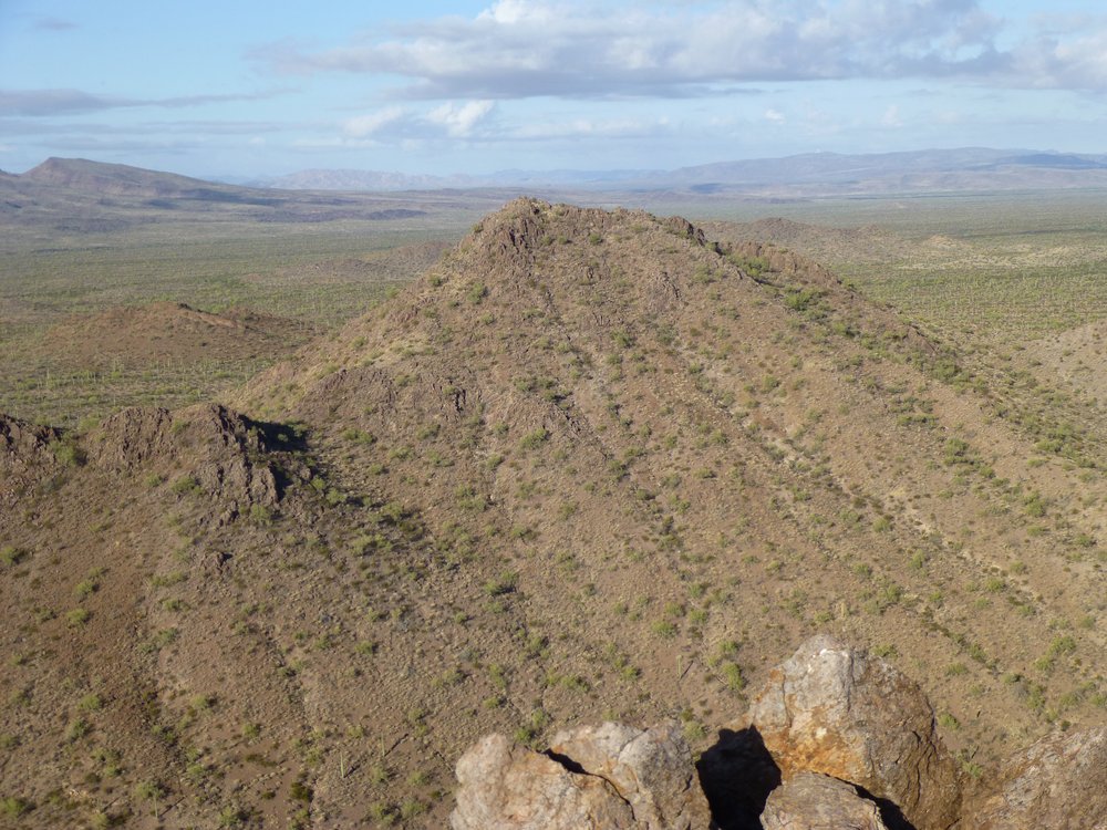
From the top of 2062, I had expansive views across the desert to the south. See that big dark peak out there above the tall saguaro cactus? That’s Peak 2587. It’s only 3 air miles distant in this wide-angle view. I climbed it about 9 months earlier, and when I came down from it I found 2 young Mexican men dying from the 102-degree heat. I contacted the Border Patrol who came in and rescued them.
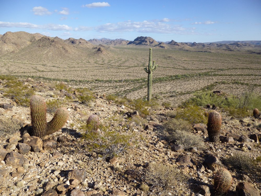
Looking along the western edge of the Sauceda Mountains.
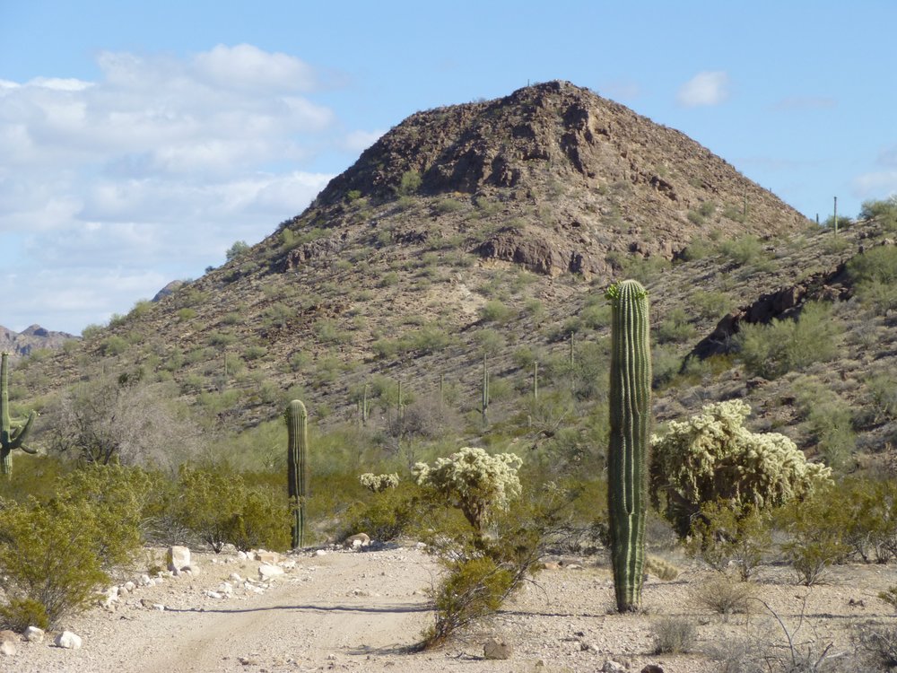
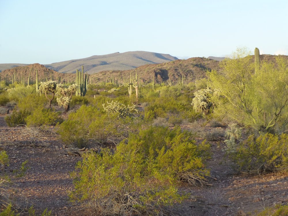
I still had a lot of ground to cover today, so I didn’t linger on the summit. Once down to my truck, about 6 miles of driving brought me to a curious spot near Midway Wash, an old well shown on some maps as “Well That Johnny Dug”. All that’s to be found there nowadays is a piece of plywood covering a hole in the ground. For the life of me, I am unable to find out who Johnny was. Wait – I just learned that it was Johnny Childs, an early settler in the area. Five more miles took me off the road and up a wash to a place I’d camped in the past. To get there, I had to drive up a 5-foot high rocky waterfall which spanned the entire width of the wash. Fortunately, the rock was very rough, allowing a good grip for the tires, and the old Toyota powered right up it, allowing me to continue further up the sandy wash. I picked a good spot to camp and settled in for the night. Strangely, the temperature was only in the 70s, whereas it had been over 100 just two days earlier. This would be the last bit of cool weather for many months, so I had to seize the opportunity. Clouds were forming in the west, and I could see distant lightning as I prepared to turn in. The valley in which I found myself was pristine – no roads, no trails, no sign of any humans whatsoever. This was exactly where I had parked 3 months earlier to do some other peaks. I enjoyed looking at the many saguaro cacti around me – they say that no two are exactly alike.
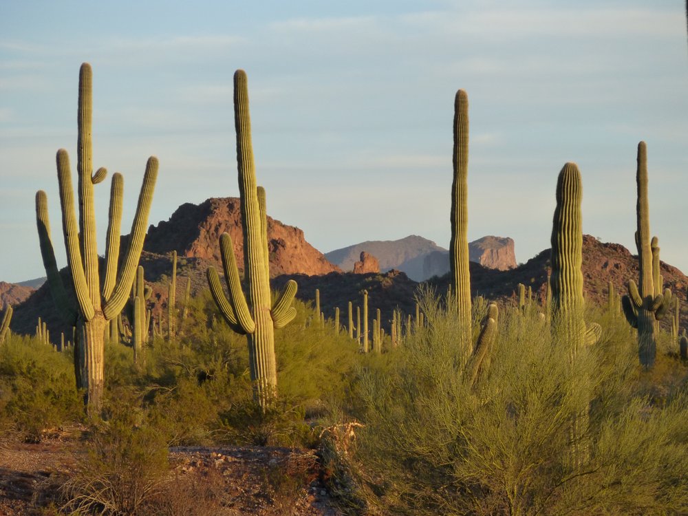
Saguaros
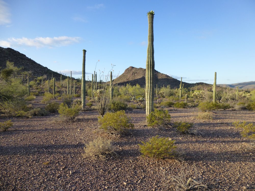
Rising by 5:00 AM the next morning, there were several things that needed doing before I could leave to go climbing. Bagging up my most valuable possessions, I carried them out a short way into the desert and hid them well. I left the truck unlocked. Twice before, when I had left it locked, indocumentados had broken into it to steal my stuff, causing considerable damage. It just wasn’t worth the hassle, so now I leave it wide open. However, I do take precautions to disable the truck so nobody can start it in my absence. I headed east on foot just before 6 o’clock, and as I walked across the cool, quiet desert I passed near a couple of the peaks I had climbed just months ago. Here is a shot of Peak 2368 in the early-morning light.
A look north to Peak 2368.
And there’s this one, a low 5th-class climb, Peak 2186.
Looking west to Peak 2186.
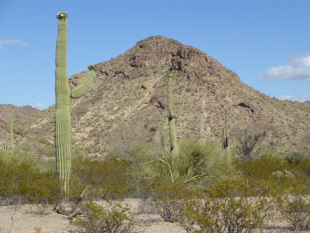
As much as I enjoyed seeing these old friends again, it was fresh game I was after. The miles ticked by as I headed east across the desert. Back over my shoulder was this, the huge uplift of the Batamote Mountains, about 6 miles away.
Southwest to the Batamote Mountains.
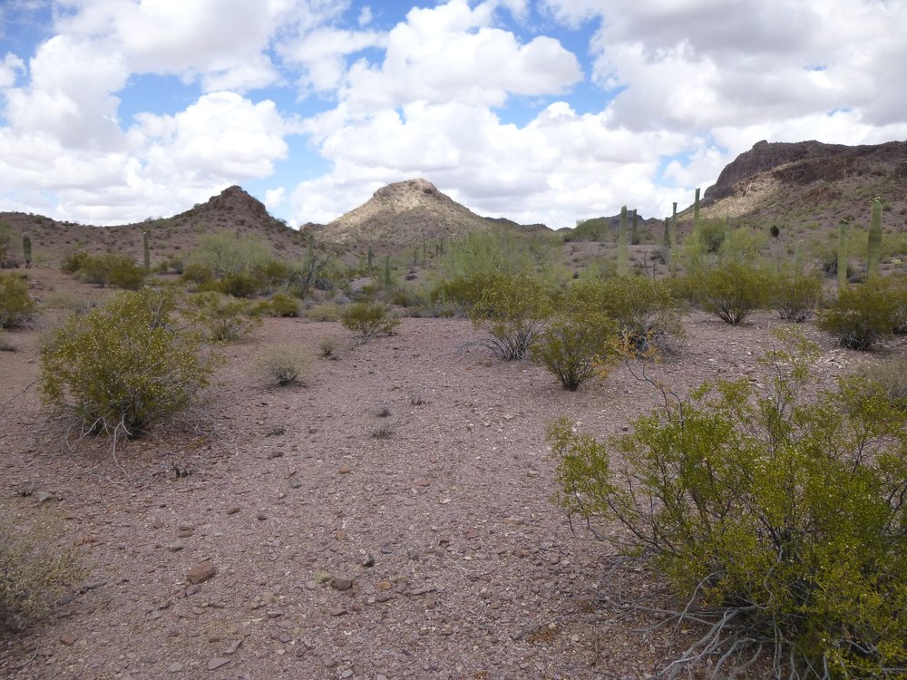
Although I had already climbed dozens of peaks in this area, it was fairly bristling with others waiting to be done. My goal was to climb 3 this morning, and what would be the third of the 3 could be seen lurking out there to the south a few miles away. I’d do the 3 as a big loop. This was my first good look at Peak 2191.
A look south to Peak 2191.
Something else I could see as I looked back over my shoulder was this – the FAA radar facility on top of Childs Mountain. When I took this photo, the dome was nicely illuminated by the sun.
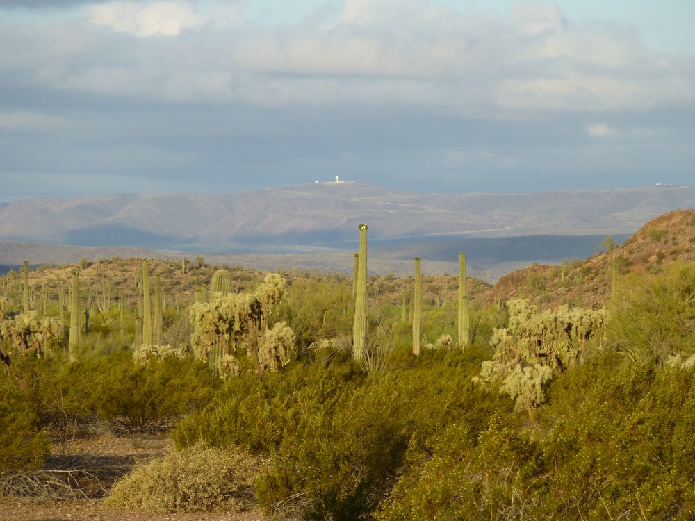
Childs Mountain, 17 miles to the southwest.
I made really good time to the top of my first one of the day, Peak 2380. It only took about an hour and a quarter from the truck. The summit was a nice, rocky ridge.
Looking north across the summit.
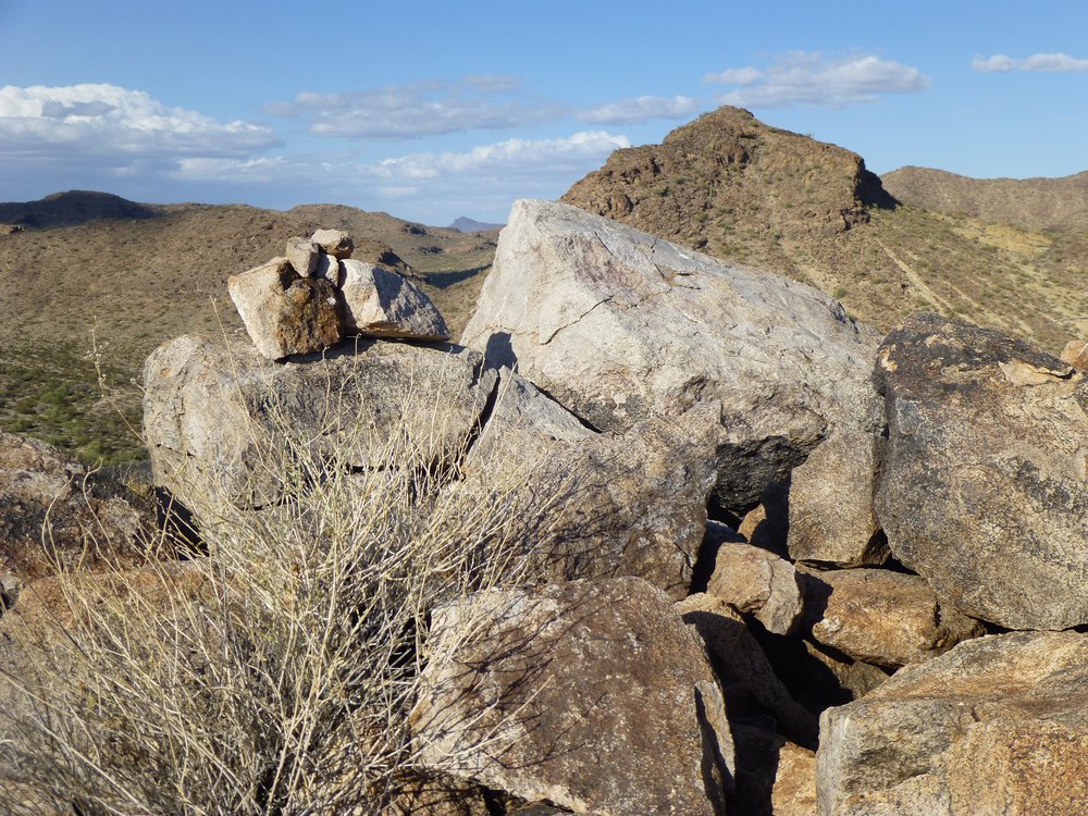
For some reason I don’t recall, today I had no registers with me, so all I could do was build a small cairn of rocks on each summit. Nearby sat Peak 2340 which I had climbed on a previous trip.
The northeast side of Peak 2340
After only 10 minutes atop Peak 2380, I moved on, dropping down its east side, thus completing a traverse of it. From a saddle at its base, I then climbed up the southwest side of my next one, Peak 2551. This was straightforward, and from the first summit to the second only required 45 minutes. There was no sign of any previous human visit to any of these peaks, so I was building cairns on each one. It was still early, about 8 AM, when I arrived atop this second peak.
The summit of Peak 2551
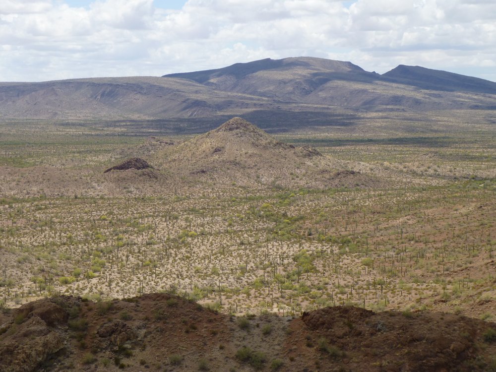
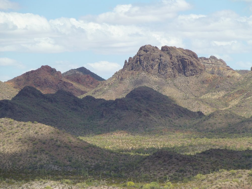
Something caught my eye to the southeast, a large and complex mountain with an extensive and convoluted summit area. It was Peak 2835. All of what you see in the next picture is a part of Peak 2835. It was another of the area’s peaks I had climbed some months earlier.
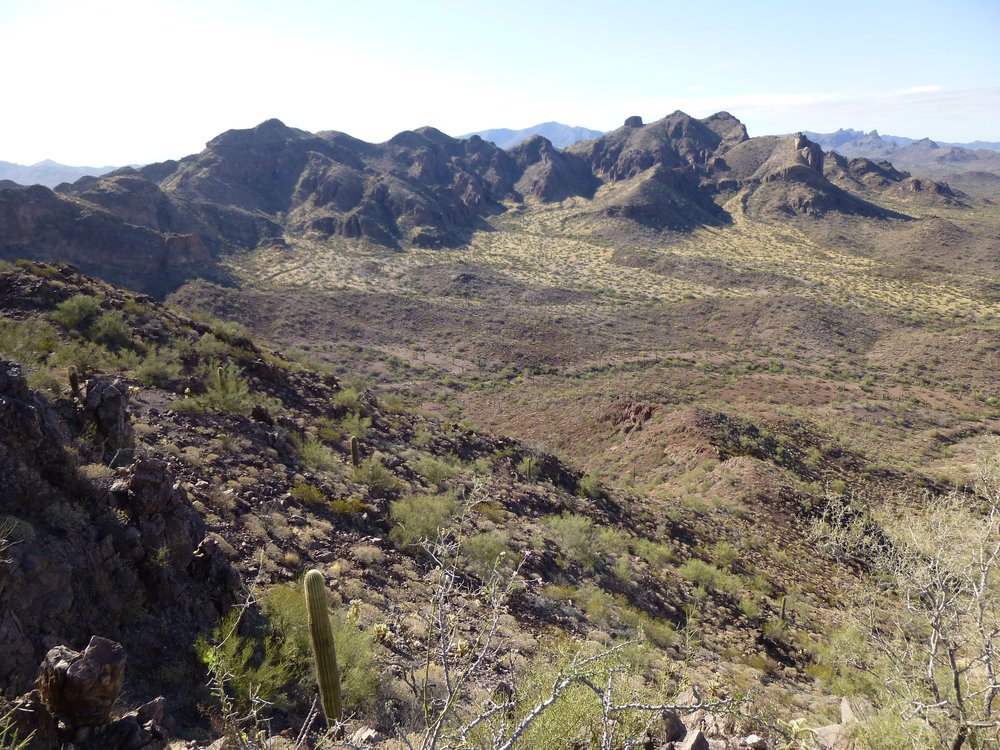
Peak 2835
Today, however, I was not heading in that direction. Instead, I would head west-southwest to my next peak. After only 15 minutes on top, I dropped down the backside of 2551, then down a valley, over a saddle, down into another drainage, over another saddle, then down into another valley, all in an effort to reach my final peak of the loop. Here is a photo I took of Peak 2191 when I was about halfway there.
The eastern aspect of Peak 2191.
This was some distance to cover so it took a while, but it all ended well with me standing on that third summit of the day.
The summit of peak 2191
Still without registers (I cannot remember why I’d do such a trip without any), I built a cairn and left after a mere 8 minutes on top. Having already covered a large part of the distance back to my truck, it was quick work to get from this final summit all the way back to the vehicle, only about half an hour. The entire 6-mile loop had taken just over 4 hours – a darn good return on investment for 3 new peaks. Now what? It was only a quarter past ten, so I felt I had plenty of time to drive to another area where 2 other peaks awaited.
This would be a bit tricky. I had been there once before, but it was Andy Bates who had pioneered a route into the area back in 2014. It wasn’t until early 2016 that I made my first trip in. This was one of those situations, at least for me this day, where “you can’t get there from here”. Once I was all packed up, I drove back down the wash and over the waterfall, then a bit more for a total of a mile. The map showed no road continuing from there to head south, but I had discovered a faint track months earlier. It headed generally south and east, passing through rolling hills and some really pretty country. At times hard to follow, this would be the third time I would have driven it, and my previous tracks helped. It eventually met up with a better dirt road, but even that was hard to follow. A couple of times, it seemed to vanish and I found myself out on foot wandering ahead and trying to pick it up again. It all worked out well in the end, and after 7 miles I parked in a spot where I could set out for my next peak.
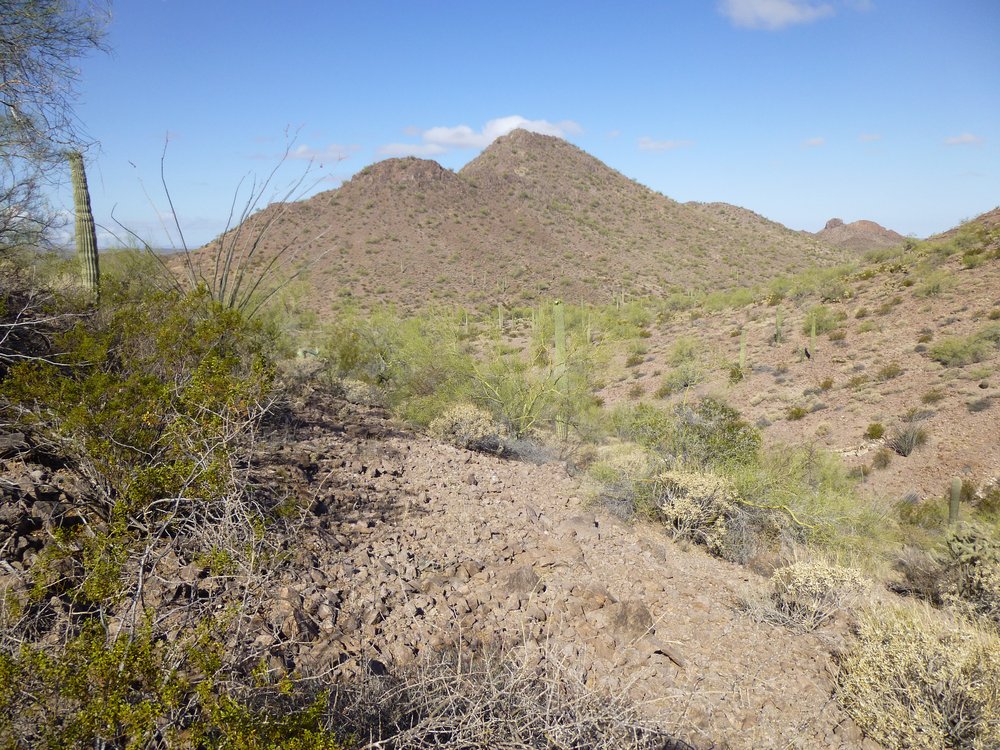
It was a straight shot north to Peak 2380 – it’s the one in the middle with the sunlight on it.
Looking north to Peak 2380.
It was quick work to reach and climb it. The summit appeared un-visited, so I built a cairn. The huge bulk of Peak 2835 loomed up above me, less than half a mile away.
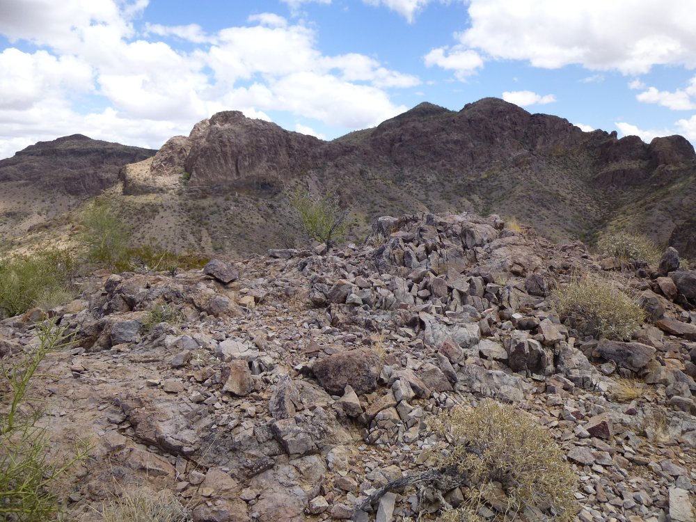
On the summit, with Pk 2835 rising up beyond.
With no real reason to hang around, I soon left and, before long, found myself back at the truck. I am very guilty of the peakbagger’s sin of not lingering on summits, always seeming to be in a hurry to move on to the next peak. I did get this nice view of the next peak, though, before I left the summit. It’s the small one right in the middle of the photo, a couple of miles away.
That’s my next peak.
Backtracking down the road I’d come in on, in a couple of miles I was parked and ready for my next one. Peak 2221 was hard by the road, so didn’t require any time at all to knock it off. All 5 of today’s peaks showed no signs of any previous visit, and that’s one of the best feelings I get as a dyed-in-the-wool peakbagger.
Looking northwest to Peak 2221.
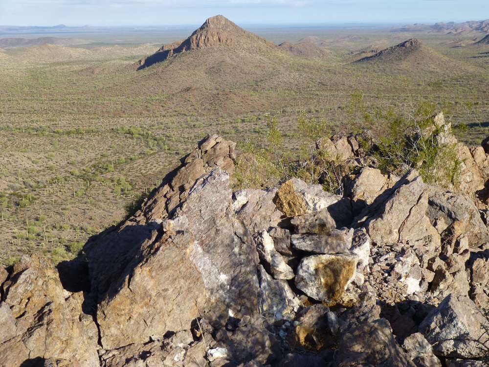
It was only two o’clock by the time I was back at my truck. There was one more that I had been thinking of doing today, Peak 2782, but looking at it from where I was parked was discouraging. In this telephoto shot, it is miles away and certainly shows some impressive defences. Just looking at it made me tired, so I decided to leave it for another day. That way, I could research it more and perhaps find a different approach.
Looking east to Peak 2782, the big one on the right.
It had been a good couple of days, with 6 peaks completed – no complaints from me. I drove out a different way, traveling across the north side of the Batamote Mountains and exiting the bombing range at what was called Gate 18, many miles south of where I had entered, and was all the way home by 6:15 PM.