
Usually when we think of climbing mountains, we picture climbing up high. Arizona has well over 7,000 different peaks, and they come in all sizes. Some of them aren’t very high at all – in fact, some are just little guys with a low elevation. There are climbers who love to craft lists of peaks, and climber friend Andy Martin has crafted more of them than most. It was early February when he contacted me and suggested heading out and climbing a few peaks on one of his lists. These would be different, though, as they were some of the lowest peaks in the state.
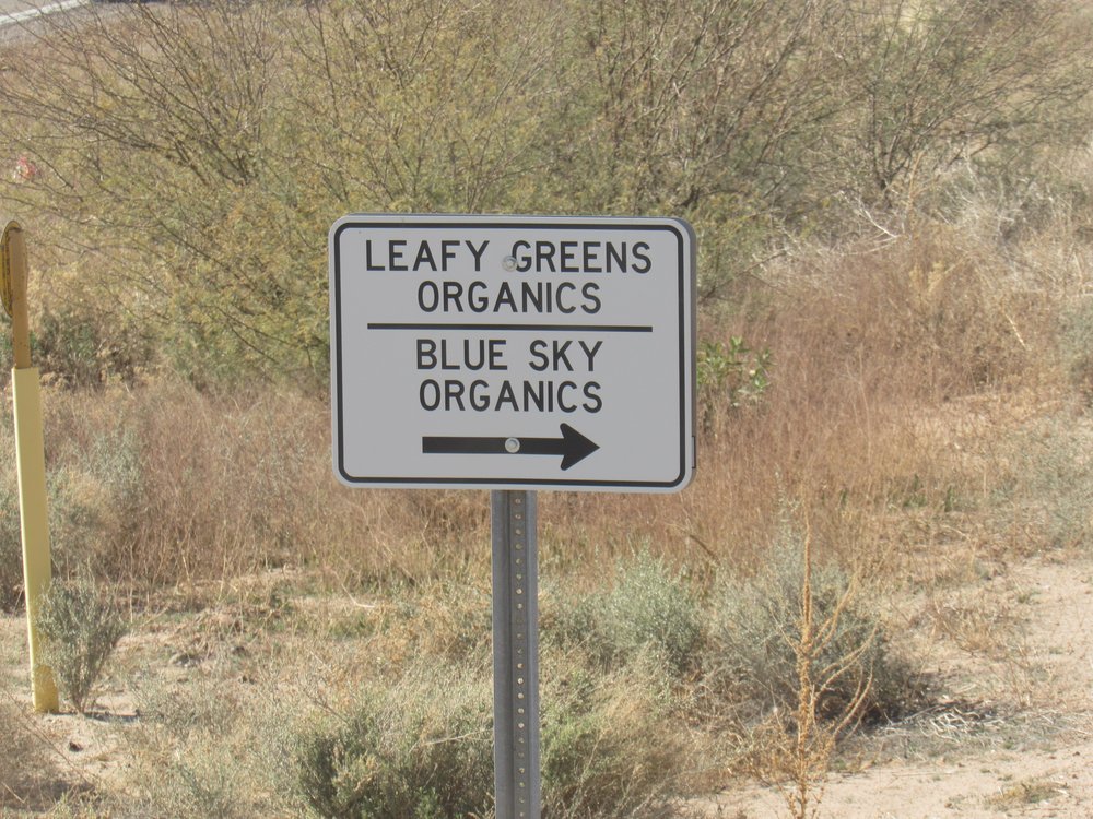
A couple of Interstates made for an easy drive of 160 miles to Dateland, Arizona where we topped up our gas tanks. Ten more miles of pavement took us to the edge of an agricultural area, which we needed to cross to get out into the desert where sat our peak. Here is the first sign we saw.
Some areas were definitely closed.
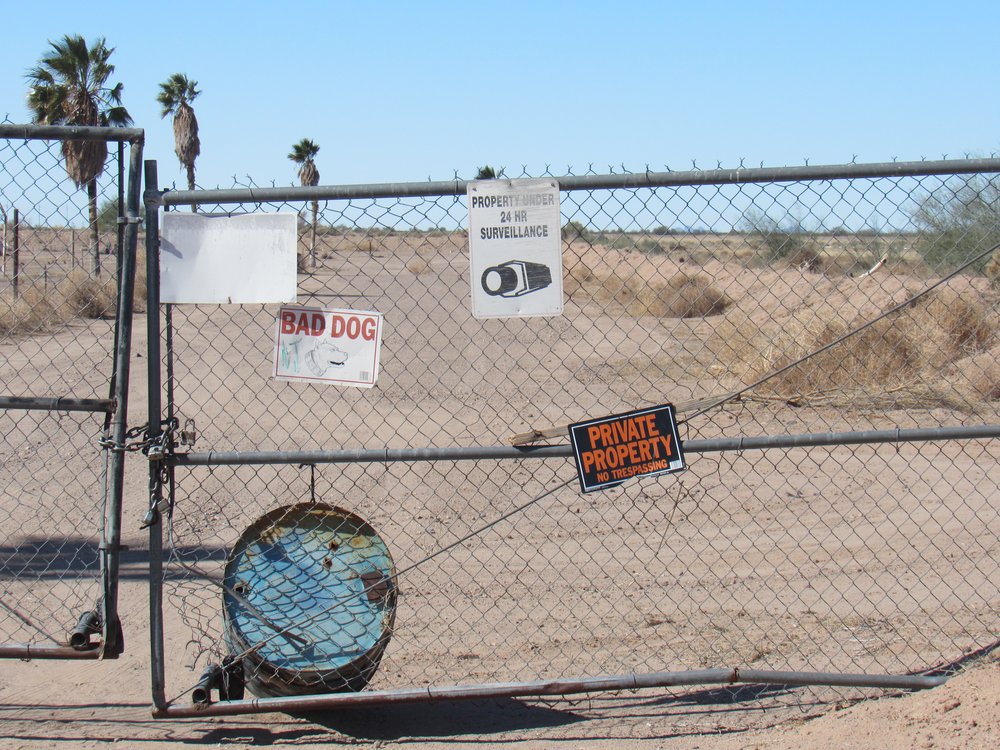
We also saw these signs, but when we drove past a group of men standing by their pickup trucks, they didn’t even bat an eye.
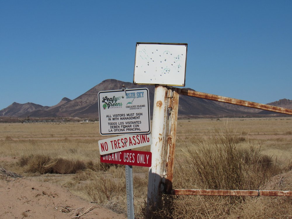
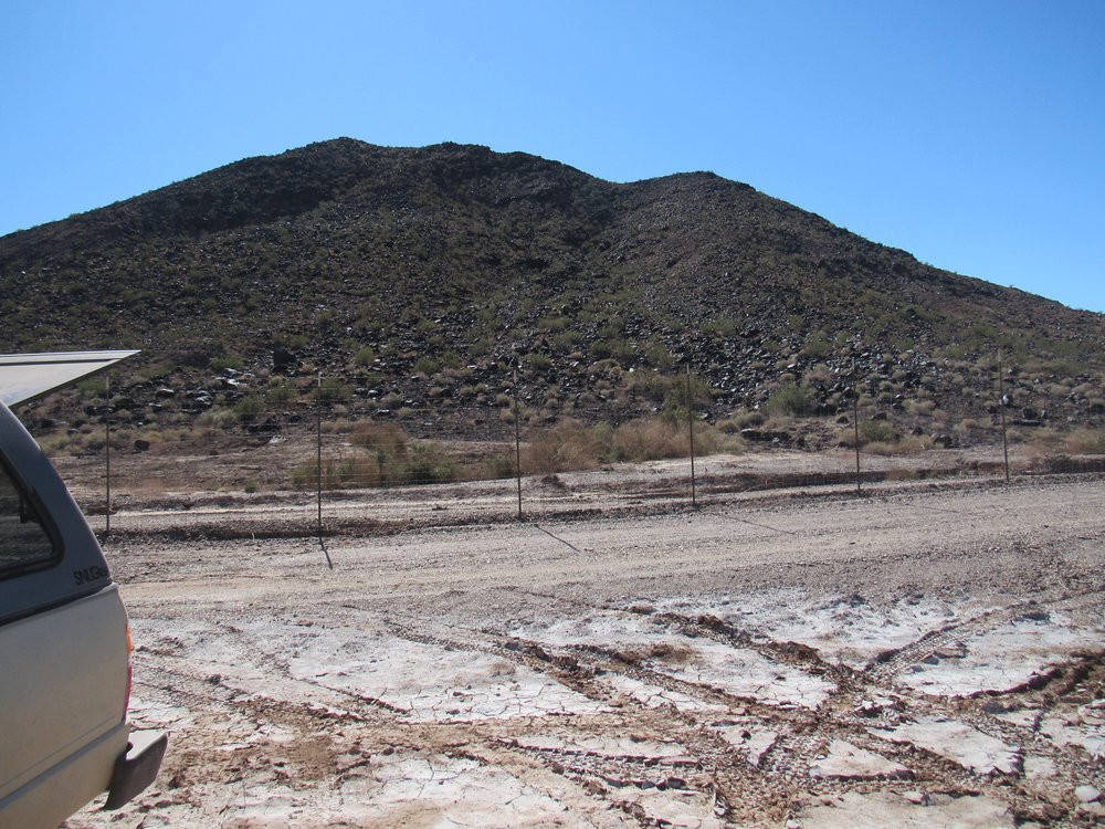
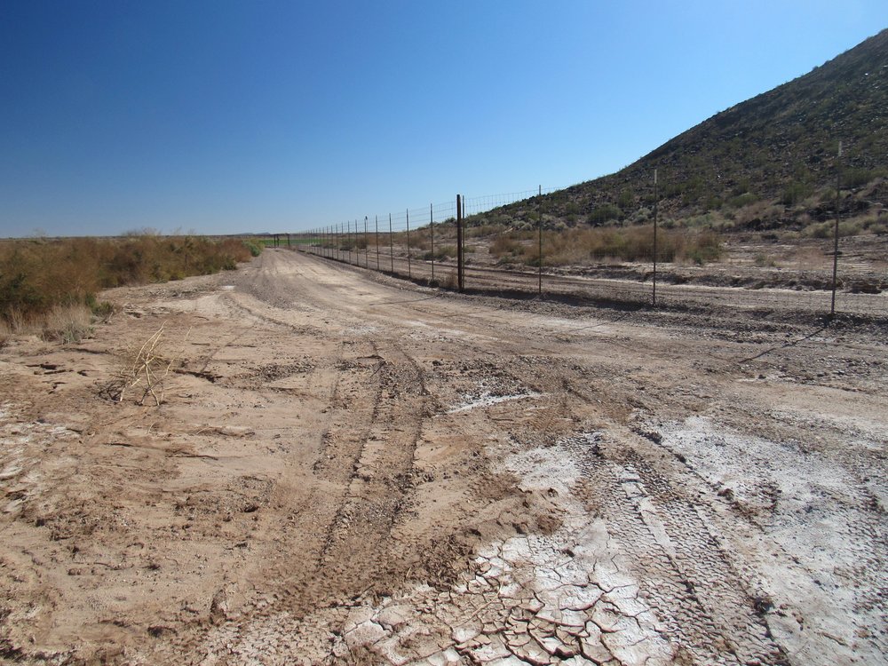
After a few miles of irrigated fields, we reached a corner in the fence-line where there was a simple wire gate. Andy opened this, we passed on through, then closed it behind us.
The gate.
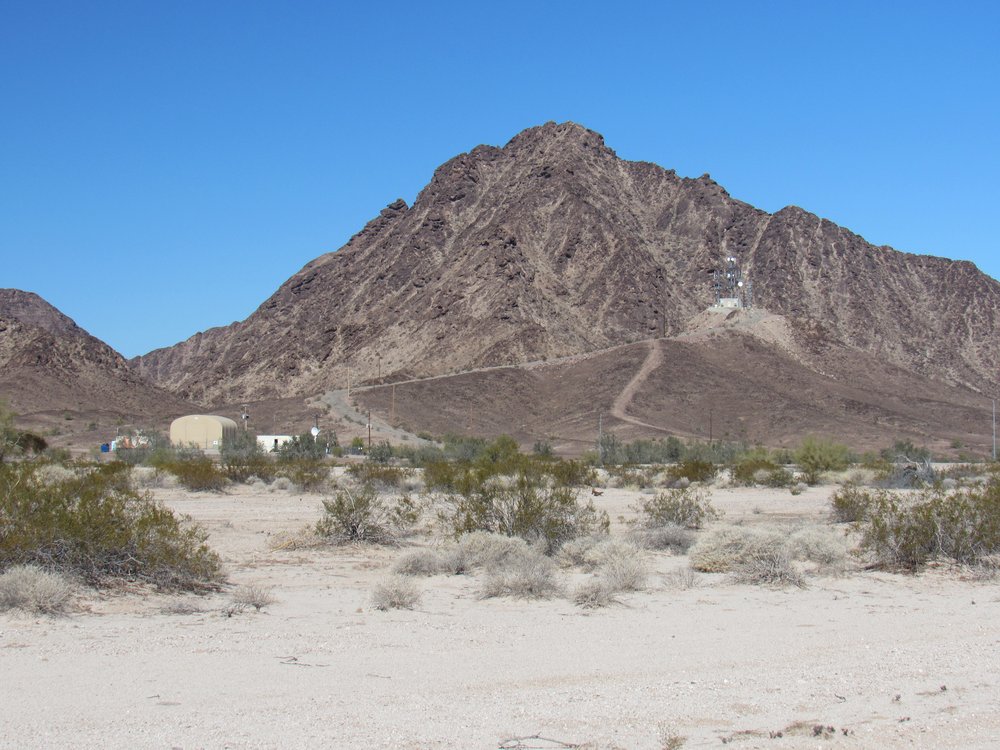
We drove another mile across flat, easy desert, then parked at about 560 feet elevation. It was a perfect campsite. Because we had made such good time getting this far, we could have climbed our peak that afternoon. Feeling lazy, I suggested just taking it easy for the rest of the day, and Andy was agreeable. We had a front-row seat for the peaks in the southeast corner of the Palomas Mountains. Here’s Peak 1690.
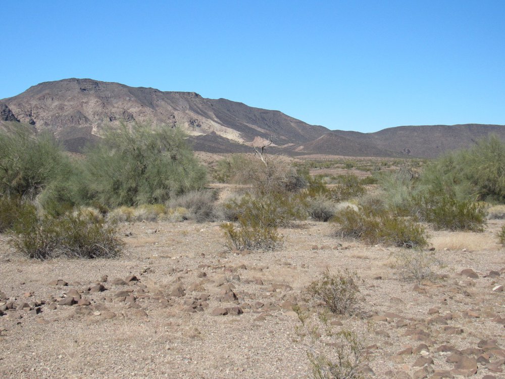
The south side of Peak 1690
And here’s Peak 1470.
Looking north to Peak 1470
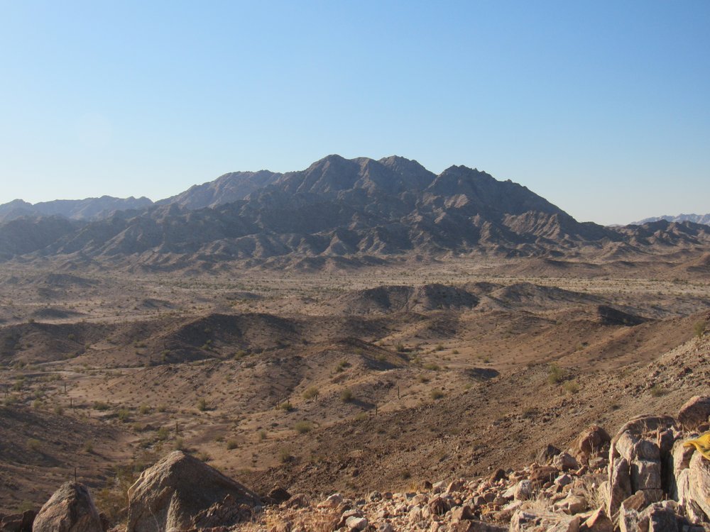
Later on, we had this end-of-day view of Peak 1065, the one we’d come here to climb. It’s the dark one.
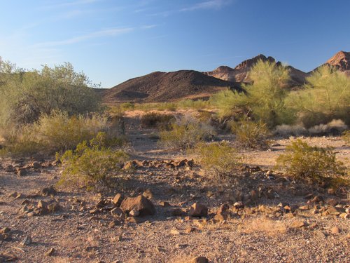
Looking northwest to Peak 1065.
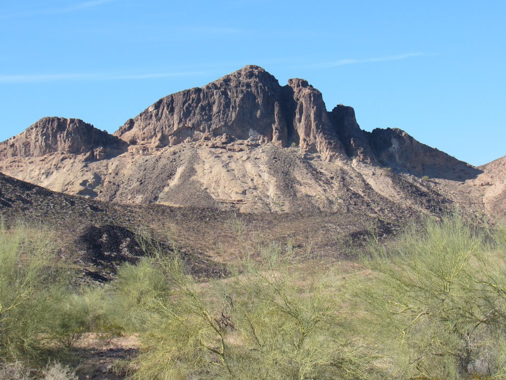
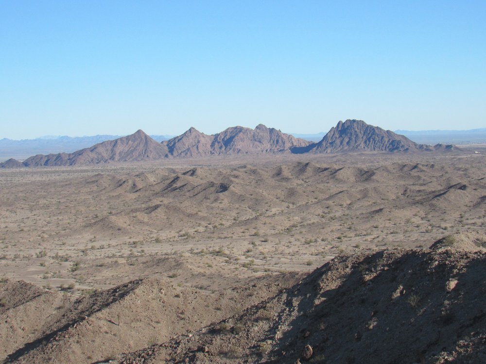
The following morning, we set out at a leisurely pace and arrived at its summit in an hour and a half. From there, we had some dandy views, like this one of Peak 1723 right next door.
The east side of Peak 1723
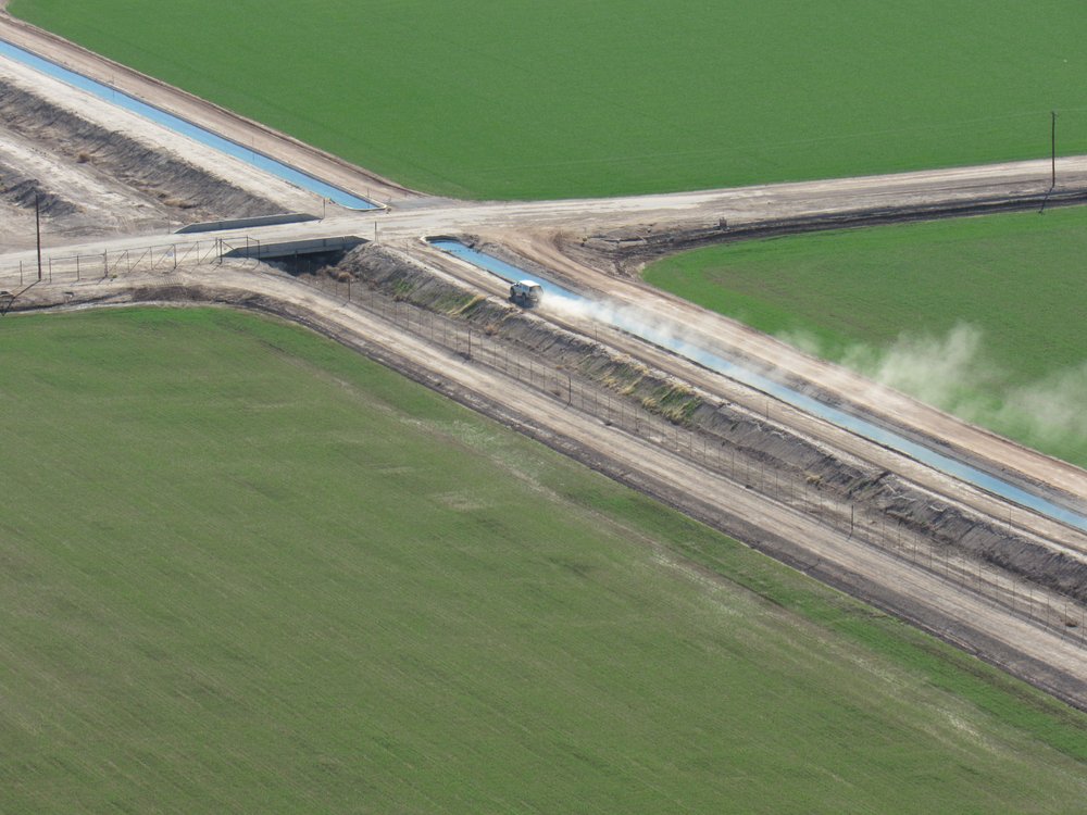
Only 4 miles to the east sat the Agua Caliente Solar Project. When it was completed in 2014, it was the world’s largest operating photovoltaic plant. It uses 5.2 million panels and it cost 1.8 billion US dollars to construct. It’s that big whitish thing out there.
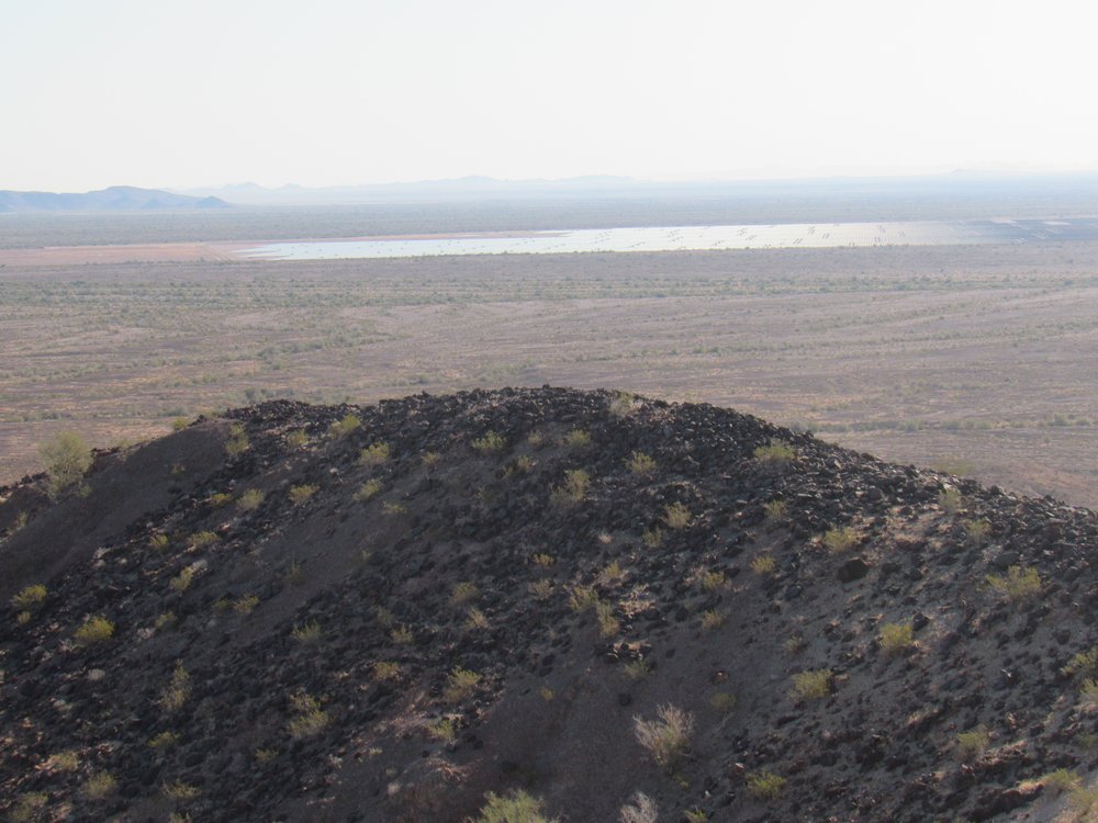
The solar plant.
Closer, about 2.5 miles away, was the organic farm I showed you earlier. It’s the green area out there.
The next peak on my list was this one, called Texas Hill. It’s the black one low down and by itself. It is 14 air miles away in this telephoto.
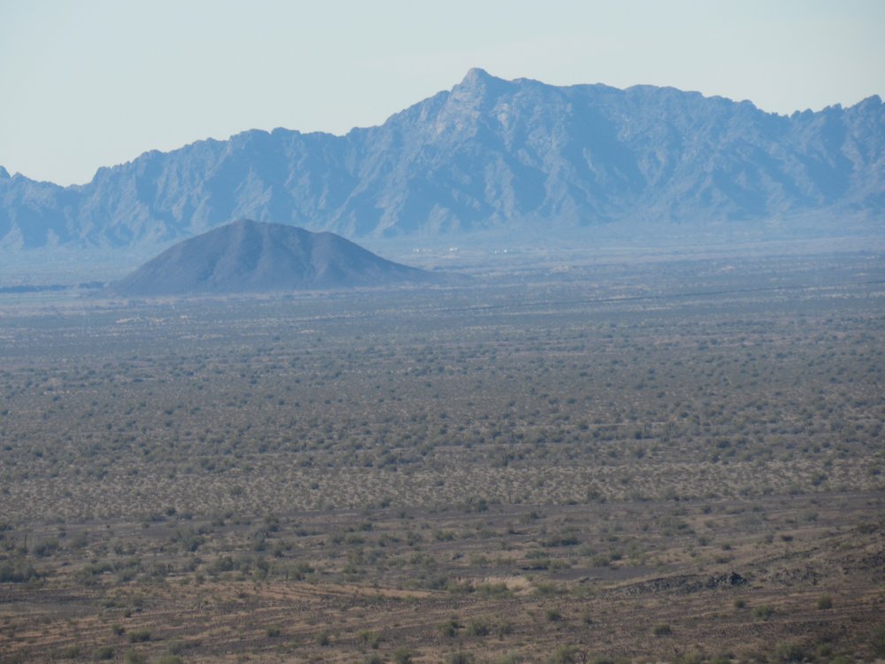
Texas Hill
Our work here was done, so down we went and back to the trucks. We drove back past the agricultural area to pavement. Andy headed off to climb a different peak while I drove 33 miles on paved roads to end up at the base of Texas Hill. When I got there, I was disappointed to see it guarded by a high fence.
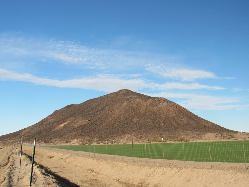
The southwest side of Texas Hill.
There were “No Trespassing” signs posted on the fence at intervals – those farmers meant business when they said they didn’t want anyone in there. I drove east, then north, then west, all in an attempt to find a place where the fence wasn’t. My exploration showed that the mountain was completely surrounded by that fence. I ended up parking in what looked like a quiet place on the north side of the peak, but still had to contend with the fence. Here’s the side I wanted to climb, but still the fence.
About a hundred yards down the fence was a man-gate. I went down to it and found it wasn’t locked, so through I went, then walked back to a good spot to climb.
More fence
Texas Hill has an elevation of 780 feet above sea level at its summit, but it rises 428 feet from its base. It was a straightforward climb, and an hour in the doing. When I was on the summit, I saw a vehicle down below on the side opposite where I’d parked. It was Andy come to meet me. We hollered back and forth and I told him where I’d started.
Andy starting the drive around to meet me.
I found the battered benchmark on top.
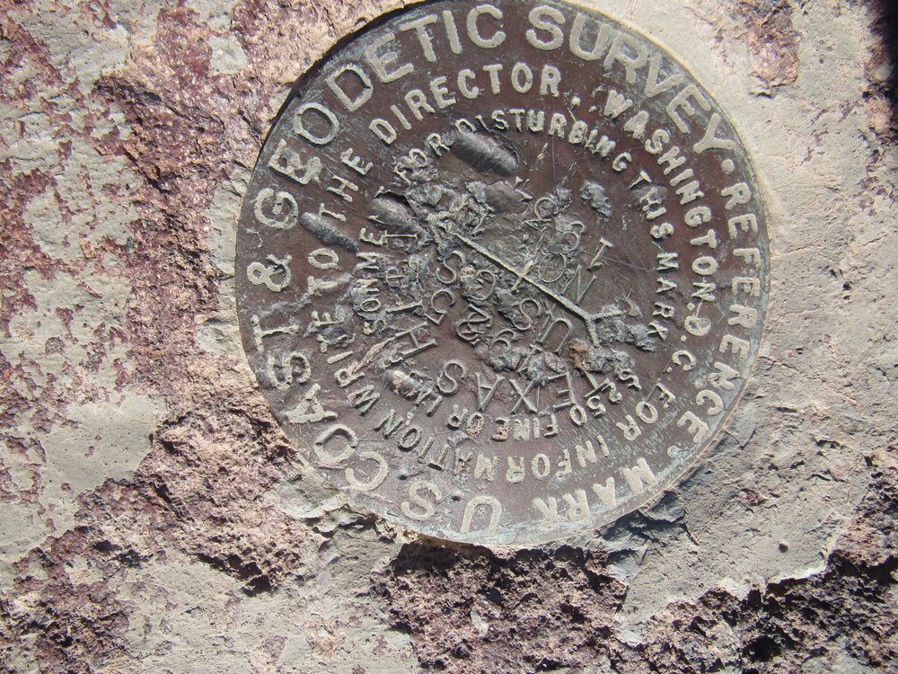
Texas Hill benchmark.
There was a bunch of crap on top, as well as a summit register which I signed.
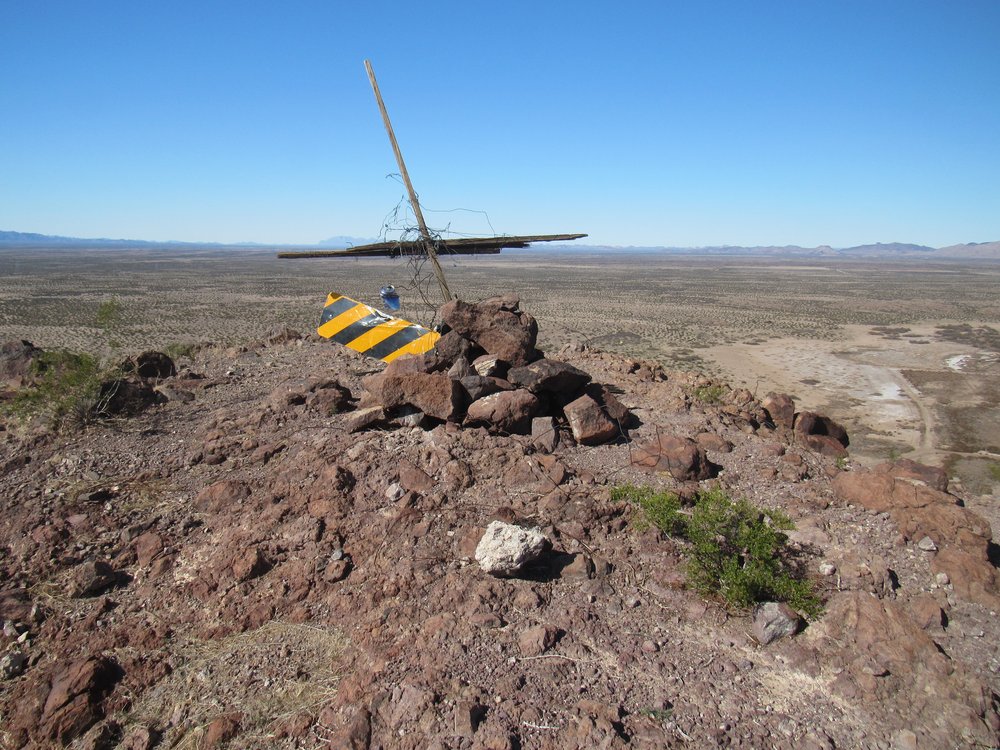
The summit.
I could look north and see the entire Palomas Mountains. Peak 1065, climbed earlier in the day, is a tiny black bump on the desert floor below the red dot. Also visible at the bottom of the photo is my truck – if you zoom way in, you can see it.
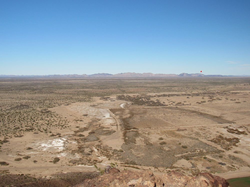
I’ve zoomed in for you so you can see what’s below that red dot, and here is what it looks like.
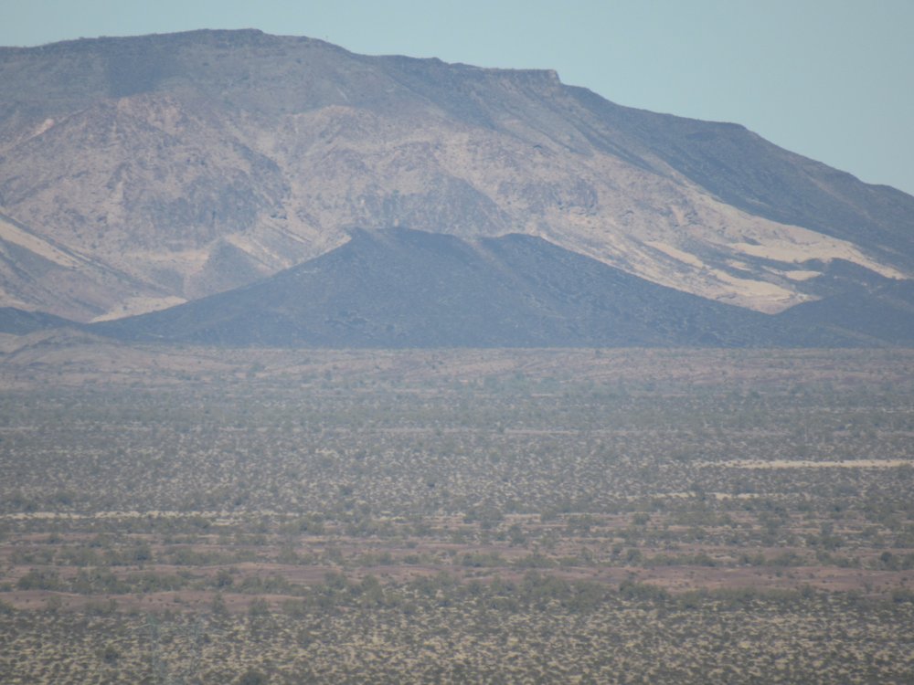
The little black peak is 1065, climbed earlier in the day.
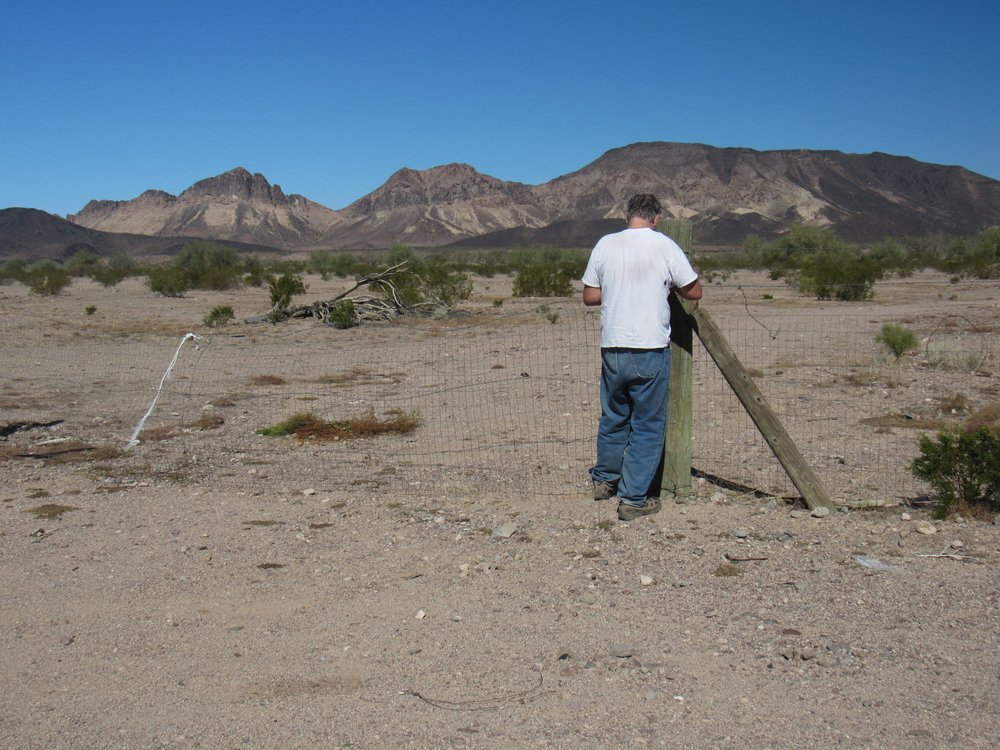
Andy had now parked beside my truck, and I started back down the slope to meet him. I heard a clatter, and I saw a couple of vehicles driving along the road that was just inside the fence, a road used by agricultural workers. They appeared to be checking each of the man-gates, and stopped at the one I had used to get inside the fence. I was still a good hundred feet above them, and tried to plaster myself against the hill so as not to be seen. Gadzooks, I hope they weren’t going to lock the gate! Finally, they moved on. When I got to the gate, I found it still unlocked and was able to walk back to my truck.
Andy and I then convoyed some 27 miles on paved county roads through the Mohawk Valley, a heavily-agricultural area, to arrive at the village of Tacna. We crossed south over the freeway and soon arrived at the entrance of the Barry M. Goldwater range. This section of the huge military range is managed by the Marine Corps out of their base at Yuma, Arizona.
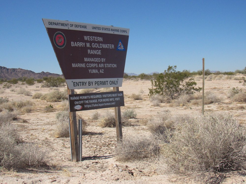
Entering the Barry M. Goldwater
This was some kind of facility they had on the east side of Baker Peaks.
Marines stuff.
A few miles later, we arrived at the campsite Andy had picked out – it was perfect – flat, hidden away at the end of a quiet track, the nearest we could drive for our next peak.
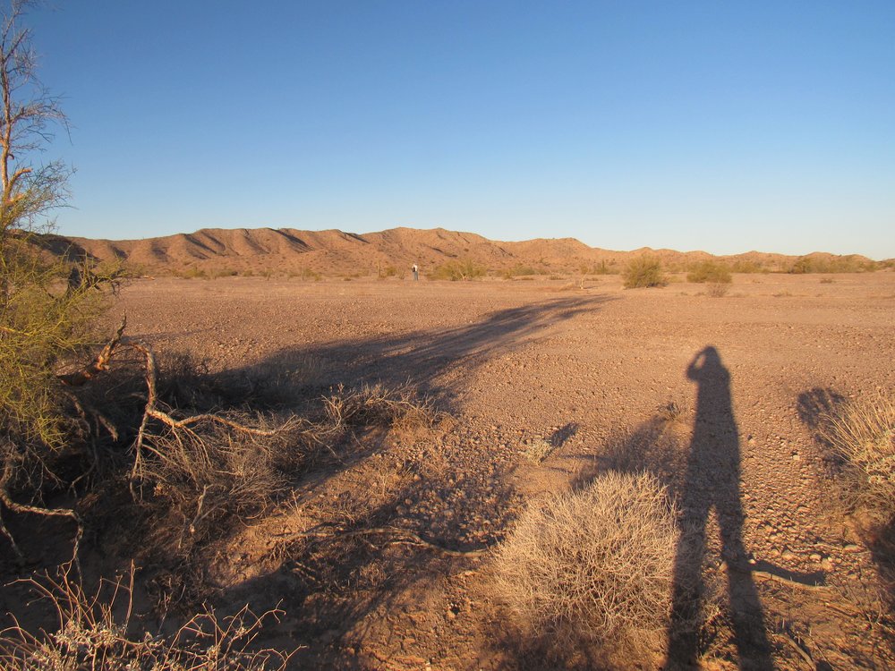
We were up early the next morning and headed out on foot at sunrise, 7:35 AM. It was a flat walk across the desert in the northern part of the Copper Mountains. The white dot out ahead is Andy. Our peak is directly above him.
Heading to our peak.
After we had gone around an intervening ridge, it was a straightforward walk up to the summit.
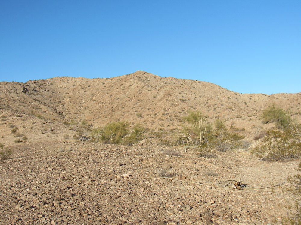
Looking west to Peak 1078
It had taken us an hour and 43 minutes from camp to the summit. It was certainly a quiet spot, away from just about everything. Here’s Andy on the summit of Peak 1078. On the far horizon to the left of him are the Tinajas Altas Mountains; to the right of him across the rest of the picture are the Gila Mountains.
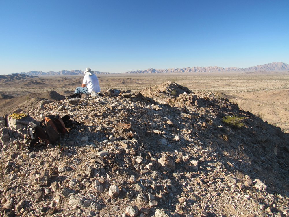
The summit
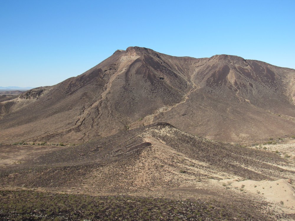
To the south rose the high point of the Copper Mountains. Bob Martin and I had climbed it together way back on April 27, 1987 – we must have really wanted that peak, because it was one hot day. I had never been back in this range in all of those 35 intervening years.
Peak 2888, the range high point.
To the north lay Baker Peaks, about 4 miles away.
Baker Peaks
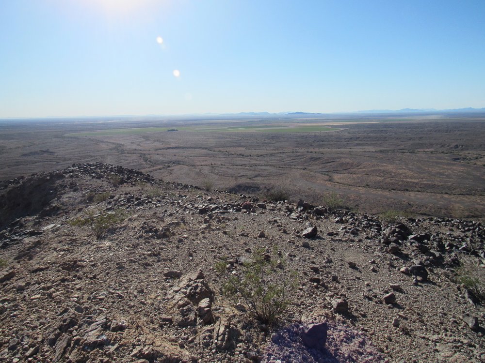
And here’s a look back to the east, to where our trucks were parked. Those are the Mohawk Mountains way out there on the horizon.
Looking east.
We didn’t stay long, then headed down and eventually back to our trucks. It was a quiet return, but we did find a number of spent .50 caliber machine gun shells from World War II as we walked. It was eleven o’clock when back at camp. Andy had his eye on another nearby peak and went off to give it a try, whereas I headed back to the freeway and home.
The peaks we had done on this trip were all on a list of the 50 lowest peaks in Arizona. Andy can always be trusted to come up with interesting and unusual projects, and going out and climbing these peaks was a lot of fun.