
Because I’ve now written almost five hundred different stories for this website, I’m having to get creative when thinking of new titles. Mostly, they have something to do with the place where the climbing occurred. More than a few deal with an event that may have happened, or focus on a person about whom the story was written. In any case, I’m trying hard not to be repetitive. Today’s story deals with climbing that took place once again in what the United States Air Force calls their “Manned Range” where there is no public access allowed, ever. It is more commonly known as the “hot zone”. Some of the best peaks lie inside this zone, so we do what is called “stealth climbing” to go in and climb them. Sure, I get a permit to climb in the bombing range each year, but of course it only allows access to a very small portion of the 2.7 million acres that encompass the range. It goes without saying that climbing in the hot zone is done on the Q.T.
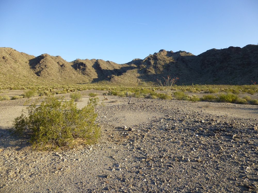
I suppose I should start off by telling you something about the mountain range I’d be in. The Sauceda Mountains are in southwestern Arizona. They run in a rough line from northwest to southeast. There are a lot of peaks within the range, 105 to be exact, which is right up there with the 2 other most populous ranges in Arizona, namely the Gila Bend Mountains and the Castle Dome Mountains. Of those 105, nine are on BLM land, twenty-two are on the Tohono O’odham Indian Reservation, and all of the remainder, seventy-four, are on the Luke Air Force Range, or what I commonly refer to as the bombing range. At the extreme northwestern end of the Saucedas sits what are called the White Hills, which is where I’d be today.
It was on a warm March day when I visited. Both of the peaks I wanted had been climbed by others who had preceded me. My starting point was alongside a major highway – all I had to do was climb over a locked metal gate at 6:00 AM under cover of darkness. That put me on a paved road that headed west deeply into the hot zone. Twenty minutes after starting, dawn was breaking in the east.
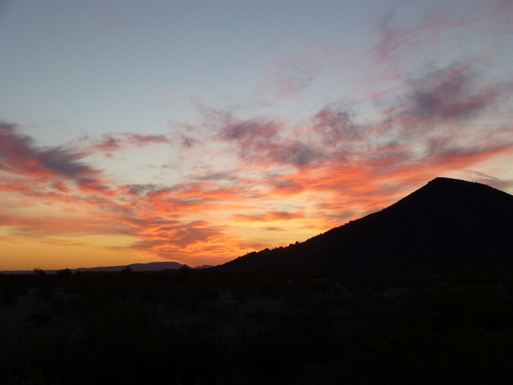
The dawn
Here’s a look at that paved road I was walking. It’s just a single lane, but is used a lot. It gives access to a part of the bombing range where there are two observation towers and jets practice shooting at targets on the ground. Another time, I rode my bike for miles on it to get access to a different peak.
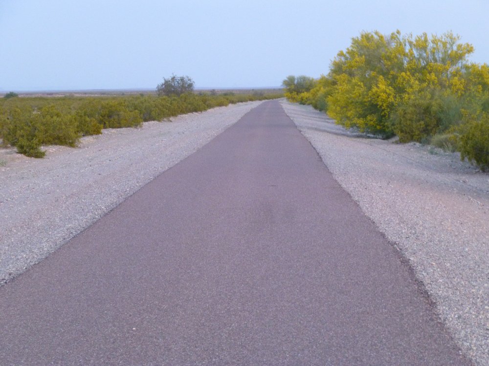
Nice road.
I walked the road for a mile and a half, and although it was easy going, I was glad to leave it and head across the flat desert floor. Once away from the road, I’d be far less conspicuous. The sun rose at 7:08 AM.
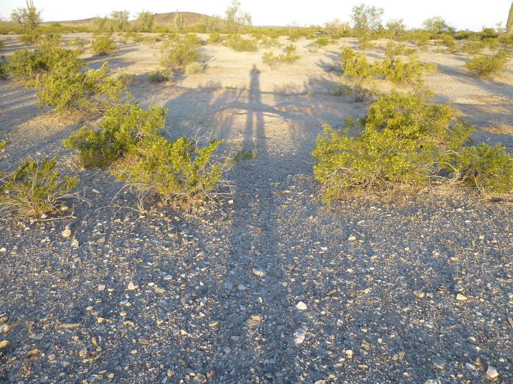
Sunrise
It was around that time when I found this burner phone on the ground.
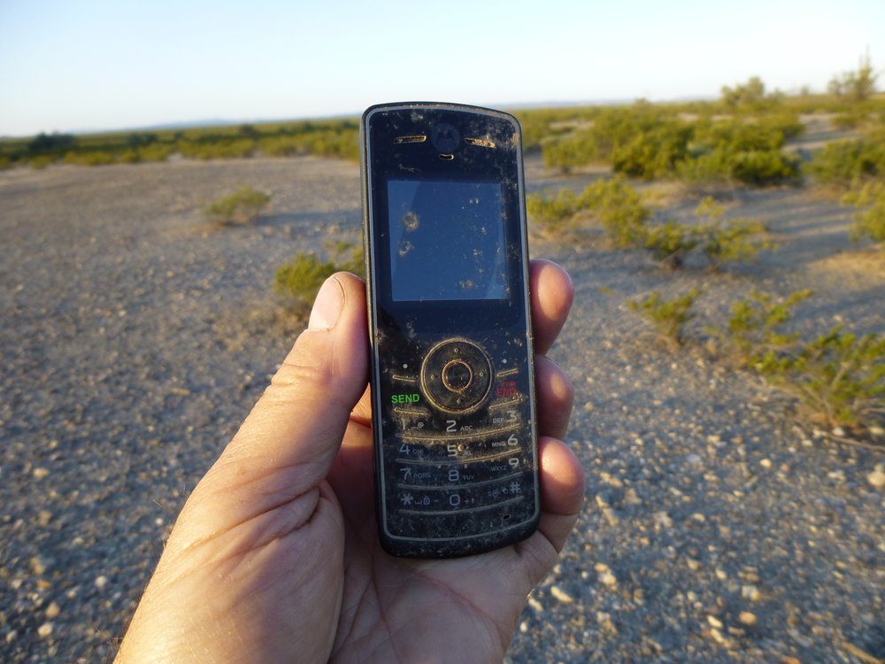
Burner phone.
Undocumented border-crossers or drug smugglers use these to call ahead to arrange for their pick-up along Interstate 8, which was about 11 miles north of where I found it. They are cheap and can’t be traced, and are simply discarded when no longer needed.
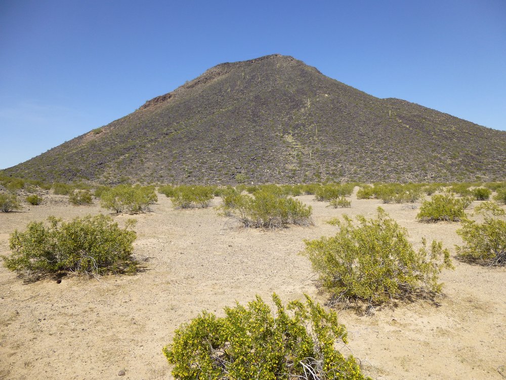
I kept walking north across the desert, and by 7:30 I had this look at the peak I wanted, the high one in the sun on the right.
A first look at the peak I wanted.
Except it wasn’t, it was merely a bump in front of what I really wanted. By the time I got to the top of it, I could then see farther – I’d have to climb to the top of what you can see in the next photo.
More ground to cover.
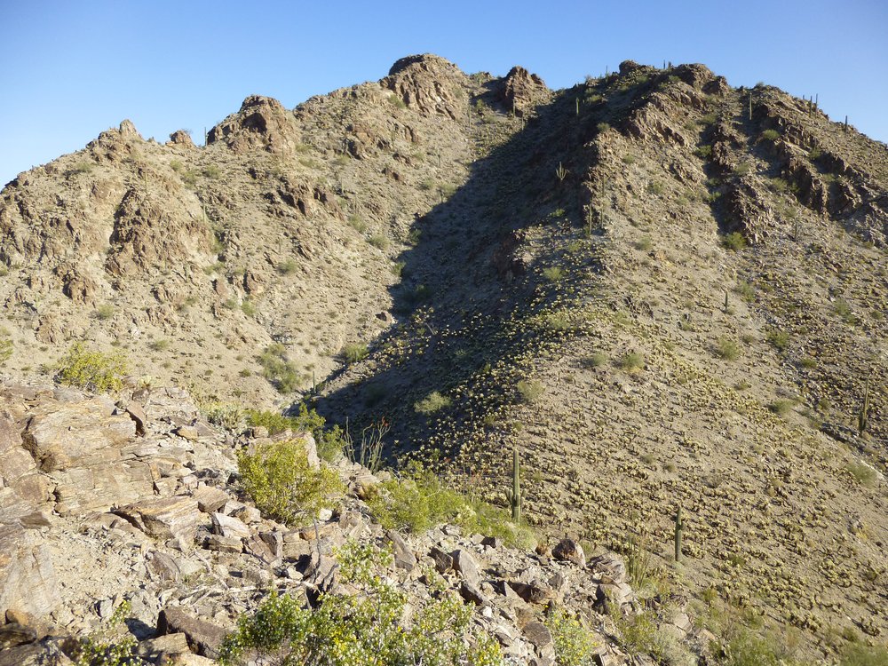
Once I reached the top of what you can see in the above photo, it was immediately obvious that I was still nowhere near the top. There were at least 5 more bumps that I could see that I would have to traverse. Crap! It turned out that the highest point was a sixth bump that was still hidden.
That’s a lot of bumps!
As I traveled the ridgeline, I came upon this, a spot where Bad Guys could lay low and avoid the prying eyes of law enforcement. It held water jugs, food cans, clothing and backpacks. Only 9 miles to the Interstate.
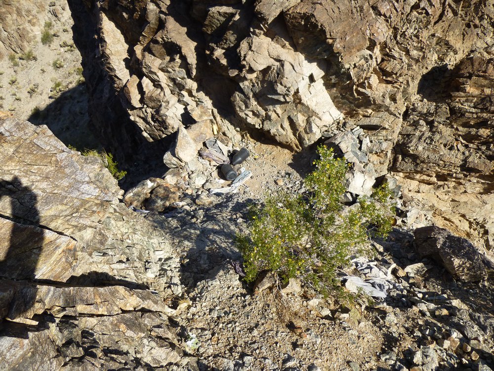
A hiding place.
A few bumps later, I saw this, a solar-powered antenna of some sort. Wouldn’t you know it, the actual highest point on the mountain was the final bump, the one beyond the antenna.
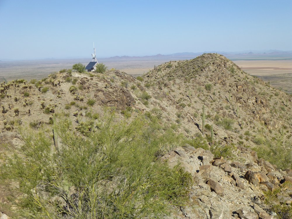
At last, the end was in sight.
It was 9:25 by the time I reached the final bump, well over 3 hours after having started out. It felt good to be done. This one was simply known as Peak 1811, the high point of the White Hills. The day had warmed up considerably and I was really feeling the heat. From the same spot as the above photo, I turned around and snapped this one looking back along the somewhat-tortured ridge the way I’d come.
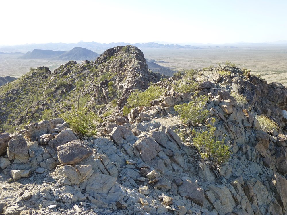
The ridge
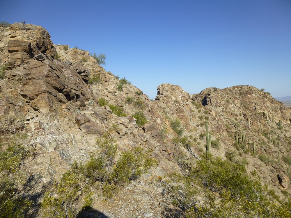
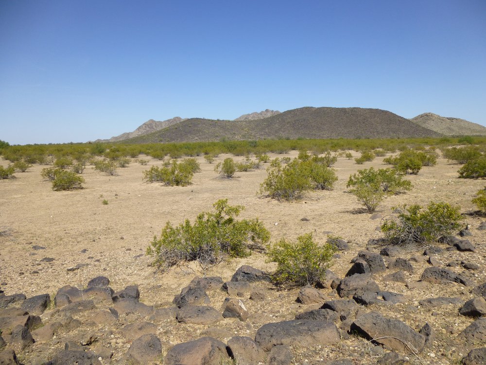
There was no cairn, no register, just trash left by border-crossers. I left no register, as the rat-bastards would soon destroy it if I did. After 30 minutes on top, it was time to start back, but I was not going to go back all the way along that ridge again. Instead, I looked carefully and chose a canyon which descended from a spot near the top. That worked a lot better, was a lot easier, and I found myself back on the desert floor by 10:40.
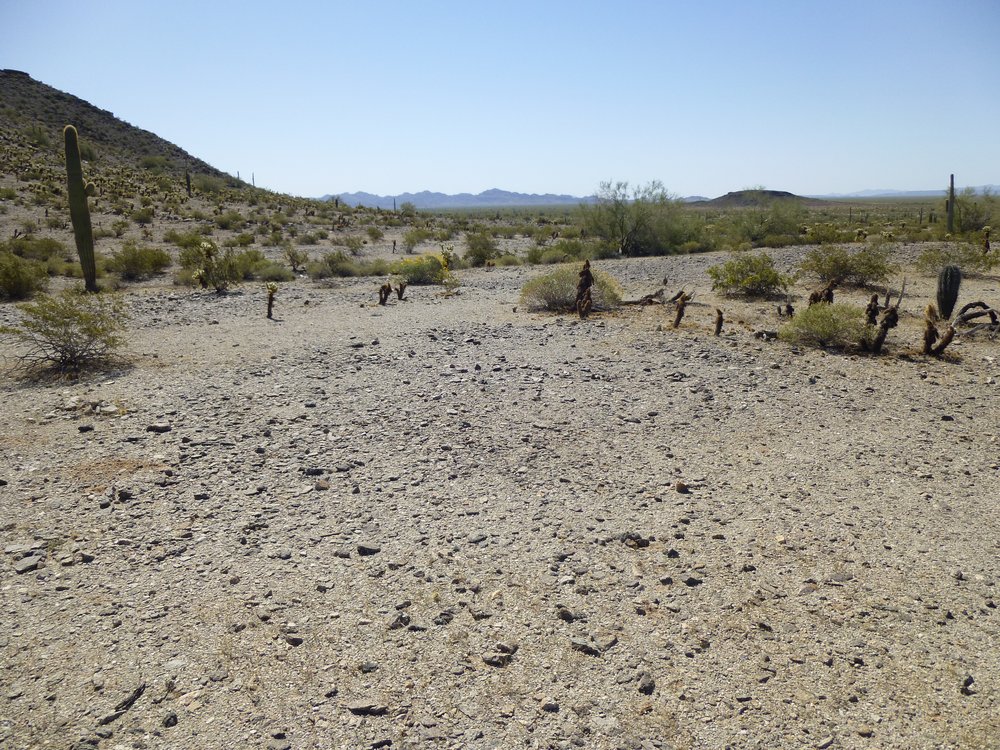
On the floor
This was looking back the way I’d descended.
My descent was in the back, from the skyline over to the right a bit from center.
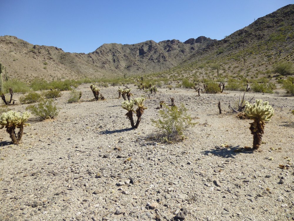
A short while later, I could see ahead to where my next peak waited. If you look carefully, I put a small red dot above it.
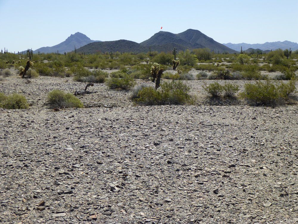
It looked a long way off.
By 11:30, I could look back and see my first, Peak 1811, in the distance. It’s over the top of the dark mountain out there in the middle distance, just about in the center of the photo.. Zoom way in to see the antenna.
Looking back, way back.
Did you see it? Here’s a telephoto I took. The actual summit is on the bump over to the left of the antenna bump.
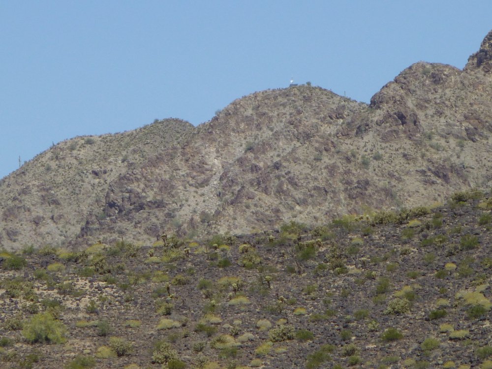
See the antenna?
It was close to noon by the time I stopped for a bit of a lunch break. I felt really hot, so I found a scruffy tree to sit beneath for a bit of shade. Hmmm, I had company, this desert iguana, Dipsosaurus dorsalis. It seemed a bit shy.
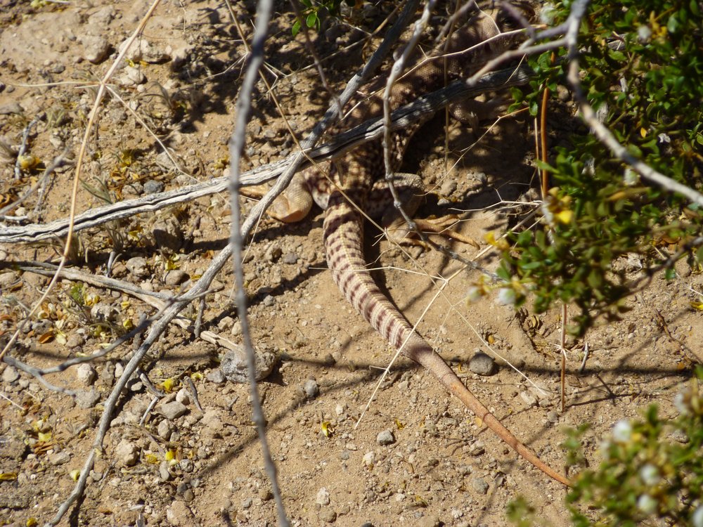
The desert iguana. They grow to 16 inches, and are more heat-tolerant than other lizards.
The 600-foot climb up Peak 1630 took it out of me. Forty-five minutes later, I was on the top but felt overheated. I signed in to the register that had been left before, then climbed down the south slope in just over 20 minutes. It was a mile from the summit back to the gate I’d climbed over early in the morning.
The south side of Peak 1630
The tally for the day was 10.0 miles, with 2,060 vertical feet climbed and a total time of 7 hours 41 minutes on foot. What took it out of me was the 90-degree temperature on this March 19th day. I felt dehydrated, and was glad for some liquids and the air-conditioned truck.
On a stealth climb such as this one, when you’re out in the open and plainly visible, you always wonder what you’d do if you were spotted, or worse, if you were apprehended. When you’re far from a road, let’s say in a canyon or up on a mountain, there’s little chance of being caught. There are plenty of places to hide. If someone spots you from a helicopter, they certainly know where you are, but unless they can land there, they can’t do anything to you. The military cannot arrest a U.S. citizen on U.S. territory (it’s true, it’s called the Posse Comitatus Act), but the Border Patrol can. I remember one time in the 1980s in the Middle Mountains of far western Arizona, when I was on the Yuma Proving Ground to climb a peak. It’s a one-mile sprint from the paved civilian highway to the peak, which is totally off-limits. I had climbed the peak and was on my way back, going like the very hounds of hell were on my tail. A big Army helicopter gunship took off from a nearby heliport to the north and flew right towards me. I saw it coming and barely had time to hide under a palo verde tree in the wash as it roared over, but they didn’t see me. Definitely a brown-trouser moment, and I wasn’t the only climber who had a similar experience when they went in to do the same peak. I’ve done stealth climbs where I rehearsed a number of excuses to use if I were caught, but so far they haven’t caught me. Most of my fellows haven’t been so lucky – they’ve all been caught or fined at least once in their climbing careers.