
It was one of the most precarious spots in which I’d ever parked. The road had worsened, and I pushed my 4WD up it all the way to 5,600 feet, finally ending up on a sort of ledge on the road from hell. As I cooked a meal, I had the radio on, and every station seemed to be talking about something awful that had happened in California. It didn’t take long to learn that it was the Loma Prieta earthquake which had hit the central coast of California. The magnitude 6.9 quake was the most damaging since the 1906 San Francisco earthquake, causing 63 deaths and 6 billion dollars in damage. The next morning, I climbed to the high point of the Cottonwood Mountains in northwest Arizona.
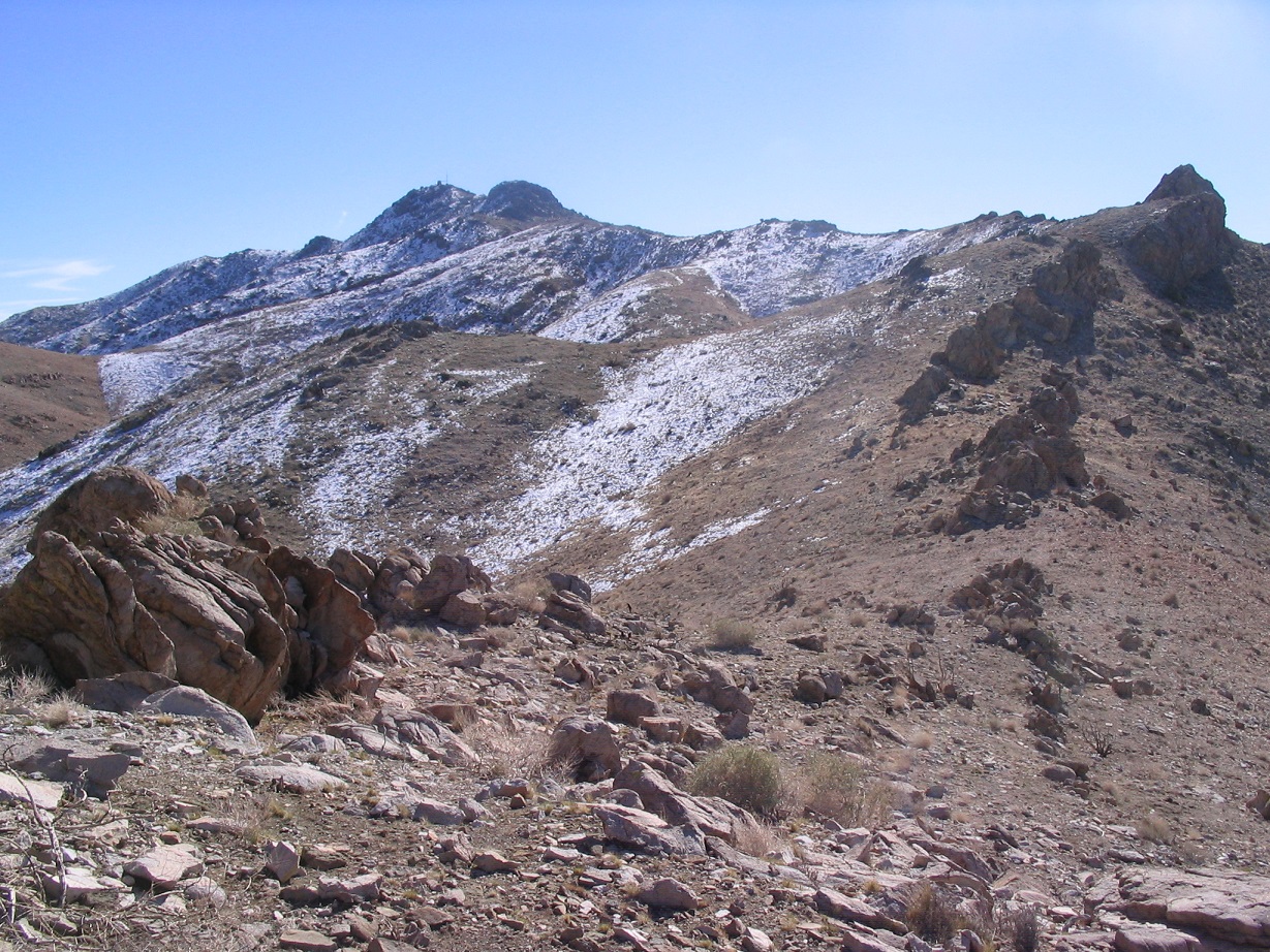
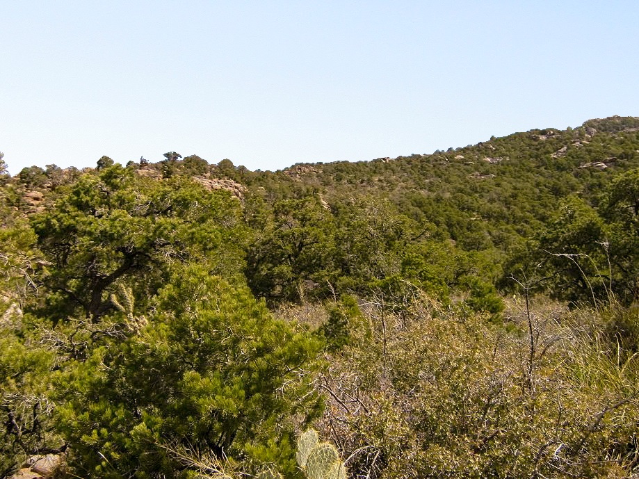
Once done and back at my truck, I drove down and out to Hackberry Road and then north to the famous Route 66. About 30 miles more and I was in Kingman, the birthplace of Andy Devine, perhaps best known as Jingles on The Adventures of Wild Bill Hickok. I gassed up there and then headed north on US Highway 93 for 45 miles where I turned southwest into the Black Mountains on a really good dirt road. Passing the Mockingbird Mine, the Dandy Mine and the Great West Mine, I climbed up to 4,660 feet to a microwave site. The drive had been so easy, I was shocked that I could get all this way in with no trouble at all. Here’s a view of the mountain, taken from farther south.
Looking south to Mt. Perkins, taken one snowy January
The summit looked so close and straightforward, I decided to go for it in shorts, T-shirt and sneakers. Away I went, dodging a few rocky pinnacles along the way. It only took 28 minutes to reach the top, a distance of 1.1 miles.
The summit block to the south.
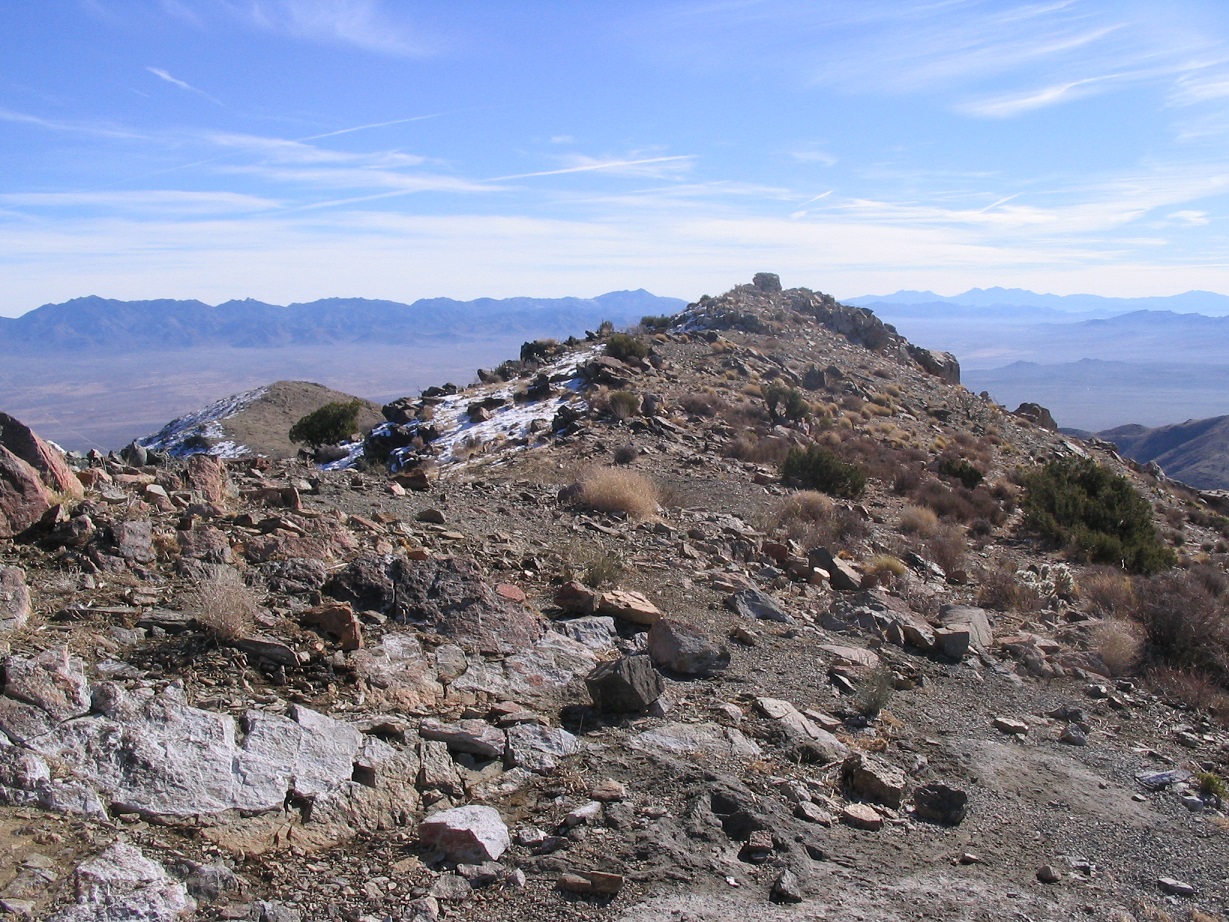
There I was on Mt. Perkins, the high point of the Black Mountains. I signed in to a register, then admired the view. Almost 5,000 feet below to the west sat Lake Mohave, a part of the Colorado River. California sat on the other side of the lake. The view was nothing short of spectacular.
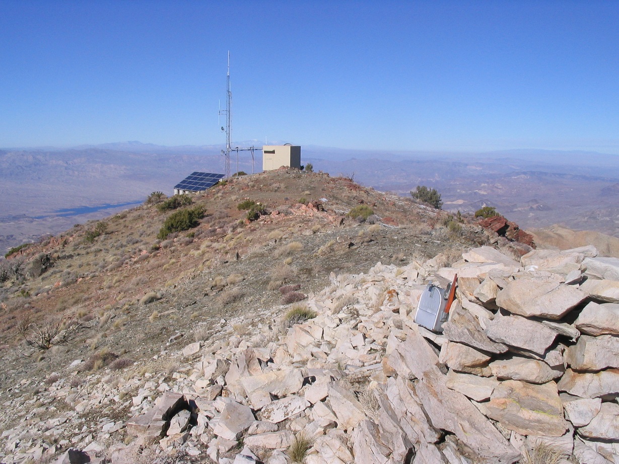
Looking south from the summit.. This building and tower weren’t there when I climbed the peak in 1989.
Thanks to climber Scott Surgent for the use of these 3 photos of Mt. Perkins. Something worth mentioning about the Black Mountains is the fact that they stretch a distance of 98 air miles, all the way from Lake Mead in the north to Interstate 40 near Sacramento Wash in the south. Of all of Arizona’s 193 mountain ranges, I know of only one that stretches farther, and that would be the Peloncillo Mountains, which stretch from the Gila River near Clifton all the way south to the Mexican border, a distance of 115 air miles.
I hated to leave, the view was so breath-taking, but leave I did. It was short work to return to my truck, and an easy drive back out to Highway 93. What next? Since I was so close, I decided to drive north the 28 miles to Hoover Dam. Wow, the dam was impressive, but there were so many people there that I soon left.
Driving 40 miles back south on the same highway, I came to a turnoff for Dolan Springs. I was so close to another range that I decided to make it my next objective while I was in this part of the state. From that part of the highway, I took a very sandy road which headed due east. I drove it for 7 miles at sunset, finally parking at 3,630 feet where the road couldn’t be driven further, even in four-wheel-drive. Here is a view of the mountain at sunset, being Mt. Tipton, the high point of the Cerbat Mountains.
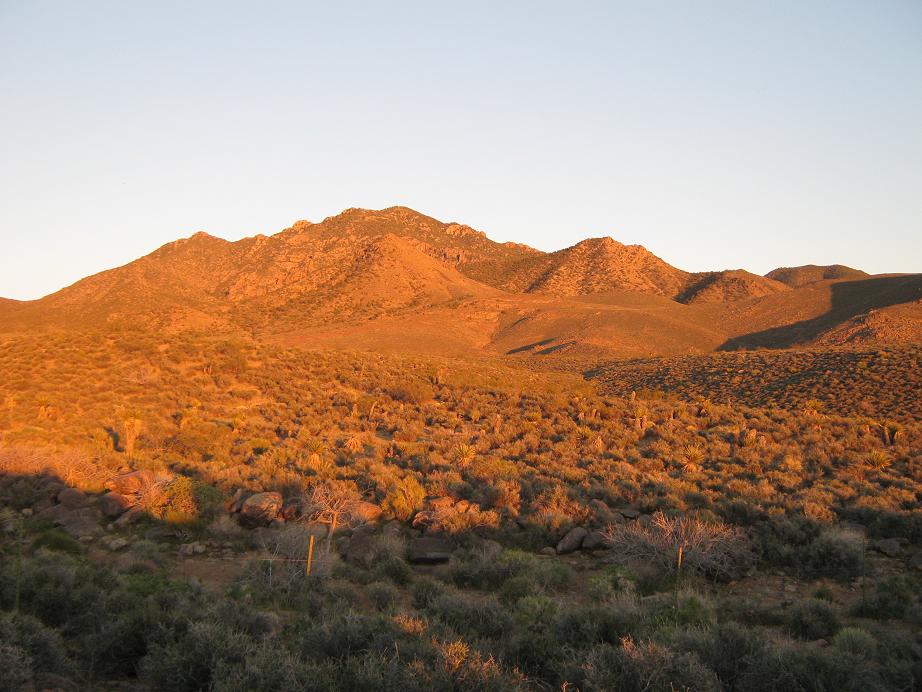
Mt. Tipton
The name Cerbat is a hard one to pin down. One source says it means “popgun” or “blow gun” in Spanish, but I think that’s not quite correct, as my best source says the proper Spanish word for those things is cerbatana. Another source says that cerbat is a Native American word for bighorn sheep, which were once common in the area.
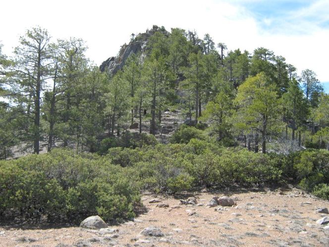
I was parked on the west side of the peak, on a nice flat spot. After eating a big meal, I washed up and was all set for the climb tomorrow. The summit was 3,500 vertical feet above me, and I was anticipating a strenuous day. I slept well and, very early the next morning, started up the old road by moonlight. In piñon forest by 4,000 feet, I soon arrived at Arizona Spring – that had taken me about 50 minutes. The jeep trail ended at the spring. From there, I contoured northeast around the hillside for a quarter-mile and entered a major wash running west from the peak. This was easy going, but for some reason I decided to leave the wash at around 5,120 feet. I guess I was lured by what appeared to be an open-looking slope coming down from the southwest side of the peak. Bad choice!
After a bit, the honeymoon ended and I found myself battling fierce brush. Higher up, I encountered some huge cliff bands, and I had to weave a zigzag path through them. There were a few Class 5 moves needed to keep going. I topped out on a number of pinnacles which I then had to down-climb. Damn, the whole upper fifteen hundred feet of this southwest side was granite cliffs and spires, interspersed with fierce brush. Every time I thought I was getting close to the summit, I wasn’t! Just when I thought it’d be easy to do the last part, the mountain threw a manzanita forest at me. Finally, after 4 1/2 hours, I stumbled on to the summit of Mount Tipton, elevation 7,148 feet.
Lots of brush
Mt. Tipton summit
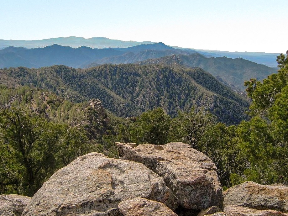
Looking south from the summit
I found the register and saw that 5 people had signed in before me. The views were great, and I hung around for a bit. There was a decision to be made. I sure as hell didn’t want to go down the same way I’d come up – forget it! I had heard rumors of a “great trail” heading down off of the south side of the summit. I think I found the start of one, but soon lost it. I thrashed my way down through endless brush, eventually reaching the wash I had left at that 5,120-foot level much earlier in the day. From there on, it wasn’t bad. I made my way back down to the spring, where 2 horses were drinking – they ran away as I approached. Interesting, because I had seen horse droppings everywhere to about 5,500 feet. It was an easy walk down the old jeep trail to my truck. By the time I reached it, I had been out for a total of 8 hours. My route was not one I would recommend to anyone – too much aggravation. I see from other trip reports that people have approached Tipton from the northwest in more recent years, and reading their write-ups makes me think they chose a better path than I. Thanks to climber Scott Surgent for the use of the 4 previous Mt. Tipton photos.
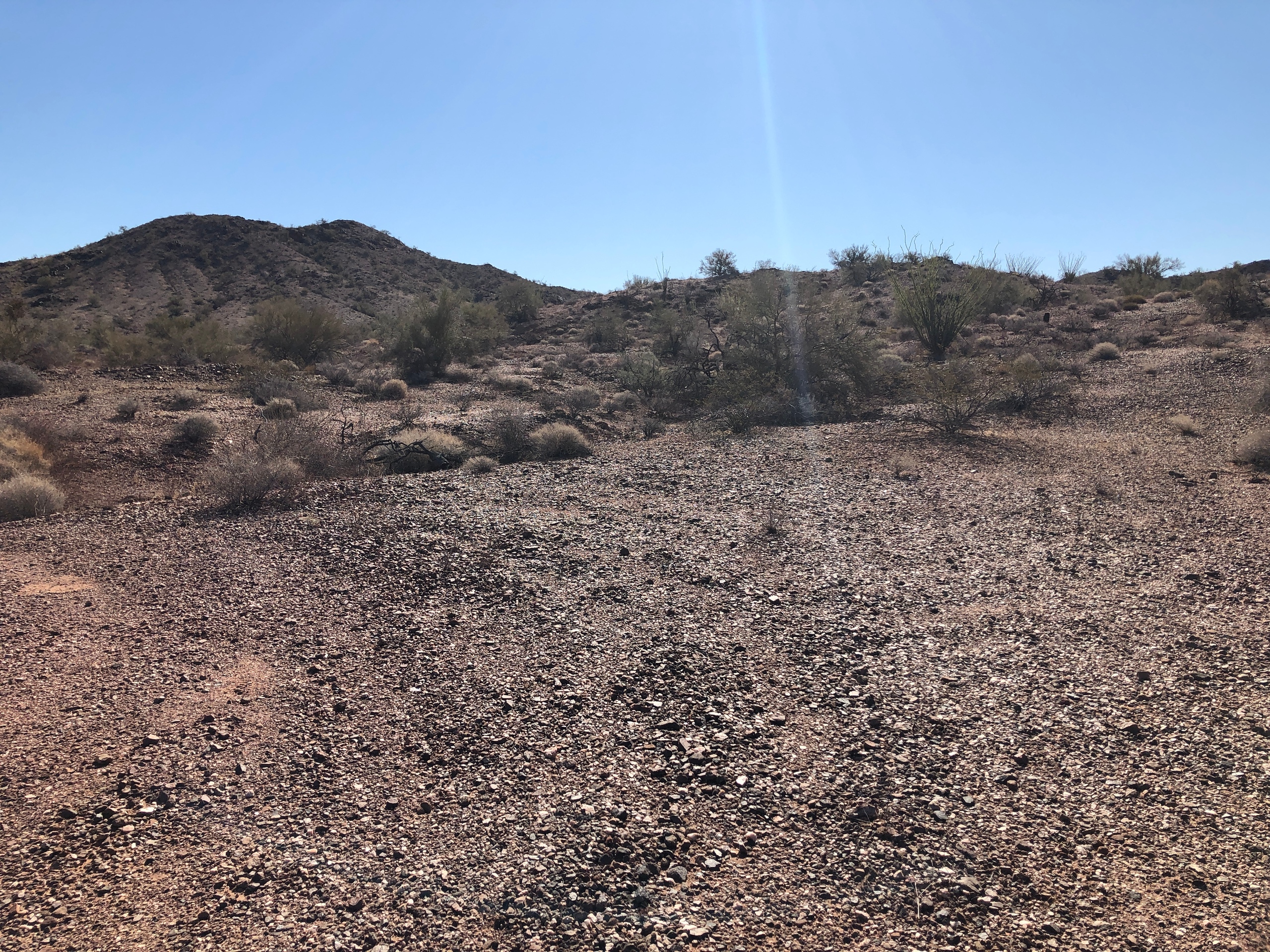
Driving back out to the highway, I then turned south and returned to Kingman. I bought gas, stocked up on water, and headed west on Interstate 40. After 35 miles, I took the Franconia Road exit. This placed me in a flat stretch of desert between the Hualapai Mountains to the east and the Colorado River to the west. The road I needed headed southeast, mostly paralleling Franconia Wash – it was easy driving, and about 10 miles later I had parked at 1,900 feet elevation in the midst of one of Arizona’s smallest mountain ranges.
Starting out from my truck.
The Buck Mountains barely spanned 5 miles, and contained only one real peak – it was one of those odd ranges that was so small, you wondered why it had even merited its own name. This obscure range, not on anyone’s radar, was only being visited by me because it was on the list of Arizona’s 193 mountain ranges.
It was getting dark. Wanting to make sure I was in the right spot, I headed east to scout the lay of the land. This was before any of us owned a GPS, so we had to rely on orienteering skills to verify our position. A mile’s walk and a short climb told me what I needed to know and I returned to my camp. A restful evening saw me washing, eating and listening to music, and even writing a letter to my climber friend Brian Rundle.
October 20th dawned with high, thin clouds. I slept in late, then enjoyed a pleasant ridge walk from my truck heading east.
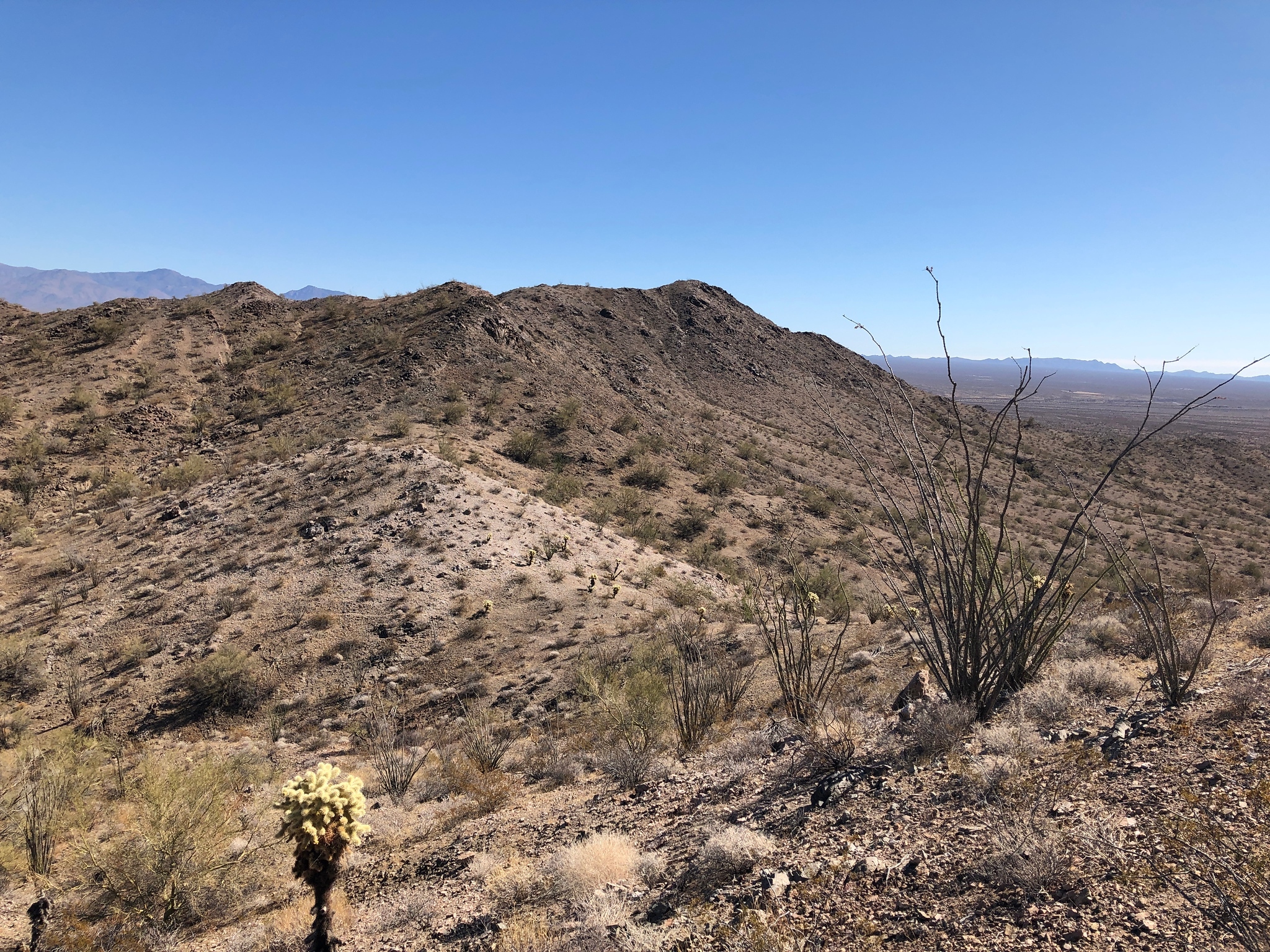
Looking east along the ridge
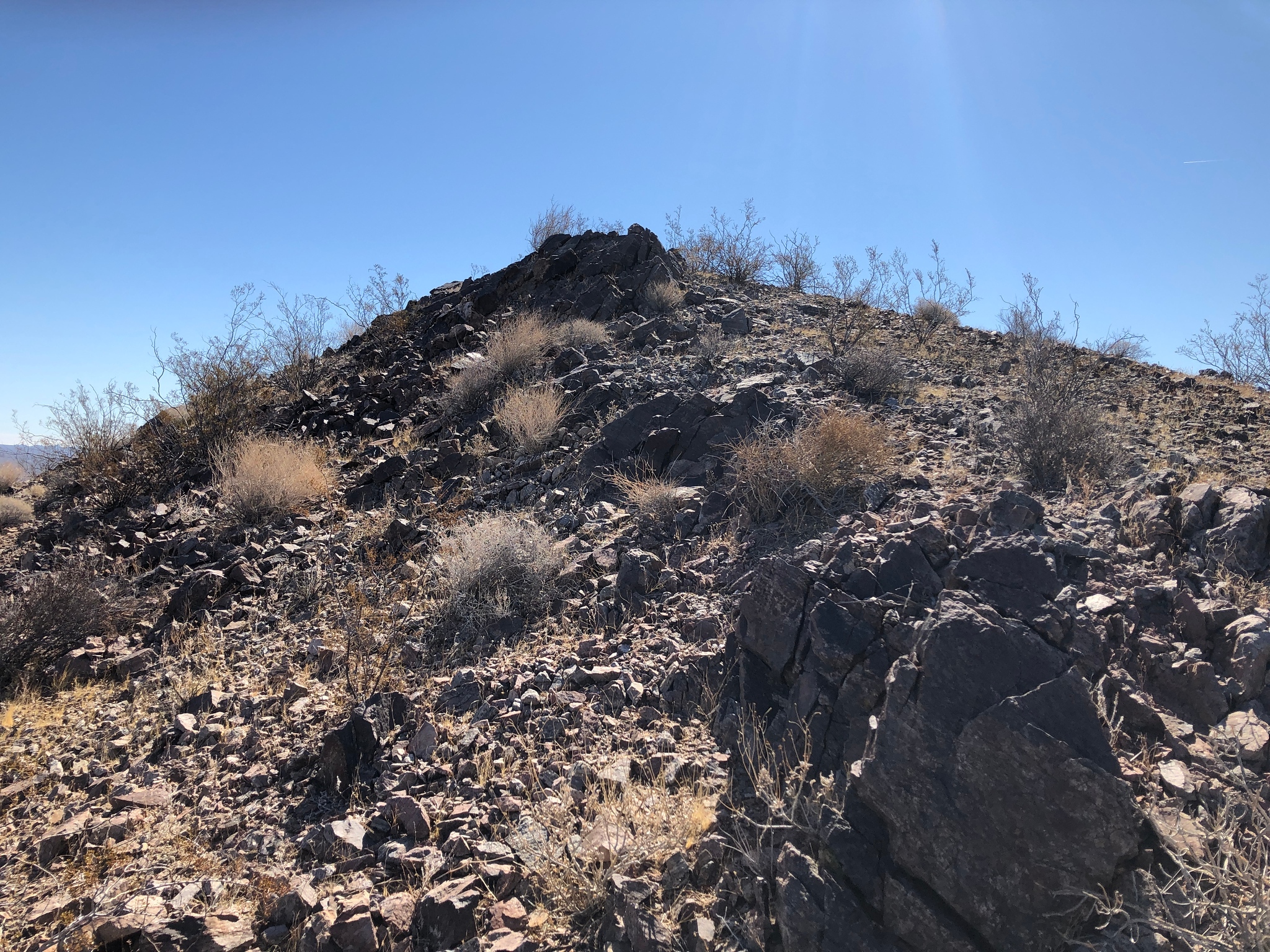
Six intervening bumps had to be crossed to arrive at Buck Benchmark, elevation 2,400 feet, the high point of the Buck Mountains. It was quick, only 40 minutes to get there.
Approaching the summit.
I had this good view to the next peak I planned to climb.
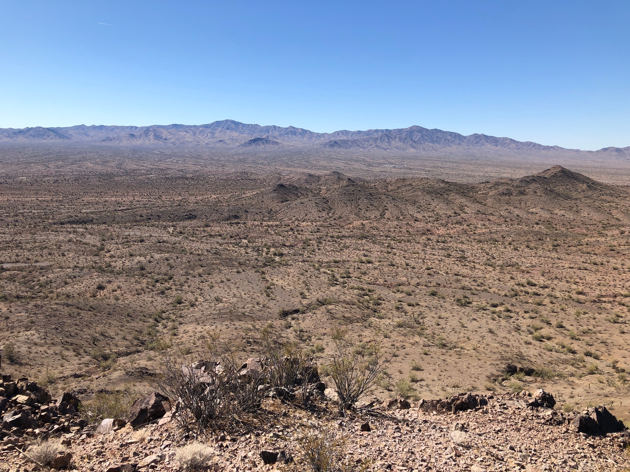
Looking south to the Mojave Mountains and Crossman Peak
An easy return to my truck and I was set to leave. There had been some old mining activity in the range – Arizona Yucca Mine, Palo Verde Mine and Ideal Mine, but I didn’t bother to visit any of those spots. Thanks to climber Scott Peavy for kindly allowing me to use the 4 previous photos for the Buck Mountains.
After I drove back out of the area, I was once again on Interstate 40. It was only a dozen miles to the California border – never having driven that stretch before, I drove those miles just to say I did, then drove back 10 of those miles to reach Arizona Highway 95. This I followed south for 20 miles and soon found myself at one of the state’s newest cities.
Lake Havasu City sits on the east shore of Lake Havasu, a widening of the Colorado River formed by Parker Dam, 25 miles downstream. The city didn’t even exist until 1963. American businessman Robert P. McCulloch had a vision – he bought up thousands of acres of raw desert and decided to develop them into the city that is there today. This guy was a real visionary – he developed 3 other cities over the years – Fountain Hills, Arizona; Pueblo West, Colorado; Spring Creek, Nevada. He was wealthy, being the owner of McCulloch chain saws. He did something else that made him famous. He bought the famous London Bridge from England and had it shipped to the U.S., trucked to the city and reassembled stone by stone. Today, the bridge is the second-most-visited tourist attraction in Arizona, exceeded only by Grand Canyon. In the 60 years of its existence, Lake Havasu City has grown from nothing to around 60,000 population.
When I arrived, I visited the bridge, dined on English-style fish and chips, then sought the BLM office. The folks there gave me useful information, and I soon headed east from the city, driving up Falls Spring Wash to an elevation of 3,700 feet. I couldn’t drive beyond that, and once again I was parked on a precarious, airy perch. Man oh man, what a way to go, your truck rolling off into the abyss while you sleep! The sun set into haze over California – it was 70 degrees with a cool breeze at 5:45 PM. I whiled away the evening reading and listening to music.
It was cloudy the next morning. At first light, I walked up the steep road, past the old Sunrise Mine, and made it to the summit ridge where there were some towers at around 4,700 feet. The road was not drivable beyond where I parked in 1989, but I see that nowadays, it has been much improved right up to those towers, although there is a locked gate lower down which prevents you from driving all the way up to the towers. It was an easy stroll along the ridge from the towers to the summit of Crossman Peak at 5,100 feet. There was no register on top, so I left one. It only took me 47 minutes from my truck to the summit, made much easier by following the rough old road to the towers. Here are some photos for you, once again courtesy of climber Scott Surgent.
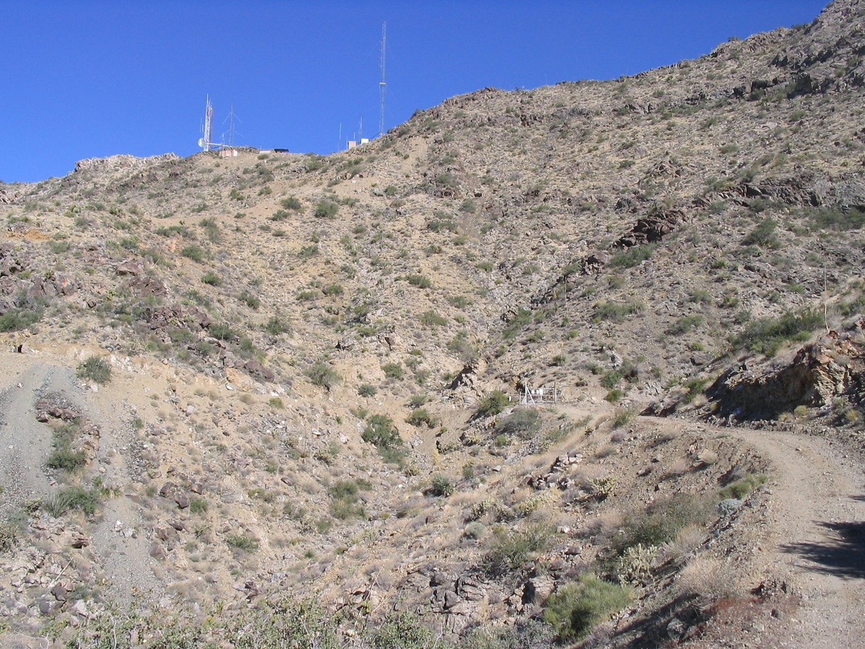
Looking up to the locked gate and beyond to the towers.
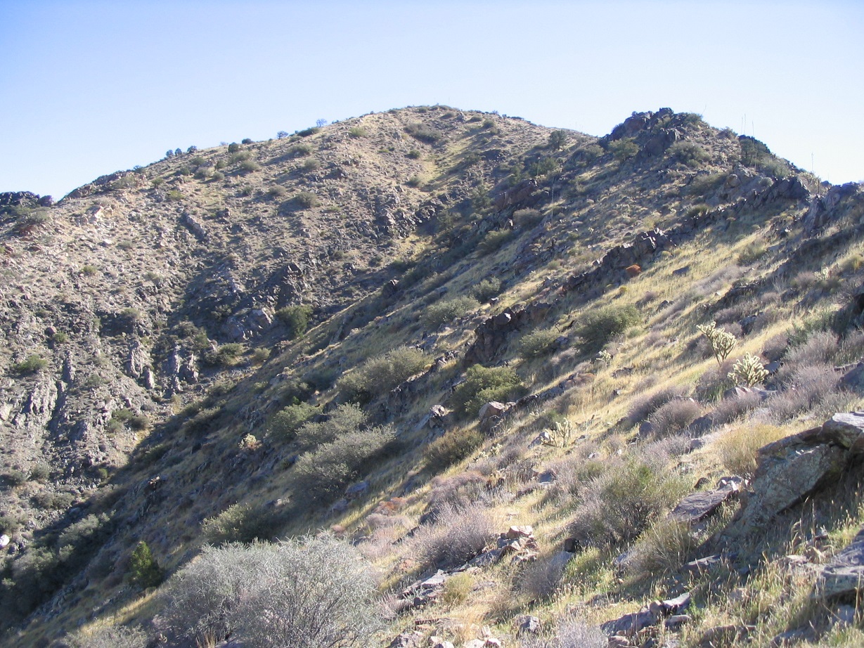
Looking up the ridge from the towers.
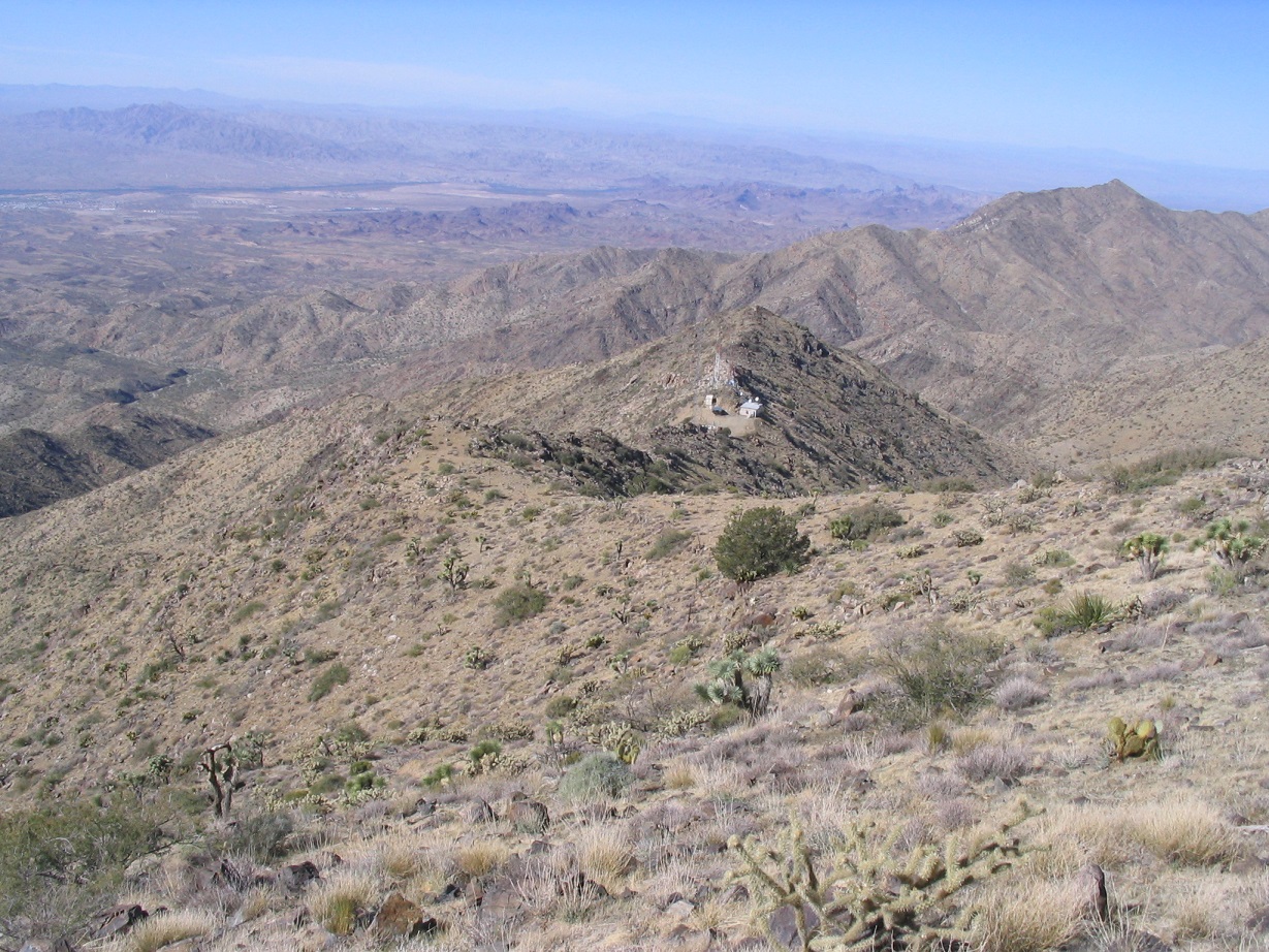
A look back down to the towers.
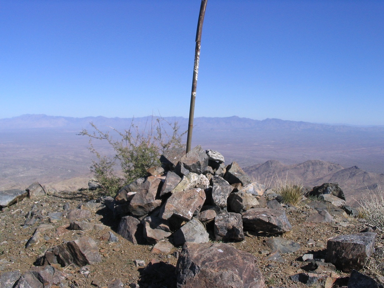
The summit cairn at 5,100 feet, the high point of the Mojave Mountains.
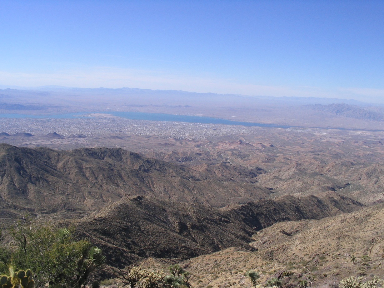
Looking west almost a vertical mile down to Lake Havasu City and Lake Havasu from the top of the peak.
I saw 4 deer on my jaunt to the top, which always makes for an even better day. My climb done, I returned to the truck and drove back into town. My adventure continued, and has been written up on this site under another title, which you can read here.
Here’s hoping you’ve been entertained while reading this piece, “Cerbat and Friends”. There’s lots more to come, so stay tuned. Thanks for coming along for the ride.