
The name intrigued me the first time I ever saw it. Fortified Peak. I figured it didn’t mean “fortified with vitamins and minerals”, and it didn’t mean something like fortified wine. The only thing that made sense was that it had some kind of fortification, some kind of defenses against enemies perhaps, or its structure resembled a fortress. It was time to go have a look.
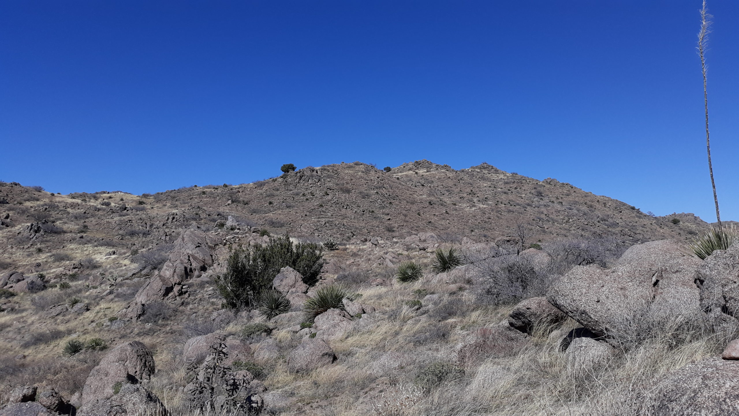
Jake and I met on the north side of town one chilly March morning and convoyed to an area only 30 miles away – close by any standards. Once we left the pavement, it was an easy drive up the Willow Springs Road, which was like a dirt highway, smoother than a baby’s bum. Hell, it was nicer than most Tucson city streets. Near a ranch called “The Big House”, we turned west on a lesser road and, a few short miles later, stood at the base of Fortified Peak. It didn’t look like much, just a typical small desert peak, a climb of 265 feet. It was a bit steep and rocky in places, but it didn’t seem like a place you could be assured of defending from invaders. This was cattle country, though, and they roamed freely throughout the area.
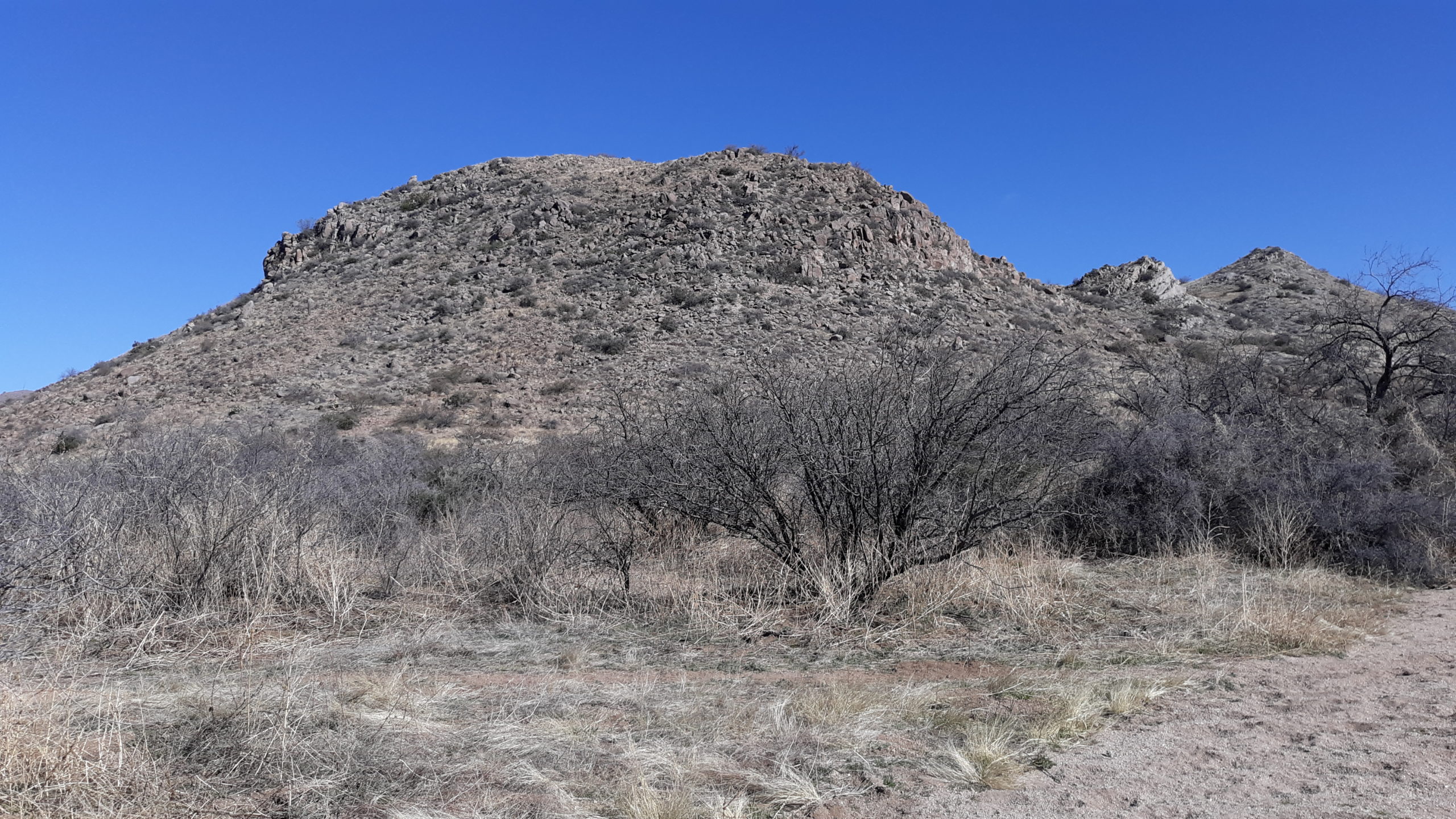
The south side of Fortified Peak, elevation 4,124 feet
Once on the top, we found evidence of past occupation of Native Americans. This is a metate in one of the summit rocks. The round hole is created by years of grinding seeds or grains with a rock held in the hand called a mano. Beside it I’ve placed a bit of pottery, about 2 inches across, I found nearby. There were many pieces of pottery on the summit and the nearby slopes.
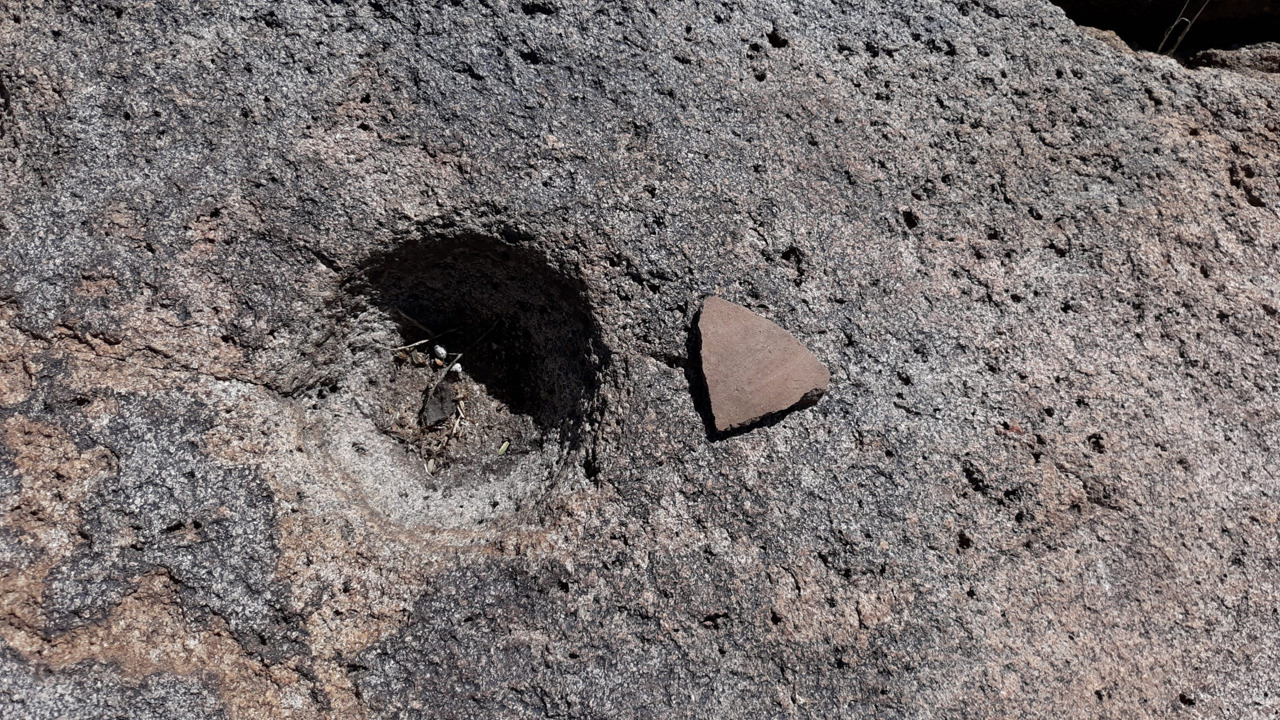
The metate

Something I love about place names here in the desert is how descriptive and colorful they are. For example, Fortified Peak sat right beside Suffering Gulch. It wasn’t much to look at, being barely a crease in the desert surface, but here’s what we saw.
A look north up Suffering Gulch
Here’s a look south to the Santa Catalina Mountains – there is snow visible in the highest part of the range.

Bloodsucker Wash and Horse Foot Wash were just a few miles away. One place I really wanted to visit that day, but we ran out of time, was Tipperary Wash – it wasn’t practical, though, because it’s a long way to Tipperary.
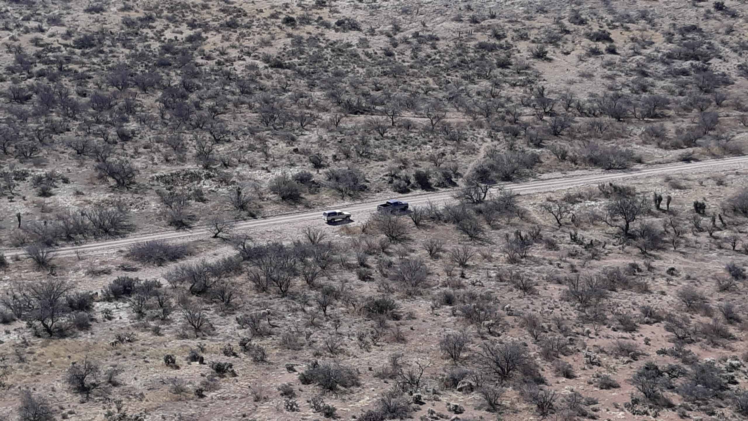
Our trucks parked nearby.
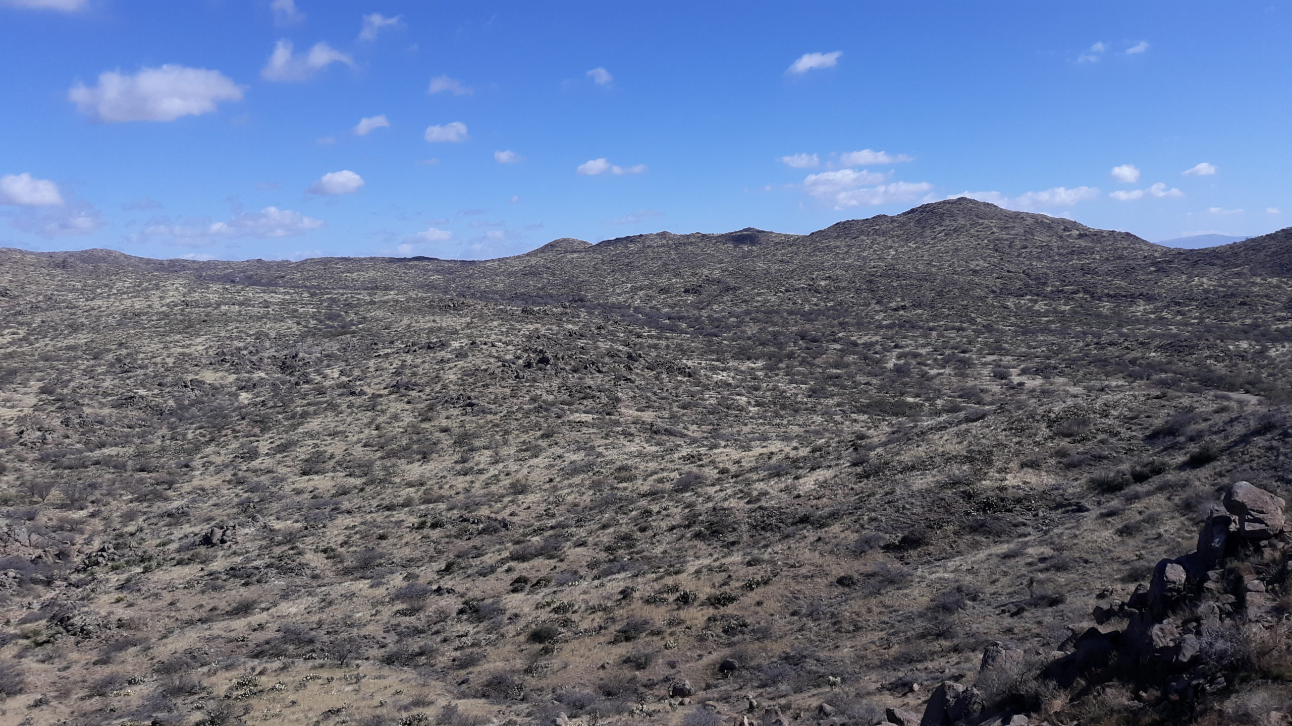
There was a bigger peak we planned to climb the same day, and we could see it from Fortified Peak. In the next photo, it is a small bump almost exactly in the center skyline under a puffy white cloud – I put a pink dot there to mark it.
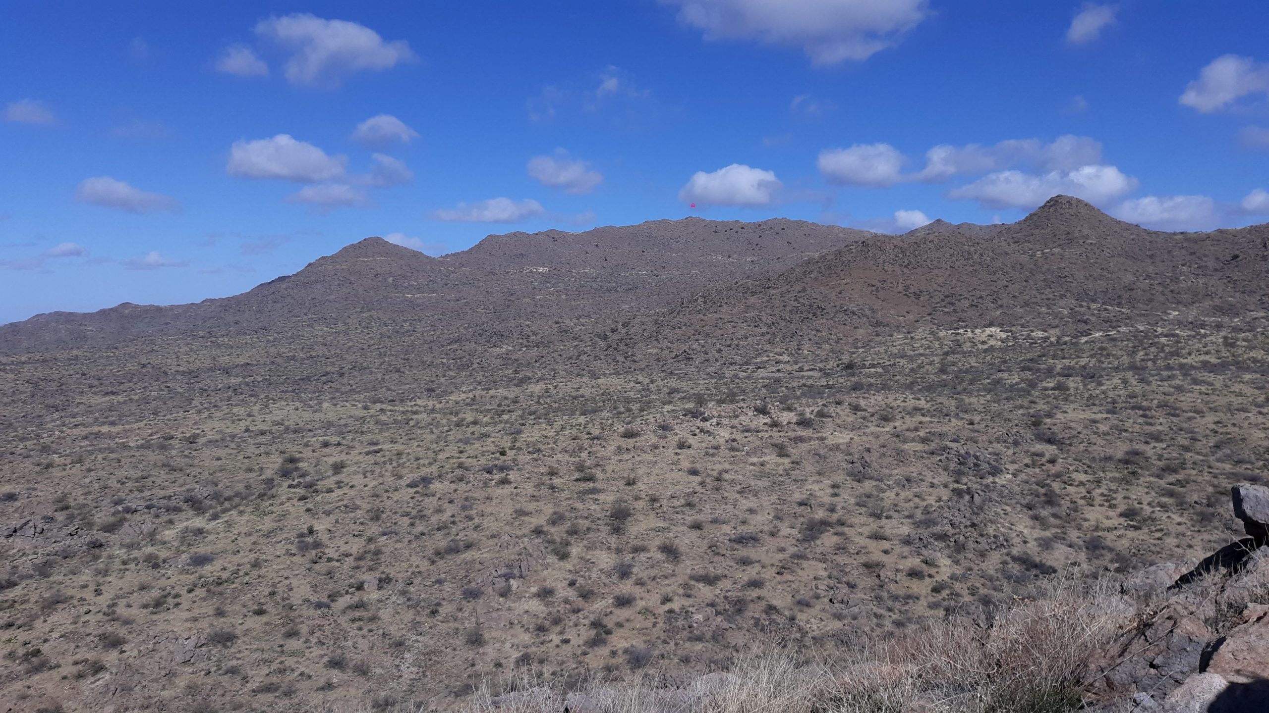
The next peak.
After a short while on top, we headed back down to the trucks, then drove west and north a few miles to park for that next peak. There was an old concrete water tank (empty) and the metal base of a windmill still there.

By the time we set out on foot, it was already 11:30 AM – the day was wearing on. Here is a look towards our peak, but its summit is hidden behind the big foreground bump on the right.

Quite a bit of our start was over gently sloping ground, but there was a fair amount of brush. And rocks – the farther we went, it seemed as if the entire mountainside was one big rockpile. It was chilly, with a steady breeze – here, I’m wearing a light down jacket.

This shows the rocky slope above us.
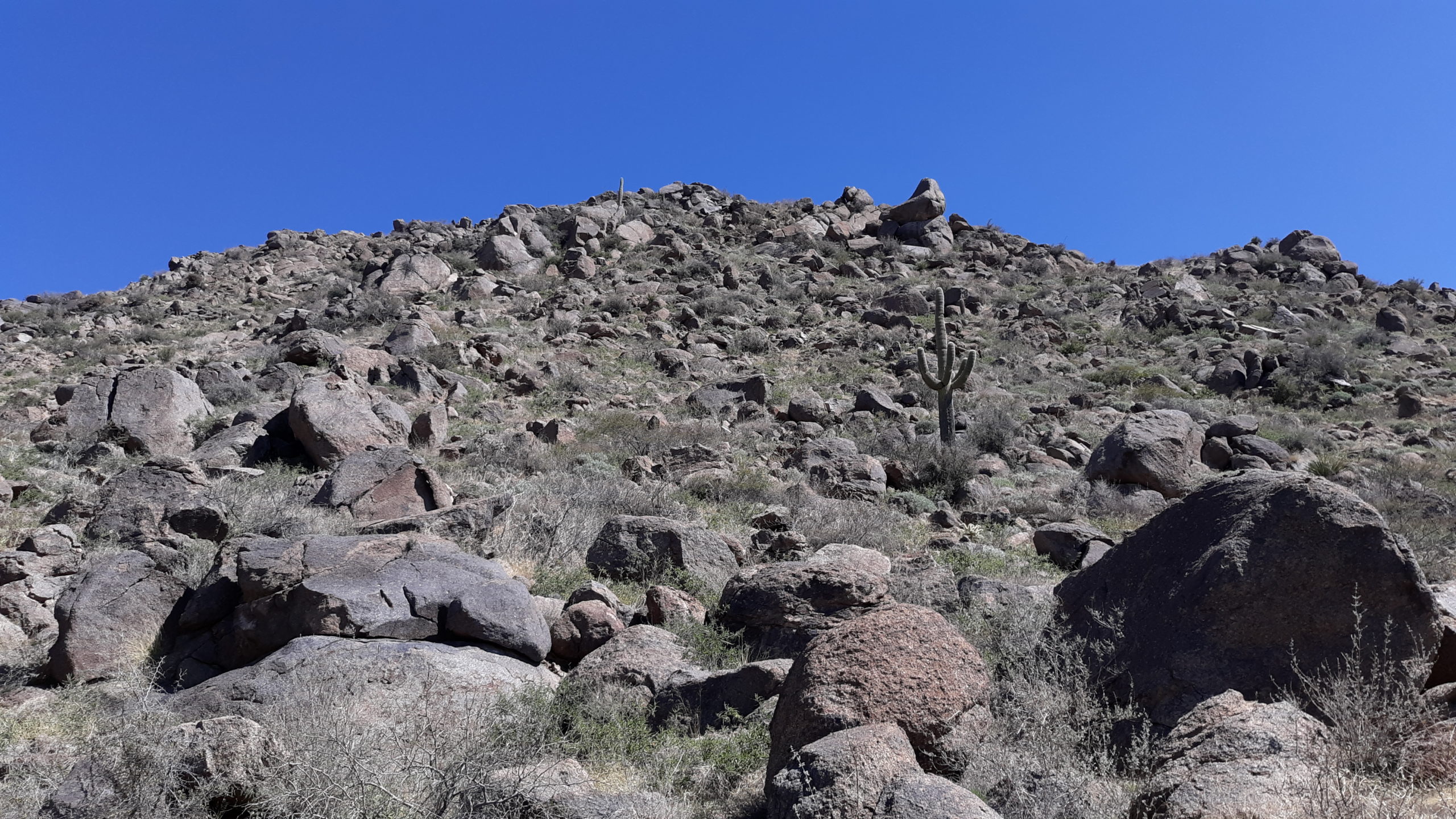
Lots of rocks.
Here’s Jake contemplating which way to go next.
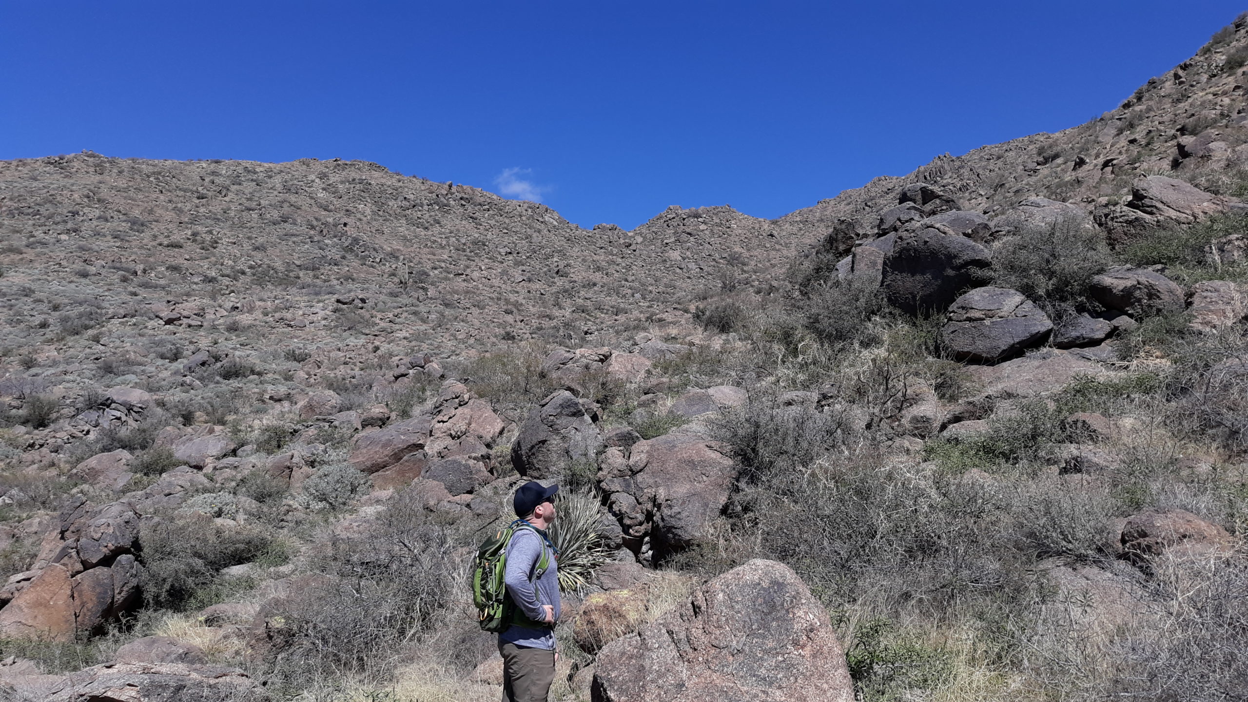
What next?
There were a few bright spots on the otherwise-drab mountainside.


As we climbed, we found plenty of these, what we call devil’s claw. They are the dried seed pod of a plant in the genus Proboscidea.
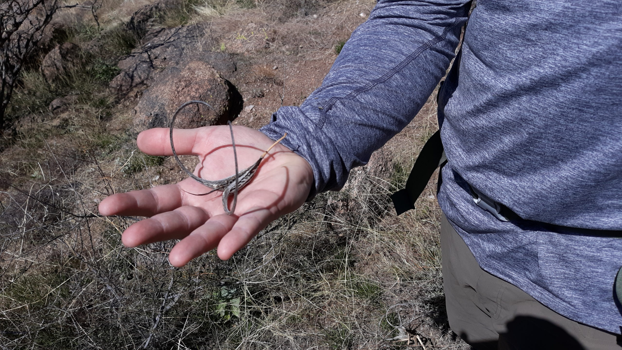
Devil’s claw
A deer had shed this antler some years ago, as it was badly weathered.

Finally, we left behind the steepest slope and were treated with something gentler, more open, and passed this lone juniper tree.

We were getting closer – ahead lay the final bumps of the summit area, still a ways off.
The home stretch.
By the time we reached what we determined to be the highest bump, a full 3 hours had passed since leaving the trucks. The only reason it had taken so long was because of my slowness – Jake would have done it in half the time if alone. What we saw was this big lump of granitic rock, about 12 feet tall.

I went over to it and climbed up most of the way, but the final bit was smooth enough and just slippery enough that I couldn’t quite reach the highest part. I was disappointed, as I didn’t want to leave without tagging the top, after all the effort we had put into it. Jake gave it a try and he made it all the way – I was glad at least one of us did. He offered me a hand up if I wanted to try again. Taking him up on it, he reached down and grabbed my hand and gave me the boost I needed – I was then able to tag the highest part. I just wanted to get down after that, so he helped lower me down until my feet reached the highest foothold, and from there I continued on down to the base.
We didn’t leave a register, and there were no loose rocks with which to build a cairn. Once we were both down, there was another important order of business to take care of before leaving. About 850 feet to the northwest was another closed topographic contour which mapped the same as ours. Was it higher? I had a hand level, and I sighted on that other contour 4 or 5 times, as did Jake. We both agreed that it was slightly lower than where we stood. So that was it – Peak 4980 was in the bag.
After maybe 20 minutes on the summit, we started back. Along the ridgetop, the going was easy, although there were endless bits of uphill we had to do even as we descended. There came a time when we had to make a decision – to descend the steep way we’d come up, or follow a different route, longer but less steep. We opted for the latter, which soon took us down to a saddle, seen here. Our new route would put us over on the shaded side of the mountain, off to the left in the photo.

We can see southeast to Mount Lemmon, about 22 air miles away, over to the left.
Well, this new route back certainly was less steep, but in exchange for less steep we paid a price, namely a lot more bushwhacking and a lot of rocky ground to negotiate. There was some kind of vine growing and it wanted to snag our feet as we walked – we had to be careful not to get caught up in it and trip. And rocks! It seemed like we couldn’t go but a short distance before we’d have our path blocked by a pile of granitic boulders. We’d have to clamber over them, or between them. Often there’d be a drop of 5, 10 or 15 feet that it wasn’t worth the time or effort to negotiate, so it meant going around and finding a different path. This happened over and over, so many times we lost count.

Some kind of thorny plant was populating the mountainside as well, snagging clothes and flesh. At one point, Jake remarked “Look, an open stretch”. We didn’t have many of those, however – they were rare enough that they really stood out. That entire way back, on the east side of the mountain, took longer than I though it would. We still weren’t done by the time the sun was setting. This picture was taken during the last 10 or so minutes, when we had finally cleared the last of the rocks.

It had taken us 3 hours 55 minutes to climb up, and 2 hours 45 minutes to climb back down. I was surprised the descent had taken so much time – damn rocks! Granted, it was a bit more distance, but still… A total of seven hours for the entire climb.
By the time we reached the trucks, I saw on my emergency rescue device that my wife had become concerned and messaged me twice. I let her know we were done. Not long after we had started the drive out, we lost the light completely. Less than an hour after arriving at the trucks, we were all the way back out to Willow Springs Road. An easy hour after that, I was all the way back home.
It had been 20 years since I’d climbed a nearby peak called Black Mountain, so it was nice to get back into the area again. I have a feeling there’ll be more forays into those parts before long. Thanks to Jake for the use of several of his photos in this piece.