
It was a Wednesday, and the day had gotten off to a good start. I had just finished climbing a really nice peak in the Little Horn Mountains and had made it back to my truck by mid-day. It was the 6th of December, 1989 and I was on a tear in recent days of climbing mountain range high points in west-central Arizona. The weather was holding perfect – we could usually count on sunny days in winter here in the desert southwest, and I was taking advantage of every one of them.
Hovatter Road was a wide, excellent dirt road in those parts, and I followed it for almost 20 miles north to reach Interstate 10.
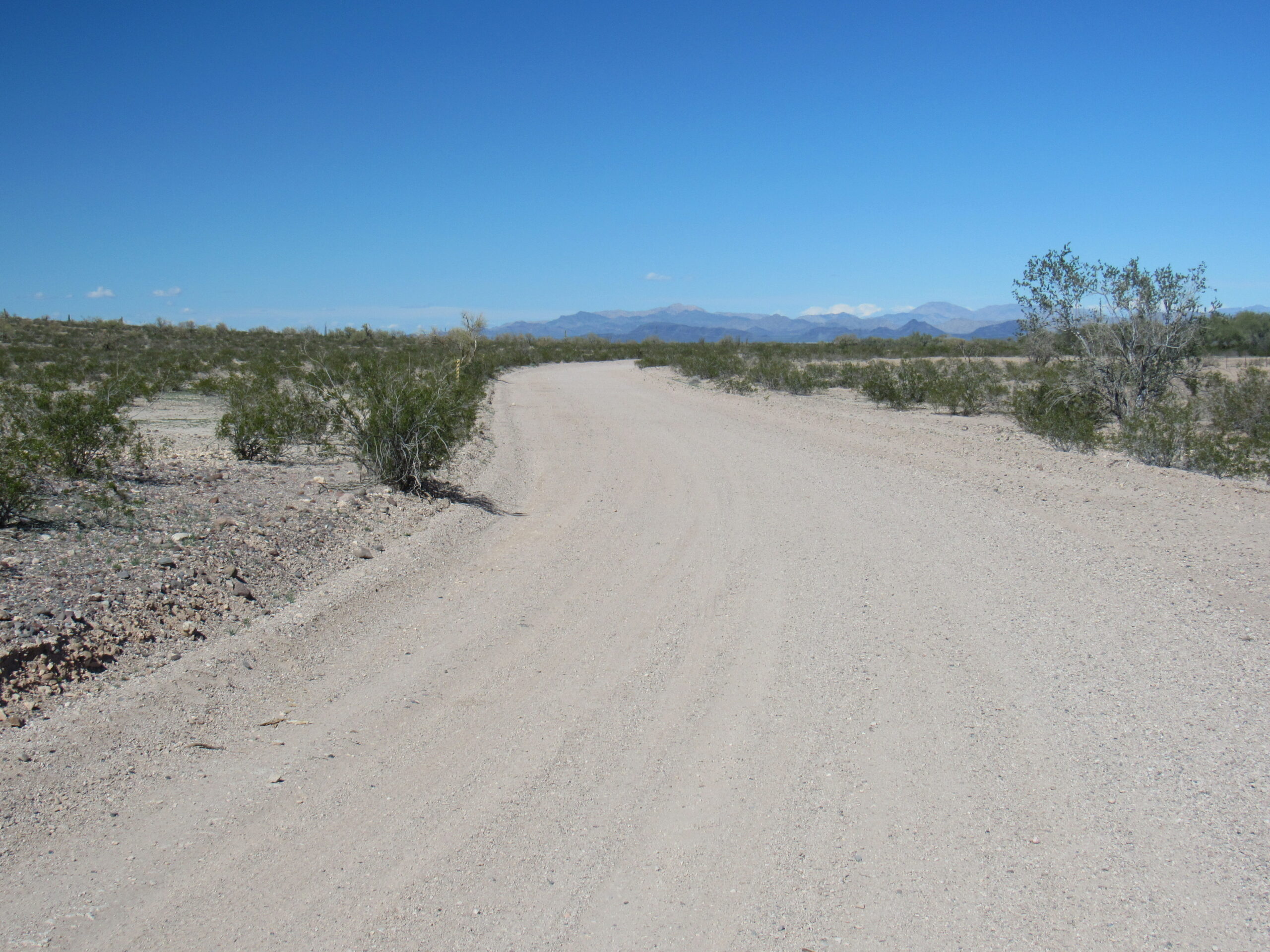
Looking north on Hovatter Road
Once on the other side, I continued north on what was called the Harquahalla Mine Road, putting me into the Little Harquahalla Mountains. This range spanned about 14 miles by 9 miles in extent, and counted about 30 peaks. There was a great deal of old mining activity that had taken place here, and this was my first (and would be my only) visit to the area. When I reached 8.3 miles north of the freeway, I turned southwest and followed an old 4WD road another 1.3 miles to its end at just over 2,200 feet elevation. The peak I wanted was plainly visible from there.
There’s my peak.
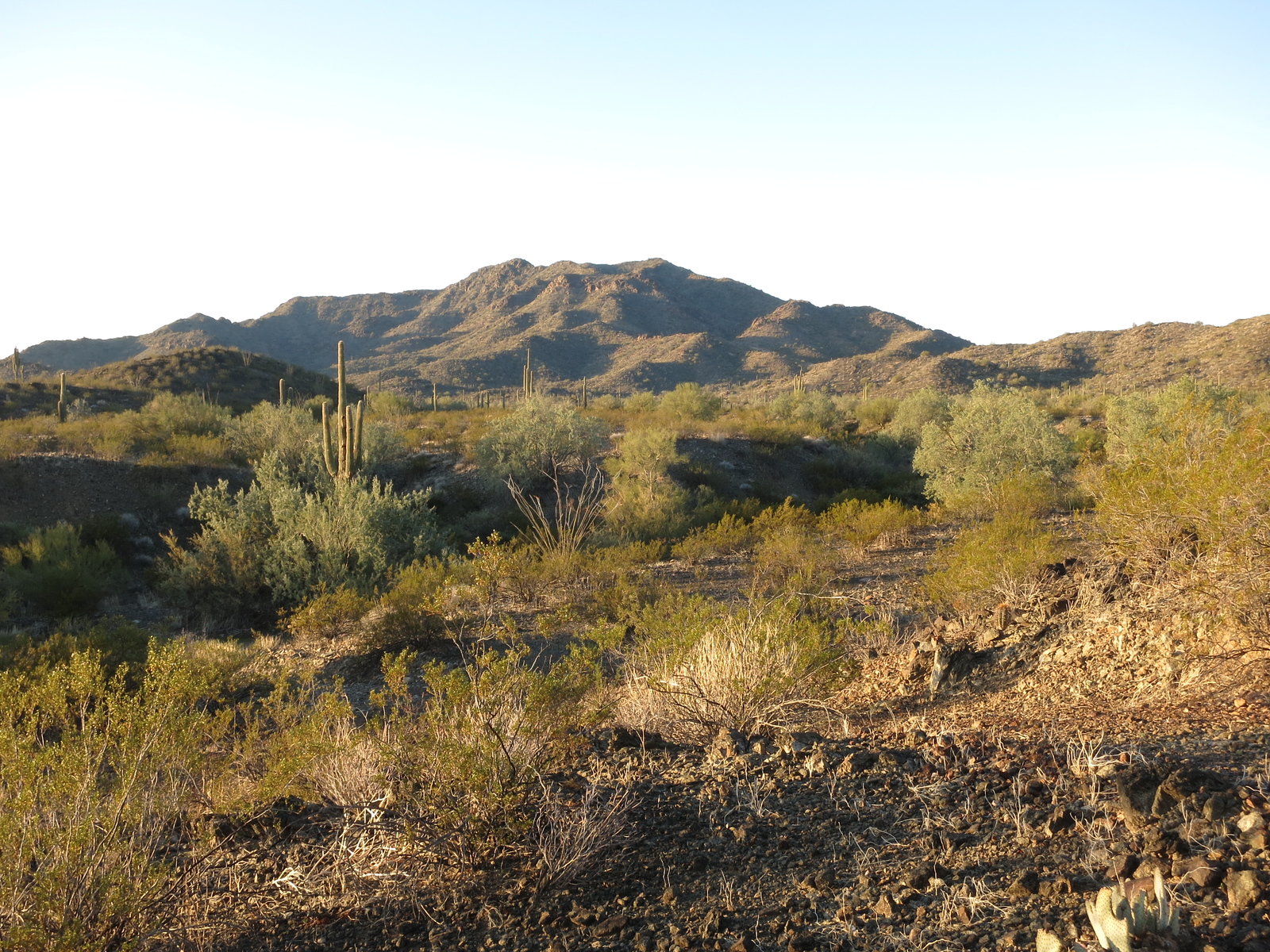
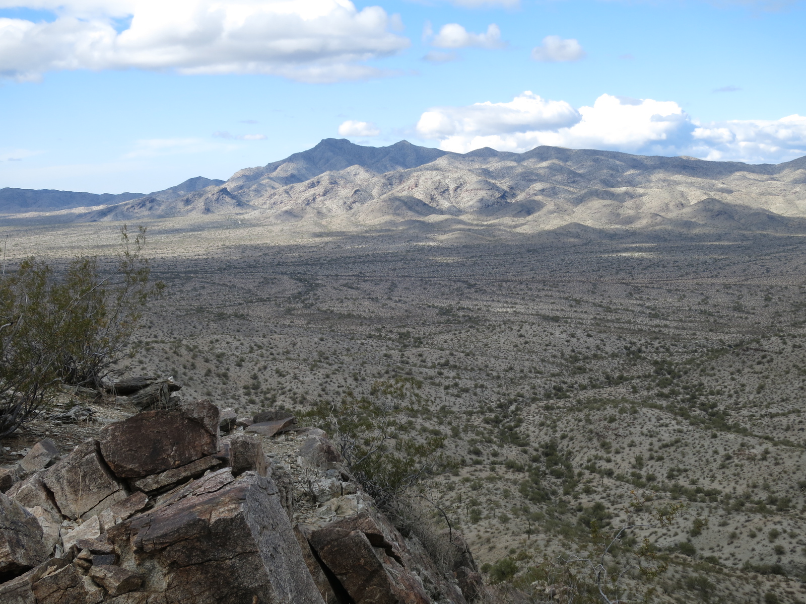
It was only a mile on foot to the top of Harquar Benchmark, the high point of the Little Harquahalla Mountains. The peak was fairly prominent, and offered good views of the surrounding area. For example, this one of Harquahalla Mountain, 17 miles to the northeast.
Clouds atop Harquahalla Mountain
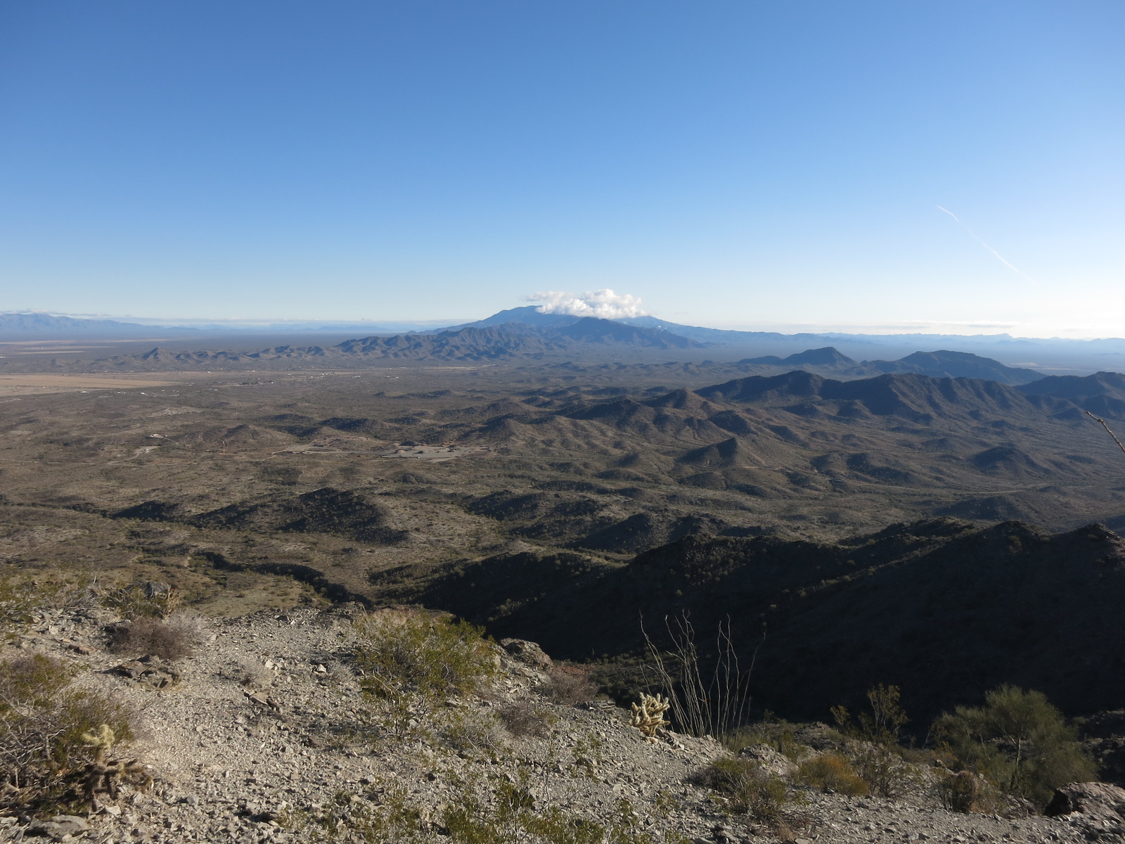
And this one, looking north to the town of Salome. Beyond it are the Harcuvar Mountains.
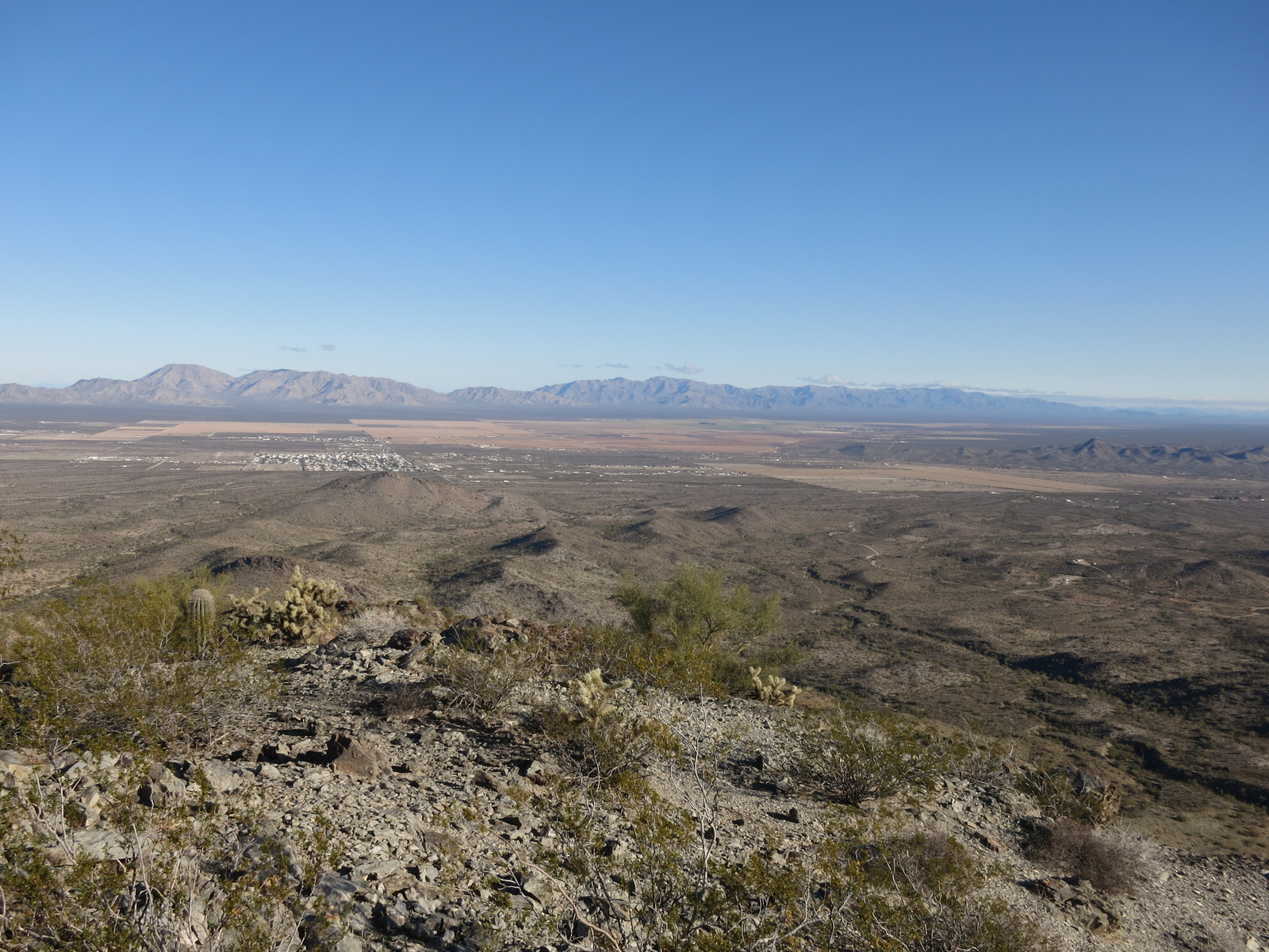
North to Salome and beyond.
This area was another of those that still used the old 15-minute maps when I was there. The whole climb only took an hour, round-trip, and once back at my truck I drove north to the town of Salome. There, I spent some time dealing with a very traumatized blister on my right big toe, then gassed up and phoned home.
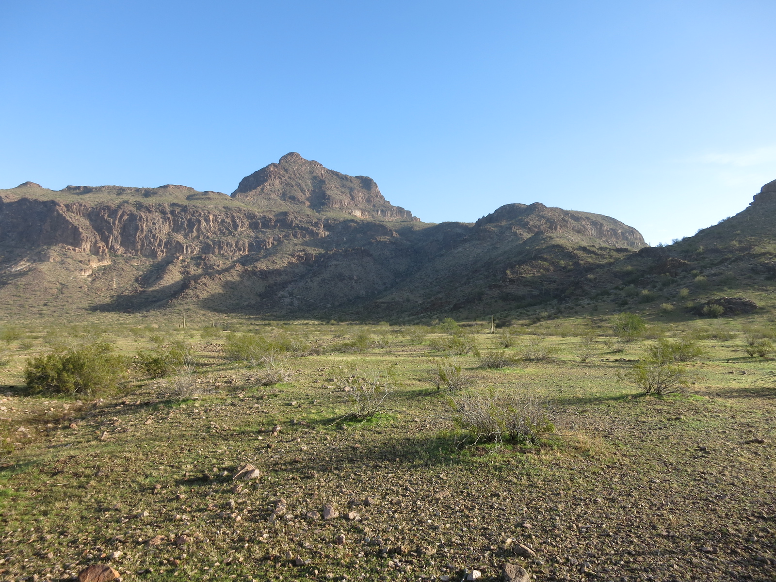
To get to my next peak involved a drive of 7.1 miles on good dirt roads out of Salome. Talk about good access! – I was able to drive to the end of a road and park at the very foot of the mountain where my climb would start. Here’s a photo I took of that spot.
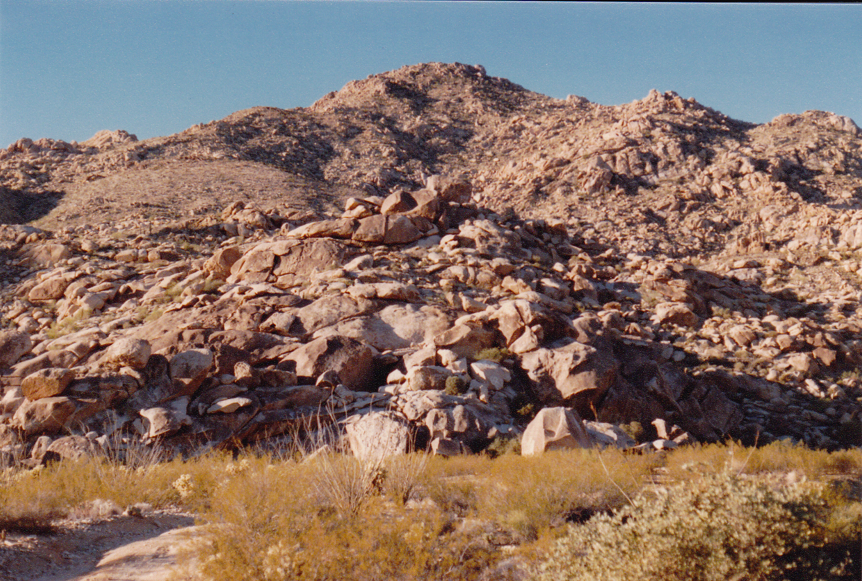
My old photo of the peak.
Here I was, in the Granite Wash Mountains – a long, thin range measuring about 17 miles NW to SE, and 6 miles at their widest, with 13 or so peaks. It was another of those Arizona ranges rich in mining history, with many old prospects throughout. From where I was parked, the peak looked like a huge pile of granitic boulders. It was still fairly early in the day, so I had time to wash up and bring my diary up to date. It was very windy, and too cold to stand around outside. It was supposed to be even colder tomorrow. I spent the evening firmly ensconced in the cab of my truck, running the heater from time to time. I wrote Christmas cards and letters while I listened to good tunes on the stereo. The wind was buffeting the truck hard while I sat safely inside, but I slept warmly.
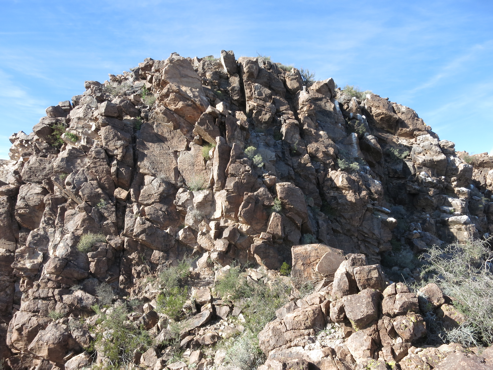
The next morning, I was moving at first light up the boulder pile. No pack, as I had done on several other climbs on this trip. Everything I needed was stuffed inside pockets of my jacket, what we used to call an anorak climb. It was cold, so I hustled, climbing to the top of Salome Peak in 51 minutes. Since climber friend Barbara Lilley had left her register on November 24 of 1983, two other parties had visited, and now I signed in. It was cold and windy on the summit. Here are some photos that climber Scott Peavy took when he did this climb, which he has kindly allowed me to share with you, these next 6.
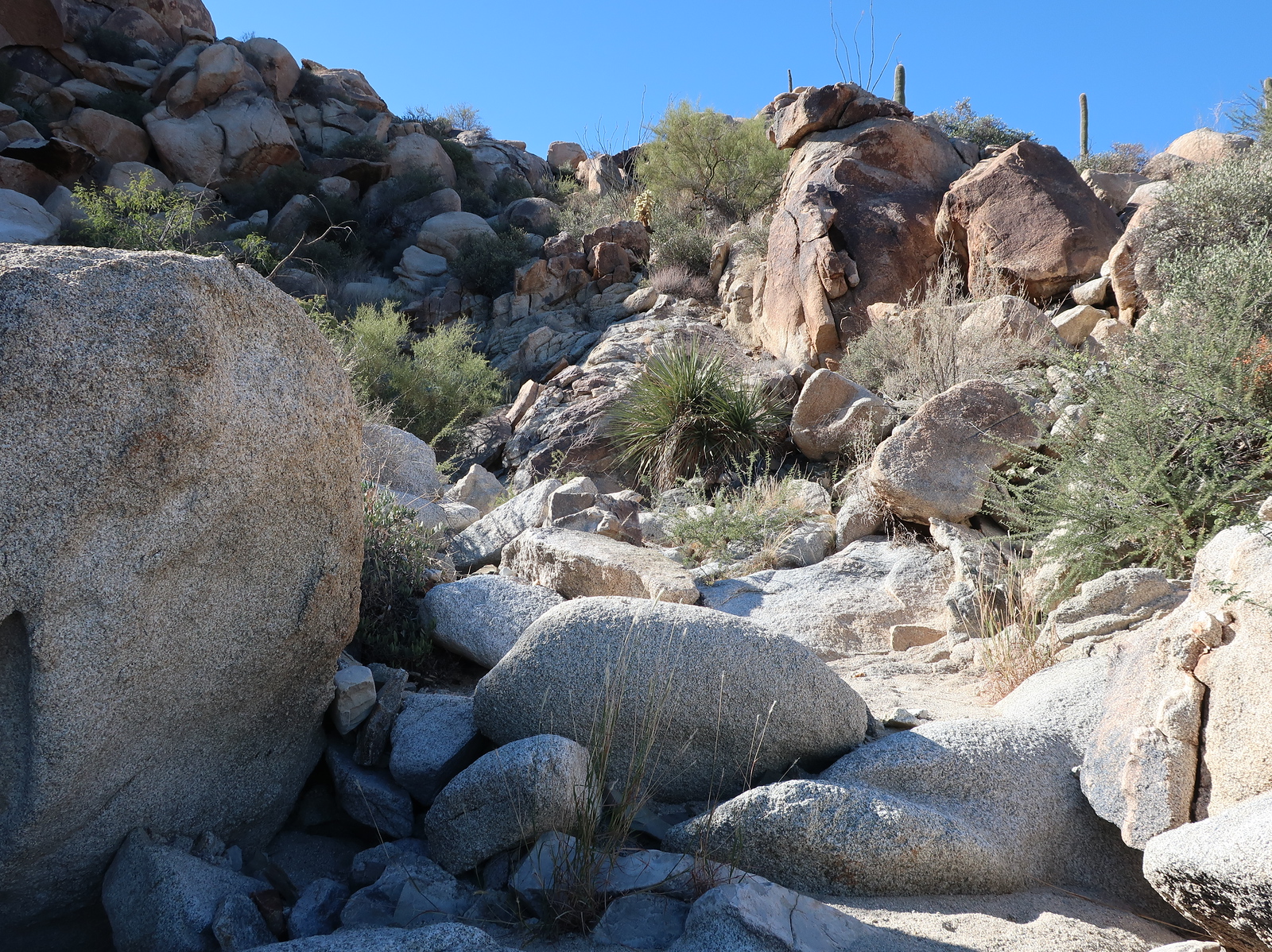
Typical of the lower part of the mountain.
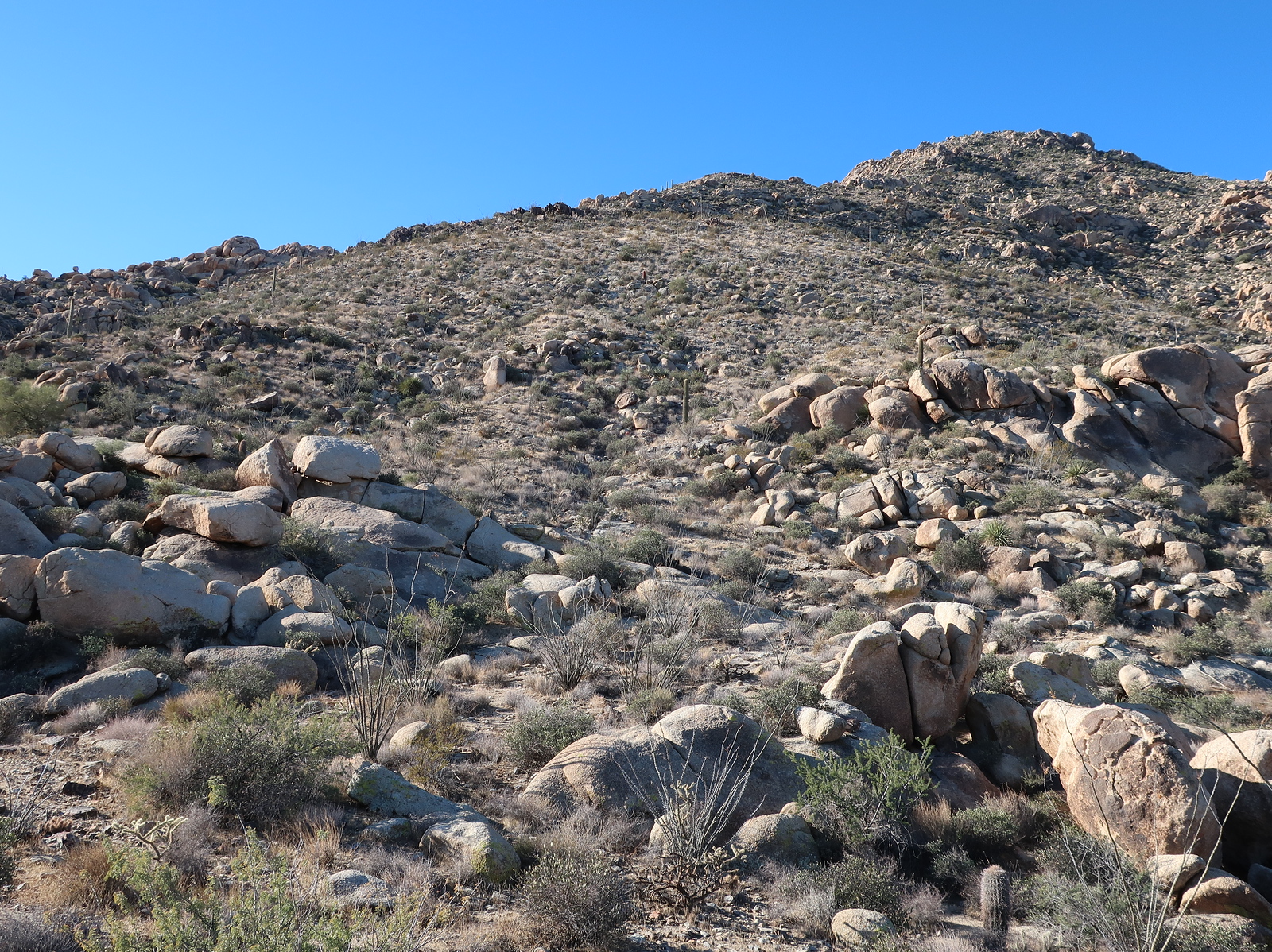
Higher up.
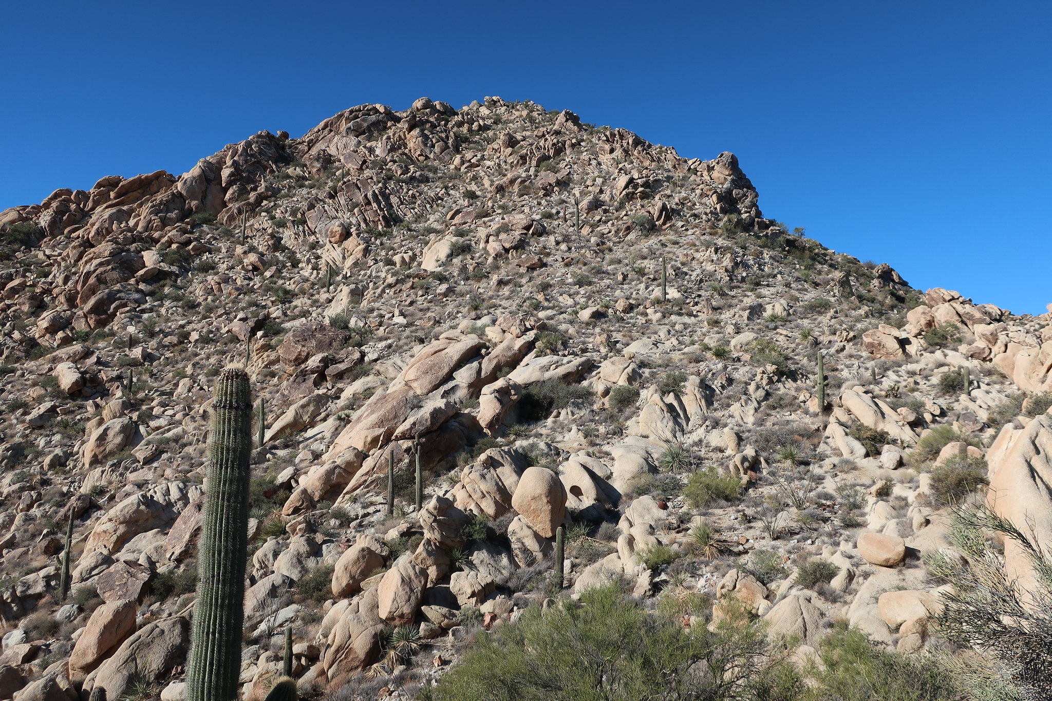
The last 300 feet.
Here’s the summit cairn.
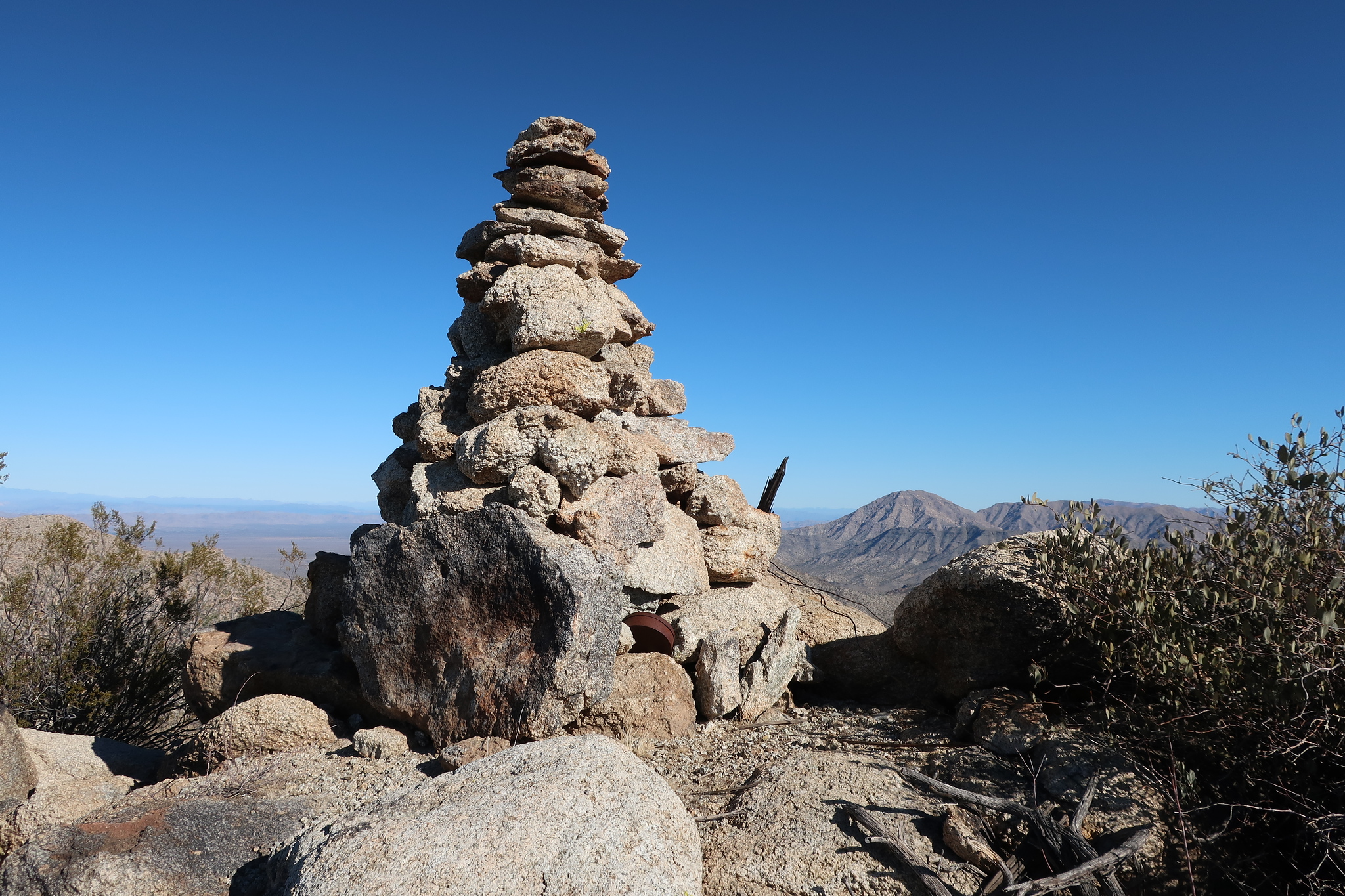
The big cairn on the summit.
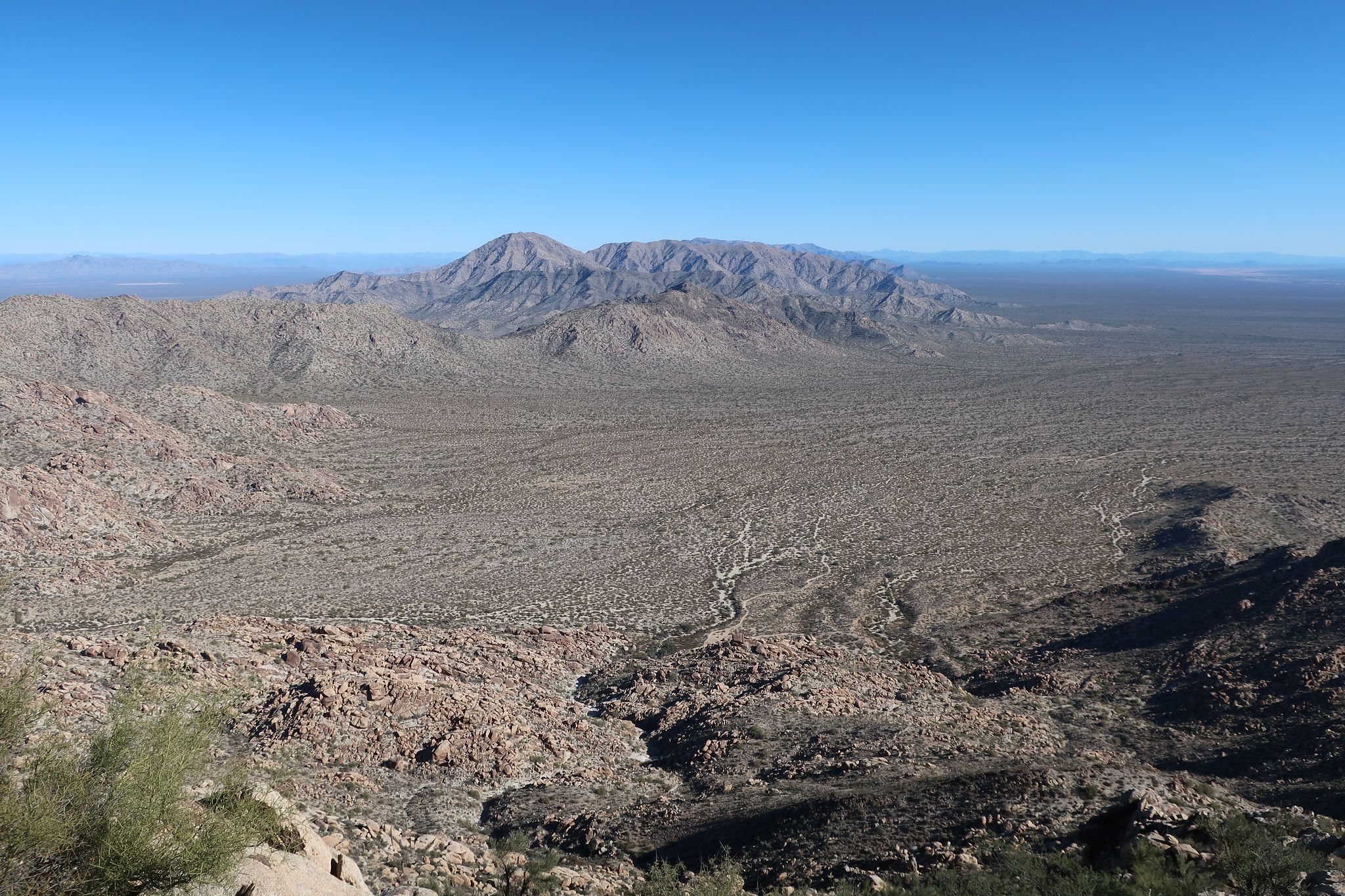
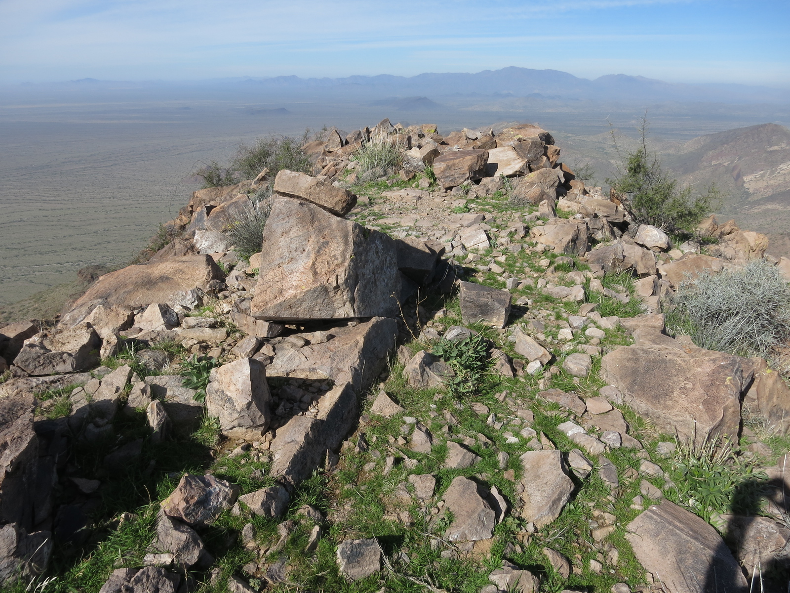
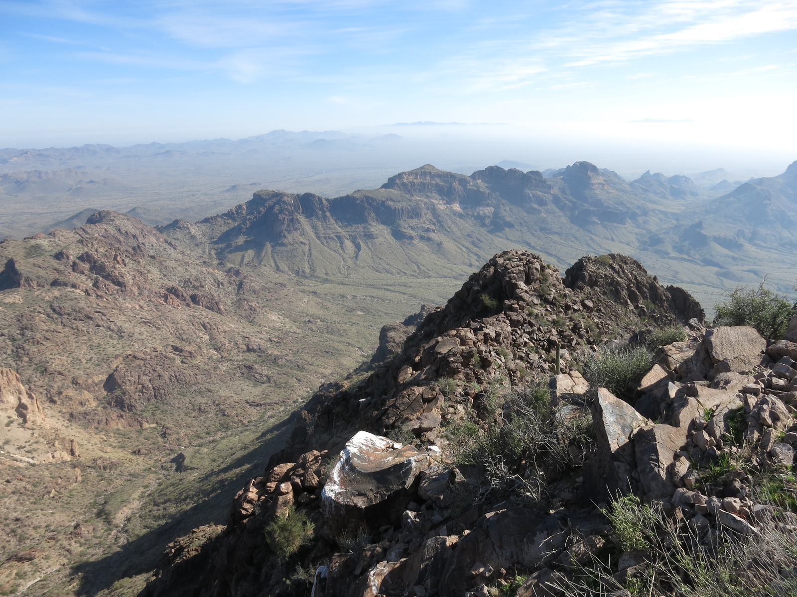
There were good views from the top, like this one
Harquahalla Mountain to the east.
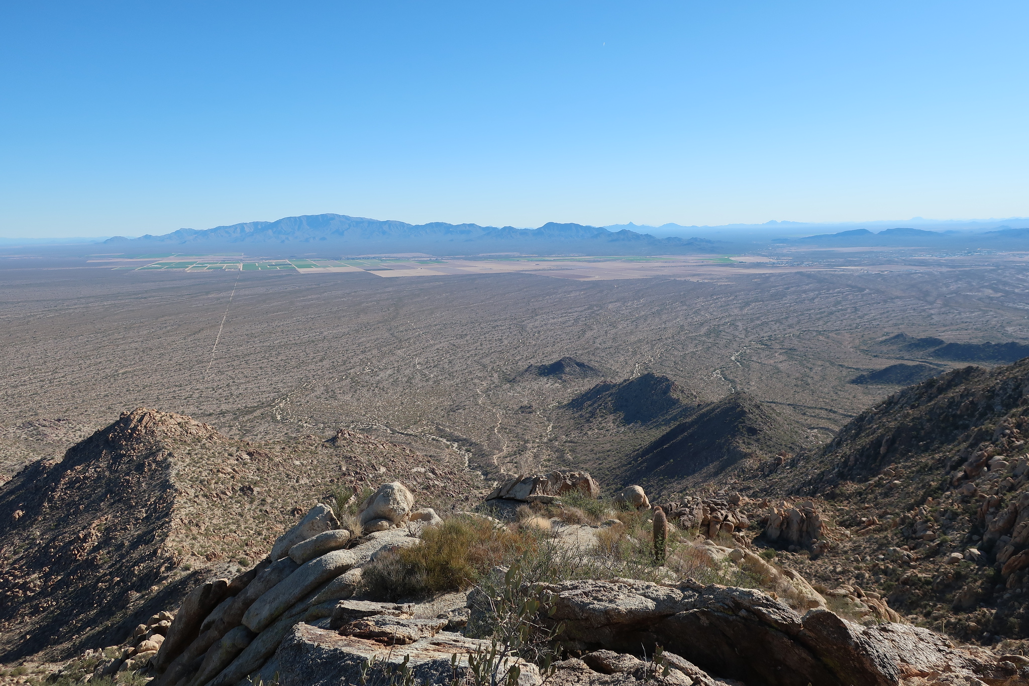
And this one. You can see the road down below that I drove in on, in the lower center part of the picture.
Looking northeast to Harcuvar Peak
It was quick work to drop down the mountain and back to my truck. I drove into Salome, where I bought some juice. I really had a hankering for yoghurt, but what was on offer at the convenience store was more than 3 weeks stale-dated, so I passed on it! Reminds me of that television commercial where a guy is considering buying sushi at a gas station – what could go wrong, right? I drove another 5 miles to Wenden, where I found a much larger grocery store and stocked up.
Time for my next peak. I headed north on Alamo Road for 12 miles, in the process passing through the Harcuvar Mountains, then turned northwest up a good pipeline road for 9 more miles. That took me to a lesser road heading northeast, which I followed for about 2 miles, then parked just short of some old mining prospects. On foot, I crossed a small rise, then walked north up a wash for about a mile. This put me right at the base of Peak 3927, also known as Buckskin Benchmark, which I climbed by its southwest ridge. It took me an hour and a half to climb to the top, requiring 2,000 feet of ascent. It seemed like way too much of that time was spent in a squatting position due to a bout of diarrhea. I descended slowly and carefully, as there were some tricky bits along the way.
This peak is the high point of the Buckskin Mountains, which is a range still very unfamiliar to me. Very extensive, they span almost 45 miles from west to east, and 16 miles north to south – that is one of the largest areas covered by any mountain range in Arizona, and includes almost 40 peaks. The range has these boundaries: the Bill Williams River on the north; the Colorado River on the west; Alamo Road on the east; Cactus Plain and Butler Valley on the south. I understand that the area including the summit now lies within the Rawhide Mountains Wilderness Area, which means you can’t drive as far in as I did back in the day. These next 3 pictures will give you some idea of the peak, once again courtesy of climber Scott Peavy.
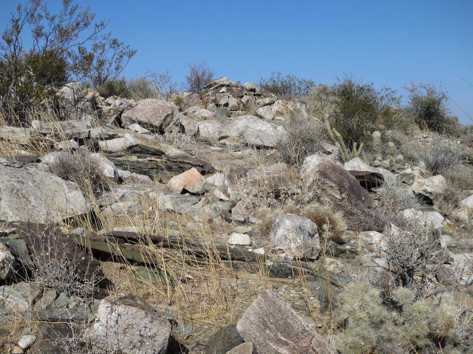
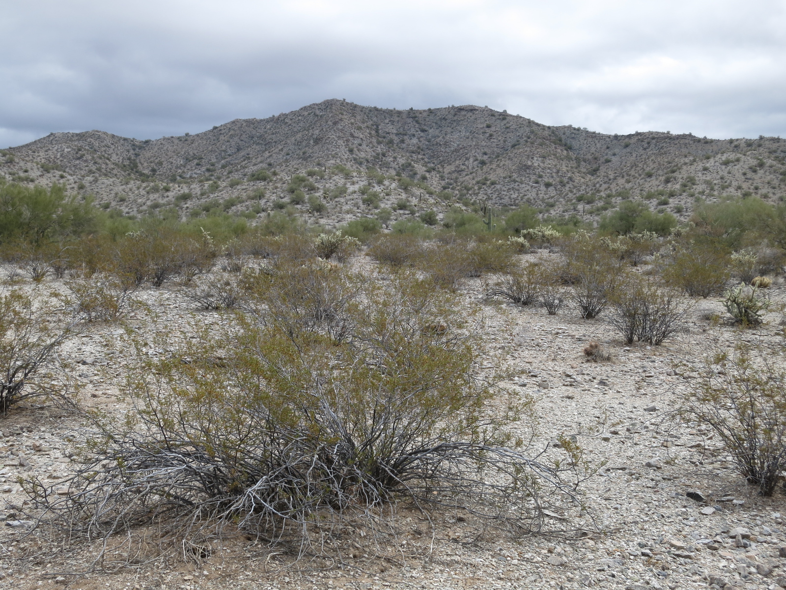
The peak as seen from the southeast, which is not the side I climbed.
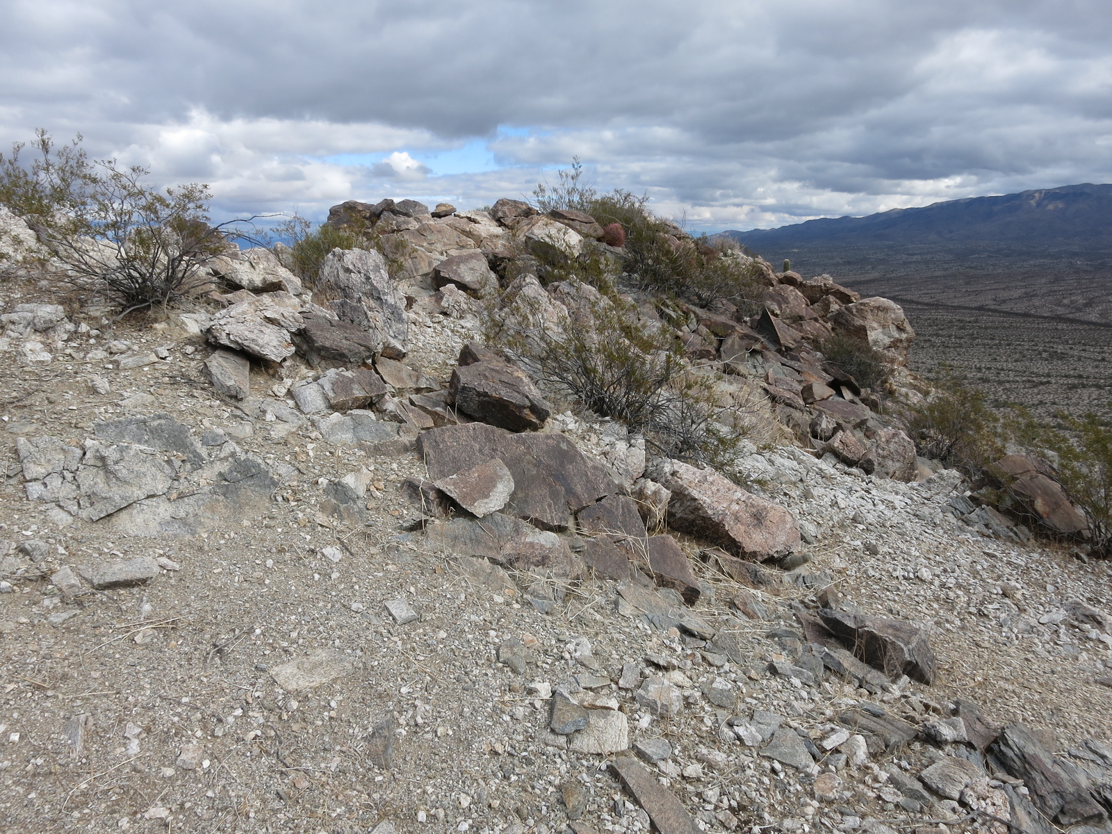
The summit
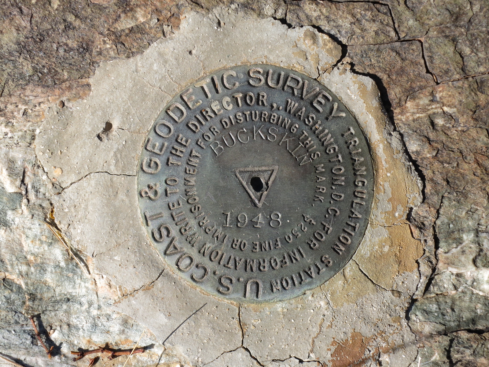
The benchmark
There was one more climb that could be done that day, as it was so close by. I drove back out to Alamo Road, then north a few miles, finally turning on to a 4WD road which put me just north of my peak. Access was so good, it was the work of only 32 minutes to the top of Peak 2812, the high point of the Little Buckskin Mountains. Once again, the register I found on top had been left by peakbagger extraordinaire Barbara Lilley the previous year. Here are 3 photos courtesy of climber Scott Peavy.
Peak 2810
The summit
Looking northwest to the high point of the Buckskin Mountains where I had been just a few hours earlier.
With miles yet to cover today, I hot-footed it down and back to my truck. It didn’t take long to get back south to Wenden, then on to Salome, where I got on to the Buckeye – Salome Road. It headed southeast and was paved the entire 32 miles to Interstate 10. I drove all of that, then found a dirt road heading north towards my next peak. My plan was to follow it quite a distance, but things got really messy before long. They were building the Central Arizona Project aqueduct, which carries water all the way from the Colorado River to Tucson, a distance of 336 miles. It was not yet operational, but the part of it in this area of desert was there and fenced off. I drove up to it at sunset and camped for the night. It was a bit of a mystery how I’d deal with the aqueduct tomorrow, but one thing at a time.
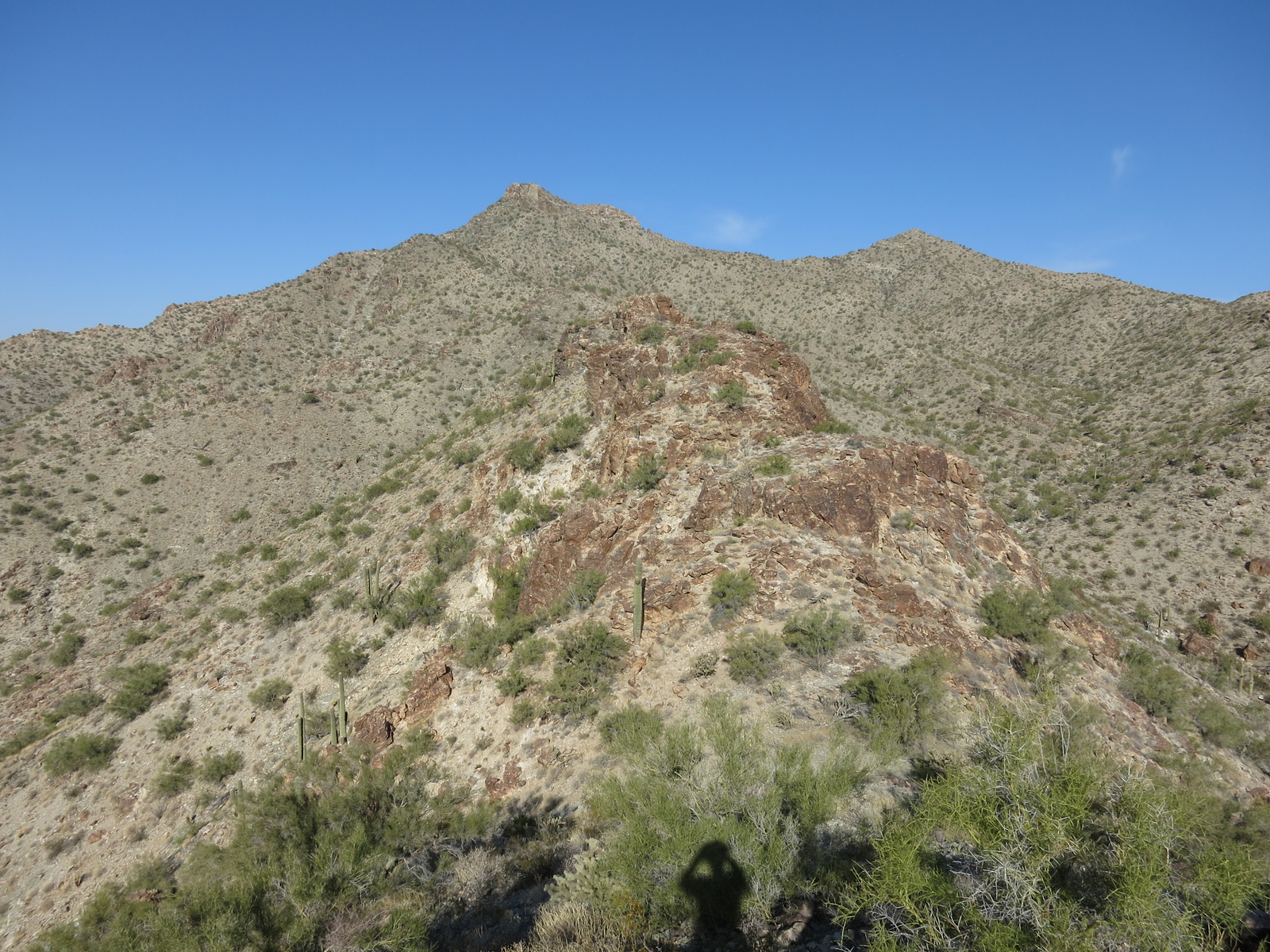
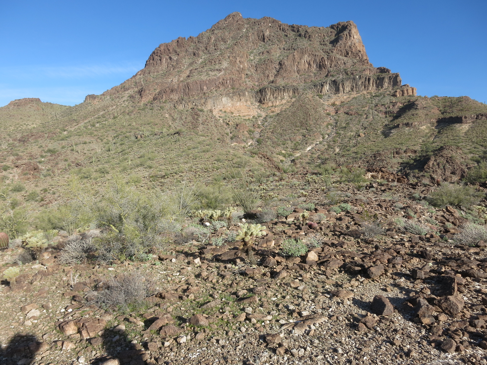
Early the next morning, I hopped on my mountain bike, which I’d had with me the entire trip but hadn’t used until now. Following a dirt road along the canal, I found a sort of foot-bridge that crossed to the other side, then followed down the north side to a place where it looked like I could ride across the desert fairly easily. I managed almost 3 miles before I left the bike and started climbing. This had worked well, and I had pedaled right over to the base of the mountain on its southwest side in about 30 minutes from my truck. It had been easy going because it was pretty flat. This next picture shows the terrain as you get close to the peak.
Looking north to the peak.
If you look at the above photo, I headed on foot up through the shaded area right in the middle, up to the skyline just to the right of the obvious summit.
Looking from the saddle.
Once I got over to the steep part of the mountain, there was plenty of Class 3 to keep me entertained, at least on the route I chose. Nevertheless, from where I dropped the bike, it was exactly one hour to the summit.
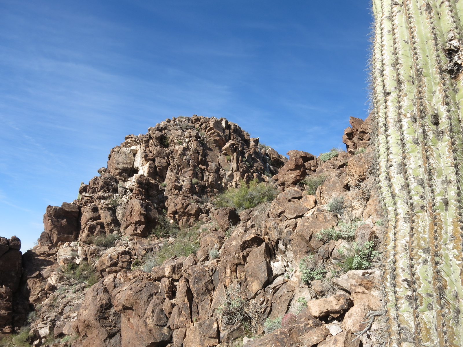
Towards the summit
The summit block
The summit
Looking east to the Belmont Mountains, which would become important a week later.
So there I was on top of Big Horn Peak, at 3,480 feet the highest point of the Big Horn Mountains. I was the 5th party to sign in to the register. After enjoying the view for a bit, I headed back down and found my bike on the desert floor, then rode it back to my truck. In retrospect, this was one of my favorite climbs among all of the Arizona mountain ranges. All 6 of these Big Horn photos are once again courtesy of climber Scott Peavy.
Well, I had done what I’d set out to do, to knock off several more of the state’s range high points. Big Horn had been the 190th one on the list, so I was almost done, with only 3 more to do. The trip had lasted a week, with 12 summits climbed in 11 ranges. Aside from a few blisters and some digestive issues, all had gone really well. I had done my best to be careful and not take any foolish chances, and it had paid off.
Stay tuned for the story of the final climbs.