
1976 was a good year – in fact, it was more than that, it was a very good year. I was living in the Fraser Valley of British Columbia, self-employed and devoting every spare minute to climbing the amazing peaks that surrounded me. When the weather was crappy, I worked, and when it was fair, I headed for the hills. By carefully juggling my time, I was able to climb 2 peaks a week, and I made sure they were good ones.
There was one peak in particular that had attracted me for some time. It was called Silvertip, and it wasn’t far from home. At 5:00 AM on Tuesday, October 12th, I picked up my friend Mike Ryan in Mission. A drive of 65 miles on pavement and then 22 more on a well-maintained dirt road took us right to it, with only 2 hours of total travel time. My notes from that day are pretty sparse, but they say that we started on foot by 7:00 AM from the road at 1,900 feet elevation. We started up through the bush, which was a bit of a thrash but not terrible. It became easier the higher we went. As I recall, we followed a ridge on the southwest side of the peak, which was not difficult. Once we’d gained 4,000 vertical feet, we started to emerge from the forest (at around 6,000 feet elevation). We were averaging better than a thousand vertical feet per hour. We side-hilled for a while and entered a meadow to the southwest of the summit, then climbed up to the west ridge, which was wider than the narrow ridge we’d followed up from the road. We found ourselves on the summit at 1:15 in the afternoon. With some extra ups and downs, the climb was just over 7,000 vertical feet. I have some good pictures taken that day, which I’d like to share with you here. You are the first to ever see these photos, recently unearthed after having been lost for almost 45 years. They were taken on 35 MM film, and it still amazes me how much detail is captured on that medium.
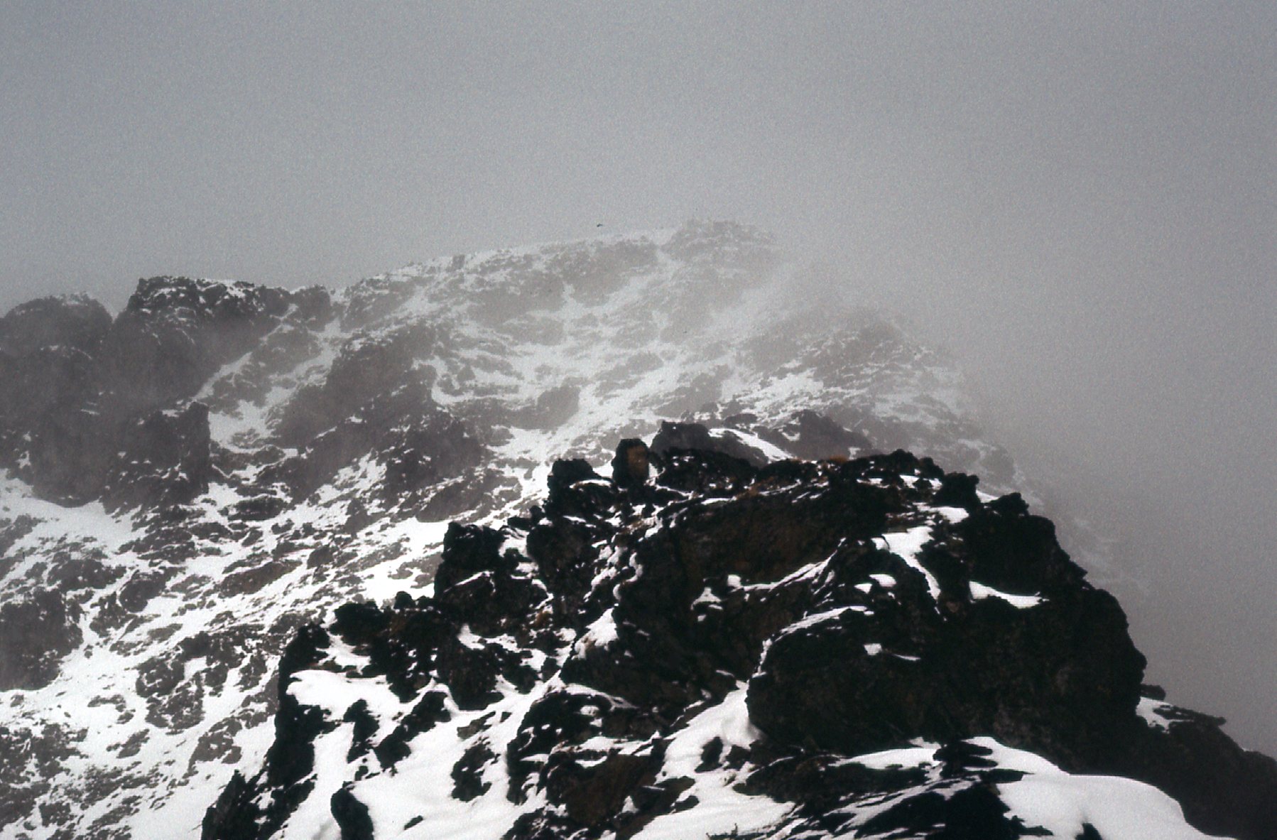
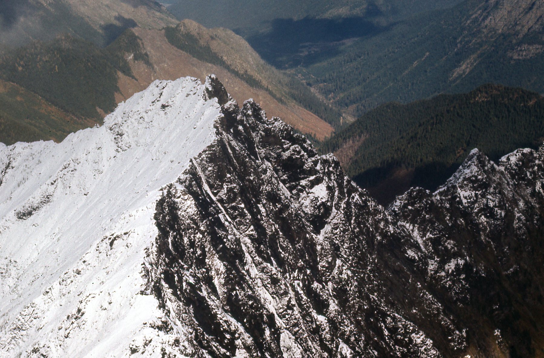
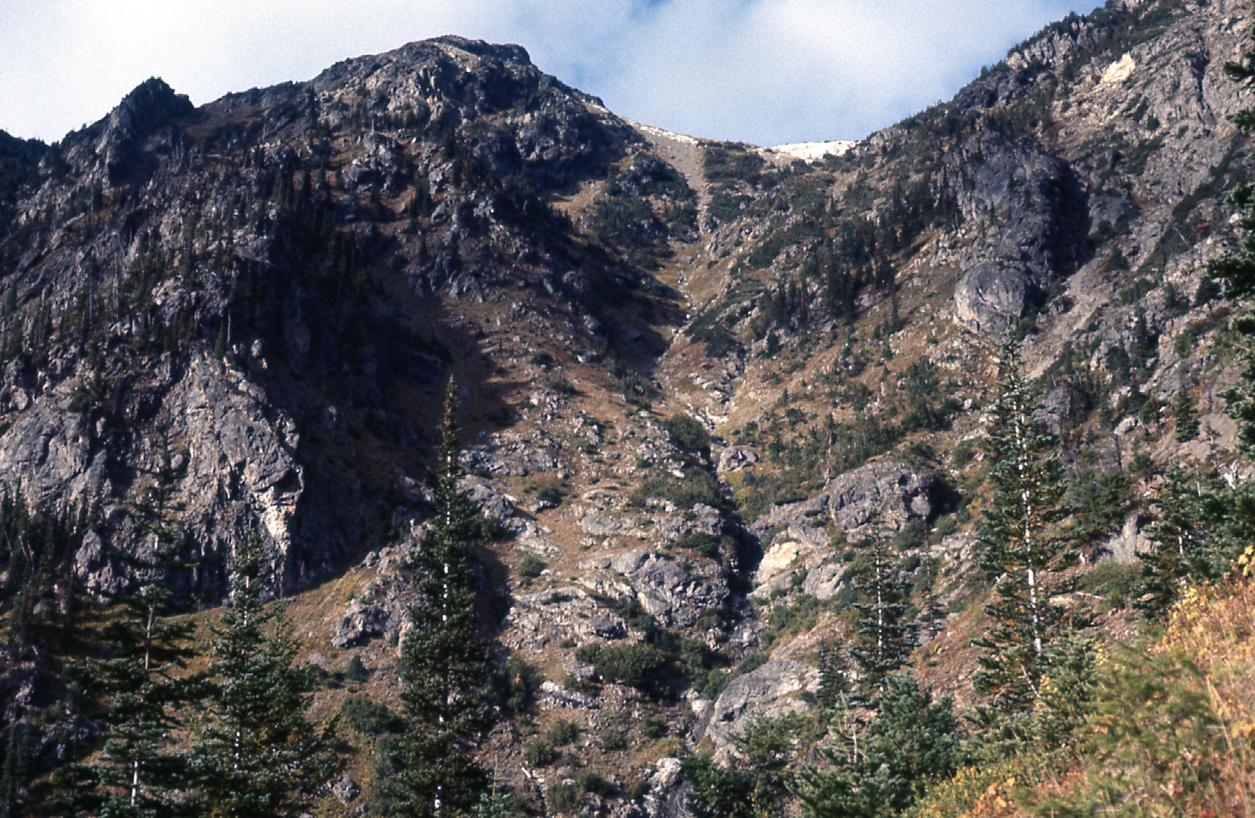
This first picture was taken on the way up the mountain, looking through an avalanche remnant.
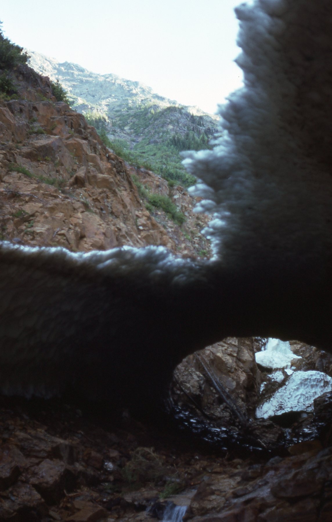
Old snow.
Silvertip Mountain has an elevation of 8,500 feet, and is what is considered an ultra-prominence peak – it really stands out from its surroundings. It was my habit back in the 1970s to take photos looking in all directions from the summit – I felt they would come in handy later on. So here we go with what we saw from on top. This first one looks north to what is known as the Hope Slide, the second-largest landslide in Canadian history. It is the obvious light-colored scar in the middle of the photo, just under 10 miles away.
The Hope Slide
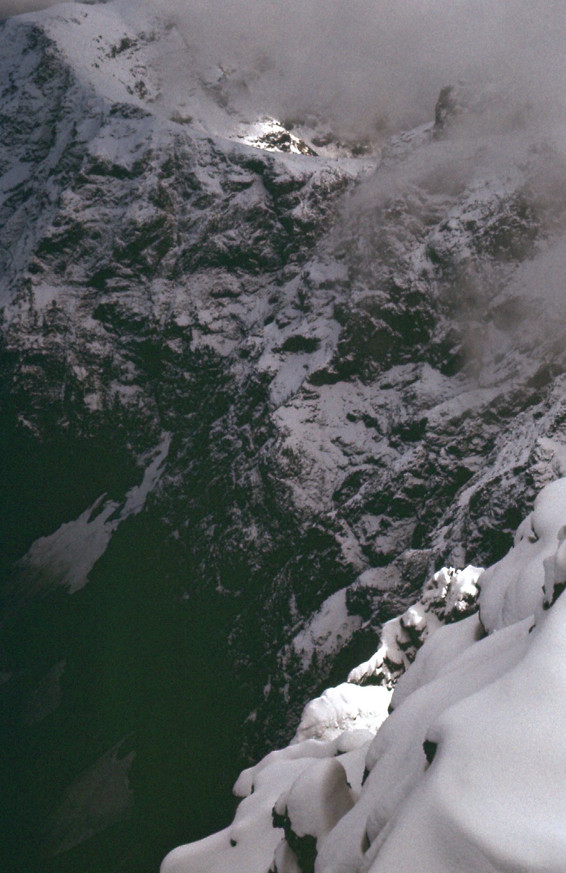
This next shot looks steeply down to the east fork of the Sumallo River, about 4,500 feet below.
Sumallo River, east fork.
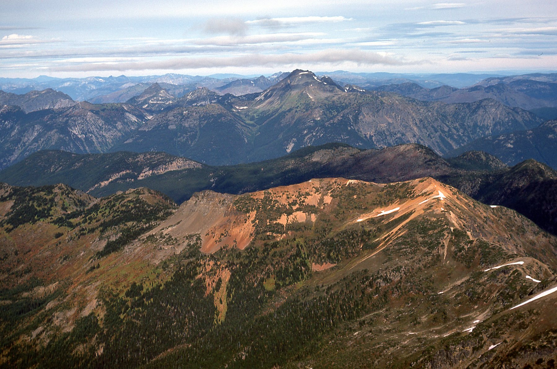
Here, we look northwest from the summit.
A look to the northwest
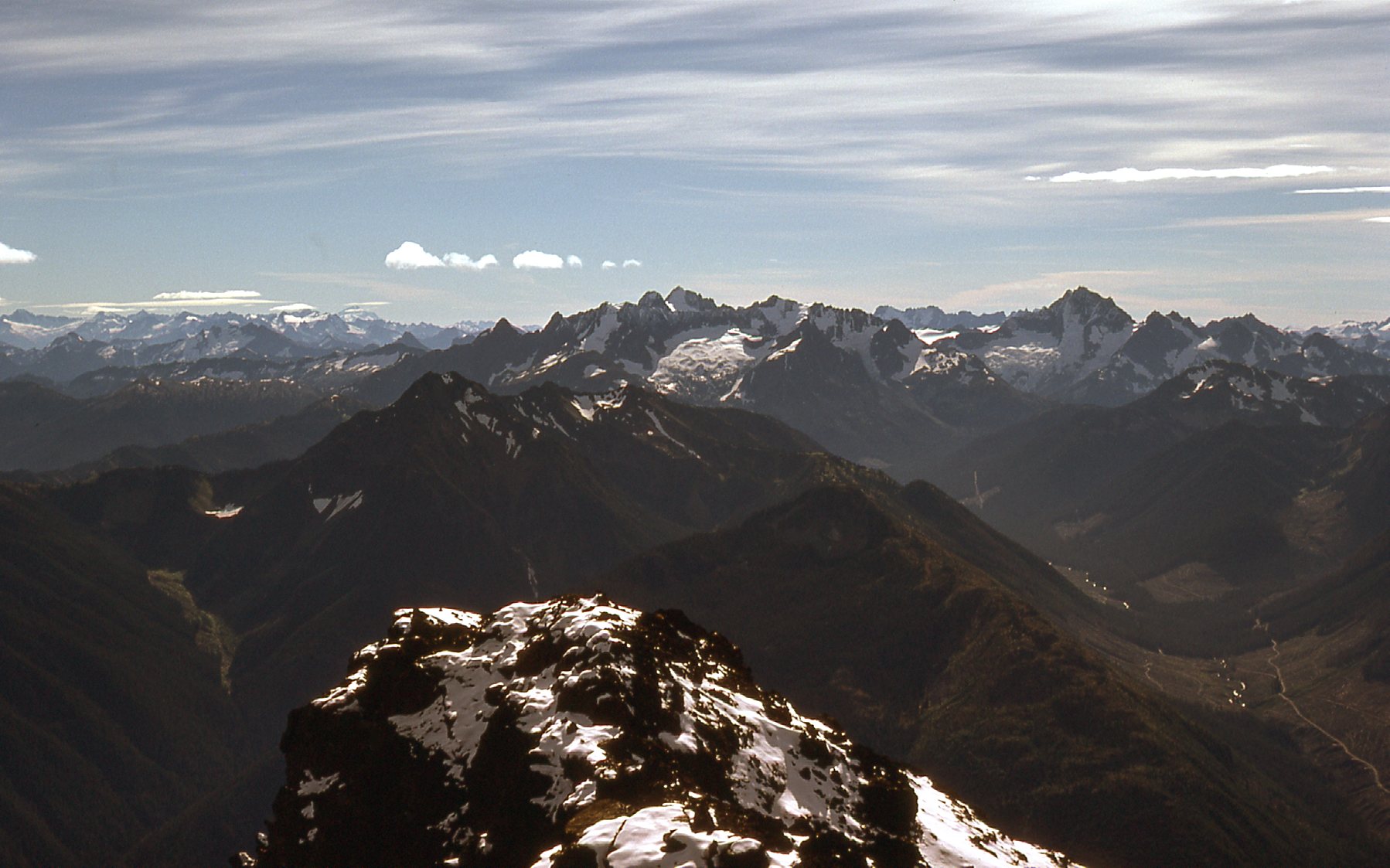
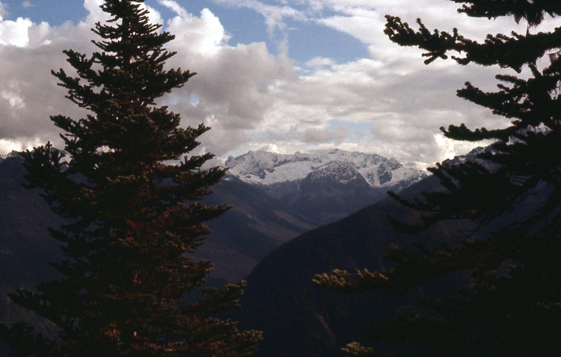
Moving over slightly, we are looking west-northwest. In the distance, we see such peaks as Robie Reid, Judge Howay and the Mt. Clarke group.
More good stuff.
The two dark brown peaks in this next photo, only a couple of miles away, are Mt. Rideout on the left and Peak 8150 on the right. If you look at the space between them and go up to the horizon, you can see a tight cluster of peaks with a lot of snow – that is the entire Cheam Range, about 15 miles away.
Rideout and 8150
Here’s another goodie. Mount Baker is on the far left with the cloud cap. In the middle on the horizon are peaks like Larrabee, Tomyhoi and the Border Peaks.
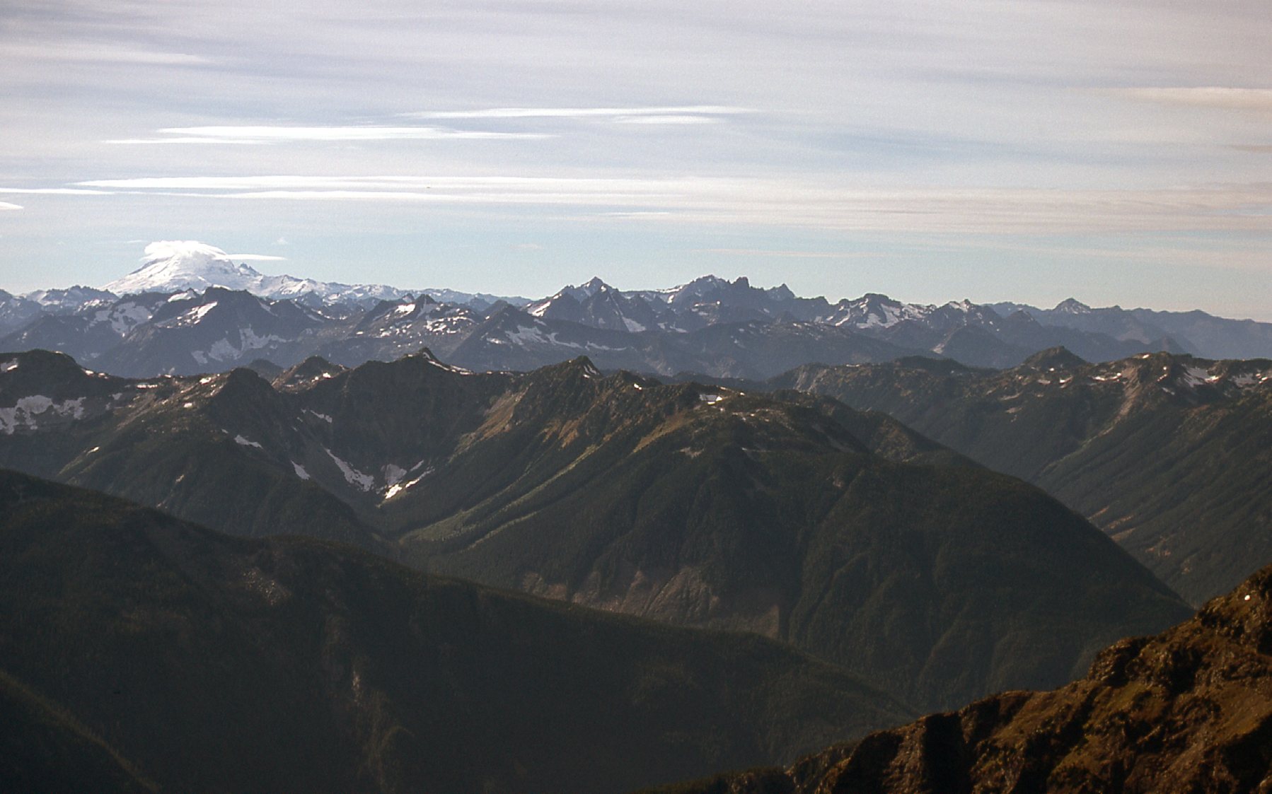
Mt. Baker
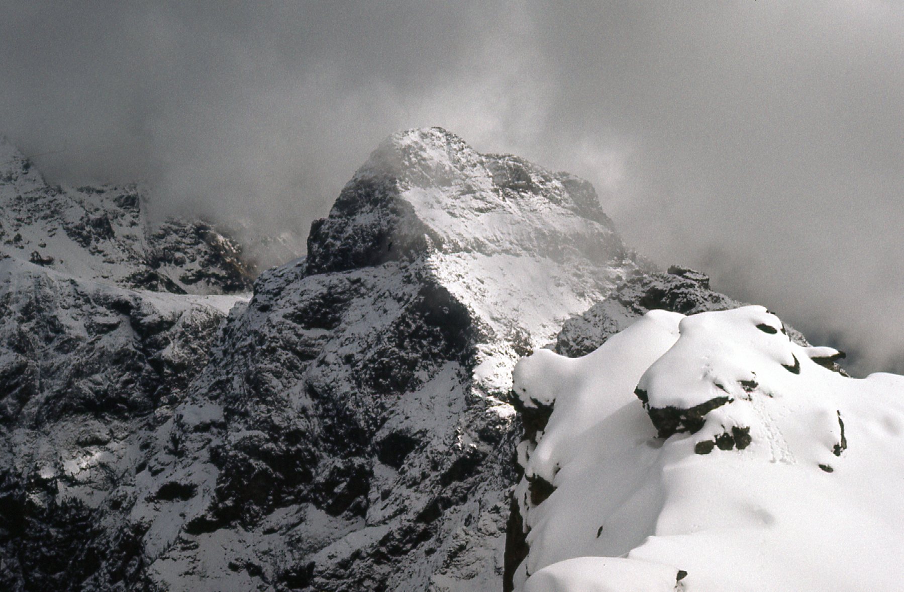
This next one looks south.
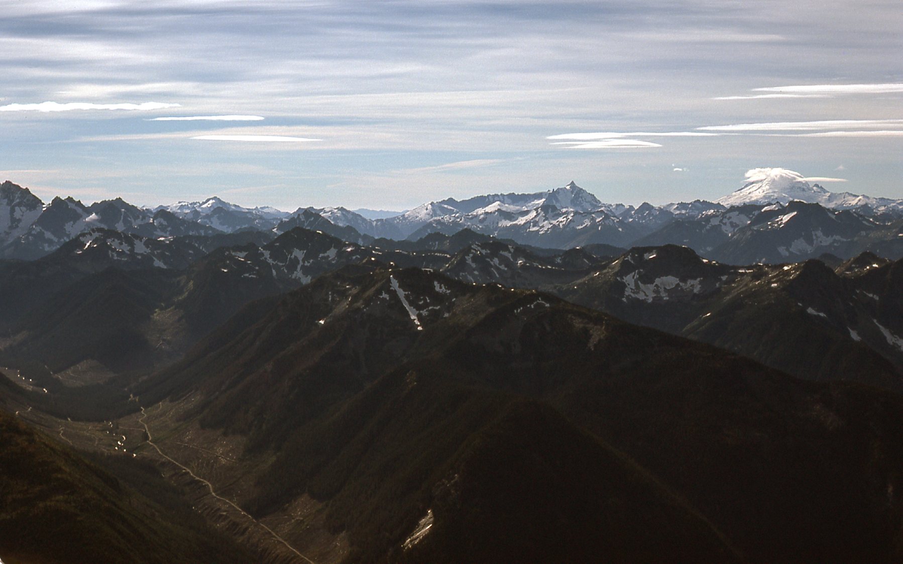
Here, we are looking south up Maselpanik Creek to Mt. Redoubt on the extreme left edge of the photo. Mt. Baker is of course the one far right with the cloud cap, and more towards the middle is the pointy Mount Shuksan.
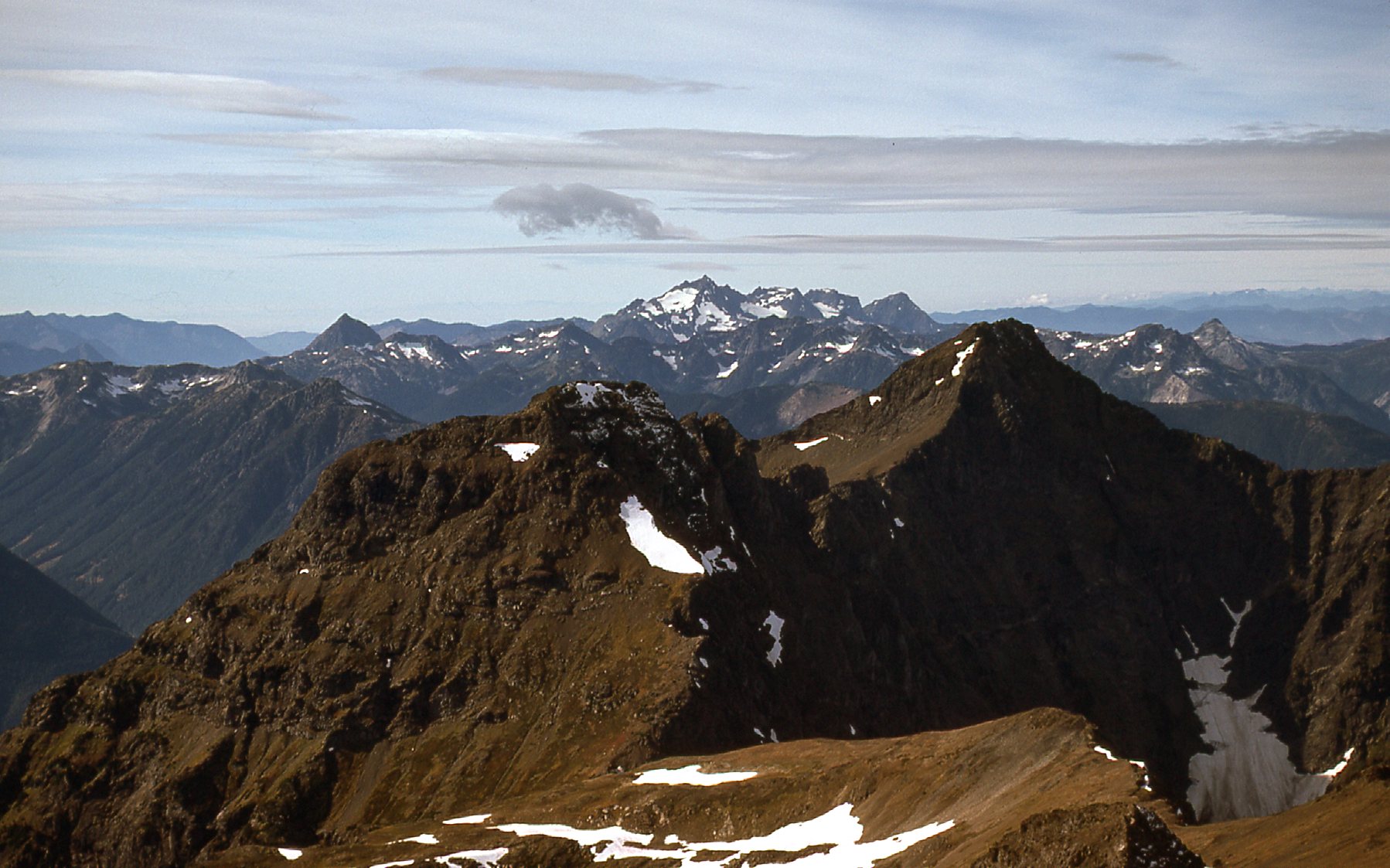
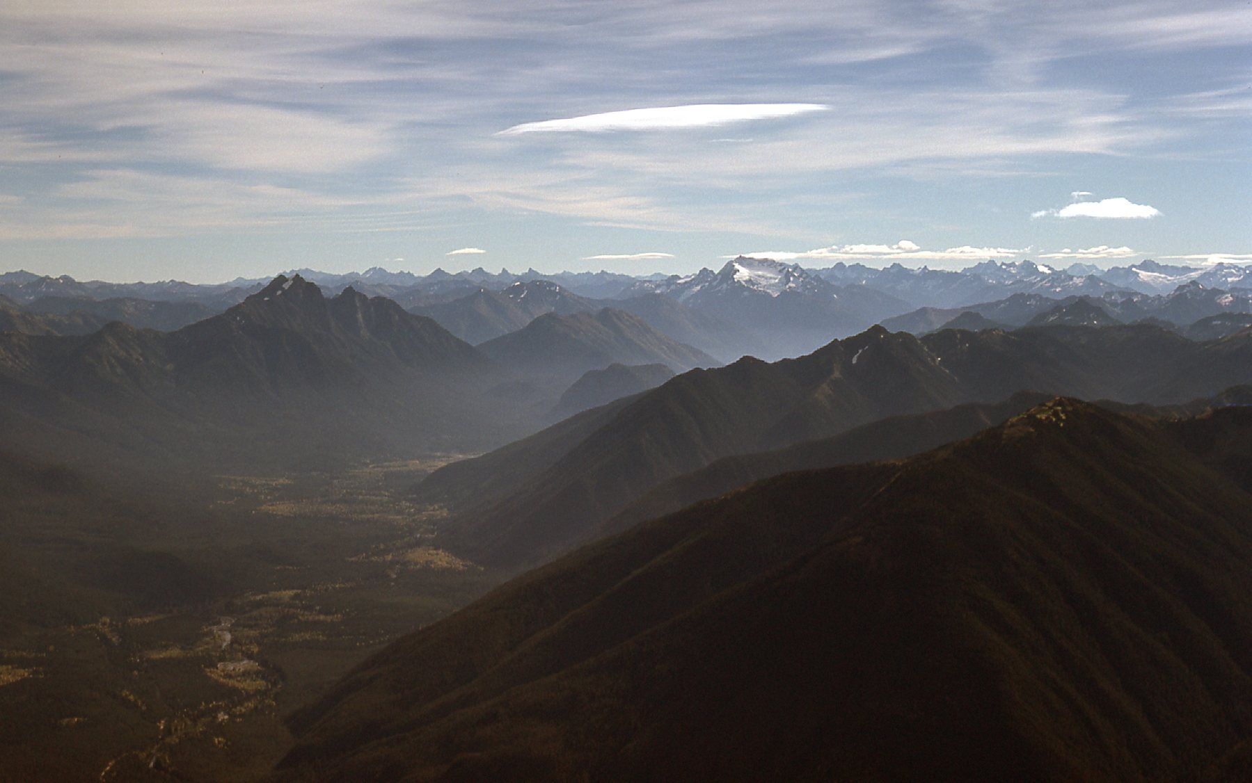
I love this next one. We see Mt. Redoubt again over on the right side. In the center horizon is the Mt. Spickard group. In front of them is a large white glacier which sits on the north side of Mt. Rahm – Custer Ridge.
A look down to the border to Redoubt and Spickard
Silvertip sits just west of and beside the Skagit River. Here, we look southeast down the river – the big dark peak on the left is Hozomeen Mountain. The one just to the right of center with the white glacier is Jak Mountain. Both peaks are south of the border in Washington State.
Down the Skagit
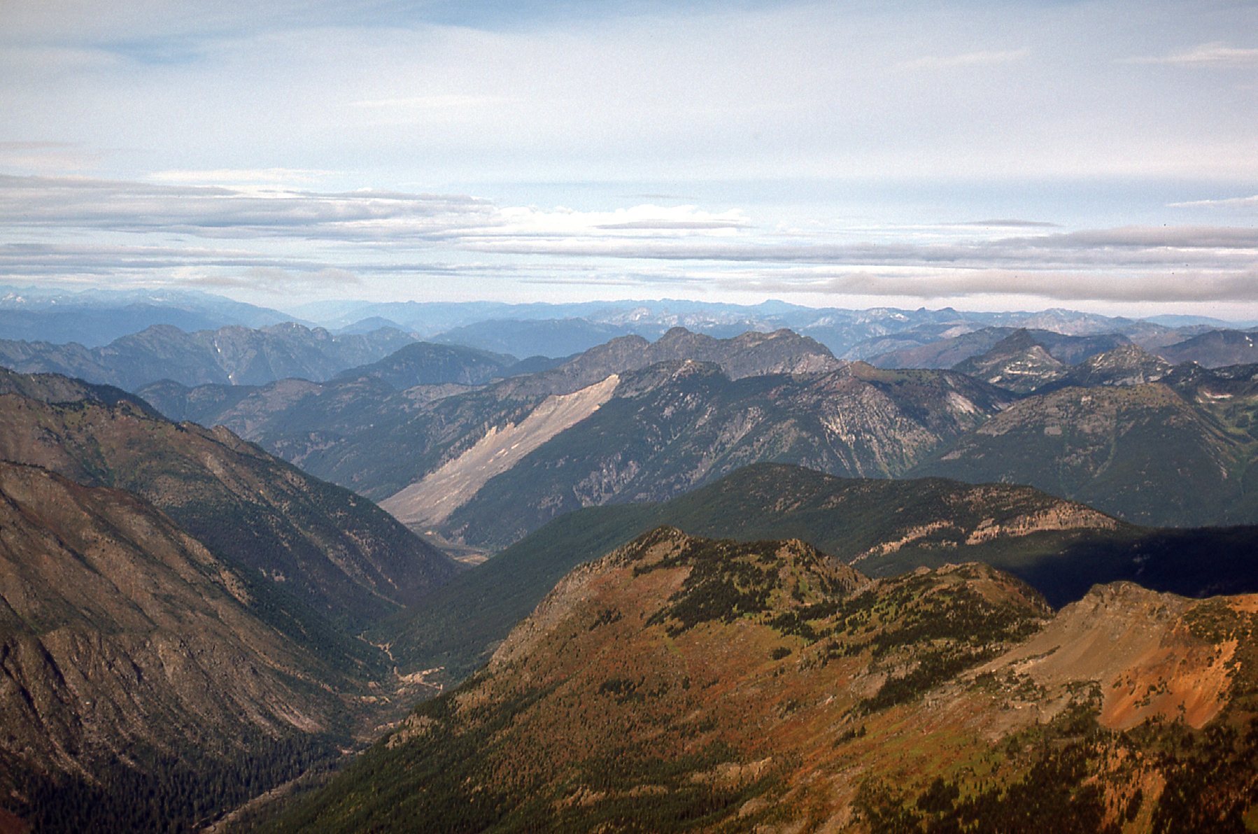
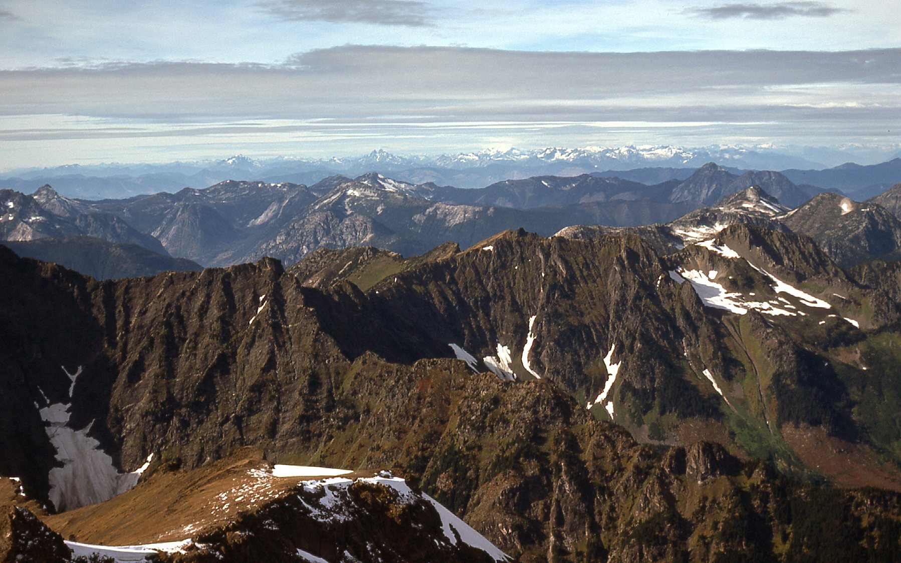
Here, we see into the brown lands to the southeast.
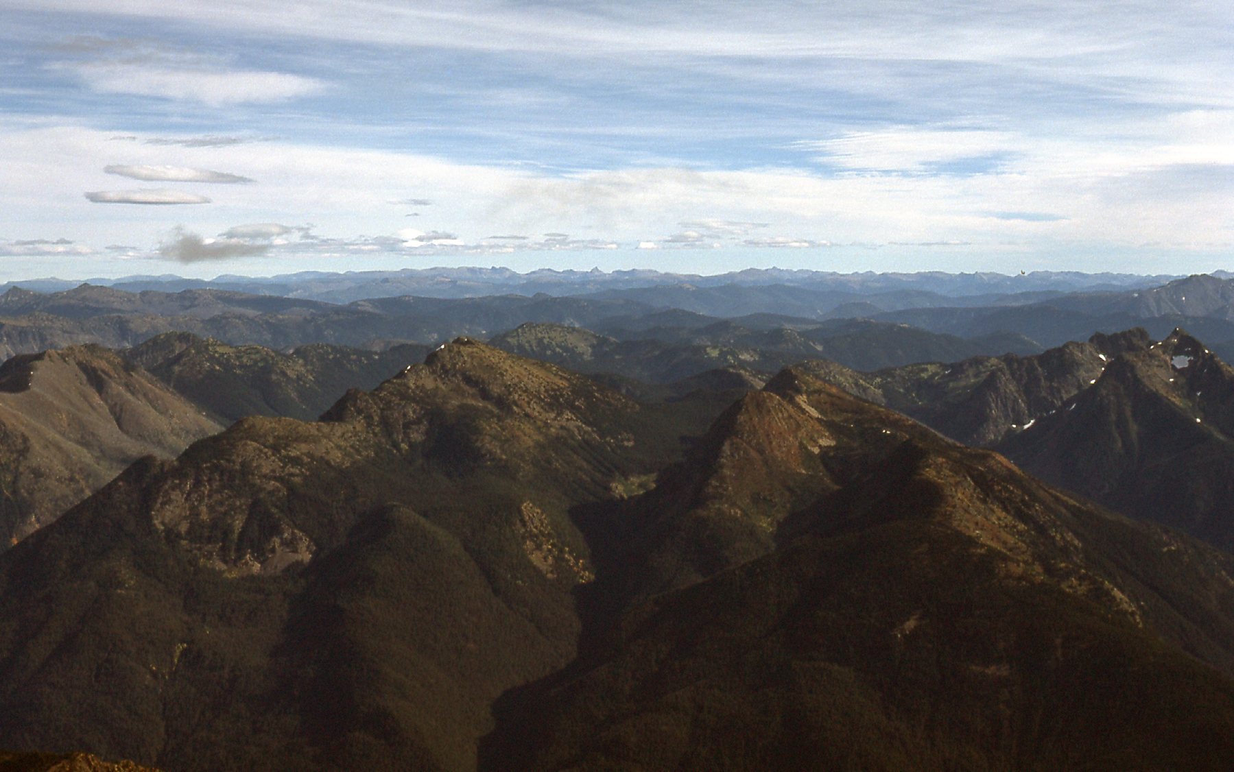
A look southeast.
Here, we look northeast into Manning Park.
Northeast to Manning Park
Here’s a look to the north-northeast. The big peak out there just touching the sky in the center is Mount Outram, which is 8.7 miles away.
That’s Mount Outram
So there you have it, our views from the summit. I started back down a bit ahead of Mike and looked back and took this picture of him.
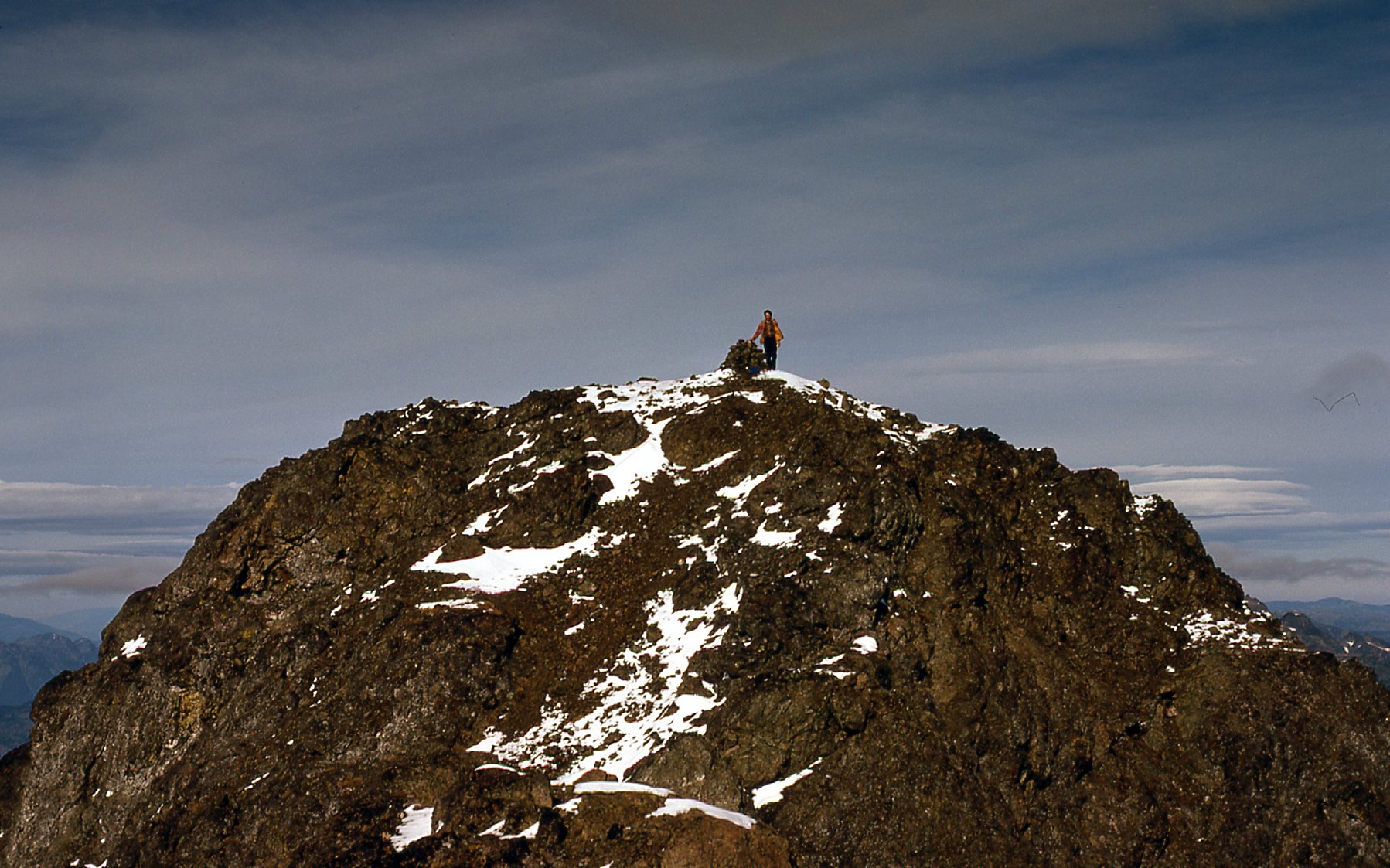
Mike Ryan on the summit.
The way we had climbed the mountain had worked perfectly well. Why, you might ask, would we change anything for the descent? What possesses climbers to do that? Well, for reasons I cannot recall, we decided to take a more southerly route down. Poor choice – more cliffs, more brush. I took this last photo, a few thousand feet below the summit.
Gullies
Oh, we made it down alright, arriving back at the car at 6:00 PM, but we both felt we should have just followed our ascent route. Live and learn. By 8:30, we were back home. It had been a good day, nevertheless.
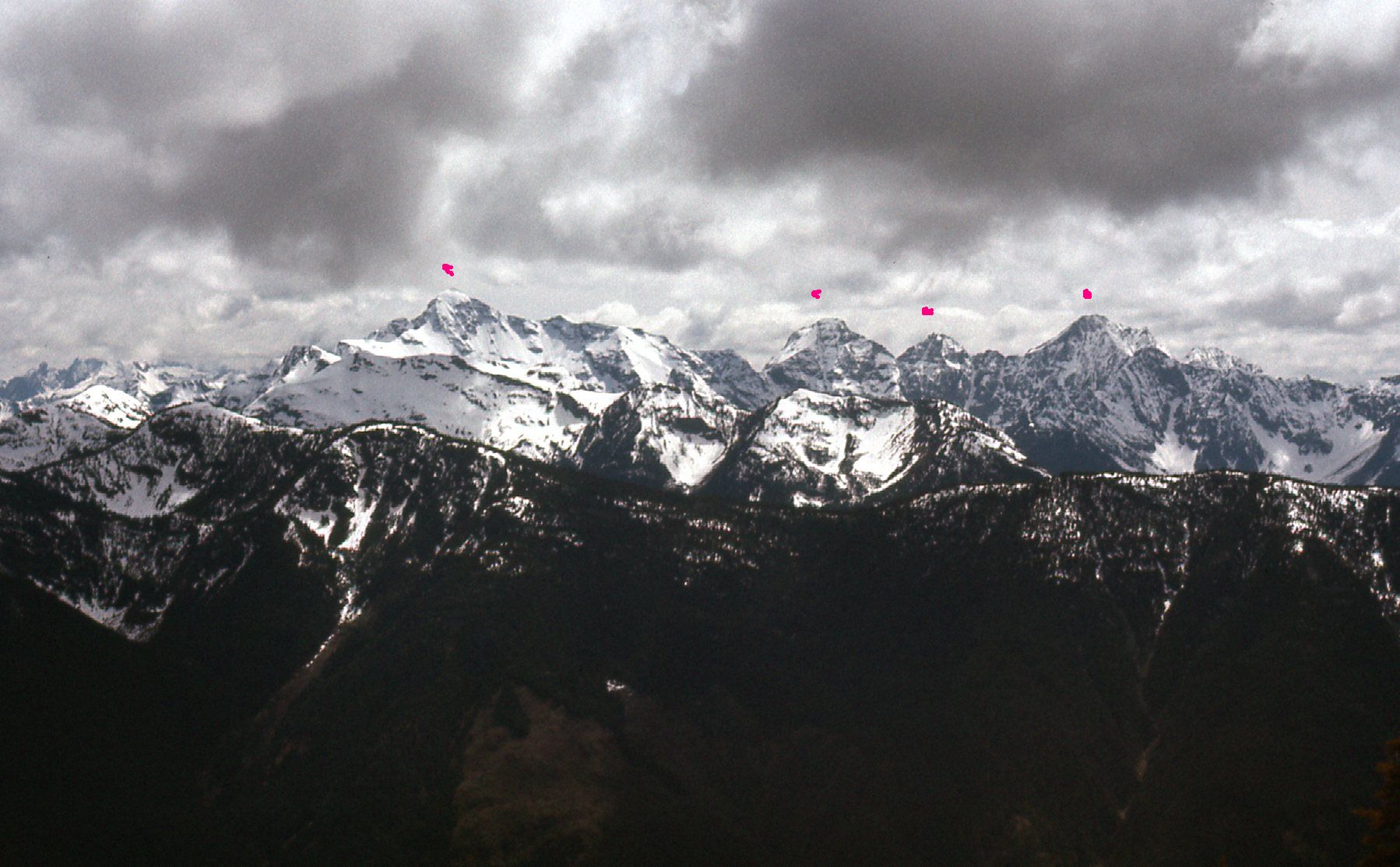
If you climb Silvertip, you can’t help but notice the other high peaks that are its western neighbors. Heading west, we first come to Mt. Rideout, at 8,029 feet elevation. Next comes Peak 7700 – at least, that’s what we called it back in the 70s – now it has a proper name, Sumallo Peak. And finally we reach Peak 8150, which over the years has also earned a name of its own – Mount Payne. It stands a full – you guessed it – 8,150 feet. It was a good-looking mountain, and the one I decided to climb next. Have a look at this next photo, taken from atop International Peak, 12 miles to the south. It plainly shows the 4 peaks in the group, which are marked with red dots. The farthest left one is Peak 8150; next comes Peak 7700; then comes Rideout. Those 3 are all close to each other. Then, farther away from those 3 and just to the right of center is Silvertip. Ignore the other 2 dots.
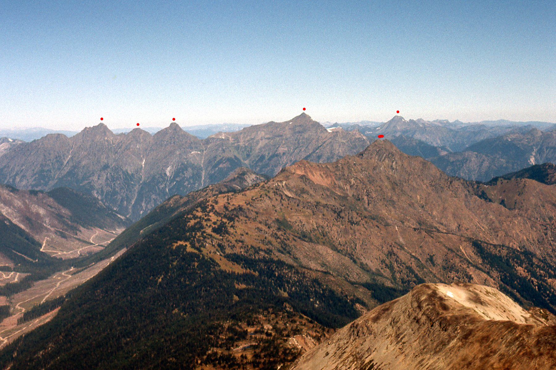
Looking north to Silvertip and friends.
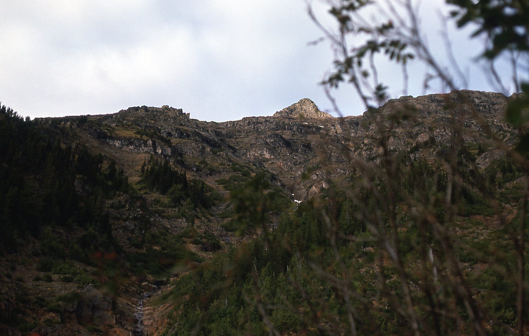
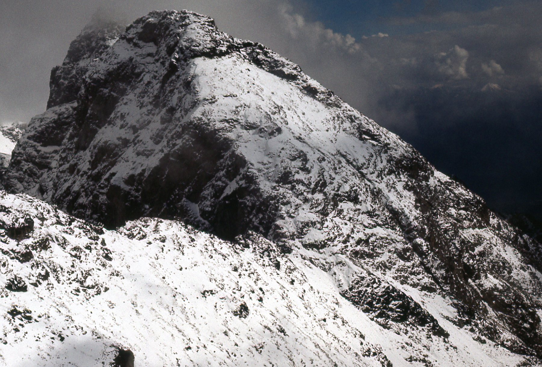
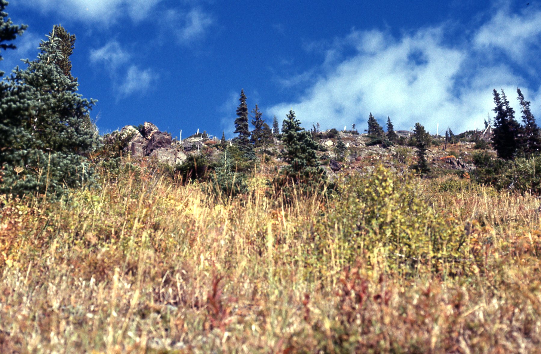
Finally, on Sunday, September 25th of 1977 I decided to head back into the area. It was early afternoon by the time I parked at the base of Peak 8150. The weather was kind of iffy, but I decided I’d climb up anyway and see how things went. After 3 hours, I had reached 5,160 feet and stopped for the night. I didn’t have a tent, but had a bivi bag and my sleeping bag. I managed a few photos that evening, which show the fresh snow up high. That concerned me, as I didn’t know how much of a problem that might create if I went for the summit.
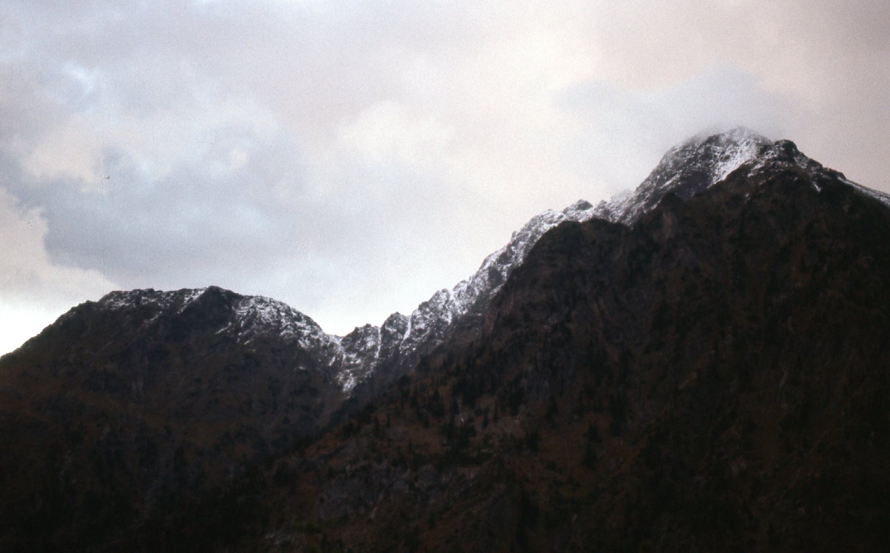
This shows the west ridge of my peak.
The next photo shows the area between Pk 8150 on the left and Peak 7700 on the right.
The country between 7700 on the right and 8150 on the left.
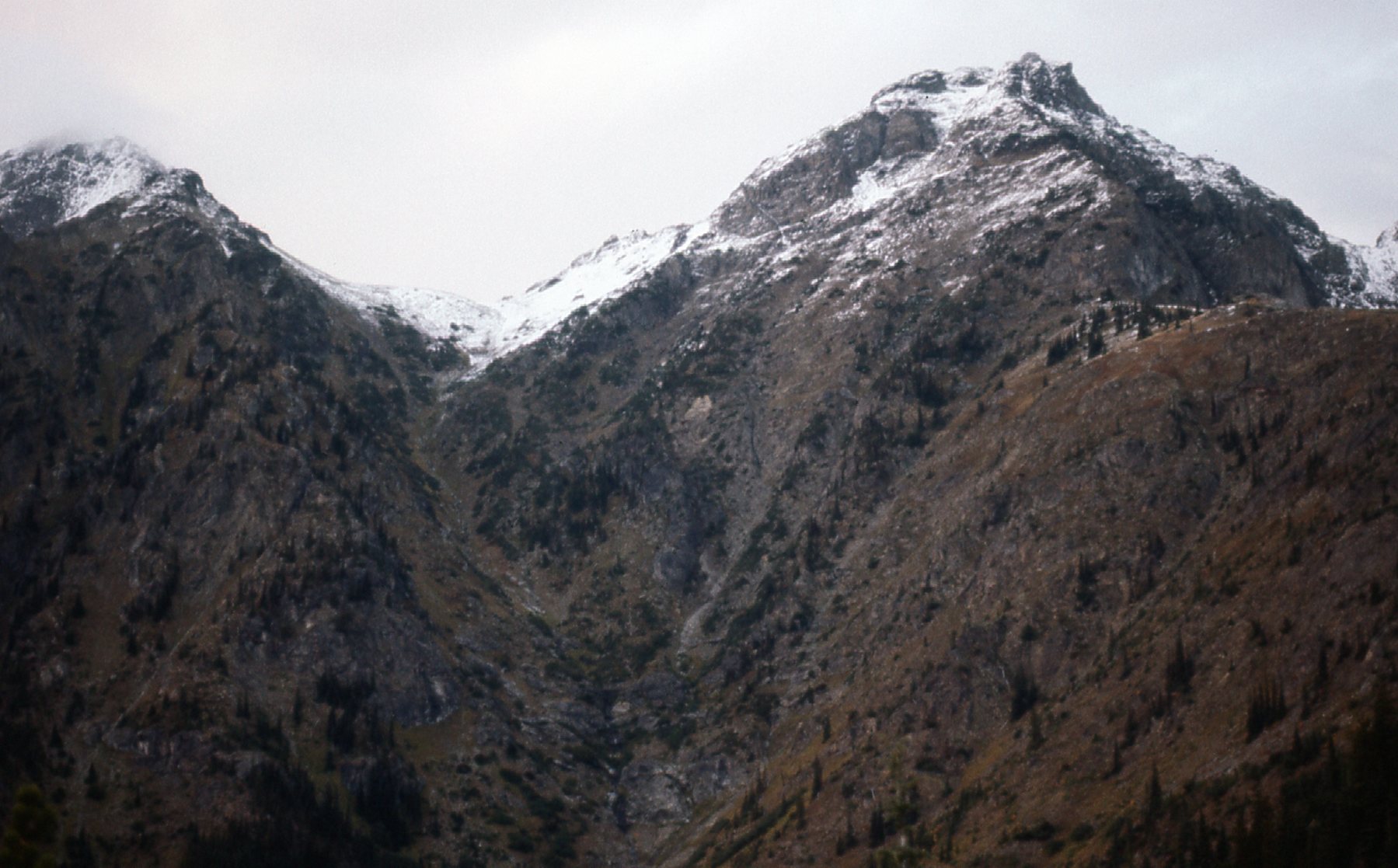
Here’s a look over to nearby Mt. Rideout.
Mt. Rideout, to the east
Here’s the sunset from the spot where I spent the night.
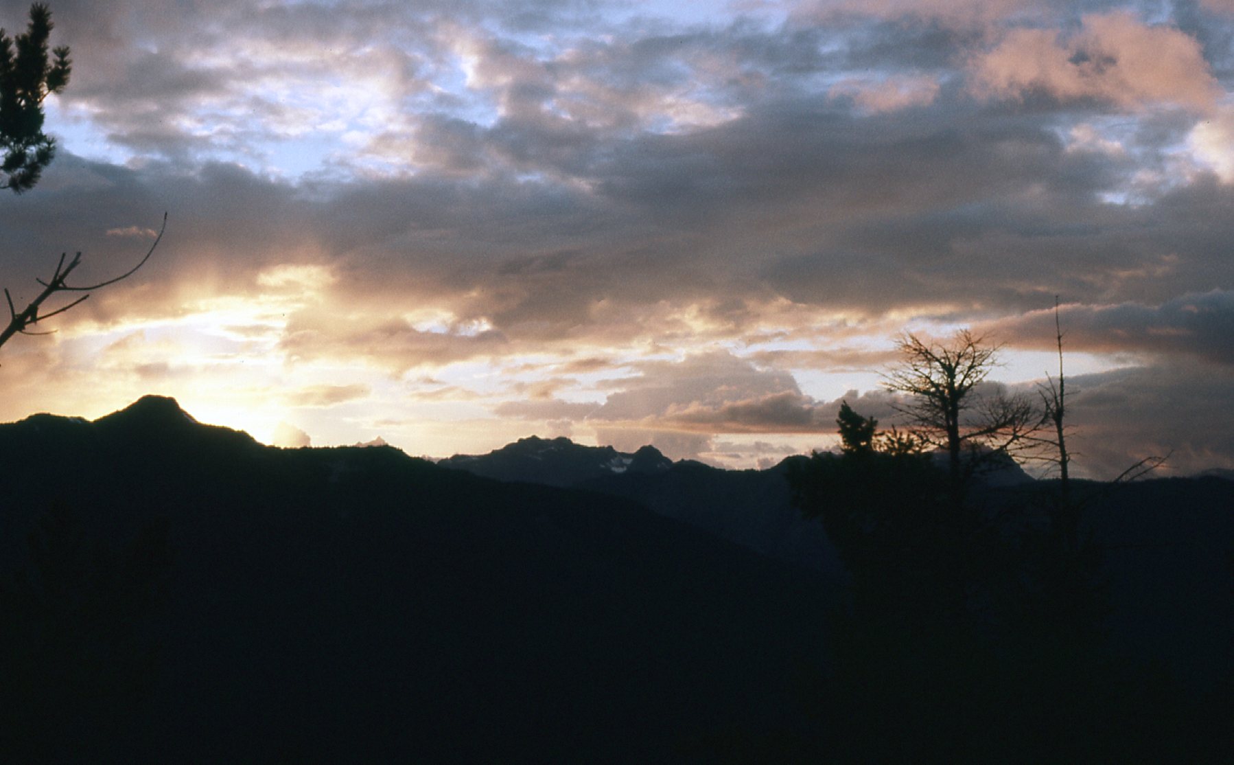
Sunset
I was a little uneasy about the weather, concerned that it might snow more overnight. There was already fresh snow up high, but how much, it was hard to say. Well, there was nothing for it but to see what the new day would bring.
I lazed about until late, waiting to get a better idea about the weather, then finally decided to go for the summit. That last 3,000 feet of climbing went well, with no difficulties. There was definitely more snow, but nothing that was a game-changer. Here’s a look up the ridge as I started out.
Up we go.
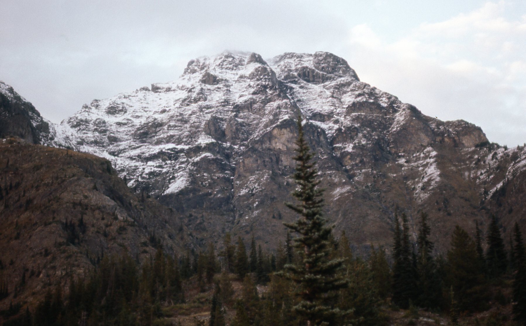
I had this glimpse of the north face of Mt. Rideout – it looks very wintery, doesn’t it?
Part of the north face of Mt. Rideout
This next photo shows my last steps to the summit.
See my bootprints in the fresh snow?
Another view from the summit. looking east.
Another view towards Mt. Rideout
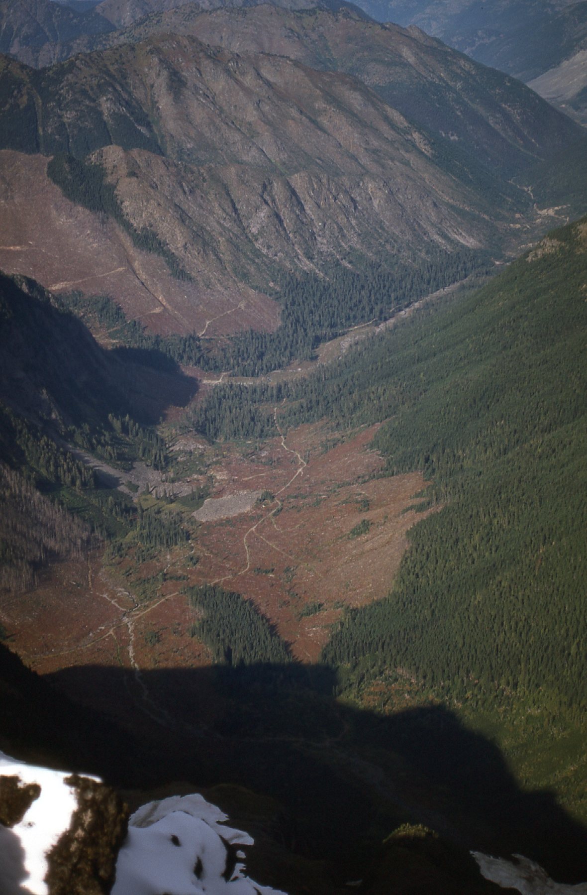
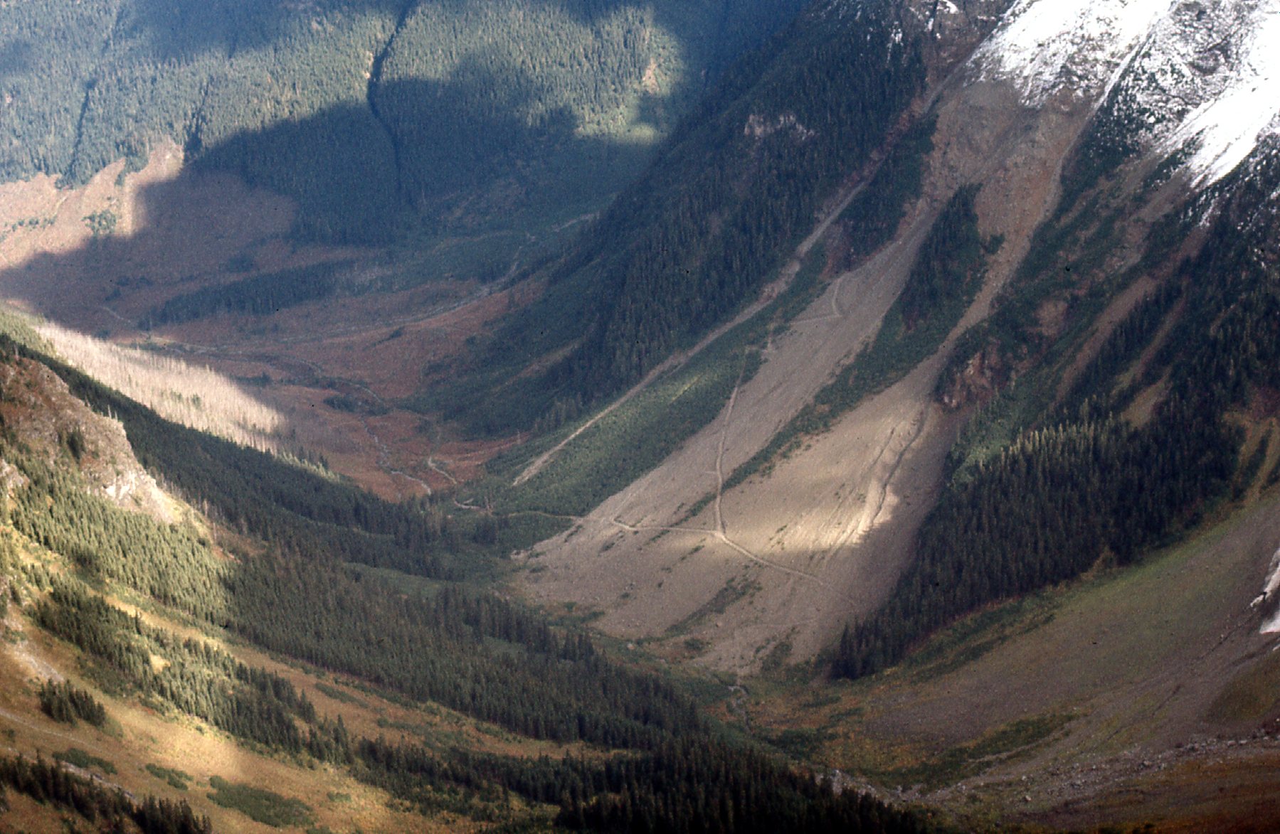
Here’s a view down the northeast ridge of Peak 8150. The Sumallo River is in the valley below.
The northeast ridge
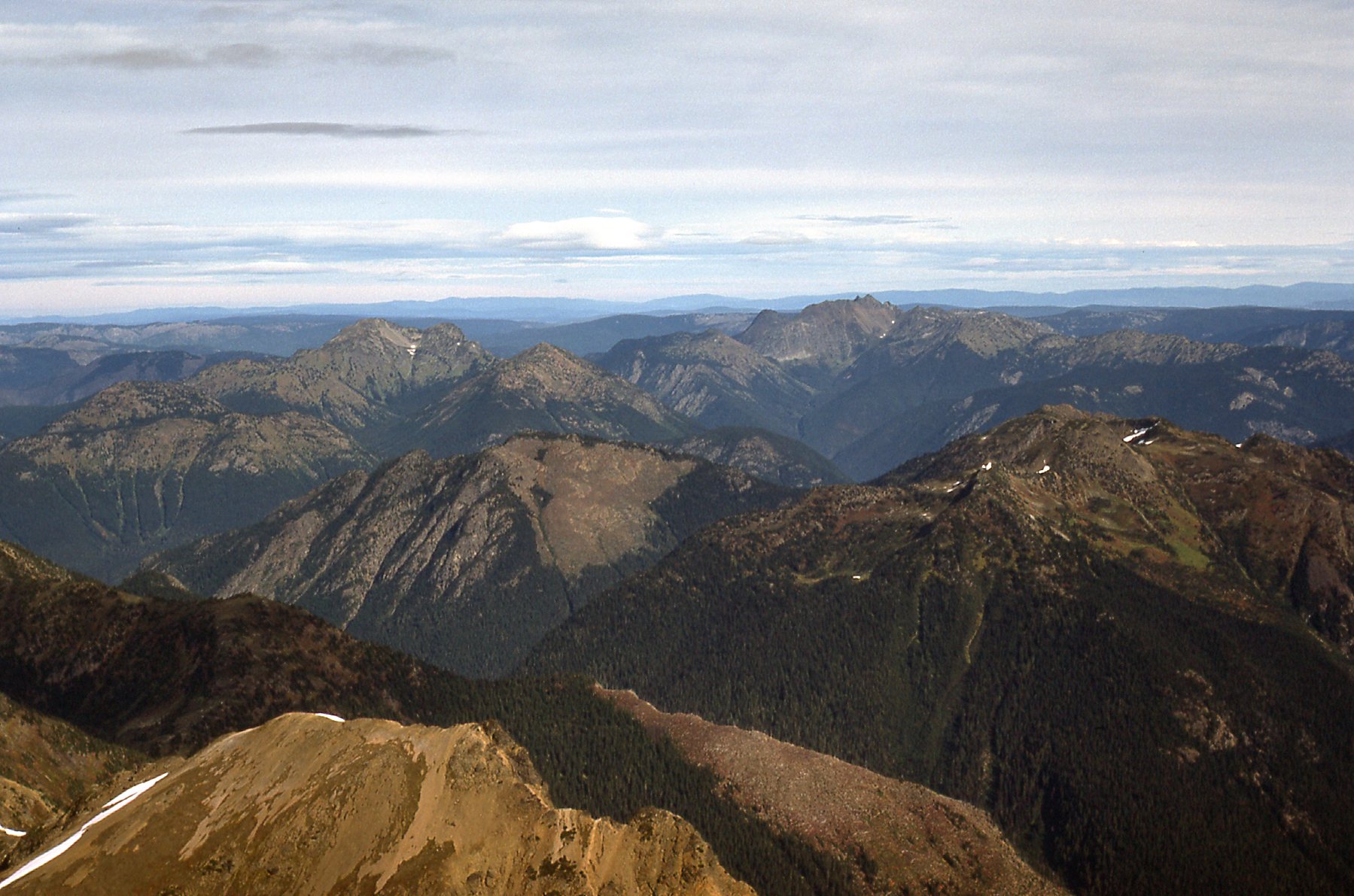
Here’s a view of Peak 7700.
Looking southeast to Peak 7700
What a contrast – all the fresh snow up high, and pleasant, fall-like conditions down below, like this view of roads to the north of Silvertip.
To the north of Silvertip.
I could see Mt. Lockwood, nearby to the south.
Mt. Lockwood – 6,700 feet.
As I descended, I quickly left the snow behind and was back in the land of the living. Here’s a look back up to where I’d been – the saddle between 8150 on the left and 7700 on the right. The snow was melting quickly.
A look back up.
My descent route was actually the south slope of Peak 7700. This was taken near tree-line.
On Peak 7700, the south slope.
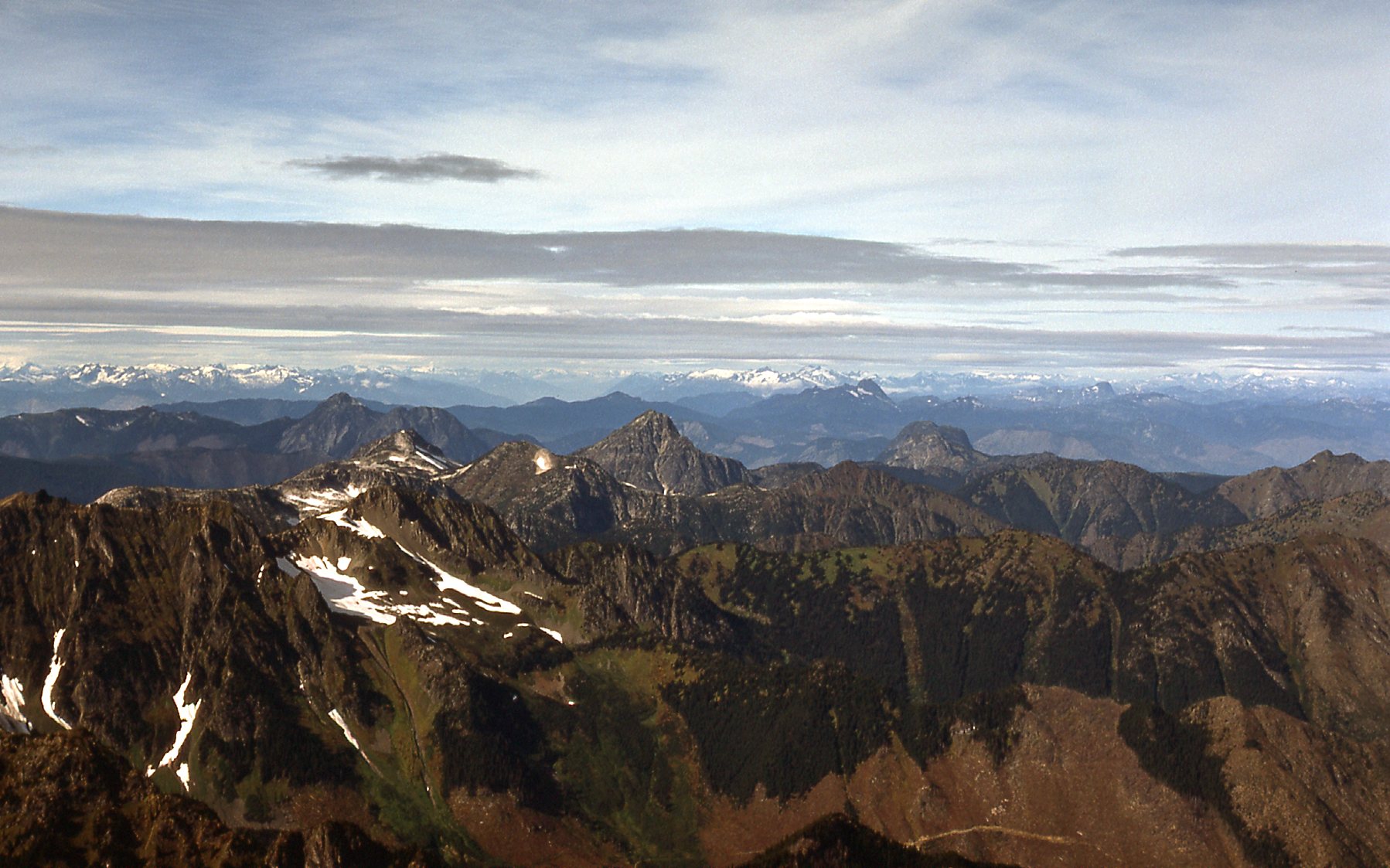
A bit lower down, I could see International Peak to the south.
Still quite a few clouds hanging around.
The climb finished without incident, and I was all the way back home by 9:15 that evening. I never did make it back to climb Rideout and Peak 7700, but the two I did climb along that high ridge were really enjoyable.
The 16th photo in this story is the one with the red dots over several peaks. It was taken from 12 miles to the south. I have one last photo to show you – it was taken from Mt. Outram, a distance of 8.7 miles to the north. So in this photo, taken on July 2nd, 1977, we are looking south. I have put red dots over 4 peaks to identify them for you. They are, from left to right: Silvertip Mountain; Mt. Rideout; Peak 7700; Peak 8150. I just had to share with you this photo, as it shows them so well. There sure is a lot of snow up there, but the beginning of July is still pretty early in the season for 8,000-foot peaks that far north.
The Silvertip group, the north side.
Hey, thanks for coming along for the ride. I’ve been wanting to share these climbs with you for a long time, so I’m glad I finally got the chance.