
One fine summer’s day several years ago, I turned my attention to a range of peaks south of Tucson, closer to the Mexican border. These were the Tumacácori Mountains. It’s a strange word, isn’t it? At first I thought it might be Spanish, but upon closer inspection (the Internet, of course!) I discovered its origin to be Native American. There were two meanings listed. The first was “place where the wild chilies are gathered”. The second was “place of the flat rock”. I don’t know which is more correct, but I especially like the one with the chilies.
The first time I’d climbed anything in the range was way back on February 22nd of 1988. That was a solo effort, on the range high point, Peak 5736. That same day, I also climbed Peak 5687, also seen in the photo below. Years later, I returned to climb the high point again, that time with climber friends John Vitz and Donna O. – that was on March 8th of 2000. What a day that was! – we decided on a route that had us wallowing in waist-deep snow in a shaded north-facing gully. The air was blue with oaths as we cursed the name of our friend who had suggested that route! John had his brand-new GPS unit with him that day, the first time I had ever seen one in use. I was impressed how it showed us that, on our return, we had overshot our vehicles down in Rock Corral Canyon. The area was wooded and brushy, the trucks were hidden, and we had to retrace our steps a ways to get back to them.
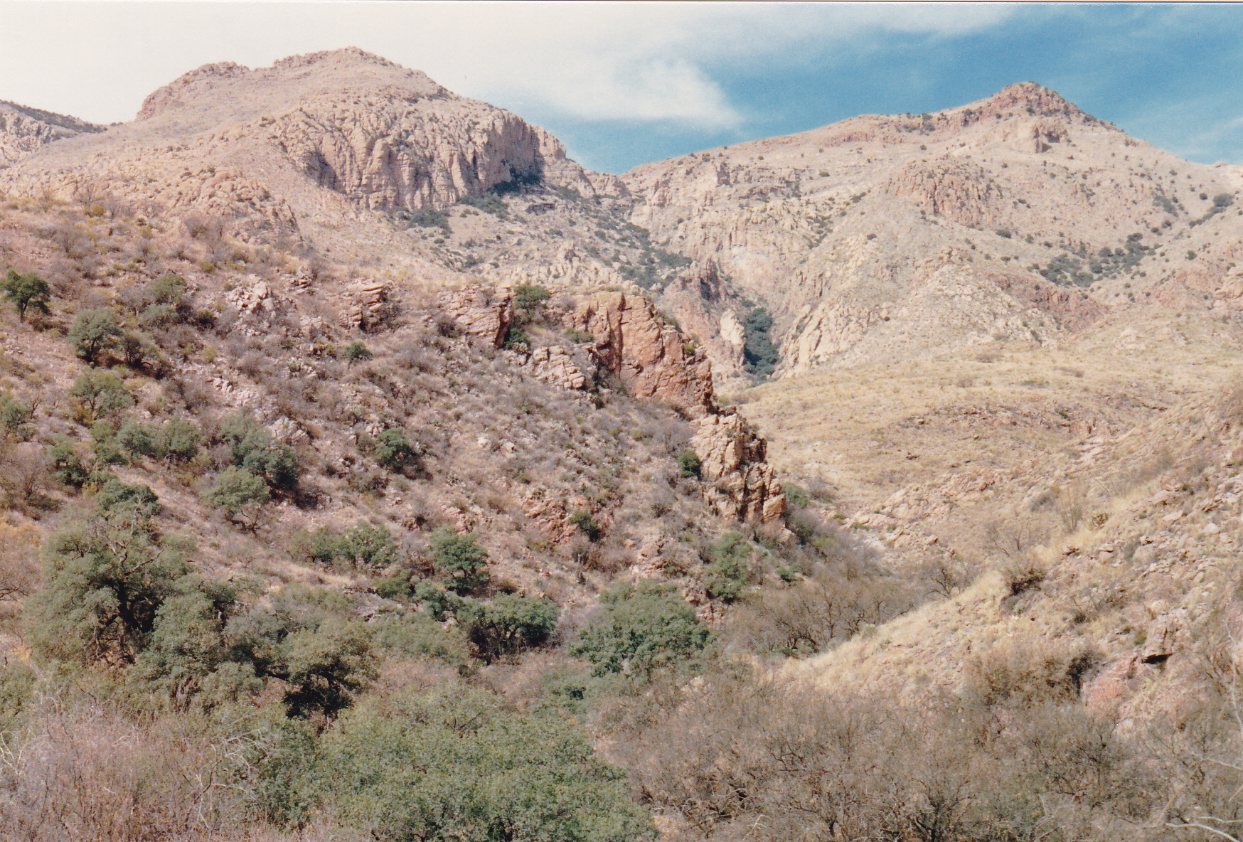
Looking northwest to the range high point – it’s the one on the left. Its neighbor, Peak 5687, is the one on the right.
The Tumacácori Mountains aren’t as extensive as some others of Arizona’s 193 mountain ranges. They run a distance of 34 air miles, from the Sopori Ranch in the north to a feature called Hell’s Gate in the south, high up in Peck Canyon. Still, that’s pretty decent – they contain about 35 peaks, which is respectable. There is a lot of open country up high, making for a scenic range with plenty of expansive vistas.
Twelve years would pass before I returned to the range. Then, on a warm April day, I headed in to the northern part of the range and climbed Saucito Mountain via its western slope. Later that same day, I had driven by different roads to a peak a few miles farther south. Forest Service Road 4833 took me west up Puerto Canyon to where I parked near Puerto Spring. It was an easy climb that afternoon to the top of Peak 4590, also known informally as Puerto Peak, which I approached from the southeast. I must have liked what I saw that day, because I braved the heat in early August of the same year for a return visit. Carrying with me a new digital camera, I took these photos to share with you here. The first is from where I parked, at around 3,770 feet elevation. It was just before 7:00 AM when I set out to the northwest.
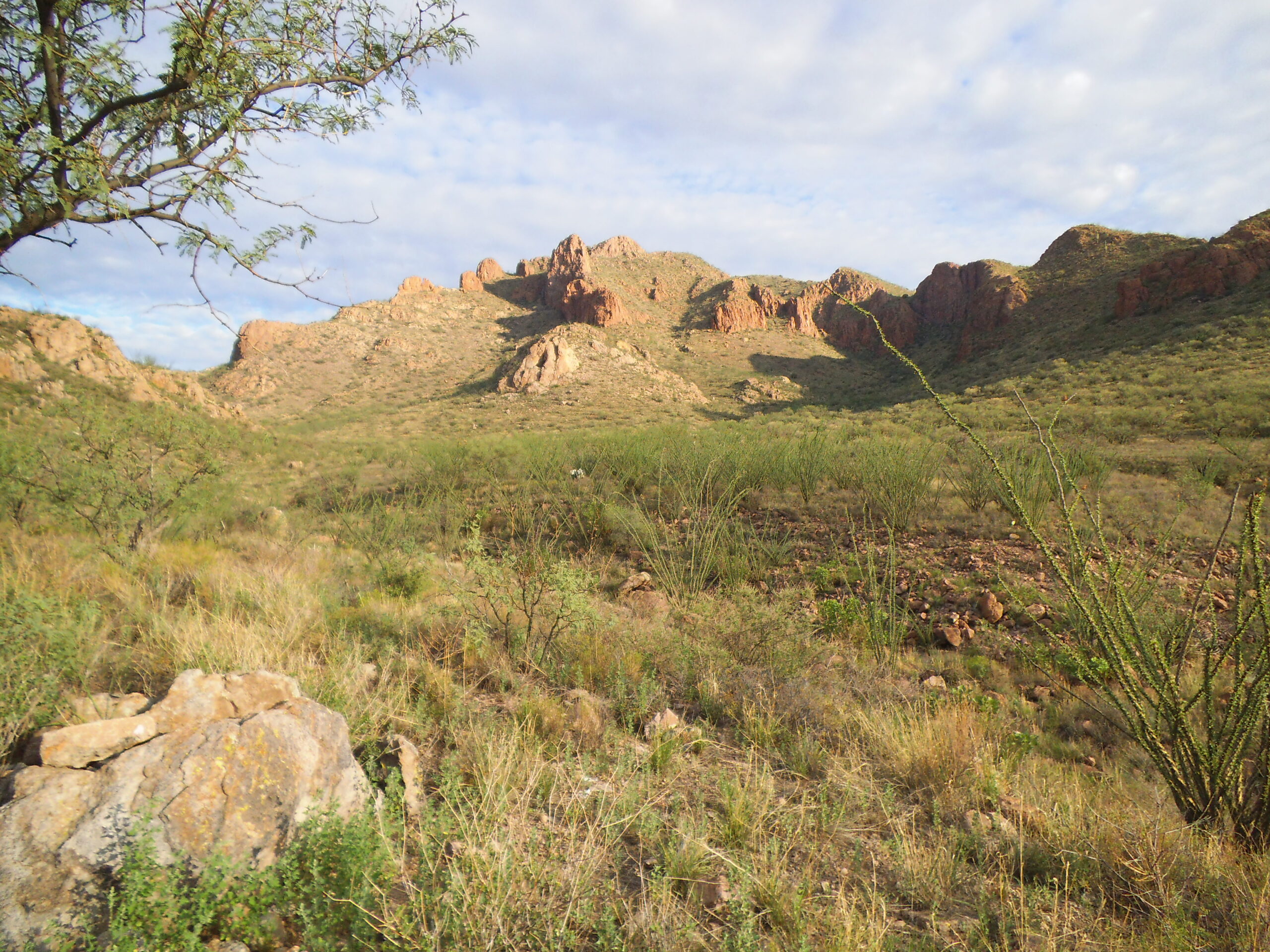
That’s Diablo Mountain out there, with the double bump on the center skyline.
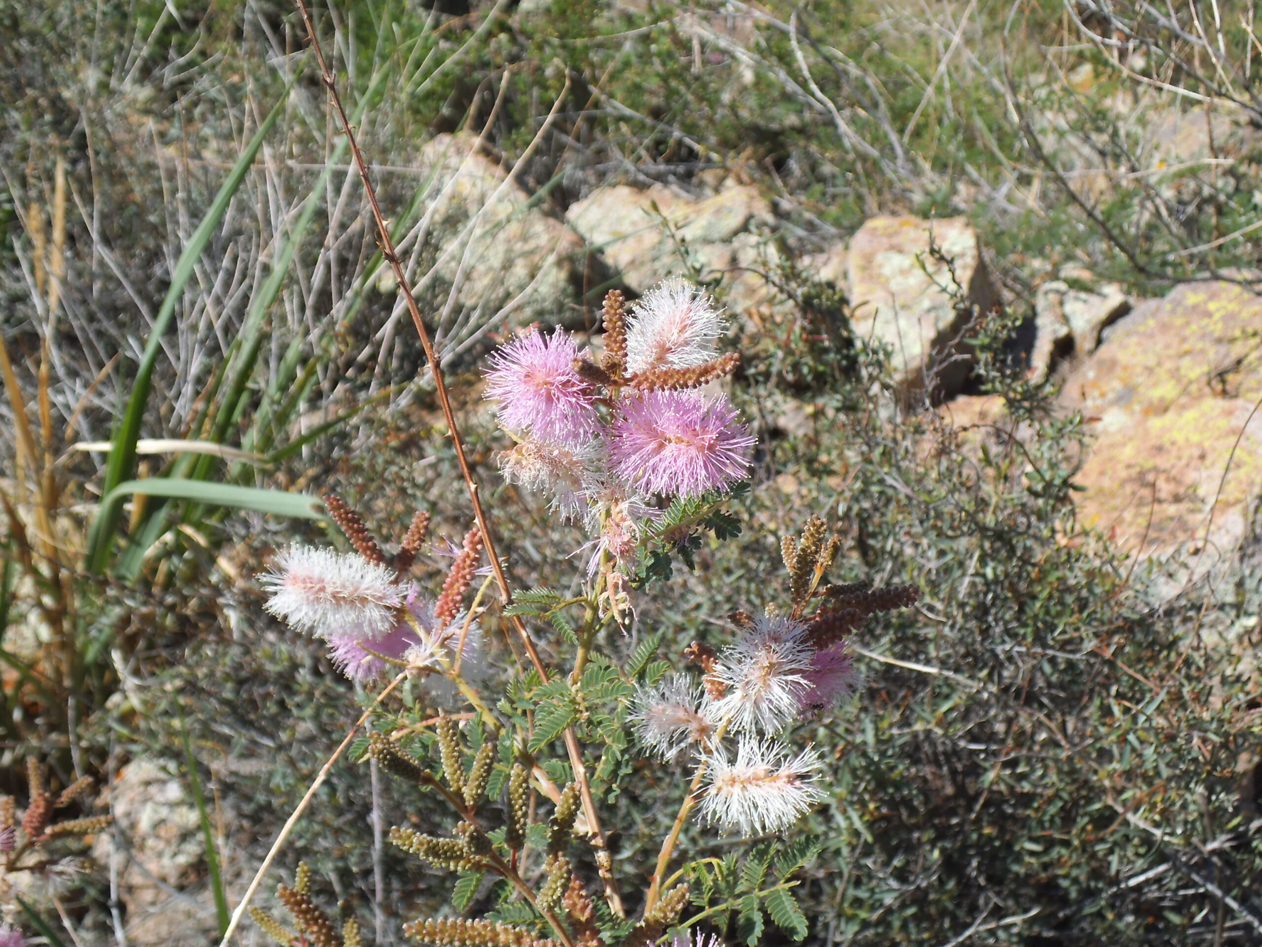
I like flowers, even though I can’t name them, and these were along my path of travel.
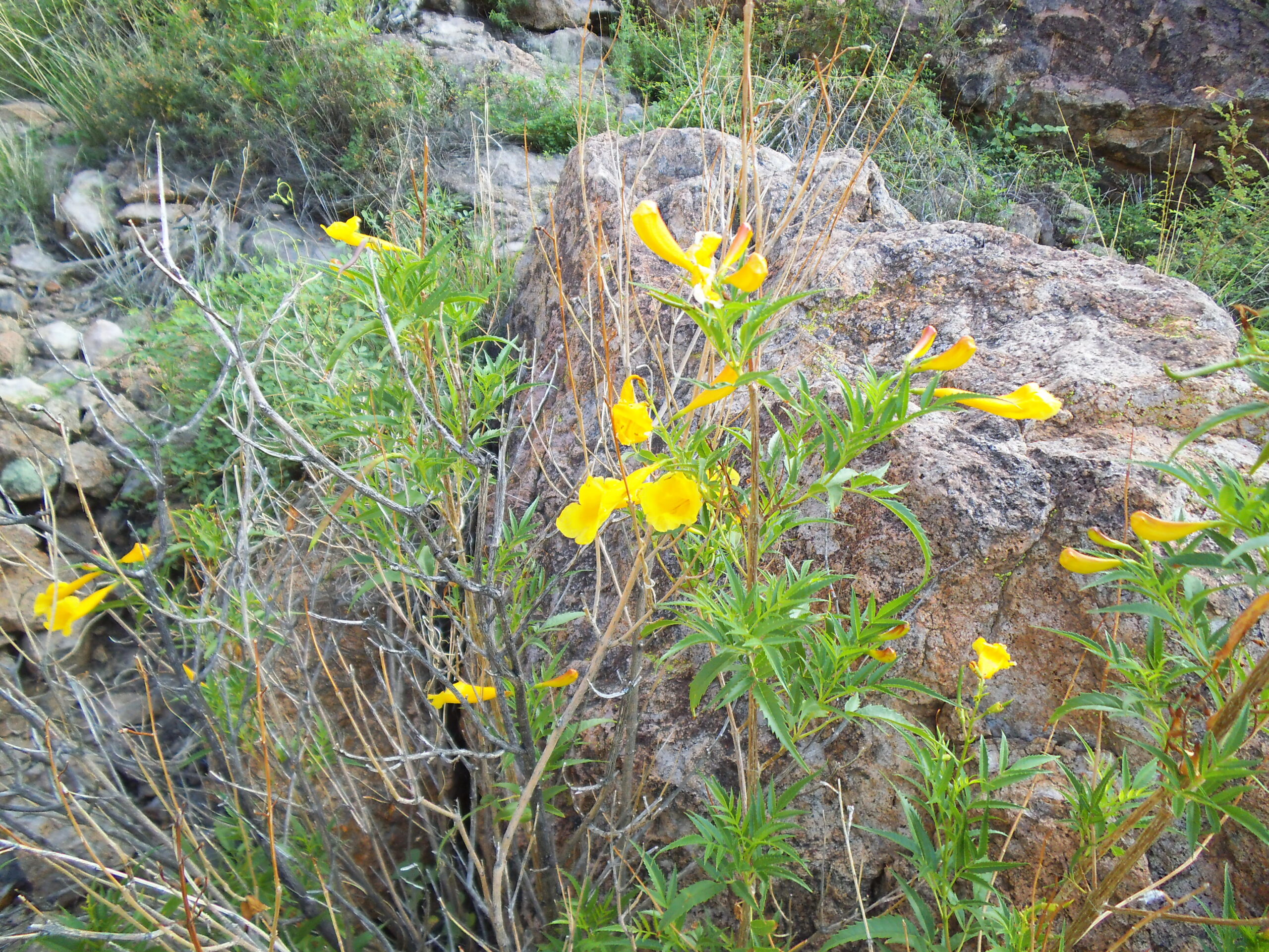
Flowers
It was around 7:20 when I took this next one, getting closer to the summit.
The southeast side of Diablo Mountain
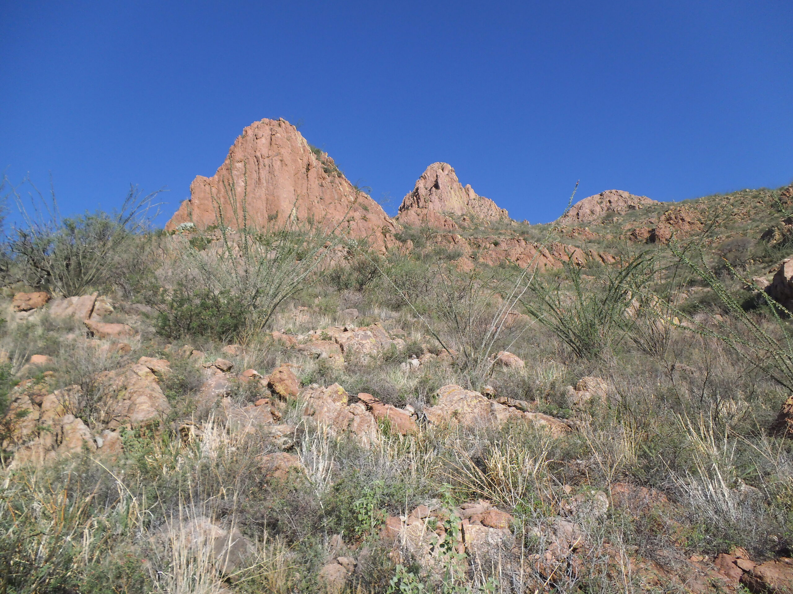
From higher up, there was this view to the south.
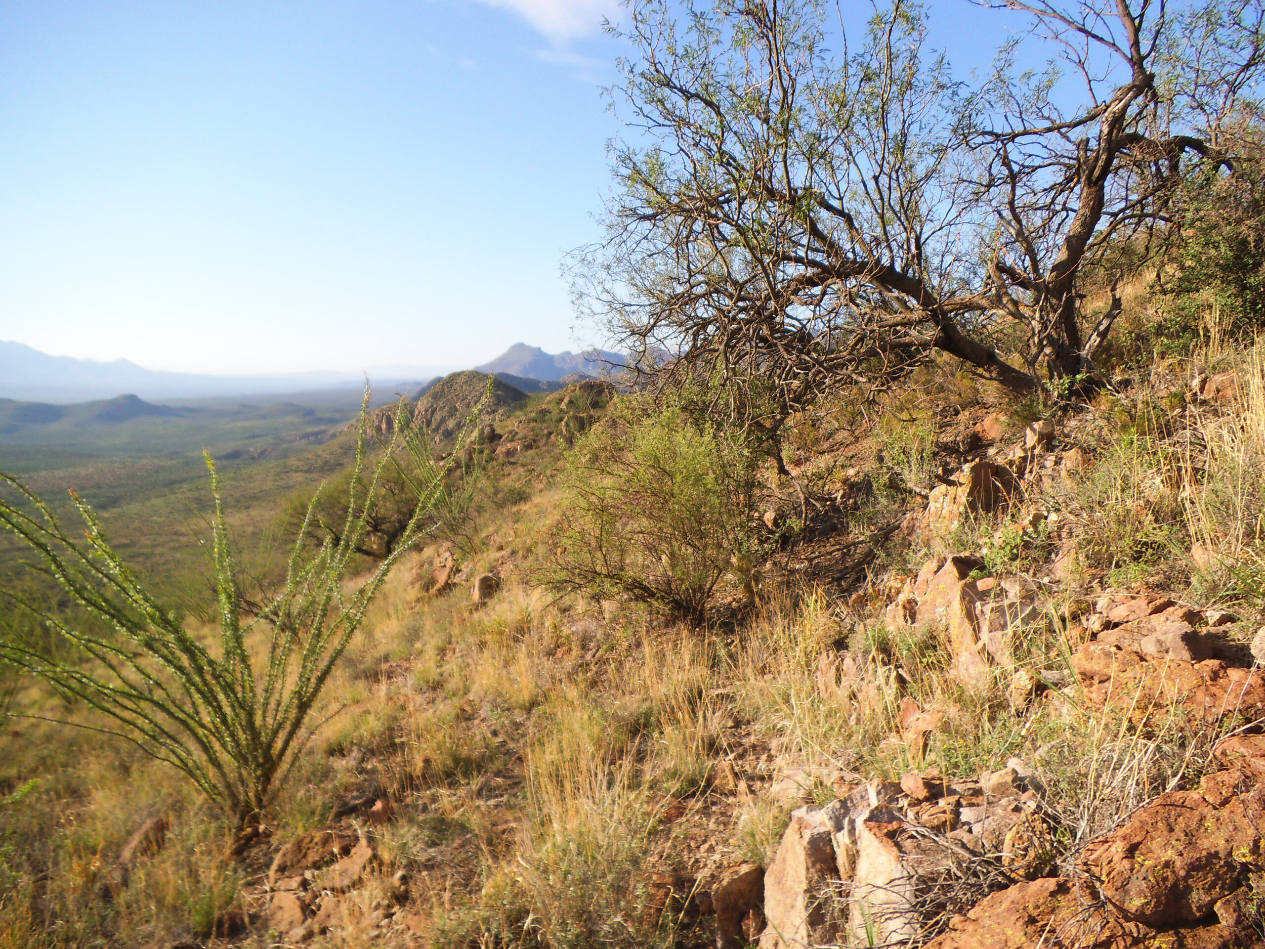
Looking south along the Tumacacori Mountains
As I neared the summit, I found this snake. It’s a Sonoran Gophersnake, the largest one that inhabits Arizona. Some people call them bullsnakes. They are harmless to humans, can grow to over 7 feet in length, and eat mostly rodents.
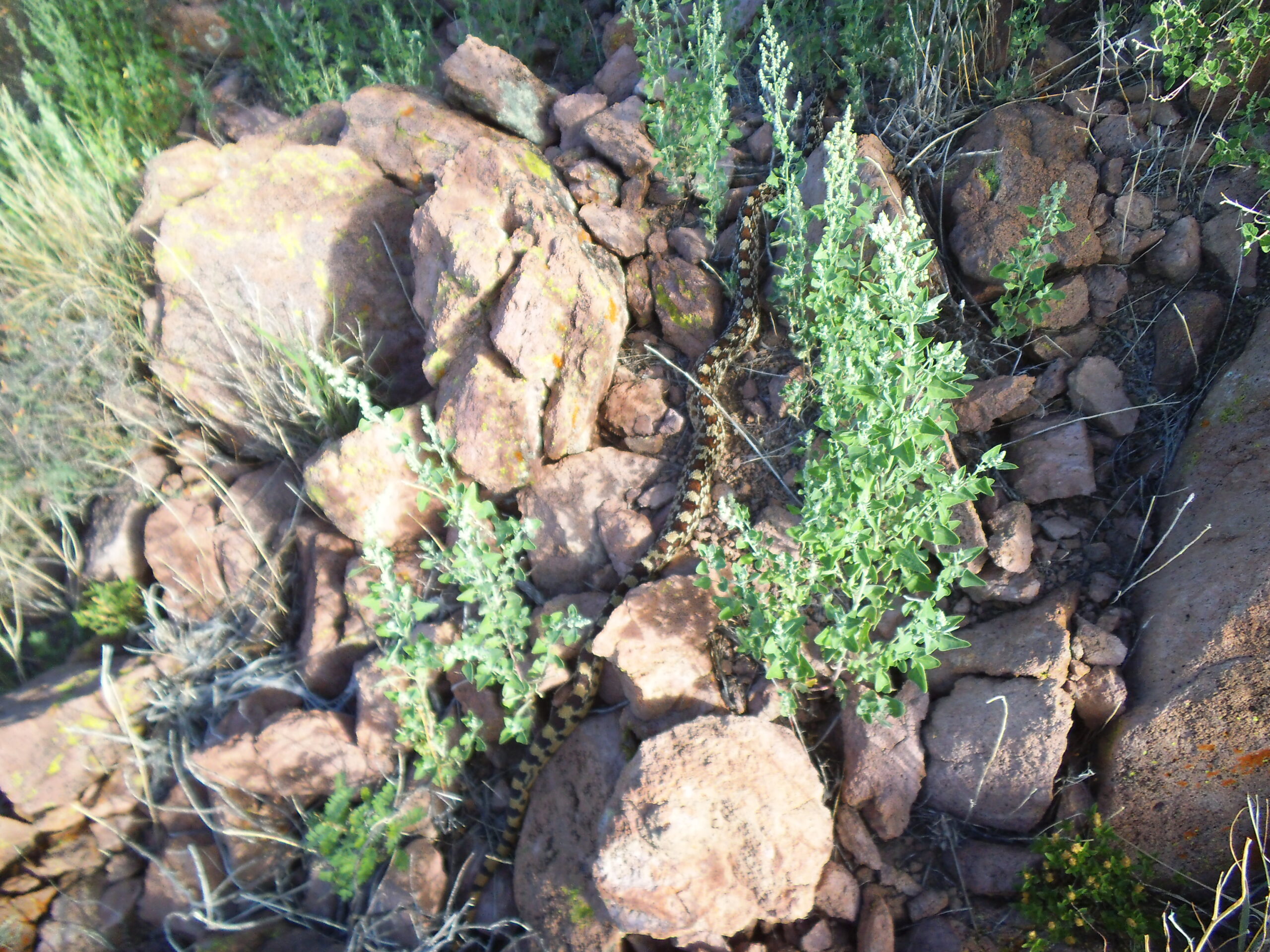
My first view of the snake.
Here’s a close-up of the same critter.
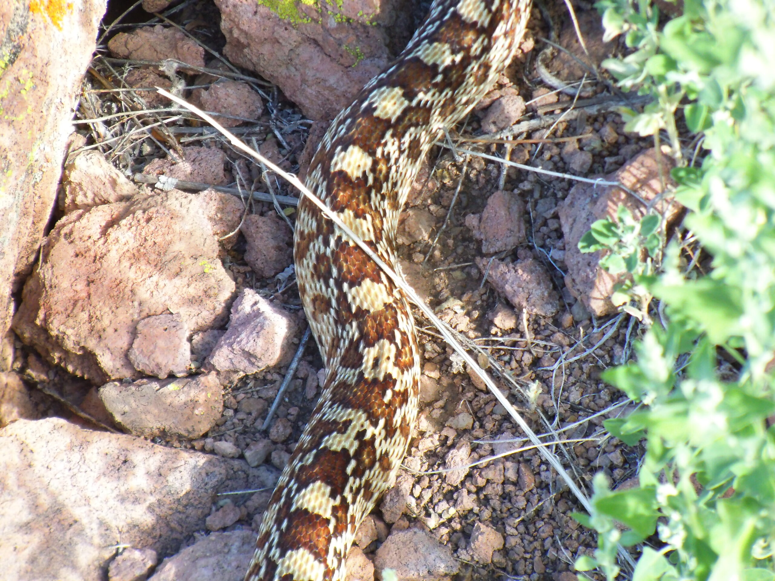
A closer view, showing the distinctive markings.
Nearby were more flowers.
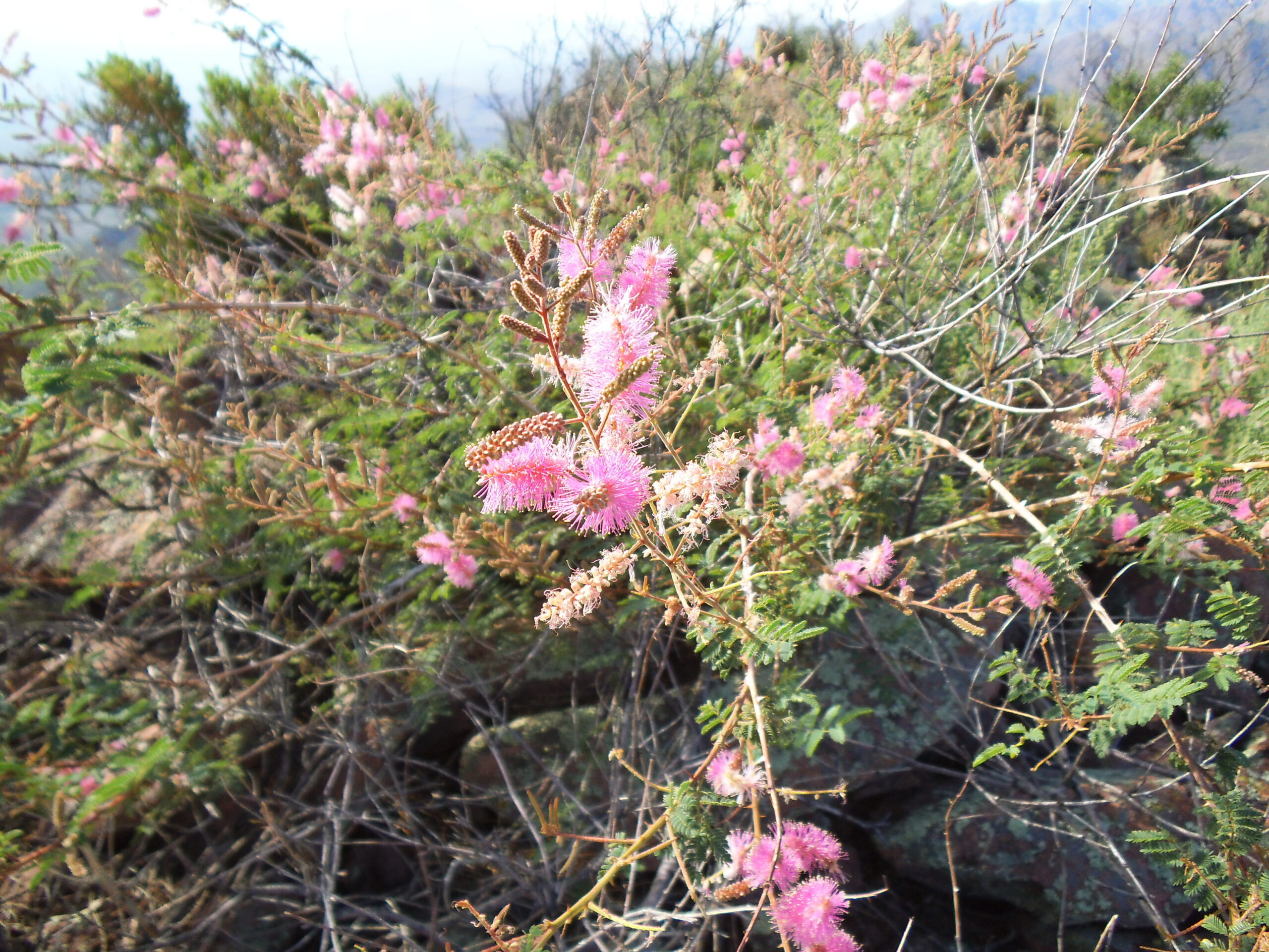
Nice, but I don’t know the name.
A few minutes later, I stood atop the summit of Diablo Mountain, where I found this benchmark. It had a name, “Tubac”, which is a village 5 miles to the southeast.
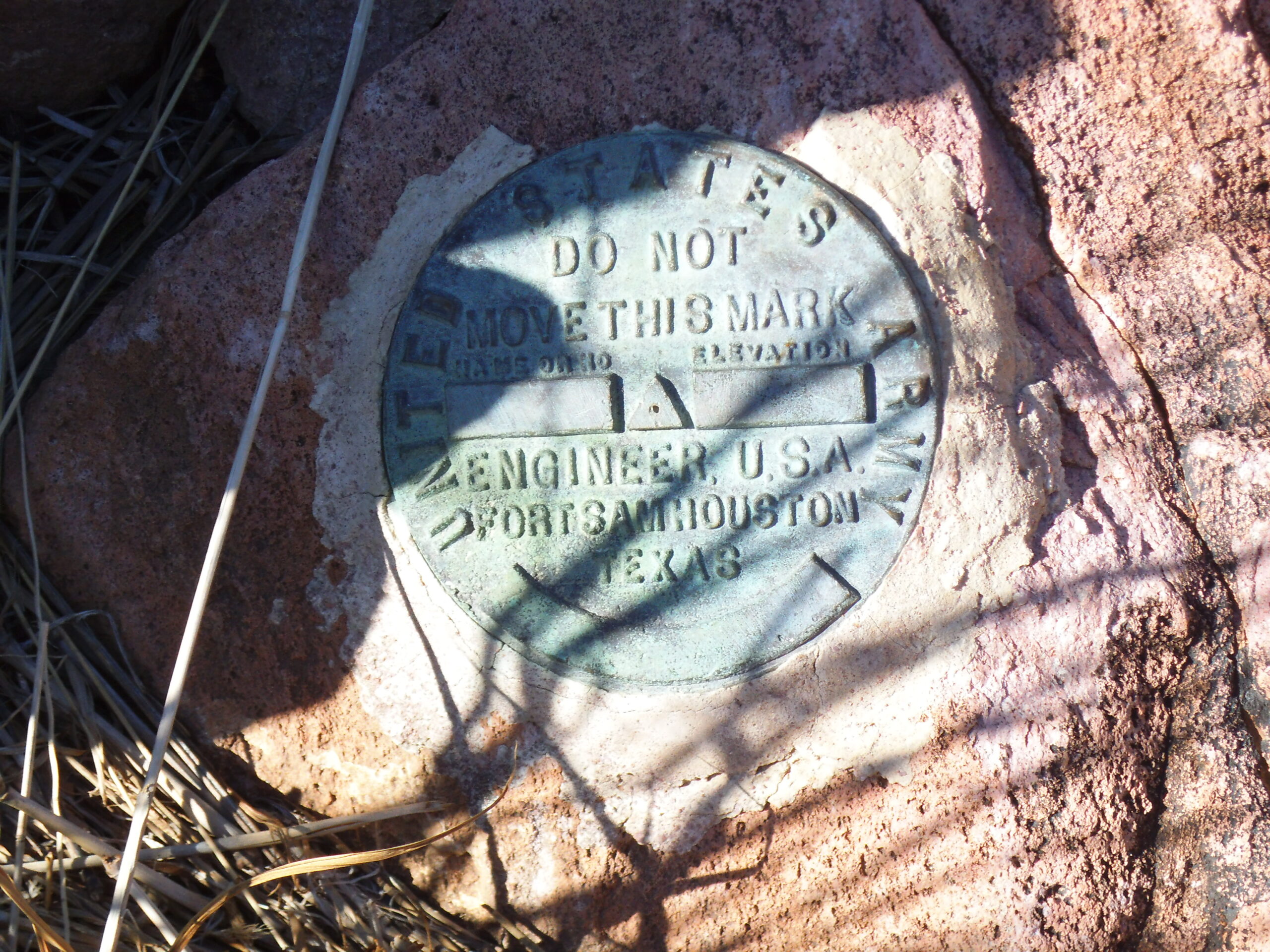
A benchmark placed by the Army Engineers.
Here’s a view from the summit, at 4,953 feet. We are looking south, at 8:20 AM. I found a register left by the Southern Arizona Hiking Club with 5 entries.
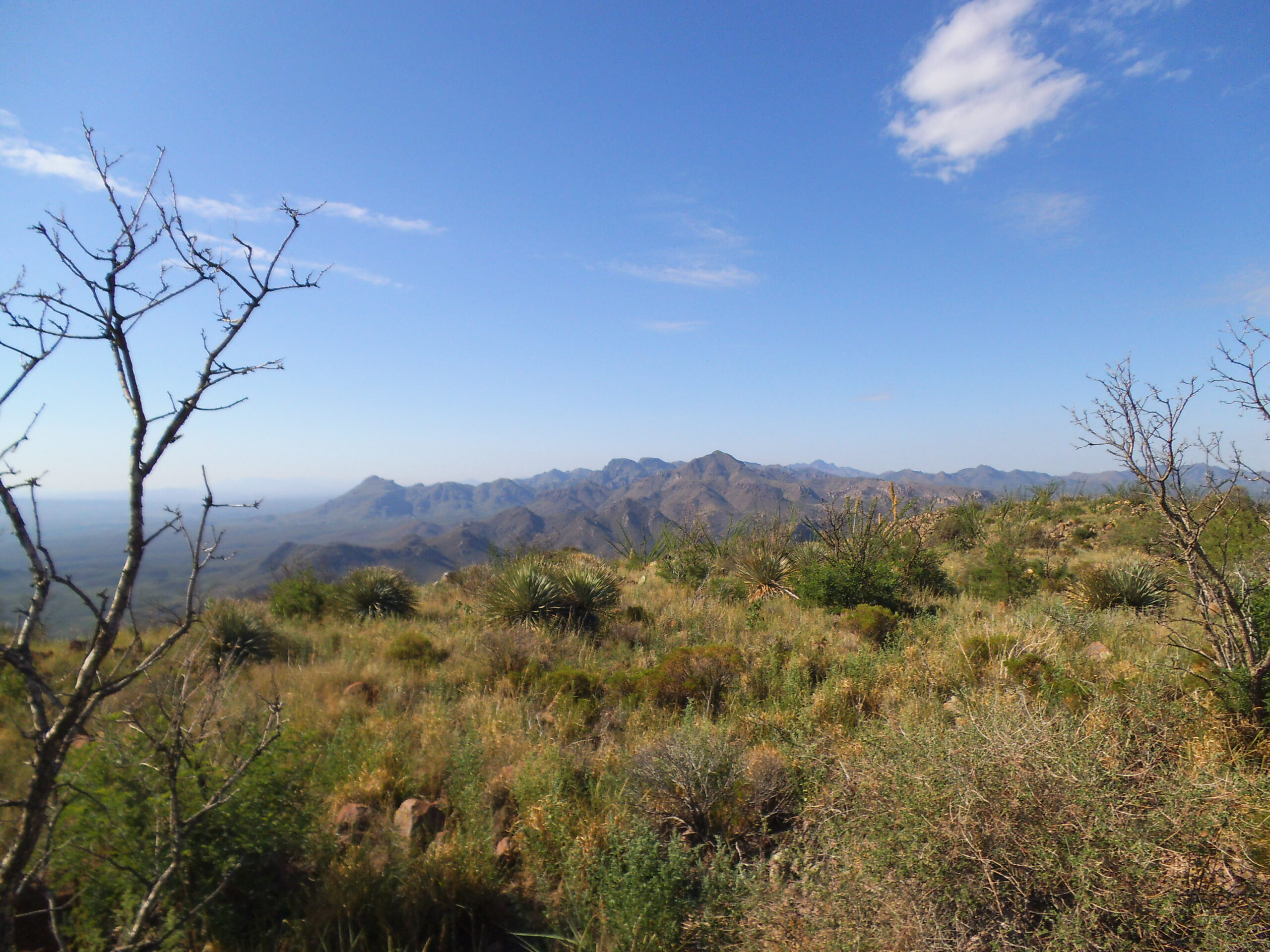
Looking south from the summit. The highest peak on the skyline, a tiny bit to the right of center, is Sardina Peak, just over 4 miles away. Just to its left are 2 bumps on the skyline – those are the 2 peaks shown earlier in the first picture in this story.
After a few minutes on top, I started back down. Not 15 minutes later, I almost stepped on another snake, quite a bit smaller than the previous snake. My friend Dave Jurasevich identified it for me. He says:
The other snake is a Tiger rattlesnake. Its coloration and transverse banding is a dead give-away in identifying this snake. It is a small rattlesnake but its venom is extremely potent, having both neurotoxin and myotoxin components. Ranked in level of toxicity it is one of the top three rattlesnakes in the world. Fortunately, it is a small, non-aggressive species so its injection load is small, however it still poses a great threat to humans who get bit by it.
I went online and learned that there are 600 different species of venomous snakes in the world. I also learned this:
Tiger Rattlesnakes are native to the Sonoran Desert of southern Arizona and northern Mexico where the relatively small pit viper preys on lizards and rodents. While some species of rattlesnakes have complex venoms that are the result of scores of genes, a scientist named Margres said the Tiger Rattlesnake’s venom is quite simple — as few as 15 of its 51 toxic-producing genes actively drive the production of proteins and peptides that attacks its prey’s nervous system, forces blood pressure to drop and causes blood clotting to cease.
Dave went on to say this:
Here are scientific papers on the Tiger Rattlesnake. The second article ranks its venom as the 7th most deadly of all snakes worldwide, on par with the Black Mamba. An impressive little beastie to say the least. You don’t want to get tagged by one of these guys.
Wow, 7th-deadliest of the 600 venomous snakes in the world. I am so glad I didn’t step on it and get bitten. Here’s my picture of that snake.
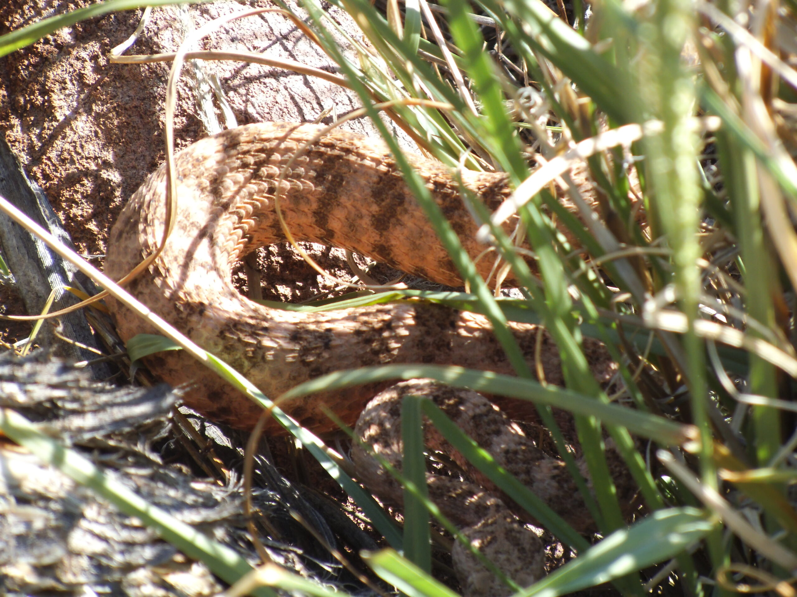
The Tiger Rattlesnake. His head is at the bottom center edge of the photo in the shade, facing us.
Close to where I had parked for my climb of Diablo Mountain stood another, lower peak. I thought I’d climb it as part of the same outing, so I headed south to reach a saddle at 3,870 feet, then continued up a ridge to gain the top of Peak 4190. It was 9:48 AM when I reached its summit. There, I took this photo looking back to Diablo Mountain, which is barely a mile away.
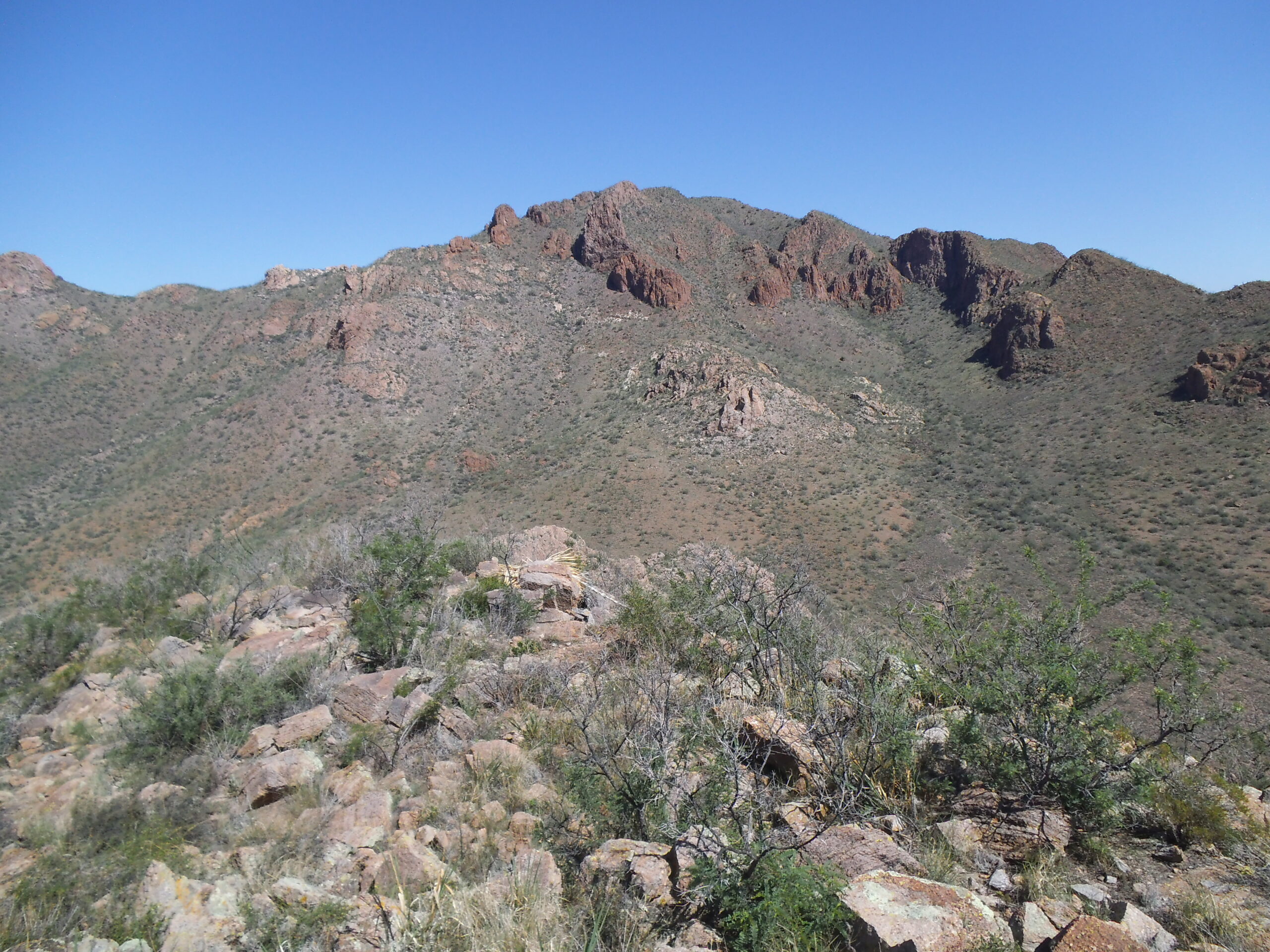
A look northwest to Diablo Mountain from Peak 4190
These flowers grew on the summit.
On top of Peak 4190
I found this metal stake with a vine growing up it. One of the readers of my stories, Bob Morse, a retired geodetic surveyor, said that this is likely a witness stake, a “witness” to a nearby survey marker, typically placed adjacent to or within 3 or 4 feet of a survey marker but it could be more.
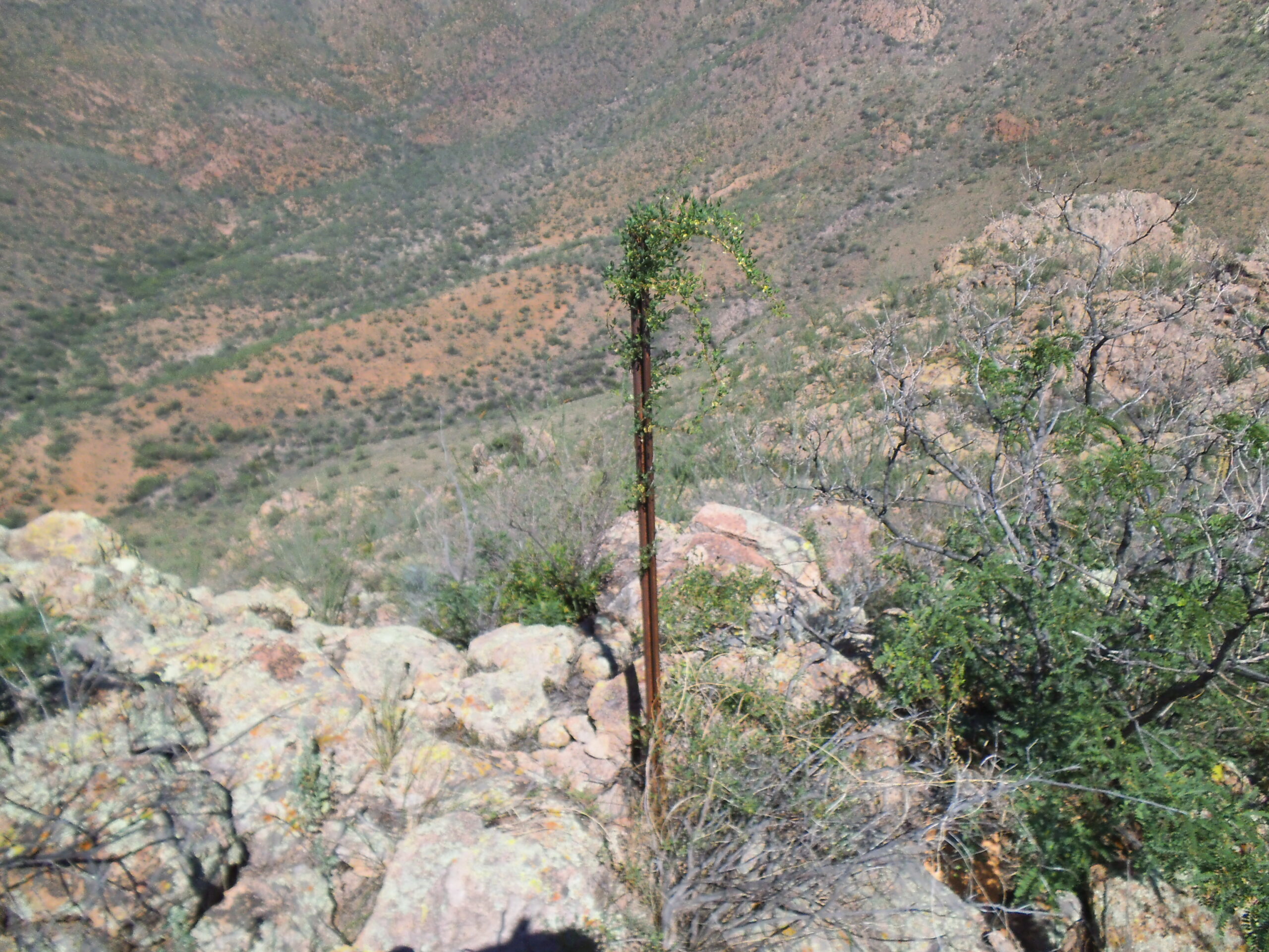
The vine.
It only took a few minutes to drop down the 420 feet to my truck. What now? It was still early, just after ten o’clock, and not terribly hot yet. I figured I was good for one more if I got it done soon, so away I went. Following some dirt roads, I drove east, then north, then west, in the process passing Tres Puertas tank, then New Well and Diablo Well, to finally park near Chivas Spring. It was a drive of just over 6 miles on good roads, and I was parked and ready to go before 11:00 AM. I had this view northwest to my next goal, Diablito Mountain.
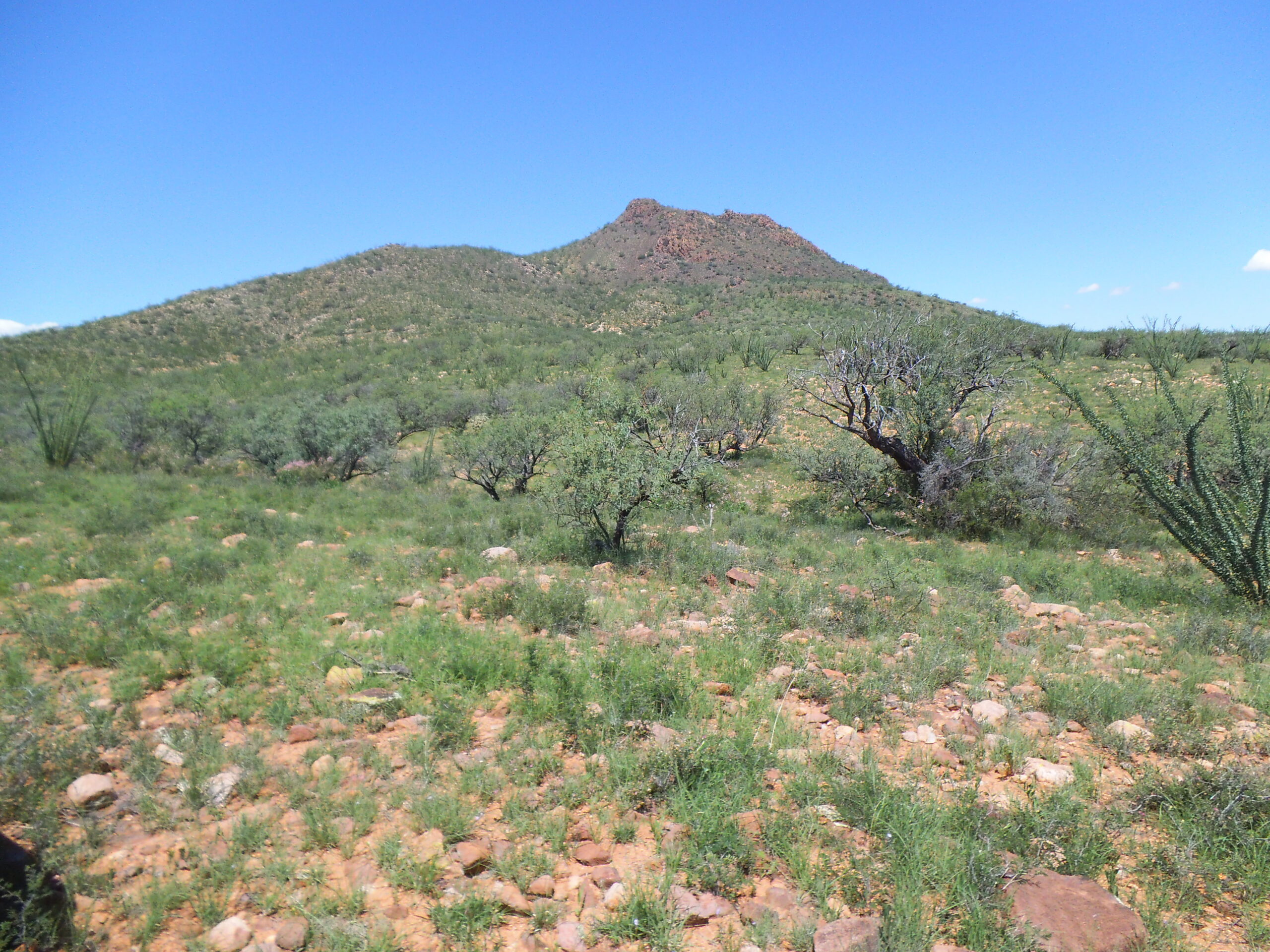
A look northwest to Diablito Mountain.
As I headed towards the peak, I passed these flowers.
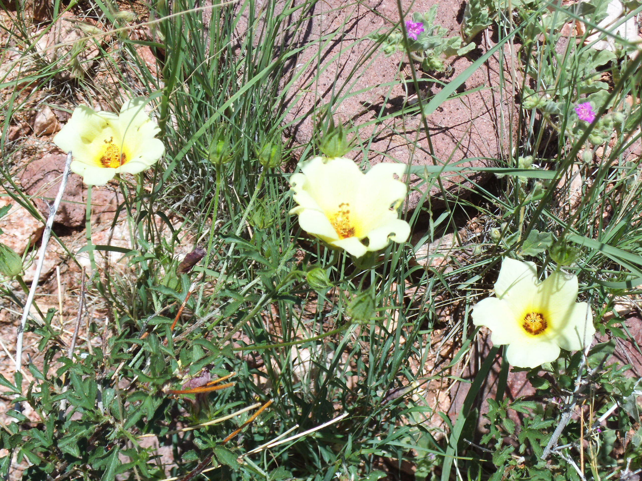
Nice
I also found this fish-hook barrel cactus in bloom.
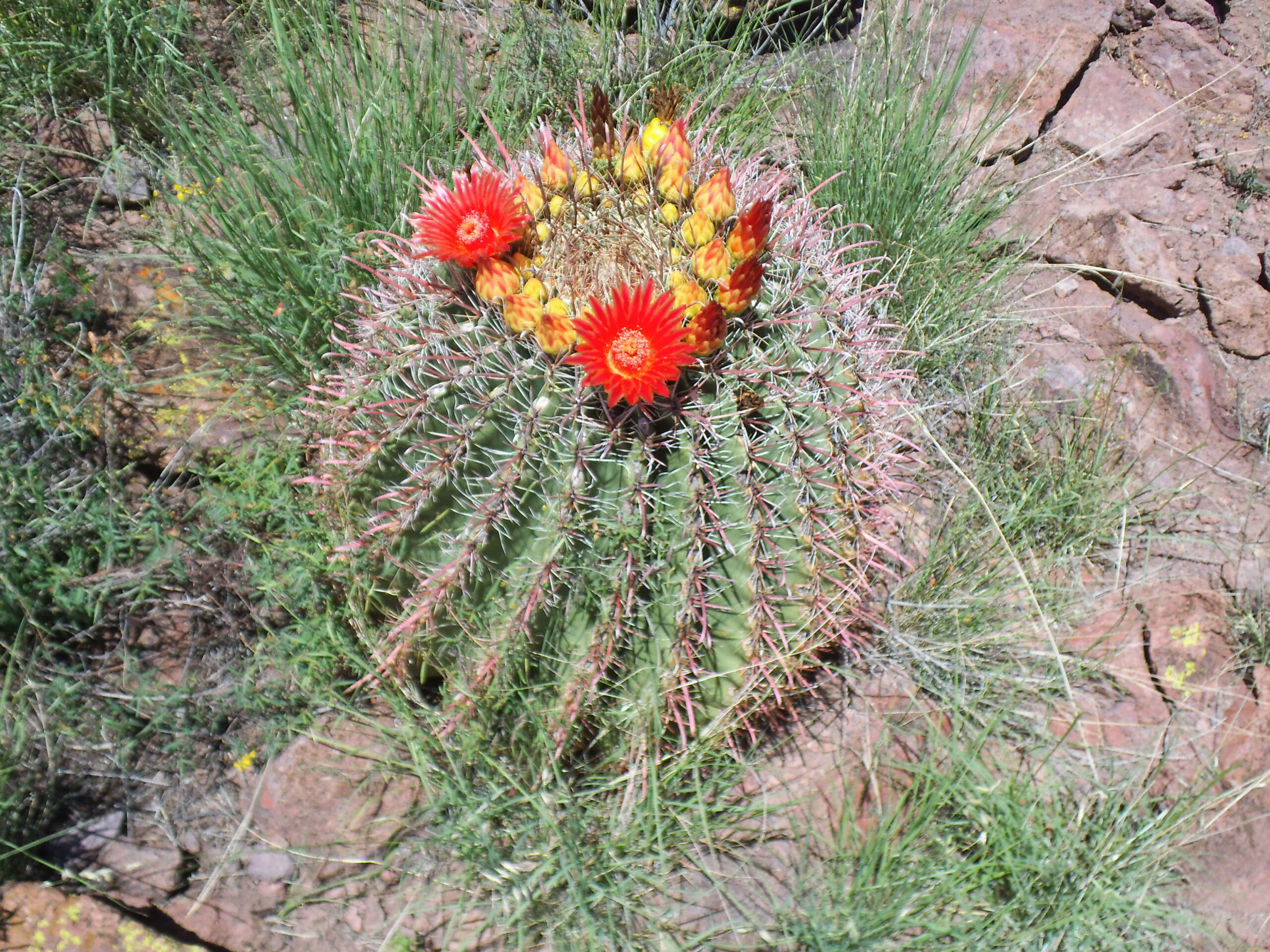
A barrel cactus putting on a display.
When I arrived at the top of Diablito Mountain, I found a register with signatures from a few friends in prior years, and I added mine. By the time I got back to my truck, just over an hour had passed. I had beaten the worst of the heat, and called it a good day. Devil Peak and Little Devil Peak were done, all in a good day. It was an easy drive home.
Two months later, I returned to the range one more time. In the company of friends Jake Cramer and Erik Brown, I climbed Sardina Peak. That day’s effort was written up on this website under the title “Sardina Peak”. You can go to the search bar and type in the name.
It’s not likely I’ll return to the Tumacácori Mountains, but I did enjoy my time spent there. Thanks for coming along.