
We rejoin our story on the morning of the second day of our journey along the historic Camino del Diablo. It was cold overnight, the temperature dropping to 28 degrees F. We were up at first light, grabbed a bite and broke camp. Just after 8 in the AM, we were moving. You may recall that we were 54 miles into our journey at this point.
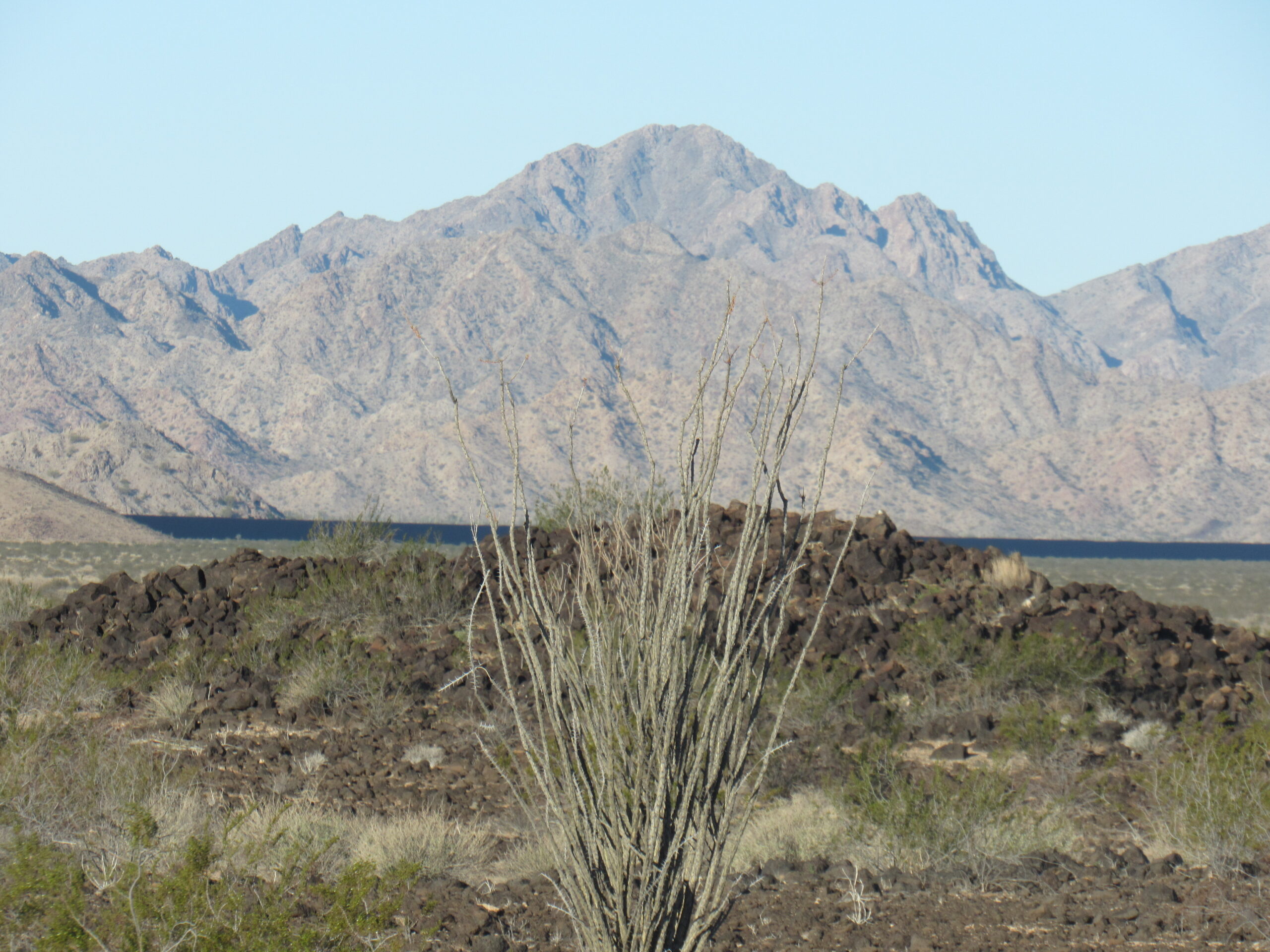
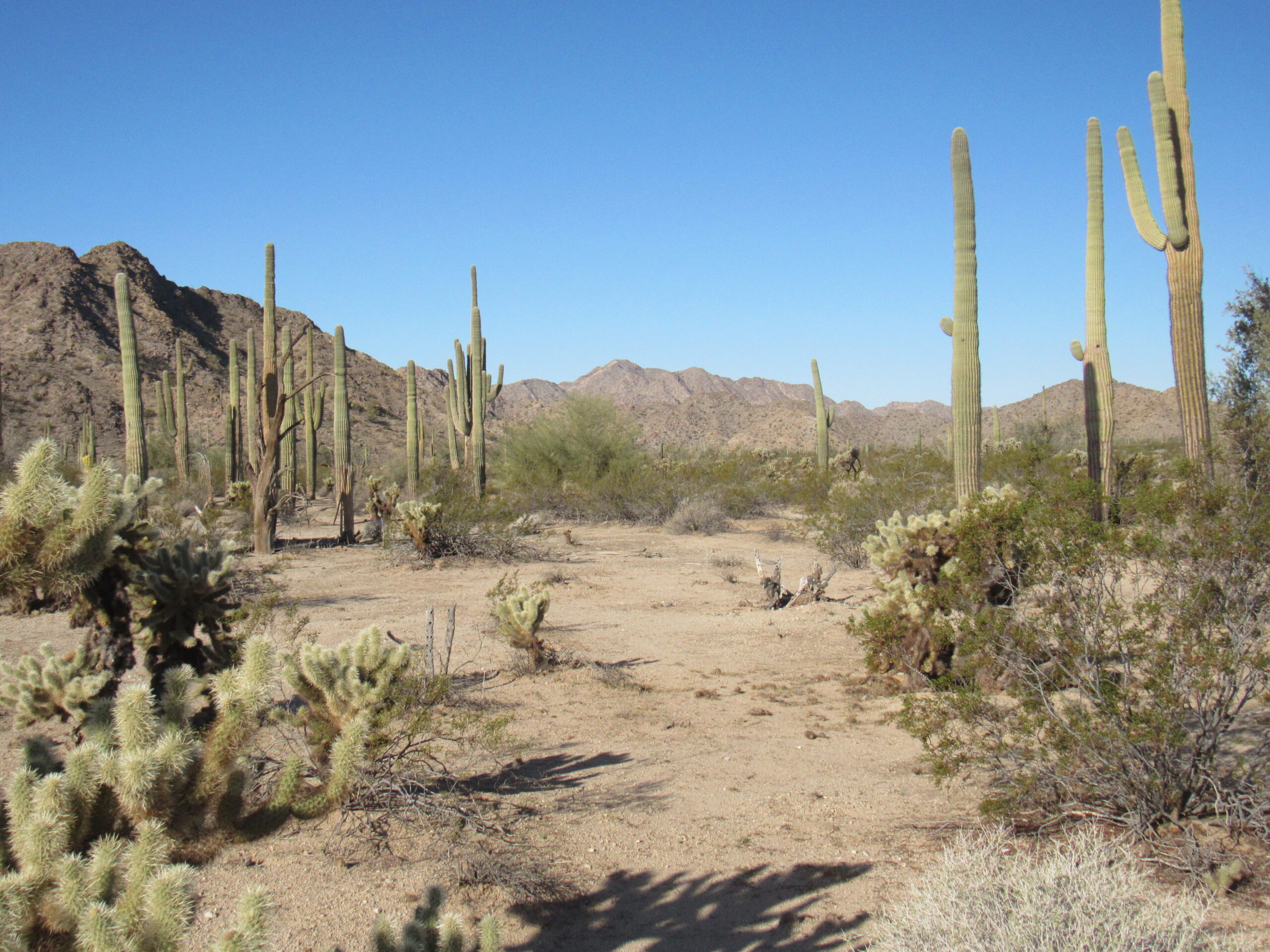
The air seemed clearer than yesterday, so the views were outstanding. As we drove, in some places the sand was more prevalent; in others, the lava. Here’s a view from ground level looking north to the volcanic crater of Point 911 and the distant Sierra Pinta beyond.
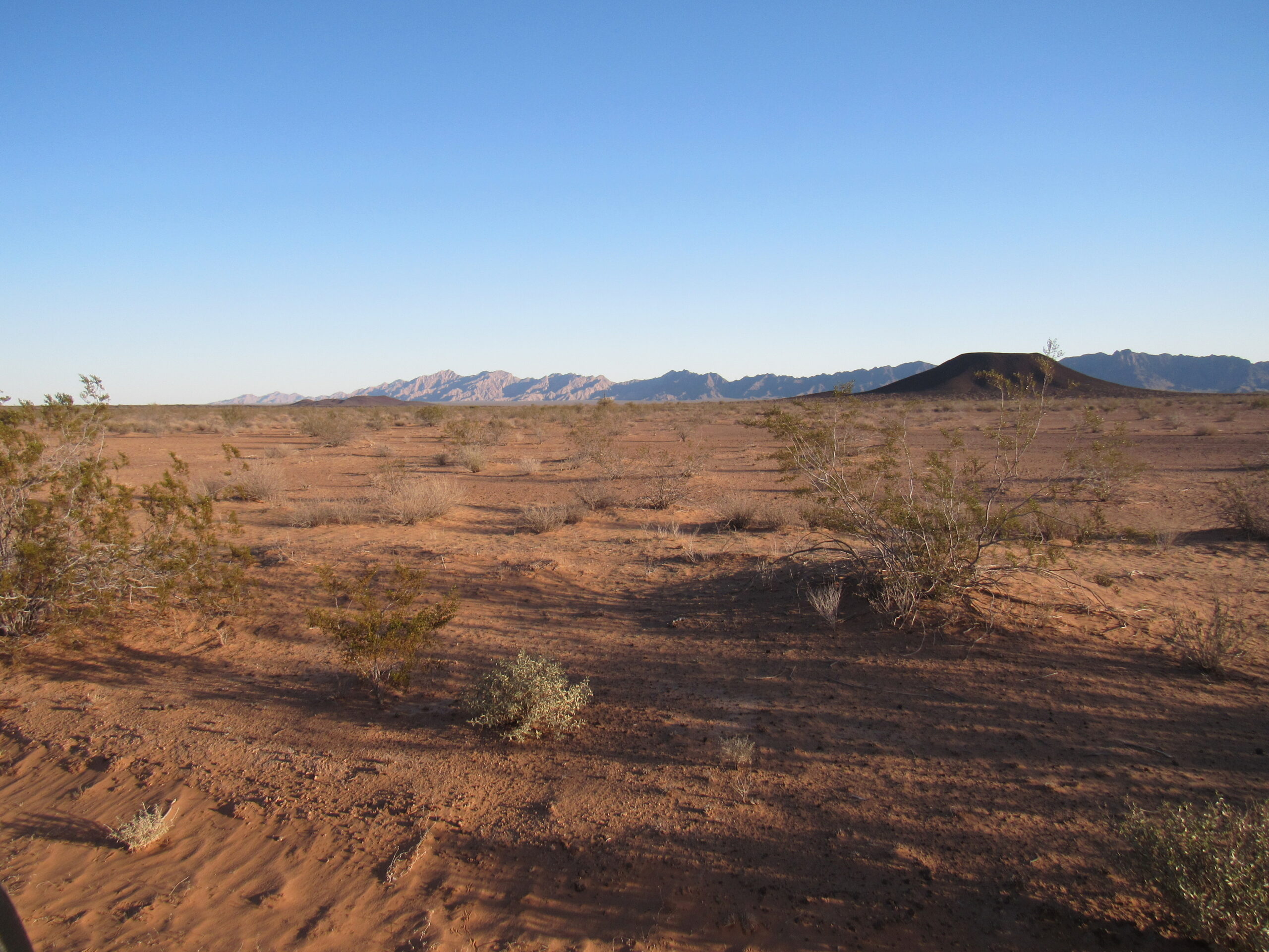
North to the volcanic cone of Point 911, which is 2 miles away. Lots of sand here.
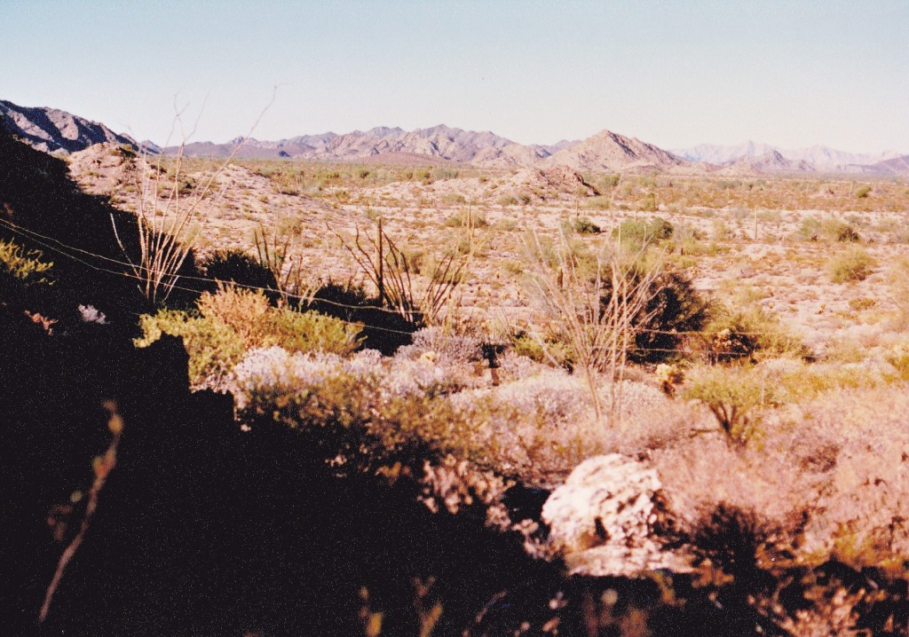
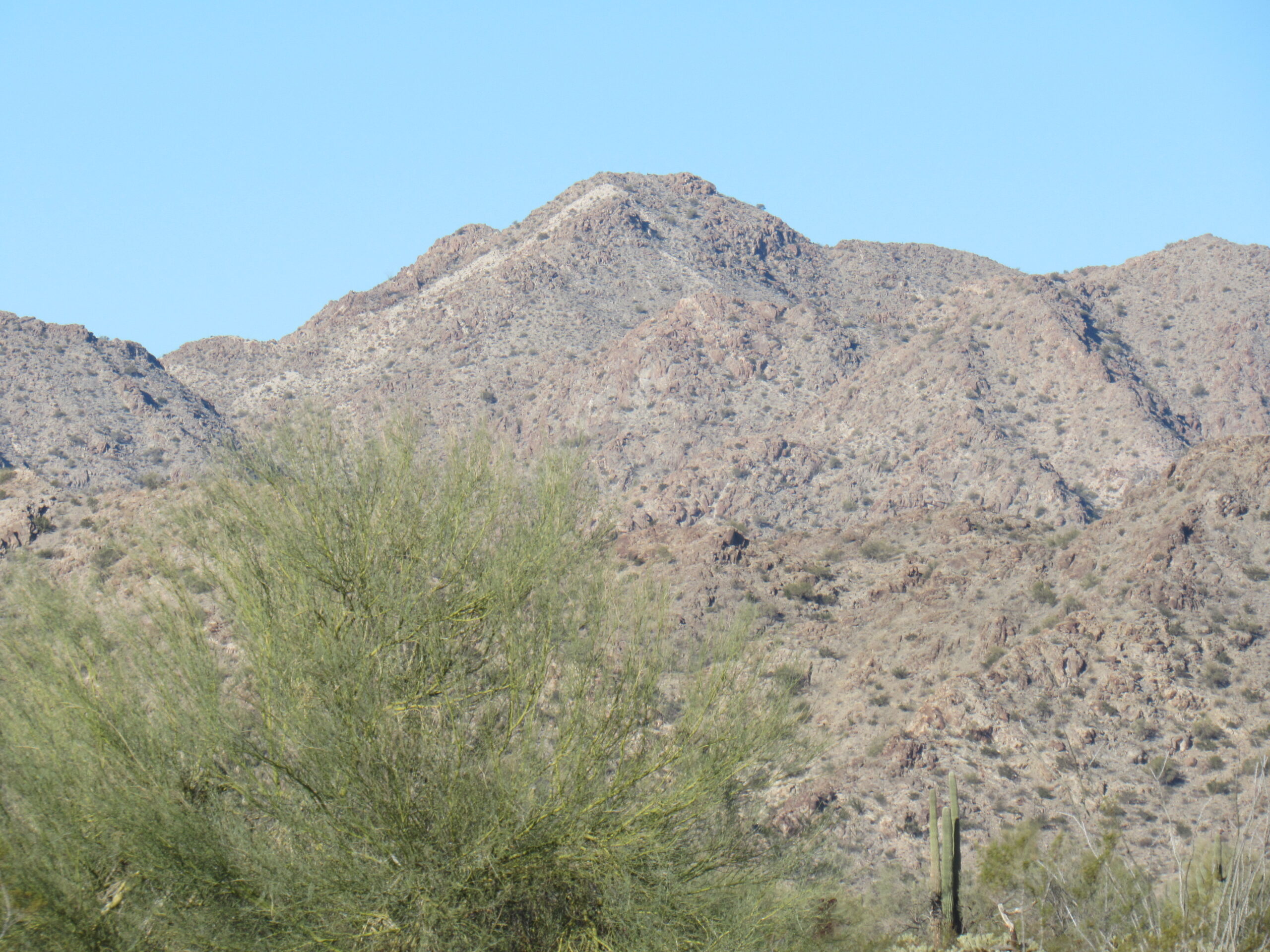
Looking the other direction, to the south of the road, we see Point 1037.
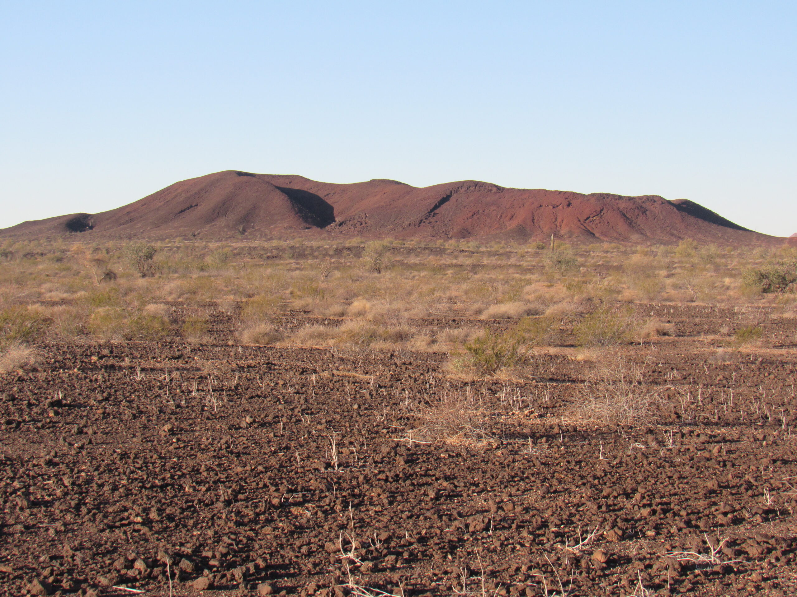
Point 1037, less than a mile from the road.
This next peak was a short distance across the border into Mexico.
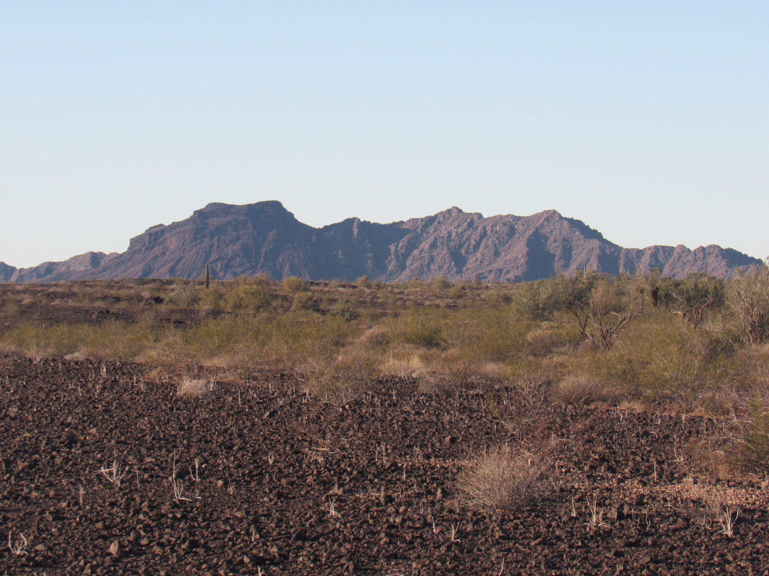
A peak in Mexico
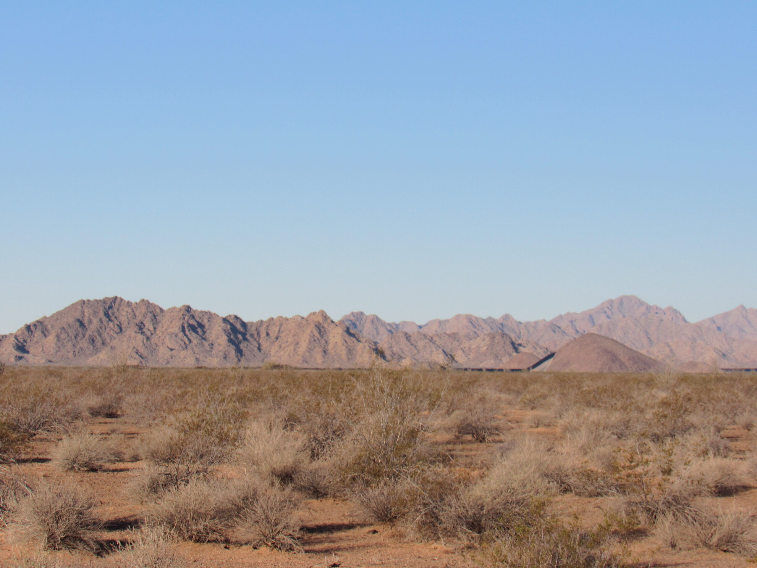
This next shot shows how the Camino looks through much of the lava beds – a pretty minimal track. In the distance, stretching across the entire horizon, are the Tule Mountains, the next major attraction we would come to.
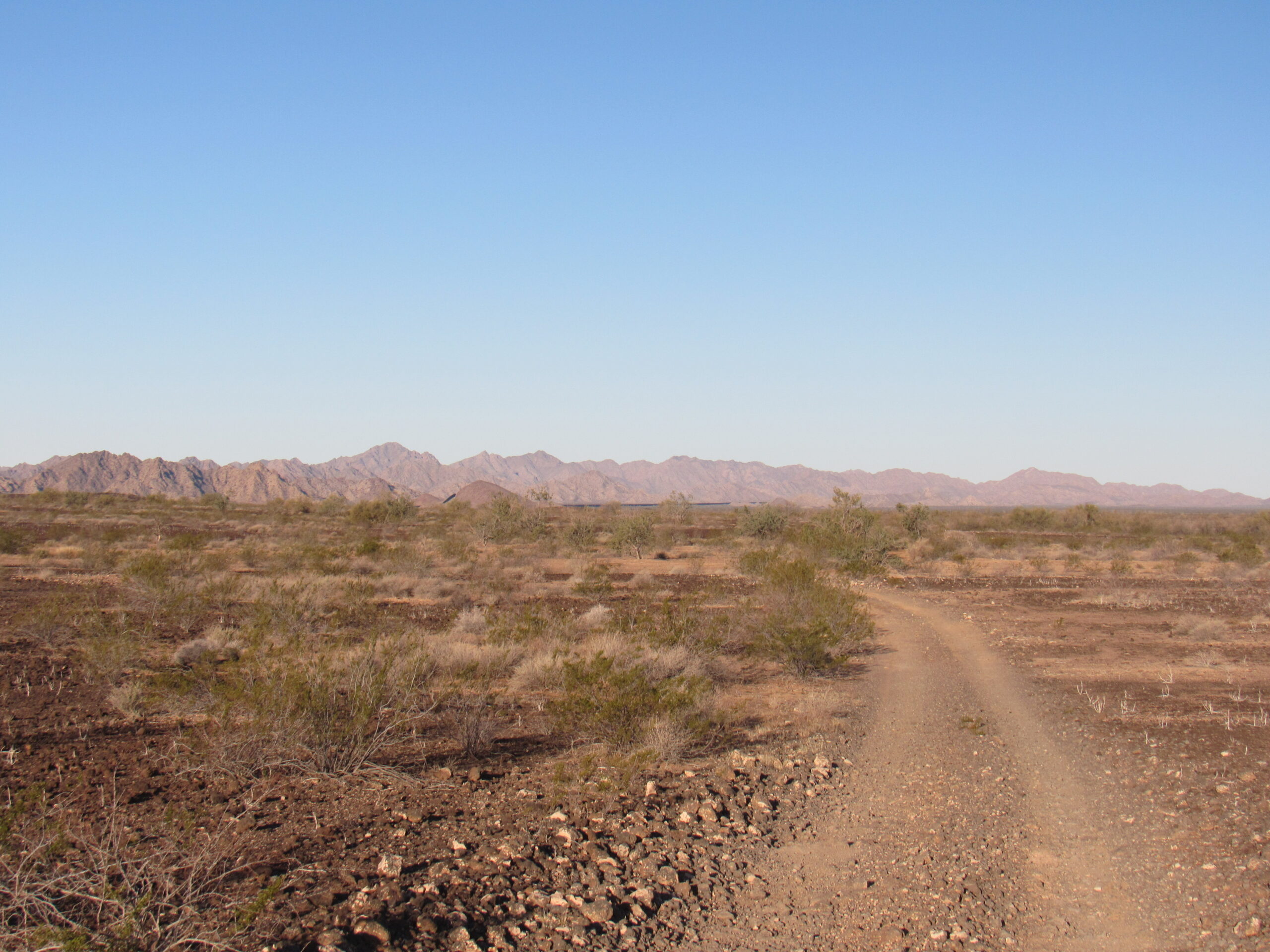
The distant Tule Mountains
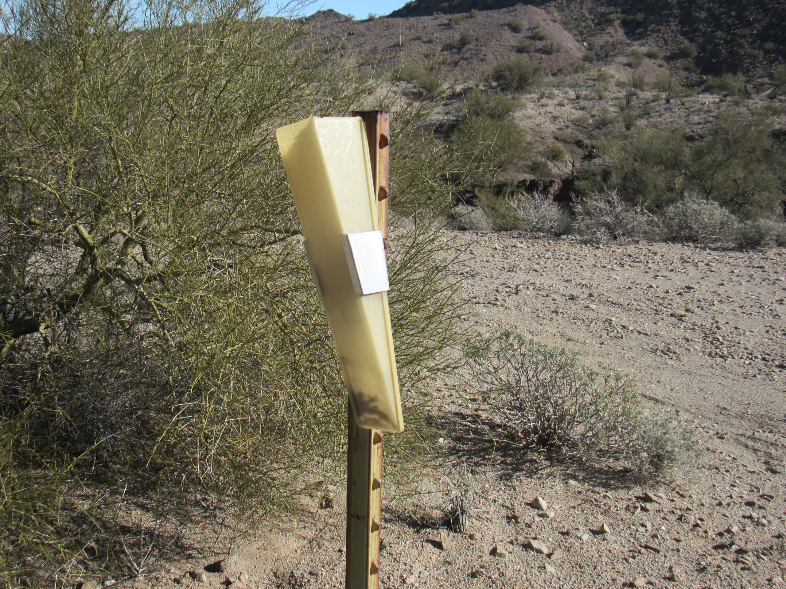
This next photo was a real puzzler. Why a speed limit, in a place where you could go for days without seeing another soul?
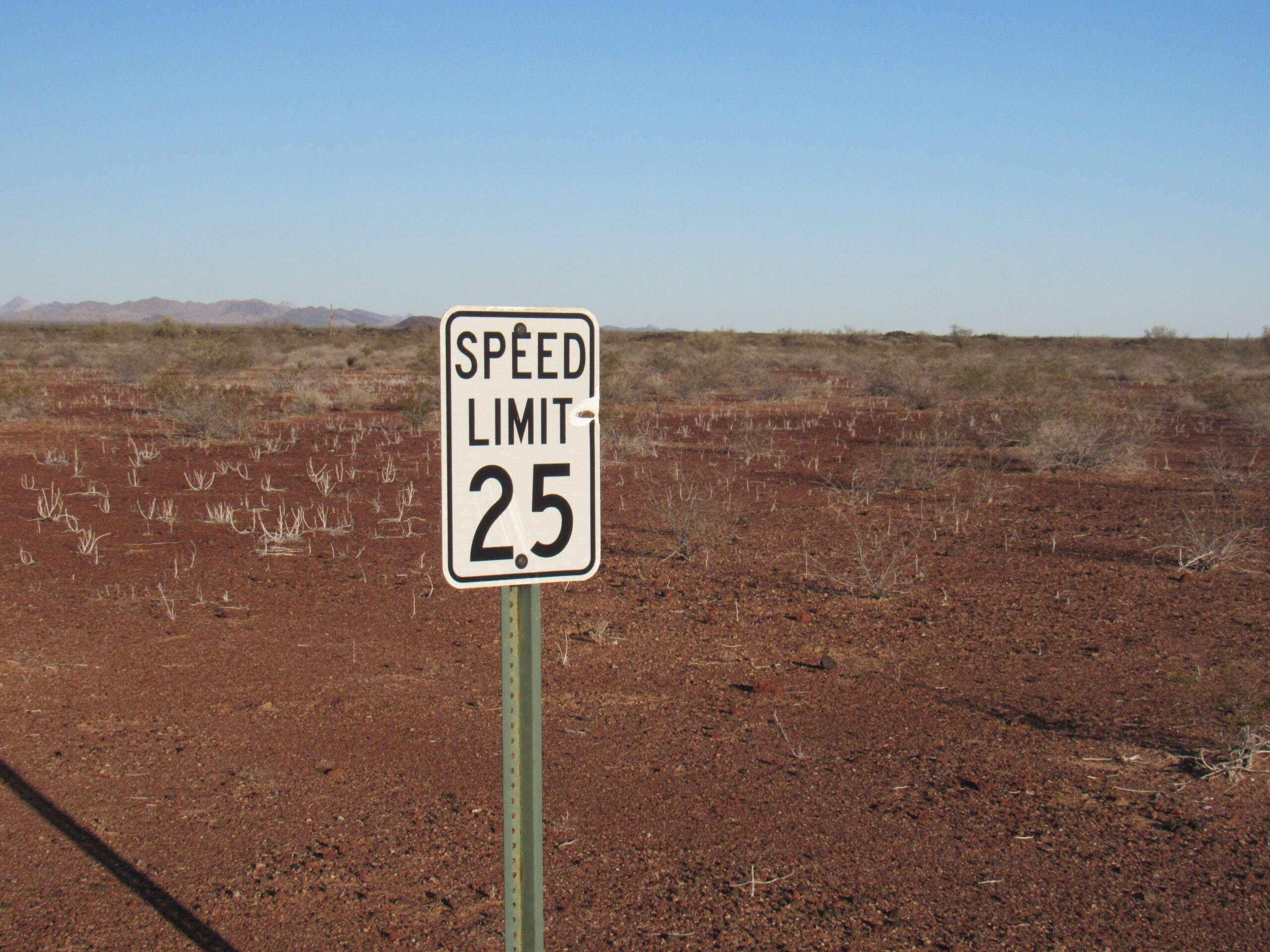
Watch your speed!
I took this next photo only a mile away from last night’s camp. It looks over to the border, not much more than a mile away. What’s that black line?
Towards Mexico
Zooming in for a closer look, we see this.
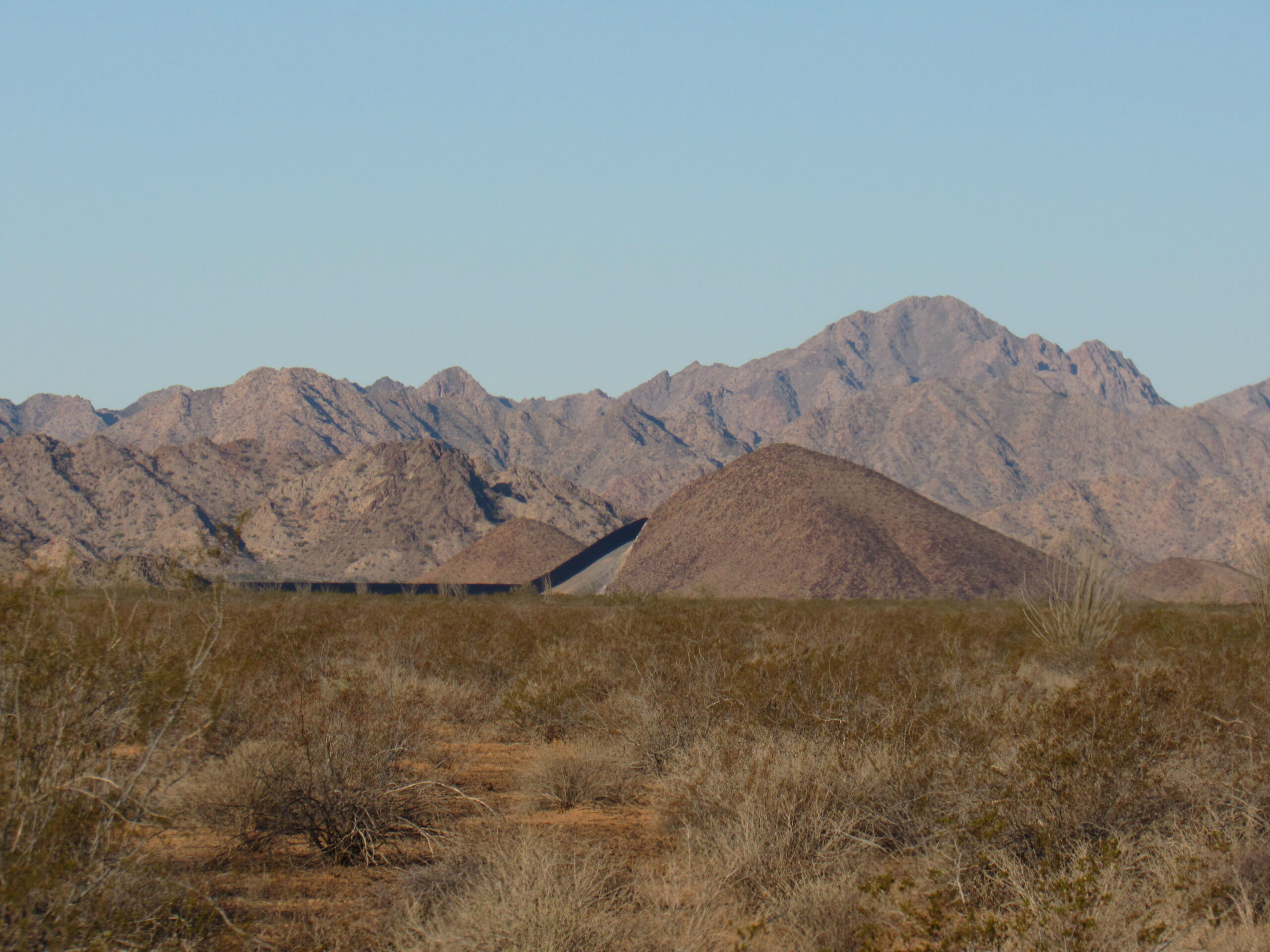
It’s the wall again.
Yep, it’s the wall, creeping over the backside of Point 1093, right where Border Monument 182 is located.
As we drove along this part of the Camino, we saw many of these small volcanic bumps. There were hundreds of them scattered all through the lava beds, often only 10 or 20 feet high.
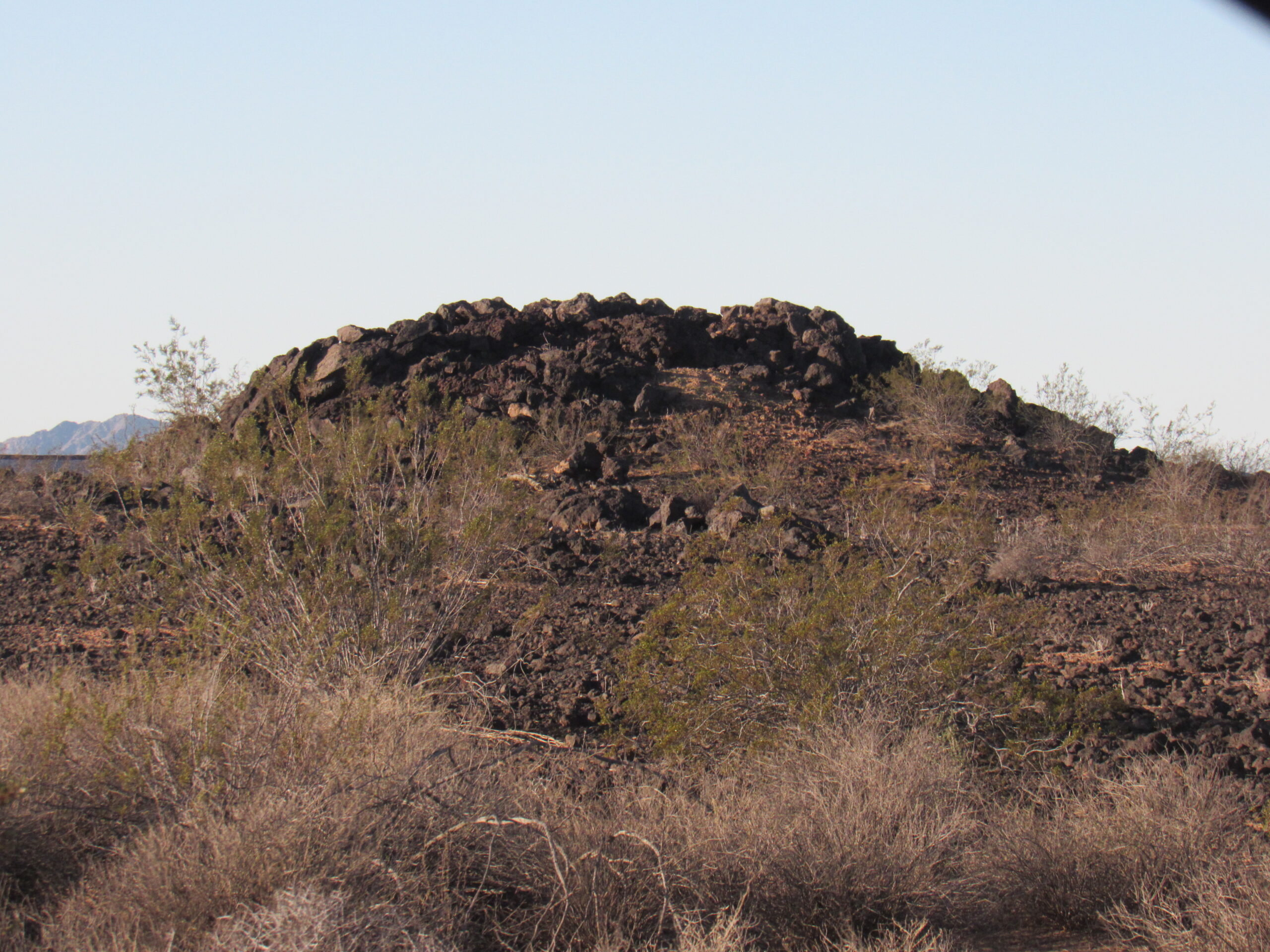
Small lava hill.
This next photo shows Peak 2657, a mountain in Mexico. It is the highest point of the Tule Mountains, which just happens to lie south of the border. Actually, there are 5 Arizona mountain ranges whose very highest points lie across the border in Mexico. If you decide to complete the list of climbing all of the high points of the 193 mountain ranges of Arizona, you must climb all of those Mexican peaks, a dangerous undertaking these days. The name of the range is different in Mexico, where it is known as the Sierra El Choclo Duro, meaning “The Hard Corn Range”. You can see another stretch of the border wall in this picture.
The Mexican high point of the Tule Mountains.
Back in the 1980s, when I went to climb this peak, conditions were different. For one thing, there was no border wall or vehicle barrier of any kind. Have a look at this old photo from the day I did the climb. I am standing in Mexico and looking back across the border into the US. The border is right there, only 20 feet away. You can see a few loose strands of barbed wire – that was it!
No problem here, right?
As we drove on, we crossed the western band of the Pinta Sands. It shows well here.
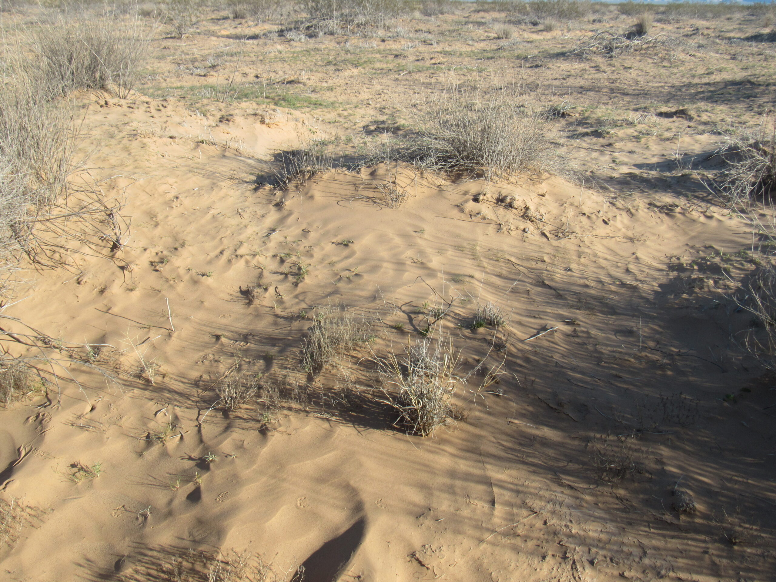
The Pinta Sands
Over the years, the Camino has become deeply eroded into the Pinta Sand – shown here, the sand bank is 4 feet high.
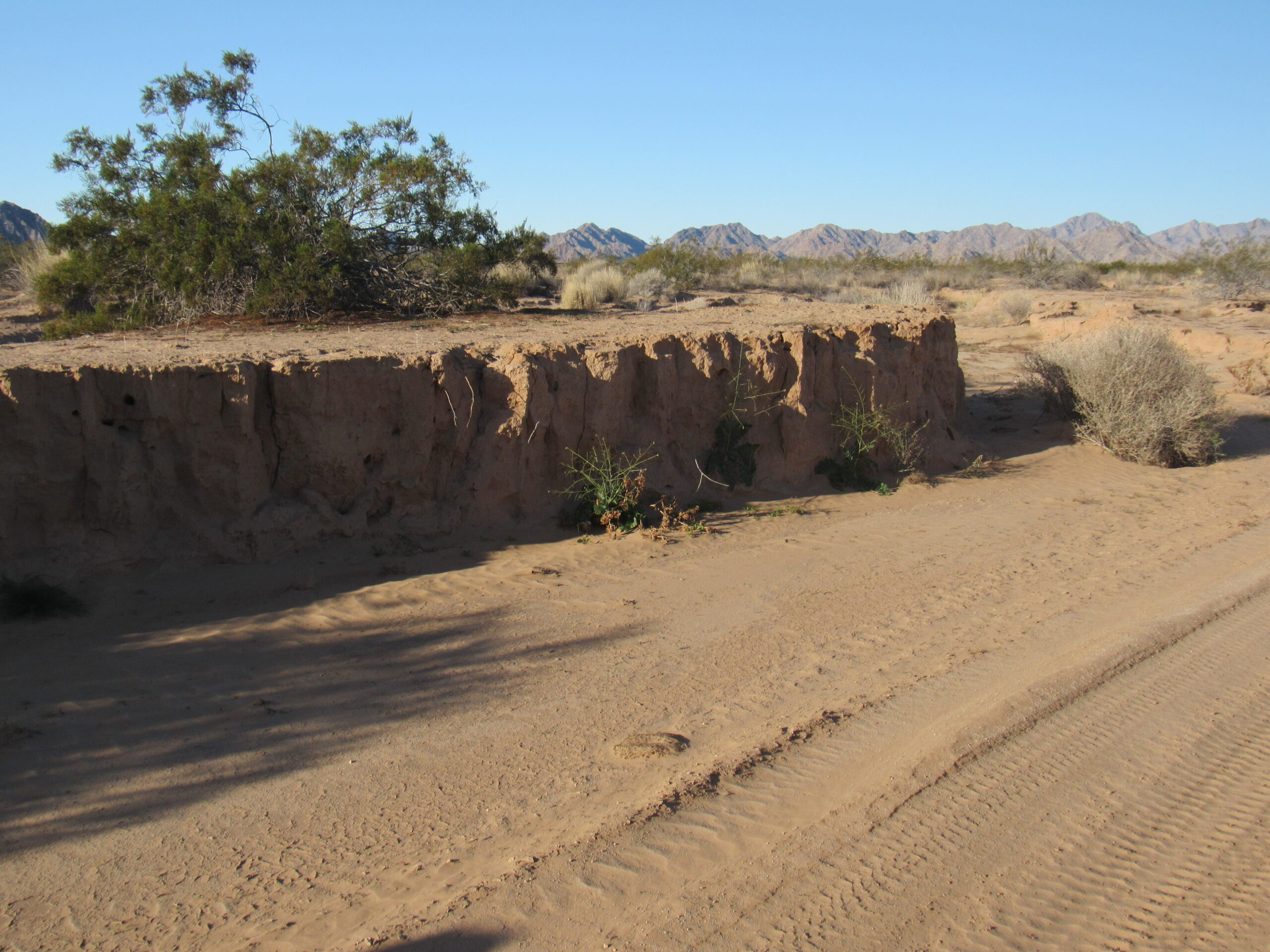
Four feet deep.
Beside the road, 62 miles into our trip, we found this Mexican 4-litre water jug. It had been there for some time, and was badly decomposing. It had been left by a border-crosser.
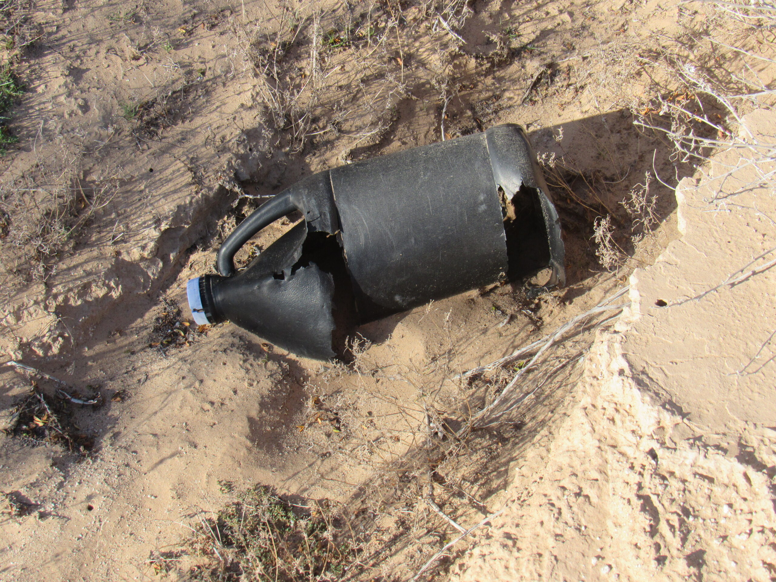
Four-litre jug.
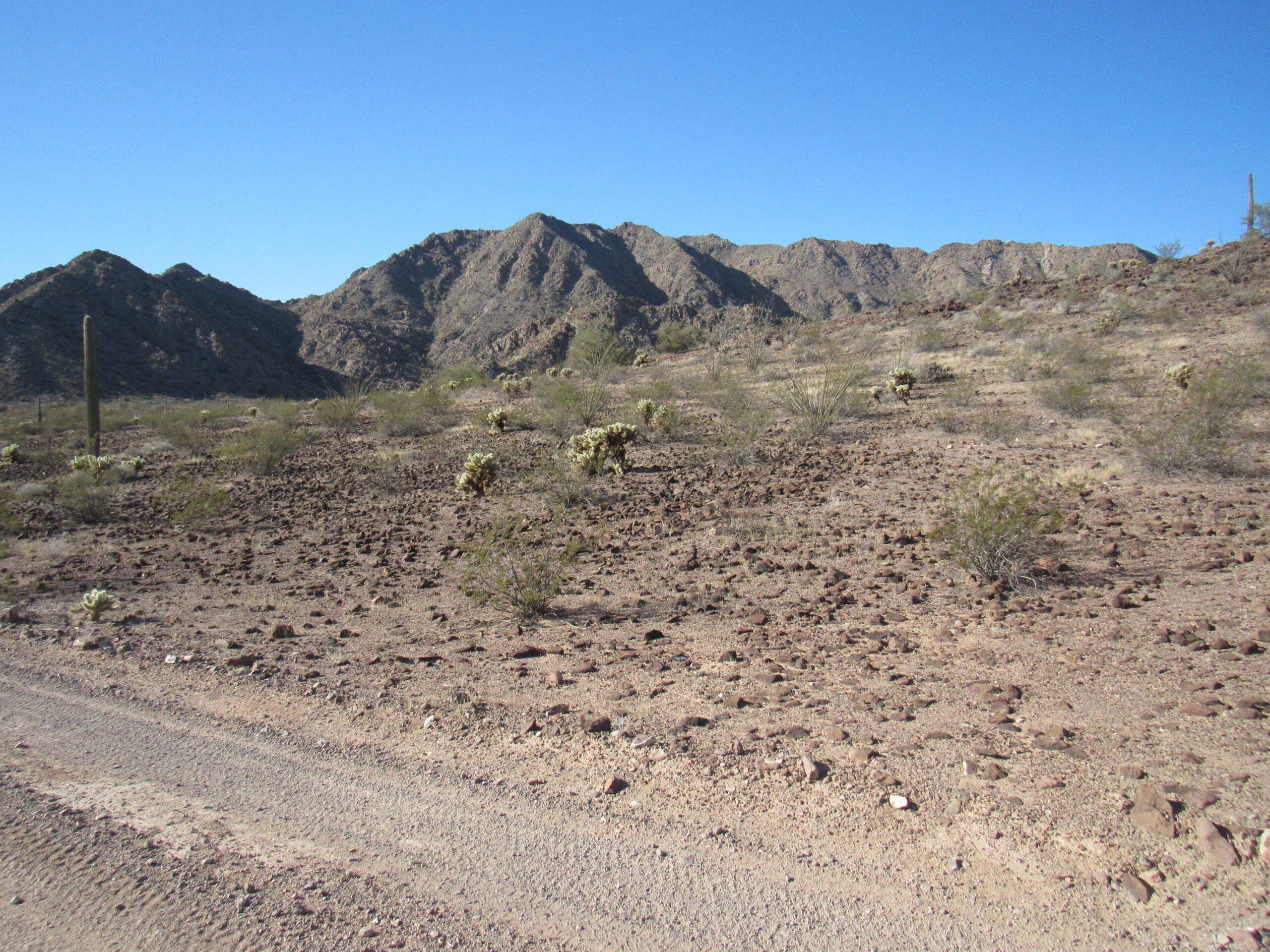
Sixty-five miles into our trip along the Camino, we had this view over to the west.
The Arizona high point of the Tule Mountains is in the center of the photo, in the distance. It is known as Tule Benchmark, and stands 2,307 feet in elevation. In the left foreground of the photo is some teddy-bear cholla cactus, the nastiest critter you ever want to tangle with.
Here is a telephoto of the peak above. It is a full 350 feet lower than the Mexican (true) high point of the range.
Tule Benchmark, elevation 2,307 feet
To our north, a small range of mountains came into view. This was the Sierra Arida, or “Arid Range”. Although it has its own name on the map, it is a sub-set of peaks within the greater Tule Mountains.
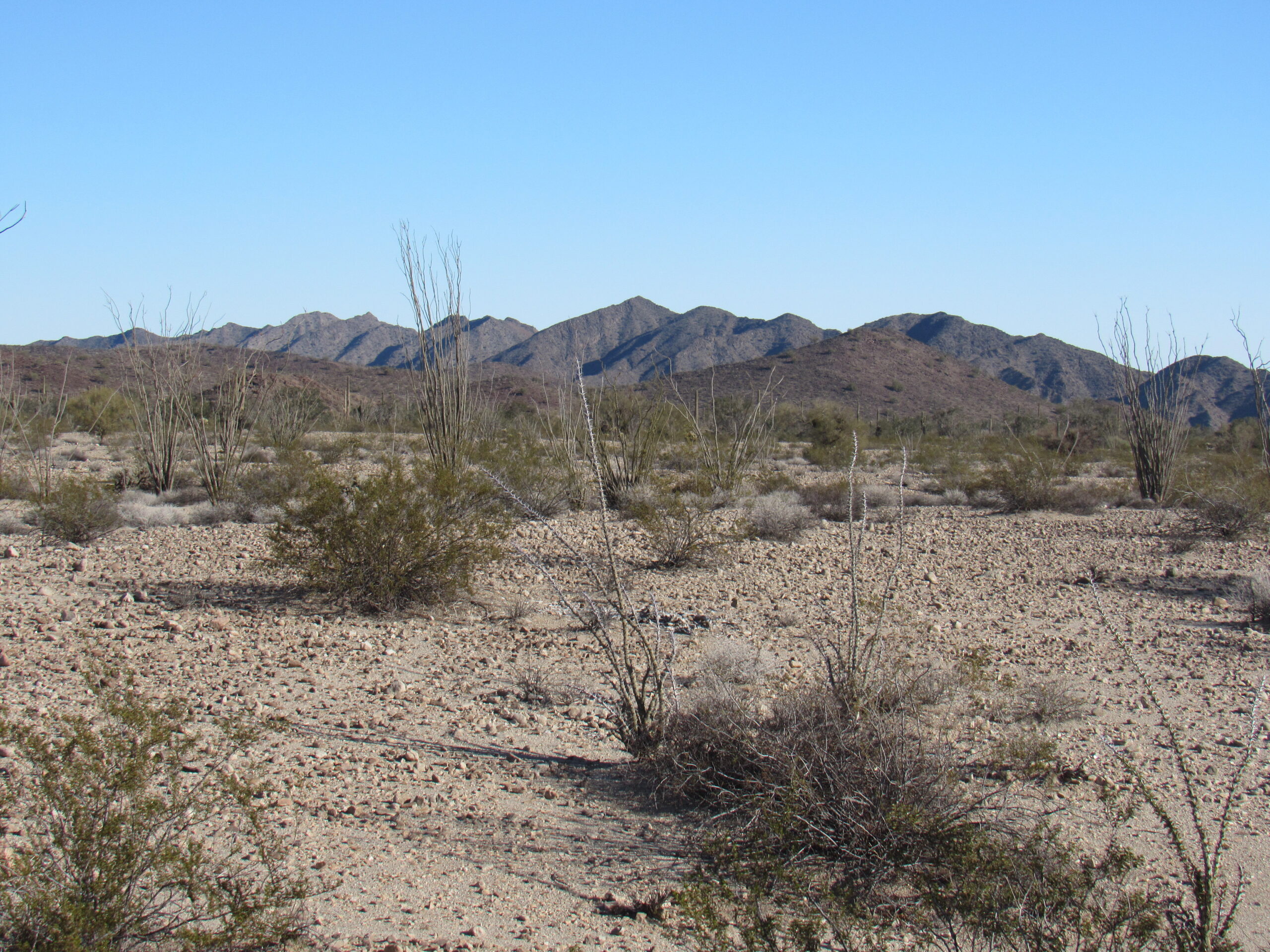
Looking north to the Sierra Arida
This red-tailed hawk sat perched atop a small cliff as we drove by.
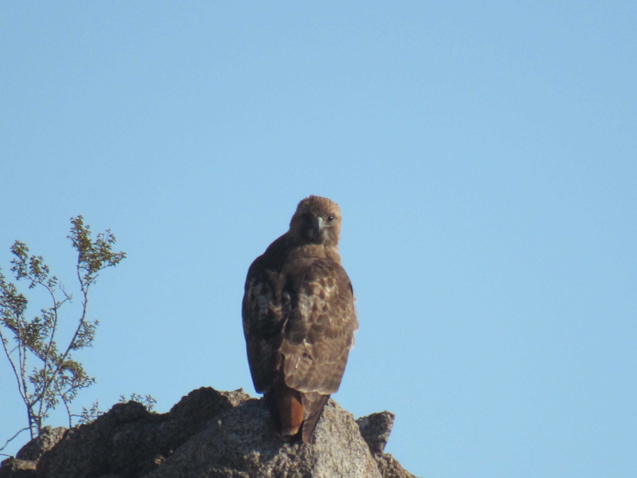
The hawk wasn’t bothered by our driving past.
At the 68-mile mark, we came upon this grave. It was marked on the map, but it would be easy to miss. Actually, it appeared that there were 2 graves here, because in the upper left of the photo can be seen a smaller cross, perhaps a child?
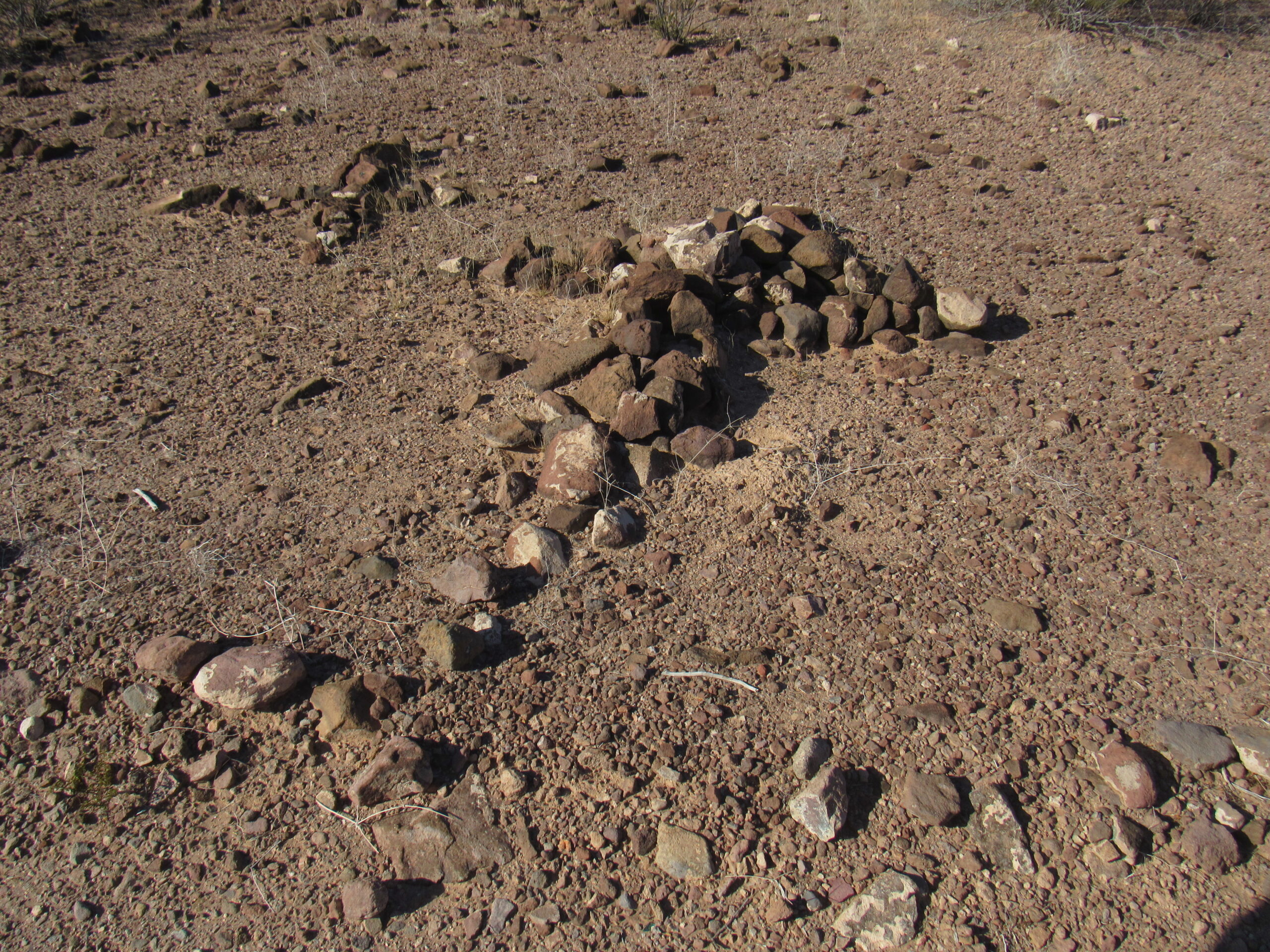
The grave, only 20 feet off of the road.
Where we saw the graves, here was a look south into the Tule Mountains.
The Tule Mountains
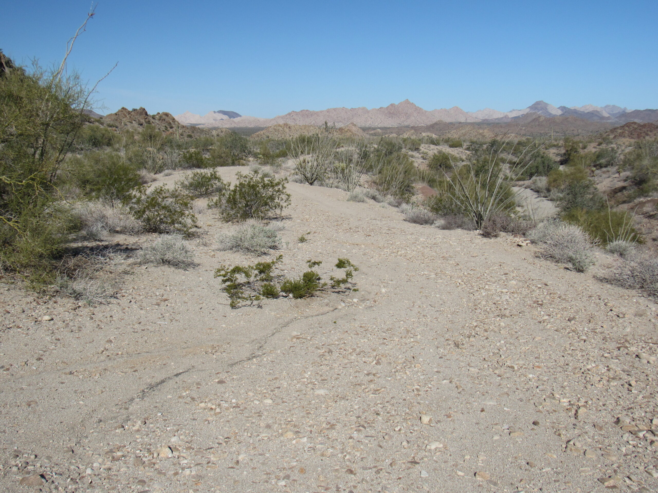
At 69.6 miles into our trip, we came to a side road that headed off to the southwest at a shallow angle from our Camino. We knew that when we reached that road, something major would occur. The contractors who had been hired to build the border wall had driven east along the Camino for many miles, in the process widening it so they could drive big trucks and heavy equipment along it. When they reached the side road I’ve mentioned, they followed it down to the border, using it for access because it already existed. At that moment, the very nature of the Camino was changed forever. What had been a small, historic road through the desert was now a wide, graded road, and it looked like this.
Very wide and graded to be smooth.
That side road I mentioned had a sign at its start.
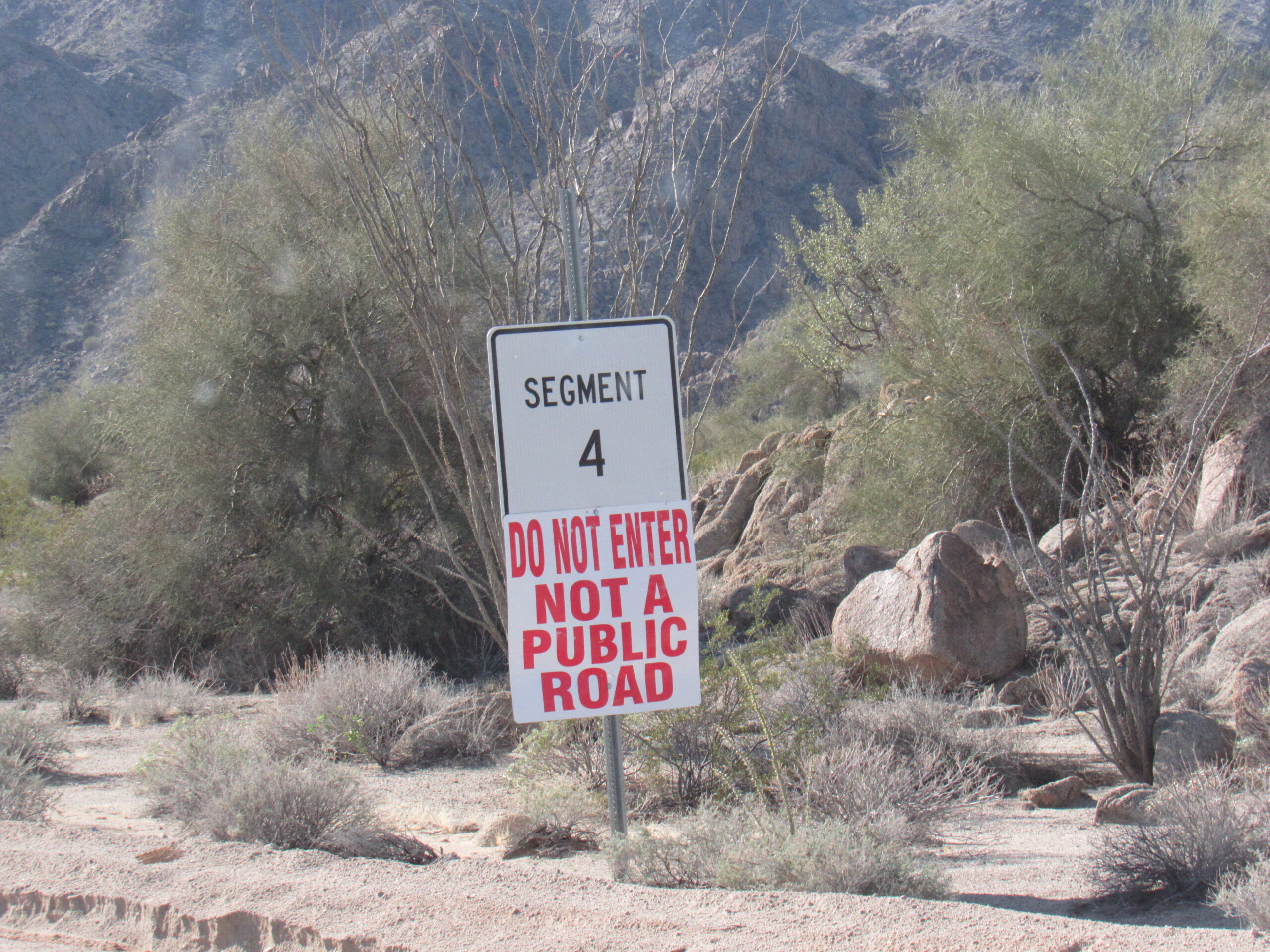
The warning sign.
The workers had taken the time to leave this strange figure at the side of the road, a memento of their having spent so much time in the area.
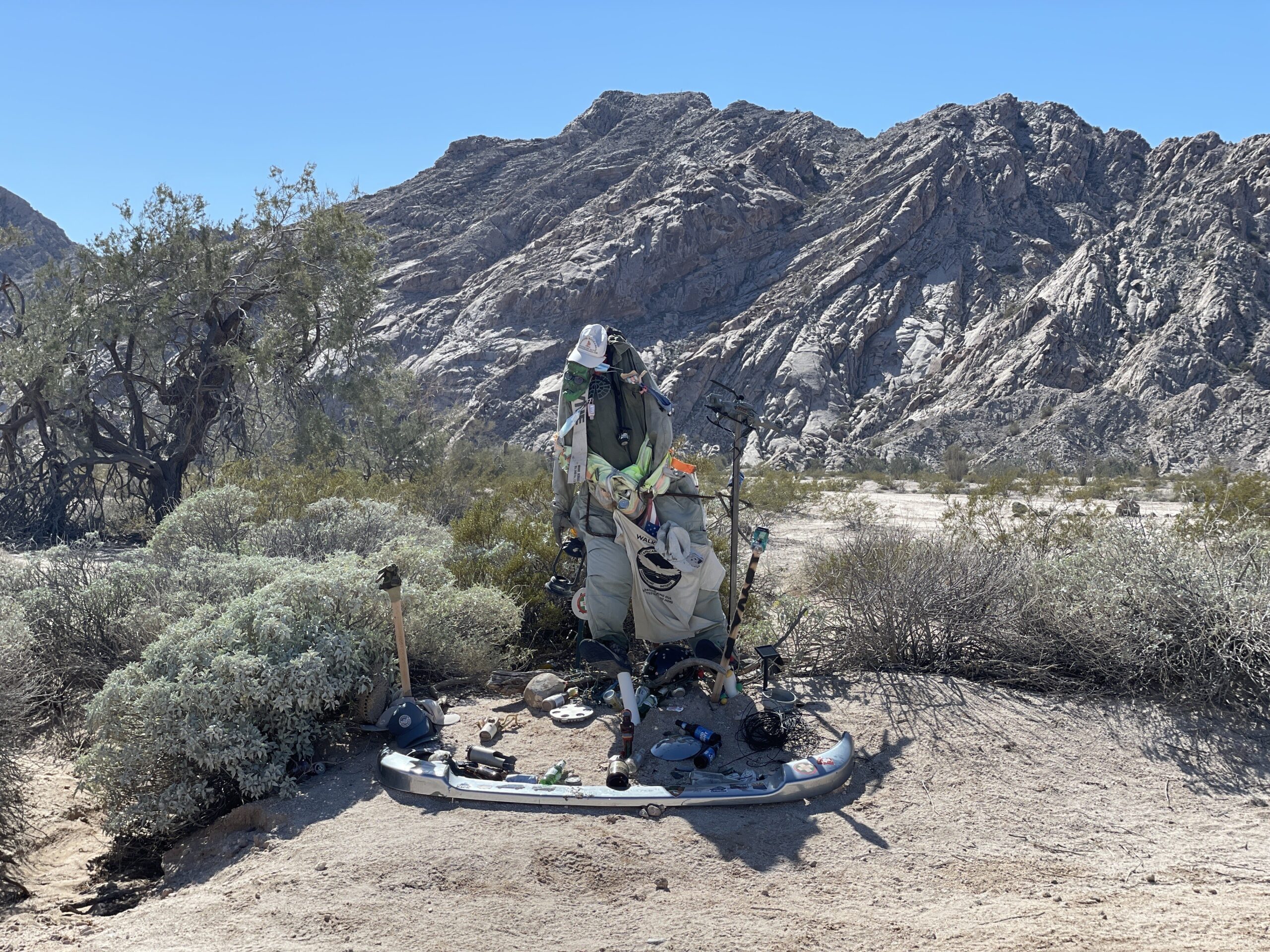
Creepy!
A mile and a half beyond the creepy man-figure, Jake made a good suggestion. He saw a road heading down to the south to a spot called Tuseral Tank on our map. He wondered what that would be like to visit – I had never been there, so we agreed that it would be worth the time and effort to go there and have a look. Yes, it was 2.5 miles, but it was mostly flat going all the way. Anyway, it took a while but we got down there okay.
First of all, there’s the name Tuseral. One source says that the name comes from the Spanish word tuso for the kangaroo rat, because of their profuse numbers in the area. The tank was originally built in 1949 for wildlife. It was pretty cool. This is your first view of it as you walk up. What you are seeing is the big sheet of corrugated metal which shades the water from the sun, cutting down on evaporation.
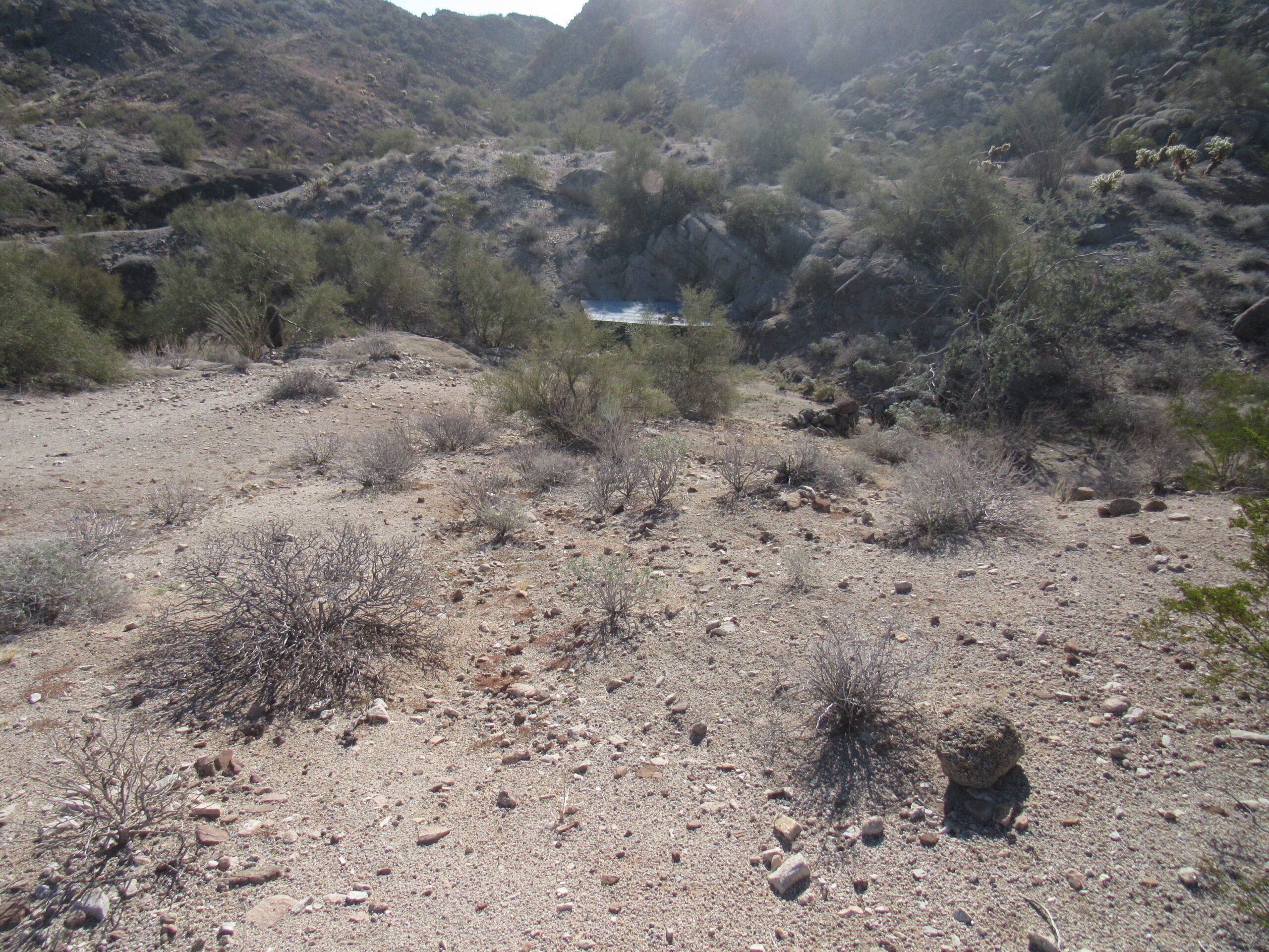
The first view, from the northwest side.
When you walk up to the opening, here is what greets you. The water looked quite deep. The tank had obviously been enhanced by the hand of man.
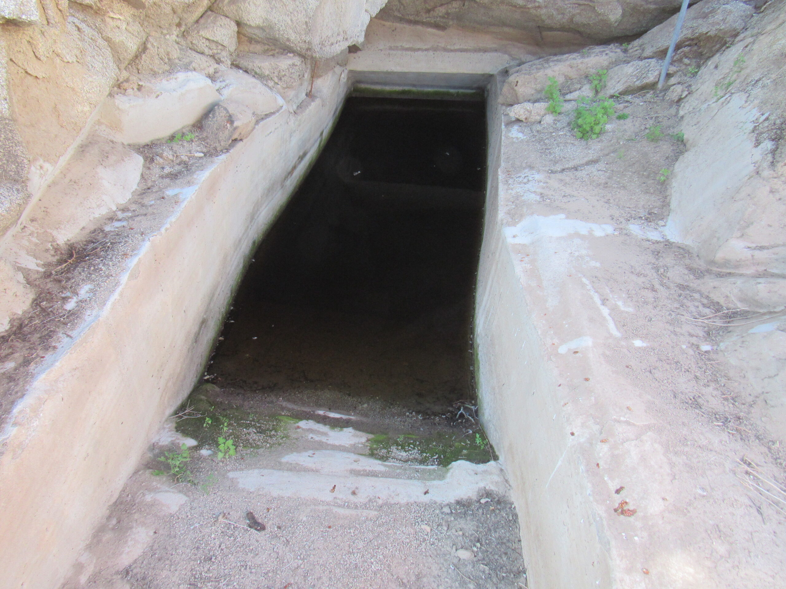
This is where the water collects.
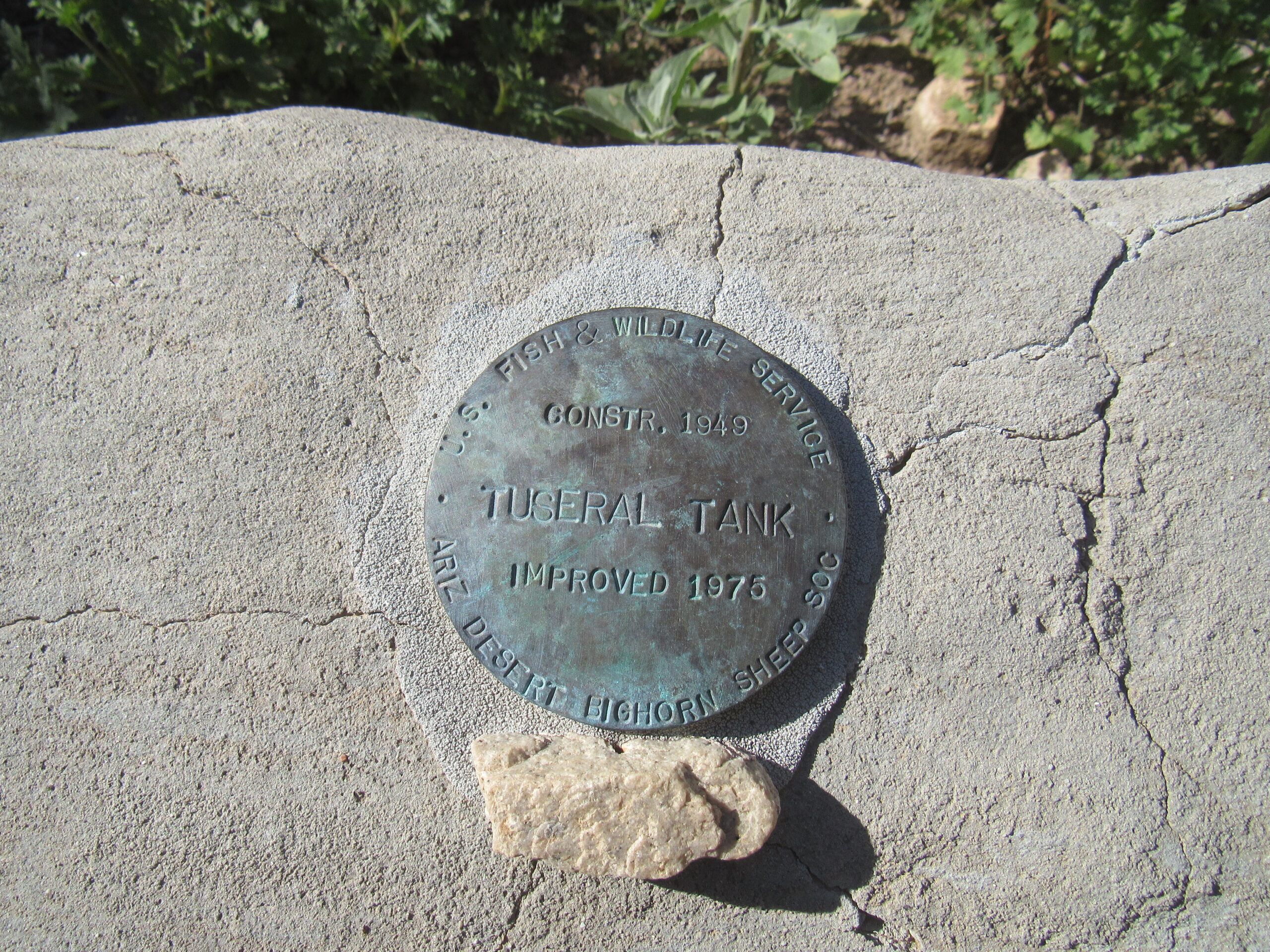
The brass marker, telling of the origins of the tank.
This was written in the concrete.
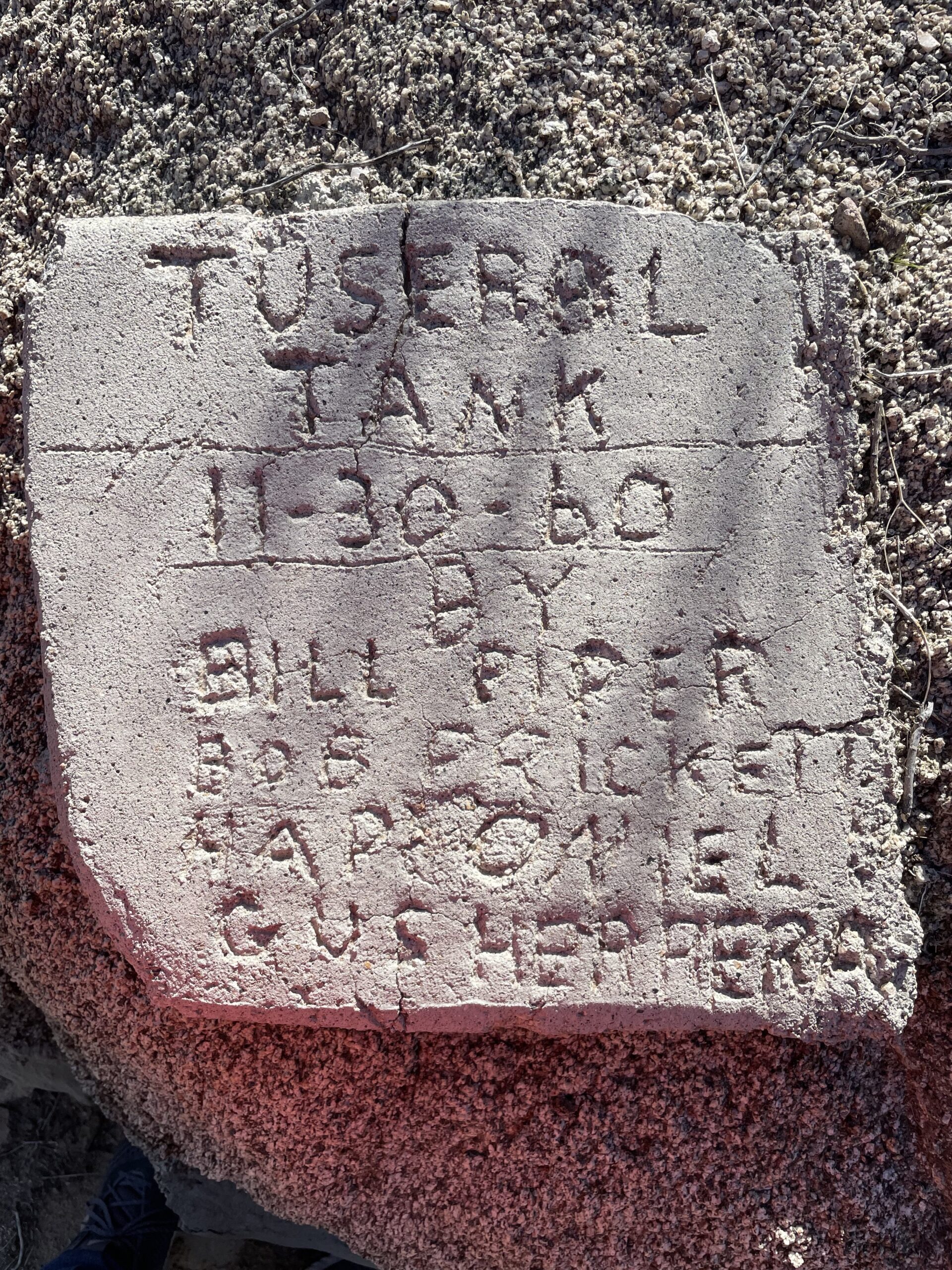
Those who had improved the tank in later years.
Situated 265 feet away from the tank to the north-northeast sat a deteriorating structure. It had metal posts supporting what was left of a plywood roof, and at one time had been enclosed by saguaro cactus ribs.
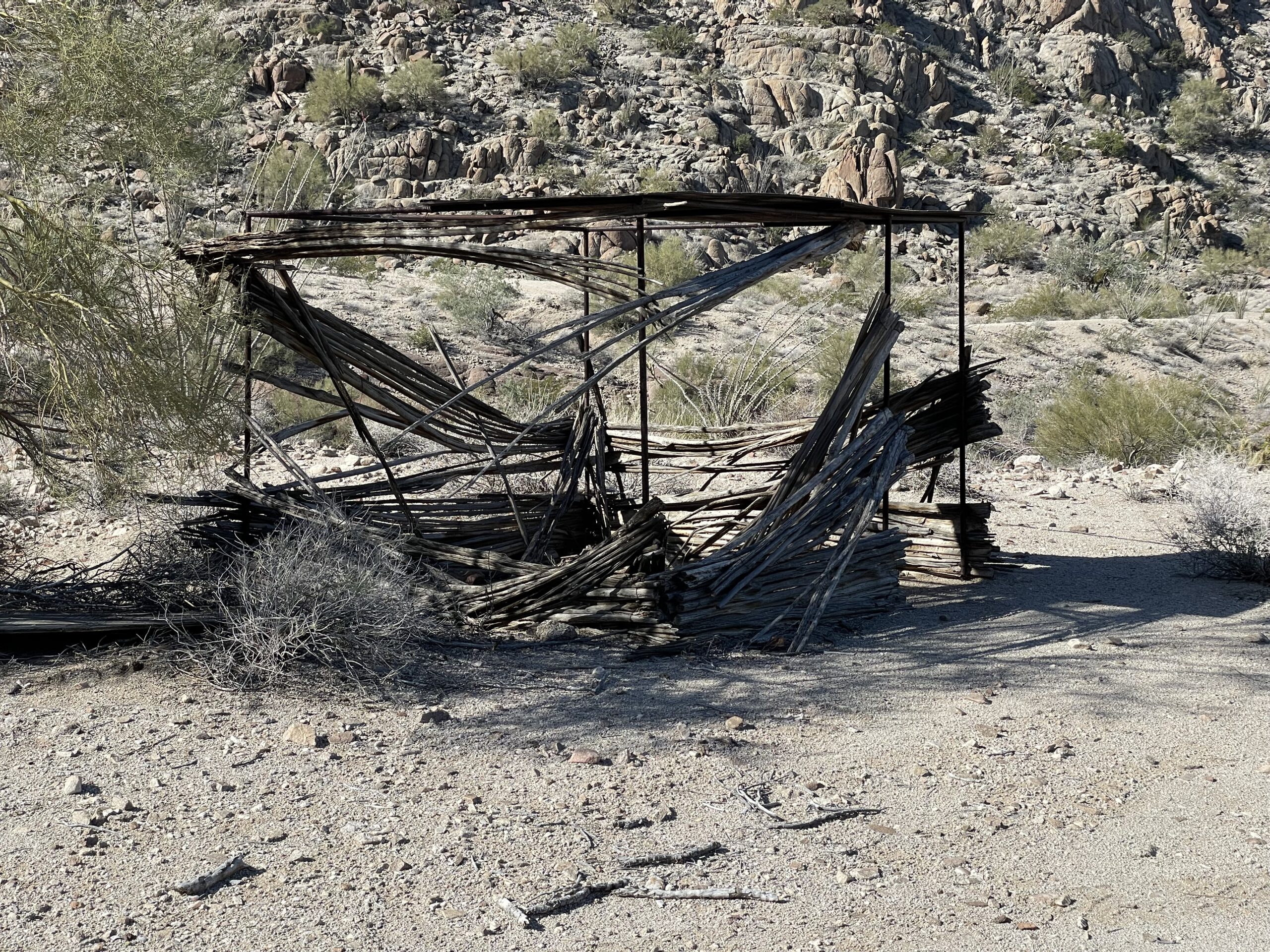
The structure
From a different angle, you could see from this structure directly into the tank. I couldn’t help but wonder if this was some sort of a blind built by wildlife biologists from which to observe the creatures that came to drink at the tank. I’ve seen blinds at other tanks here in the desert.
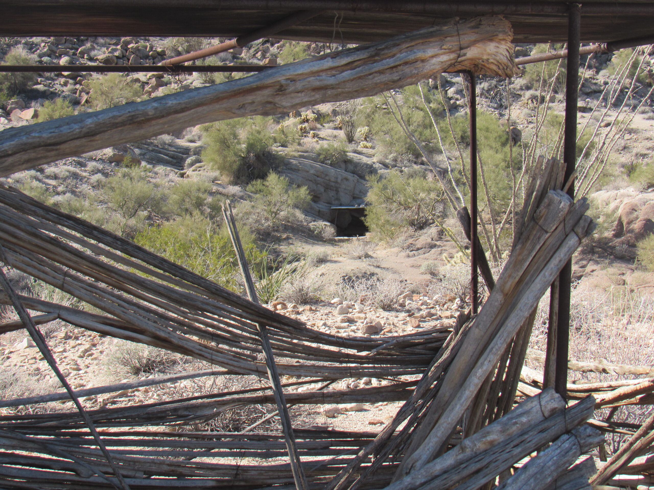
Looking from the blind over to the tank.
This old tired rain gauge indicated that Tuseral Tank may have garnered more attention in the past than it does now.
The old rain gauge.
Here’s a view we had from near the tank, looking back out to the northwest. There are some important peaks visible in this photo.
About a third of the way from the left edge sits a light-colored peak with a black cap – that is Tordillo Mountain. A little to the right of center is a pointed brown mountain known as Peak 1099. A short way in from the right edge sits a peak which has a pied look, with both light and dark sections – that’s Cabeza Prieta Peak.
Well, it took a while but we made it back out to the Camino. Once there, we resumed our drive and a mere mile and a half later we arrived at another of the major landmarks of the Camino del Diablo, known as Tule Well. This put us at 72 miles into our drive.
The first well at this location was dug in the early eighteen sixties by a Mexican man – it was only 35 feet deep and delivered 500 gallons per day of foul-tasting water. One story says that the body of a man was found in the well in 1913. If true, that may have had some bearing on the taste of the well water. There had been a dilapidated line shack here used in the 1940s by the Bureau of Animal Industry while patrolling the border against stray cattle that might carry hoof-and-mouth disease. There is now an adobe hut at the site.
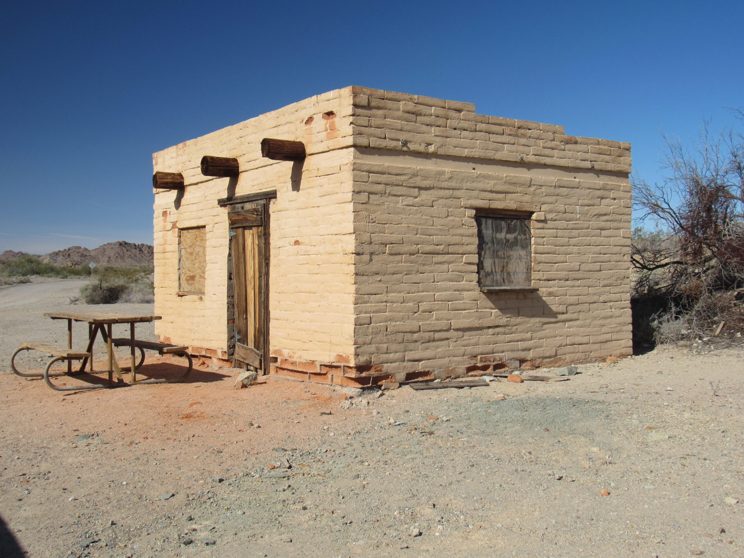
The adobe hut as it stands today.
There is a modern well present today. By the way, tule is the Spanish word for cattail.
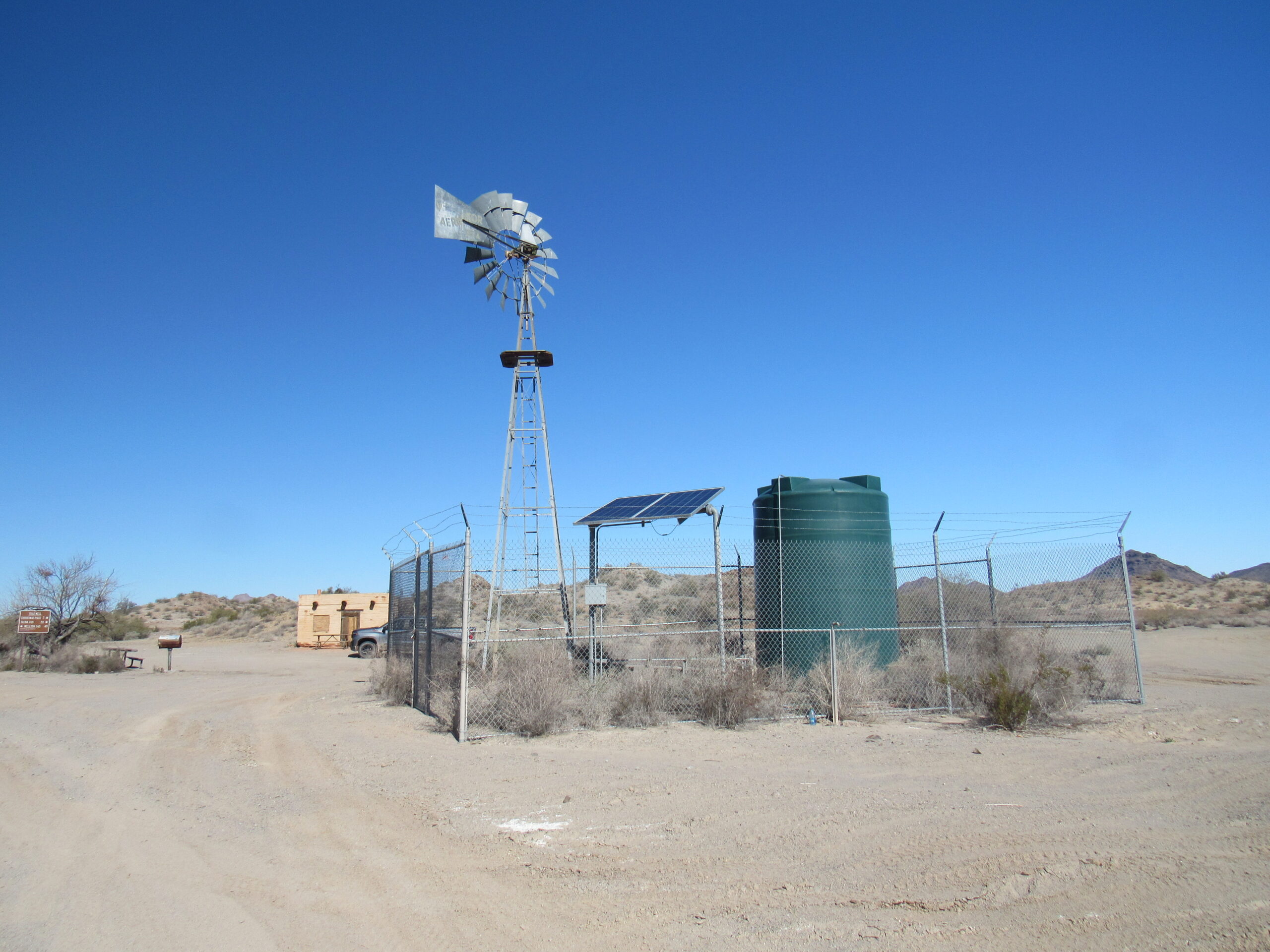
The modern, solar-powered well.
There are a few picnic tables here and a metal barbeque or two; you can also camp here. Tule Well is a major road junction, in that a road heads north from the Camino and goes to Christmas Pass and eventually to the village of Tacna on Interstate 8, a hard-fought 50 miles to the north. The sign indicates that you can reach the town of Wellton, 49 miles to the west and then north, also on Interstate 8. Because of the construction of the border wall, the road to Wellton was made wide and smooth, like a dirt highway, and is a much quicker way back out.
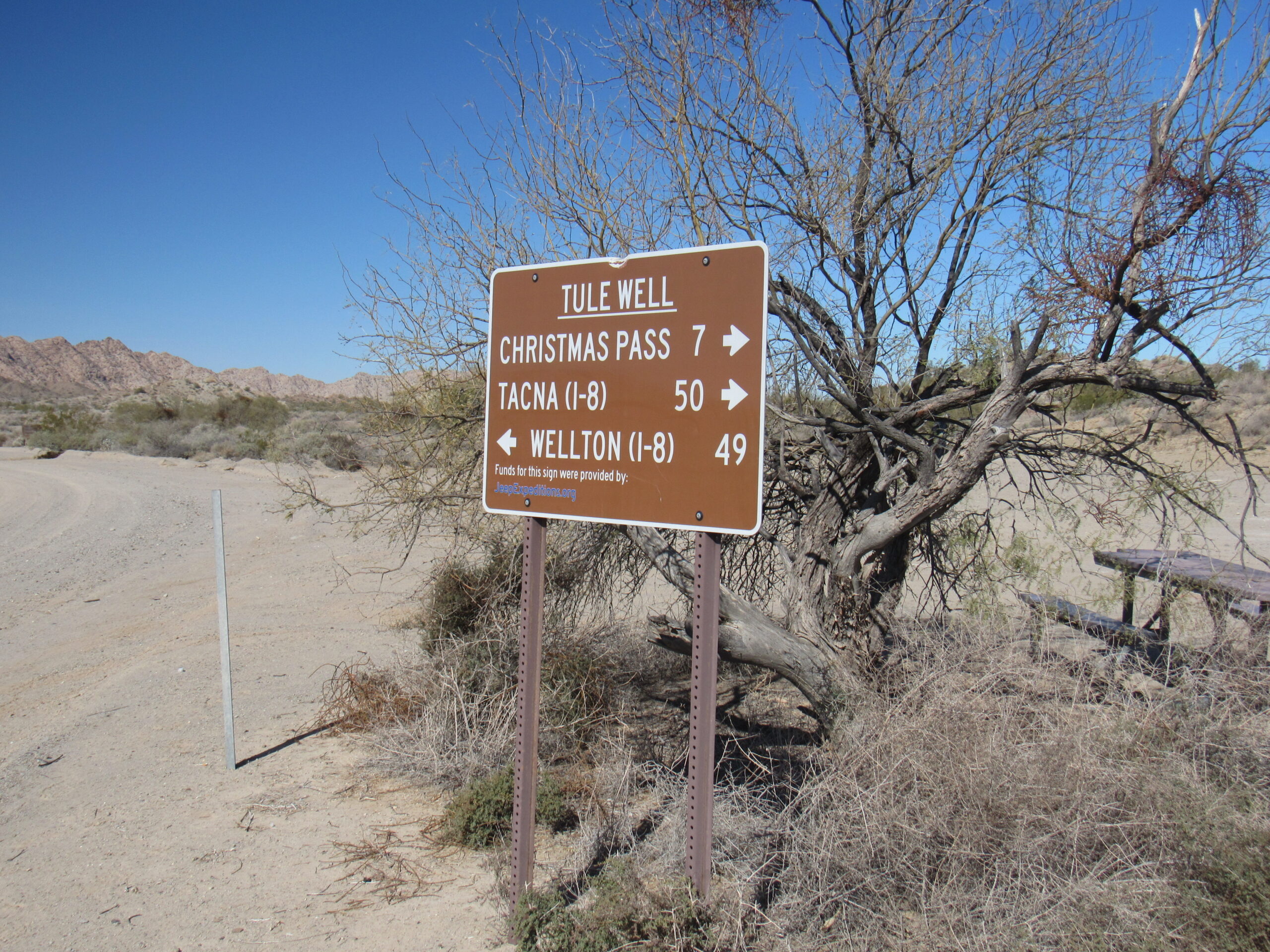
The sign.
Up on a nearby hill is a monument which tells something of the history of the Cabeza Prieta National Wildlife Refuge. It is said that the Boy Scouts of America advocated strongly for the creation of the refuge, which was created back in 1941.
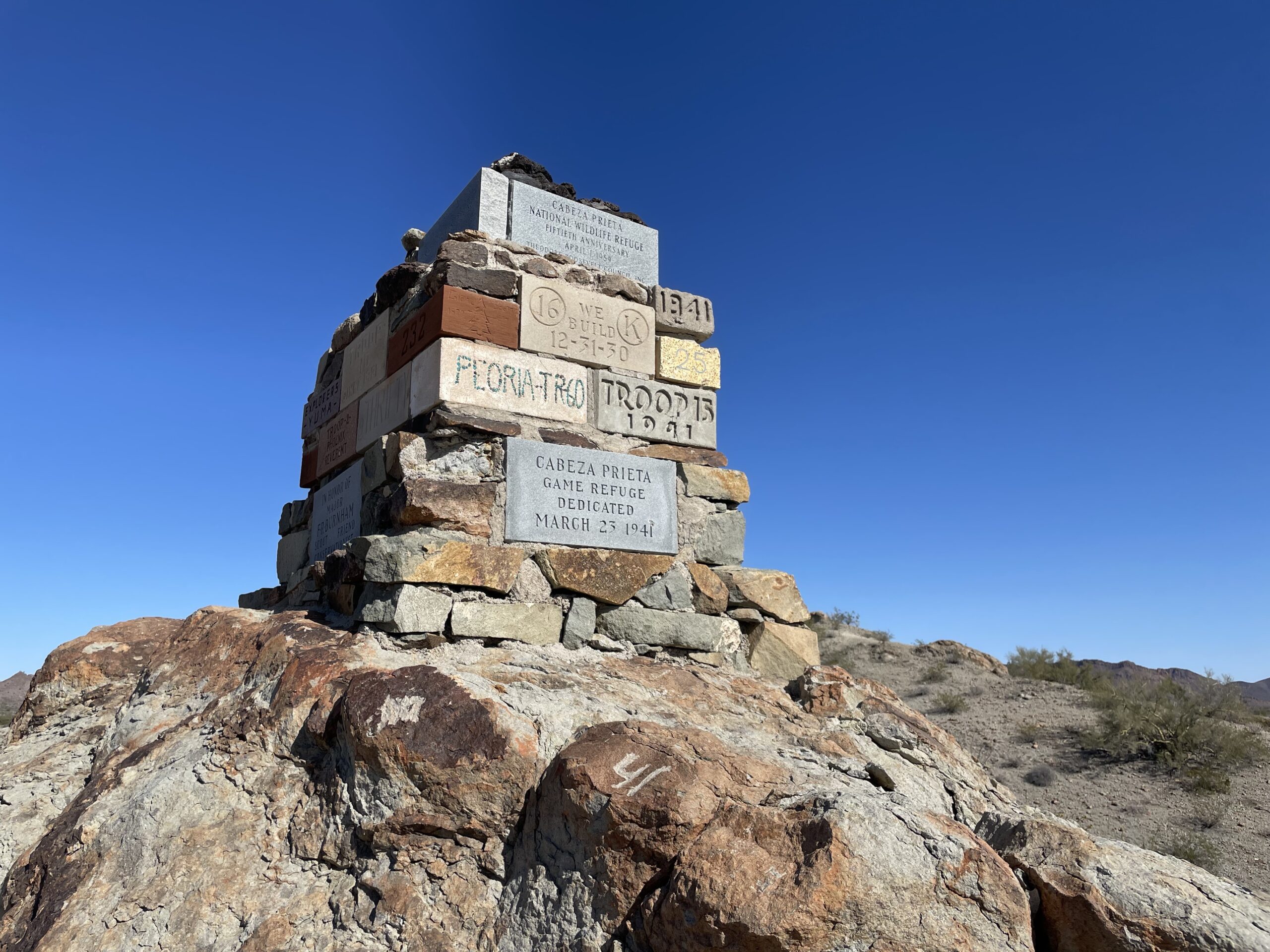
The monument on the hill.
After a brief stop for some lunch, we carried on to the west. At 73.4 miles, we had this open view to the north to Cabeza Prieta Peak. It sits almost 4 miles north of the Camino.
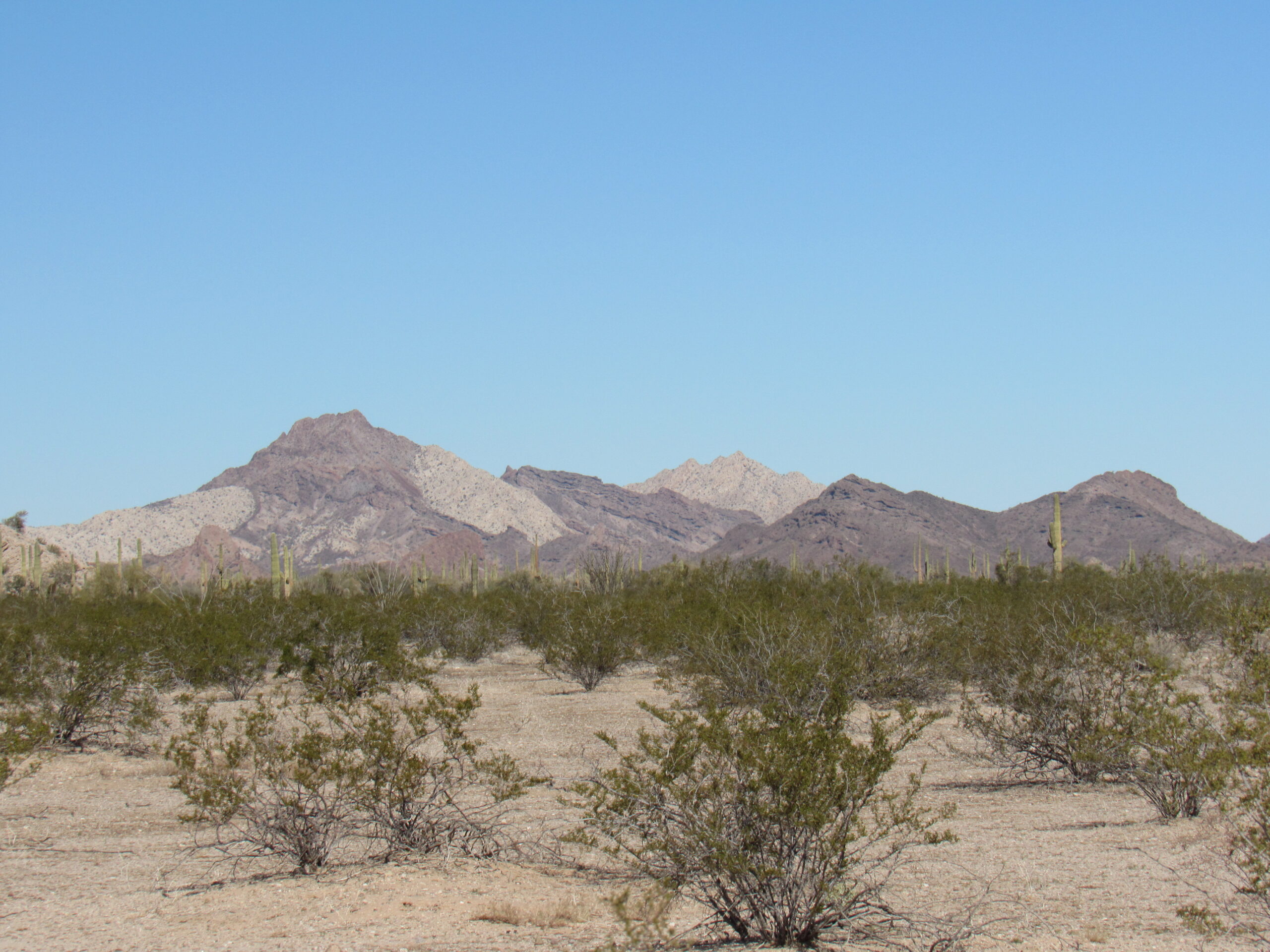
Cabeza Prieta Peak, the pied peak on the left.
Eighty miles into our journey, we saw this striking peak to the north of the road. It is Tordillo Mountain, rising a thousand feet above the desert floor. What we see is the light-colored granite capped by dark basalt. The basalt has eroded and has crept down the slope, to cover the lighter granite.
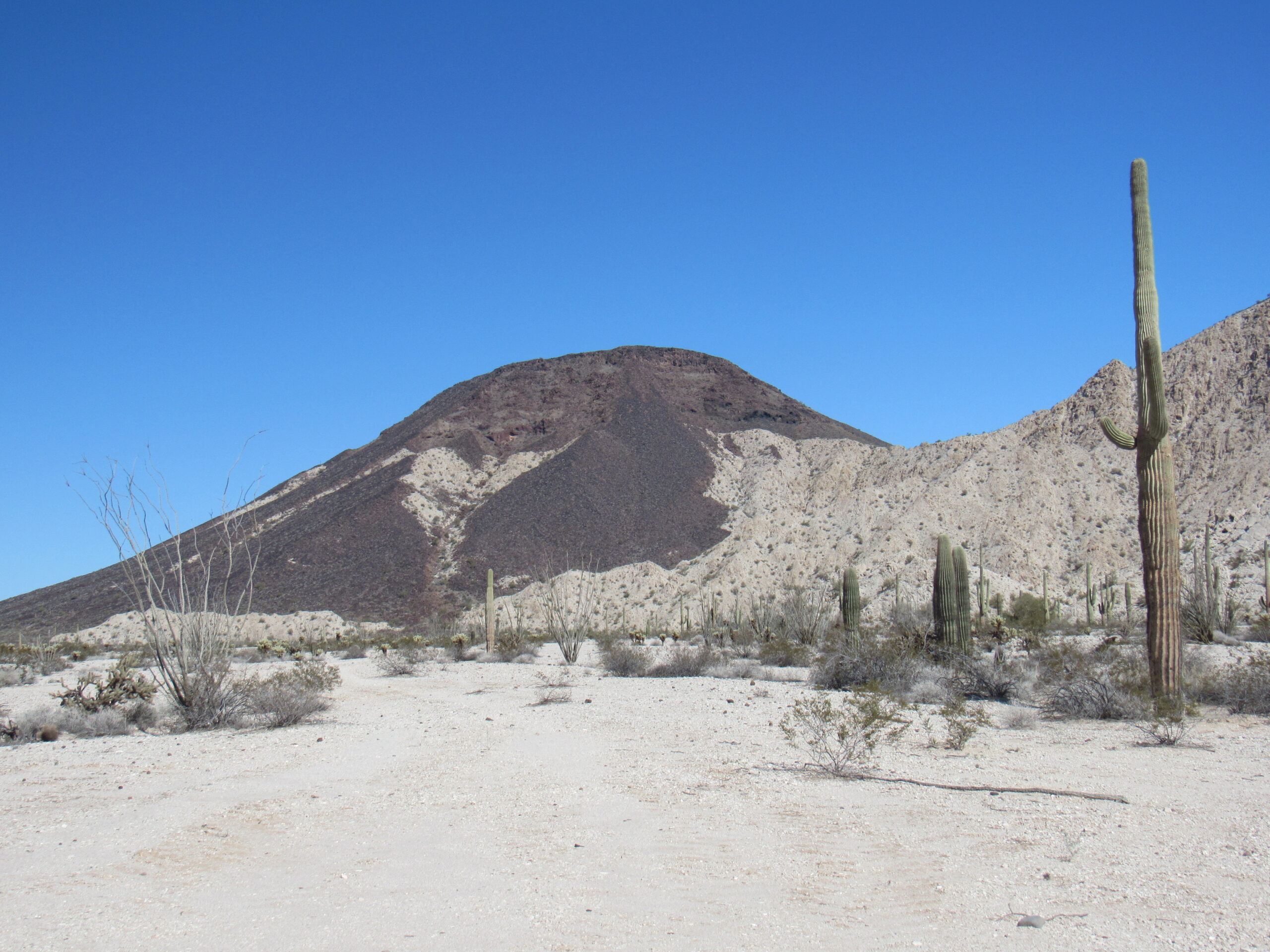
Looking northeast to Tordillo Mountain.
At 81.5 miles, we turned south off the Camino for a short distance to arrive at this unusual spot.
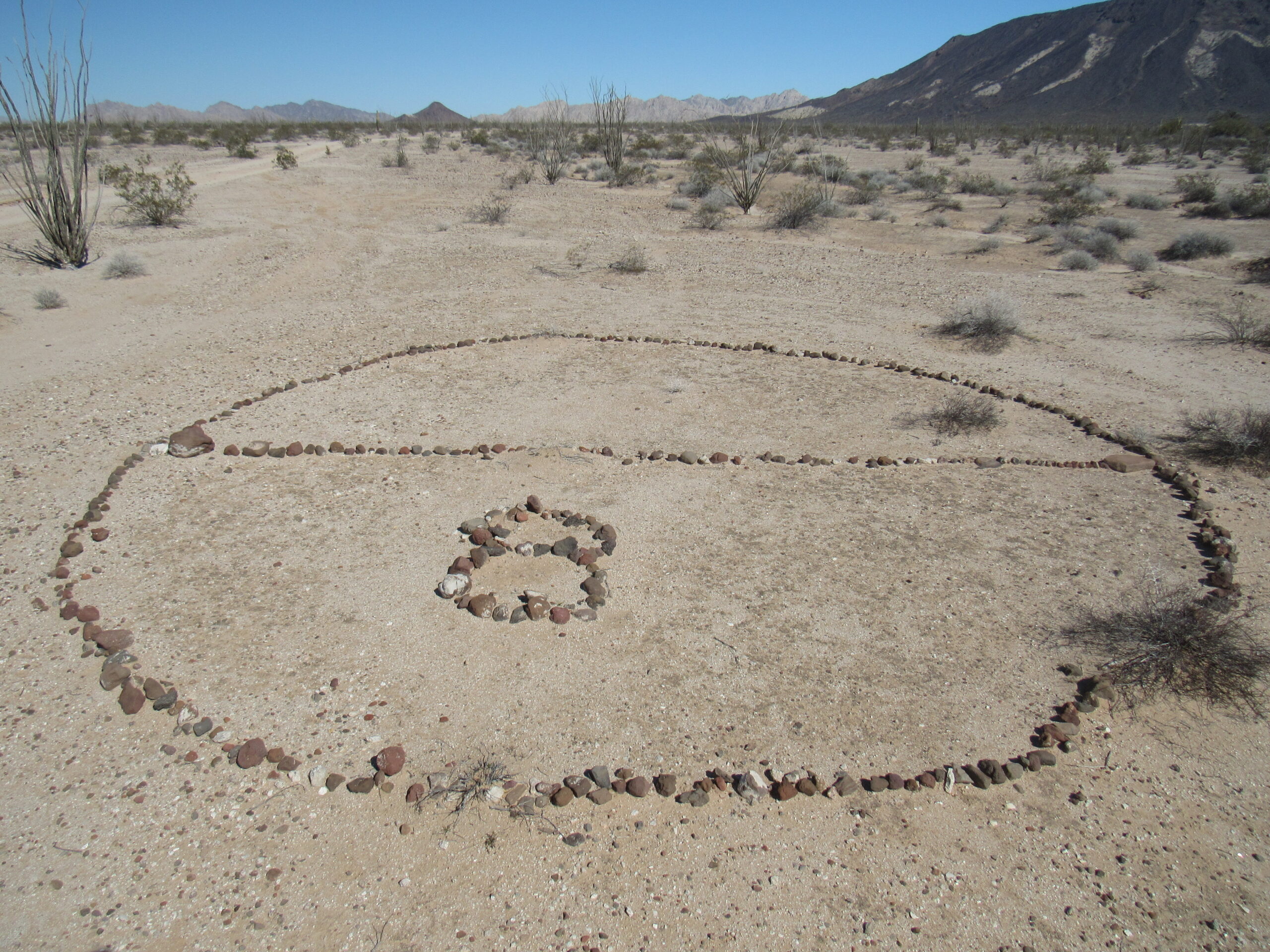
The Grave of Eight
In 1896 surveyor and soldier David D. Gaillard reported that “an entire Mexican family of eight persons had the calamity of its glass demijohn of water breaking about ten miles east of Tinajas Altas; all perished.” This site is shown on modern maps, and the family is supposedly buried in this spot. The wagon tracks made when the unfortunate Mexican drove his exhausted team to one side of the road, were plainly visible thirty years afterward, so their deaths must have occurred in the 1860s.
This seems like a good spot to pause on our journey and reflect on what we’ve seen, just over 80 miles along the Camino del Diablo. Stay tuned for the final installment.