
I’m about to write a story of a climbing trip I did back in 1976. The reason I can do that now, 47 years after the fact, is that I have detailed notes, maps, slides and a diary to which I can refer. Looking over all of that material, it’s almost like I’m back there once again and reliving the whole experience. So here goes.
Living down on the coast of British Columbia, I was plenty used to rainy weather messing with my climbing plans. It was time to try something different, perhaps a trip to the drier part of the province, farther inland. I’d head east into what we called the Interior. Something higher and drier, that’d be a nice change. I left home at 5:00 AM on the first day of September and drove 200 miles to a town called Keremeos. I was hoping to get some information about the area called Cathedral Lakes, but came up empty-handed, so I backtracked a few miles and turned south off the highway up the Ewart Creek Road. Back in ’76, you couldn’t drive too far, so I parked at a trailhead at 2,500 feet elevation. It was ten in the morning when I set out on foot.
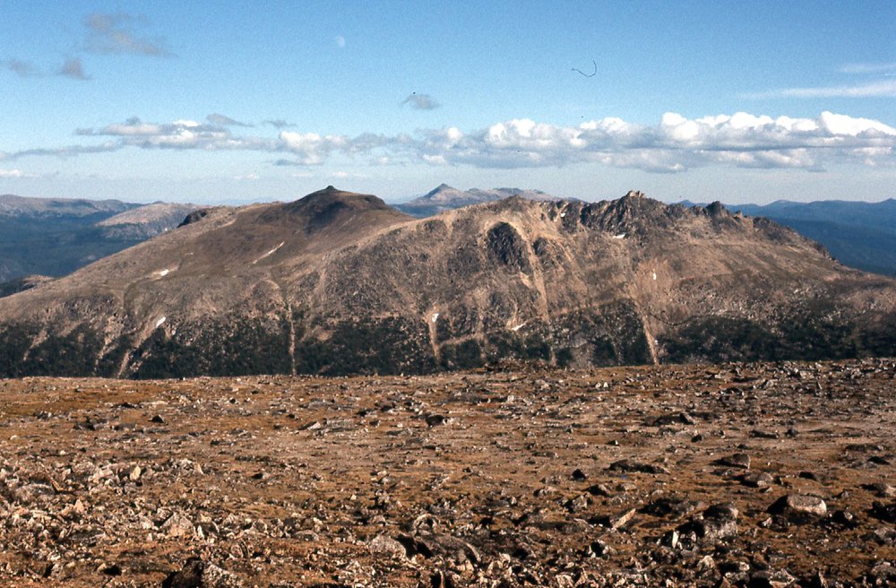
There was a good trail which I followed, and broke out above tree-line at around four in the afternoon. It seemed, in those days, that I usually didn’t bring a tent with me, counting I suppose on fair weather. That was the case on this trip, just a bivi bag. The first thing I tagged was shown on my map as Peak 7772, then farther southwest I came to the top of what I called Peak 8100. It didn’t have a name back then, but now appears on maps as Red Mountain, elevation 8,071 feet. There was still plenty of daylight, so I kept going across open alpine country and made it to the top of what was called Mount Blomford at the time. I see that on recent maps, it has a new name – Quiniscoe Mountain. Back in my day, it was shown as 8,369 feet, which matches new maps. At around 6:45 PM, I decided to call it quits in a lower spot around 8,150 feet in a saddle on the south side of Quiniscoe. Here are some photos I took that afternoon.
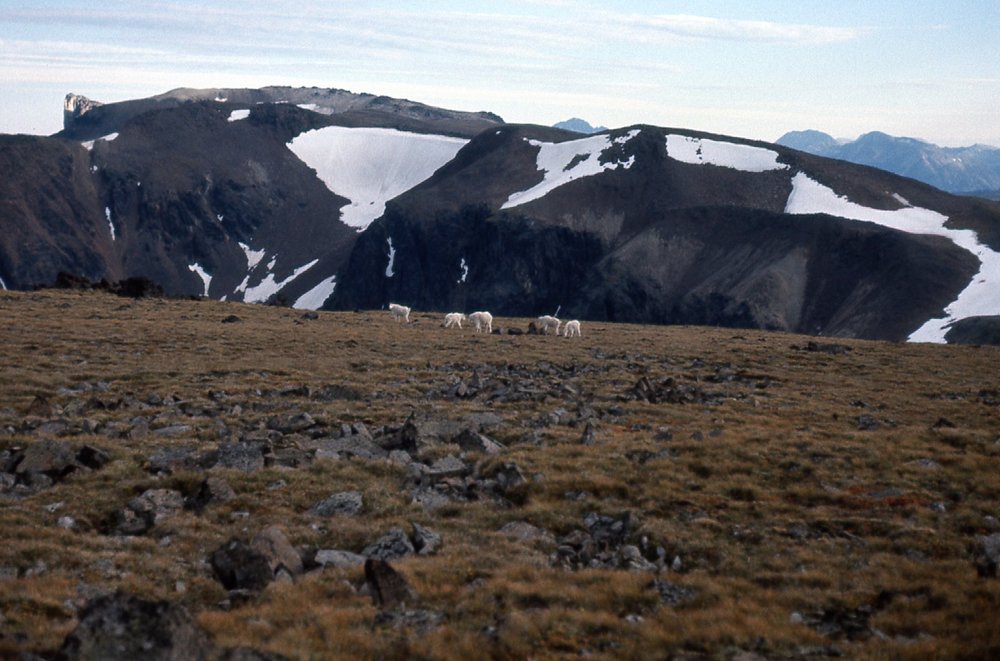
Looking south to mountain goats.
From atop Quiniscoe Mountain, I had these views.
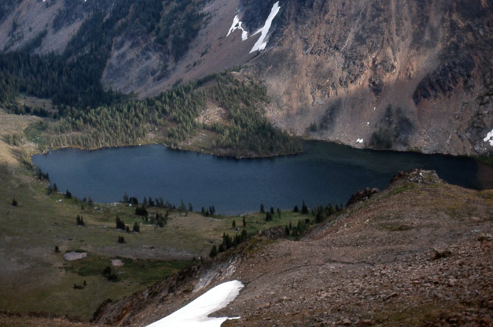
Looking south to Glacier Lake
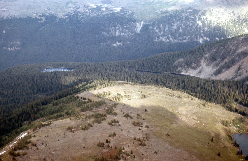
From left to right – Lake of the Woods, Pyramid Lake, Glacier Lake
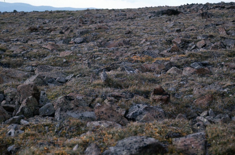
Can you spot the ptarmigan?
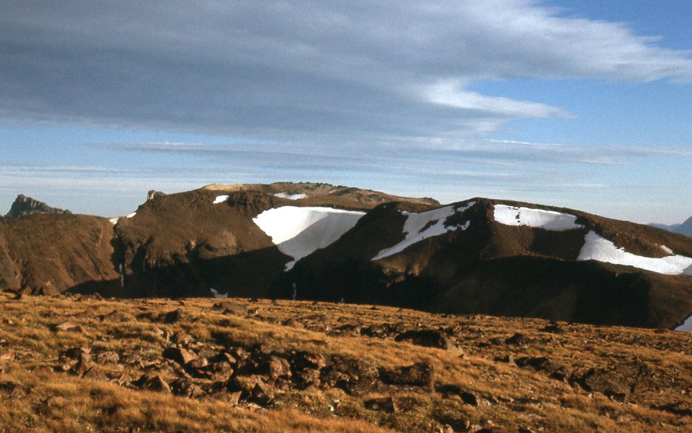
Looking south in the evening from Quiniscoe Mountain
The reason I dropped down to the saddle below Quiniscoe was that the winds were outrageously strong – I was trying to get to a more sheltered spot. I took this photo from the bivi site where I spent the night.
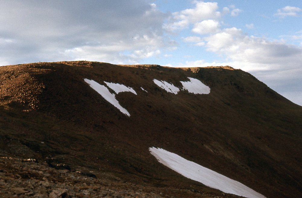
Looking north to Quiniscoe from my bivi spot.
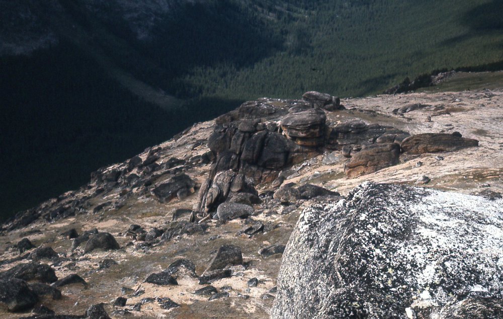
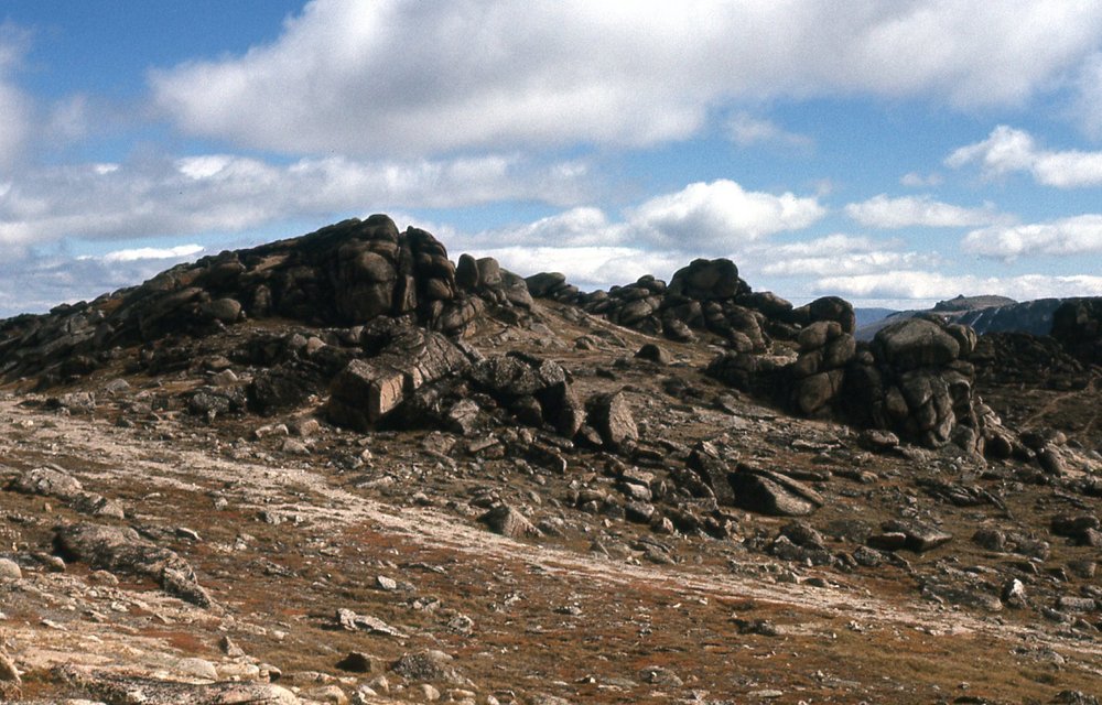
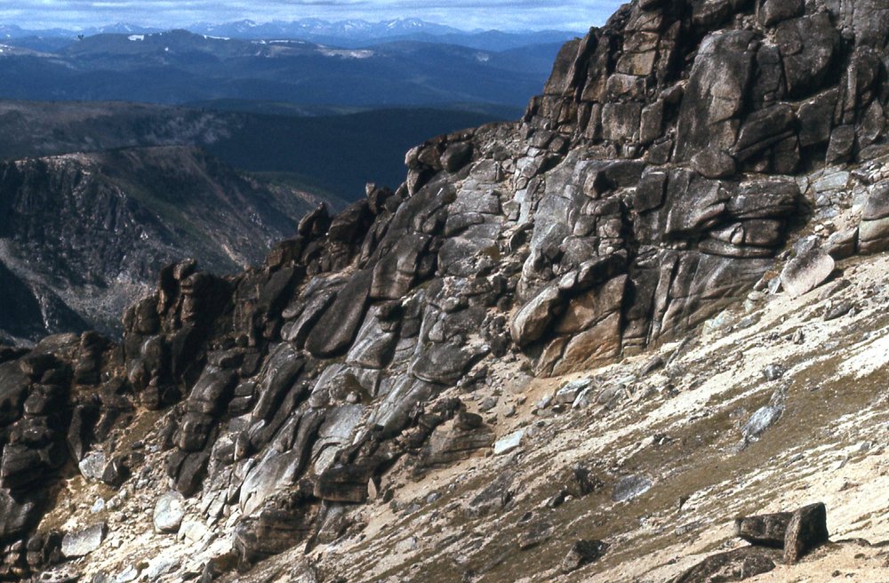
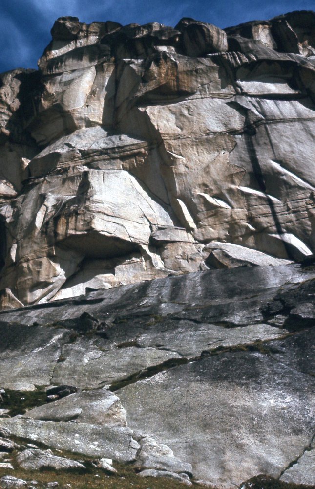
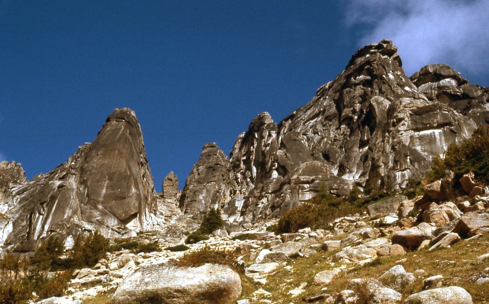
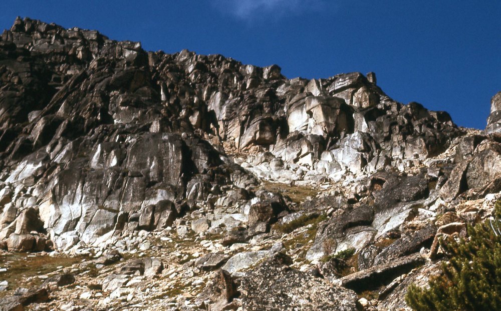
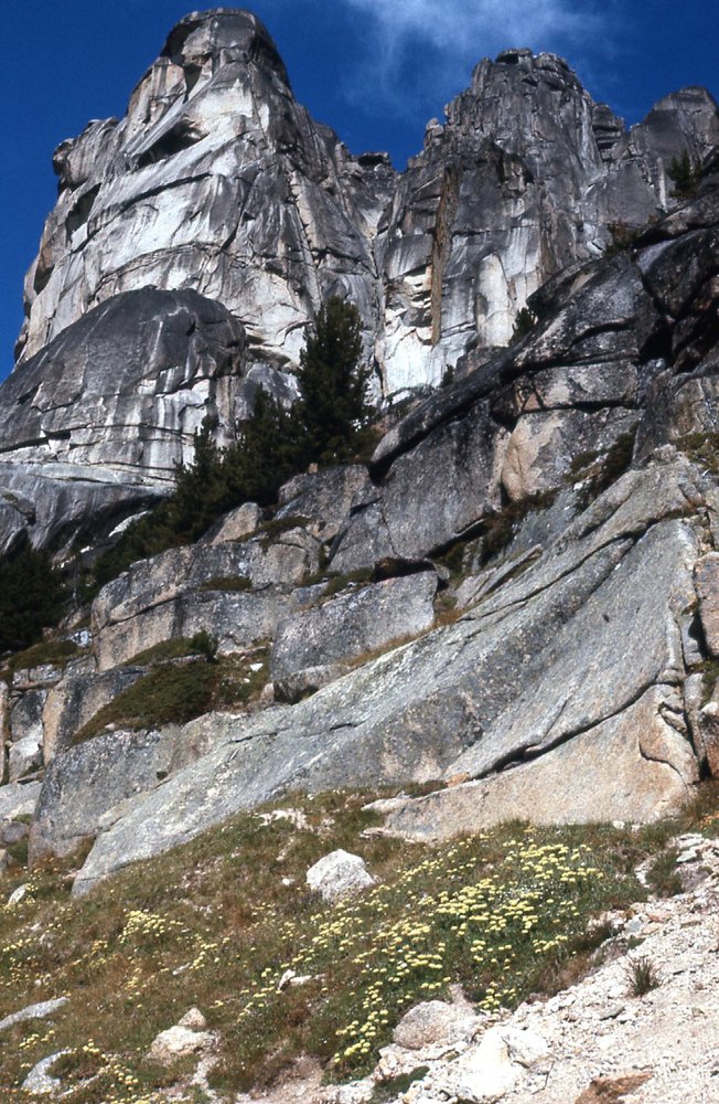
The wind must have gotten to me overnight, and the next morning dawned very cloudy, so I decided to head down to Glacier Lake, almost a thousand feet below. There, I met a couple named Charlie and Pat. We discussed the weather, and decided that it looked decent enough that we should head back up into the high country. Away we went, and before long arrived at the ridge crest, then headed south over something called Pyramid Mountain and later, The Devil’s Woodpile. We had all heard of a natural feature called Stone City, and it sounded worthwhile to visit, so we kept going southeast. Stone City was higher yet, about 8,565 feet. No doubt about it, there were some pretty impressive rock formations there. Here are the pictures I took.
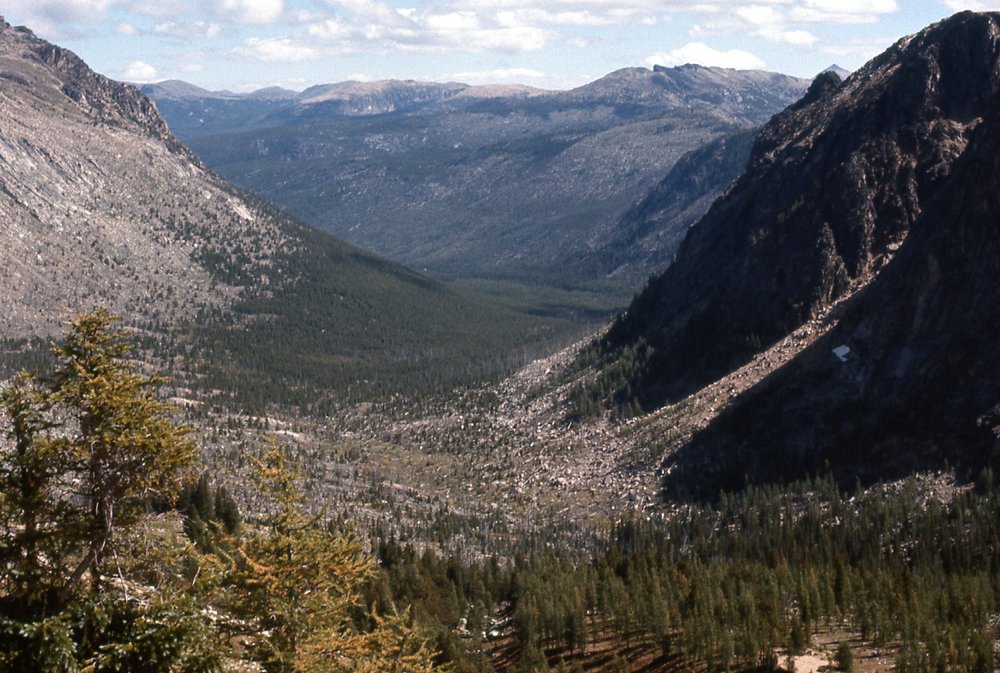
Looking west from Stone City down to Wall Creek
Looking north from Stone City, along the ridge and back towards Quiniscoe Mtn.
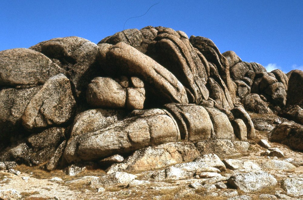
At Stone City
Stone City
Looking southeast from Stone City
Looking east uphill to Stone City
The south end of Stone City
Looking northwest to the south end of Stone City
After we all had a good look around, Charlie and Pat decided to call it a day and headed back down to the lake where we had met. Since the weather was fair and the winds had lessened, I decided to keep going – there were more peaks I could climb and I might as well take advantage of the opportunity – who knew if I’d ever be back in the area again?
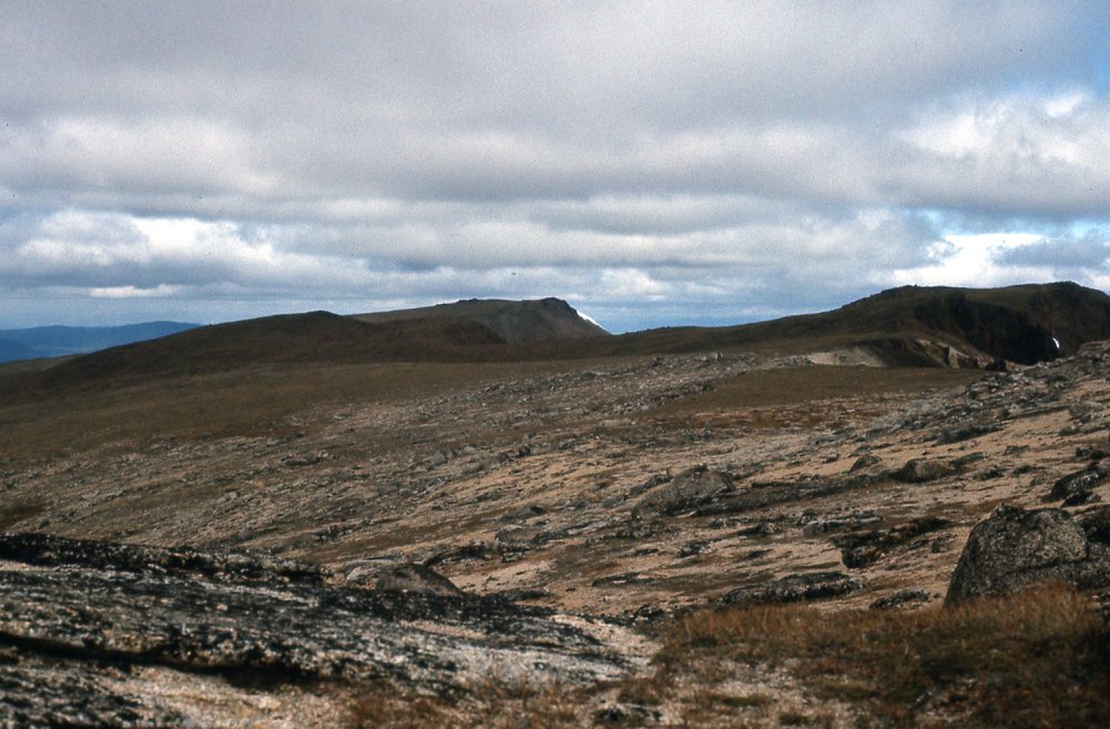
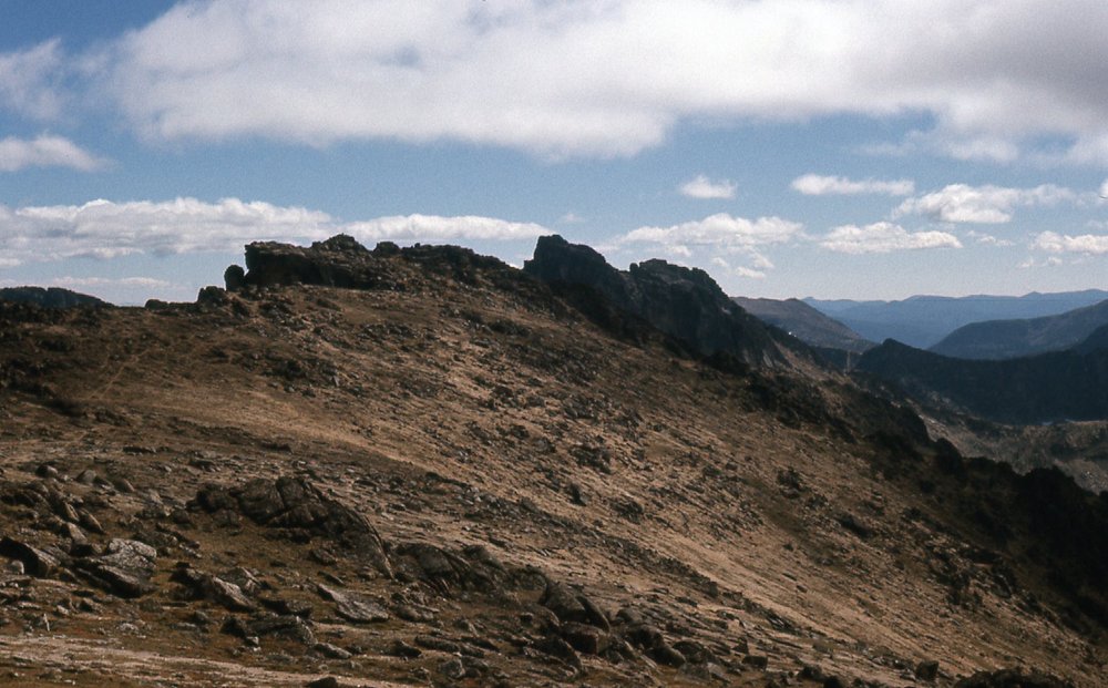
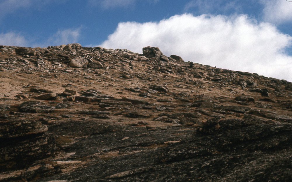
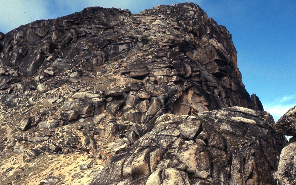
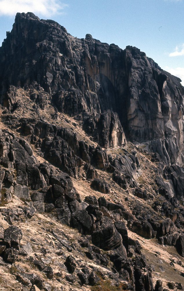
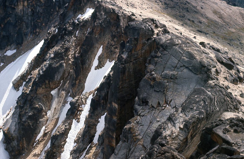
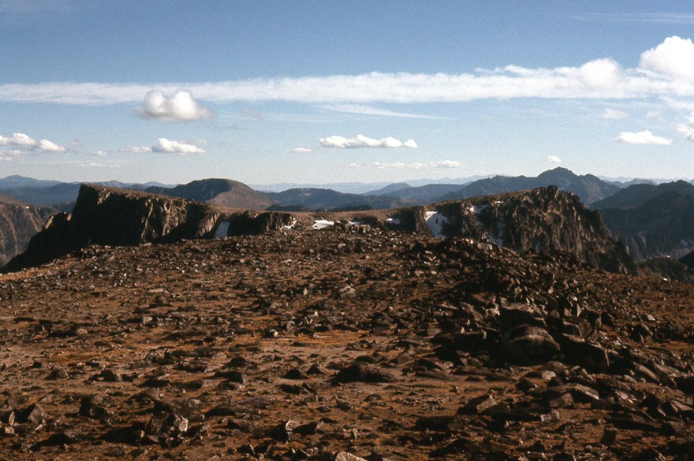
I kept following the high ridge, shown on maps nowadays as Cathedral Ridge – it stayed above 8,200 feet. Before long, I came to a feature I had heard about, aptly named the Giant Cleft. This was quite something, and I’ve never seen the likes anywhere else since then.
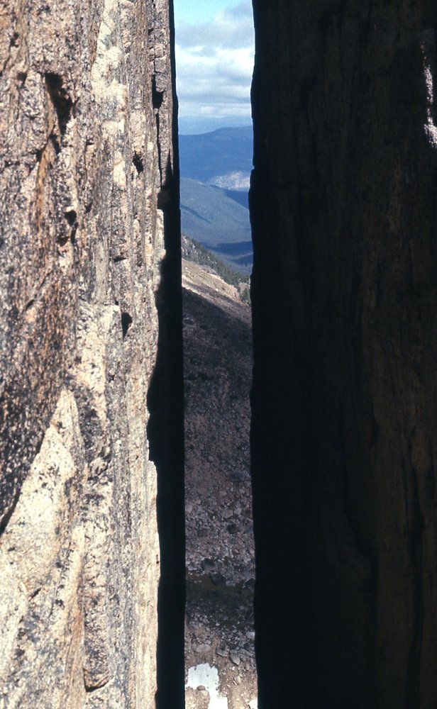
The Giant Cleft
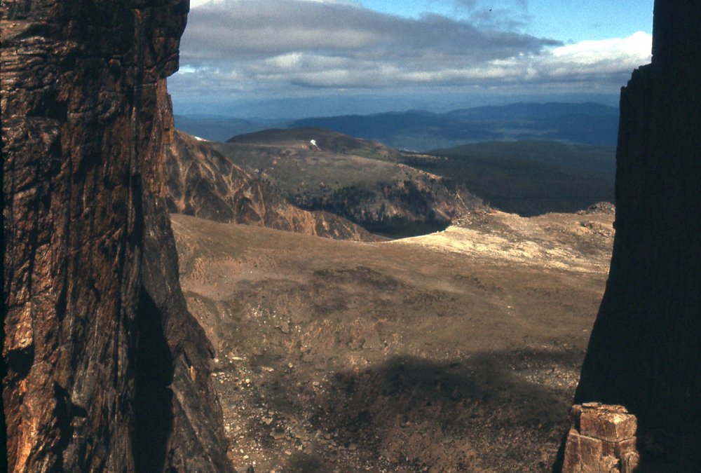
Looking through the Giant Cleft to Stone City in the distance.
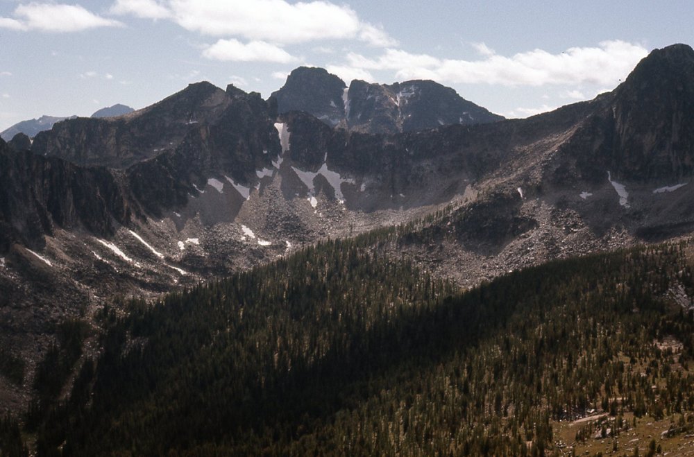
I’ve tried to find out the height of the cleft, but nobody seems to know. Anyway, it really blew my mind. After a few photos, I carried on to the southeast and went up and over gentle Ovis Mountain (8,430 feet), and then a short distance later came to my high point of the day and the entire trip – Grimface Mountain. Back when I did this climb, it was called Mt. McKeen. I can see why they changed the name, though, because the peak certainly does display a very grim face. It was a steep scramble to the summit at 8,645 feet. Here are some striking photos of the peak.
The northwest ridge of Grimface
The west side of Grimface
Here’s a look back at the south side of Stone City
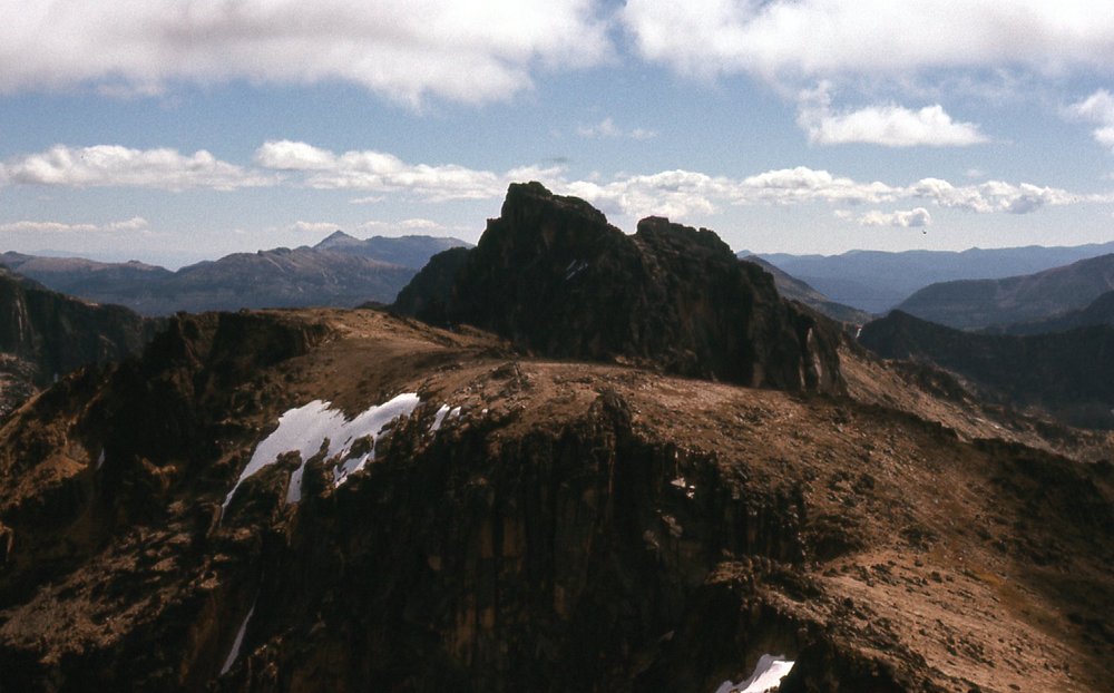
And here’s what Grimface looks like from back at Stone City
The southwest side of Grimface
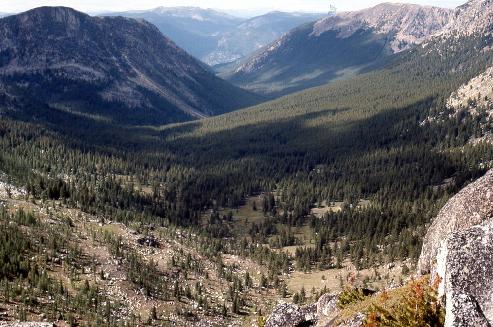
Looking west down Wall Creek
And here’s the south side of Grimface
Here’s a look south from near Grimface, which is only 2 miles from the US border
Yet another view of Grimface
I confess I do like the name Grimface – it sounds like something out of the Lord of the Rings. Once I was done with Grimface, I passed over Matriarch Mountain and then Denture Ridge. From there, I took this shot north down the length of Ewart Creek.
Looking north down Ewart Creek
When I made these climbs in 1976, I was on the lookout for bighorn sheep. Not Rocky Mountain bighorns, but a different type called California bighorn sheep. I had been told that this park was the extreme northern edge of their range, so all day I had been keeping an eye out for them. And guess what? I finally saw some – zoom in if you have to, you can see their white bums over there on the rock in the middle of the photo. I saw a total of 19 of them (and only 1 mountain goat all day). This was at my lowest point of the ridge – I was all the way down to 7,875 feet.
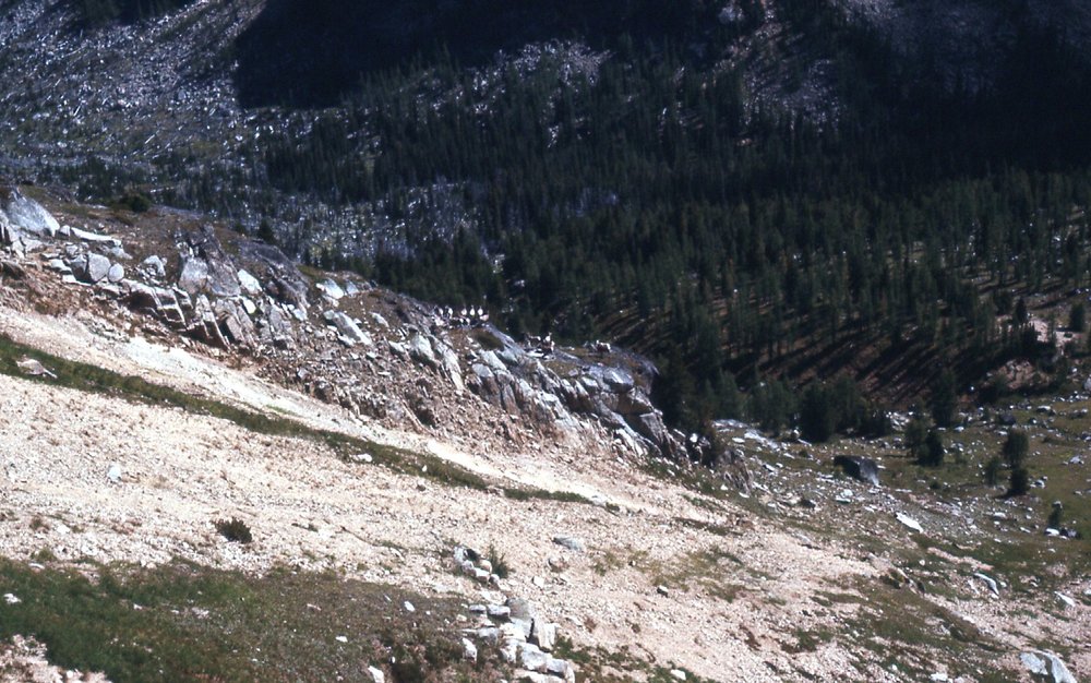
A group of 19 California bighorn sheep.
Now my direction changed. Still following the ridge around the southern end of Ewart Creek, I now headed northeast up gentle slopes to The Boxcar, at 8,500 feet. Only one more to do, an easy traipse north to Lakeview Mountain, about 8,590 feet.
From Lakeview, a look south back to The Boxcar.
And one more view, a look from Lakeview to the southeast to something called Haystack Mountain, which I did not climb because it was too far out of my path.
Looking southeast to Haystack Mountain, around 8,500 feet.
What a great day it had been – I was glad I went with Charlie and Pat back up to the ridge, because look at all the extra peaks I bagged. From Lakeview Mountain, I dropped down a trail to the west to the valley bottom and met the Ewart Creek Trail, which I followed to Pyramid Lake and the campground beside it, arriving at 6 o’clock. On my way down from Lakeview Mountain, I met a nice patch of lupines.
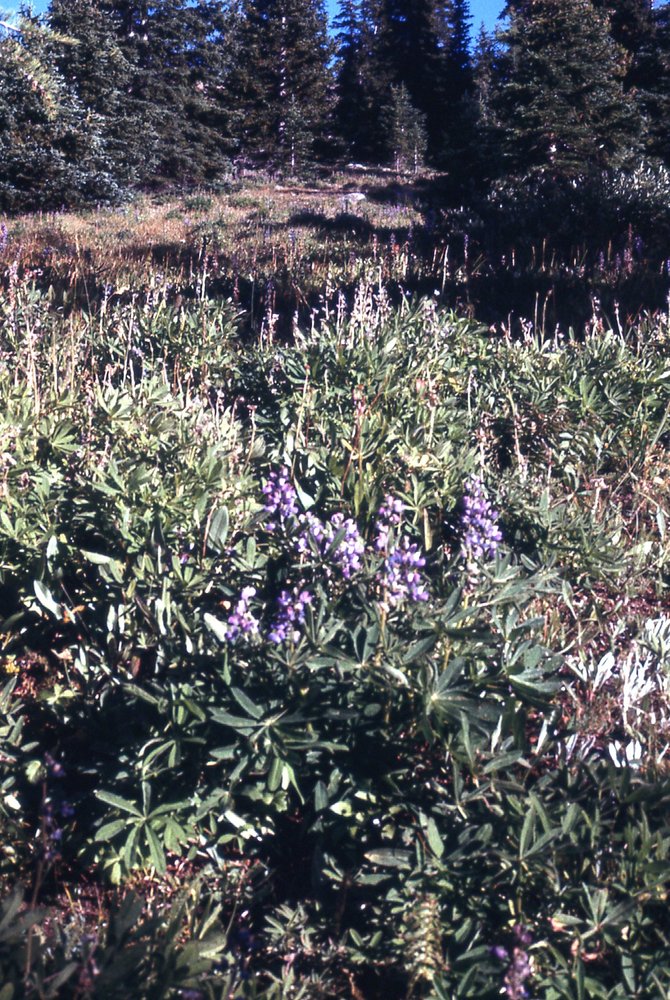
Flowers at 7,000 feet.
The night spent there was much more restful than the previous with its high winds.
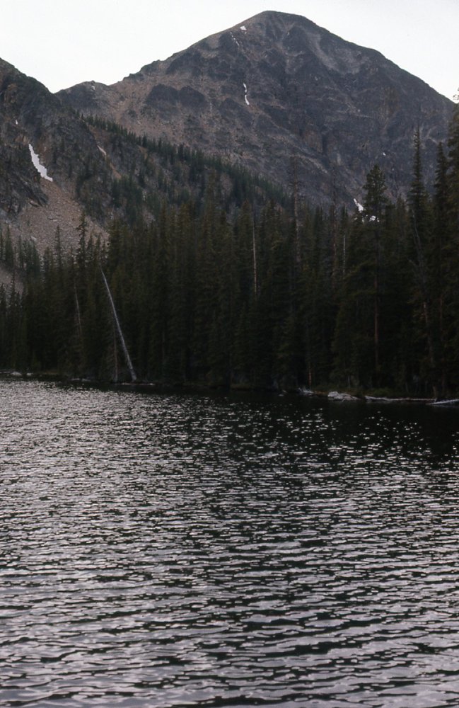
Pyramid Lake
It was all over but the shouting. I set out bright and early the next morning, and on good trails I soon passed Lake of the Woods.
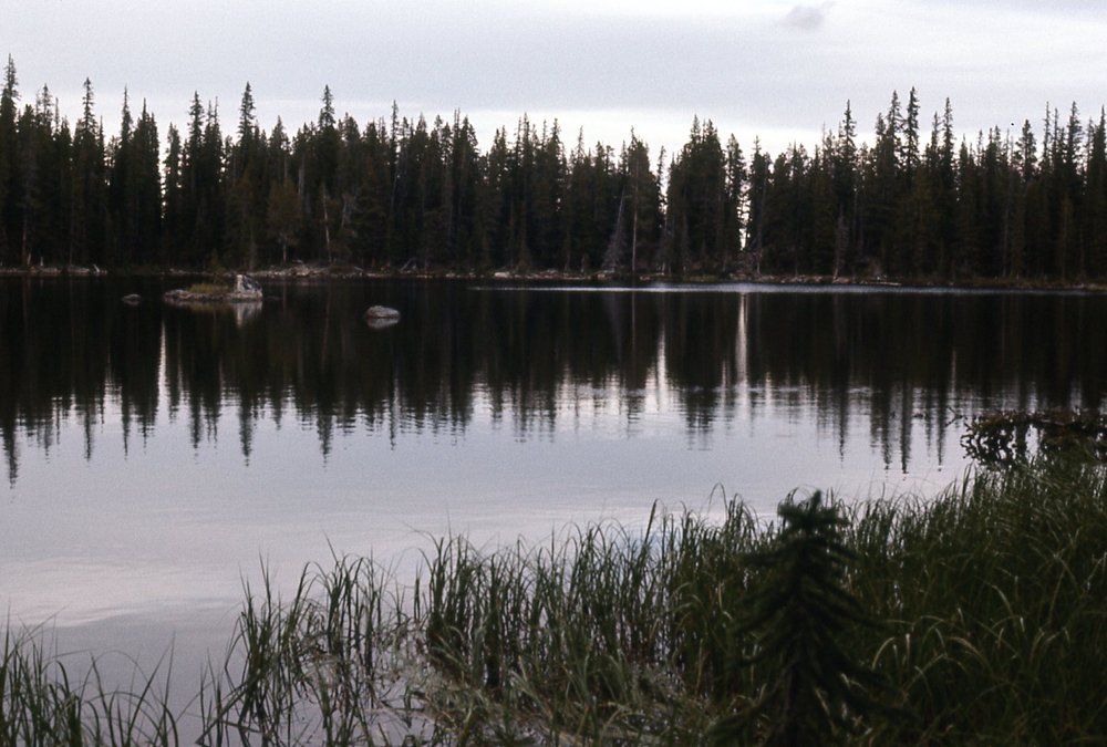
Lake of the Woods
It was 9 miles from my campsite all the way back to my car, and I made it in 2 1/2 hours, really haulin’ the mail. Since I was so close to Keremeos, I stopped there and bought cases of fresh fruit, filling up the old Volvo station wagon. Another 3 hours saw me all the way back home in Mission.
I never had a chance to return to Cathedral Park, but I have fond memories of the high country and the wildlife there. It’s worth a visit if you ever get the chance.