
Technical climbs – I don’t do a lot of them, maybe an average of a couple a year. Seldom enough that when I do one, they’re always exhilarating. I’ve been working on a big project, climbing a group of well over 700 peaks, and it was time to do a few more. There are some good ones near Ajo, Arizona, ones that I had pondered for a decade and more. Andy Bates, with whom I’d done plenty in the past, stepped up and agreed to lead the way.
On October 17th, I left town as soon as I got off of work. By the time I’d driven to Ajo, then on the back roads to a spot at which Andy and I had agreed to meet, a full three hours had passed. It was late afternoon, and I had just enough time to do a quick climb of Peak 2434.
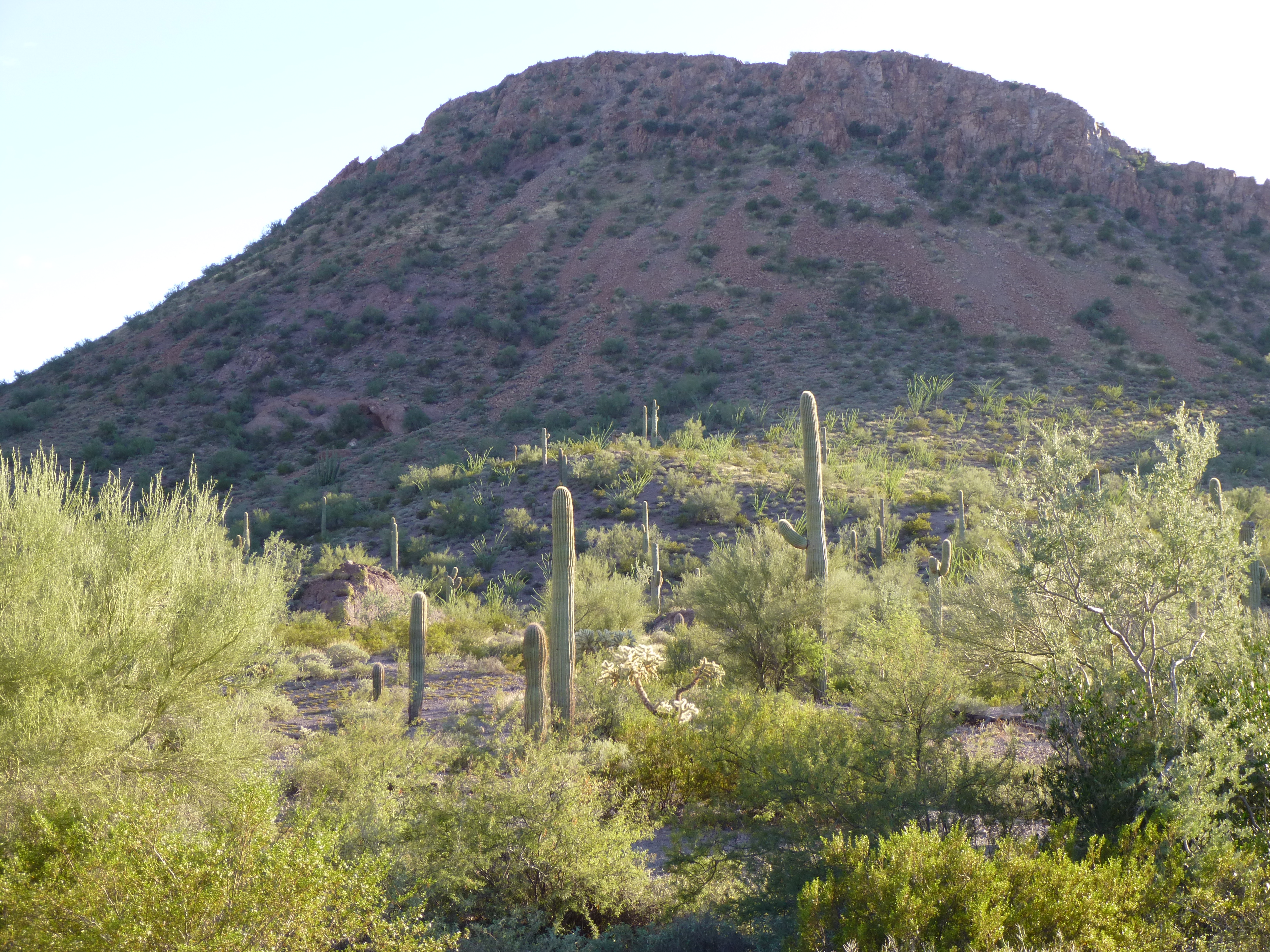
Peak 2434
By the time I got back to our agreed-upon meeting place, Andy was waiting. It’d been a month since we’d last climbed, and that was in the Sand Tanks. These Ajo climbs had been on the books for a few years, actually, so it felt good to finally be there. We had the perfect camp site, and a perfect desert sunset, with a front-row seat of our first objective for the next day, Ajo Peak.
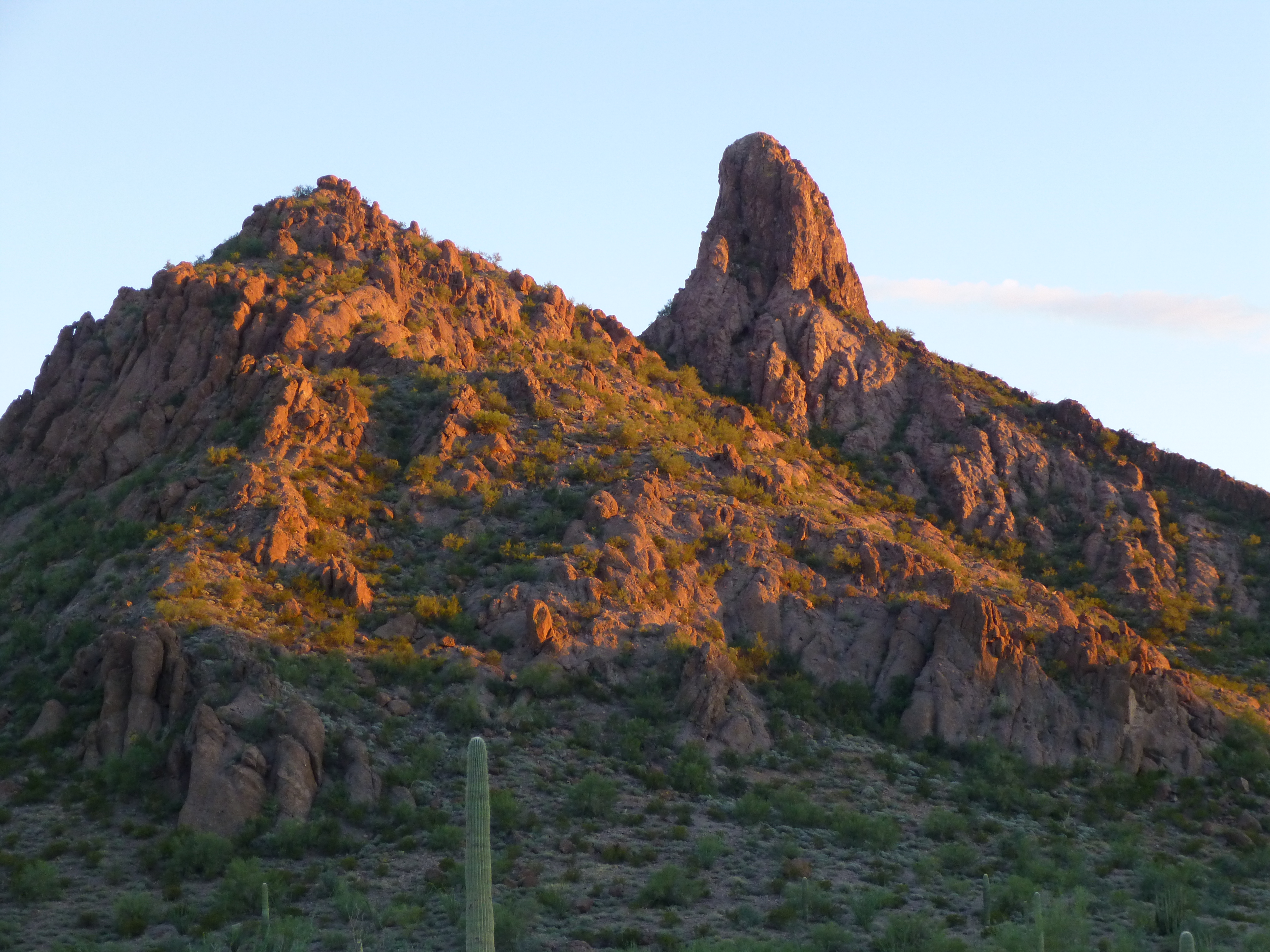
Looking south to Ajo Peak at sunset.
During the night, I slept in the back of my truck, and I could see the dramatic shape of Ajo Peak against a backdrop of stars. What would the morning bring?
The alarm went off at 5:00 A.M. and within an hour we had packed our gear and set out in the dark by headlamp. A short walk of less than half a mile brought us to the base of our mountain. We had no idea of the route to the top, no information at all. For a fact, it had been climbed before, but we didn’t know any of the details of the route previous parties had used. We felt pretty strongly that it wasn’t the northeast side, seen in the above photo on the left side, as that appeared overhanging. There was nothing for it but to climb up to the base of the steep part and have a good look. After a climb of a few hundred feet, there we were on the southwest side. From below, we had spotted what looked like a bit of a ramp and made our way over to it. The first thing we saw was a huge chockstone blocking the entrance to the ramp.
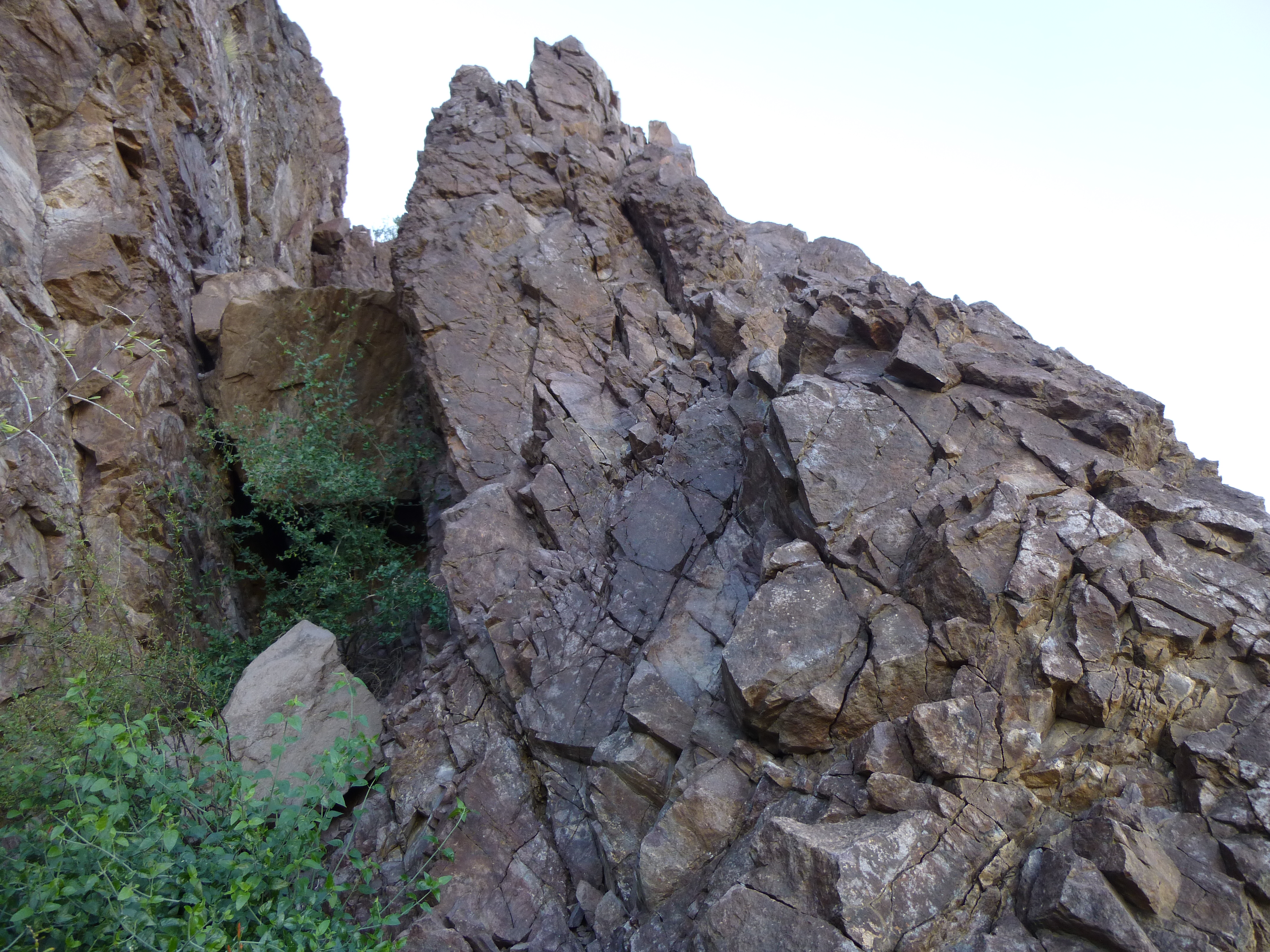
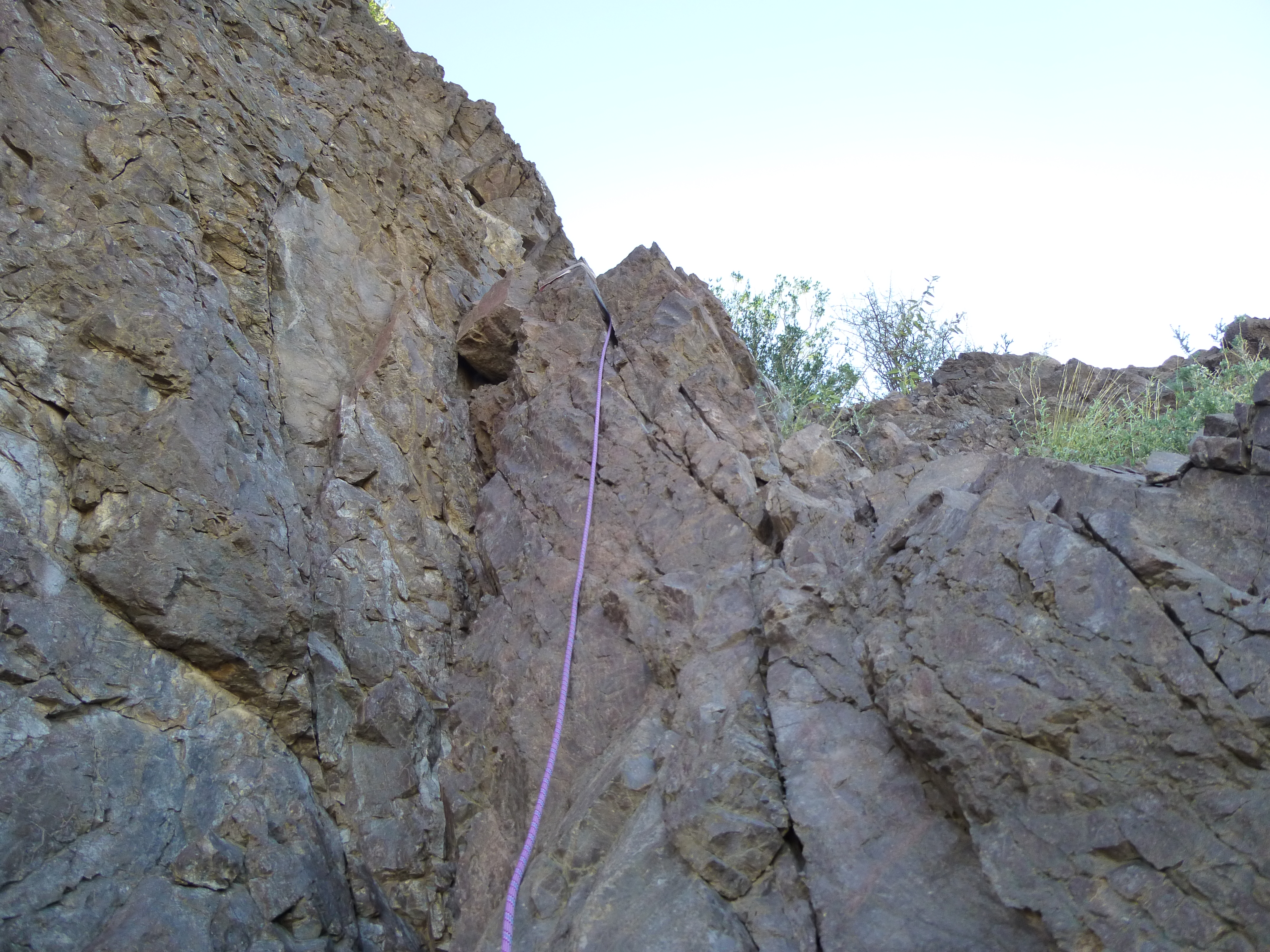
The chockstone
We put on our helmets and harnesses and pondered a possible start. Andy put his rack together.
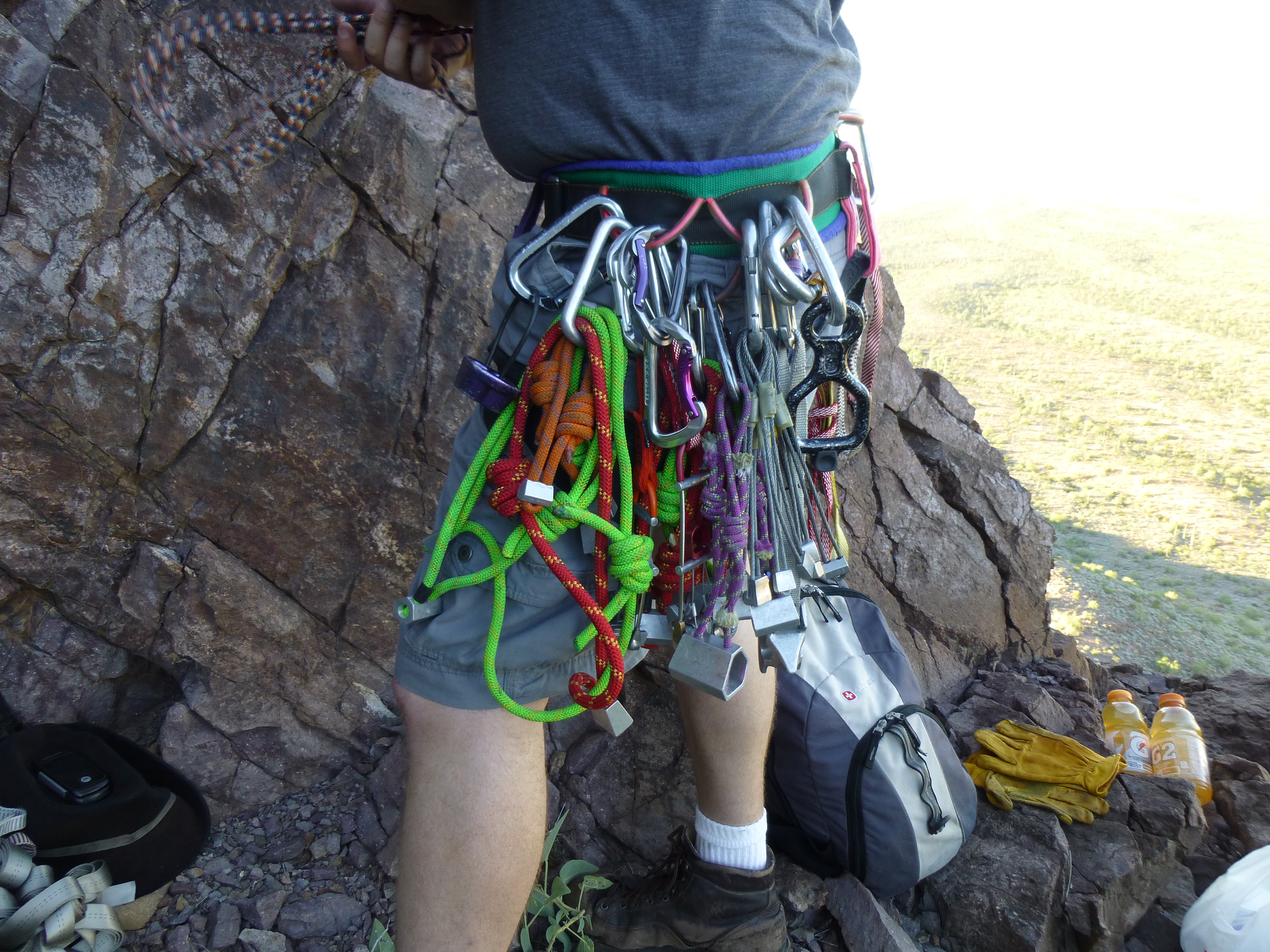
The rack
We roped up. Andy decided to climb up to the left of the chockstone and then on to the top of it. He did it all right, but as I watched him do so, on tiny holds on the vertical rock with some very acrobatic moves, I had a bad feeling I couldn’t duplicate that. He wore rock shoes – I wore climbing boots and had the pack. On Lists of John, the only source of information we had on the climb, it was rated Class 5.3, and there was no way that Andy’s start was as simple as that. It had to be 5.7 or higher. Andy’s start just couldn’t be the normal start of the climb. My mind was made up. I opted instead to climb up to the right and then over the pointed rock and then down to the top of the chockstone, as can be seen in the photo above labeled “The chockstone”. Now that was 5.3. Andy had chosen his route because he wanted to spare me the exposure of my route, but I was fine with it.
Now that we were both above the chockstone, Andy set things up so that I could sit and belay him. He soon set out and climbed up the ramp and out of sight. A few feet above me was an old sling left by someone – Andy had placed one of our own, looped around a horn of rock, and clipped in to it.
Starting up the “ramp” pitch
Some time passed. Andy called down to say that he was at a spot where the ramp ended and that the climbing continued straight up from there towards the summit, and it looked do-able. This “ramp” pitch was about a hundred feet long and only Class 3. Here’s a view of the shadow of our peak from where I sat at the end of the ramp.
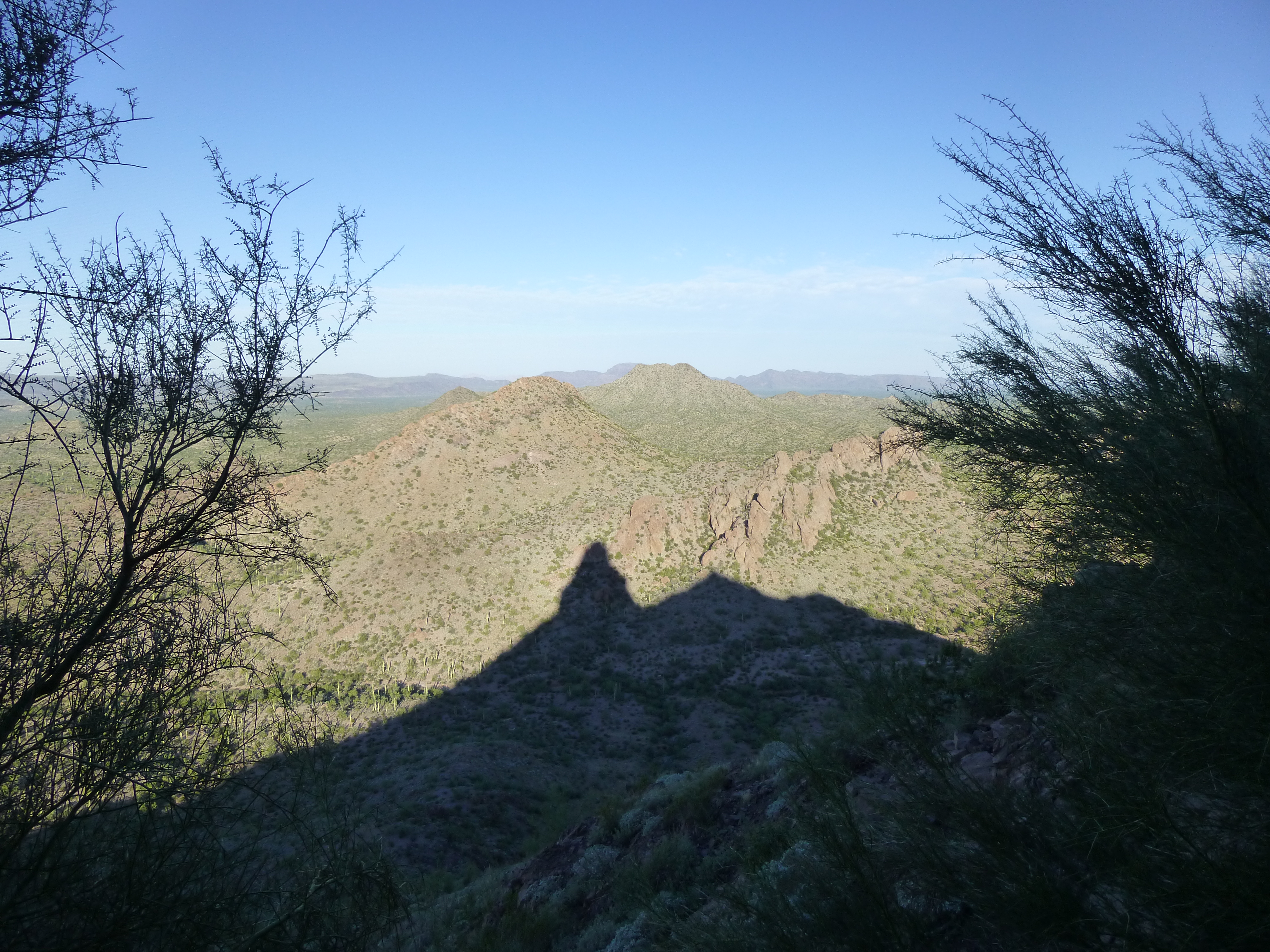
The shadow of Ajo Peak
He said he was getting things ready so he could bring me up. After a while, he shouted to say that I was on belay and should climb when ready. It didn’t take long to follow him up to where he waited.
Where we ran out of ramp, there was room for us to both stand, barely. Andy tied me in to a sling looped around the base of a bush about ten feet above me. This was done in a way that I could once again do a sitting belay. My feet were braced against a small bush, beyond which was nothing but air – this was one very steep peak.
Andy set out once again and quickly disappeared from sight, climbing straight up for 110 feet. We each carried a walkie-talkie and I’m glad we did, because trying to communicate by shouting was difficult. Andy set up a solid belay anchor, which took quite a while. Not counting the two pieces of protection into which I was tied, Andy had placed two others in that 110 feet. He said the climbing was good – lots of ledges, good holds, outrageous exposure – and the crux was just above the last piece of pro. Finally, it was time for me to climb.
One small problem – Andy had anchored me at that spot really well, and it took me a while to understand the intricacies of how he’d done it, so I could safely proceed. It would have been hard without the radios for me to do that. Once on belay, I moved up fairly quickly. I reached the protection he’d set up, then came to the crux. This seemed to be the only way up – the rock was decent, but personally, I felt the move was a solid 5.5 or 5.6. Maybe 20 feet beyond that, I reached Andy, where he’d set up a good anchor. Whew, talk about exposure!
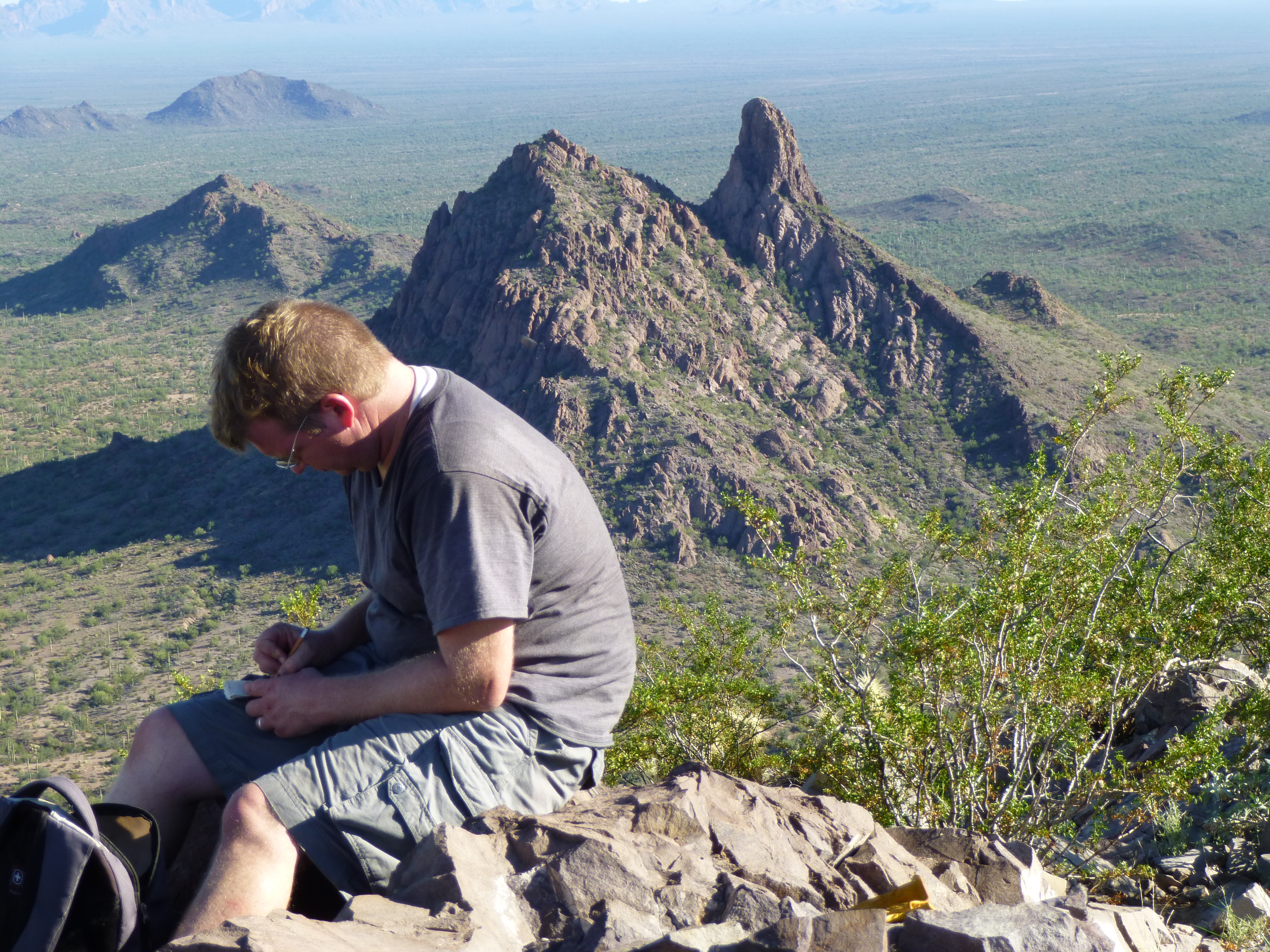
As I joined him, he pointed out that it was only about 30 feet of Class 3 to the top, and did I just want to scramble up it. I was okay with that, and just stayed tied in. Andy did the same, he too attached to the rope. On top, we found a tiny cairn but no register. There was barely room for the two of us to sit comfortably on the summit of Ajo Peak, elevation 2,617′. This is a wide-angle photo of Andy, so it makes the summit look bigger than it really is.
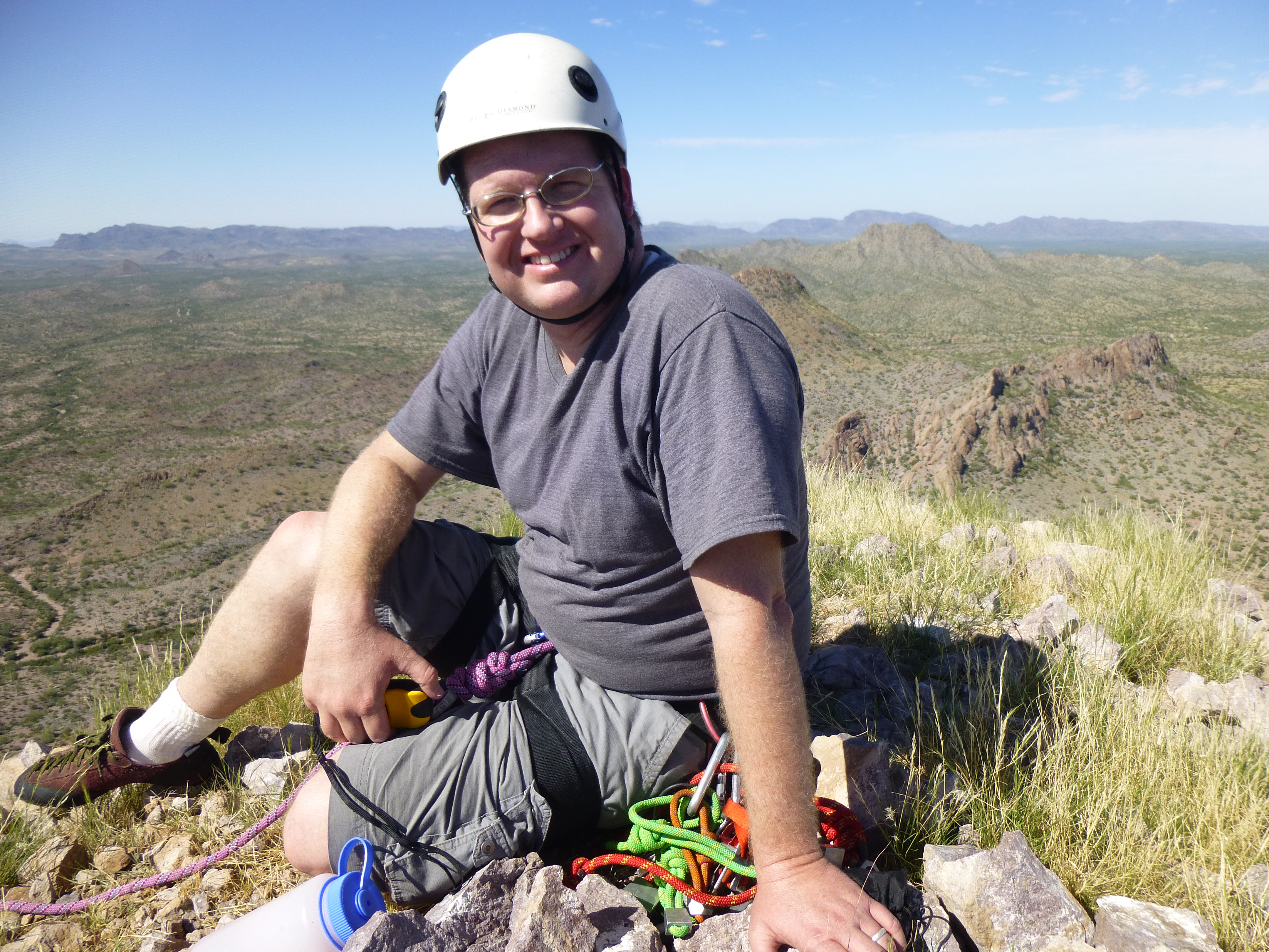
Andy Bates on the summit of Ajo Peak
What a view! Things dropped off near-vertically in every direction. It had taken us 5 hours from camp to the summit. We only stayed a few minutes, then carefully climbed back down the 30 feet to our anchor. Here is a view from the summit – those trees beyond Andy are 500 vertical feet below him.
Looking down from the summit to our last anchor.
Since it was still in place, it didn’t take long to get our rappel ready. I set off first, and was soon back at the end of the ramp. Andy quickly followed and cleaned the route of some pro I couldn’t get earlier. We left a sling and two carabiners at the upper rappel point.
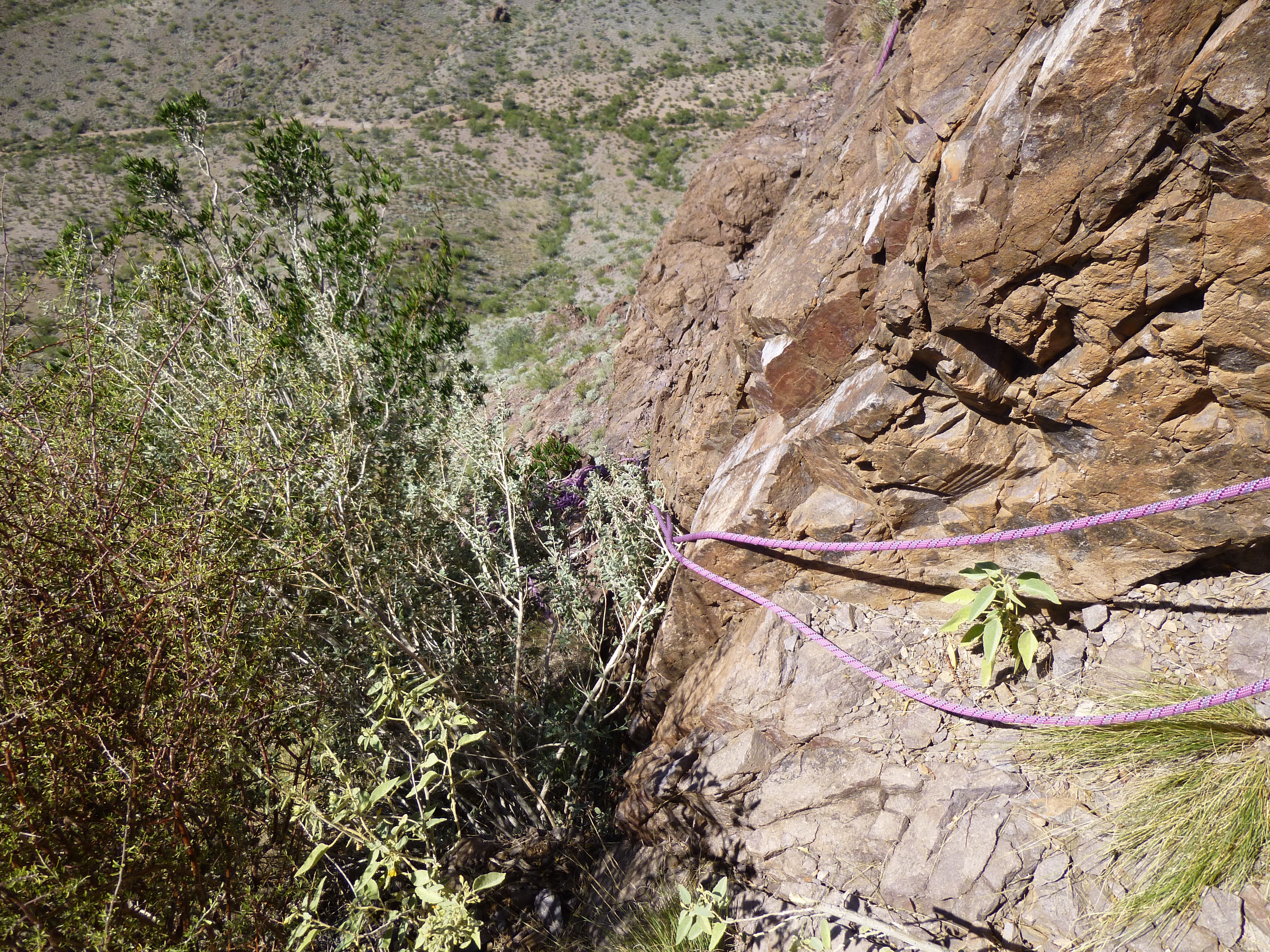
The rope hanging down the south face of Ajo Peak
Once Andy reached me, we anchored to a sling we’d left earlier, plus two more ‘biners we were happy to sacrifice, and before you knew it, we were back at the base of the climb.
Ajo Peak, seen from the wash. Our route went up the right skyline.
After a break, we organized our gear, descended to the wash and walked back to the trucks. Eight hours had passed since we’d set out early that morning. It was now two o’clock, and it was hot.
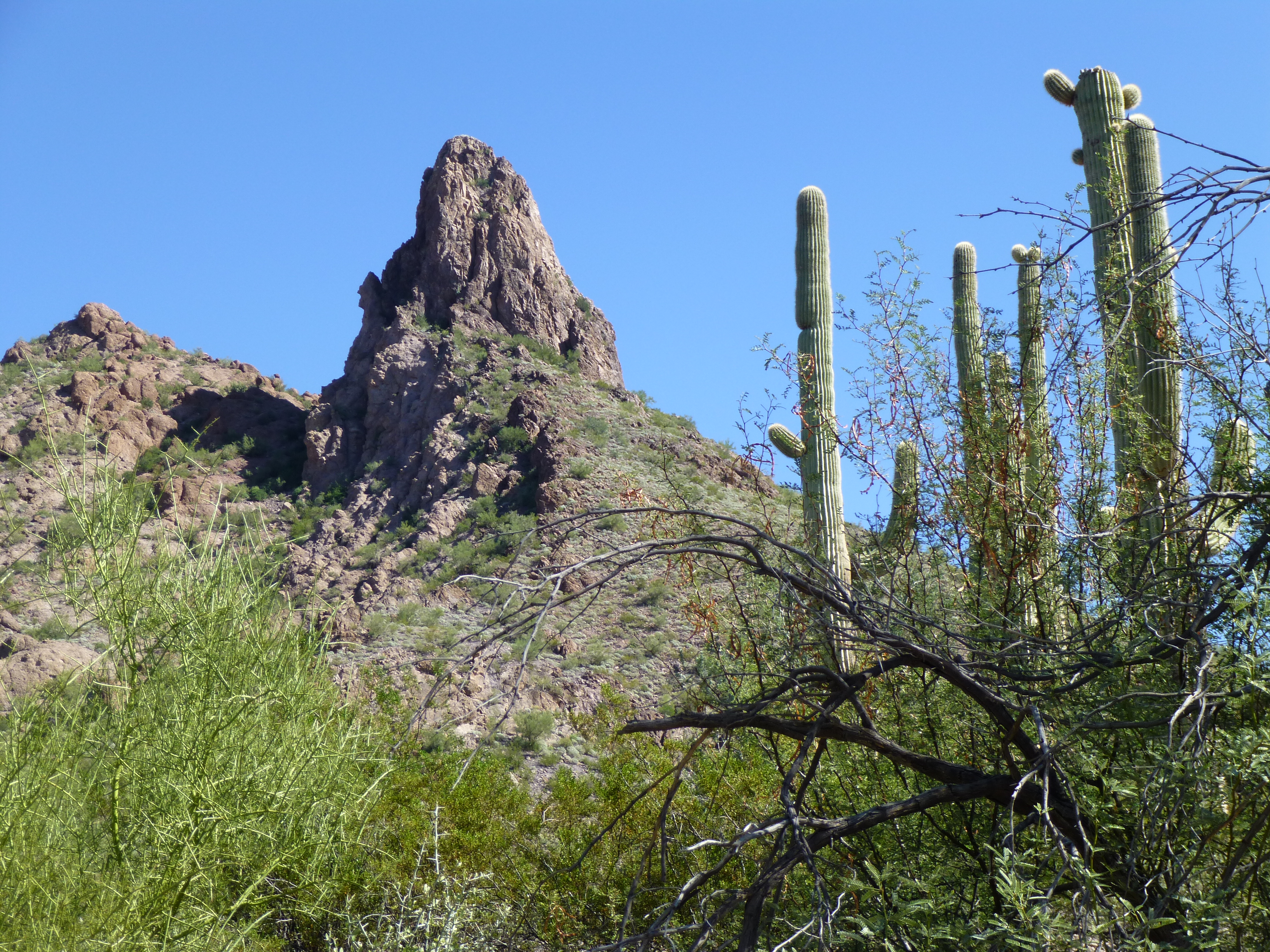
After a few minutes’ rest, we hopped in my truck, drove half a mile northwest and parked in a clearing. North Ajo Peak awaited. Andy had climbed this one before, back in 2000, with Dave Jurasevich, Mark Adrian and Richard Carey, He didn’t think we’d need a rope, so, with very light packs, we set out, The sun felt hot – in fact, it was 93 degrees. In the next photo, our route goes right up the center to the skyline, then right up to the summit.

The south side of North Ajo Peak
It was a short walk over to the base of the mountain. The climb was rated Class 3, so we felt it’d be a cake-walk compared to what we’d just done. Steep, often loose slopes on the south side led us higher and higher – there was quite a bit of rock scrambling. About 150 feet below the summit, we entered a brushy gully which led us on to the exposed west ridge.
I started up the ridge and soon found myself crawling up a steep, exposed bit of what had to be Class 4. Andy called up to me – he wondered if I were okay up on such an airey spot. I decided that I was not, and downclimbed it. He dropped below the ridge on its south side and explored a bit, deciding it was an easier option, and that suited me just fine. I was relieved there might be another way, and followed him.
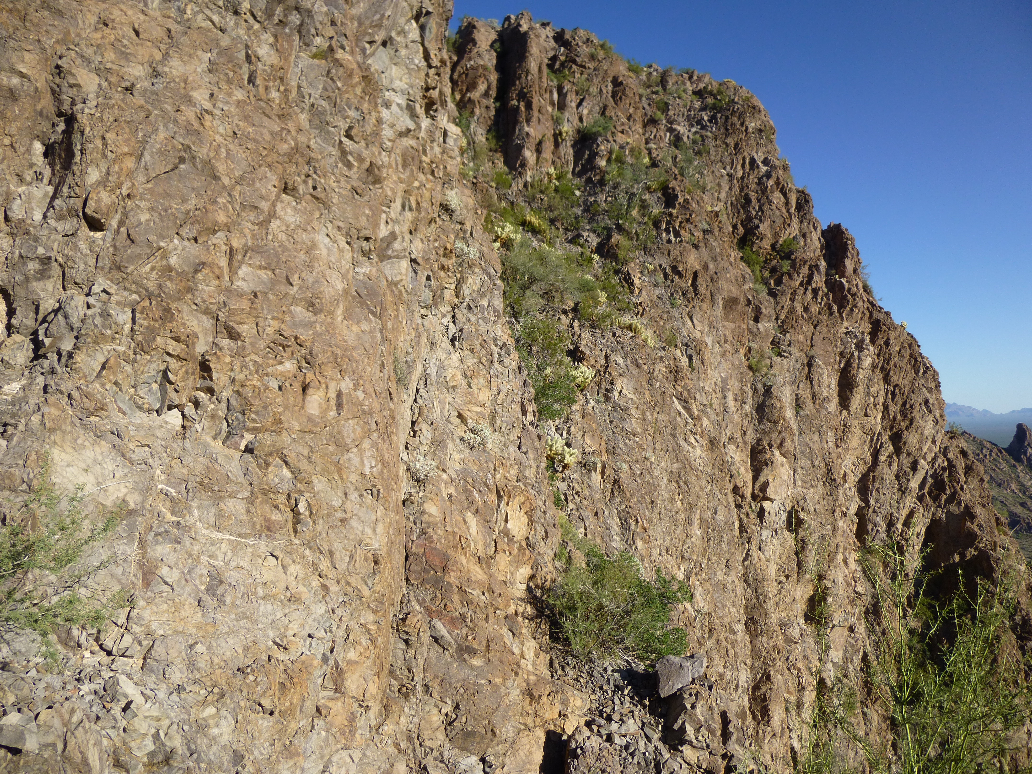
Here’s the route Andy found – past the bush in the bottom center of the photo.
In the above photo, Andy’s route starts at the bush in the bottom center and goes up and past it, getting very thin and exposed before easing up. It got us past the Class 4 bit, then took us up to the final part, 50 feet of steep, cholla-infested Class 3. We were on the summit of North Ajo Peak (elevation 2,776′) at 4:30 P.M., an hour and 30 minutes after setting out.
Andy on top of North Ajo Peak. Behind him, one mile to the south, sits Ajo Peak
Andy found the register he’d placed 14 years earlier and we signed in. Quite a few had visited in the intervening time. A few photos, and we started back down.
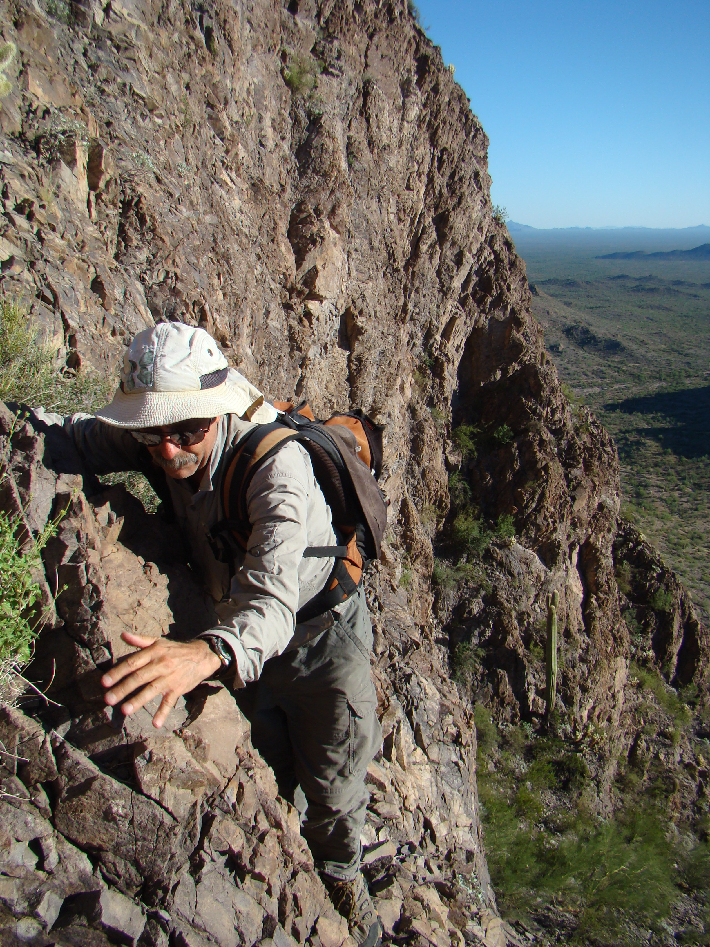
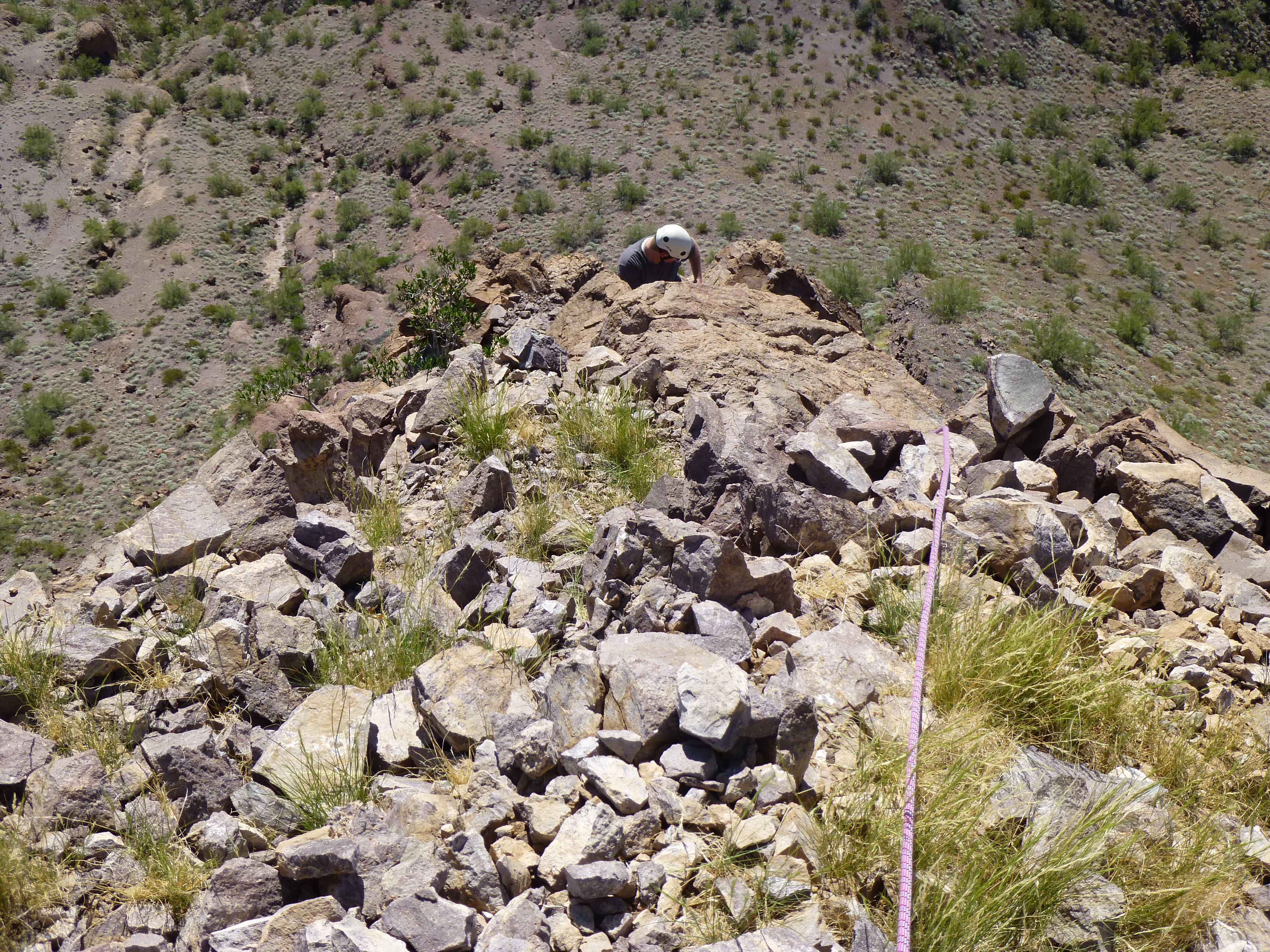
The Desert Mountaineer creeping past the dodgy bits
Once through the dodgy bits, it was a steep scramble and slide back down to the desert floor, much of it already in shadow. Our round-trip time was three hours, and, as Andy puts it so well, the climb was a “solid Class 3”. There was one spot along the road on the way back to camp that gave us pause. Recent rains had left a deep hole eaten into the side of the road, My truck has a narrow stance, but even then we barely made it through. Andy was sitting in the downhill side, and said his wheels just about went off. I drove past the hole a total of 4 times that weekend, but won’t try it again.
We soon got back to the campsite, but were pretty much ready to leave, so did. Good timing, as the sun was setting and we both had close to three hours of driving to do before reaching home. It had been a good day. I don’t think that both Ajo and North Ajo Peaks are climbed in the same day very often. Thanks to Andy once again for his good leading and route-finding.
Please visit our Facebook page at: https://www.facebook.com/pages/Desert-Mountaineer/192730747542690