
The month of May, 2016, had been remarkably cool here in the desert. With the exception of one quick flirtation with 100 degrees, temperatures had stayed well below normal. The month’s final weekend promised more of the same, so Dennis and I seized the moment and headed out to the Sauceda Mountains. To beat the expected high of 94, we left my house at 3:00 AM. By the time we’d entered the bombing range and reached our starting point, it was already six o’clock.
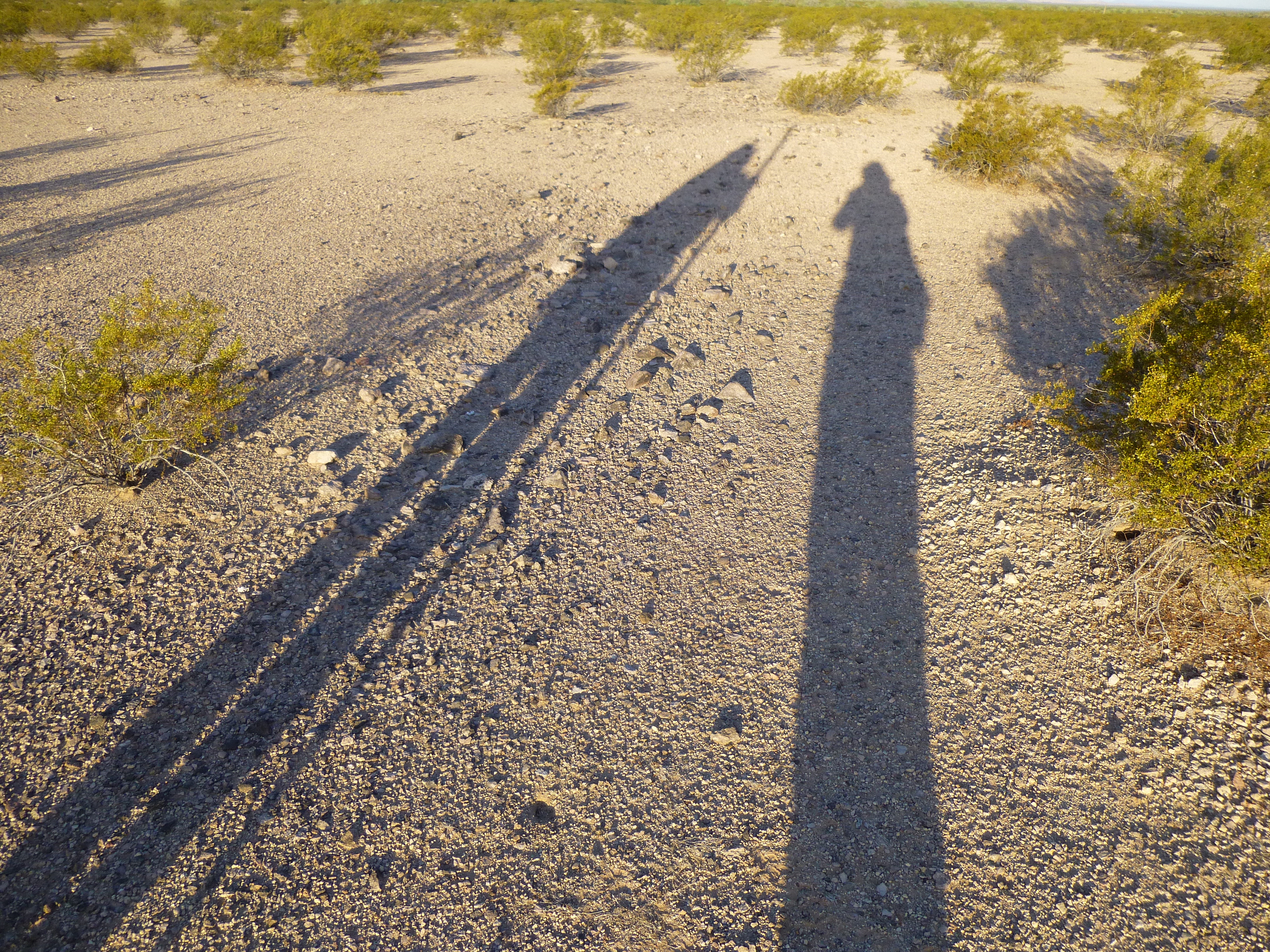
Sunrise
It was pleasantly cool as we headed south across the flat desert. The going was easy.
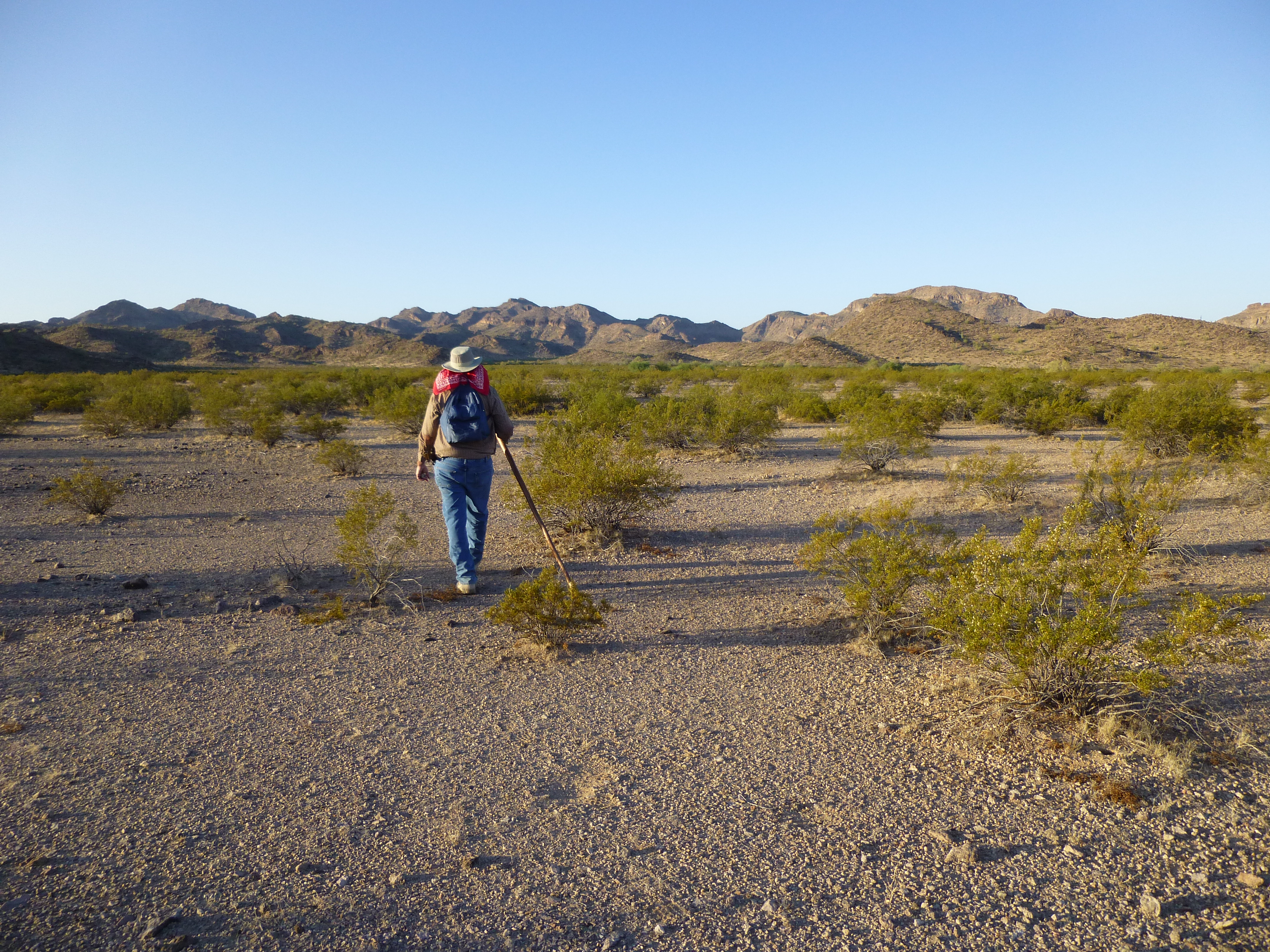
Dennis, heading south.
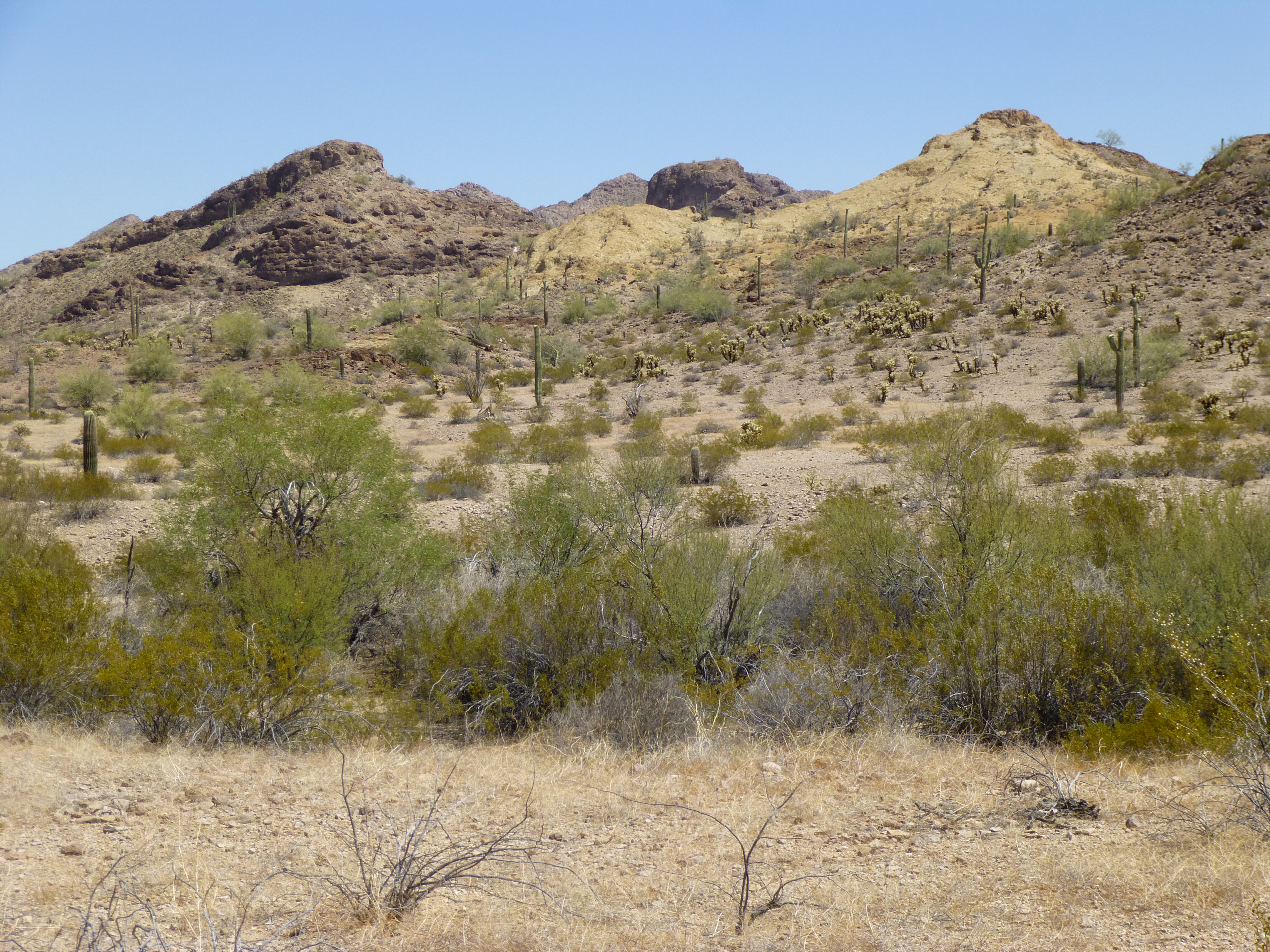
We soon entered a valley surrounded by low ridges and caught our first glimpse of our peak. In the next photo, it’s the long gentle one just to the left of center.
Looking south towards Peak 1620.
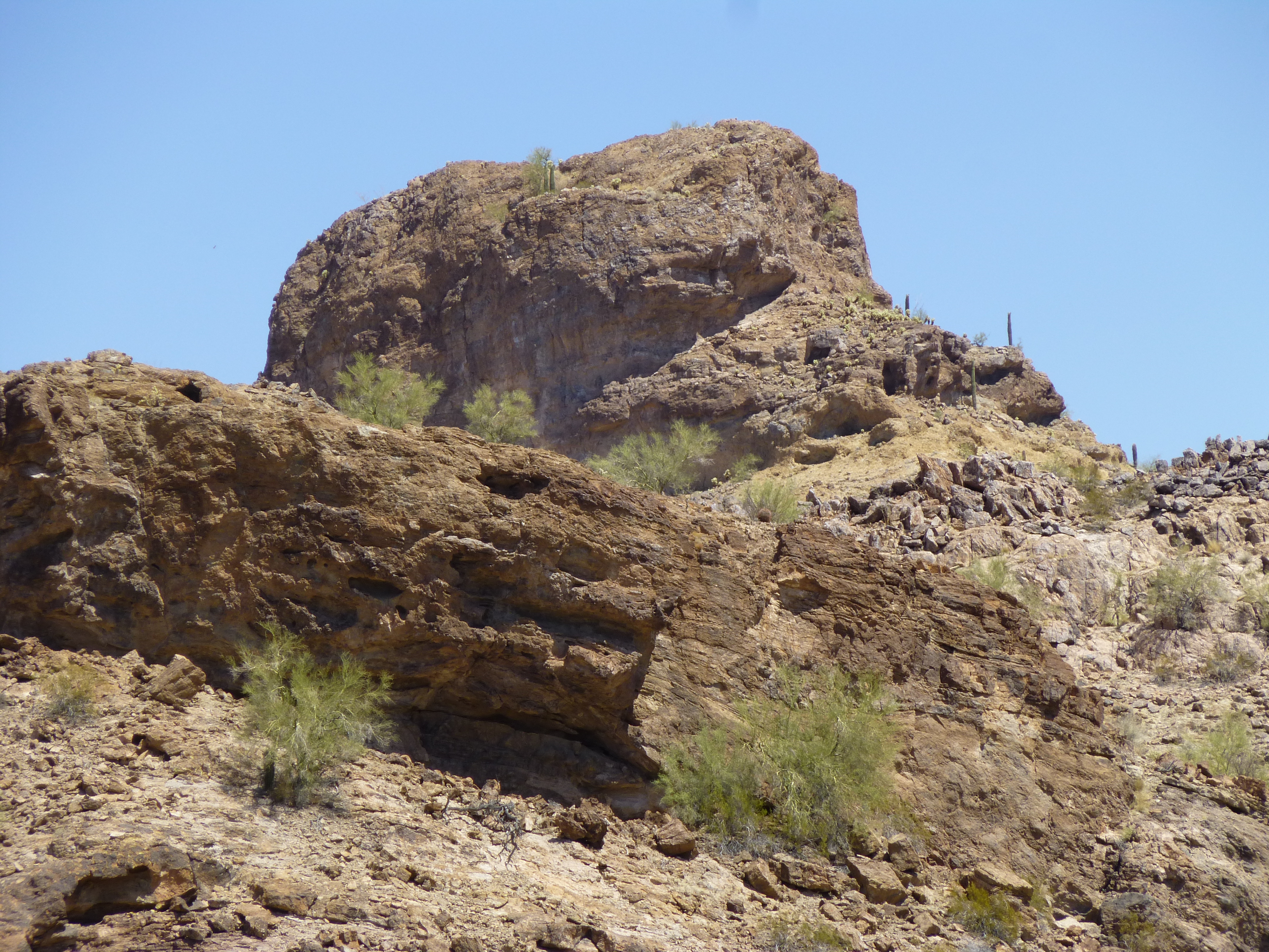
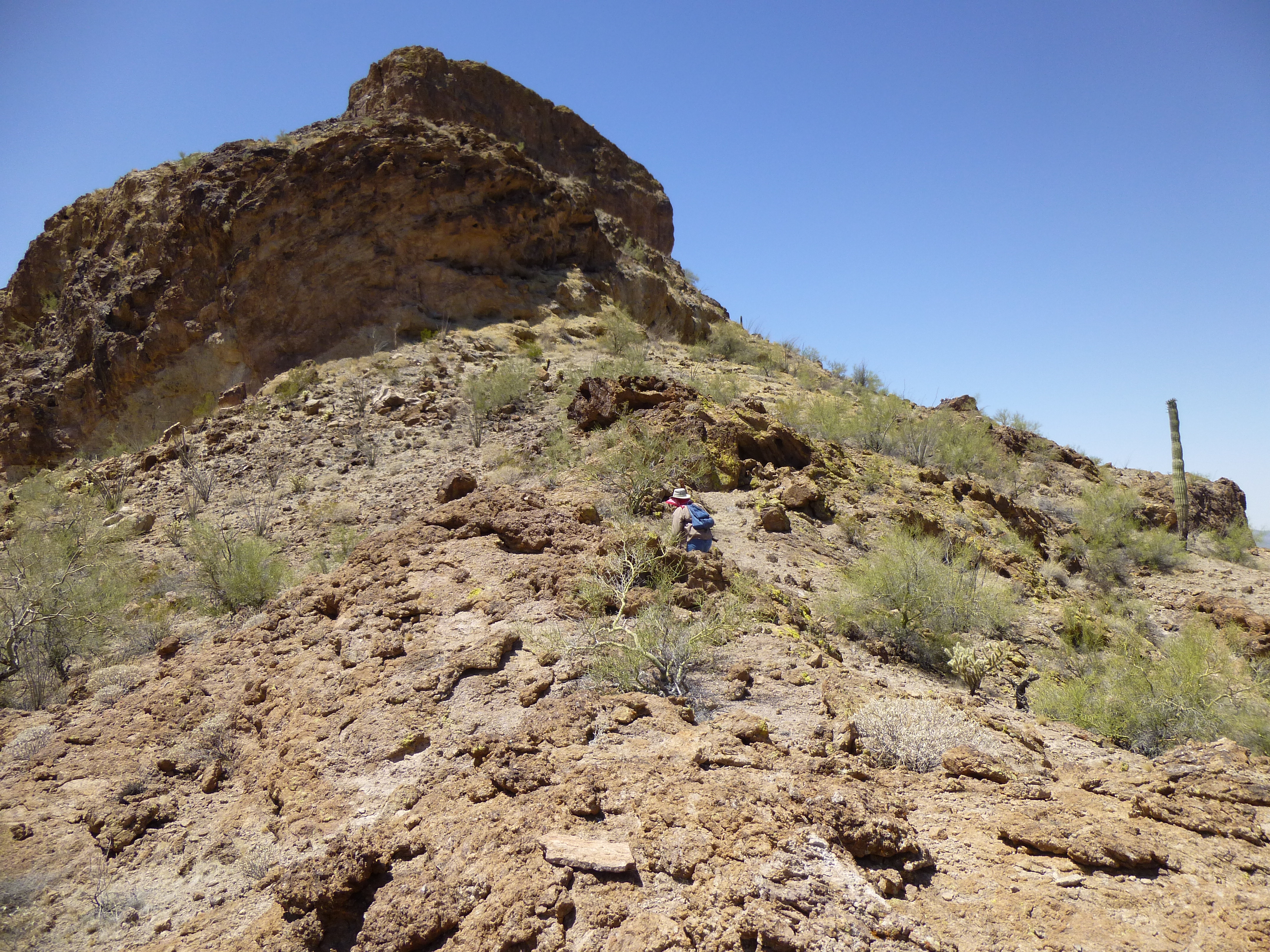
Peeking over a nearby ridge was Cap Benchmark, rising 900 feet above us. Its entire north side was well-defended by cliffs.

The north side of Cap Benchmark
Once we were even with the peak, we found an easy way up on to the summit ridge and, Bob’s your uncle, stood on the top at 7:30 AM. There was no sign of anyone’s having visited Peak 1620 before us, so Dennis got right to work building a cairn for our register.
Building a cairn
This was a beautiful spot, and we would’ve loved to have stayed a while longer, but 35 minutes was all we allowed ourselves, as we knew things would be heating up soon. We packed up and headed down a different valley to regain the desert floor, then had an easy walk back to the truck. Almost 3.5 hours had passed.
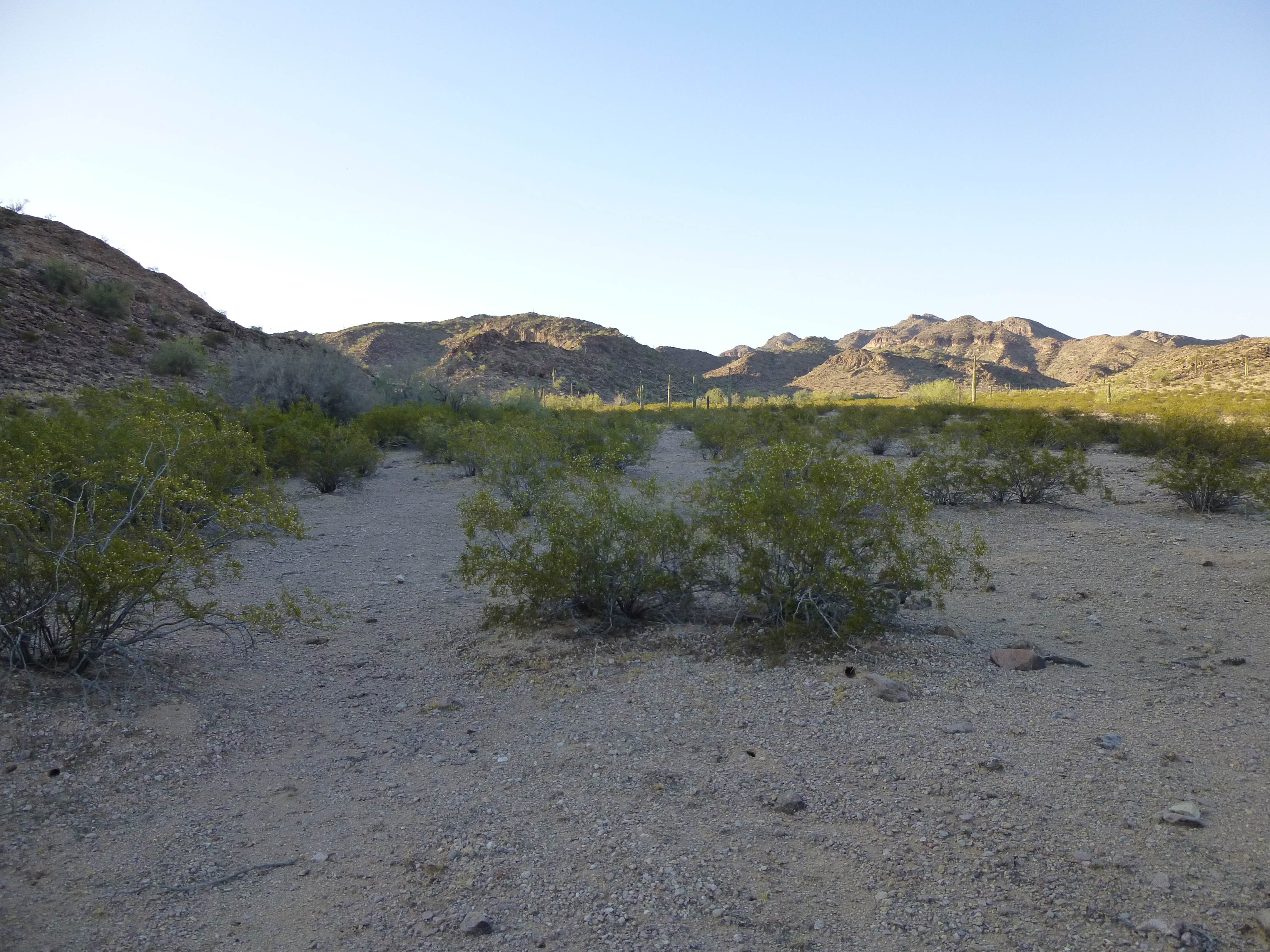
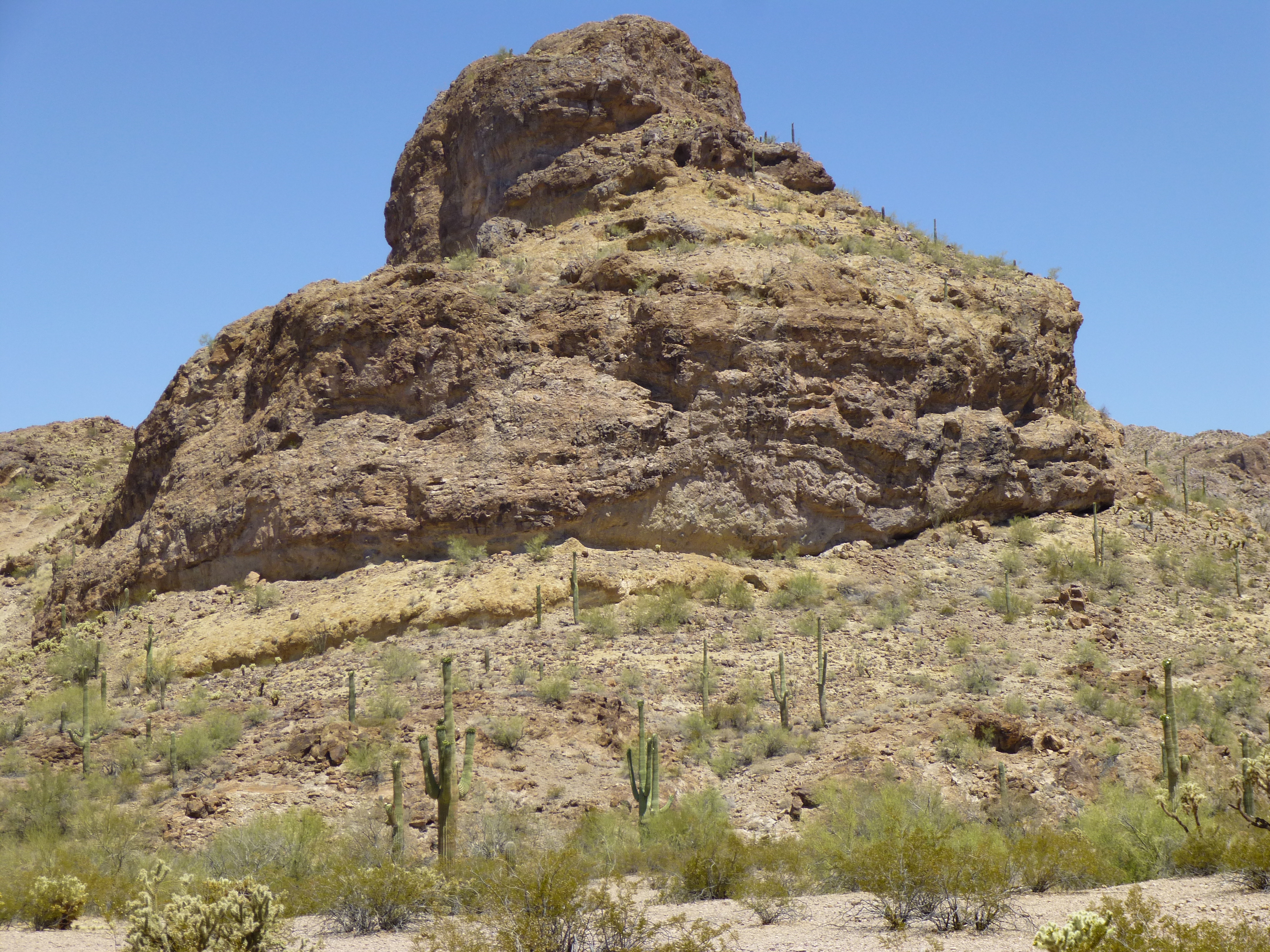
We then moved on, driving 13 miles through beautiful low desert terrain to arrive at our parking spot for the next climb. As soon as we got there, it was a bit confusing as to where our peak actually was. Here was the view that greeted us.
Our first look.
From where we stood, things were confusing. The above photo shows several bumps, and I was hoping it was not the dark one in the middle. We readied our packs, and by the time we set out, it was 20 minutes of 11. There were two low ridges we needed to cross, and once over the first one, it became clear which was our peak. Here’s a telephoto look at it.
A telephoto look at our peak.
The closer we got, the less hopeful we became. There was one more ridge to cross, and once that was done, here is what we saw from the flat valley floor on the east side of the peak.
The closer we got, the worser it looked.
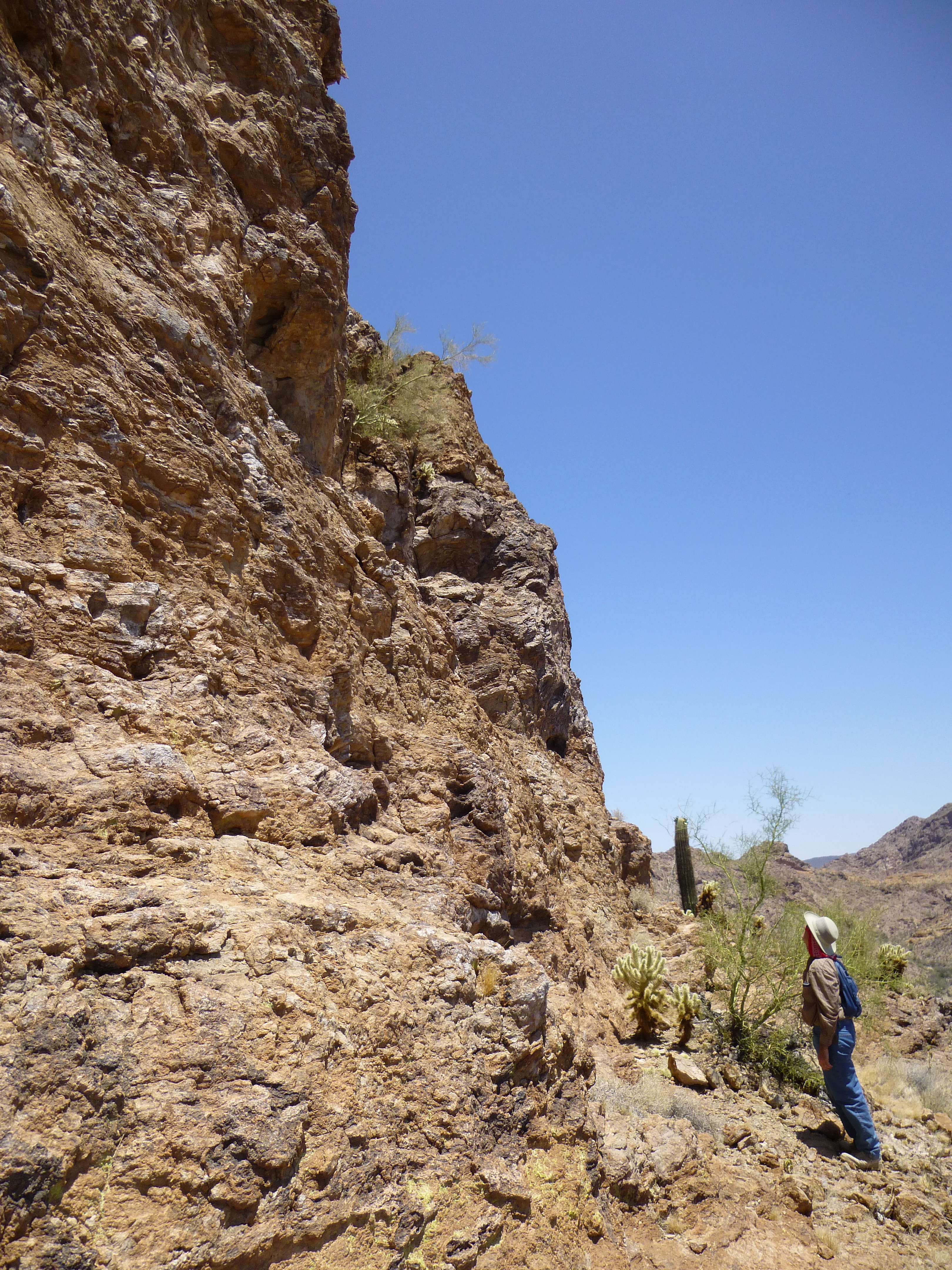
Nothing promising so far, so we decided to climb up to the saddle on the northeast side. We kept hoping against hope that there’d be a way, any way, that would open up. The rock in this area was riddled with caves.
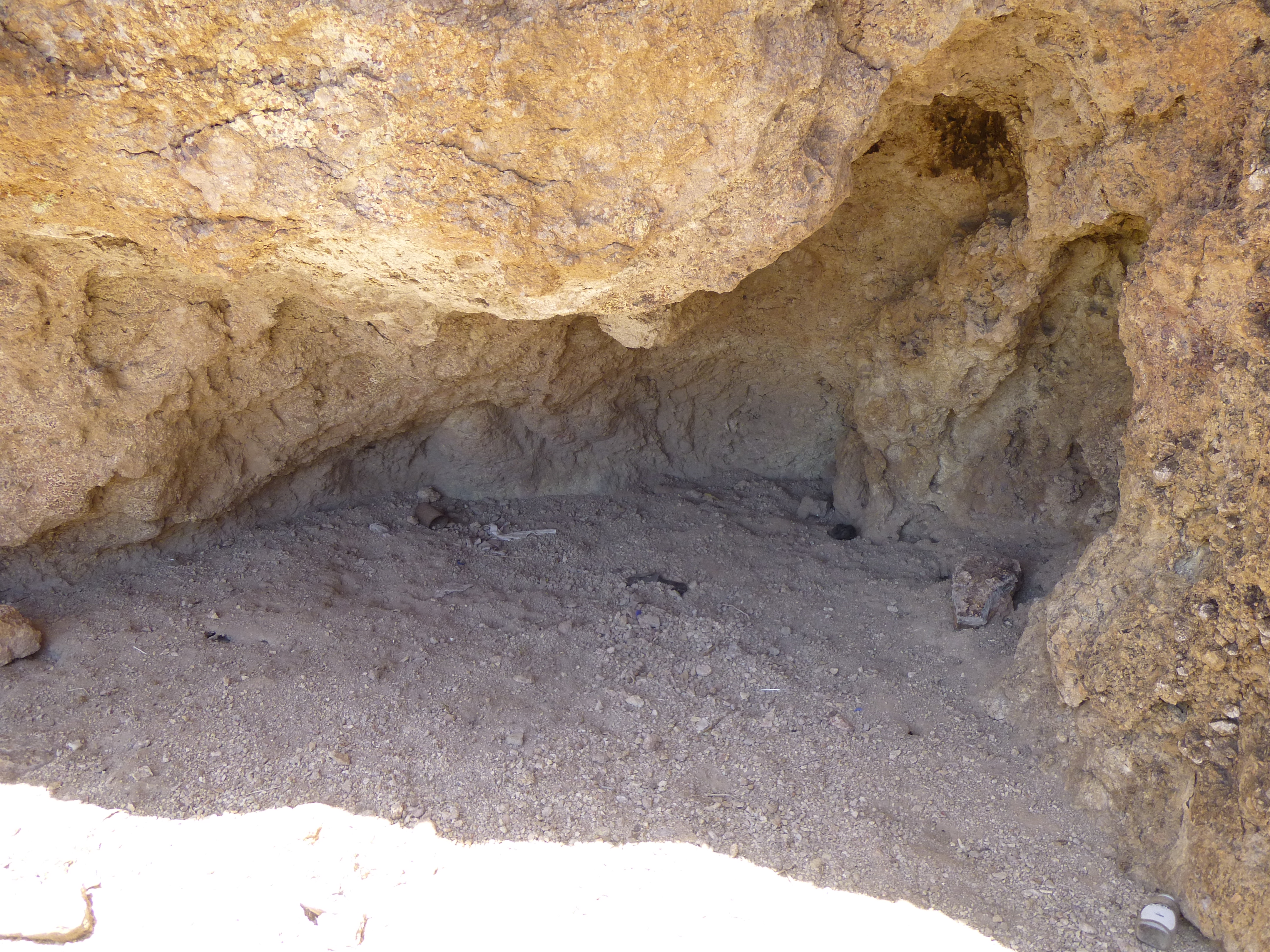
One of many caves.
When you see a lot of caves in an area like this, you can’t help but be on your guard – Bad Guys could be lurking anywhere (I’m not kidding). Mexican drug cartels have over-run much of this area, moving drugs and undocumented immigrants through to points farther north. As we climbed up to the saddle, we started to see more trash, not a good sign.

Somebody’s been here.
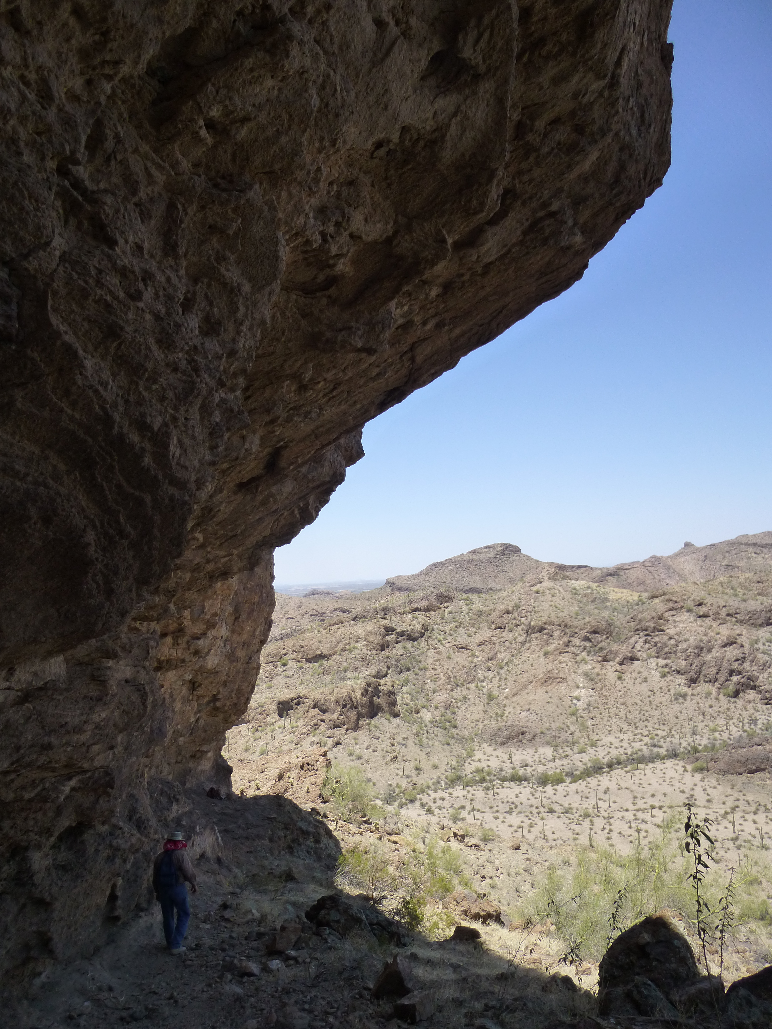
Once at the saddle, the view wasn’t any more encouraging.
Looking up from the saddle.
There was no obvious way to the top. As you can see in the picture above, everything looked steep-sided and impossible. By that, I mean that for two guys without any climbing gear, there was no apparent route past those cliffs. In any case, up we went. Remember the trash we saw earlier, a sign that we may have been on a smuggler’s trail? Well, as we climbed higher up, we saw a well-defined path below us – it ran up to, over and down the other side of the saddle. This path had nothing to do with wildlife, Folks – it had been made by the passage of countless feet belonging to Bad Guys. See it on the upper right?
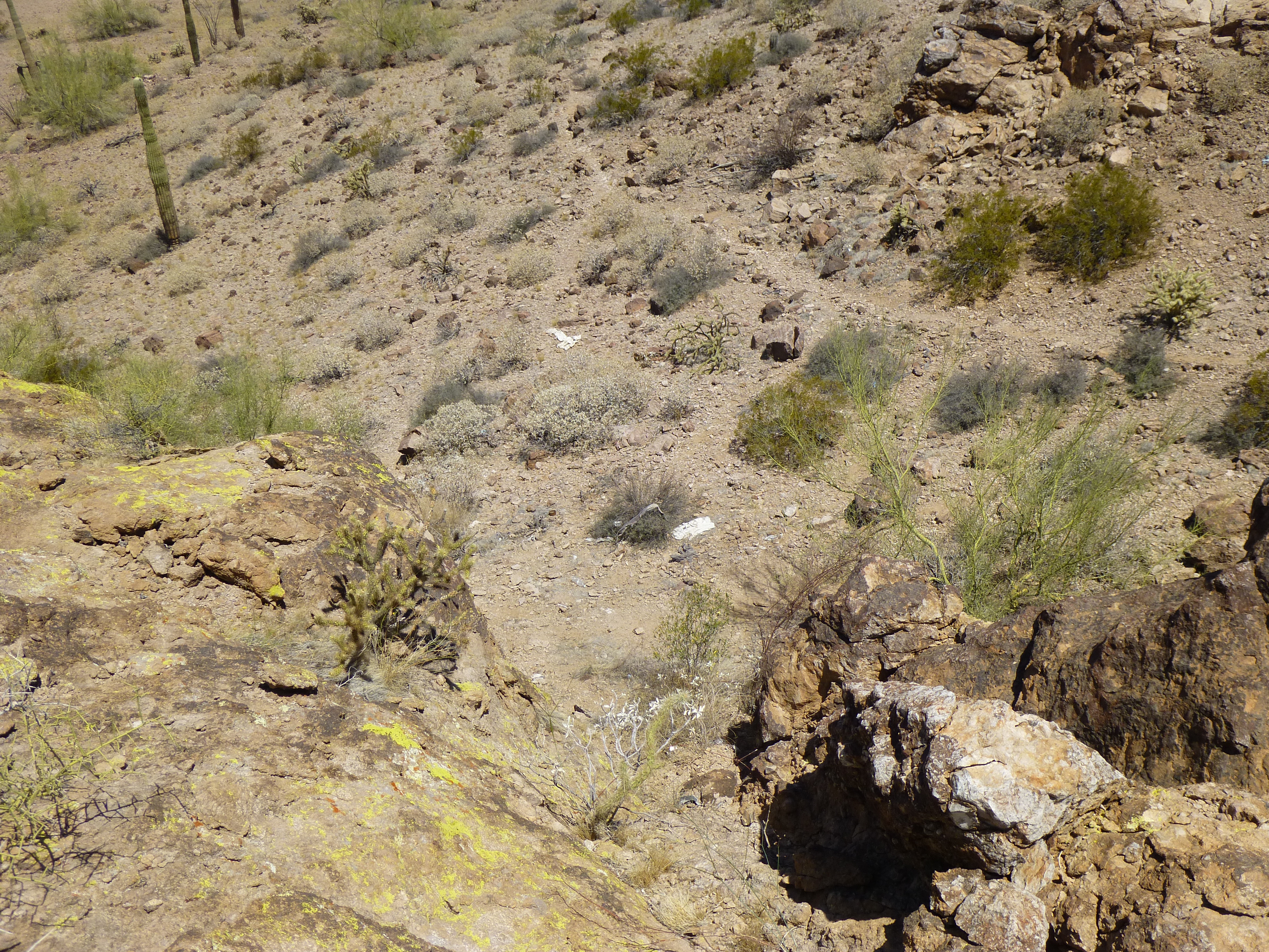
The smugglers’ path
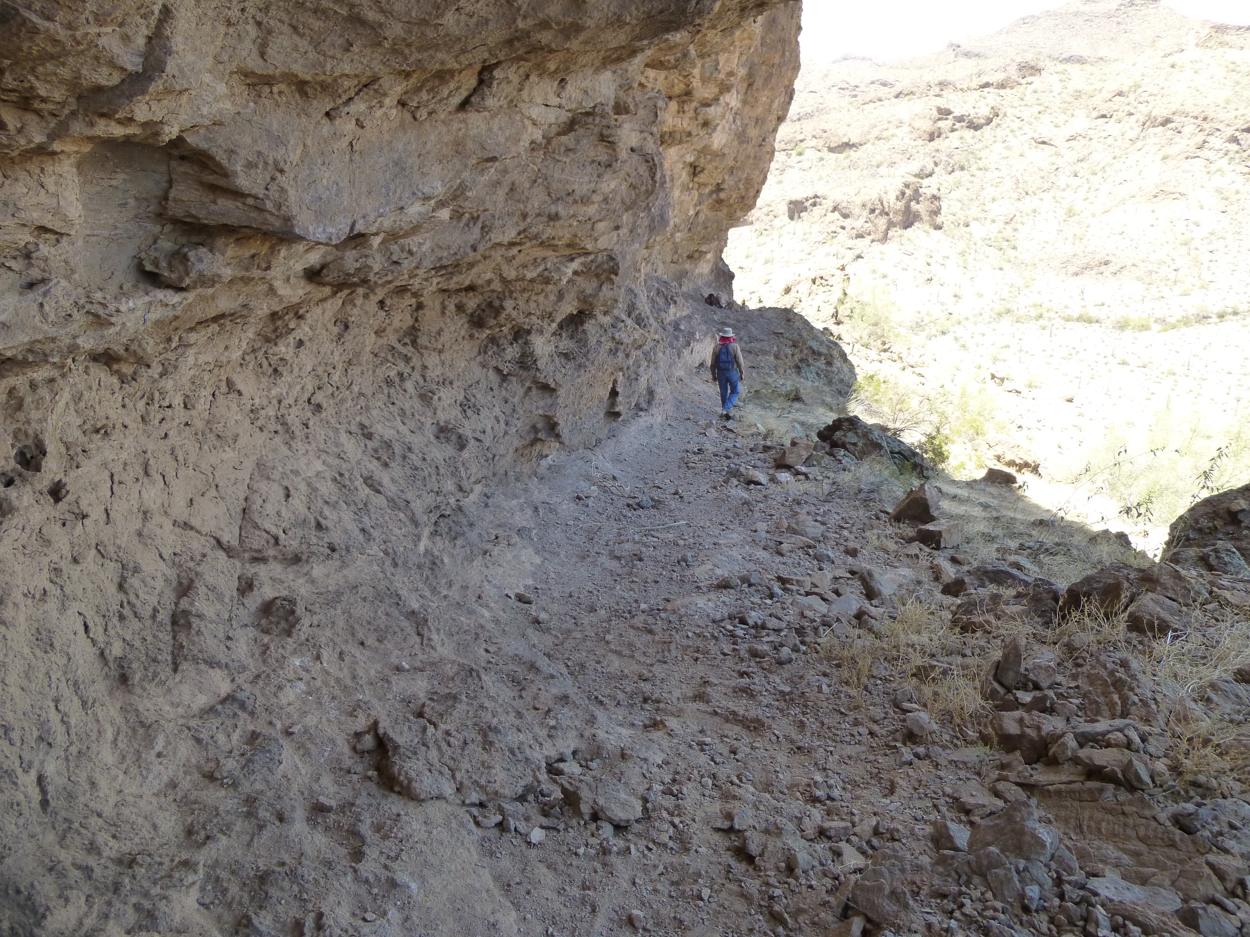
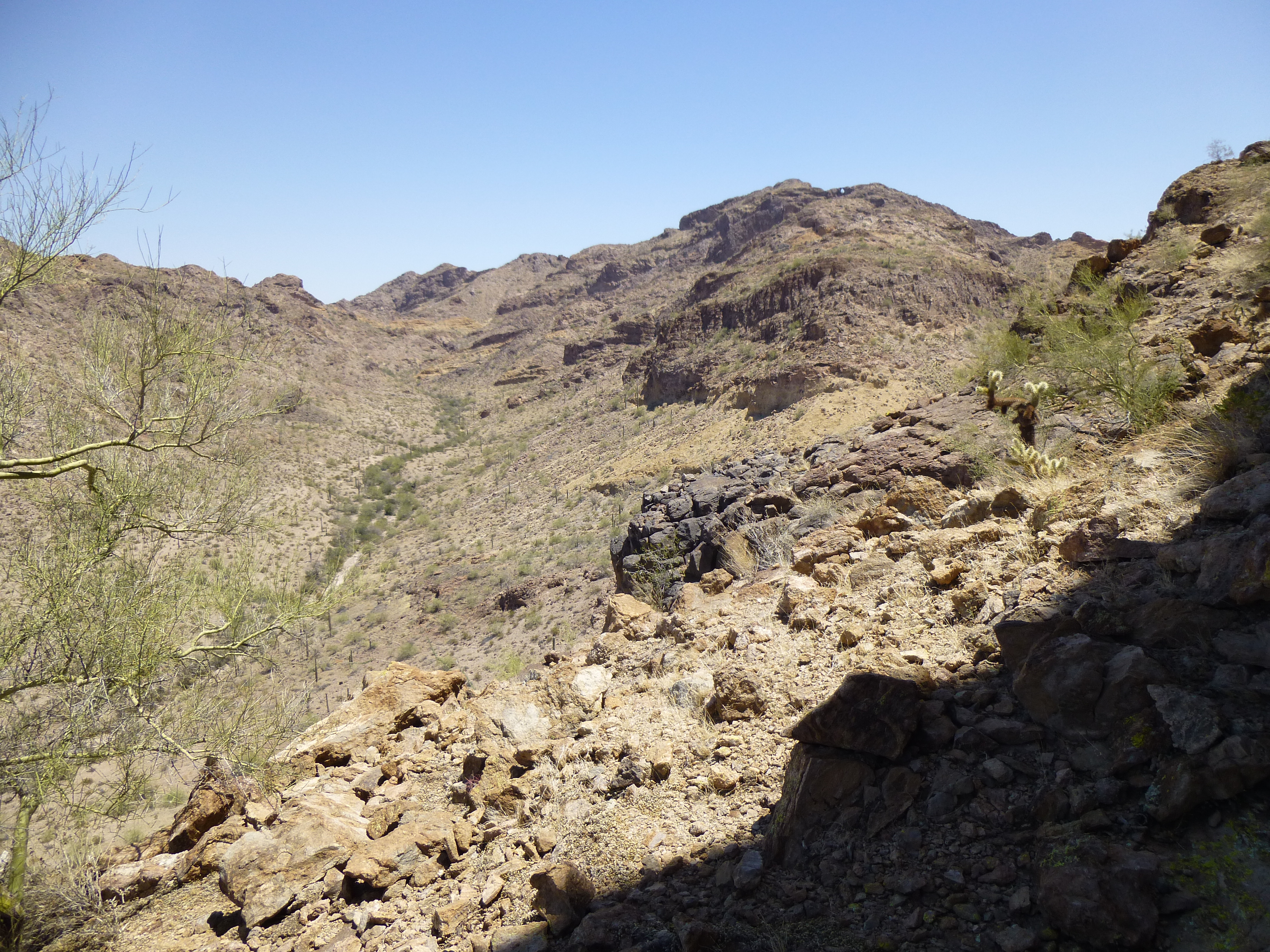
The mountain rose up 300 feet from the saddle, and once we had climbed half of that, we doubled back and found ourselves on a huge ramp. Following it up to the east, there we were at the base of the last cliff barring our way to the summit of Peak 1900..
The end of the road.
Hmmm. As we stood there looking up, with a little imagination and a lot of wishful thinking we could visualize a possible route up the cliff. Part of it was overhanging, part of it went out over a fearfully exposed bulge and it was dotted with teddy-bear cholla, the nastiest of all cacti. Of course, we couldn’t vouch for the quality of the rock up above, so the prudent thing to do was to go home. Starting back down, we turned a corner and found ourselves once again at the top of the ramp. This thing was huge, and I took this picture of Dennis as he walked down before me. It acted as a natural highway to the upper part of the mountain.
The ramp.
It’ll take this next picture to show you just how large the overhang above the ramp really was – the sun never shines on the ramp, for sure.
The overhang above the ramp.
All this shade provided the perfect spot for a nice, long lunch. As we sat, solving many of the world’s problems, it was impossible not to be impressed with the view. In this next photo, see the ribbon of green up the left side? That’s the vegetation in the valley bottom. The smugglers’ trail you saw in an earlier photo runs near there, to climb to the upper end of the valley and over the pass, all in an attempt to reach a big city like Phoenix and disappear.
The smugglers’ route up the valley
The disappointment of not having reached the summit – hell, we were already over it! The mountain would still be there another day. No longer peckish, we started back down to the saddle and saw this, arguably the biggest single pile of trash I’ve ever seen in the mountains. This was proof positive that we were on a major smuggling route. To stand there and behold this was quite extraordinary.
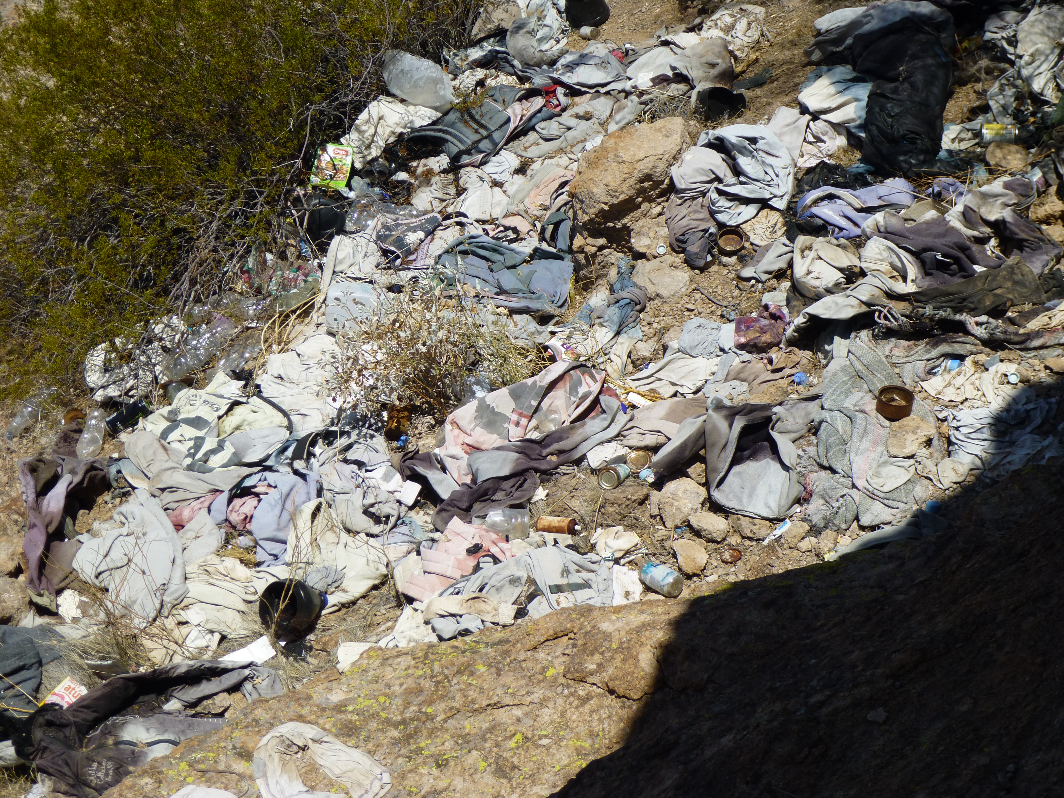
Basura
It was hard to imagine how many must have spent time here, waiting for the cover of darkness to continue their march north. Sad, in many ways.
Continuing down from the saddle, we reached the flat area east of the peak and this unusual shadow caught our eye.
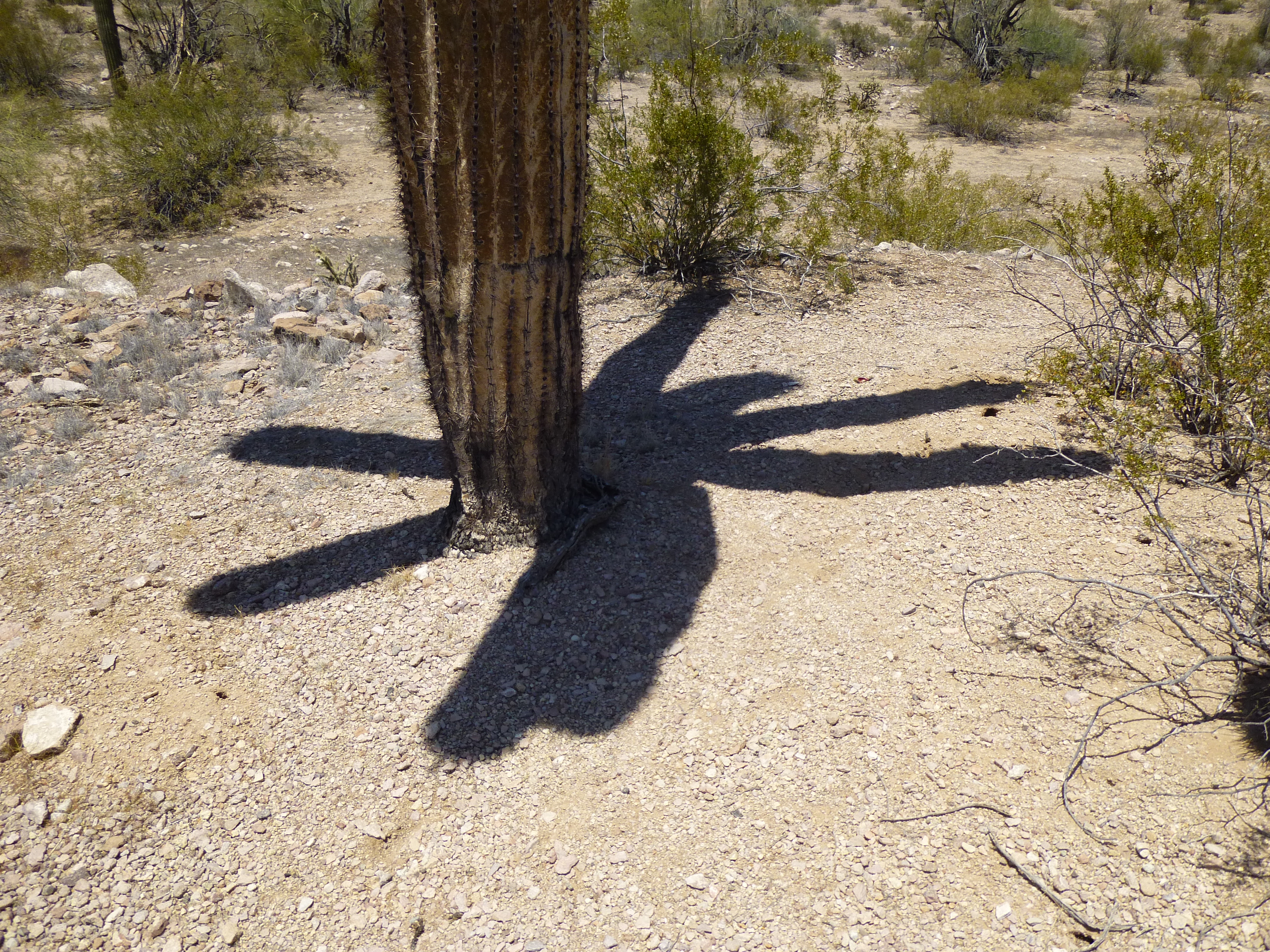
Spider saguaro
A quick look up showed that it was quite ordinary.
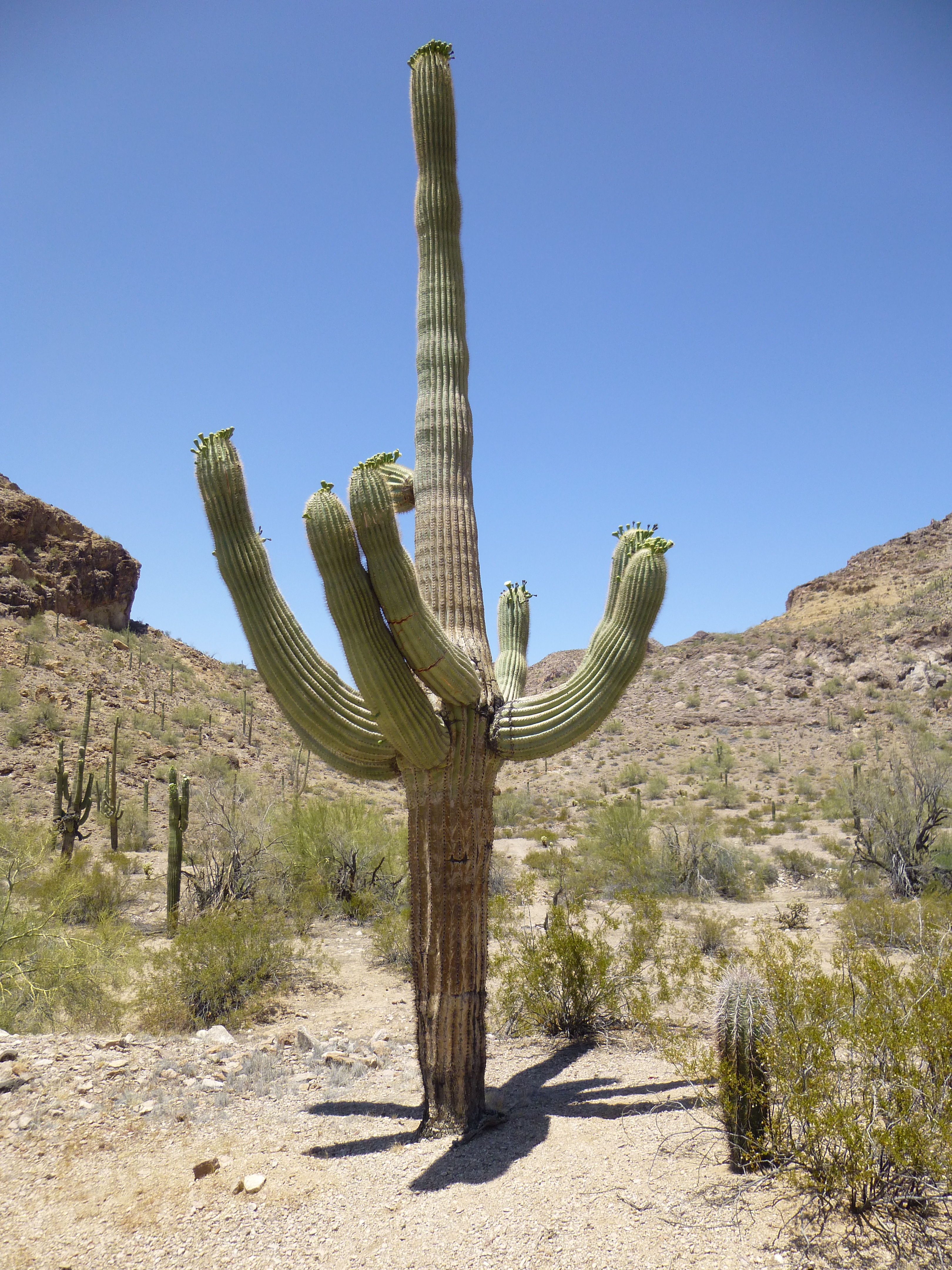
Saguaro
We noticed that some of the saguaros had blossoms on them.
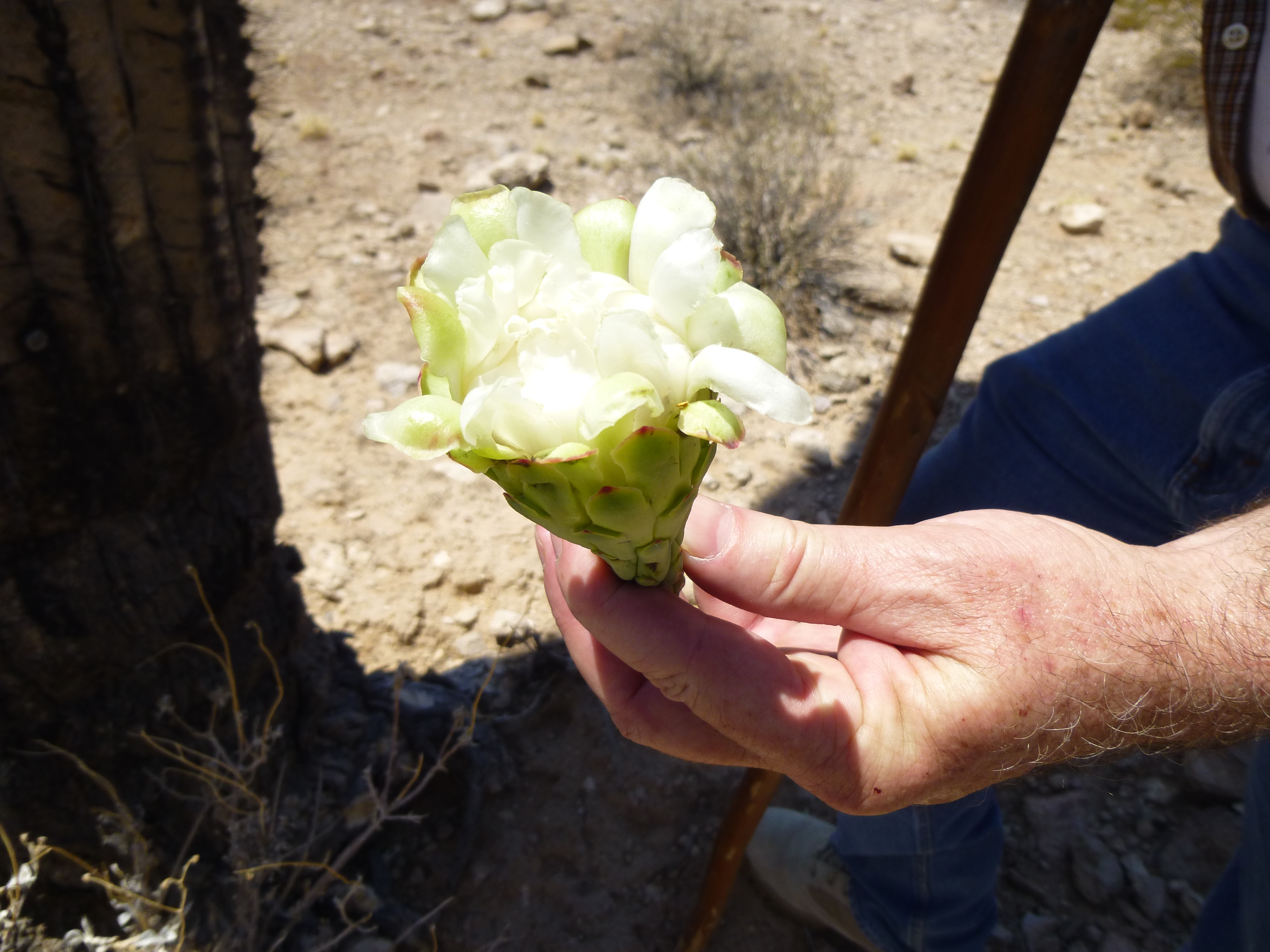
Saguaro blossom
If the blossom gets pollinated by bats, it will fall off and become a fruit.
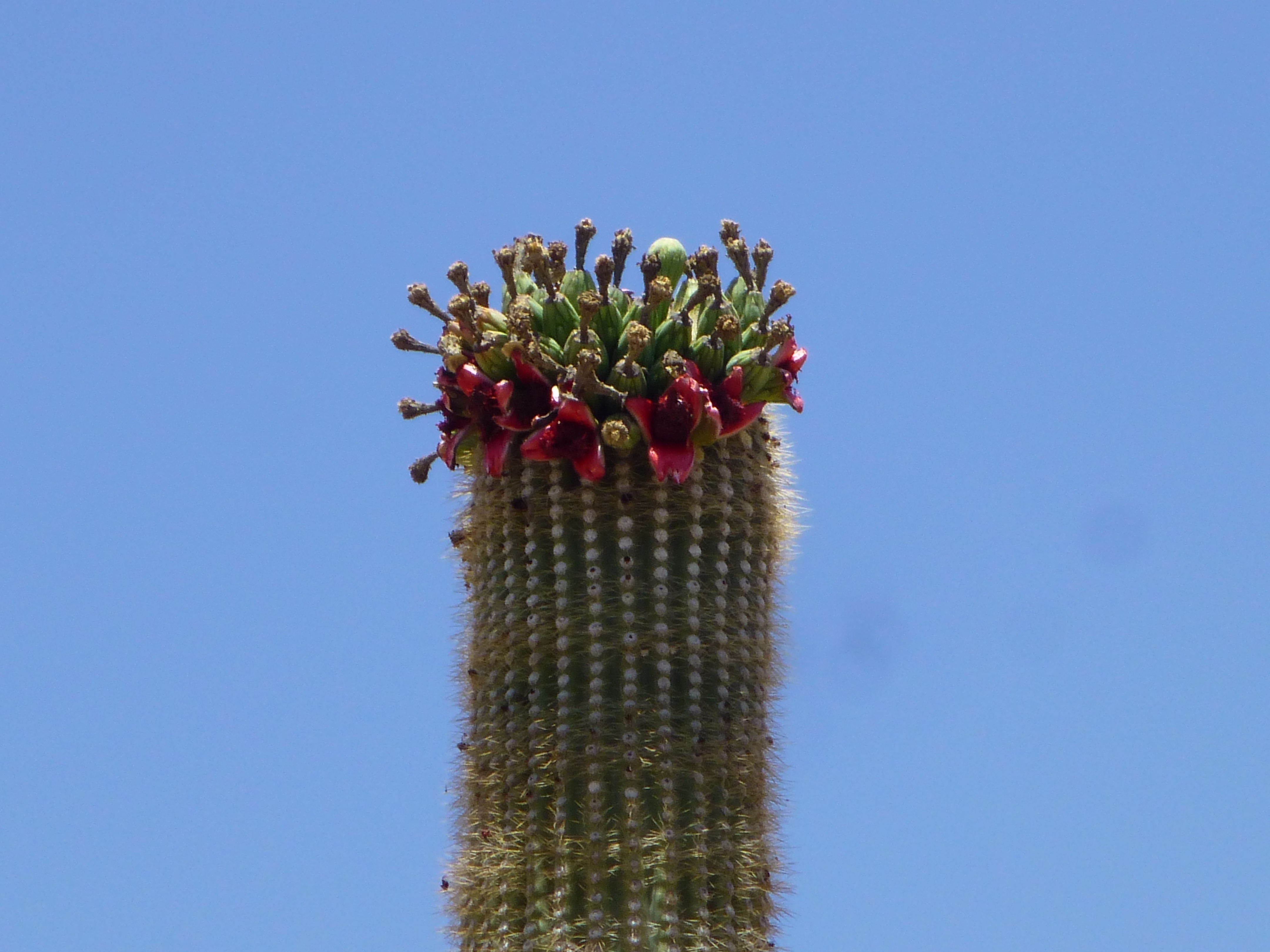
Saguaro fruit
By the time we’d crossed the 2 ridges, we were close to the end of the road near where we’d parked. Maybe you’ve been wondering about the name of this piece, “Thanksgiving Day Tank”. Well, now we’d arrived. What we found was a man-made, smooth concrete basin, which would fill with water running down a wash after a heavy rain.
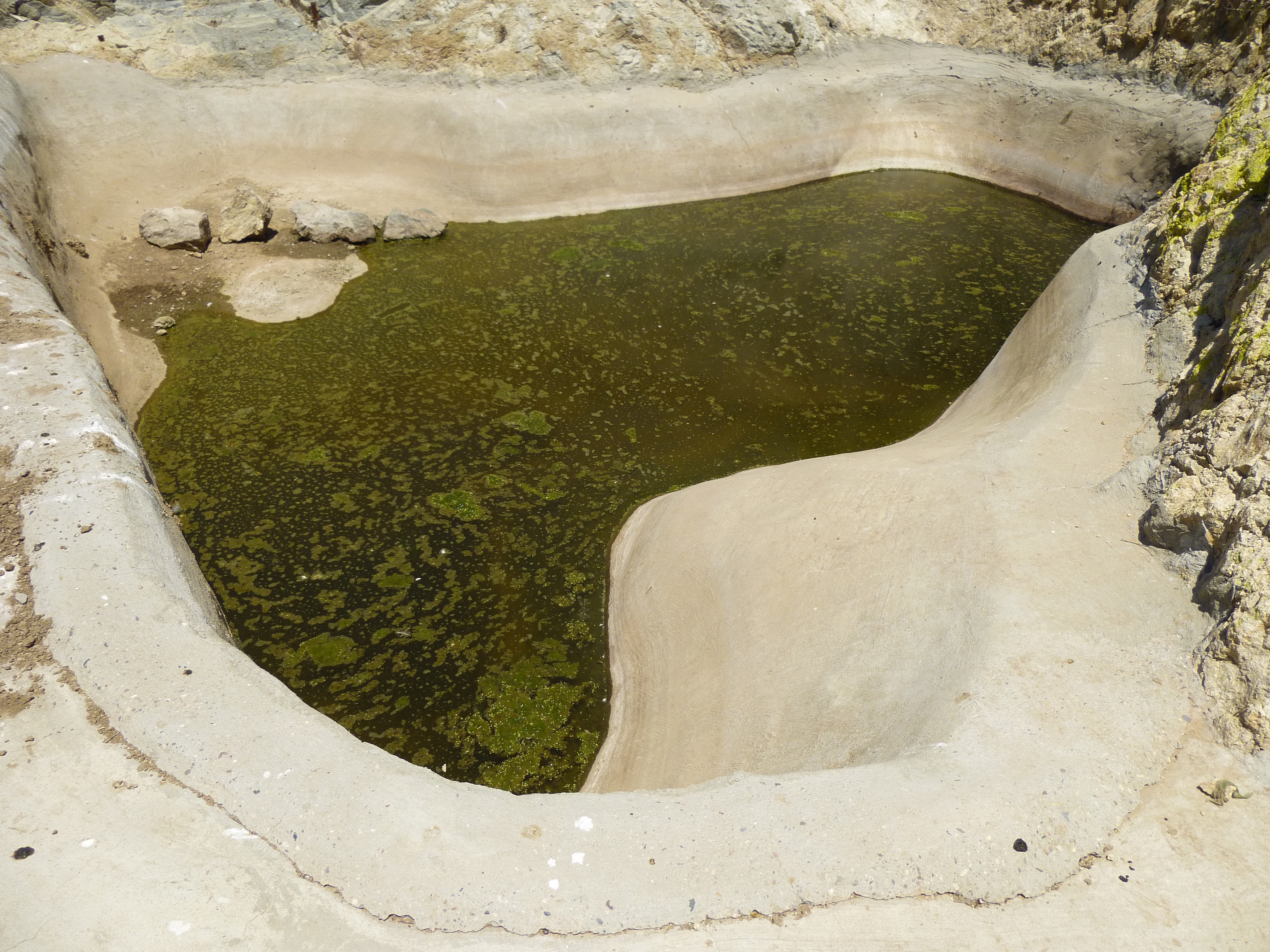
Thanksgiving-Day Tank
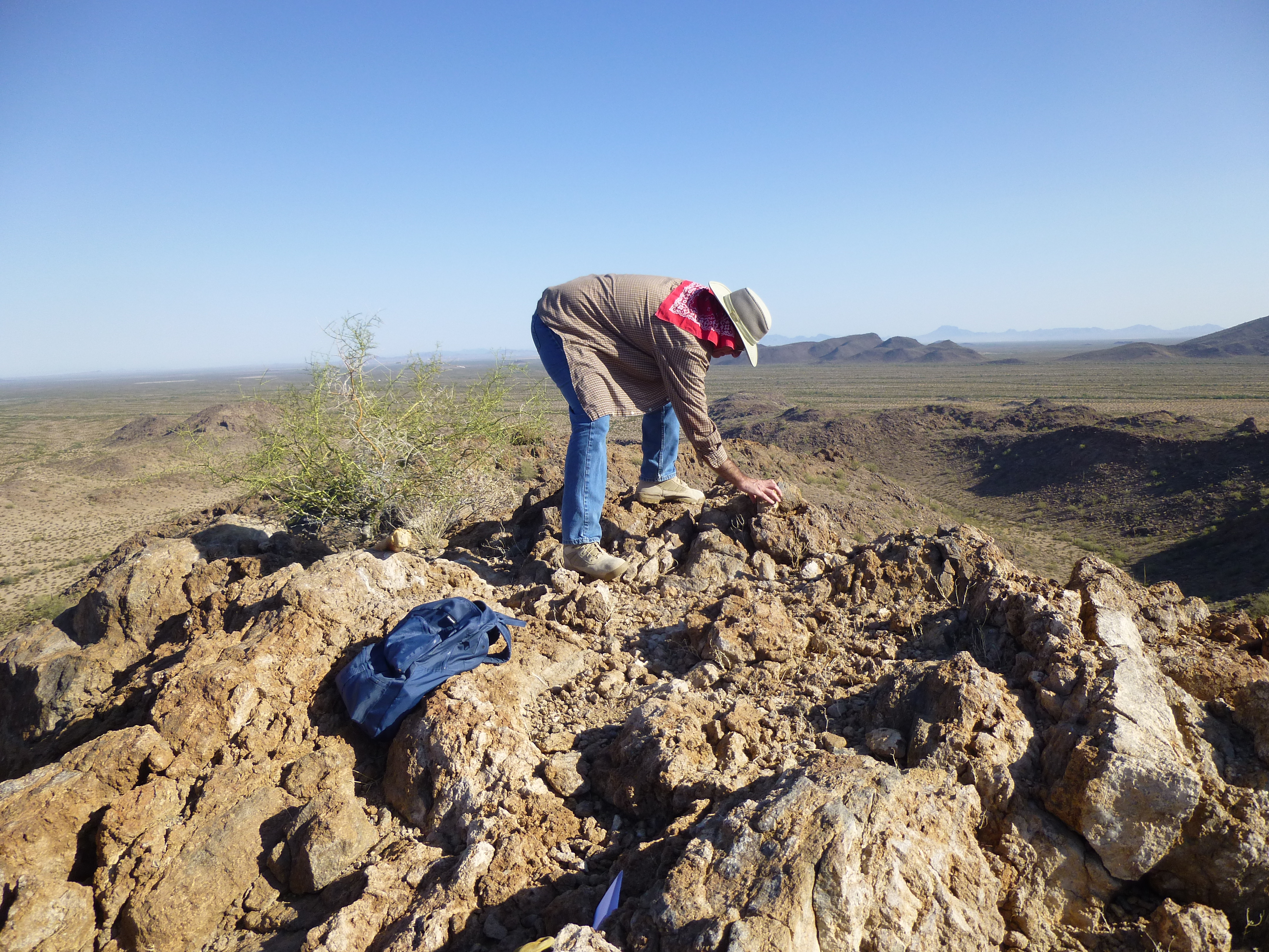
People had gone to a lot of effort to build a retaining wall, of sorts, higher up. This helps to keep silt and sand from filling up the basin, so there’s still room for water to collect
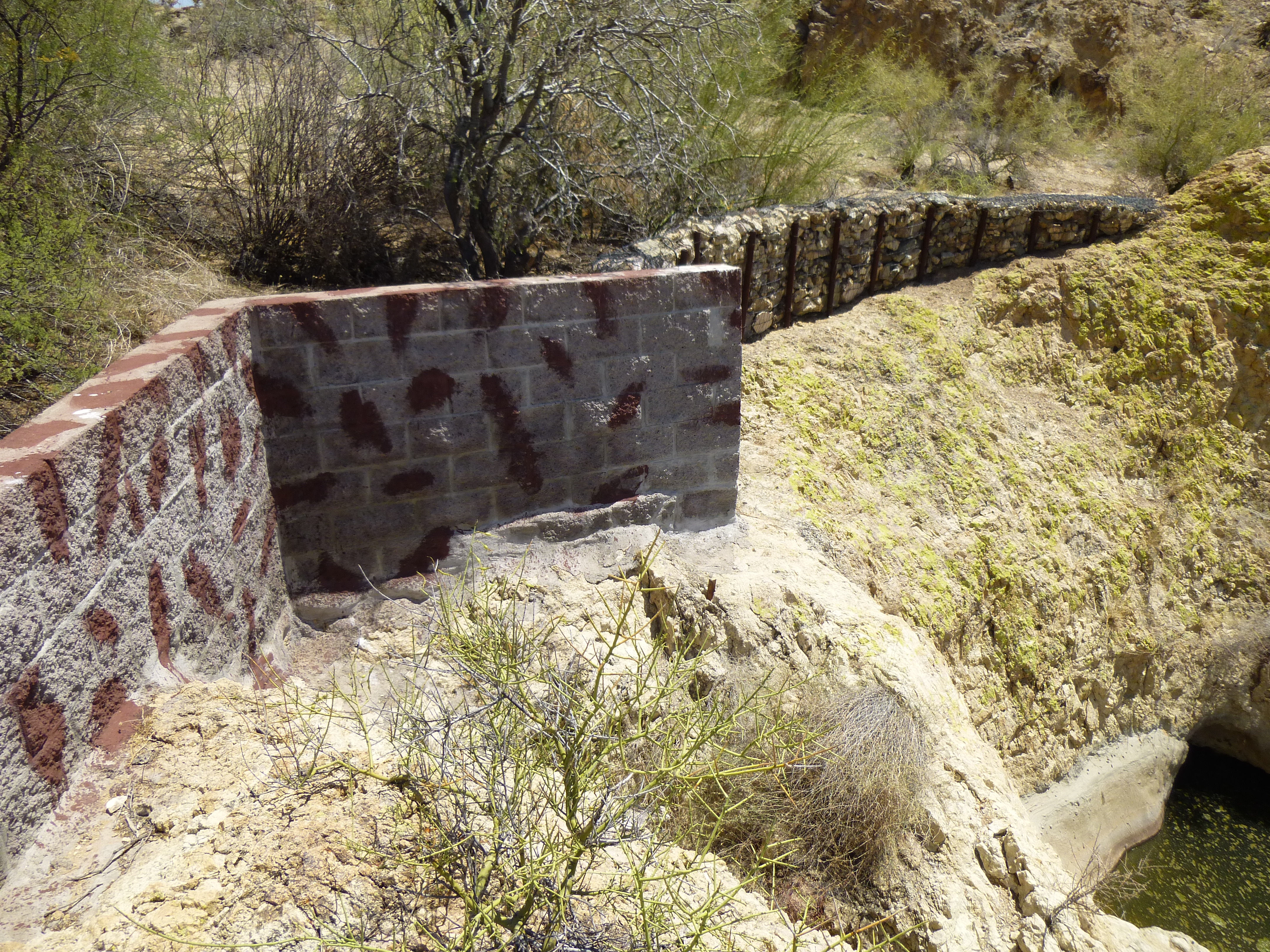
The wall
After a good look around, we drove back out to the highway and home to Tucson. Who knows what the future may bring, perhaps a return visit to that peak we didn’t climb. In any case, it had been another great day out in the Sonoran Desert.