
Remember my ill-fated attempt to head up the south fork of Alamo Canyon to climb Peak 3940? Well, the number of poor choices I made that day really stuck in my craw – I was determined to redeem myself, to go back and do it right. This time, though, I wanted to go in with a partner. Jake Cramer, recently returned from the East Coast, was willing to give it a go. Eighteen days later, we drove from Tucson to the Alamo Canyon campground in Organ Pipe Cactus National Monument on a warm Friday evening. This has to be one of the smallest campgrounds anywhere – it has only 4 camp sites, and they’re available on a first-come first-served basis. There’s no way to reserve one in advance. The folks at the monument headquarters assured me that it was a virtual certainty there’d be a space for us when we arrived late that day – the weather was still so warm that tourists weren’t yet arriving in any numbers, so imagine our surprise when we pulled in and found 3 of the 4 already occupied. We quickly grabbed the last one and breathed a sigh of relief.
The first sign of life we saw was a pretty black-and-white house cat walking along the road – say what?! How could that be possible, that a cat could be out here in the desert? Even in our desert cities, house cats can easily fall prey to coyotes and raptors. We soon learned the reason why it was roaming around – here’s a picture of Pat and kitty, in the campsite next to ours.
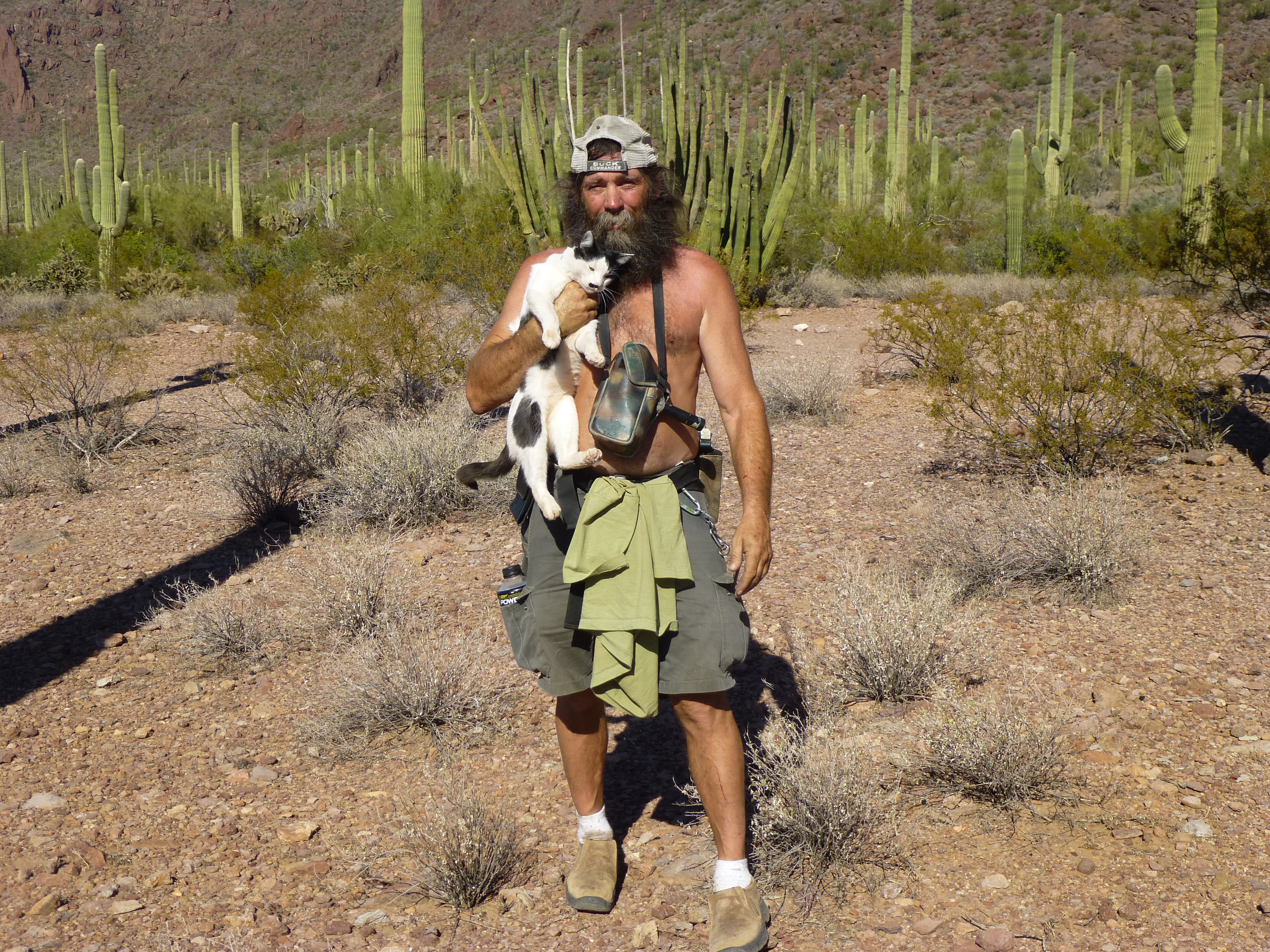
Pat and kitty
Jake set up his camera and did some amazing night-time photography after the sun set, while I took this one.
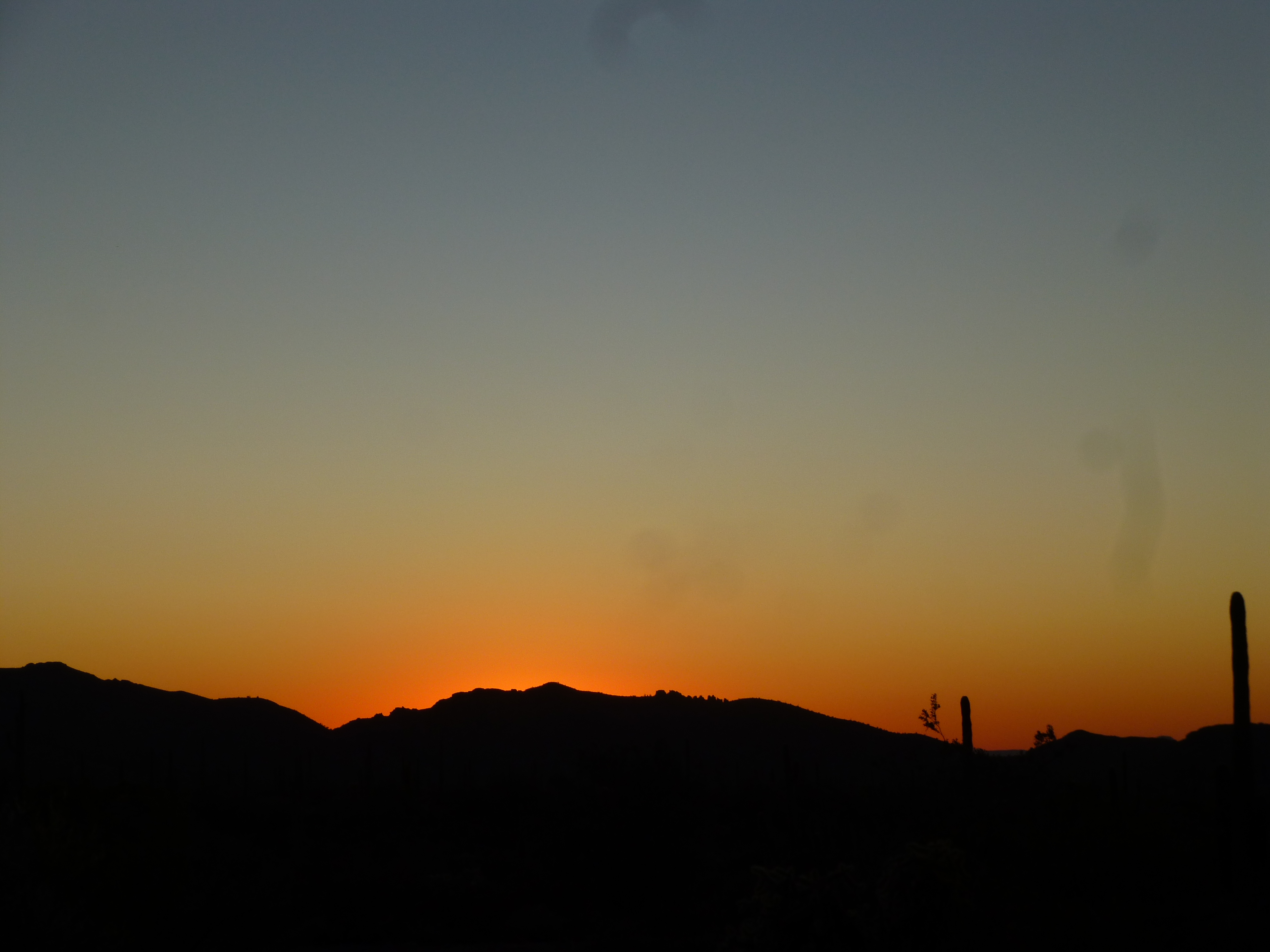
A splendid Sonoran Desert sunset
It cooled off quickly, and we donned jackets when it reached 80 degrees – hey, we’re desert rats, so aren’t used to the cold! Jake slept in his tent, I in my car, and after a quiet night and a sound sleep we were up at 5:00 AM.
It took a while to pack up all our camping gear and load it into the car, eat some breakfast and ready our day packs – by the time we set out on foot, it was about 6:15, with just enough light to see. Our first mile was along an old road, easy enough and quite flat. We were in Alamo Canyon – near an old well, where the North Fork yawned openly to the side, this sign greeted us.
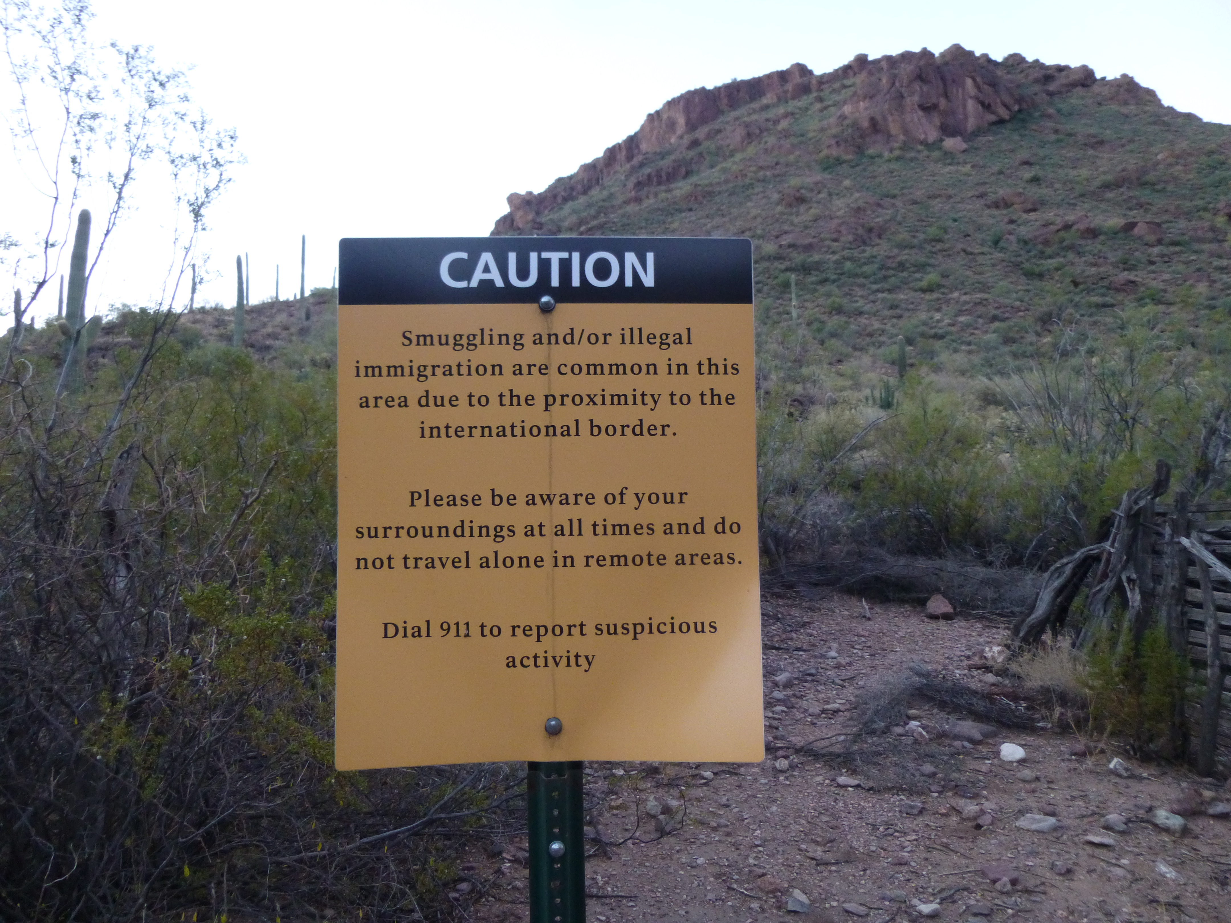
Fair warning
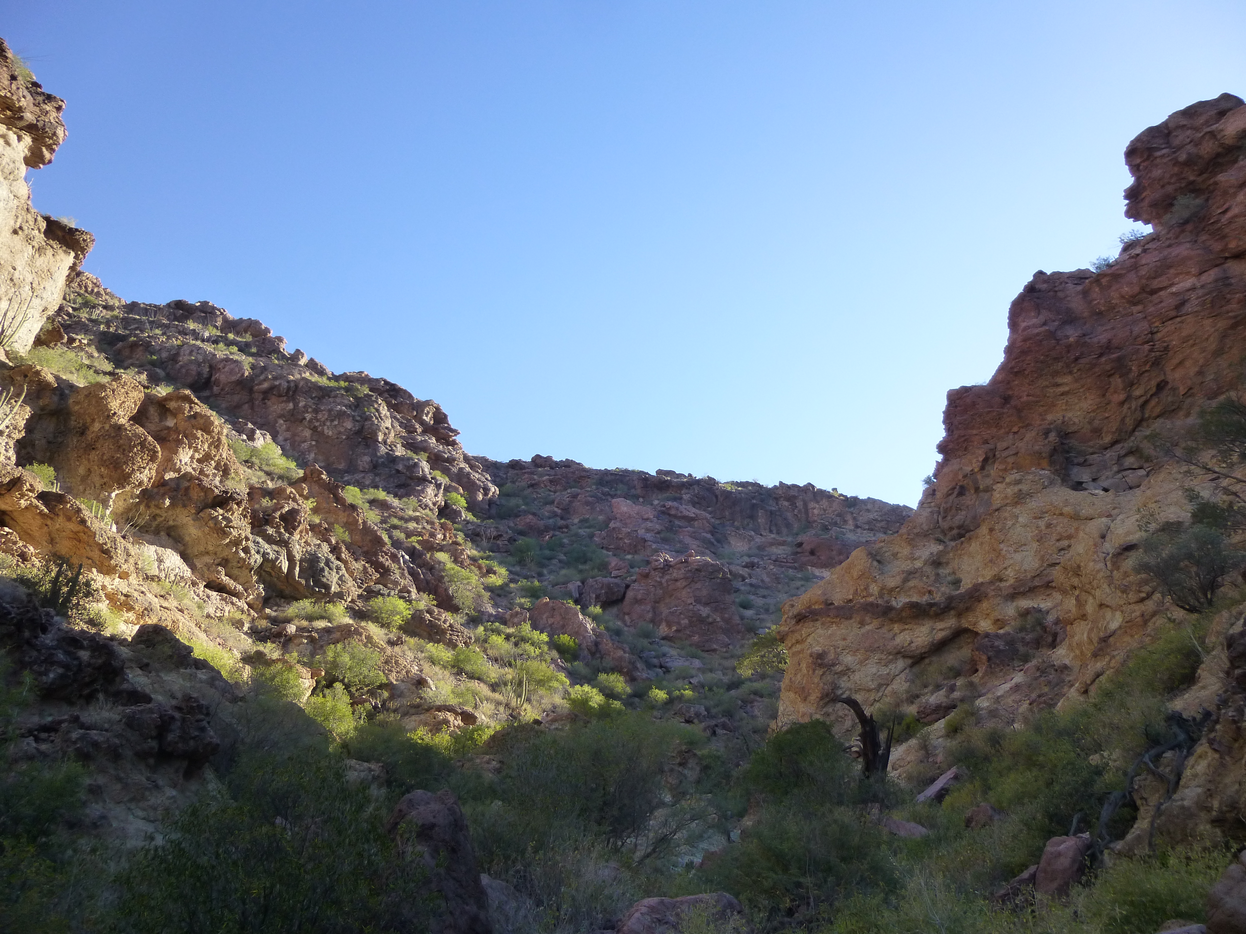
Although late October, our temps were unseasonably warm, running 10 degrees F. and more above normal. When we reached the junction with the Middle Fork of the canyon, we each hid a quart, knowing full well that it’d be much appreciated many hours later on our return. The wash in the bottom of Alamo Canyon was quite flat until, at 7:25 AM, we decided to leave it and head east up a lesser side canyon – this was to be the route that would take us to our summit – we weren’t taking “no” for an answer today. The sun had risen on the nearby mountaintop as we started up our side canyon.
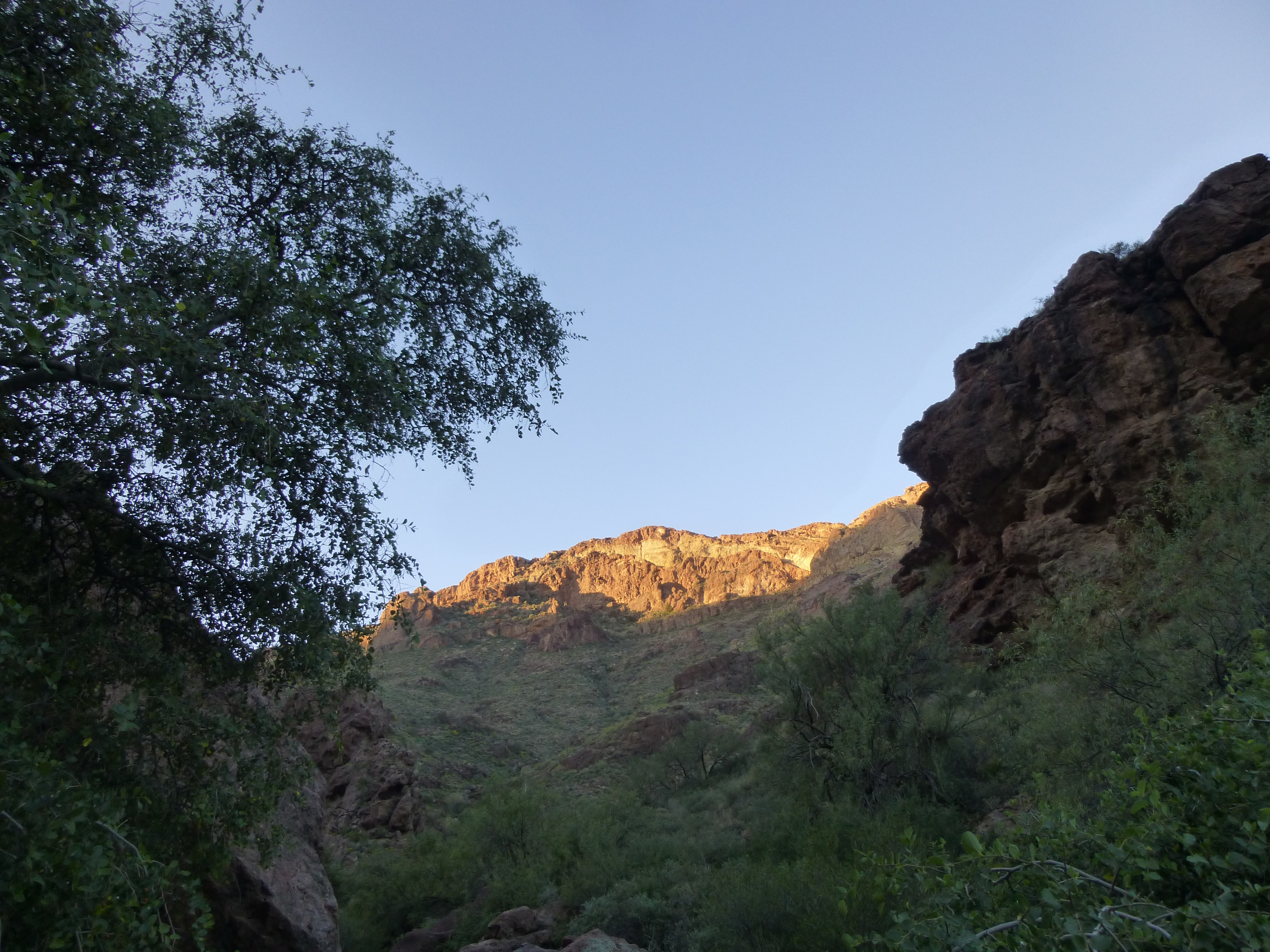
Sunrise
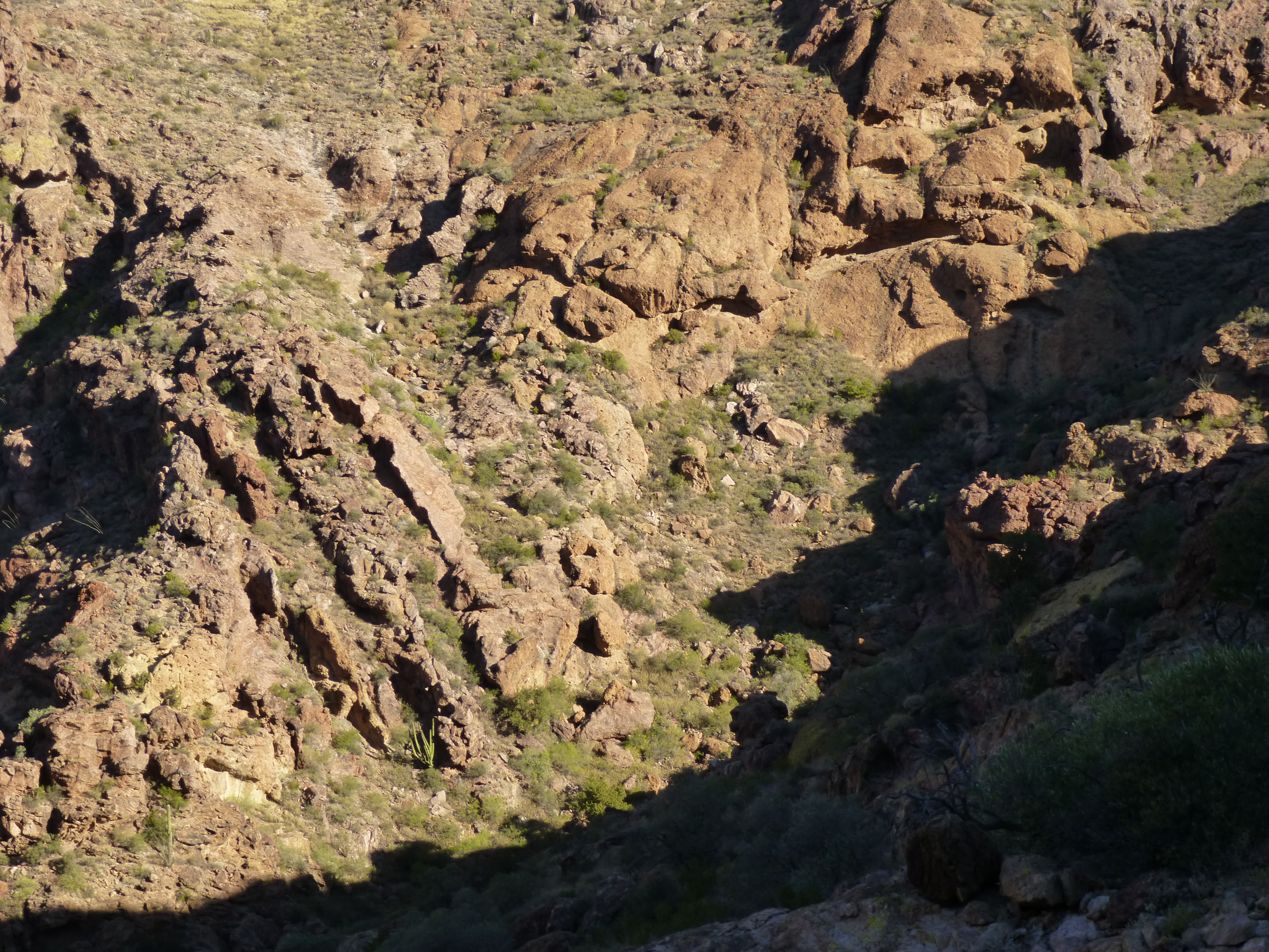
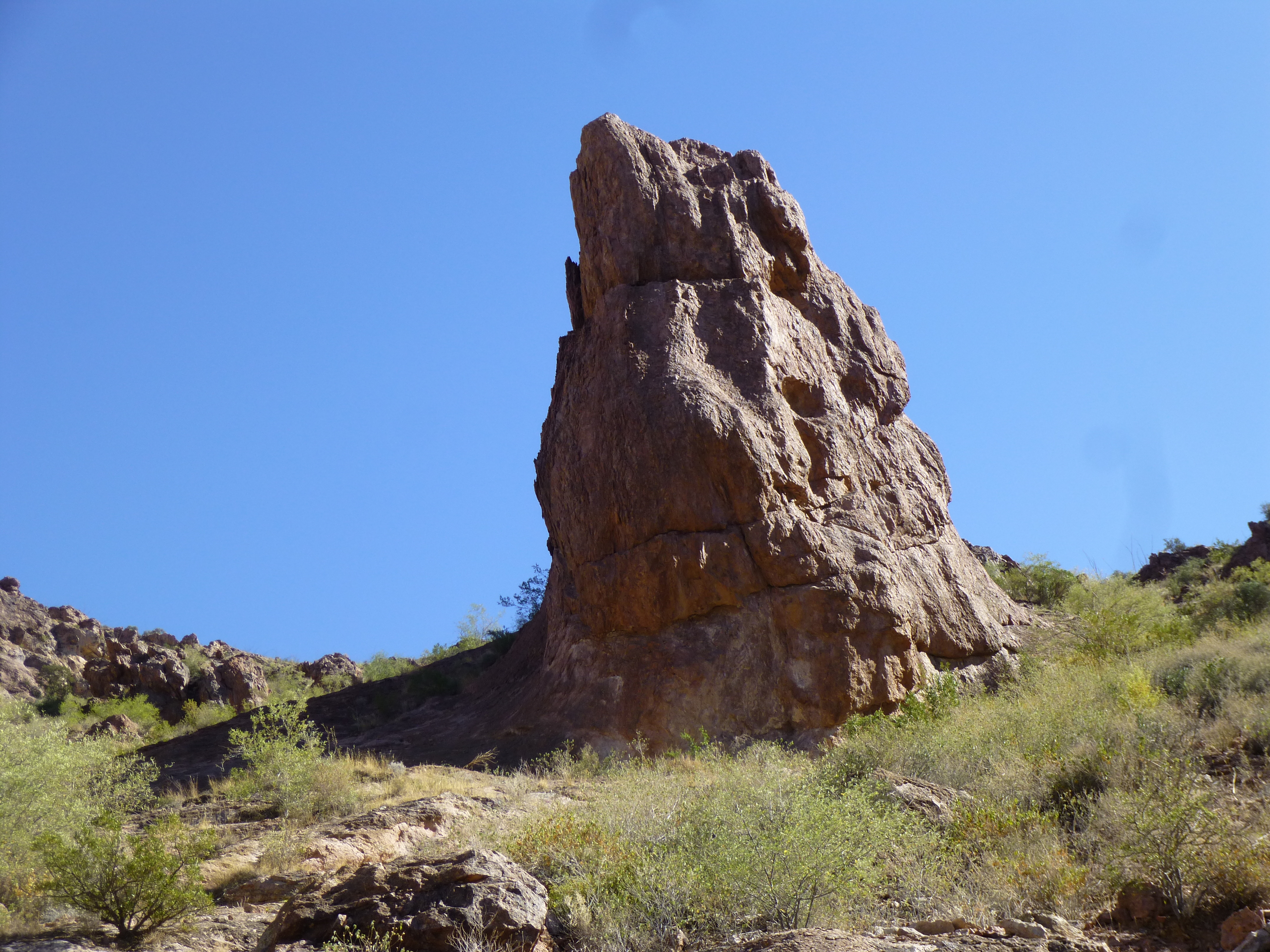
Up until now, we had little brush to deal with – that was all about to change. More brush and a steeper canyon greeted us. The brush, although annoying in places, wasn’t a deal-breaker; but the canyon was dramatically different. It steepened immediately. Rocky walls towered above us on both sides. My vivid imagination shows a profile of a satanic head complete with horn in this next photo.
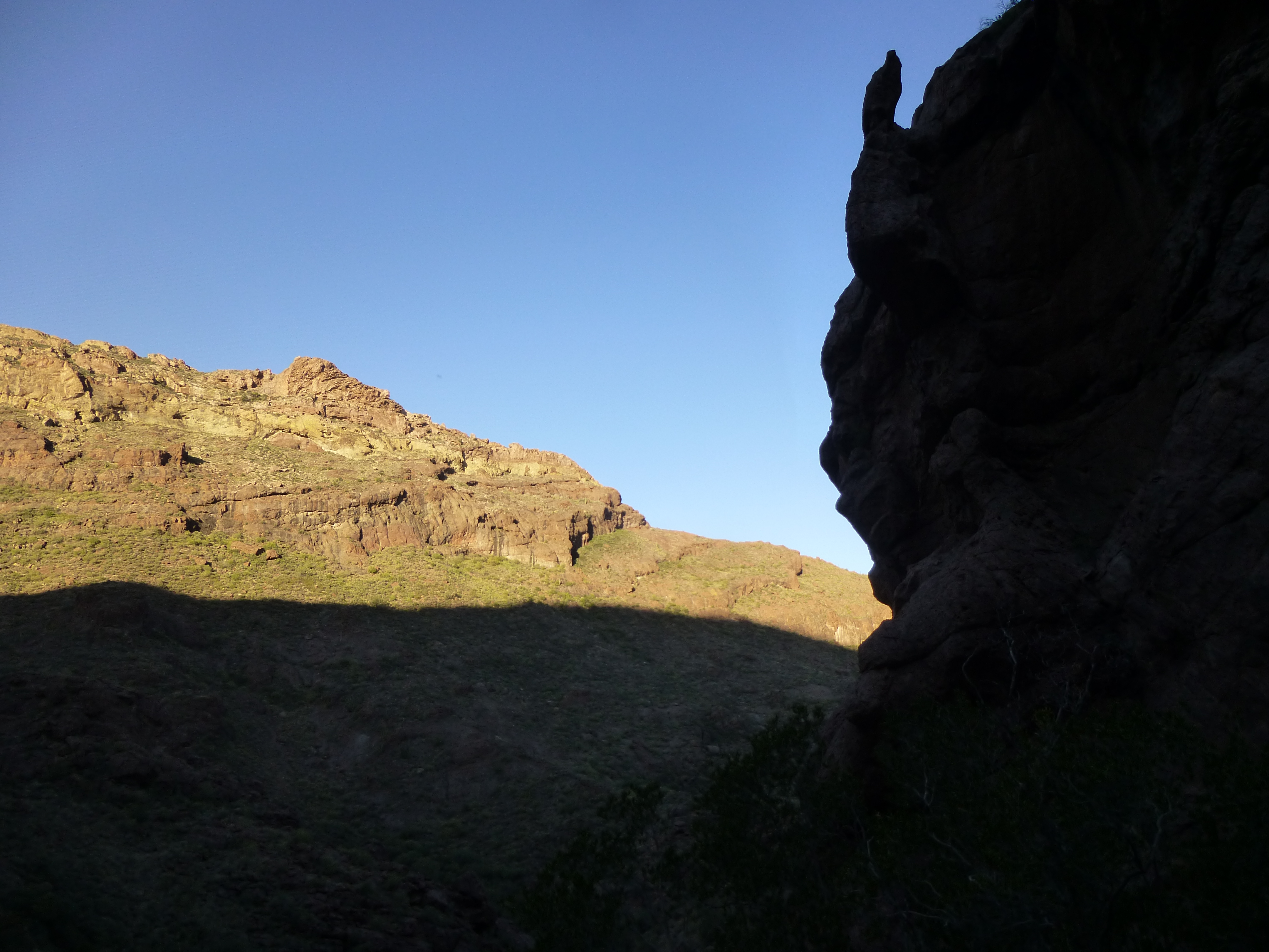
In the canyon
Almost immediately, we started to see signs that Bad Guys used this canyon – believe me when I say that tourists were not up here losing their caps.
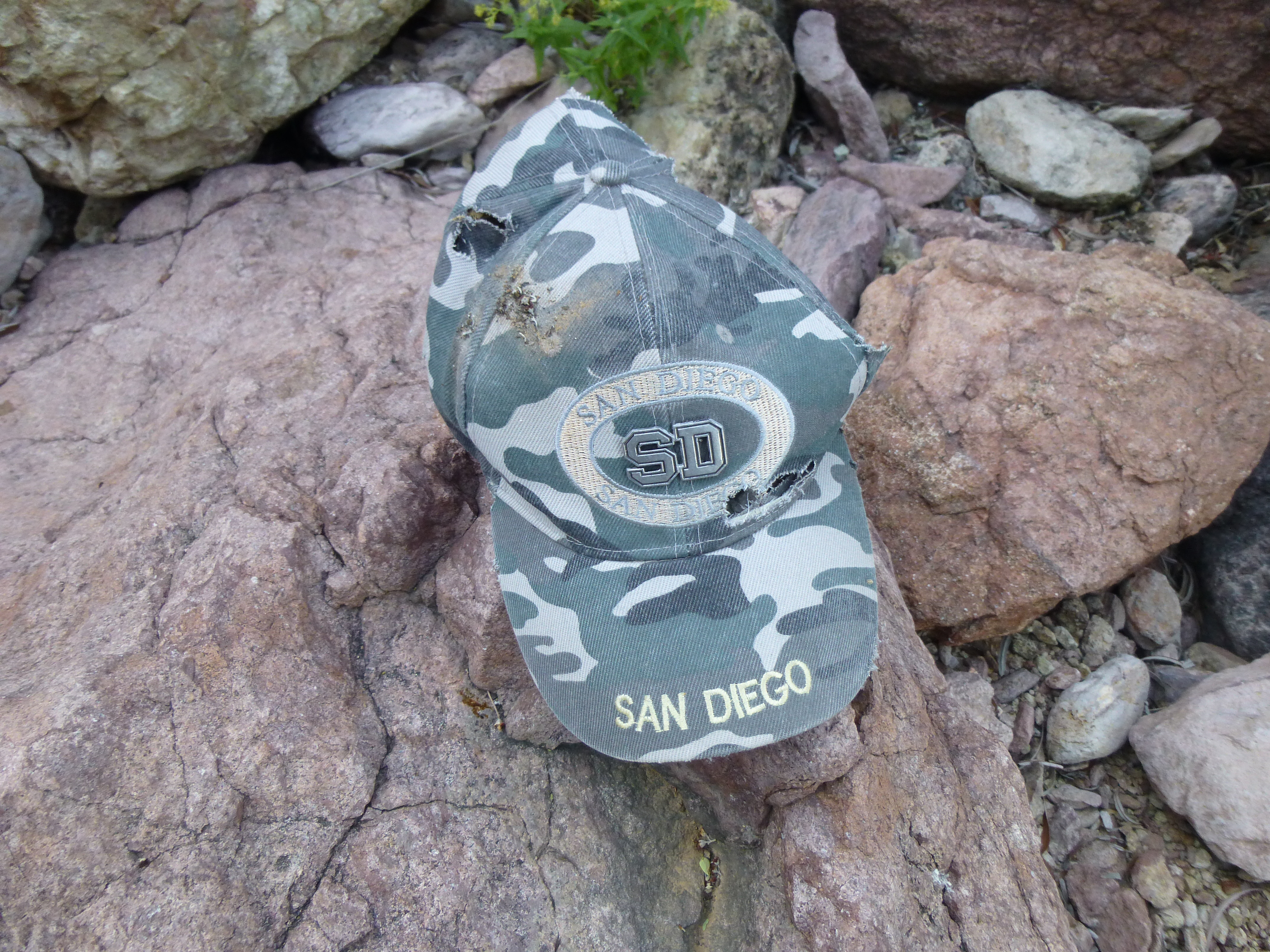
Cast-off cap
The canyon walls were pockmarked with caves.
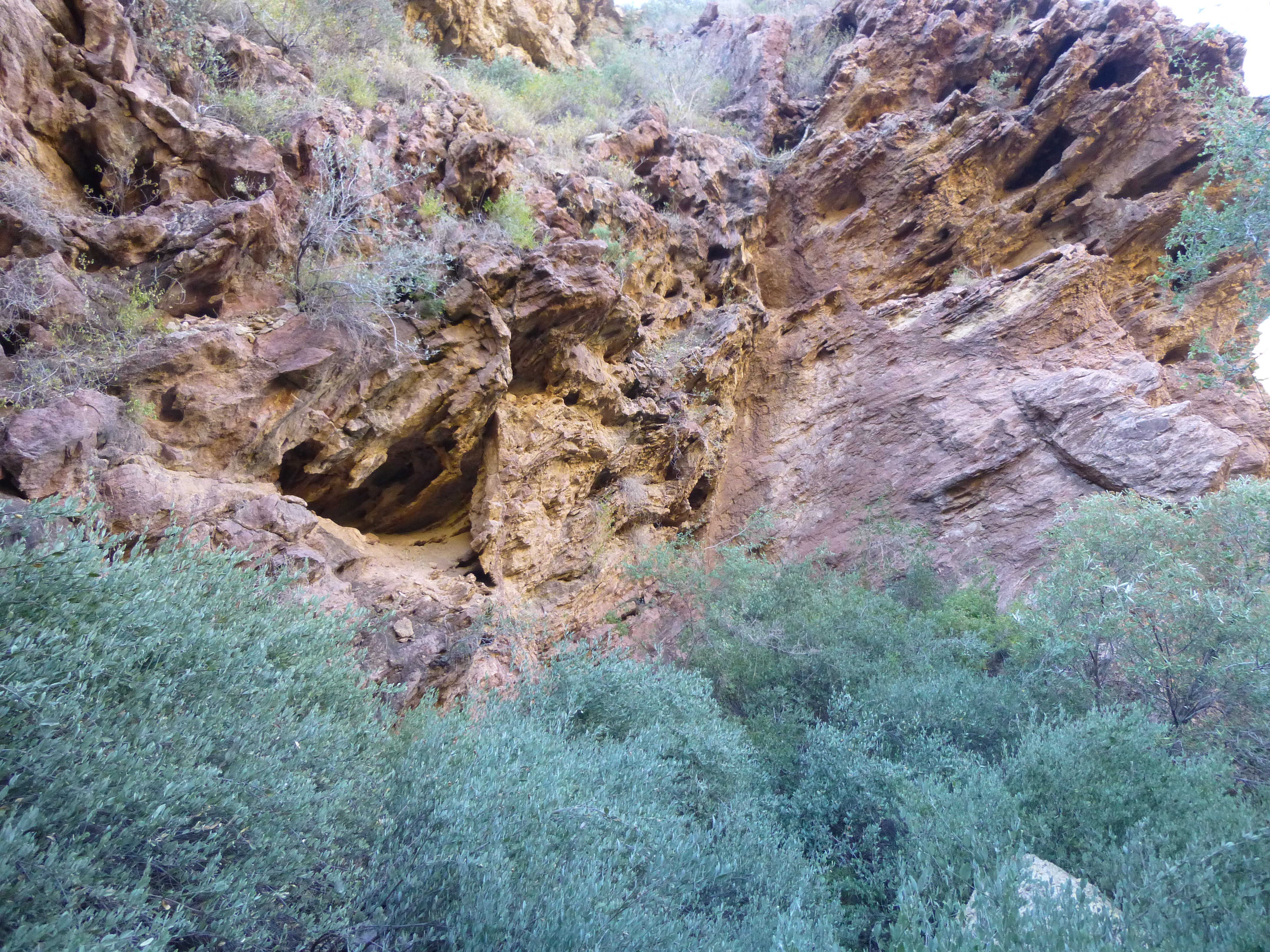
Strange rock
Caves
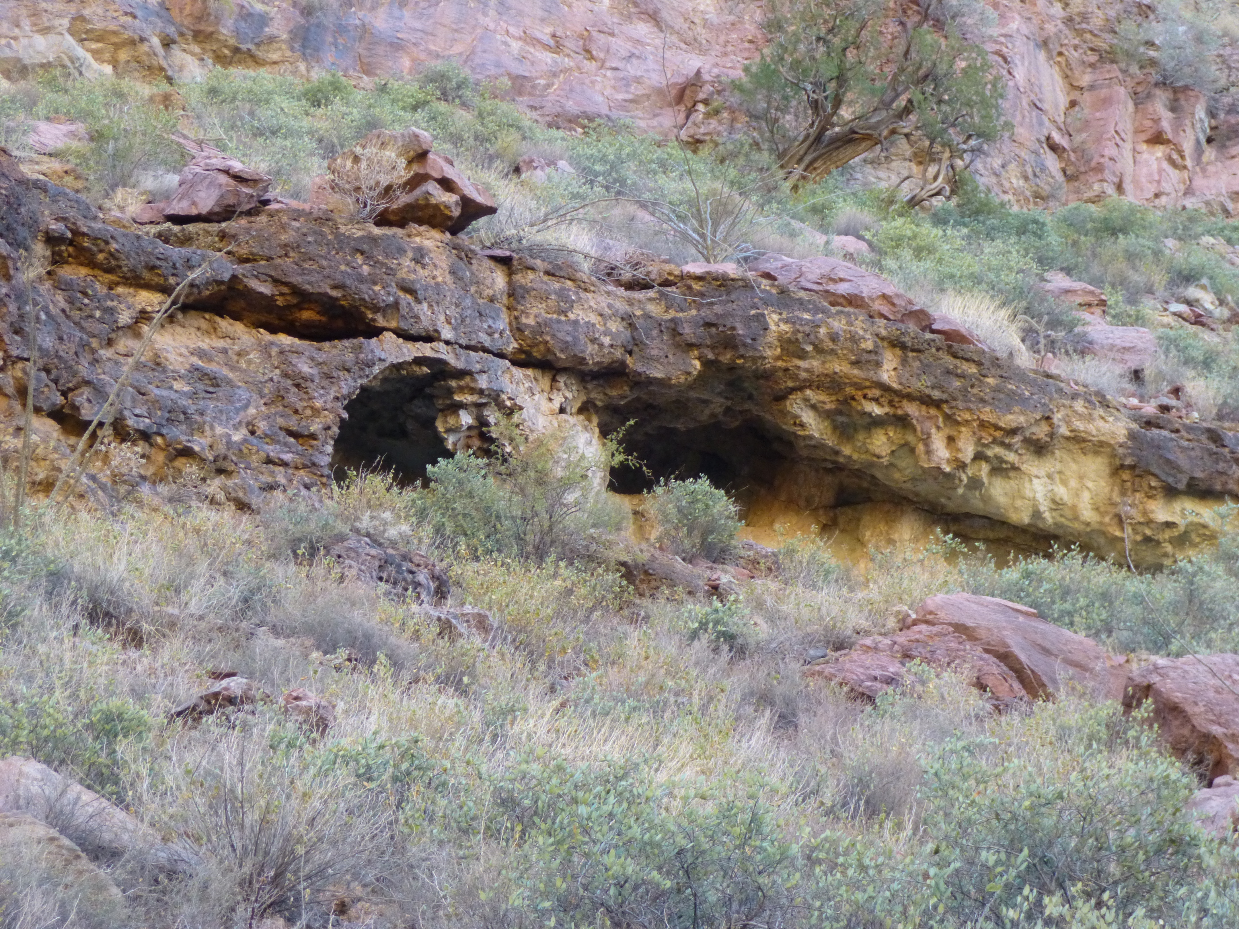
At one time, the canyon walls narrowed dramatically – we saw this from a distance, and wondered if there’d be a way through – there was.
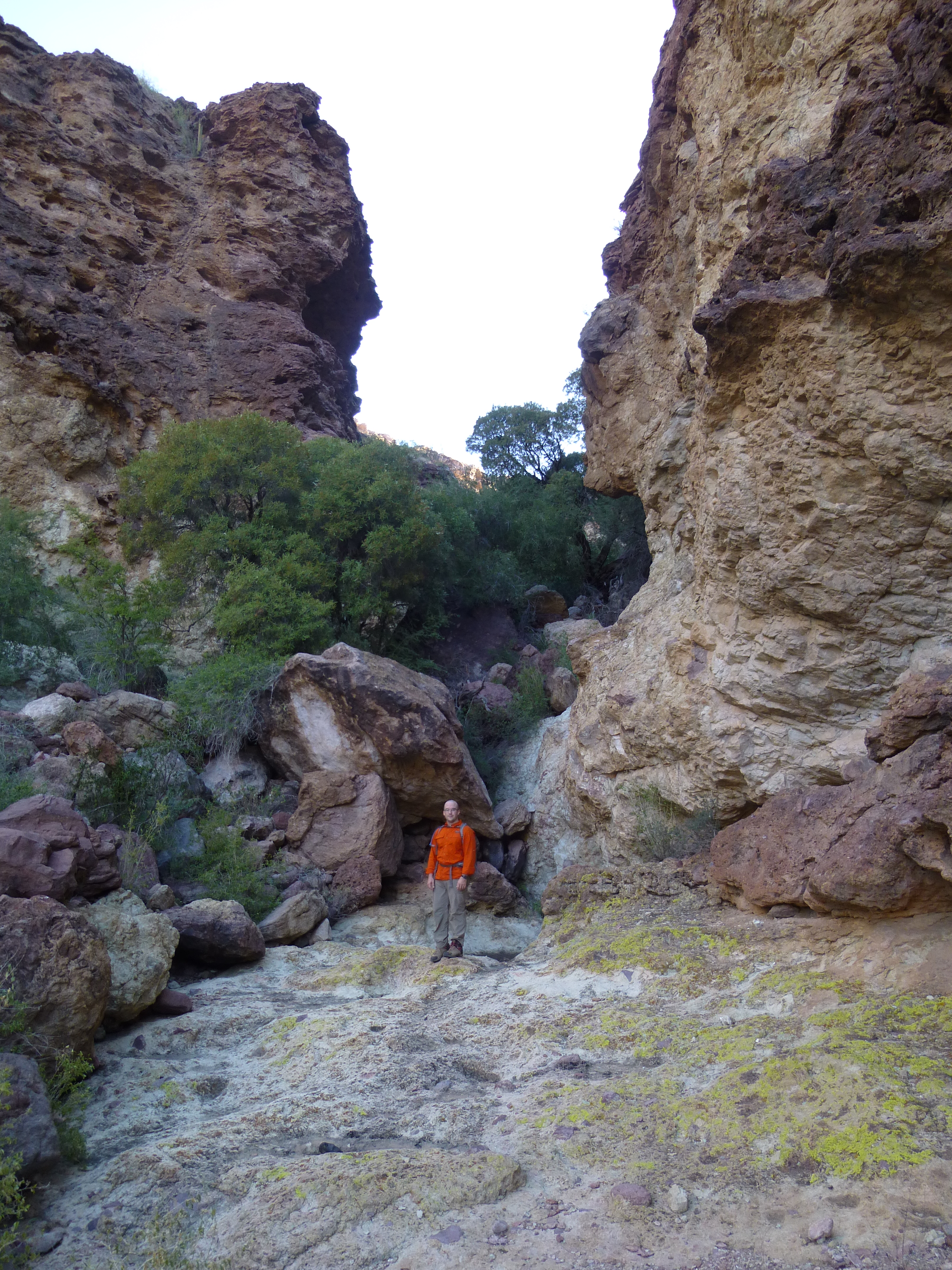
The narrows
For thousands of years, the mountainsides had been tumbling into the canyon bottom. All along its length, huge boulders lay in a jumble. Many times, we had to do Class 3 scrambles to get over, under and between this chaos.
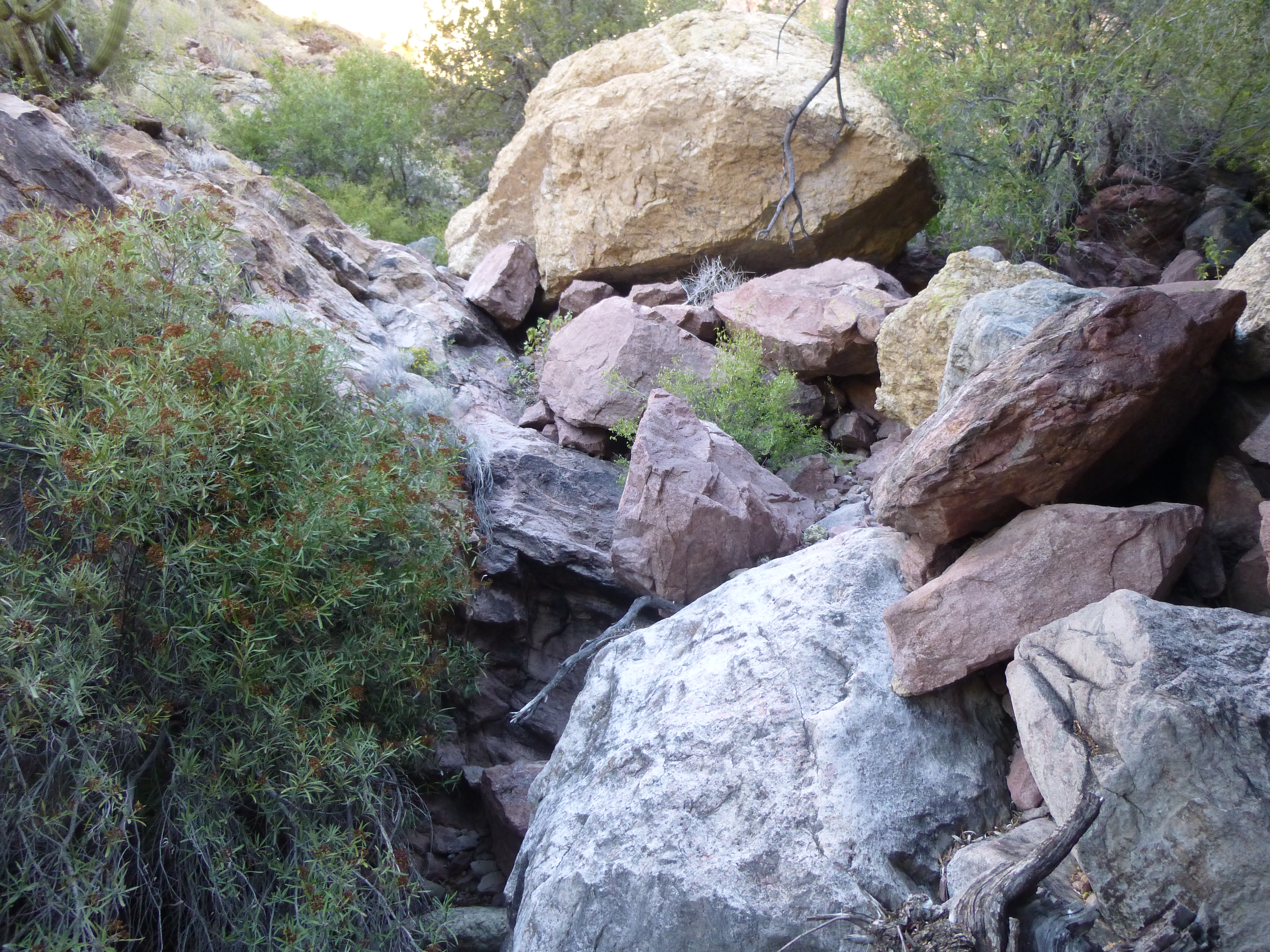
Boulders
Strange shapes loomed over us, like this crumbling ruin.
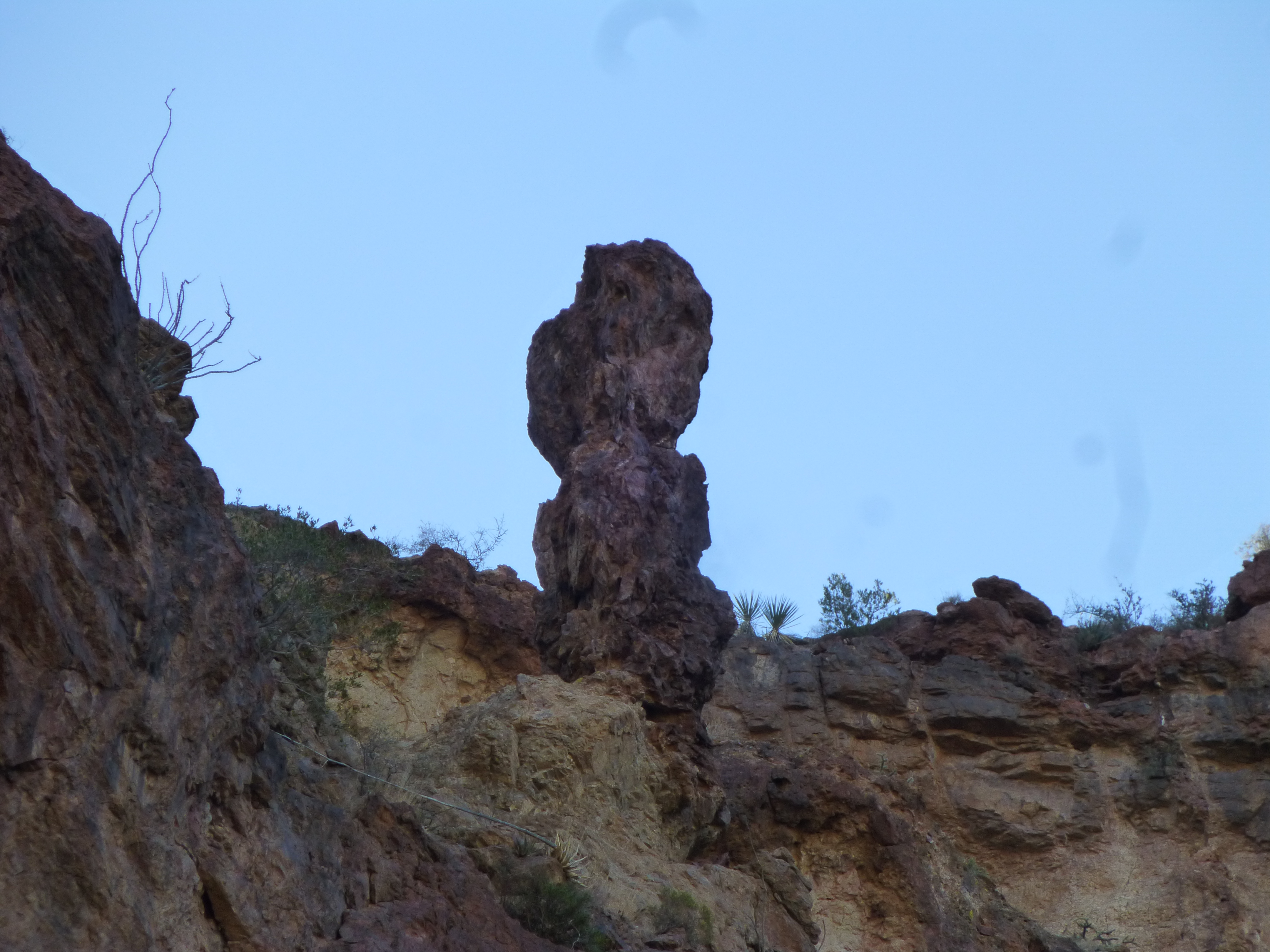
A rotting pillar
The canyon was so deep that, even hours after sunrise, we were still in shadow. At this point, we had climbed 600 hard-fought, vertical feet and had been one hour and ten minutes in this side canyon since leaving the Alamo Canyon bottom.
Deep in the canyon
Jake had carefully studied both maps and satellite photos and had developed 3 plans for exiting our canyon to get up into the high country near our peak. Plan A was to exit the canyon early on, but we concluded that a long band of cliffs high above us prevented any easy exit by that route. Plan B was to exit the canyon a bit higher up from the point you can see in the above picture. Plan C was to just keep climbing up the canyon until we reached its very end. It wasn’t a hard decision – things looked good at the Plan B exit point, so we took it.
We found this boot, a cast-off piece of crap left by some Bad Guy. This spot was only 3 or 4 days walk from the border. It never ceases to amaze me how shitty the footwear is that these guys trust their lives to in these remote places – they have no idea what they’re getting themselves into, I guess. If they wear crap like this, it’s little wonder nearly all of them get caught or give themselves up. Something else we found in the canyon was cardboard – smugglers use large pieces of it to wrap bundles of drugs being carried north.
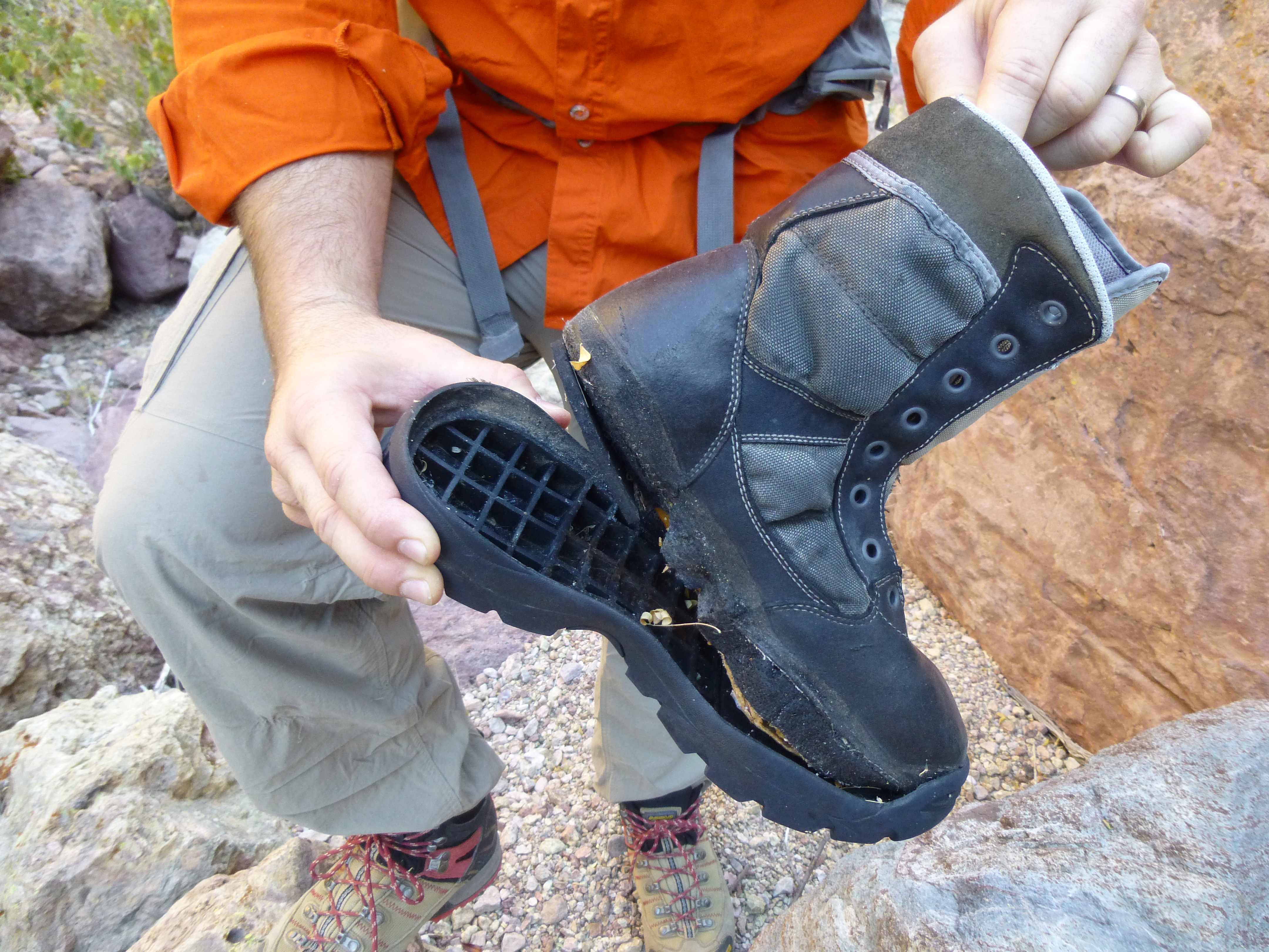
One lousy boot
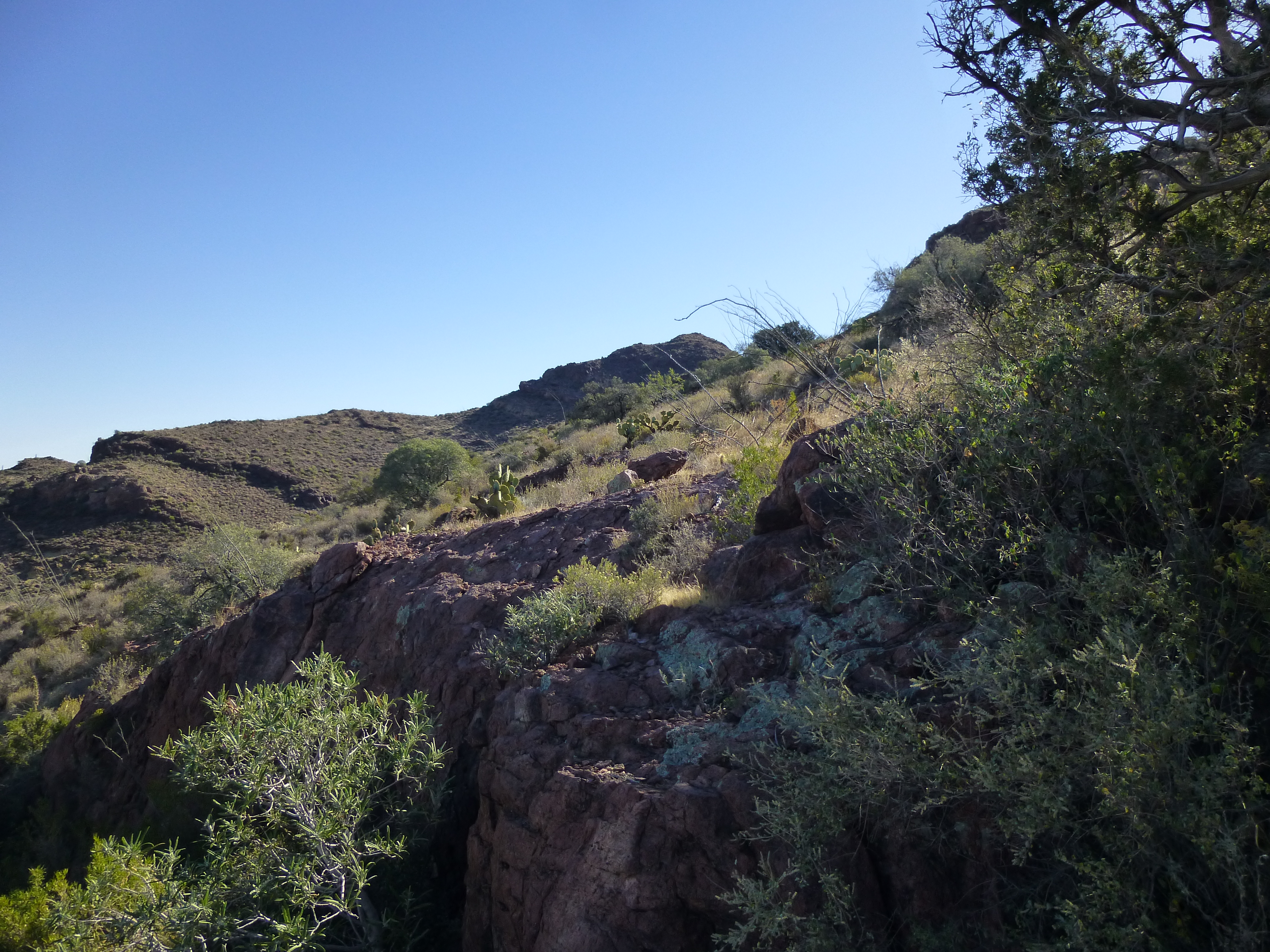
The Plan B exit point was appealing, a fairly open slope with no cliffs and very little brush. It worked well, and we gained elevation quickly. An expansive view opened – here’s a look down to the canyon we’d left.
Looking back down
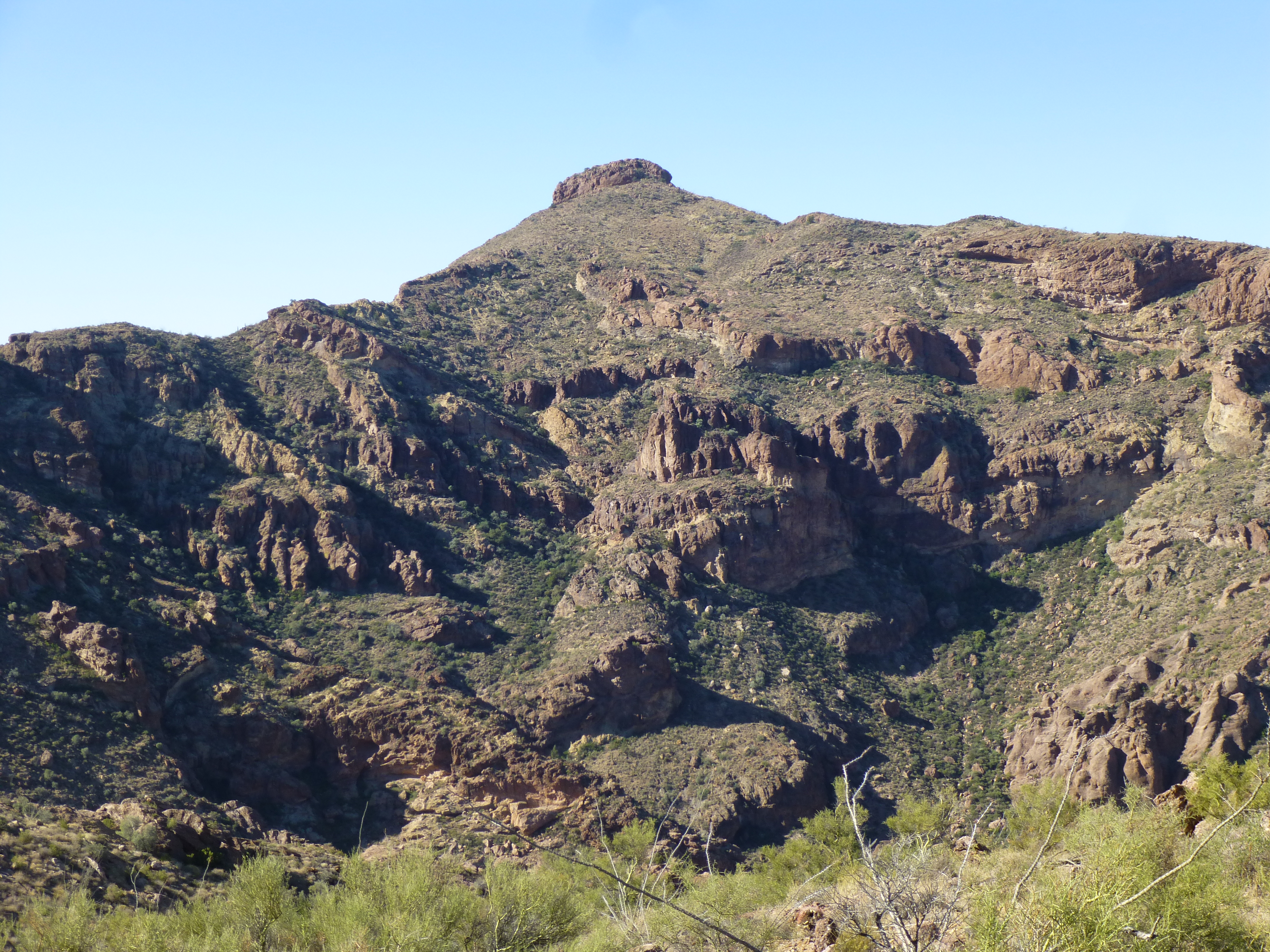
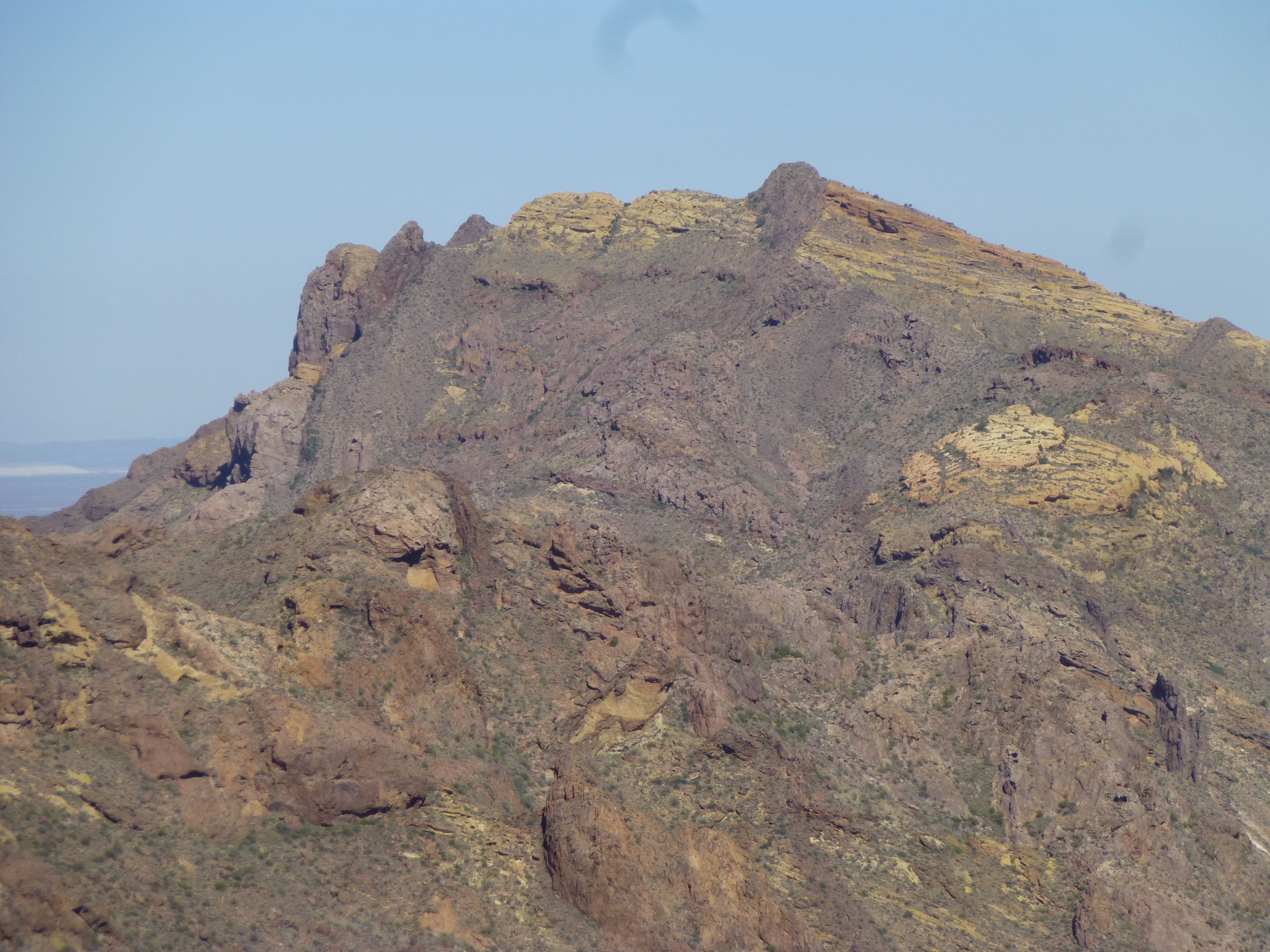
We had the first view of our goal, just peeking out from behind a shoulder.
Our peak, dead-center in the back on the skyline
Five hundred feet above the canyon floor, we reached a ridge and stopped for a short rest – the views were amazing. Here’s one of my favorites – one mile away sits Peak 4158. Almost 2 years ago on a cold winter’s day, I met a scout for the drug cartel near the summit.
Looking southwest to Peak 4158
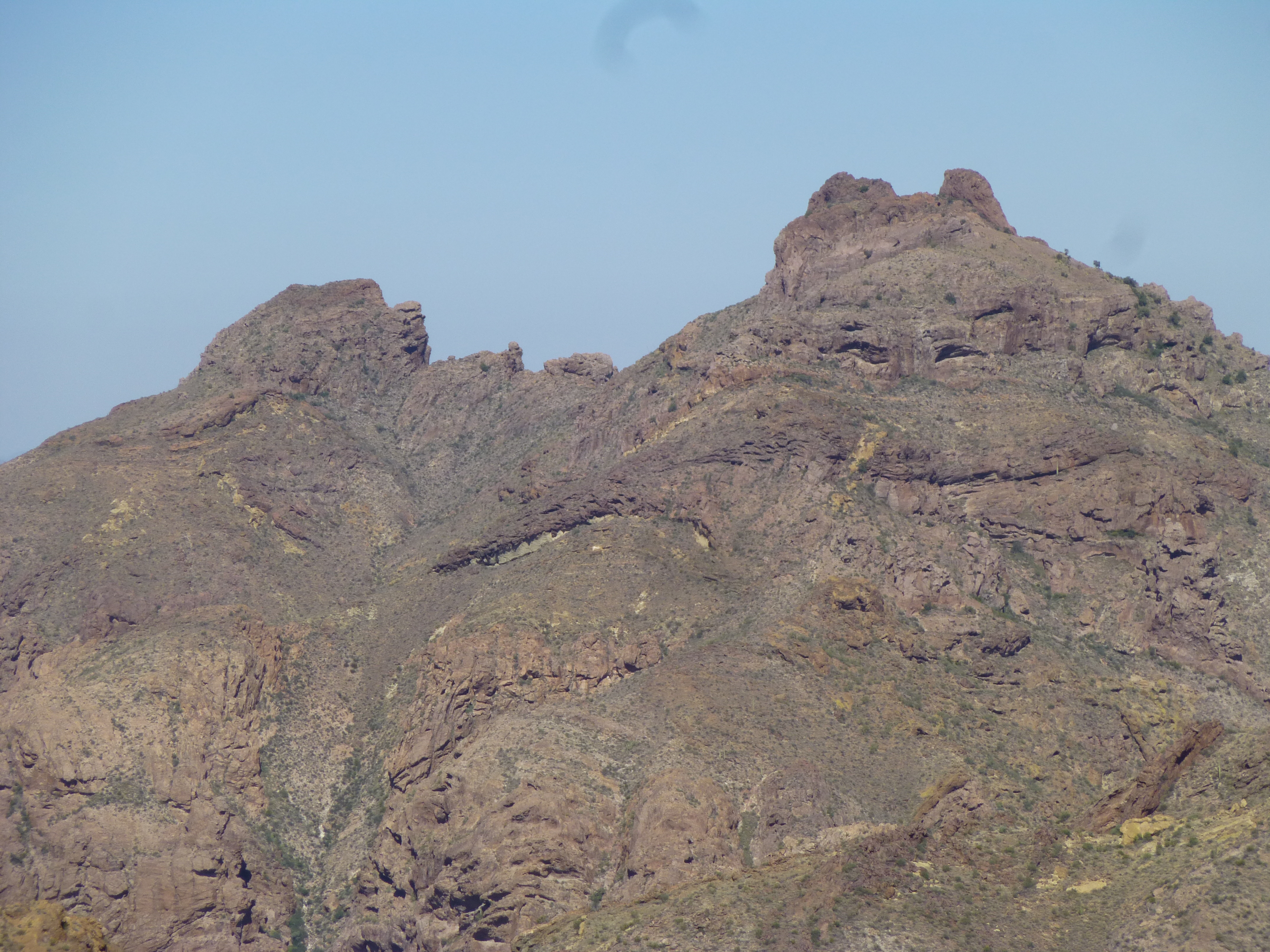
Continuing up the ridge, we found ourselves butting up against the shoulder of Point 3849, which was soon climbed. We expected the scenery up here in the high country of the Ajo Range to be spectacular, and it was all that and more. From our vantage point atop Point 3849, we could see down into a gentle saddle to the east – there, a footpath was visible, and we had expected it. Plainly seen even on satellite photos, this path was the main one used by smugglers heading north through the high country of the Ajo Range. It took only a few minutes to drop down to it, where a few bits of trash marked their passage. Here’s the view of our peak from atop 3849.
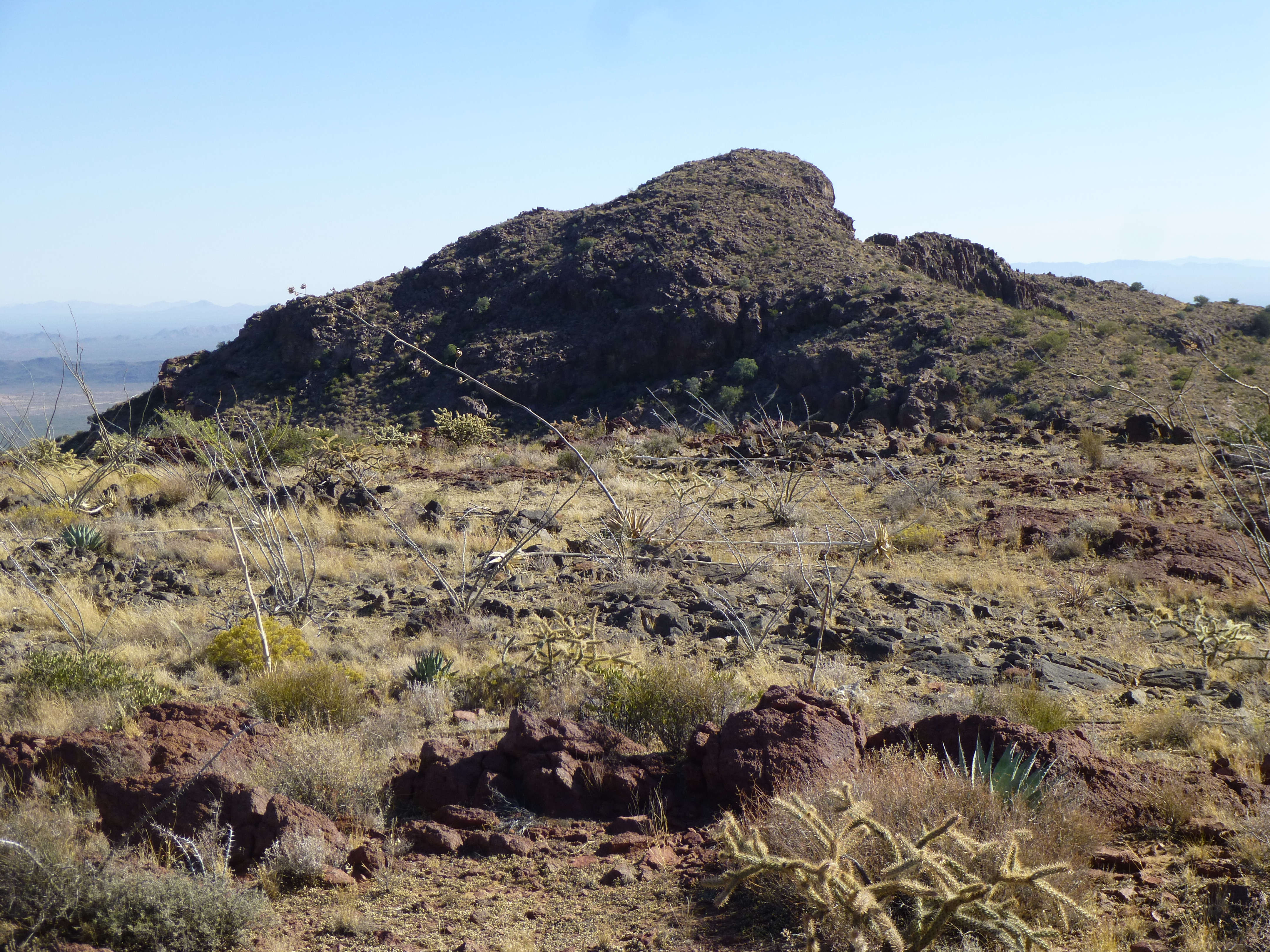
Looking ENE to Peak 3940
Our race was almost run – we only needed a few minutes to climb the last 250 feet to the summit of Peak 3940. It was 10:25 AM. Jake found a register in a rough cairn. An even bigger surprise than the fact that it was there at all was that it had lain undisturbed all these years.
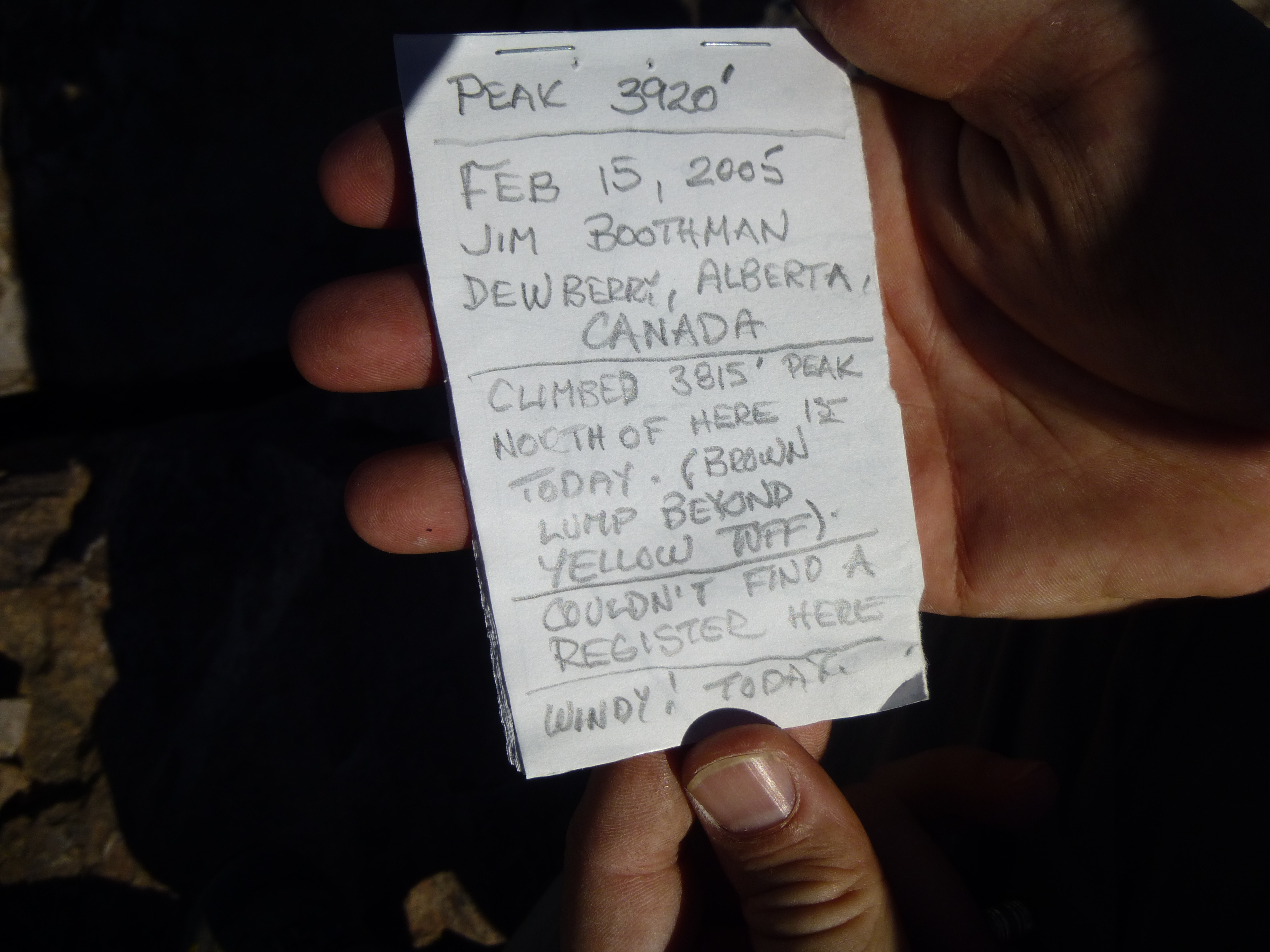
The register
We signed in and snacked while taking photos and enjoying our surroundings. I’d like to share with you some highlights of our stay, some of the primo views we had. Okay, I know this isn’t the best photo, but this is Mount Ajo, the highest peak in the range. It is about 2 miles to the south.
Mt. Ajo, elevation 4,808′
Almost 3 1/2 miles to the north sits Peak 4088 – this beauty was first climbed in 2001, and sits on the same boundary as we now sat.
Peak 4088
Another high peak in the range is this one, Peak 4220 – it sits 2 1/2 miles to the north.
Peak 4220
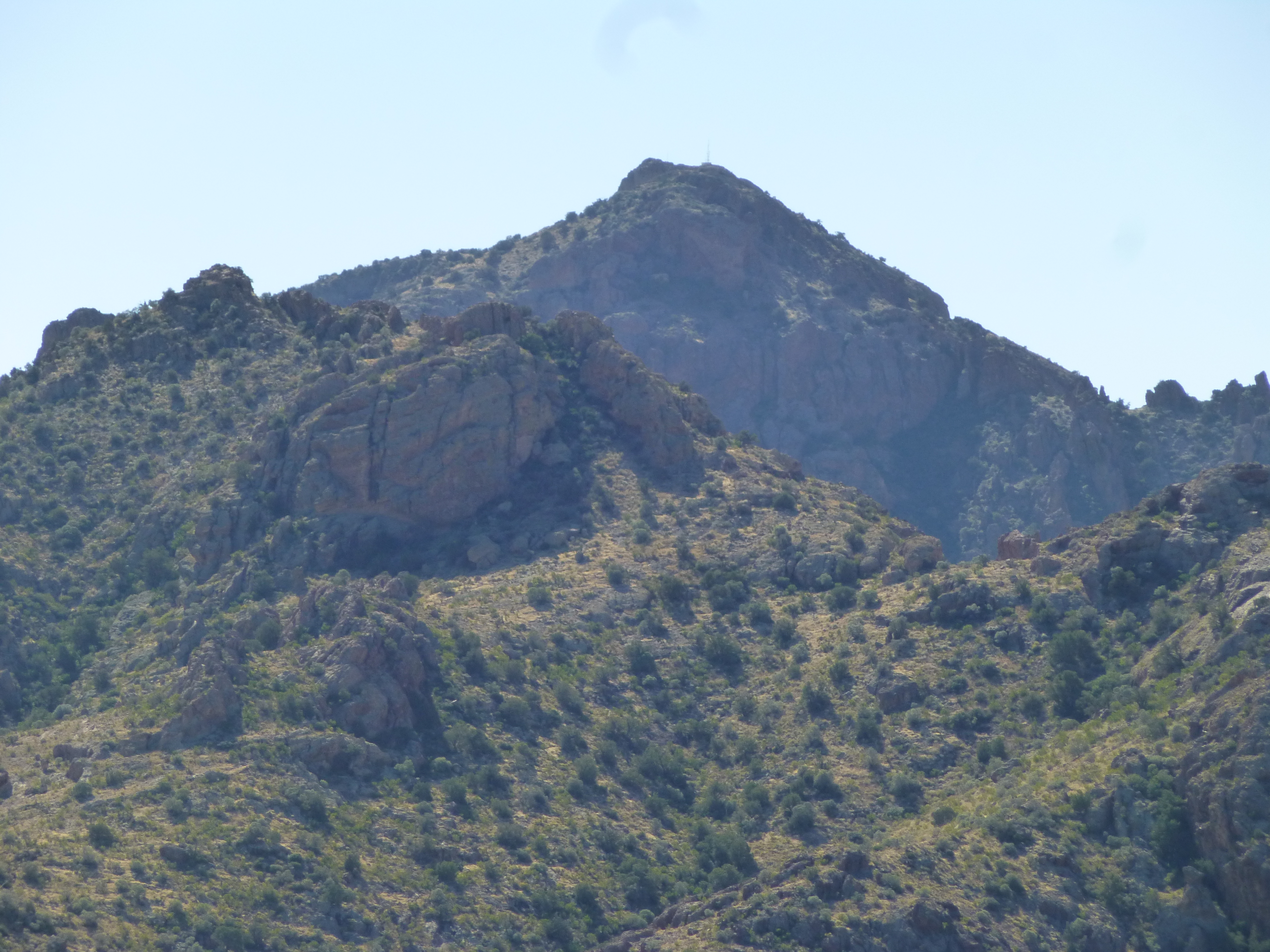
Here’s one more – this is Peak 4180. It’s the double bump on the right. Its summit is the left bump, along an exciting, exposed narrow ridge, and is 2.4 miles to the northwest.
Peak 4180
Here is a video I shot while on the top.
After half an hour, we started down. Back at the saddle, it seemed to our advantage to follow the smugglers’ trail for a while, as it was heading in our direction. Away we went, heading north along the hillside – before long, the trail reached the crest of the ridge, where we found this. It was a wooden pole in a large pile of rocks, with a metal tag. A series of 20 of these demarcate the boundary between the Tohono O’odham Indian Reservation on the east and Organ Pipe Cactus National Monument on the west – this one is #7. The markers were placed by the National Parks Service when the boundary was surveyed.
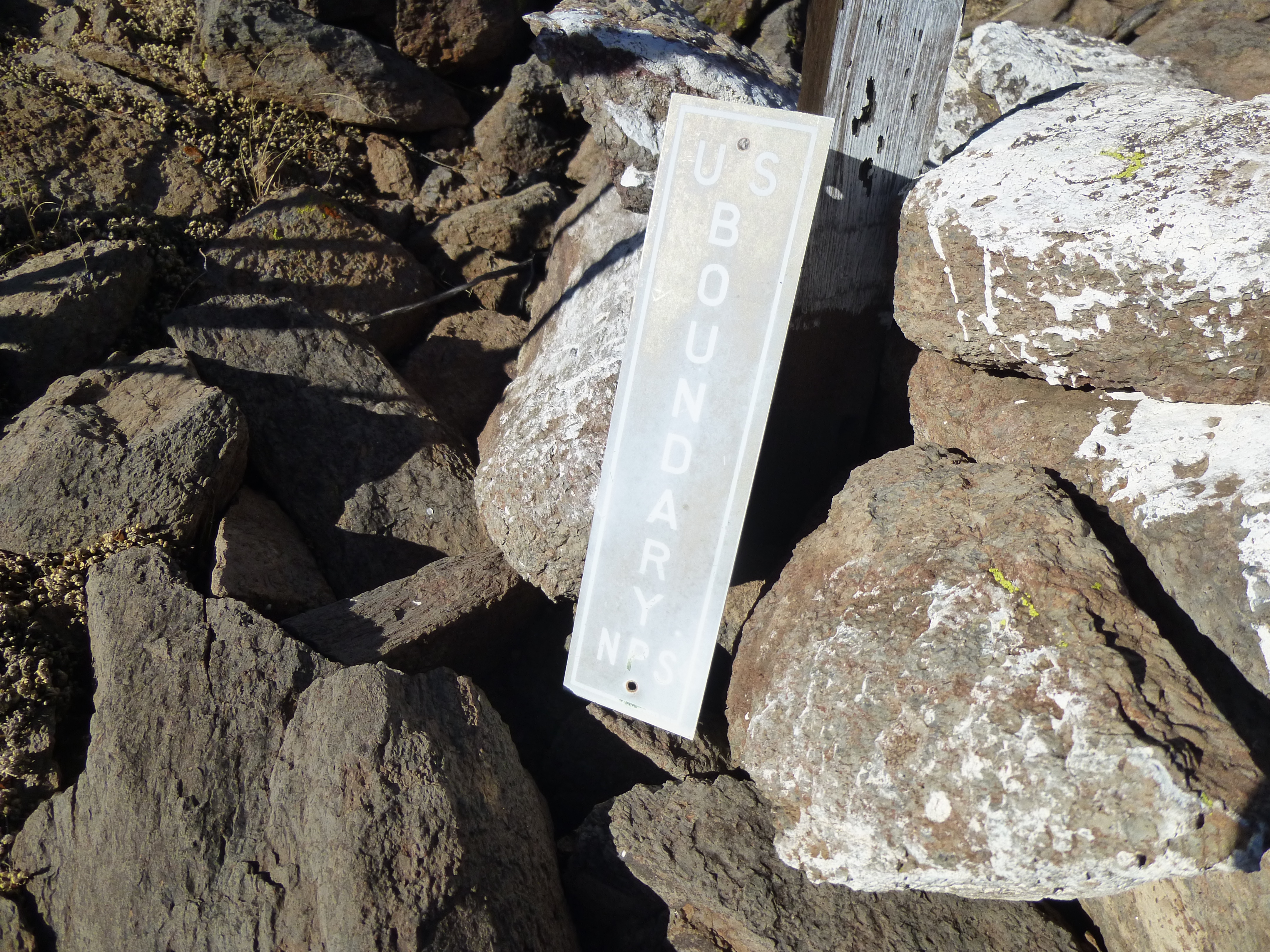
Marker Post Number 7
Farther down the ridge we came to a spot protected by a steep cliff, a shady refuge that would make a perfect resting place from the hot sun and prying eyes.
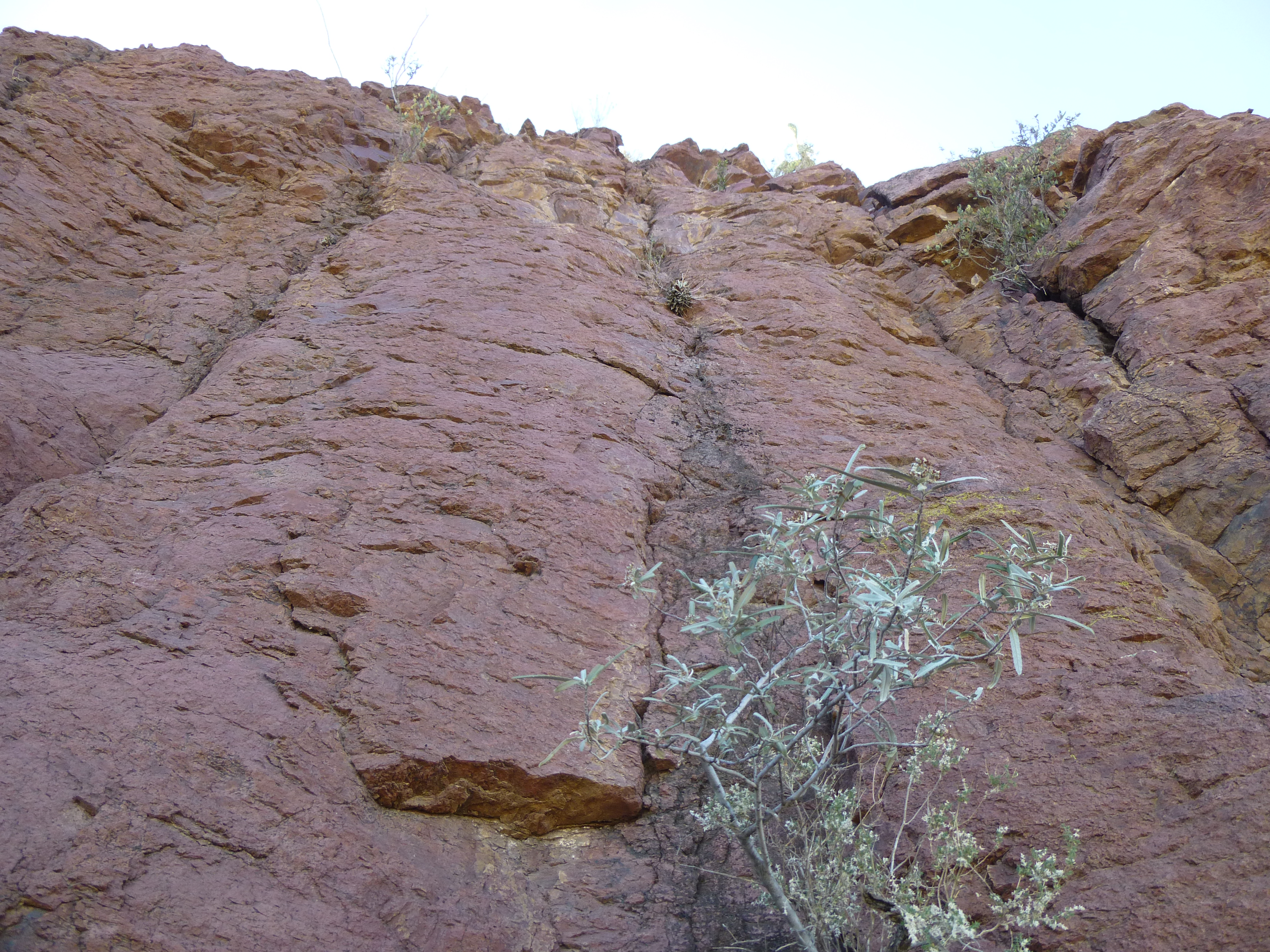
The big red cliff
At its base were many bones strewn about – it turns out they belonged to some cow that had strayed off the reservation and met its maker at 3,600 feet. Here are a few – many others were nearby.
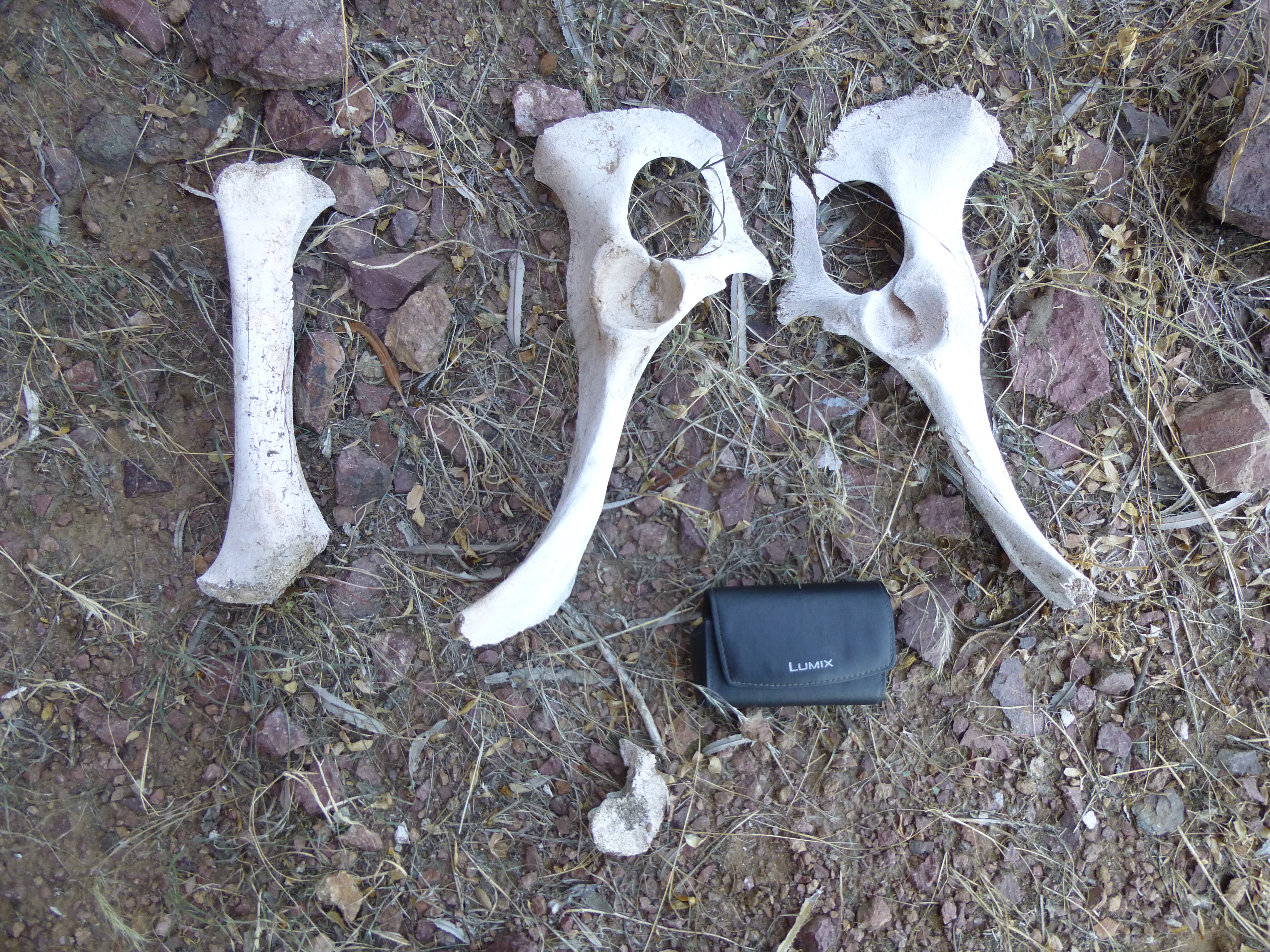
Cow bones
It was reassuring to know that know that some cattle are climbers, and I hope this one enjoyed itself before meeting an untimely end up here.
Following the footpath had taken us to a point where our canyon from earlier in the day climbed up and met the ridgeline. The Plan C route would have brought us to this very spot, so now the logical thing to do was to head down the gentle slope to find the head of the canyon.
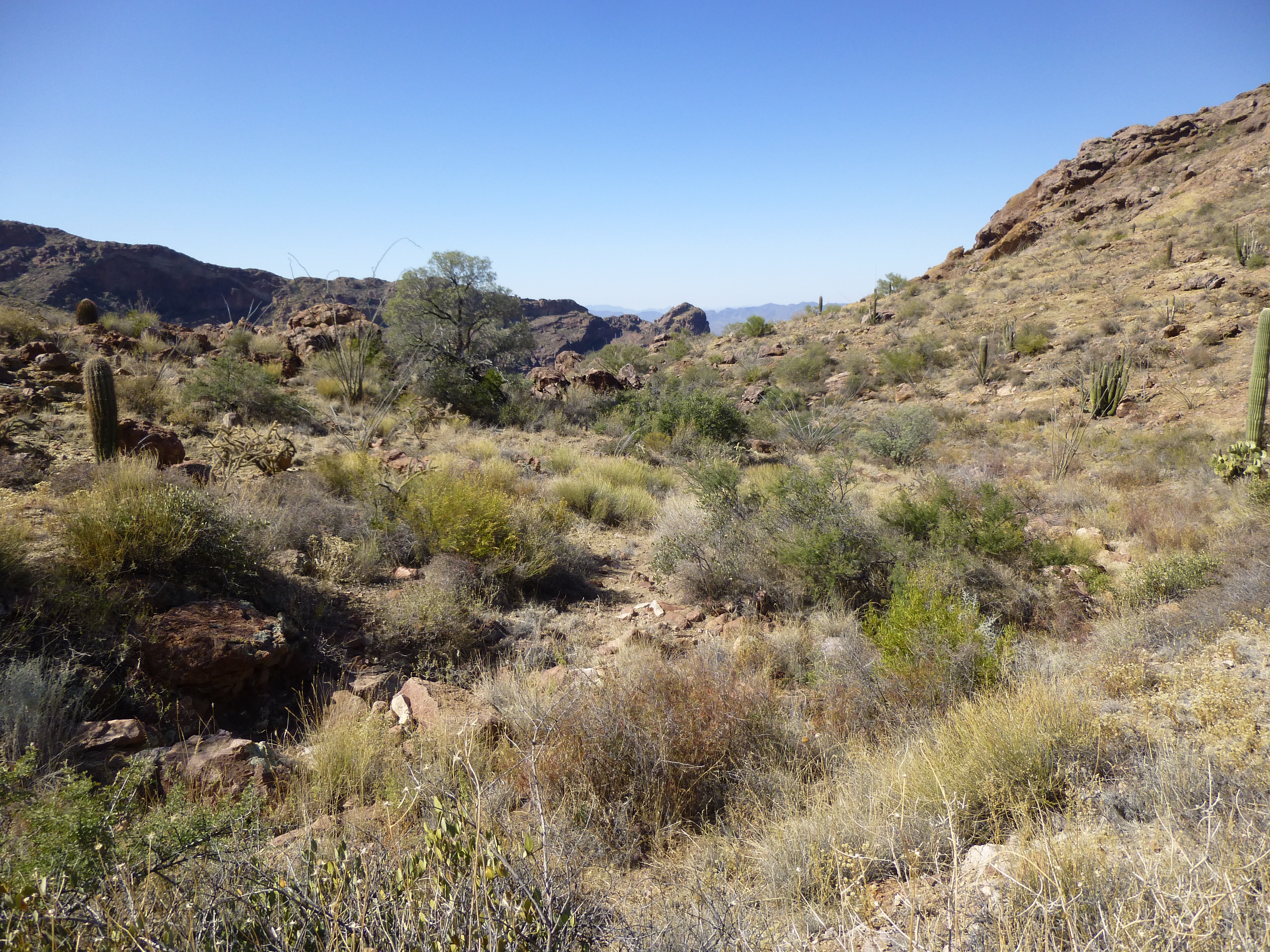
The uppermost part of our canyon – we’re looking west, downhill
It was easy going for a third of a mile, and en route we found this rolled-up Mexican blanket, left by one of the Bad Guys.
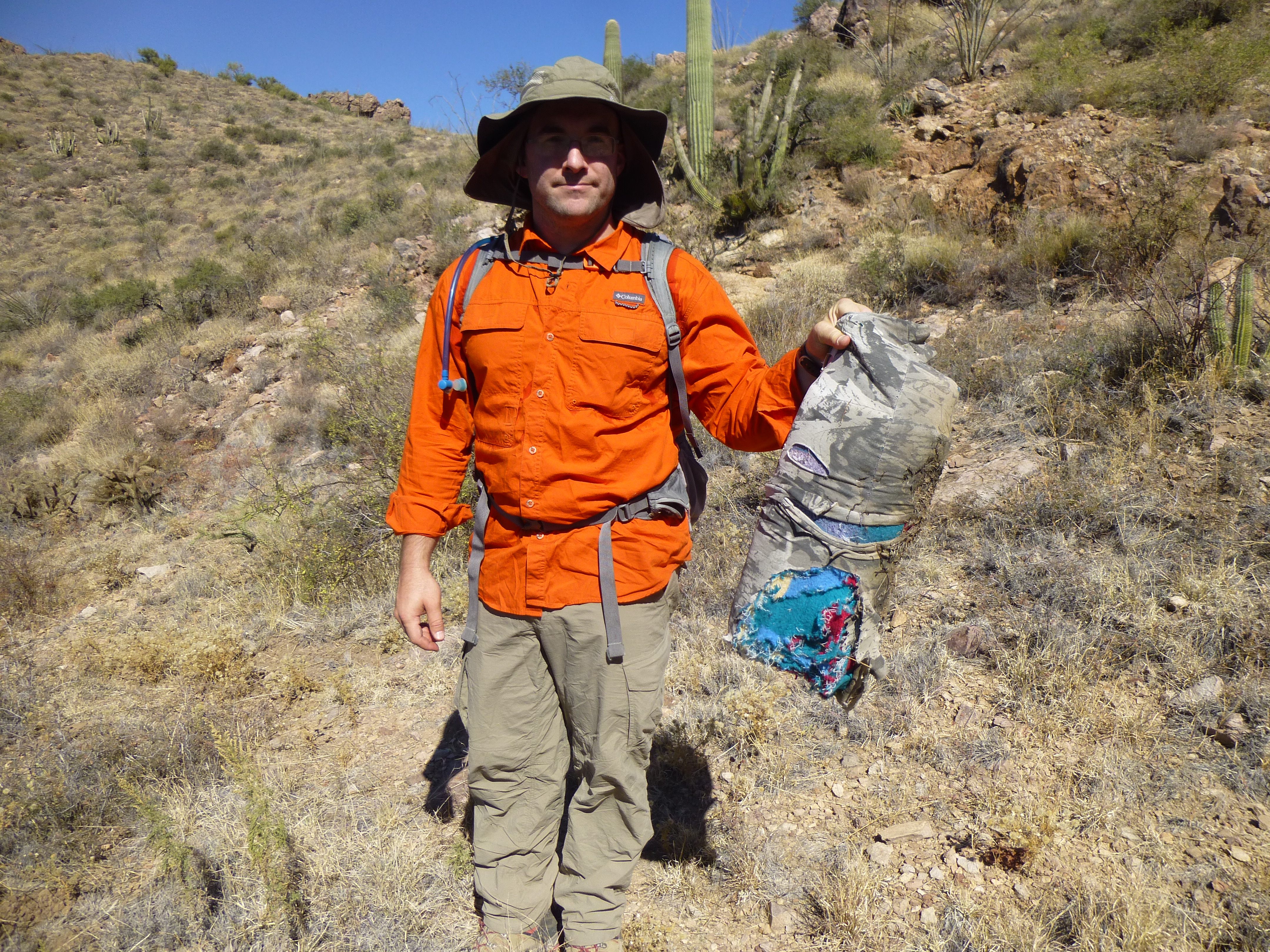
Smuggler’s blanket
The gentle upper basin reached a point, as we headed west, where it dropped dramatically into the upper canyon. There were a few cliffs to avoid, and we soon found ourselves back at the point where we had left the canyon to start our Plan B option, having now described a full circle of 2.2 miles and lasting about 2 hours.
Our boulder-hopping resumed down the canyon, quicker this time with a gravity-assist. Much lower down, we reached a spot where we could head out on to a gentle ridge and avoid a fair chunk of canyon bottom. We tried it, and it led us to a steep but open slope that took us straight down to the bottom of Alamo Canyon, passing some towering rock formations on the way.
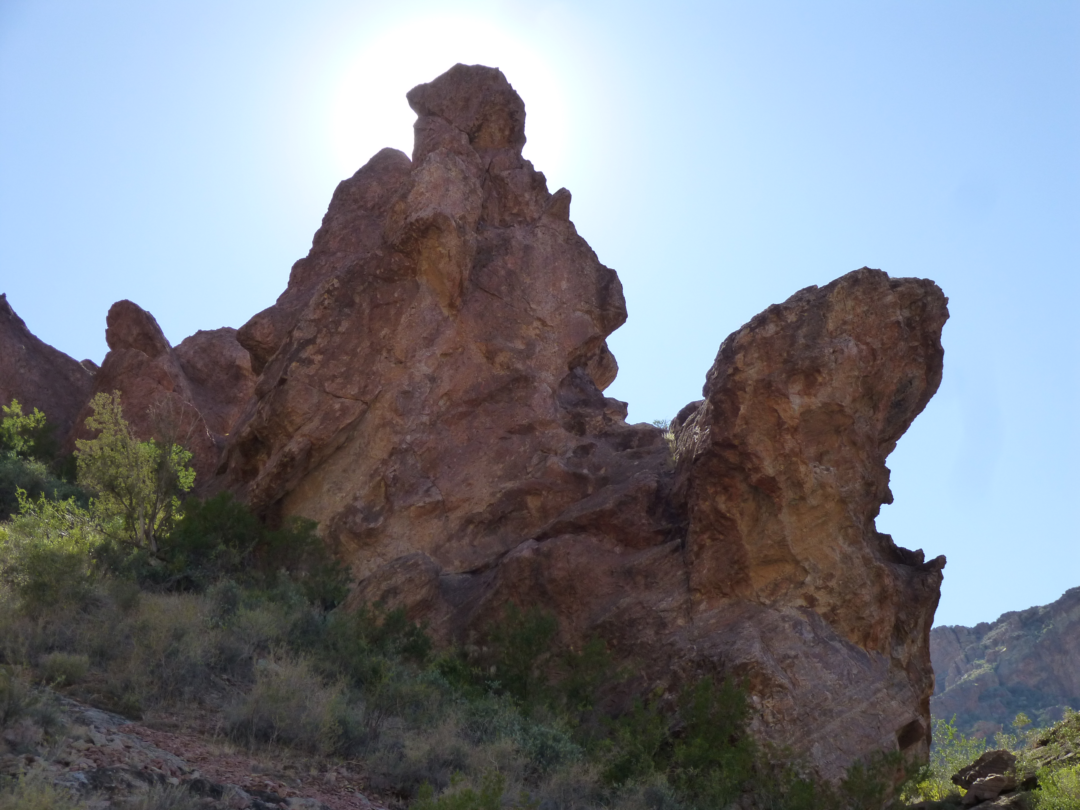
Rock towers
Another tower
Once in the main canyon, it was all over but the shouting, and we had an uneventful walk downstream. There was an old corral near the junction with the North Fork of Alamo Canyon, left over from the days of cattle ranching in this area.
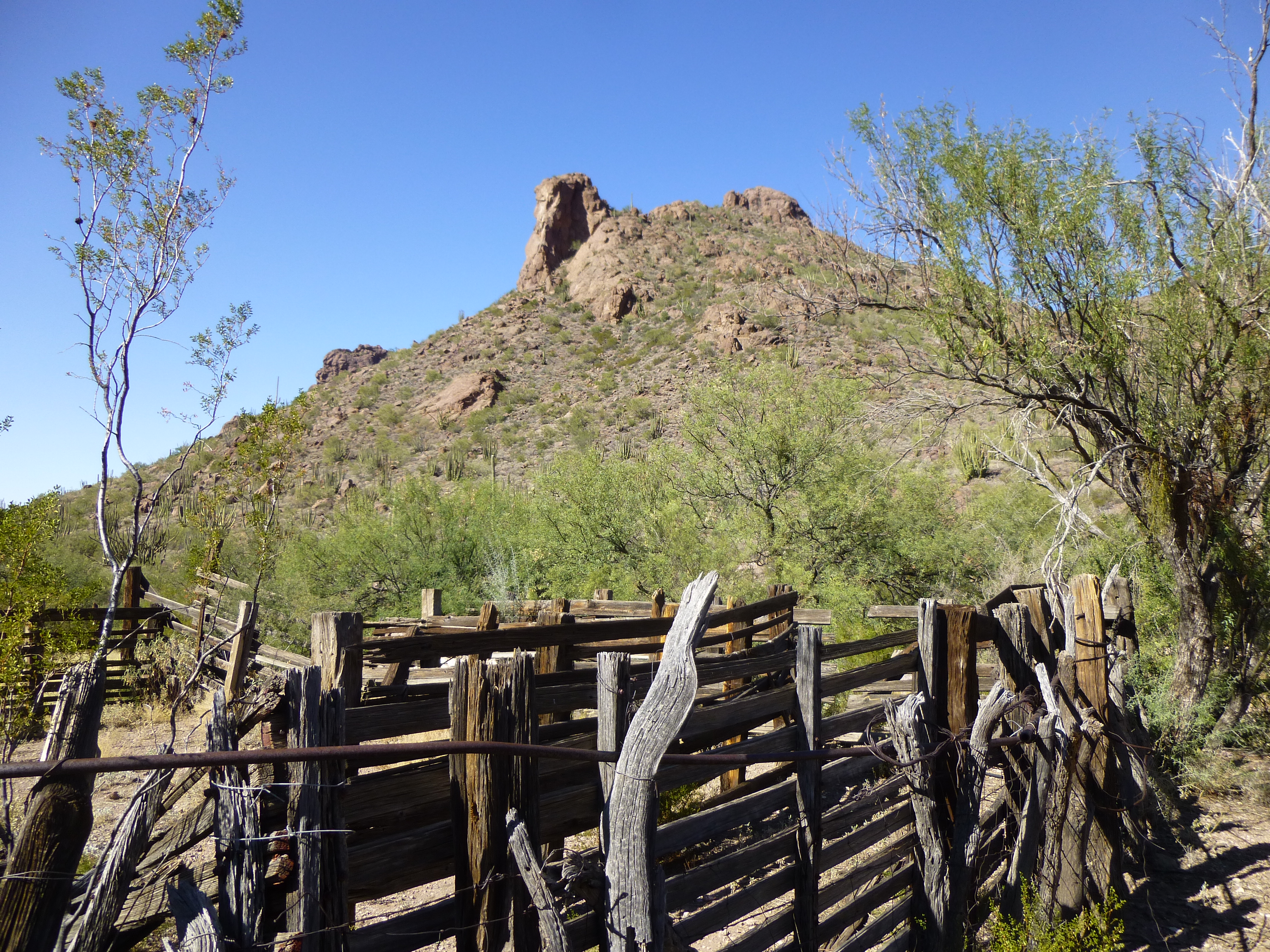
The old corral
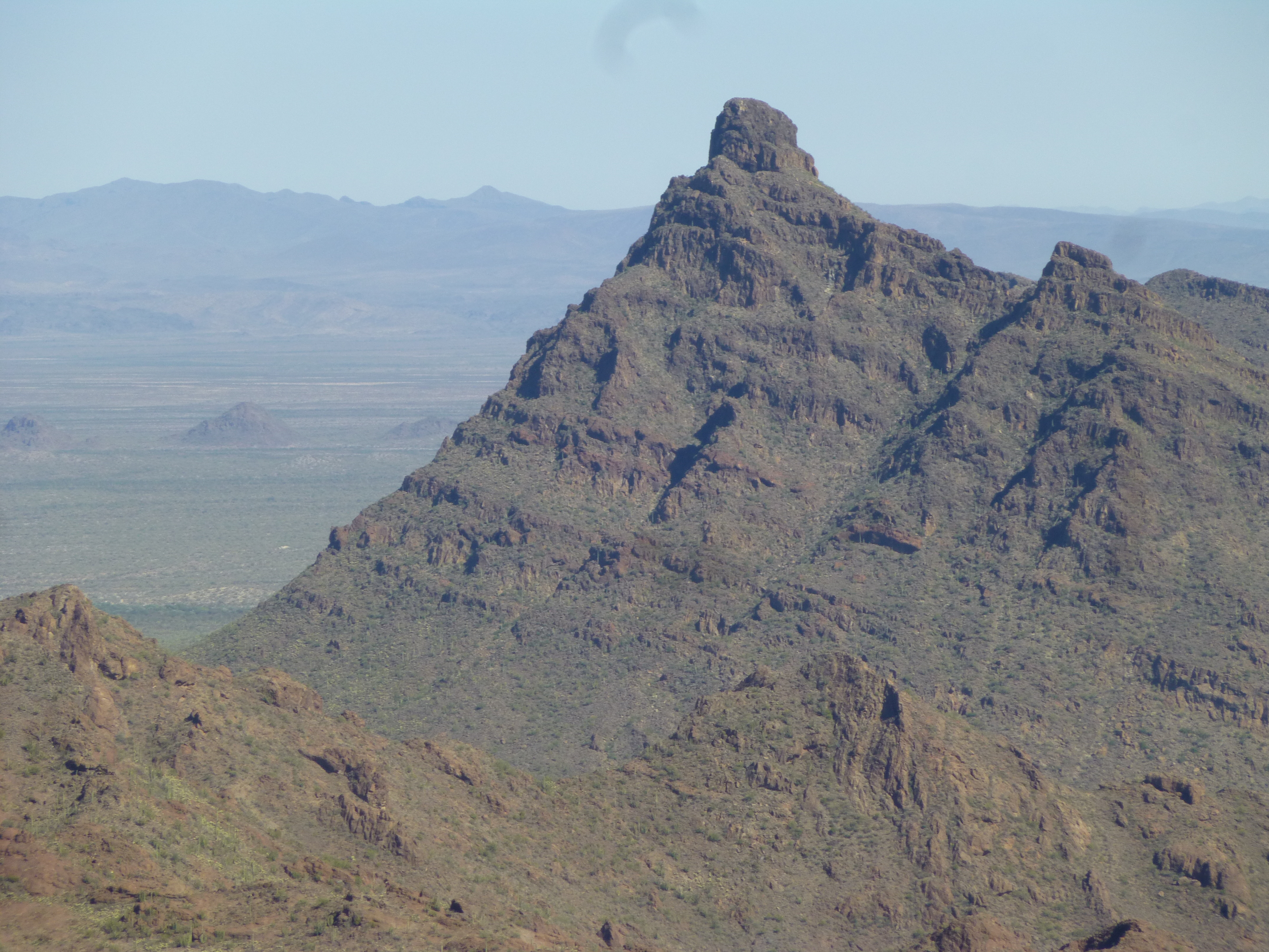
By 2:00 PM, we were back at the campground – 8 hours had passed since setting out. It was close to 90 degrees, so another warm day. Here is one final look back – our peak can be easily seen, it’s the gentle pyramid on the skyline with the red mark above it.
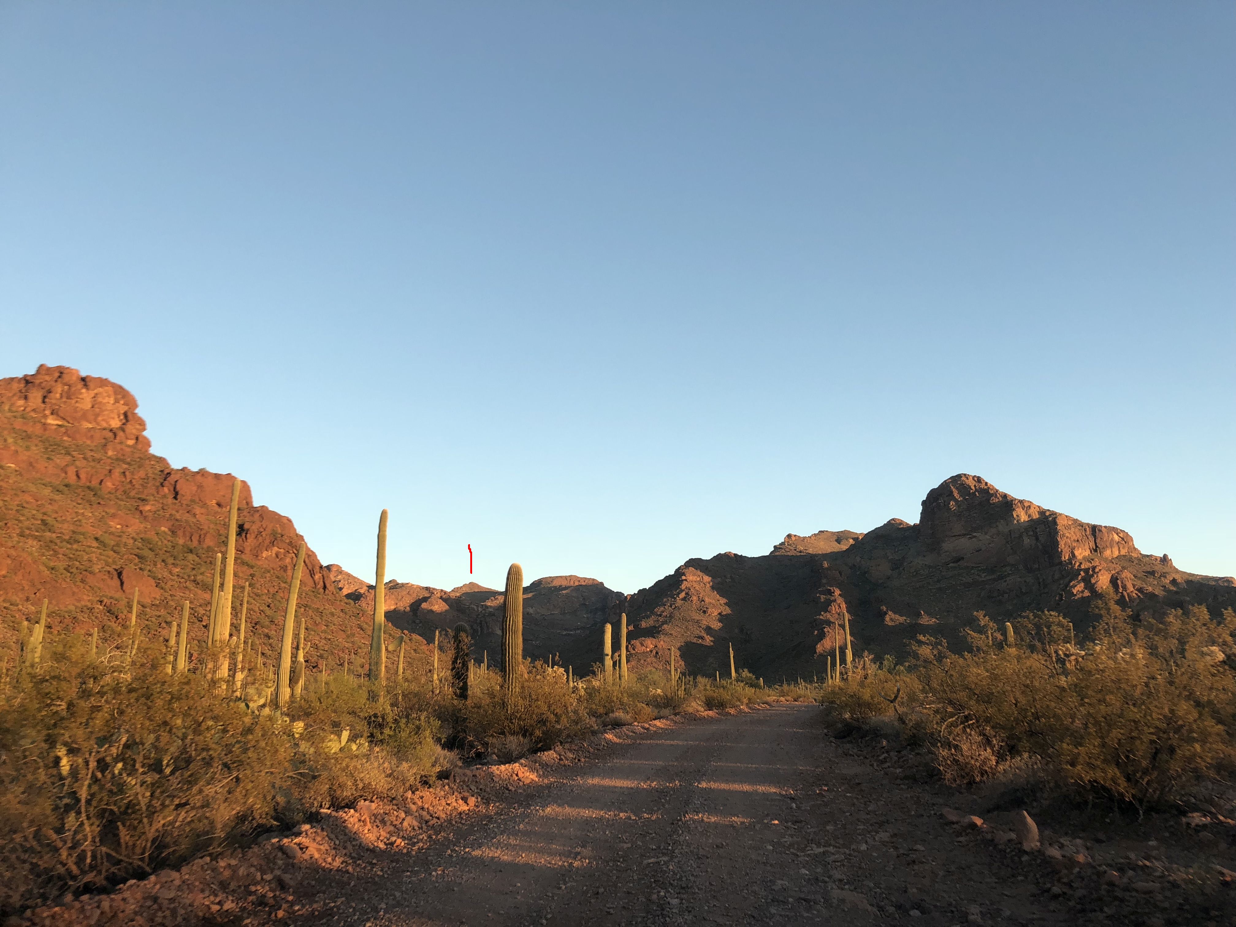
A look back at Peak 3940
The Ajo Range never disappoints, and I’m sure further adventures await in the future.