
Sometimes I get an itch I just can’t scratch – it’s usually a mountain I want to climb but can’t get there for some time. I’ll study it on maps and satellite photos – the driving approach, the route in on foot and the climb itself. Finally, I’ll reach a breaking point and I just have to drop everything else and head on out. It could be the most obscure peak, one that nobody but I would ever consider, but when I’ve got the fever I just have to go. That was the case last October.
The mountain in question was a small, un-named thing – it sat just inside the Indian reservation, only 500 feet from the edge of the bombing range. In all fairness, though, when I say bombing range I’m talking about an area that, although technically inside the boundaries of the bombing range, there was no military activity of any type within 13 air miles of the peak (unless you count the odd overflight by military aircraft). What I’m trying to say is that you could spend ten lifetimes out there in the vicinity of the peak and never see a soul, neither Indian nor military.
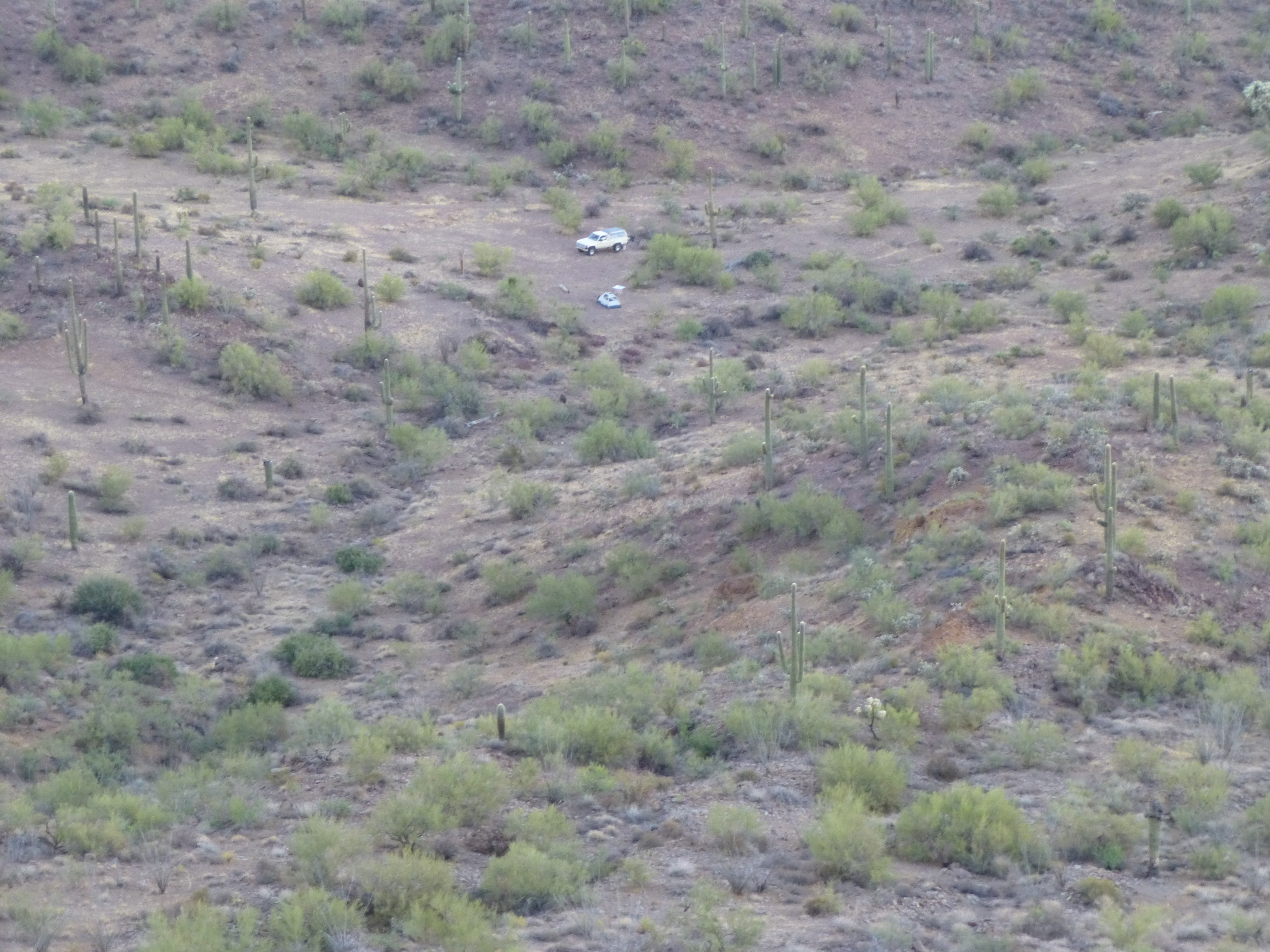
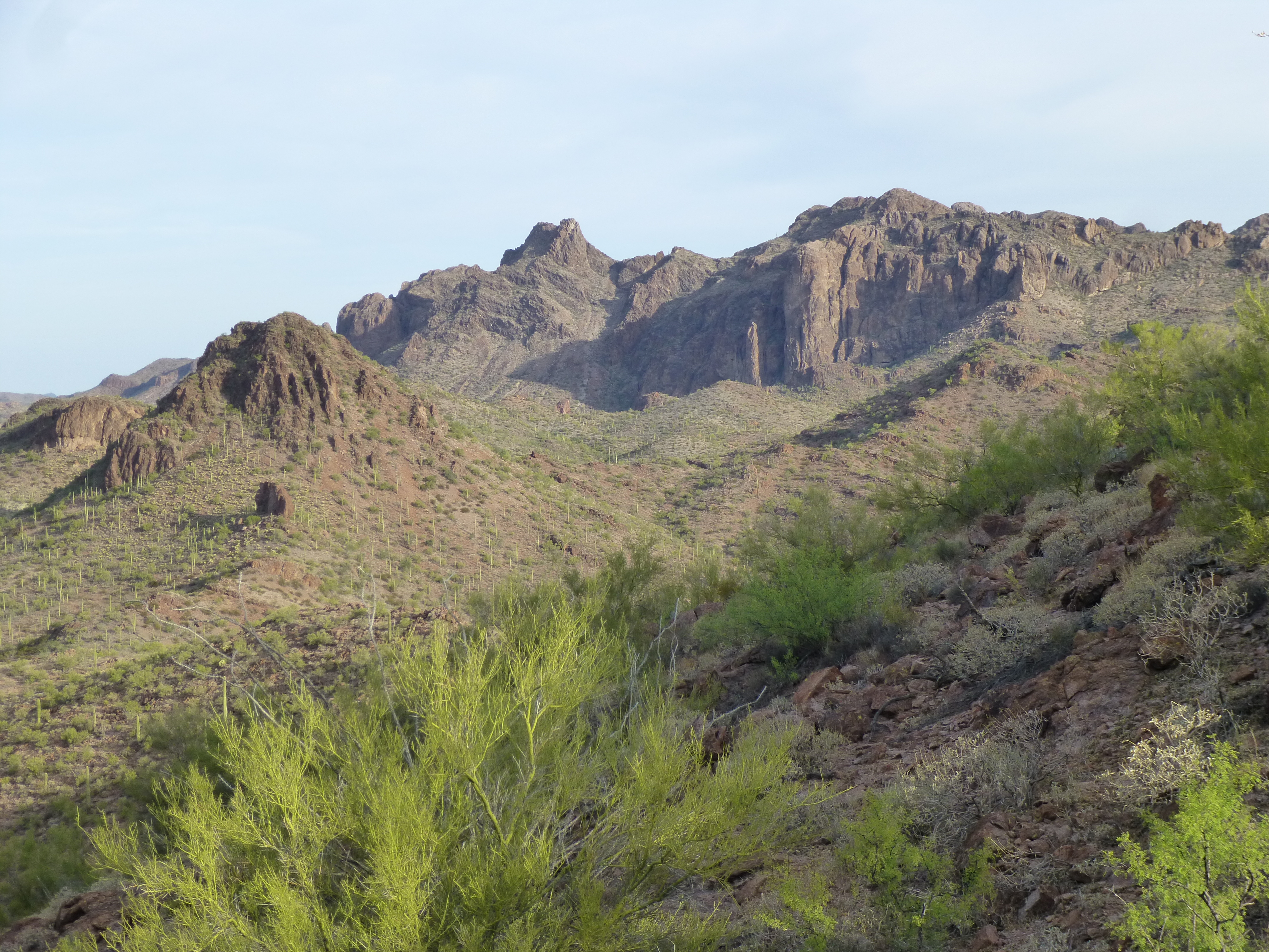
Dennis and I had gone out together on day climbs several times before, but never on a multi-day trip. I told him about this amazing area and would he like to head out there to climb a couple of things? – you bet, he was in. We loaded up my 4WD truck and headed out. An hour and a half on pavement, then the same again on ever-worsening dirt roads. Finally, we reached a spot where I looked for a faint road, not on any map and barely visible on satellite photos. It took a while to find it, and we continued. The next 2 miles we put in were not bad, but then we came to a spot I’d been dreading. My last time here was 6 years earlier and it was bad then. This trouble spot was in a wash – we had to cross it at a right angle, then climb very steeply out of it up a steep, loose embankment. The first time we tried to go up it, we failed. Rolling backwards down into the wash, I tried a different gear – wheels spinning, rocks flying, by some miracle we clawed our way up the slope. It wasn’t more than 20 vertical feet to climb, but it was the crux of the drive. The last mile was easier, and that done, we rolled into the campsite I fondly remembered. This spot was way off anyone’s radar – even the Border Patrol didn’t know about it. We set up camp and settled in for the night. Technically, we were on the bombing range, but in a forgotten corner that might as well have been on the back side of the moon.
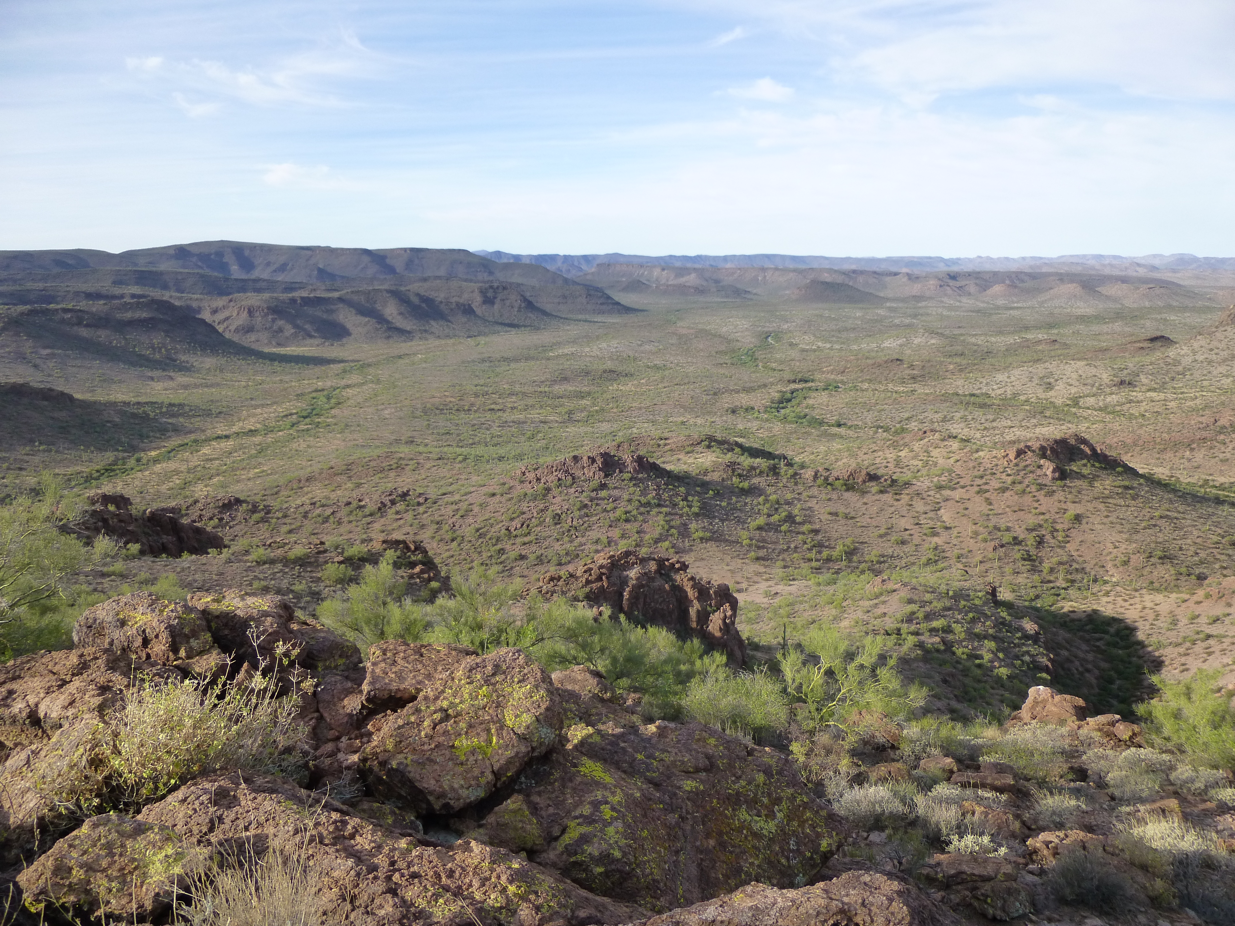
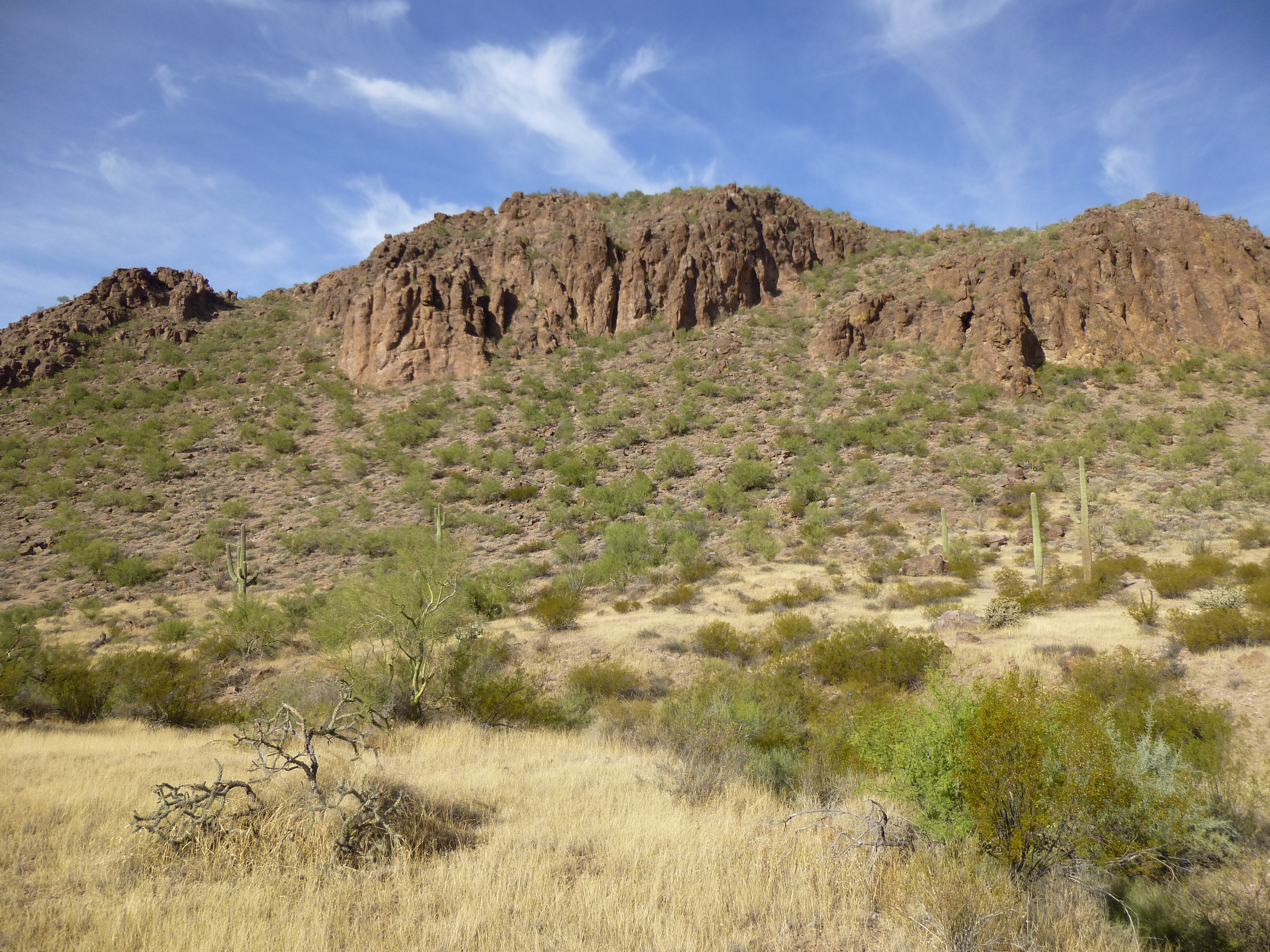
It was late October, and about the earliest we could set out with the faintest light of an autumn dawn was 6:20 AM. From camp, our route took us straight uphill 400 vertical feet to a ridge where we could study the lay of the land. Here’s a look back down to camp.
Minutes later, the first rays of sun hit the high peaks of the Sand Tank Mountains to the north.
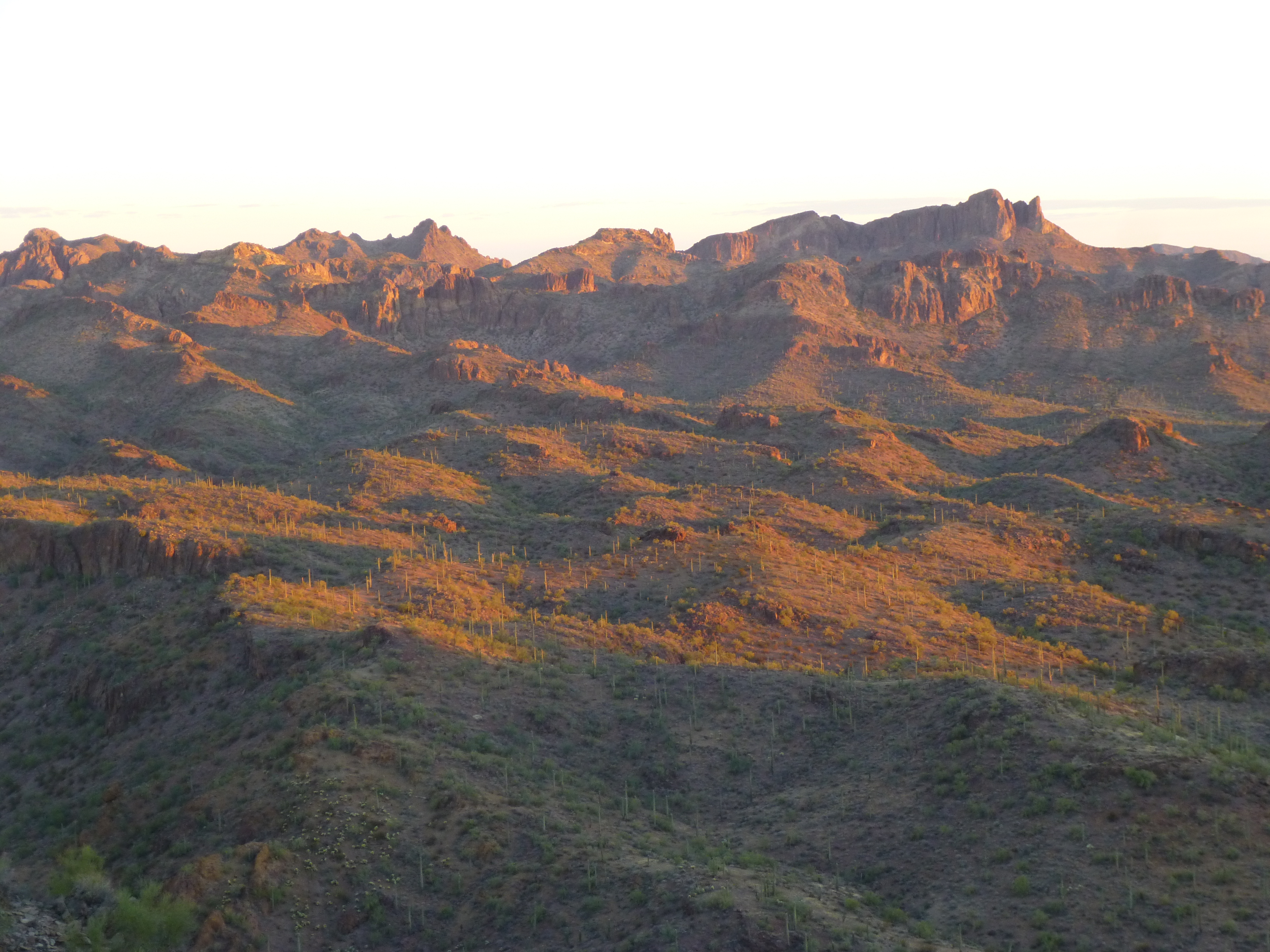
Sunrise
The really cool thing about today’s climb was getting to it. All we had to do now was walk for miles along a high plateau with amazing views. Here is a view in the direction we needed to go. To the left of the saguaro cactus, on the far left side of the photo and half-way up sits a low black ridge just below the horizon – that’s where we were headed.
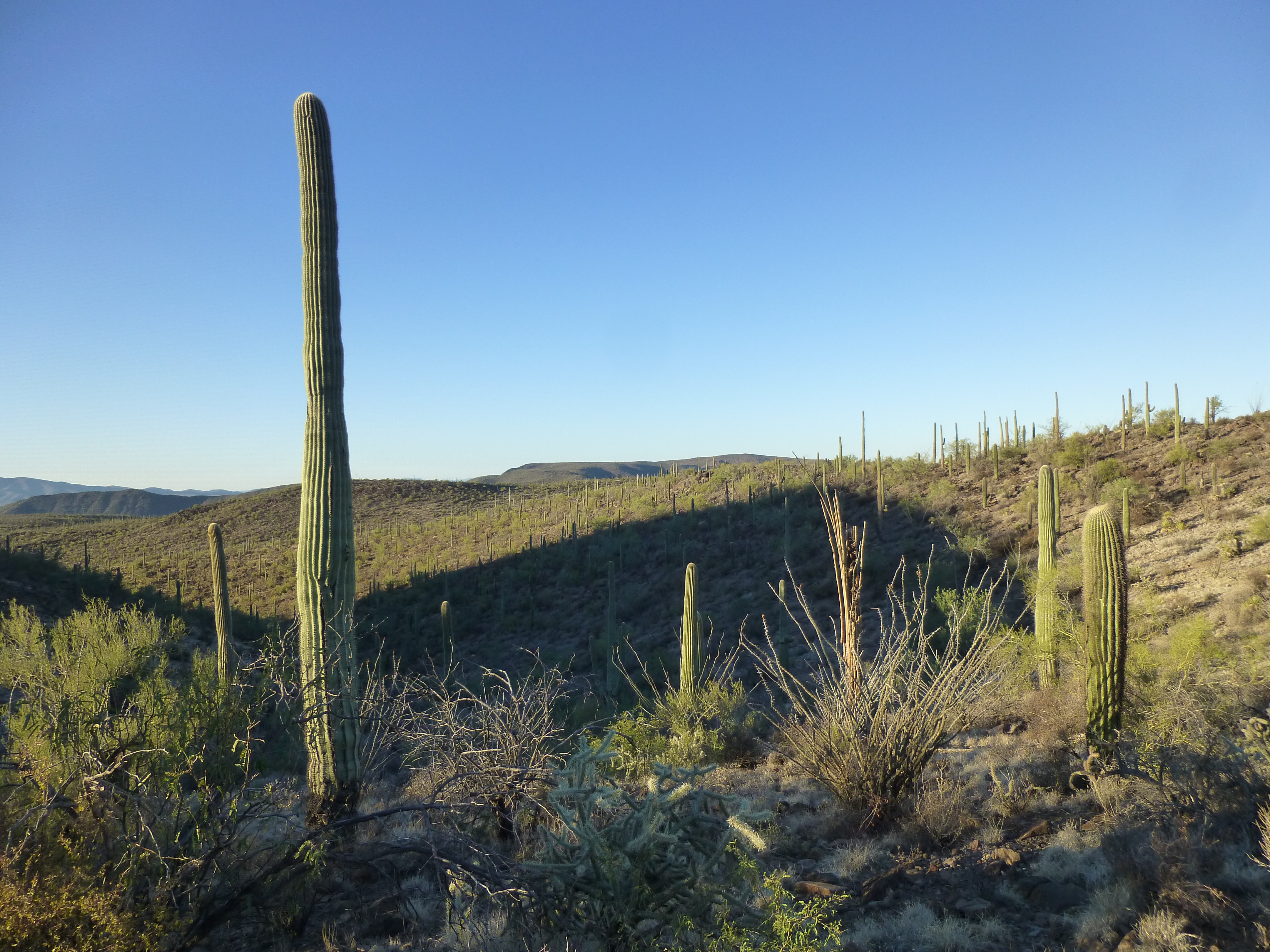
Looking towards the goal
One more thing – where we stood on that ridge happened to be the very beginning of the drainage known as Kohatk Wash. It starts at 3,340 feet elevation, then follows a tortuous path through the extreme southeastern part of the Sand Tank Mountains, losing a thousand vertical feet in 7 short miles. Once it spills out on to the desert floor, it takes a meandering, leisurely path, crossing the gas pipeline road, passing by the abandoned villages of Totopitk and Chiapuk, then across miles of the flat Kohatk Valley. Near its end, it passes by its namesake village and then finishes up, after a total run of 43 miles, at a man-made feature called Lake St. Clair. This “lake” exists only rarely, when flood waters back up behind a 2-mile-long structure known as the Tat Momolikot Dam. This rock and earth dam on the Tohono O’odham Indian Reservation and its sometimes-impounded lake serve as the final resting place for Kohatk Wash. There must actually be enough water flowing in the wash, however rarely, to have made it worthwhile for the tribe to have built 6 small earthen dams along its path for the purpose of watering cattle.
Okay, back to our climb. With the goal in sight, although miles away, we set out. Look back at the previous photo. Once we crossed the side-hill you see on the near right slope, along the upper edge of the shadow, we were on the ridge proper. For the most part, it was broad and gentle with no route-finding involved, just an occasional glance at the map. After we had gone about a mile, we saw something odd on top of a small knoll off to the left – it was a slight deviation from our preferred path of travel, but worth a look. When first noticed, it was about a third of a mile away. It looked like a – well, for lack of a better term – a pole with something sitting on the top. As we approached nearer, we still had no idea what it was.
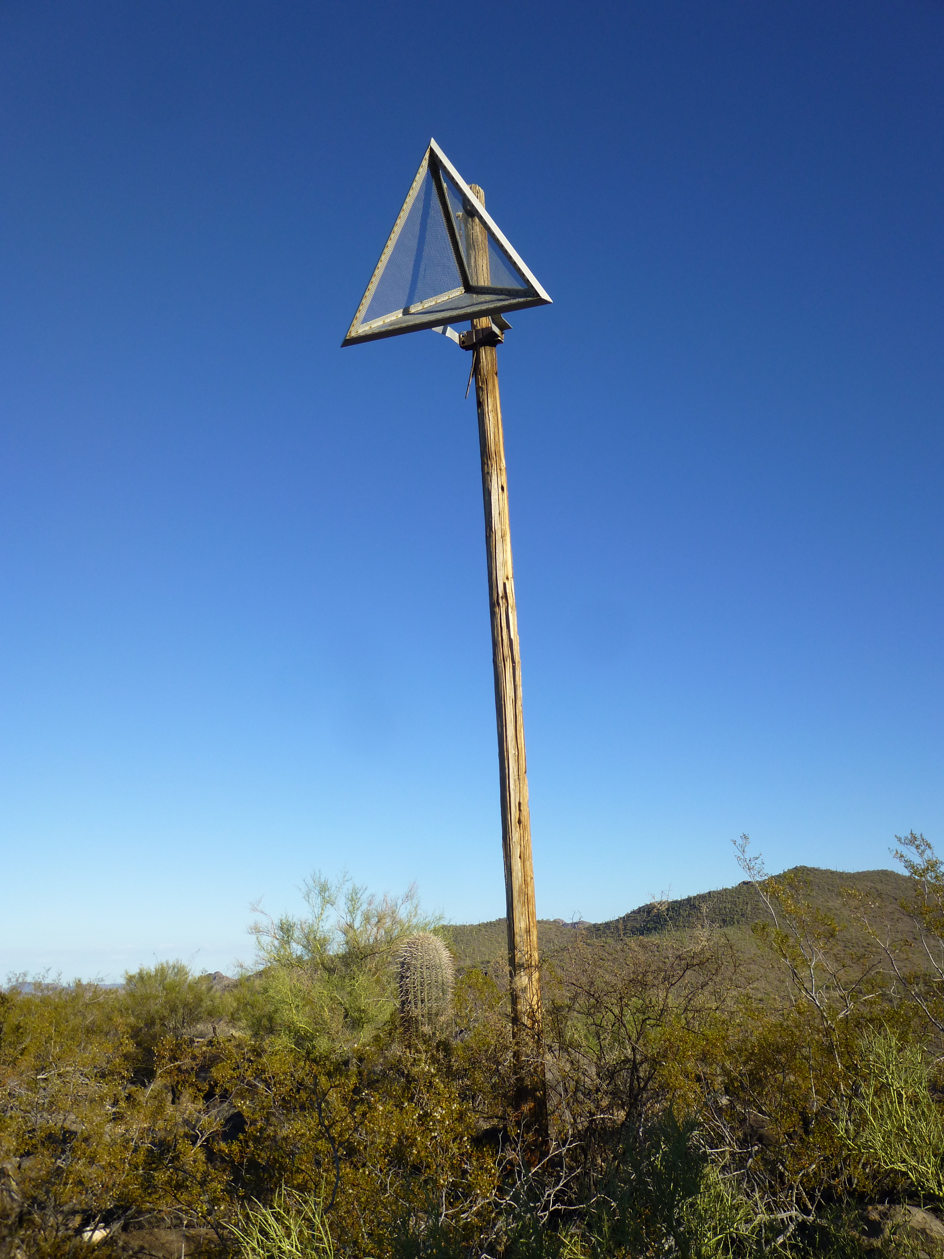
The thing on a pole
Neither of us had ever seen anything like this before. Was it military in nature? There was no way of telling how long it had been there. The pole looked like it was in decent shape. It didn’t look like there were, or had been, any concrete pads nearby. It looked like there had been a wire or cable of some sort up top, held by a white ceramic insulator – perhaps there had been a lightning rod on top of the pole. Whatever the thing was, it looked well-made and in good condition. Here is a close-up look at the thing on the pole.
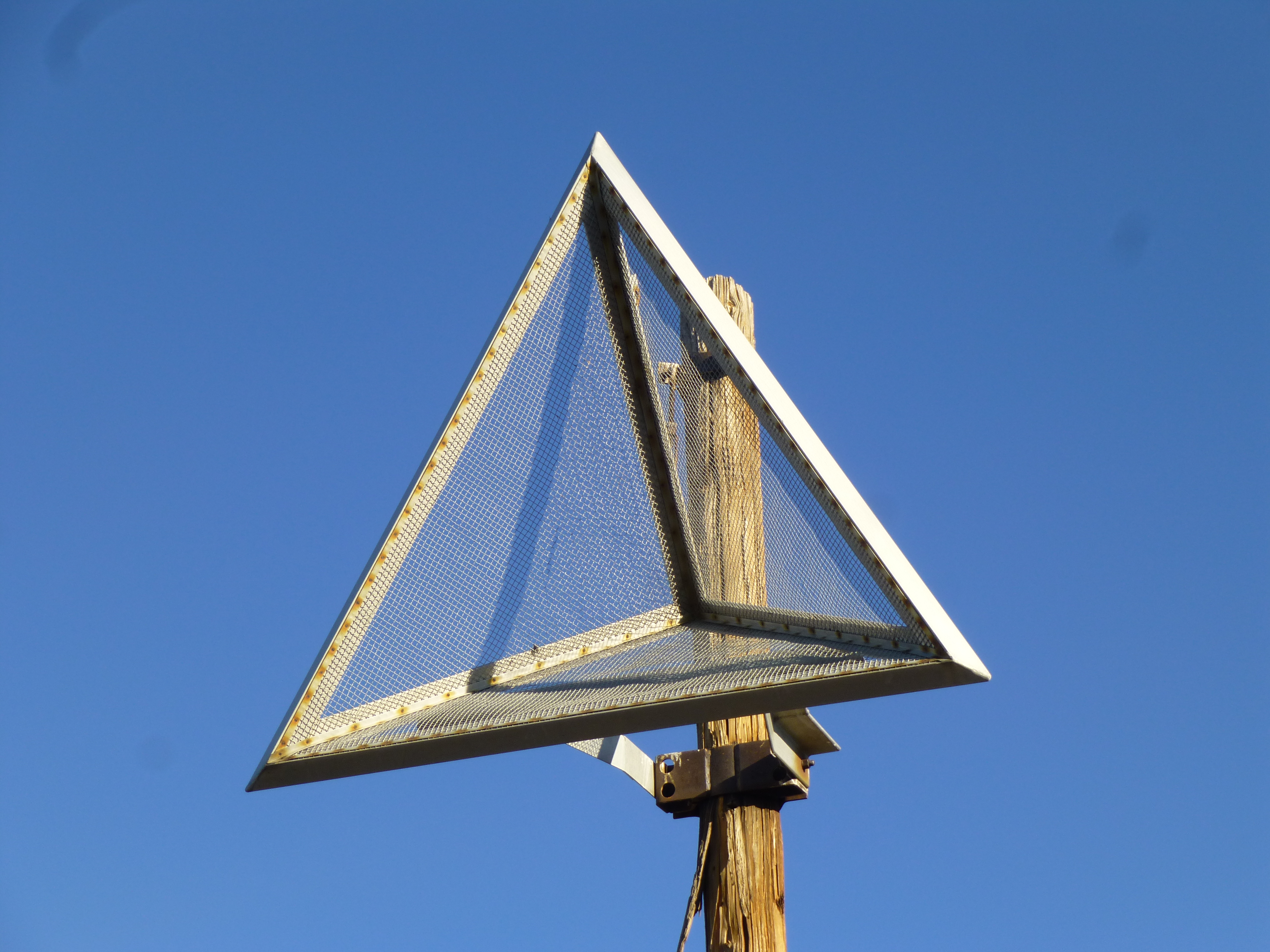
So what is this thing?
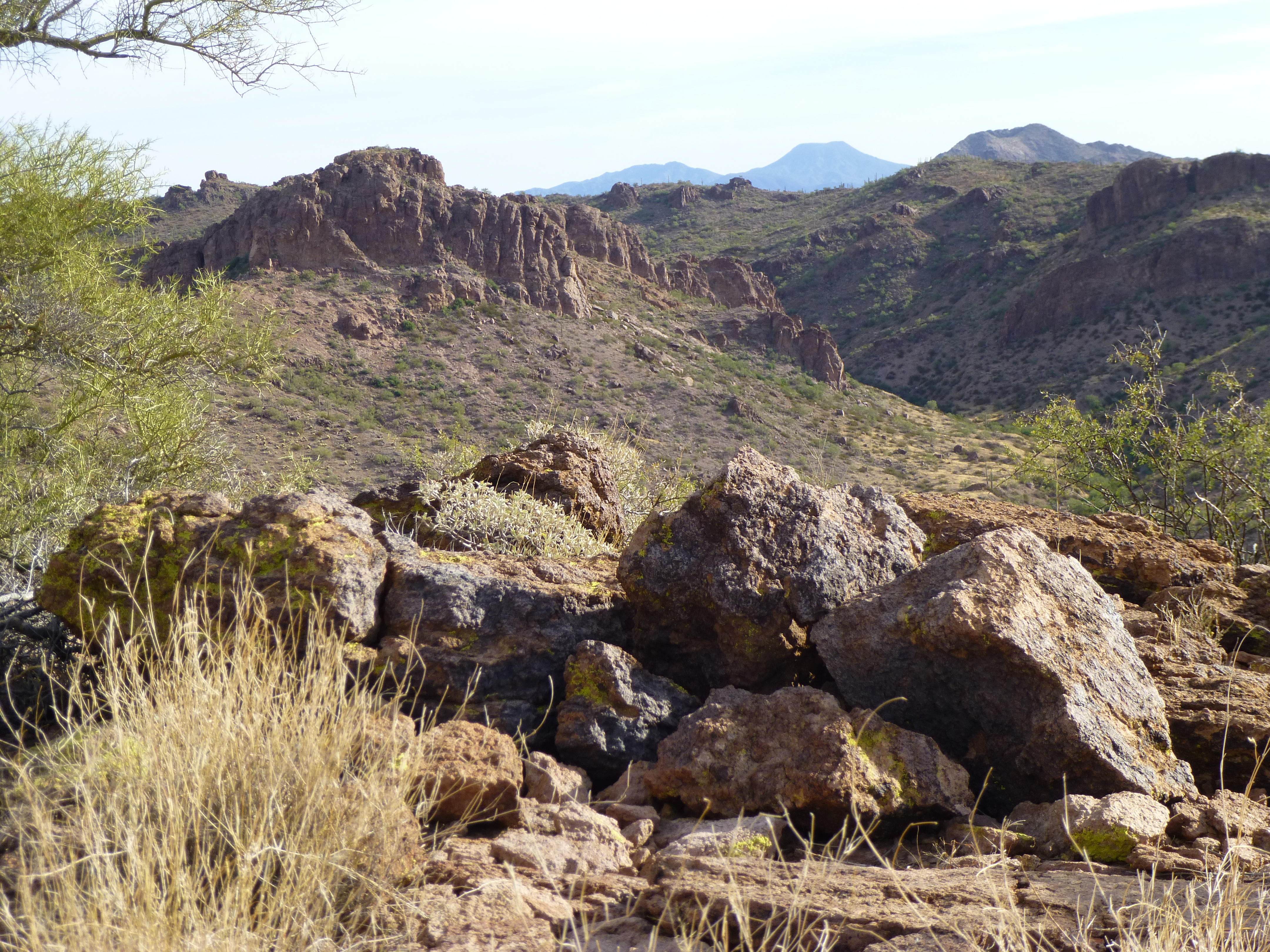
Hanging around wasn’t going to do us any good, so we took photos and moved on. As we continued along the broad ridge, less than 3 miles away to the northwest was something that couldn’t be ignored. It was the elephant in the room, off to our right. Have a look at this. I have placed two red marks in the photo over two of the peaks. The mark on the left indicates Dragon’sTooth West; the right, Dragon’s Tooth East. I’ve spoken about those peaks in several pieces I’ve written on this website and won’t add anything else here except to say “wow!”
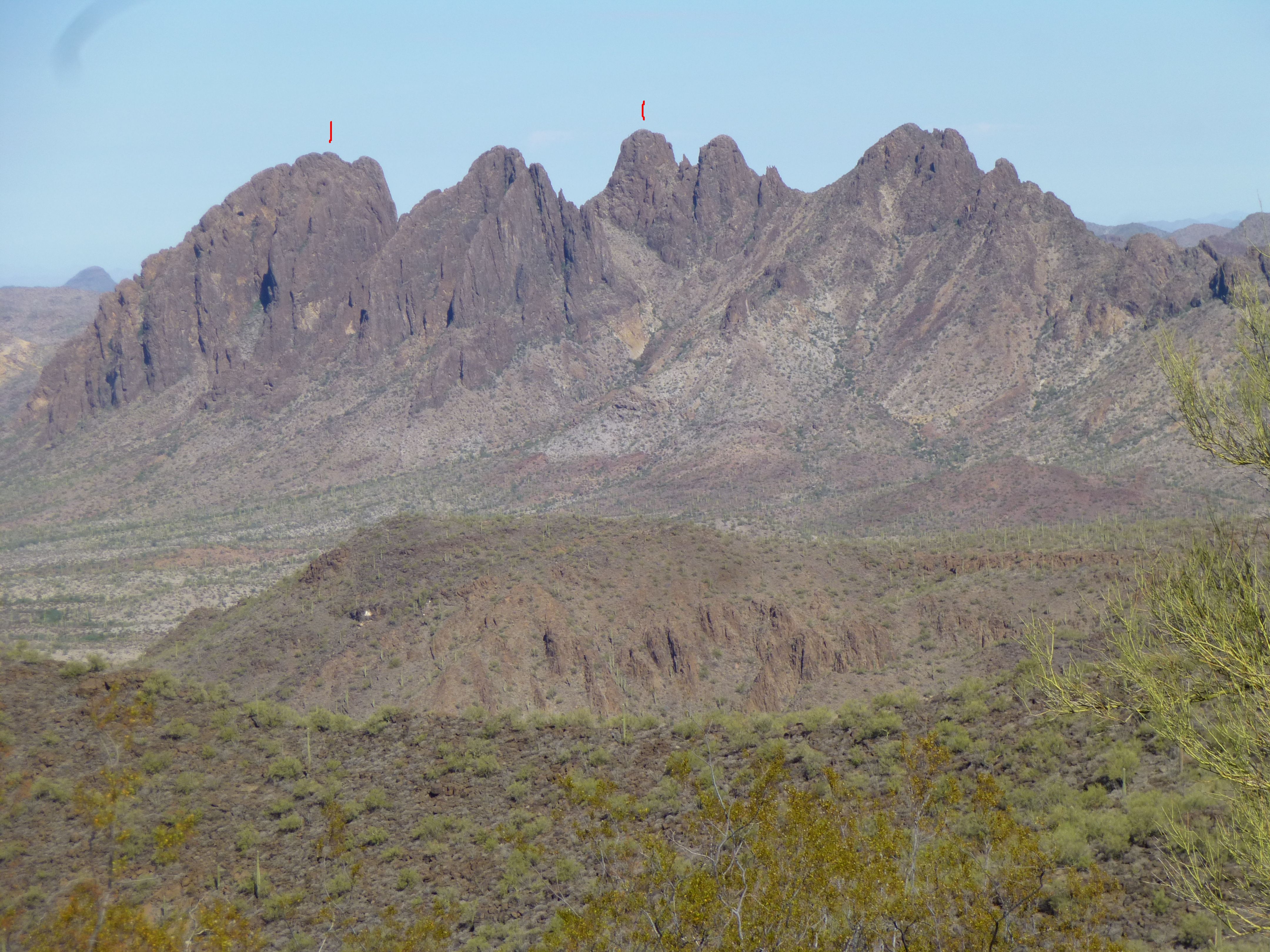
Dragon’s Tooth
The miles and the hours passed as we walked and talked. There came a point where our flat plateau ended in a sharp, rocky ridge – this was descended to a narrow, hidden valley, so remote and beautiful – we may have been the first to ever set foot there. Almost done, we finished things off with a 500-foot climb up an open ridge to reach Peak 3331. Four hours had passed since leaving camp. This next photo shows the view from the summit. You can see the glass jar on the ground that would be used as a register.
Looking southwest to nearby Peak 3667
On the gently-rounded summit, we ate some lunch and sent a satellite signal to notify friends and family where we were. Less than 45 minutes later, we left and started back. A couple of hours later, Dennis and I were walking along on that wide, flat ridge, talking about I-don’t-know-what. They say that most mountaineering accidents happen on the descent (true, for a number of reasons). Well, we weren’t descending, but rather walking on a flat spot – no obstacles of any kind – and I tripped over my own feet. Down I went, face-first. It was over in an instant. As I fell, I instinctively put out my hands to break my fall. The ground rushed up to meet me, and my chin thudded against a rock. I got lucky – I broke neither wrists nor chin. Aside from bruised chin and ego, I was fine. Hmmm, it pays to watch where you put your feet.
As we continued back, I had this tantalizing telephoto view of Dragon’s Tooth, or at least the summits.
The summits
Nine hours and nine miles after leaving, we plodded back into camp. It was 90 degrees, so a couple of cold ones really hit the spot. By seven the next morning, we were moving once again – there was a bit of unfinished business nearby that we needed to take care of.
An ancient military road that time forgot took us to the base of a small peak, followed by an easy climb up its east side. Bob’s your uncle, and an hour twenty after leaving camp, there we stood on the summit of Peak 3060. We left a register on this remote spot, then had a good look around. Here’s the view we had looking north into the high country of the Sand Tanks.
The high Sand Tanks
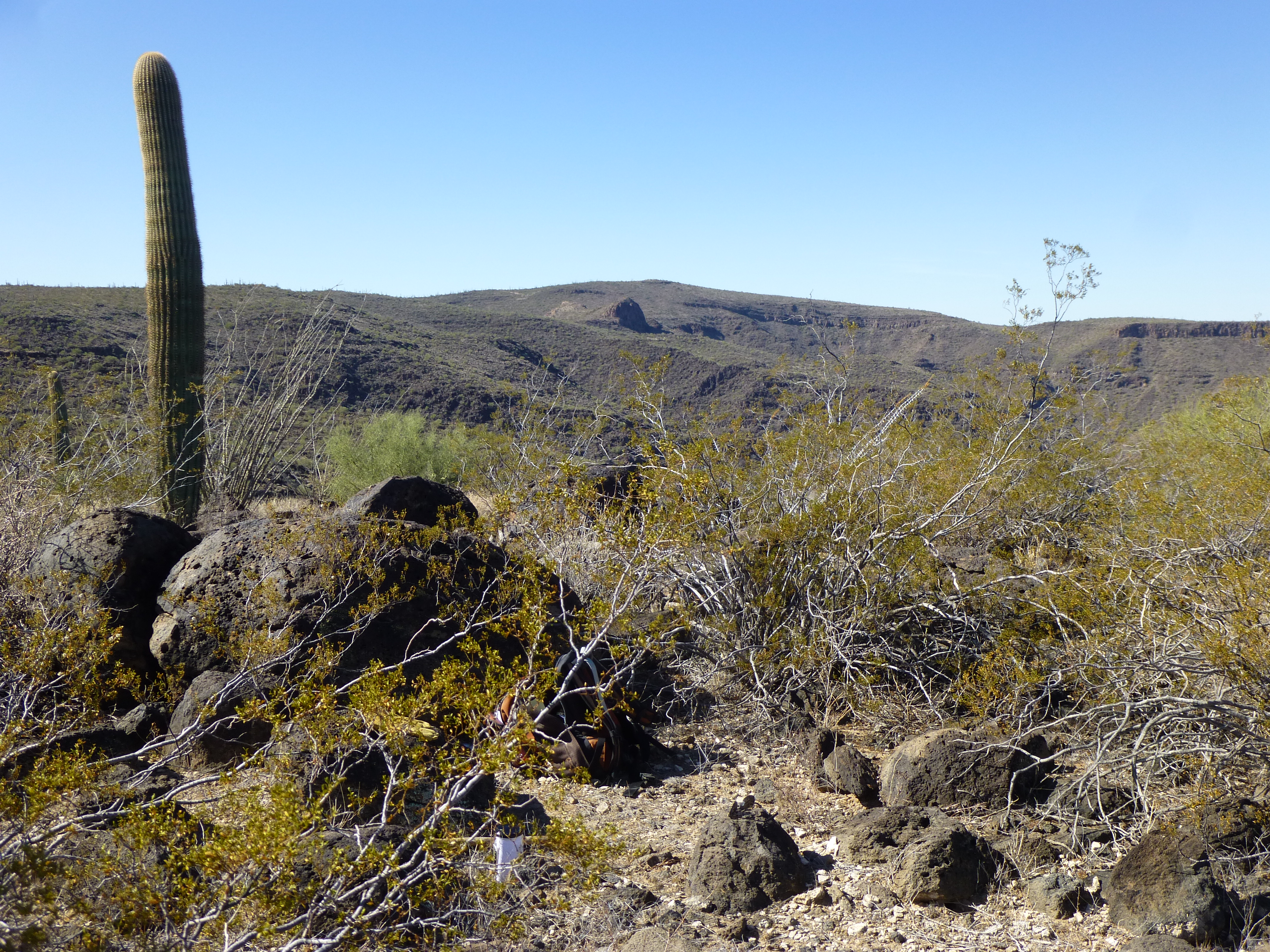
This next photo may not seem impressive, but it has a lot of meaning to me. It shows a swath of the bombing range which is devoid of any human imprint – empty and untouched.
Terra incognita
From the summit, we had this view back east through tumbled country.
Back down at the base of the peak, we found ourselves in this quiet valley. In flat terrain like this, you can cover a lot of ground in a short time.
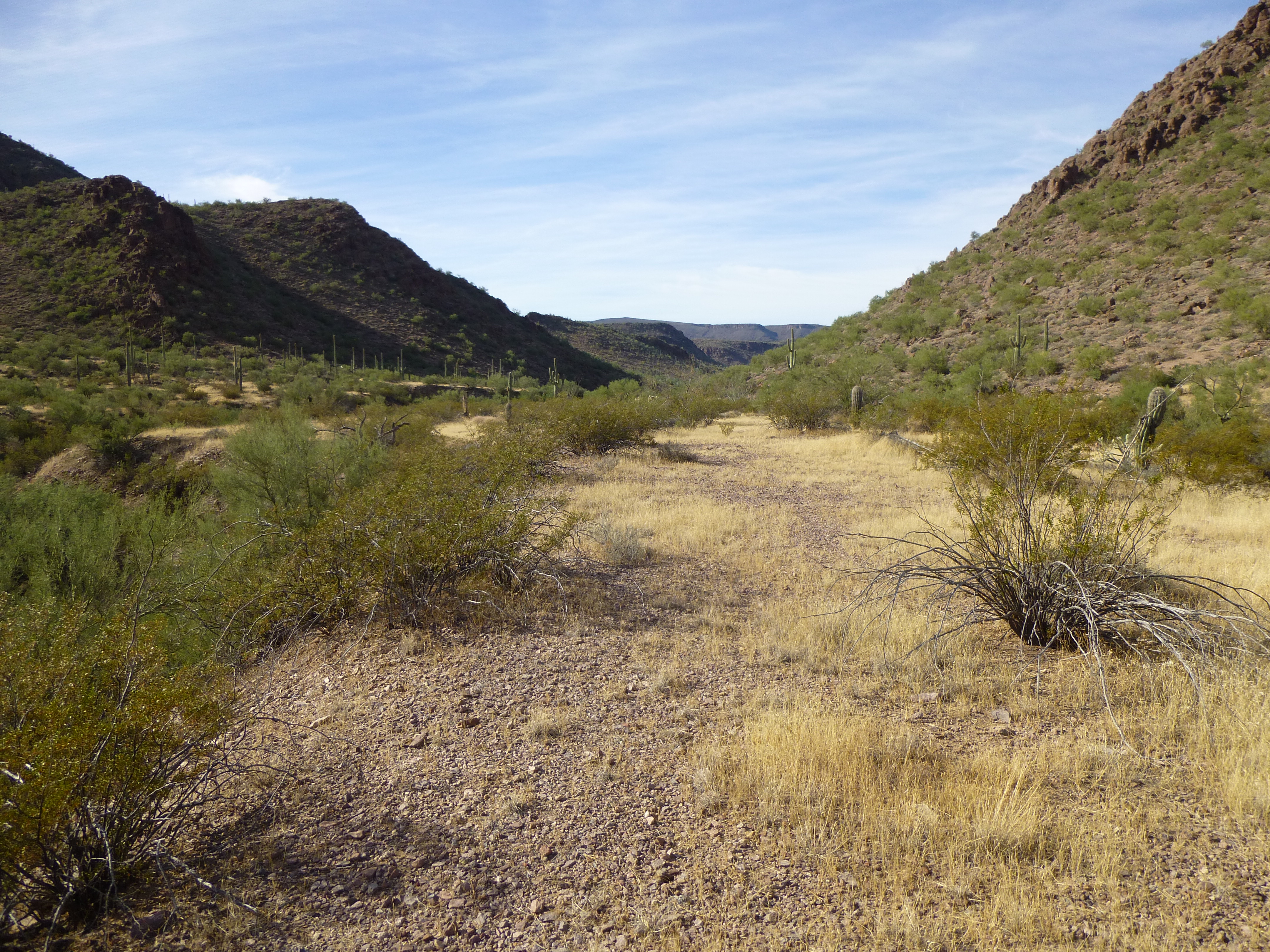
The flat valley bottom
Here was a look back up the peak we’d just climbed.
The east side of Peak 3060
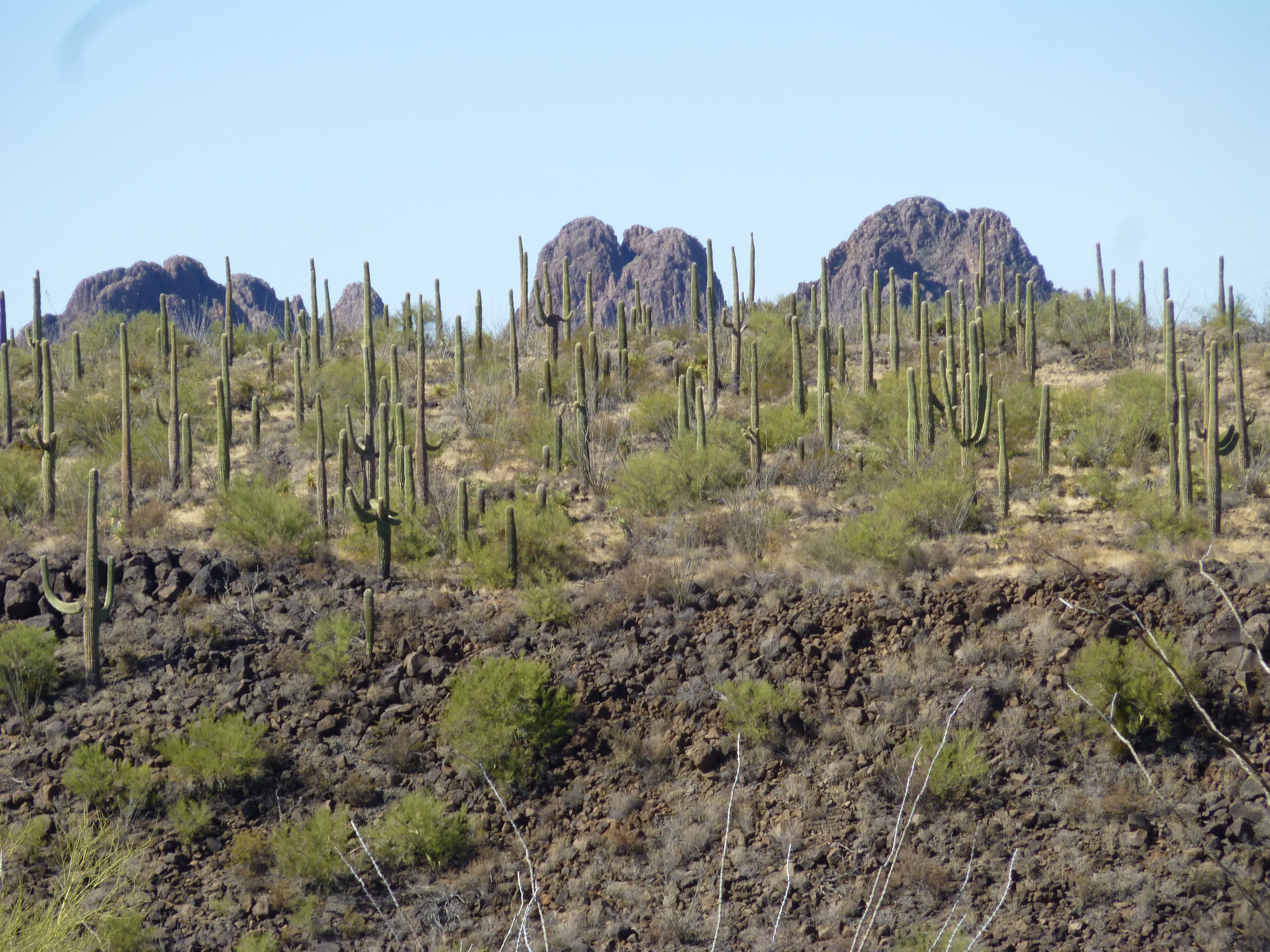
Our work here was done, and an hour later we were back at camp. It didn’t take long to pack up and start out. We passed through a cholla cactus forest about 2 miles from camp, so thick it is easily seen on satellite photos.
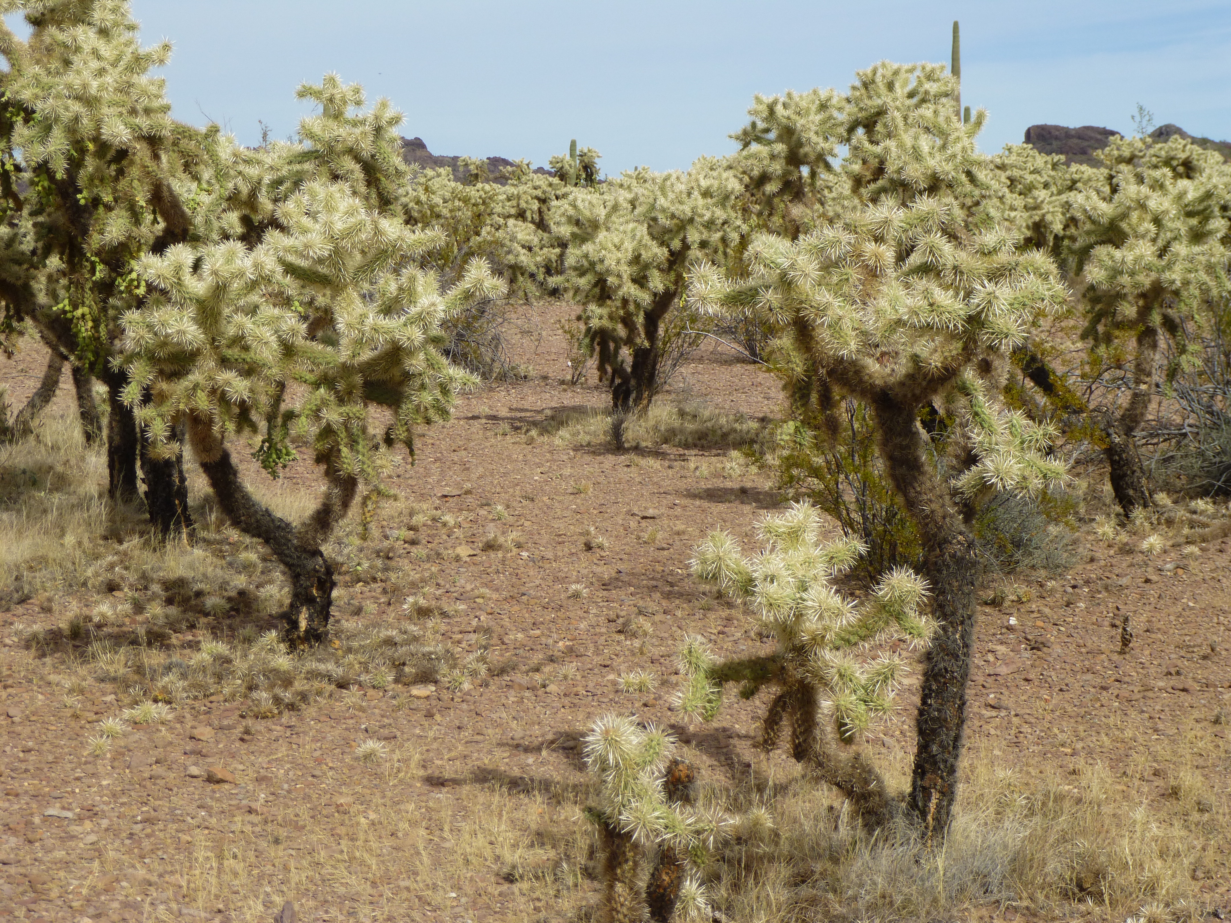
Cholla forest
The trip out of the desert and the return home was uneventful. But fear not – I haven’t forgotten one of the most important things in this story, the mysterious thing on the pole. Once home, I shared my pictures with climber friend Andy Martin, who is a master of research. He discovered that the thing we found is called a trihedral corner reflector. Here’s a link to a site that talks about them. It turns out that there’s some interesting math and physics involved in how they work. A radio wave or a beam of light enters the reflector and bounces off of all 3 sides, to return back out in exactly the same direction as it entered. These were left on the surface of the moon, so that beams sent from earth would bounce off of them and be reflected back to earth to allow for precise measurements. The principles of corner reflectors have been used in very practical applications, such as on bicycles and automobiles, and on those reflectors set on the center lines of highways. I think you’ll find the site filled with interesting information.
I can only conclude that the Air Force set up this reflector, who knows how long ago, for the purpose of measuring distance or testing equipment. We found it in a remote part of the bombing range that doesn’t see any military activity, so I’m betting that it was put up many years ago. It appeared to be in excellent shape, no doubt made of the best materials our tax dollars could buy.