
Most everyone who lives in Tucson, Arizona knows about a road on the far east side of town called “Redington Road”, and a small portion of us have even been curious enough to drive up it. It starts at the edge of the city, paved, and quickly turns into a rough dirt road, climbing from 2,800 feet to over 4,300 feet. Most of us generally refer to its 26 miles of uplift as “Redington Pass”, but if there’s an actual pass up there somewhere, I’ve never found it on any map. Much of it lies within the Coronado National Forest, and as such it offers a cooler, wooded getaway from the bustle of the city.
What about the name? Redington was named after 2 brothers, Henry and Lem Redfield, who moved to the area in 1875. They settled in a spot along the San Pedro River on the east side of the Santa Catalina Mountains. They wanted a post office at the spot they settled – the name “Redfield” was not available, so they came up with the word “Redington”, and a post office was established on October 7, 1879. Lem was hanged by a mob at Florence, Arizona in 1883 for his alleged part in a stagecoach robbery and killing.
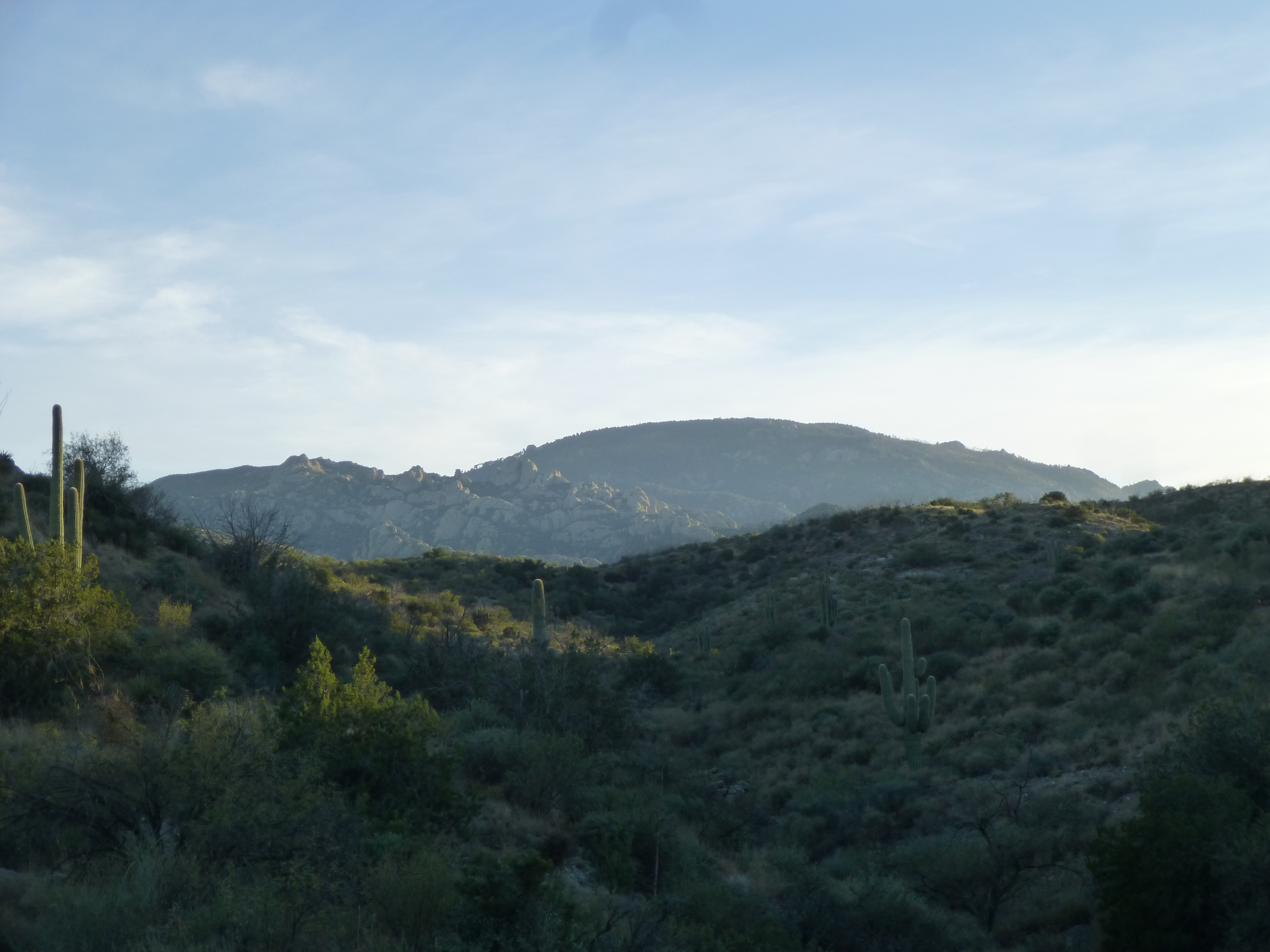
For my side, I’ve driven up into the pass many times over the last 30 years, pretty much every time with climbing as my goal. October of 2017 found me heading up there once again – every time I go I say it’ll be the last time, but never say never, right?
The road leaves the area of the last homes by crossing Canyon del Salto, then makes such a sharp turn that the speed limit is a mere 5 MPH, shockingly slow for a paved street. It climbs quickly, becomes a dirt road, then keeps on climbing. You don’t need four-wheel-drive, but high clearance is de rigeur – it’d be easy to tear out the underbelly of a passenger car if you weren’t really careful. This is one steep road – in a mere 3.4 miles, it climbs 1,100 vertical feet while the city expands below. Part way up this steep stretch, at the 1.6-mile mark, sits a dirt parking area. Here starts a short trail down to Tanque Verde Falls. This popular spot has seen the deaths of more than 50 people over the years. Two of the falls are extremely dangerous: one drops 30 feet, the other 50. The rock is worn super-smooth, and a single misstep can send you hurtling to your death on the waiting rocks below.
Redington Pass seems to attract another type of thrill-seeker, namely folks with guns. It’s commonplace to hear the sound of gunfire echoing through the hills, originating from any number of makeshift target ranges. Especially when hunting season approaches, I’m extra-careful – such was the case on this recent October weekend. It was mid-afternoon when I started up Redington Road, and a full hour later by the time I’d driven 15-or-so miles along it to the major junction I was seeking. Here, I was just outside the boundary of the national forest at around 4,200 feet elevation.
The sign said “Road 4425” and it headed east into the territory I wanted to visit. This was cattle country, evidenced by an abundance of cattleguards and tanks. Here in the desert, a tank is a man-made depression in the ground, created by using a bulldozer, for the purpose of capturing rainwater runoff, all so cattle can have a water supply as they roam the hills. I hadn’t gone a mile before I came to this one. You can see countless cattle footprints in the dark mud to the right. Some of these tanks have been in place so long that they have names on the topographic map, but not this one.
Un-named tank
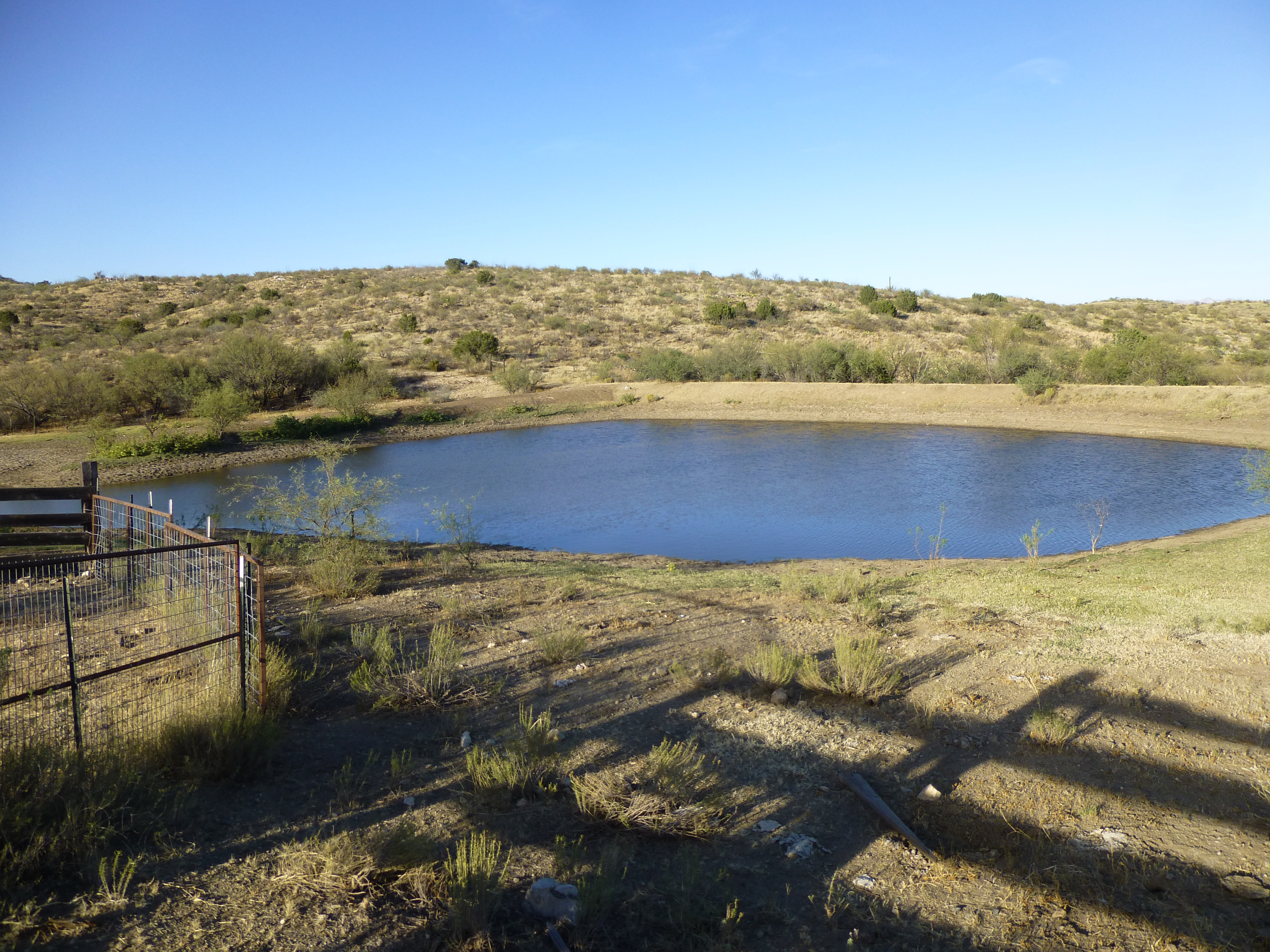
A bit farther along, a mile from Redington Road, was this second tank – it had a name, Youtcy Pasture Tank.
Youtcy Pasture Tank
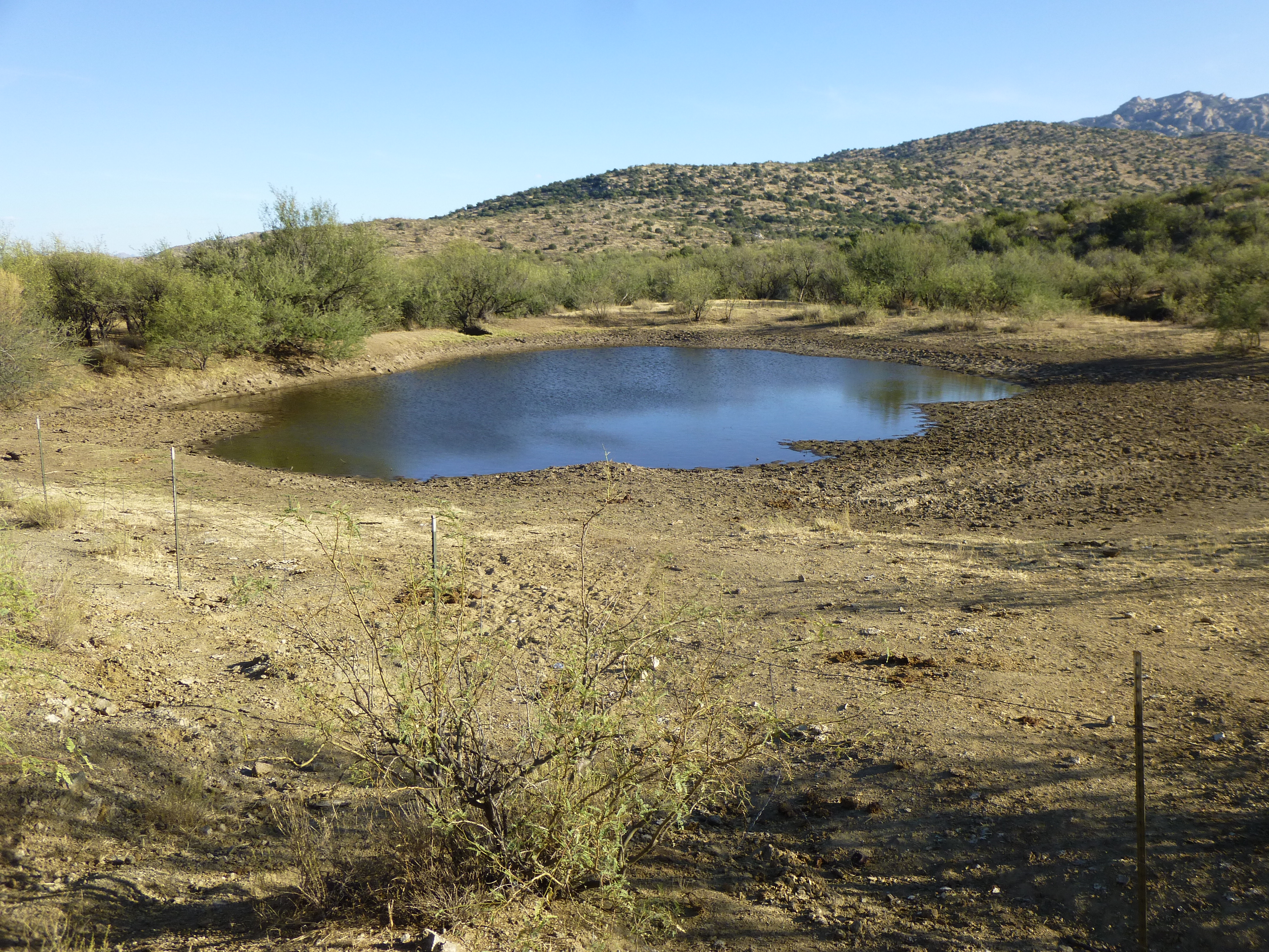
At the 1.6-mile mark was another, called Upper Tank – this one had a corral with it. You can clearly see, on the right side of the photo, the earthen berm that impounds the water.
Upper Tank
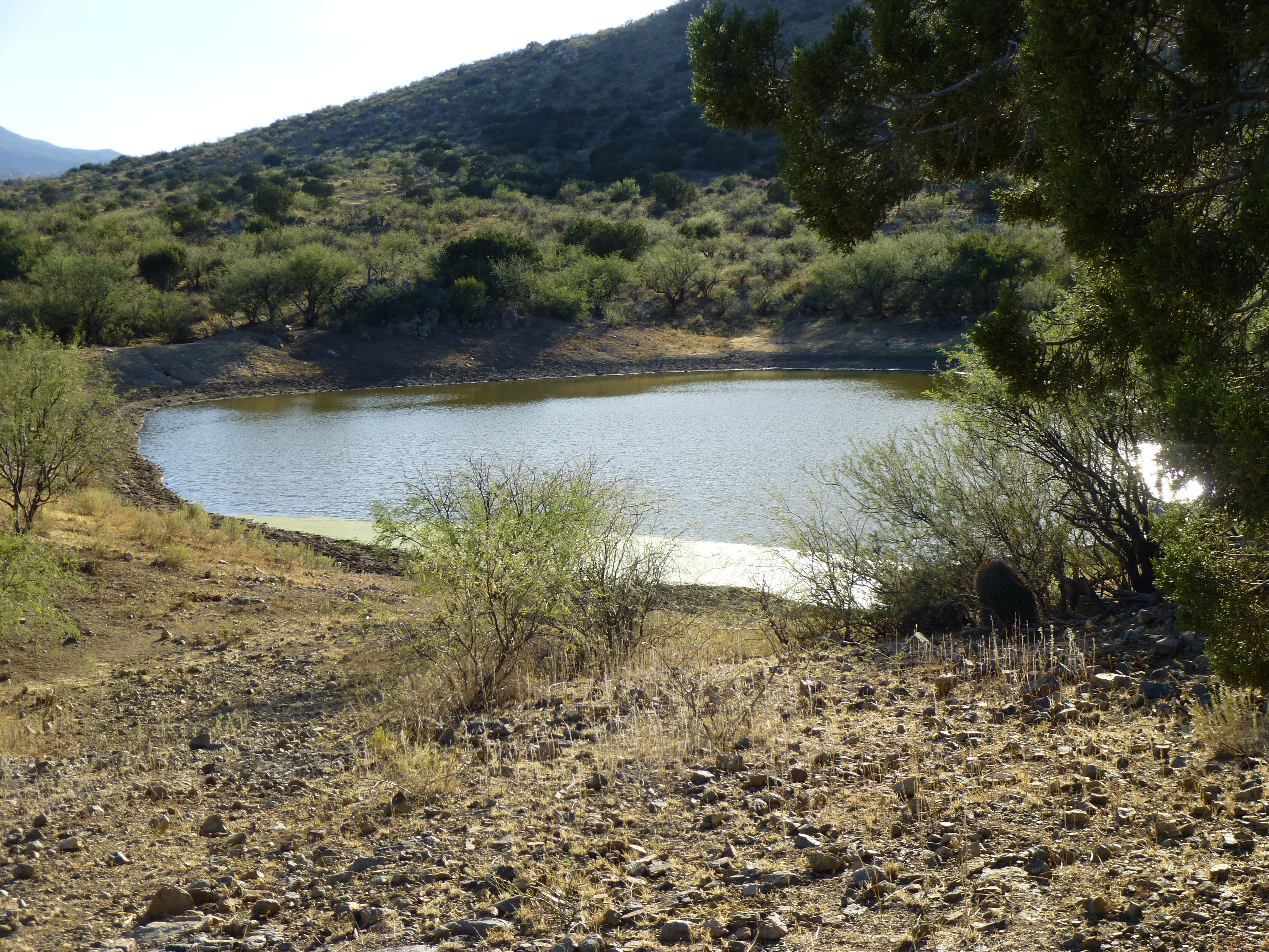
After 2.9 miles, there was yet another – Big Tank. Aptly named, it was 550 feet long.
Big Tank
As I continued driving, I was losing elevation. This big guy was blocking the road, but he reluctantly moved aside while I waited.
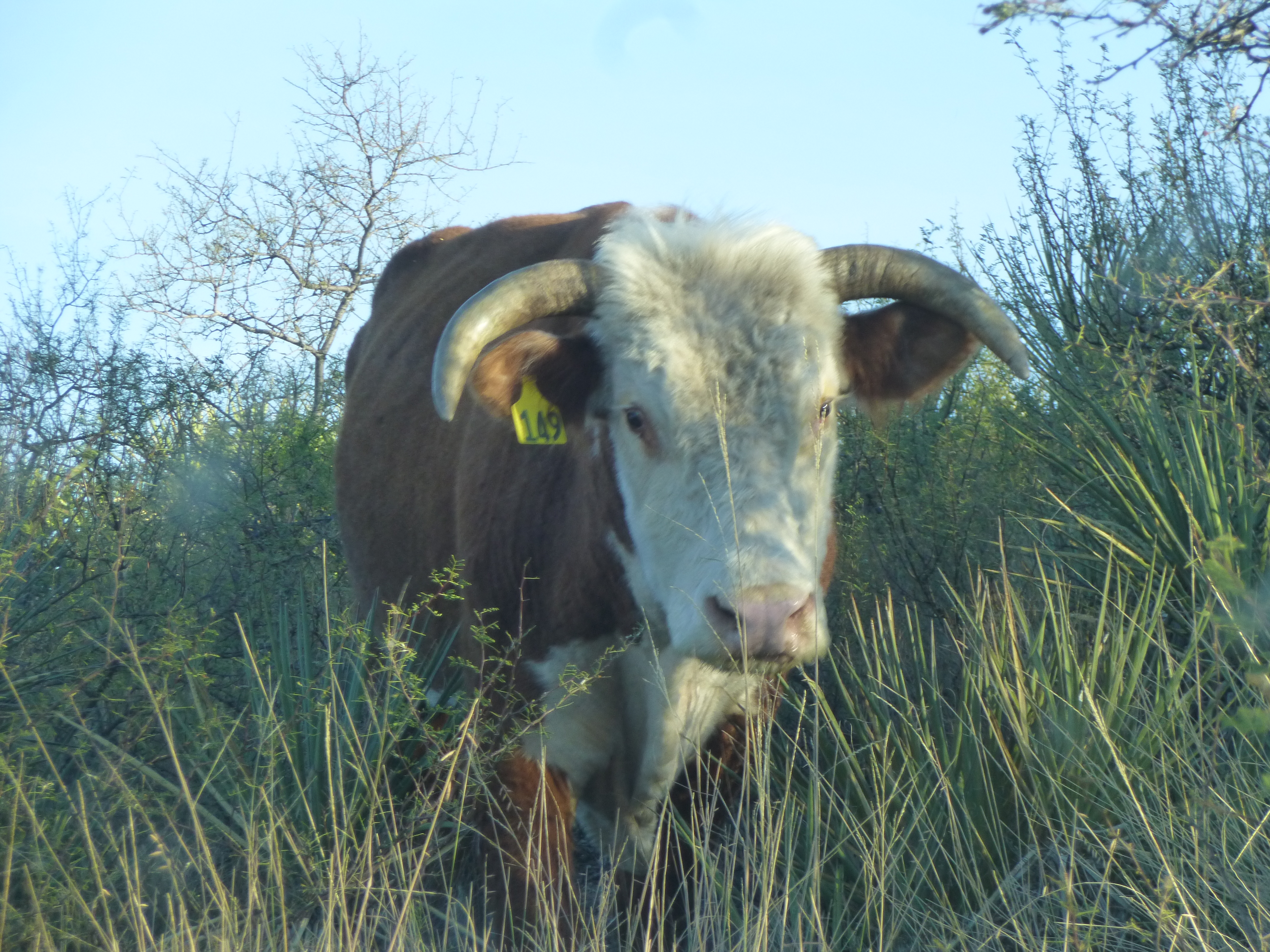
Bull 149
The road was going to hell quickly, and by the time I reached the side track I sought, I was in 4WD. All of 3.7 miles had passed, and I now turned north on an even lesser road – soon, I found a perfect spot to park and camp for the night. Perfect, because there was an old mine I wanted to explore. The sun had already dropped below the surrounding hills by the time I found the entrance.
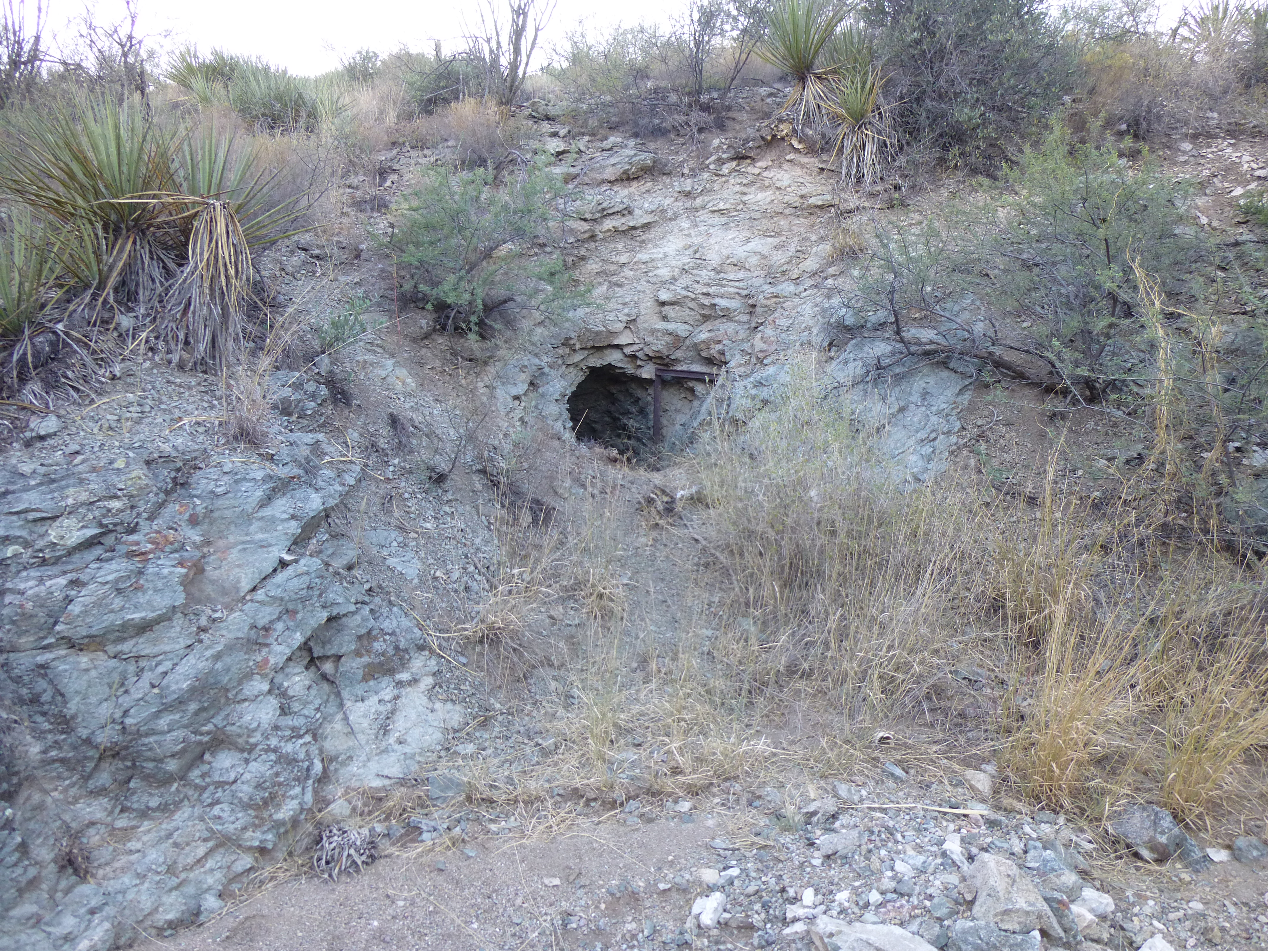
The mine entrance
It had no name, as is the case with untold thousands more like it scattered around the state. A short way inside the entrance, it branched into 2 passages, neither of which went very far.
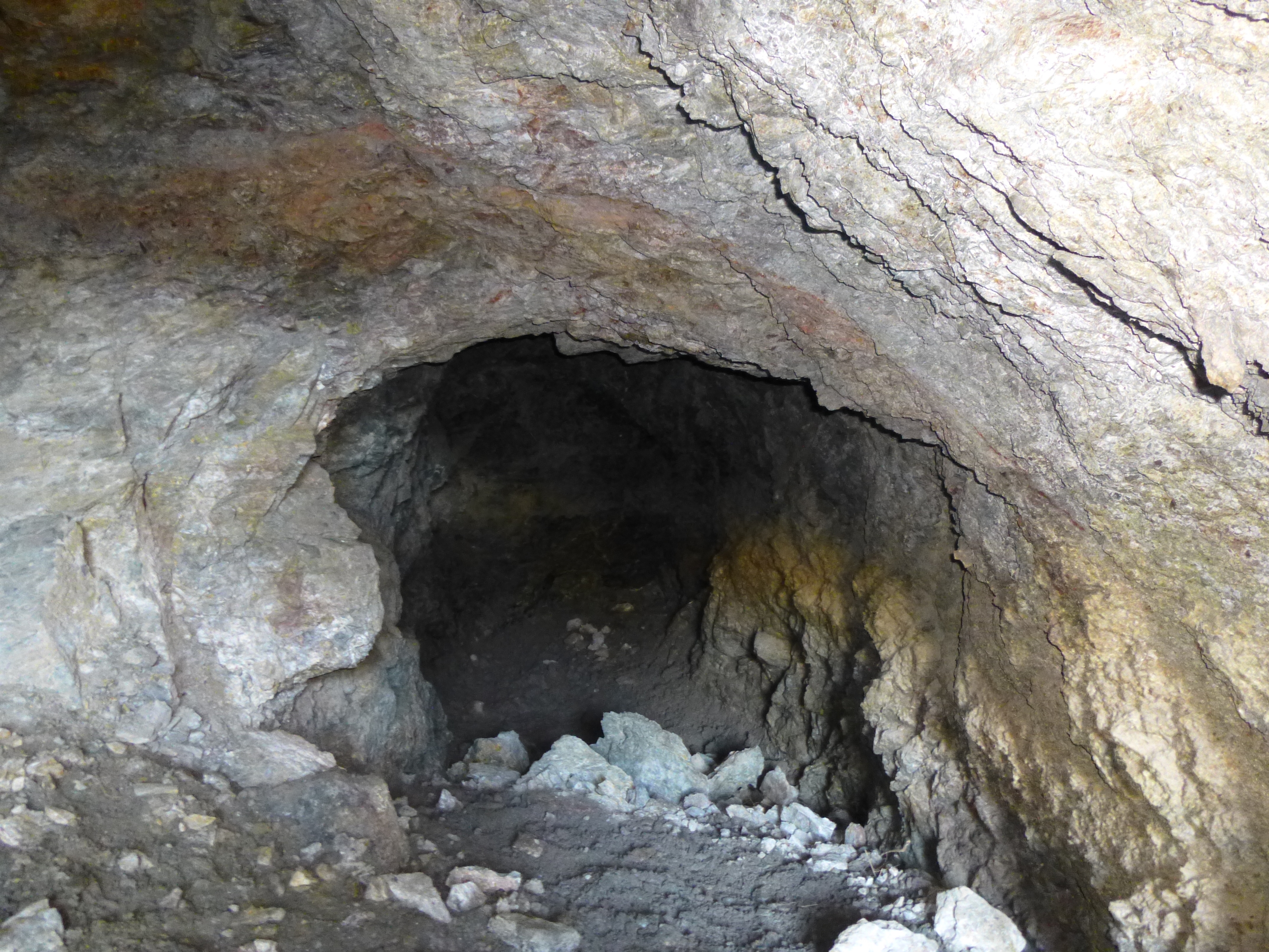
One of the tunnels
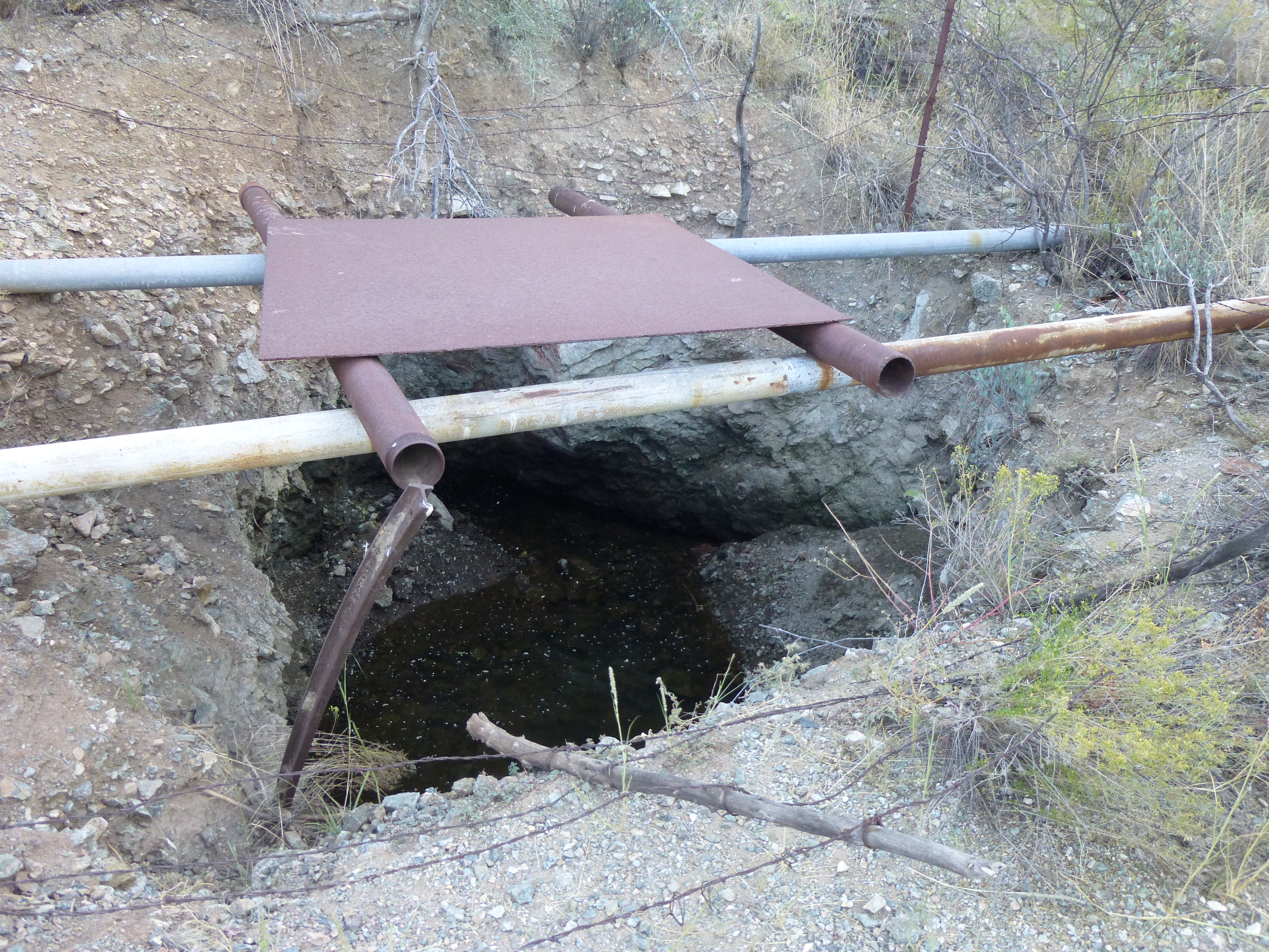
The map showed several old bits of mining activity here, but the only other I could find was this one.
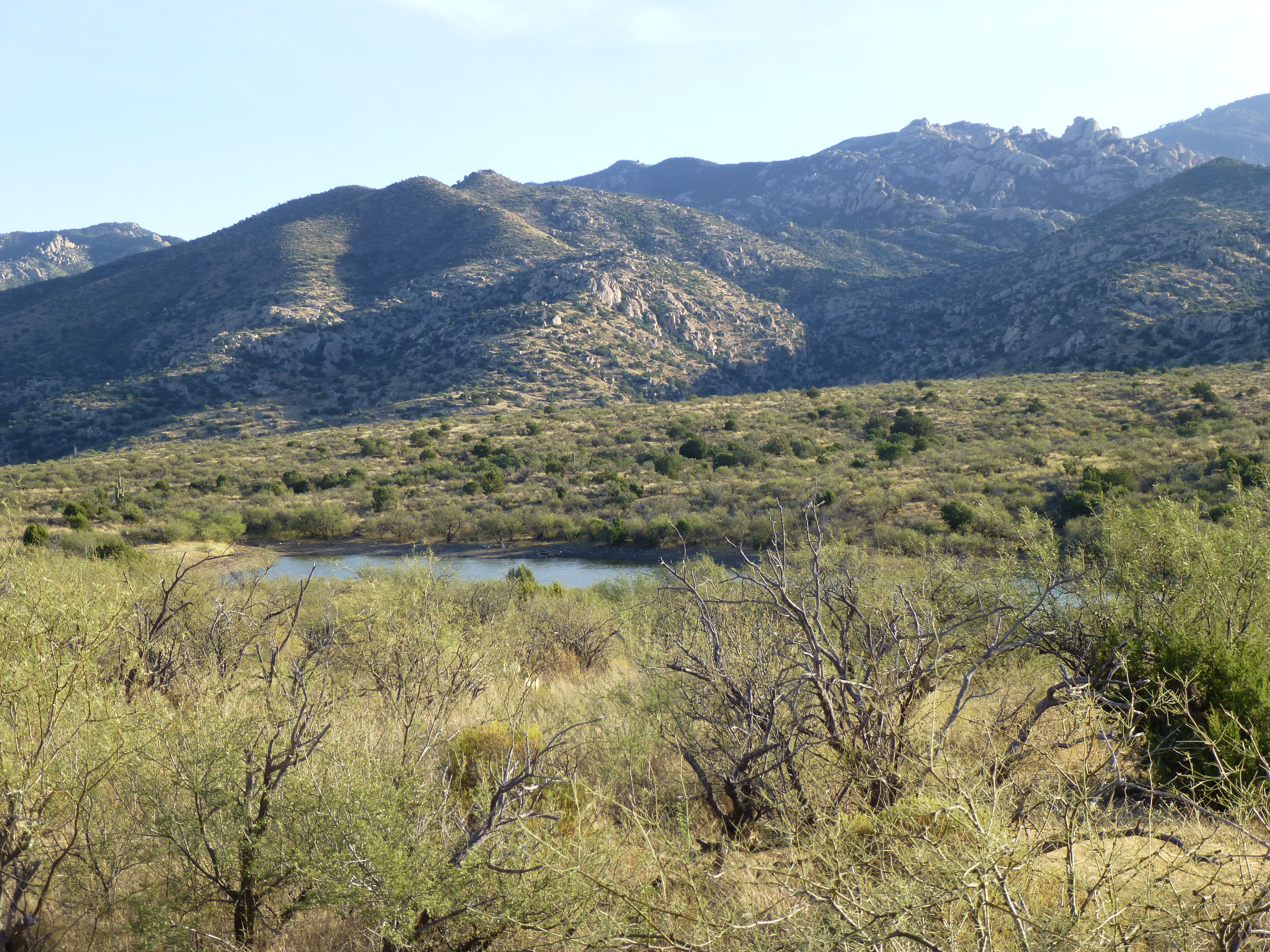
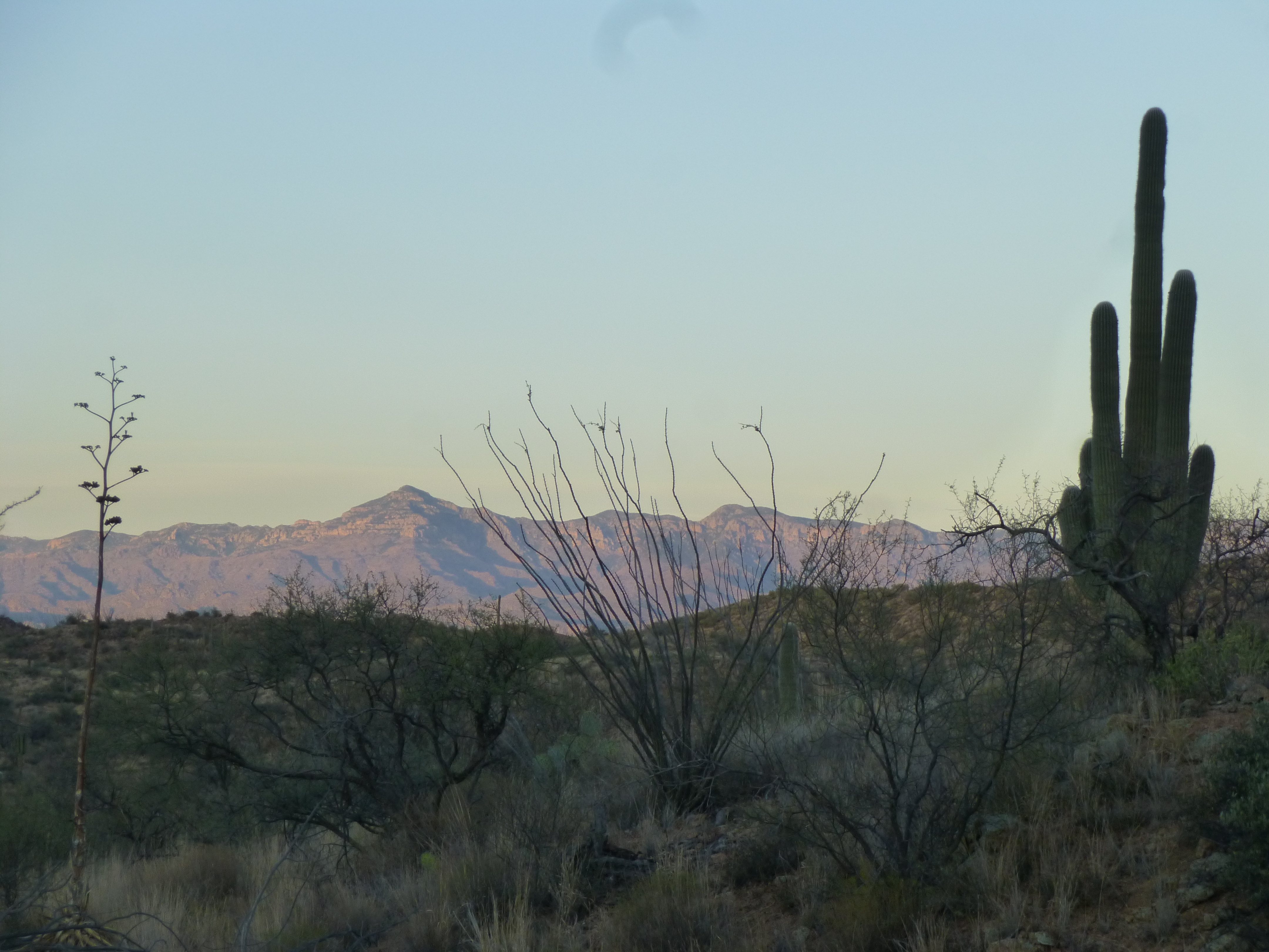
Even though my camping spot was down in a valley, I could still get glimpses of significant nearby peaks. Here’s Mica Mountain, the high point of the Rincon Mountains – it is 6 miles distant and 5,000 feet above us.
Looking south to Mica Mountain, elevation 8,664 feet
Another impressive view was this one – Bassett Peak (7,663′), the high point of the Galiuro Mountains, is 19 miles to the northeast.
Bassett Peak
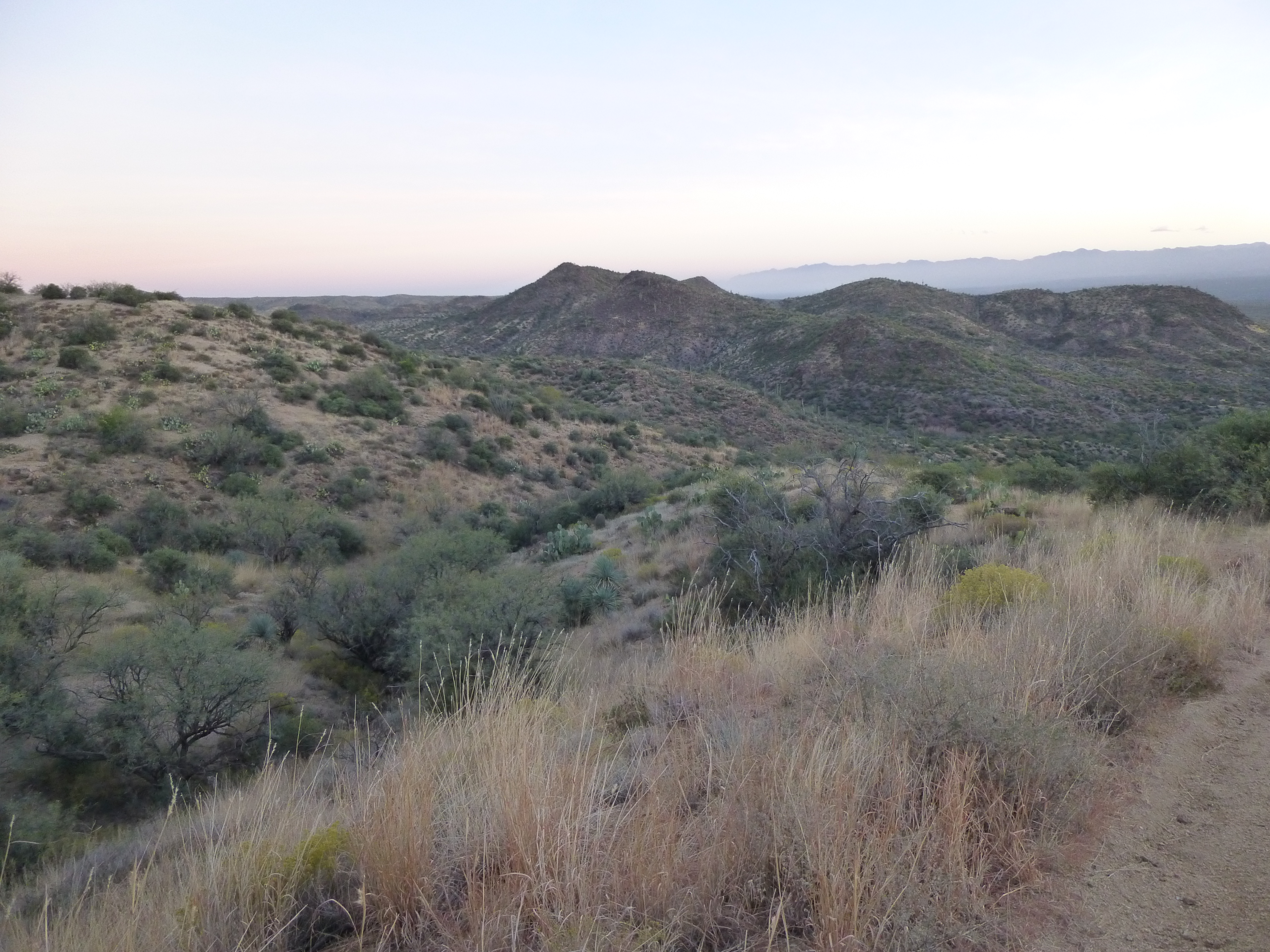
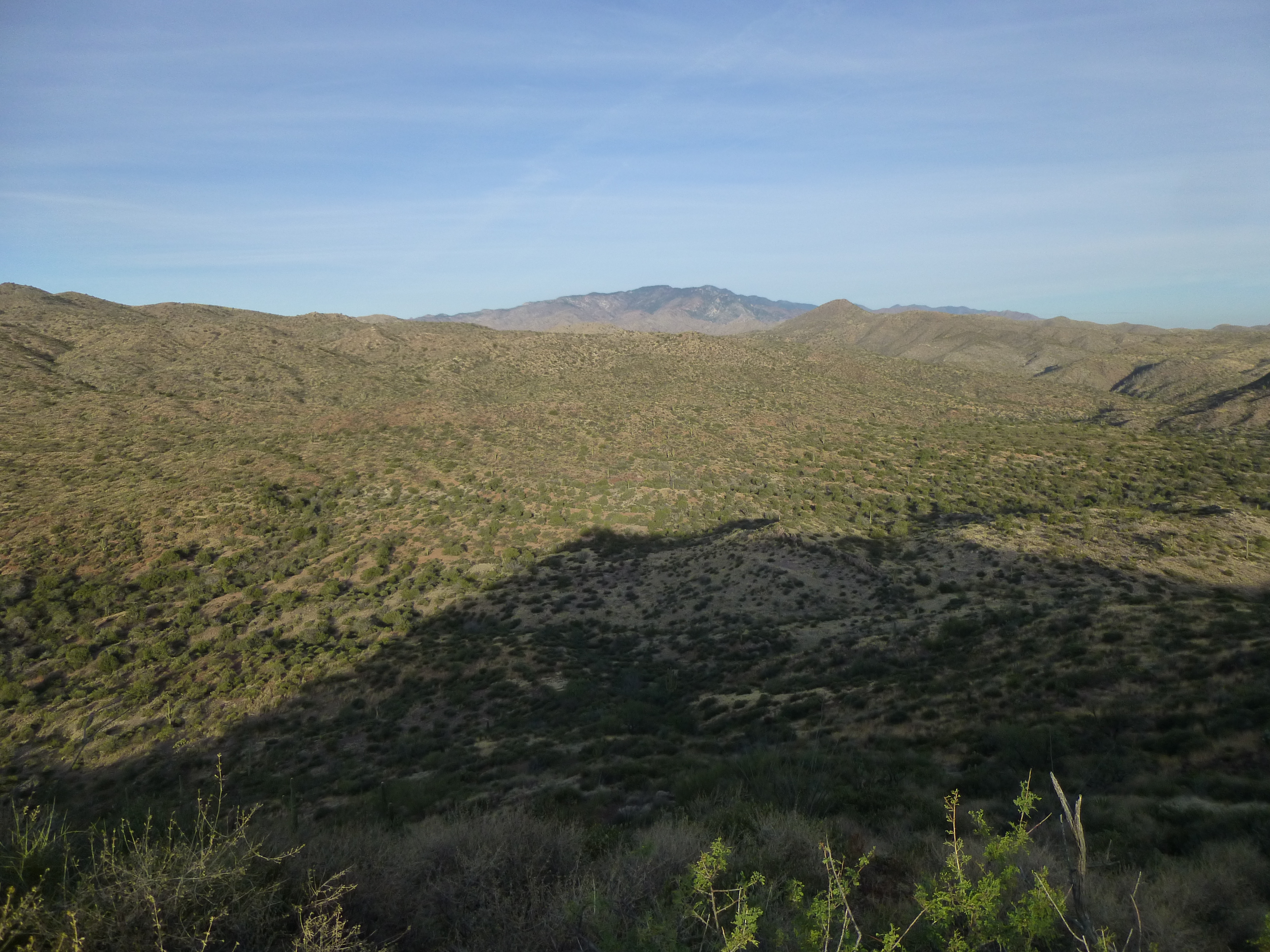
The strong winds finally died down and I passed a restful night. At first light, I was driving north – three peaks were on the menu for today. I approached the top of a steep road and got out of my truck to take a better look. Holy crap, it was steep, dropping over 300 vertical feet in a short distance. I walked down a bit of the road and quickly decided that life was too short to get stuck at the bottom of the hill, unable to drive back up. The sun hadn’t yet risen, but I had this good view of my first peak, dead-center in the photo.
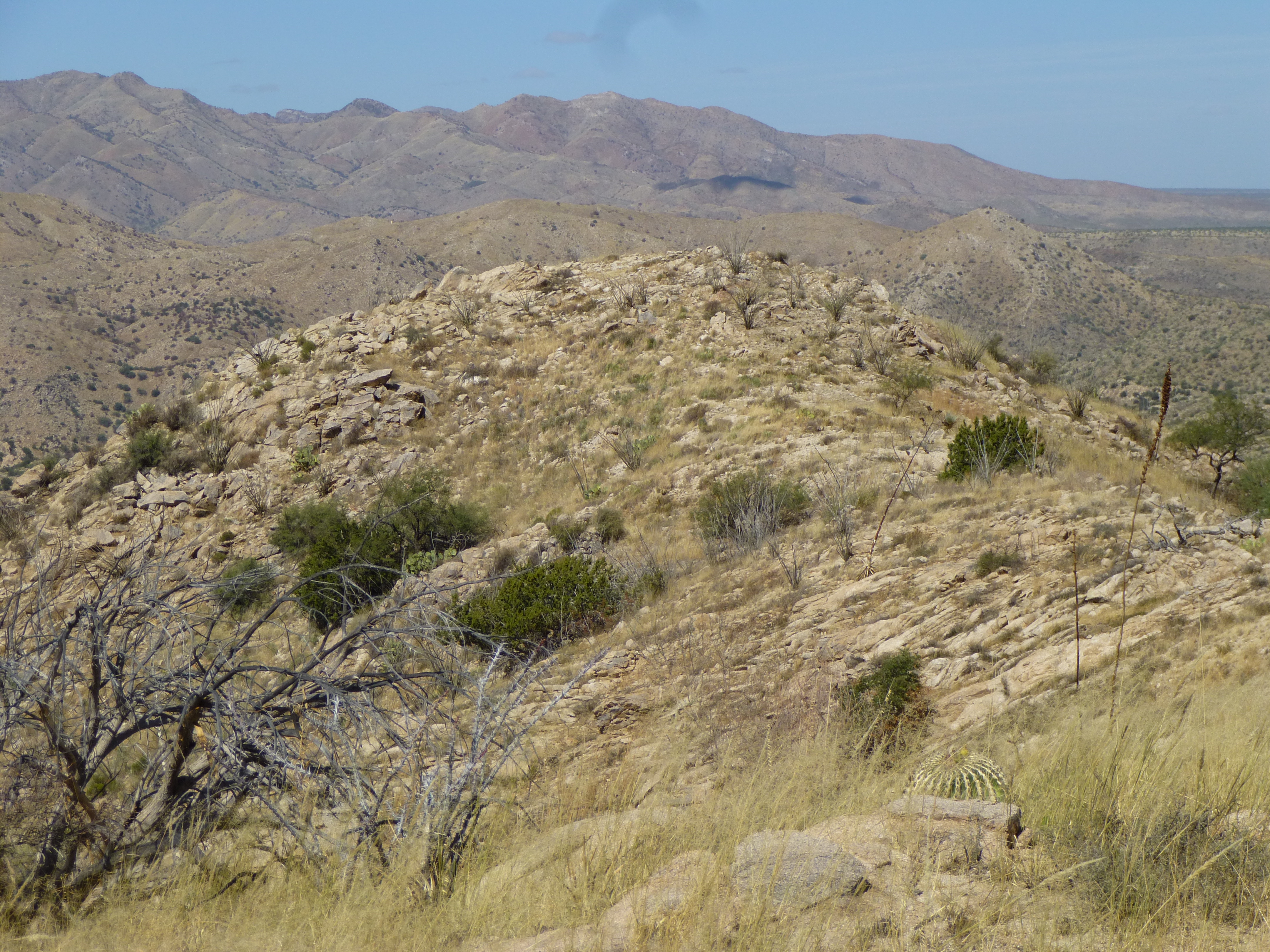
Mineta Ridge
I walked down the road, then along a wide, easy wash and up the steep slope of Mineta Ridge, elevation 3,860 feet. Two friends were the only previous signers in the register. It was only 7:15 AM, and the sun was rising. Here was my great view northwest to the high country of the Santa Catalina Mountains, 19 miles away and 9,157′ in elevation.
Looking to Mt. Lemmon
On the way back down, I came across this little guy – I believe it is a western patch-nosed snake.
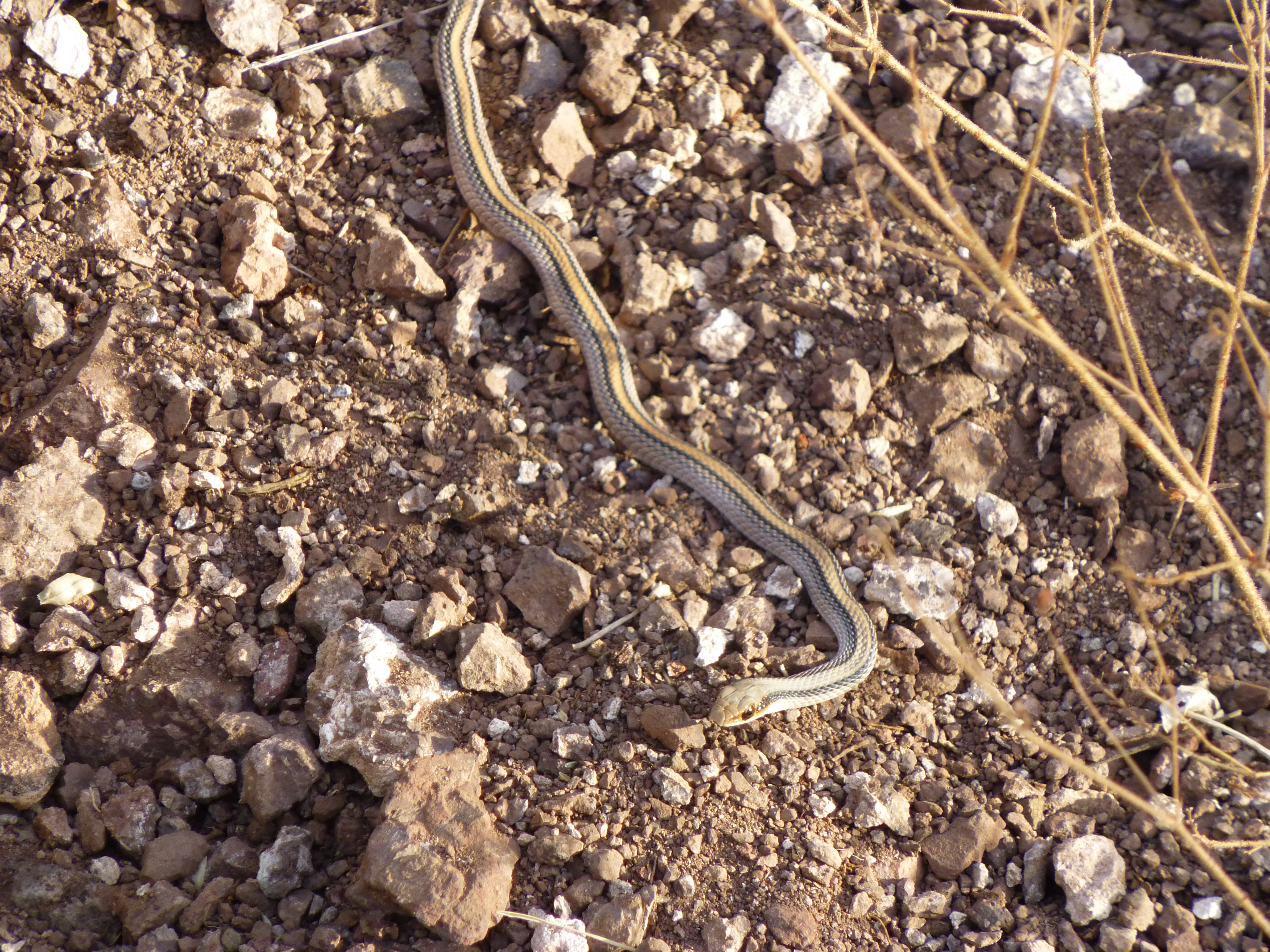
Western patch-nosed snake
I had a leisurely walk down the wash in the cool morning air, soon reaching the steep road I wouldn’t drive – I was back at my truck in just under 2 hours after leaving. It was a quick trip back out, passing some knuckleheads en route who were firing their handguns near some cattle. A few more miles of driving brought me to what used to be called Youtcy Ranch.
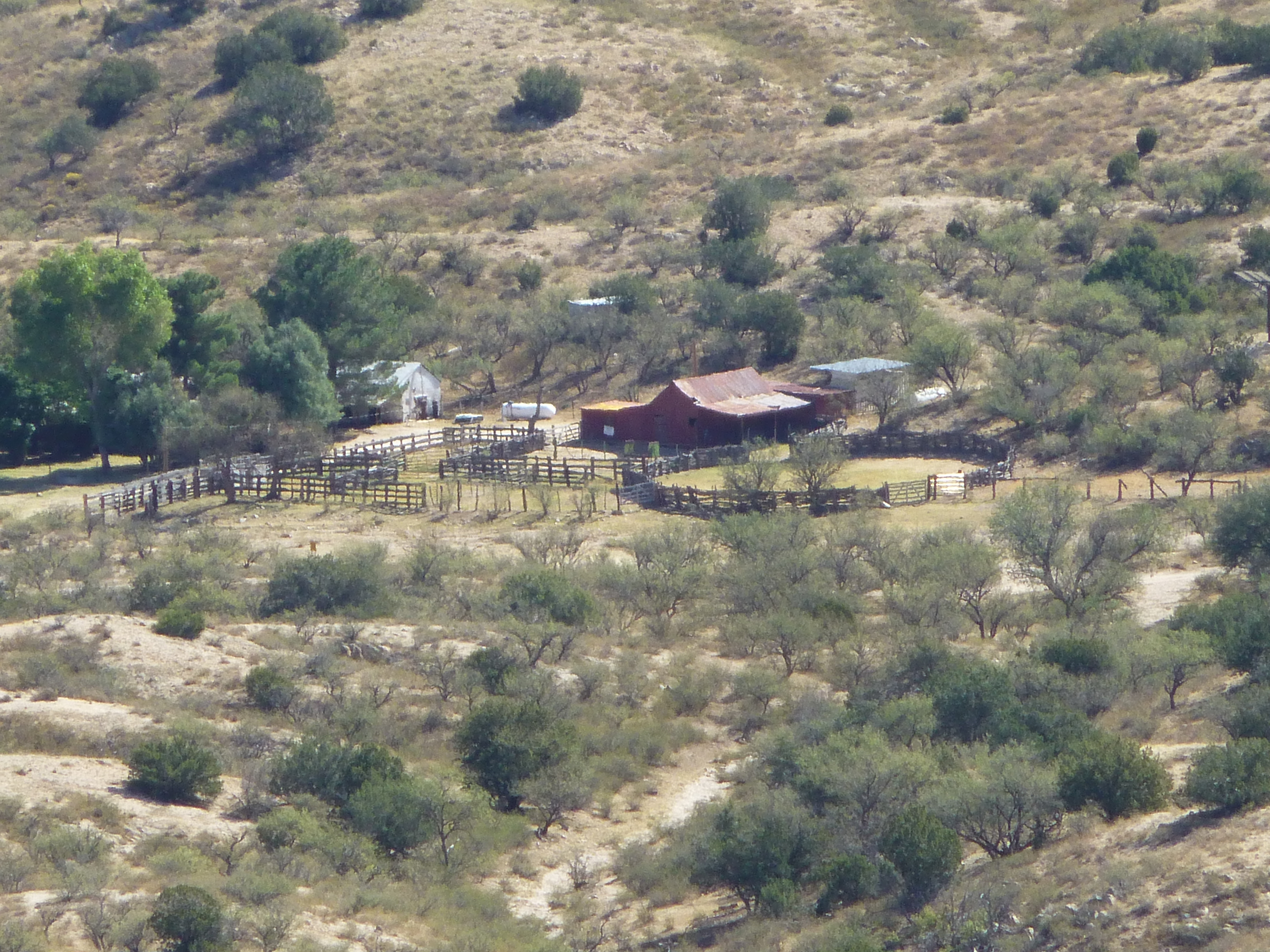
Youtcy Ranch
I turned off of Redington Road on to lesser Road 4430, but immediately had to put it back in 4WD – this rough track was bare granite and a bit of a white-knuckler. This was a view of my next peak. Barely a third of a mile later, I threw in the towel and pulled off into a clearing. I chose to park rather than try to drive down a steep ravine.
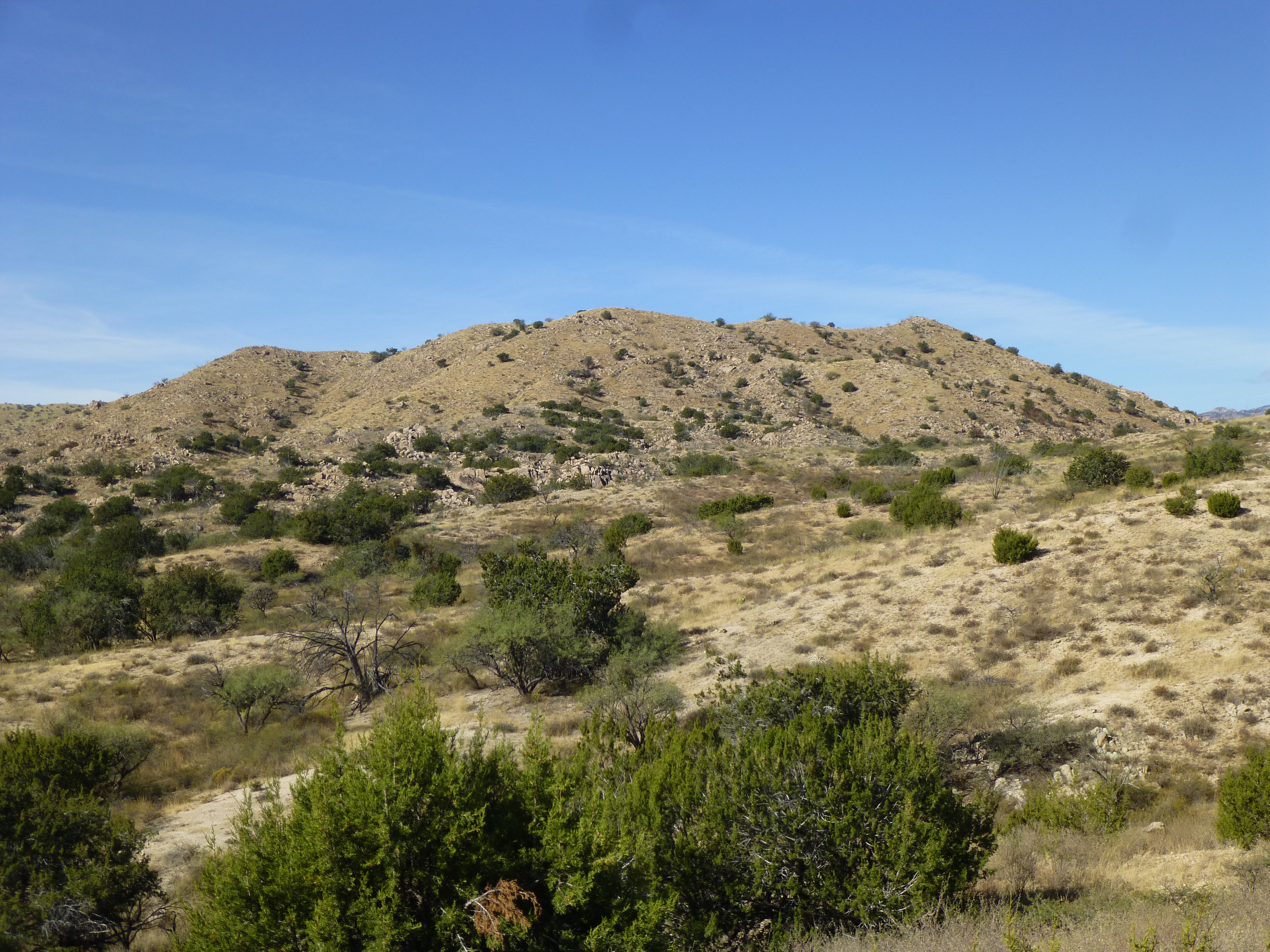
Peak 4300
As I was lacing up my boots, I heard a noise in the distance – it was getting louder. Before I knew it, a truck rolled past, then another and another – 6 of them in all. They all gave a friendly wave before going where I would not – there’s safety in numbers, for sure. The walk along the old road was mostly downhill, and before I knew it I was at a spot shown on the map as “Bull Spring”. There, I found an old Aeromotor windmill, still faithfully spinning away and pumping water. Here is a link to a video which shows how the windmill actually works.
The windmill pumps water into a large metal tank a bit farther down the wash, and that water is used for cattle. I didn’t stick around long, as I had a peak to climb, so I left this old well and moved on. From the well, you get a good look at a nearby named peak called Piety Hill (you’ve gotta love that name!).
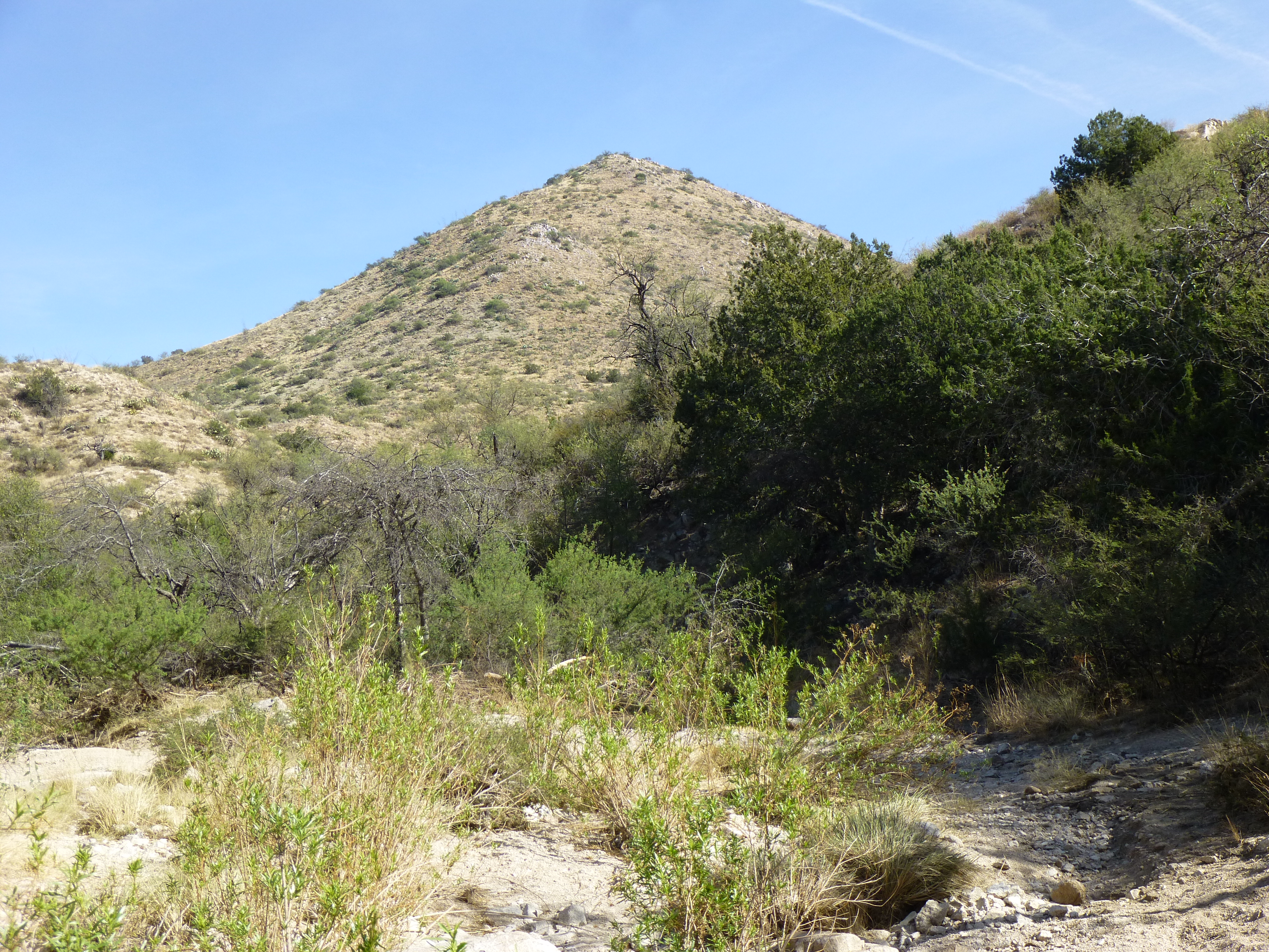
Piety Hill
It was an easy 500-foot climb to the top of Peak 4300. The gentle summit ridge has a spot elevation of 4,299′ at its north end, but the highest point is at the south. This peak interpolates to 4,300 feet, but is in fact more than one foot higher than the spot elevation, as can be plainly seen in this photo.
Looking northwest to Point 4299, which is 600′ away in this telephoto shot.
As there was no sign of a previous visit, I left a register. When I started down, it was 11:20 AM – I made good time going cross-country back to my truck. This guy was hanging out there waiting for me.
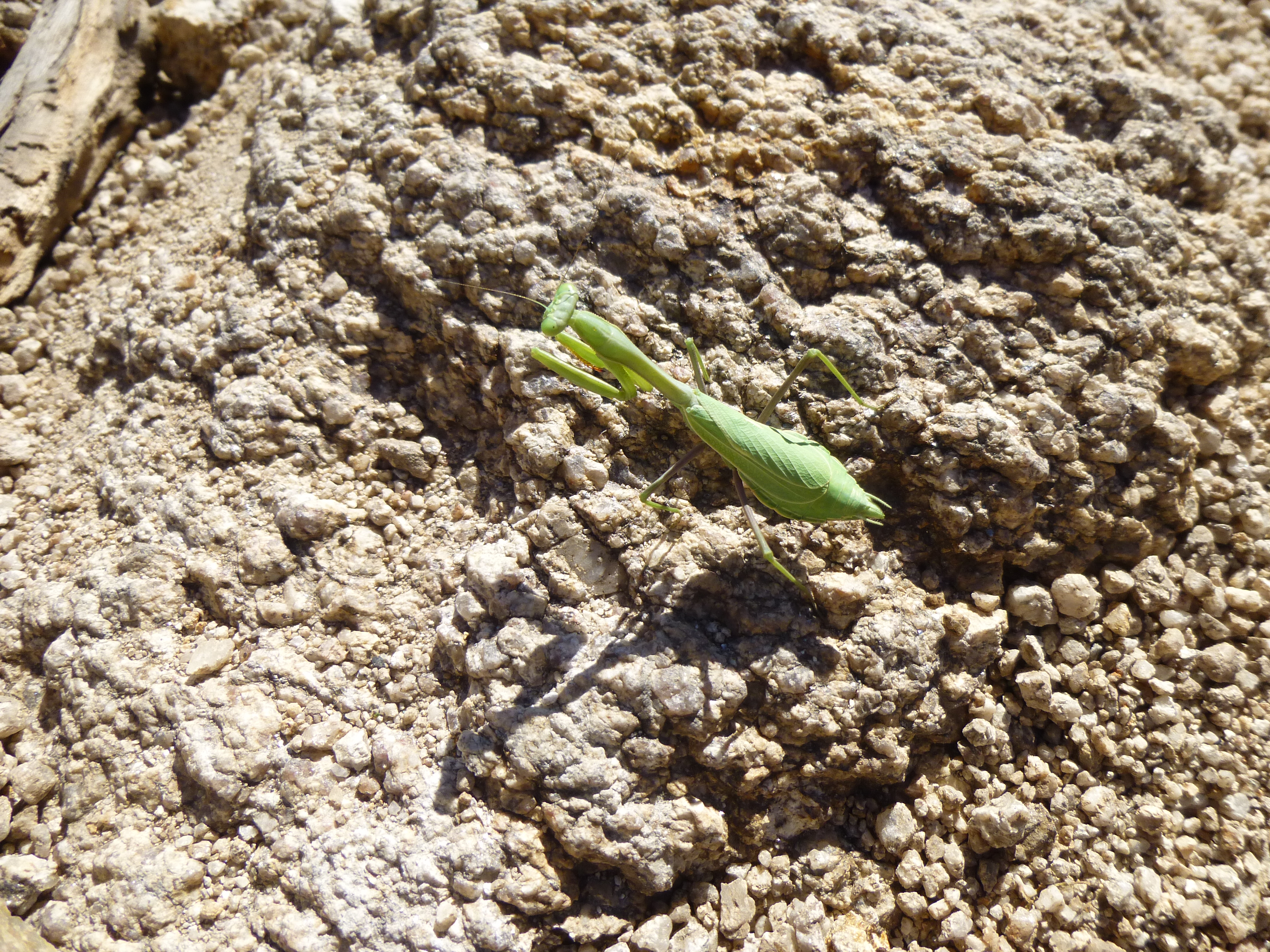
Some type of praying mantis?
Once back out to Redington Road, a few miles of driving back towards Tucson brought me to one last turnoff. Two miles of driving on the road that time forgot took me to my final climb of the day. Because I was able to get in nice and close, it only took a few minutes to walk to the top of Peak 4622, where I left another register.
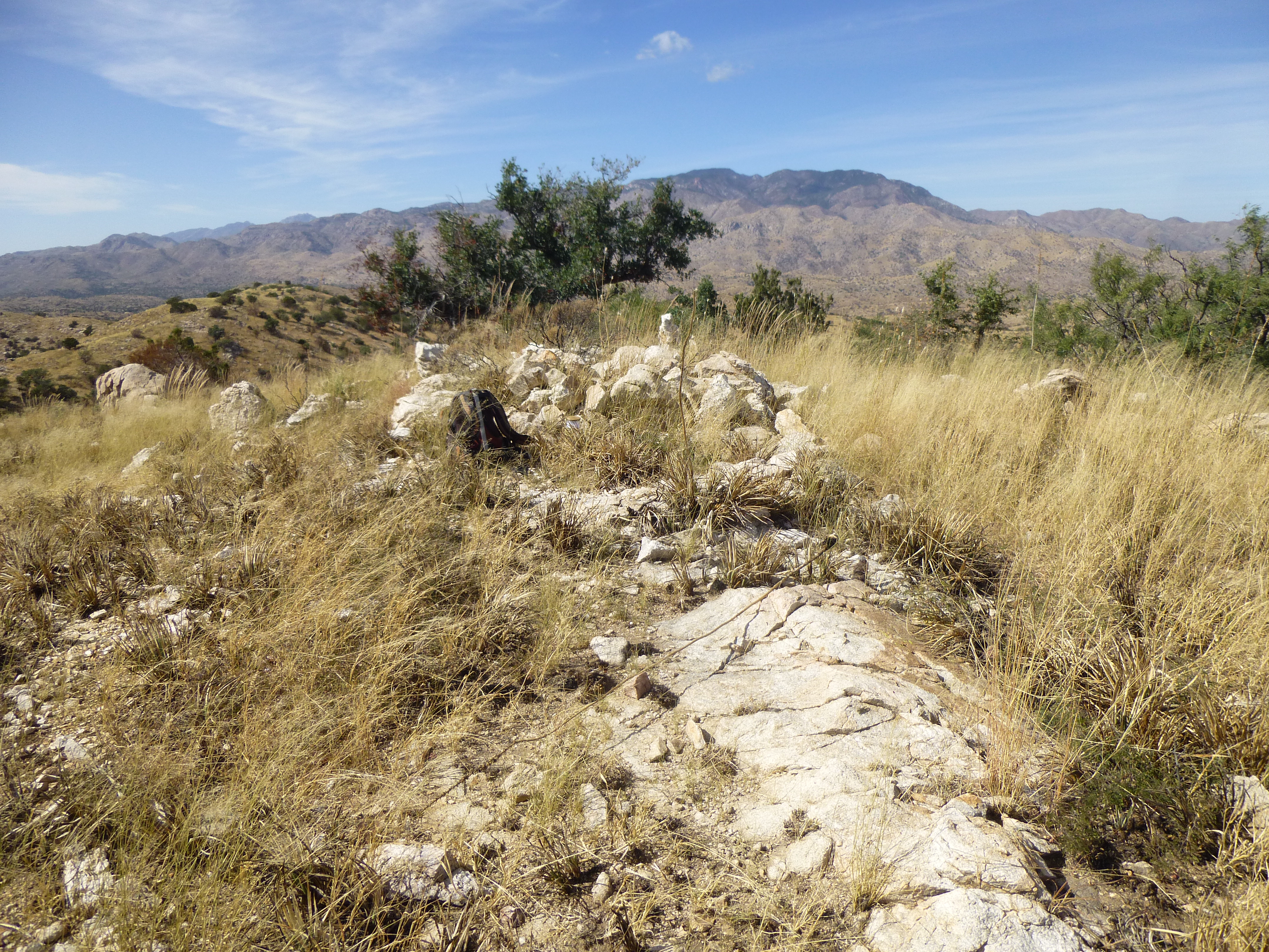
Peak 4622
It was an uneventful drive back to Tucson along Redington Road. I can’t really see any reason for my going back to that area again, as I’ve climbed everything out there, both large and small, but who knows? Anyway, thanks for coming along for the ride.