
This is the second part of a story which begins with the one entitled “High Tanks”. Please read it first, and this one will naturally follow.
I was finishing up the second day of my trip by driving west through Tinajas Altas Pass. This route is quite flat, and in a winding 4-mile stretch through the mountains takes you from the Lechuguilla Desert to the Yuma Desert. Once through, I pulled up to the base of a small peak and parked. There was plenty of daylight to climb one more, so I quickly got my pack ready and started out. This one would be quick and easy – a simple jaunt up 200 feet to an obvious saddle, then turn left and walk along the ridge the last 150 feet to the top.
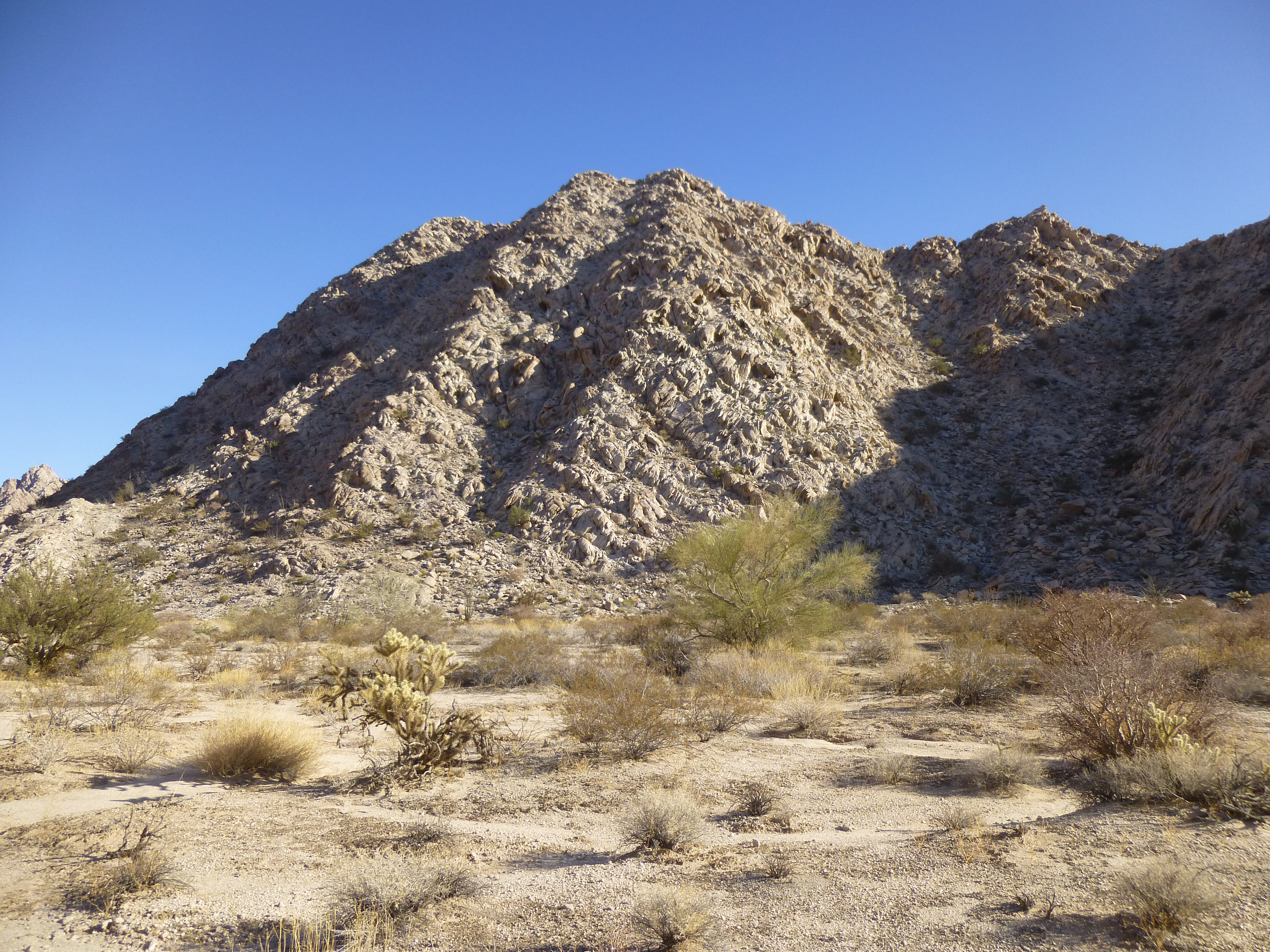
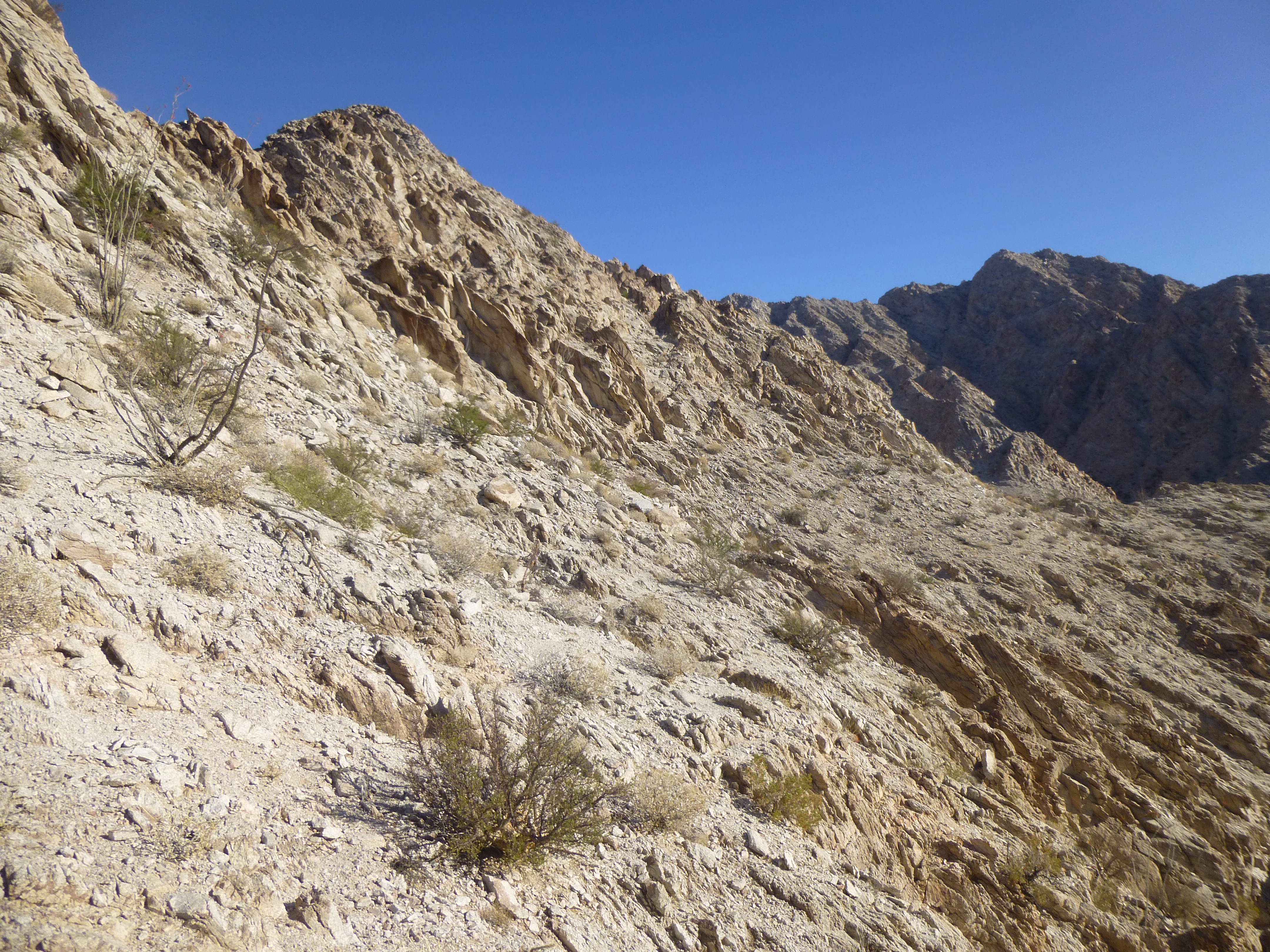
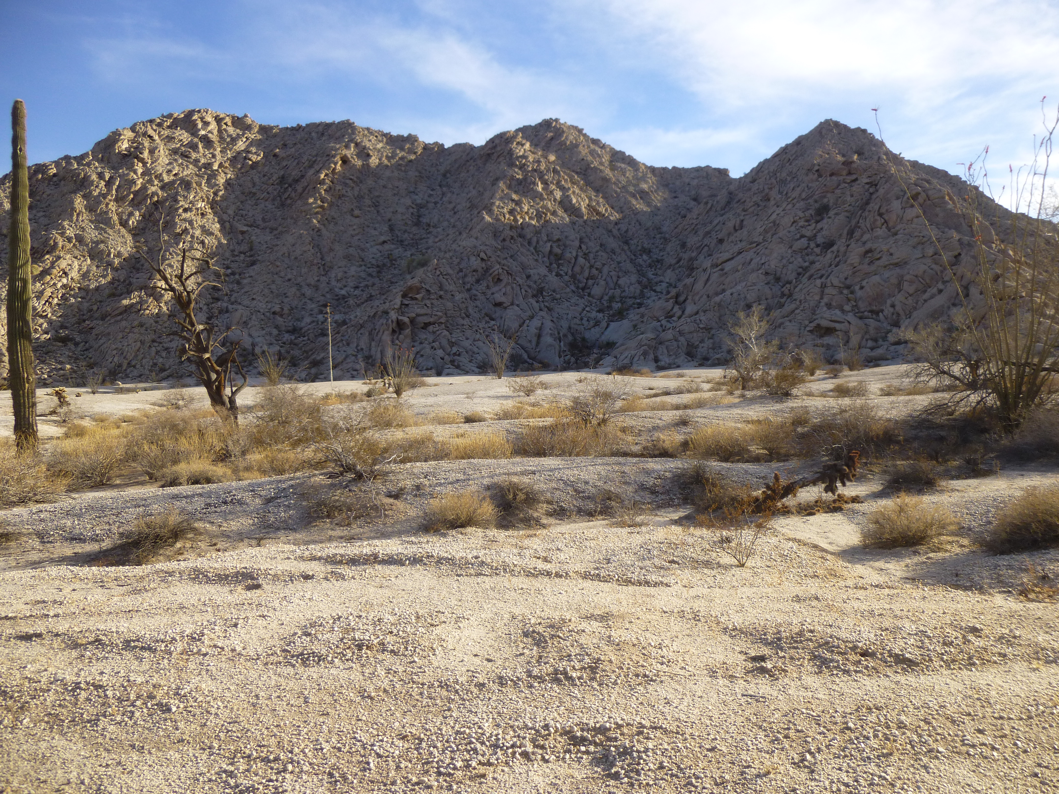
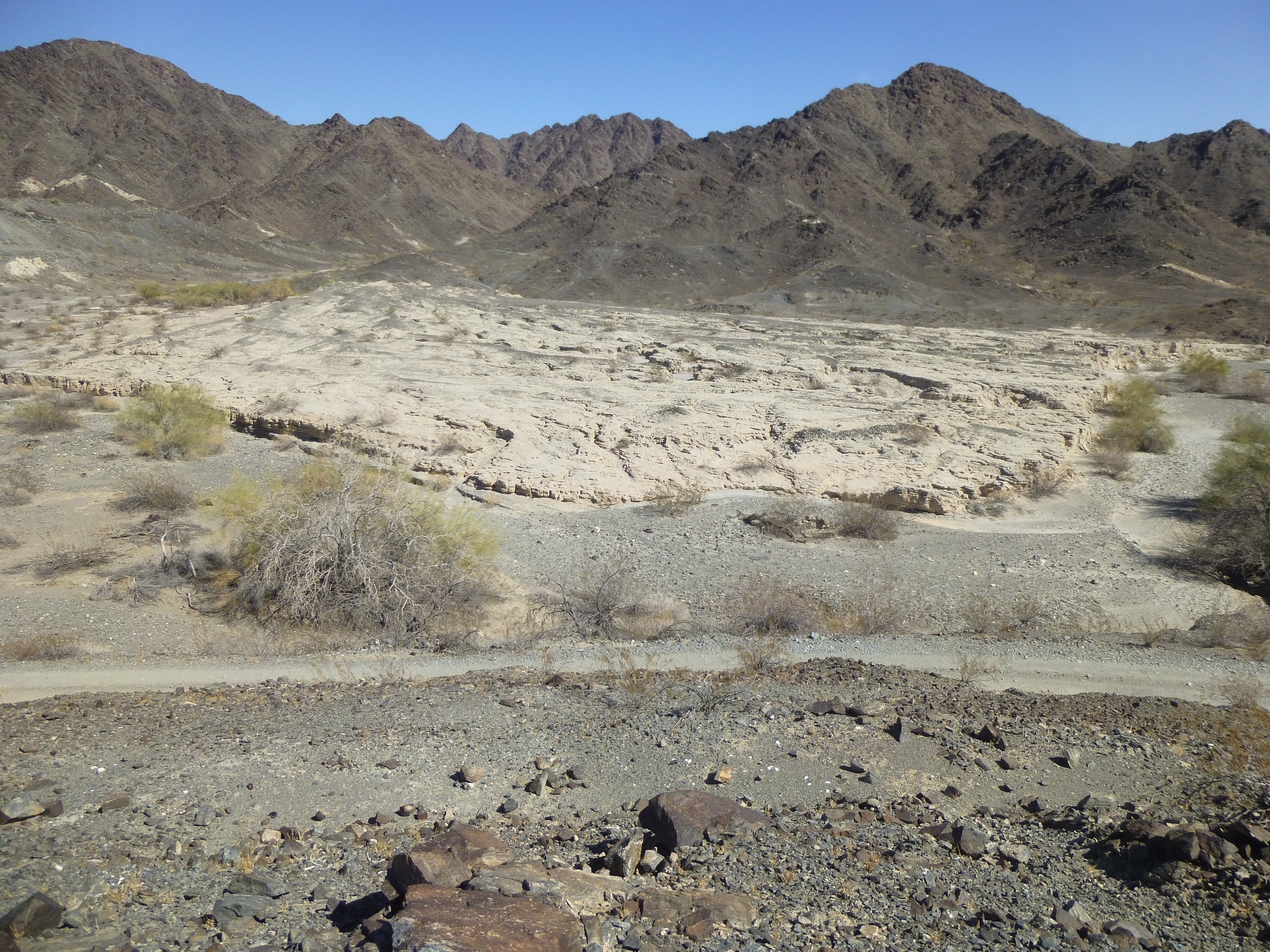
The north side of Peak 1359
Away I went, quickly making it to the saddle. A cool breeze was blowing as I started along the ridge, but I soon found out that staying on the ridge proper wouldn’t be so easy after all. Cliffy bits forced me to do an ascending traverse but below the crest of the ridge. It was a maze of ups and downs, at times having to drop 50 feet or more to continue. Gradually, I made progress towards the high point. A full 45 minutes after starting out, I stood on top of Peak 1359 – a feat that should have only taken half that time. There was no sign of a previous visitor, so I left a register.
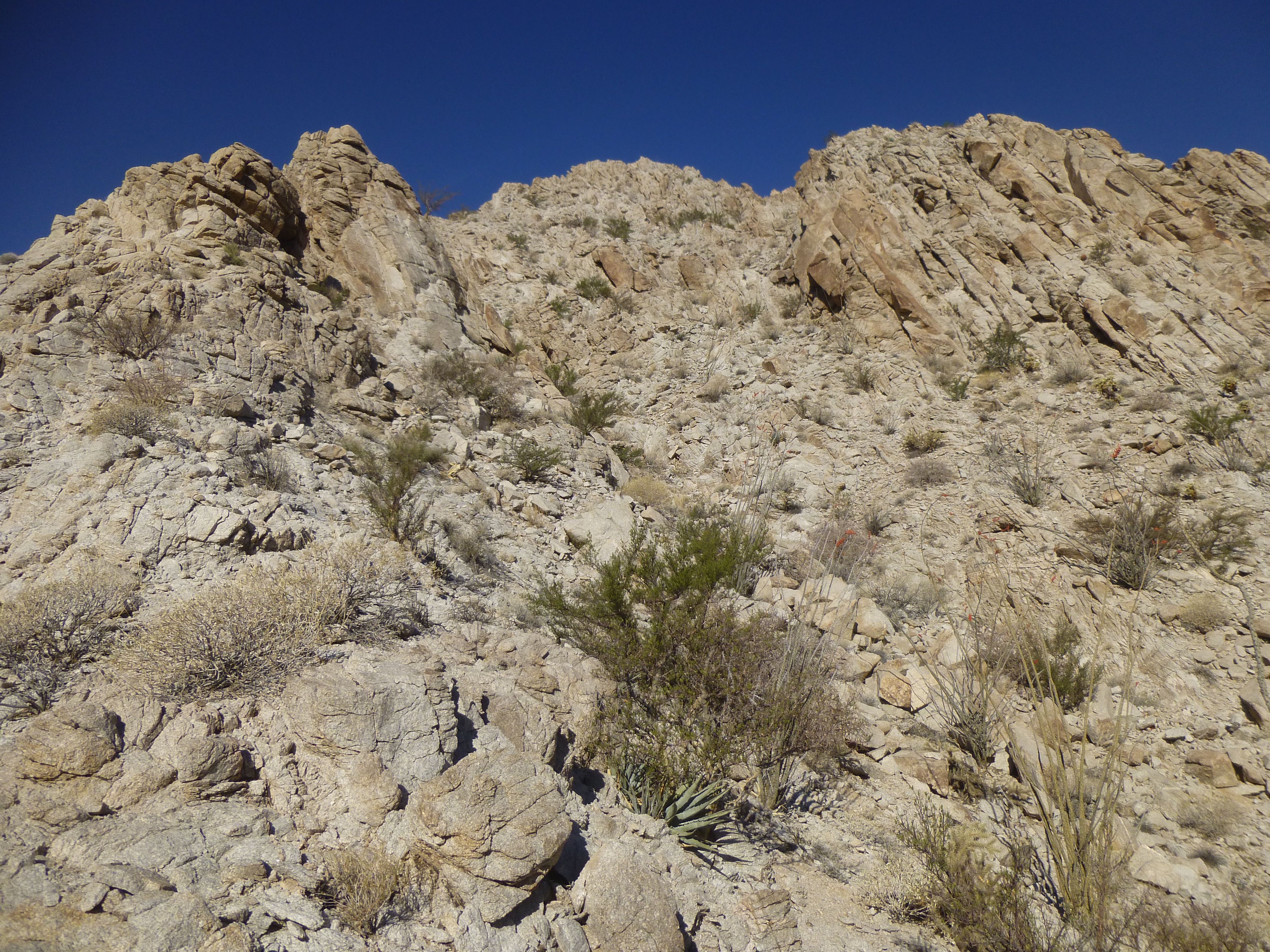
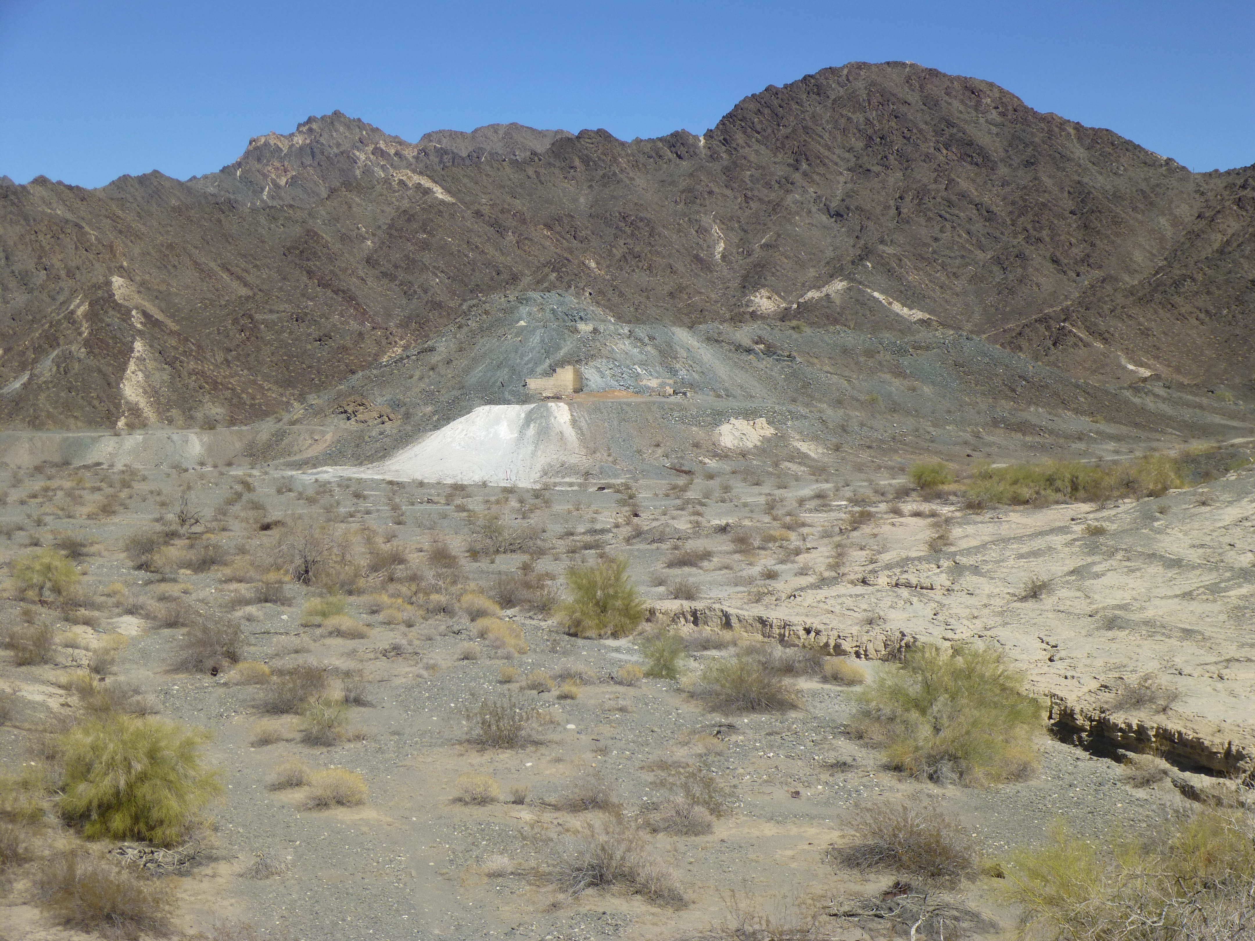
This was a steep, loose little peak and I didn’t like the look of a lot of the ways down off of it. I didn’t mind a little extra time and distance to get down safely, so I chose the southeast ridge – even then, I kept looking for an escape route from it, and finally ended up dropping down the east side. This completed a traverse of the entire peak. Once down on the desert floor, all I had to do was walk along easy ground along the south, west and north sides to get back to my truck. This photo shows much of the ridge I had traveled.
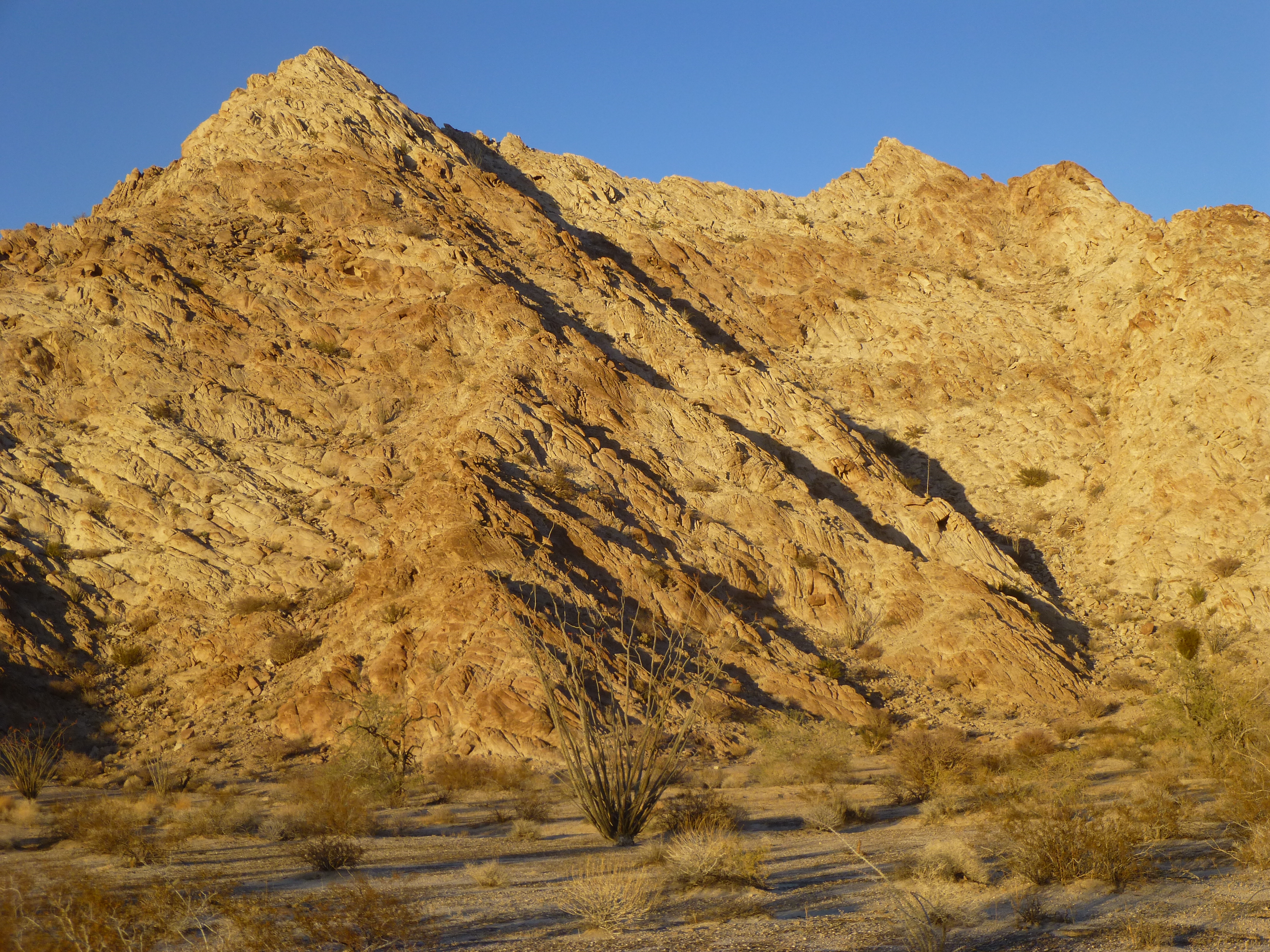
The south side of Peak 1359
The sun went down and I camped right where my truck was parked. It had been an interesting day: 2 peaks climbed; got my ass kicked and turned around on 1; didn’t even bother to try another.
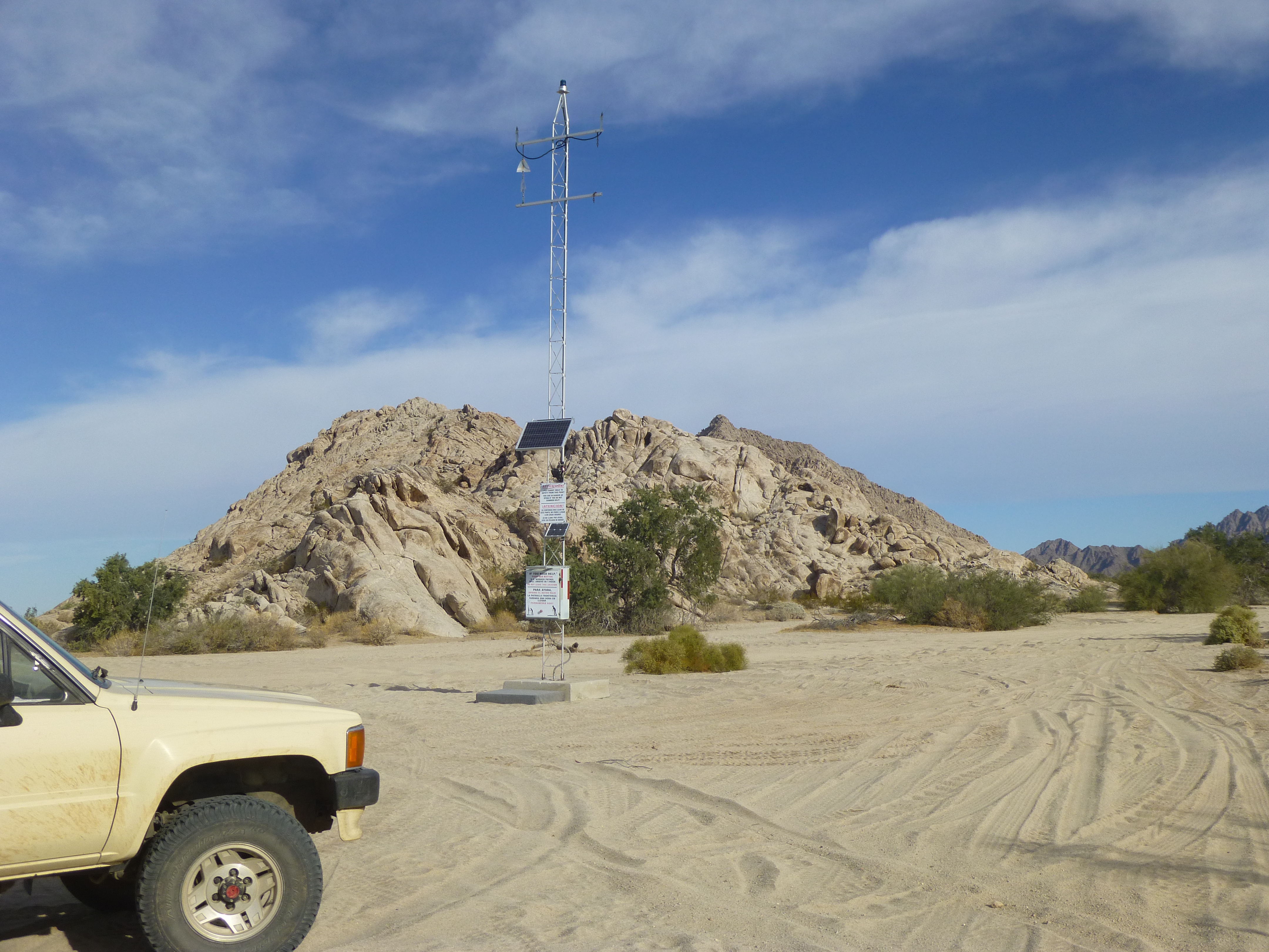
Dawn arrived on Day 3 of the trip, and first light saw me already driving up the west side of the Tinajas Altas Mountains. One of the first things I saw was one of the rescue beacons that are scattered through the desert. Each of these averages one call a day.
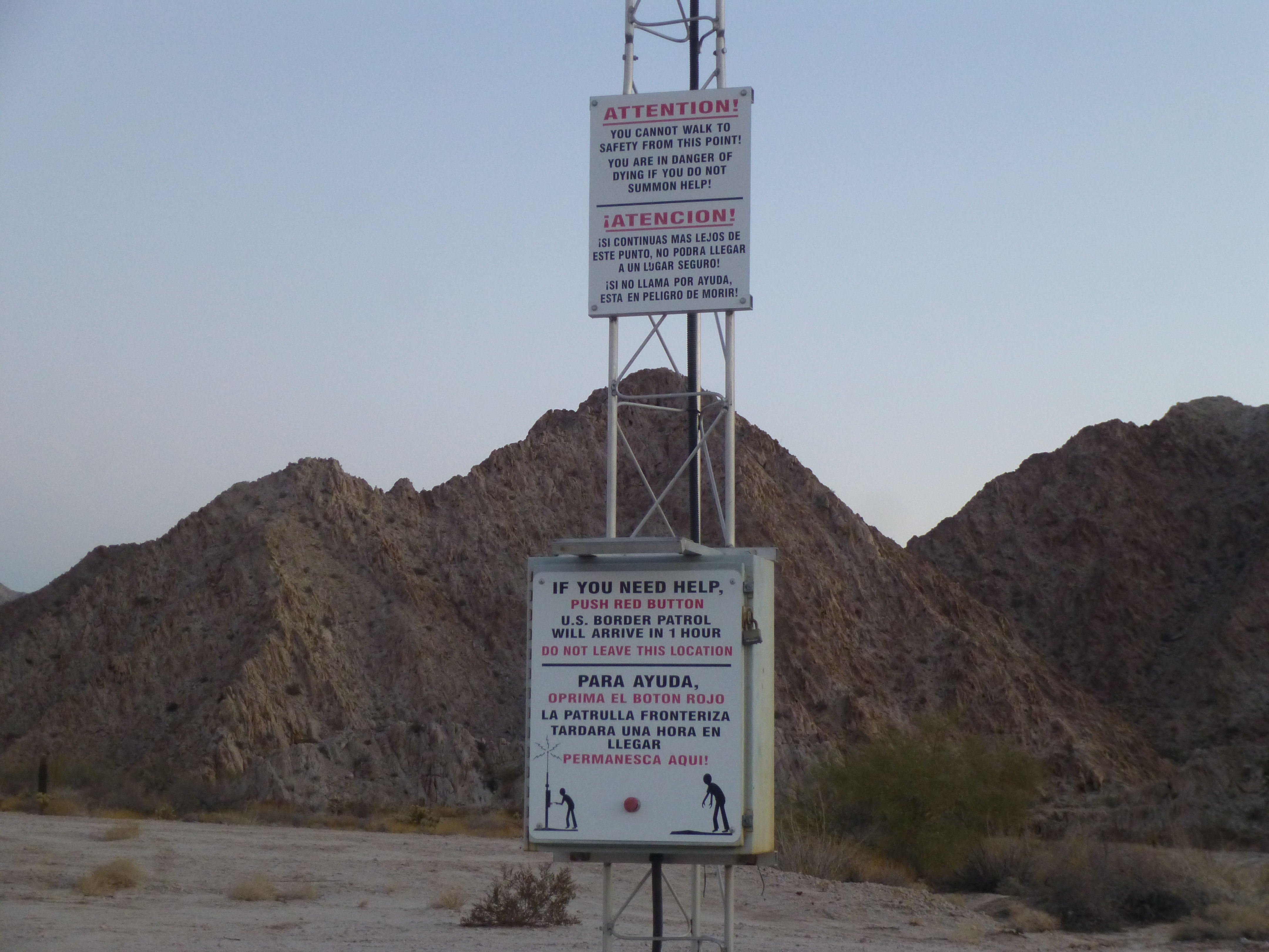
Border Patrol emergency rescue beacon
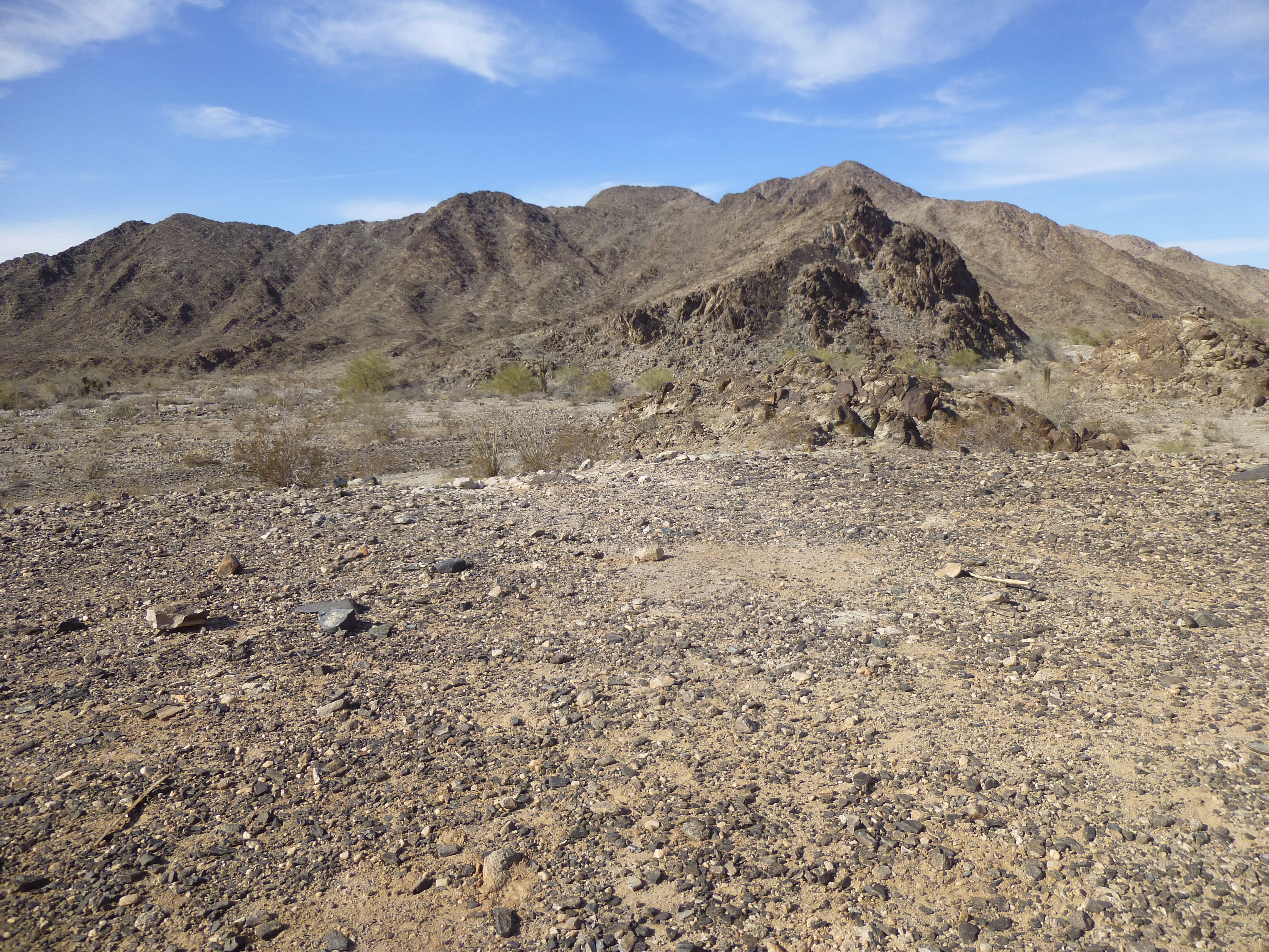
After only a few miles, I came to my first peak of the day. I parked in a side valley, but it took a while to convince myself to get out of the truck and make a start – a chill wind was blowing and it took a real effort to get going. Here is the view I had of the mountain.
Looking east to Peak 1752
It was a pleasant walk up the gentle valley, then up a canyon to a saddle. Up until that point, I still wasn’t sure of the route I’d take as, from below, the south ridge looked messy. From the saddle, though, I actually picked up a trail used by bighorn sheep which took me over to the east ridge.
Looking across the southeast slope of the mountain.
Once on the east ridge, I could see quite a ways up towards the summit, and it still looked good.
Looking up the final slope.
It became very steep at the top, but went well, and 1 1/2 hours after leaving the truck I stood on the summit of Peak 1752. Once again, there was no sign of any previous visitor and I left my usual register. Here’s a view southwest back down to my truck (see if you can spot it) and then out across the expansive Yuma Desert.
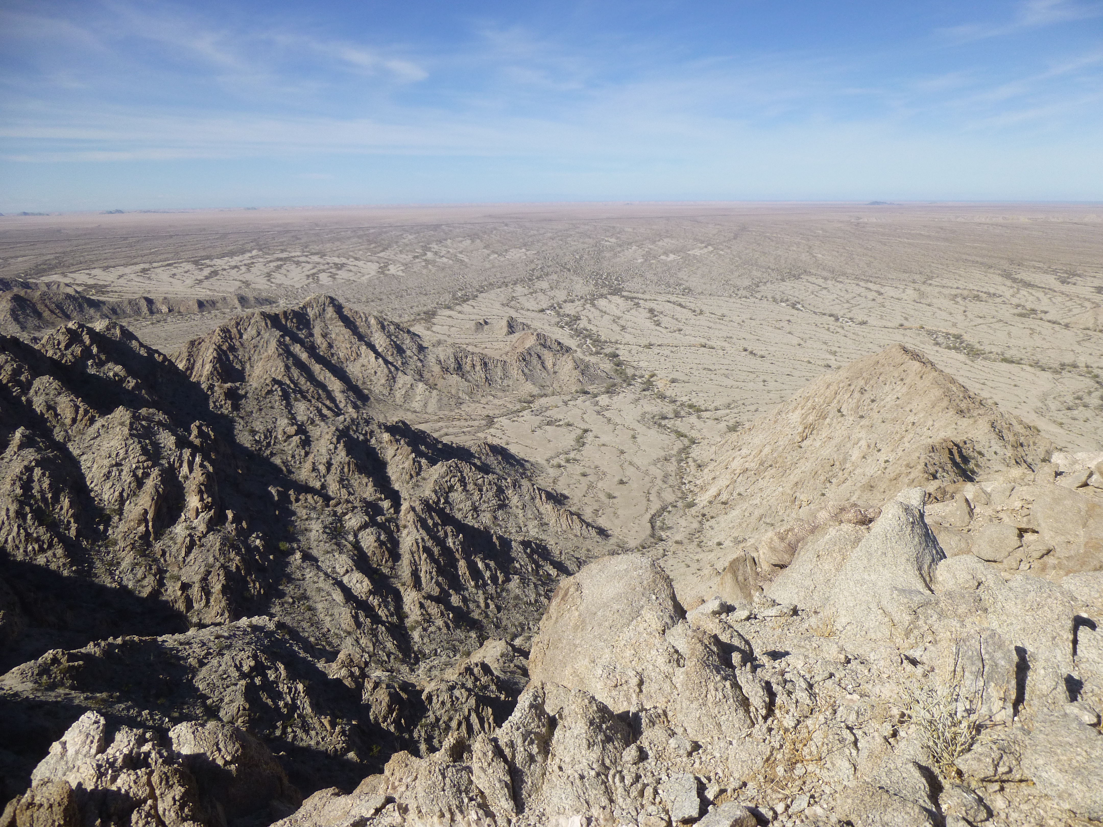
Looking back towards the truck
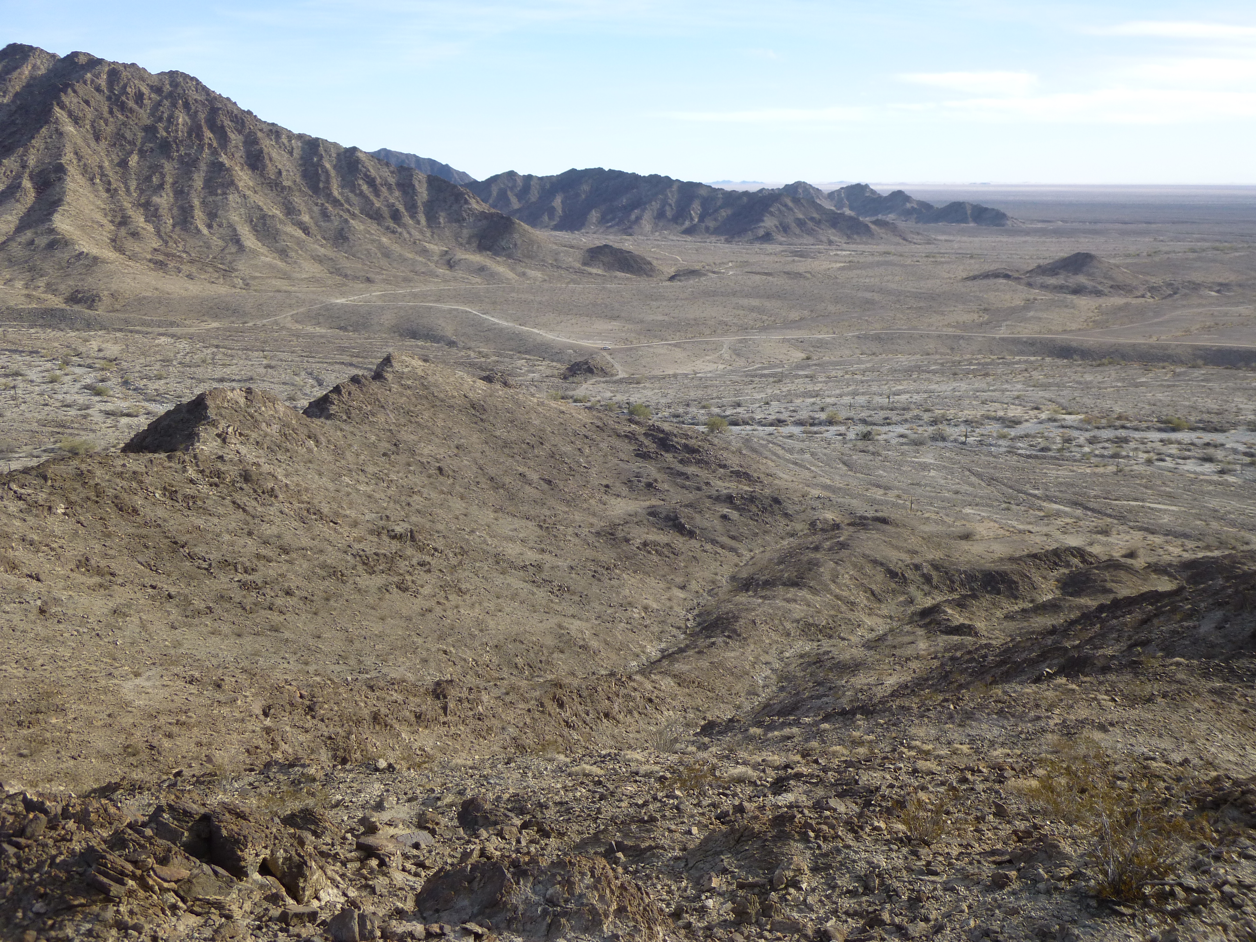
The scare I’d had on yesterday’s peak made me descend this one oh-so-carefully. Honestly, I was pretty paranoid – the top-most part was really exposed and I sure as hell didn’t want to slip on the way down. It all turned out okay, though, and almost 3 hours after starting out I was back at my truck, with another thousand feet of climbing under my belt. This peak had turned out well, and I felt I had redeemed myself a bit from yesterday, so I continued driving north for a few more miles to the next one on my list. I found it all right, but as I sat there looking at it and tried to reconcile my map with what I was seeing, I felt that I should have printed a more detailed map. This peak was several hundred feet higher than the last one, and the approach was a bit complicated, so I put it on a future to-do list.
I continued driving the main road, which in this area was known as the Camino del Diablo (West Route). The miles passed, and I reached an important junction – I made a right turn, which headed me northeast to Cipriano Pass. This important place is the dividing line between the Tinajas Altas Mountains to the south and the Gila Mountains to the north. I drove up a side valley and parked right beside my next peak. My goal was to climb a gully on the southwest side of the peak, which hopefully would take me to the summit ridge. Less than 200 feet above my starting point, I ran into a waterfall blocking my path – try as I might, I couldn’t manage a safe way up it, or around it.
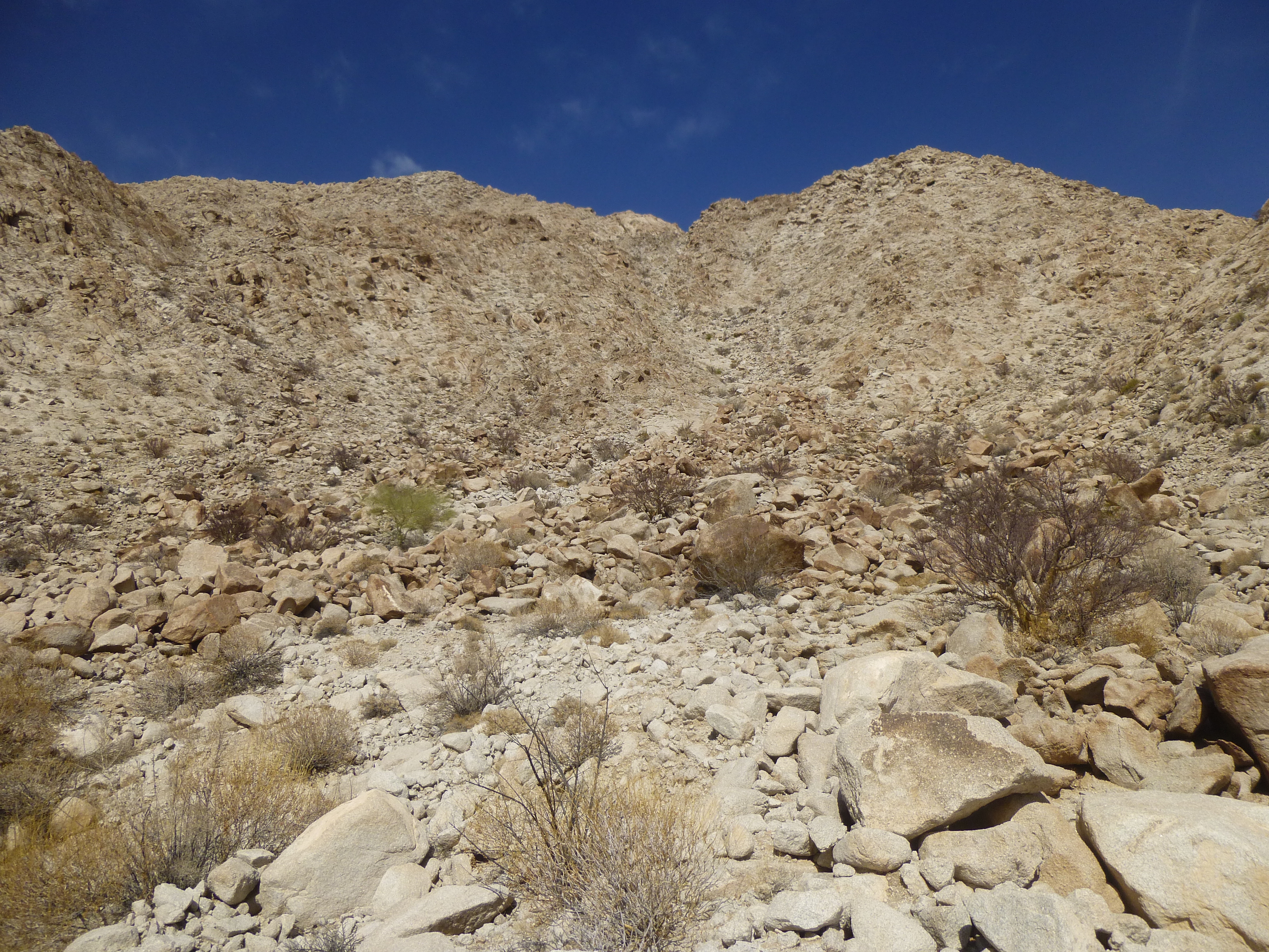
The southwest side of the peak.
Disappointed, I went back down to the flats, then tried a new route – the south ridge. I climbed higher than before, but didn’t like the look of what I saw from my vantage point on the ridge. Once again, I turned back – these attempts had taken a full 2 hours, with no prize to show for my efforts. Fortunately, another peak was nearby, one that should prove easier.
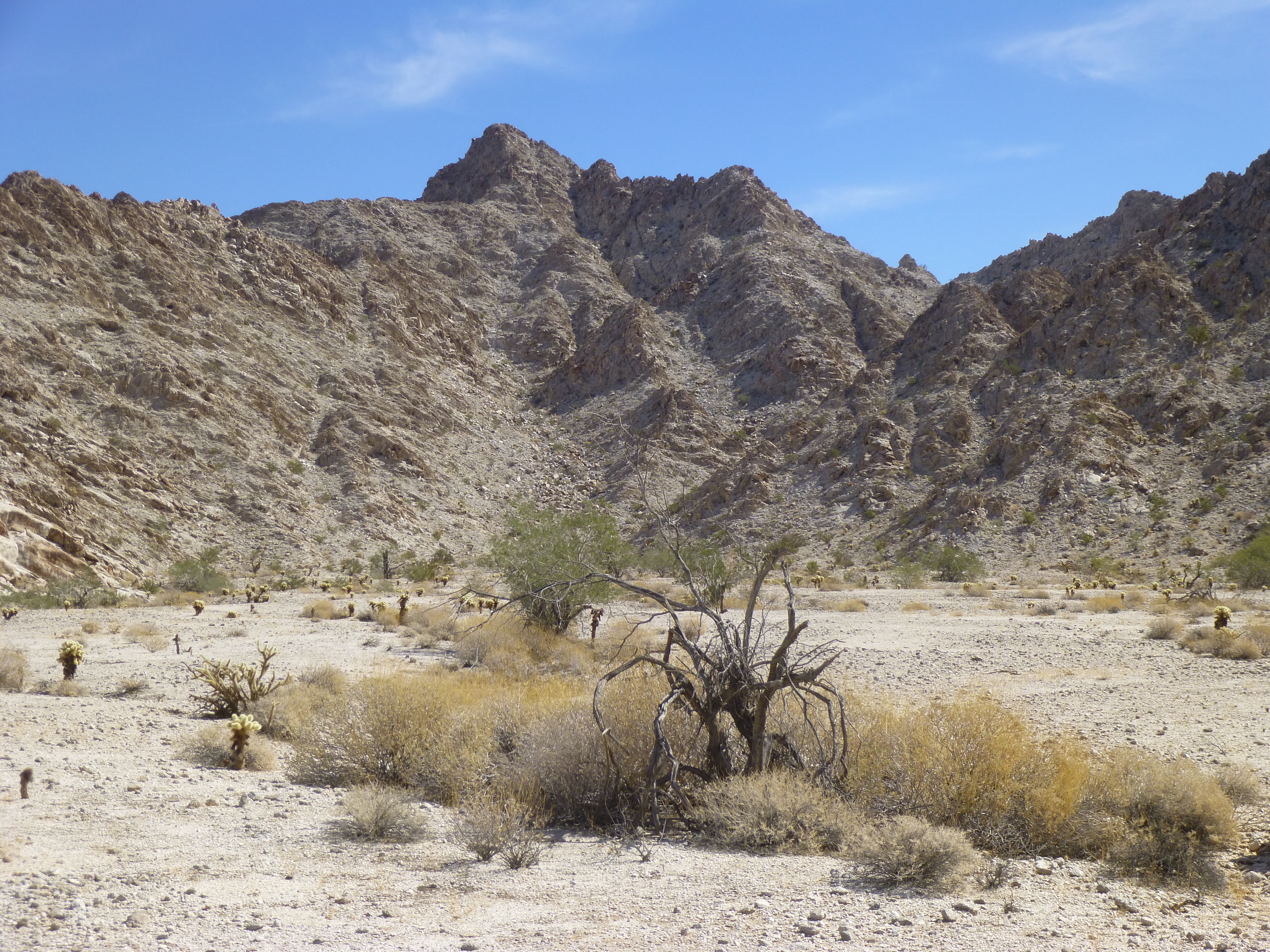
The north side of Peak 1319
This peak, like all the others so far, was granitic in nature. It didn’t take long to clamber up a couple of gullies and reach the top of Peak 1319. It appeared that nobody had been up there before me. From its summit, I had this tantalizing view through the pass to the well-named Raven Butte, rising 650 feet from its base.
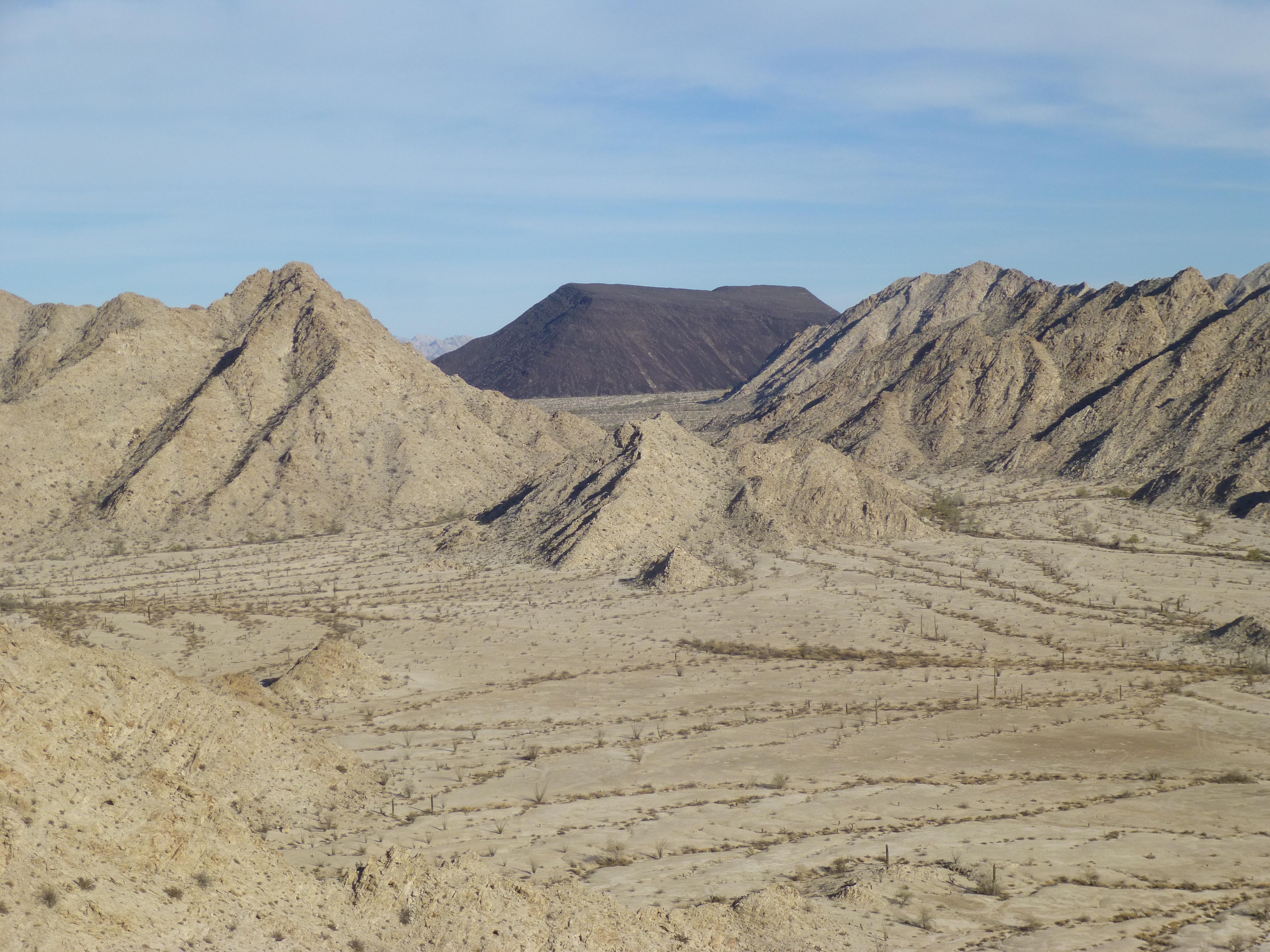
Raven Butte
It was quick work to return to the truck, and then a short drive over to the spot where I camped for the night.
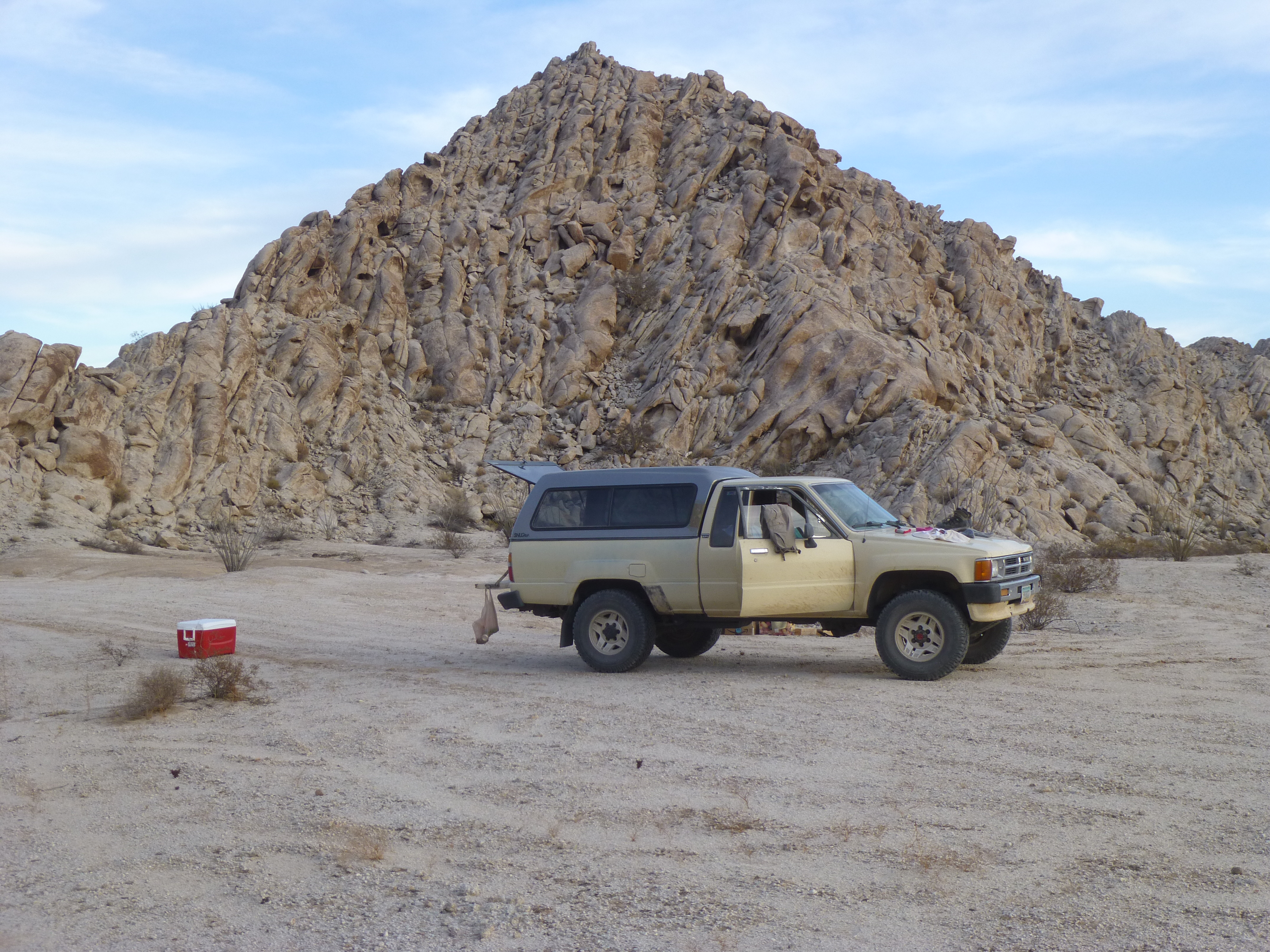
My campsite
After a good night’s sleep, it was a drive of only 4 miles back west to the Camino. There, at a major intersection, I was greeted with a variety of signs. The wooden post on the right bears the number of the road junction. The brown sign points to 2 things: back to the south are the High Tanks; to the north is the old Fortuna Mine. I have no idea what the white thing is.
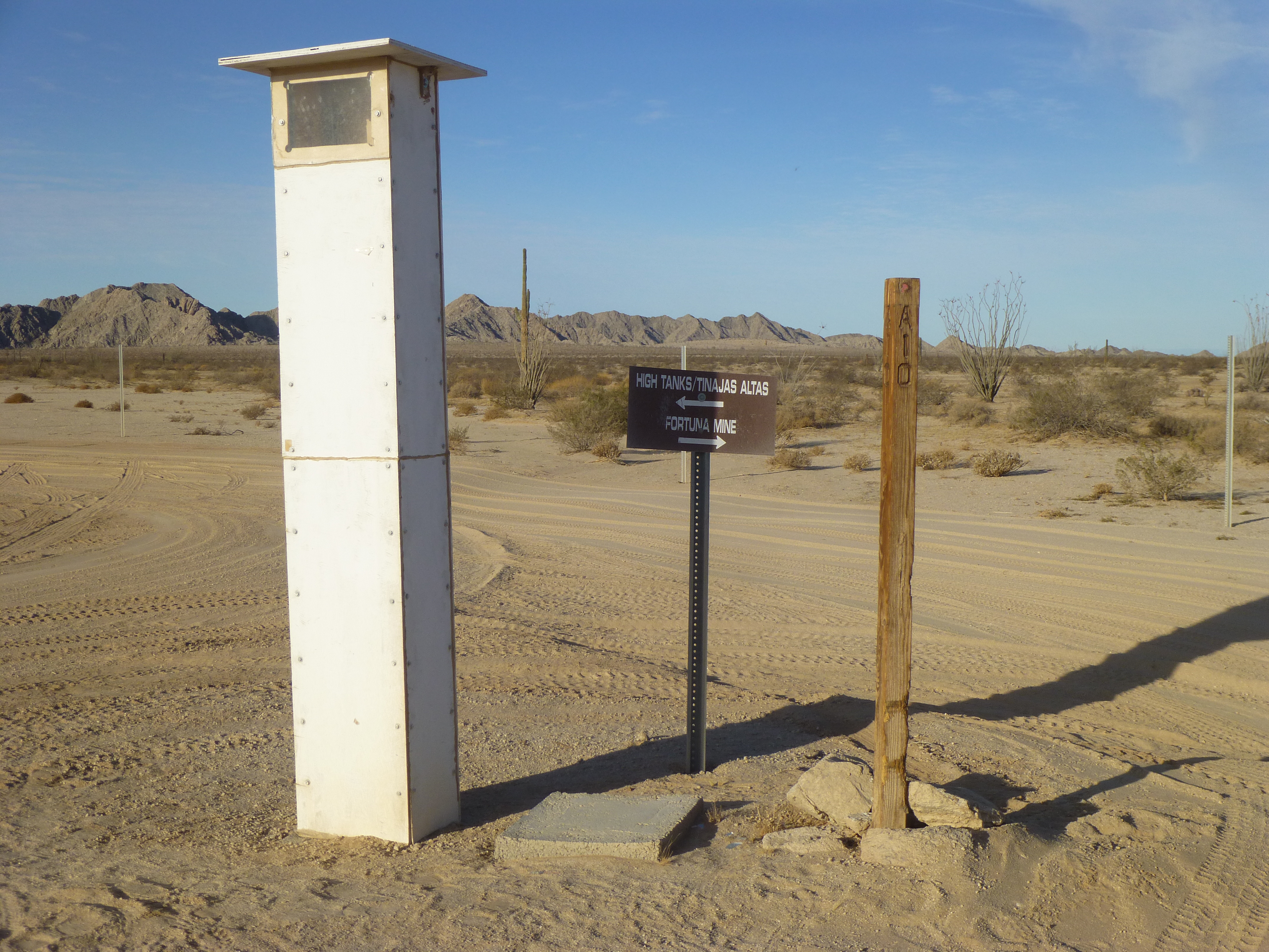
Signs
Another sign
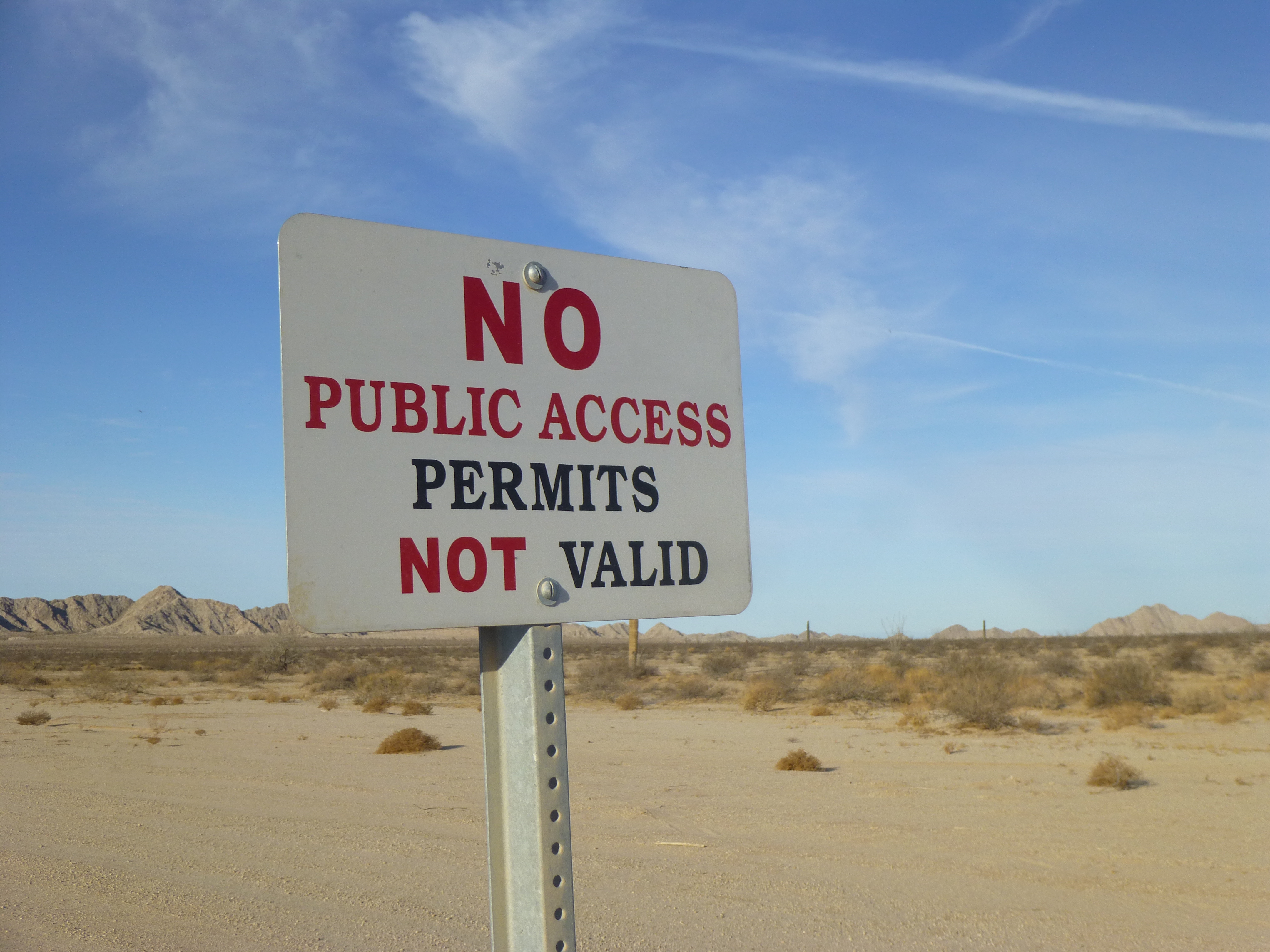
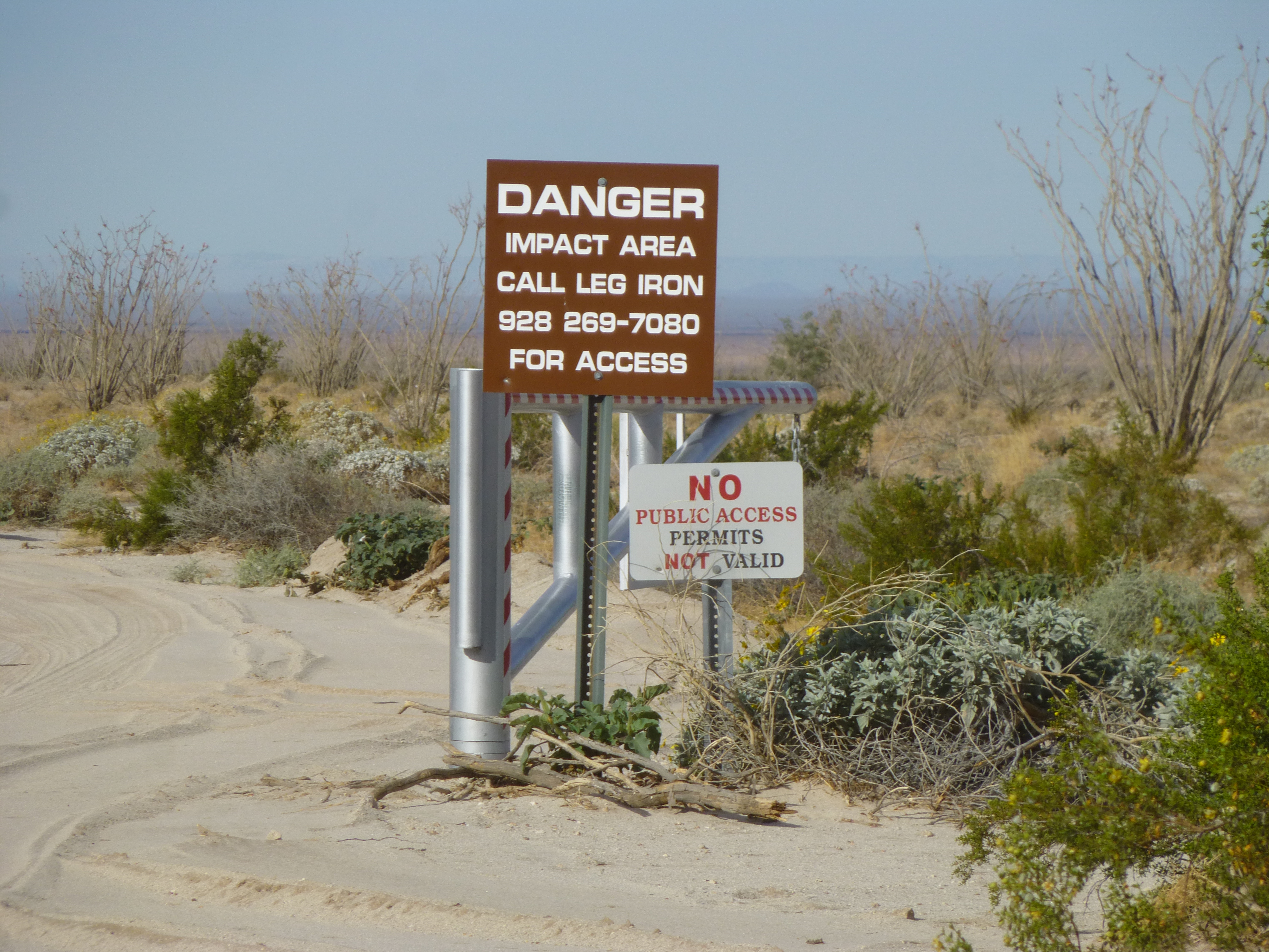
For the next 20 miles or so, all along the west side of the road, this next sign was visible. Every couple of hundred feet, there was one of them – must have been a thousand of them altogether. The Marines definitely did not want civilians out in that huge area. Proof of that fact is that I know people have been caught trespassing beyond these signs, been cited and paid a hefty fine.
The warning sign
From a mountaineering standpoint, one of the attractions nearby was a small range called the Butler Mountains. I had climbed there more than 30 years ago, back in the day when it was legit. How long it had been closed due to its now being in a laser range, I cannot say. The last admitted climb of the range high point was back in 2002. However, I know that climbers have made incursions into this laser range since then, as a good stealth climber can outwit the military any day of the week (with some exceptions).
Lech Benchmark, the high point of the Butler Mountains
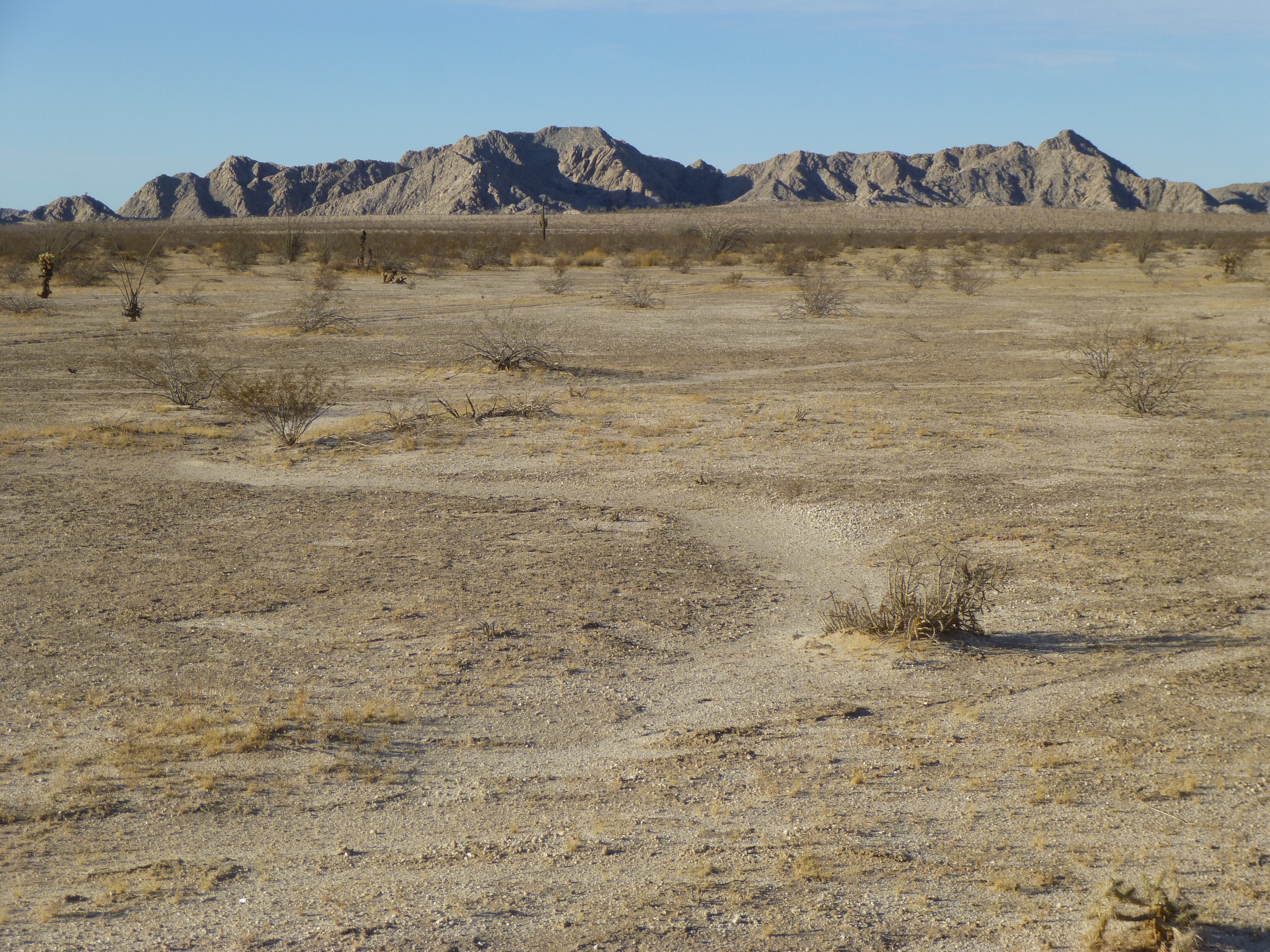
As I continued north, I was taking in the highlights on all sides. Here’s a view looking north all the way to the top end of the Davis Plain, which is surrounded on 3 sides by the Gila Mountains.
Davis Plain
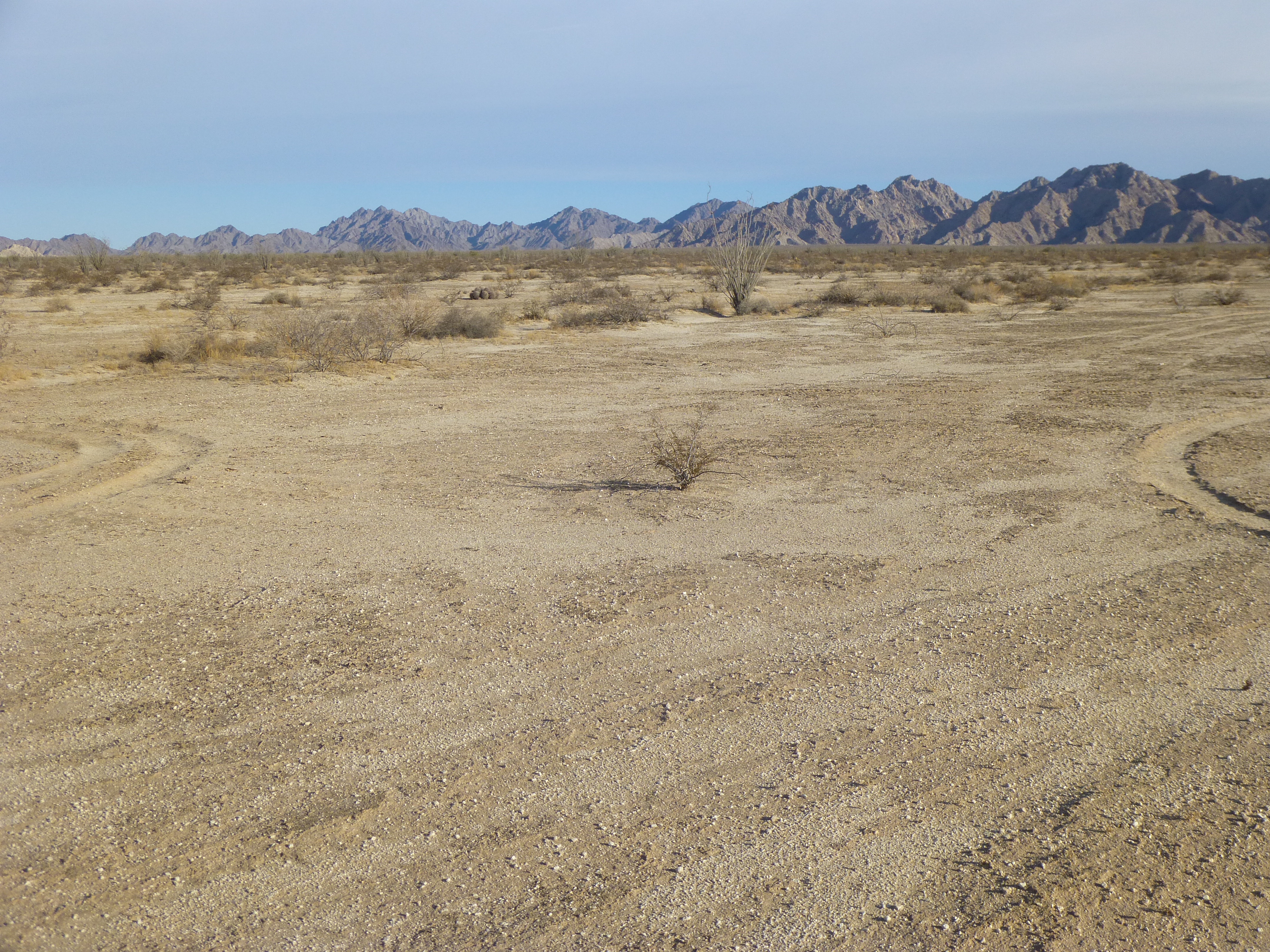
I continued north along the Camino, and it was almost nine in the morning by the time I reached the tip of Vopoki Ridge. This is an unusual word, and I have been informed that it may be from the O’odham word for lightning. Vopoki is 6 1/2 miles long, and contains 5 peaks of its own. It’s a long, thin ridge which is just over a mile wide at its greatest extent, but is usually a narrow 3,000′ or less for miles of its length. If you click on this link, you can get a good look at it. It is significant because it acts as a separation between the Yuma Desert and Davis Plain. That will become important later. I stopped for a breather at the very southern tip of the ridge, where I found another of the emergency rescue beacons.
The southernmost tip of Vopoki Ridge
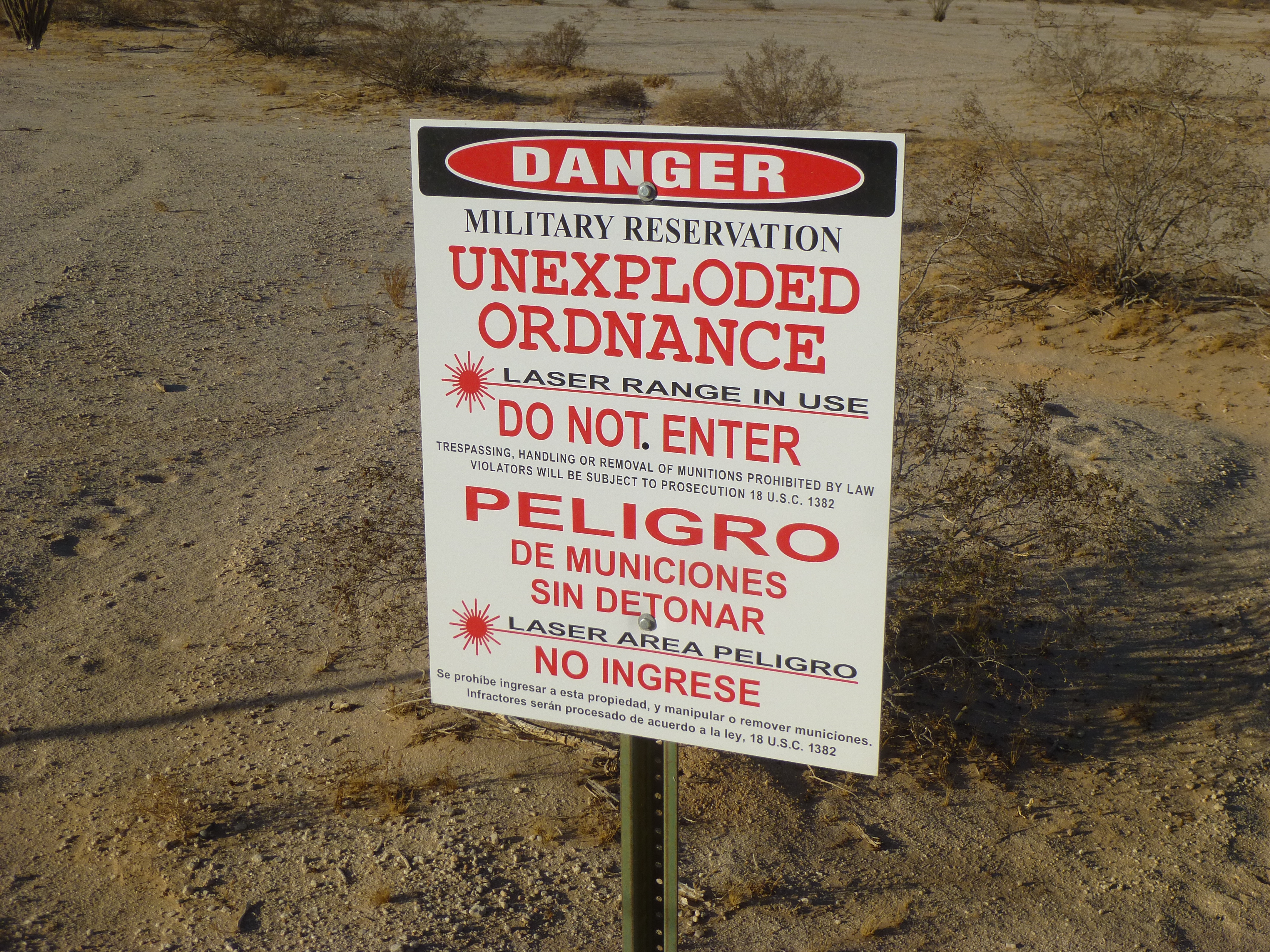
A short distance further along the Camino, I came upon this ominous-looking sign and gate. The road isn’t shown on any map. It was obvious that the Marines had something going on out here. This whole area was under their jurisdiction – the Marine Corps Air Station in Yuma was a mere 18 air miles distant.
Do not pass “Go”
Earlier that same morning, I had met a group of retirees from Saskatchewan driving quads. They had warned me that as I continued north towards Fortuna Mine the road would become a terrible washboard. Man, they weren’t kidding. The road had a sandy surface, and constant driving without ever having a blade run over it had turned it into a world-class washboard. If you tried to drive much over 5 miles per hour, the bouncing would loosen your fillings.
I saw something ahead at the side of the road and pulled over – it was an informational sign, and it shed light on a curious thing I’d spotted to the west. Zoom in to read the text.
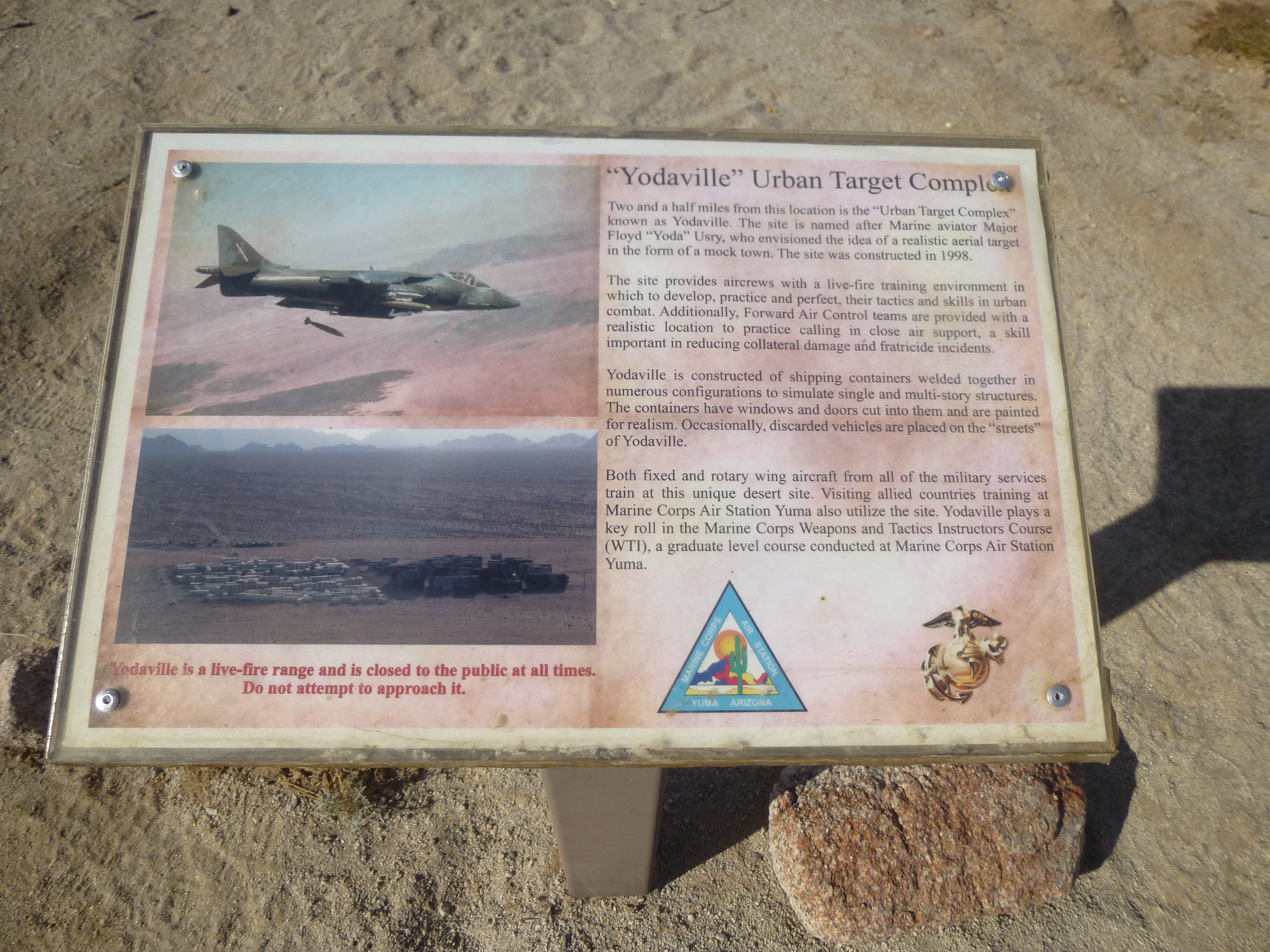
The sign
Here’s a telephoto shot of Yodaville, taken from the Camino.
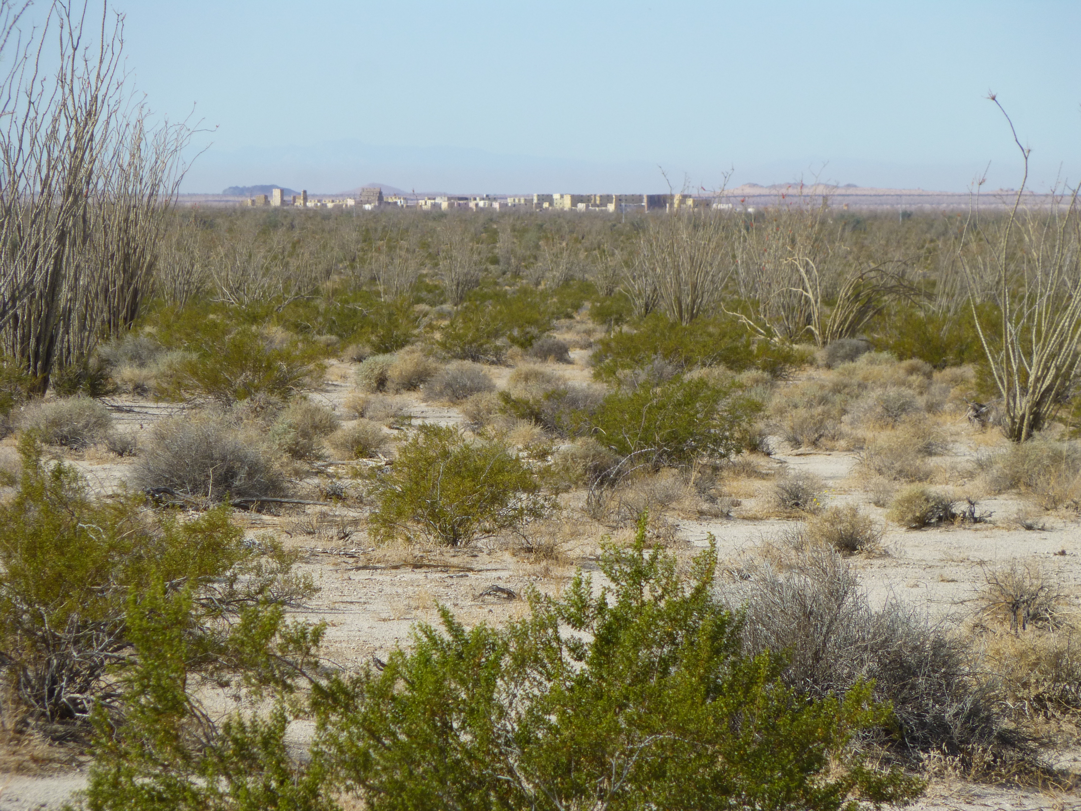
Yodaville
Eventually, there was a choice to be made. A sign indicated that the Camino made a jog to the west, staying on flat ground and making its way into the city of Yuma. I had driven that portion 9 years ago with a friend, but today my goal was to stay on the historic part, the original part of the road which continued north. Thankfully, by taking the northern route, I left the washboard behind.
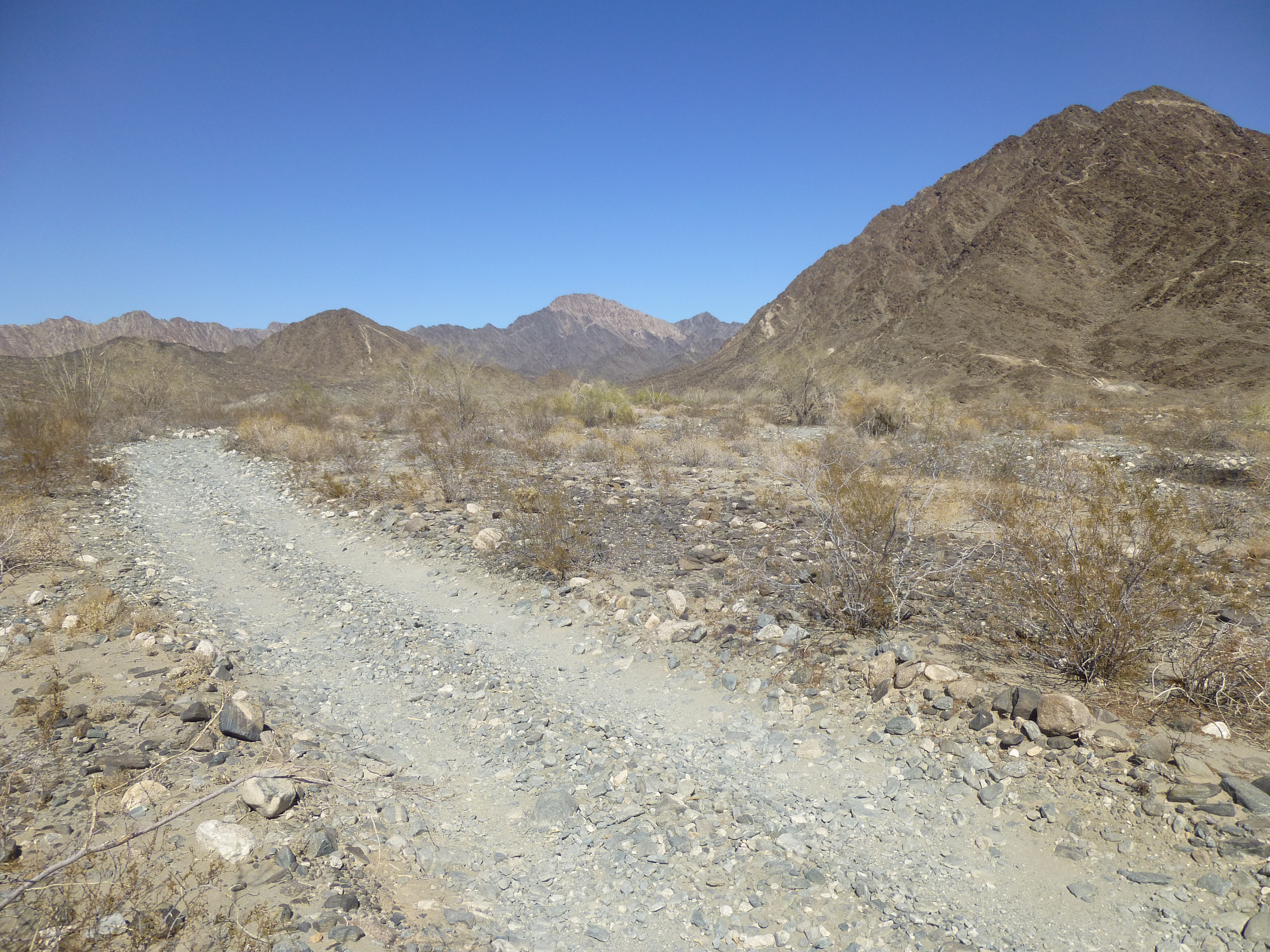
The last stretch into the Fortuna Mine
The road became rocky and entered hilly country, arriving a few miles later at the old Fortuna Mine. There was a lot of history at this place. Much has been written about it, none of which I will attempt to duplicate, but here is a link that sheds some light on what went on here.
This old mine must be visited by quite a few people, because the military had placed several informational signs which described life here back in the day.
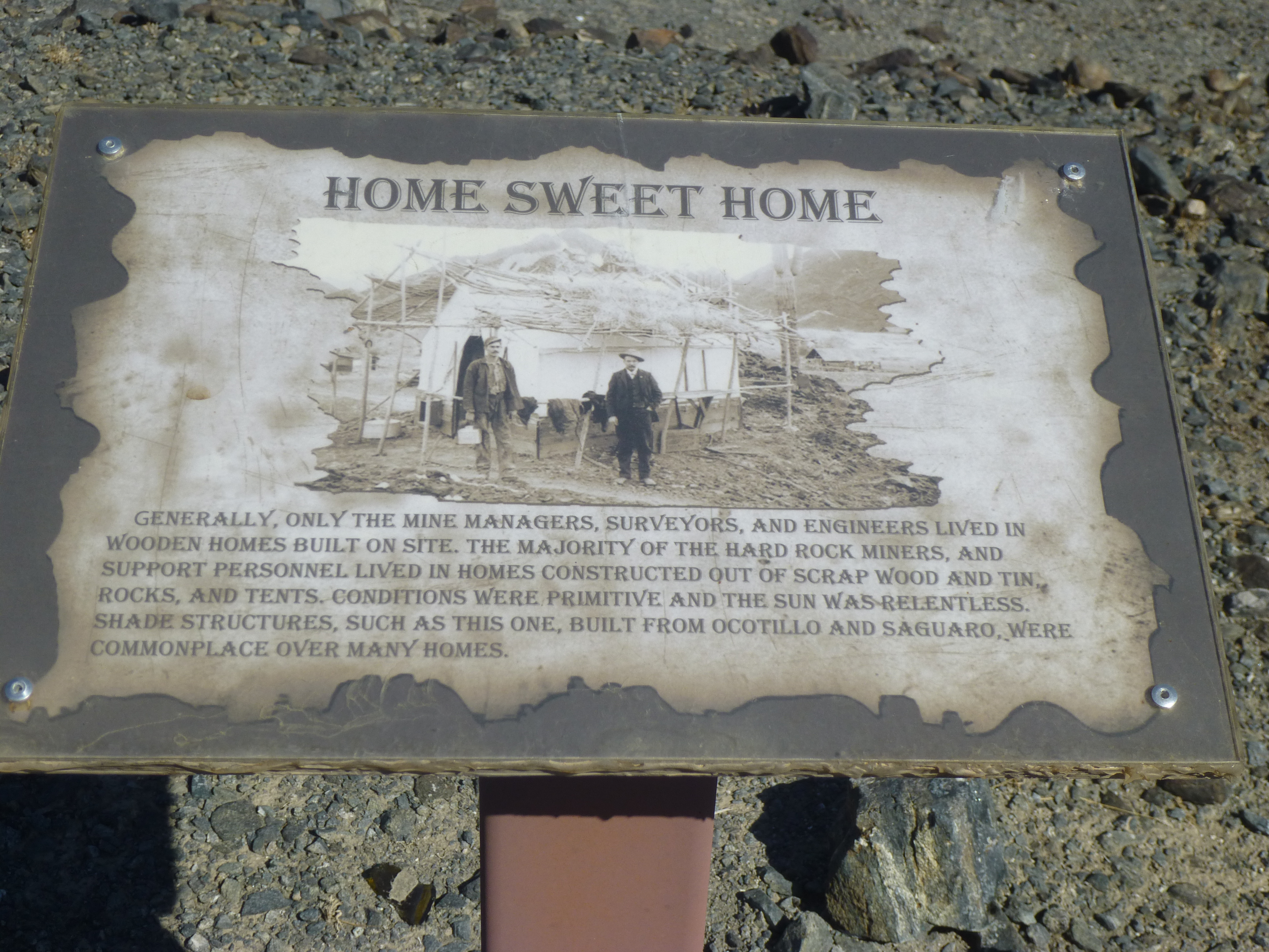
Information
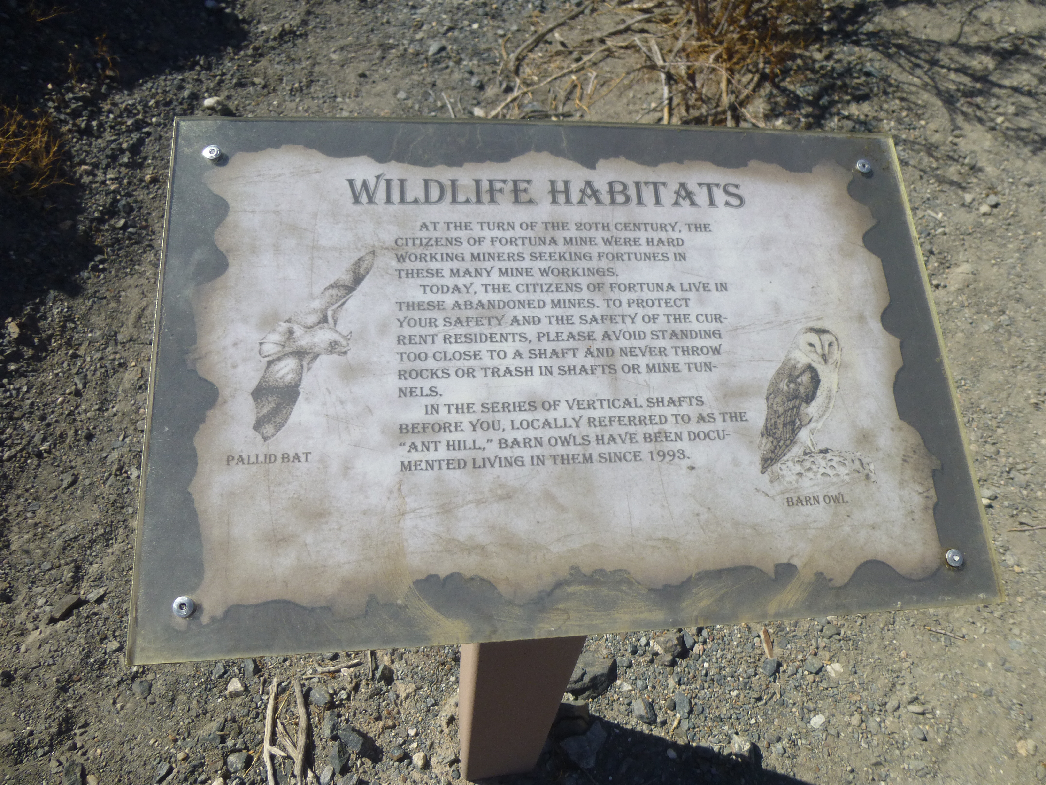
More info
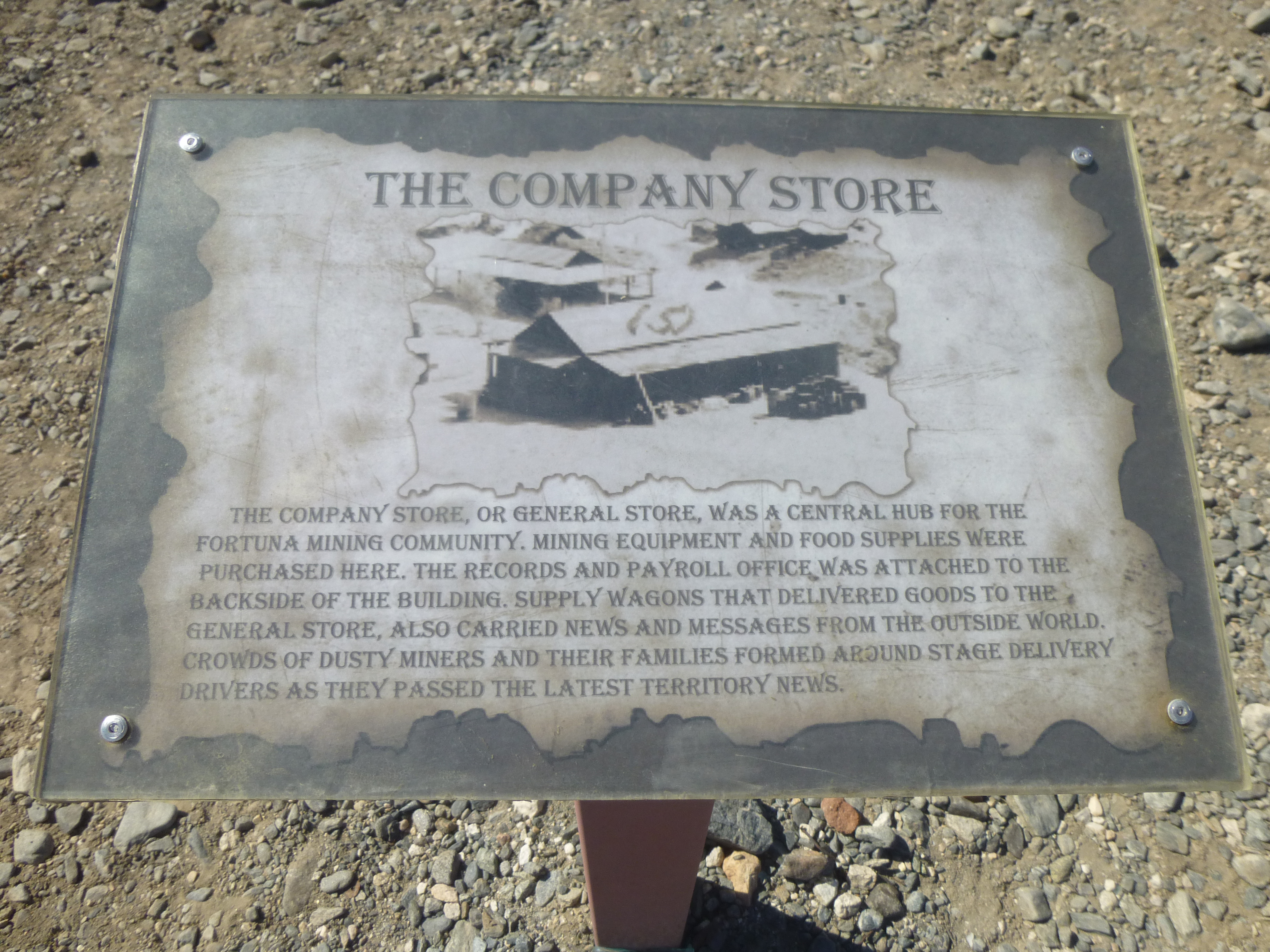
Still more info.
This mine had been first worked way back in the late 1890s, but a few decades later all activity had ceased. There were still signs of that former activity.
Tailings
After looking around for a bit, I decided to motor on. A few miles to the north sat my next climb, and it didn’t take long to reach it. I parked nearby, then headed north across a wash and up the south slope. By 5:00 PM, I stood on top of Peak 1196. There was no sign of a previous visit, so I left another register.
The south side of Peak 1196
This view from the top clearly shows how I had reached the western edge of the range.
See my truck beside the road in the middle of the picture?
When I returned to my truck, I decided to camp right there for the night, to stop early for a change. It made for a more relaxing end to my day. I was on a west-facing slope, and as the sky darkened, the city lights of Yuma grew until they filled a wide swath of the horizon. The city of 100,000 sat a mere 13 miles distant. Another obvious feature visible in the distance was the city of San Luis Colorado in the state of Sonora, Mexico. Its look was different, though – it presented the orange glow of high-pressure sodium lights, in contrast to the harsh glow of Yuma’s bright white metal halide lights.
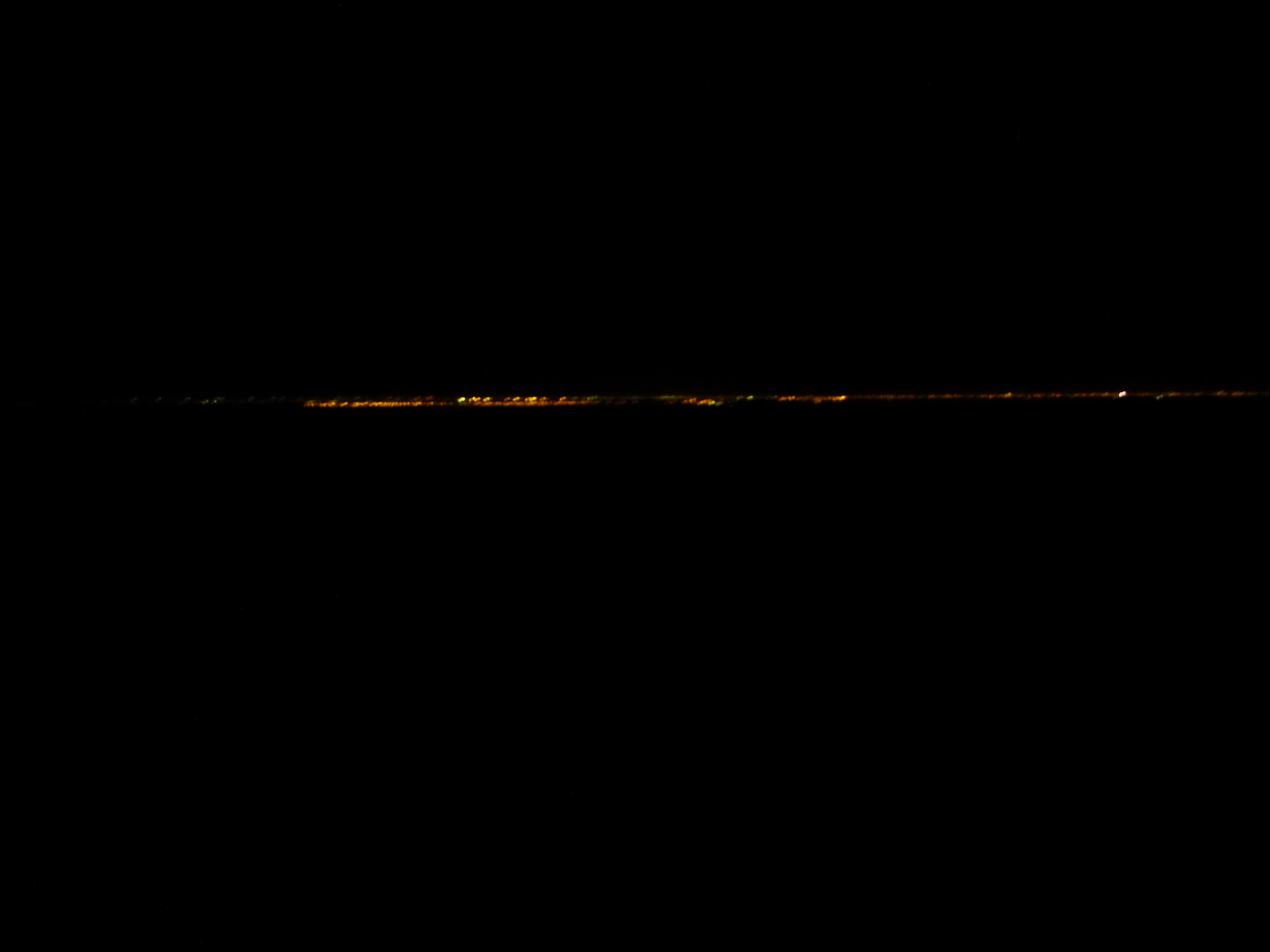
Mexican lights
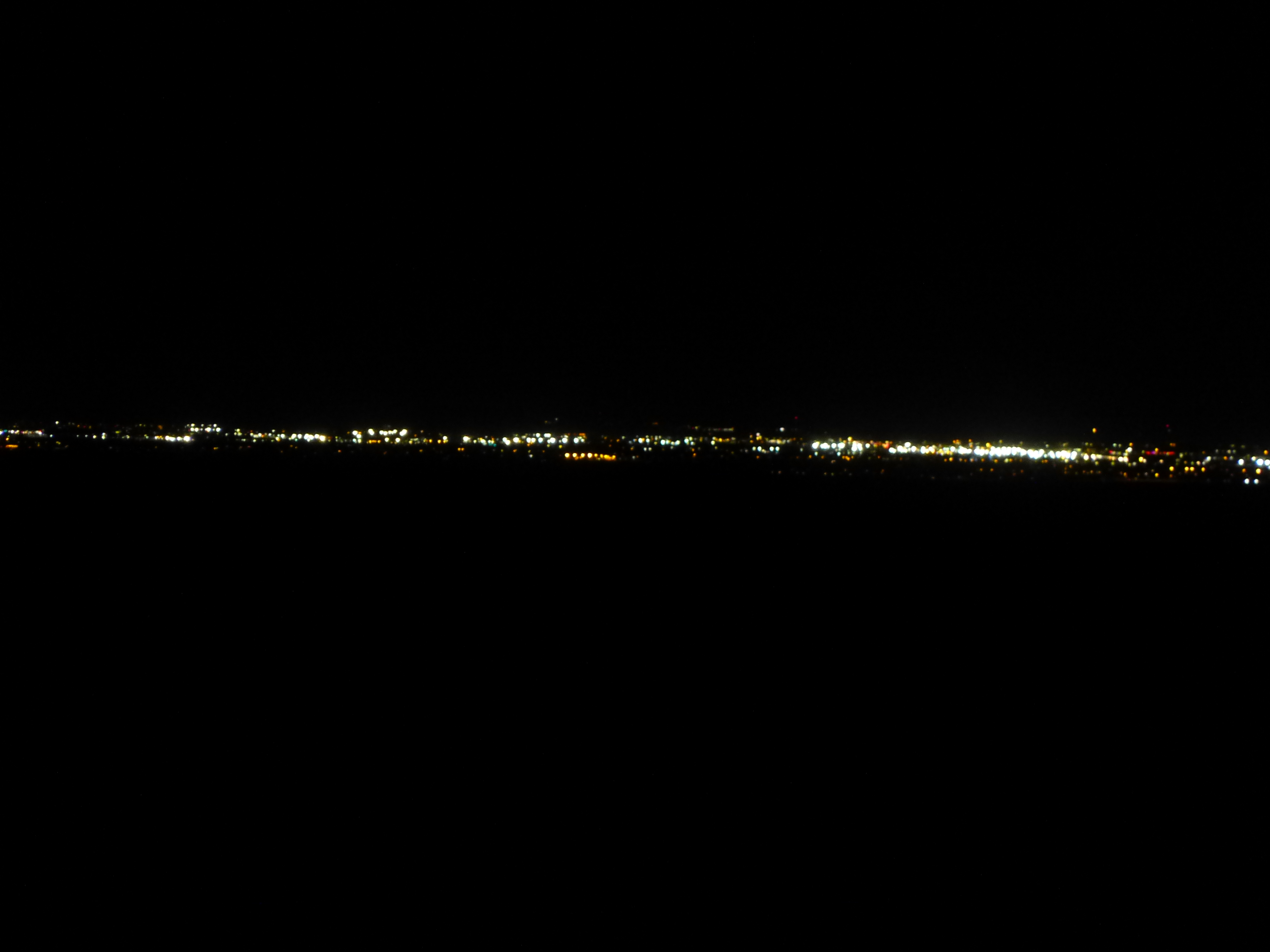
Yuma lights
Sorry for the quality of the above photos – they were taken with a hand-held point-and-shoot camera.
So ended Day 4 of my trip, and little did I know the outrageous adventures that were to follow tomorrow.